In the 1870s, St. Louis was a major city located in Missouri with a population of around 300,000 people. It was a key transportation and commercial hub, located along the Mississippi River and serving as a major stop on the Oregon and Santa Fe trails. St. Louis was also an important center of industry, with a range of manufacturing companies operating in the city, and it was known for its production of iron and steel. Despite its prosperity, the city was also marked by significant social and economic divides, particularly with regards to race, as African Americans faced discrimination and segregation. St. Louis was also a center of political and cultural activity, with several newspapers, schools, and other institutions serving its diverse population.
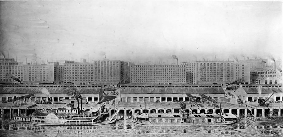
#1 St. Louis levee along North Market Street, 1870
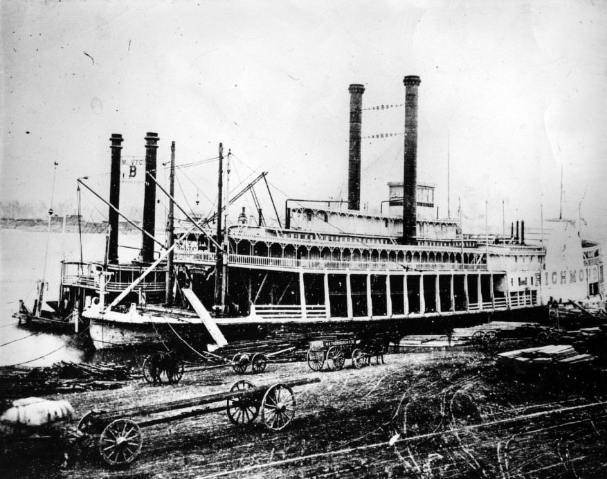
#2 Scene showing steamer Richmond in St. Louis, 1870
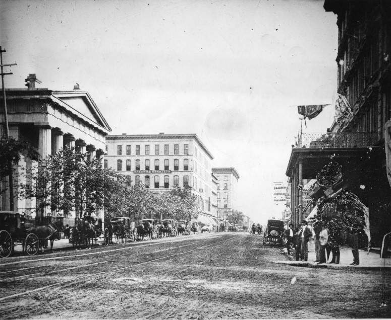
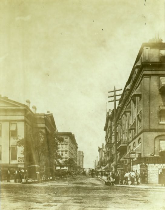
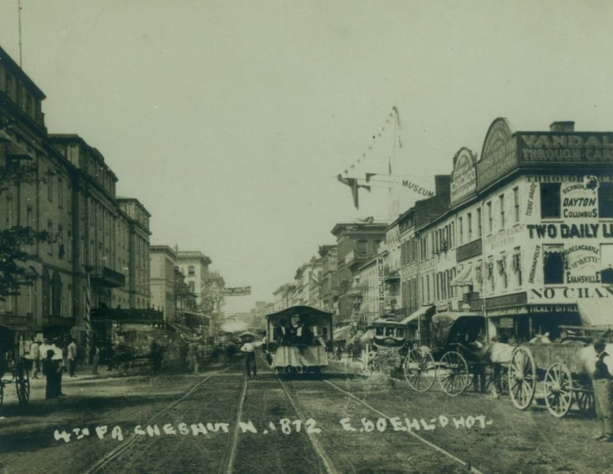
#3 Chestnut Street in St. Louis looking west from Fourth Street, 1872. The court house is on the left and the Planter’s Hotel is on the right.
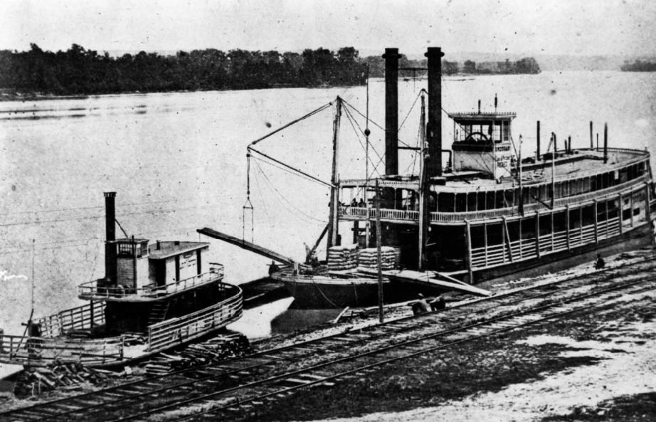
#4 Str. Light Wester (1873) and the Str. Dugan 1874.
#5 Germania Club in St. Louis, 1875
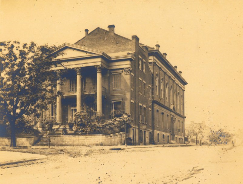
#6 Cracker Castle at the corner of St. Ange and Chouteau in 1870.
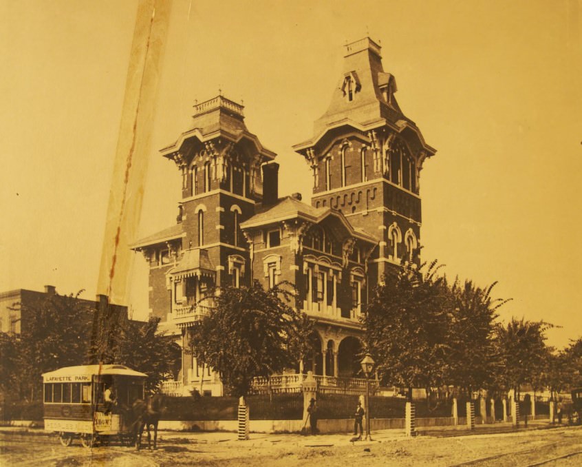
#7 The 4th Street in St. Louis looking north toward Chestnut Street, 1872
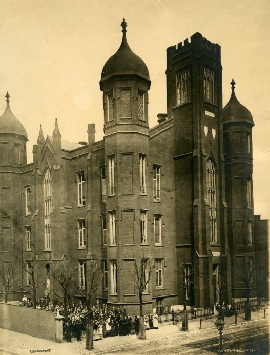
#8 The first public high school in St. Louis at the corner of Fifteenth Street and Olive Street in 1870.
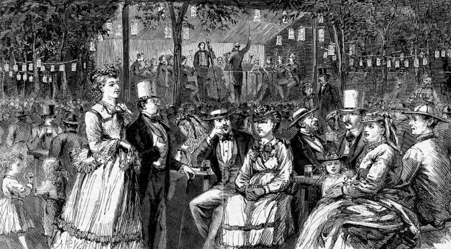
#9 Beer-Garden, 1870
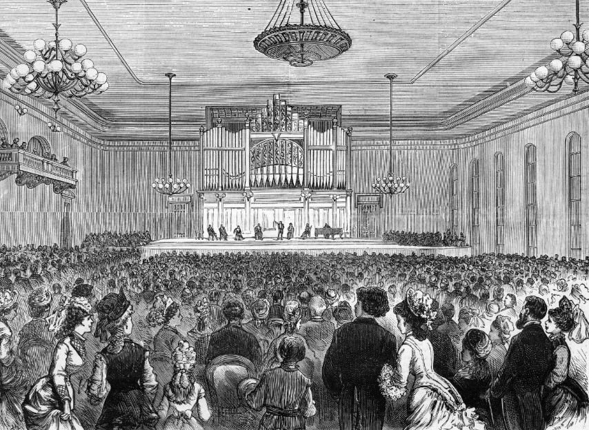
#10 Mercantile Library Hall in St. Louis, Missouri, 1870
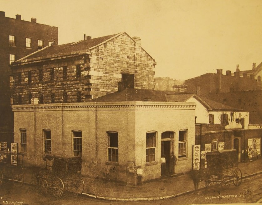
#11 Old Jail 6th + Chestnut, 1870.
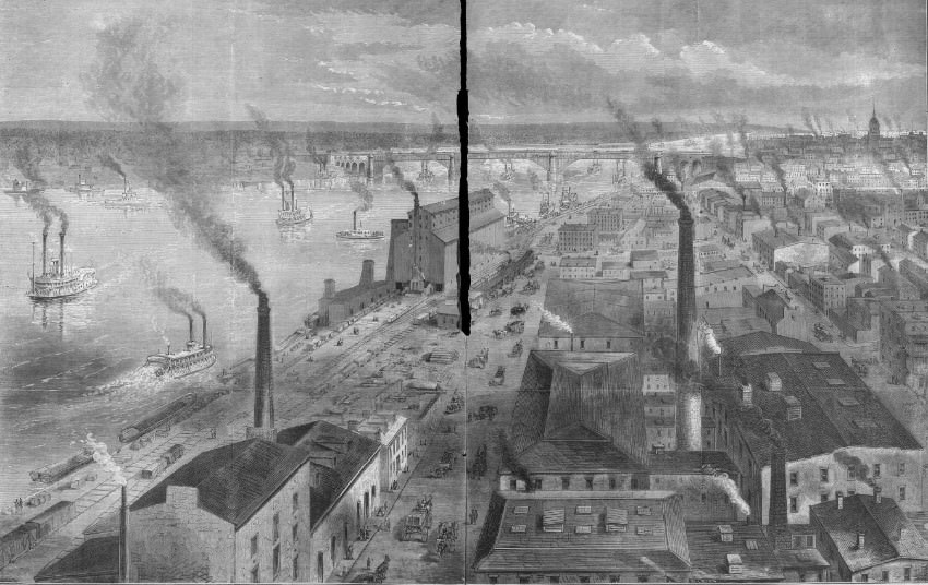
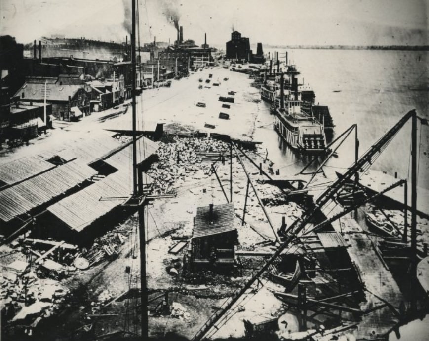
#12 St. Louis Riverfront, 1870
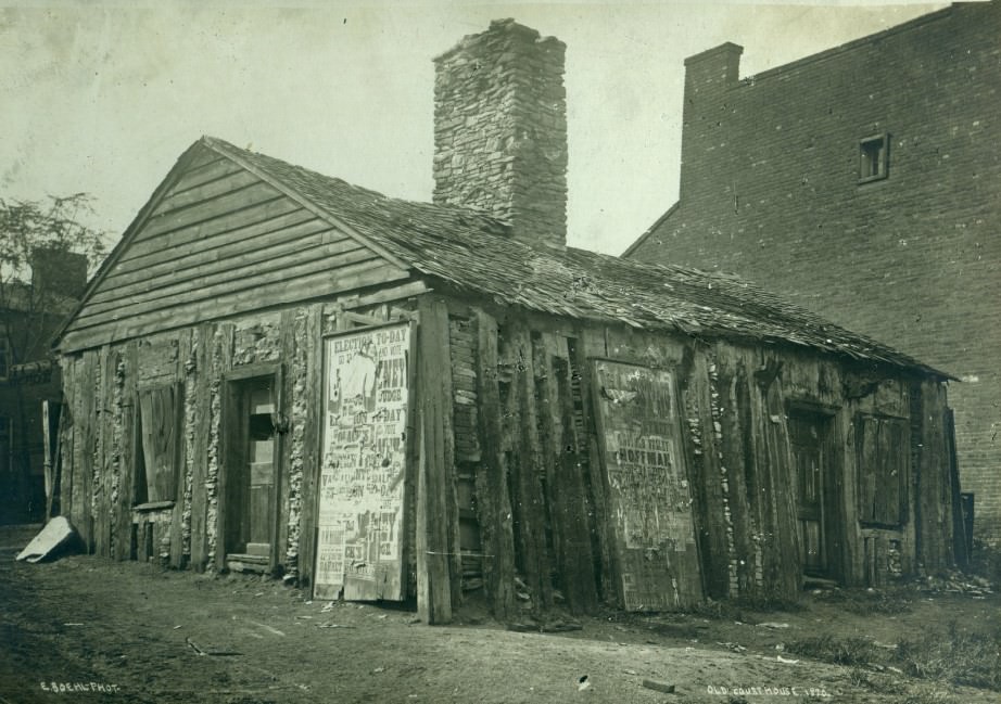
#13 A one-story log structure. The front is labeled Old Courthouse, 1870.
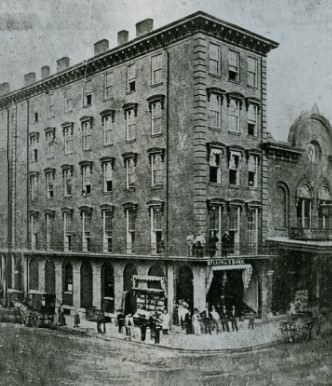
#14 Broadway and Pine in 1878
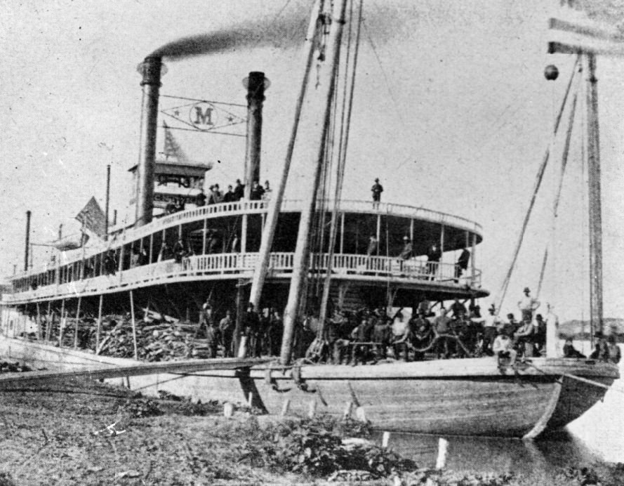
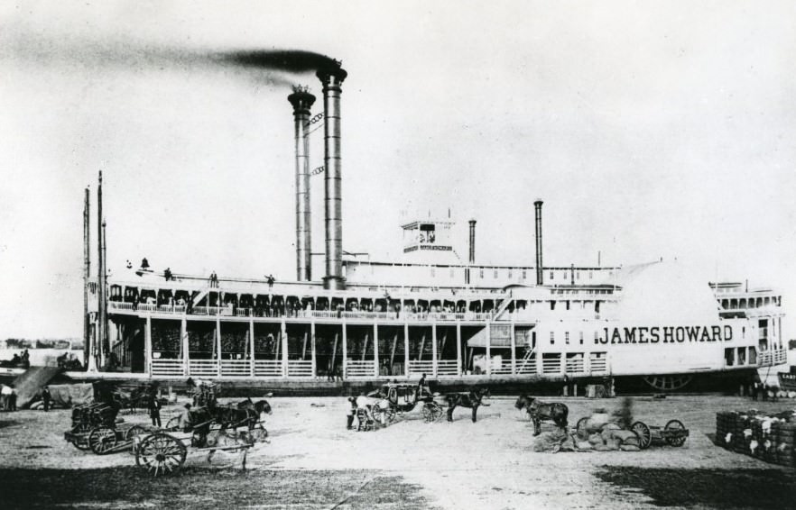
#15 Side-wheel packet James Howard, built in 1870 for the St. Louis-New Orleans trade.
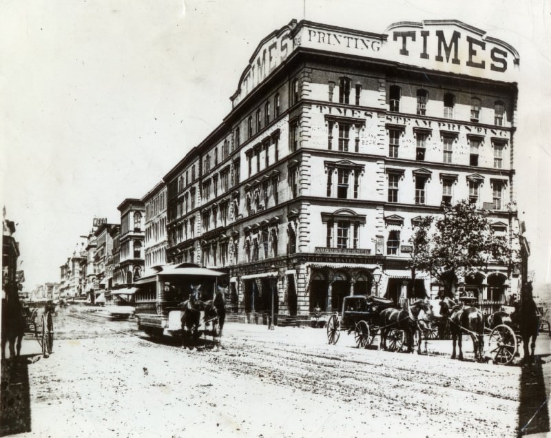
#16 Old St. Louis Times Building, 1872
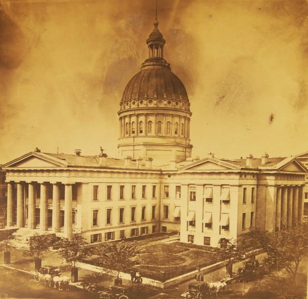
#17 St. Louis Court House, 1870
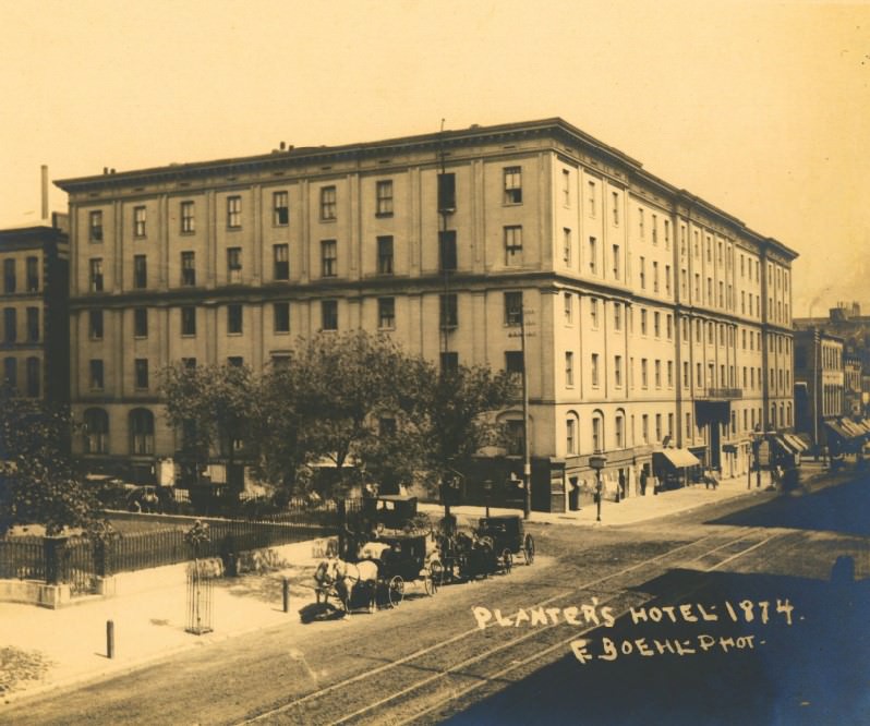
#18 Planter’s Hotel, 1874
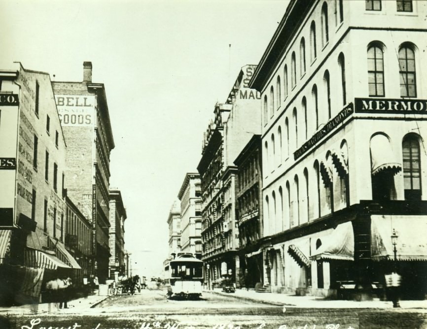
#19 Locust. From 4th West, 1870
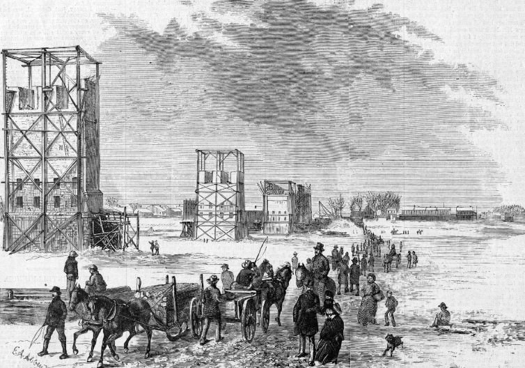
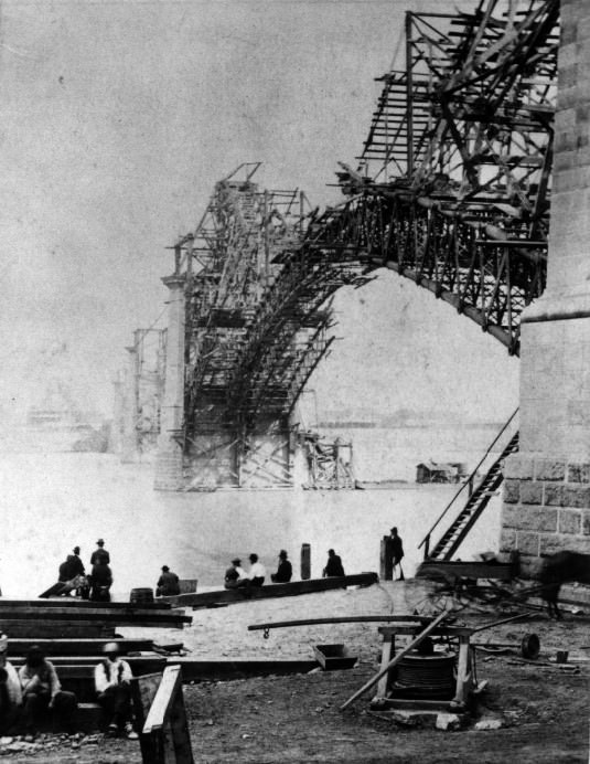
#20 Eads Bridge, 1873
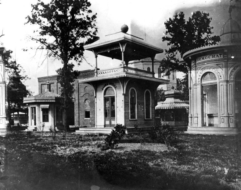
#21 The Globe and Democrat Separate Buildings, 1878
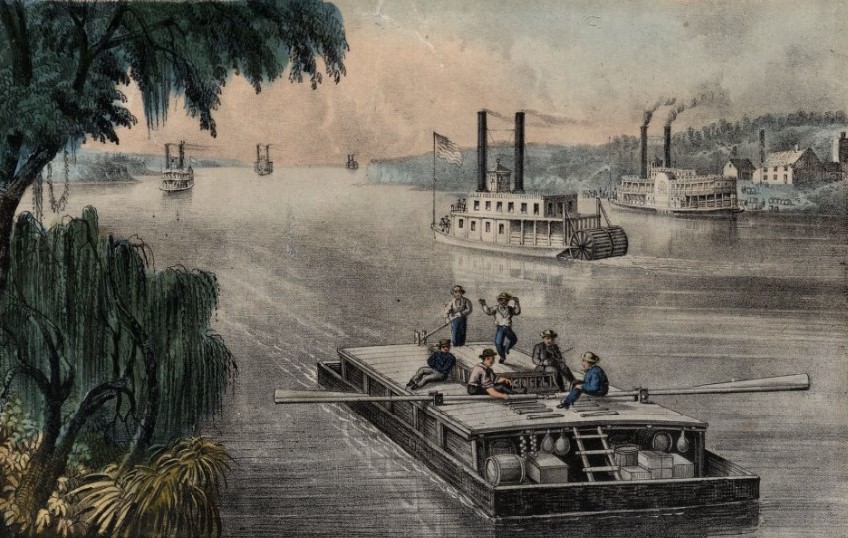
#22 Bound Down the River, 1870
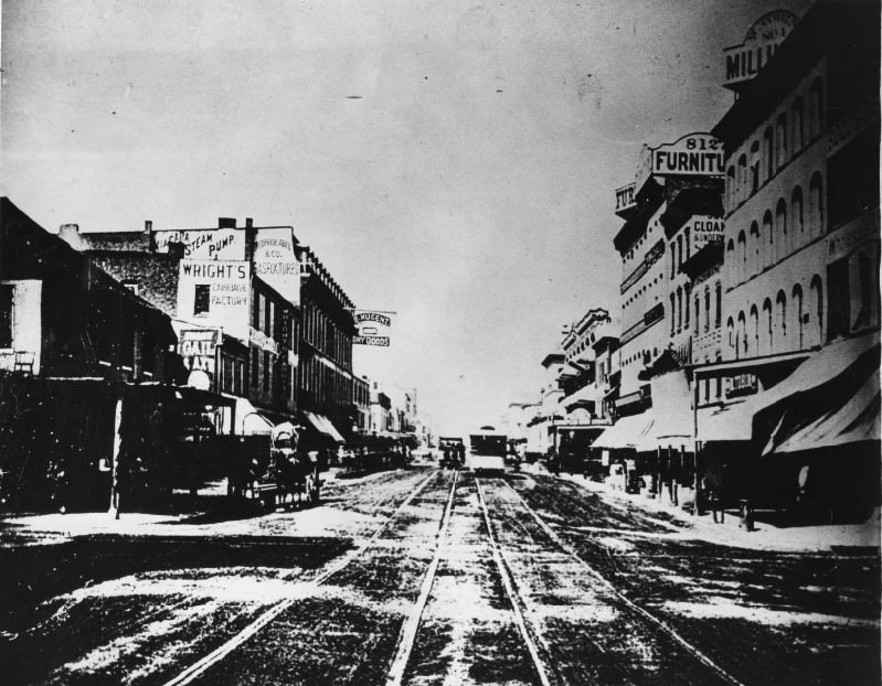
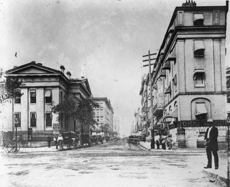
#23 Fourth Street St. Louis, 1875
#24 The east side of Fourth street between Olive and Locust, showing the Everett House, Pingee & Brown, Prop., with the upper veranda and iron railing which formed a hotel’s trademark, 1875
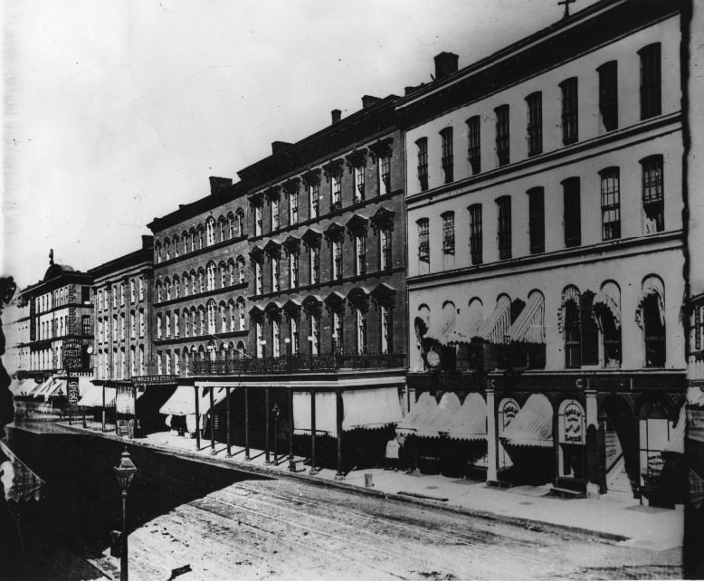
The corner building on the far right housed Hall's Bafe and Look Company, J. J. Starr, manager, which is listed at 302 North Fourth in the 1872 directory and had moved to 410 North Third in 1878. Scarritt Furniture, whose sign can be made out at the corner of Locust, was at 400 North Fourth in 1872 and had also moved in 1878, putting the date of this photograph at about 1875. On the east side of the street (photo to left) [(this photo)] is the famous Everett House, with the upper veranda and iron railing, trademarks of hotels in that era. In five years the same scene (right)[(different photo)] changed considerably. The hotel had its front dressed up with additional porches and and awnings. The skyline also changed with the erection of the Goodyear Rubber Co. sign, then considered one of the highest in city.
#25 Once one of old St. Louis’ better known hotels, on Fourth between Morgan (now Delmar) and Franklin, the St. Nicholas began losing its glory in the 1870s when this photo was made.
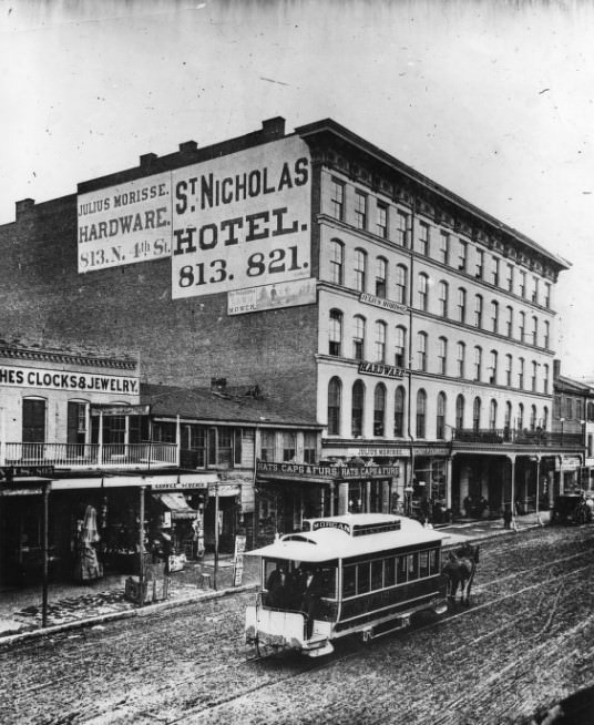
#26 St. Louis on a Busy Day- in 1870.
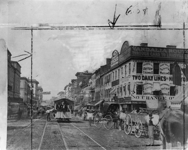
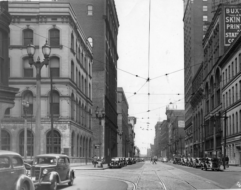
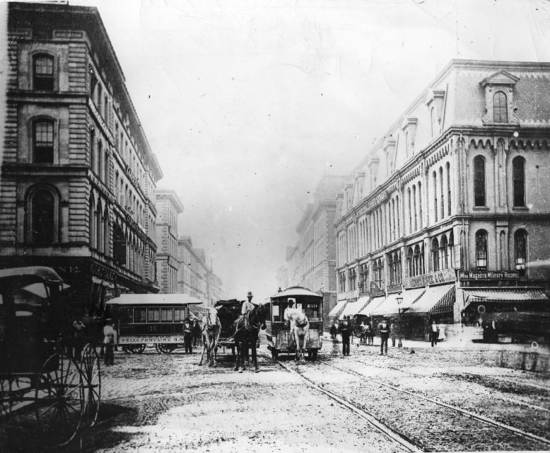
You may not believe it, but this was the way Fourth and Chestnut looked to the country gentlemen who drove into town in their buggies and contemplated a trip to Louisville over the "Vandalia Route,"... street car going in the opposite direction. St. Louis Then and Now: The photo at left was taken at Fourth and Chestnut streets in 1870, six years before the city divorced the County on grounds of incompatibility and non-support. In that horse-drawn era, St. Louisans did not foresee the tremendous growth and development of city (right photo) and choked off future expansion by voting to go it alone. A Bustling St. Louis in 1870 became fourth largest city in the nation, according to the census of that year. The race with Chicago was hot and St. Louis still clung to ideas of becoming the dominant city of the Midwest and possibly the nation's capital. But 10 years later Chicago forged ahead and St. Louis subsequently was passed by five other cities.