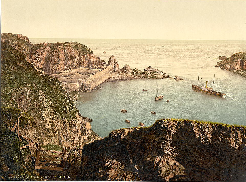
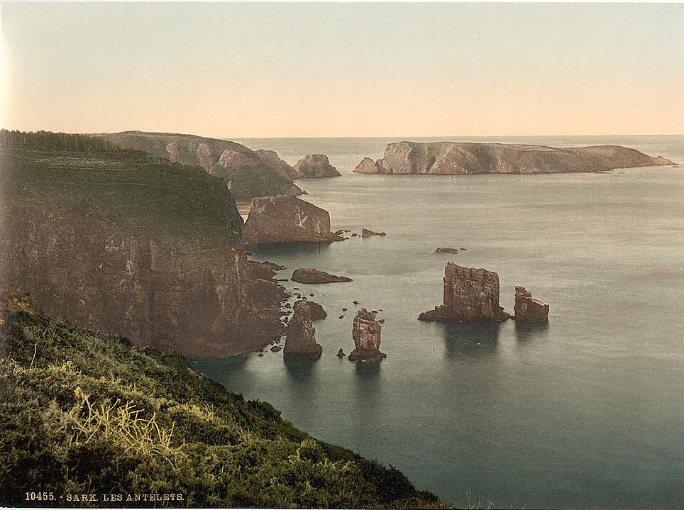
The Channel Islands sit in the English Channel, just off the coast of Normandy in northern France. They are British Crown Dependencies, divided into two bailiwicks: Guernsey and Jersey. Though they sit close to France geographically, they are not part of the United Kingdom or the European Union — they operate under their own governments and legal systems. Their history stretches back tens of thousands of years, and the landscape has barely changed in centuries. These rare color photographs, taken in the late 19th century, show that landscape in vivid detail.
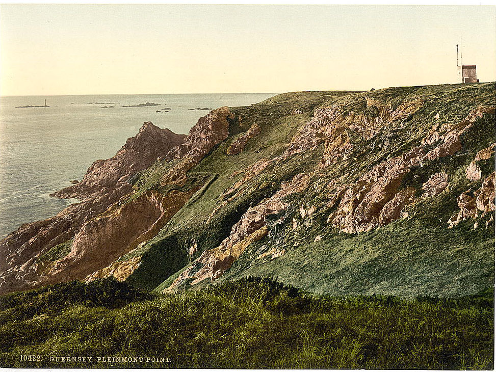
Guernsey is the second-largest of the Channel Islands and the centerpiece of its bailiwick, which also includes Alderney, Sark, and several smaller islands. The island’s coastline is dramatic — steep cliffs, hidden bays, and rugged headlands cut by Atlantic winds. Pleinmont Point, on the southwestern tip of the island, is one of the most exposed and striking stretches of coastline. It overlooks open water on three sides and was a strategic lookout point for centuries.
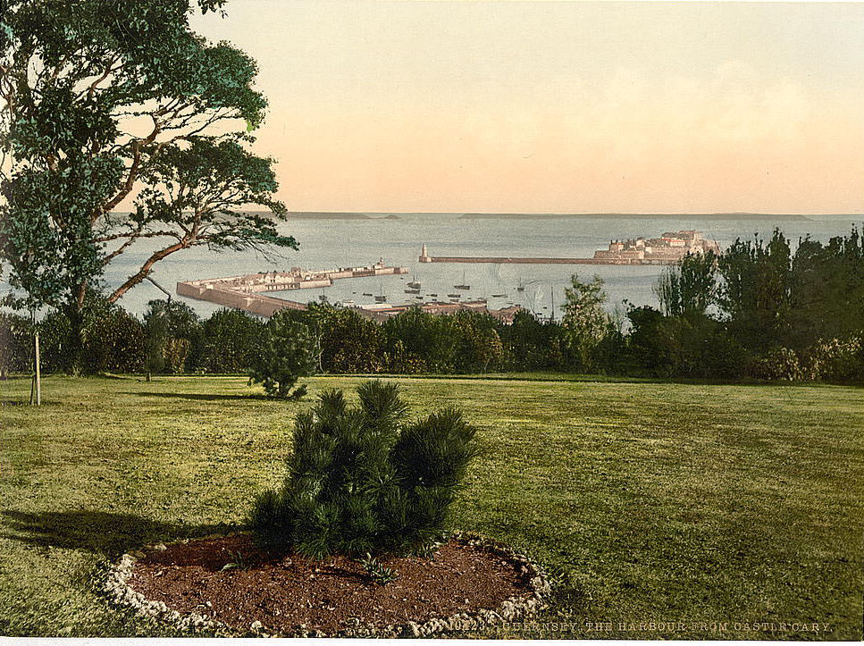
By the late 19th century, Guernsey had developed into a busy maritime and trading hub. St. Peter Port, the island’s main town, had one of the most active harbors in the region. Fishing boats, trading vessels, and passenger ships moved through it daily. Castle Cornet, which guards the harbor entrance, had stood watch over the town since the 13th century. The view from Castle Cary — a large house built above the harbor — gave a sweeping look at the port and the water beyond.
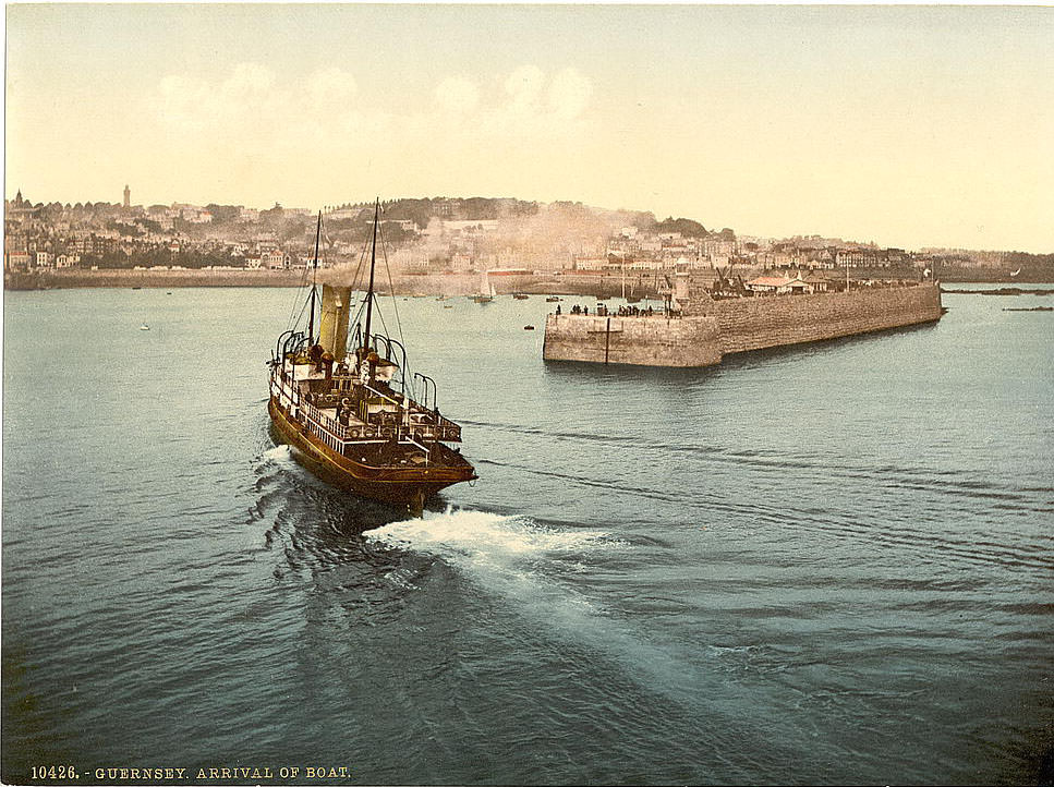
Saint Peter Port was — and still is — the island’s commercial and social heart. In the 19th century, its stone quays, narrow streets, and tall granite buildings gave it a character unlike anywhere else in the British Isles. Victor Hugo, the French author of Les Misérables, lived in exile here from 1855 to 1870. He described the island’s beauty in his writing, and looking at these photographs, it is easy to see what drew his attention.
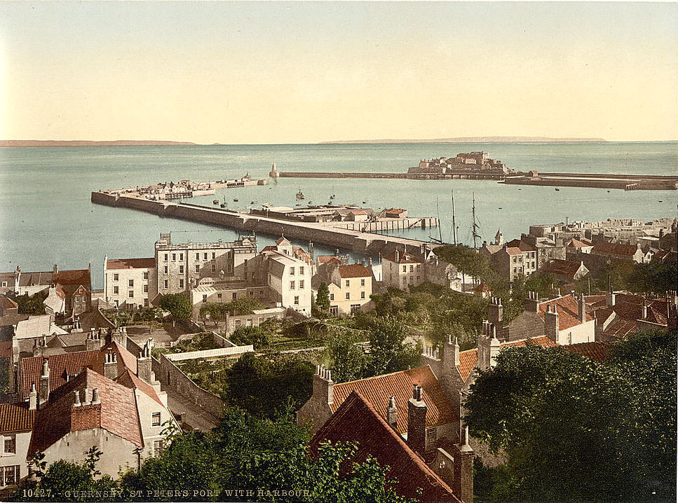
The harbor at St. Peter’s Port was the island’s lifeline. Ships carried goods including stone, flowers, vegetables, and cattle to markets in England and France. The late 19th century was a period of relative prosperity for Guernsey. Tourism was beginning to grow as steamship travel became more affordable. Visitors came for the mild climate, the scenery, and the relatively low cost of living compared to mainland Britain.
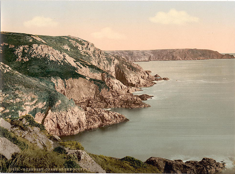
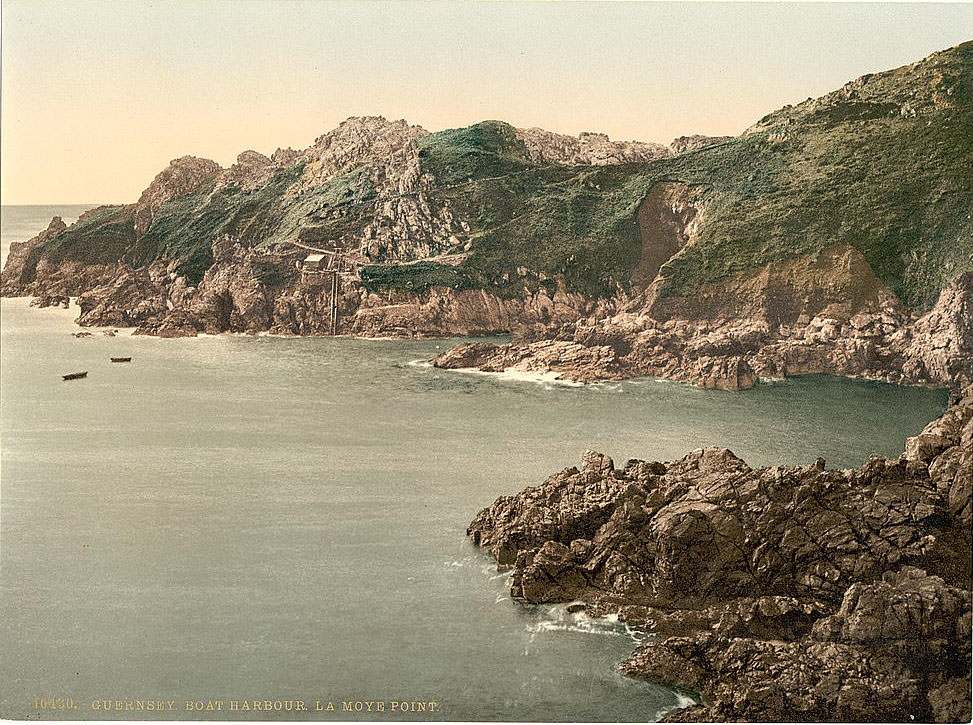
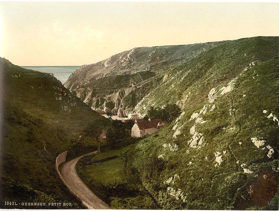
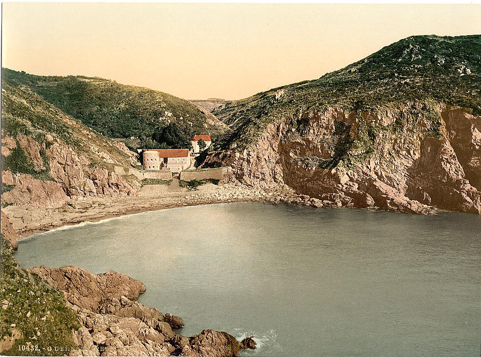
The southern coast of Guernsey is defined by a series of bays, cliffs, and rocky inlets. Jerbourg Point, at the island’s southeastern tip, offers views across to the smaller islands of Herm and Sark. The cliffs here drop sharply into the sea, and the paths along the headlands were well-traveled by locals and tourists alike. Petit Bot Bay, tucked between two wooded valleys, was among the most photographed spots on the island.
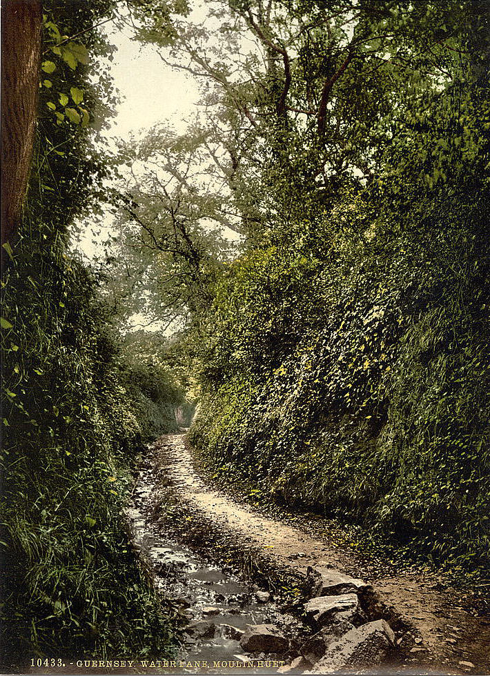
Moulin Huet Bay, on the same southern stretch of coast, attracted significant artistic attention in the 19th century. French painter Pierre-Auguste Renoir visited Guernsey in 1883 and produced around fifteen paintings, many of them at Moulin Huet. He painted bathers on the rocks and the bay’s distinct combination of granite boulders, clear water, and lush green hillsides. The water lane leading down to the bay gave visitors a shaded path through the valley.
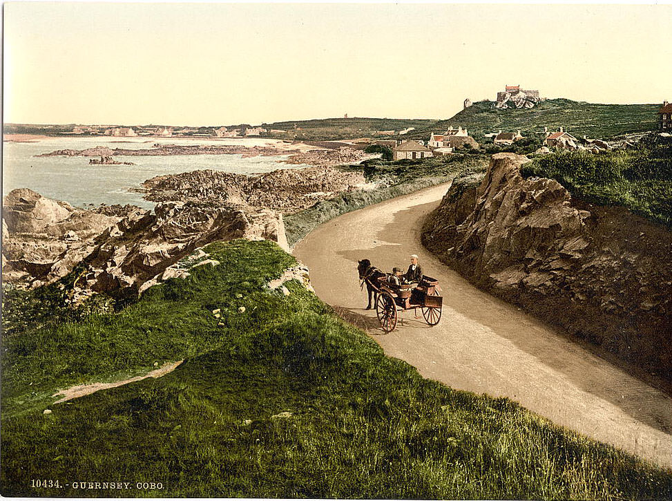
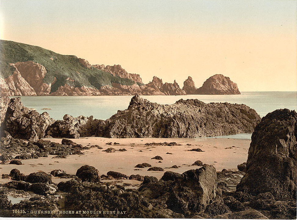
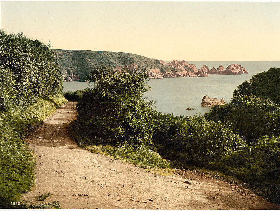
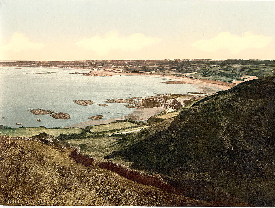
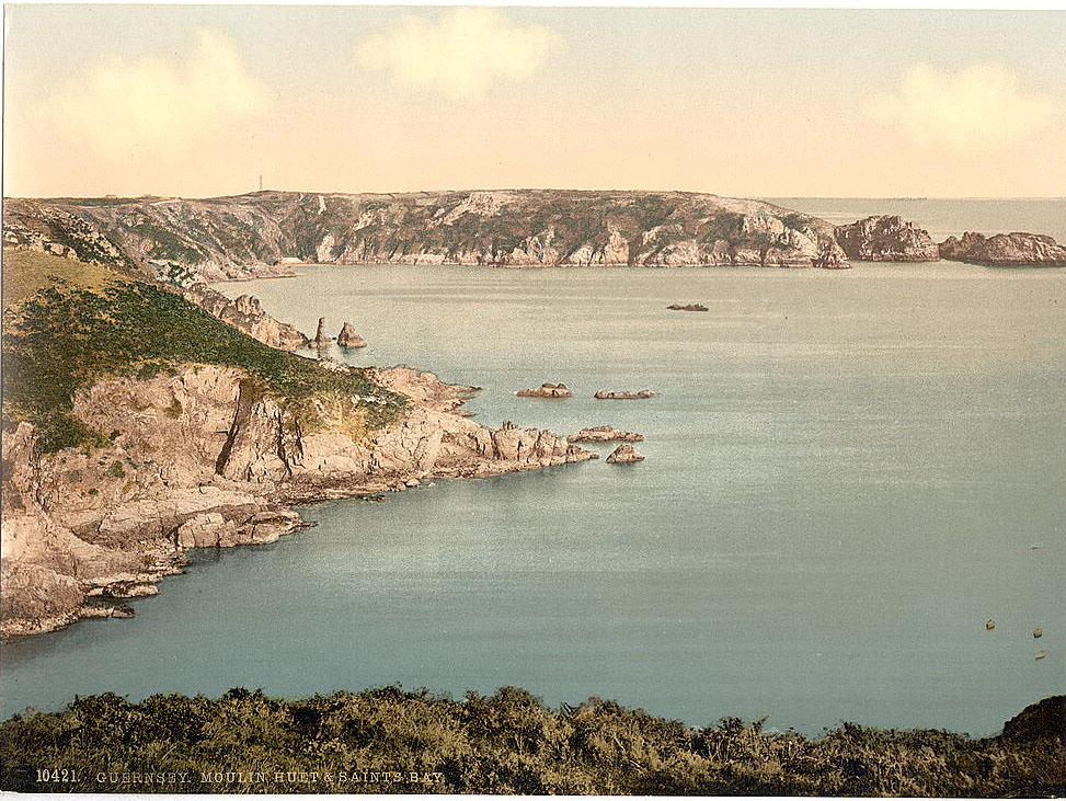
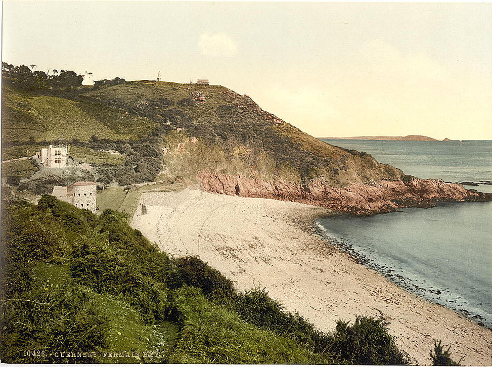
Looking east from Moulin Huet, the bay opens toward Saints’ Bay. This stretch of southern Guernsey was among the most sheltered on the island, with clear water and rocky outcrops that made it ideal for small fishing boats. Fermain Bay, further along the coast toward St. Peter Port, required a steep descent to reach — either by path through the woods or by boat. Its relative inaccessibility kept it quiet even as tourist numbers grew.
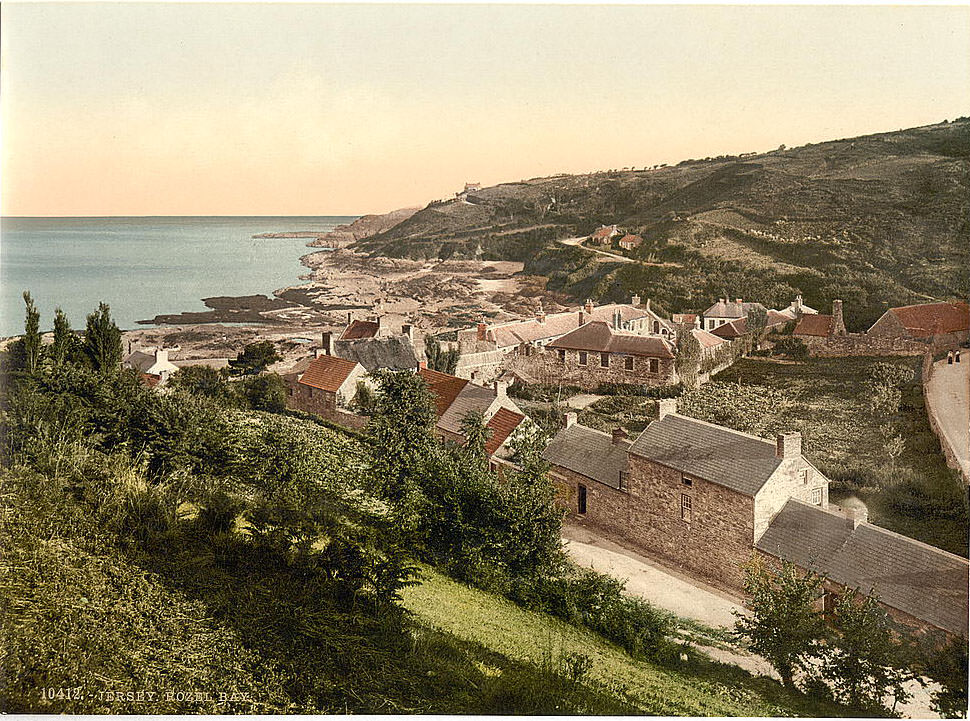
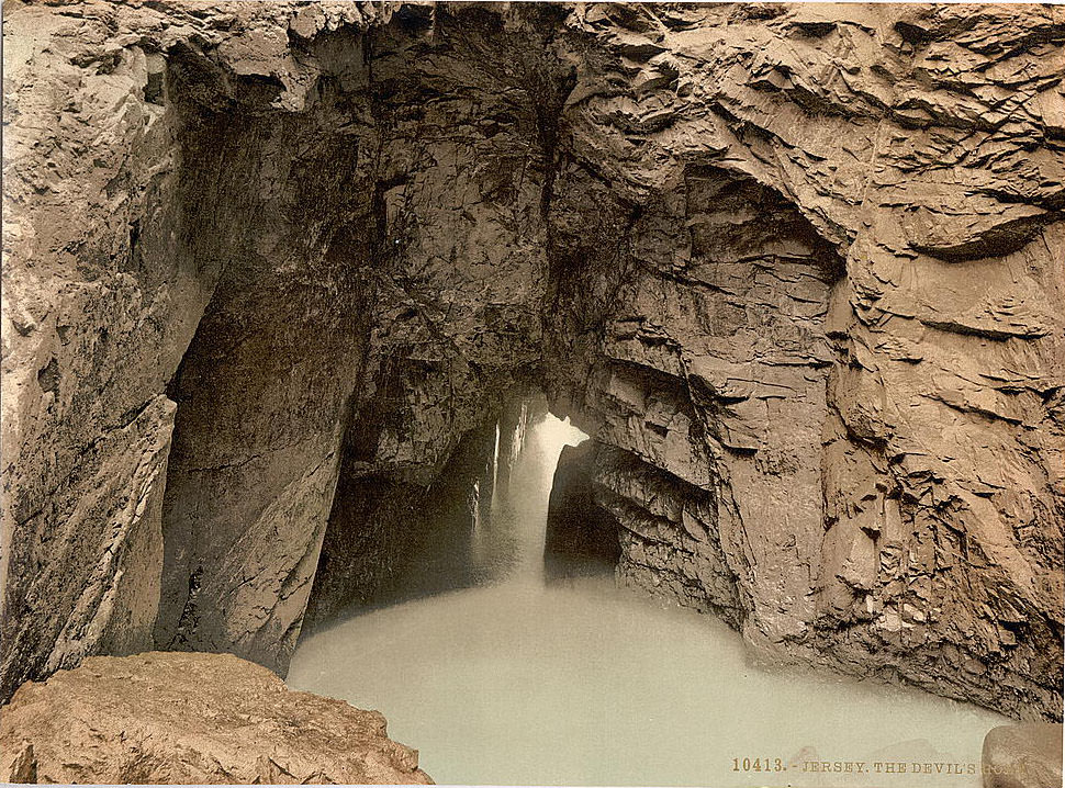
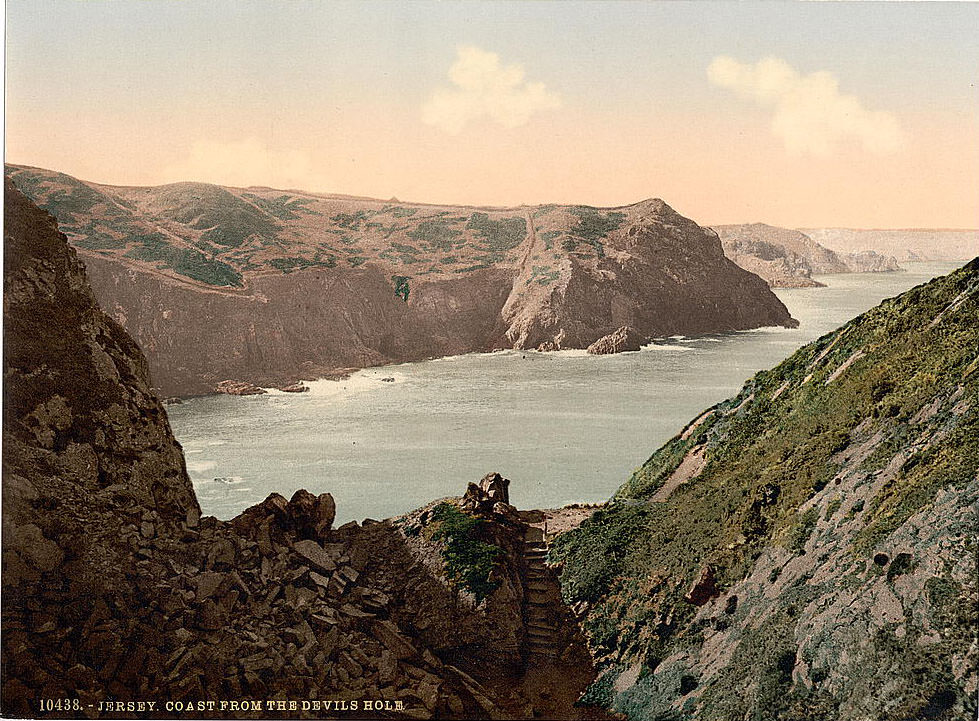
Jersey is the largest of the Channel Islands, covering around 45 square miles. Its coastline is as varied as Guernsey’s — broad sandy beaches on the south, rugged cliffs and narrow coves on the north. Rozel Bay, on the northeast coast, was a small fishing village with a sheltered harbor. Devil’s Hole, nearby, is a dramatic natural blowhole where the sea has carved through the cliff into a collapsed cave below. At high tide, waves crash through the opening with force.
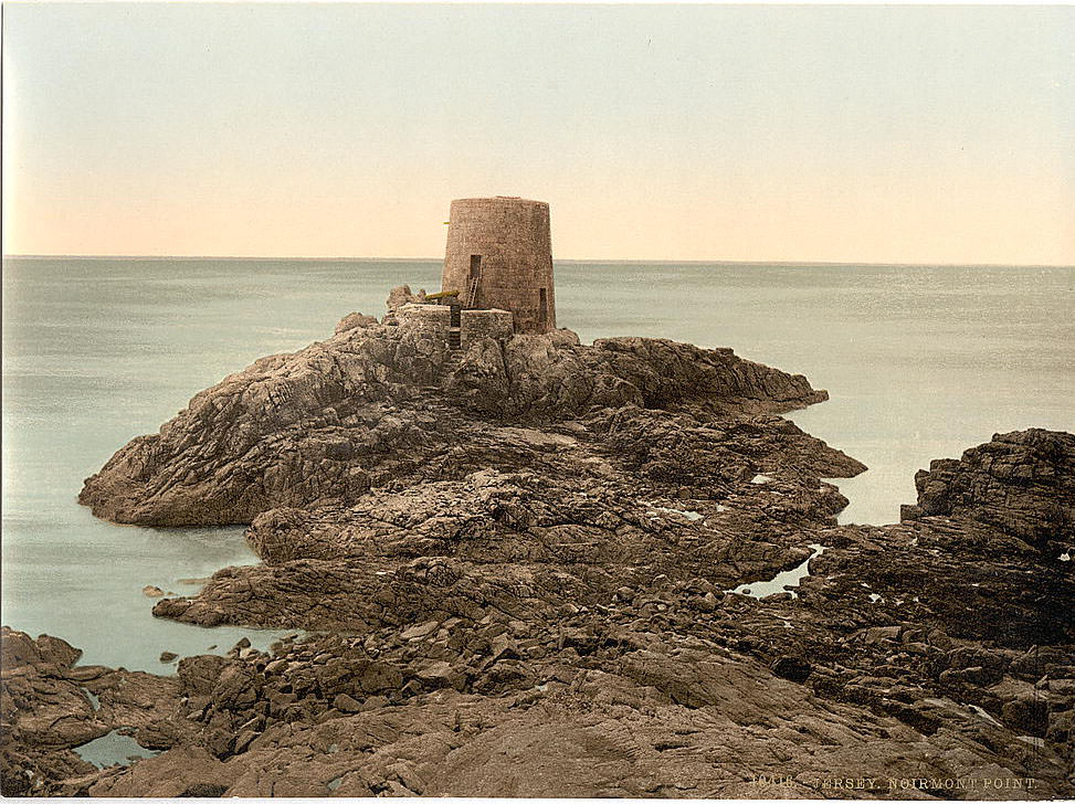
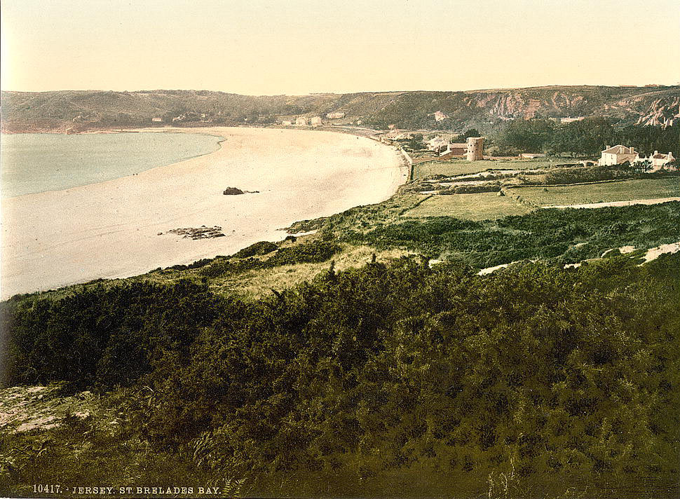
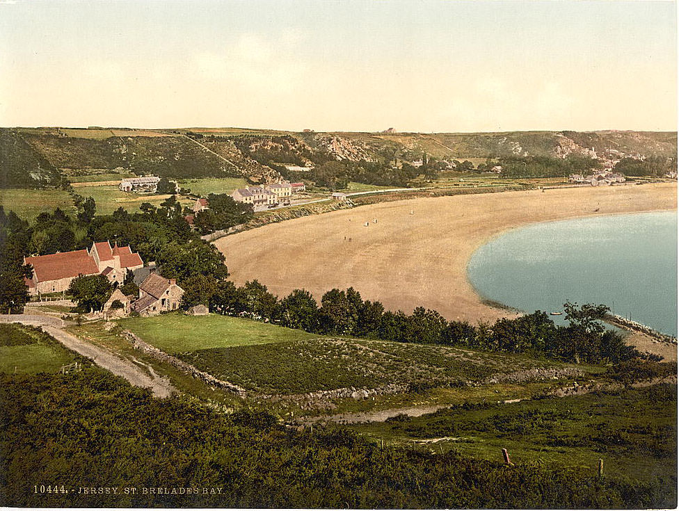
Noirmont Point, on Jersey’s southwestern coast, juts into the sea and gives unobstructed views across St. Aubin’s Bay. The headland was used as a signal station and defensive position throughout the island’s history. St. Brelade’s Bay, just north of Noirmont, was one of Jersey’s most popular beaches. The bay’s wide, pale sand and calm water made it a natural gathering place. By the late 19th century, it was already drawing visitors from the mainland.
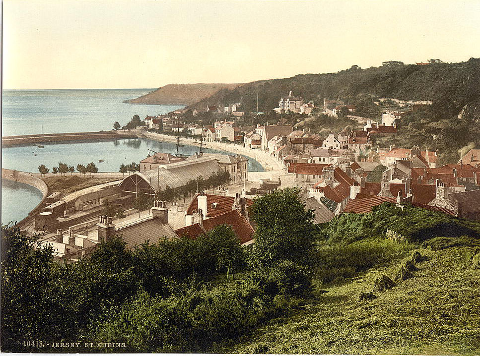
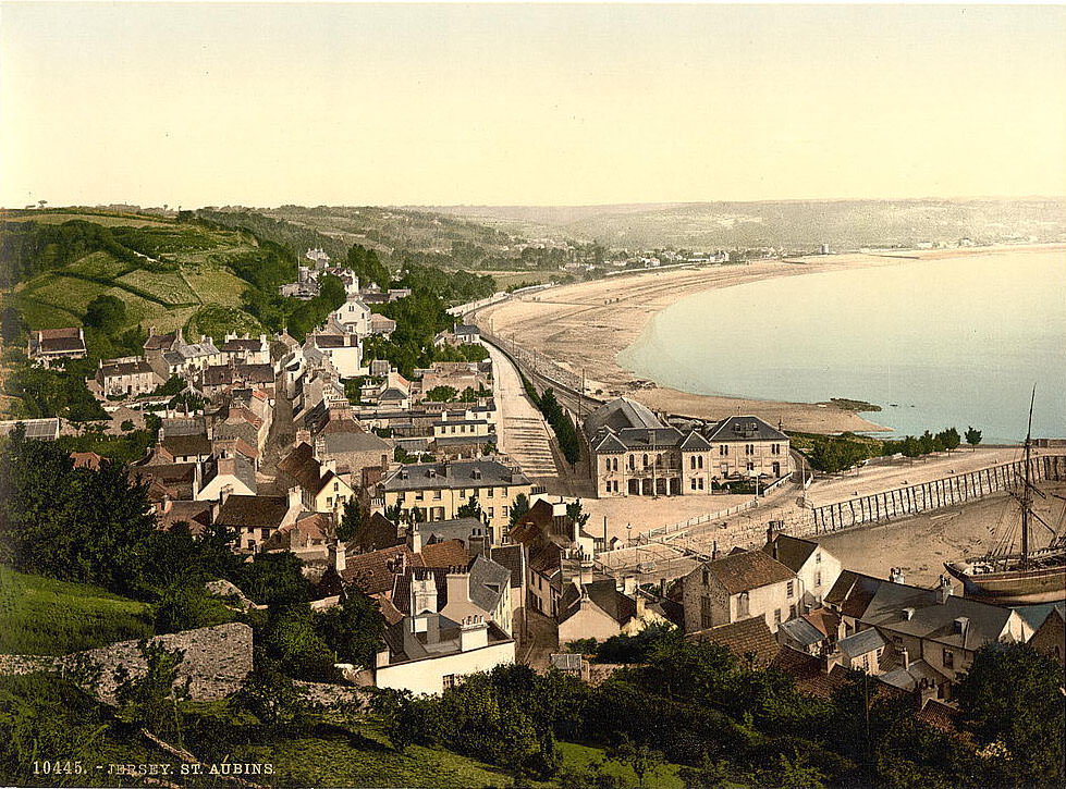
Saint Aubin sits at the western end of St. Aubin’s Bay, separated from St. Helier by a stretch of wide, tidal flats. In earlier centuries it was Jersey’s main commercial port, before St. Helier took over. By the 19th century it had become a quieter residential town with a small harbor and a fort built on a rocky tidal island just offshore. The town’s old buildings and waterfront gave it a picturesque character that appealed to artists and tourists.
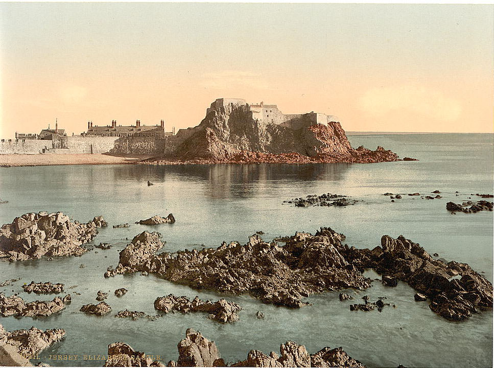
Elizabeth Castle, built on a tidal islet in St. Aubin’s Bay, was one of Jersey’s most important fortifications. Construction began in the late 16th century and continued for over a hundred years. At low tide, visitors could walk to it across a causeway of wet sand. At high tide, a boat was required. The castle served as the official residence of Jersey’s governors for many years and saw action during the English Civil War, when it was held by Royalist forces.
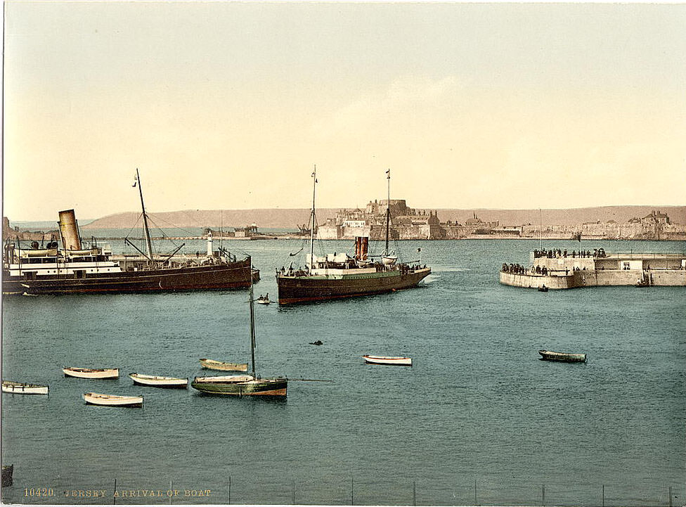
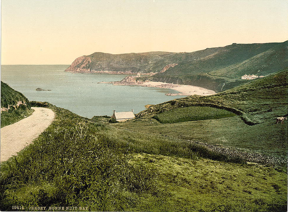
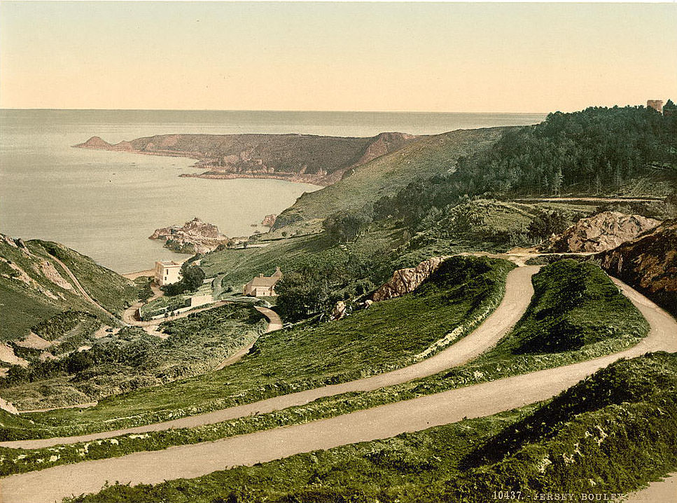
St. Helier, Jersey’s capital, was the busiest port on the island. Passenger steamers arrived regularly from Southampton and other English ports, bringing tourists and goods throughout the summer season. Bouley Bay, on the north coast, could not have been more different — a steep, dark bay surrounded by cliffs and wooded hillsides, with a small pier at its base. The coast along the north shore offered some of the most dramatic cliff scenery in the islands.
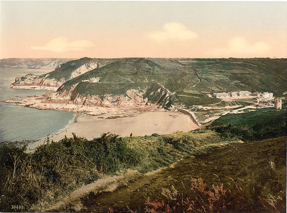
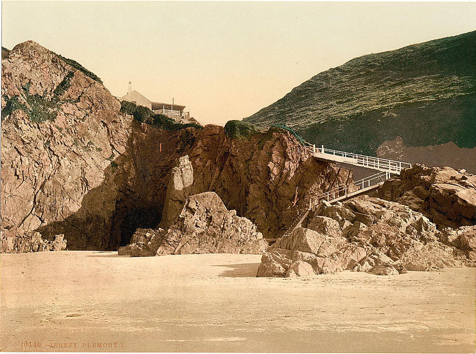
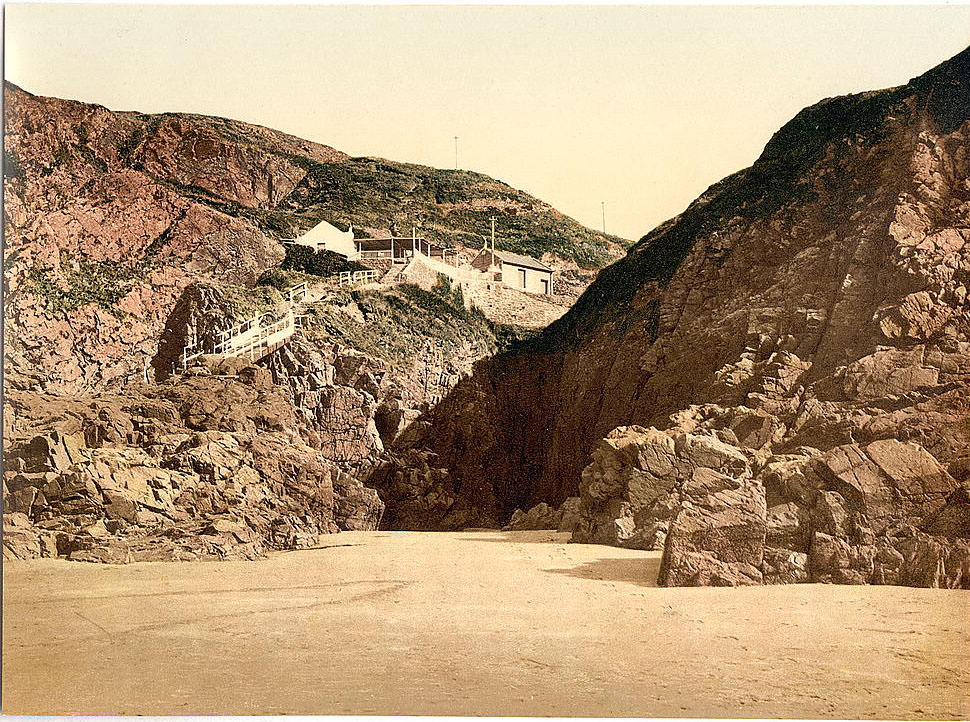
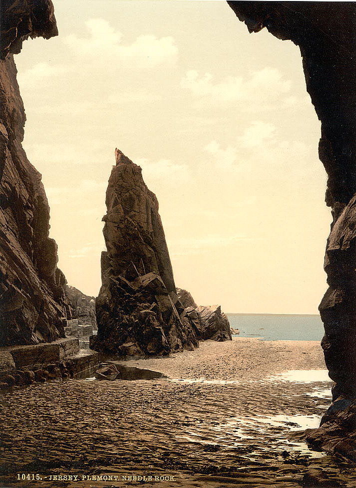
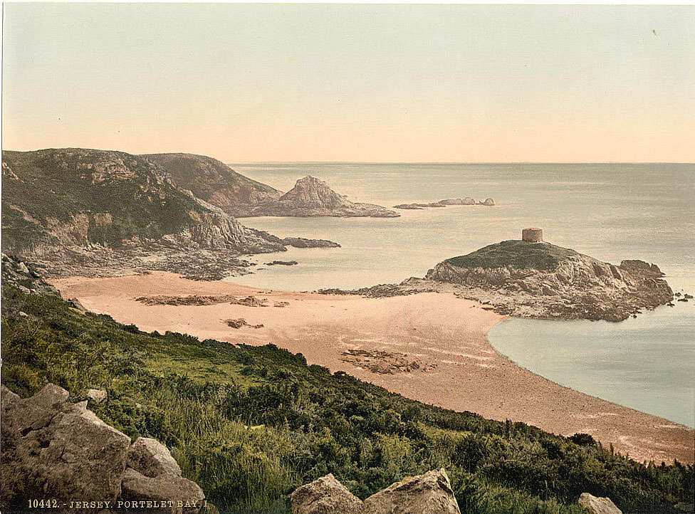
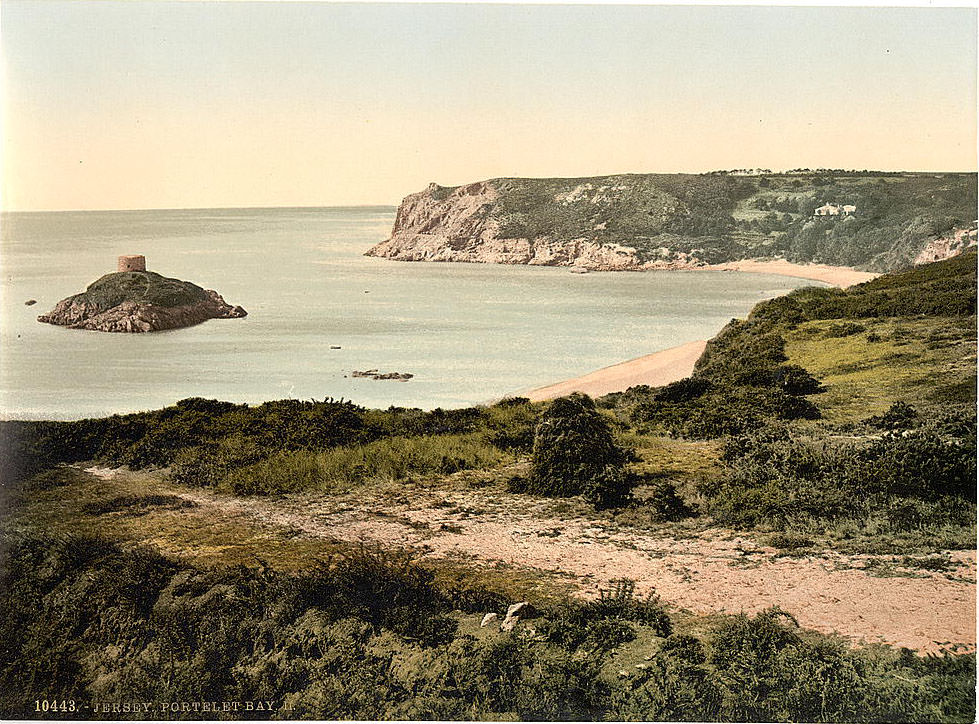
Plémont, on the northwestern tip of Jersey, is known for its beach, accessible only at low tide through a gap in the cliffs. The caves carved into the headland and the needle-like sea stack known as Needle Rock gave the area a wild, elemental appearance. Portelet Bay, on the south coast, was equally striking — a near-circular bay with a small island, Île au Guerdain, sitting at its center topped by an 18th-century tower.
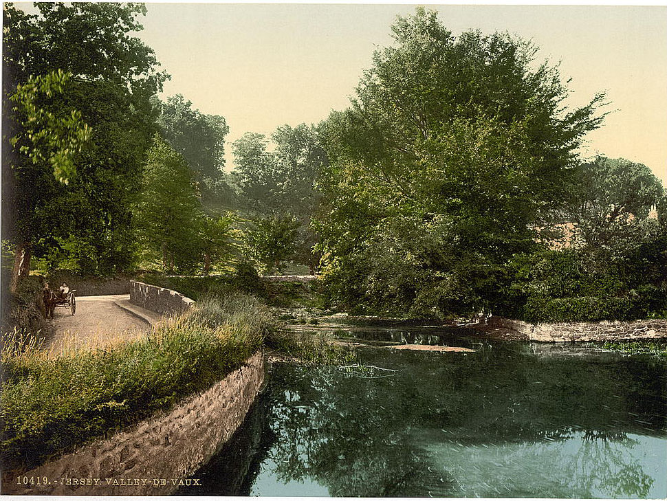
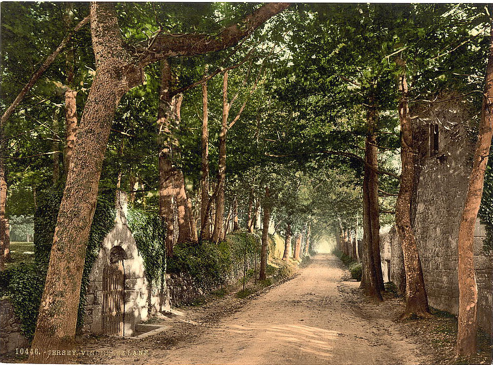
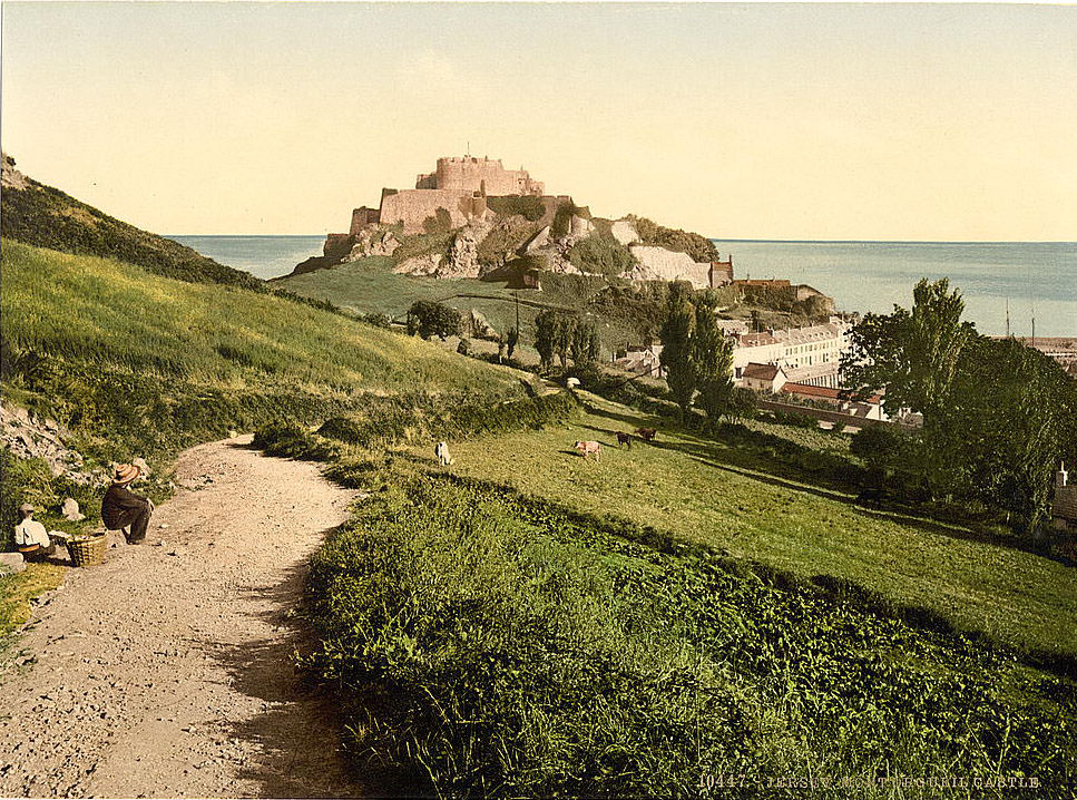
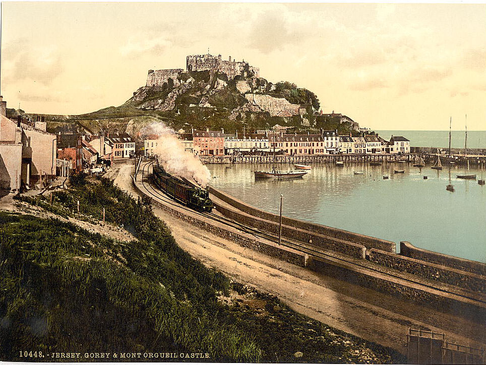
Vinchelez Lane, in the parish of St. Ouen, runs through Jersey’s rural interior — a shaded, hedged path typical of the island’s network of old country lanes. These lanes connected farms, parishes, and coastal hamlets long before any modern road system existed. Mont Orgueil Castle, on the east coast, was Jersey’s oldest and most recognized fortification. Built in the early 13th century on a sheer granite headland above Gorey harbour, it dominated the coast facing Normandy.
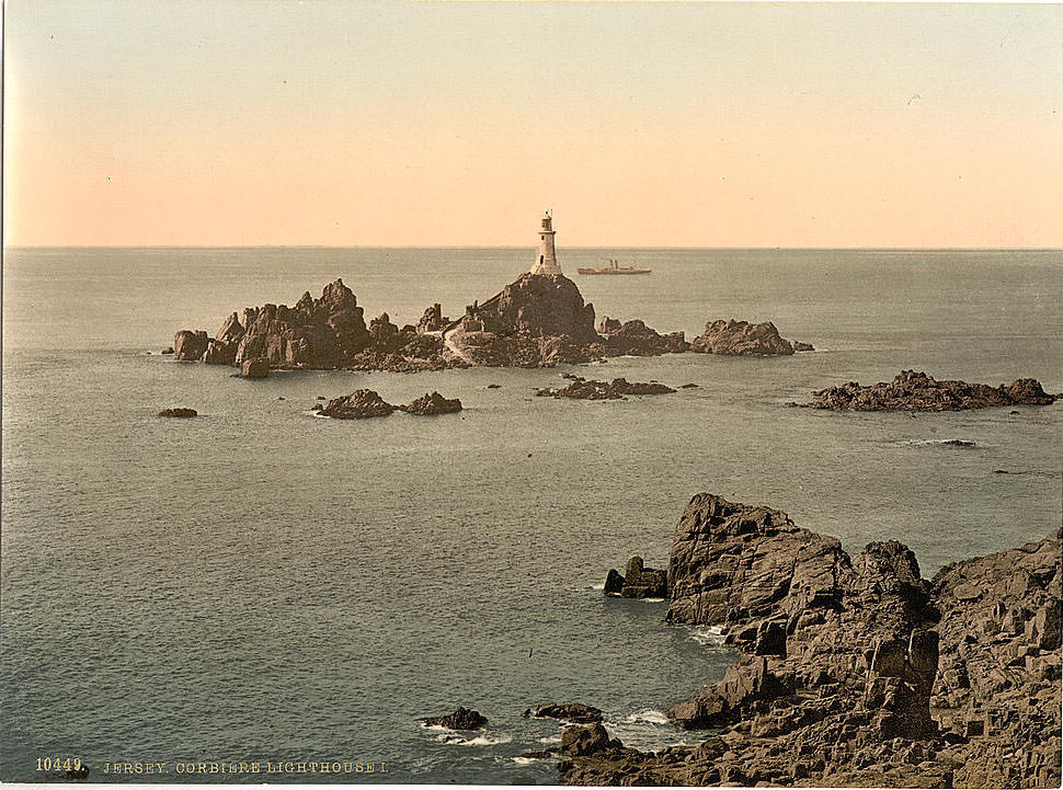
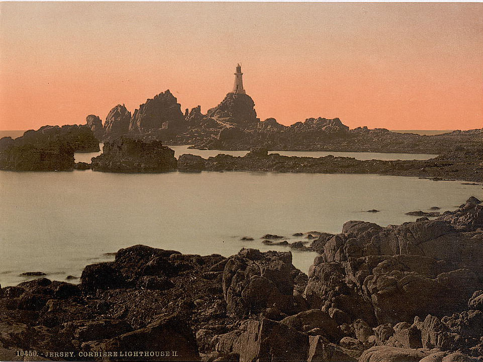
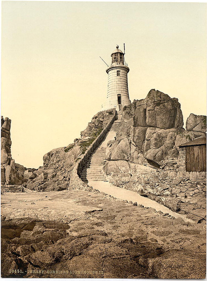
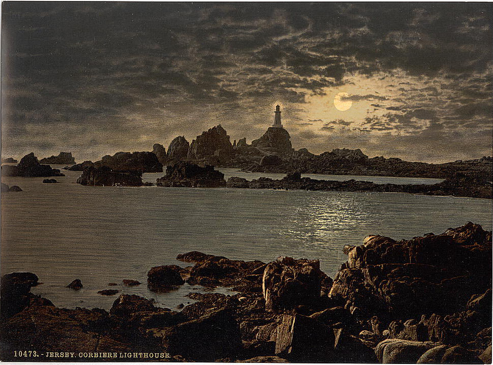
La Corbière Lighthouse stands on a rocky tidal headland at Jersey’s southwestern corner. It was built in 1874, making it one of the newer landmarks on the island at the time these photographs were taken. It was the first lighthouse in the British Isles to be built from concrete. A causeway connects it to the mainland at low tide, but when the tide rises, the lighthouse becomes an island. The photograph taken by moonlight shows the beam cutting across the dark water — a working light warning ships away from the rocks.
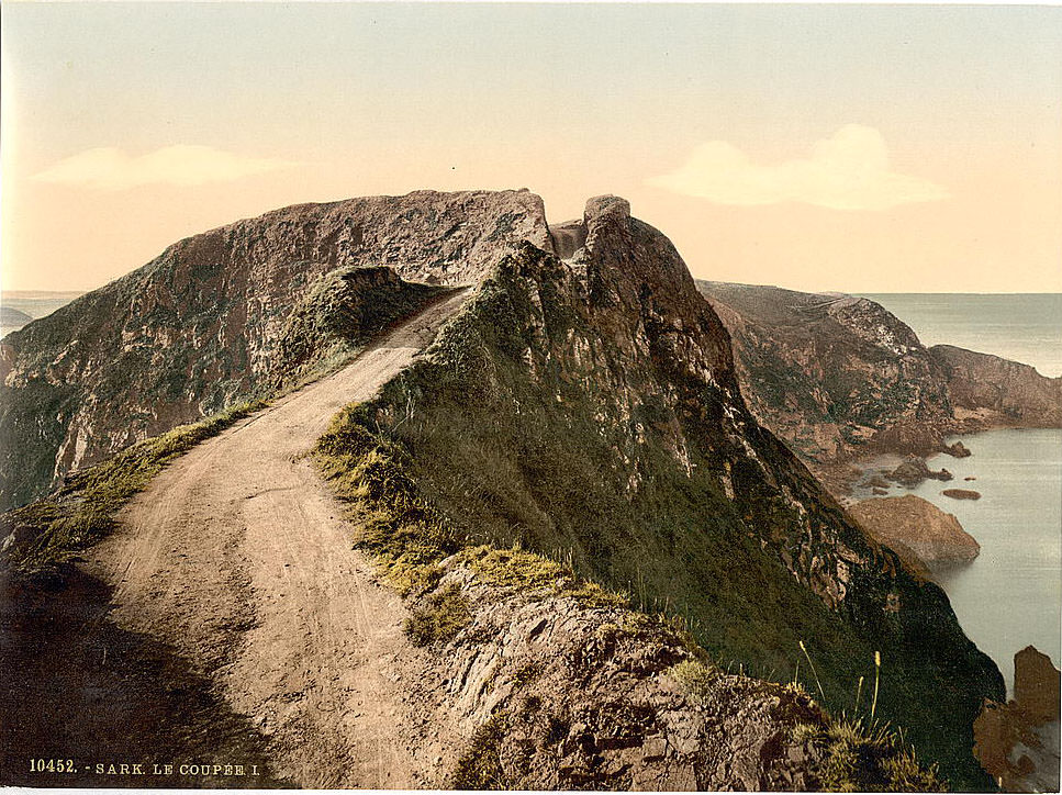
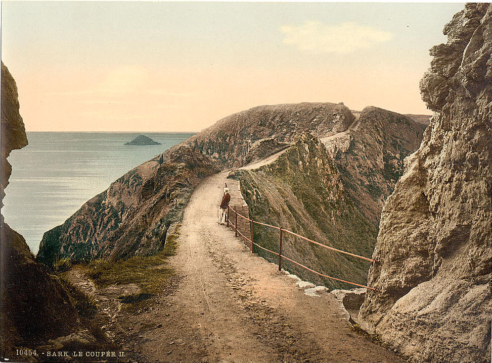
Beyond Guernsey and Jersey, the bailiwick of Guernsey includes the smaller island of Sark. Sark sits about seven miles east of Guernsey and covers just over two square miles. It had no cars in the 19th century — and technically still bans them today. La Coupée is the most striking feature of Sark’s geography: a narrow ridge of land, just wide enough for a path, connecting the main island of Sark to the smaller island of Little Sark. The drop on either side is nearly 300 feet straight down to the sea.
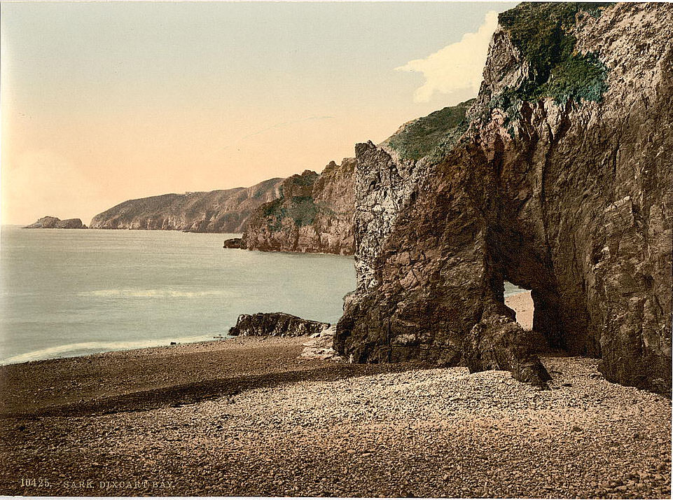
Creux Harbour is Sark’s only proper harbor, cut into the cliff and accessible through a tunnel blasted through the rock. Boats carrying supplies and the occasional visitor entered through this narrow passage. Les Autelets, on the western side of Sark, are a group of dramatic sea stacks — columns of rock left standing as the surrounding cliff eroded away. They rise straight from the water and can only be seen clearly from the cliff top or by boat. These photographs preserve a version of the Channel Islands that had changed little for centuries.