In 1990, King’s Cross was a neighbourhood caught between two identities. On one hand, it was one of London’s most important transport hubs, anchored by the iconic King’s Cross railway station and the neighbouring St Pancras station. On the other hand, it carried a reputation for crime, derelict buildings, a visible sex trade, and streets that had seen better decades. Photographer Peter Marshall walked those streets with a camera and captured the area as it actually was — unglamorous, layered, and alive.
Marshall’s photographs span the late 1980s and early 1990s, covering a period when King’s Cross was actively being reshaped. The British Railways Board had launched a major redevelopment of the station itself, including a new concourse and the restoration of the historic train sheds. Plans were also circulating for a shopping and leisure complex called The Regent Quarter, which was set to include a multiplex cinema, a bowling alley, and a range of shops and restaurants. But ground-level reality moved slower than planning documents suggested.

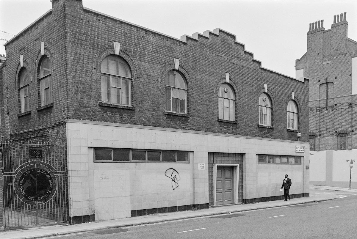
The German Gymnasium on Cheney Road is one of the area’s more striking Victorian survivors. Built in 1865, it was the first purpose-built gymnasium in England, constructed for the German Gymnastic Society. By the time Marshall photographed it in 1990, it had long since stopped being used for sport and sat quietly in a neighbourhood undergoing slow, uncertain transformation.
The name King’s Cross itself has a specific origin. A sixty-foot memorial to King George IV was erected at the junction of the New Road (now Euston Road), Maiden Lane (now York Way), and Gray’s Inn Road between 1830 and 1835. The structure was removed within fifteen years, but the name stuck. Camley Street Natural Park, which appears in several of Marshall’s photographs, became a community green space carved out of former industrial land alongside the Regent’s Canal.

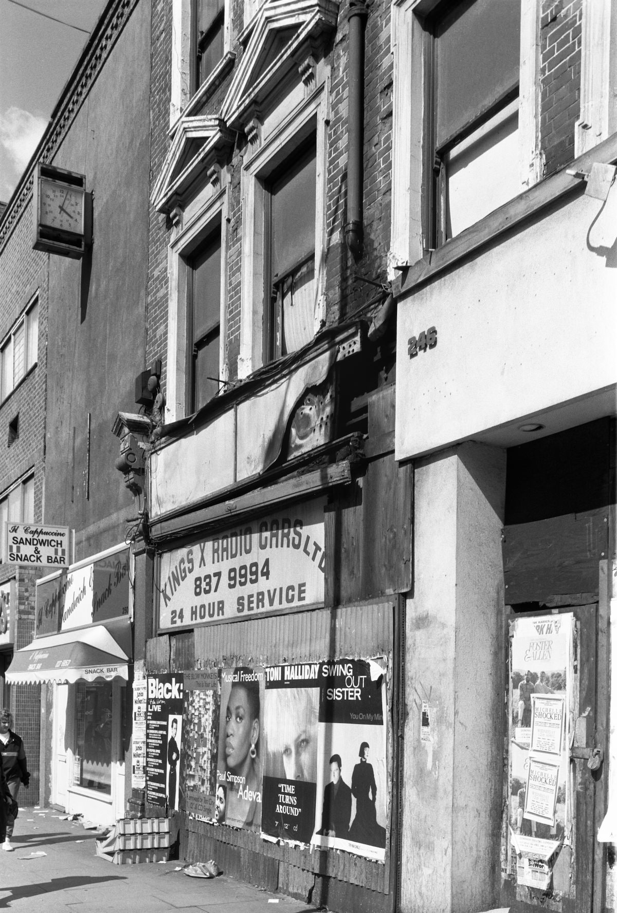
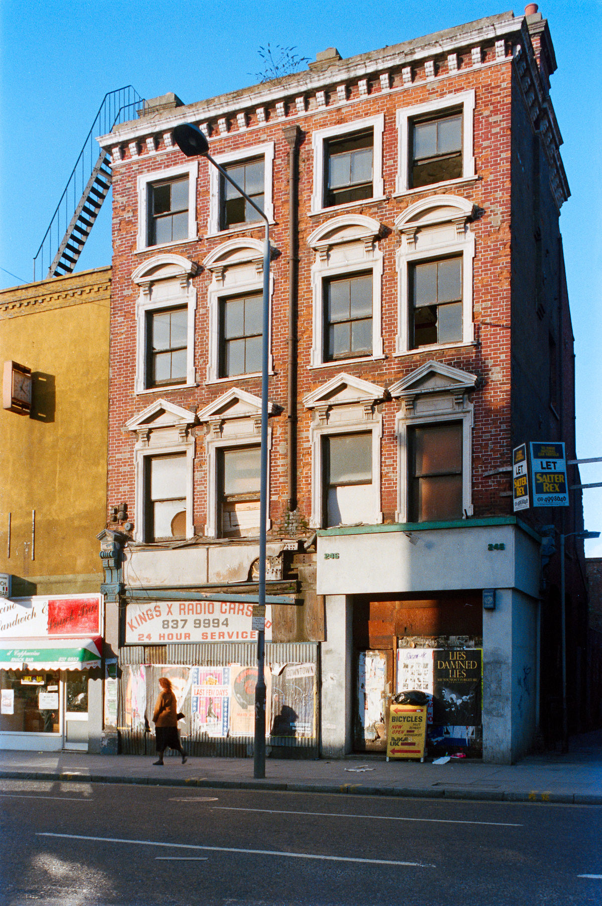
Local businesses along King’s Cross Road told their own story. Small operators — cab firms, print shops, hairdressers, locksmiths — filled the gaps between larger commercial premises. Kings X Radio Cars on King’s Cross Road was one such fixture, the kind of business that served the immediate community rather than the passing commuter.

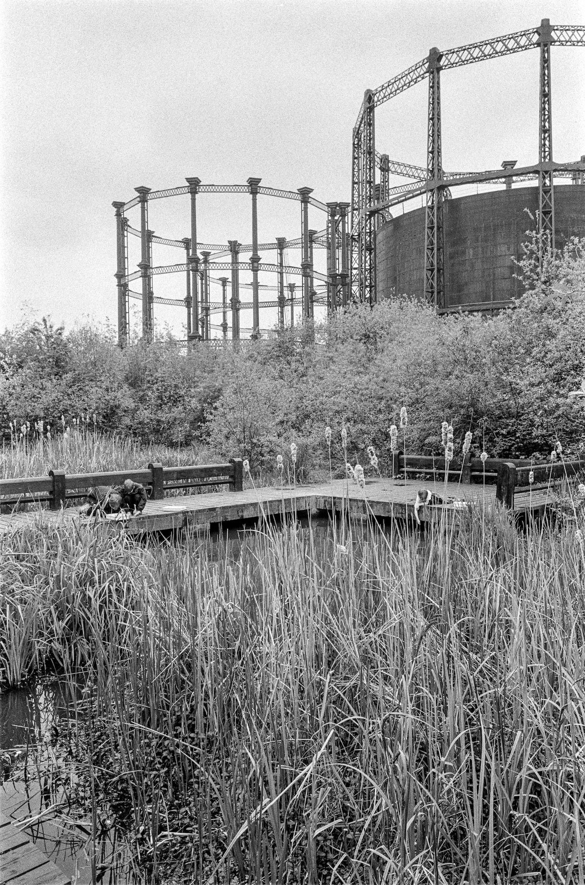
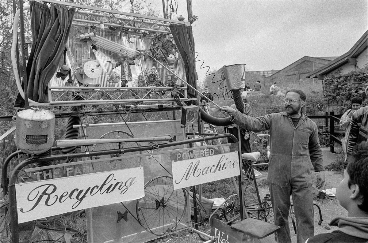
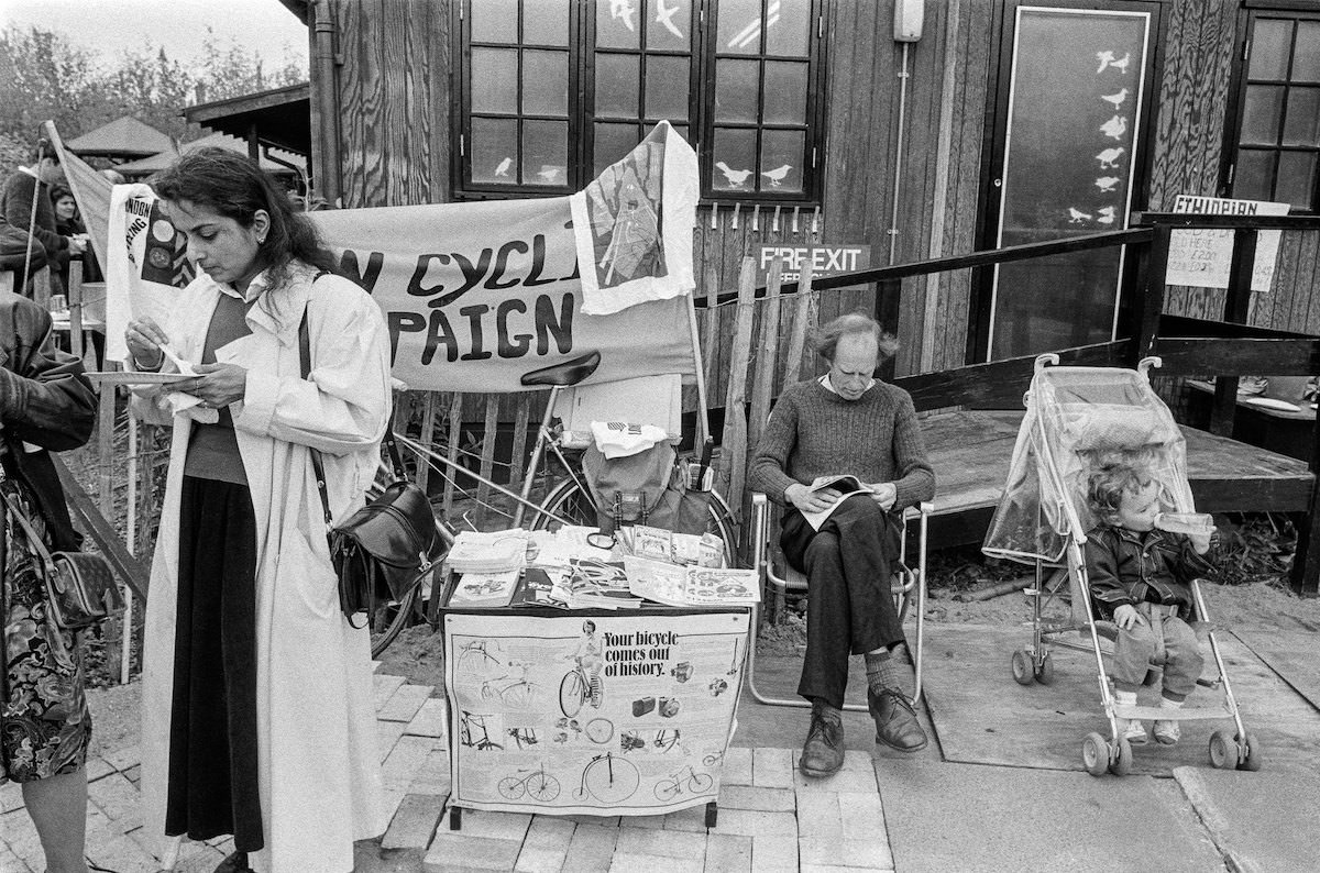
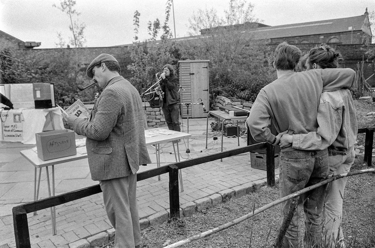
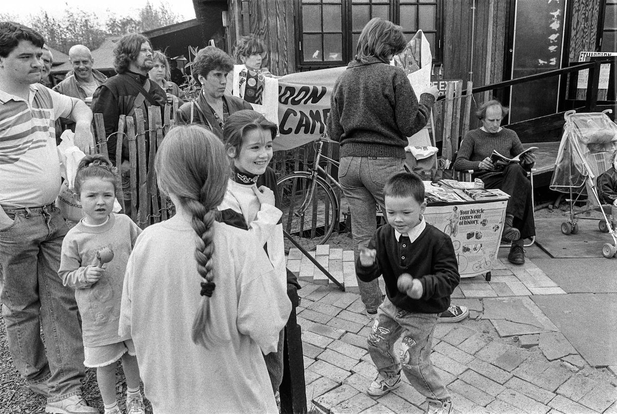
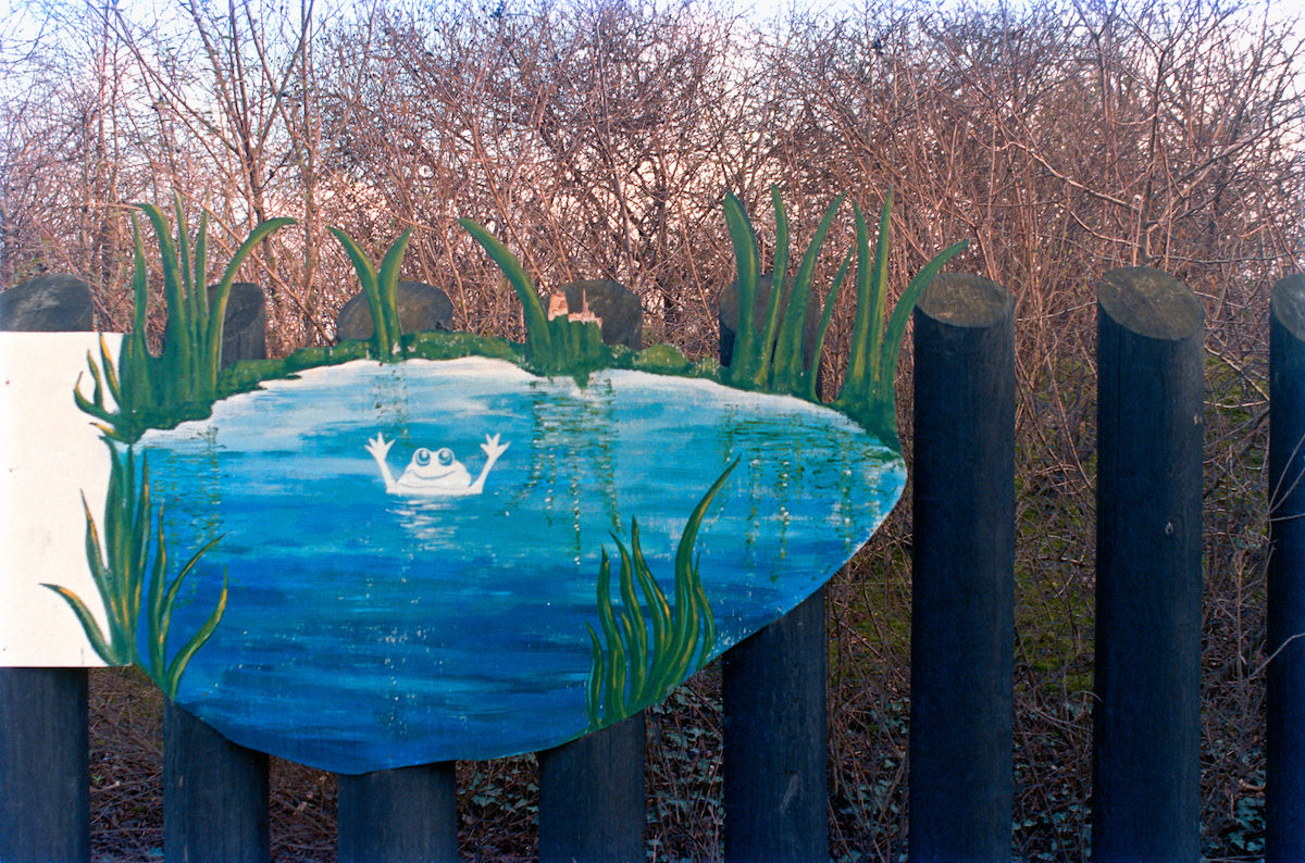
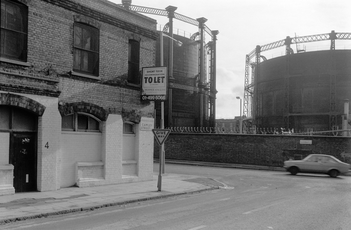
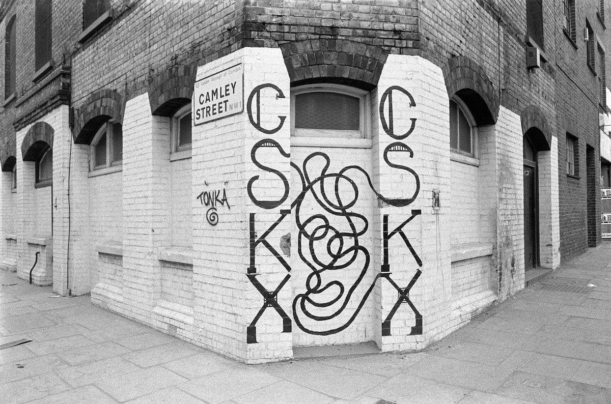
Camley Street Natural Park showed up repeatedly in Marshall’s lens across 1990 and 1991. Opened in 1985 on a former coal drop site, the two-acre park was managed by the London Wildlife Trust and offered a rare patch of wildlife habitat in the middle of a dense urban area. A recycling machine installed there reflected the early stirrings of environmental awareness taking root in city communities.


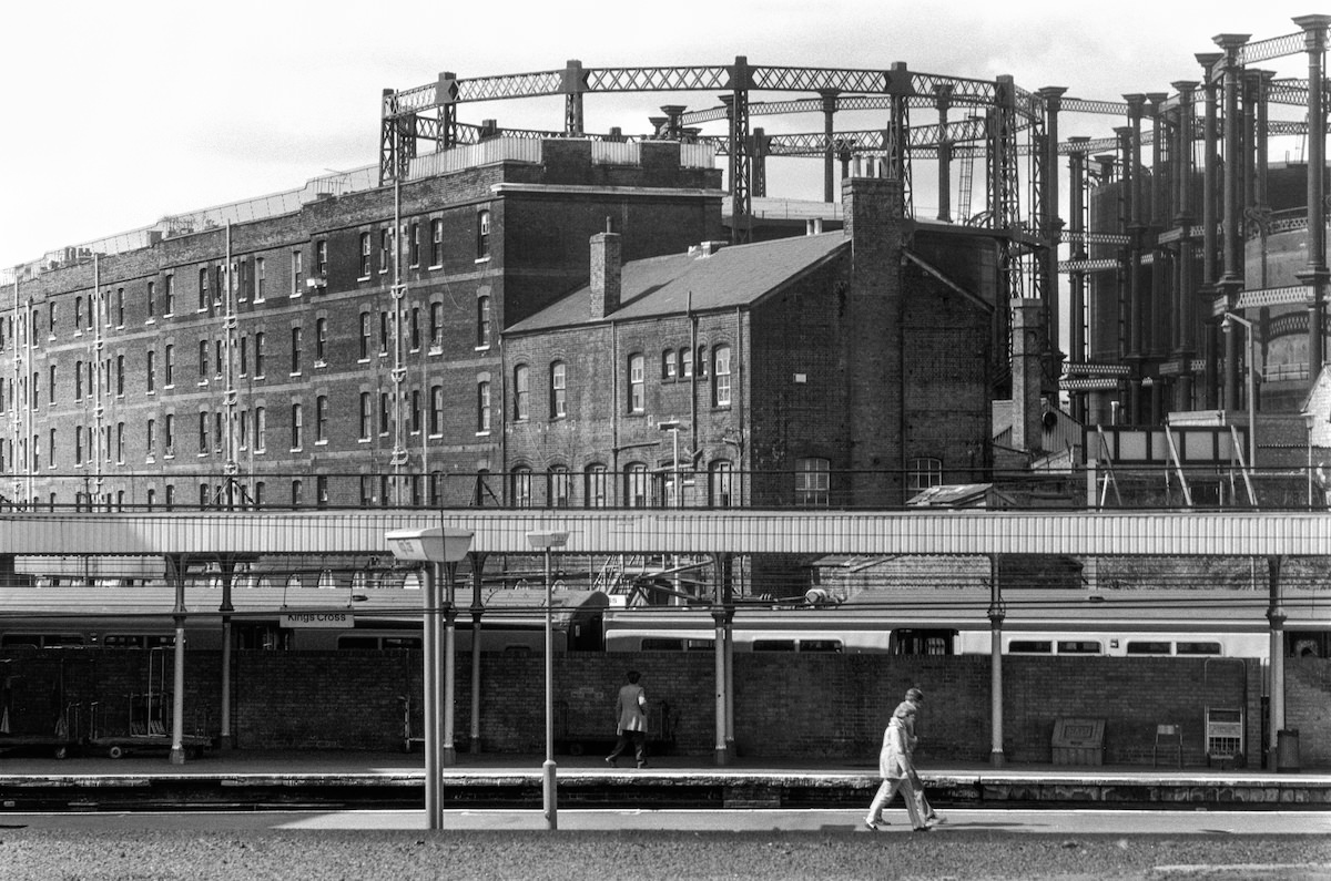
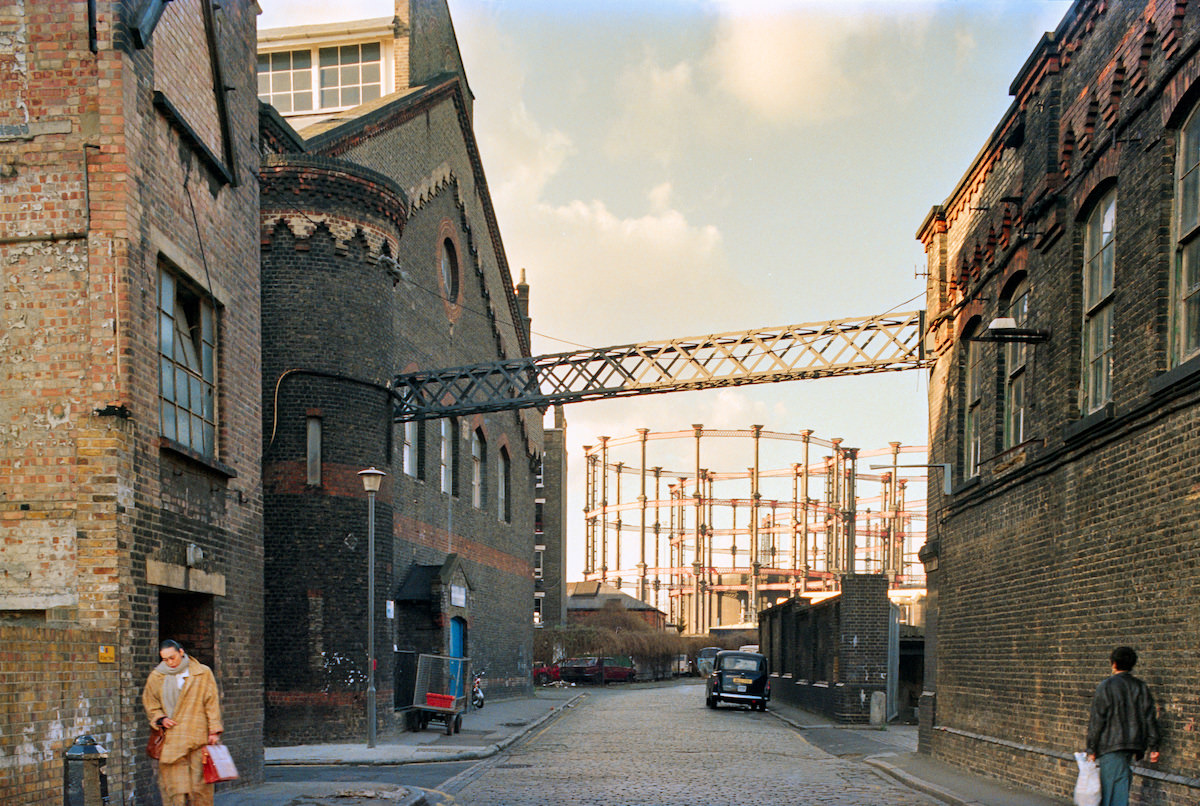
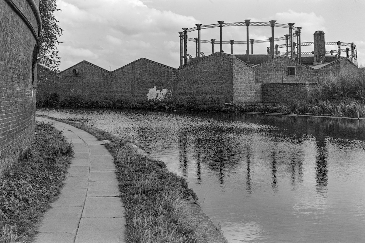
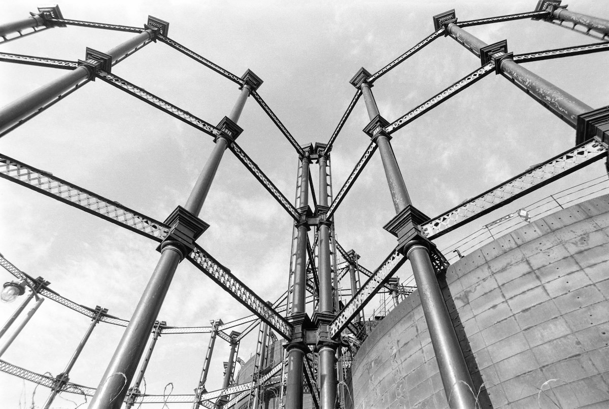
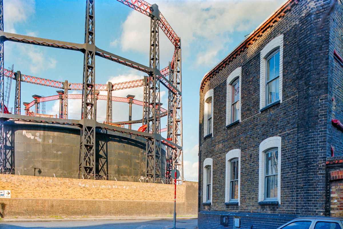
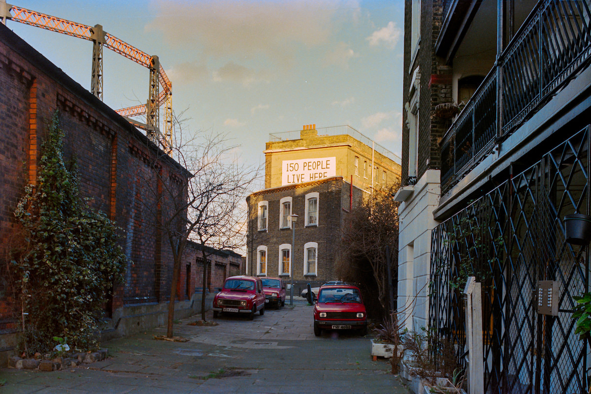
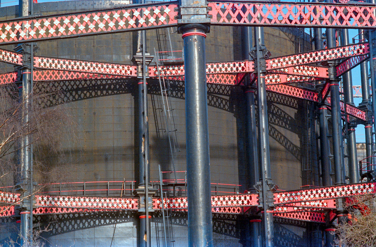
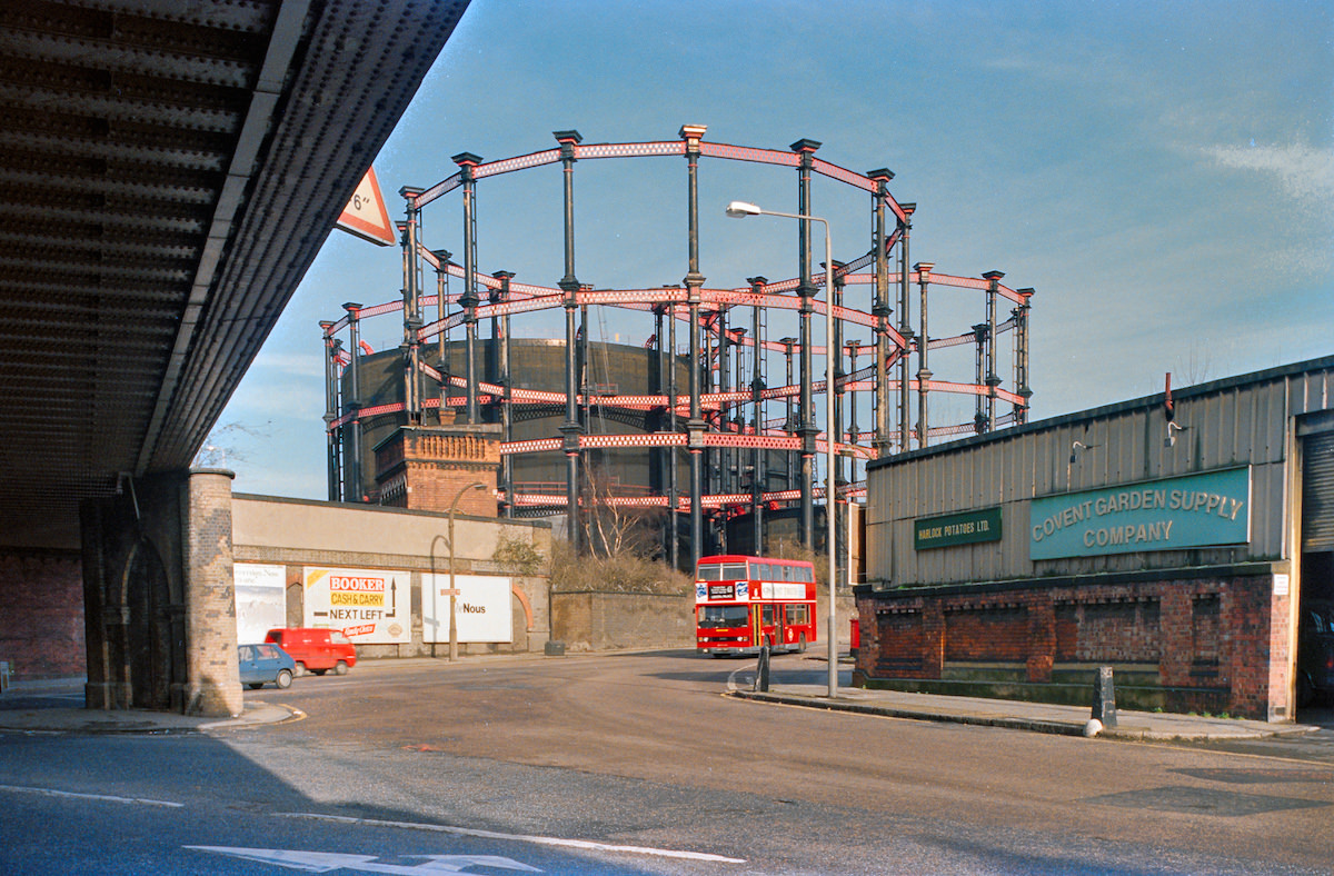
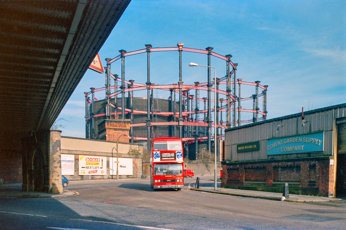
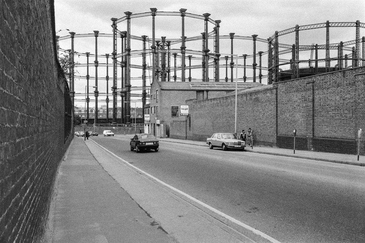
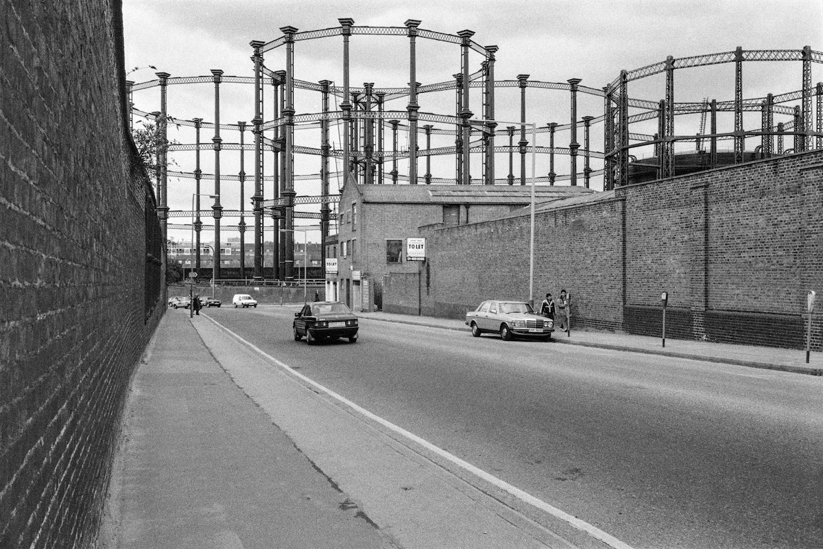
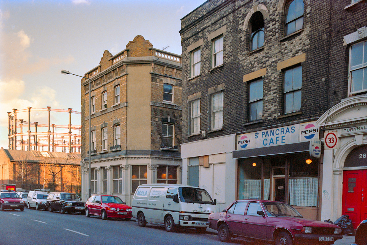
The natural park sat against a backdrop of heavy industrial infrastructure that had defined King’s Cross for over a century. Gasholders — the large iron-framed cylindrical structures used to store gas — loomed over Camley Street and Goods Way, appearing repeatedly across Marshall’s photographs from multiple angles and years. They were as much a part of the King’s Cross skyline as the station clock.

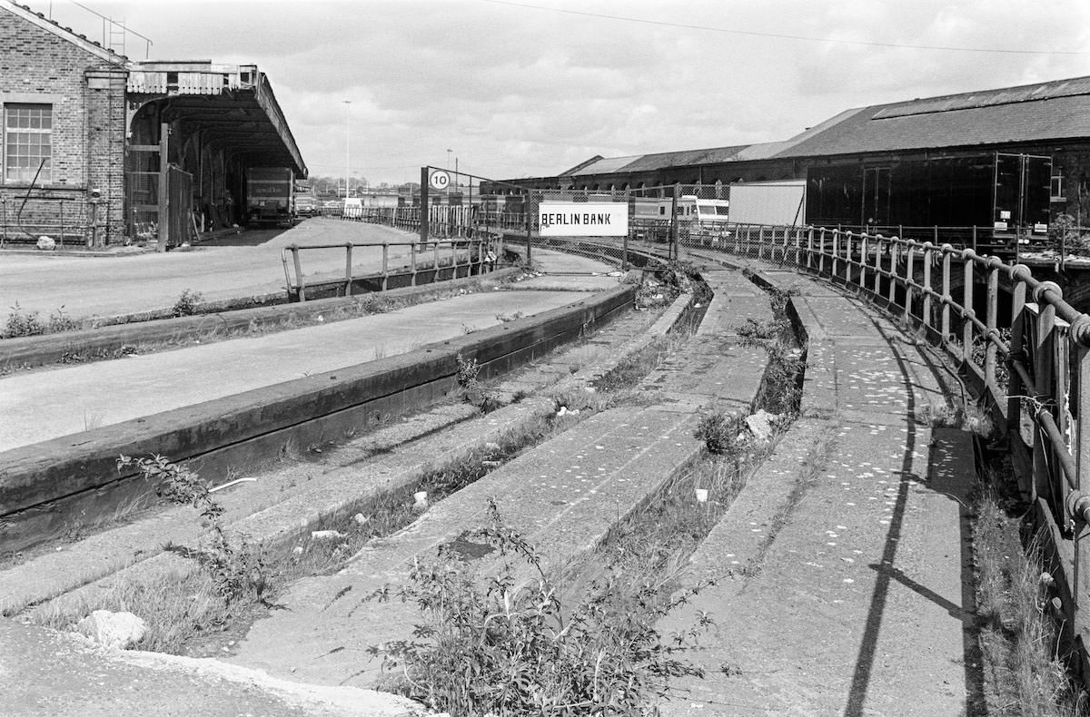
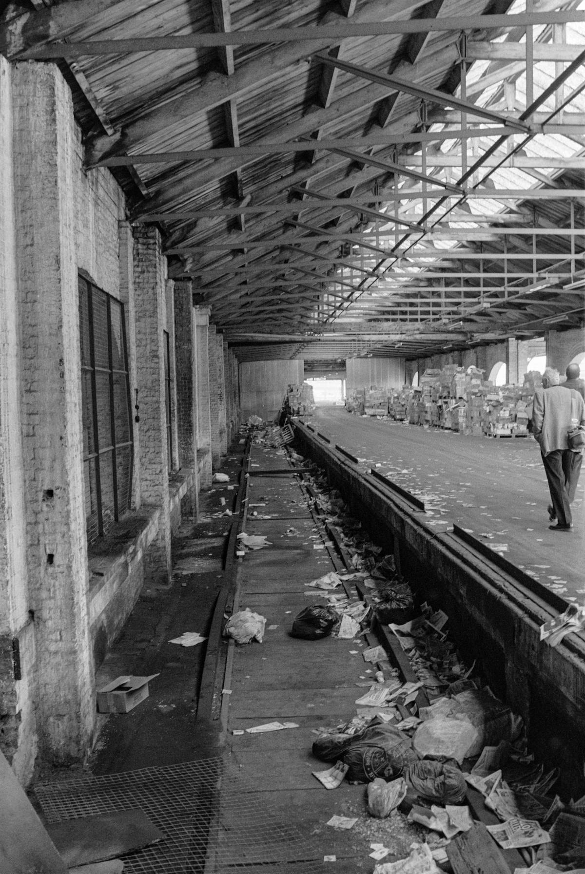
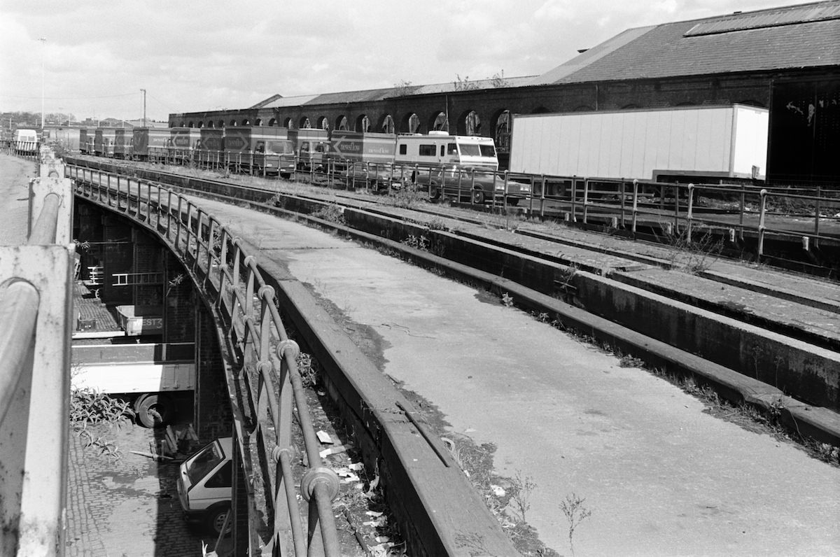
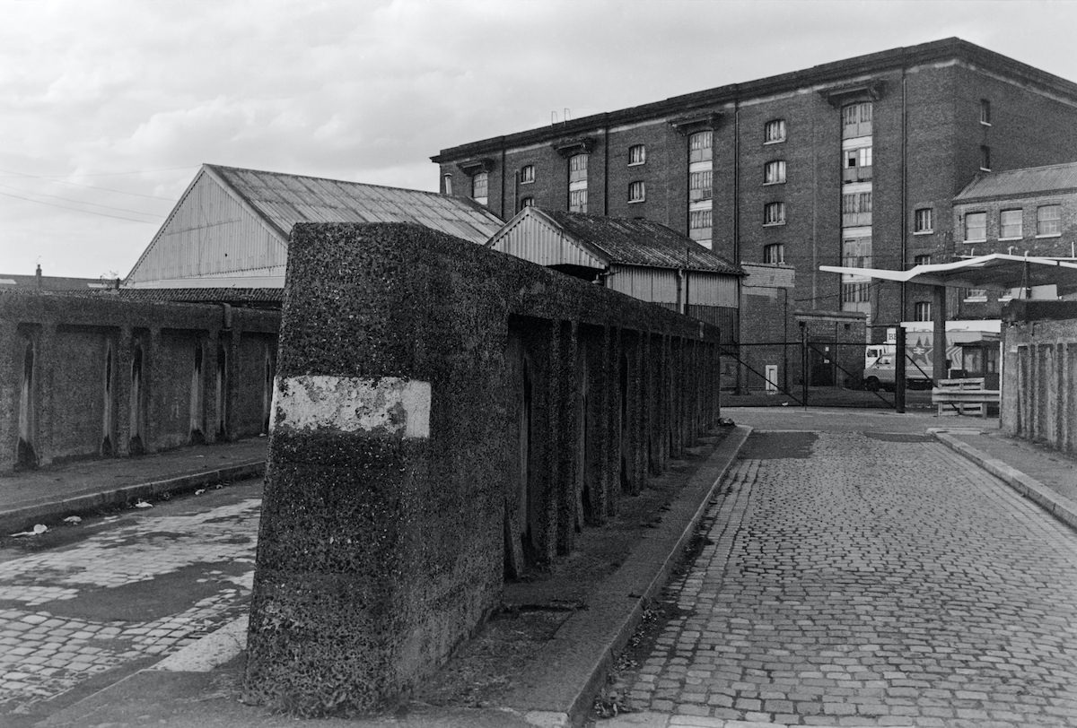
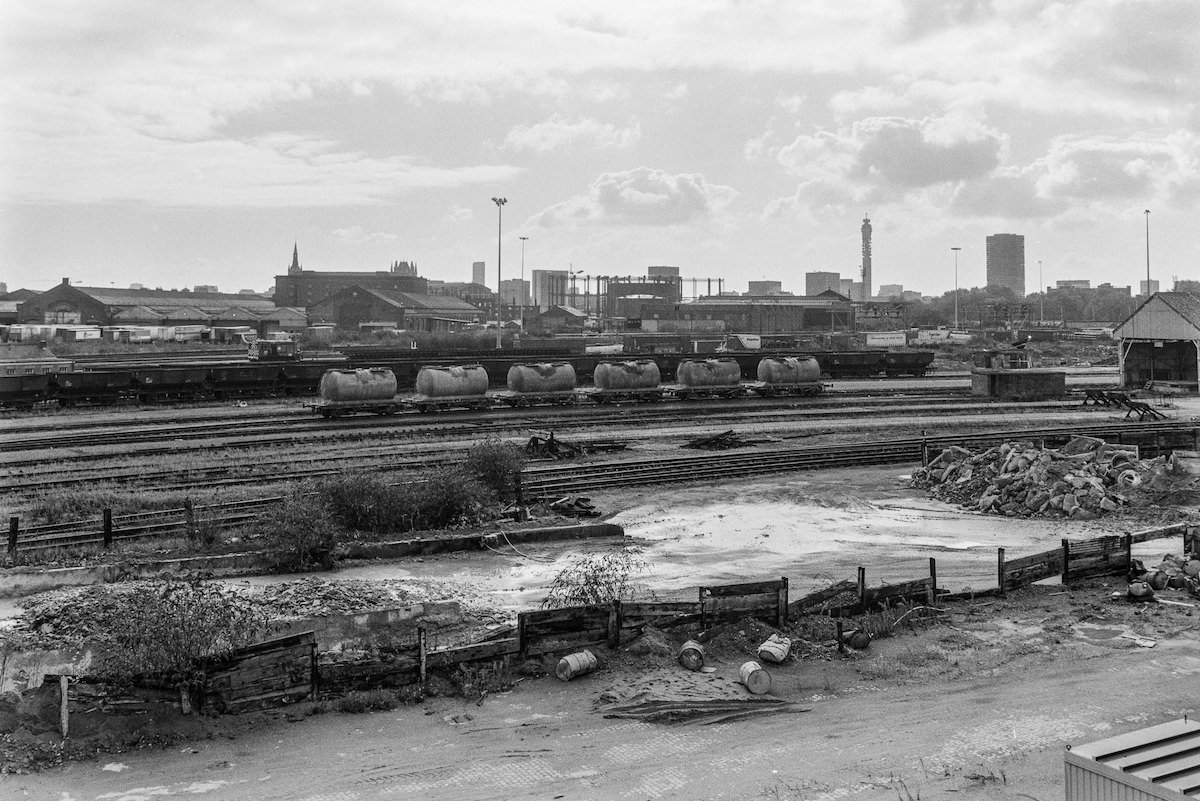
The King’s Cross Goods Yard was a vast complex that had served the railway freight network since the Victorian era. By the late 1980s, active freight use had wound down, leaving behind an extraordinary collection of industrial architecture. The viaducts, sheds, coal drops, and granary buildings stood largely intact but increasingly idle.


The Western Goods Shed was one of the major structures within the yard. Built in the mid-19th century to handle the enormous volume of freight passing through the Great Northern Railway’s London terminus, it was a working building of considerable scale. In 1989, it still stood, though its future was far from certain.

The gasholders along the Regent’s Canal had been a fixture of the King’s Cross skyline since the mid-19th century. The canal itself had served as a key supply route for the gasworks, delivering coal by barge. By the mid-1980s, when Marshall photographed them from the canal towpath, the holders were still operational but already looked like relics from a different industrial age.
Residential streets like Caledonian Road showed the mixed character of the area in the mid-1980s. Older Victorian terraces sat alongside commercial premises, with the fabric of the built environment showing varying degrees of upkeep. Some properties were well-maintained; others showed the wear of decades without significant investment.

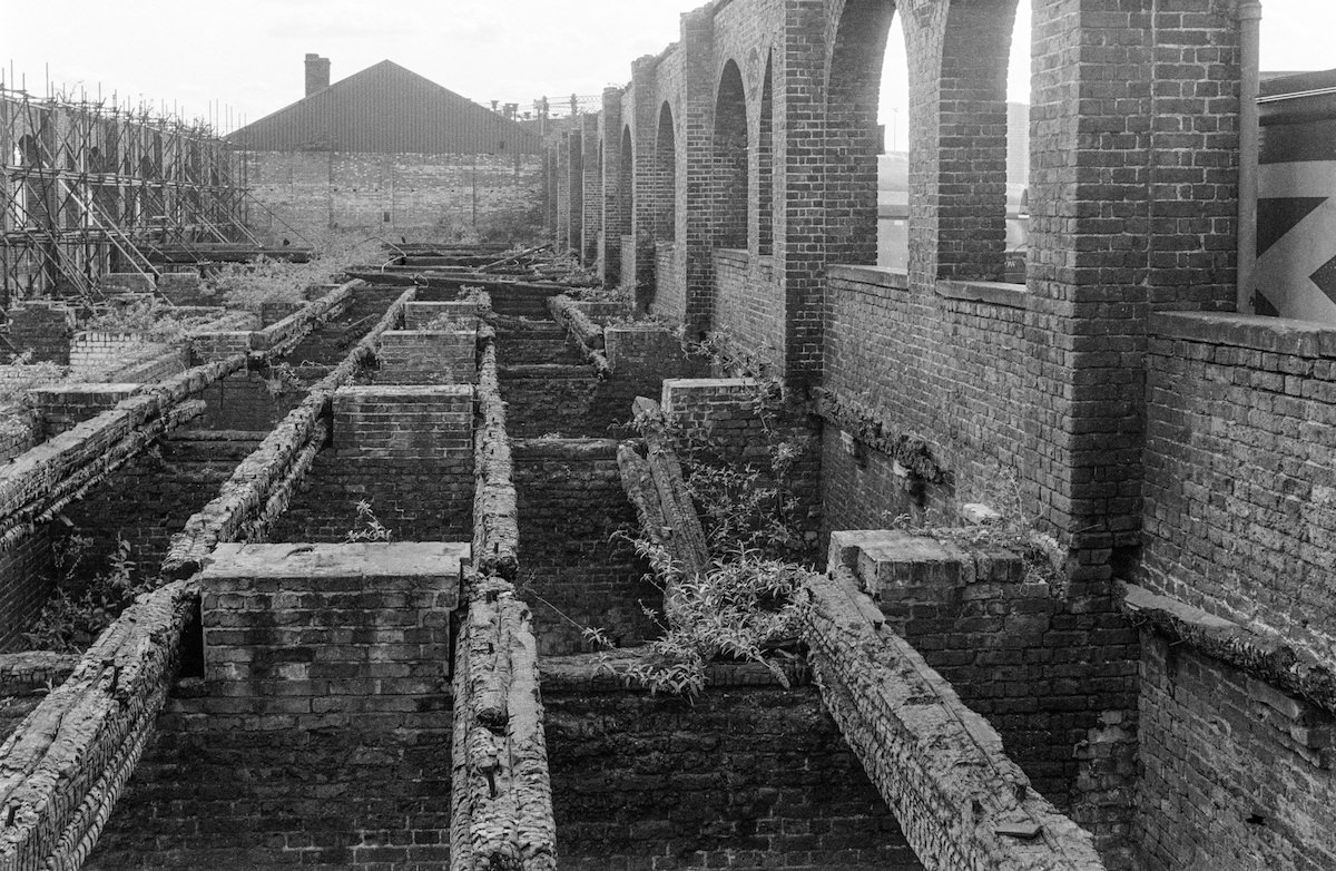
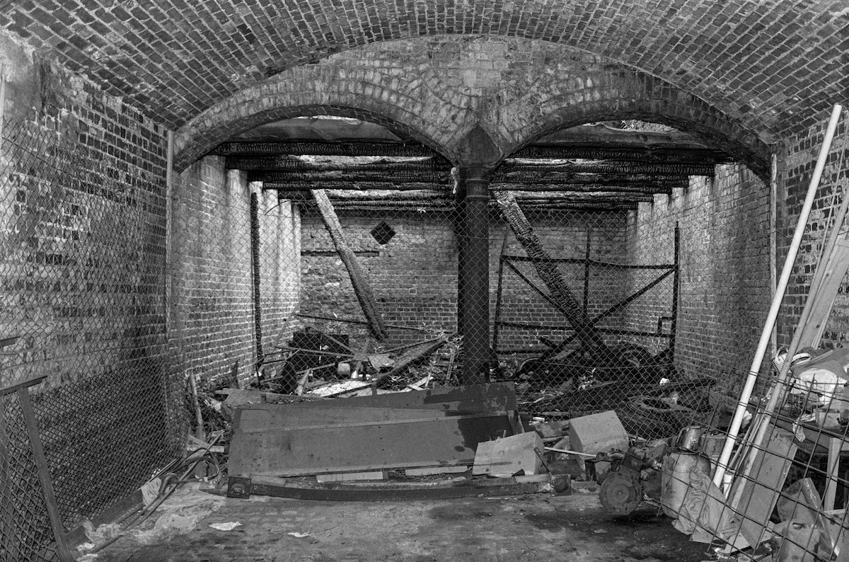
The Eastern Coal Drops within the Goods Yard were built around 1850 to unload coal from railway wagons directly into carts waiting below. The structure used a clever split-level design — wagons ran along the upper level and coal dropped through chutes to the lower arcade. By 1989, the building was derelict, though its brick arches and ironwork remained structurally impressive.


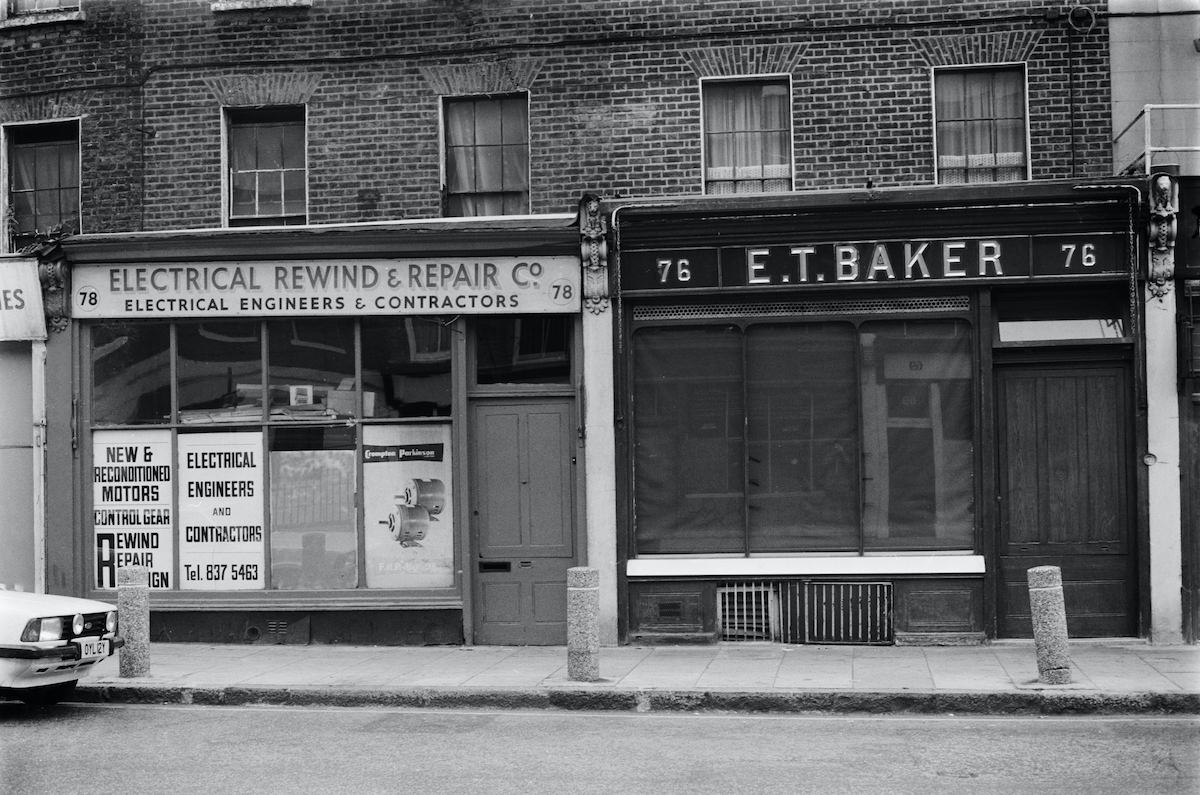
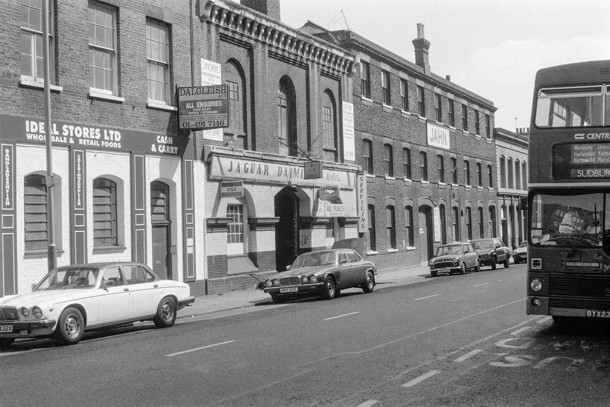
King’s Cross Road and Pentonville Road were lined with the kind of functional urban architecture that rarely gets celebrated but tells the most honest story of a working neighbourhood. Terraced shopfronts, painted signage, and metal shutters marked a streetscape that was commercial at ground level and residential above.


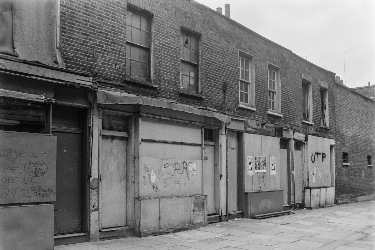
Argyle Walk offered a quieter, pedestrian-scale view of King’s Cross in the mid-1980s. Away from the main roads, smaller streets like this retained a neighbourhood feel that the busier thoroughfares had largely lost. The back-street character of these pockets would prove harder to preserve as redevelopment gathered pace.

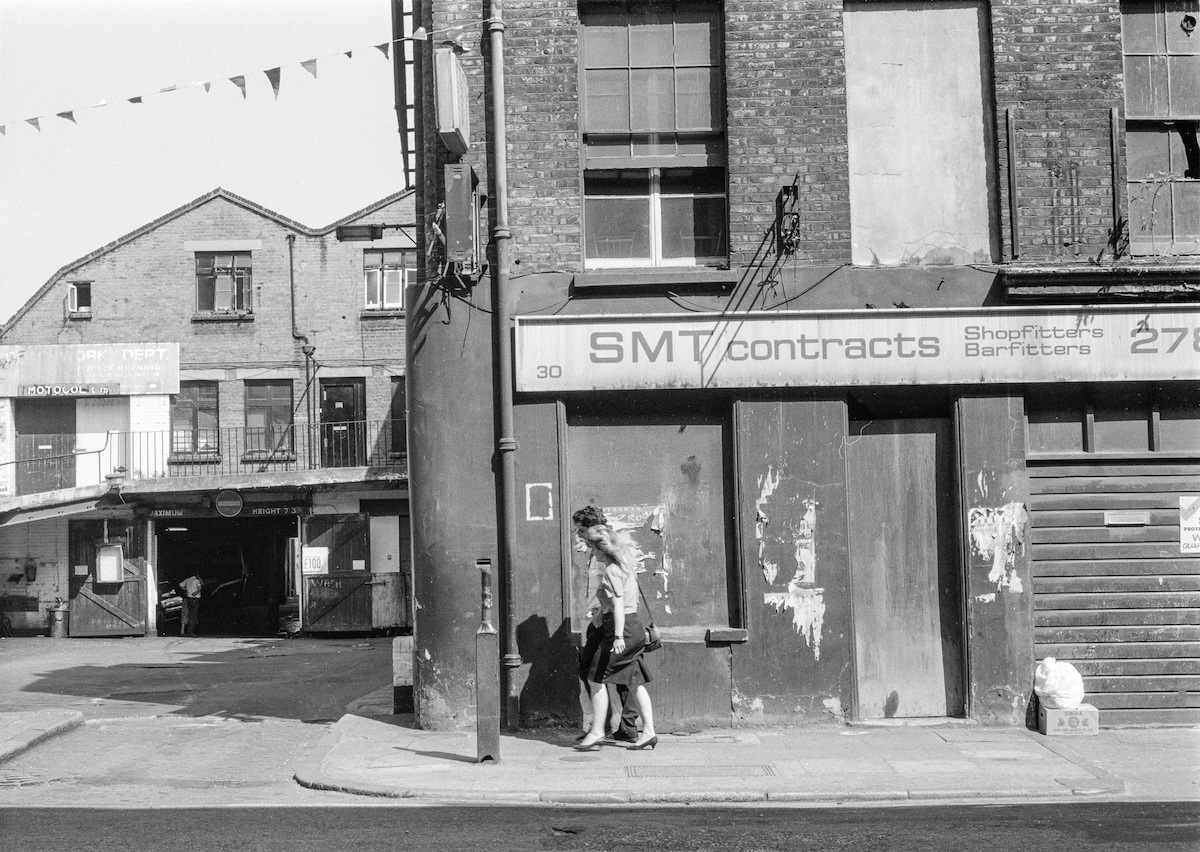
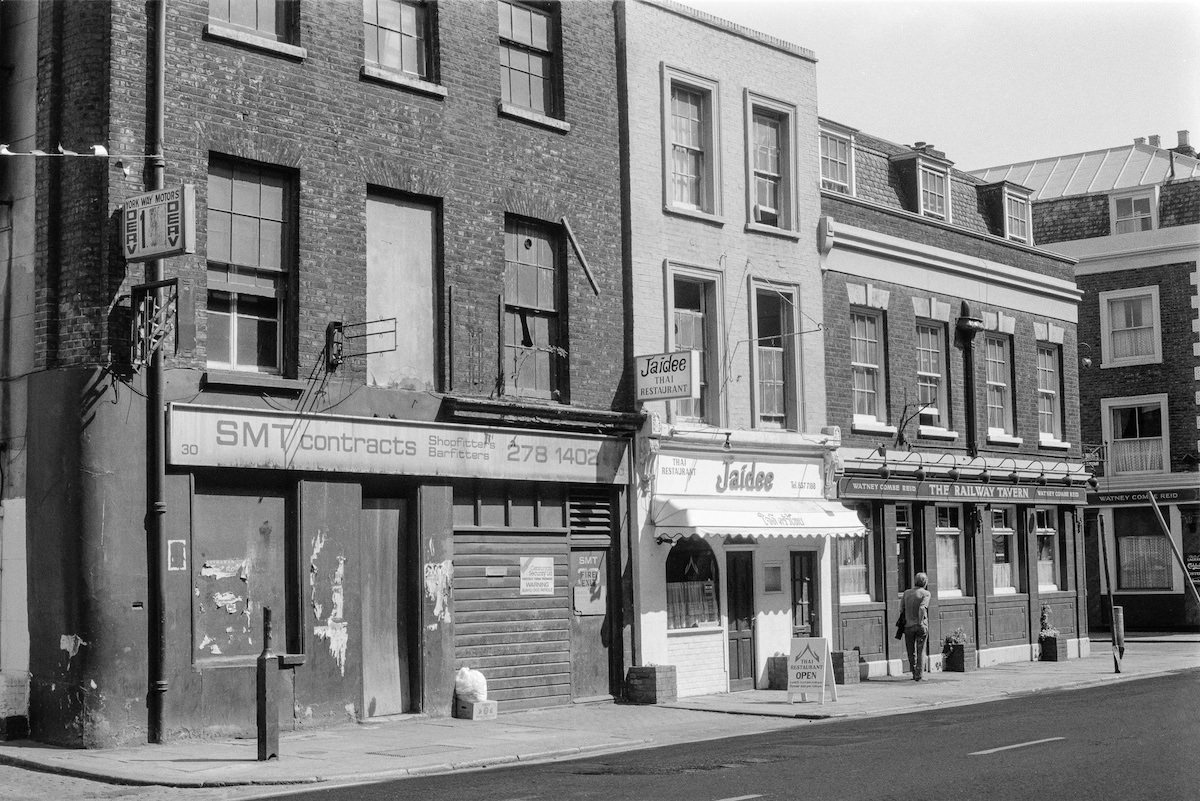
York Way ran along the eastern edge of the Goods Yard and was home to a string of working businesses — garages, contract firms, and motor traders. SMT Contracts at 30–32 York Way was typical of the area: a practical, unglamorous operation occupying older commercial premises. The Railway Tavern nearby served the workers from these yards for decades before its demolition in 2003.


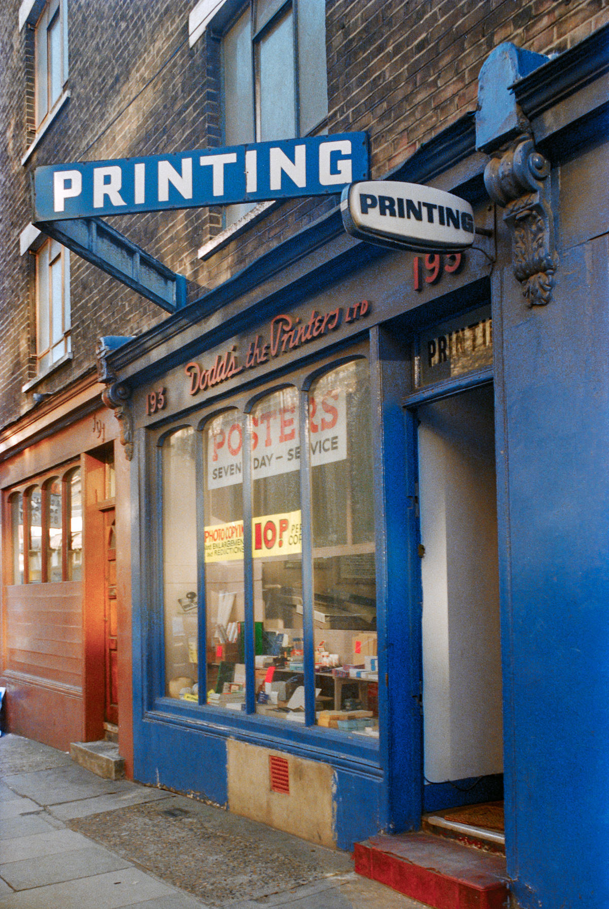
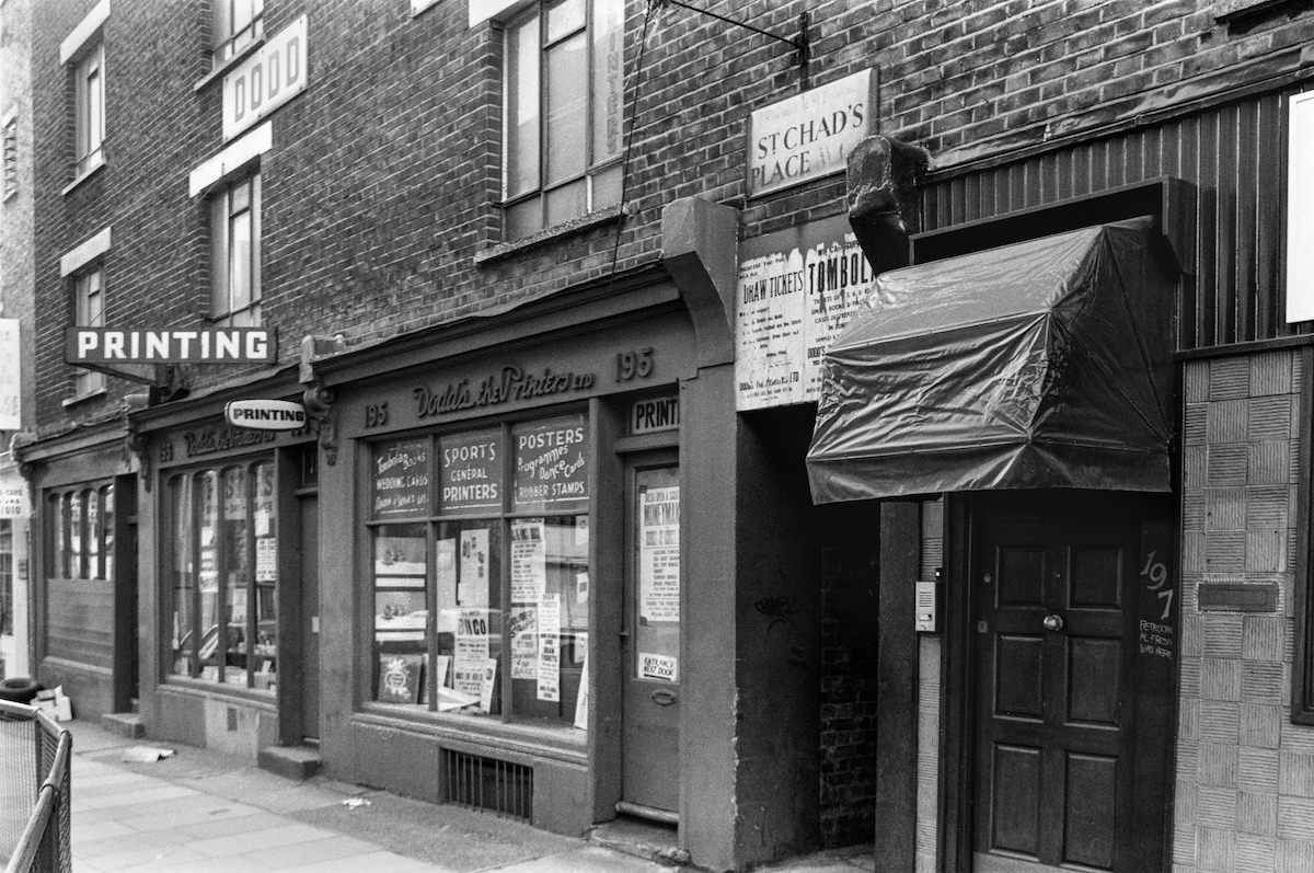
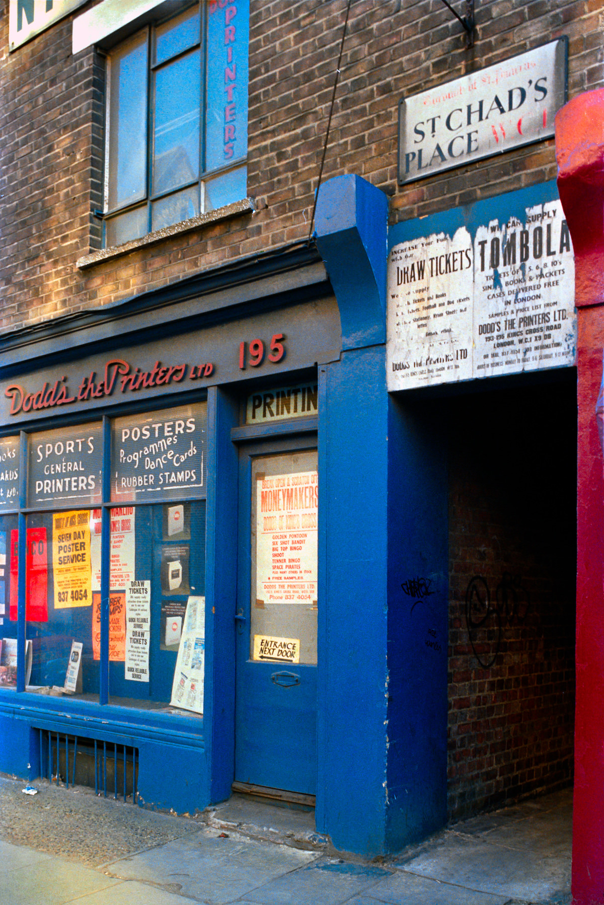
Small print businesses like Dodd’s the Printers were common in King’s Cross during this period. The area had a long history of light industrial and trade uses filling the spaces between the major railway infrastructure. These businesses served the local economy and gave the neighbourhood much of its working character.

The gasholders on Battle Bridge Road near Culross Buildings were among the most photographed structures in the area. Their circular lattice frames, visible above rooftops from many directions, gave King’s Cross much of its distinctive industrial silhouette. By 1990, they had become almost symbolic of the neighbourhood’s Victorian-era past.

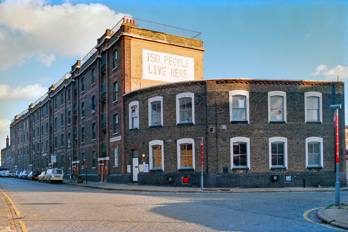
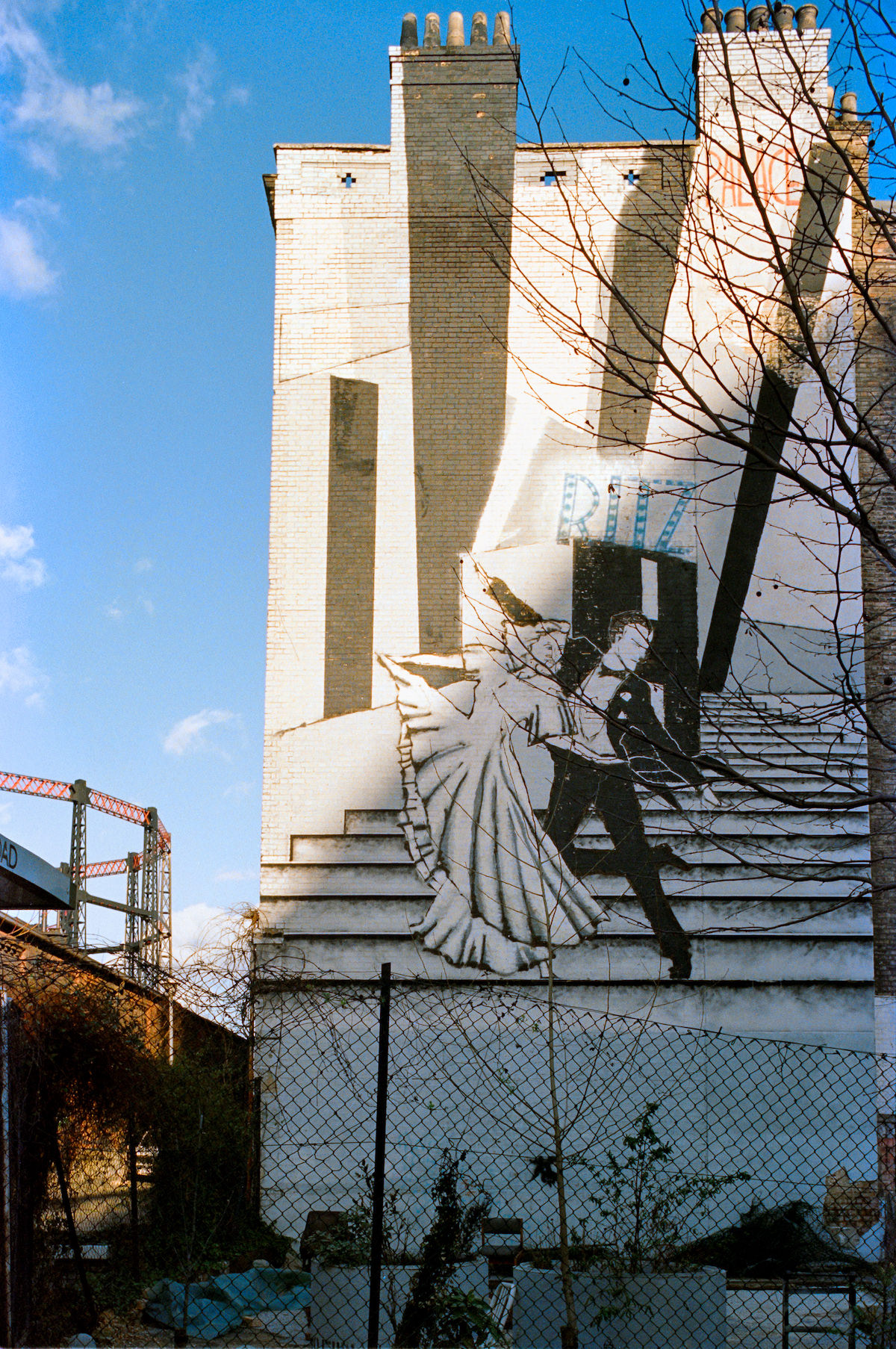
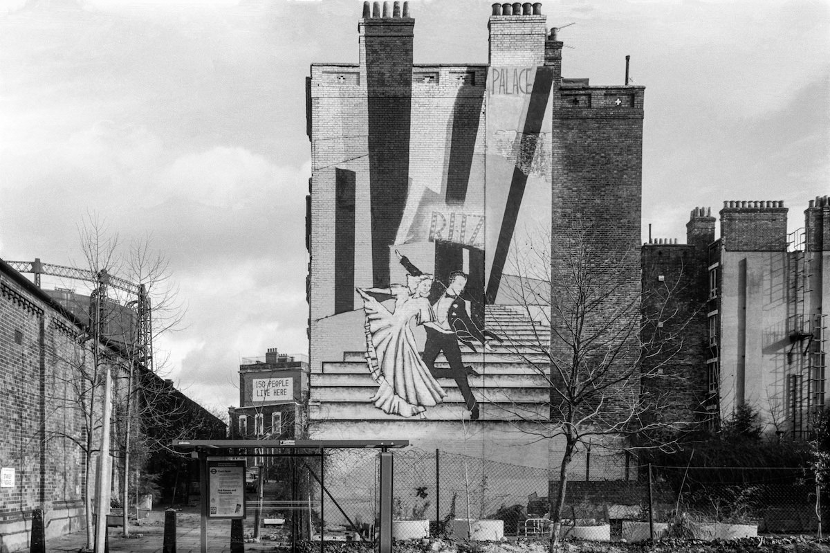
On Pancras Road, the Stanley Buildings were a Victorian model-dwelling block built for working-class residents. By 1990, a painted mural of dancers decorated the exterior wall facing Stanley Passage, an unusual touch of public art in an otherwise utilitarian stretch of the neighbourhood.


Camley Street Natural Park in 1990 was already well-established as a community asset. Despite sitting in the shadow of active gasholders and surrounded by railway infrastructure, the site supported a genuine range of wildlife, including reed beds, ponds, and woodland. Local schools used it regularly for environmental education.


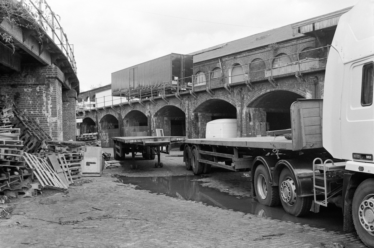
The 1864 viaduct inside the Goods Yard was a substantial piece of engineering, carrying railway lines over the internal yard roads. Walking beneath it meant passing through a tunnel of brick arches, each one carrying the weight of tracks that had once been busy with freight traffic. By 1989, the viaduct stood largely silent above an emptying yard.

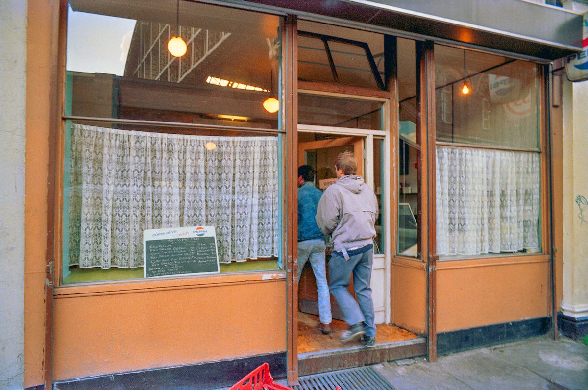
The St Pancras Cafe on Pancras Road was a straight-forward working cafe serving the local community and tradespeople from the surrounding yards and businesses. Marshall photographed it twice, suggesting the kind of everyday continuity that defined much of the neighbourhood’s ground-level life.

The Railway Tavern at 26–30 York Way sat alongside SMT Contracts and other York Way businesses. It was a pub that served the working population of the Goods Yard area. The building, along with its neighbours on that stretch of York Way, was demolished in 2003 as redevelopment continued to clear the former industrial land.


Dodds the Printers on King’s Cross Road appeared in Marshall’s work from both 1989 and 1990, a sign that the business was a stable presence in a neighbourhood of frequent change. Print firms like this one occupied the smaller commercial units that lined King’s Cross Road, contributing to the area’s dense mix of trades and services.


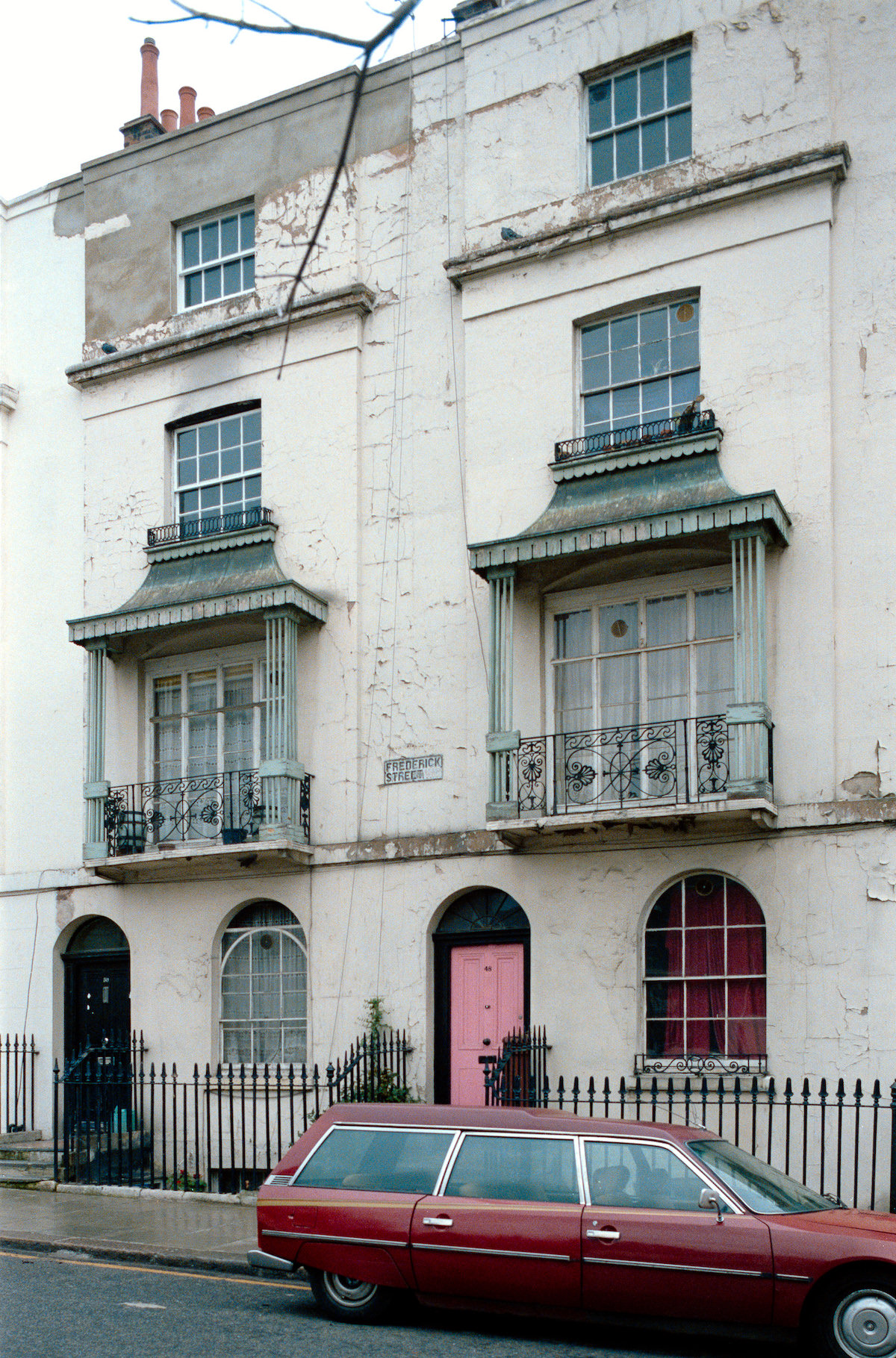
Frederick Street offered a glimpse of the residential side of King’s Cross in 1986. Victorian terraced houses lined these quieter streets away from the railway and commercial areas. Some were well-kept; others showed the effects of years of under-investment that affected large parts of inner London during this period.


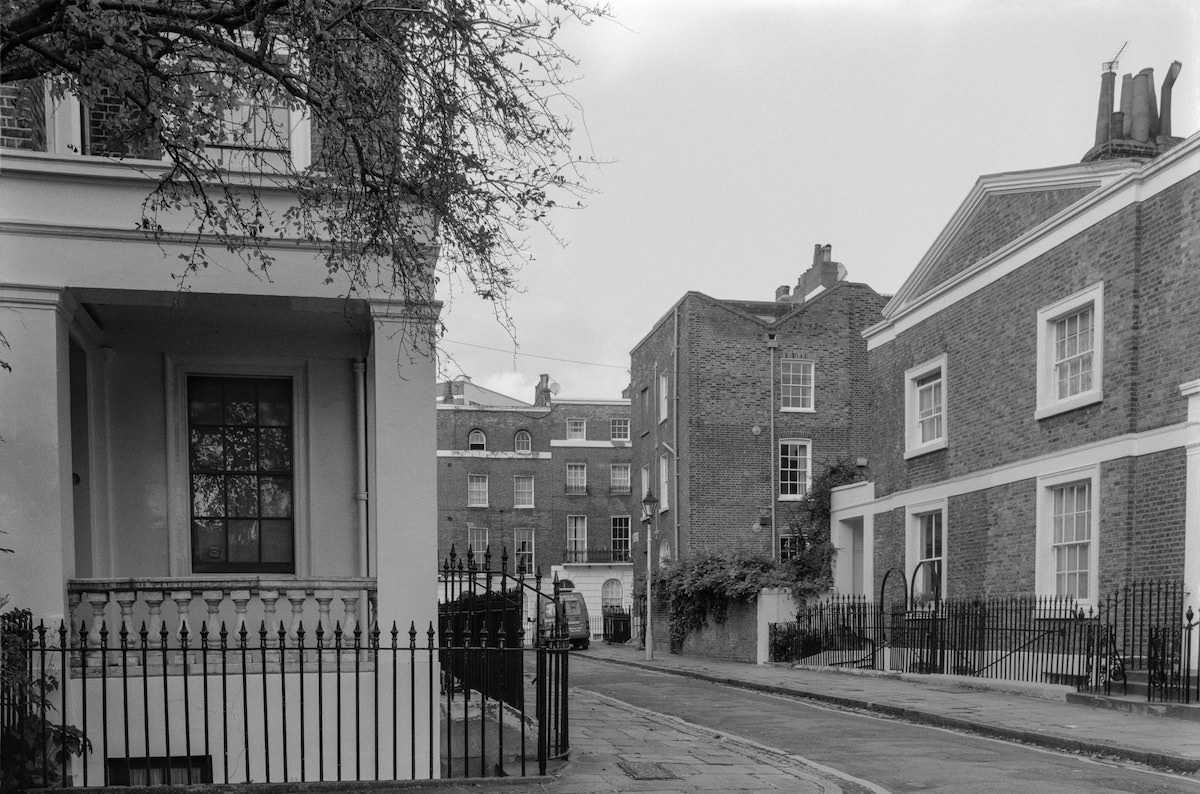
Cumberland Gardens on Great Percy Street presented a different face of King’s Cross by 1992 — a managed residential garden square surrounded by terraced housing. These garden squares were a common Victorian feature in London, providing communal green space for residents in dense urban areas. Their survival in King’s Cross during this era was not guaranteed.


Stanley Passage connected Pancras Road to the Stanley Buildings and provided a narrow, covered walkway through the block. Marshall photographed it in 1990, capturing the quiet utility of these back passages that linked the larger streets and served as everyday routes for residents of the surrounding buildings.
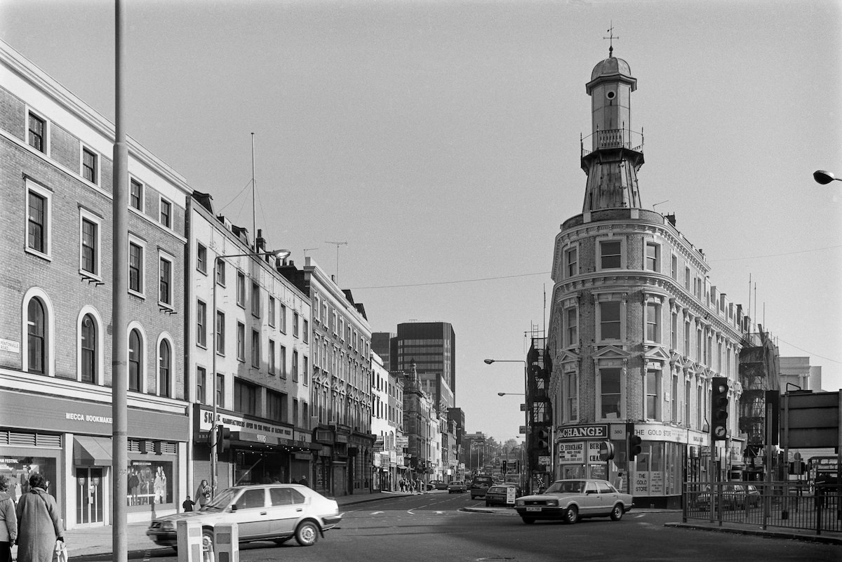

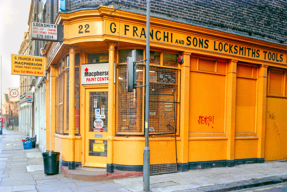
G. Franchi & Sons, Locksmiths, operated from Pancras Road and was another example of the specialist trade businesses that filled the area. A locksmith in this location served both the local residential population and the many commercial premises, warehouses, and yards that needed their services in a neighbourhood with a notably high crime rate.


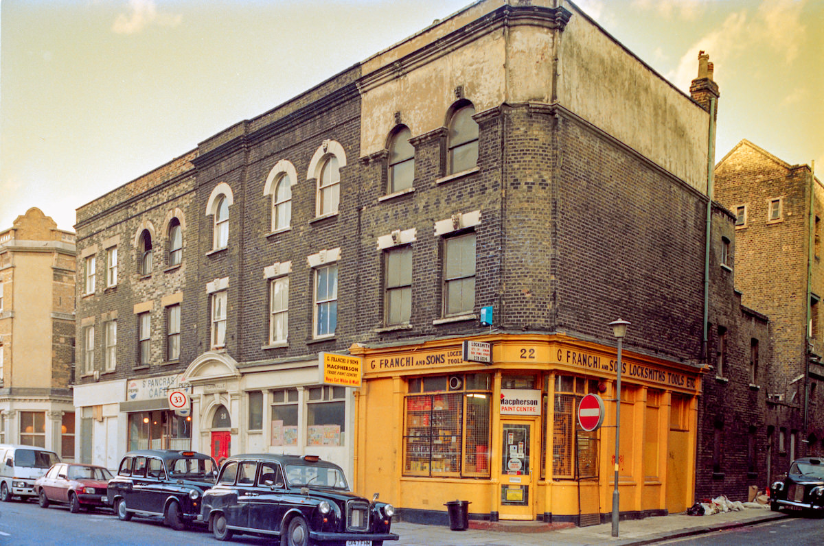
The junction of Pentonville Road and Gray’s Inn Road was one of the busiest corners in the King’s Cross area. It sat close to where the original George IV monument had stood more than a century earlier, and in 1986 it remained a dense, active urban crossroads with shops, traffic, and the movement of people passing between the City and the northern suburbs.

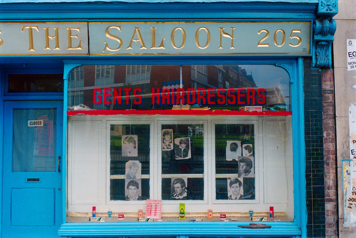
The Saloon Hairdresser at 205 King’s Cross Road was a typical neighbourhood hairdresser, occupying a standard shopfront on one of the area’s main commercial streets. In 1986, King’s Cross Road was still fully functional as a local shopping street, with businesses catering to the day-to-day needs of the surrounding residential population.


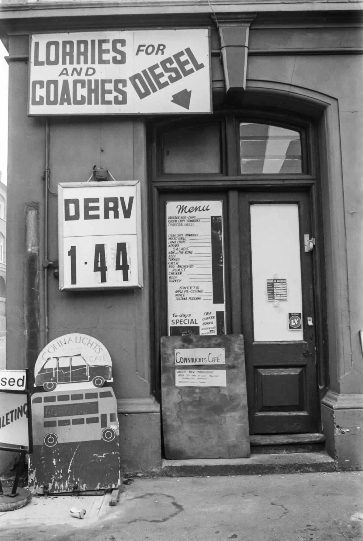
Connaughts on York Way served double duty as both a cafe and a motor garage operation — Kings Cross Garages Ltd — reflecting the blurred commercial boundaries common in this part of the neighbourhood. York Way in 1990 was still dominated by motor trade, haulage, and light industrial uses rather than the residential and hospitality development that would come later.


The former Kings Cross Laundry on York Way was photographed in 1989, already operating as something other than a laundry. Buildings like this one — large, solid Victorian commercial premises — shifted use repeatedly over the decades as the industries and businesses that had originally occupied them moved on or closed down.


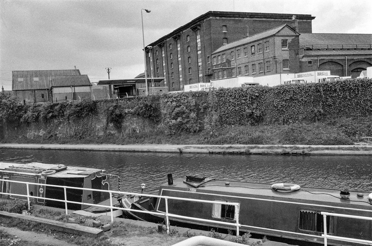
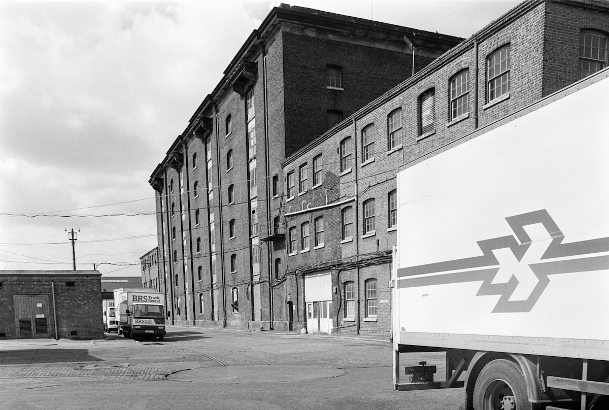
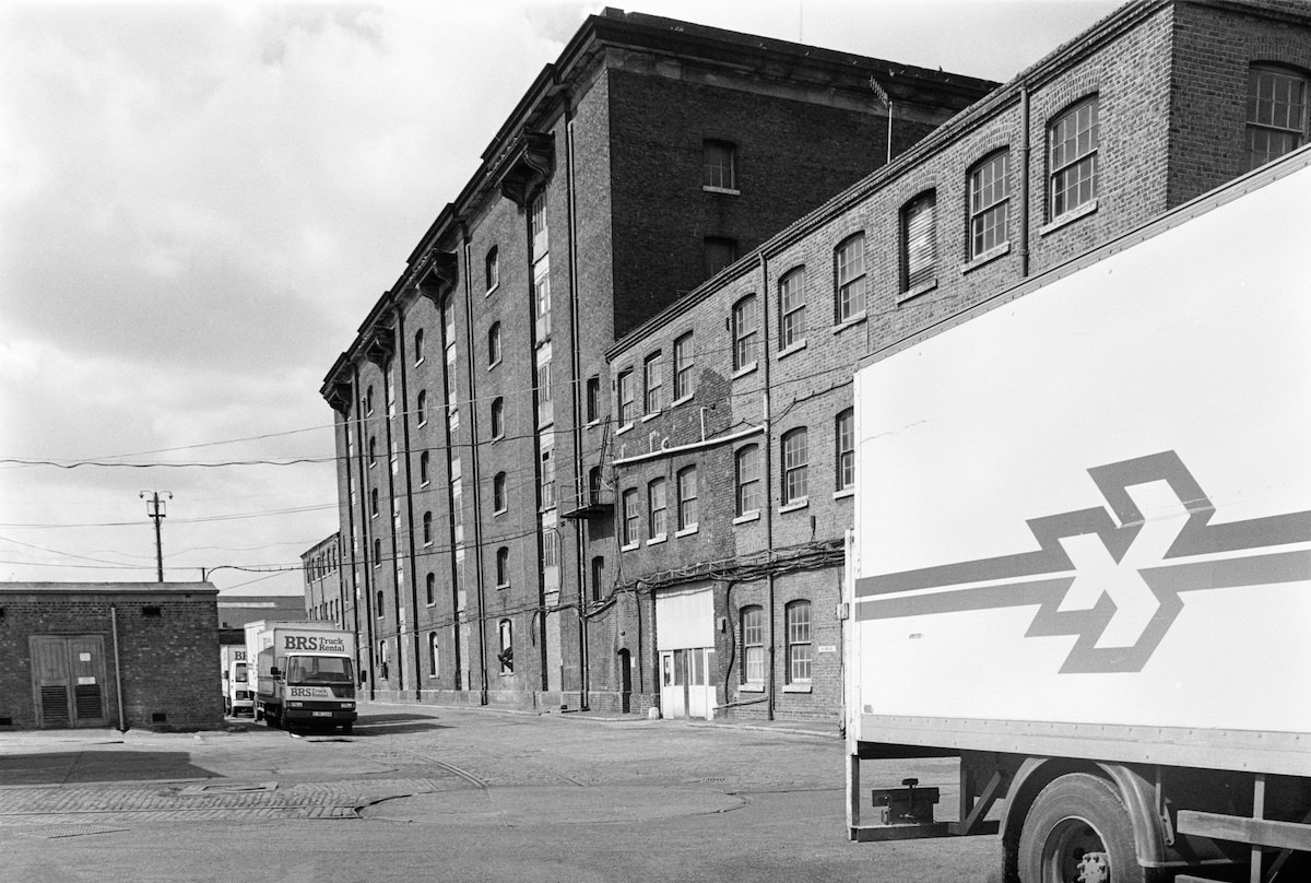
The Granary building in the Goods Yard was constructed in 1851 and designed by Lewis Cubitt, the same architect responsible for King’s Cross station. It stored grain delivered by rail and transferred to canal barges on the Regent’s Canal directly behind the building. In 1989, the Granary sat empty but structurally intact, its vast brick façade still imposing alongside the waterway.

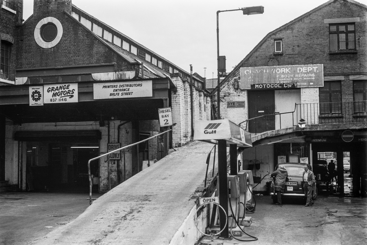
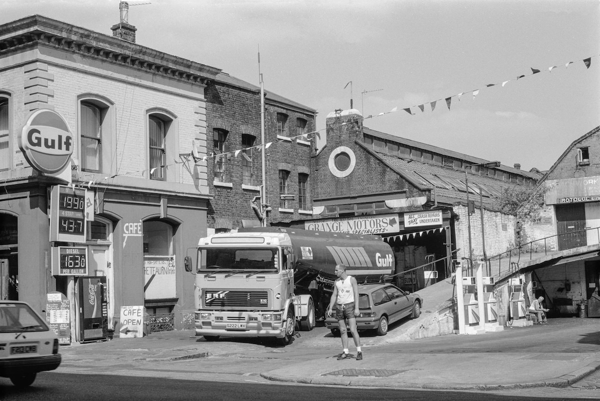
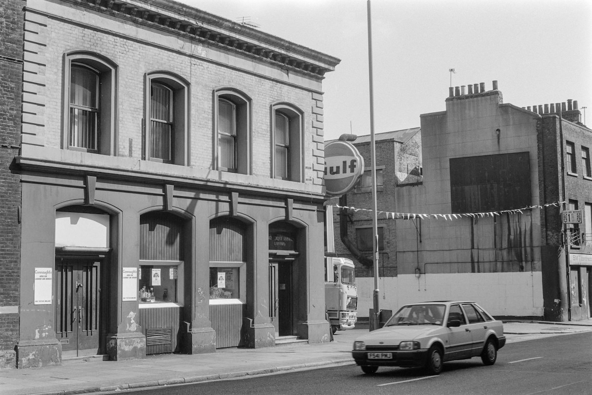
Grange Motors on York Way operated as a fuel and vehicle business, with a Gulf tanker photographed on site in 1990. Motor-related businesses occupied much of the York Way frontage during this period, taking advantage of the wide road access and proximity to the goods yards that had historically moved large volumes of freight through this corridor.

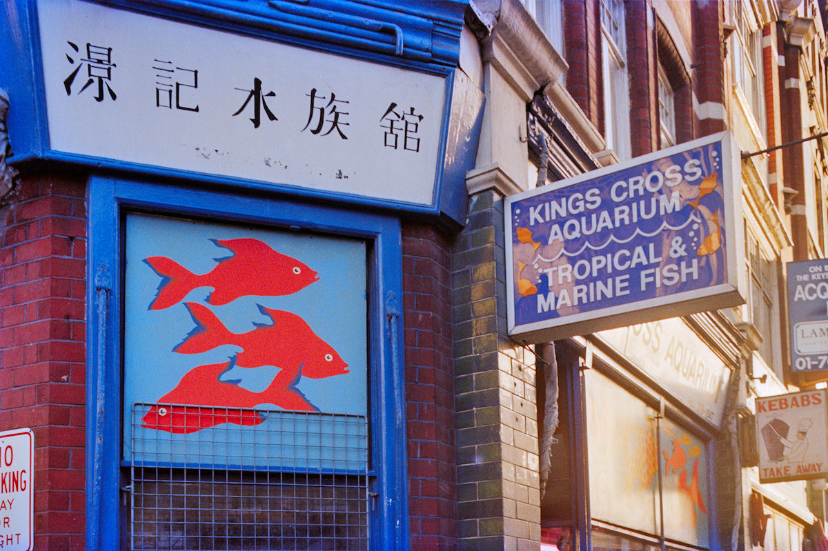
The Kings Cross Aquarium on Caledonian Road was an unlikely specialist retail business in this setting, selling fish and aquarium equipment to local hobbyists. It sat within a stretch of Caledonian Road that mixed convenience retail, specialist traders, and service businesses — the kind of eclectic commercial mix typical of inner London streets that served dense local populations.

The bridge over the Regent’s Canal near the Granary was photographed in 1985, offering a view of the waterway as it passed through the heart of the Goods Yard. The canal had originally been built in 1820 and had served as a critical artery for moving goods into and out of the King’s Cross area before the railways arrived and eventually superseded it.


The Kings Cross Goods Yard as seen from York Way in 1986 showed the full scale of the complex. The yard covered a large area of land north of the station, bounded by York Way to the east and the Regent’s Canal to the north. Its eventual redevelopment into what became the King’s Cross Central project was still two decades away.


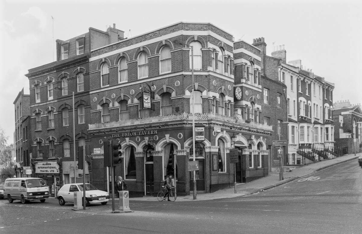
The Union Tavern on King’s Cross Road had a long documented history. A pub on the site in the 1740s was known as The Black Bull or The Bull in the Pound. It was renamed The Union Tavern in 1807 and rebuilt around 1820. The building Marshall photographed in 1992 dated from 1878, making it well over a century old at the time of his visit.
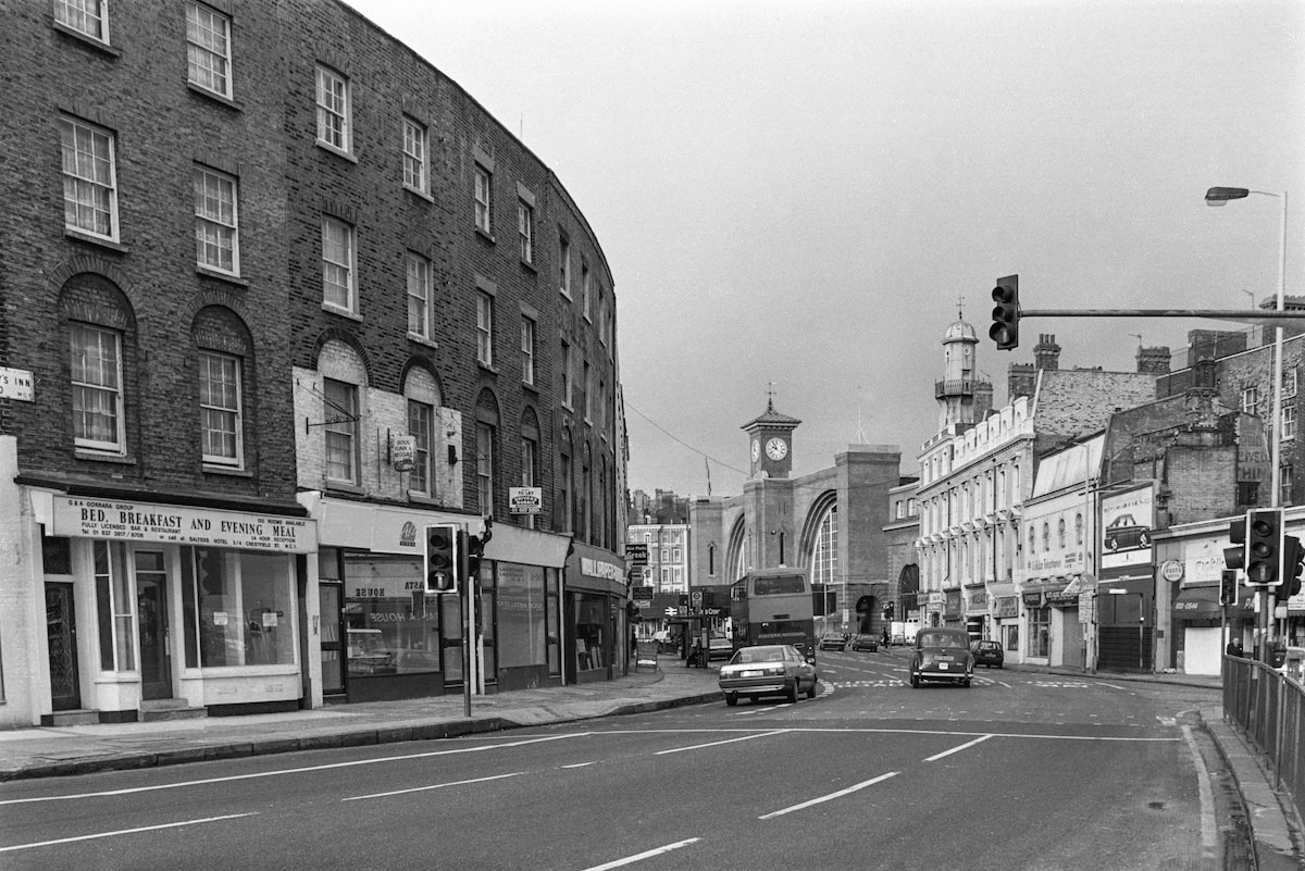
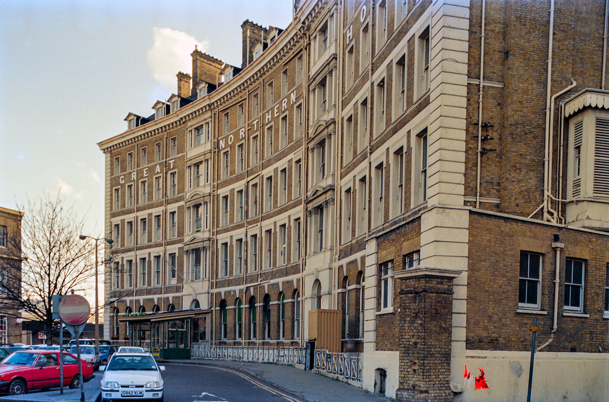
The Great Northern Hotel on Pancras Road was built in 1854 as part of the original King’s Cross station complex, designed by Lewis Cubitt. It was one of the first purpose-built railway hotels in London. By 1990, it had gone through various uses and periods of decline, though the curved façade of the building remained a distinctive presence at the southern entrance to the station.


The dancers mural on Stanley Buildings appeared in Marshall’s photographs from two different angles in 1990. The mural decorated the blank brick wall facing Stanley Passage and was one of the more visually striking pieces of public art in an area not particularly known for it. The Stanley Buildings themselves were Victorian-era philanthropic housing, built to provide improved accommodation for working-class Londoners.

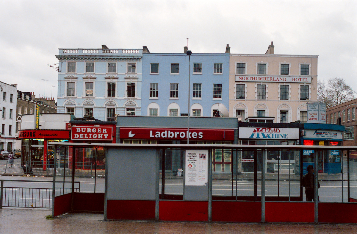
Euston Road was King’s Cross’s southern boundary and one of London’s main east-west arterial roads. A bus shelter photographed there in 1986 captures the functional urban furniture of the period — straightforward metal and glass structures designed for utility, not aesthetics. The road itself was heavy with bus and taxi traffic serving the three mainline stations — King’s Cross, St Pancras, and Euston — within a short walk of each other.


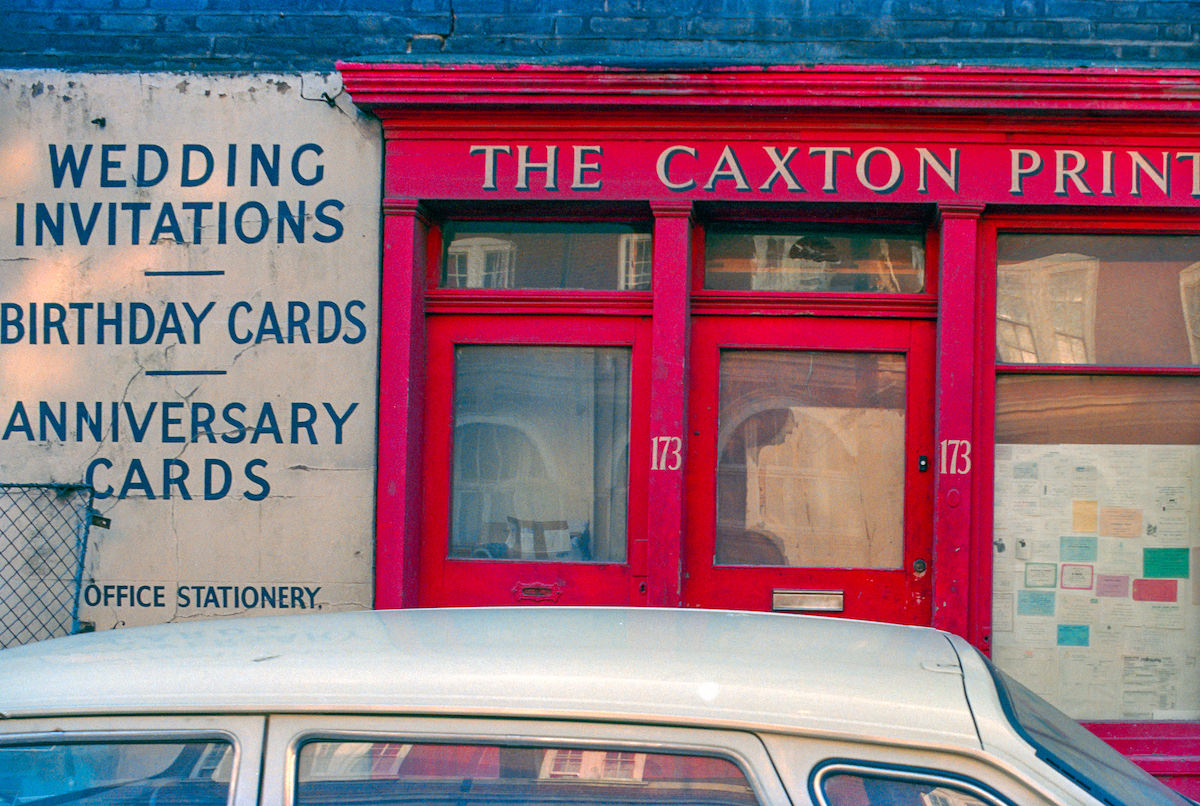
The Caxton Printer on King’s Cross Road was another of the small printing businesses that operated in the area. The printing trade had a strong presence in this part of London, benefiting from proximity to central London clients and the relatively affordable industrial and commercial space available in King’s Cross compared to areas further south.

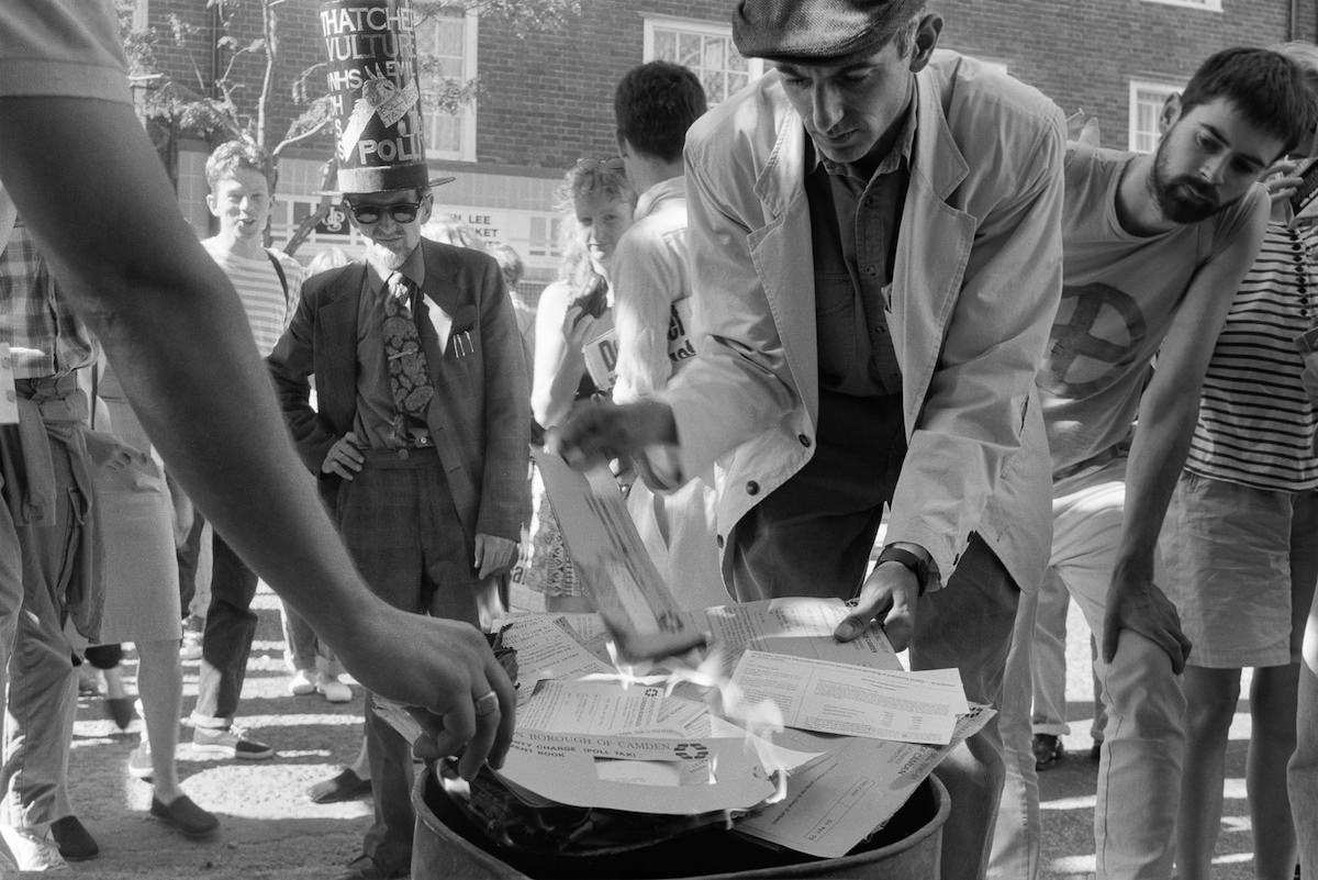
On Cromer Street in 1990, residents were photographed burning their Poll Tax demand notices. The Community Charge — widely called the Poll Tax — had been introduced in England in 1990 and triggered widespread public anger across the country. King’s Cross, like many working-class urban areas, saw direct local resistance. The national anti-Poll Tax movement led to one of the largest riots London had seen in decades, in Trafalgar Square in March 1990.


The Regent’s Canal alongside the Granary and the Goods Yard provided the clearest picture of how King’s Cross had functioned as an integrated freight network. Rail, canal, and road all converged here. Goods arrived by train, were stored in the Granary, and moved onward by barge along the canal or by cart and later lorry along the surrounding roads. By 1989, that system had entirely ceased to operate as designed.


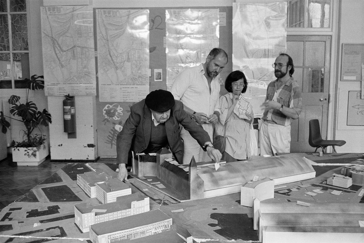
By 1990, community groups and local residents were actively involved in debating the future of the King’s Cross railway lands. A ‘Planning for Real’ event held at Tonbridge Street gave residents a hands-on way to express their views about how the area should be developed. Scale models of the neighbourhood were laid out so that participants could physically place cards and markers to indicate their priorities — housing, green space, employment, or transport connections.


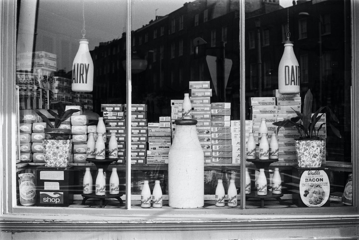
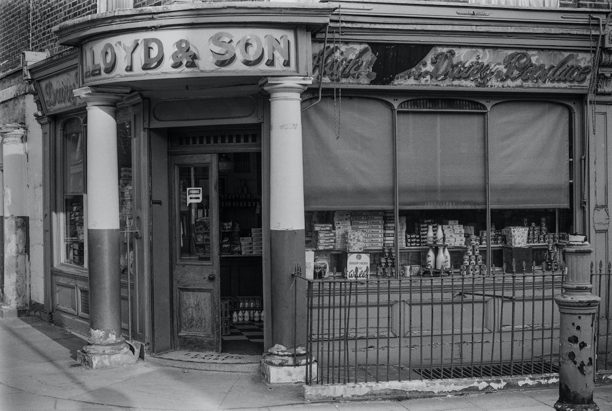
Lloyd’s Diary on Amwell Street was a small stationery and print retailer, its shopfront a reminder of the specialist retail that once occupied nearly every street in inner London. Amwell Street sat in the Islington portion of the King’s Cross area, slightly removed from the railway infrastructure but still within the broader neighbourhood that Marshall was systematically documenting.
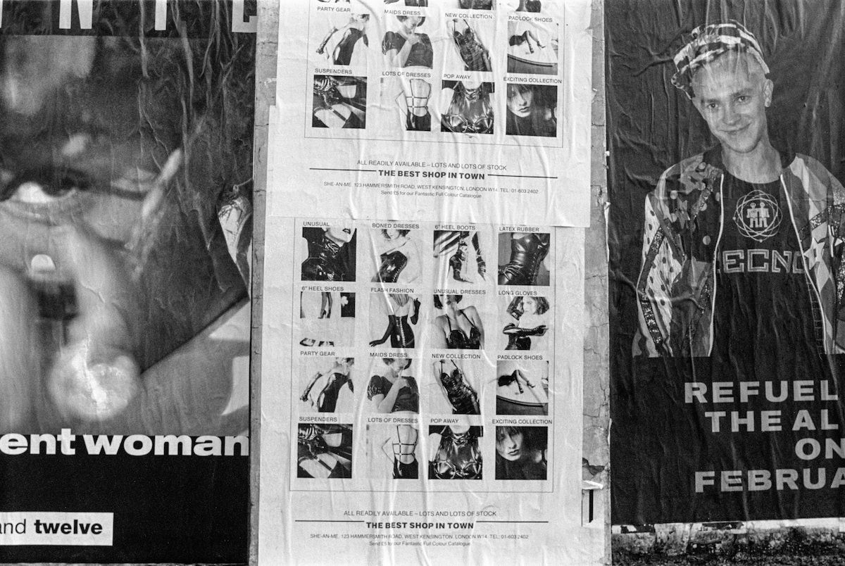
Posters plastered across walls and hoardings on Gray’s Inn Road in 1990 reflected the political and cultural energy of the period. The Poll Tax, housing campaigns, music events, and political meetings all competed for wall space in a neighbourhood where fly-posting was a primary form of public communication. The density of posters on any given stretch of wall was itself a measure of the area’s activist and community character.
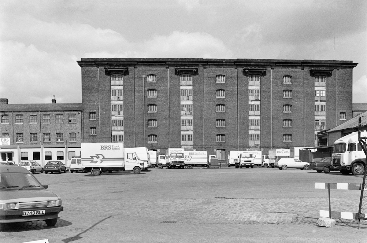

The Granary building, photographed again in 1989 from a different vantage point, demonstrated the scale of what Lewis Cubitt had designed in 1851. Its long brick frontage along the canal basin was functional rather than decorative, built to move and store enormous quantities of grain as efficiently as possible. The building’s survival through the decades of the Goods Yard’s decline left it available for the major restoration it would eventually receive.