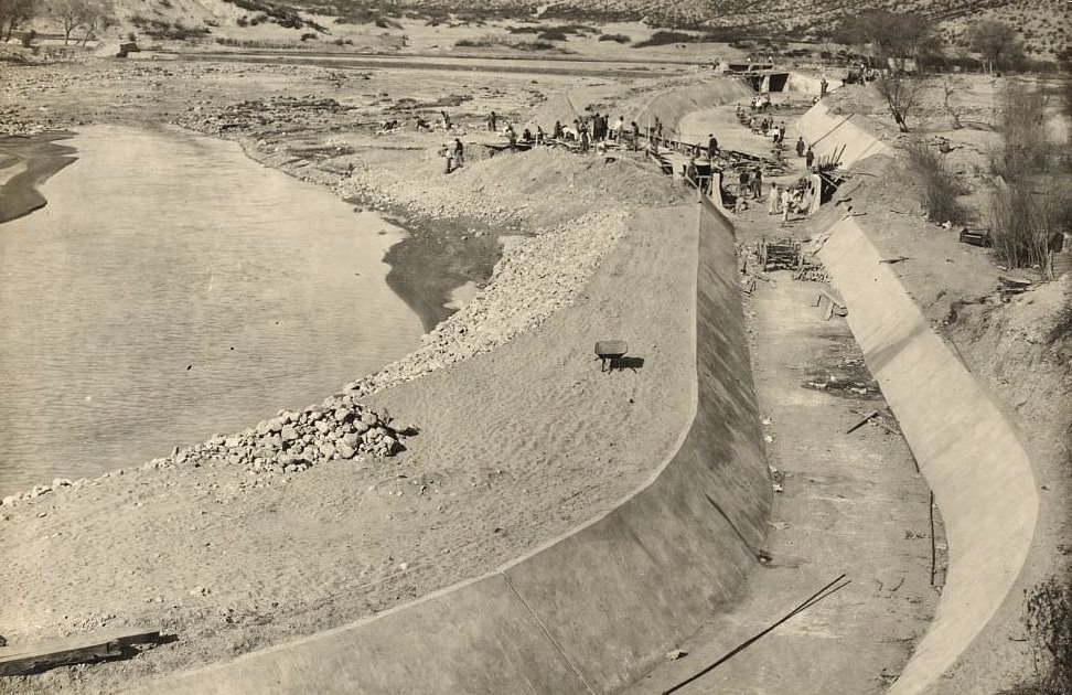
Franklin Canal, El Paso: Completing reconstruction of settling basin and concrete lining, 1907 (69/74)

Don't have an account? Register
Enter your account data and we will send you a link to reset your password.
To use social login you have to agree with the storage and handling of your data by this website. Privacy Policy
AcceptHere you'll find all collections you've created before.
What was the Canal for? why was it built?
the lower valley was vulnerable to floods every time it rained and also I believe it was part of the beginnings of the chamizal diversion of irrigation channels
Did some research, it was irrigation for the upper Valley. And I remember falling into it after walking home from fishing the Rio.
It was my playground growing up. It is right behind the home I grew up in near Clark Dr and followed El Paso Drive from Fox Plaza to Alameda near the west end of the Texas and Pacific rail yards in the east. The homes in our area had small irrigation ditches that would provide water from the Franklin we could use for our yards. We swam in it occasionally, although we were warned not to. I recall there were a couple of times that children drowned and prisoners were used to drag the canal.
I wonder if that was the canal behind mama file’s house I remember parts of the old homestead, the dirt floor shone like glass tiles and Adobe walls and the one little dim light bulb in the kitchen and the cold water out of the clay jar and drinking the water from her metal glass man did that hurt the teeth but the water tasted sooo good.
Is this where it started next to smeltor town or asarco.
Taking a guess while looking at current topography, this could be the curve at Boone street behind Washington Park. Current zoo property would be at the inside of the curve. The road in the rear could be what would become Roosevelt Street/ Highway 54. Any thoughts?