
Stockholm has always been a city unlike any other. Built across 14 islands and connected by 57 bridges, Sweden’s capital blends natural beauty with urban energy in a way few cities can match. It has 96 beaches, 100 museums, the world’s largest palace, and even the world’s longest art gallery — located inside a metro station. The name Stockholm first appeared in writing in 1252, when Swedish statesman Birger Jarl used it in a letter. By the mid-20th century, the city had transformed into a modern, technologically advanced, and ethnically diverse metropolis. The photos below offer a rare window into what Stockholm looked and felt like during the 1960s — its streets, landmarks, public transport, and the people who moved through it all.
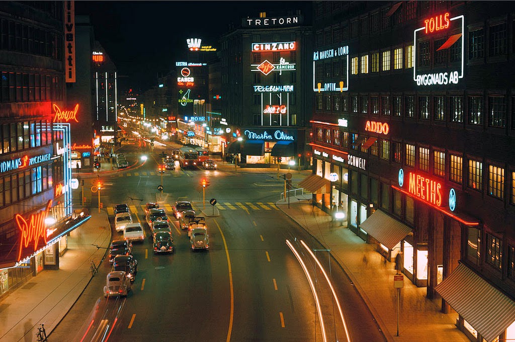
Kungsgatan was one of Stockholm’s most prominent commercial streets in the 1960s. Wide, busy, and lined with shops and signage, it drew both shoppers and commuters through the heart of the city. The street had been central to Stockholm’s urban development since the early 20th century, and by the 1960s it hummed with the energy of a city in full swing.
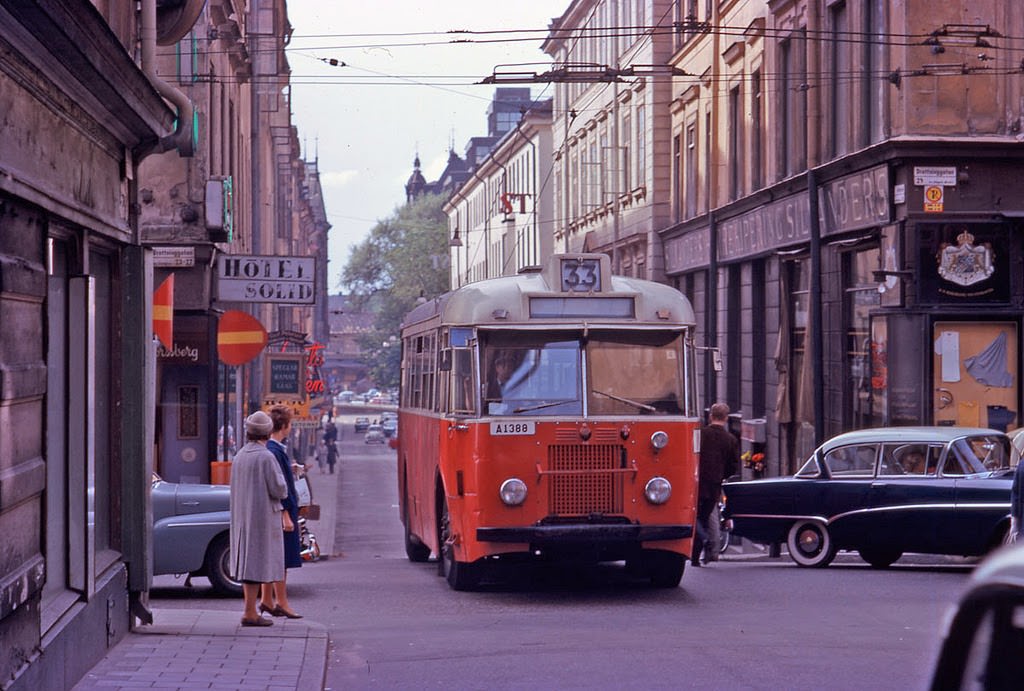
Central Stockholm’s street grid was dense and active. Vattugatan, running through the core of the city, reflected the everyday pace of Stockholm life — workers, shoppers, and vehicles all sharing the same narrow corridors of asphalt and stone. Trams were still a defining feature of the city at this time, threading through traffic and connecting neighborhoods across the islands.
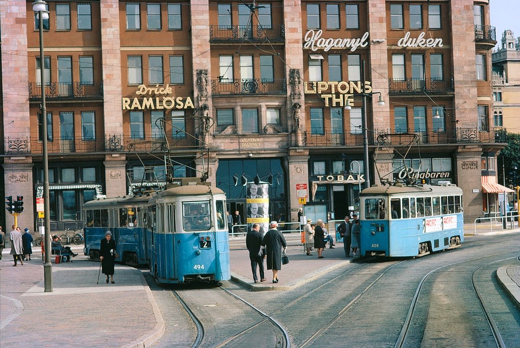
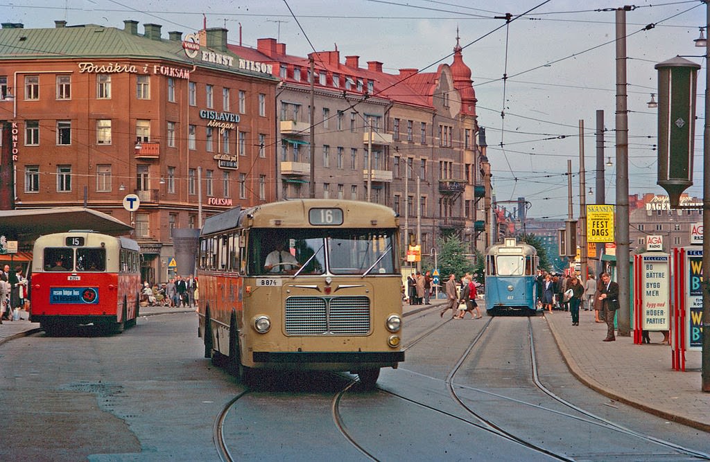
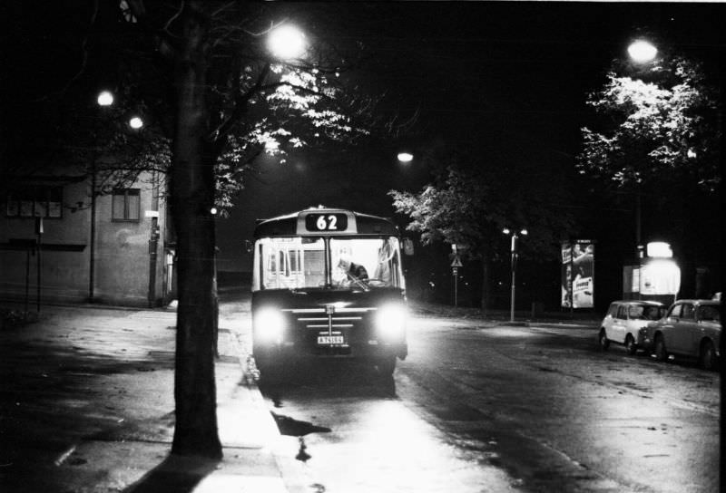
Public transport was the backbone of Stockholm in the early 1960s. Trams and buses operated across the city’s many districts, with major squares like Odenplan serving as key interchange points. Passengers transferred between lines, schedules were tight, and the vehicles themselves — boxy, sturdy, and often packed — were as much a part of the city’s identity as its architecture.
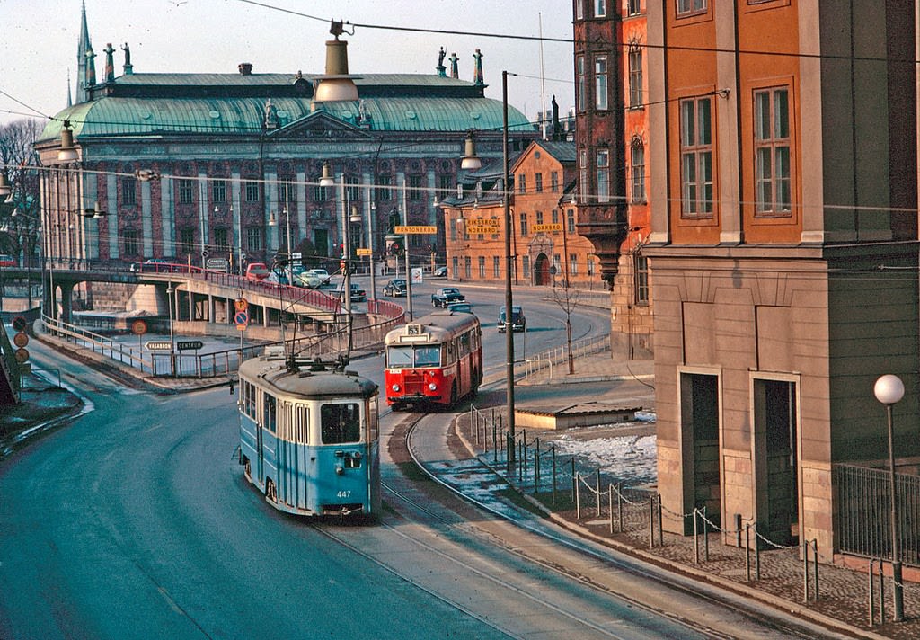
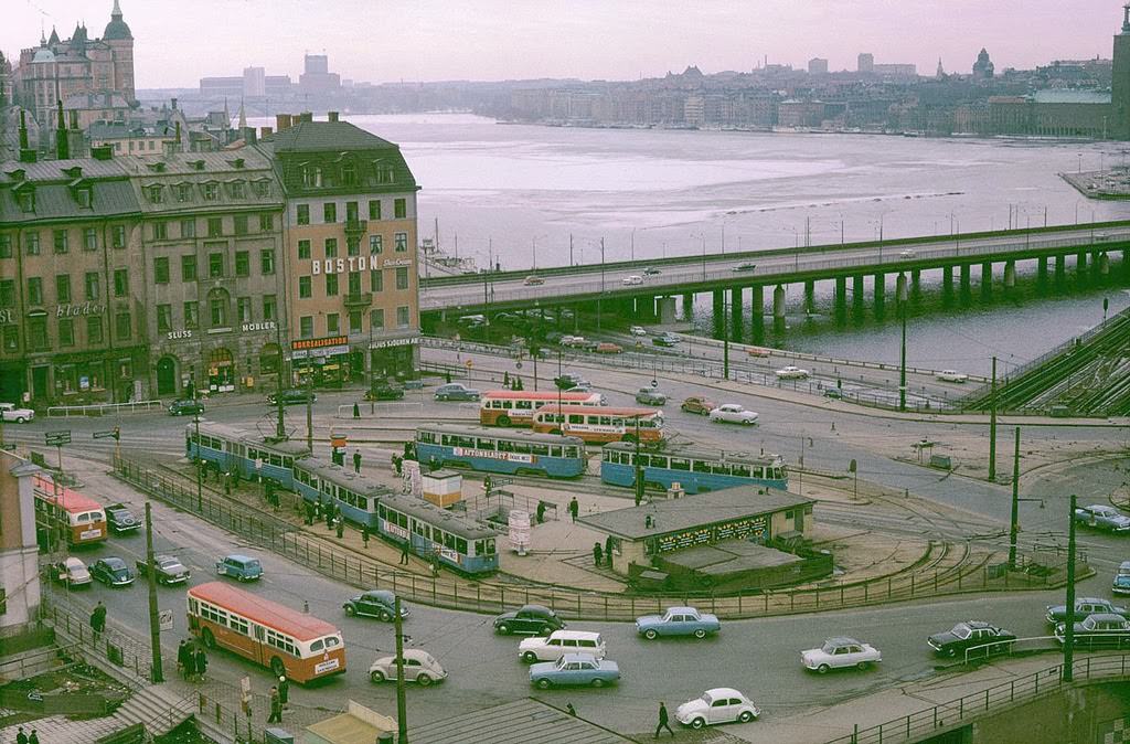
Södermalm, the large island to the south of the Old Town, had its own distinct character. Södermalmstorg was one of its central gathering points — a square that connected several of the neighborhood’s busiest routes. The area was working-class in its roots but already shifting in the 1960s as the city modernized around it.
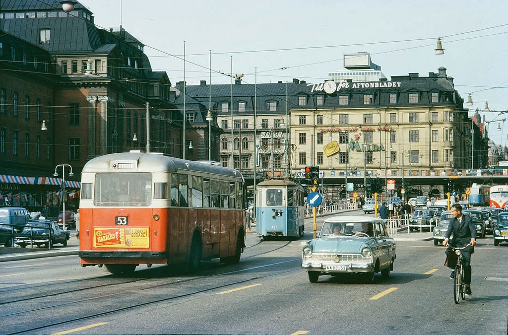
Vasagatan ran directly from Stockholm Central Station toward the city center, making it one of the most trafficked streets in the entire capital. Taxis, buses, pedestrians, and cyclists all competed for space along its length. The street was flanked by hotels, offices, and transit infrastructure, giving it a fast-moving, functional character that defined mid-century Stockholm.
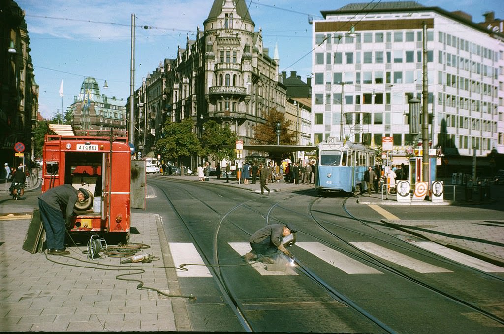
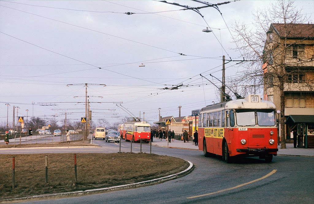
Keeping Stockholm’s transit network running required constant work. Track maintenance crews operated at major intersections like Stureplan, often working while the city moved around them. Gullmarsplan, further south, was a major terminus for trolley buses — electric-powered vehicles that drew current from overhead wires and served as a cleaner alternative to diesel buses in the inner city.
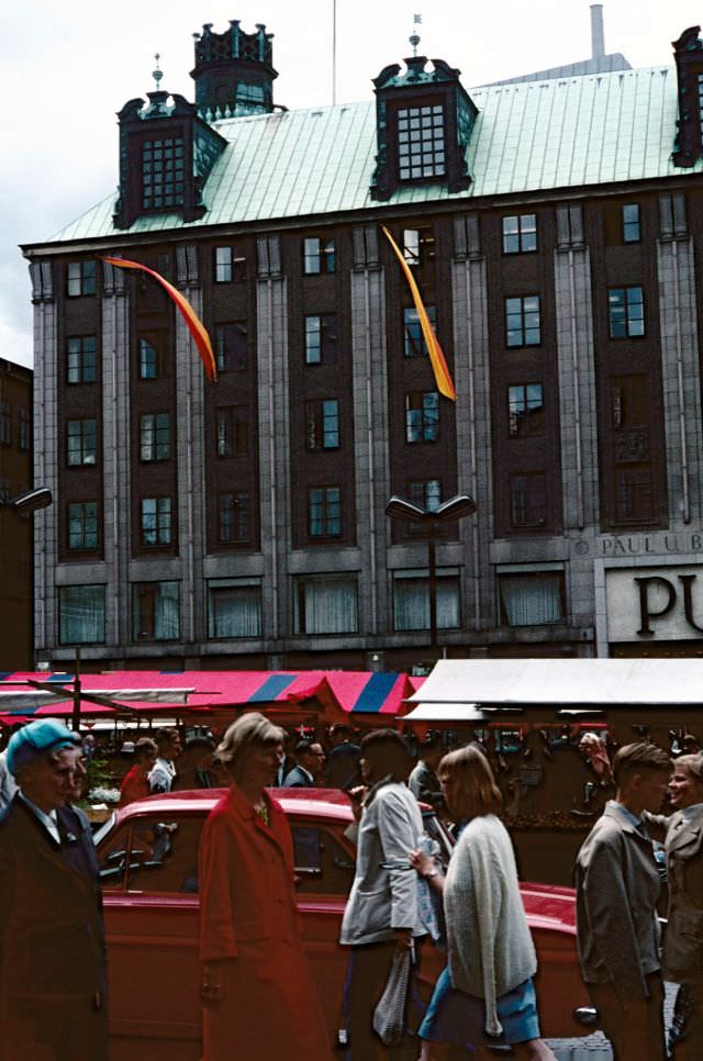
Hötorget — literally “the Hay Market” — was one of Stockholm’s most recognizable public squares. By the 1960s, it had evolved from its agricultural origins into a bustling open-air market surrounded by concert halls, cinemas, and modern architecture. The square anchored the city’s cultural and commercial life in equal measure.
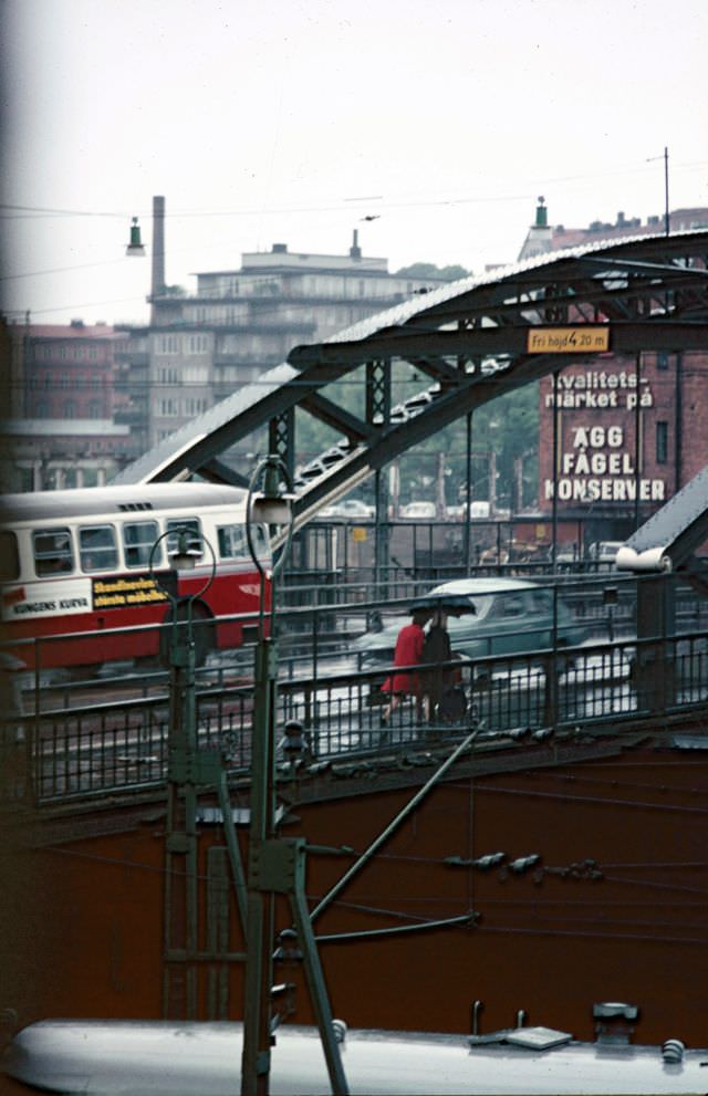
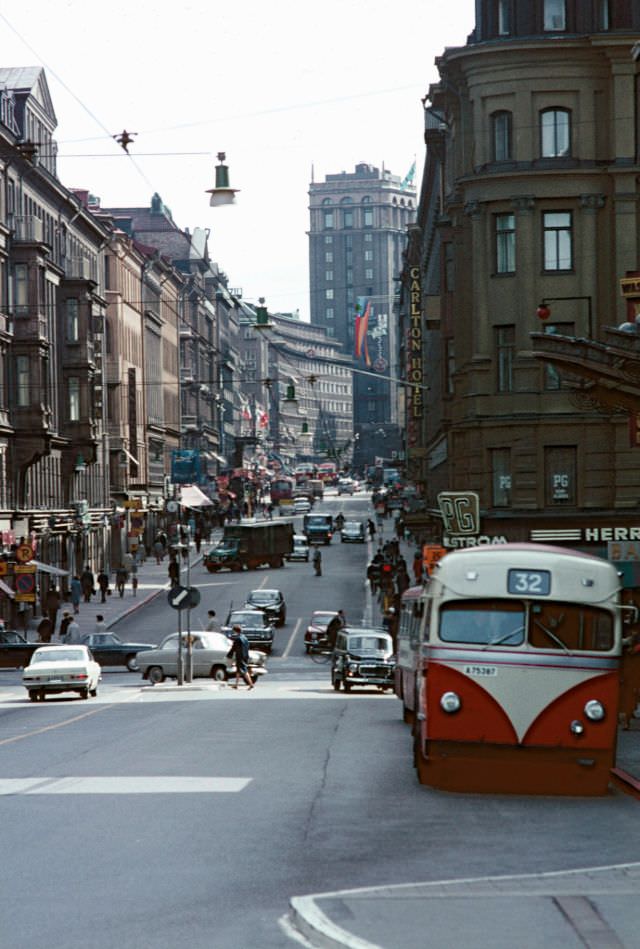
Kungsbron connected the city center to Kungsholmen island, carrying heavy flows of traffic and transit vehicles across the water. A year later, Kungsgatan itself continued to serve as Stockholm’s commercial spine — its twin cinema towers, built in the 1920s, still standing watch over the street below as cars and pedestrians filled the frame.
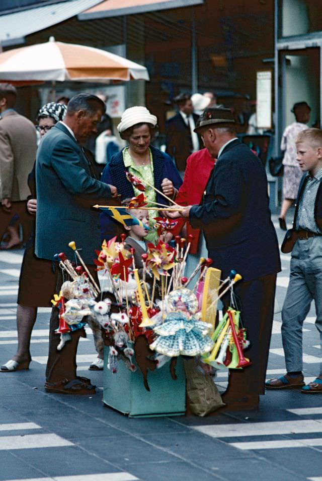
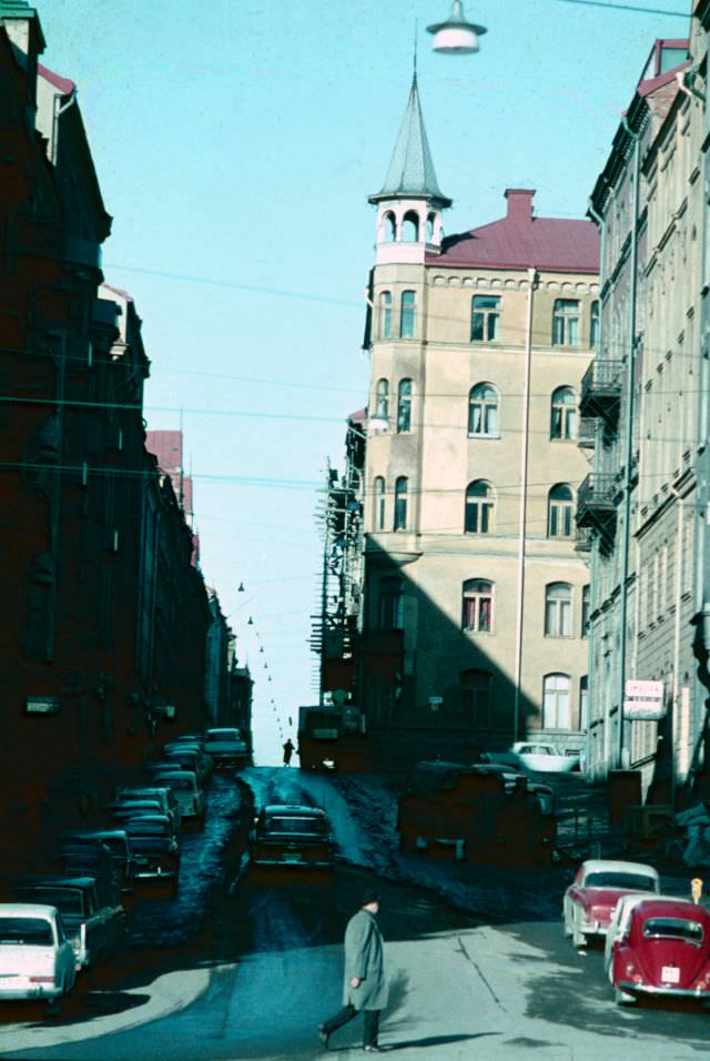
Sergelgatan was part of Stockholm’s ambitious postwar urban renewal project. The street was pedestrianized as part of the Norrmalm redevelopment, which razed dozens of older buildings to make room for modern offices, shops, and public spaces. The transformation was controversial, but by the mid-1960s Sergelgatan had become one of the most photographed stretches in the city.
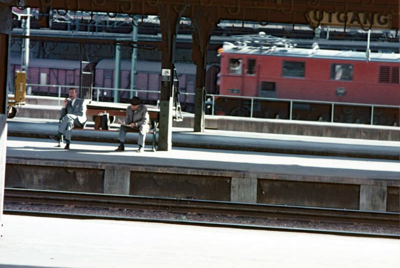
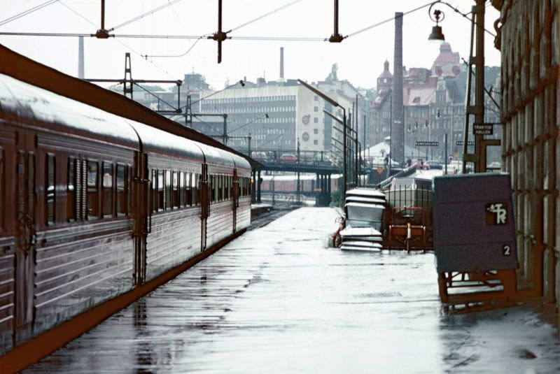
A view northward from the city in 1965 showed Stockholm expanding steadily beyond its historic core. New residential and commercial developments were pushing outward, connected to the center by transit lines and major roads. The city’s waterways remained ever-present — cutting between districts and giving Stockholm its characteristic island geography.
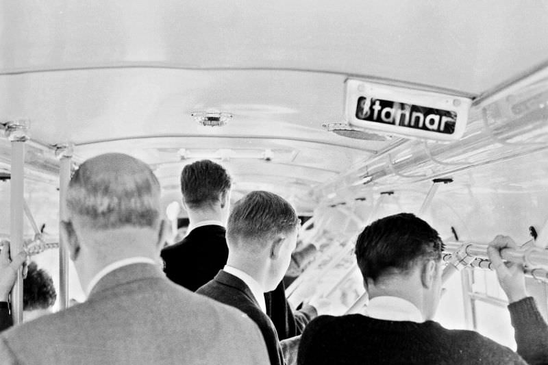
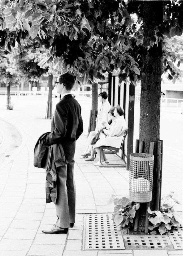
Bus passengers in 1966 Stockholm were a cross-section of the city’s population — office workers, students, shoppers, and laborers all riding the same routes. Norra Bantorget, a square near the northern railway yards, was one of many stops where riders waited in all weathers for their connections across the city.
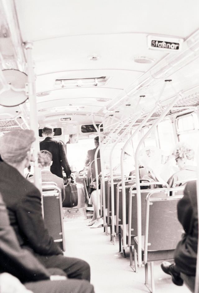
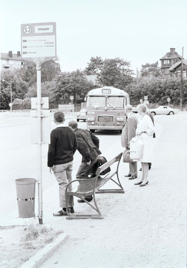
Sundbyberg, a municipality bordering Stockholm to the northwest, had its own street life and rhythm. Gränsgatan — whose name simply means “Border Street” — marked the edge between communities that were increasingly being absorbed into greater Stockholm’s sprawl as the decade wore on.
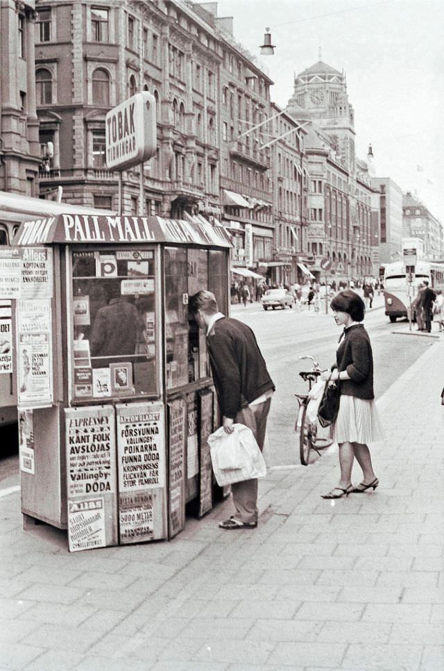
Street kiosks on Vasagatan sold newspapers, tobacco, and snacks to the constant flow of people heading to and from Stockholm Central. These small stands were a fixture of Swedish urban life — quick stops for a morning paper or an afternoon cigarette before catching a bus or train.
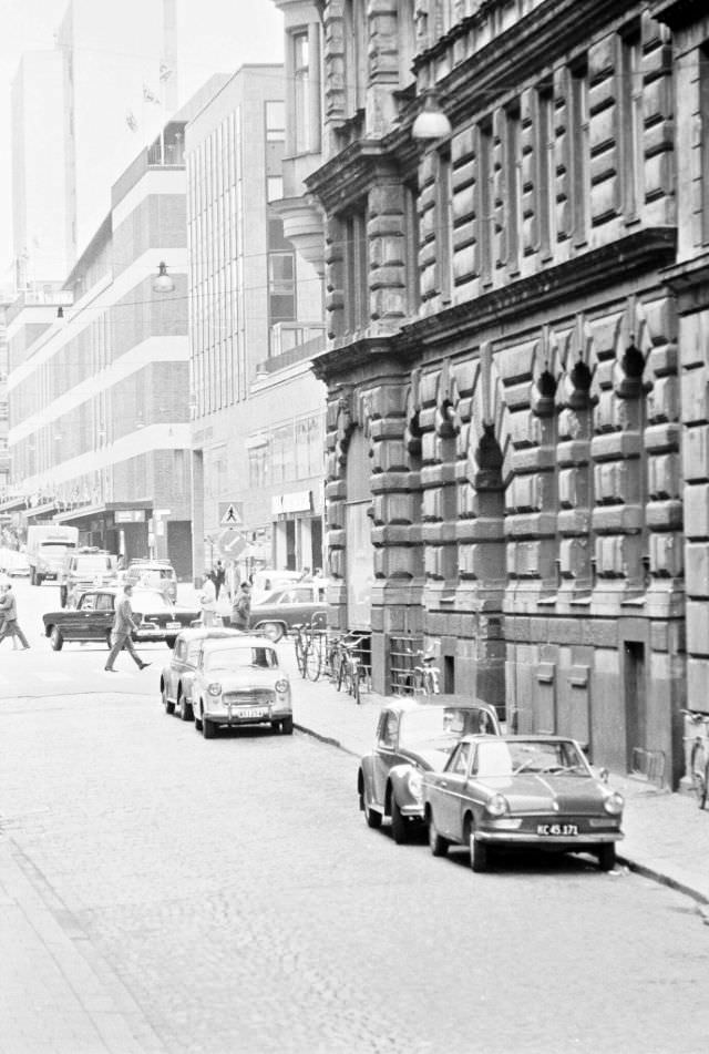
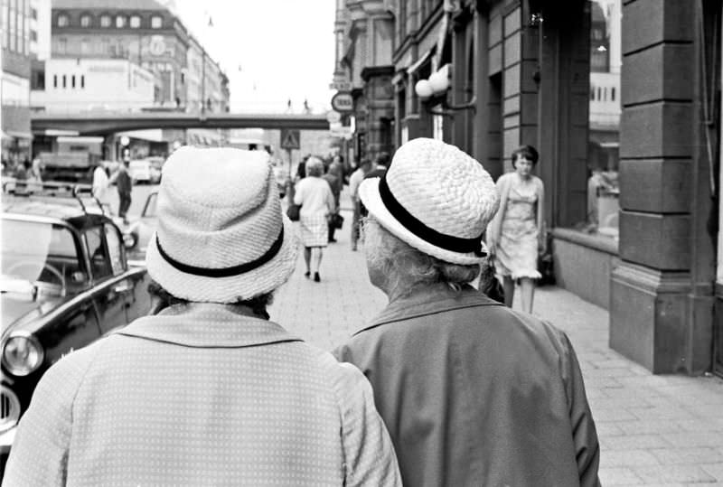
The approach to Stockholm Central along Vasagatan was always busy. Commuters on foot, cyclists, taxis, and buses all converged on the same stretch of road leading to the station. The scene captured in 1966 shows a city that was firmly modern — cars outnumbering horses, neon signs replacing painted boards, yet still navigating the transition away from trams.
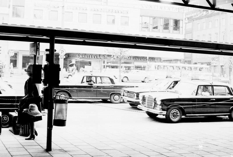
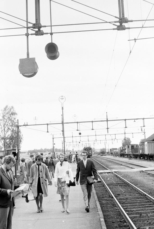
The taxi rank directly in front of Stockholm Central was one of the busiest in the country. Trains arrived from across Sweden, and passengers poured out into waiting cabs. The Uppsala line was among the most heavily used — running north from Stockholm through Märsta, it brought commuters and travelers into the capital daily.
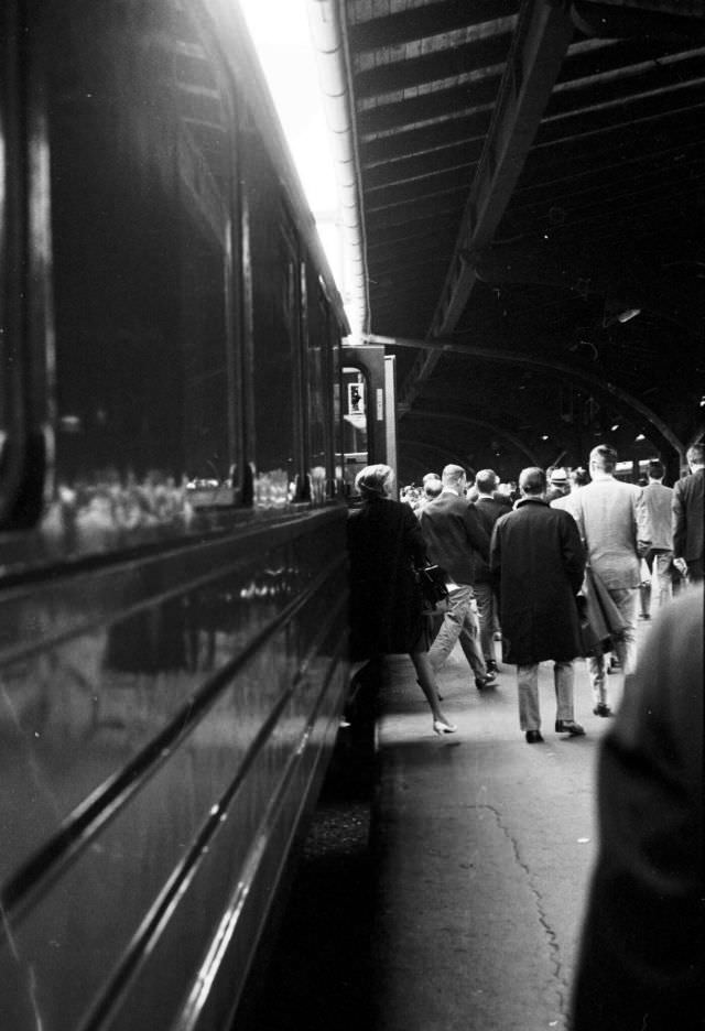
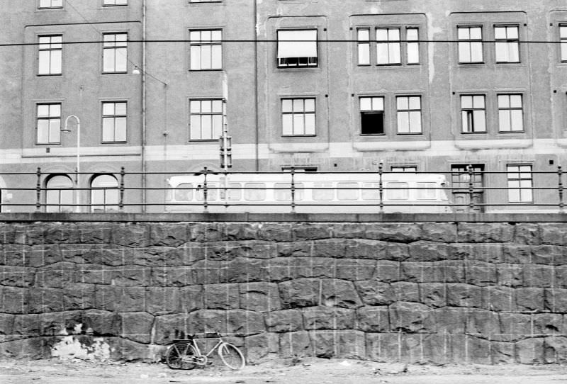
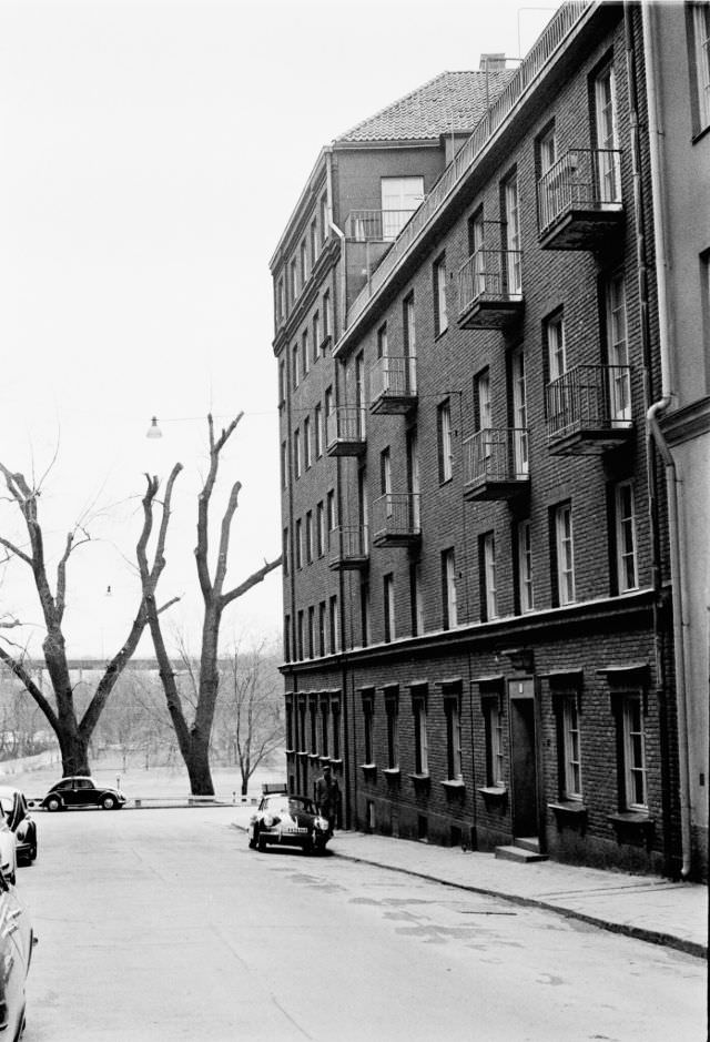
Viewing Stockholm from a moving train offered a different perspective on the city. Torsgatan, seen from the Uppsala train, showed the dense residential blocks of inner Stockholm — apartment buildings standing shoulder to shoulder along wide streets, their facades familiar to any Stockholmer of the era.
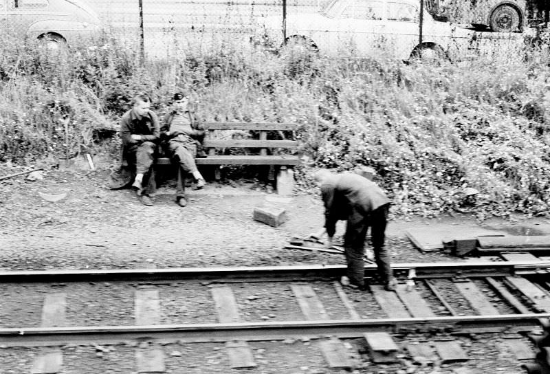

Track work was a constant presence in 1960s Stockholm. As the city phased out its tram network — a process that concluded in 1967 — crews tore up old lines and rerouted infrastructure. The Märsta trains continued running regardless, representing the longer-distance rail connections that Stockholm depended on for its regional commuters.
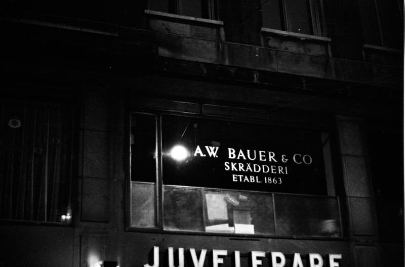
Biblioteksgatan was one of Stockholm’s upscale shopping streets in the 1960s, home to tailors, jewelers, and specialty retailers. A. W. Bauer & Co was among the established businesses on the street — a traditional tailor serving Stockholm’s professional class in an era when bespoke clothing was still the standard for formal dress.
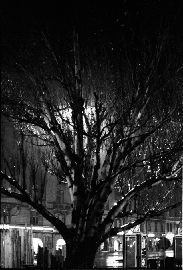
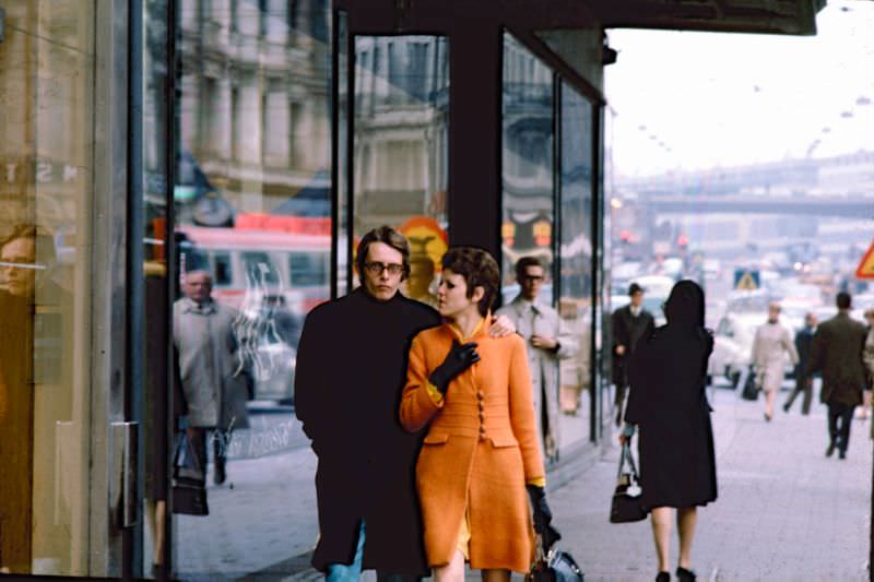
Birger Jarlsgatan, named after the 13th-century statesman credited with founding Stockholm, ran north from the city center through some of its most affluent districts. Hamngatan, by contrast, hugged the waterfront near Kungsträdgården and carried heavy traffic between the commercial center and the eastern parts of the city.
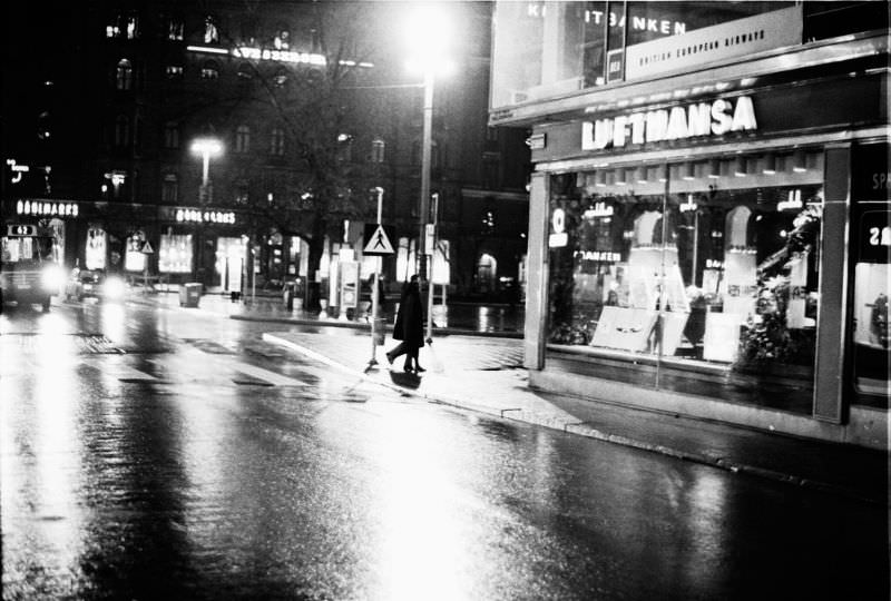
Cinema going was a major part of Stockholm’s social life in the 1960s. The Rialto was one of the city’s popular picture houses, its foyer a gathering place before and after screenings. Nearby, international businesses like Lufthansa maintained offices in the city center — Stockholm’s role as a Scandinavian hub for air travel and international commerce was well established by 1967.
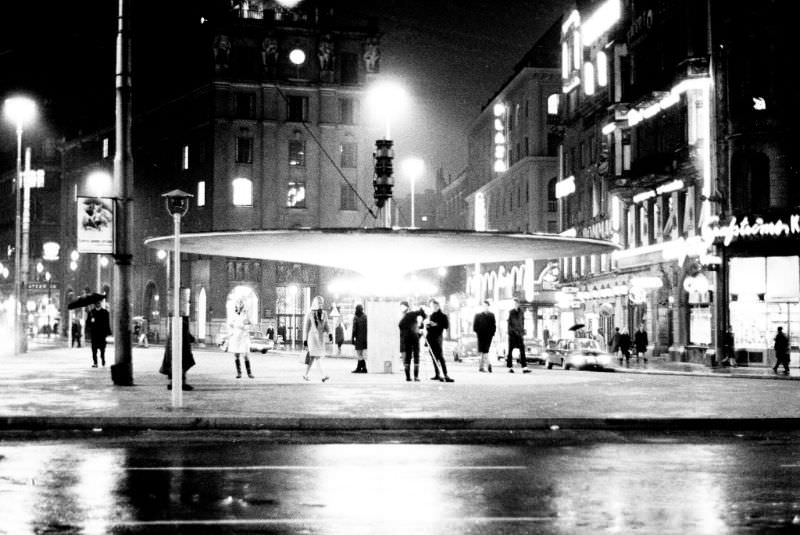
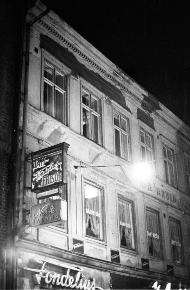
At night, Stureplan transformed. The square at the junction of several of Stockholm’s busiest streets became a focal point for evening activity — its lights reflecting off wet cobblestones, taxis circling, and people moving between restaurants and bars. The surrounding streets near Biblioteksgatan remained active well into the evening hours.
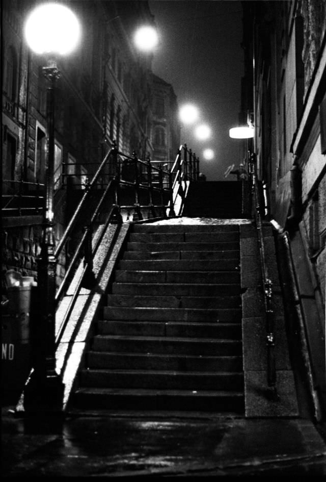
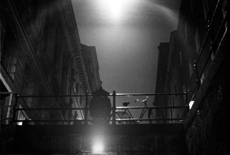
Tunnelgatan, later partially renamed Olof Palmes gata, offered a dramatic nighttime vantage point over central Stockholm. The street’s elevated position and proximity to the city’s main arteries made it a natural spot for photographing the lit-up urban landscape below — neon signs, streetlights, and moving headlights all contributing to the glow.
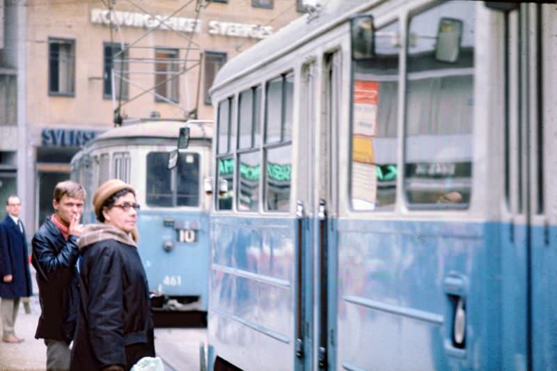
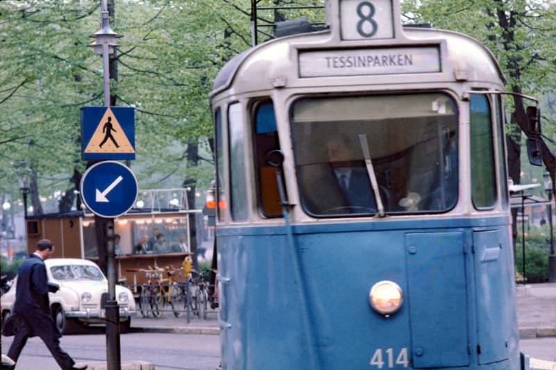
Norrmalmstorg was one of the last major squares to see regular tram service before Stockholm’s network was shut down in 1967. The trams captured here were among the final runs of a system that had served the city for decades. Stockholm was one of the few European capitals that chose to eliminate its entire tram network at this time, a decision driven by the push to accommodate growing car traffic.
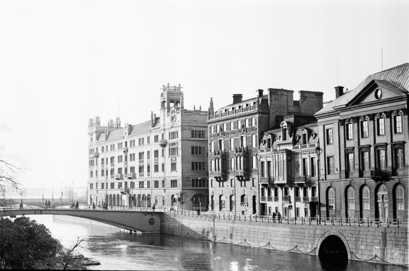
Kungsholmen, the island to the west of the city center, was home to Stockholm’s City Hall and a mix of residential and government buildings. Fridhemsplan served as one of its main transit nodes. Riksbron — the Parliament Bridge — connected the city center directly to the island of Helgeandsholmen, where Sweden’s parliament building stood.
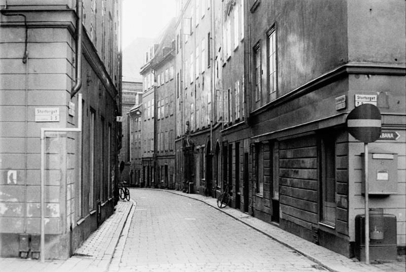
Gamla Stan, Stockholm’s Old Town, preserved the medieval street plan that the modern city had grown around. Stortorget — the Great Square — was the historic heart of the old city, and Svartmangatan one of its narrow connecting lanes. By 1967, the Old Town was already becoming a tourist draw, its cobblestones and centuries-old buildings a sharp contrast to the glass and concrete rising elsewhere in the capital.
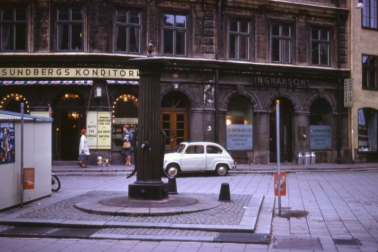
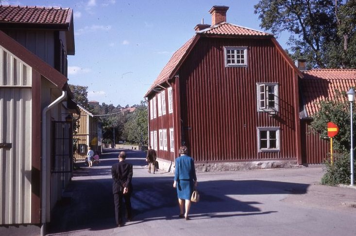
Sundbergs Konditori was one of Stockholm’s beloved old-style pastry cafes — the kind of place where Stockholmers stopped for coffee and a cinnamon bun before continuing their day. Further from the capital, the town of Sigtuna offered a slower pace. Stora Gatan, one of Sweden’s oldest main streets, ran through Sigtuna’s center much as it had for centuries.
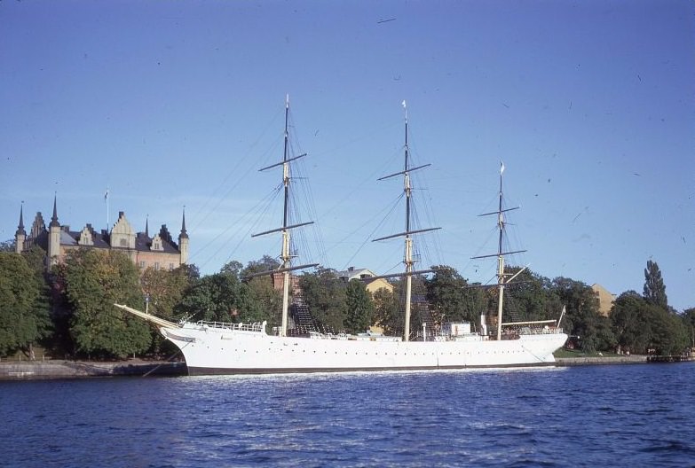
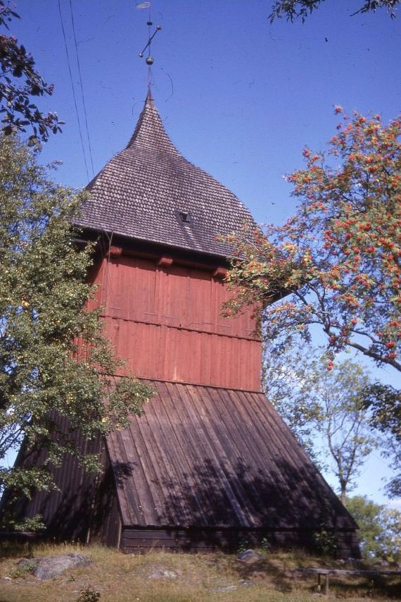
The af Chapman, a full-rigged sailing ship moored at Skeppsholmen island, served as a youth hostel from 1949 onward and became one of Stockholm’s most distinctive landmarks. In Sigtuna, the bell tower of Mariakyrka — the Church of Maria — stood as a reminder of the town’s medieval religious heritage, dating back to the 13th century.
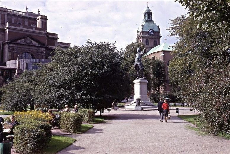
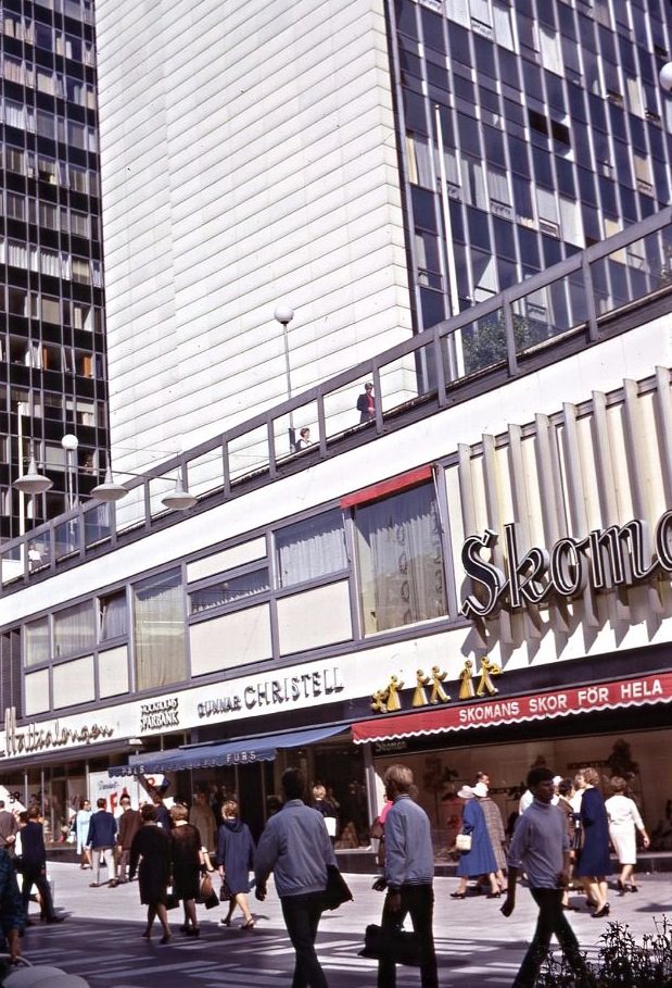
Charles XII Square, adjacent to Kungsträdgården park, was anchored by a statue of the Swedish warrior king. The square was a popular meeting point and a central part of the city’s public life. Citypalatset, a large commercial building in central Stockholm, represented the kind of large-scale urban architecture that defined the city’s business districts in the mid-20th century.
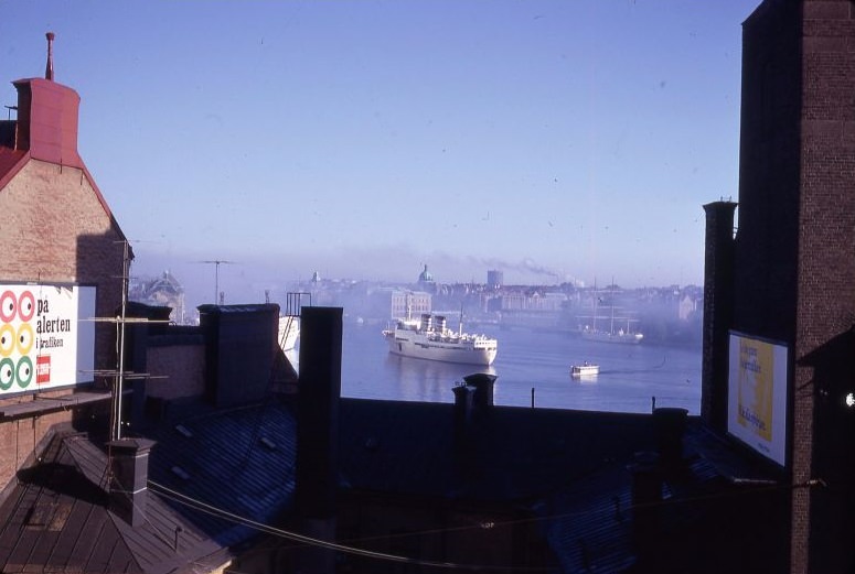
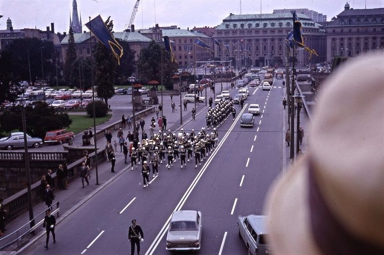
Stockholm’s waterways regularly welcomed cruise ships even in the 1960s, their hulls emerging from the Baltic fog as they navigated the archipelago into the harbor. On September 3, 1967 — known as Dagen H, or “H Day” — Sweden switched from driving on the left side of the road to the right. Stockholm’s streets were photographed extensively that day as the city adjusted to one of the most dramatic traffic changes in its history.
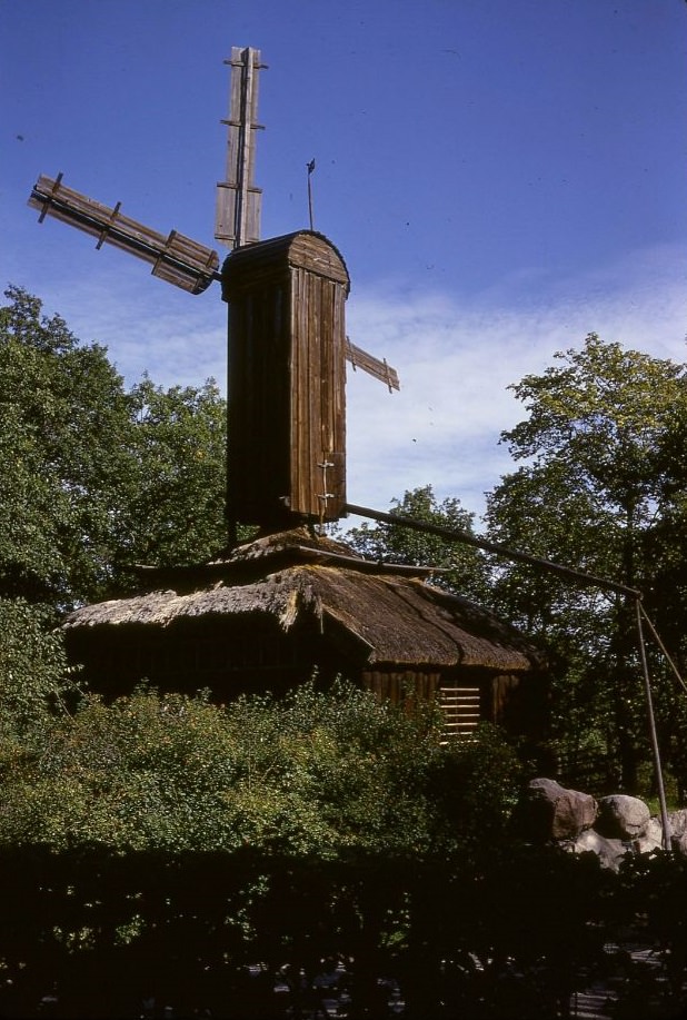
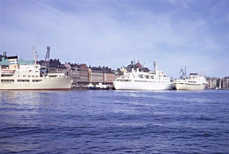
Skansen, the world’s oldest open-air museum, displayed historic Swedish buildings and artifacts from across the country — including windmills relocated from rural areas like Främmestad. Gamla Stan, the Old Town below, was the living counterpart to Skansen’s preserved history: a medieval island neighborhood still functioning as a residential and commercial district in the 1960s.

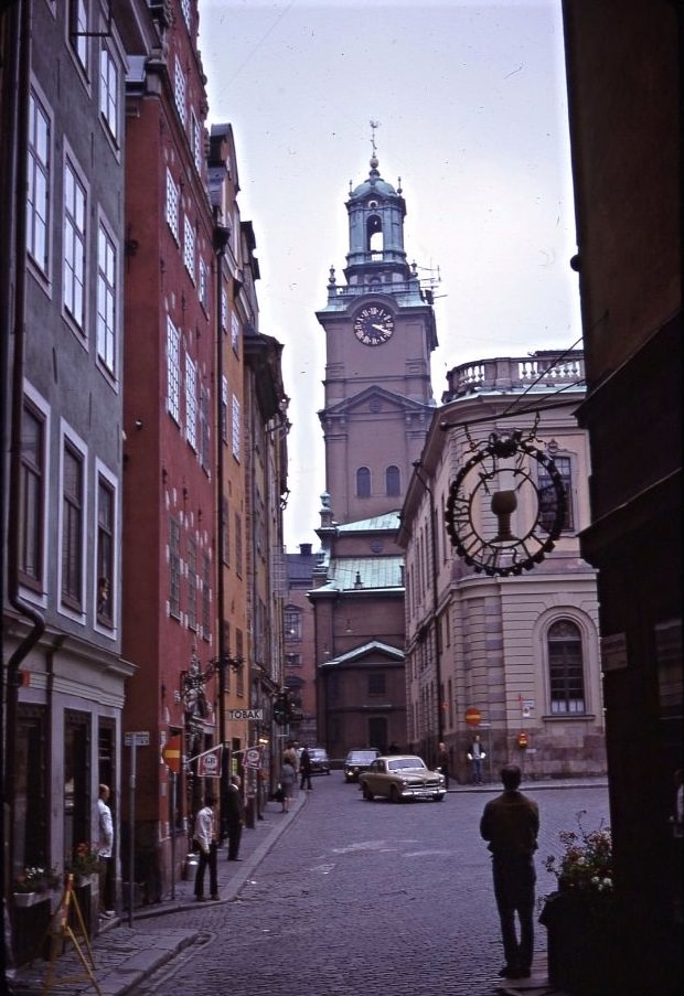
The narrow alleys and ochre-colored buildings of Gamla Stan were as photogenic then as they are now. Stockholm Cathedral — the Great Church, or Storkyrkan — stood at the top of the Old Town, its tower rising above the red rooftops. The church dated to the 13th century and had served as the site of Swedish royal ceremonies for hundreds of years.
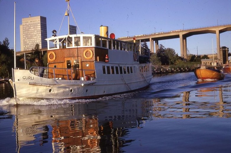
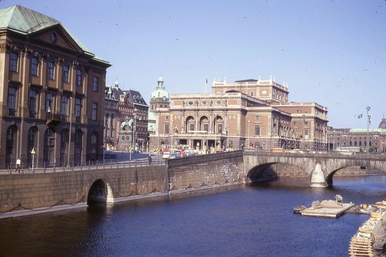
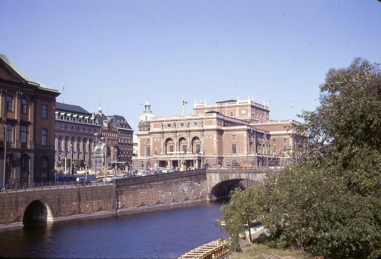
The bridges of Södermalm — Skansbron and Skanstullsbron — connected the island southward and carried significant road traffic. Gustav Adolfs Square, near the Royal Opera House in the city center, was one of Stockholm’s most stately open spaces, framed by government buildings and facing out over the water toward the Royal Palace.
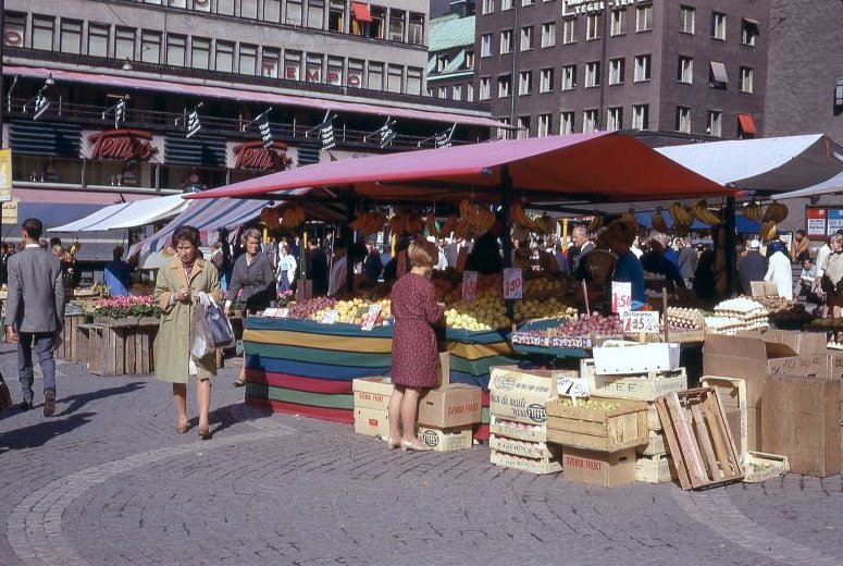
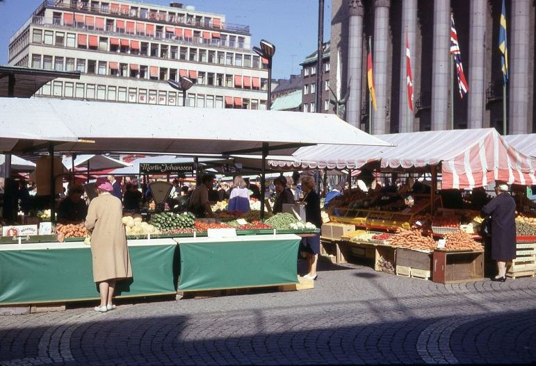
The outdoor market at Hötorget ran six days a week, with vendors selling flowers, vegetables, and produce. The Tempo department store, one of Sweden’s major retail chains during this period, bordered the square and drew shoppers who combined a trip to the market with a stop inside. The combination of open-air market and modern retail made Hötorget a hub for everyday Stockholm life.
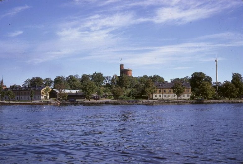
Kastellholmen, a small island adjacent to Skeppsholmen, was home to a red-brick castle built in the 1840s. The Swedish flag flew from its tower, and the island served a ceremonial military function. Viewed from the water or from neighboring islands, Kastellholmen offered one of the most striking silhouettes in the Stockholm archipelago.
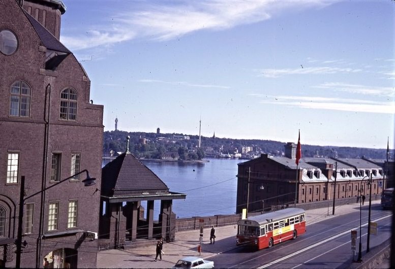
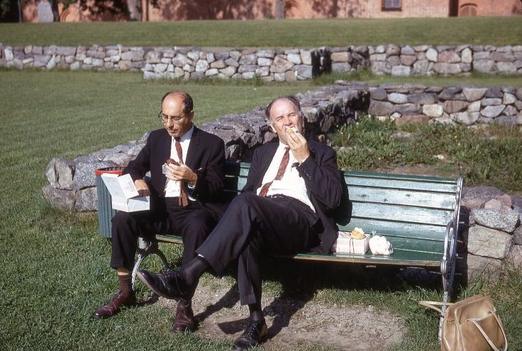
Katarinavägen wound up the slopes of Södermalm, giving access to the elevated plateau of the island and its commanding views over the city. In Sigtuna, the pace was entirely different. Men eating pastries outside a cafe captured the quiet, community-centered rhythm of small-town Swedish life — a direct contrast to the capital’s constant motion.
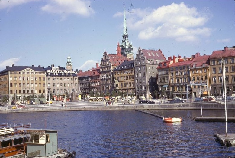
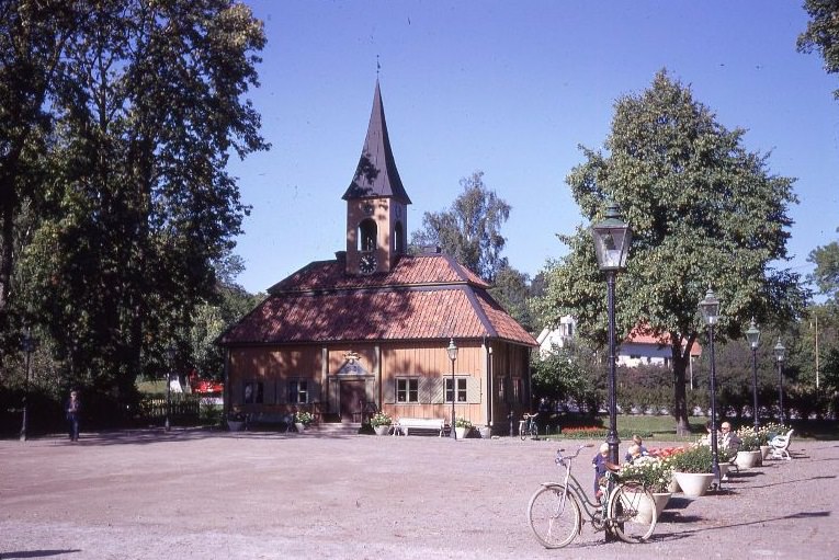
Munkbroleden ran along the northern edge of Gamla Stan, connecting the Old Town to the mainland bridges. It was a busy route for both vehicles and pedestrians crossing between the old city and the modern center. Sigtuna’s Old Town Hall, one of the smallest town halls in Sweden, dated to the 18th century and remained a symbol of the town’s long civic history.
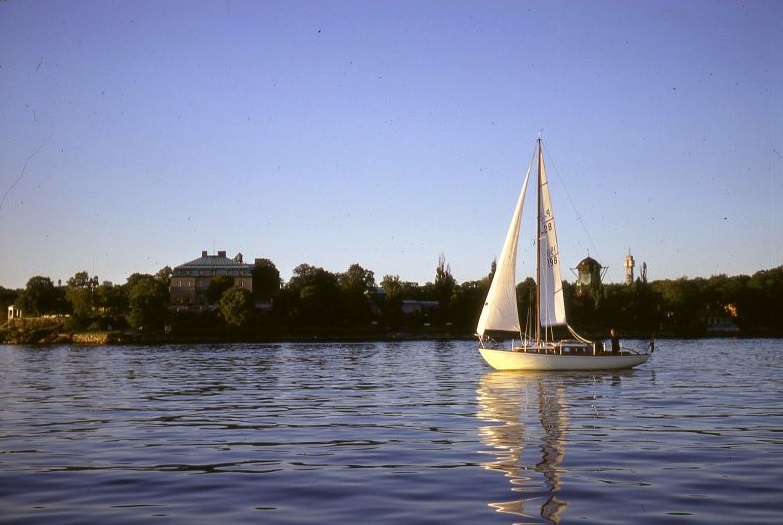
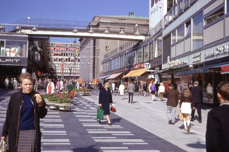
Kaknästornet — the Kaknäs Tower — was completed in 1967, rising 155 meters above Djurgården as Sweden’s tallest building at the time. Sailing boats in the harbor below it captured a scene uniquely Stockholm: cutting-edge modern infrastructure sharing the skyline with traditional wooden vessels. Back in the city center, Sergelgatan’s pedestrian zone continued to take shape as one of the defining urban spaces of the era.
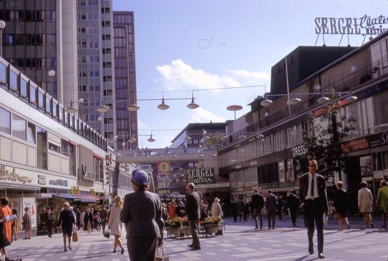
Sergelteatern was part of the Sergelstorg complex, a centerpiece of the Norrmalm redevelopment. The theatre and its surrounding plaza represented Sweden’s postwar confidence in modernist design. The Sigtuna Museum, by contrast, catalogued the town’s Viking-age and medieval heritage — rune stones, ecclesiastical artifacts, and objects from one of Sweden’s earliest urban settlements.
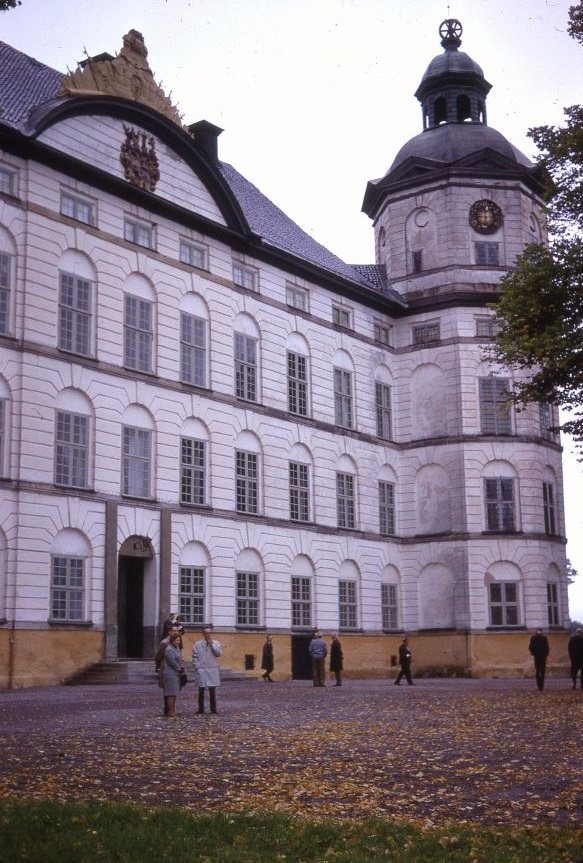
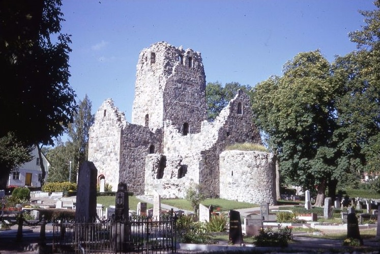
Skokloster Castle, located on the shores of Lake Mälaren northwest of Stockholm, was one of the finest Baroque palaces in northern Europe. Built between 1654 and 1676, it housed one of the world’s largest private collections of arms and armor. In Sigtuna, the ruins of St. Olof’s Church — one of several medieval churches in the town — stood as a reminder that Sigtuna had once been among the most important religious centers in Sweden.
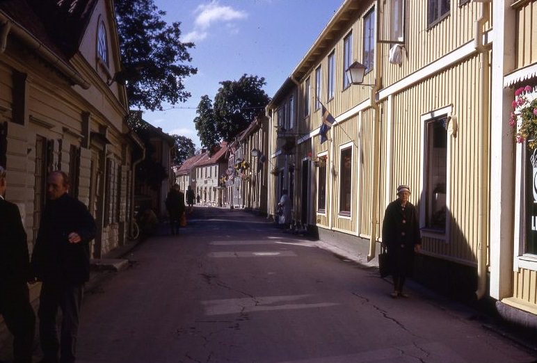
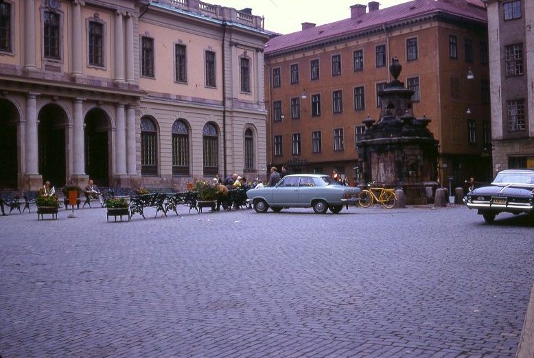
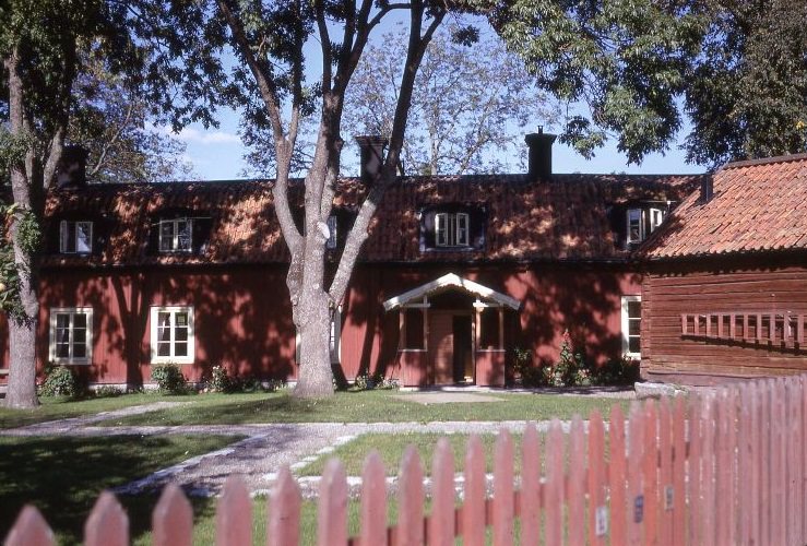
Stora Gatan in Sigtuna is considered one of the oldest streets in Sweden, its layout unchanged for nearly a thousand years. Wooden houses, small shops, and quiet sidewalks defined its character in the 1960s much as they do today. Back in Stockholm, Stortorget — the main square of the Old Town — remained one of the most photographed spots in all of Scandinavia, its colorful 17th and 18th-century facades standing in quiet defiance of everything being demolished and rebuilt just a few kilometers away.





Did not look so clumsy at Tegelbacken
Like the straight commercial at the time. “Drink Ramlösa”.
My apartment is from 1940. Would fit perfectly.
Inte en enda dansk, vilken underbar tid
Mycket ser ut som nu, men mer enhetligt utan de mer moderna byggnaderna som präglar delar av dagens städer.
Folk var mer propra, många män i kostym på bilderna.
Tider vi aldrig får tillbaka
So weird. Except the trams and buses it looks pretty much the same. And they have some of those trams working in summer. They actually destroyed quite big areas and neighborhoods in the 60s I think but I recognize most the pics.