Quebec is Canada’s largest province, bordered to the west by Ontario. Its capital, Quebec City, holds the title of Canada’s oldest city — a place where centuries of French and British history are written into the streets and monuments. In the 1530s, French explorer Jacques Cartier claimed the land in the name of the King of France, setting the foundation for what would become a deeply French-rooted culture that endures today.
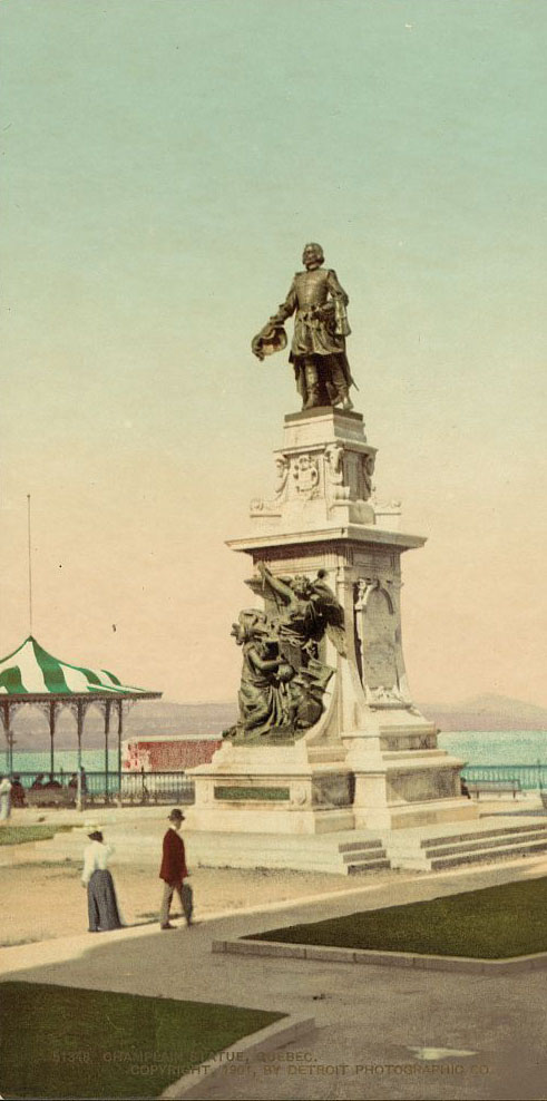
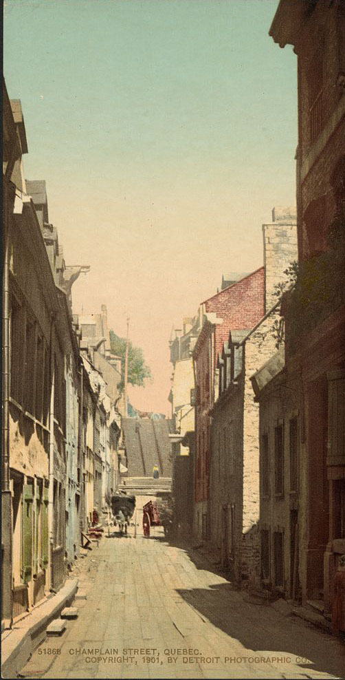
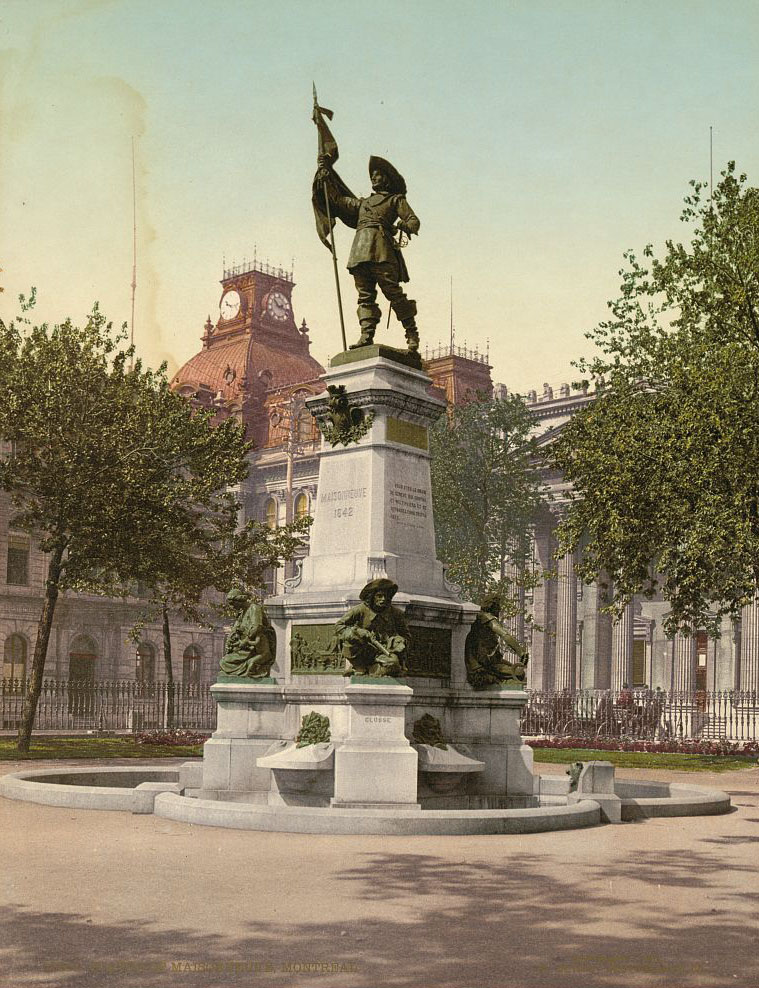
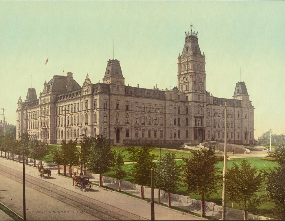
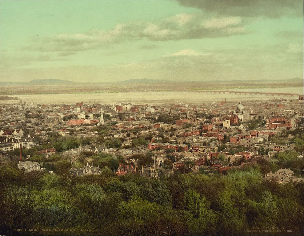
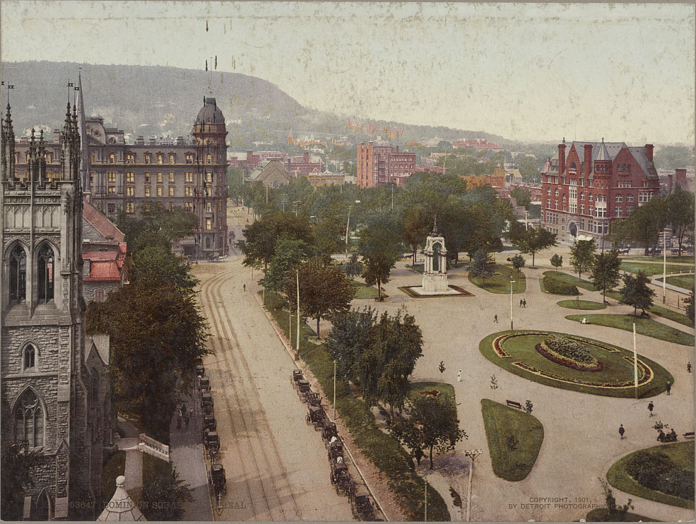
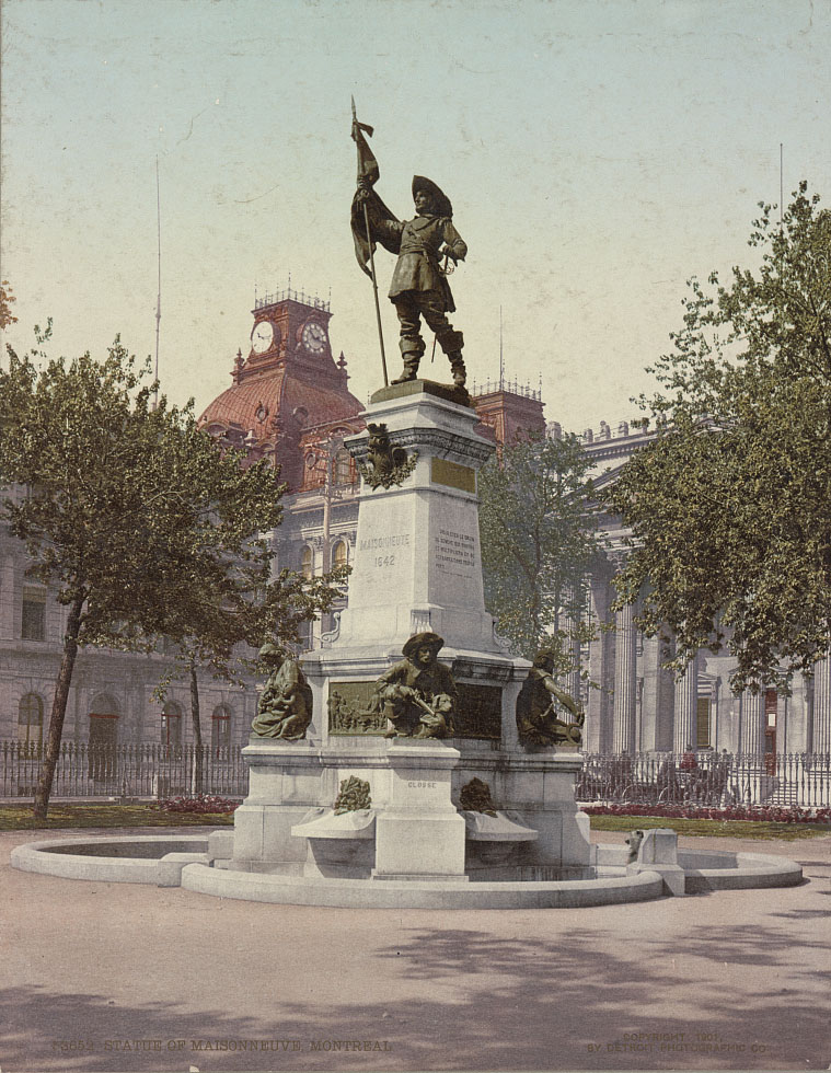
By the 1850s, Montreal had risen to become the dominant center of finance, commerce, transportation, and industry in Canada. Its growth pulled Quebec firmly into both western European and North American economies. The city expanded rapidly, and its streets, squares, and institutions reflected that ambition. These colorized photographs from around 1901 capture Montreal and Quebec City at a pivotal moment — bustling but still deeply rooted in their colonial past.
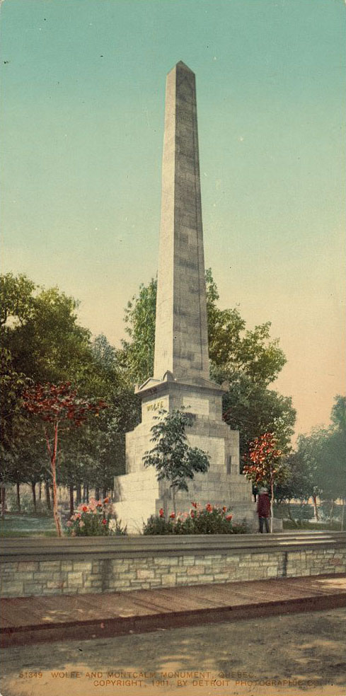
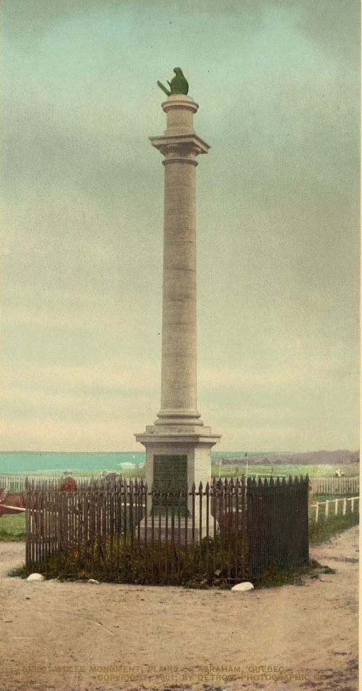
The Plains of Abraham, where British General James Wolfe and French General the Marquis de Montcalm both died during the decisive 1759 battle, remained a charged historical landscape at the turn of the century. Monuments to both commanders stood as a rare acknowledgment of losses on both sides of a battle that permanently shifted the region’s political future.
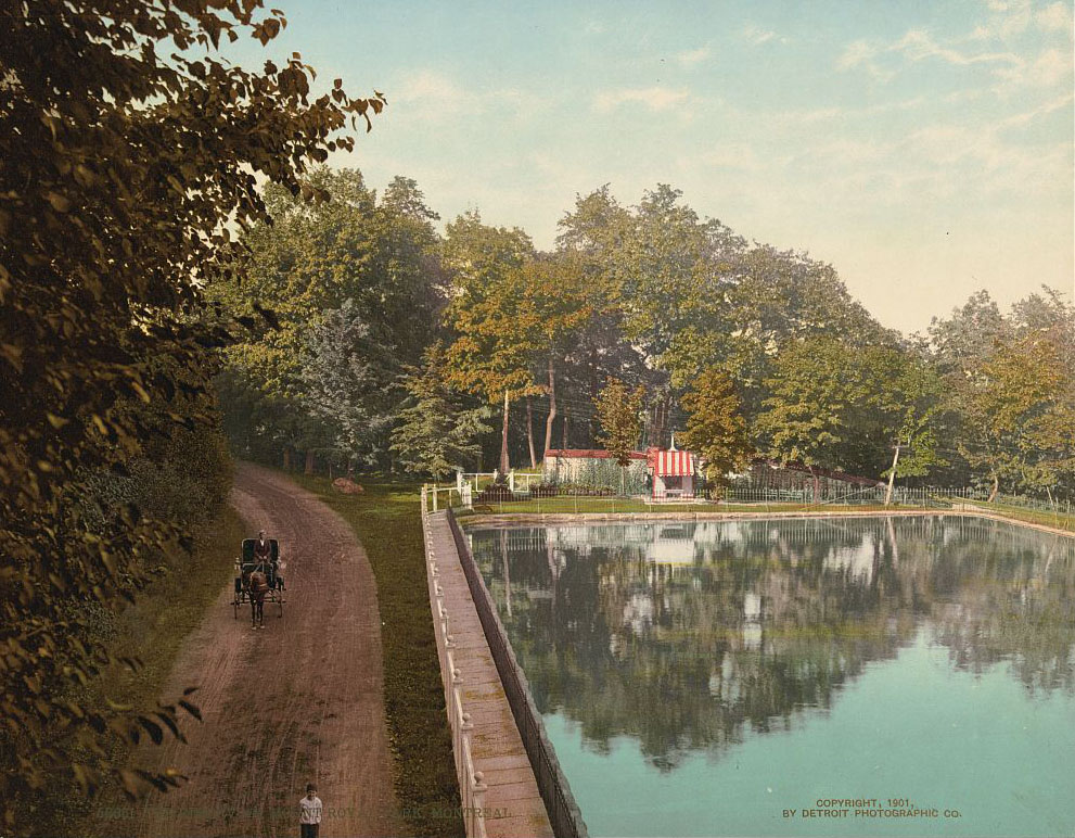
Mount Royal Park, designed by Frederick Law Olmsted — the same landscape architect behind New York’s Central Park — was a green anchor for Montreal’s growing population. The reservoir there served both practical and scenic purposes, sitting within a park that Montrealers used as a retreat from the city’s industrial pace.
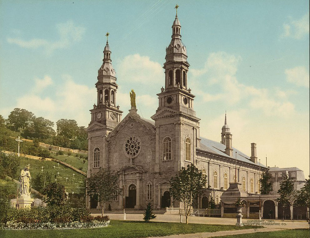
The Sanctuaire Sainte-Anne-de-Beaupré, located east of Quebec City along the St. Lawrence River, was already a well-established Catholic pilgrimage site by 1901. Thousands traveled there each year, drawn by the site’s religious significance dating back to the 17th century.
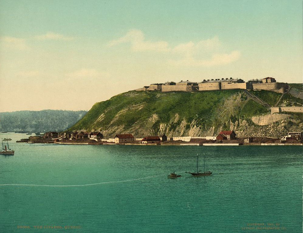
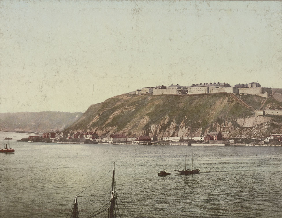
La Citadelle de Québec, a star-shaped fortress perched on Cap Diamant above Quebec City, was the largest British fortification built in North America. Still an active military installation at the time these photos were taken, it loomed over the city as a permanent symbol of British control over the former French colony.
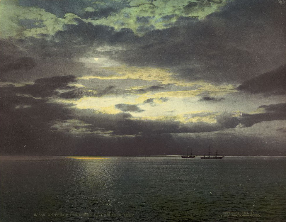
The St. Lawrence River was the lifeblood of Quebec’s economy. It connected the interior of the continent to the Atlantic, and the communities along its banks depended on it for trade, fishing, and transport. The Saguenay River, a dramatic tributary cutting through steep cliffs to the north, drew early tourists and photographers alike.
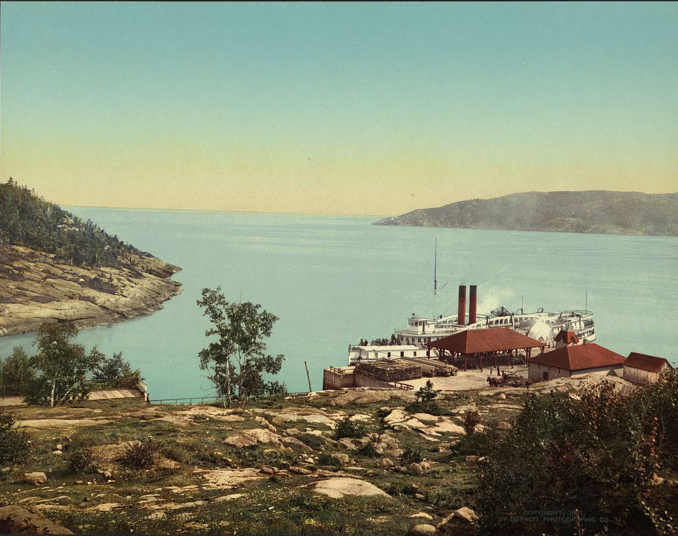
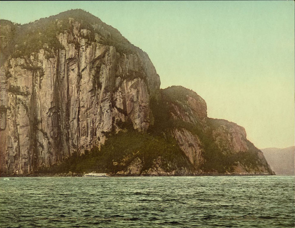
Cape Trinity rises roughly 500 meters above the Saguenay River, its sheer rock face one of the most striking natural features in eastern Canada. A statue of the Virgin Mary was placed on one of its ledges in 1881, making the already dramatic landscape a point of both natural and religious significance for visitors.
When World War I began, Canada was automatically drawn in as a British dominion. Over 6,000 volunteers from Quebec were sent to the European front. In World War II, Quebec’s involvement became far more contentious, directly triggering the Conscription Crisis of 1944. Many French Canadians strongly opposed mandatory military service, creating a sharp political divide between Quebec and the federal government.
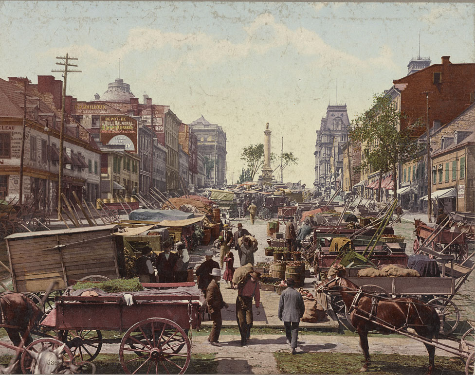
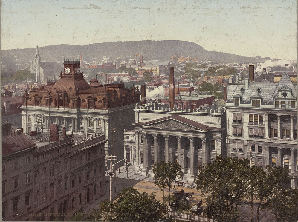
Jacques Cartier Square in Old Montreal was one of the city’s central gathering points in 1901. Named after the explorer who first claimed the land for France, the square sat at the heart of the old port district. Nearby, the Church of Notre-Dame offered one of the best elevated views of the city’s rooftops and the river beyond.
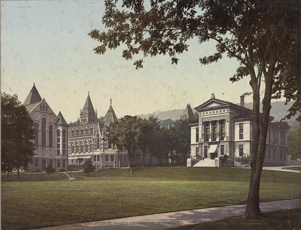
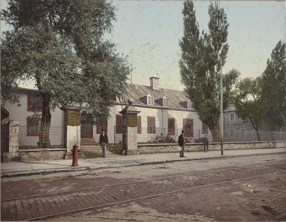
McGill University, founded in 1821, was already a well-established institution by the time these photos were taken. The Redpath Library and Museum on its downtown Montreal campus reflected the university’s growing academic ambitions at the turn of the century.