
Birmingham in the 1960s was a city in the middle of a dramatic transformation. New roads cut through old neighborhoods, familiar buildings came down, and modern structures went up in their place. The city was growing fast, and the camera caught it all — the chaos of construction, the buzz of busy markets, and the quiet routines of everyday life on ordinary streets. These vintage photographs offer a rare, ground-level look at what Birmingham actually looked, felt, and lived like during one of its most active decades.
The economy was shifting beneath the surface. Service sector jobs rose from 35% of the city’s workforce in 1951 to 45% by 1966, while manufacturing shrank by 10% between 1951 and 1961. Shops, markets, transport, and entertainment all played a bigger role in daily life. You can see that shift reflected in these images — in the traders hauling crates of fruit, the queues at bus stops, and the cinema facades lining suburban high streets.
Public transport was the backbone of movement across Birmingham. The double-decker bus was a fixture on nearly every major route, and riding on the top deck gave passengers a unique view of the city’s changing skyline. Hagley Road, one of the main arteries heading west out of the city centre, was always busy with traffic and lined with a mix of shops, houses, and civic buildings.
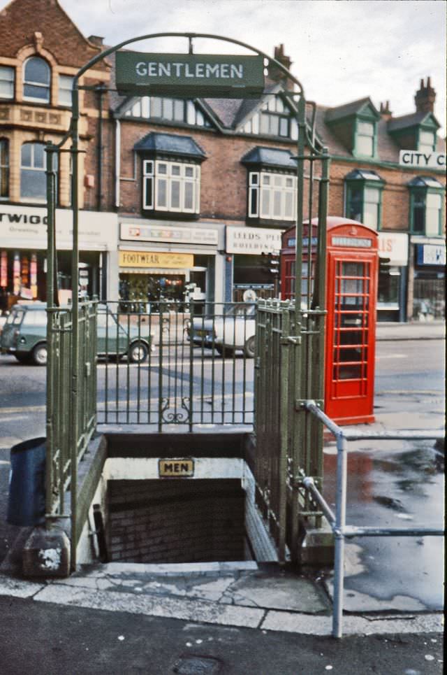
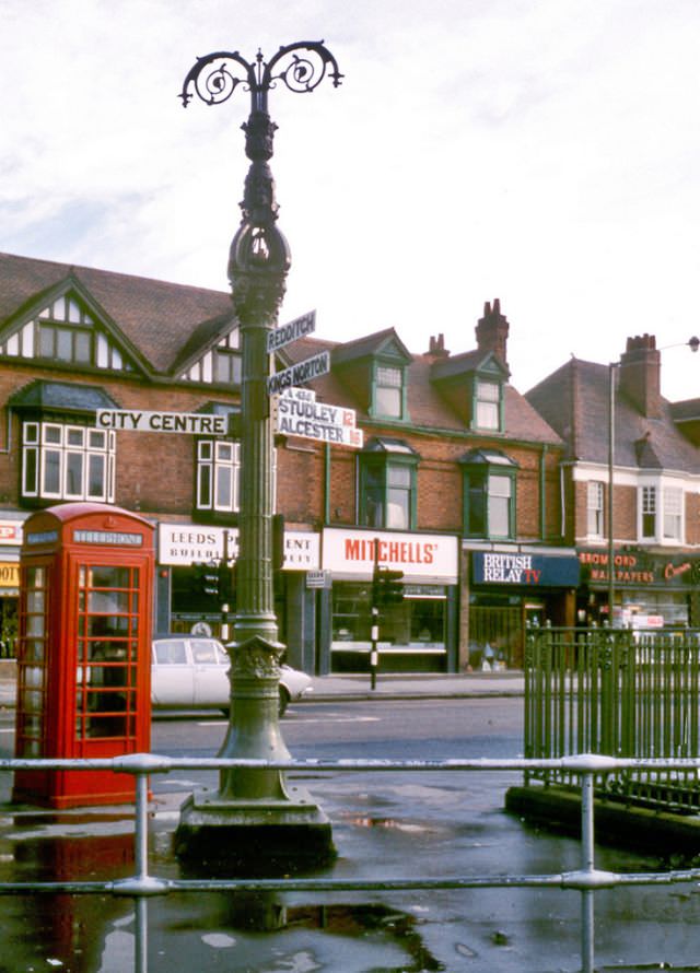
Kings Heath was one of Birmingham’s established suburban districts, and Alcester Road was its main commercial spine. Street furniture like public toilets and signposts were practical fixtures of urban life, maintained by the city council and taken entirely for granted by locals who passed them every day.
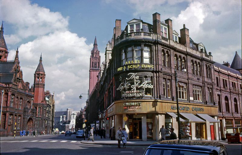
Corporation Street was one of Birmingham’s most important central roads, built in the Victorian era to cut through the slums of the old town. By the 1960s it was a busy commercial corridor, with the Central Fire Station’s white clock tower standing as one of its most recognisable landmarks at the northern end.
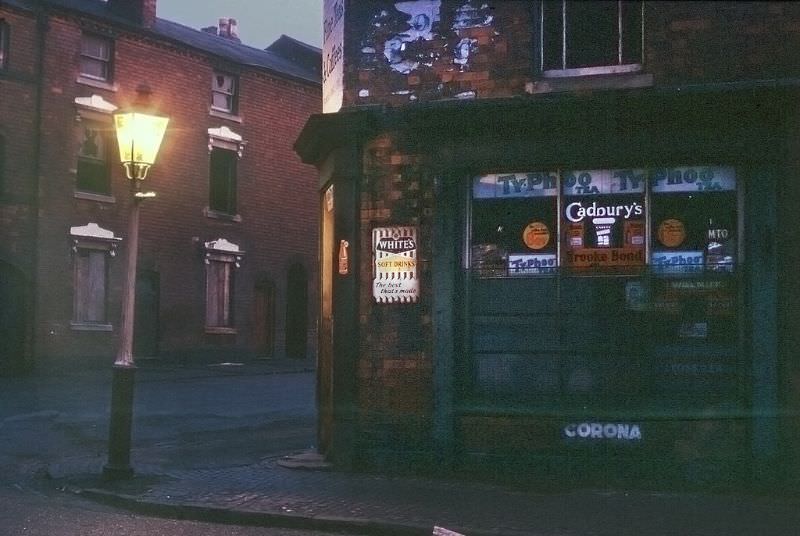
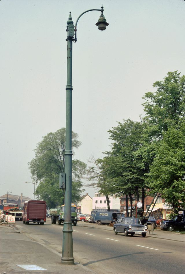
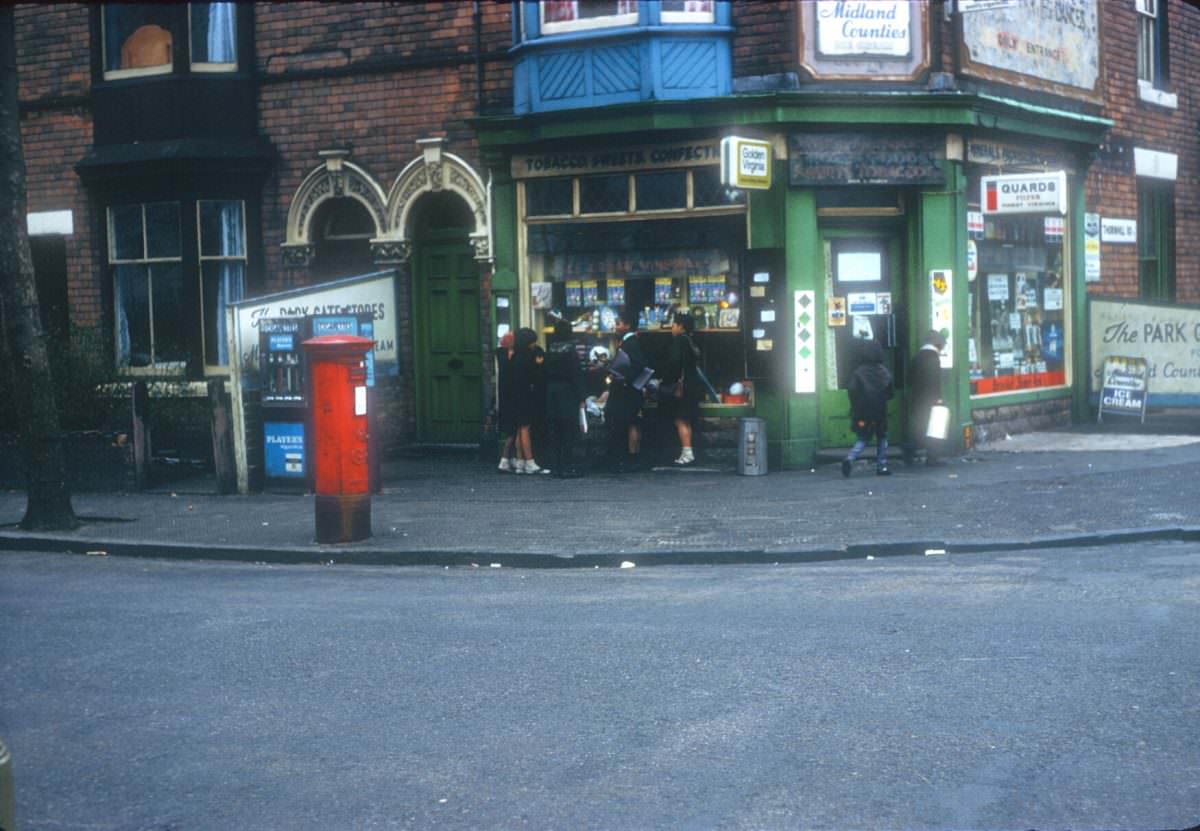
Gas lamps were still part of the Birmingham streetscape in the early 1960s, particularly in working-class residential areas. The corner shop near Monument Lane was the kind of small, family-run business that served as a lifeline for local communities — stocking everyday essentials and providing a gathering point for the neighborhood.
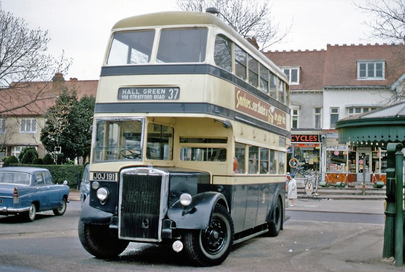
The Leyland PD2 with Park Royal bodywork was a standard workhorse of Birmingham’s bus fleet. Hall Green, in the south-east of the city, was served by regular routes that connected it to the city centre. The terminus was where drivers took their break before the return run, and where passengers began and ended their journeys across the city.
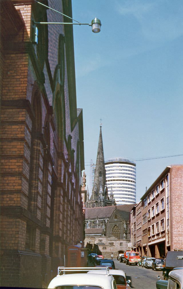
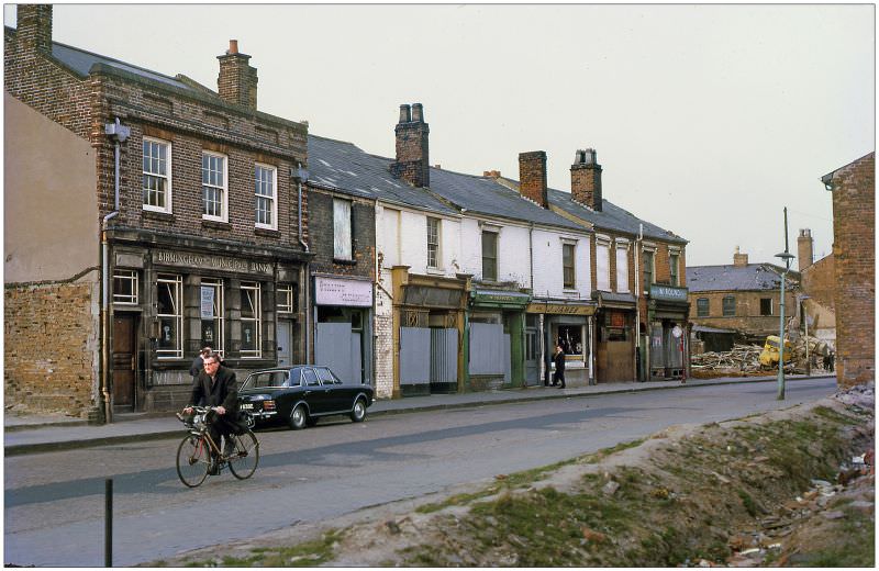
Nechells was an inner-city area that bore the full weight of Birmingham’s industrial past. Terraced streets ran close to factories and workshops, and the neighborhood saw significant redevelopment pressure as the city began clearing older housing stock throughout the decade. Nechells Park Road captured a district still intact, before the bulldozers arrived in force.
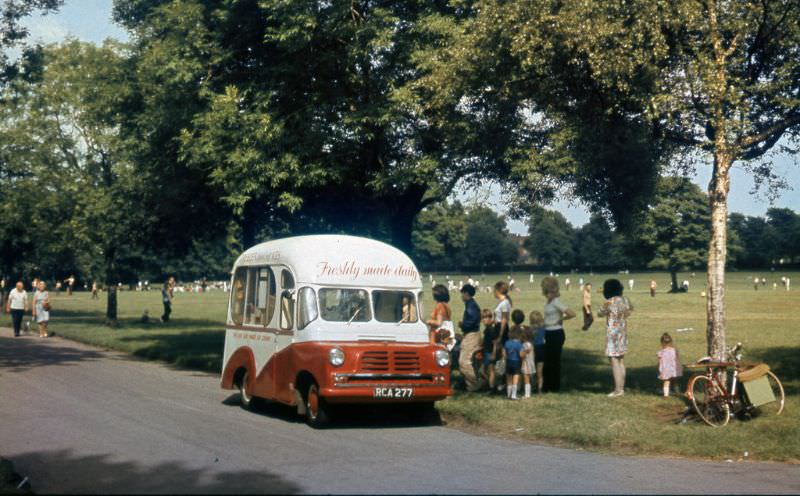
On a warm day in Kings Norton Park, an ice cream van drew a crowd. The Bedford van conversion — registered as RCA 277 — was one of the mobile traders that made summer in Birmingham’s parks a vivid memory for generations of children. Kings Norton itself was a historic village that had been absorbed into the growing city, but its parks remained a popular escape for families.
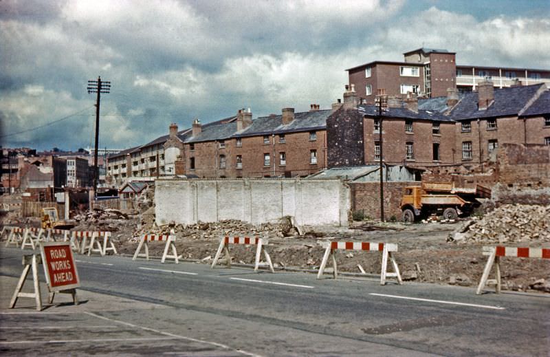
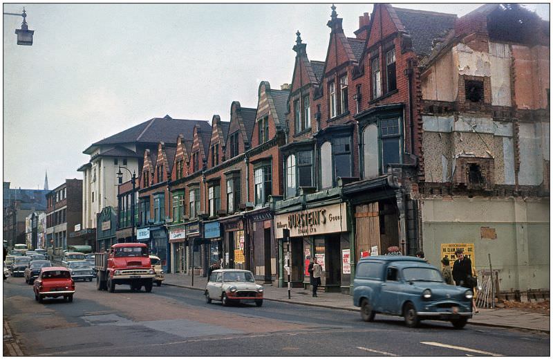
Redevelopment was visible on nearly every block in central Birmingham during the 1960s. Old buildings were cleared to make way for new road schemes and commercial developments. The Bristol Cinema was caught in the middle of this process, with construction and demolition activity closing in around it.
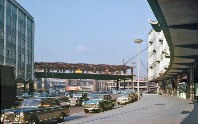
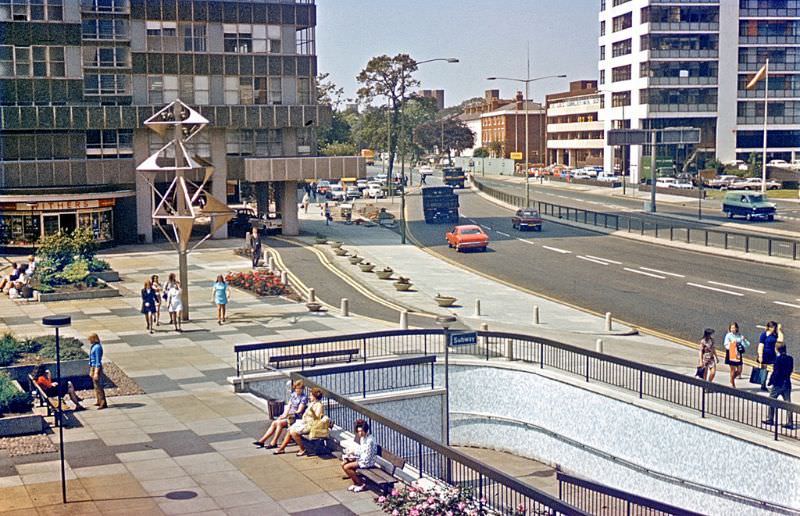
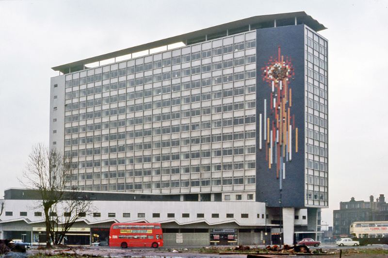
Smallbrook Ringway was a key part of Birmingham’s ambitious inner ring road project. The city invested heavily in new road infrastructure during the 1960s, aiming to manage the rapid growth in car ownership and relieve pressure on older streets that were never designed for heavy motor traffic.
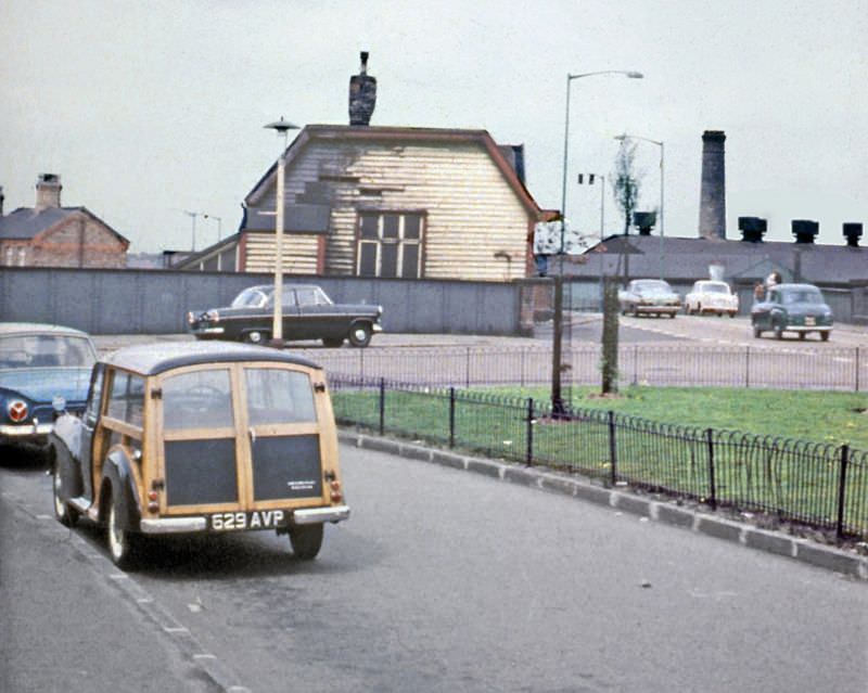
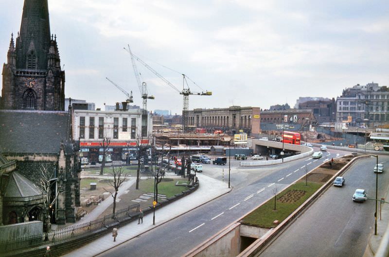
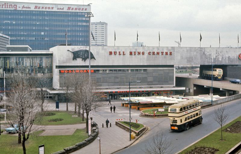
The Bull Ring was the commercial heart of Birmingham. The area had been a marketplace for centuries, and by the 1960s it was being transformed again — the historic open market was replaced by the Bullring Shopping Centre, a modern development that divided opinion from the moment it opened. The old street market that remained nearby continued to draw enormous crowds.
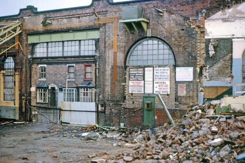
Bus garages like the one on Rosebery Street were essential pieces of Birmingham’s transport infrastructure — places where vehicles were serviced, fuelled, and stored overnight. As the city’s bus network modernised, some of these older facilities were deemed surplus and demolished. The Fewtrell brothers were also reshaping the city’s entertainment scene at this time, opening large nightclub venues on Lower Severn Street and just off Broad Street.
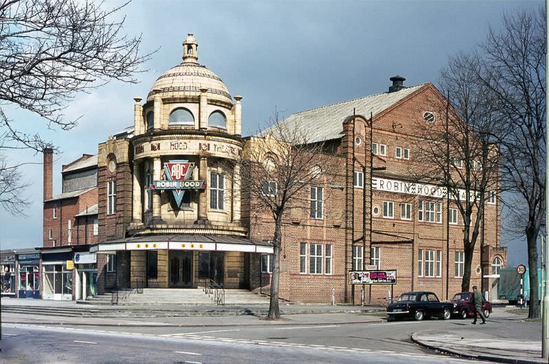
Suburban cinemas were still a major part of social life in early 1960s Birmingham. The Robin Hood Cinema in Hall Green sat on the corner of Stratford Road, serving the residents of the surrounding streets. Throughout the decade, many of these local picture houses would face closure as television ownership rose and audiences stayed home.
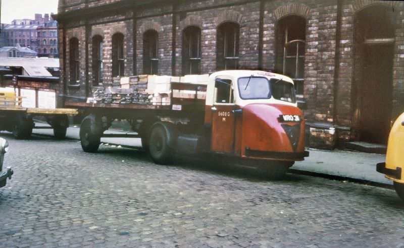
The Scammell Scarab was a compact mechanical horse — a three-wheeled tractor unit used to haul trailers around railway yards and city streets. In the background of this photograph, the bridge over the middle of New Street Station is visible, along with the corner of Pinfold Street and Navigation Street. New Street was Birmingham’s central rail hub, and the surrounding streets buzzed with goods vehicles and passenger traffic.
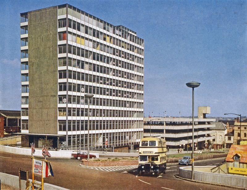
Birmingham Corporation ran a large fleet of Daimler buses, and they were a common sight at the Bull Ring. The area served as a natural gathering point for multiple routes, with buses pulling in and out throughout the day carrying shoppers, workers, and visitors from across the city and its suburbs.
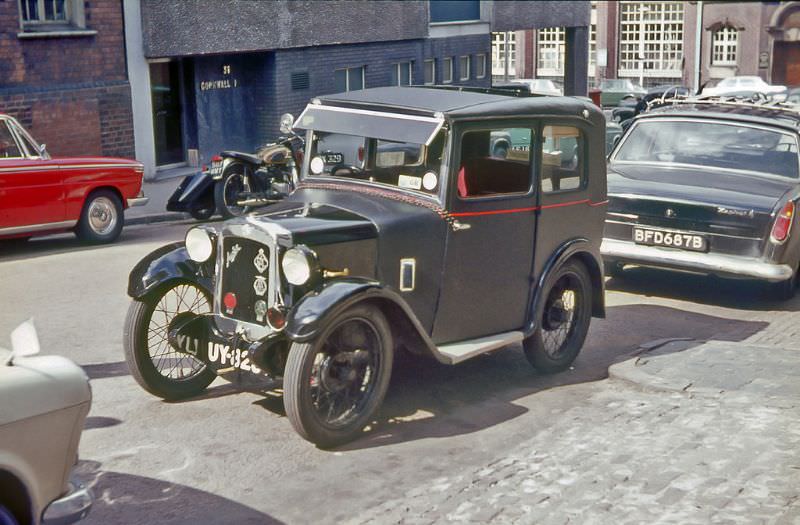
The Austin Seven with a fabric body was already a vintage vehicle by the time this photo was taken. Parked in Fleet Street off Newhall Street, it sat in an area close to Birmingham’s jewellery quarter — a district that remained a hub for small manufacturing trades even as the wider economy shifted toward services.
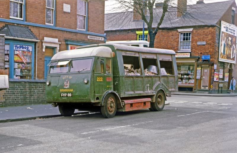
Salvage and waste collection were constant needs in a city this size. The Birmingham Salvage vehicle on Somerville Road near Muntz Street was part of the municipal infrastructure that kept the city functioning — collecting scrap and waste from residential streets in areas like Small Heath, where terraced housing sat cheek by jowl with workshops and small factories.
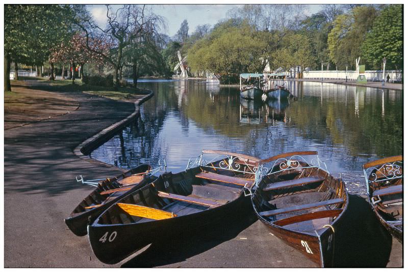
Cannon Hill Park was one of Birmingham’s most beloved green spaces. During tulip festival season, the park drew visitors from right across the city. The flower displays were a deliberate effort by the parks department to create spectacle and draw families out of the terraced streets and into open, shared public space.
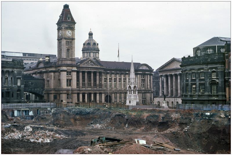
Chamberlain Square was at the civic centre of Birmingham, flanked by the Council House and the Town Hall. The view from the new library site captured the square during a period of major change — the new Central Library was under development as part of the broader redevelopment of the city centre that defined the decade.
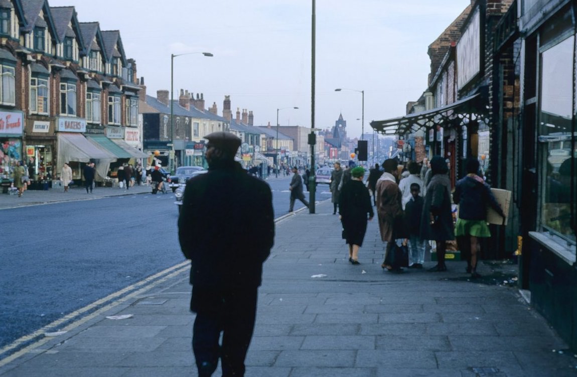
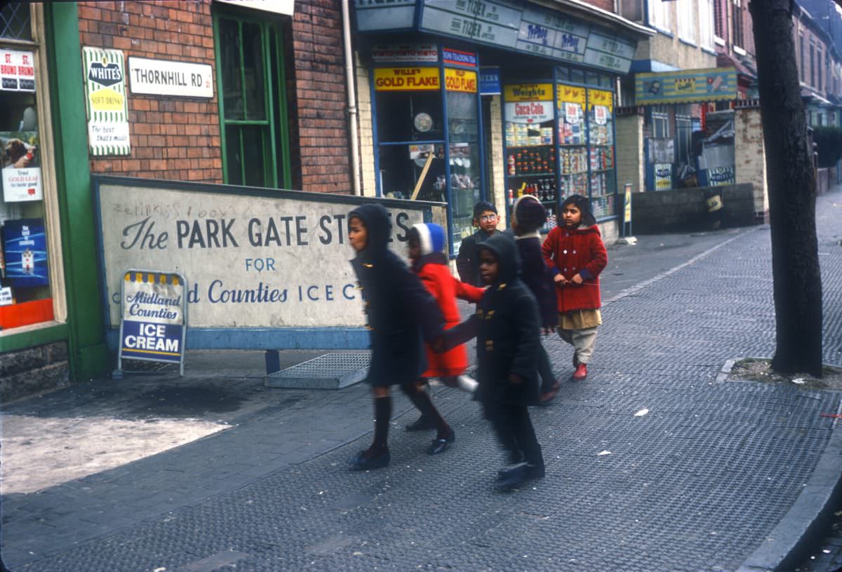
Handsworth’s Soho Road was one of the busiest commercial streets in north Birmingham. By March 1968, it had developed a distinctly multicultural character, reflecting the significant Caribbean and South Asian communities that had settled in Handsworth through the 1950s and 60s. Shops, stalls, and foot traffic made it one of the most vibrant stretches in the city.
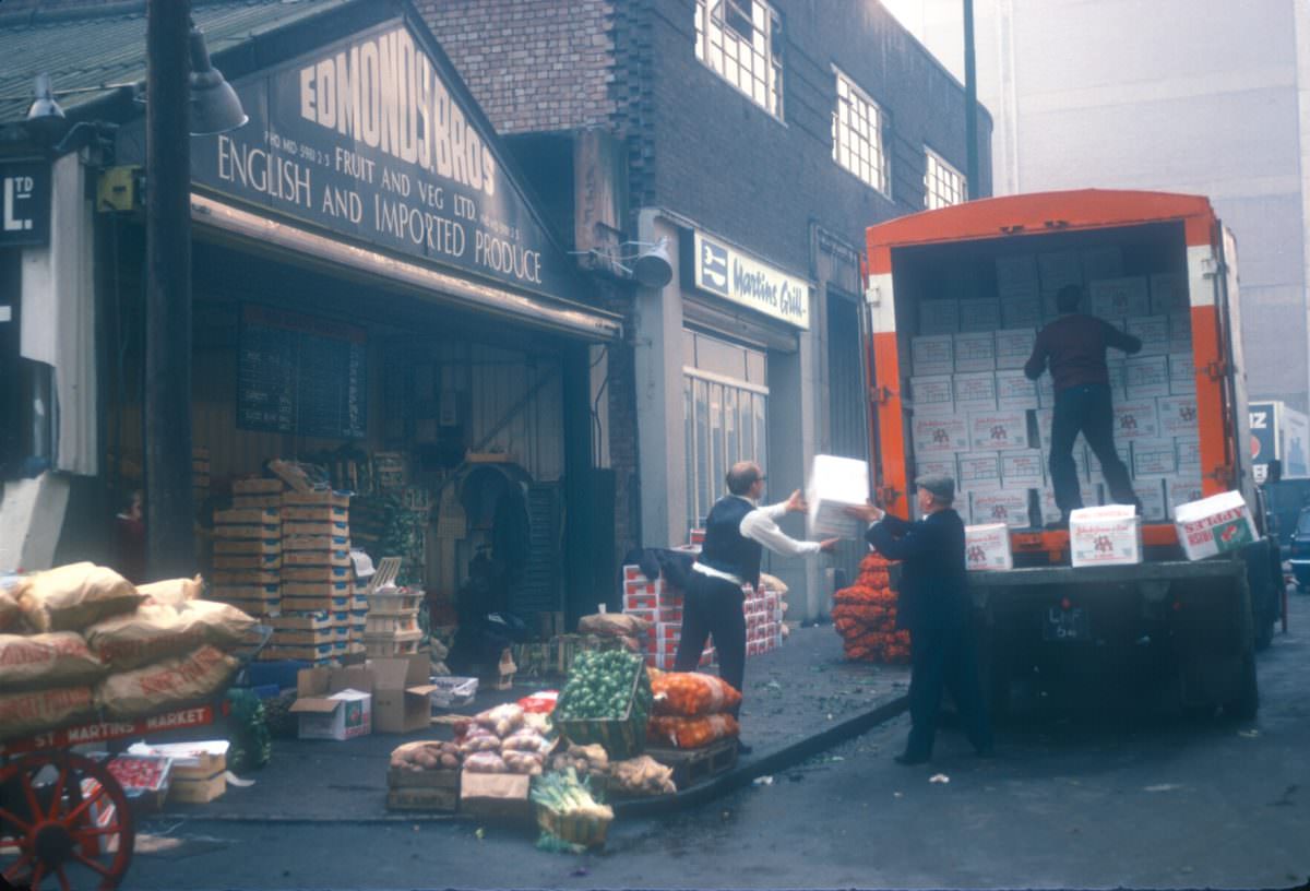
The wholesale fruit and vegetable trade around Edgbaston Street and Jamaica Row was a major operation. Edmund Bros was unloading Irish apples from Counties Armagh and Derry in late November 1968, using a conveyor belt to move the stock into storage. These wholesale merchants supplied the markets and greengrocers that fed the whole city.
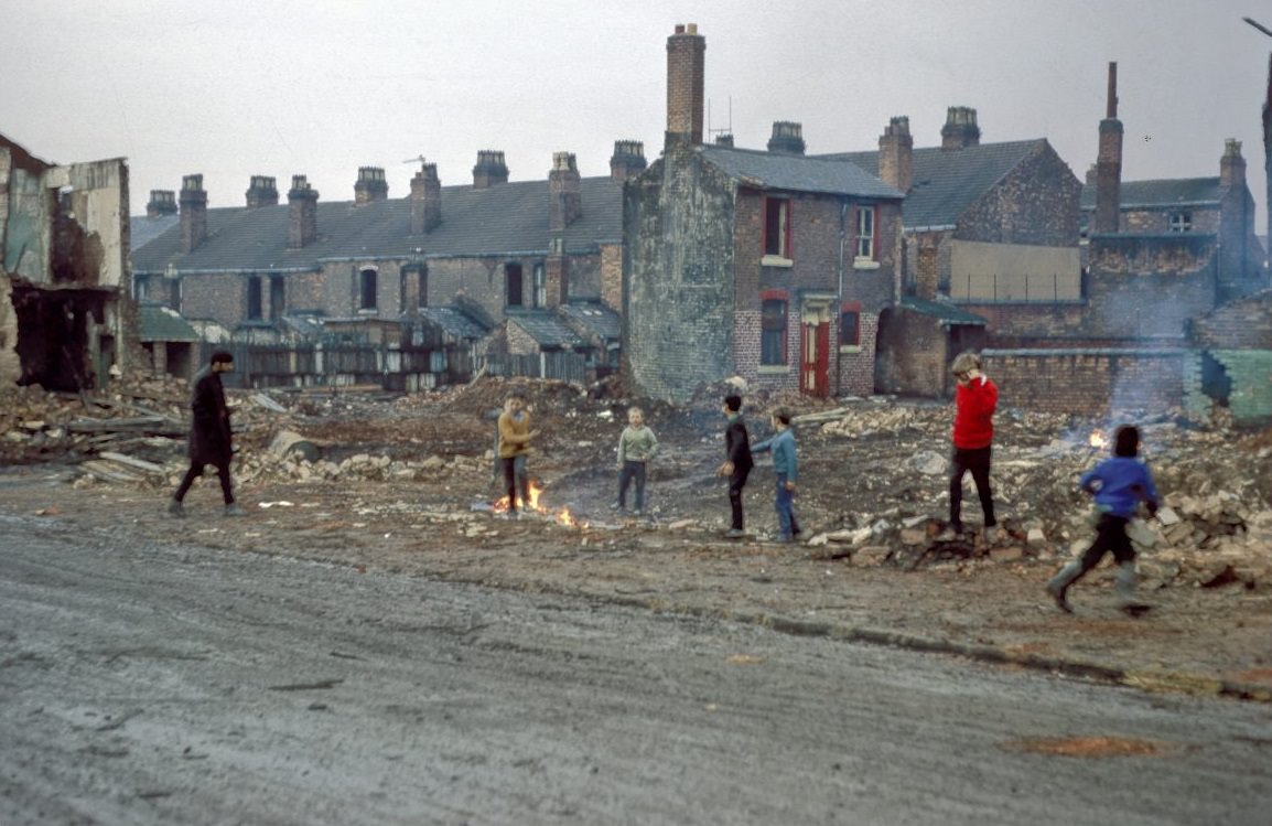
In Ladywood, the demolition of terrace housing on Anderton Street was well underway by 1968. Children played in the rubble and on the cleared ground while the homes of former neighbors were knocked flat around them. Ladywood was one of Birmingham’s most intensively cleared inner-city districts, with thousands of Victorian terraces removed as part of slum clearance programs.
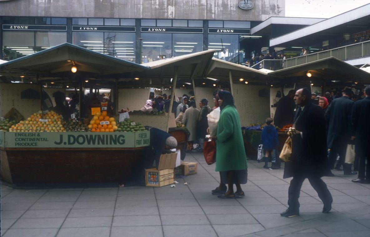
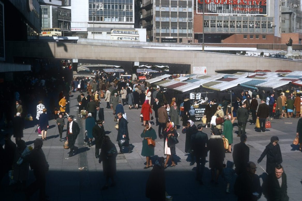
The Bull Ring Market on 15 March 1968 was packed. Stallholders called out their prices, shoppers moved between rows of fruit, vegetables, clothes, and hardware, and the noise and energy of an open-air market in full flow filled the space. This was the old market that the Bullring Shopping Centre development had displaced in part — but the outdoor trading tradition continued in the surrounding area.
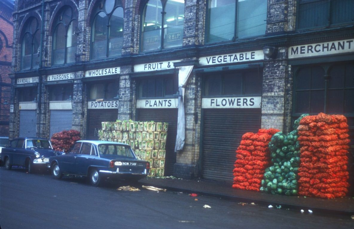
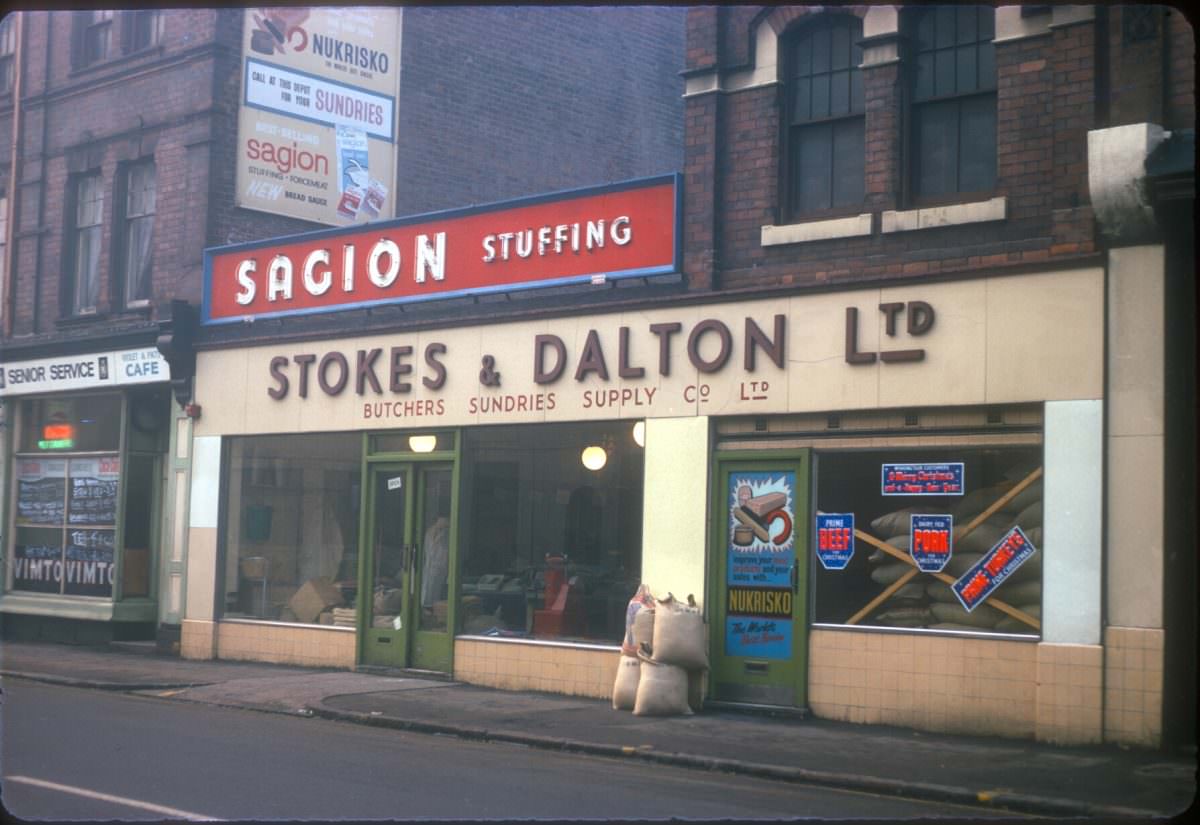
The area around Jamaica Row was Birmingham’s wholesale market district. Randall Bros and Parsons on Upper Dean Street shifted bulk produce to traders across the region, while Stokes and Dalton on Sherlock Street near the meat market supplied butchers with everything they needed. These businesses operated early in the morning, long before the retail markets opened to the public.
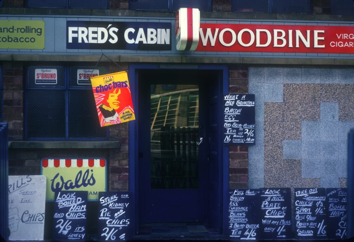
Tyseley, in south-east Birmingham, was a solidly working-class area built around railway engineering works. Kings Road in November 1968 showed the typical streetscape of these districts — terrace houses, corner shops, and a quiet that came from the fact that most of the men on the street were at work in a factory or yard somewhere nearby.
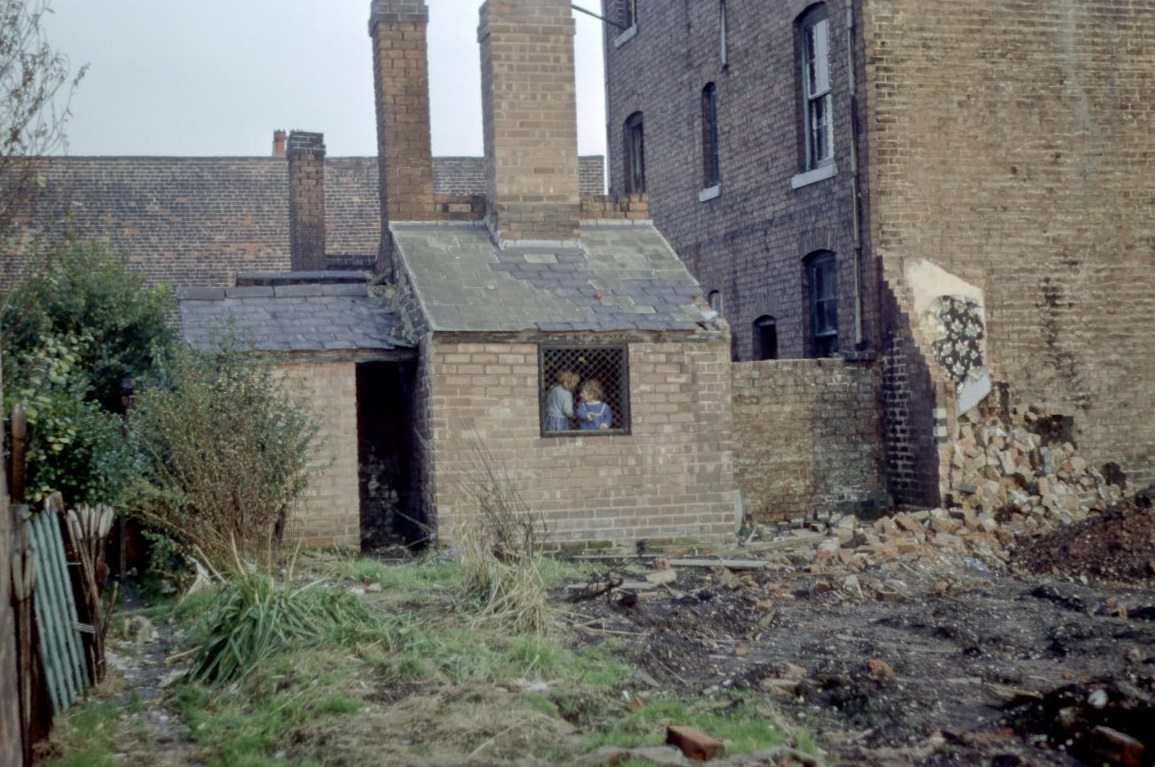
The so-called adventure playground behind Gower Street and Guildford Street in Newtown and Aston was, in reality, a cleared bomb site or demolition area repurposed by children. With formal recreational facilities limited, kids across Birmingham’s inner city turned rubble-strewn vacant lots into their own playgrounds. It was a common sight in neighborhoods undergoing clearance.
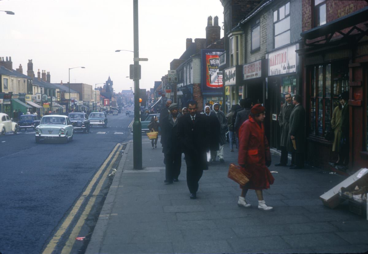
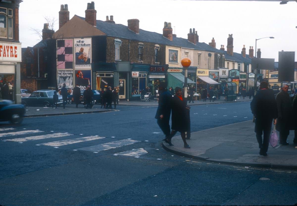
Soho Road near Boulton Road was photographed multiple times in March 1968, reflecting how much activity and visual interest the street generated. The shops here stocked goods that reflected the tastes and needs of the communities living nearby, and the street was a place where different parts of Birmingham’s population crossed paths every day.
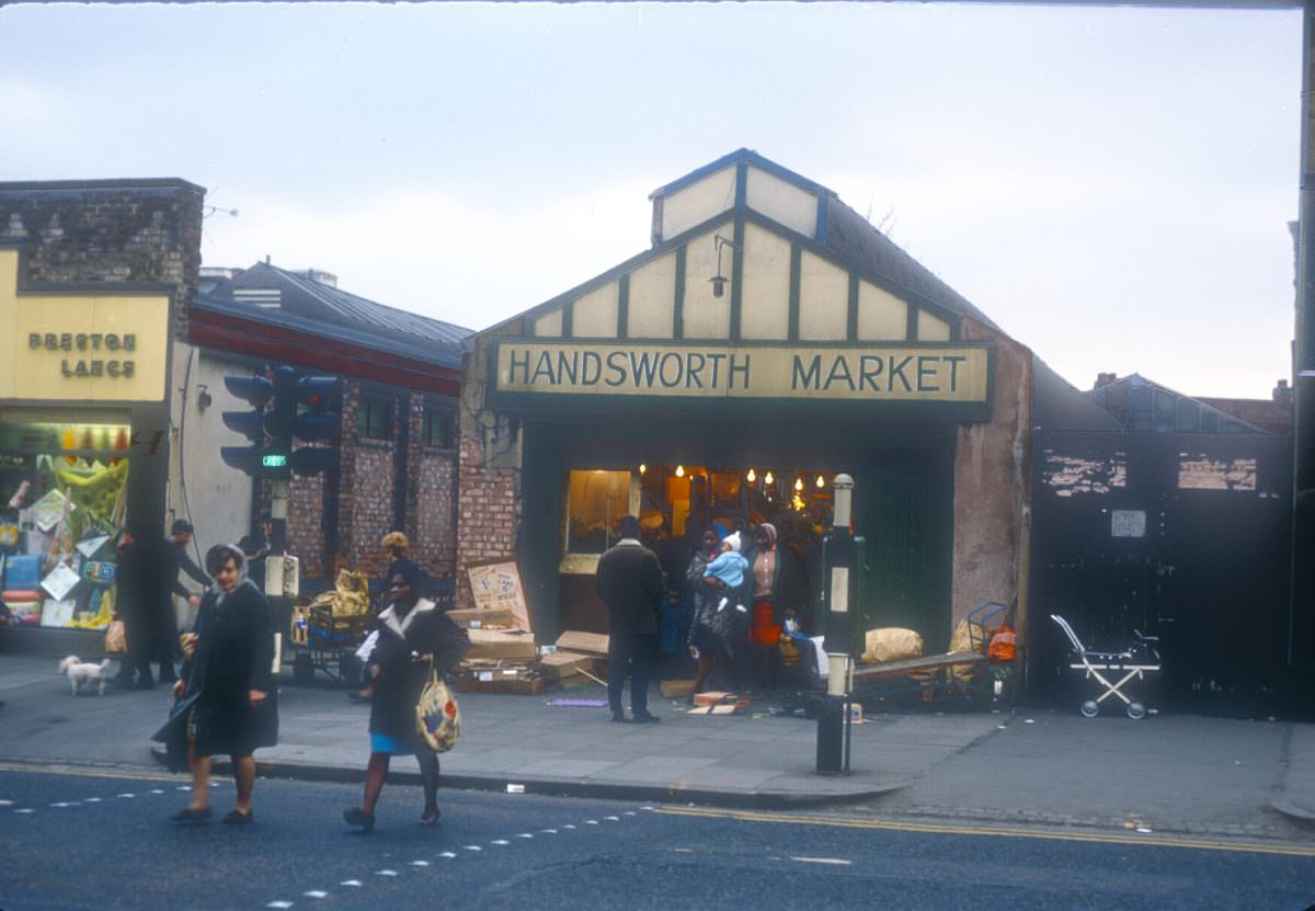
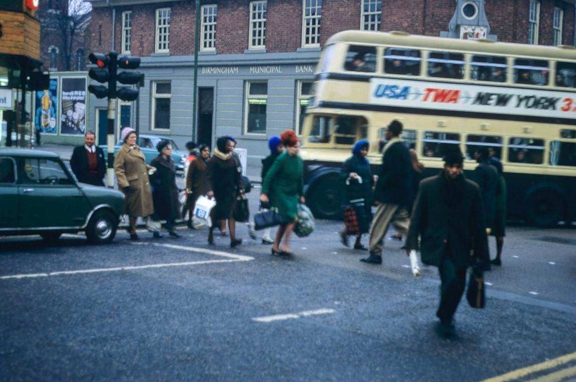
Handsworth Market in March 1968 was a lively, well-attended street market serving the local community. It carried a wide range of goods and brought traders and buyers together in the open air, continuing a tradition that had existed in the area long before Birmingham’s postwar population changes reshaped who shopped there.
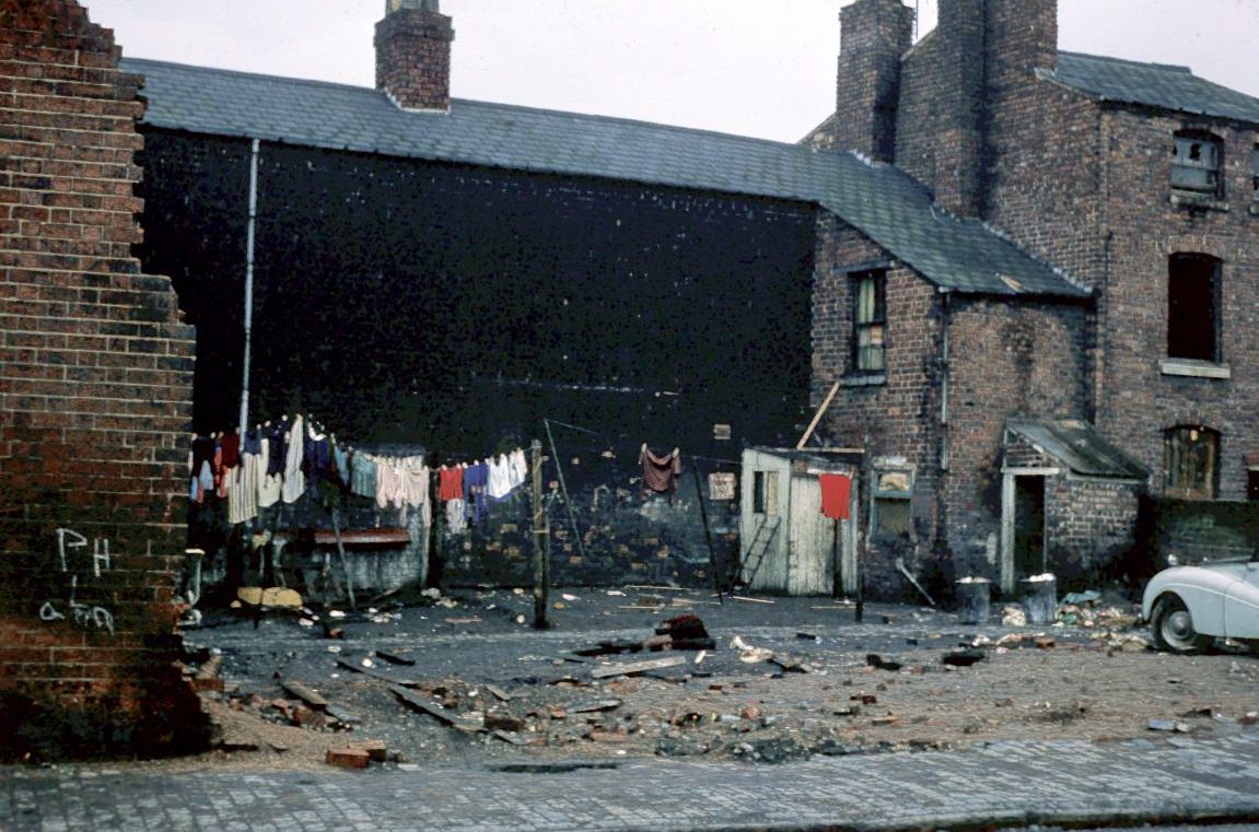
The corner of Anderton Street, Alexandra Street, and King Edward’s Road in Ladywood was captured in February 1968 — just as the clearance program was gathering pace. These streets had housed generations of Birmingham working families. By the end of the decade, much of this Victorian fabric had been demolished and replaced with tower blocks and new housing estates.
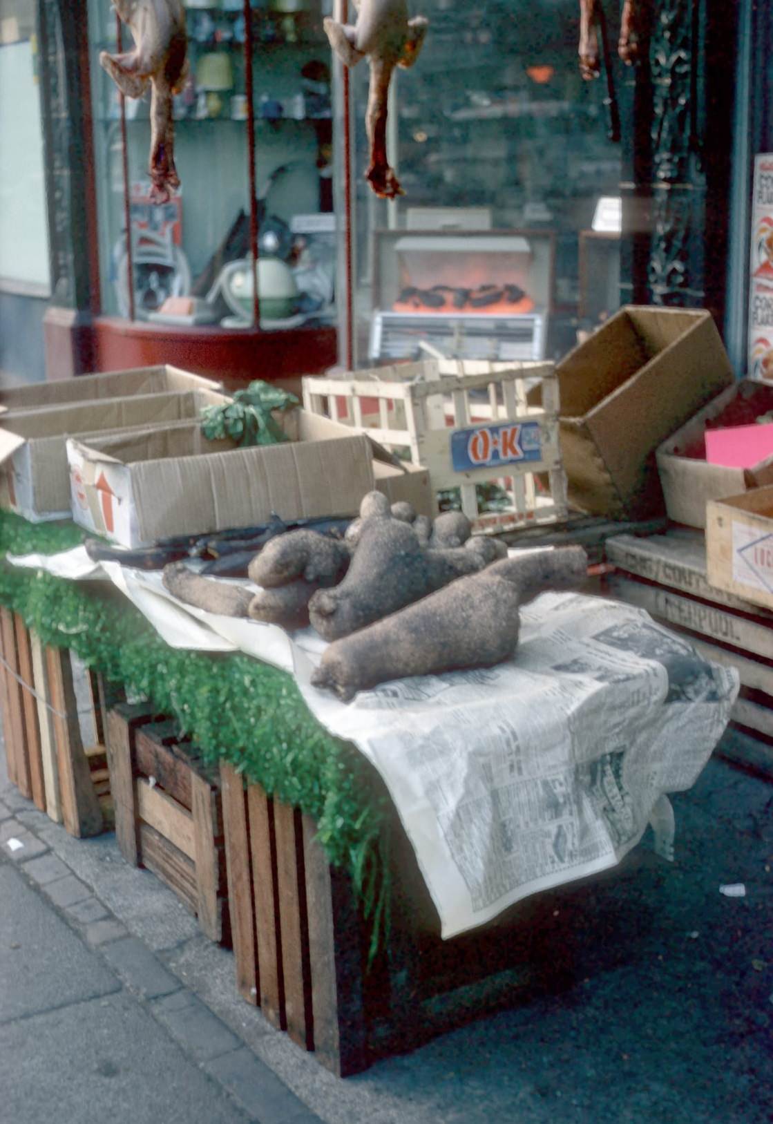
On Soho Road near Holliday Road in March 1968, yams were on sale at 10 pence per pound. The presence of this produce on a Birmingham street stall was a direct reflection of the Caribbean communities who had settled in Handsworth. Shops and market traders quickly adapted their stock to serve customers whose food traditions came from Jamaica, Barbados, and Trinidad.
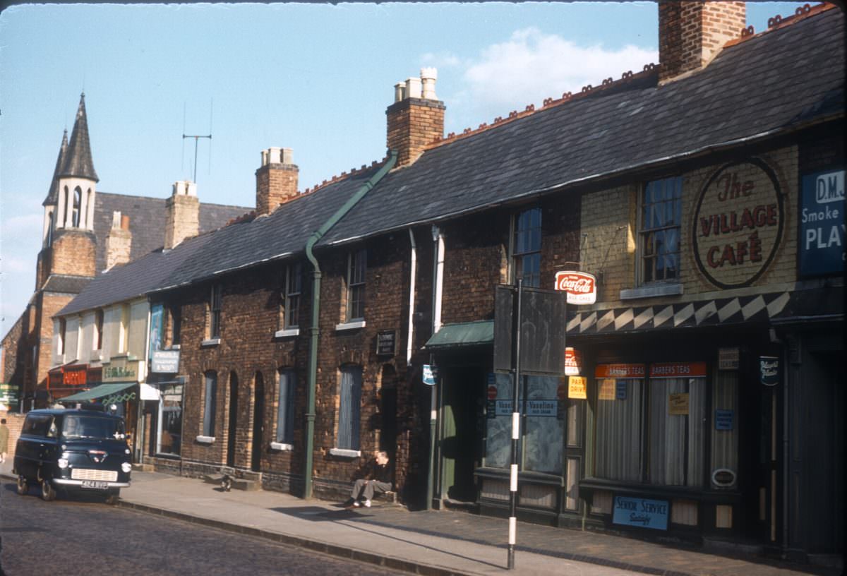
Harborne High Street in August 1961 was a prosperous suburban shopping street. Harborne was one of Birmingham’s more affluent neighborhoods, and its high street reflected that — with a mix of independent retailers, banks, and service businesses catering to a comfortable residential catchment.
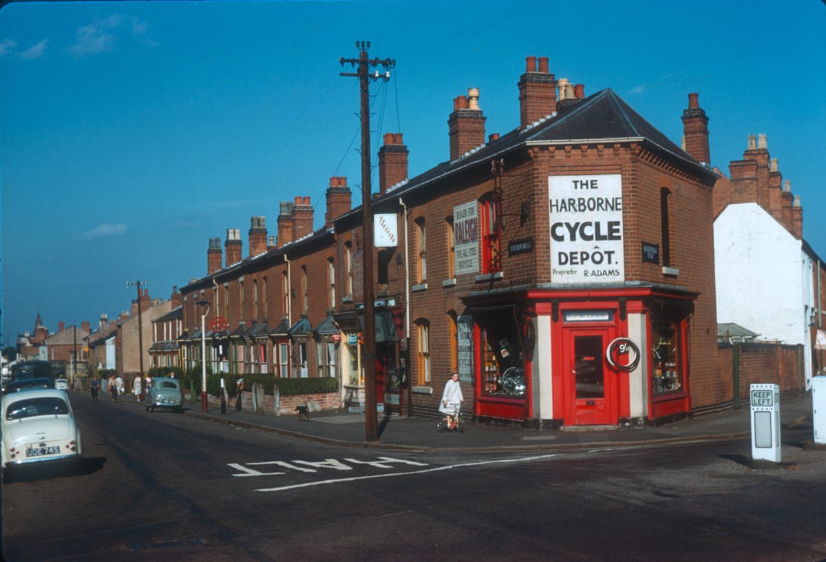
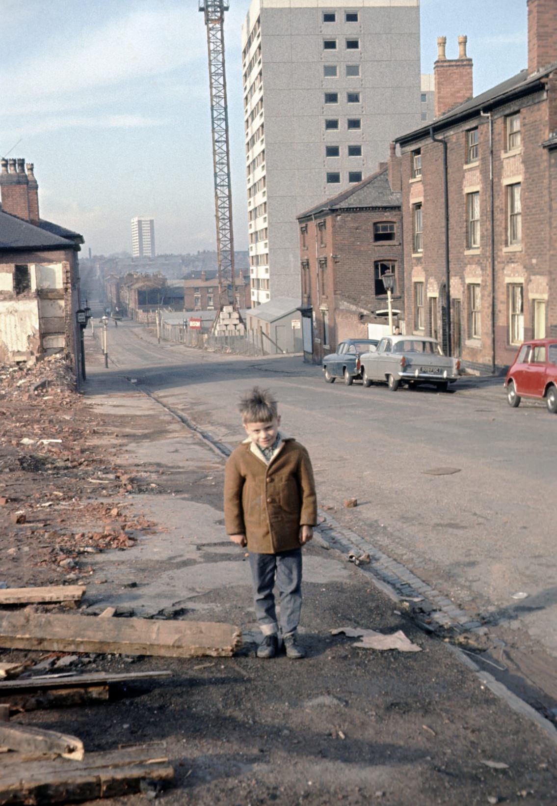
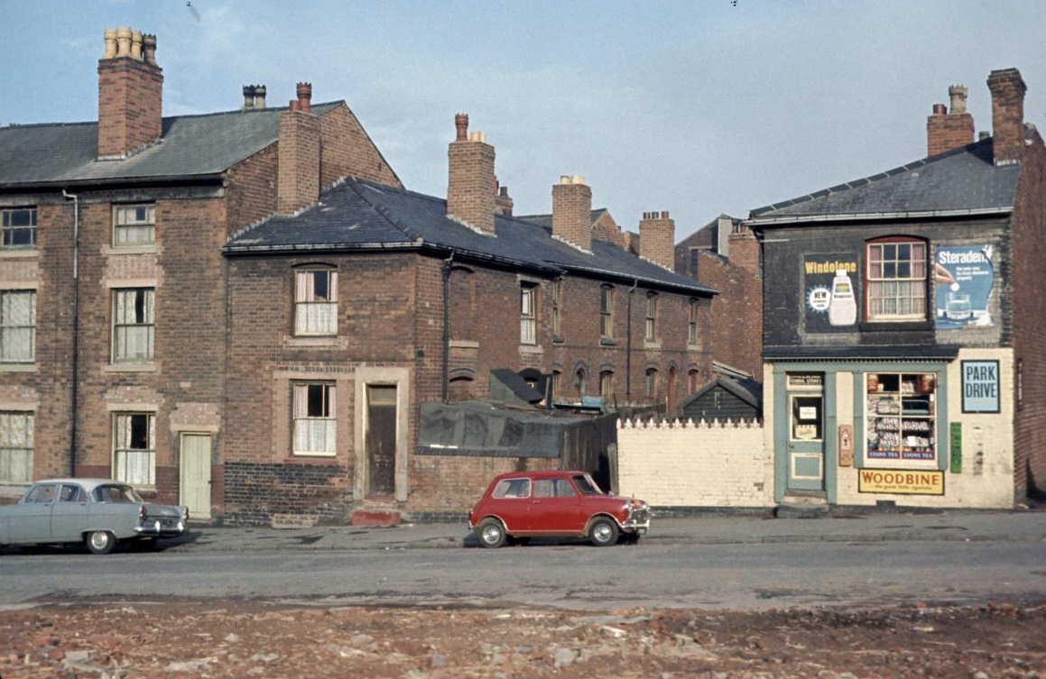
Great Russell Street in Newtown was photographed in late March 1967, just as the large-scale redevelopment of the area was accelerating. Newtown was one of the inner-city districts earmarked for comprehensive redevelopment, with old terrace streets cleared and replaced by modern housing blocks that would themselves become controversial within years of being built.
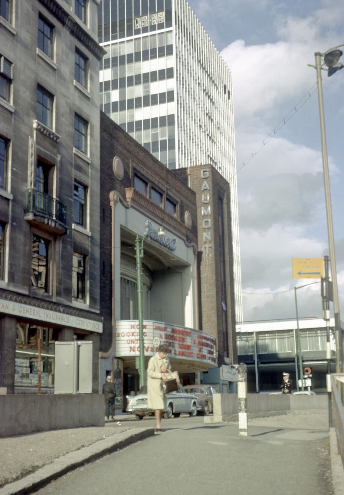
The Gaumont cinema at Colmore Circus in 1965 was one of Birmingham’s major city-centre picture houses. Colmore Circus was itself a product of the city’s road-building ambitions, carved out as part of the inner ring road scheme. The Gaumont drew large audiences to first-run films and remained a fixture of city-centre entertainment through the mid-1960s.
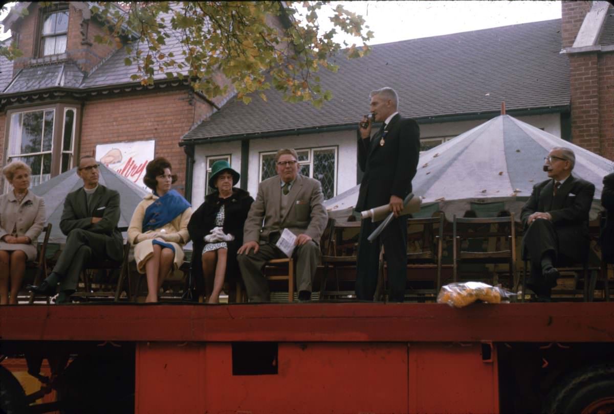
The King’s Norton Mop Fair was an ancient tradition — mop fairs dated back to medieval hiring fairs where agricultural workers would gather to find employment. By October 1964, the King’s Norton fair had long since become a funfair and community celebration, but the opening ceremony preserved the ritual of formally declaring the fair open, keeping the historic connection alive.
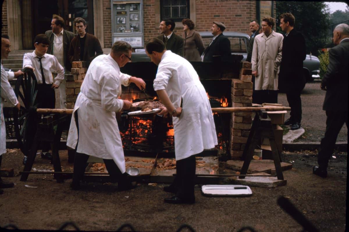
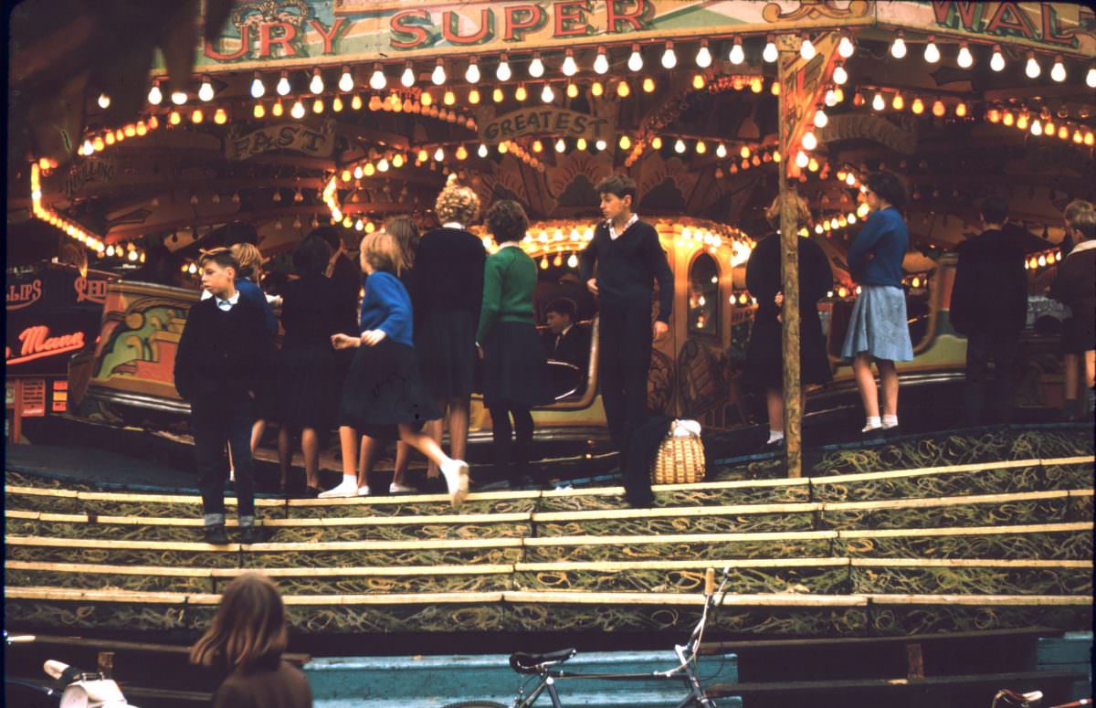
The October 1963 Mop Fair in King’s Norton drew crowds of families and young people from across south Birmingham. Rides, stalls, and the general atmosphere of a travelling fair transformed the area for a few days each autumn, as they had for generations before.
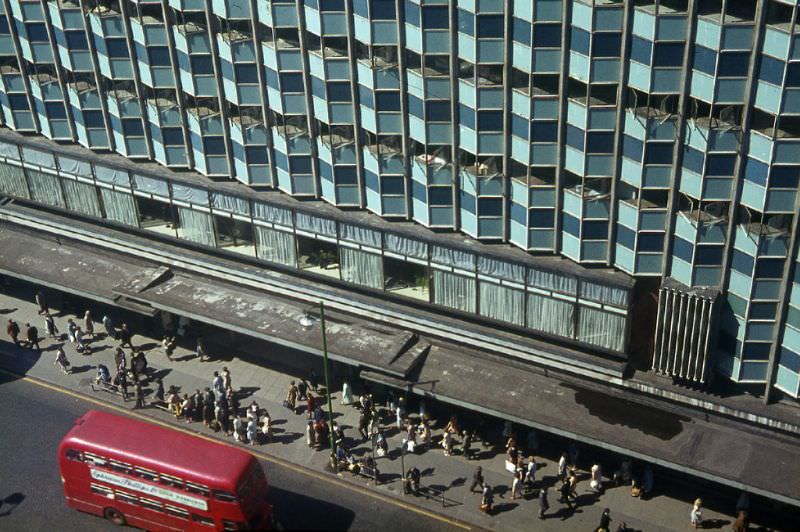
From the upper floors of Commercial Union House, the survey department had a direct view over Corporation Street and Rackham’s department store — one of Birmingham’s most prominent retailers. The view captured the contrast between the Victorian streetscape below and the modern commercial architecture that was redefining the city centre.
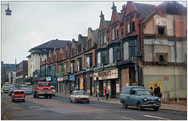
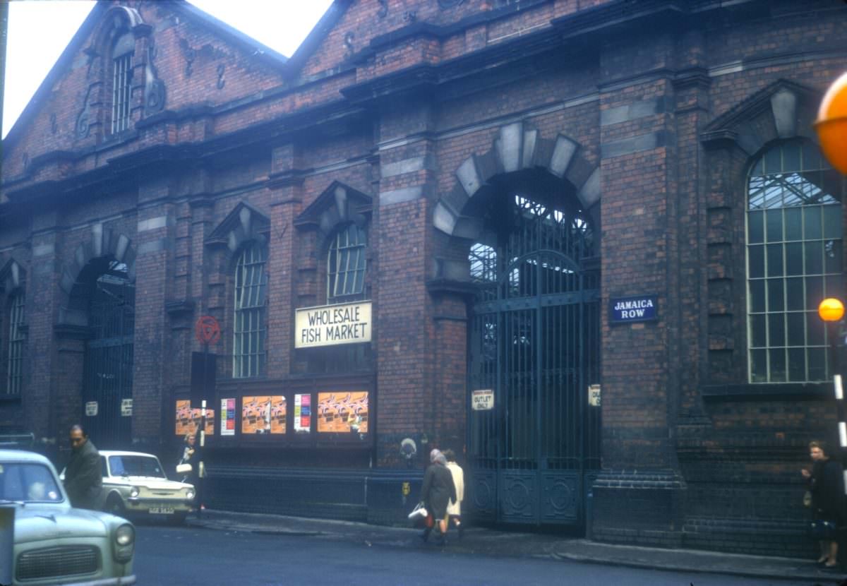
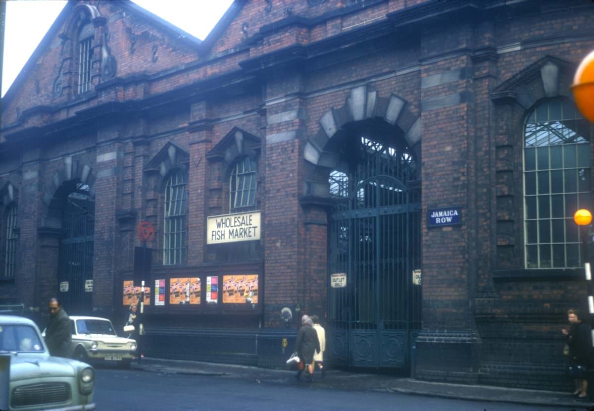
The Jamaica Row wholesale fish market, originally built as the Smithfield Market, was a cornerstone of Birmingham’s food distribution network. Photographed in late November 1968 at the corner of Jamaica Row and Moat Row, it showed a working market facility that had been supplying fishmongers and restaurants across the city for decades.
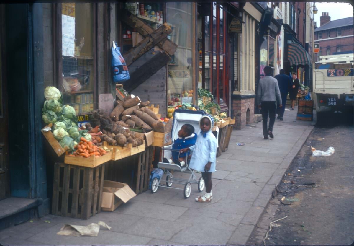
Children stood outside the Eastside Vegetable Shop on Longmore Street in Balsall Heath in September 1968. Balsall Heath was a densely populated inner-city district with a strong community identity and a mix of long-established residents and newer arrivals. The corner vegetable shop was exactly the kind of small business that held these streets together, open long hours and known to everyone in the surrounding blocks.





So Jamaica Row and Moat Row are no more?
I was expecting to see some sights unfortunately lost but no, we’d fucked it by the 60s. The lost sights I’m glad to the back of! (Modernist cubes and lite-brutalist overhangs.)
The land clearing for the Central Library is heartbreaking