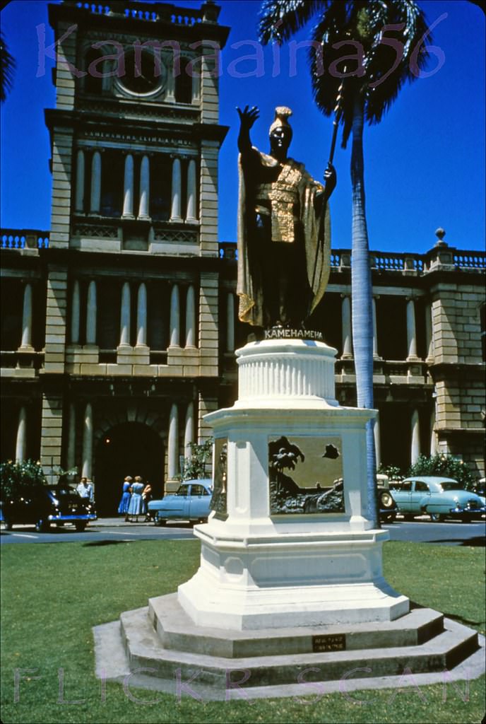
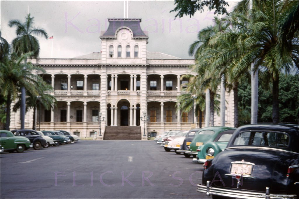
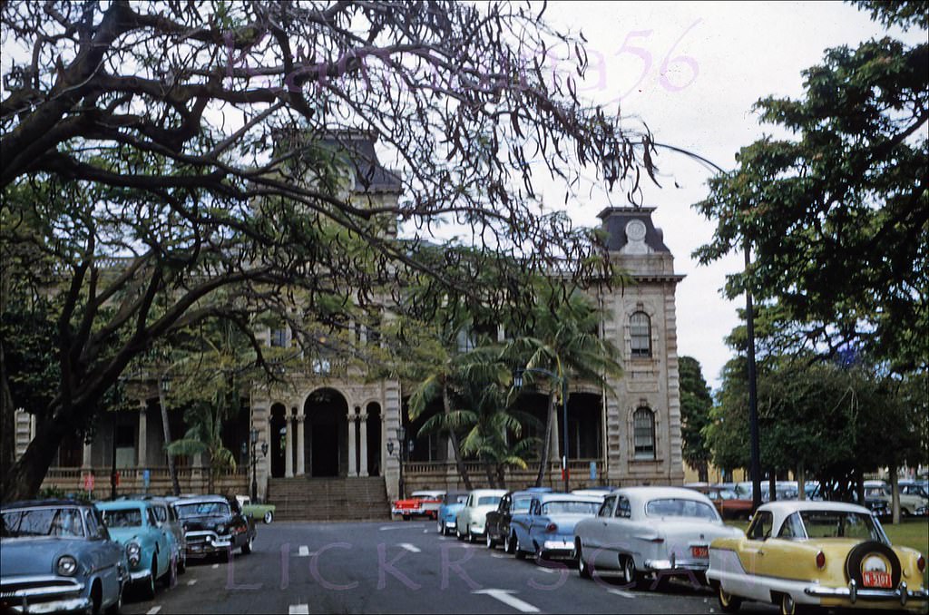
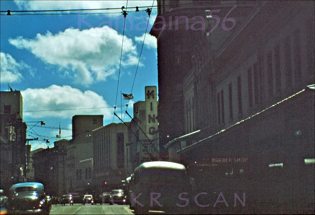
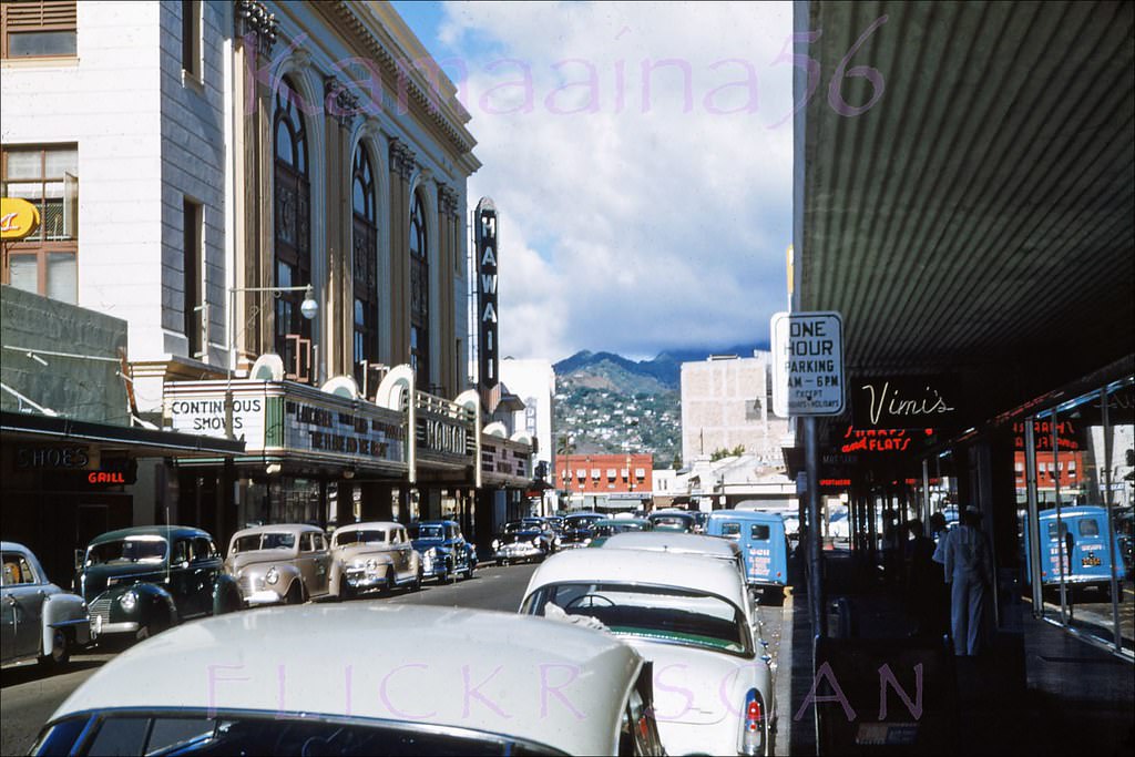
Honolulu is the capital city of Hawaii. It is the 11th largest in the US and is a permanent home to almost a million people. There are about 100,000 visitors to Hawaii at any given time. They all travel through Honolulu, The Queen of the Pacific. Although Honolulu is a sophisticated metropolis with many attractions, events, and activities, it also enjoys a tropical atmosphere and spectacular natural beauty. Honolulu has many museums, churches, national memorials and monuments, and the Iolani Palace, the only royal palace in the United States.
Here are some fabulous vintage photos that will take you back to the 1950s in Honolulu.
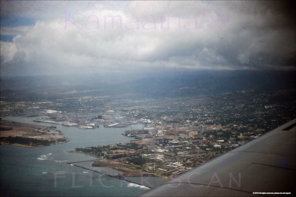
#1 Airplane view over Kakaako heading towards Honolulu Airport, 1952. The entire area out to the breakwaters is now landfill
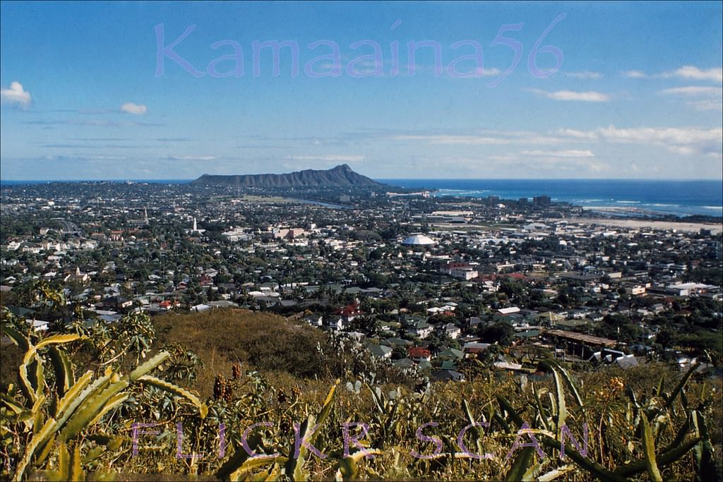
#2 Beautifully detailed birdseye view of a low-rise Honolulu, Waikiki and Diamond Head from the Punchbowl Crater lookout, 1958.
#3 Looking makai at downtown Honolulu and Honolulu Harbor from the hills above Kamehameha School’s Kapalama campus, 1950s
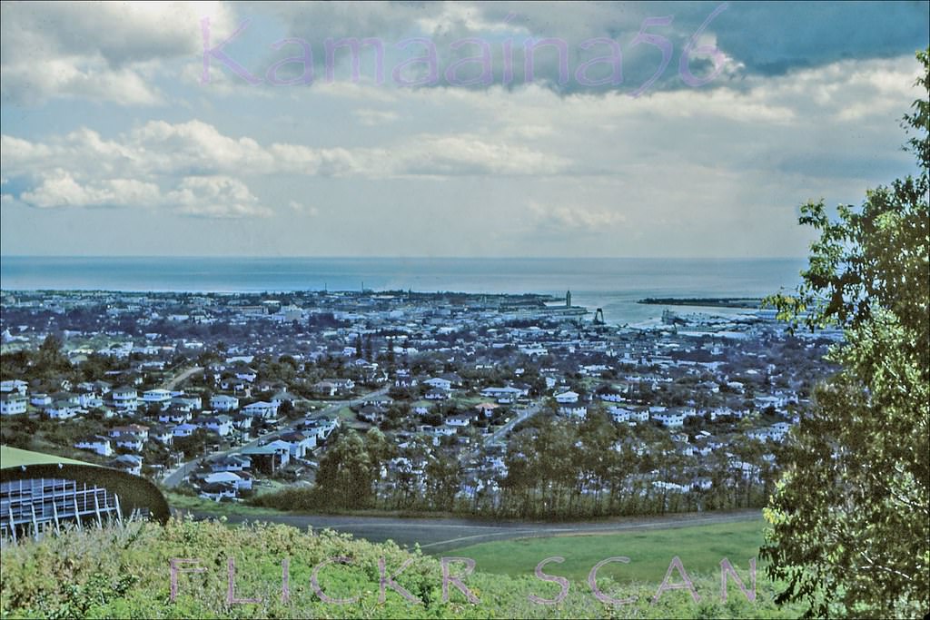
#4 The 1951 Central Branch YMCA building in Honolulu viewed from its parking lot off Atkinson Drive, 1950s
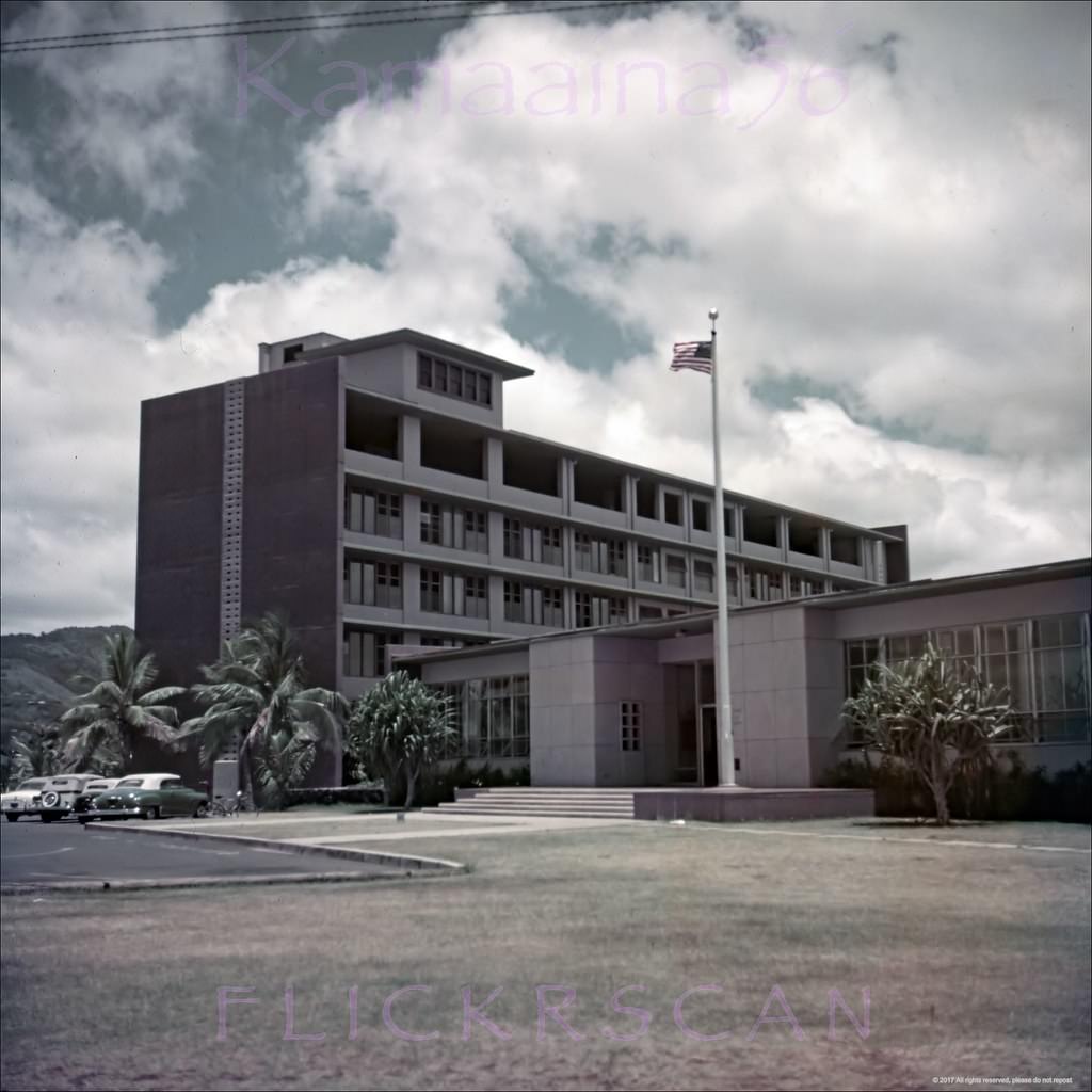
#5 Long gone view from the corner of Kukui Lane looking mauka (inland) at the old wooden buildings that used to line Honolulu’s Nuuanu Avenue, 1959
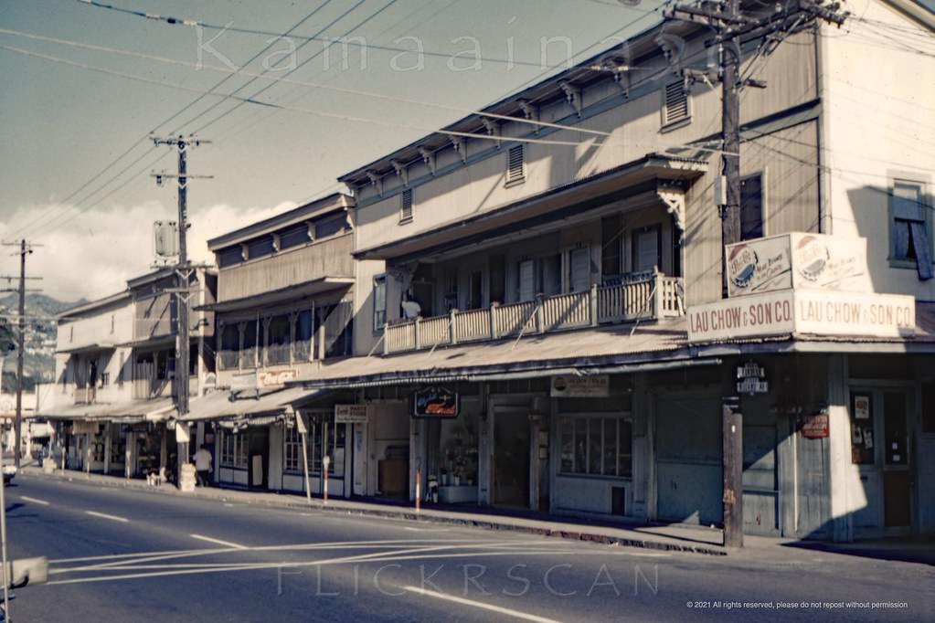
#6 Interesting airplane view of south shore Oahu taken from over Honolulu Harbor, 1951
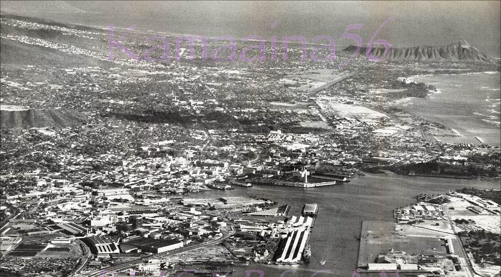
#7 Airplane view of Honolulu Harbor with Sand Island in the foreground, 1952
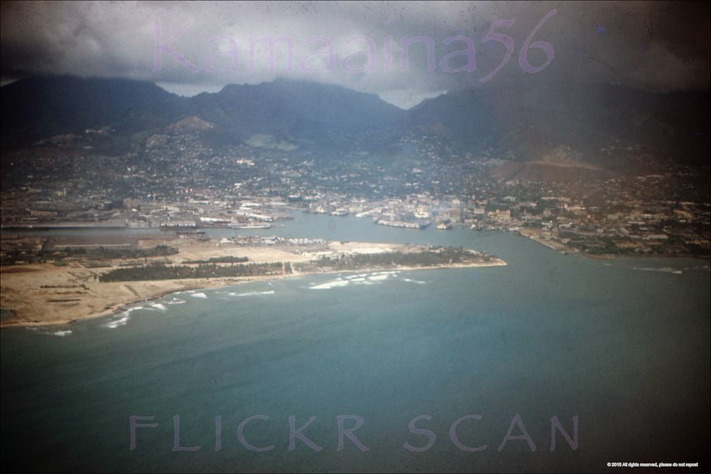
#8 Beautifully detailed airplane view looking south towards the old Kapalama Military Reservation in the Kalihi-Palama district of Honolulu, 1954.
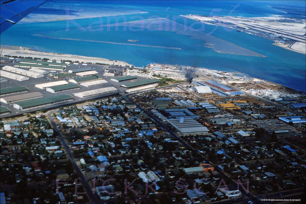
#9 Aerial view of Honolulu Harbor looking mauka (inland) from above the Kakaako coastline, 1950s
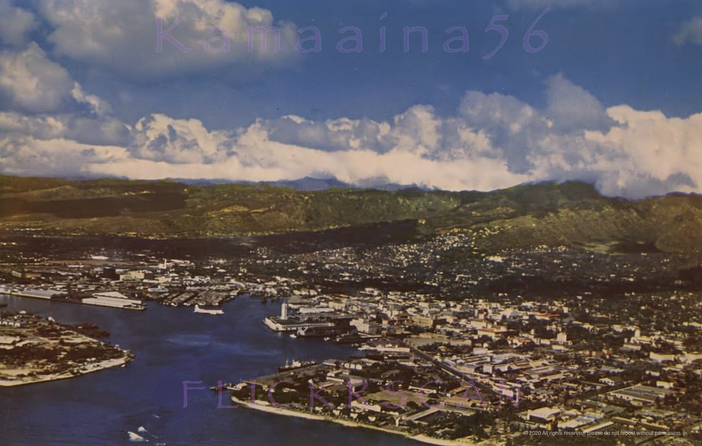
#10 Detailed airplane view of Honolulu Harbor looking inland, 1950s
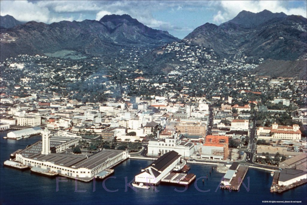
#11 Hazy late afternoon view from Tantalus Drive looking out over Punchbowl Crater and Honolulu, 1950s.
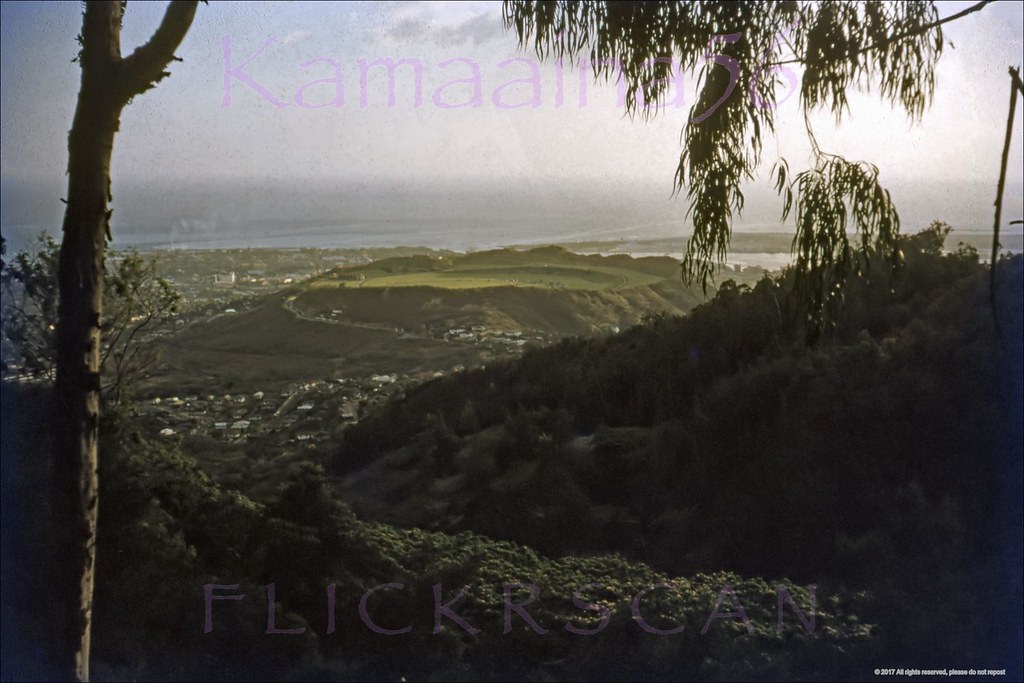
#12 Honolulu from Punchbowl, 1952
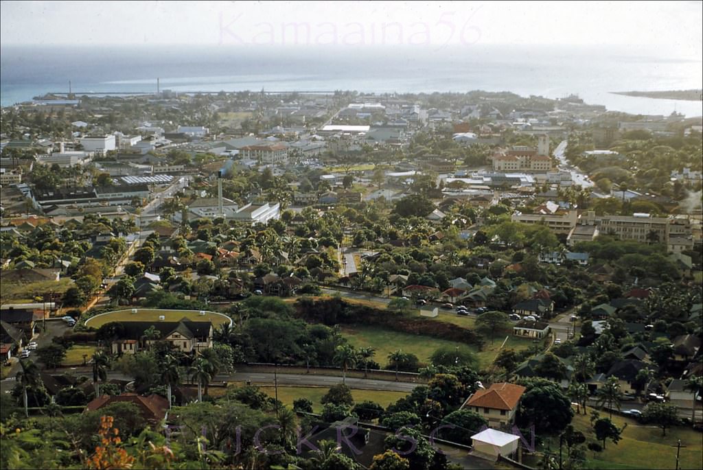
#13 Looking diamond head from above Punchbowl with Honolulu and Waikiki below, 1950.
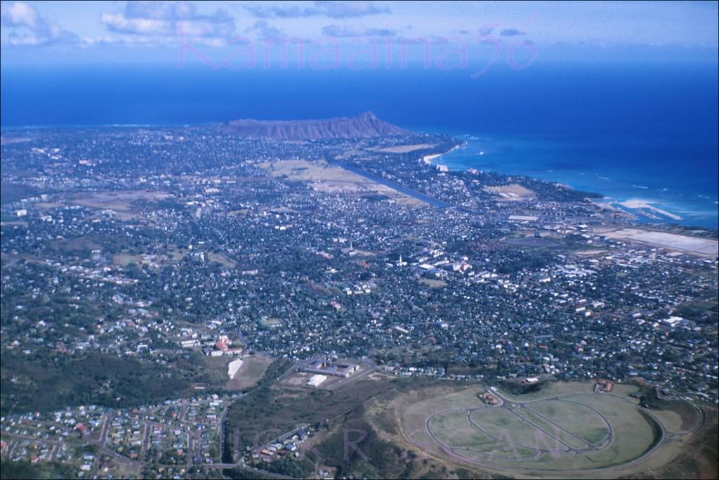
#14 Looking inland from Punchbowl Crater at the Honolulu neighborhood of Makiki, 1957.
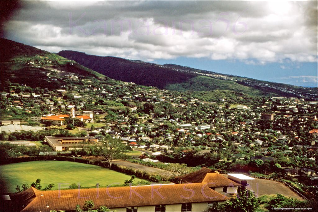
#15 Honolulu from Punchbow, 1955
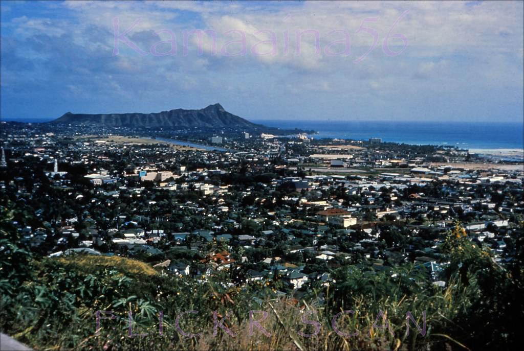
#16 Late afternoon aerial view from Punchbowl Crater of Honolulu and Waikiki on south shore Oahu, 1950s.
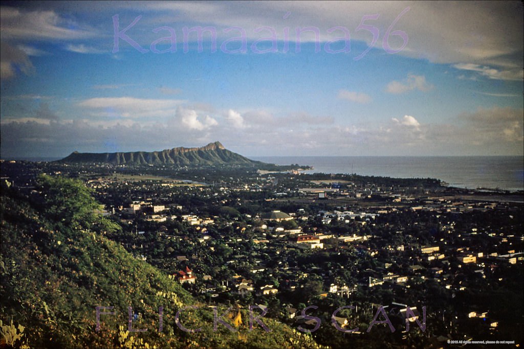
#17 Honolulu from Punchbowl, 1959
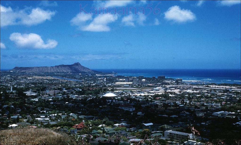
#18 View from Punchbowl Crater looking out over Honolulu all the way to Diamond Head Crater in Waikiki, 1950s.
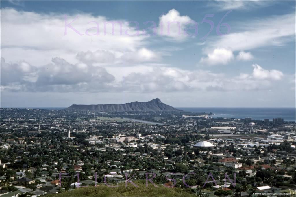
#19 Birdseye view from Punchbowl Crater looking out over Honolulu to Diamond Head and Waikiki, 1950s.
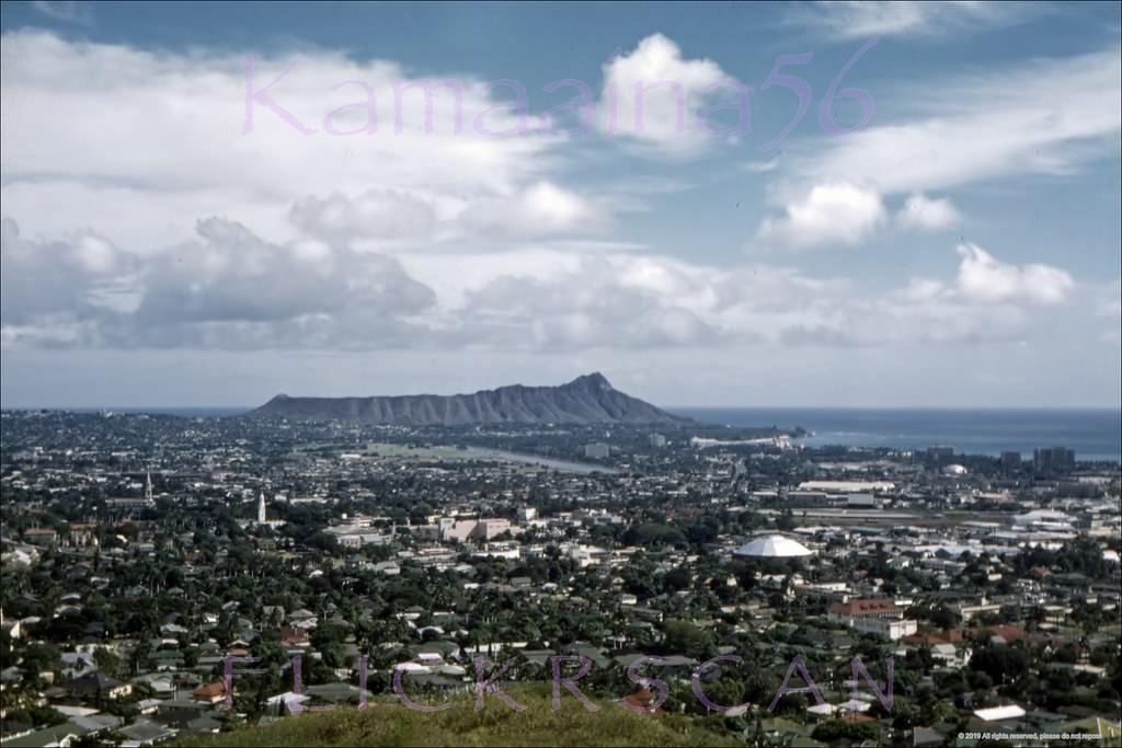
#20 Honolulu from Punchbowl, 1959
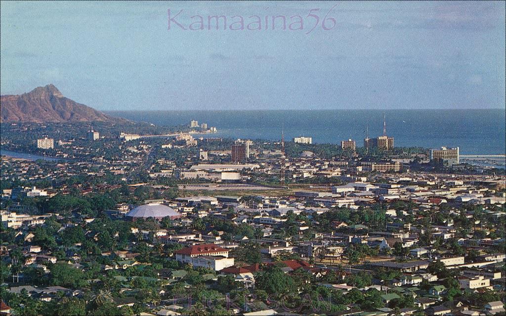
#21 Late afternoon in old Honolulu seen from the lookout at Punchbowl Crater, 1952.
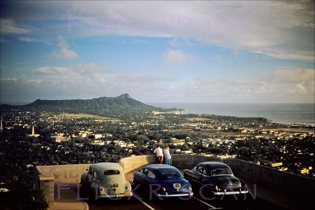
#22 Spectacularly clear view all the way to Diamond Head from the Punchbowl Crater overlook above Honolulu, 1955.
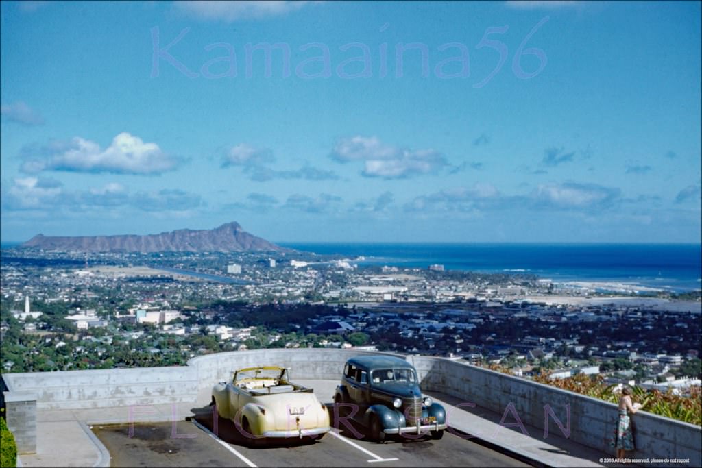
#23 Birdseye view of Honolulu all the way to Waikiki and Diamond Head from the Punchbowl Crater lookout, 1959.
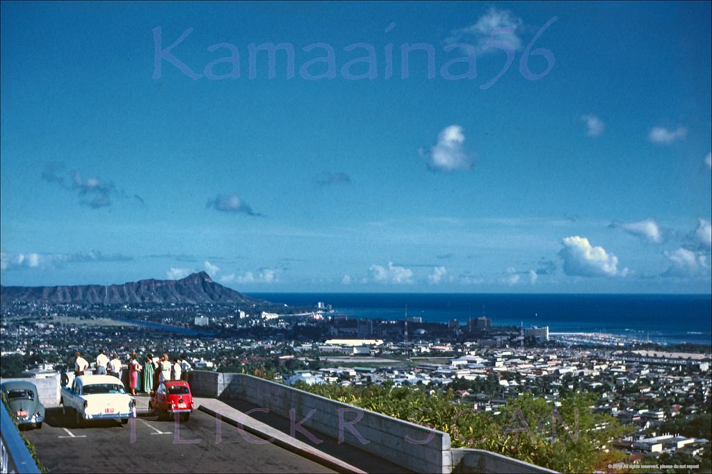
#24 Panoramic Diamond Head view from the Punchbowl Crater lookout over Honolulu to Waikiki, 1959.
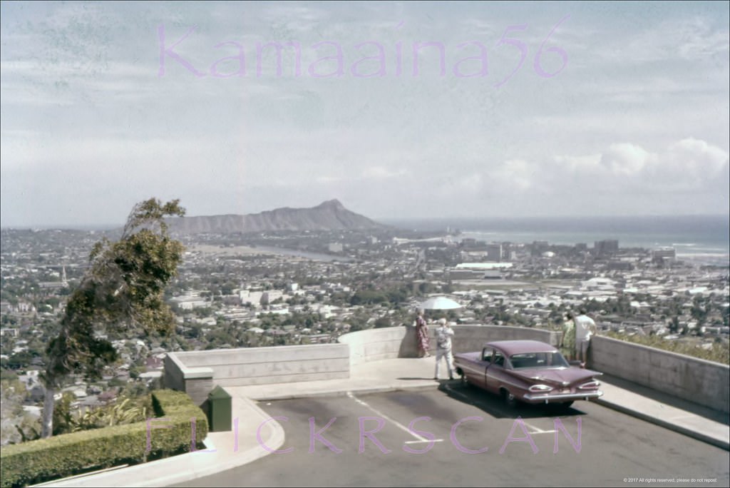
#25 Makai view from Punchbowl Crater looking towards downtown Honolulu and the harbor, 1959
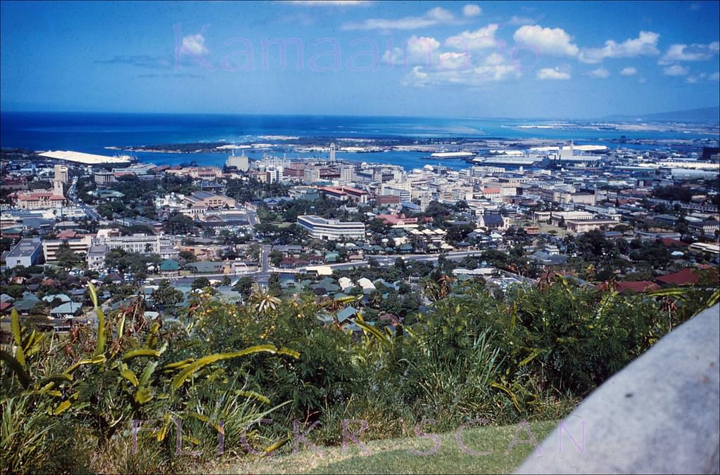
#26 Looking makai from Punchbowl Crater towards Honolulu Harbor on a beautiful clear day, 1952
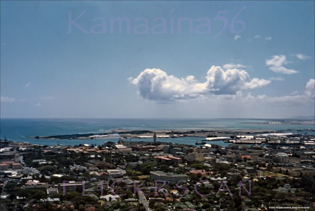
#27 Sharp birdseye view of the Kakaako section of Honolulu from the Punchbowl Crater lookout in Makiki, 1950s
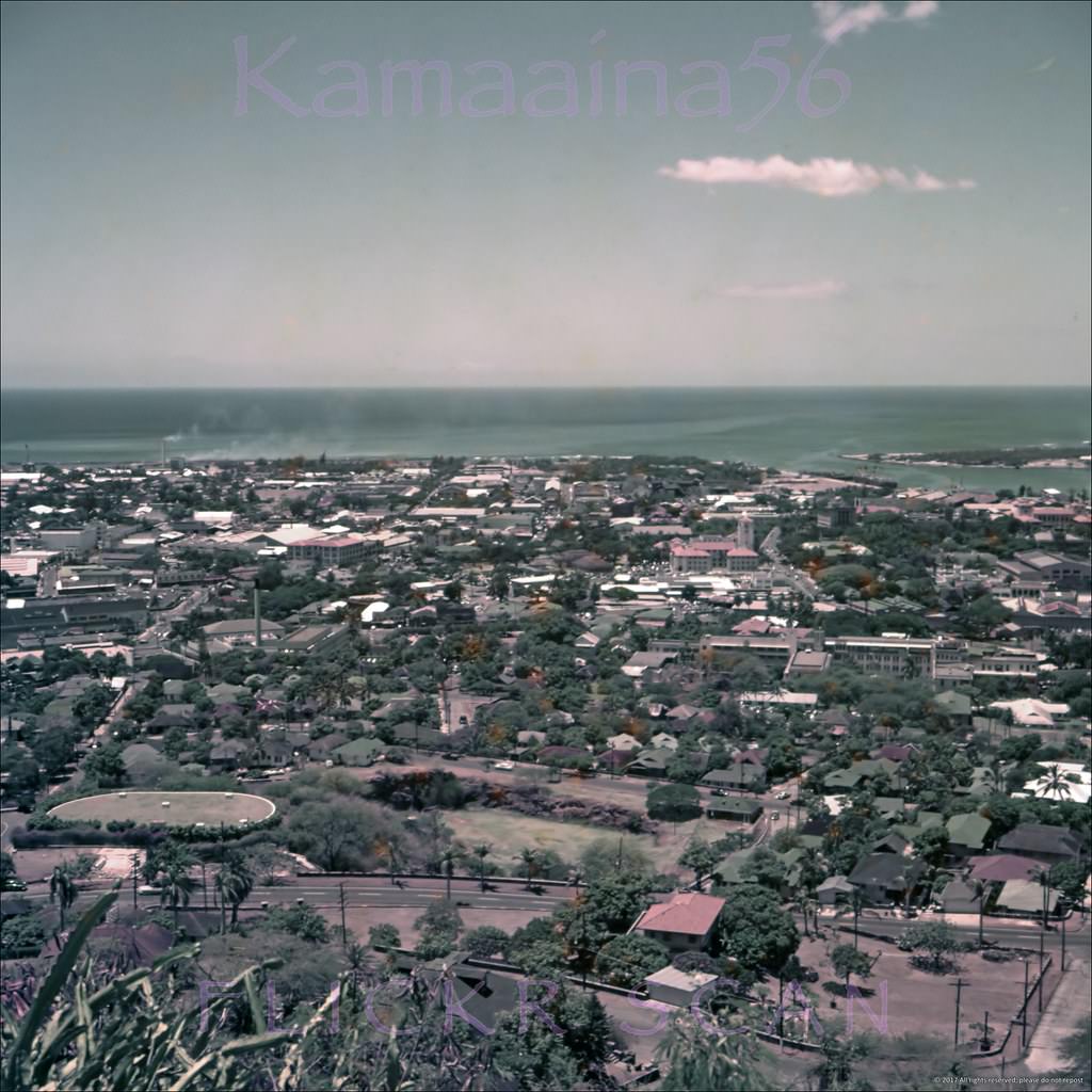
#28 Looking makai (towards the ocean) from Punchbowl Crater in the Makiki district of Honolulu to the Kakaako shoreline, 1957
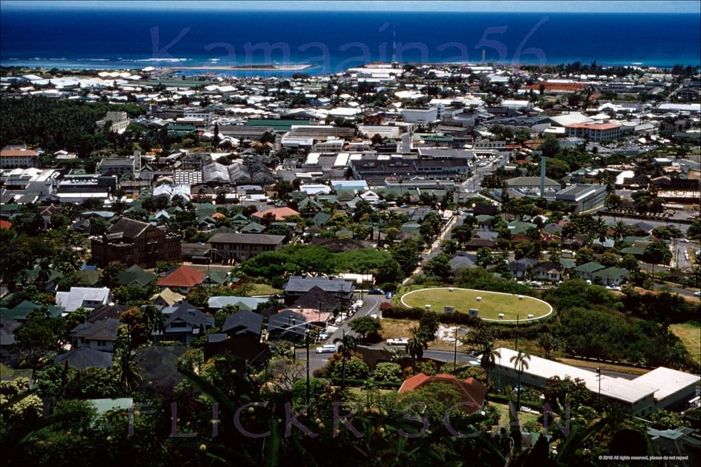
#29 Looking Diamond Head from Punchbowl Crater in the Makiki section of Honolulu to Ala Moana and Waikiki, 1957
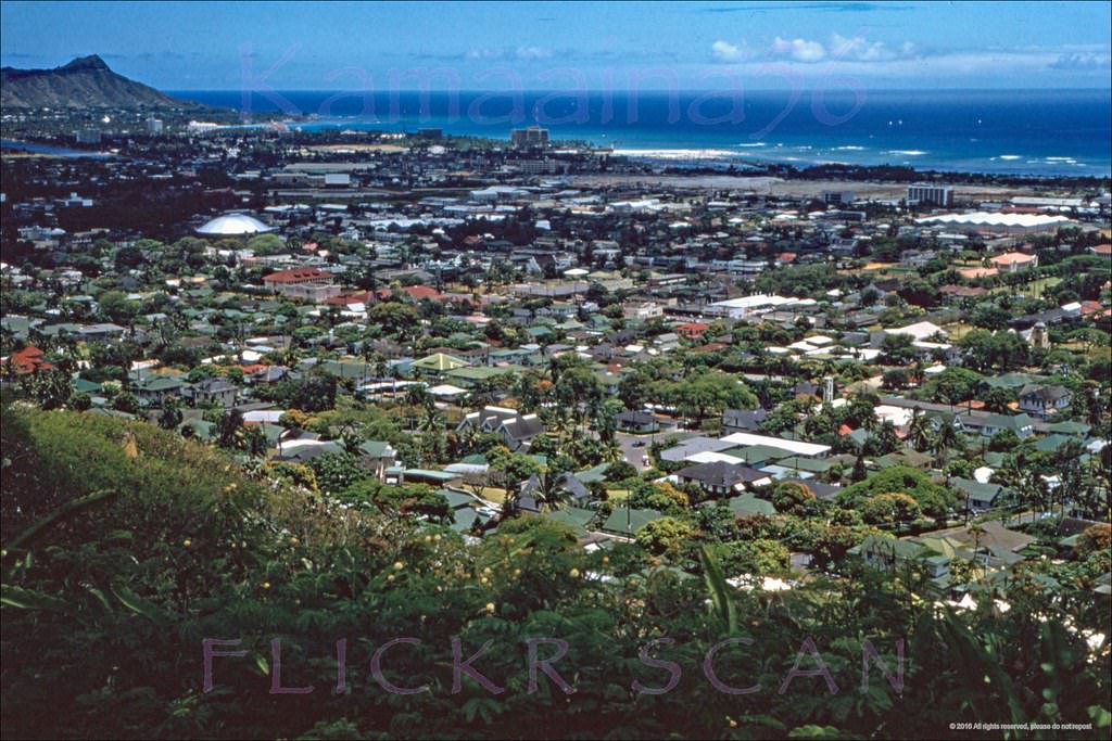
#30 Panoramic view of downtown Honolulu, the harbor area, and Sand Island from Punchbowl Crater, 195s
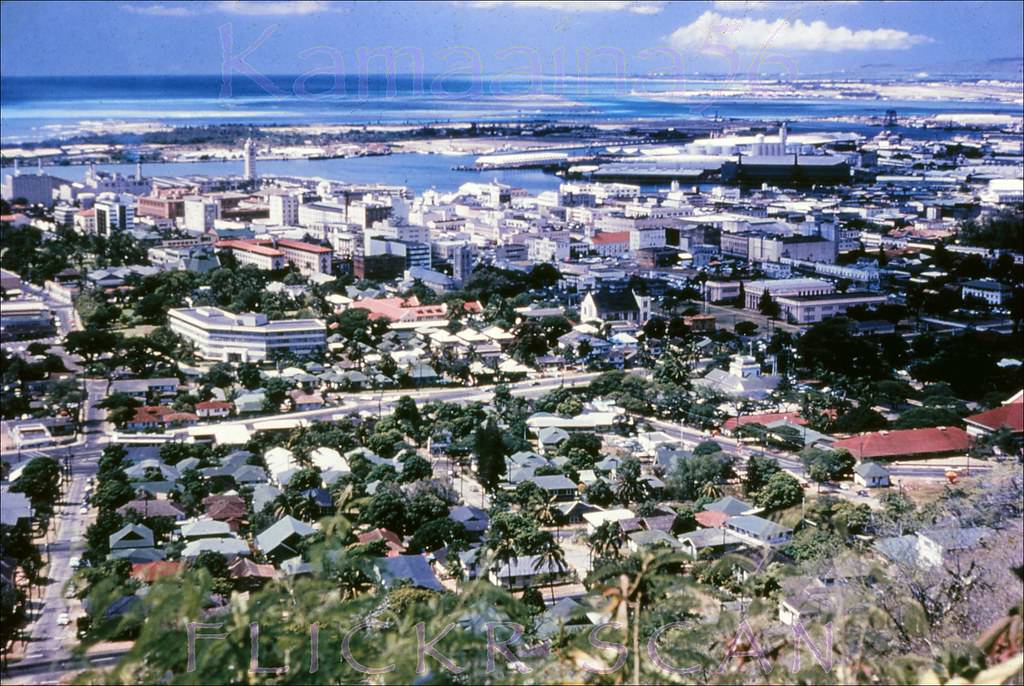
#31 Honolulu Birdseye Makai, 1952
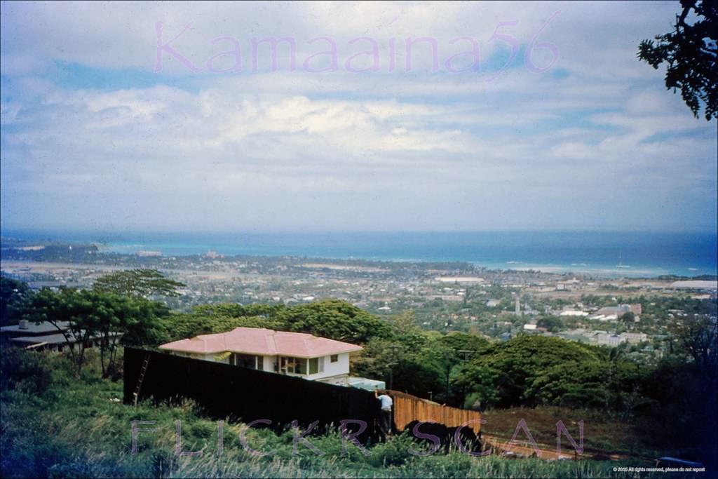
#32 South Shore Oahu Panorama, 1959
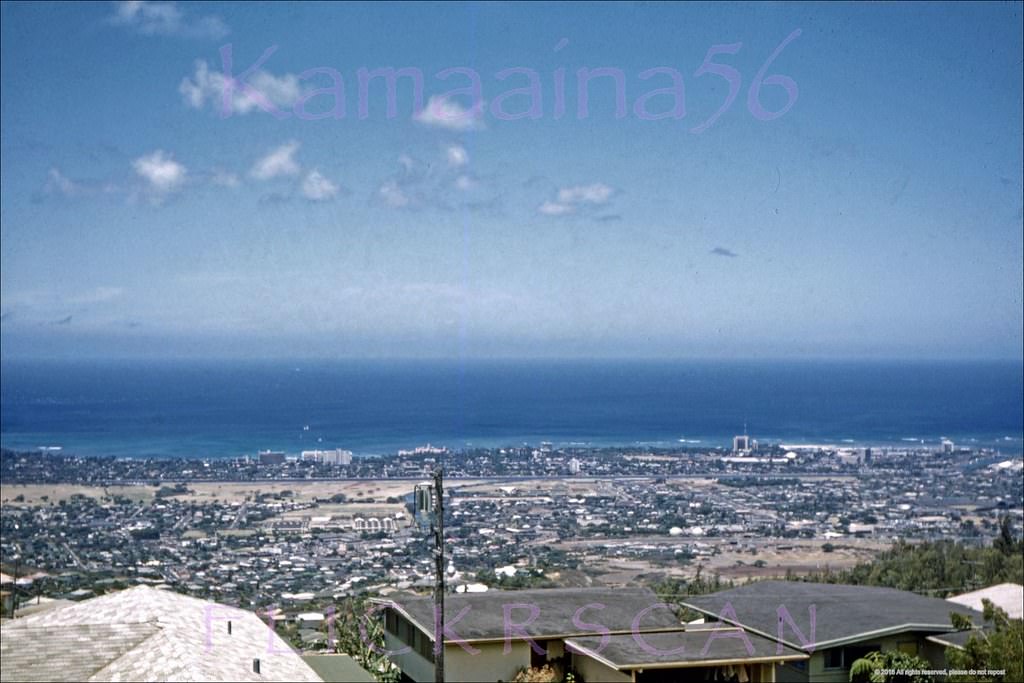
#33 View from the National Memorial Cemetery of the Pacific in Punchbowl Crater looking towards the Koolau Range behind Honolulu, 1955
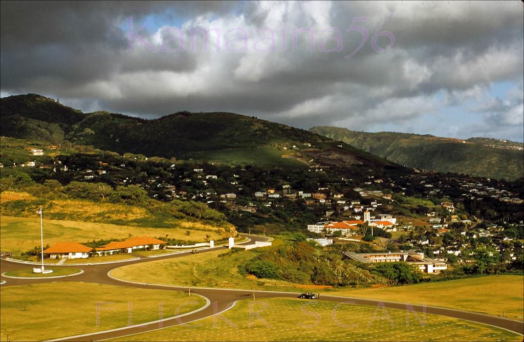
#34 View from Round Top Drive overlooking the University of Hawaii in the foreground with Diamond Head in the distance, 1955
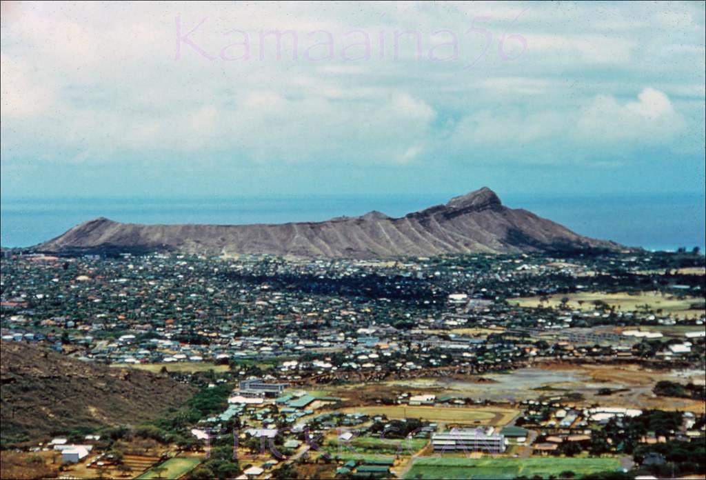
#35 Looking towards Honolulu and Waikiki from Bishop Hall on the Punahou School campus looking down Alexander Street, 1950s.
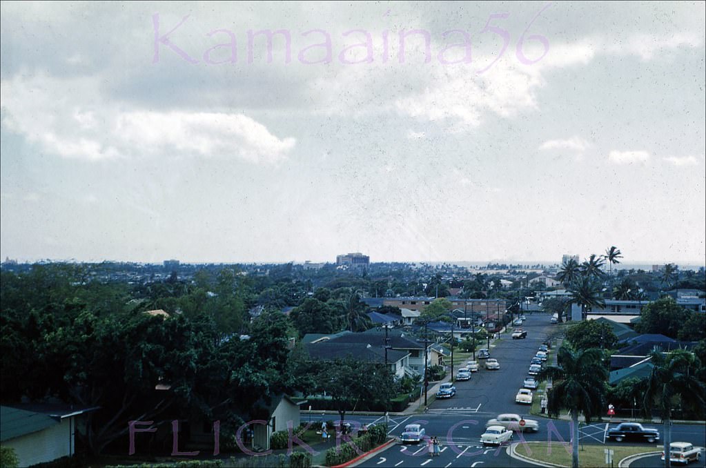
#36 Diamond Head Wilhelmina, 1954
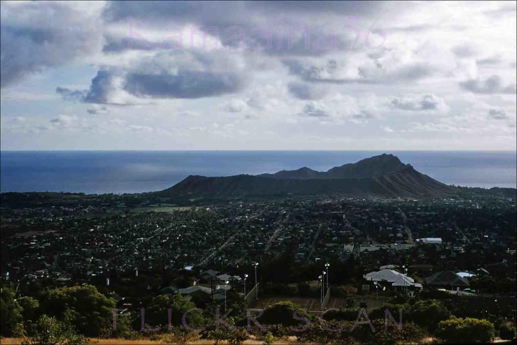
#37 Manoa from Round Top, 1959
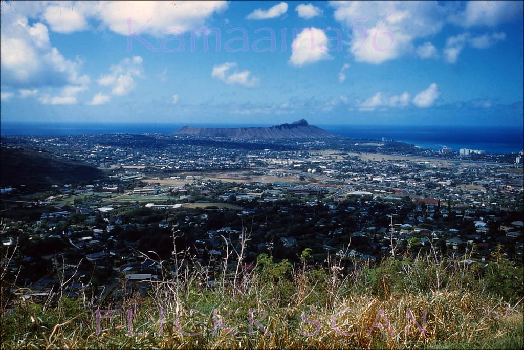
#38 Waikiki from Round Top, 1959
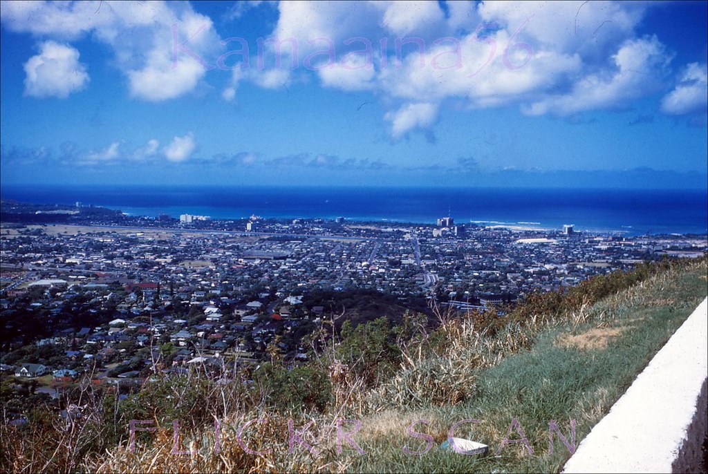
#39 10th Avenue at Maluhia Street in Honolulu’s Kaimuki neighborhood with a view of the back of Diamond Head in the distance, 1951
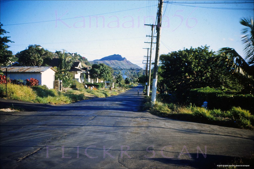
#40 Mauka view of Wilhelmina Rise in the Kaimuki neighborhood of Honolulu, 1954
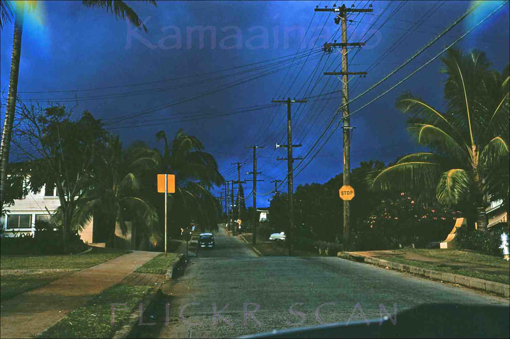
#41 Appears to be the ocean view from Wilhelmina Rise behind Diamond Head, 1955
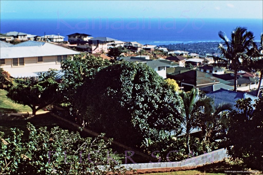
#42 Unusual evening view of Honolulu’s Palolo Valley looking west from 10th Avenue just makai of Kiwila Street on Wilhelmina Rise, 1951
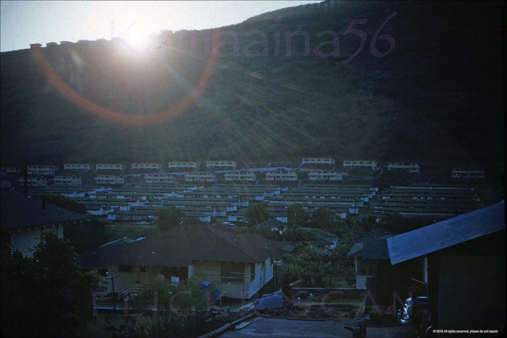
#43 Kaahumanu School Honolulu, 1952
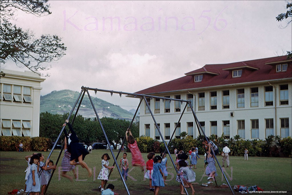
#44 Army Navy YMCA Honolulu, 1950s.
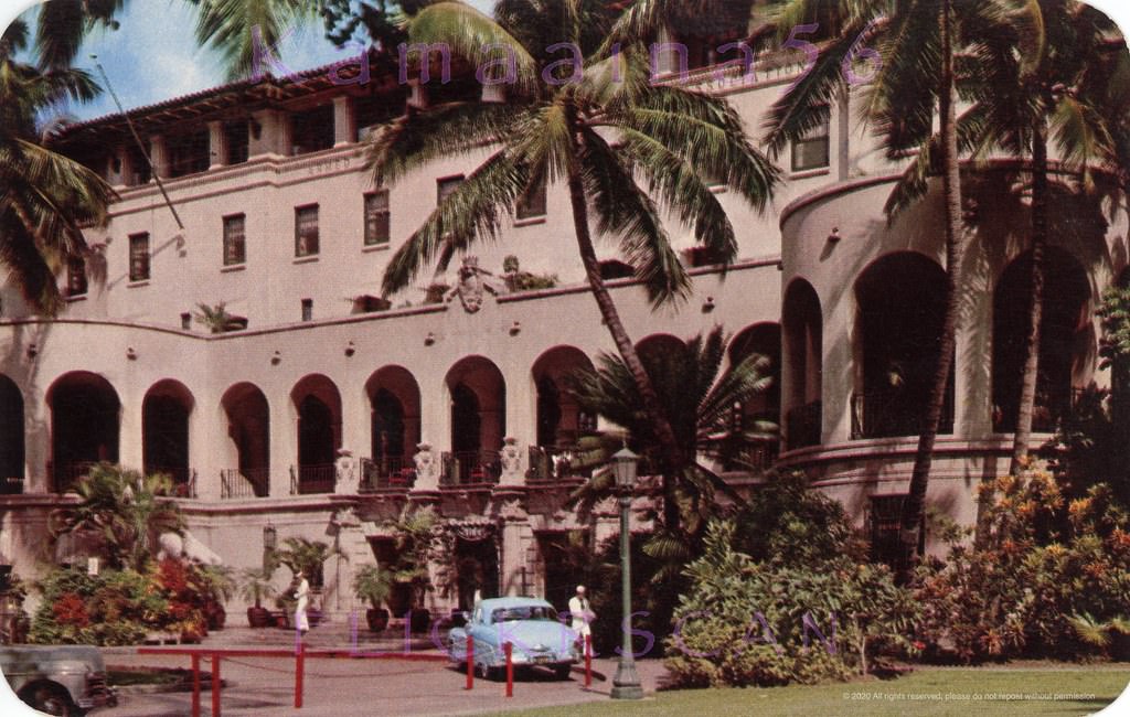
#45 The 1951 Central Branch YMCA building in the Ala Moana section of Honolulu viewed from Atkinson Drive, 1950s
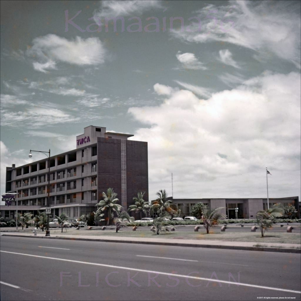
#46 Honolulu YMCA Central, 1950s
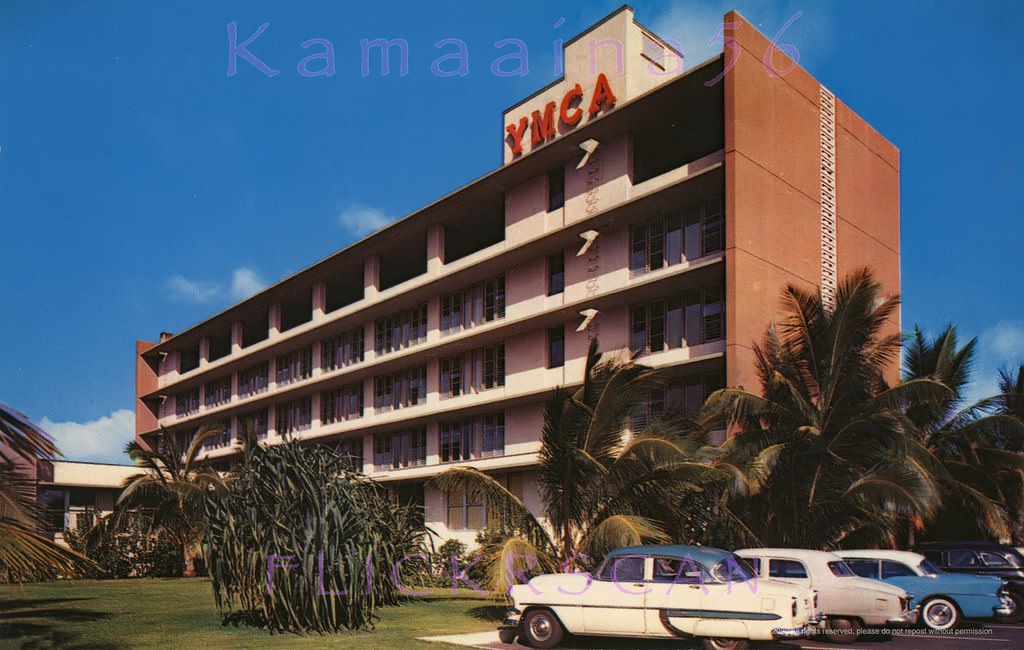
#47 On the mauka side of Wilder Avenue between Poki & Punahou Streets in the Makiki section of Honolulu, 1950s
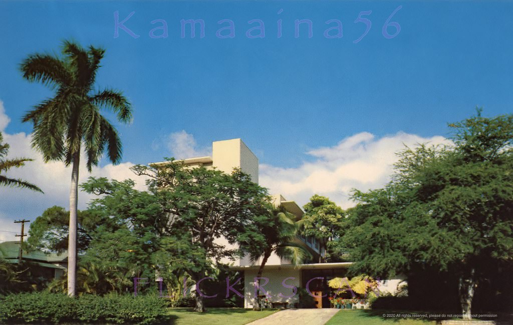
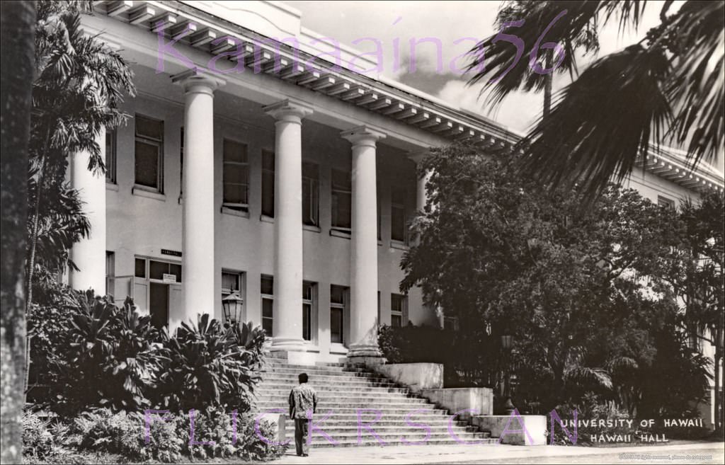
#48 Beautifully sharp close-up of historic Hawaii Hall on the University of Hawaii’s Manoa Campus, 1950s
#49 The University of Hawaii’s Manoa Valley Campus in Honolulu, 1950s
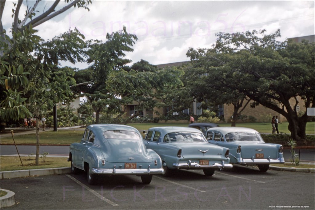
#50 The University of Hawaii’s 1956 Sinclair Library viewed from Dole Street near University Avenue, 1961
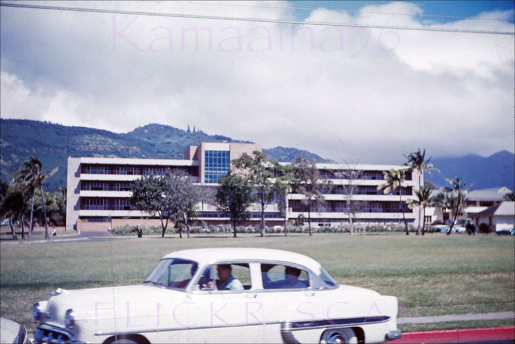
#51 Looking Diamond Head across the Manoa Campus of the University of Hawaii, Honolulu, 1950s
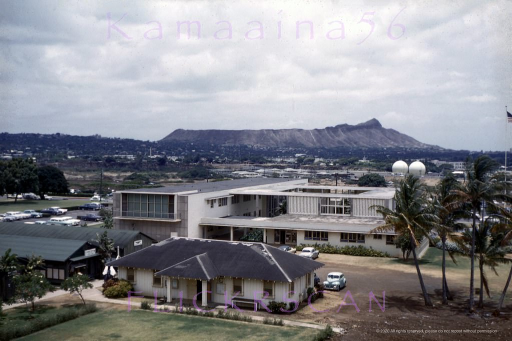
#52 The 1949 administration building at the University of Hawaii’s Manoa Valley campus in Honolulu. Vantage point is the corner of Dole Street and University Avenue, 1951
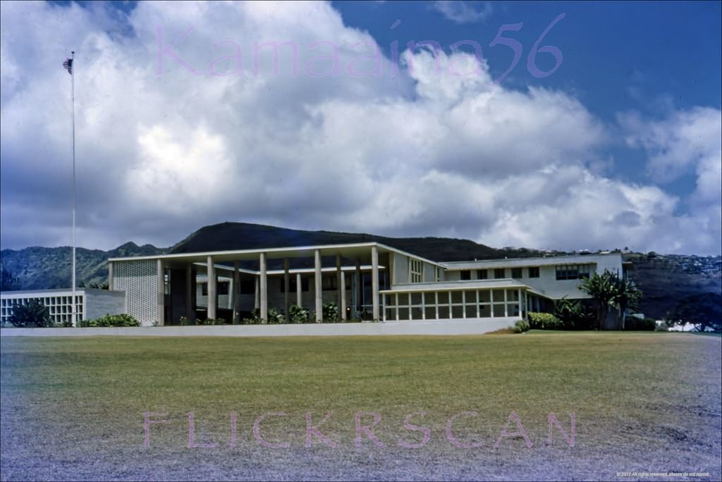
#53 Admin Building UH Manoa, 1950s
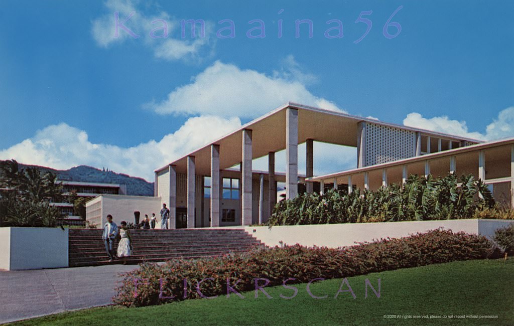
#54 Frear Hall Dorm UH Manoa, 1952
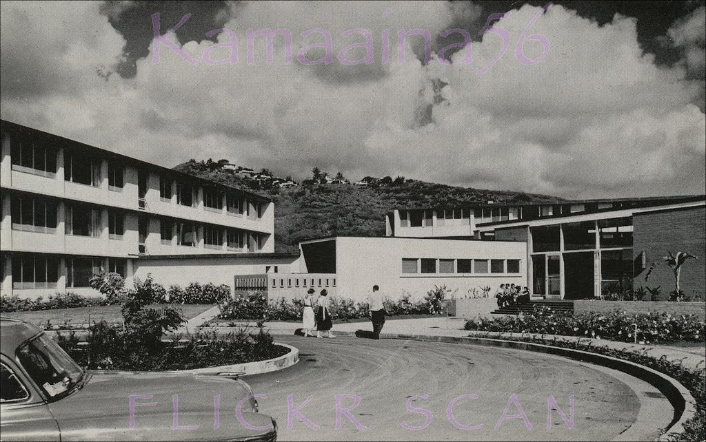
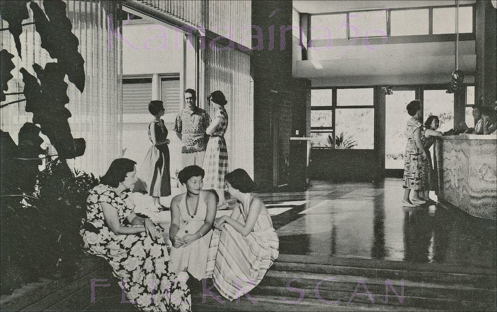
#55 Interior view of the lobby at Mary Dillingham Frear Hall, the first women’s dormitory at the University of Hawaii’s Manoa campus, 1952
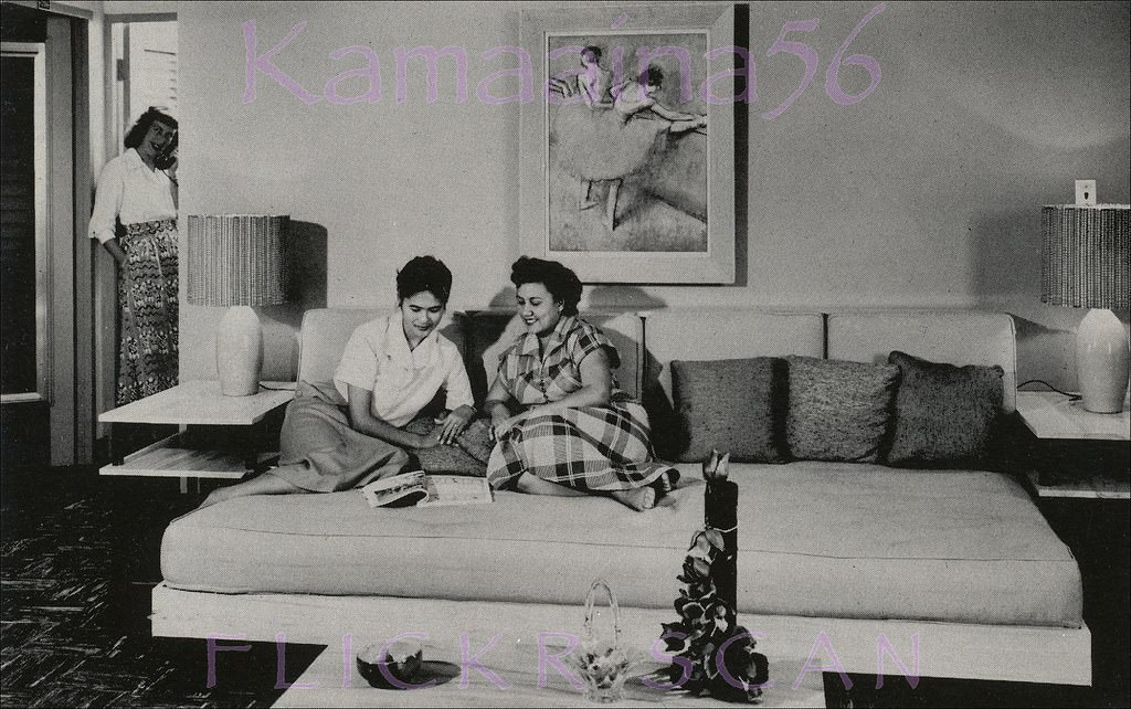
#56 Interior view of a dorm room at Mary Dillingham Frear Hall, the oldest women’s dormitory at the University of Hawaii’s Manoa Valley campus, 1952
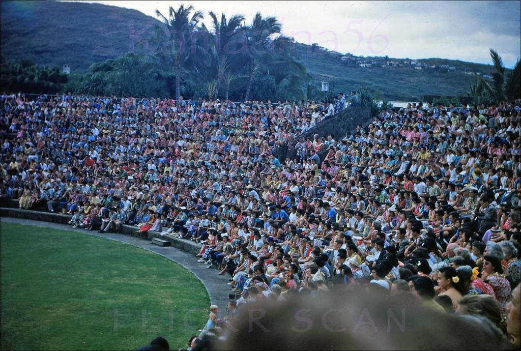
#57 Andrews Amphitheater UH, 1952
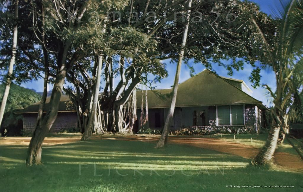
#58 Small religious college on Manoa Road, just mauka of the University of Hawaii, 1950s.
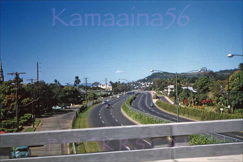
#59 Lunalilo Freeway at McCully, 1956
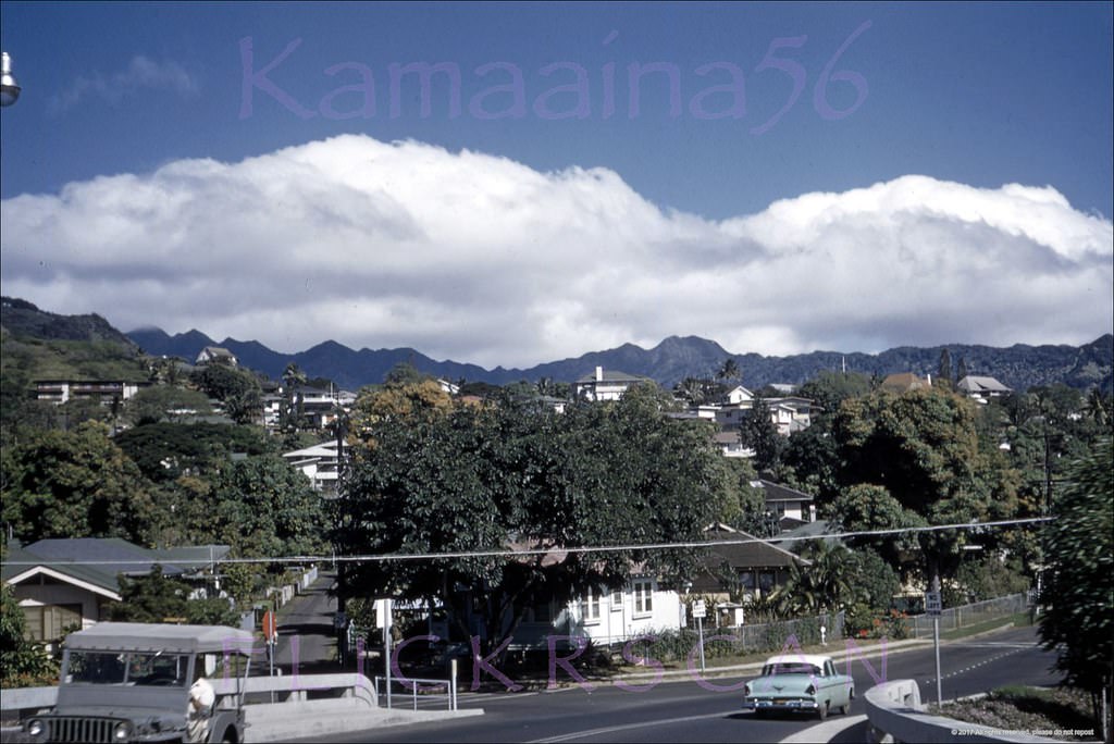
#60 McCully at Metcalf & Dole, 1956
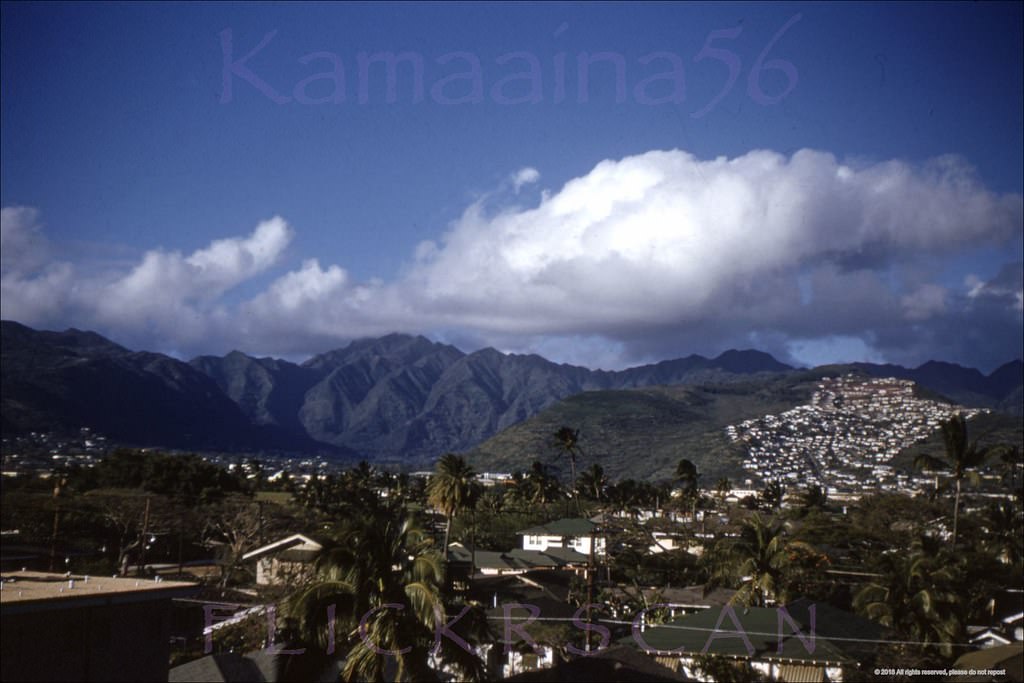
#61 Looking inland from the third floor of the 1953 Waikiki Hale Hotel on Uluniu Avenue in Waikiki, 1955.
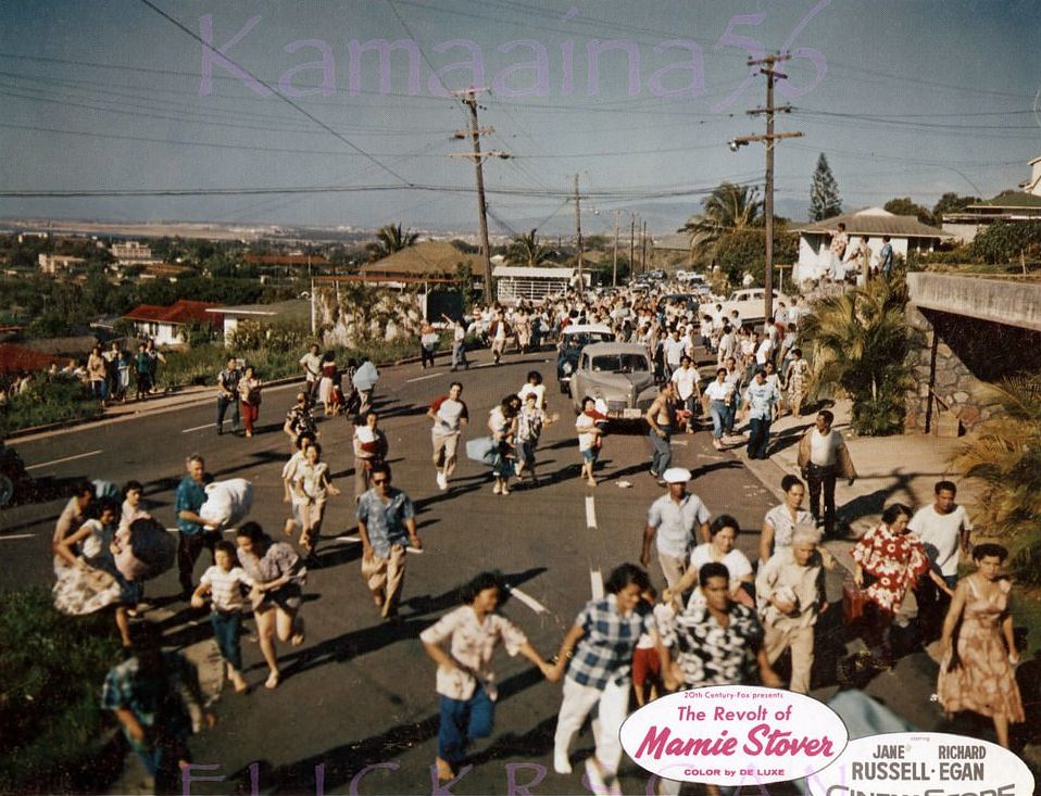
#62 Alewa Heights Honolulu, 1956
#63 Moanalua School Kam Hwy, 1950s
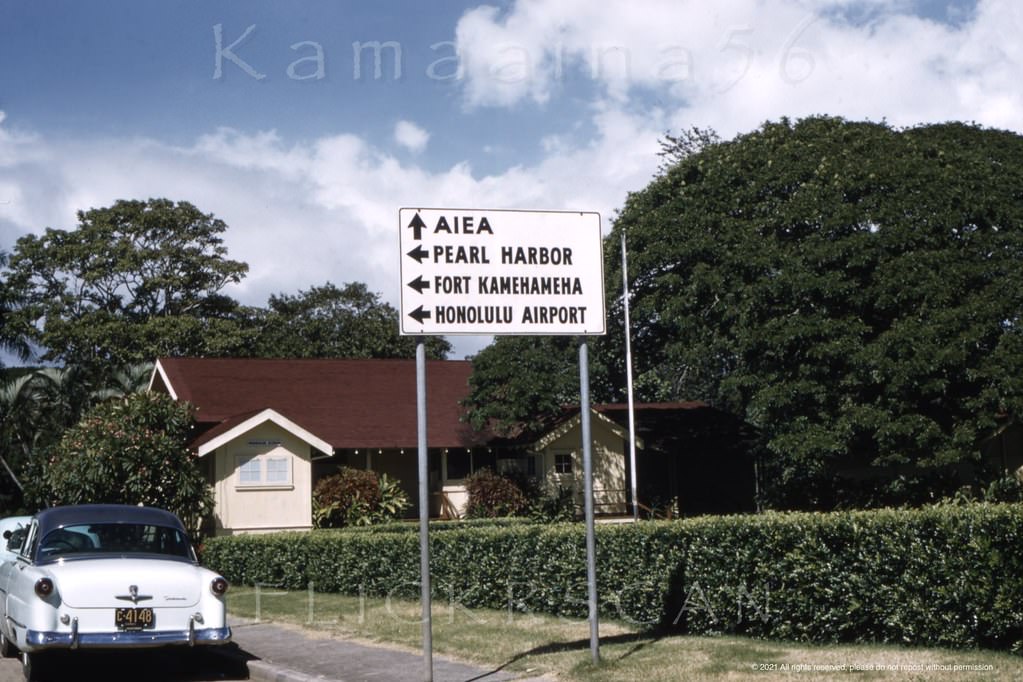
#64 Mauka view of Makiki Heights from the corner of Nehoa Street and Mott Smith Drive behind Punchbowl Crater, 1955.
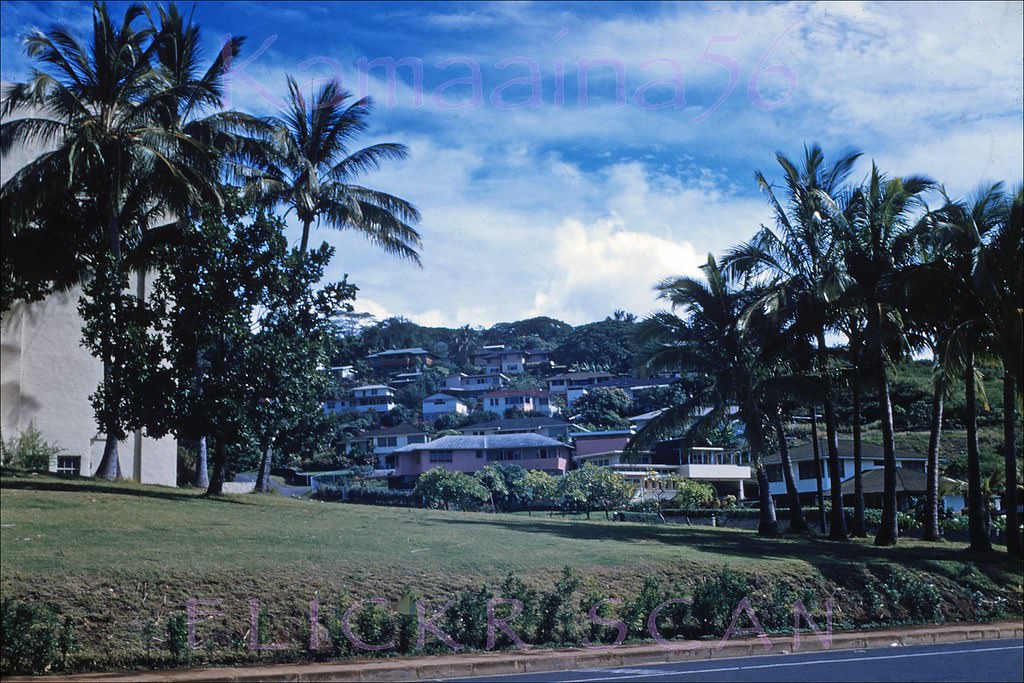
#65 Maemae Elementary School in Nuuanu Valley, opened 1898 and one of the oldest schools in the islands, 1957
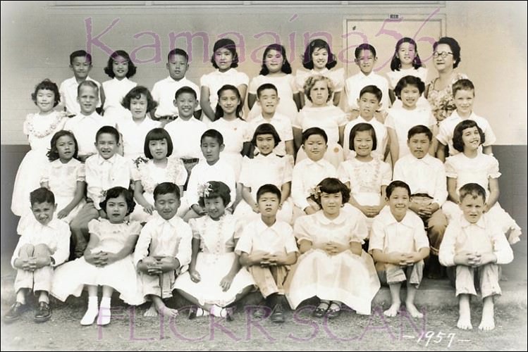
#66 Summer Coeds & Pink Jeep, 1950s
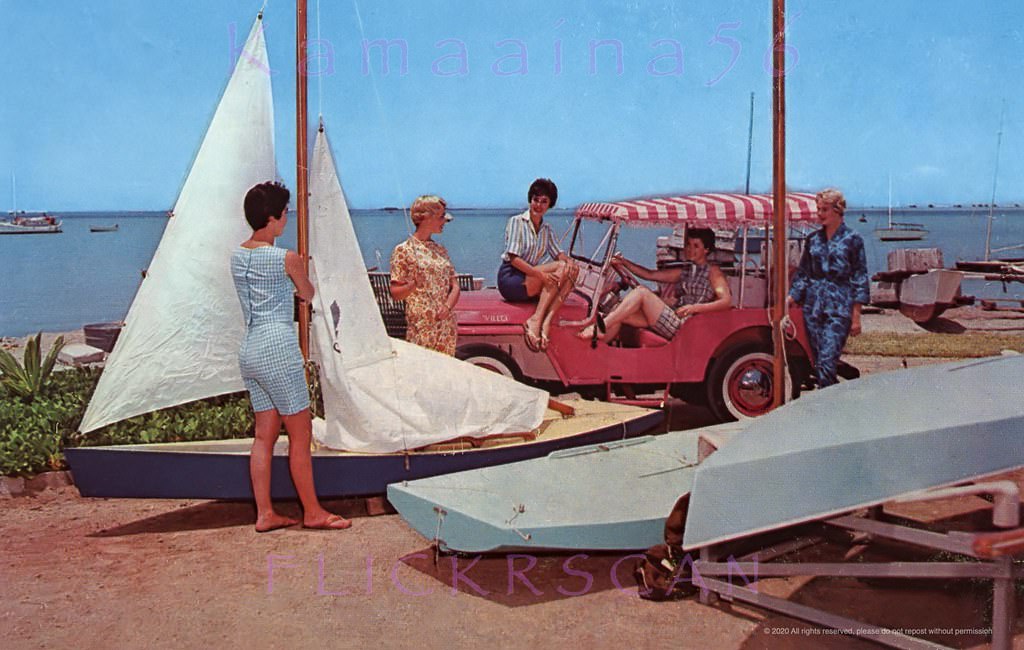
#67 U-drive Boats Ala Wai Waikiki, 1950s
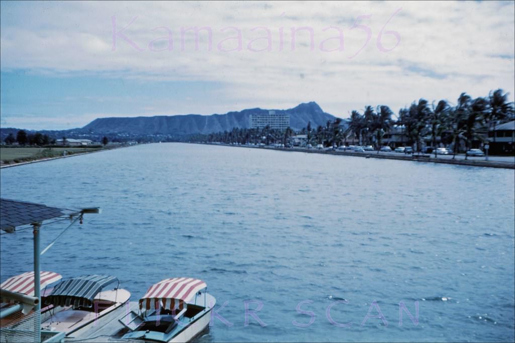
#68 View from Ala Wai Park looking makai across the Ala Wai Canal towards Waikiki and Diamond Head, 1955
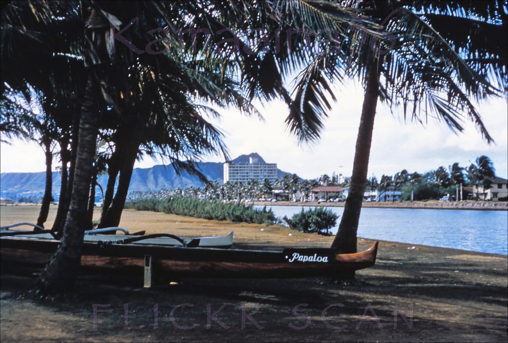
#69 Ala Wai Canal Mauka View, 1950s
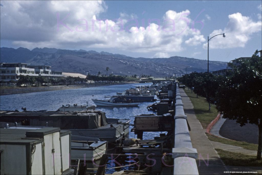
#70 Ala Wai Mauka, 1957
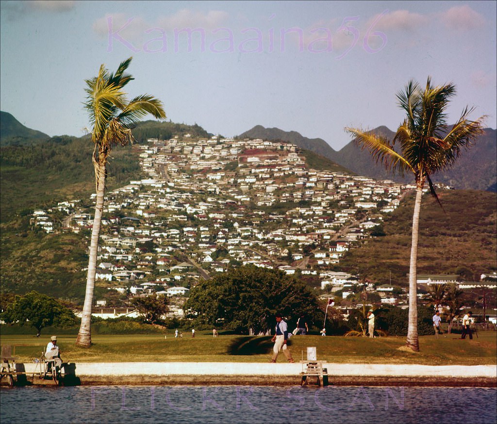
#71 Beautifully clear airplane view of the Ala Wai Yacht Harbor on Oahu’s south shore, 1956
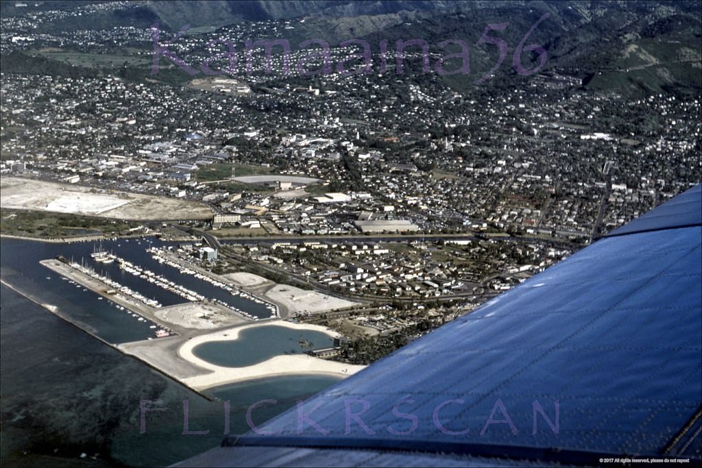
#72 Ala Wai Yacht Harbor after its construction started in the early 1950s and before work on the Kaiser Hawaiian Village land reclamation and lagoon commenced in 1955.
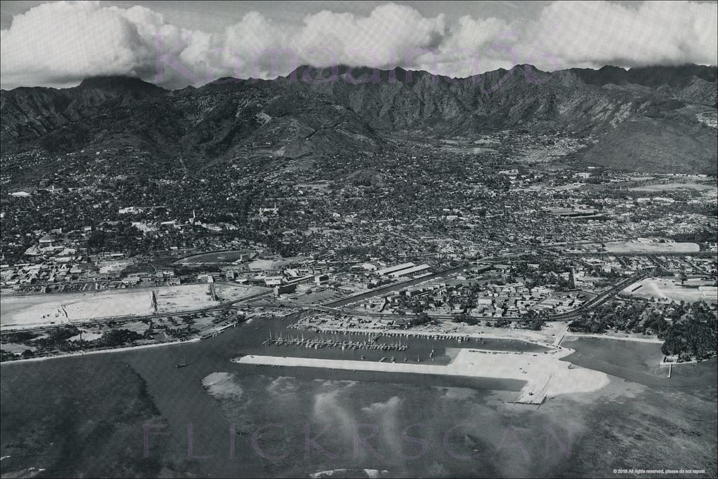
#73 Detailed airplane view of what would become Ala Wai Harbor, before the breakwater and boat slips were built in the early 1950s.
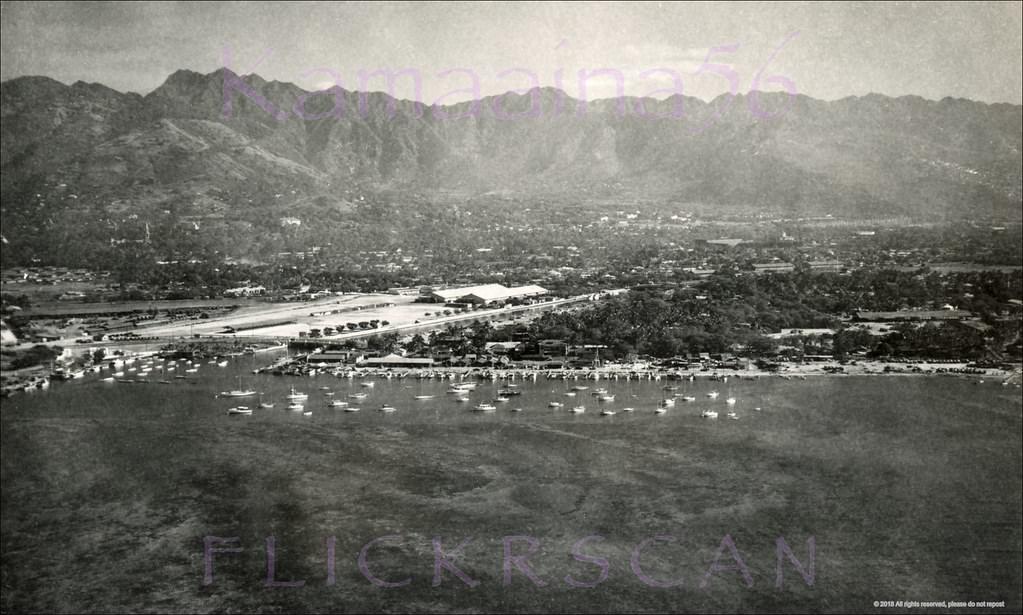
#74 Nice sharp water view looking Diamond Head at the yacht anchorage on south shore Oahu, before the Ala Wai Yacht Harbor was built 1952.
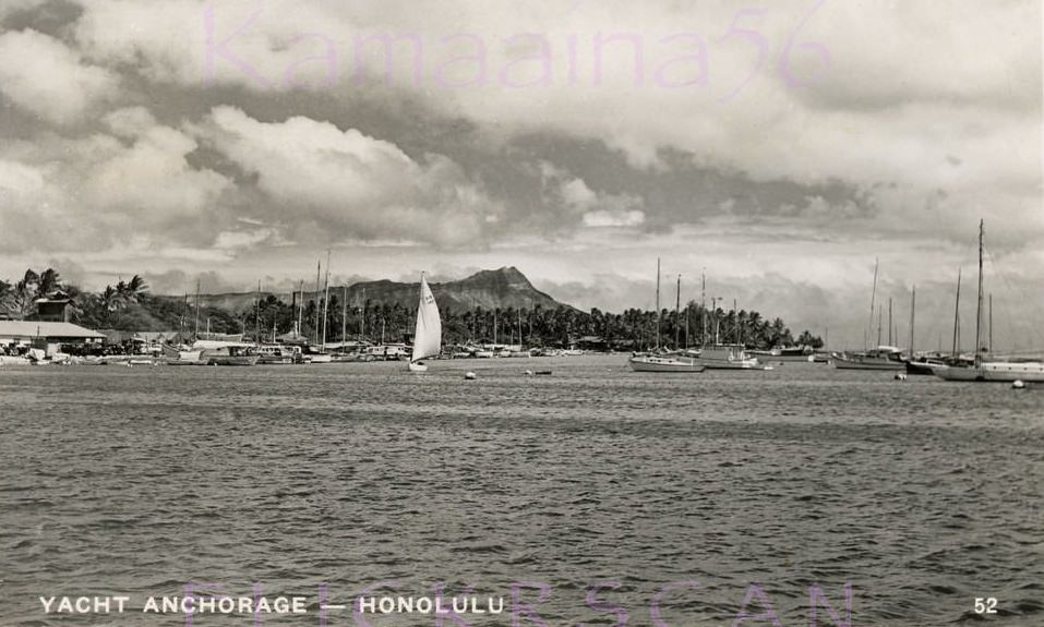
#75 Ala Wai Yacht Harbor viewed from the neighboring Waikiki Yacht Club in Ala Moana Park, 1950s
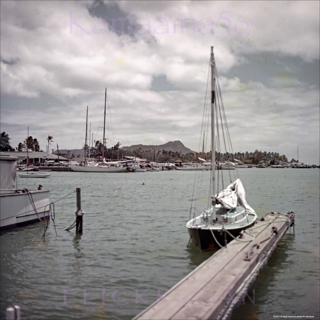
#76 Looking east from Ala Moana Park towards Ala Wai Yacht Harbor on Oahu’s south shore, 1950s
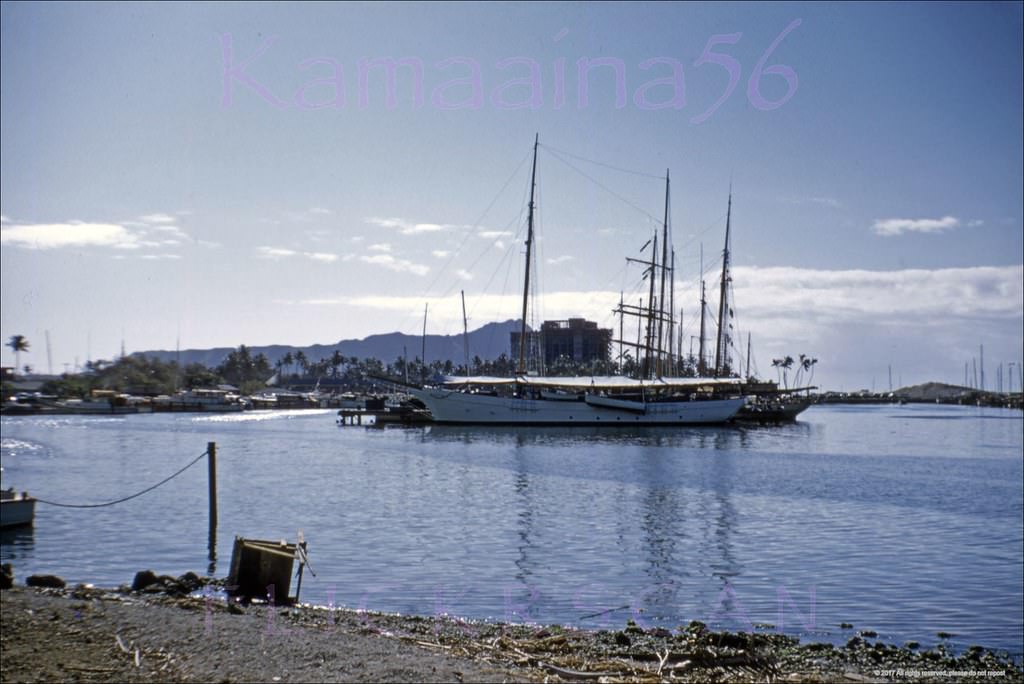
#77 Small boat harbor between Waikiki and Honolulu, 1955
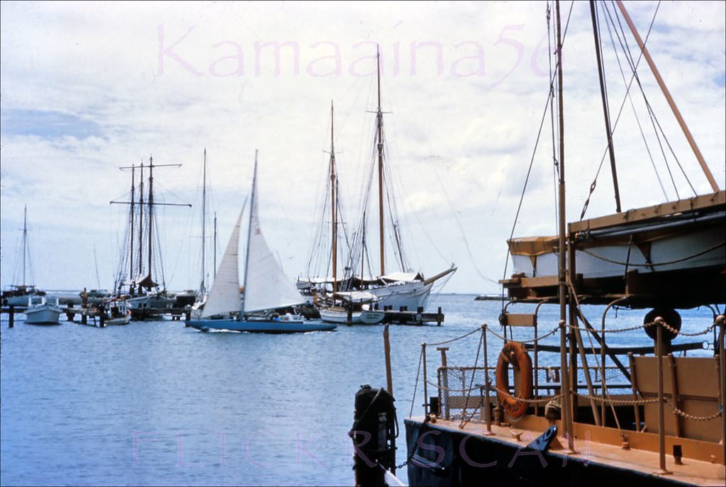
#78 View from Ala Moana Park of Ala Wai Yacht harbor on south shore Oahu, 1955
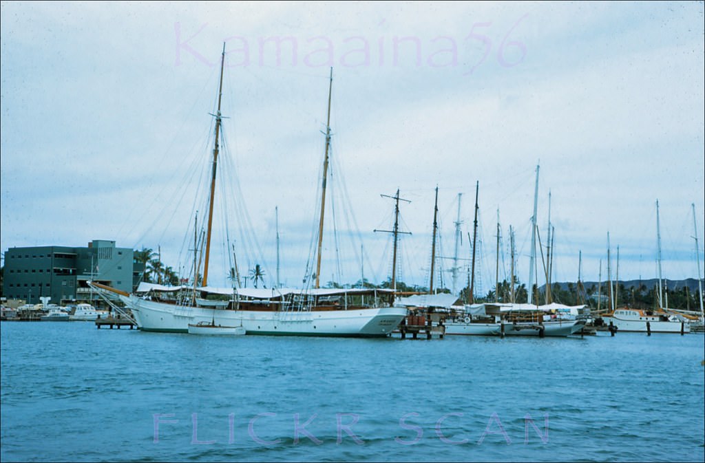
#79 The Hawaiian Village Hotel’s “Kaiser Pink” catamaran Ale Ale Kai III moored at neighboring Ala Way Harbor, 1950s
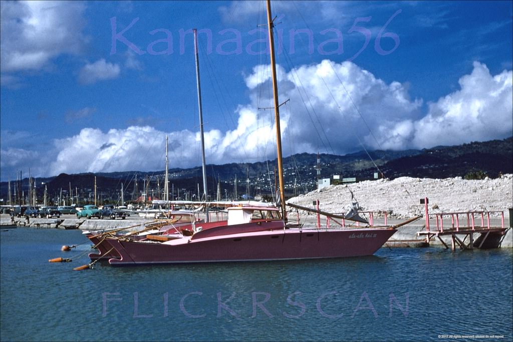
#80 Catamaran Ale Ale Kai V, 1958
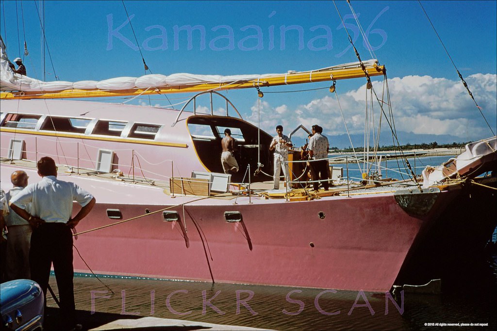
One of industrialist Henry J. Kaiser's “Kaiser Pink” Ale Ale Kai catamarans. Moored here at Ala Wai Harbor with Ala Moana Park in the distance. The boar's superstructure was extensively modified after this photo was taken to enlarge the cabin and add an upper level wheelhouse. Built 1957, demolished 2018.
#81 View from the end of the dock at Ala Wai Harbor, 1950s
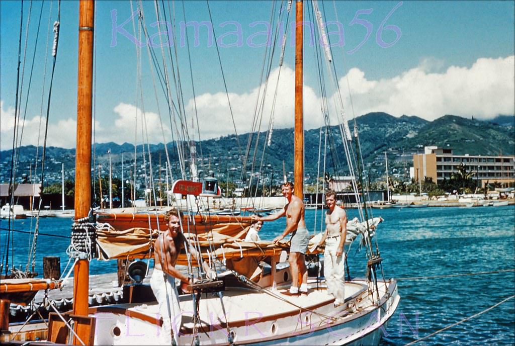
#82 Looking inland at Ala Wai Yacht Harbor on the south shore of Oahu, 1957
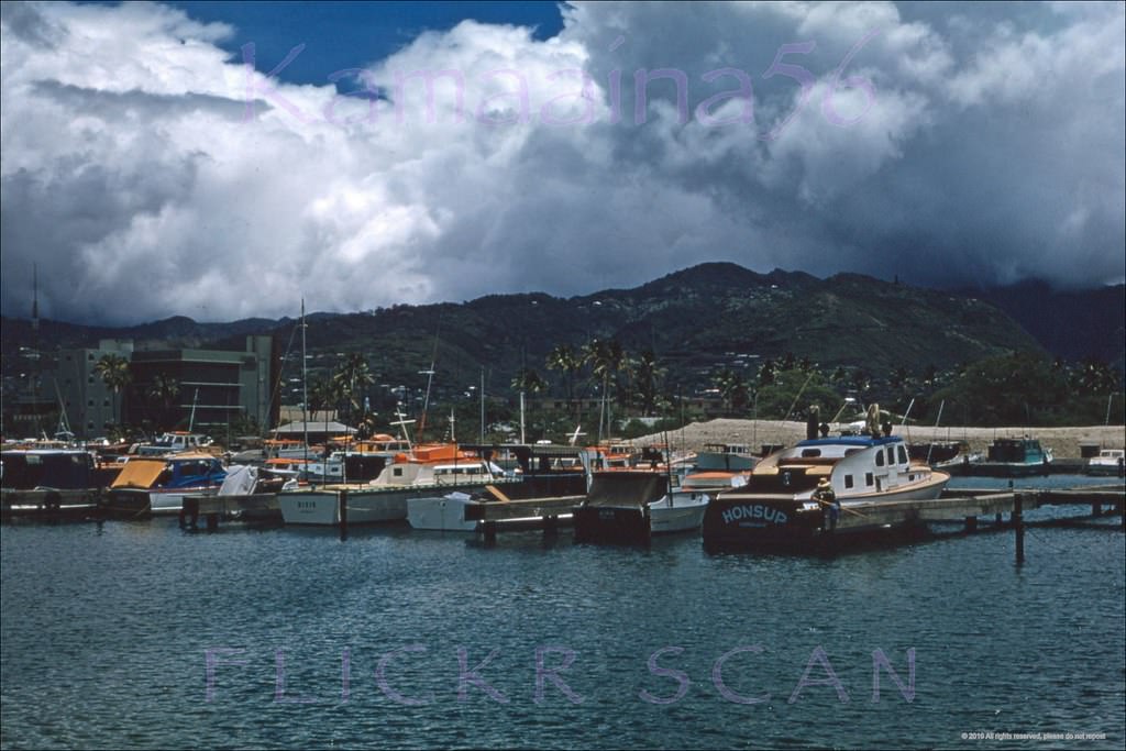
#83 Beautifully sharp pre-Ilikai view of Ala Wai Yacht Harbor. T.H. era Hawaii, 1959
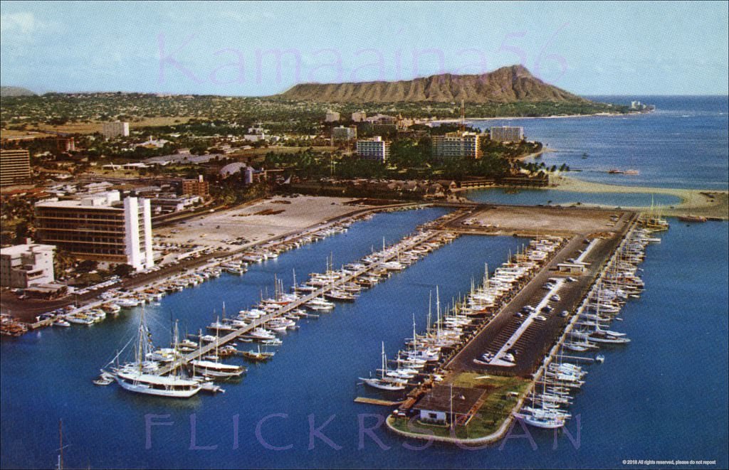
#84 Aerial view from above Ala Moana Park looking Diamond Head, 1959.
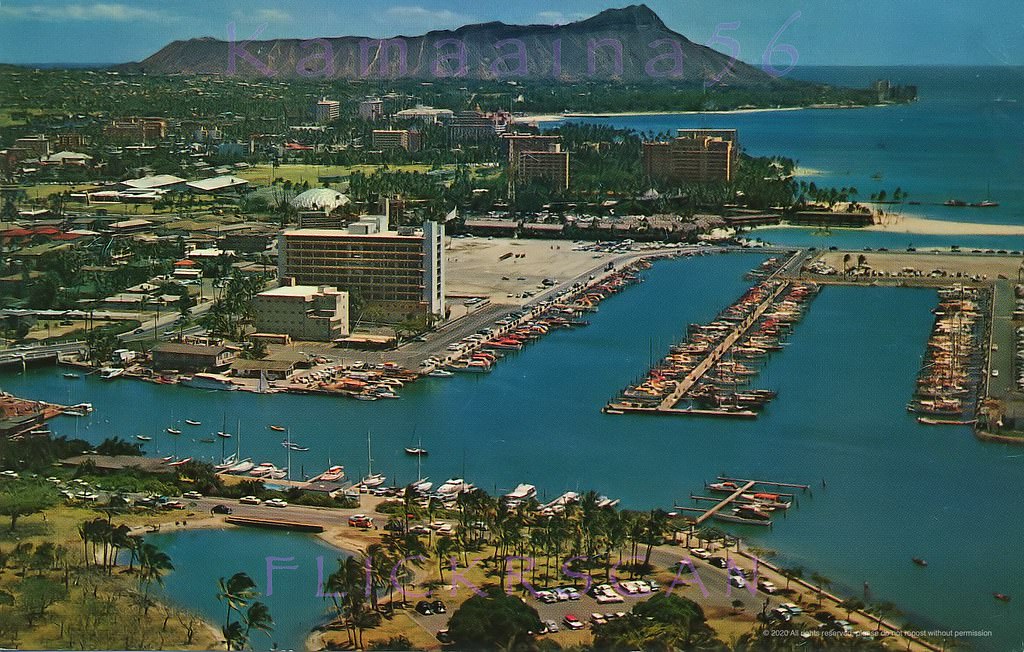
#85 The man-made Ala Wai waterfront in its early days, 1950s.
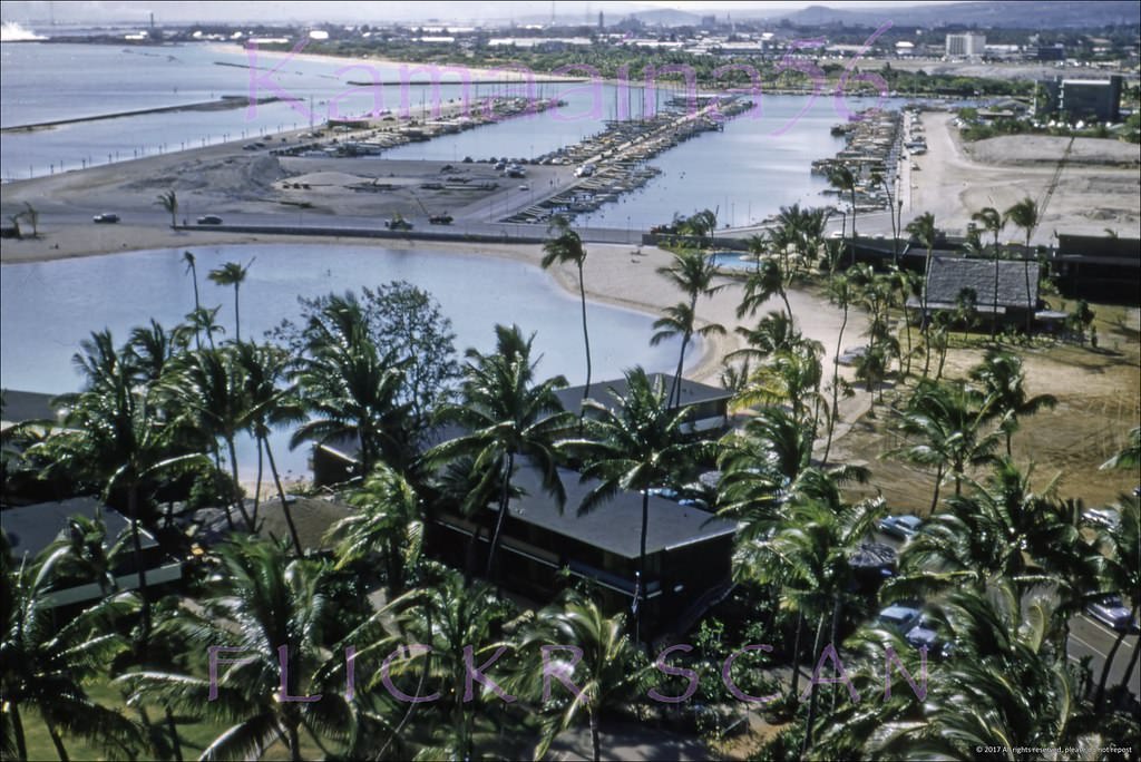
#86 Hawaiian Village Ala Wai Ewa, 1958
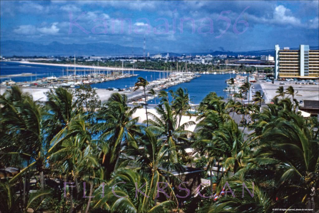
#87 Ala Moana Beach Offshore, 1958
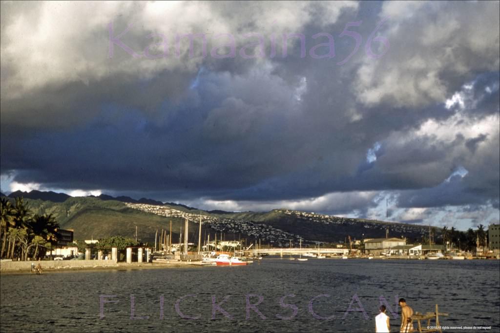
#88 Ala Wai Harbor Ala Moana, 1950s
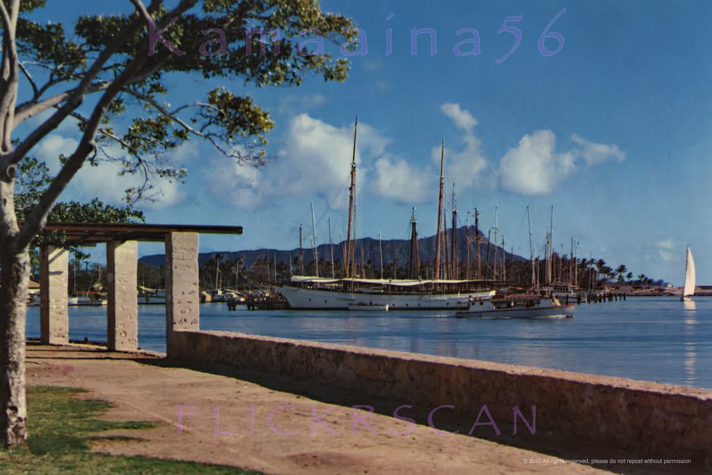
#89 Looking east from the park towards Ala Wai Harbor and Diamond Head. Not much of a beach yet and Magic Island was a decade away, 1950s
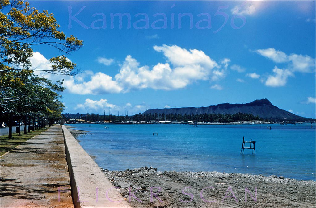
#90 Ala Moana Beach Park Sand, 1950s
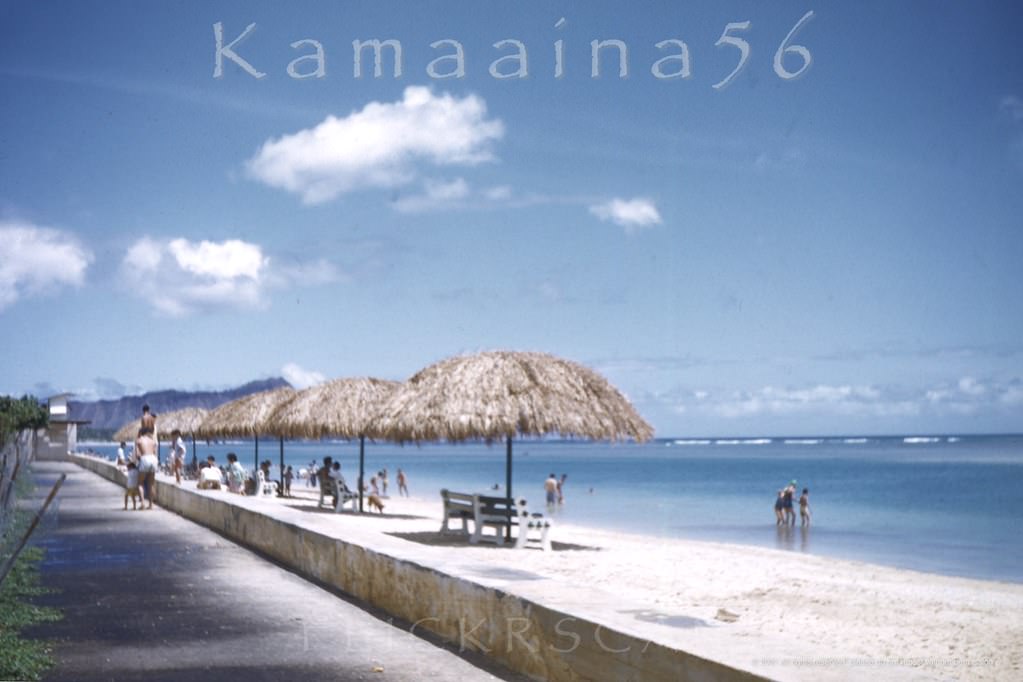
#91 The sampan deep sea fishing fleet in Honolulu’s Kewalo Basin, 1950s
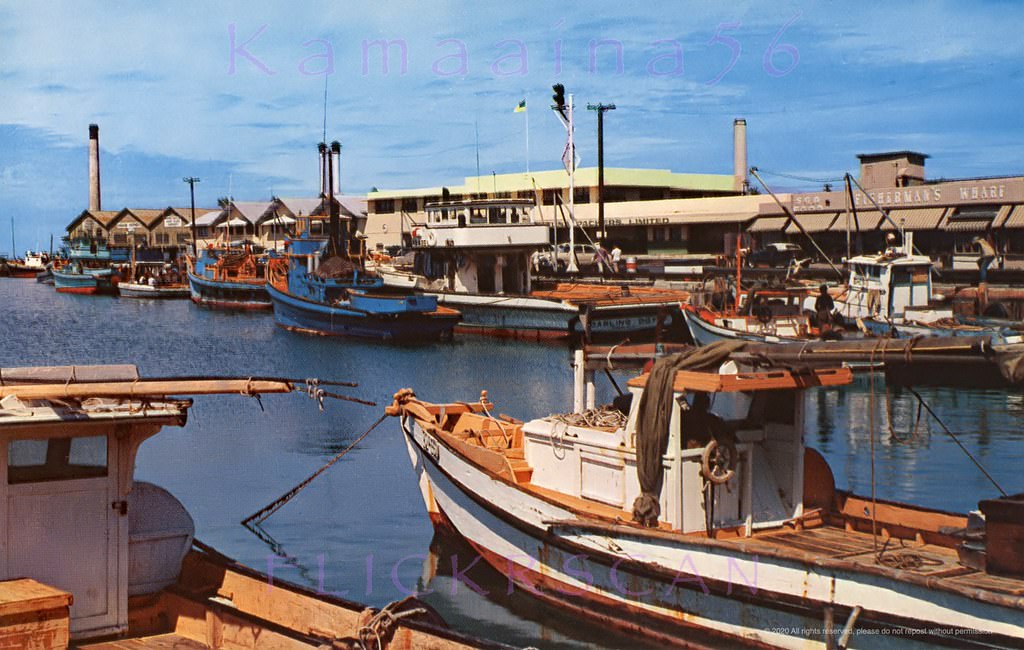
#92 Kewalo Sampans Mauka, 1955
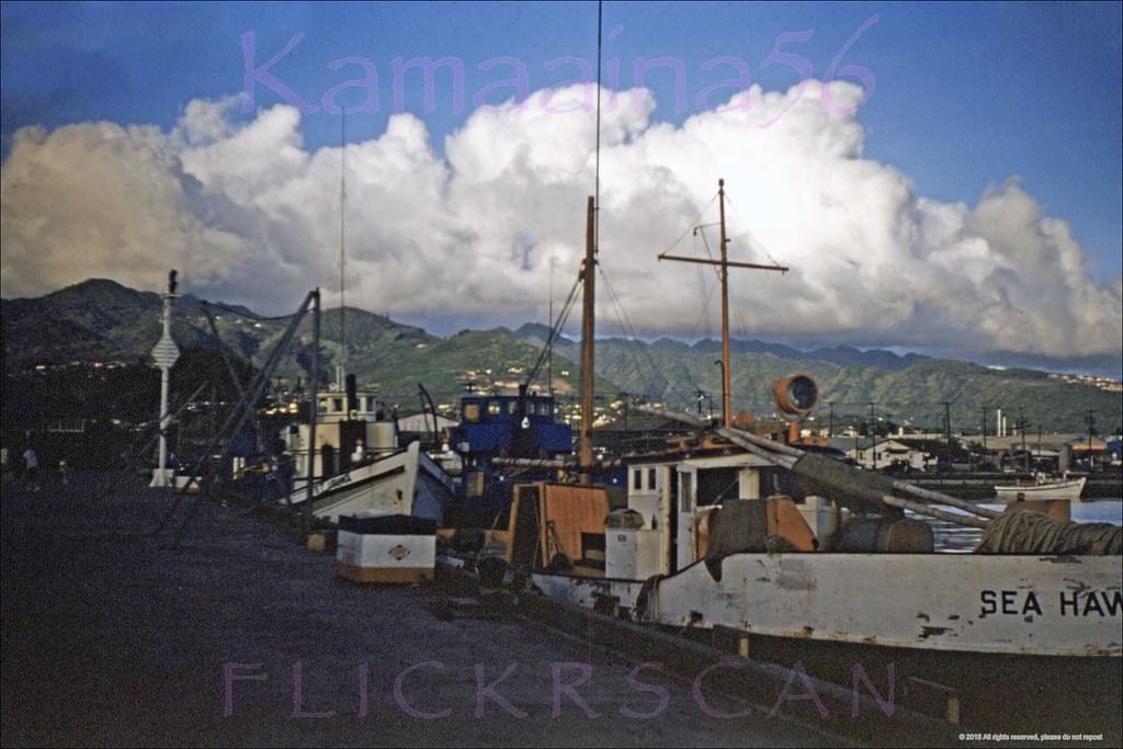
#93 Holokahana Kewalo Basin, 1955
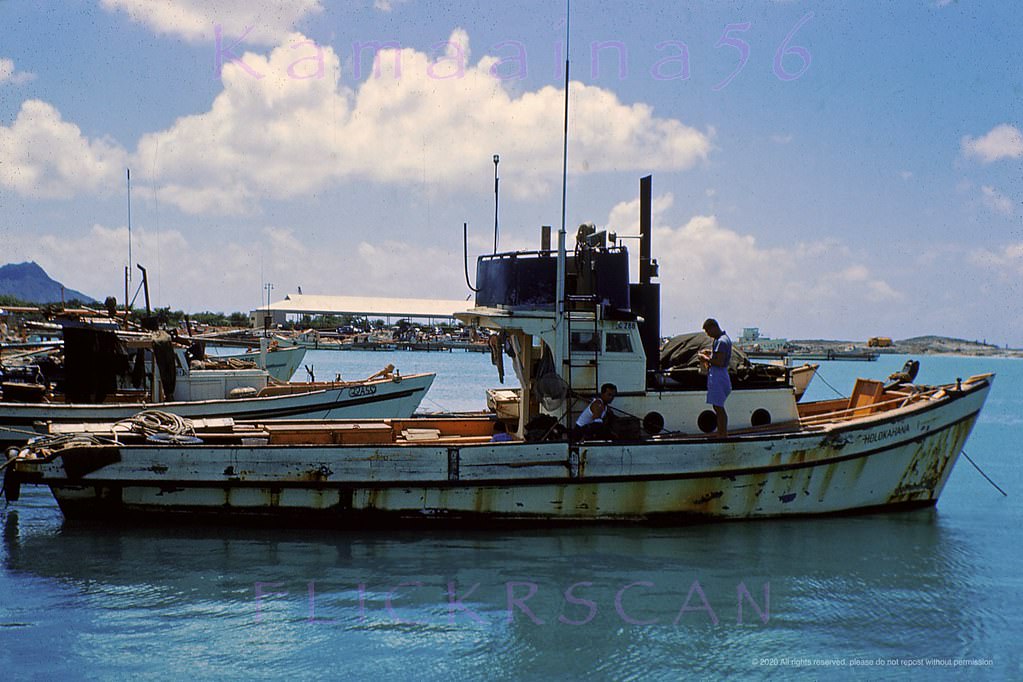
#94 Looking east towards Waikiki’s Diamond Head from Fisherman’s Wharf at Kewalo Basin on south shore Oahu, 1955
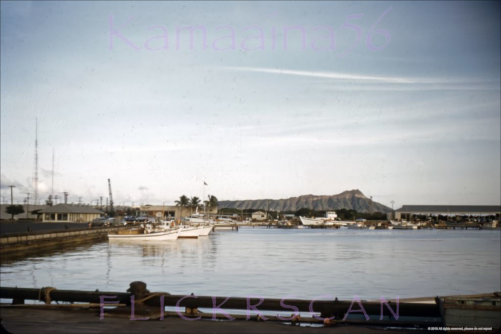
#95 Kewalo Basin Diamond Head, 1950s
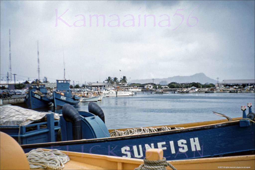
#96 Trans-pacific racing boats at the Diamond Head side of Kewalo Basin, 1950s
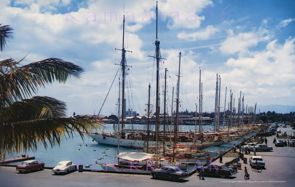
#97 Kewalo Offshore Honolulu, 1959
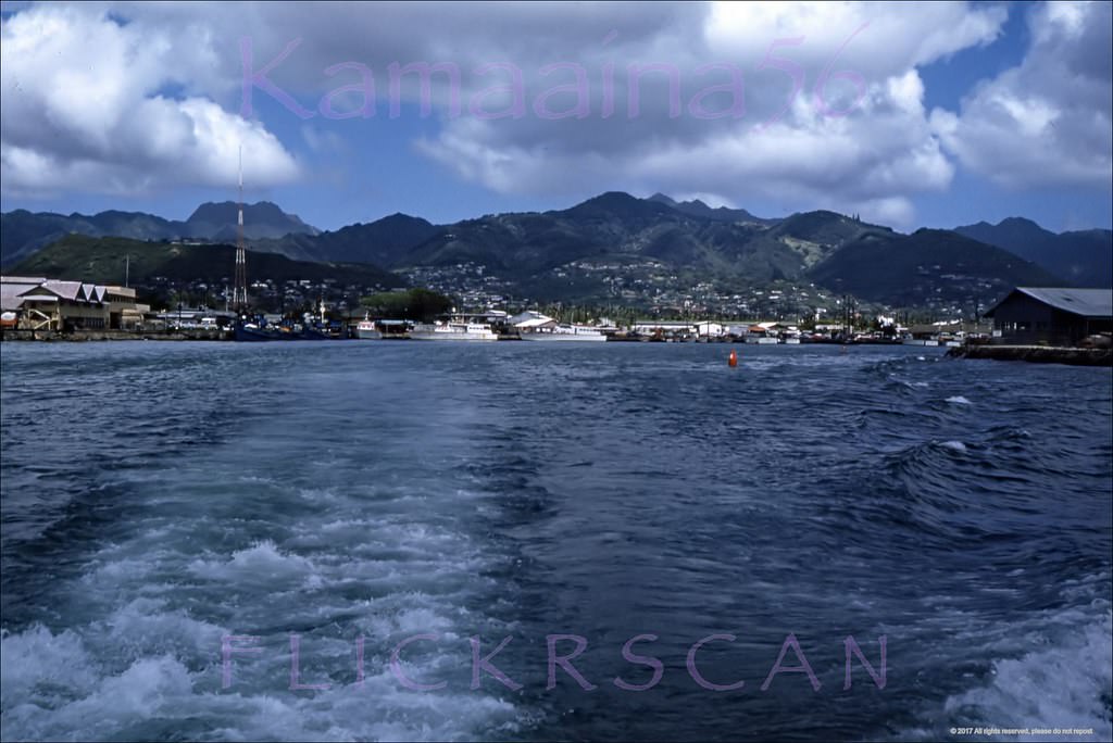
#98 Catamaran Offshore Kewalo, 1959
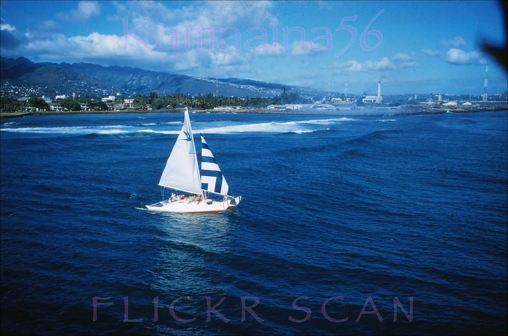
#99 Kewalo Offshore Panorama, 1953
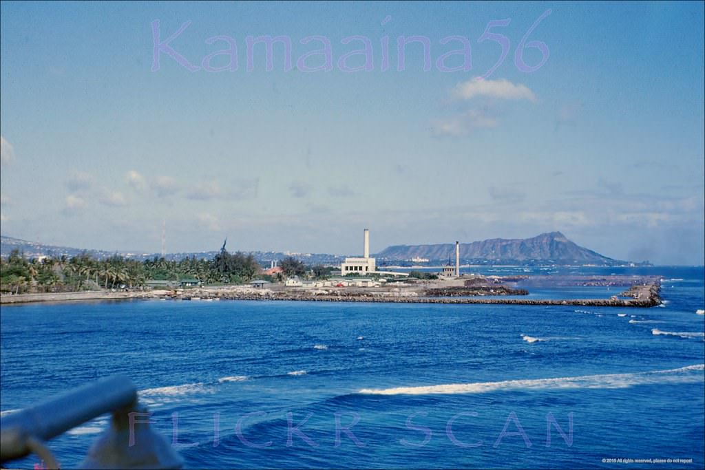
#100 Ft Armstrong Kakaako, 1955
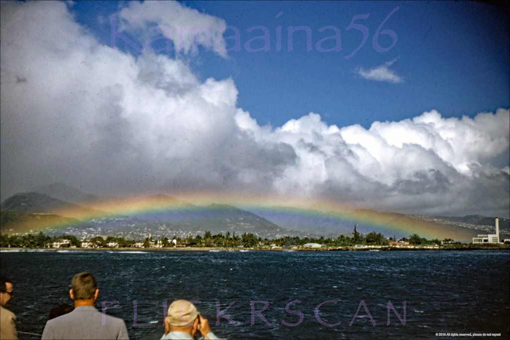
#101 Ft Armstrong Honolulu Harbor, 1955
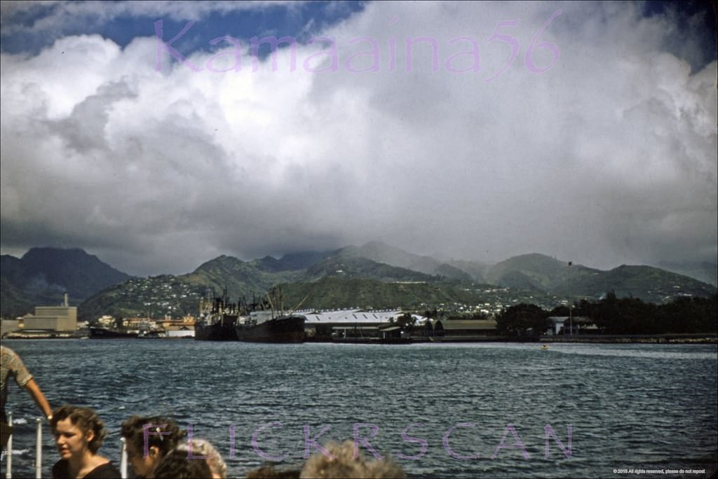
#102 Matson Freighter Honolulu, 1958
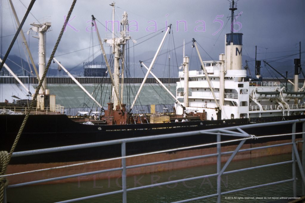
#103 Almirante Saldanha in Harbor, 1952
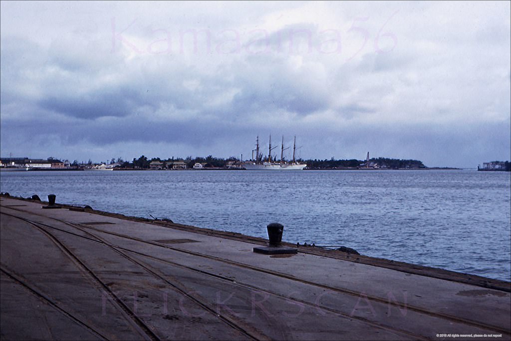
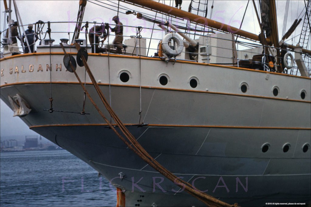
#104 Almirante Saldanha Honolulu, 1952
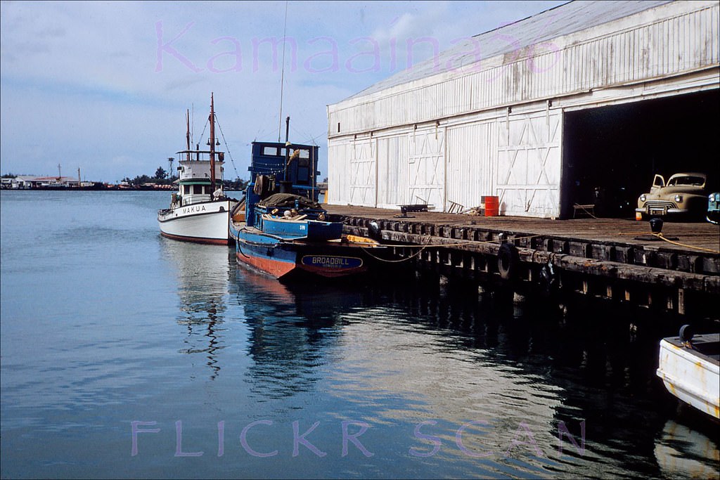
#105 Fishing boats Makua and Broadbill moored at Honolulu Harbor with Sand Island in the background, 1951
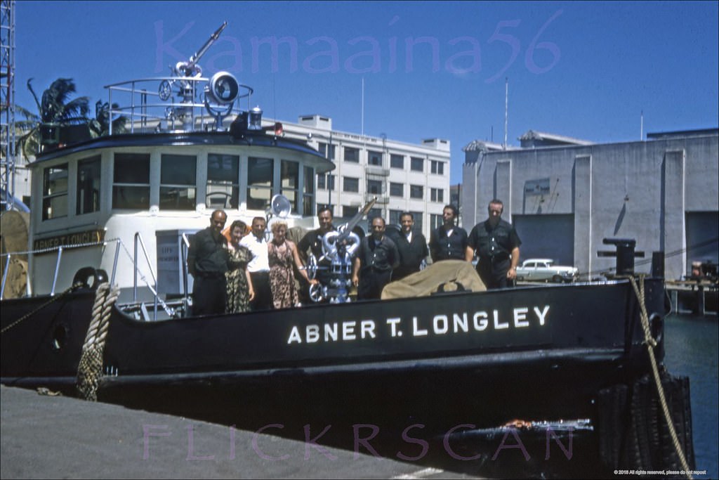
#106 Fireboat Honolulu Harbor, 1950s
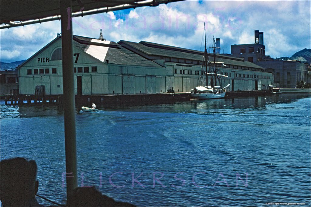
#107 Pier 7 Honolulu Harbor, 1957
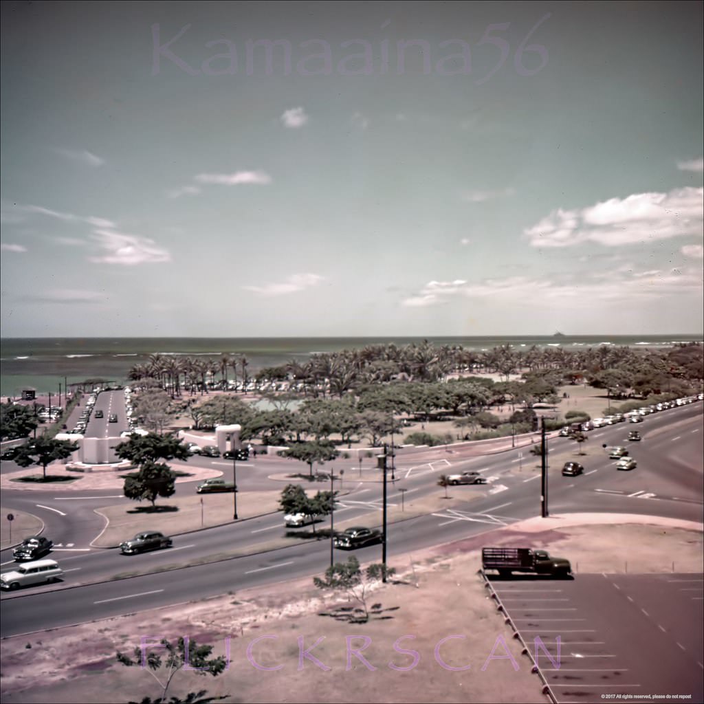
#108 Nice birdseye view of the intersection of Ala Moana Blvd and Atkinson Drive on Oahu’s south shore, 1950s
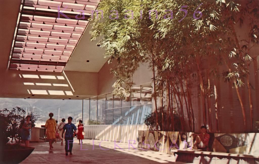
#109 Looking mauka (inland) from the Ewa end of the Mall Level with Sears at left (out of frame) and Longs Drugs at right, 1950s
#110 Christmas Parade Ala Moana, 1959.
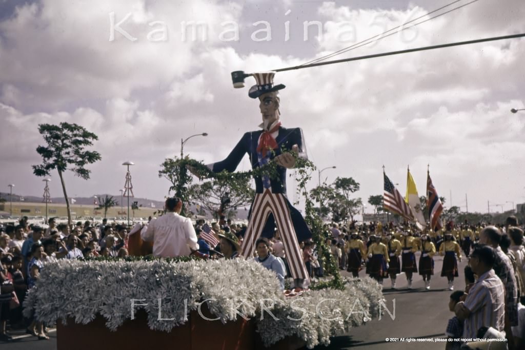
#111 Long time Honolulu businessman and Republican Senator Hiram L. Fong (1906-2004) in a Christmas parade with Ala Moana Center in the background, 1959
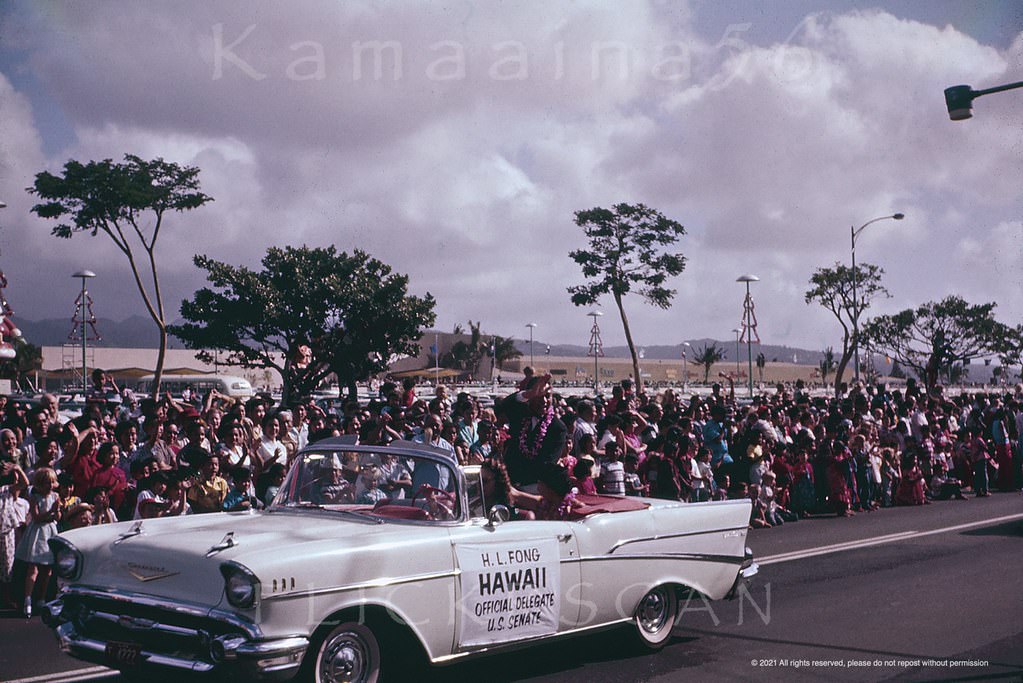
#112 Christmas Crowd Ala Moana, 1959
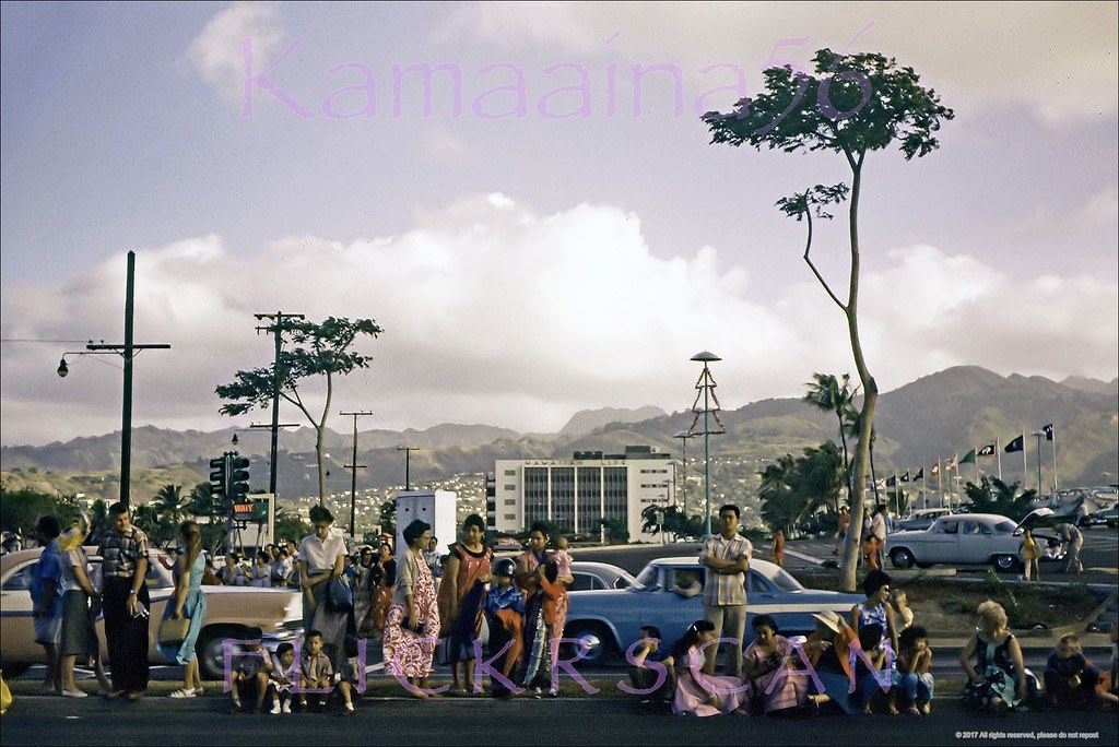
#113 Ala Moana Park Entrance, 1950s
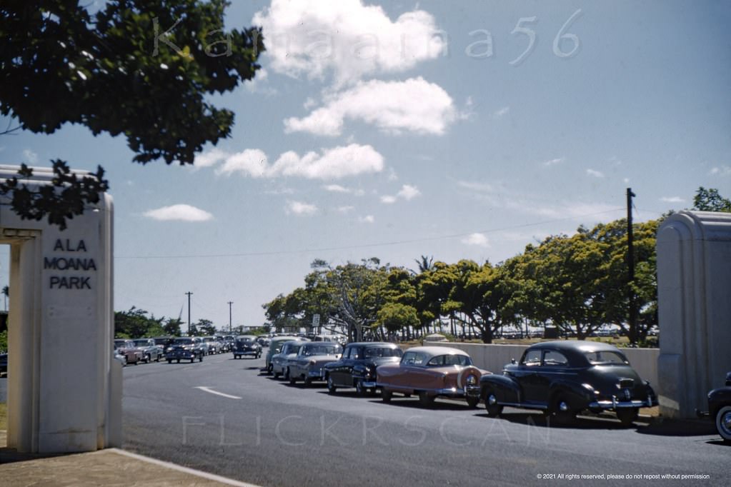
#114 Chysler Plymouth Atkinson, 1950s.
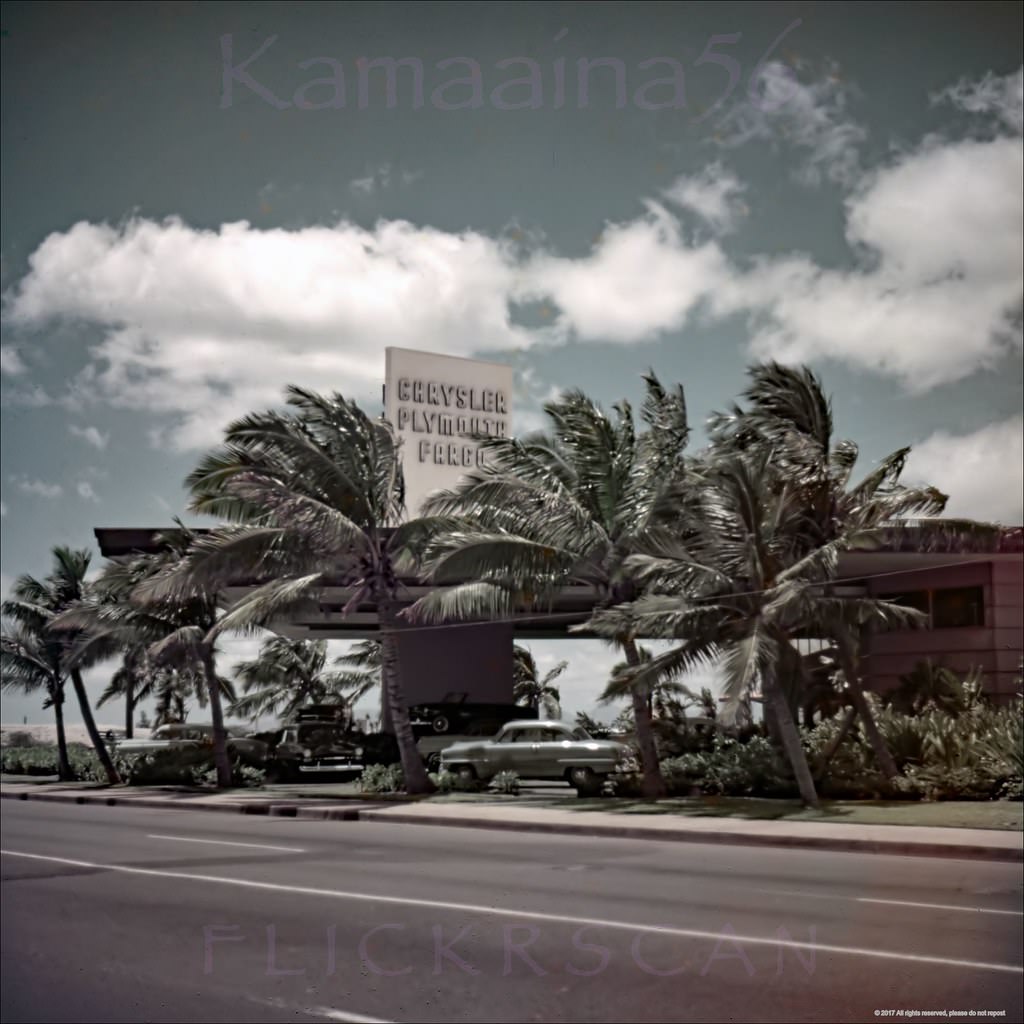
#115 Kapiolani Drive-In Honolulu, 1950s
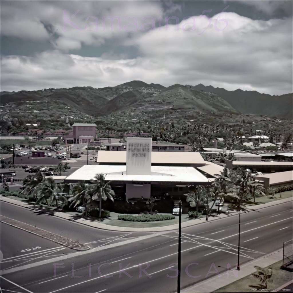
The 1949 Kapiolani Drive-In Theater on Makaloa Street at Kaheka, just off Kapiolani Blvd., behind and left of the Chrysler Plymouth Fargo dealer in the foreground. View is looking mauka from an upper floor at the 1951 Honolulu Central Branch YMCA on Atkinson Drive at Mahukona Street.
#116 Old Plantation Ward Estate, 1958
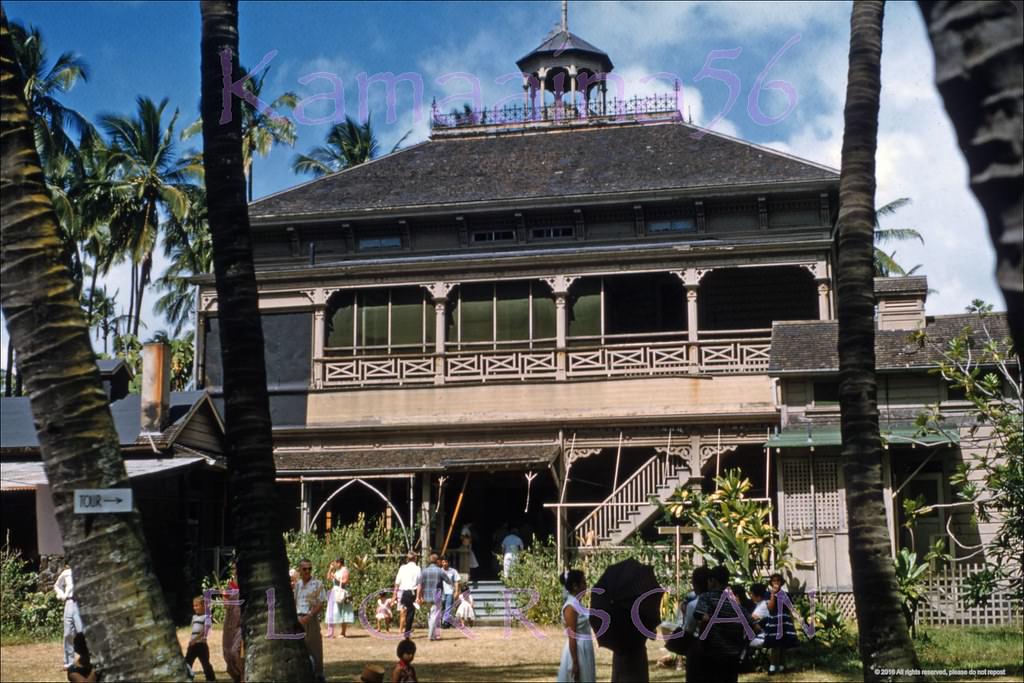
#117 The Ward Estate’s “Old Plantation” mansion on Ward Avenue between South King Street and Kapiolani Blvd, 1958.
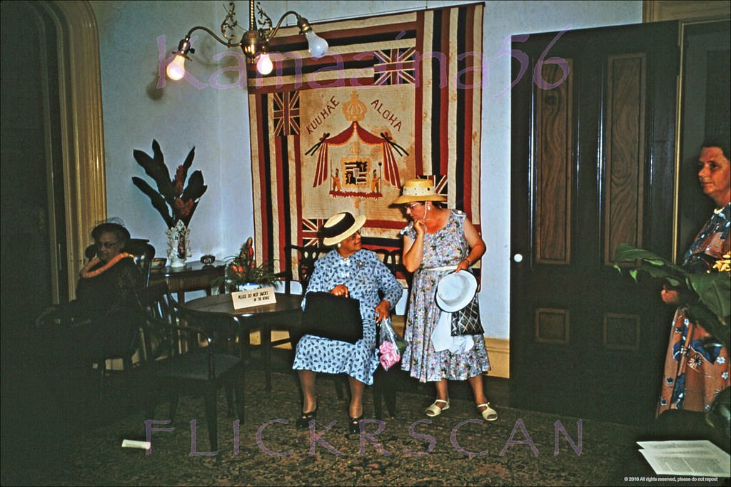
#118 The Ward Estate’s “Old Plantation” mansion on Ward Avenue between South King Street and Kapiolani Blvd, 1958
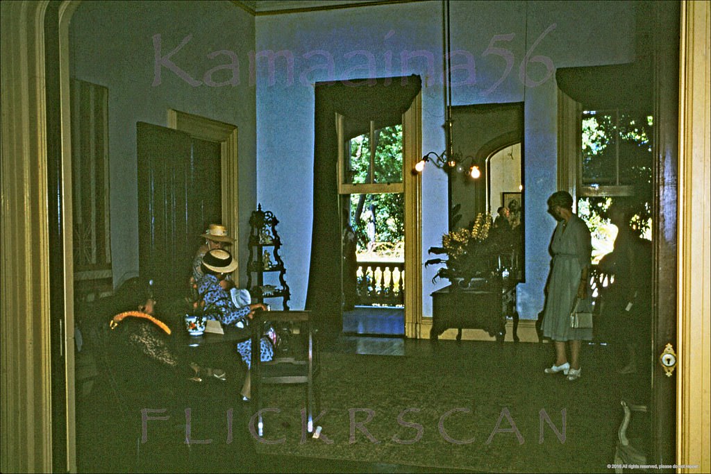
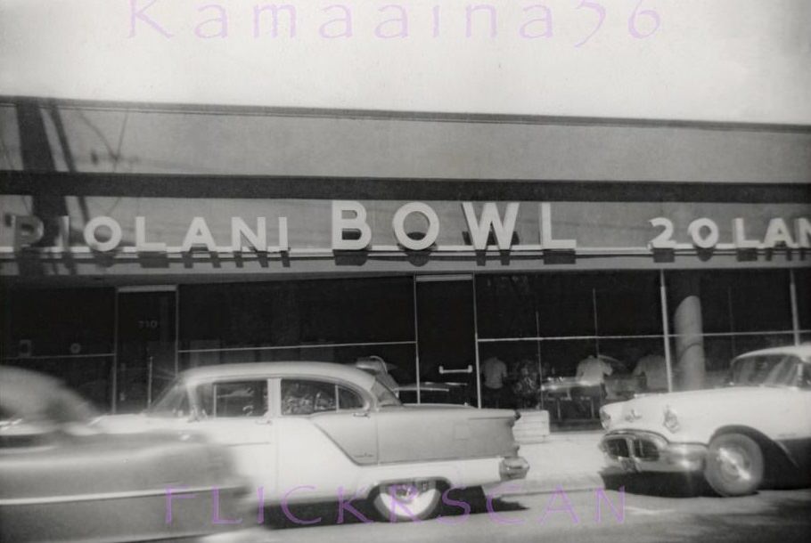
#119 Kapiolani Bowl 20 Lanes, 1958.
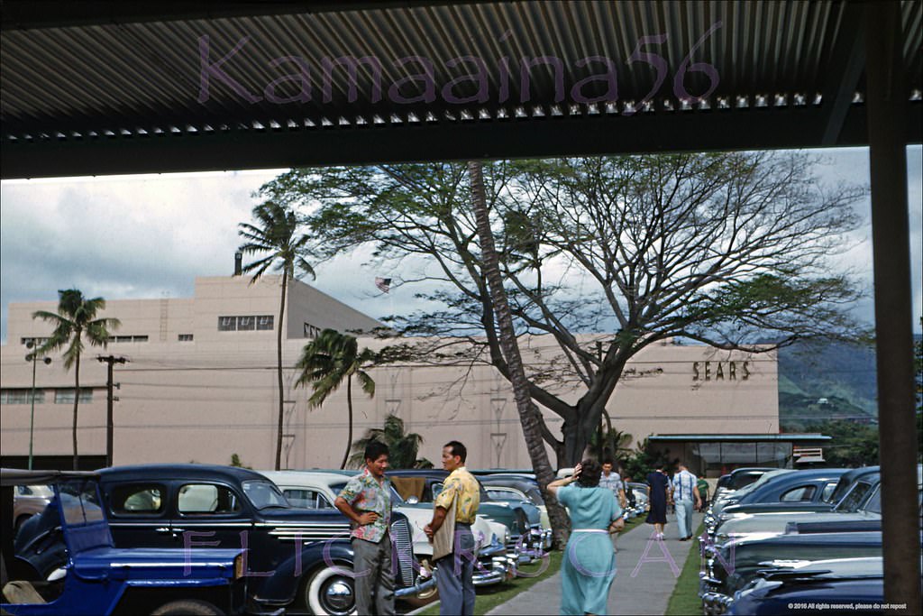
#120 Sears Beretania Honolulu, 1952
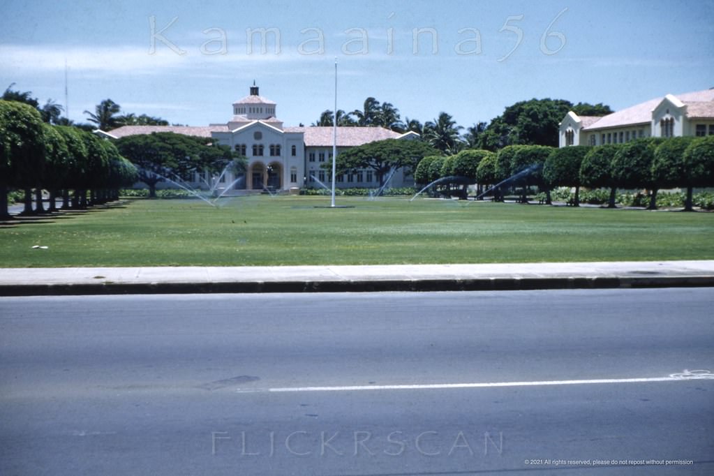
#121 McKinley HS Honolulu early 1950s.
#122 Dole Pineapple Tower, 1950s.
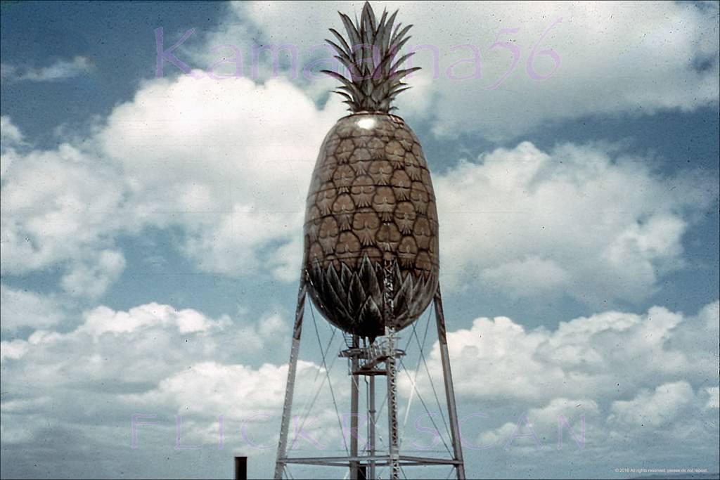
#123 Hawaiian Pineapple Honolulu, 1957.
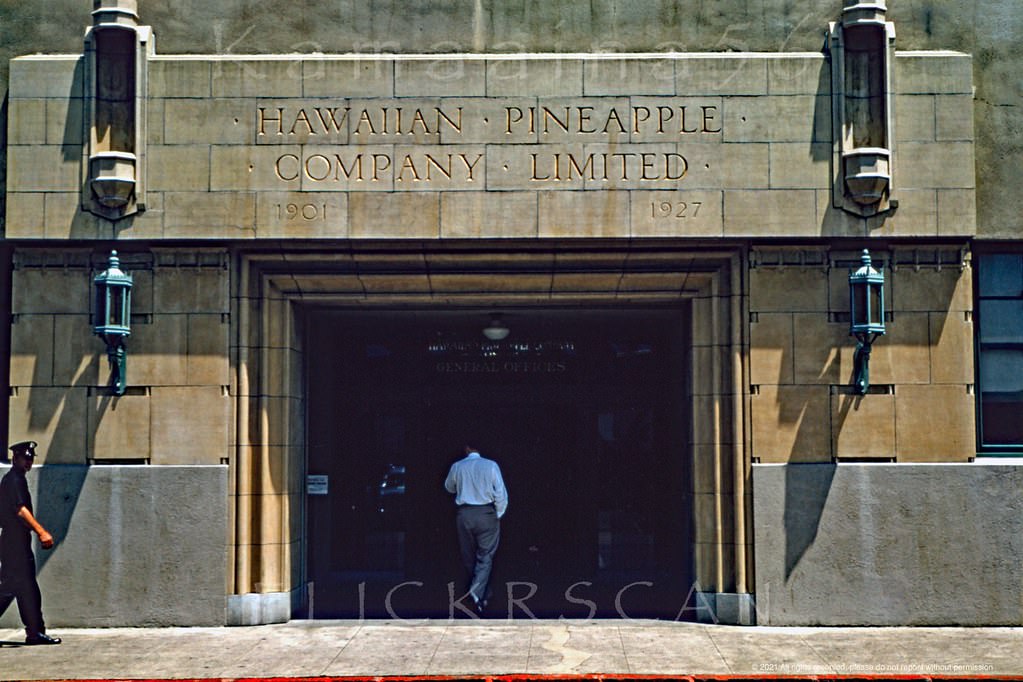
#124 Hawaiian Pineapple Company, 1951
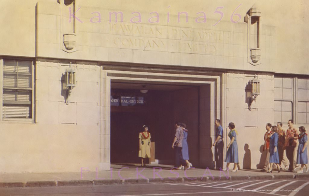
#125 Hawaiian Pineapple Lobby, 1951.
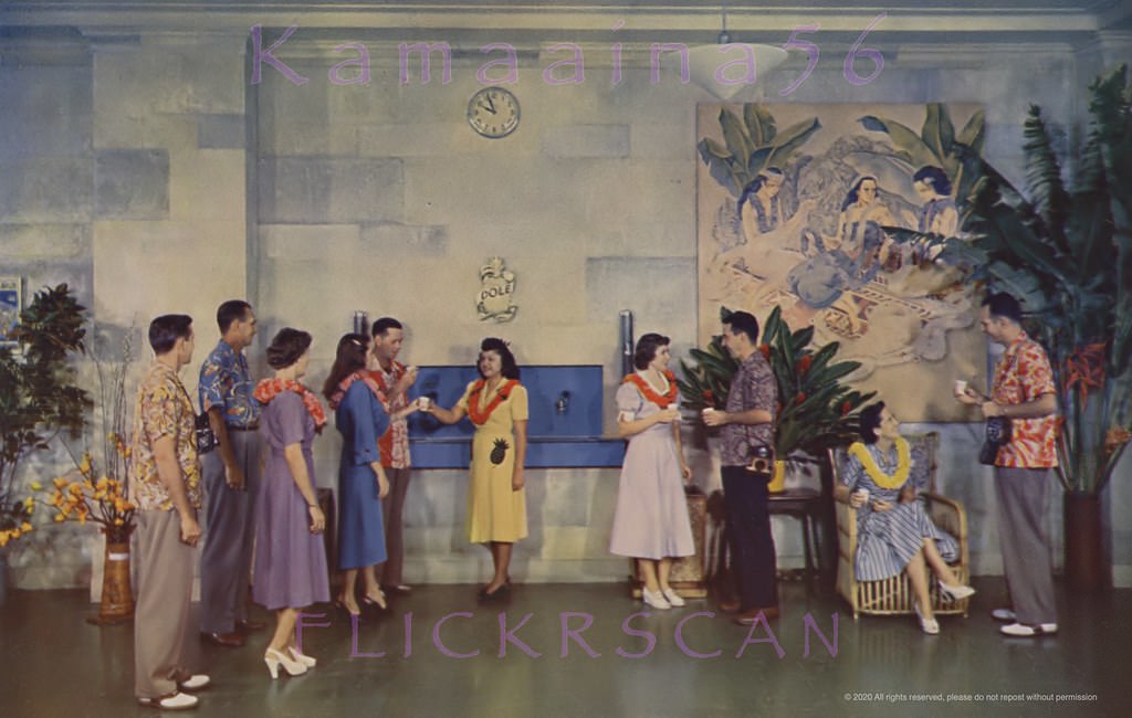
#126 Dole Cannery Iwilei Honolulu, 1955.
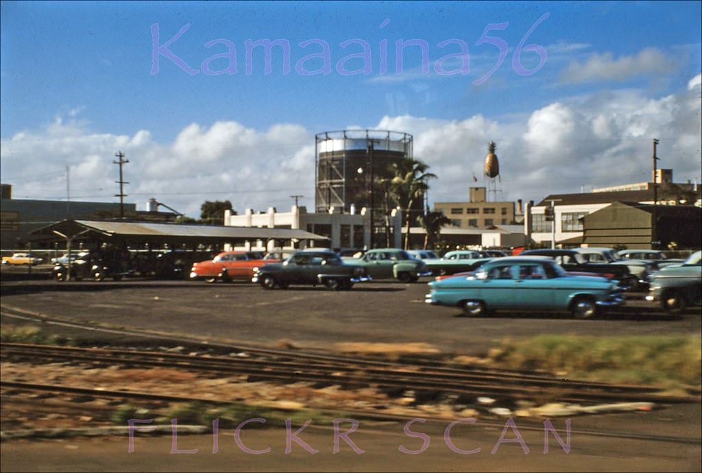
#127 Kamehameha Hwy Mauka, 1950s.
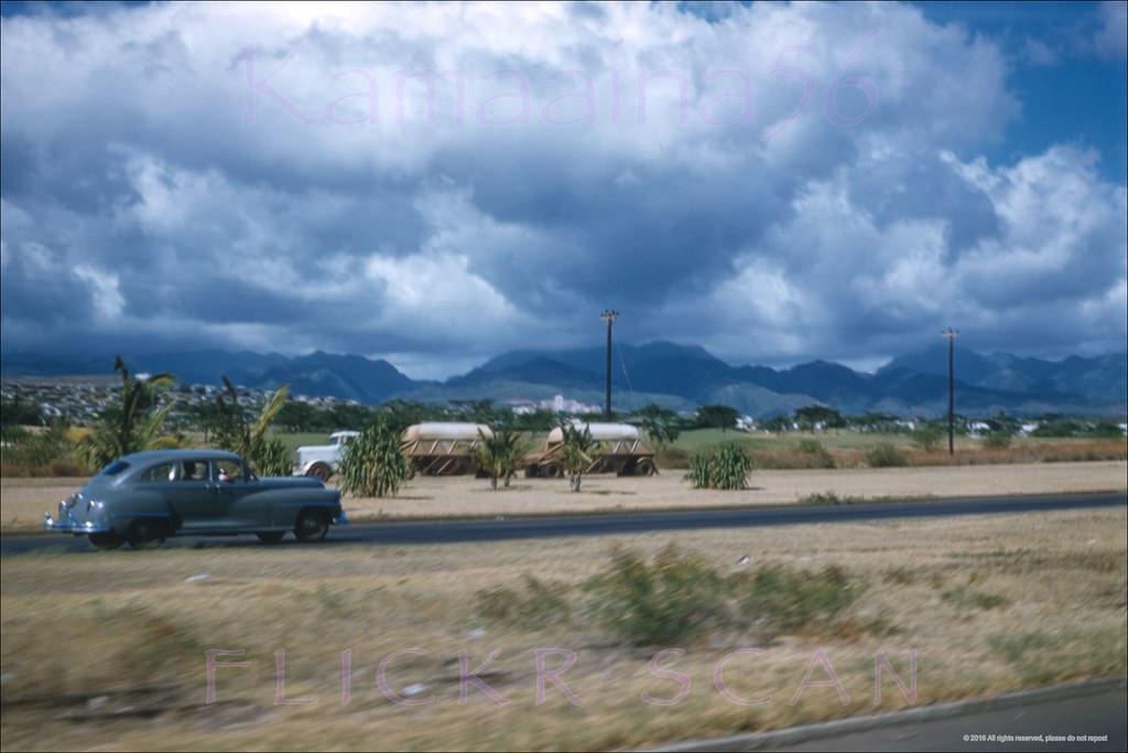
#128 Nimitz Hwy Dole Tower, 1950s.
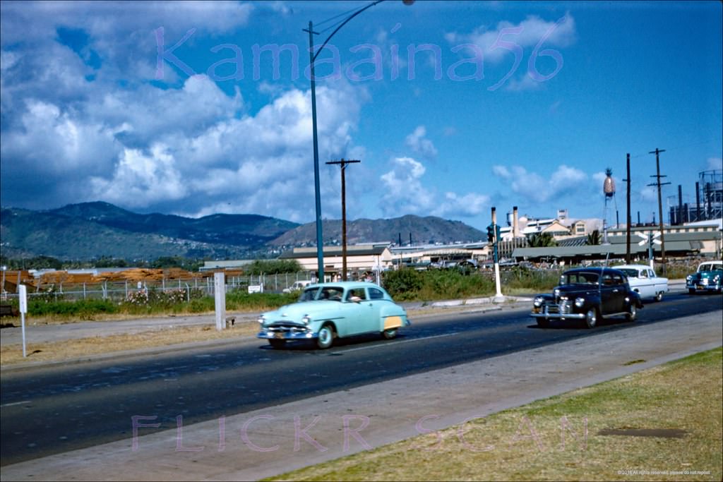
#129 Nimitz Highway Iwilei, 1958.
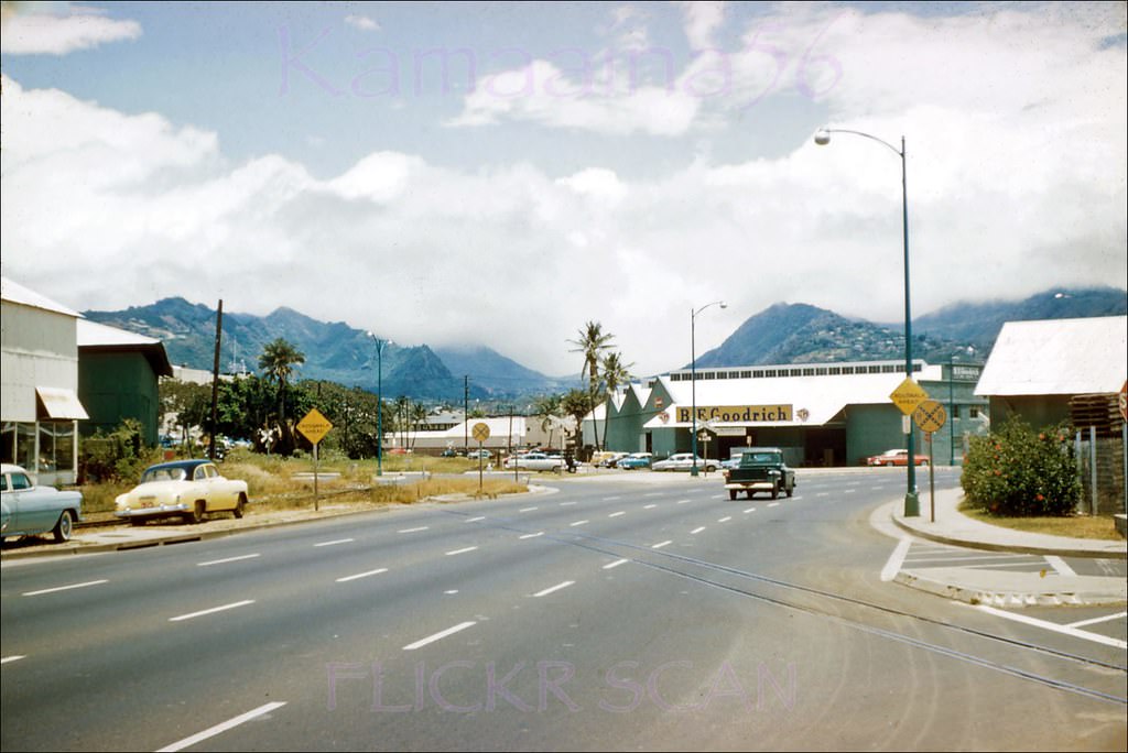
#130 Nimitz Hwy Honolulu Harbor, 1950s.
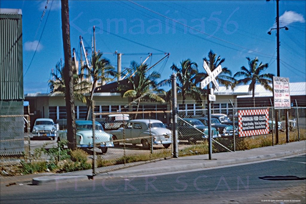
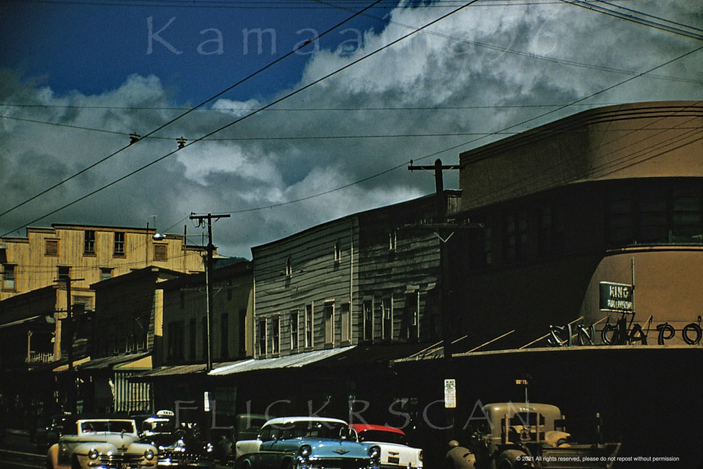
#131 North King at Aala Honolulu, 1953
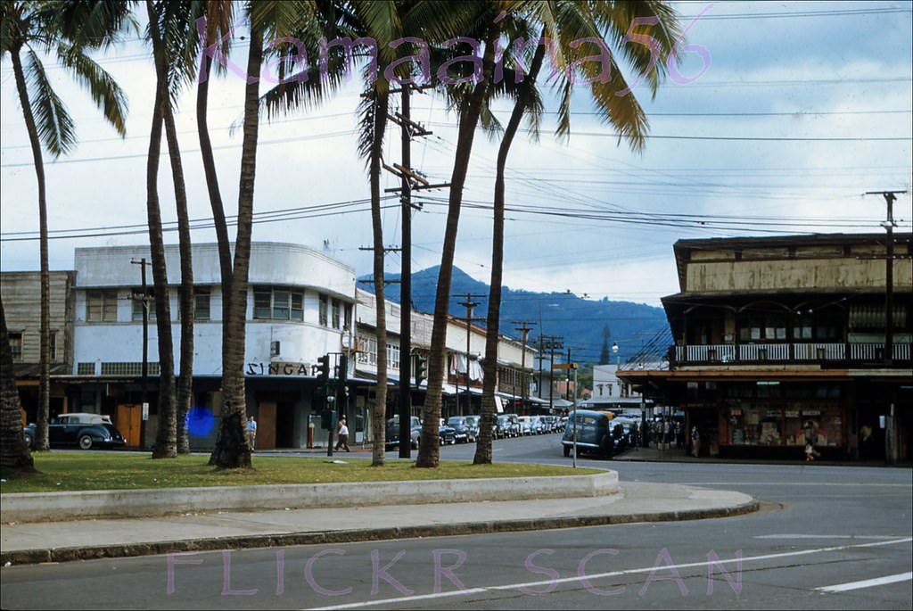
#132 Aala Triangle Old Honolulu, 1956
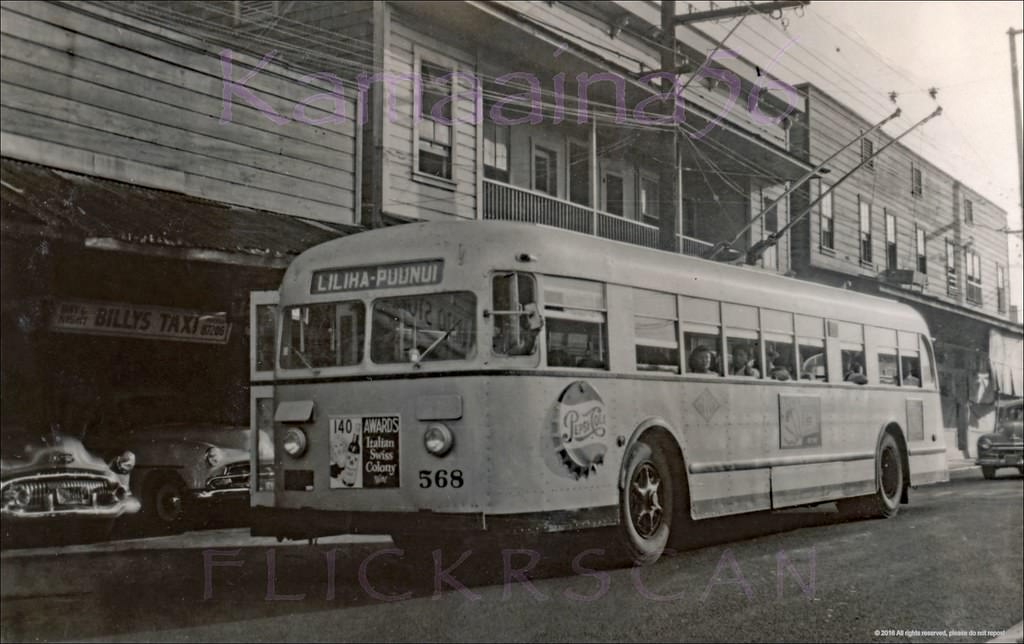
#133 Liliha-Puunui Bus Honolulu, 1950s.
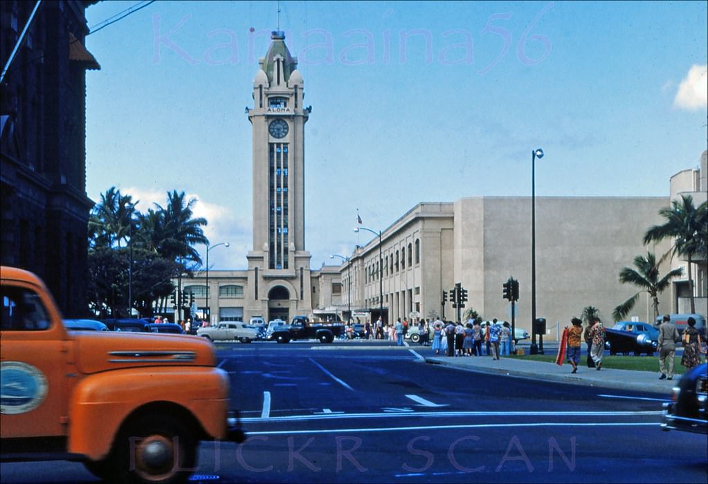
#134 Aloha Tower from Queen Street, 1953
#135 Looking along the eastbound lanes of Ala Moana Blvd. at Honolulu Harbor, 1953.
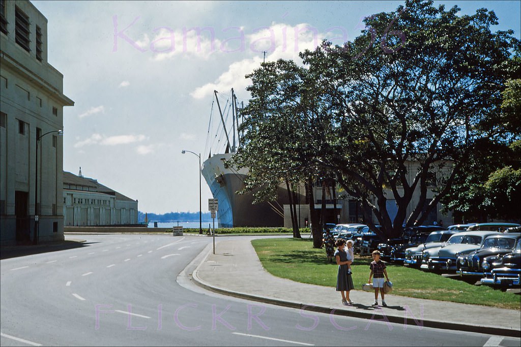
#136 Kind of a random snap looking south along Bishop Street (far left foreground) towards Honolulu Harbor, 1956
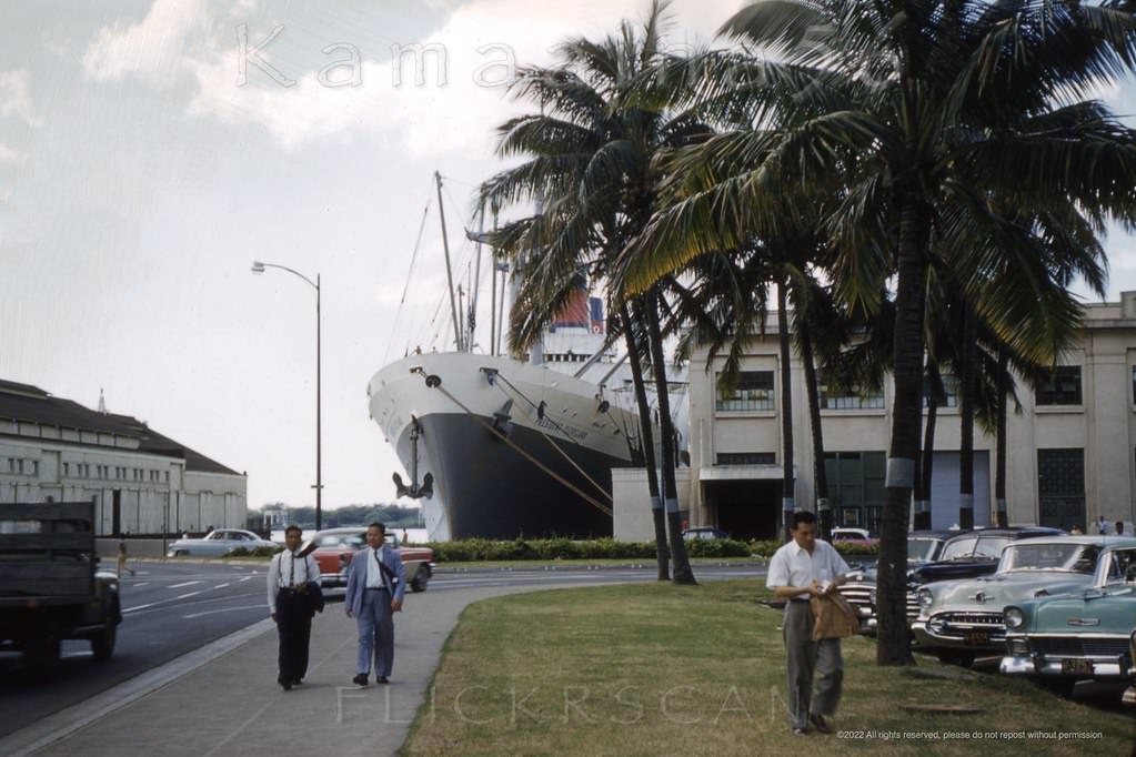
#137 Looking towards Honolulu Harbor along Fort Street from the Queen Street intersection, 1953
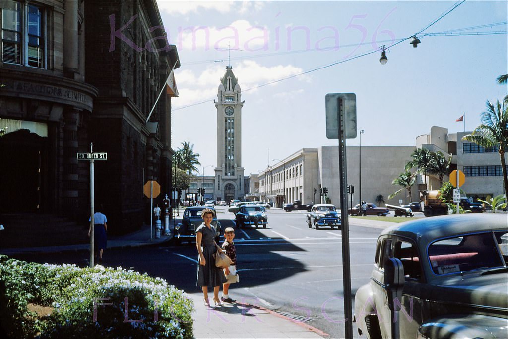
#138 Walker Park Fort St Honolulu, 1953.
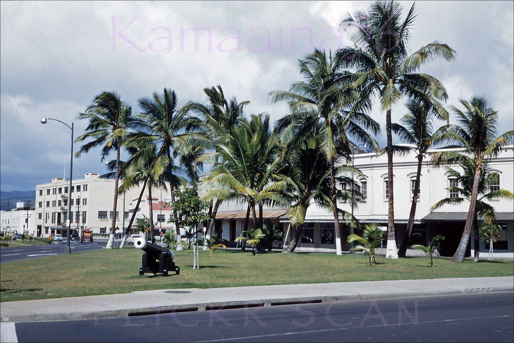
#139 Walker Park Honolulu Harbor, 1950s.
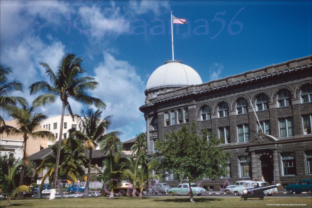
#140 Nimitz Hwy Amfac Honolulu, 1953.
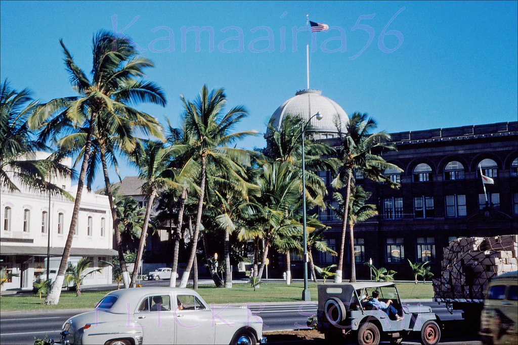
#141 Lei Seller Chinatown Honolulu, 1957.
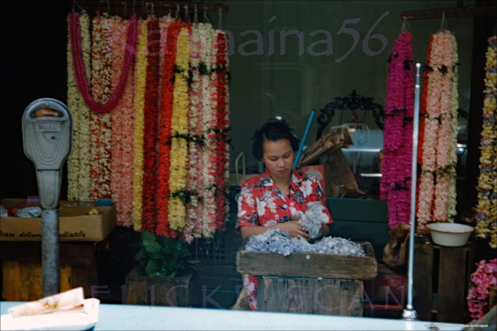
#142 Slightly shaky but nicely detailed airplane view of the west side of Honolulu Harbor looking mauka (inland) from above Sand Island, 1950s
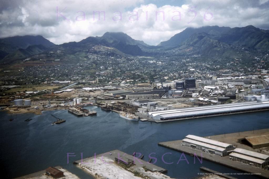
#143 View of the west side of Honolulu Harbor, probably taken from the Aloha Tower observation deck, 1950s
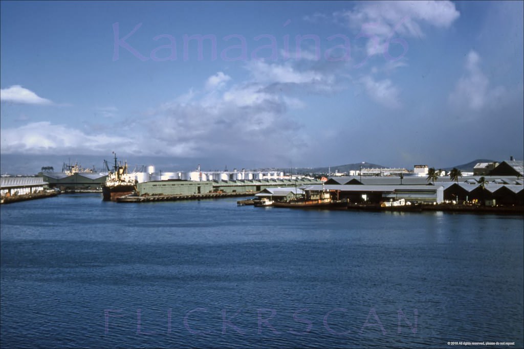
#144 Birdseye view of Honolulu Harbor and Sand Island looking west from the observation deck of the 10-story 1926 Aloha Tower, 1950s
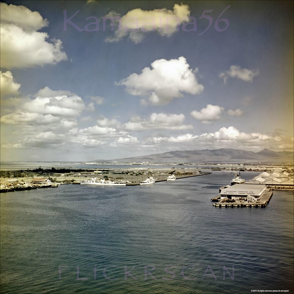
#145 Honolulu Harbor Panorama, 1950s.
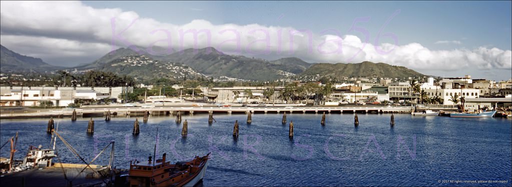
#146 Looking inland more or less along Bethel Street from the 10th floor observation deck of the 1926 Aloha Tower in Honolulu Harbor, 1952
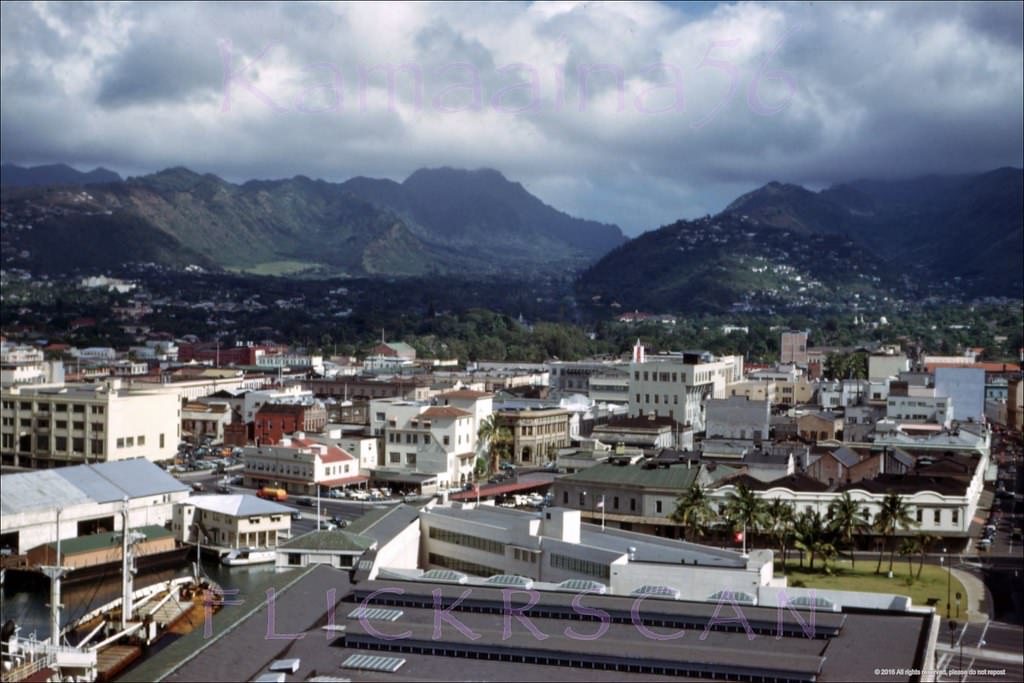
#147 Looking inland along Fort Street from the 10th floor observation deck of the 1926 Aloha Tower in Honolulu Harbor, 1952
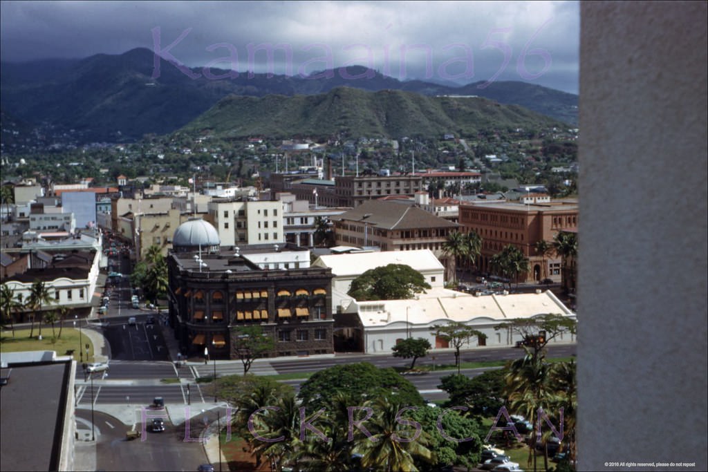
#148 Honolulu Harbor and Nuuanu Valley viewed from the Aloha Tower, 1950s
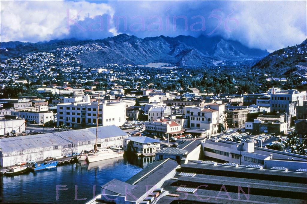
#149 Honolulu Downtown BEV, 1952.
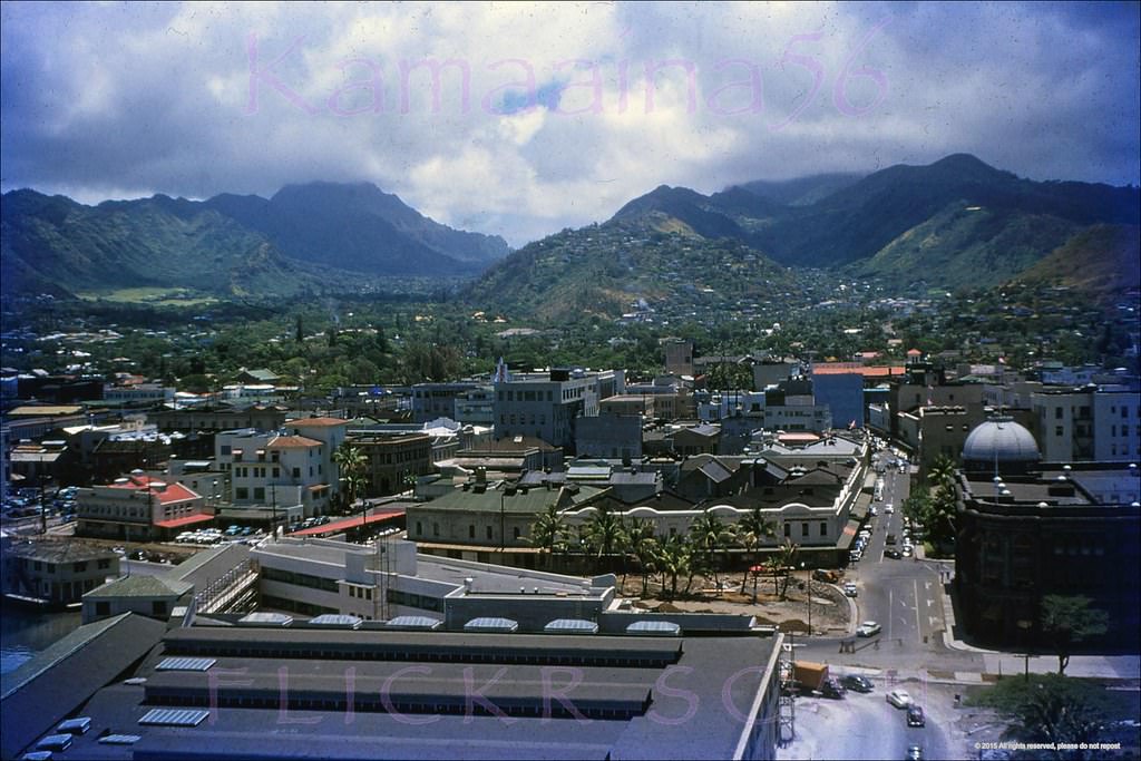
#150 Birdseye view looking Diamond Head across Honolulu from the Aloha Tower, 1952
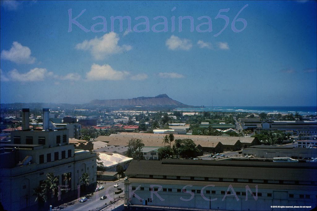
#151 View from the Aloha Tower looking Diamond Head across Honolulu to Waikiki, 1957
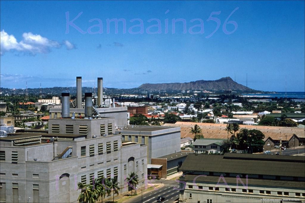
#152 Interesting birdseye view from the top of the Aloha Tower looking across Honolulu Harbor towards Fort Armstrong and the Kakaako section of Honolulu, 1950s
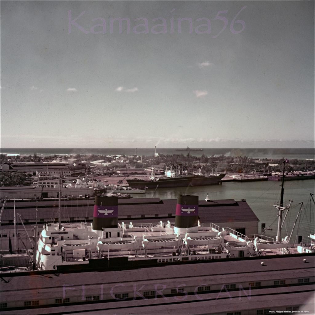
#153 Mauka (inland) view from the top of the Aloha Tower towards downtown Honolulu’s Bishop Street with Punchbowl Crater in the distance, 1952
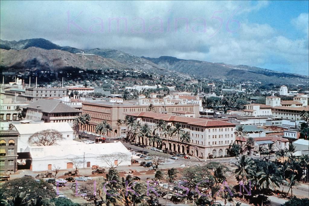
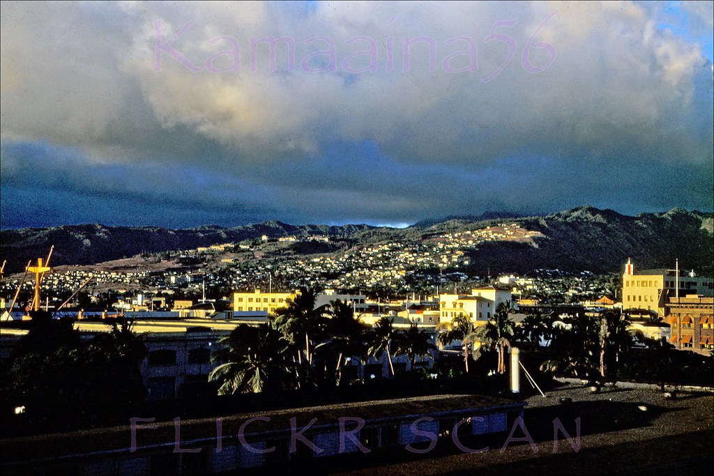
#154 Downtown Honolulu Late 1950s.
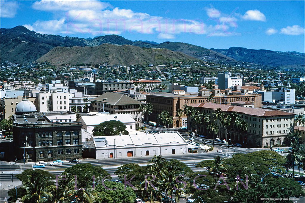
#155 Honolulu from Harbor Pier 8, 1953.
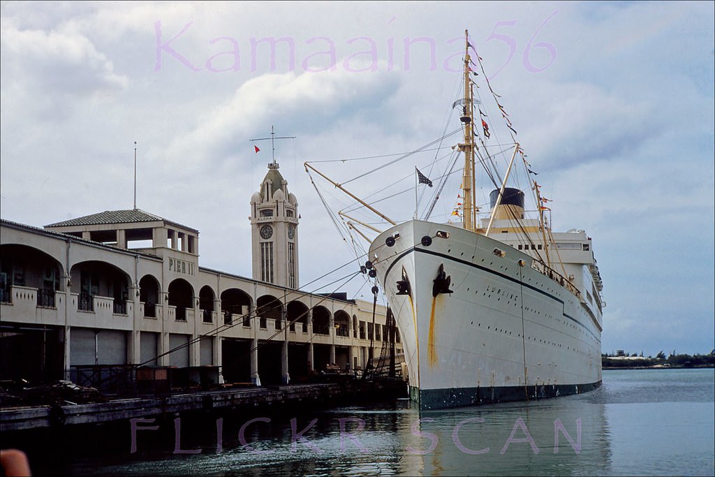
#156 Matson Lines flaghip SS Lurline being nudged into Pier 11 at Honolulu Harbor, 1950
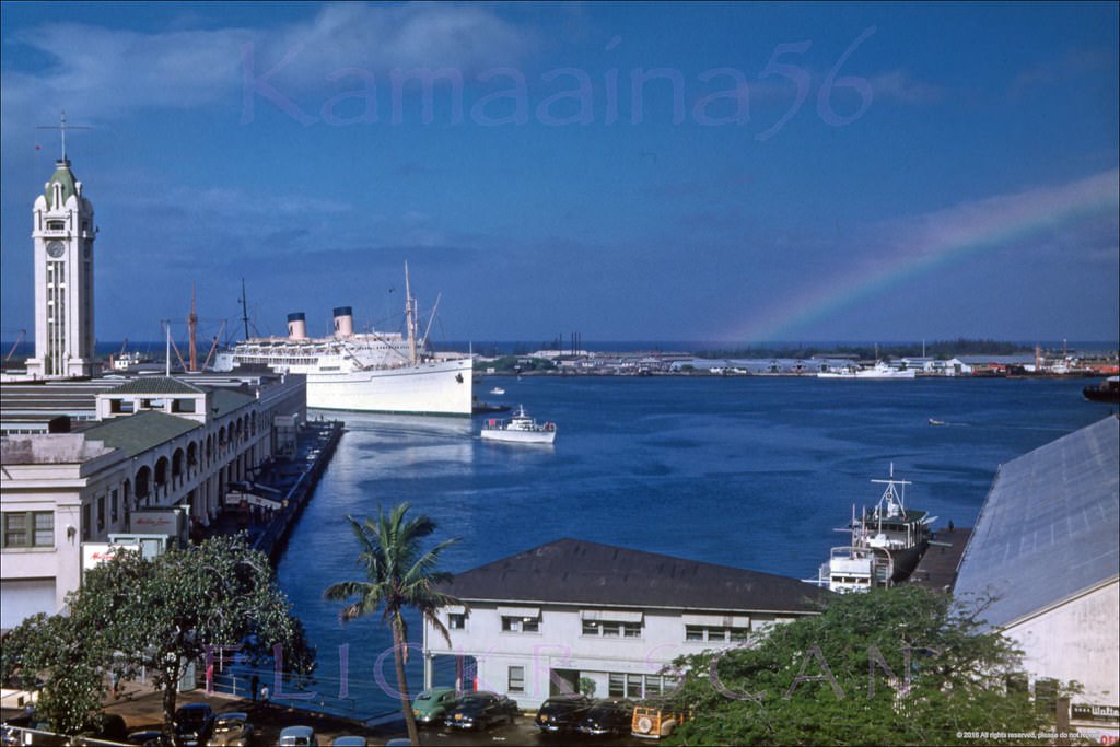
#157 Matson Liner SS Lurline docked at Pier 11 in Honolulu Harbor with the Aloha Tower and Sand Island in the background, 1951
#158 Nimitz Highway viewed from the corner of Fort Street at the Honolulu Harbor waterfront, 1954
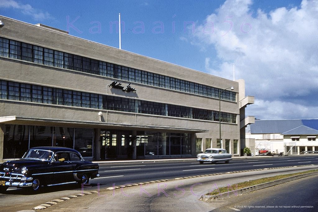
#159 Looking east along Nimitz Highway next to Honolulu Harbor, 1953
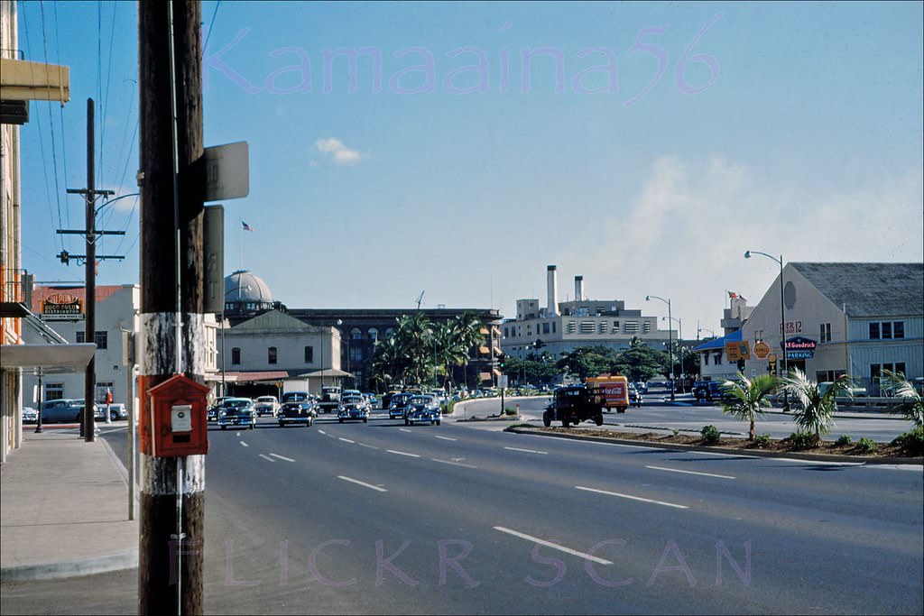
#160 Looking inland along Downtown Honolulu’s Bishop Street from Ala Moana Boulevard, 1958
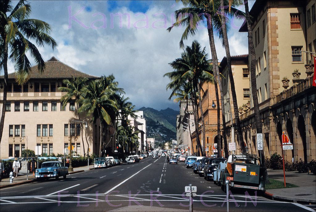
#161 The financial heart of Honolulu, looking mauka (inland) along Bishop Street from Nimitz Highway next to the harbor, 1950s
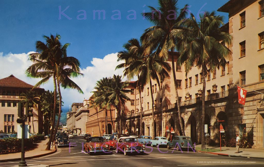
#162 Looking across Ala Moana Blvd along Bishop Street in downtown Honolulu, 1953
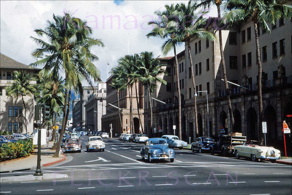
#163 Merchant at Bishop Honolulu, 1957.
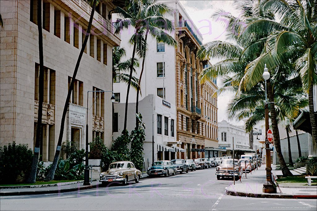
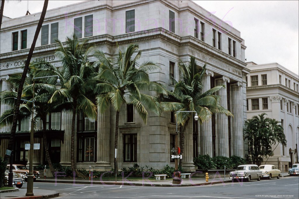
#164 Castle & Cook Honolulu, 1957.
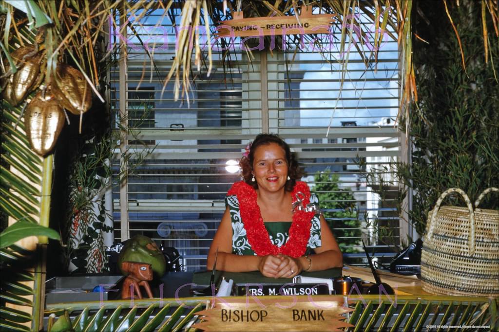
#165 Aloha Week at Bishop Bank, 1953.
#166 Fort at King Mauka Honolulu, 1953
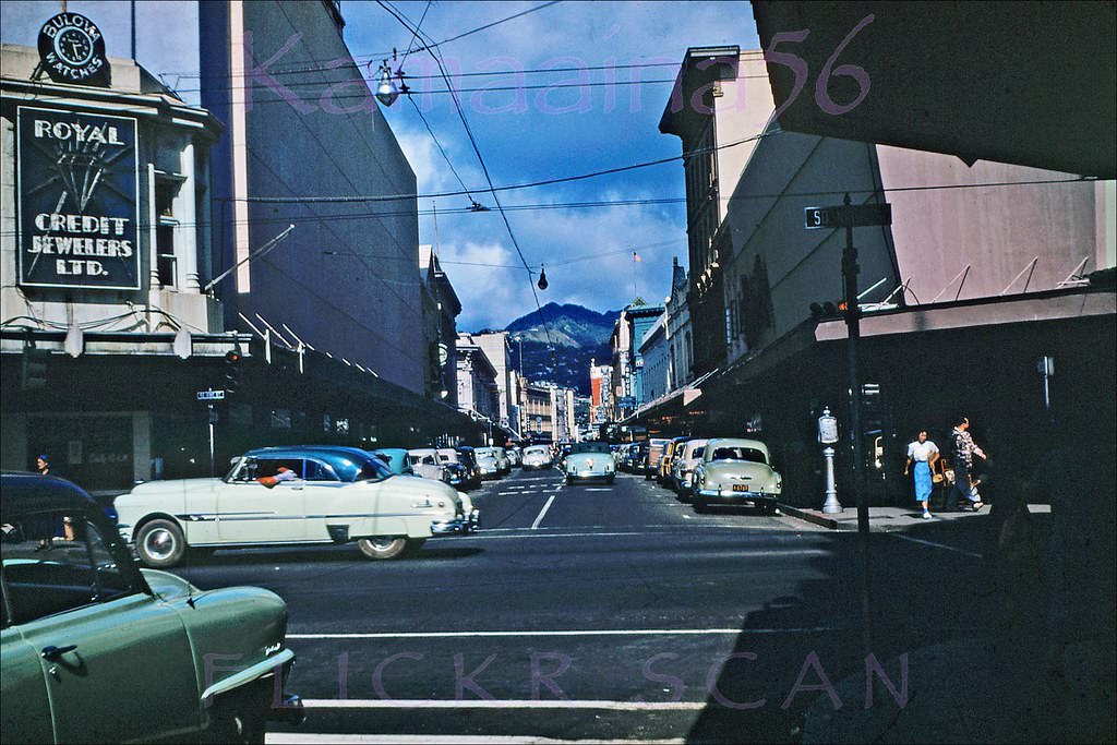
#167 Looking inland along Fort Street from South King Street in downtown Honolulu, 1954
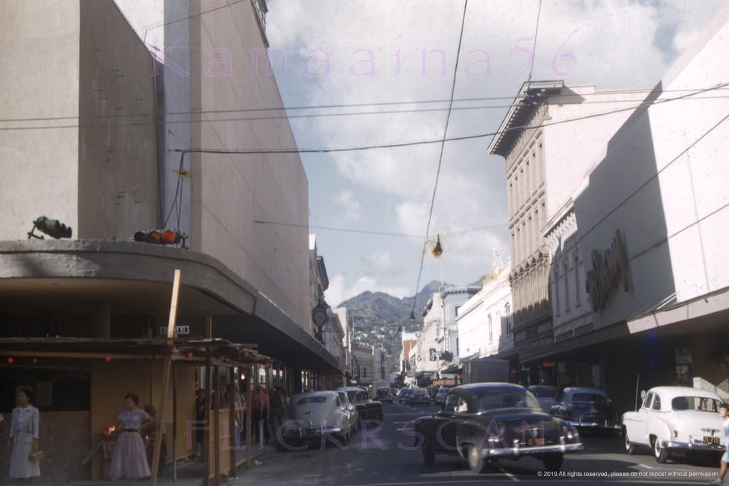
#168 Christmas shopping in downtown Honolulu looking mauka (inland) along busy Fort Street from South King Street in the foreground, 1950s
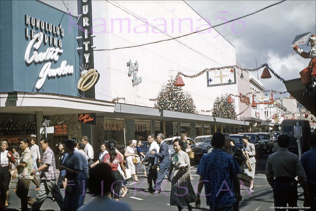
#169 Fort Street at Hotel, 1958
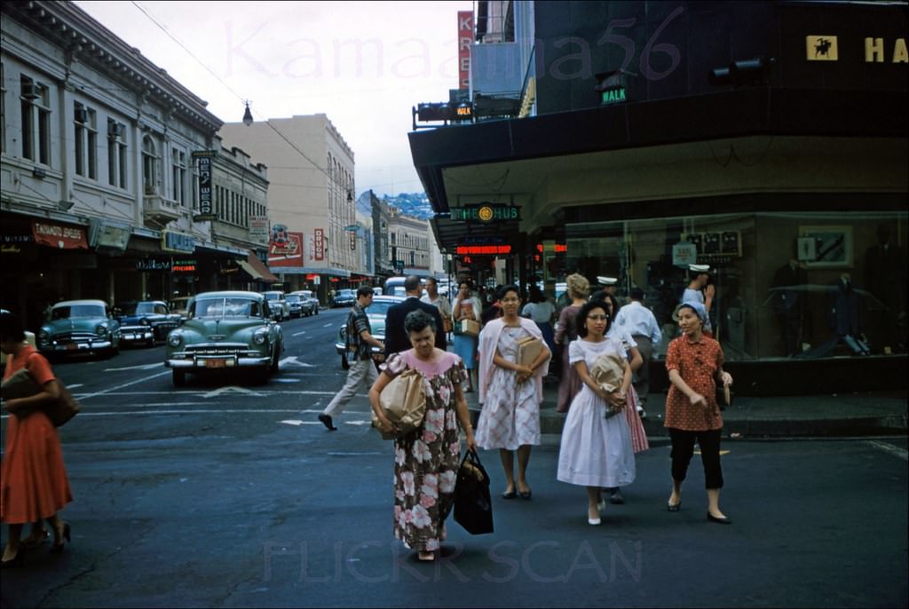
#170 Transocean Air Lines sales office on Hotel Street just west of Alakea in downtown Honolulu, 1952
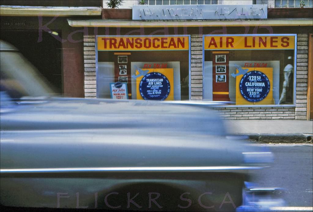
#171 Looking more or less NW along South Hotel Street from the intersection with Alakea Street in downtown Honolulu, 1954
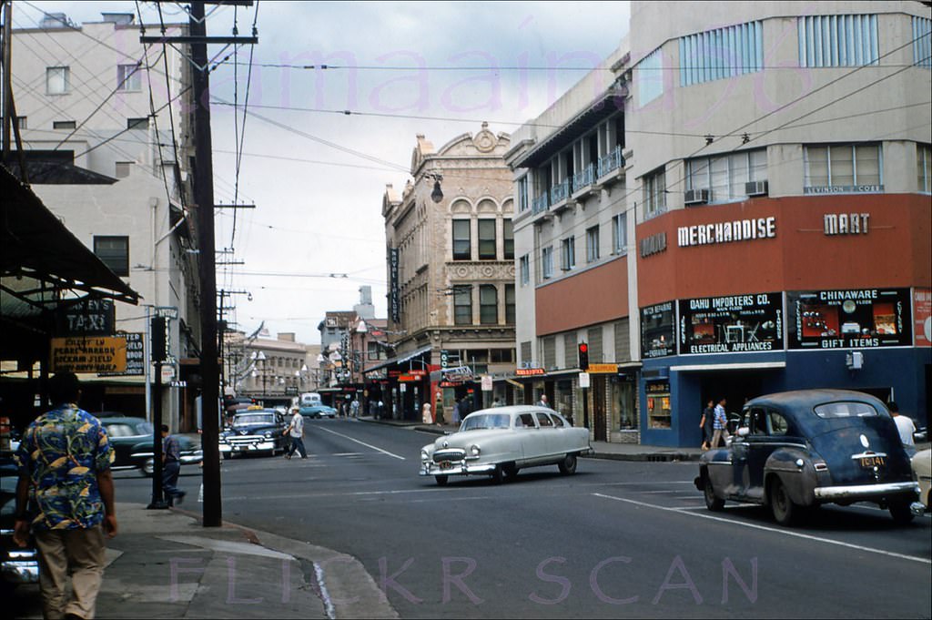
#172 Looking ewa (more or less northwest here) along South King Street from the corner of Fort Street in downtown Honolulu, 1959
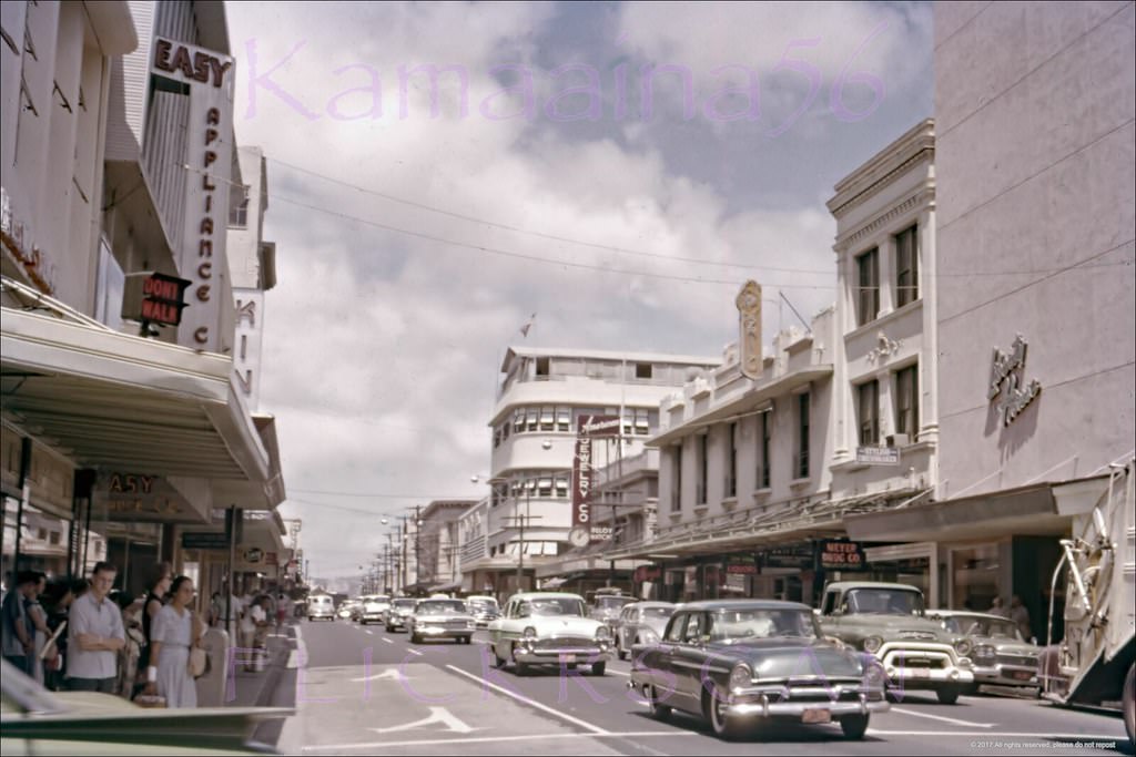
#173 Looking more or less southeast along North King Street in downtown Honolulu from the Nuuanu Avenue intersection, 1956
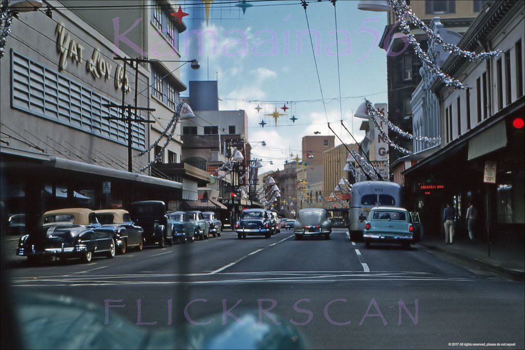
#174 Merchant Street Honolulu, 1953
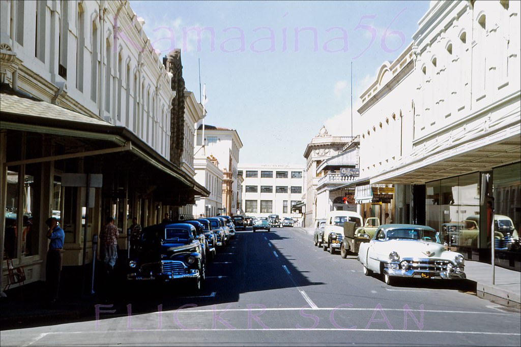
#175 North Beretania St Honolulu, 1959.
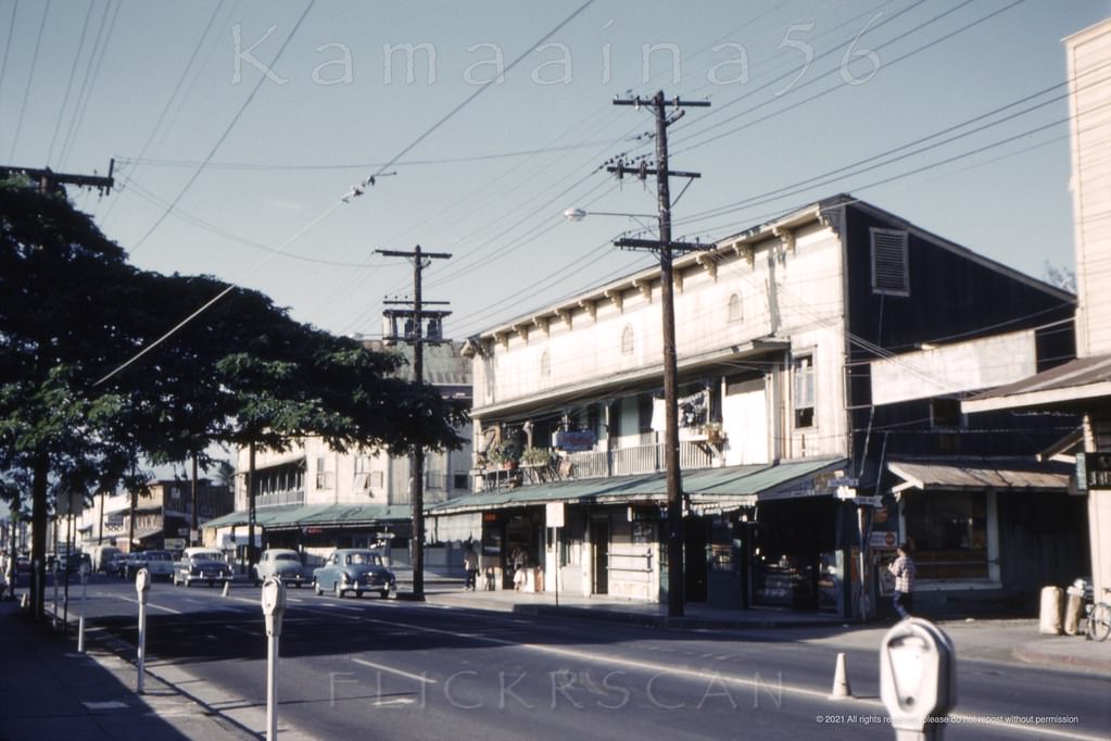
#176 Beretania “Follie” Honolulu, 1959.
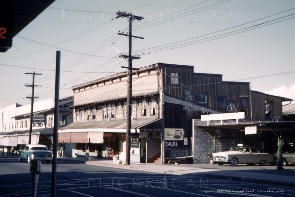
#177 Lunalilo St at Piikoi Honolulu, 1956.
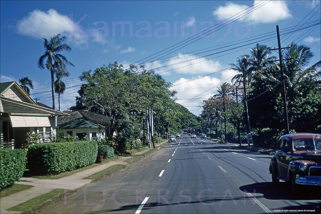
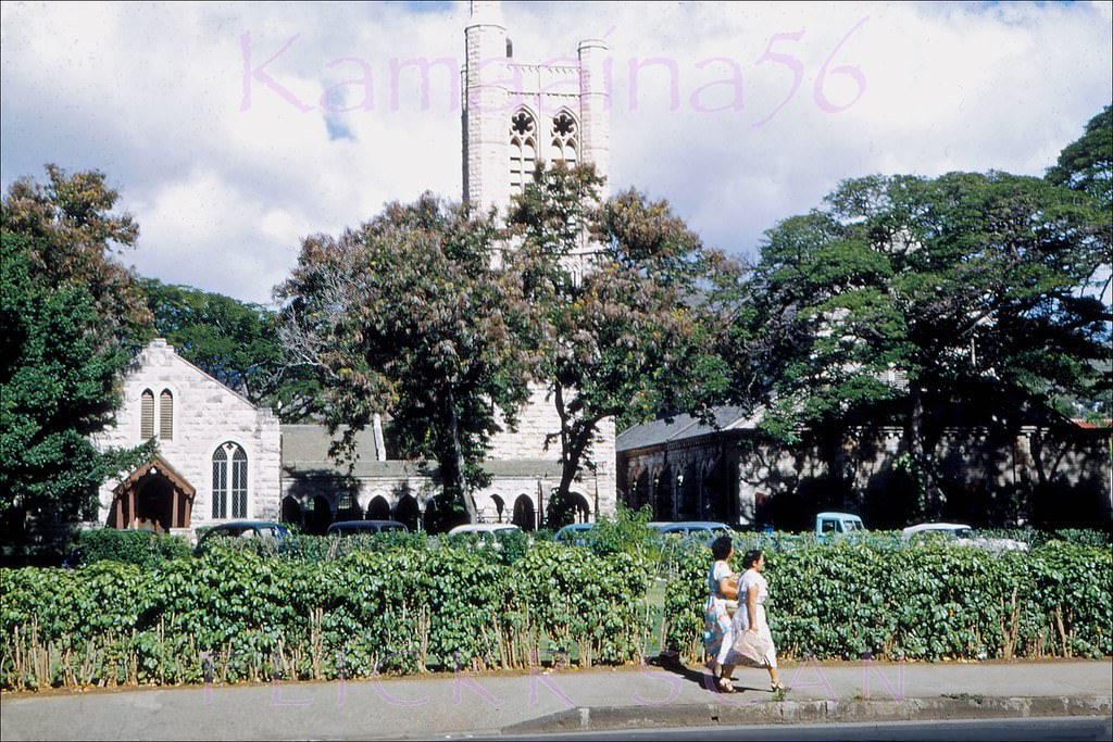
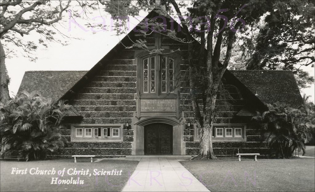
#178 Christian Science Church, 1955.
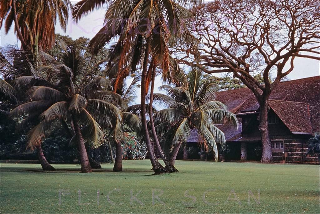
#179 Christian Science Church, 1951.
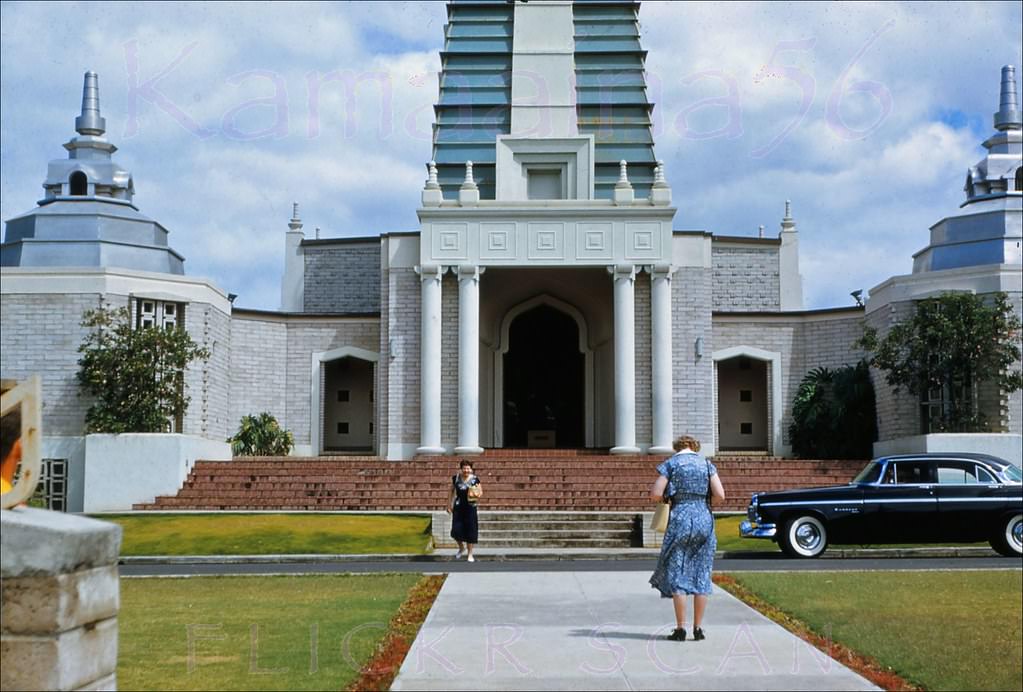
#180 Soto Zen Temple Nuuanu, 1955.
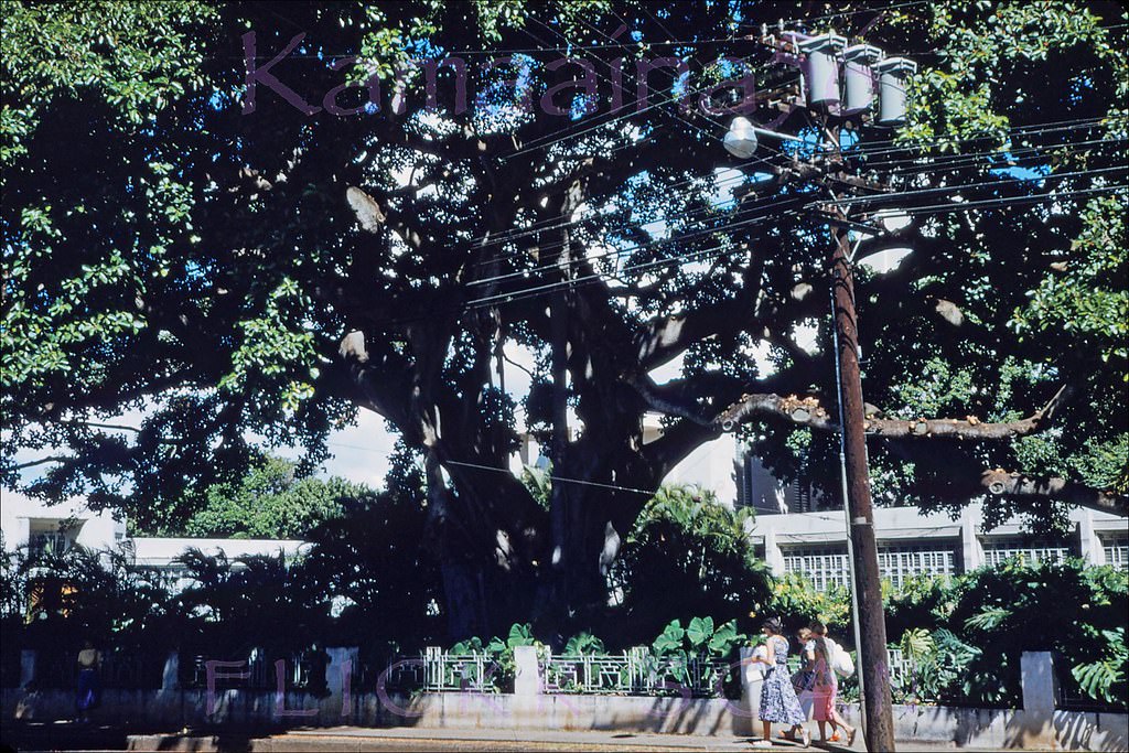
#181 Beretania Street Honolulu, 1953.
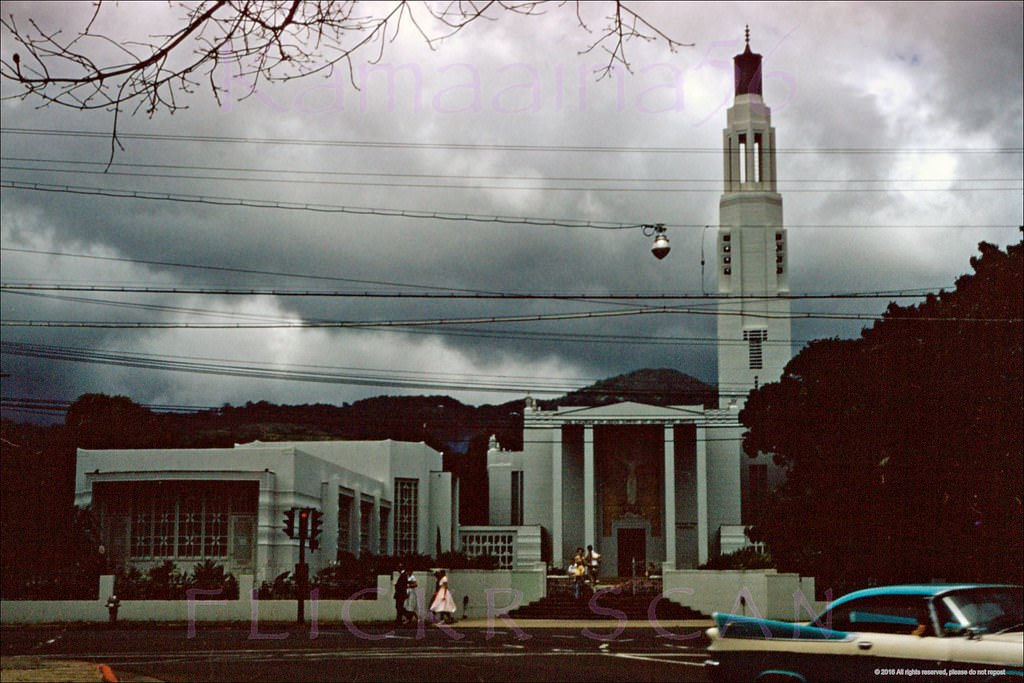
#182 Cloudy Mauka Beretania, 1957.
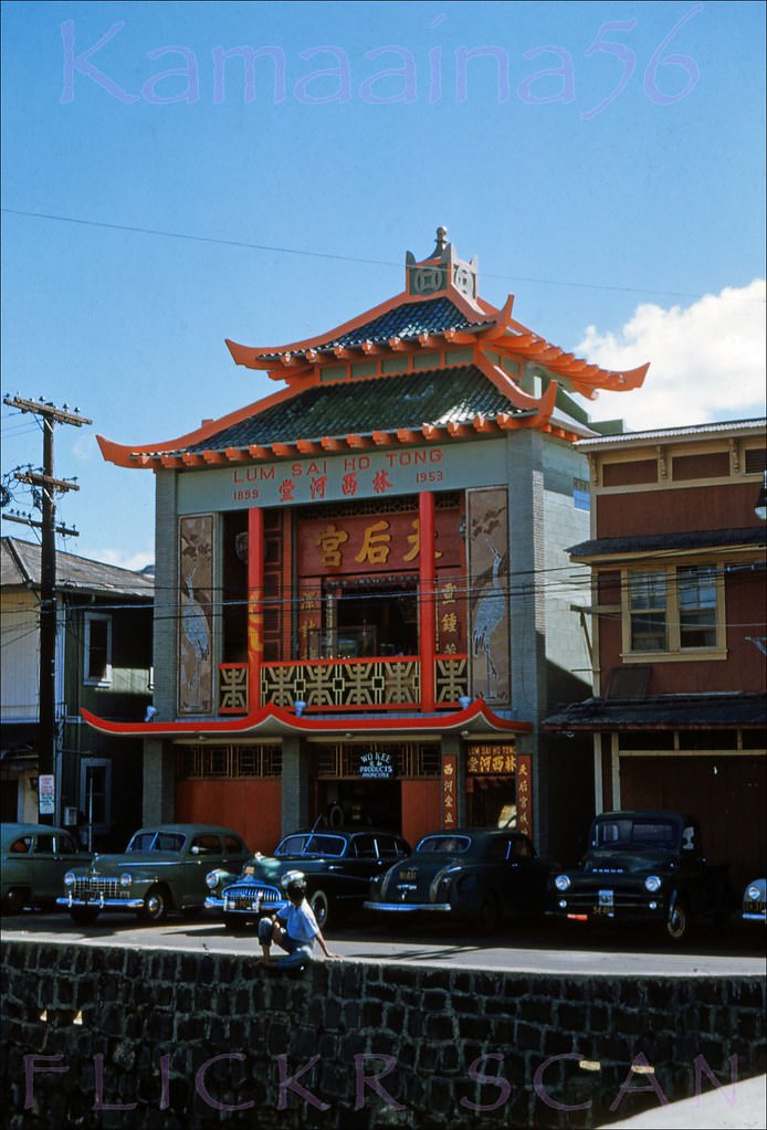
#183 Lum Sai Ho Tong Temple, 1953.
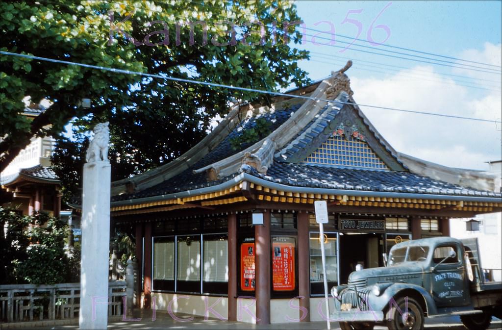
#184 Toyo Theater Honolulu, 1953.
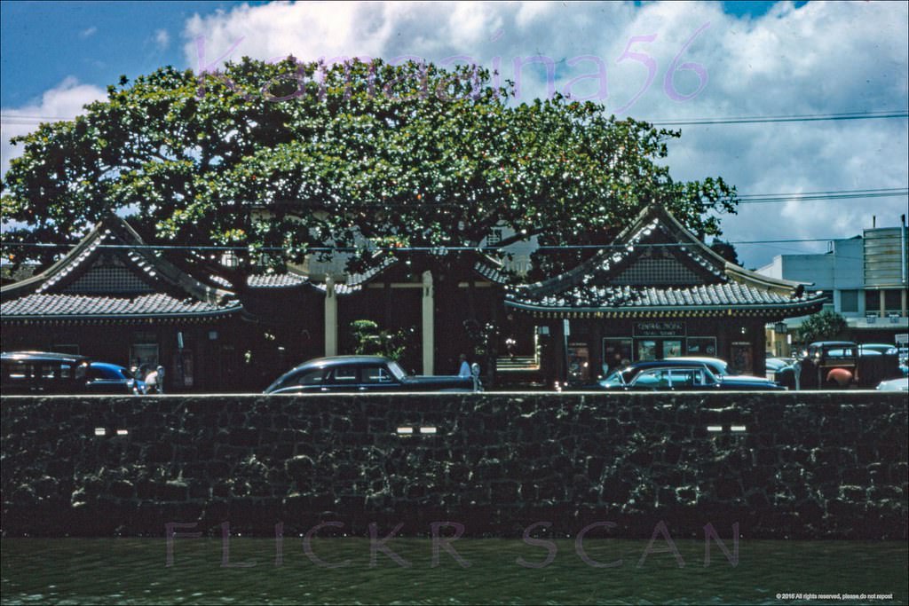
#185 Toyo Theater Honolulu, 1957.
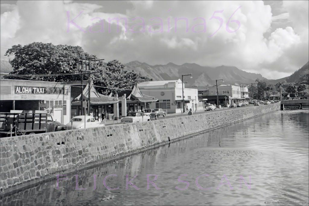
#186 Aloha Taxi Nuuanu Stream 1950s.
#187 River Street Honolulu Mauka 1950s.
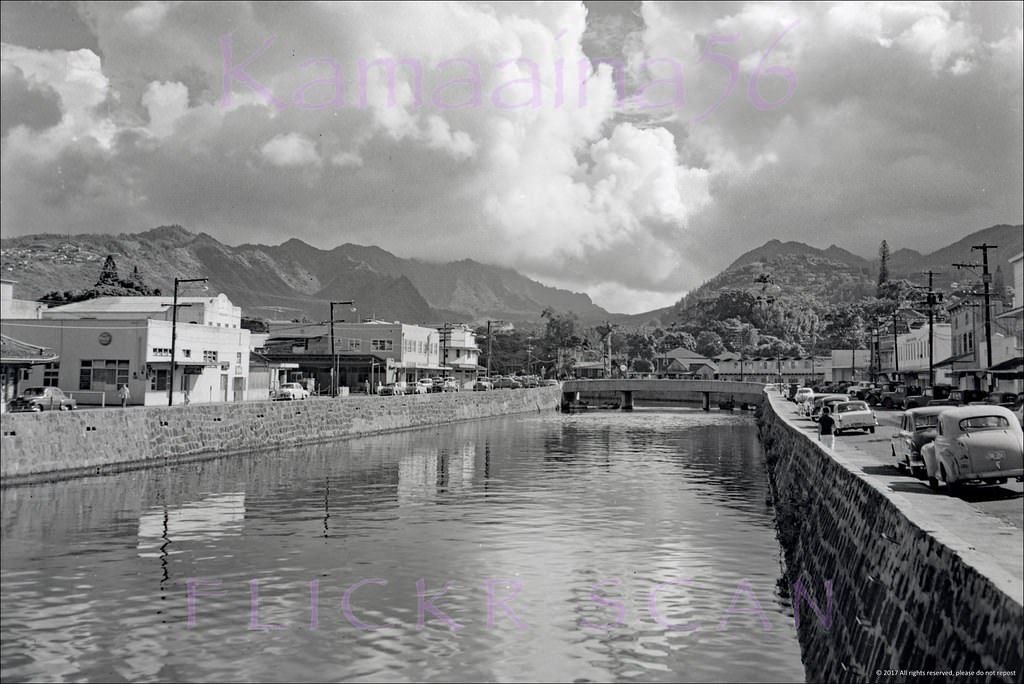
#188 Chinatown Honolulu Mauka 1950s
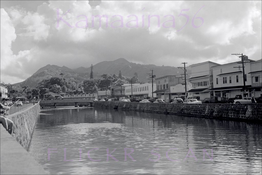
#189 King Street Bridge Honolulu, 1955.
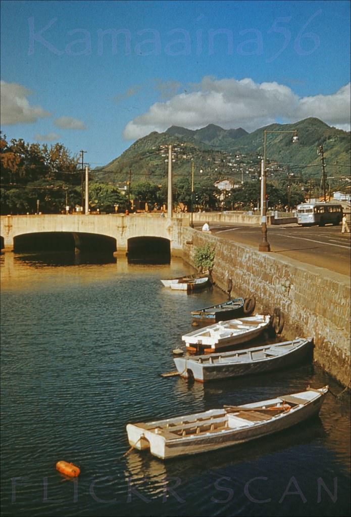
#190 North King St Bridge Honolulu, 1959.
View is looking Ewa (more or less northwest here) from River Street along the North King Street bridge over Nuuanu Stream near its terminus into Honolulu Harbor. The bridge and the Oahu Railway Station in the distance at far right are the only structures in this photo still standing today, Vintage white cardboard mount “Kodachrome Transparency Processed By Kodak” slide produced between 1959 and 1962 and date stamped Nov 59.
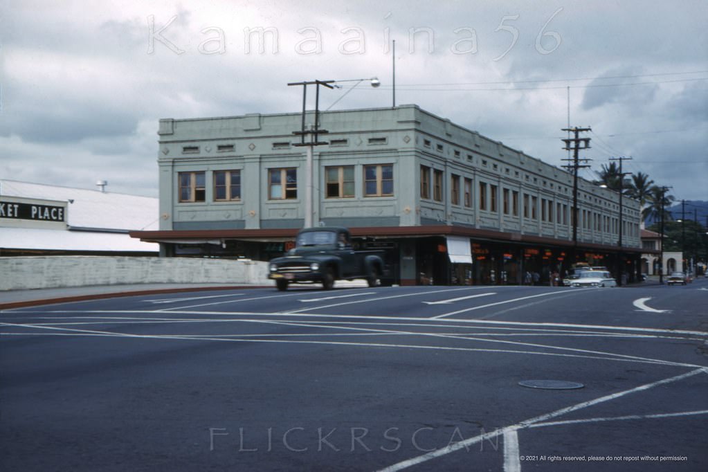
#191 North King at Aala Honolulu 1959.
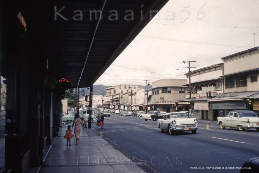
Mauka view (inland) along Honolulu's North King Street at the Aala Street/Iwilei Road intersection. The vantage point for the photo was the storefronts of the old drugstore building shown in the previous photo of the North King Street bridge. Aala Street (in front of the Singapore Building) no longer connected to King Street after the 1969 urban renewal of the “Aala Triangle” which added the area bounded by Aala, North King, and North Beretania Streets to Aala Park. Vintage white cardboard mount “Kodachrome Transparency Processed By Kodak” slide produced between 1959