in

Vintage Visions of Berlin: A Journey Through the Streets in 1959

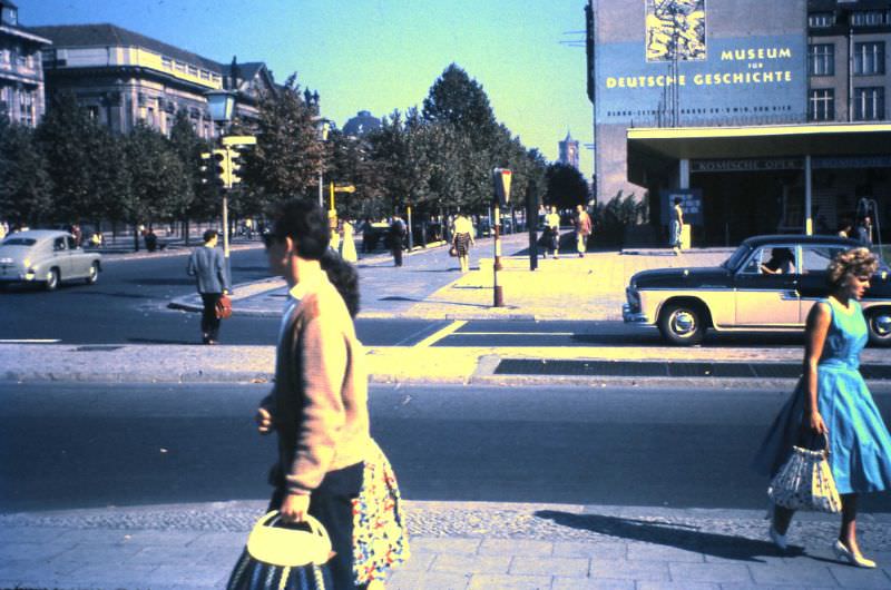
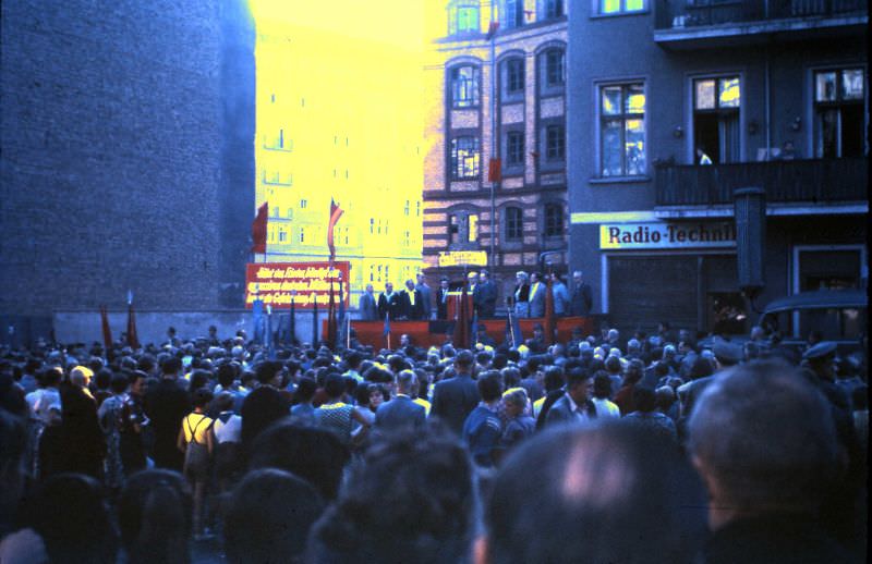
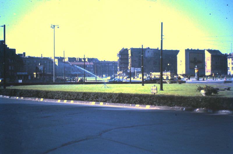
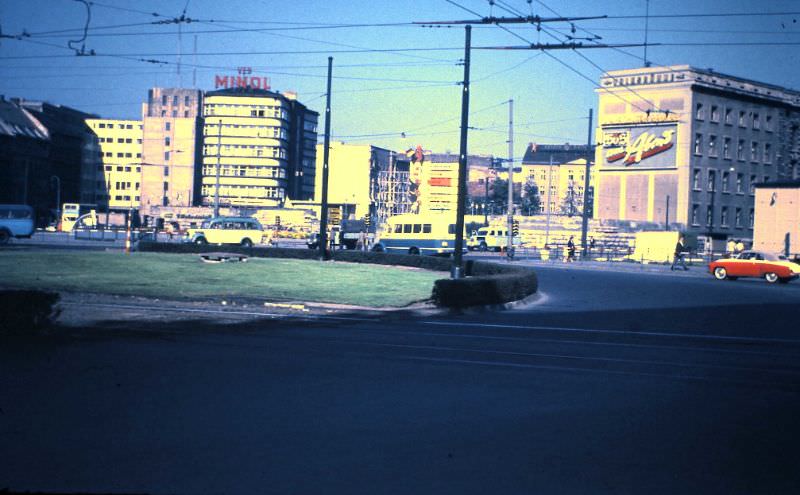
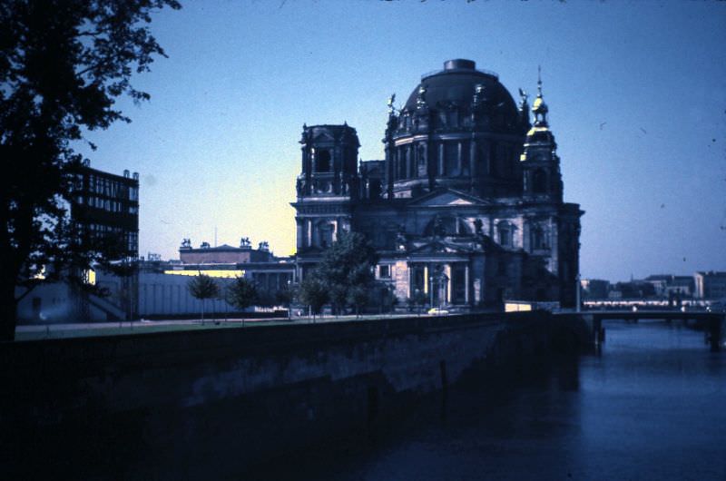
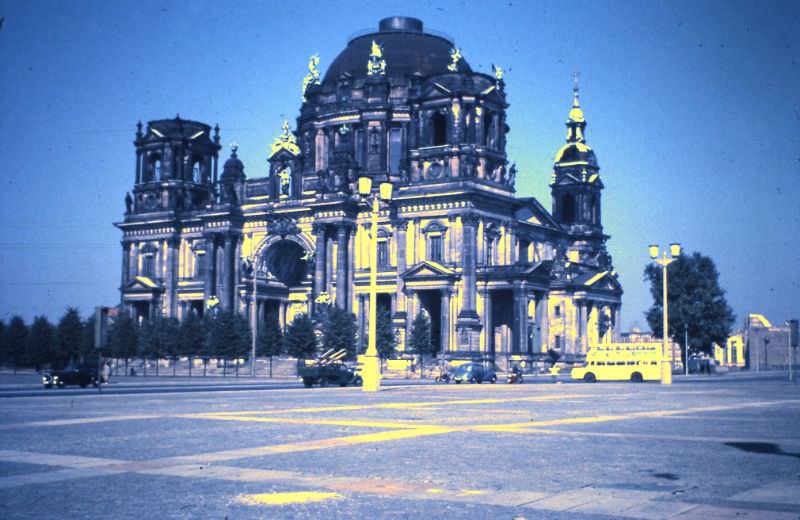
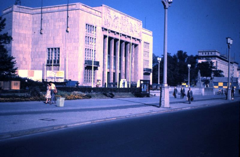
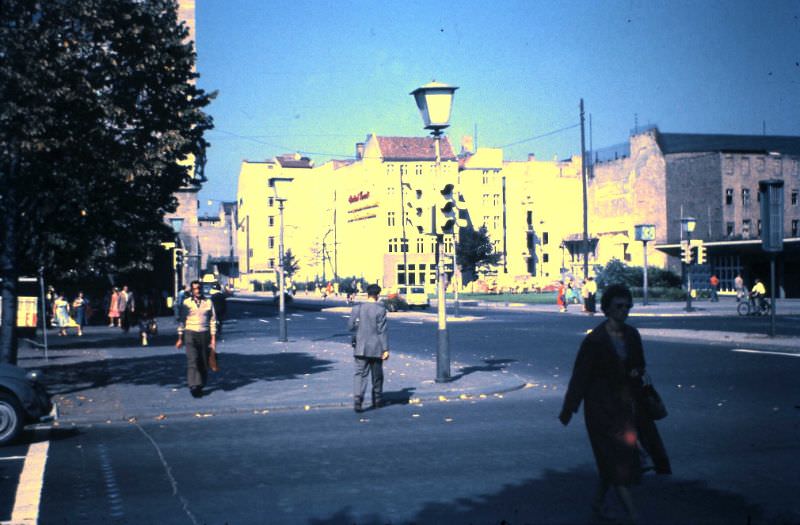
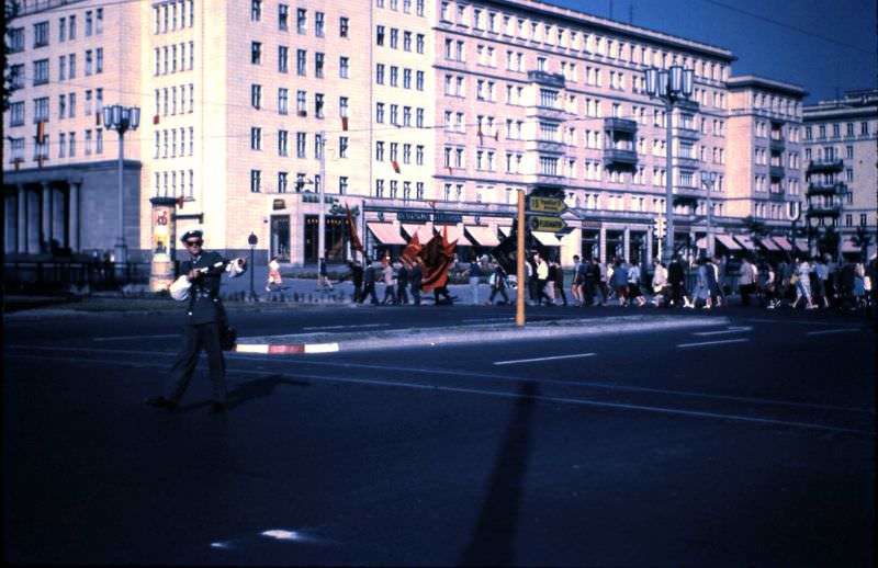
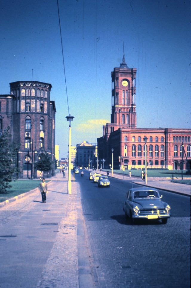
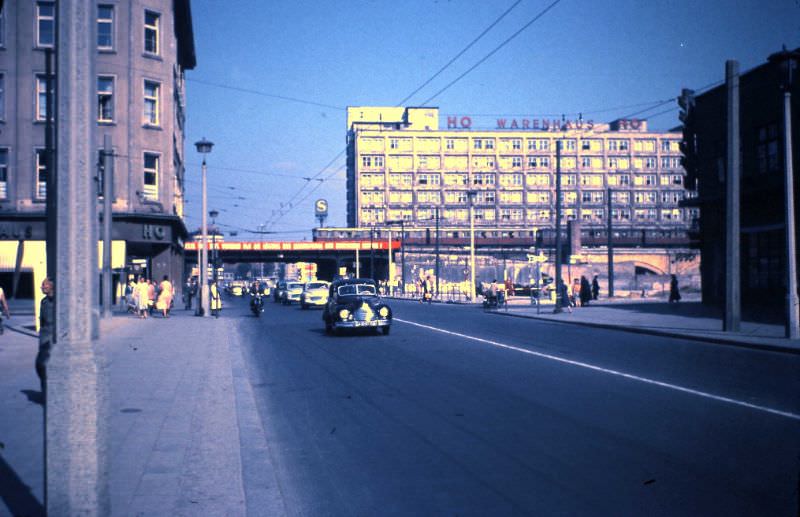
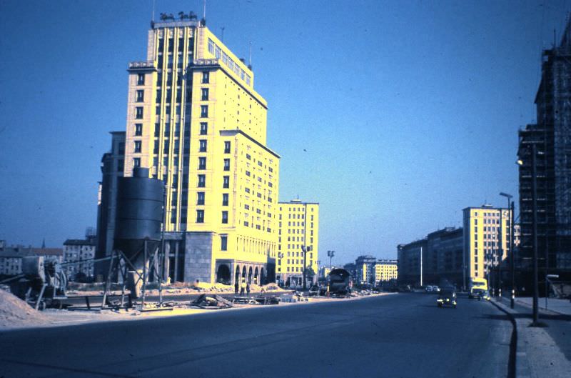
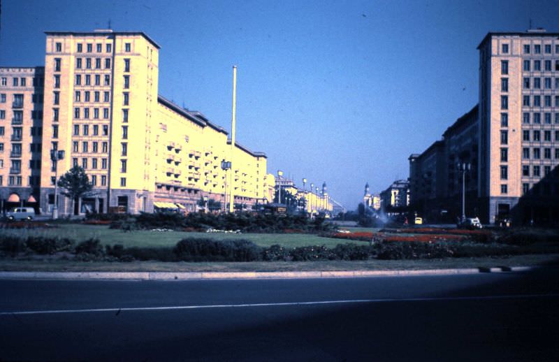
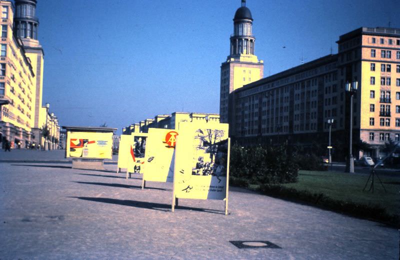
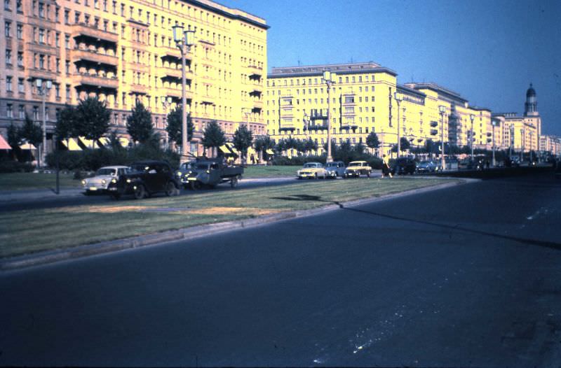
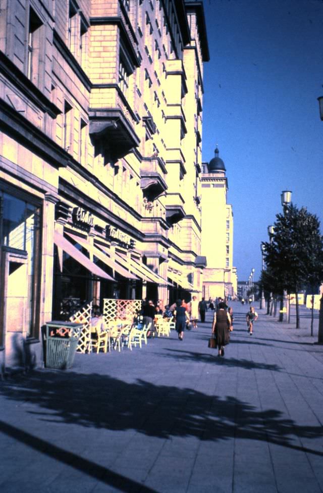
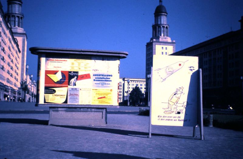
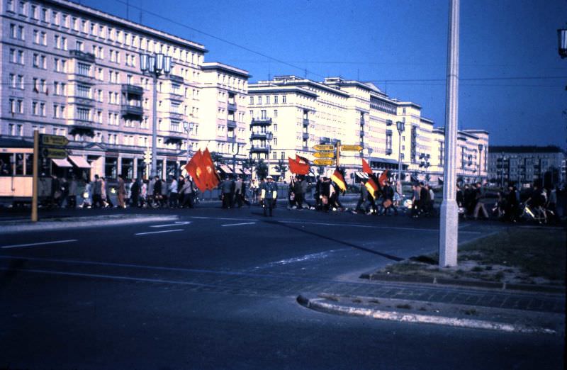
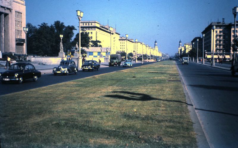
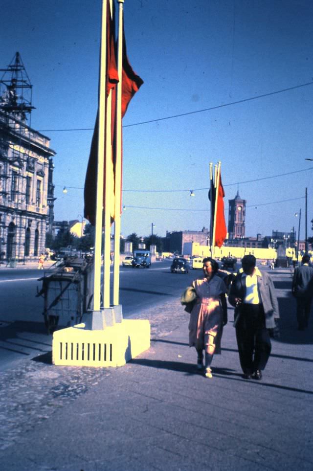
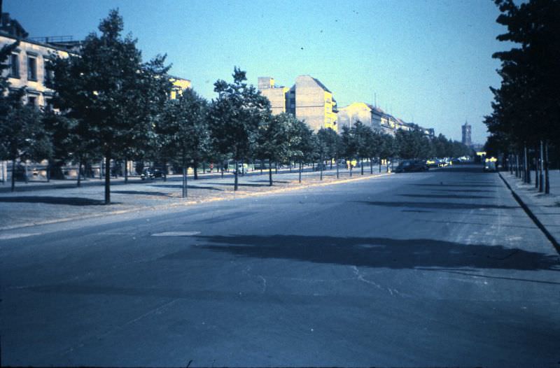
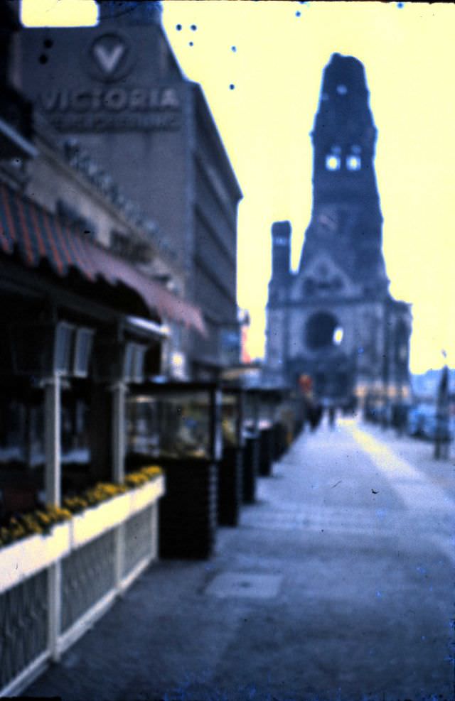
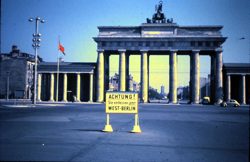
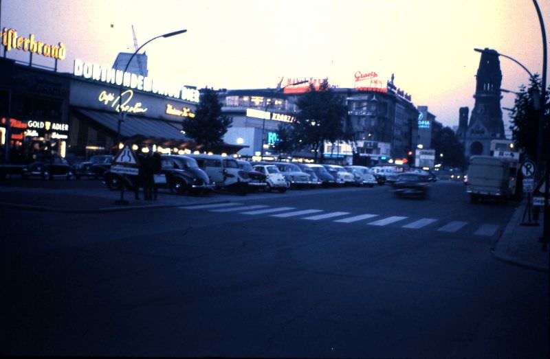
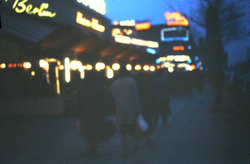
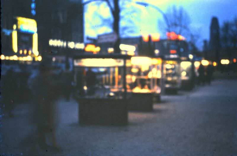
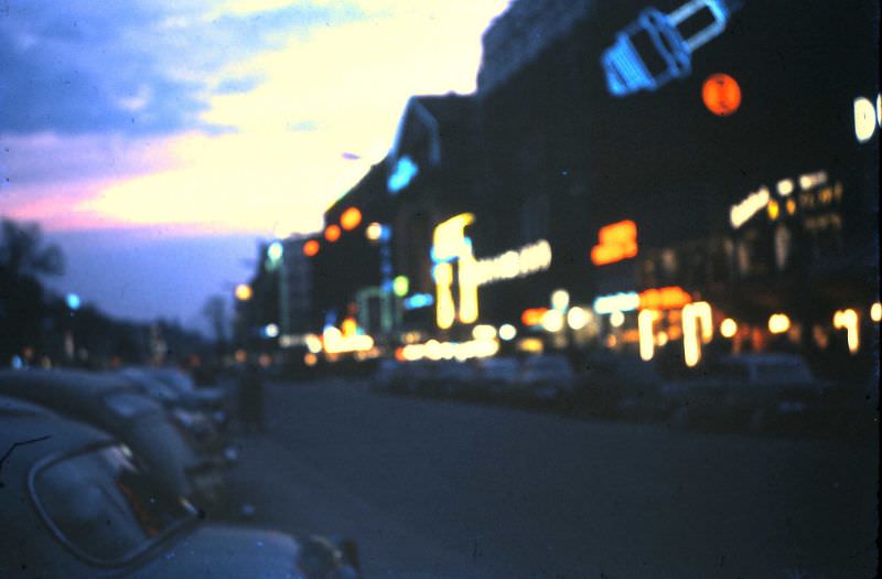
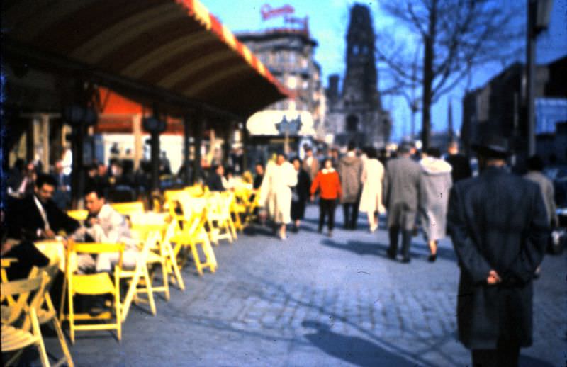
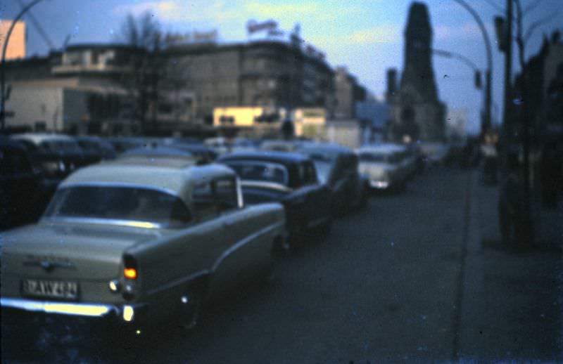
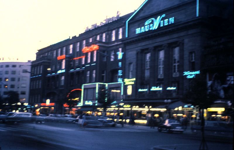
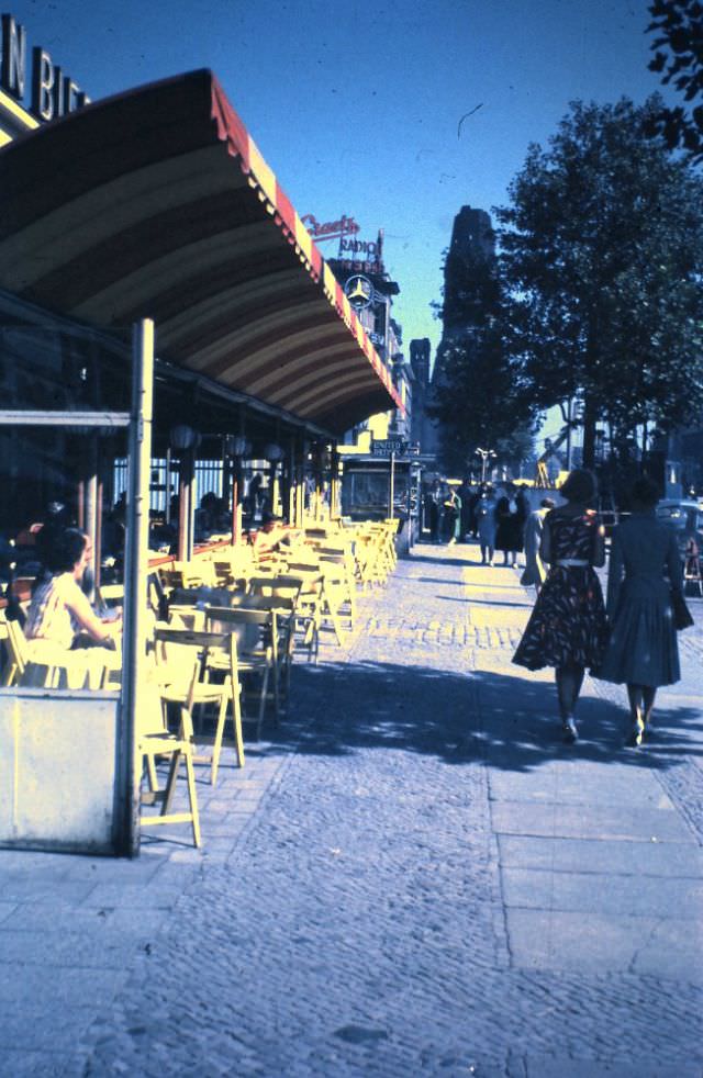
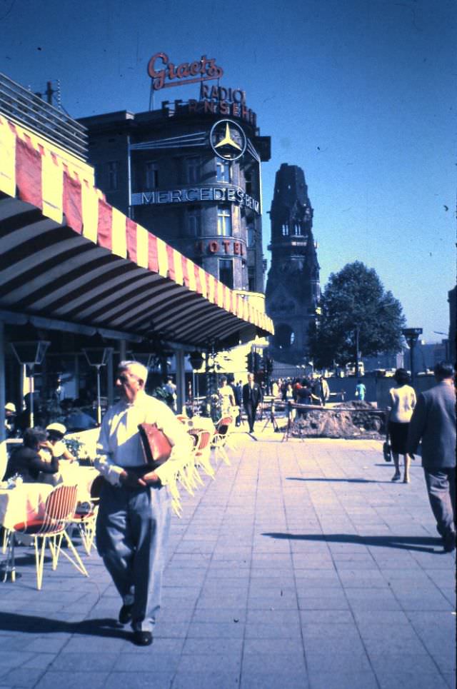
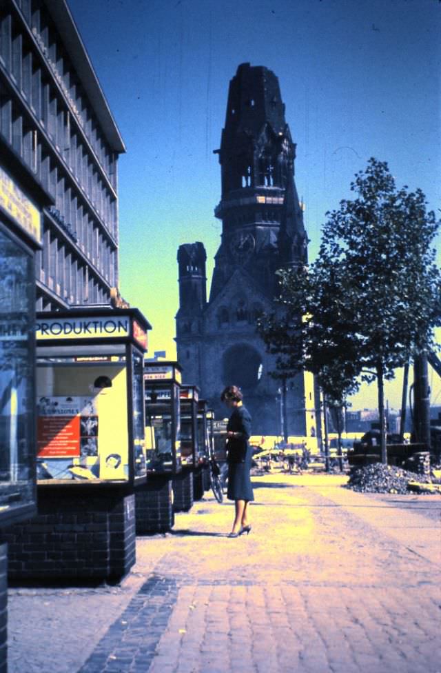
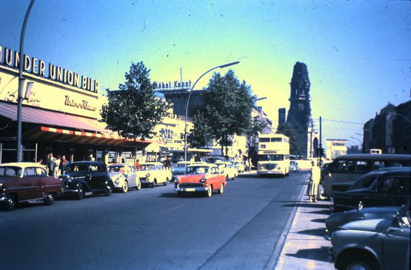
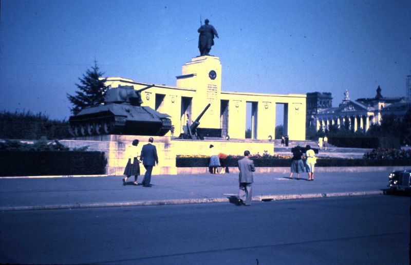
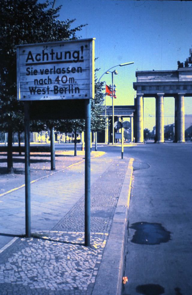
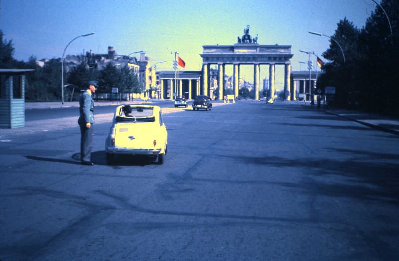
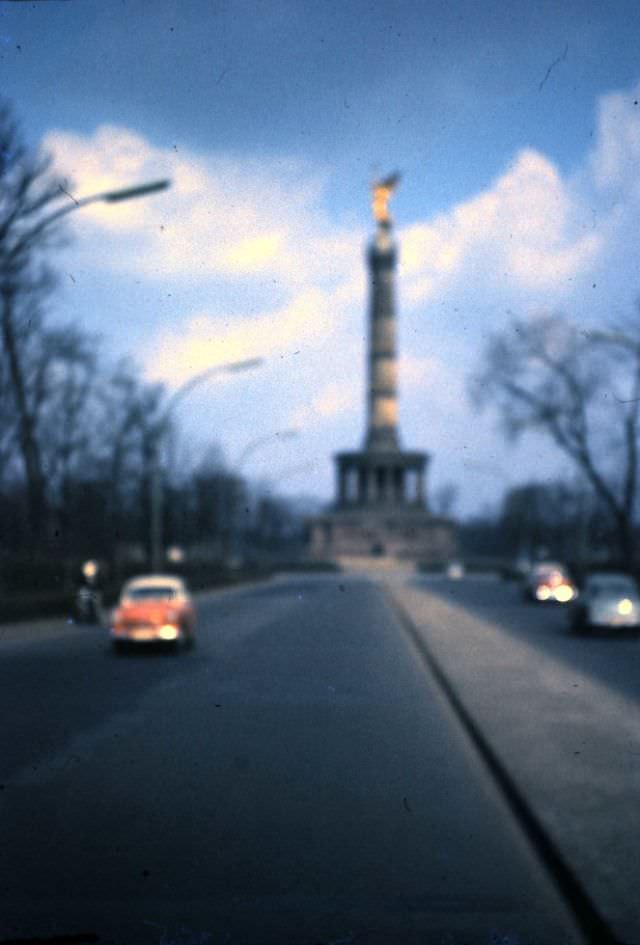
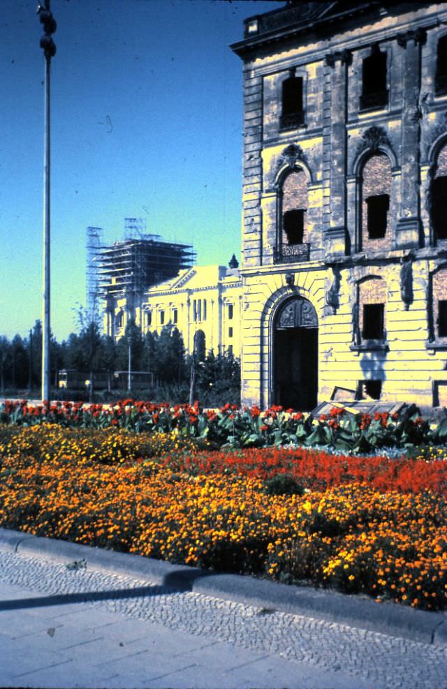
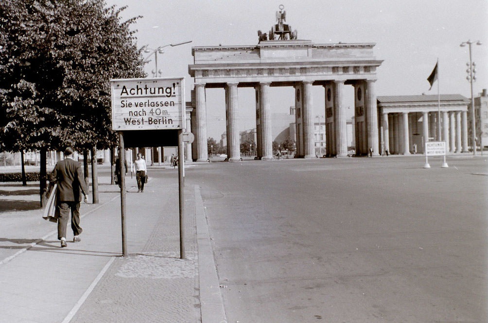
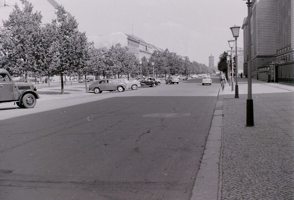
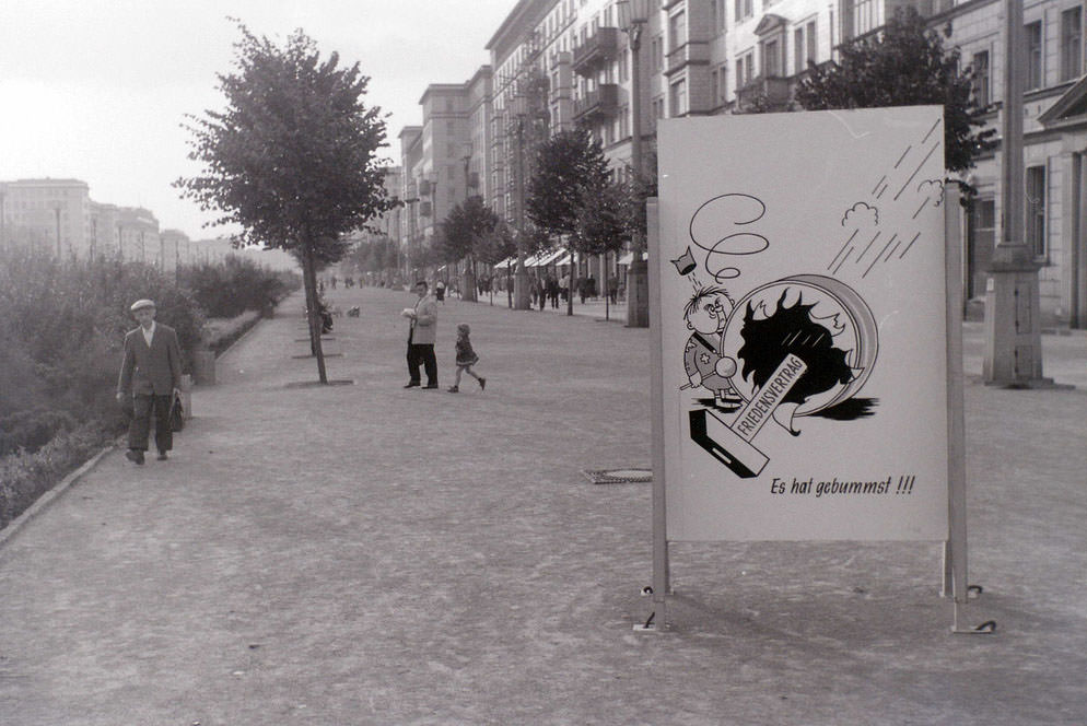
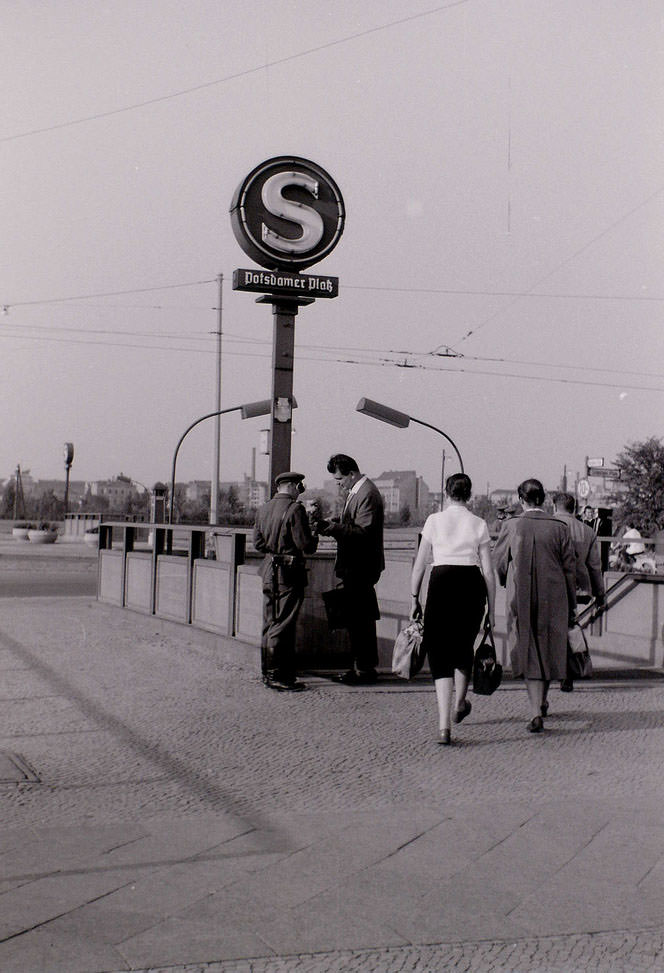
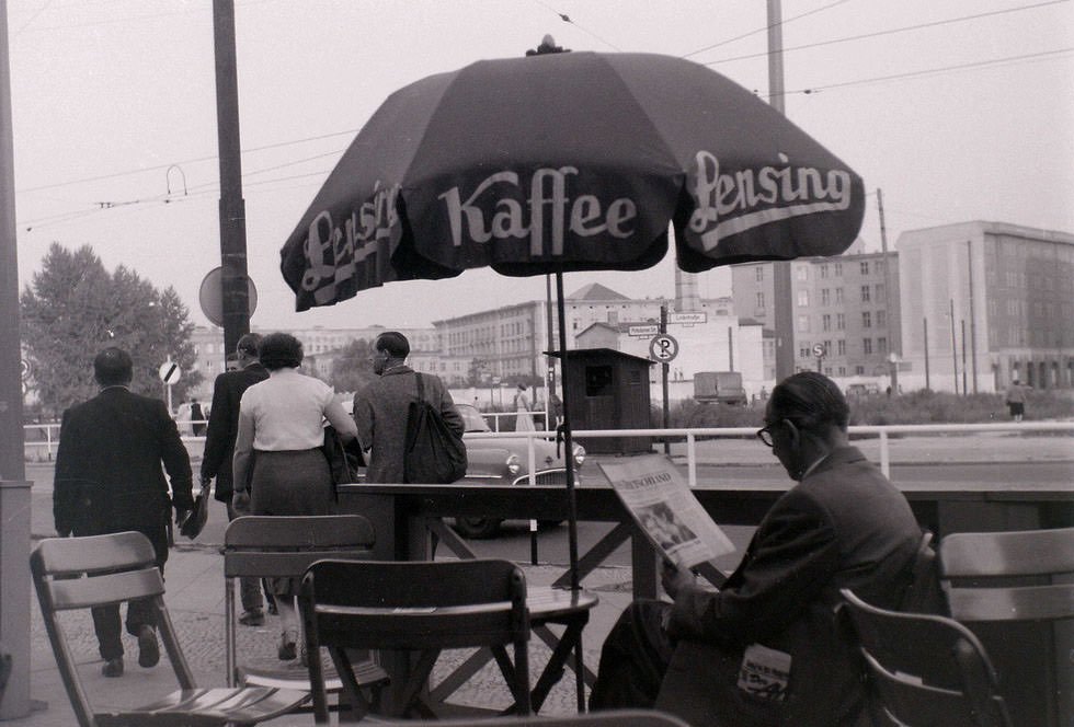
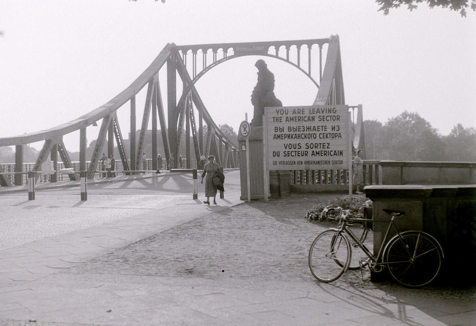
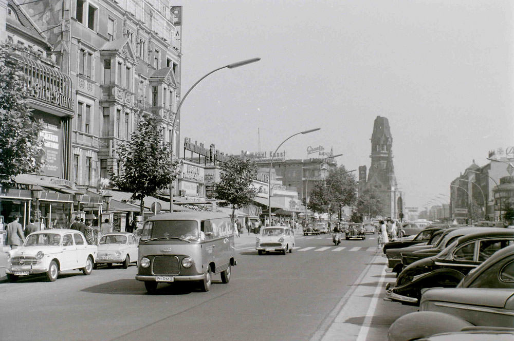
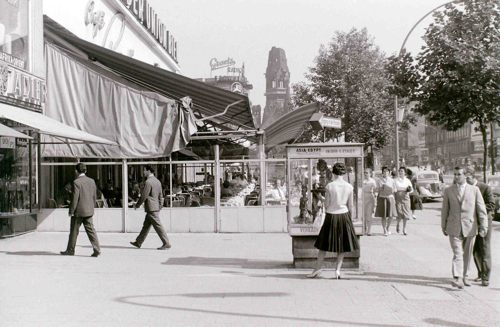
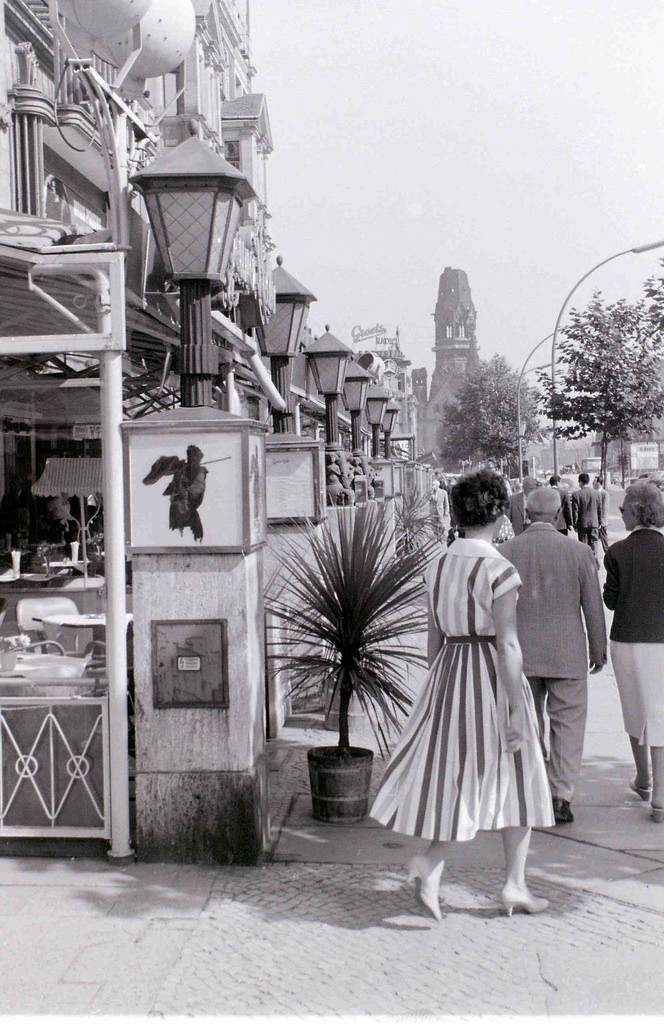
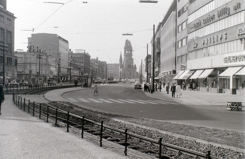
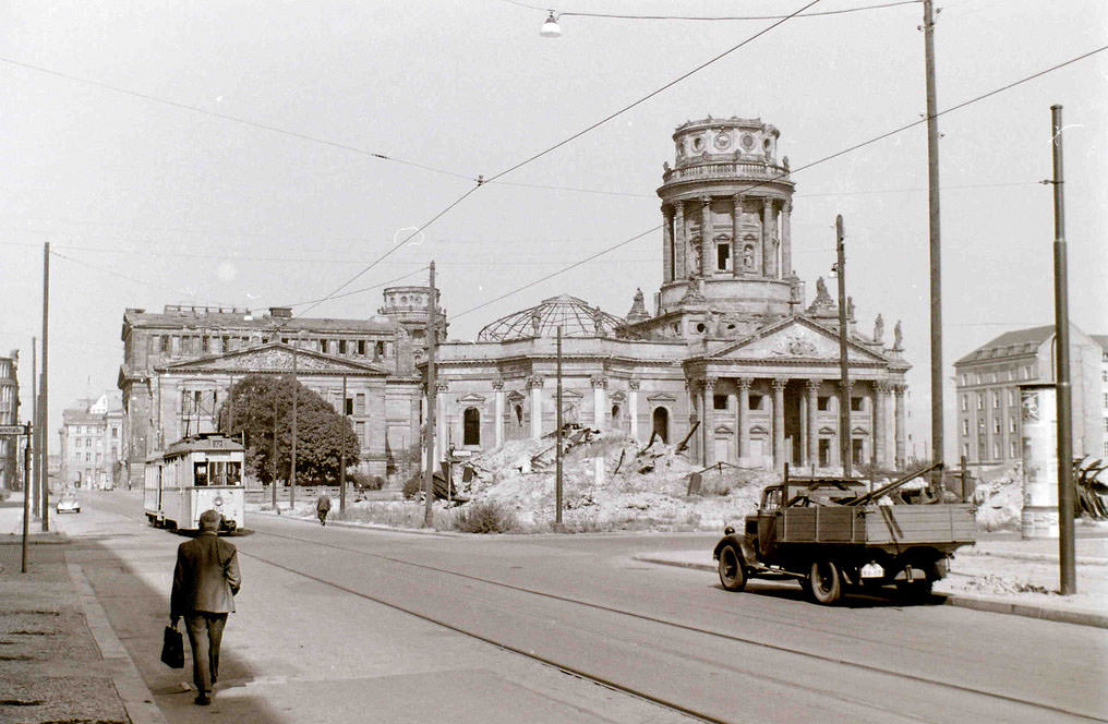
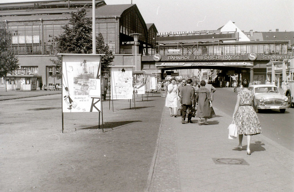
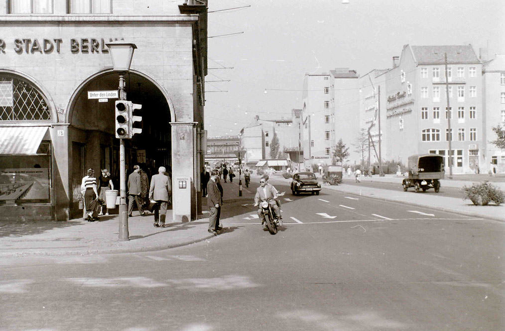
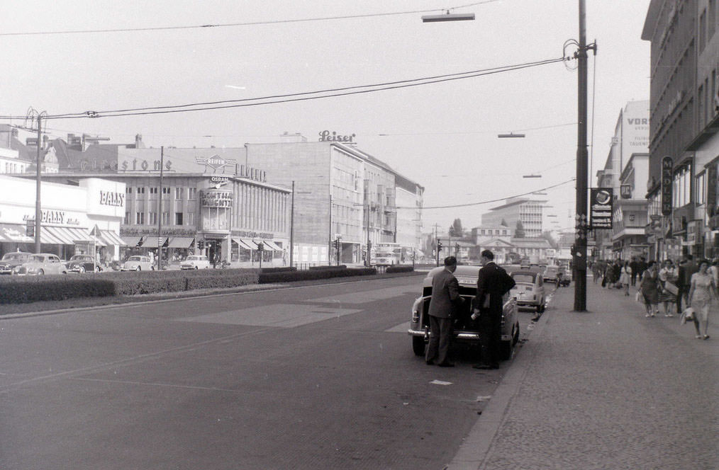
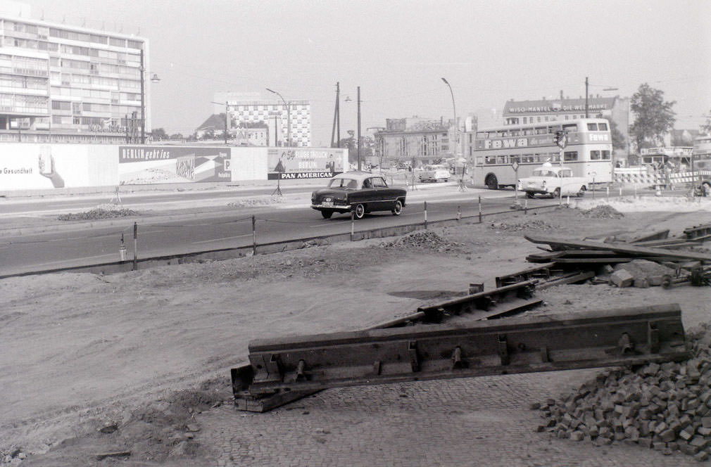
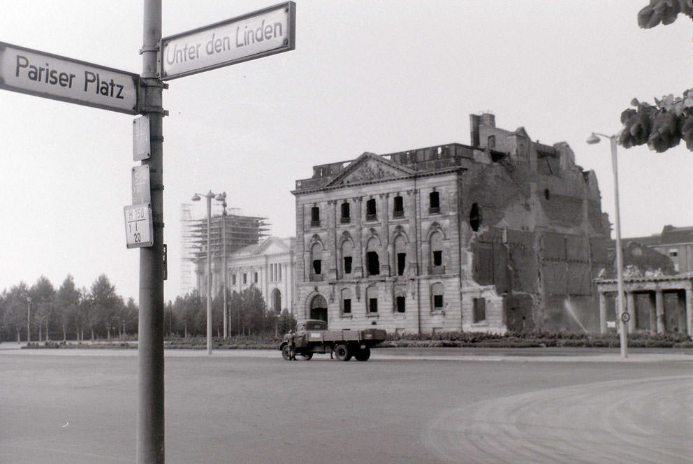
Take a trip back in time to the bustling streets of Berlin in the year 1959 with these vintage photographs. These images captured a moment in history when the city was still recovering from the aftermath of World War II and in the midst of rebuilding its shattered infrastructure.

The photographs showcase the city’s daily life, capturing everything from the bustling crowds, street vendors, and bustling marketplaces to the busy cafes, theaters, and shops. They also showcase the city’s architecture, including its iconic landmarks and buildings, many of which have been restored to their former glory.

These vintage photographs are a window into the past, showcasing the resilience of the people of Berlin and the city’s unwavering spirit. They are also a reminder of the rich cultural heritage that has shaped the city into what it is today.

#1 Unter den Linden. At the junction with Friedrichstrasse, looking east. Berliner Dom and Rotes Rathaus can be seen in the distance, East Berlin, September 11, 1959

#3 Alexanderplatz, at the junction with Unter den Linden, looking north, East Berlin, September 11, 1959

#7 Berlin. Deutsche Sporthalle, Stalinallee (demolished around 1971), East Berlin, September 11, 1959

#8 Friedrichstrasse, at the junction with Unter den Linden, looking north, East Berlin, September 11, 1959

#10 Rathausstrasse and Rotes Rathaus (Red Town Hall) looking east, towards Alexanderplatz, East Berlin, September 11, 1959

#19 Stalinallee. On the left Deutsche Sporthalle, now demolished, September 11, 1959

#24 Brandenburger Tor. East Berlin began immediately behind the notice, not at the Tor itself as sometimes thought. This can be evidenced by the red flag this side of the Tor, September 11, 1959

#36 Soviet War Memorial and Reichstag. Both of these edifices lay entirely within West Berlin territory, September 11, 1959

#41 This view is looking into East Berlin from the western sector. The border lies 40 metres past the notice. Despite what was commonly thought, the whole of the Brandenburger Tor was in East Berlin.

#42 Unter den Linden was the boulevard in East Berlin encountered after passing through the Brandenburger Tor. This view looks further east into the communist sector.

#44 The People’s Police checking documents of people entering Potsdamer Platz S-Bahn. Picture taken from West Berlin.

#45 This cafe at Potsdamer Platz was just inside West Berlin, with the pavement in the West and the road in the East. The man is reading NEUES DEUTSCHLAND, the communist East Berlin newspaper.

#46 Glienicker Bruecke (Glienicke Bridge) is on the edge of Berlin at Lake Havel, and was on the border with East Germany proper (not East Berlin). It was the scene of a number of spy exchanges during the Cold War.

#50 Tauentzienstrasse meets Kurfuerstendamm at the ruin of the Kaiser Wilhelm memorial church, which can be seen in the distance. On the extreme left can be seen the edge of KaDeWe, the largest department store in mainland Europe.

#51 The bombed ruin of one of the twin churches in Gendarmenmarkt, East Berlin.

#52 Political posters near Friedrichstrasse station, looking north along Friedrichstrasse.

#53 The view looking north along Friedrichstrasse at the junction with Unter den Linden.

#55 Scene somewhere near the Zoo in West Berlin. The building with the chequered motif in the centre-left distance later became the Hilton hotel.

#56 The bombed building was on the north side of Unter den Linden in East Berlin, very near the Brandenburger Tor, with the Reichstag beyond it being in West Berlin.

Avatar of Aung Budhh

Written by Aung Budhh

Husband + Father + librarian + Poet + Traveler + Proud Buddhist. I love you with the breath, the smiles and the tears of all my life.

Leave a Reply

Your email address will not be published. Required fields are marked *