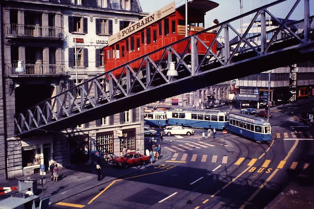
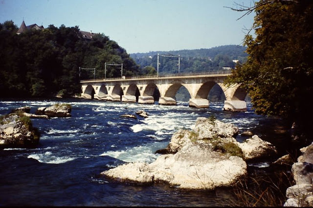
Switzerland in the 1980s was a place where medieval stone bridges stood just minutes from modern train stations, and where cable cars carried travelers above clouds to peaks that felt like the edge of the world. These color photographs were taken by visitors and locals moving through cities, mountain villages, and lakesides during that decade. Together, they build a detailed portrait of a country that balanced deep tradition with everyday modern life. The images stretch from Basel in the north to Bellinzona in the south, and from Zürich’s busy rail hub to the quiet footpaths of Mürren.
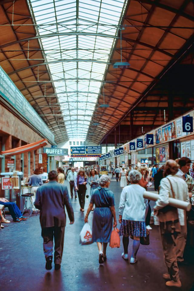
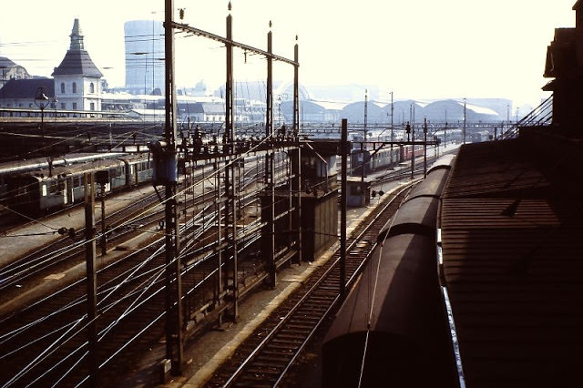
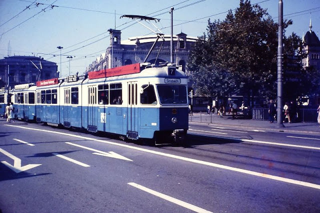
Train travel was one of the main ways people moved through Switzerland, and the rail network showed up constantly in daily life. The journey between Heidelberg and Basel offered travelers sweeping views across the German-Swiss border, and arriving at Basel’s main station meant stepping into one of the country’s busiest transit hubs. In Zürich, trams ran directly in front of the Hauptbahnhof, connecting the station to neighborhoods across the city. Lucerne’s train station had a grand concourse hall that served as a gateway to the lakes and mountains beyond.
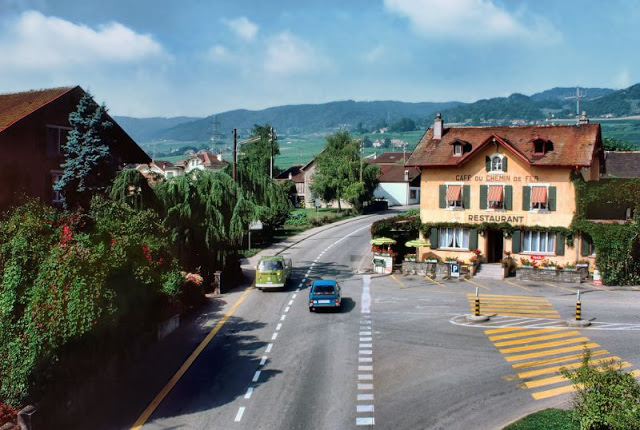
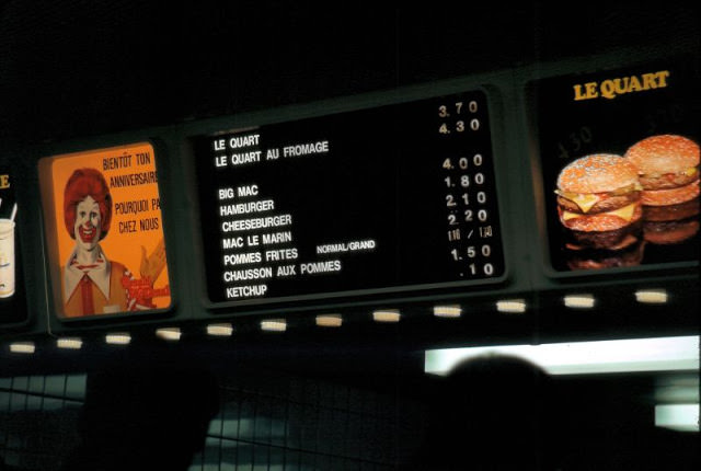
Lausanne sat along the northern shore of Lake Léman, and its streets reflected a city that was both cosmopolitan and rooted in Swiss culture. The Café Du Chemin De Fer — whose name translates to “Railway Café” — sat near the tracks and served as a meeting point for travelers passing through. A few streets away, a McDonald’s on the main drag displayed its menu in French, a sign of American fast food planting roots in Swiss cities during that era.
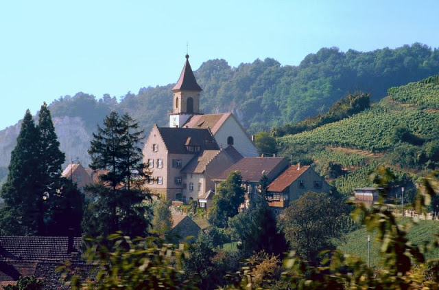
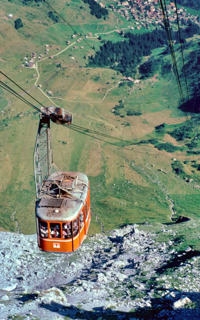
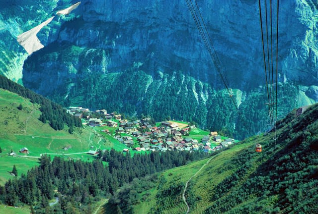
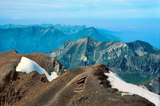
The Schilthorn in the Bernese Oberland rises to 2,970 meters and is home to the Piz Gloria, a rotating restaurant that sits at the summit. Getting there required a series of cable car rides from the car-free village of Mürren. Looking back down from the cable car during the ascent, Mürren appeared as a cluster of chalets clinging to a cliff shelf above the valley. At the top, the views stretched across the Eiger, Mönch, and Jungfrau — three of the most recognizable peaks in the Alps.
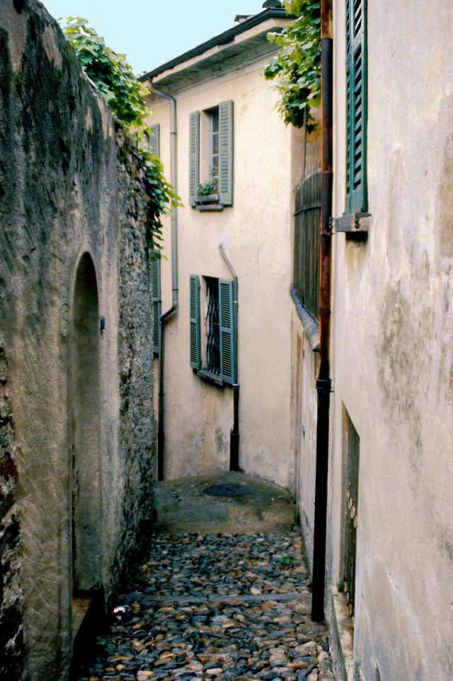
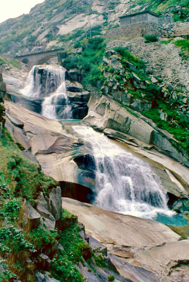
Southern Switzerland had a different feel entirely. Bellinzona, the capital of the canton of Ticino, was Italian in character — its narrow stone passageways wound between old buildings that had stood for centuries. The city is known for its three medieval castles, and the old town’s alleyways felt like something from a different century, even by 1980s standards. Further north, the Gotthard Pass connected Ticino to central Switzerland through some of the most rugged terrain in the country, with waterfalls cutting down rocky slopes along the route.
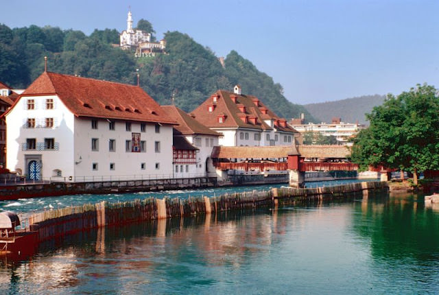
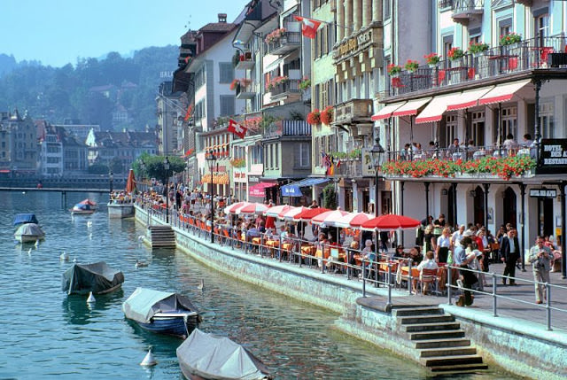
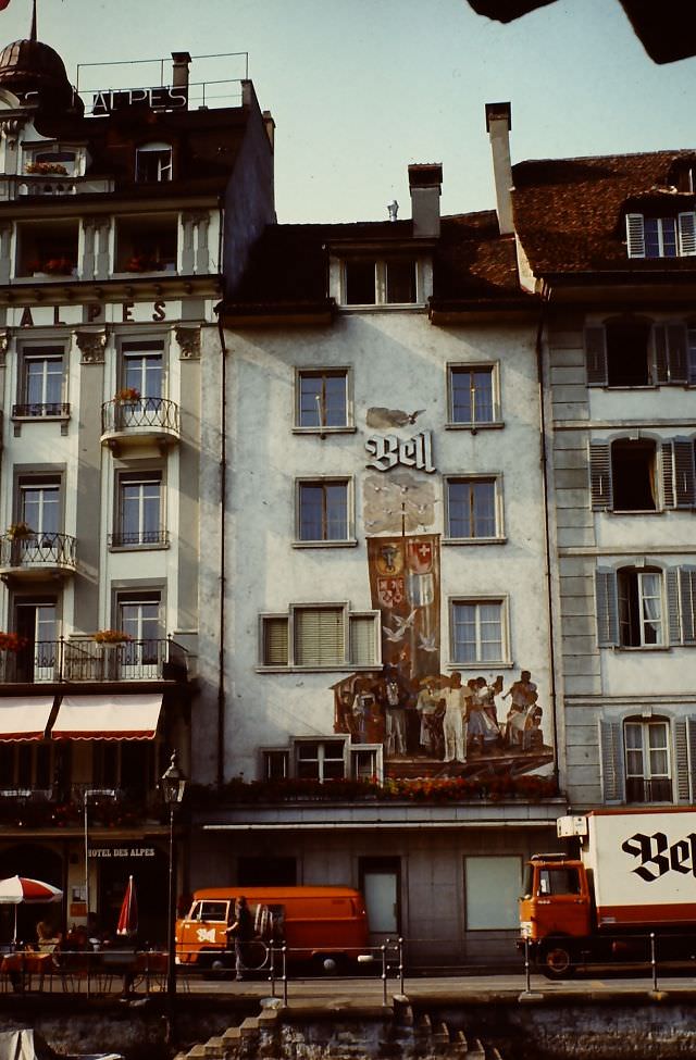
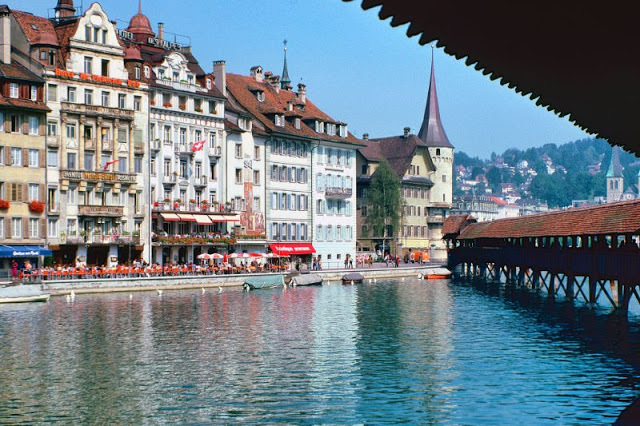
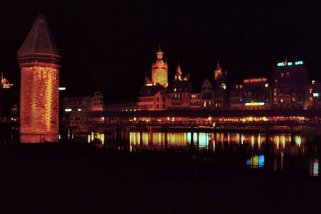
Lucerne was one of the most-visited cities in Switzerland, and for good reason. The Spreuerbrücke, a covered wooden bridge lined with painted panels, spanned the Reuss River at the edge of the old town. The Chapel Bridge — the city’s most famous landmark — offered views of the lake and the mountains beyond. At night, Lucerne’s waterfront glowed with reflections from the buildings lining the Rathausquai, where the Hotel des Alpes stood alongside the distinctive Bell building.
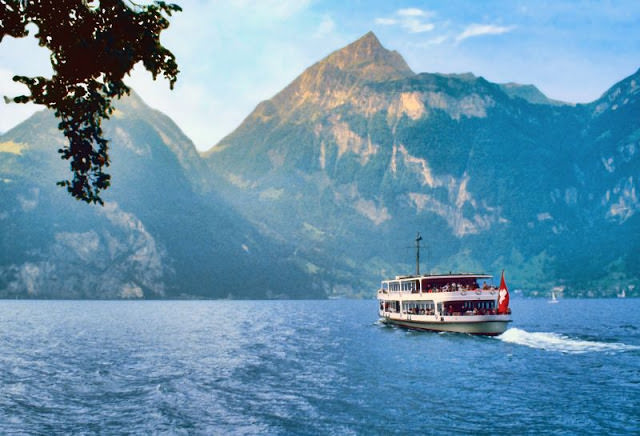
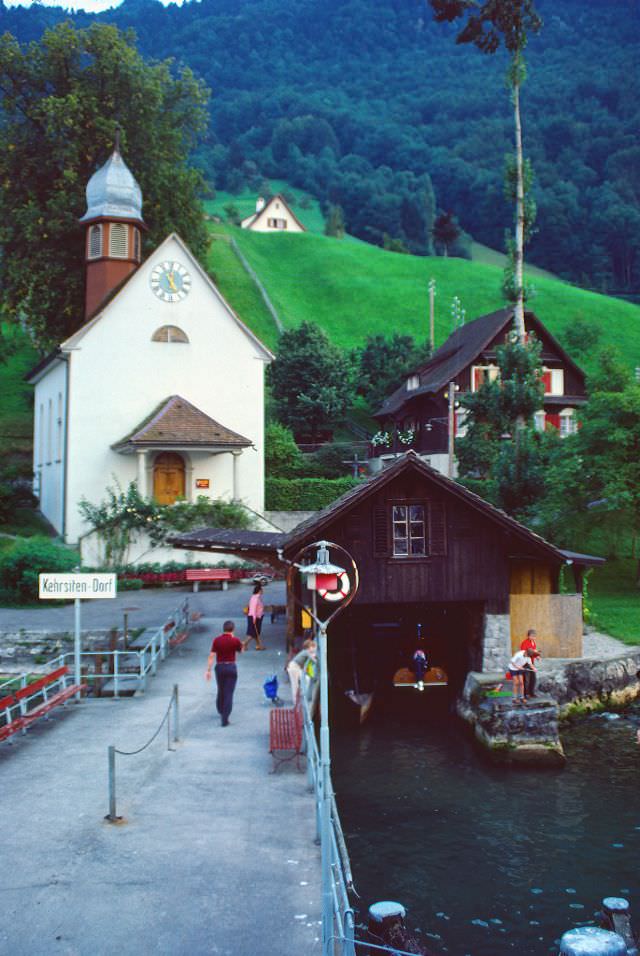
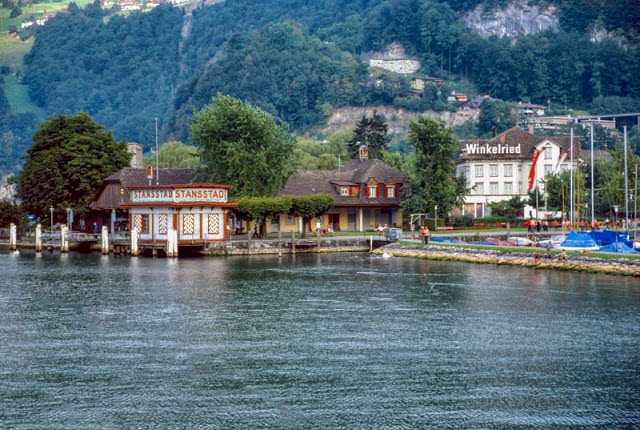
Lake Lucerne’s steamer service connected a string of small villages along the shoreline. The route between Alpnachstad and Lucerne passed Tell’s Chapel near Sisikon, a small shrine built into the rock face that commemorates the legendary Swiss hero William Tell. Tiny villages with a handful of buildings appeared at each stop along the way, their steep hillside settings making road access difficult and the lake the most practical route in and out.
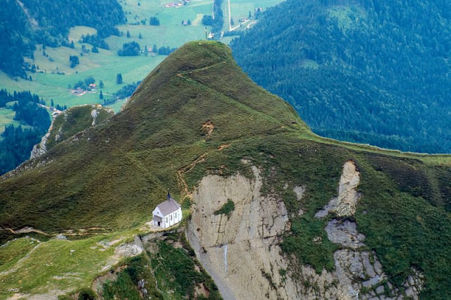
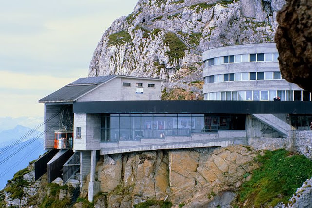
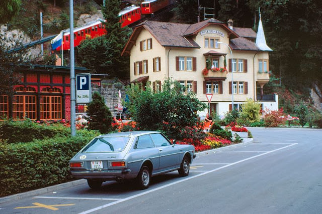
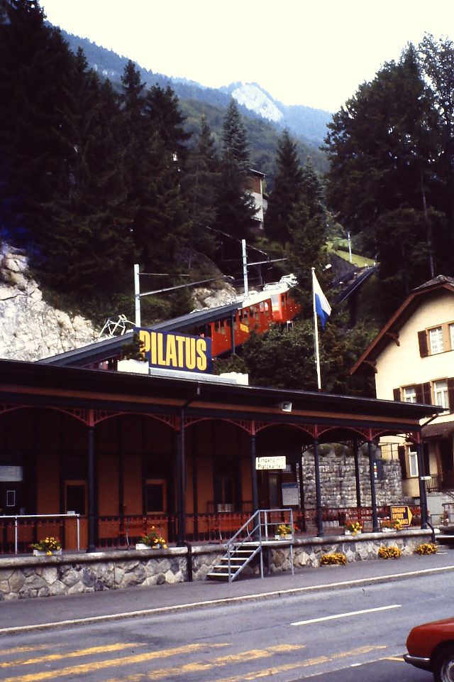
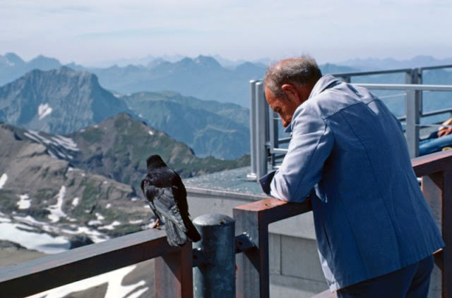
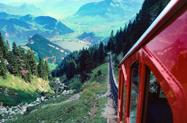
Mount Pilatus dominated the skyline south of Lucerne. The mountain’s summit was reached by the world’s steepest cogwheel railway, which departed from Alpnachstad and climbed at gradients of up to 48 percent. At the top, a cable car terminal served visitors arriving from a different direction, and the views from the peak took in a wide sweep of the Swiss Plateau and the Alps. Coming back down on the cogwheel railway, passengers looked out over the lake and the patchwork of farmland below.
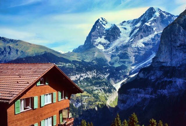
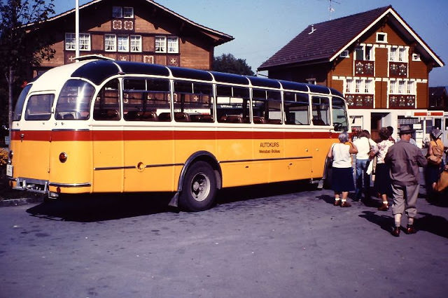
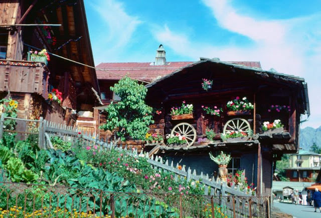
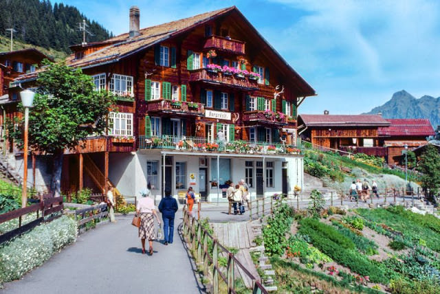
The village of Mürren sat at 1,638 meters on a sun-facing terrace above the Lauterbrunnen Valley, accessible only by cable car or mountain railway. From its streets and gardens, the north face of the Eiger and the broad dome of the Jungfrau were visible across the valley without obstruction. In the Appenzell region to the northeast, the landscape shifted to rolling green hills. Near Brülisau, vintage FBW buses — the heavy Swiss-built coaches known as Haifisch for their shark-like front grille — ran local transport routes.
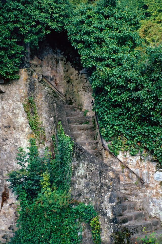
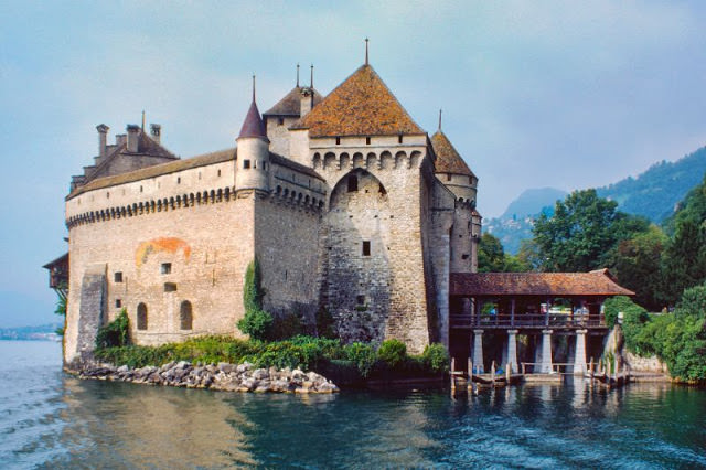
Chillon Castle near Montreux was one of the best-preserved medieval fortresses in Europe. Built on a small island in Lake Geneva, it had served as a residence, a prison, and a military stronghold over its long history. By the 1980s, parts of the castle were open to tourists, though some areas — including an old stairway worn smooth by centuries of use — were closed off to protect both the structure and its visitors.
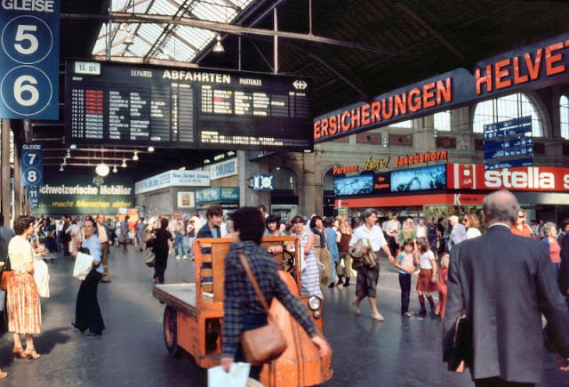
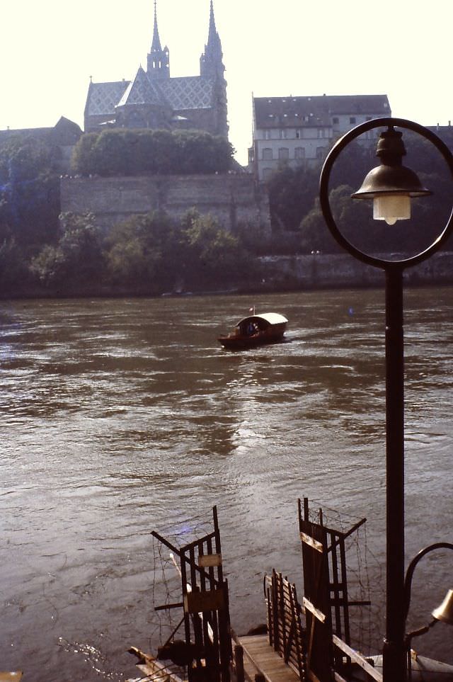
Zürich’s Hauptbahnhof was the largest rail station in Switzerland and one of the busiest in Europe. Trams departed from directly outside, running on tracks embedded in the city’s streets. The Polybahn, a short funicular railway, connected the central city to the university district on the hill above. Basel, meanwhile, operated a small rope-pulled ferry across the Rhine, a practical and unchanged method of crossing the river that had served the city for generations.
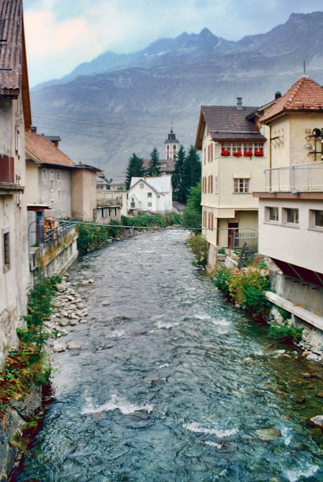
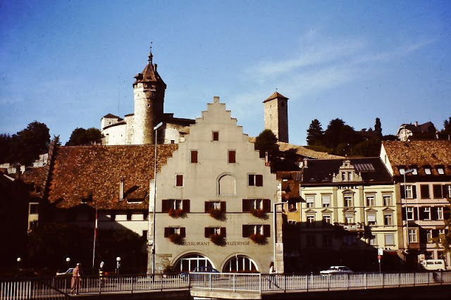
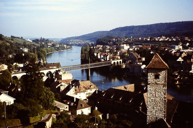
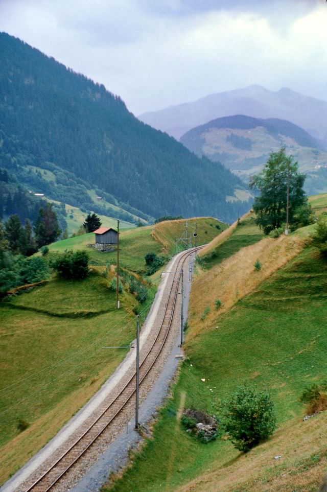
Andermatt sat at a crossroads of major Alpine passes, and fast-flowing streams cut through the town year-round, fed by snowmelt from the surrounding peaks. The Oberalp Pass, which connected Andermatt to the canton of Graubünden, was served by a narrow-gauge railway that ran across the high plateau in conditions that made road travel impractical in winter. Schaffhausen, in the far north near the Rhine Falls, offered a completely different landscape — a town of painted facades and bay windows perched above the river, with views stretching toward the Munot fortress.
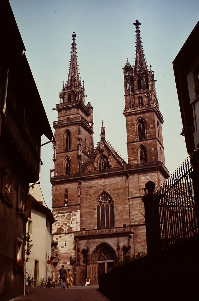
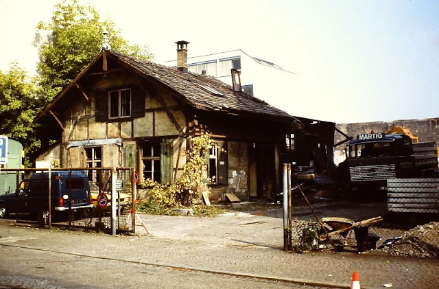
Basel’s Marktplatz sat at the center of the old city, surrounded by the red sandstone Town Hall. The city’s Münster cathedral, a Romanesque and Gothic church dating back to the 12th century, was visible from the Münsterberg terrace above the Rhine. The Basel railway station — one of the few in Europe to sit on an international border — served trains arriving from France, Germany, and the rest of Switzerland. Nearby, an old garage building showed the more ordinary side of city life, its utilitarian structure a contrast to the grand civic architecture just blocks away.
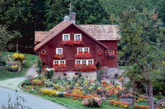
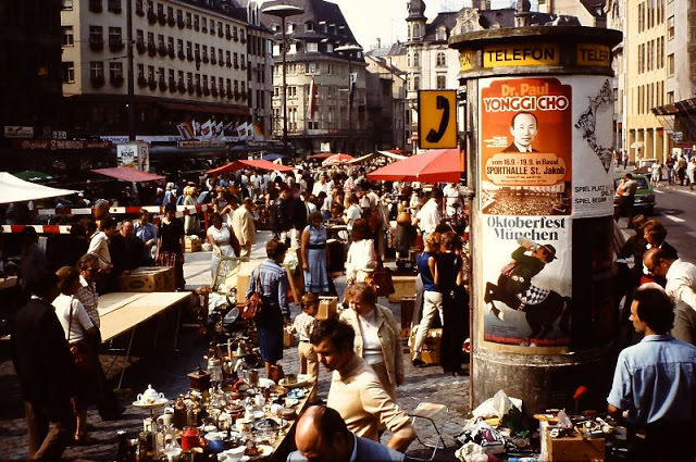
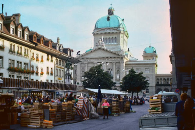
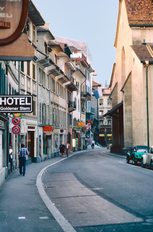
Hotels across Switzerland captured the variety of places travelers stayed. In Bülach, north of Zürich, the Hotel Restaurant zum Goldenen Kopf offered rooms with views over the town’s rooftops. In Lucerne, the Hotel Bären sat close enough to the waterfront that guests could watch activity on the river from their windows. Bern’s street market, set directly in front of the Federal Palace — Switzerland’s parliament building — showed how civic and commercial life overlapped in the capital.
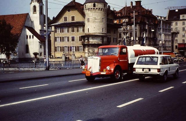
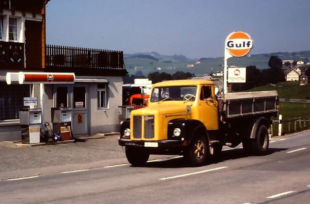
The roads and rails of 1980s Switzerland moved a mix of people and freight. Near Appenzell, a Scania dumper truck sat beside a Gulf petrol station, a snapshot of the working vehicles that kept the country running. On the Seebrücke in Lucerne, a Brenntag chemical tanker rolled past alongside a Range Rover, an ordinary traffic moment on one of the city’s key bridges. These details sat alongside the scenic and the historic, filling in the everyday texture of life in Switzerland during that decade.