
Toronto in the 1970s was a city in the middle of a major shift. It was moving away from its older identity as a quiet, industrial, largely Anglo-Saxon city and becoming something far bigger — a financial powerhouse with a fast-growing and increasingly diverse population. By the end of the decade, Toronto had overtaken Montreal as Canada’s most populous city, and the skyline was changing fast to prove it.
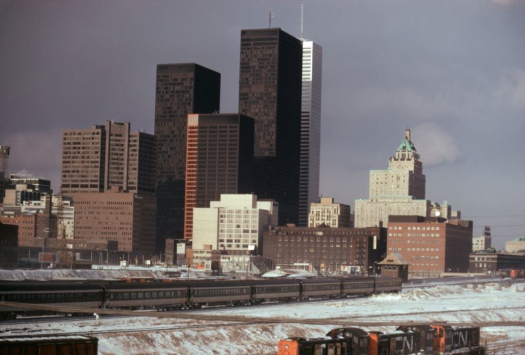
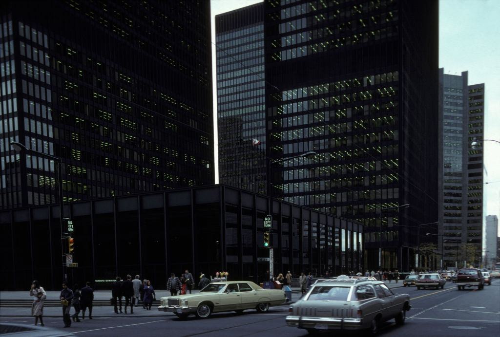
The boom in skyscraper construction during this decade was largely driven by banks. Major towers went up across the downtown core, including the Royal Trust Tower, Canadian Place, Royal Bank Plaza, and the South Tower. The most iconic construction project of the era was the CN Tower, which dominated the skyline even before it was finished. These buildings announced to the rest of the country — and the world — that Toronto was now the financial capital of Canada.
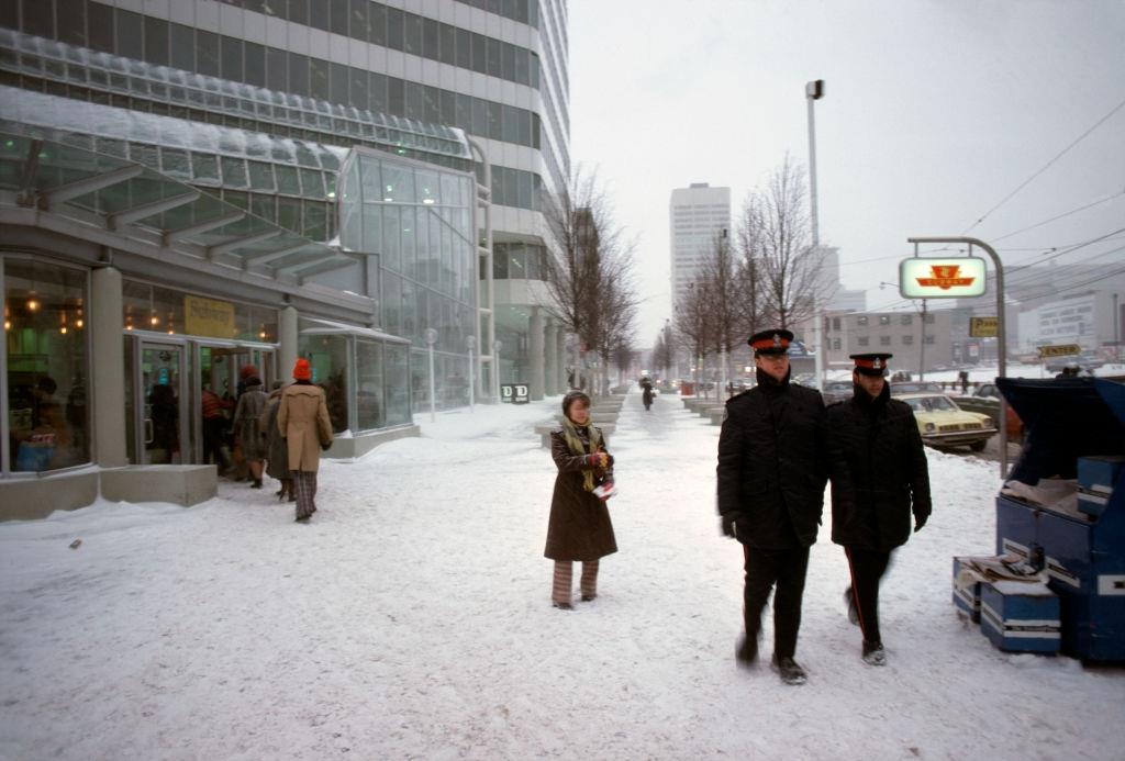
The shift in financial power was not subtle. Head offices that had long been based in Montreal began relocating to Toronto, with the Royal Bank of Canada among the most notable to make the move. Montreal had held the title of Canada’s economic center for generations, but by the late 1970s, Toronto had taken it. The construction cranes and the crowds of office workers filling the new towers were hard evidence of that change.
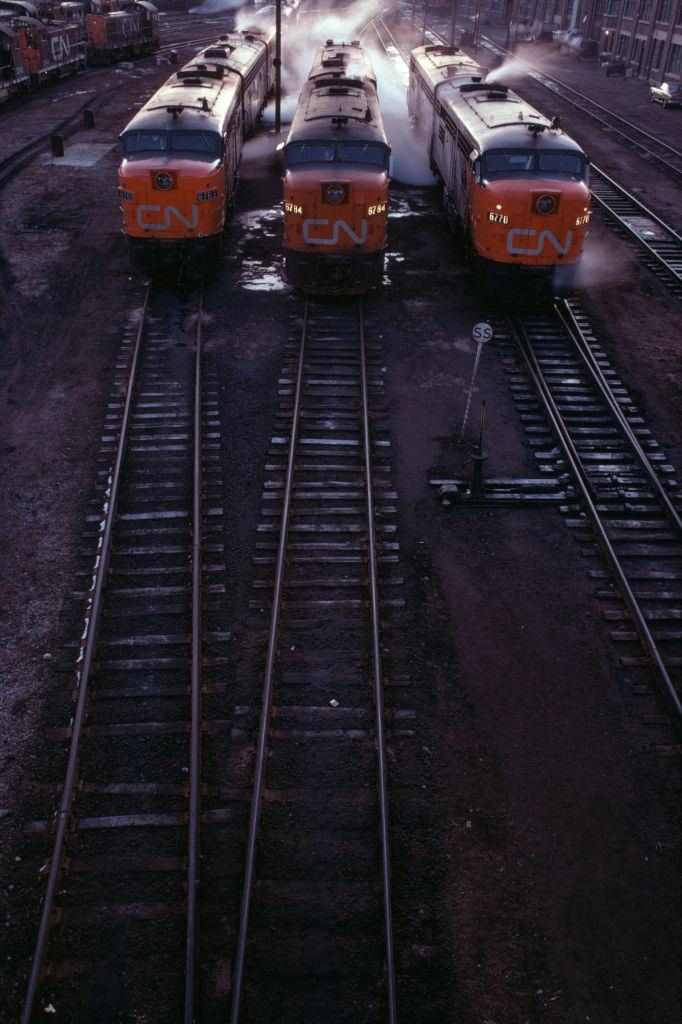
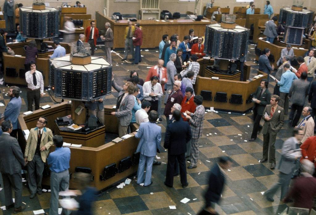
Toronto’s stock exchange was at the center of this economic rise, handling an ever-growing volume of trades as the city attracted more corporate attention. The financial district buzzed with activity, and the area around King and Bay streets was filling up with the kind of institutional architecture that signaled serious money and permanent ambition.
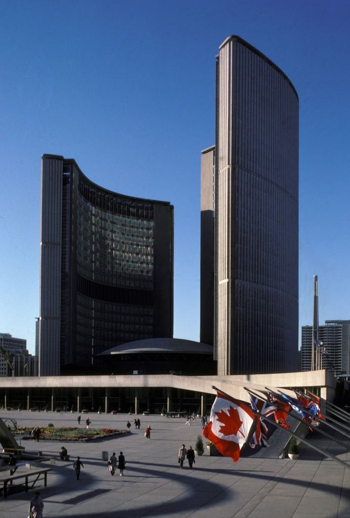
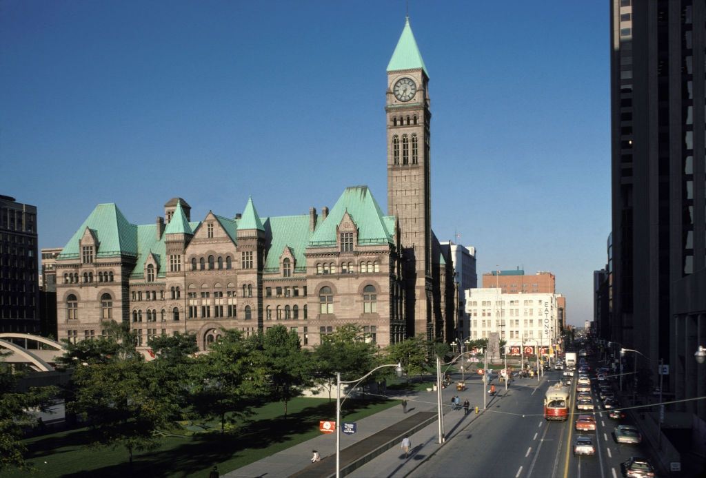
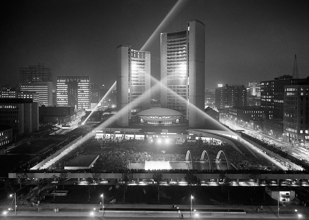
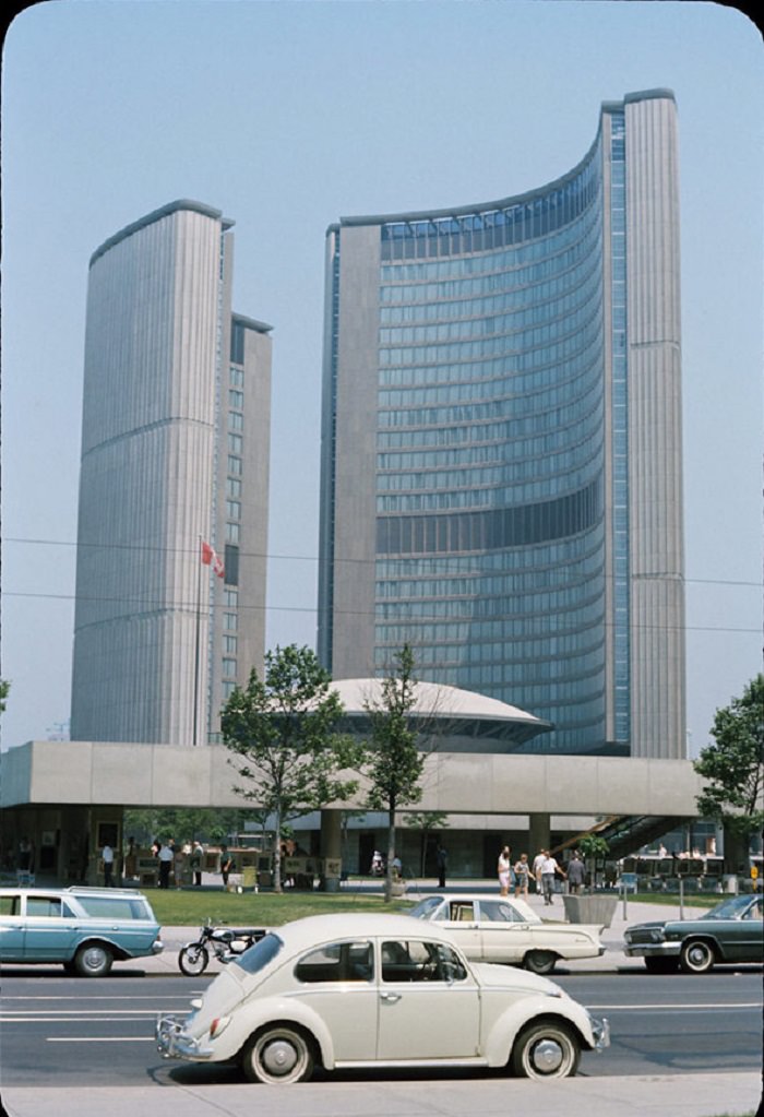
The civic buildings of Toronto told their own story. The new City Hall, with its distinctive curved towers framing the council chamber dome, had opened in the previous decade and by the 1970s was already a defining symbol of the city’s modern identity. Nathan Phillips Square in front of it became a gathering place for Torontonians in all seasons.
Away from the financial district, the streets of Toronto carried a rougher energy. Queen Street West was a mix of small shops, old storefronts, and working-class foot traffic. The city was dirtier and more industrial than it is today. Good restaurants were scarce in the early part of the decade, and many neighborhoods still bore the marks of a pre-war city that hadn’t yet been scrubbed clean or redeveloped.
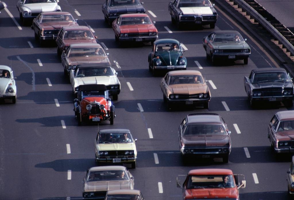
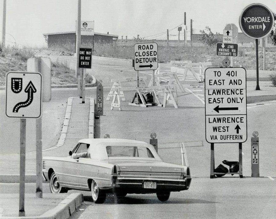
Transportation in 1970s Toronto was a contentious issue. There were ambitious plans for massive highway expansion that would have carved through established neighborhoods. By the end of the decade, those plans had been killed off, largely due to organized resistance from residents. The subway system that existed was considerably smaller than today — reaching Warden to the east, Islington to the west, and only stretching as far north as Eglinton.
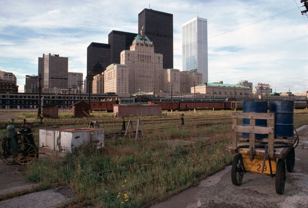
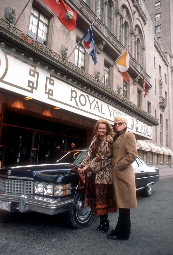
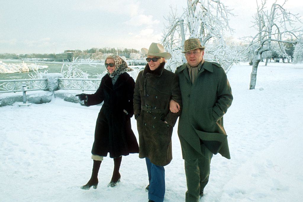
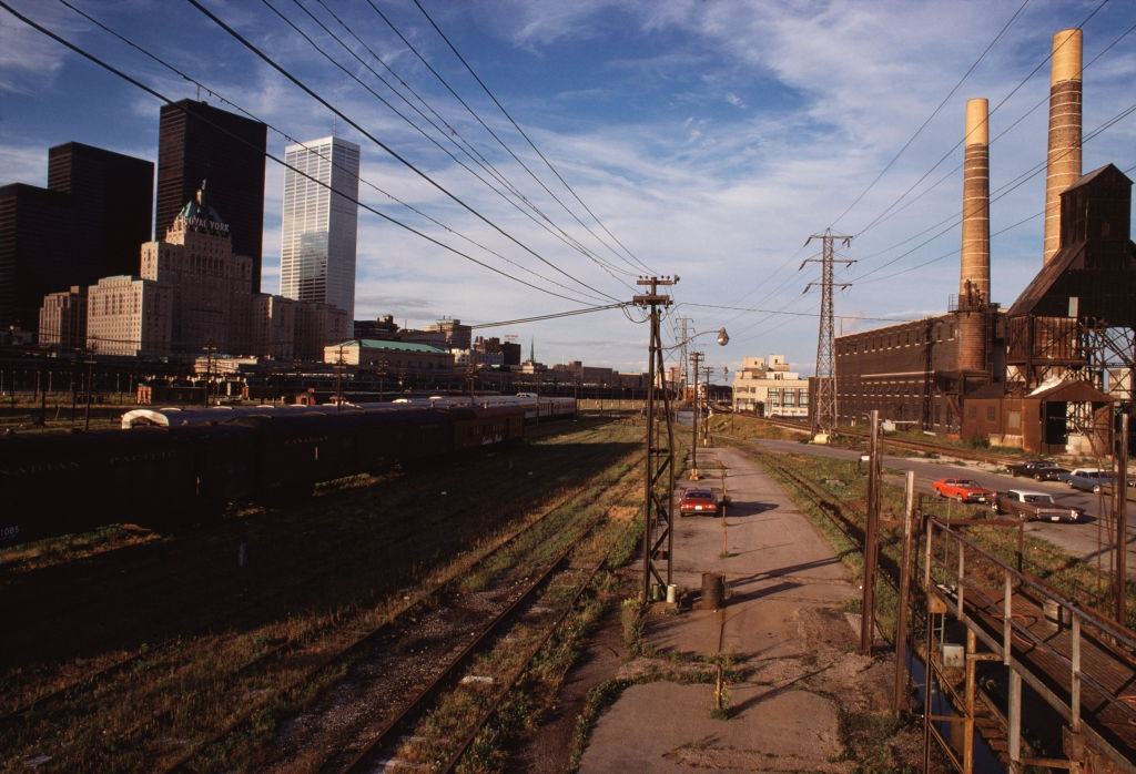
Toronto’s cultural scene was growing alongside its economic muscle. The city hosted international performers and attracted visitors from across the world. The Royal York Hotel, one of the grand old landmarks of the city, remained a central address for dignitaries, performers, and business travelers throughout the decade.
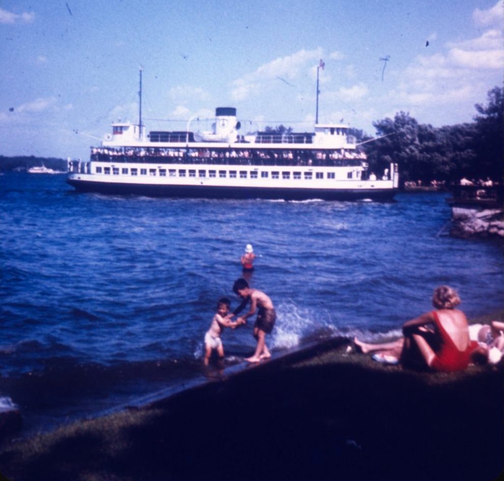
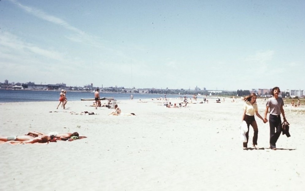
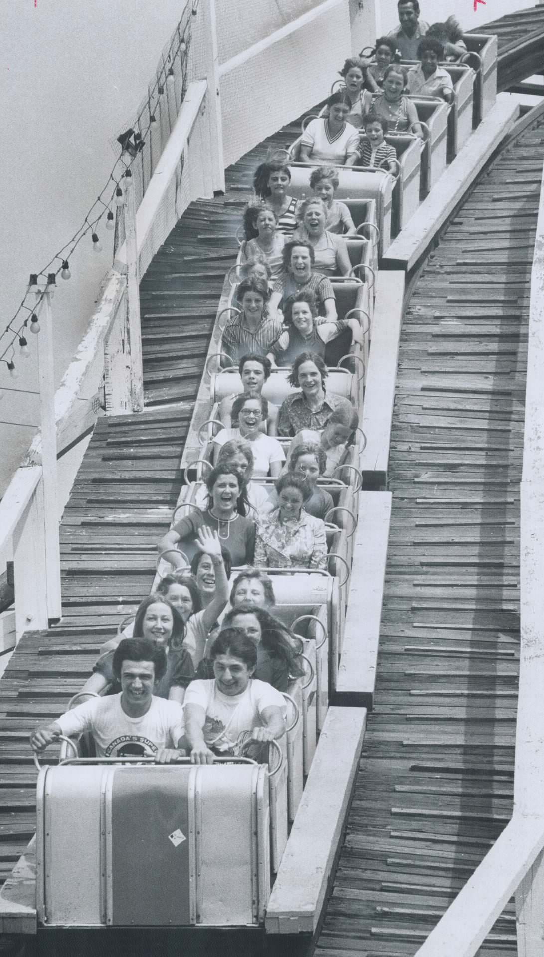
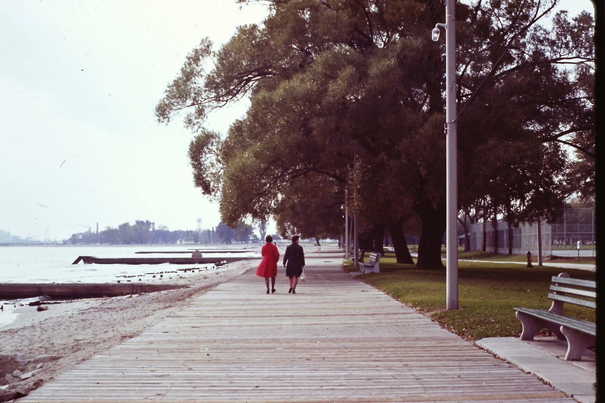
The Toronto Islands and the waterfront were important parts of everyday life for residents. The islands offered a short ferry ride away from the city’s noise and offered green space, beaches, and the Centreville amusement park. Cherry Beach, along the eastern waterfront, was a popular spot in warm weather, though the waterfront as a whole was still heavily industrial and not yet the public amenity it would eventually become.
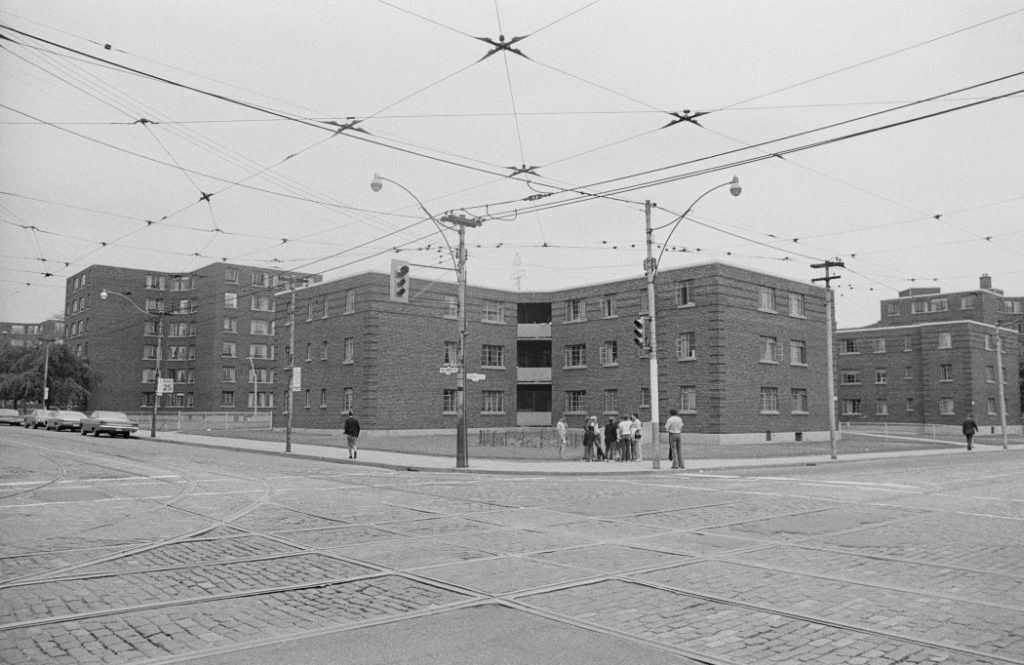
Regent Park, at Parliament and Dundas, was one of Canada’s first large-scale public housing developments. By the 1970s, it was a dense residential neighborhood that housed thousands of low-income families, many of them newcomers to Canada. The area reflected the broader reality of a city absorbing waves of immigration, with families from the Caribbean, South Asia, and elsewhere settling into neighborhoods across the old city grid.
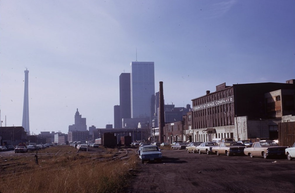
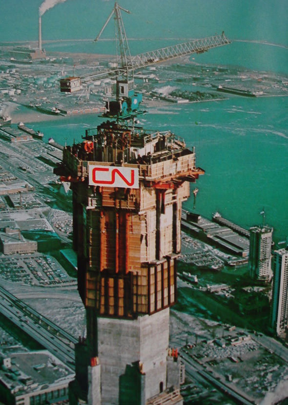
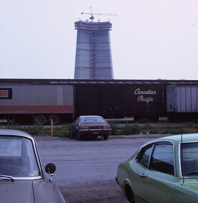
The CN Tower was the decade’s most visible construction project. Work began in 1973, and Torontonians watched the structure climb higher month by month. At 553 metres, it became the world’s tallest freestanding structure upon completion in 1976. While it was built primarily as a communications tower to solve broadcast reception problems caused by the growing number of skyscrapers, it quickly became the defining symbol of Toronto itself.
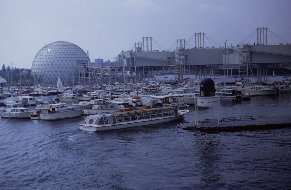
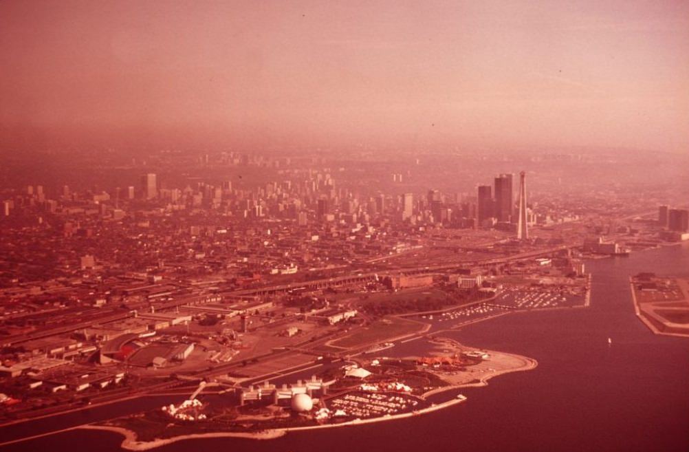
Ontario Place, which opened in 1971 on the lakefront, was one of the decade’s major civic attractions. Built on three artificial islands just west of the CNE grounds, it featured a marina, amphitheater, restaurants, and the Cinesphere, one of the world’s first IMAX theatres. It gave Torontonians a new reason to spend time along a waterfront that had long been dominated by rail yards and industry.
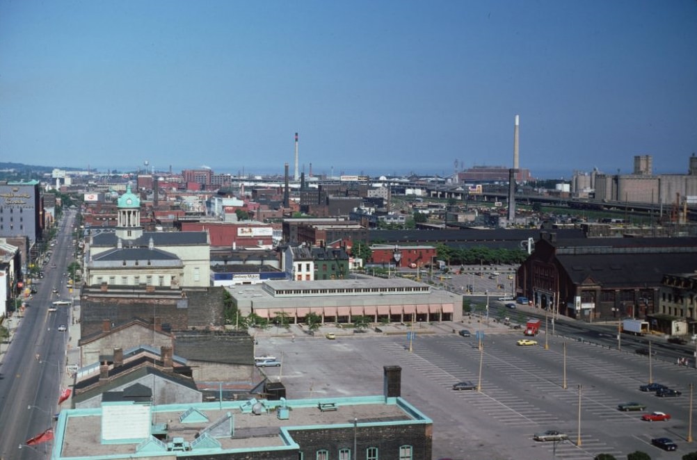
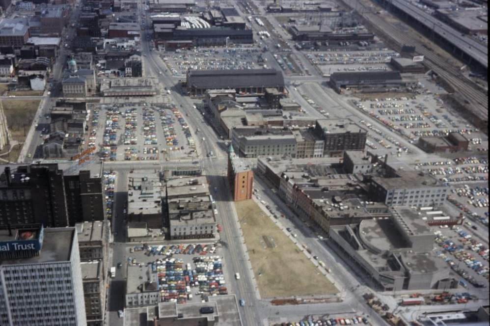
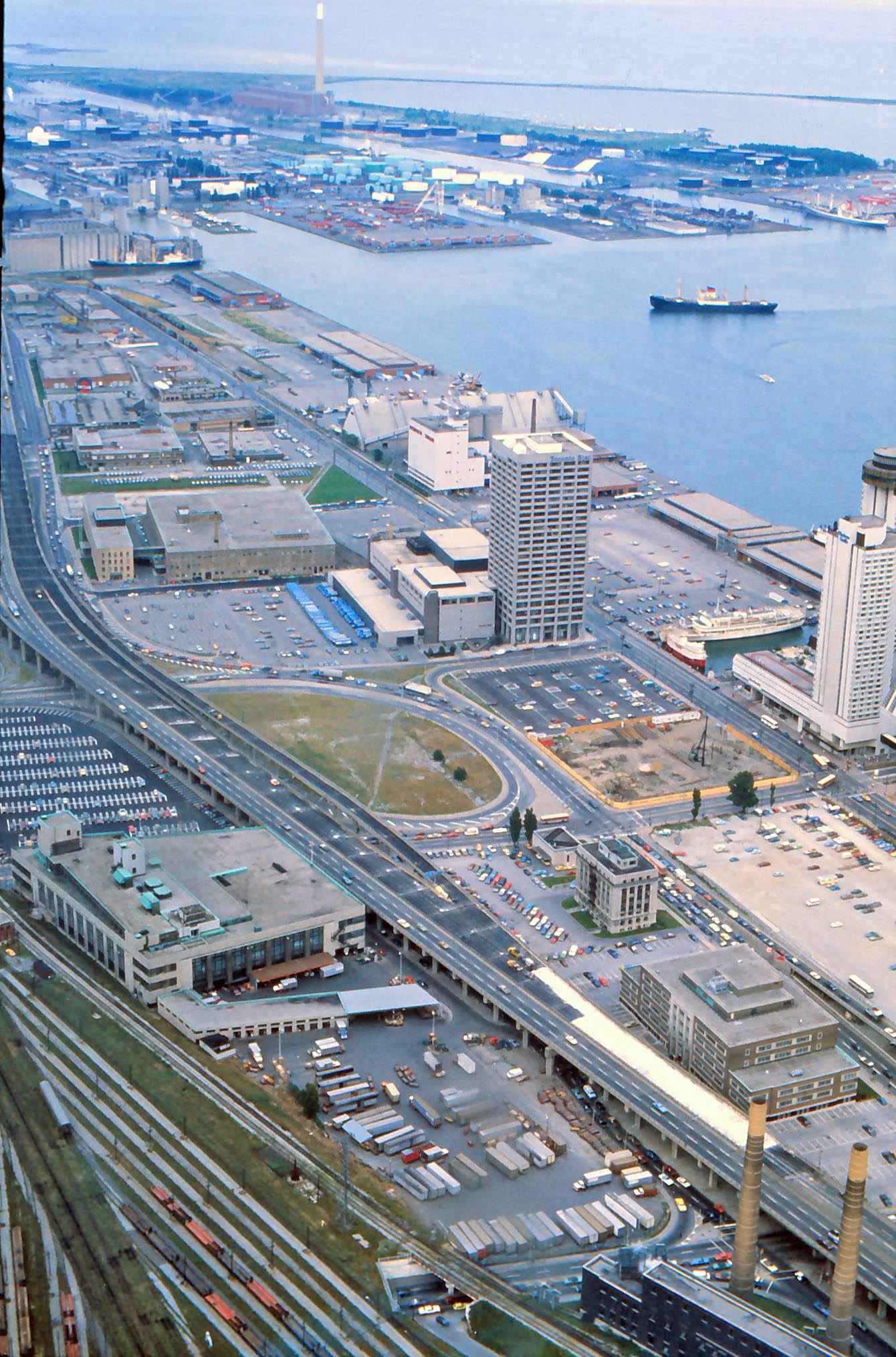
St. Lawrence Market was already a long-established institution by the 1970s, drawing shoppers from across the city for fresh produce, meat, and specialty goods. From above, the surrounding neighborhood of Old Town showed a mix of Victorian commercial buildings and warehouses, many of which were still in active use. The aerial views of the city from this period reveal just how much open and underdeveloped land still existed close to the downtown core.
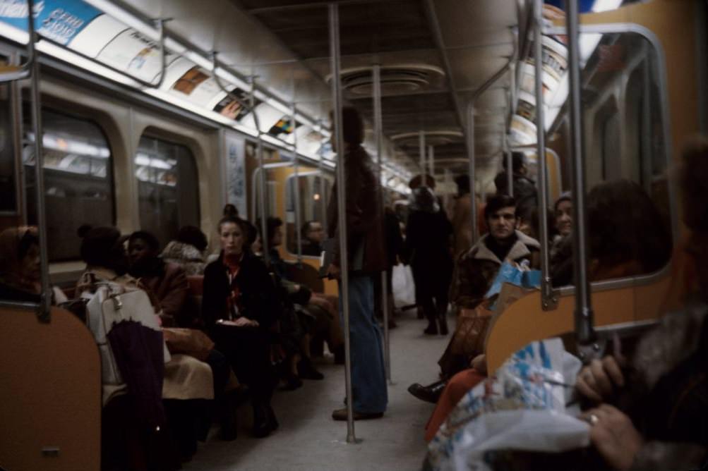
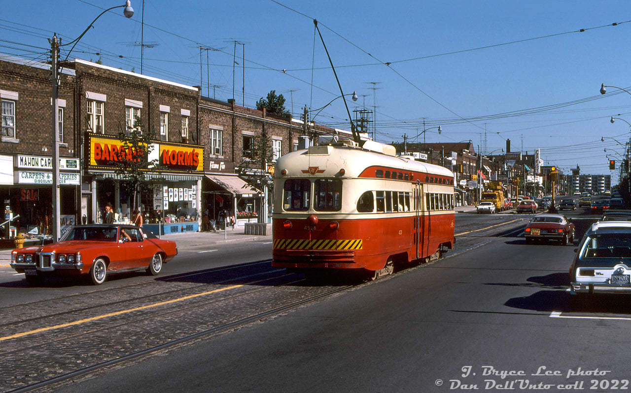
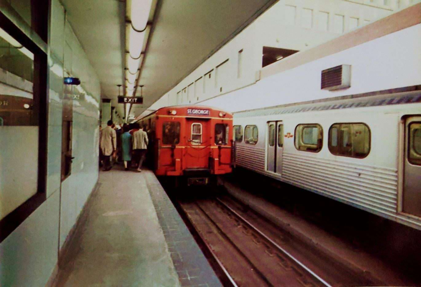
The TTC’s subway cars in the 1970s were the iconic red-and-cream Gloucester trains, known by riders for their distinctive look and the rattling sound they made through the tunnels. The system was functional but limited, and surface transit — buses and streetcars — still did the heavy lifting for most of the city’s neighborhoods. Streetcars ran on a number of routes that were phased out during the decade, including the Mount Pleasant line, which saw its last runs in 1976.
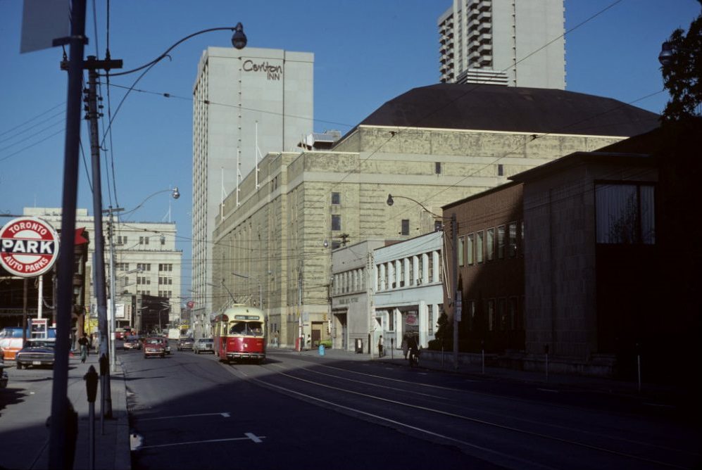
Maple Leaf Gardens on Carlton Street was one of the city’s most beloved institutions. Home to the Toronto Maple Leafs, it drew packed crowds through the 1970s even as the team struggled to match the dominance of its earlier championship years. The Gardens sat at the heart of a stretch of downtown that included theatres, record shops, and the kind of street-level commercial life that defined urban Toronto in the decade.
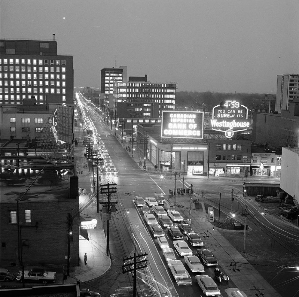
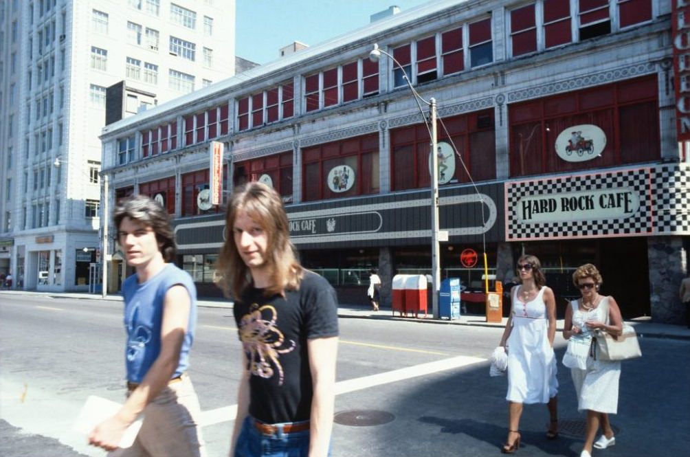
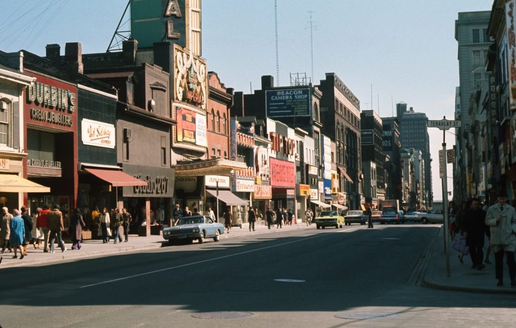
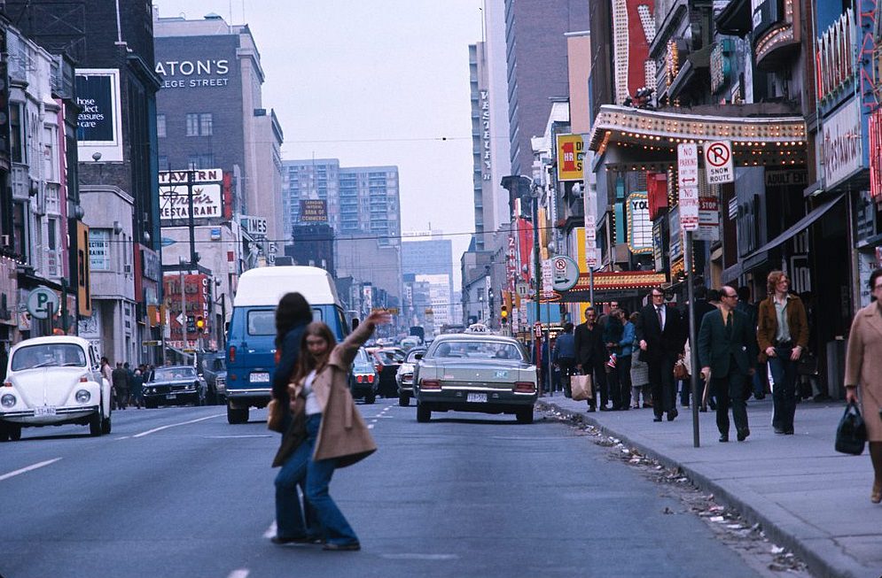
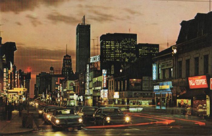
Yonge Street was the spine of the city — running from the lakefront north through the urban core and out into the suburbs. At Eglinton, it marked the rough boundary of the subway’s northern reach. The intersection was a busy suburban hub lined with shops and movie houses. Further south, Yonge ran through a grittier stretch of adult theatres, record stores, and street vendors that gave the strip a reputation it would carry for years.
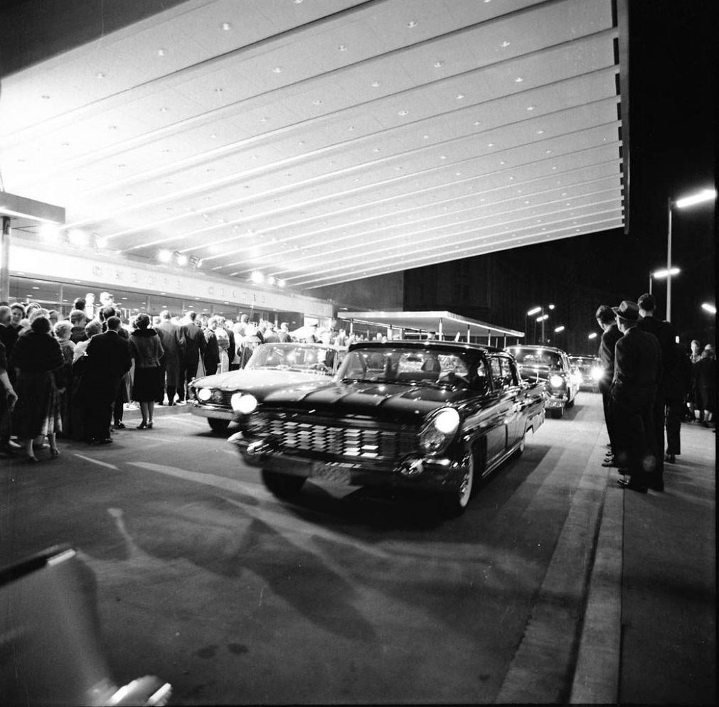
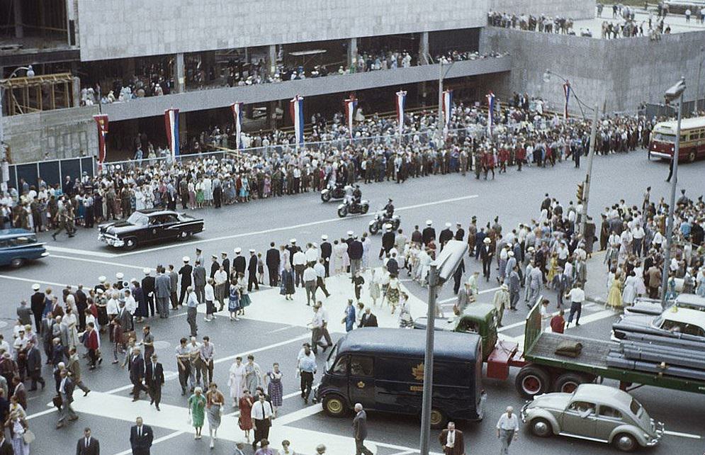
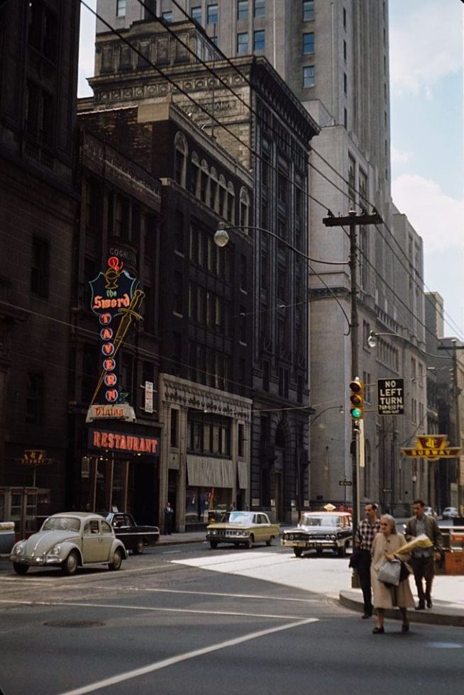
King and Yonge was one of the most important intersections in the country by this point, sitting at the crossroads of the financial and commercial districts. The surrounding blocks were lined with bank towers, office buildings, and shops. Street life here was busy during working hours, with commuters, shoppers, and workers filling the sidewalks. The O’Keefe Centre nearby gave the area a cultural anchor, hosting major theatrical productions and performances.
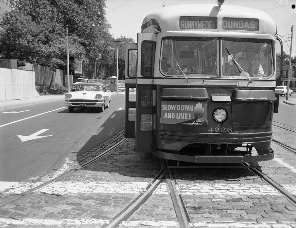
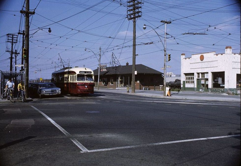
The PCC streetcars — Presidents’ Conference Committee cars — were the workhorse of Toronto’s surface transit network. These American-designed vehicles had been in service since the 1930s and were still a common sight on city streets in the early 1970s before being retired. The TTC ran them on several routes, and they became one of the most recognizable symbols of mid-century Toronto. Their eventual phase-out marked the end of an era for the city’s transit history.
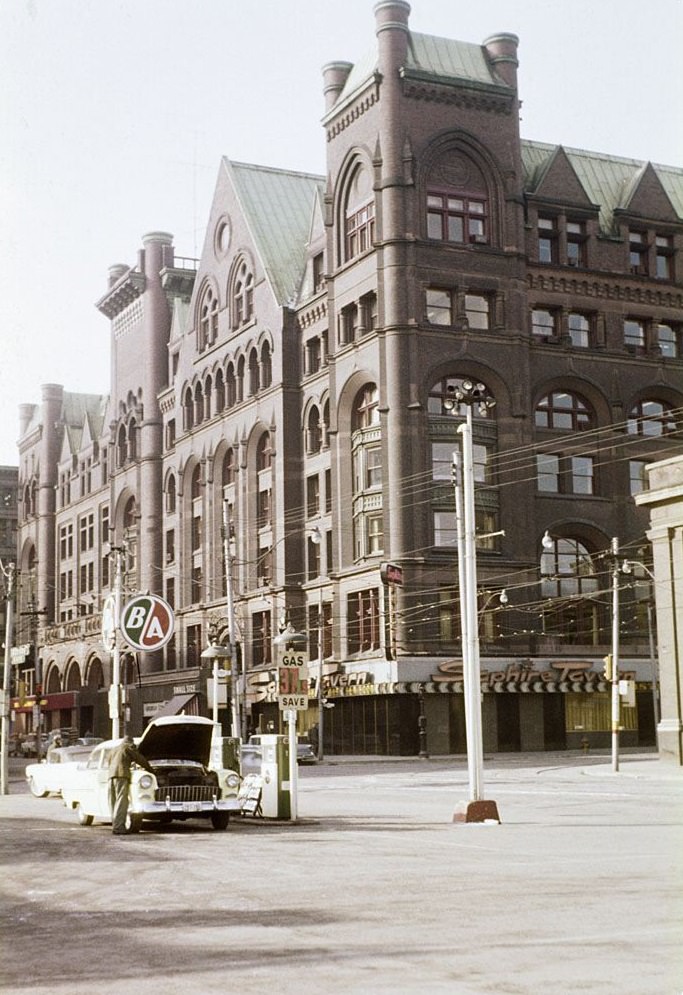
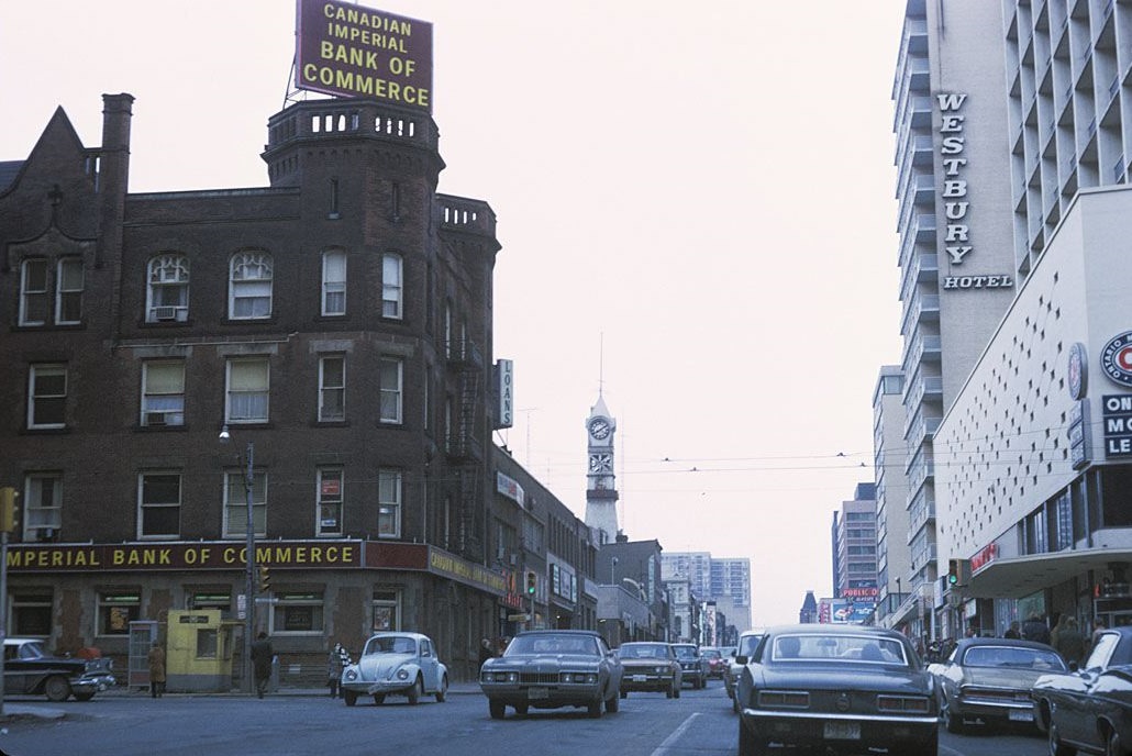
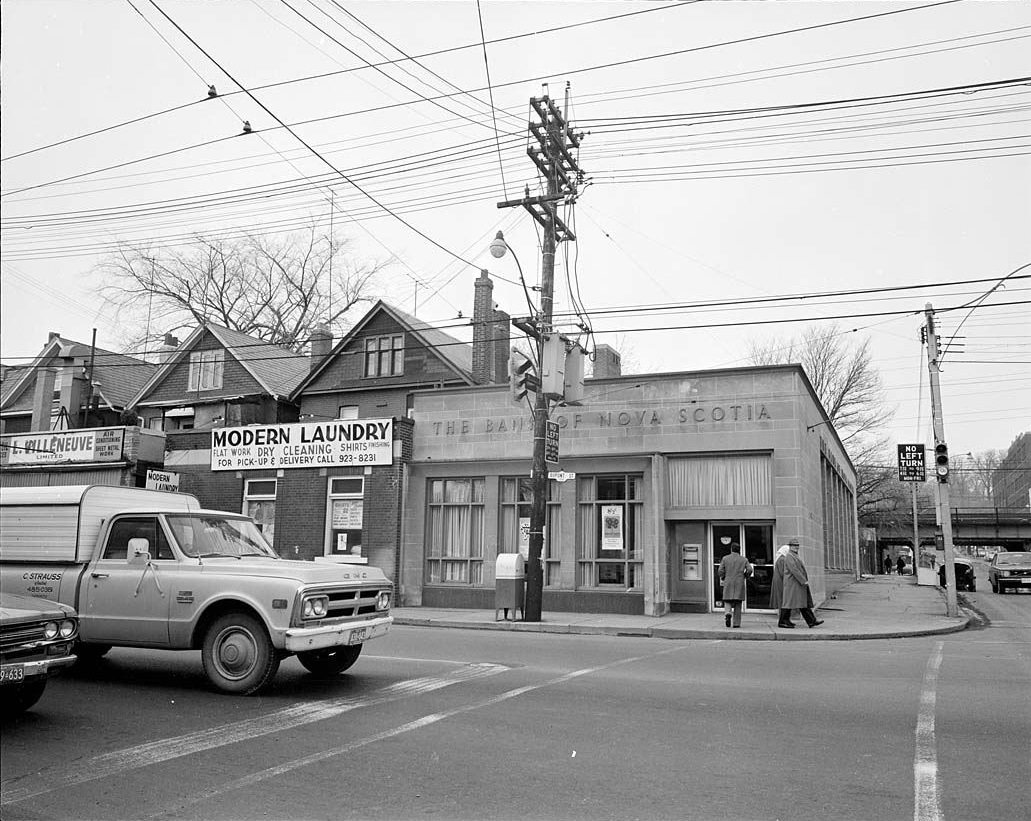
Streets like Dupont, Richmond, and Carlton each had their own character. Dupont ran through a mixed residential and light industrial area north of the Annex. Richmond East was a downtown commercial corridor. Carlton, running east from Yonge near Maple Leaf Gardens, was a busy residential and retail street that served the dense neighborhoods of Cabbagetown and the Church-Wellesley area.
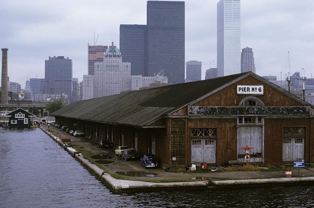
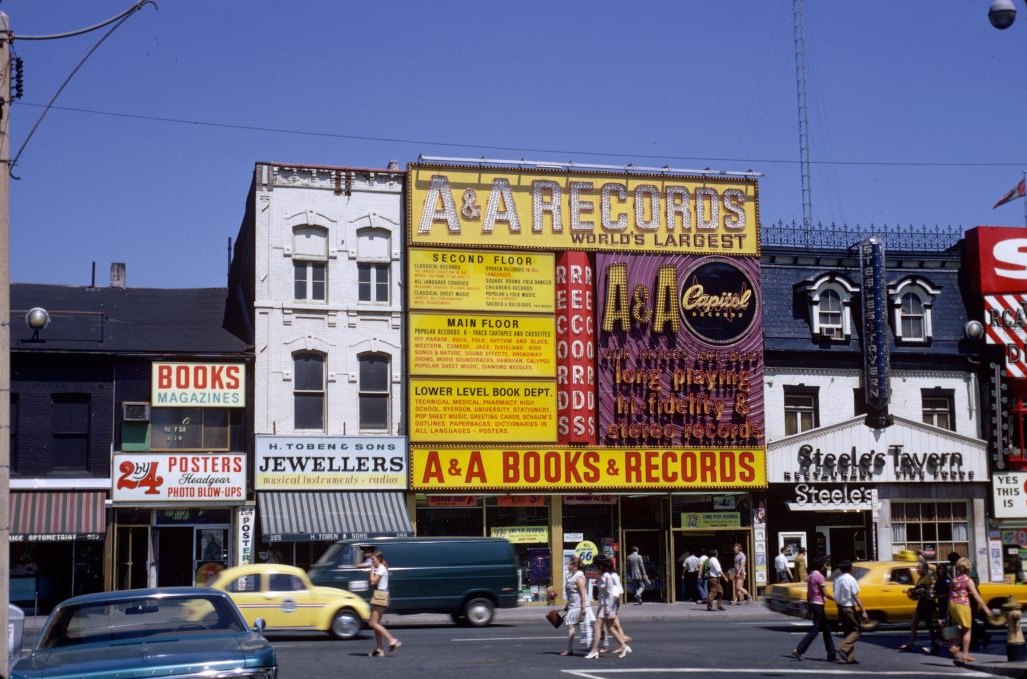
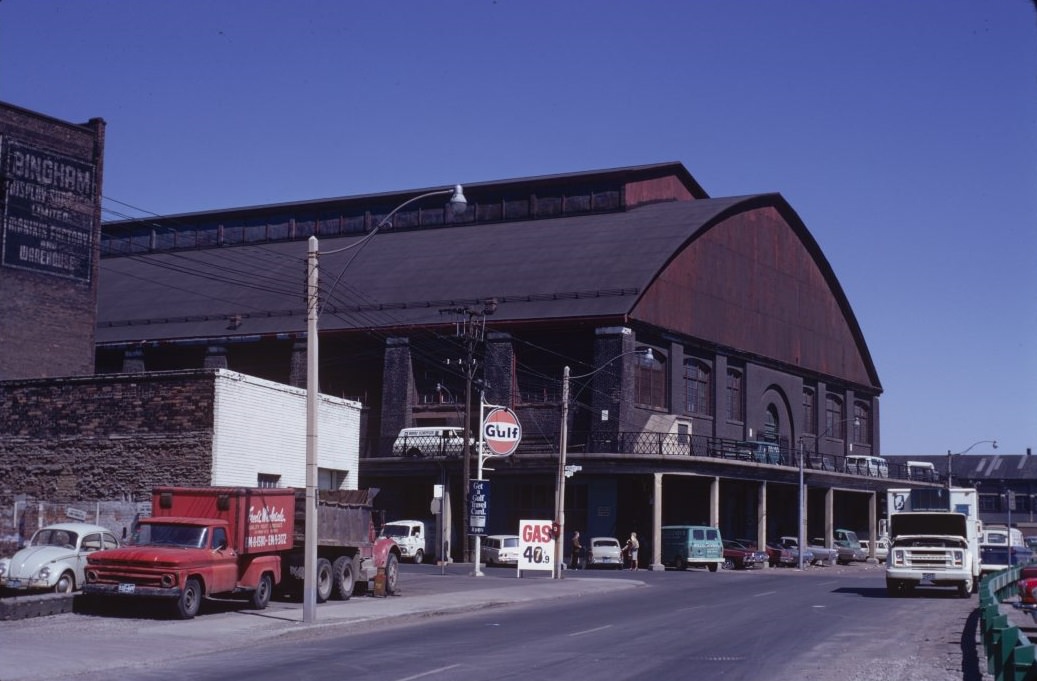
The Esplanade behind St. Lawrence Market ran through a neighborhood that was still largely industrial and warehouse-heavy in the 1970s. York Quay and the piers along the waterfront were working parts of the city’s port infrastructure, not yet redeveloped into the recreational and cultural spaces they would later become. Taverns like Steele’s were a fixture of working-class Toronto, offering cheap beer and a place to gather after a shift.
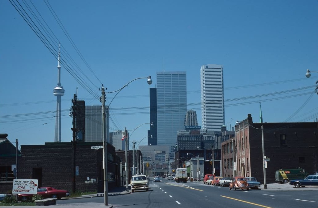
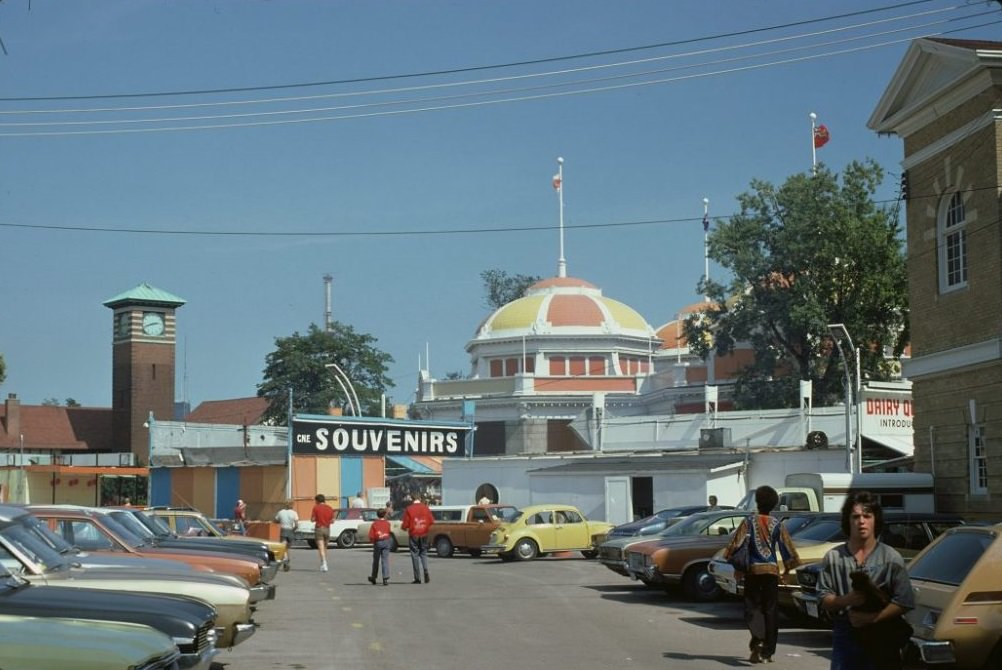
The Canadian National Exhibition, held every August on the lakefront grounds west of downtown, was one of the most anticipated events on the city’s calendar. Hundreds of thousands of Torontonians passed through its gates each summer to see agricultural displays, carnival rides, grandstand shows, and exhibitions of new technology and consumer goods. By the 1970s, the CNE was already over a century old, but it remained a beloved annual tradition.
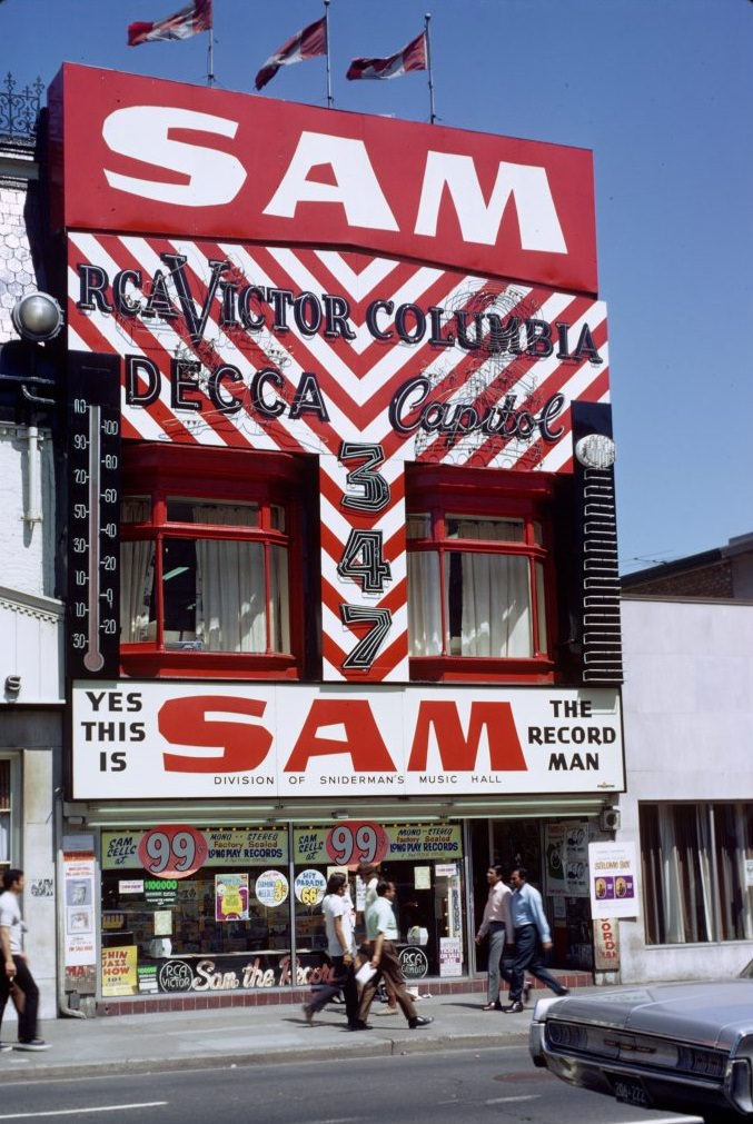
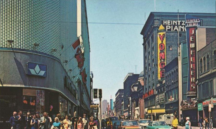
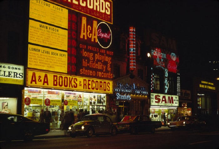
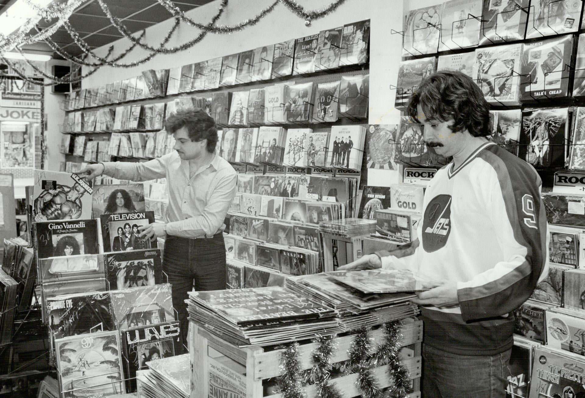
Sam the Record Man on Yonge Street was one of the most famous retail stores in Canada. Its giant spinning neon record signs were a landmark on the strip, and music fans from across the country made pilgrimages to browse its enormous catalogue. Independent record shops dotted the entire length of Yonge Street through this period, making it one of the best places in North America to find music.
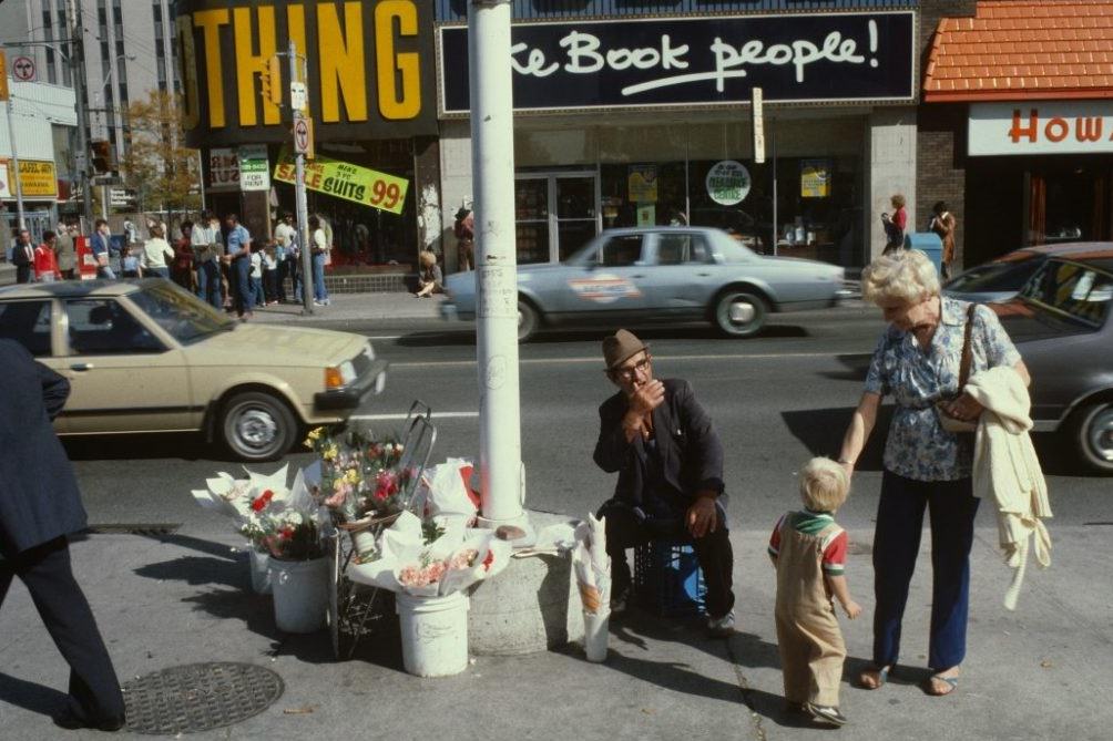
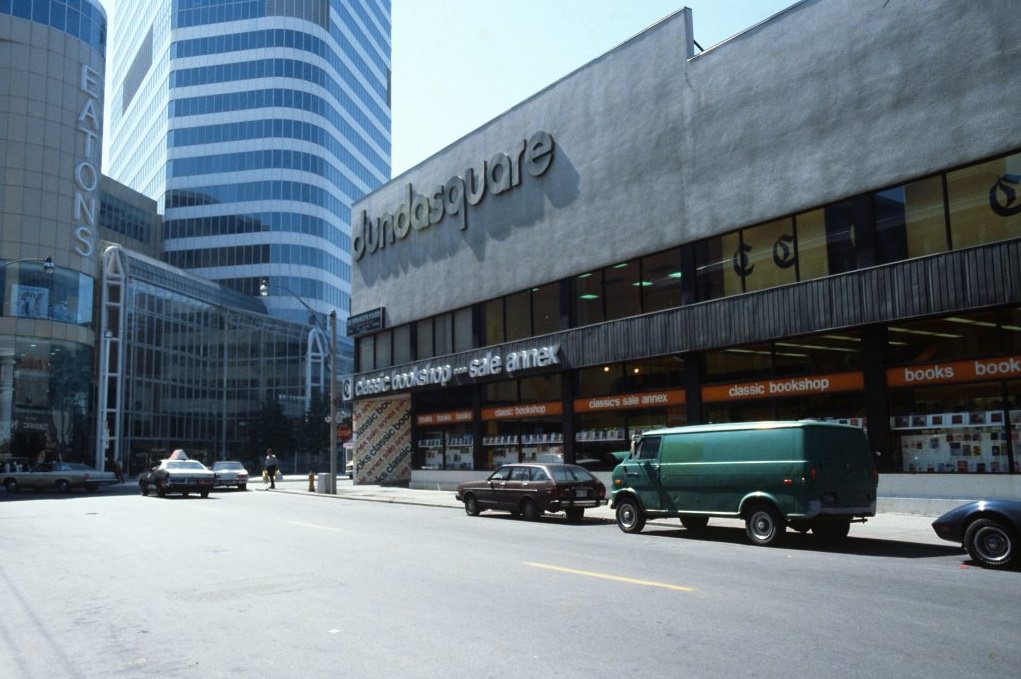
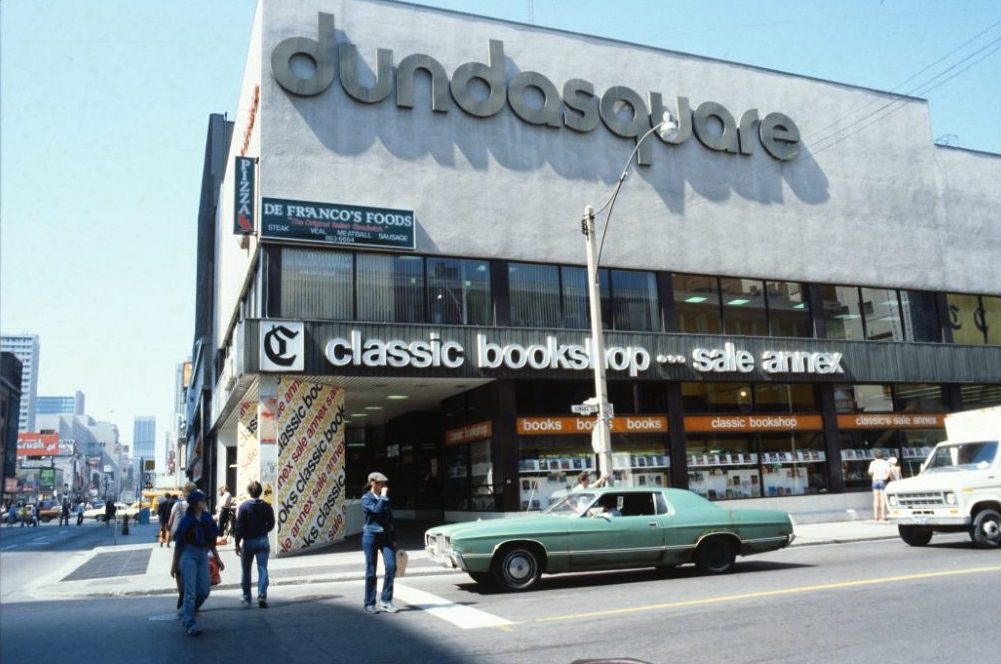
Street vendors were a regular part of the Yonge Street experience. Flower sellers, chestnut roasters, and newspaper hawkers worked the sidewalks between the record shops and theatres. Dundas Square, at the corner of Yonge and Dundas, was a busy intersection lined with modest commercial buildings before the massive redevelopment that would transform it decades later. In the 1970s, it was simply another loud, active corner of the city.
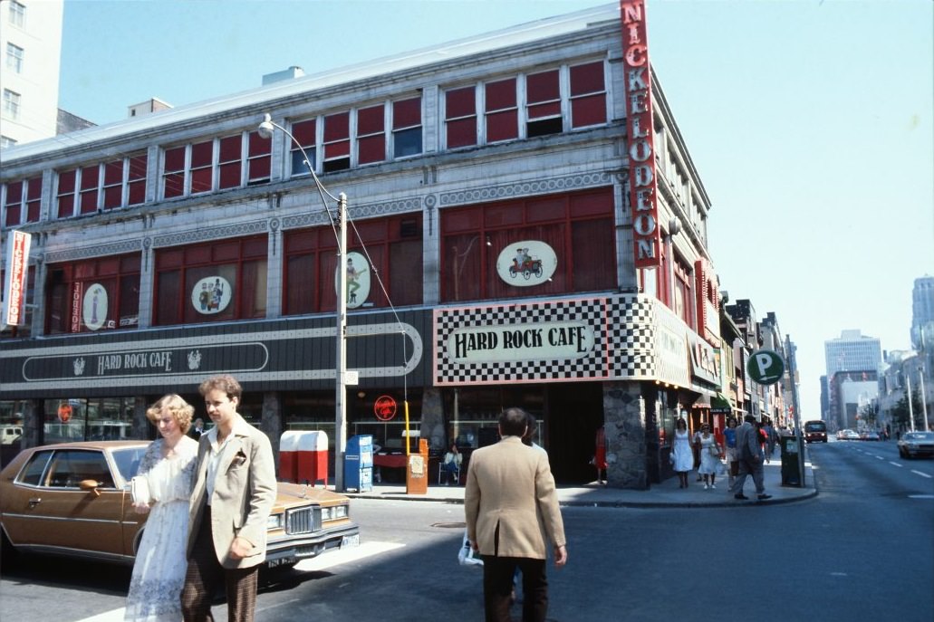
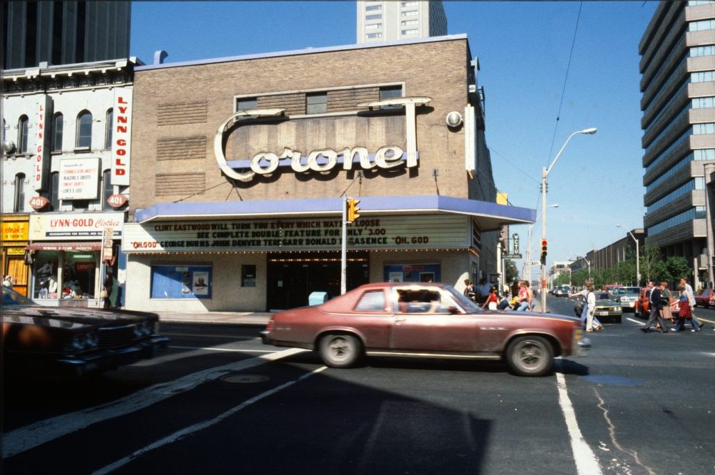

Movie theatres were a major part of Yonge Street’s identity. The Coronet, the Uptown, the Imperial, and several others competed for audiences along the strip. In the early part of the decade, these were still legitimate cinemas screening mainstream and art house films. By the late 1970s, many of the Yonge Street theatres had transitioned to adult films as the neighborhood’s character shifted.
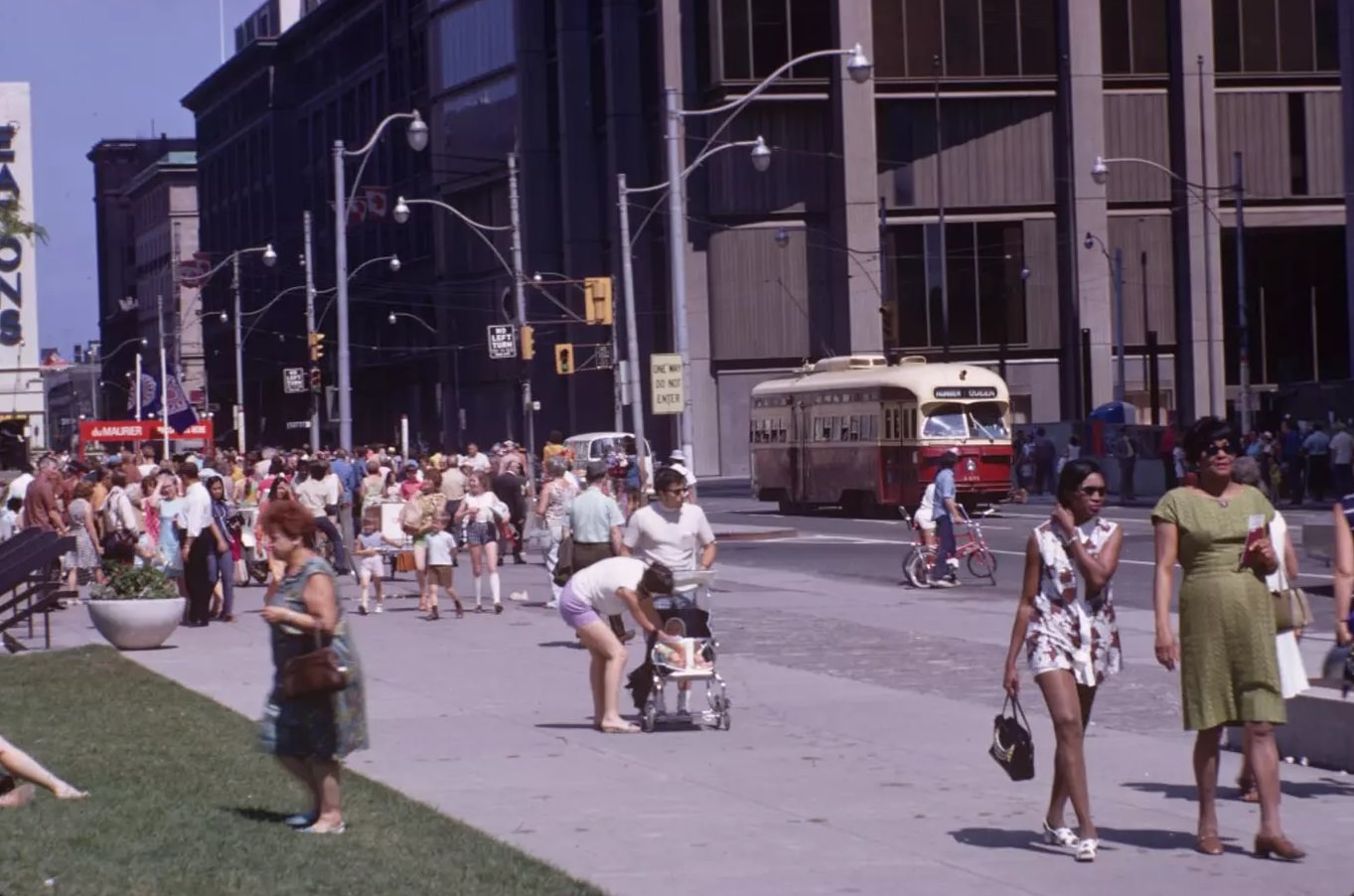
Old City Hall, built in Romanesque Revival style and completed in 1899, stood just south of the new City Hall and remained in use as a courthouse through the 1970s. Crowds regularly filled the surrounding sidewalks, and old streetcars still rolled past its stone facade in the earlier part of the decade. The contrast between the ornate Victorian building and the modernist towers rising around it captured something essential about Toronto in this period — a city pulling in two directions at once.
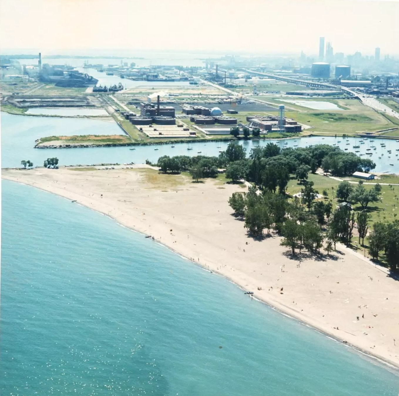
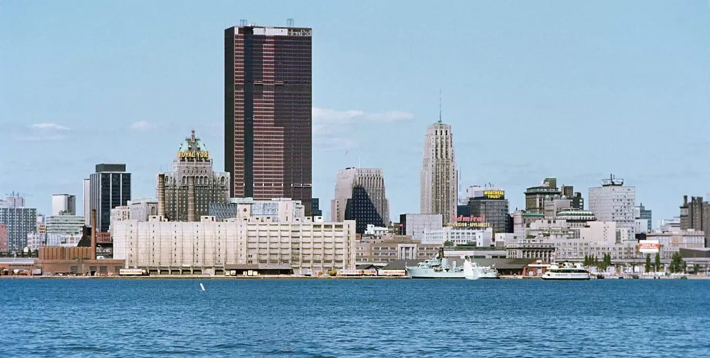
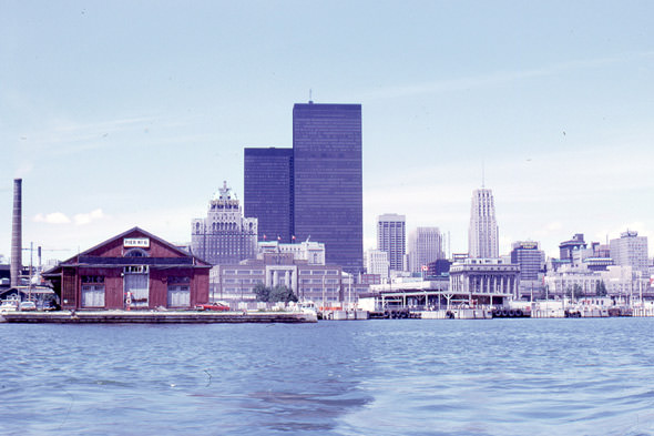
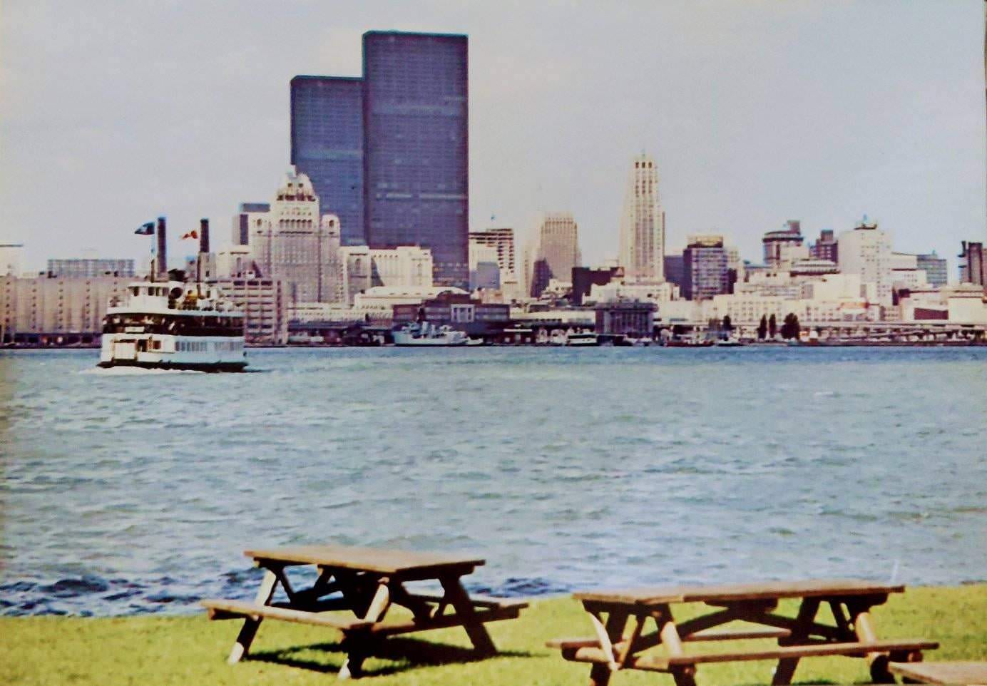
Viewed from the Toronto Islands or from Woodbine Beach, the city’s skyline told the decade’s story clearly. In the early 1970s, the cluster of towers was modest. By mid-decade, new bank towers were filling in gaps. By the late 1970s, the CN Tower pierced the sky above everything else, making the skyline unmistakably Toronto’s. The view from the water was one of the best ways to see how dramatically the city had changed.
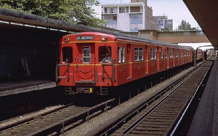
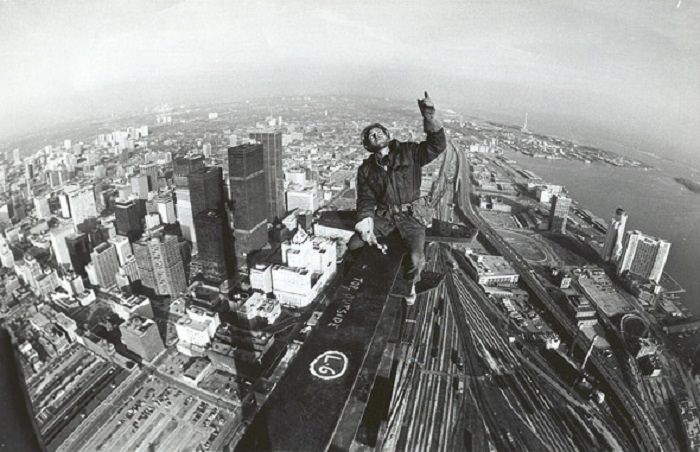
The red Gloucester subway trains were as much a part of Toronto’s identity in the 1970s as the CN Tower under construction on the western edge of downtown. These two images — the familiar red cars rattling through underground stations and the concrete tower climbing skyward — define the decade’s two faces: the everyday city that residents lived in, and the ambitious, forward-looking city that civic boosters were building.
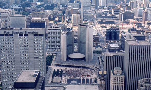
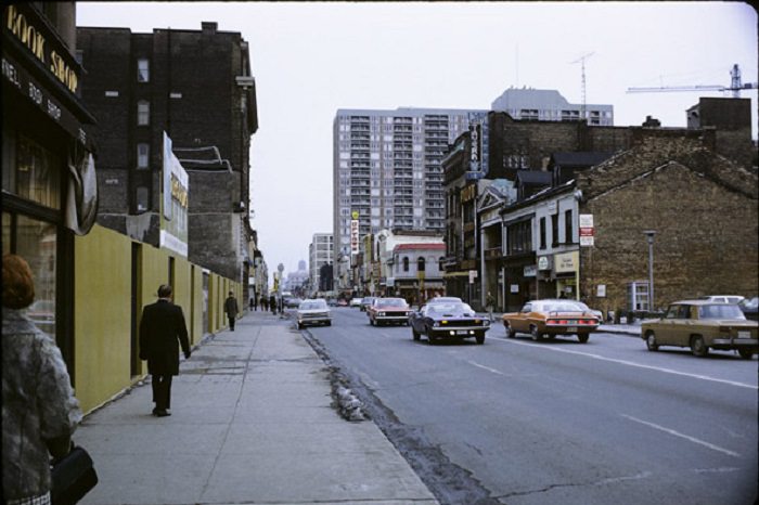
Yonge and Bloor was the city’s most important transit junction, where the east-west Bloor-Danforth line crossed the north-south Yonge line. By 1971, this intersection was already dense with pedestrian traffic and retail activity. The surrounding blocks were packed with shops, banks, and restaurants catering to the thousands of commuters who passed through the station daily. The area around Bloor and Yonge had become the closest thing Toronto had to a true urban crossroads.
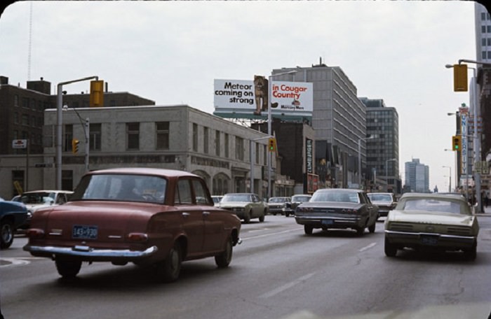
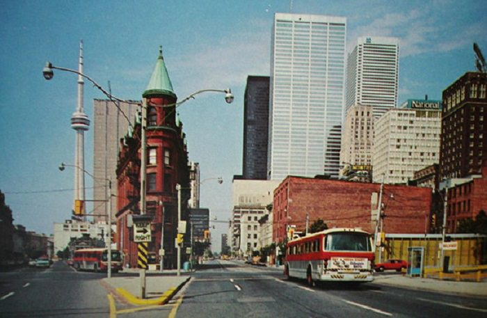
The Flatiron Building at Front and Wellington, built in 1892, was one of the older landmarks that survived the decade’s demolition wave. Toronto was losing many of its heritage buildings to development during the 1970s, and the loss sparked a growing movement among residents to protect what remained. The contrast between the preserved Flatiron and the new towers going up around it became a visual argument for heritage conservation that gained real political traction by the end of the decade.
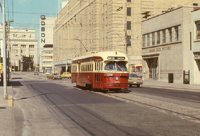
The area around Maple Leaf Gardens at the start of the decade was packed with entertainment options. The Odeon Theatre was one of several cinema houses within walking distance. The neighbourhood drew crowds not just for hockey but for concerts, shows, and the general activity of a dense urban commercial strip. Carlton Street connected this hub to the east side of the city, running through neighborhoods that were actively absorbing new immigrant communities.
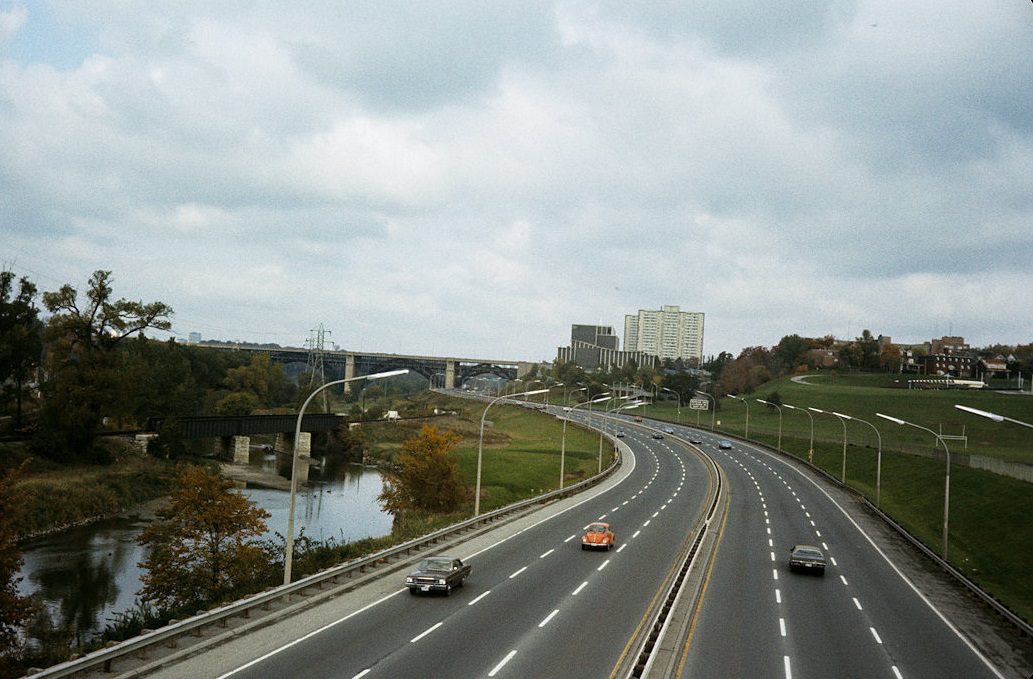
The Don Valley Parkway, which had been completed in stages through the 1960s, was already a congested commuter route by the 1970s. Rush-hour traffic inching southbound into downtown was a daily frustration for drivers from the suburbs. The parkway had been built to ease the flow of cars into the city, but growing car ownership quickly filled it beyond capacity, making it one of the city’s most notorious bottlenecks.
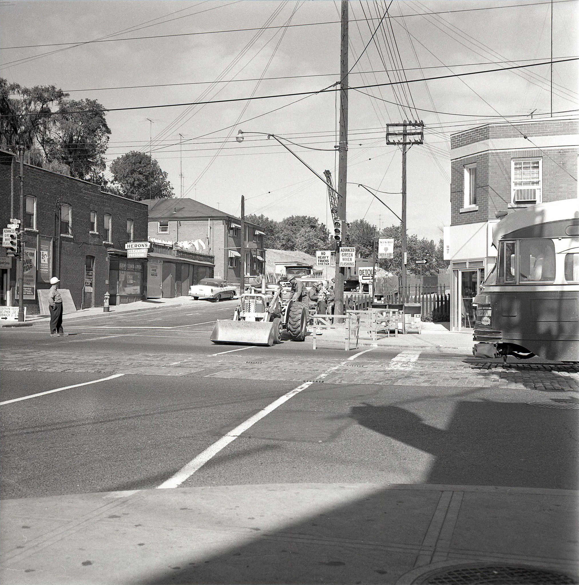
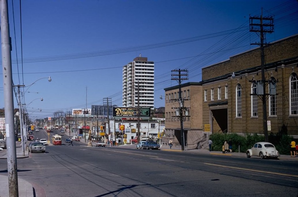
Streetcars still ran along Bloor Street in the early part of the decade before bus service replaced them on most routes outside the core. The intersection at Bloor and Keele, in the Junction area, showed a working-class neighborhood of modest shops, gas stations, and homes that had grown up around the old stockyards and rail lines to the south. These kinds of intersections, unremarkable at the time, now exist only in photographs.
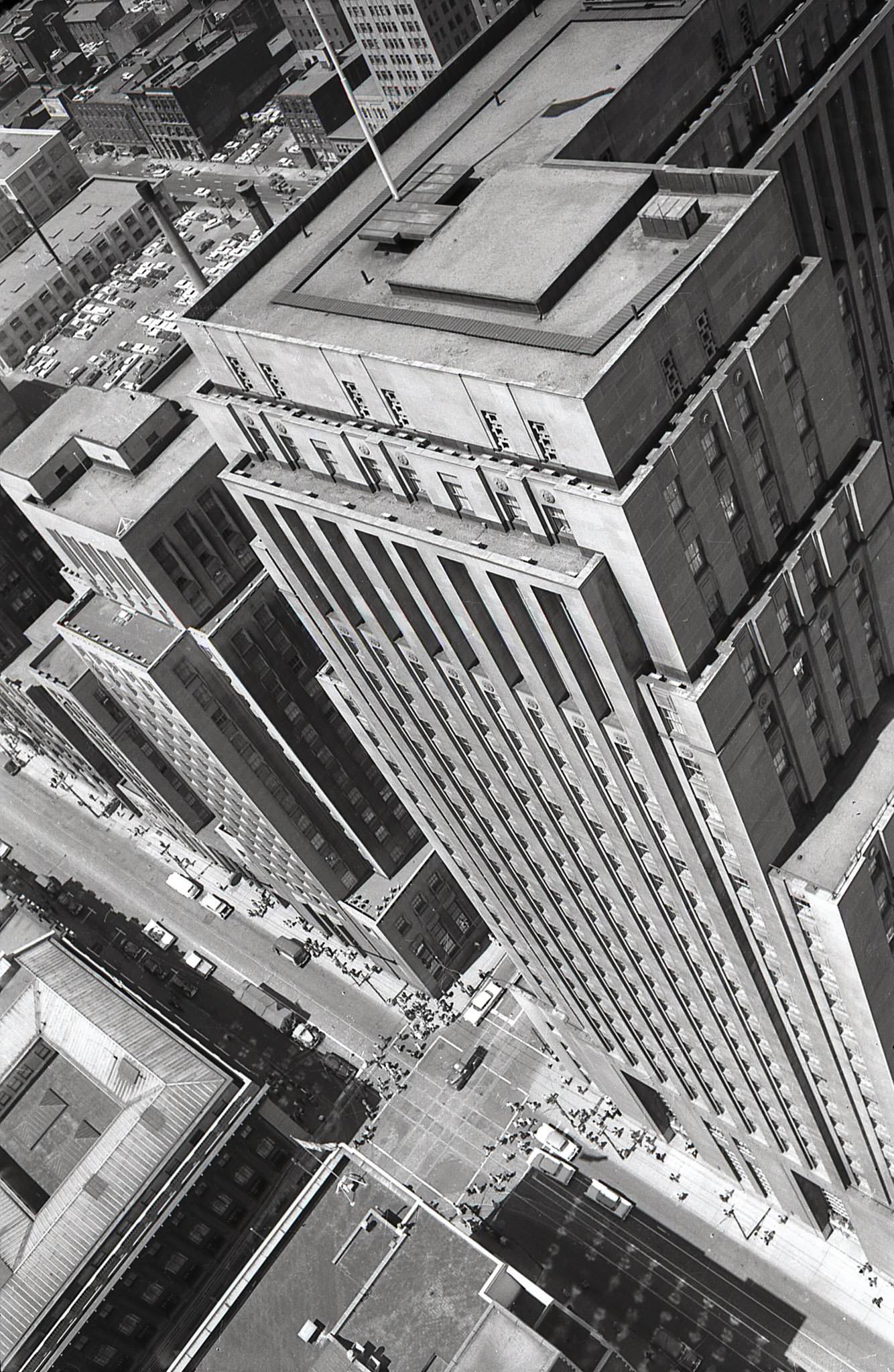
From the top of the Canadian Bank of Commerce building at King and Bay, the view in the 1970s showed a financial district still in transition. The Bank of Nova Scotia building occupied the foreground, while nearby corners held bank buildings that have since been demolished and replaced. This block was one of the most intensely developed intersections in the country, with every corner occupied by a major financial institution’s flagship building.
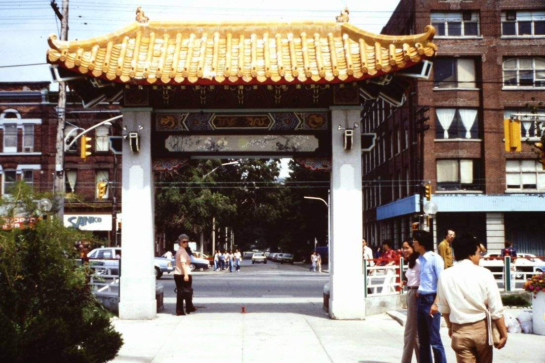
Chinatown, centered around Dundas Street West and Spadina Avenue, was one of the city’s most active and densely populated immigrant neighborhoods. The community had deep roots in Toronto going back decades, but it expanded significantly through the 1970s as immigration from Hong Kong and mainland China increased. The streets were packed with grocery stores, restaurants, herbalists, and small businesses, creating a commercial and social hub that served both residents and visitors from across the city.
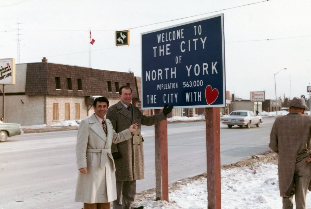
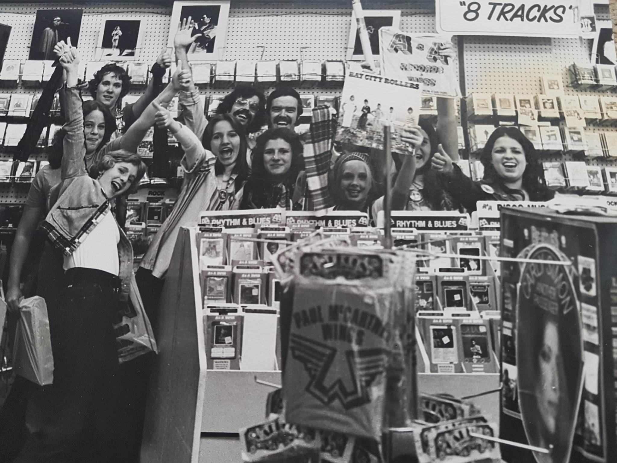
Mel Lastman served as mayor of North York through the 1970s and was one of the decade’s most colorful political figures in the Toronto area. His showman’s instincts and relentless self-promotion made him a prominent presence in city politics long before he became Toronto’s first post-amalgamation mayor in 1998. On Yonge Street, meanwhile, A&A Records competed with Sam the Record Man and a string of other shops for the city’s music buyers, making the strip a destination for anyone serious about finding records.
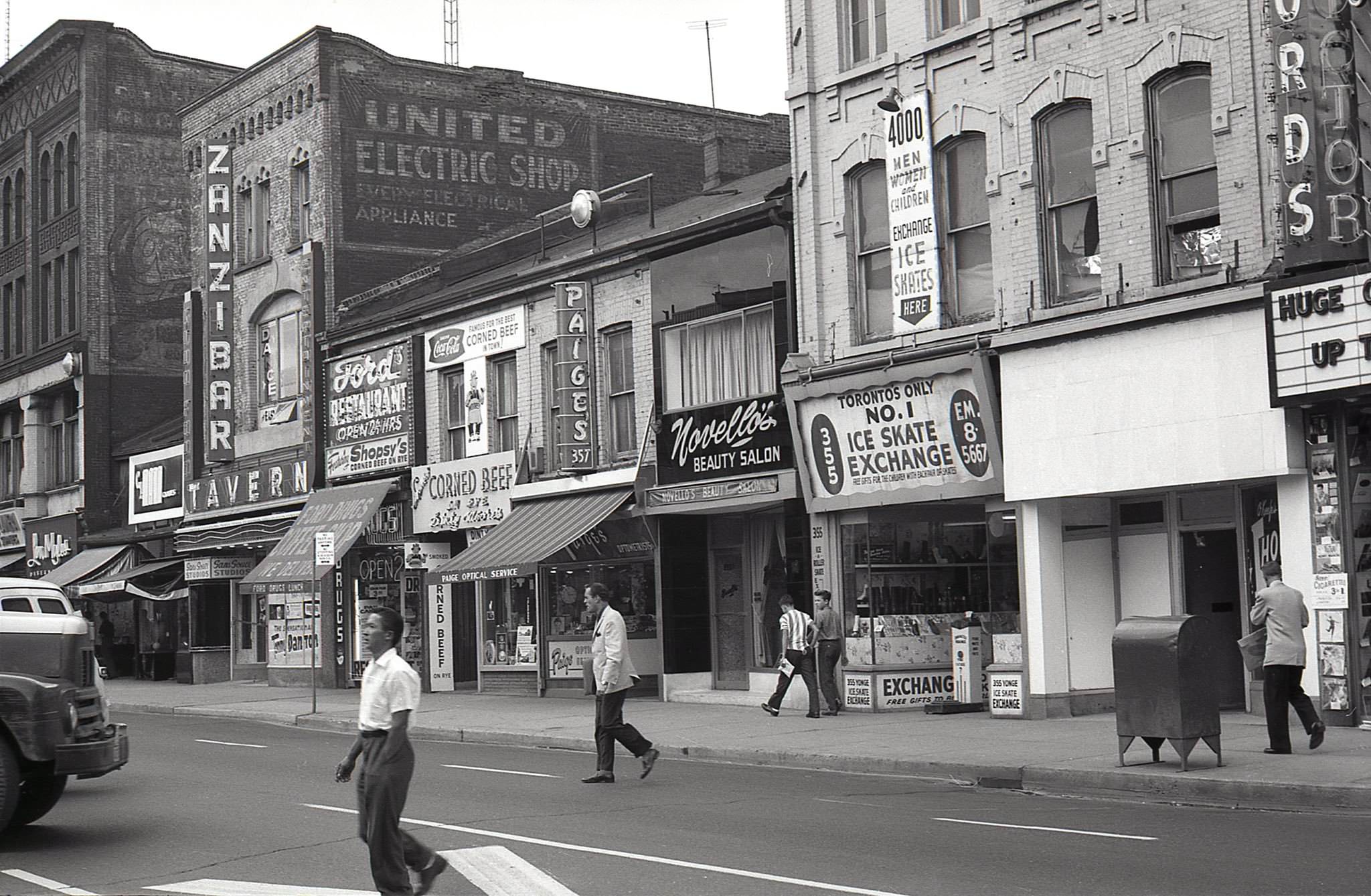
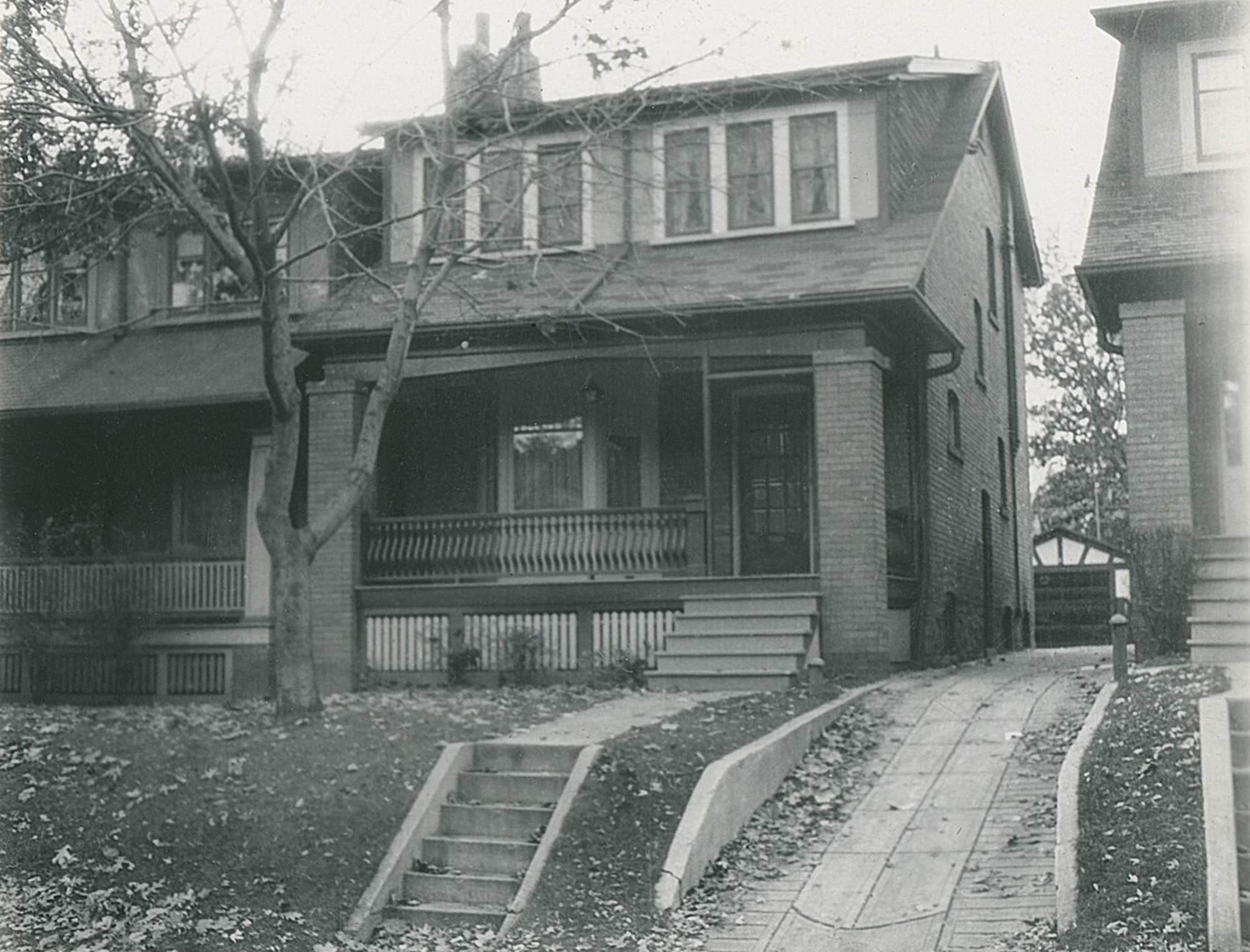
Bloor West Village, by contrast, was a quieter residential commercial strip serving the established neighborhoods of Runnymede and Swansea. Streets like Durie, lined with modest brick homes, represented the kind of stable working and middle-class housing stock that made up much of the city beyond the downtown core. These neighborhoods absorbed new immigrant families throughout the decade, particularly from Portugal, Italy, and Eastern Europe.
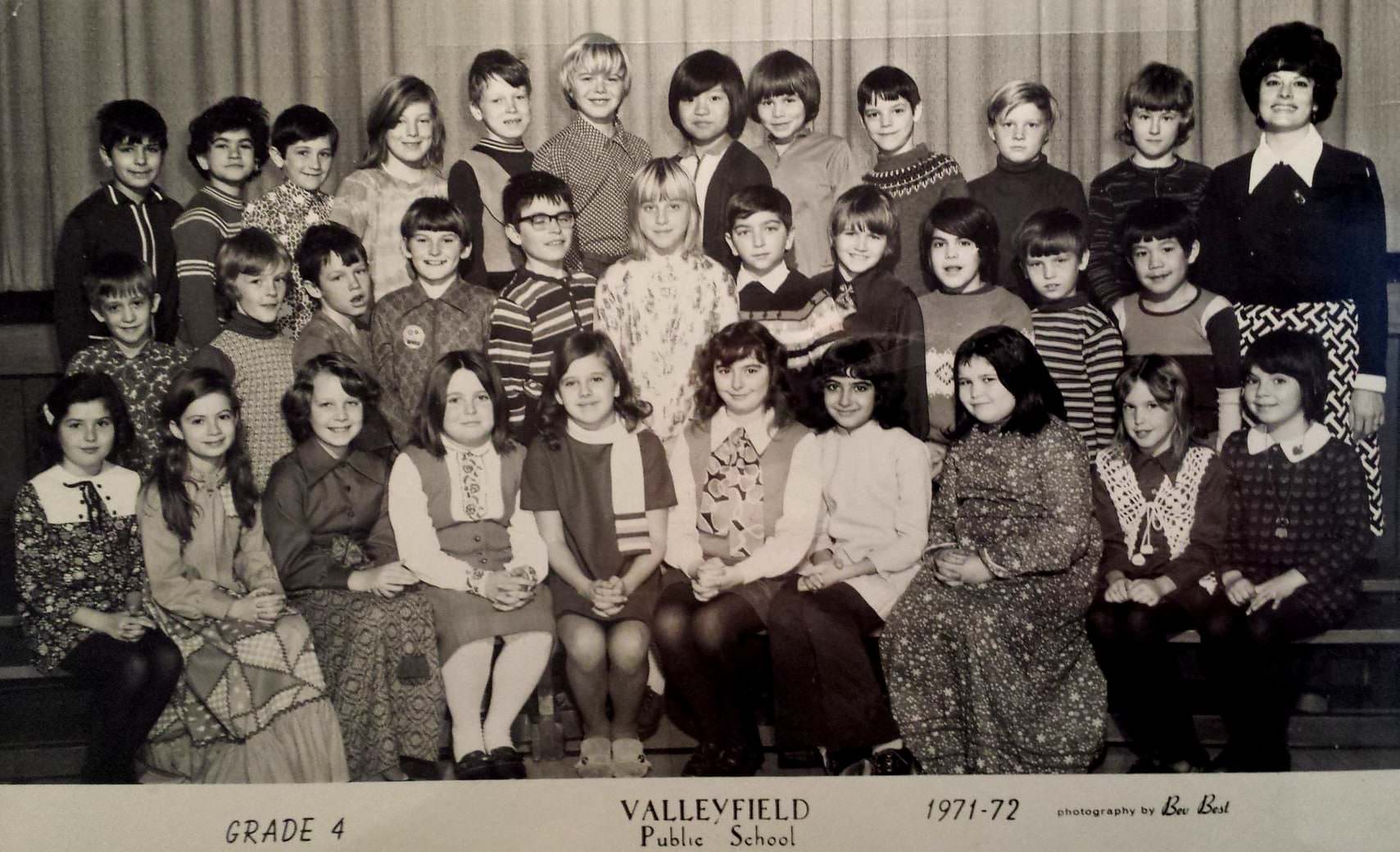
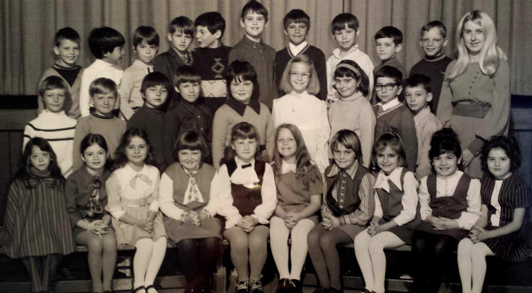
Schools across Toronto’s suburban reaches were filling up fast. The population of families moving into newly built subdivisions in Scarborough, Etobicoke, and North York drove rapid school construction through the decade. Valleyfield Public School in Etobicoke was one of many such institutions built to serve communities that had grown up almost overnight on former farmland at the city’s edge.
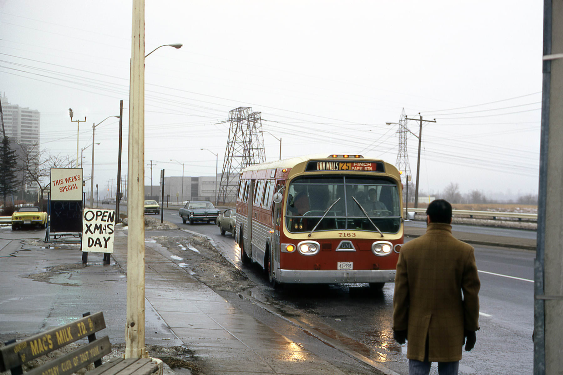
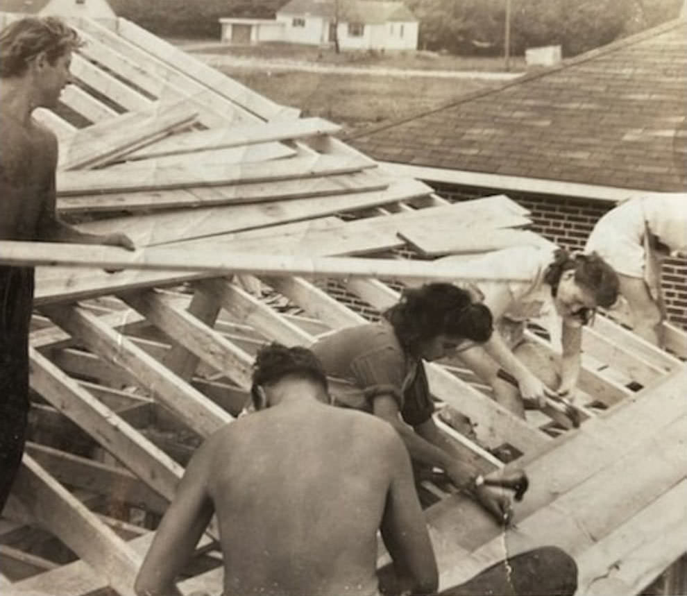
Housing construction was a constant across the Toronto region throughout the 1970s. Families building or buying homes on streets like Keele were part of a broader wave of residential expansion that pushed the city’s boundaries outward year by year. Don Mills, developed in the 1950s as one of Canada’s first planned communities, was a mature suburb by this point, served by TTC bus routes that connected it to the subway network.
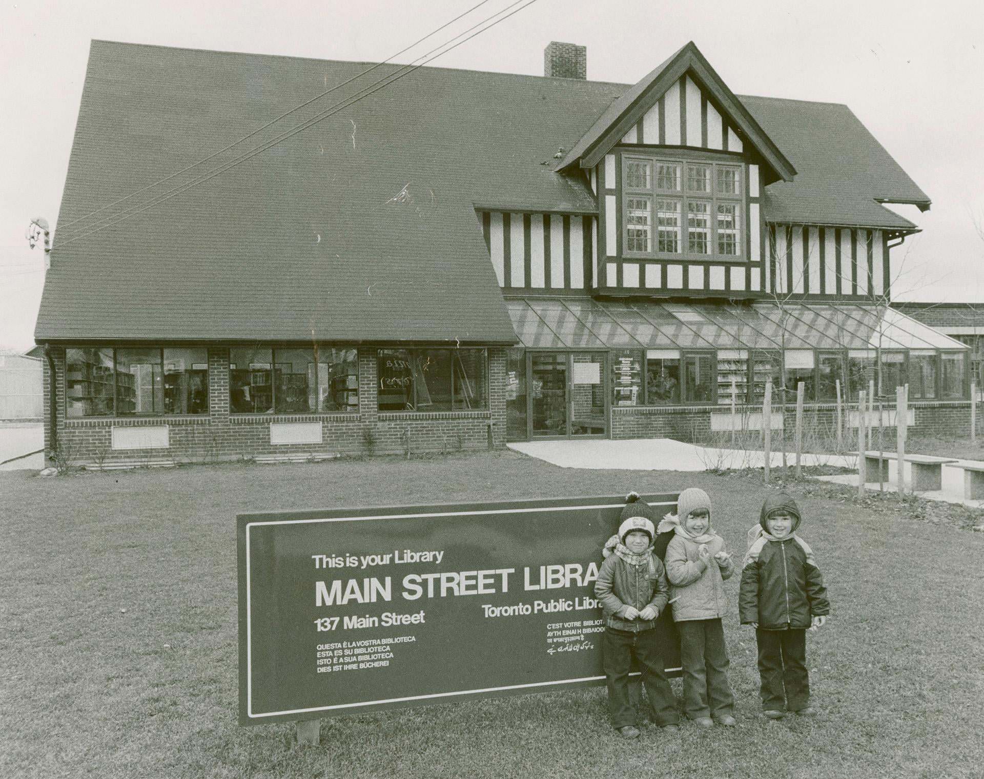
The Toronto Public Library system served the growing city through a network of branch libraries like the one on Main Street in the east end. These branches were community gathering points as well as book lending institutions, providing reading rooms, programming, and services to neighborhoods that sometimes had little else in the way of public amenity. The library system expanded steadily through the decade to keep pace with population growth.
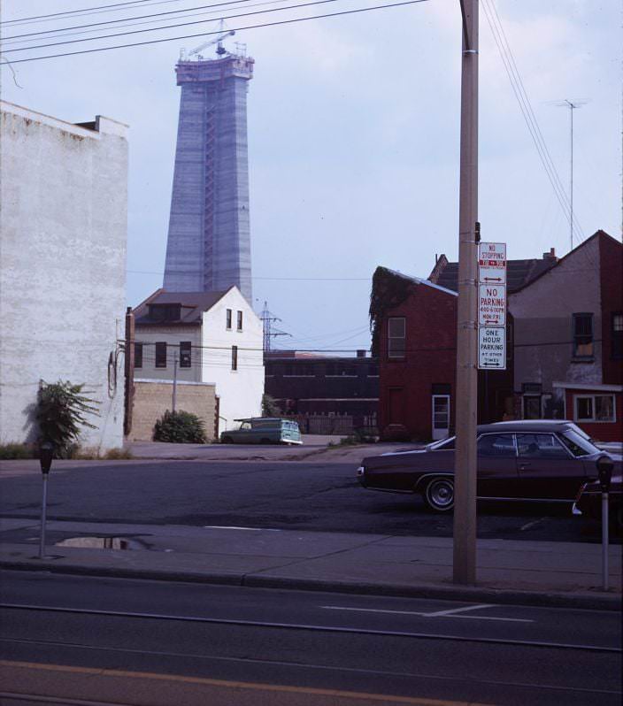
The CN Tower’s construction was visible from blocks away in every direction. From King Street West in front of the Royal Alexandra Theatre, the concrete shaft was a constant presence on the southern horizon. The Royal Alex itself was one of the city’s oldest surviving theatre buildings, saved from demolition by entrepreneur Ed Mirvish in 1963. Through the 1970s, it continued to host major theatrical productions while the tower rose behind it.
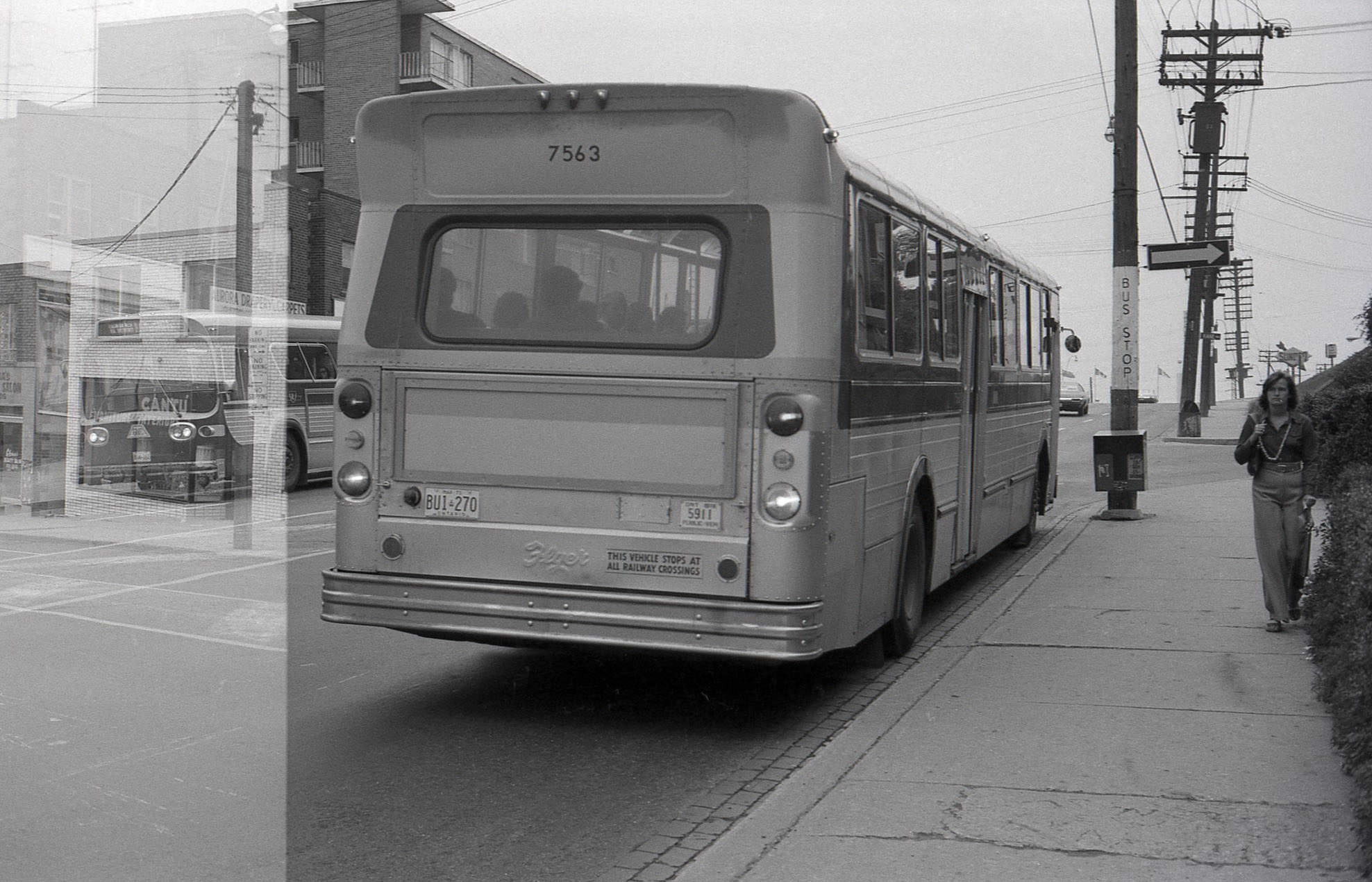
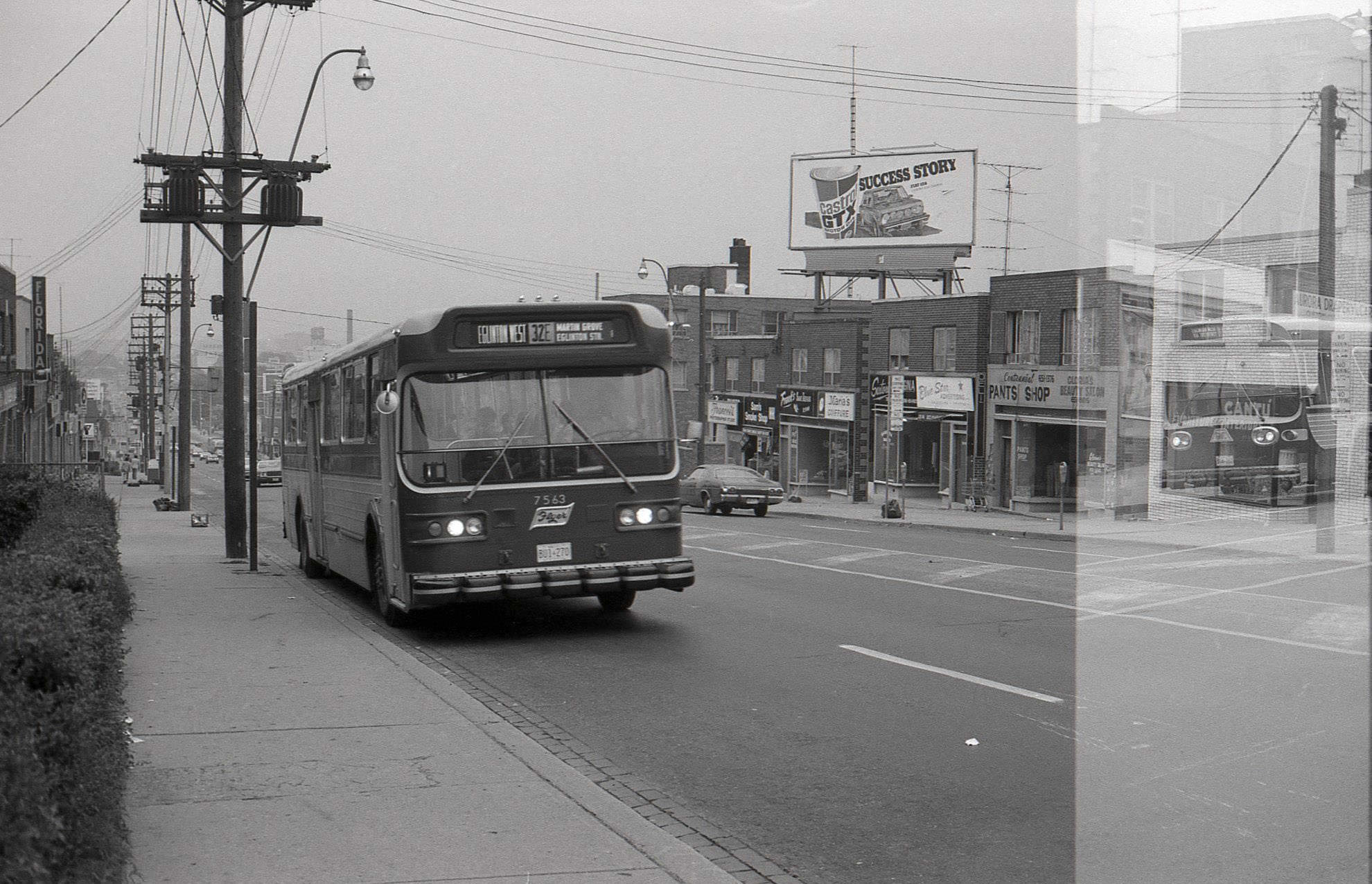
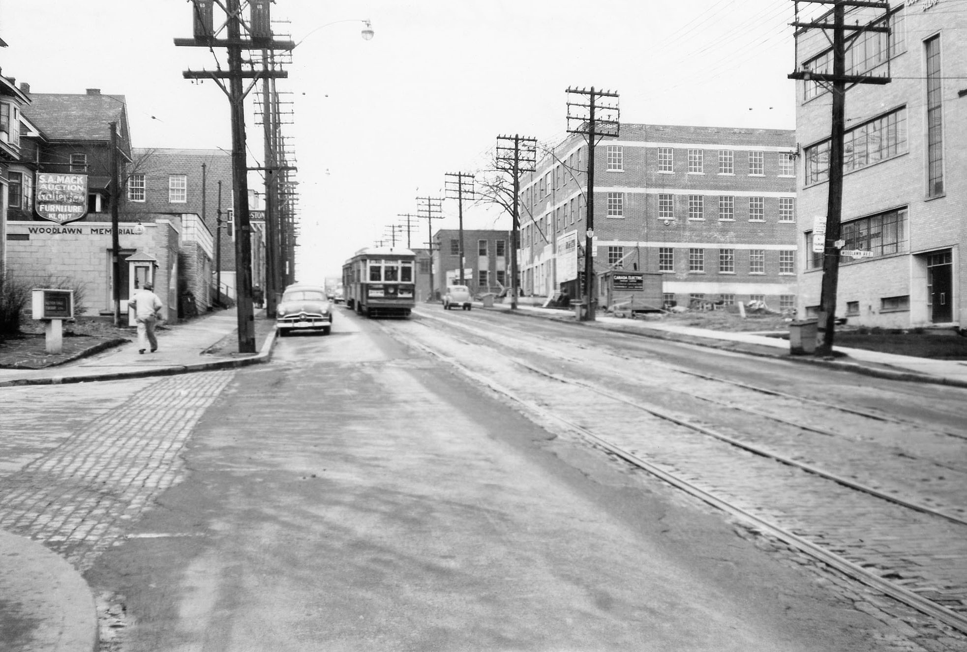
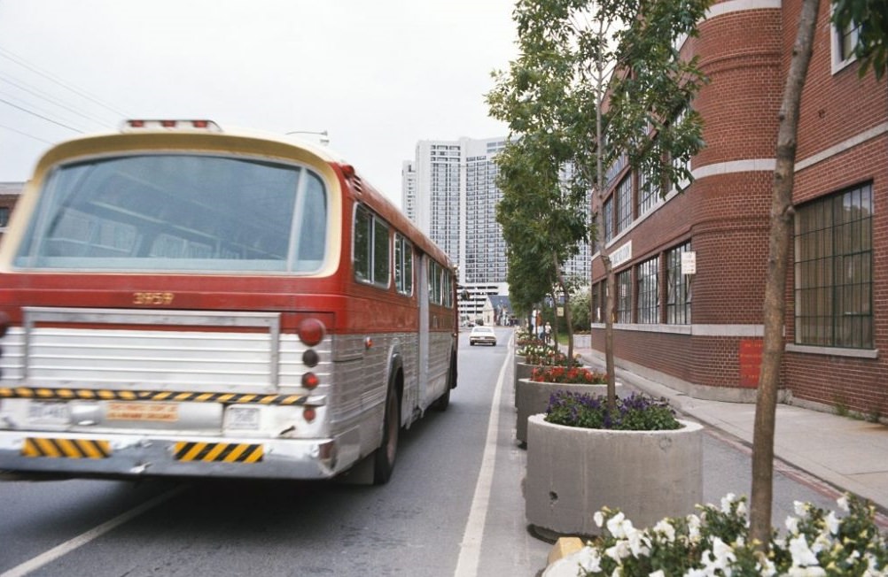
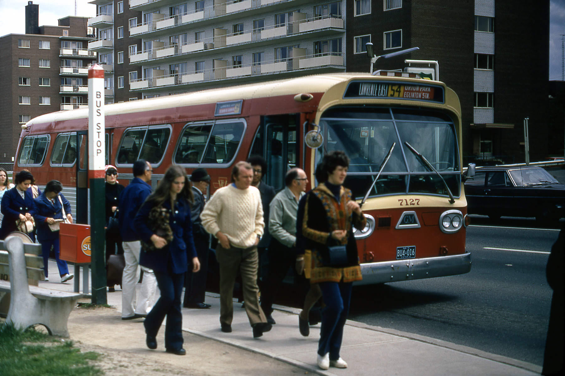
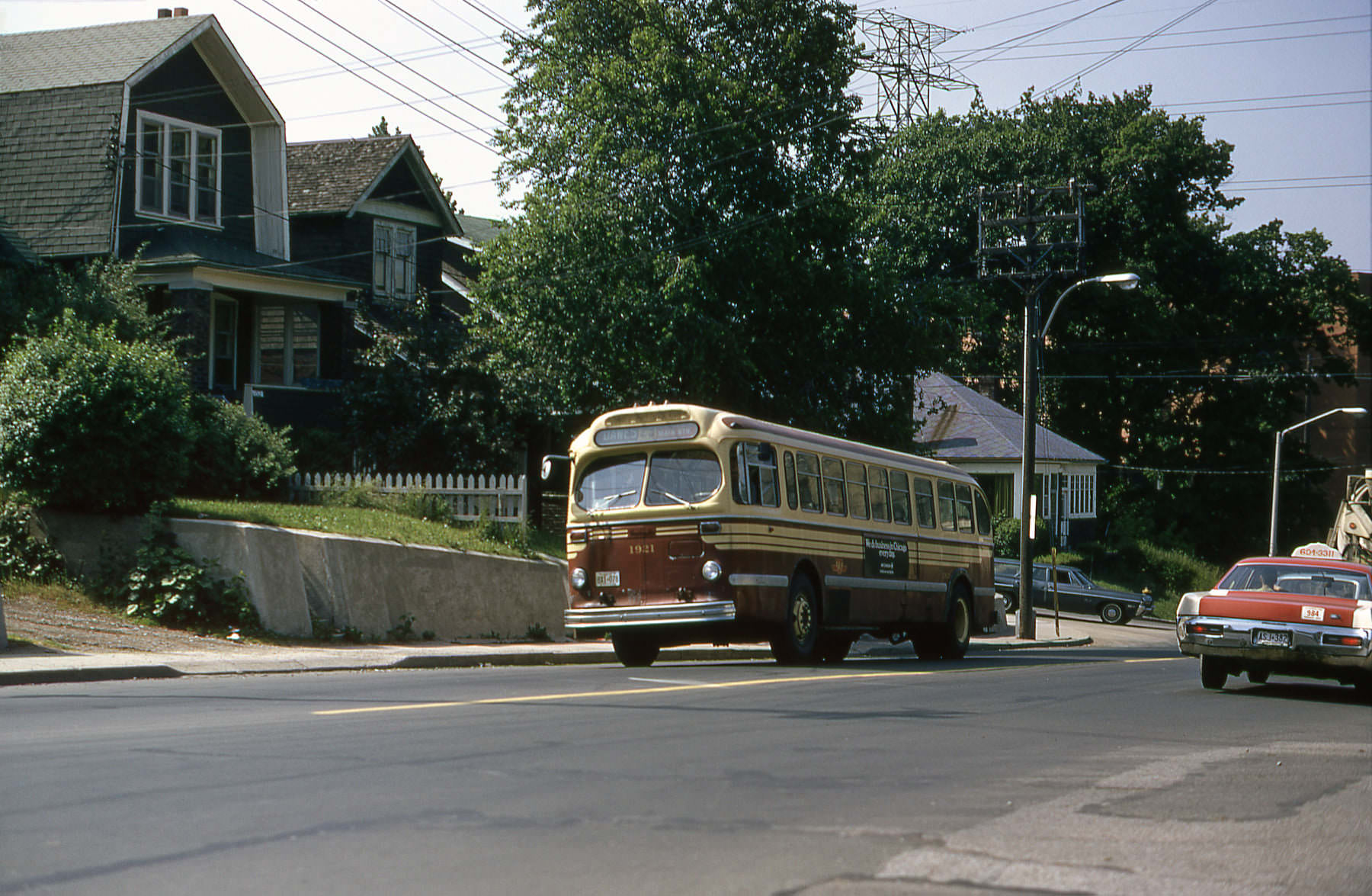
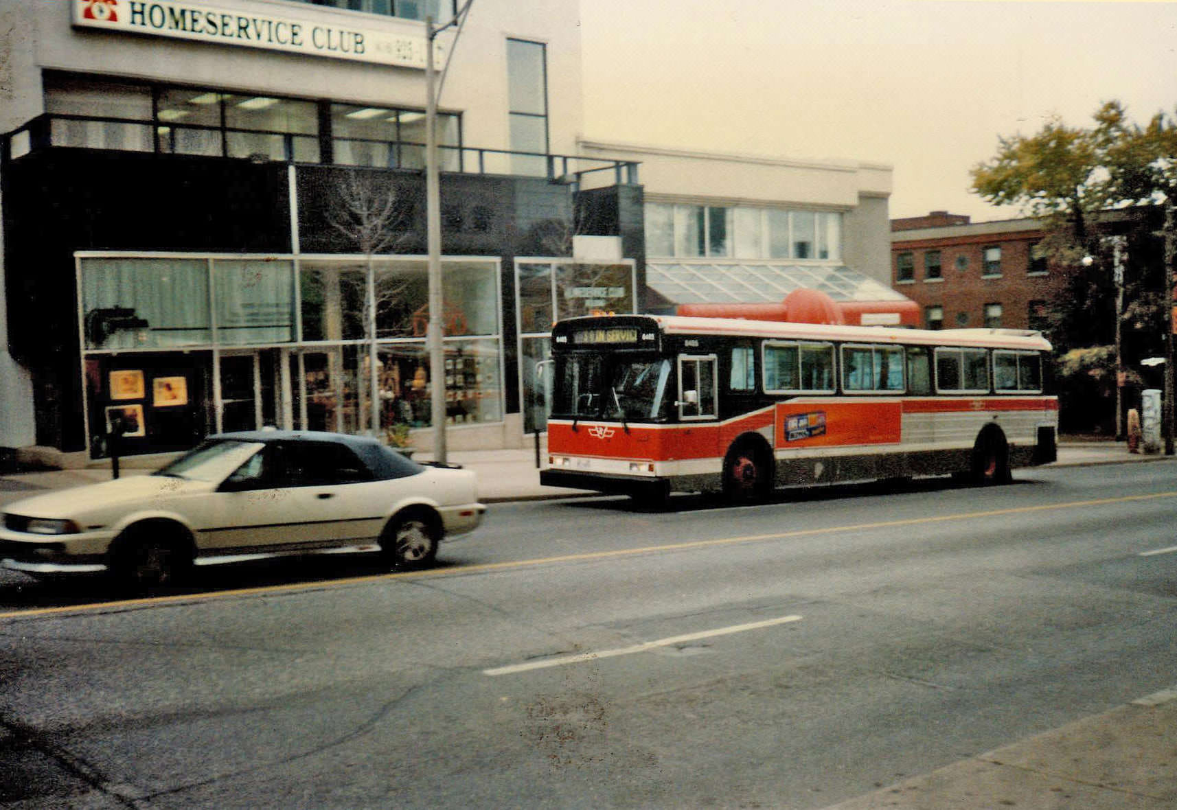
TTC buses served the parts of the city the subway didn’t reach, and Eglinton Avenue West was one of the key surface routes linking the western suburbs to the Yonge-Eglinton hub. The TTC fleet in the 1970s was a mix of older and newer buses, and the service was essential to the hundreds of thousands of Torontonians who depended on public transit for their daily commute. At Yonge and Woodlawn, the streetscape showed the mix of apartment buildings and low-rise commercial properties that lined much of Yonge north of Davisville.
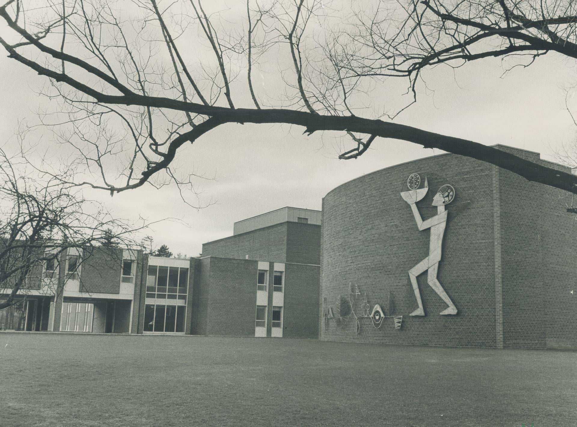
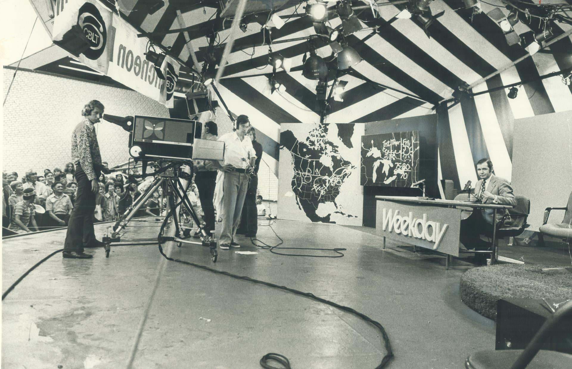
York University, founded in 1959, was still a relatively young institution by 1970. Its Glendon Campus on Bayview Avenue was the original site, a bilingual liberal arts college set on what had been a private estate. The CNE grounds, meanwhile, hosted not just rides and exhibitions but also CBC television broadcasts that drew curious crowds who could watch live TV production in person — a novelty that drew large audiences in the early part of the decade.
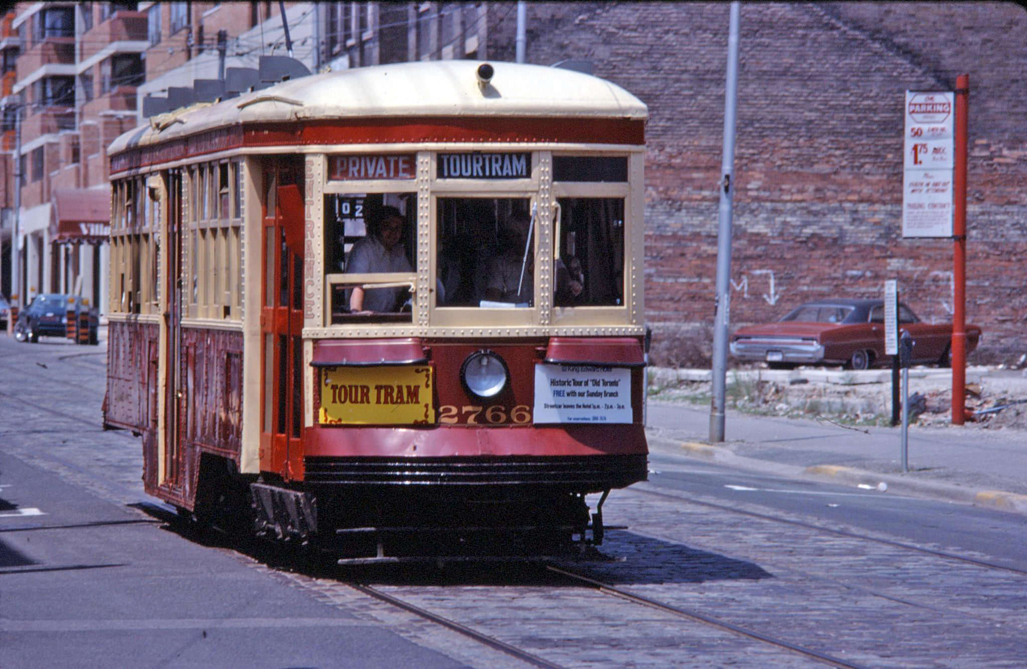
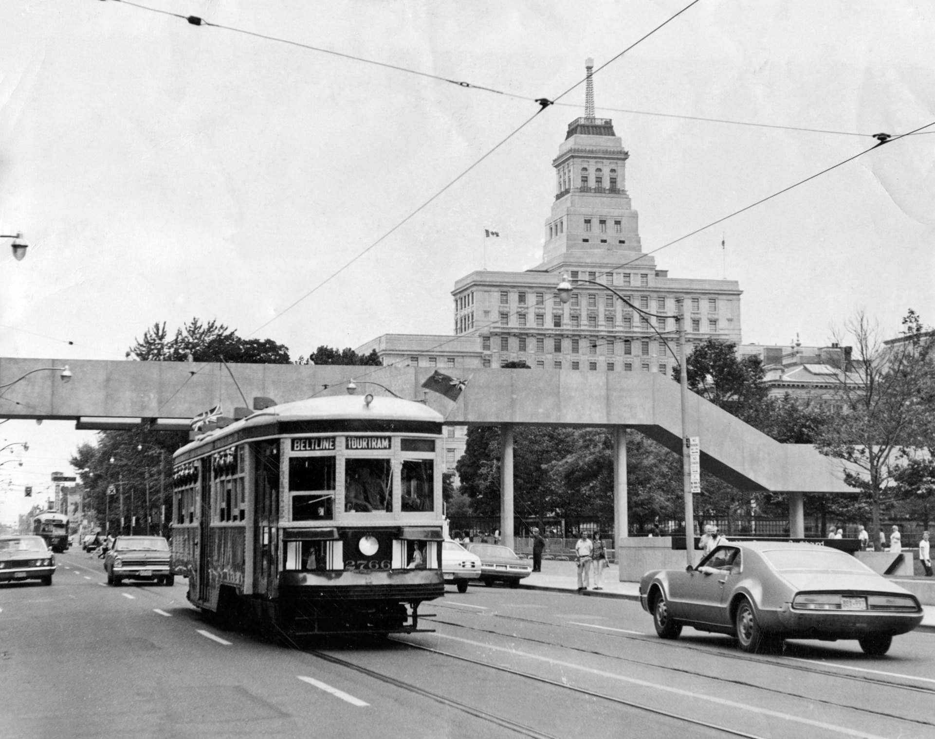
The TTC ran tour tram services through the city during the 1970s, using streetcars and trams to take visitors and residents on narrated trips through different neighborhoods. These tours offered a ground-level view of the city’s geography and history. Queen Street near Bay was a major stop on these routes, sitting at the edge of the financial district and within walking distance of several of the city’s key civic buildings.
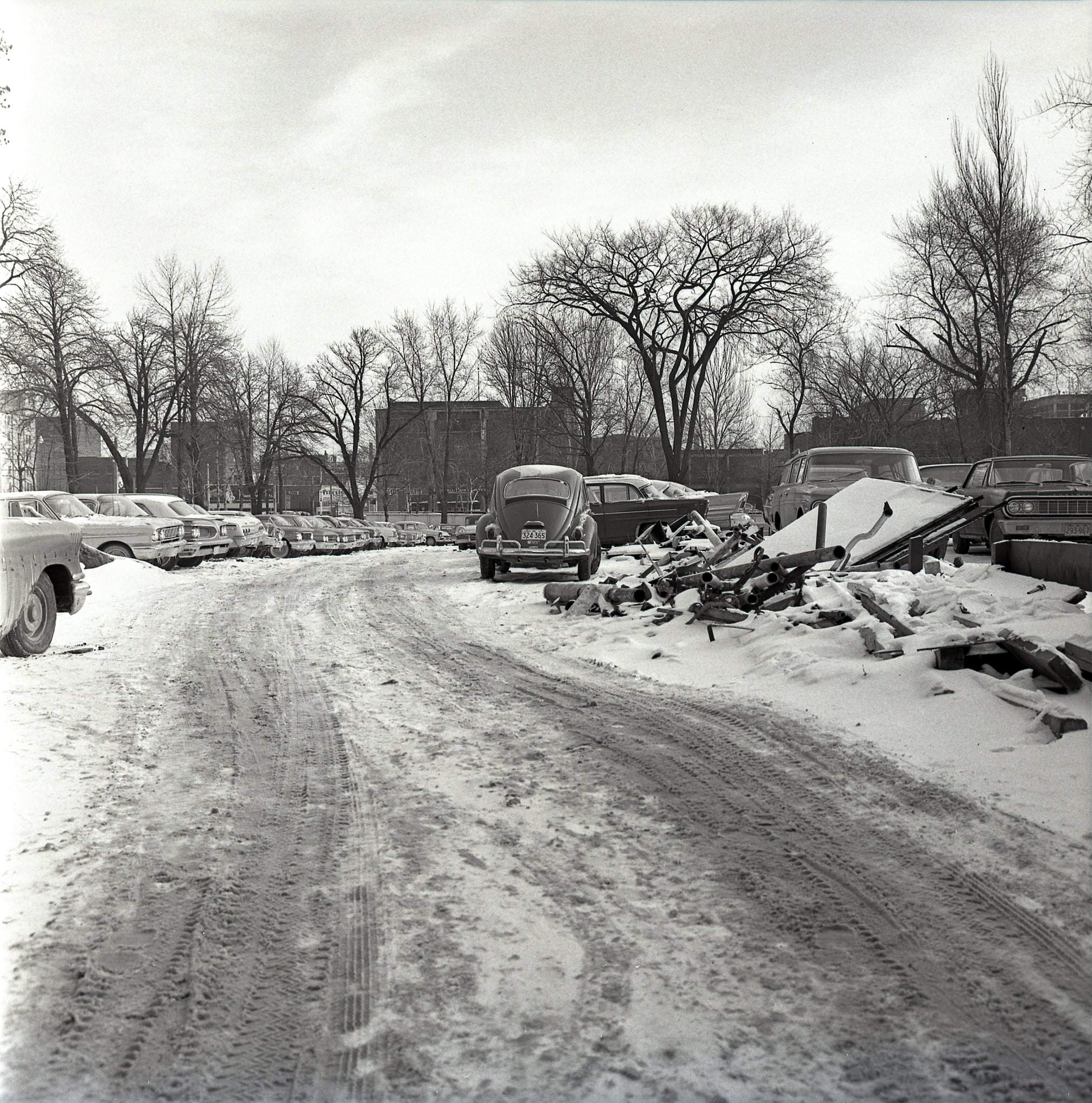
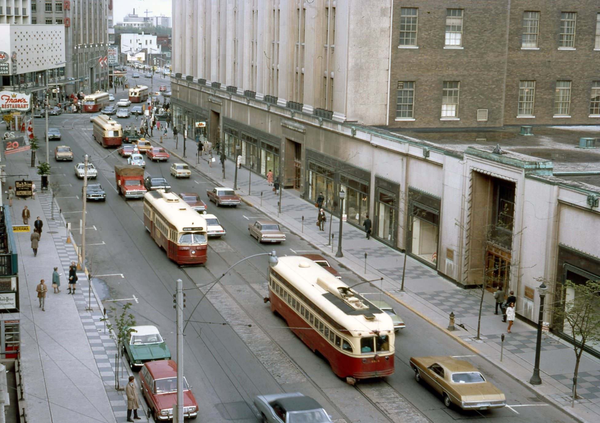
The stretch of Bay Street north of Queen was still undergoing transformation in the 1970s. Sites that would eventually hold government office complexes were still occupied by older commercial buildings and car dealerships — the Studebaker sign at 945 Bay was a remnant of an earlier era of automobile retail that had once lined this part of the street. College and Yonge, a few blocks south of the provincial legislature, was a busy intersection anchoring the southern edge of the University of Toronto’s downtown campus.
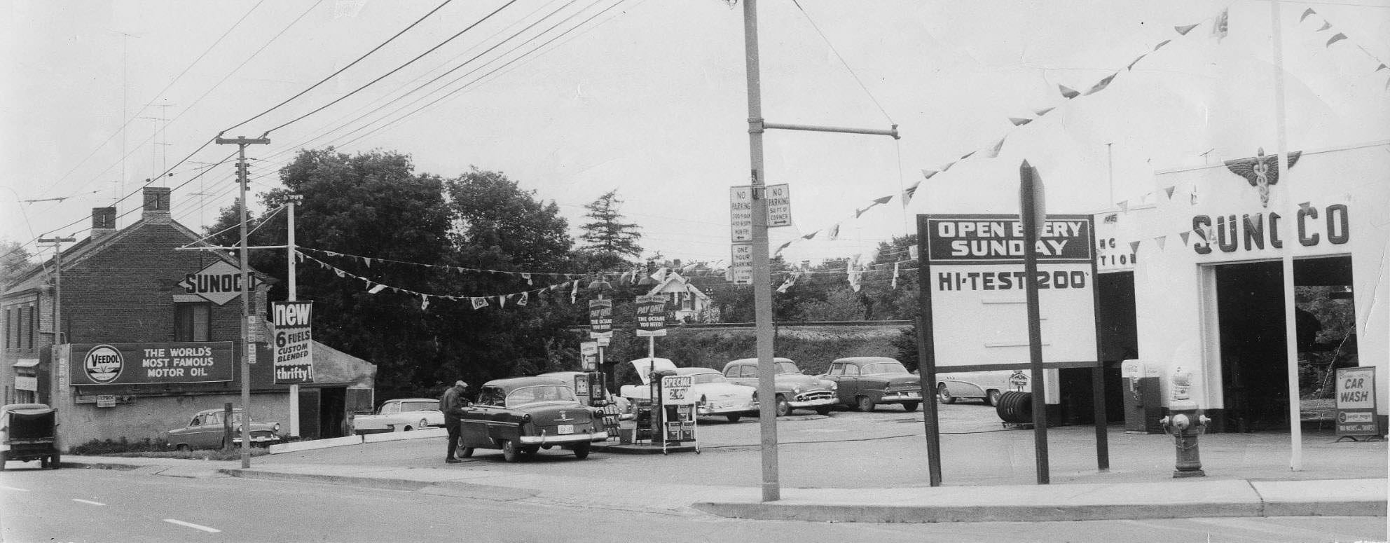
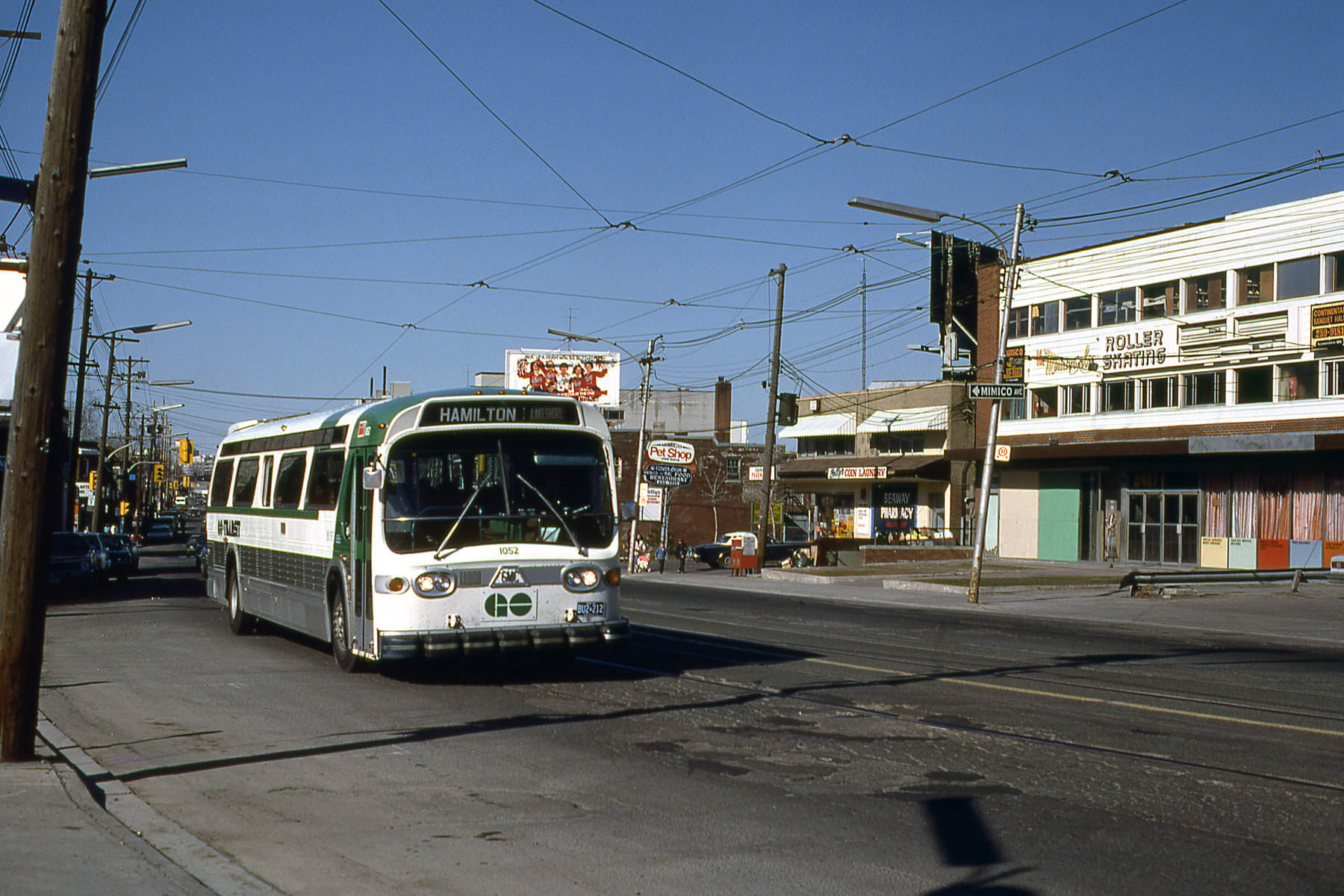
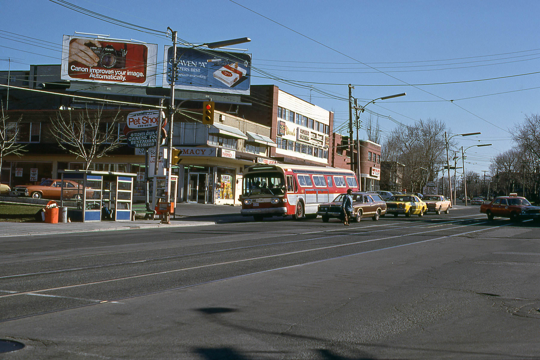
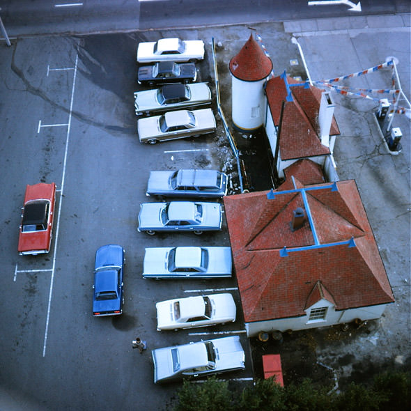
Gas stations and garages were fixtures of the 1970s streetscape across all parts of the city. In neighborhoods like Weston and Mimico, local service stations operated by individual proprietors like Al Laceby served the growing number of car-owning families in surrounding streets. The Lakeshore through Mimico was still a fairly modest suburban strip in 1979, lined with low-rise buildings and the kind of small businesses that served everyday needs.
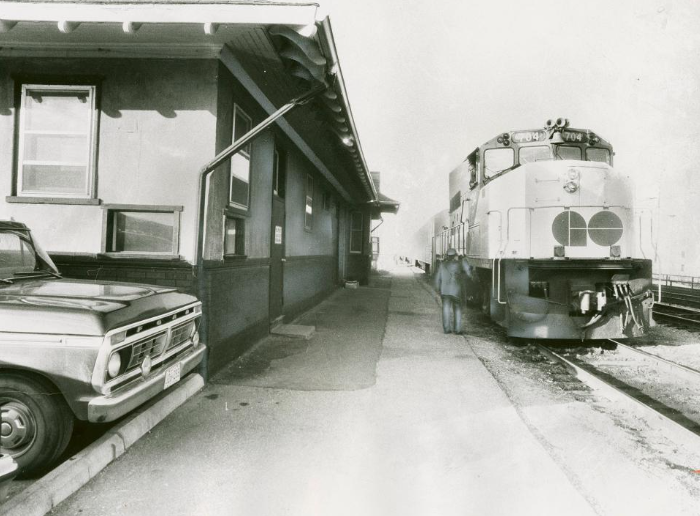
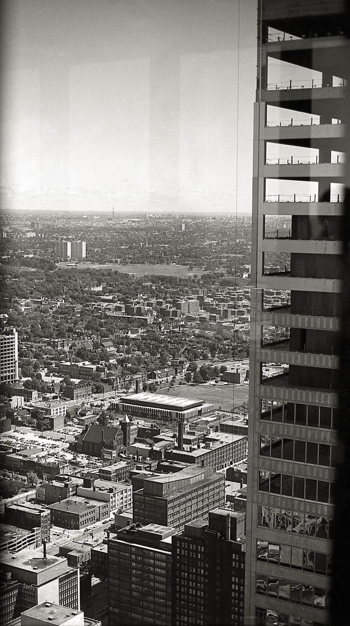
GO Transit, the regional rail service, had launched in 1967 and was expanding its reach through the 1970s. The Mimico GO Station served commuters heading into Union Station from the western suburbs. Looking northeast from the TD Centre in 1971, the skyline revealed a downtown still in the process of densification, with open lots and older low-rise buildings occupying blocks that would eventually be filled with towers.
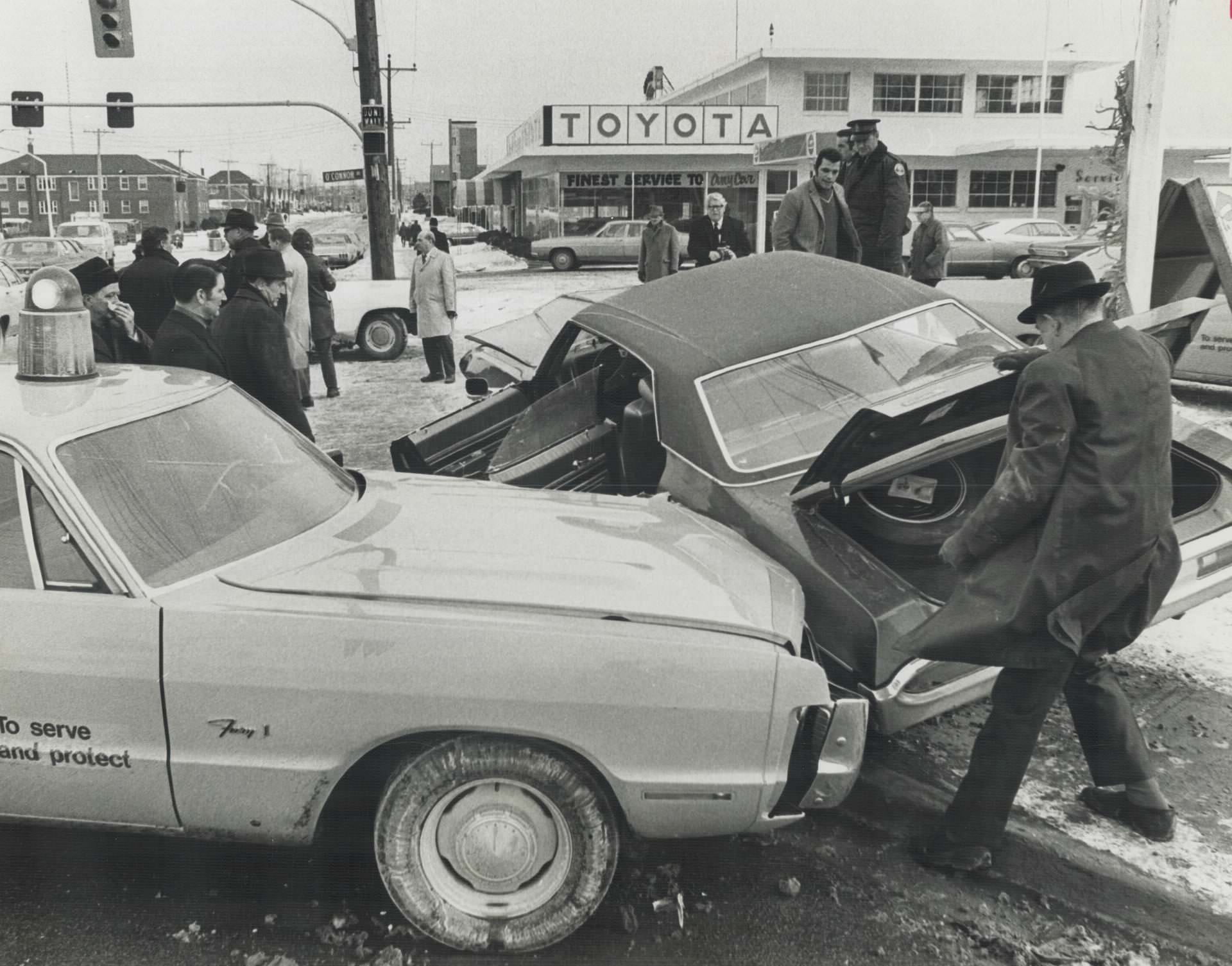
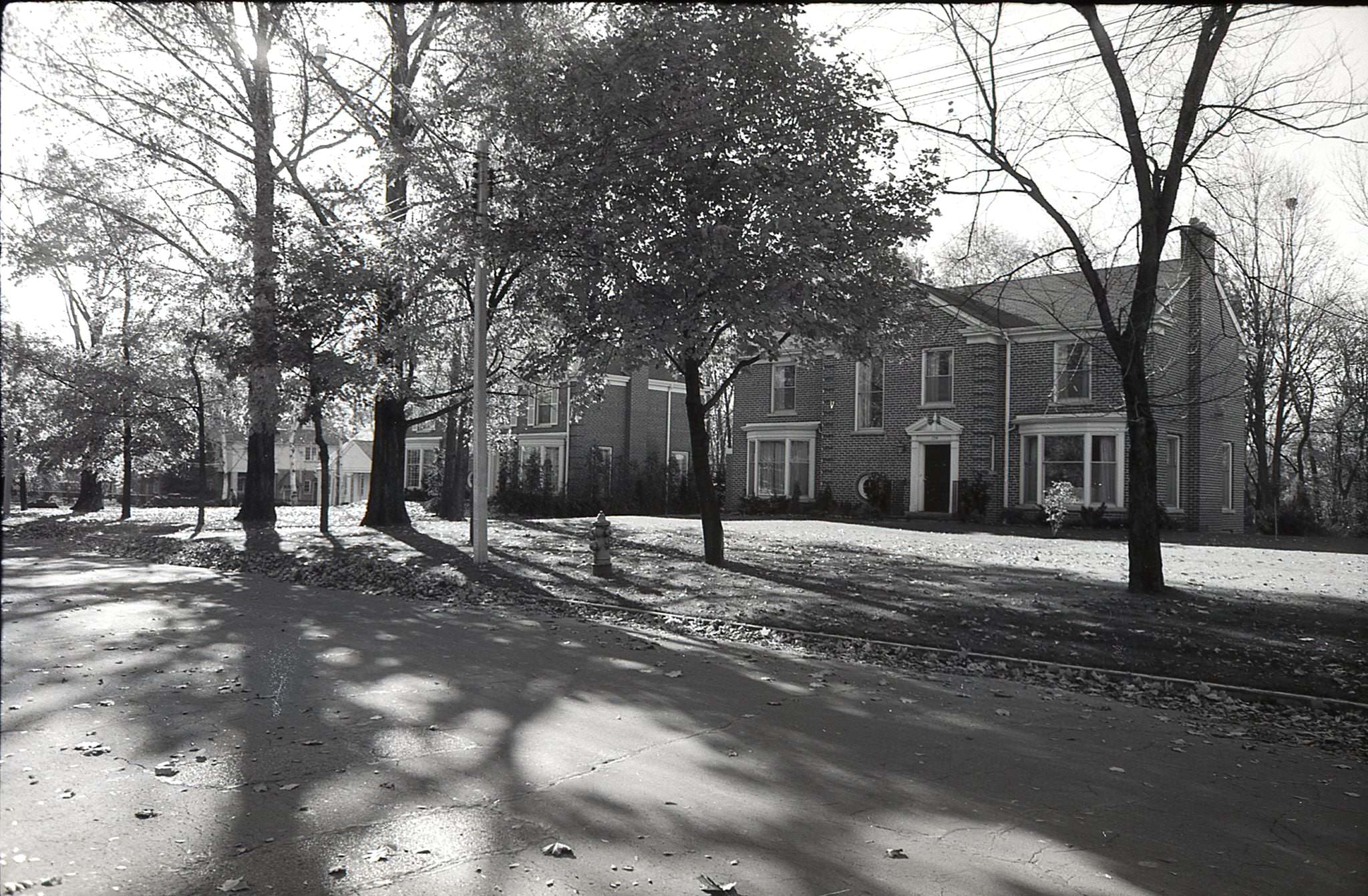
Toronto’s east end neighborhoods — areas around O’Connor and St. Clair, or the modest residential streets along Riverview Drive — were home to established working-class communities in the 1970s. Many of the homes built in these areas in the early twentieth century were being demolished by this point, replaced by apartment buildings or cleared for road widening. Some survived; many did not. The loss of these buildings was part of the broader wave of demolition that eventually sparked the heritage preservation movement in the city.
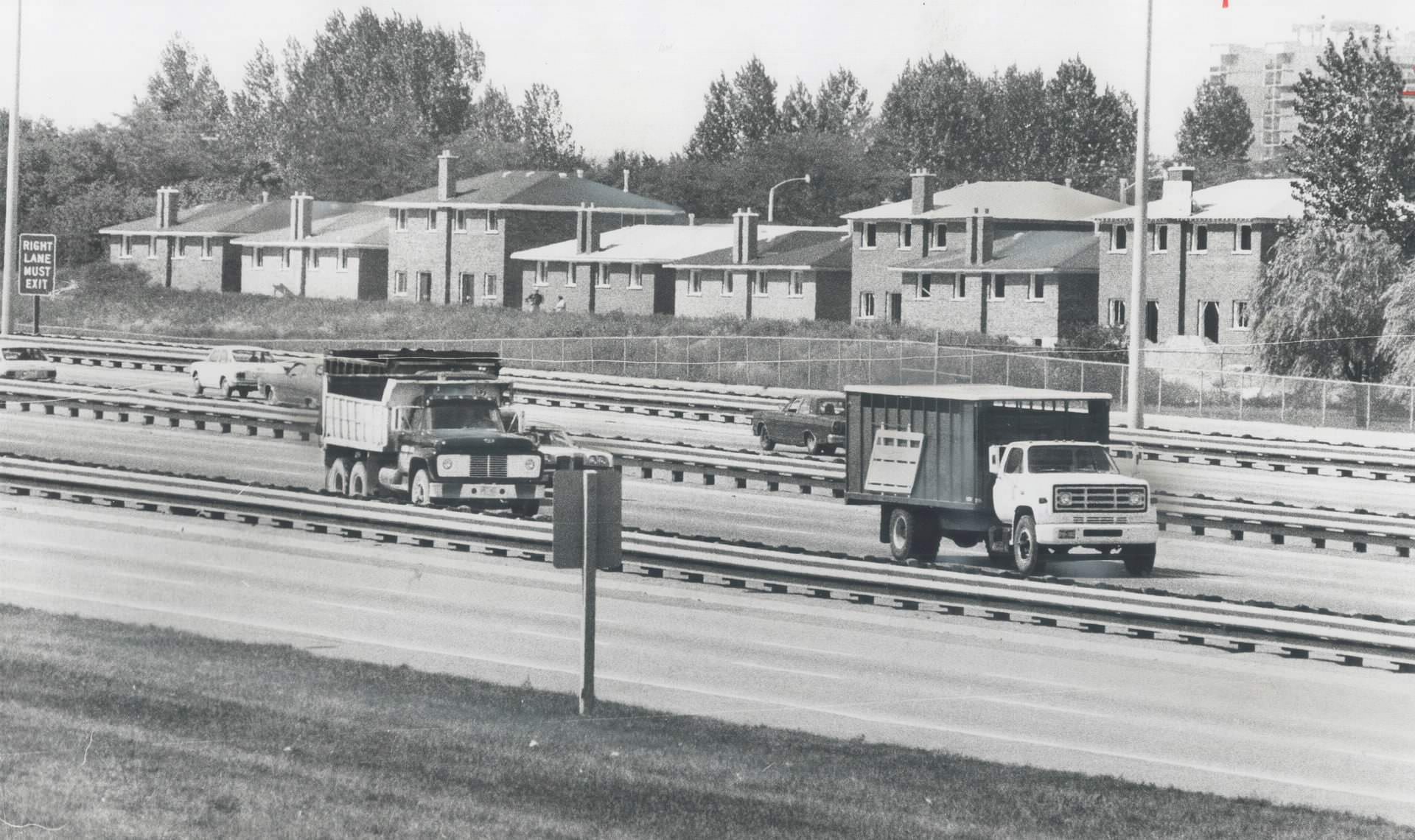
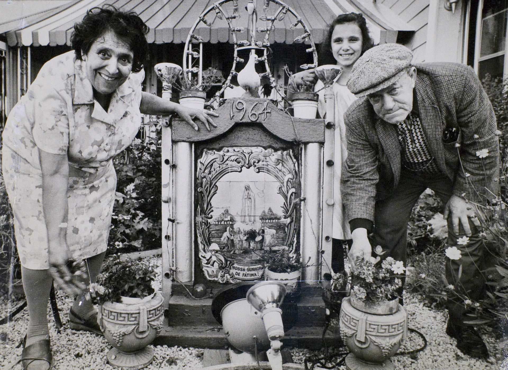
Immigration was the single biggest driver of Toronto’s population growth in the 1970s. Families from Portugal settled heavily in the Kensington Market area and along Dundas Street West. Communities from Italy, Greece, the Caribbean, South Asia, and East Asia each established their own geographic and cultural footholds across the city. The Portuguese community in particular was tightly knit, with community organizations, churches, and businesses concentrating in specific neighborhoods and giving them a distinct character that remains visible today.
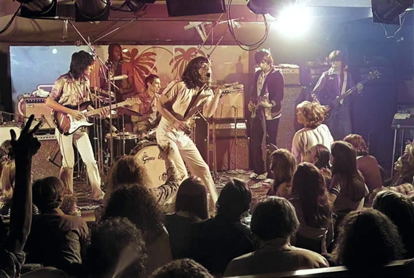
One of the most talked-about events of 1977 in Toronto was the Rolling Stones’ surprise performances at the El Mocambo club on Spadina Avenue. The Stones played two nights at the small venue in March of that year, recording tracks for a live album. The shows were not announced in advance and drew a frenzy of attention. The El Mocambo had been a fixture of Toronto’s live music scene since the 1940s, and these performances cemented its place in rock history.
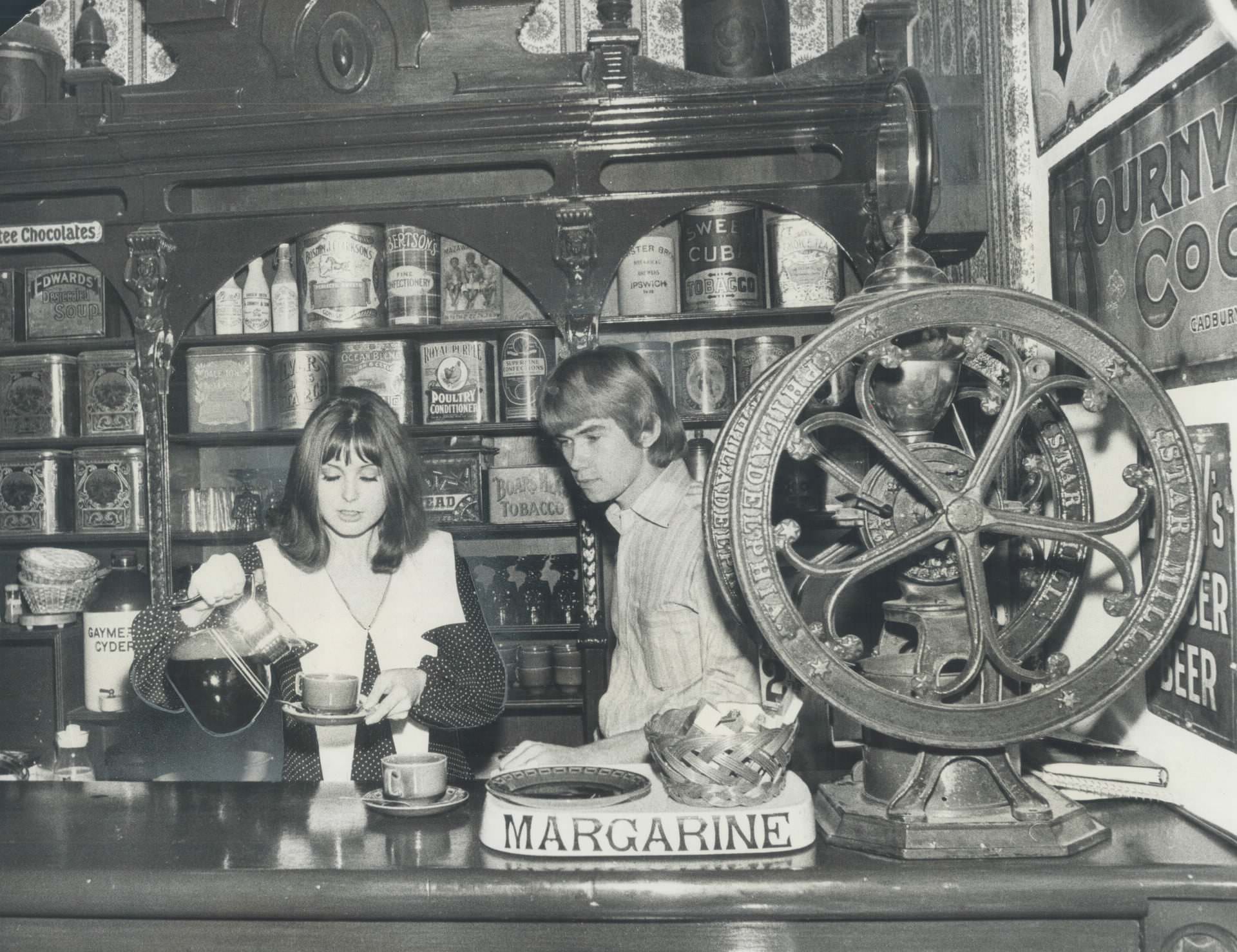
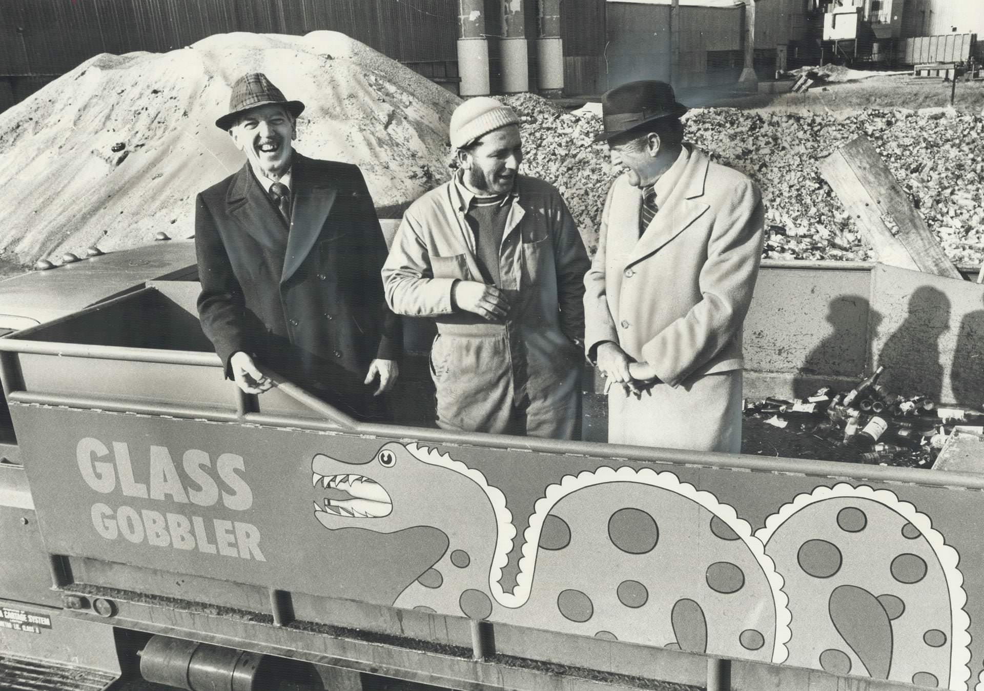
Environmental awareness was beginning to take root in Toronto during the 1970s. Recycling programs were nascent but real — a truck called the Glass Gobbler made regular rounds collecting glass containers from hotels and taverns across the city, taking them to local factories for reuse. Coffee houses like Grumbles on Jarvis Street catered to the city’s growing bohemian and artistic crowd, mixing antiques and counter-culture atmosphere in a way that reflected Toronto’s changing social fabric.
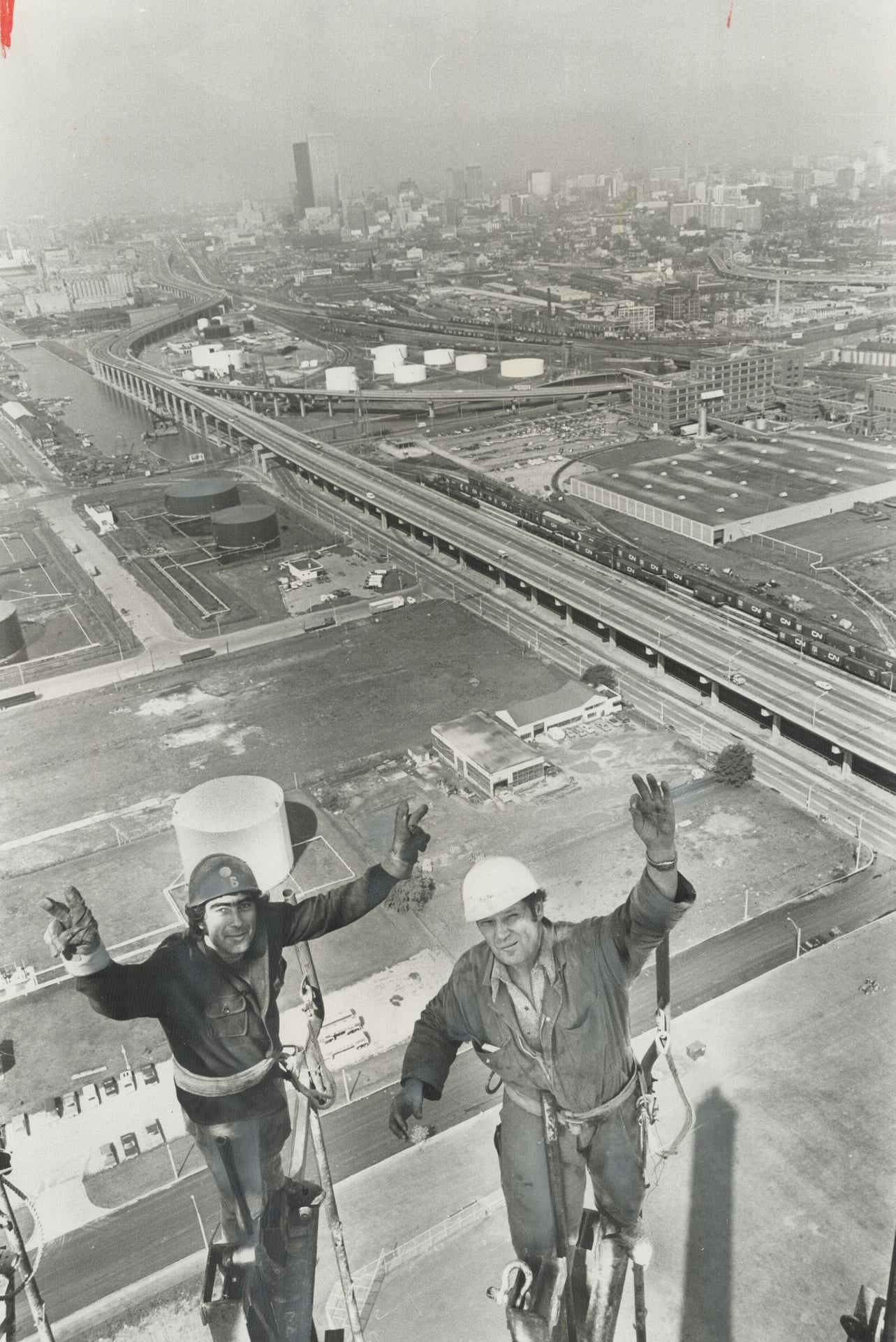
Toronto’s waste management infrastructure in the early 1970s included the Metro incinerator on Commissioner Street near the port lands. In 1973, workers completed a 450-foot chimney at the facility — a major construction job that took seven weeks and required riggers to work at the very top of the structure. The chimney replaced two smaller ones and was part of the city’s effort to handle the waste generated by a rapidly growing population.
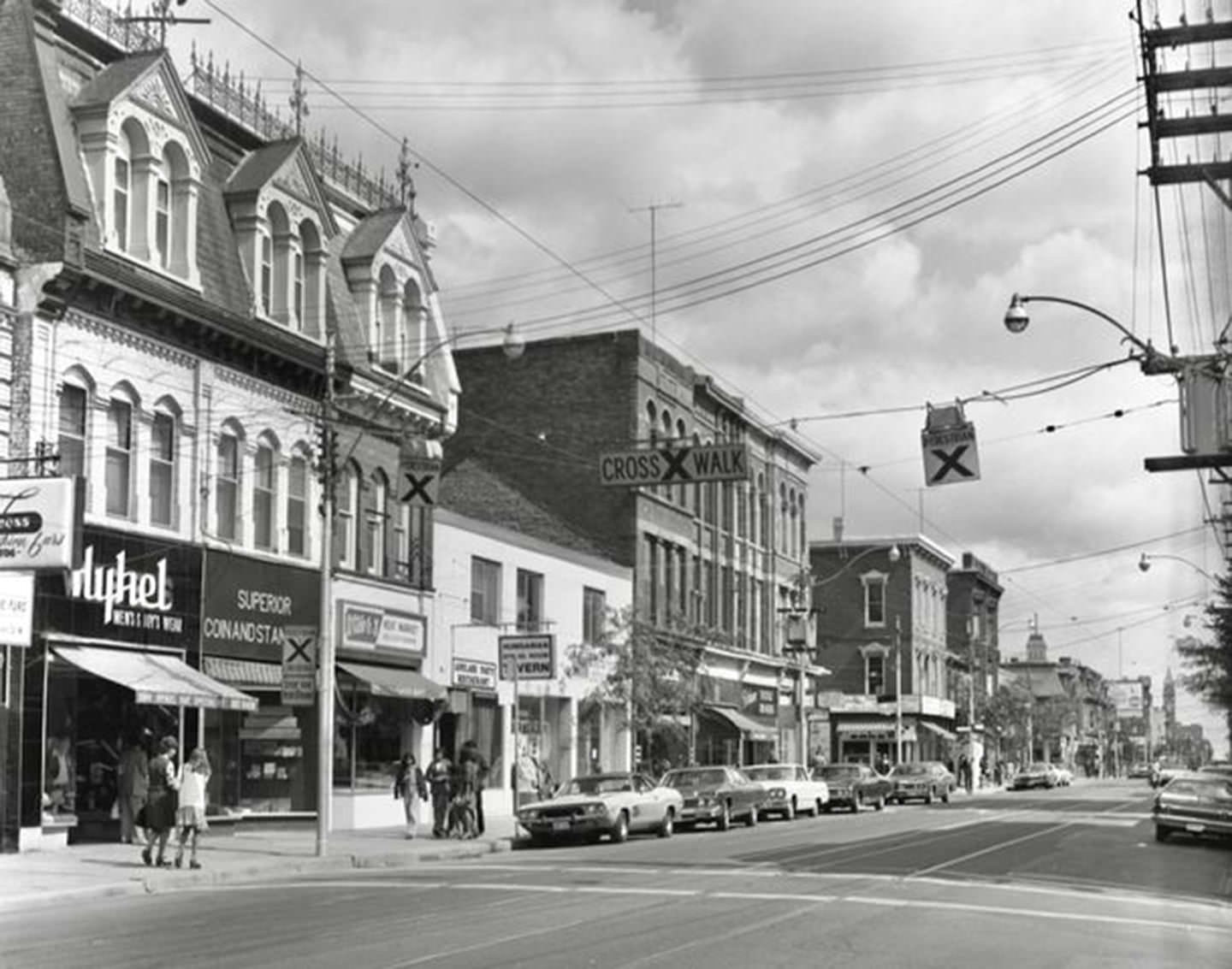
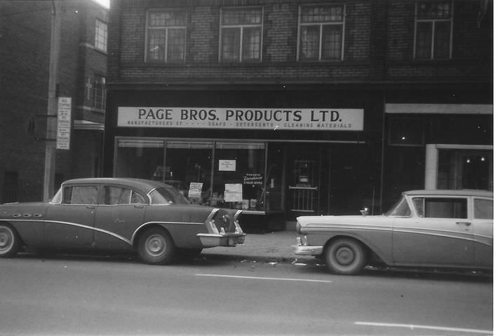
Queen Street West in the mid-1970s was a mix of residential, commercial, and light industrial uses. Small manufacturers like Page Bros., which produced soaps and industrial chemicals, operated out of the older brick buildings that lined the streets south and west of the downtown core. The neighborhood had not yet acquired the artistic and cultural identity it would develop in the 1980s — in the 1970s, it was simply a working part of the city.
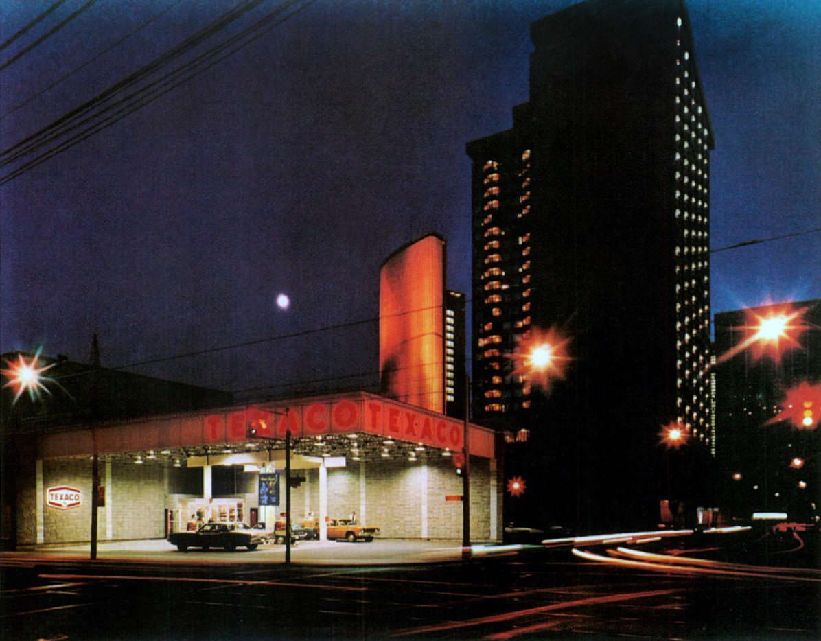
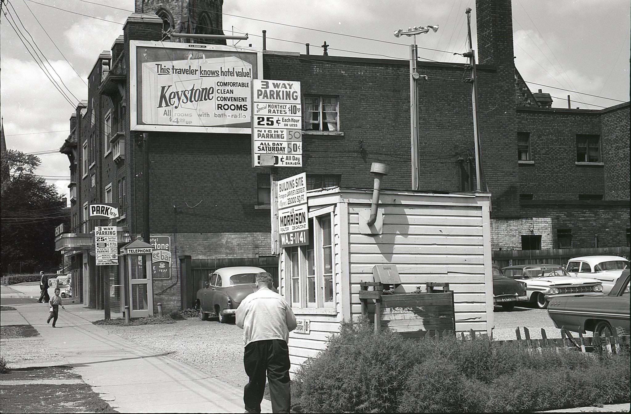
Jarvis Street in the 1970s was a faded but still active corridor. Hotels like the Keystone occupied addresses that had once been among the city’s most prestigious residential blocks. The Jarvis Street Baptist Church, with its distinctive tower, remained one of the street’s architectural anchors. Gas stations, including the Texaco visible with City Hall in the background, were common enough even in the immediate vicinity of the civic core — a reminder of just how car-oriented the city remained.
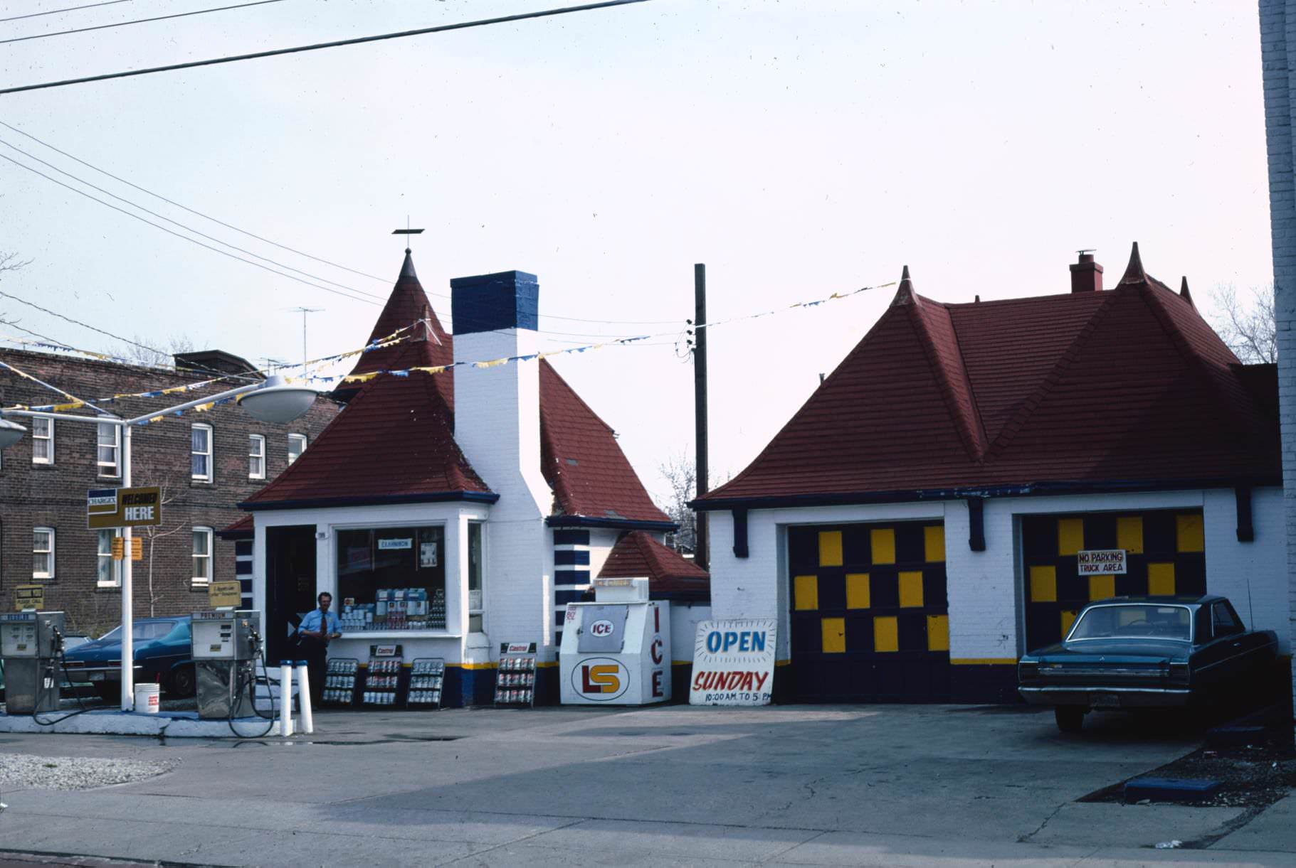
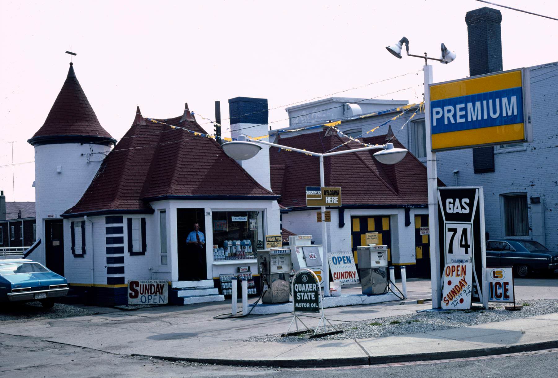
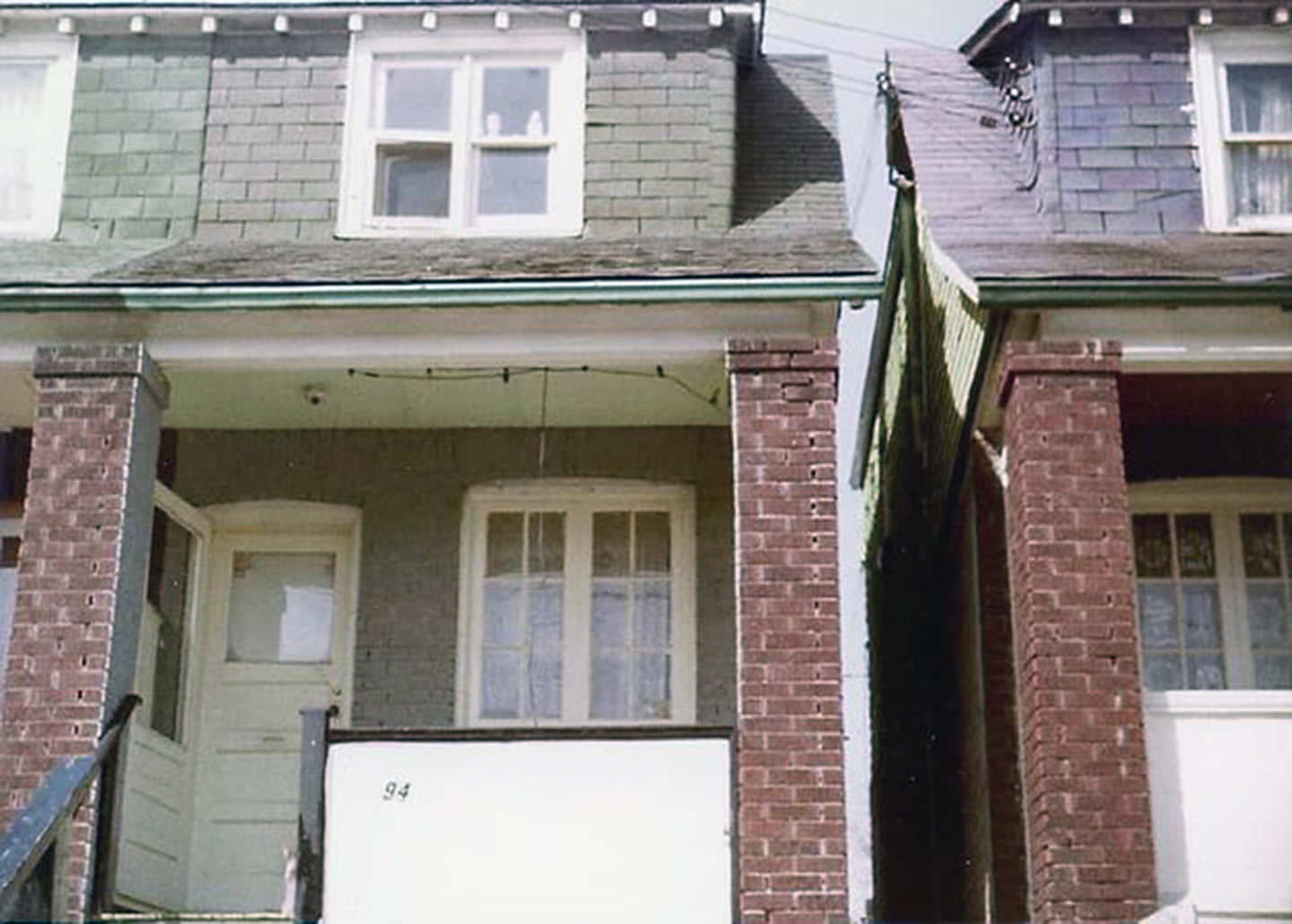
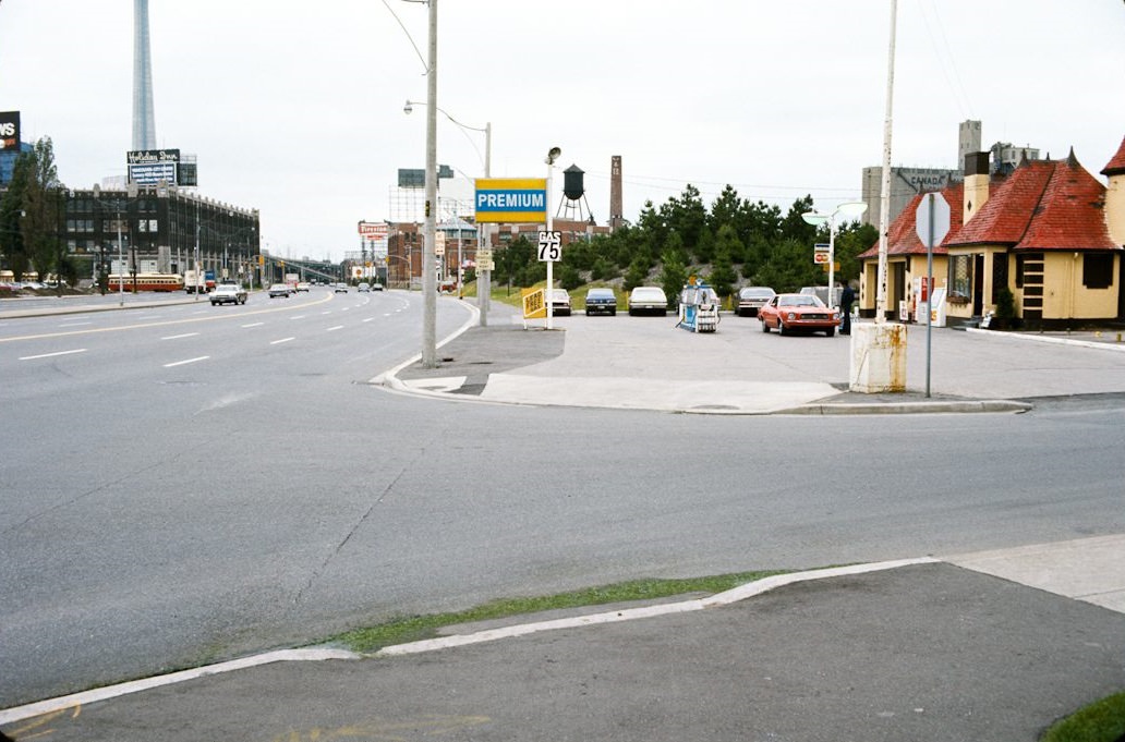
The Premium gas station at 789 St. Clair West had originally been built as a Joy Oil service station in the 1930s. By 1976, it was operating under a different brand but still serving the neighborhood as a fuel and service stop. The building’s distinctive early service station architecture was a relic of an earlier era of roadside design. Residential streets like Walpole Avenue nearby were lined with the detached and semi-detached brick homes that defined Toronto’s older neighborhoods.
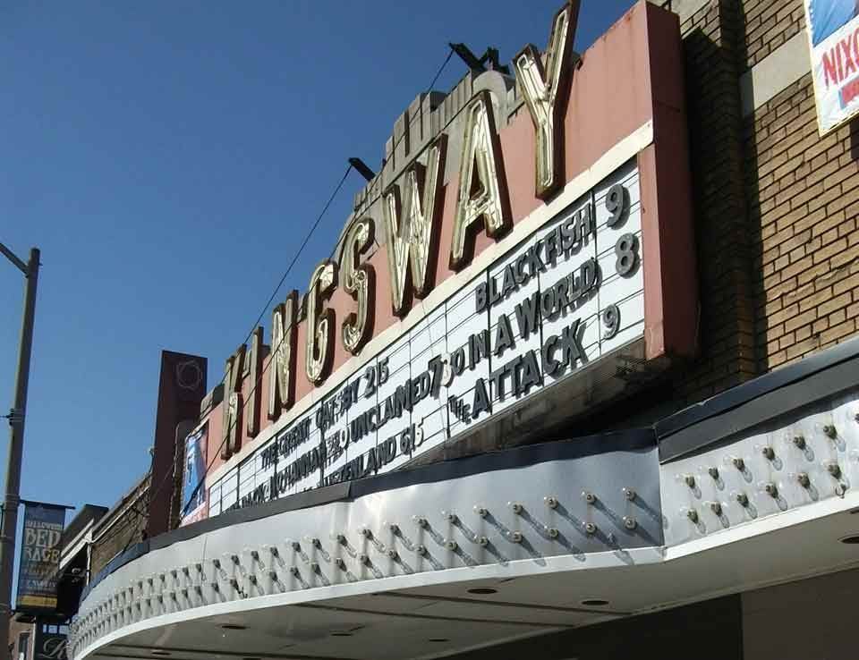
Neighbourhood cinemas like the Kingsway Theatre on Bloor Street in Etobicoke played the kinds of double bills that defined 1970s moviegoing — pairing exploitation films like Mansion of the Doomed with The Texas Chain Saw Massacre to draw genre audiences. These neighbourhood theatres were a cheap and accessible form of entertainment for working-class communities and played a very different program from the first-run houses downtown.
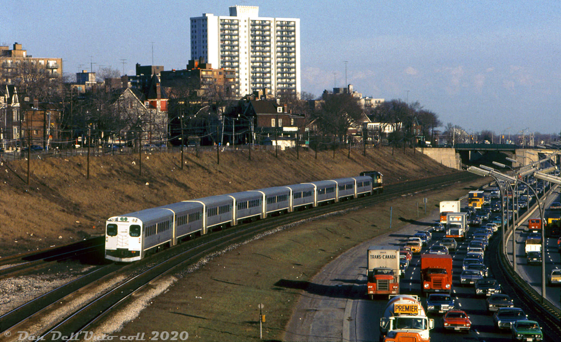
The Gardiner Expressway, running along the waterfront, was already one of the city’s most congested routes by 1973. During rush hour, traffic heading out of the city inched west along the elevated highway while GO trains moved efficiently below and alongside it toward Union Station. The contrast between the gridlocked cars and the moving trains was a daily illustration of the city’s transportation tensions — tensions that would fuel the debate over highway expansion throughout the decade.
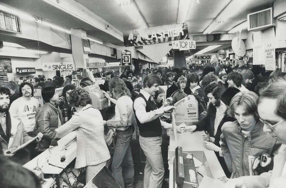
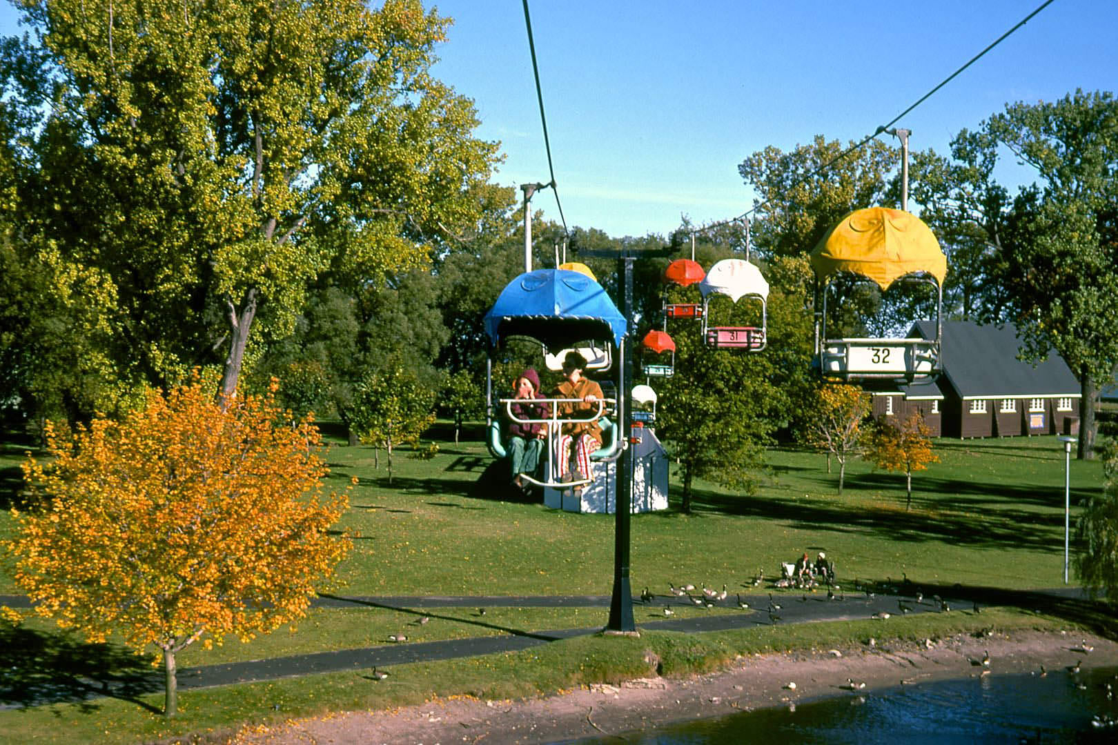
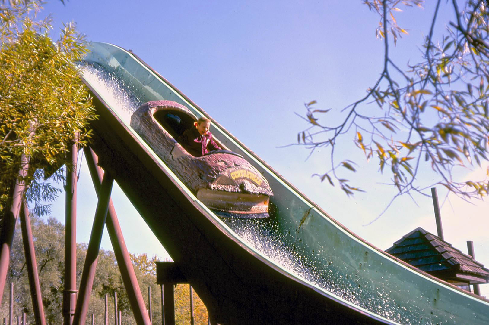
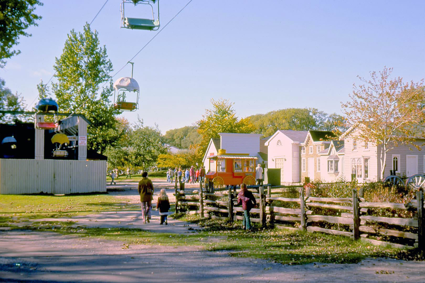
Centreville Amusement Park on Centre Island was a popular destination for Toronto families through the entire decade. The chairlift offered views across the island and back toward the city skyline, and rides like the Saugreen Lumber Mill Log Flume drew long lines during summer weekends. Boxing Day lineups at record stores on Yonge Street were another city tradition — A&A Records saw crowds of shoppers on December 26 looking for post-Christmas deals on albums.
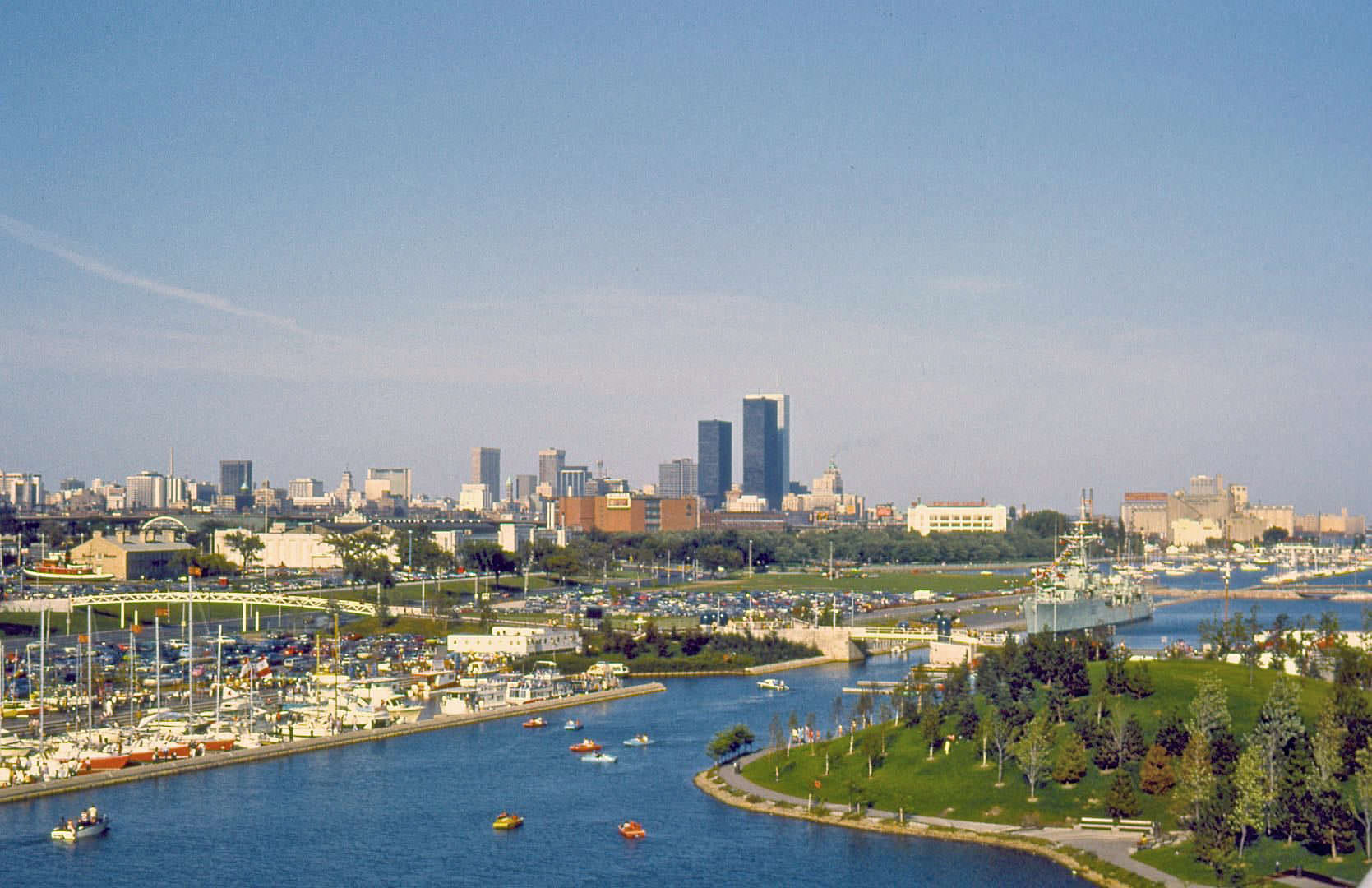
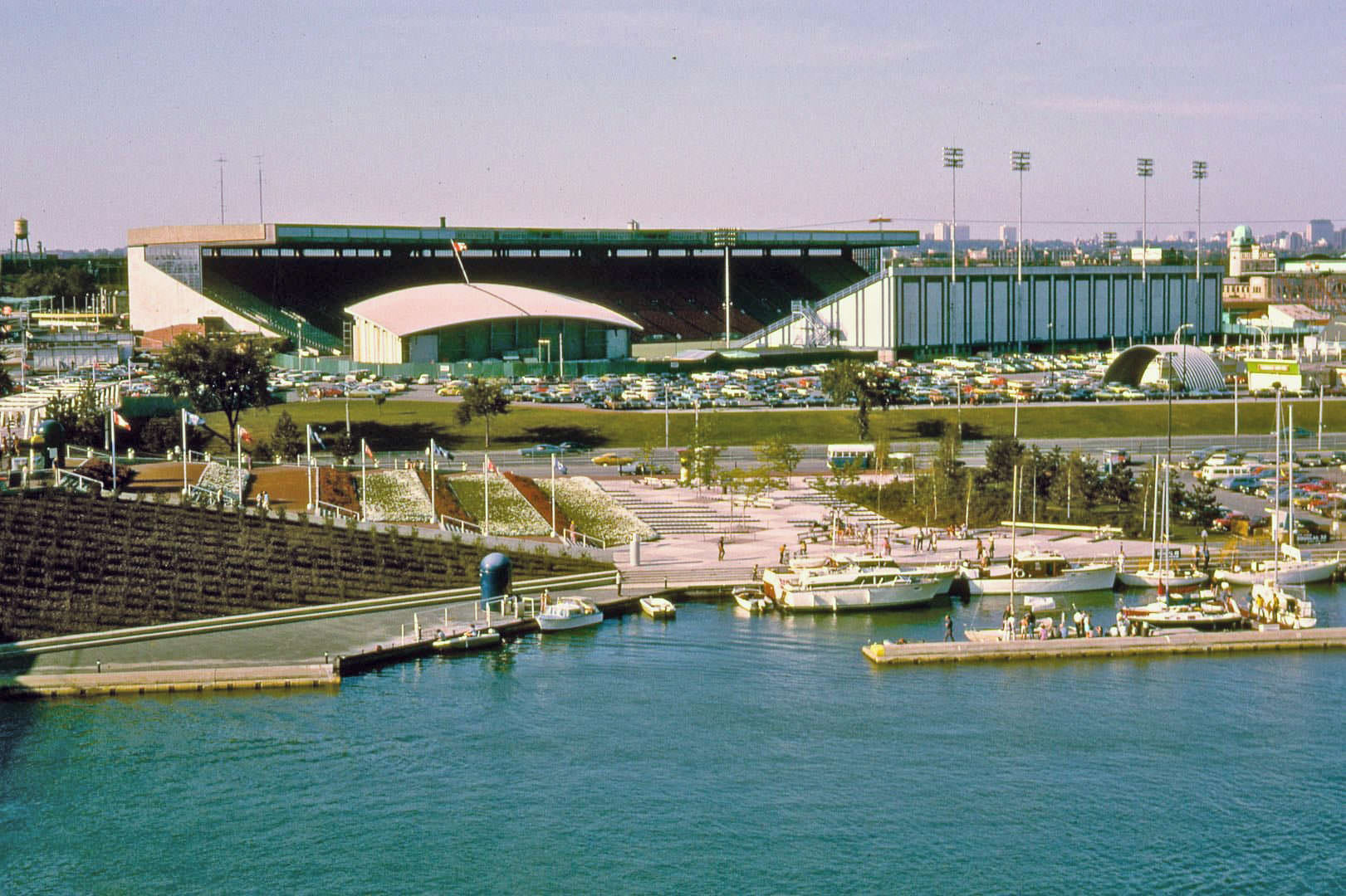
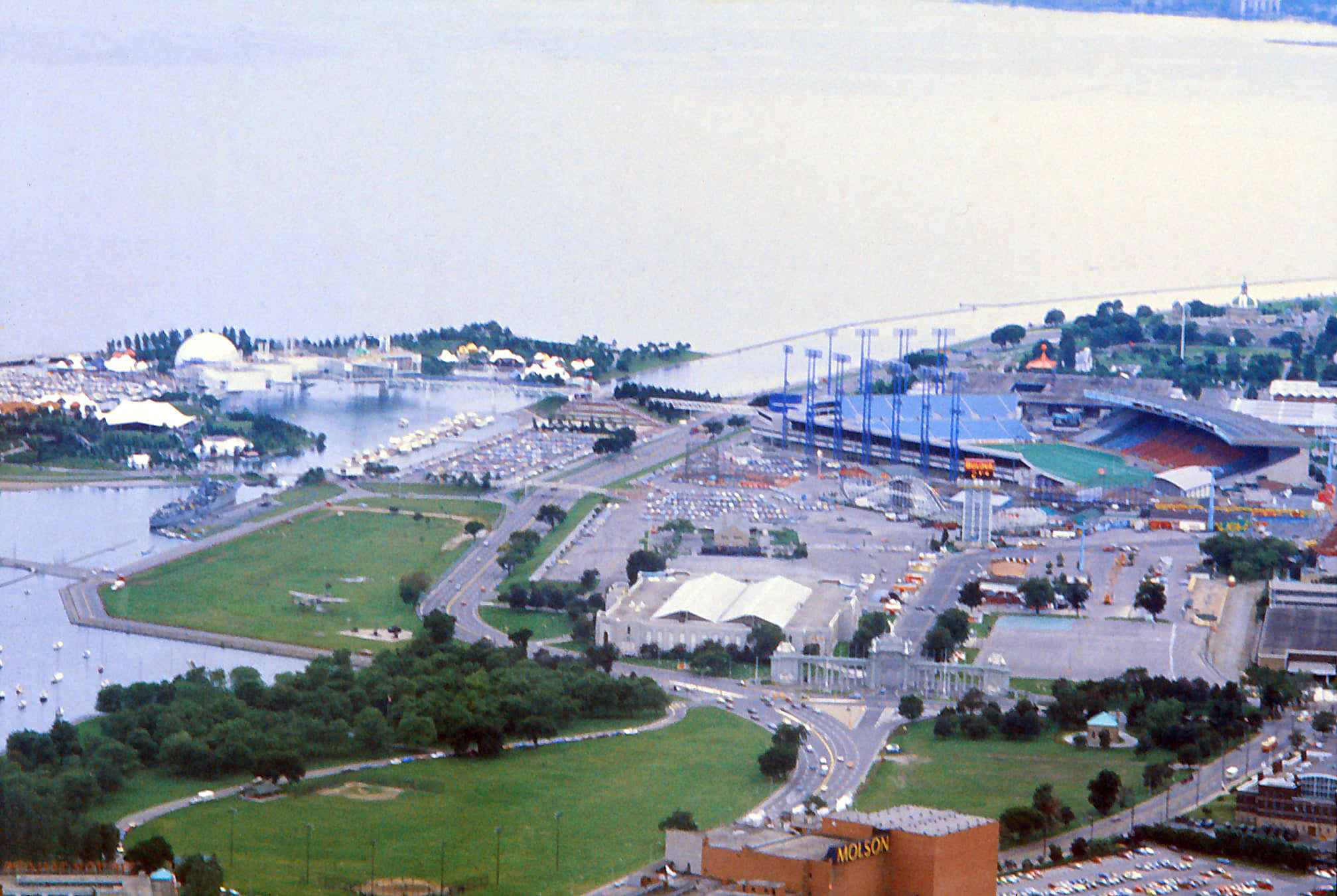
From Ontario Place, looking east across the water in 1972, the CNE grounds spread out along the lakefront. Exhibition Stadium, which had been built for the 1959 Pan American Games, was visible to the east. It served as the home of the CFL’s Toronto Argonauts and would later host the Toronto Blue Jays when they joined the American League in 1977. The stadium and the fairgrounds together made this stretch of the western waterfront one of the busiest event spaces in Canada.
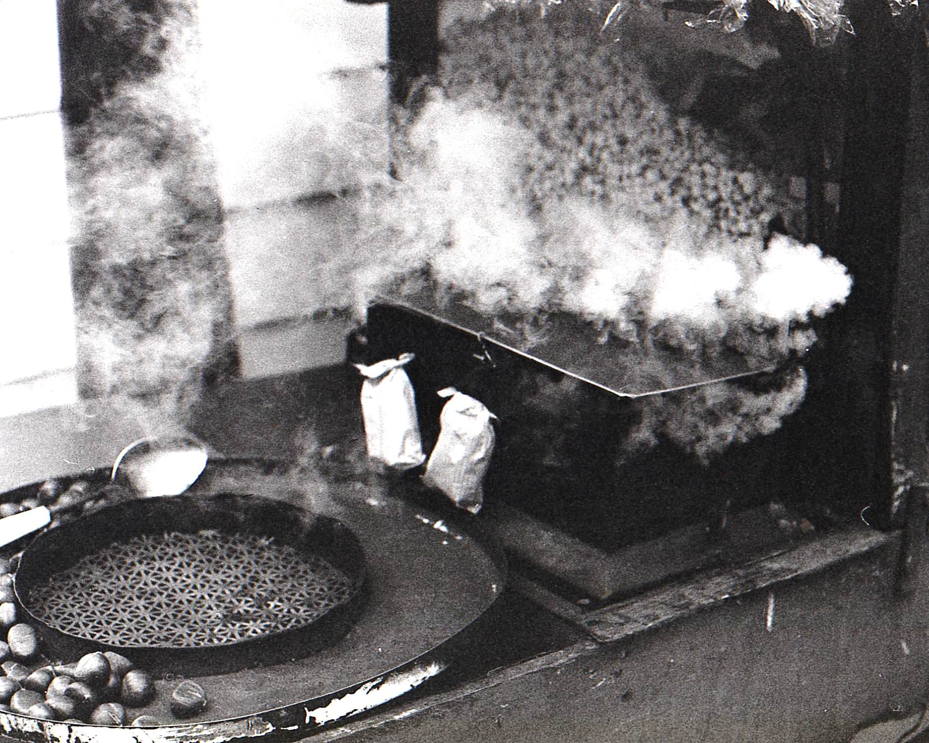
Street food vendors on Yonge Street in the mid-1970s sold roasted chestnuts from small carts, a tradition that persisted through cold-weather months as shoppers and commuters moved along the busy strip. The vendor scene on Yonge was modest compared to what the street would eventually support, but it added to the sensory texture of the city — the smell of roasting nuts mixing with exhaust and cold air on a winter afternoon.
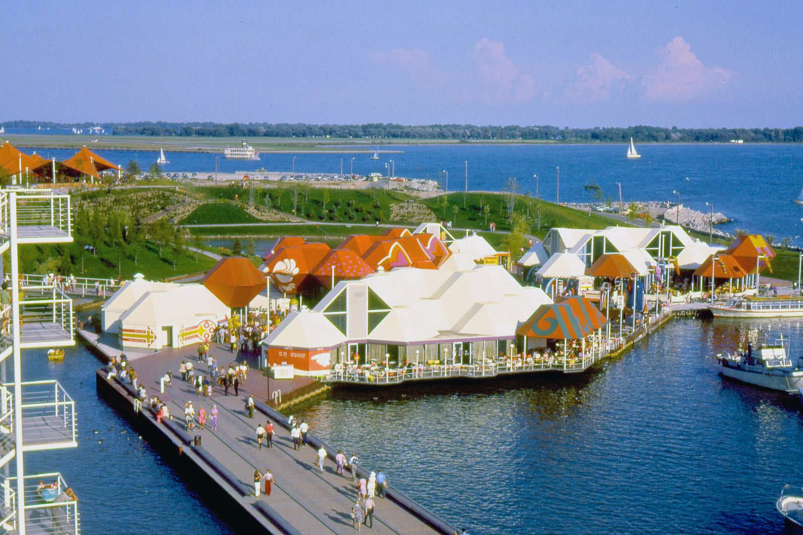
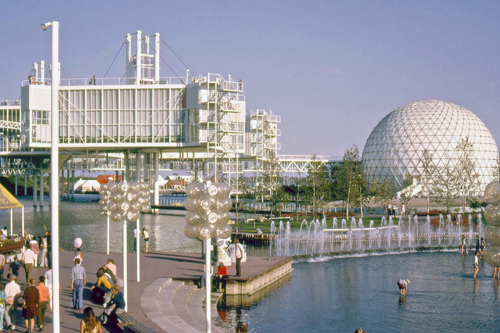
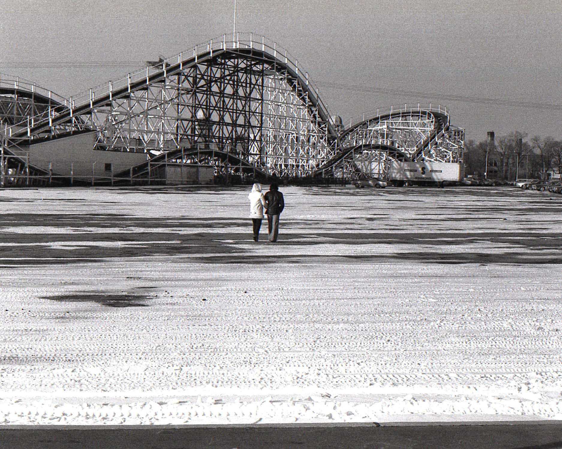
The CNE grounds took on a very different character in winter. Without the summer crowds, the fairgrounds and their aging buildings sat quiet along the lakefront, the wooden roller coaster called The Flyer standing silent against cold grey skies. Ontario Place, designed by architect Eberhard Zeidler and opened in 1971, was more striking in all seasons — its futuristic pods hovering over the water on steel legs made it look unlike anything else in the city.
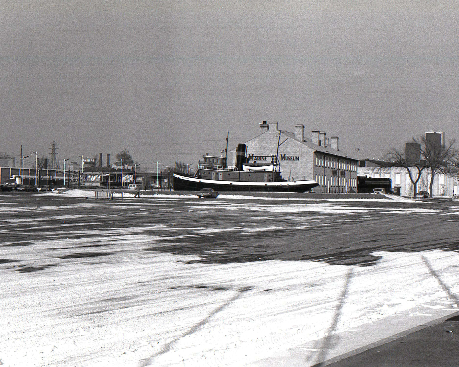
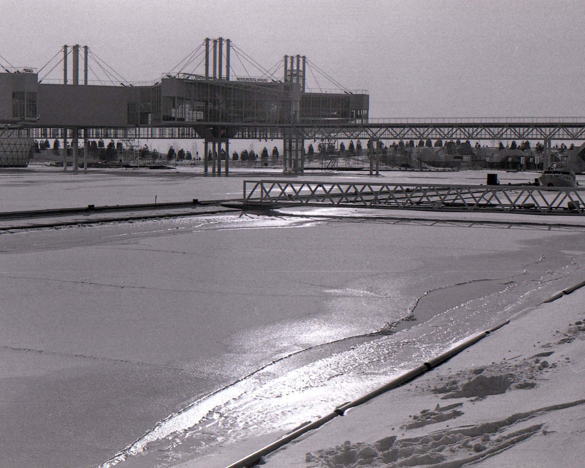
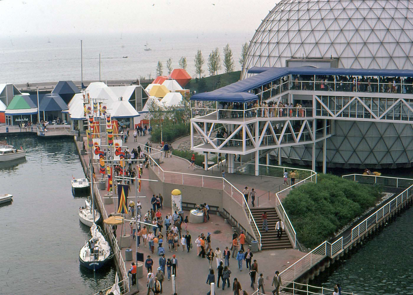
The Marine Museum of Upper Canada, located on the CNE grounds, housed artifacts related to Great Lakes shipping and naval history. In winter, the grounds around it were largely deserted, and the contrast with the busy summer months was sharp. Ontario Place in summer, meanwhile, was one of the liveliest spots in the city — the open-air amphitheater drew major acts, and families packed the marina, restaurants, and attractions on warm weekends.
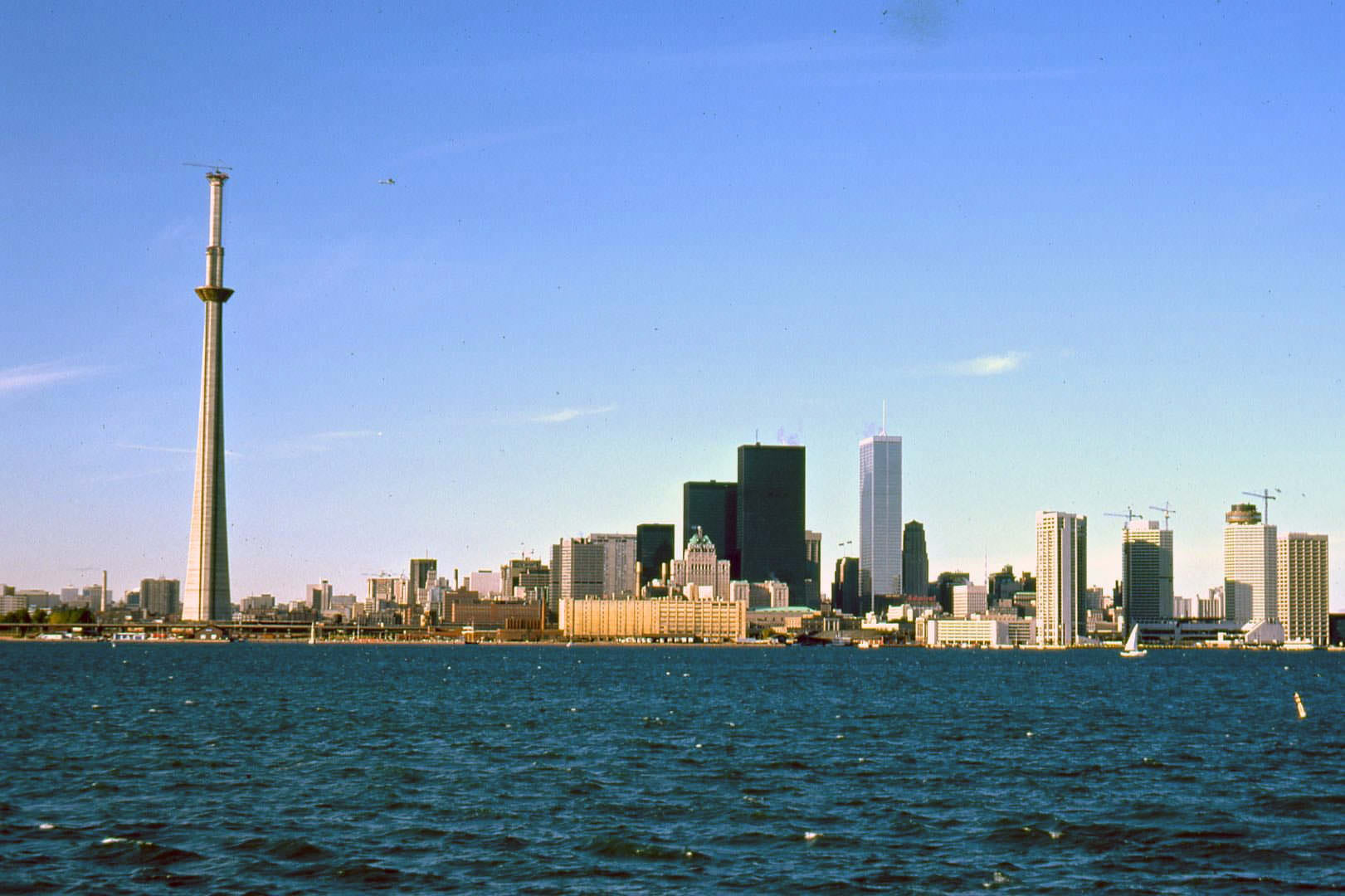
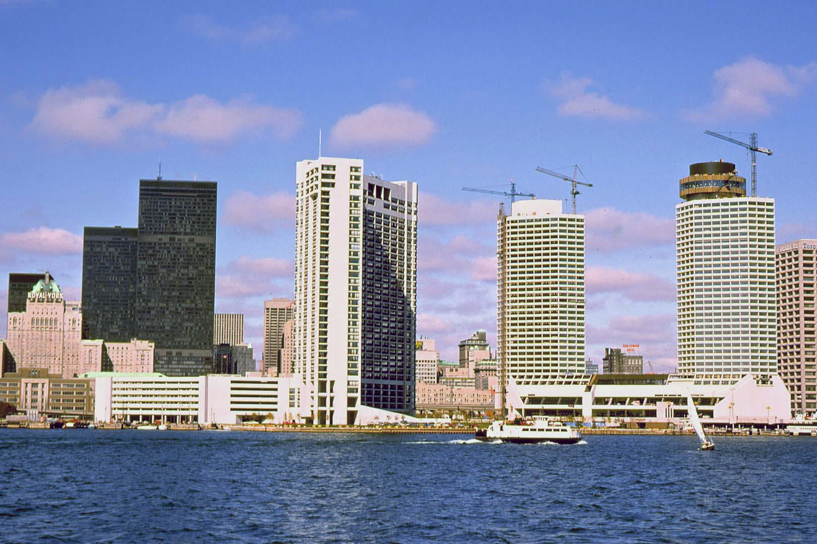
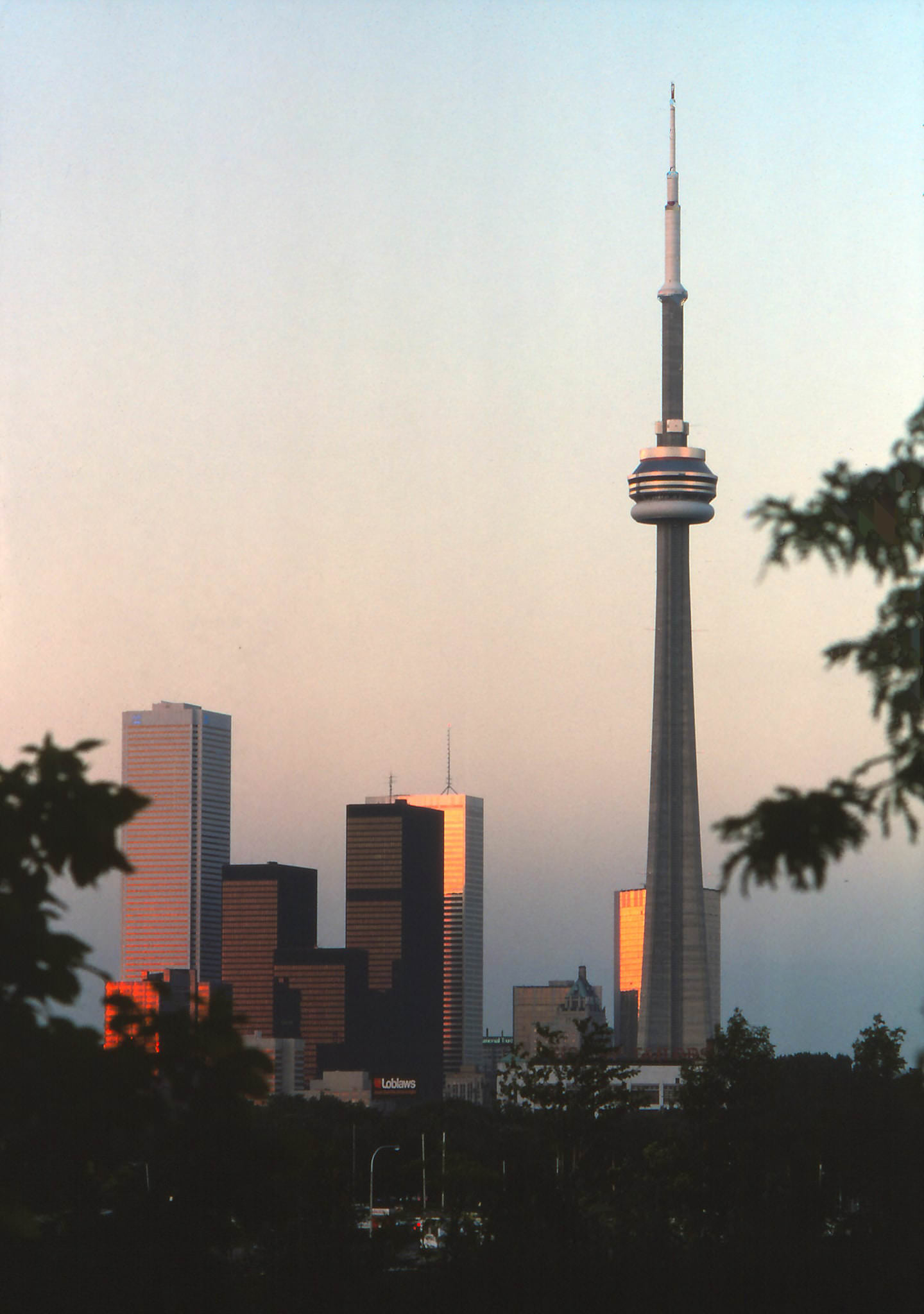
The skyline viewed from the islands or from Ontario Place in the mid-1970s was still relatively open. The cluster of towers in the financial district was the dominant feature, but gaps remained where future development would eventually fill in. Before the CN Tower topped out, the skyline had a horizontal quality that later photographs would make almost unrecognizable. These images from the water document a skyline that no longer exists.
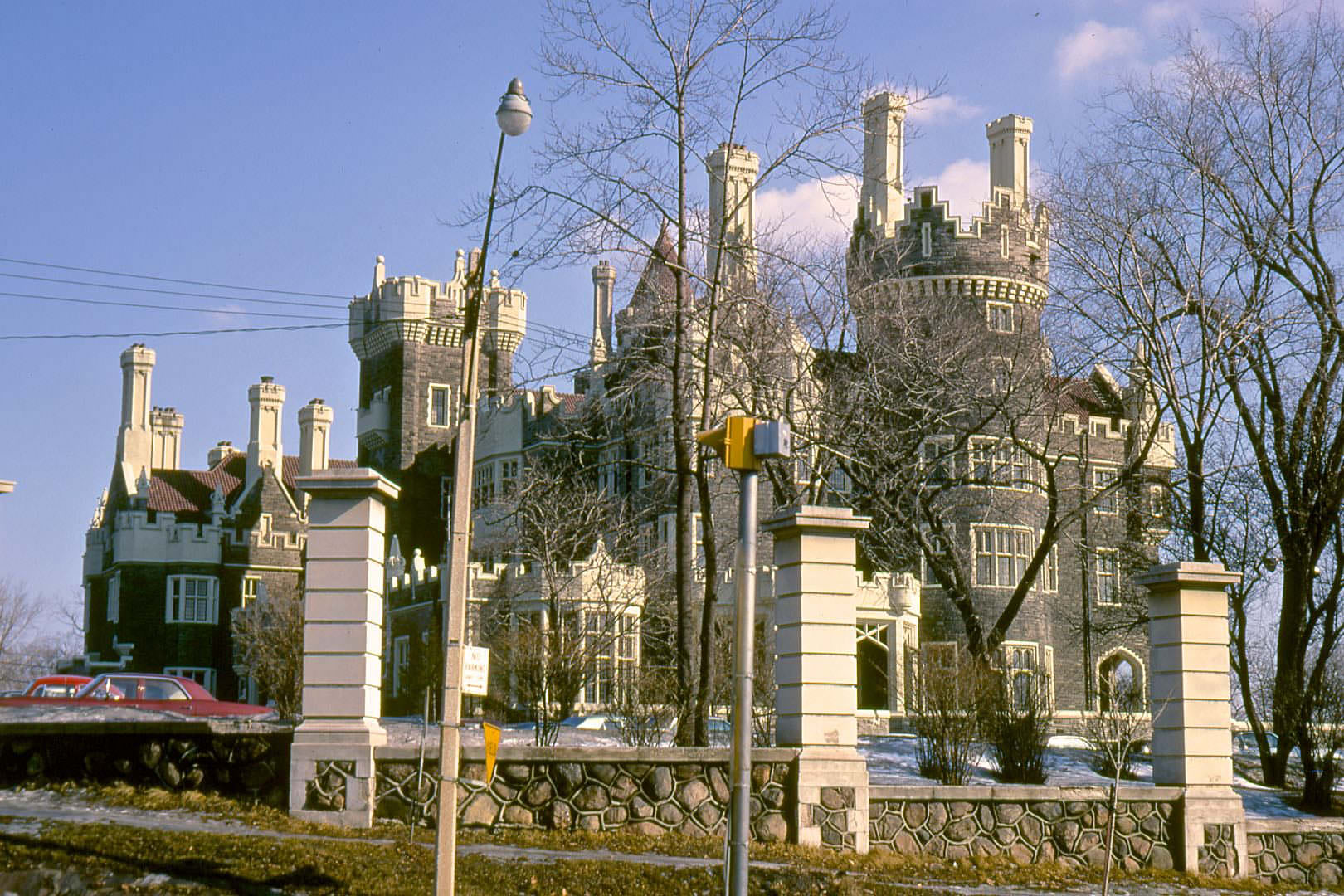
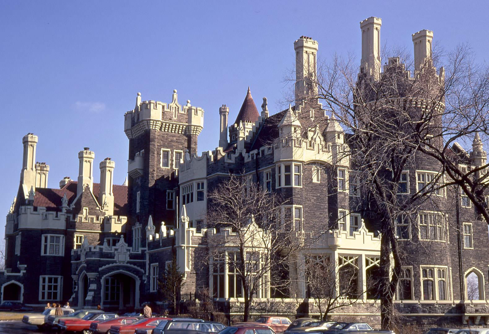
Casa Loma, the early twentieth-century castle built by financier Henry Pellatt in the Annex neighbourhood, was a well-established tourist attraction by 1970. Operated by the Kiwanis Club of Casa Loma, it drew visitors curious about the building’s eccentric history and its grand rooms, stables, and gardens. In winter, with its stone towers rising above the surrounding residential streets, it looked particularly dramatic against a grey March sky.
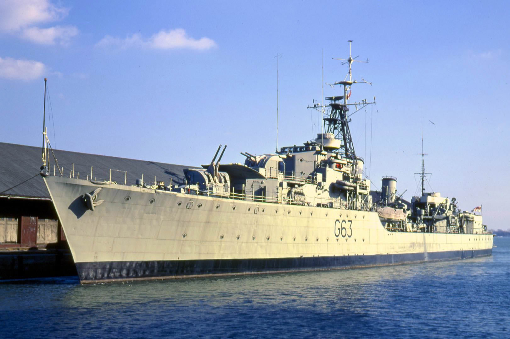
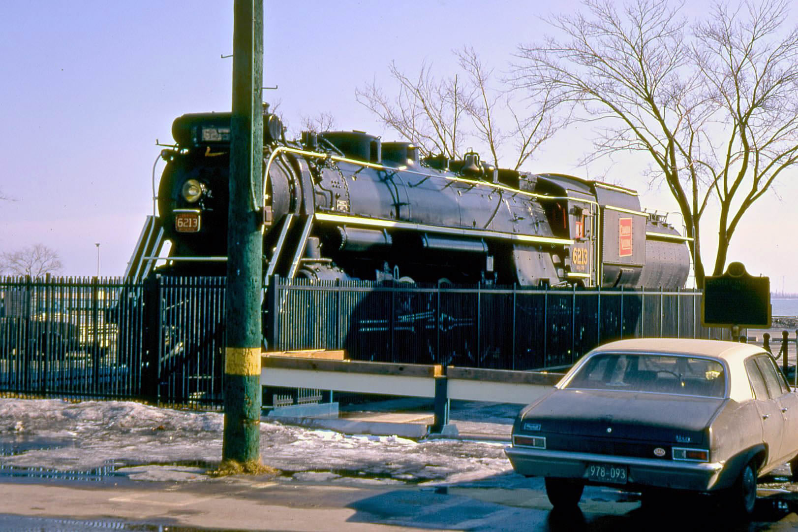
The HMCS Haida, a Royal Canadian Navy Tribal-class destroyer that served in World War II and the Korean War, was moored in Toronto’s harbour in 1970 as a museum ship. The Canadian National Railways No. 6213 steam locomotive on the CNE grounds was another piece of preserved military and industrial history that drew visitors during this period. These artifacts, along with WWII relics displayed at Coronation Park on Lake Shore Boulevard, gave the waterfront area an outdoor museum character that complemented the formal Marine Museum nearby.
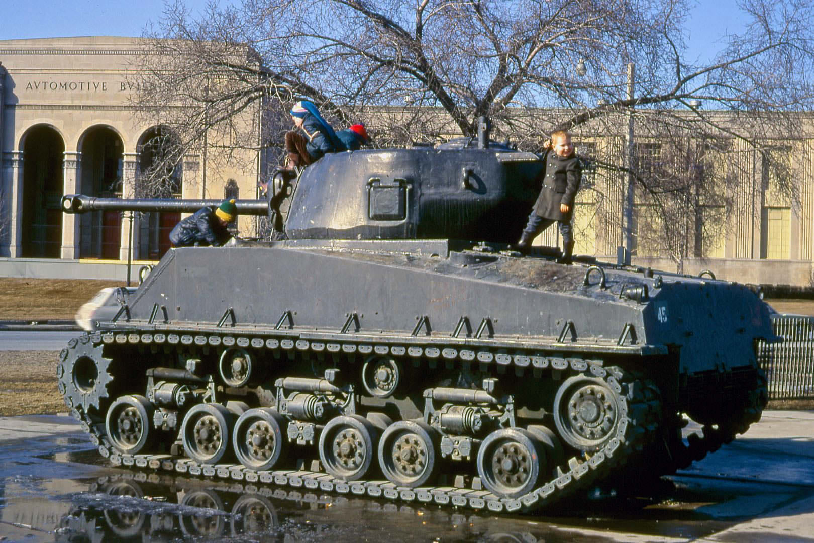
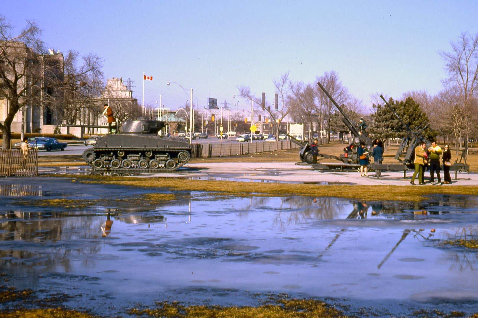
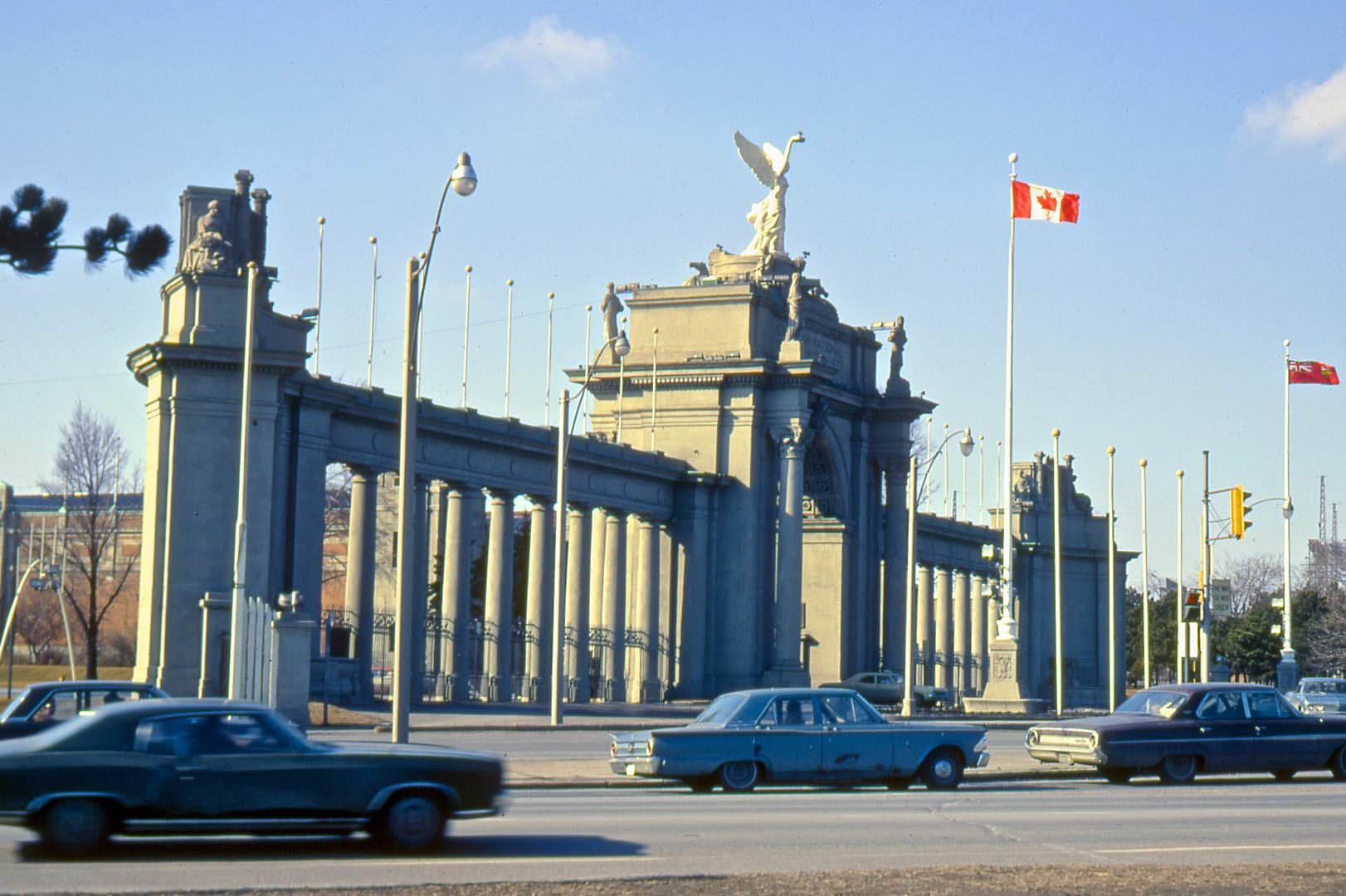
The Princes’ Gates, the ceremonial entrance to the CNE grounds on Lake Shore Boulevard, dated from 1927 and were named in honor of the Prince of Wales and Prince George, who attended the opening. By 1970, the gates were a long-established landmark marking the eastern entrance to the fairgrounds. A retired Sherman tank on the CNE grounds provided an irresistible climbing attraction for children visiting the area, standing in the open across from the Automotive Building.
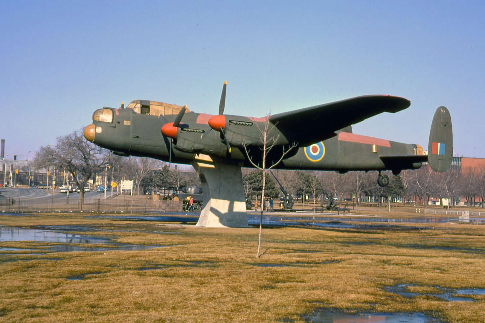
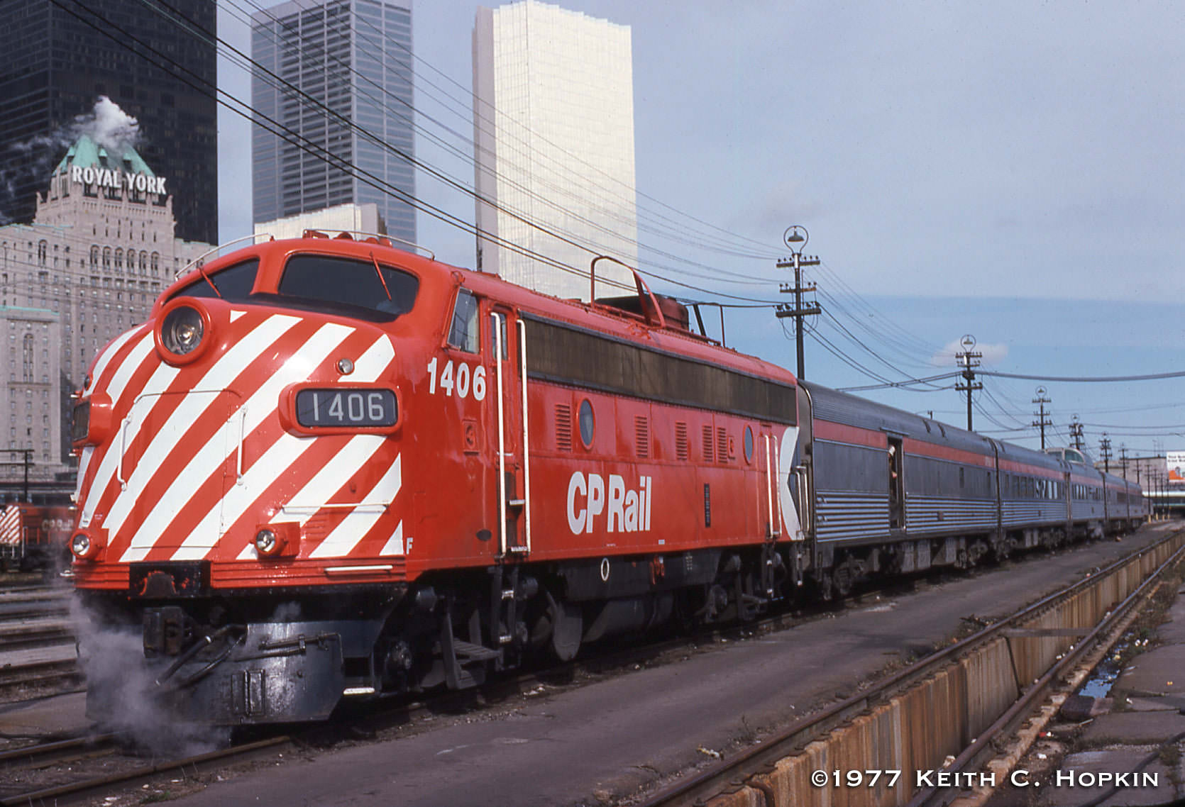
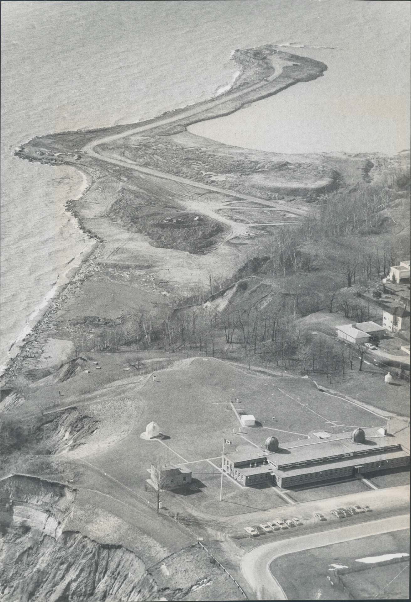
A Lancaster bomber on static display at Coronation Park was another remnant of the Second World War that sat in the open along Lake Shore Boulevard through the early 1970s. VIA Rail’s The Canadian, the transcontinental passenger train that ran between Toronto and Vancouver, was still a functioning and well-used service in 1977. Bluffer’s Park in Scarborough was under construction along the base of the Scarborough Bluffs in 1973, part of an effort to create public parkland along the Lake Ontario shoreline east of the city.
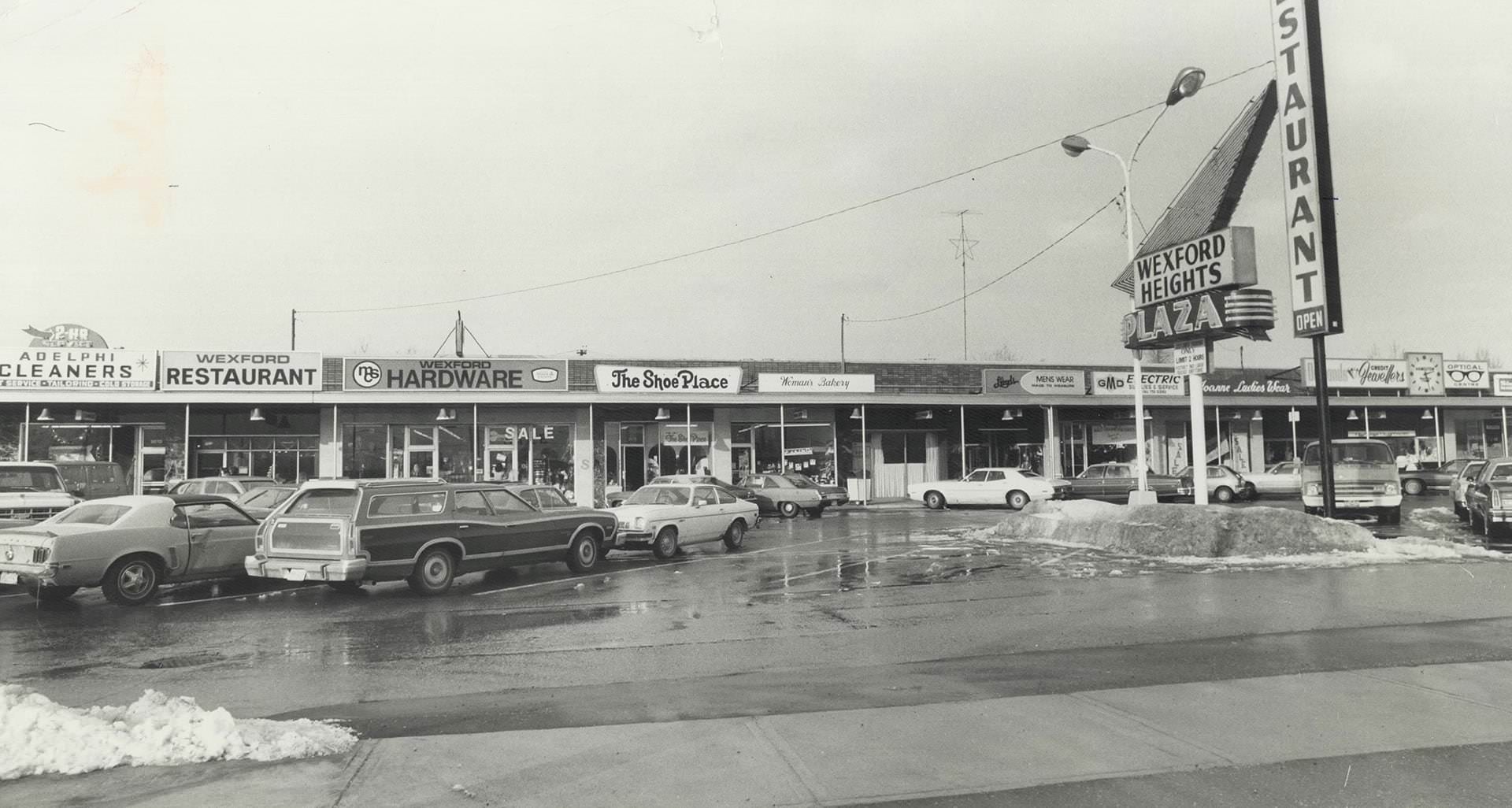
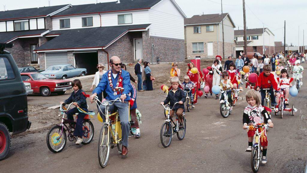
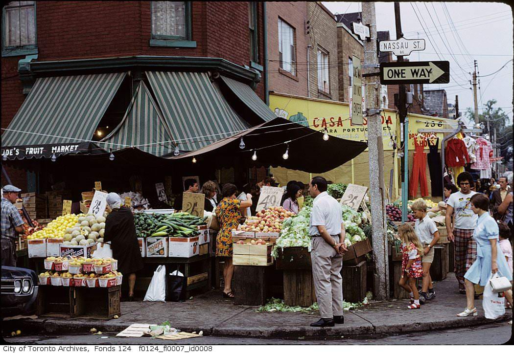
Kensington Market in the 1970s was one of the most densely packed and culturally layered neighborhoods in the city. The corner of Augusta and Nassau was lined with produce vendors, second-hand clothing shops, and specialty food stores serving the area’s mixed immigrant population. Scarborough, meanwhile, was developing its own suburban identity under its own municipal government — Mayor Paul Cosgrove’s bike parade through the new Malvern community in 1976 was a sign of a suburb actively building its civic life.
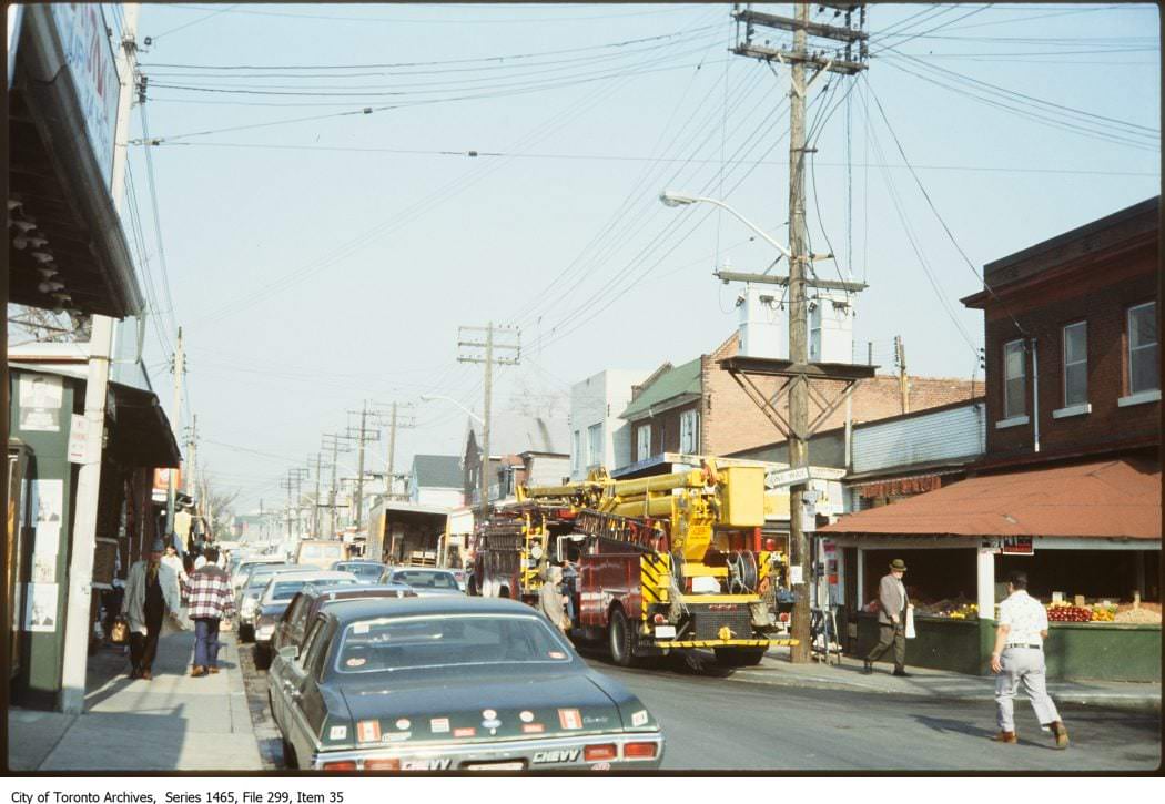
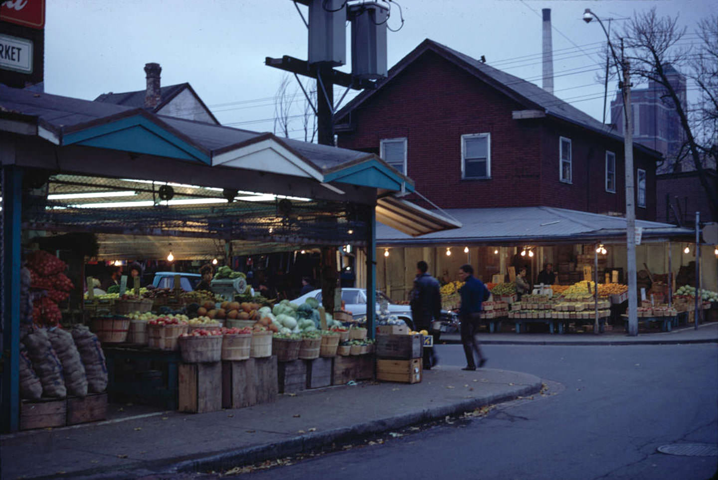
Looking north on Augusta Avenue from Baldwin Street in 1978, the streetscape showed the mix of old rowhouses, vendor stalls, and small businesses that made Kensington one of the most visited neighborhoods in the city. From the tip of Toronto Fire Department Aerial 24 in 1975, a very different perspective opened up — rooftops and streets stretching out across the low-rise urban landscape, showing just how flat and horizontally expansive the city was outside its small cluster of downtown towers.
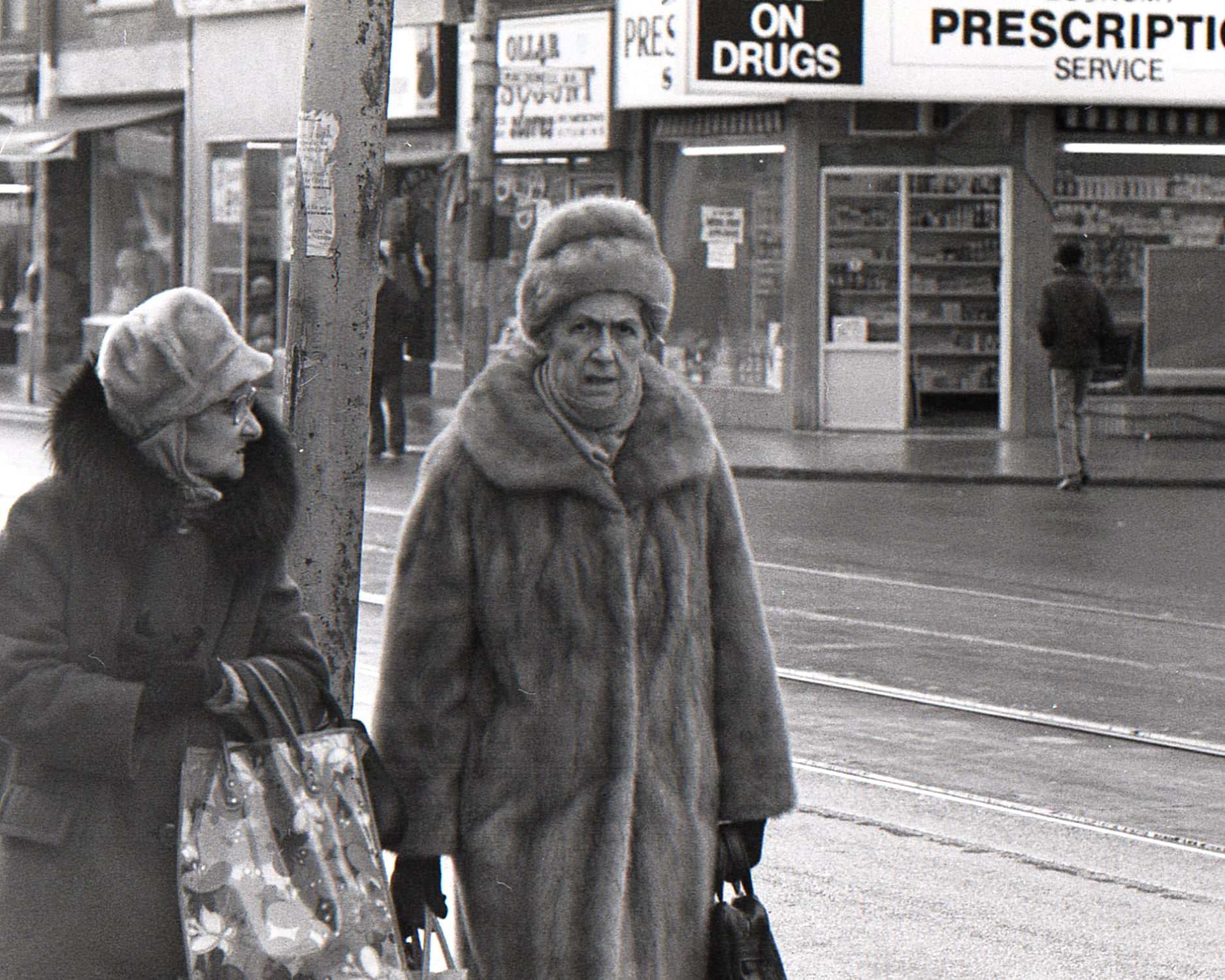
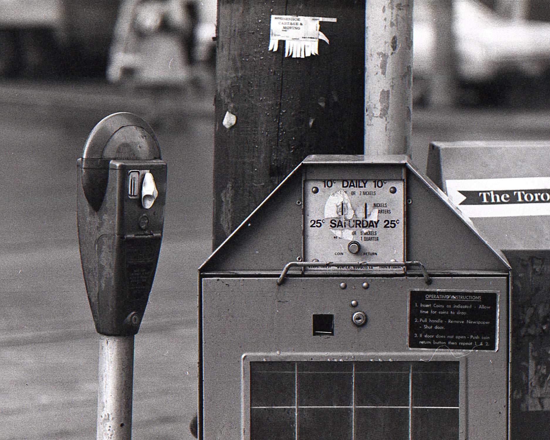
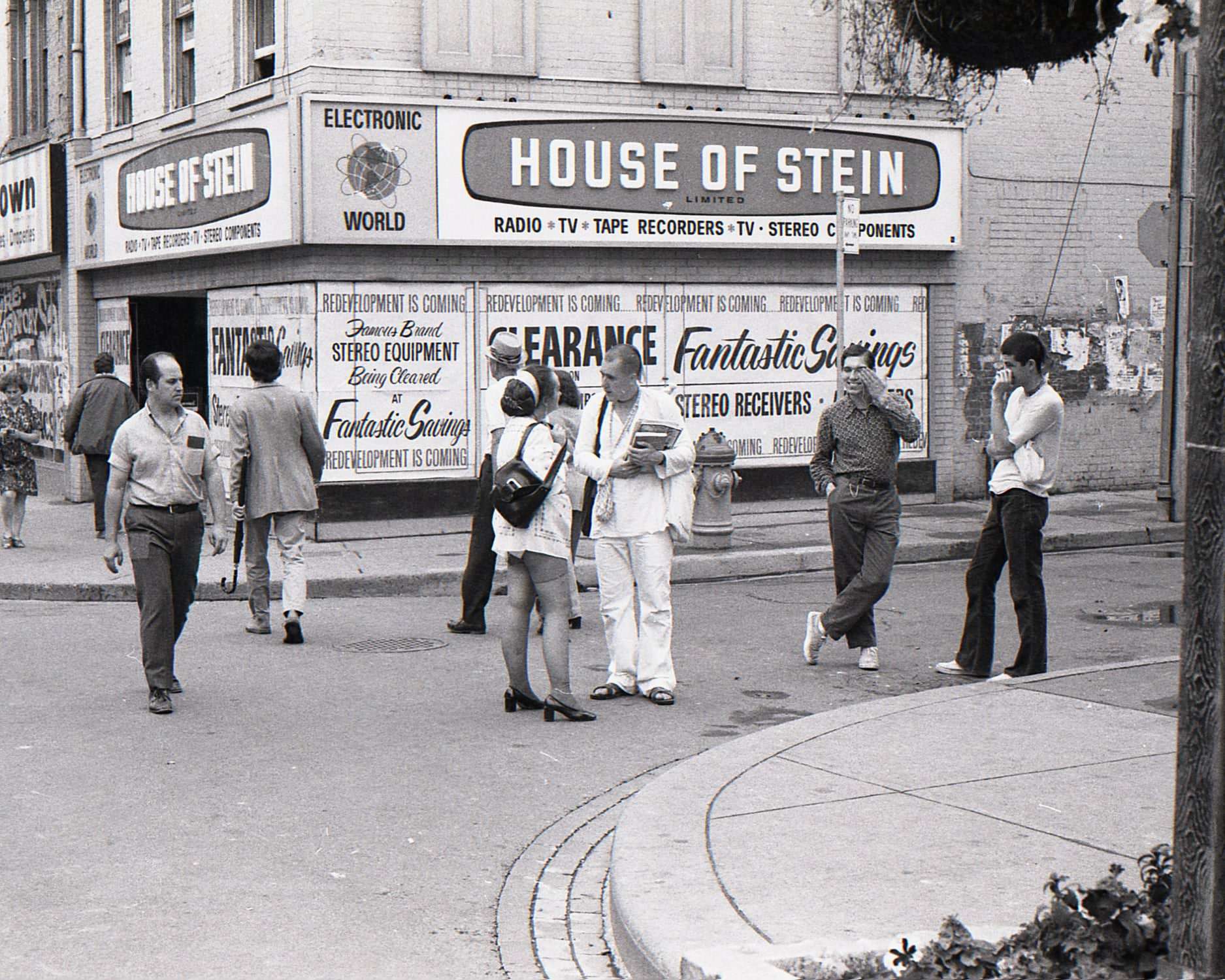
Queen Street West near Jameson in 1972 was a neighborhood shopping strip serving the working-class residents of Parkdale. Coin-operated parking meters lined the curb, and women out shopping moved along a sidewalk lined with modest storefronts. On Yonge Street, the House of Stein stood at 258 Yonge on the southwest corner of Trinity Square — both the building and the small street it faced were demolished in 1974 to make way for the Eaton Centre, the massive downtown shopping mall that permanently reshaped that block of the city.





The pictures of the CN tower mid-construction are cool
I love to see the old trains and trams…
Wow, it looked like Calgary does today, lmao
Doesn’t look too different.
The place just keeps getting crammed with people. Toronto is my hometown, and I grew up there, but spending most of my time in traffic and the cost of living forced me to move. Now I think of T.O. as a nice place to visit twice a year.
I love seeing all the old cars on the roads. Car design was better back then. Now it’s just a sea of grey blobs.
Just don’t get in a wreck in those old cars if you like being alive…
The hookers and sex shops were in plain view while the St. Charles Tavern was doing brisk business.
There used to be so many used bookstores all down Yonge St.