Cairo has stood at the center of civilization for thousands of years. Founded after King Menes unified Upper and Lower Egypt, the city grew into one of the most important urban centers in the ancient and modern world alike. Over the centuries, it passed through the hands of Ottoman forces, French occupiers, and finally the British, whose presence — intended to be short — stretched well into the 20th century.
The Cairo captured in these photographs is the product of one man’s sweeping ambition. Isma’il Pasha ruled Egypt from 1863 to 1879 and poured enormous resources into transforming the country. He pushed forward industrial development, expanded the economy, and rebuilt major urban areas from the ground up. His most dramatic project was a new European-style Cairo, designed by architects brought in from Belgium, France, and Italy. Wide boulevards, formal gardens, and grand public buildings replaced older structures across parts of the city.
These colorized photographs from the 1890s give us a rare, vivid window into what Cairo looked and felt like in that era. They document landmarks, working people, bustling markets, the calm of the Nile, and the desert beyond the city’s edge — including the ancient monuments that had watched over Egypt for millennia.
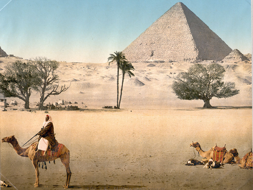
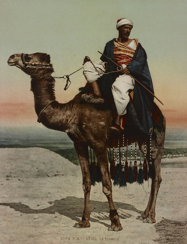
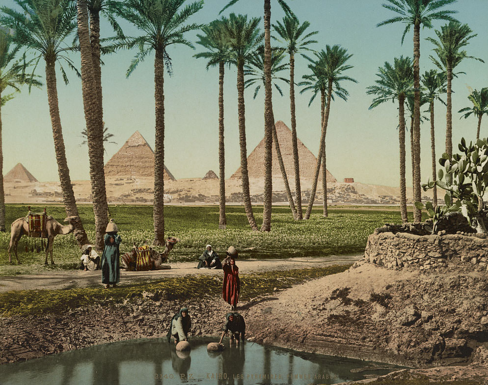
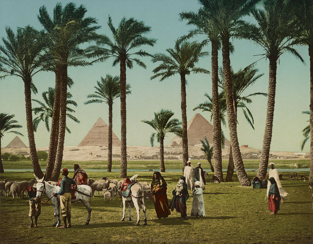
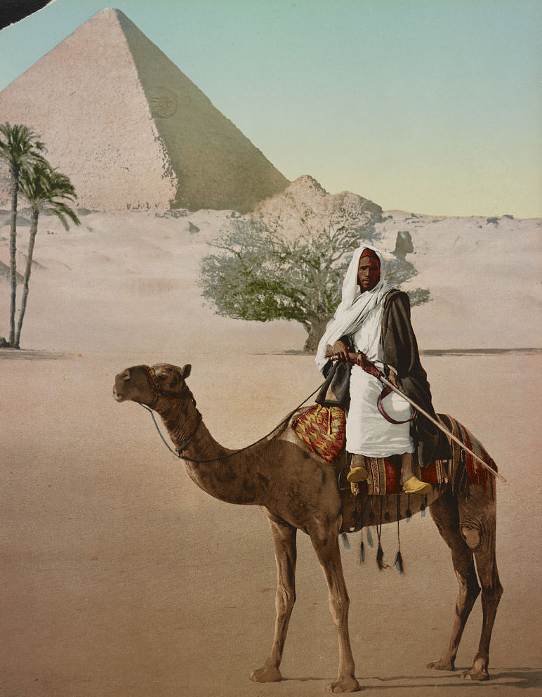
The Pyramids of Giza loomed over Cairo as they always had — ancient, enormous, and utterly indifferent to the political changes happening around them. Bedouins, who had long lived and traveled across the desert landscape, were a familiar sight near the monuments. For foreign visitors arriving in Cairo during the 1890s, the pyramids were a primary destination, often approached on camelback across the sand.
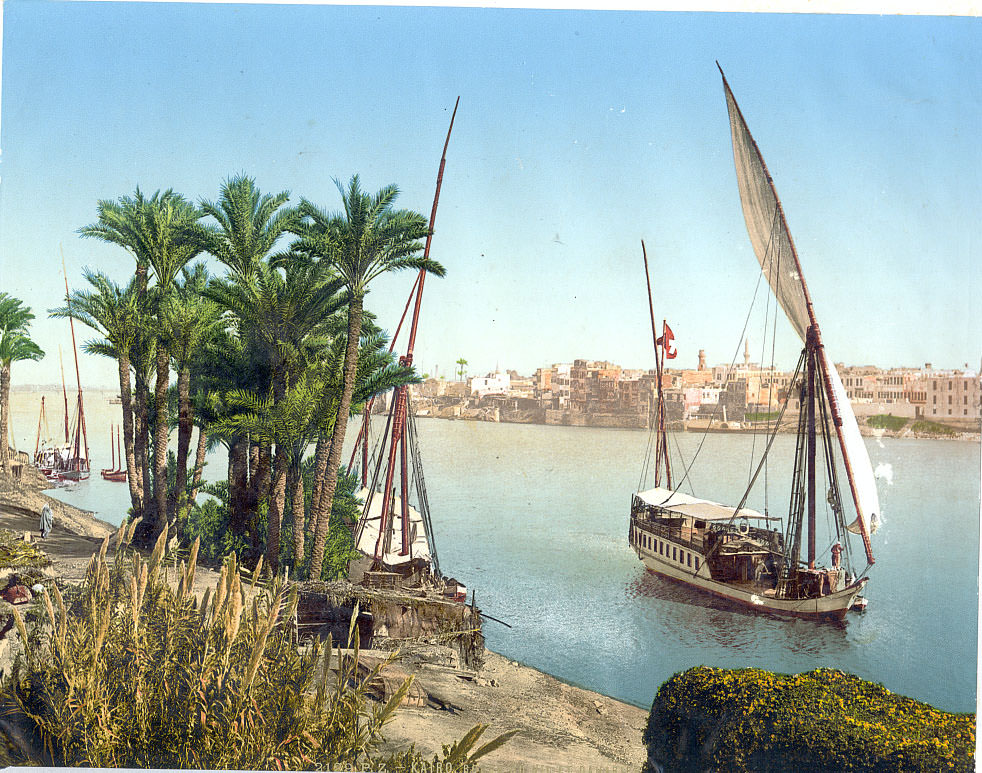
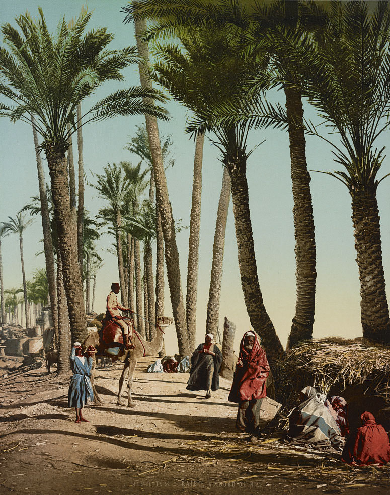
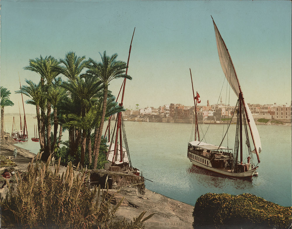
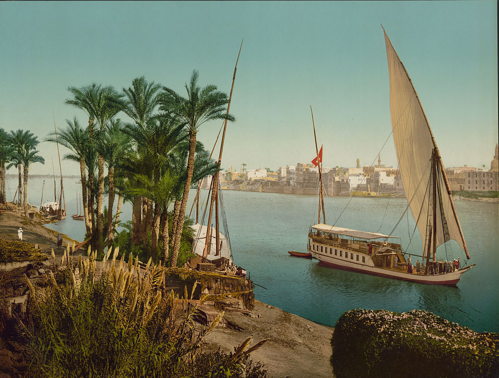
The Nile was the lifeblood of Cairo. Feluccas and dahabiyas — traditional wooden sailing vessels — moved up and down the river carrying goods, passengers, and supplies. The Nile’s banks were busy with commerce and daily activity. Wealthier travelers hired dahabiyas for extended journeys upstream into Upper Egypt, making the river a highway for both trade and tourism.
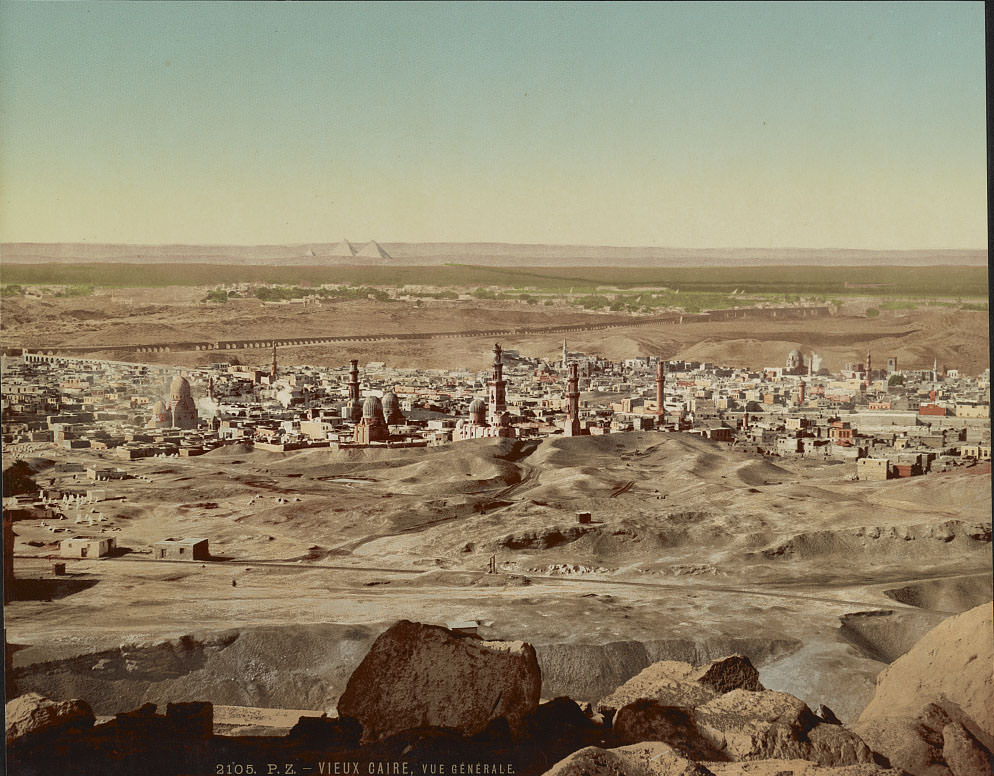
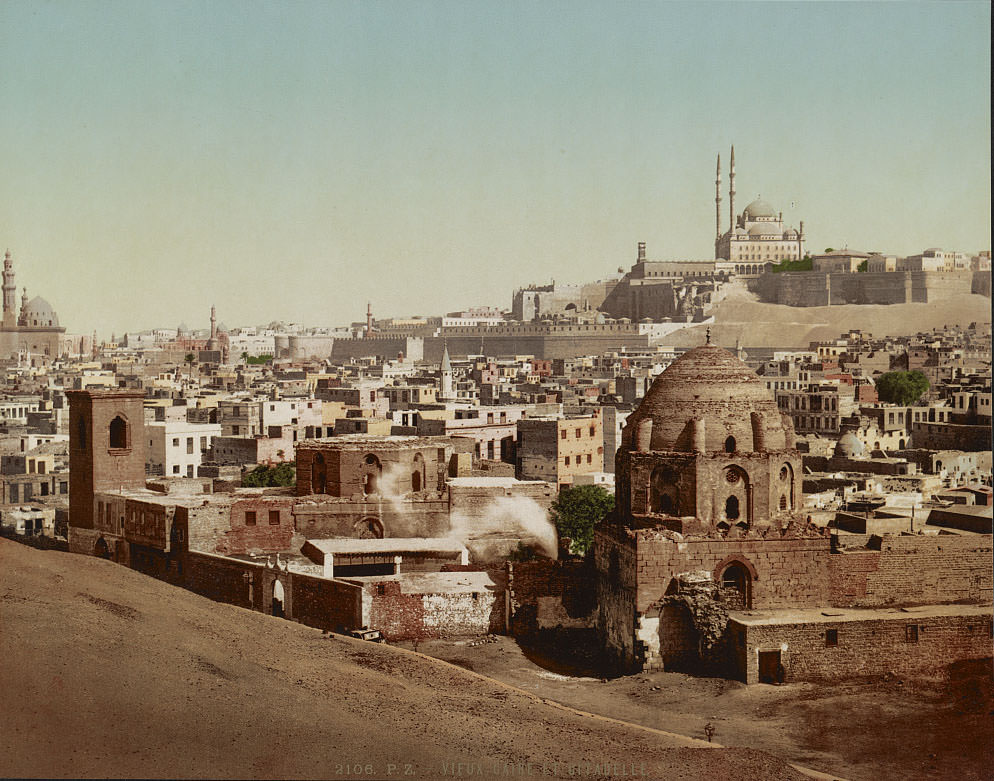
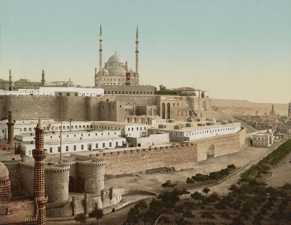
The Cairo Citadel dominated the city’s skyline from its position on a spur of the Mokattam Hills. Built originally by Salah al-Din in the 12th century, it had served as the seat of Egyptian government for hundreds of years. By the 1890s it housed military barracks and several mosques, and it remained one of the most imposing structures in all of Cairo.
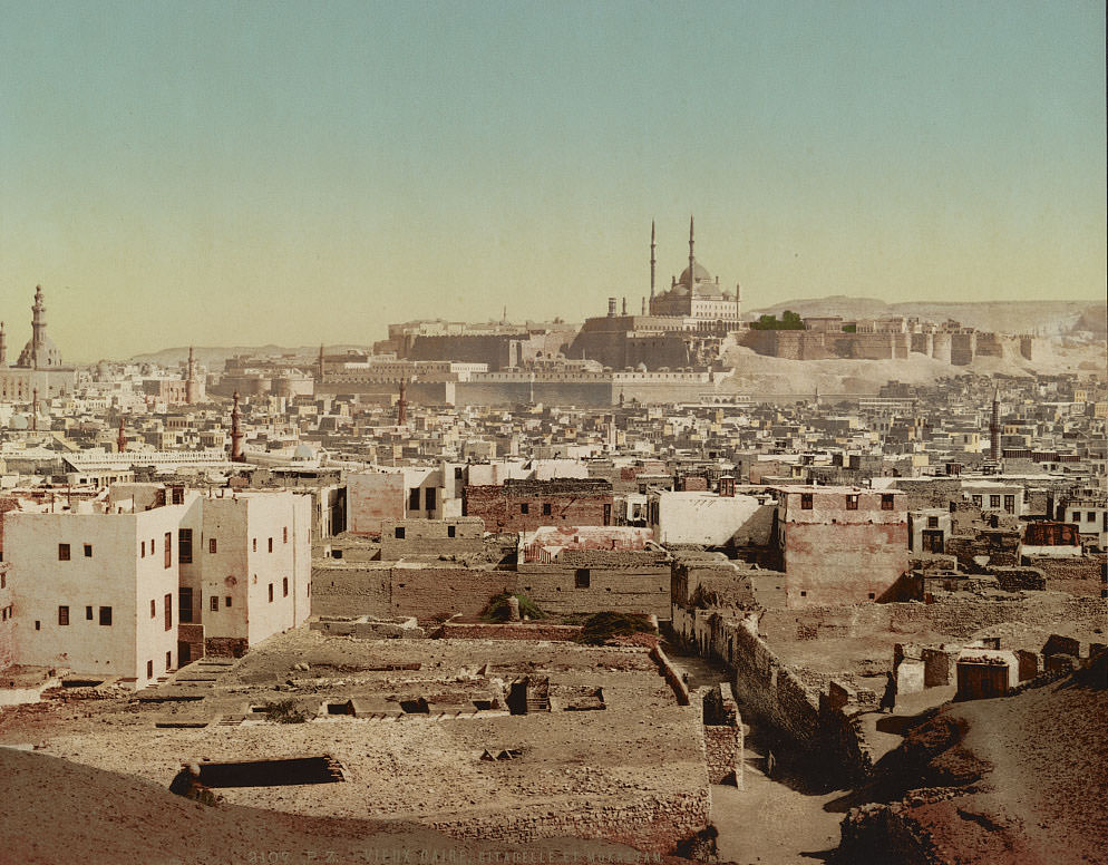
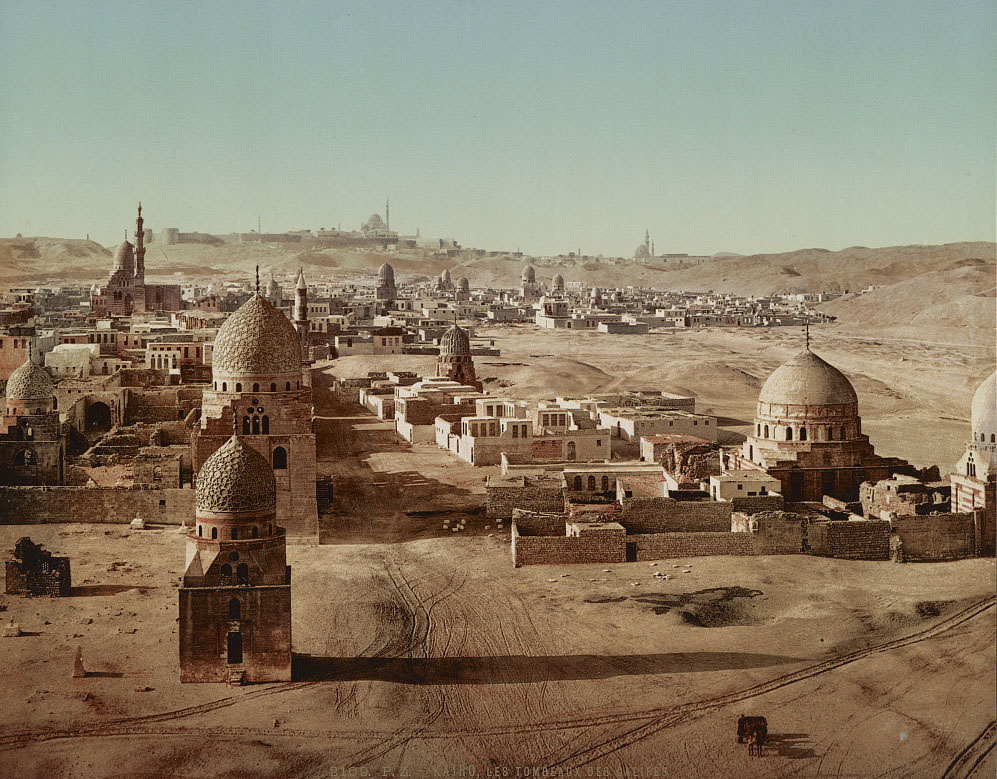
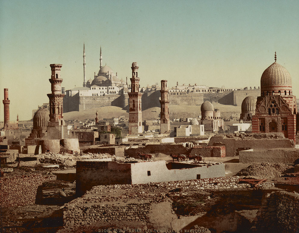
Just beyond the city’s dense urban core lay the City of the Dead — a vast necropolis containing the tombs of caliphs and Mamluk sultans. These elaborate stone mausoleums stretched across the desert edge of Cairo and represented centuries of Islamic funerary architecture. The area was not uninhabited; families had long settled among the tombs, making it a living neighborhood as much as a burial ground.
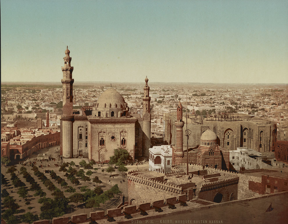
The Mosque-Madrassa of Sultan Hassan, built between 1356 and 1363, was one of the greatest examples of Mamluk architecture anywhere in the Islamic world. Its sheer scale was staggering — the walls rose to extraordinary heights, and the four iwans surrounding the central courtyard each served as a school for one of the four schools of Sunni Islamic law. By the 1890s it remained in active use and drew considerable attention from European visitors and photographers alike.
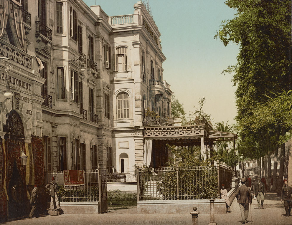
Shepheard’s Hotel was the premier address in 1890s Cairo for European and American travelers. Founded in 1841 by Samuel Shepheard, it sat on the edge of Ezbekieh Garden and became a gathering point for diplomats, journalists, military officers, and wealthy tourists. Its terrace was one of the most famous public spaces in all of Egypt — a place where the colonial world and the local city met at close range.
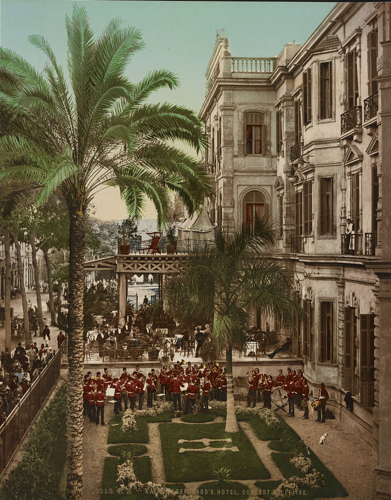
Military concerts outside Shepheard’s Hotel were a regular feature of British-occupied Cairo. The British military presence in the city was significant, and public performances like these reinforced the visibility of that occupation in the city’s most fashionable district. Officers and civilians mingled on the terrace while musicians played below — a scene that neatly illustrated the social texture of colonial-era Cairo.
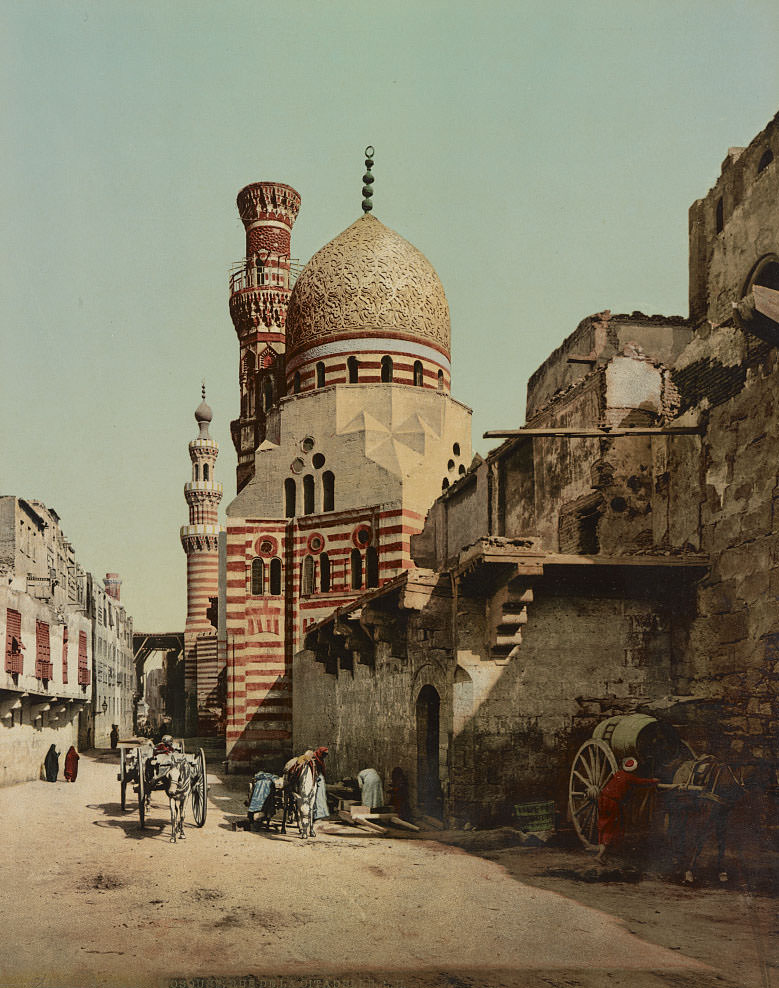
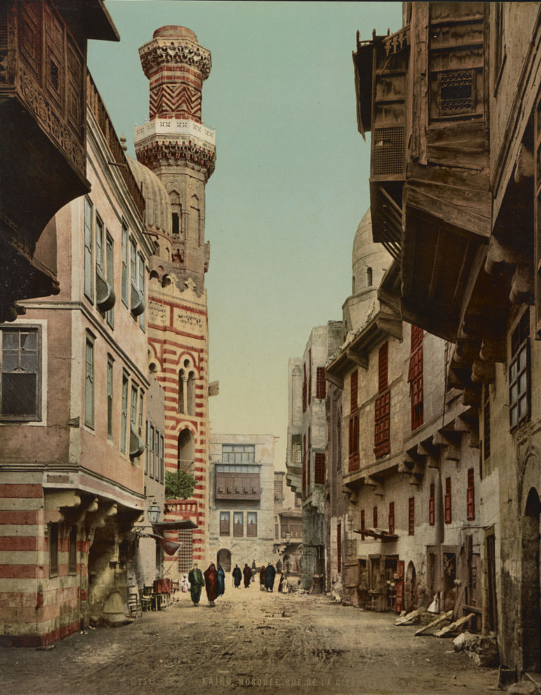
The Citadel of Salah El Din — known in the West as Saladin — was not simply a fortress. It was a complex of palaces, mosques, and administrative buildings that had governed Egypt for centuries. The Muhammad Ali Mosque, completed in 1848 and visible from much of the city, was built within its walls. Its Ottoman-style domes and soaring minarets made it one of the most photographed structures in 19th-century Cairo.
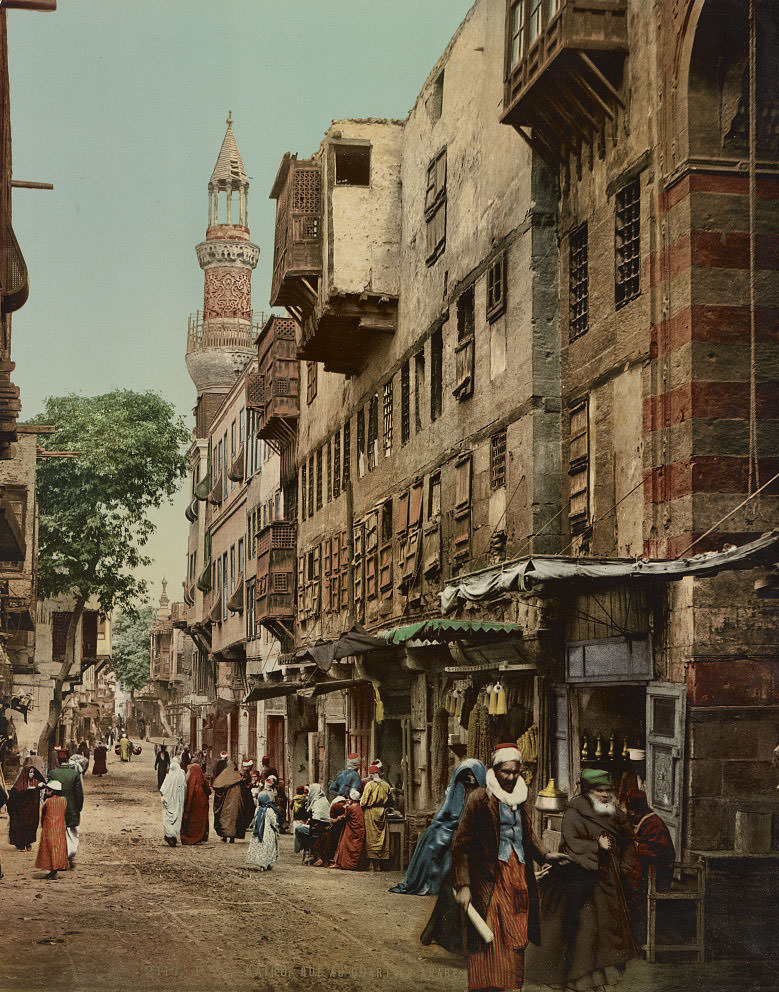
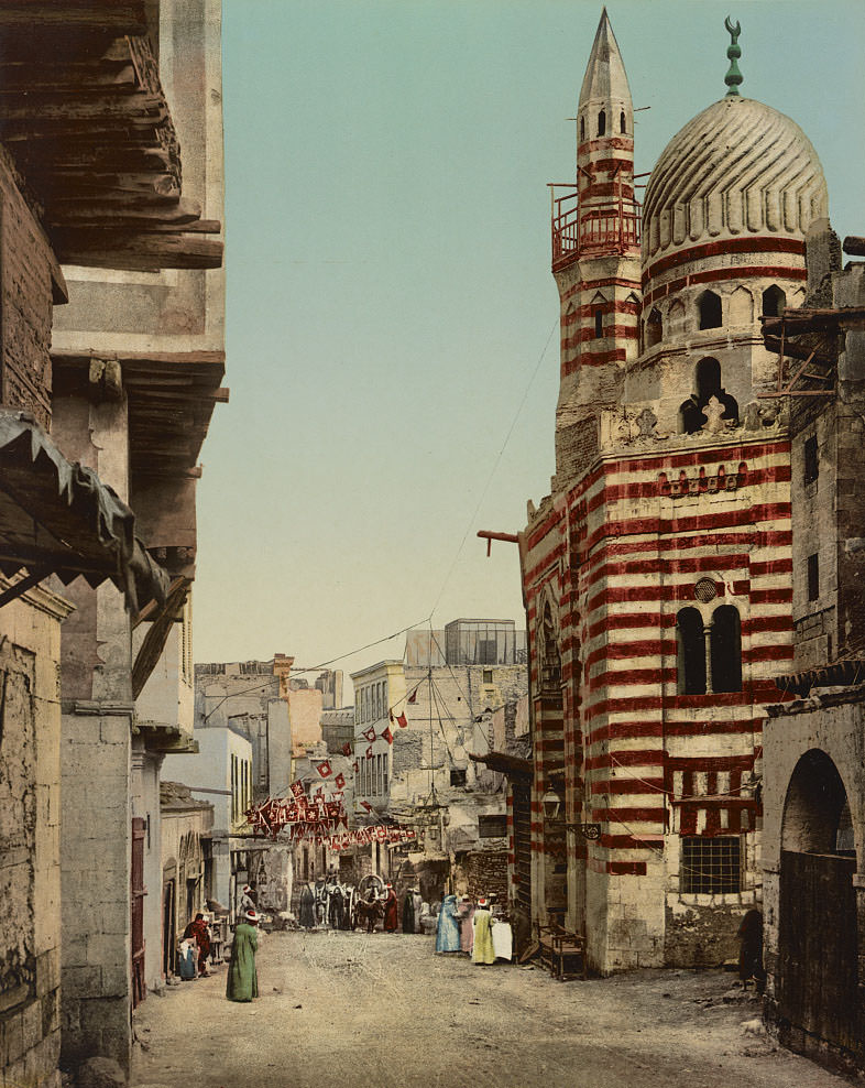
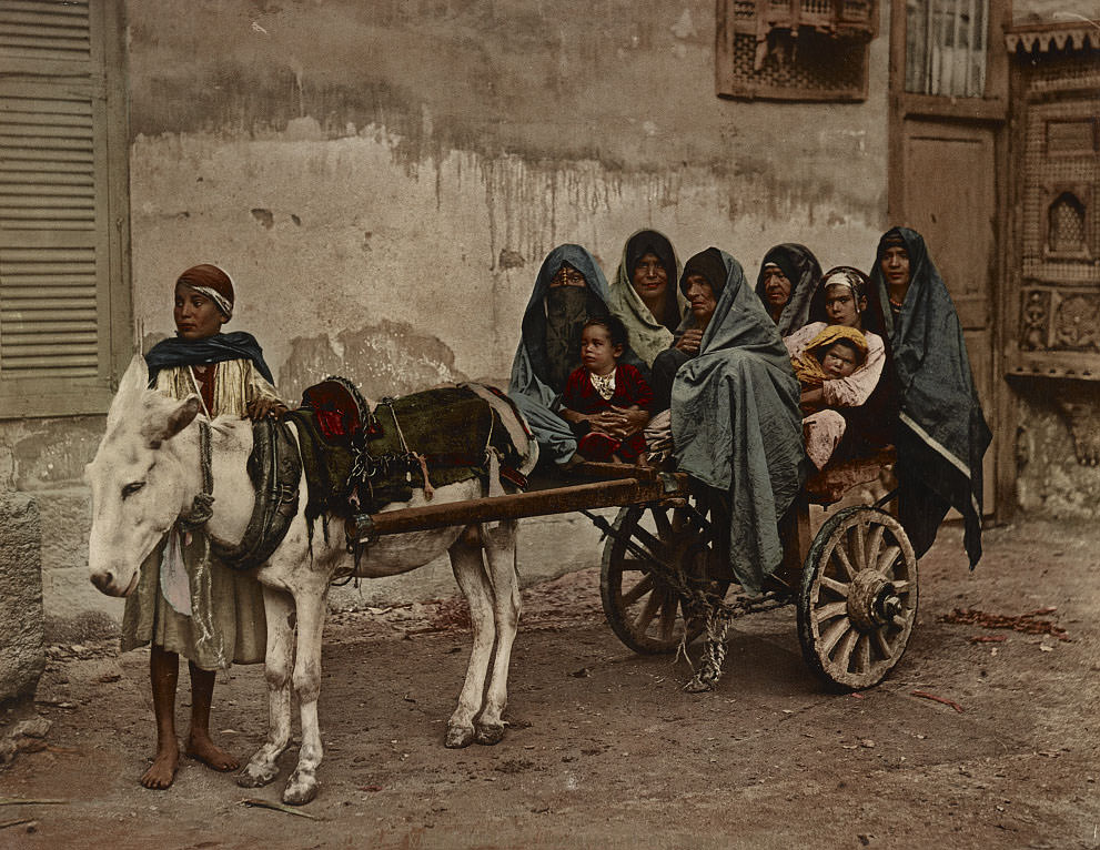
The Arab Quarter — the older, medieval part of Cairo — was a world apart from the European-style boulevards that Isma’il Pasha had carved through the newer districts. Streets were narrow, often covered or shaded, and lined with workshops, small shops, and residential buildings whose upper floors jutted out over the lane. Foot traffic, donkeys, and vendors all competed for space in these packed corridors.
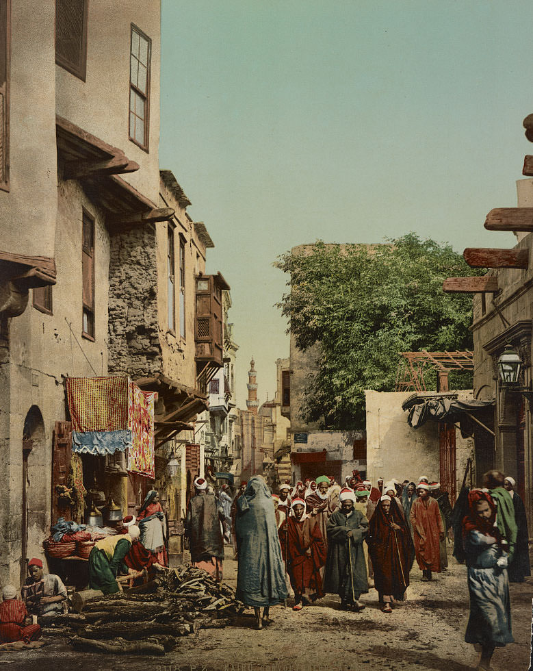
Public funeral processions moved through Cairo’s streets in the open, as Islamic tradition required burial to take place quickly after death. Mourners — often divided by gender — accompanied the body through the city toward the cemetery. These processions were a regular sight in 1890s Cairo, where death was not hidden from public view but processed communally and in full view of the neighborhood.
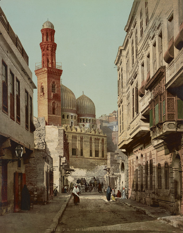
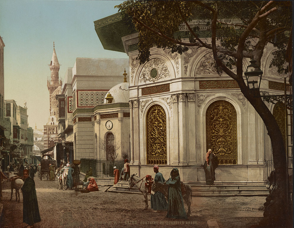
Public fountains — called sabils — were critical infrastructure in a city where running water was not universally available. Many were built alongside Quranic schools and served as charitable endowments, providing free water to passersby. The fountains in the Arab Quarter were often ornately decorated, with carved stonework and tilework that reflected the neighborhood’s deep architectural heritage.
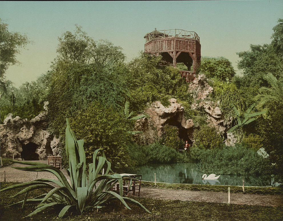
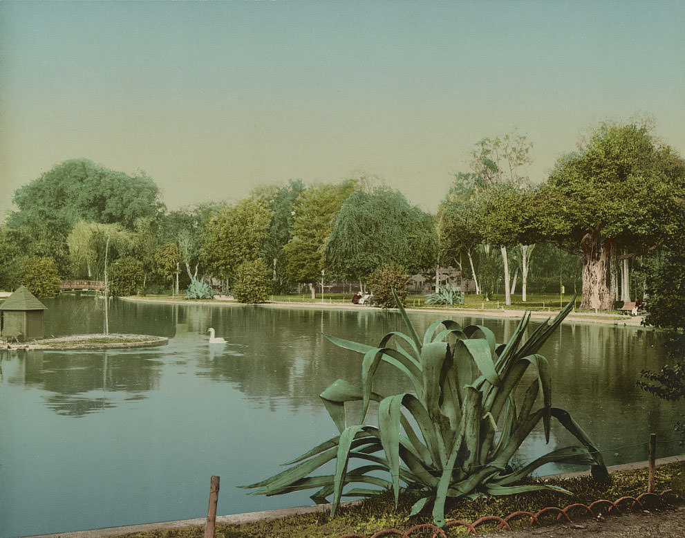
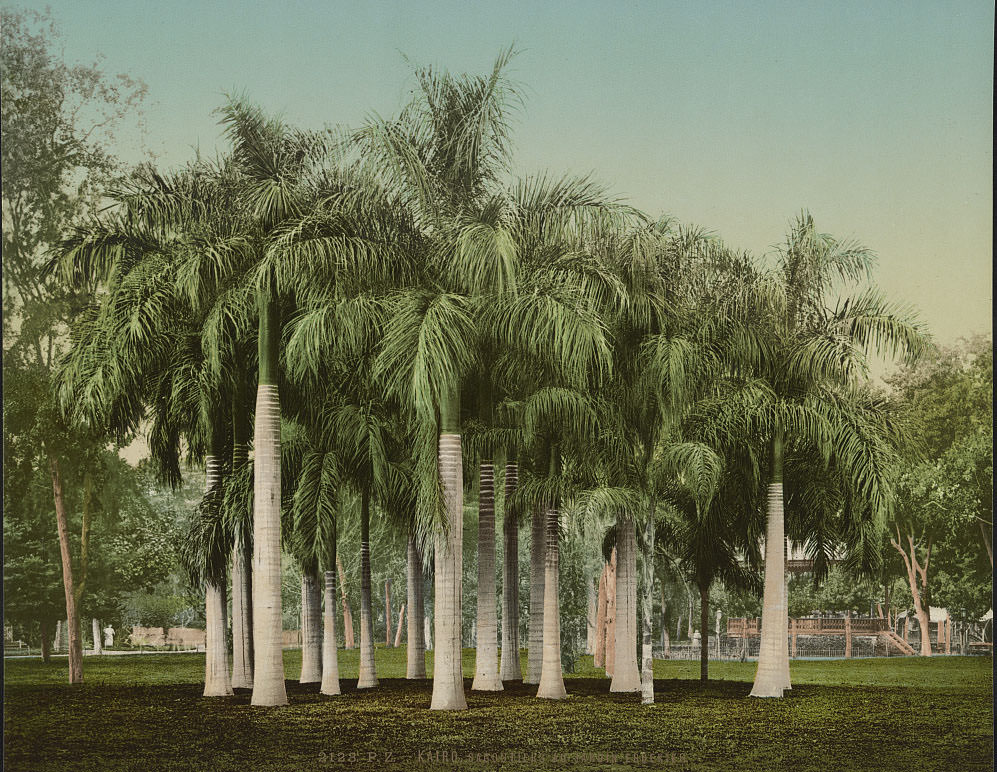
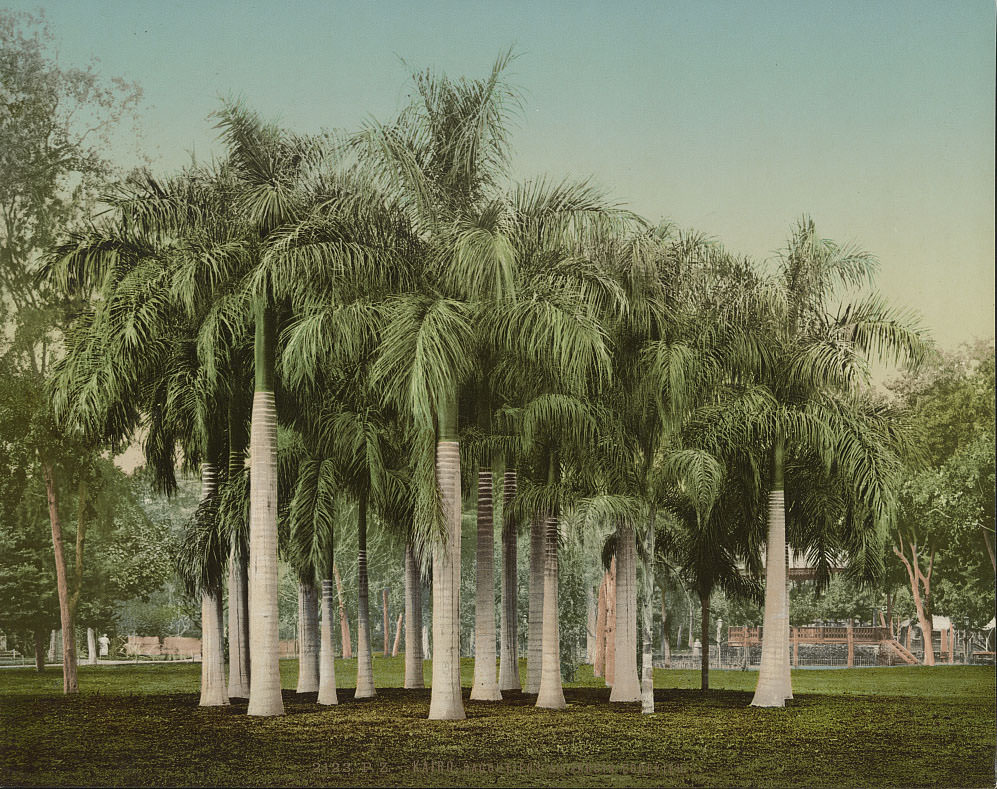
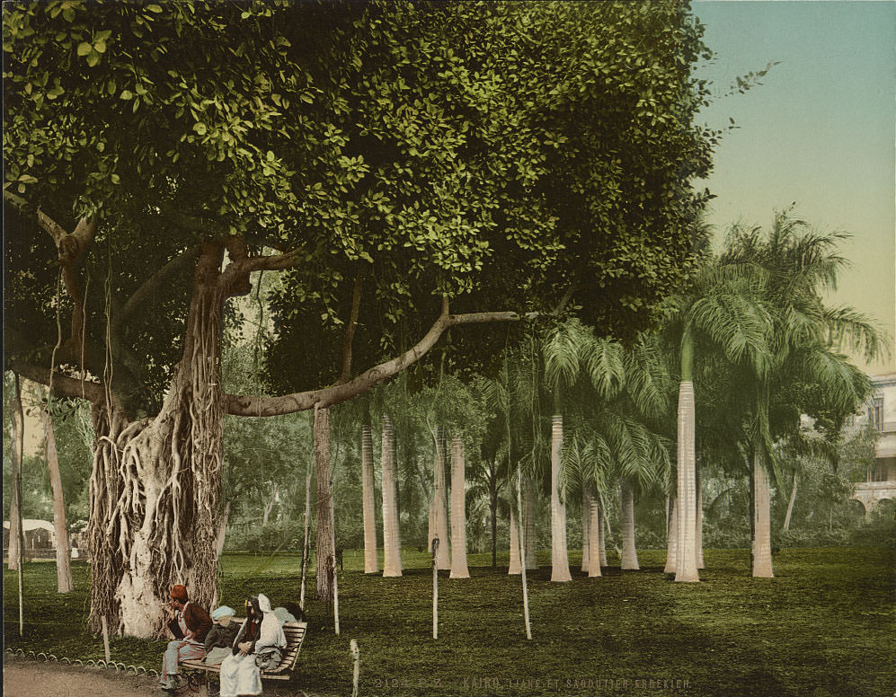
Ezbekieh Garden was one of Isma’il Pasha’s signature projects. He commissioned a French landscape architect to redesign what had been a flooded seasonal lake into a formal public park modeled on European gardens. By the 1890s it was Cairo’s most fashionable green space, surrounded by hotels, theaters, and European-style cafes. It represented the new face of Cairo that Isma’il had worked so hard to project.
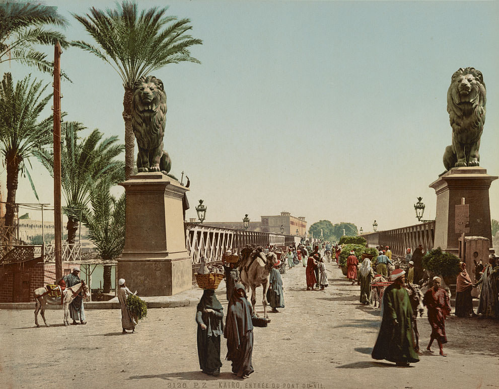
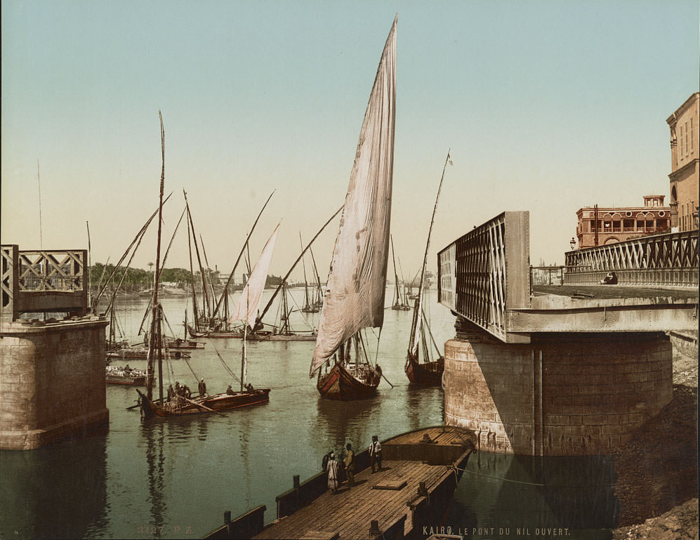
The Nile Bridge — known in this era as the Qasr el-Nil Bridge — connected central Cairo to the island of Gezira. Completed in 1871, it was flanked by bronze lion sculptures and served both military and civilian traffic. The nearby English barracks made it a strategically important crossing point during the British occupation, and the bridge featured prominently in photographs taken by European visitors throughout the 1890s.
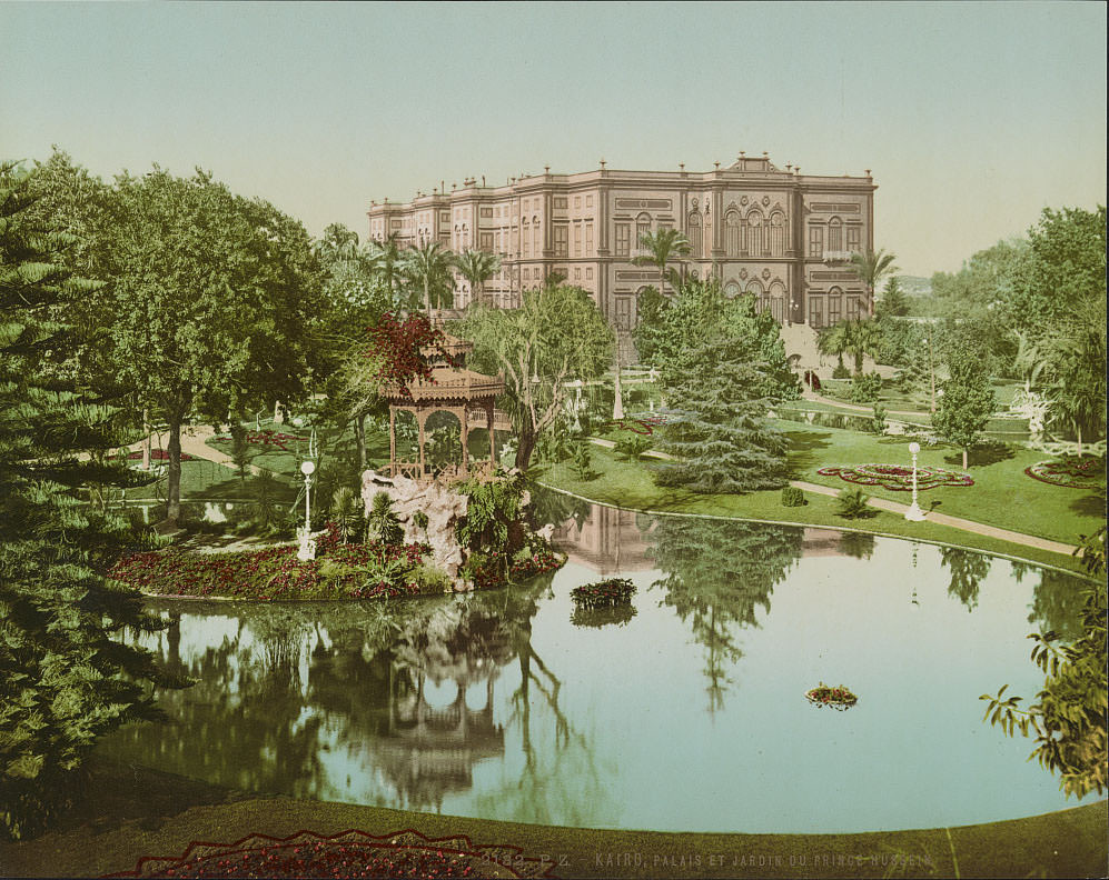
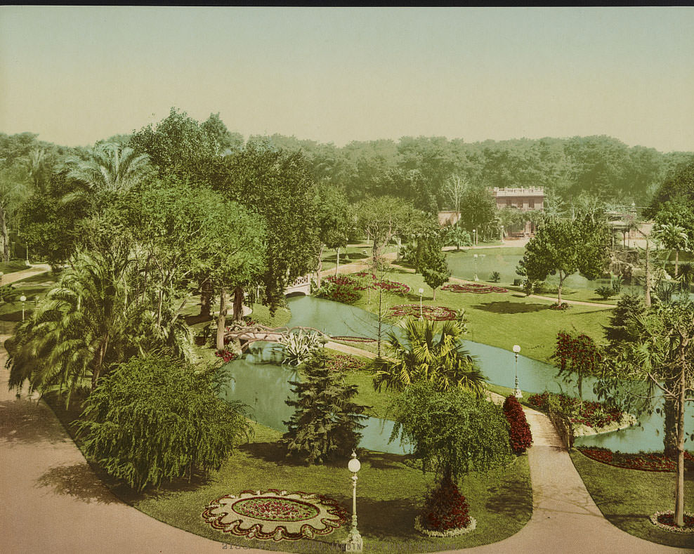
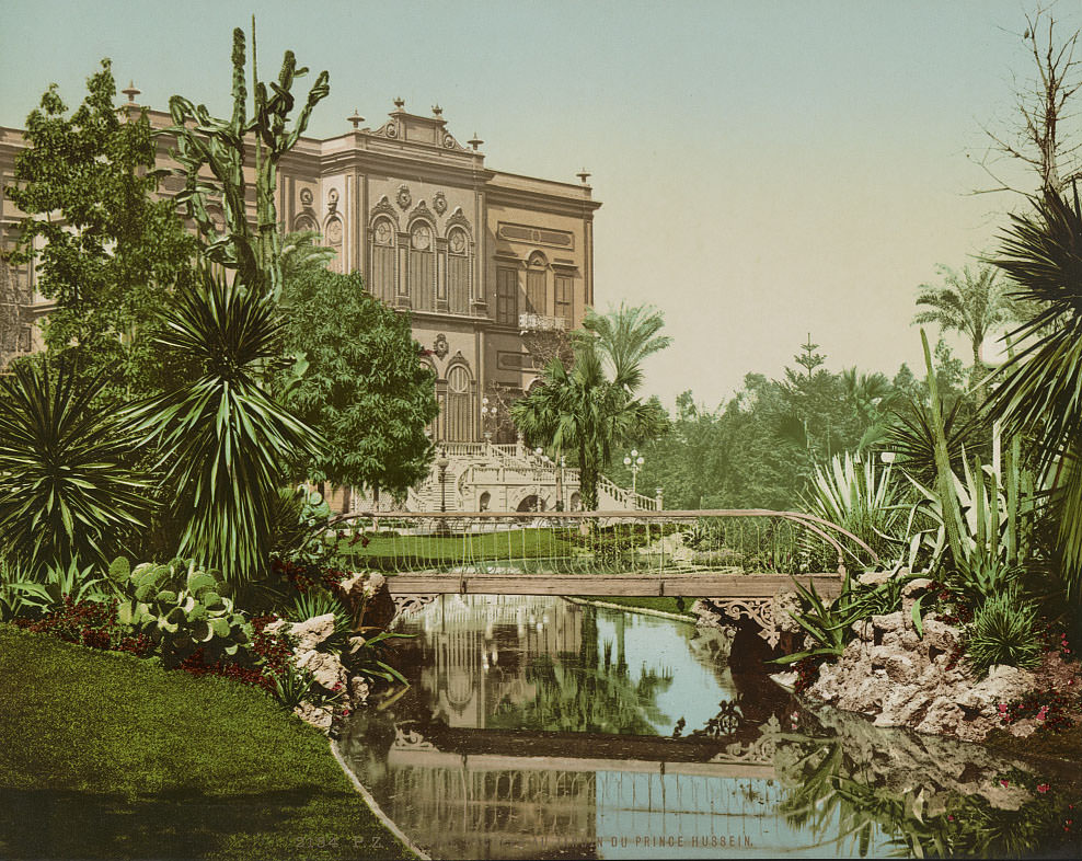
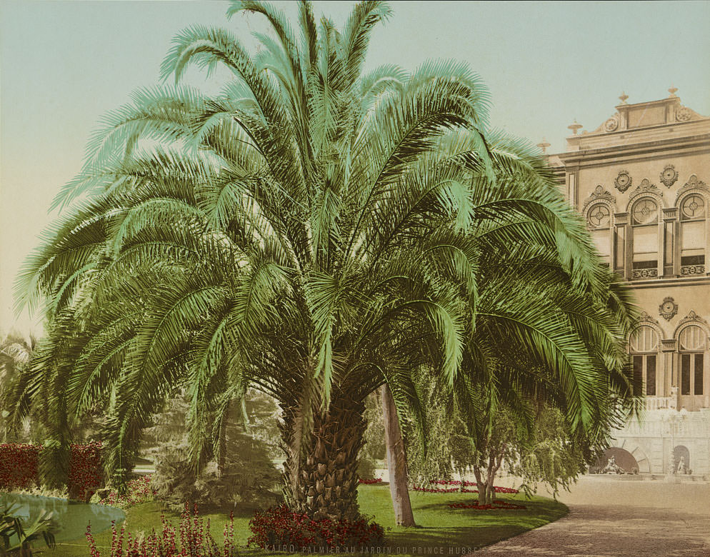
Prince Hussein’s palace and gardens were part of the broader transformation of Cairo’s elite residential areas during the late 19th century. Formal garden design — featuring sculpted pathways, exotic plant species, and manicured grounds — became a symbol of status and modernization among the Egyptian ruling class. These spaces blended European landscape style with the local climate and plant life, including towering palms and large cacti.
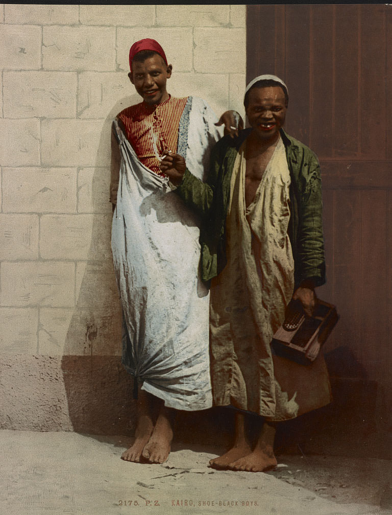
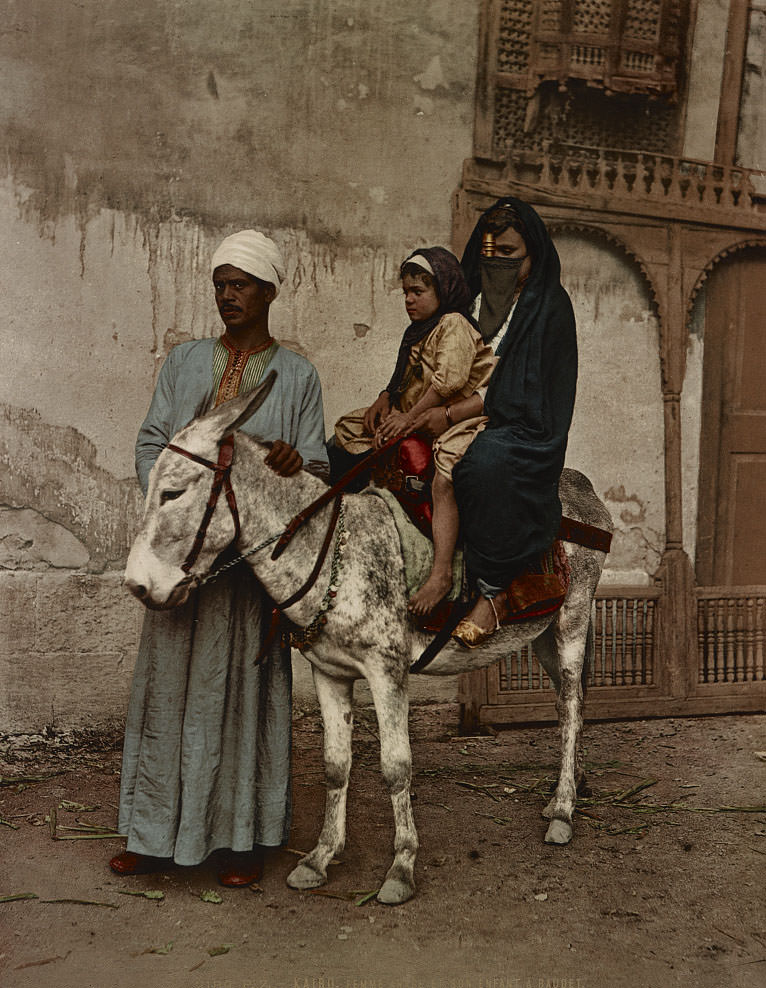
Street life in 1890s Cairo was defined by the labor of ordinary people. Shoe-black boys — children who earned money polishing shoes on the street — were a common sight across the city. They worked in the open, often near hotels and busy thoroughfares where foot traffic from wealthier residents and tourists was heaviest.
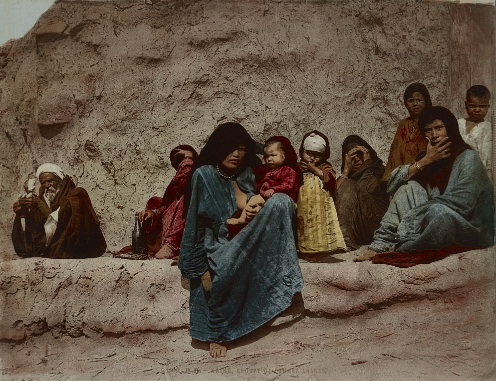
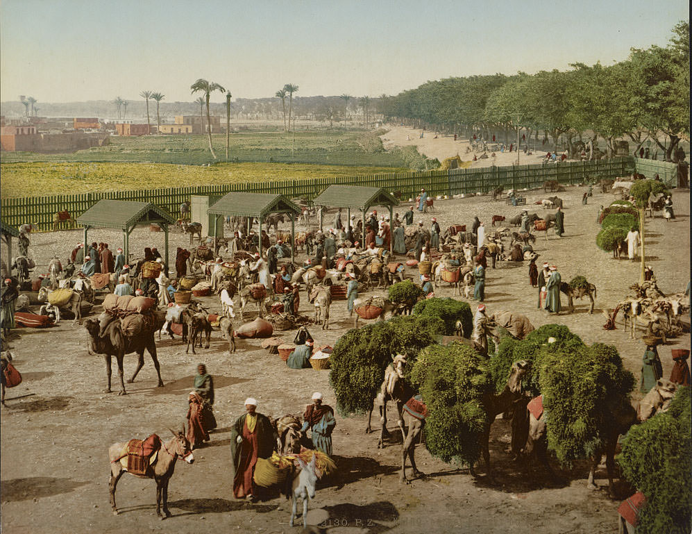
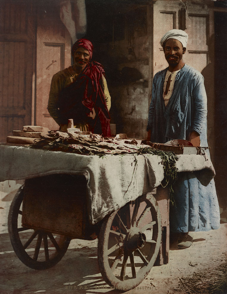
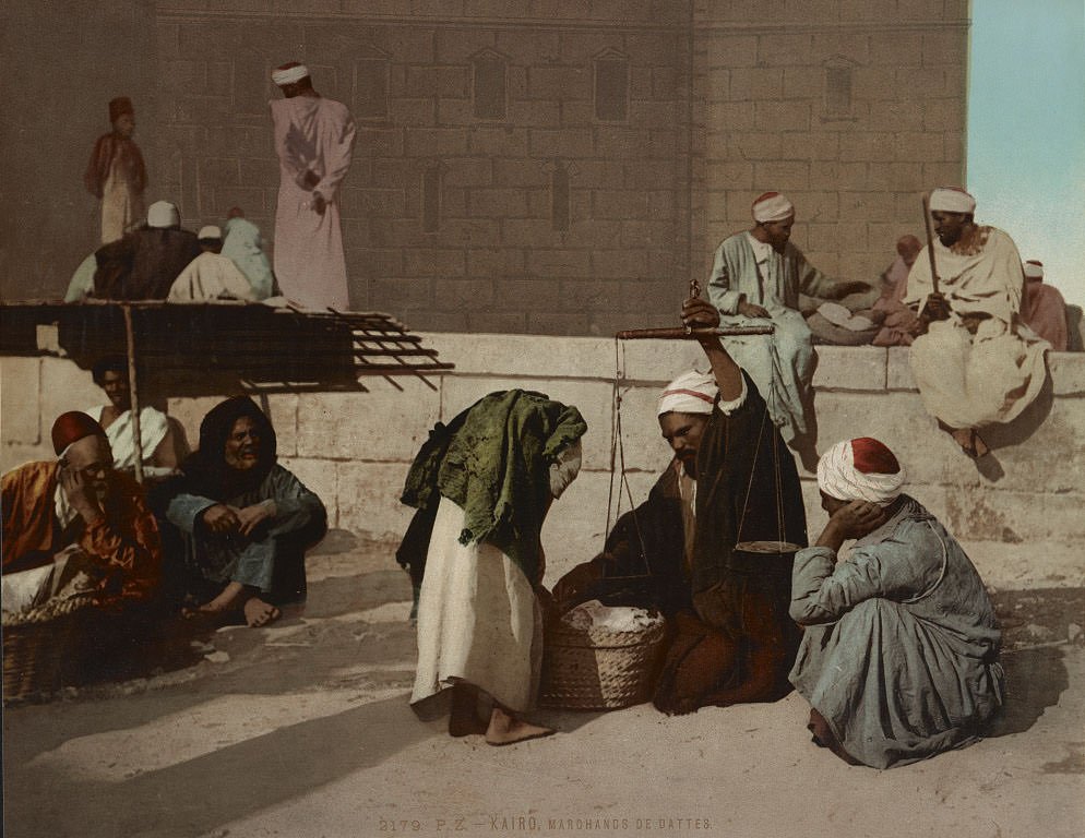
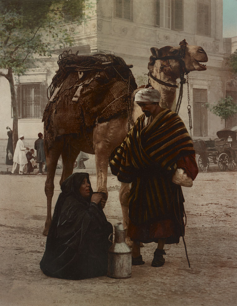
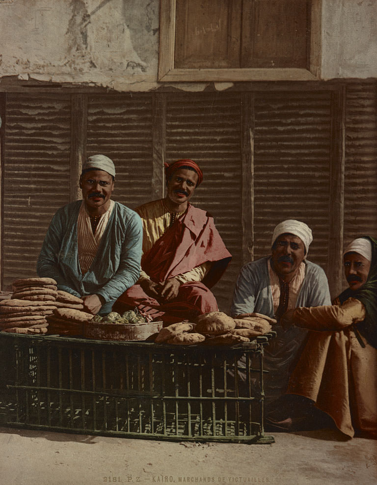
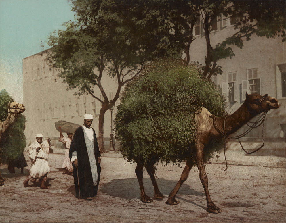
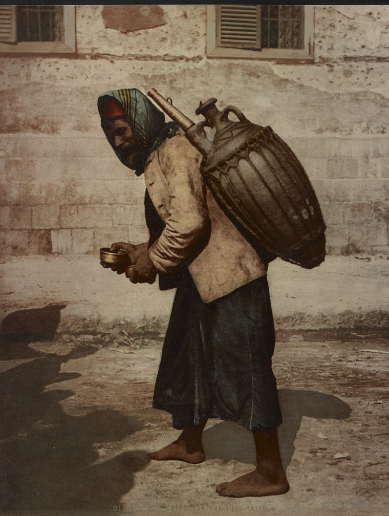
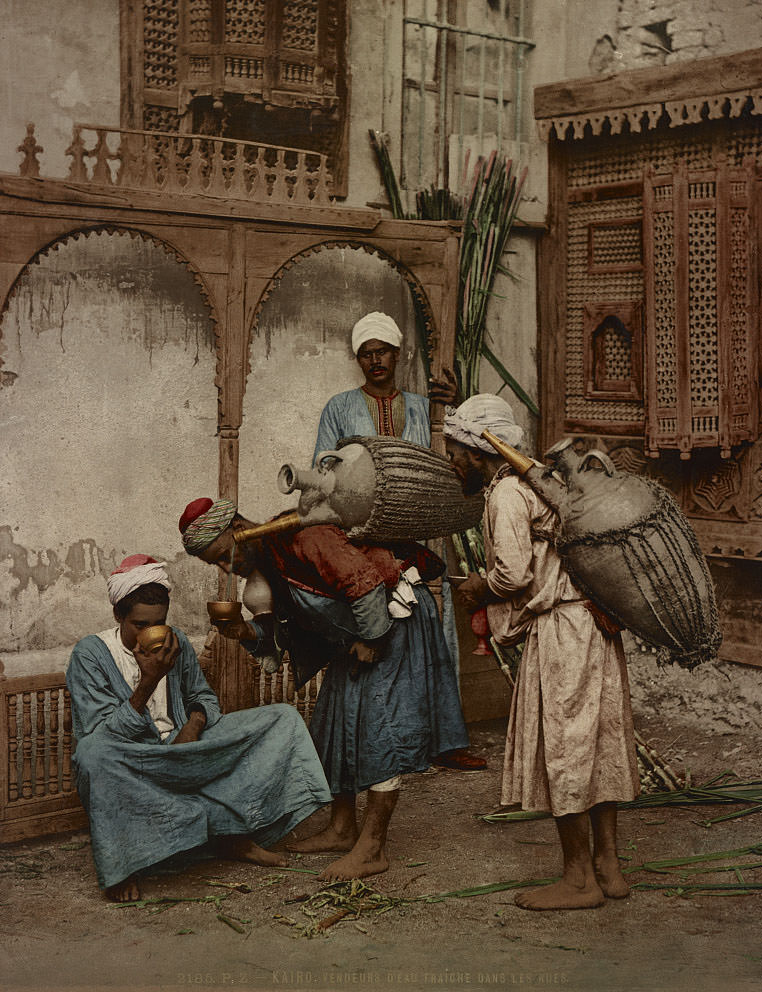
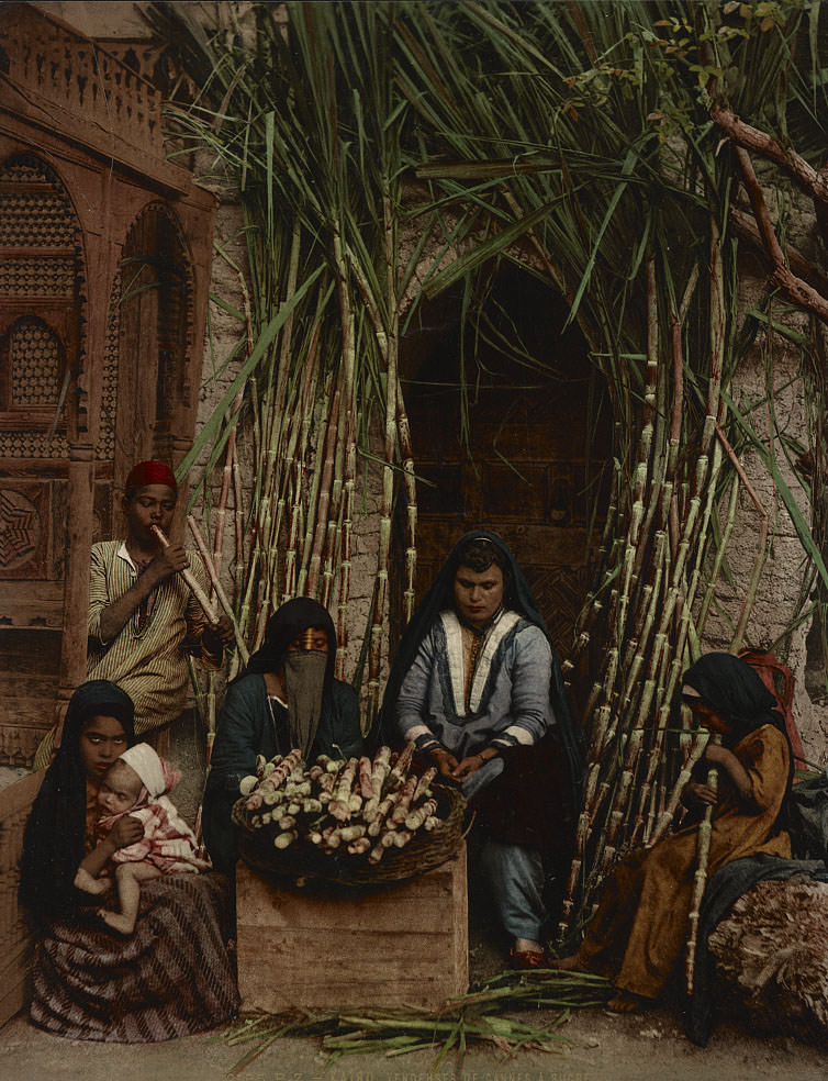
Markets and street vending were the backbone of Cairo’s informal economy. Date merchants, food sellers, sugar cane vendors, and water carriers all worked the streets, each filling a specific and essential role in daily urban life. Water carriers in particular were indispensable — they moved through the city bearing large clay or leather vessels, selling drinks to residents and workers throughout the day.
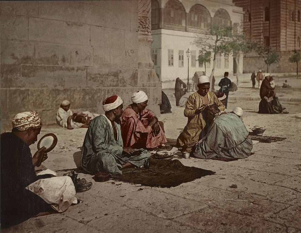
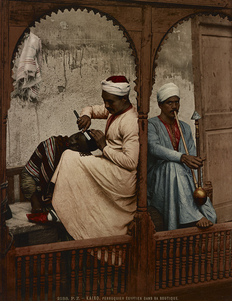
Barbers and hairdressers set up shop directly on Cairo’s streets, serving customers in the open air. This was a common practice throughout the Arab Quarter, where many trades that might occupy a fixed indoor location in Europe were instead carried out publicly and in full view of passersby. The street itself functioned as a workspace, a market, and a social space all at once.
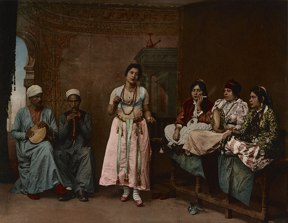
Egyptian dancers were a well-documented part of Cairo’s cultural life in the 1890s. Professional female dancers — known as ghawazi — performed at weddings, festivals, and for private audiences. They were frequently photographed by European visitors, partly out of genuine interest and partly because of the broader Western fascination with what travelers called “Oriental” culture. These performances were professional, skilled, and deeply embedded in local tradition.
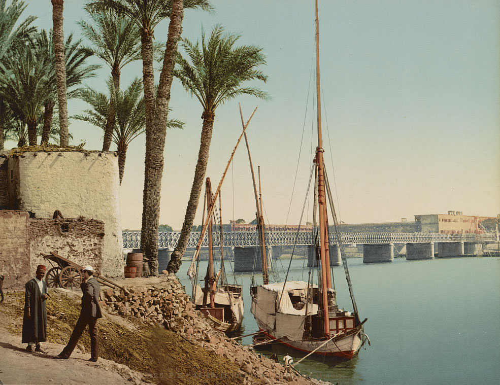
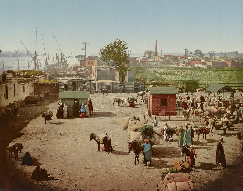
The shore near Boulaq — Cairo’s main river port — was one of the busiest stretches of the Nile within the city. Dahabiyas preparing to sail were a regular sight, loaded with goods or passengers setting off upstream. Boulaq had long been Cairo’s commercial gateway to the rest of Egypt via the river, and it remained a center of trade and movement throughout the 1890s.
The tombs of the Mamelukes — the military caste that had ruled Egypt before the Ottoman conquest — stood on the desert edge of Cairo as one of the city’s most remarkable open-air monuments. Their domed mausoleums, built between the 13th and 16th centuries, displayed some of the finest stone carving produced in medieval Islamic Egypt. By the 1890s they were a recognized historic site, visited and photographed by Europeans as part of the wider fascination with Egypt’s layered past.