Hey There! Before You Go. 😧
Get the best vintage content straight into your inbox!

Don't worry, we don't spam

Unleashing the Terror: Historic Photos of Sydney in Bubonic Plague of 1900

In January 1900, Sydney faced one of the most alarming public health crises in its history. Bubonic Plague — the same disease known in medieval times as the Black Death — arrived in the city and spread quickly through its most crowded and neglected neighbourhoods. The disease is caused by the bacterium Yersinia pestis, which infected fleas carry. Those fleas live on rats, and Sydney’s harbour-side slums were overrun with them.

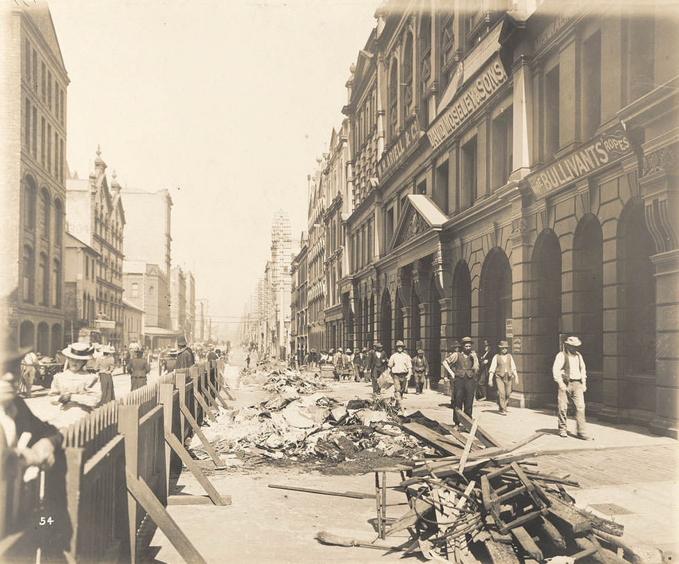
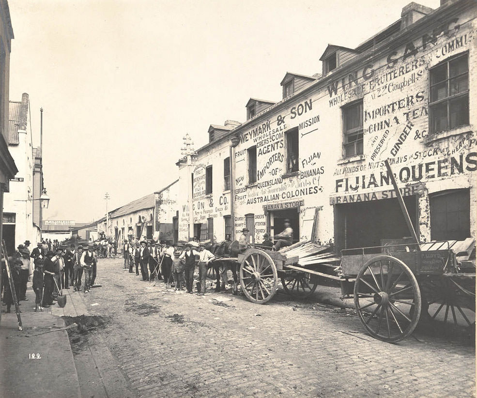
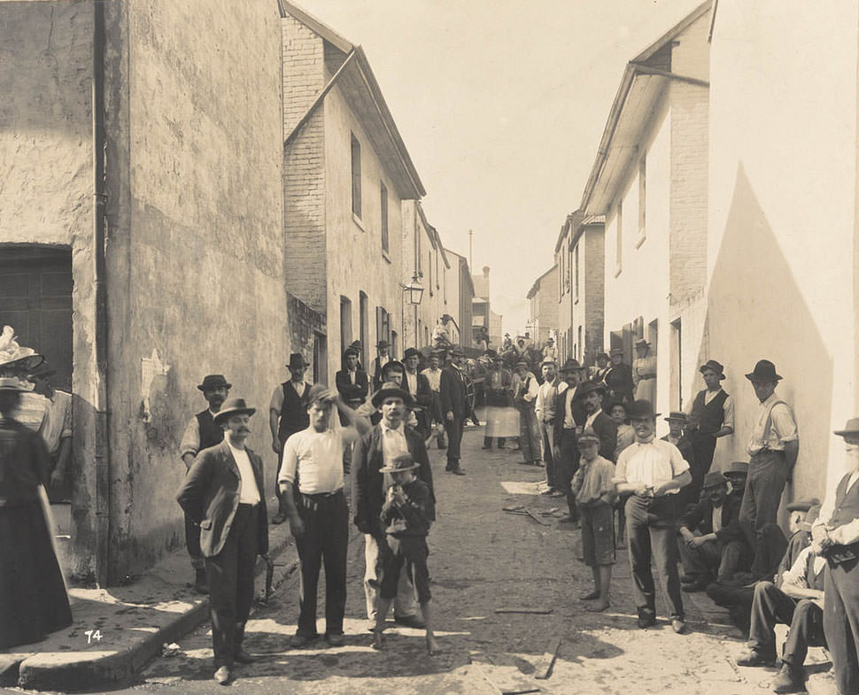
Kent-street
Kent-street

Streets like Kent Street and Sussex Street were densely packed with cramped housing, narrow laneways, and poor sanitation. These conditions were perfect for rats and the fleas they carried. When an infected flea bit a person, the bacteria entered the bloodstream, causing fever, chills, and the painful swelling of lymph nodes known as buboes. Without treatment, the disease killed quickly.

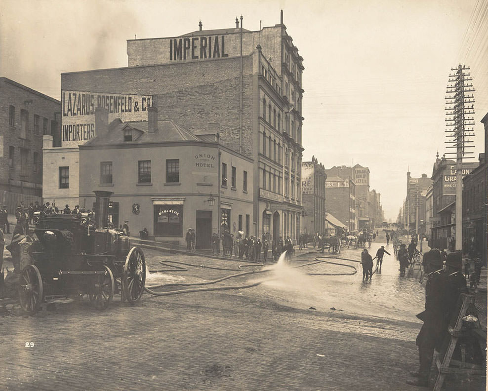
Cleaning the streets

The New South Wales government moved fast. Infected individuals were quarantined, and buildings throughout the affected areas were fumigated. Streets and public spaces were scrubbed down in an effort to reduce the bacterial load and eliminate the rats carrying infected fleas. Workers were sent into some of Sydney’s most rundown corners to carry out this work, often in grim conditions.

Lane at side of 72 Sussex-street
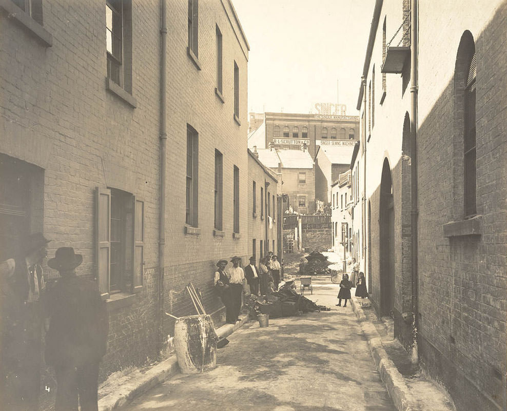
Batson's Lane, off Sussex-street
Batson’s Lane, off Sussex-street

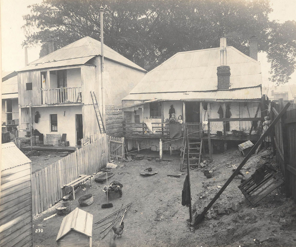
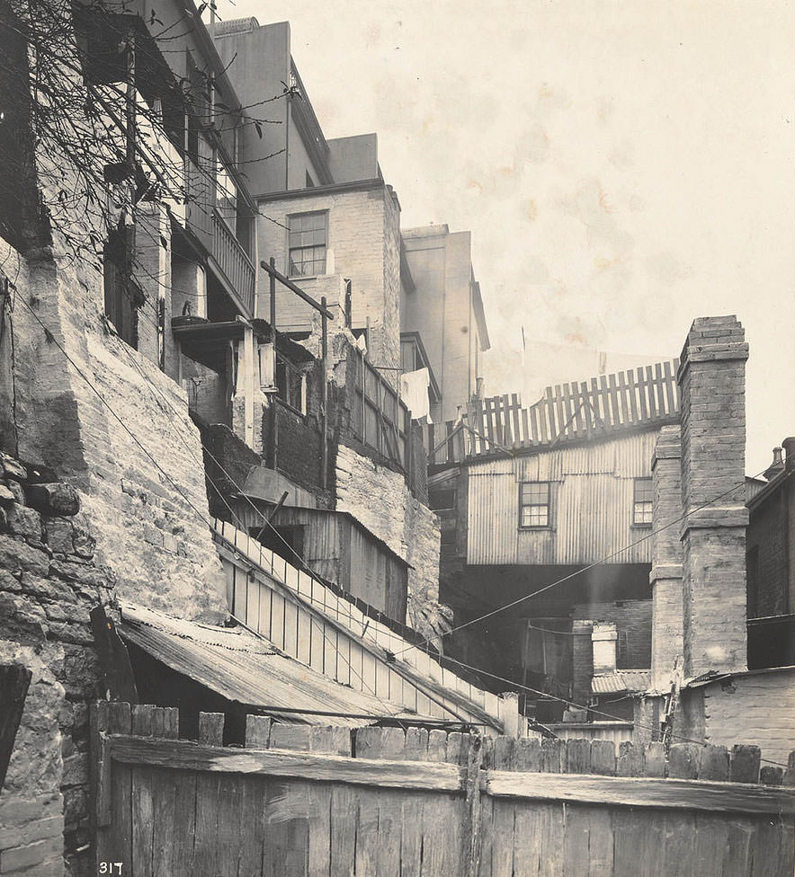
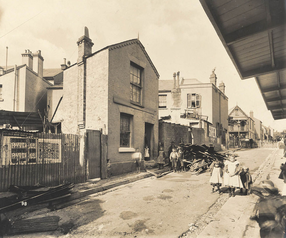
The photographs taken during this period tell a stark story. Laneways and back alleys in the Sussex Street area were dark, narrow, and filthy. Rubbish accumulated in spaces that rarely saw sunlight. These were not isolated pockets — they were typical of the inner-city neighbourhoods where working-class and immigrant families lived in close quarters with little access to clean water or functioning sewerage.

No. 7 West-street, off Oxford-street
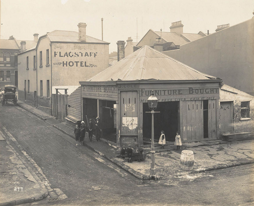
Corner of Cumberland and Little Essex-streets

The outbreak was not confined to a single district. Cases appeared across different parts of the city, from Oxford Street to Castlereagh Street. Authorities documented the worst-affected sites with photographs, creating a visual record of the conditions that had allowed the disease to take hold. These images were used to support decisions about demolition, fumigation, and forced evacuation of residents.

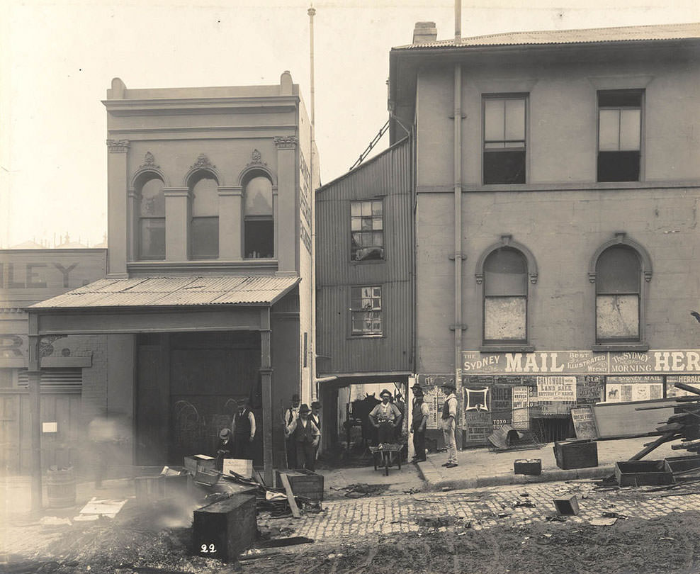
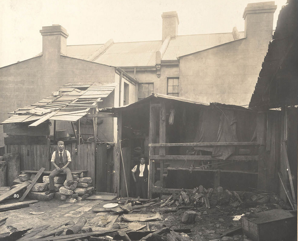
Shed at rear of No. 310 Castlereagh-street
At rear of Gloucester-street

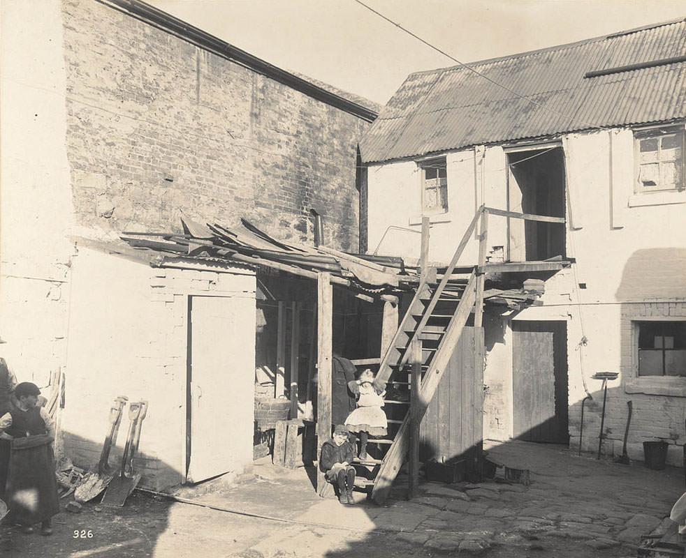
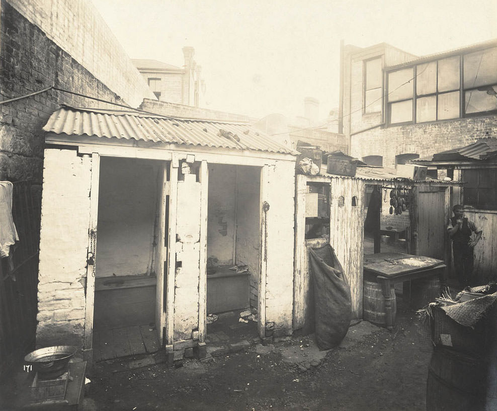
Rear yards, sheds, and outhouses behind residential and commercial buildings were among the most rat-infested spots in the city. These structures were often shared between multiple households and used for storing food waste, animal feed, and other materials that attracted vermin. Gloucester Street and Barker Street both appeared in the photographic surveys conducted by health authorities.

Barker-street
Barker-street
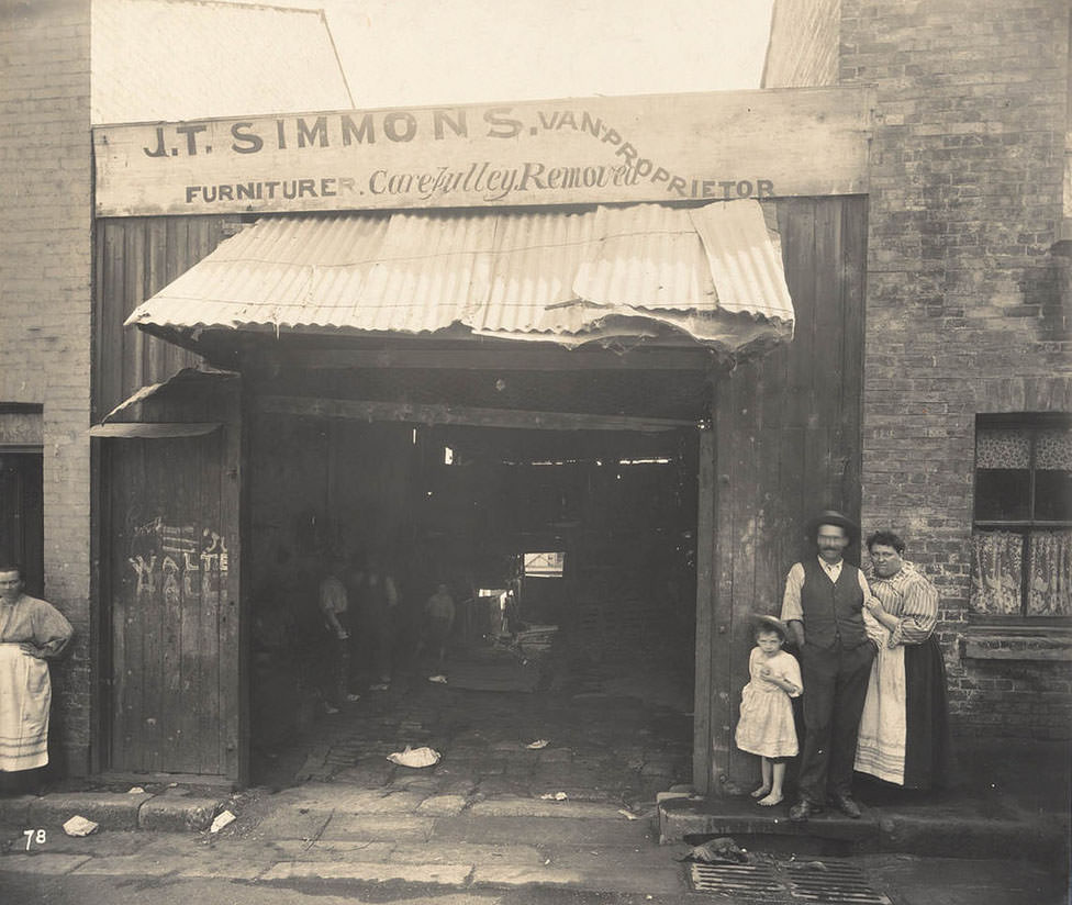
Nos. 24, etc., Hunt-street

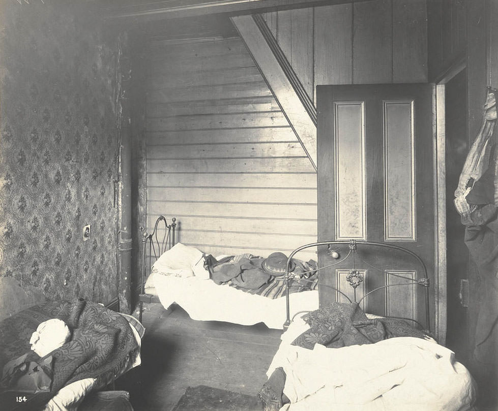
The Wexford Street area received particular scrutiny. Chinese residents lived and worked in several of the documented properties, and images from the period reflect the specific targeting of immigrant communities by health inspectors. Overcrowded sleeping quarters were photographed and noted in official reports, revealing the tight living conditions that made disease containment extremely difficult.

No. 50 Wexford-street (rear), Chinese bedroom
Stables in Stephen-street, at rear of No. 26 Wexford-street

Stables and animal yards connected to residential streets created additional breeding grounds for rats. Animals like horses attracted grain stores and waste that rodents fed on. Exeter Place, a small enclave off Wexford Street, was among the many tight urban spaces captured by photographers documenting the outbreak’s geography.

Exeter Place, off Wexford-street

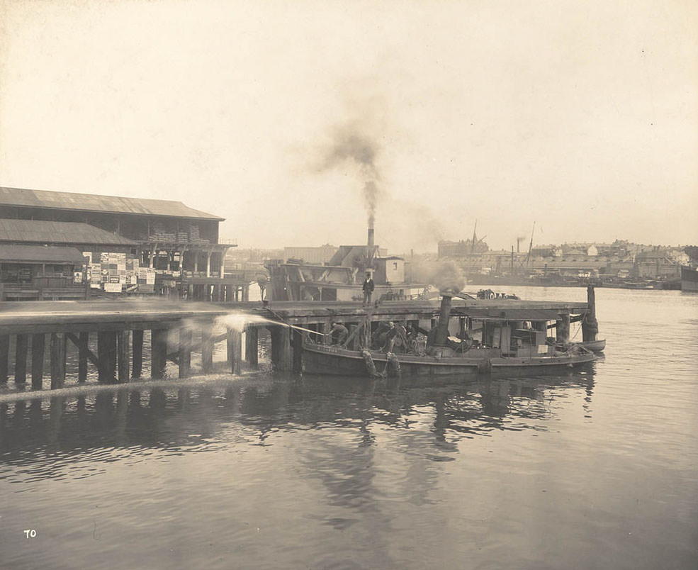
The waterfront was another critical front in the battle against the plague. Sydney’s wharves were a major point of entry for goods and people, and rats moved freely between docked ships and the shore. Cleaning crews were deployed to the wharves to scrub surfaces and remove the debris that harboured vermin. This was essential work — the harbour was almost certainly the original entry point for the disease into the city.

Cleaning the Wharves
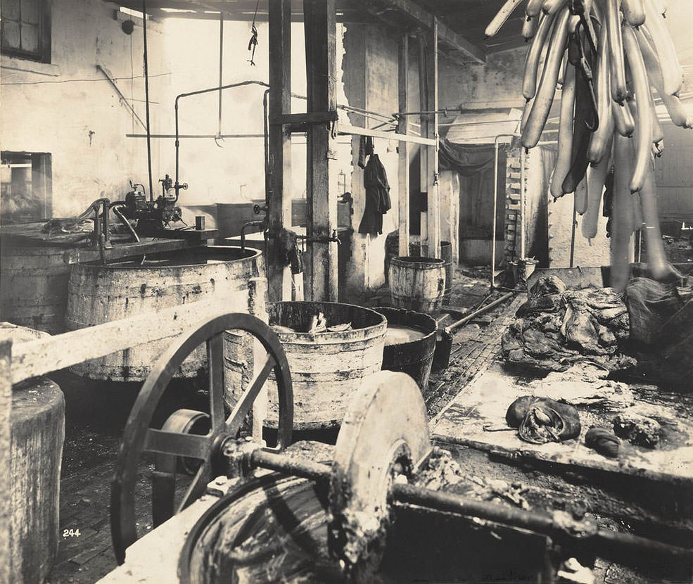
Rear of unidentified butcher's yard with adjacent outhouses
Rear of unidentified butcher’s yard with adjacent outhouses

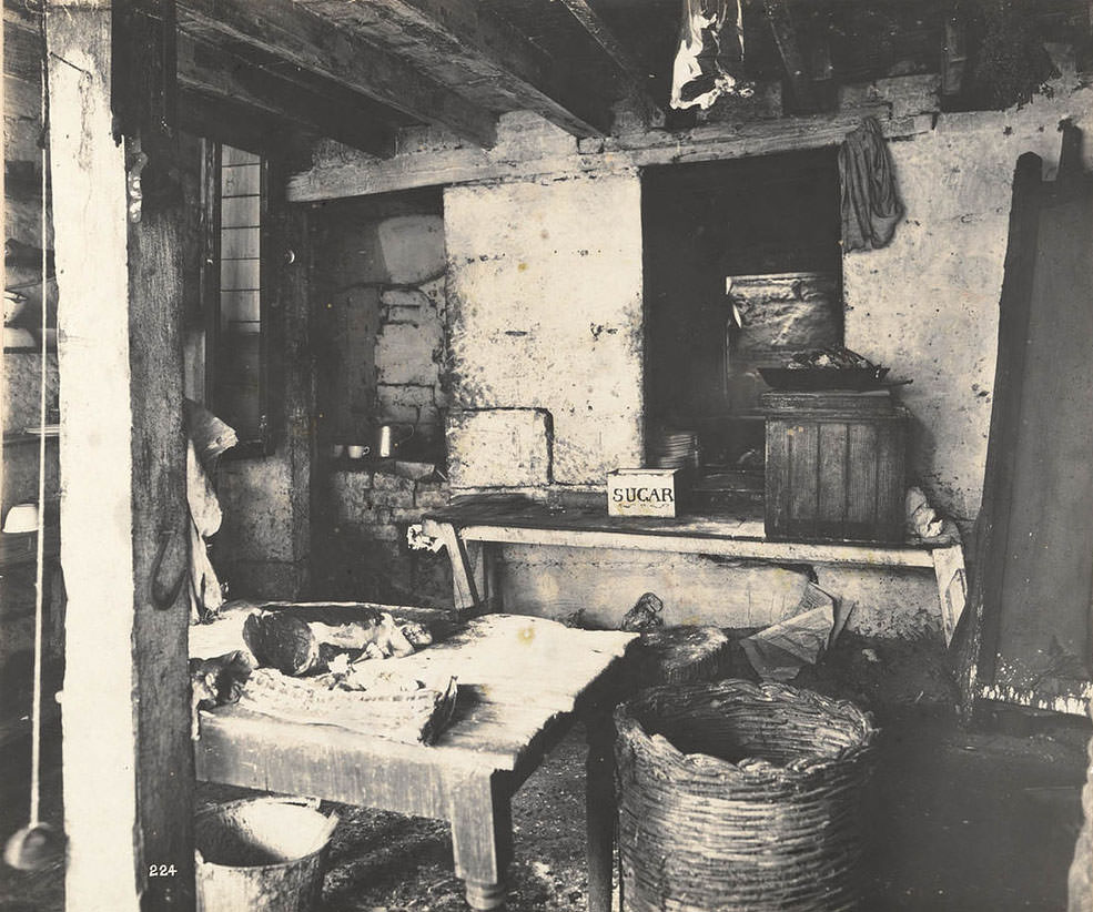
Butcher shops and meatworks were especially high-risk sites. Blood, offal, and meat scraps drew rats in large numbers. Health inspectors visited George Street premises and other commercial properties throughout the city, photographing kitchens, yards, and storage areas. These images document the standard of food handling at the time — often shockingly inadequate by any measure.

No. 1 Victoria Place

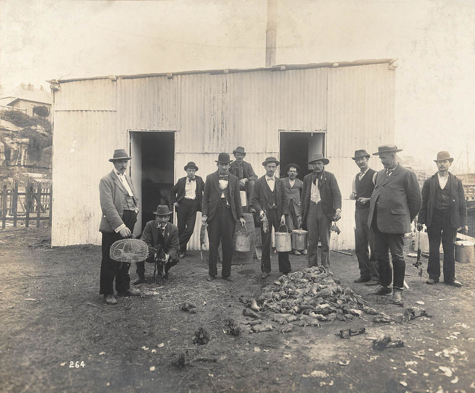
One of the most direct responses to the plague was the organised killing of rats across the city. Professional ratcatchers were employed to hunt rodents in buildings, laneways, and around the wharves. Thousands of rats were caught and killed throughout the outbreak. The government also paid members of the public a small fee per dead rat to encourage participation in the campaign.

Professional Ratcatchers

George Street, one of Sydney’s main commercial thoroughfares, was home to several businesses caught up in the health inspections. The Sutton Forest Butchery at No. 761 and the kitchen at No. 841 were both documented as part of the citywide survey. By the end of 1900, over 100 cases of Bubonic Plague had been confirmed in Sydney. The government pressed on with quarantine and clean-up measures, and the number of new cases gradually fell. By 1902, the outbreak was in clear decline, and by 1904, it was officially declared over.

Sutton Forest Butchery. No. 761 George street
No. 841 George-street (kitchen)
Enjoyed this post? Get new ones in your inbox.

Leave a Comment

Your email address will not be published. Required fields are marked *

5 Comments

Share this Post 🥺

Please take a moment to share this content. Your support is greatly appreciated! 🙌🙏

Share this Post 🥺

Please take a moment to share this content. Your support is greatly appreciated! 🙌🙏
Scroll to Top
 
Hey Friend, Before You Go.. Please like & follow for more interesting content