
In 1973, photographer Arthur Tress picked up his camera and set out across New York Harbor, Staten Island, Jamaica Bay, and Sheepshead Bay. What he left behind is a vivid record of a city caught between its industrial past and an uncertain future. His work was part of Documerica, a major photography project sponsored by the United States Environmental Protection Agency. The goal was straightforward: document conditions of environmental concern across the country during the 1970s. Tress focused his lens on what he described as “decay, neglect, and increasing urbanization.” The result is a collection of images that are equal parts beautiful and unsettling.
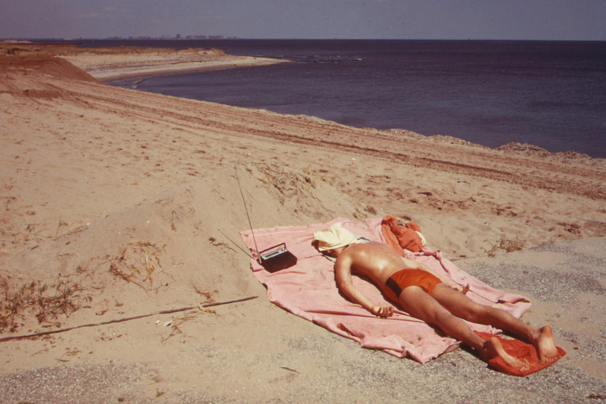
Staten Island in 1973 was a borough of contrasts. New housing developments were pushing into marshlands while older neighborhoods sat largely unchanged. Great Kills Park drew lifeguards and schoolchildren alike, offering a slice of outdoor life against the backdrop of the harbor. On warm days, a lifeguard might stretch out in the sun between patrols, a quiet moment that Tress knew how to capture.
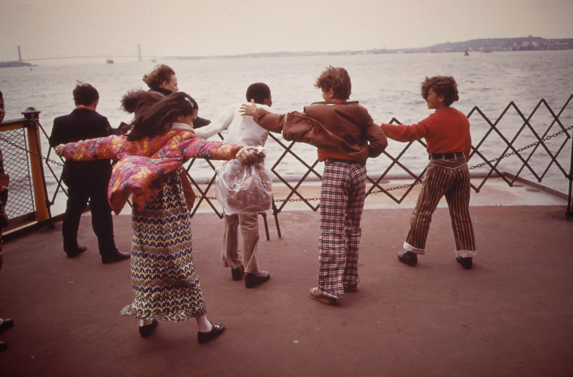
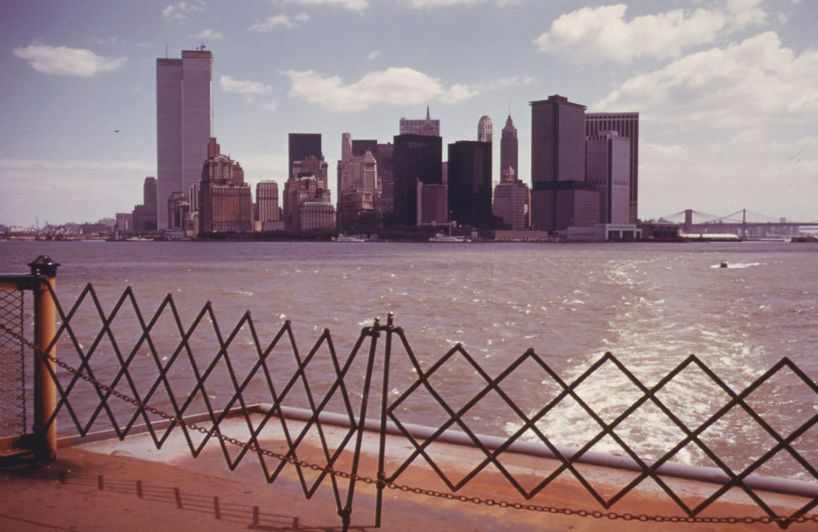
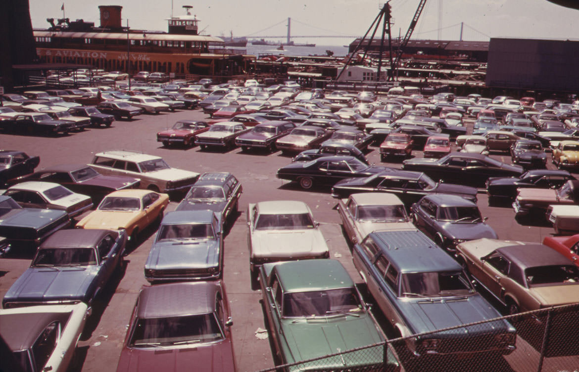
For many New Yorkers, the Staten Island Ferry was a daily ritual. It crossed Upper New York Bay, carrying commuters, families, and school groups who used the ride as much for the views as the transit. The skyline of lower Manhattan loomed large from the deck, an image that never got old no matter how many times you made the crossing.
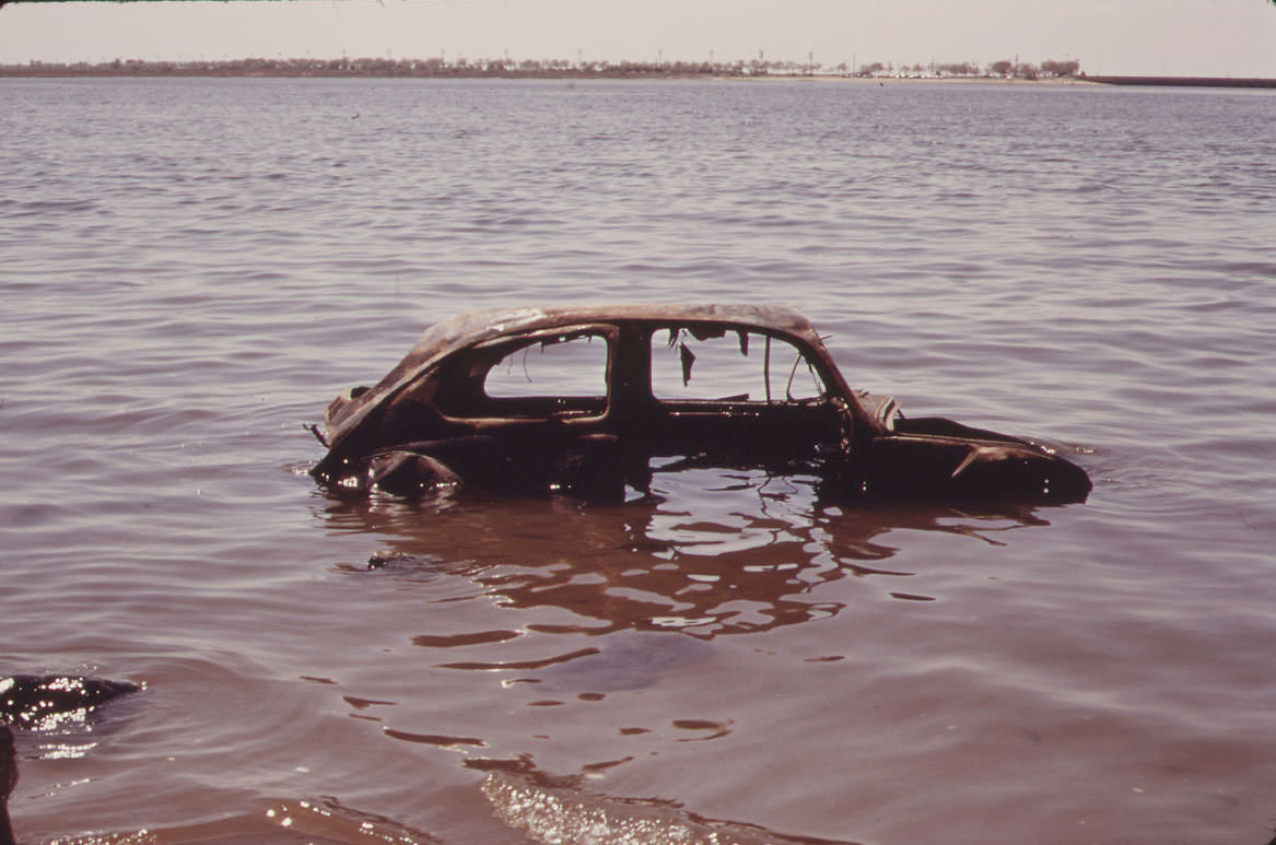
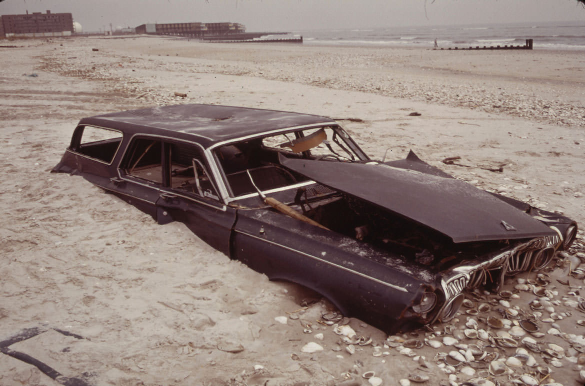
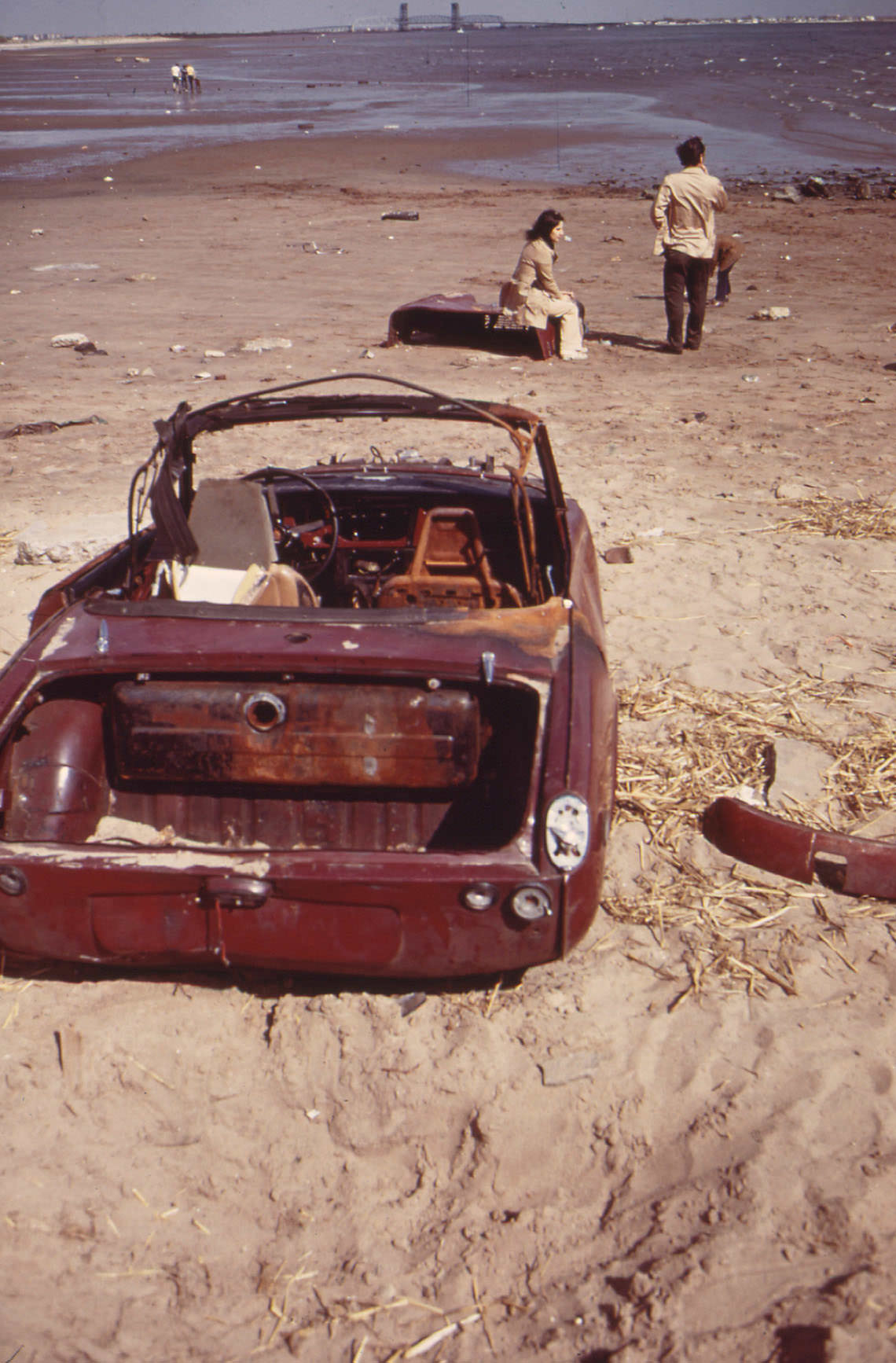
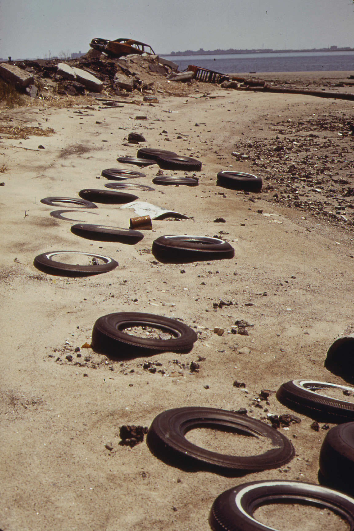
Jamaica Bay told a different story. Abandoned cars rusted in the shallows and along the beaches, left to be swallowed by sand and saltwater. Tress photographed these scenes without commentary — the images spoke plainly enough. Near Breezy Point, a car had been so thoroughly buried that only its outline remained visible beneath the sand.
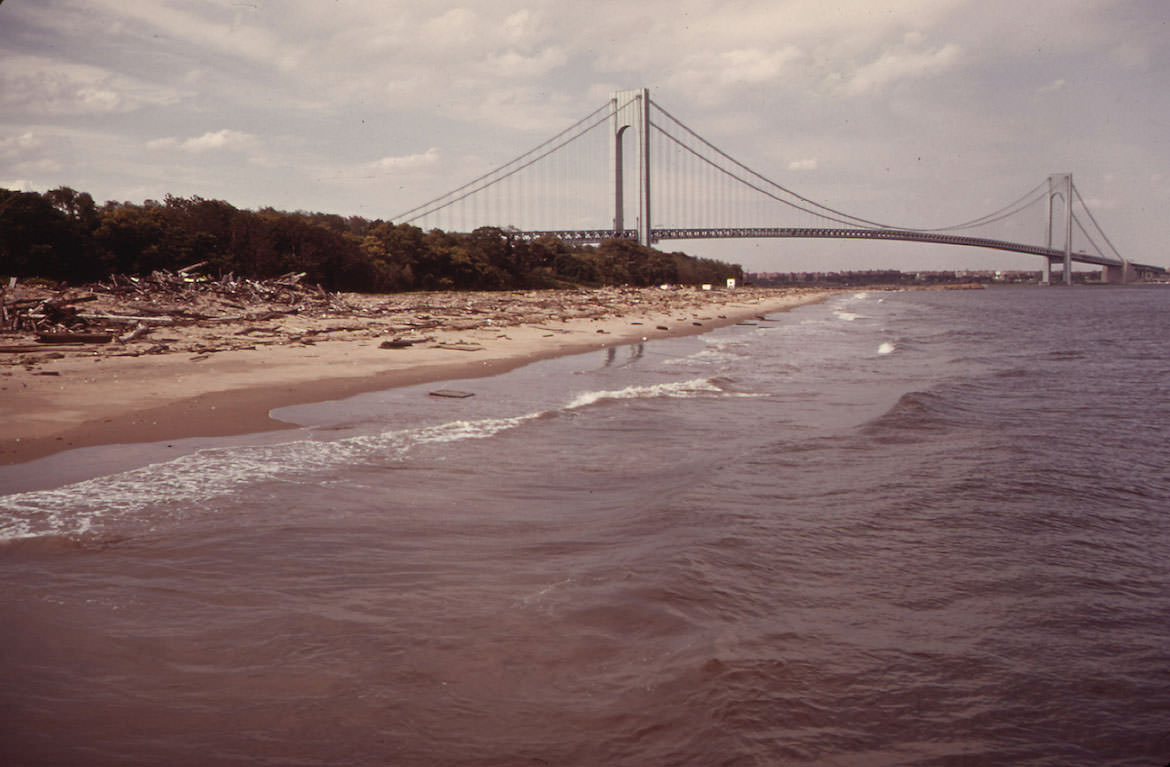
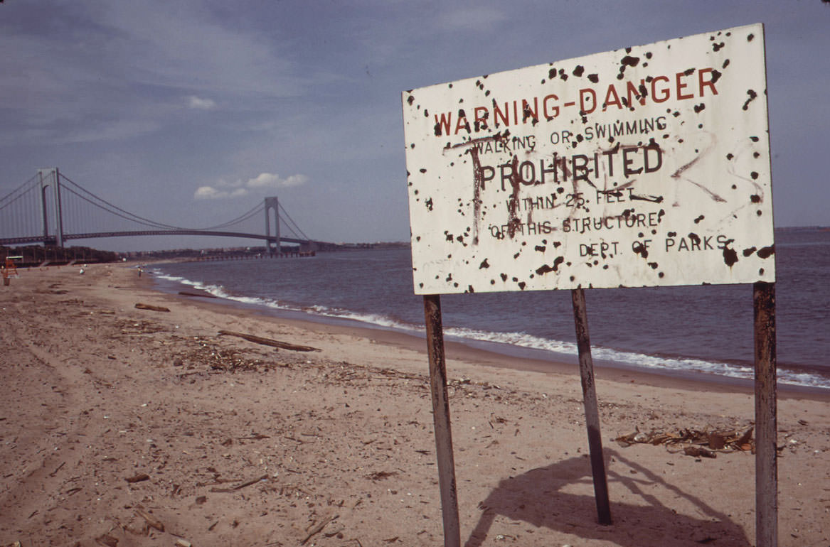
The Verrazzano-Narrows Bridge, completed in 1964, was still relatively new in 1973. It connected Staten Island to Brooklyn and defined the entrance to New York Harbor. Tress photographed it from the beaches below, where pollution warning signs had been posted along the waterline — a stark pairing of engineering achievement and environmental failure.
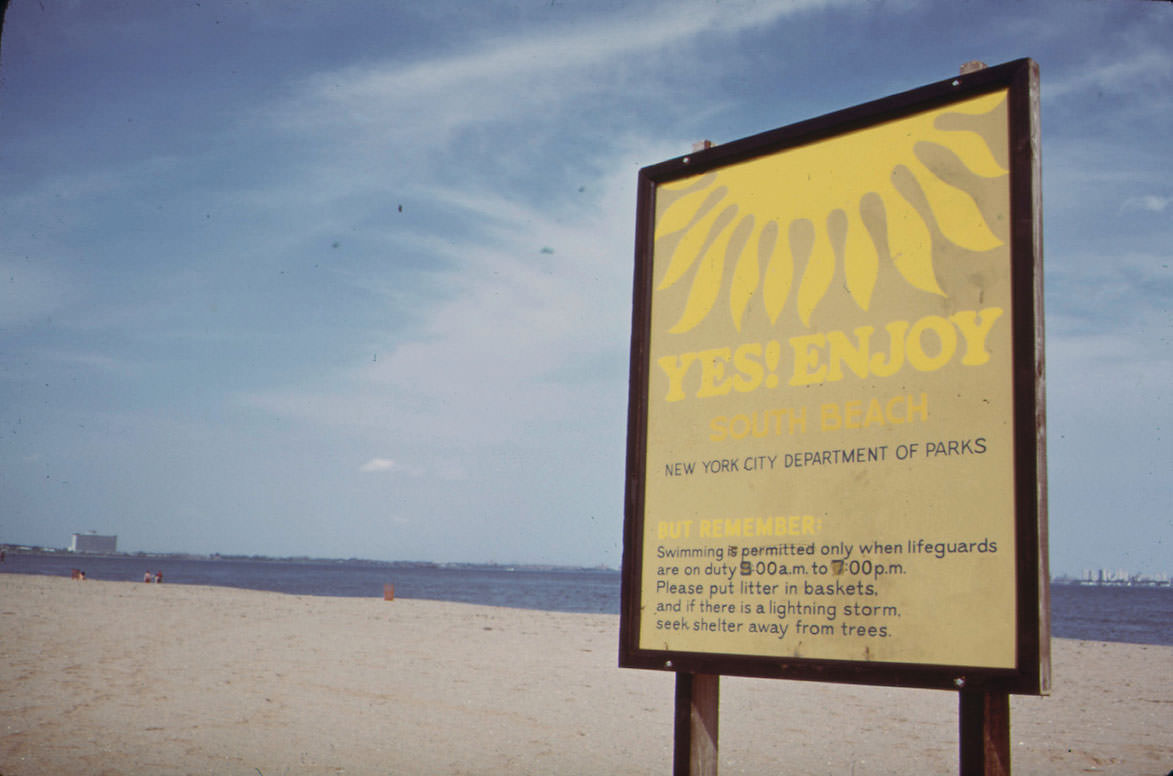
South Beach on Staten Island wore its problems openly. Signs declared the water “safe for swimming,” though the surrounding environment suggested a more complicated reality. Water quality in New York Harbor during this period was seriously degraded, and beaches throughout the five boroughs regularly faced closures or advisories.
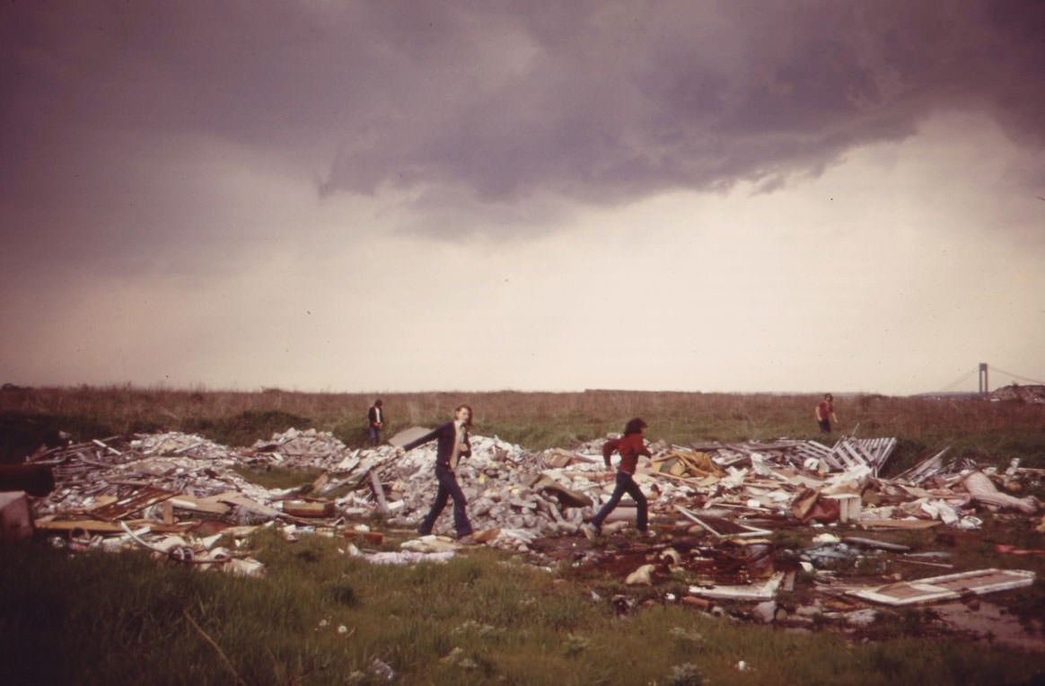
In Gravesend Bay, boys played on a municipal incineration plant and landfill dump — not by accident, but simply because it was there. Urban children in 1973 made playgrounds out of whatever open space existed. A mountain of debris was as good as any park if it was close to home.
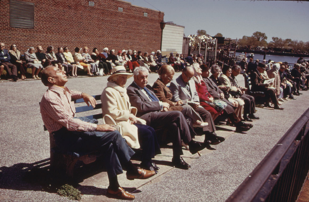
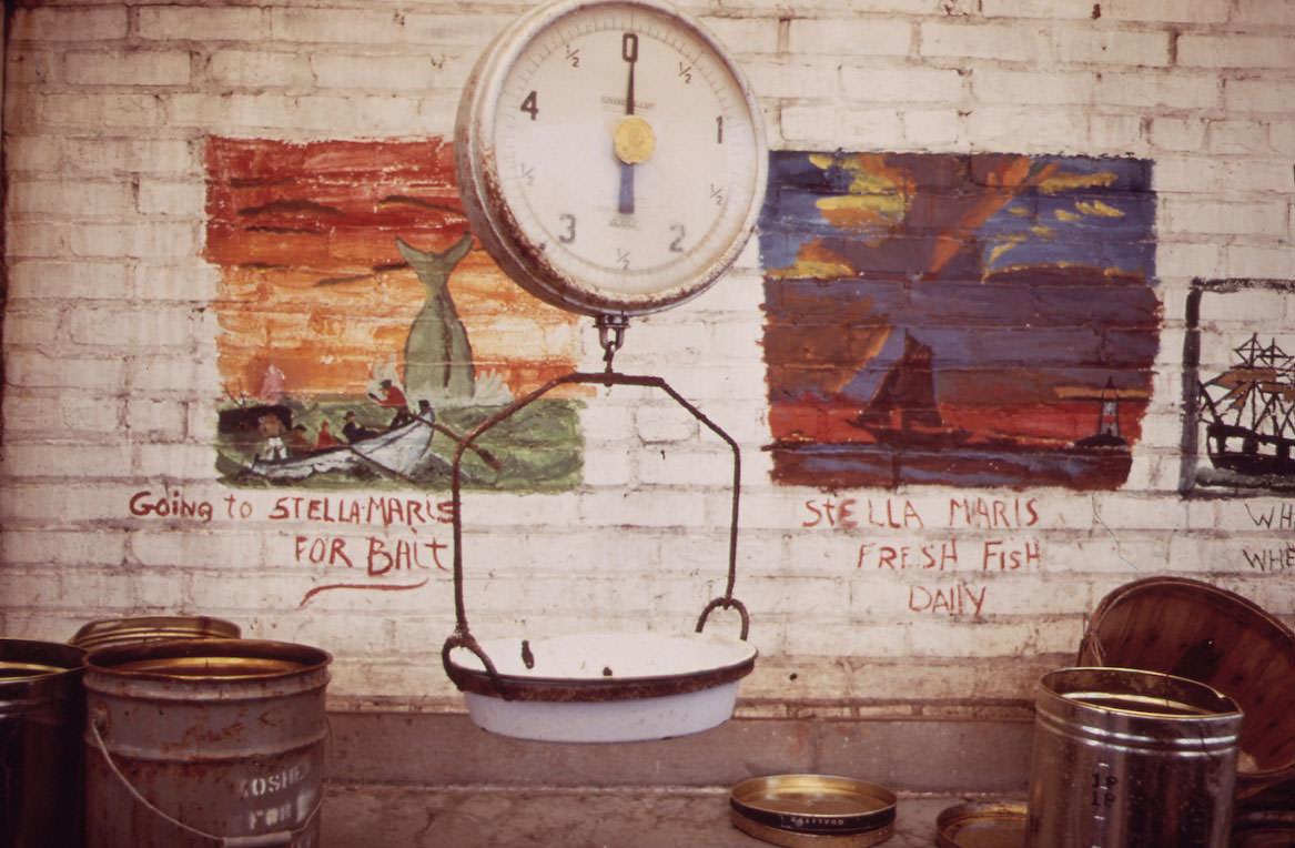
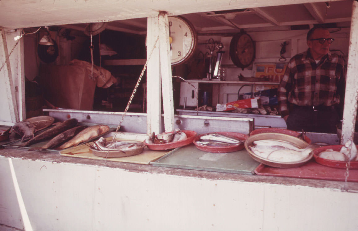
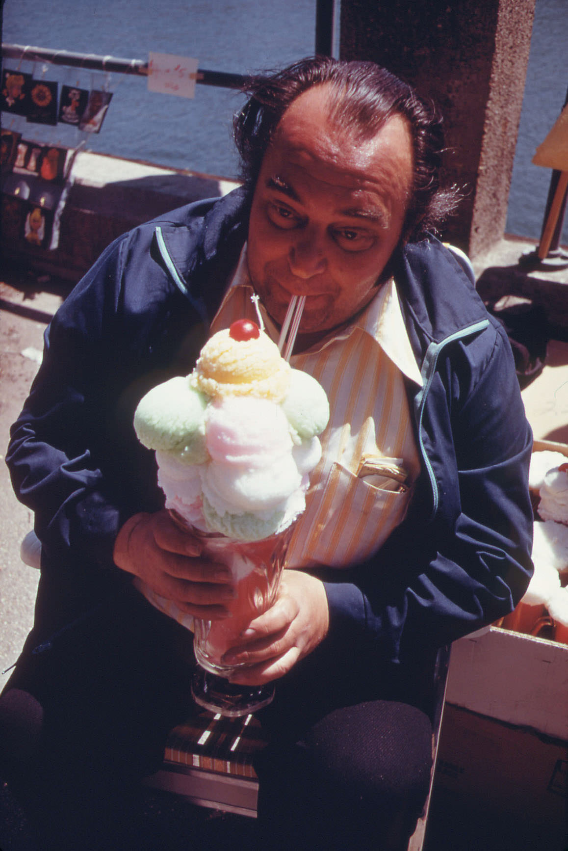
Sheepshead Bay had its own rhythm. Fish stores lined the waterfront, their stock fresh from the boats that still worked those waters. A small park offered a quiet break from the surrounding streets. Every May, the neighborhood held its annual art show, vendors and visitors turning out along the bay for an afternoon of commerce and community.
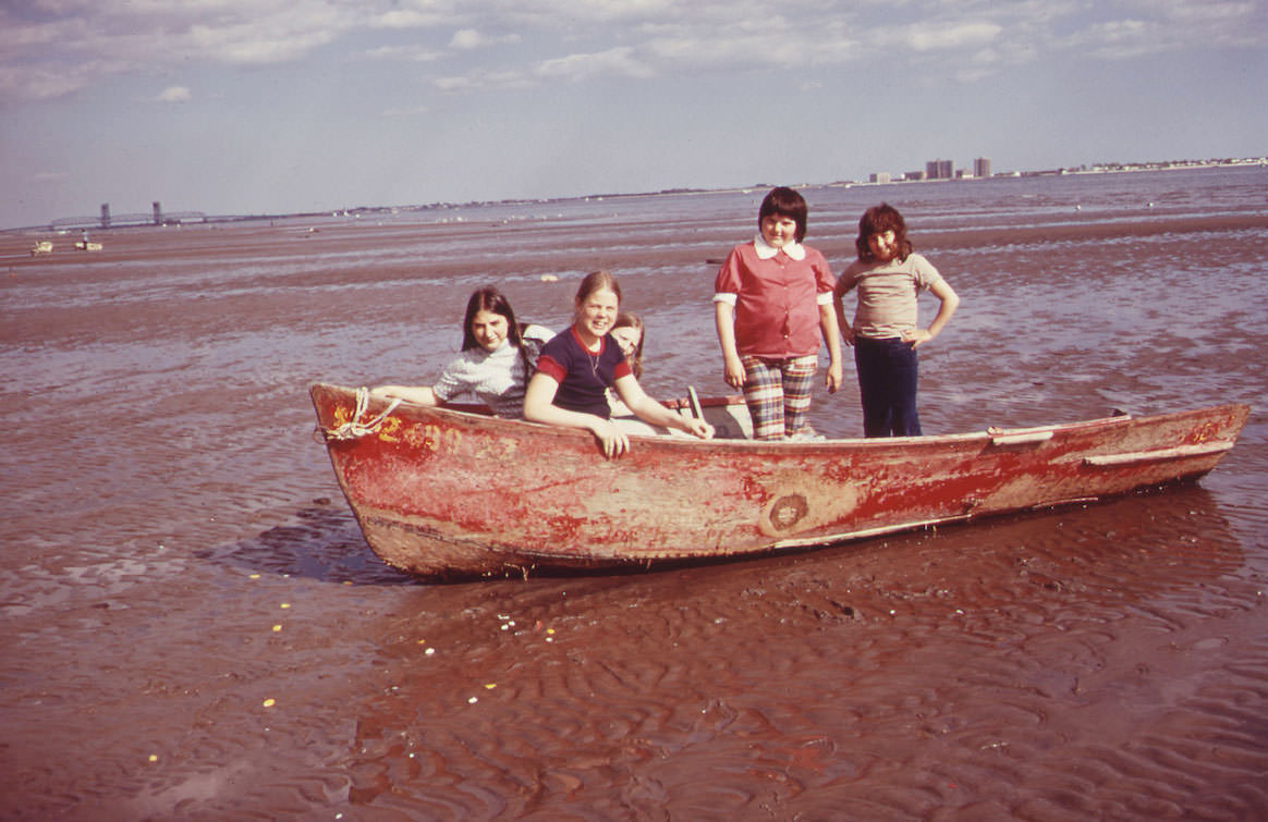
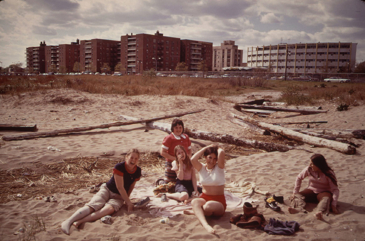
Plum Beach, tucked along the edge of Sheepshead Bay, drew a loose crowd of locals. People posed for Tress’s camera, comfortable enough in their surroundings to play it up. The beach was not pristine — the whole area sat under the flight path of nearby JFK Airport — but it was theirs.
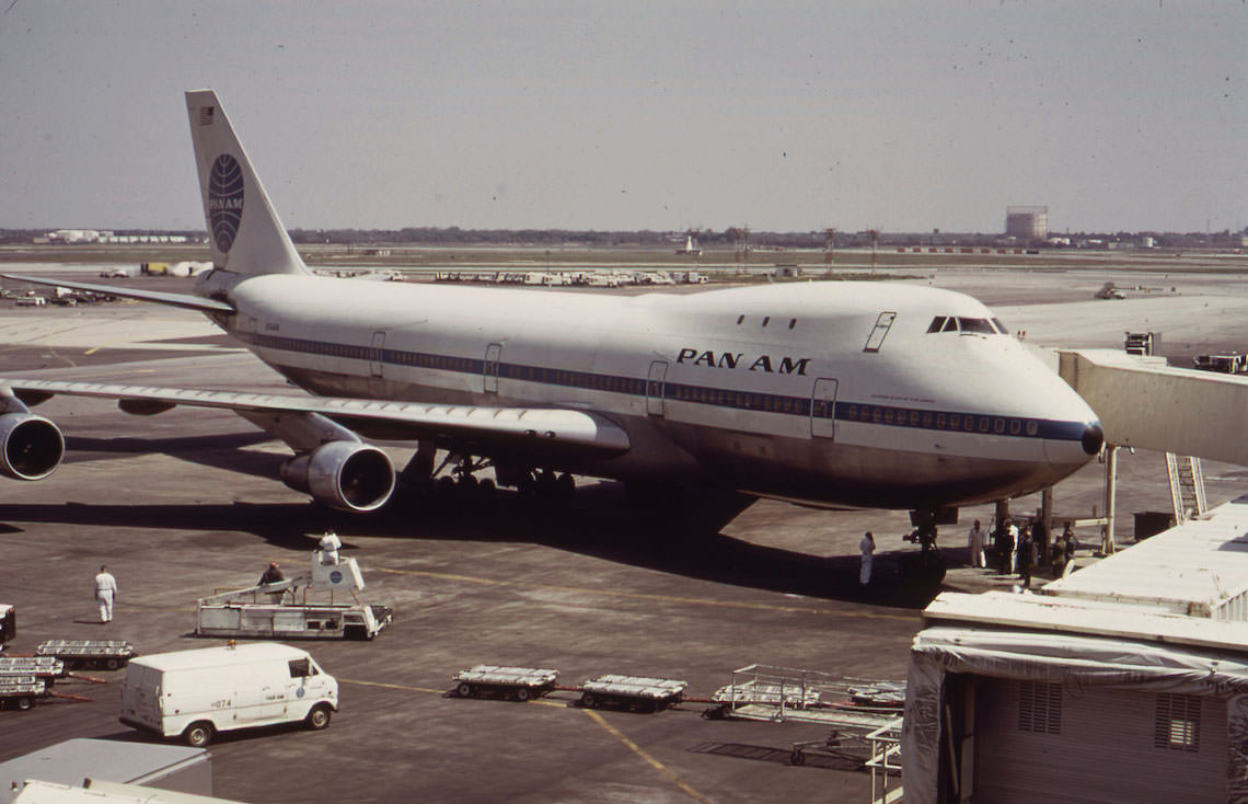
John F. Kennedy Airport and its surrounding land dominated the Jamaica Bay area. The airport owned wide swaths of marshland along the bay, and the community of Broad Channel sat directly in its shadow. Rusty oil cans piled up near homes there, a visible marker of the pollution problems that plagued the neighborhood. An abandoned ice cream wagon sat near the waterline, its paint faded, another object simply left behind.
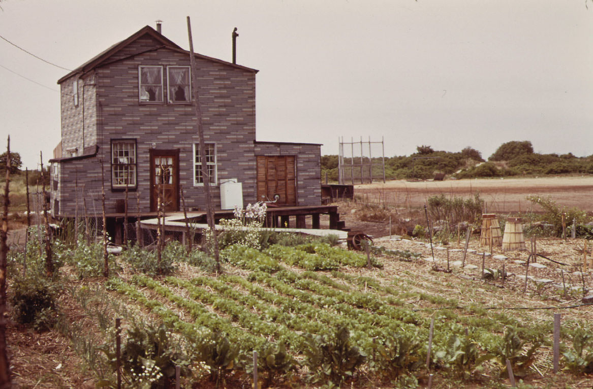
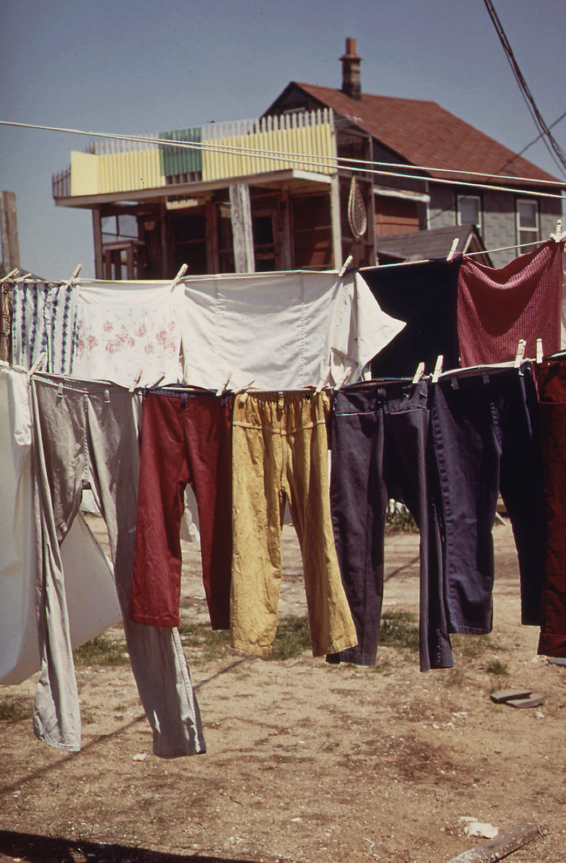
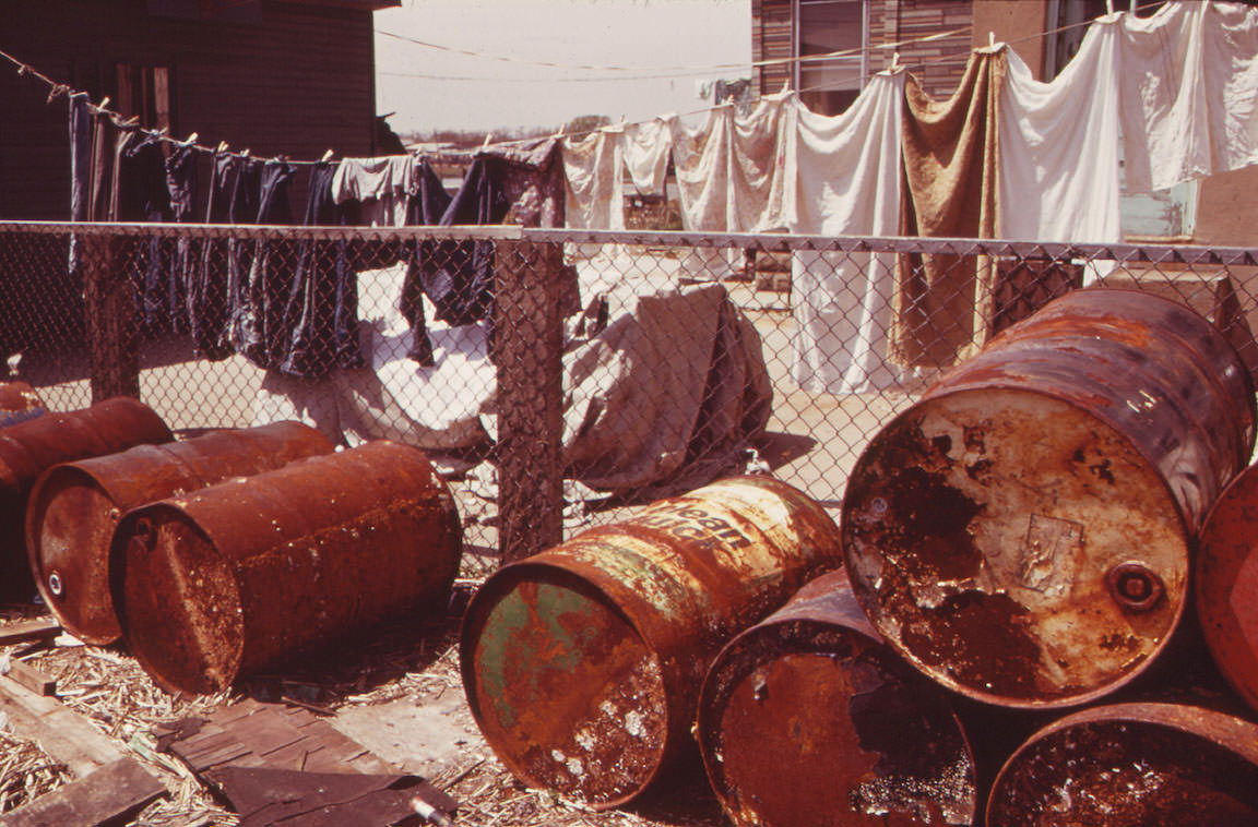
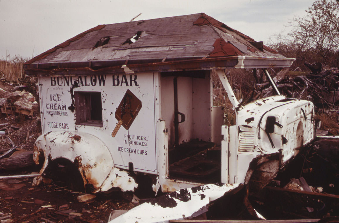
The City of New York was actively filling in Jamaica Bay’s marshlands in 1973. These landfill operations were converting wetlands into buildable ground, a practice that stripped the bay of natural habitat. Tress documented the machinery and the altered landscape without flinching.
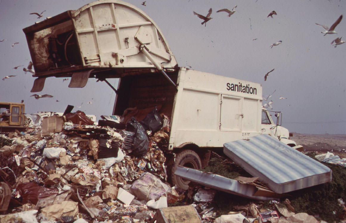
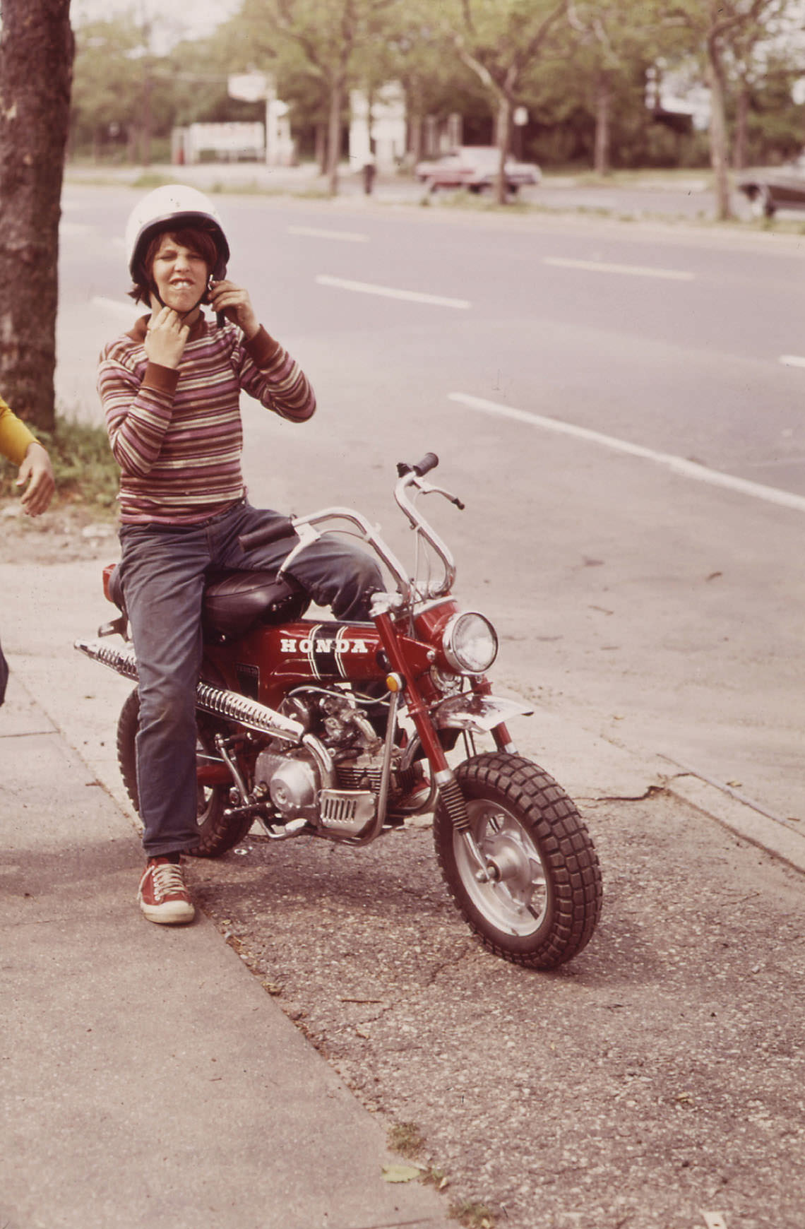
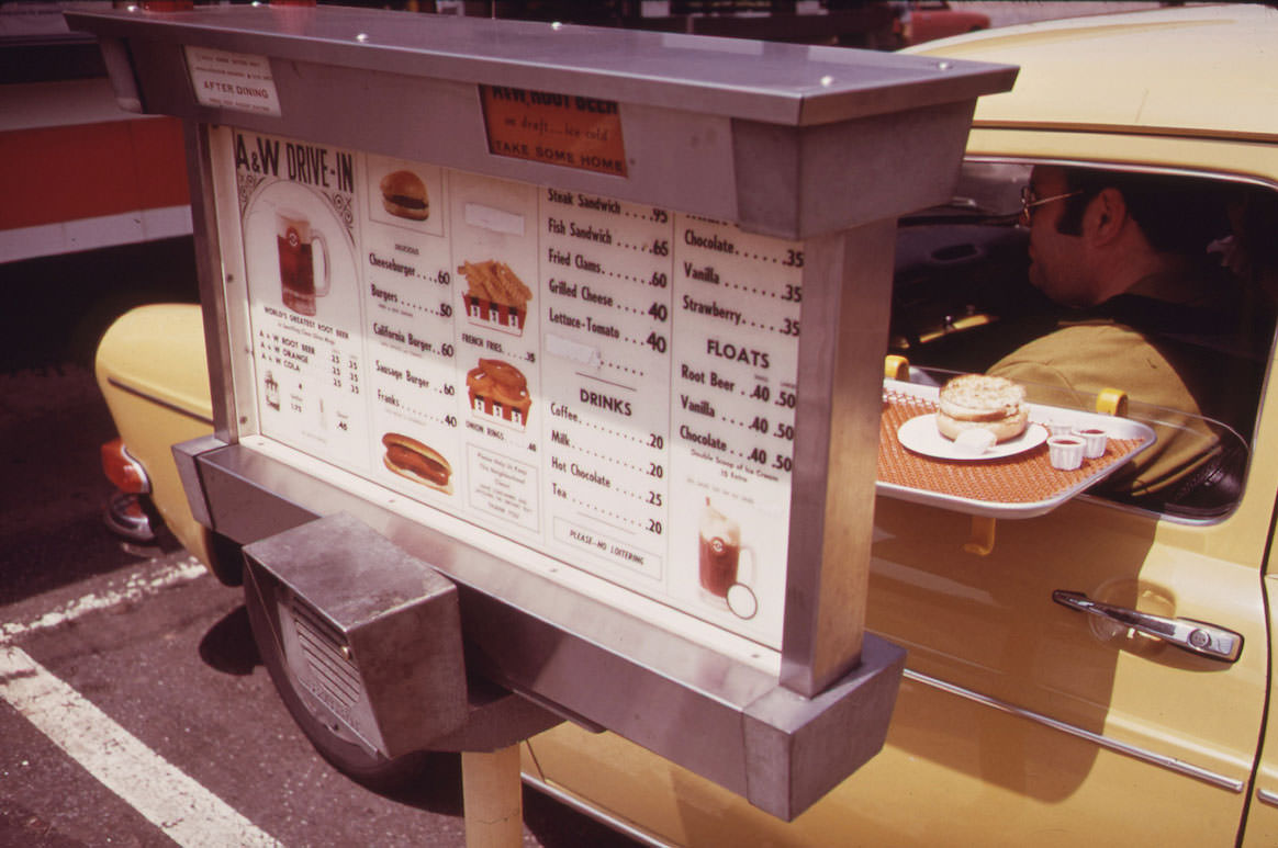
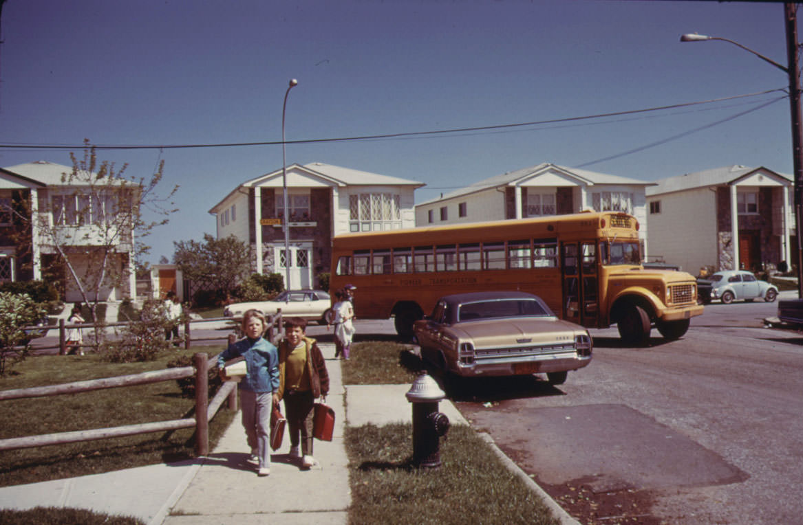
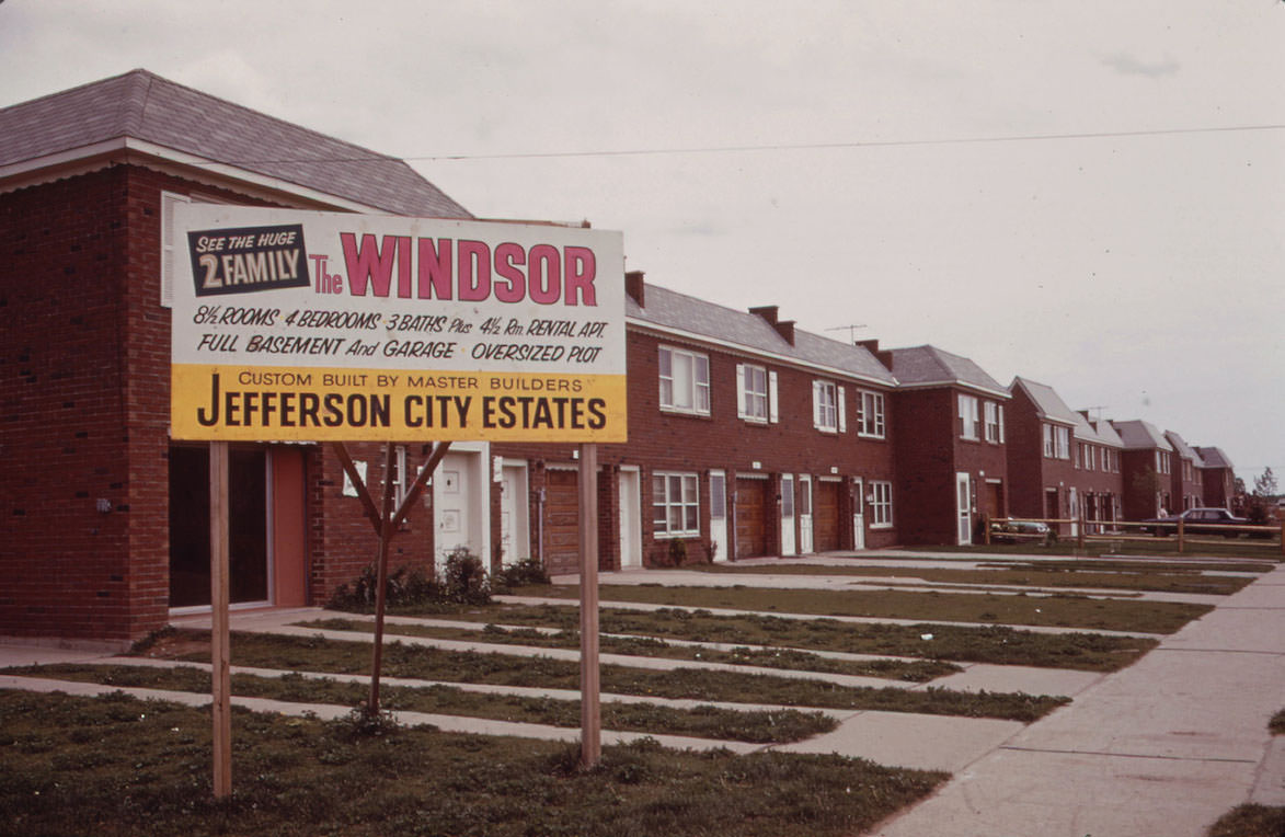
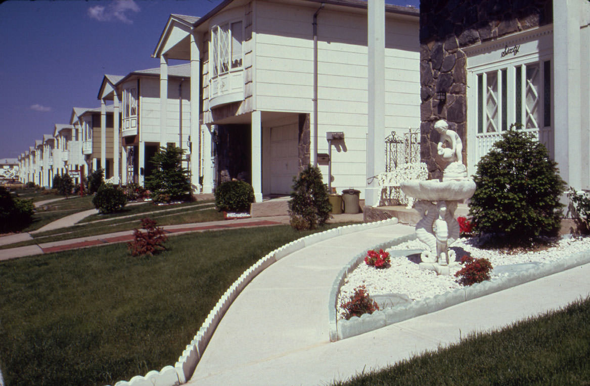
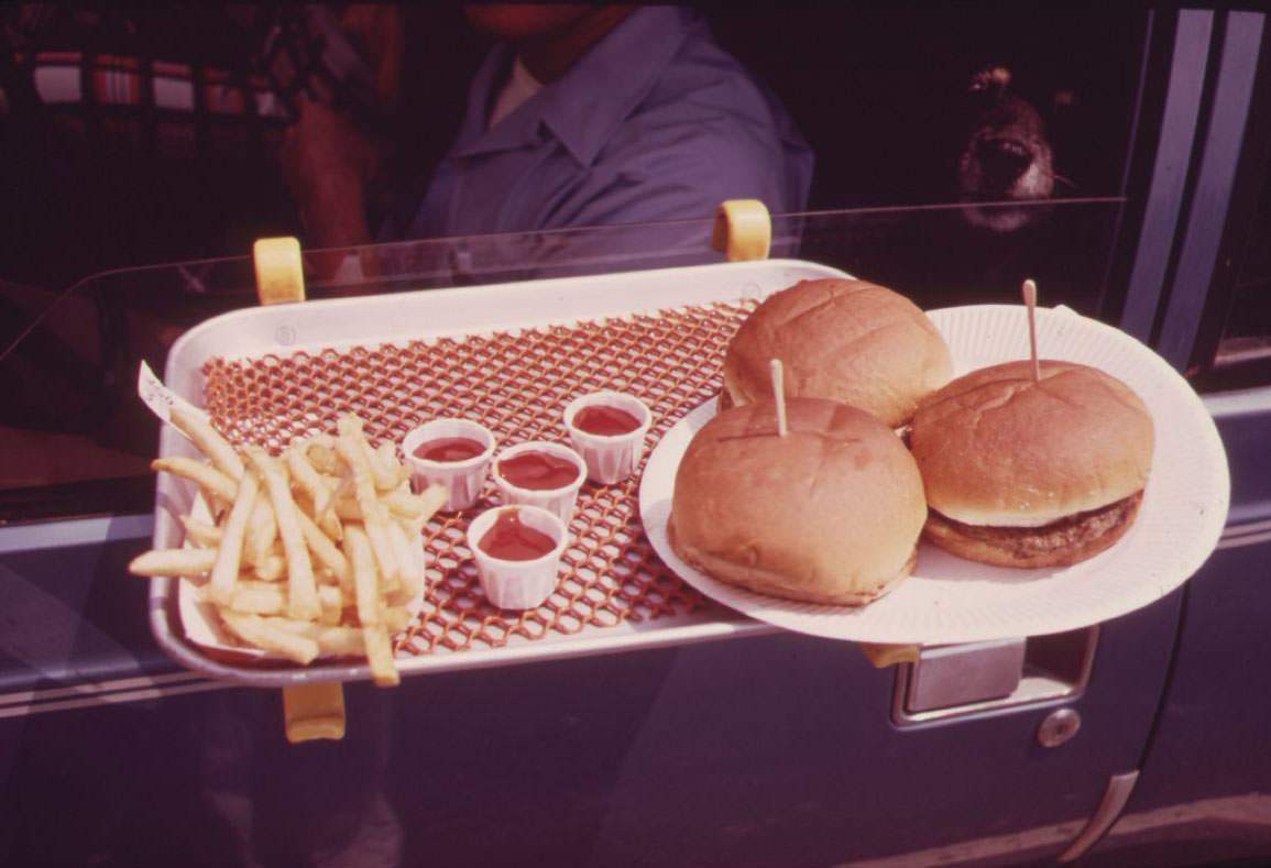
Everyday life in the harbor neighborhoods showed up in the smaller details. A young man posed on his Honda motorcycle, ready to ride. On Hylan Boulevard in Staten Island, someone ate lunch in their parked car — a wholly ordinary moment made permanent by Tress’s camera. Schoolchildren walked home through Great Kills. New housing blocks rose on Staten Island’s open land.
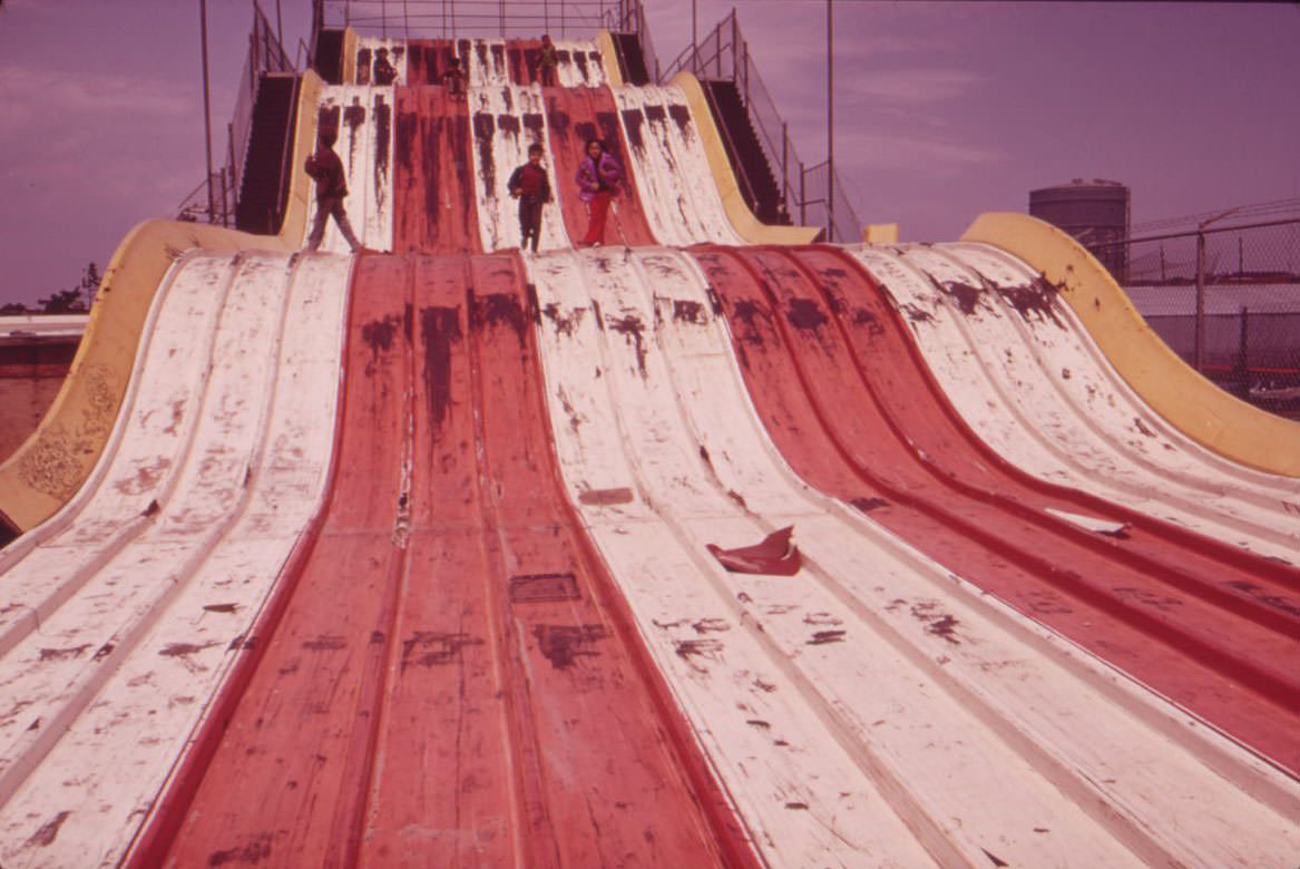
Coney Island, just west of the harbor area, offered one of the most striking images in Tress’s collection. The old “Giant Slide” amusement ride sat abandoned, its metal frame still standing but stripped of any life. Coney Island’s amusement industry had been declining for years by 1973, and the empty ride was a clear sign of that slide into disuse.
Taken together, Arthur Tress’s 1973 Documerica photographs form a detailed portrait of New York Harbor and its surrounding communities at a pivotal moment. The EPA’s project captured what policy documents could not — the texture of daily life alongside the visible damage of decades of industrial use, urban growth, and environmental neglect. These images remain among the most direct records of what New York looked and felt like fifty years ago.




