Hey There! Before You Go. 😧
Get the best vintage content straight into your inbox!

Don't worry, we don't spam

St. Louis in 1925: A Photographic Retrospection of the City's Transformation

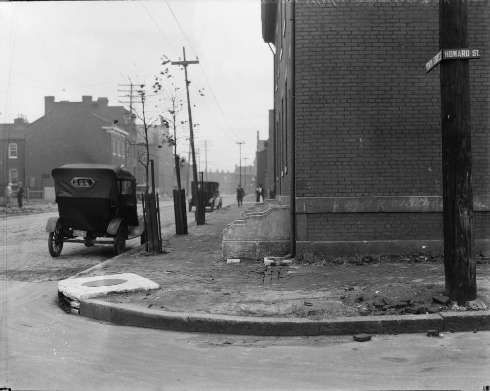
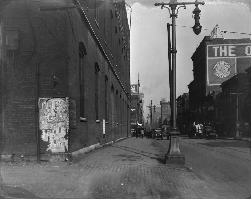
In 1925, St. Louis was a bustling city with a strong industrial base in brewing, meatpacking, and manufacturing, and a key position at the crossroads of the Mississippi River and major rail lines. Home to world-class universities, cultural institutions, and a diverse population of African Americans and European and Mexican immigrants, the city was also grappling with poverty, racial tensions, and the pressures of rapid urbanization. The photographs below offer a street-level view of the city during this pivotal year.
Lafayette Avenue, 1500 block of, 1925
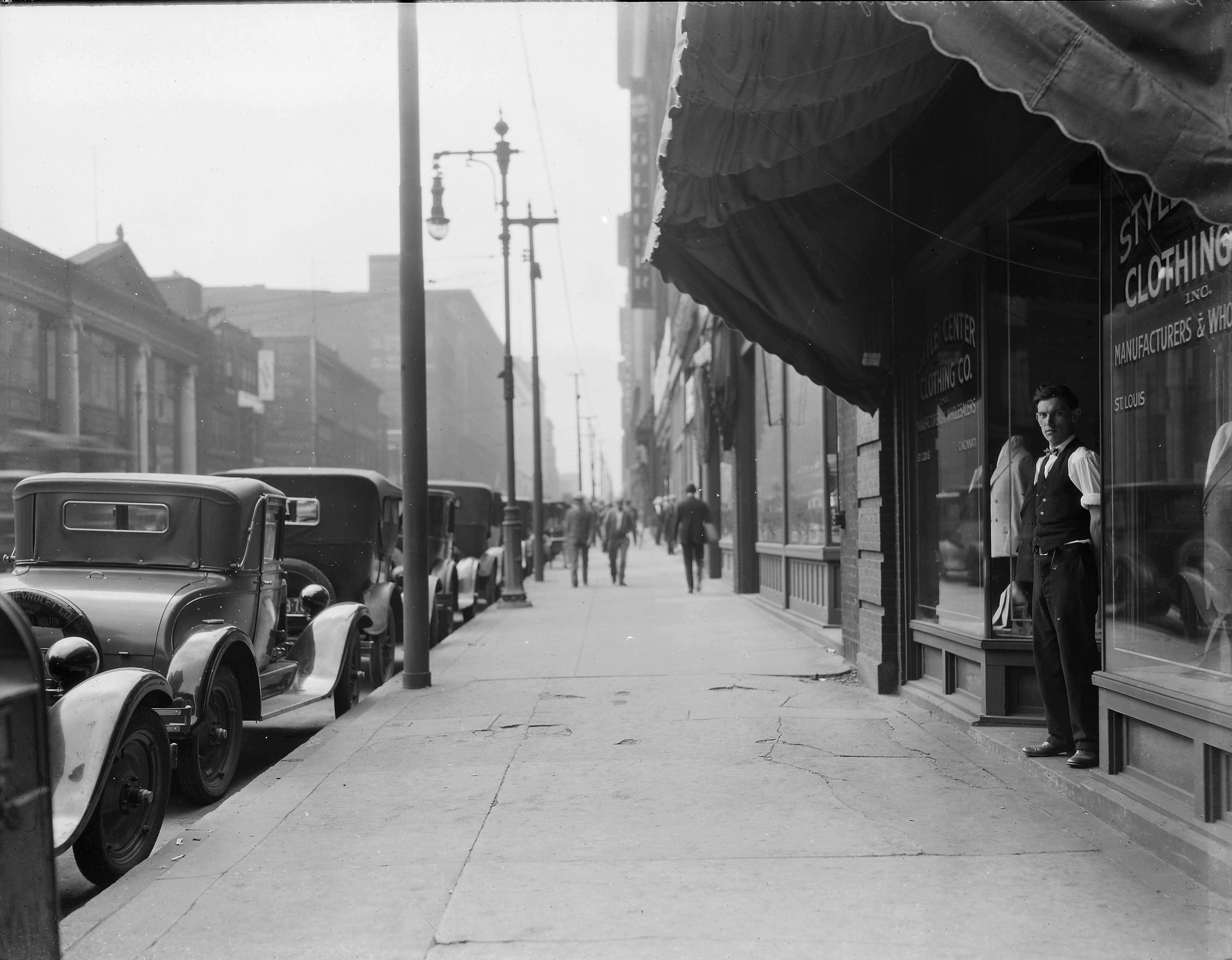
View of a young man standing in the doorway at Style Center Clothing Co. on the north side of the 1300 block of Washington Avenue looking west, 1925
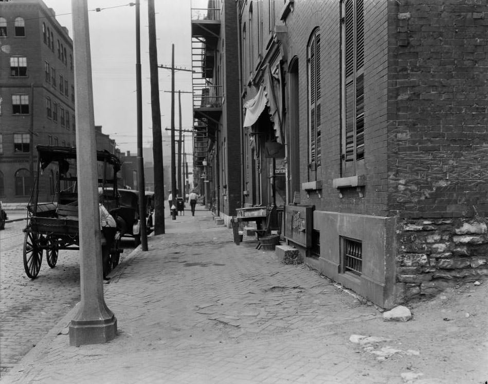
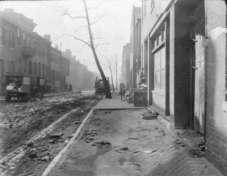
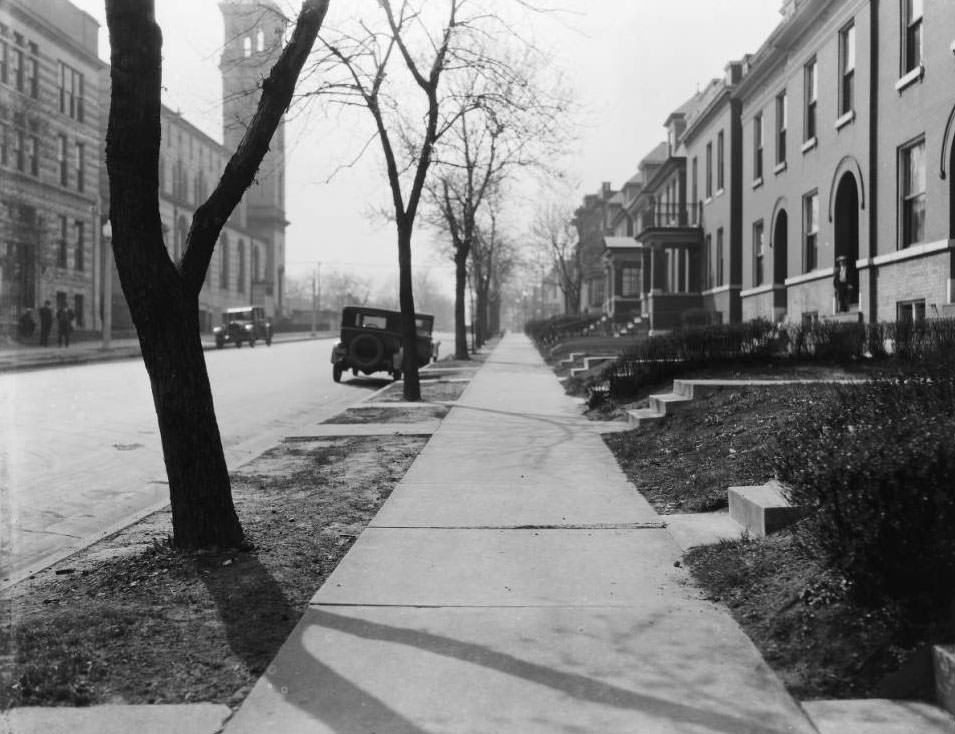
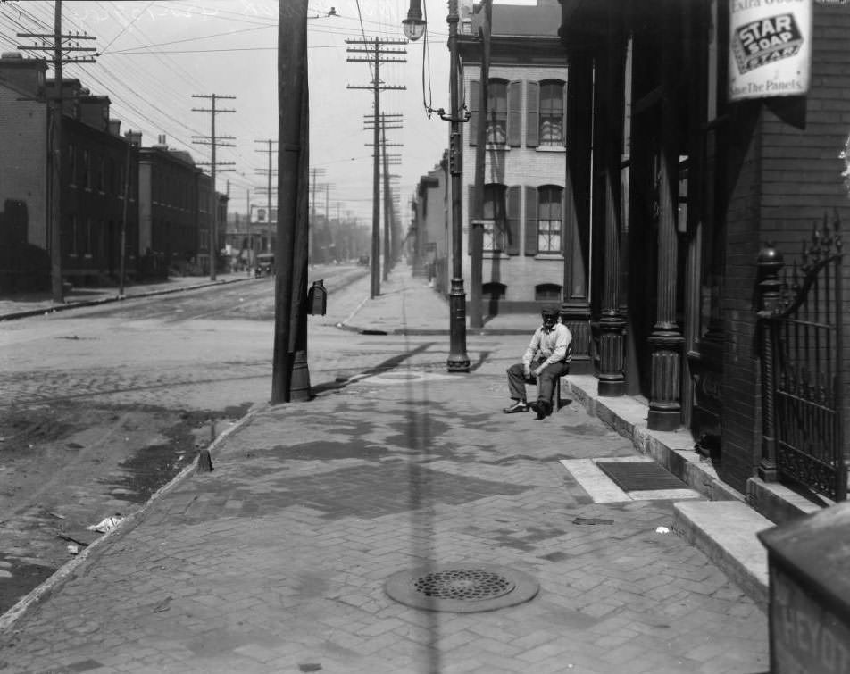
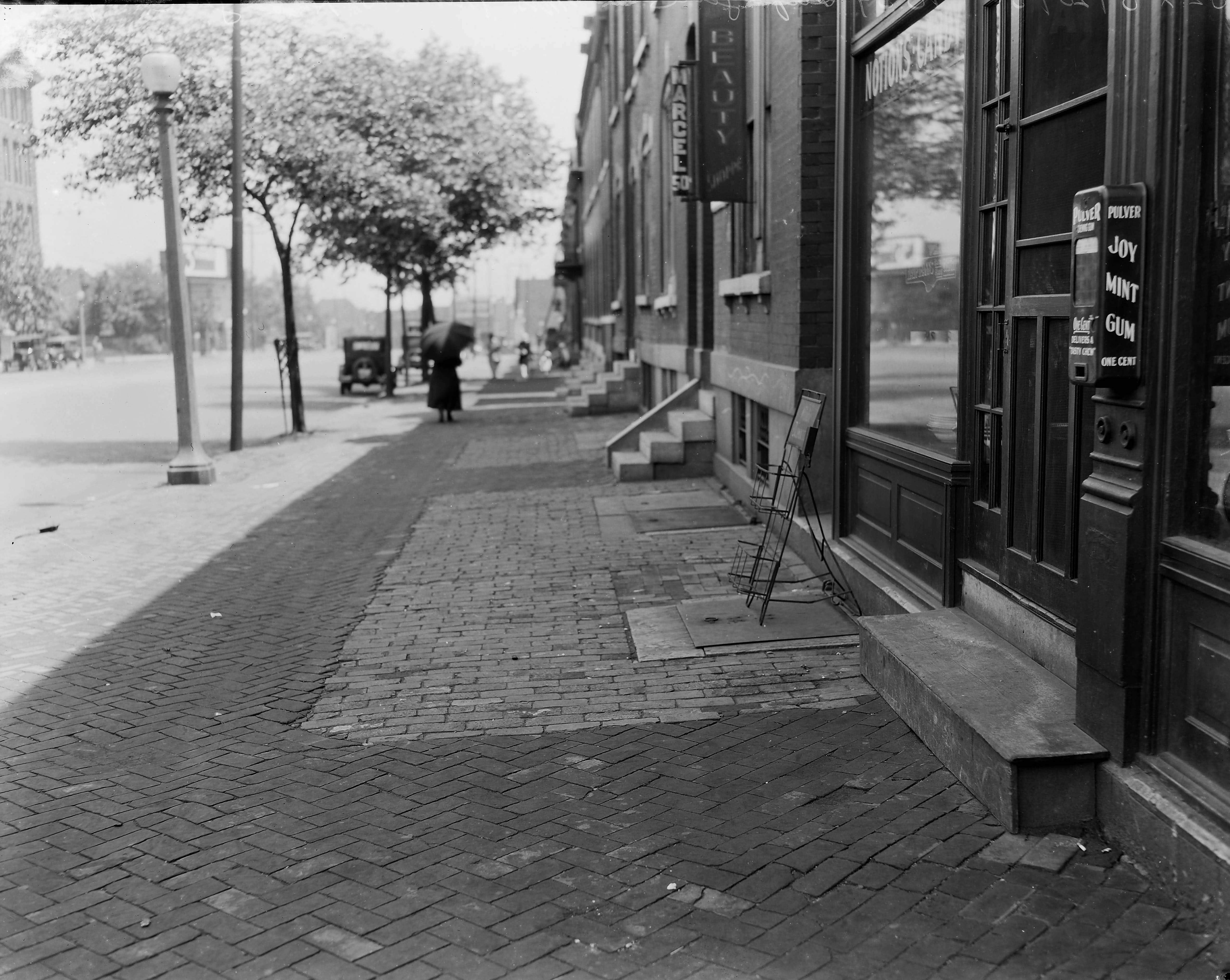
Brick rowhouses and sidewalk, includes two cars and pedestrians, 1925
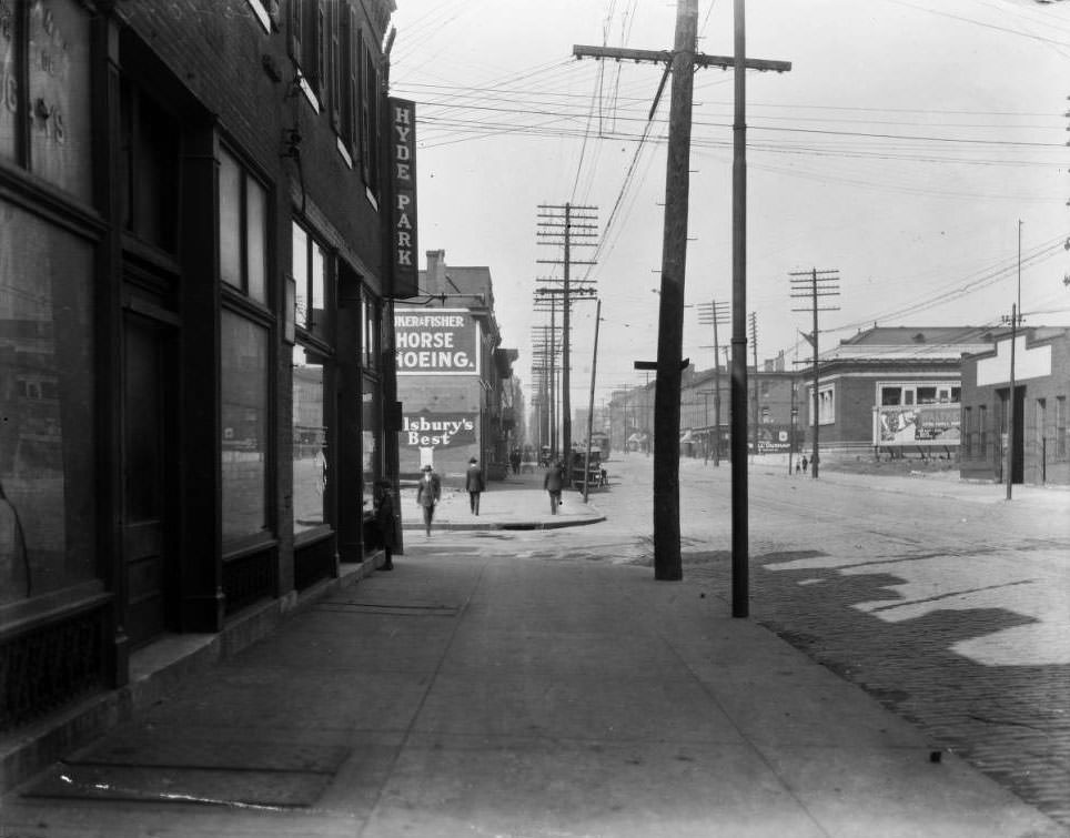
West on Cass Avenue, at the intersection with 13th Street, 1925

The rear of the Crunden Branch Library at the northeast corner of Cass Ave and 14th Street is visible in the right background. The building with the Hyde Park sign was at 1224 Cass Ave, the southeast corner of Cass Ave and 13th Street. The Cass Bank & Trust was later built on that site.
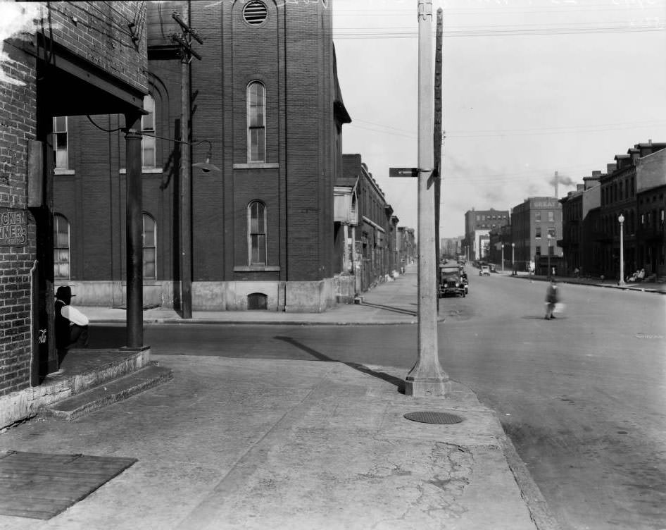
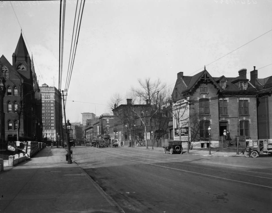
Looking east on Morgan St. at the intersection with Twenty-third Street, 1925

The building at the immediate left is 2301 Morgan. Across the street at the northeast corner of Twenty-third and Morgan is the old Central M.E. Church, built in 1869 and occupied by that congregation until 1885. The steeple was removed, and the church was then used by the Central (Colored) Baptist Church until 1913. In 1933, the building was being used by the Church of God in Christ.
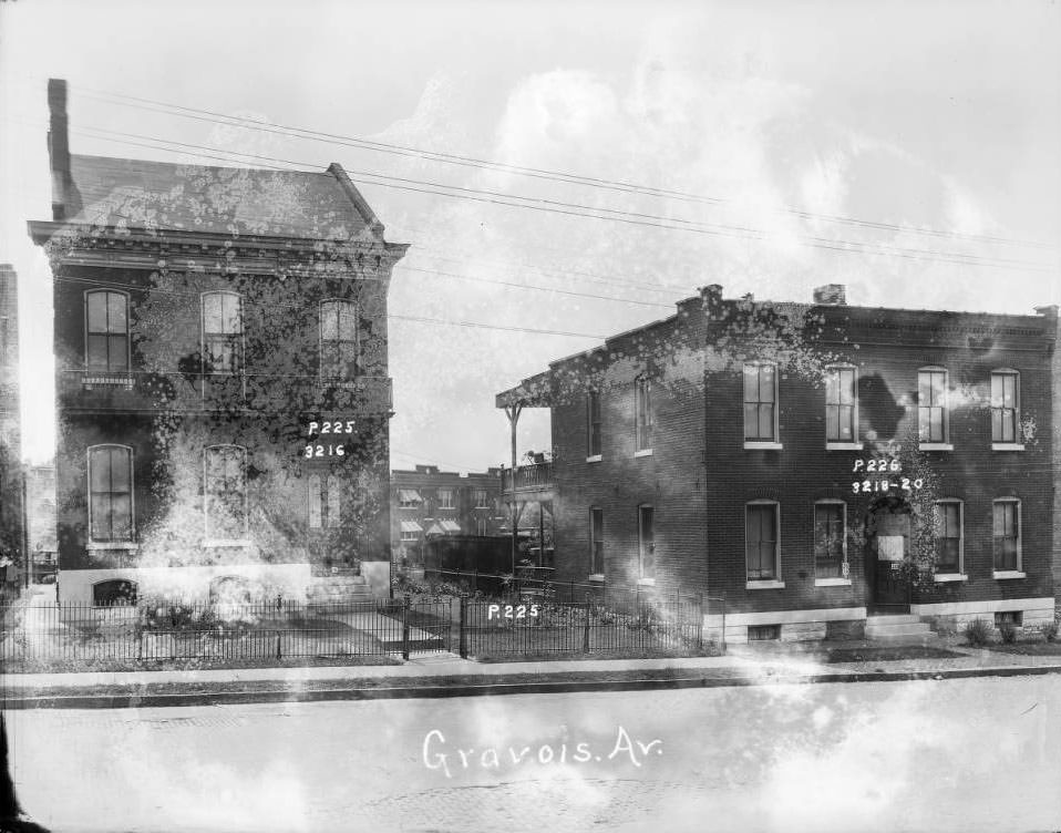
View of two brick dwellings on the 320 block of Gravois. From resource: 3216, 3218-20 Gravois Av., P. 225, P. 226
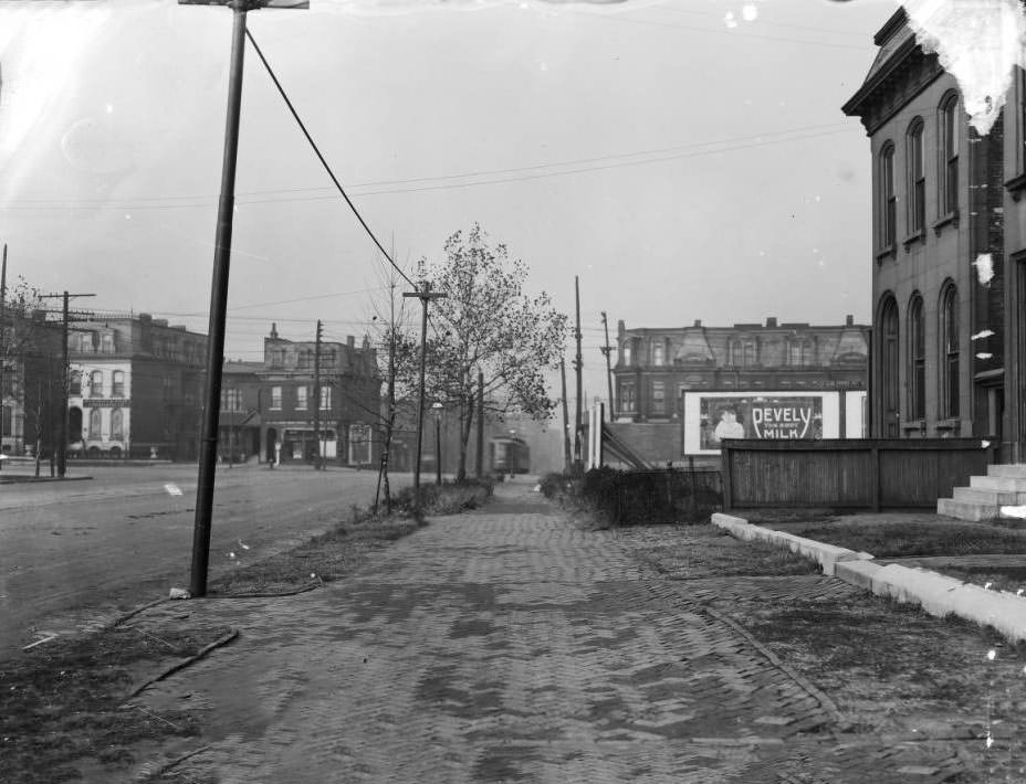
Park Ave. & Mississippi Ave, 1925

This is the view north to the northeast corner of Park Ave. and Mississippi Ave. Lafayette Park is on the extreme far left. The residence on the right is 1418 Mississippi Ave. A Pevely Milk billboard and streetcar are visible in the background.
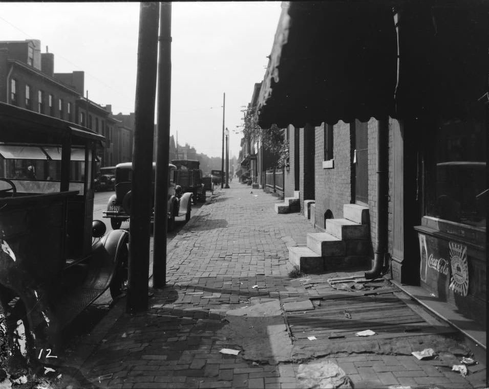
Biddle Street, 1900 block of, 1925

This is the view west from the 1900 block of Biddle Street, looking down the north side of the sidewalk. The building at far right with the storefront is 1901 Biddle Street. Coca-Cola and Beech-Nut Tobacco advertising is posted to the building.
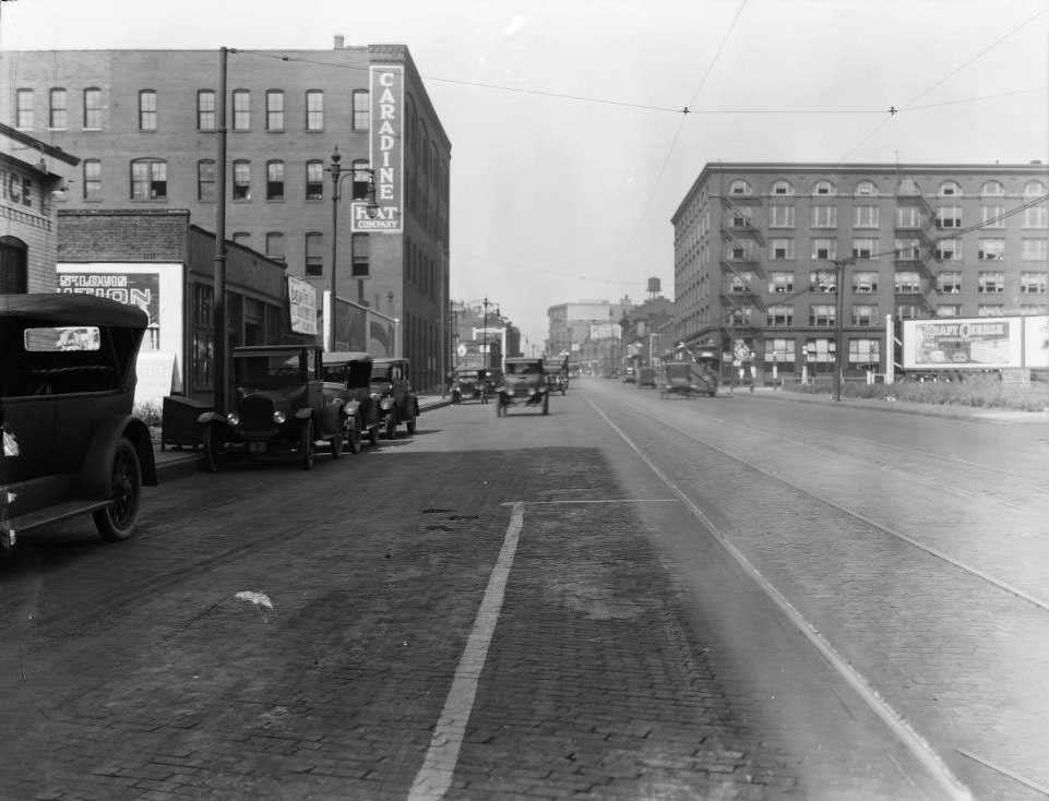
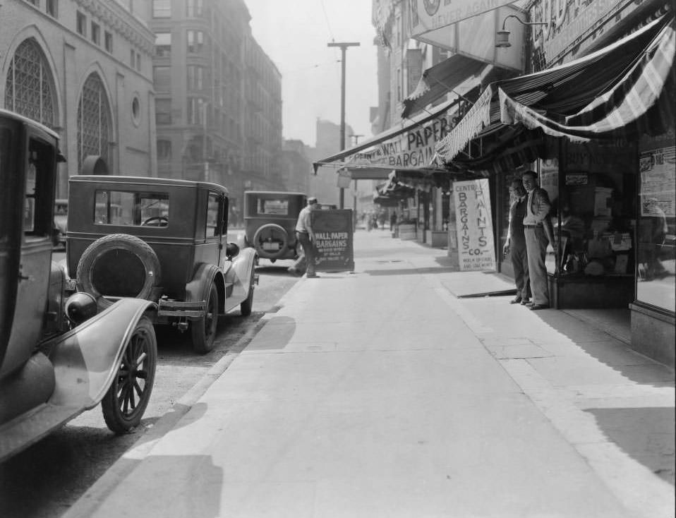
Washington Ave., 2100 block of, 1925

The Caradine Hat Co. was located at 2128 Washington Ave. On the right is the Shaughnessy Building at the northwest corner of Washington Ave. and North 22nd Street.
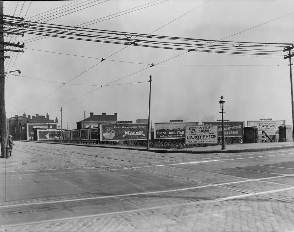
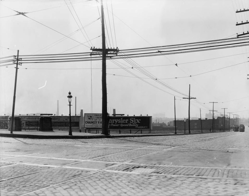
Market Street at Grand Ave, 1925

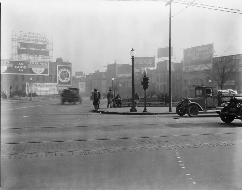
View of the southeast corner of Market Street at the intersection with Grand Ave. The Grand Ave. bridge is off to the right. A woman stands near a fire hydrant. Numerous billboards are posted, including advertising for The Moler System of Colleges, The St. Louis Star newspaper, Chauncey P. Heath Real Estate, and Murphy’s luggage.
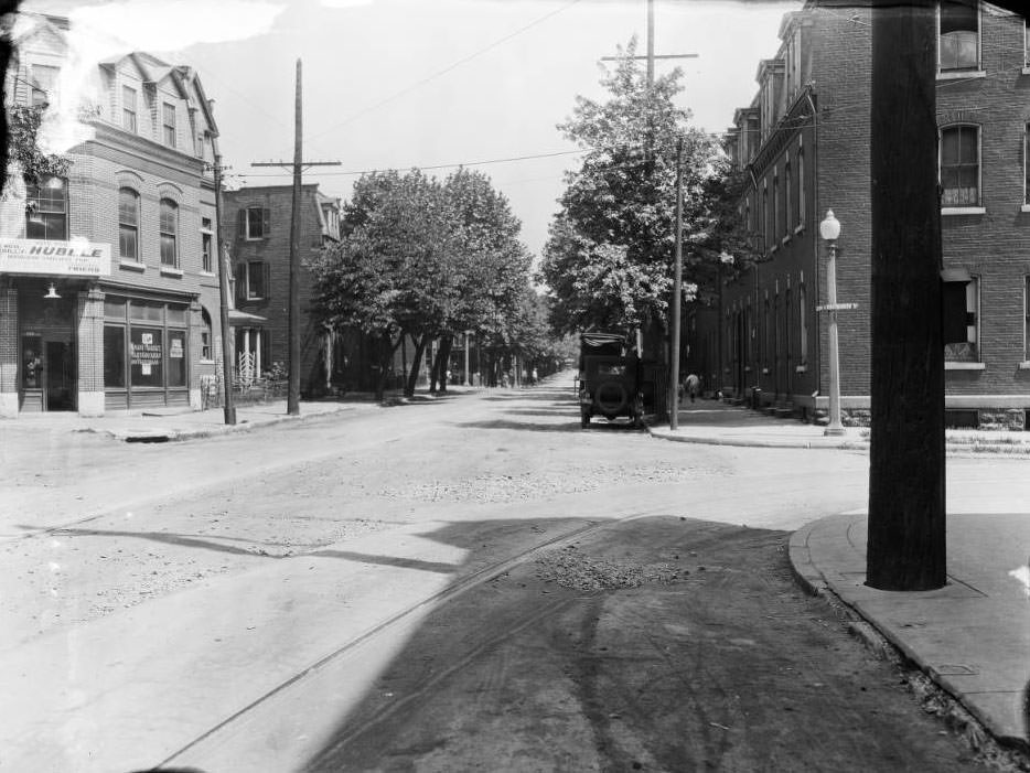
Looking north down Lemp Ave. at Crittenden Street in the Benton Park neighborhood, 1925
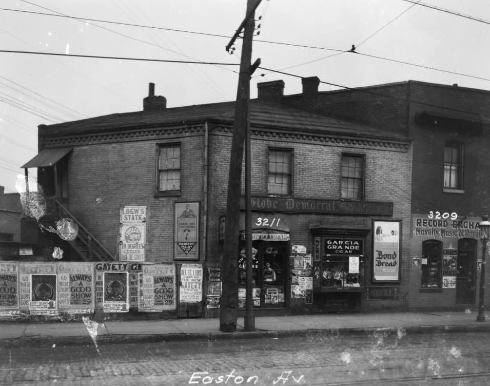
3209 - 3211 Easton, 1925
3209 – 3211 Easton, 1925
View east from 12th Street & Market, 1925

The building at front left is the rear of the old (second) City Hall building at 11th and Market. It is currently where the Civil Courts building, built in 1928, now stands. Further east, the Annex Hotel is at 6th Street and Market.
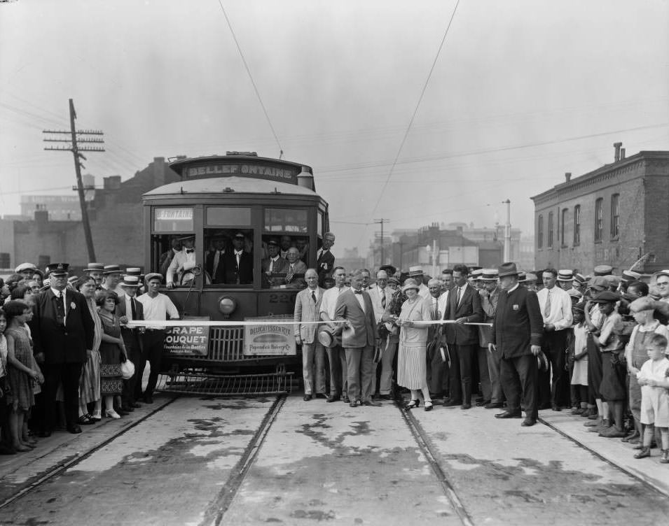
Bellefontaine Street Car ribbon cutting, 1925
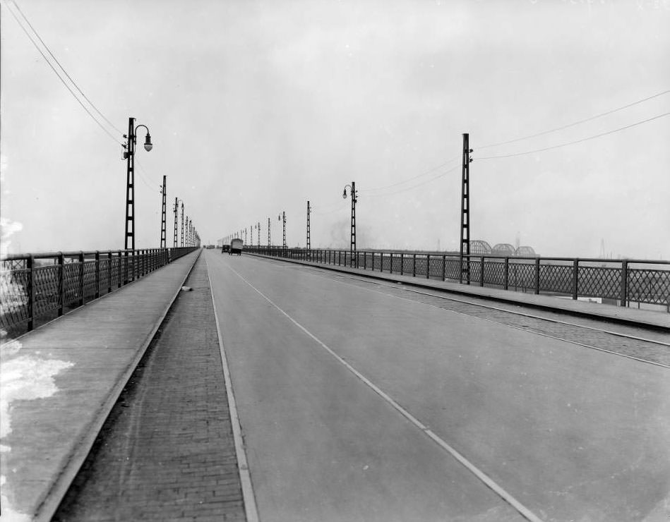
View of the approach to the MacArthur bridge (also known as the Municipal Bridge or Free Bridge from the west, 1925
Looking south from in front of 1109 North 11th Street, looking towards Carr Street, 1925

The 5-story building at left is the Standard Heel & Counter Co. at the southeast corner of North 11th Street and Carr Street.
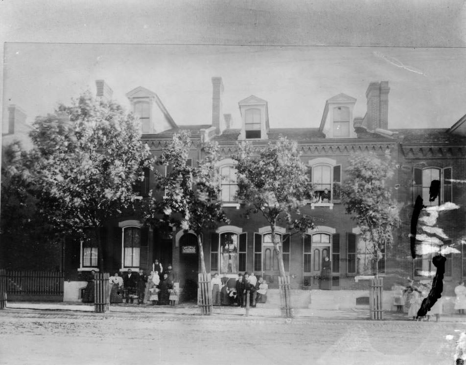
Doctress L. Svoboda Greer, 1925
Looking east down Chouteau at Vandeventer, 1925

A streetcar is at center. In the left center background, the St. Louis Independent Packing Company at 3857 is visible. The Abram Dyeing & Cleaning Co. at 3959 Chouteau is seen on the left. Lemen0226 and Lemen0230 are the same location looking west.
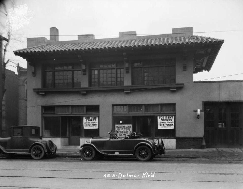
Delmar between Bayard and Euclid, 1925
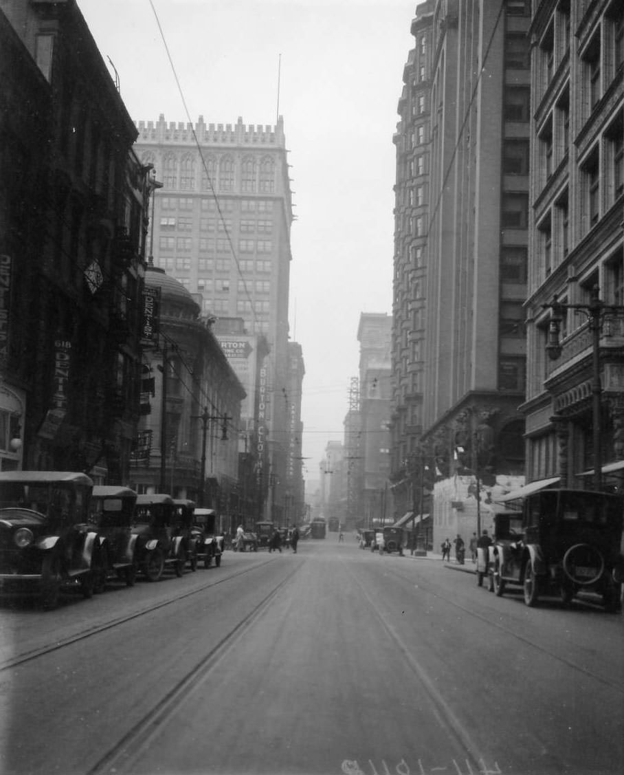
Looking west on Olive Street from just east of the intersection at North 7th Street downtown. 618 Olive Street shows a sign for a dentist office, 1925

A second dentist sign is seen at 224 North 7th Street, which is the corner of North 7th Street and Olive Street. Burton Clothing Co. was at 720 Olive Street. The 12-story Arcade Building at the southwest corner of Olive Street and North 8th Street is behind it. On the right is the Railway Exchange Building at the northeast corner of Olive Street and North 7th Street. Next is the Central National Bank Building (Union Trust Building) at the northwest corner of Olive Street and North 7th Street, and then the Chemical Building (with the bay windows) at the northeast corner of Olive Street and North 8th Street.
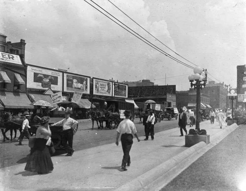
View of Market street looking north east toward Twelfth, 1925
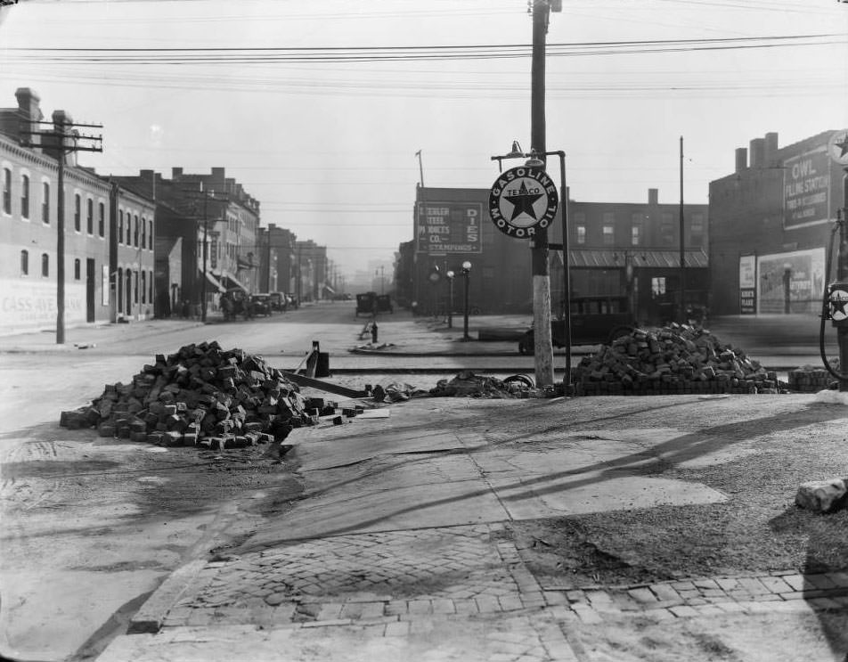
South view down Thirteenth Street at Cass Ave. Beehler Steel Products Co. was at 1439 North 13th Street, 1925
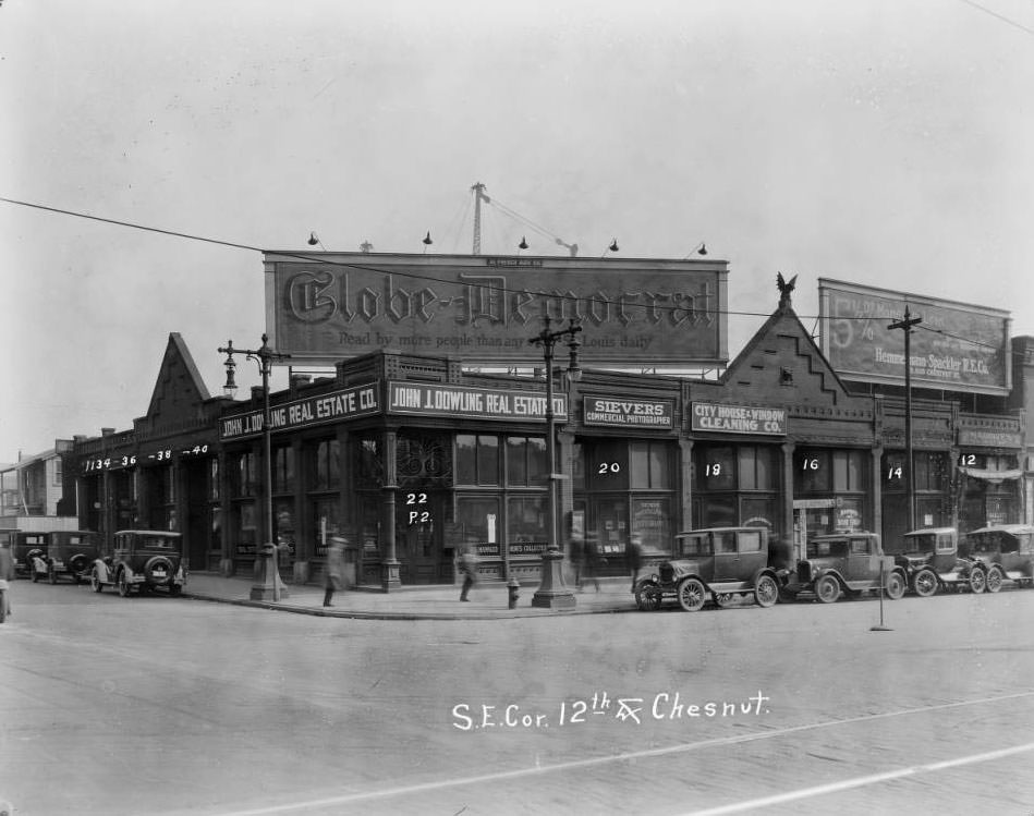
South East corner Twelfth and Chestnut, 1925
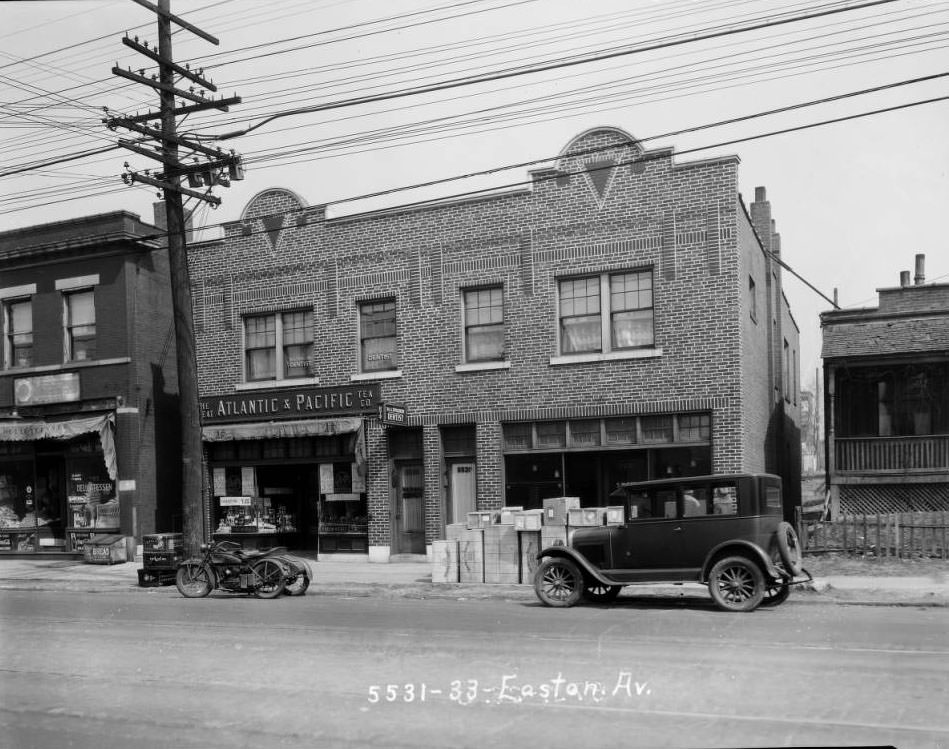
View from the street of the building that once housed The Great Atlantic & Pacific Tea Company (A&P) and the office of Dentist, Dr. Avner N. Spielberg, 1925
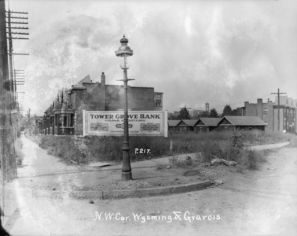
View of the southwest corner of Gravois and Wyoming in the Tower Grove East neighborhood. St. Pius V Catholic Church is visible in the distance, 1925
North Taylor Ave., 1400 block of, 1925

Looking north from in front of 1414 North Taylor Ave., just north of the intersection of North Taylor Ave. and Evans Ave.
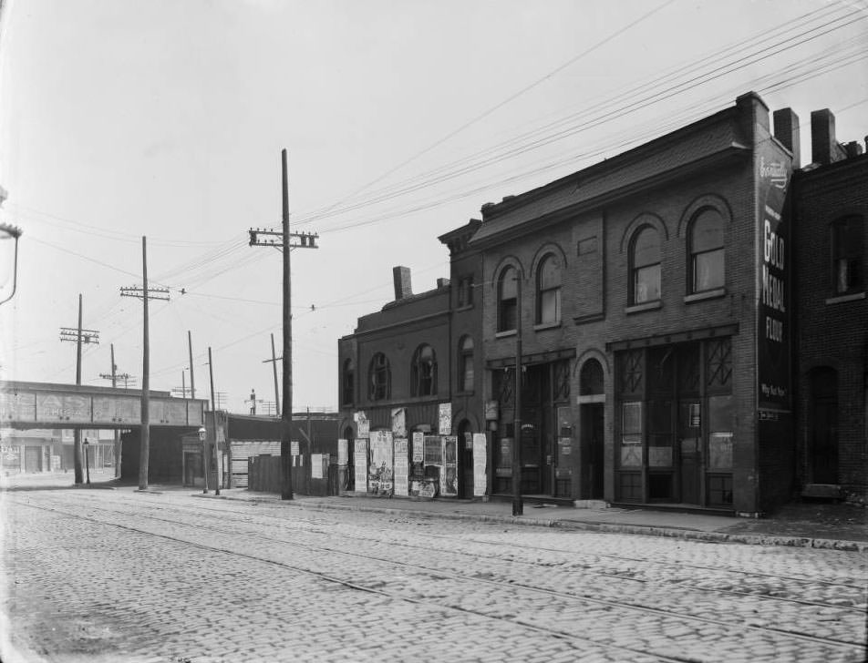
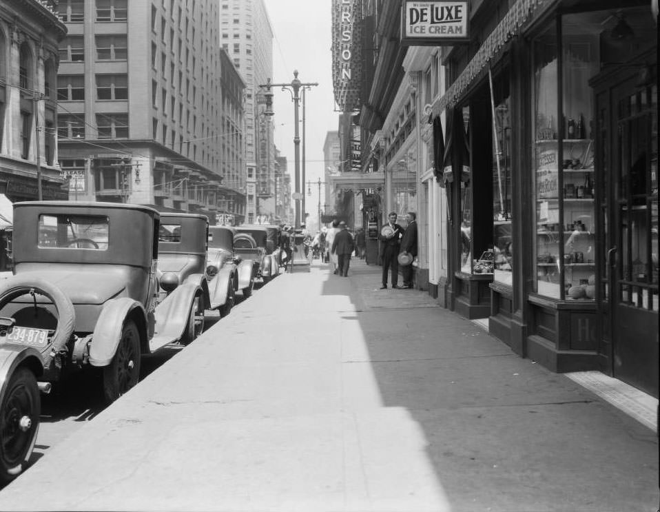
View of the intersection of South Vandeventer Ave. and the Wabash and Rock Island Railroad, 1925
200 block of North 7th, 1925

View looking north on the 200 block of North Seventh toward Olive at several businesses. Left: Charles P. Stanley Cigar Co., Central National Bank Building, Ambassador Building, Busy Bee Candy. Right: L. Payuk Delicatessen, Peterson Billiards.
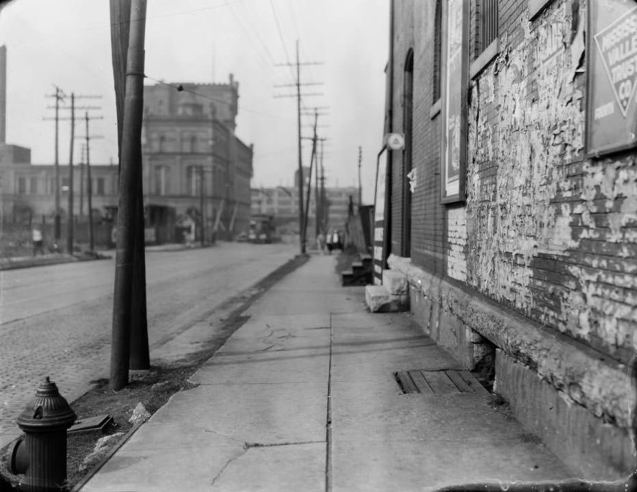
Sarah Ave. at Clayton Ave., 1925

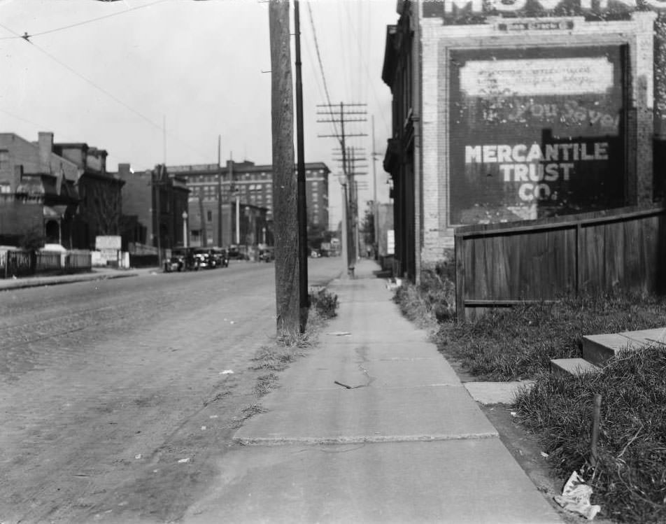
Looking north on Sarah Ave. at Clayton Ave. The buildings at left center, just past the railroad crossing, were part of the Empire Brewing Co., and were later used by U.S. Steel Supply Co. The brewery closed in 1918. On a brick wall in the foreground, several advertisements are visible, including one for the Mississippi Valley Trust Company. Remnants of earlier advertisements cover the wall. A telephone marker bearing the logo of Southwestern Bell protrudes from the wall near a doorway.
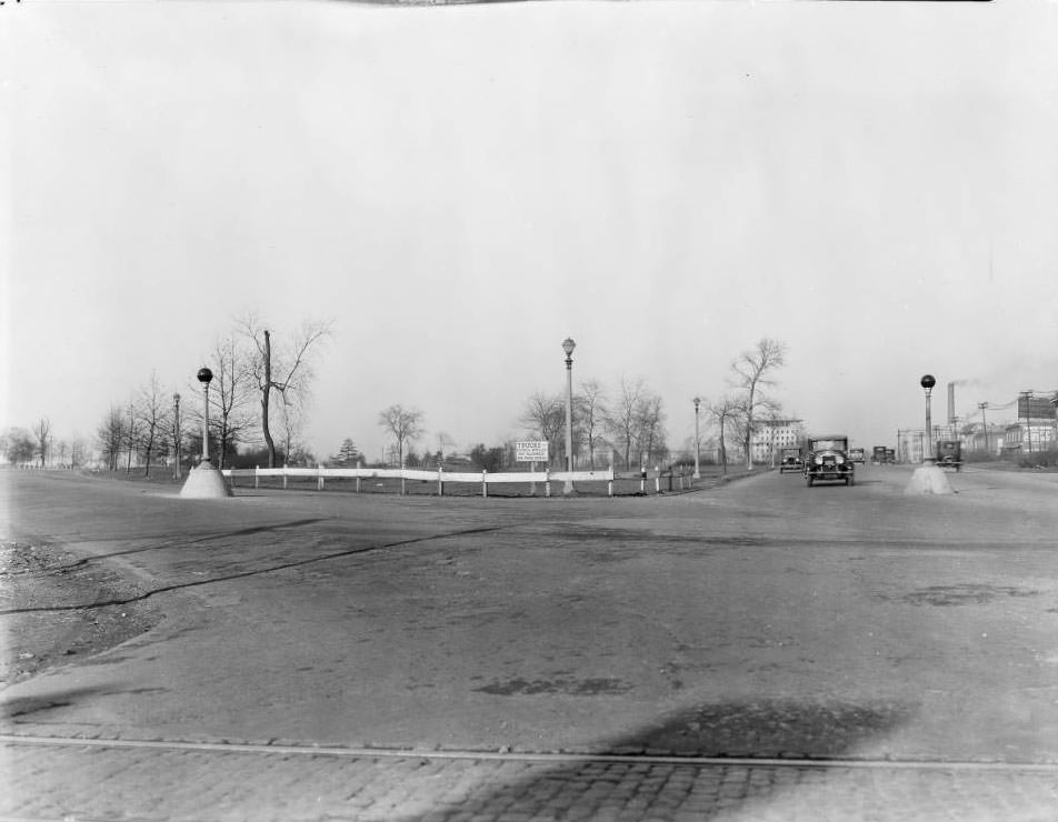
Kingshighway Blvd. at Oakland Ave., 1925

Forest Park is at center. The eight-story building at right center is the St. Louis Maternity Hospital.
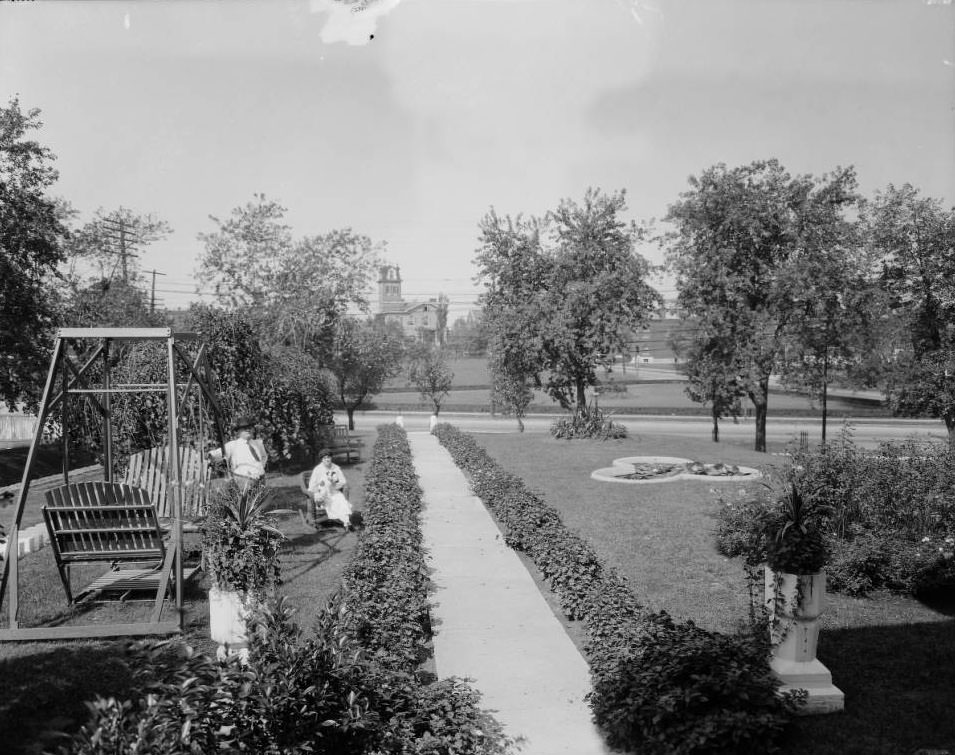
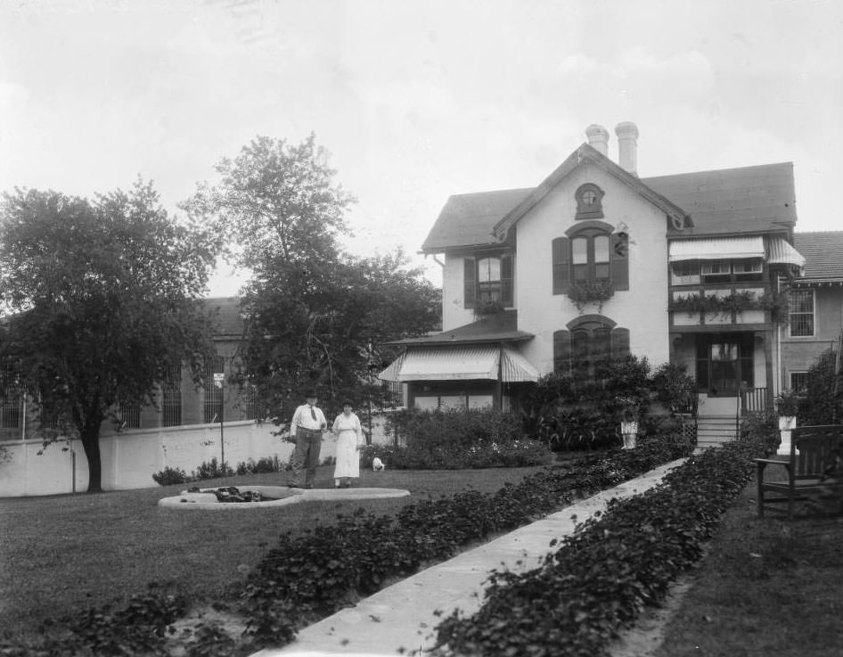
Superintendent's residence, St. Louis City Workhouse, 1925
Superintendent’s residence, St. Louis City Workhouse, 1925

View of the front yard at the Superintendent’s residence of the St. Louis City Workhouse at the southeast corner of S. Broadway and Meramec Street. A woman sits with a small dog and a man stands near a double-seated glider. Lemen0232, Lemen0233, and Lemen0234 are related views. The residence at center background with a tower is 2722-2724 Meramec Street.
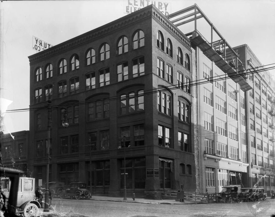
Looking south down North 19th Street at the intersection with Olive Street, 1925

The Century Electric Company at 1827 Pine Street, the building at far right, took over the northern half of this block extending to Olive Street.
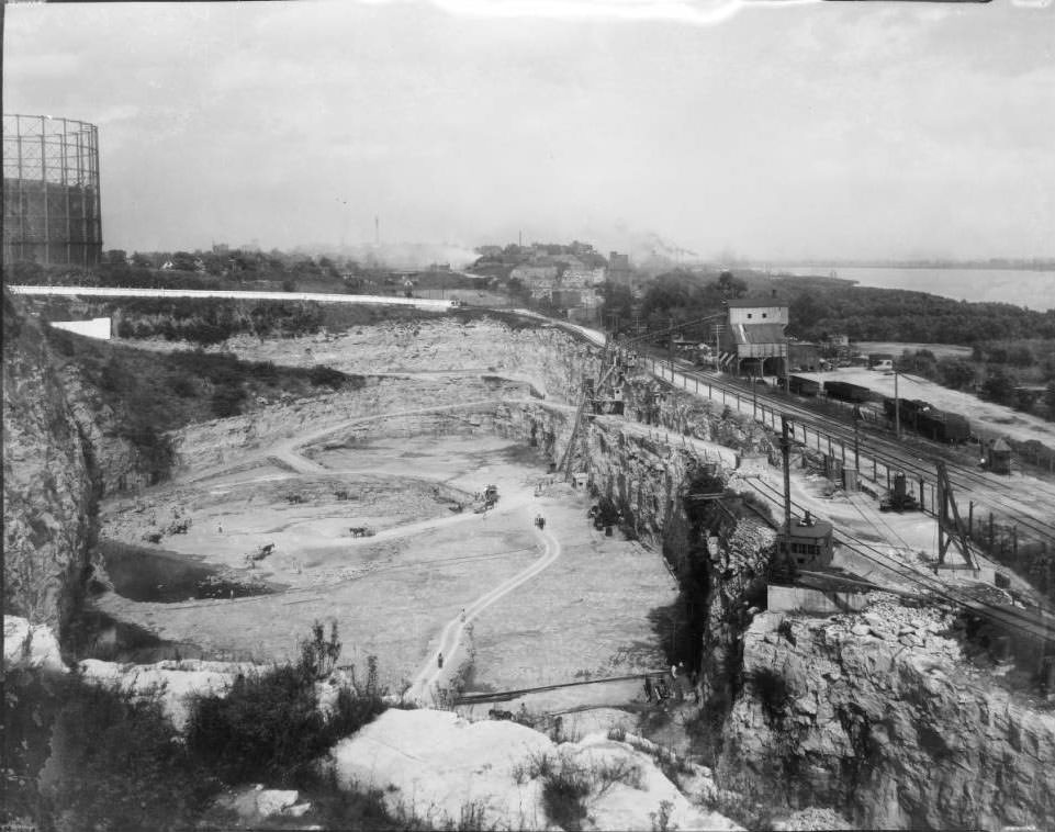
View northeast overlooking the stone quarry of the St. Louis City Workhouse at SE corner of South Broadway & Meramec Street, 1925
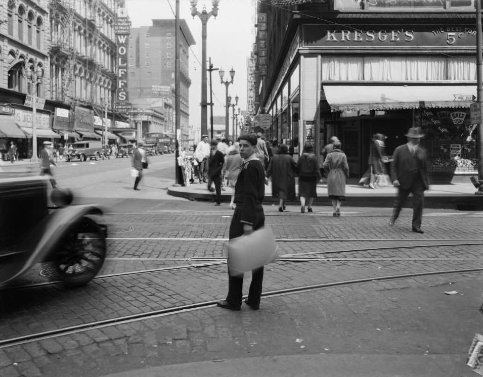
View of a young man crossing Sixth street at Washington. Kresge's is across the street, 1925
View of a young man crossing Sixth street at Washington. Kresge’s is across the street, 1925
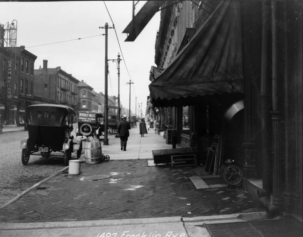
View of the 1400 block of Franklin from 1407, 1925
This is the view looking east at Connecticut Street at the intersection with South Spring Ave., 1925
Grand Blvd. at Washington Blvd., 1925
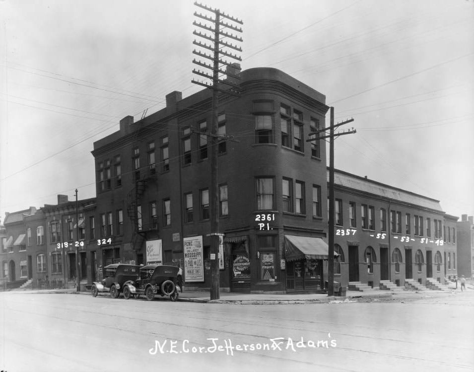
Adams and Jefferson, 1925

View of the buildings that included 318, 320, and 324 Jefferson and 2351, 2353, 2355, 2357, and 2361 Adams. At the time of the photograph, Drosky Brothers Grocery and Meat Market operated on the first floor of the corner building at 2361 Adams. This surrounding area is now part of I-64. From resource: Northeast corner of Jefferson and Adams.
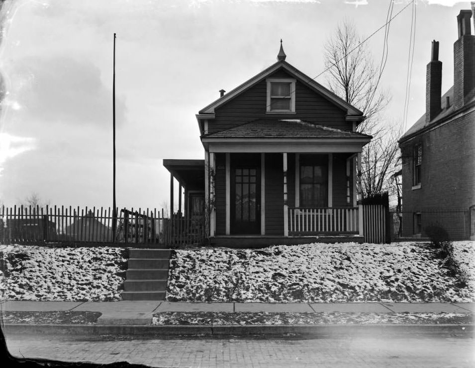
Schiller Place, 4200 block of, 1925

This is the 4200 block of Schiller Place near Morganford Rd. in the Bevo Mill neighborhood. The residence is 4248 Schiller Place.
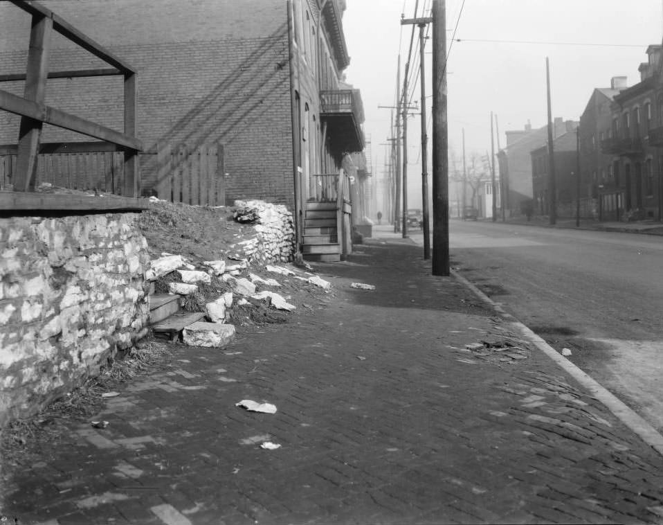
The view north down North 9th Street from in front of the vacant lot at 1407 North 9th Street, looking towards Cass Ave, 1925
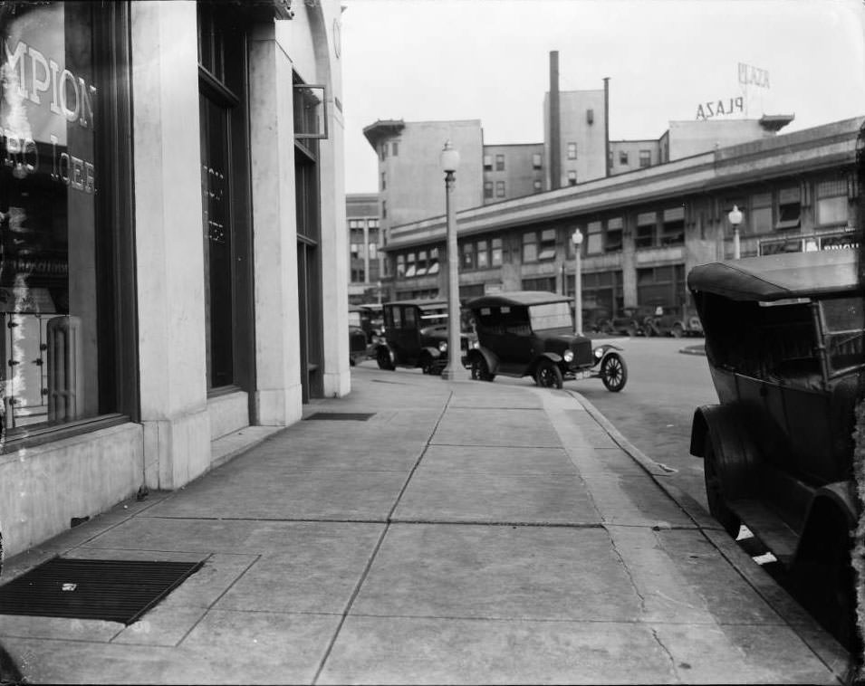
Looking east from the intersection of Olive Blvd and Channing Street. Channing does not exist anymore at this location. Now it is referred to as the Greenway Trail.

The New Plaza Hotel is the current Drake Plaza Apartments at the intersection of Olive Blvd and Leonard Street. The diagonal building at right center is also still standing.
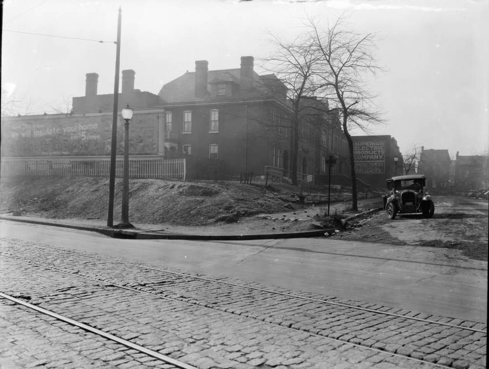
Looking west from the intersection of Twelfth Street and Morrison Ave, 1925

The Superior Electric Products Company was at the southeast corner of Thirteenth Street and Morrison Ave.
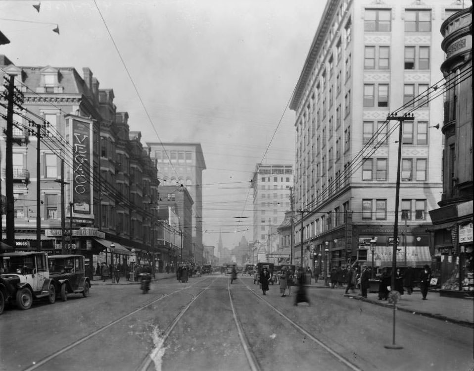
Grand and Olive looking north, 1925

Left: Beers Hotel, Midway Theater (525). Right: Metropolitan Building, includes Metropolitan Bowling Alley, Third Baptist Church, Missouri Theatre.
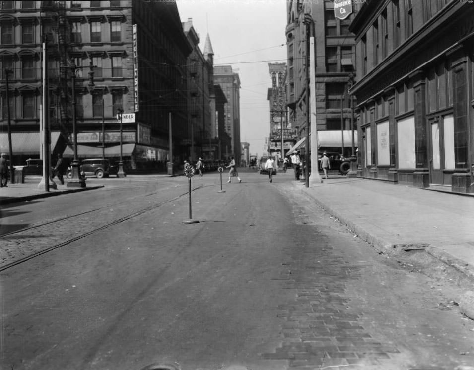
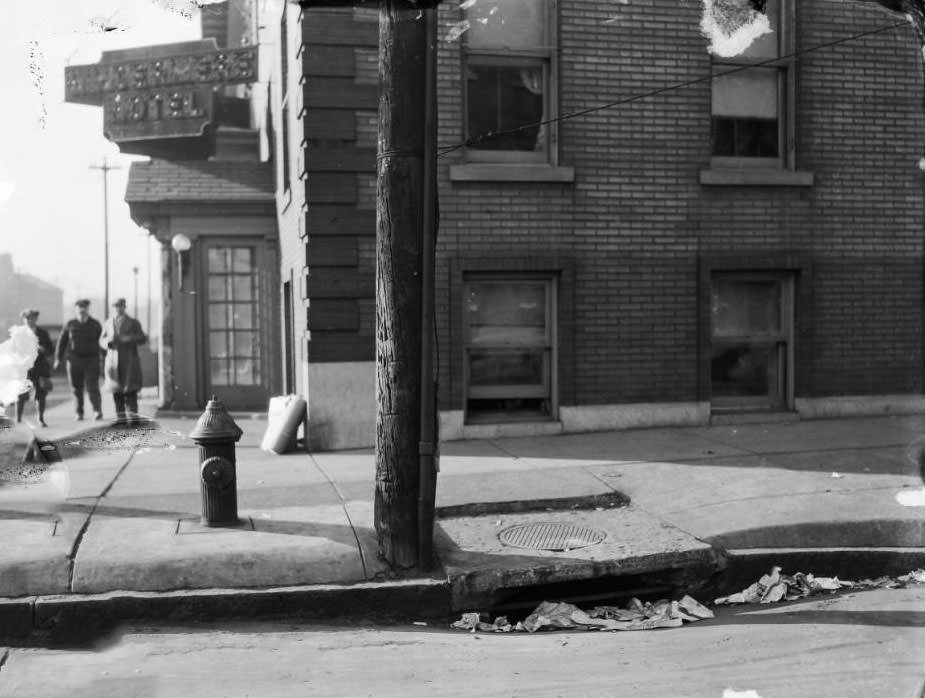
Chestnut and Broadway looking west, 1925
The northwest corner of Clara Ave. & Delmar Blvd. The Windermere Hotel was located at 5603 Delmar Blvd., 1925
N. 20th St. at E. Gano Ave., 1925

Looking north down North 20th Street near East Gano Ave. in the College Hill neighborhood. The church at center is Our Lady of Perpetual Help at the northwest corner of East Linton Ave. and North 20th Street. The building at far left, behind the planter, is 4823 North 20th Street. The buildings at near far right, next to the fence, are 4814 and 4816 North 20th Street, which are still standing.
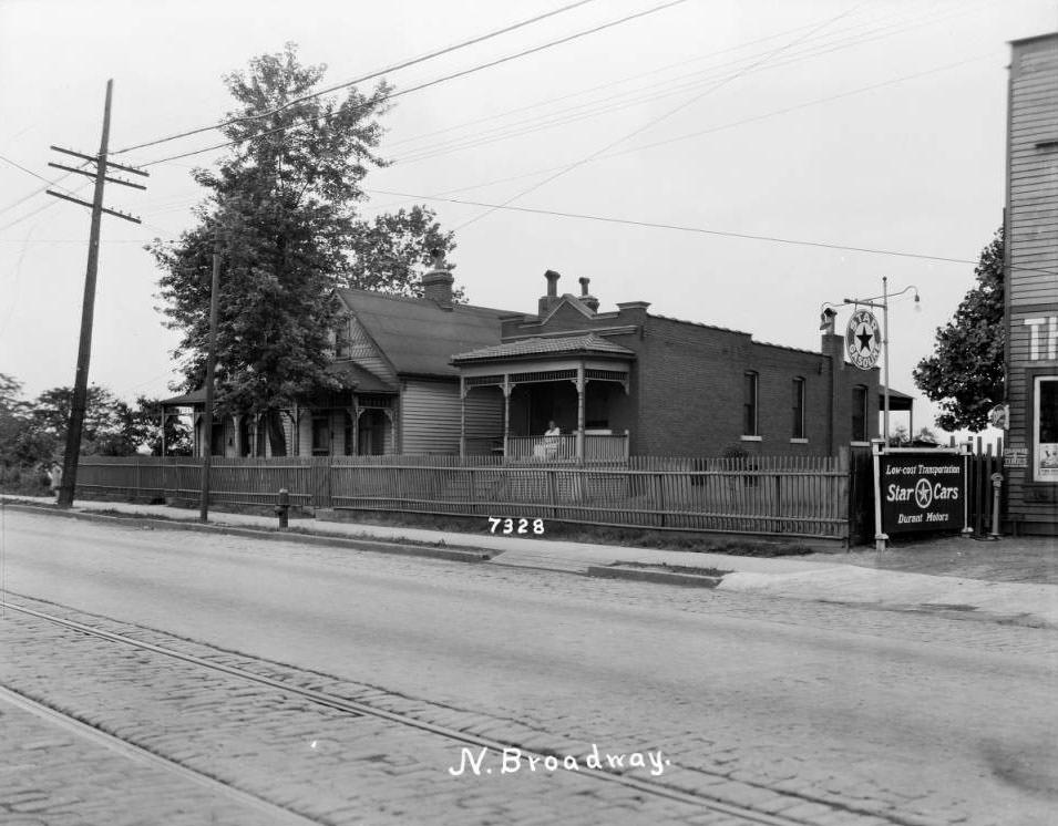
North Broadway near Aurora, 1925

View of a row of houses on the east side of North Broadway near George Theone’s auto repair business at 7320 North Broadway. Bellefontaine Cemetery would have been on the other side of the street. From resource: 7328 North Broadway.
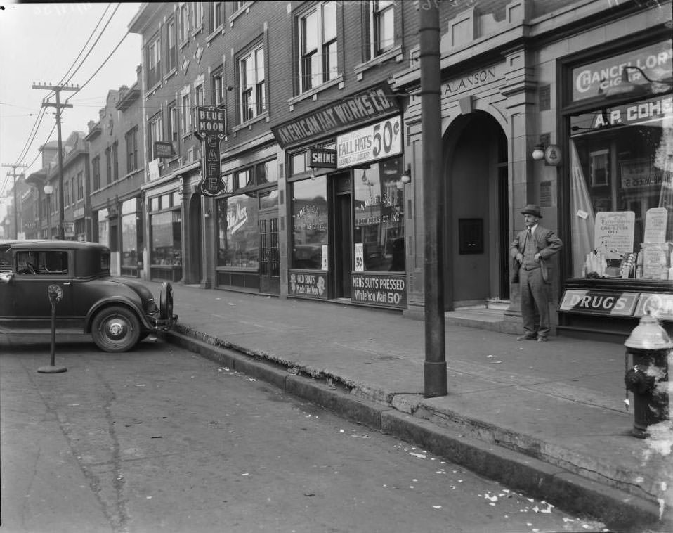
Alanson Building on 5800 block of Delmar, 1925

View of the Alanson Building on the south side of the 5800 block of Delmar Boulevard. A man stands in front of A. P. Cohen Drug Company at 5898 Delmar. American Hat Works Company at 5894 and Blue Moon Restaurant at 5892 are also in view.
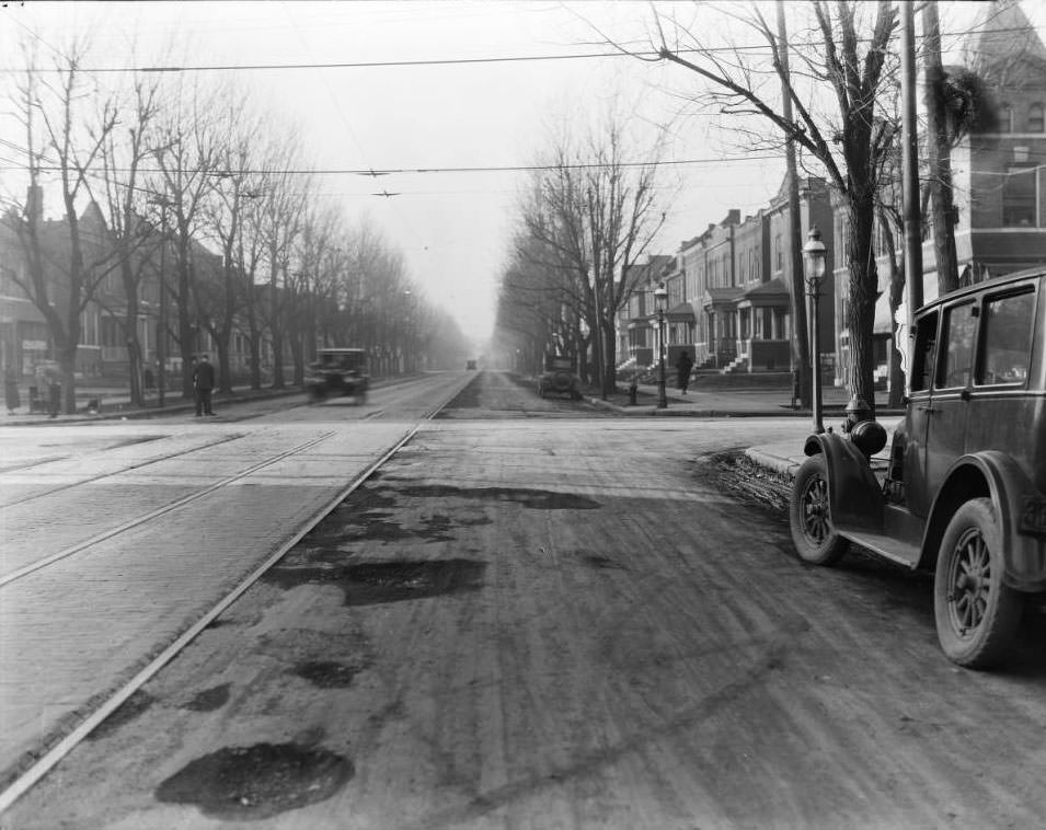
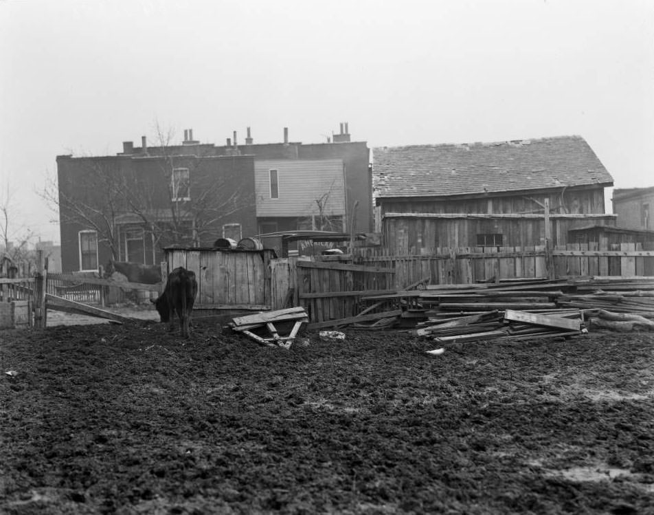
St. Louis Ave. at N. Sarah St., 1925
View of a cow grazing in muddy yard, 1925
View of billboards and streetcars looking west down Market Street at the intersection with Grand Ave., 1925

The Grand Ave. bridge, with the ornate wrought iron fencing, is off to the left. The gasometers at the northwest corner of Chouteau Ave. and Newstead are visible at right center distance.
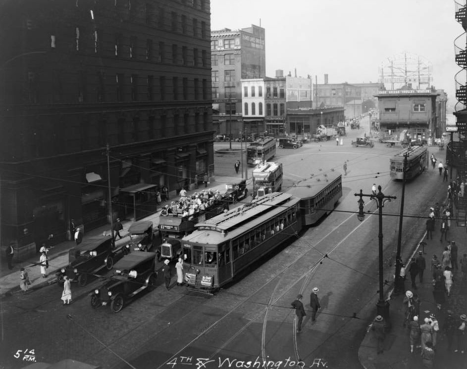
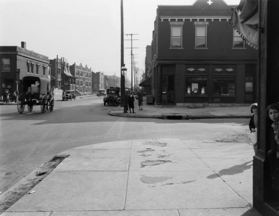
Looking east toward Eads Bridge Trolley Station at Third and Washington, 1925
Looking south on Goodfellow Blvd. at the intersection with Cote Brilliante Ave. in the Wells-Goodfellow neighborhood, 1925
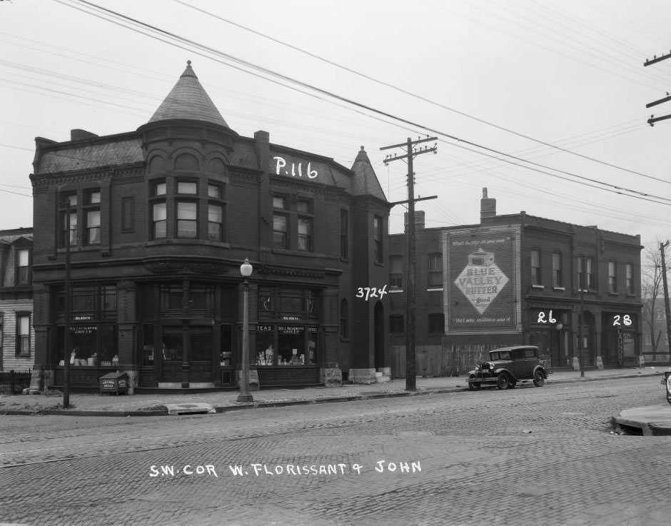
West Florissant and John, 1925

View of the buildings that stood at 3724, 3726, and 3728 West Florissant. The businesses included George Heckemeyer Grocery and Joe Lee Laundry in 1930.
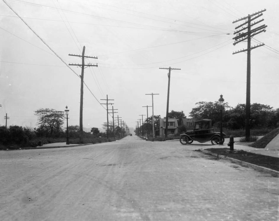
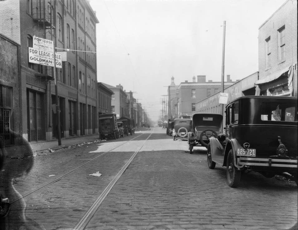
Clayton Ave. at W. Billon (Hampton) Ave., 1925
Franklin & Washington, 1925
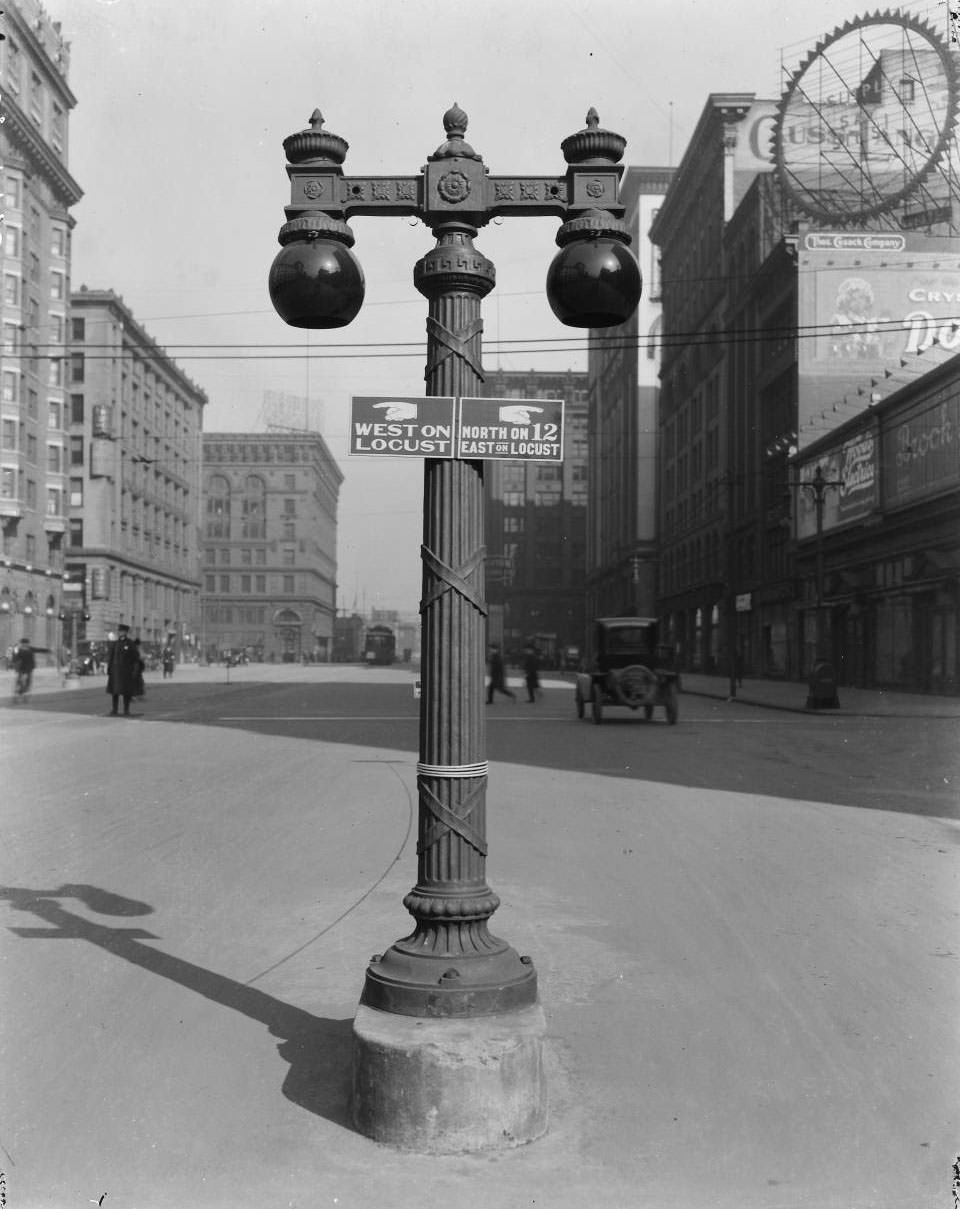
Traffic signal at 12th, 1925

Facing north of a traffic signal in the middle of 12th Street (Tucker) at Locust, looking north. Buildings visible in the photograph include Hotel Jefferson, Silk Exchange Building, and Ferguson-McKinley Dry Goods.
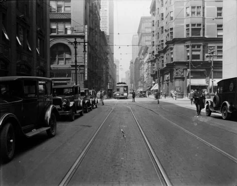
Locust east from Broadway, 1925
Looking north on Arkansas Avenue from Magnolia in the Tower Grove East neighborhood, 1925
1800 block of Division, 1925
Grand north from West Pine and Lawton, 1925
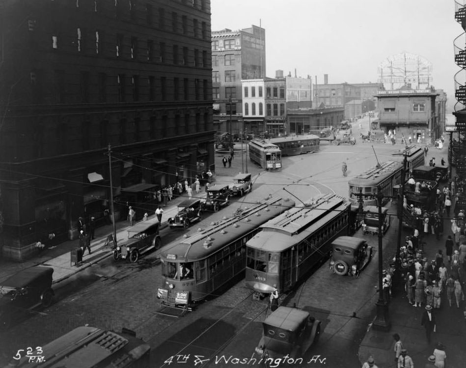
Fourth and Washington, 1925

Looking east toward Eads Bridge Trolley Station at Third and Washington. Shapleigh Hardware is on the left. Trolleys and autobuses are visible.
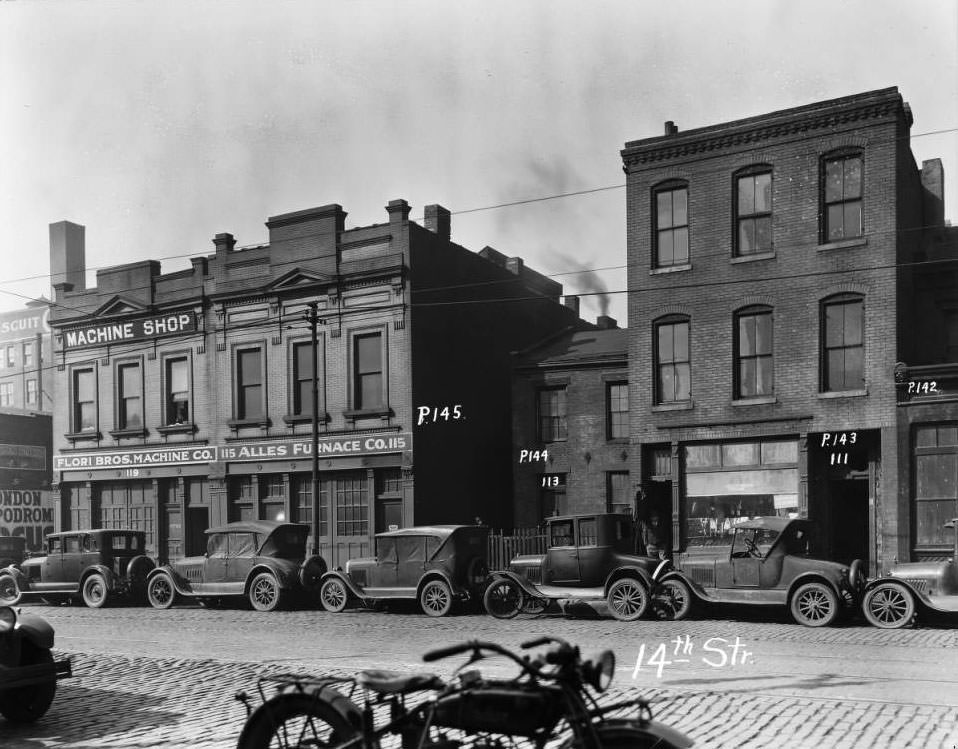
View of the buildings whose addresses were 111, 113, 115, 119 14th Street and cars parked in front, 1925

Jake Feinberg Tailor is at 111, Henry C. Alles Furnace Company at 115, and Flori Brothers Machine Company at 119. From resource: 14th Street.
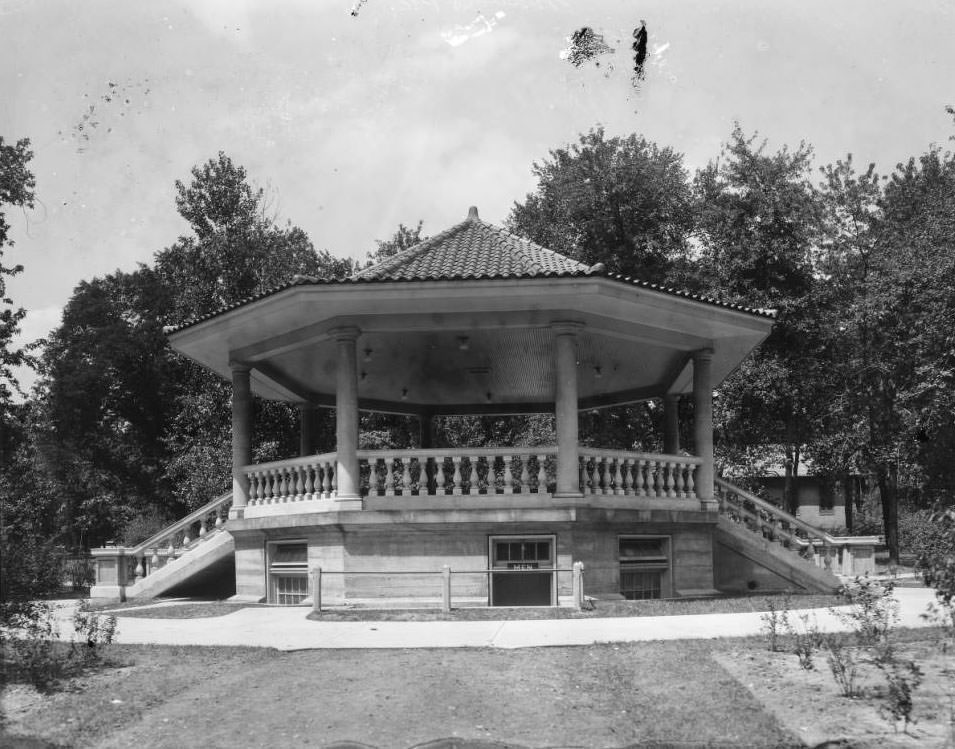
Gravois Park Pavilion in the Gravois Park neighborhood just south of the Cherokee Street district in south St. Louis, 1925

The park is bounded by Louisiana on the west, S. Compton on the east, Potomac on the north, and Miami on the south side. This photograph of the Gravois Park Pavilion appears on page 23 of the Annual Report of the Division of Parks and Recreation, Department of Public Welfare, City of St. Louis, ending fiscal year April 1925. City Ordinance 33140 authorized $8,500 of the 1924 Bond Issue for construction. The pavilion includes a bandstand and lower-level comfort station and was constructed by the Construction Division of the Division of Parks and Recreation. It was designed by H. E. George, an architect for the City of St. Louis.
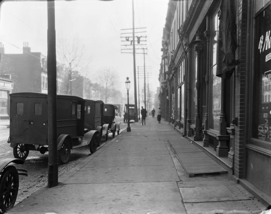
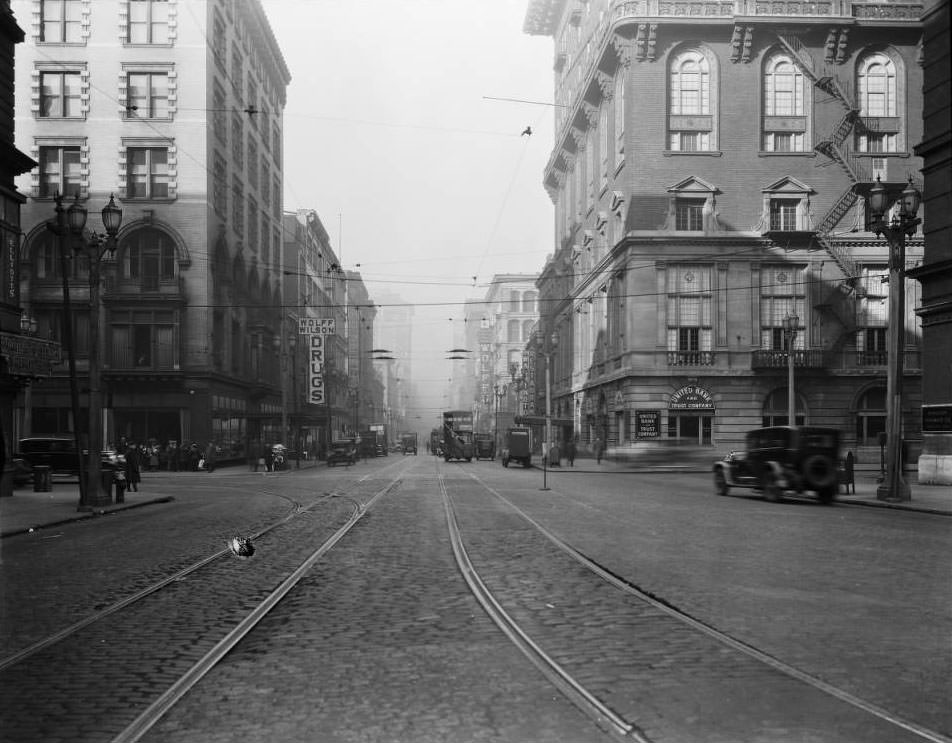
South 11th Street, 1500 block of, 1925
Washington west from Fourth, 1925
S. Vandeventer, 1200 block, 1925
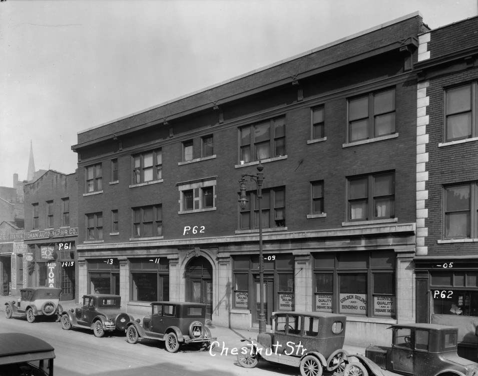
Chestnut near 14th, 1925

View of the buildings and businesses that once stood on the north side of the 1400 block of Chestnut, which is now green space. Golden Ruling and Binding Company was at 1409, Capewell Horse and Nail Company at 1413, and Toman Auto Repair Company was at 1415 Chestnut at the time this photograph was taken.
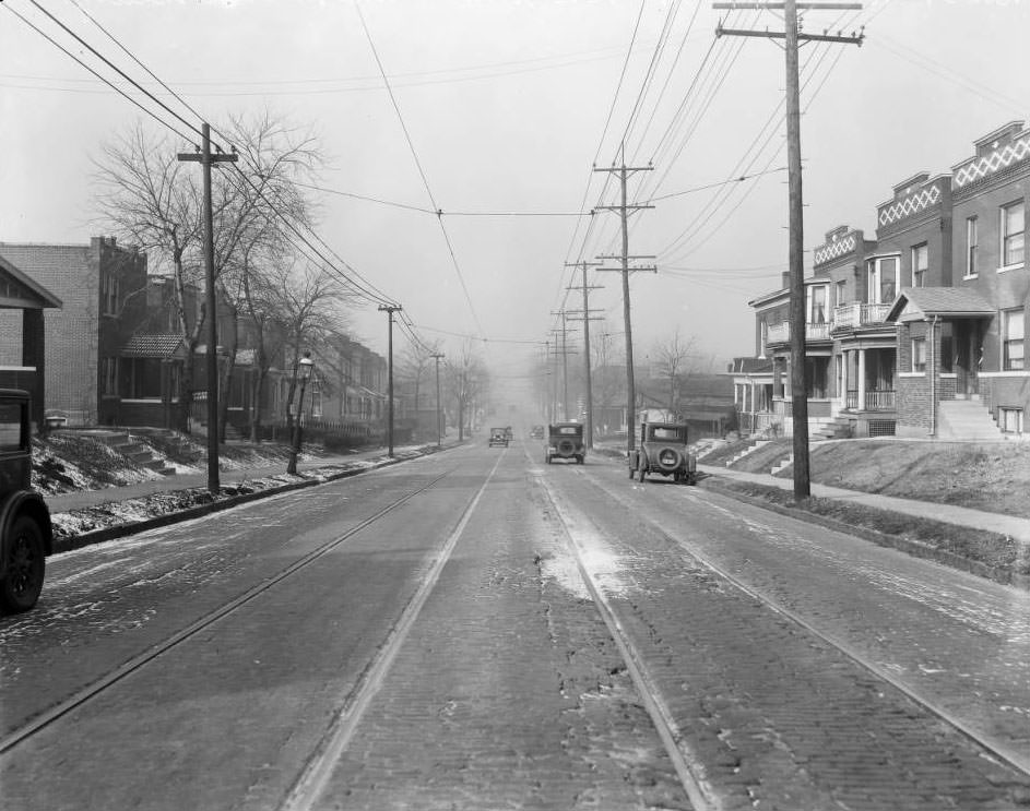
St. Louis Ave., 4500 block of, 1925

View to the northwest from the 4500 block of St. Louis Avenue. The three brick dwelling buildings on the right with the diamond-brick pattern are at 4557, 4559, and 4561 St. Louis Ave. The intersection down the block is Cora Avenue.
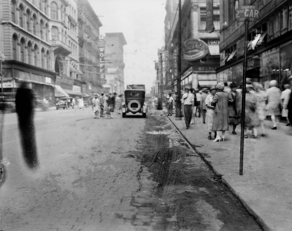
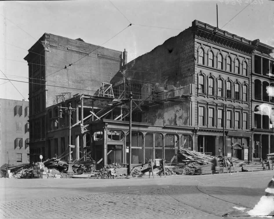
Washington Avenue, looking east from Sixth, 1925
A building demolition south east corner of Fourth & Chestnut, 1925
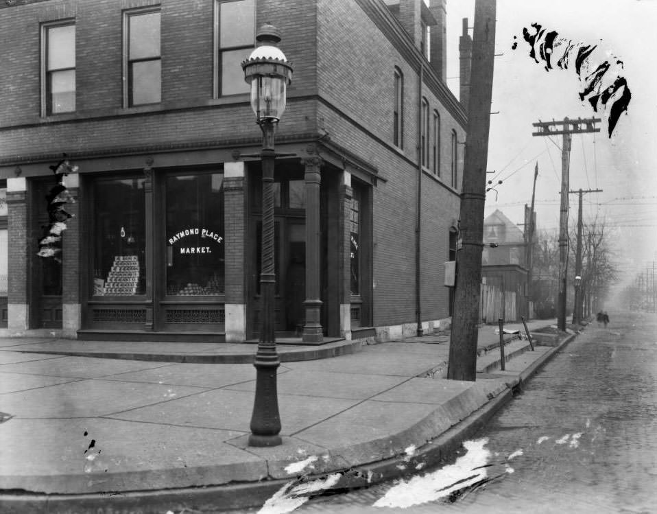
View south down Academy Ave., showing the Raymond Place Market at the southeast corner of Page Blvd. and Academy Ave, 1925
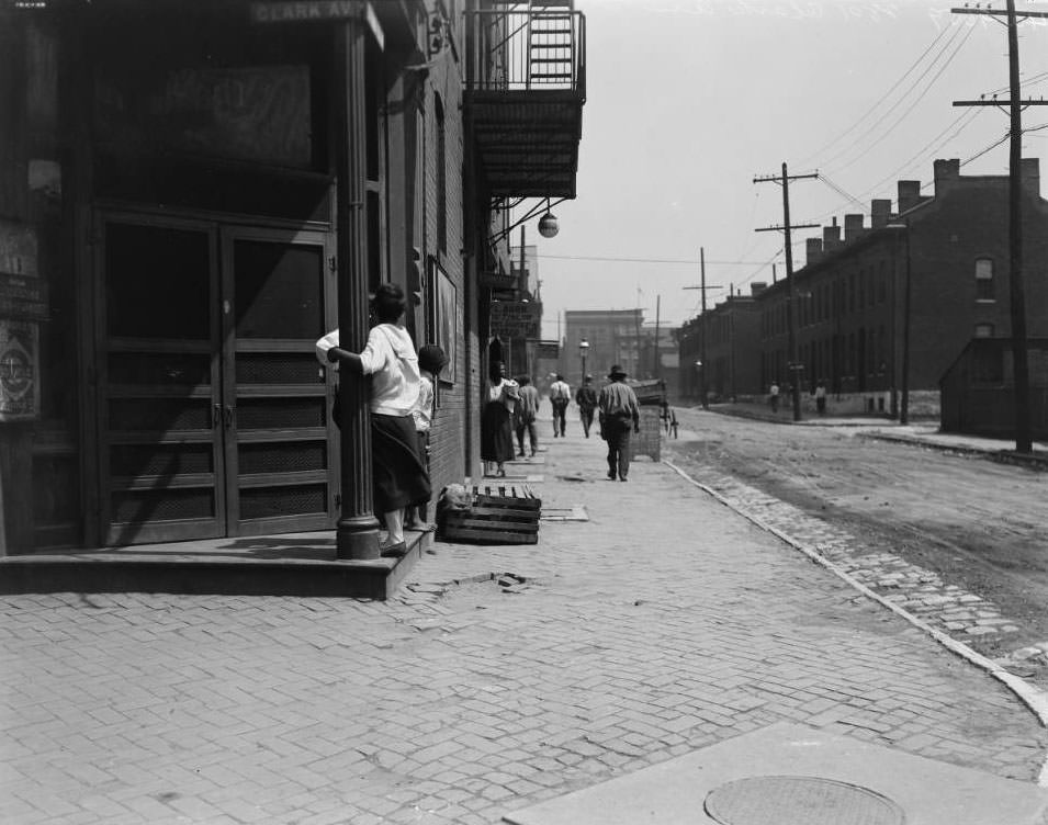
View looking North down Leffingwell from the drug store on the corner of Clark that had been occupied at one time by Lewis Caldwell, 1925
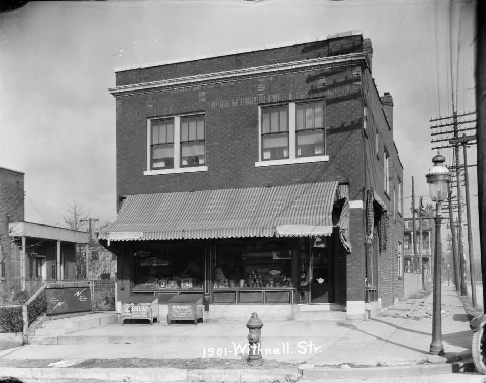
View of a grocery at Withnell and Lemp in the Benton Park neighborhood, 1925
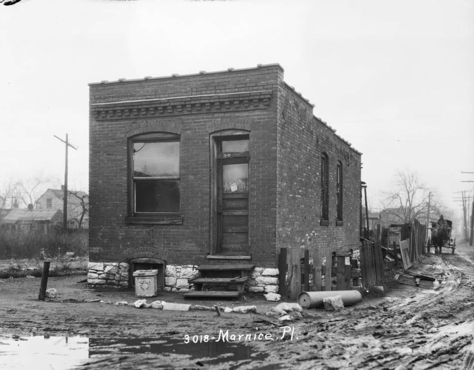
View of a one-story brick dwelling next to a muddy lane in the Ville neighborhood, 1925
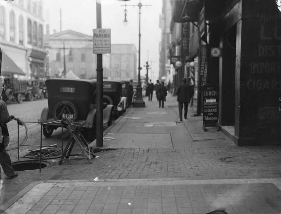
Looking east down the south sidewalk of Market Street, towards the intersection with Broadway (Fifth Street), 1925

The building at far left, with the arched windows, is the Allen Building at the northwest corner of Broadway and Market Street. The building behind that, at left center, is the Old Courthouse. The building behind the Old Courthouse, at center, is the Merrell Drug Co. building at the northeast corner of Market and Fourth Street. In the left foreground, a man is holding cable near an open manhole.
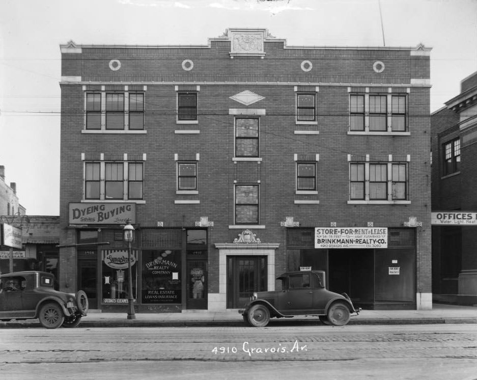
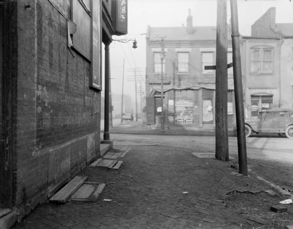
View of three-story structure on the 4900 block of Gravois. Lungstras Dyeing & Cleaning was located at 4908 and Brinkmann Realty Company at 4910 Gravois, 1925
View of storefronts on Biddle Street, possibly at the intersection of Biddle and 15th Street, 1925
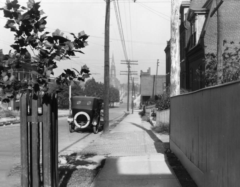
View looking West on Utah Street between Arkansas Avenue and Grand, 1925
Looking north on Oregon Ave. at the intersection with Meramec Street in the Dutchtown neighborhood of south St. Louis. George Ehrhard's Shoe Repair, at 4207 Oregon Ave., 1925
Looking north on Oregon Ave. at the intersection with Meramec Street in the Dutchtown neighborhood of south St. Louis. George Ehrhard’s Shoe Repair, at 4207 Oregon Ave., 1925
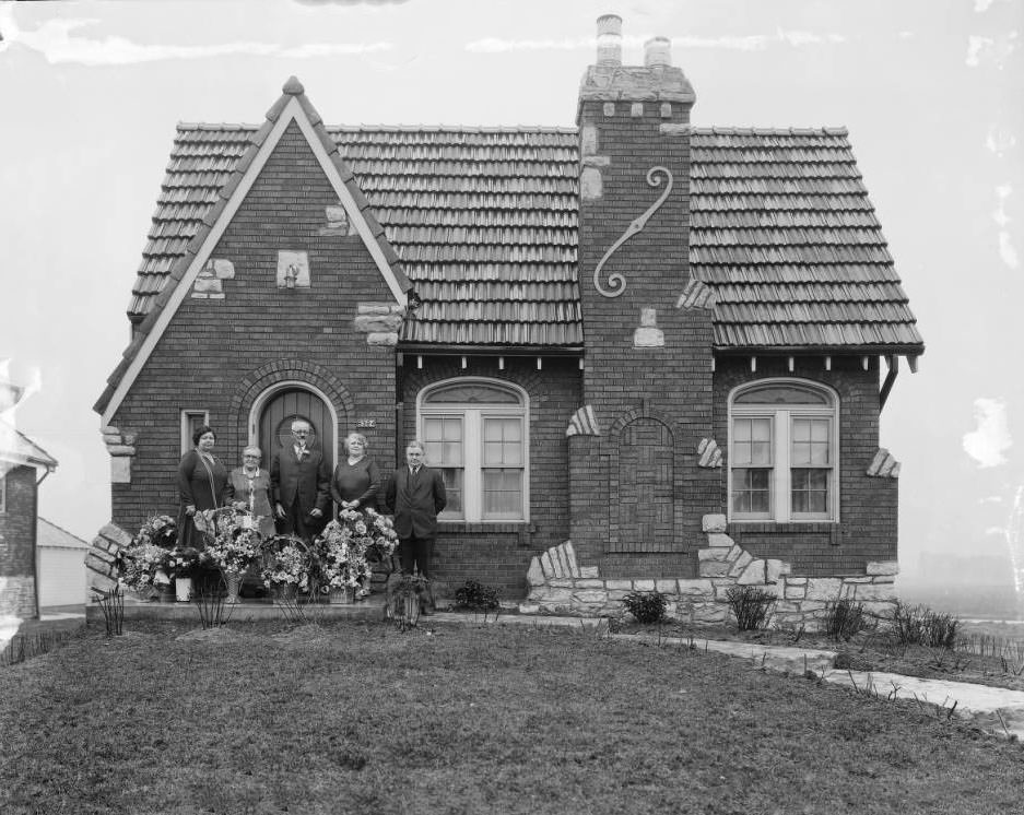
View of a group of five people - three women and two men - standing at the door in front of 6324 Mardel, 1925
View of a group of five people – three women and two men – standing at the door in front of 6324 Mardel, 1925
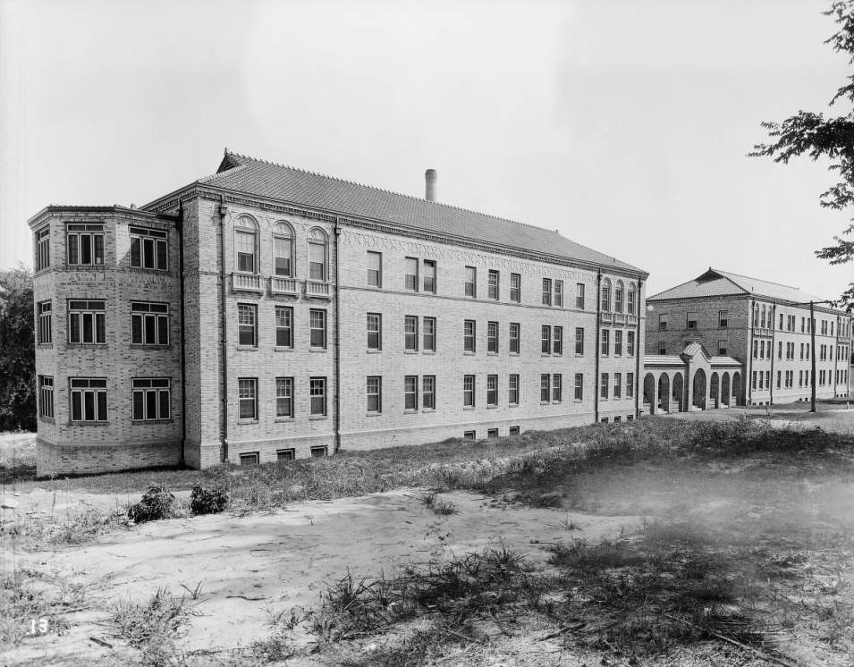
Robert Koch (Quarantine) Hospital employee dormitories, 1925
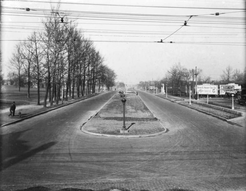
Looking north down Kingshighway Memorial Boulevard from the intersection with Easton Avenue, 1925
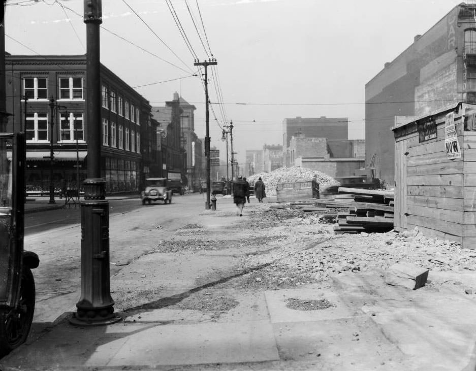
Looking west on Franklin Ave. at the intersection with North Broadway (Fifth Street), 1925

Directly in view is a large brick pile signaling a demolition. The photo was taken in front of approximately 511 Franklin Ave. The 3-story building at left center is at 600 Franklin Ave. Further up the block at left center, the building with the pointed roof is the Globe Store & Office Fixture Co. at 700 Franklin Ave.
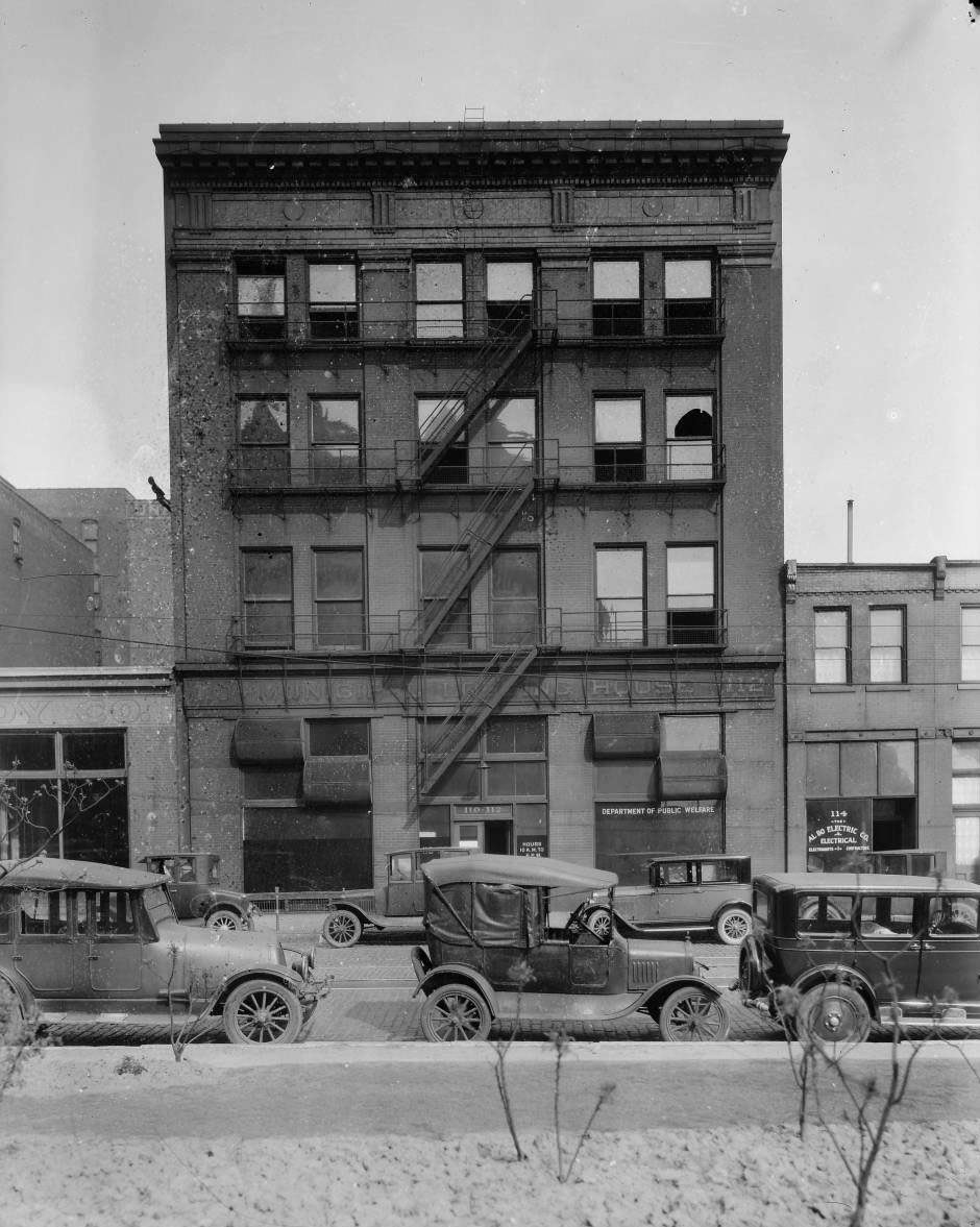
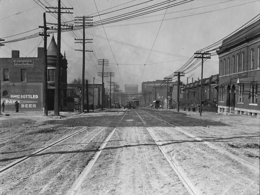
S. 12th Street, 110-112, 1925
Chouteau Ave. west of Spring Ave., 1925

Looking west down Chouteau Ave. from west of South Spring. The St. Louis Independent Packing Co. at right center was located at 3857 Chouteau Ave. The gasometer at center was located at the northwest corner of Chouteau and Newstead.
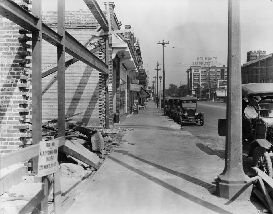
Delmar Blvd. between Goodfellow Blvd. and DeBaliviere Blvd, 1925

The view east down Delmar Blvd., east of the intersection with Goodfellow Blvd. The building with the turret at far right is a transformer station at 5700 Delmar Blvd. The Delmonte Deluxe Theater was located at 5630 Delmar Blvd.
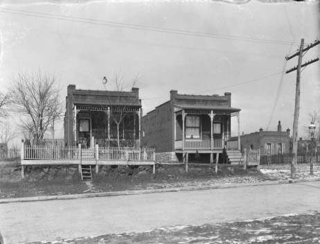
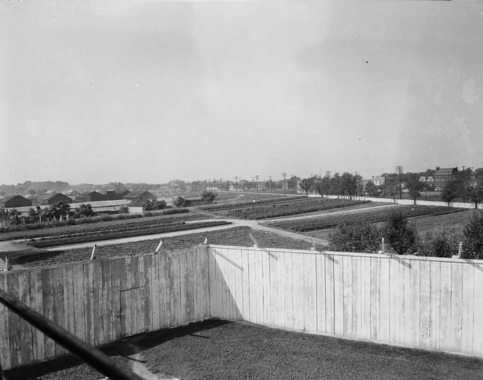
Minnesota Ave. & Eiler St., 1925
South Broadway from Meramec Street, 1925

Looking southwest from the Superintendent’s residence of the St. Louis City Workhouse at the southeast corner of South Broadway and Meramec Street. The view is southwest down South Broadway. The building with the pointed tower at center is the Home of the Friendless at the northwest corner of South Broadway and Dakota Street, later the Charless Home at 4431 South Broadway. The tall building left of that is the Mt. Pleasant School at 4528 Nebraska Ave.
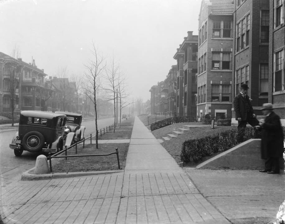
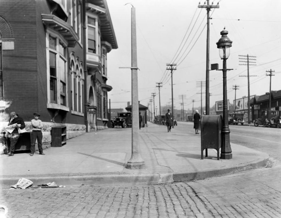
The view north down Blair Ave. from just north of O'Fallon Street, 1925. The building on the left is 1311 Blair Ave. Two men stand at a driveway on the right.
The view north down Blair Ave. from just north of O’Fallon Street, 1925. The building on the left is 1311 Blair Ave. Two men stand at a driveway on the right.
View of a man, woman (and dog) posing on the grounds at the Superintendent's residence of the St. Louis City Workhouse at the SE corner of South Broadway & Meramec Street.
View of a man, woman (and dog) posing on the grounds at the Superintendent’s residence of the St. Louis City Workhouse at the SE corner of South Broadway & Meramec Street.
View of 2700 block of Franklin Avenue (now Dr. Martin Luther King) at the intersection of Leffingwell, 1925
This is the 5500 block of Minnesota Ave. The residence is at 5505 Minnesota Ave. (SW corner of Minnesota Ave. & Fassen Street), 1925
View of a man on a horse-drawn wagon in front a of several buildings on the west side of South Vandeventer Ave. in the 800 block between Gratiot and Papin Streets, 1925
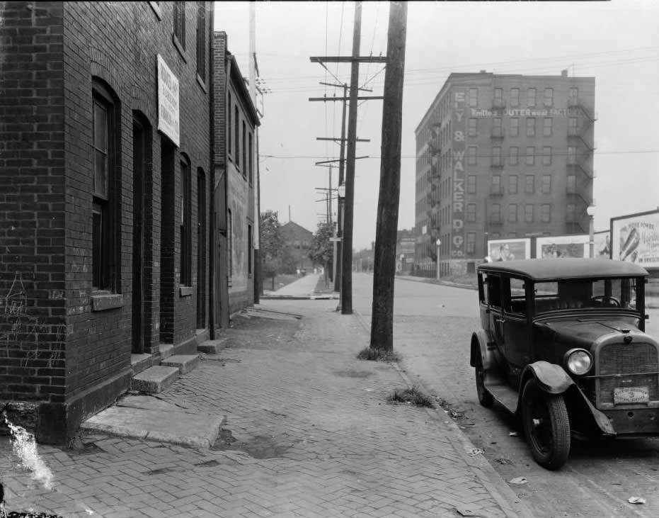
Looking west on O'Fallon Street at the intersection with North 22nd Street, 1925
Looking west on O’Fallon Street at the intersection with North 22nd Street, 1925

The building on the far left is 2132 O’Fallon and 2136 O’Fallon Street is at the corner. The six-story building was the Ely & Walker Knitted Outerwear Factory, later the Milus Shoe Co. factory, at 2235 O’Fallon Street.
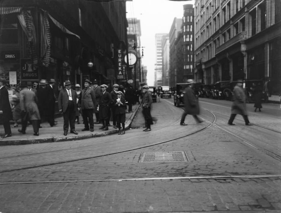
View of looking east on Locust at 7th of several men and boys standing on the corner in front of Judge & Dolph's Drugstore, 1925
View of looking east on Locust at 7th of several men and boys standing on the corner in front of Judge & Dolph’s Drugstore, 1925
Unidentified St. Louis intersection, 1925
Looking west down Carr Street towards the intersection with Nineteenth Street, 1925
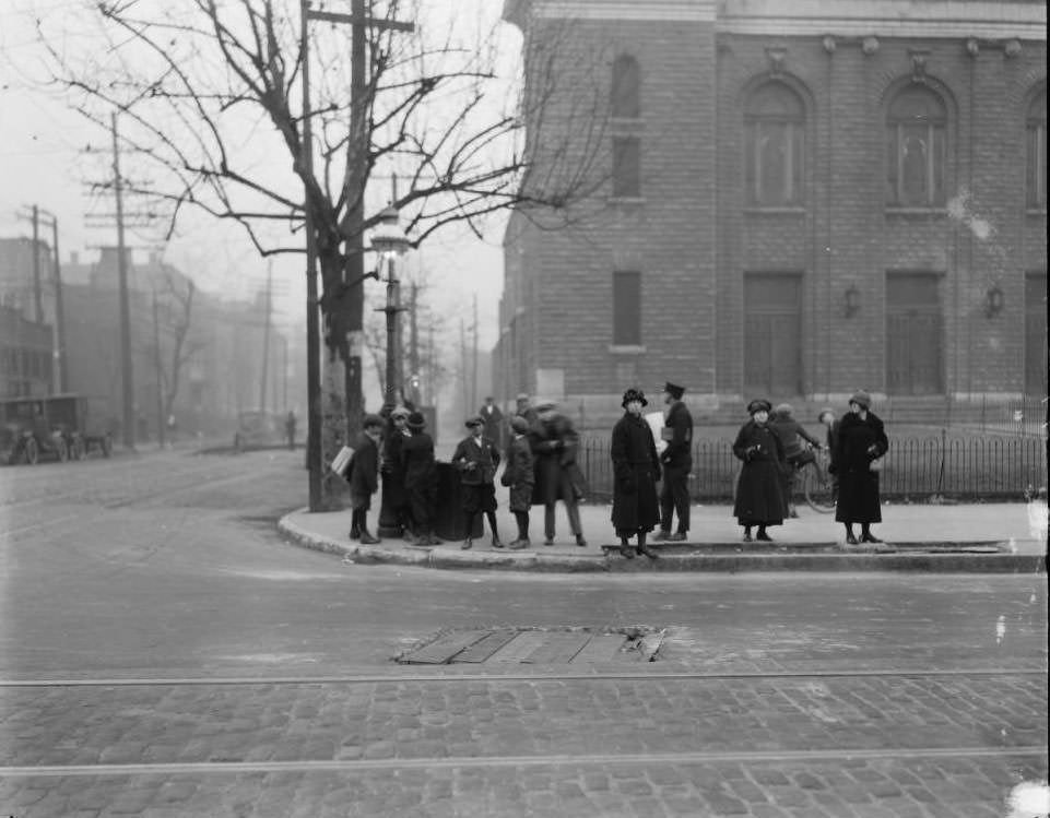
View looking west on North Market Street at the northwest corner with Grand Blvd, 1925

Three women and a group of newsboys wearing caps are standing at the corner in front of St. Teresa of Avila Catholic Church, today known as Saints Teresa and Bridget Catholic Church.
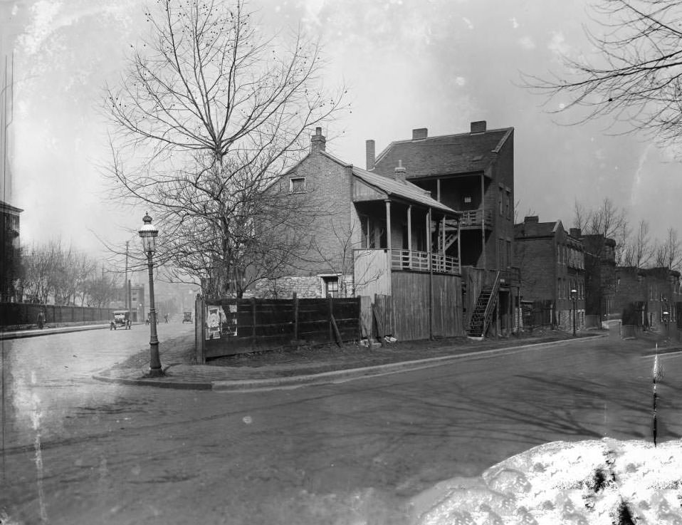
The view west down Hebert Street at the intersection with North 21st Street and Florissant Ave., 1925

The house on the corner is 3211 North 21st Street and the three-story residence is 3215 North 21st Street. At left center behind the trees, the steeple of St. Augustine’s Catholic Church at the southeast corner of Hebert Street and Lismore Street is just barely visible.
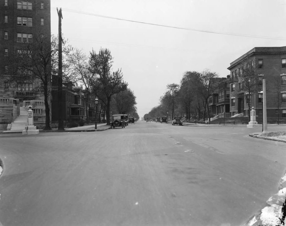
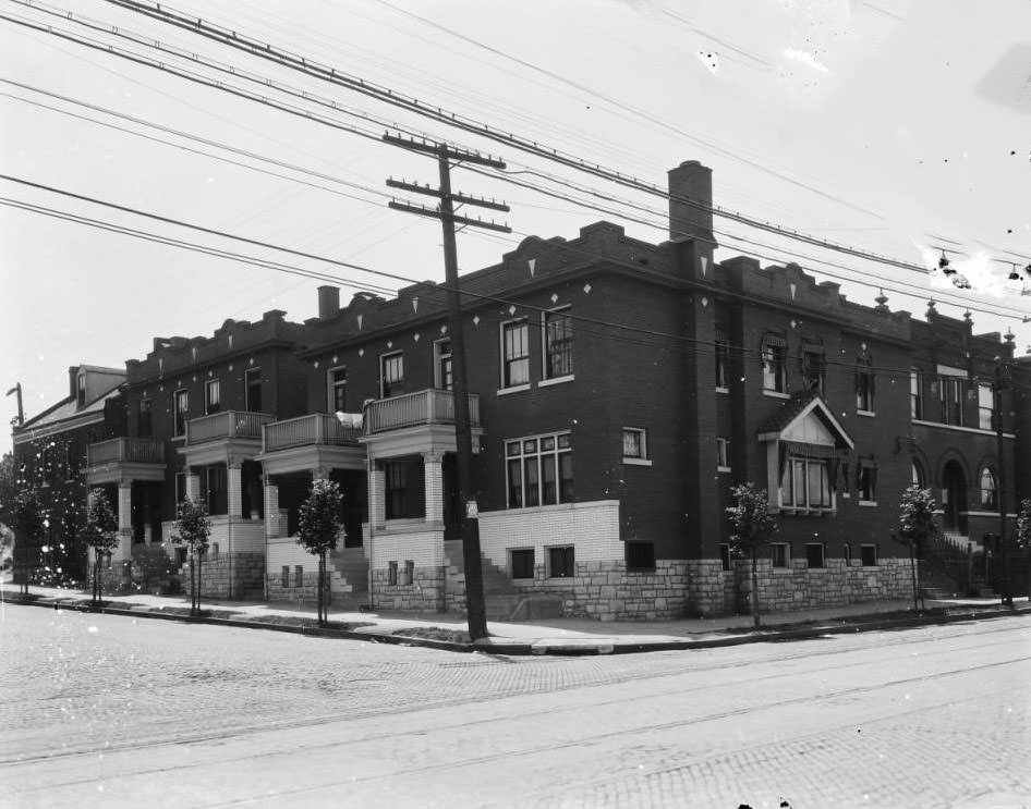
Looking west on McPherson Ave. at the intersection with North Newstead Avenue in the Central West End neighborhood, 1925
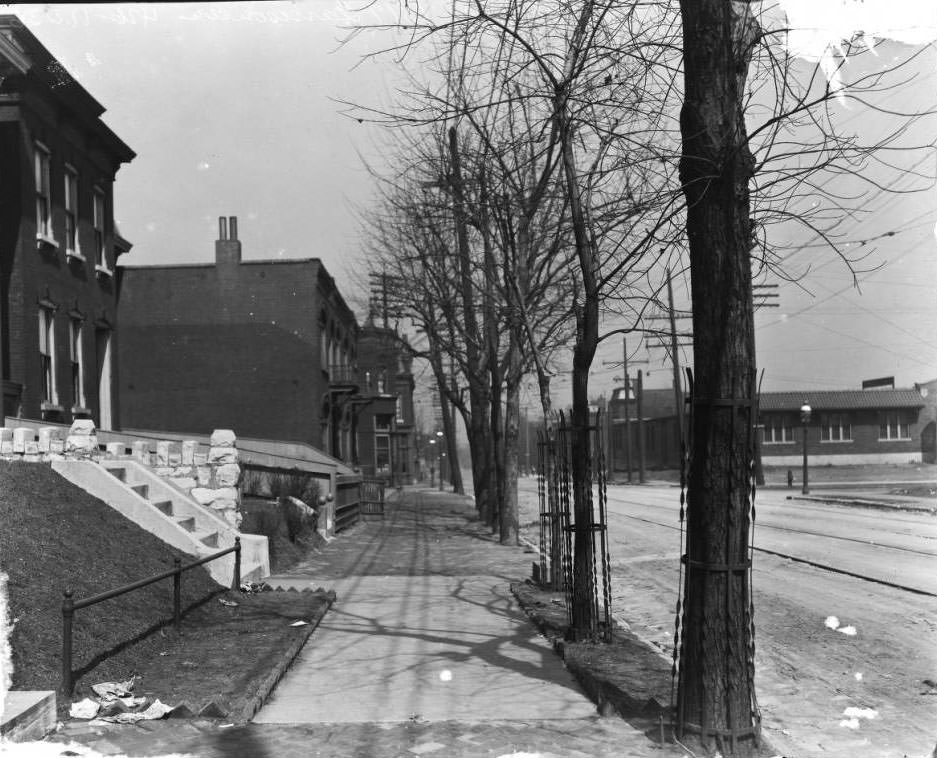
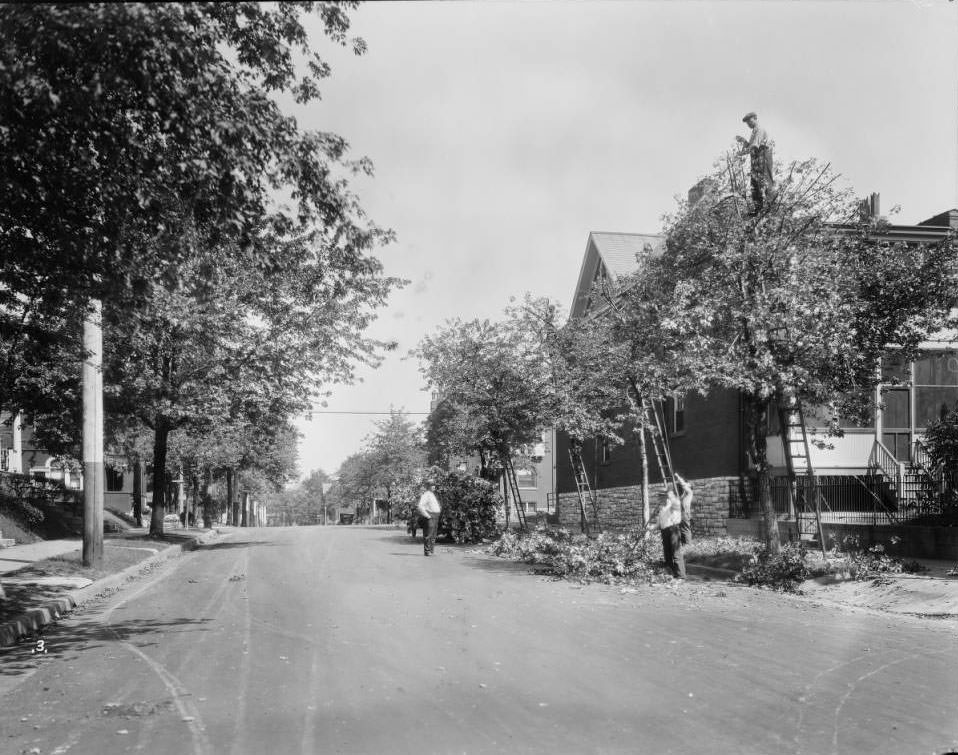
European Sycamores planted at the southeast corner of Keokuk Street and California Avenue in south St. Louis City, 1925
Looking south down North 6th Street from in front of 717 North 6th Street (west side of North 6th St.), 1925
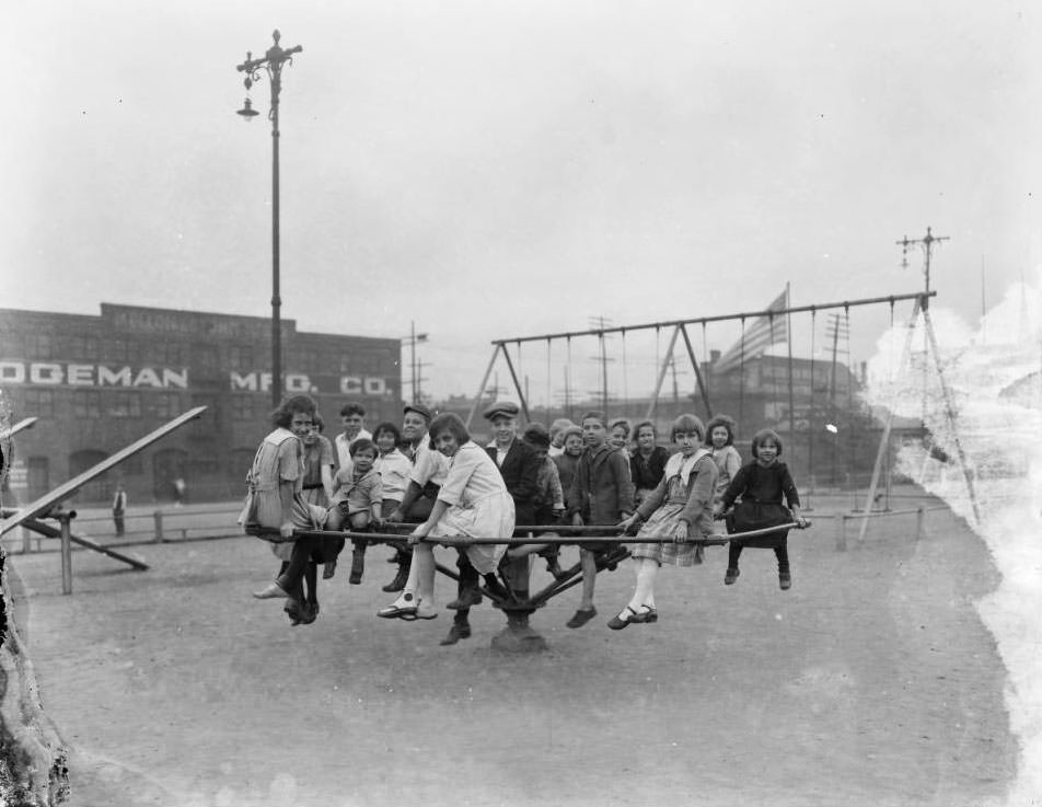
Large group of children pose for the camera while sitting on a playground merry-go-round, 1925

This is a view of the playground and merry-go-round at Mullanphy Park, at Tenth Street and Mullanphy Street in North St. Louis. The Logeman Manufacturing Co. was located next to the park at 1015 Mullanphy Street.
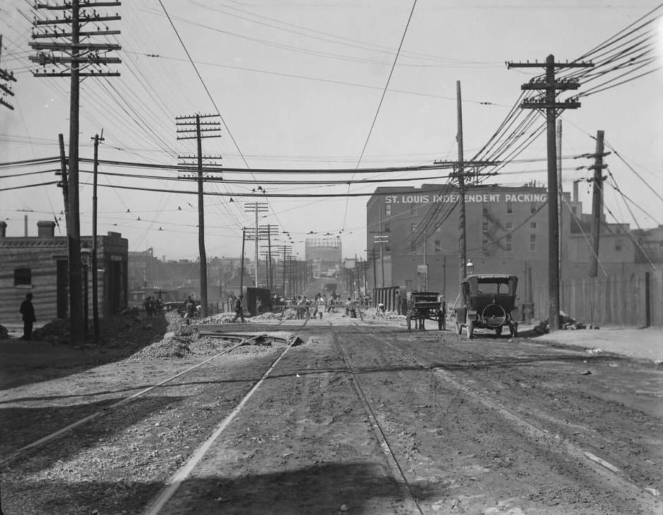
Looking west down Chouteau Ave. at South Spring Ave. The St. Louis Independent Packing Co. at right center was located at 3857 Chouteau Ave, 1925

The gasometer at center was located at the northwest corner of Chouteau and Newstead. Lemen0224 and Lemen0226 are similar locations.
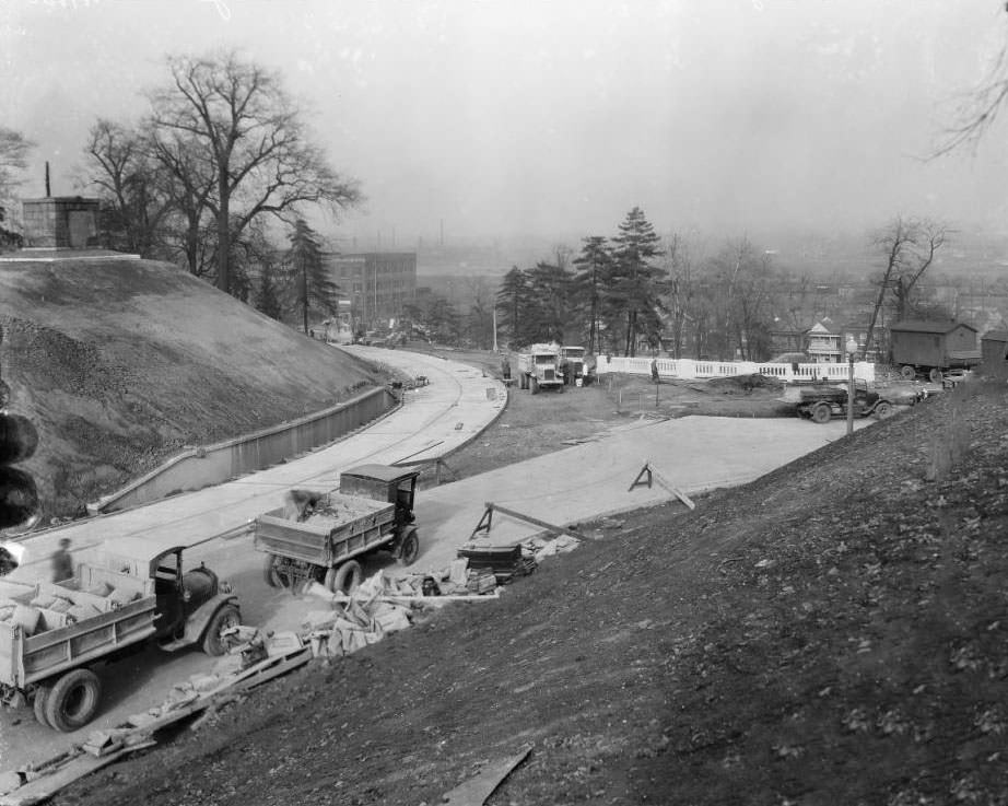
Calvary Ave. construction, 1925
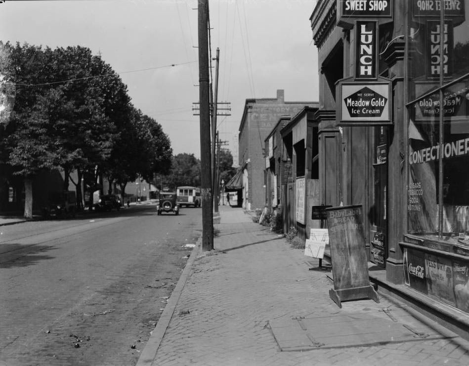
Looking north down Michigan Ave. from in front of 7520 Michigan Ave. (at Steins Street) in the Patch neighborhood of South St. Louis, 1925

The corner confectionery at the address was owned by Charles H. Becker in 1928 and Anthony E. Minoughan in 1930.
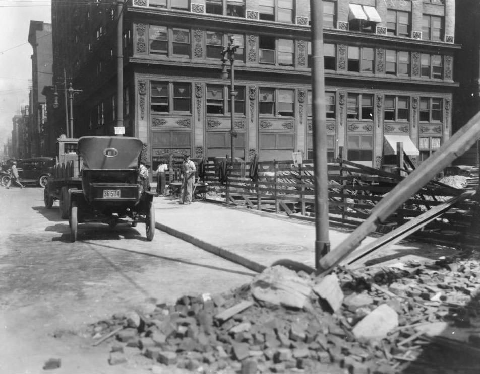
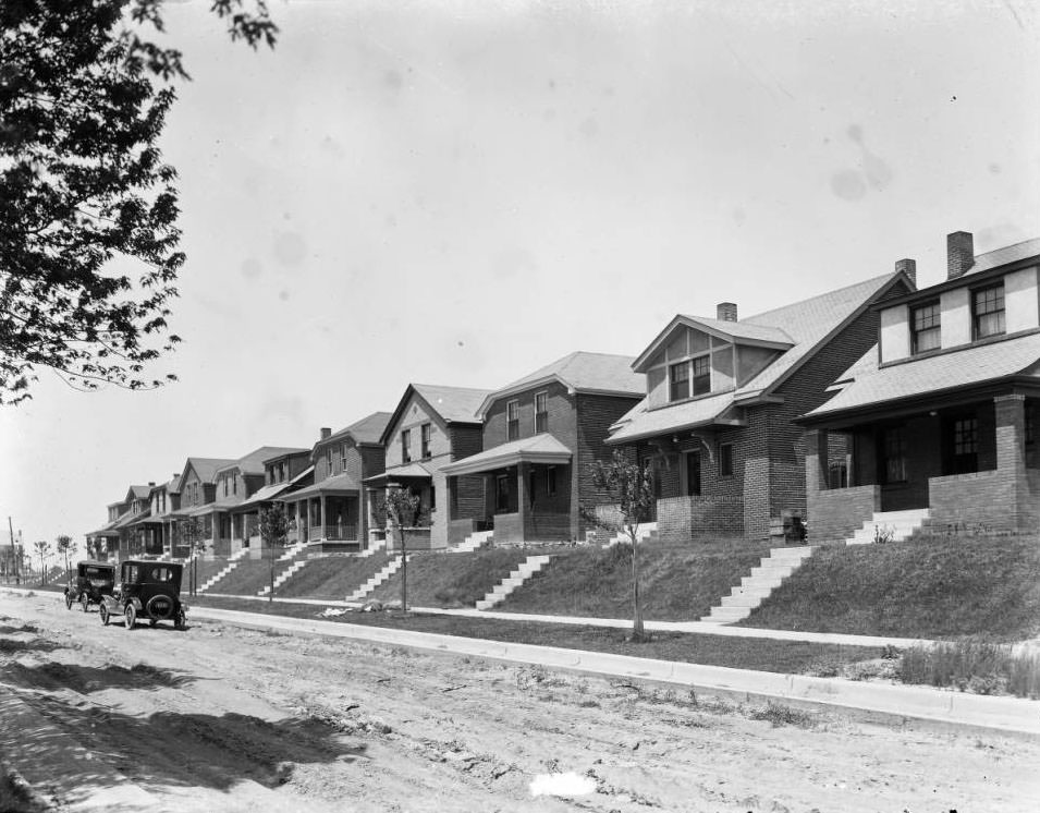
The northeast corner of North 4th Street & Chestnut St. The Pierce Building, which extended the entire block of North 4th Street between Chestnut Street & Pine Street (112 North 4th Street) is at center, 1925
Looking west along the north side of Sutherland from approximately 4963, 1925

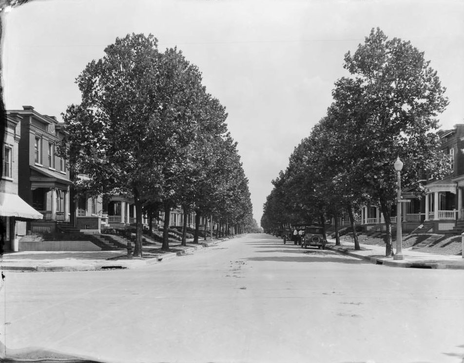
View of a residential neighborhood made up of brick homes, one block west of South Kingshighway. The Forestry division had just planted young Maple trees for the Home and Housing Association.
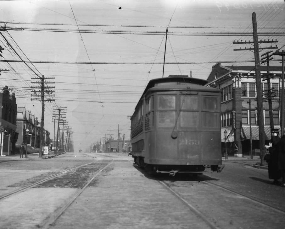
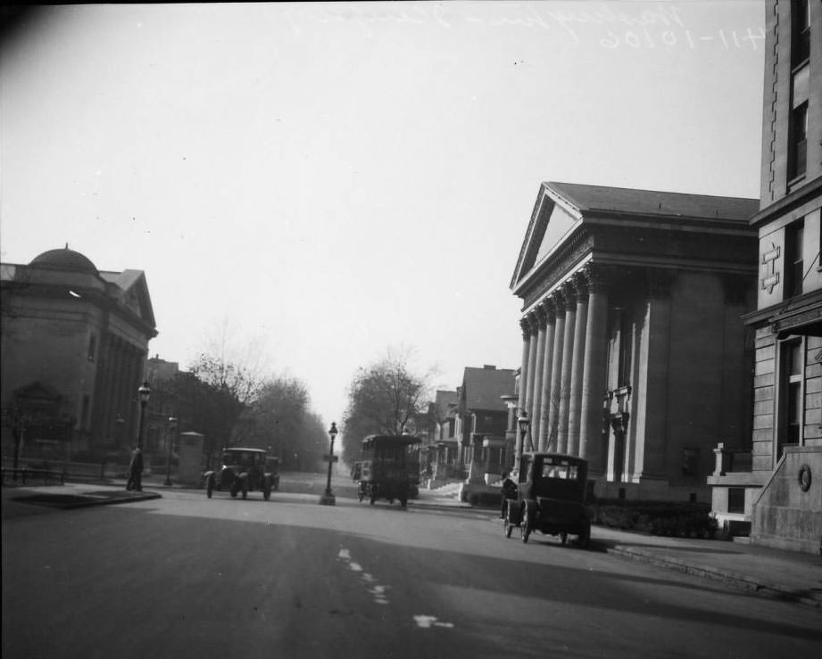
Union Blvd. at Easton Ave, 1925
Washington Place & Kingshighway Blvd, 1925
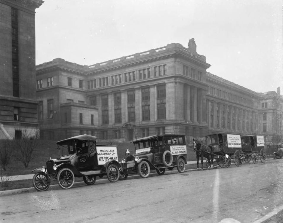
City Vehicles parked at Municipal Courts Building, 1925
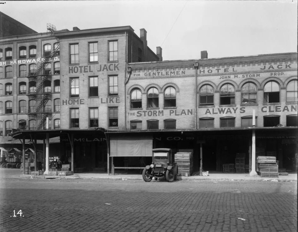
View of the Hotel Jack at 305A Lucas Ave. The building was at the NW corner of Lucas Ave. & North 3rd Street, 1925
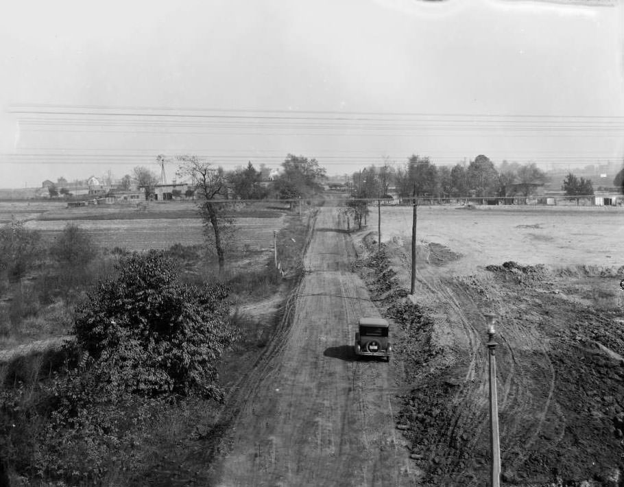
Kingshighway N.W. from Wabash R.R., 1925
View of the south west corner of North Grand and Garfield, 1925
North Garrison Ave., 1800 block of, 1925
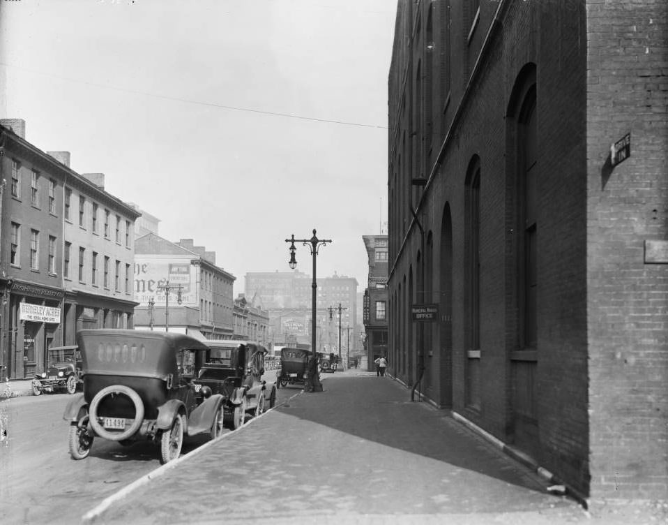
Chestnut St. at N. 11th St., 1925

The Bush-Burns Realty Co. was located at 1105 Chestnut Street. A large sign in front of the building reads “Berkley Acres, The Ideal Home Site.” The Municipal Nurses Office, seen in the right foreground, was part of the City Health & Police Dept. building, which was later replaced by the Civil Courts Building.
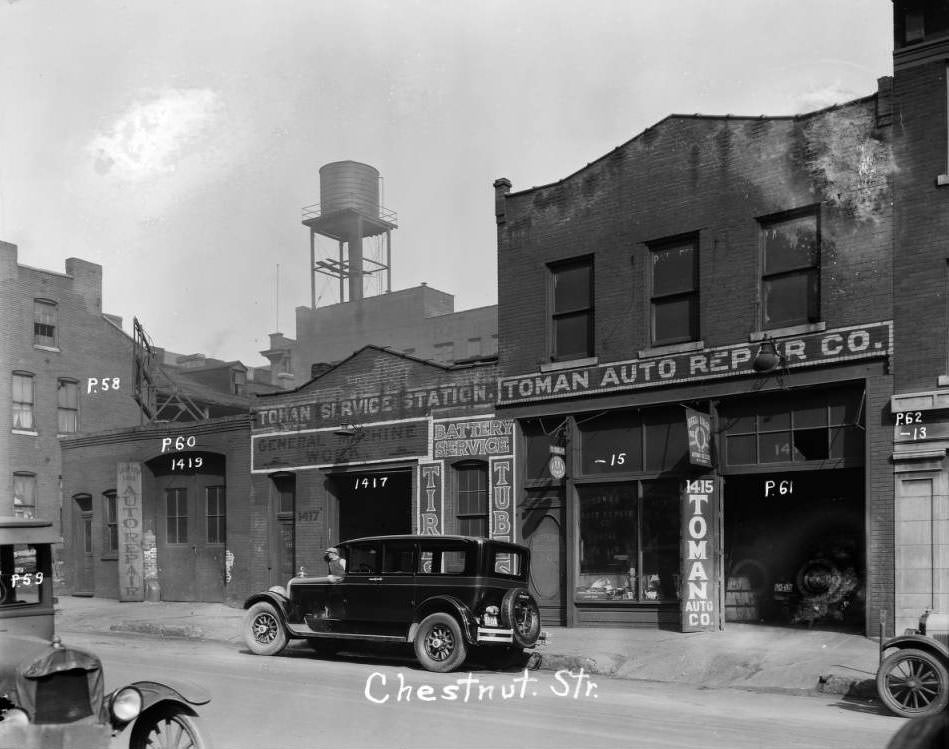

Chestnut near 14th, 1925
Enjoyed this post? Get new ones in your inbox.

1 thought on “St. Louis in 1925: A Photographic Retrospection of the City's Transformation”

  1. St Louis has a glorious history through photos from just 100 years ago. There is no doubt that my grandparents hung around some of these streets. St Louis produced bricks and used them in their buildings, streets, etc., as evidenced by the brickwork. Some of the billboards were interesting to read. The charm was there, the shabbiness was a problem, and the rural aspect of the city was evident (cows grazing near city streets! ).

Leave a Comment

Your email address will not be published. Required fields are marked *

Share this Post 🥺

Please take a moment to share this content. Your support is greatly appreciated! 🙌🙏

Share this Post 🥺

Please take a moment to share this content. Your support is greatly appreciated! 🙌🙏
Scroll to Top
 
Hey Friend, Before You Go.. Please like & follow for more interesting content