Manchester in the 1960s was a city caught between its industrial past and an uncertain future. The local economy was under serious strain. Between 1961 and 1983, the city lost 150,000 manufacturing jobs. Cotton processing, trading, and heavy industry — the pillars that had made Manchester one of Britain’s great industrial cities — were all in steep decline. The Royal Exchange, a historic symbol of the city’s commercial power, ceased trading in 1968. The effects were felt across every neighbourhood.
The population reflected this hardship. At the start of the decade, around 662,000 people lived in Manchester. By 1971, that number had fallen to approximately 544,000. Residents were leaving in large numbers, and the city’s housing stock — much of it Victorian-era terraced rows — was increasingly considered unfit for modern life. Authorities responded with a wave of demolitions and rebuilding projects that would permanently reshape the city.
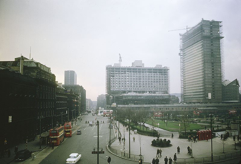
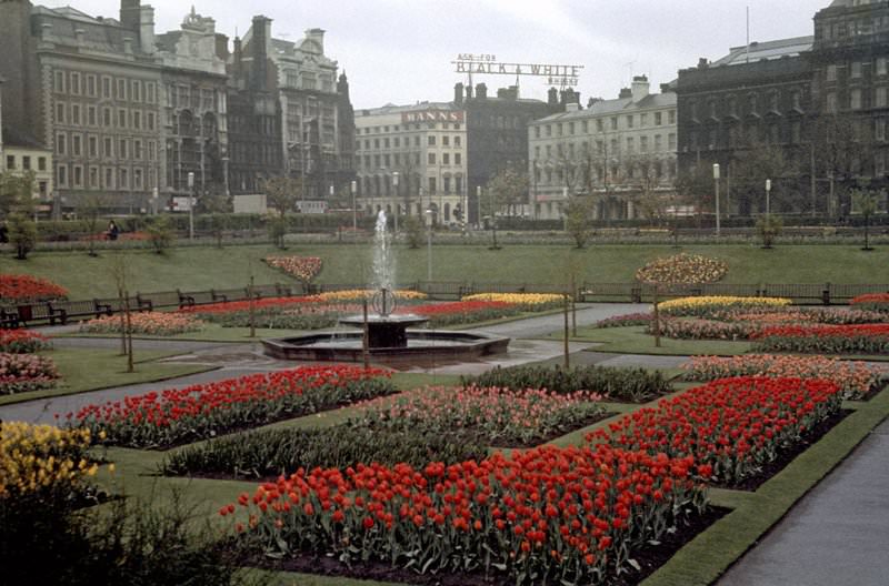
Piccadilly Gardens in early 1964.
Piccadilly Gardens remained one of the city centre’s most recognisable public spaces throughout the decade. It served as a gathering point for shoppers, workers, and commuters, and it sat at the heart of a city centre that was changing fast. The surrounding streets were filling with new construction projects, and the skyline was beginning to shift.
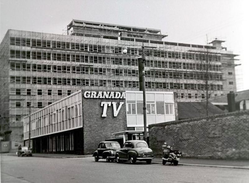
Construction of Granada TV HQ in 1960
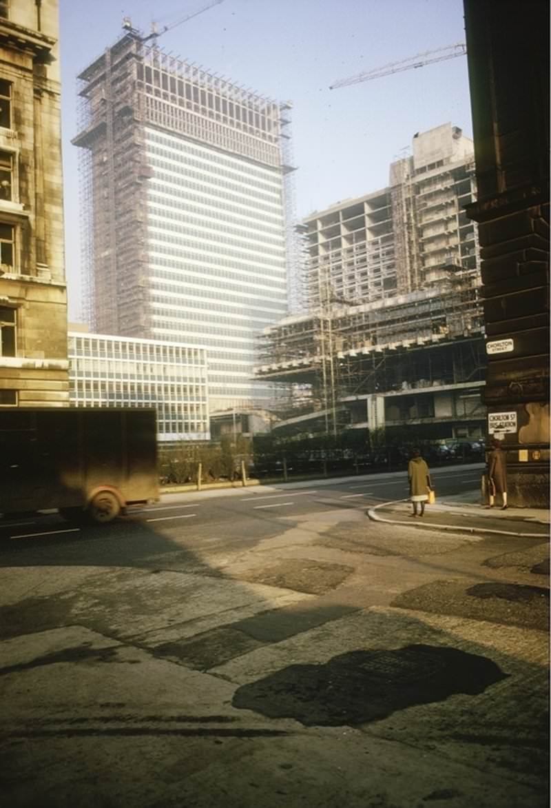
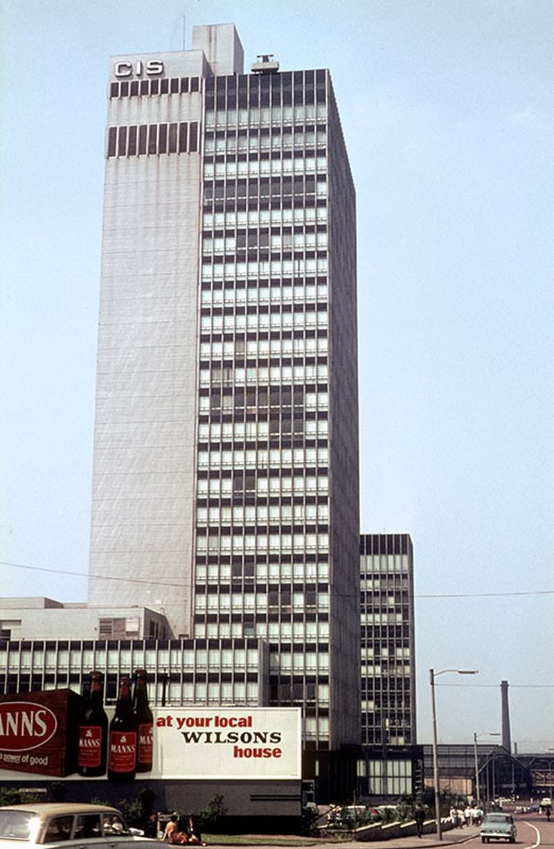
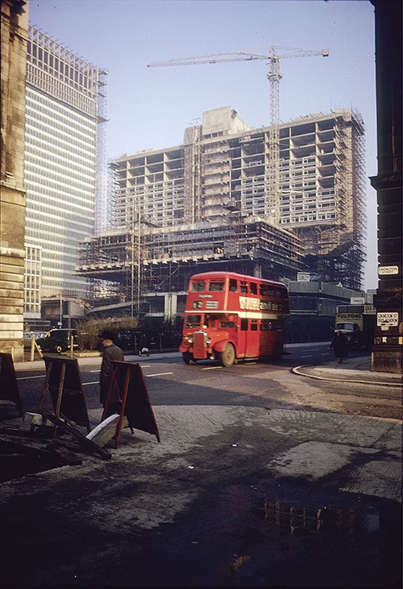
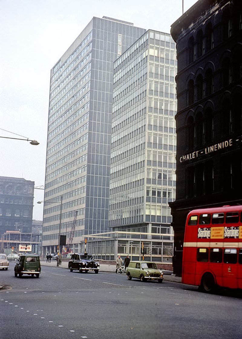
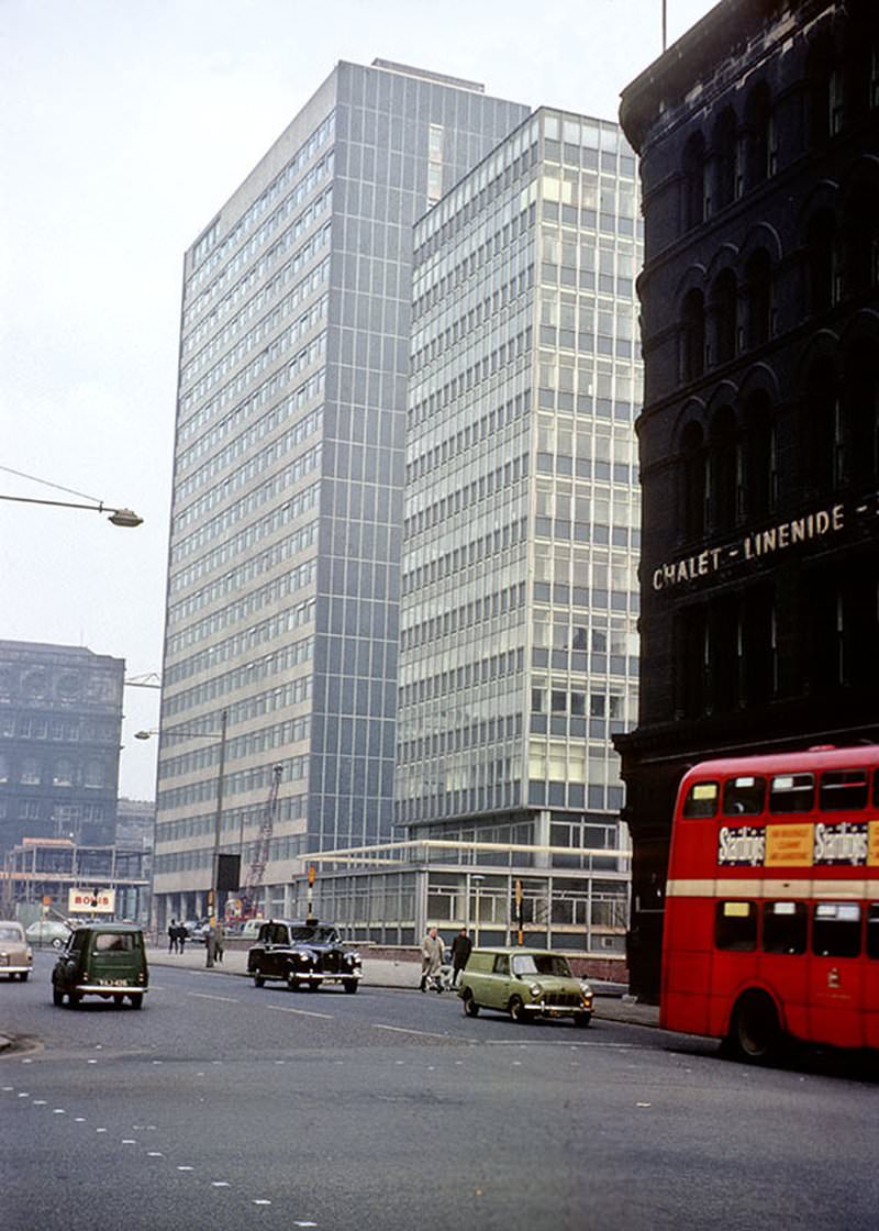
One of the most significant additions to Manchester’s skyline came in 1962, when the CIS Tower — the Co-operative Insurance Society’s headquarters — became the tallest office block in the United Kingdom. Three years later, in 1965, the Piccadilly Plaza complex opened, adding a modern hotel, offices, and retail space to the city centre. These weren’t isolated projects; they were part of a deliberate push to modernise a city that had relied on 19th-century infrastructure for too long.
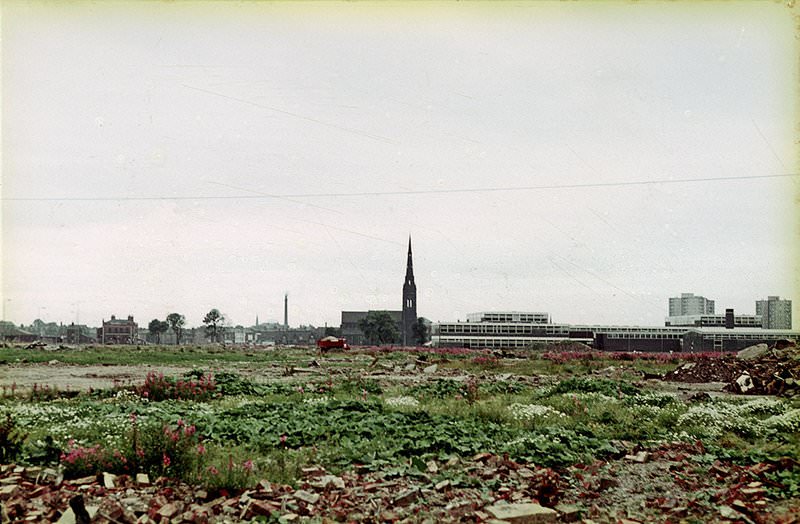
Piccadilly Plaza development whilst under construction in early 1964.Hulme, cleared for redevelopment, 1967.
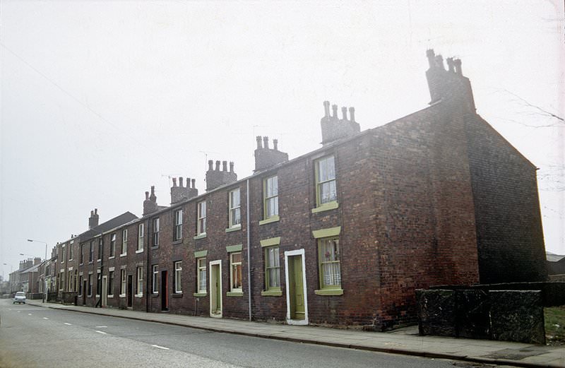
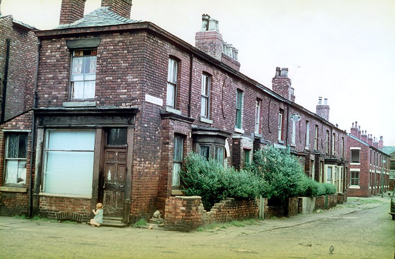
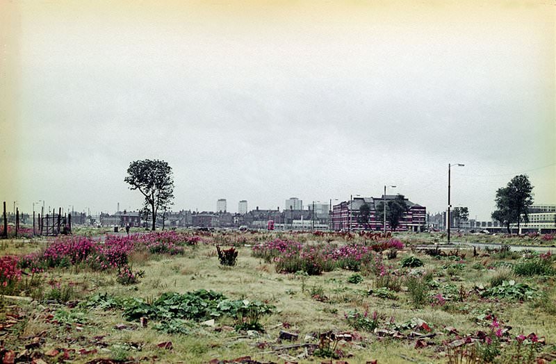
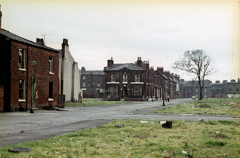
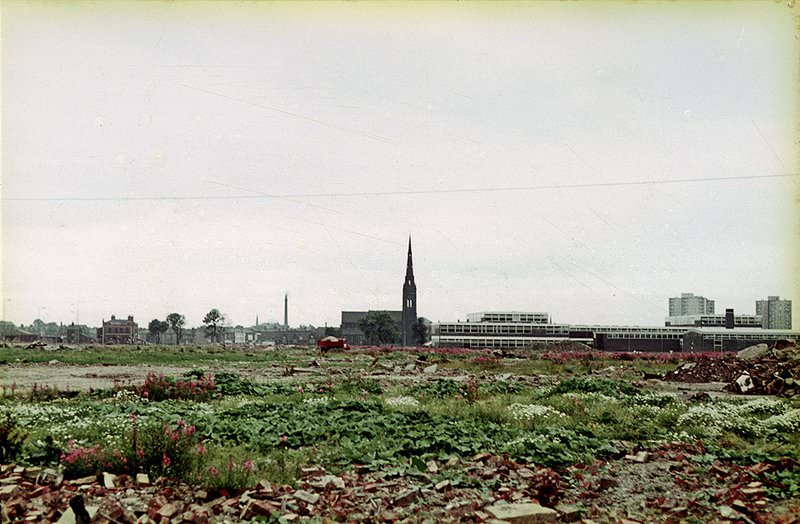
No area of Manchester saw more dramatic change during the 1960s than Hulme. The neighbourhood, just south of the city centre, had been densely packed with back-to-back terraced houses dating back to the early 19th century. By the mid-1960s, planners had earmarked large sections of Hulme for clearance. Streets were emptied, buildings were demolished, and entire blocks were flattened in preparation for new high-rise housing developments.
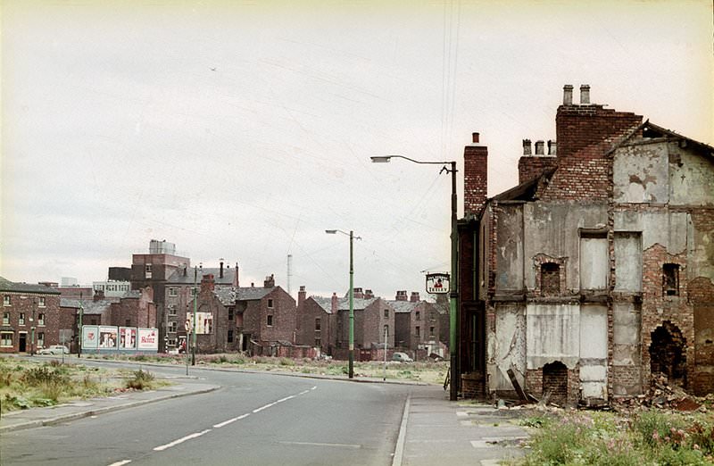
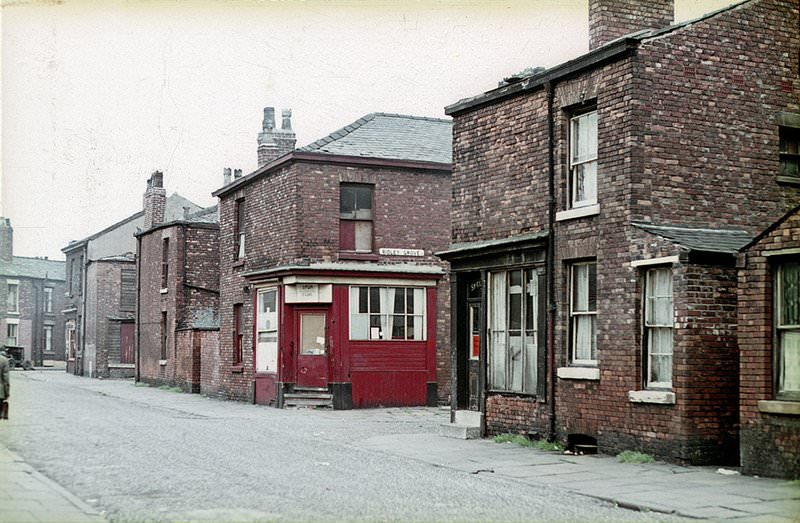
Unidentified street in Hulme, with a terrace of early 19th century back-to-back houses, 1967.Terraced houses in Lucknow Grove, Hulme, mid 1960s.
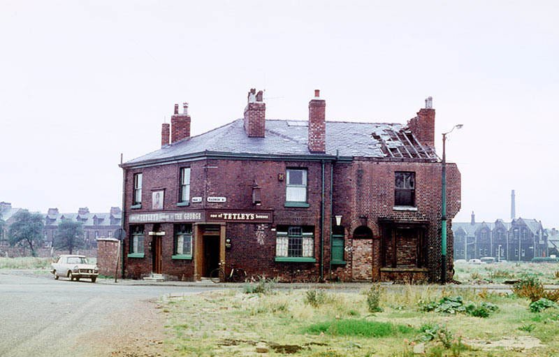
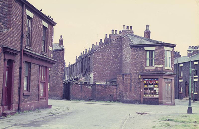
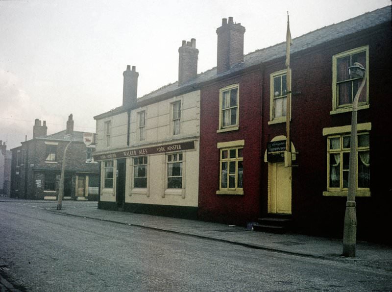
Before the bulldozers moved in, photographers captured what Hulme actually looked like. The images are striking. Corner shops sat at the ends of tight terraced rows. Schools, pubs, and churches were surrounded by streets that had housed working-class families for generations. The George Inn on the junction of Radnor Street and Pinder Street was left standing alone after the surrounding buildings were demolished — a pub with no neighbourhood left around it.
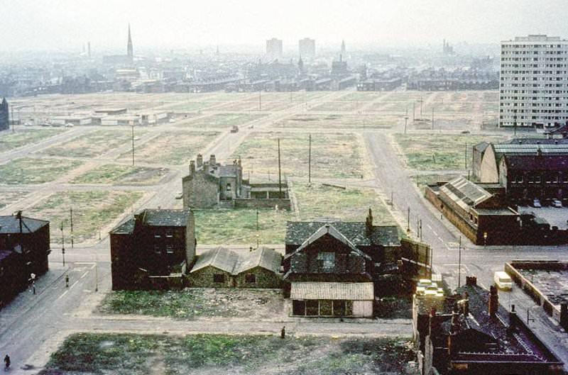
The George Inn on the junction of Radnor Street and Pinder Street, Hulme, left isolated by the demolition of surrounding houses and shops.Corner shop and terraced housing in Hulme c. 1967.View over Hulme looking north from near to St Mary’s church around 1967, showing the extensive area cleared in readiness for redevelopment.
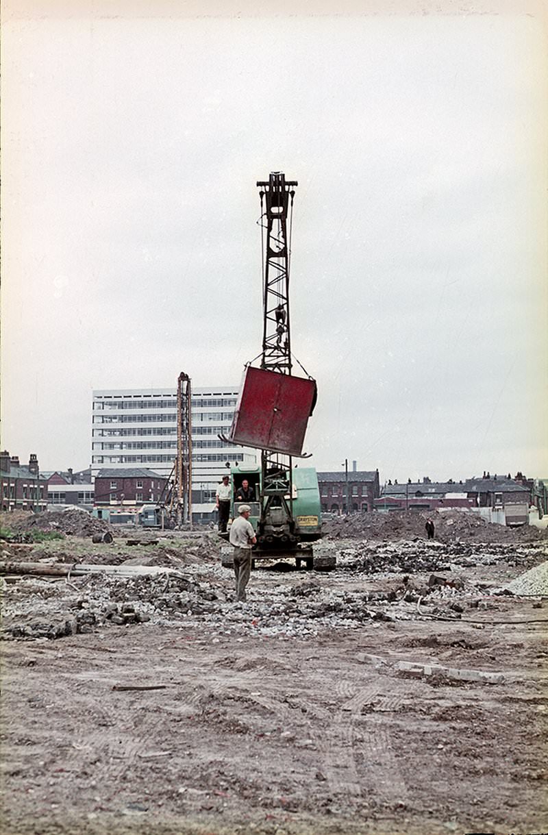
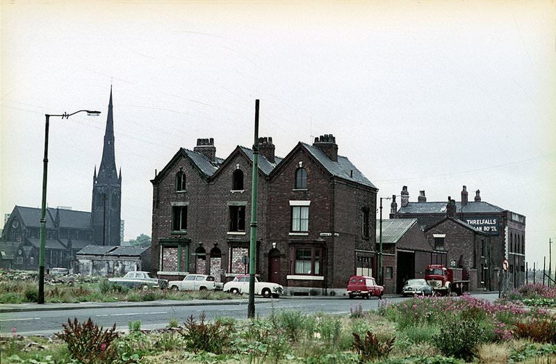
The scale of the Hulme clearances is difficult to fully grasp without seeing the photographs. Aerial and elevated views from around 1967 show vast open stretches of bare ground where entire streets had stood just months before. Construction machinery had already moved in on the eastern edges of the neighbourhood, beginning the work of replacing what had been demolished.
Preliminary construction work taking place on open ground on the east side of Hulme, around 1967.View across Hulme showing areas cleared for redevelopment, 1966.View of Radnor Street, Hulme, looking south-east around 1967 shortly before the redevelopment of the area.
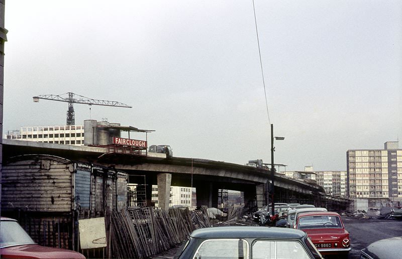
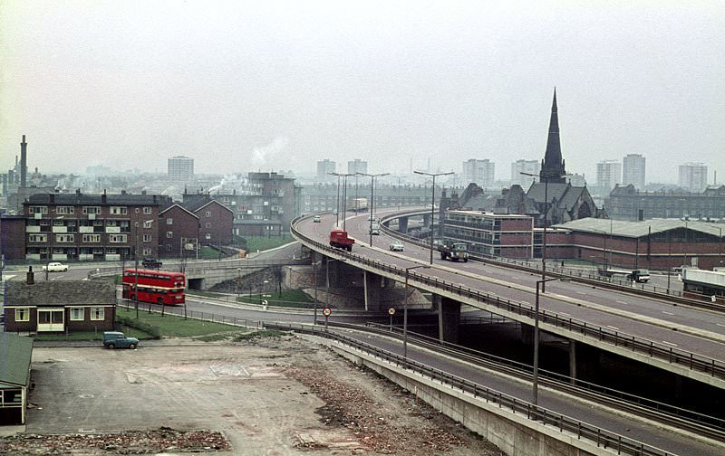
While Hulme was being torn apart, the city centre was being rebuilt. The Mancunian Way — an elevated urban motorway — was under construction from the mid-1960s. Designed to carry traffic around the southern edge of the city centre, it was one of the most ambitious road projects in Manchester’s history at that point. Photographs from 1966 show the concrete sections rising above street level, cutting through the existing urban fabric.
The elevated section of the Mancunian Way under construction in 1966.The elevated section of the Mancunian Way and adjoining slip road at All Saints, 1968.
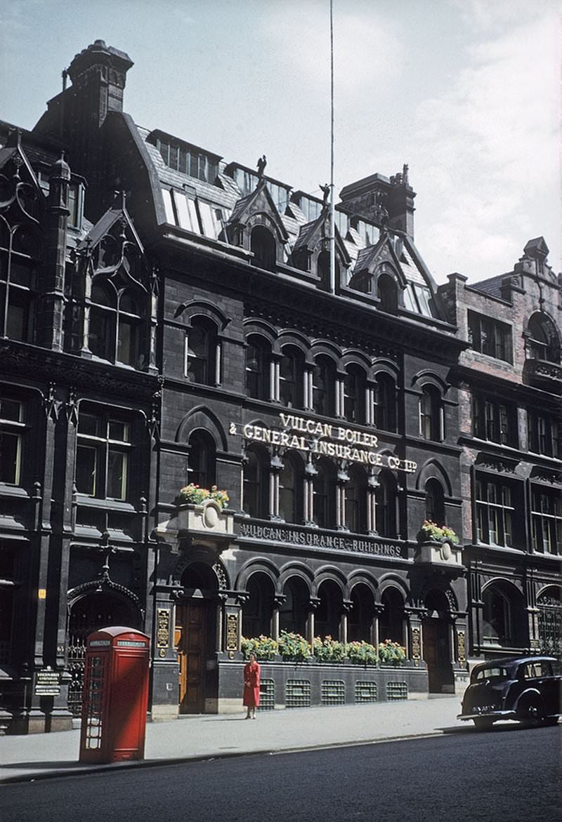
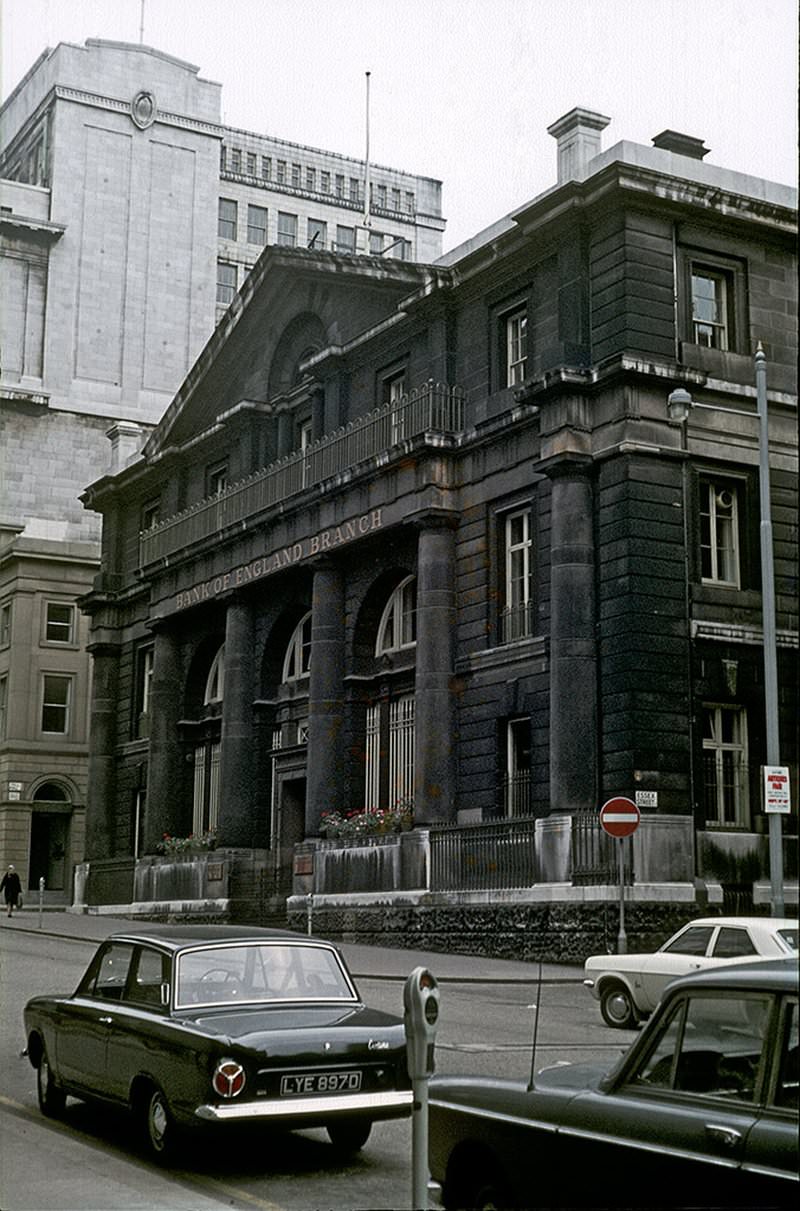
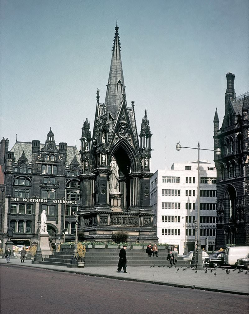
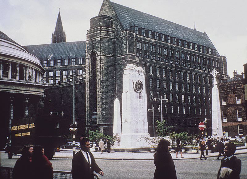
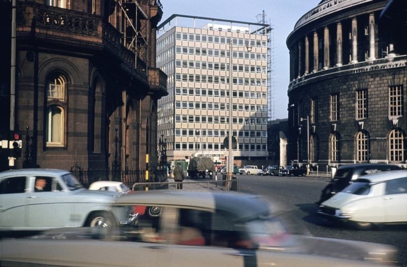
Manchester’s streets in the 1960s still held a strong Victorian character in many areas. King Street, for example, was lined with substantial 19th-century office buildings and institutional facades, including the Bank of England’s branch office. Albert Square and its Albert Memorial looked much as they had for decades, while St Peter’s Square offered a clear view of the Cenotaph, the Central Library, and the Town Hall Extension.
Victorian office buildings on King Street in the early 1960s.
The Bank of England branch office building on King Street, photographed around 1967.
Albert Square and the Albert Memorial in the early 1960s.View across St Peters’ Square to the Cenotaph, Library and Town Hall Extension, 1965.
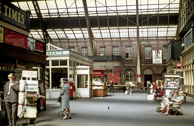
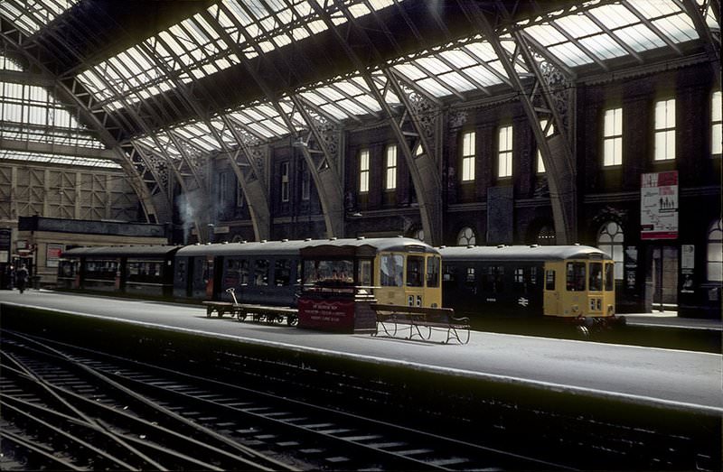
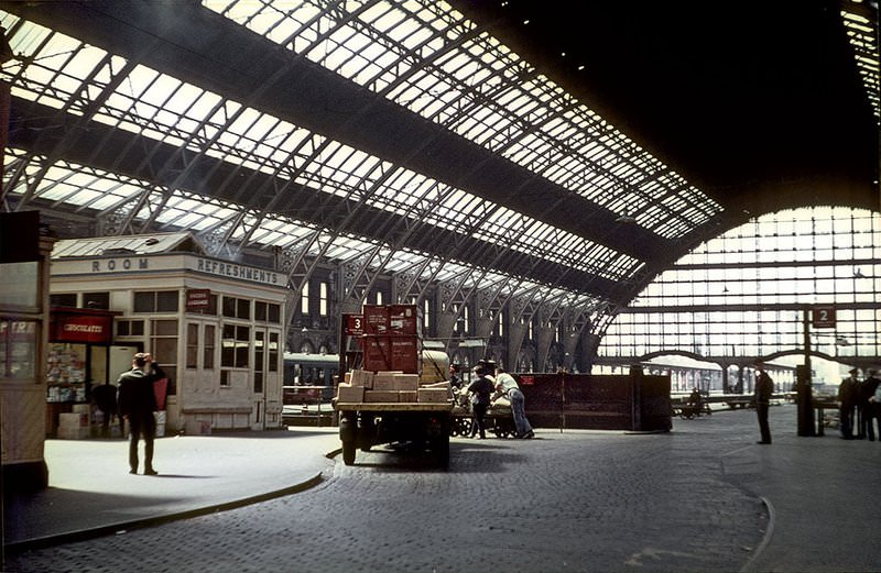
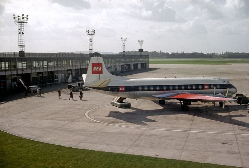
Manchester’s transport infrastructure was also changing. Manchester Central Station, which had opened in the Victorian era, was still operating through the mid-1960s, with diesel trains on its platforms and passengers moving through its grand concourse. At Ringway Airport, British European Airways aircraft were a common sight, reflecting the growing role of air travel in connecting Manchester to the rest of Europe.
The concourse at Manchester Central Station in the mid-1960s.Diesel trains on platforms 5 and 6 at Manchester Central Station in the mid-1960s.View of the train shed from the goods entrance at Manchester Central Station in the mid-1960s.A British European Airways (BEA) plane on the apron at Ringway (Manchester) Airport in 1964.
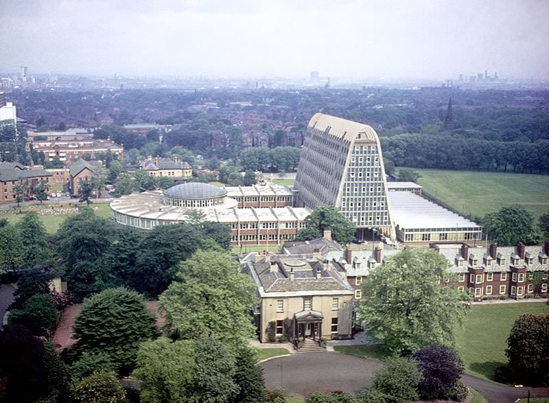
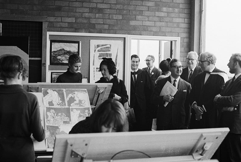
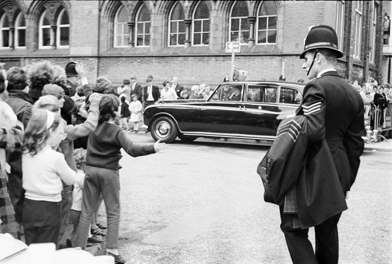
Education was a major part of Manchester’s story in the 1960s. The University of Manchester was expanding, adding new buildings for mathematics, science and technology, and student accommodation. The Manchester College of Art and Design opened a major new extension in 1966, with Princess Margaret attending the official opening on 2nd October of that year. The Hollings Building — nicknamed the Toast Rack for its distinctive ribbed shape — stood out as one of the most architecturally unusual structures in the city.
The official opening of the extension to the Manchester College of Art and Design by Princess Margaret on 2nd October 1966.View of Hollings Building (aka the Toast Rack) from the tower of Owen’s Park student residences in 1967.The University of Manchester’s Mathematics Building on Oxford Road in 1969.View looking north over the site of the University of Manchester Institute of Science and Technology (UMIST) in the mid 1960s.
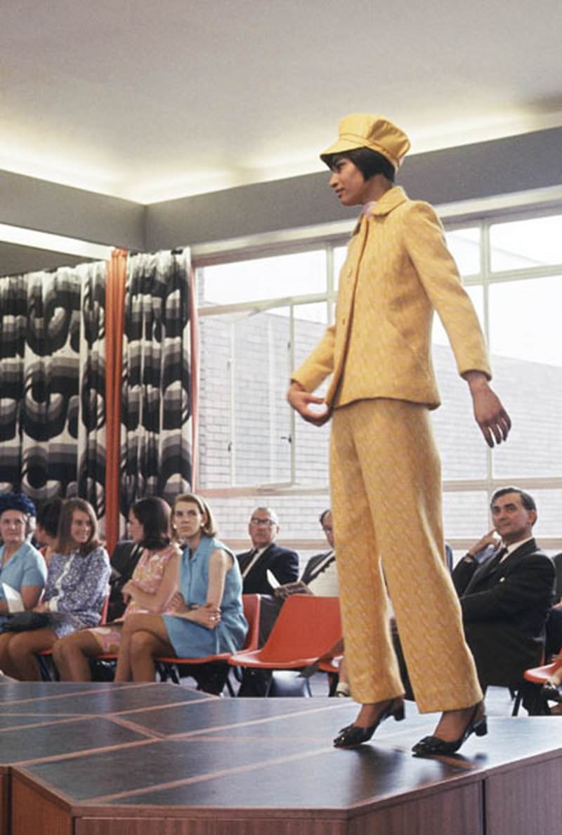
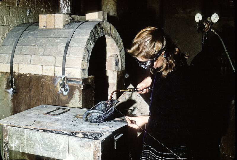
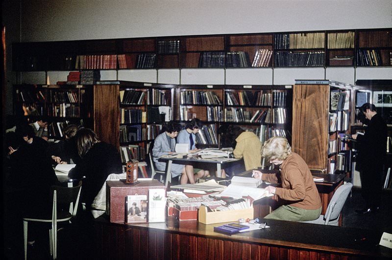
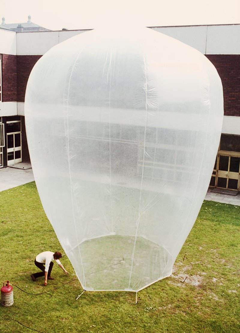
Student life in Manchester during the 1960s had a creative energy. At the Regional College of Art, students worked in studios and workshops, while the library served as a quiet hub for research. Fashion shows were held in the Assembly Hall of the Chatham Building at the Manchester College of Art and Design. In 1968, a balloon structure appeared in the University Quadrangle — one of the more unusual visual records of student experimentation during the decade.
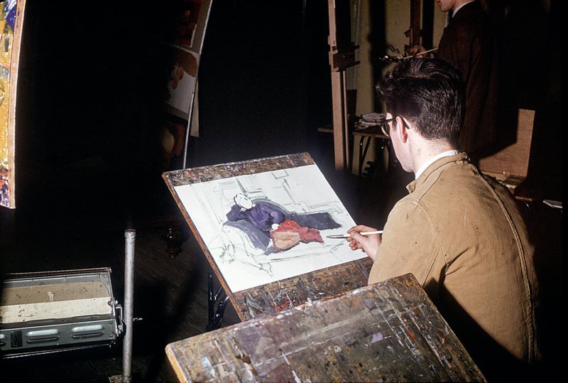
Student fashion show at Manchester College of Art and Design, 1966. Held in the Assembly Hall in Chatham Building.A student working in a workshop at the Regional College of Art, Manchester, around 1962.Students (and the librarian) working in the library at the Regional College of Art, Manchester, around 1962.Balloon Structure in the University Quadrangle, 1968
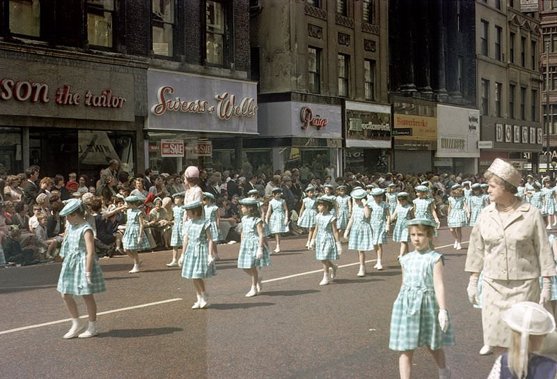
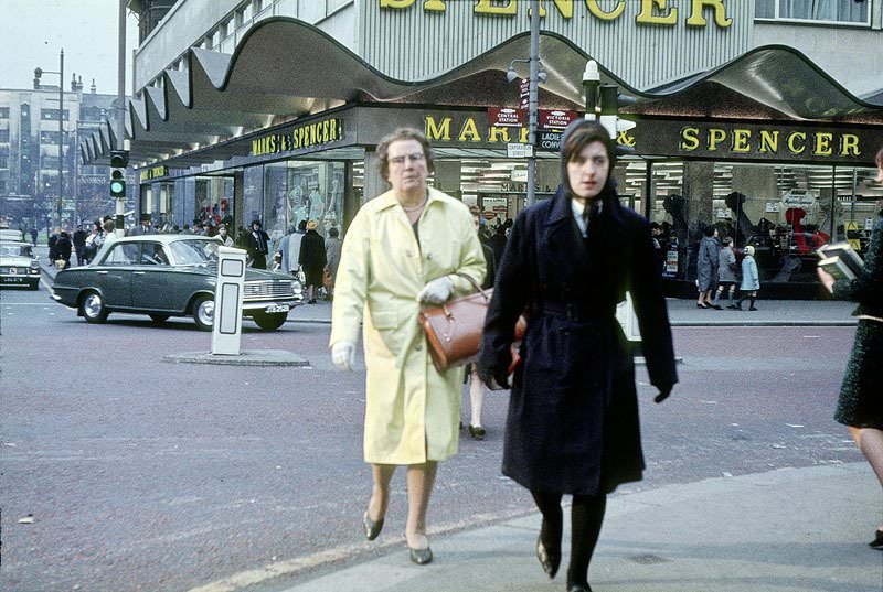
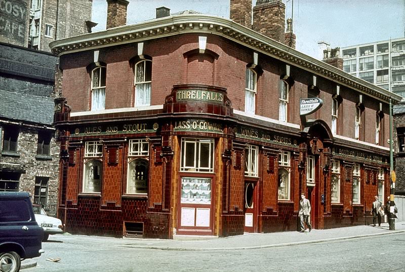
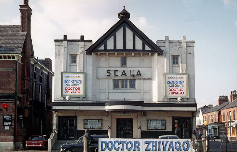
Everyday commercial life continued across the city despite the upheaval. Shoppers browsed Marks & Spencer at the junction of Cross Street, Corporation Street, and St Mary’s Gate. The annual Whit Walk procession moved along Market Street in 1966, drawing crowds as it had for years. Pubs like the Lass O’ Gowrie on Charles Street and neighbourhood cinemas like the Scala on Wilmslow Road in Withington remained part of daily life for thousands of Mancunians.
Manchester Whit Walk, 1966 Whit Walk procession along Market Street.Shoppers outside the Marks & Spencer store at the junction of Cross Street, Corporation Street and St Mary’s Gate in 1964.The Lass O’ Gowrie pub on Charles Street in the late 1960s.The Scala cinema on Wilmslow Road, Withington in October 1969.
The city’s media presence was growing too. Granada Television’s headquarters was under construction at the very start of the decade, and ABC Television House on Mount Street was already established by 1960. These buildings reflected Manchester’s emerging role as a centre of broadcasting in the north of England.
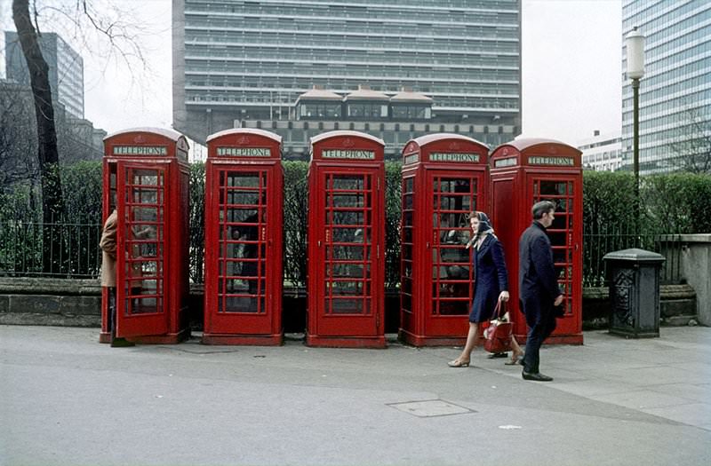
ABC Television House on Mount Street, from the junction of Oxford Street and Lower Mosley Street, 1960.A group of five ‘K6’ public telephone boxes at the edge Piccadilly Gardens, Manchester, around 1969.Piccadilly Gardens, Manchester, in the mid 1960s
The Co-operative Insurance Society (CIS) Building from Miller Street in the late 1960s.
Portland Street on the eastern side of Piccadilly Gardens, early 1964.
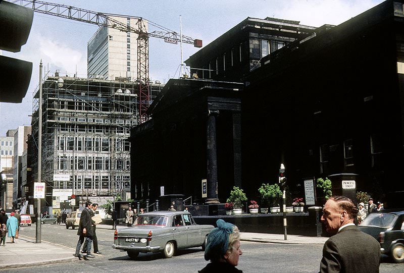
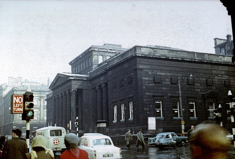
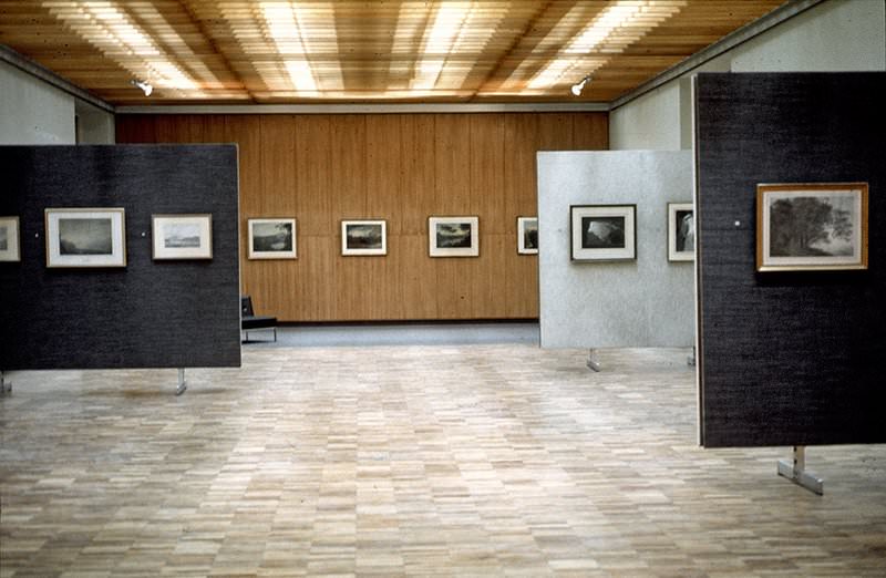
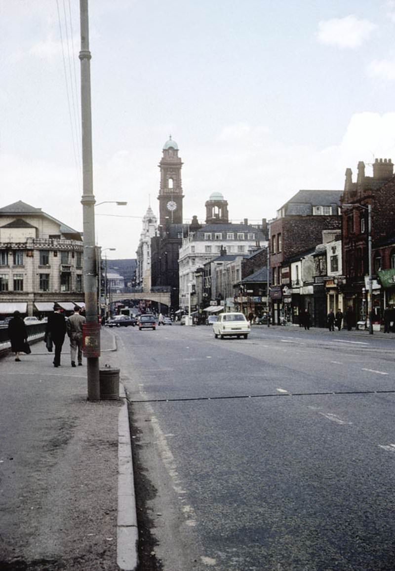
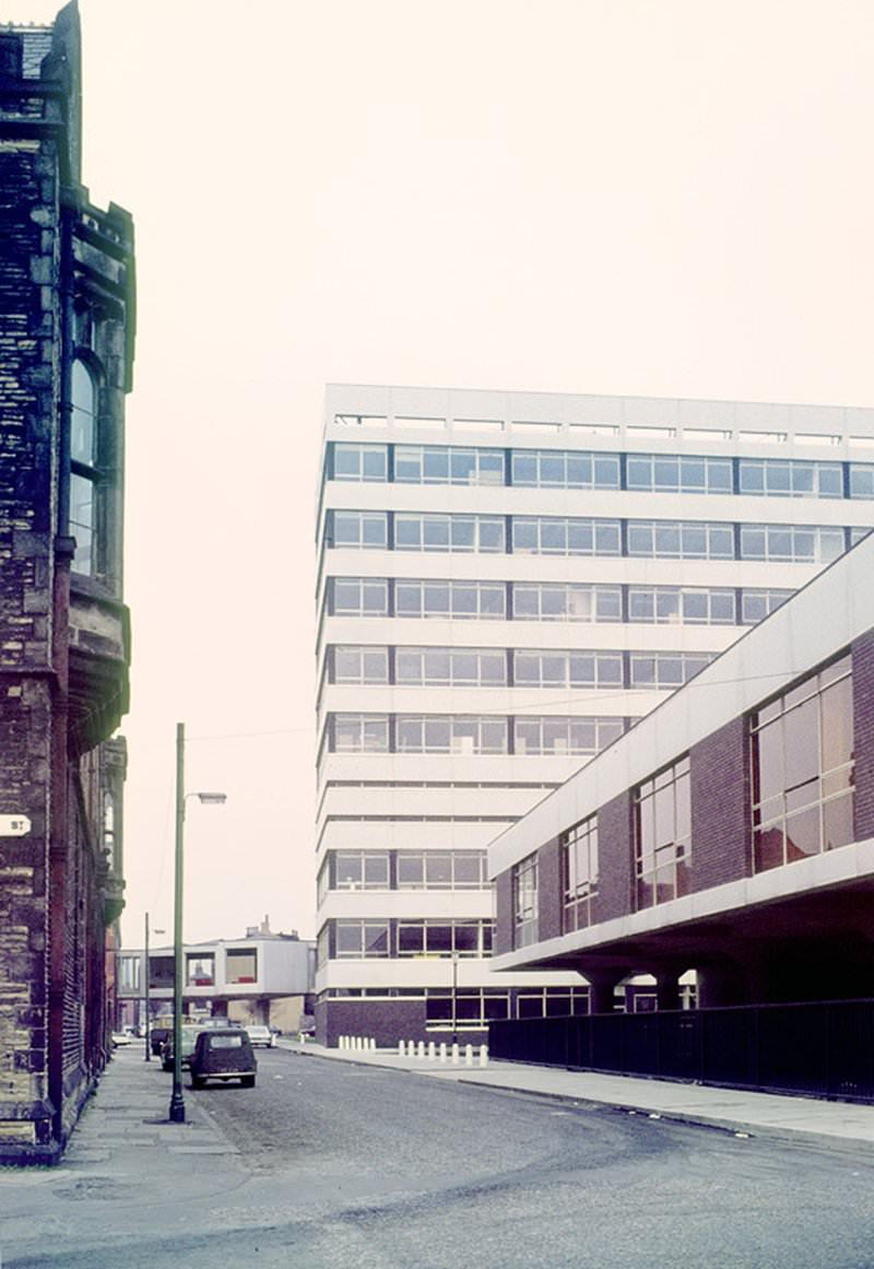
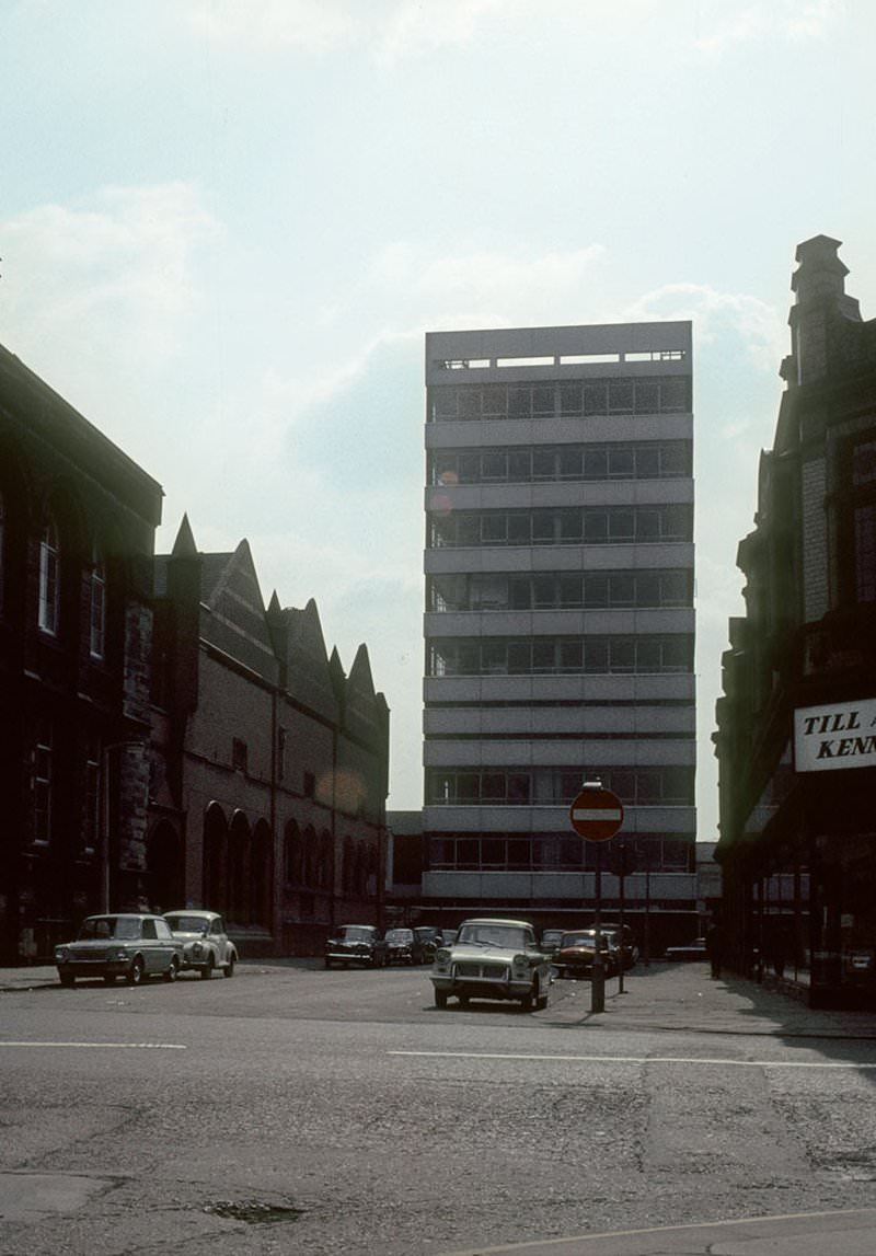
St Andrew’s House (left) and Telephone House (centre), two newly built office blocks on the south-east side of Portland Street in 1963.View along Mosley Street towards Piccadilly from the junction with Princess Street in 1966.The Manchester City Art Gallery at the junction of Mosley Street and Princess Street, 1960s.Interior of the Whitworth Art Gallery in the mid-1960s, after a refurbishment scheme designed by Bickerdike Allen & Partners.View looking north along Oxford Road at All Saints, Manchester, 1966.View towards Manchester city centre with Grosvenor Square and Oxford Road in the foreground, September 1965.Oxford Road from the junction with Booth Street during the construction of the University of Manchester’s Precinct Centre in 1969.View along Ackers Street towards Oxford Road, showing the Church of the Holy Name from the south east, 1960s.John Dalton College of Technology from Cambridge Street, around 1967.Entrance to the John Dalton College of Technology on Chester Street, late 1960s.View from Chester Street of the tower element of the John Dalton College of Technology in 1966-67.
Burlington Street around 1968, with the University of Manchester’s Mobberly Tower student residences, Staff House and Refectory building.
Broomhurst Hall shortly after completion in 1963.
The newly-built extension to Manchester College of Art and Design (now MMU’ s Chatham Building) in 1966.The official opening of the extension to the Manchester College of Art and Design by Princess Margaret on 2nd October 1966.The official opening of the extension to the Manchester College of Art and Design by Princess Margaret on 2nd October 1966.
Boundary Street West shortly after completion of the Manchester College of Art and Design’s extension in 1966.
Ormond Street towards the (then) new extension to Manchester College of Art and Design, 1968.
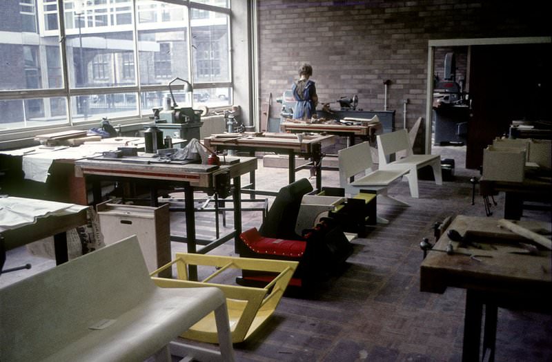
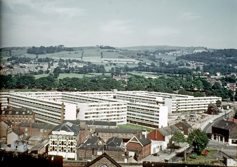
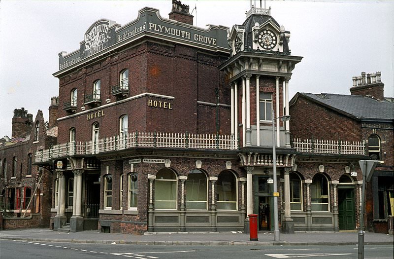
The woodworking workshop at the Manchester College of Art and Design in April 1968.A student working in a studio at the Regional College of Art, Manchester, around 1962.View over the the Victoria Park housing estate in Macclesfield, around 1968.The Plymouth Grove Hotel at the junction of Plymouth Grove and Shakespeare Street, around 1969.The rear of Peter House from Lower Mosley Street in 1967.The warehouse of James Brown & Son at the corner of Portland Street and Aytoun Street, 1960s.
Facade of Chorlton on Medlock Town Hall, 1960s.
The Reform Club on the junction of King Street and Spring Gardens, 1960s.
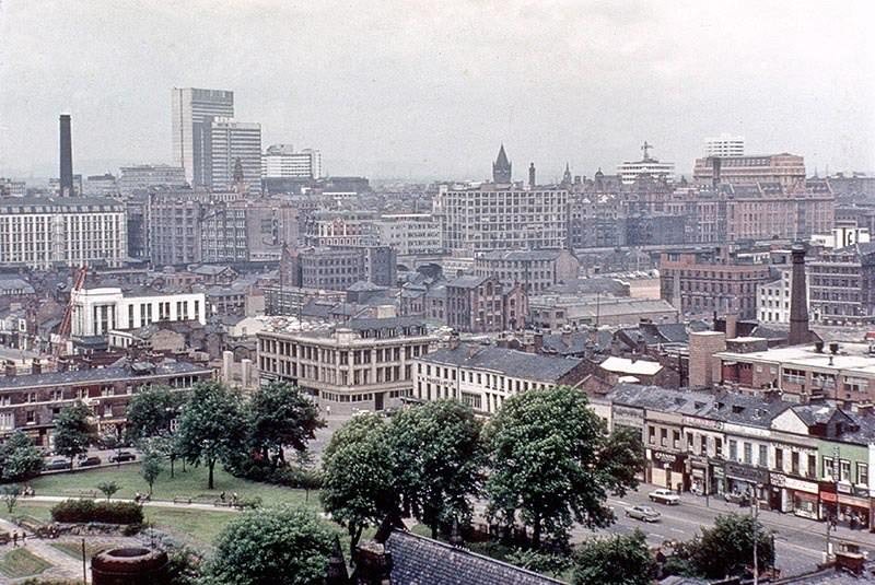
The George Street facade of the Athenaeum, 1960s.The Embden Street Junior School in Hulme, 1967.The Marist School for Girls, formerly the Denton Street and Bangor Street schools in Hulme, 1967.Crowborough Street from the junction with Greenhill Street, showing the rear of the Webster Street School, around 1967.Crowborough Street near the junction with Ridley Grove, in the Hulme/Greenheys district of Manchester, 1967.Rosamond Street West from Cambridge Street, 1967.Unidentified street in Hulme, 1967.Radnor Street, Hulme, near the junction with Fenwick Street, 1967.View over Hulme looking south west towards St Mary’s church around 1967.St Andrew’s House (left) and Telephone House (centre), two newly built office blocks on the south-east side of Portland Street in 1963.


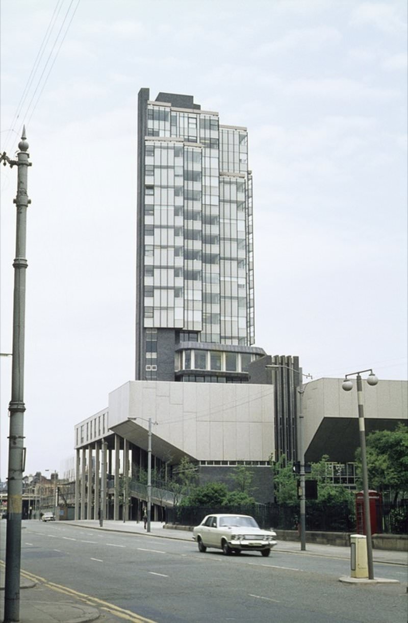
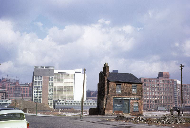
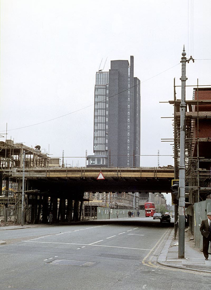
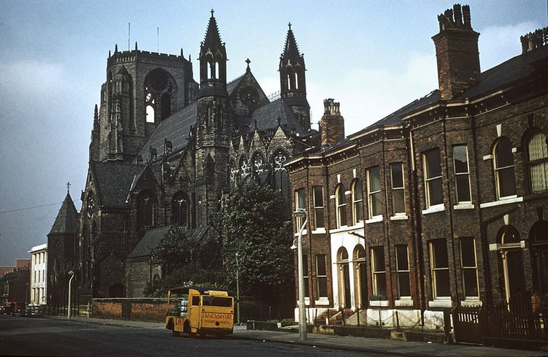
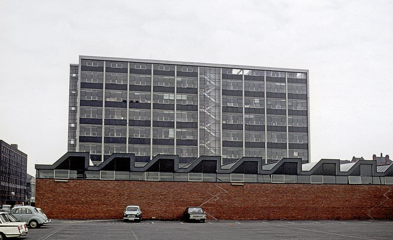
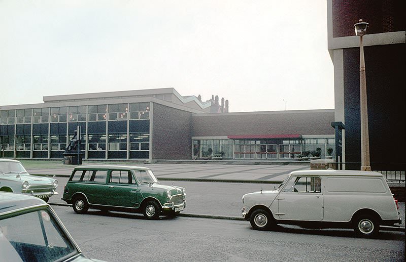
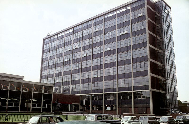
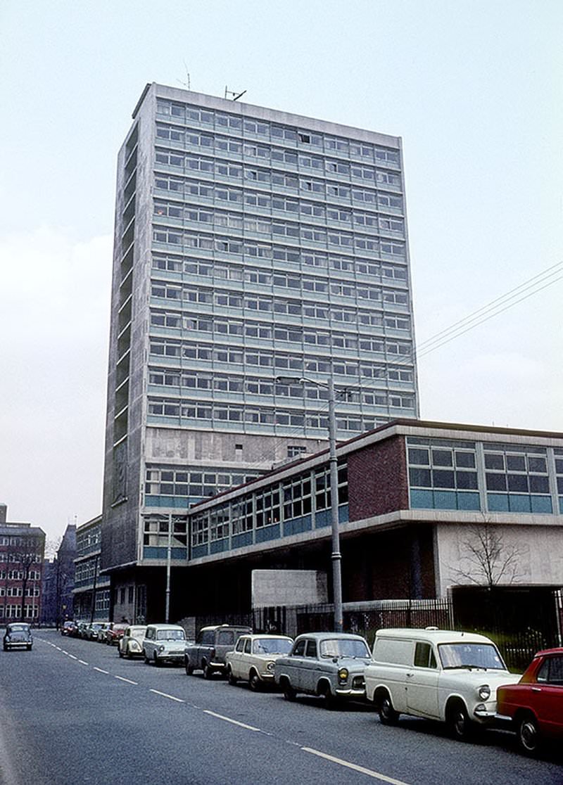
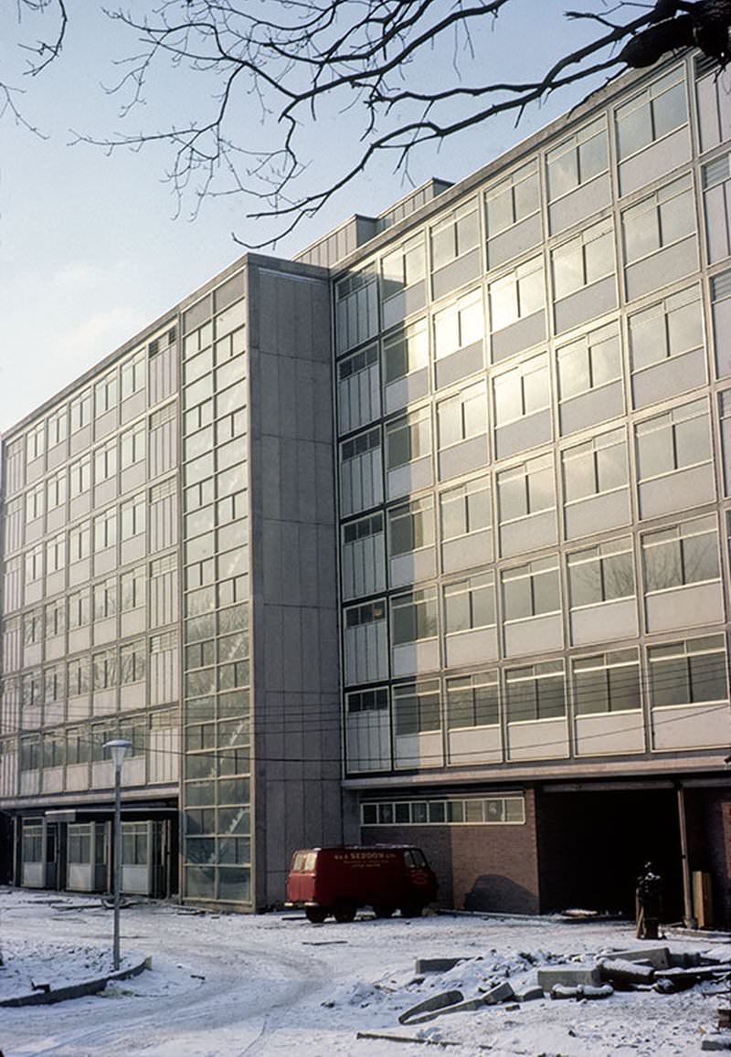
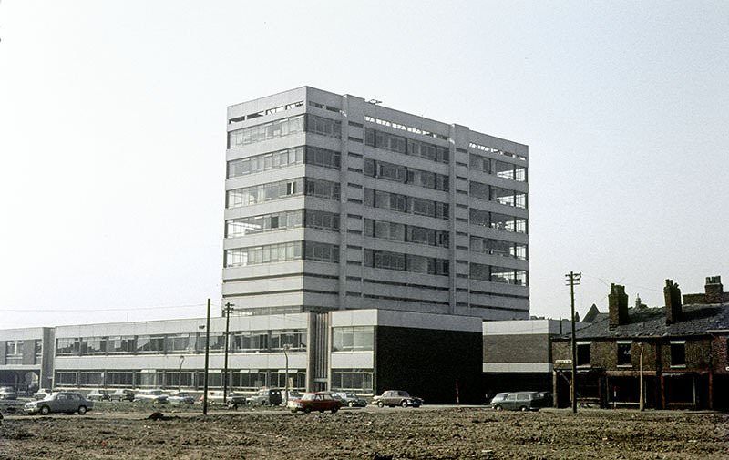
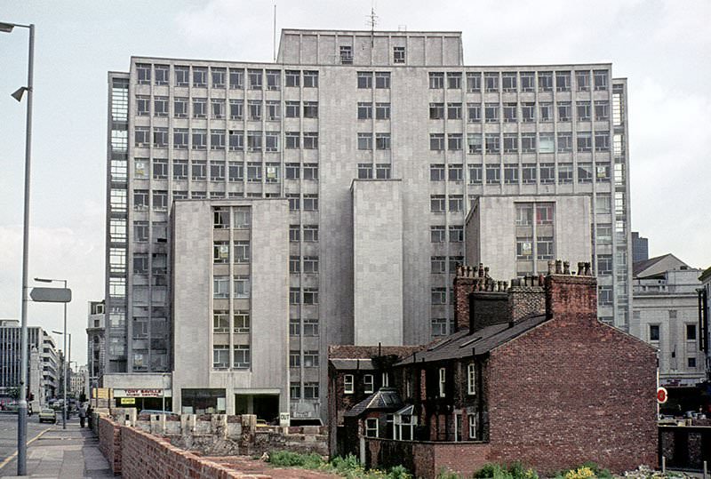
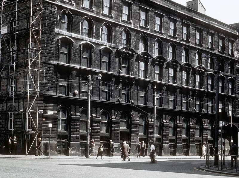
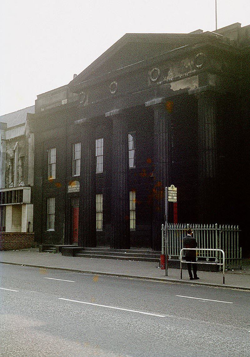
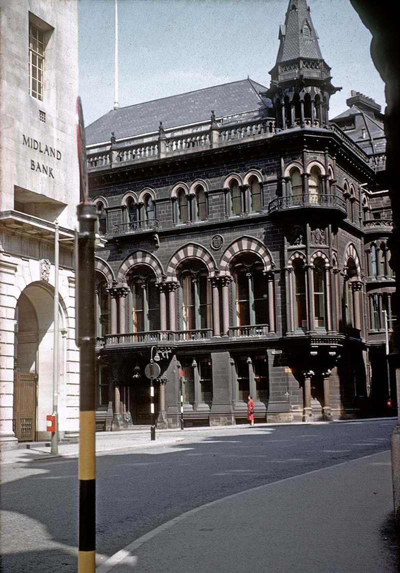
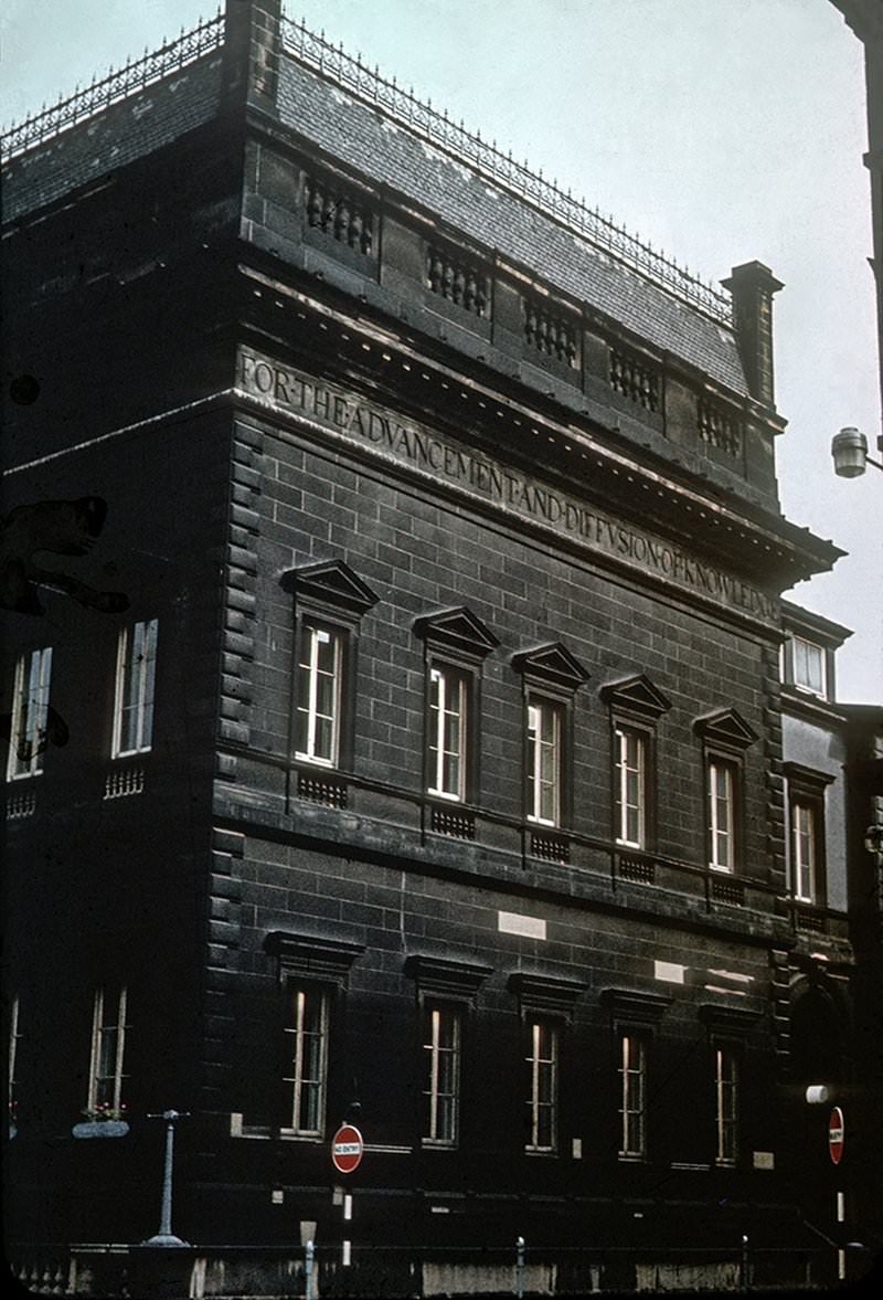
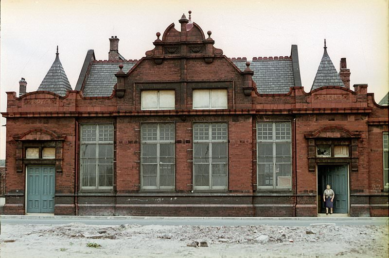
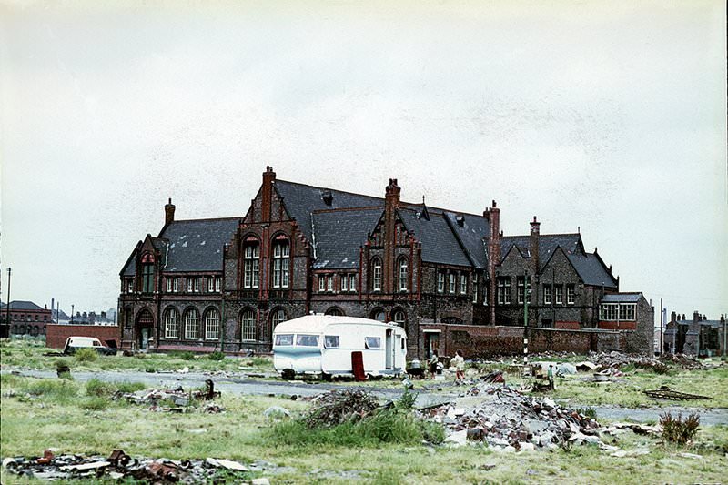
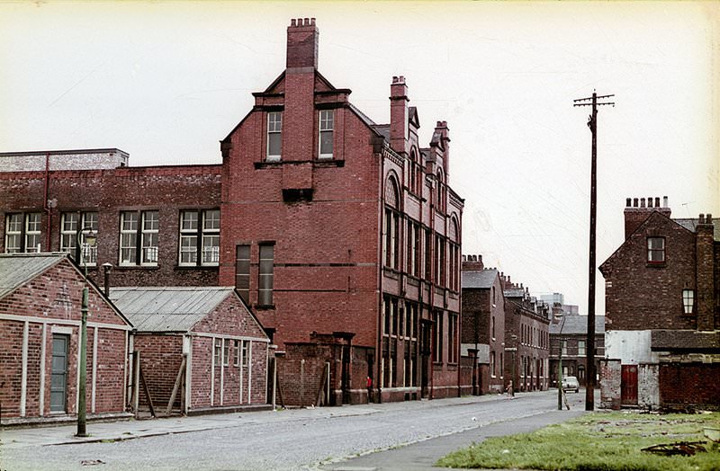





Does anyone know where this is? Looks like a school.
According to the article, the John Dalton College of Technology was in Cambridge Street.
I was living and working in Manchester in the 60’s. I’ll see what I recognise.
I’d love to see some side by sides with these pictures and what they currently look like.
Those city centre buildings are black with soot! Just imagine what people were breathing in back then 😳
Theres no litter anywhere.