In the 1920s, London was the beating heart of a vast empire — a sprawling city of millions navigating crowded streets, buses, and underground trains. For centuries, the only way to see it was from the ground, or at best from the top of a tall building like St. Paul’s Cathedral. That all changed when pilots and photographers began carrying cameras into the skies above the city.
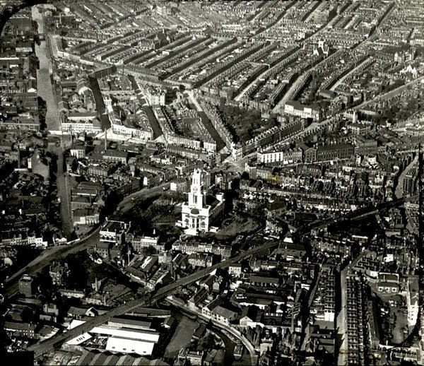
Flying in the 1920s was nothing like modern air travel. Aircraft were small, many had open cockpits, and passengers were fully exposed to the wind and cold. Flights were rough and weather-dependent. Yet these early planes and large airships gave photographers a completely new way to look at London — and what they captured was extraordinary.
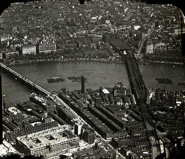
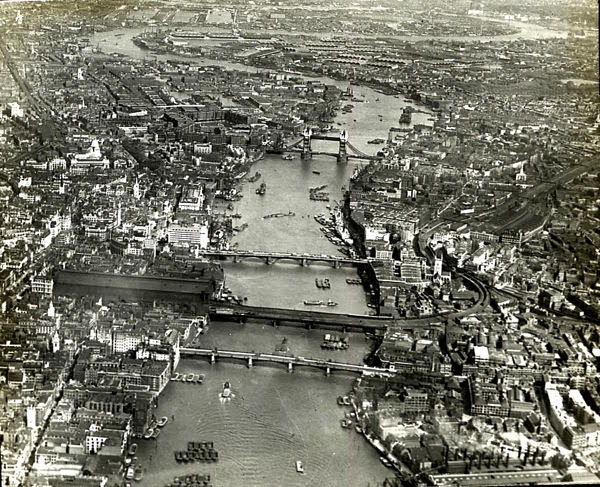
From the air, the River Thames became the defining feature of the city. Its winding path eastward was easy to trace, and the many bridges crossing it stood out clearly. Among the most recognizable was the Gothic silhouette of Tower Bridge, its distinctive towers connecting both banks of the river.
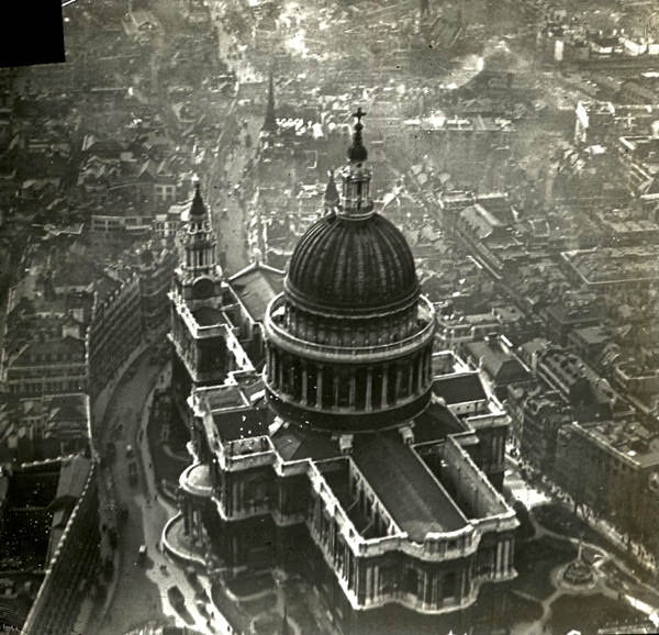
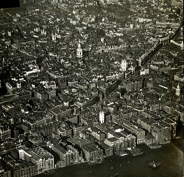
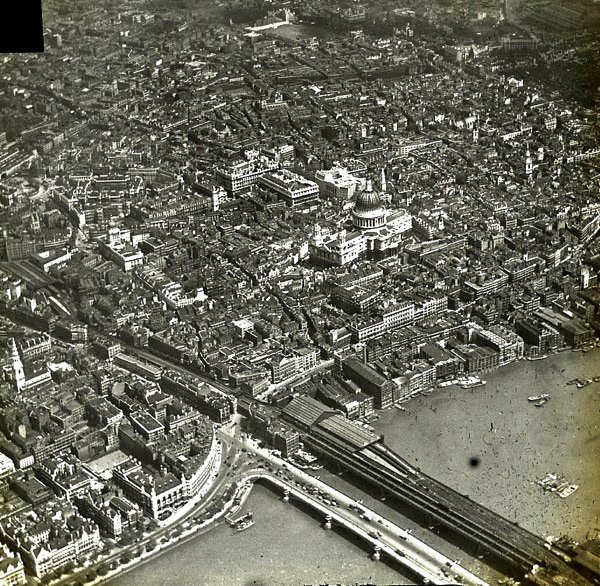
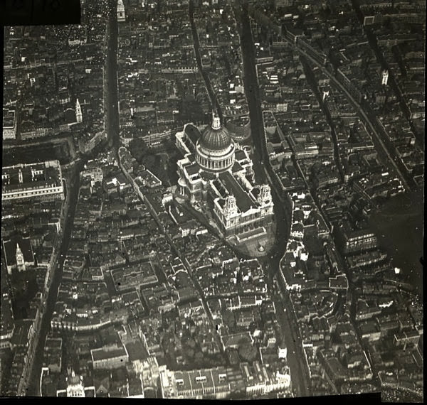
St. Paul’s Cathedral sat on a low hill and dominated the skyline. Its great dome rose above the surrounding rooftops, making it one of the easiest landmarks to spot from altitude. The street grid radiating away from it was far more visible from above than it ever was at ground level.
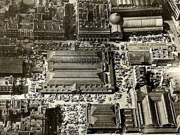
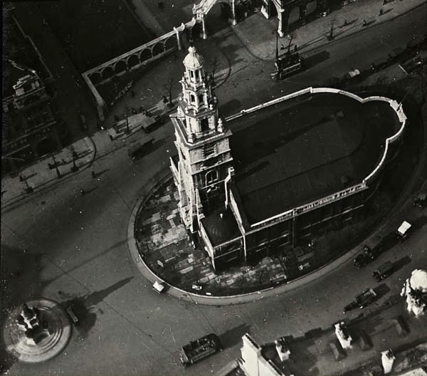
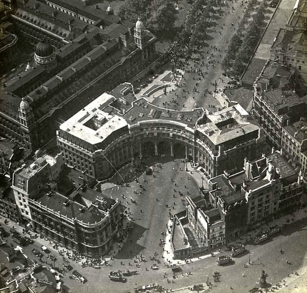
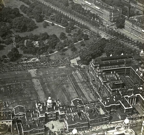
The aerial views also revealed how London’s famous civic and royal spaces were laid out. Grand thoroughfares, ceremonial arches, and parade grounds took on new meaning when seen from above. Patterns that were invisible at street level — the geometry of roads, the footprints of buildings — suddenly became clear.
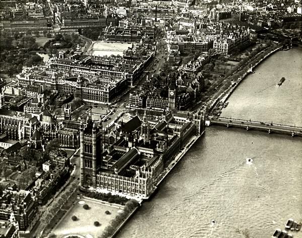
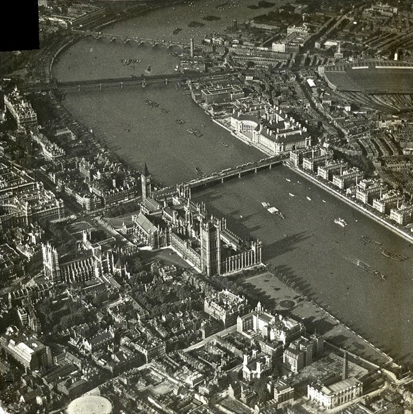
Along the Thames, the Houses of Parliament and Big Ben formed an unmistakable Gothic cluster right at the water’s edge. Westminster Bridge stretched out beside them, and across the river, the newly built County Hall was already taking shape as a major presence on the South Bank.
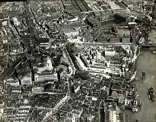
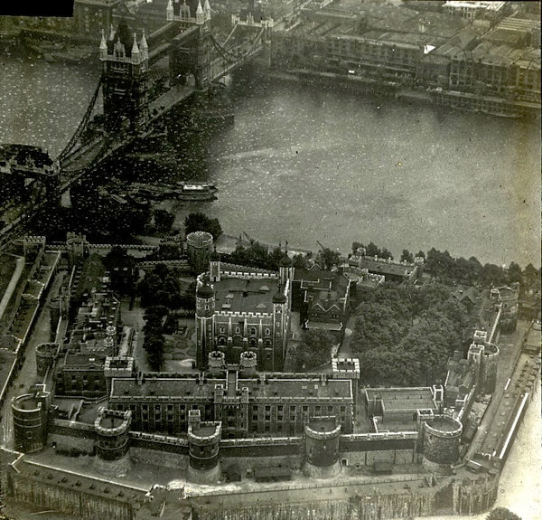
Further east, the Tower of London appeared as a compact stone fortress, its walls clearly defined even from altitude. Beside it, St Katharine Docks and the Pool of London revealed just how active the river’s commercial life was, with dock basins and moored vessels visible from above.
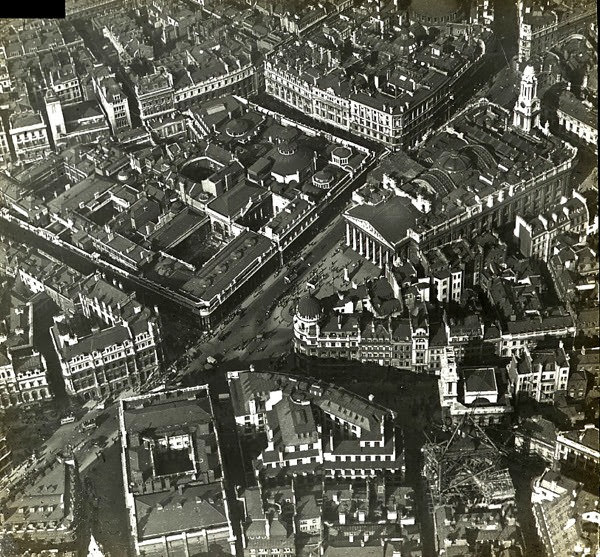
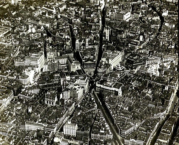
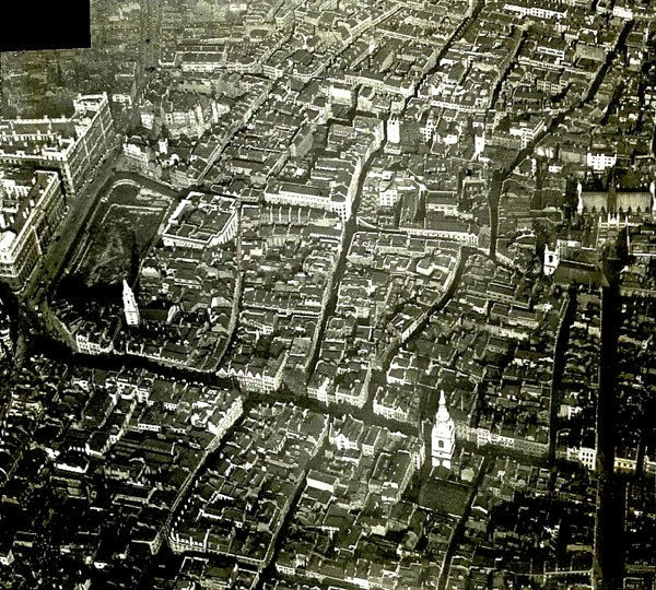
The City of London — the ancient financial core — presented a dense patchwork of buildings punctuated by church spires. Dozens of Christopher Wren’s churches, built after the Great Fire of 1666, still defined the skyline in this era, their steeples rising above the rooftops in tight clusters.
Tower Bridge, seen alongside the Tower of London, was one of the most photographed subjects from the air. Built in 1894, it was still a relatively modern structure in the 1920s, and its twin towers and bascule design were immediately recognizable from any angle — including directly overhead.
Blackfriars Bridge offered another vantage point linking the Thames to St. Paul’s. From the air, the relationship between the bridge and the cathedral’s dome was clear in a way no street-level view could match — showing how closely London’s great landmarks were packed together.
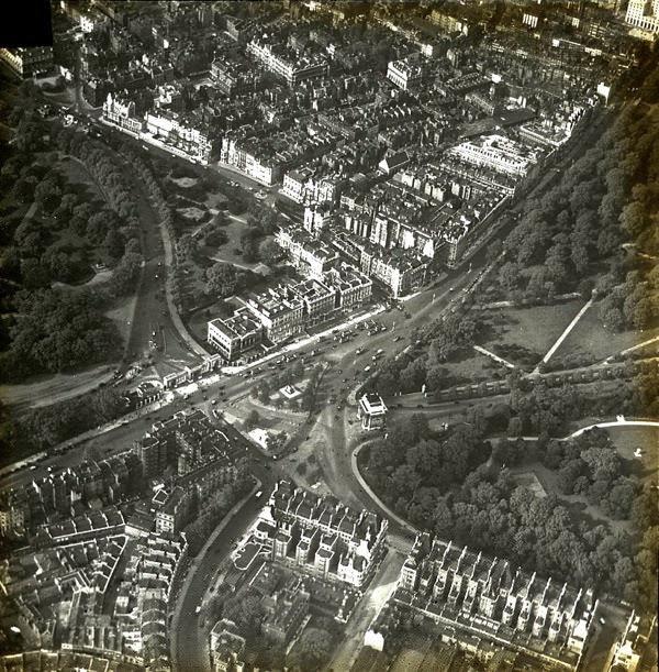
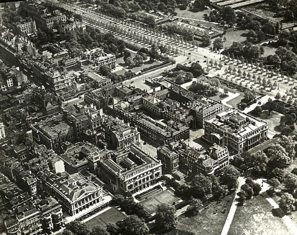
West of the city, the royal parks and palaces formed open green spaces that broke up the dense urban fabric. Buckingham Palace, fronted by the Mall, was clearly visible as the focal point of a grand ceremonial route — a straight avenue designed to be seen and processed along.
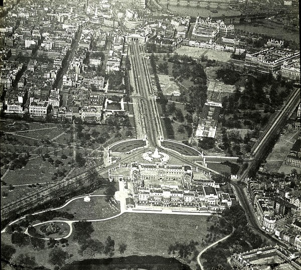
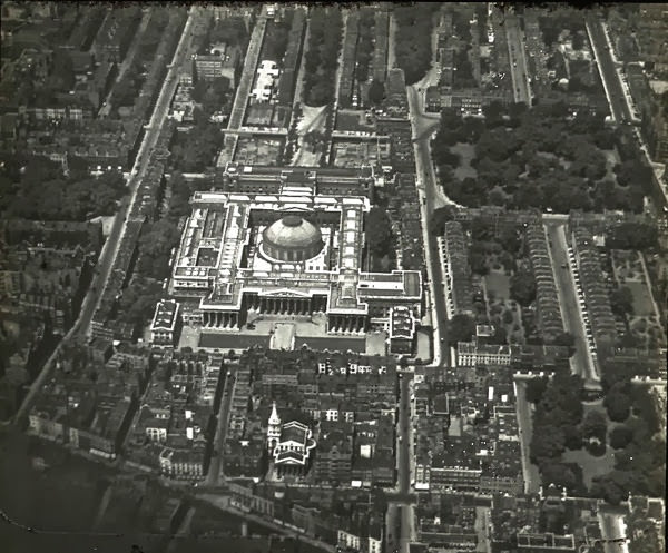
St. James’s Palace, one of the oldest royal residences in London, stood close to the Mall. Its Tudor red-brick towers were visible from the air, surrounded by the streets and parks of one of the city’s most exclusive districts.
The Pool of London, the stretch of river between London Bridge and Tower Bridge, was the city’s main commercial port in the 1920s. Aerial photographs showed it lined with docks and warehouses, a working waterway still central to how London fed and supplied itself.
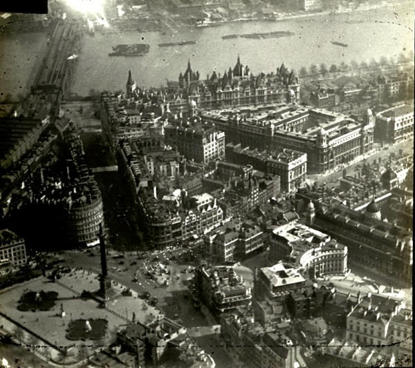
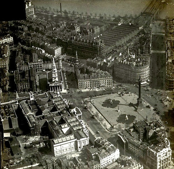
Trafalgar Square, with Nelson’s Column at its centre, was a natural landmark from the air. St. Martin-in-the-Fields church sat at one corner, while Charing Cross Station’s train shed roof was visible just beyond — three very different types of Victorian and Georgian architecture sitting almost on top of each other.
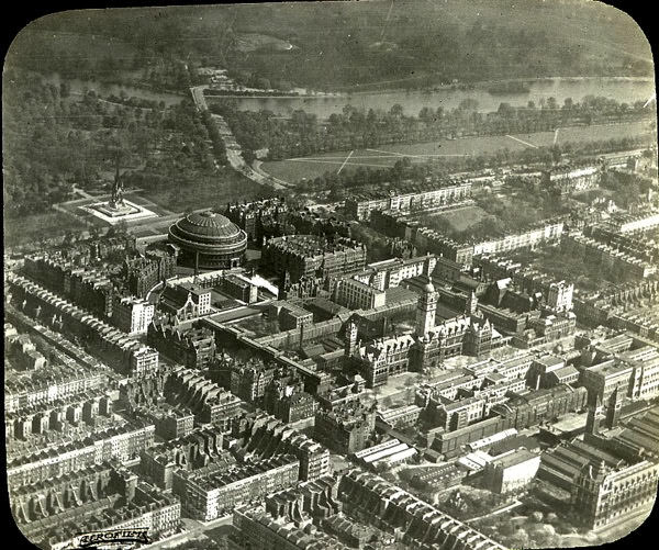
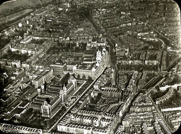
South Kensington held some of London’s grandest cultural institutions. The Royal Albert Hall’s circular form and the long terracotta facade of the Natural History Museum were both striking from altitude, sitting alongside the Victoria and Albert Museum in a district built to celebrate science, art, and education.