The Holy Land sits between the Jordan River and the Mediterranean Sea, stretching across what is today Israel, the West Bank, Jordan, and Palestine. It is the holiest place on earth for Muslims, Jews, and Christians alike. Few regions in the world pack such geographic variety into one place — snow-capped peaks like Mount Hermon, the barren Judean Desert, the freshwater Sea of Galilee, and the hypersaline Dead Sea all exist within the same stretch of land.
The photographs in this collection were taken in 1915, during the final years of Ottoman rule over the region. The Ottoman Empire had governed the Holy Land since 1516, lost it briefly to Egypt in 1832, and regained control eight years later after the United Kingdom intervened. By the time these images were captured, that long chapter of Ottoman rule was nearing its end. After World War I, Britain took control of the area. In 1948, Israel became a state in a violent process during which Zionist forces expelled roughly 750,000 Palestinians from their homeland and destroyed hundreds of their villages. These photographs, then, capture a world that was on the edge of enormous and irreversible change.
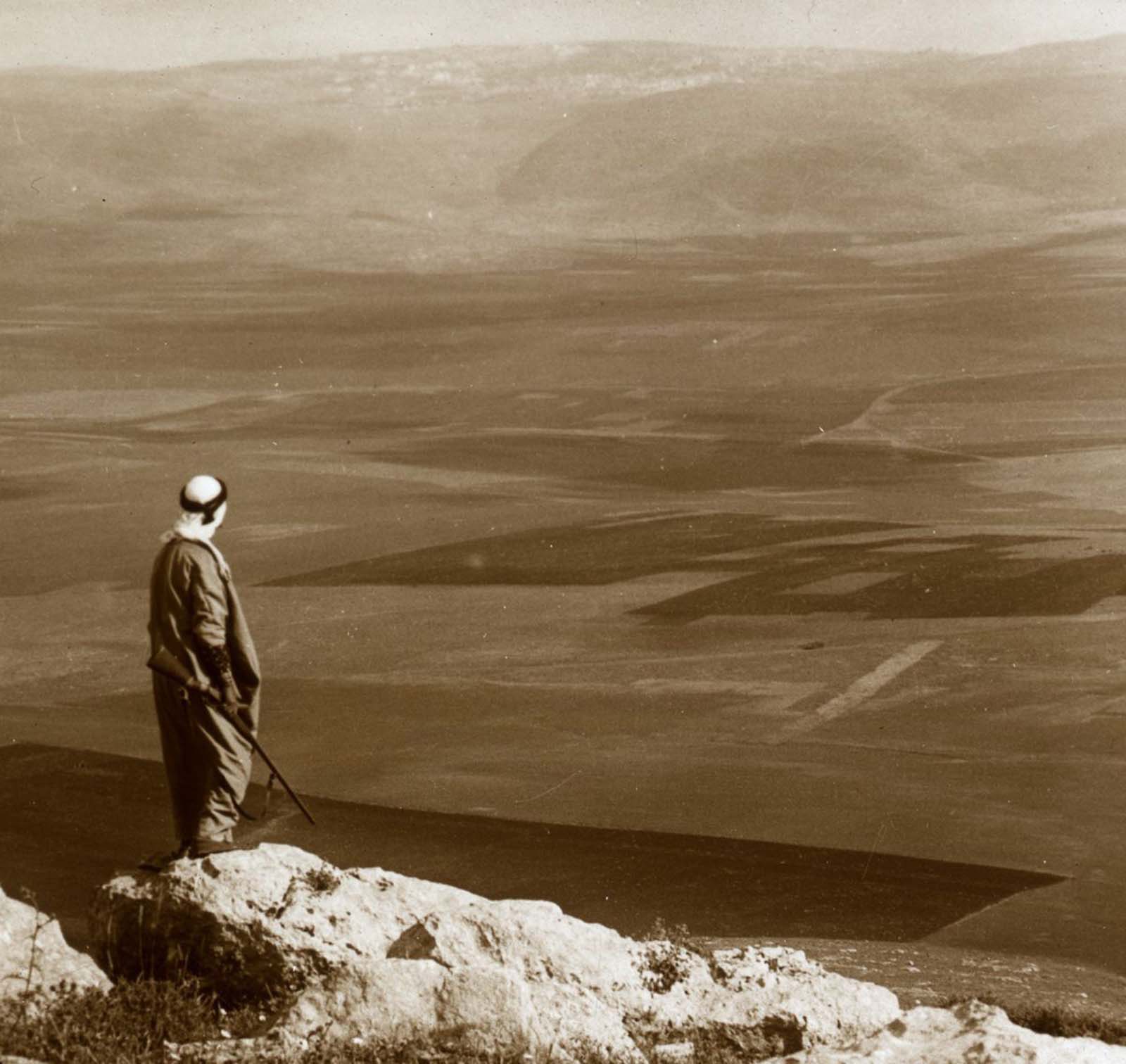
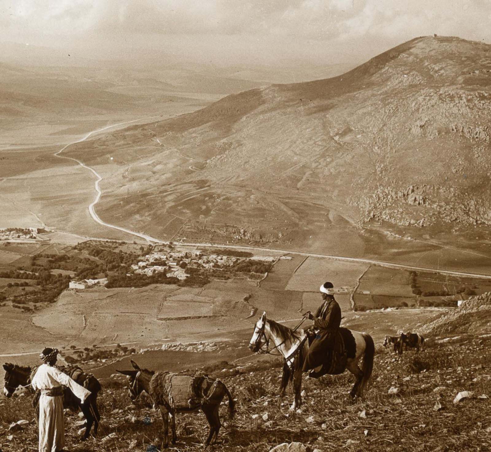
Nazareth, one of the most recognizable cities in the Holy Land, sits in the hills of the Lower Galilee. In 1915, it remained a relatively quiet town with deep religious significance for Christians as the city where Jesus grew up. The view from Hill Moreh gives a sweeping look across the valley toward the city.
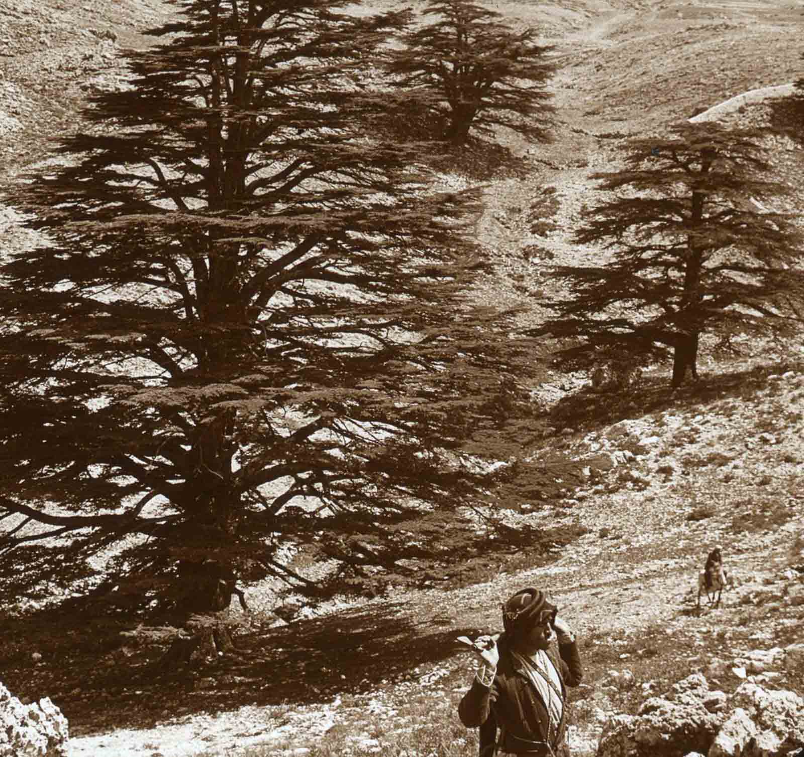
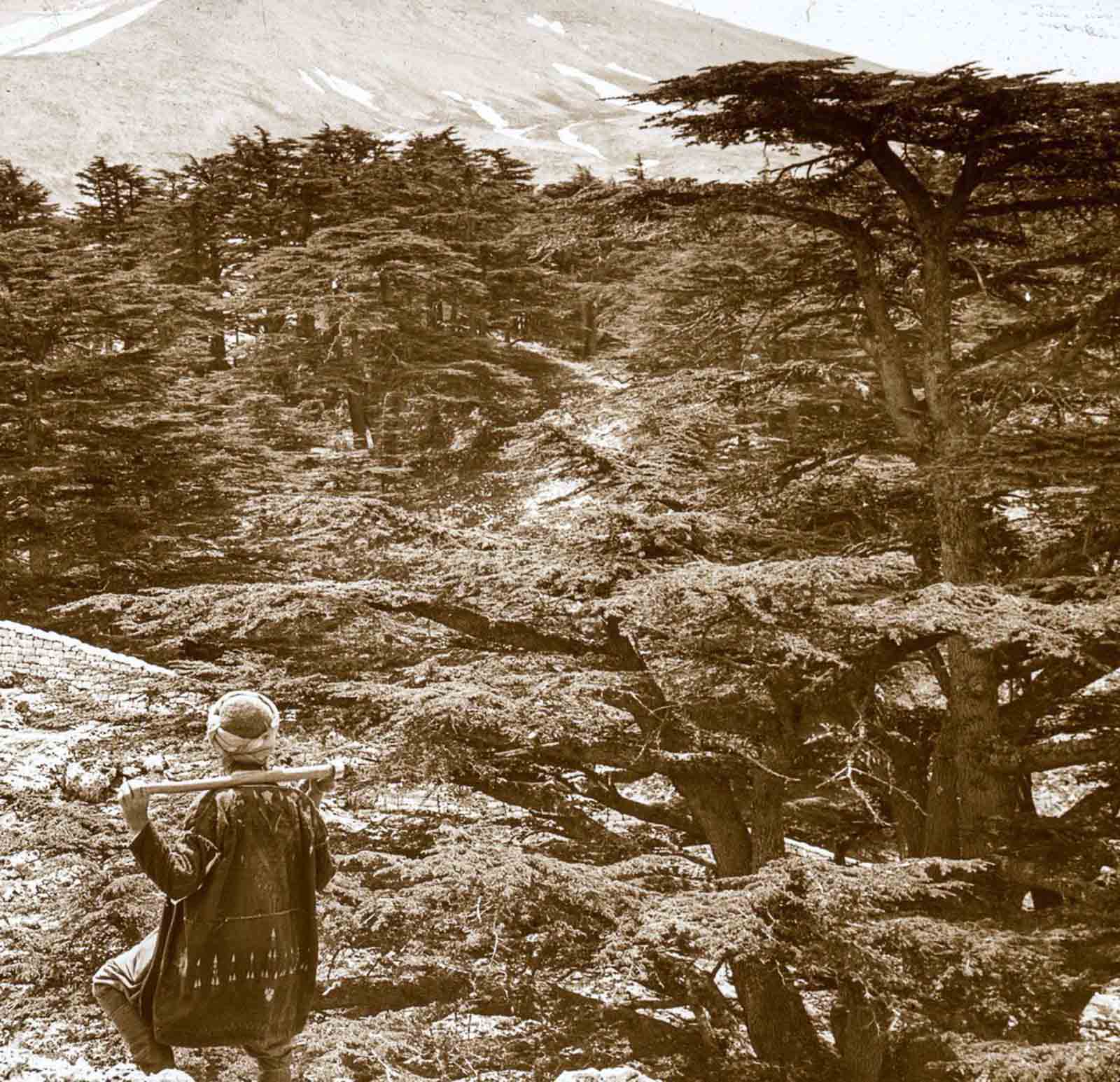
Lebanon’s cedar trees have been famous since antiquity. Ancient Egyptians, Phoenicians, and Romans all prized the timber. By 1915, centuries of heavy logging had drastically reduced the forests, making stands of mature cedars increasingly rare sights.
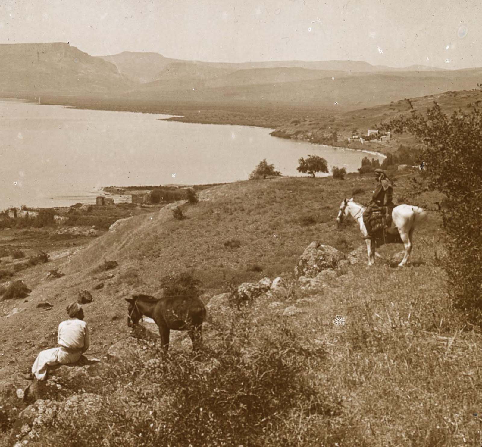
The northern shore of the Sea of Galilee was home to the ancient town of Bethsaida, a fishing village closely tied to the ministry of Jesus. Looking inland from that shore, the Mount of the Beatitudes rises gently — the hillside where, according to Christian tradition, Jesus delivered the Sermon on the Mount.
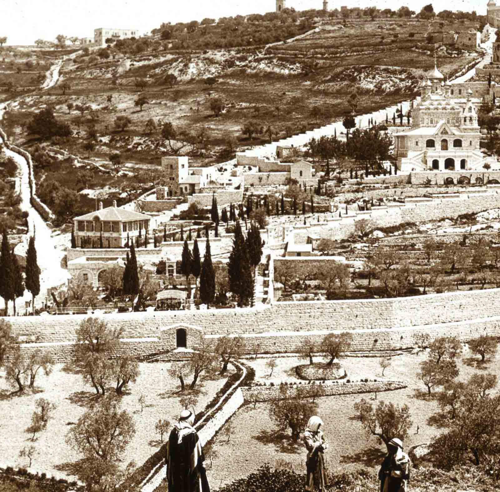
Jerusalem held its own in 1915 as a city of layered religious and political significance. The Garden of Gethsemane, located at the foot of the Mount of Olives, is the site where, according to Christian scripture, Jesus prayed on the night before his crucifixion. Ancient olive trees still stood in the garden, some of them centuries old at the time this photograph was taken.
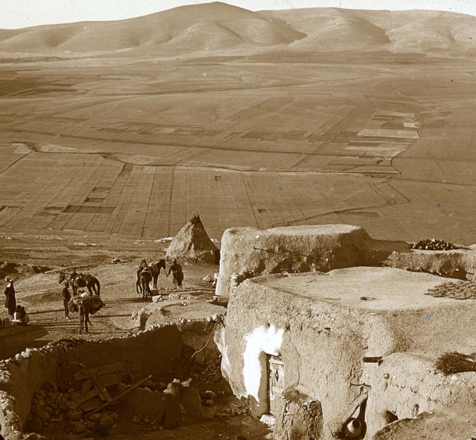
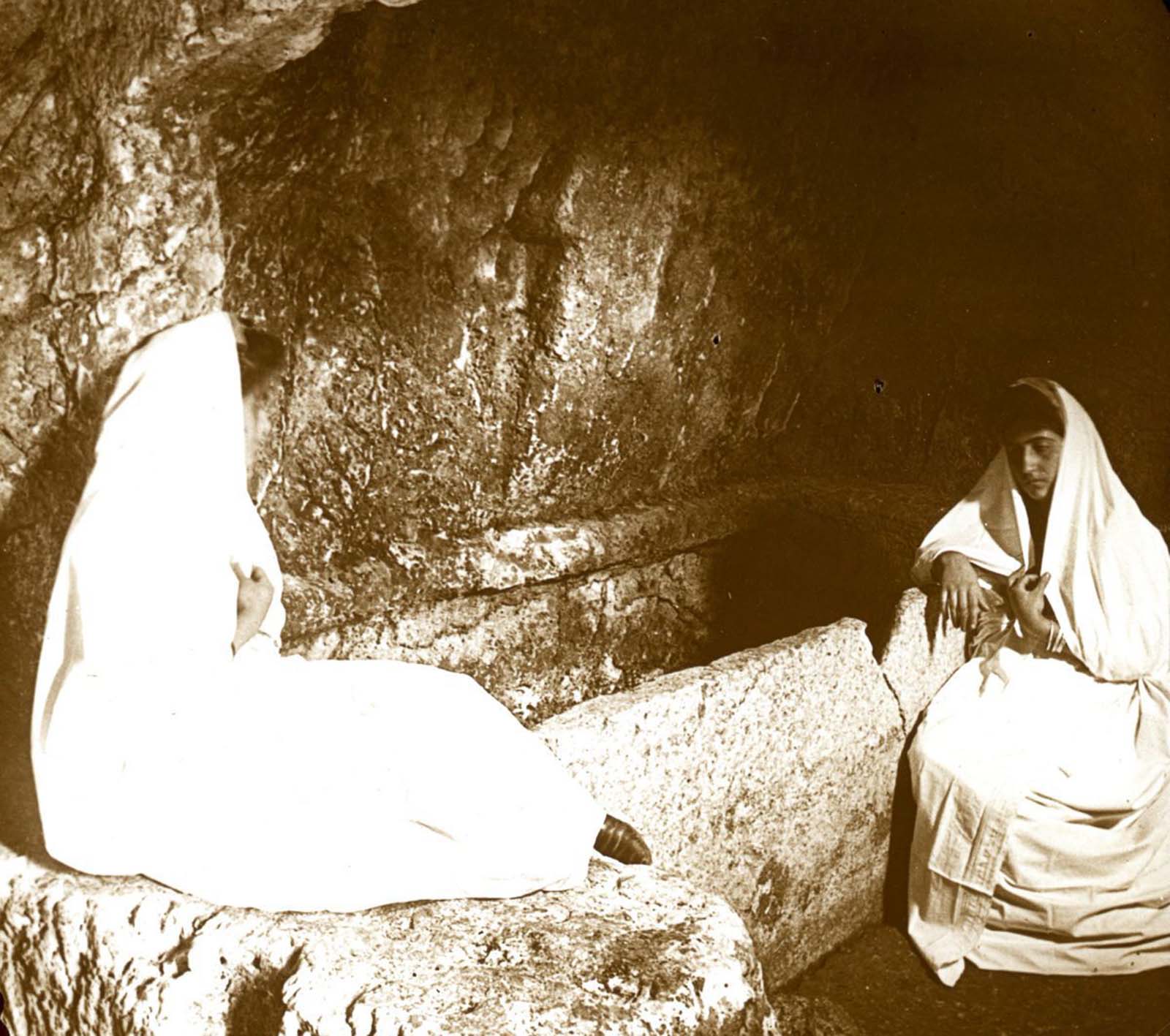
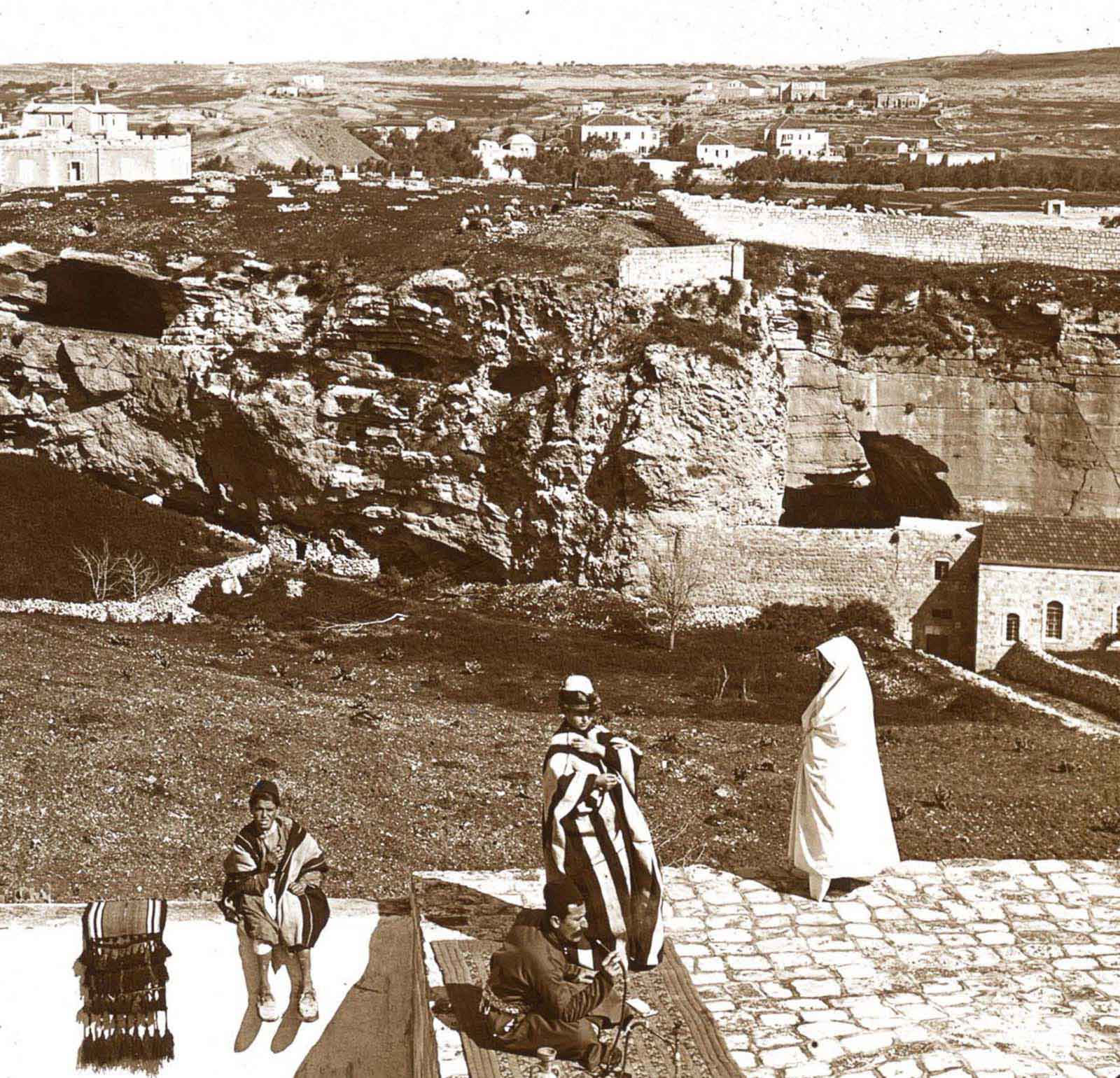
New Calvary, also called the Garden Tomb area, became a point of significant interest for Protestant Christians in the 19th century as an alternative site for the burial and resurrection of Jesus. The tomb carved into the rock drew pilgrims and photographers alike.
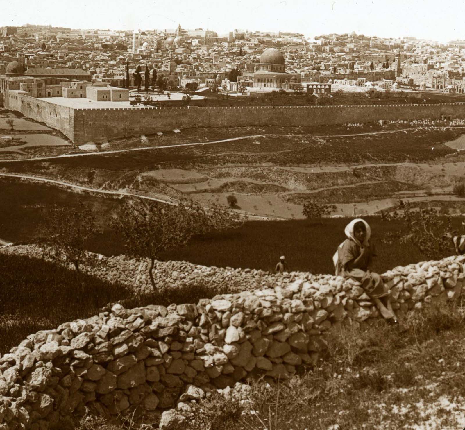
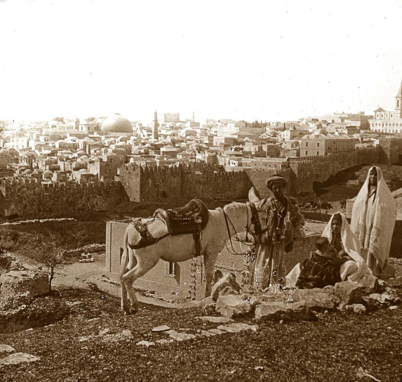
The Mount of Olives offers one of the most iconic views of Jerusalem’s Old City. From its ridge, the Dome of the Rock, the city walls, and the dense urban fabric of the ancient city stretch out in full view. In 1915, the skyline was still defined by minarets and church domes rather than modern construction.
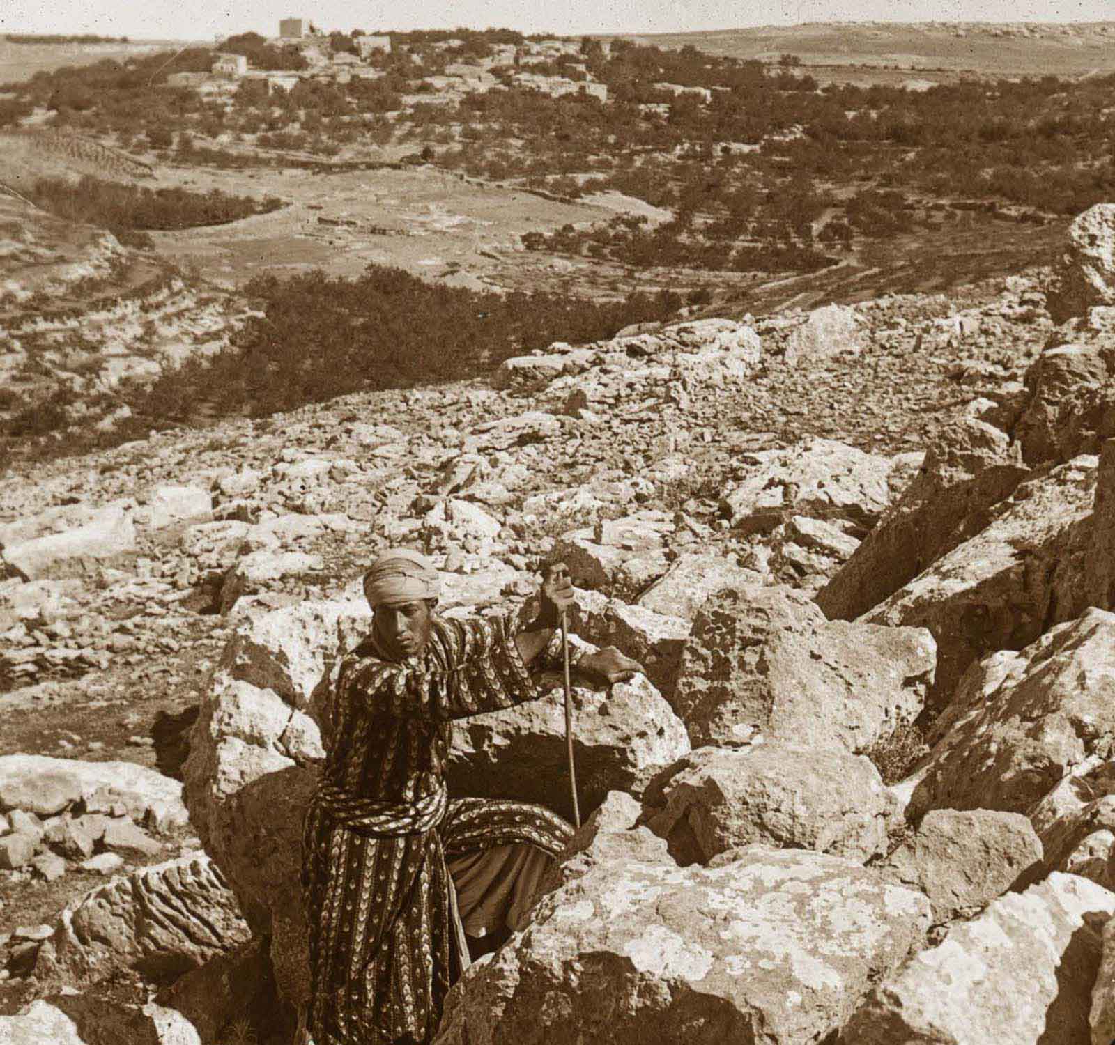
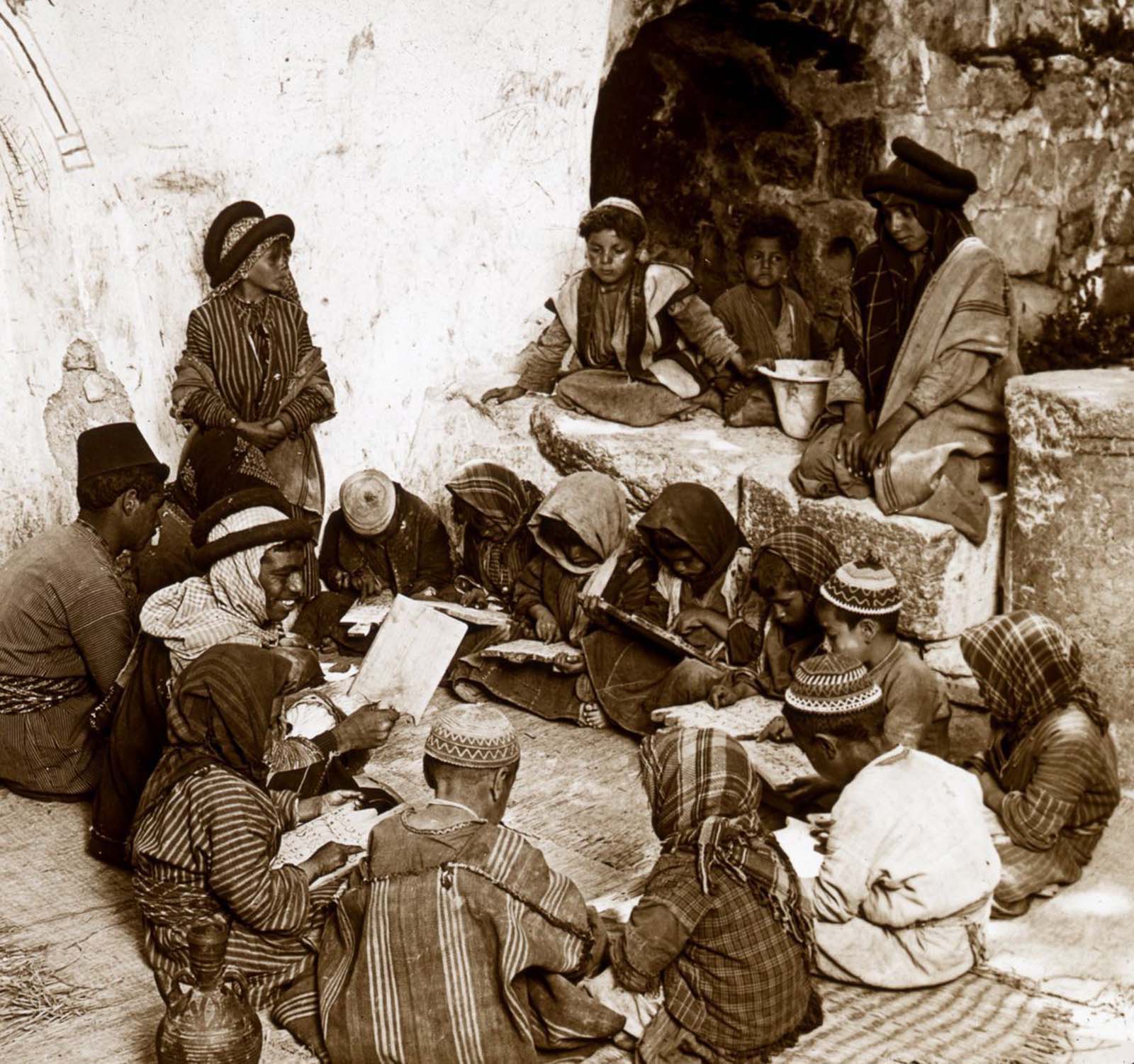
Education in the Holy Land during the Ottoman period was often organized through religious institutions. Schools run by Christian missionaries and local religious communities were common in towns throughout the region. Ramah, a village with roots stretching back to biblical times, was home to one such school.
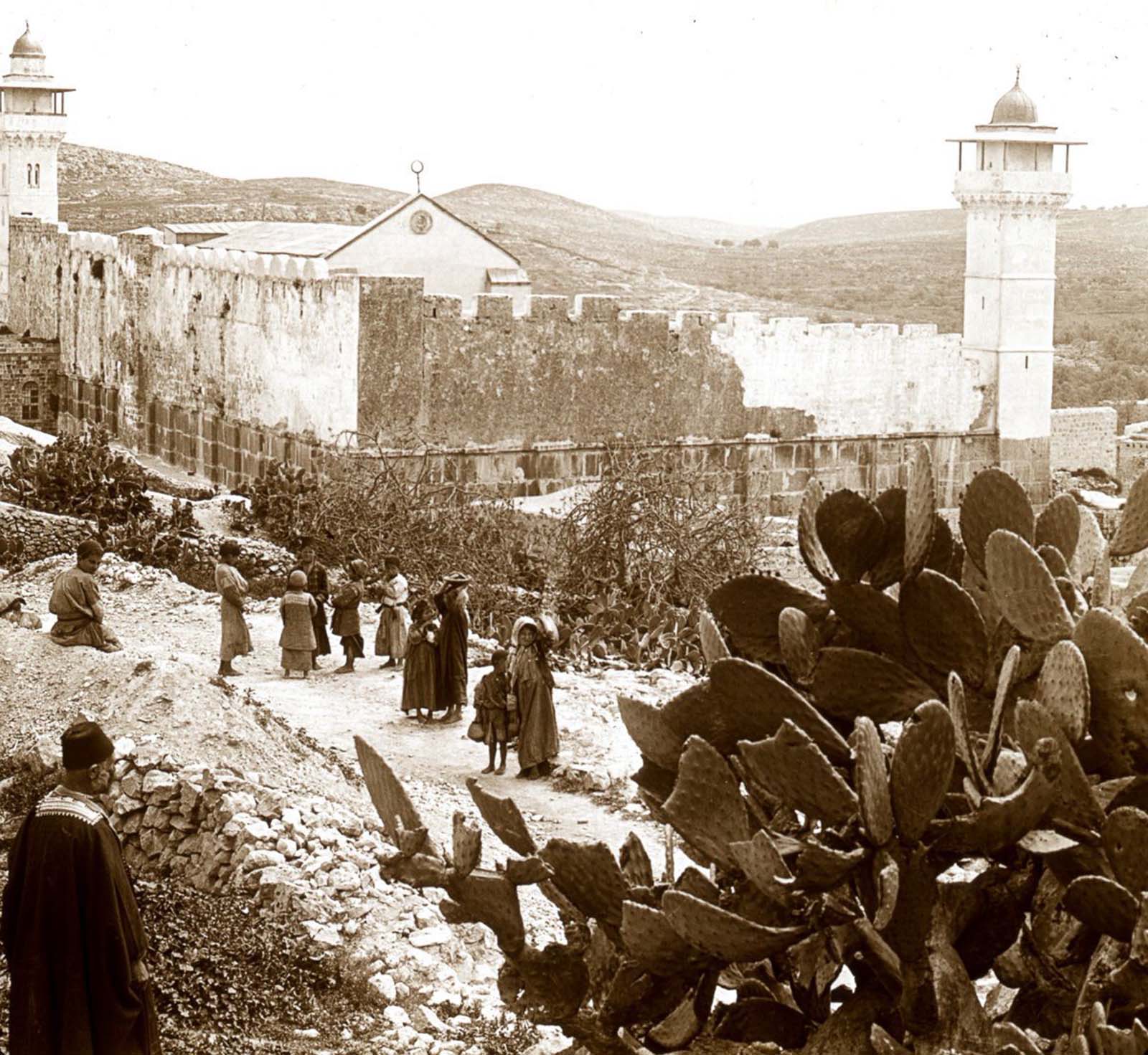
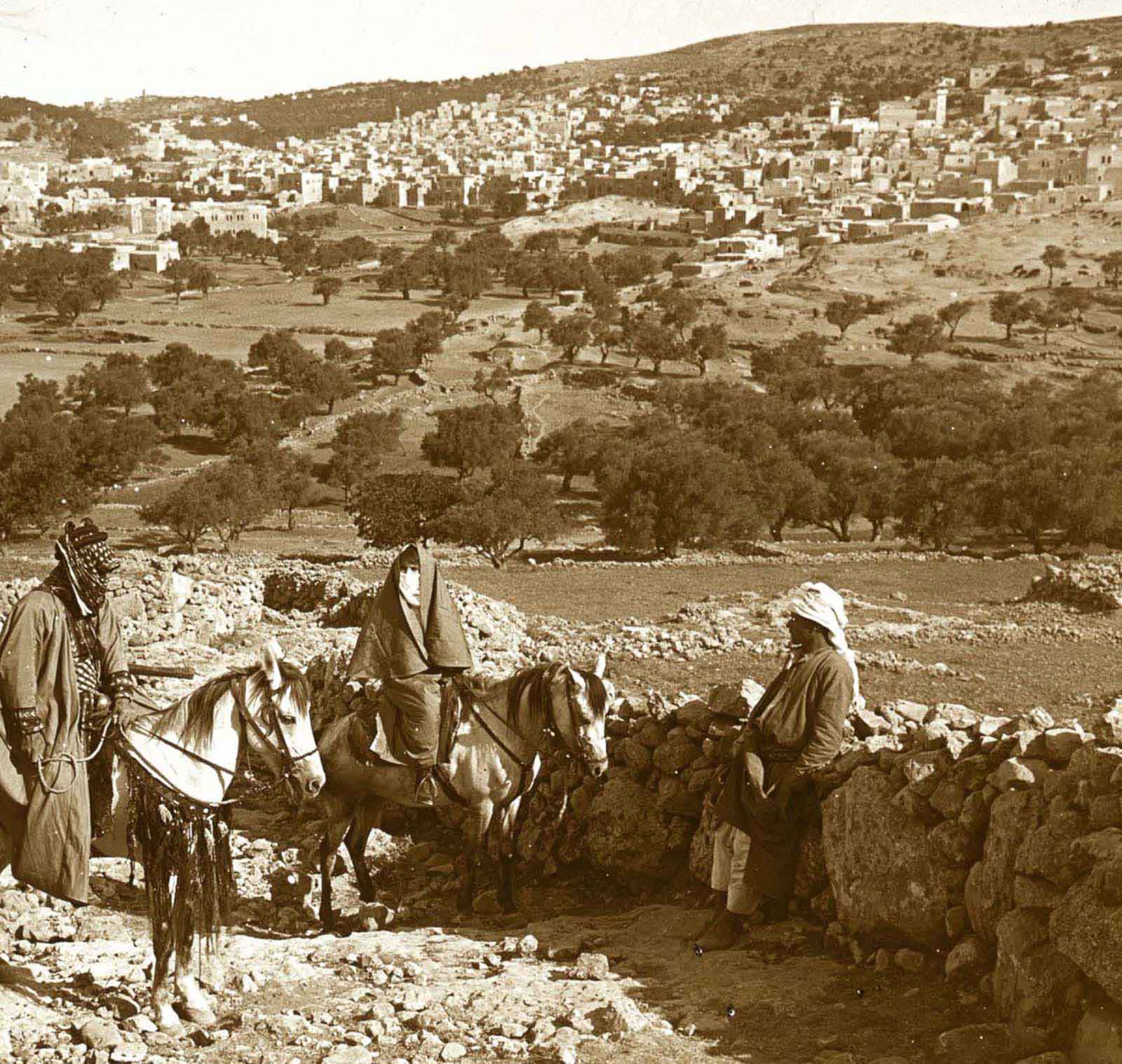
Hebron is one of the oldest continuously inhabited cities in the world. Its mosque, built over the Cave of Machpelah, is considered sacred by both Muslims and Jews as the burial site of Abraham, Isaac, Jacob, and their wives. The structure standing in 1915 dated largely to the Mamluk and Ottoman periods of construction.
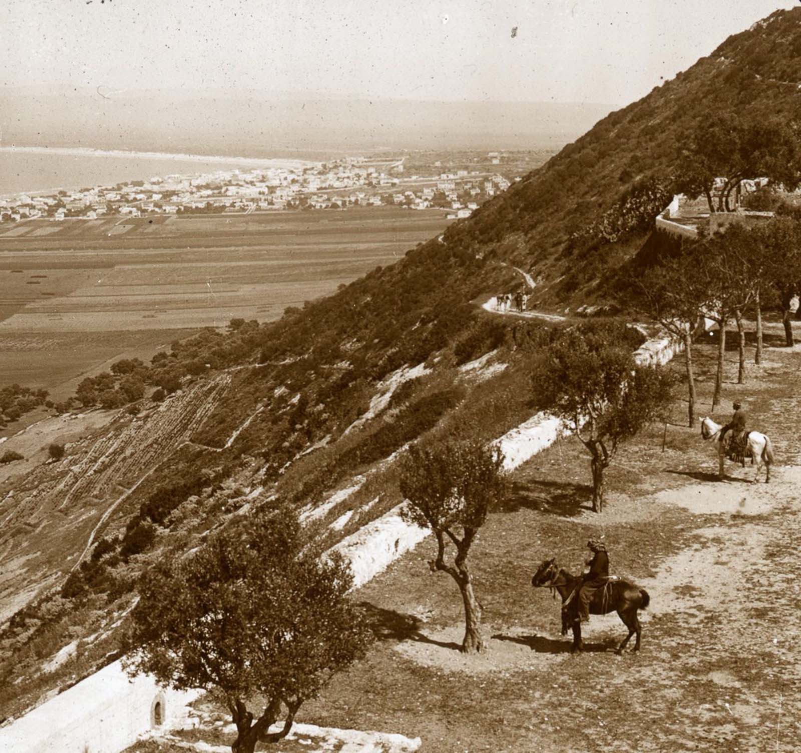
Mount Carmel stretches along the northwestern coast of the Holy Land, dropping steeply into the Bay of Haifa. The mountain is referenced in the Hebrew Bible and holds significance in Jewish, Christian, and Bahá’í traditions. By 1915, Haifa was a modest port town beginning to grow in commercial importance.
Mounts Gerizim and Ebal face each other across a narrow valley in the hill country of Samaria. In Jewish and Samaritan tradition, these two mountains carry deep biblical weight — Gerizim as the mountain of blessing and Ebal as the mountain of curse, as described in the Book of Deuteronomy.
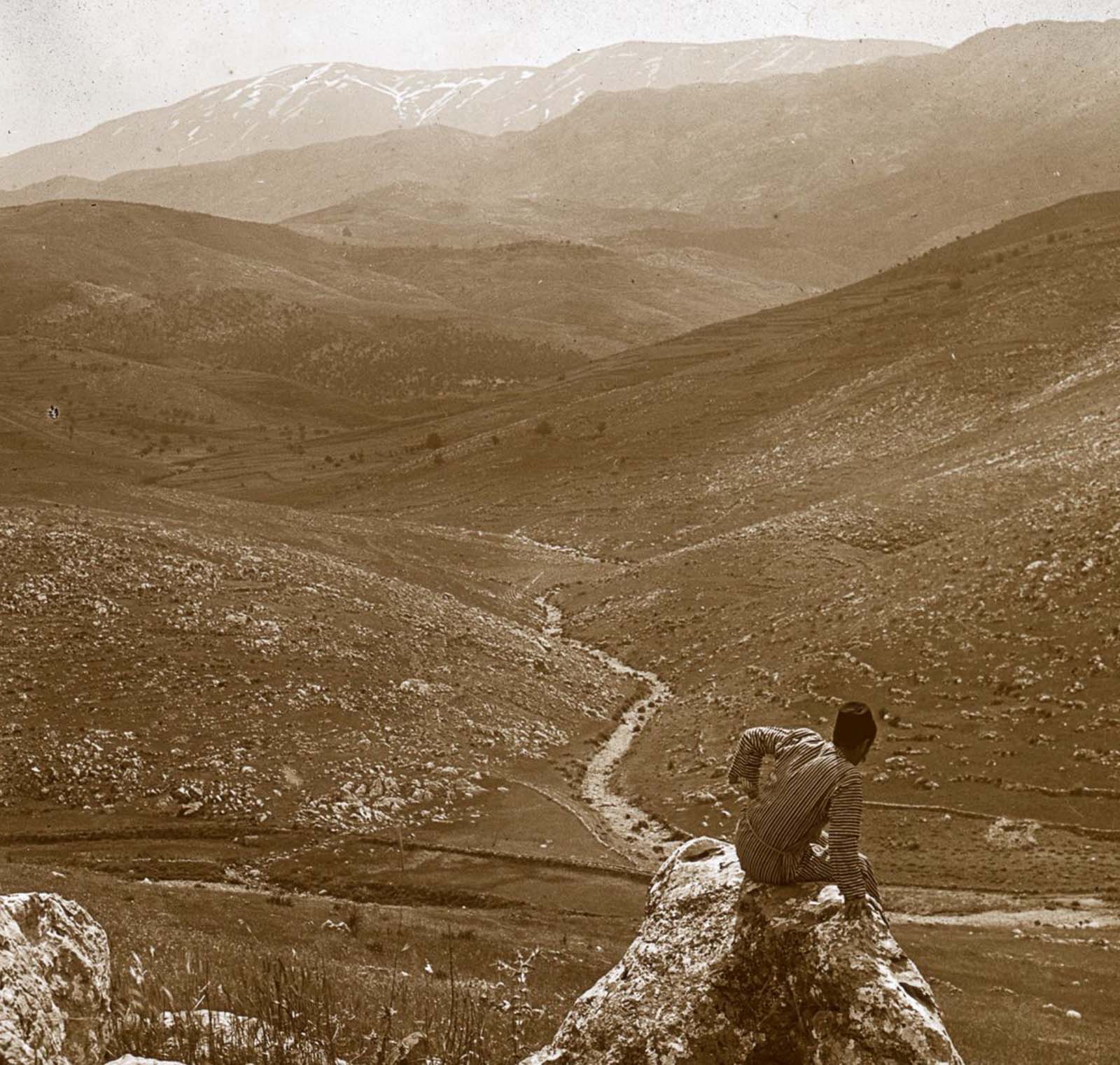
Mount Lebanon dominates the landscape of what is today the country of Lebanon. Its western slopes catch moisture from the Mediterranean, supporting forests and terraced agricultural land that have been cultivated for thousands of years.
Mount Nebo sits in what is today western Jordan, east of the Dead Sea. According to the Hebrew Bible, Moses climbed to its summit and was shown the Promised Land before his death. The mountain provides a sweeping view westward across the Jordan River valley.
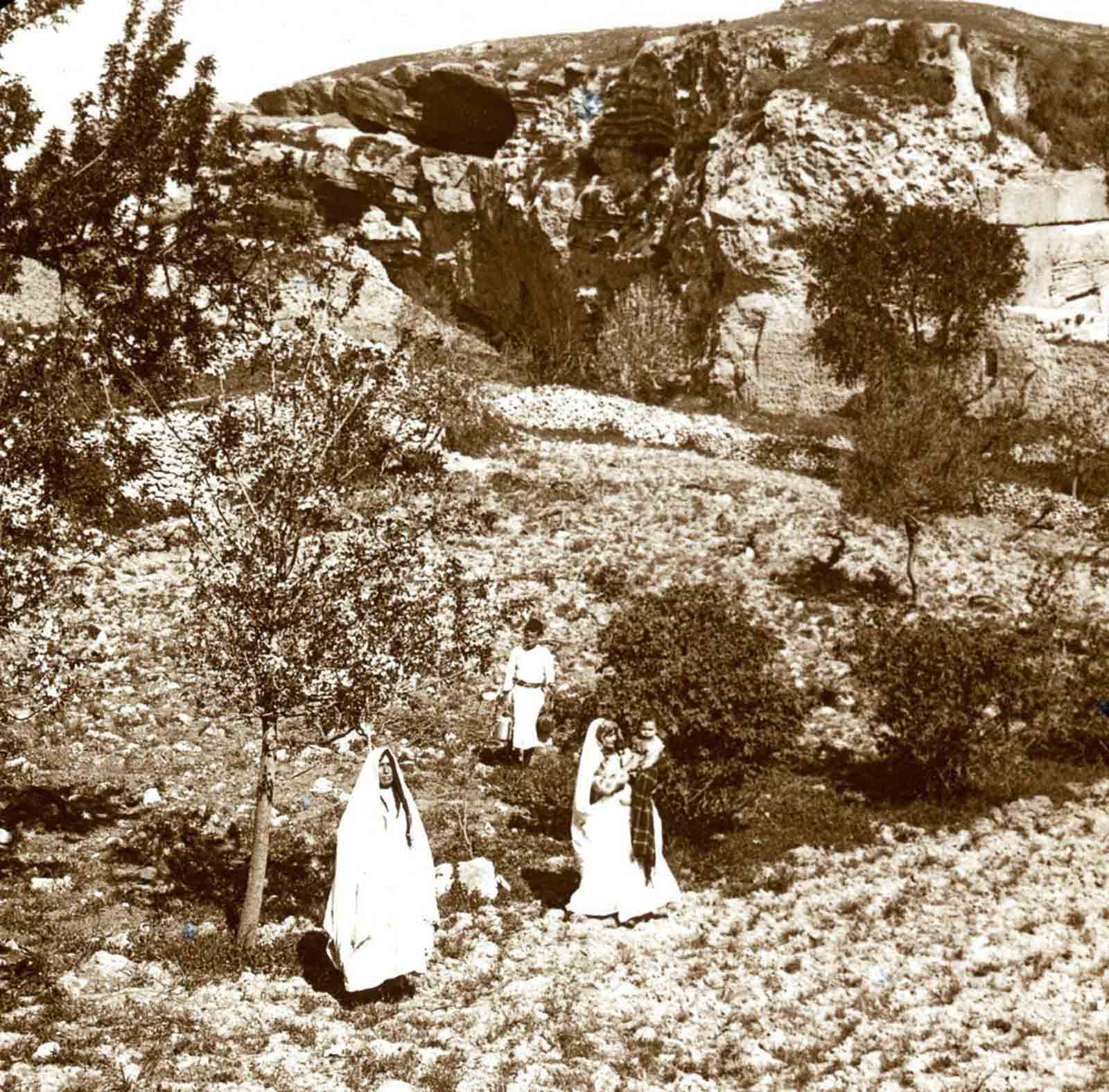
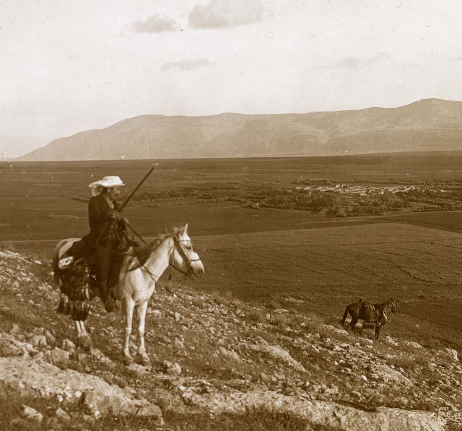
The village of Nain appears in the New Testament as the site where Jesus raised a widow’s son from the dead. It lies at the foot of Mount Tabor, a distinctive dome-shaped mountain that rises abruptly from the surrounding plain of Jezreel. Mount Tabor is traditionally identified as the site of the Transfiguration of Jesus.
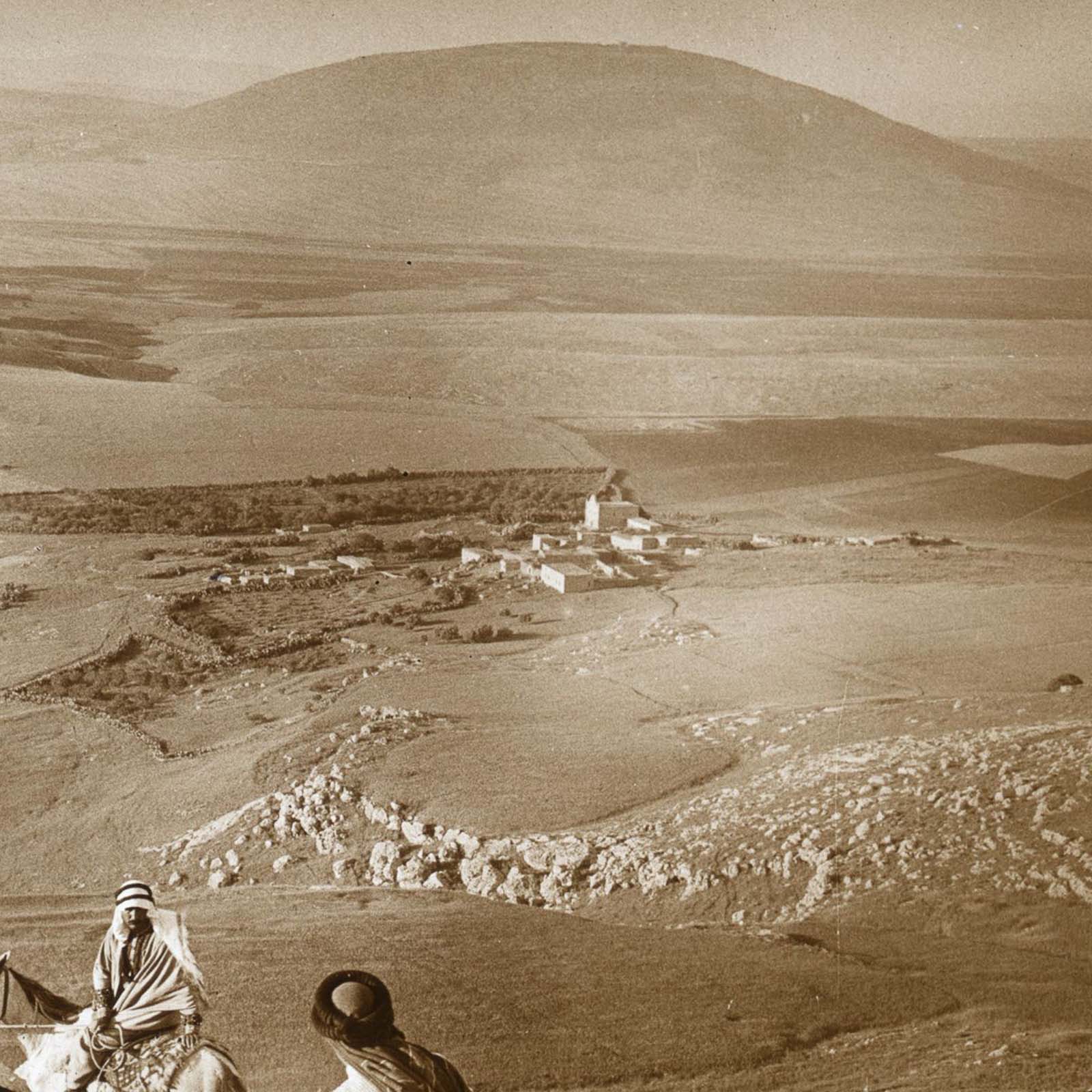
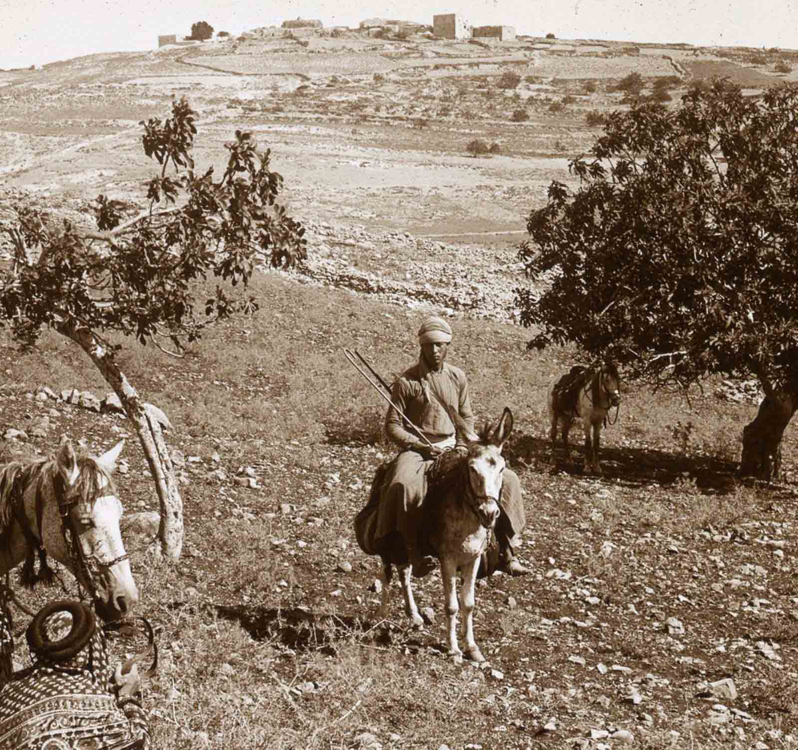
Samaria served as the capital of the ancient Kingdom of Israel and later became a Hellenistic and Roman city. By the Ottoman period, it was a smaller settlement, but its hilltop location and layered ruins still made it a striking subject. The view from the minaret of the local mosque captured the terrain in a way few other vantage points could.
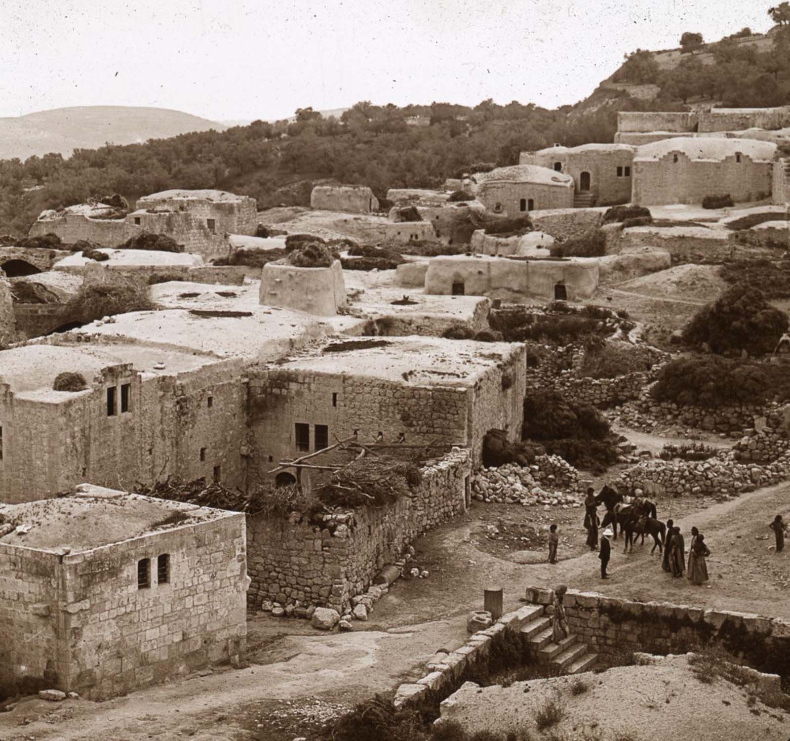
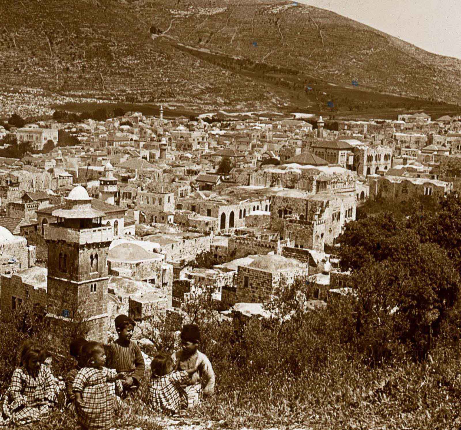
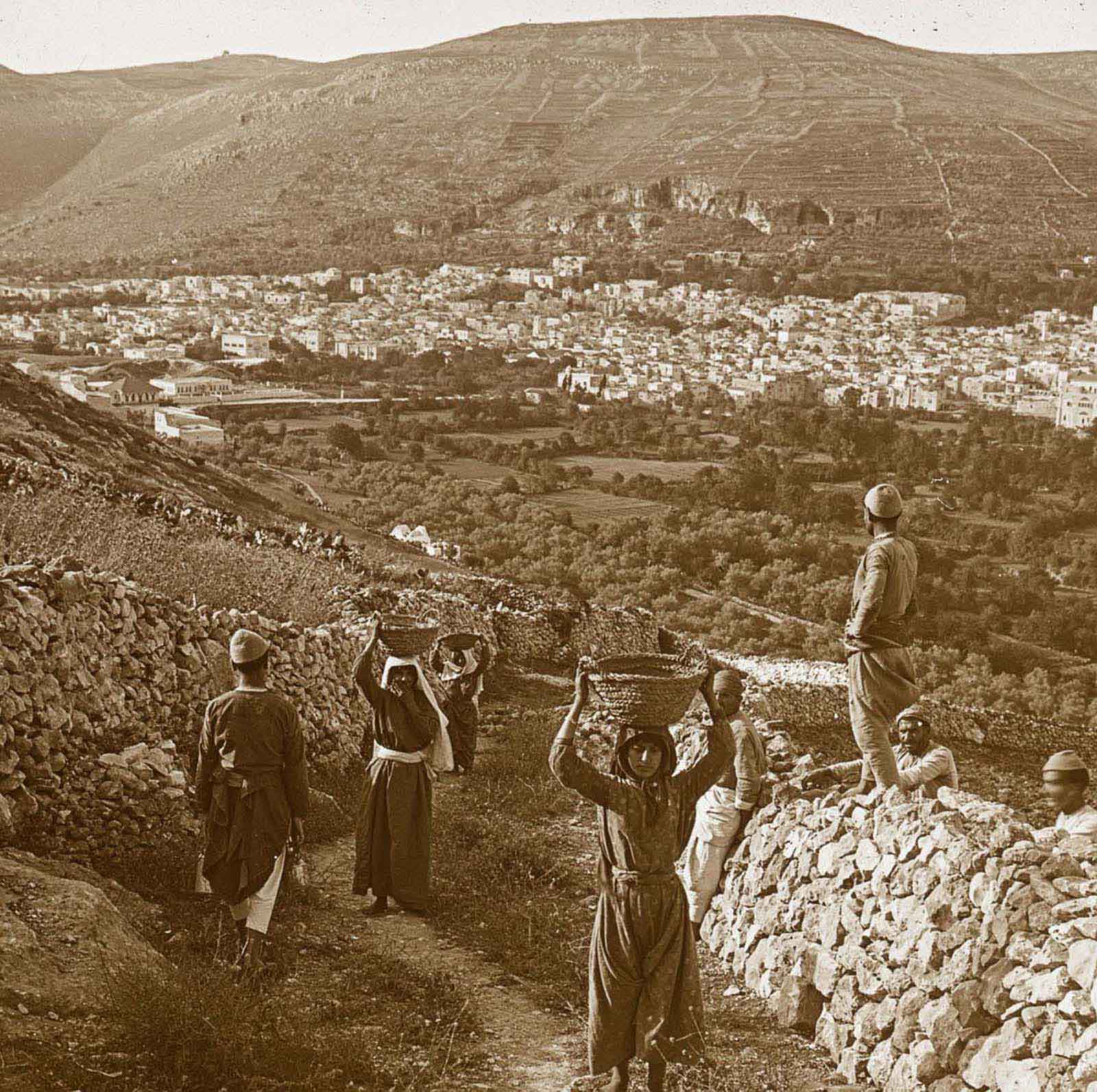
Shechem, located near modern-day Nablus, is one of the most ancient cities in the region. It sits in the valley between Mounts Ebal and Gerizim. The city is mentioned throughout the Hebrew Bible and held political and religious importance across multiple civilizations.
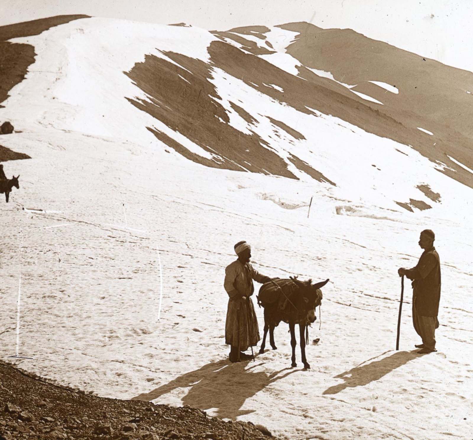
Mount Hermon is the highest peak in the region, reaching over 2,800 meters. Its snow-covered summit is visible from vast distances across the Holy Land and serves as a major source of freshwater for the Jordan River system. In 1915, the mountain marked the northern boundary of the territory.
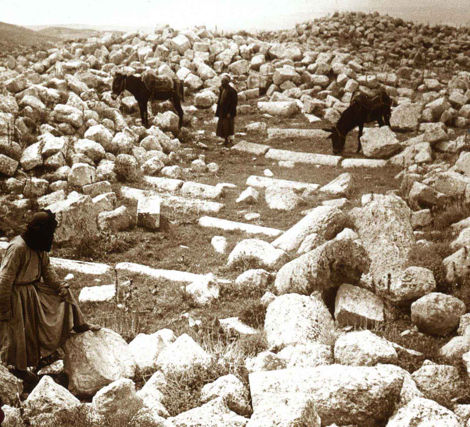
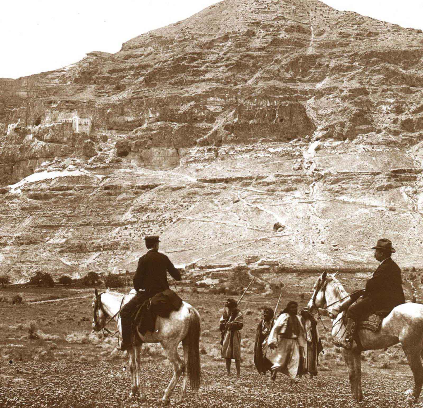
The Mount of Temptation towers over the ancient city of Jericho. Christian tradition holds that this is the mountain where Satan tempted Jesus for forty days. A Greek Orthodox monastery clings to its rocky face, accessible by a steep path carved into the cliff.
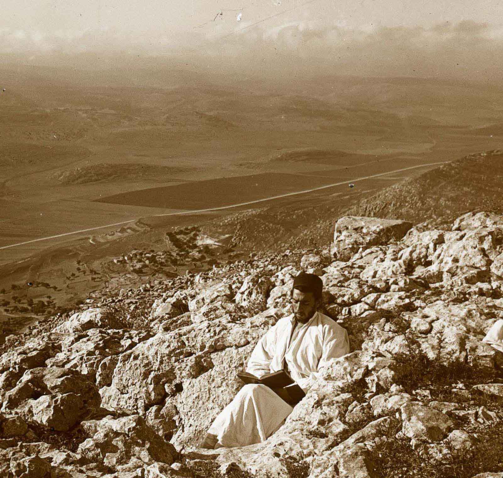
Mount Gerizim holds special significance for the Samaritan people, who consider it the holiest place on earth. A specific spot on the mountain is identified in Samaritan tradition as the location where Abraham prepared to sacrifice his son Isaac — a story shared, with variations, across Judaism, Christianity, and Islam.
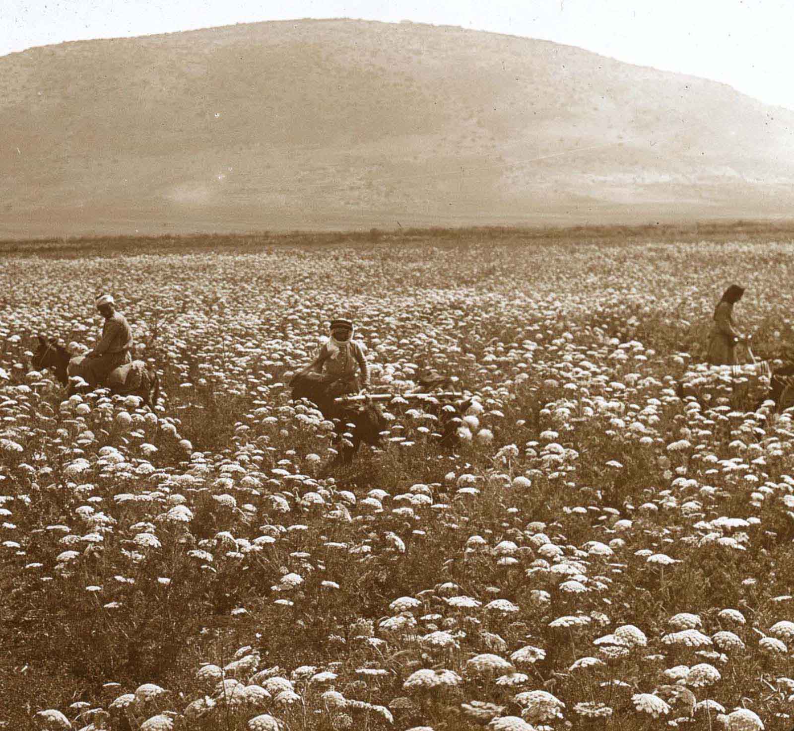
Mount Tabor’s rounded summit rises 575 meters above the Jezreel Valley floor, making it one of the most visually striking features of the Galilee landscape. In the spring of 1915, wildflowers covered the fields at its base, the same fields that had witnessed countless battles across thousands of years of history.
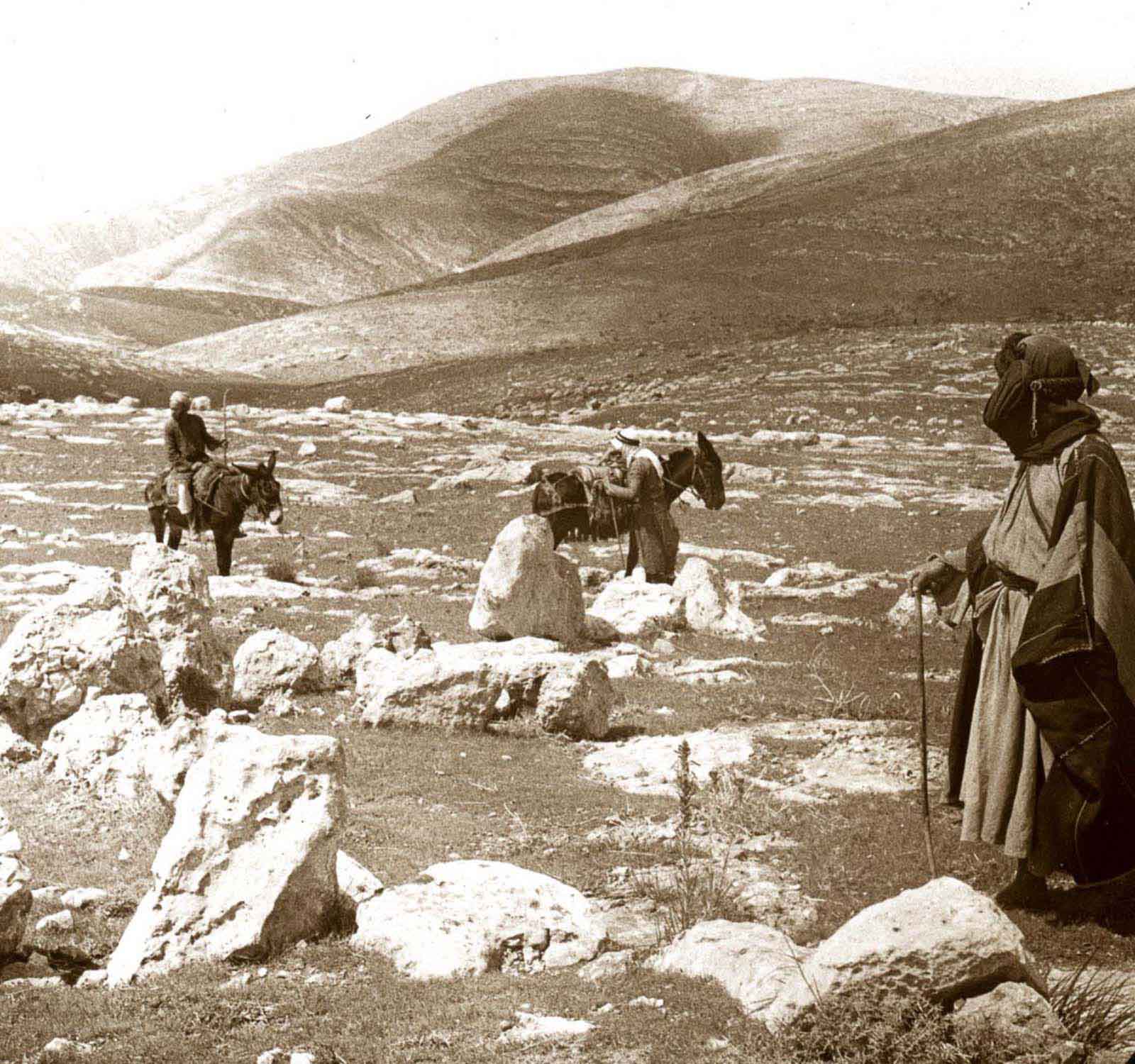
Bethel, located north of Jerusalem, appears frequently in the Hebrew Bible as a place of worship and revelation. Jacob’s dream of a ladder reaching to heaven is set here. By the Ottoman period, it was a small village, but its ancient significance kept it on the map for biblical scholars and travelers passing through the hill country.