
In 1954, France stood at a crossroads. The country was still shaking off the damage left by World War II, rebuilding its cities, its economy, and its sense of national identity. That same year, France suffered a decisive military defeat in Indochina, ending its long campaign there and forcing a withdrawal. At home, however, change was moving fast. The mid-1950s brought rapid economic growth that would reshape French life from the ground up.
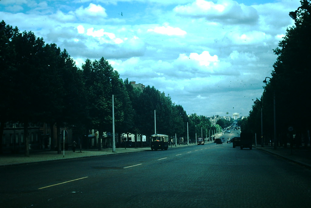
Paris remained the heart of the nation. The Arc de Triomphe stood as it always had — a monument to French military history at the center of one of the world’s most recognizable cities. But beyond the capital, France in 1954 was a country in motion, with towns, countryside, and coastlines all telling their own stories.
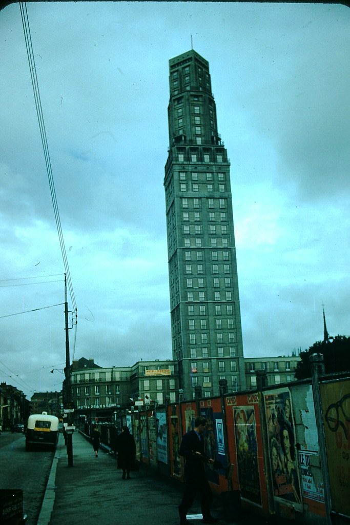
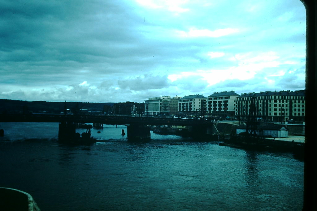
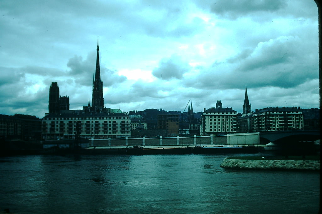
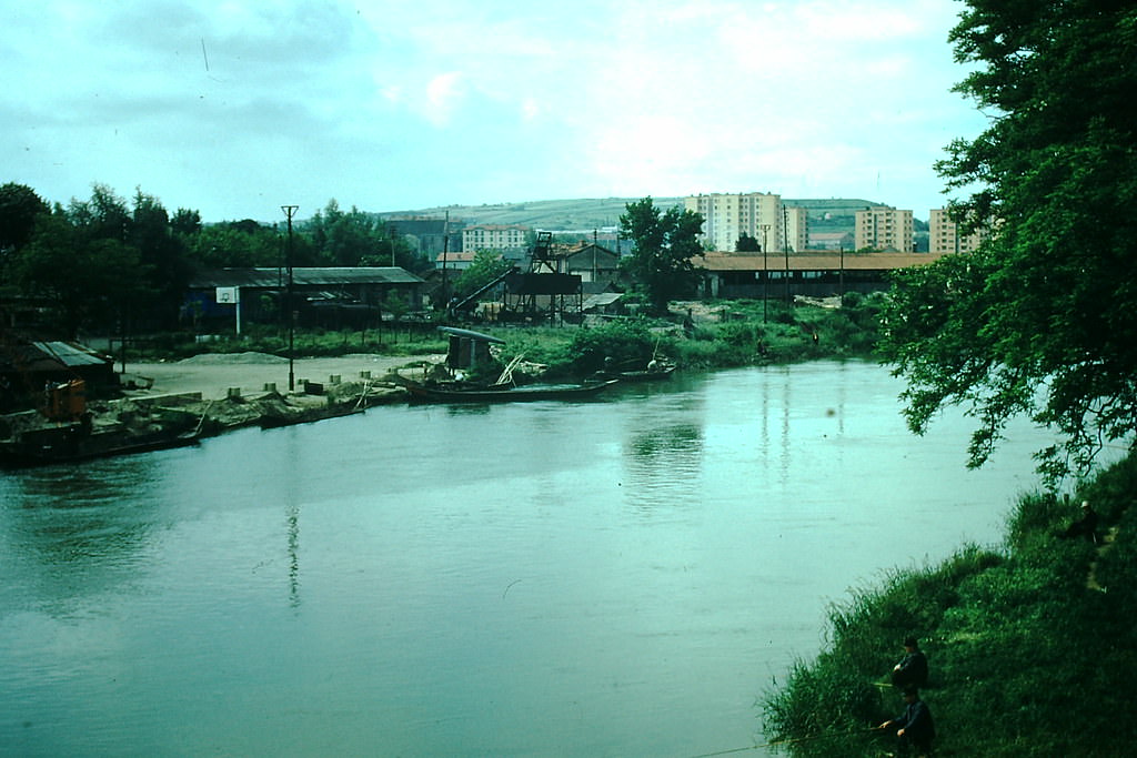
Northern France carried visible reminders of wartime Europe. Cities like Amiens had survived occupation and bombing, and their streets reflected decades of history layered beneath postwar repair. Rouen, perched along the Seine River, offered a similar picture — a city where medieval architecture and modern daily life existed side by side.
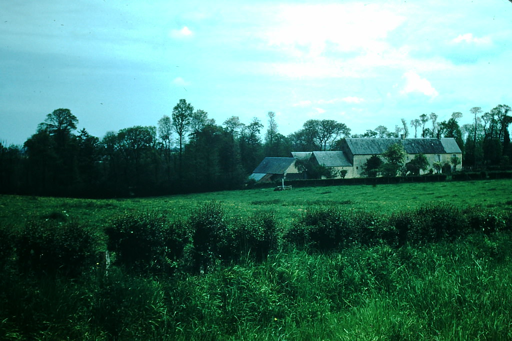
Normandy’s countryside told a quieter story. The rolling fields around Bayeux and the timber-framed homes of Deauville were part of a rural France that was slowly shrinking. In the 1940s, farm workers made up roughly a third of the French population. By the mid-1950s, that number was falling sharply as people moved to towns and cities in one of the fastest urbanization shifts in French history.
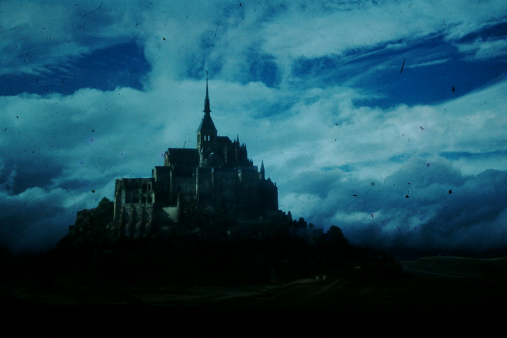
Mont Saint-Michel rose from the tidal flats of Normandy just as it had for centuries. The island commune, with its abbey climbing to a sharp peak, drew visitors and pilgrims alike. Nearby, the town of Lisieux and the resort town of Deauville showed two very different faces of Norman life — one deeply religious, one decidedly fashionable.
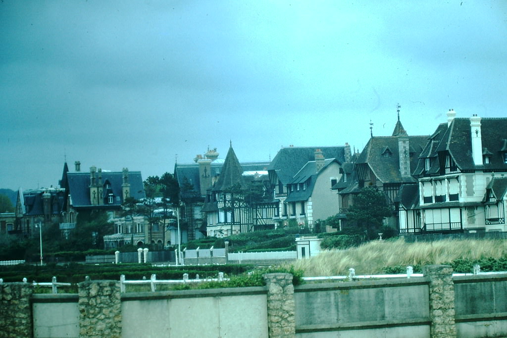
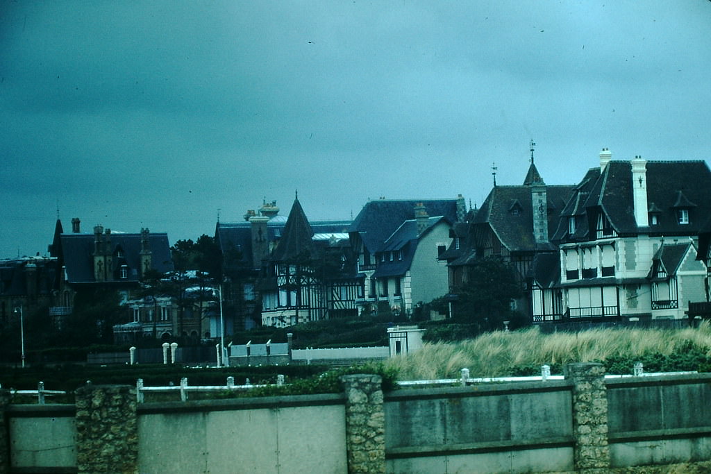
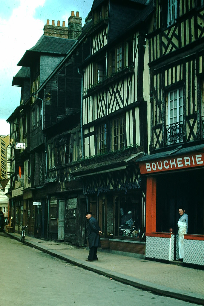
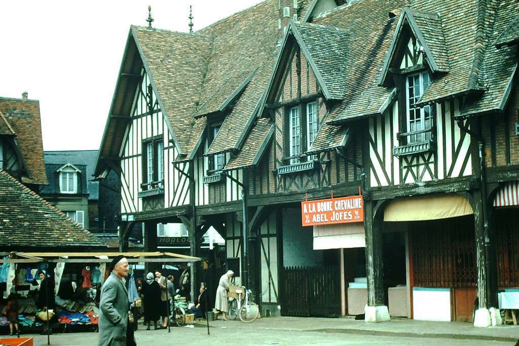
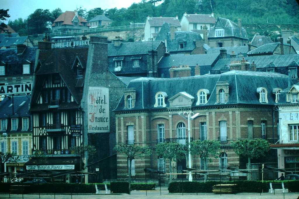
Deauville’s open-air market captured everyday French life with great clarity — vendors, produce, and local trade forming the backbone of a community that hadn’t yet been fully swept up in industrial change. The Norman architecture lining its streets reflected a distinct regional style that set it apart from Paris and the industrial north.
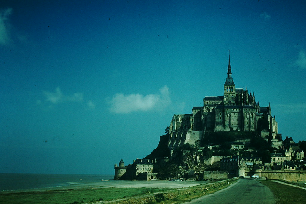
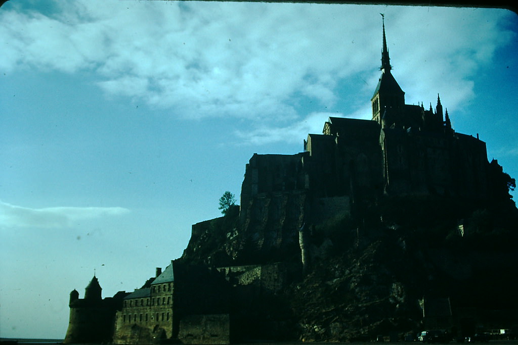
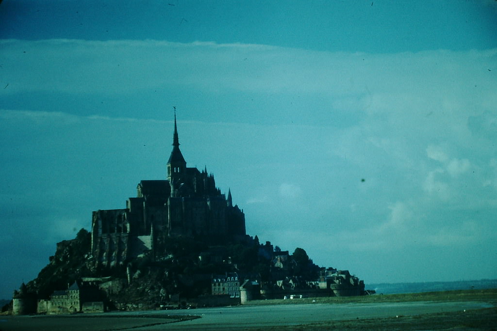
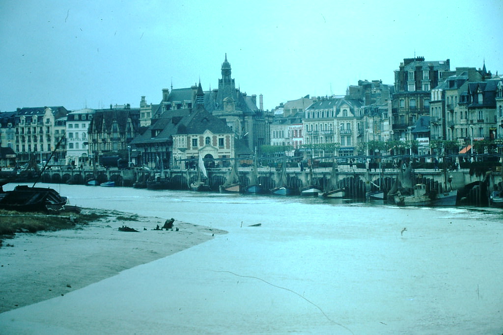
The coastal road near Mont Saint-Michel revealed the flat, expansive landscape of the Norman-Breton border. Trouville, a neighboring resort to Deauville, faced the English Channel with its rows of grand Belle Époque hotels and seafront promenades that had been gathering places for the French upper class long before the war.
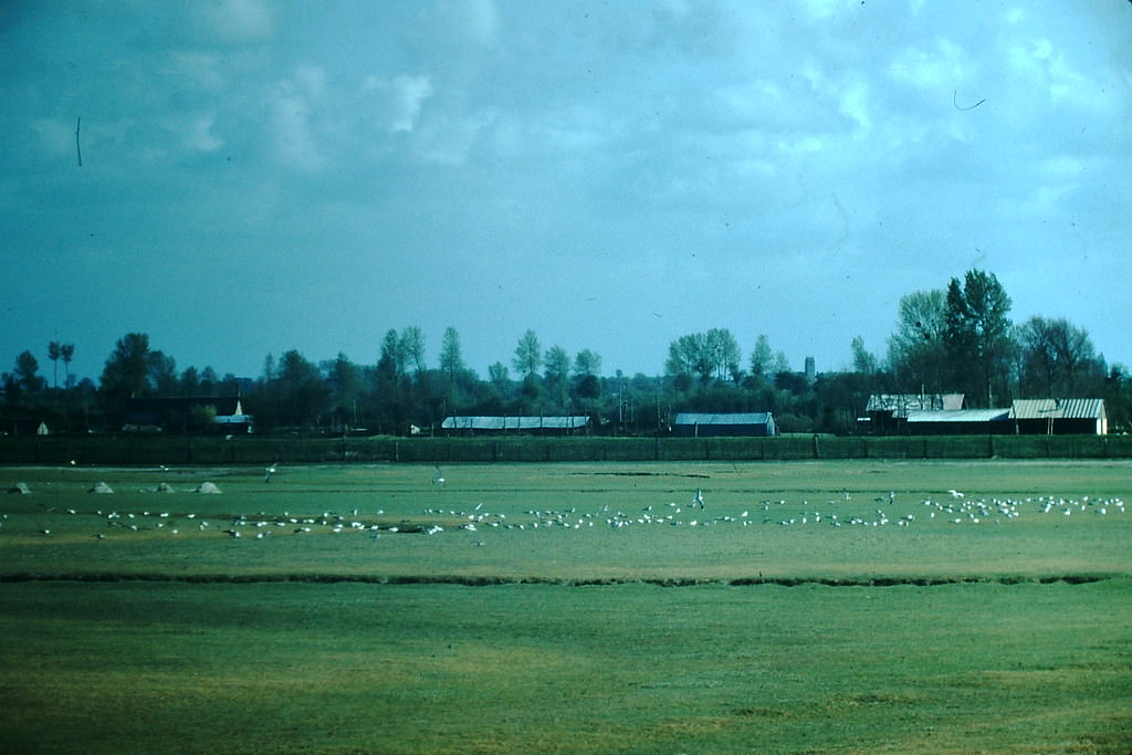
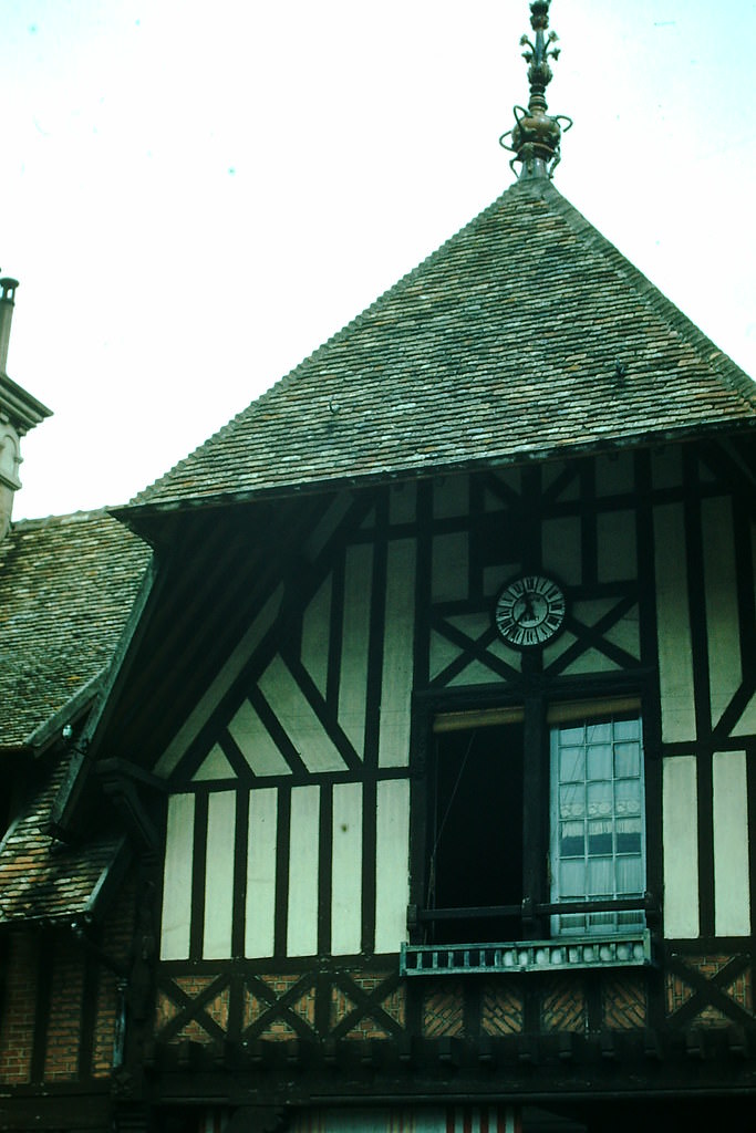
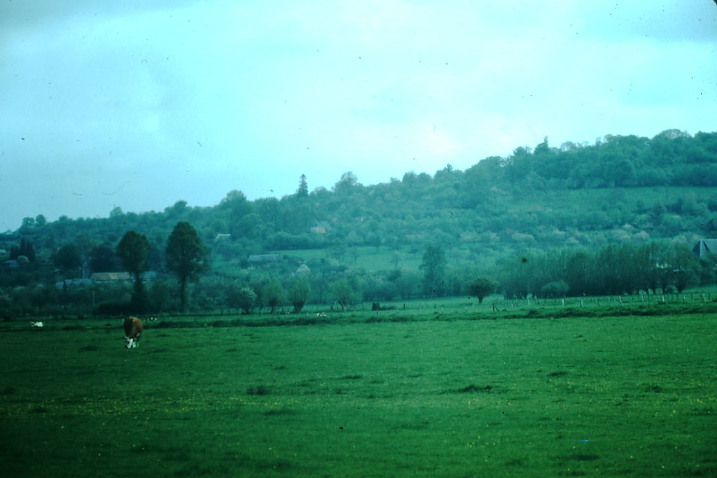
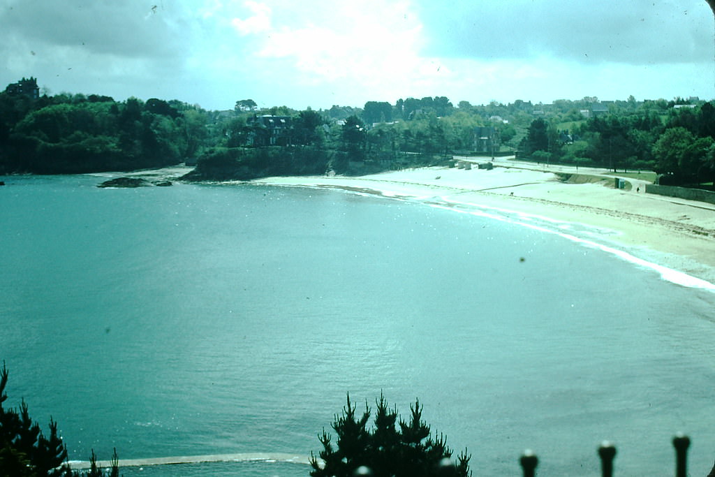
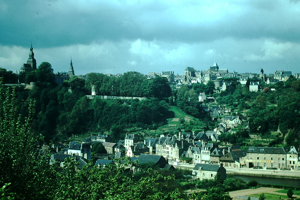
Moving west into Brittany, the landscape shifted to rocky coastlines, ancient walled towns, and a culture with deep Celtic roots. Dinard, on the Brittany coast, offered sweeping views of the bay and the fortified city of Saint-Malo across the water. The medieval town of Dinan sat inland, its stone buildings and cobblestone streets largely untouched by modernization.
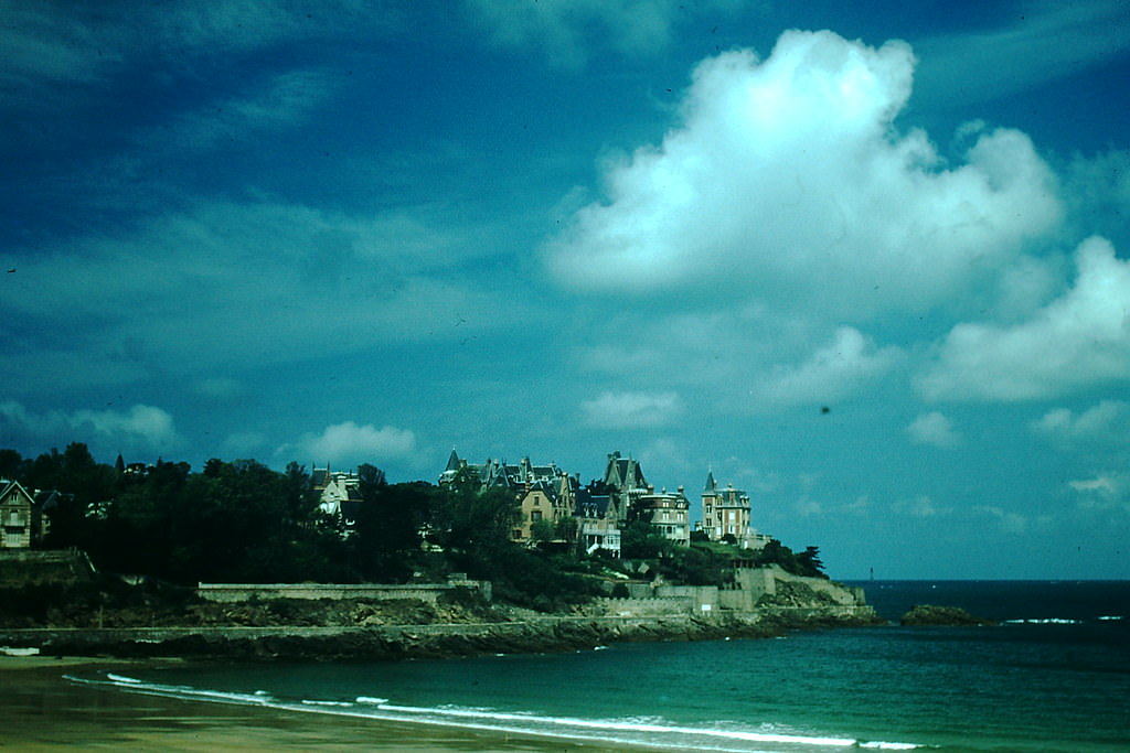
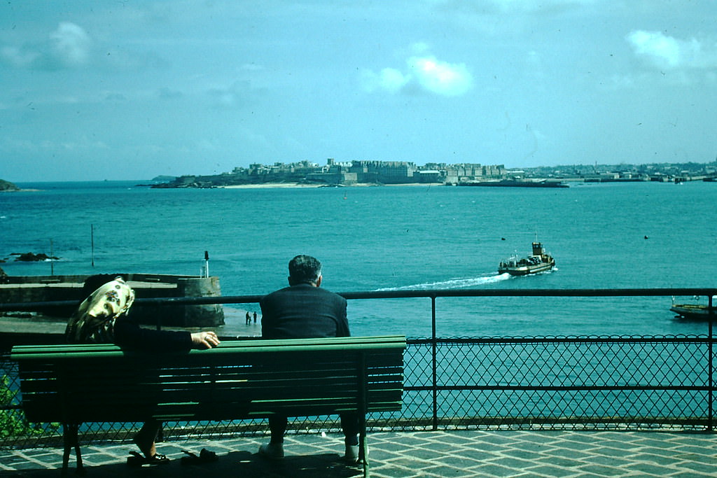
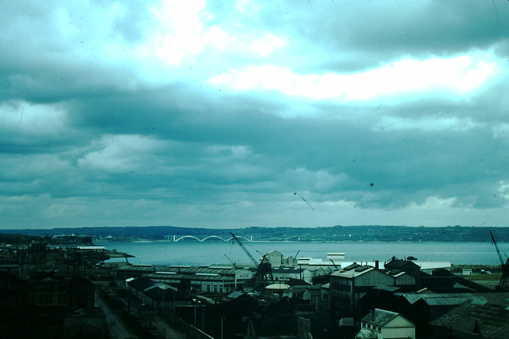
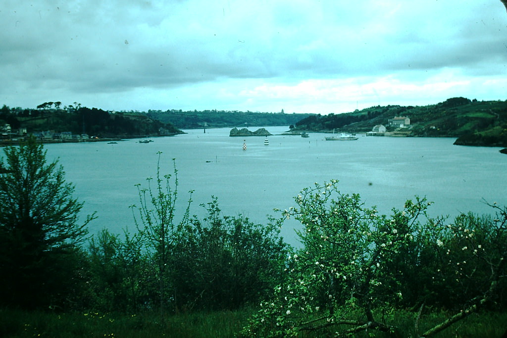
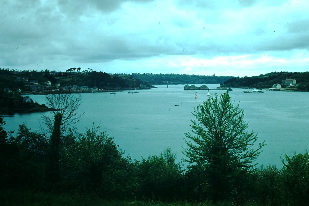
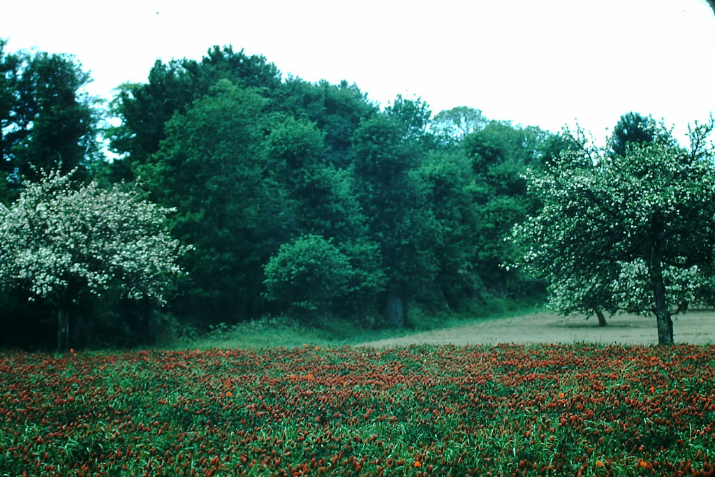
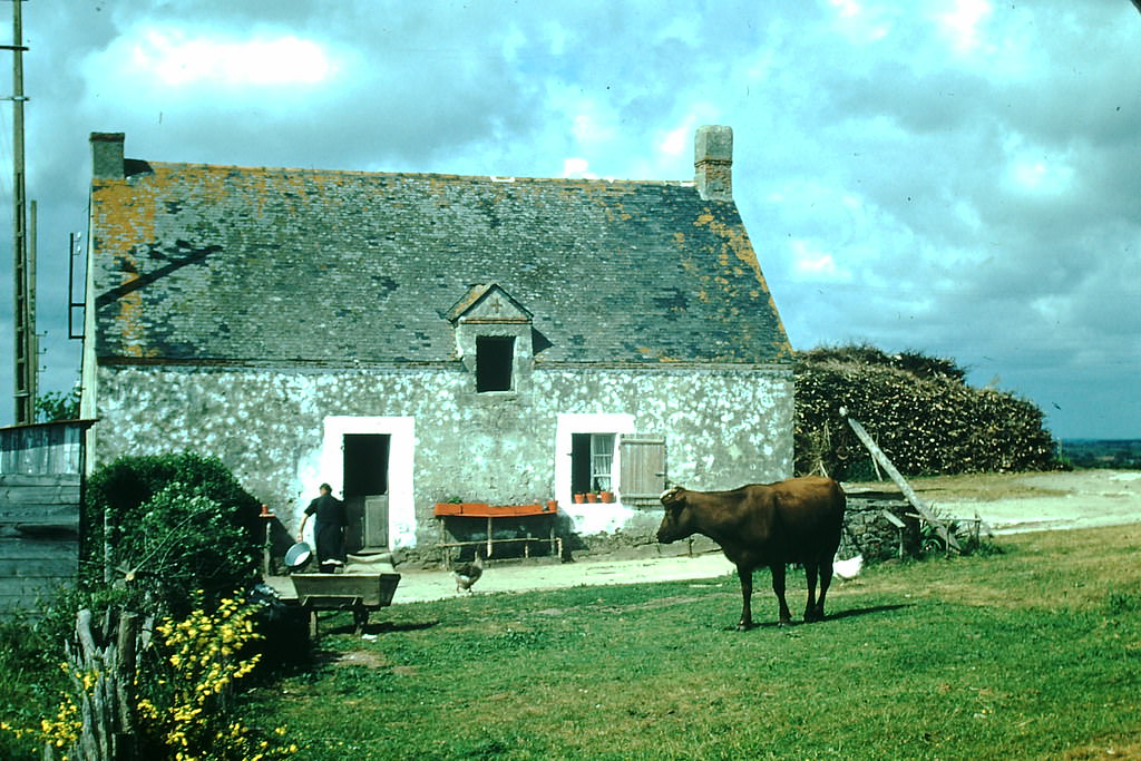
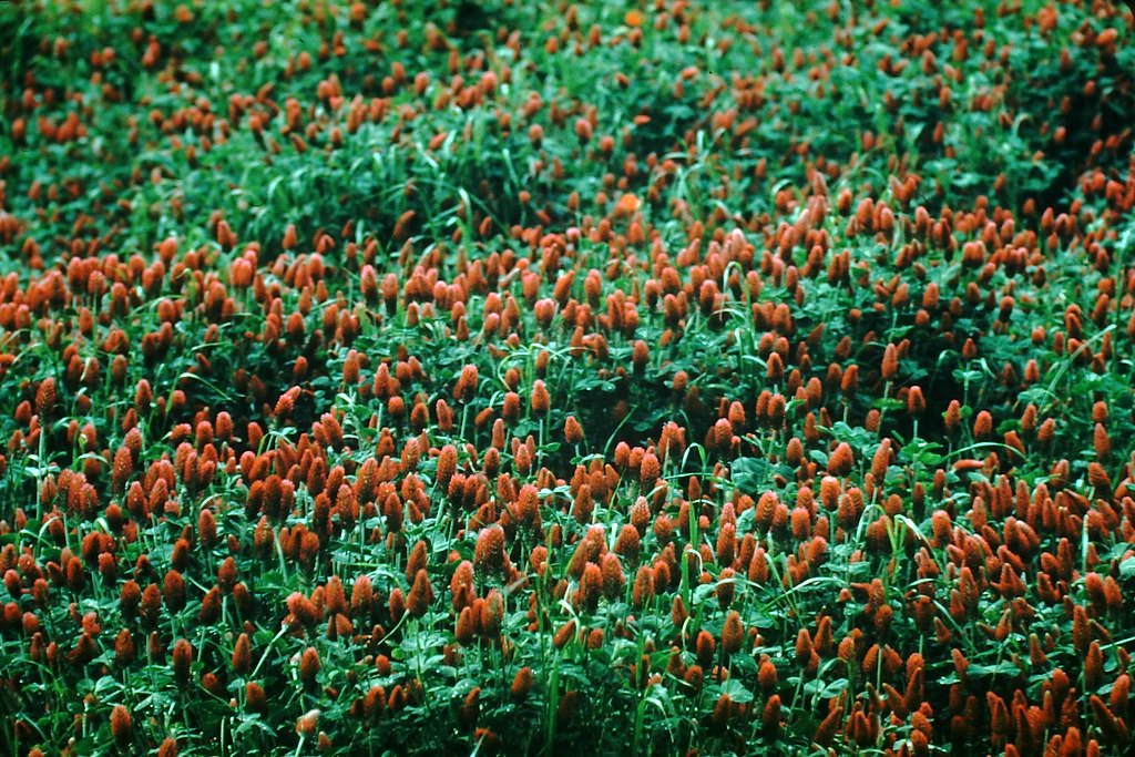
Brest, one of France’s most important naval ports, had been almost completely destroyed during World War II and was still being rebuilt in 1954. The city’s postwar reconstruction gave it a uniform, modern look quite different from the organic growth of older French towns. At Lézardrieux and near Quimper, Brittany’s rural character remained strong — wild plants grew along the roadside, and fishing villages clung to the edges of the Atlantic.
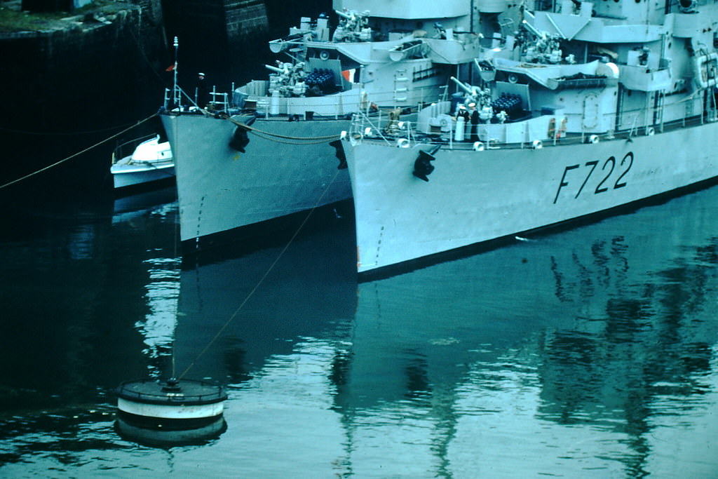
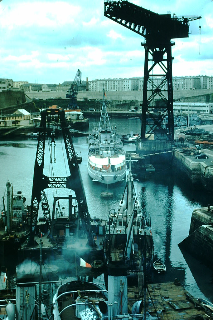
The Vilaine River crossing at La Roche Bernard connected two parts of southern Brittany across a deep river gorge. The town itself perched on the cliffs above, its stone houses overlooking the water below. Nearby Guérande, a well-preserved medieval walled town, and the harbor at Saint-Nazaire — where the Loire River meets the sea — showed Brittany’s mix of ancient heritage and industrial purpose.
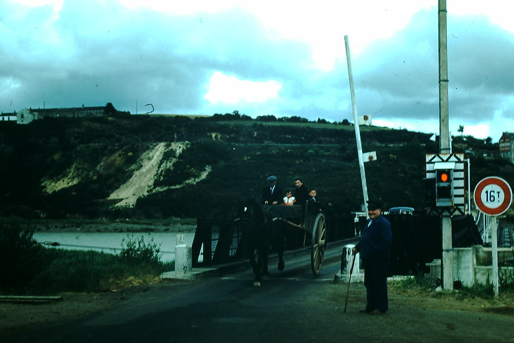
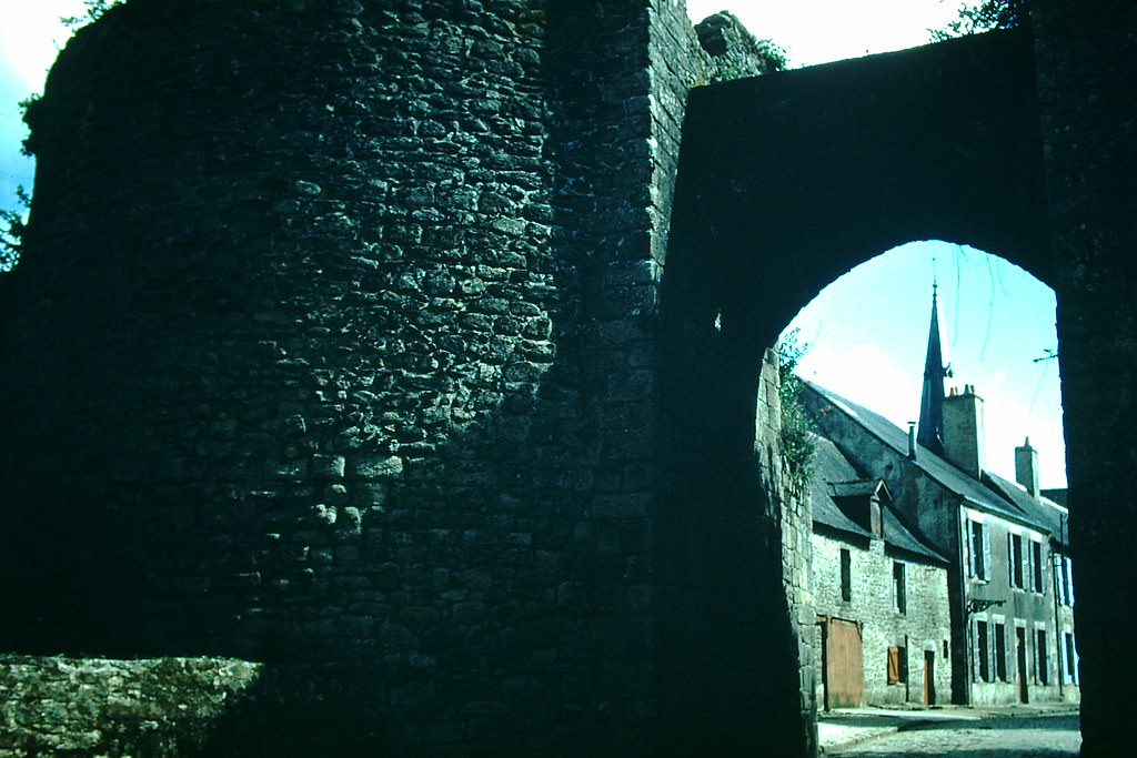
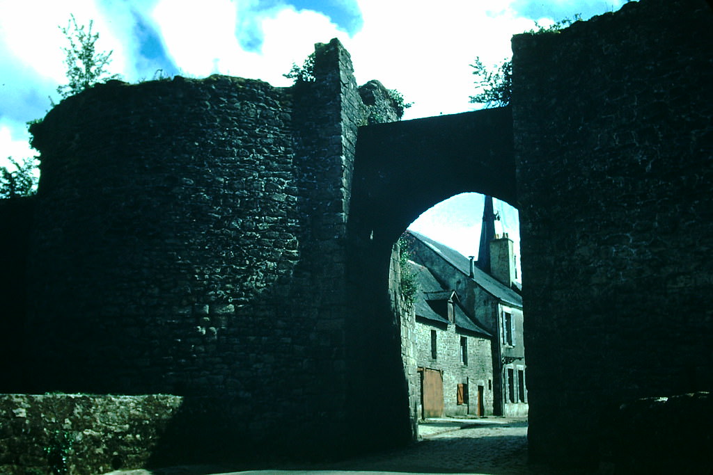
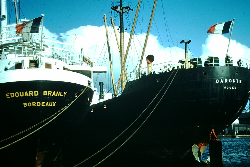
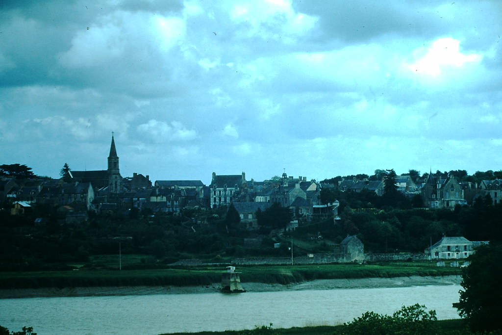
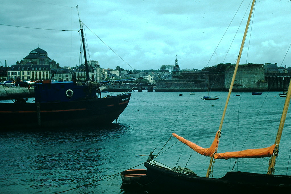
Saint-Nazaire’s shipyards were a key part of France’s industrial recovery. Despite being heavily bombed during the war, the port was back in operation and building vessels at the mouth of the Loire. The walled city of Concarneau, farther along the Breton coast, presented a striking contrast — a fortified island town that had changed little in outward appearance over hundreds of years.
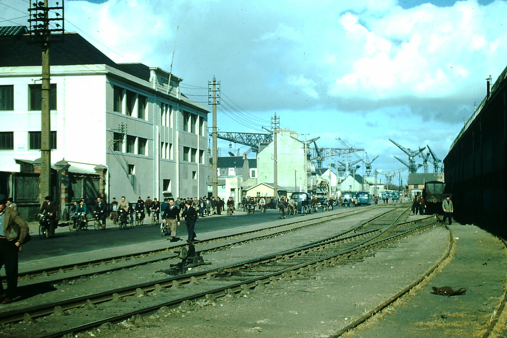
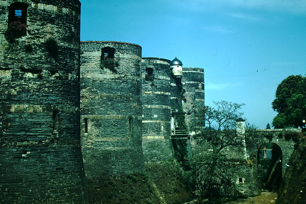
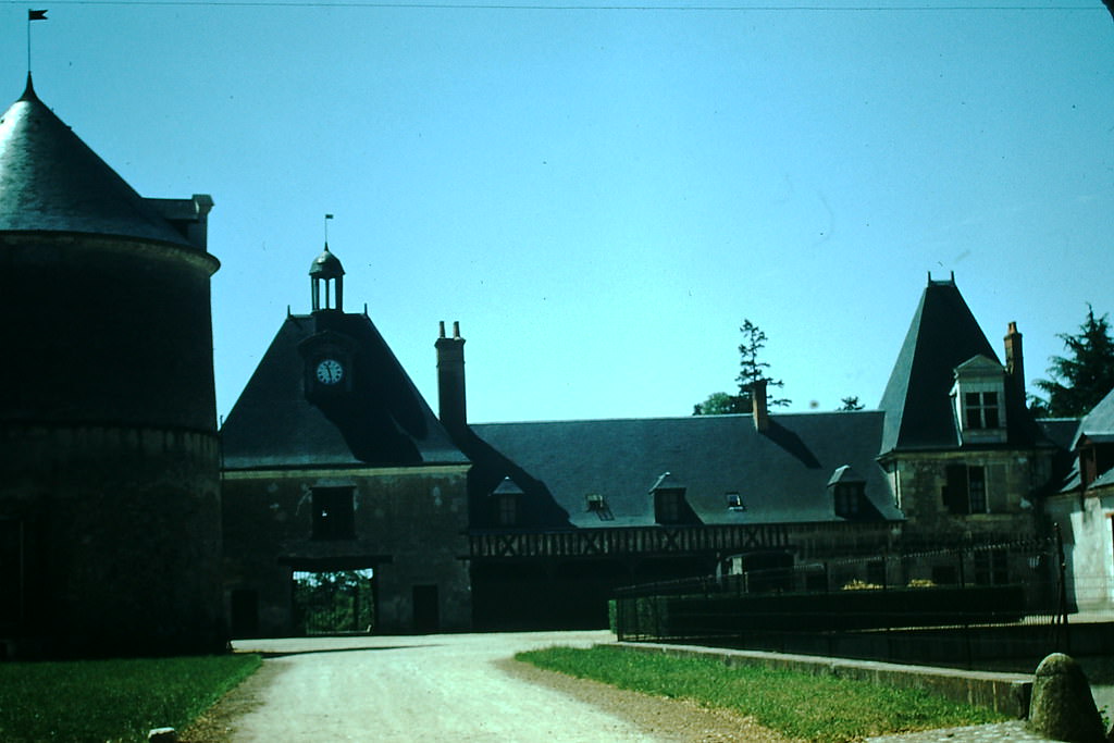
The Loire Valley was famous across France for its châteaux — grand castles and manor houses built by French royalty and nobility over several centuries. In 1954, these estates remained some of the most visited landmarks in the country. The Château d’Angers, with its massive medieval towers, anchored the western end of the valley. Chartres, to the north, drew visitors not for a château but for its cathedral — one of the finest examples of Gothic architecture in all of Europe.
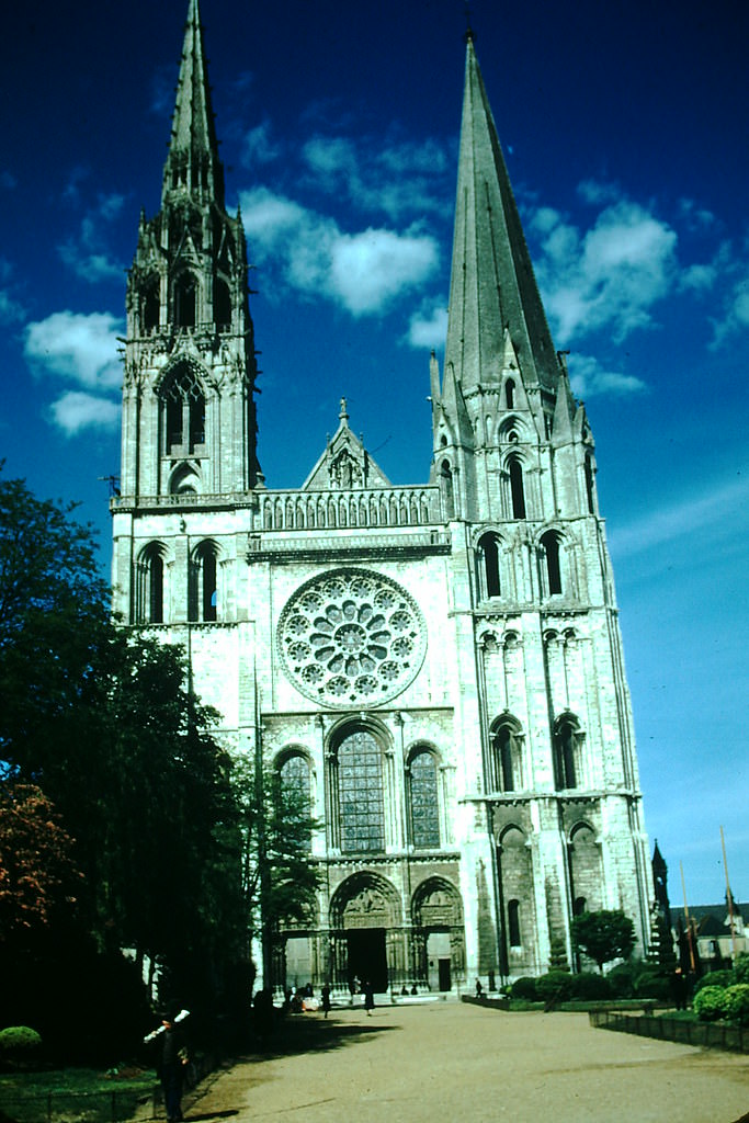
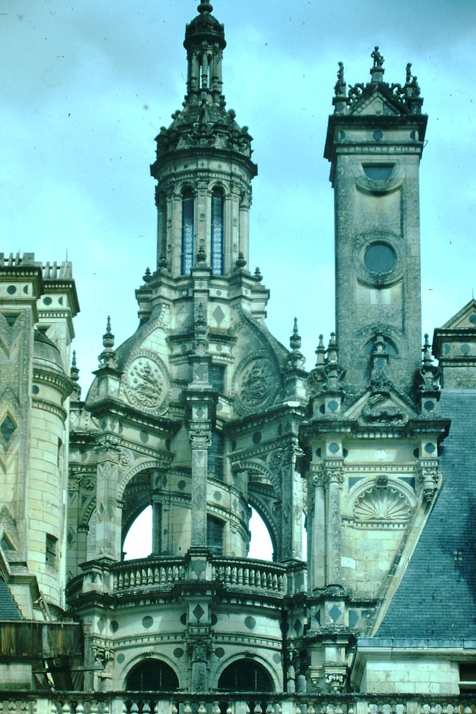
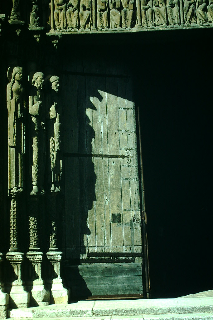
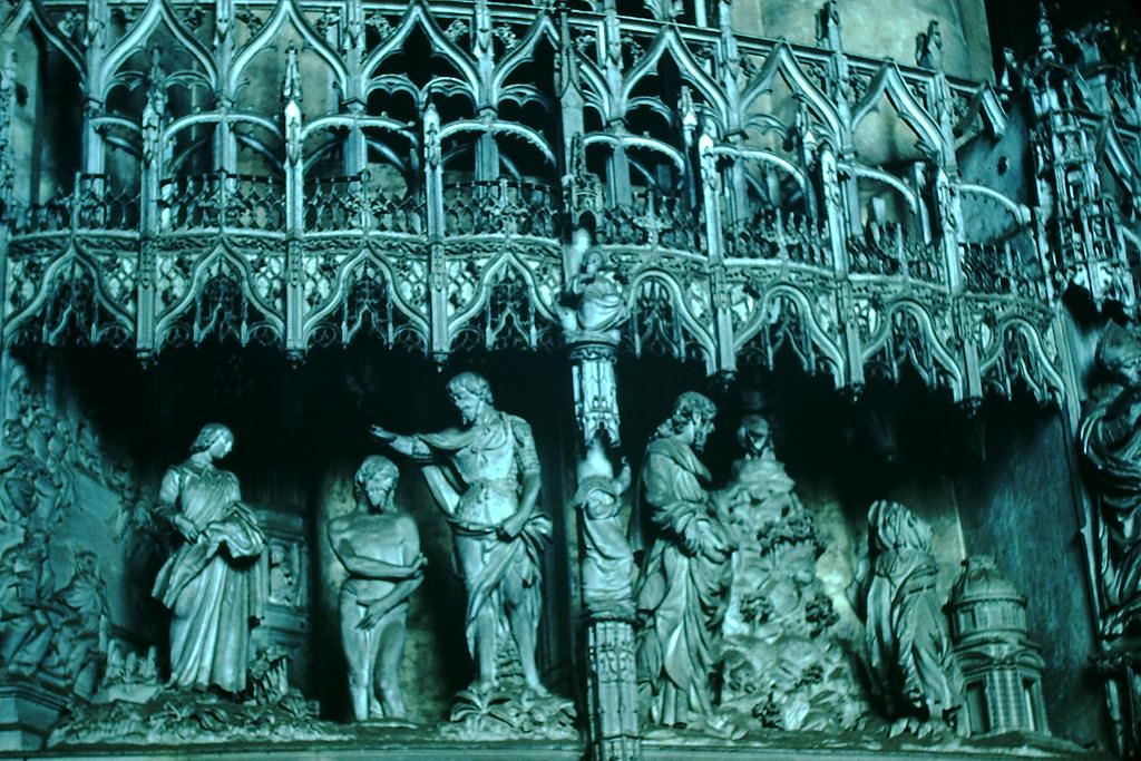
The Château de Chambord was the largest of the Loire châteaux, built in the 16th century as a hunting lodge for King Francis I. Its skyline of towers and chimneys was unmistakable. At Chartres Cathedral, artisans in 1954 were still engaged in the painstaking work of maintaining and restoring the building’s famous stonework and stained glass — craftsmanship passed down through generations.
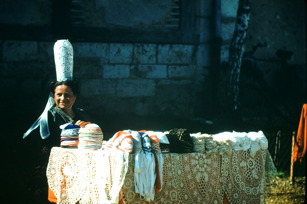
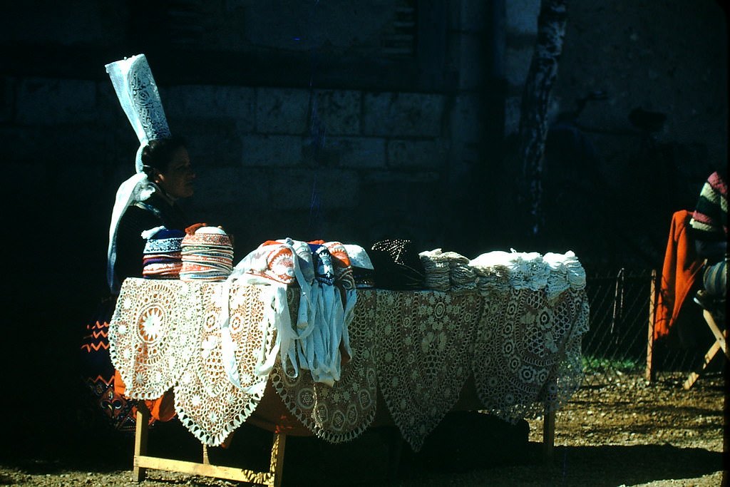
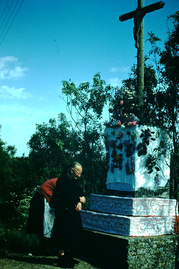
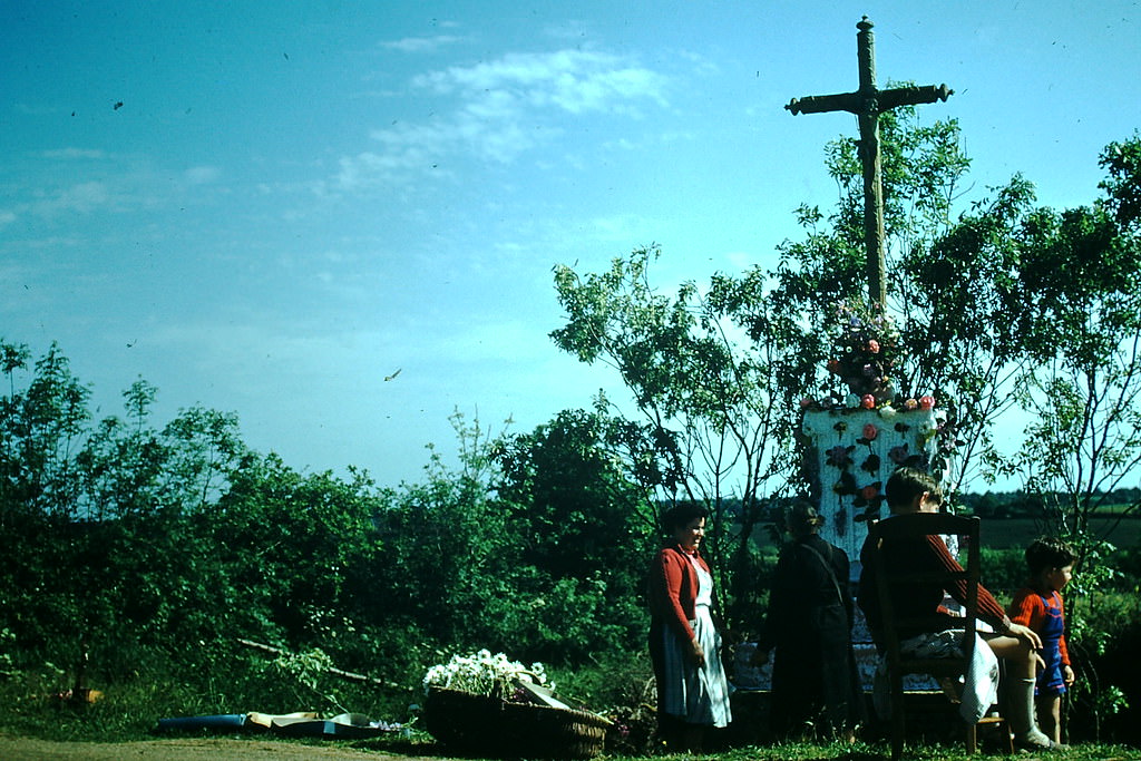
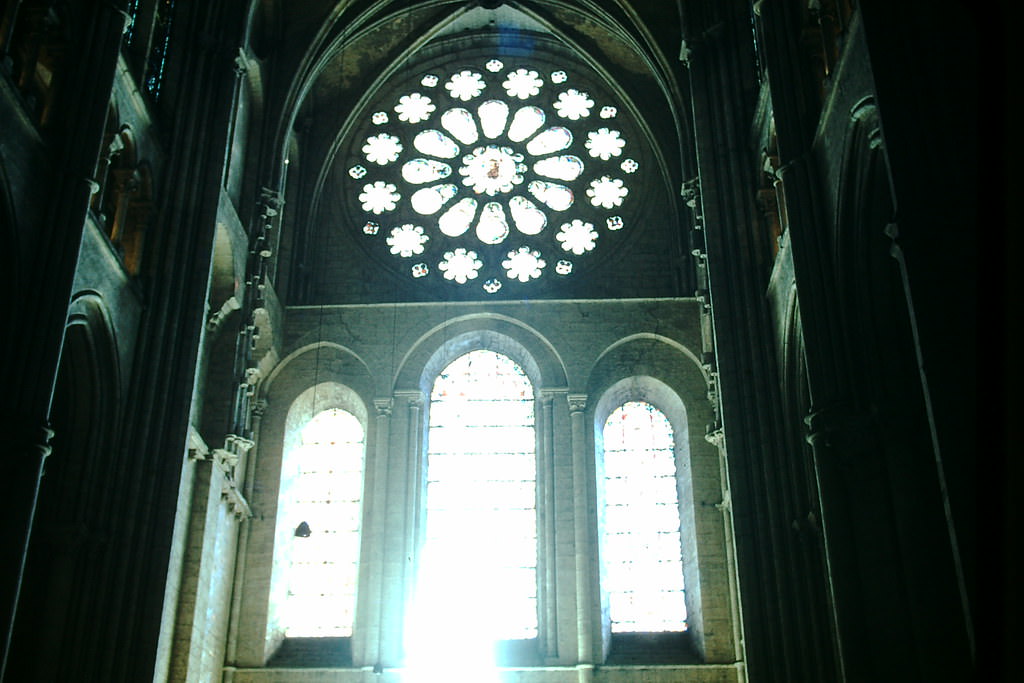
Roadside shrines were a common sight throughout rural France, particularly near Nantes in the Loire region. These small religious structures marked crossroads, field edges, and village boundaries — physical signs of the Catholic faith that remained deeply woven into French rural life even as urbanization steadily advanced. The stained glass windows of Chartres Cathedral, with their deep blues and reds, represented the height of medieval French religious art.
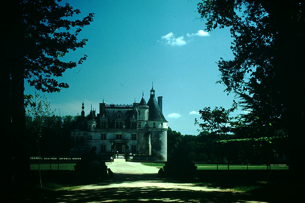
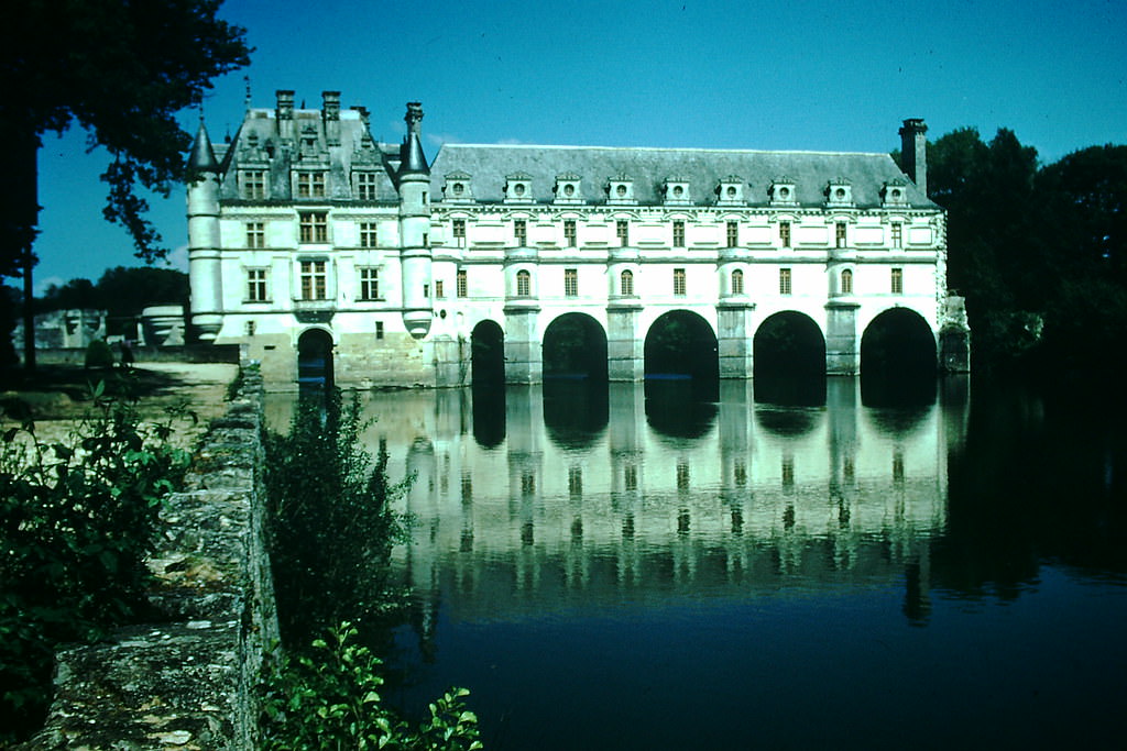
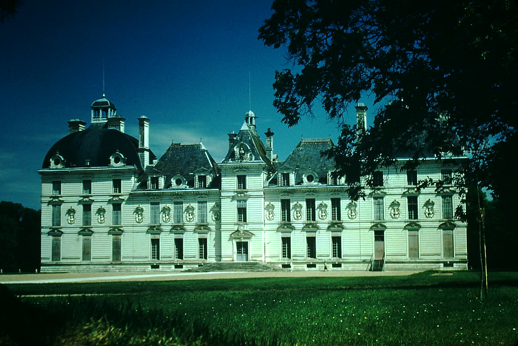
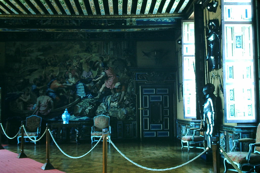
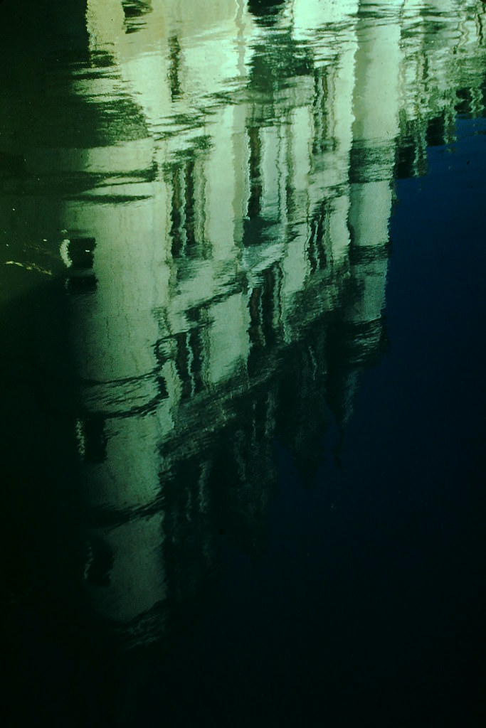
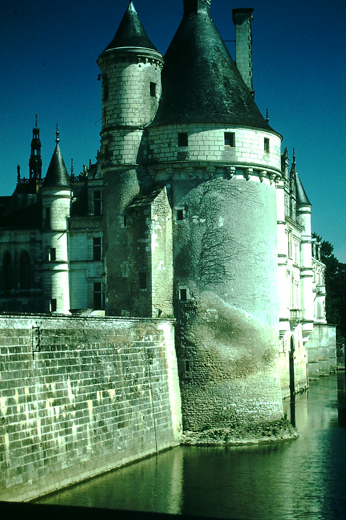
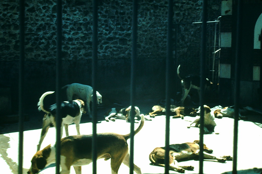
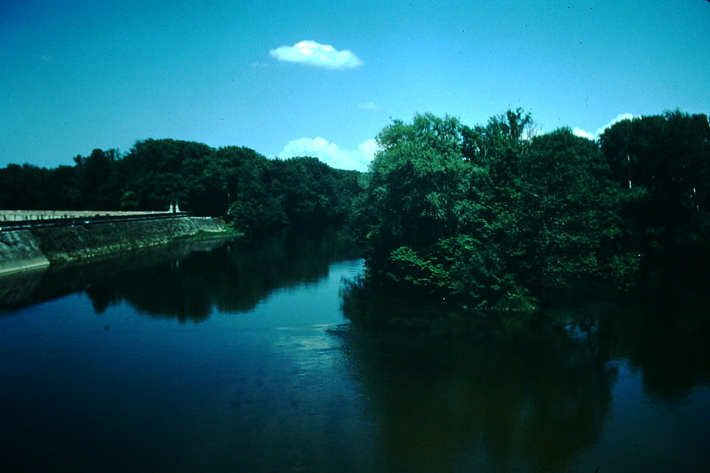
Chenonceaux was one of the Loire Valley’s most photographed châteaux, built directly over the Cher River on a series of arches. Its reflection in the still water made it a favorite subject in 1954. Château de Cheverny, more modest in size but immaculately maintained, was still in use as a private home — its guard room and stables open to visitors, and its pack of hunting dogs a well-known attraction.
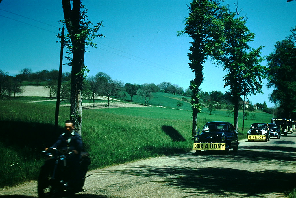
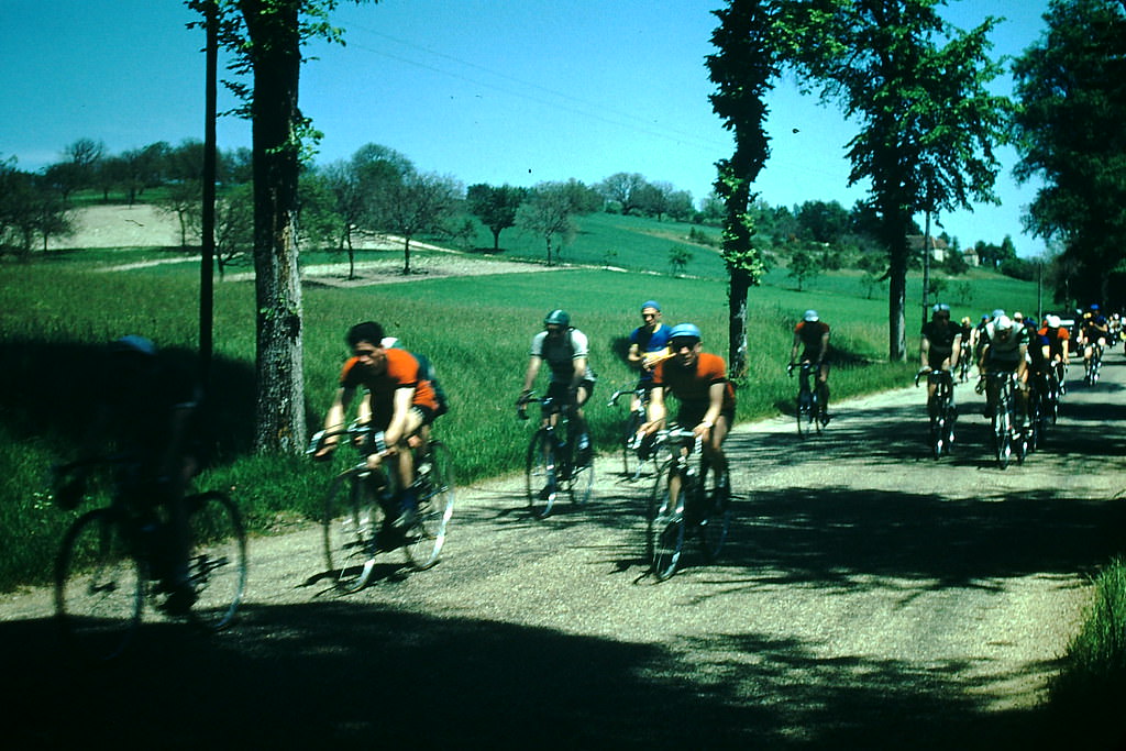
Cycling was central to French sporting culture in 1954. Bicycle races were held throughout the country, drawing crowds to roadside viewing spots along Loire Valley roads. France’s rural landscape — flat stretches broken by river valleys and vine-covered hillsides — made it ideal terrain for the sport. These local races fed directly into the national passion that surrounded the Tour de France each summer.
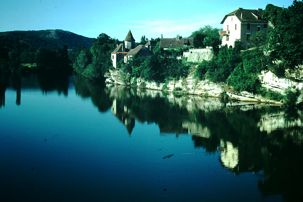
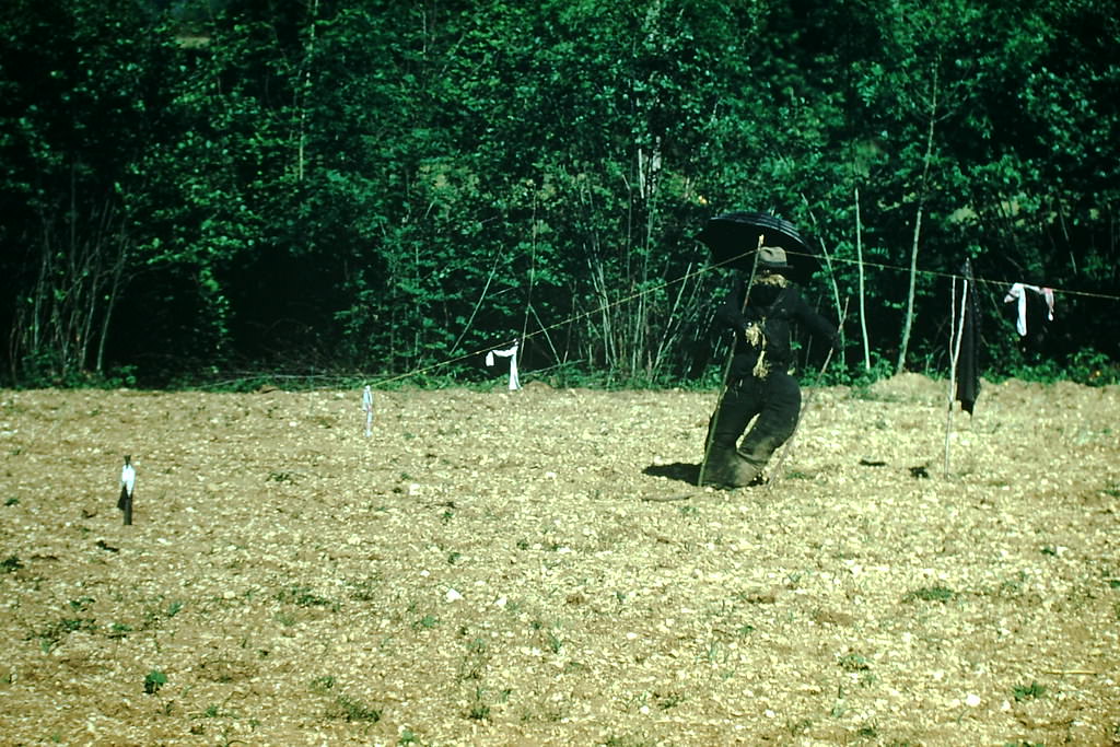
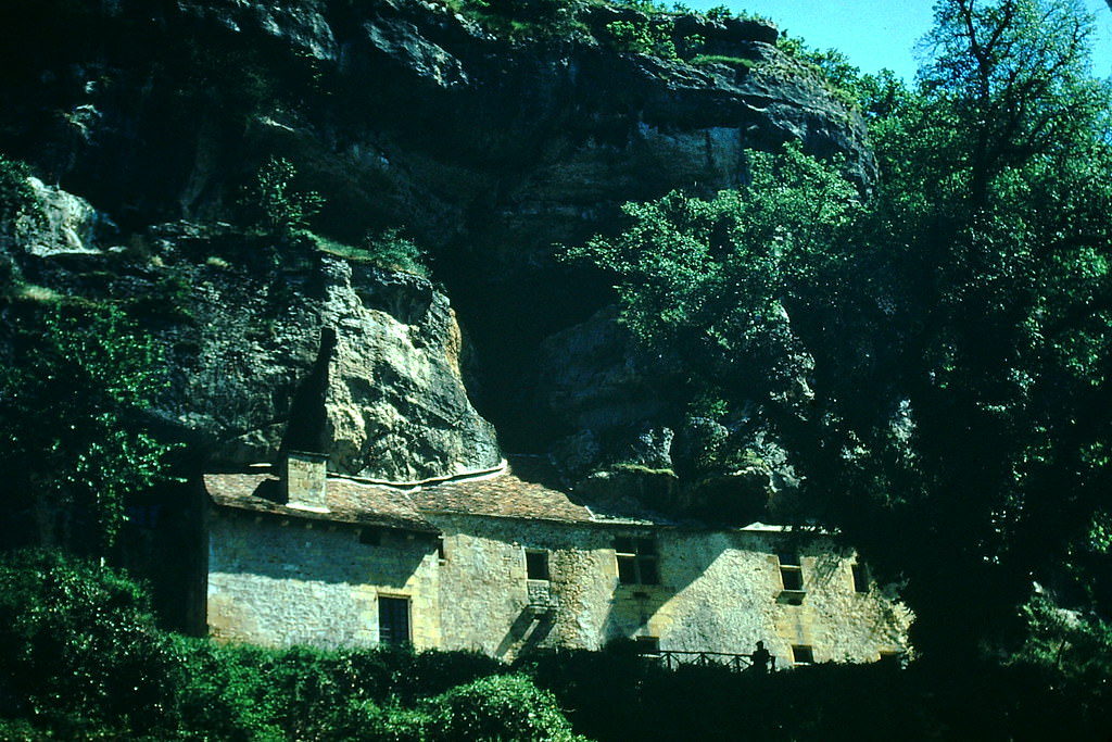
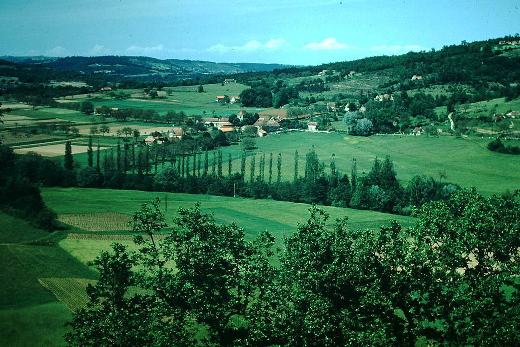
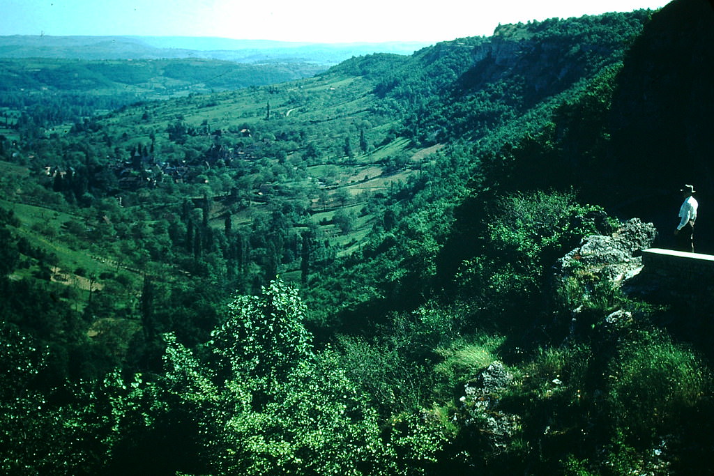
The Dordogne region in southwestern France offered some of the country’s most dramatic river scenery. The Dordogne and Vézère rivers carved through limestone cliffs that had been home to prehistoric cave dwellers. Reconstructed cliff dwellings in the area gave visitors a glimpse of how those early inhabitants lived. Modern farmers in the Dordogne still worked the land in traditional ways, with handmade scarecrows standing guard over their fields.
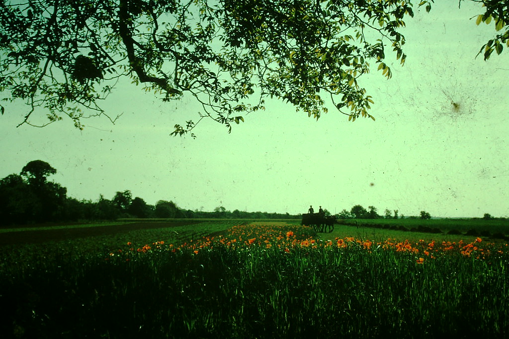
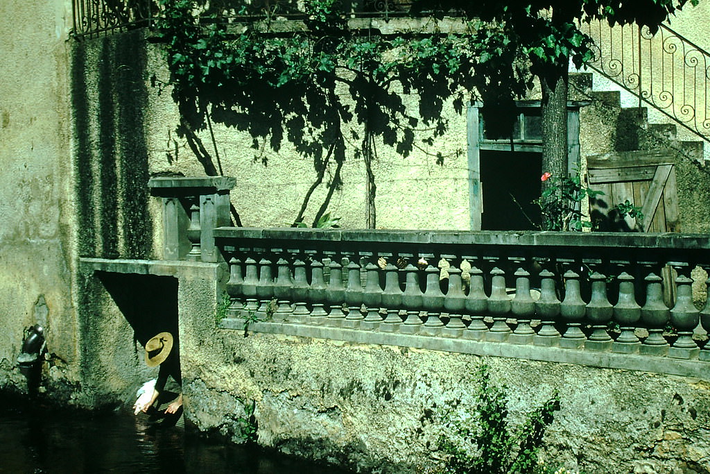
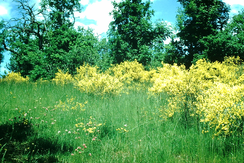
Village life in the Dordogne and toward Toulouse retained a slow, deliberate pace. In Saint-Céré, women washed laundry in communal outdoor areas — a routine still common in parts of rural France in the early 1950s. Wild broom plants grew in thick yellow patches near Toulouse, coloring the roadsides each spring.
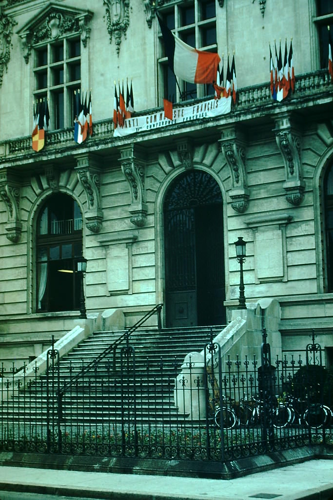
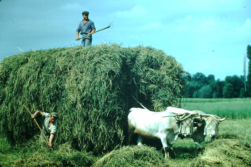
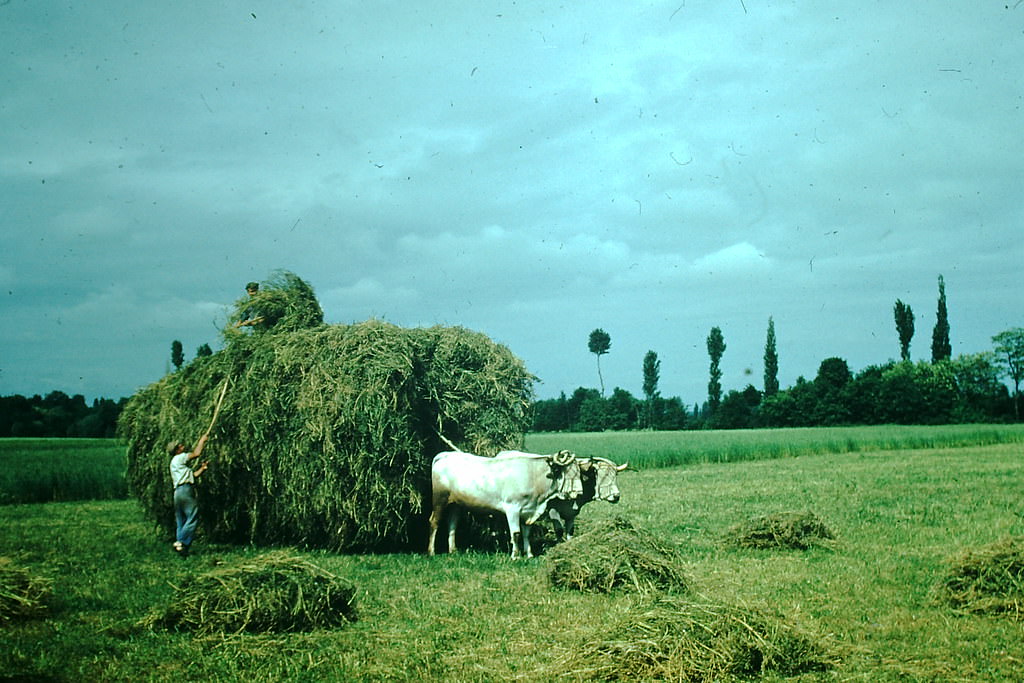
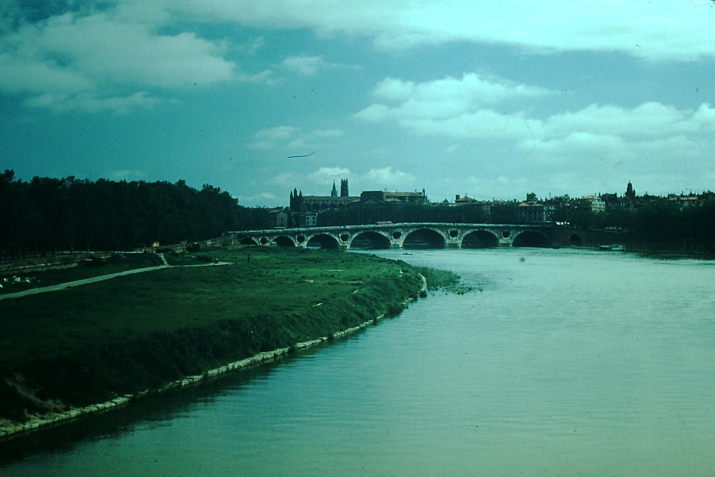
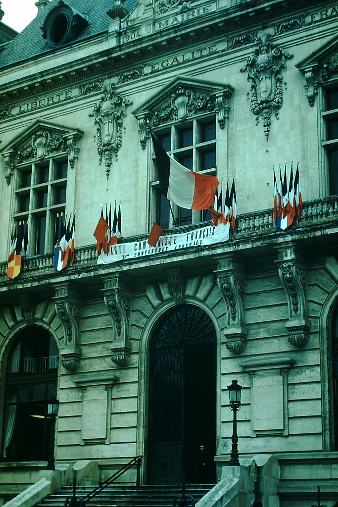
Tarbes, a market city in the foothills of the Pyrenees, featured a stately city hall typical of provincial French civic architecture. Toulouse, the largest city in southwestern France, stretched along the banks of the Garonne River. The 1641 bridge over the Garonne had survived wars and floods and still carried daily traffic across the wide river in 1954. Haying in the Haute-Garonne region followed seasonal rhythms unchanged for generations.
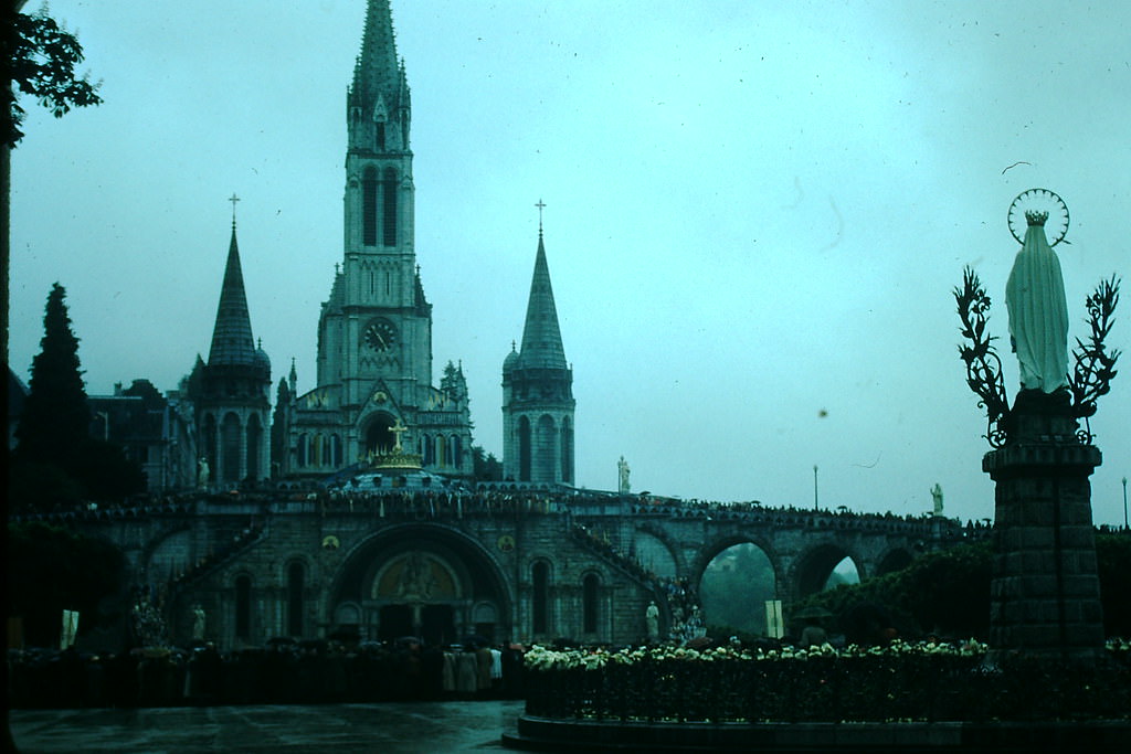
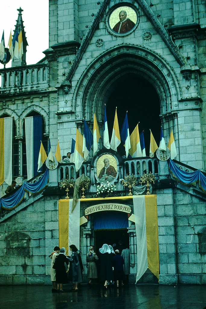
Lourdes, nestled in the Pyrenean foothills, was already one of the most visited pilgrimage sites in the world by 1954. The town drew millions of Catholic pilgrims annually to the grotto where Bernadette Soubirous reported visions of the Virgin Mary in 1858. Its chapel and basilica complex dominated the town’s landscape, and the streets around the sanctuary were lined with hotels, candle shops, and religious goods sellers.





France looked underexposed?
Sunlight was only invented in the early 1960s.
I don’t think it changed so much with the times
It looks like today’s semi-rural France.