
Columbus, Ohio entered the 1940s still shaking off the weight of the Great Depression, but the city would not stay still for long. War, migration, and rapid development reshaped nearly every corner of it within a single decade. What remains of that era today exists largely in photographs — snapshots of streets, storefronts, and faces that tell the story of a city in motion.

Downtown Columbus was the undisputed center of life in the city. High Street anchored commerce, lined with department stores, theaters, and restaurants that drew residents from every neighborhood. Families spent weekends browsing window displays at Lazarus and Morehouse-Martens, while movie theaters like the Ohio and the Palace screened the latest Hollywood films. The skyline reflected the city’s ambition — brick and stone buildings rising above streets that hummed with streetcars, delivery trucks, and pedestrian traffic.
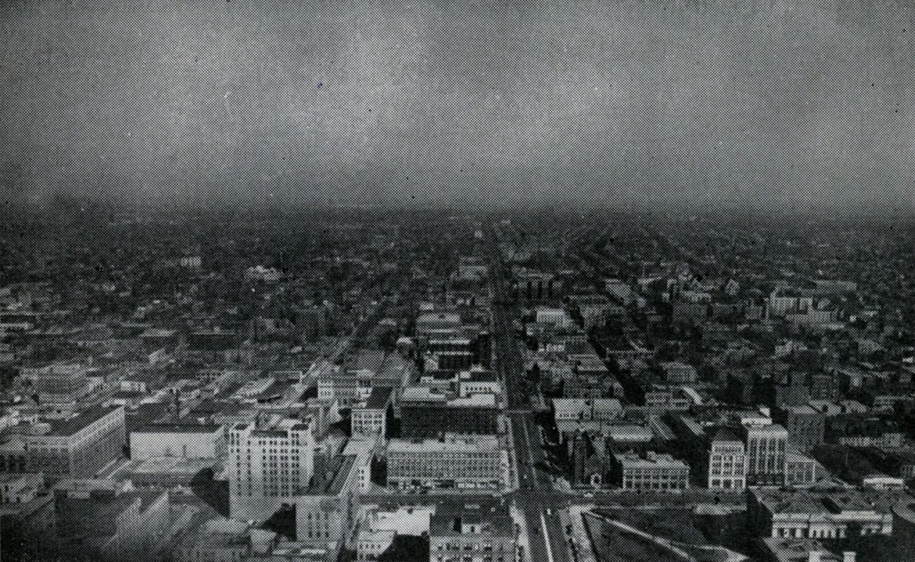
Broad Street was one of the city’s great civic corridors. The 1945 view looking east captured a skyline dense with recognizable institutions — banks, government offices, and commercial buildings that gave Columbus its formal character. Parades and public gatherings regularly filled these streets, drawing crowds who saw downtown as the city’s shared living room.
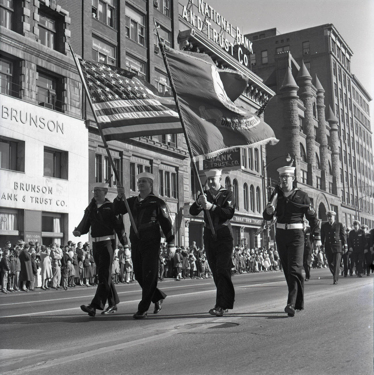
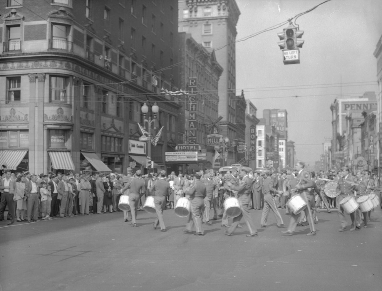
Veterans returning from World War II came home to a city that was ready to celebrate — and quick to organize. The AmVets, a veterans’ organization founded in 1944, became a visible presence on Columbus streets almost immediately. Their marching bands moved through downtown corridors lined with storefronts, turning ordinary afternoons into public events.
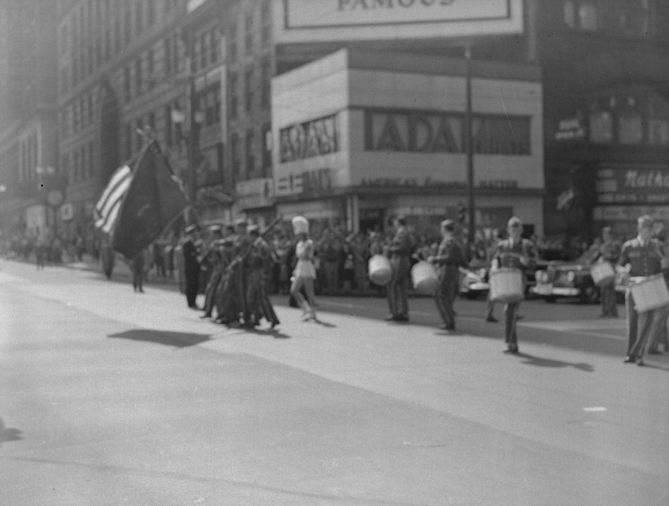
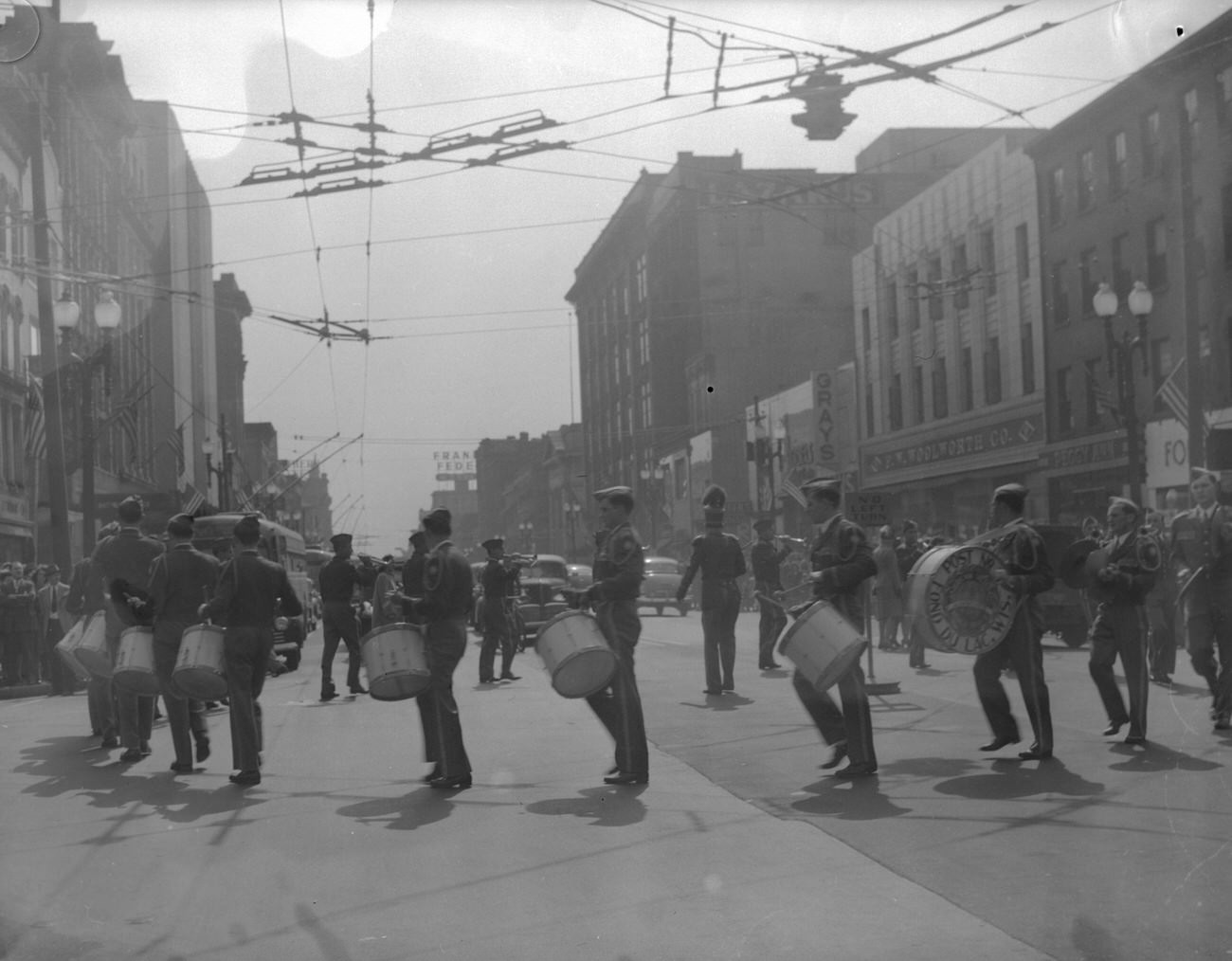
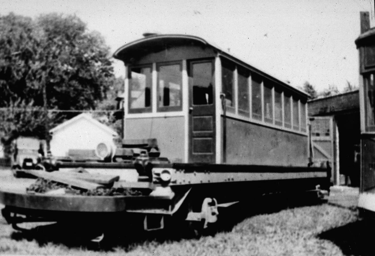
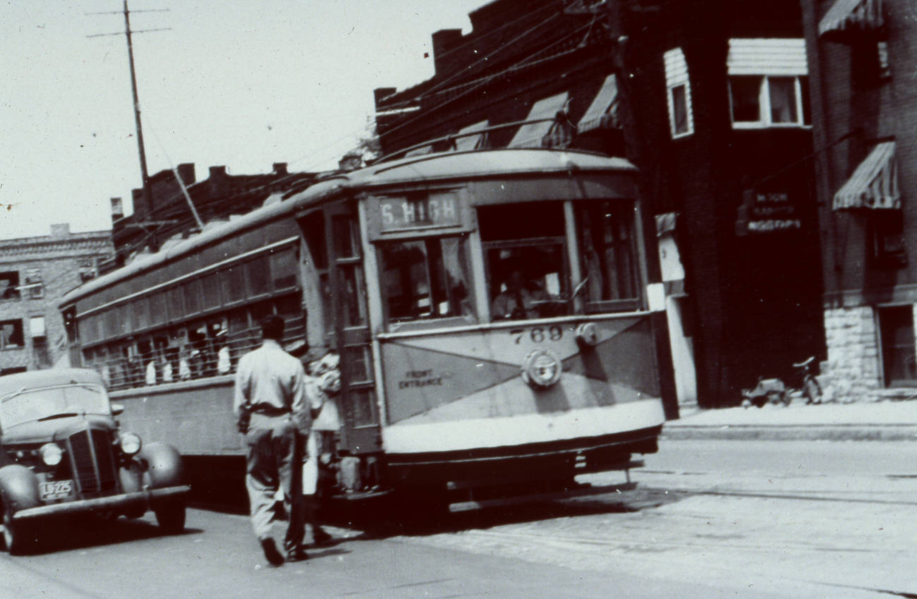
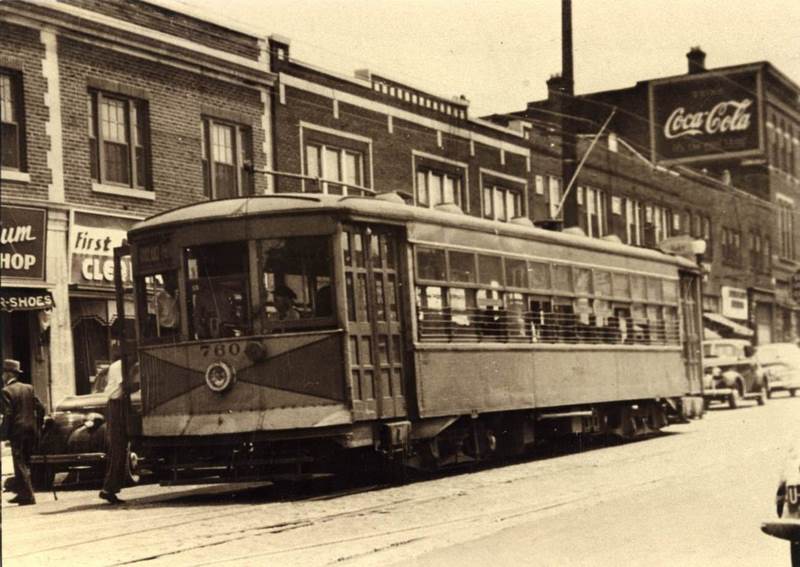
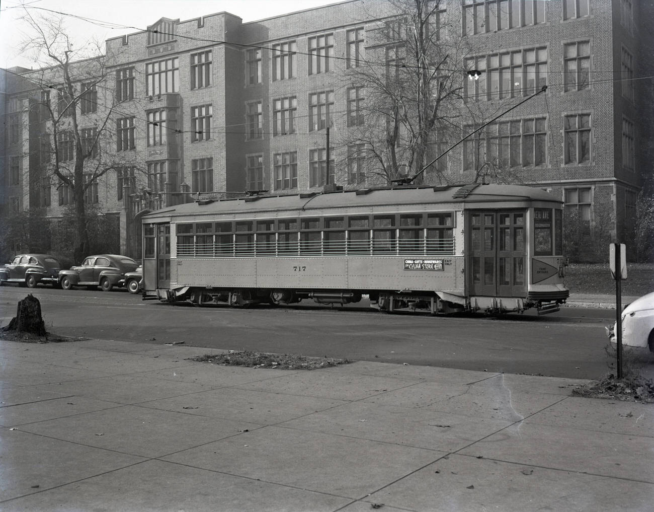
Public transit was the backbone of daily movement across Columbus in the 1940s. Streetcars connected neighborhoods to downtown, running fixed routes that thousands of residents depended on every day. By the end of the decade, however, the streetcar system was being phased out in favor of buses and private automobiles — a shift that would permanently alter the city’s layout.
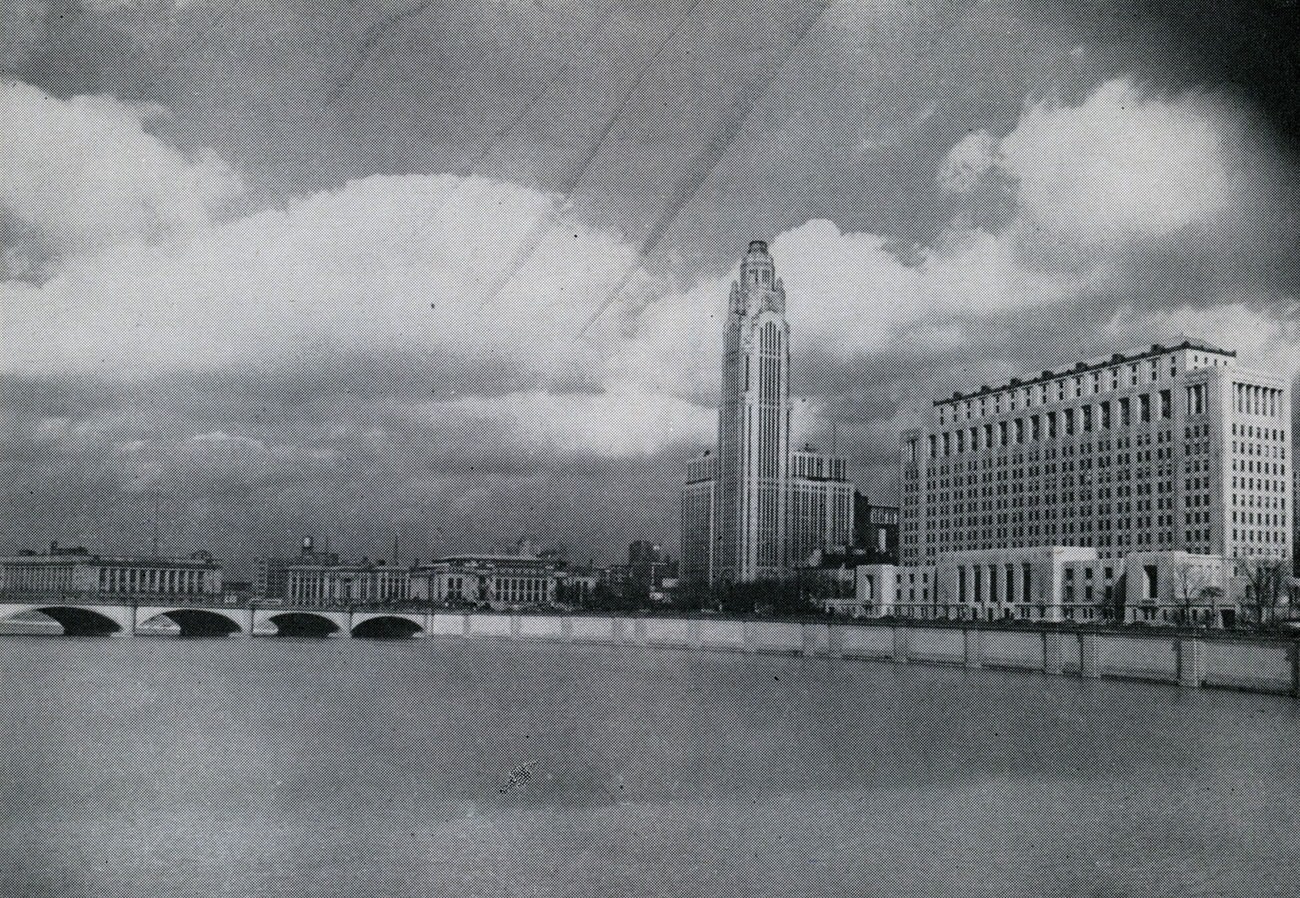
The Columbus Civic Center, positioned along the Scioto River, represented the formal face of city government and civic pride. Its 1945 photograph captures a compact cluster of institutional power: Federal Building, City Hall, the A.I.U. Citadel — better known as the LeVeque Tower — and the Ohio Departments of State Building. The LeVeque Tower, completed in 1927, remained Columbus’s most recognizable skyscraper throughout the decade.
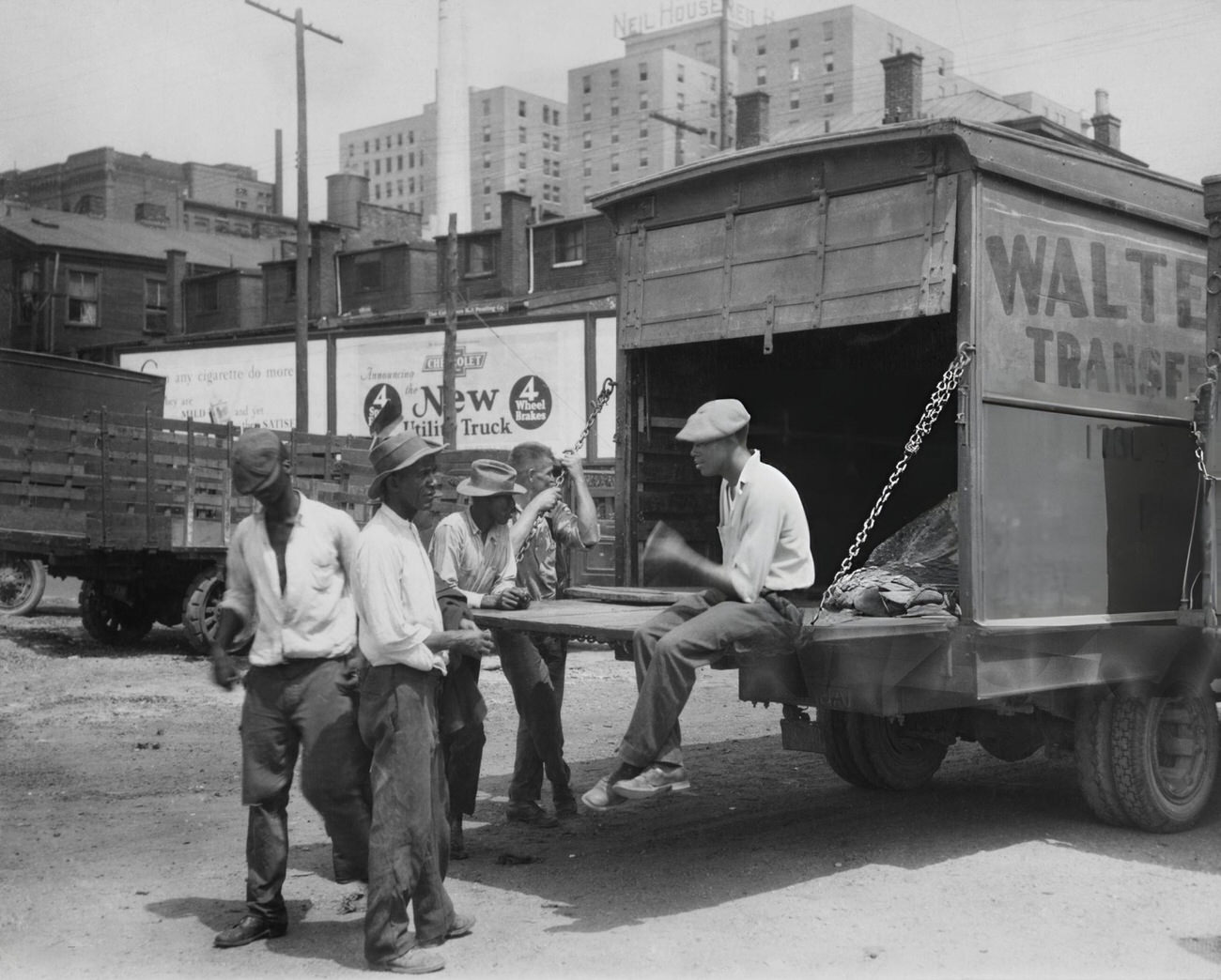
Along the Scioto River, daily life carried on in less formal ways. Workers, drivers, and laborers gathered near the water’s edge, with the Neil House hotel visible in the background — a reminder that the city’s commercial and working-class worlds existed just steps apart.
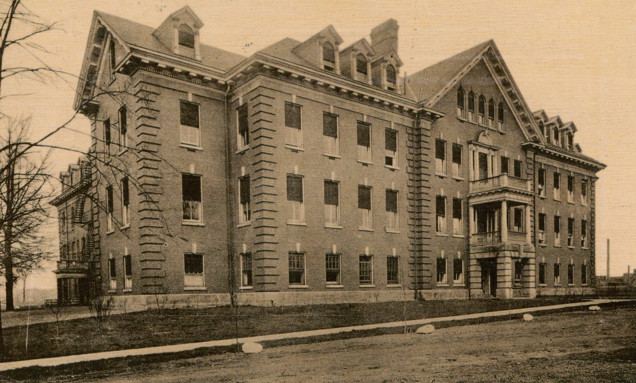
The war’s influence on Columbus was not limited to the factories. Fort Hayes, the U.S. Army installation on the city’s north side, maintained its role as a military hub. The facility’s hospital treated servicemen and continued operating through the wartime years, a physical anchor of the military presence within Columbus itself.
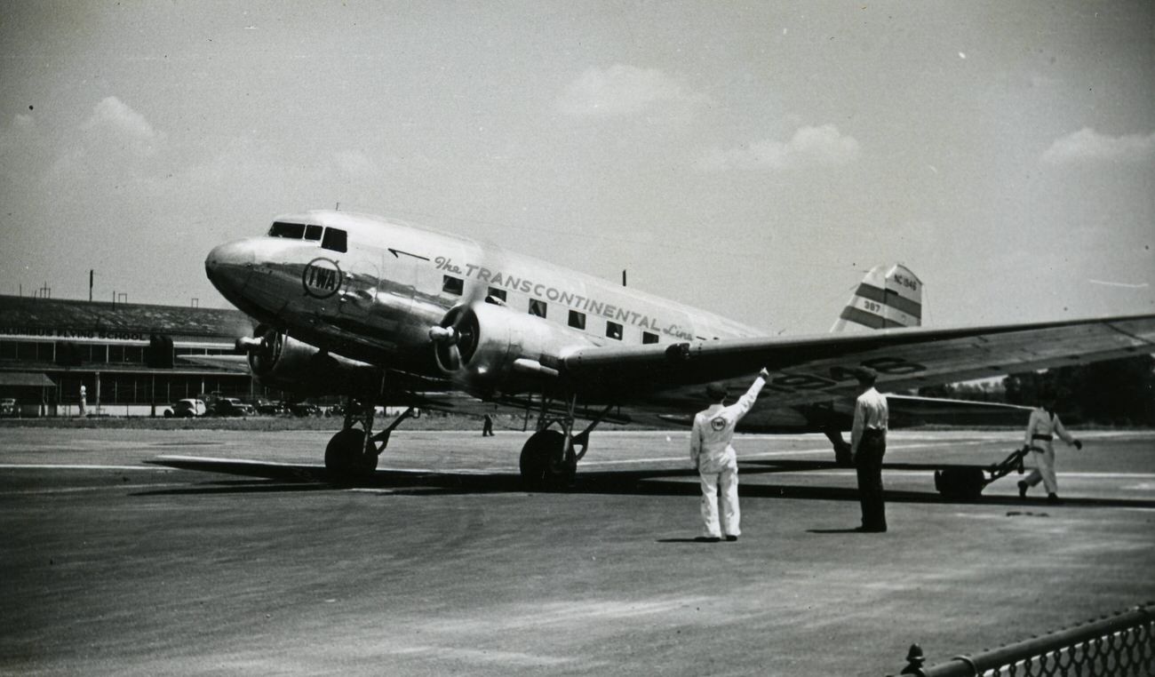
Port Columbus served as the city’s gateway to air travel, though it was not without tragedy. A Douglas DC-3-382, registration NC1946, operated out of Port Columbus before crashing in 1942. Commercial aviation was still relatively new and accidents were not uncommon — each one drawing public attention to both the promise and the risks of air travel.
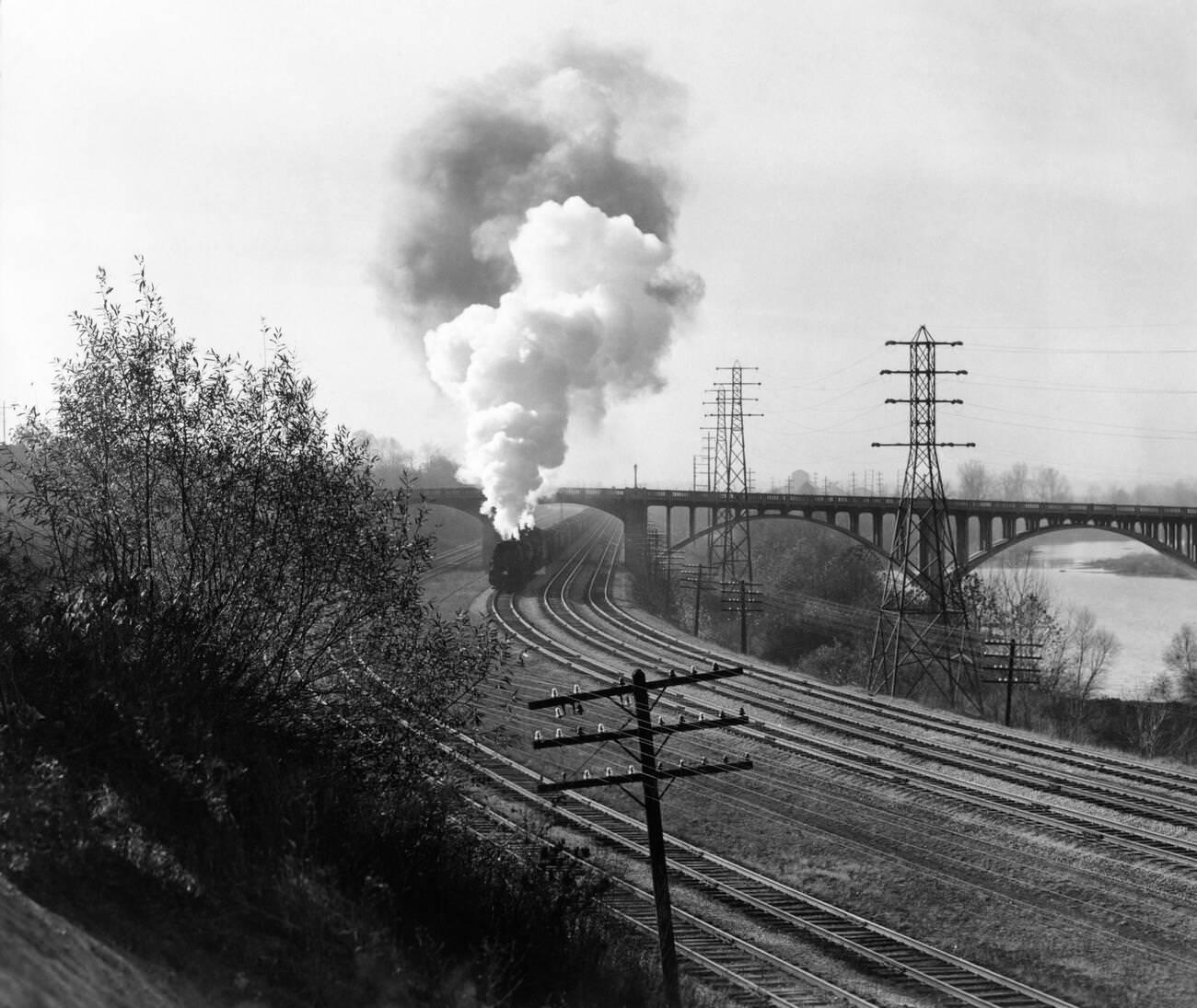
Rail transport remained essential through the 1940s, even as automobiles and air travel expanded. Freight and passenger trains moved along the Scioto River corridor, their engines producing thick columns of smoke that drifted over the city’s bridges and riverbanks.
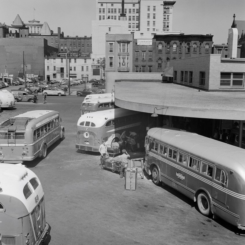
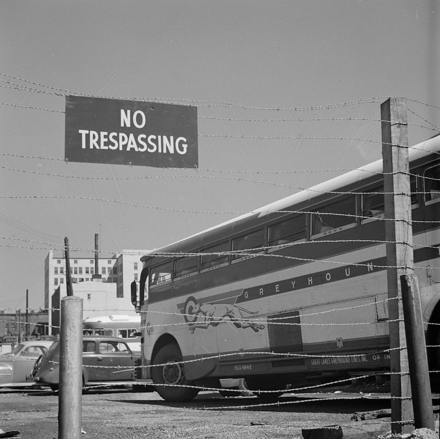
The Greyhound station was another node of wartime and postwar movement. Buses carried soldiers, workers, and migrants in and out of Columbus, connecting the city to the rest of the country. The station served as a transit hub where the city’s changing population was most visible.
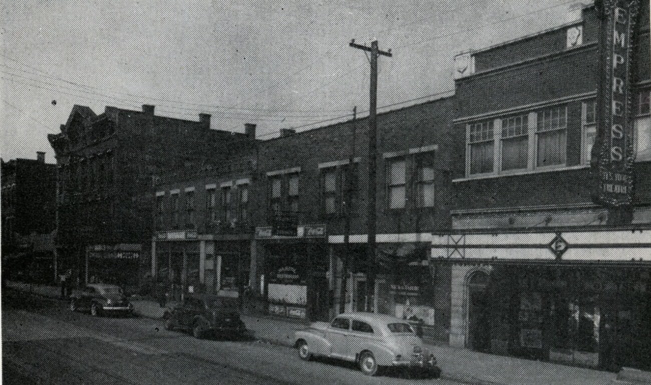
Columbus’s Bronzeville neighborhood, centered around Long Street and Garfield Avenue, was the social and commercial heart of the city’s Black community. The 1945 photograph of the intersection shows the Empress Theatre alongside other local businesses — a neighborhood that sustained its own economy, entertainment, and culture during an era of legal segregation.
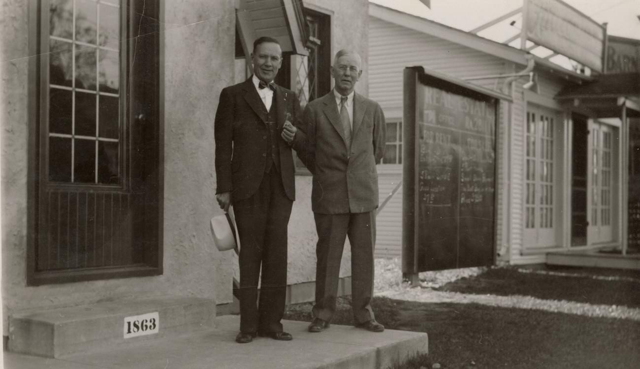
On the west side, the neighborhood around Sullivant Avenue had its own commercial fabric. Harry Edward Markins and William Riley Barnett ran a realty office there, part of a network of small, locally-owned businesses that served working-class residents. Real estate was booming across Columbus — returning veterans and their families needed housing fast, and agents like Barnett were busy.
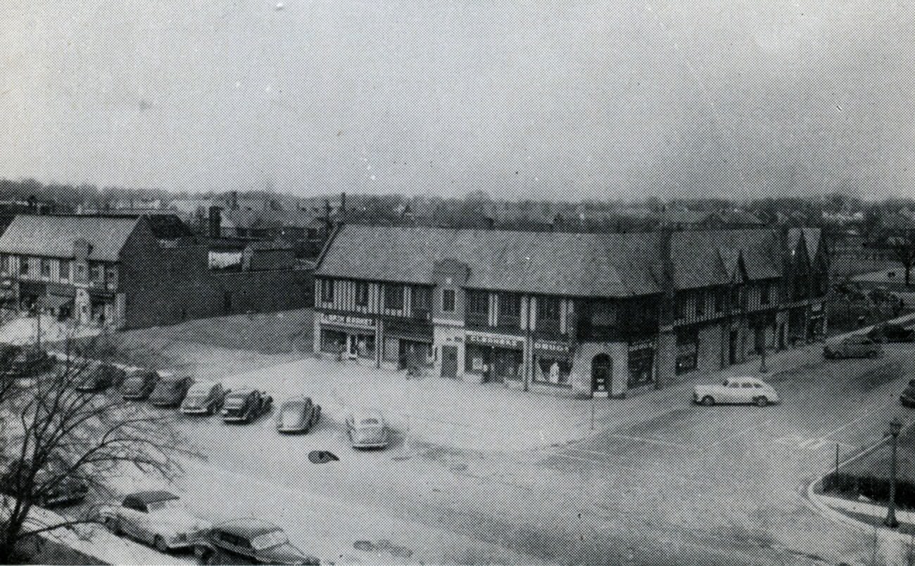
Upper Arlington, one of Columbus’s developing suburbs, offered a different pace. Its commercial strip along Arlington Avenue was modest in scale but served the needs of a growing residential population. Arlington Drugs and First National Cleaners represent the kind of neighborhood businesses that anchored suburban life — close to home, familiar, and reliable.
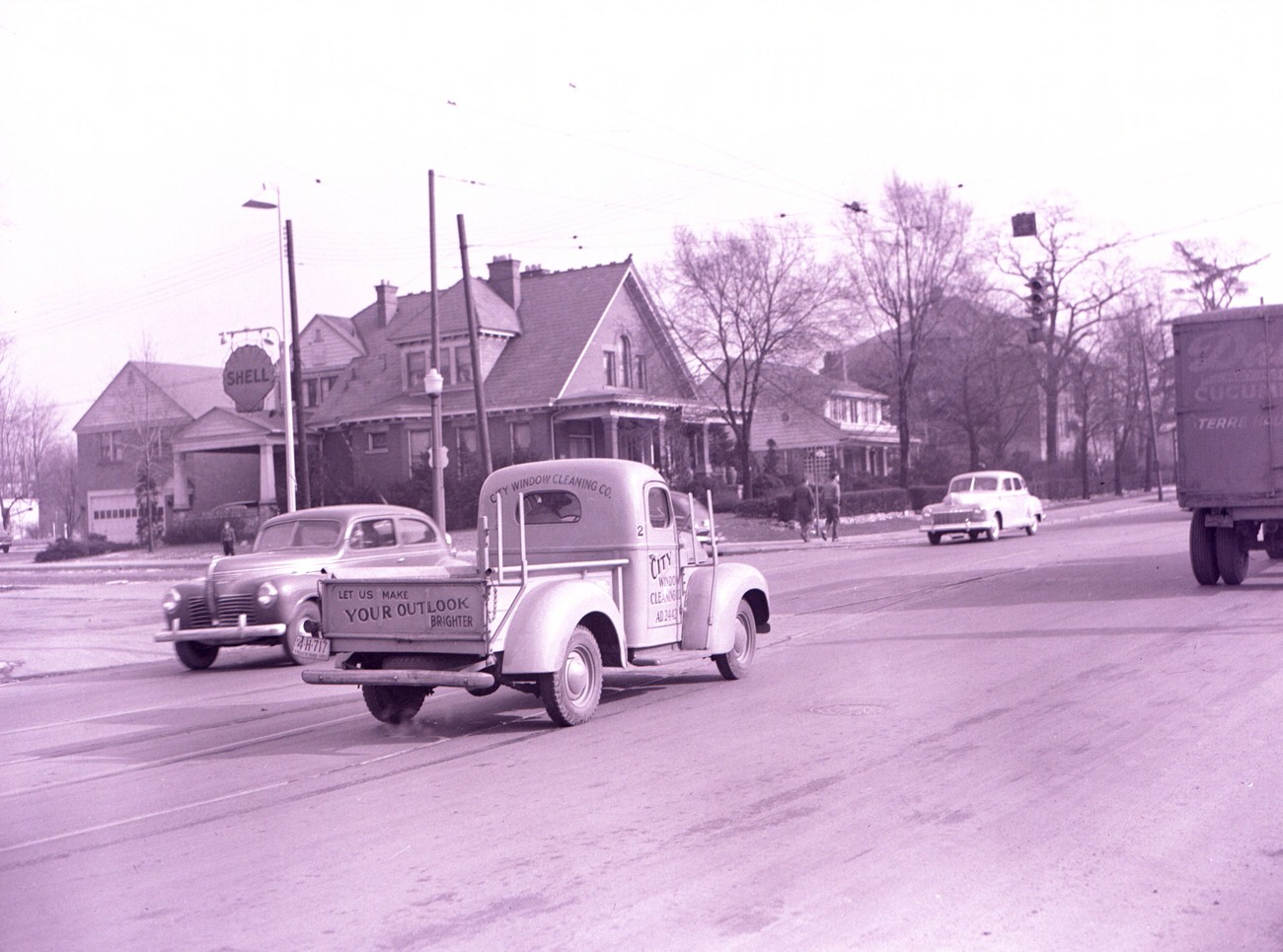
Bexley, another established suburb east of downtown, had its own distinct commercial and residential character. East Main Street was lined with service businesses that kept the neighborhood running, from window cleaners to funeral homes — the full range of a self-contained community.
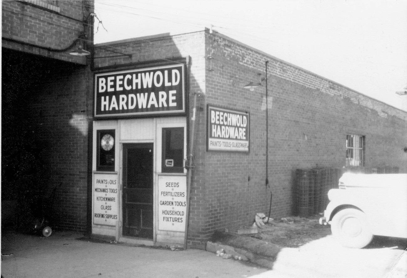
North High Street stretched far beyond downtown, threading through neighborhoods like Clintonville and Beechwold. Small, owner-operated shops defined these corridors. Forrest Smith’s Beechwold Hardware store at 4591 North High Street was one such business — a neighborhood fixture that served homeowners and tradespeople alike.
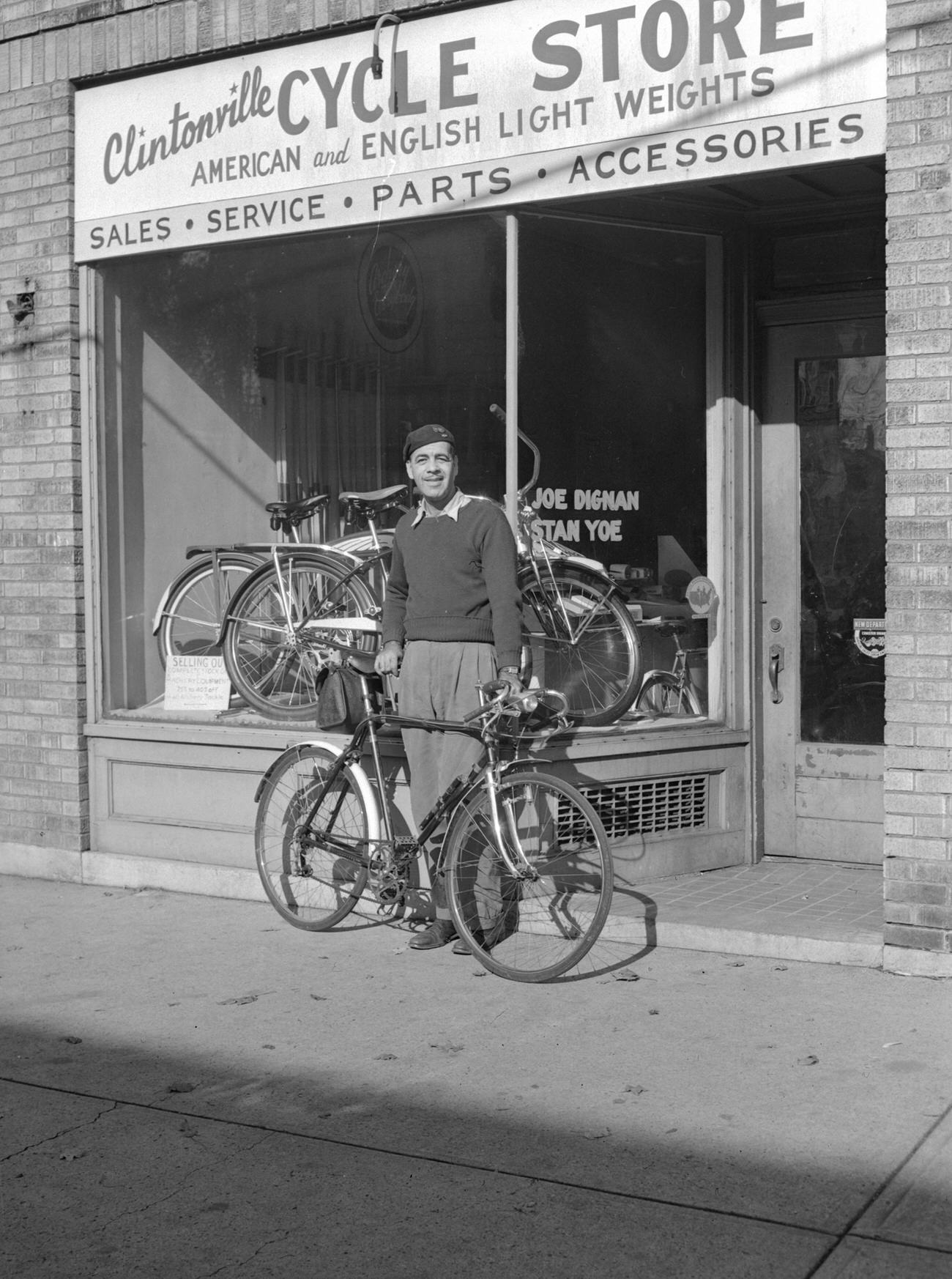
The Clintonville Cycle Store, owned by Joe Dignan and Stan Yoe, specialized in American and English lightweight bicycles. In a city where car culture was just beginning its postwar surge, the bicycle remained a practical and affordable mode of transport for many residents, particularly younger ones.
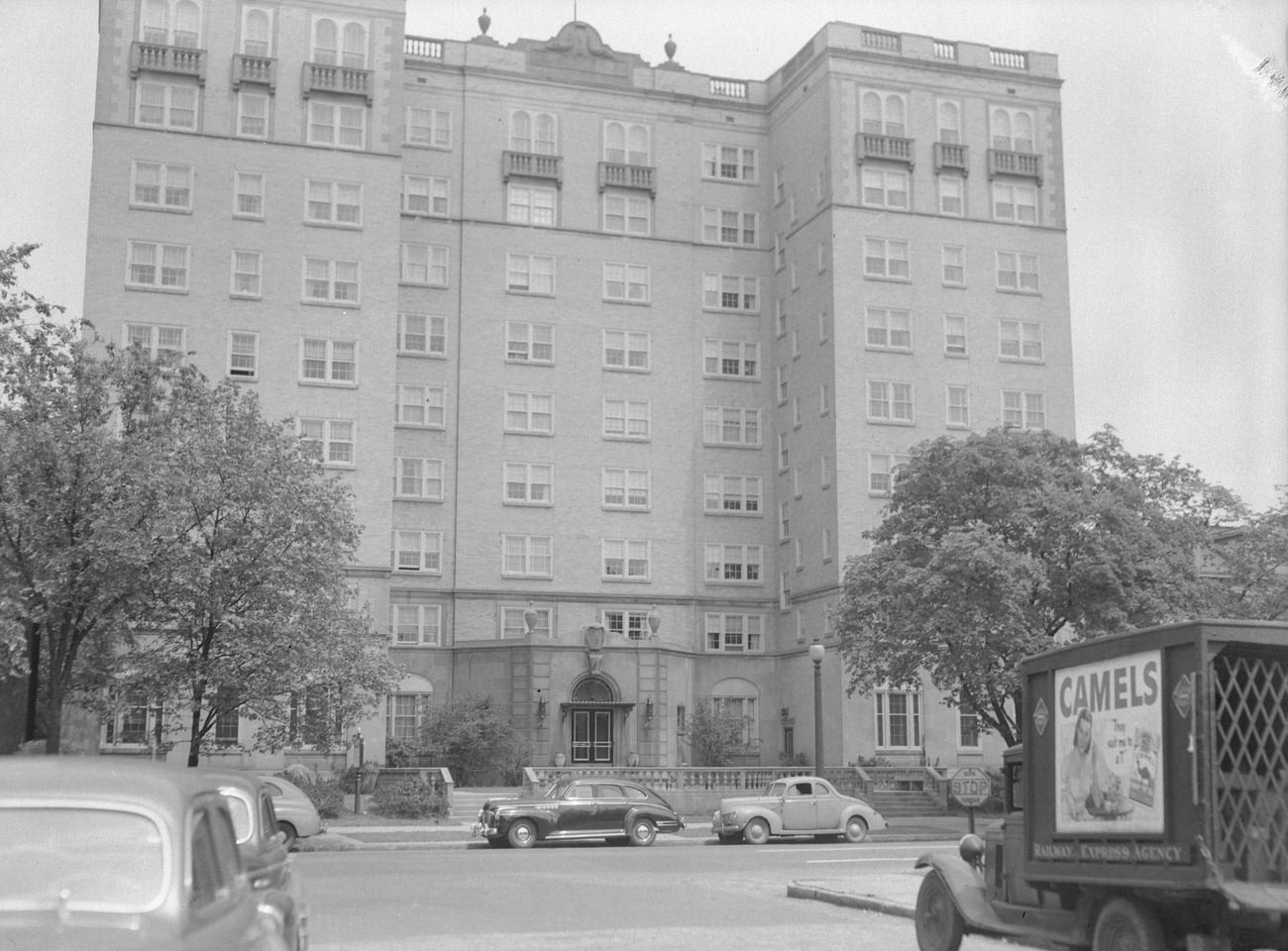
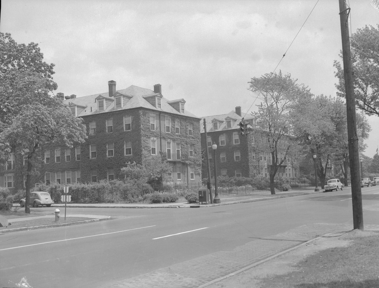
Columbus’s architectural stock from earlier decades remained very much in use. The Cambridge Arms Apartments, built in 1928, stood as a solid example of pre-Depression residential construction. By 1948, it was still home to tenants, a durable piece of the city’s built environment that would later earn a spot on the National Register of Historic Places.
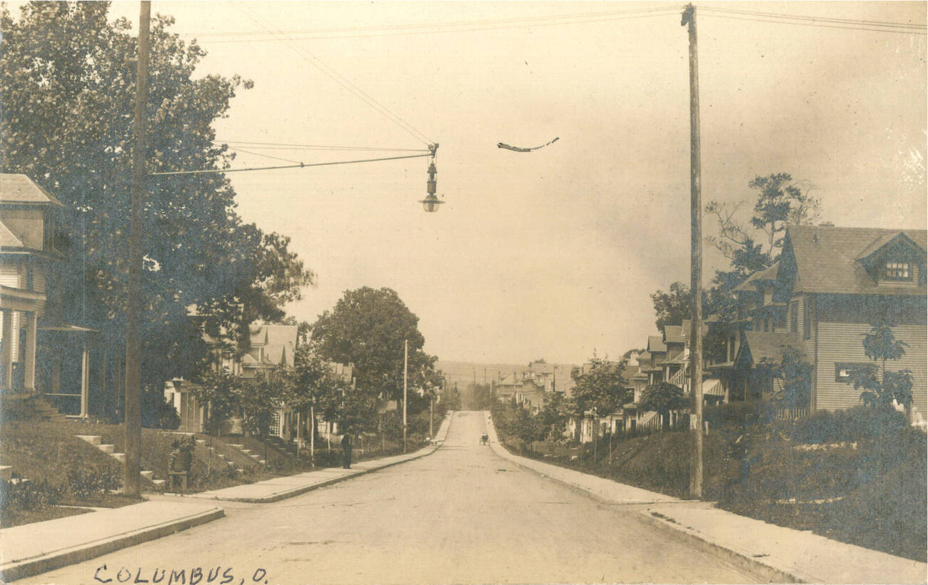
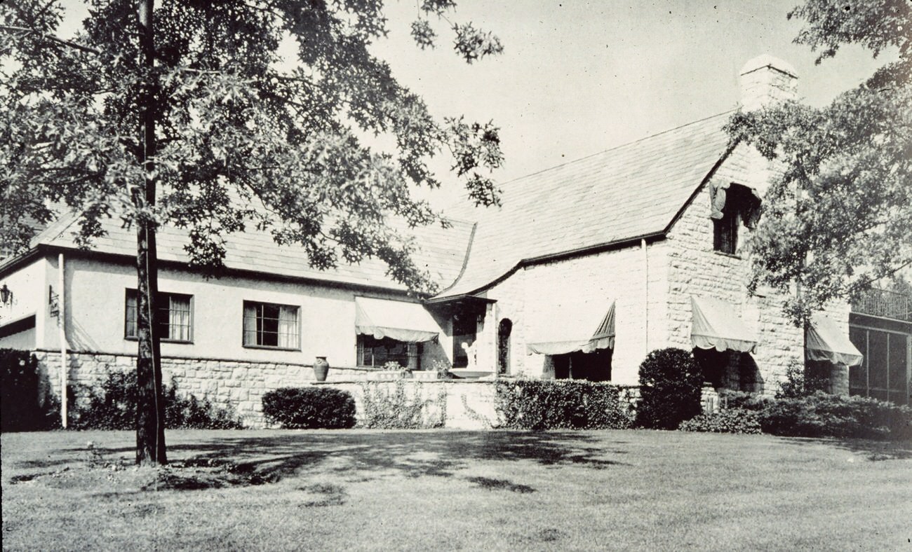
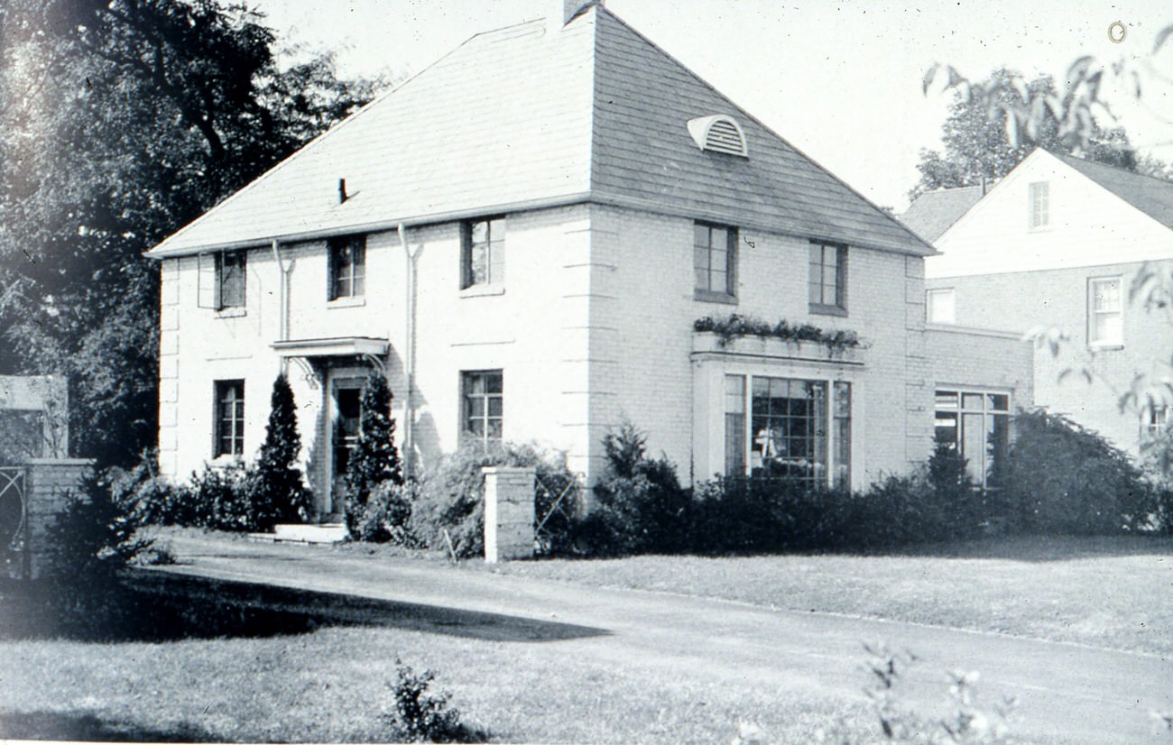
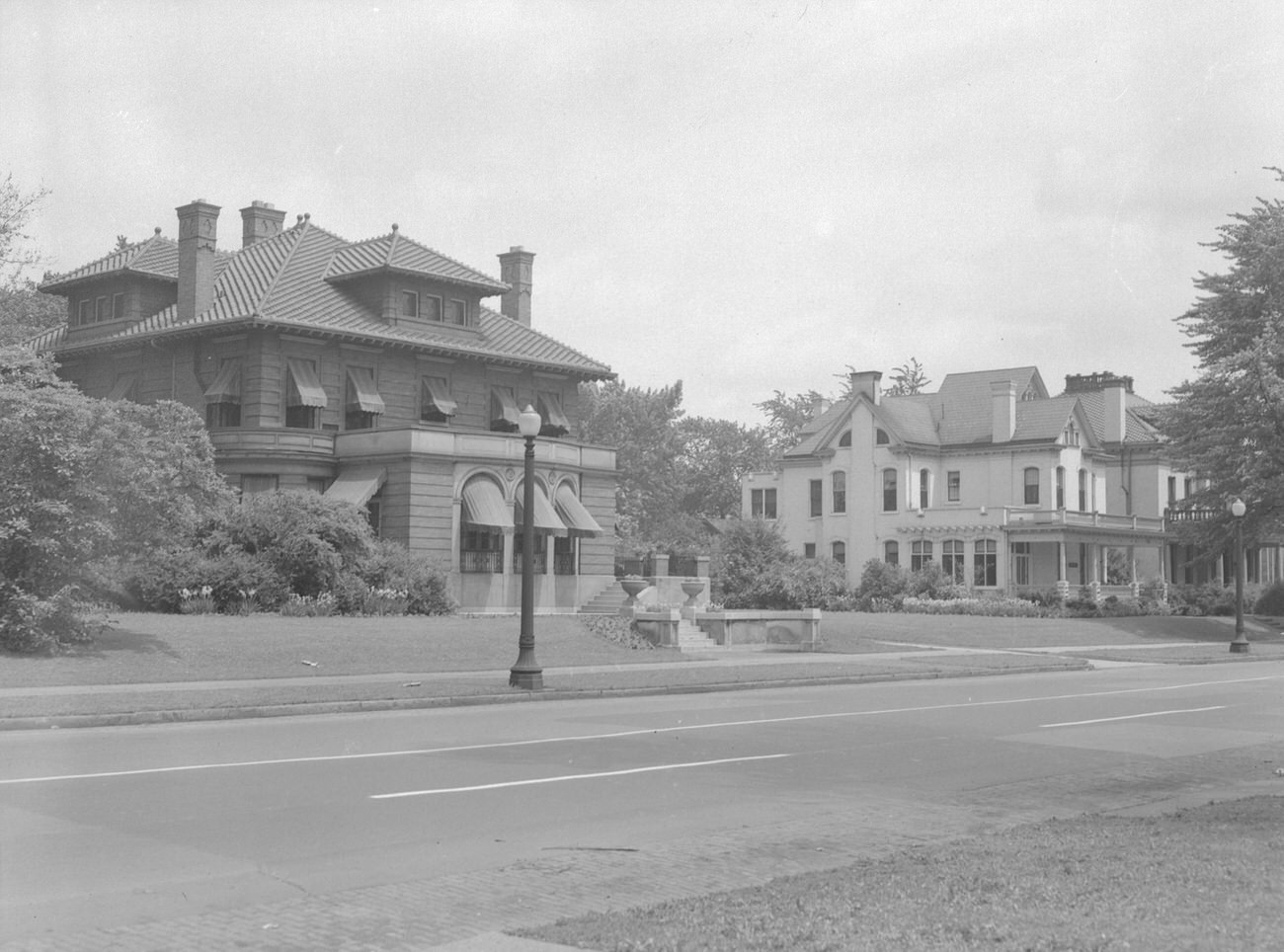
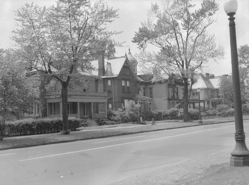
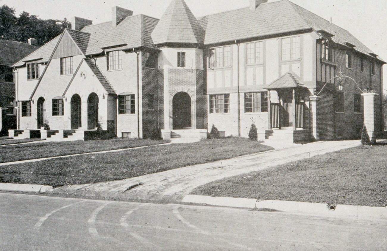
Residential streets throughout Columbus maintained a quiet, ordered look. Tree-lined blocks of single-family homes defined much of the city beyond downtown, and the postwar years brought new construction to previously undeveloped land on the edges of the city. Families who had waited out the Depression and the war were finally building — or buying — homes of their own.
On Tremont Road, architect Harry T. Roderick’s own house stood as an example of mid-century residential design. Roderick was a Columbus-based architect, and his home reflected the professional’s taste for clean, well-proportioned construction. Nearby on East Broad Street, the Harry P. Wolfe and Albert O. Halliday houses represented the grander end of the city’s residential spectrum.
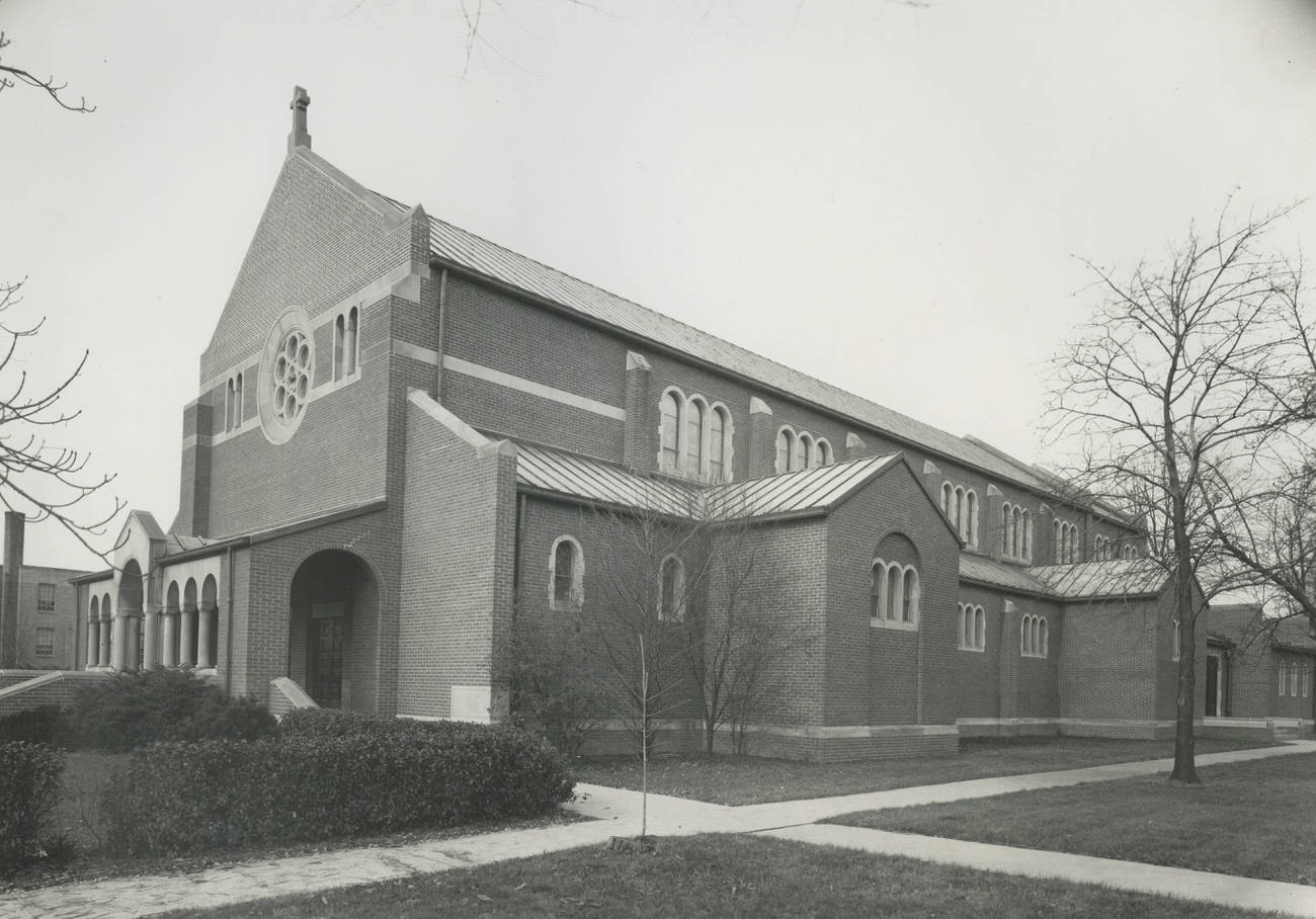
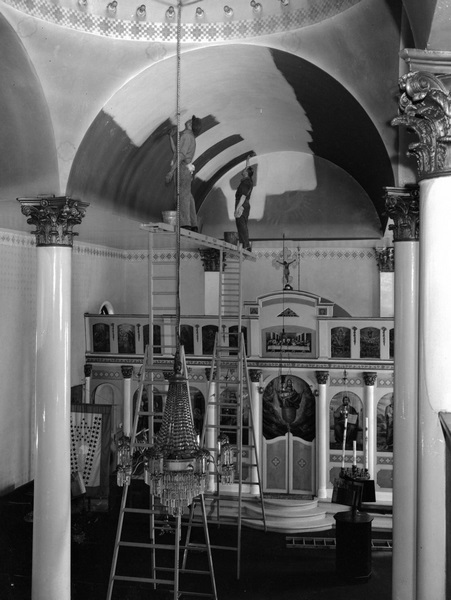
Columbus’s religious institutions were woven into nearly every neighborhood. The Immaculate Conception Church served its parish community, while the Greek Orthodox Church on North Park Street and Goodale Street underwent renovation work in 1946 — cleaned and maintained by the City Window Cleaning Company, which appears repeatedly in photographs of the era.
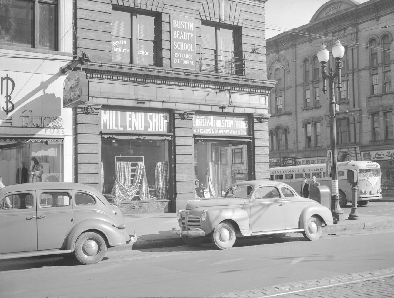
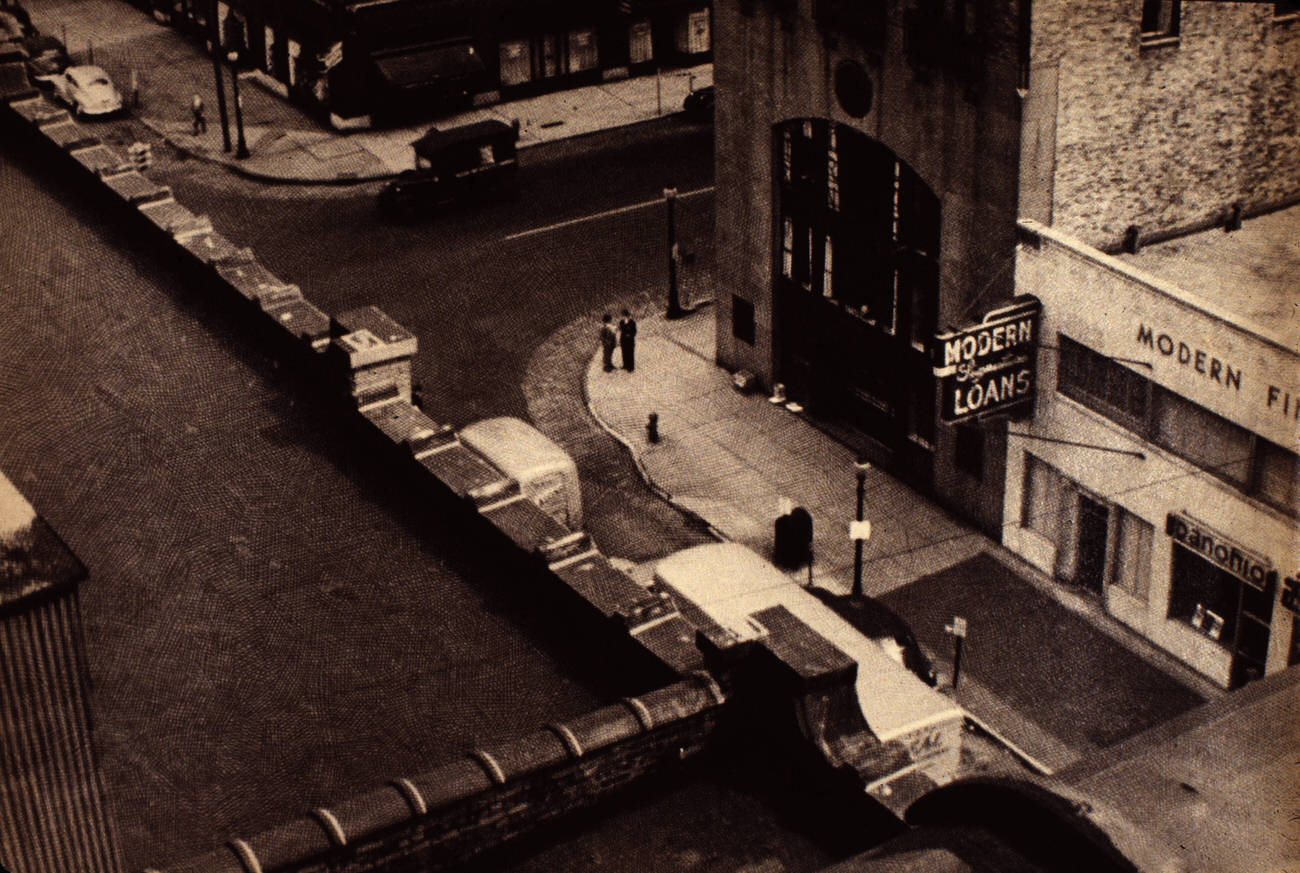
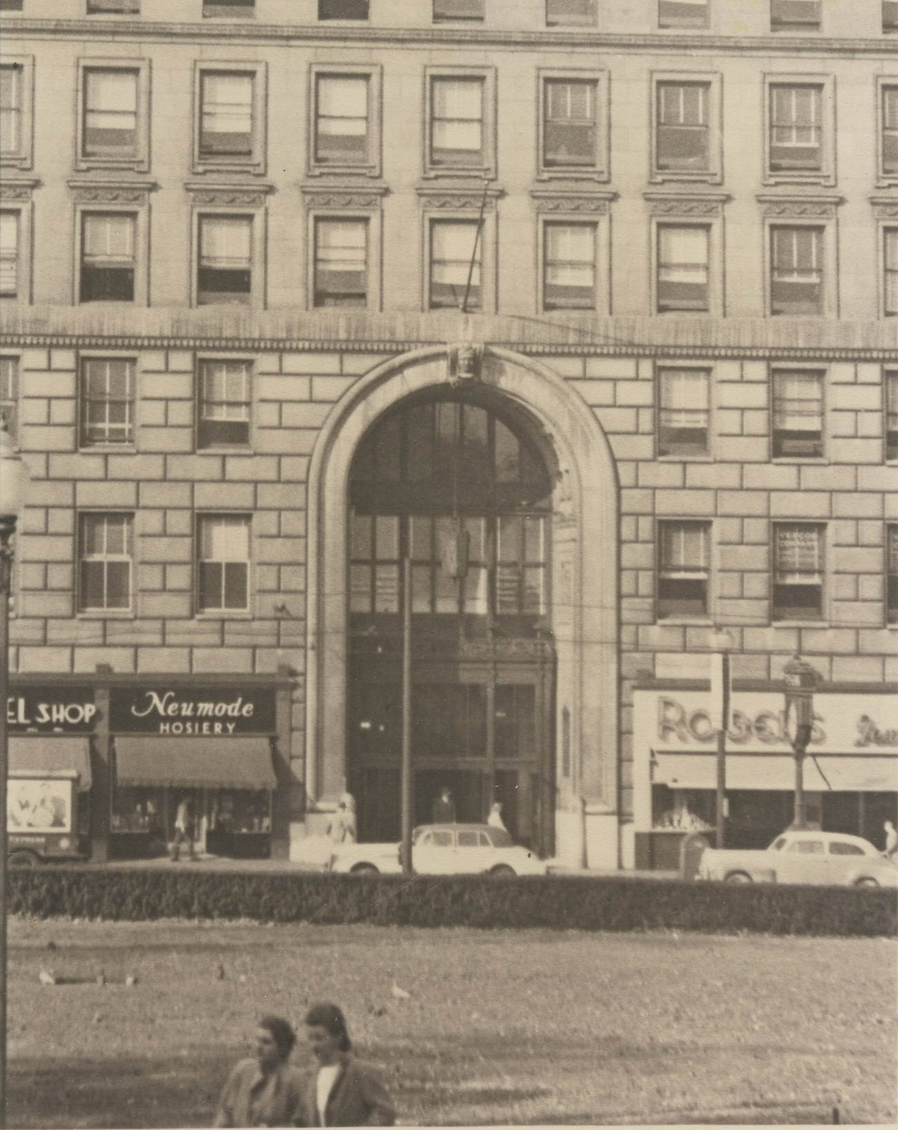
The commercial core of downtown extended well beyond department stores. The intersection of East Town Street and South High Street held the Brent and Grange Buildings, home to businesses like the Bloom Fur Company and Rainbow Flower Shop. Rooftop photographs of East Gay Street showed the Modern Finance Building and Ohio State Savings Building side by side — a snapshot of the financial district as it looked in the 1940s.
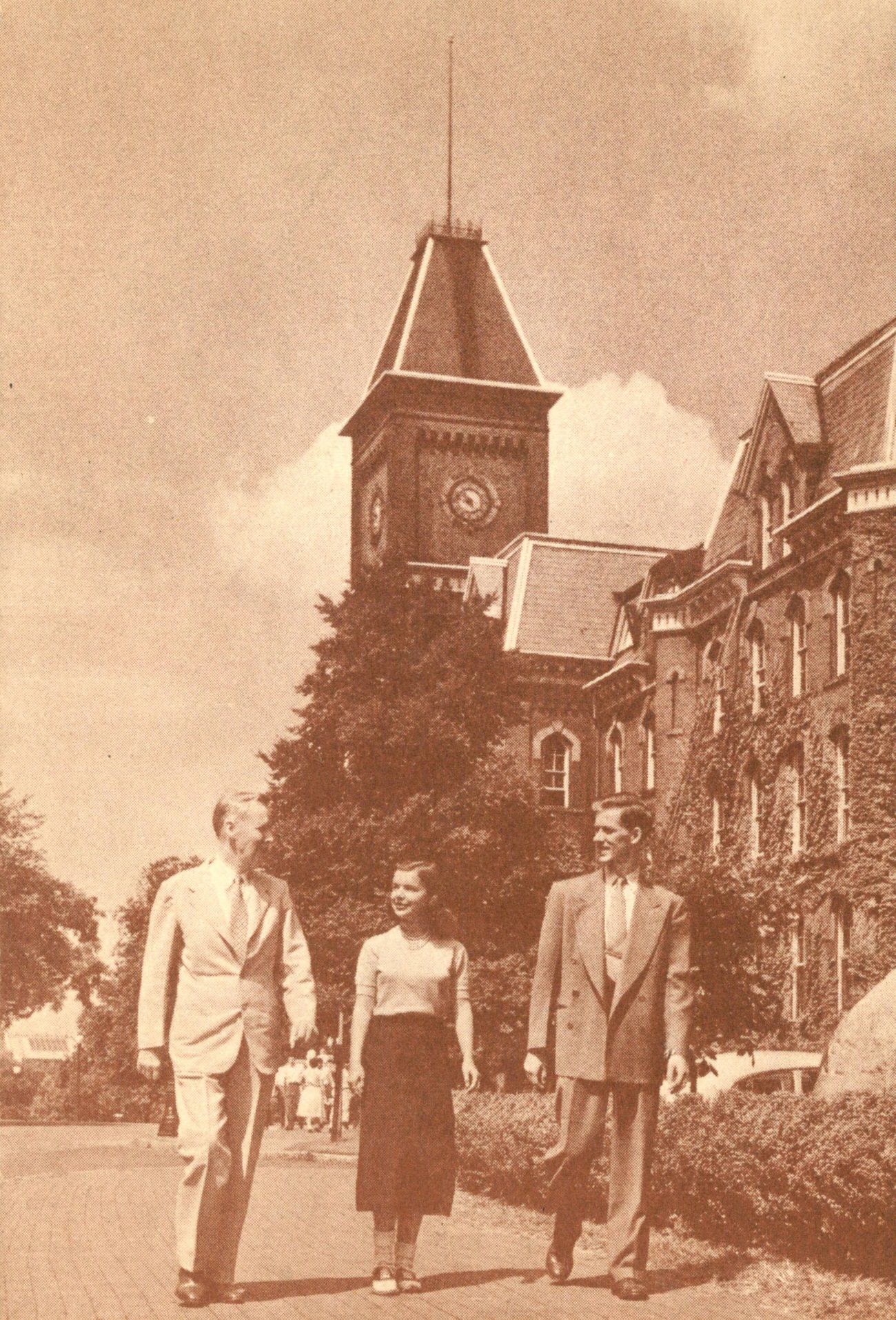
The Ohio State University anchored the northern end of High Street. University Hall, one of the campus’s oldest buildings, had been a fixture of Columbus’s academic landscape since the 19th century. By the 1940s, the university’s enrollment was swelling — partly due to the G.I. Bill, which gave returning veterans access to college education for the first time.
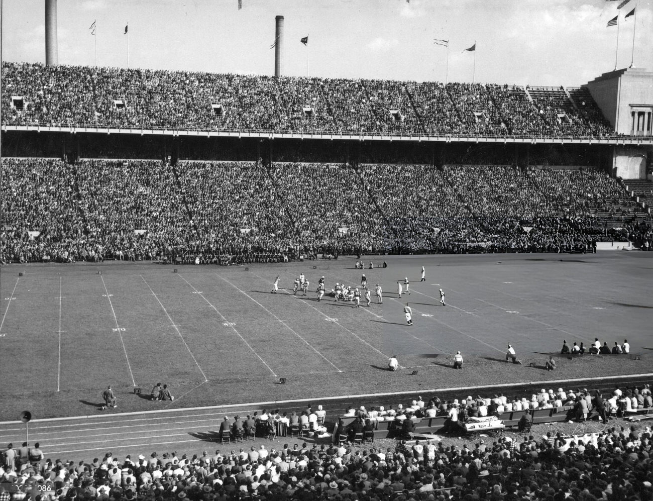
Ohio Stadium, which opened in 1922, hosted Buckeye football games that drew tens of thousands of fans. In 1948, Ohio State faced the University of Iowa on that field — a game Iowa won 14-7. The loss stood out in a decade when Ohio State football was a major civic obsession.
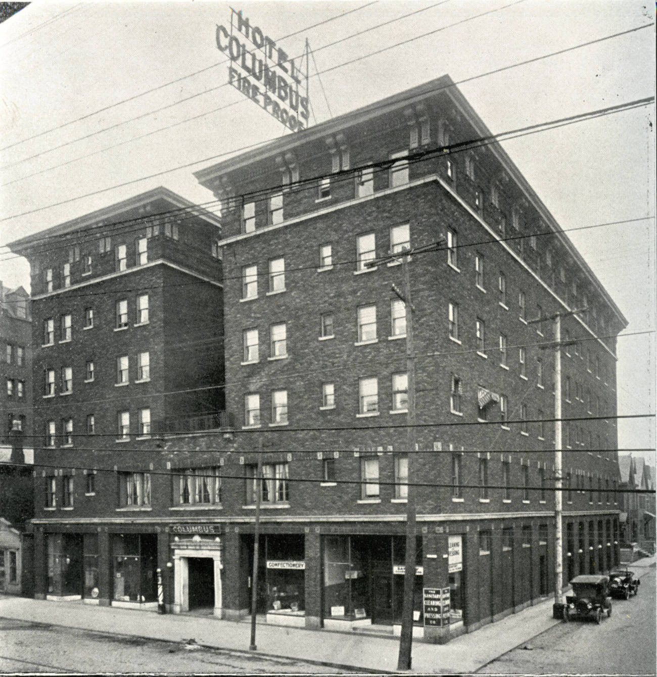
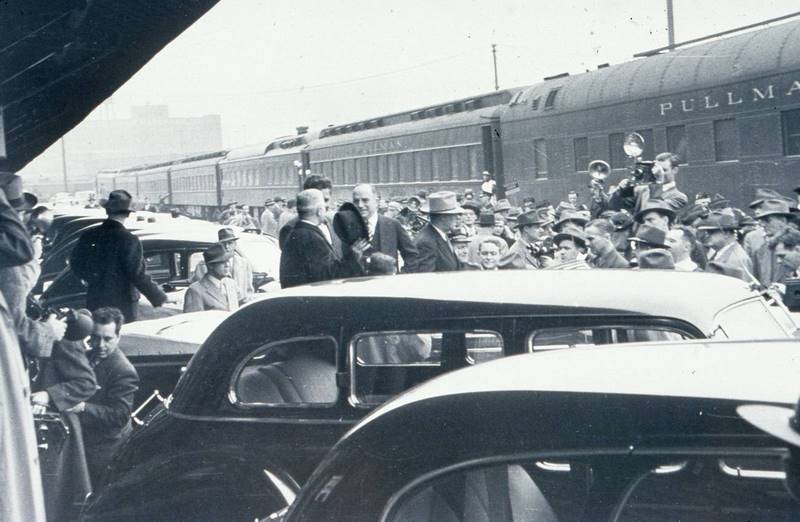
Hotel Columbus was a landmark of the downtown hospitality scene. It accommodated business travelers, visiting dignitaries, and the occasional celebrity passing through the city. In March 1946, President Harry S. Truman himself visited Columbus — a sign of the city’s growing national profile in the postwar years.
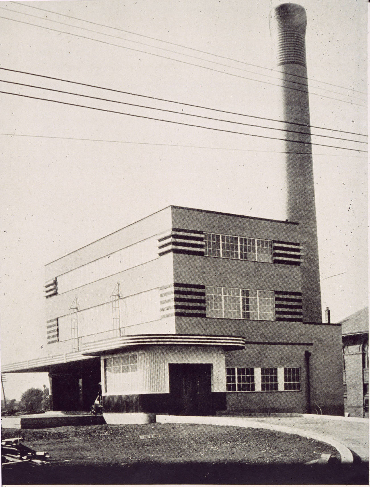
City infrastructure in the 1940s included facilities that rarely made it into celebratory photographs. The Columbus Refuse Incinerator Central Plant, built as a Public Works Administration project in 1935, handled the city’s growing waste output throughout the decade — a utilitarian necessity for a city adding residents by the thousands.
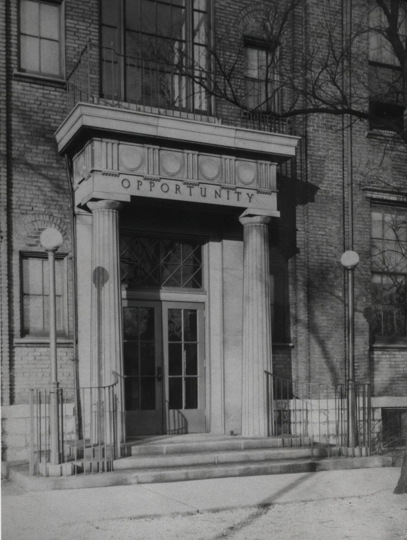
Some of the decade’s photographs document endings as much as beginnings. Park Street Elementary School, originally built in 1867, was demolished on April 29, 1948. Its front doors were photographed before the wrecking crews arrived — a small act of preservation for a building that had stood for more than 80 years.
Restaurants and neighborhood gathering spots gave Columbus its local texture. Enzor’s Restaurant on West State Street and various neighborhood diners served the working people of the city — places where a hot meal and familiar faces were the main draw. Meanwhile, the Broad-Ohio Apartments on the corner of Ohio Avenue and Broad Street, built as early as 1926, housed the kinds of residents who walked to these places every day.
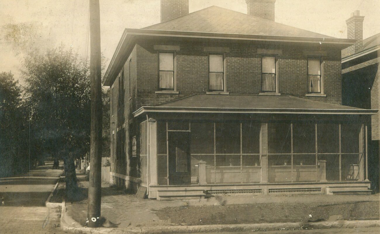
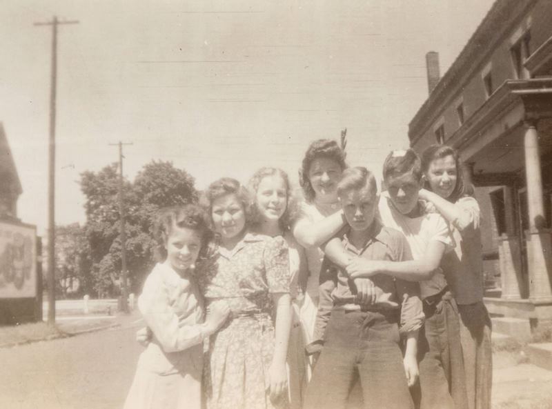
Summer gatherings were a regular part of neighborhood life. A 1945 photograph outside 196 Hawkes Avenue captures a group posed on the front steps — the kind of informal community moment that defined life in Columbus’s residential blocks during the postwar years.





These are cool. I used to go into Beechwold hardware as a little kid in the 70’s, a few blocks from where I grew up. It’s still there.