New Zealand became a British territory in 1840. By the 1890s, it had grown into a place of striking contrasts — remote wilderness sitting alongside developing towns, ancient Māori culture alongside rapid colonial change. The photographs in this collection capture that world through the Photochrom process, a Swiss printing technique that added color to black-and-white glass negatives. The results are vivid, almost painterly images that bring the landscapes and people of late 19th-century New Zealand to life in a way no standard photograph of the era could.
New Zealand’s economy shifted dramatically during the 1880s. It moved away from wool and local trade toward large-scale exports of wool, cheese, butter, and frozen beef and mutton shipped directly to Britain. Refrigerated shipping made this possible, and it transformed the country’s financial footing almost overnight. The towns grew, roads were cut through gorges, and hotels appeared at the edges of glaciers to serve a growing tourism trade.
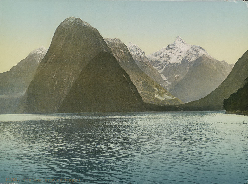
Milford Sound, on the southwest coast of the South Island, was already drawing visitors by the 1890s. Its sheer rock walls rise thousands of feet straight out of the water, and the fiord stretches nearly ten miles inland from the Tasman Sea. The Milford Track, opened as a walking route, became one of the most celebrated hikes in the country. Several photographs in this collection document both the sound itself and various points along the track.
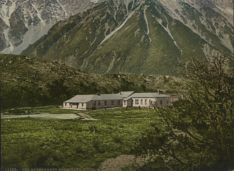
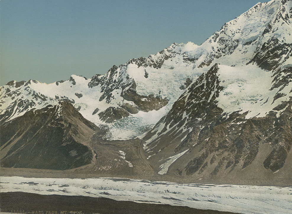
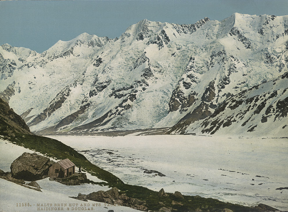
The Hermitage Hotel sat at the foot of the Southern Alps, positioned as a base for travelers heading toward the glaciers and alpine passes of the Mount Cook region. It was one of the earliest purpose-built tourist accommodations in New Zealand’s interior. The surrounding terrain was dramatic — Ball Pass and the Tasman Glacier were within reach for guided parties.
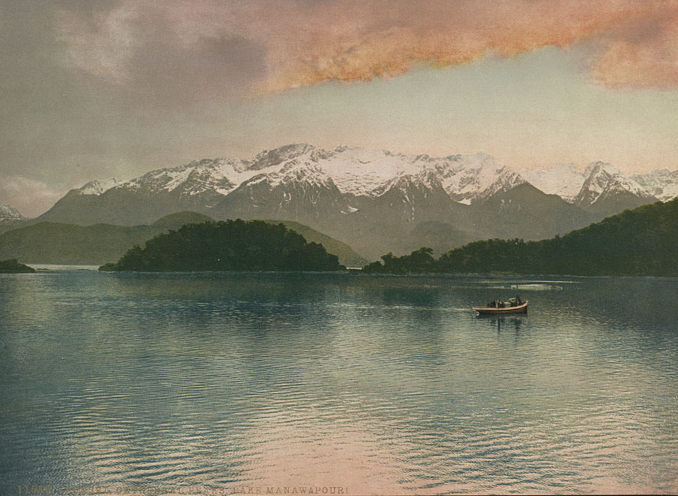
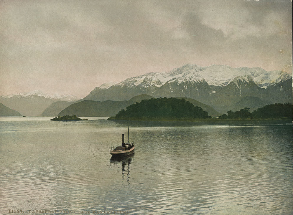
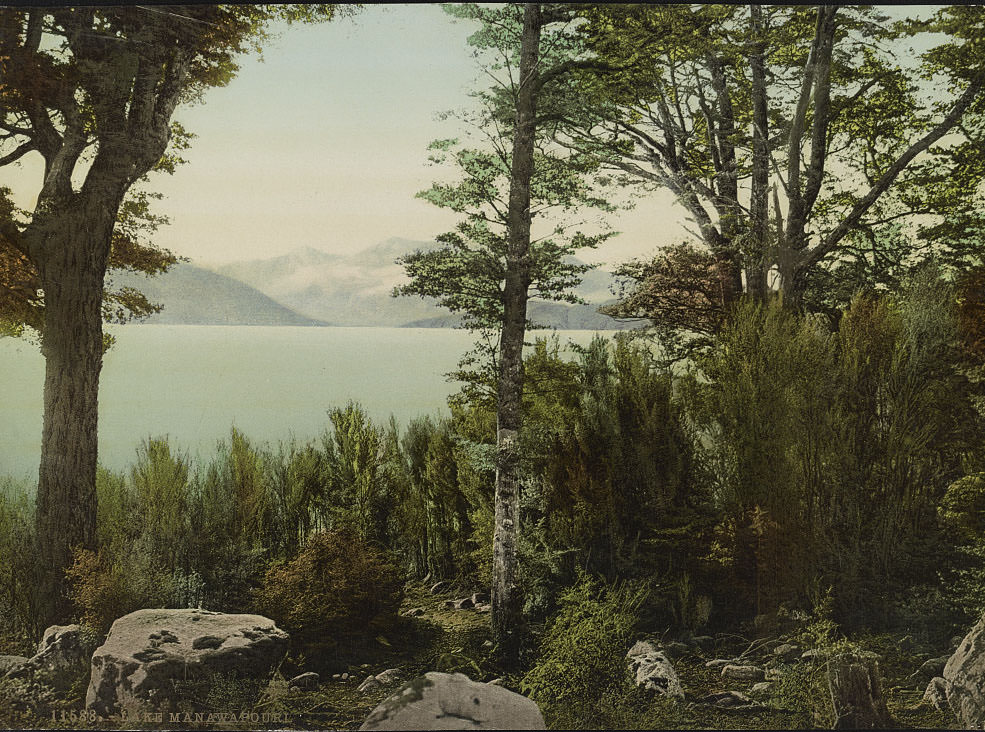
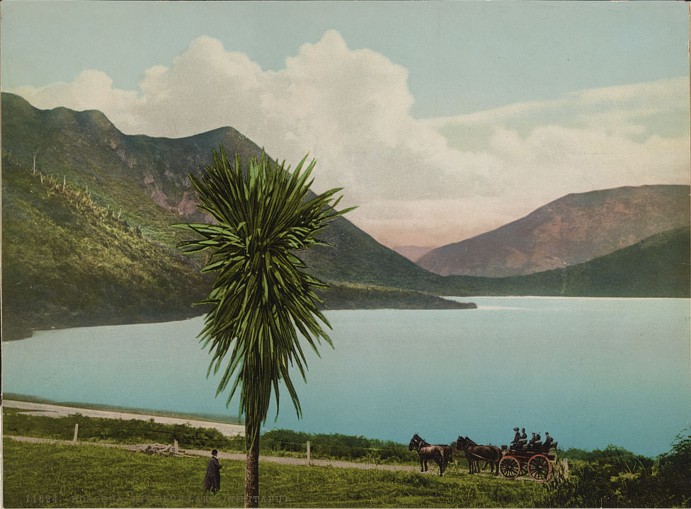
Lake Manapouri, deep in Southland, was considered one of the most beautiful lakes in the country. Its Cathedral Peaks rose sharply above the waterline, and the lake’s surface reflected them with unusual clarity. The remoteness of the area meant that reaching it in the 1890s required real effort — which made photographs of it all the more valuable to people who would never make the journey themselves.
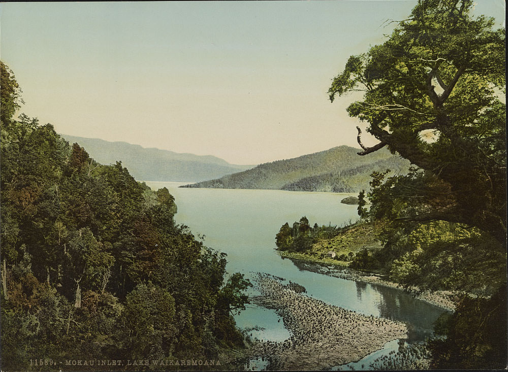
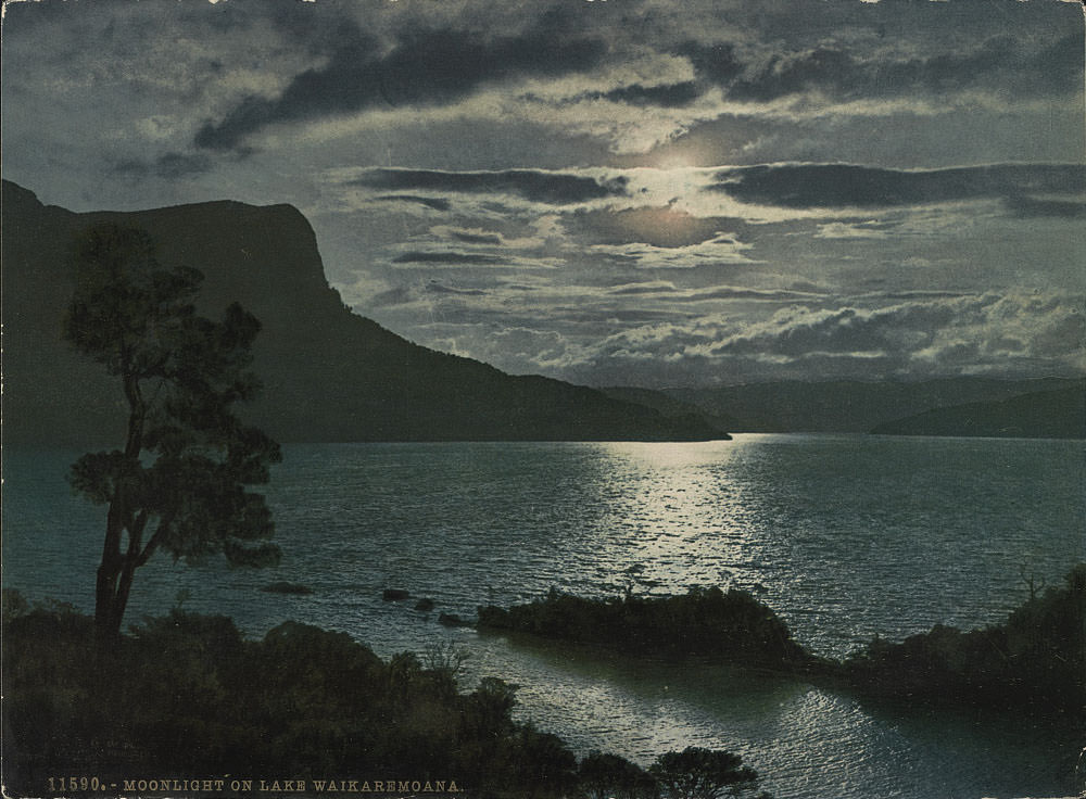
On the North Island, Lake Waikaremoana offered a very different kind of landscape — dense native bush pressing down to the waterline, and a stillness that gave photographers striking material. Mokau Landing served as the main access point to the lake, while nighttime exposures captured moonlight reflected across the water.
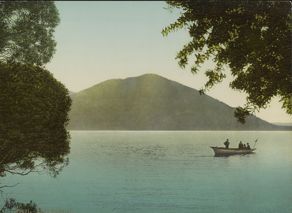
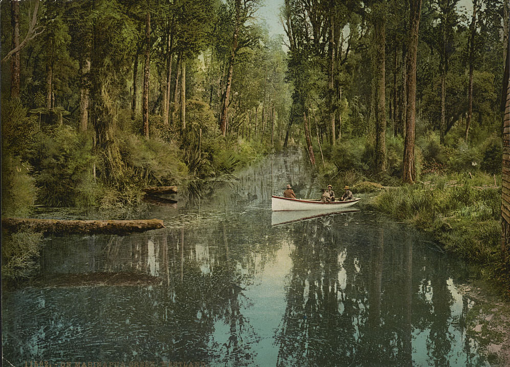
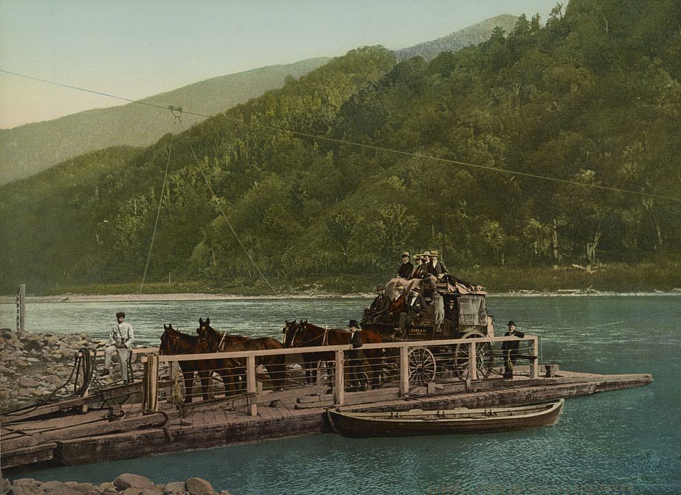
The West Coast of the South Island was a place of dense rainforest, fast-flowing rivers, and gold rush history. Mahinapua Creek and the Inangahua River both appear in this collection, the latter showing a punt — a flat-bottomed ferry — crossing the water. These river crossings were practical necessities in a region where bridges were scarce and the terrain was unforgiving.
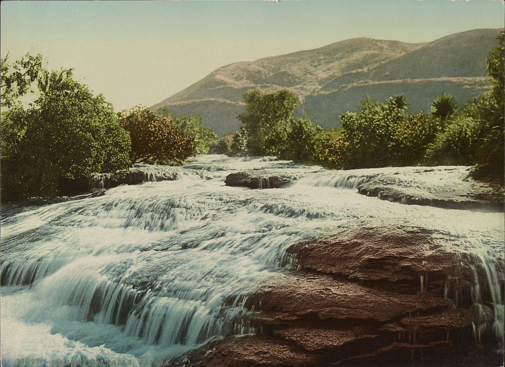
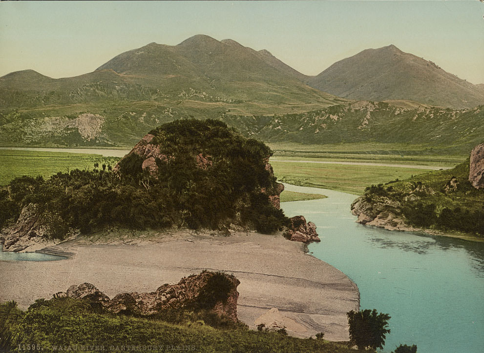
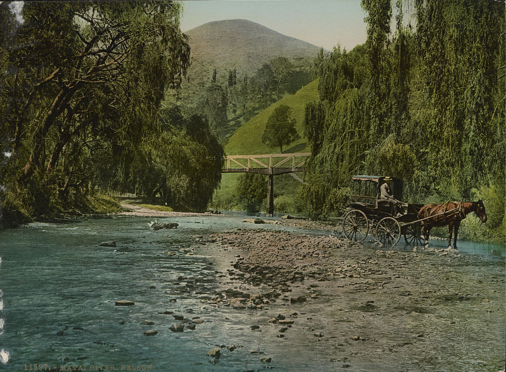
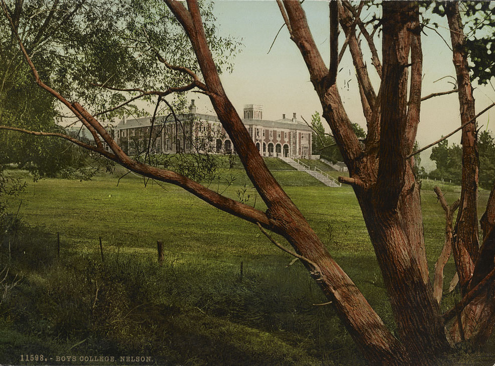
Nelson, at the top of the South Island, was one of the older European settlements in New Zealand. Its college and formal gardens reflected the ambitions of a town that saw itself as a cultural center. The Matai River ran through its surroundings with the kind of gentle beauty that made Nelson a popular subject for landscape photographers.
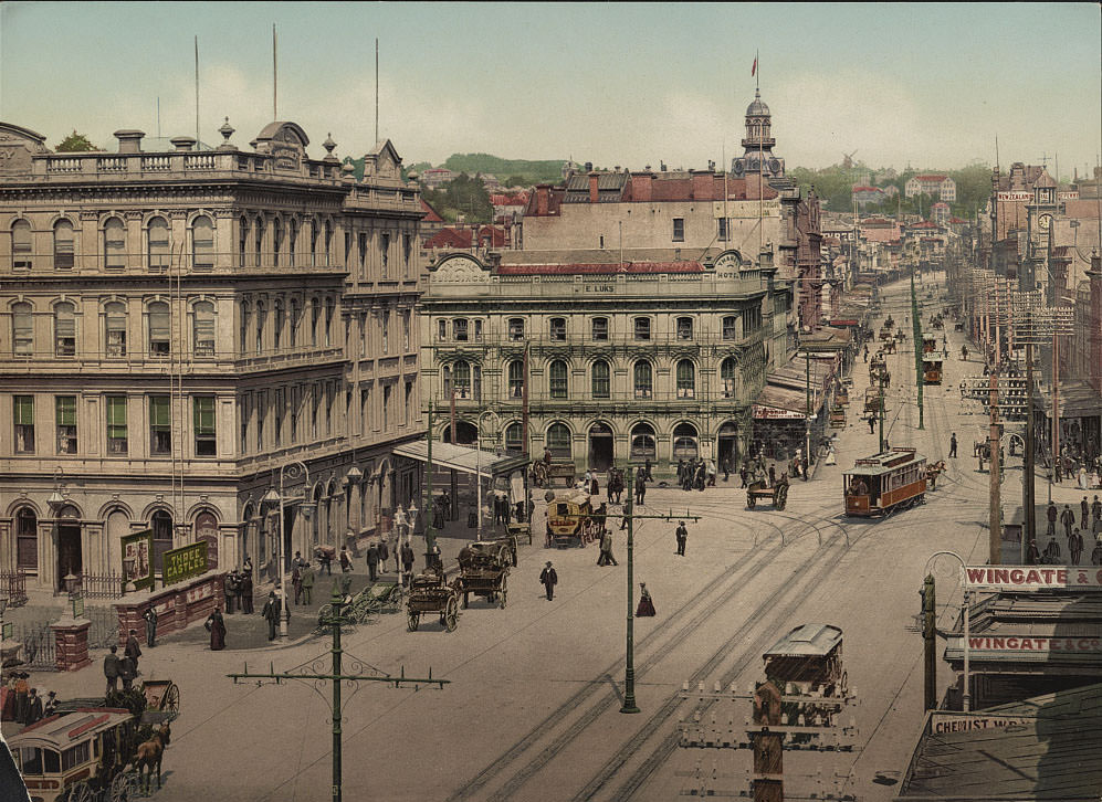
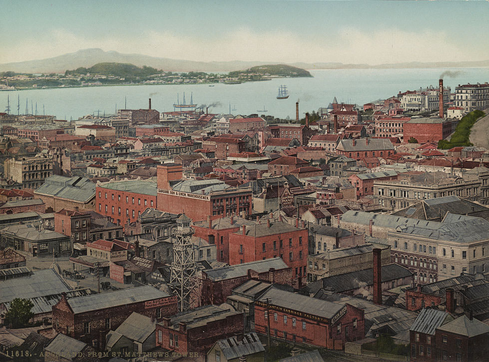
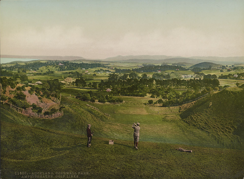
Auckland was the largest city in New Zealand by the 1890s. Queen Street was its commercial spine — lined with shops, banks, and hotels serving a fast-growing population. Views from St. Matthew’s tower showed a city of wooden buildings spreading across a volcanic landscape toward the harbor. Cornwall Park, with its golf links and amphitheater, represented the leisure ambitions of Auckland’s middle class.
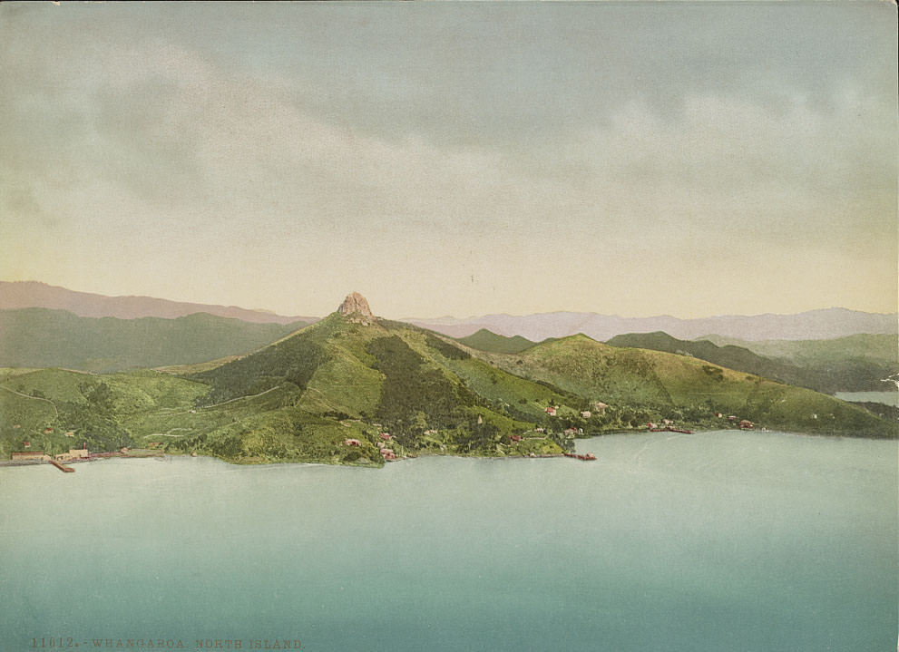
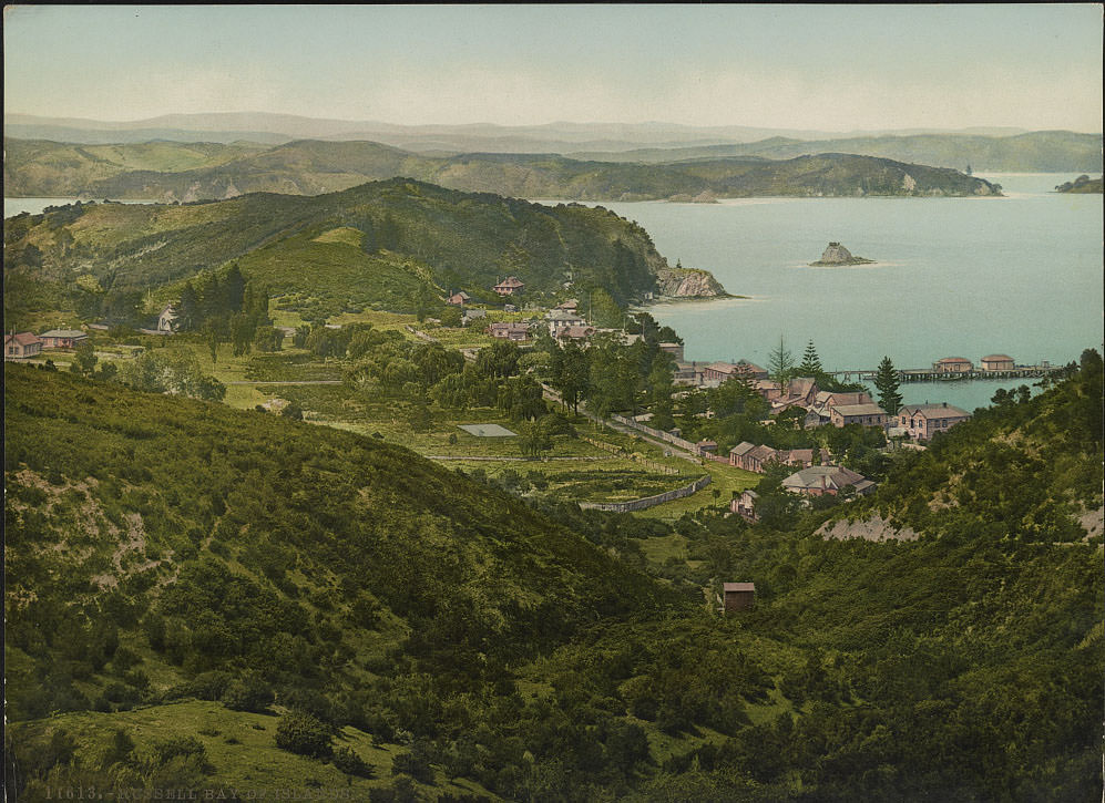
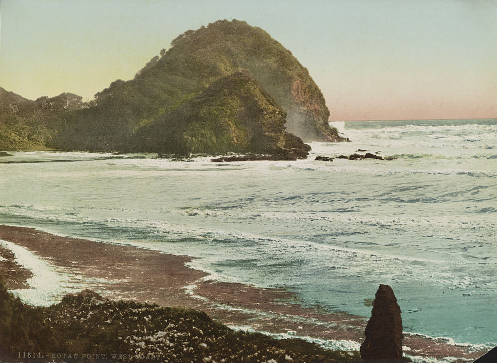
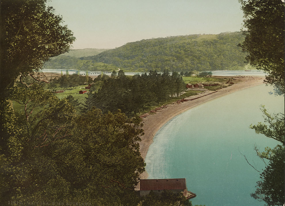
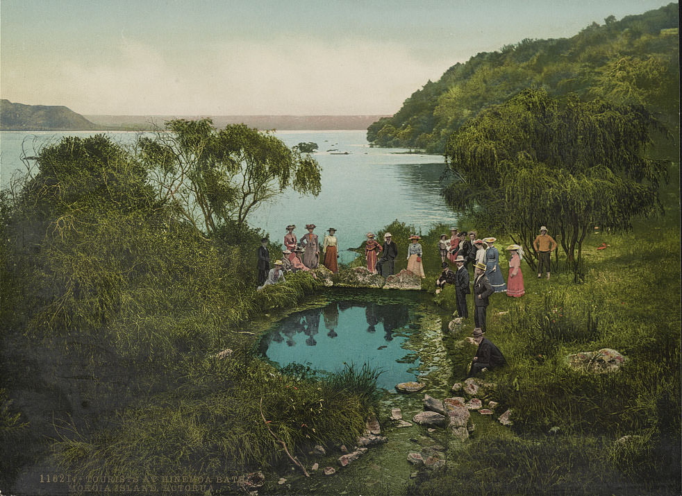
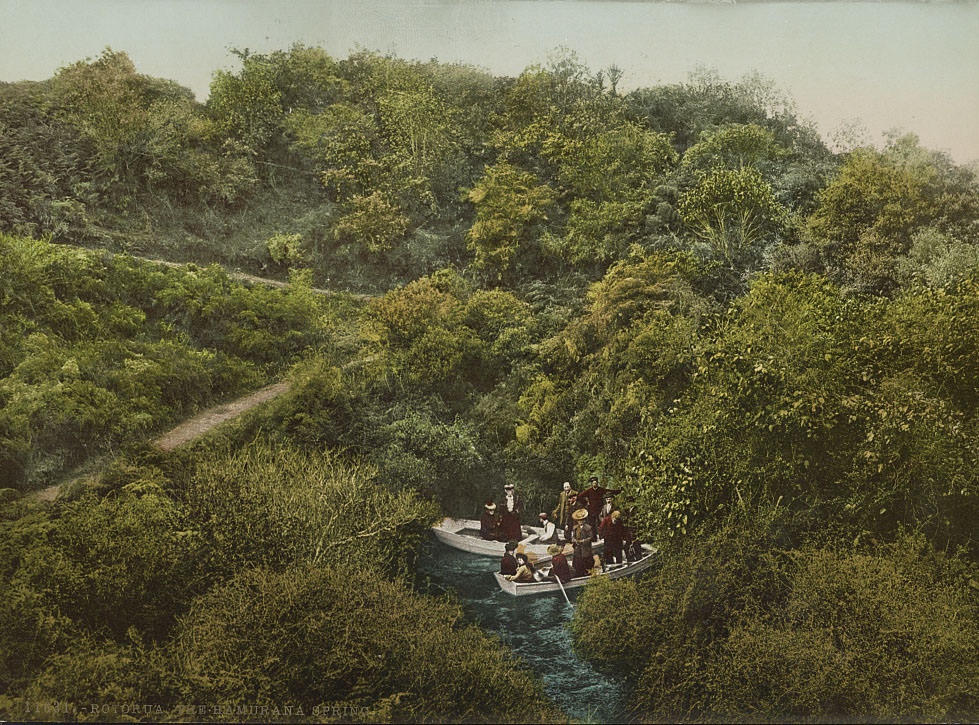
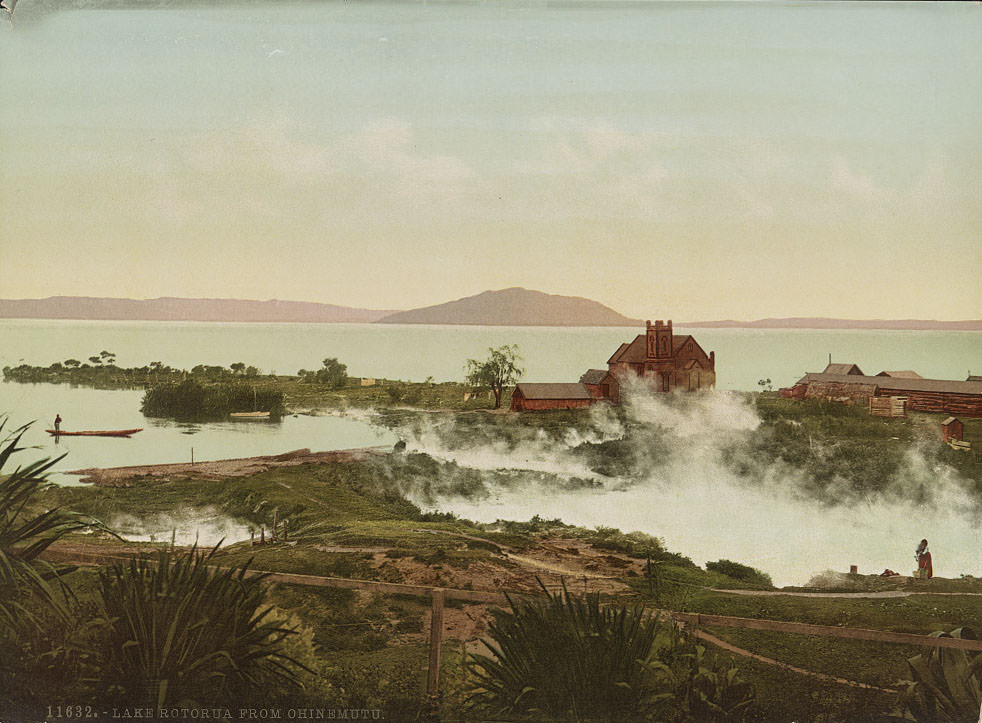
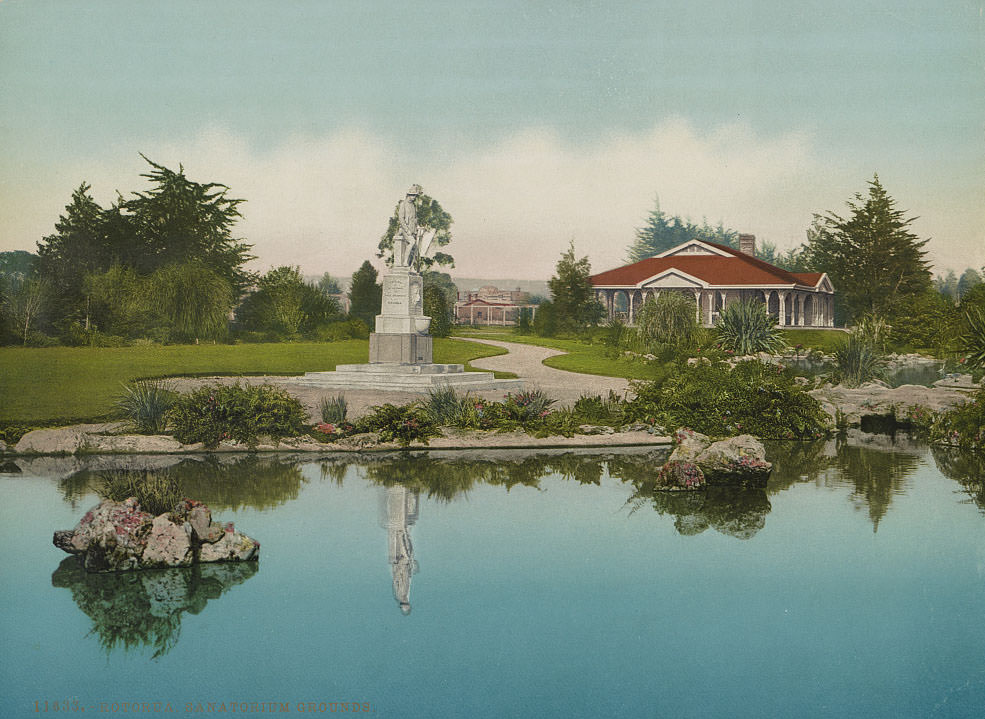
The Rotorua region was unlike anywhere else in New Zealand. Its geothermal activity — geysers, boiling mud pools, and hot springs — made it a major tourist destination and a place of deep significance to the local Māori population. The Wairoa Geyser at Whakarewarewa erupted regularly, and tourists bathed in the thermal waters at Hinemoa Bath on Mokoia Island. The Hamurana Spring fed one of the clearest pools in the region. In 1893 — the same year New Zealand women won the right to vote, the first in the world to do so — the government established a sanatorium at Rotorua to capitalize on the perceived health benefits of the thermal waters.
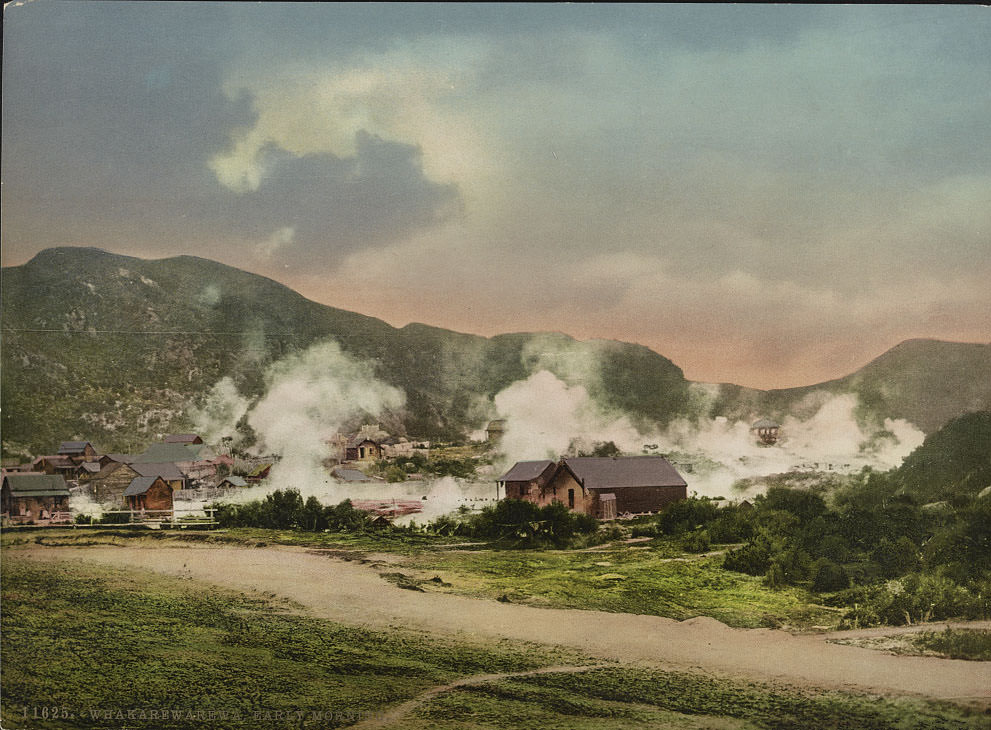
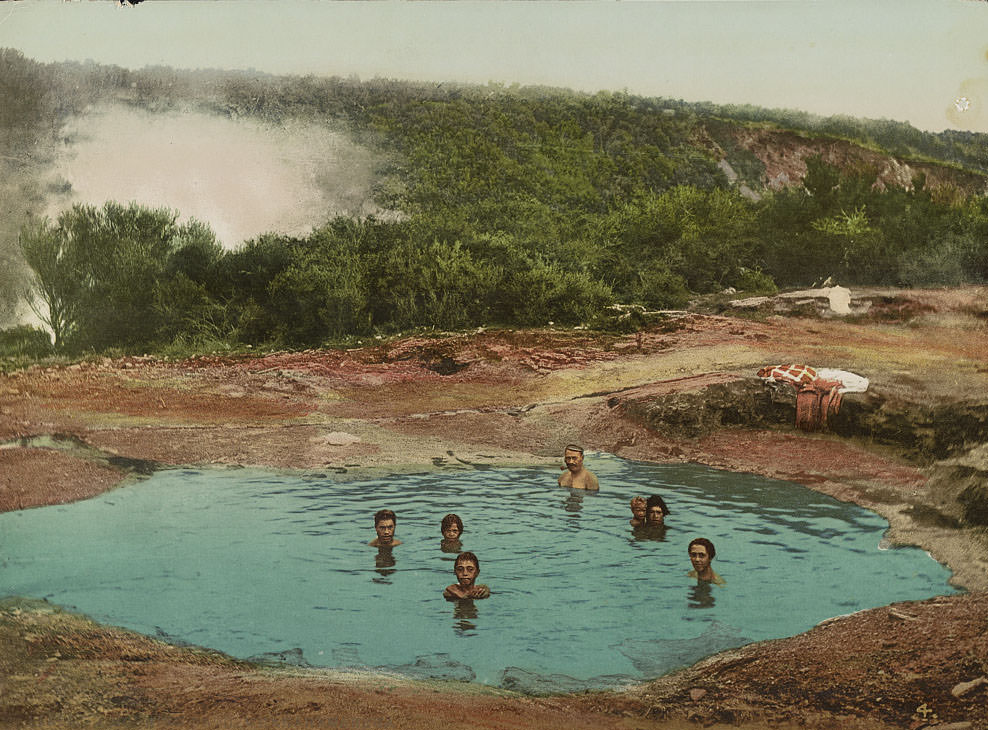
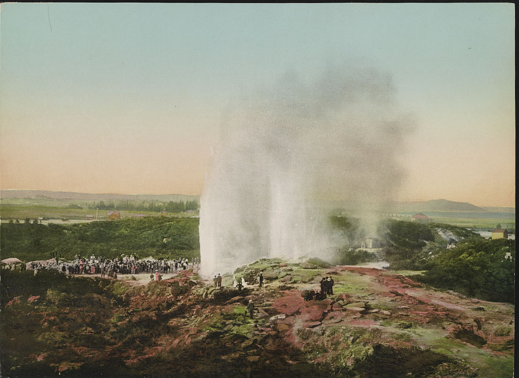
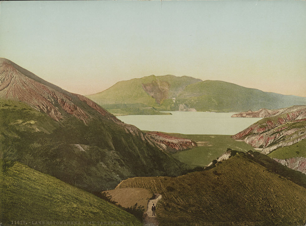
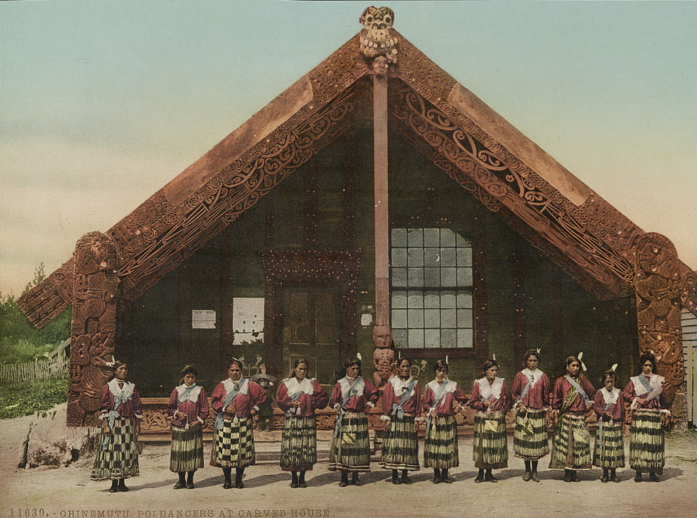
Mount Tarawera looms over Lake Rotomahana, a reminder of the catastrophic 1886 eruption that destroyed the Pink and White Terraces — silica formations that had been considered one of the natural wonders of the world. By the 1890s, the lake itself had changed shape entirely, enlarged and reshaped by the eruption. At Ohinemutu, a Māori village on the shores of Lake Rotorua, daily life continued alongside the geothermal activity, and poi dancers performed at the carved meeting house.
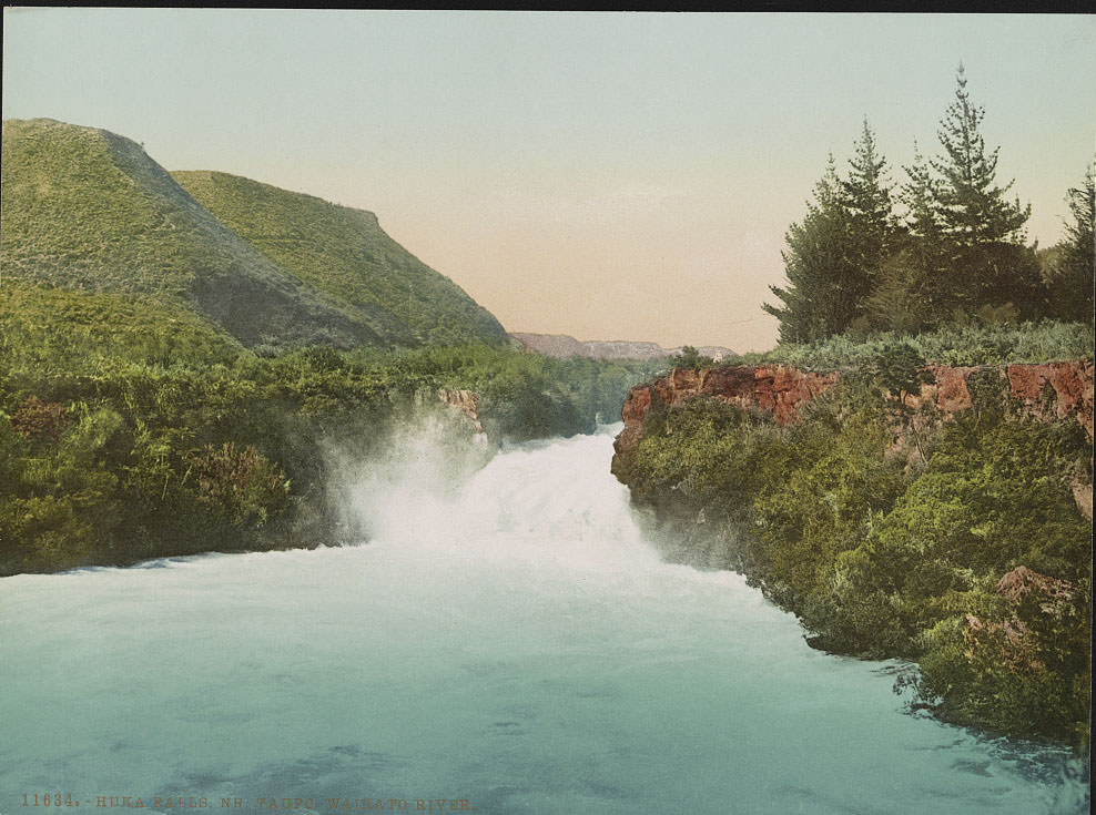
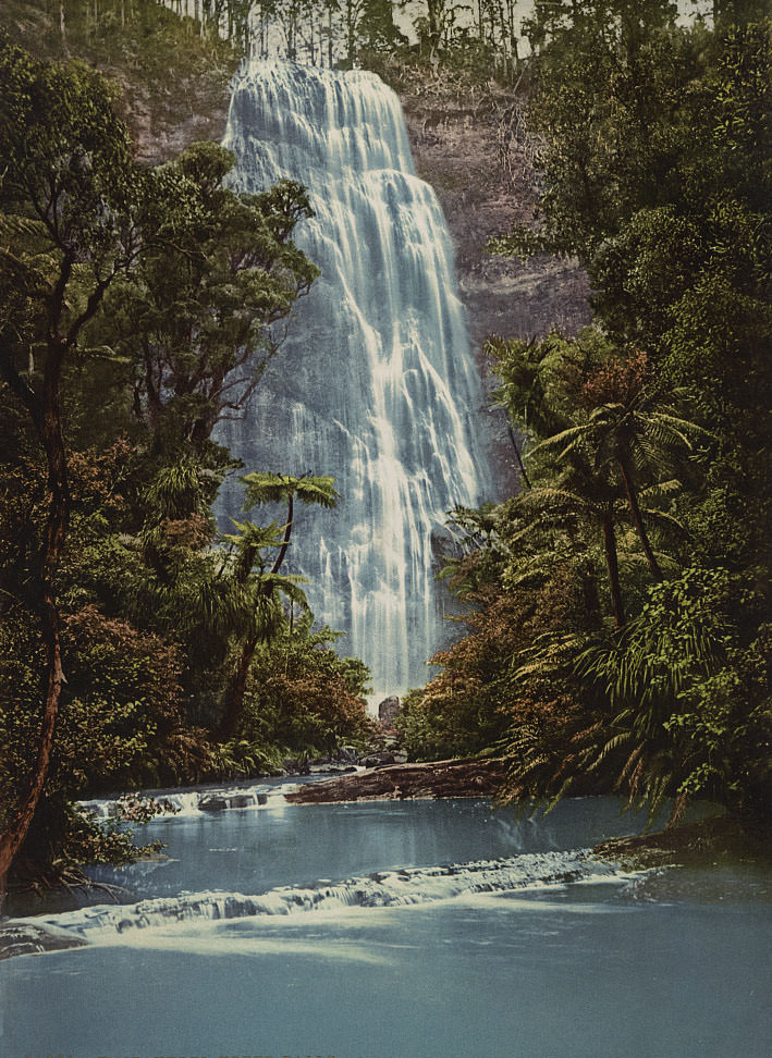
Huka Falls, where the Waikato River narrows and forces an enormous volume of water through a tight rock channel, produced one of the most dramatic river scenes in the North Island. Nearby, Waitakerei’s upper falls added to a collection of cascades that photographers returned to again and again. These waterfalls were practical subjects — the long exposure times of the era turned moving water into smooth, dramatic streaks of white.
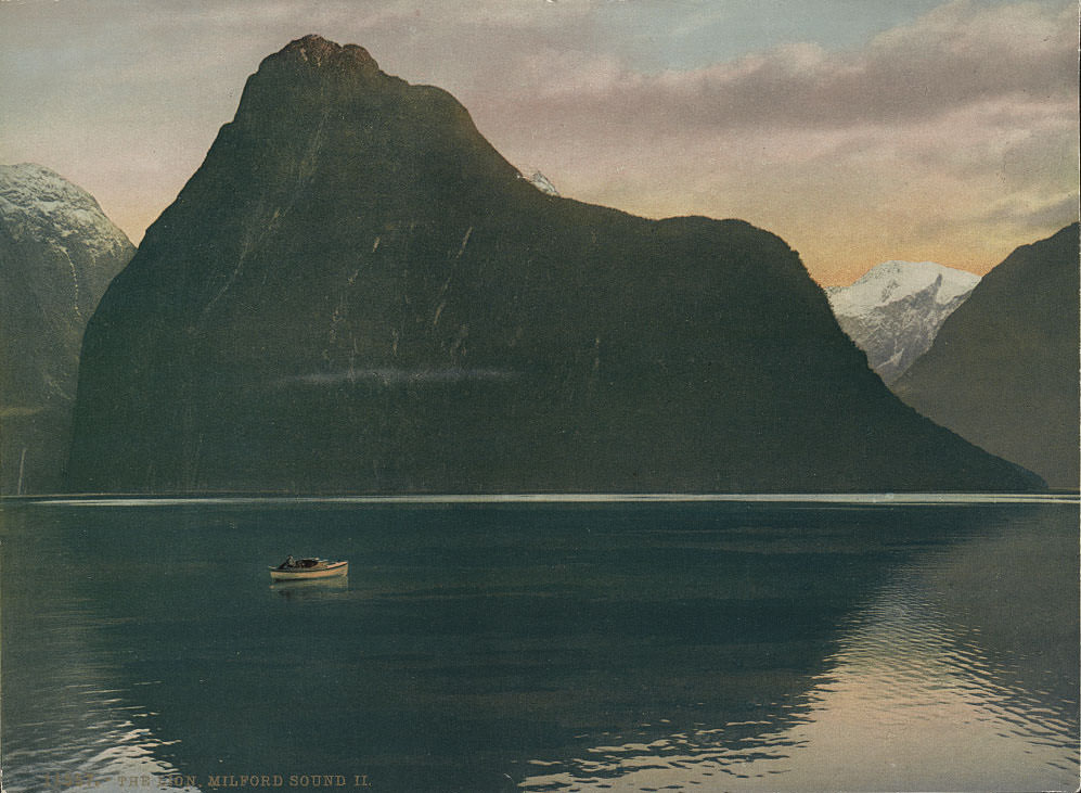
Mitre Peak is the defining feature of Milford Sound — a pyramidal summit rising 5,560 feet directly from the water. Multiple photographs in this collection show it from different angles and distances, each one demonstrating how dramatically the light and weather could change its appearance. Sinbad Gully cuts into its base, and the Lion formation stands as another prominent feature of the fiord.
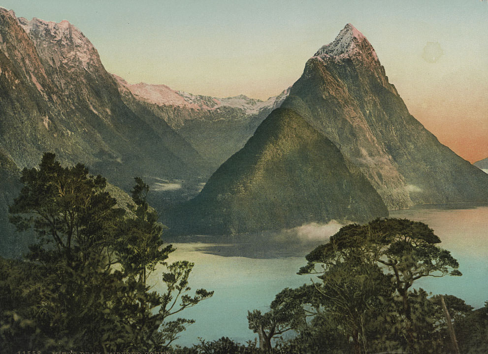
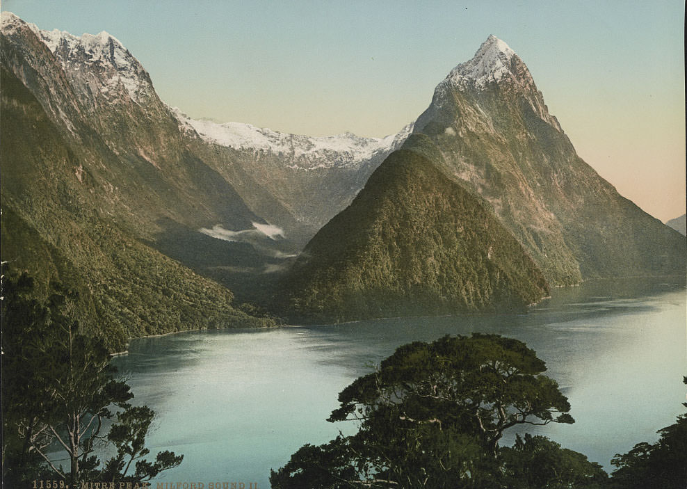
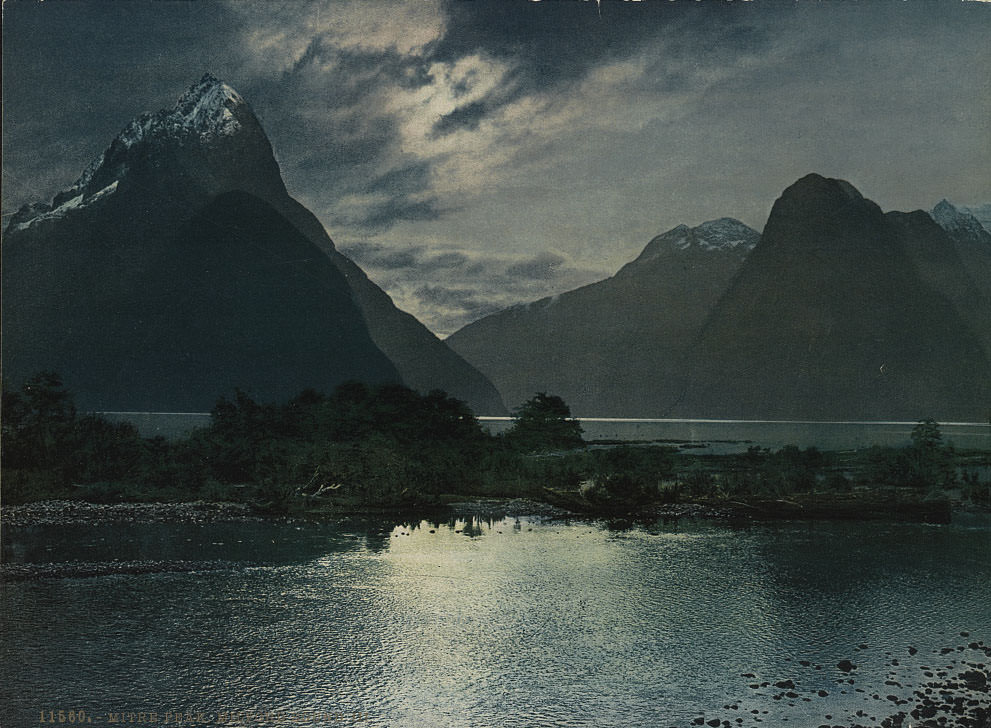
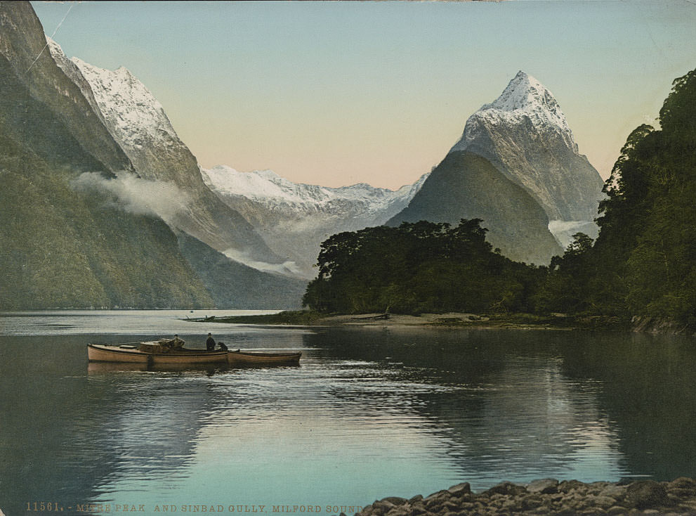
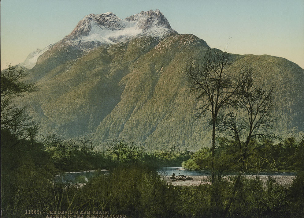
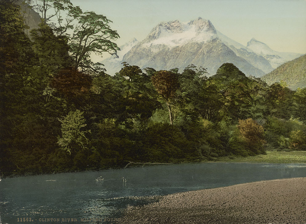
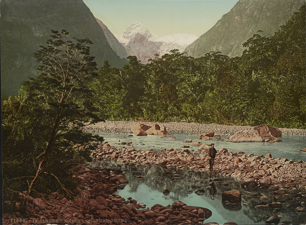
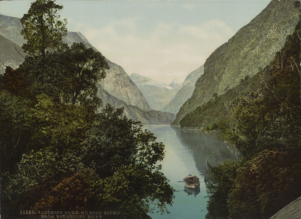
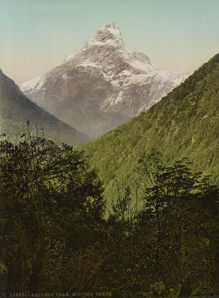
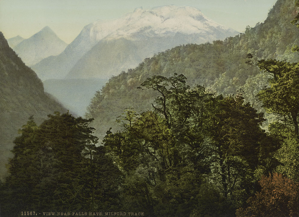
The Milford Track passes through some of the most rugged terrain in Fiordland. Balloon Peak and the area near Falls Hut mark key points along the route, where walkers moved through alpine passes and dense rainforest. The track was described in a 1908 guidebook as “the finest walk in the world,” a reputation it had already been building throughout the 1890s.
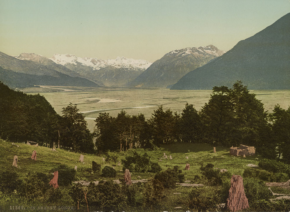
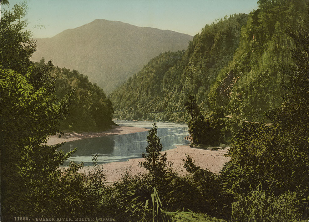
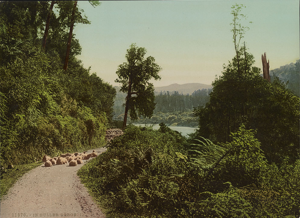
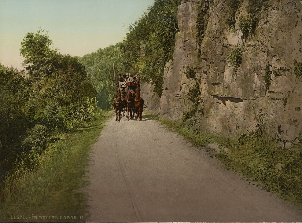
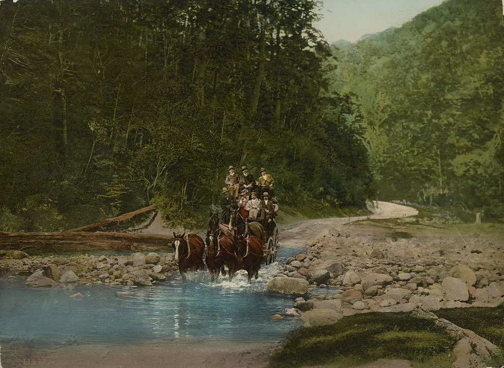
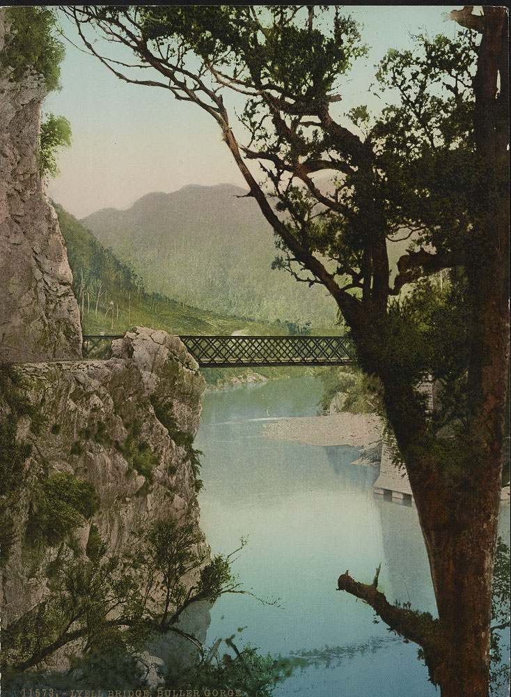
The Buller Gorge and Bealey Gorge on the South Island were both important transport corridors and dramatic natural features. The road through Buller Gorge hugged cliff faces above the river, and coach travel through it was considered an adventure in itself. Lyell Bridge, photographed here, served a former gold-mining town on the Buller River. These gorges connected the West Coast to the rest of the South Island at a time when the roads through them were still being improved.
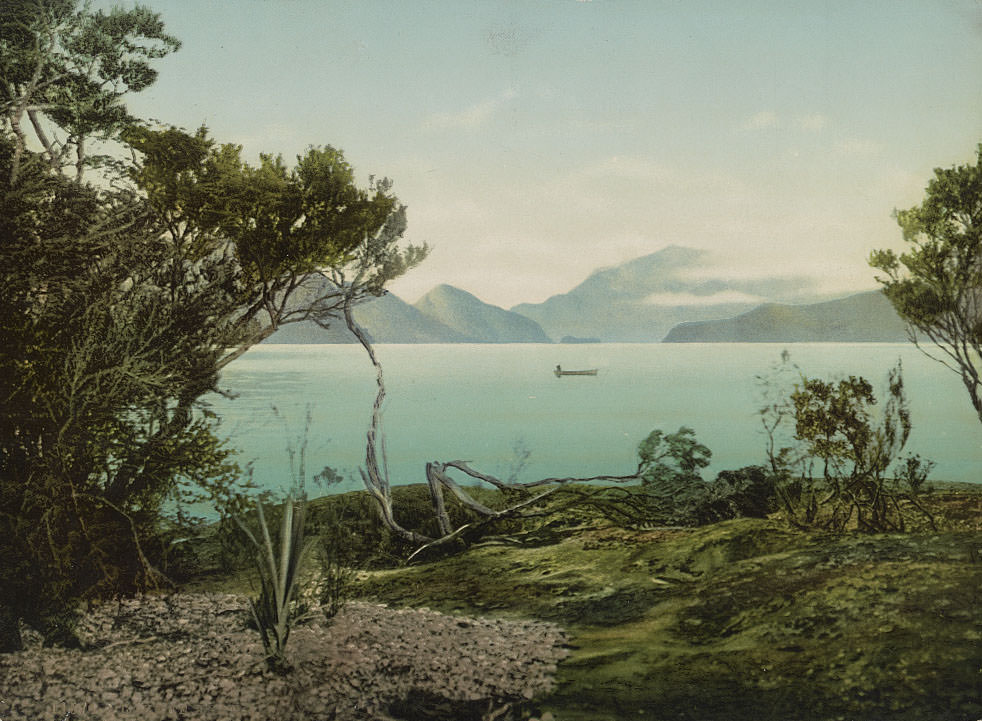
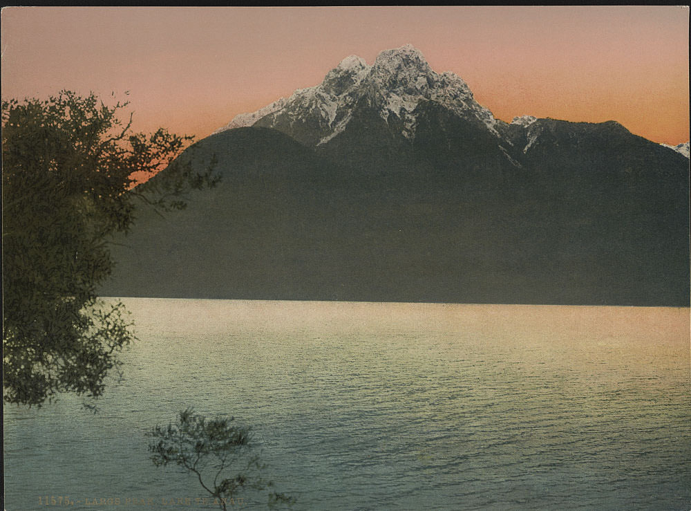
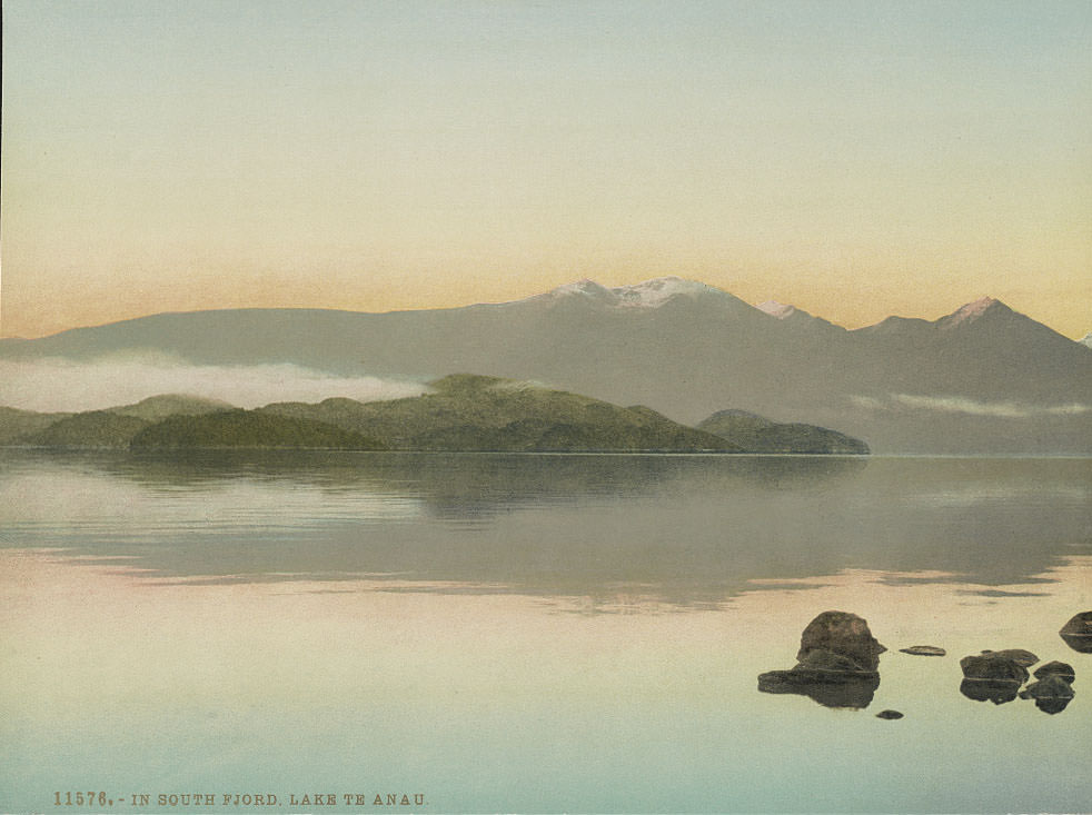
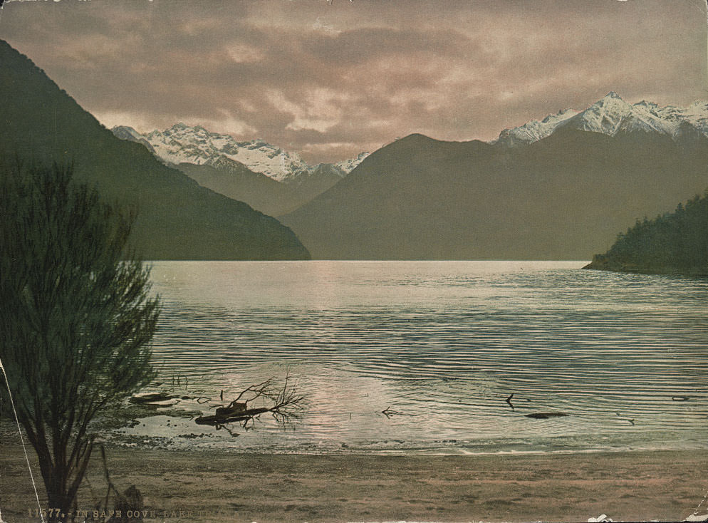
Lake Te Anau, the largest lake in the South Island, borders the Fiordland wilderness. Its arms reach deep into the mountains, and the surrounding peaks rise steeply from the water. Largs Peak stands above the eastern shore, and the South Fjord arm cuts far into the interior. Safe Cove offered one of the few sheltered anchorages for the small boats that navigated the lake.
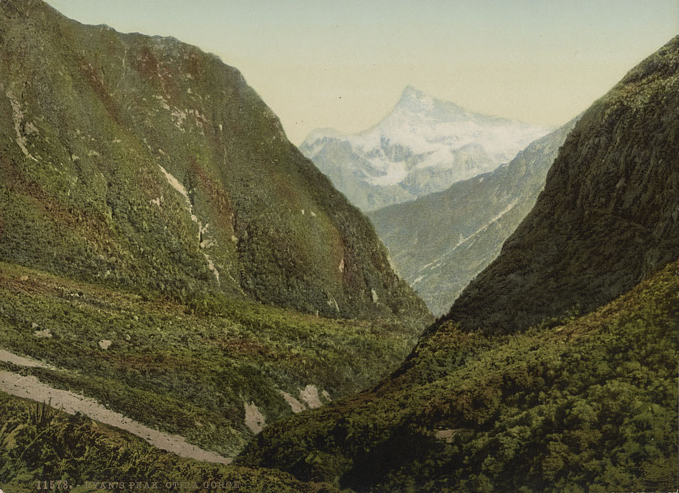
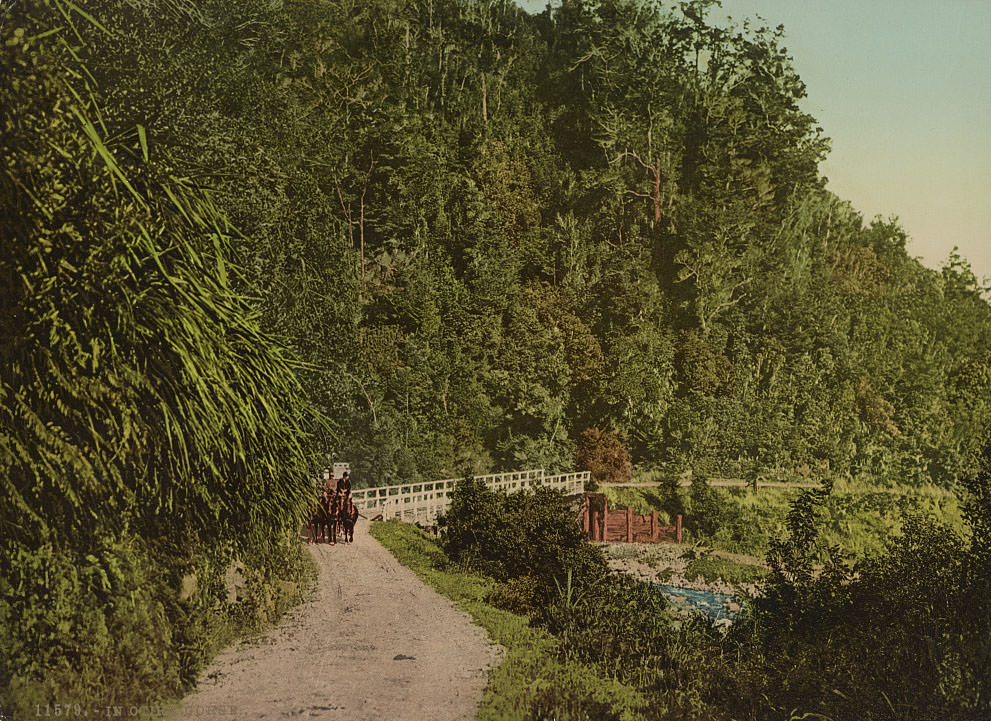
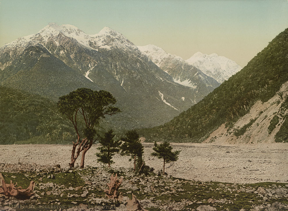
Otira Gorge, on the main route through Arthur’s Pass, was one of the most challenging sections of road in the South Island. The gorge walls closed in tightly around the river, and the road clung to the rock above the water. Mount Rolleston stands at its entrance, its glaciated faces visible from the valley floor. Ryan’s Peak added another sharp summit to a skyline defined by raw, angular alpine rock.