The 1930s were one of the most difficult decades in Toronto’s history. The stock market crash of October 1929 sent shockwaves through the city almost immediately. By 1933, unemployment in Toronto had climbed to a staggering 30 percent. Those who still had jobs weren’t much better off — wages dropped by as much as 60 percent for many workers. Families stretched every dollar, and the city’s streets told the story of a population grinding through hard times.
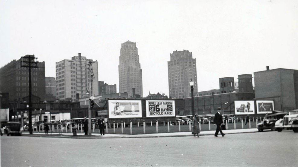
Yet Toronto didn’t stand still. Even as the Depression tightened its grip, the city kept building. Maple Leaf Gardens opened in 1931, giving hockey fans a place to watch the Leafs for just 75 cents a game. That same year, the Canada Life Building and the Canadian Bank of Commerce Building — now known as Commerce Court North — opened their doors. University Avenue was extended south from Queen Street all the way to Front Street starting in 1932. Construction was visible on nearly every major street.
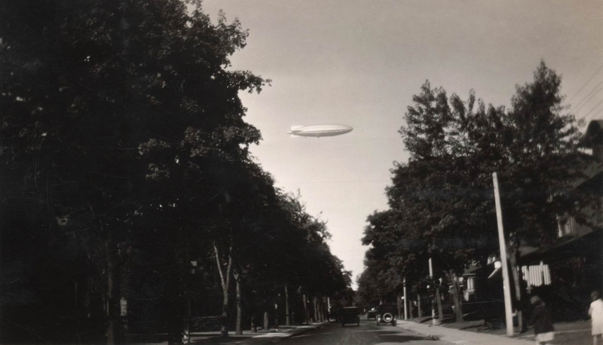
60 Langley, looking west from Riverdale.” His Majesty’s Airship R-100 over Toronto on Aug 11, 1930.
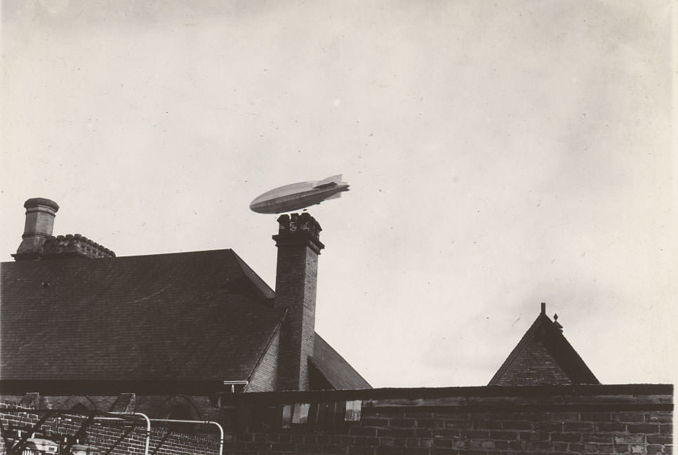
On August 11, 1930, Torontonians looked up to see something extraordinary. The British-built airship R-100 drifted over the city on its transatlantic voyage to Canada, drawing crowds and craned necks across the waterfront and residential streets alike. It was a rare moment of spectacle during a year when the mood in most Canadian cities was anything but light.
His Majesty’s Airship R100 in flight over Toronto, 1930.
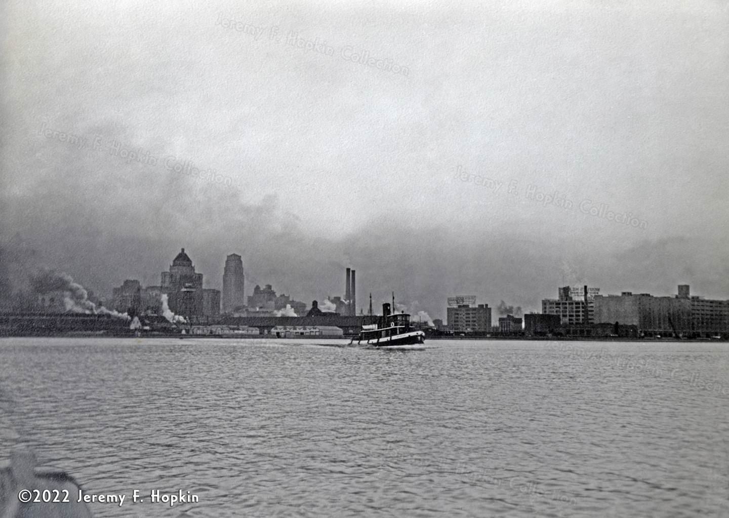
Toronto’s harbour was a working hub throughout the decade. Tugboats, freighters, and ferry vessels moved through its waters daily, keeping commerce alive even when the economy struggled on land.
The tugboat ‘Ned Hanlan’ plies its way through Toronto’s harbour, 1937.
The tugboat Ned Hanlan entered service in 1932 and worked Toronto’s harbour for 35 years before retiring in 1967. It was eventually placed on display at Exhibition Place, and later moved to Hanlan’s Point on the Toronto Islands in 2012. The vessel was named after one of Canada’s most celebrated athletes — a world champion rower from Toronto who dominated the sport in the late 19th century.
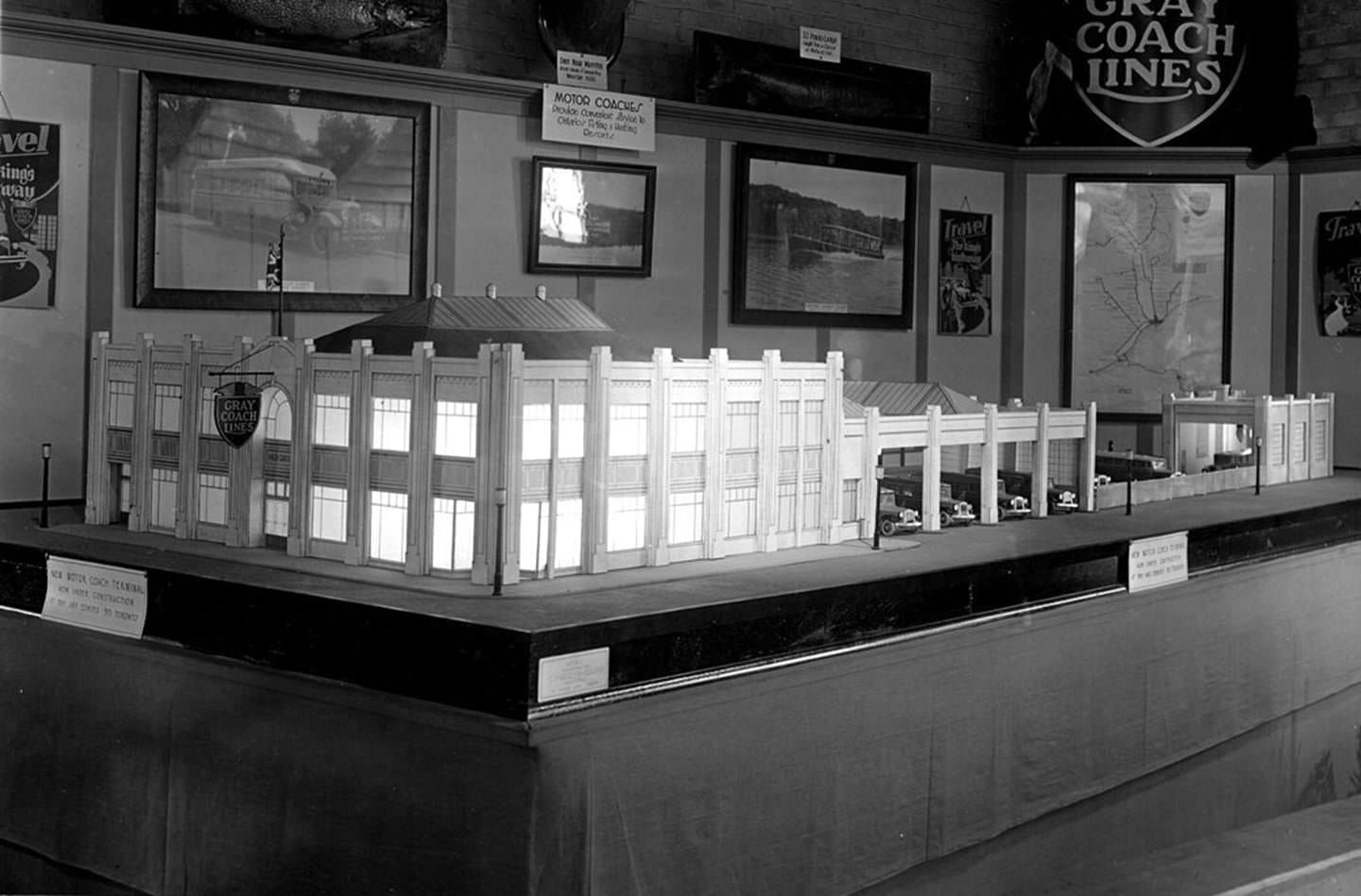
Model of the new Toronto Bus Terminal in the Gray Coach Lines exhibit at the CNE, Sept. 13, 1931.
Transportation was changing rapidly across the city. The Canadian National Exhibition in 1931 gave Torontonians a glimpse of what was coming — including a model of the proposed new Toronto Bus Terminal, displayed at the Gray Coach Lines exhibit. On the streets, Peter Witt streetcars rolled through crowded intersections, and gas stations were popping up on corners across every neighbourhood.
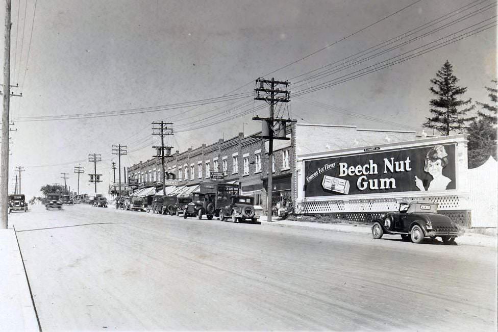
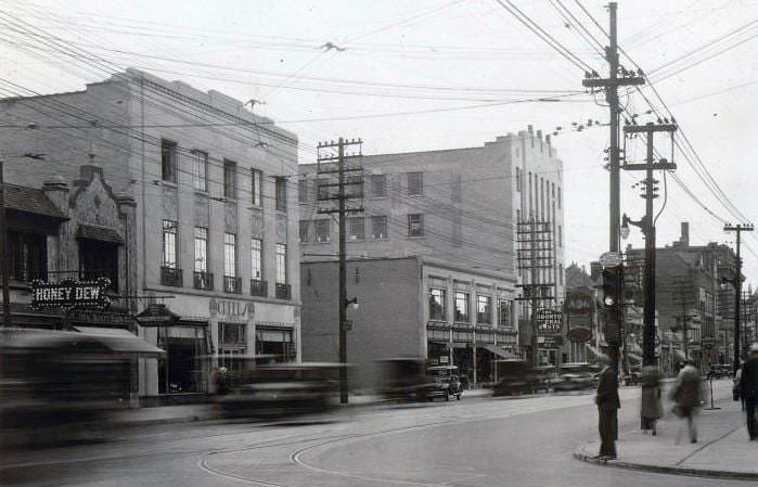
Danforth Avenue, Toronto, 1930s
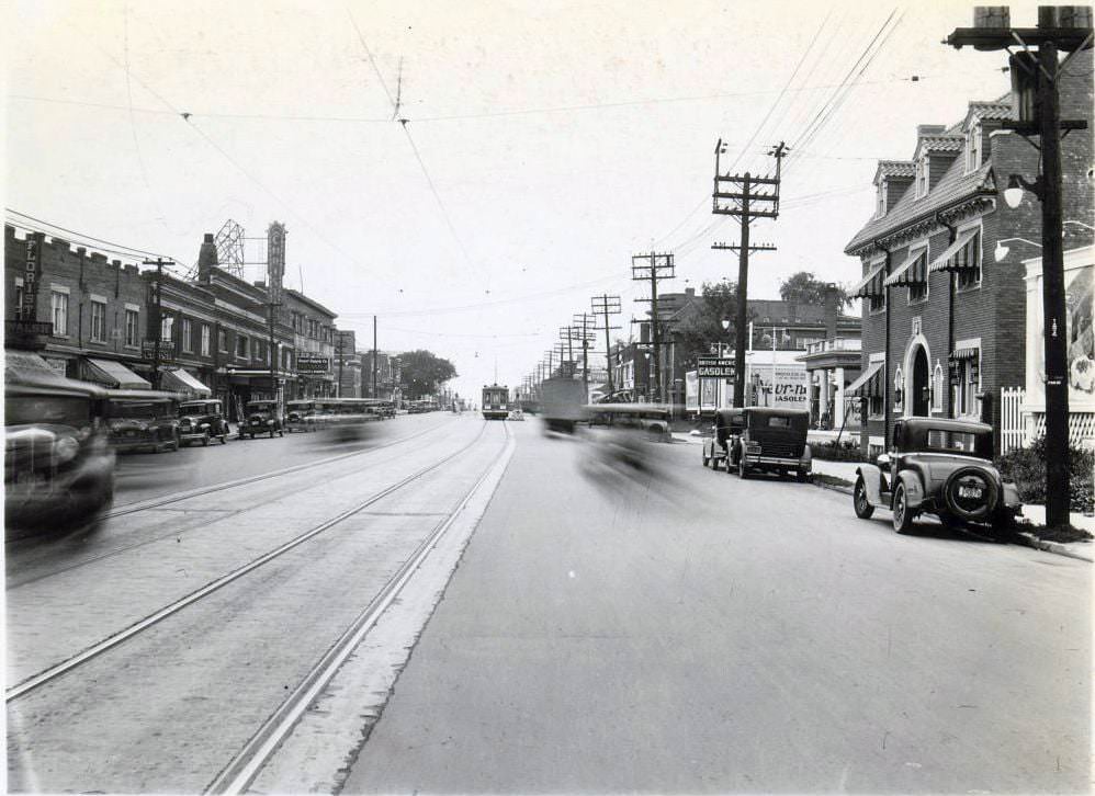
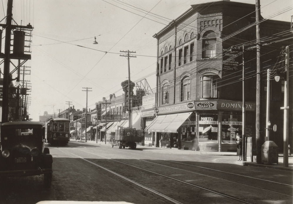
Danforth Avenue was one of Toronto’s busiest commercial corridors throughout the 1930s. Storefronts lined both sides of the street, and the avenue buzzed with foot traffic, streetcars, and delivery vehicles. Intersections like Danforth and Broadview, and Danforth and Greenwood, were active crossroads for both business and daily life.
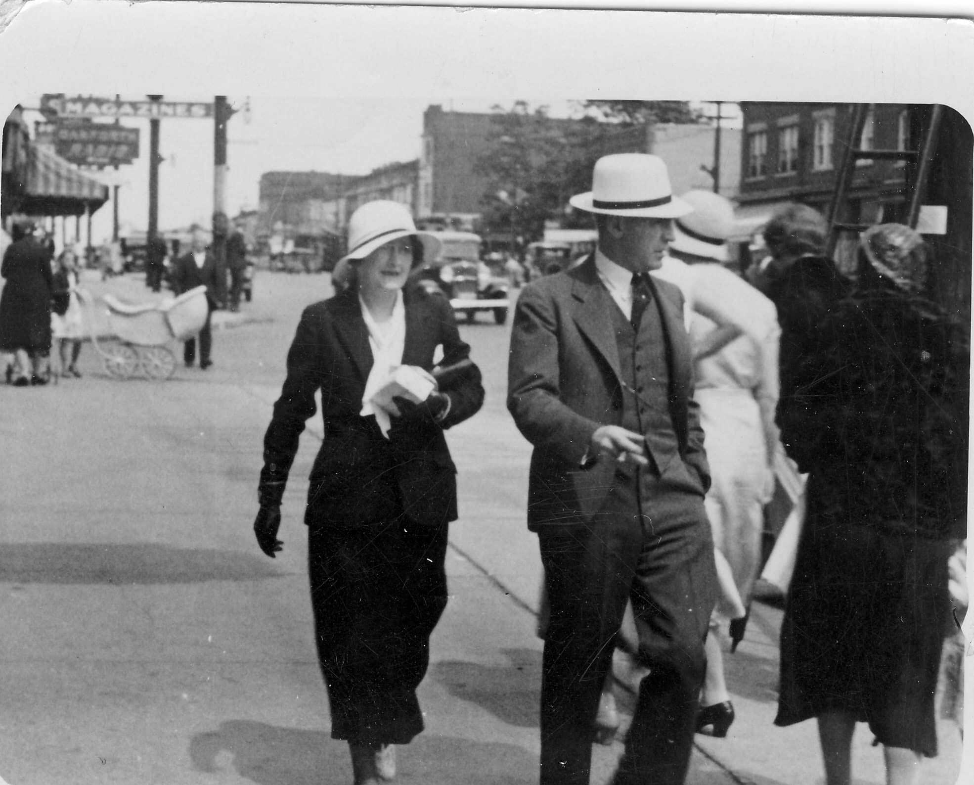
Polly Page and Martie Clark Ireland on Yonge Street, 1934
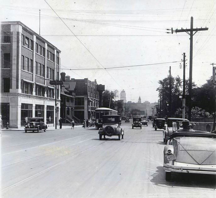
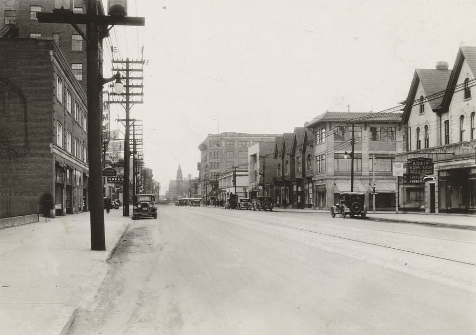
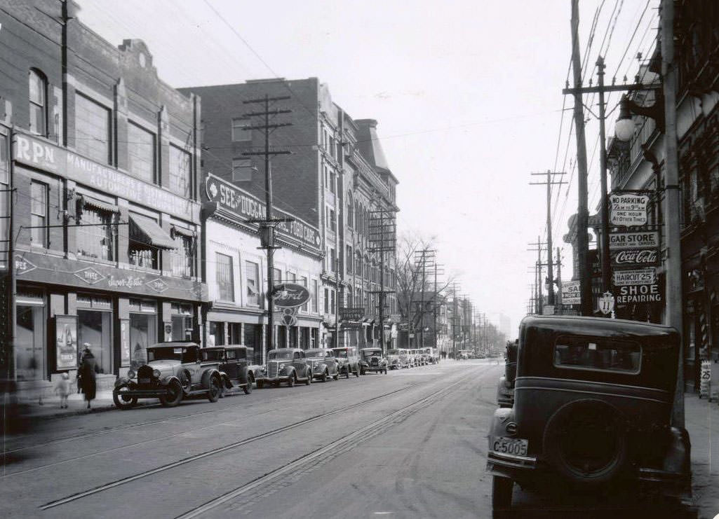
Yonge Street was the spine of Toronto. It ran from the waterfront all the way north through residential neighbourhoods, and every block along its length told a different story. By 1934, storefronts had adapted to the economic squeeze — businesses competed hard for customers, and advertising was visible on nearly every surface.
Yonge Street, 1936
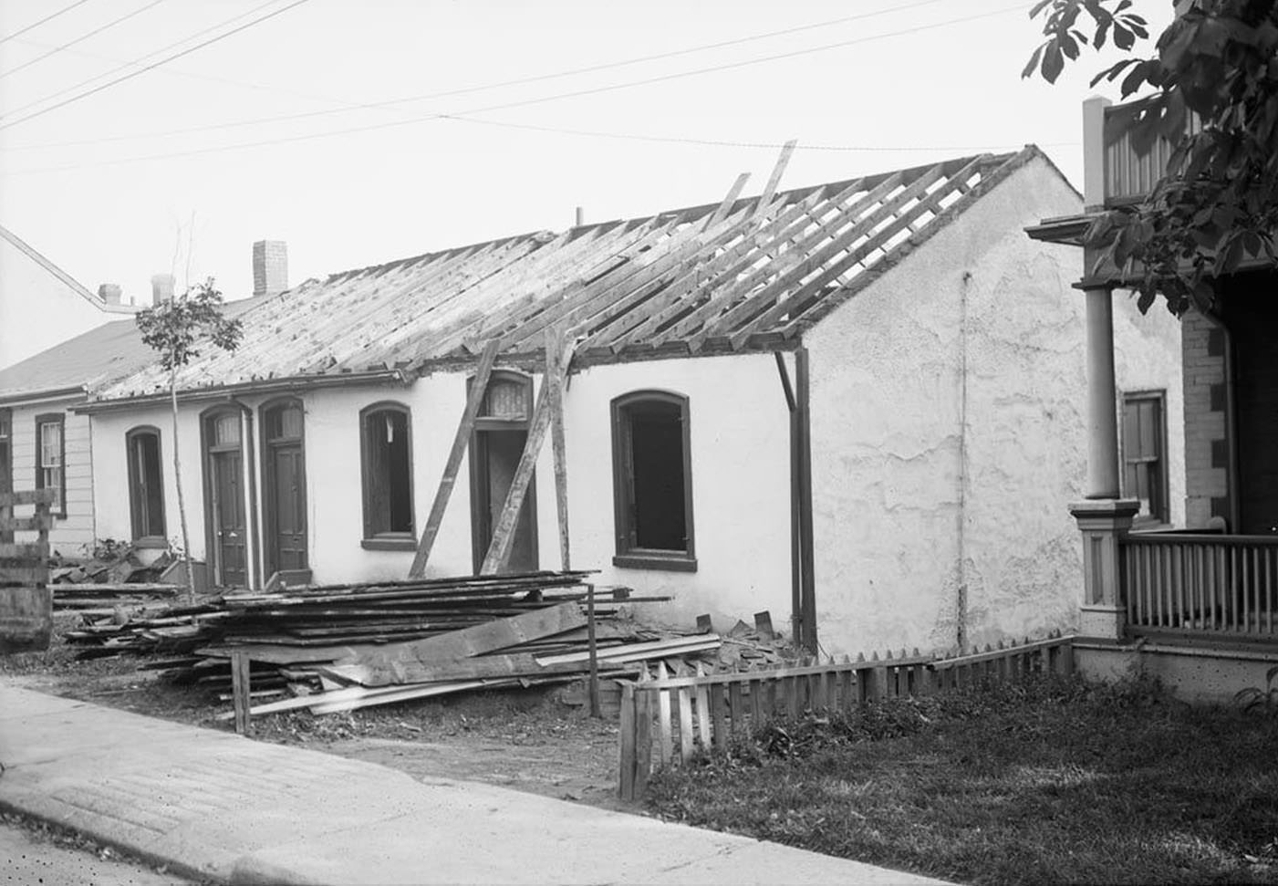
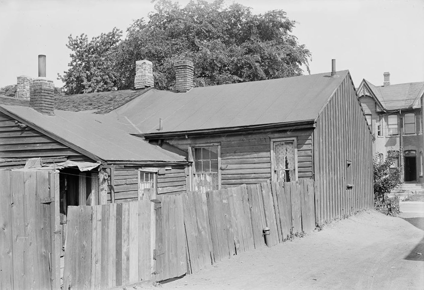
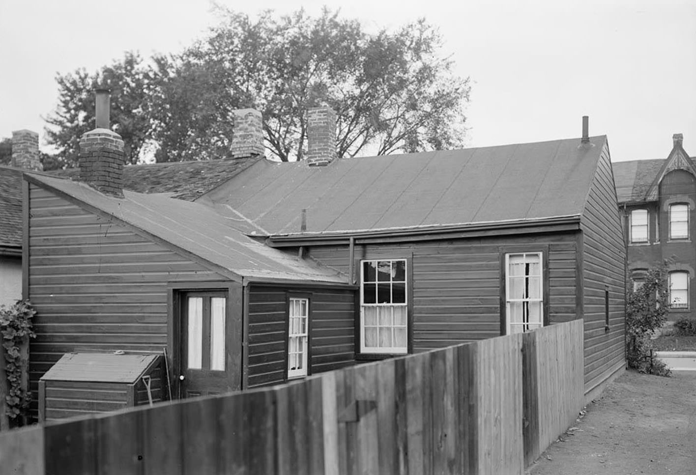
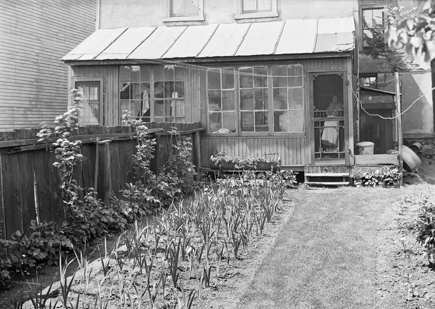
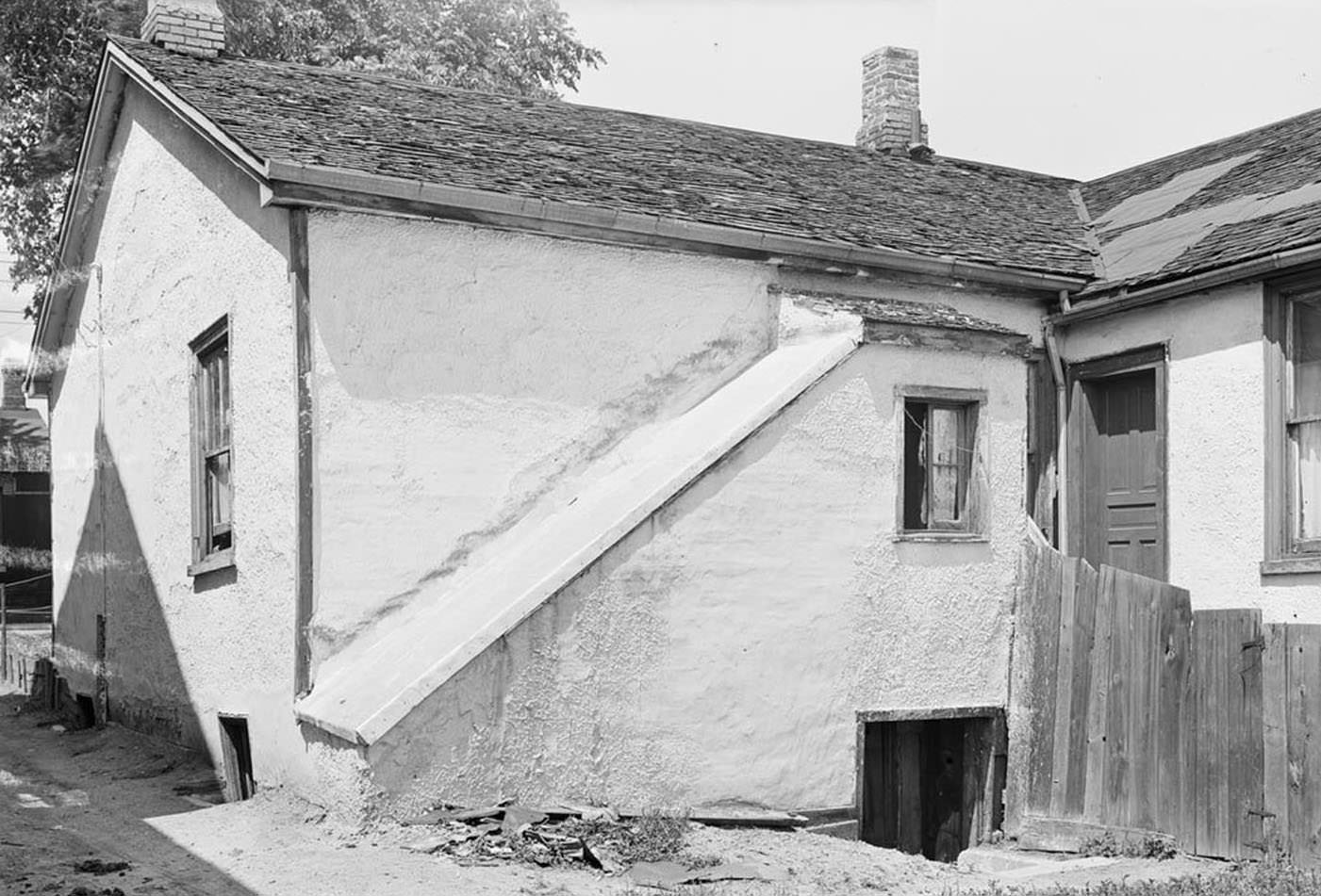
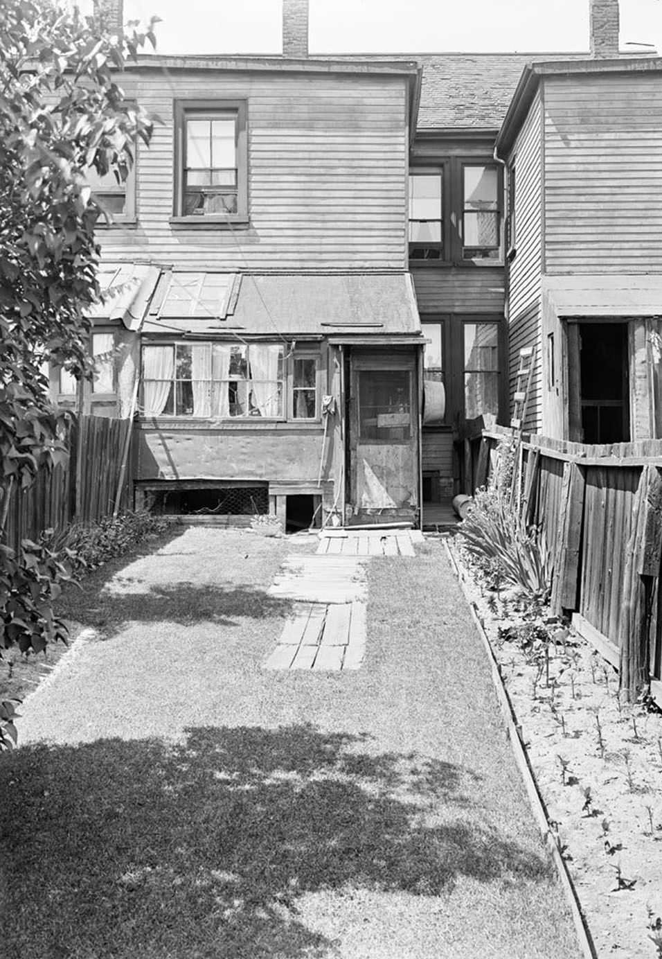
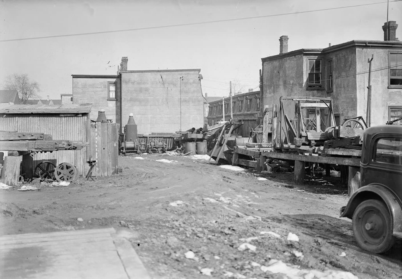
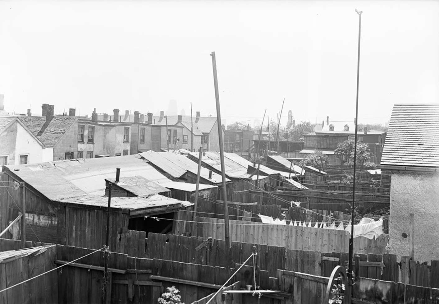
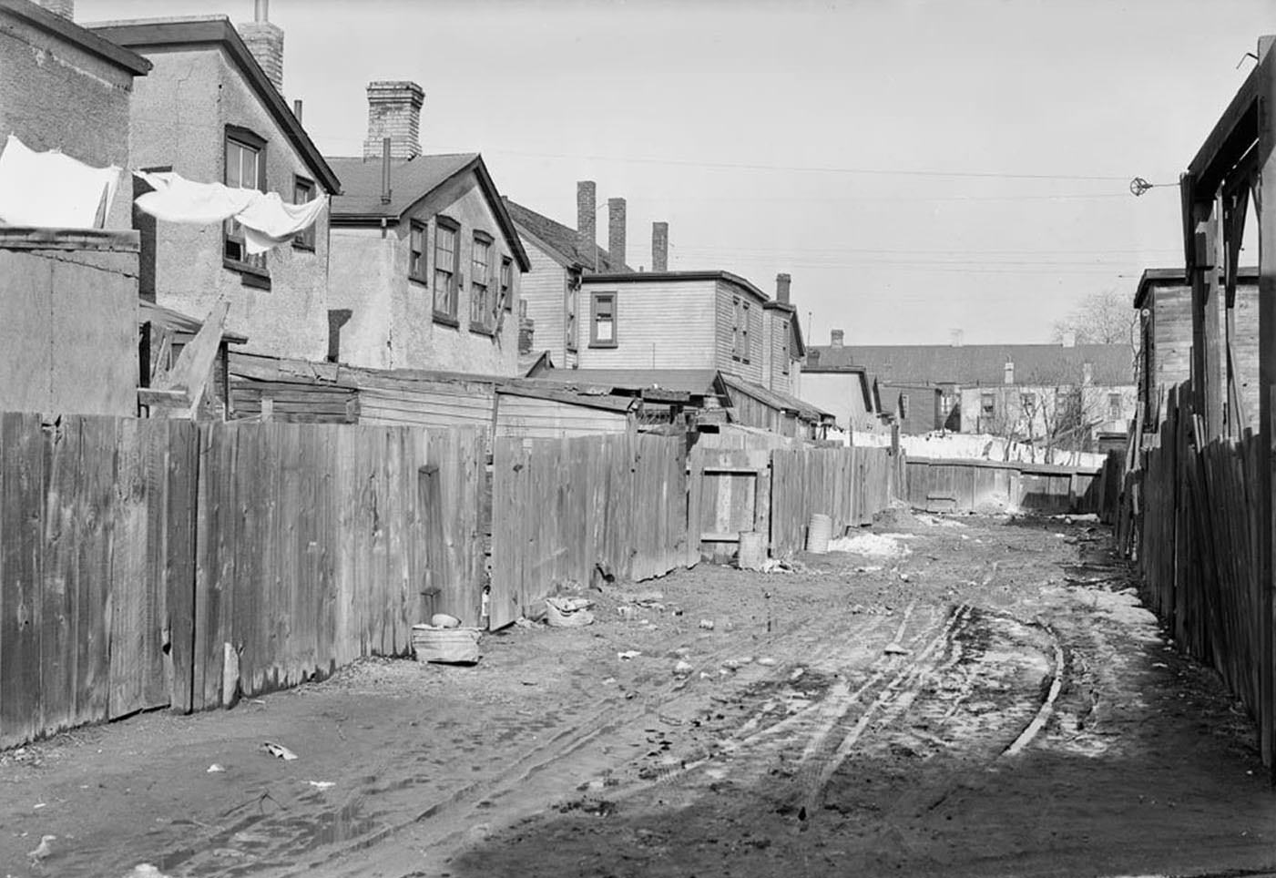
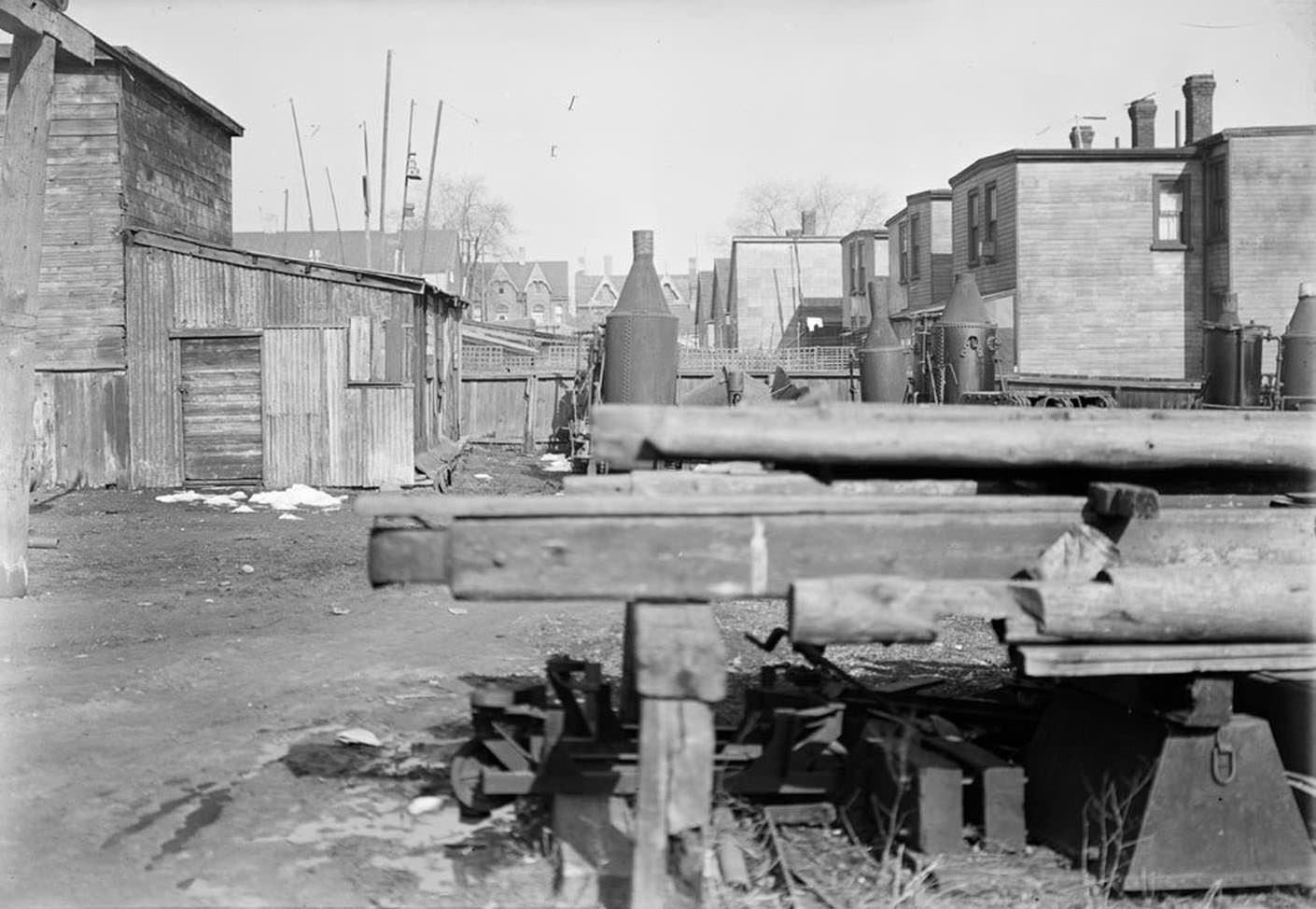
The city’s residential neighbourhoods showed the strain of the Depression most clearly. Streets like Oak Street offered a window into working-class Toronto — modest homes packed tightly together, with rear yards that revealed the day-to-day realities of urban life in the 1930s. A series of photographs taken by city surveyors in 1936 documented these properties in detail.
83, 85, 87 Oak Street – Oct. 16, 1936Rear of 84 Oak Street – June 25, 1936Rear of 89 Oak Street – Sept. 24, 1936Rear of 113 Oak Street – June 22, 1936Rear of 83 Oak Street – June 22, 1936Rear of 113 Oak Street – June 22, 1936Rear of Oak Street – March 25, 1936Rear 121-131 Oak Street – June 22, 1936Rear of Oak Street – March 25, 1936Rear of Oak Street – March 25, 1936
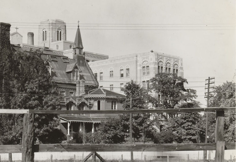
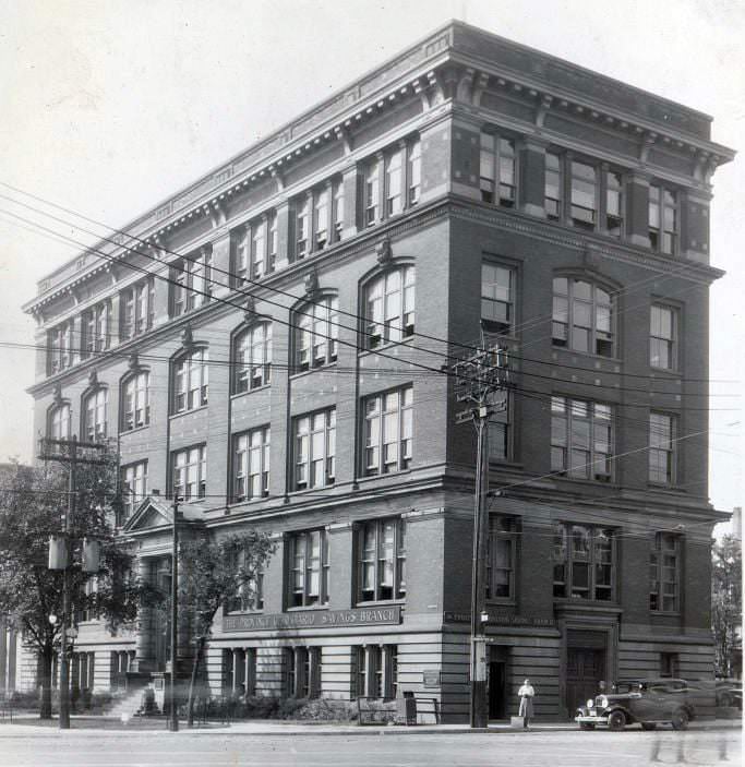
Healthcare and social services were under enormous pressure during the Depression. Hospitals across the city dealt with rising patient numbers as poverty took a direct toll on public health. Strathcona Hospital, located at 32 Gothic Avenue west of Quebec Avenue, was one of the institutions serving Torontonians through those difficult years.
Strathcona Hospital, at 32 Gothic Avenue, west of Quebec Avenue, 1930
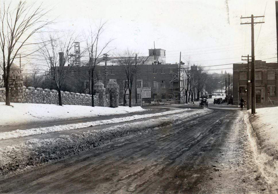
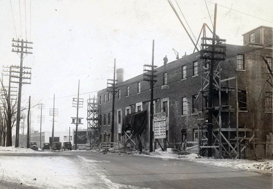
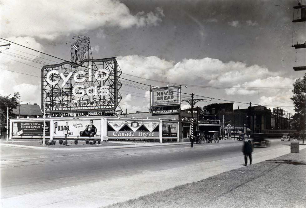
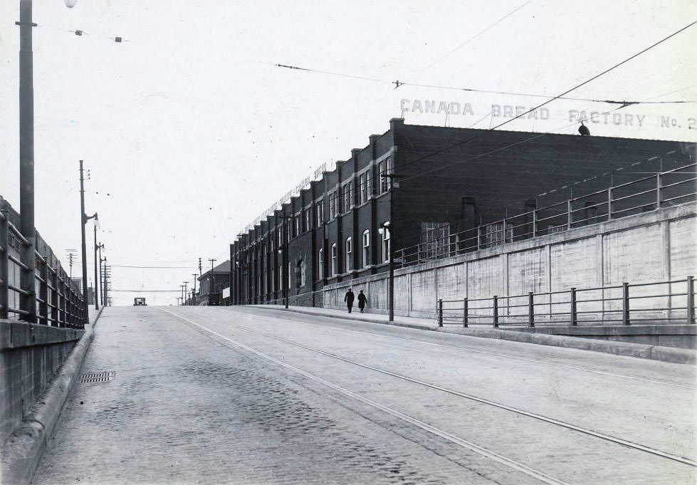
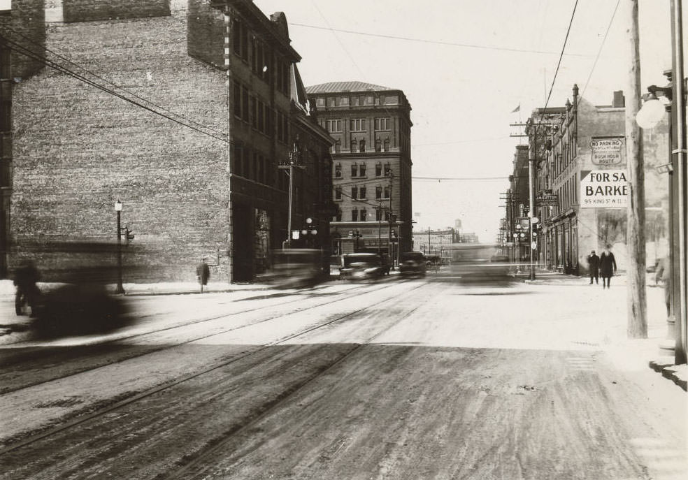
Industrial construction continued despite the economic slump. In 1930, a new plant for Barker’s Bread Limited was under construction on the south side of Davenport Road, directly across from Casa Loma. The site, photographed looking south on Walmer toward Davenport, later became part of George Brown College. Bread factories like Barker’s and Canada Bread were essential operations — feeding a city that needed affordable food more than ever.
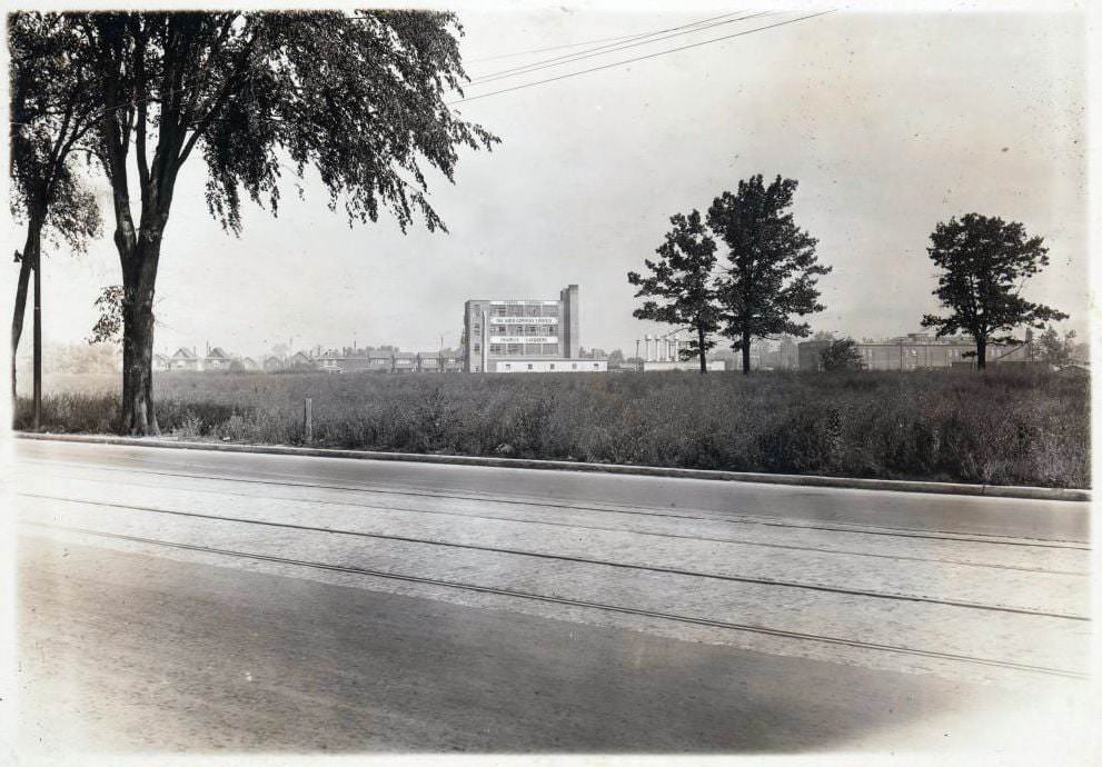
Construction site of a new plant for Barker’s Bread Limited, on the south side of Davenport Road, opposite Casa Loma at Kendal. View is looking south on Walmer towards Davenport Road. Now part of George Brown, 1930Construction site of a new plant for Barker’s Bread Limited, on the south side of Davenport Road, 1930
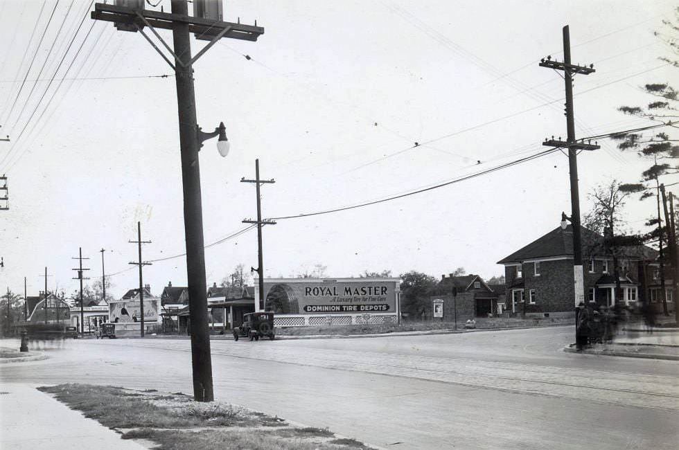
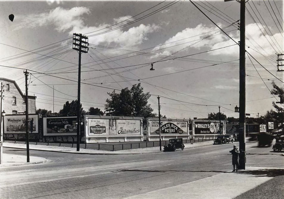
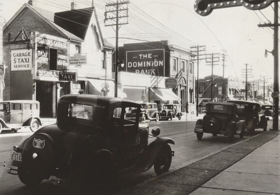
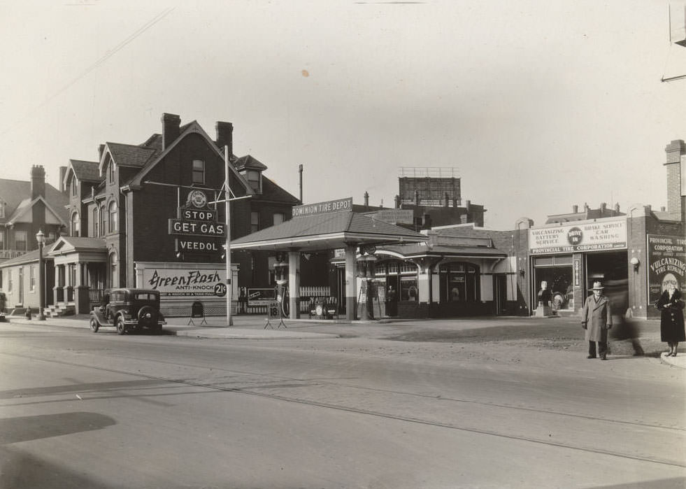
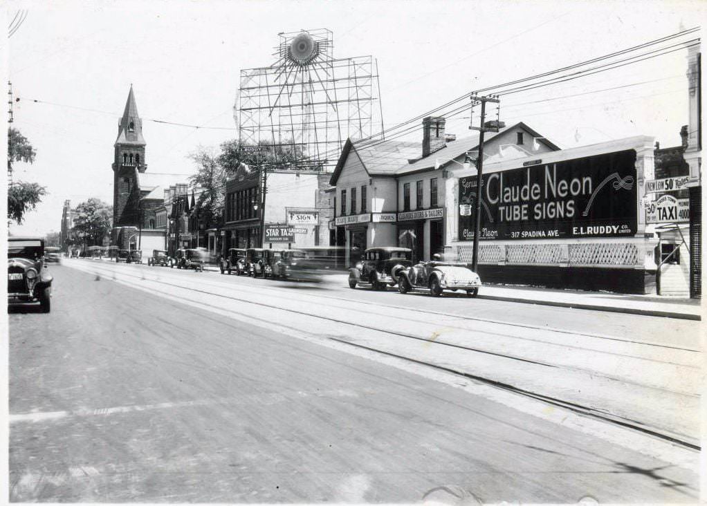
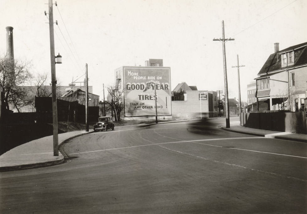
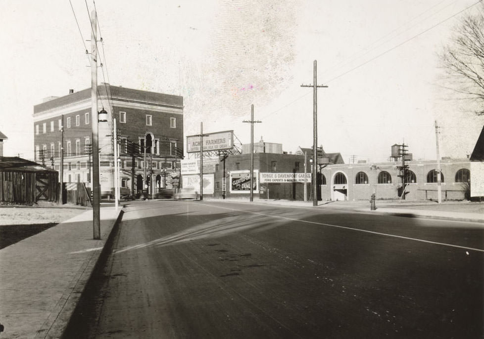
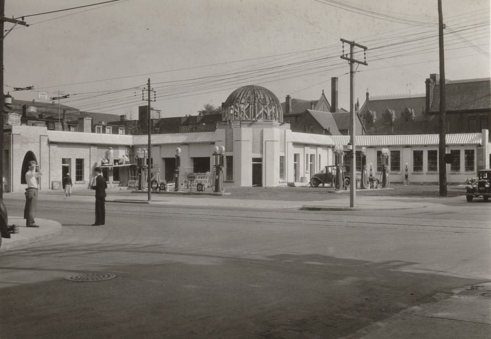
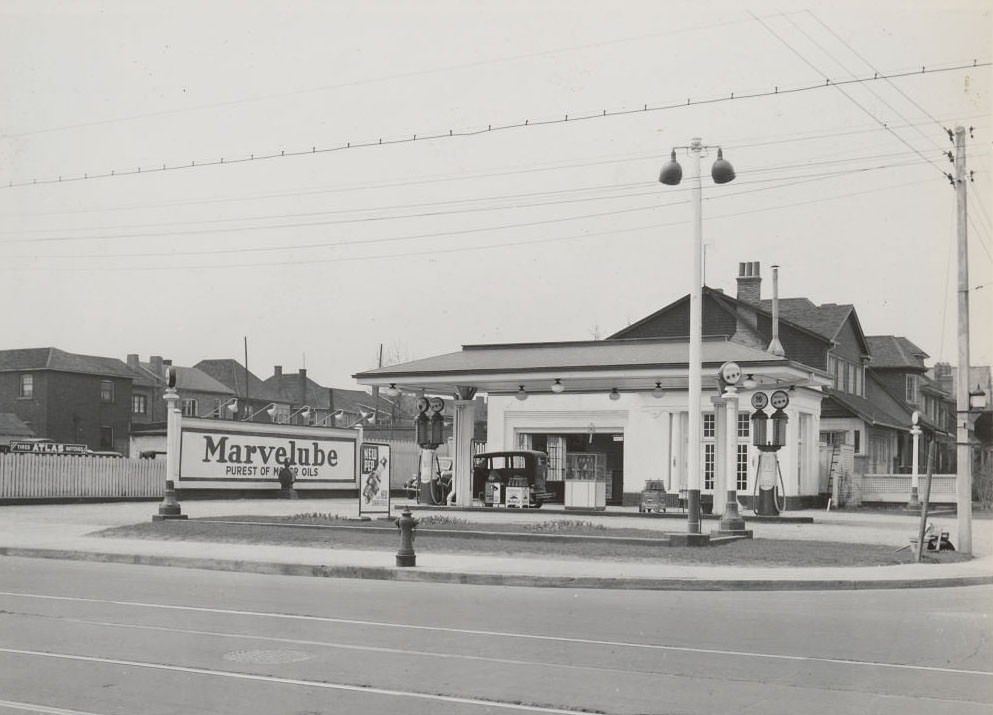
The automobile was reshaping Toronto’s streetscape in the 1930s. Gas stations appeared on corners that had previously held other businesses, and tire shops, auto dealers, and service companies multiplied along major roads. Yonge Street near Eglinton, Bay Street at Irwin, and dozens of other intersections were dotted with these new automotive businesses.
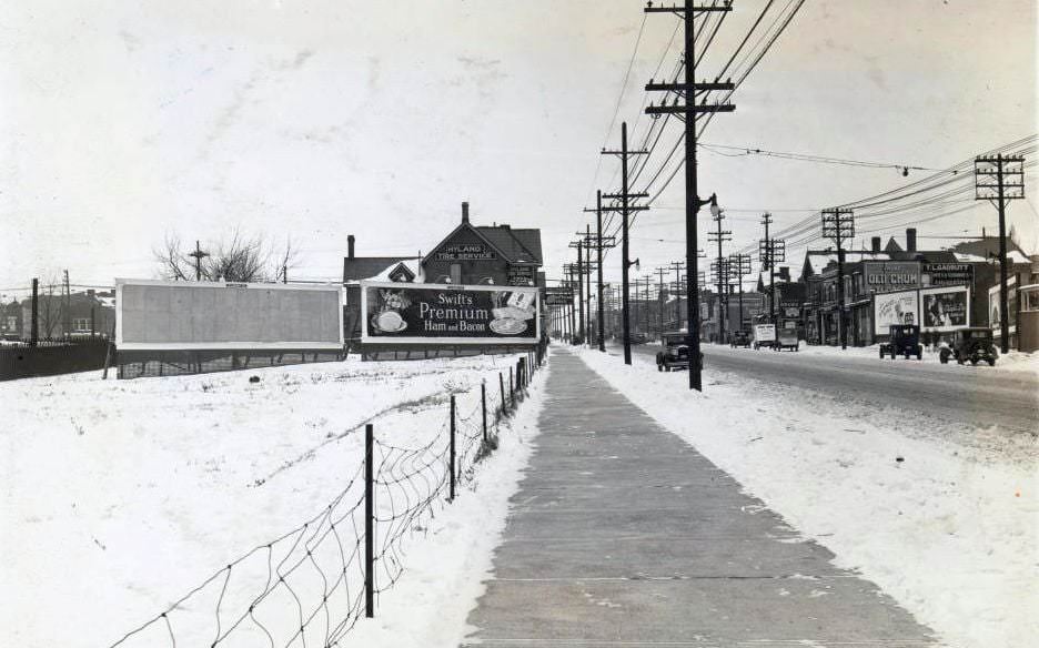
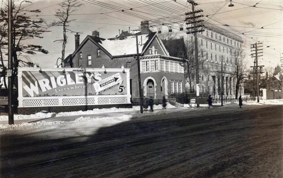
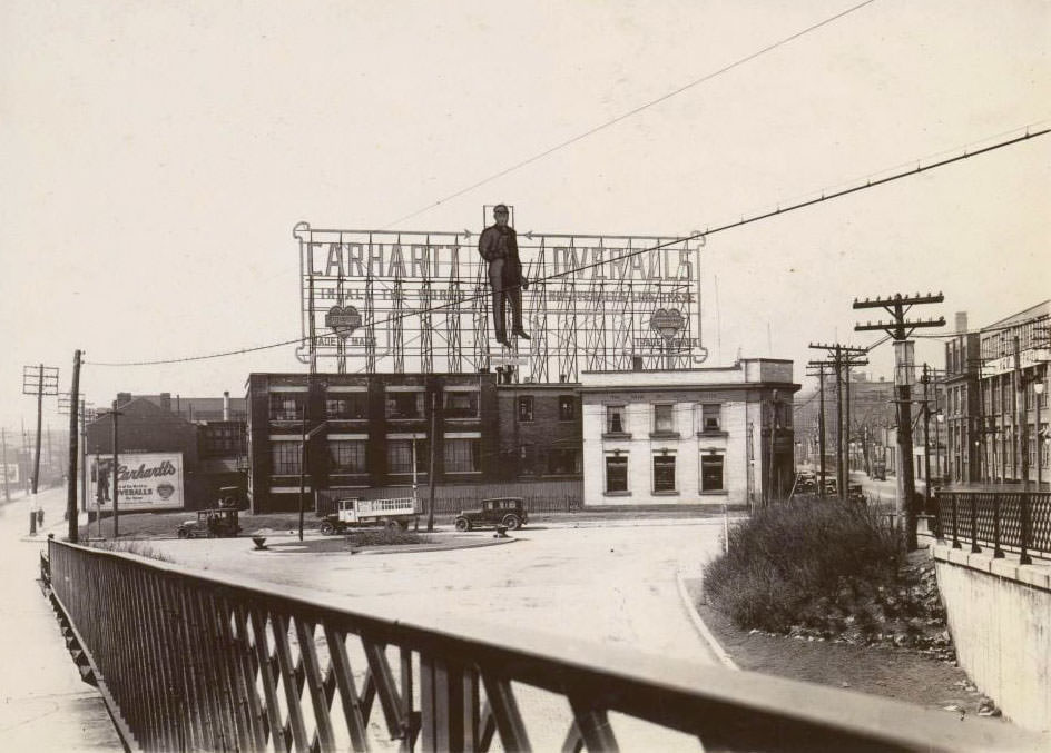
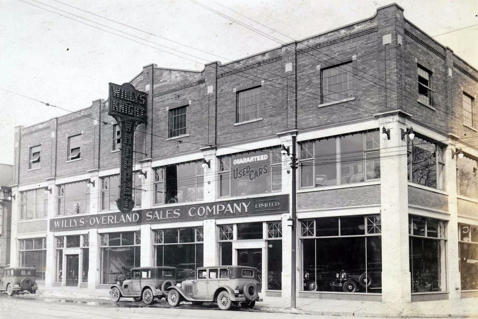
West side of Yonge Street, south of Eglinton Avenue West, adjacent to Hyland Tire Service. View is looking north on Yonge Street – 1930North side of Bloor Street East, east of Church Street. View is looking north-east – 1930Queen/King looking west towards River Street – 1930909-927 Bay Street, at Breadalbane Street, occupied by Willys-Overland Sales Company Limited – 1930
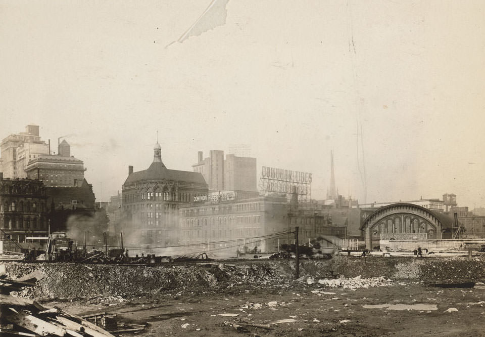
At the corner of Yonge and Front, the Dominion Public Building was nearing completion in 1930. It was one of several large federal and commercial projects that marked Toronto’s downtown core during this era. The waterfront area around Front Street and the harbour remained a centre of activity, connecting the city to Lake Ontario and the broader Canadian economy.
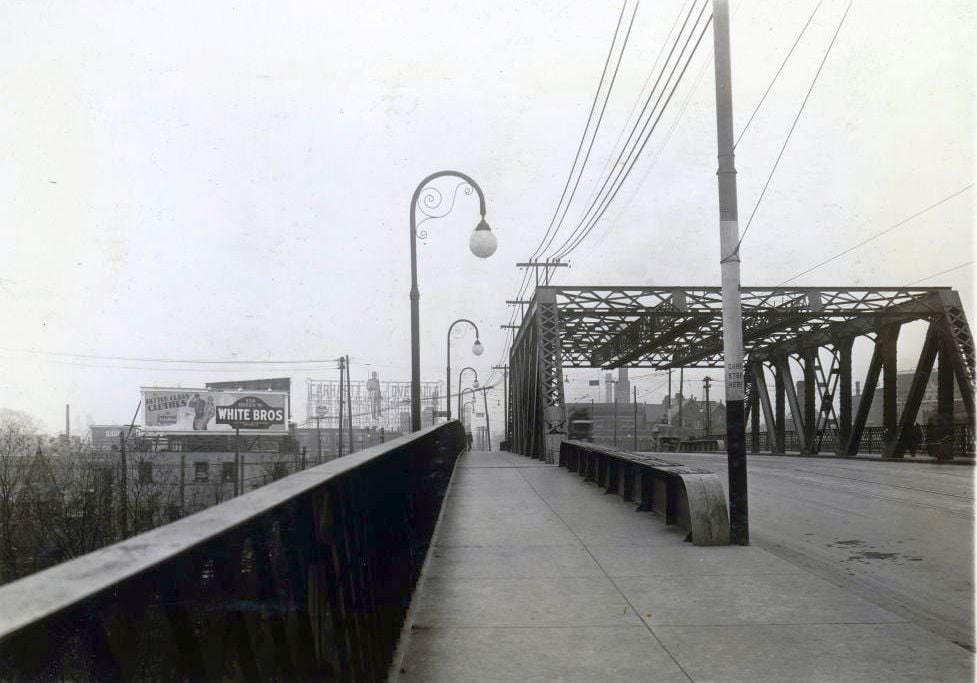
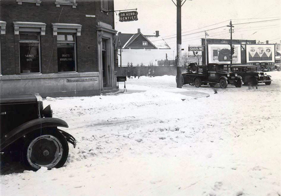
Looking northeast towards Yonge & Front – Future site of the Dominion Public Building at the southeast corner completed in 1930Queen Street Bridge facing west over the Don River, 1930Danforth & Macey looking northwest, 1930Greenwood & Danforth looking southeast, 1930
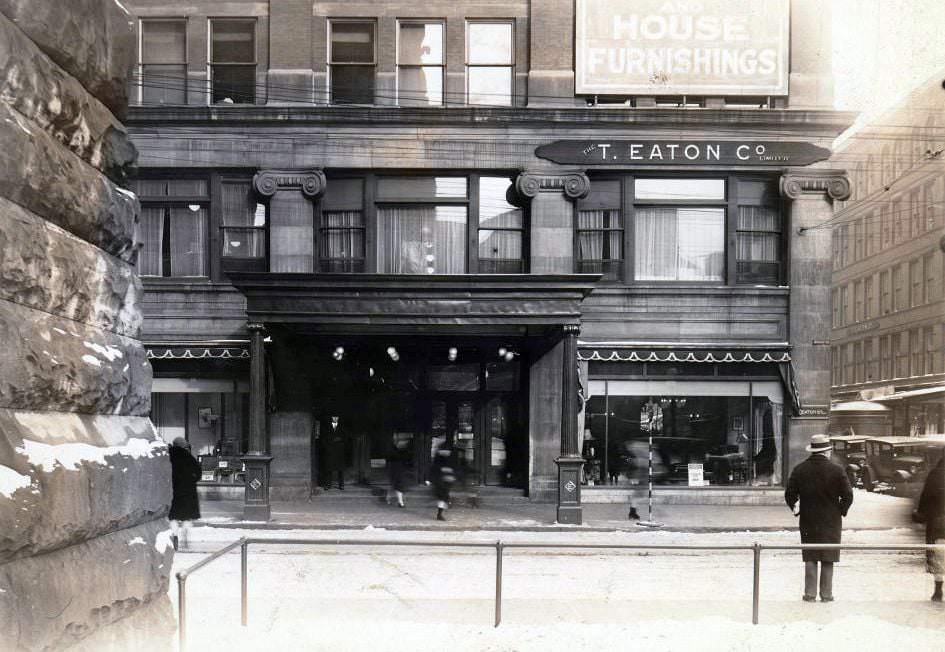
Eaton’s was the dominant department store in Toronto throughout the decade. The T. Eaton Company Limited anchored the northeast corner of Queen Street West and James Street, drawing shoppers from across the city. For Depression-era families, a trip to Eaton’s was both a practical errand and a social event — a chance to window-shop even when spending was tight.
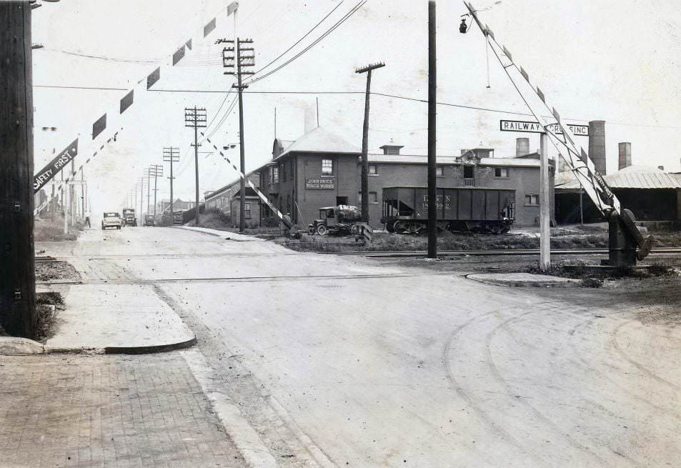
The T. Eaton Company Limited at the north-east corner of Queen Street West and James Street, 1930Yonge & Glengrove looking southwest, 1930Kingston Road looking southwest towards St. Augustine’s Seminary, west of Brimley Road, 1930Danforth & Cambridge looking northeast towards Broadview, 1930Eglinton & Highbourne looking northwest towards Avenue Road, 1930John Price Limited Brick Work – 395 Greenwood Avenue, 1930
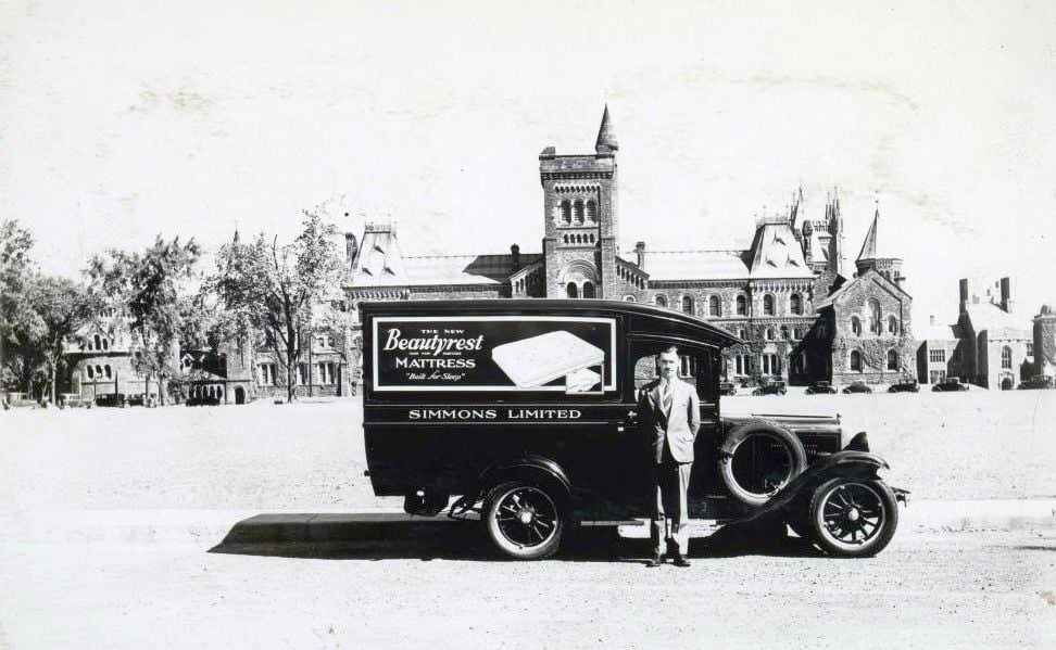
Universities and colleges remained important institutions during the Depression, even as student enrolment shifted with the economic pressures of the time. University College on the University of Toronto campus was a landmark in the city’s academic life. Delivery vehicles from companies like Simmons Limited — makers of the Beautyrest mattress — made regular rounds to institutional buildings across the city.
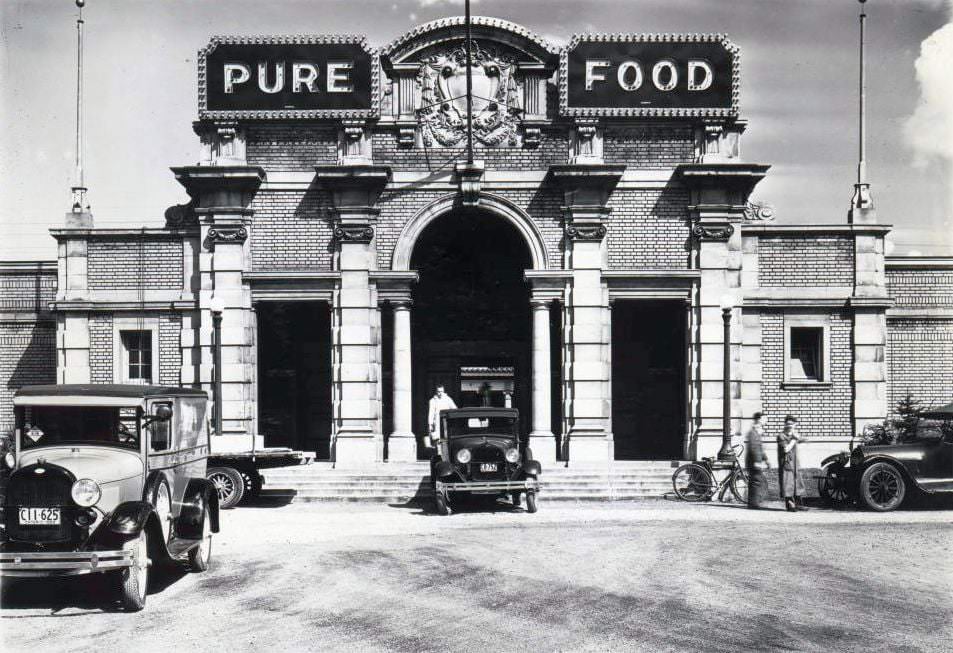
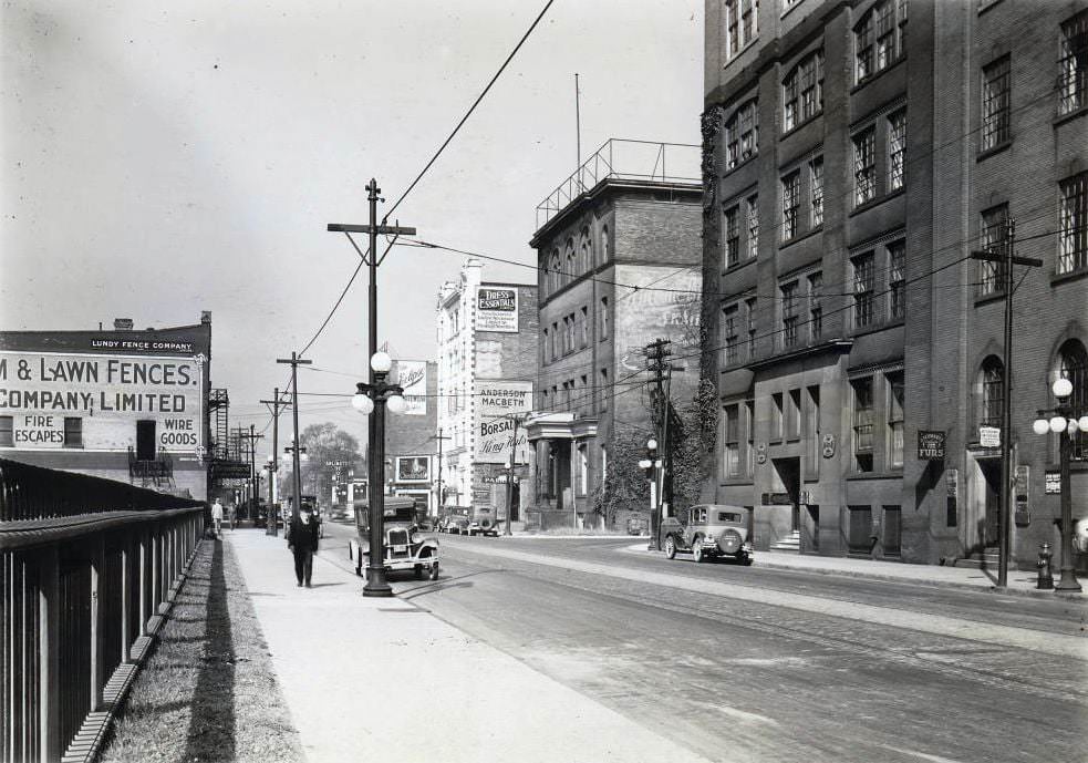
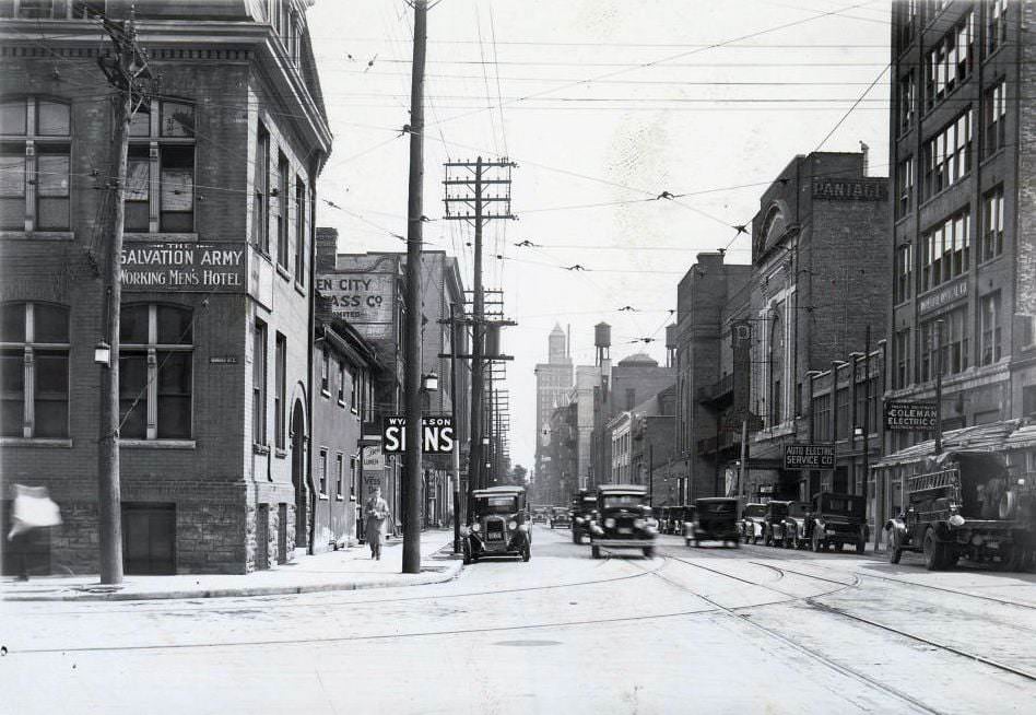
Simmons Limited Beauty Rest Mattress delivery vehicle in front of University College, 1930Spadina & Front looking northeast, 1930Pure Food Building, Exhibition Place, 1930King Street West. View is looking west towards John Street from east of Duncan Street, 1930Victoria Street, south from Dundas Street east. Visible is the rear of Pantages Theatre and The Salvation Army Working Men’s Hotel, 1930
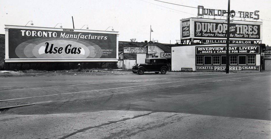
Recreation was still part of life, even during hard times. The Riverview Boat Livery near the Humber River offered Torontonians a chance to get out on the water at a low cost. Lakeside areas like Sunnyside and the Palace Pier on Lake Shore Road were popular gathering spots. The waterfront was a free escape from cramped city neighbourhoods.
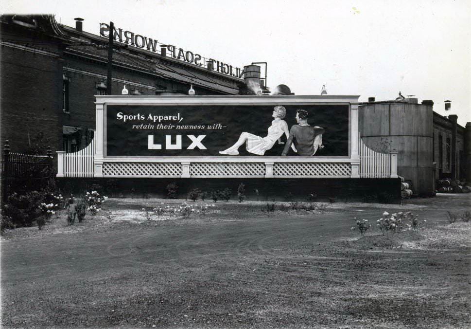
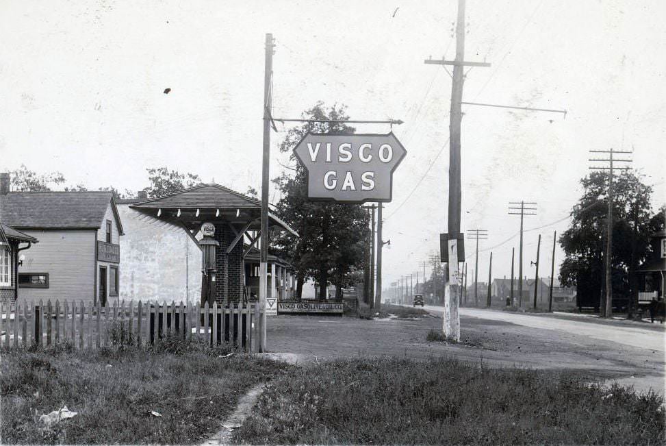
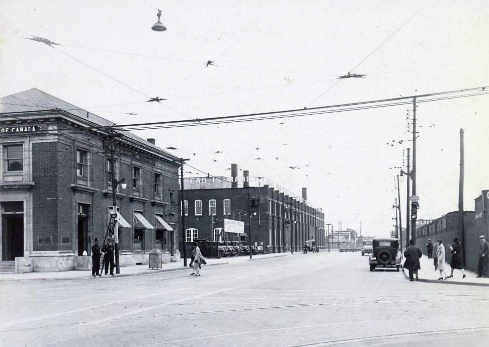
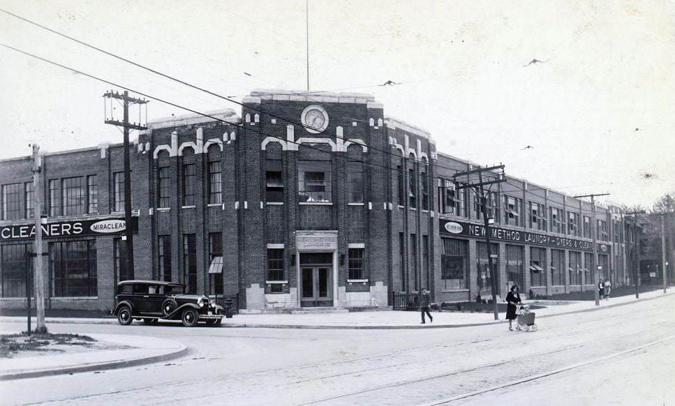
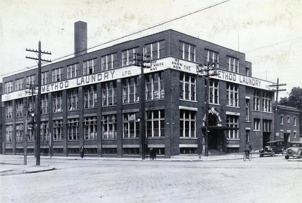
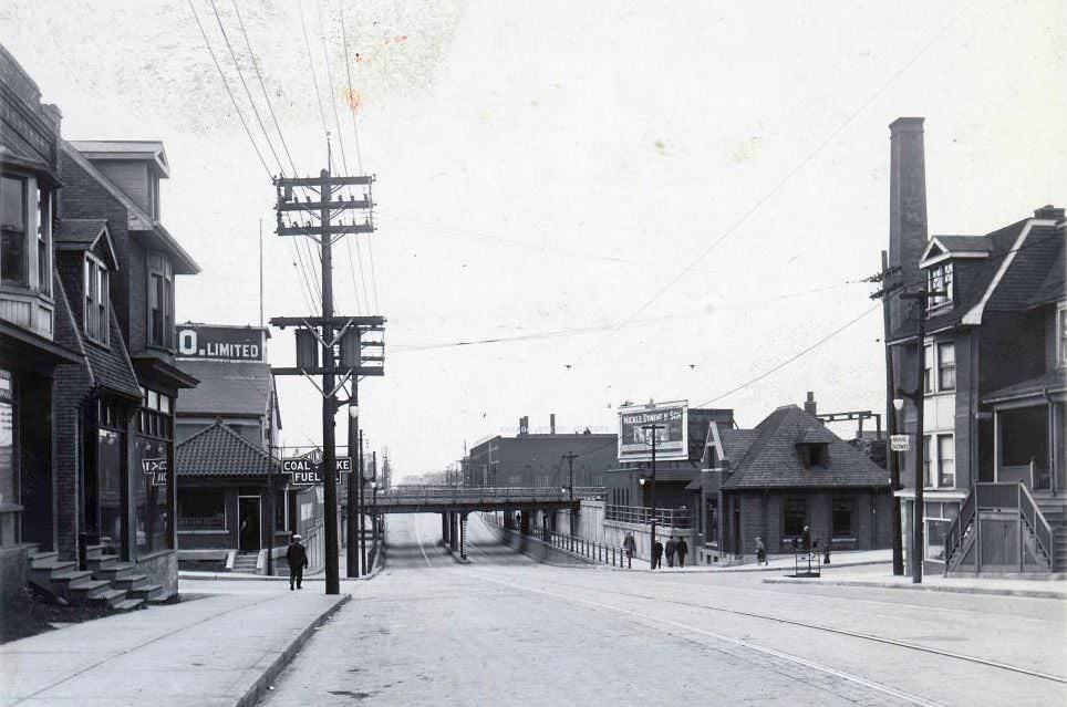
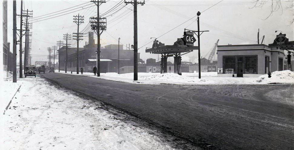
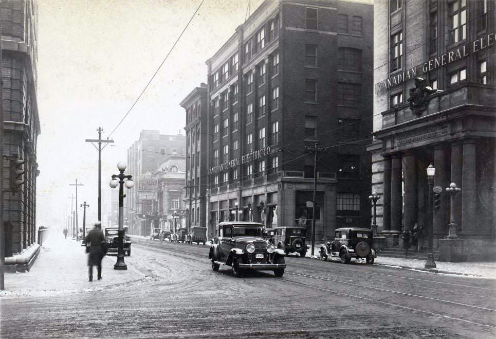
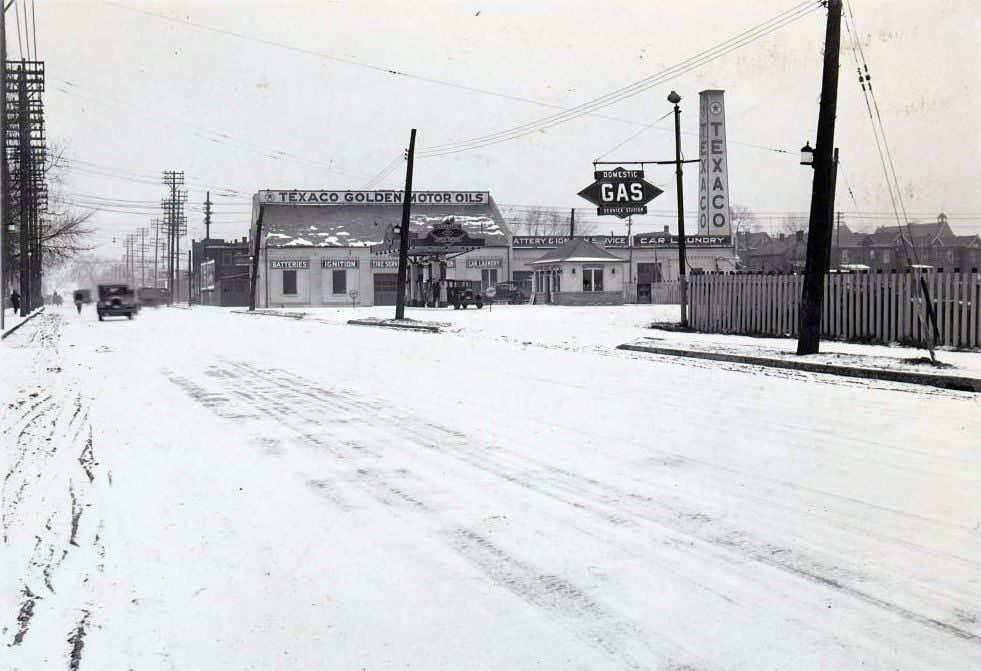
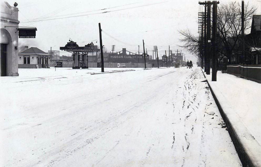
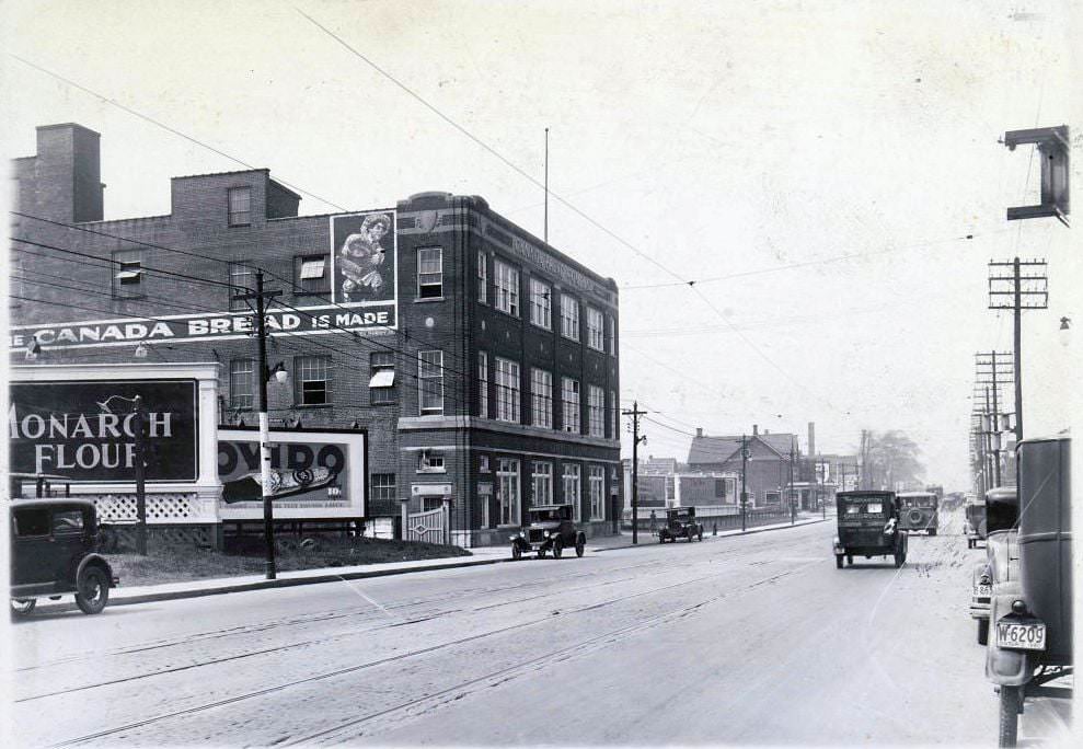
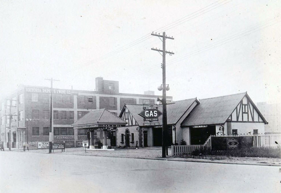
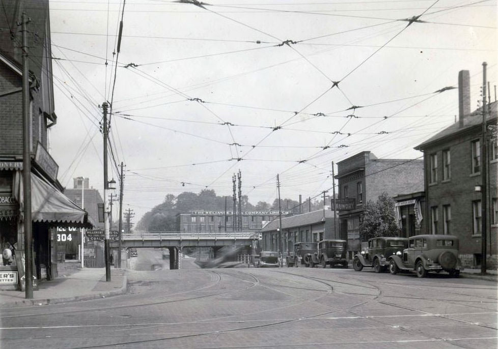
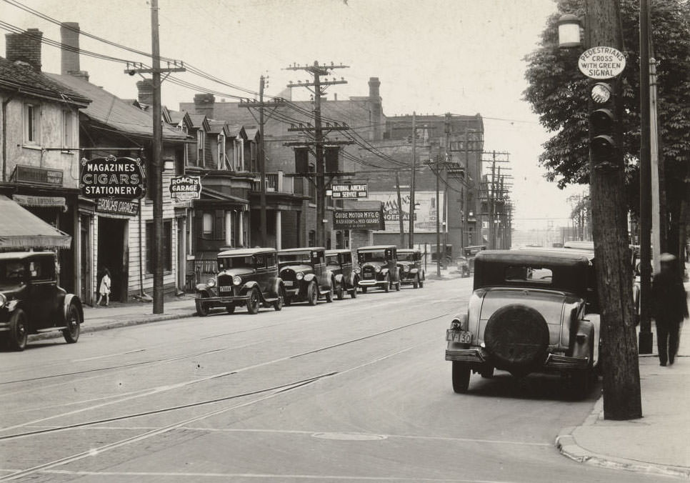
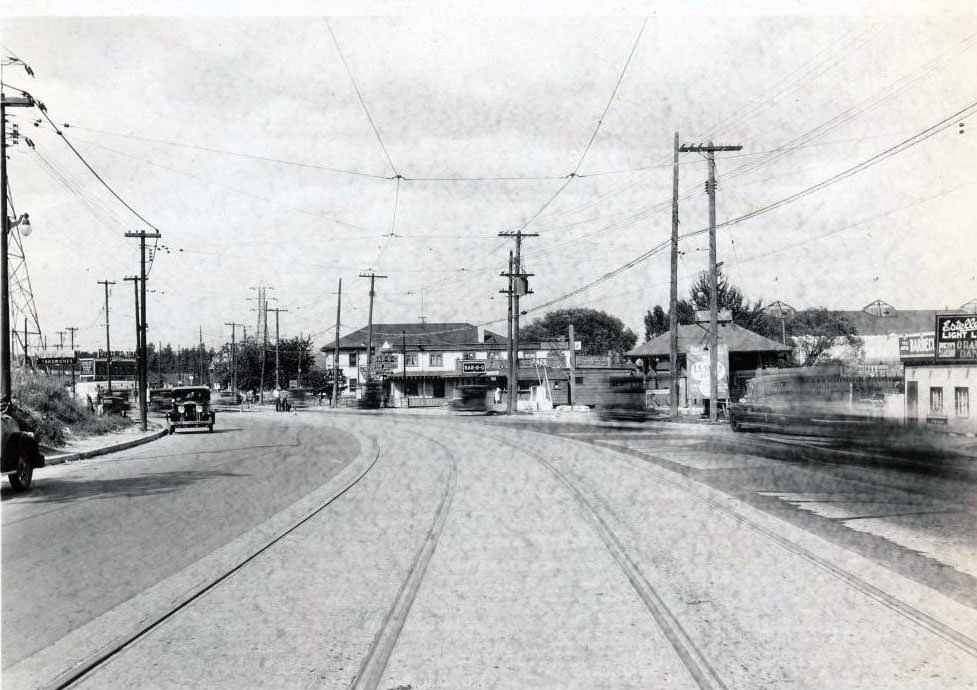
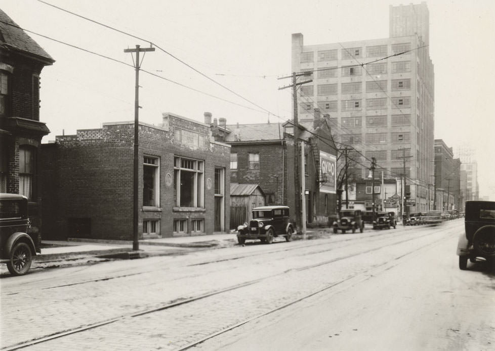
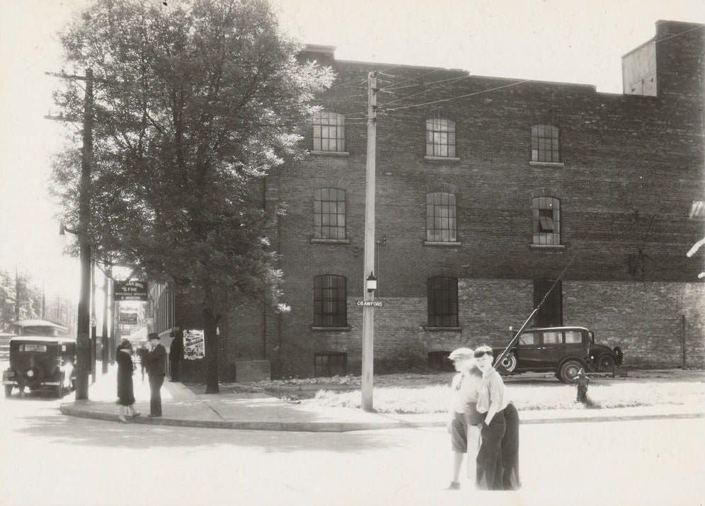
Riverview Boat Livery, near the Humber River, 1930Sunlight Soap Works – Eastern Avenue, 1930Visco Gasoline & Oil Co. Ltd., 3486 Dundas St. W., 1930. Managed by James Lauder.Canada Bread Company building, Bloor Street West, east of Dundas Street West. View is looking east on Bloor Street West, 1930The New Method Laundry Company Limited building, loacted on 725 College Street, at Crawford Street, south-west corner, 1930The New Method Laundry Company Limited building, located at the north-west corner of Queen Street East and River Street, 1930Bloor & Perth looking west, 1930Domestic Gas automobile service station, Eastern Ave. & Broadview Ave., looking northwest, 1930King & Simcoe looking northwest, 1930The street light & poles in Toronto, 1930
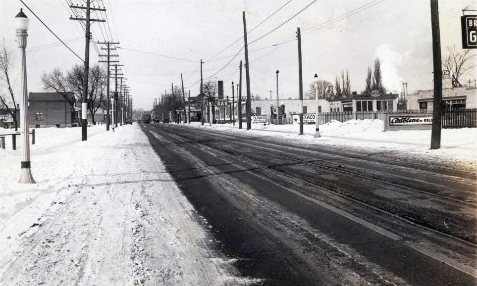
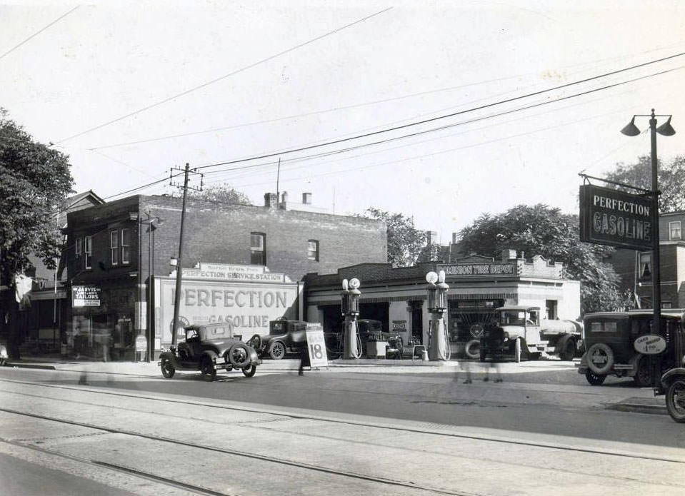
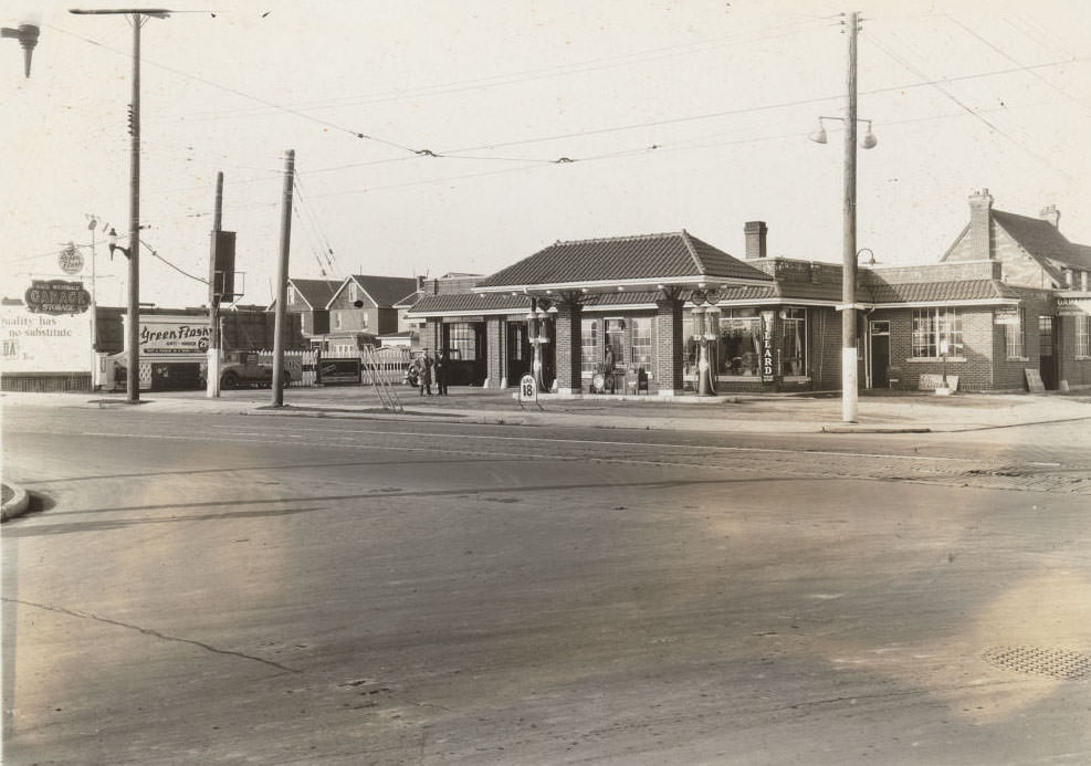
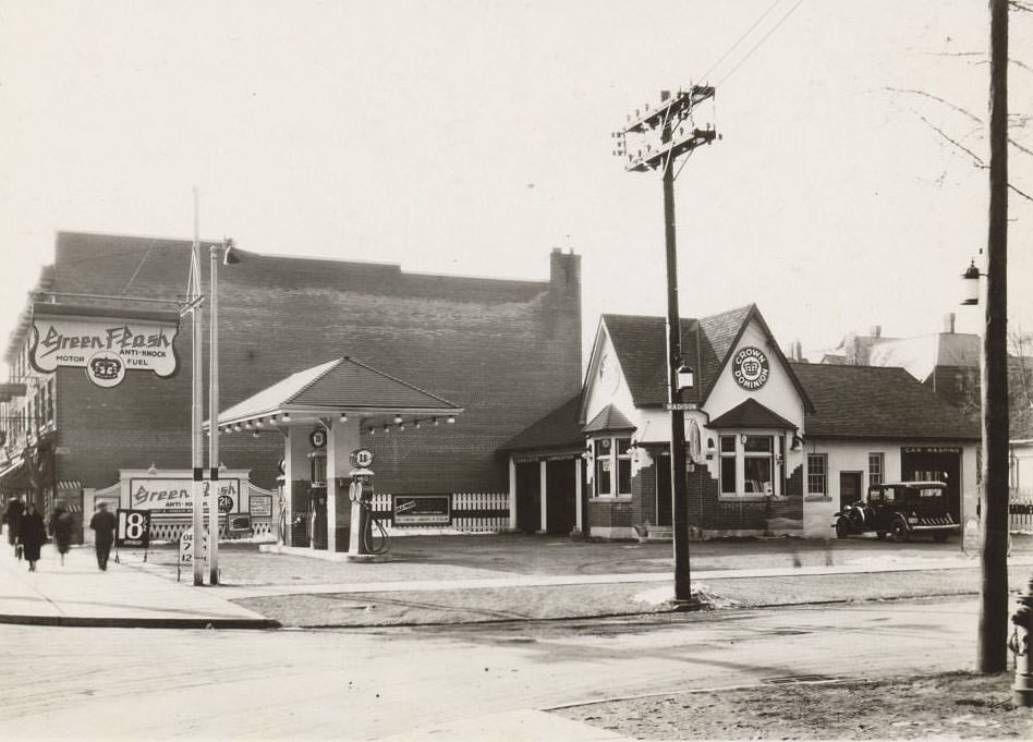
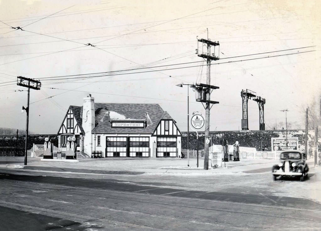
Toronto’s streets were lit by a growing network of electric street lights and utility poles, a visible sign of modernization that spread further into residential areas during the 1930s. Service stations, many of them branded under names like Domestic Gas, Perfection Gasoline, and Crown Dominion, anchored corners across the city and served the rapidly growing number of automobile owners.
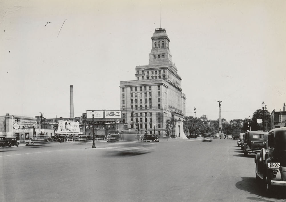
Domestic Service Station, 1930Domestic Service Station located on St. Clair Avenue West, east of Weston Road, 1930The Arco Company Limited – Looking northeast from Weston Road to Clouston Avenue. Irving Tissue is in this area now, 1930Bloor & Keele looking northeast, 1930Bay Street south of Bloor looking south, 1930Spadina & Front looking northeast, 1930Canada Bread Company building – 1281 Danforth Avenue, 1930Canada Bread Company building, Bloor Street West, east of Dundas Street West. View is looking west on Bloor Street West, 1930Domestic Gas Station – Victoria Paper & Twine Company Limited buildings, 439-441 Wellington Street West, 1930
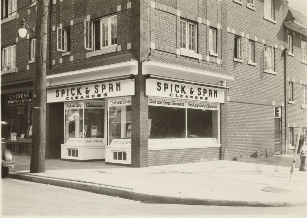
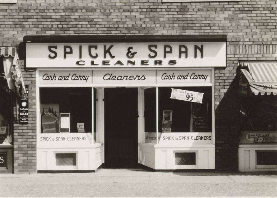
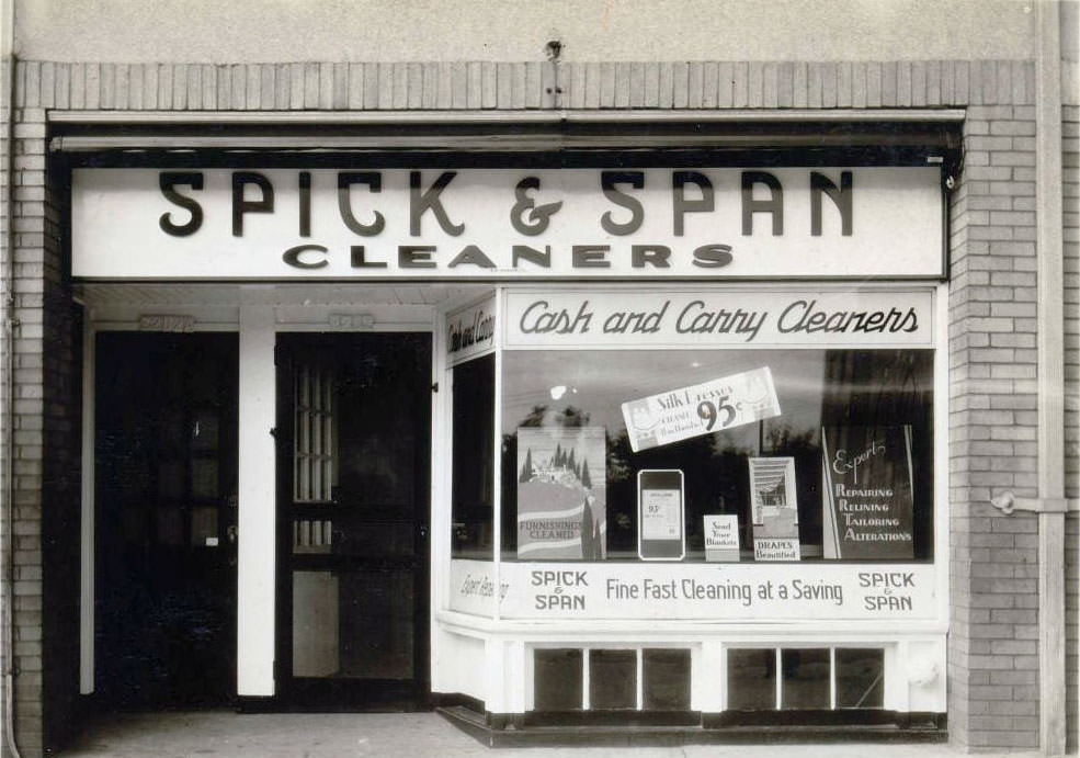
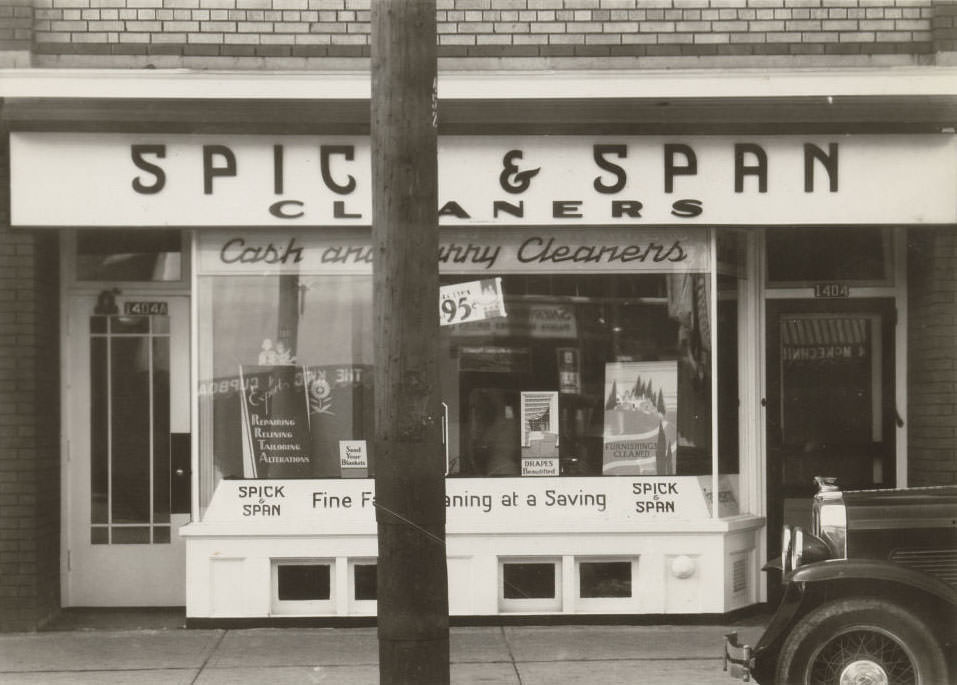
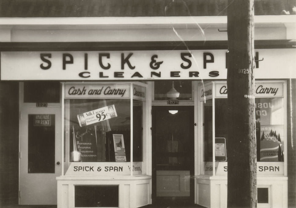
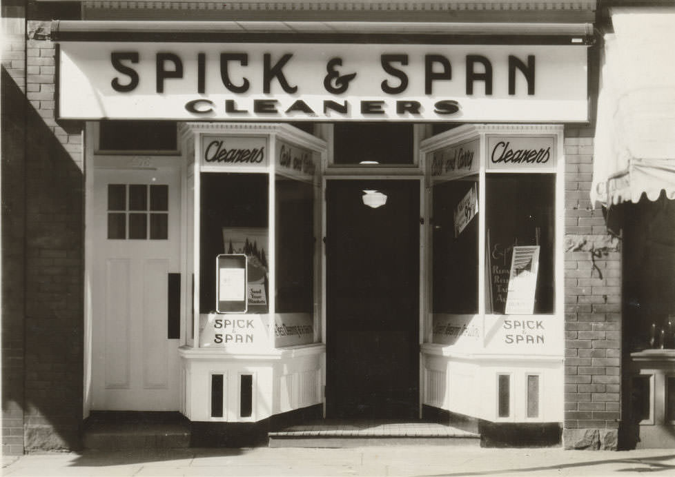
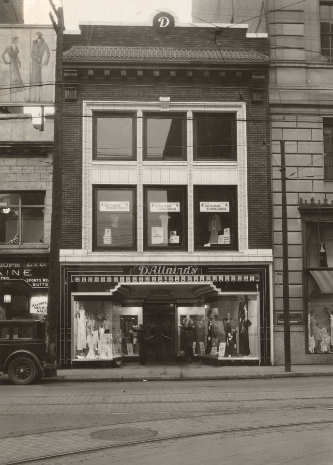
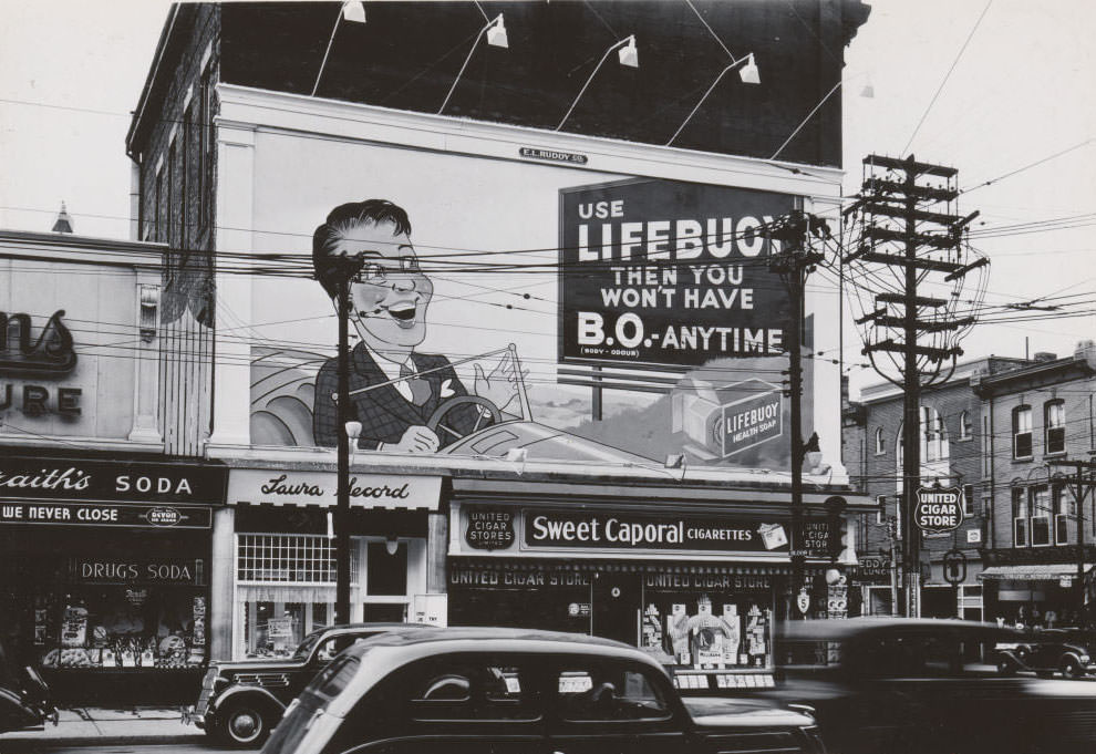
Toronto’s commercial landscape in 1930 included dry cleaning shops, laundries, cigar stores, and small independent retailers competing alongside larger chains. Businesses like Spick and Span Cleaners, the United Cigar Stores at Yonge and Carlton, and D’Allaird’s on Yonge Street were fixtures of daily life. Small storefronts lined neighbourhood streets from Bloor to the Danforth, each one telling a story of private enterprise trying to stay afloat.
Spick and SPan Cleaners, Toronto, 19302377 Yonge Street, 19302202 Bloor Street West, 19301404 Yonge Street, 19301025 Bloor Street West, 1930408 Bloor Street West, 1930Perfection Gasoline service station, 69 Carlton Street, 1930St. Clair Theatre, St. Clair Avenue West, north side, between Dufferin Street and Westmount Avenue. View is looking north-west, 1930
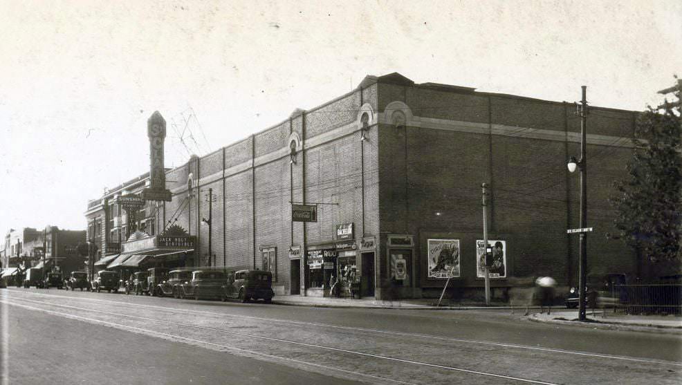
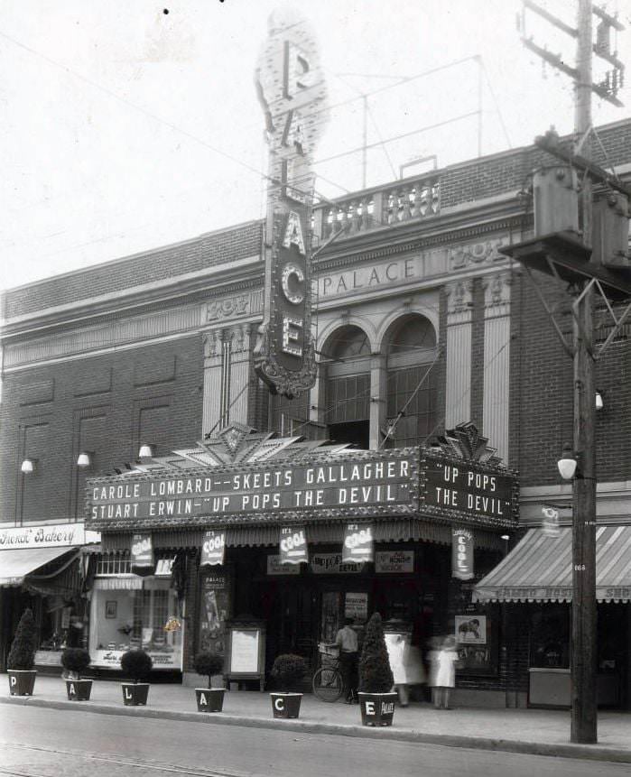
Movie theatres were one of the few affordable luxuries during the Depression. For a few cents, a family could spend an afternoon away from the daily grind. The St. Clair Theatre on St. Clair Avenue West and the Palace Theatre at 664 Danforth Avenue were both active in the early 1930s. The Palace was showing “Up Pops The Devil” in 1931 — a film that clearly resonated with audiences living through economic hardship.
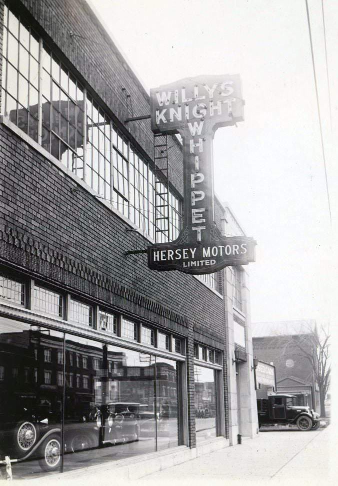
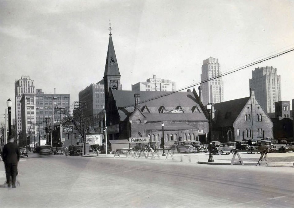
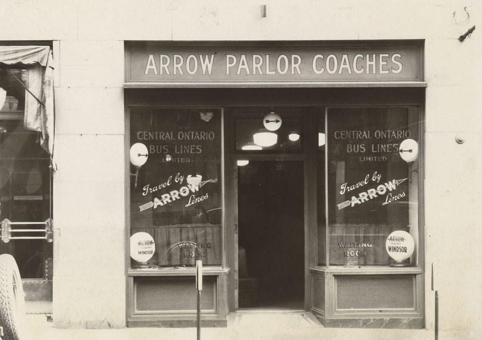
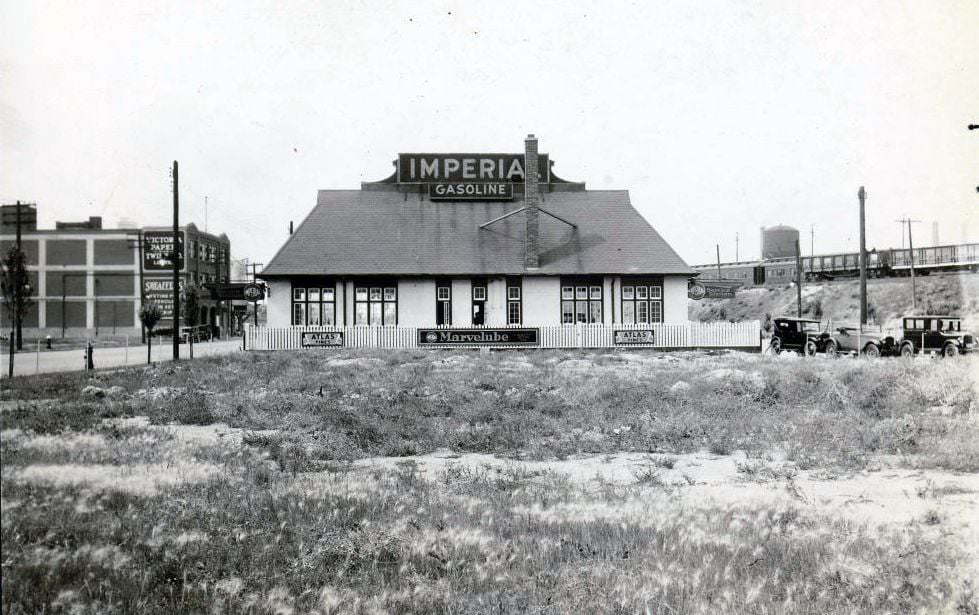
Toronto, 1930Davenport & Bay looking southeast, 1930Where was Hersey Motors Limited, Willys-Knight, Whippet Motor Cars, 1930A Church in Toronto, 1931171 Bay Street – Central Ontario Bus Lines Limited, Arrow Parlor Coaches, 1930Fleet Street between York & John (no longer exists). Victoria Paper & Twine, Sheaffer Pen at 169-173 on the left, 1930
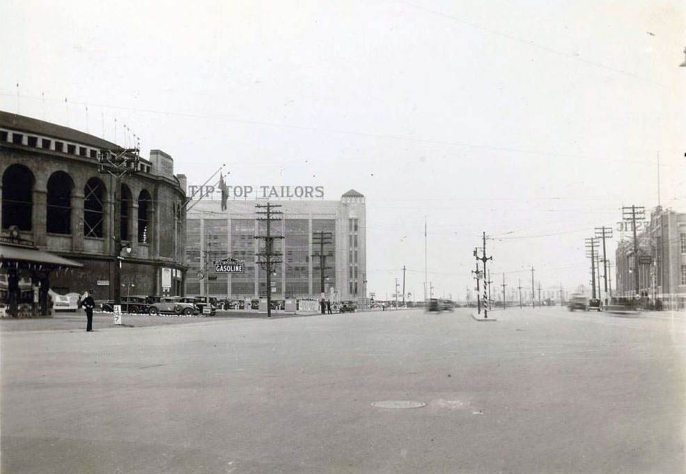
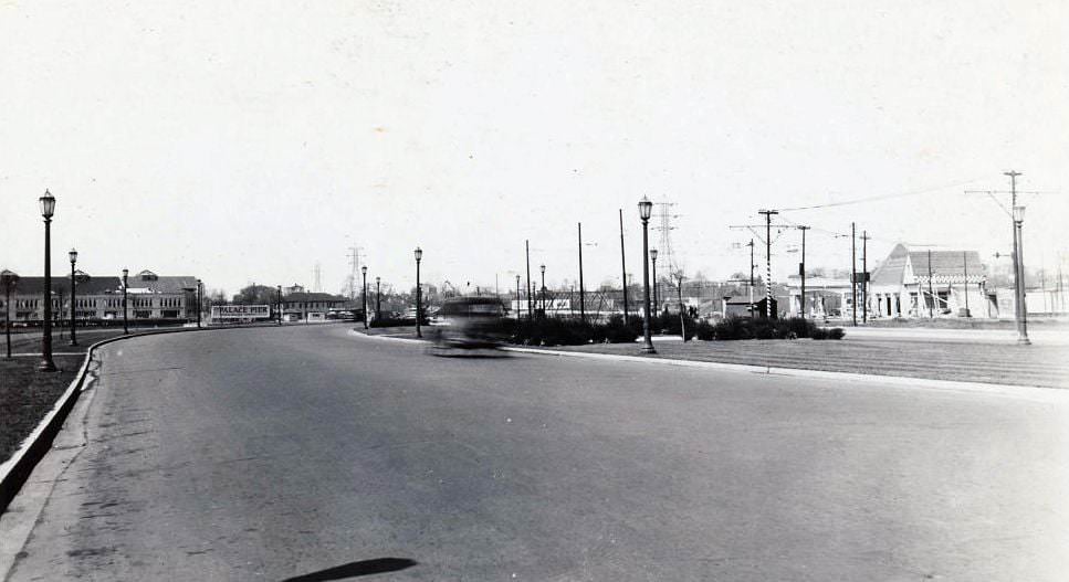
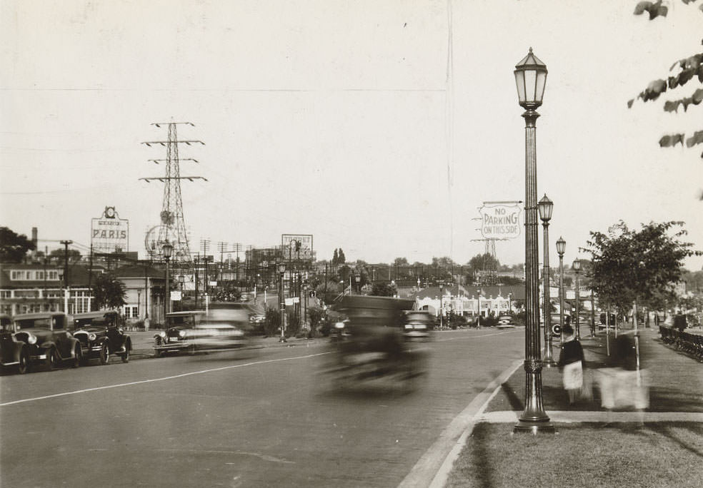
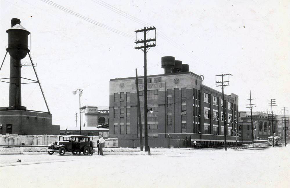
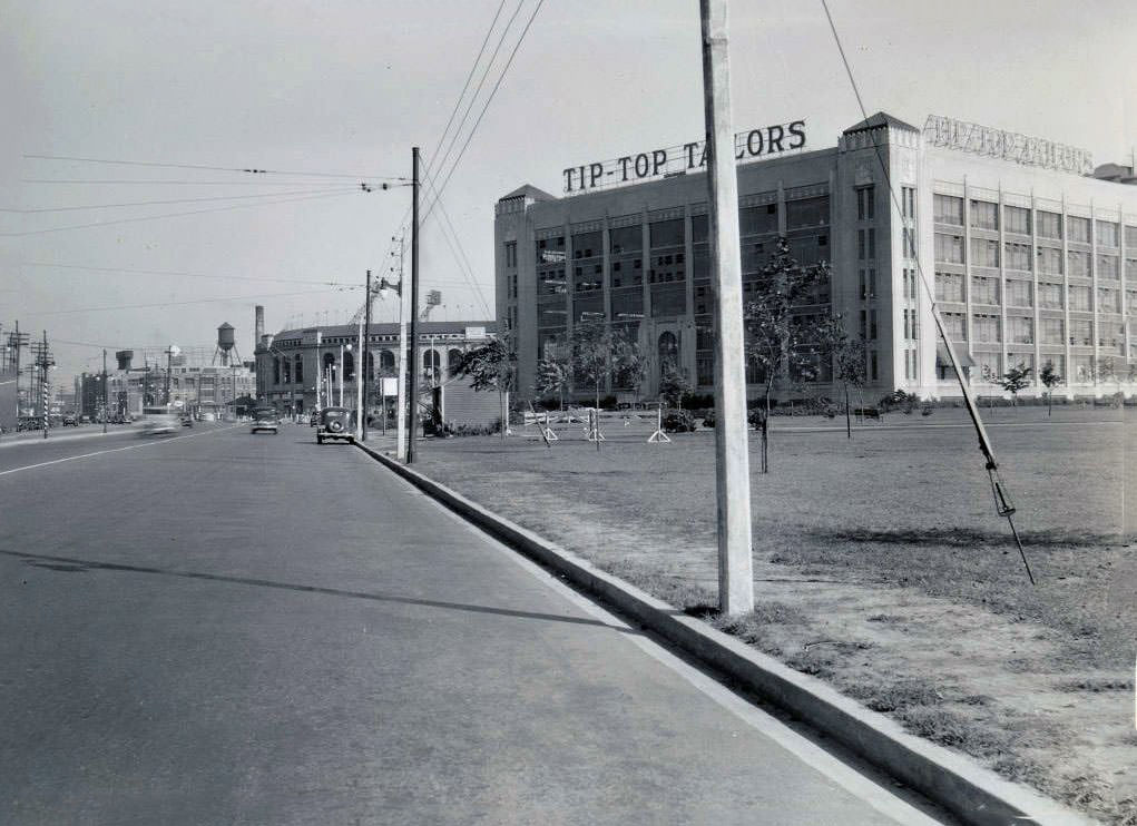
The Lake Shore Road corridor in the early 1930s was a mix of industry and recreation. Tip Top Tailors and Maple Leaf Stadium sat side by side near Bathurst Street. Rogers-Majestic occupied the opposite side of the road. The Palace Pier stretched out into the water to the west. These were landmarks that Torontonians of the era recognized on sight.
Lake Shore Road and Bathurst Street. Visible in the image is Tip Top Tailors and Maple Leaf Stadium, on the left, and Rogers-Majestic on the right, 1930Looking east. Building on the right is at York & Harbor, 1930Looking north on Bathurst Street from Dupont Street, 1930
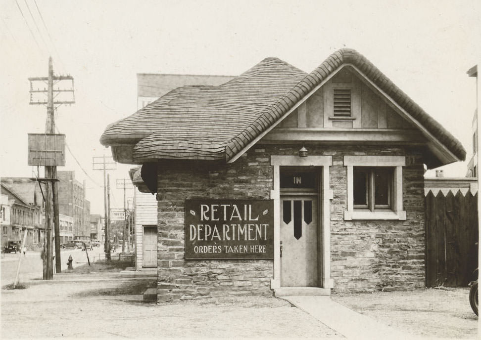
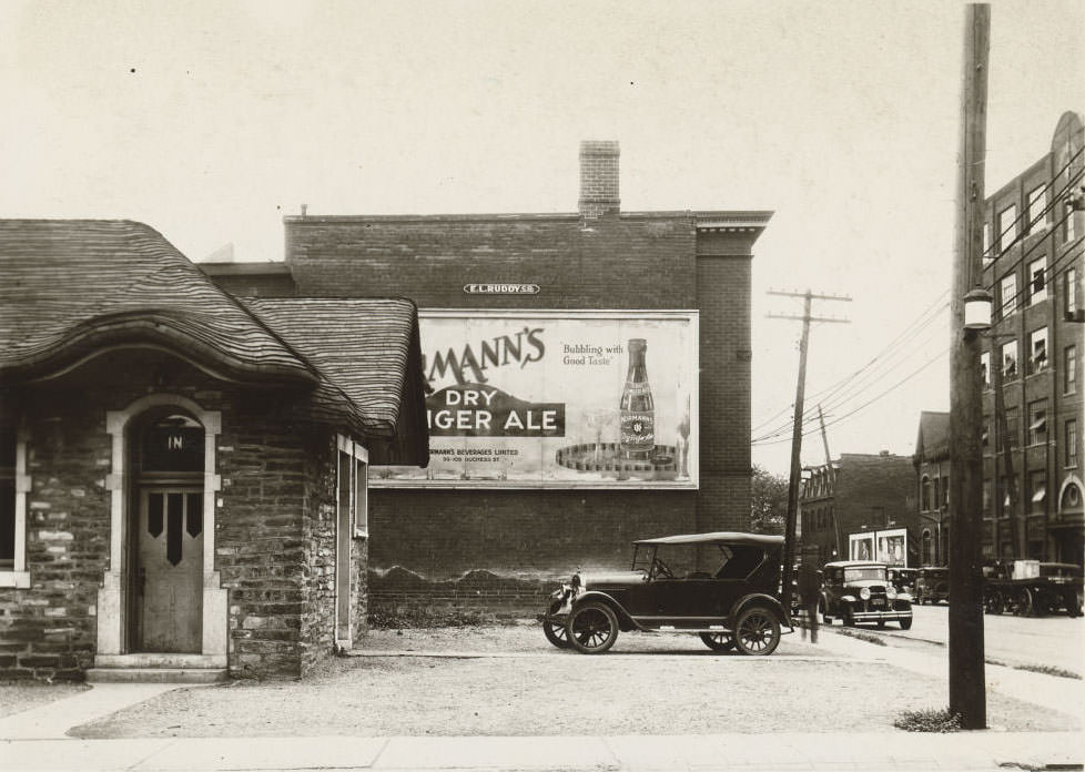
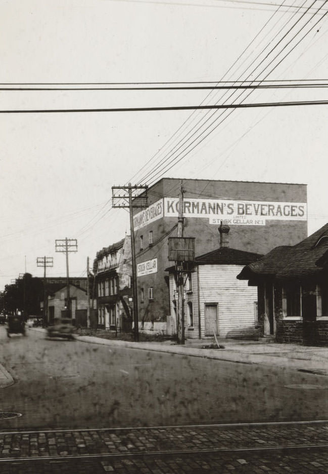
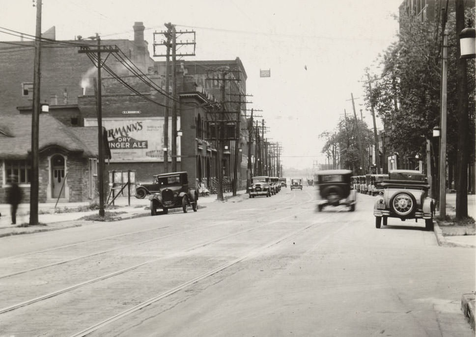
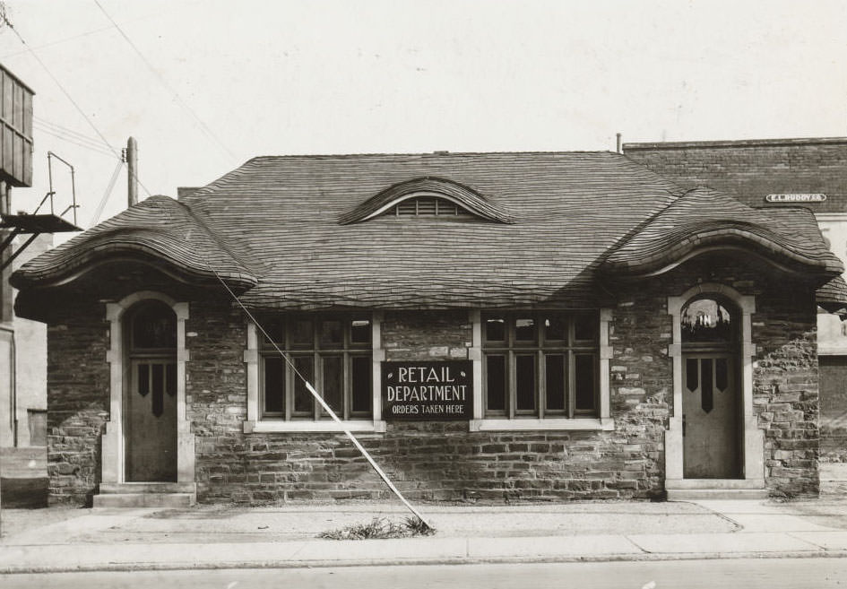
On Sherbourne Street in 1931, the Kormann’s Beverages Limited manufacturing complex stood as one of the neighbourhood’s most distinctive industrial sites. The complex included several structures, among them a low, rounded building that stood out from the typical brick factories of the era. Its unusual shape made it one of the more photographed industrial properties in the city that year.
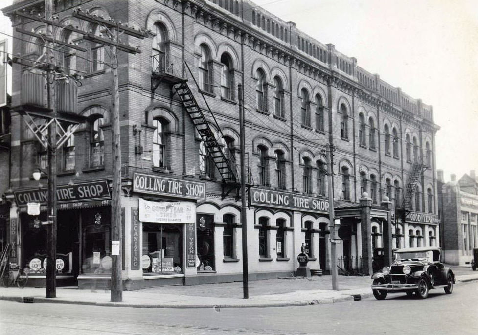
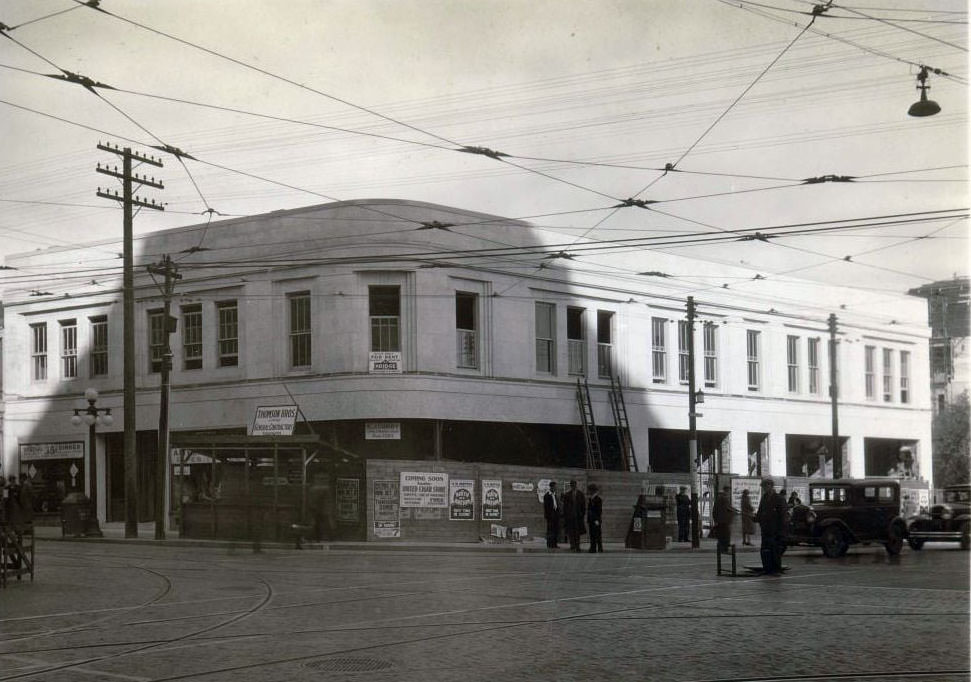
This hobbit looking building was part of the Kormann’s Beverages Limited manufacturing complex, Sherbourne Street, east side, south of Queen Street East, 1931Kormann’s Beverages Limited manufacture’s complex, Sherbourne Street, east side, south of Queen Street East, 1931Kormann’s Beverages Limited manufacture’s complex, Sherbourne Street, east side, south of Queen Street East, 1931Kormann’s Beverages Limited manufacture’s complex, Sherbourne Street, east side, south of Queen Street East, 1931Kormann’s Beverages Limited manufacture’s complex, Sherbourne Street, east side, south of Queen Street East, 1931Kormann’s Beverages Limited manufacture’s complex, Sherbourne Street, east side, south of Queen Street East, 1931Colling Tire Shop – 495 Yonge Street, 1931Brand new United Cigar Stores Limited location, Yonge Street and Carlton Avenue, north-east corner, 1930
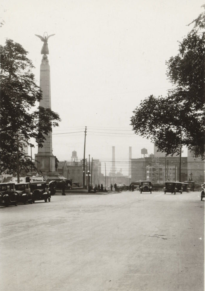
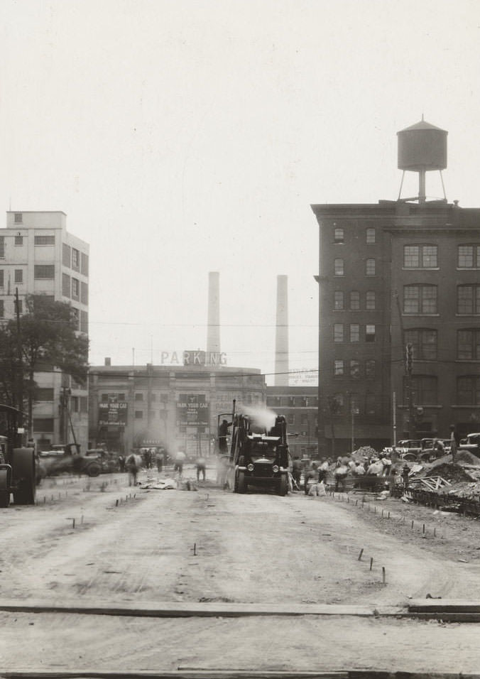
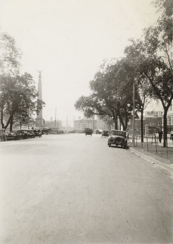
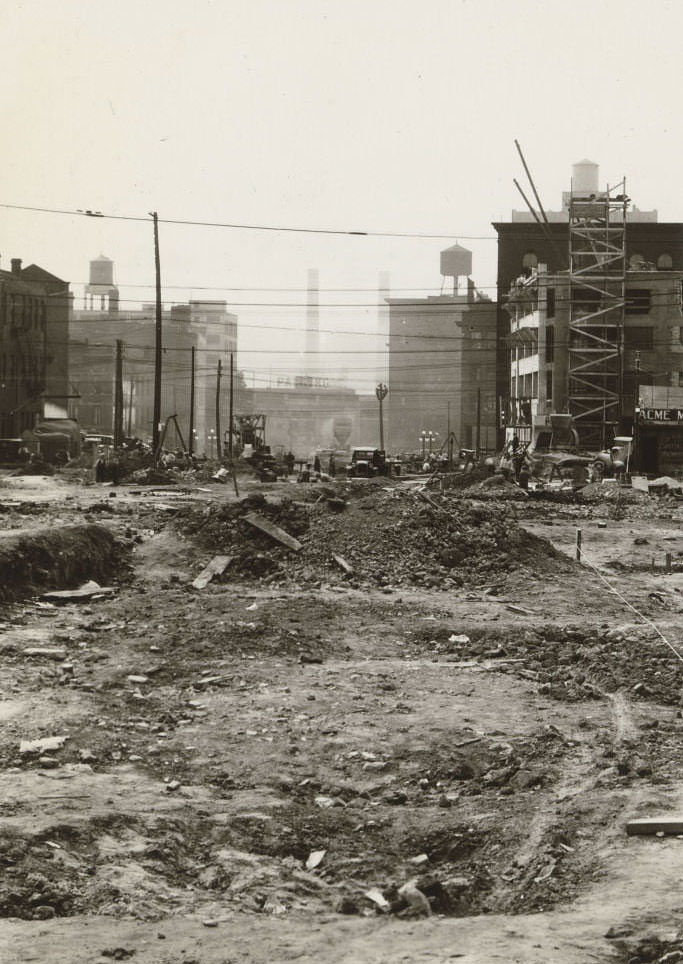
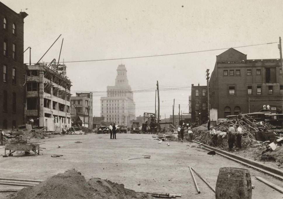
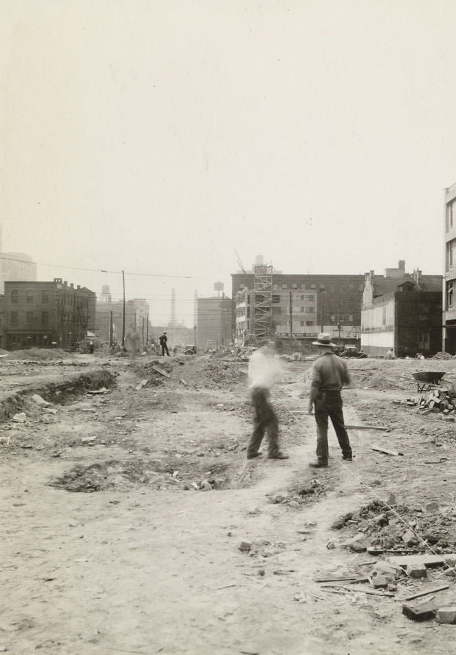
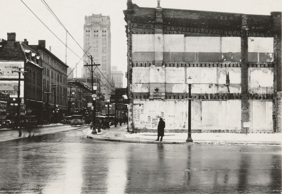
In 1931, University Avenue only extended south as far as Queen Street. The following year, the city pushed the road further south to Front Street. Photos taken during the 1931 construction document this expansion in progress — a major infrastructure project that reshaped one of Toronto’s most important north-south corridors at a time when public works projects provided critical employment.
University Avenue from south of Queen Street West looking north, 1931
University Avenue from south of Queen Street West looking north, 1931
University Avenue from south of Queen Street West looking north, 1931University Avenue from south of Queen Street West, 1931University Avenue from south of Queen Street West, 1931University Avenue from south of Queen Street West looking south, 1931University Avenue from south of Queen Street West looking north, 1931University Avenue from south of Queen Street West looking south, 1931Lake Shore Road, at the Palace Pier. View is looking west, 1930Don River, looking south-east from the Queen Street bridge, 1930Yonge Street looking south at Ivor, 1930Lakeshore near the Humber Loop on the left, 1930Church Street looking south to the Esplanade. Clear view of the harbour & the Island back in 1930Campbell’s plant under construction, New Toronto, 1931Creeds – 46 Bloor Street West, 1931Palace Theatre – 664 Danforth Avenue – “Up Pops The Devil”, 1931
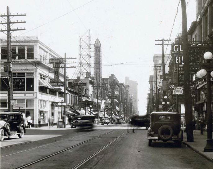
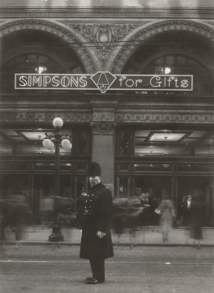
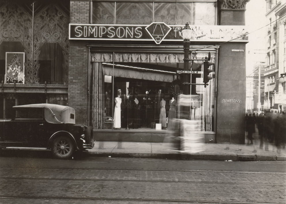
By 1933, unemployment had peaked and the Depression was hitting Toronto hardest. Yonge and Dundas Square was still a busy intersection, home to establishments like Childs restaurant and a billiards and bowling hall upstairs called Karrys. Simpson’s department store on Yonge Street at Richmond was one of Eaton’s main competitors, drawing shoppers to its well-known Queen Street facade. These commercial anchors kept the downtown core active even as spending power dropped.
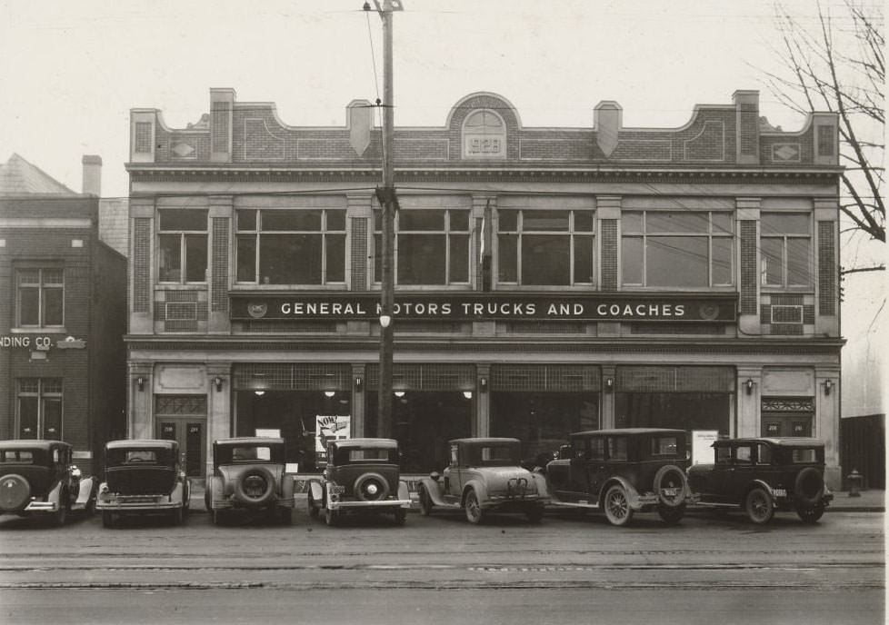
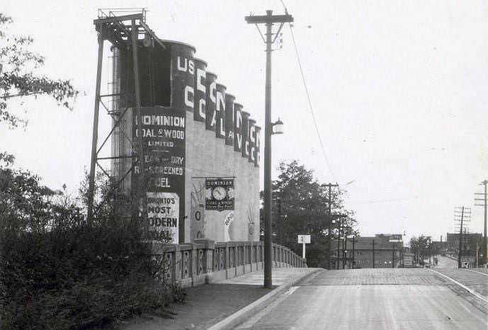
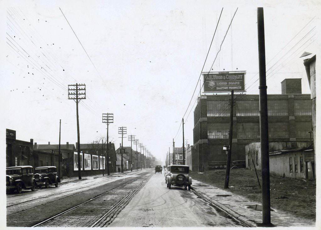
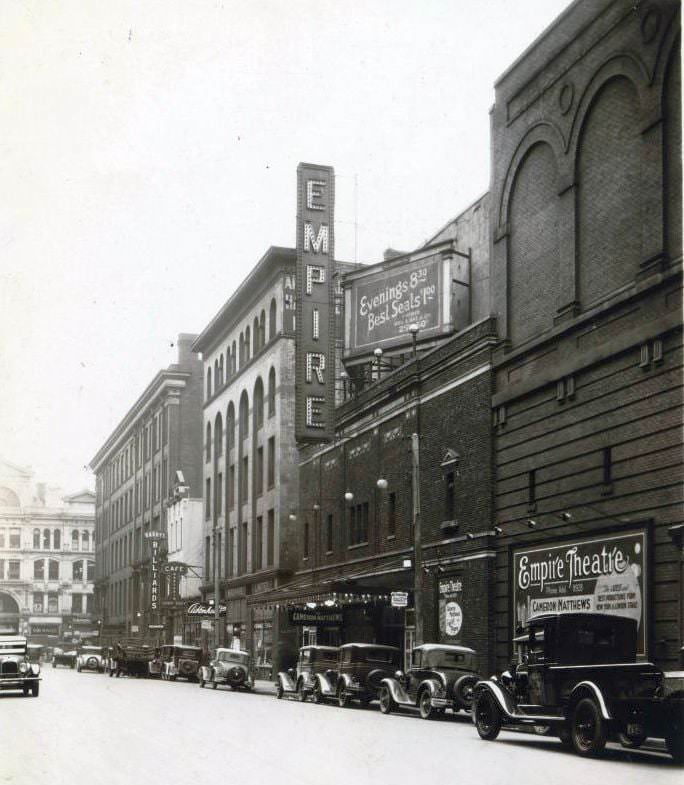
Yonge & Dundas Square looking south. Childs, later a Hard Rock Cafe. The Billiards & Bowling upstairs was called Karrys which is news to me, 1933General Motors Trucks and Coaches – signage on a building located at 208-210 Spadina Avenue, 1935Signage on a building located at the south-west corner of Dundas Street West and University Avenue, 1934Lake Shore Road, Sunnyside, 1934Lake Shore Road, Sunnyside, 1934Dominion Coal & Wood Limited – Item is a photograph of signage painted on a set of silos located on Mount Pleasant Road, at Merton Street, 1934736 Dundas Street East – G.H. Wood and Company Limited, 1934Empire Theatre – Temperance Street. View is looking south-east towards Yonge Street, 1933
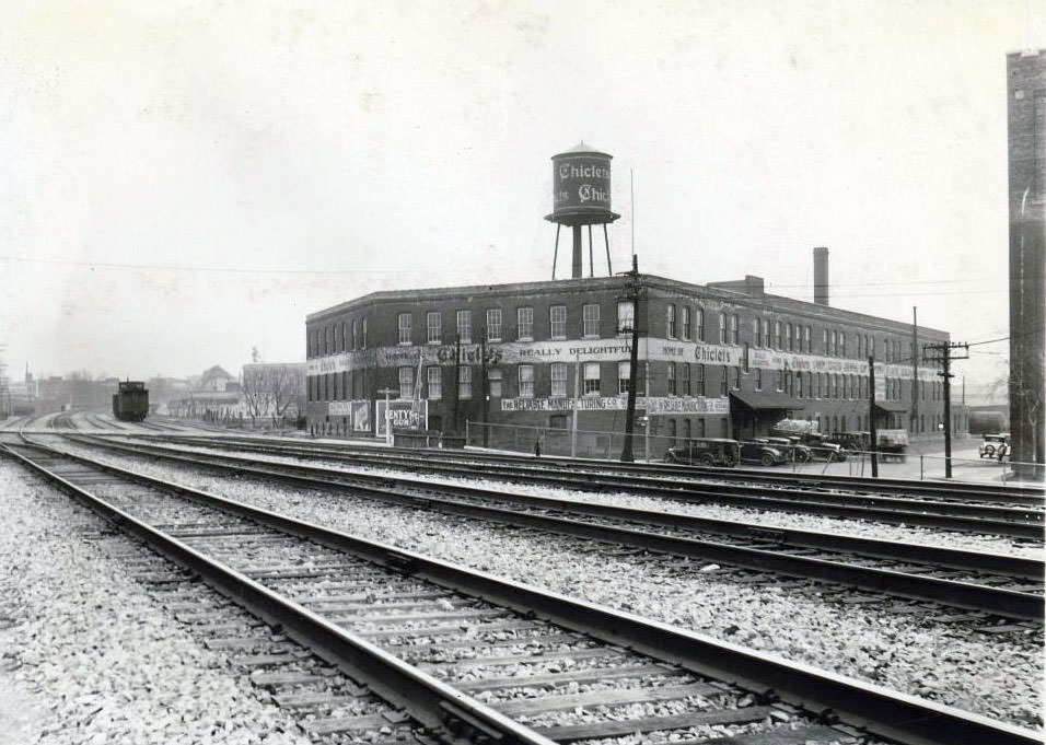
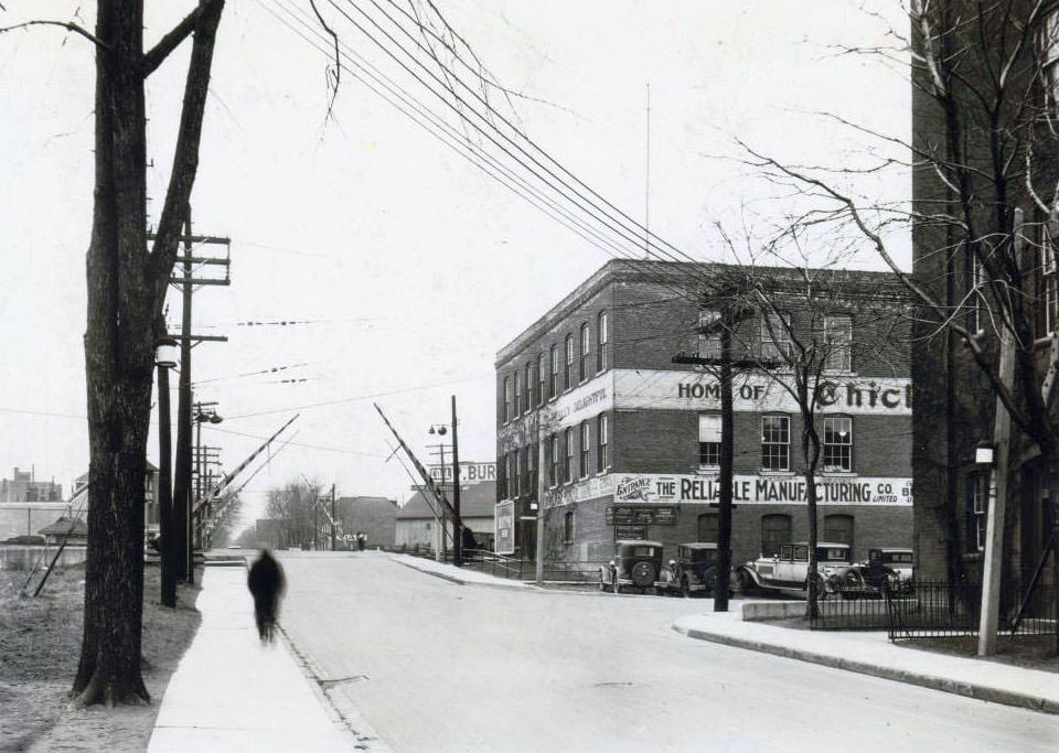
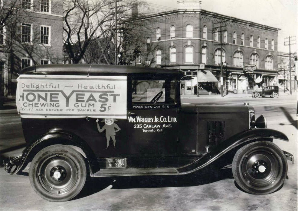
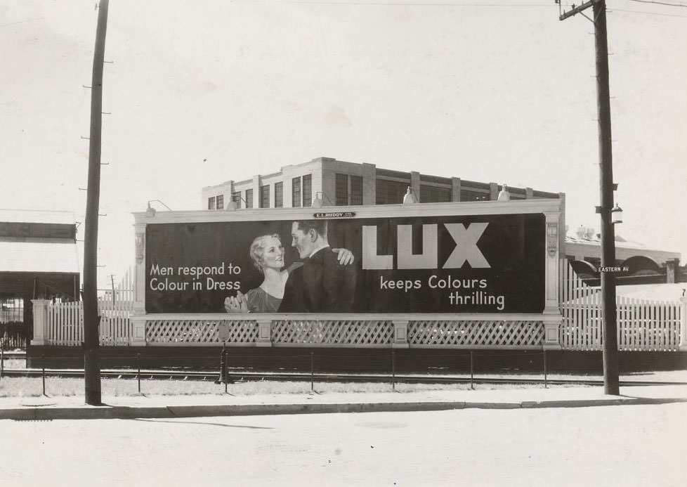
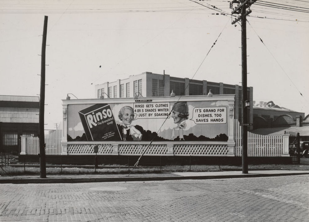
Consumer goods companies continued to compete aggressively for Toronto customers throughout the decade. The Reliable Manufacturing Company on Carlaw and Logan Avenues produced Chiclets chewing gum. William Wrigley Junior Company ran branded delivery trucks through the streets advertising Honey Yeast Chewing Gum. Lever Brothers operated a factory on Eastern Avenue. These were not luxury goods — they were mass-market products aimed directly at everyday Torontonians.
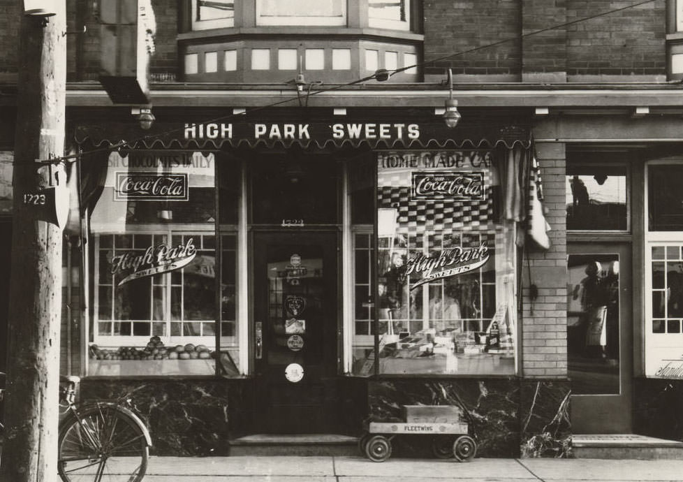
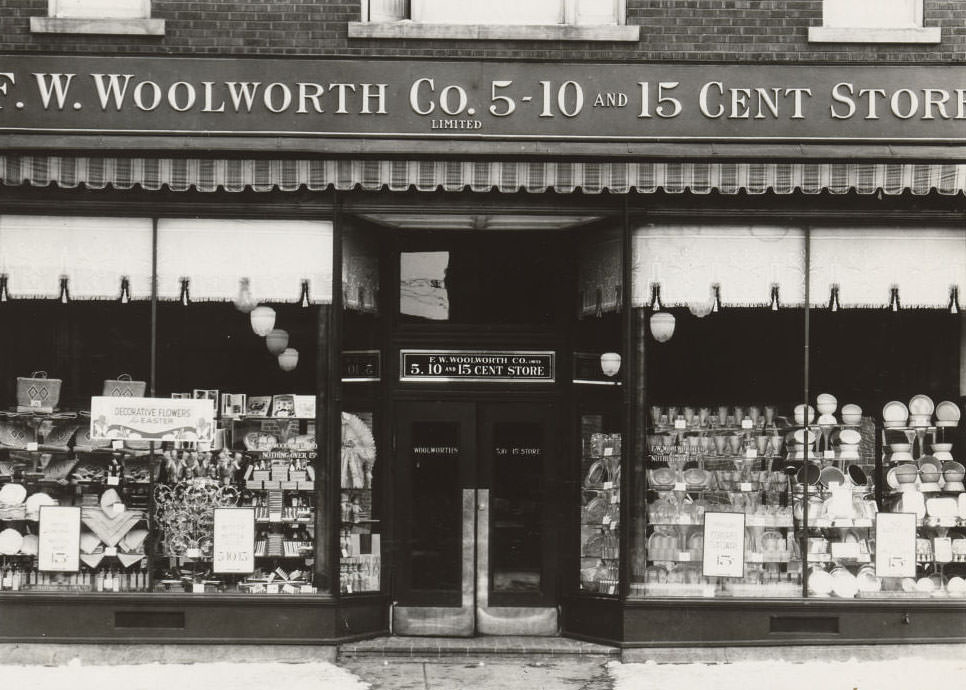
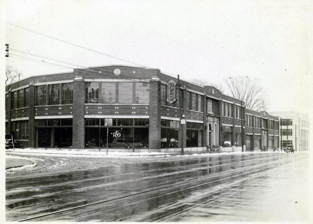
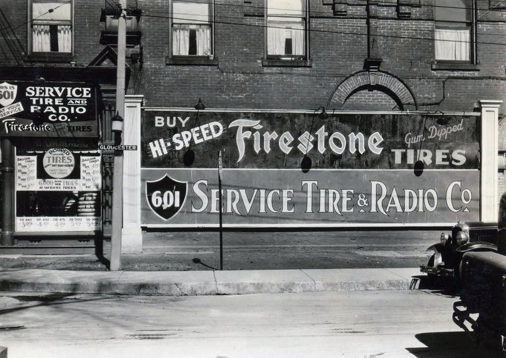
The Reliable Manufacturing Company Limited – Chiclets Chewing Gum, 1933. Carlaw Avenue and Dickens Street.The Reliable Manufacturing Company Limited – Chiclets Chewing Gum, 1933. Logan Avenue and Dickens Street.Looking southeast towards Yonge & St. Clair, 1933The Balfour building at the northeast corner of Spadina & Adelaide is the tallest building in this photo and is still there. View is looking southeast, 1933Bloor Street West, south side, at St. Thomas Street. View is looking south-east towards Bay Street, 1933Service Station, Green Flash Motor Oil, 1933Crown Dominion Service Station, Green Flash Motor Oil, 1933Bloor Street West, at Madison Avenue, north-west corner, 1933High Park Sweets – 1723-1725 Bloor Street West, 1933Woolworth, 1933William Wrigley Junior Company Limited delivery vehicle bearing a banner advertising Honey Yeast Chewing Gum, 1933REO Speed Wagon. Brand new home of a great truck and future name of a Rock’n’Roll band, south-east corner of Bay Street and Irwin Avenue, 1933Lever Brothers Limited factory, Eastern Avenue, 1933Yonge Street and Dundas Street East. View is looking south-east, 1934Bloor Street East, east of Yonge Street. View is looking south-east, 1933601 Yonge Street, at Gloucester Street, north-east corner facing Gloucester, 1933Church & Park looking northwest, 1933Church & Yonge looking northwest, 1933Davenport looking south. Yorkville fire hall peering behind the pole on the left, 1934Humber loop looking east, 1933
The extension of University Avenue was a defining infrastructure story of 1932. Before that year, the avenue terminated at Queen Street. The city pushed it south to Front Street, creating a grand processional road lined with government and institutional buildings. Photos from that year show the construction progressing block by block, with the intersection at University and King already taking shape as a major downtown crossroads.
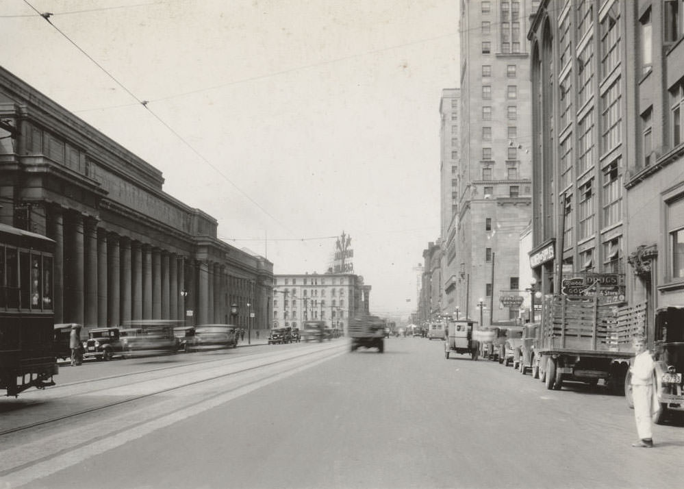
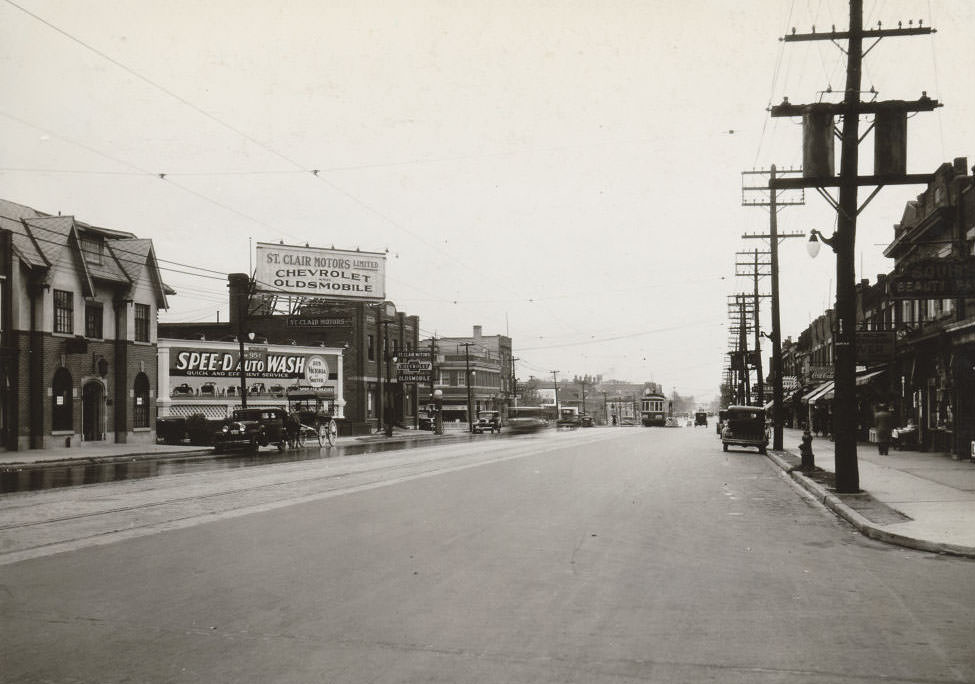
University looking northeast towards King Street, 1932In 1931 University Avenue only went south to Queen. Starting in 1932 it was extended south to Front Street. This photo shows the extension just south of Queen, 1932University & King looking east, 1932University & King looking west, 1932St. Clair Avenue West & Pinewood Avenue looking west, 1933Bay & Dundas looking southwest, 1933British-American Gasolene Service Station, Dundas Street East, at Bond Street, south-east corner, 1933
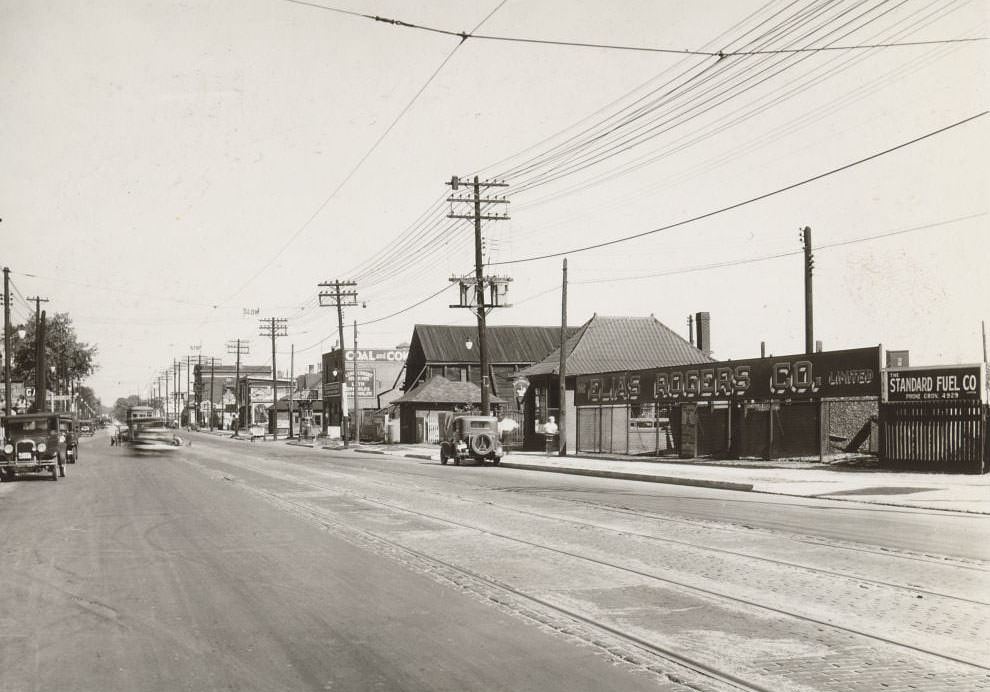
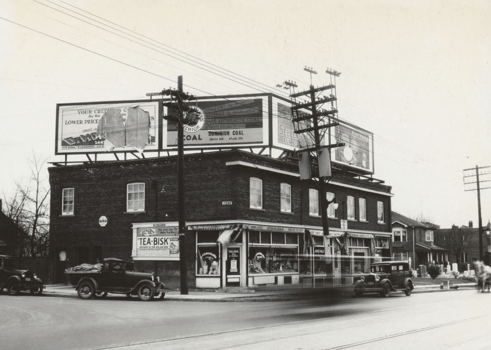
Coal and fuel merchants were an essential part of Toronto’s economy in the 1930s. The Elias Rogers Company operated from multiple locations, including a large site on Bathurst Street just north of Front, and another at 2647 Danforth Avenue. Dominion Coal and Wood Limited had its silos painted with massive advertising on Mount Pleasant Road at Merton Street. Heating a Toronto home through a winter meant depending on these companies.
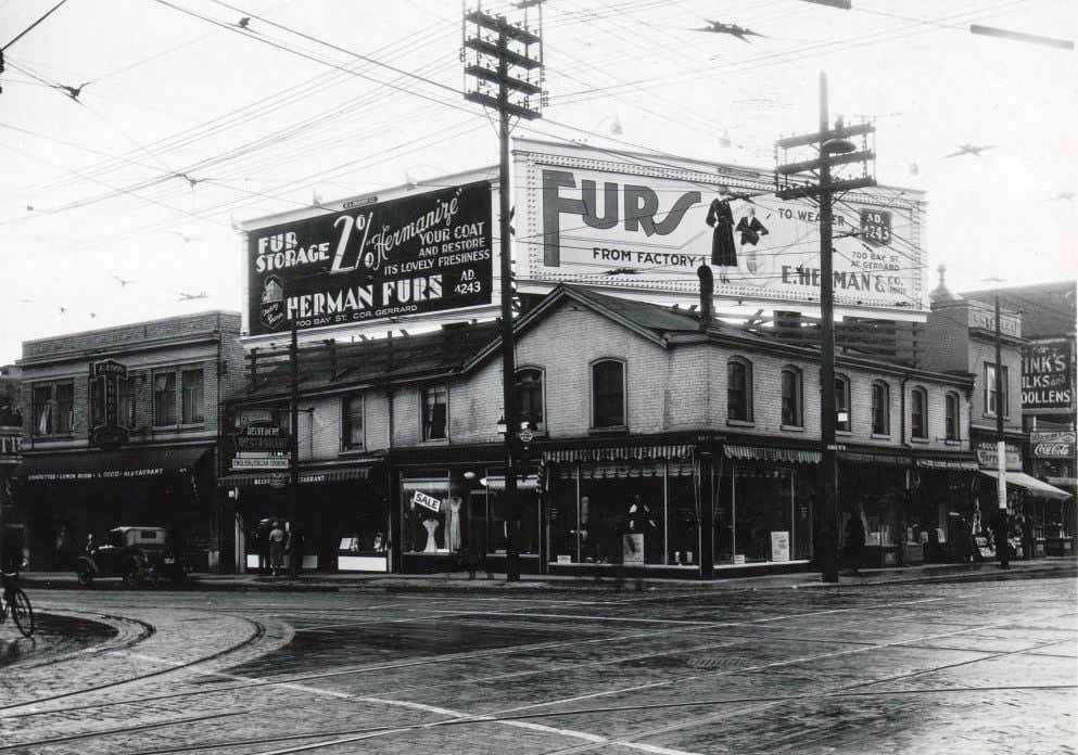
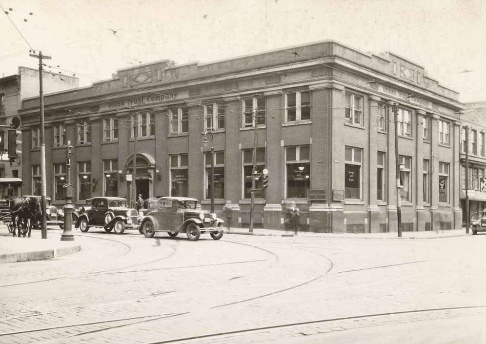
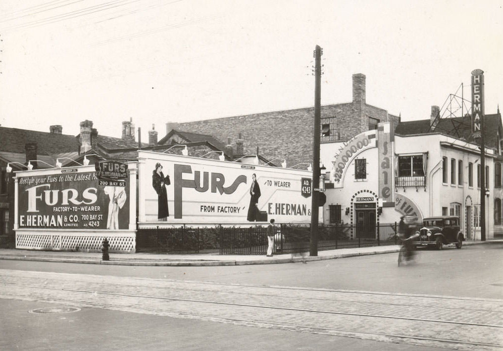
View from the back looking northeast – The Elias Rogers Company Limited – Bathurst north of Front Street, 1933The Elias Rogers Company Limited – 2647 Danforth Avenue, 1933The Elias Rogers Company Limited, located on the west side of Bathurst Street just north of Front, 1933Walker House Hotel, located at the south-west corner of Front Street West and York Street. View is looking west from Bay Street, 1933Lakeshore looking southwest towards Maple Leaf Stadium, Bathurst & Tip Top Tailor, 1933Crawford & Queen looking west, 1933Yonge & Charles looking southwest, 1933Yonge and Balliol streets looking southeast, 1933Simpson’s, 1933Simpson’s – Yonge Street, at Richmond Street West, north-west corner., 1933D’Allaird’s – 270 Yonge Street, 1933Union Trust Company Limited Building 105 Victoria Street, 1934700 Bay Street, at Gerrard Street West, south-west corner, 1933St. Clair Avenue West, west of Arlington Avenue. View is looking south-west, 1933
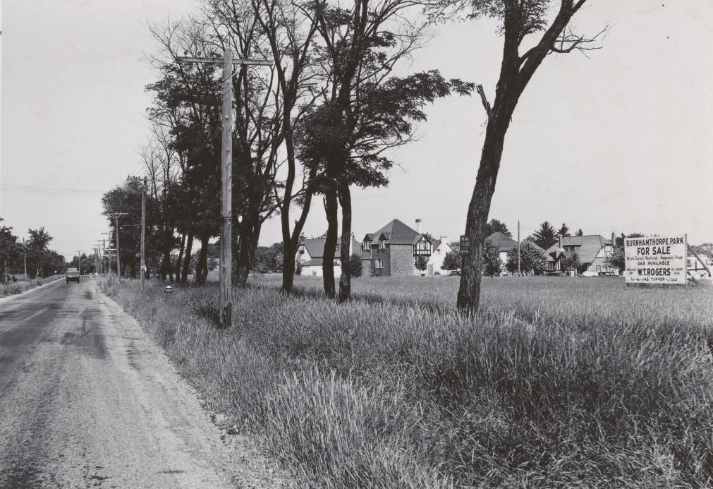
Toronto’s residential streets were slowly changing in the early 1930s. Bloor Street heading west toward Keele was lined with houses that would later be demolished when the subway was built. Neighbourhoods like Burnhamthorpe were still being developed in 1936, with only some homes completed. The city was growing outward even as its core dealt with the economic pressures of the Depression.
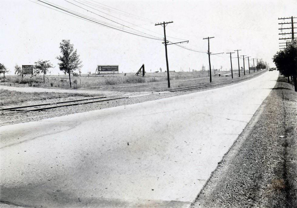
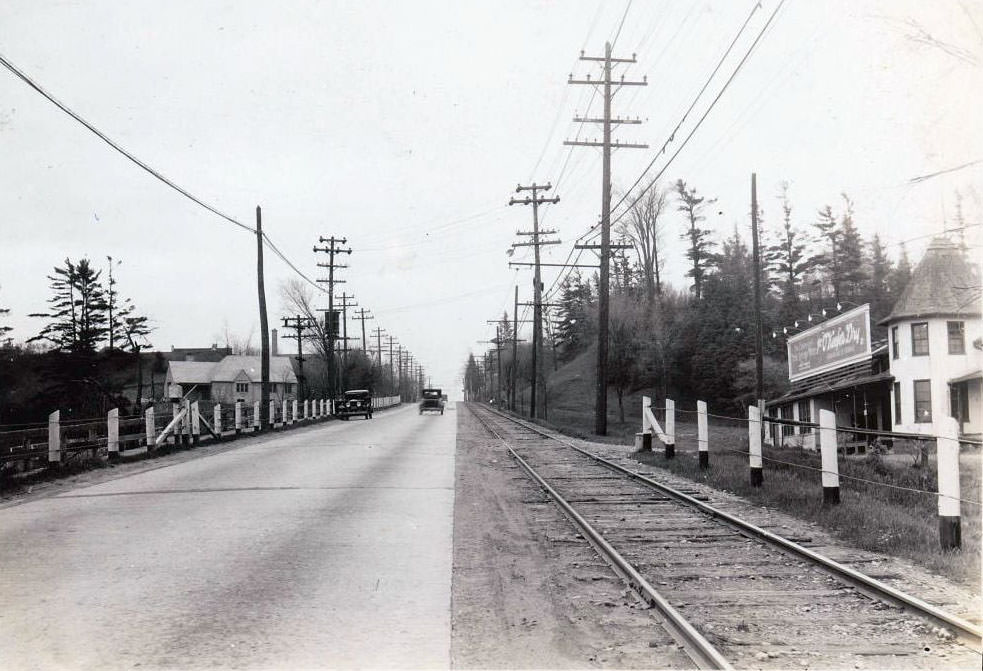
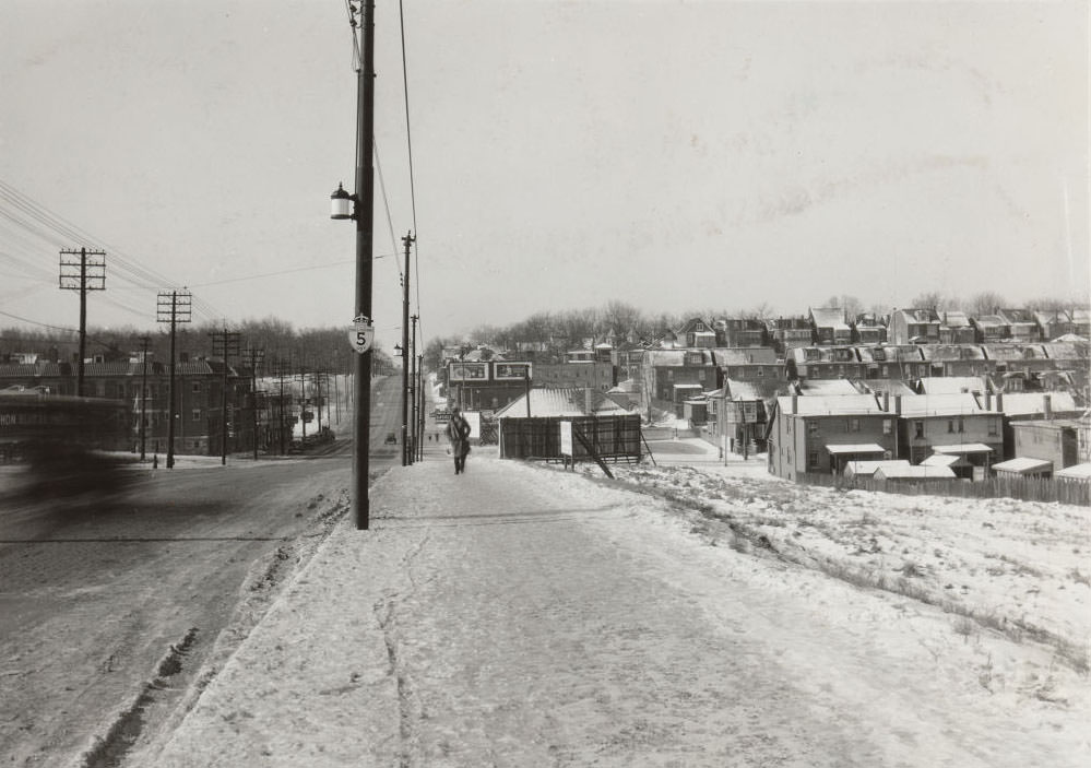
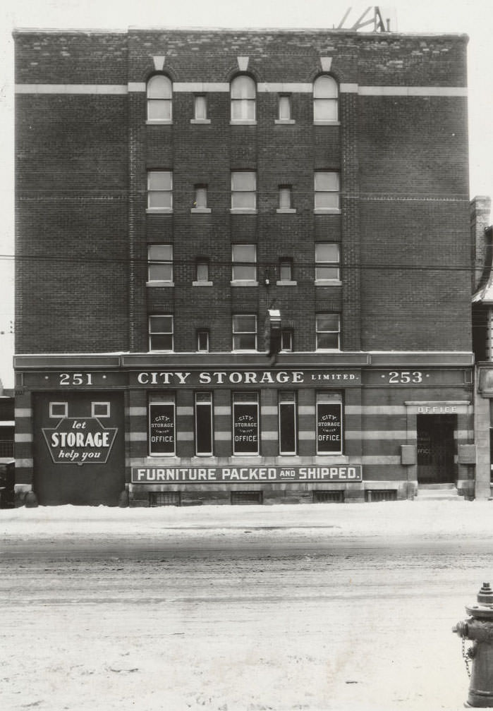
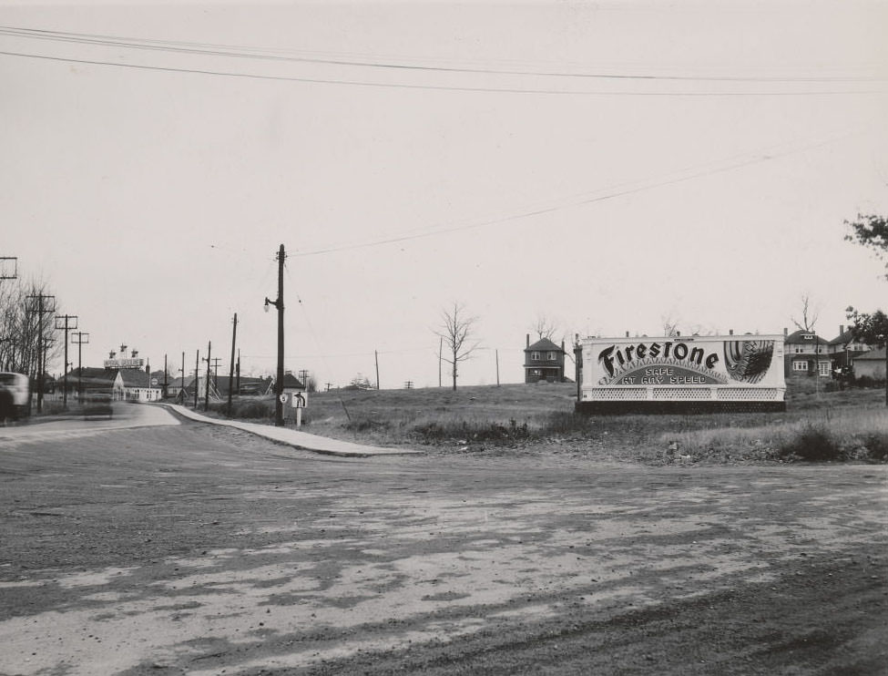
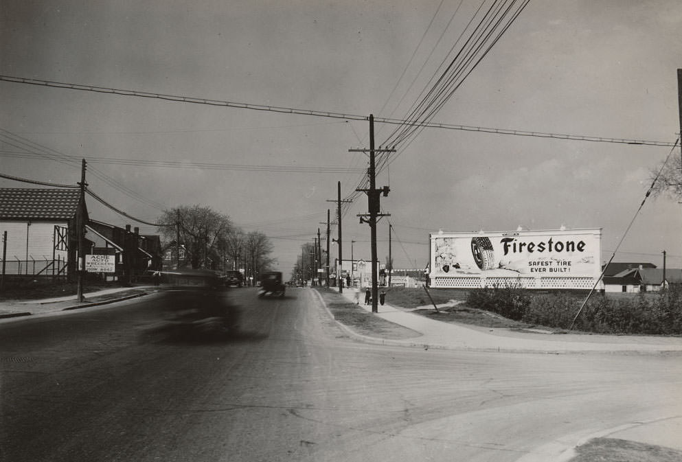
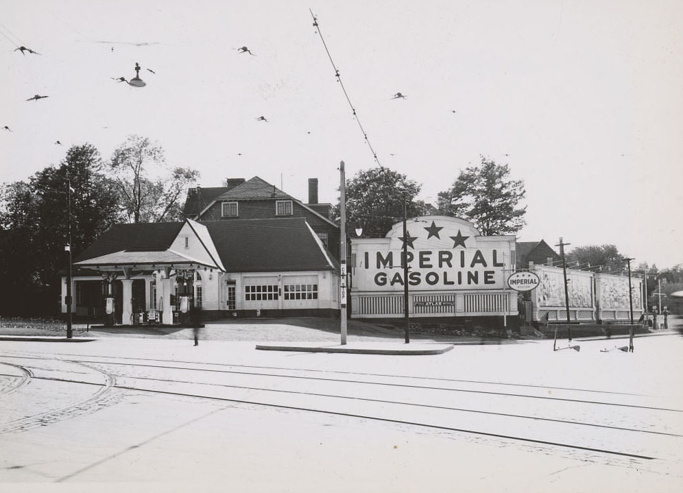
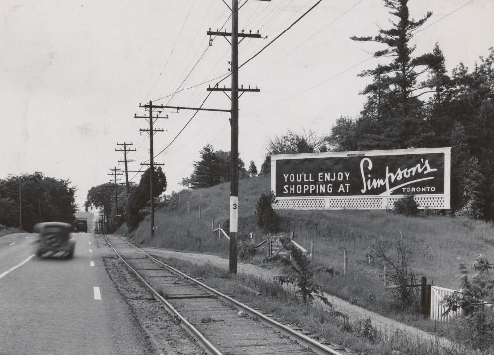
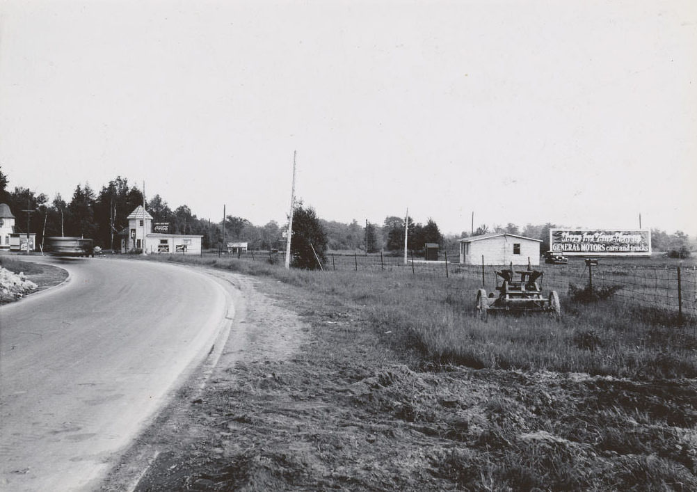
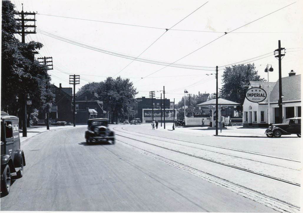
Bloor looking west towards Keele – Lot of the houses on the right were torn down when the subway went through especially on Keele, 1933251-253 College Street. This building was a storage locker place in 1930 right up until it was torn down in 2015Dundas Street East, east of Jarvis Street,1935Highway 5 again, 1930sLakeshore & Riverside looking east, 1935What streets , what direction, 1935Yonge Street, east side, north of Gloucester Street. View is looking south-east, 1935Tip-Top Tailors building, Lake Shore Road at Stadium Road. Maple Leaf Stadium is visible in the background. View is looking east, 1935Spadina & D’Arcy looking north, 1935University & Richmond looking north, 1935Acme Auto Wreckers – 3105 Danforth – looking west, 1935Lever Brothers Limited factory, Eastern Avenue – 1935Imperial Oil Limited Service Station, 1935Imperial Oil Limited Service Station – 1935Supertest Station – Lakeshore & Riverside (Now South Kingsway), 1935
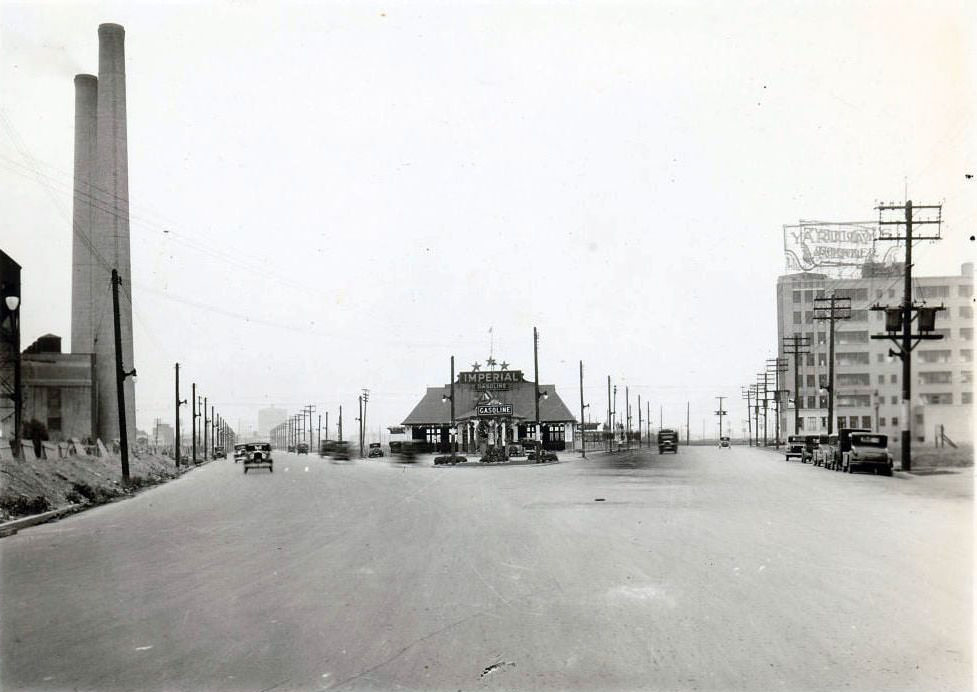
By the mid-1930s, Yonge Street north of the city centre was pushing deeper into suburban territory. Hogg’s Hollow, photographed from the Yonge Street lookout in 1936, showed how far the road stretched beyond the built-up urban core. Davenport Road near Avenue Road still mixed residential homes with commercial properties, including an Imperial Gasoline Service Station on the right side of the frame.
Stop 3 is listed as Sweeney’s Side Road. This view is looking south on Yonge St. to Hogg’s Hollow, 1936Nobody wants to have B.O. – Yonge & Bloor southeast corner, 1936Clarke’s Lunch Room, West Hill. Was located on the south side of Kingston Road at Beechgrove Drive in Scarborough, 1936.Davenport Road, east of Avenue Road. View is looking east. An Imperial Gasoline Service Station is on the right, 1936Burnhamthorpe Park. Some of the homes are built, 1936
Regent Park on Oak Street was one of the first ghettos in Canada, constructed during the depression era, and the area still remains poor after almost a century. The houses were poorly built, leading to residents freezing in the winter, and the streets were littered with garbage and rats. With no access to running water, the hygiene was poor, and most of the crime went unreported. This area was a pit, similar to Allen Gardens and the Garden District today. Farewell Oak St is a movie that depicts the harsh living conditions in this area.


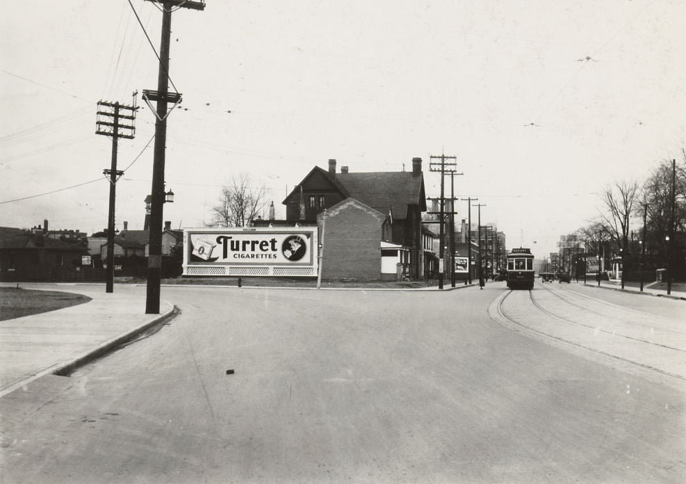
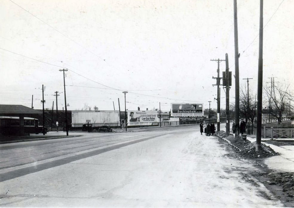
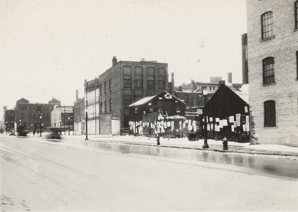
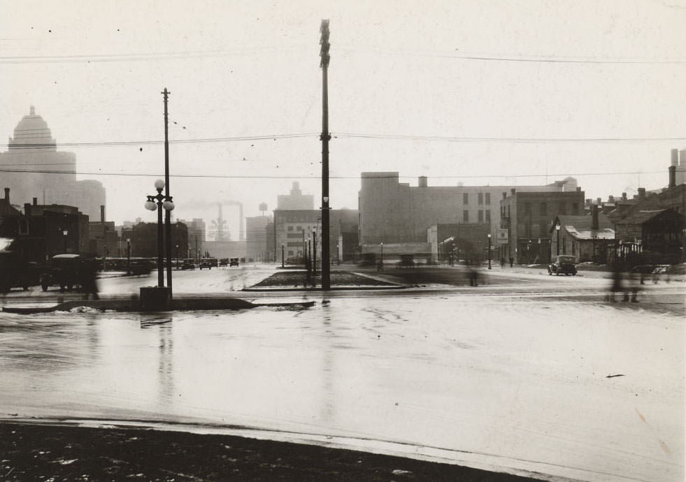





What’s with the obsession with oak street?
Regent Park on Oak Street was one of the first ghettos in Canada, constructed during the depression era, and the area still remains poor after almost a century. The houses were poorly built, leading to residents freezing in the winter, and the streets were littered with garbage and rats. With no access to running water, the hygiene was poor, and most of the crime went unreported. This area was a pit, similar to Allen Gardens and the Garden District today. Farewell Oak St is a movie that depicts the harsh living conditions in this area.
White bros probably
And people weren’t sleeping in parks in tents, no matter the ghettos we had. They also had lots of boarding houses.