
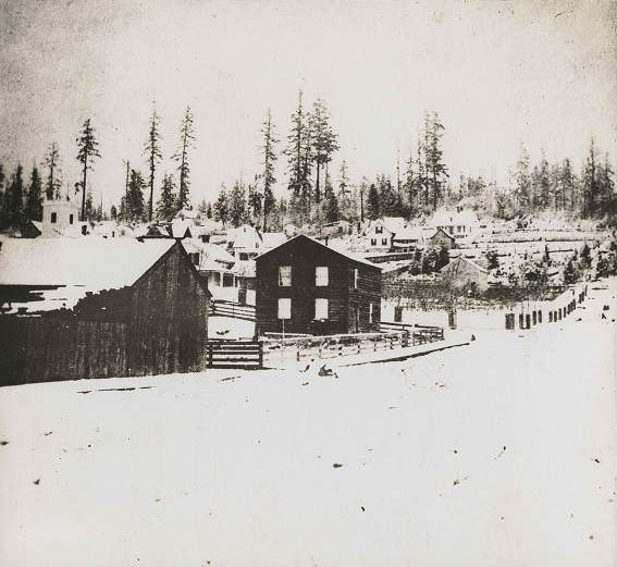
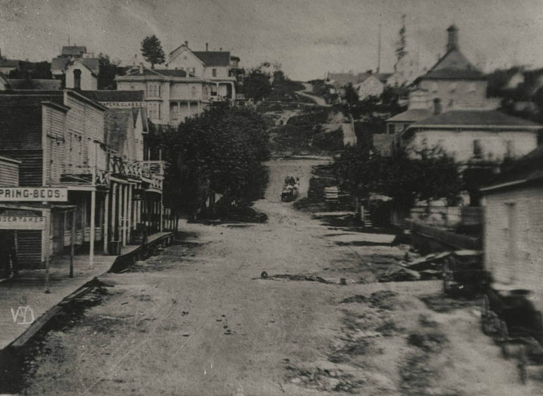
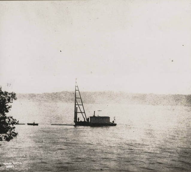
In the 1870s, Seattle was a young and rapidly changing city carving its identity out of the Pacific Northwest wilderness. Its economy was built on logging, with Henry Yesler’s steam-powered sawmill serving as the city’s main employer, while European immigrants arrived to work the nearby coalfields. Seattle had been incorporated in 1869, chosen as the site of the University of Washington in 1861, and was working hard to attract a major railroad connection to compete with its rival city, Tacoma. The photographs below offer a rare ground-level look at the streets, buildings, people, and daily life of Seattle during this formative decade.
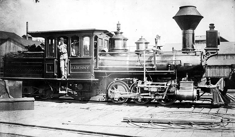
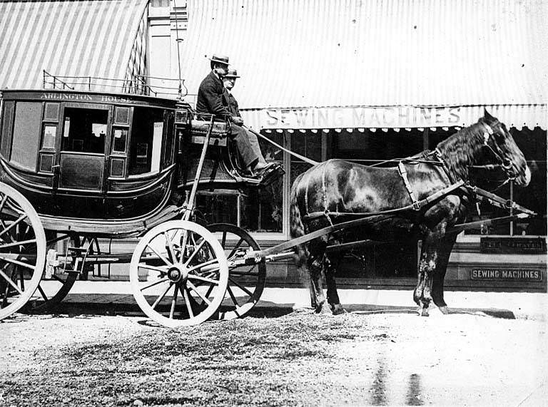
First hotel bus, The Arlington, 1879.
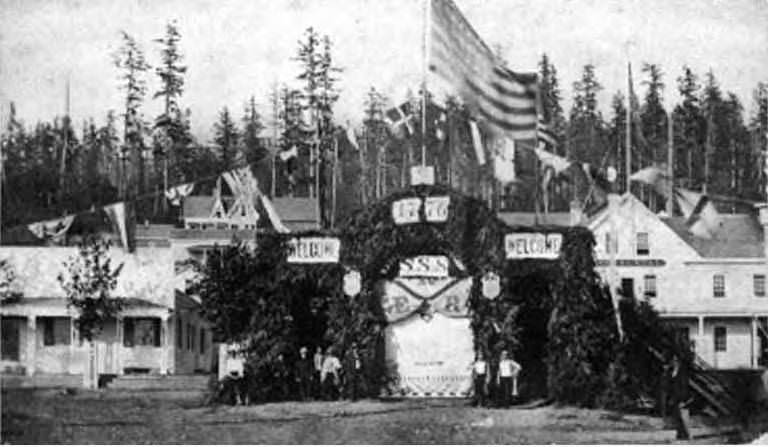
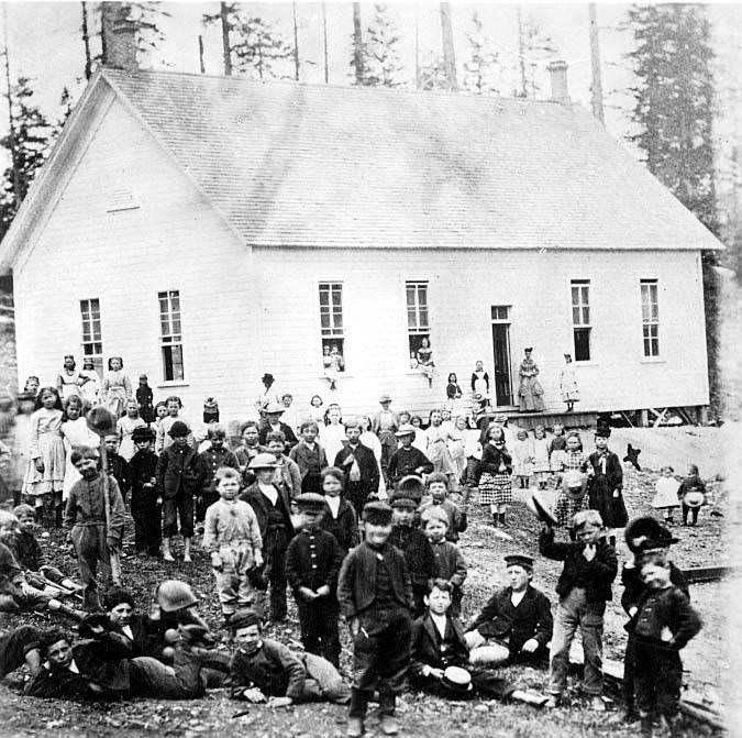
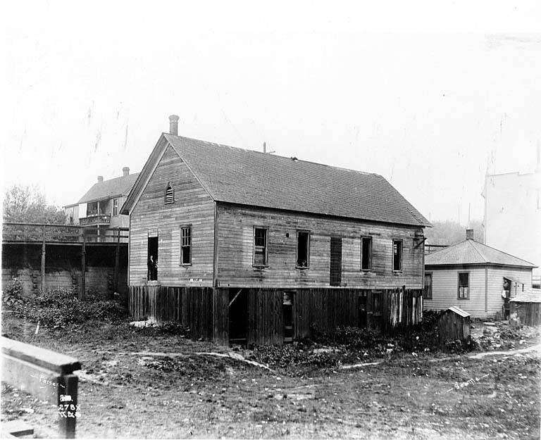
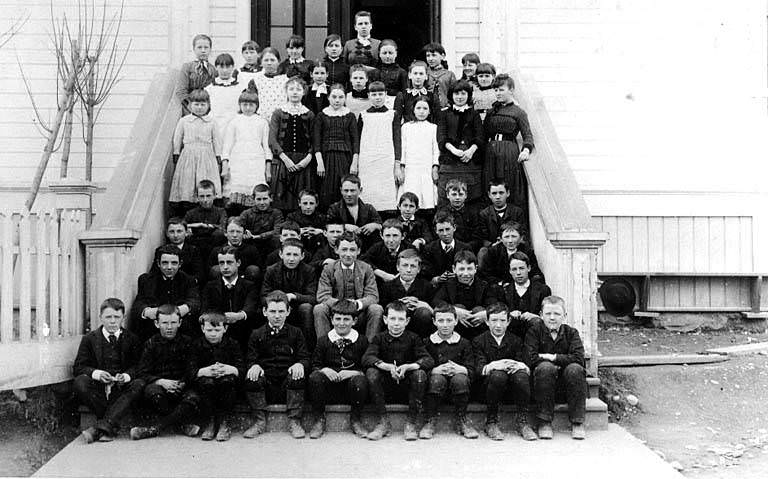
Old Sixth Street School, moved to south side, Marion St. and east of Seventh Ave.
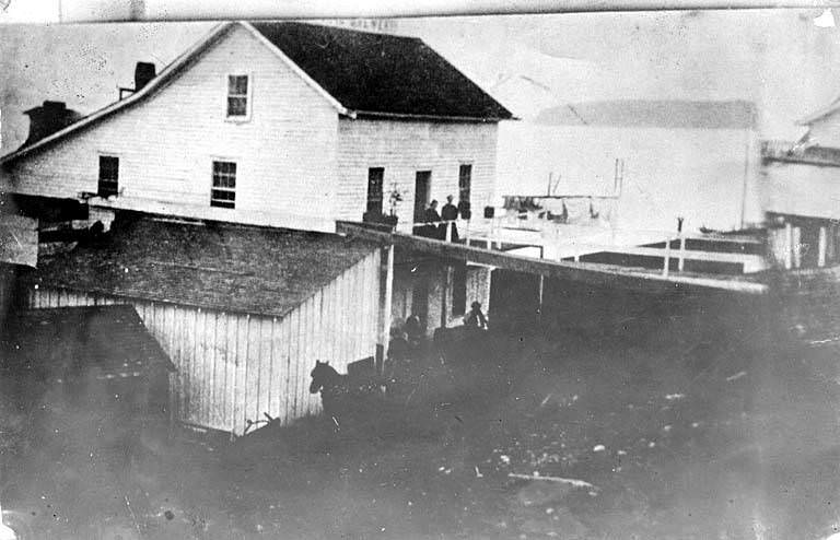
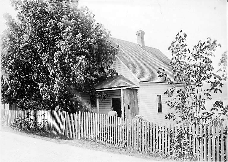
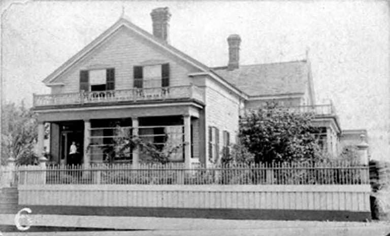
Residence on the site of Union Block. Kenneth Hotel location, 1st Ave. near Cherry.
Yesler St. from 1st.
![[Factually Corrected] 1st Ave. S. north from S. Washington Street, 1870](https://www.bygonely.com/wp-content/uploads/2021/11/seattle_late-19th_century_238.jpg)
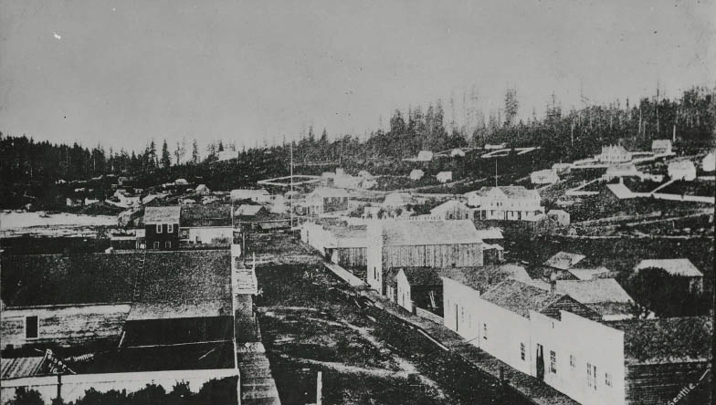
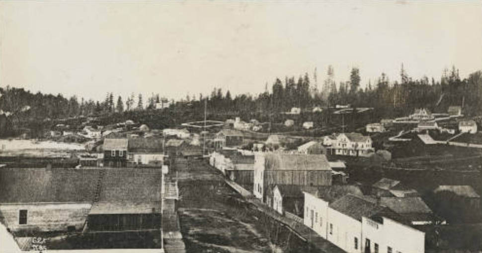
Looking north, just below Washington St. intersection. Right center: Occidental Hotel (with flagstaff). Above that: Dr. H.A. Smith house. Above that: C.C. Terry house (white fence and gables). Below right of Terry house: J. Collins house. Left of hotel: Hillory Butler house (small white). Center: first Masonic Hall (dark building). Above that: Methodist Episcopal Church (white church).

Fourth Avenue South and Park Avenue (Washington Street). Built 1866–1870. Enlarged 1883. First Catholic church in Seattle. Porch of Baxter house at left.
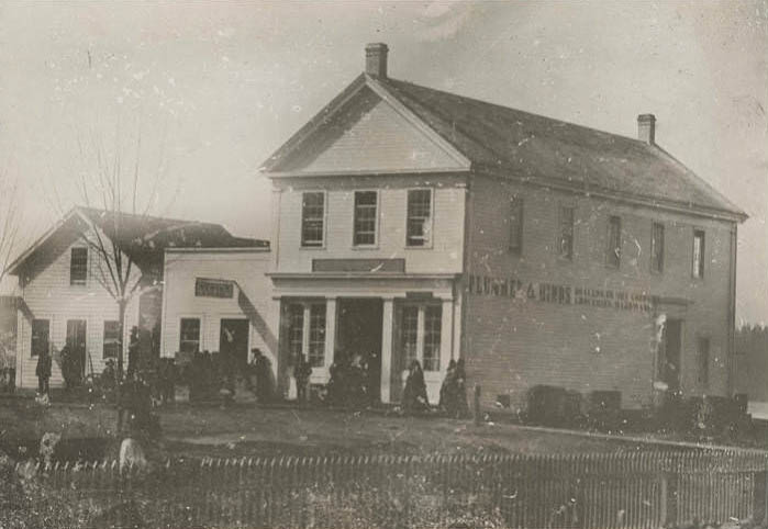
Later Plummer & Hinds, with post office in the store. Commercial and Main. Built 1859; destroyed by fire June 6, 1889.
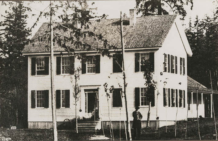
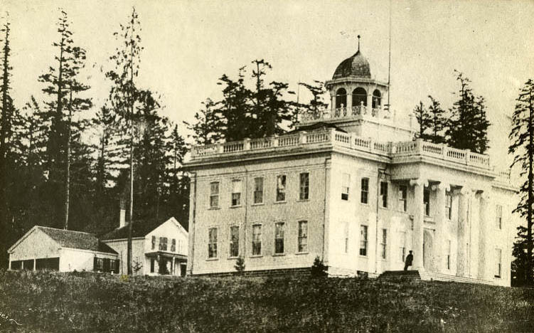
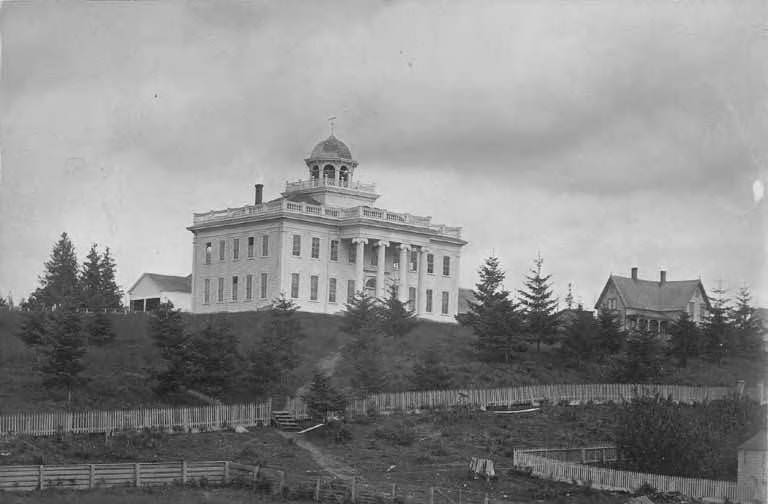
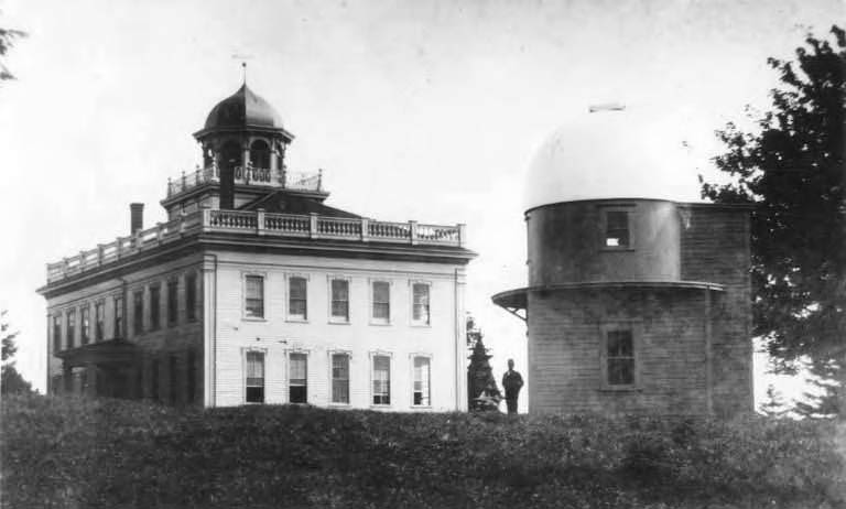
Territorial University, main building exterior. Fourth Avenue and University Street. Built 1861–1862. Demolished 1910. The columns are now in the Sylvan Theater on the University campus.
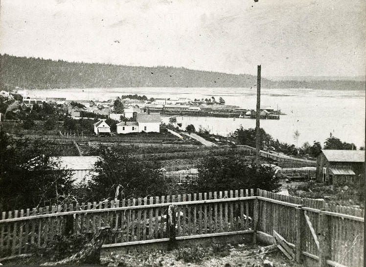
From Second Avenue and Pike Street, 1870. 1. A.A. Denny house. 2. Yesler’s mill and wharf. 3. Front Street. 4. Union Street.
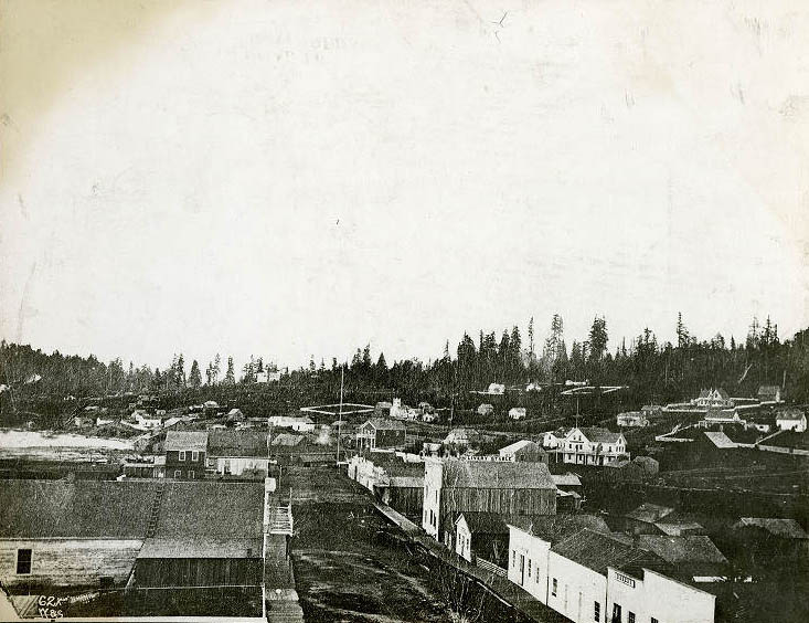
Looking north, just below Washington Street intersection. Center right side: Occidental Hotel (with flagstaff). Above that: Dr. H.A. Smith house. Above that: C.C. Terry house (white fence and gables). Below right of Terry house: J. Collins house. Left of hotel, left side: Hillory Butler house (small white). Center right side: first Masonic Hall (dark building). Above that: Methodist Episcopal Church (white church).
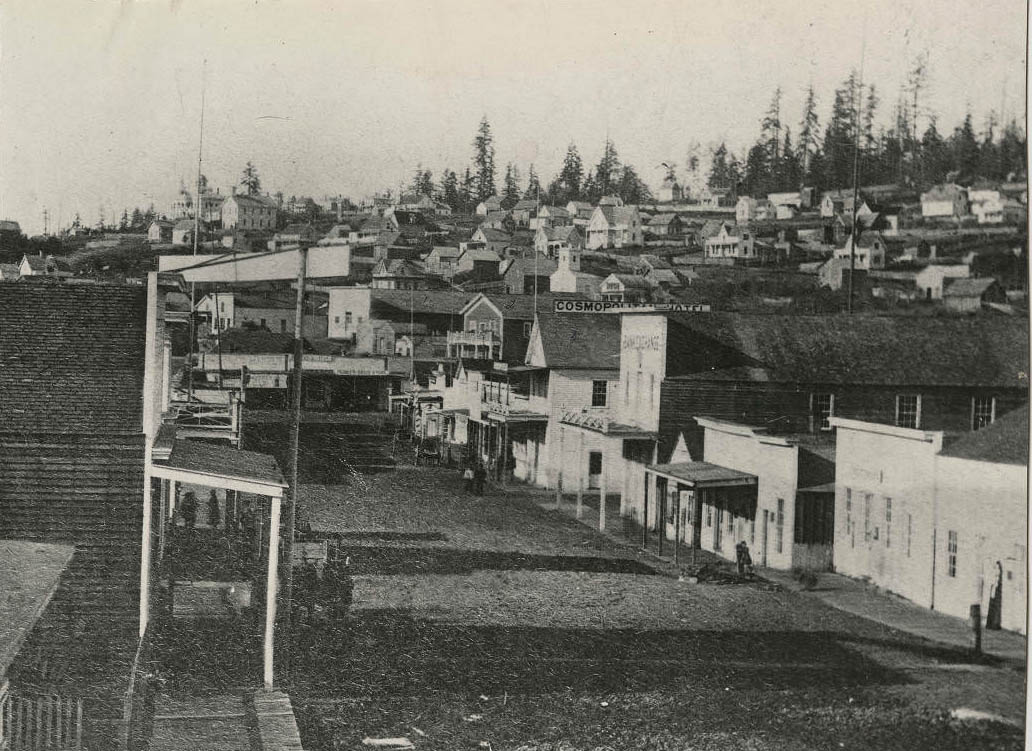
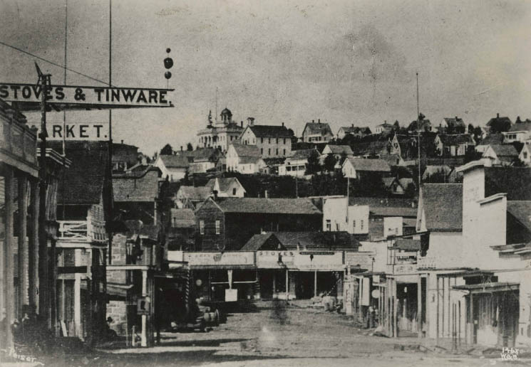
View looking north on Commercial Street from Cherry Street, showing Yesler’s Hall, the Masonic Hall, the Cosmopolitan Hotel (later the Esmond Hotel), and Pioneer Drug Store. The Central School can be seen in the distance on the left side.
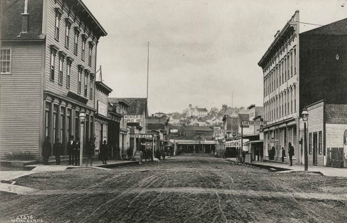
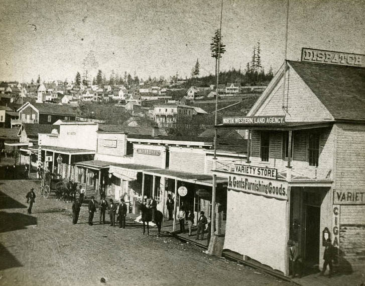
East side between Washington Street and Main Street. On verso: Pinkham’s Variety Store, Levy’s Pawn Shop, Eureka Bakery. Wyckoff home (with veranda), S.E. corner of Second Avenue and Cherry Street. Dick Atkins home (above that). Pinkham’s Variety Store, Levy’s Pawn Shop, Eureka Bakery. Wyckoff home (with veranda), S.E. corner of Second and Cherry. Dick Atkins home (above). J.M. Colman’s home above that.
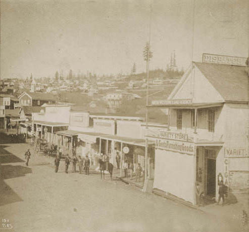
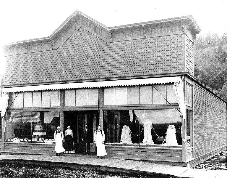
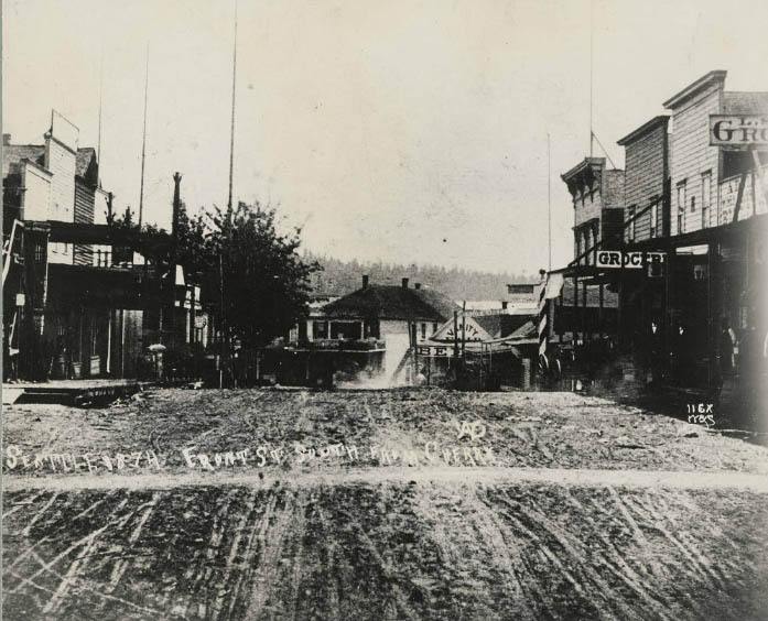
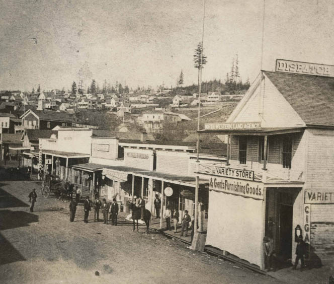
Commercial St. (now 1st Ave. S.) north from S. Washington St. Businesses depicted include the Northwestern Land Agency, Pinkham’s Variety Store, and Eureka Bakery.
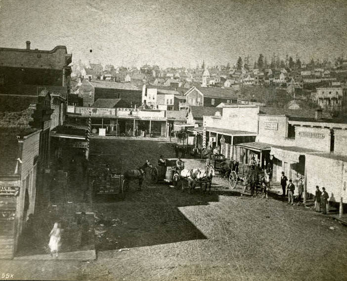
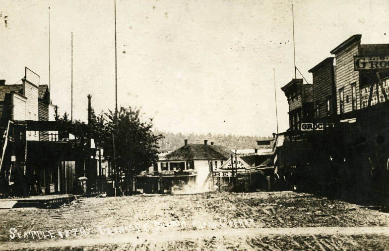
Looking south from Cherry Street. 1. Sanders Block. 2. Vanity Fair beer hall. 3. Western Union Telegraph Office.
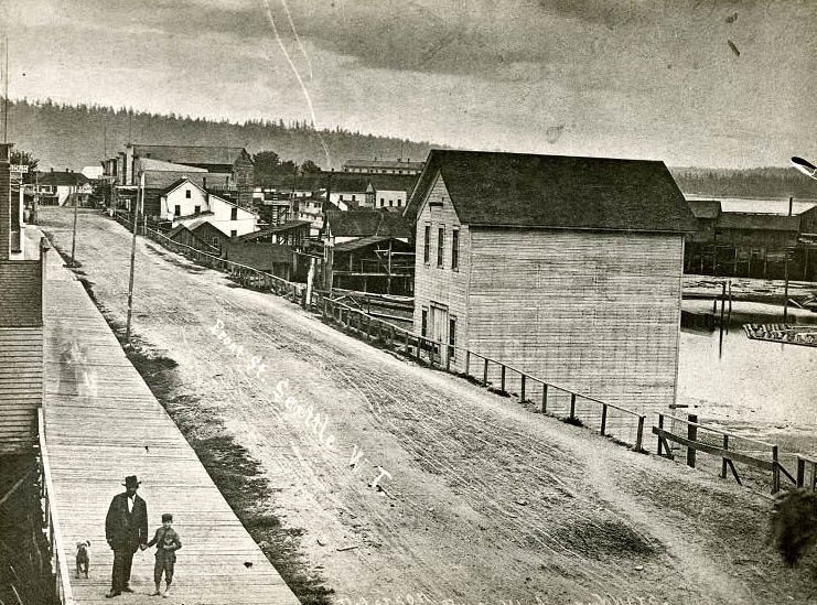
Looking south from Madison Street. A.W. Piper and son, Walter, in foreground. 1. Occidental Brotherhood Building. 2. Schmeig’s Brewery.
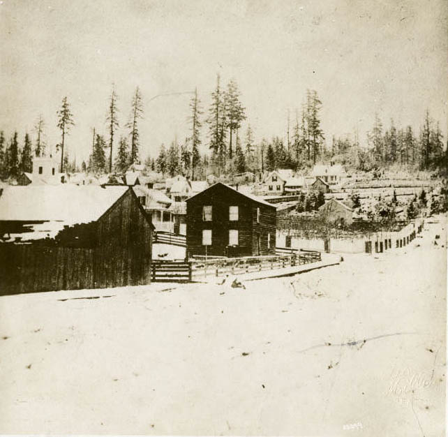
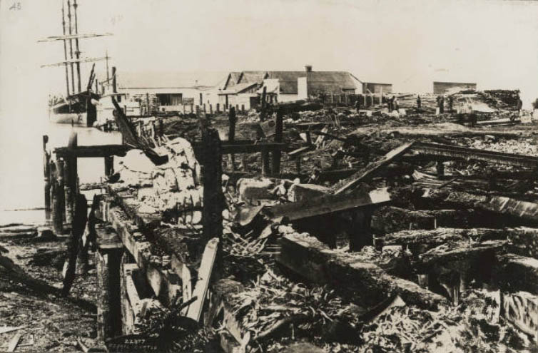
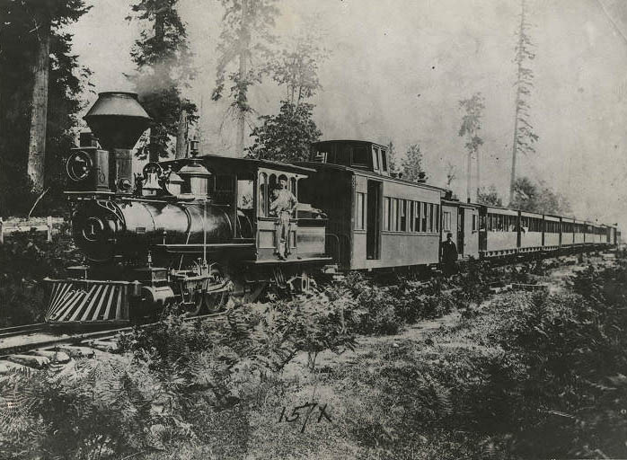
Seattle and Walla Walla Railroad. First passenger train, 1877. Initial trip between Seattle and Renton, March 7, 1877.
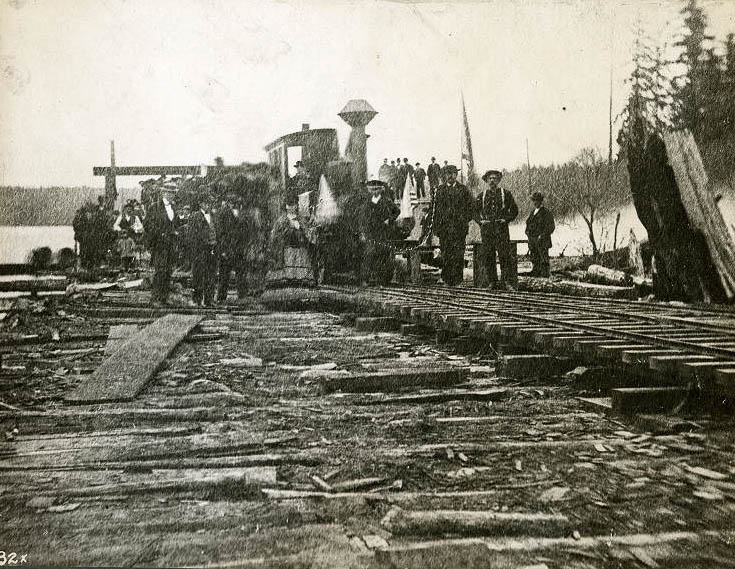
First train coming in from Lake Union on Seattle’s first railroad. December 25, 1871. South end of Lake Union. Tracks followed what is now Westlake Avenue.
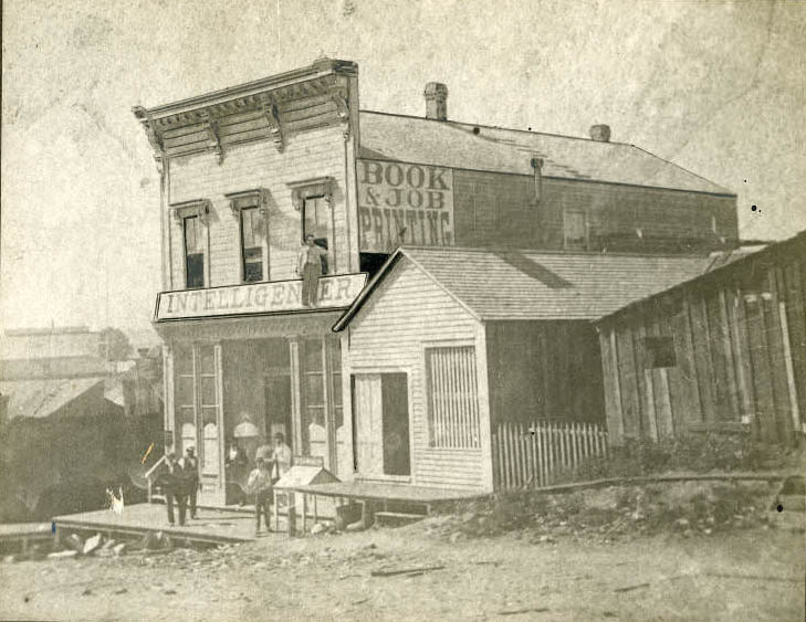
Constructed by Henry Yesler in 1874, this building served as an office for the Seattle Intelligencer newspaper, which would later become the Seattle Post-Intelligencer.
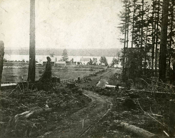
John J. McGilvra house exterior, Laurel Shade Road. Built 1864, destroyed by fire 1933. Laurel Shade Road runs along the present-day path of 43rd Ave. E., as seen in the 1905 and 1912 Baist Atlases.
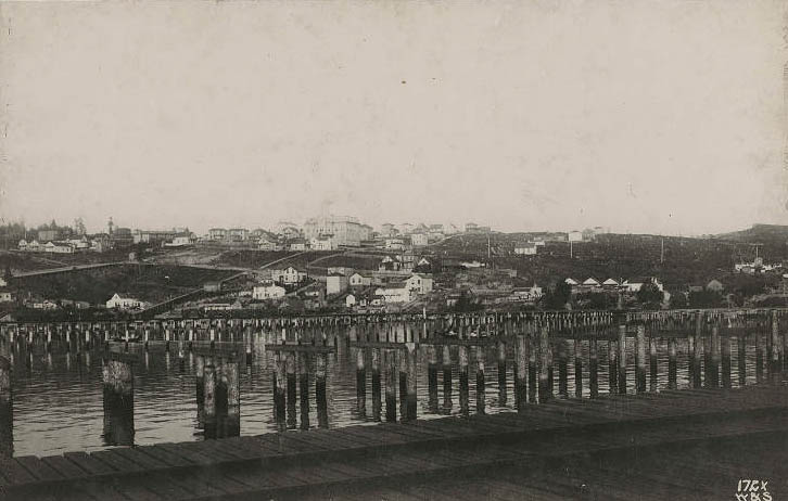
Wharves at foot of King St. and Weller St. Academy of the Holy Names at center background.
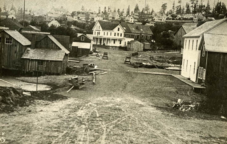
Front Street (1st Ave.) and James Street. Built 1865; demolished about 1883. As seen from Occidental Ave. and Main St., 1872. 1. Mrs. Francis Guy’s boarding house. 2. Occidental Hotel. 3. A. Slorah’s saloon.
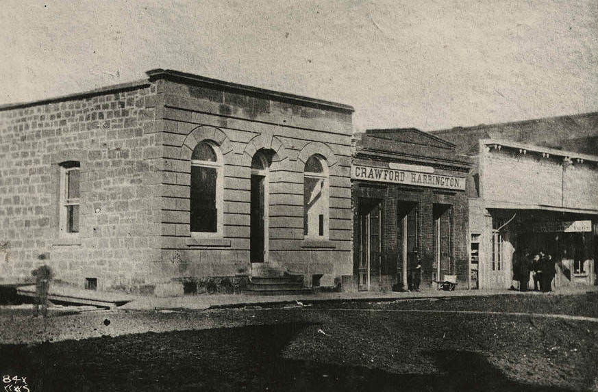
Phillips, Horton and Co. Bank. Commercial St. and Washington St. Built 1875; gutted by fire June 6, 1889. Crawford and Harrington, ship chandlers, at right.
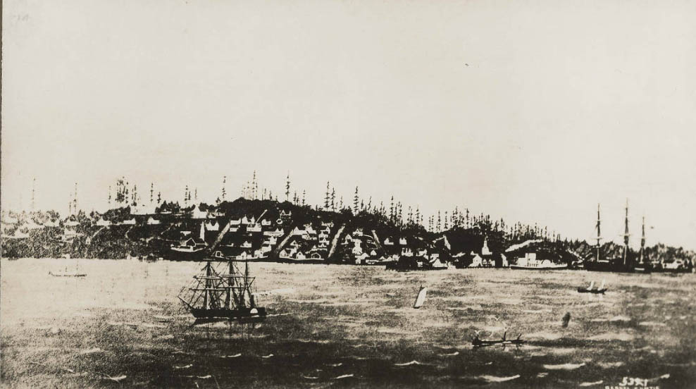
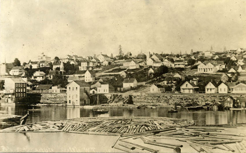
Showing Front Street from Madison Street to Columbia after regrade. Looking northeast from Columbia Street.
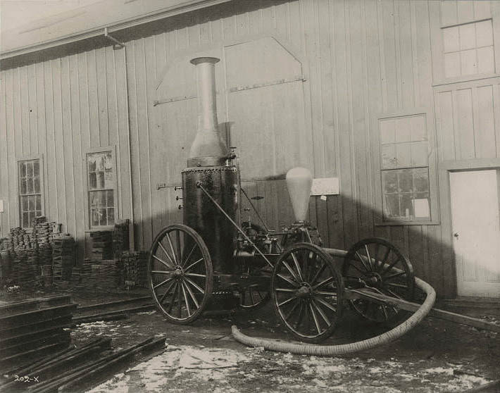
![South School [later called Main St. School], 1875](https://www.bygonely.com/wp-content/uploads/2021/11/seattle_late-19th_century_274.jpg)
South School (first), 6th and Main. Built 1873 and called South School; name changed to Main Street School in 1889. Frame construction. View from right side and back. Retouched from the original. This rare picture is a close-up photograph of the original South School on Main Street, which was then the stage road leading to Leschi Park on Lake Washington. At that time, the shoreline of the bay was less than a block away.
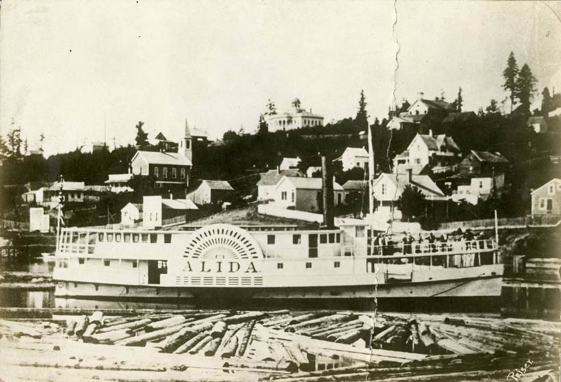
Steamer Alida at wharf at foot of Columbia Street, 1870. Built in Seattle in the 1860s. Ran the Seattle to Victoria route; burned at Gig Harbor in the 1890s. First Methodist Protestant Church (the “Brown Church”) at left.
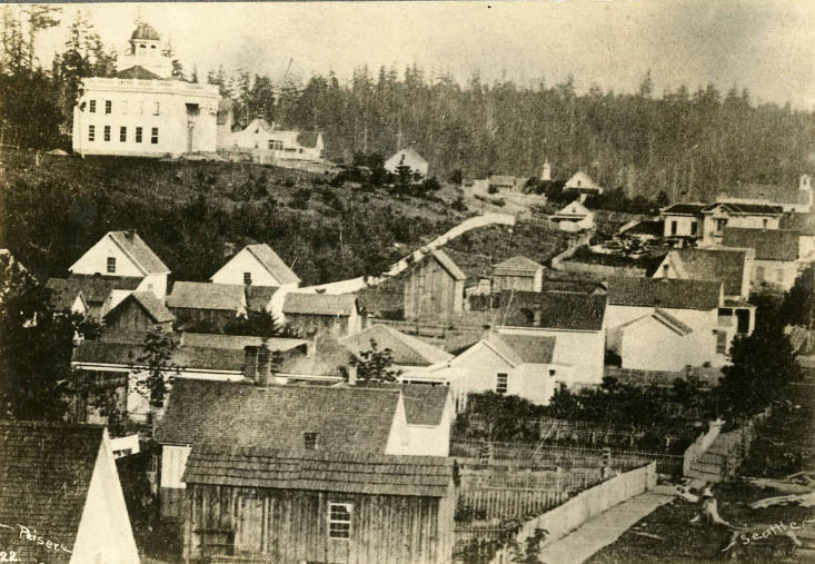
Territorial University, main building exterior. Fourth Avenue and University Street. Built 1861–1862, demolished 1910. John Pike, architect. Photo was taken from Third Avenue and Pike Street.
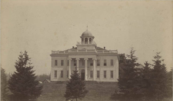
The main Territorial University building was constructed in 1861.
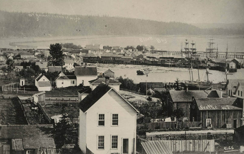
From 1st Ave. and Pike St., 1878. Looking south. Photo by Theodore E. Peiser. Center background: Arlington Hotel. Yesler’s mill and Yesler’s dock. Wreck of bark Windward in front of dock. M.R. Moddock’s building, left in front of trestle. R.H. Denny home, north side of Union St. A.A. Denny home, south side of Union St. Young Naturalists’ first home, rear of A.A. Denny home.
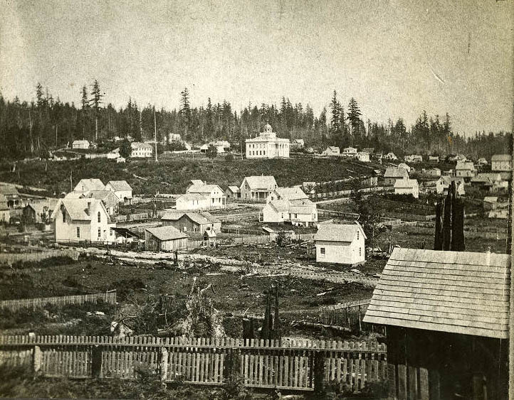
From Second Avenue and Pike Street, 1870. Looking southeast. 1. Territorial University. 2. Andrew W. Piper house.
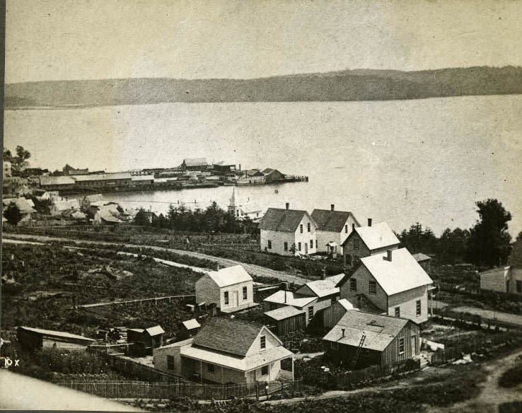
From Third Avenue and Seneca Street, 1875. Looking southeast from roof of Territorial University. 1. Yesler’s mill and wharf. 2. Harrington and Smith’s dock. 3. “Brown” church. 4. Thorndyke house. 5. Robert Moran house. 6. Irving Ballard house. 7. Sandow house. 8. Steamer Zephyr.
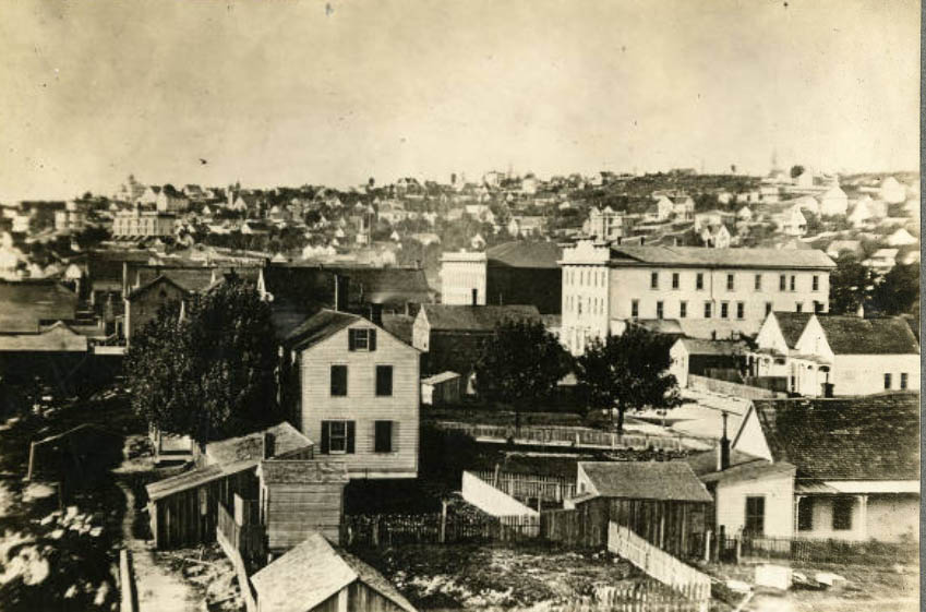
Looking north. 1. Felker house. 2. Carkeek house. 3. Arlington Hotel. 4. Squire’s Opera House and New Brunswick Hotel.
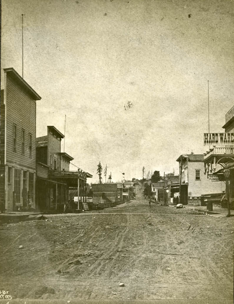
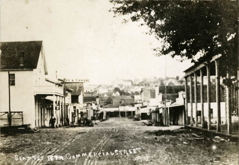
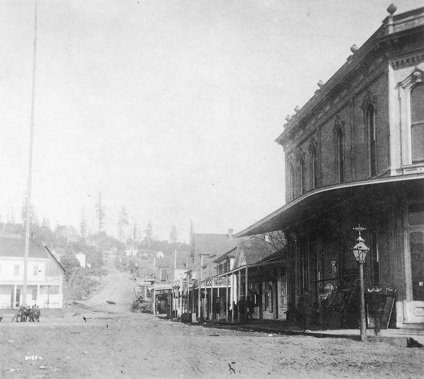
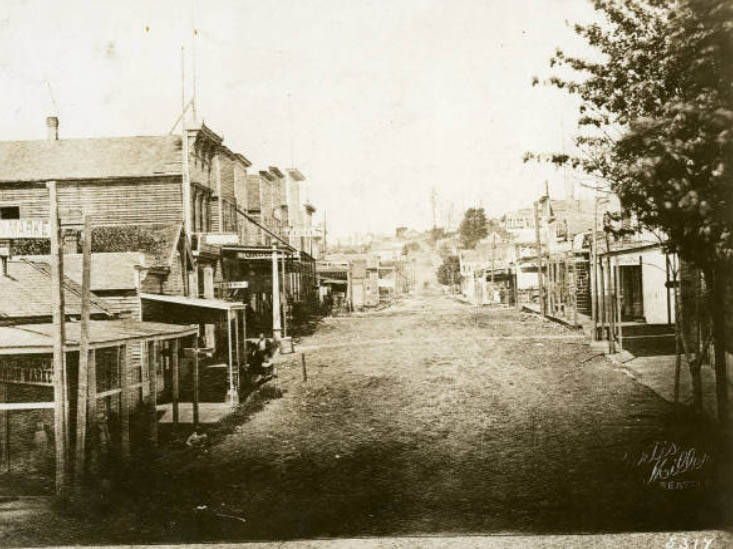
Commercial Street (1st Ave. S.), 1874. Looking north from Main Street. 1. New England House. 2. Arlington Hotel.
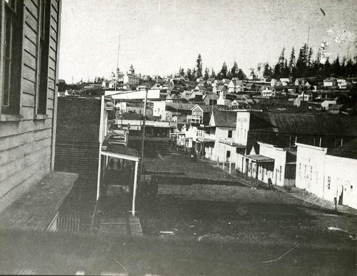
Commercial Street (1st Ave. S.), 1876. Looking north from Main Street. 1. Yesler’s Hall. 2. Masonic Hall. 3. Cosmopolitan Hotel (later Esmond Hotel).
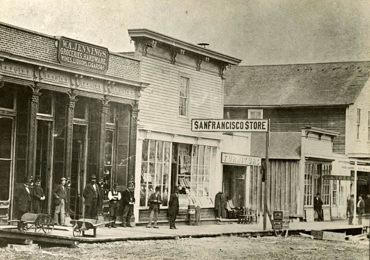
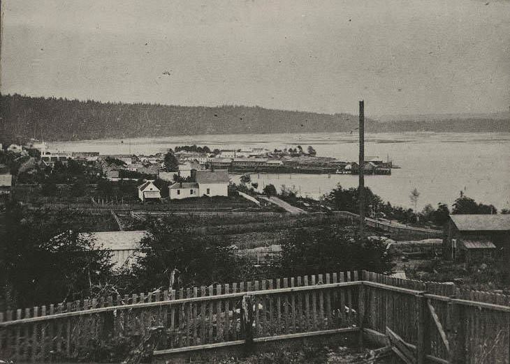
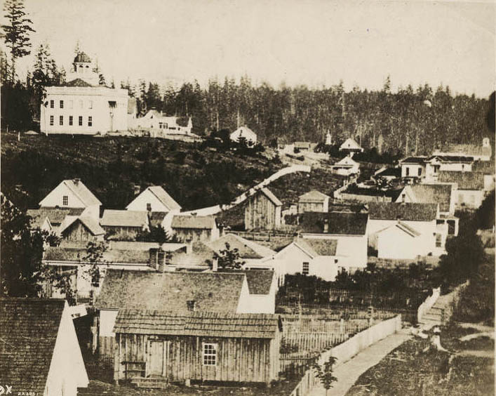
The Territorial University, built in 1861, appears on the left at 4th Ave. and University St.
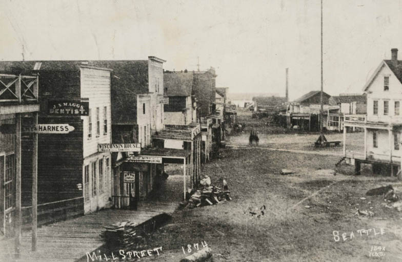
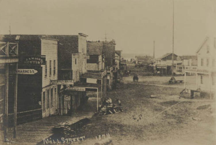
View of Mill Street looking west from Second Avenue. J.S. Maggs, dentist, the Wisconsin House, Hop Sing Laundry, Yesler’s mill, and Occidental Square are depicted.
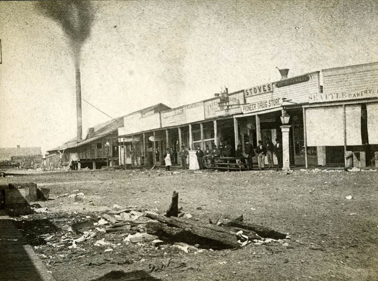
Looking west from Front Street. 1. Yesler’s mill. 2. News and Book Depot. 3. City Market. 4. Matthew A. Kelly’s Pioneer Drug Store. 5. Seattle Bakery.
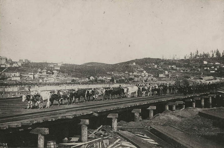
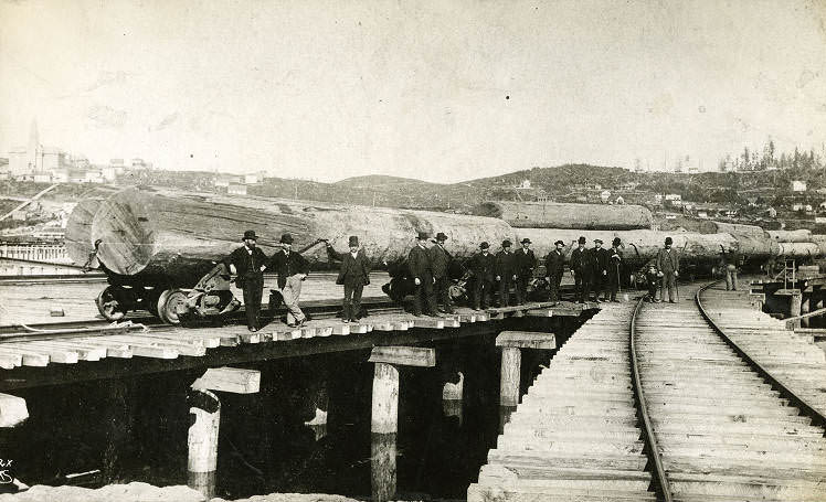
1. Academy of the Holy Names. 2. Beacon Hill.
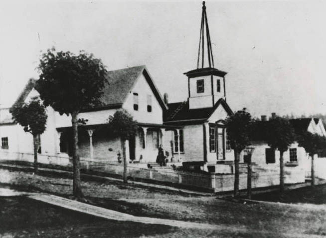
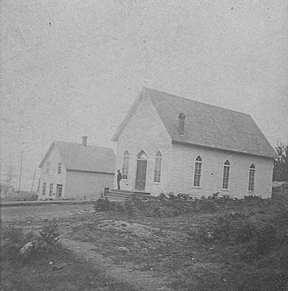
First Methodist Episcopal Church. Southeast corner of Second Ave. and Columbia St. Built 1854–1855 by Henry Adams; demolished 1898.





Generalizing about Seattle’s history can be difficult, but perhaps none more so than the 1870s. This decade began with a building boom and saw one of the largest population increases in Seattle’s history. Despite large parts of the city still covered in old-growth forest in 1870, by 1880 most of it had been cleared for construction, leaving behind stumps and ash. During the latter half of the decade, significant street improvements were made, including the planking of Mill Street in 1875 and the regrading of Front Street in 1876, which continued through 1878. However, by 1879, the local economy had stalled and was in disarray, with the logging industry having collapsed and most of the larger mills closing due to a lack of demand.
I hope it didn’t rain too much back then, as those streets would have become incredibly muddy.
I love looking at the photos thanks for sharing
I know it is probably mostly just the photos, but so many of the buildings look uncomfortably unlevel / crooked.
It has always been a gloomy town.