
Saskatchewan joined the Canadian federation on September 1, 1905, making it one of Canada’s newer provinces at the turn of the century. Situated deep in the heart of western Canada, it holds the distinction of being the country’s only fully landlocked province, sitting far from any large body of water that could soften its climate. When it first became a province, roughly 19,200 families already called it home. That number exploded over the following decade as settlers poured in from across Europe and the United States, drawn by the promise of open land and new beginnings.
The Liberals won the first provincial elections in 1905 and quickly set about building the infrastructure a growing province needed. One of their most significant early moves came in 1909, when the Saskatchewan government purchased the Bell Telephone Company outright, placing communications directly under public control. That same year, the government began issuing bond guarantees to railway companies to fund the construction of branch lines, threading the province together and opening up remote farmland to commerce.
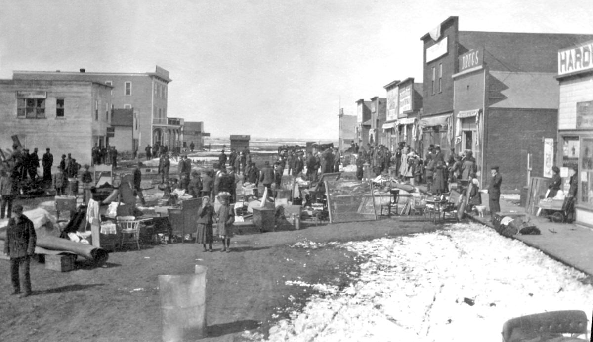
Small towns like Langham were springing up across the province during this period, each one anchored by a railway stop and surrounded by farmland being broken for the first time. By 1910, a large wave of immigrants had arrived, and the visual character of Saskatchewan’s towns began to take shape — wooden storefronts, dirt streets, and the constant hum of construction.
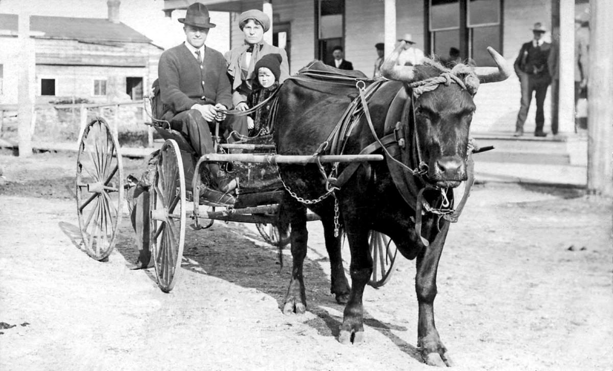
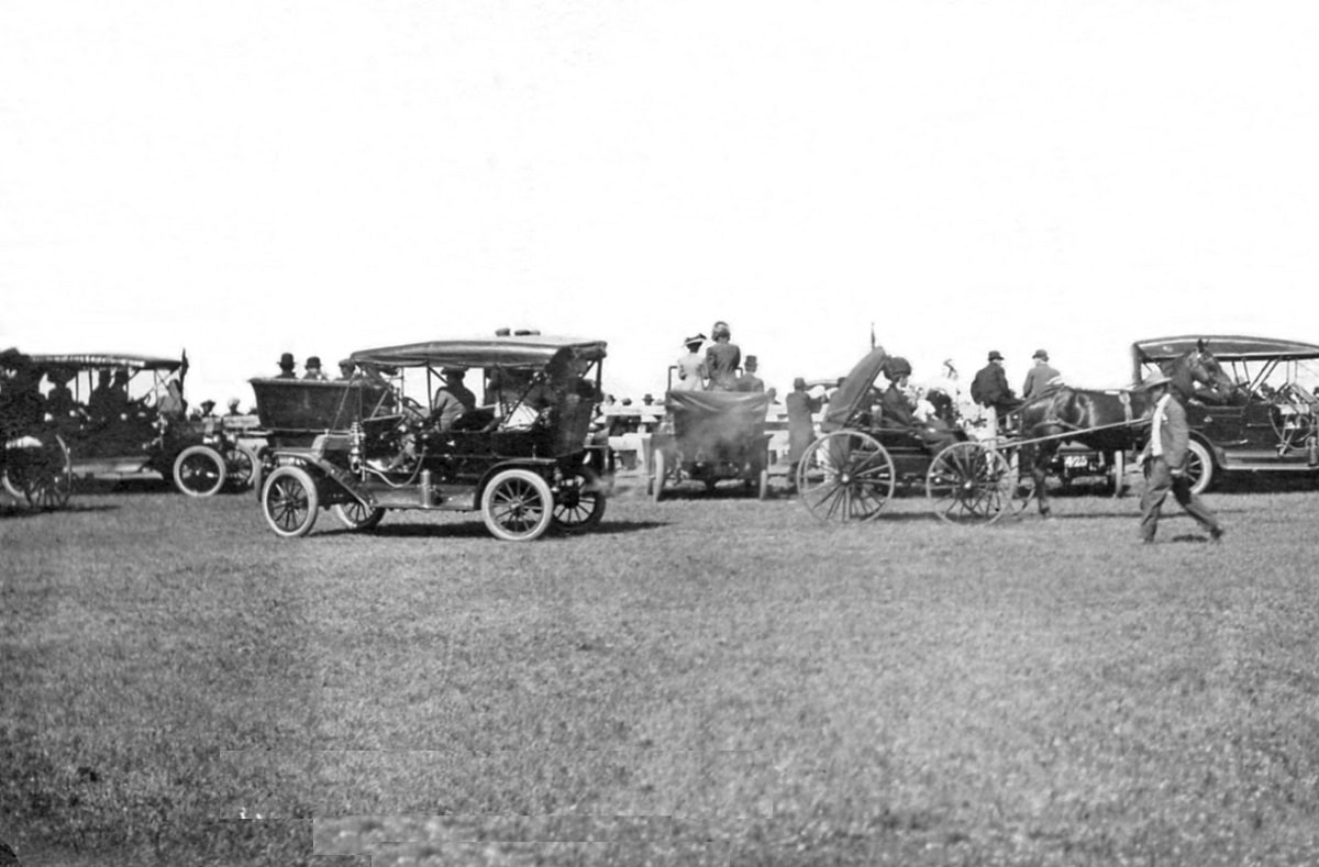
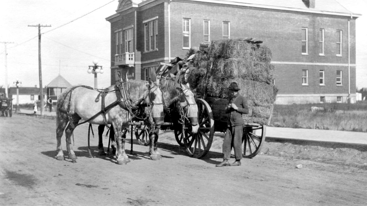
For most families, horse-drawn transport was still the primary way of getting around. The carriage was a symbol of modest but stable settlement life. Towns like Humboldt in central Saskatchewan became regional hubs, serving the farmers and homesteaders scattered across the surrounding plains.

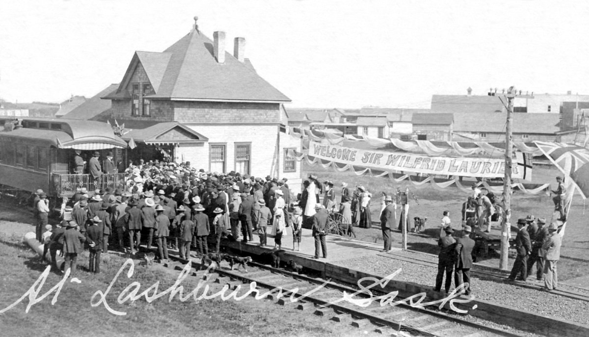
Lashburn, in the western part of the province, was another town finding its footing in those early years. By 1908, it had enough of a community to draw attention from national figures. Sir Wilfrid Laurier, Canada’s Prime Minister at the time, made a visit to the town — a sign of just how politically important the newly settled prairie west had become.
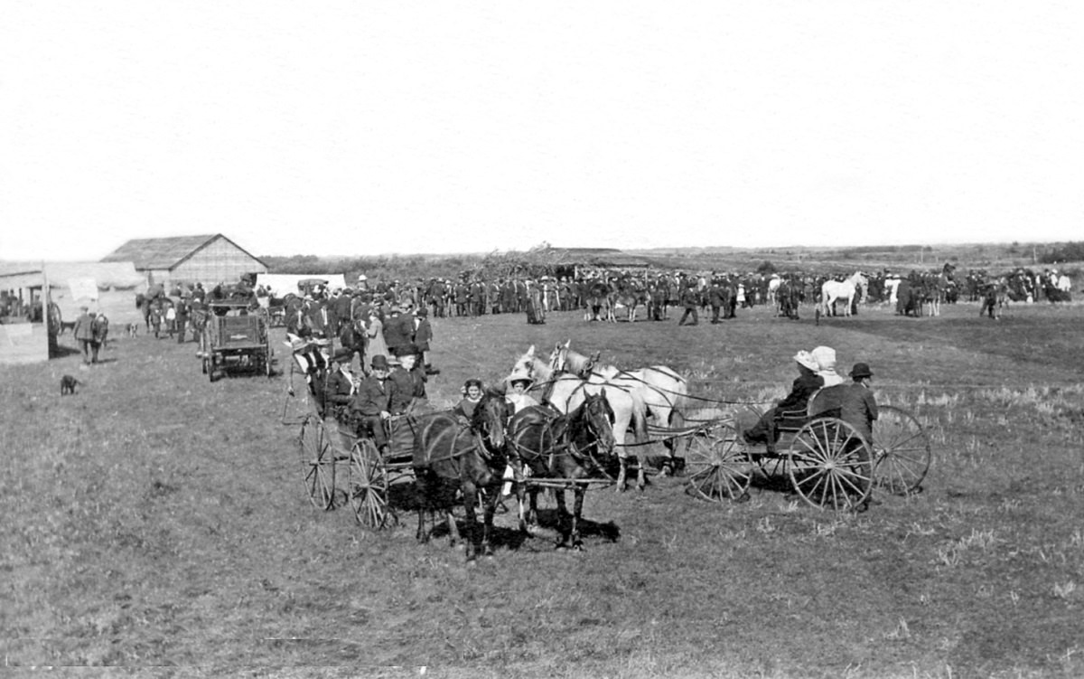
Three years later, Lashburn was thriving enough to host its own fair. Community events like these were central to prairie life, providing residents spread across vast distances a reason to gather, trade, and socialize.
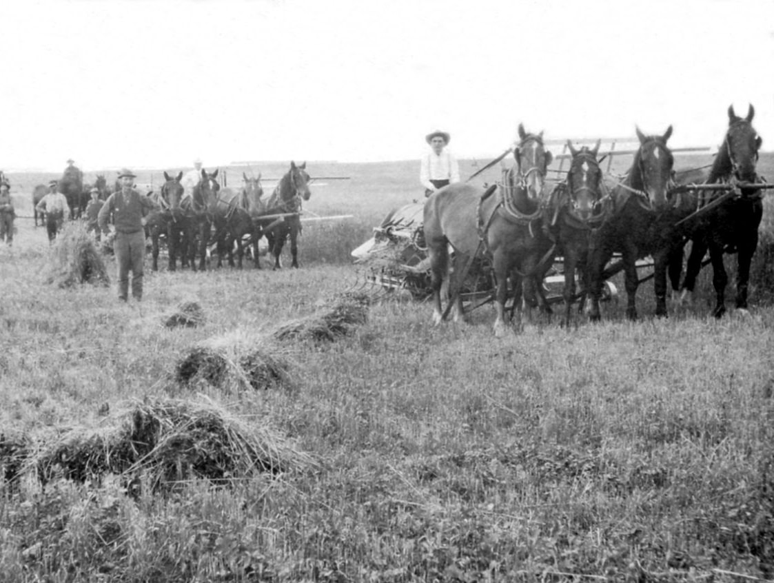
Agriculture was the backbone of Saskatchewan’s economy, and the province’s flat terrain was almost tailor-made for large-scale wheat farming. The Franklin Realty Company’s farm near Nokomis illustrated just how industrial the harvest had become by the early 20th century, with mechanical cutting equipment replacing much of the manual labor that earlier settlers had relied on.
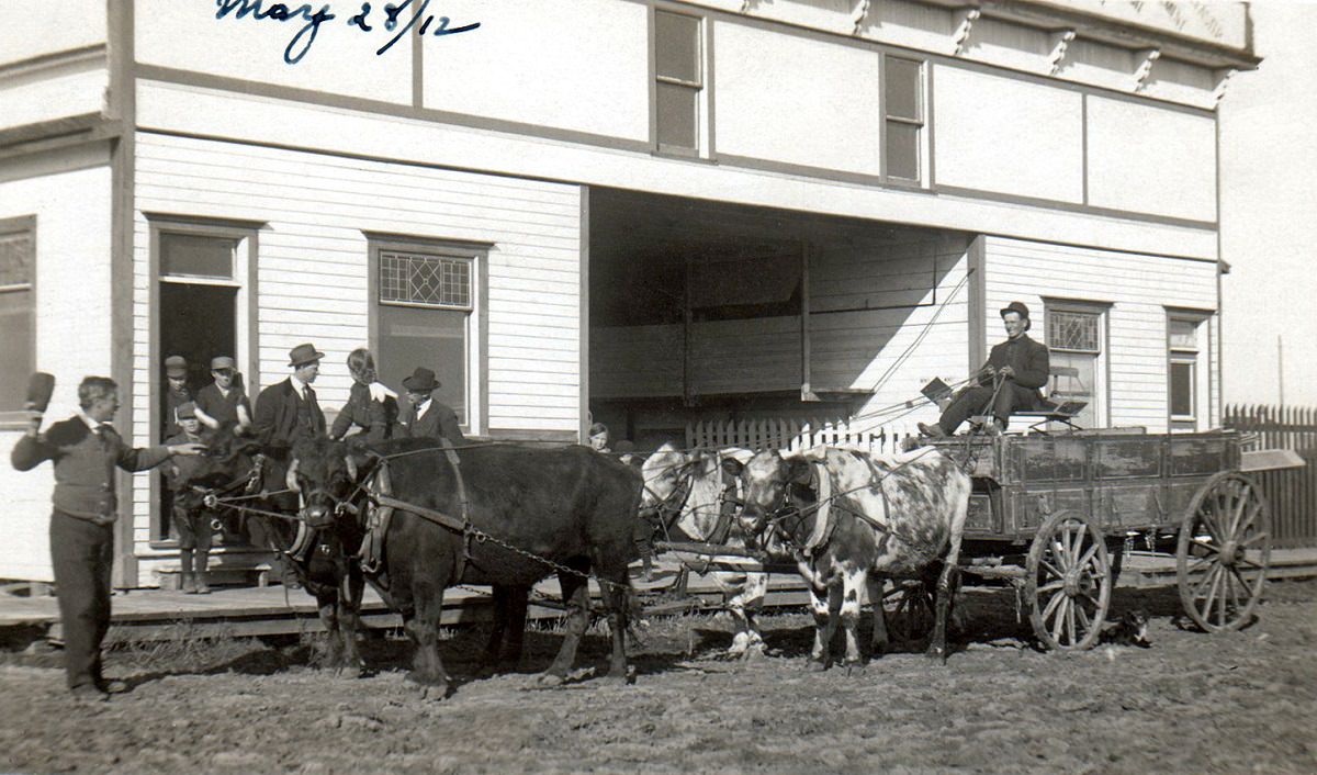
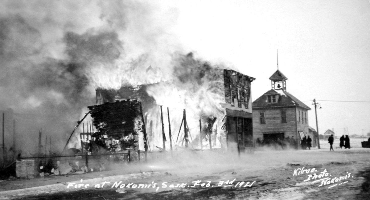
Nokomis itself was a growing town on the prairie, and by May 1912 it already had the look of a well-established community. But prairie towns were also vulnerable. In February 1921, a fire tore through Nokomis, a reminder of how quickly wooden buildings could be lost.
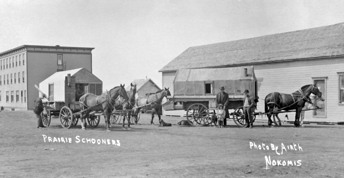
Prairie schooners — large covered wagons — were still a common sight around Nokomis and across the province during this period. Settlers used them to haul everything from household goods to harvested grain across land that had few paved roads and even fewer bridges.
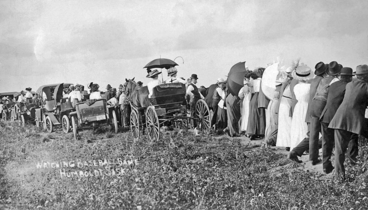
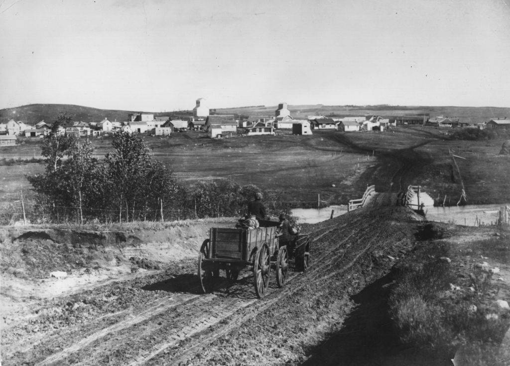
The town of Hanley captured on camera in May 1910 shows the early stages of what would become a familiar prairie townscape. Meanwhile, Humboldt grew steadily through the decade. By 1912, residents were gathering to watch baseball games — an early sign of organized leisure culture taking root in the province.
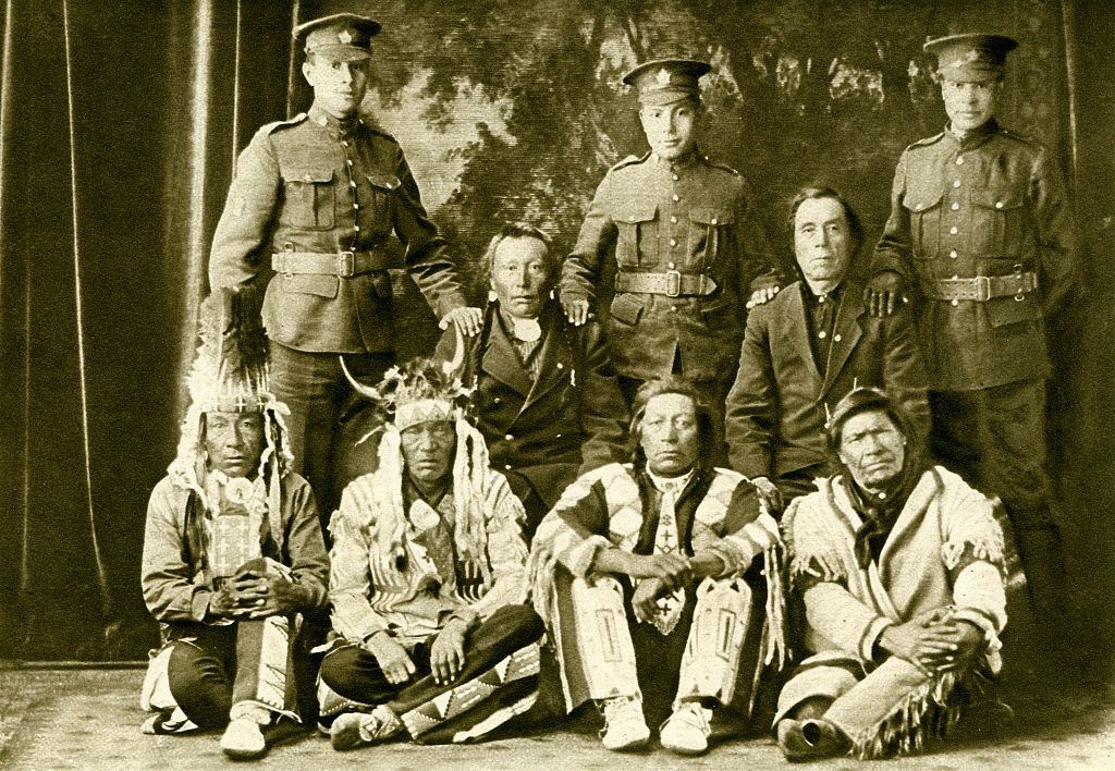
Saskatchewan granted women the right to vote in 1916, becoming one of the first provinces in Canada to do so. That same year, a provincial referendum passed to prohibit the sale of alcohol. The province was also deeply involved in World War One. Cree First Nations families sent their sons to serve, and photographs from 1916 show three generations together — grandparents standing alongside grandsons in army uniform.
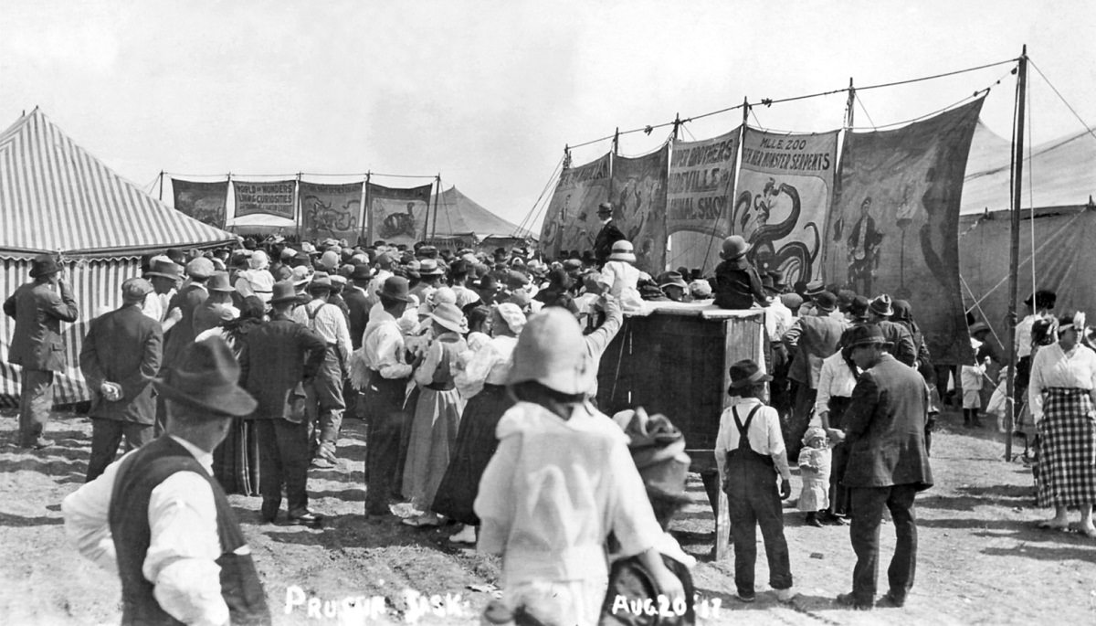
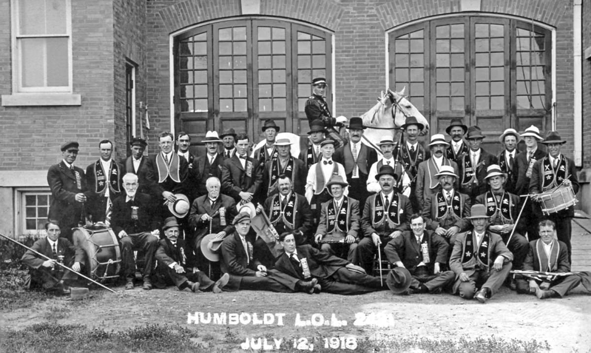
The war years shaped life across the province. The carnival at Leader in August 1917, held even while the war raged overseas, speaks to the determination of communities to maintain some sense of normal life. Humboldt in October 1914, just weeks into the conflict, and again in July 1918 near its end, shows a town living through years of uncertainty.
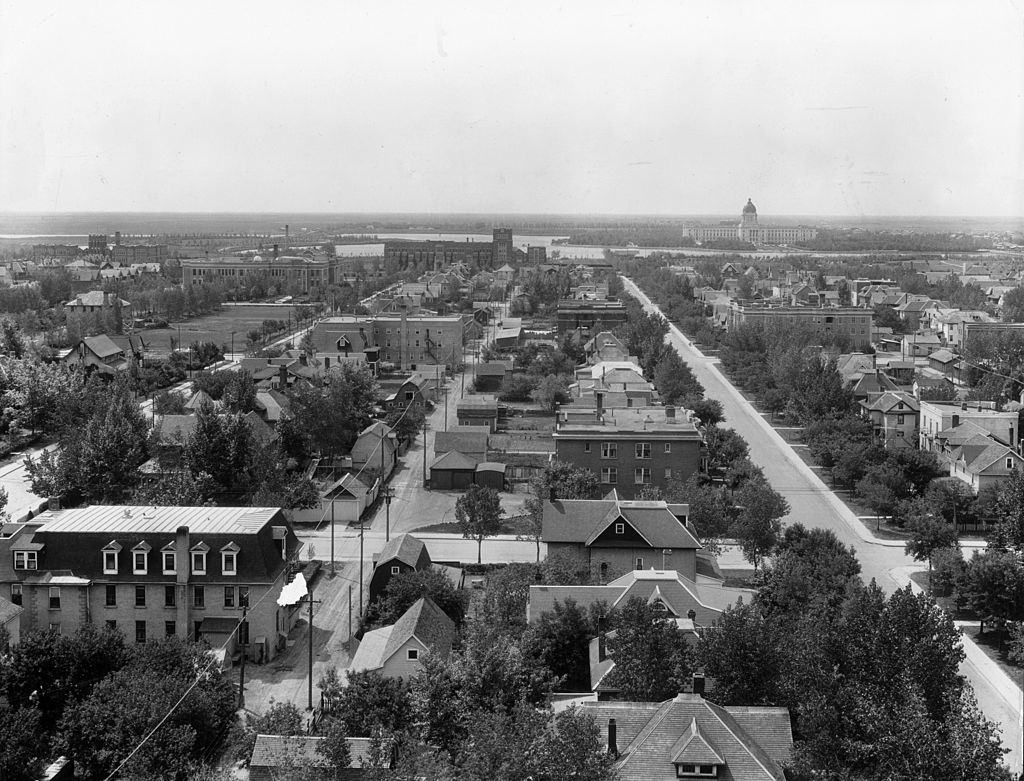
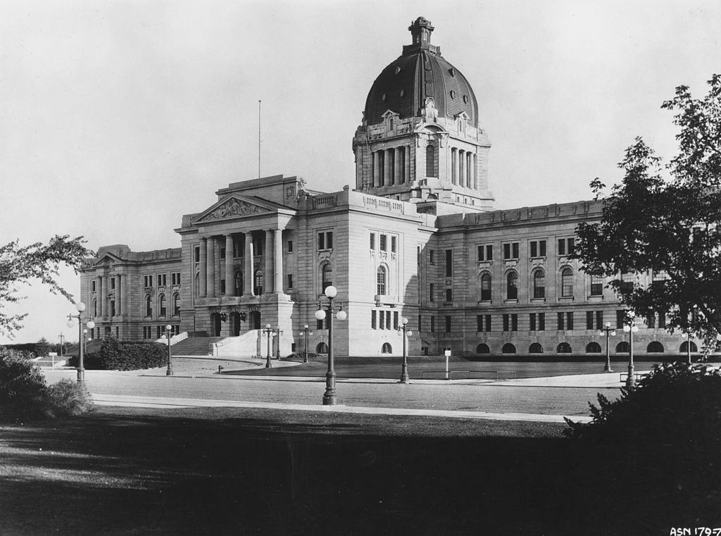
After the war, Saskatchewan entered a period of relative prosperity. Regina, the provincial capital, showed the clearest signs of urban growth. By the 1920s, its downtown streets were busy commercial corridors. Scarth Street was a well-known shopping destination, and 11th Avenue carried the traffic of a city that had grown far beyond its frontier origins. The parliament buildings stood as a formal anchor to the city’s identity.
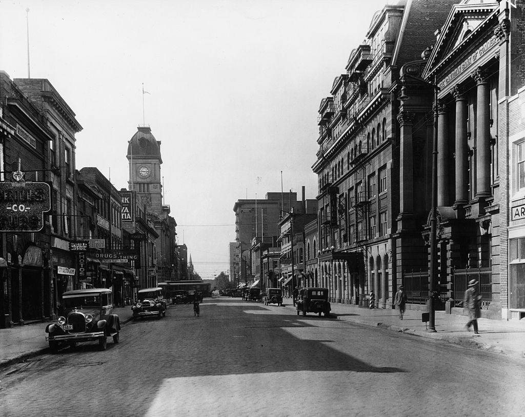
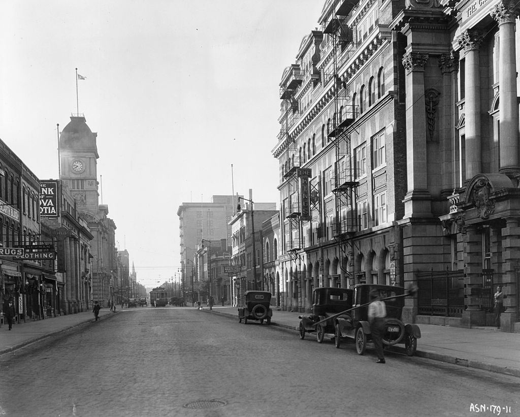
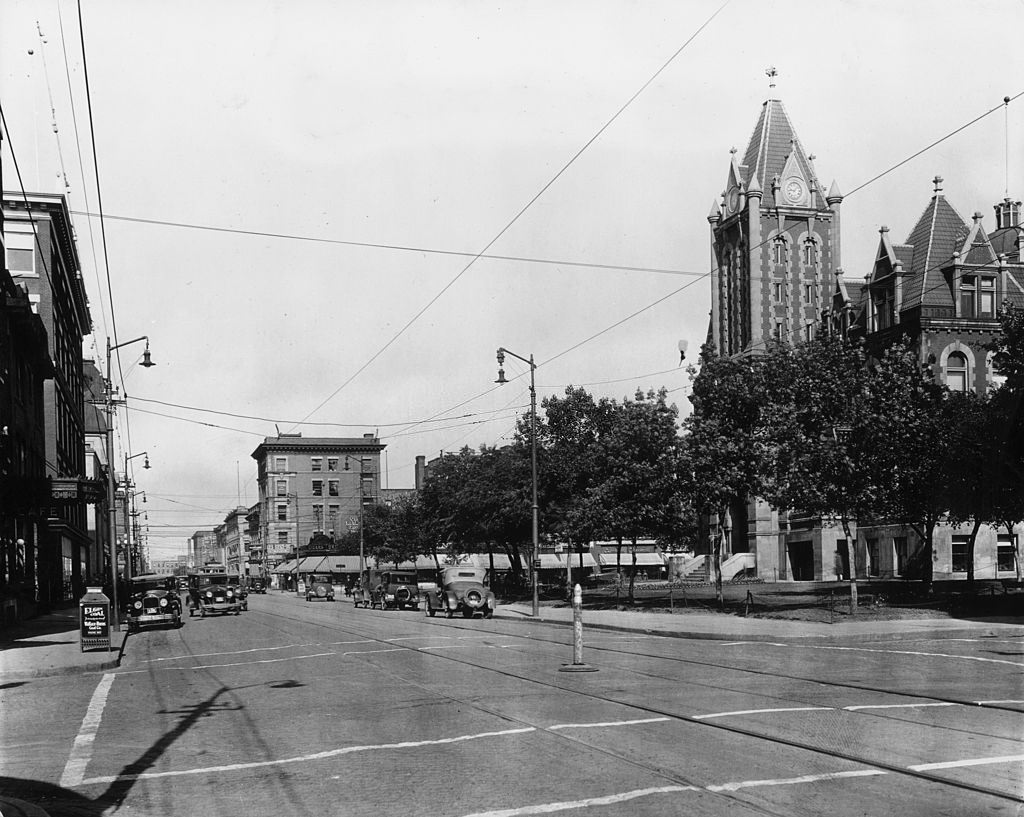
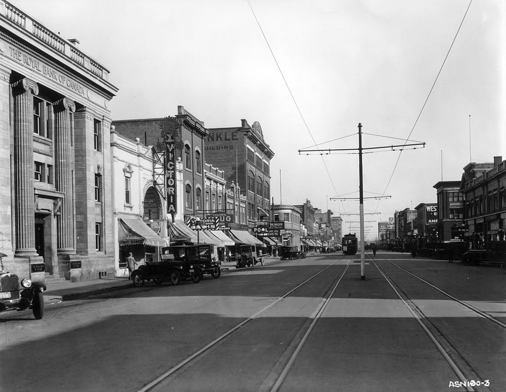
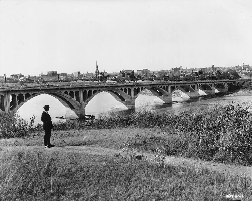
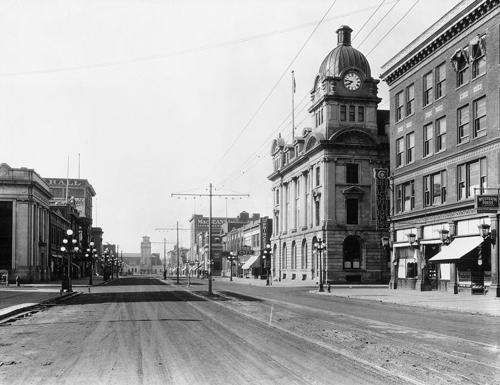
Saskatoon, Saskatchewan’s largest city, was also expanding rapidly. Second Avenue by the 1920s was fitted with tramlines running down the centre of the road, and a bridge over the Saskatchewan River photographed in 1929 shows the scale of what the city had become in just a few decades. Moose Jaw, further south, was another urban centre with a busy main street by February 1925.
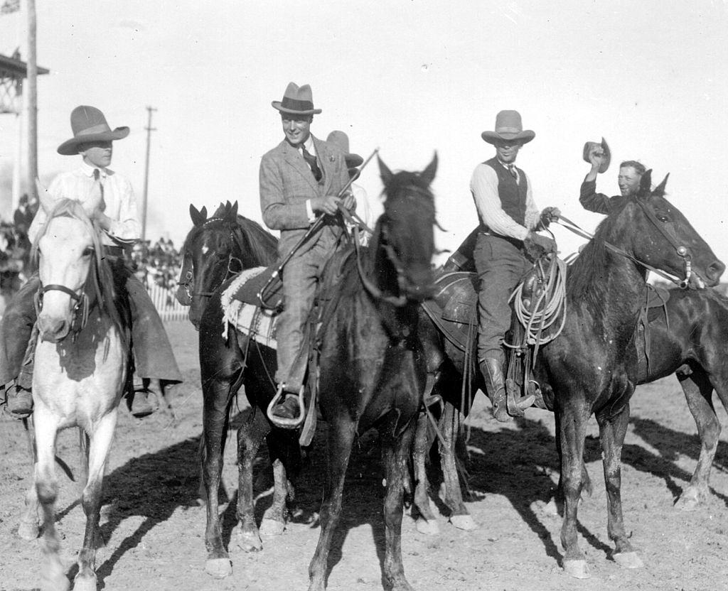
In October 1919, the Prince of Wales — later known as the Duke of Windsor — visited Saskatoon as part of a royal tour, riding with cowboys in a scene that blended British royalty with the rough-and-ready character of the Canadian west. It was a widely publicized visit that brought national attention to the province.
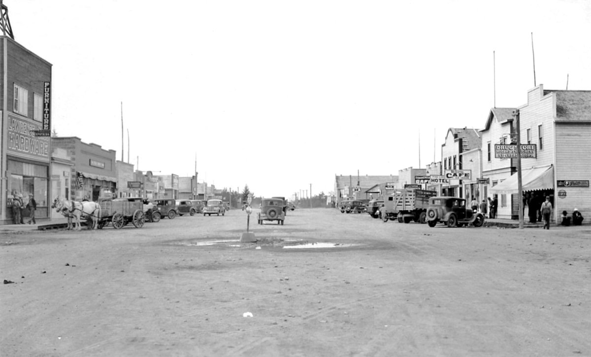
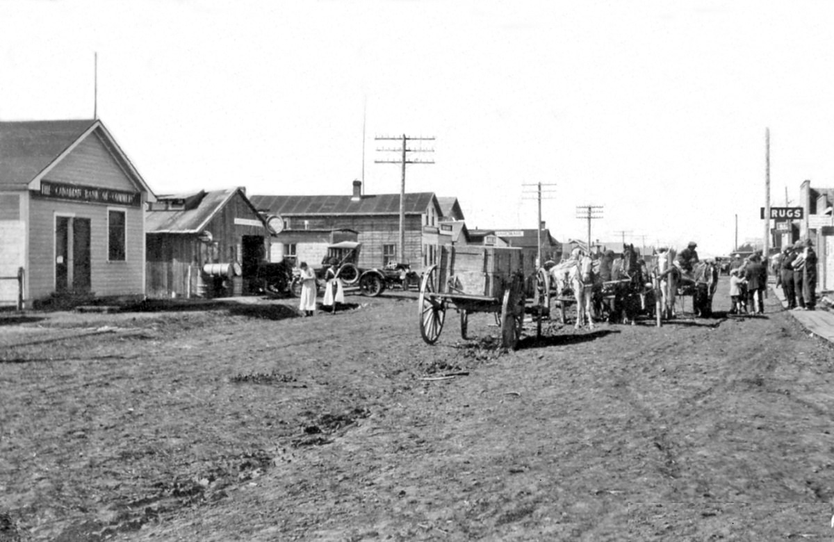
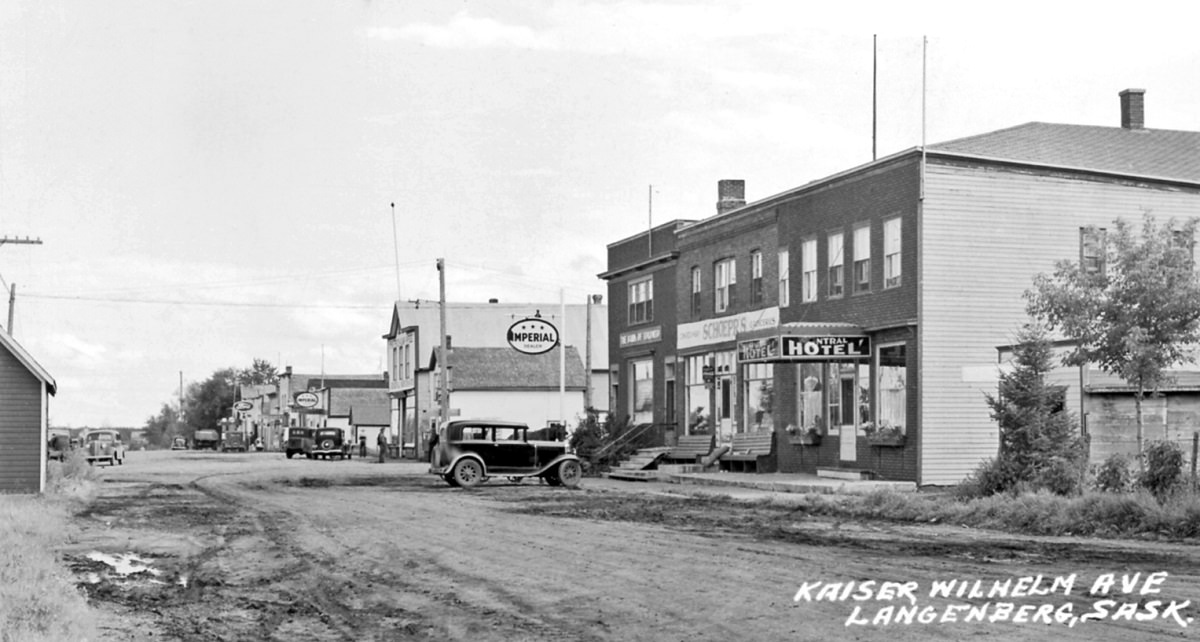
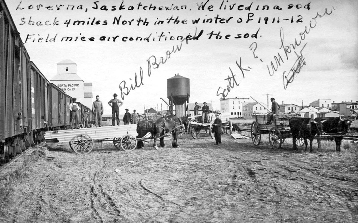
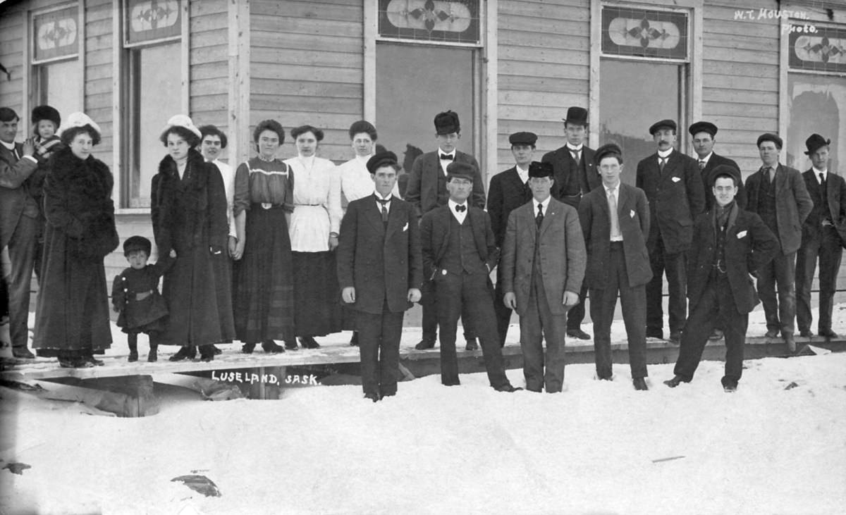
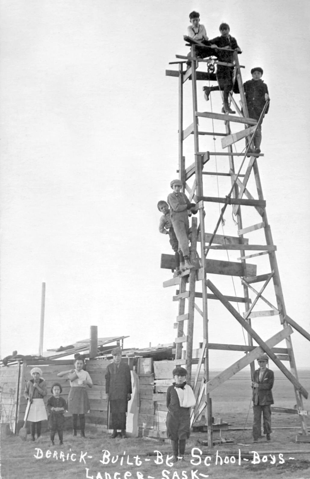
Smaller communities across the province each had their own story. Nipawin’s 1st Avenue and its broader townscape by 1925 showed steady development in the province’s northeast. Langenberg had a street named Kaiser Wilhelm Avenue — a name that would have carried a complicated weight during and after the First World War. Towns like Lang, Loverna, Luseland, and Lancer each reflected the patchwork of settlers who had come from different backgrounds to build lives on the prairie. Schoolboys in Lancer even built a derrick, a project that pointed to the growing curiosity about what lay beneath the province’s soil.
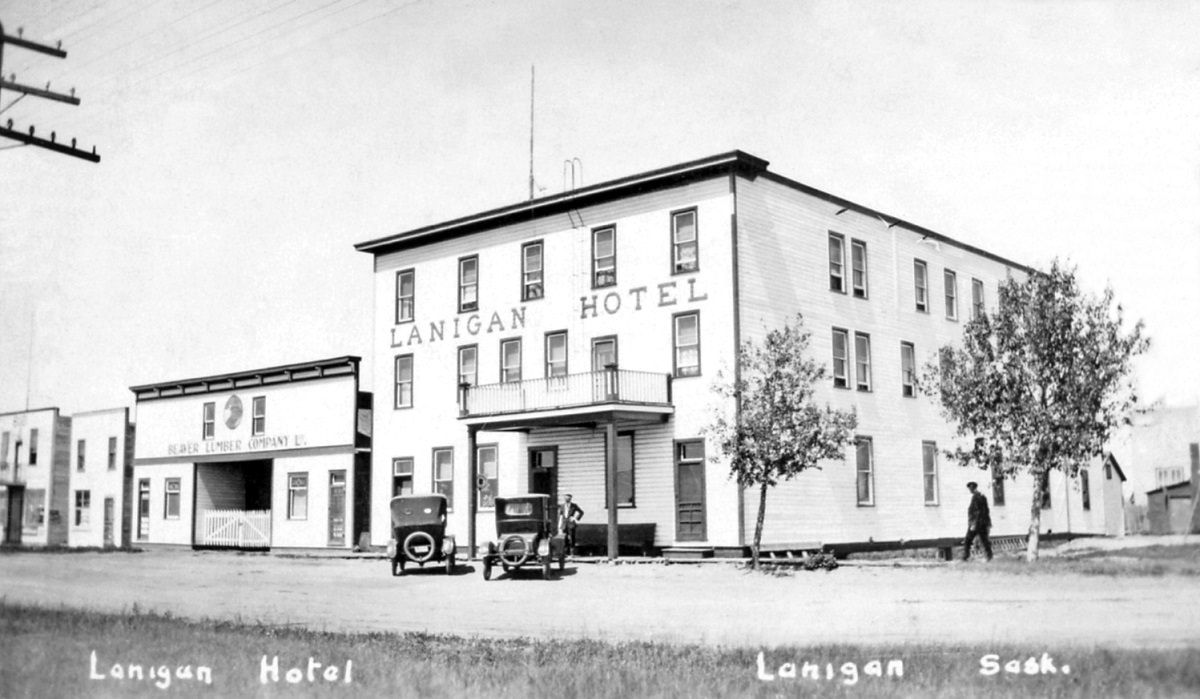
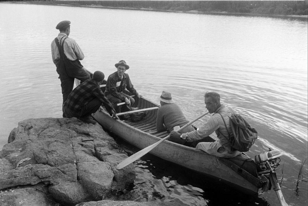
The Lanigan Hotel stood as one of the province’s early hospitality landmarks, catering to the steady stream of travelers and settlers moving through the region. In the 1930s, prospectors were venturing deep into northern Saskatchewan by boat, searching for uranium deposits in the Canadian Shield — an early chapter in what would become a major industry for the province.
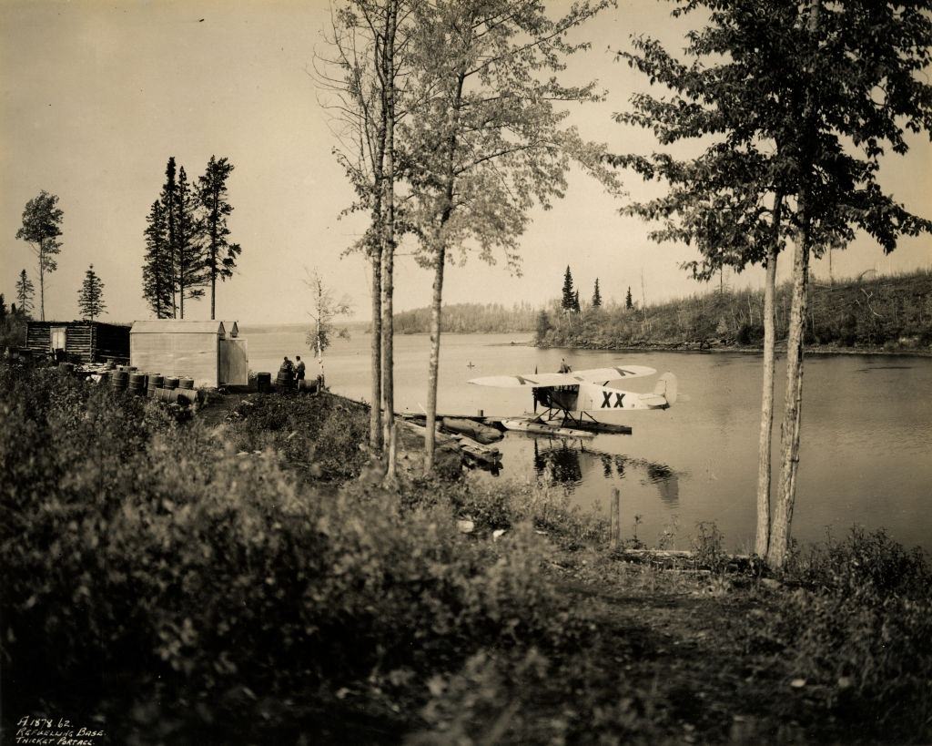
Air travel was also beginning to take shape in northern Saskatchewan by the 1920s. A small air base established in the region represented the province’s early adoption of aviation, particularly useful for reaching communities that roads and railways had not yet connected. The road to Turtleford in January 1910, barely more than a track through the snow, showed just how isolated some corners of the province still were at the start of the century.
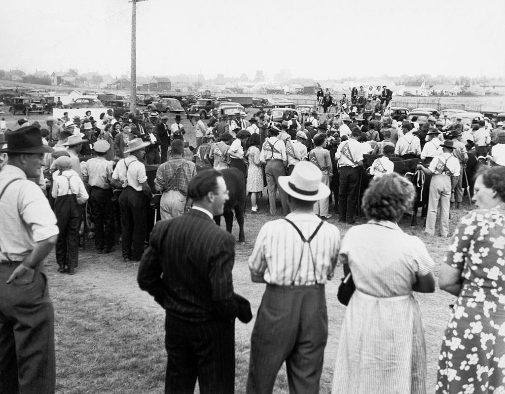
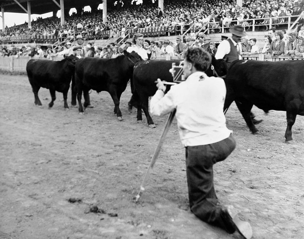
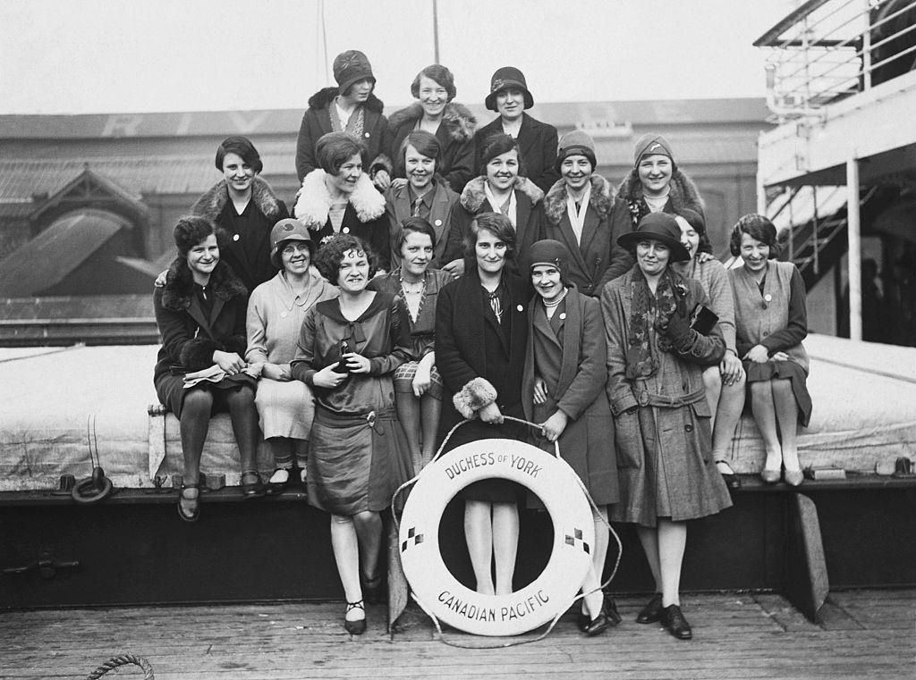
The Weyburn Fair drew large crowds in 1916, and the event was still running strong three decades later. In July 1946, NFB film director and cameraman Lawrence Cherry was on site shooting footage — documenting Saskatchewan’s rural traditions for the national record. Young women were also making their way out of the province in search of work. A photograph shows a group of them aboard the Duchess of York, sailing to Saskatoon to take up domestic worker positions.
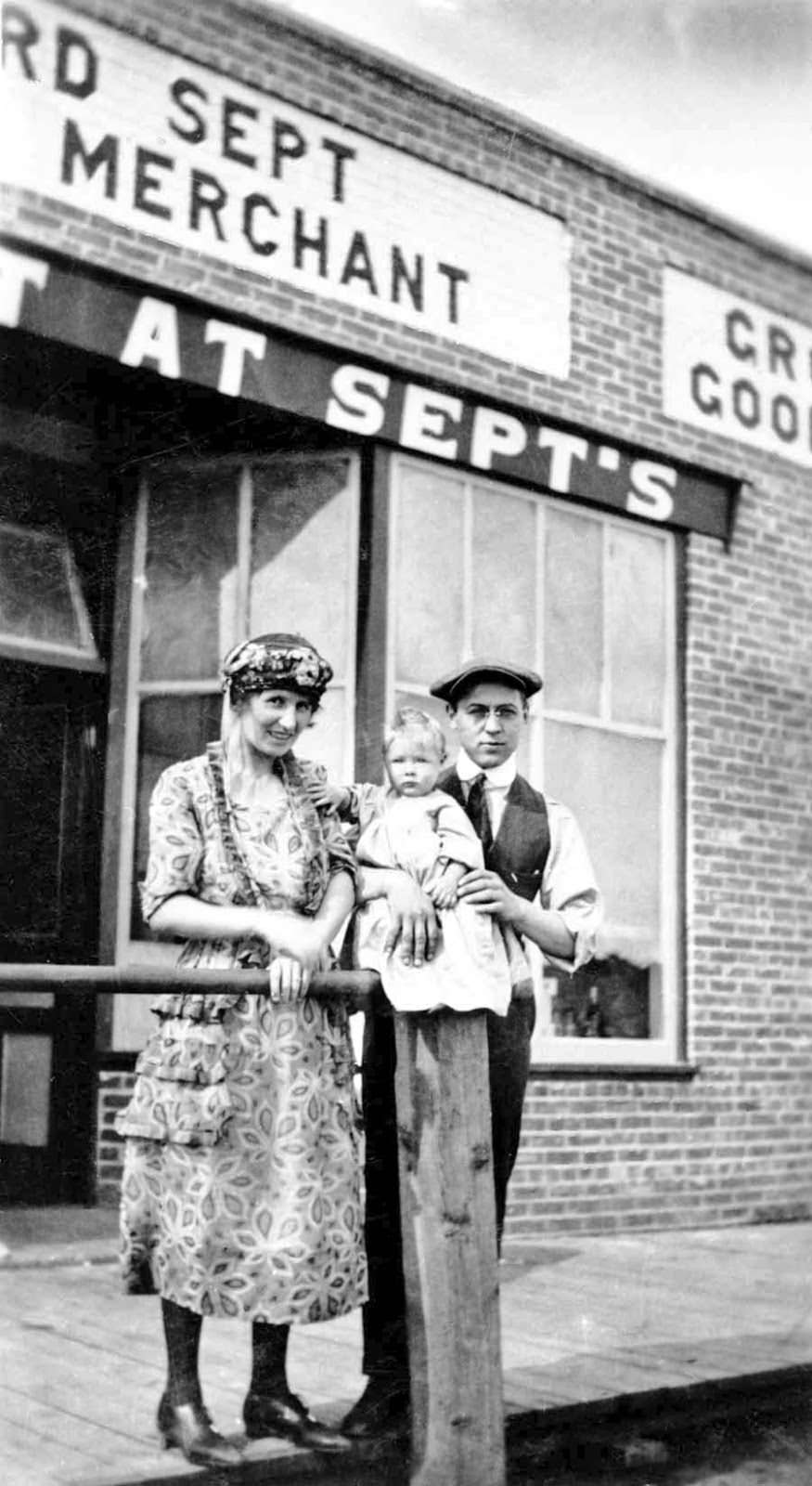
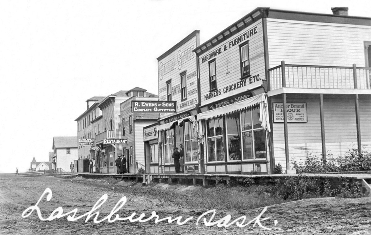
Personal snapshots fill out the human side of this era. Freda and Edward, photographed in Hatton in September 1921, represent the countless individuals whose stories made up the broader history of the province. By 1923, Lashburn was photographed again, showing a town that had matured considerably from its early frontier days.
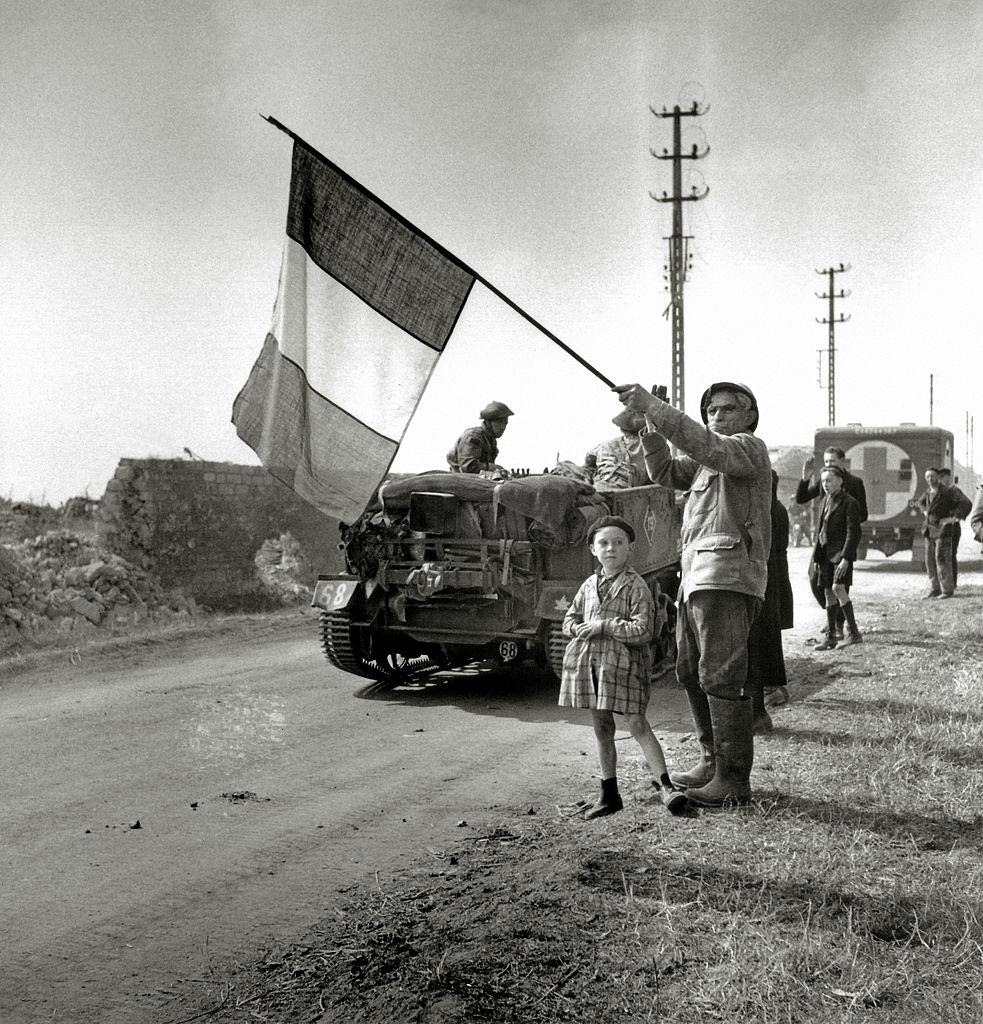
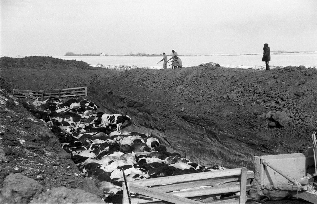
Saskatchewan’s men served again in World War Two. The South Saskatchewan Regiment, part of the 2nd Canadian Infantry Division, was photographed in June 1944 with their transport vehicles — a regiment that had already earned a hard reputation at the disastrous Dieppe Raid in 1942. Back home, agriculture continued to define the province, though it brought its own challenges. In March 1952, an outbreak of hoof and mouth disease in Regina resulted in the deaths of cattle, a serious blow to the farming communities that depended on their livestock.





Some of the photos are interesting, but it seems like some captions are incorrect
Thanks for sharing it with us!
Going through the photos themselves. The one I list below I have some info on either things in them or their current locations.
First thing I noticed: No parking meters.
Fascinating indeed, thanks!
I’m pretty sure Saskatchewan isn’t the only landlocked province in Canada, or did Alberta import an ocean coast I’m unaware of?
7 is 3rd ave not 2nd
looks to me to be 2nd av looking north from 20th street.
Still blows my mind that we had streetcars.
Seeing that some of those pictures are 105 years old and seeing horse drawn carriages and such, really puts into perspective how fast we’ve advanced. Almost makes you understand why some are so hesitant to keep moving forward and cling to “this is how we’ve always done it”. Almost.
Considering humanity has people who have lived over 105 years, not many, but some. That’s the span of one life time, for a select few. To see things change so drastically.