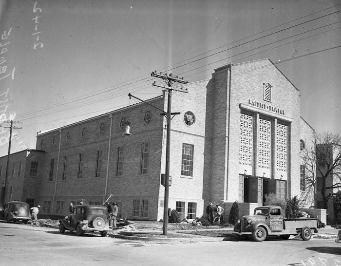
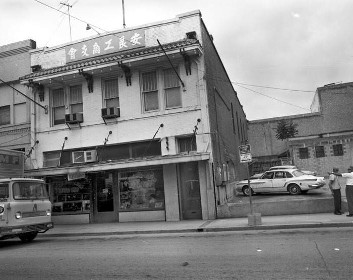
San Antonio has one of the longest histories of any city in Texas. Indigenous peoples lived on the land for thousands of years before Spanish colonizers arrived, with the historical Payaya Indians among the first to make contact with Europeans. After Mexico gained independence in 1821, Anglo-American settlers began pushing into the region from the United States. Texas broke away and became its own republic in 1836, then joined the United States as a state in 1845. For much of the 19th and early 20th centuries, San Antonio held the title of the largest city in Texas. During both World Wars, the city served as a major military hub, a role that shaped its economy for decades. By the time the 1960s arrived, San Antonio was a city undergoing serious change — politically, socially, and physically.
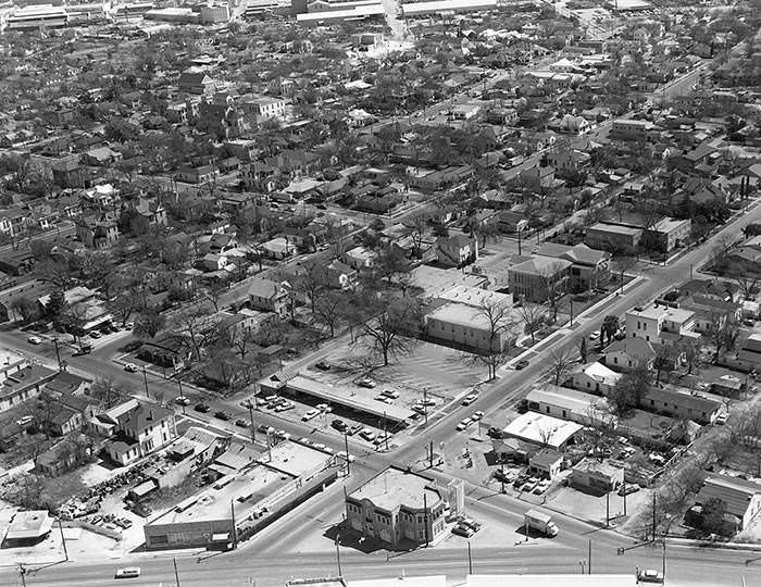
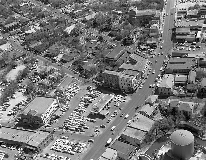
From the air in the mid-1960s, San Antonio’s urban core showed a dense patchwork of school buildings, fire stations, and residential blocks. The San Antonio Independent School District occupied the corner of Matagorda and Lavaca Streets, while Fire Station Number 7 stood at 604 South Alamo Street. To the upper left, across Victoria Street, sat the land earmarked for Urban Renewal Project 5 — the future site of HemisFair ’68. Urban renewal was reshaping entire neighborhoods during these years, clearing out older structures to make room for what city planners envisioned as a modern San Antonio.
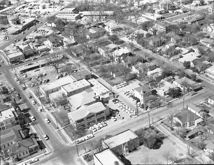
Another aerial shot from 1964 captures the same district from a different angle — looking north toward the San Antonio Independent School District building at the northwest corner of Lavaca and Matagorda Streets. This area would later be designated as the Lavaca Historic District. At street level, the blocks were filled with a mix of residences, small businesses, and older commercial buildings that gave the Westside and near-downtown areas their distinct character.
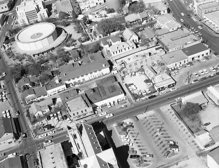
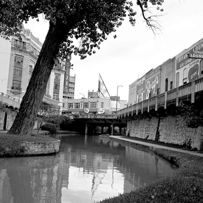
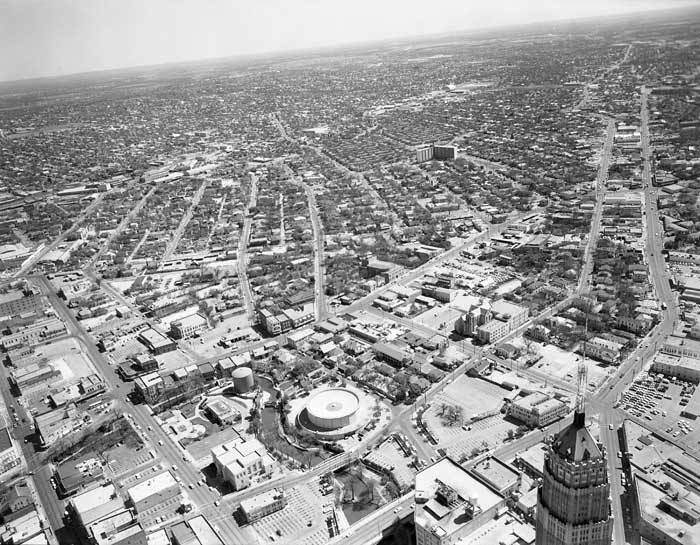
The River Walk was already drawing visitors in the early 1960s, though it had not yet reached the scale it would later achieve. Jazz bars, restaurants, and shops lined the waterway that snakes through downtown. The area around La Villita — the city’s “little village” — was anchored by the round Villita Assembly Hall, with the San Antonio Public Library sitting just across the river. Streets like S. Presa and E. Nueva marked the boundaries of this historic zone, where old San Antonio architecture had survived decades of development pressure.
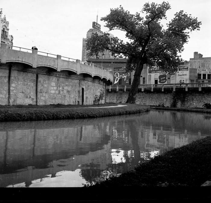
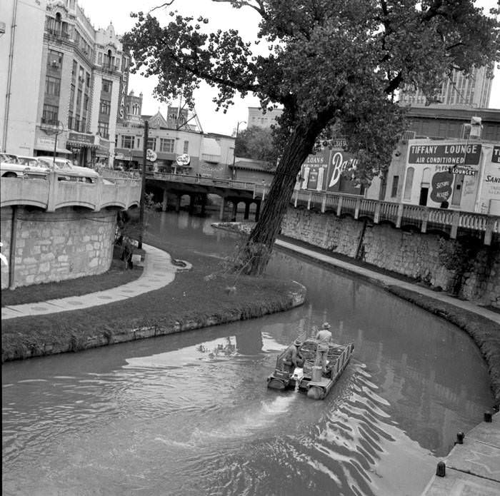
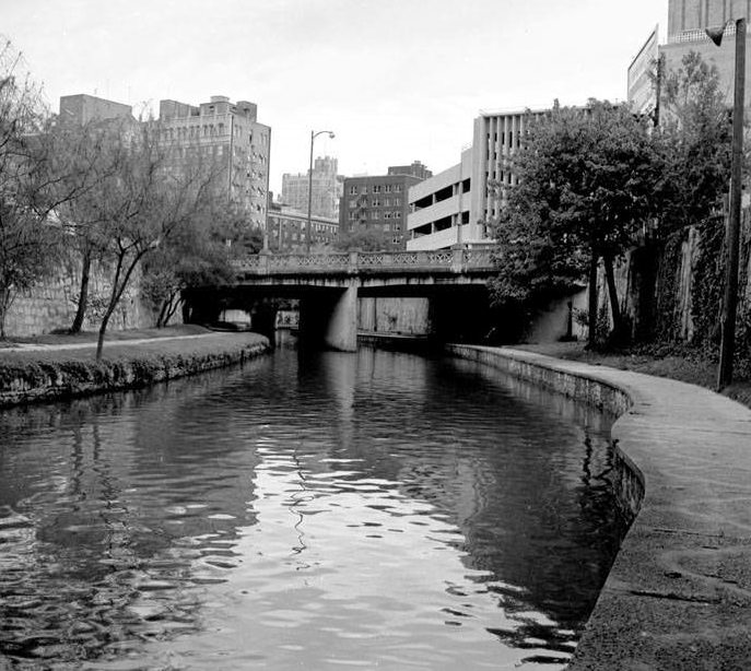
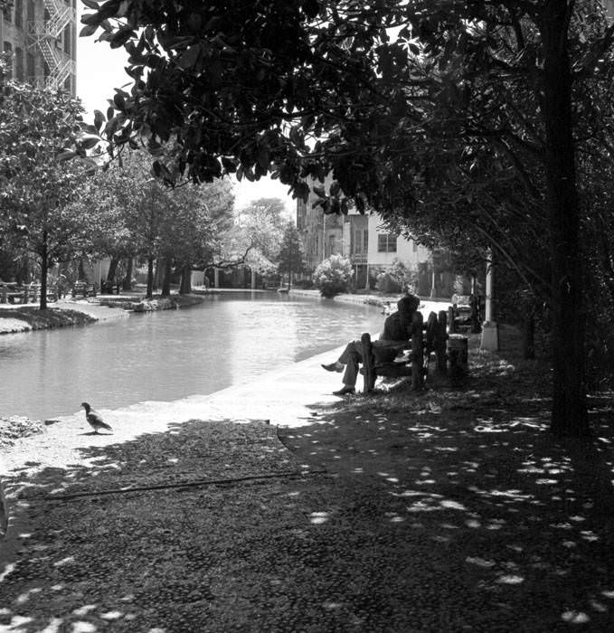
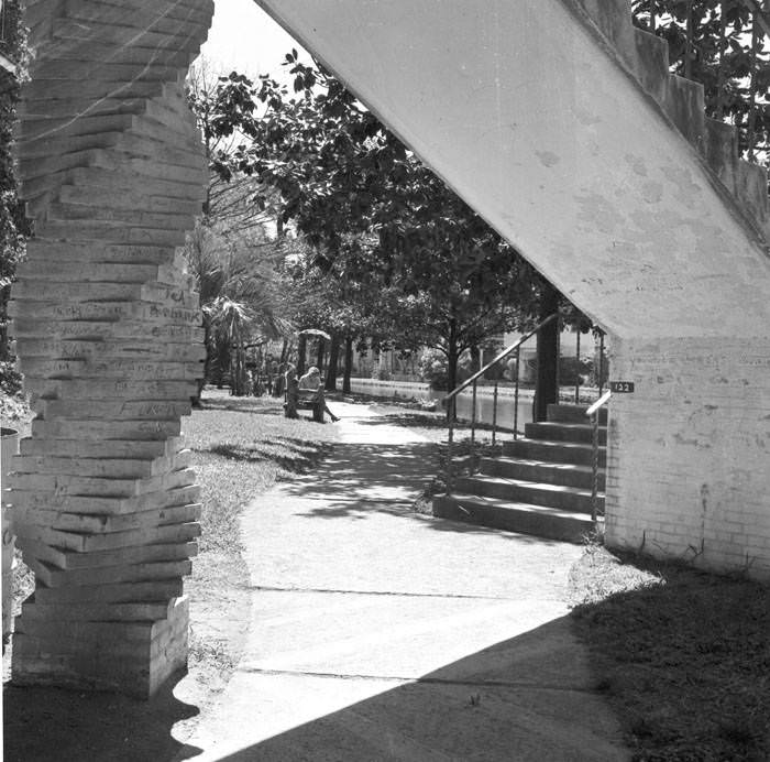
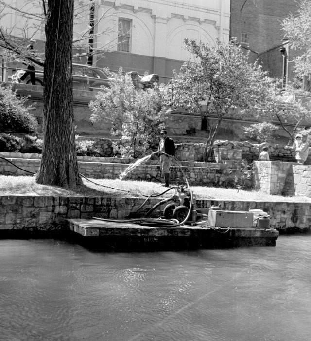
Photographs from 1960 and 1961 along the River Walk show a quieter version of the attraction — narrower crowds, slower foot traffic, and a more intimate atmosphere compared to what would come after HemisFair brought national and international attention to the city. Boats moved along the canal, and visitors strolled past stone pathways and arched bridges. The River Walk’s charm was already there; it just hadn’t been fully discovered yet.
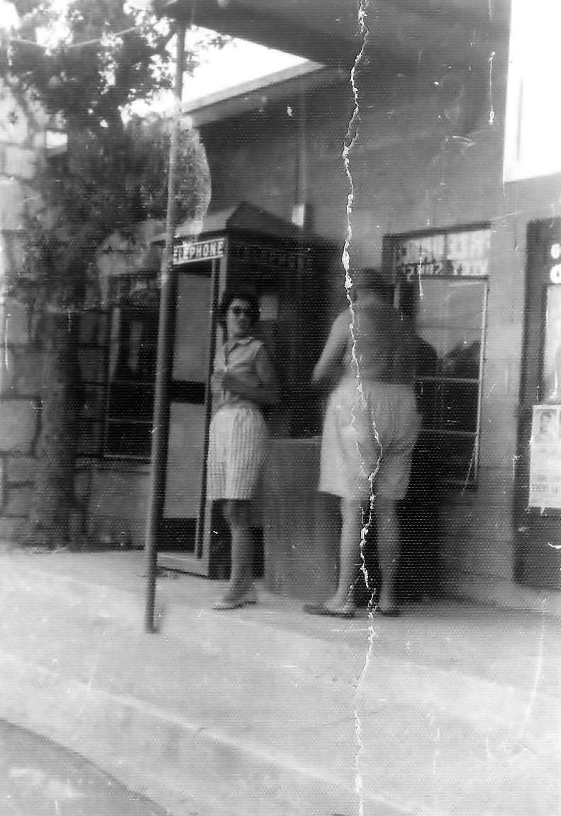
In 1961, San Antonians on the Westside gathered at Las Palmas Shopping Center to hear Vice President Lyndon Johnson personally endorse State Senator Henry B. Gonzalez. The event reflected the political energy of the era, especially in Latino communities that were gaining ground in local and state politics. Three years later, the passage of the Civil Rights Act of 1964 made segregation illegal nationwide. Black leaders in San Antonio publicly praised the follow-up legislation — the Voting Rights Act of 1965 — which expanded protections for Black citizens at polling places across the South and beyond.
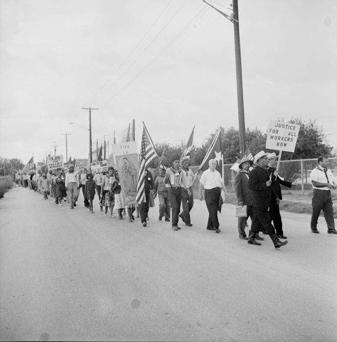
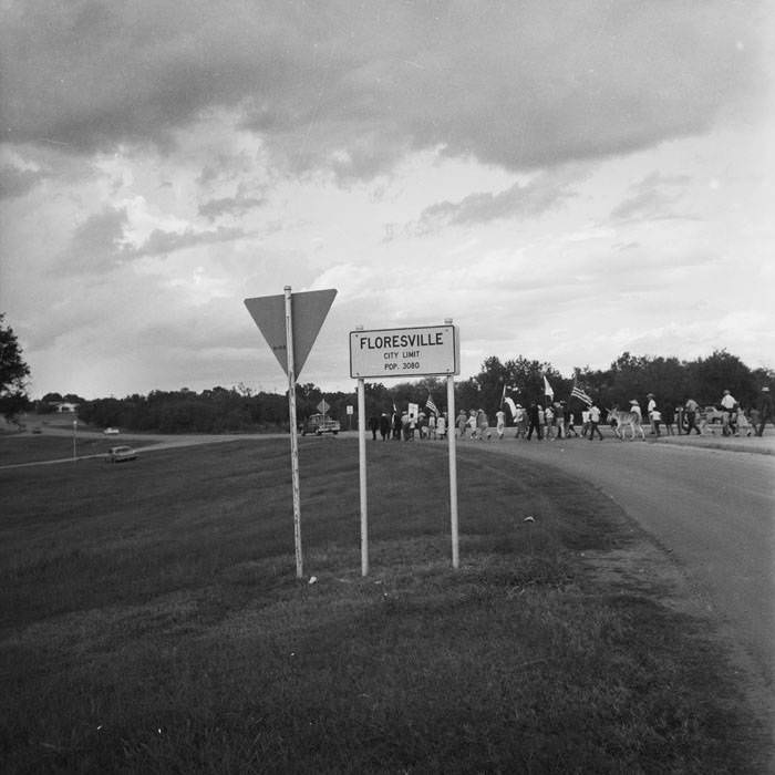
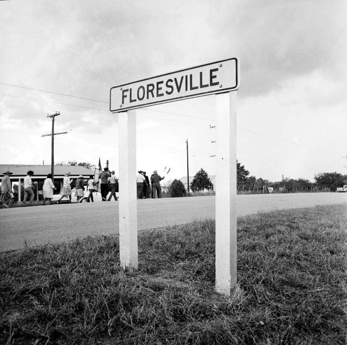
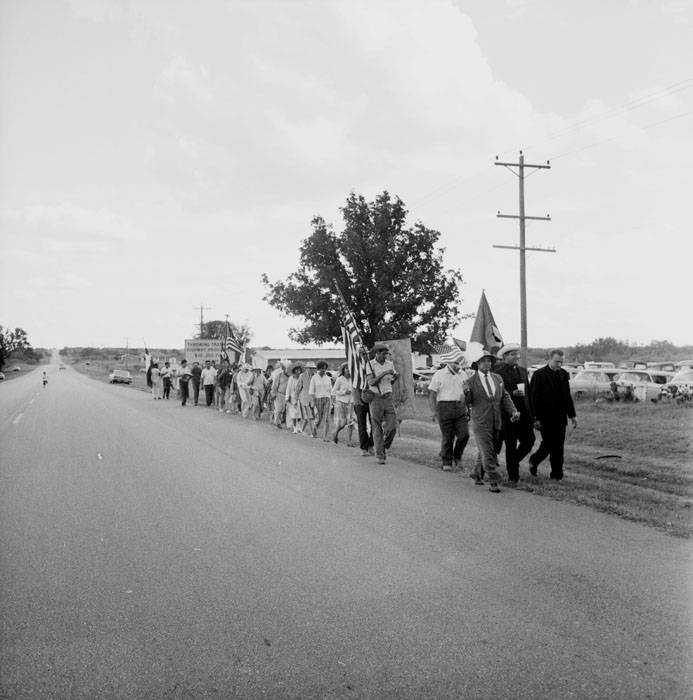
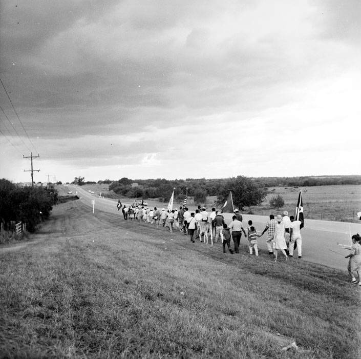
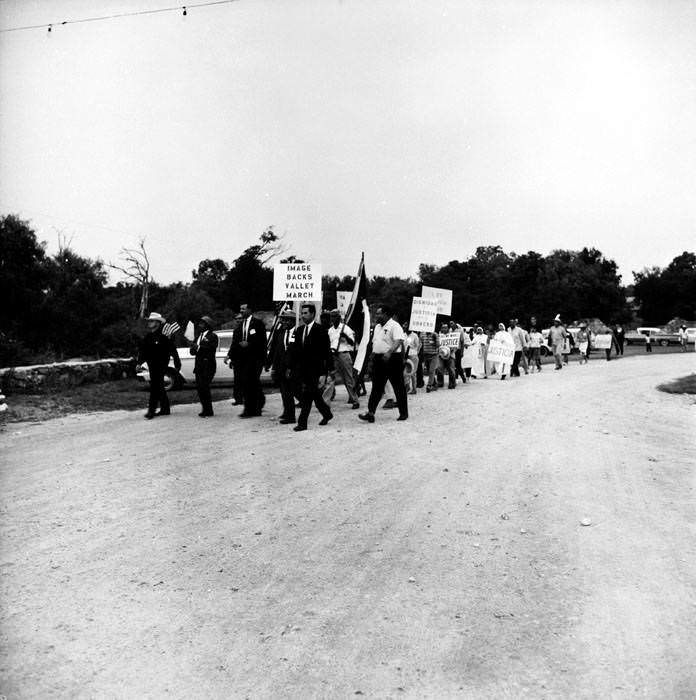
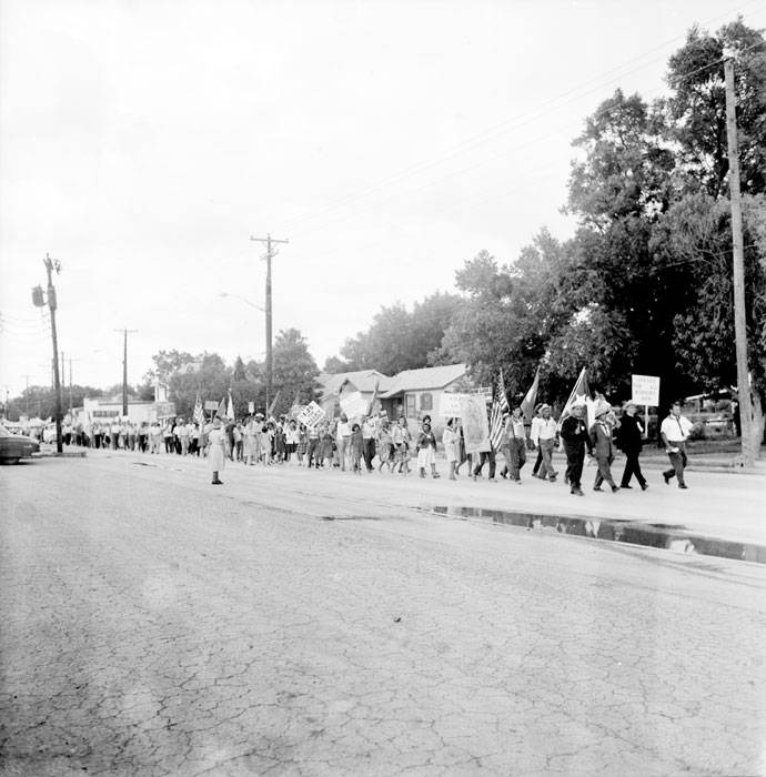
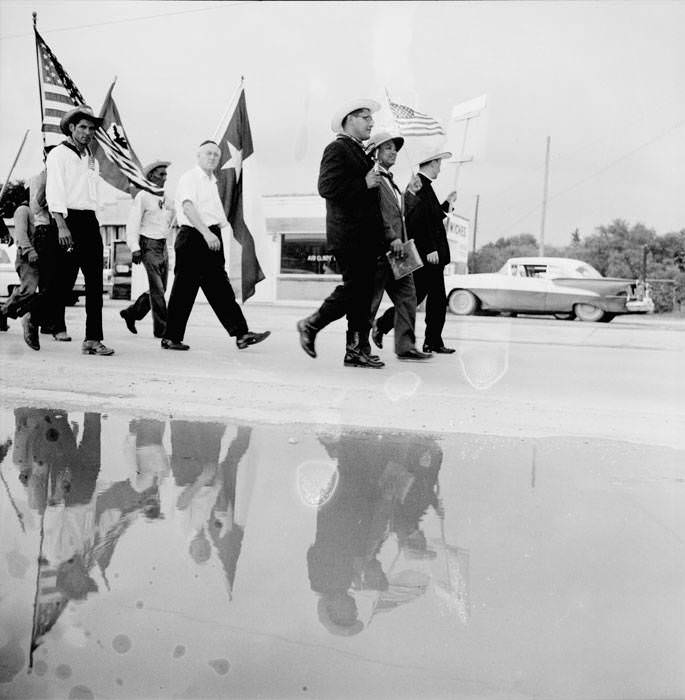
While civil rights legislation was reshaping the political landscape, farm workers were fighting their own battle on the ground. In 1966, Rio Grande Valley farm workers launched a march to Austin to demand fair wages and better working conditions. The march passed through San Antonio, where it gained support from labor leaders and religious figures alike. H. S. (Hank) Brown, president of the Texas AFL-CIO, joined the San Antonio segment of the march, walking alongside Rev. Novarro and Father Gonzales as the group approached Mission San Juan Capistrano.
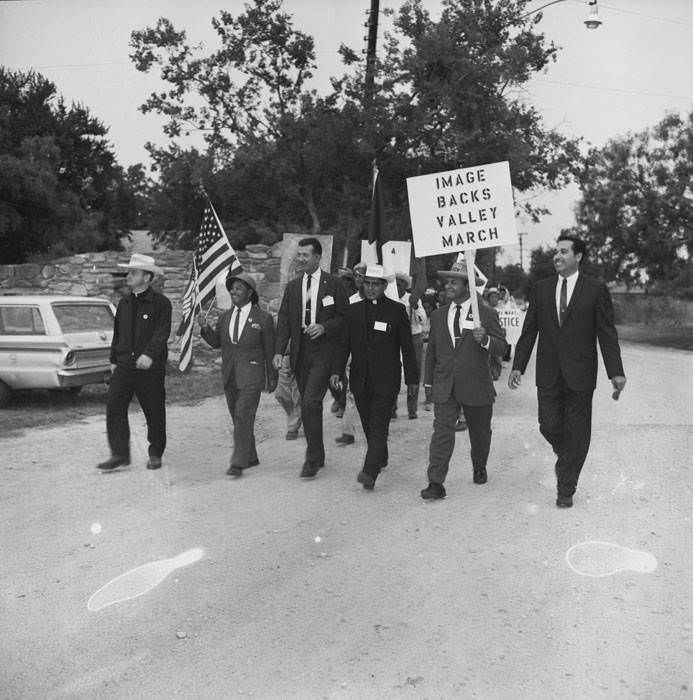
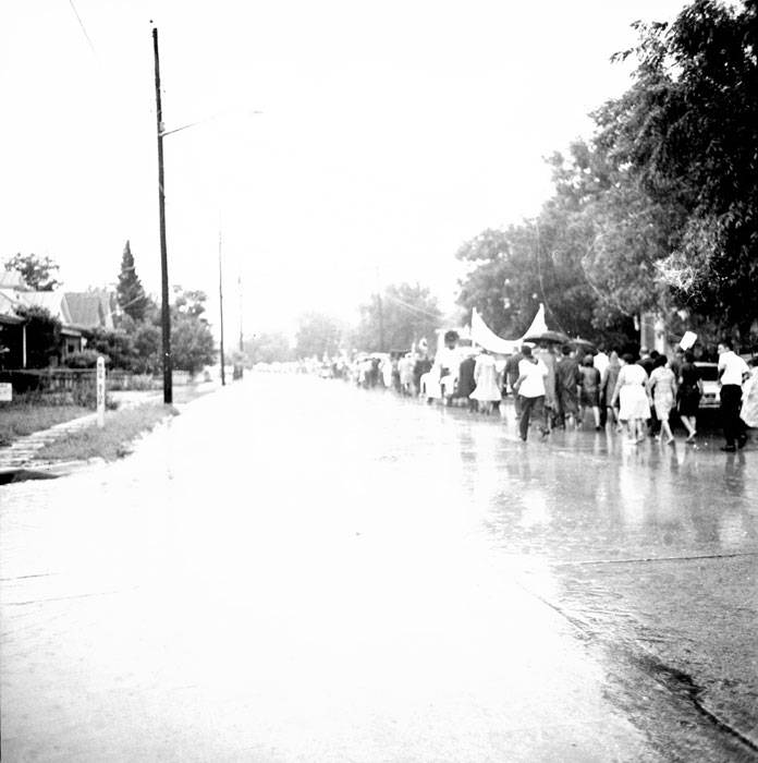
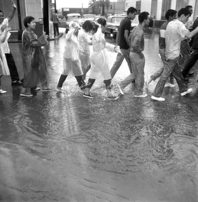
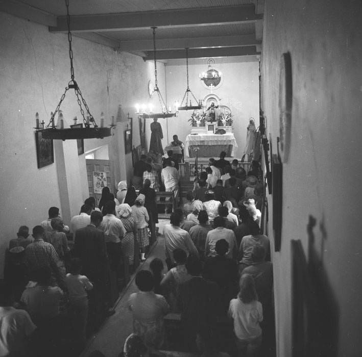
The marchers arrived at Mission San Juan Capistrano, one of San Antonio’s historic Spanish colonial missions, where they attended Mass. The moment was both a religious gathering and a show of solidarity. The march brought together farm workers, clergy, and union representatives in a public demonstration that drew significant attention across Texas.
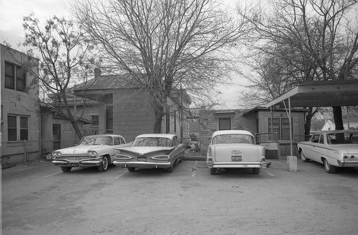
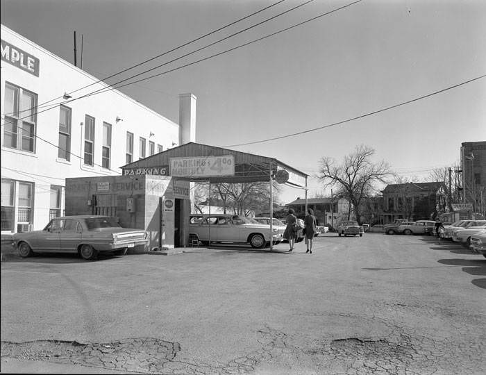
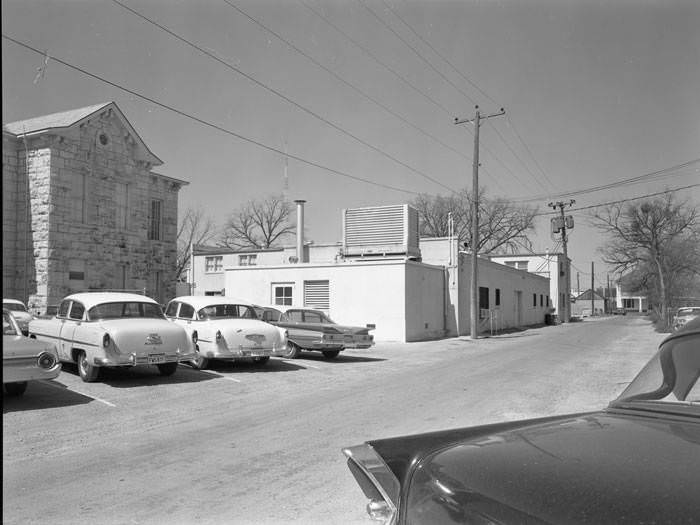
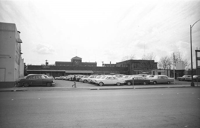
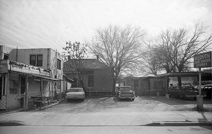
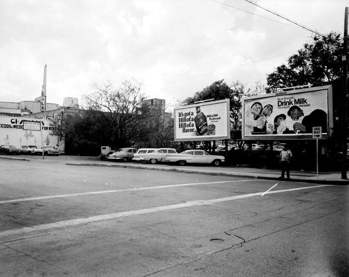
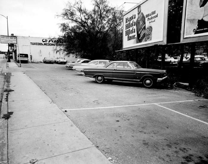
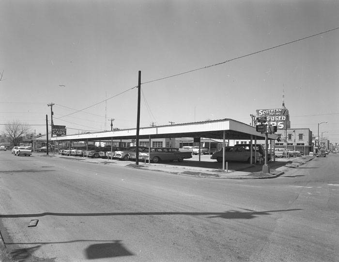
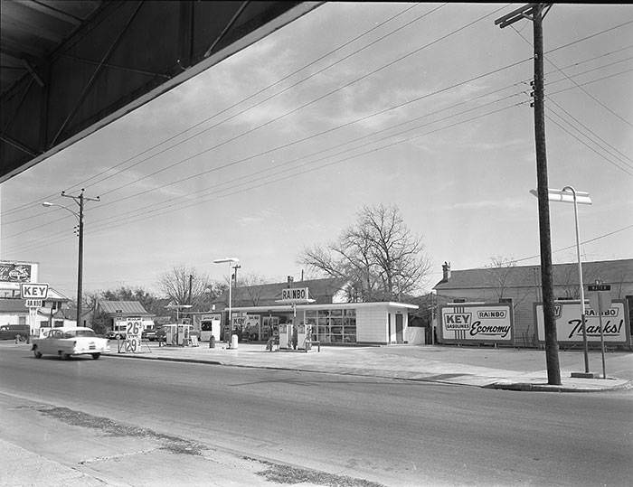
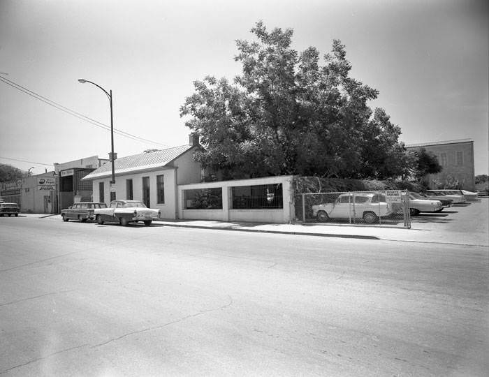
While the march drew crowds, daily life in San Antonio’s neighborhoods continued at its own pace. The city’s streets in the mid-1960s were lined with small businesses, service stations, used car lots, and working-class homes. Water Street alone hosted the Southern Motors New and Used Cars dealership, the Rainbo Service Station, and the Southwest Nipple Company Plumbing Supplies — all within a few blocks of each other. Parking lots and auto shops reflected the car-centric culture of the era.
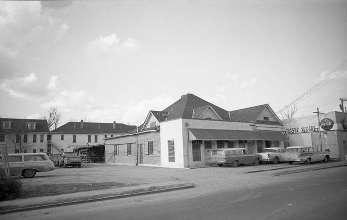
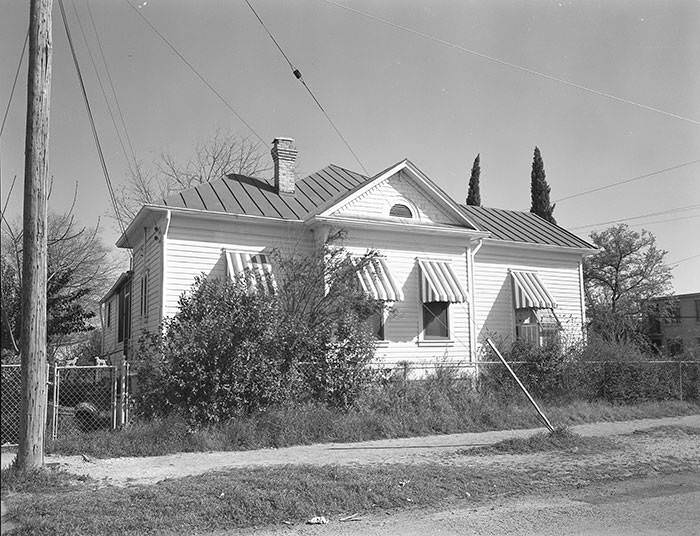
Urban renewal meant that entire blocks were being documented and then demolished. Photographers captured houses, alleys, garages, and storefronts in careful detail before they disappeared. The Sam Smith House at 503 Water Street — a caliche-block structure that had been used as a second-hand store — was photographed multiple times before being rehabilitated as a gift shop for HemisFair ’68. Nearby, the Hoppe Apartments at 410 Water Street were demolished altogether.
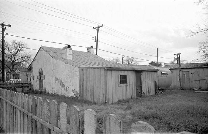
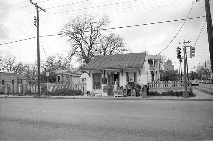
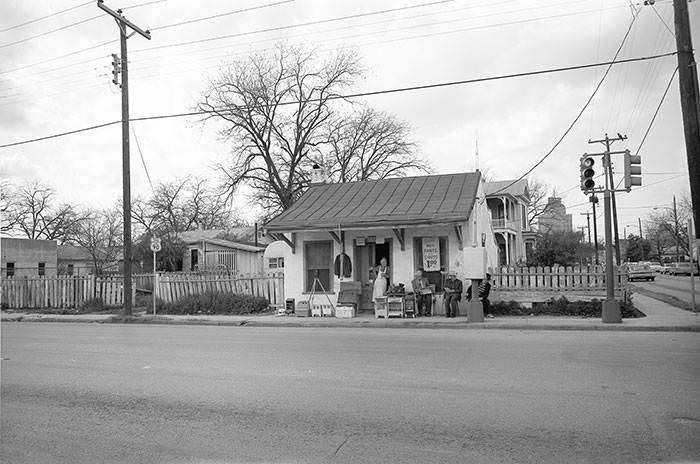
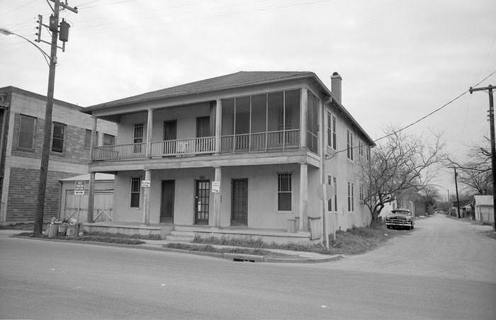
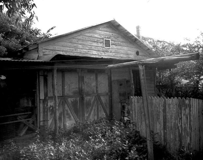
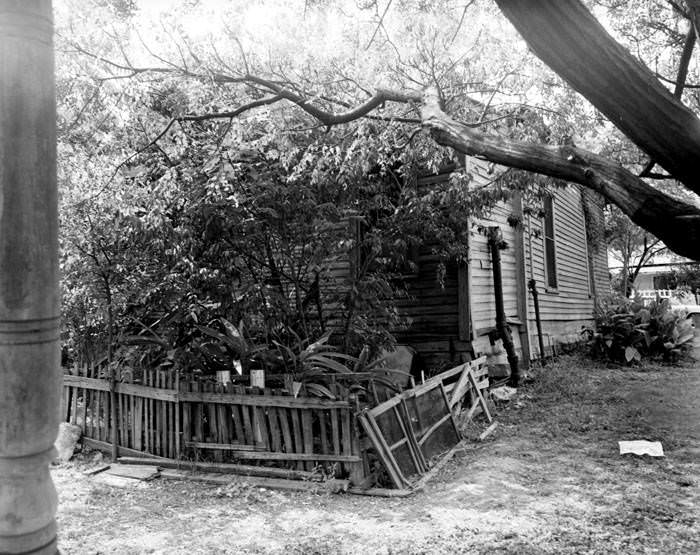
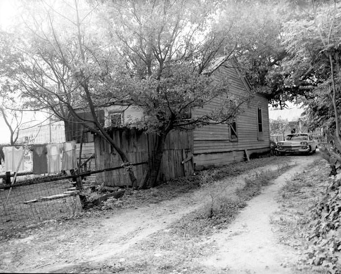
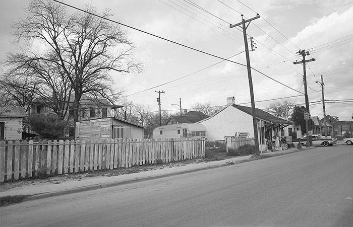
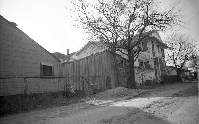
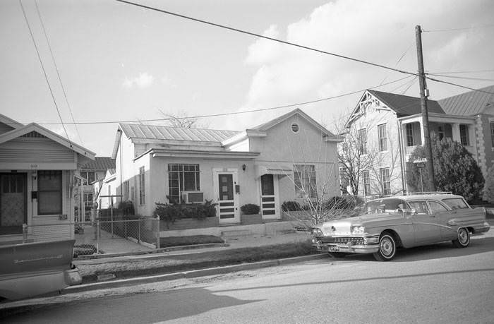
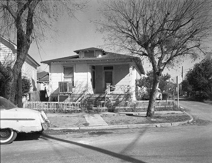
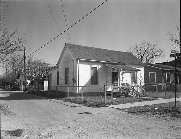
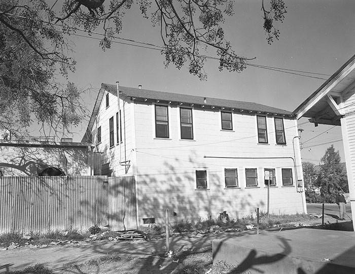
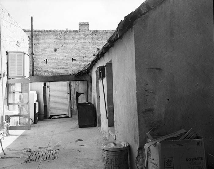
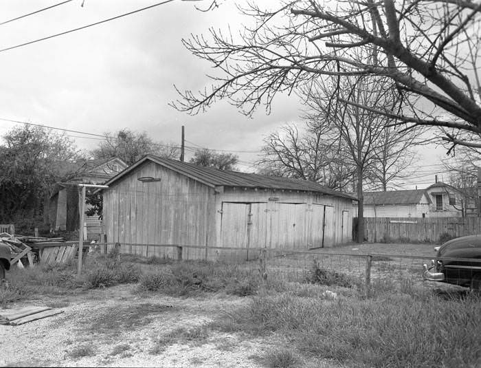
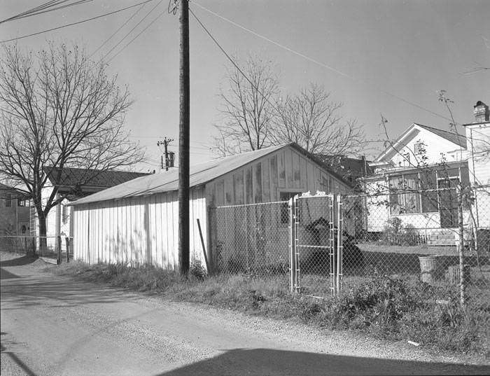
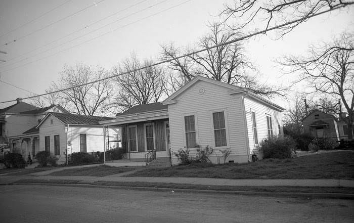
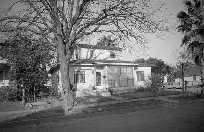
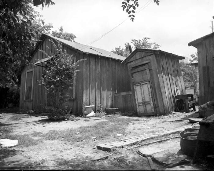
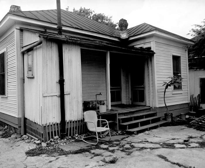
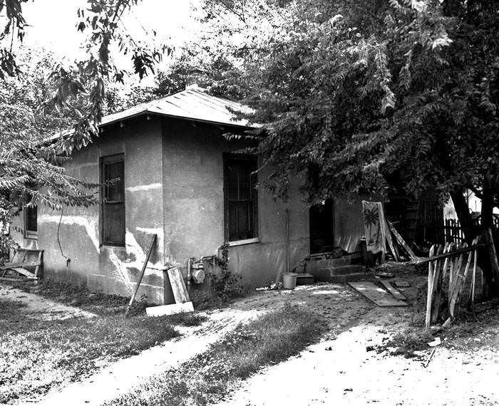
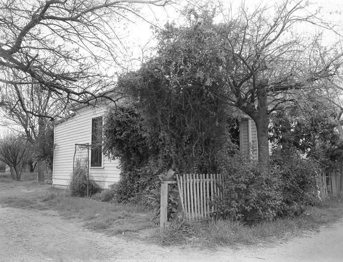
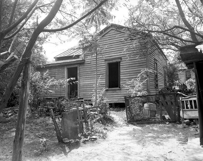
Homes along North Laredo Street, Camaron Street, and San Saba Street tell a different story — one of modest, working-class housing that survived into the late 1960s. Frame houses, brick-and-tile cottages, and small outbuildings filled these blocks. Some had outhouses still standing in the back. Photographers recorded rear elevations, side yards, and unpainted exterior walls with the same precision used for historic landmarks, preserving a record of how ordinary San Antonians actually lived.
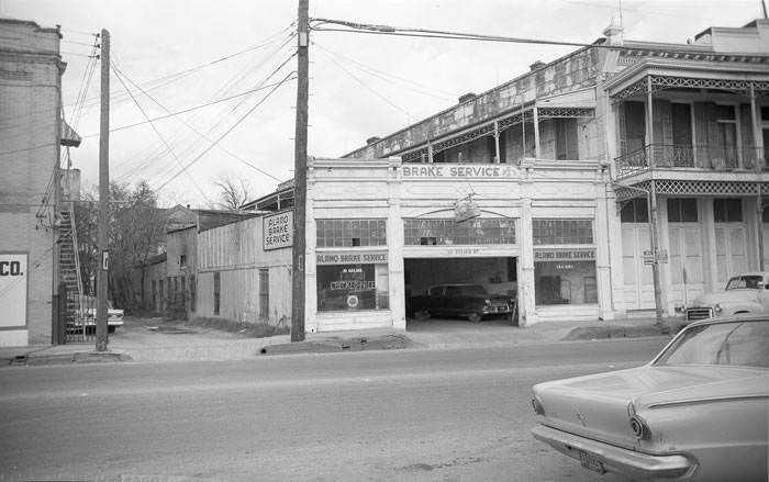
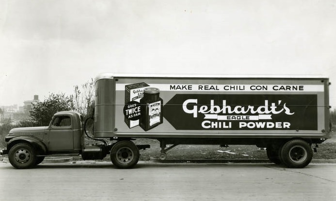
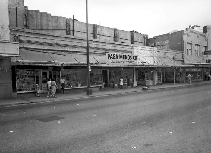
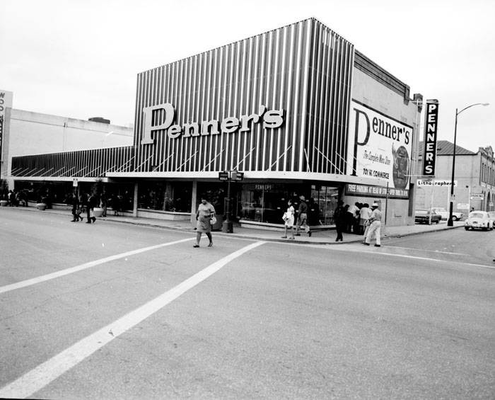
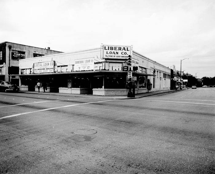
San Antonio’s commercial corridors told their own story. W. Commerce Street had well-known businesses like Penner’s at 701 and a cluster of shops in the 800 block. The Liberal Loan Company operated out of 501 W. Houston Street. Gebhardt’s Chili Powder — a Texas institution — had its trucks rolling through the city in 1963. These businesses were woven into the fabric of daily San Antonio life, serving customers from across the city’s many neighborhoods.
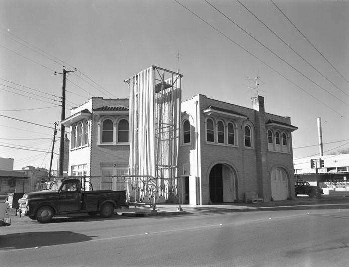
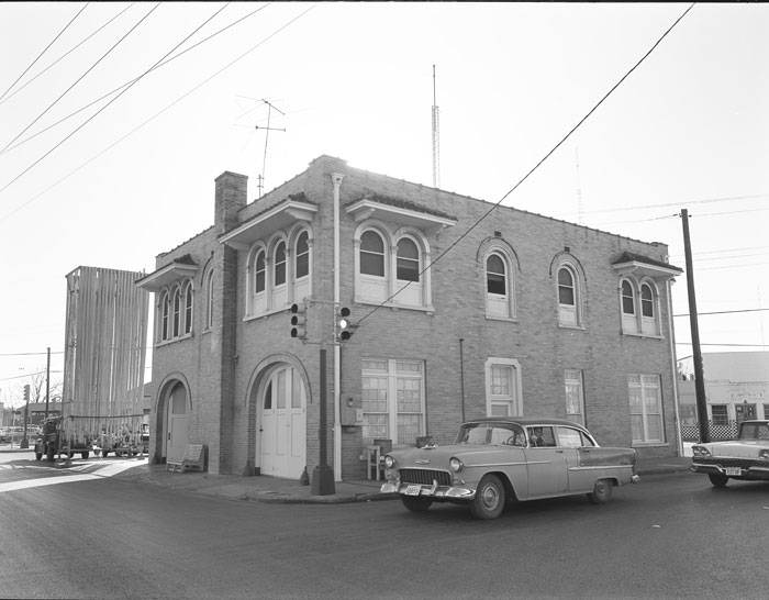
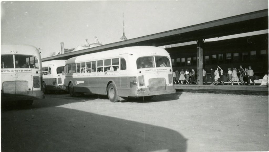
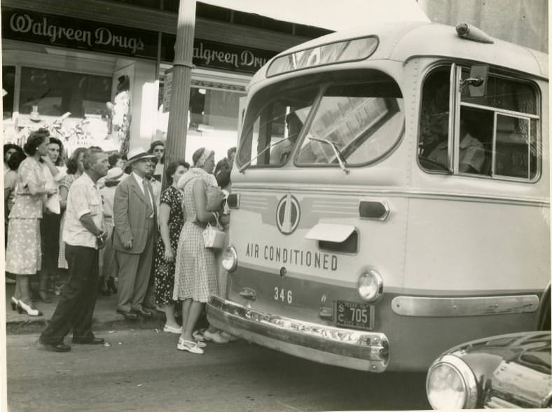
San Antonio’s fire stations and transit system also feature in the photographic record of the 1960s. Fire Station No. 7 at 600 South Alamo Street was photographed from multiple angles in 1965. Buses of San Antonio were captured in 1967, both parked and loading passengers. The transit photos show a city still dependent on public transportation, with groups boarding buses at various stops around the downtown core.
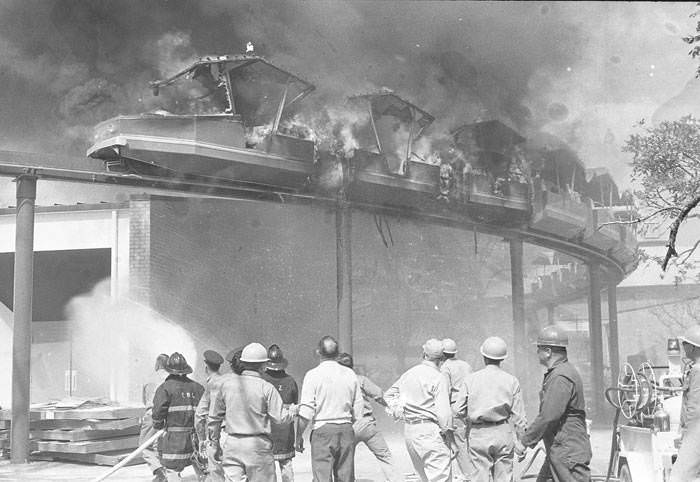
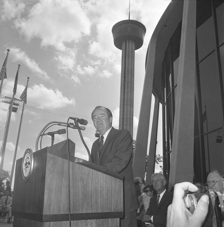
In 1968, San Antonio hosted HemisFair — a World’s Fair held to mark the city’s 250th anniversary and celebrate its deep cultural ties to Latin America. Preparations for the fair had consumed years of planning, land clearing, and construction. Ten days before the fair opened, a fire broke out on the HemisFair mini-monorail, adding a dramatic twist to the final countdown. Despite the setback, the fair opened and drew massive crowds. Vice President Hubert Humphrey, then running as the Democratic presidential candidate, spoke outside the U.S. Pavilion during the fair.
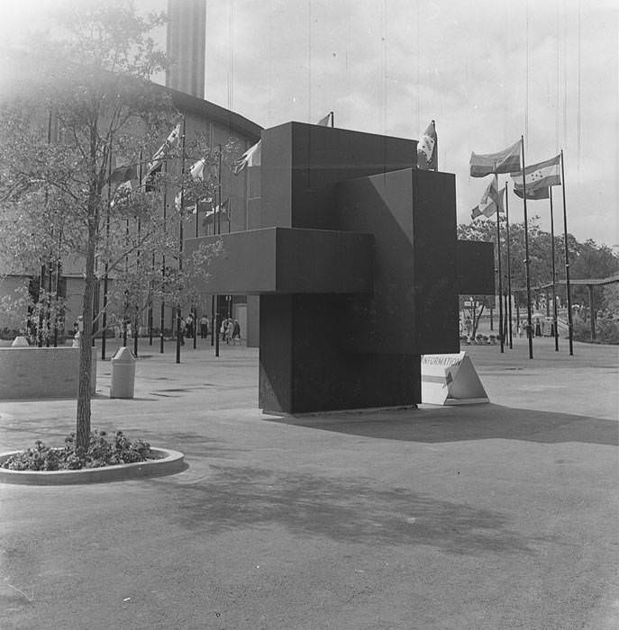
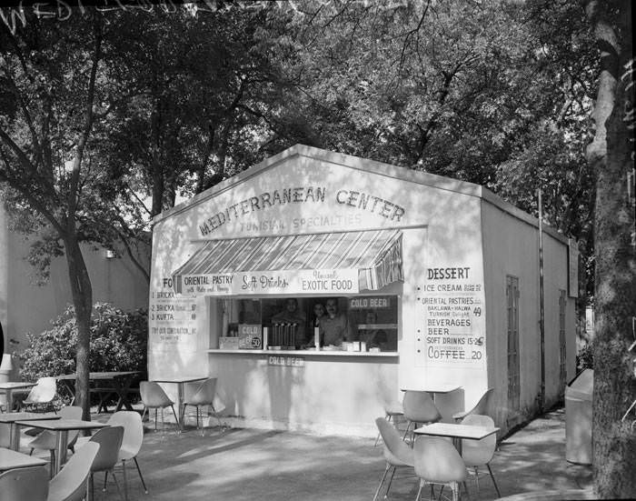
The fairgrounds featured art installations, international restaurants, and modern architecture. Tony Smith’s steel sculpture “Asteriskos” stood as one of the art highlights. The Mediterranean Center Restaurant served Tunisian specialties, giving fairgoers a taste of North African cuisine in the middle of Texas. The fair transformed the area just south of downtown, and much of the infrastructure built for it — including the Tower of the Americas — remained long after the crowds left.
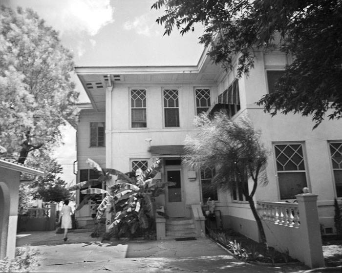
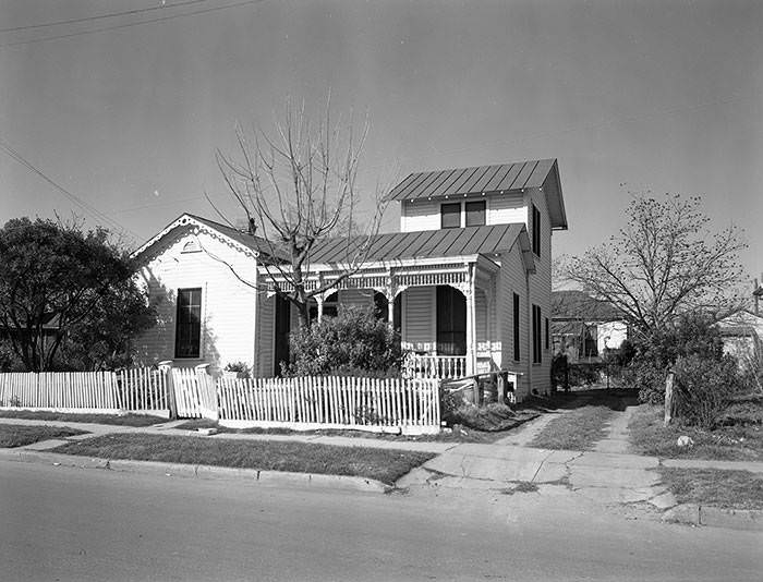
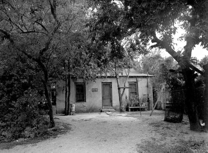
The neighborhoods directly in the path of HemisFair’s footprint were demolished or significantly altered. Houses on Victoria Street, like the Ernest and Olga Hampe House at 501 Victoria Street and the Schaefer-Preusser House at 407 Victoria Street, were torn down to make way for East Durango Boulevard, which ran alongside the fairgrounds. Frame houses on Matagorda Street, Goliad Street, and surrounding alleys were photographed in detail before being cleared. The Lang-Schultze House at 112 Goliad Street, a two-story brick residence built for Henrietta and Isaac Lang, was among the structures documented in 1960 before the urban renewal wave hit the area.
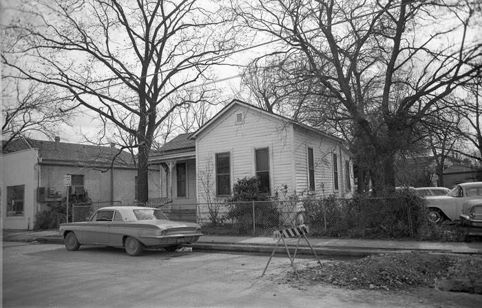
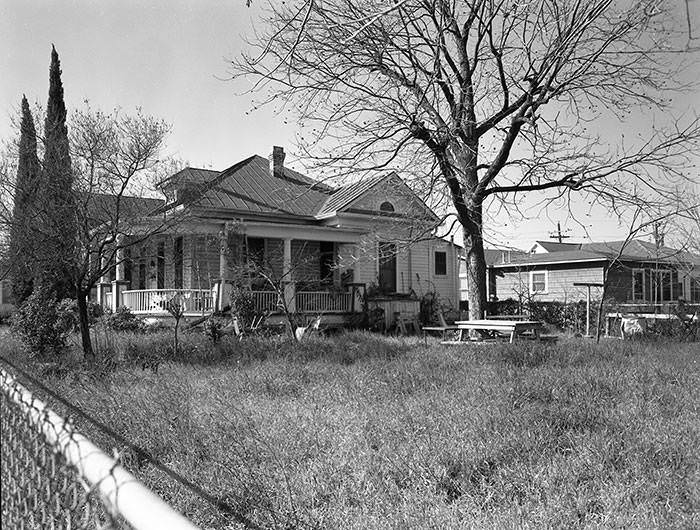
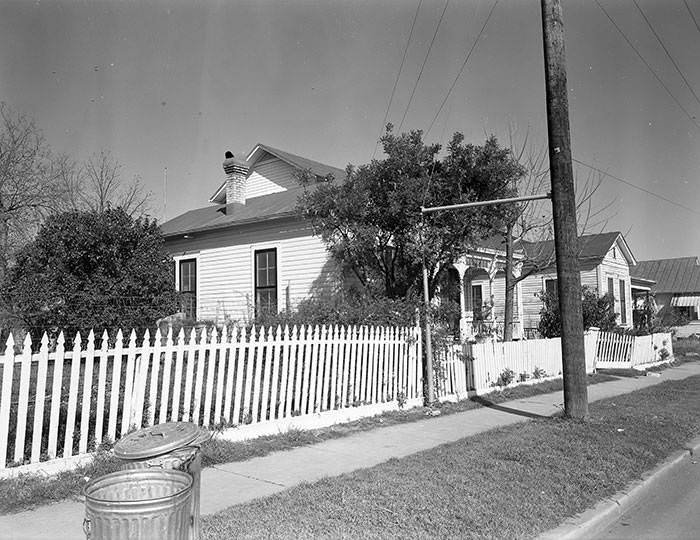
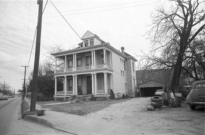
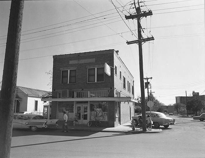
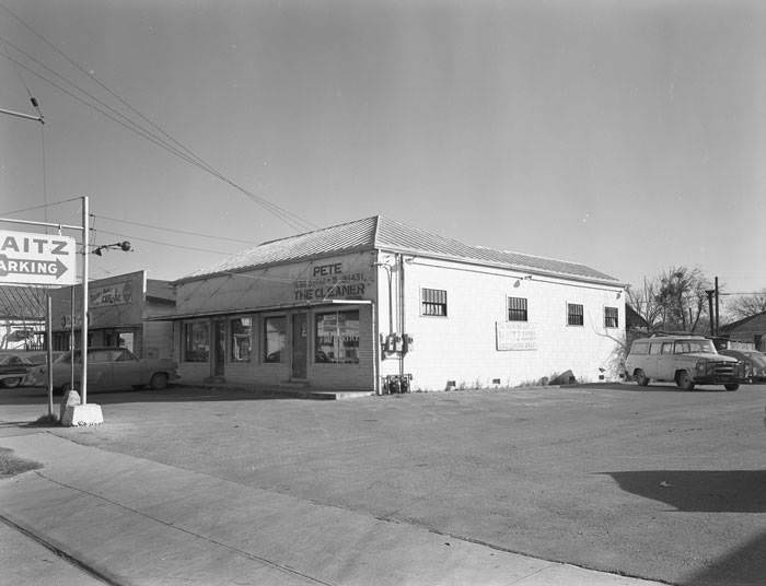
Goliad Street itself was a busy corridor with a mix of machine shops, pharmacies, grocery stores, and residences. The Wolff Machine Works at 530 Goliad Street, owned by Marie T. Wolff, sat next to the parking lot of the Waitz Super Market at 548 Goliad Street. The Goliad Street Pharmacy operated at the corner of Goliad and Santa Clara Streets. The Leopold Wolf House at 606 Goliad Street had a particular history — in the 1920s, it served as the Wolf Residence Shop, a women’s clothing business run by Eda and Mathilde Wolf out of their own home.
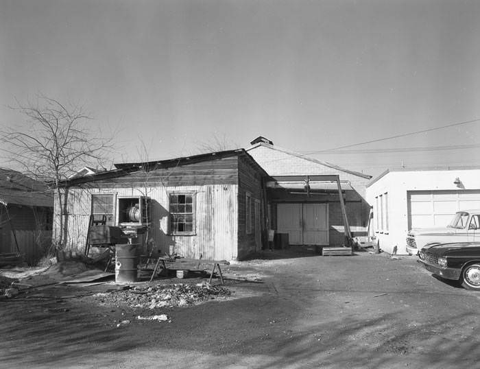
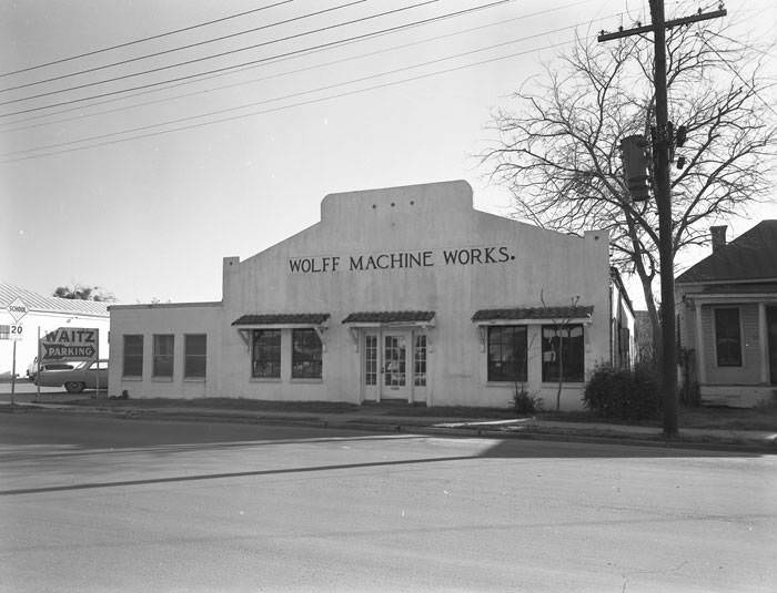
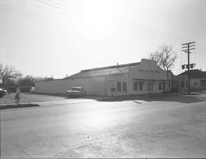
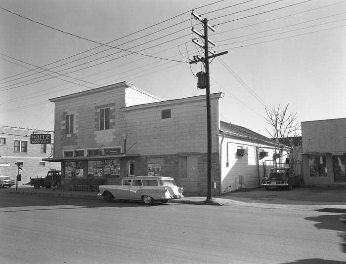
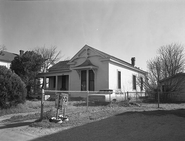
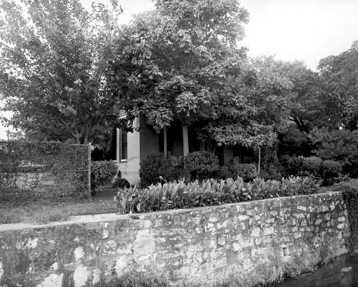
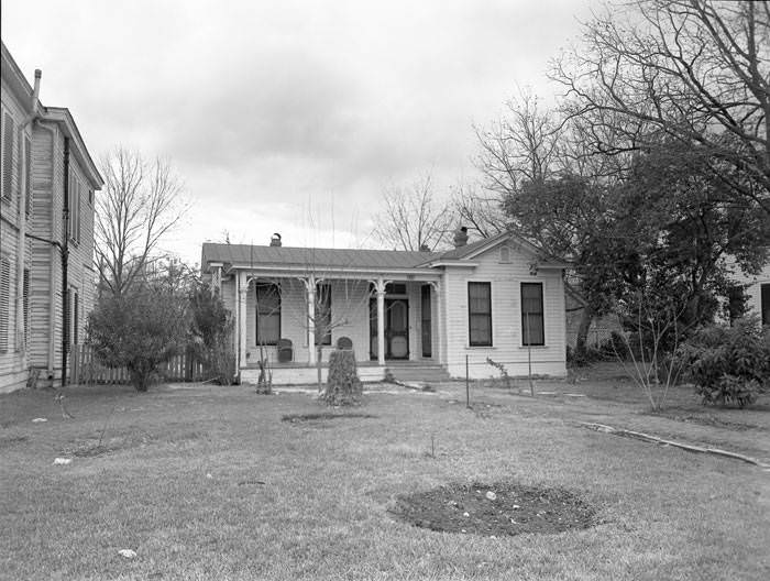
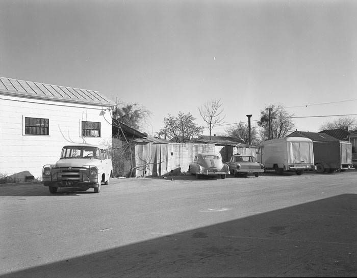
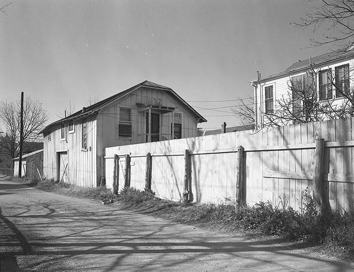
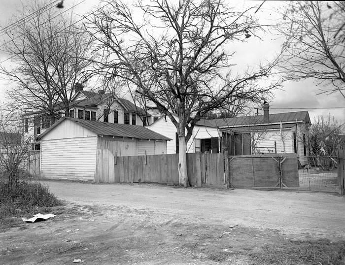
Residential Goliad Street also had homes like the Caballero House at 618 Goliad Street, occupied by Joe A. Caballero, with flower beds out front. Nearby, garages and outbuildings filled the alleys. The 200 block of Culberson Alley captured fences, sheds, and apartment structures tucked behind main residences. These alley-facing structures were a standard feature of San Antonio’s older neighborhoods, where space behind the main house was used practically for storage, vehicles, and sometimes additional living quarters.
The 1965 aerial view looking south along the 200 and 300 blocks of South Alamo Street puts much of this into perspective. To the left of South Alamo lay Urban Renewal Project 5 — the future site of the San Antonio Convention Center. The San Antonio Labor Temple at 126 North Street, identified by its tower, stood in New City Block 906. The Eighteen Hotel occupied the corner of South Street and South Alamo Street, and the San Antonio River ran along the lower right of the frame. This single photograph captured the exact moment the city was on the cusp of transformation.
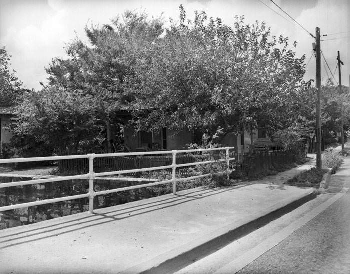
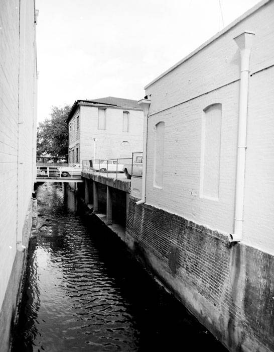
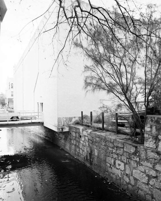
San Pedro Creek, running through the city, was also photographed in 1962 from both W. Commerce Street and W. Houston Street. Like the River Walk, the creek was a defining geographic feature of San Antonio, though it carried far less tourist attention at the time. Its banks were lined with the backs of buildings and older infrastructure, presenting a raw look at the city’s waterways before any large-scale improvements were undertaken.
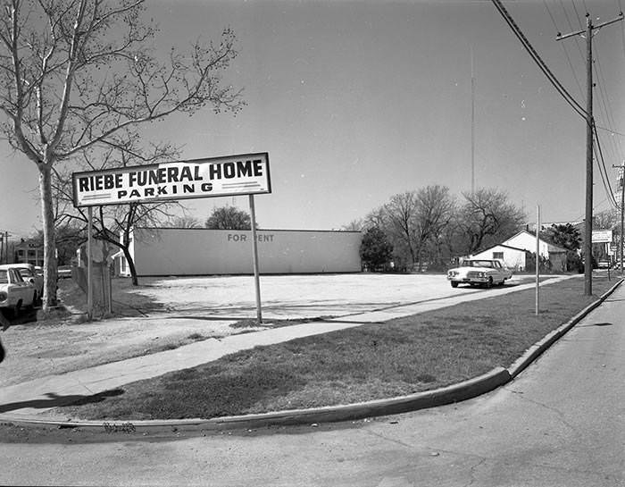
The remaining images from across the decade round out the picture of a city that was simultaneously holding onto its past and bulldozing it. Parking lots replaced houses. Businesses came and went. Alleyways that had served generations of families were cleared for convention centers and fairgrounds. What the photographs capture — block by block, structure by structure — is San Antonio in a decade of profound and irreversible change.