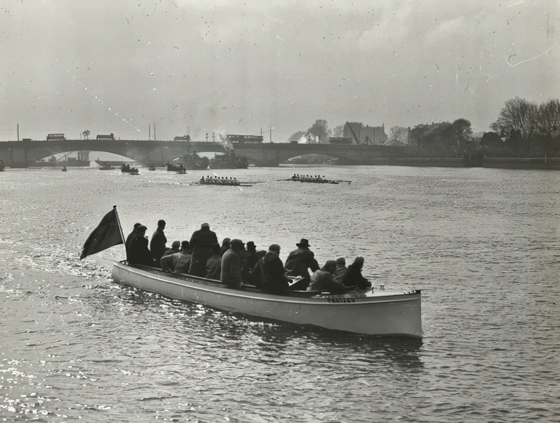
The River Thames stretches 215 miles from its source to the sea. For centuries, it served as London’s main artery for trade and travel. In the early 1900s, it looked nothing like the cleaned-up river visitors see today. It was loud, grimy, and relentlessly busy — a working river at the center of a global empire. The annual Oxford and Cambridge Boat Race at Putney drew massive crowds, showing how the Thames was also woven into the city’s culture.
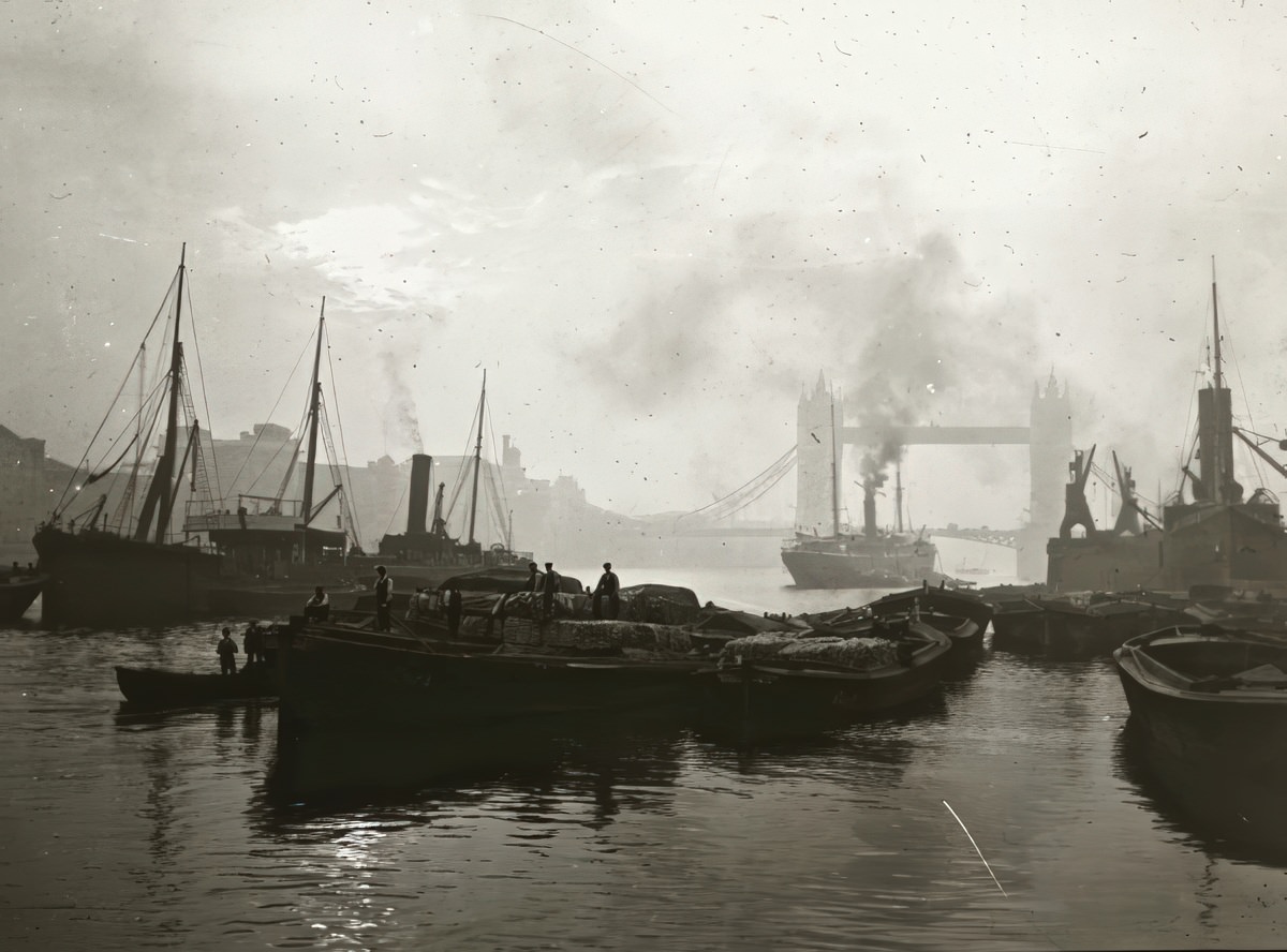
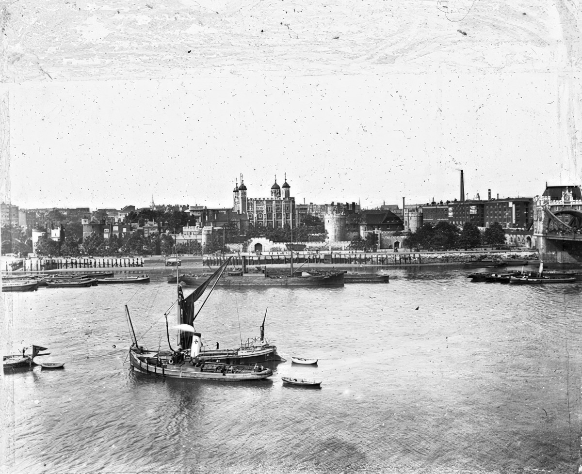
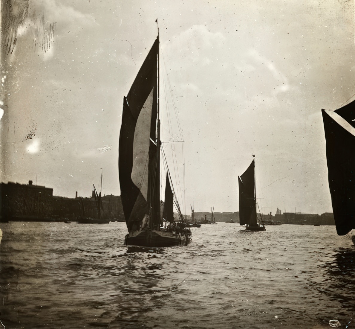
Downstream from London Bridge, the river carried ocean steamships, coastal freighters, flat-bottomed barges, and powerful tugboats. Skilled lightermen guided unpowered barges through heavy traffic using only the tide and long poles. The Tower of London stood as a grim stone landmark over this constant river traffic, a reminder of centuries of power along these banks.
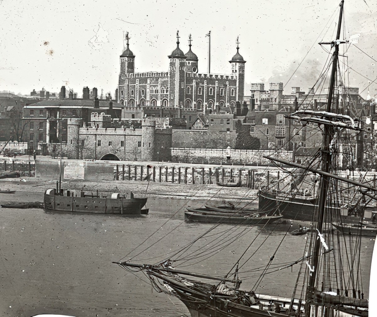
The riverbanks supported vast dock systems — the Surrey Docks, London Docks, West India Docks, and Royal Docks — where thousands of workers loaded and unloaded timber, coal, grain, tea, and wool daily. Just inland, Billingsgate Market handled the constant trade in fish brought straight off the river.
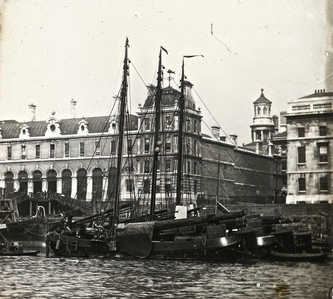
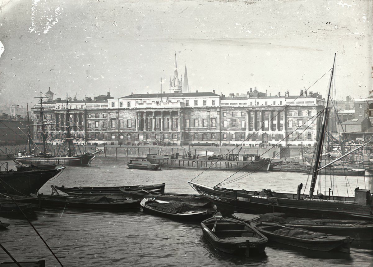
The Customs House monitored all incoming goods, a critical post given the Port of London ranked among the busiest in the world at the time.
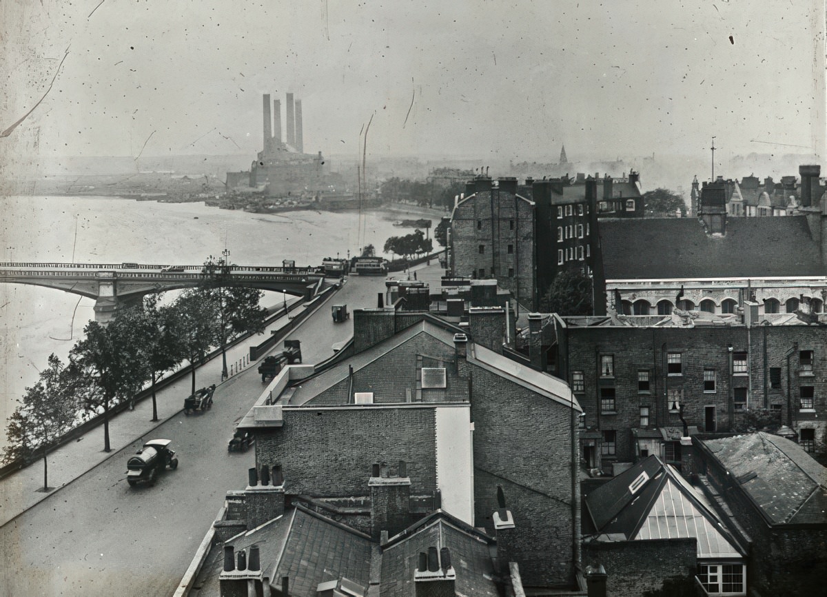
Bridges stitched London’s divided north and south together. Battersea Bridge connected quieter residential streets to the industrial riverside at Lots Road, where a massive power station had been built to fuel the city’s electric tramways.
Tower Bridge, completed in 1894, was the most dramatic of all the crossings. Its central bascules raised to let tall ships pass into the Pool of London. In these photographs, the volume of shipping near the bridge makes clear just how essential this stretch of river was to the city’s economy.
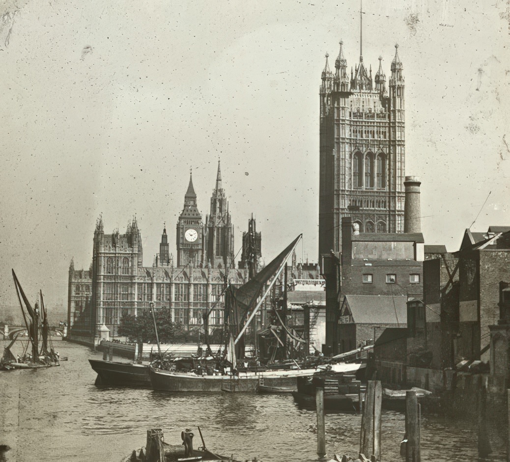
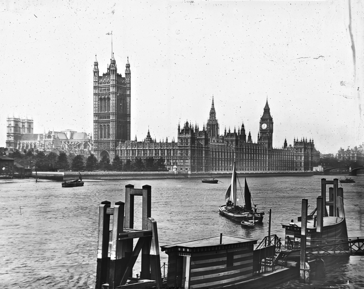
Westminster Bridge offered one of London’s most photographed views — the Houses of Parliament and the clock tower known as Big Ben rising above the South Bank. The Victoria Embankment, built alongside Sir Joseph Bazalgette’s sewer system from the 1860s, created a clean stone edge along the north bank, replacing muddy, chaotic shorelines.
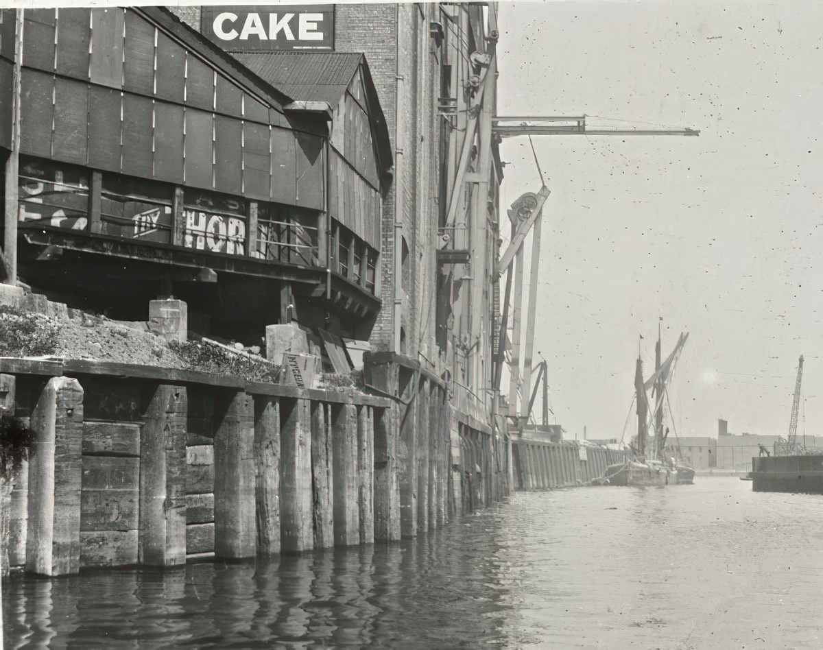
The London Docks in the 1920s remained a hive of activity. Warehouses packed with imported goods towered over the water. Industrial discharge and boat traffic kept the river murky and brown, and coal smog frequently rolled in off the city, cutting visibility to almost nothing.
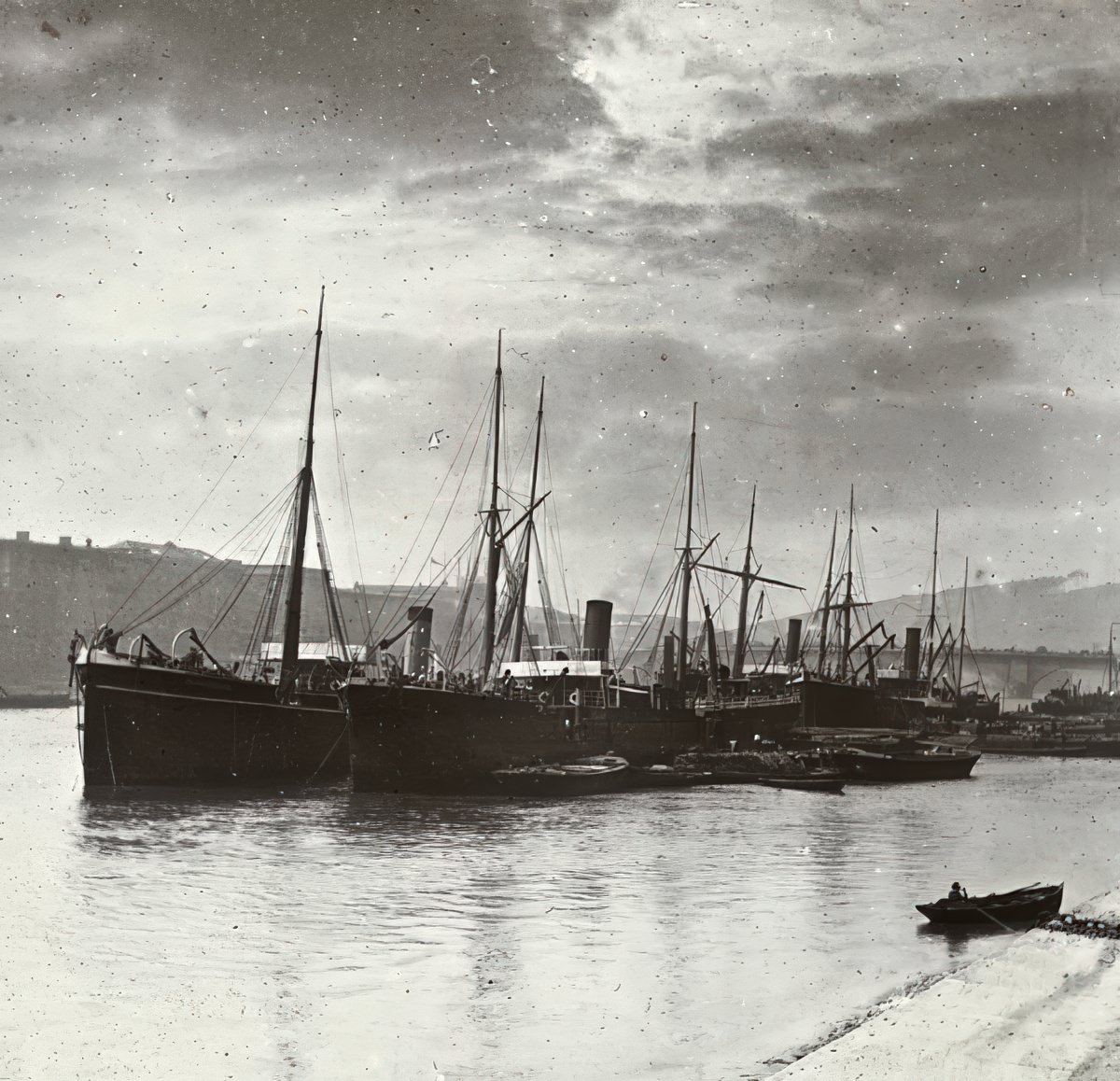
Further east, off Woolwich, the Thames widened considerably as it pushed toward the estuary. Ship repair yards and industrial works lined these banks, and vessels of all sizes moved constantly through the water.
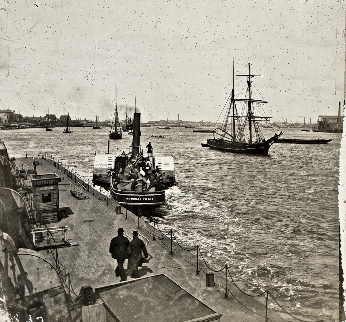
Greenwich Pier served as a key passenger and ferry stop along the river. The tidal Thames rose and fell twice daily, and workers along these piers timed their entire routines around the rhythm of the tides.
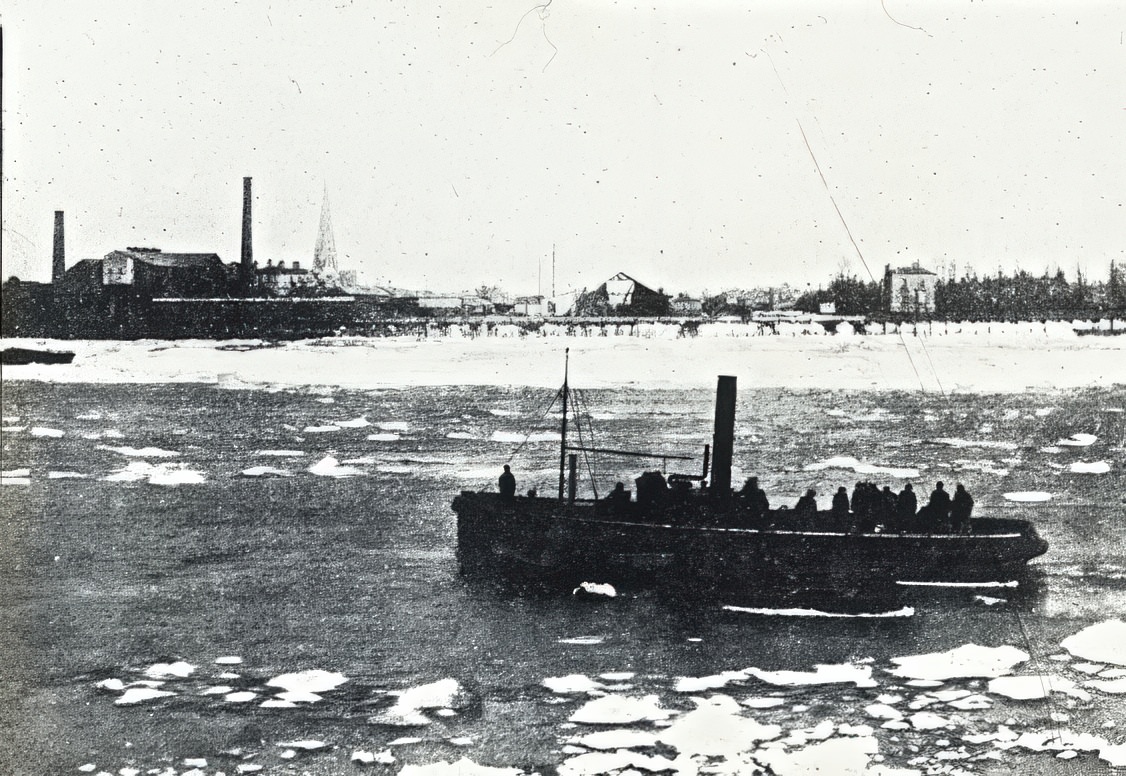
In particularly cold winters, the tidal Thames could freeze at its edges, sending ice floes drifting downstream. These rare conditions brought river traffic to a near standstill and drew curious onlookers to the banks.
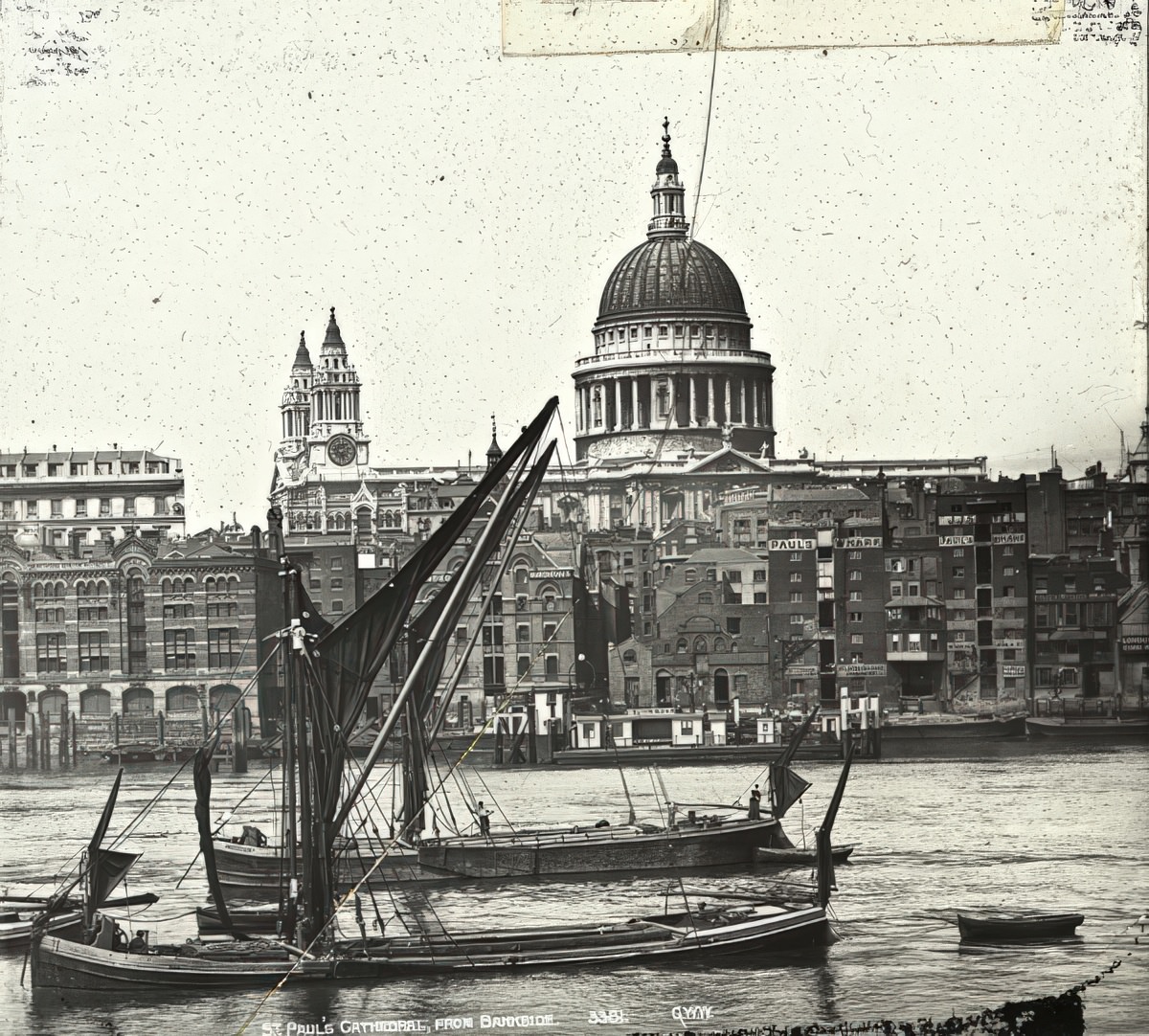
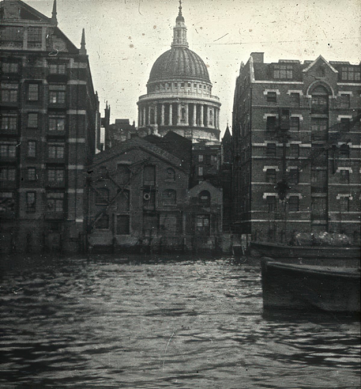
St. Paul’s Cathedral dominated the skyline west of the docks. From Bankside on the south bank, its great dome rose above the rooftops and smokestacks of the city, visible from multiple points along the river.
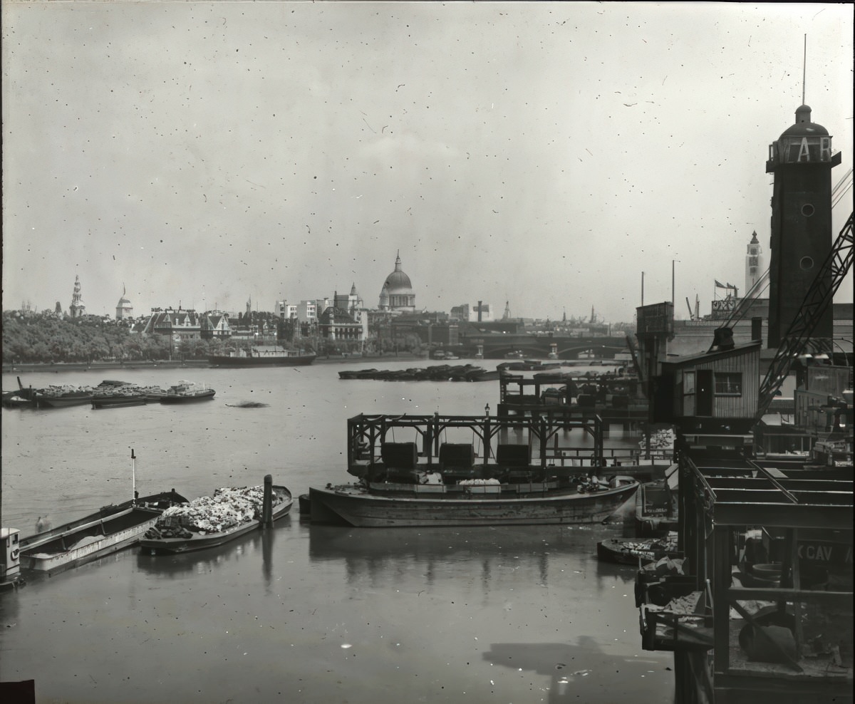
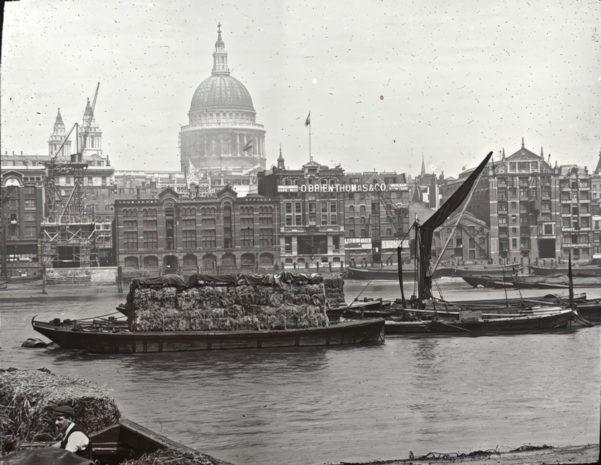
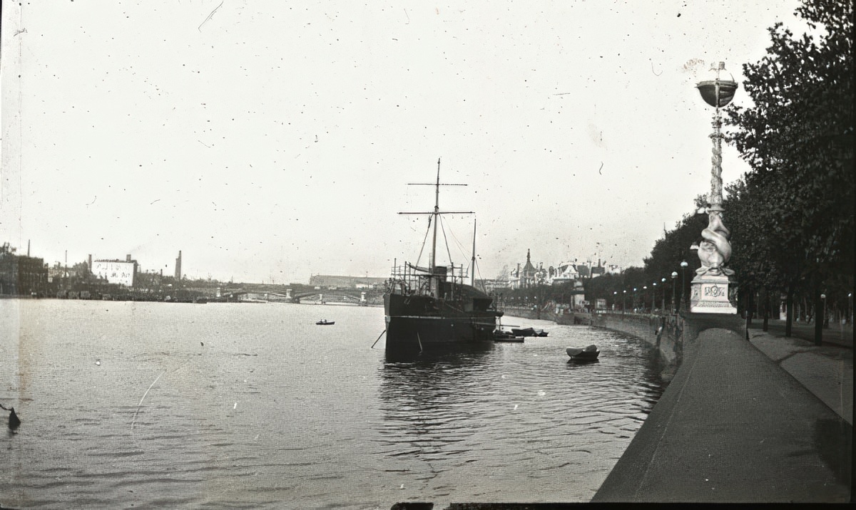
The Victoria Embankment on the north bank was one of the great Victorian engineering achievements. It provided a wide promenade, a major road, and concealed the vast new sewer tunnels below. It fundamentally changed how Londoners interacted with their river.
Away from the grand embankments, smaller tributaries like Wandsworth Creek revealed the rougher, more industrial face of the Thames network. Workshops and wharves crowded the narrow banks of these side channels, where smaller craft moved goods in and out of the main river.