
Pittsburgh in the 1950s was a city in the middle of a major overhaul. For decades, the sky above the Steel City had been choked with thick, dark smoke from the mills that lined the rivers. By the early part of the decade, that was changing fast. The Renaissance I urban renewal project, launched in the late 1940s by Mayor David L. Lawrence and banker Richard King Mellon, was now in full swing. Together, they pushed an aggressive campaign to clean up the air, tear down dilapidated buildings, and rebuild Pittsburgh’s image from the ground up.
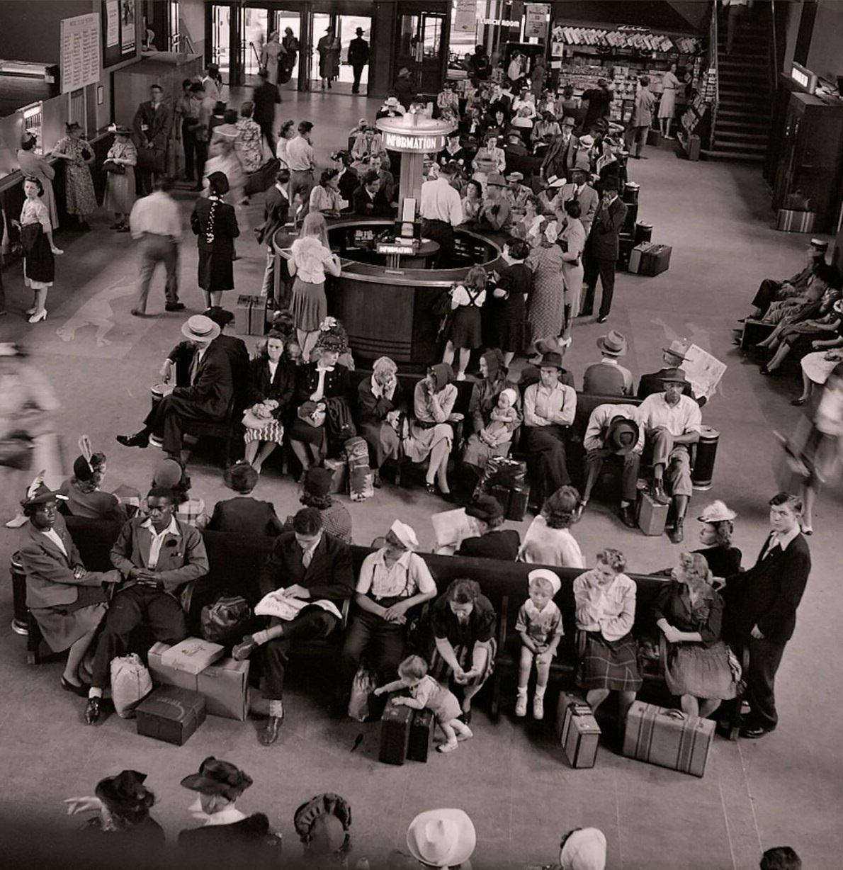
The results were visible across the city. Old, worn-down structures were being replaced by modern office buildings and public spaces. Point State Park was taking shape at the confluence of the three rivers, and new skyscrapers were rising in the downtown corridor. For the first time in a generation, Pittsburghers could look up and actually see blue sky. The Greyhound Bus Terminal, opened in 1951, gave travelers a sleek, modern gateway into the city — a fitting symbol of a Pittsburgh moving forward.
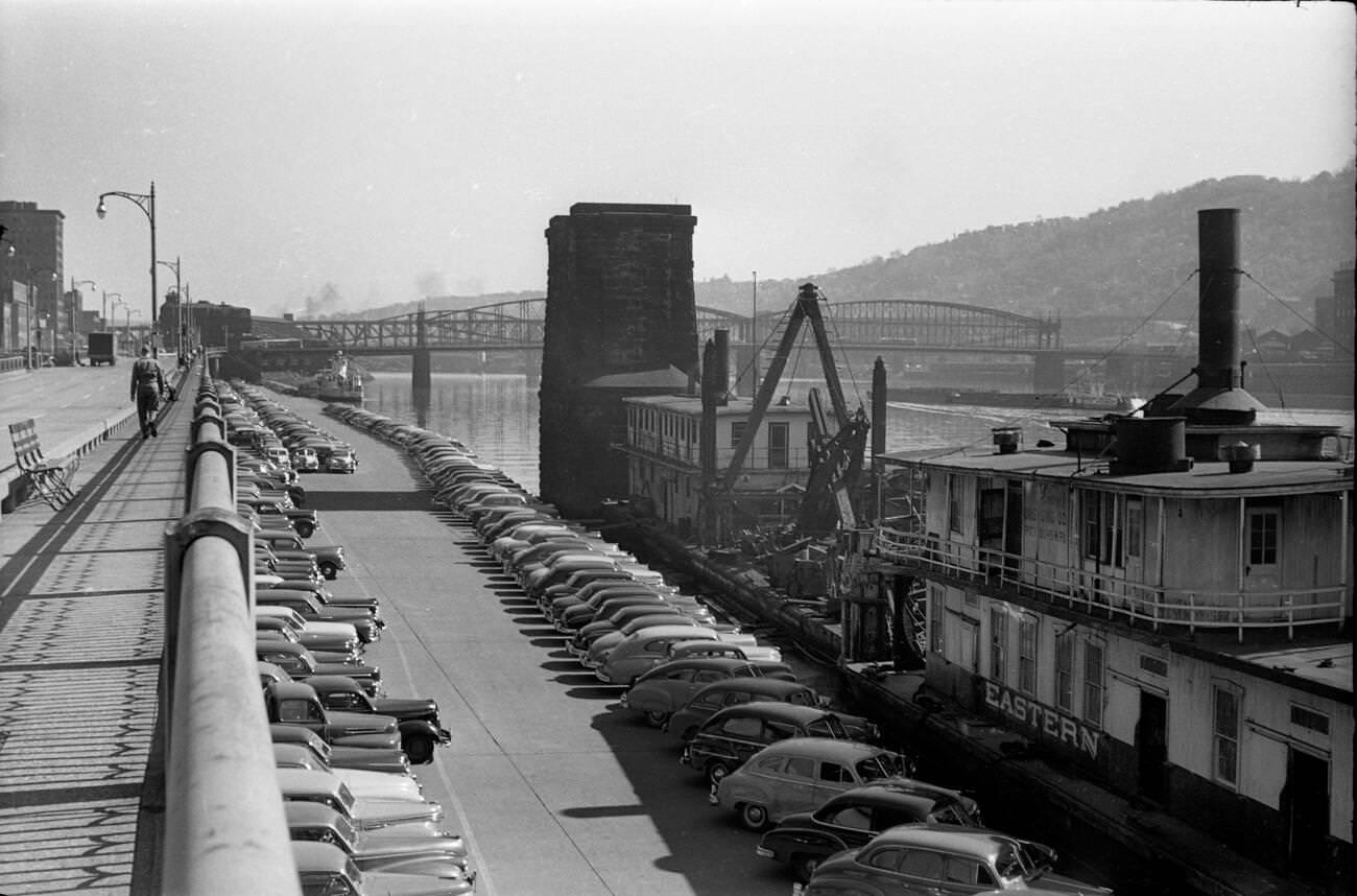
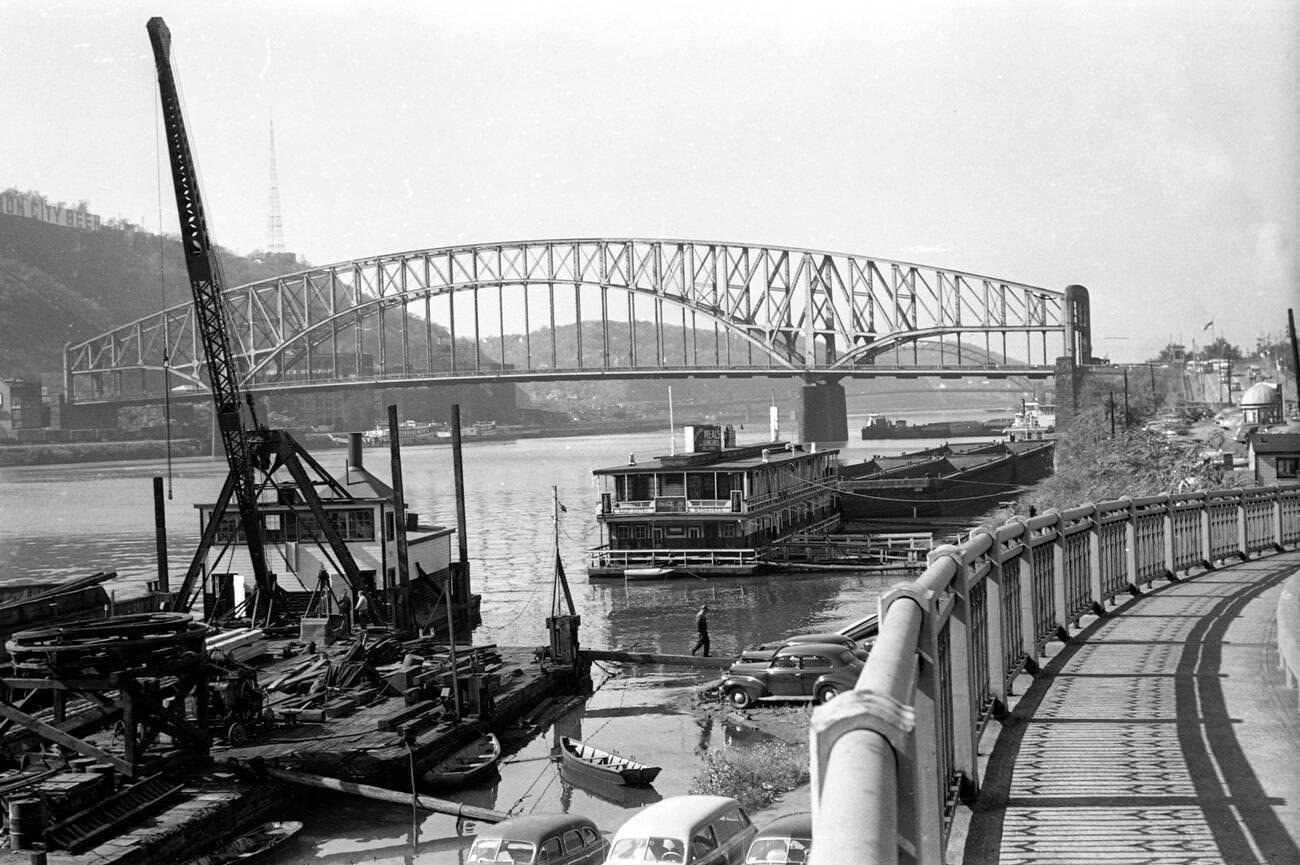
Down at the Mon Wharf in 1951, the riverfront was still very much a working landscape. The Monongahela River had long served as an industrial artery, and the wharf reflected that — barges, vehicles, and the steady activity of a port city going about its business.
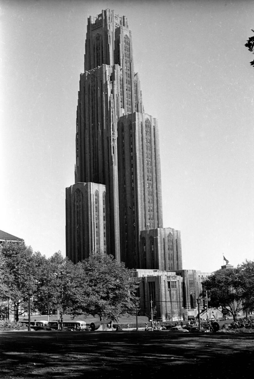
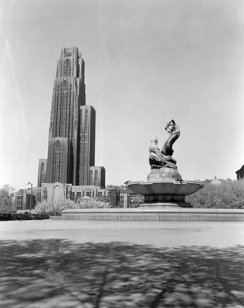
Not far away, the Cathedral of Learning stood as one of Pittsburgh’s most recognizable landmarks. The 42-story Gothic tower on the University of Pittsburgh campus had been completed in 1937 and by 1950 was a defining feature of the Oakland skyline. It anchored a neighborhood that was becoming increasingly central to the city’s growing healthcare and education sectors — industries that would take on greater importance as the decade wore on and the steel economy began to shift.
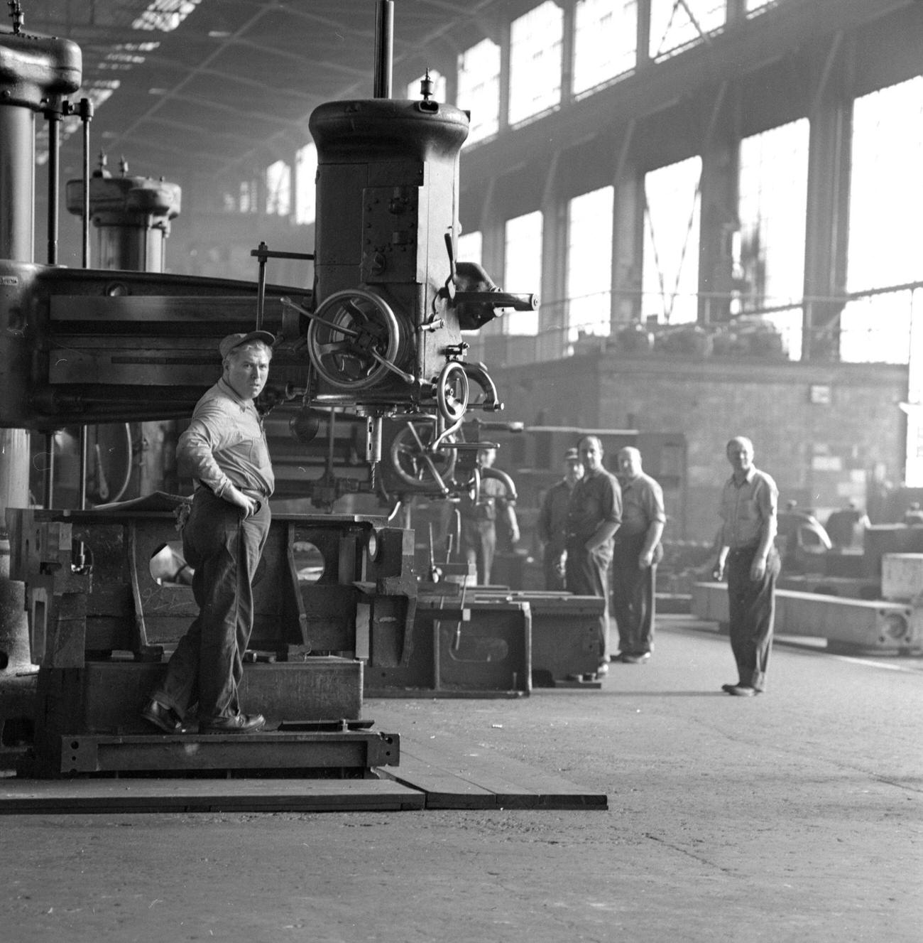
Pittsburgh’s industrial strength attracted attention on the world stage. In 1959, Soviet Premier Nikita Khrushchev made a tour of the United States that included a stop at Pittsburgh’s Mesta Machine Company, one of the nation’s premier heavy equipment manufacturers. Workers at the plant posed for photographs with the Soviet leader during his visit — a striking scene that captured just how central Pittsburgh’s industrial identity remained, even as the city worked to diversify its economy.
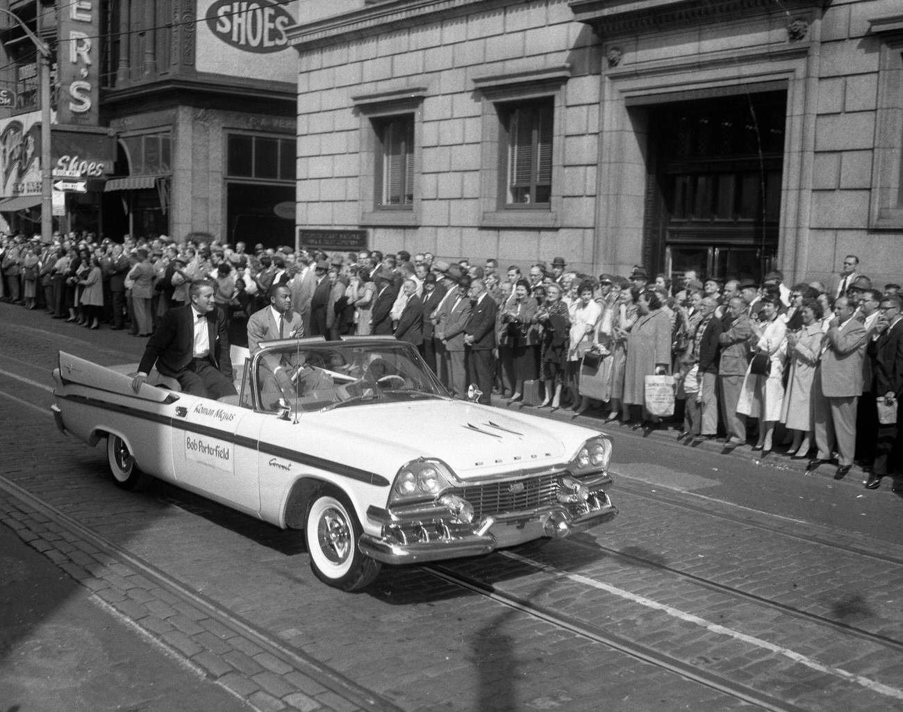
Sports were woven into everyday life across Pittsburgh’s neighborhoods. The Pittsburgh Pirates drew loyal crowds throughout the decade, and in 1958, the city honored them with a Chamber of Commerce parade through downtown. Players Bob Porterfield and Roman Mejias rode through the streets to cheering fans — a preview of the passion that would boil over just two years later when the Pirates won the 1960 World Series.
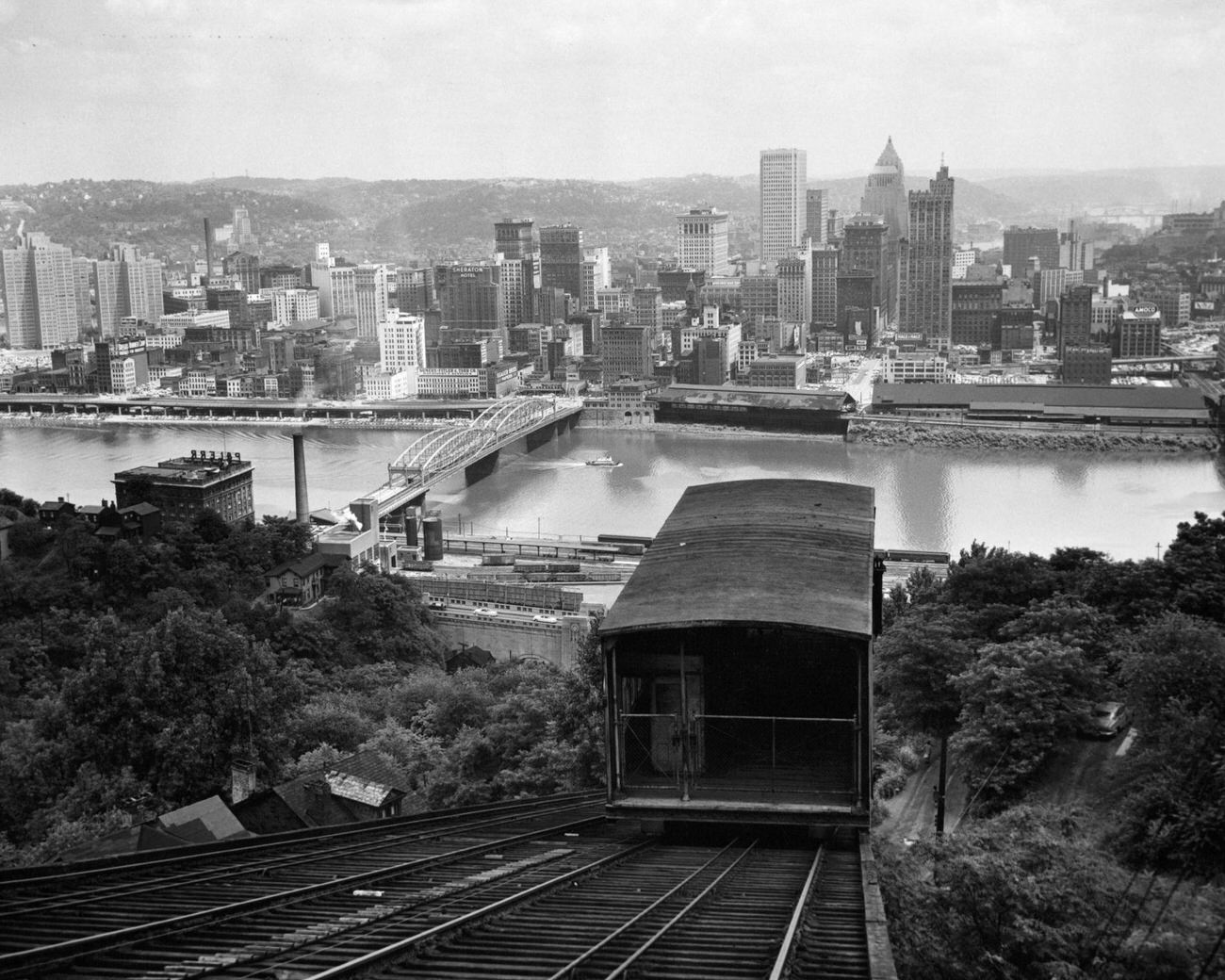
By 1955, the downtown skyline was already showing the results of Renaissance I. New towers rose along the riverbanks, and the Point — once a tangle of aging warehouses and rail yards — was being cleared for what would become Point State Park.
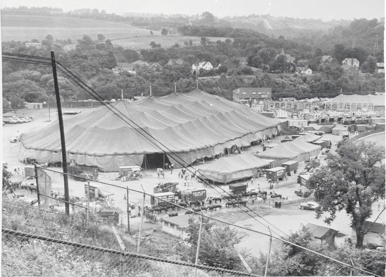
Even leisure time had its big moments. In 1956, the Ringling Brothers Circus made one of its final appearances under a traditional canvas big top in Pittsburgh. The sight of the massive tent pitched in the city drew crowds of families eager for a spectacle. It was the kind of event that filled a whole afternoon and lingered in memory for years.
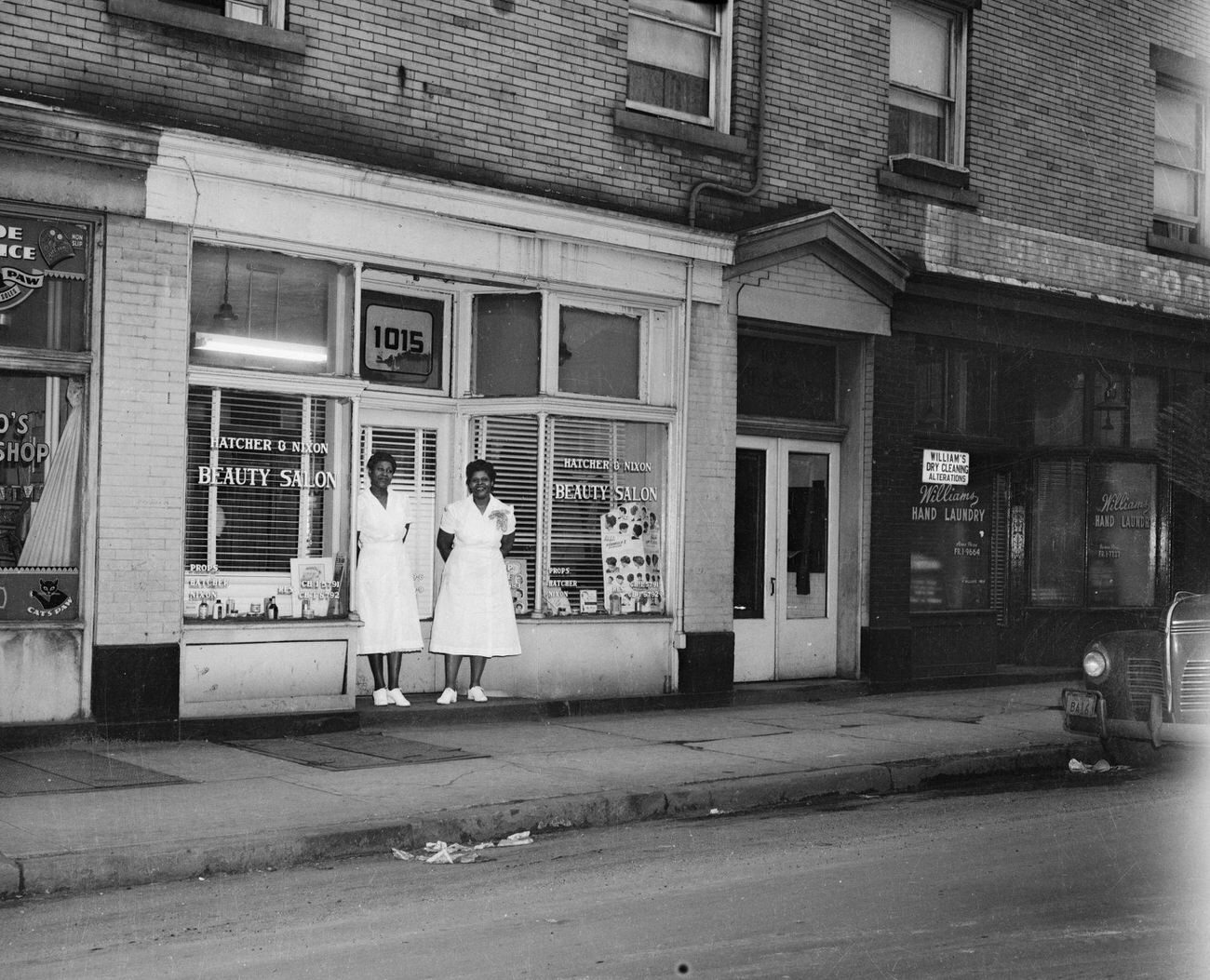
Everyday life played out across dozens of neighborhoods, each with its own distinct personality. In Homewood, small businesses lined the sidewalks and residents took pride in their community. A photograph from 1951 shows two women posed outside the Hatcher & Nixon Beauty Salon — a glimpse into the social life anchored by neighborhood shops and the people who ran them.
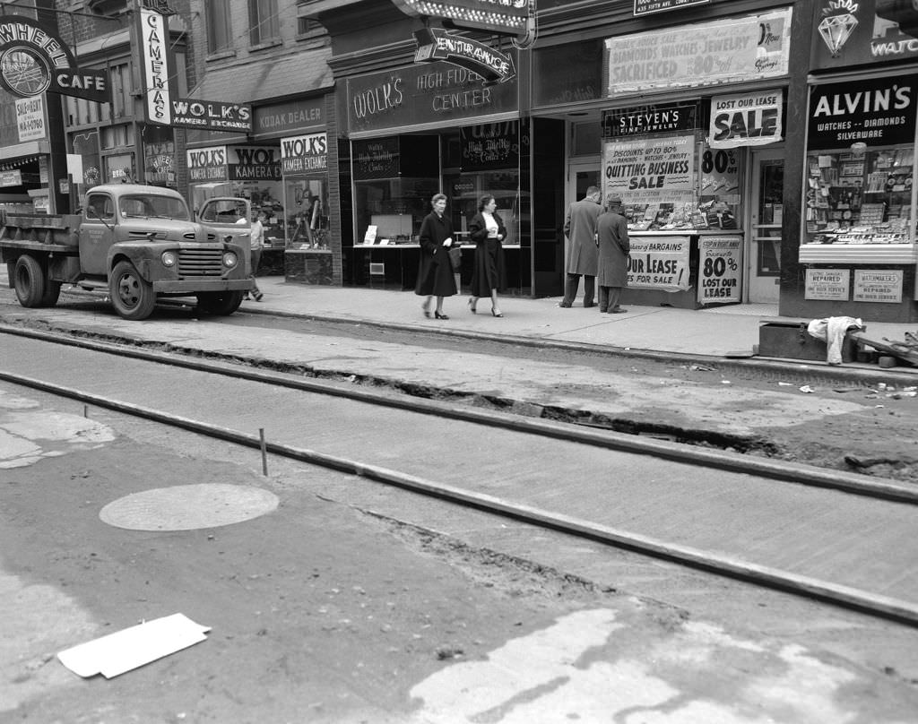
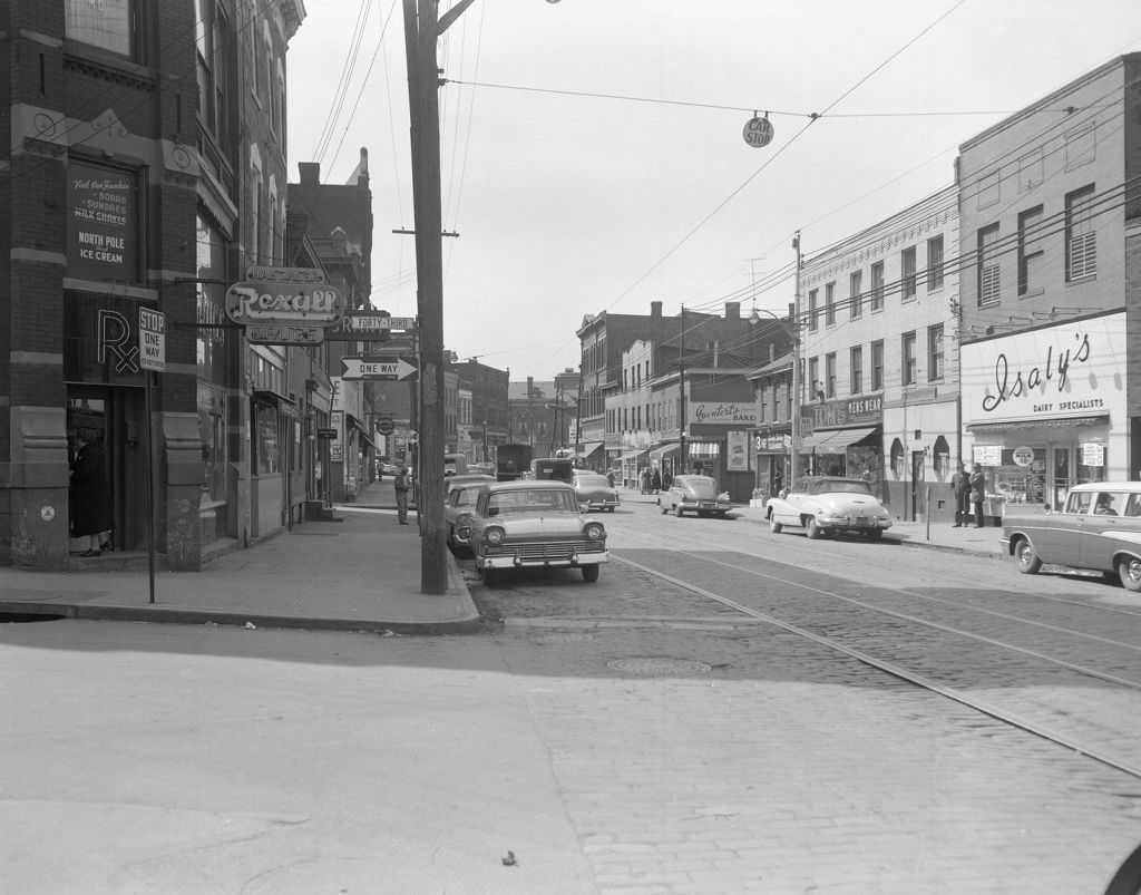
Forbes Avenue was one of the busiest commercial corridors in the city. In 1958, it was lined with a dense mix of shops, restaurants, and storefronts catering to every need. Just a few blocks away, Butler Street at 43rd was home to an Isaly’s dairy store, part of the beloved regional chain known for its chipped ham and Klondike bars.
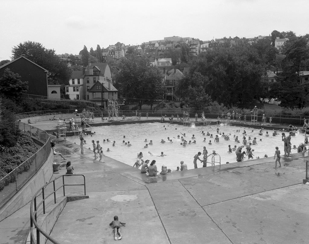
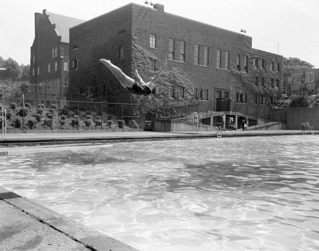
Summer in Pittsburgh meant the public swimming pools. Reams Park and Ammon Park were both packed on hot days, giving children and families a place to cool off. The bird’s-eye view of Reams Park in 1958 shows a pool surrounded by a sea of swimmers, while a lone diver at Ammon Park captures a quieter, more athletic moment at the water’s edge.
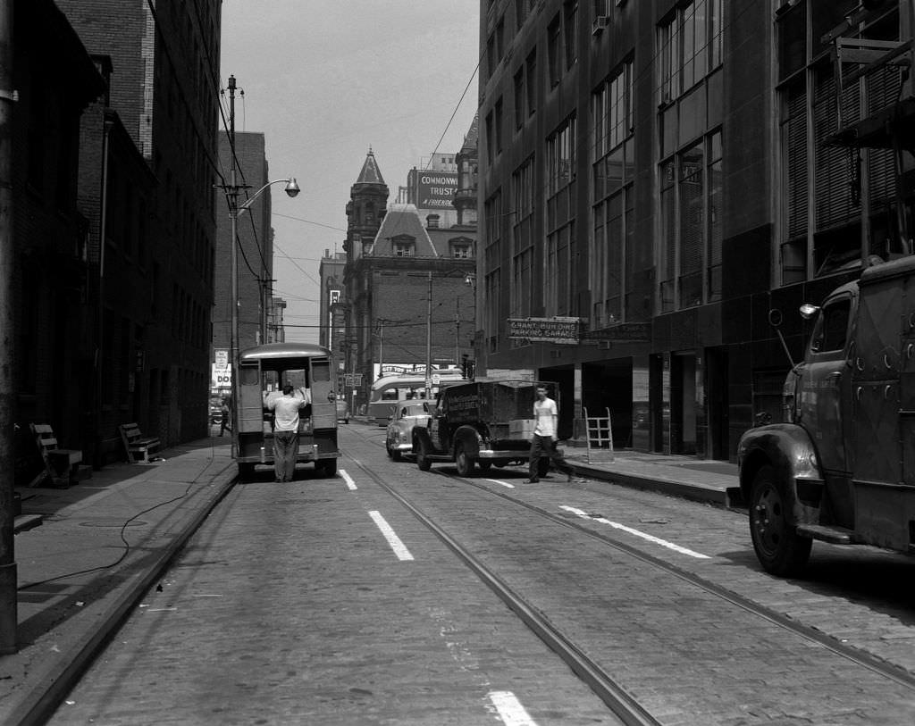
The downtown streets near Grant Street and Sixth Avenue formed the city’s civic and commercial core. Photographs taken from the William Penn Hotel in 1951 captured the dense grid of storefronts, streetcar lines, and pedestrians below. The First English Evangelical Lutheran Church stood prominently along Grant Street, one of the older architectural anchors in a district otherwise marked by constant change.
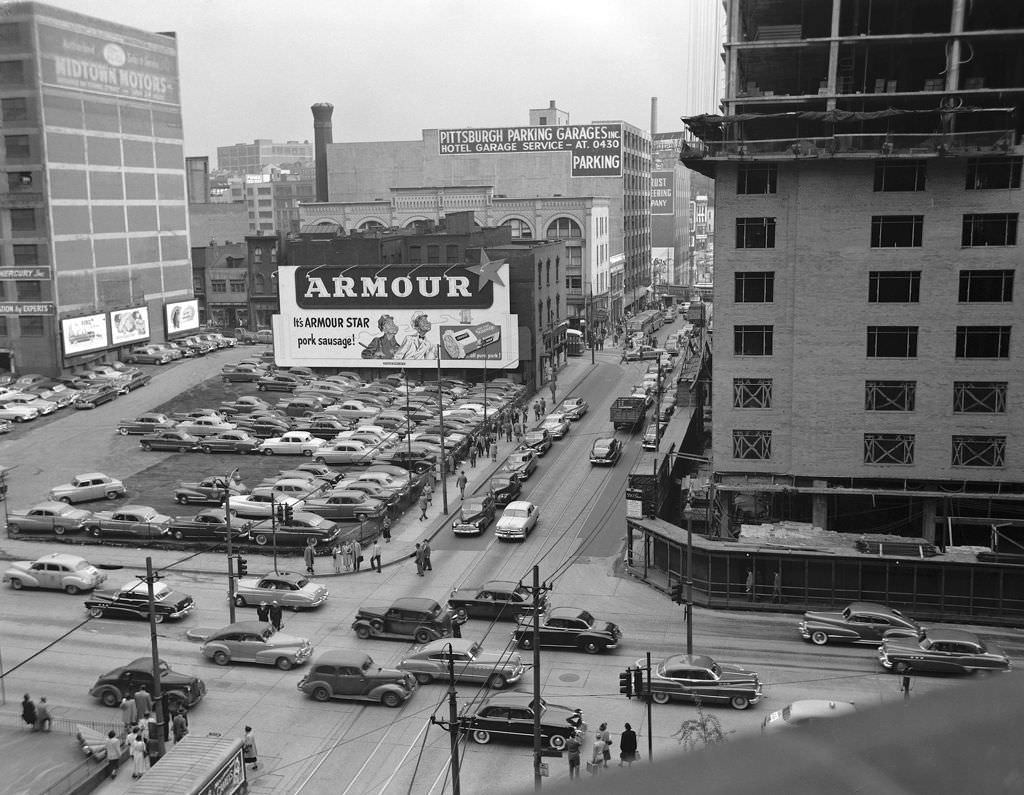
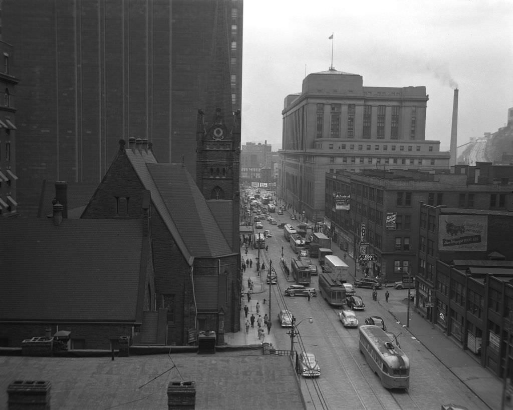
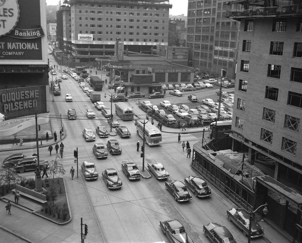
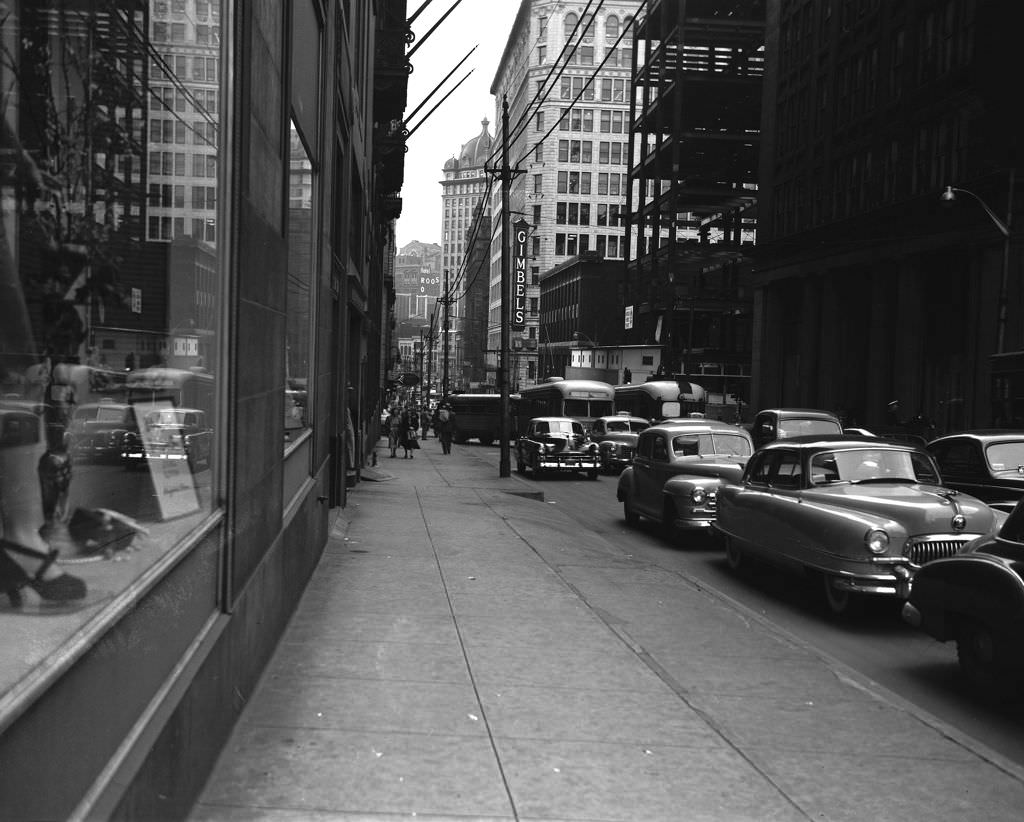
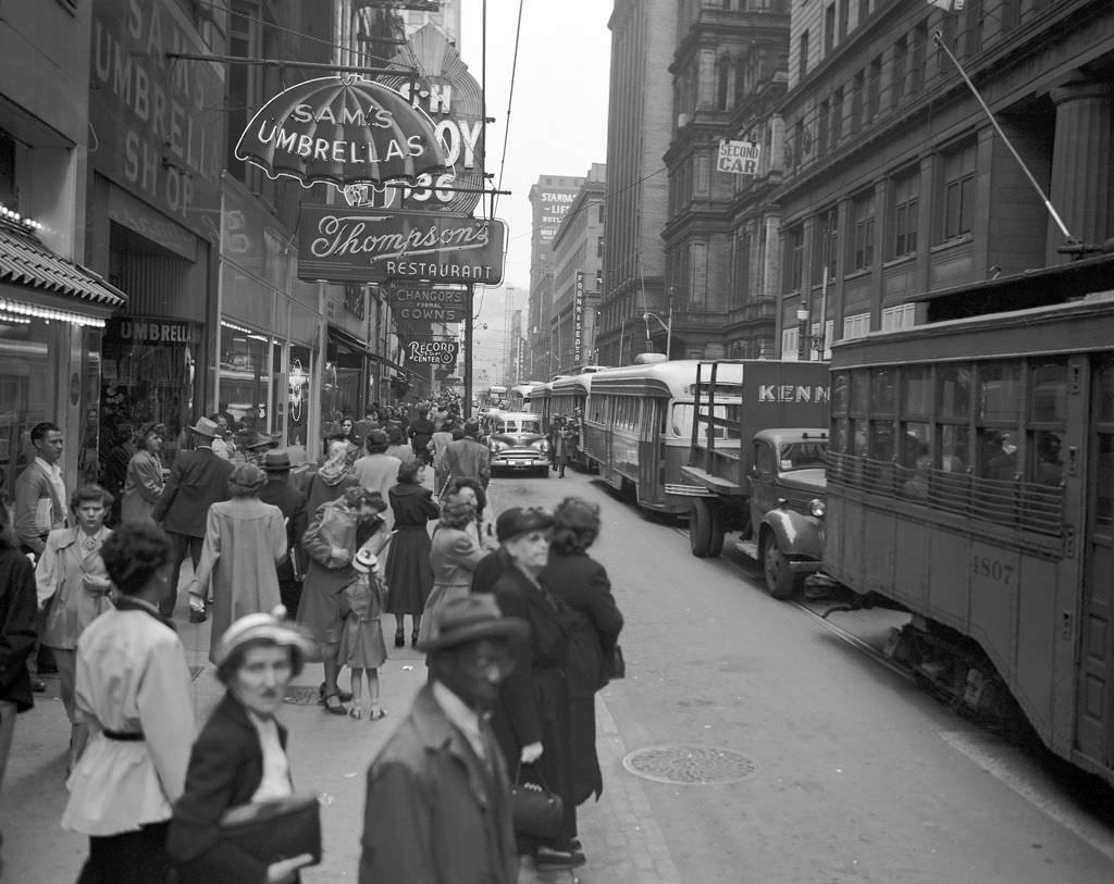
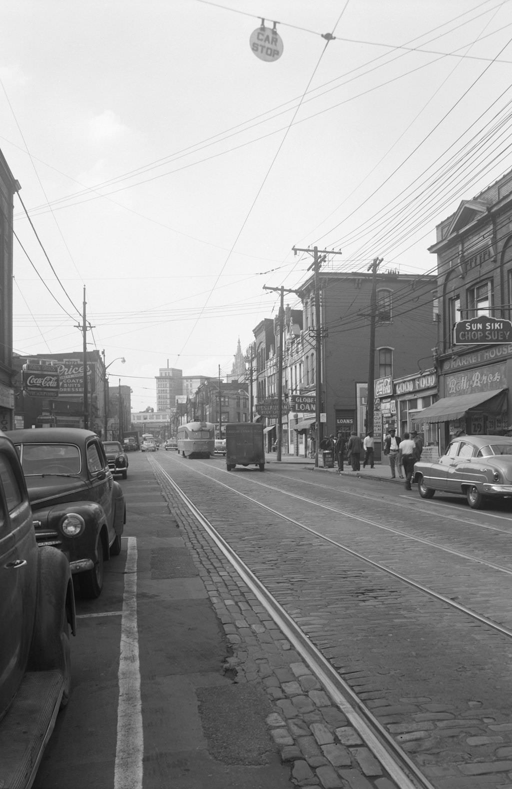
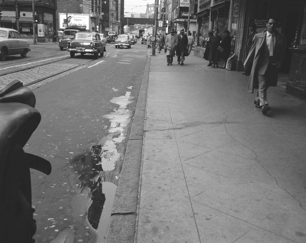
Smithfield Street was another major artery through downtown, packed with shops and restaurants at street level. The 1951 streetscape shows a city that was dense, busy, and very much alive at the ground floor. A few blocks away, Wylie Avenue in the Hill District told a different story — a working-class neighborhood with its own rhythm, anchored by bars like Chief’s Tavern on the 1300 block.
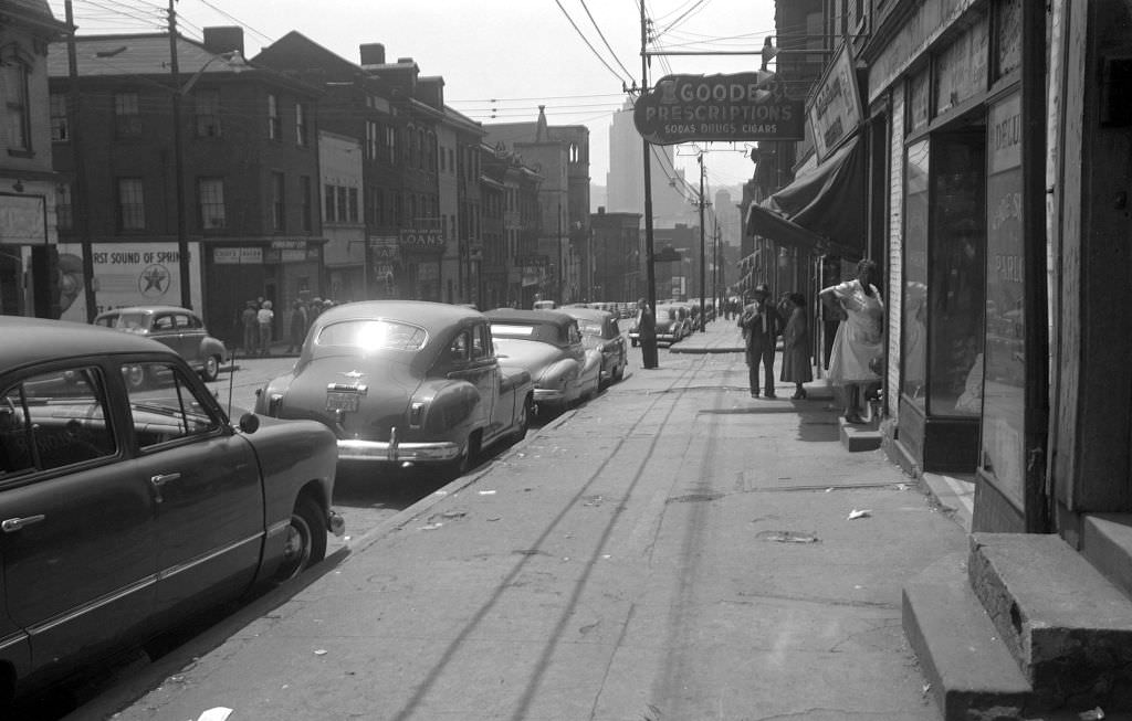
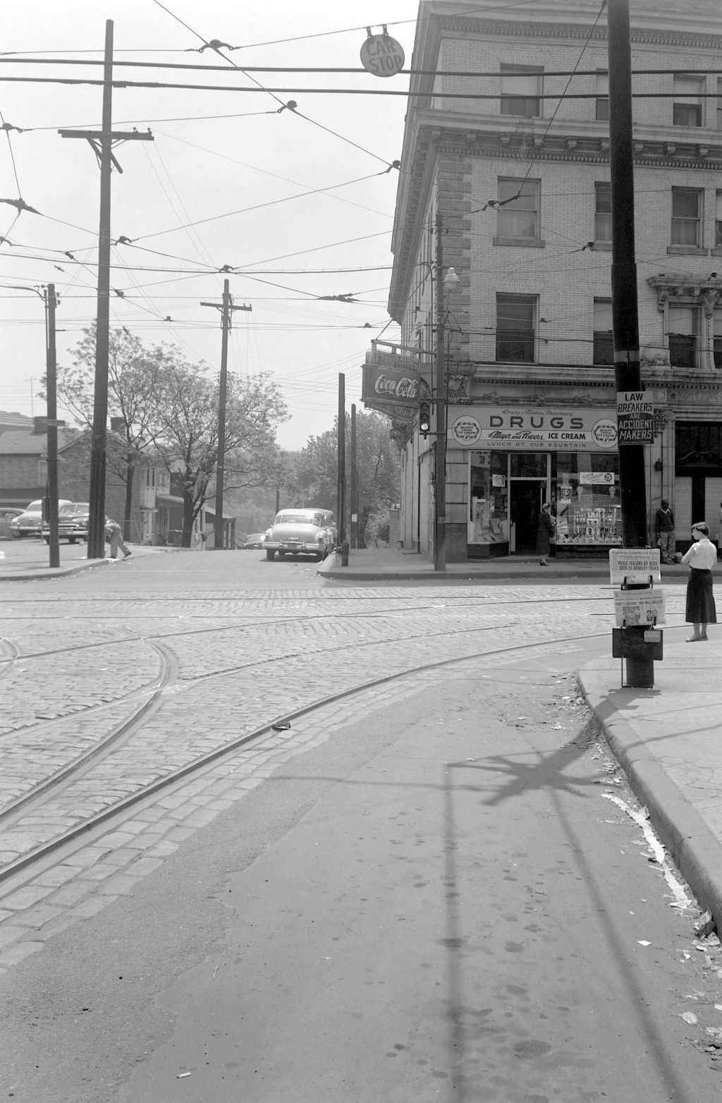
The intersection of Craig and Forbes in Oakland was in transition by 1951. The area that would eventually be absorbed into the expanded Carnegie Museum of Art complex was still occupied by street-level commercial buildings — a reminder of how much the city’s cultural institutions would grow over the coming decades.
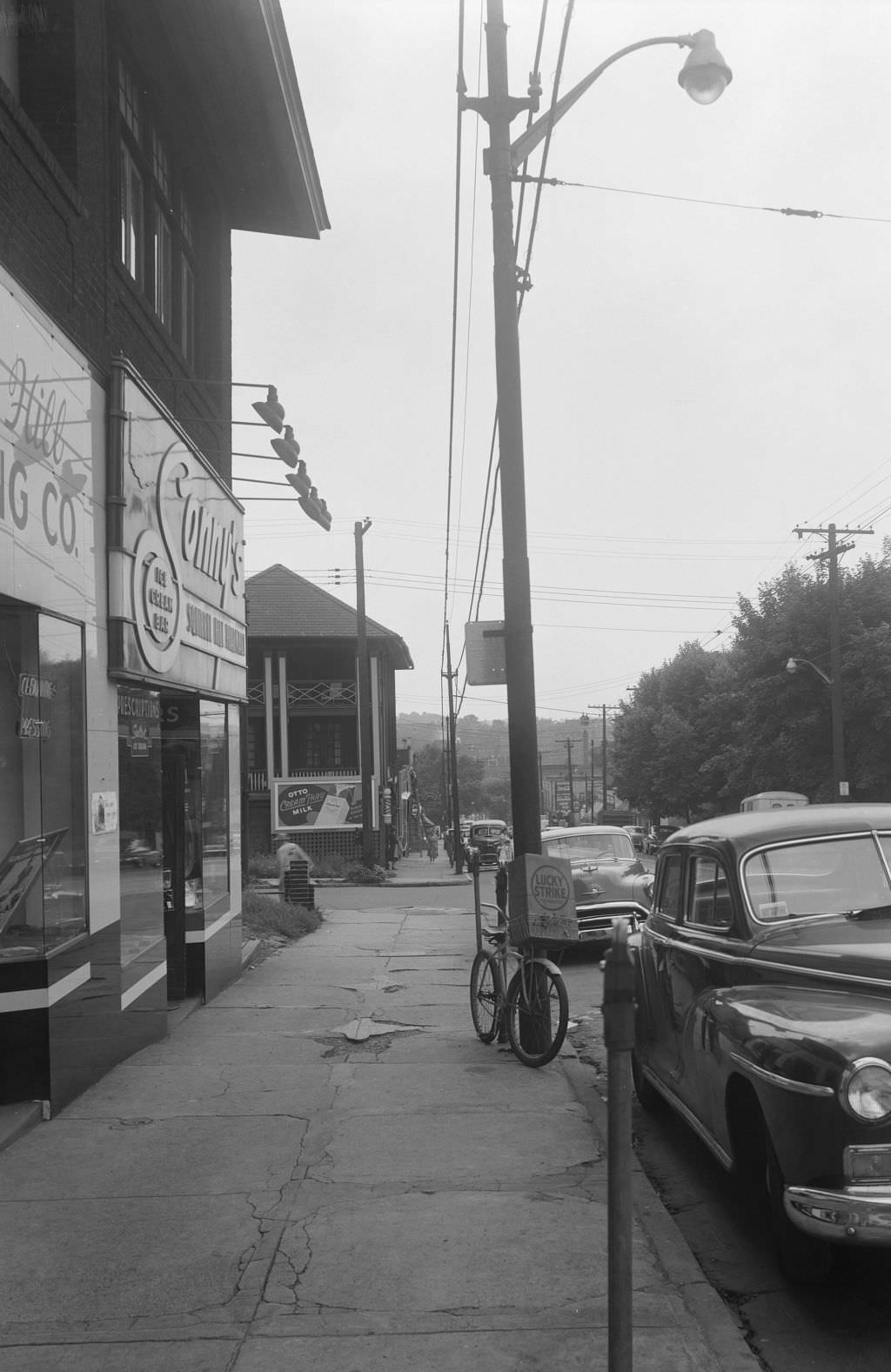
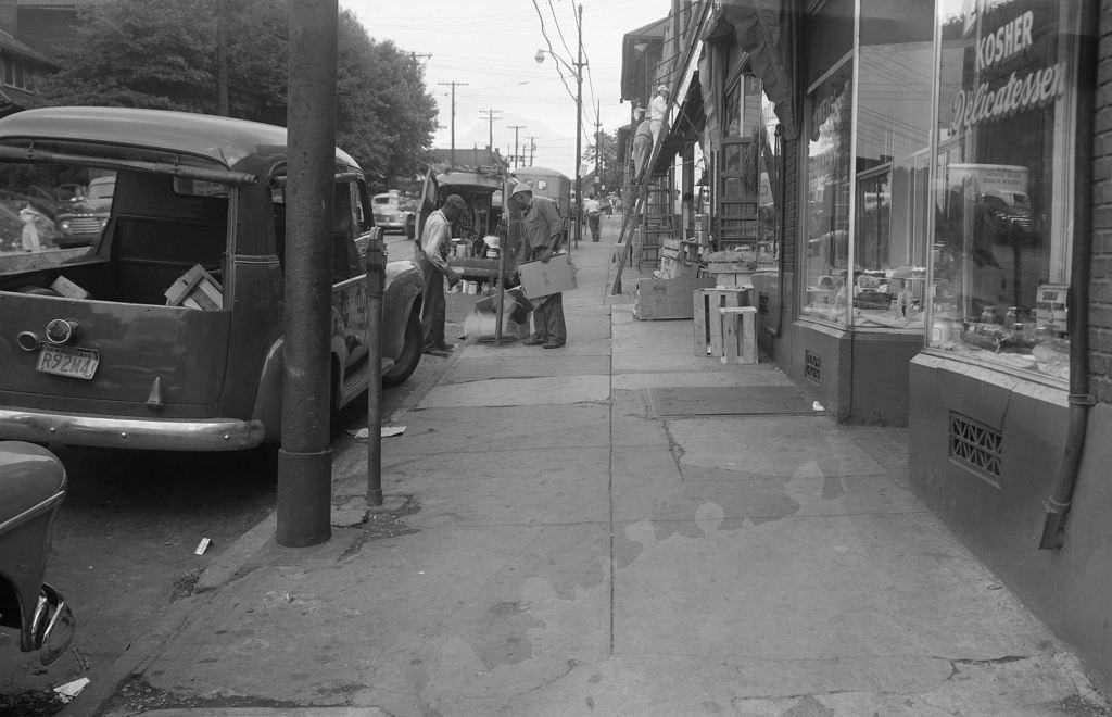
Neighborhood street scenes from 1951 capture Pittsburgh’s variety. Webster Avenue had its own mix of homes and businesses. On Murray Avenue in Squirrel Hill, sidewalk commerce was thriving — Sonny’s Ice Cream Bar was the kind of local fixture that made summer afternoons worth remembering. Nearby, a painter worked on a Squirrel Hill storefront, part of the constant upkeep that kept the neighborhood’s commercial blocks presentable.
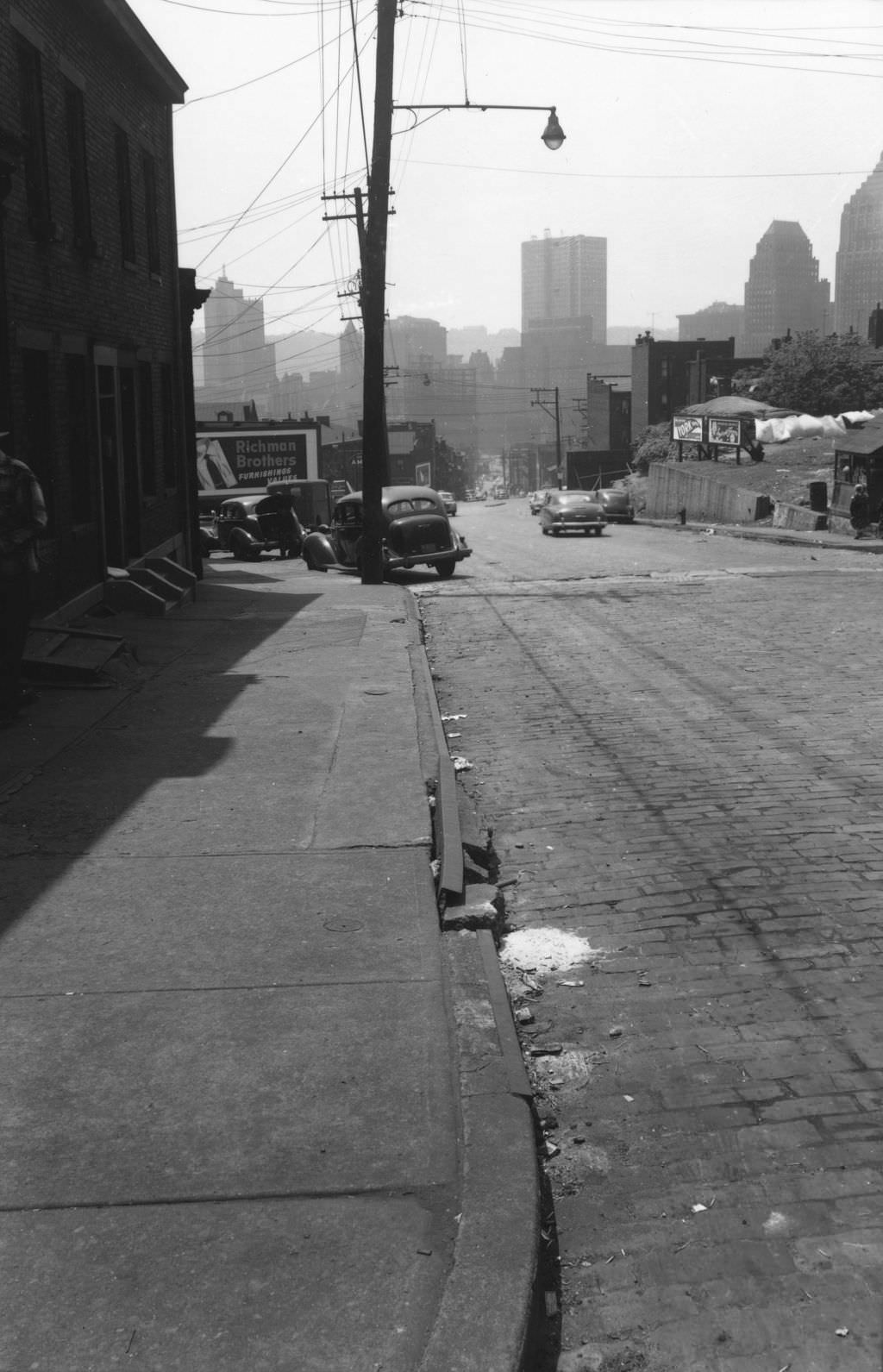
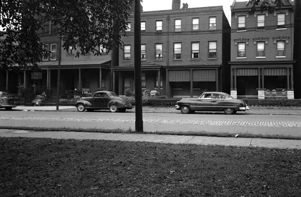
In 1950, residential streets across the city showed the texture of working-class Pittsburgh. Liberty Avenue, East Warrington Avenue, West North Avenue — these were blocks of row houses and corner stores, home to thousands of families whose daily lives never made the headlines but formed the backbone of the city.
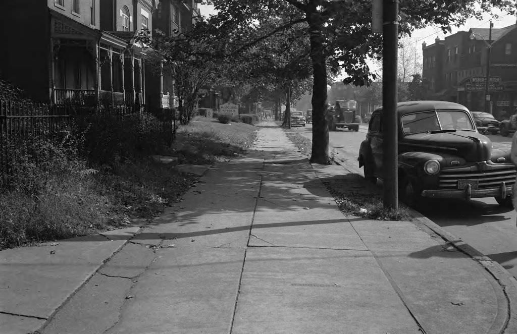
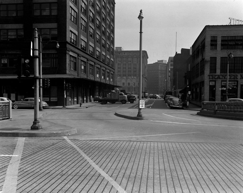
Water Street near the Point was a different kind of thoroughfare — commercial, industrial, with a clear sight line toward the Point Bridge. By 1951, the whole area was marked for transformation as the Gateway Center development and Point State Park planning moved ahead. These photographs document what was there before the bulldozers arrived.
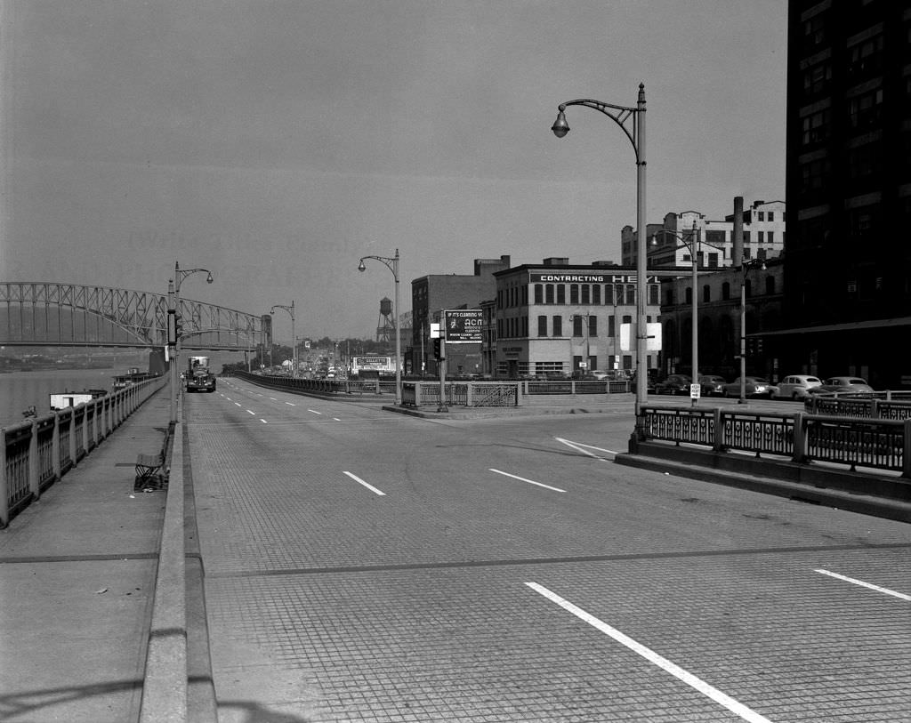
Frankstown Avenue in 1951 was a fully functioning shopping district. The streetcar stop anchored foot traffic, and businesses lined both sides of the street. Restaurants and shops filled the blocks, giving the East End neighborhood a commercial heart that served the surrounding community every day of the week.
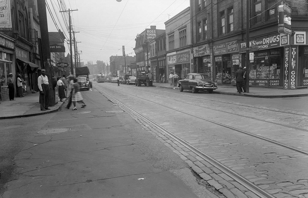
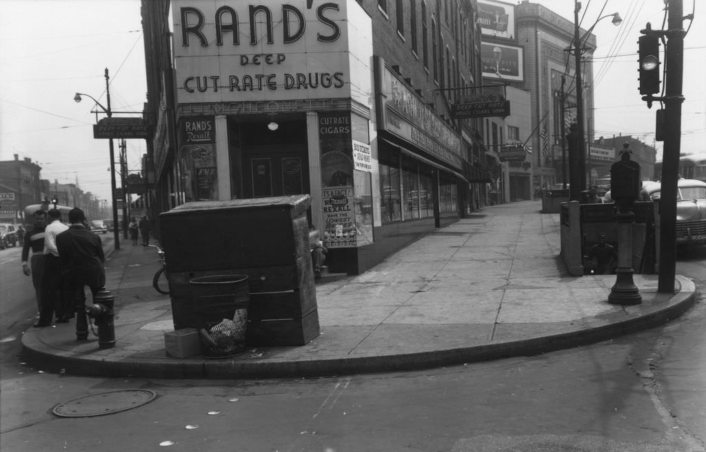
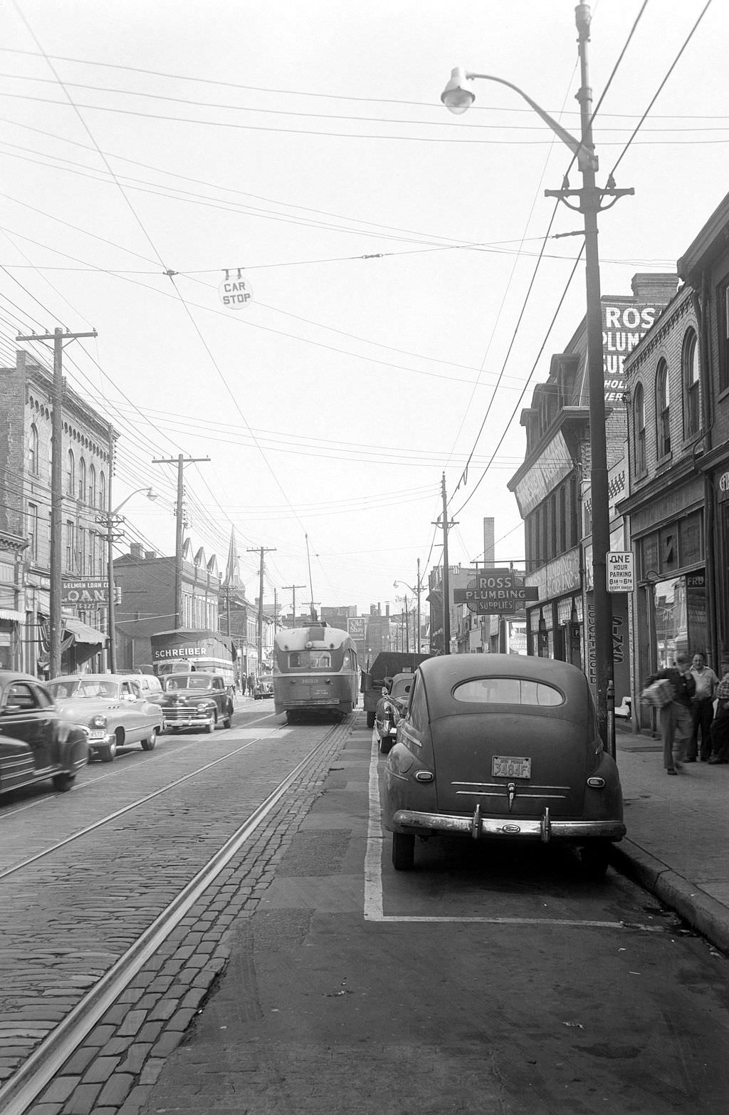
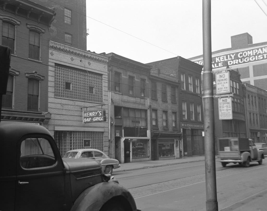
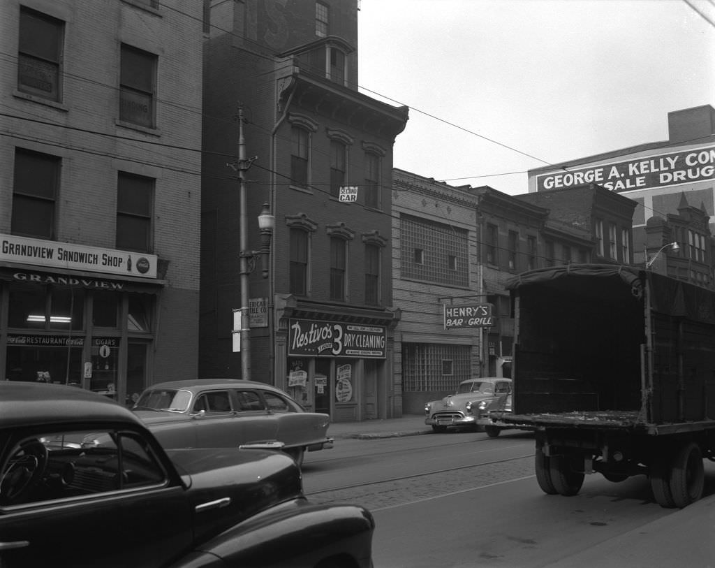
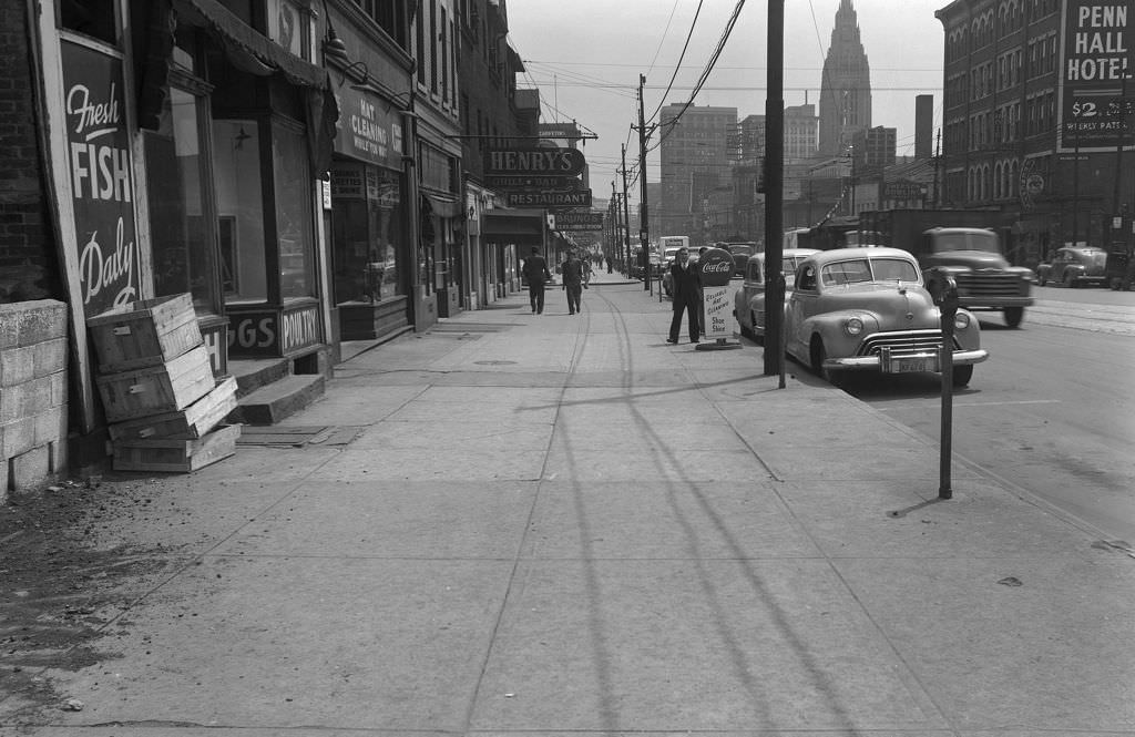
Henry’s Bar and Grill was one of countless neighborhood establishments that kept Pittsburgh’s social life going. The exterior shot from 1951 shows the bar sitting among other storefronts, while the interior view reveals a well-worn but welcoming space — barstools, a counter, and the quiet atmosphere of a mid-afternoon in a neighborhood tavern.
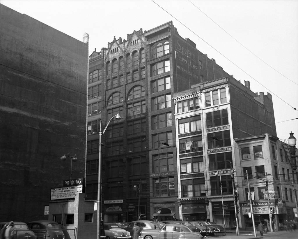
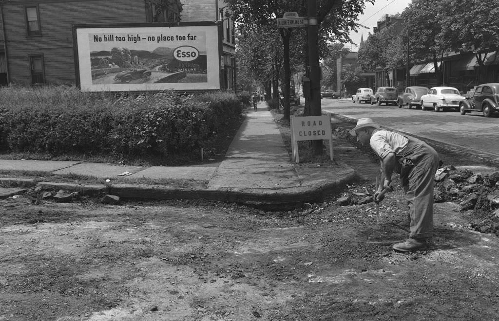
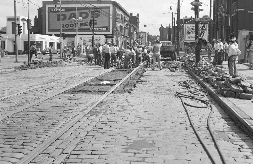
Infrastructure work was a constant presence across Pittsburgh’s streets in 1950. Workers repaired sunken pavement on Dunfermline Street while others fixed a water main break at Butler and 40th Street. These were the unglamorous but essential jobs that kept the city functional as it grew.
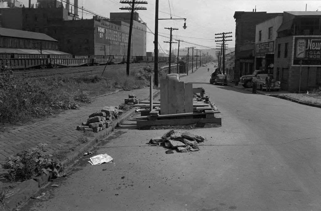
From Josephine Street, the Duquesne Brewery loomed over the surrounding neighborhood — a fixture of Pittsburgh’s industrial landscape that also served a more enjoyable purpose. Pittsburgh in the 1950s had no shortage of local beer, and the brewery was a source of both employment and civic pride.
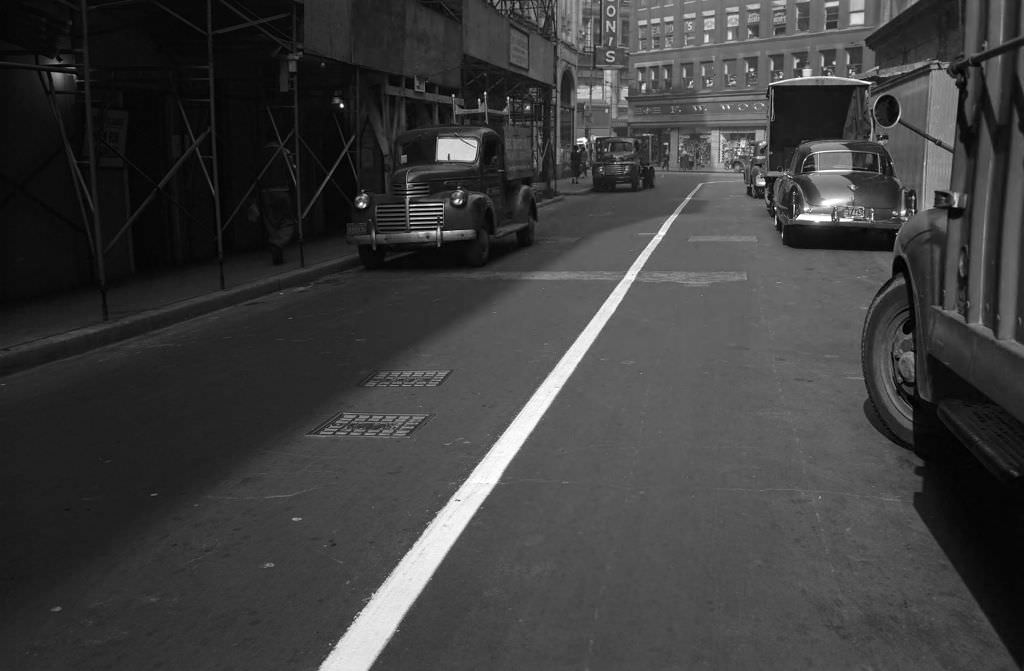
Downtown retail was concentrated along a tight cluster of streets. The 200 block of Oliver Avenue sat between the Harris Store and the Oliver Building, looking straight toward Liberty Avenue and the familiar red-and-gold signage of F.W. Woolworth’s. These were the stores where Pittsburghers bought everyday goods — practical, accessible, and always busy.
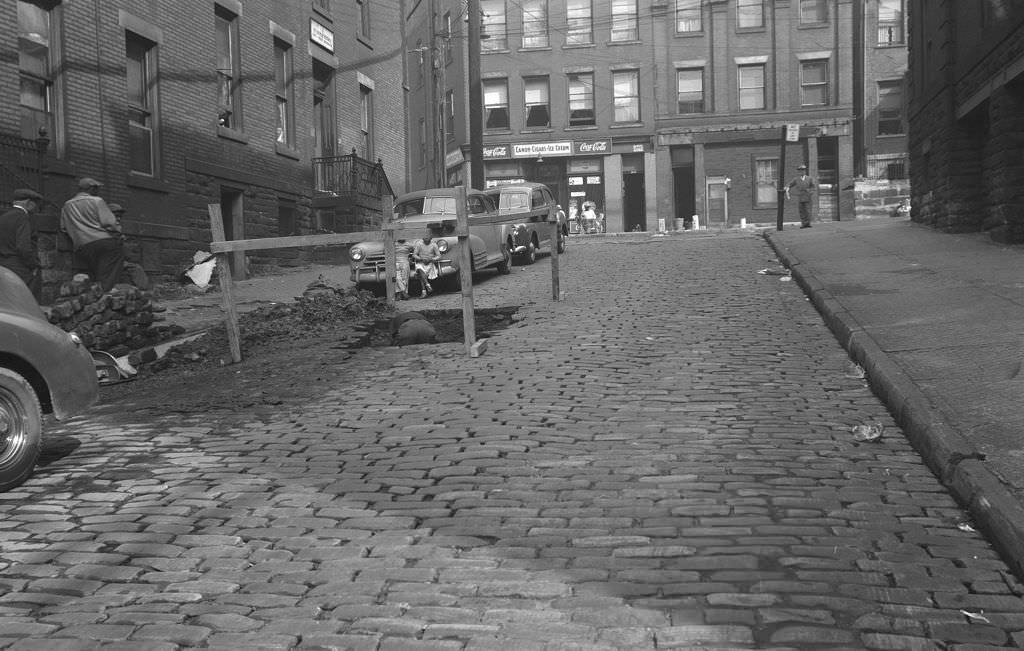
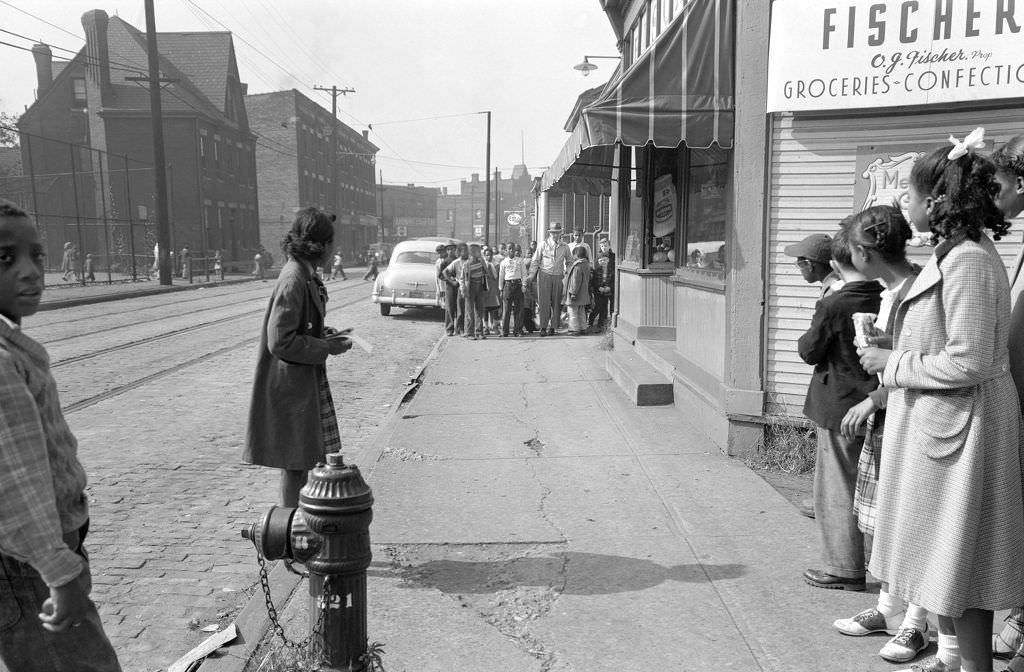
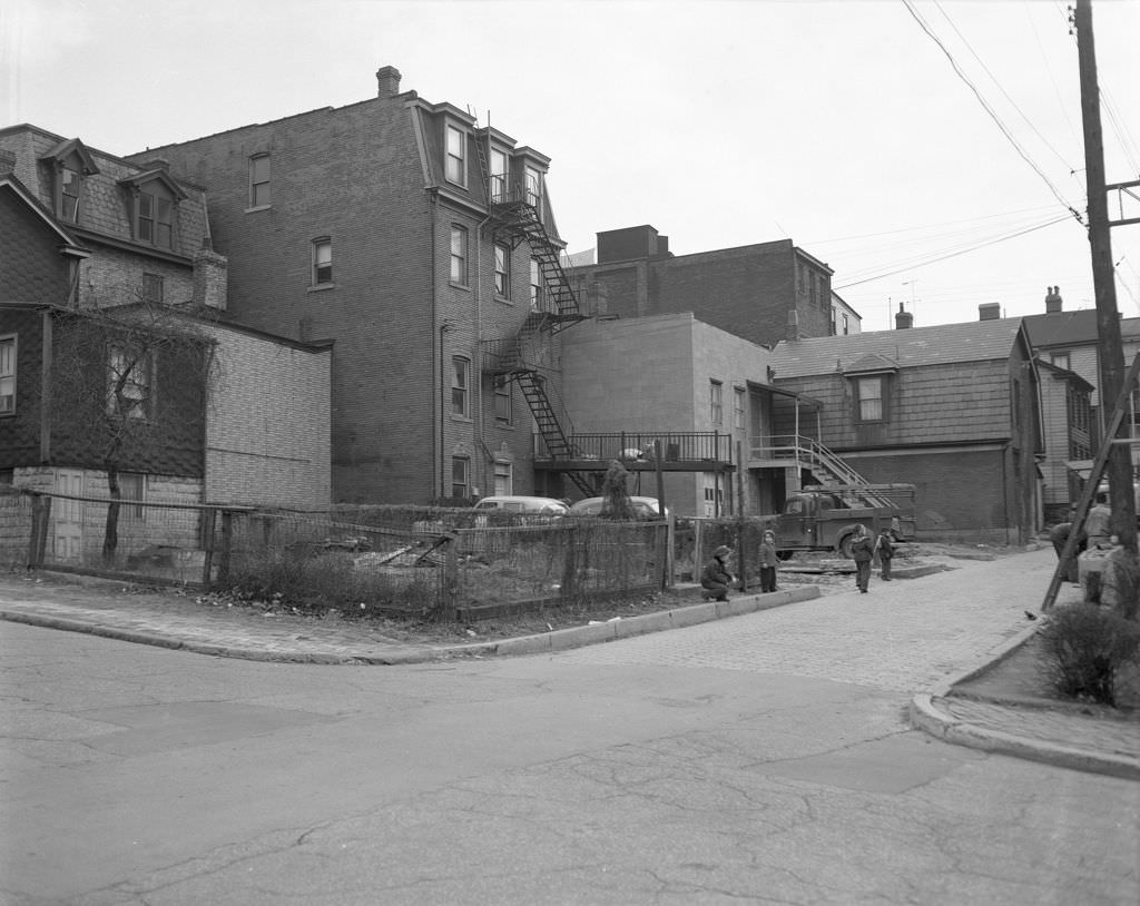
Street repair on Stevenson Street in 1950 drew a small audience — children gathered to watch workers dig and patch, the way kids always have when heavy equipment shows up on a quiet block. On Lincoln Avenue’s 300 block, another group of children clustered near Fischer Groceries, the corner store serving as a natural meeting point.
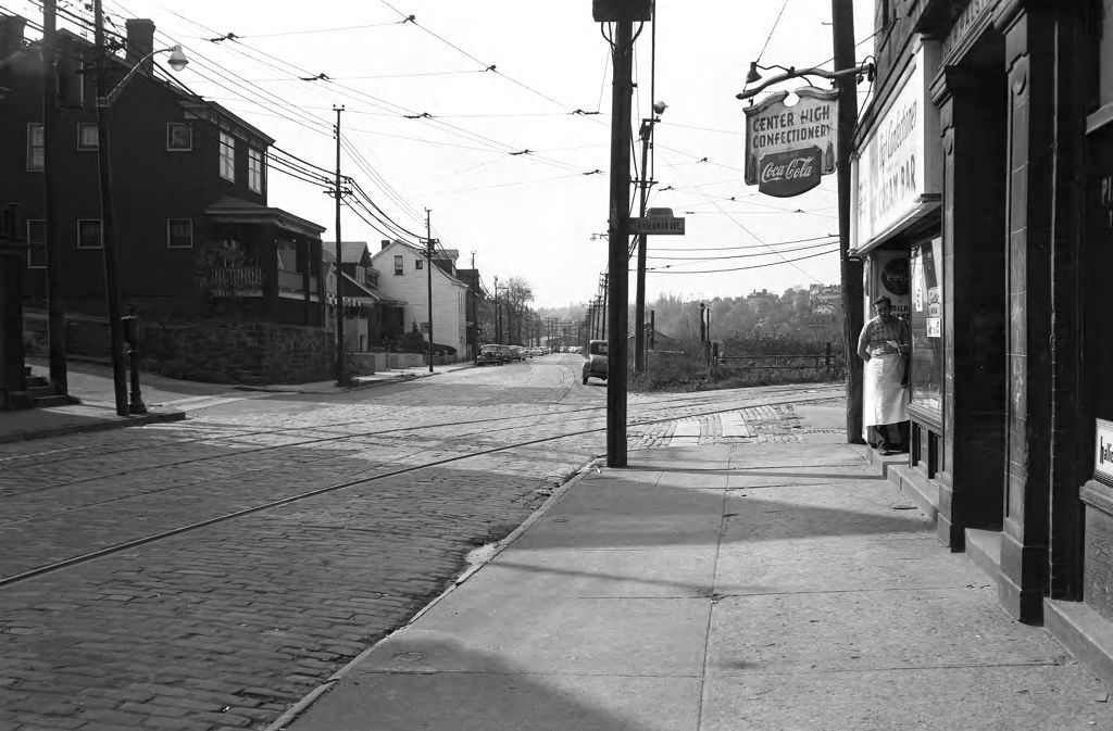
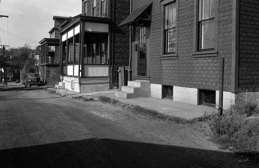
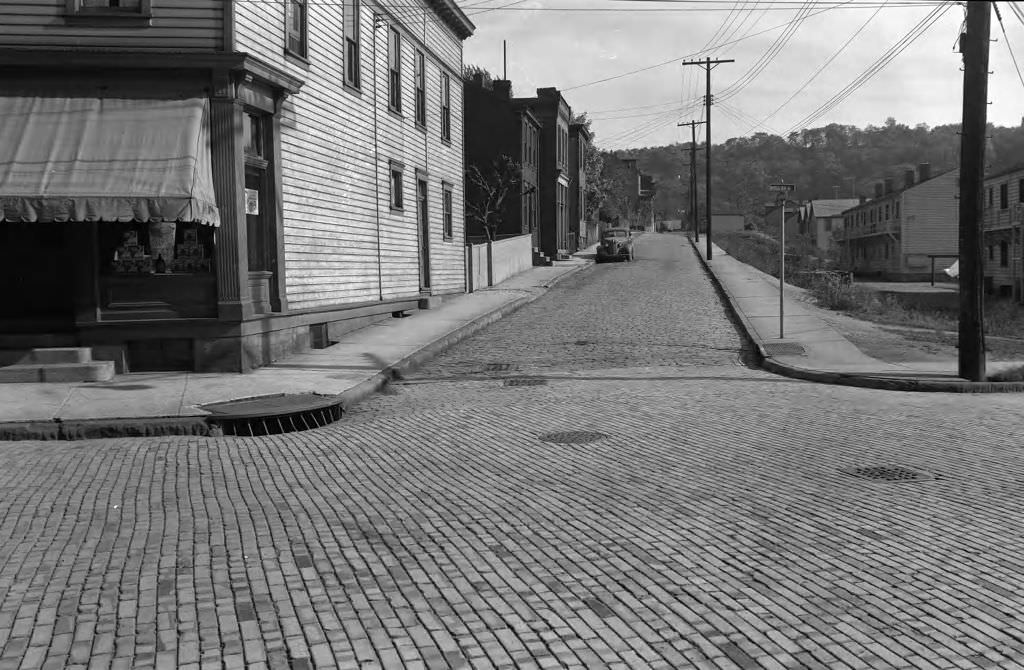
At the corner of Woods Run Avenue and Mitchell Street, the neighborhood showed the typical Pittsburgh mix of homes and small markets sharing the same block. The corner store was a fixture in nearly every residential neighborhood in the city — a place to grab bread, a newspaper, or a cold bottle of something before heading home.
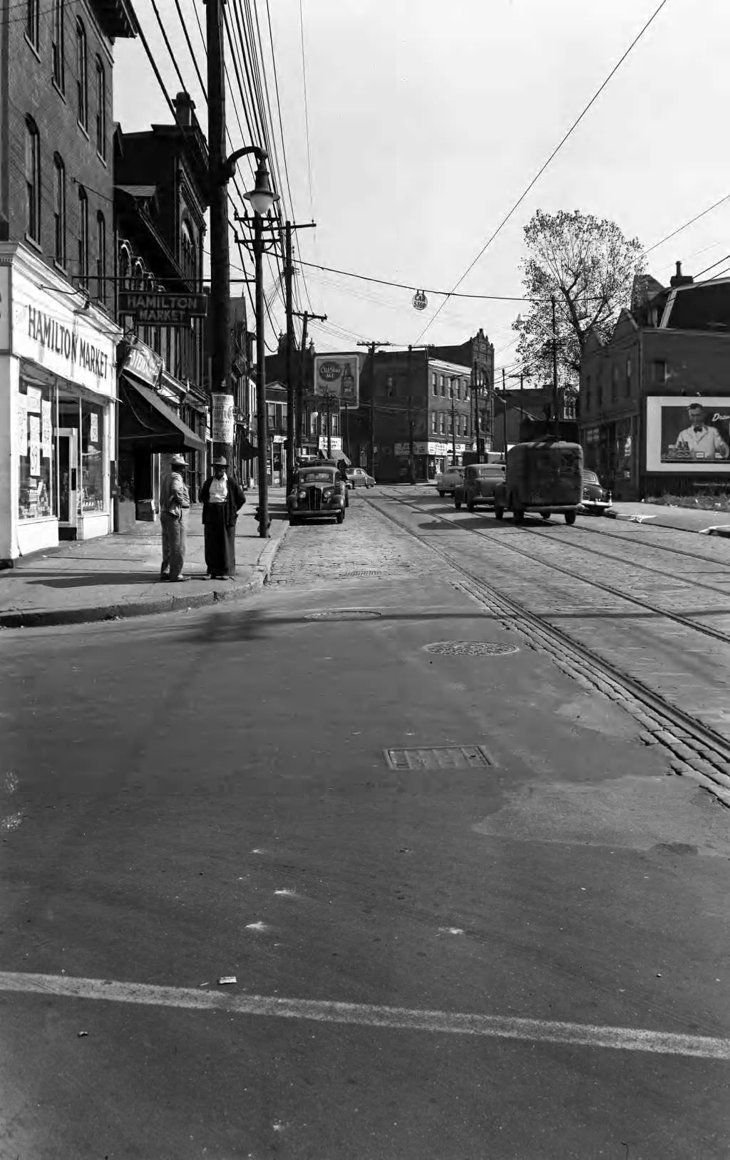
The inbound streetcar stop at Frankstown and Hamilton Avenues was a hub of daily movement in 1950. Streetcars were still essential to how Pittsburgh moved — connecting neighborhoods to downtown and back again before the decade’s highway expansion began to shift that balance toward the automobile.
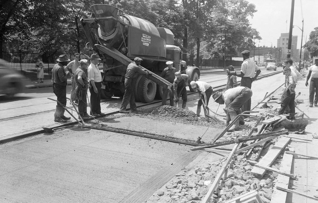
Highland Avenue near Peabody High School was getting new pavement in 1951, as workers with equipment repaved one of the East End’s main corridors. The Pittsburgh Theological Seminary sat nearby, its brick buildings rising above the roadwork below.
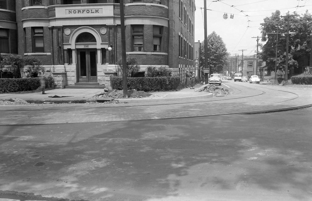
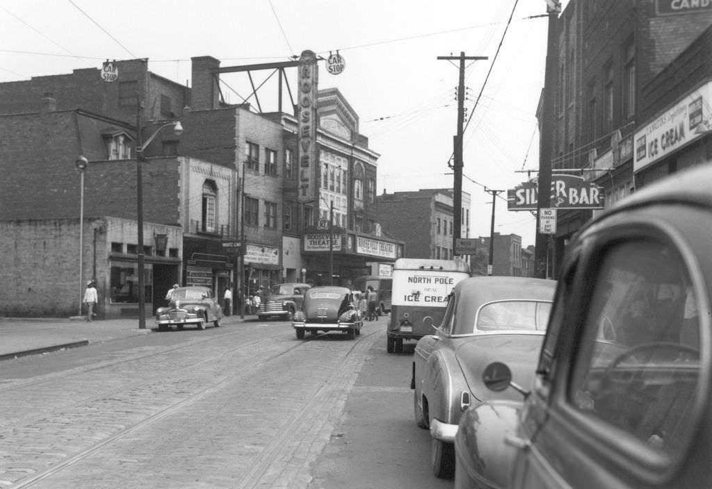
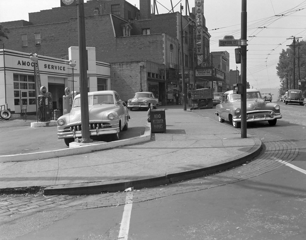
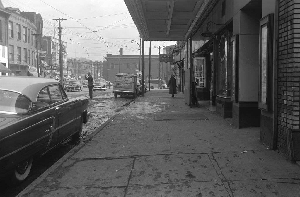
Centre Avenue in the Hill District was a cultural hub in its own right. The Roosevelt Theatre anchored the block at Dinwiddie Street, one of several venues in the neighborhood that hosted live entertainment and films. The Hill District had a thriving jazz and nightlife scene, and Centre Avenue was its main stage.
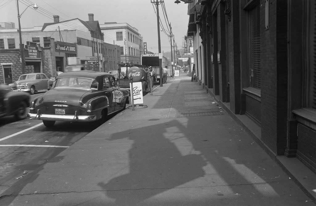
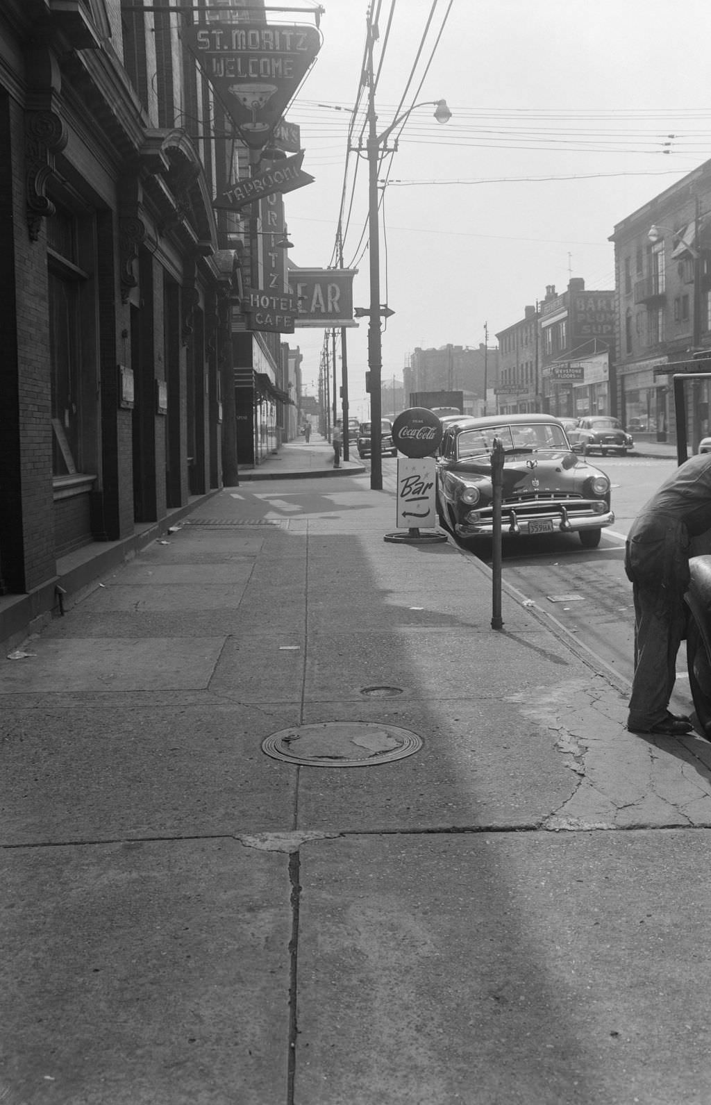
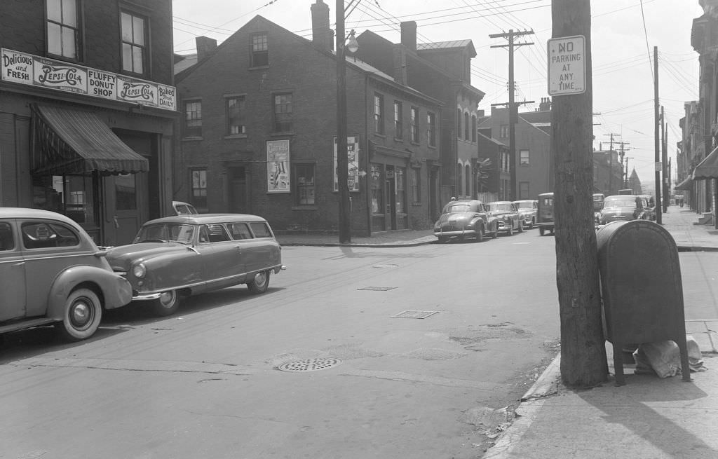
Over on the North Side, the intersection of Broad and Collins Streets featured the St. Moritz Hotel, its tap room a fixture for the neighborhood’s residents. Nearby, the Fluffy Donut Shop at Madison and Suismon Streets offered a simpler pleasure — fresh donuts at a corner storefront that looked like it had been there forever.
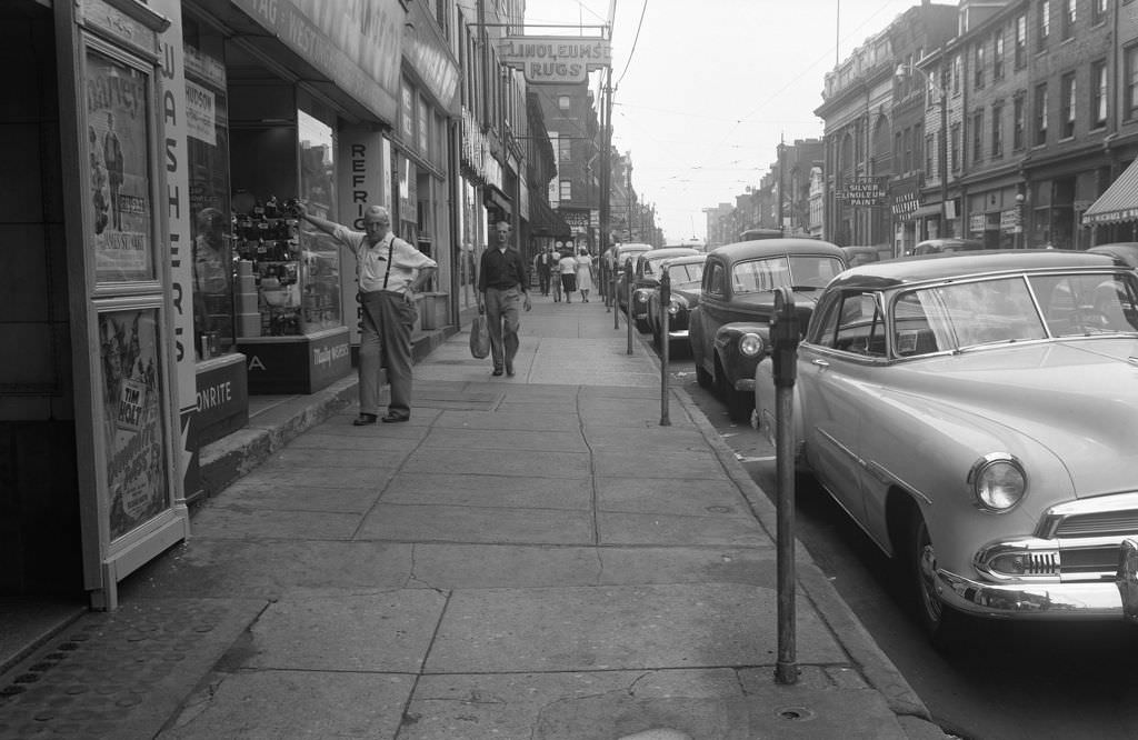
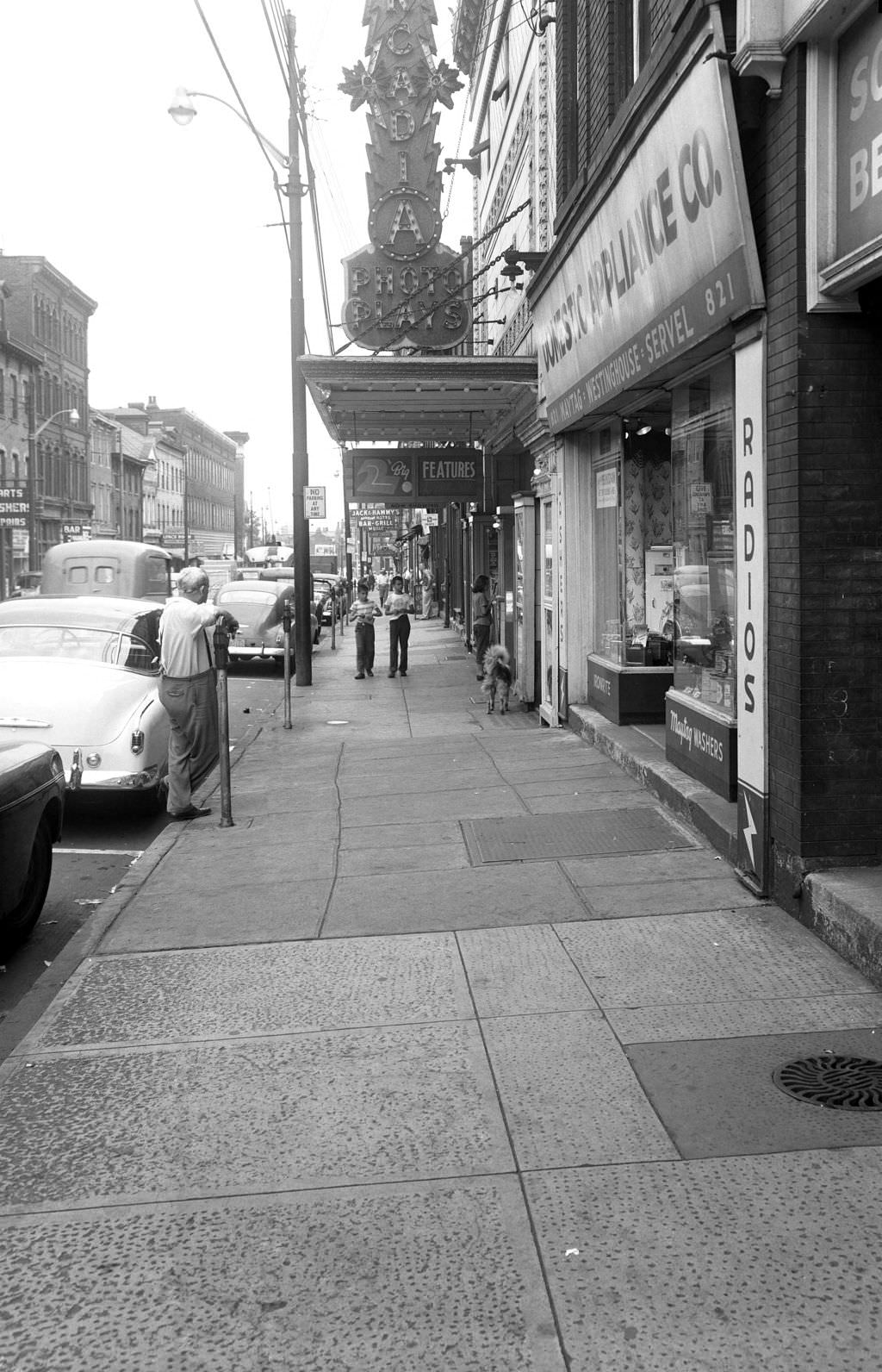
East Ohio Street on the North Side had its own commercial energy. The Acadia Theater sat alongside the Domestic Appliance Co., and foot traffic on the sidewalk outside was steady. A man leaning against the appliance store’s window became part of the scene — an unplanned figure in a photograph that captures the casual rhythm of a busy street.
The Grant Building and Old Post Office on Third Avenue were two of downtown Pittsburgh’s most notable structures. The rear view from 1951 shows the back side of these buildings in a way rarely seen — utilitarian, unadorned, the part of downtown that existed to function rather than impress. Nearby, Allegheny General Hospital on North Avenue presented a busier, more urgent face to the street.
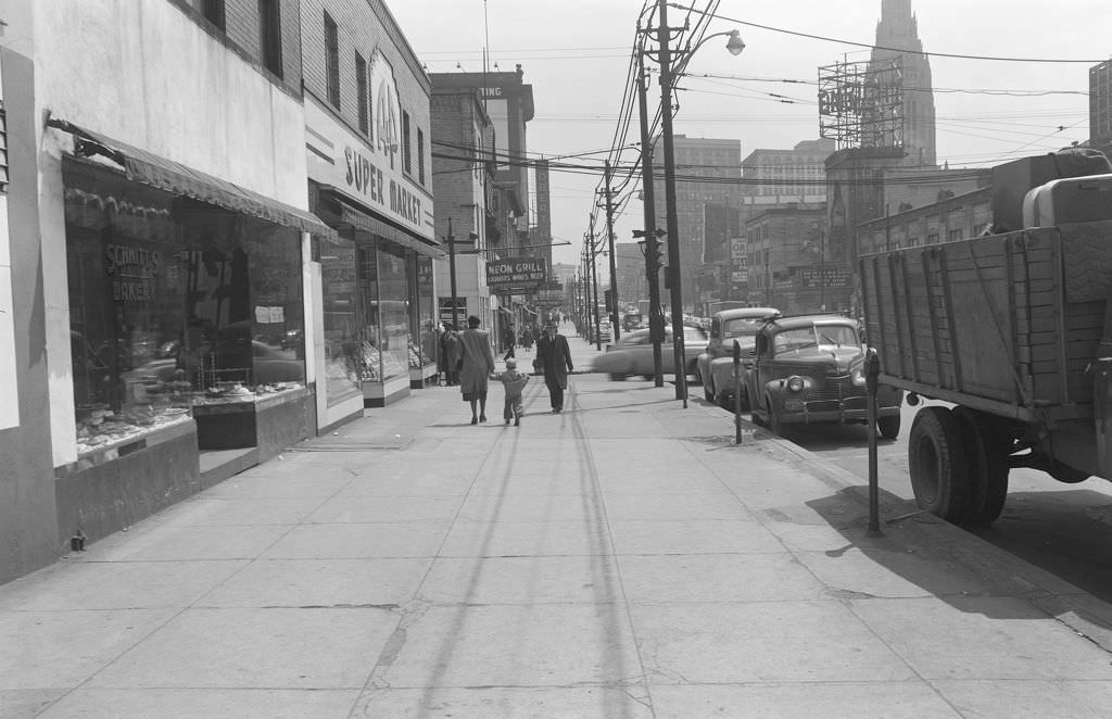
Penn Avenue’s 5600 block was home to the Penn Hall Hotel and a string of nearby shops. A few blocks east, in the heart of East Liberty, Penn Avenue was one of the busiest retail strips in the entire city. The 6101 block featured a packed lineup of stores drawing shoppers from across the surrounding neighborhoods, and the Enright Theater and A&P Super Market were among the well-known anchors.
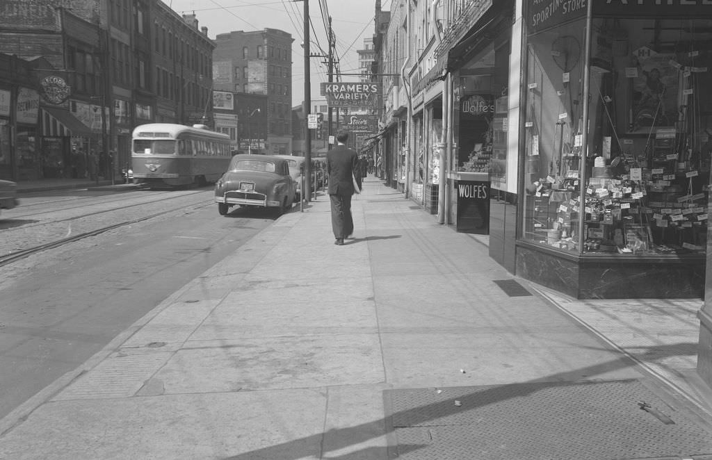
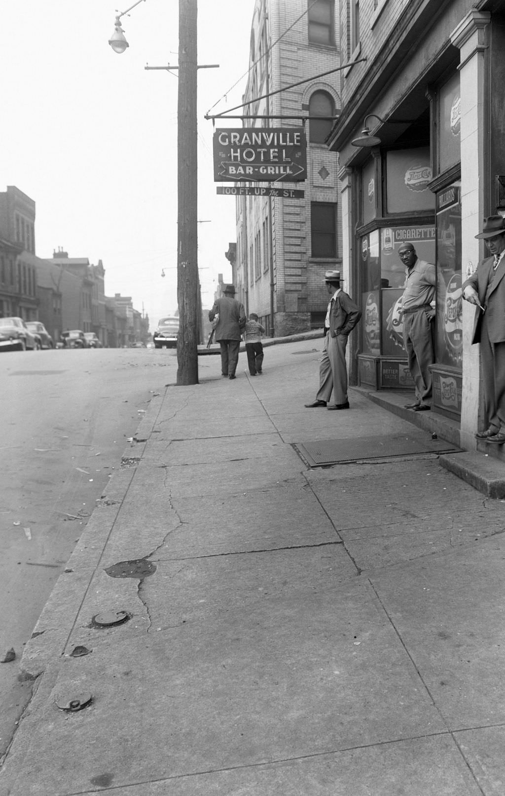
Wylie Avenue in the Hill District was both a commercial street and a neighborhood facing pressure from the Renaissance I redevelopment push. By 1954, the Granville Hotel Bar and Grill was still standing, a man outside on the sidewalk framed against the building’s facade. But the writing was already on the wall for much of the Lower Hill — redevelopment plans were advancing, and demolition would follow.
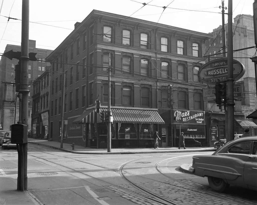
Smithfield Street’s dining options in 1951 included Mae’s Restaurant and the New Yorker Café — two establishments in a block where lunch counters and diners fed downtown workers every weekday. Across the city, the Strip District and Market Square offered their own food cultures, from produce vendors and specialty grocers to quick lunch spots and neighborhood cafes.
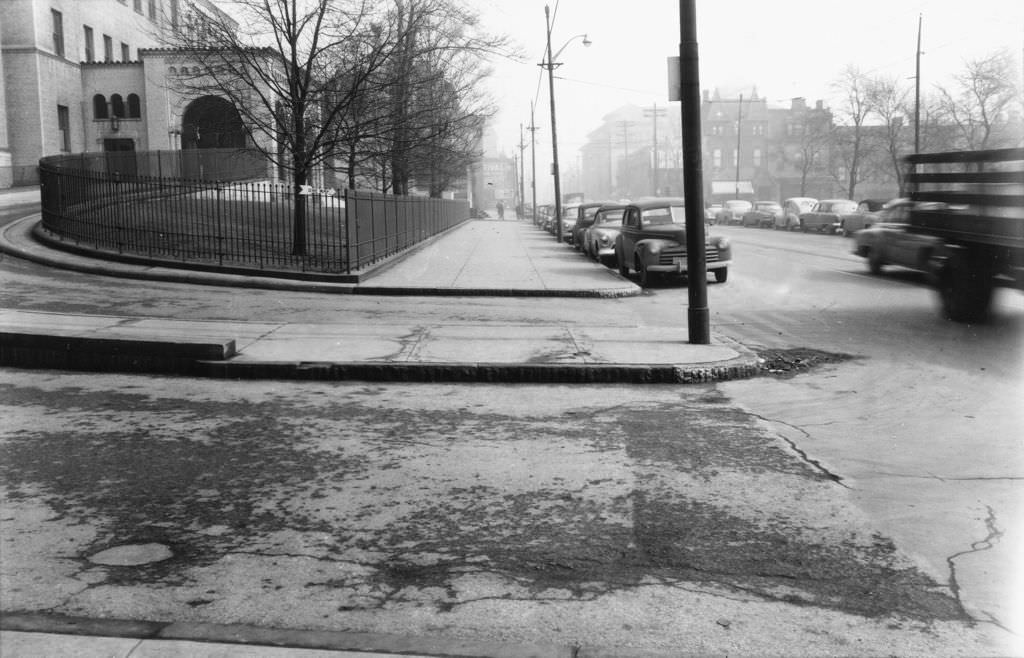
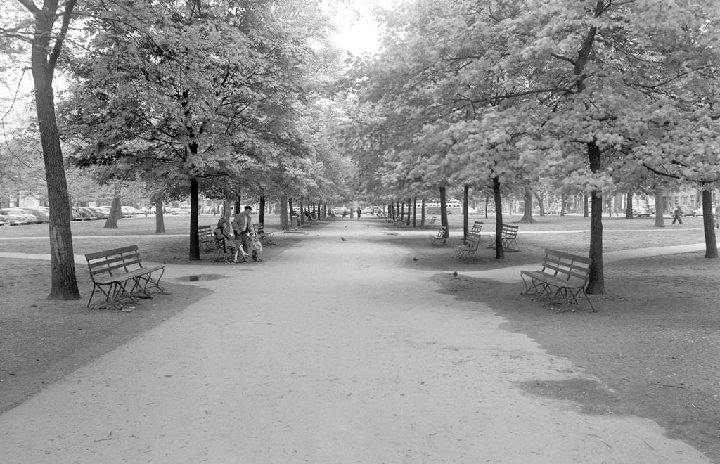
Family life had its own spaces too. East Park near West North Avenue was a gathering spot, and in 1951, a family posed for a photograph there, the Islam Grotto building visible across the street at 18 West North Avenue.
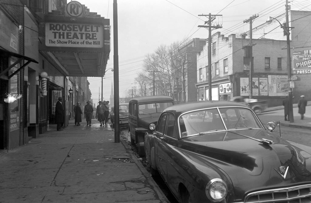
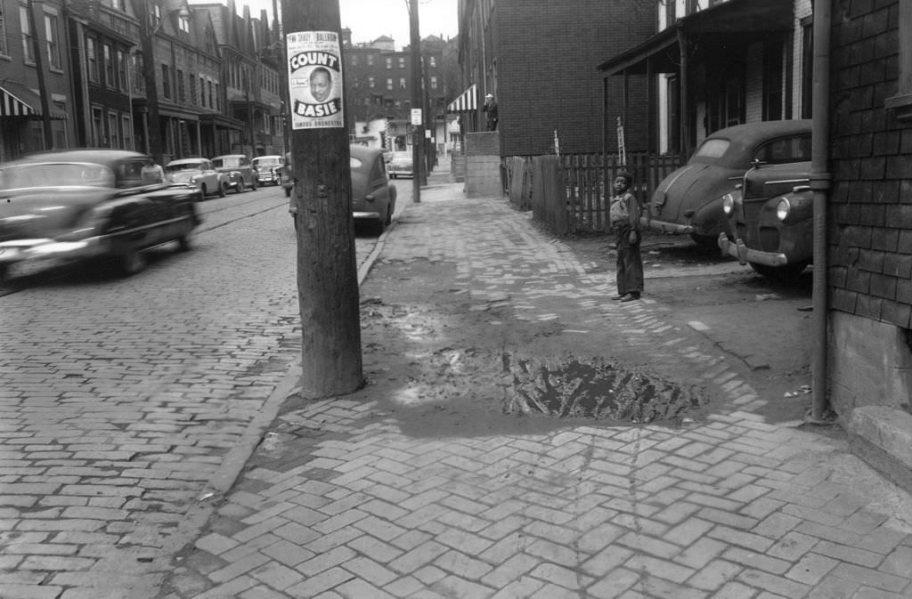
By 1953, Hill District redevelopment was moving faster. The Roosevelt Theatre on Centre Avenue was still operating, its marquee a focal point for the block. But nearby, buildings were coming down and lots were being cleared. On Herron Avenue, a boy stood near a poster advertising Count Basie — a reminder that the Hill District’s jazz culture was still very much alive even as the neighborhood was being physically dismantled around it.
On the University of Pittsburgh campus, the Logan Armory — a large, older structure — was being cleared in 1953 to make way for Benedum Hall. Just across Oakland, the Pittsburgh Zoo was expanding its facilities for young visitors. The Children’s Zoo Activity Building, photographed in 1953, showed how the city was investing in public recreation even as major construction projects dominated the headlines.
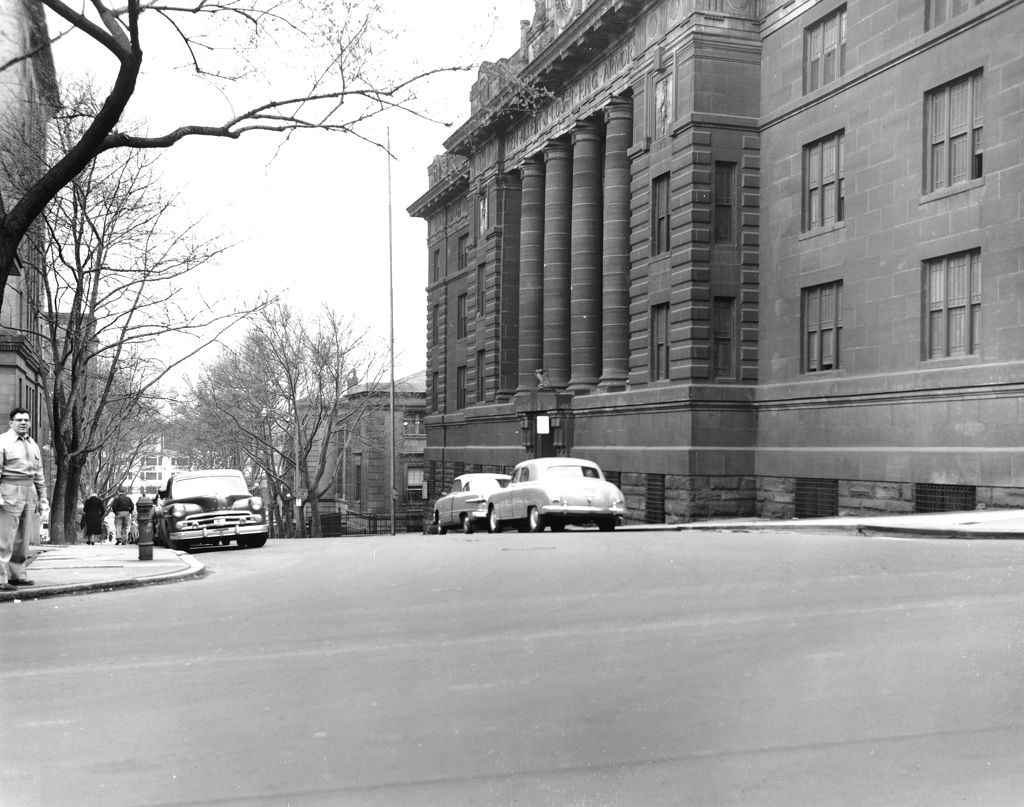
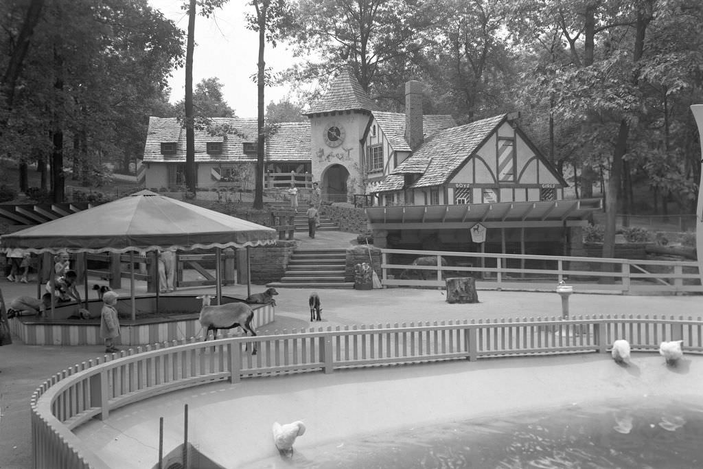
The Hill District’s Herron and Wylie Avenues still had active storefronts in 1953, but the area’s days as a dense, functioning neighborhood were numbered. Wylie Avenue had long been the center of a thriving African American business and cultural community. The redevelopment plans that displaced thousands of residents there represent one of the most contested chapters of Pittsburgh’s Renaissance I story.
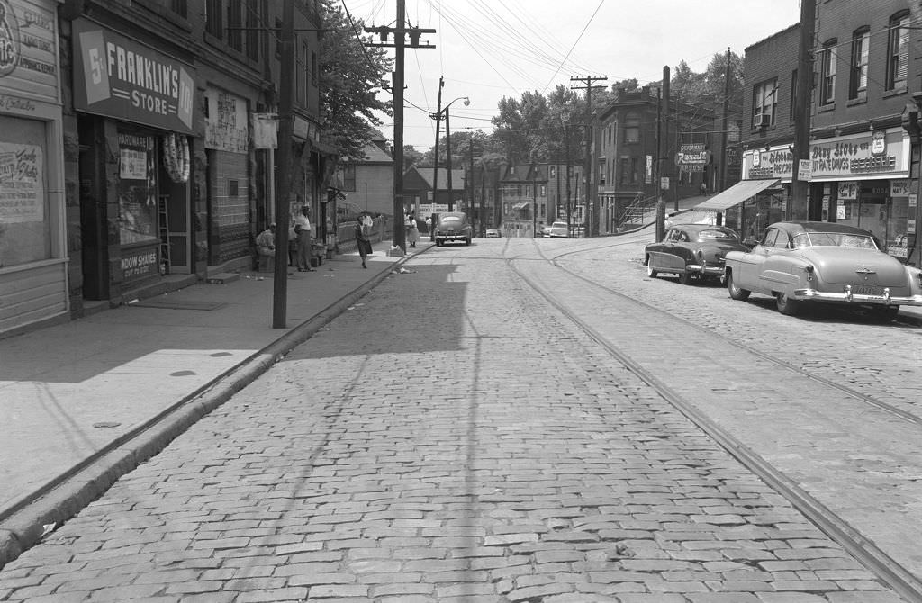
The William Penn Hotel at Sixth Avenue and Bigelow Boulevard was one of Pittsburgh’s premier addresses in 1953. The hotel hosted visiting dignitaries, business travelers, and civic events. Its position at one of downtown’s most prominent intersections made it an enduring symbol of the city’s ambitions.
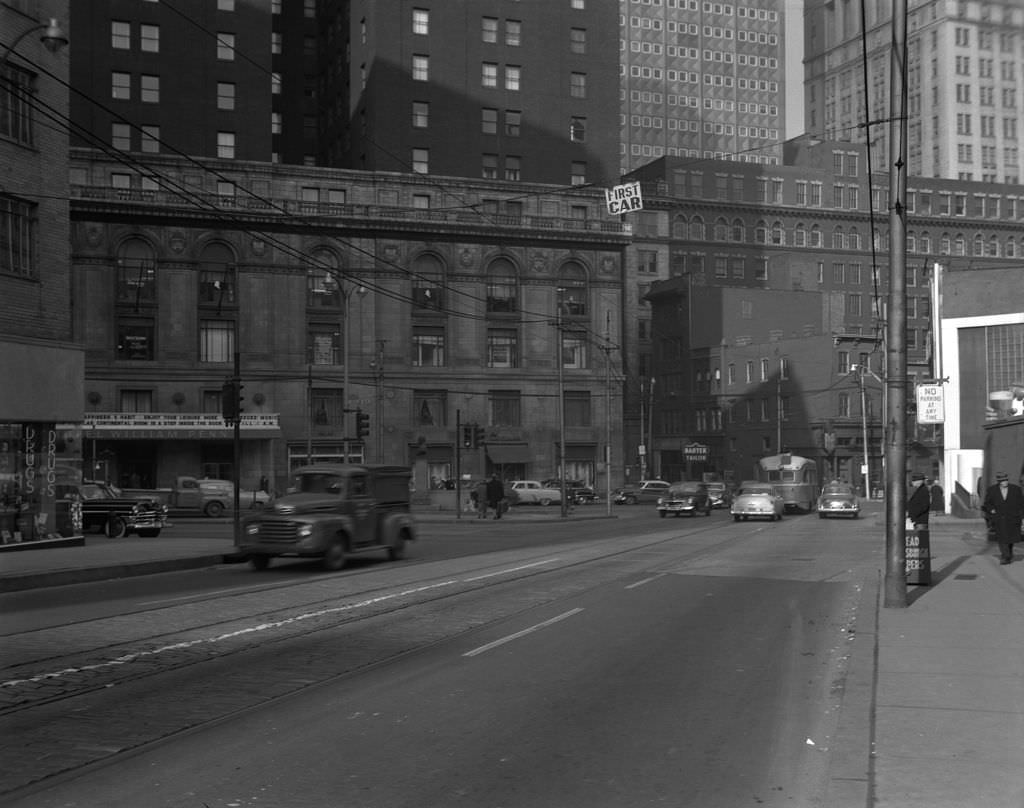
Liberty Avenue was home to a cluster of seed stores in 1953 — Beckert Seed and E.W. Scott Co. among them — serving the region’s farmers and gardeners. Nearby, Grant Street looking toward Liberty offered a view that included the Embassy Restaurant’s sign rising above the busy downtown streetscape.
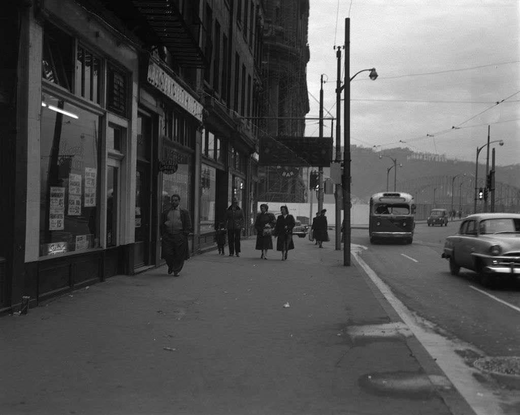
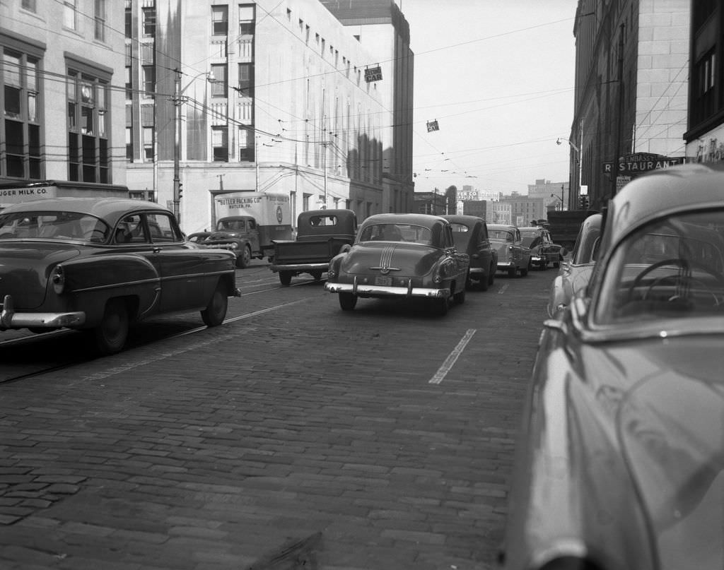
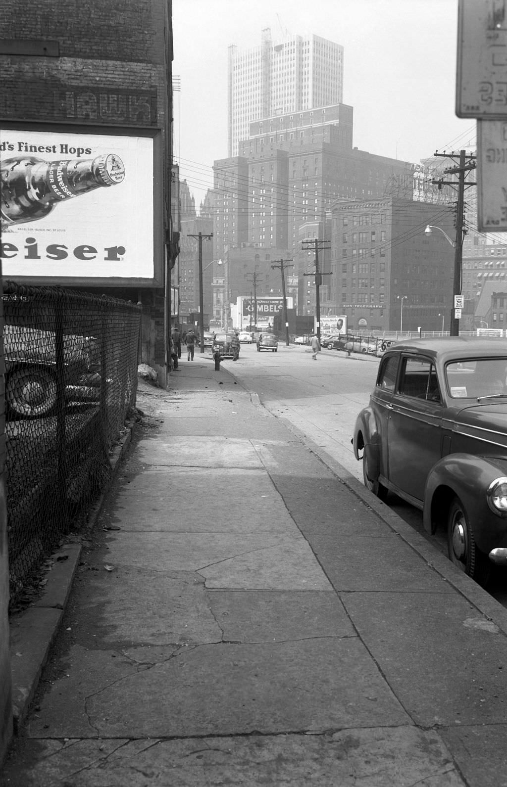
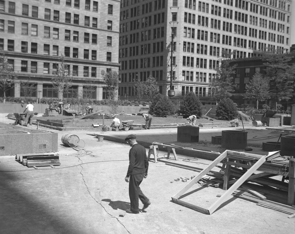
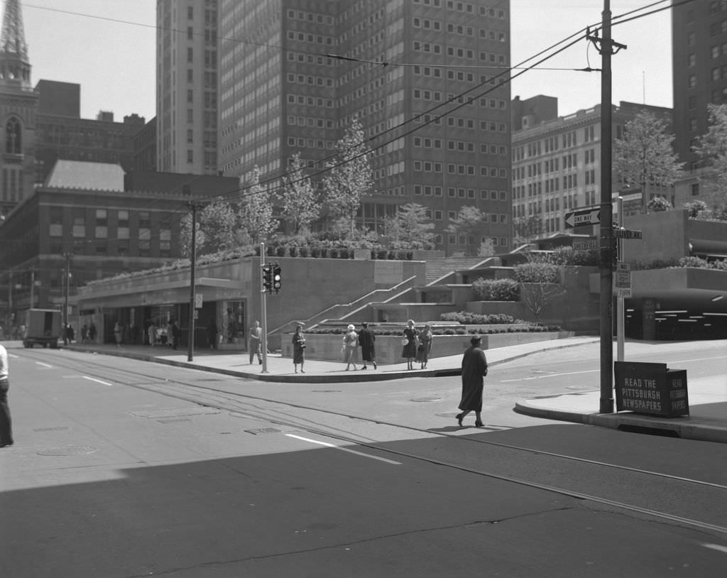
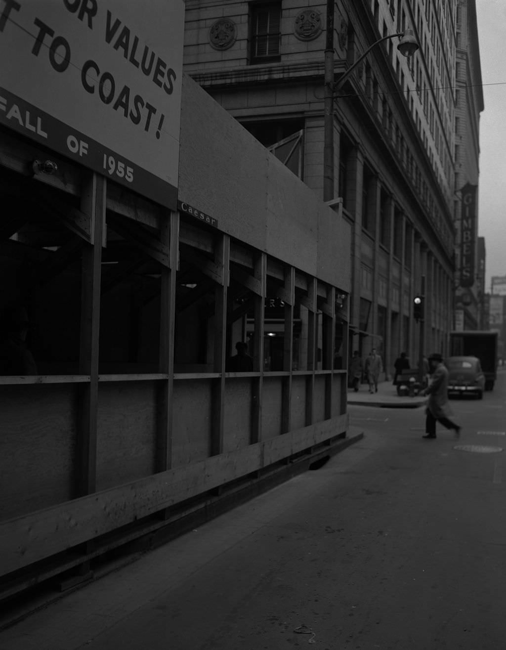
One of the signature projects of Renaissance I was Mellon Square Park, designed by landscape architects Mitchell and Ritchey and built above an underground parking garage in the heart of downtown. Construction photographs from 1955 show the site taking shape next to the Gimbels Department Store on Smithfield Street. When it opened, Mellon Square became a modern public plaza at the center of a transformed business district, flanked by the new Alcoa Building — one of the era’s most striking examples of modern architecture.
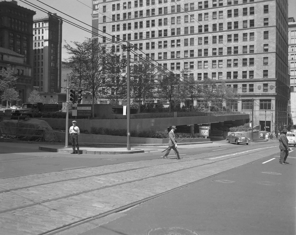
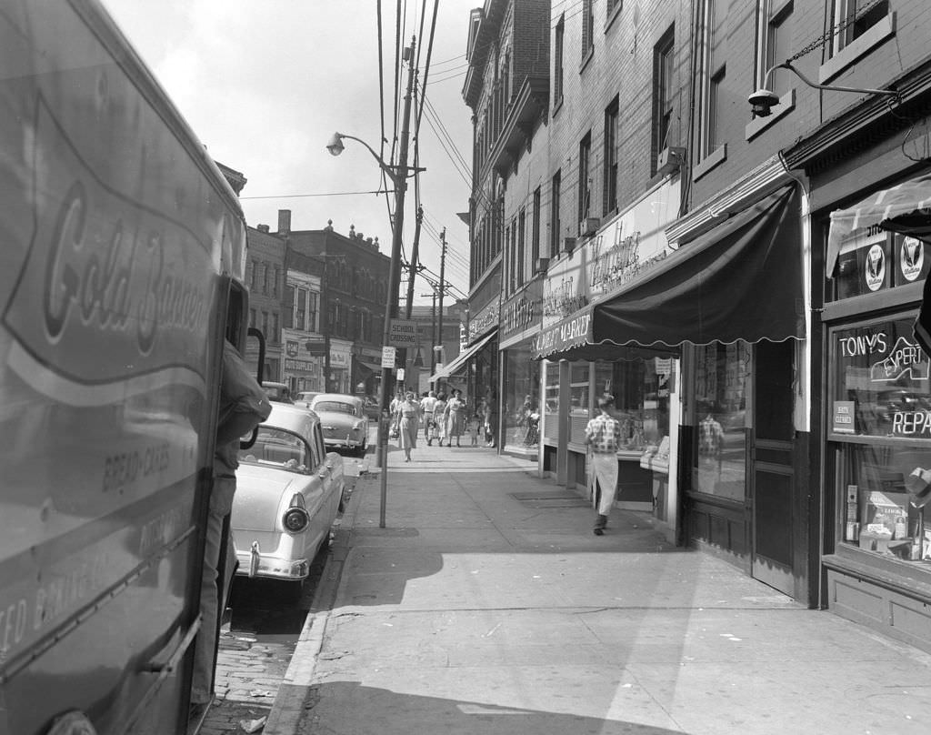
Butler Street in 1955 was a street of pedestrians and parked vehicles, including a Gold Banner delivery truck making its rounds. The Centre Avenue and Dinwiddie intersection showed the Roosevelt Theatre still anchoring the block, now with an American Oil Station sharing the corner — the era of the automobile asserting itself even in the middle of a walkable neighborhood.
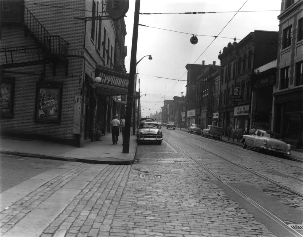
A photograph labeled as a view of Beaver Avenue from 1907 appeared in 1956 records, offering a point of comparison for how dramatically the North Side had changed over the previous half century. By 1956, the Hippodrome on Beaver Avenue was still a going concern, its marquee drawing moviegoers from the surrounding blocks.
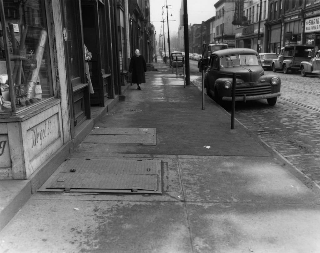
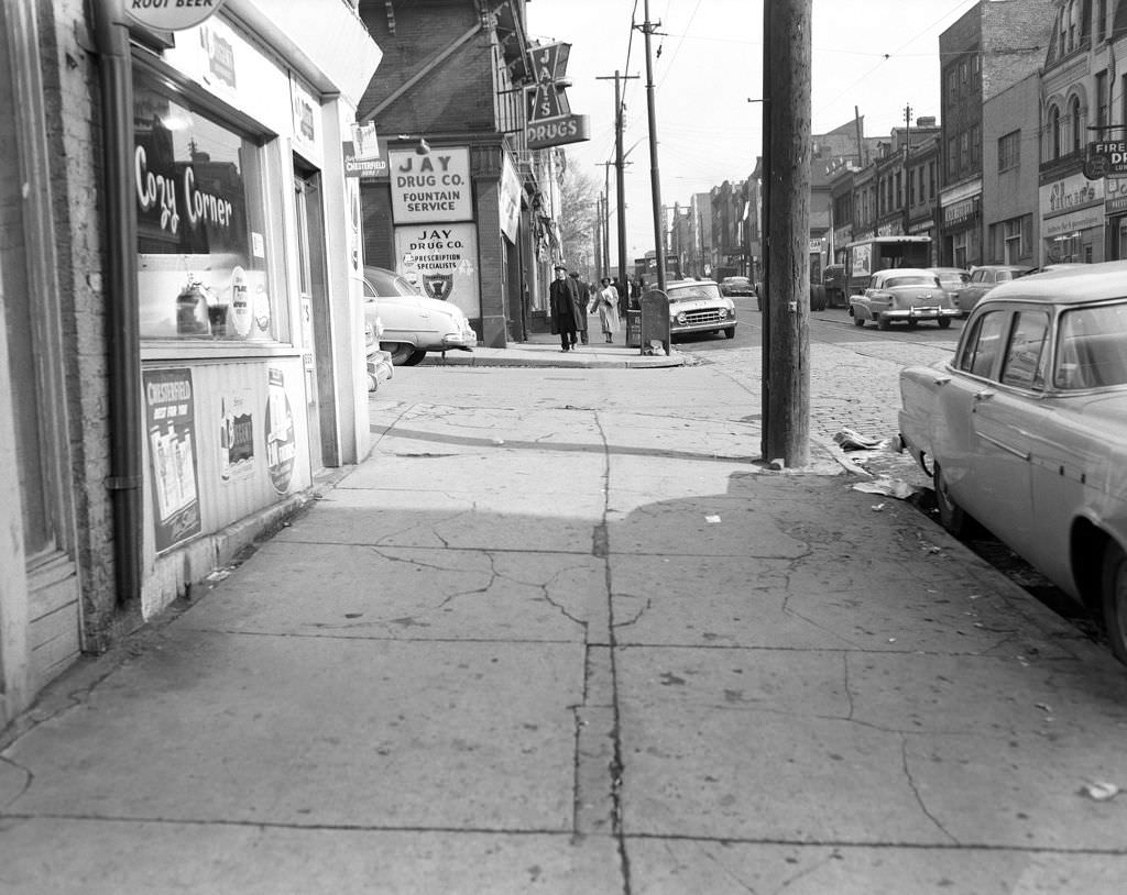
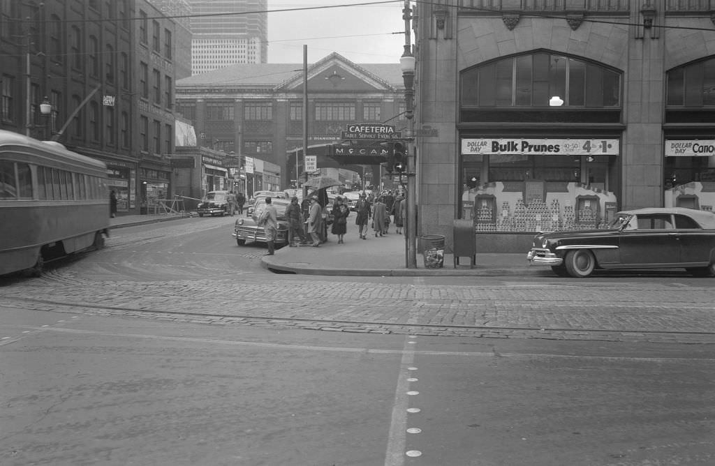
Ferry Street looking east toward McCann’s Cafeteria was a well-traveled route in 1952, and Thrift Drugs Pharmacy and Luncheonette on Liberty Avenue was exactly the kind of place where a Pittsburgher could fill a prescription and grab a bite in the same stop. These blocks served a practical, daily function for thousands of residents.
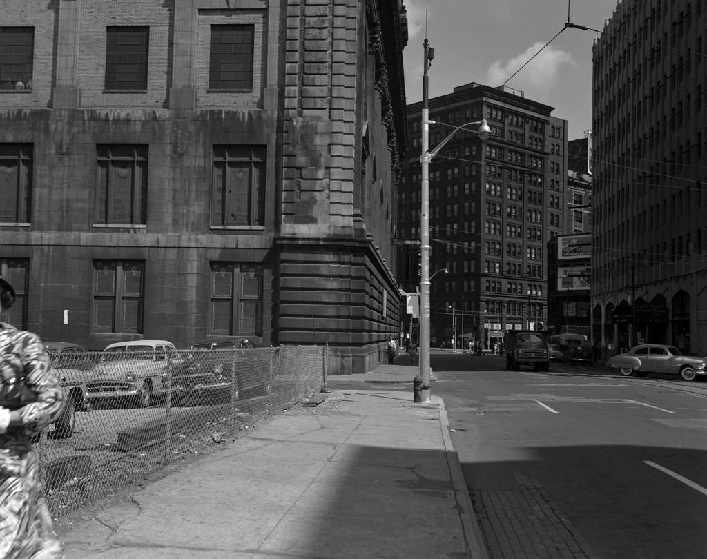
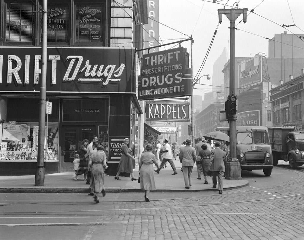
Construction continued throughout the mid-1950s across multiple neighborhoods. Children on Amanda Street in 1954 watched workers dig and build nearby. On Beaver Avenue, the Hippodrome sat among a row of businesses that had served the North Side for years. Fourth Avenue looking south featured Shoyer’s Bookstore among the mix of shops and offices that defined Pittsburgh’s downtown retail environment.
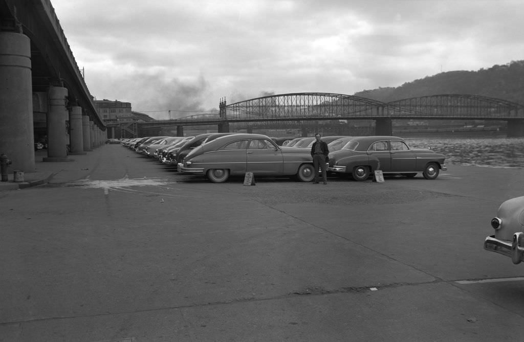
The Monongahela Wharf in 1952 was doubling as a parking lot, with cars lined up along the waterfront and the Smithfield Street Bridge rising in the background. It was a practical solution to downtown’s growing parking demand — using riverside land not yet claimed by the park-building plans that were still years from completion.
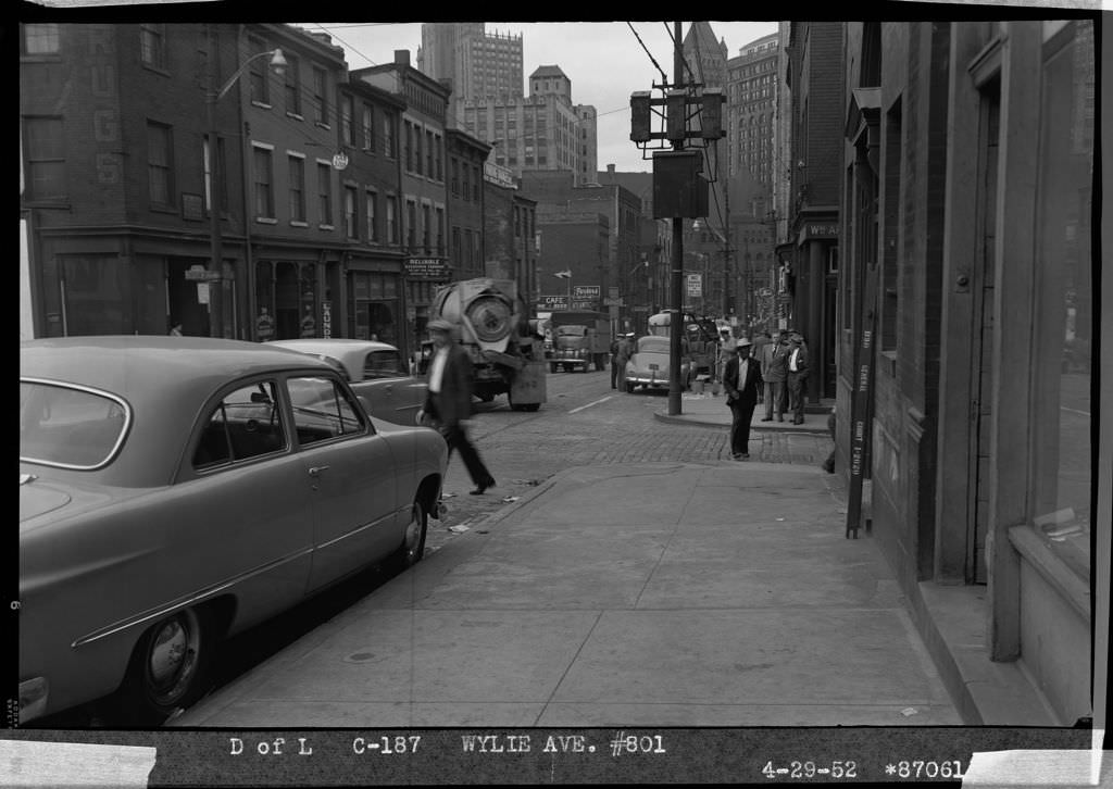
By 1952, the effects of the Renaissance I redevelopment effort were visible in the Hill District. At 801 Wylie Avenue, buildings were already being marked for demolition. On Liberty Avenue looking toward downtown, the street still buzzed with traffic and commerce, but the shape of the city was changing quickly.
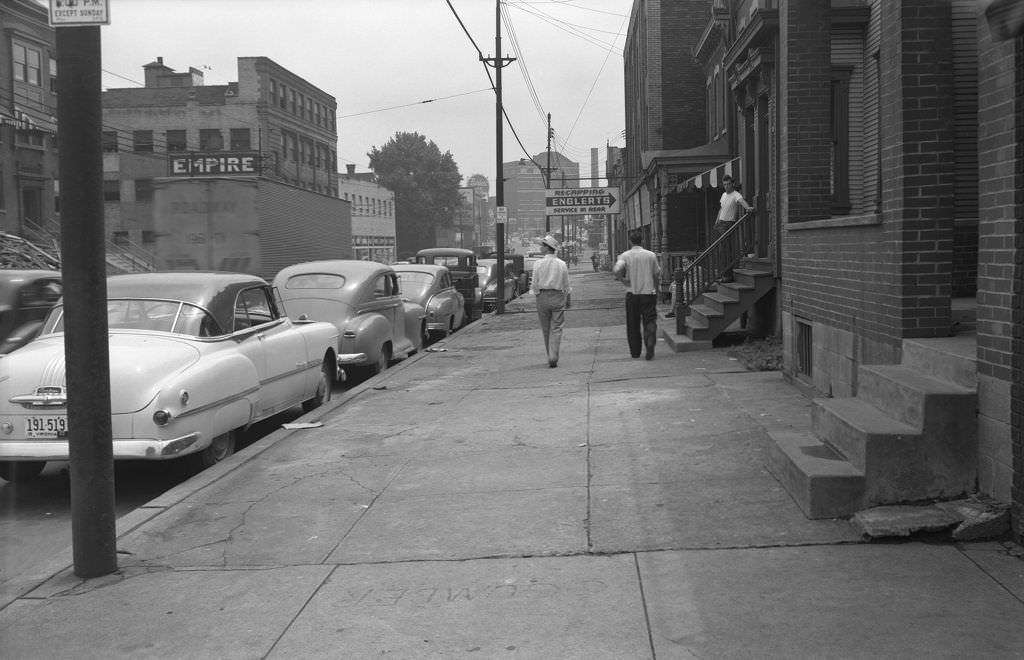
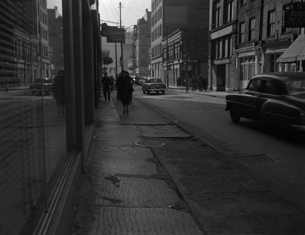
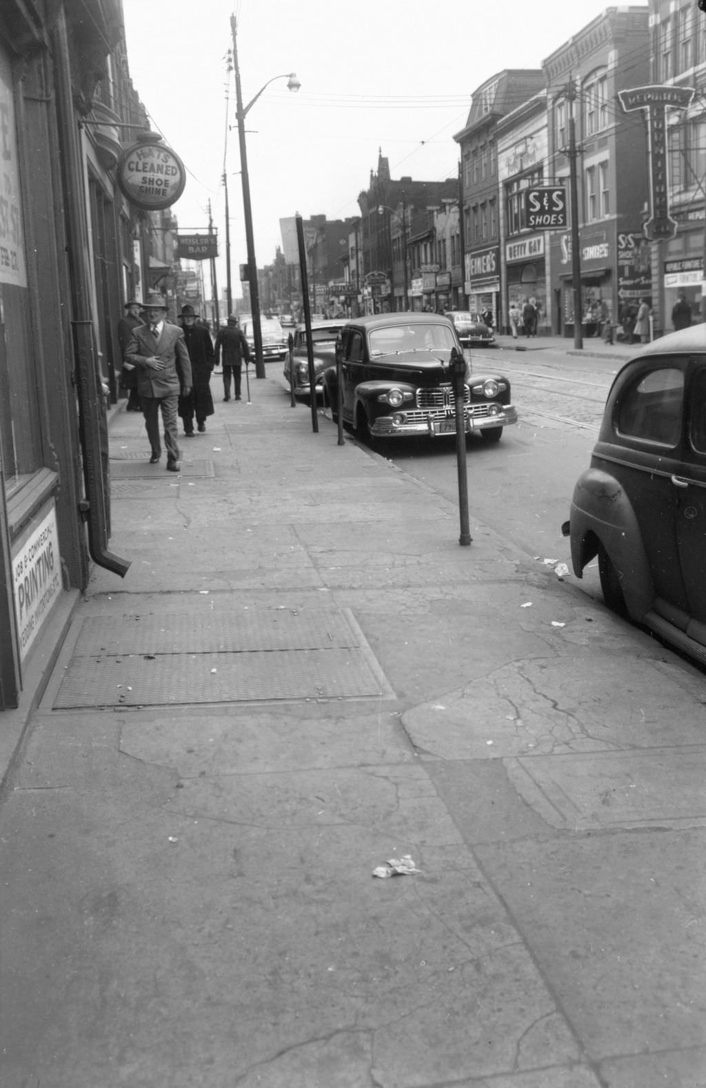
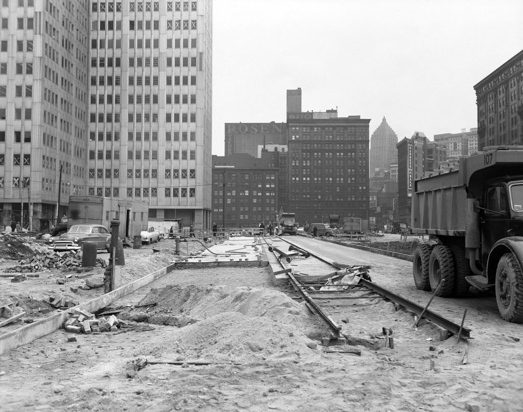
Ohio Street East on the North Side was a shopper’s street in 1952, with S&S Shoes and the Republic Furniture Company among the businesses lining the sidewalks. The future site of Gateway Center — the downtown office complex that would anchor the Point District’s transformation — was still undeveloped, captured in a 1952 photograph that shows just how much was yet to be built.
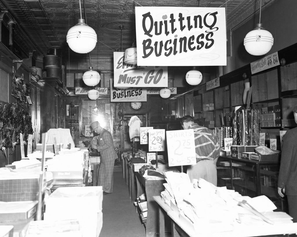
In the Hill District in 1951, a “going out of business” sale on Wylie Avenue marked the departure of yet another merchant — one of hundreds forced out by the combination of redevelopment pressure and the economic disruption that came with it. Homewood, by contrast, showed a neighborhood still fully functioning, with businesses at the intersection of Homewood Avenue and Kelly Street serving a steady stream of customers.
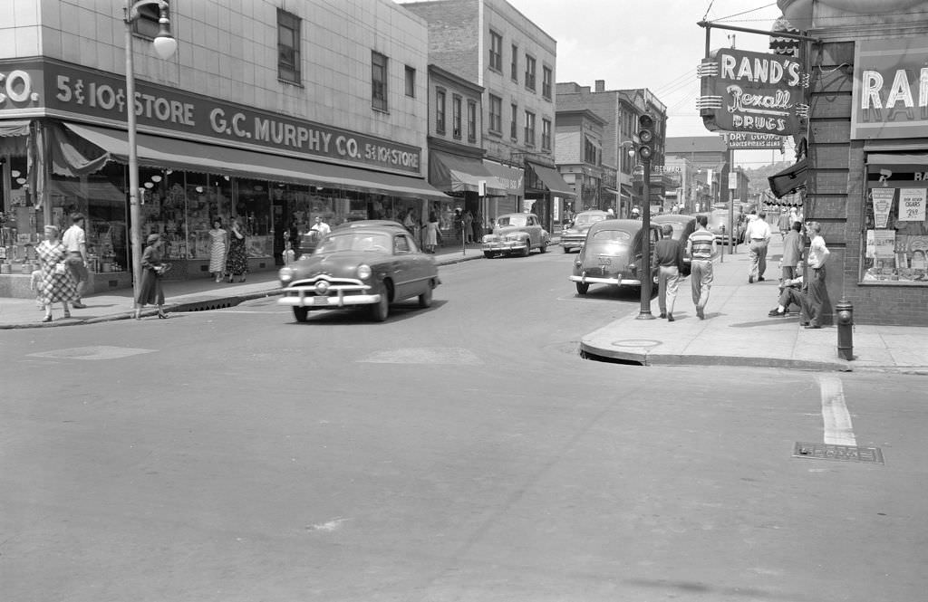
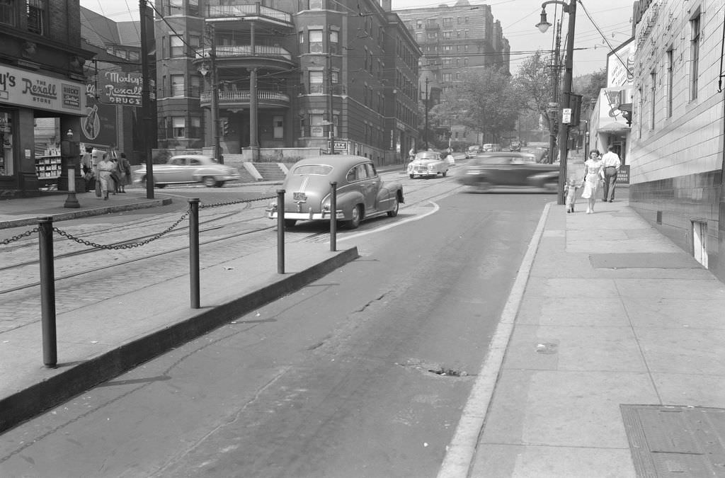
Oakland’s Centre Avenue near South Craig Street featured Moxley’s Rexall Drugs in 1950, a neighborhood pharmacy that served the university district. A few blocks away on Murray Avenue, looking south toward Squirrel Hill’s commercial center, the street was lined with the kinds of shops and services that kept the neighborhood self-sufficient.
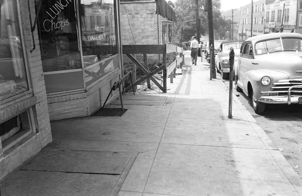
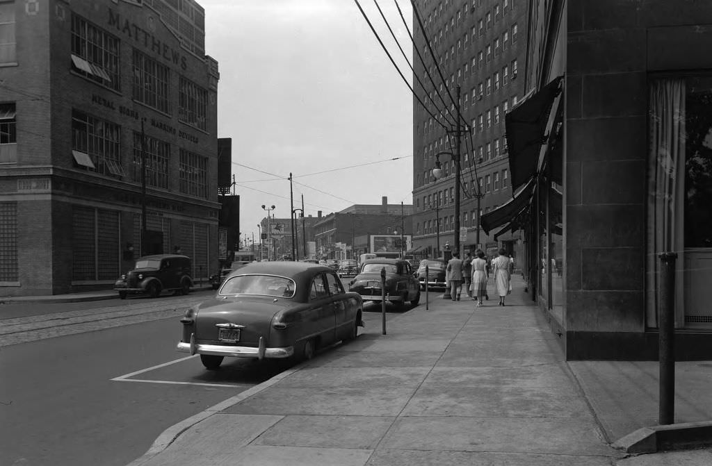
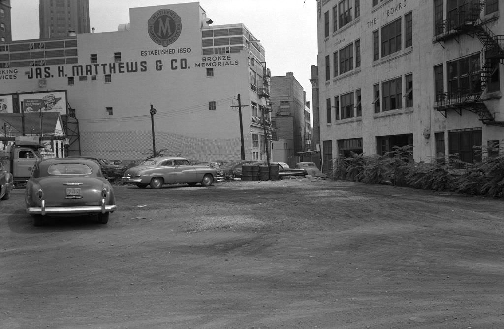
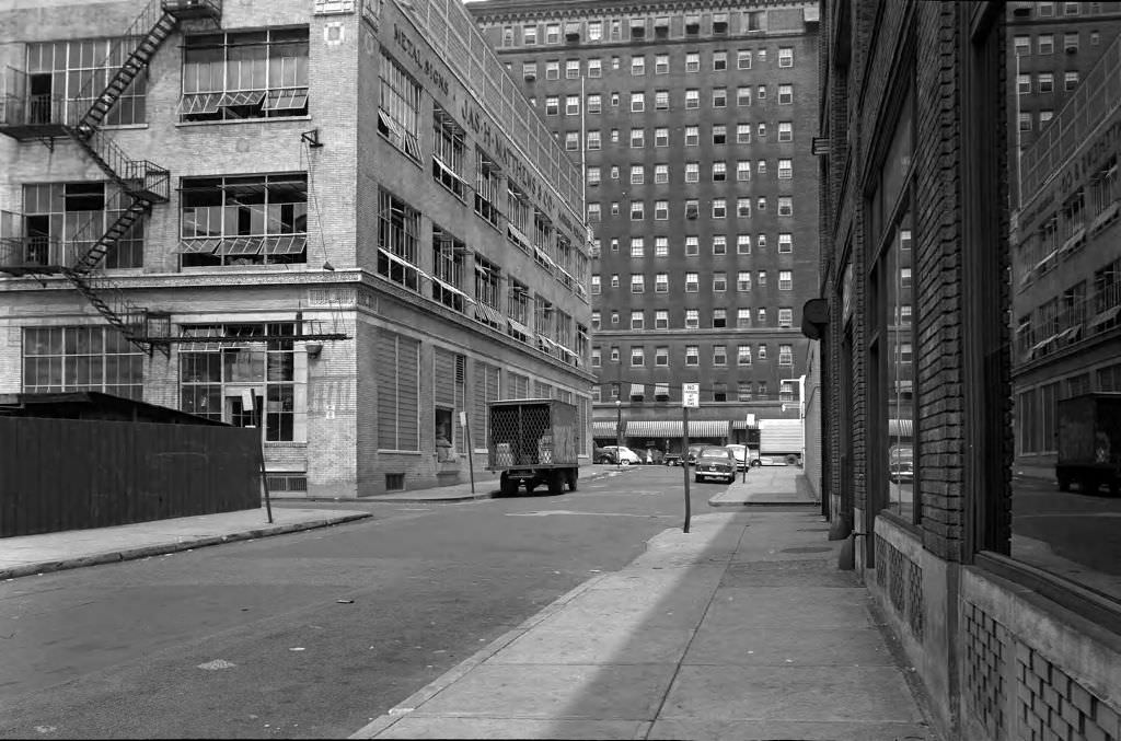
Water main work at Butler and 40th Street in 1950 required digging up the intersection while traffic and pedestrians navigated around the work zone. Forbes Avenue near Pennant Place showed a very different scene — the stately Schenley Apartments rising above street-level businesses, with James H. Matthews & Co. and the Pittsburgh Board of Education occupying prominent addresses nearby.
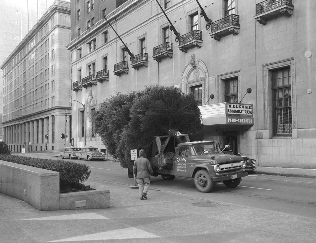
The holiday season brought its own Pittsburgh traditions. In 1958, a truck hauled the Mellon Park Christmas tree through the city streets — a large, carefully transported evergreen headed for one of Pittsburgh’s most beloved public spaces. Market Square in 1956 was equally festive during the Christmas season, its normally busy commercial square strung with lights and crowded with holiday shoppers.
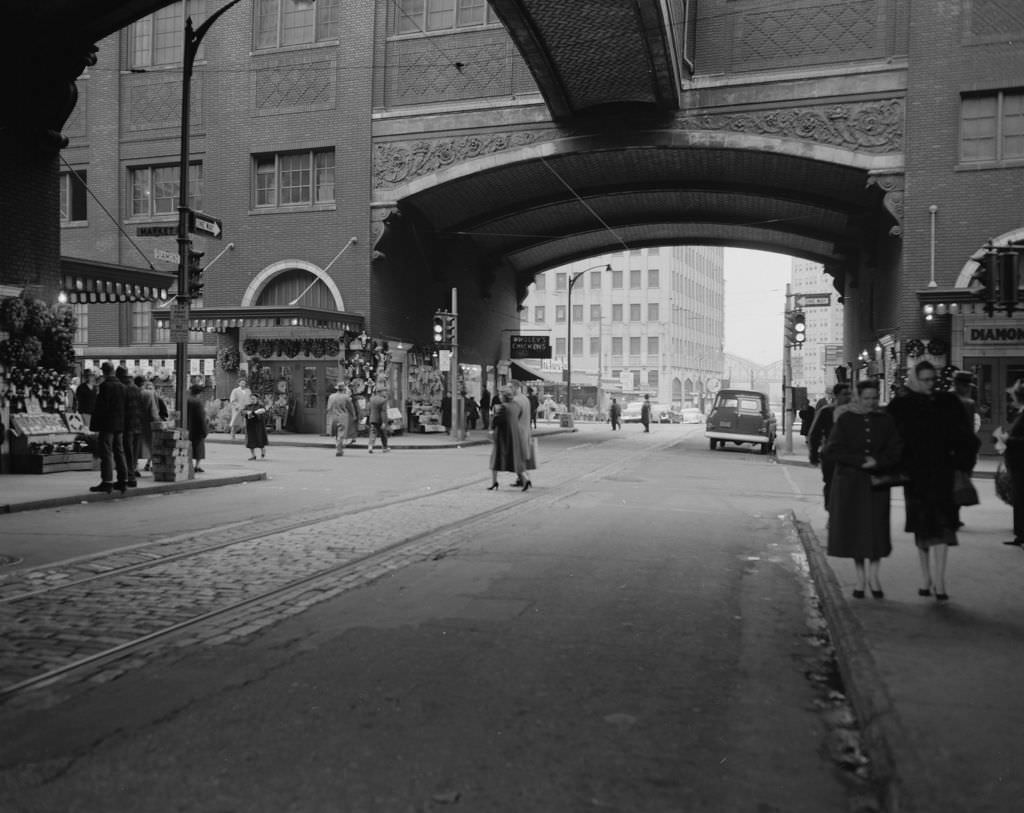
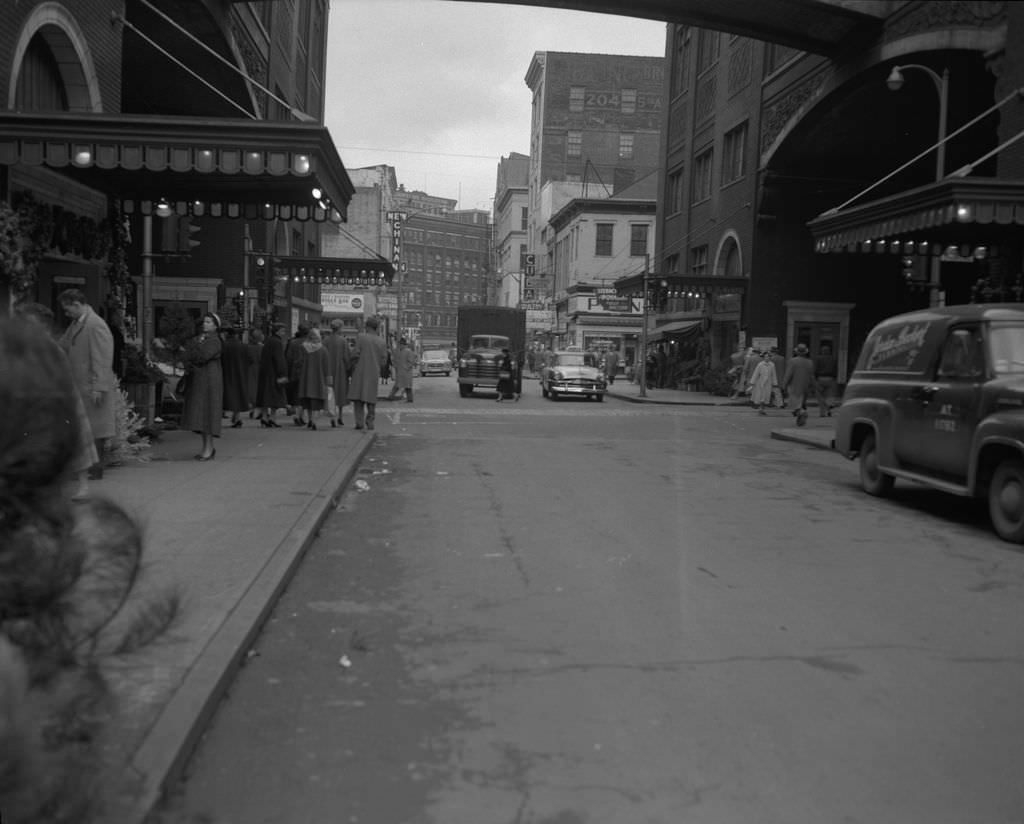
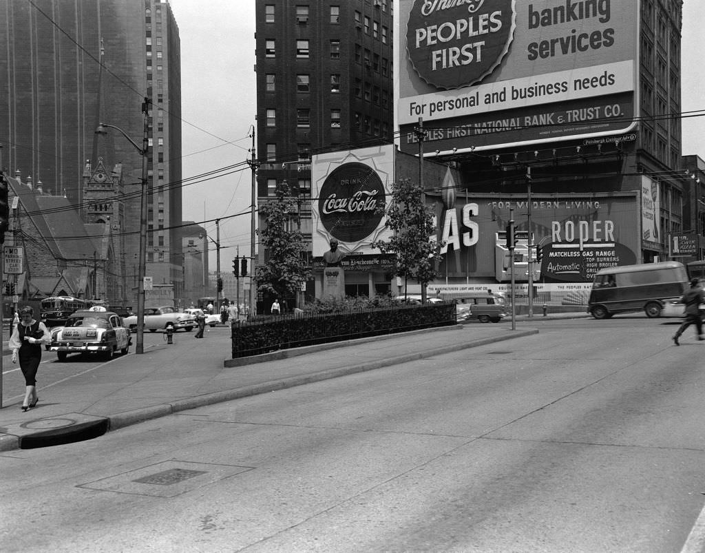
Schenley Park and the Cathedral of Learning together formed one of Pittsburgh’s most photographed vistas by 1957. The park’s rolling green landscape set against the tower’s Gothic stone exterior was a scene that captured what the city wanted to be: a place of culture and education, not just industry. Down on Grant Street and Sixth Avenue, a public monument stood at the intersection — one of many reminders embedded in the city’s streets of Pittsburgh’s long history.
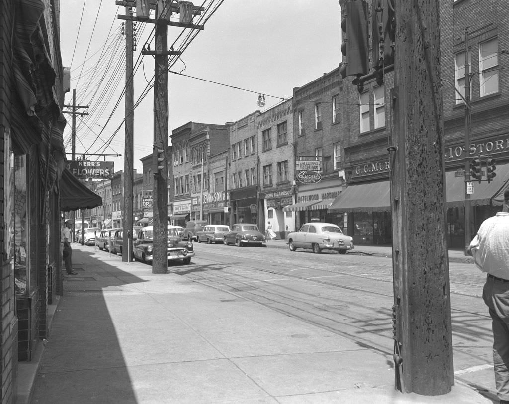
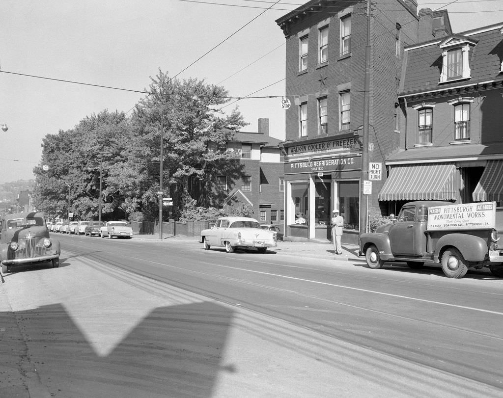
Hazelwood’s commercial strip in 1957 featured G.C. Murphy Company alongside Hazelwood Hardware — two different kinds of retail serving the same working-class neighborhood along the Monongahela River. On Penn Avenue at 38th Street, a man stood in front of the Pittsburgh Refrigeration Company, one of dozens of specialty businesses that kept the city’s food supply chain running.
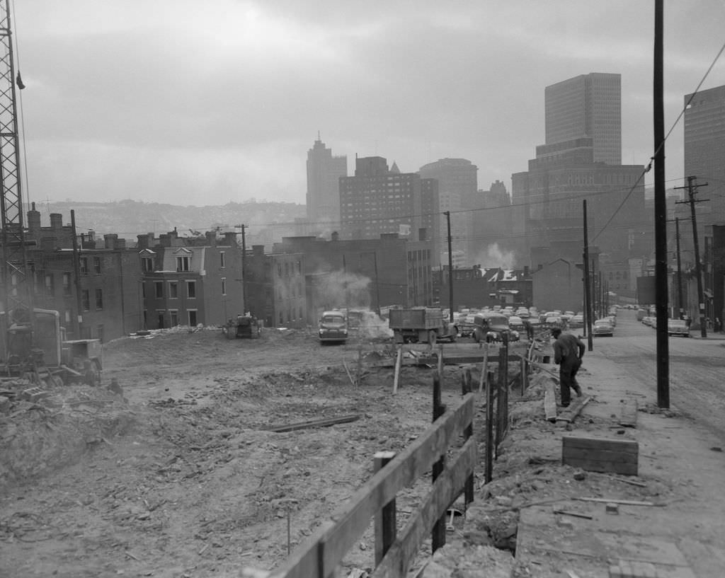
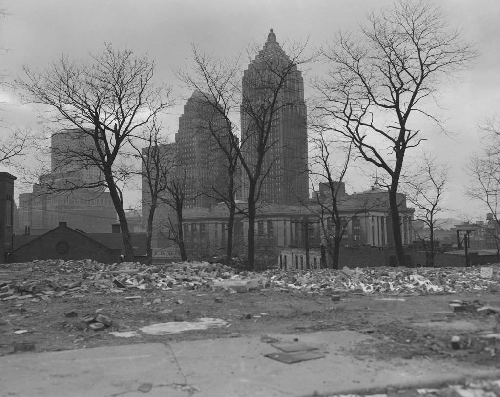
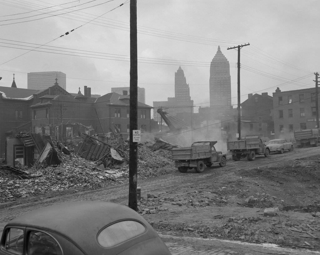
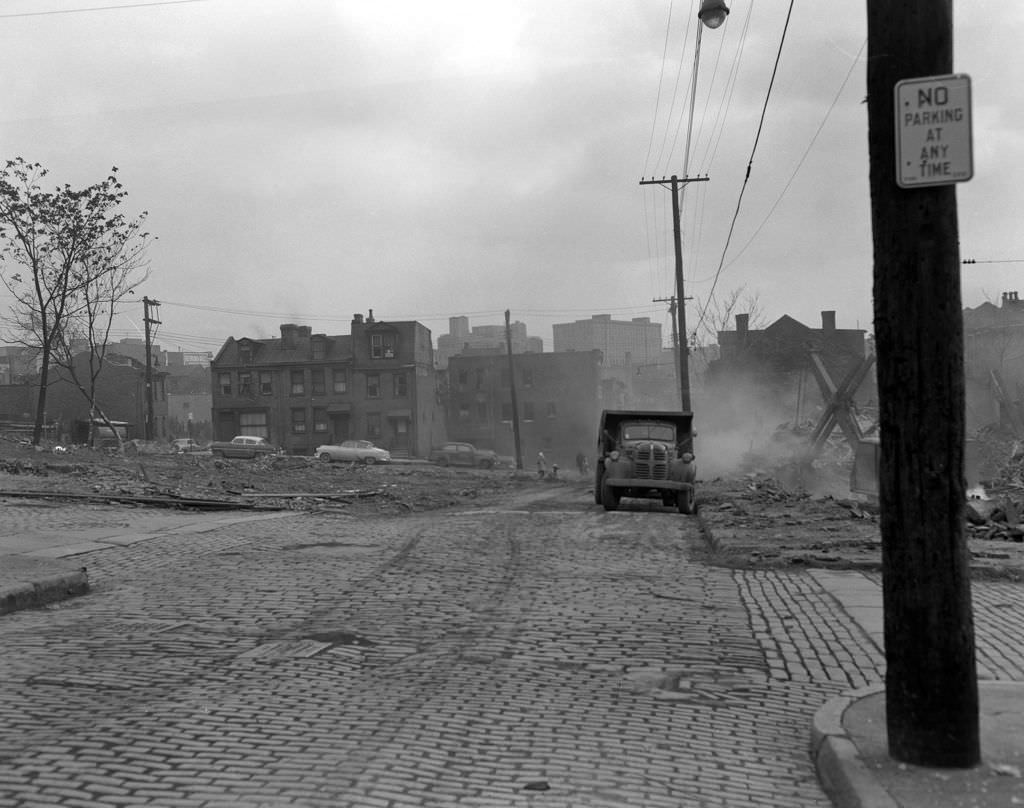
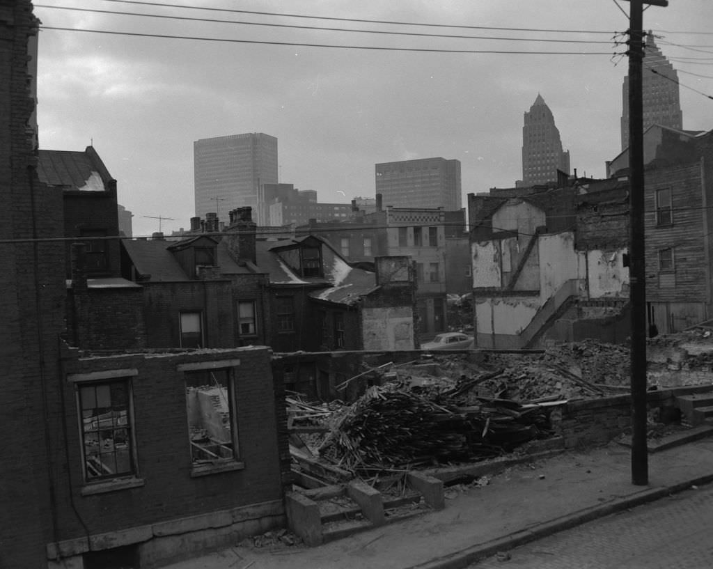
The most dramatic and contested chapter of Renaissance I played out in the Lower Hill District starting in the mid-1950s. Hundreds of acres of densely populated urban neighborhood were cleared to make way for the Civic Arena, a massive domed performance venue. The demolition displaced approximately 8,000 residents — the majority of them Black Pittsburghers — and erased a neighborhood that had been the center of the city’s African American cultural life for generations. The 1957 photographs of construction zones, demolished blocks, and the city skyline visible through the rubble document this process in unflinching detail.
The Strip District’s Produce Terminal was a hub of activity in 1956, its loading docks lined with trucks early each morning as wholesale food vendors supplied restaurants and grocers across the city. The Strip had been Pittsburgh’s commercial produce center for decades, and in the 1950s it remained as busy as ever.
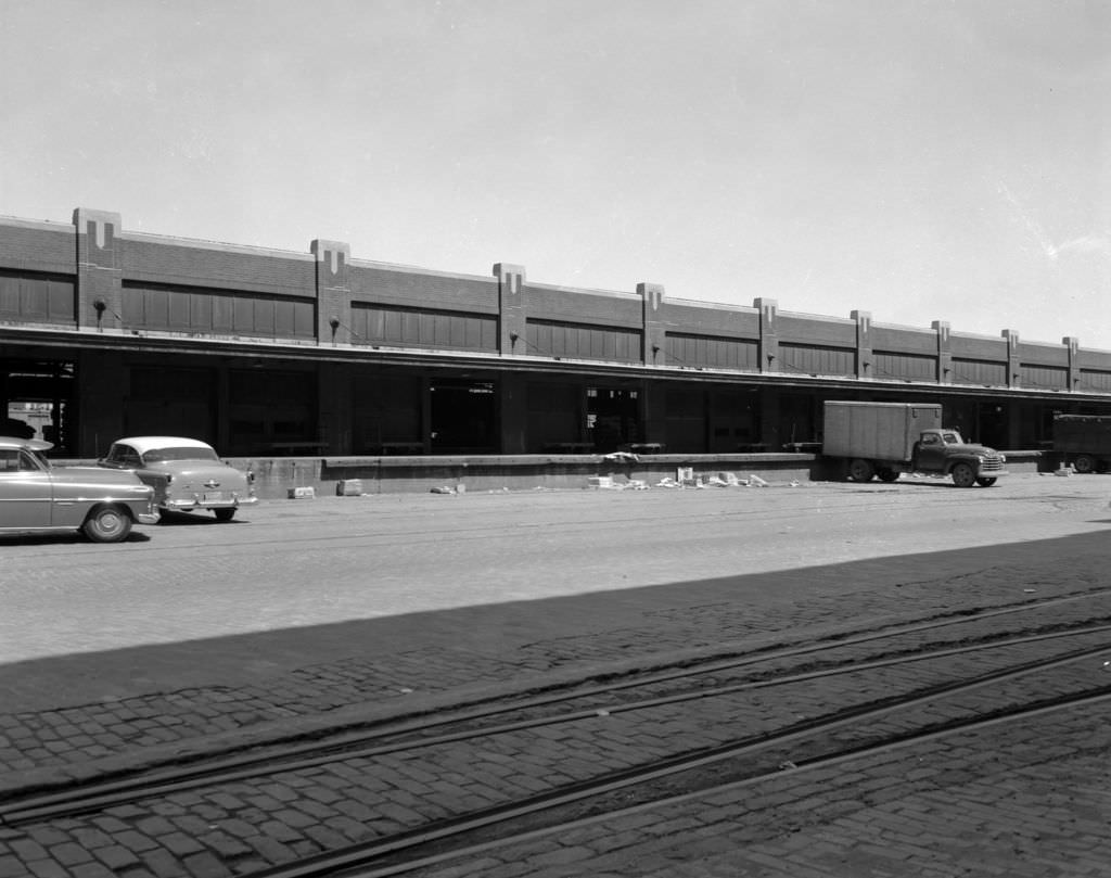
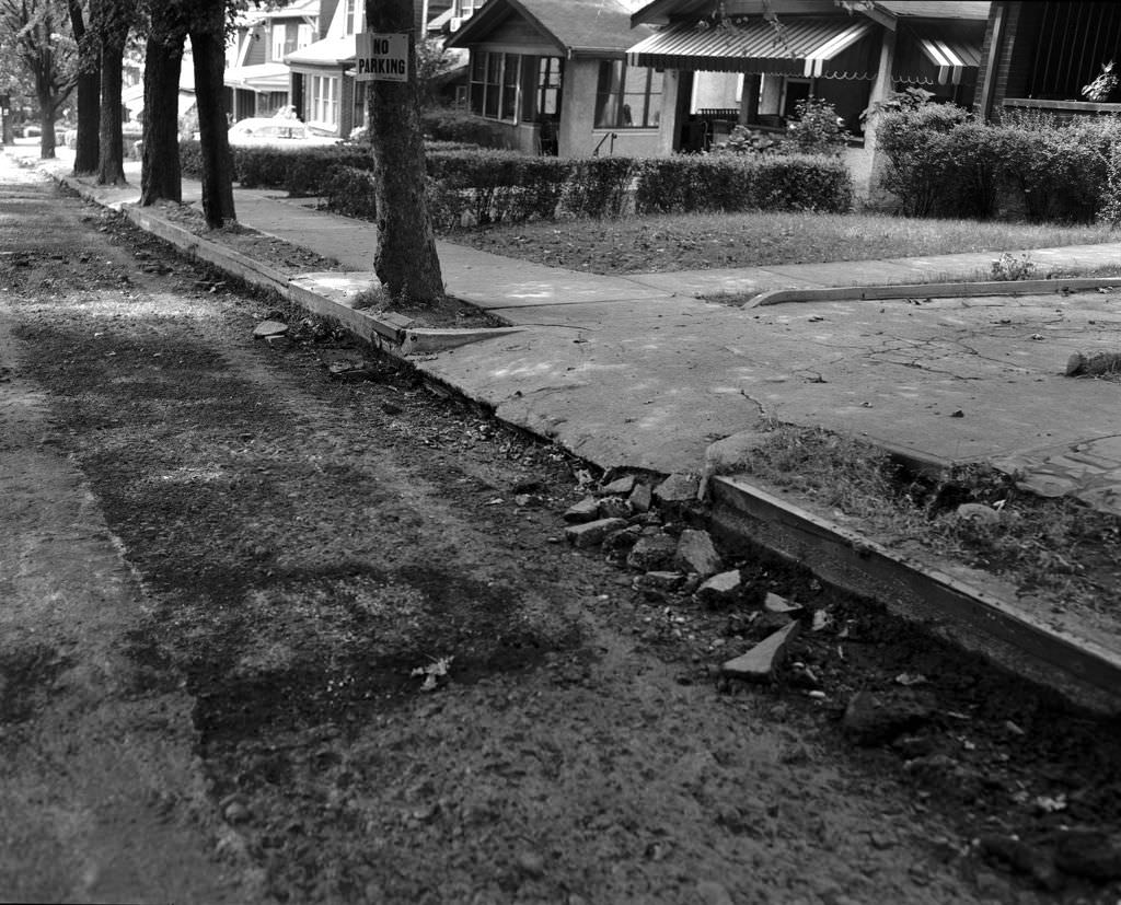
Not every street in Pittsburgh was thriving in the 1950s. A crumbling driveway on Waldron Street toward Tilbury Avenue in 1956 showed the infrastructure gaps that persisted even as downtown gleamed with new construction. Properties along Bidwell Street at Pennsylvania Avenue showed a similar picture — functional, but worn, and waiting for attention that the renewal projects directed elsewhere.
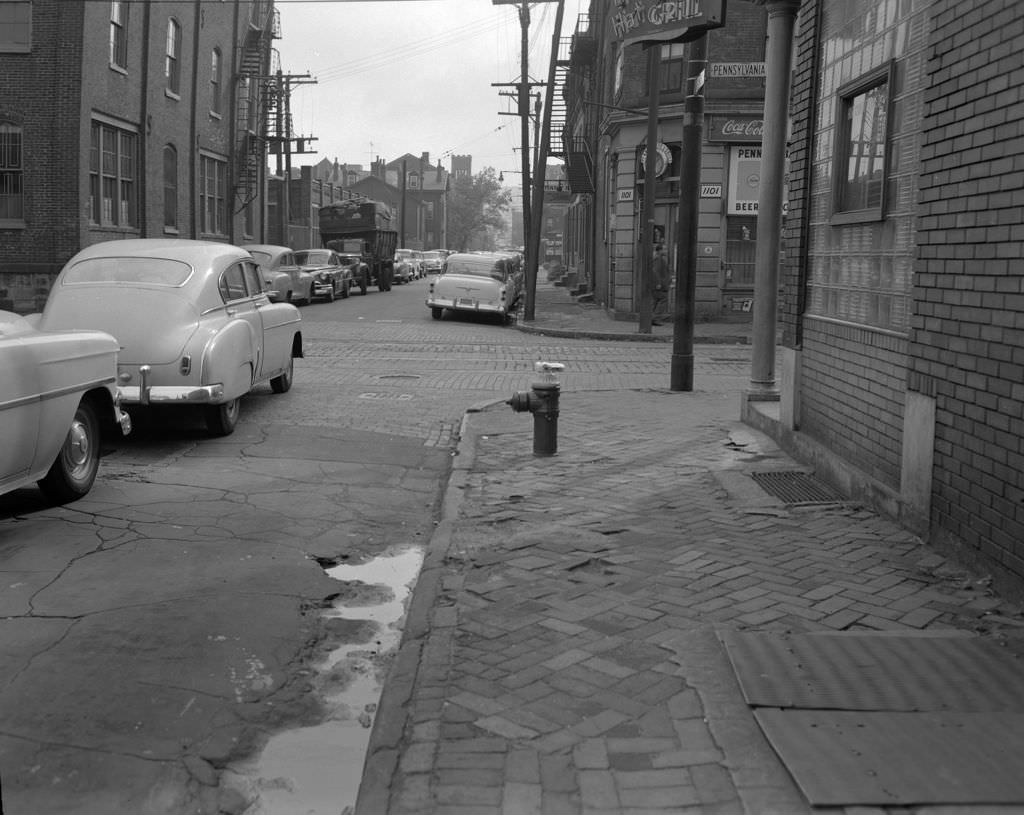
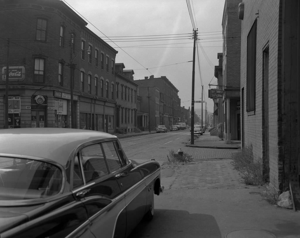
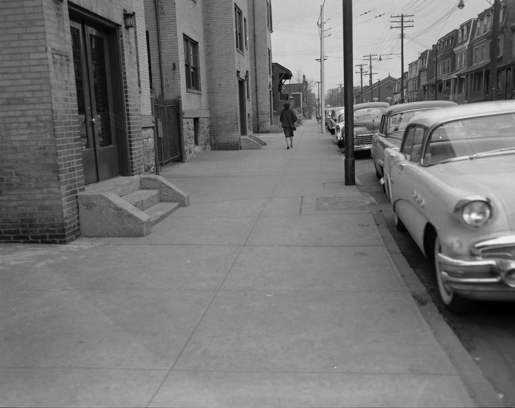
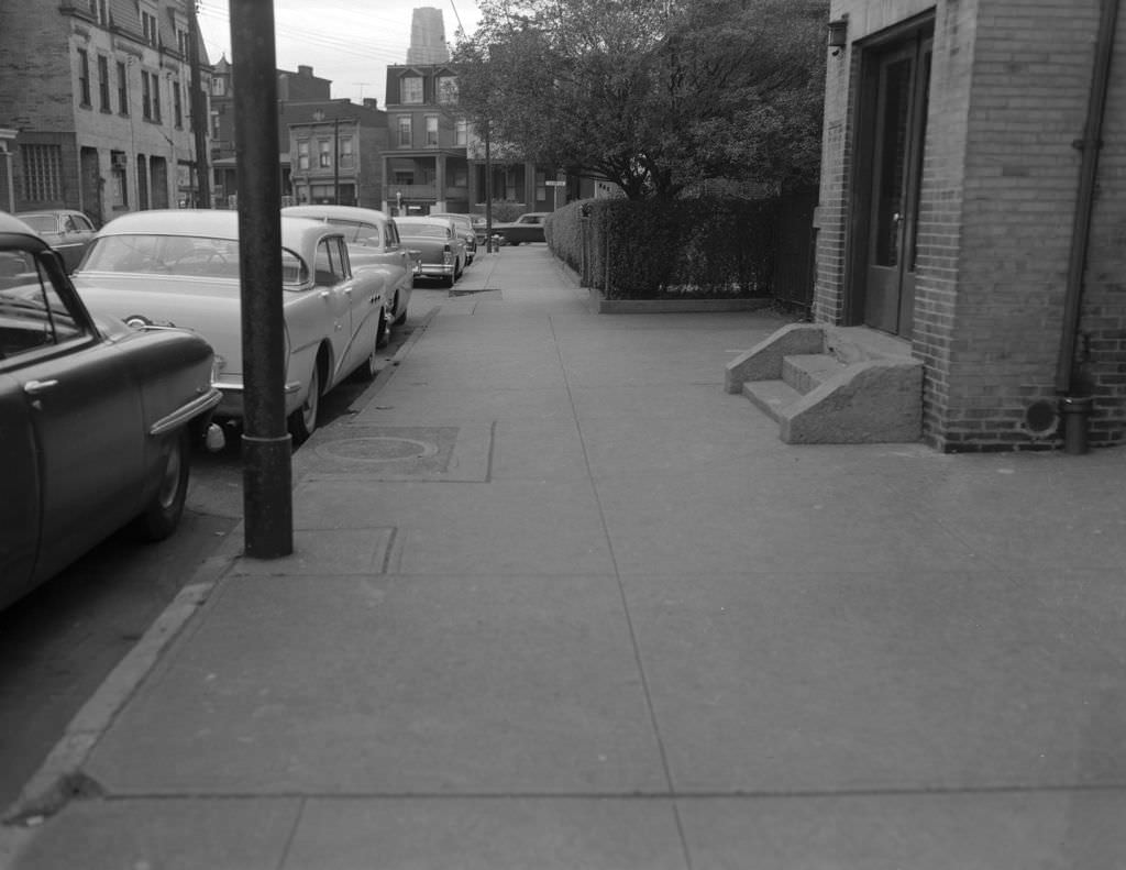
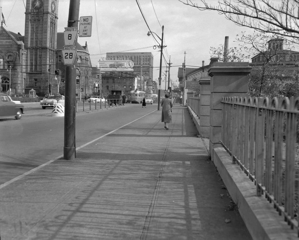
Ward Street in 1956 offered a quiet residential scene — a woman walking down the sidewalk, parked cars lining the curb, with the Cathedral of Learning visible in the distance. The former Allegheny Carnegie Library on West Ohio Street stood as a reminder of earlier civic investment, its stone facade still solid decades after Andrew Carnegie funded its construction.
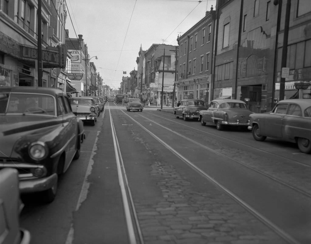
East Carson Street on the South Side was a major retail destination in 1956. Goldenson’s Department Store and the Liberty Theatre anchored the street alongside a dense lineup of smaller shops. The South Side had its own distinct character — a neighborhood of steep hills, row houses, and a commercial strip that stayed busy well into the evening.
At the intersection of South 22nd Street and Sarah Street, Fink’s Quality Market served the surrounding South Side neighborhood, with Saint Casimir Church rising above the rooftops nearby. East Warrington Avenue in Allentown offered a different kind of local institution — a small reporter’s office with a hand-painted sign reading “Leave Ads and News Here,” a street-level operation gathering community news one submitted item at a time.
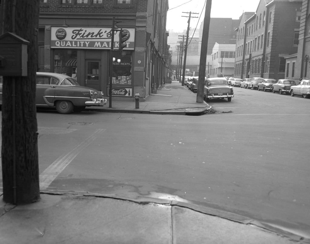
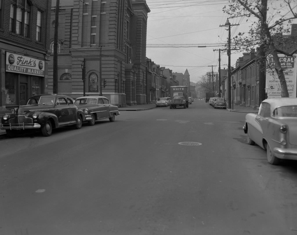
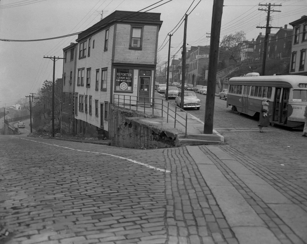
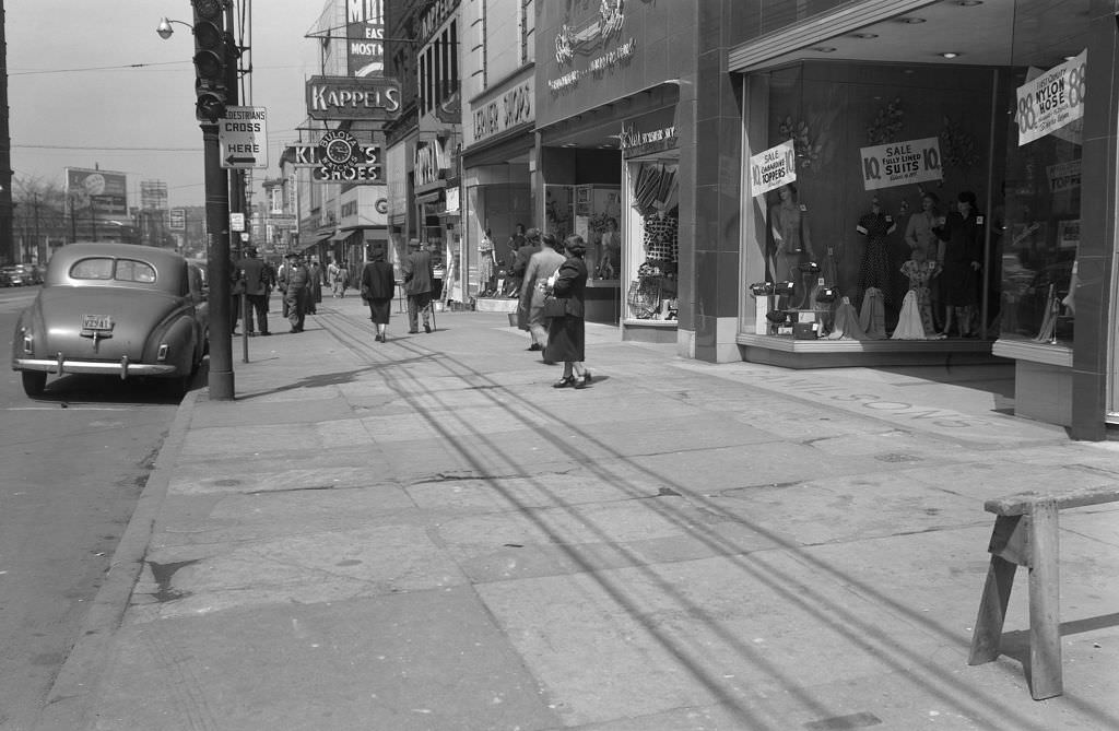
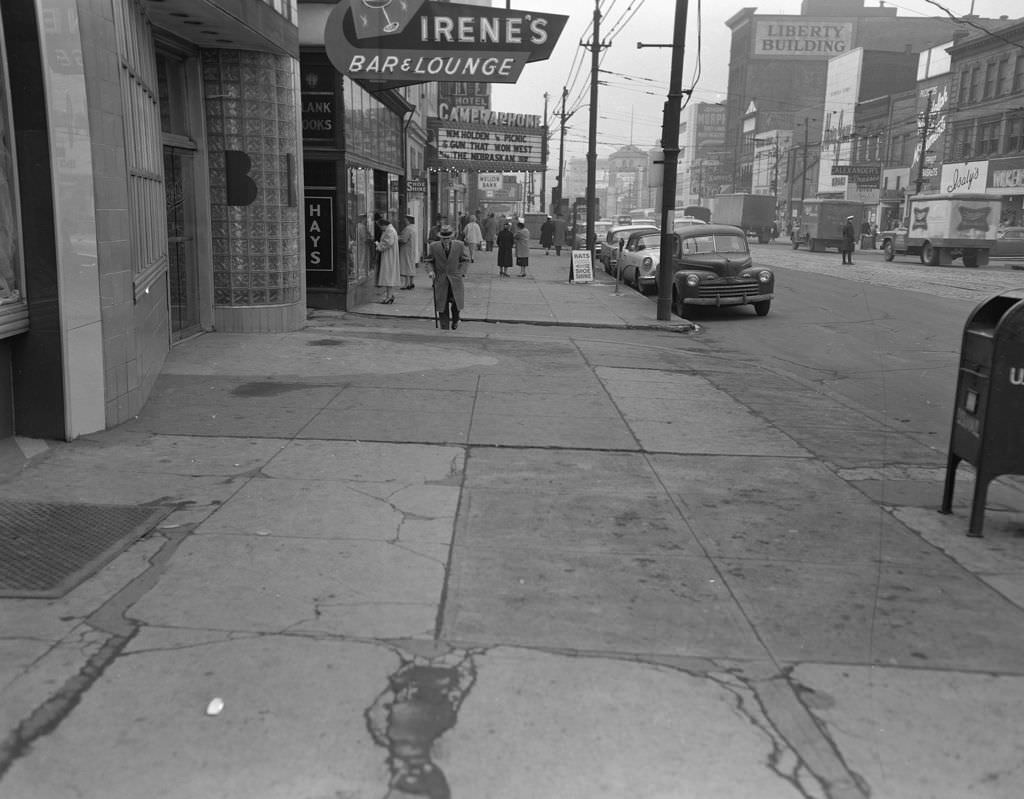
East Liberty’s Penn Avenue was a commercial powerhouse in 1957. The Liberty Building, Irene’s Bar and Lounge, the Cameraphone theater, and Isaly’s all shared the same stretch of sidewalk, drawing shoppers and diners from across the East End. A few blocks away at Diamond and Market Place, the old market district was still active, its street life unchanged from decades past.
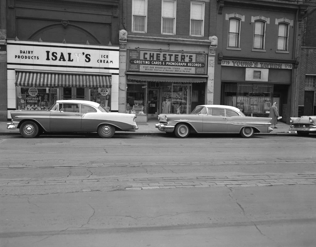
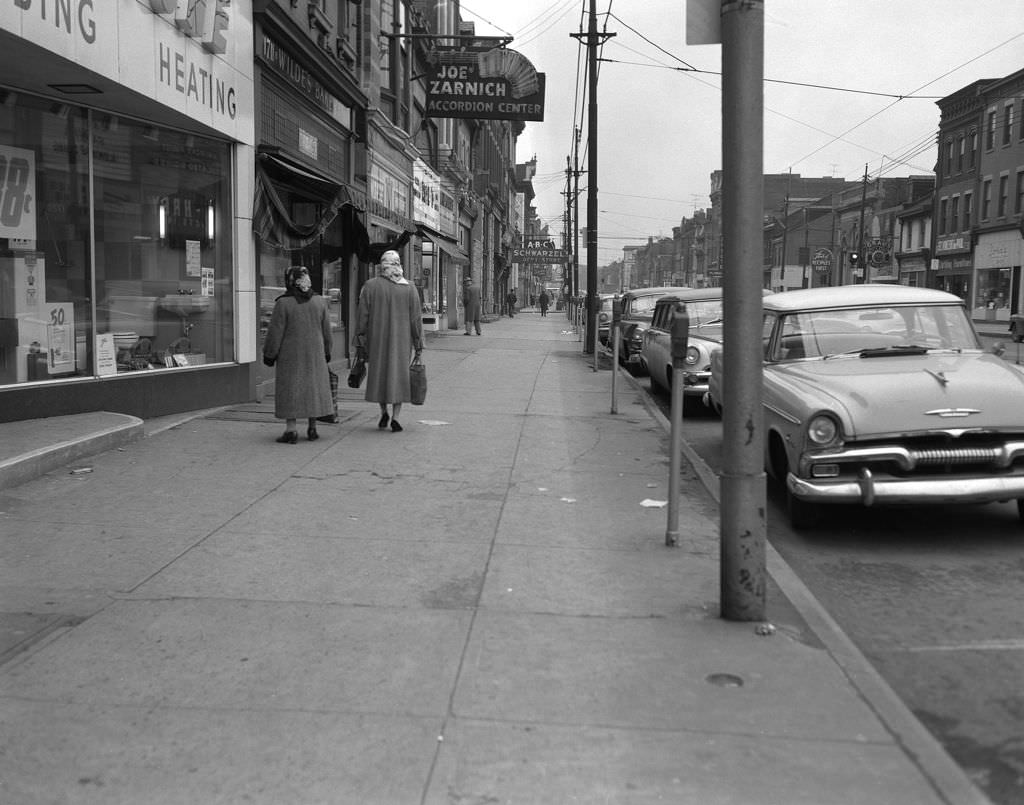
Carson Street in 1957 had its own eclectic mix. Isaly’s sat next to Chester’s Greeting Cards and Young’s Tavern, and the 1700 block featured the Joe Zarnich Accordion Center — a specialty shop that said a great deal about the South Side’s Eastern European immigrant heritage. Music stores, accordion teachers, and polka halls were all part of life in certain Pittsburgh neighborhoods, and they showed up on the streetscape accordingly.
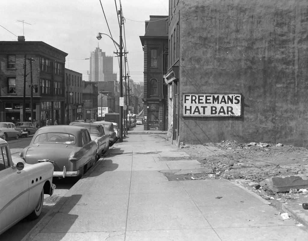
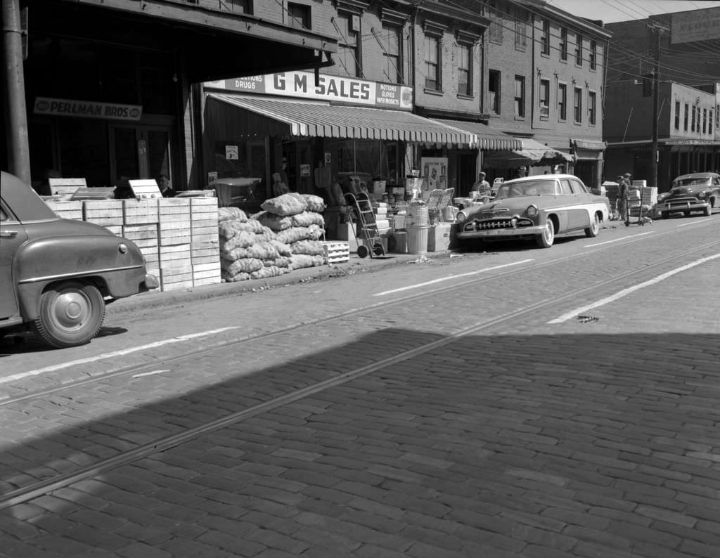
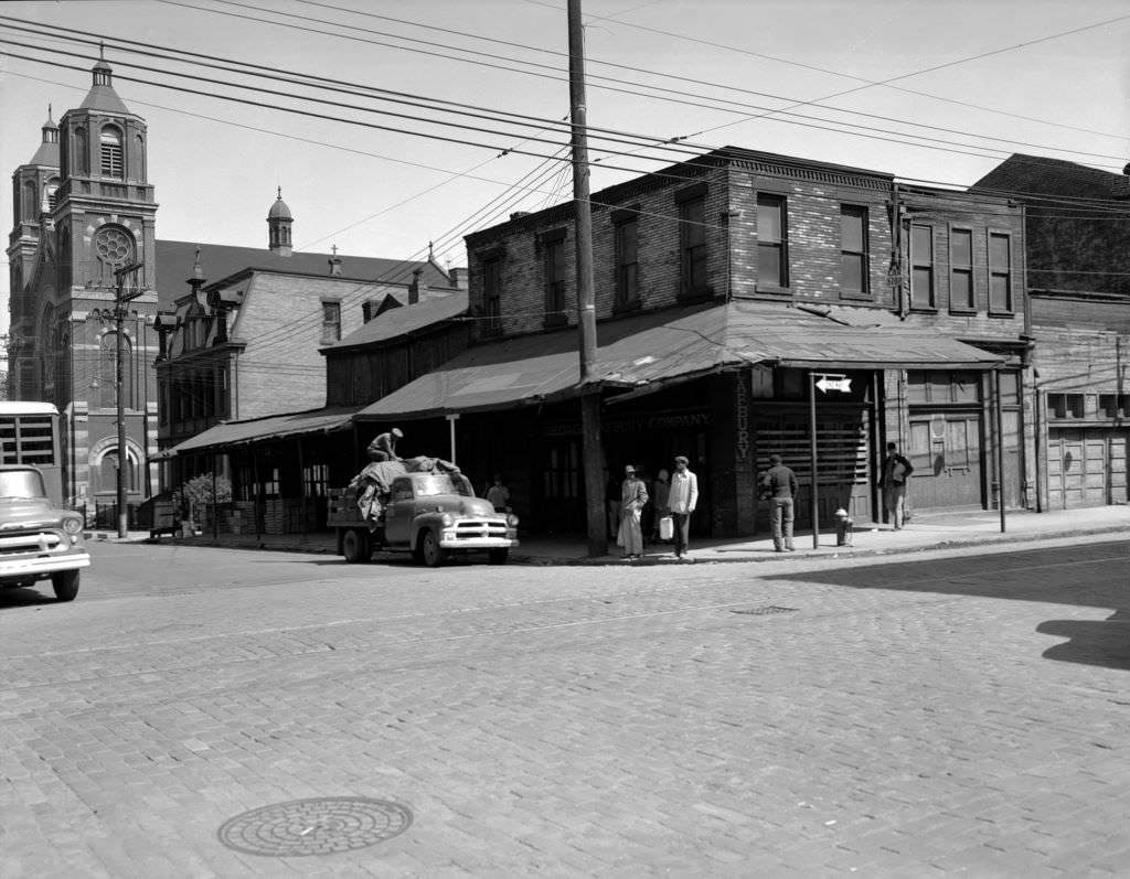
Back in the Hill District in 1956, Freeman’s Hat Bar at 1211 Wylie Avenue was still operating, its sign painted across the building’s facade. Nearby on Penn Avenue, Perlman Bros. and a GM Sales dealership occupied the 1800 block, while St. Stanislaus Kostka Church anchored the Penn and 21st Street corner alongside the George Lafbury Company — a Polish Catholic church in the heart of a working-class corridor.
Mellon Square Park’s construction in 1955 brought modern landscape design to the center of Pittsburgh’s business district. The view from Smithfield Street and Oliver Avenue looking toward the park showed Gimbels and the new Alcoa Building taking shape — the Alcoa Building’s aluminum curtain-wall exterior a direct advertisement for one of Pittsburgh’s most powerful industries. The park itself, when completed, gave downtown workers a place to eat lunch outdoors, surrounded by fountains and modern plantings.
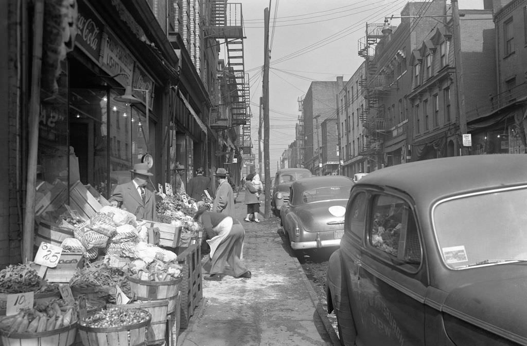
Logan Street in 1953 had goods spread out for sale along the sidewalk, the informal commerce of a densely populated neighborhood finding every available inch of space. On Centre Avenue, the New Grenada Theatre stood as one of the Hill District’s most elegant buildings — a venue that had hosted some of the biggest names in jazz and entertainment to come through Pittsburgh.
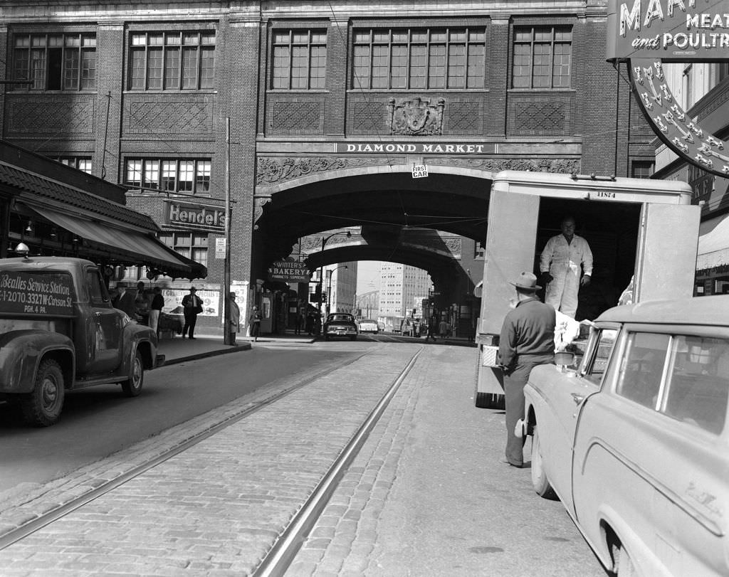
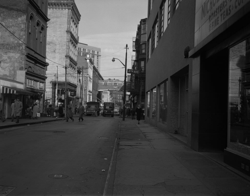
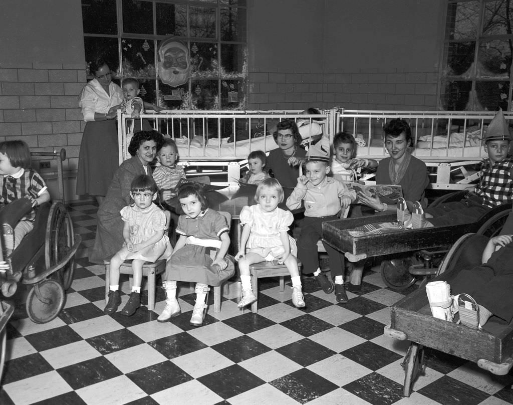
Fourth Avenue looking toward Market Square in 1954 showed the Fourth Avenue Hotel and the distant arch of the Diamond Market — landmarks of downtown Pittsburgh’s historic commercial core. The Home for Crippled Children, photographed inside in 1954, offered a glimpse into the city’s charitable institutions, its interior showing the functional, institutional spaces that cared for Pittsburgh’s most vulnerable residents.
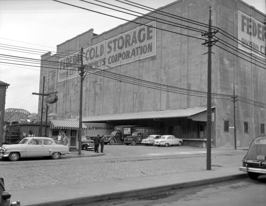
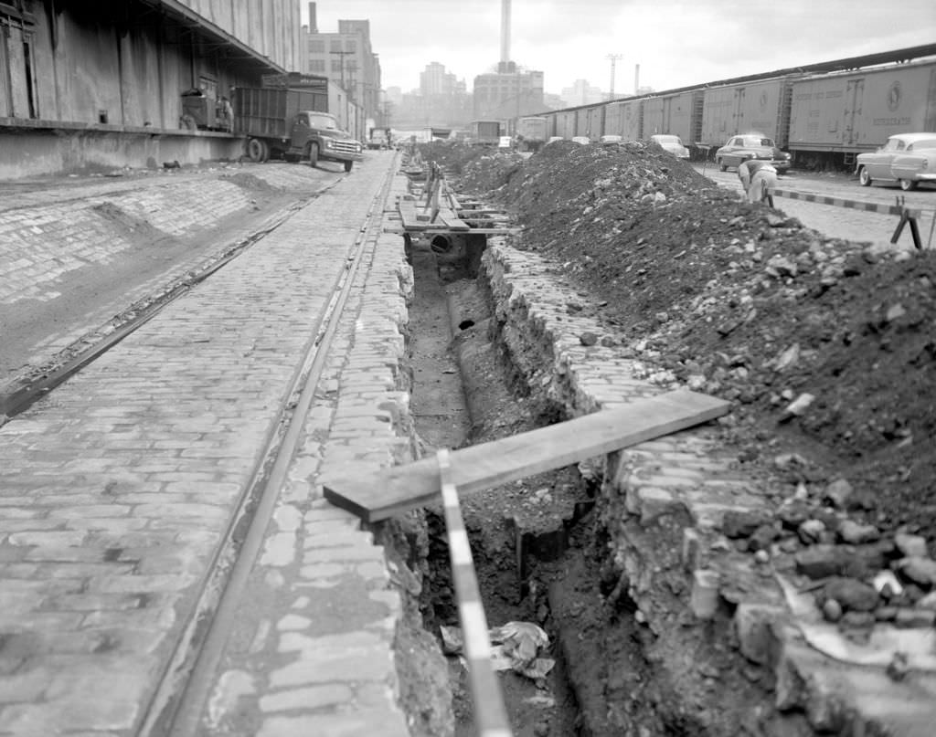
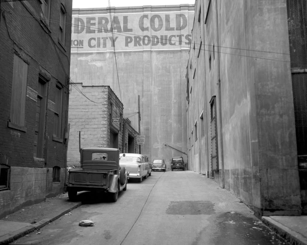
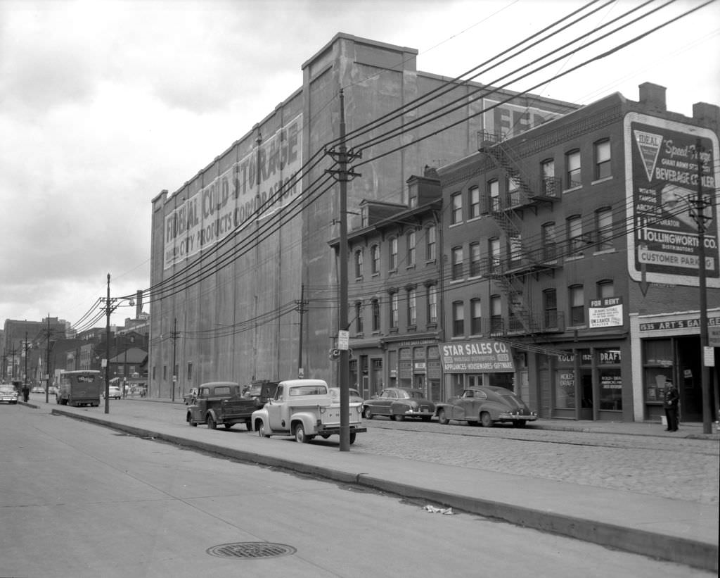
In 1955, the construction activity around the Federal Cold Storage building on Smallman Street in the Strip District was reshaping the surrounding blocks. Penn Avenue nearby showed Art’s Garage, the Kold Draft Beer Distributor, and the Federal Cold Storage facility sitting side by side — an industrial block that fed the city’s restaurants, bars, and food businesses. Spring Way, running between blocks, offered a narrow view looking toward the massive cold storage complex.





Lots of photos of what Pittsburgh used to be like hang in the Heinz History museum
Love all the herringbone brick sidewalks.
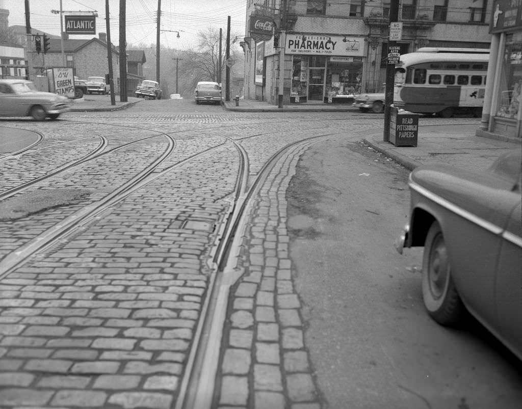
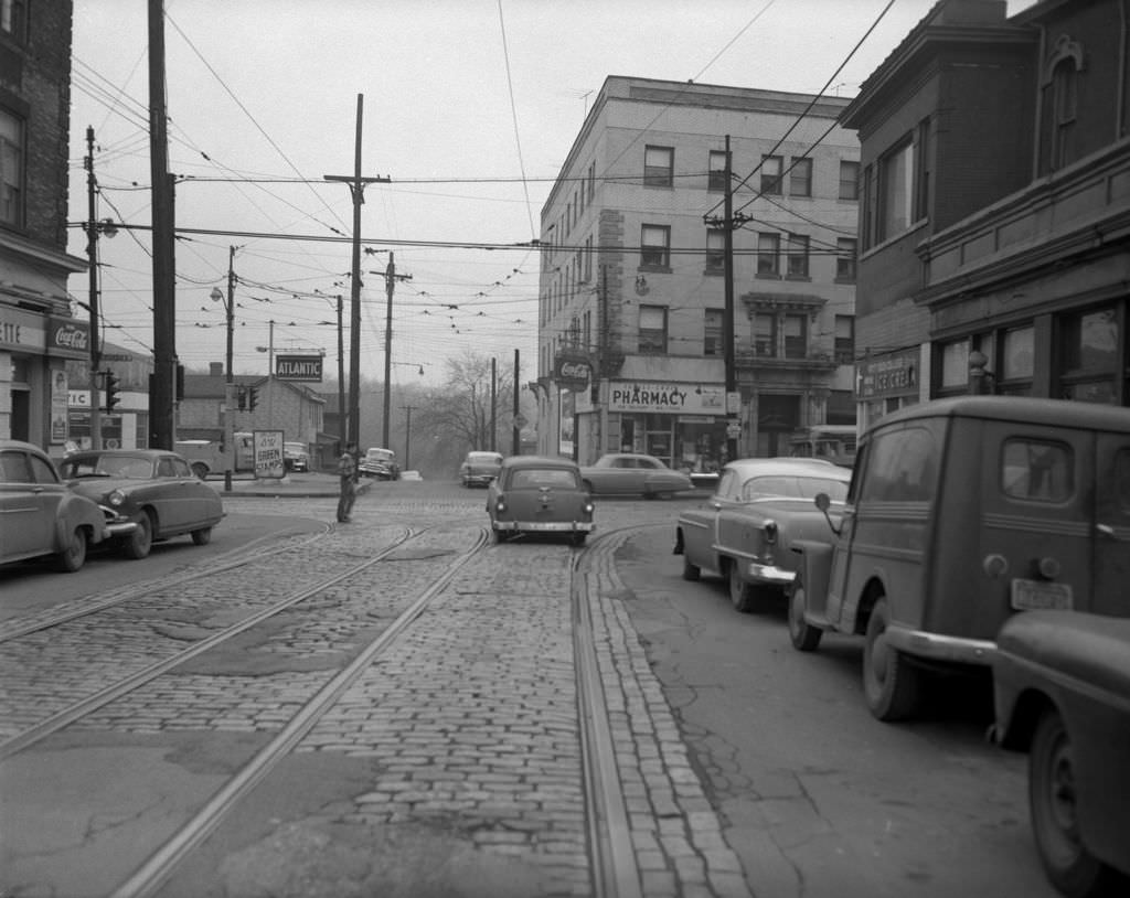
Another thing that strikes me about these pictures is how much streetcar infrastructure was still there in the 50’s – and how many billions it would cost today to try to resurrect it.
The 50’s were part of the golden age of the steel industry, but a lot of the buildings and streets seem more run down than today.
Interesting to see what Forbes and Craig looked like before the art museum was built.
So many fantasize about how “great” it was in the ’50s. But these pictures make me think otherwise.
Thanks for sharing.
Pittsburgh was a working class town 75 years ago. Much less so now.
These were taken during the renaissance 1. The point was being cleared out. These were taken right before the lower hill district was basically wiped out as which happened in the later 60s using eminent domain.
My mom who grew up near the city likes to tell the story about how her and her mother had a monthly chore of washing all the walls and ceilings due to how the smog and pollution from the steel mills would discolor them. Fuck the “good old days”