
In February and March of 1938, two powerful Pacific storms swept through Southern California in quick succession. The rain they delivered was staggering — nearly a full year’s worth of precipitation fell within just a few days. Rivers overflowed. Streets disappeared under water. Hillsides gave way. By the time the storms ended on March 3, the 1938 Los Angeles flood had become one of the most destructive natural disasters in the region’s history.
The Los Angeles, San Gabriel, and Santa Ana Rivers all burst their banks. The floodwaters spread across the coastal plain, the San Fernando Valley, the San Gabriel Valley, and the Inland Empire. Between 113 and 115 people lost their lives. The total damage reached $78 million — equivalent to roughly $1.5 billion in 2021 dollars. Orange and Riverside Counties took some of the hardest hits, while Los Angeles County was partially protected by flood control structures already in place.
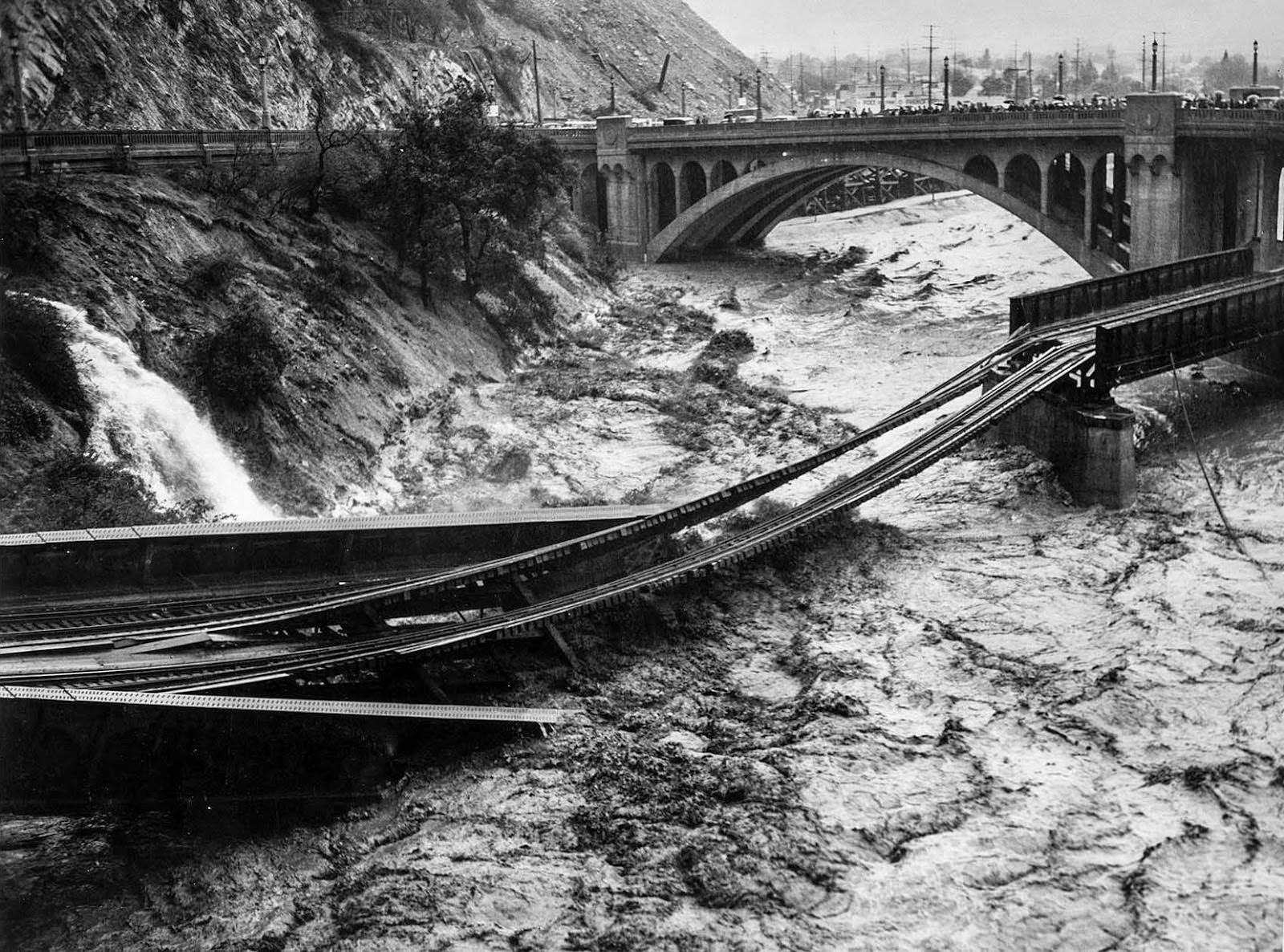
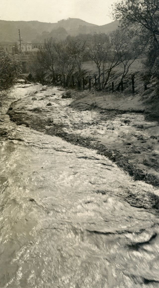
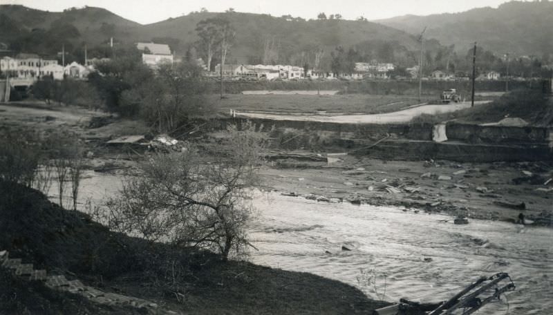
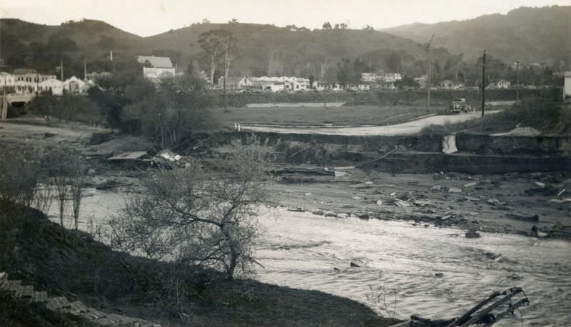
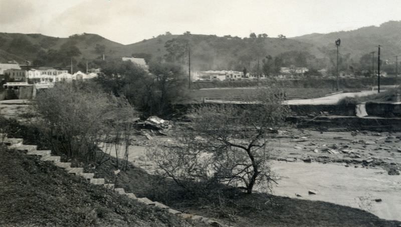
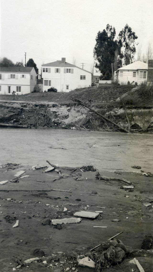
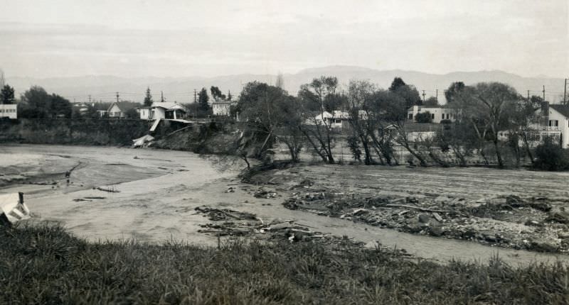
The Los Angeles River bore the full force of the storms. Swollen with runoff from surrounding mountains and valleys, it tore through everything in its path — including the railroad infrastructure that crossed it.
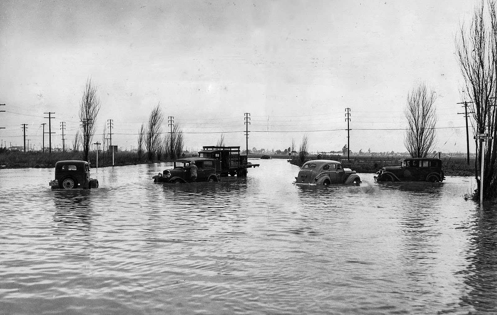
The flooding didn’t wait for rivers to overflow. Even the first storm alone dropped about 4 inches of rain on parts of the city, enough to stall cars and swamp intersections across Los Angeles.
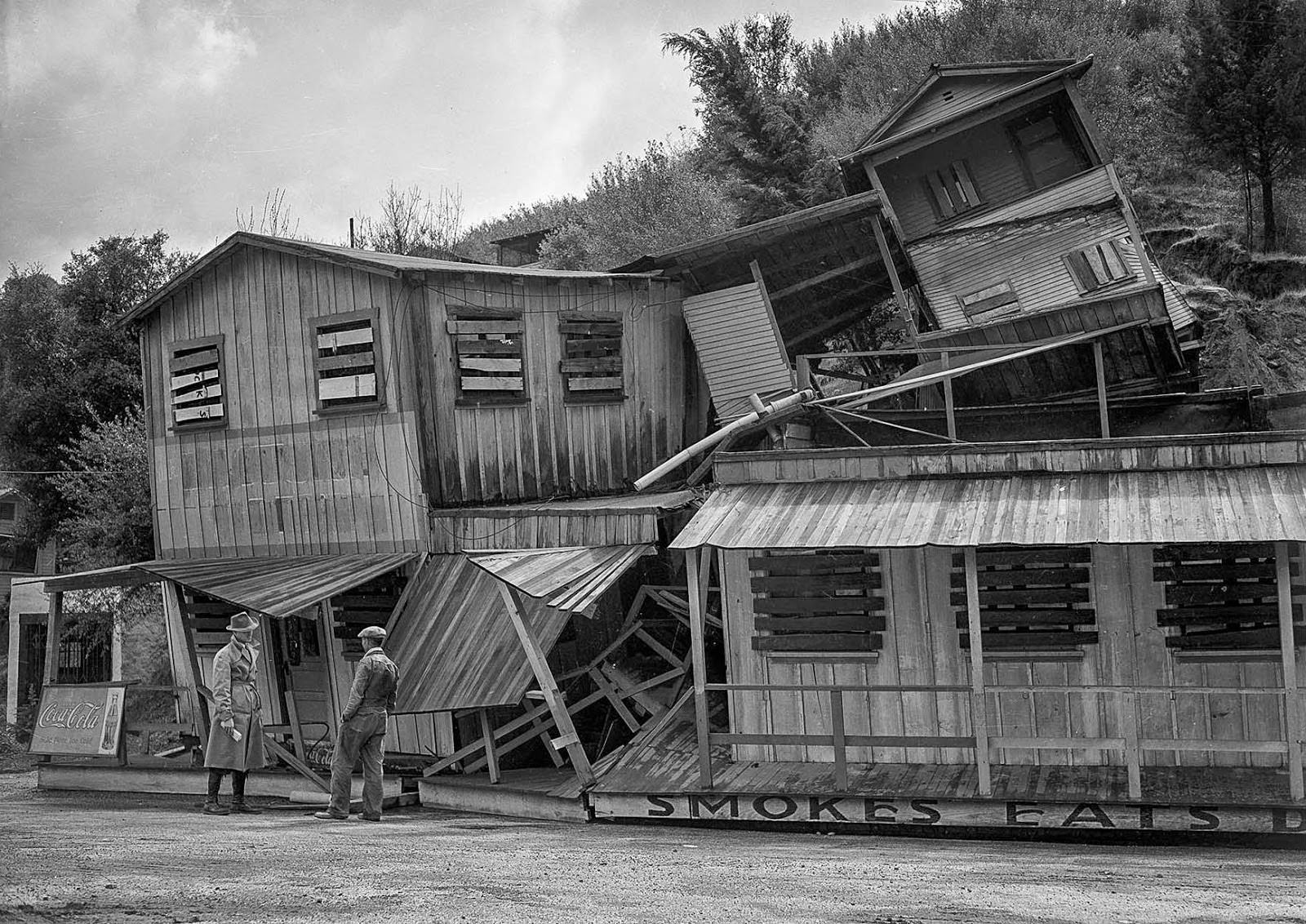
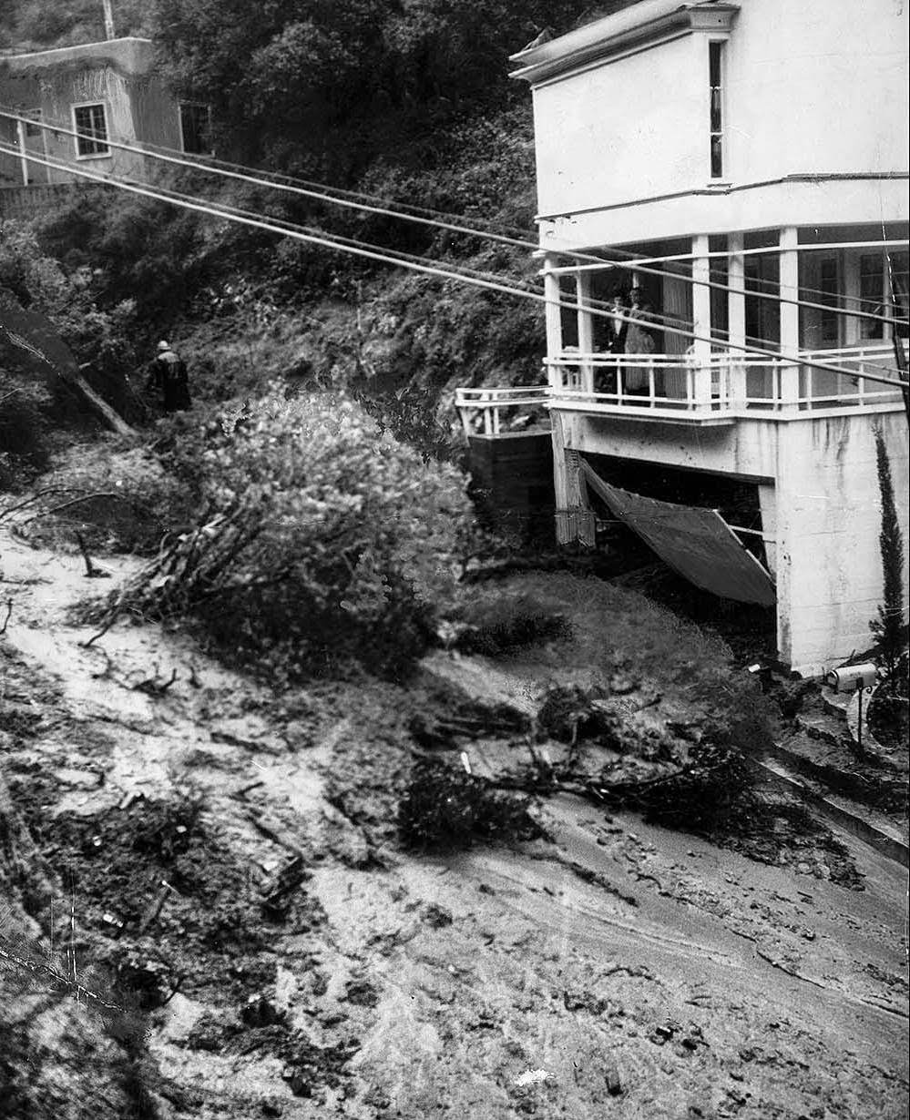
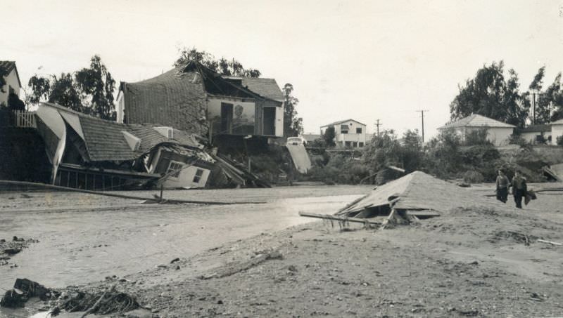
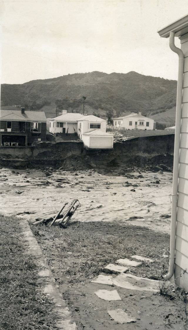
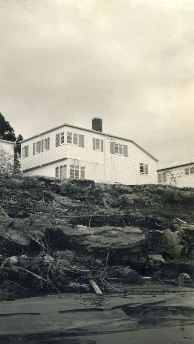
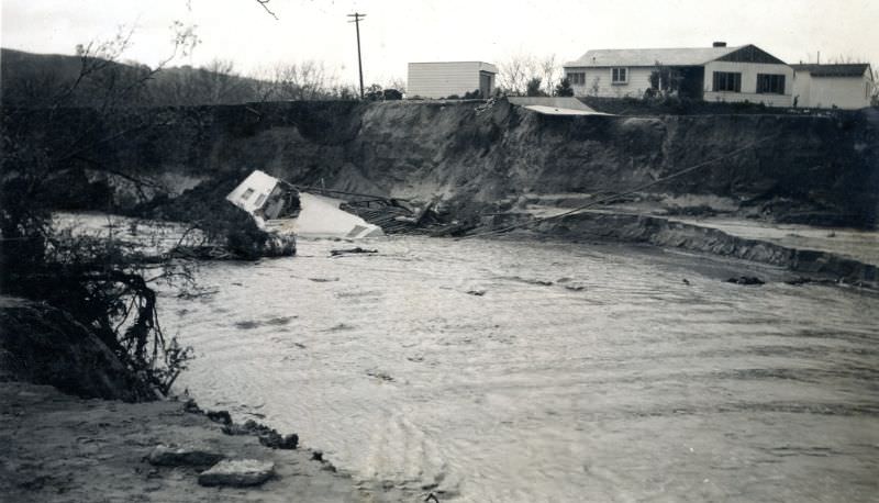
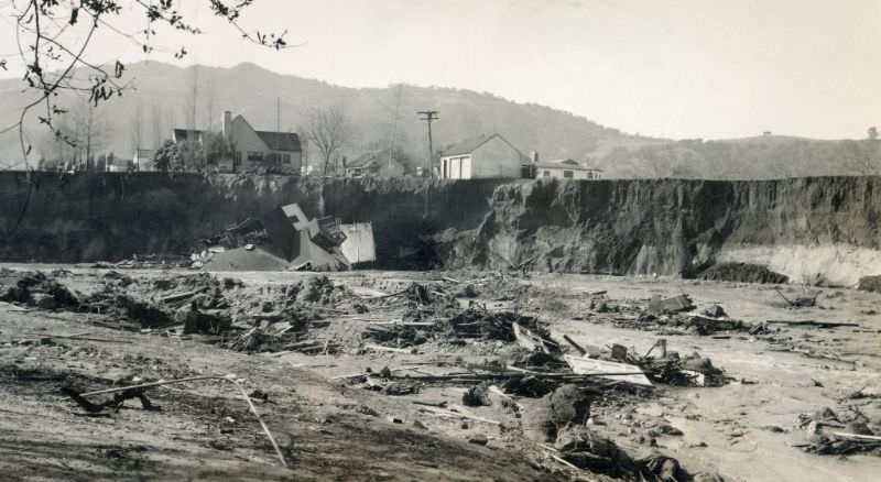
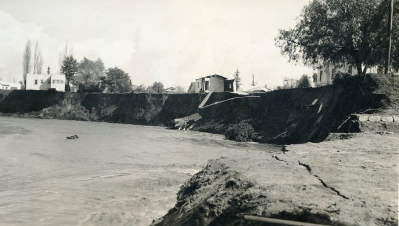
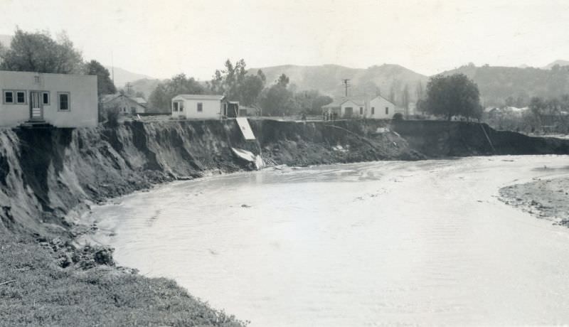
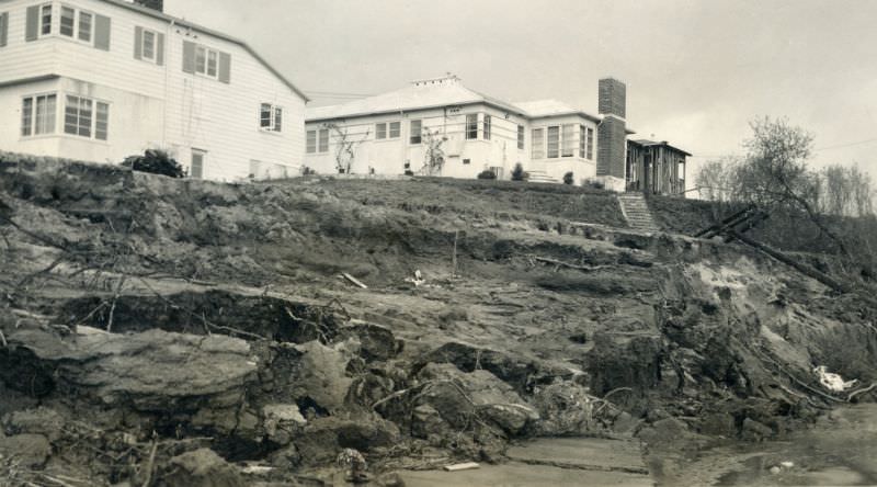
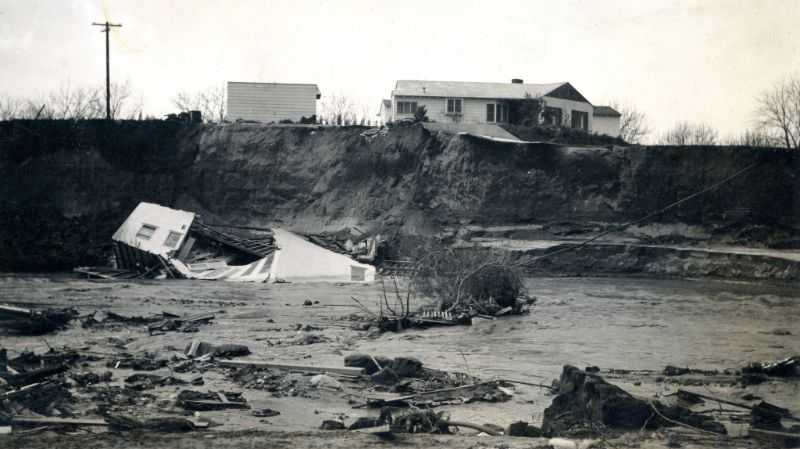
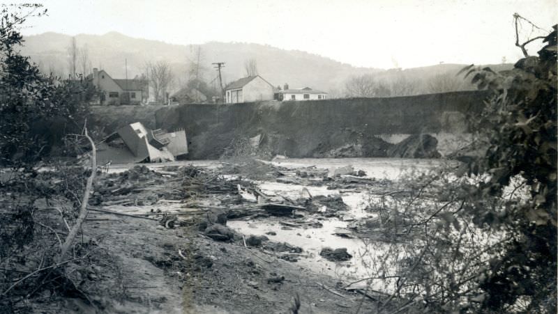
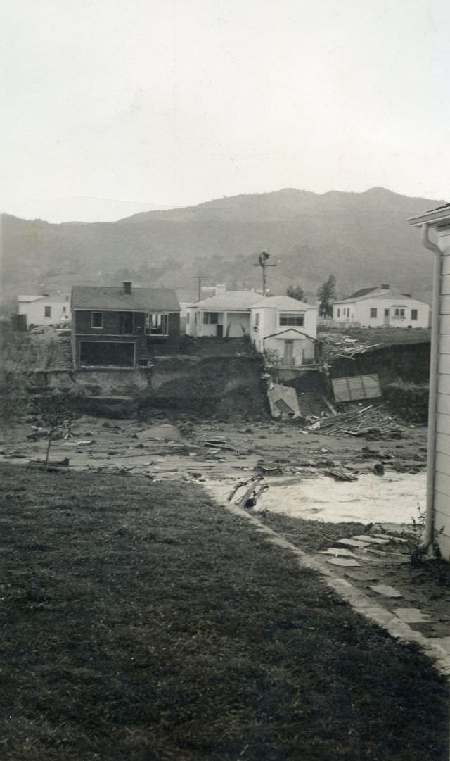
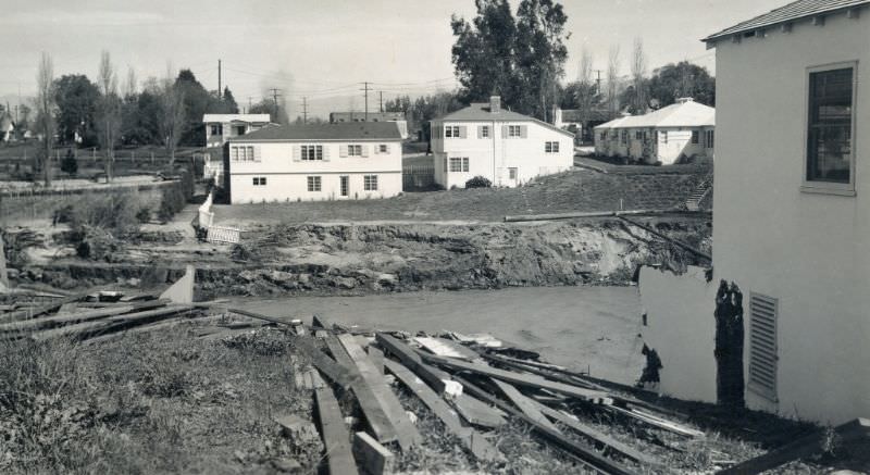
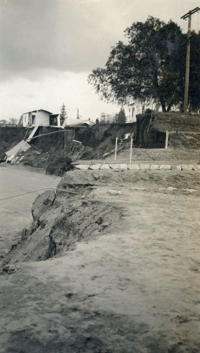
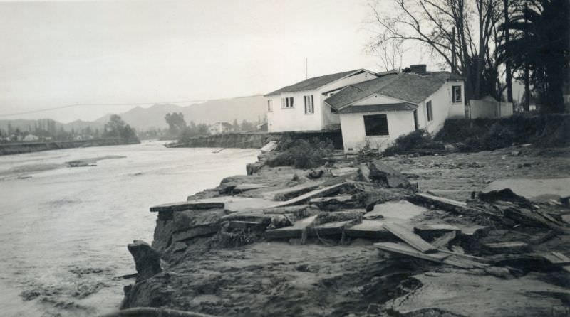
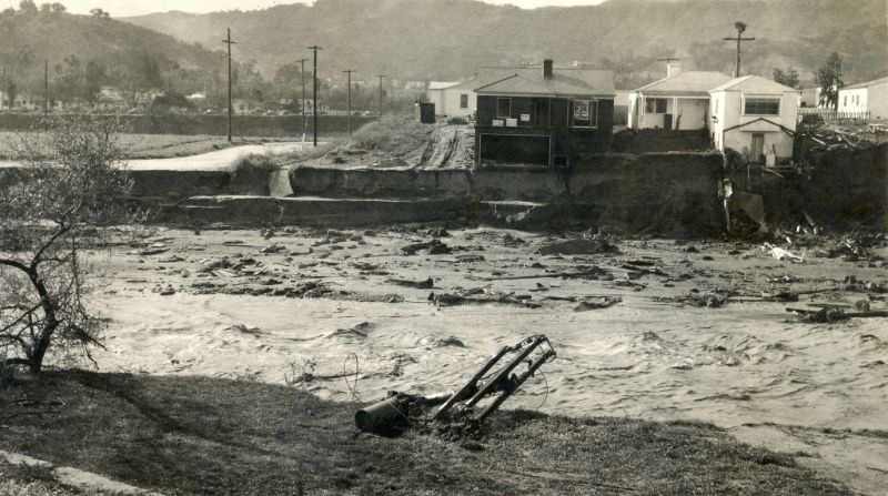
The relentless rain didn’t just flood streets — it saturated the ground beneath buildings. Foundations that had stood for years turned soft and unstable. Structures that seemed solid simply collapsed.
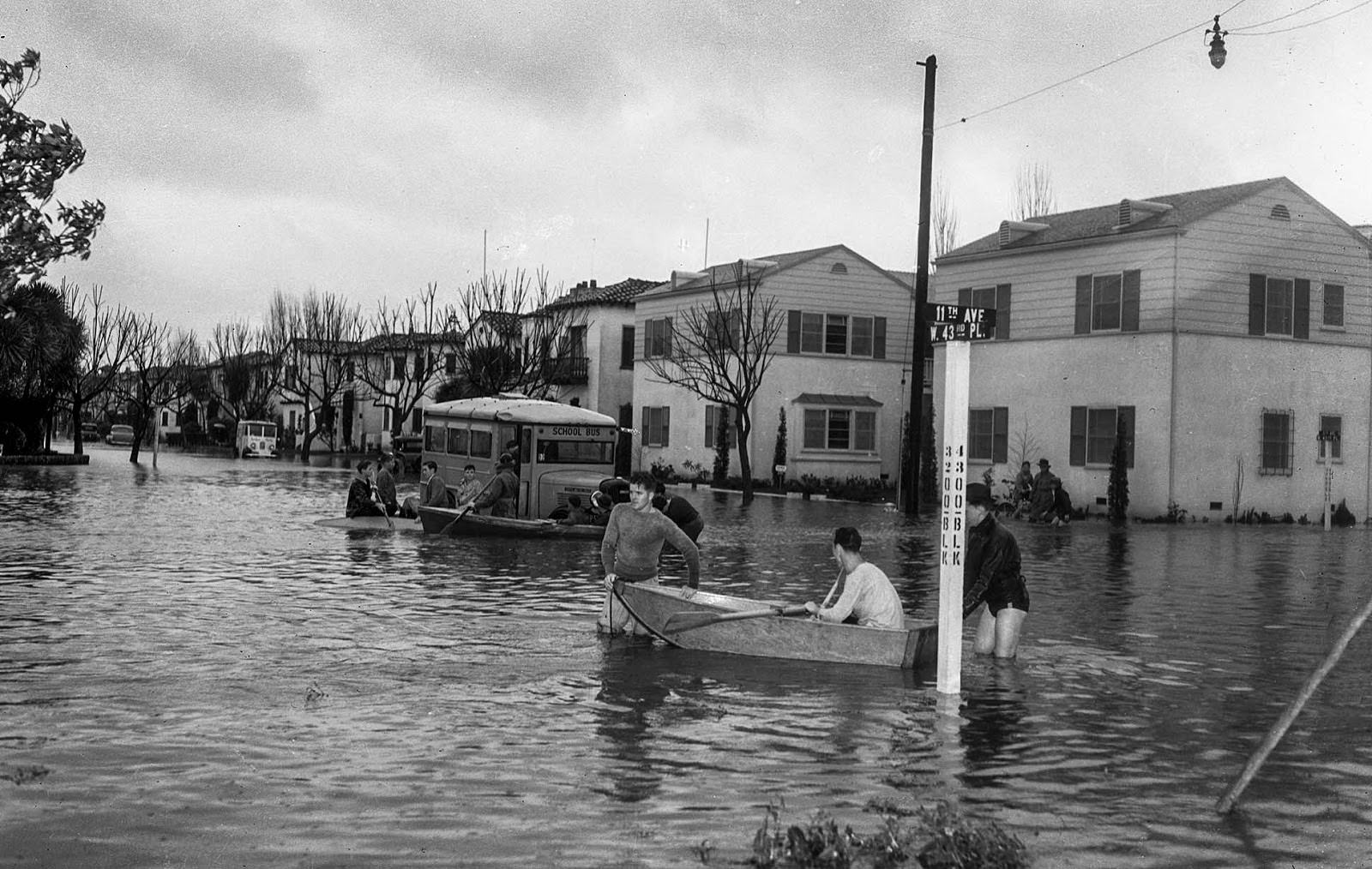
Residential neighborhoods across the city were submerged. Areas near Leimert Boulevard saw some of the worst urban flooding, with water filling streets and reaching well above ground level.
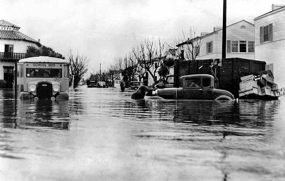
The floodwaters trapped more than just residents. School buses, parked cars, and anyone caught outside were all at risk as the water continued to rise with no immediate sign of stopping.
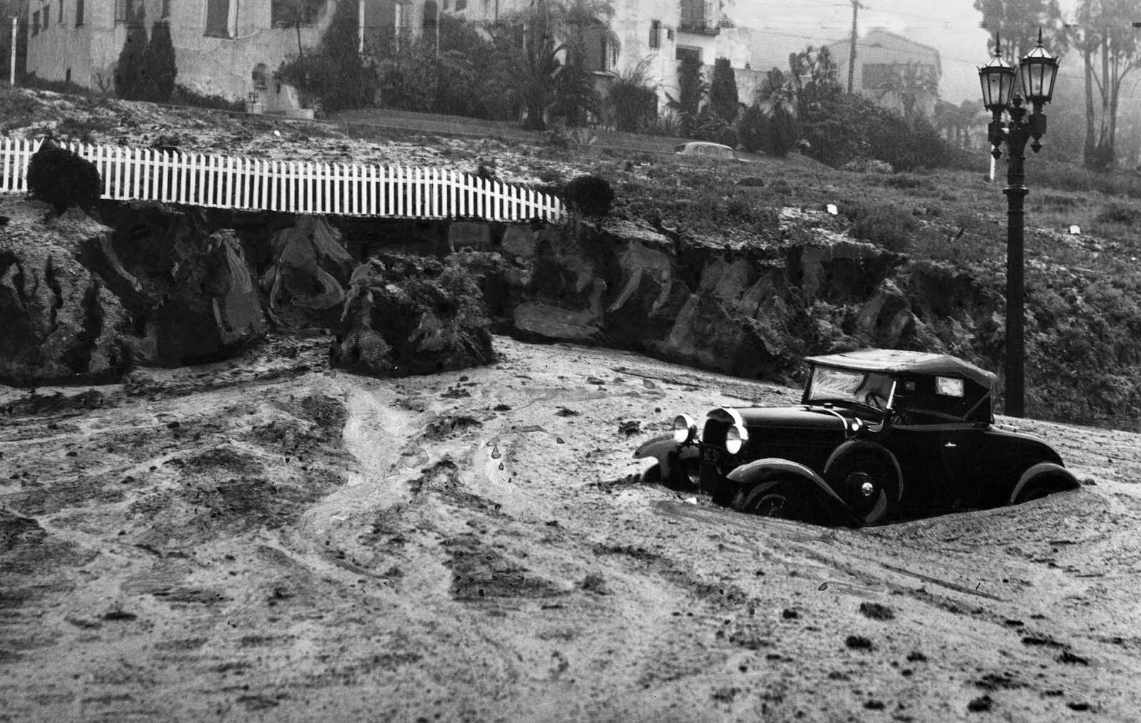
Mudslides compounded the damage in hilly areas of the city. Roads that were passable one hour were blocked the next, as saturated hillsides gave way and sent mud, rock, and debris onto streets and into vehicles.
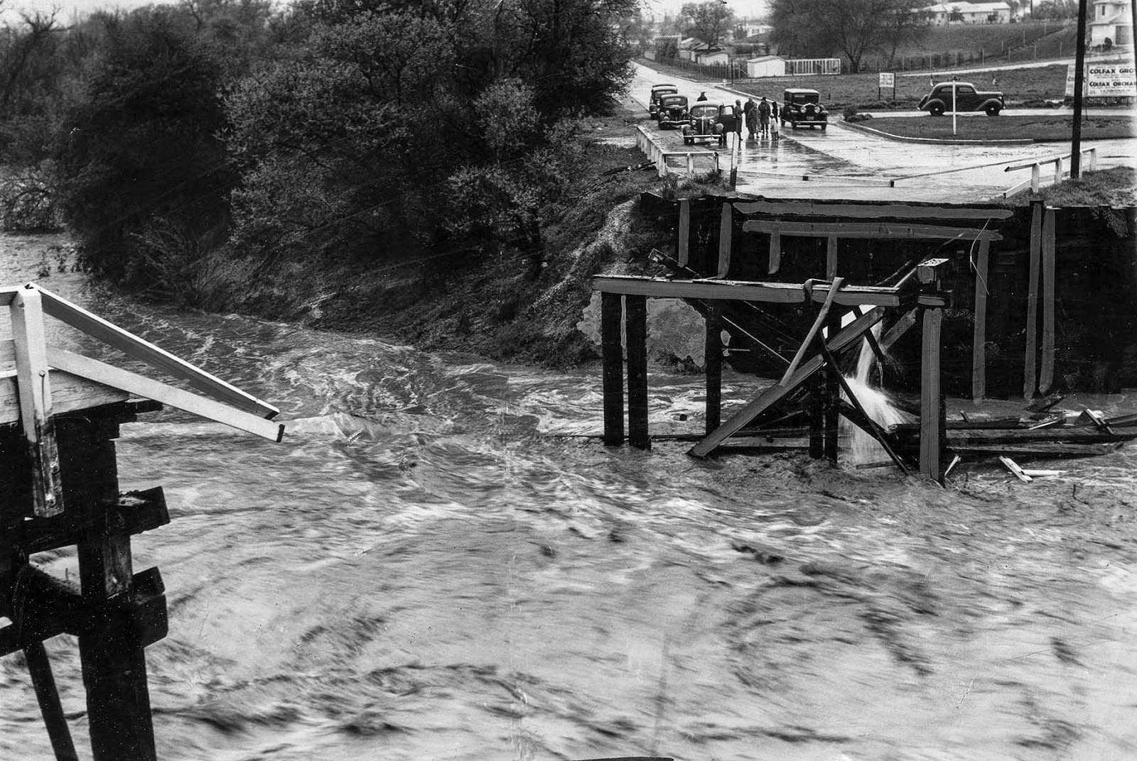
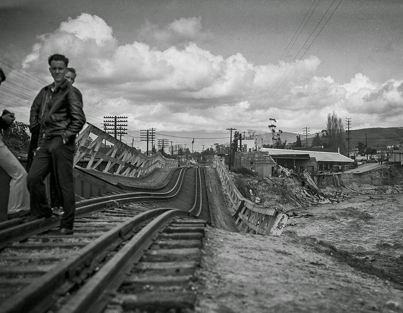
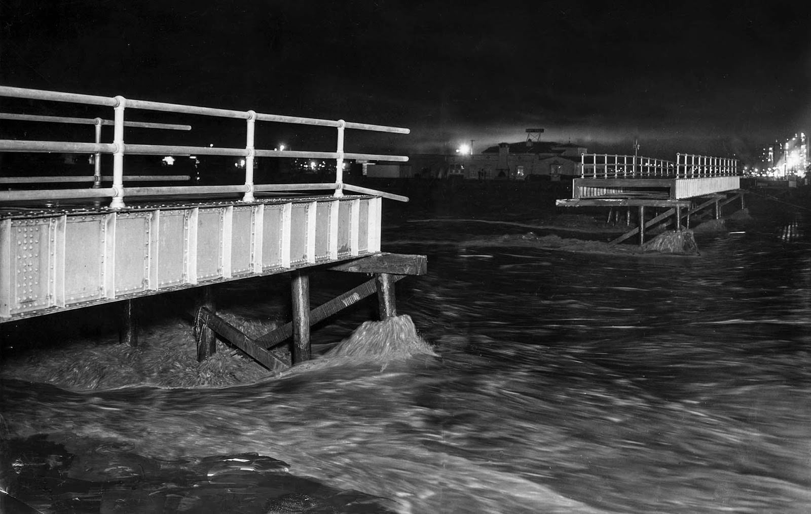
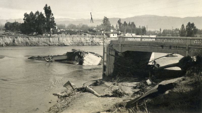
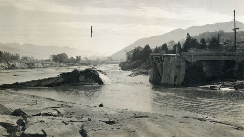
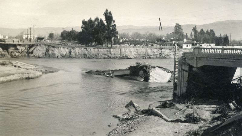
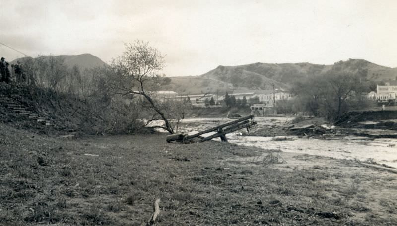
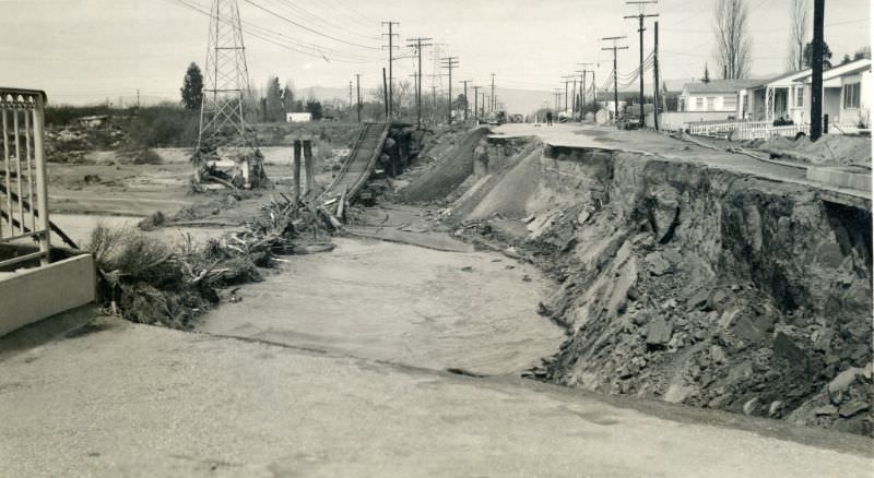
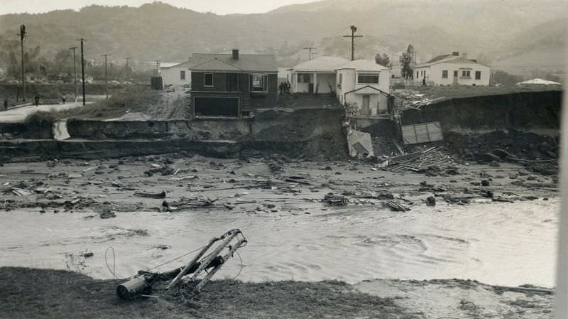
Bridges throughout the region were overwhelmed. The Los Angeles River’s surge was powerful enough to destroy crossings that had served the area for years, cutting off roads and rail lines across the city.
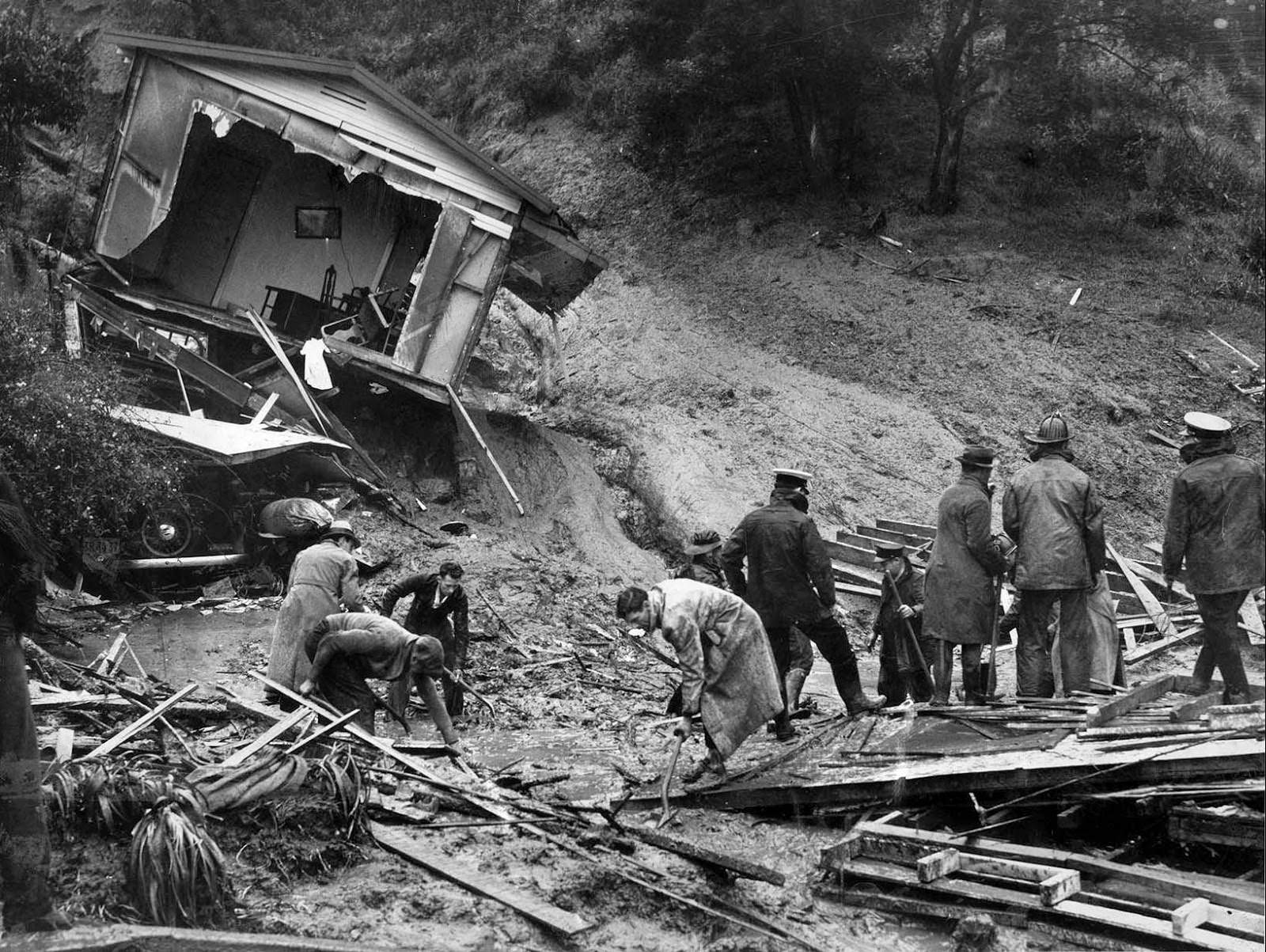
The floods claimed lives in some of the most personal and devastating ways. Landslides buried homes with people inside, and rescue workers were left searching through rubble for the dead.
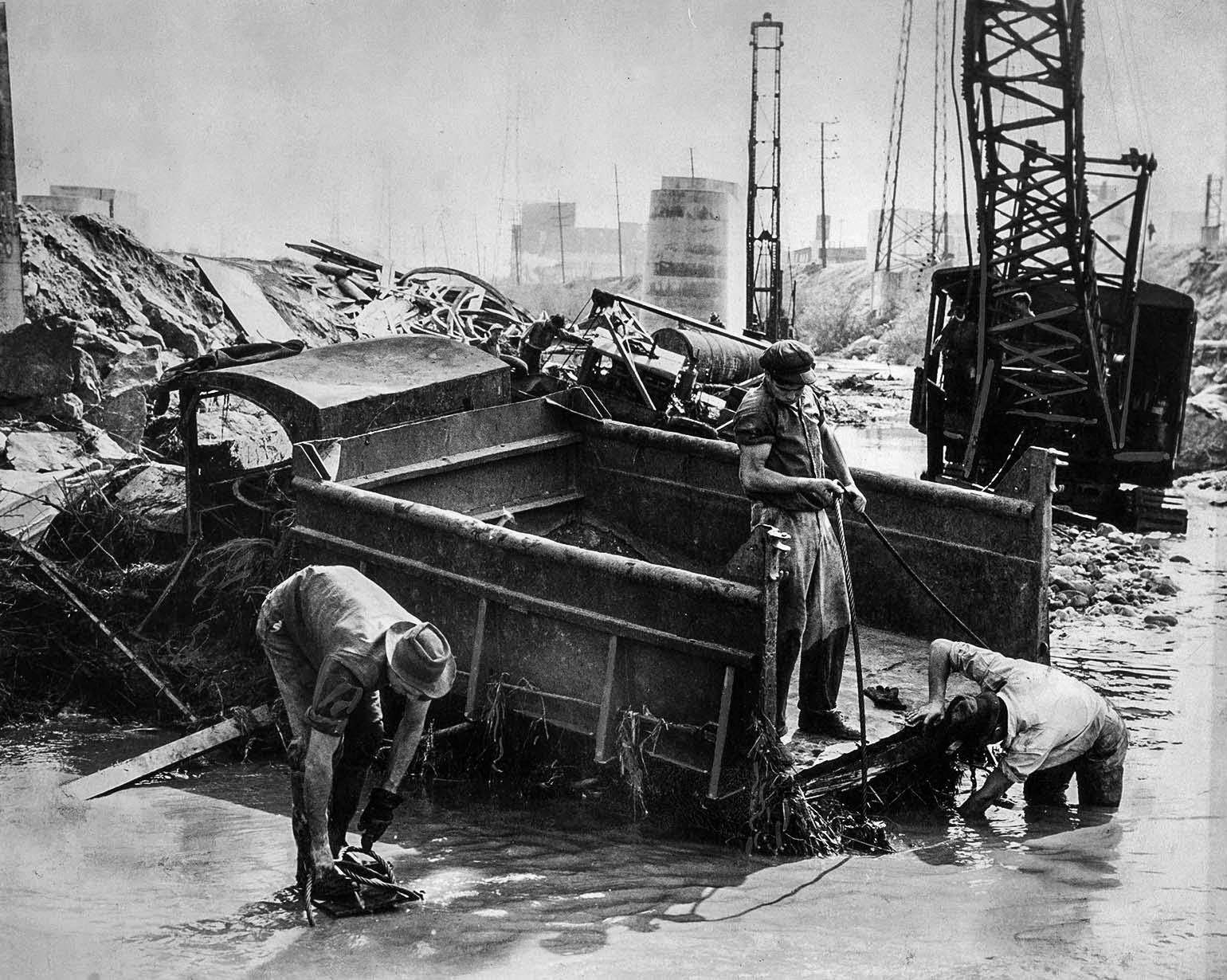
Construction along the Los Angeles River was no match for the floodwaters either. Equipment and vehicles that were part of ongoing infrastructure projects were buried or swept away as the river raged well beyond its normal course.
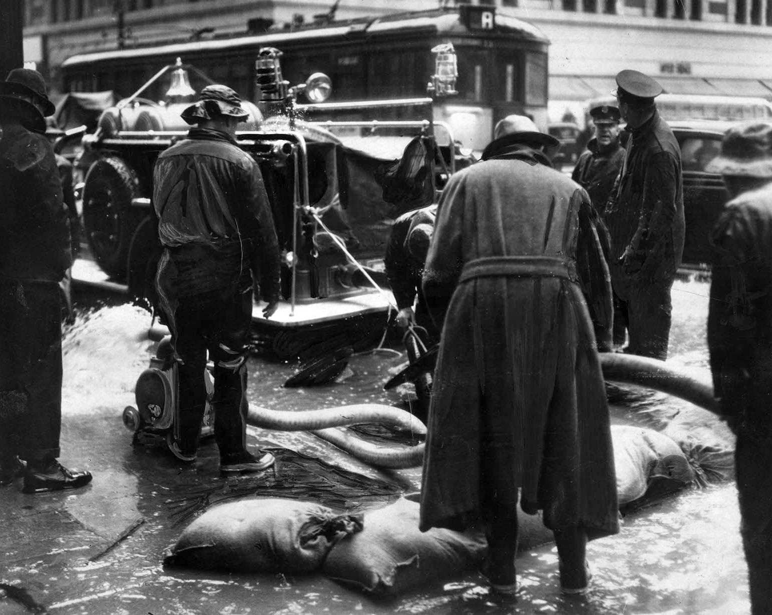
The floods threatened more than just streets and homes. Underground utility systems in downtown Los Angeles were overwhelmed as water rose above drain levels in buried conduits, putting telephone service across the city at risk.
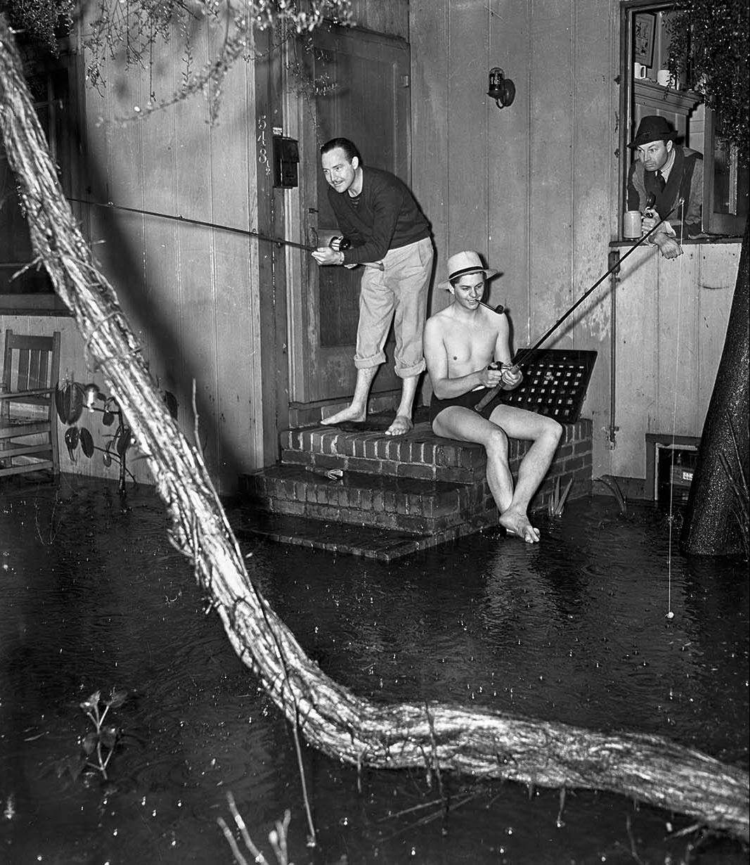
Not every scene from the flood was grim. Some residents found a dark humor in the situation, making light of the water surrounding their homes even as the scale of destruction mounted around them.
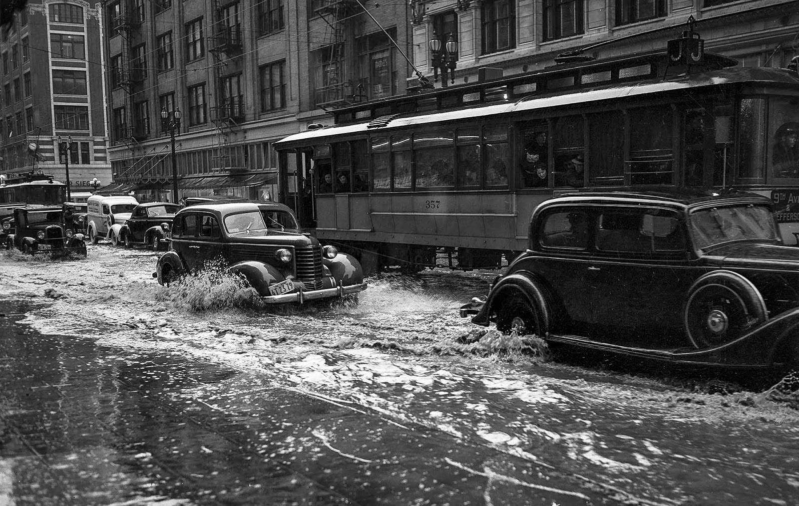
Downtown Los Angeles, usually one of the busiest areas in the region, was reduced to a series of flooded corridors. Storm drains built for ordinary rainfall had no chance against the volume of water pouring down from the hills.
The canyons above the city were particularly dangerous. In Laurel Canyon, water-soaked earth broke loose and rushed downhill, carrying trees and boulders along with it and destroying everything in its path.
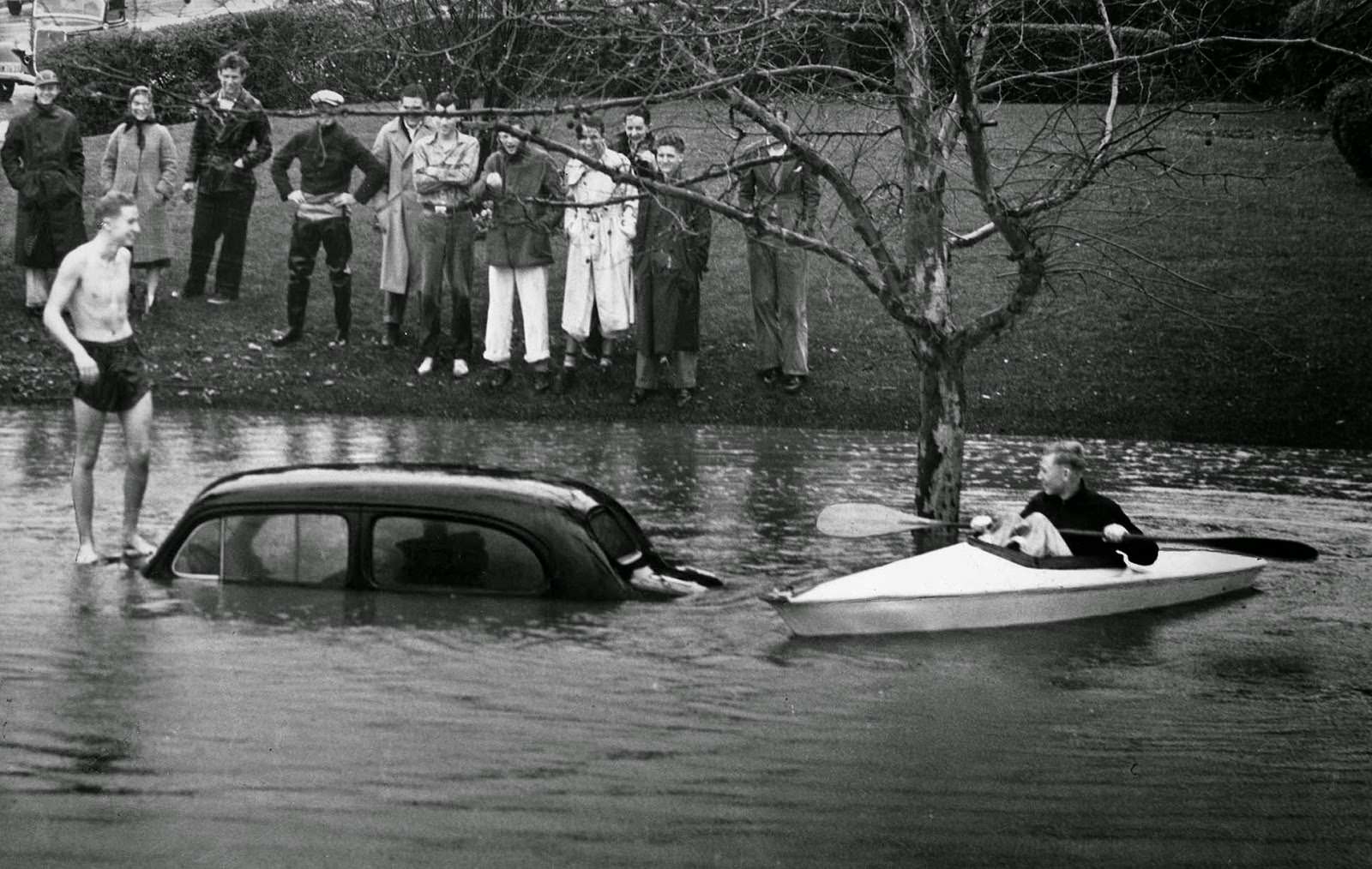
In some flooded neighborhoods, the only way to move through the streets was by boat. Water levels in certain areas rose high enough to completely swamp parked cars, turning ordinary residential blocks into open waterways.
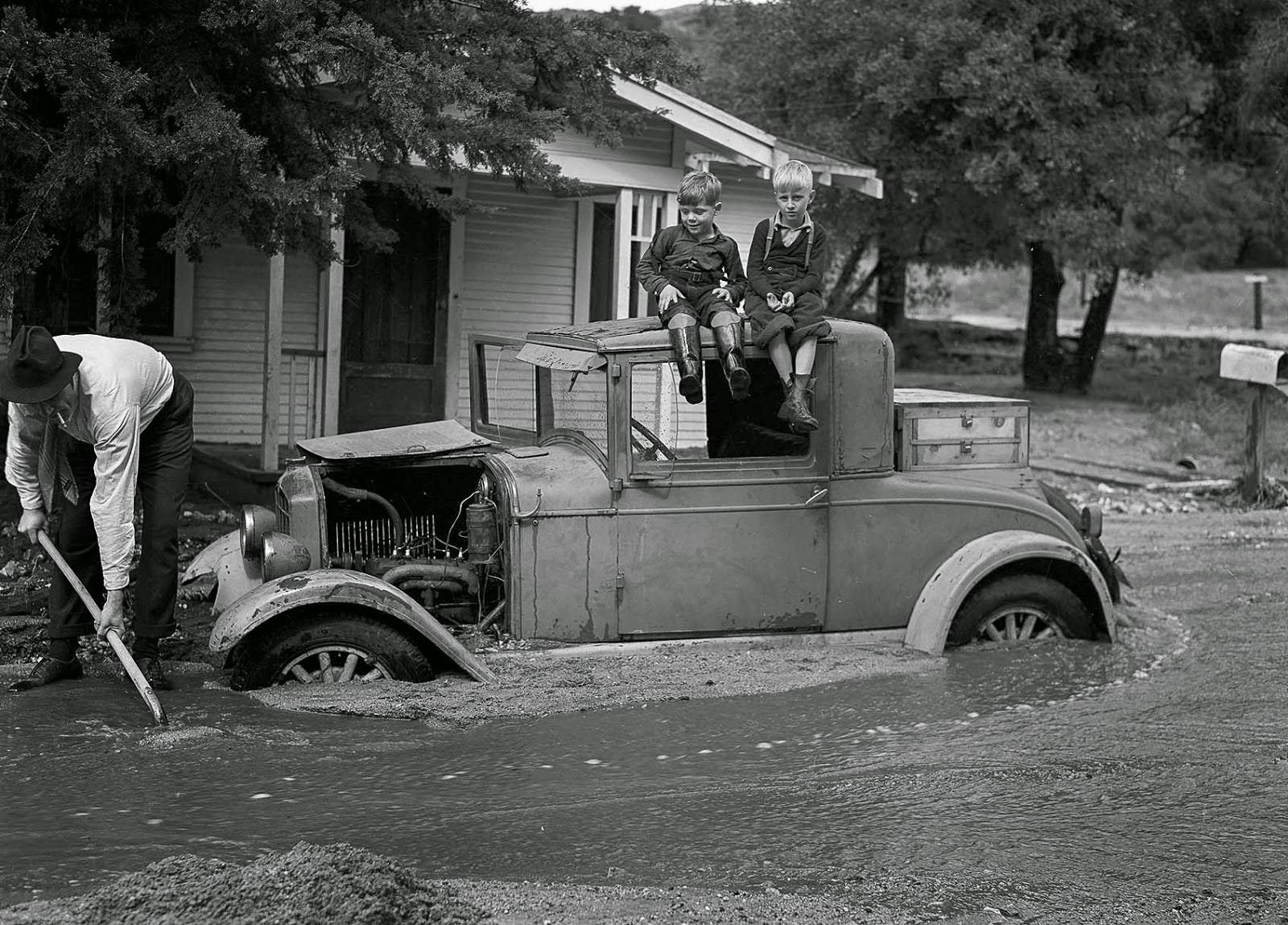
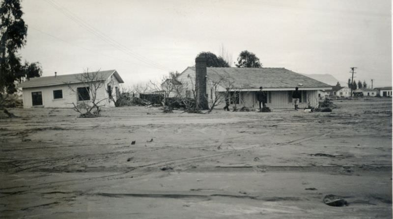
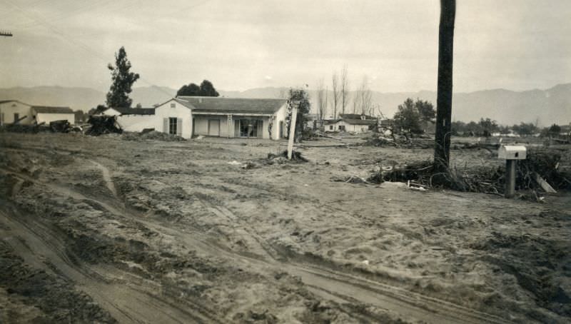
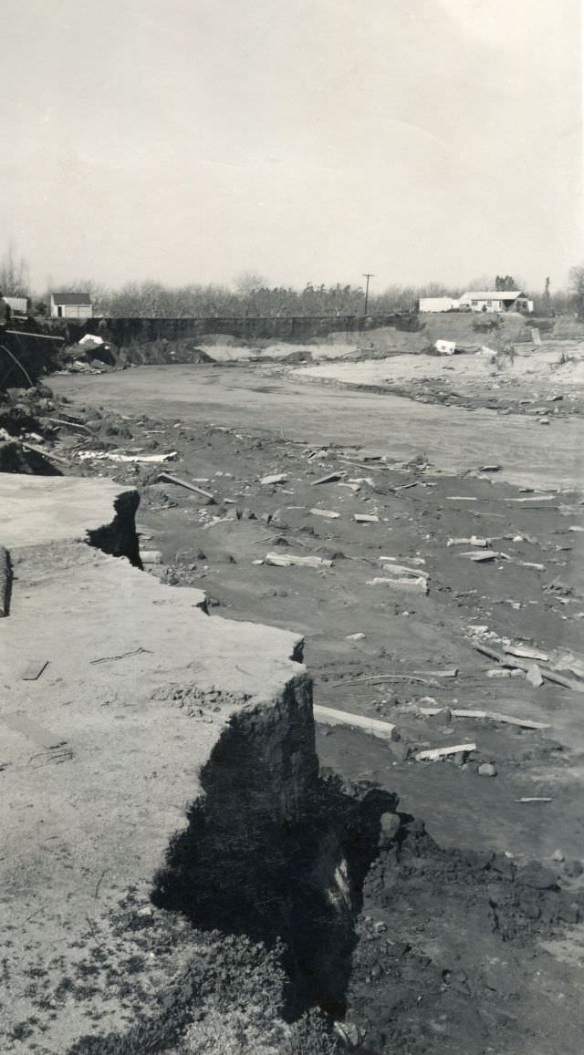
When the water finally began to recede, it left behind thick layers of mud and debris. Families returned to their properties to find their cars buried and their yards buried under sediment carried in by the floods.
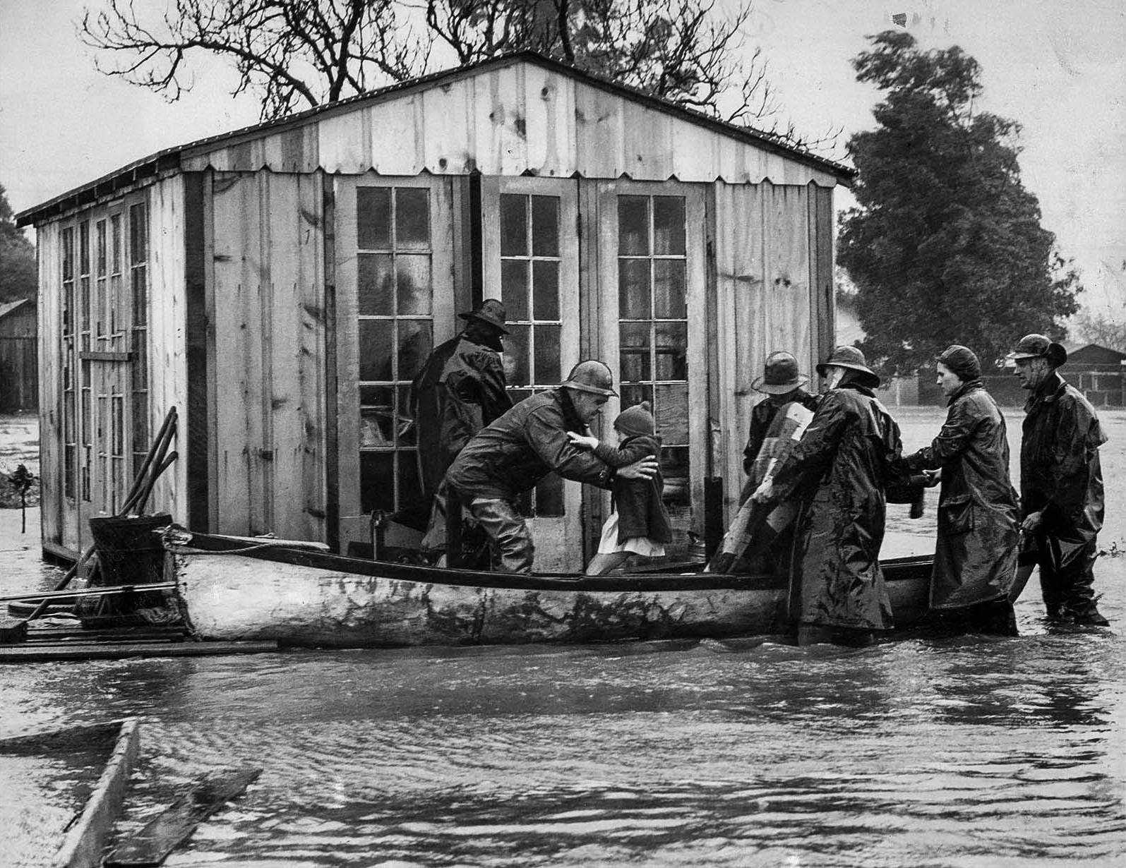
Rescue operations took place across the region. In Venice, entire families were pulled from their flooded homes by boat. Even those who were already sick — like the two children with mumps in the Webb family — had to be evacuated to hospitals.
The storm’s timing also set back public works projects. A new bridge over Verdugo Wash, part of a Works Progress Administration program, was still under construction when the storms hit — leaving it exposed and vulnerable at one of the worst possible moments.
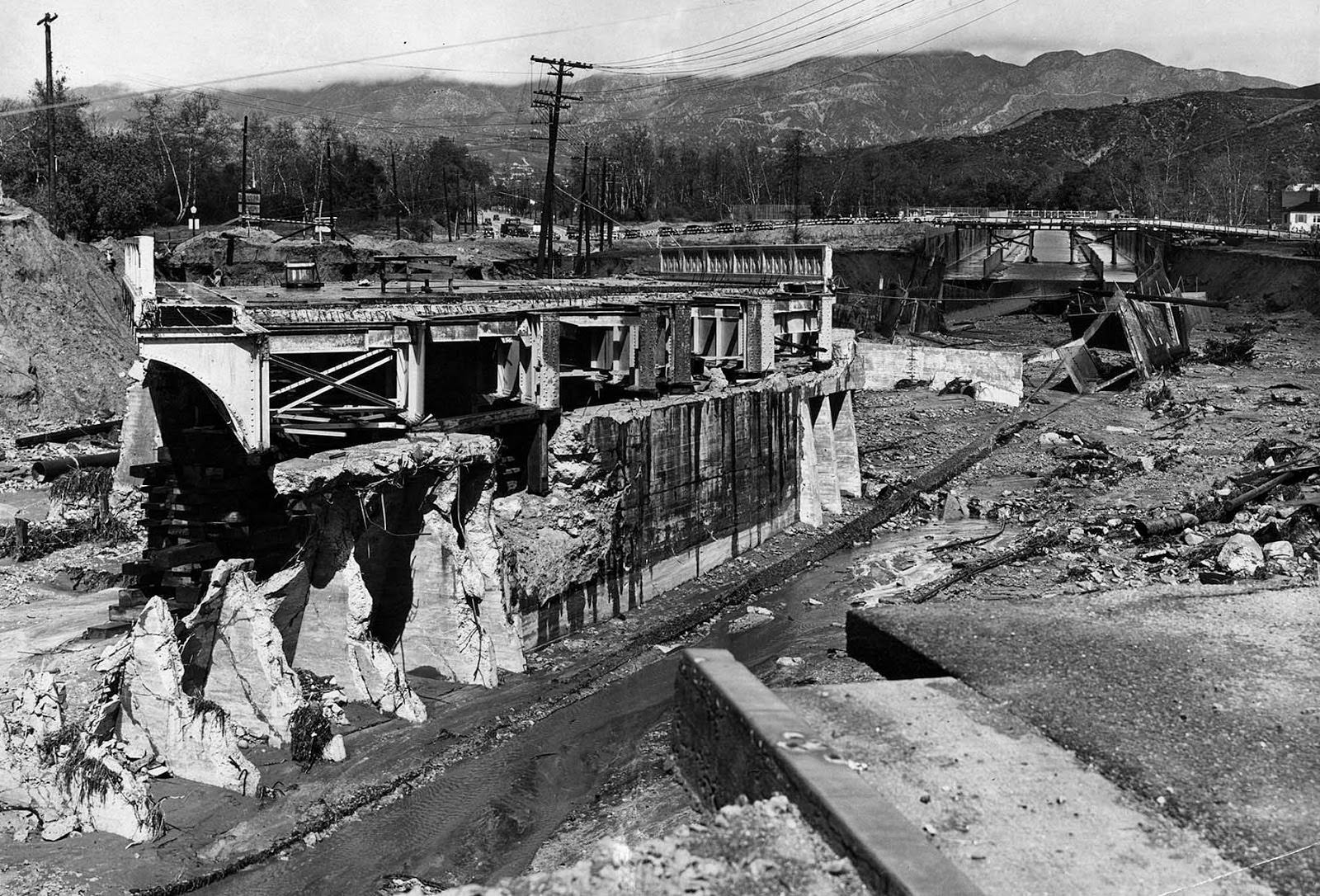
Established crossings fared no better. The Santa Fe Bridge over the Arroyo Seco was washed out entirely, a stark illustration of just how much force the floodwaters carried through the region’s waterways.
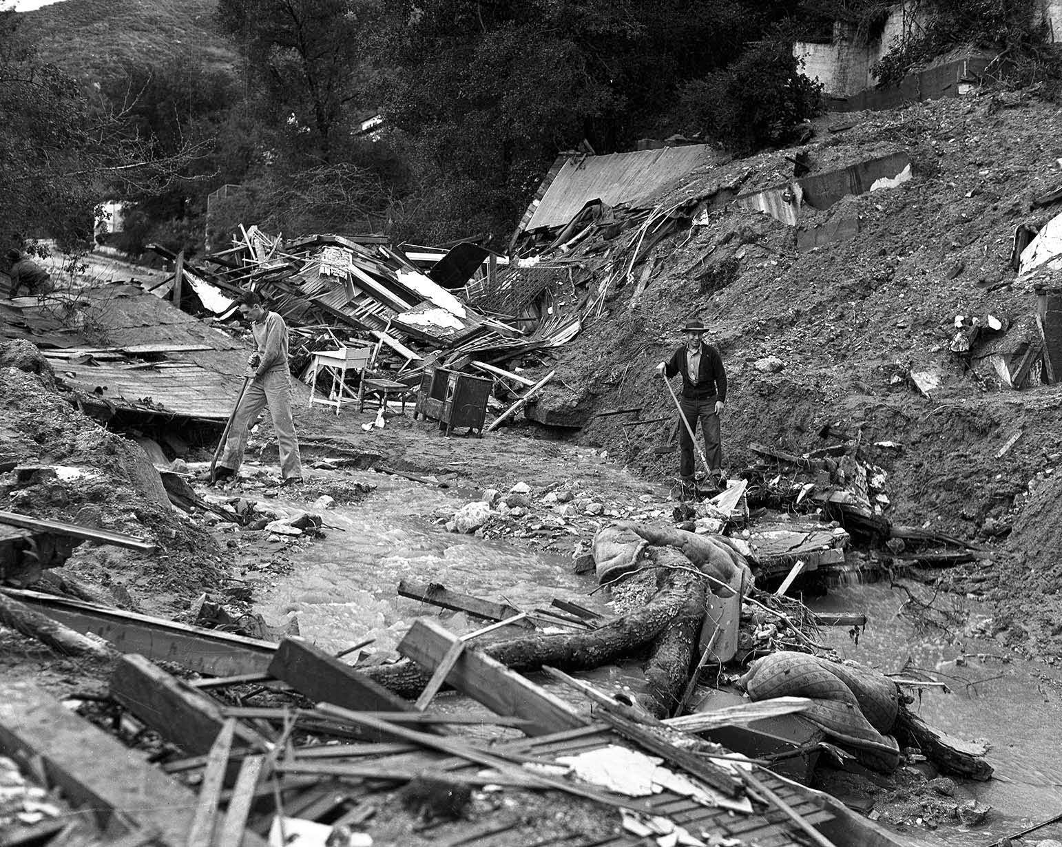
In Glendale, a house on Los Encinos Street collapsed into the street and killed two men. Workers were left searching through the ruins for their bodies, a scene repeated in various forms across the region.
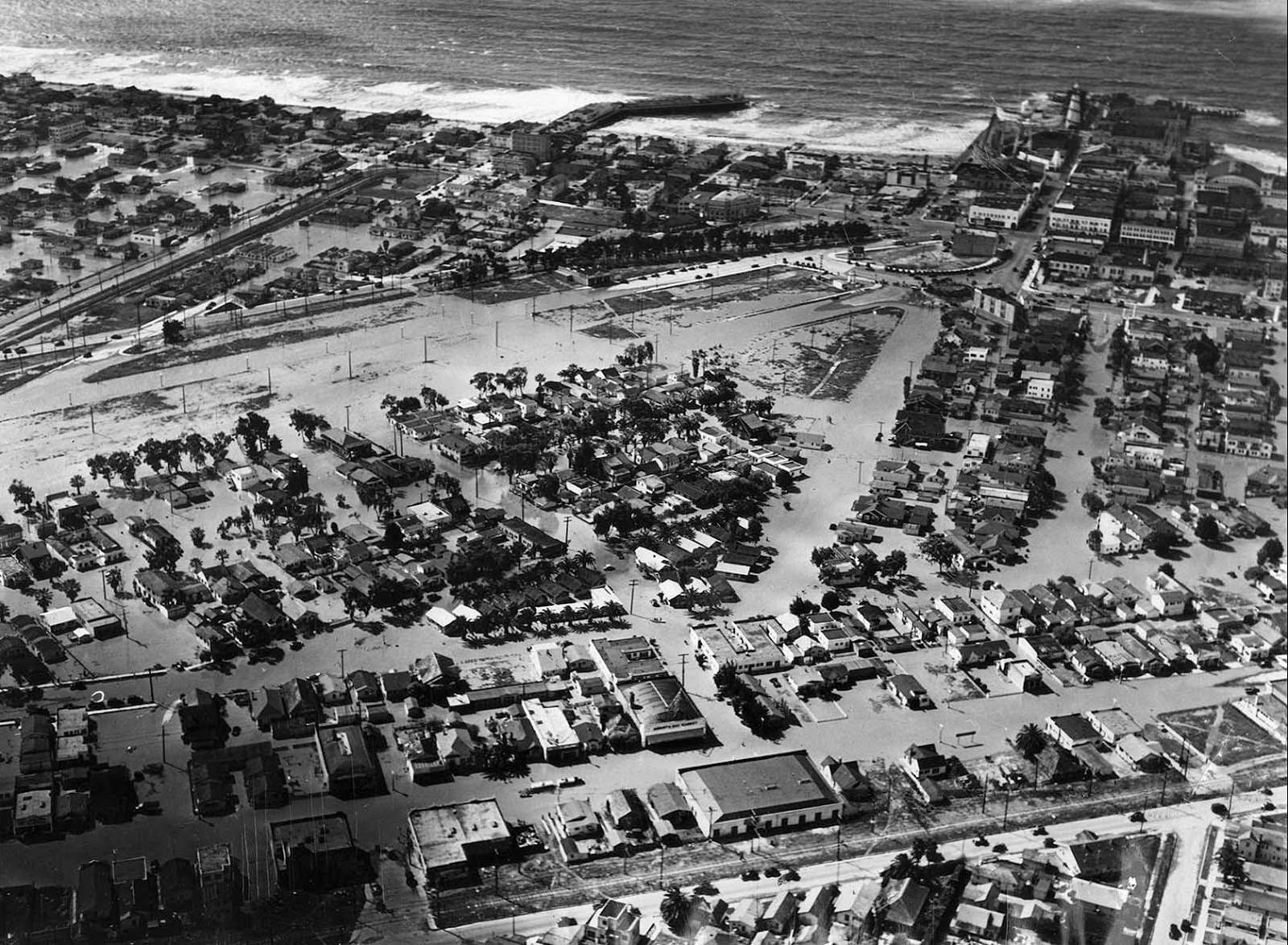
The neighborhood of Venice was heavily impacted. Floodwaters moved slowly through its streets for days, leaving behind damage to homes, businesses, and infrastructure throughout the area.
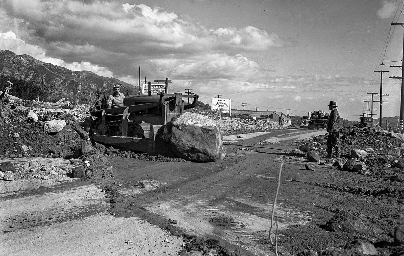
Once the storms passed, road crews got to work immediately. Major routes like Foothill Boulevard near Tujunga were buried under debris, and clearing them was one of the first steps in restoring access to affected communities.
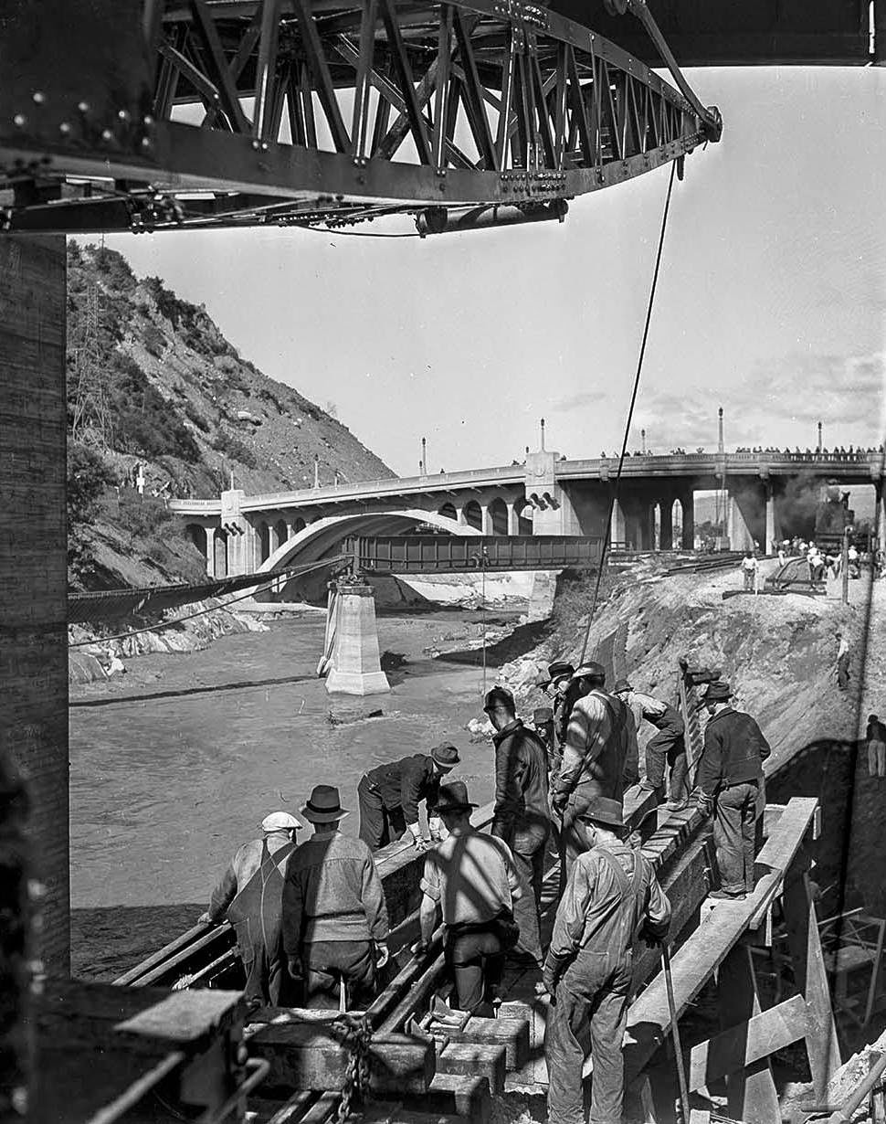
Rebuilding the bridges over the Los Angeles River required heavy equipment and organized efforts. Railroad cranes were brought in to support bridge construction work at multiple points along the river.
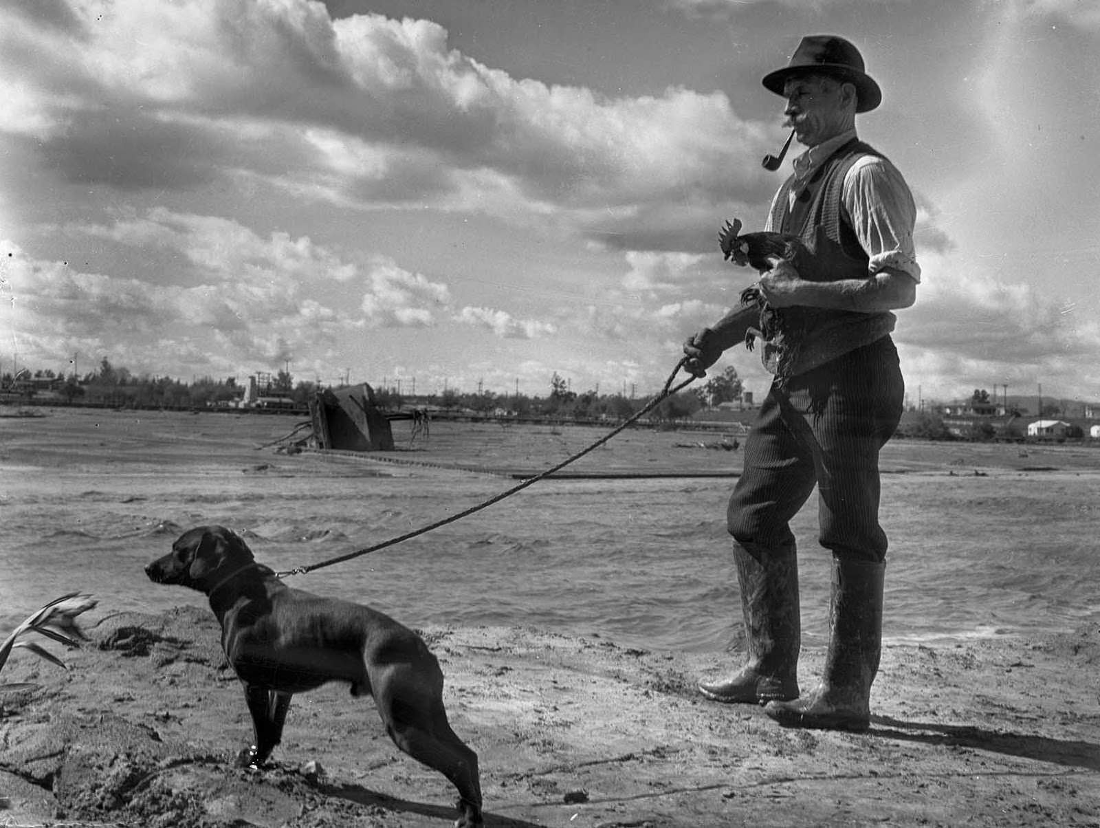
Some of the most striking images from the flood captured what was lost on a personal level. When Earl Callan’s home was destroyed and swept into the Los Angeles River, a dog and a rooster were among the only things saved.
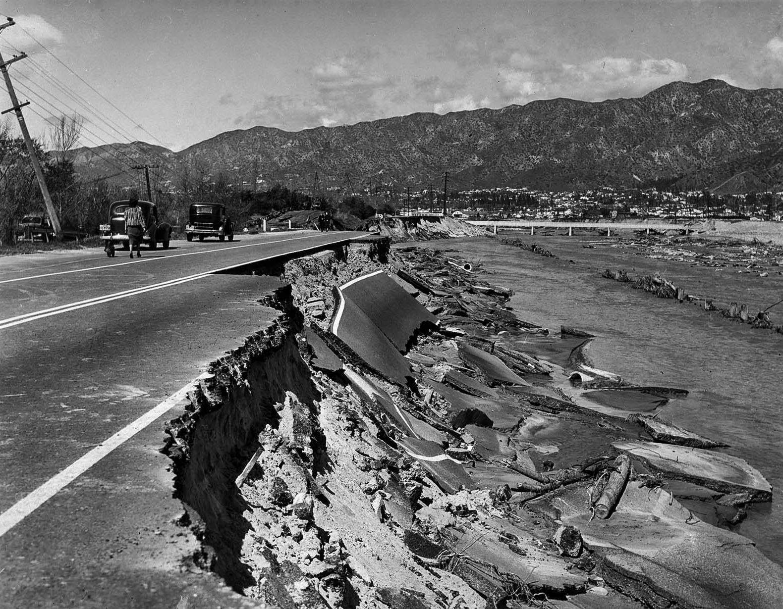
The Los Angeles River also tore into the road infrastructure in Glendale. Riverside Drive, a heavily used route near the former Grand Central Airport, was undermined by the torrent and left badly damaged.
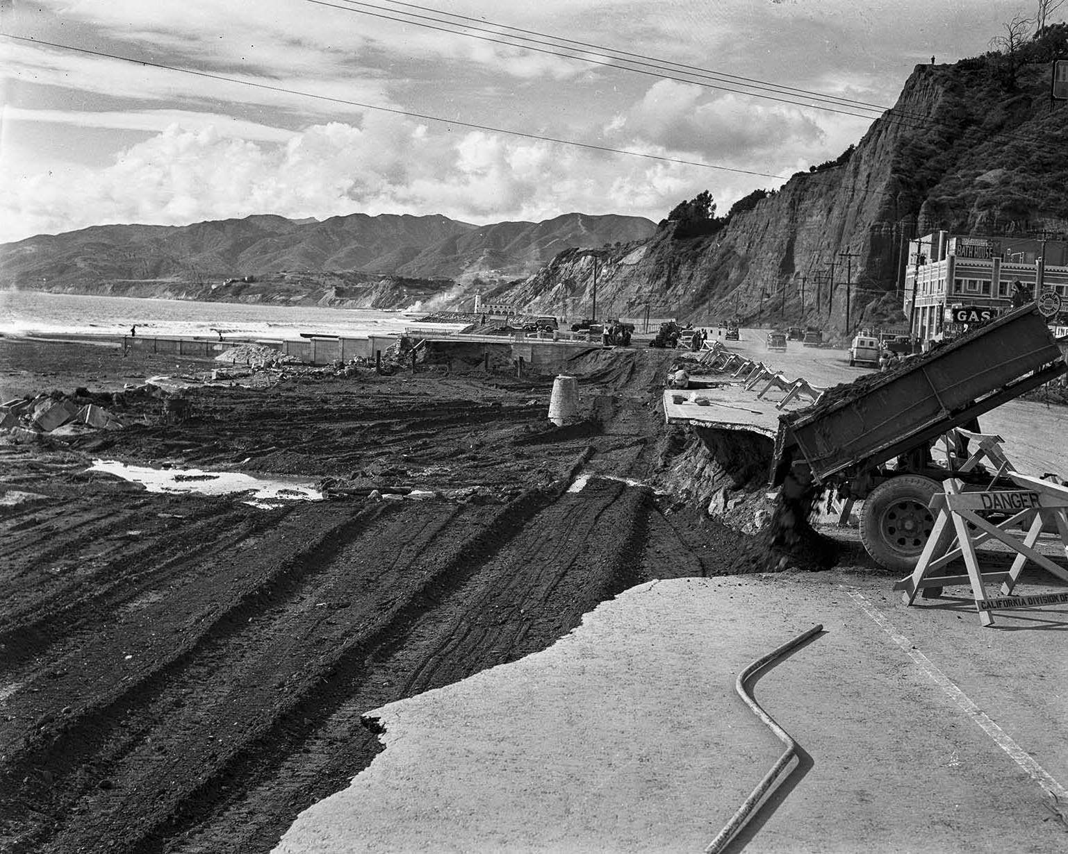
Coastal roads also took significant damage. A section of Roosevelt Highway — now known as Pacific Coast Highway — at Santa Monica Canyon was torn up by the storms and required repair crews to move in quickly.
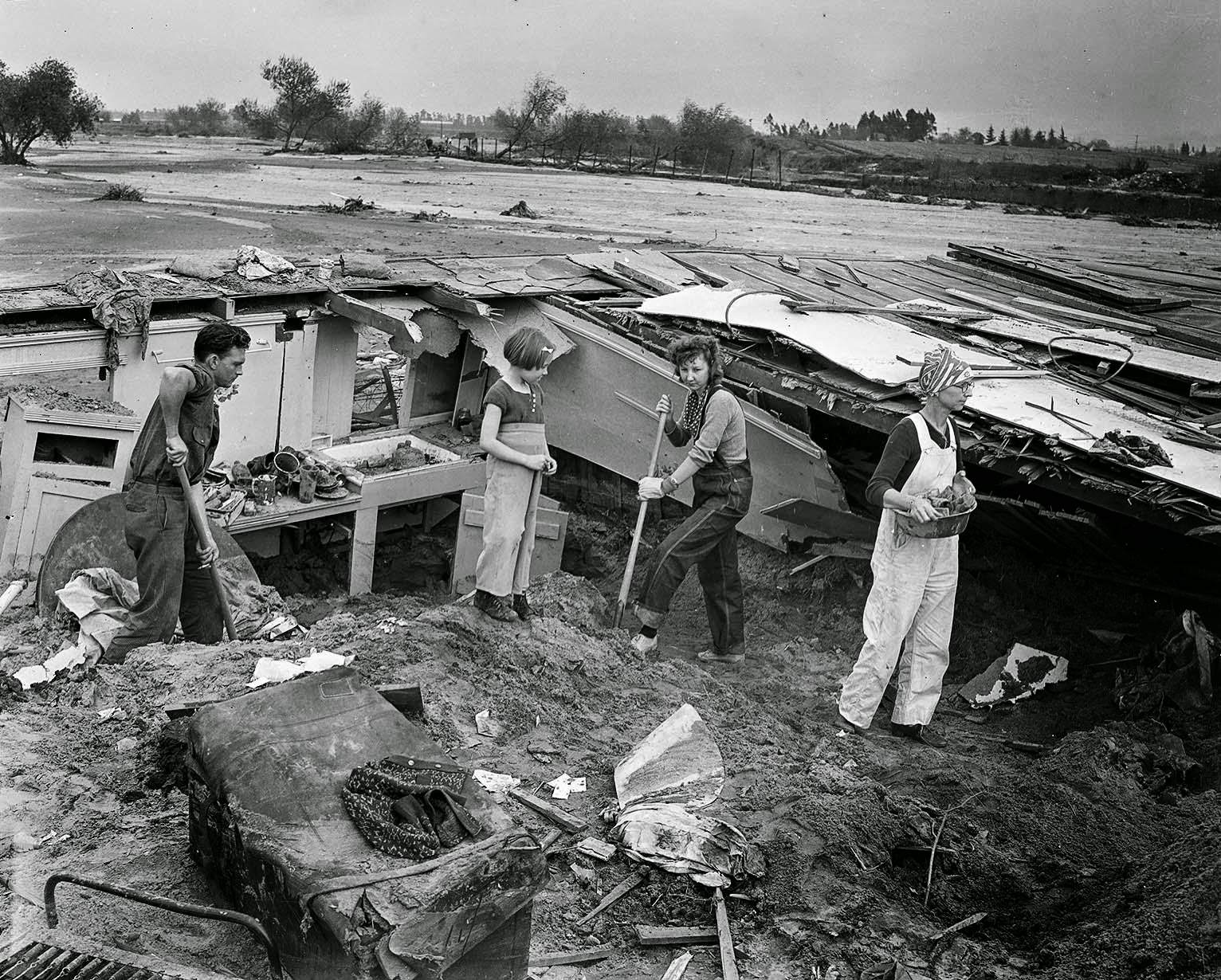
The cleanup process was slow and labor-intensive. Across the San Fernando Valley, families like the Smiths in Van Nuys faced the exhausting task of digging out their homes after floodwaters receded and left heavy deposits of mud and silt.
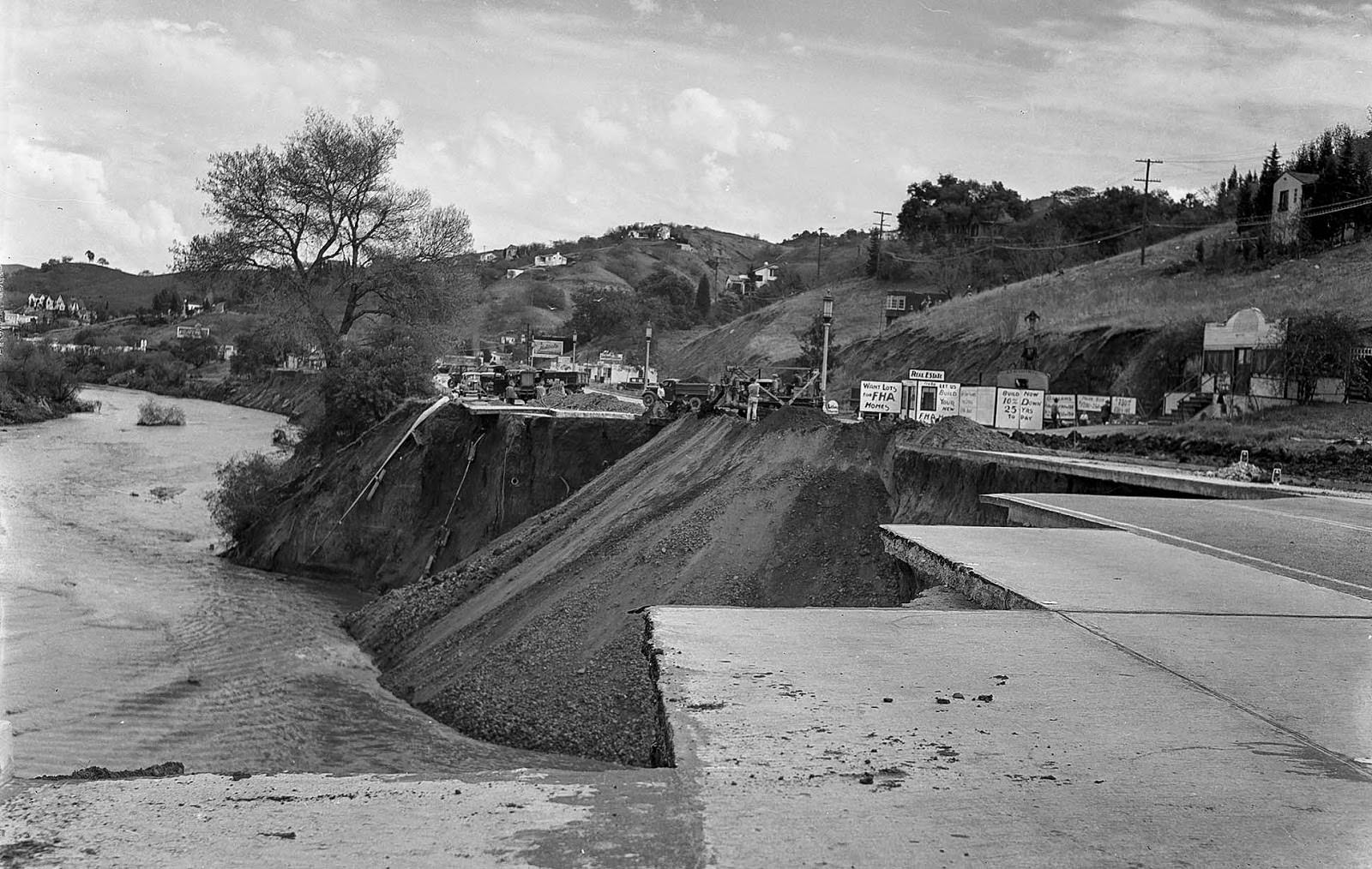
Major roads like Ventura Boulevard also required extensive repair. City engineering crews filled in a 300-yard section near Laurel Canyon Drive where the roadway had been washed out or undermined by the floods.
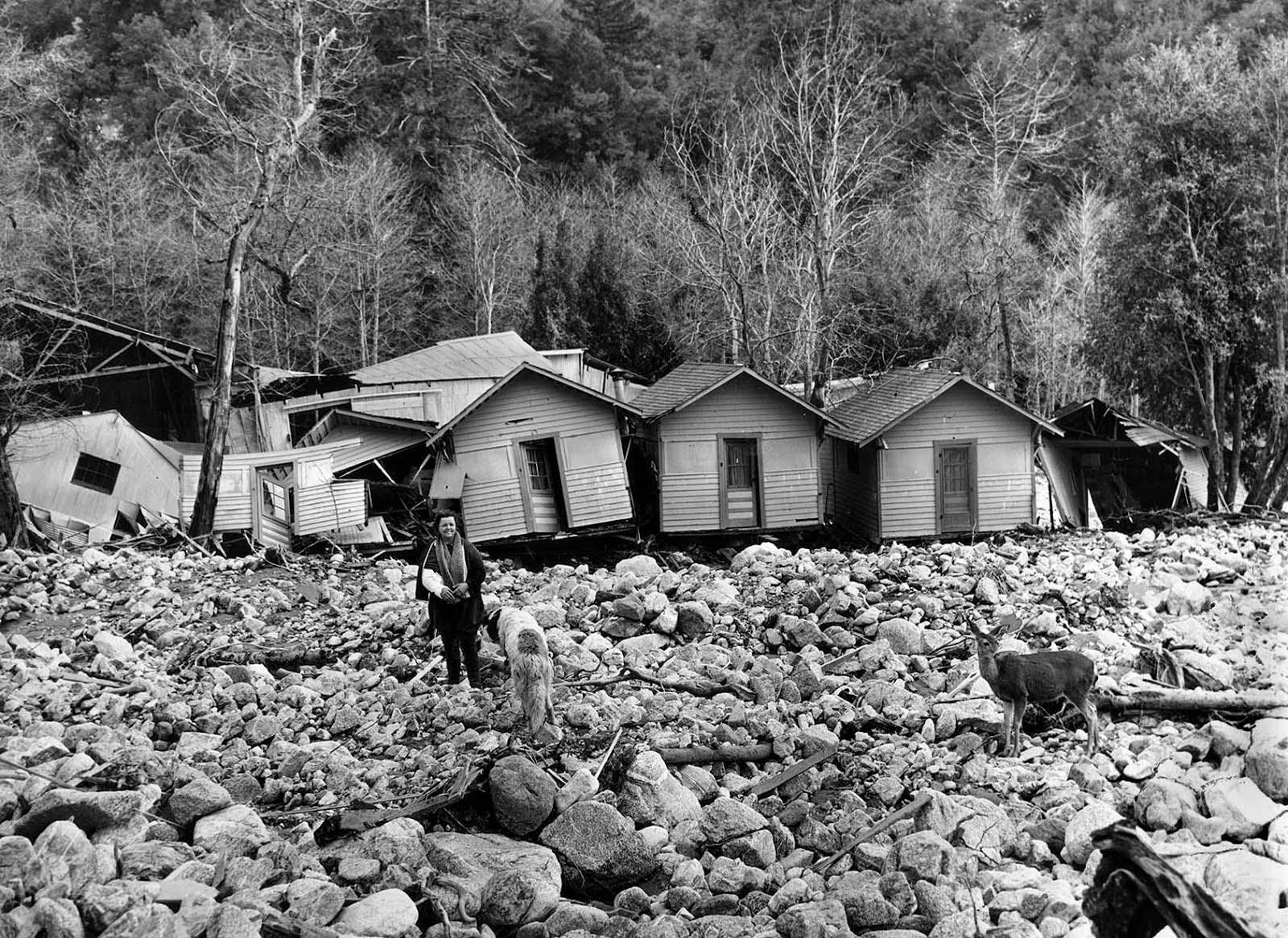
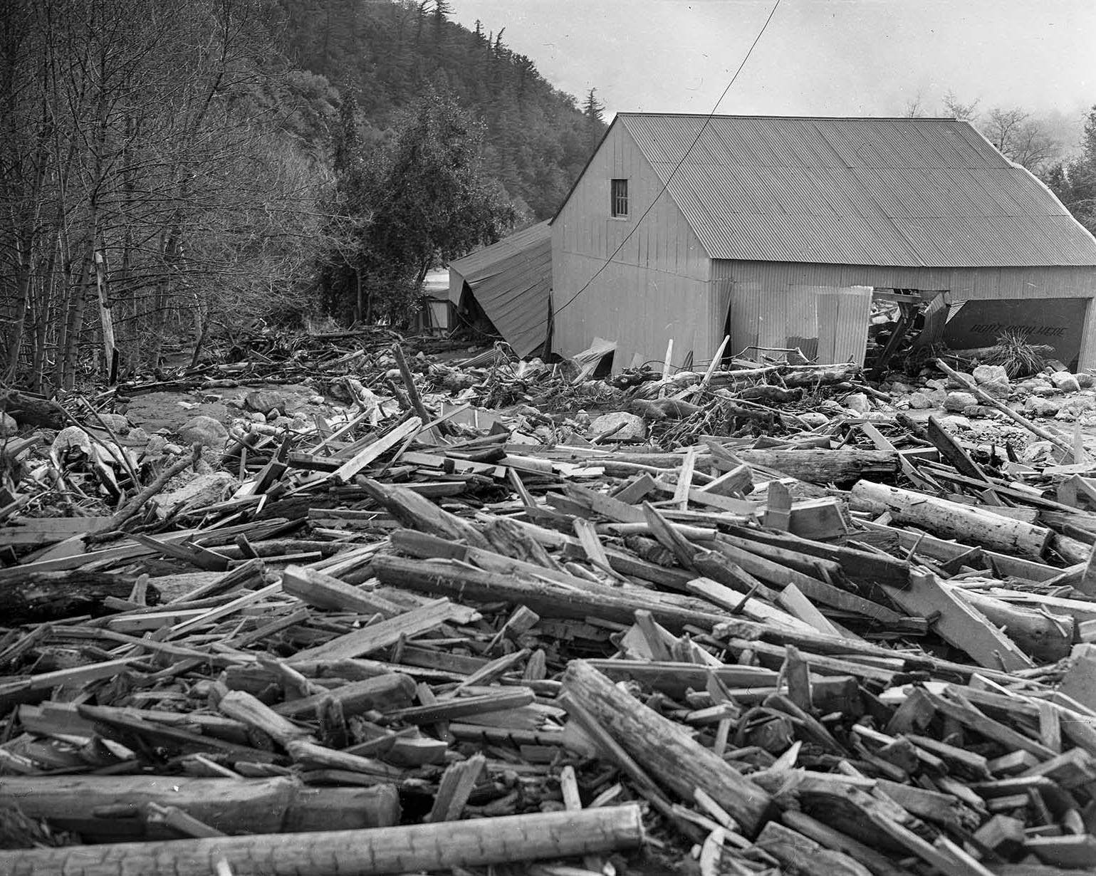
Mountain resort areas were not spared. At Camp Baldy, floodwaters destroyed the majority of the cabins. The resort’s owner, Ruth Curry, stood amid the wreckage with a broken arm — a casualty of the same disaster that wiped out her business.
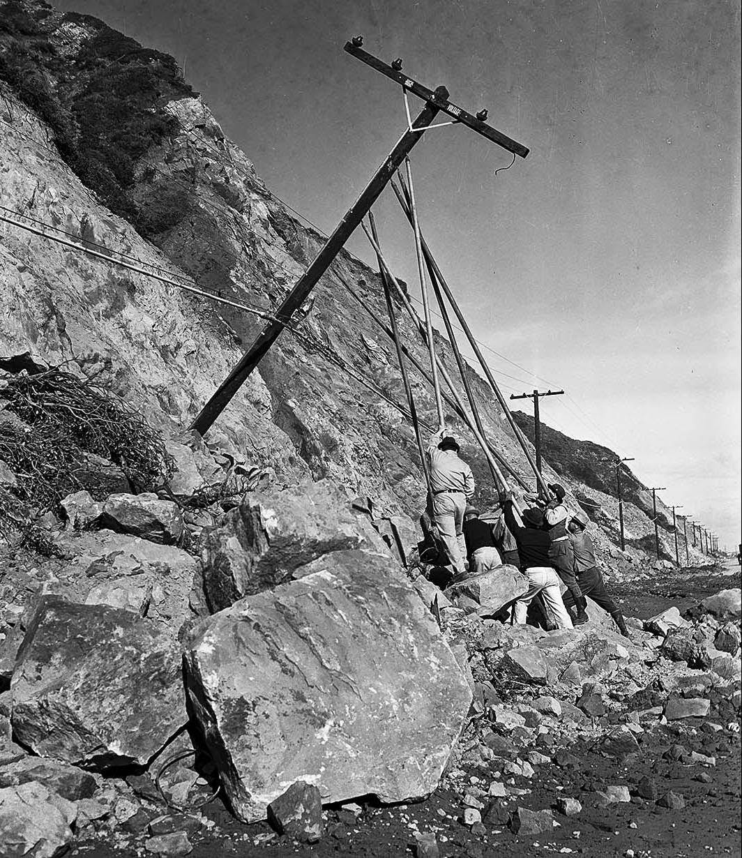
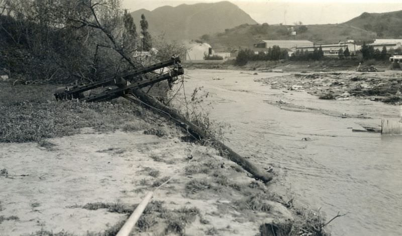
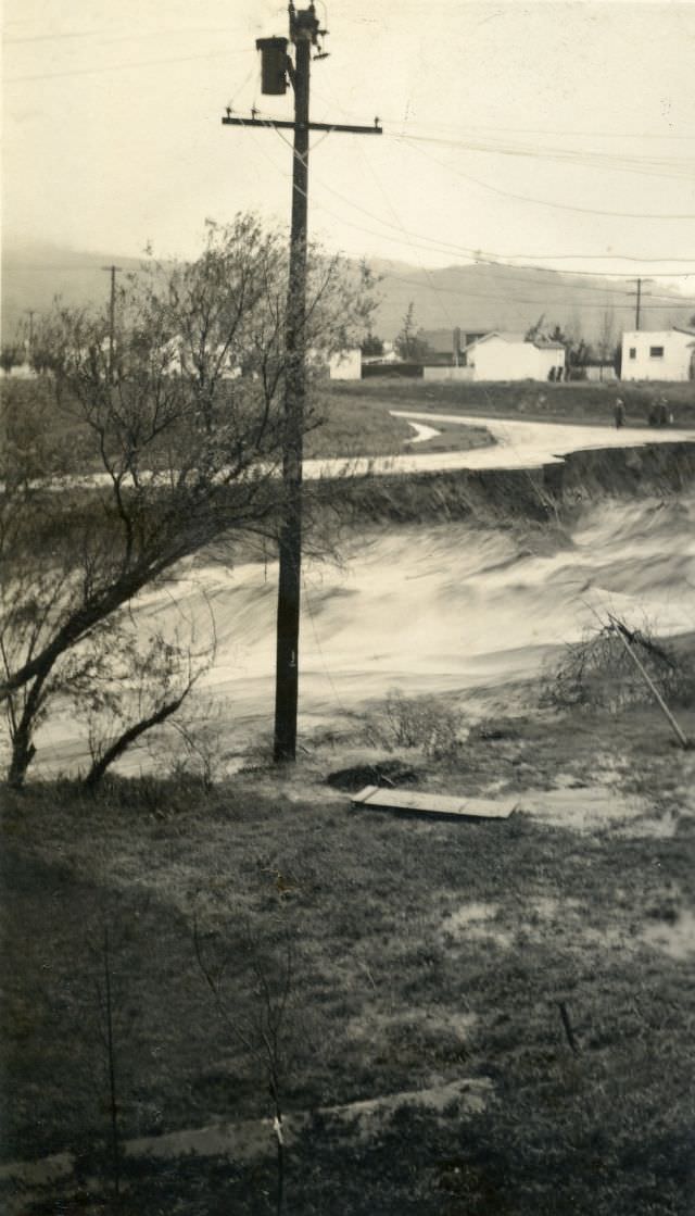
Utility repair work stretched on for days after the storms ended. Telephone poles, power lines, and other infrastructure had been knocked down or damaged across a wide area, and crews worked steadily to restore service.
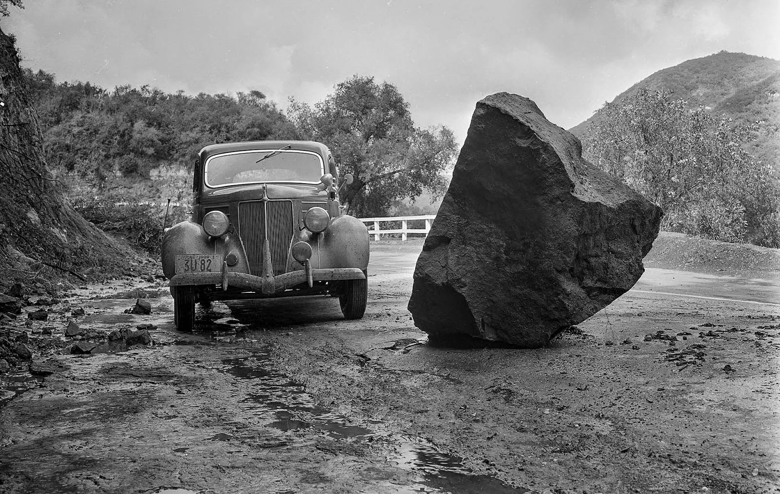
The storms brought hazards beyond flooding. Rock falls and debris were reported on roads throughout the region as early as March 1, with boulders blocking routes that were already dealing with standing water and mud.
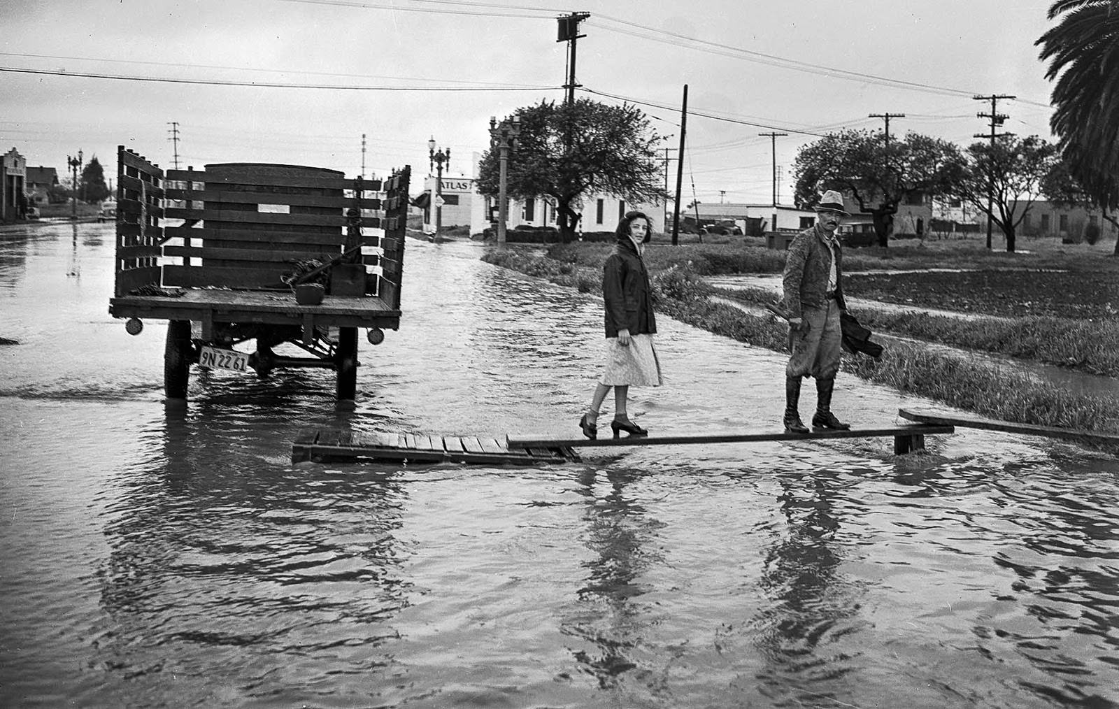
Culver City, like many communities across Los Angeles County, saw widespread street flooding that disrupted daily life and forced residents to find alternative ways to move around their own neighborhoods.
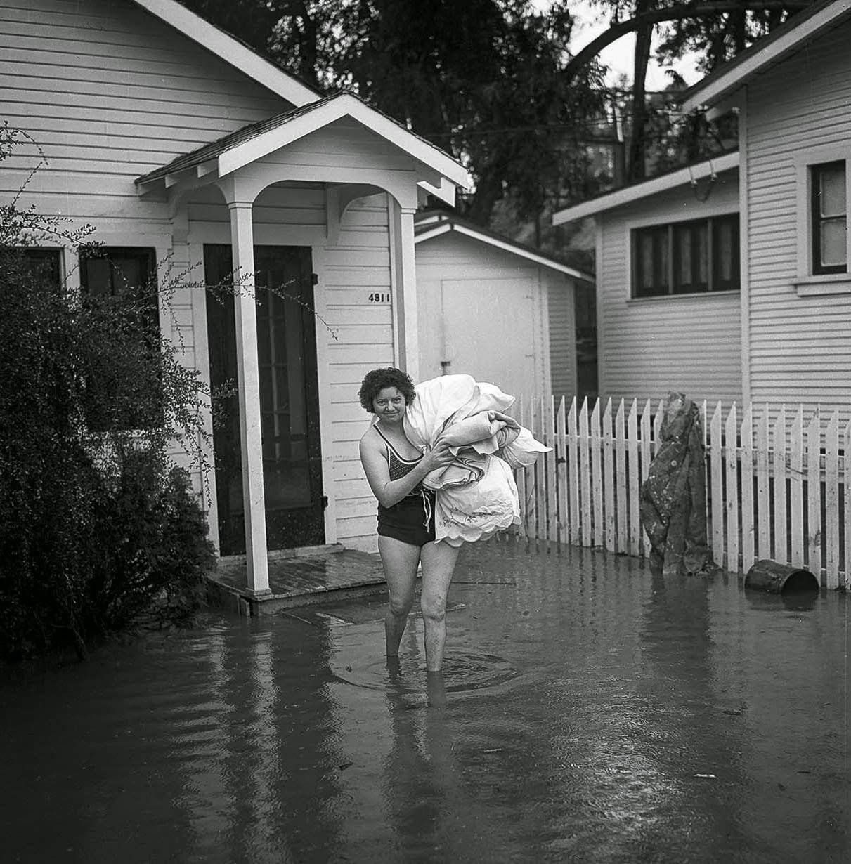
Some residents responded to the floods with a sense of practicality and even humor. Mrs. L. Swink put on a swimsuit as she waded through her flooded home during the evacuation process.
One of the single deadliest moments of the entire disaster occurred in Long Beach. The 3rd Street pedestrian bridge collapsed under the force of the river, sending approximately 10 people into the raging Los Angeles River, where they drowned.

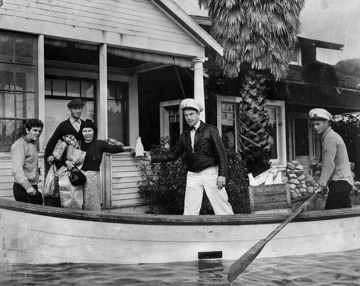
Even in the middle of a disaster, some services kept running. Milkman Ray J. Henville secured a boat and a boatman and completed every one of his deliveries — right to the doorstep — without missing a single stop.
After the disaster, local government agencies moved quickly to prevent a repeat. The most significant response was the decision to line the Los Angeles River and convert it into a concrete flood control channel — a transformation that permanently altered the river and the landscape around it. The 1938 flood was the event that made that decision inevitable.




