
Leipzig, the largest city in the German state of Saxony, has a long history as one of Central Europe’s most important urban centers. By the 1980s, it sat firmly inside East Germany, a country shaped by Soviet-style socialism and the political tensions of the Cold War. Yet beneath that political reality, Leipzig was a living, breathing city — full of commuters, shoppers, students, and families going about their daily lives. The photos in this collection, taken mostly in 1982 and 1984, offer a rare ground-level look at what that city looked and felt like.
World War II left deep scars on Leipzig. Airstrikes destroyed roughly one-quarter of the city, and the rebuilding process stretched well into the 1950s. By the 1980s, the results of that reconstruction were visible everywhere — a mix of restored prewar architecture, blocky socialist-era buildings, and wide streets designed for trams and pedestrians. The city’s central square, Augustusplatz, known during the East German period as Karl-Marx-Platz, sat at the heart of this urban patchwork.
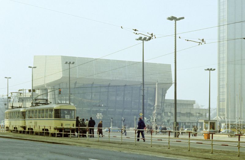
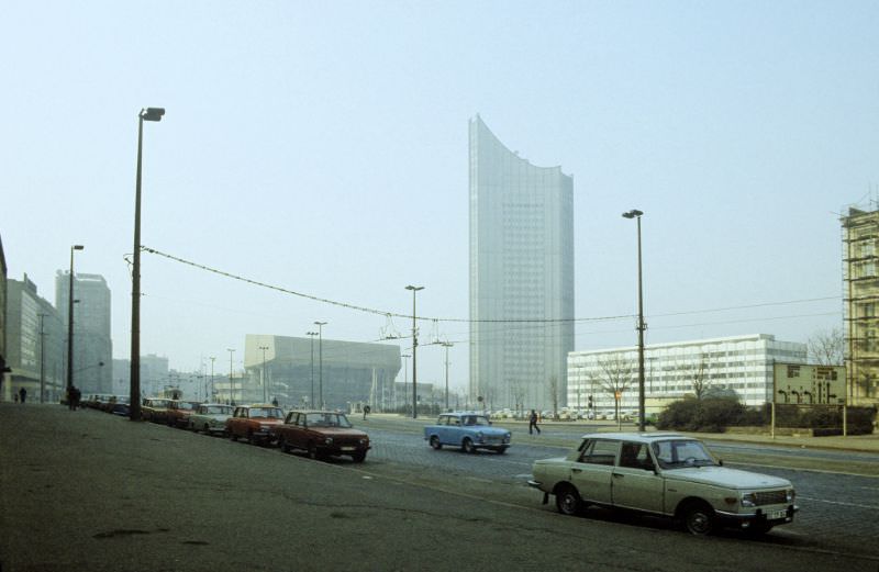
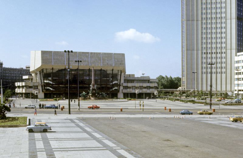
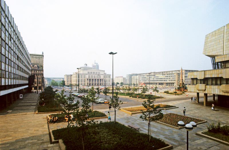
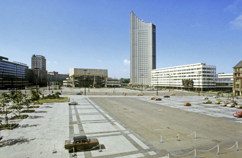
Augustusplatz was Leipzig’s showpiece square. Flanked by the Opera House and the university tower — a striking 1970s high-rise locals called the “wisdom tooth” — it was a space designed to project confidence and order. Trams crossed it regularly, and pedestrians moved through it on the way to shops, concerts, and government offices. These 1982 images catch the square in its East German prime, before the political upheaval that would come later in the decade.
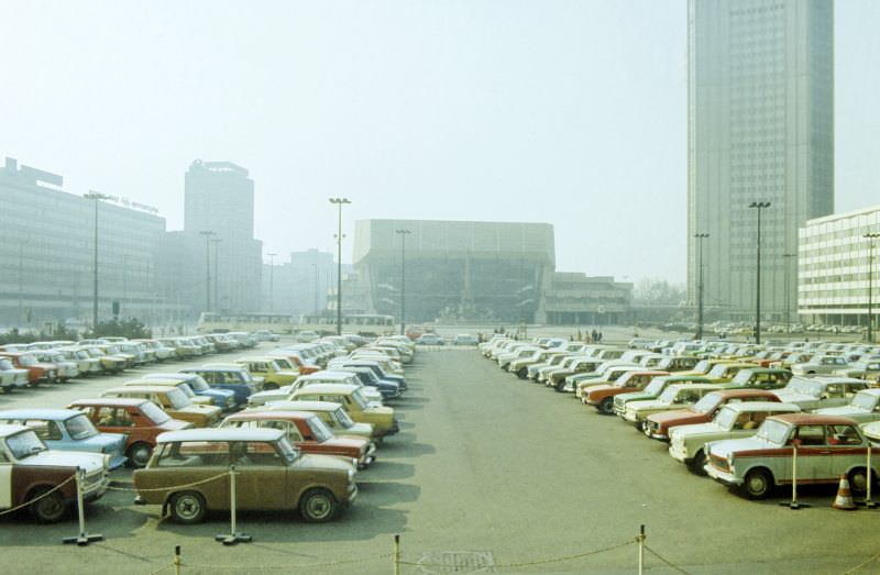
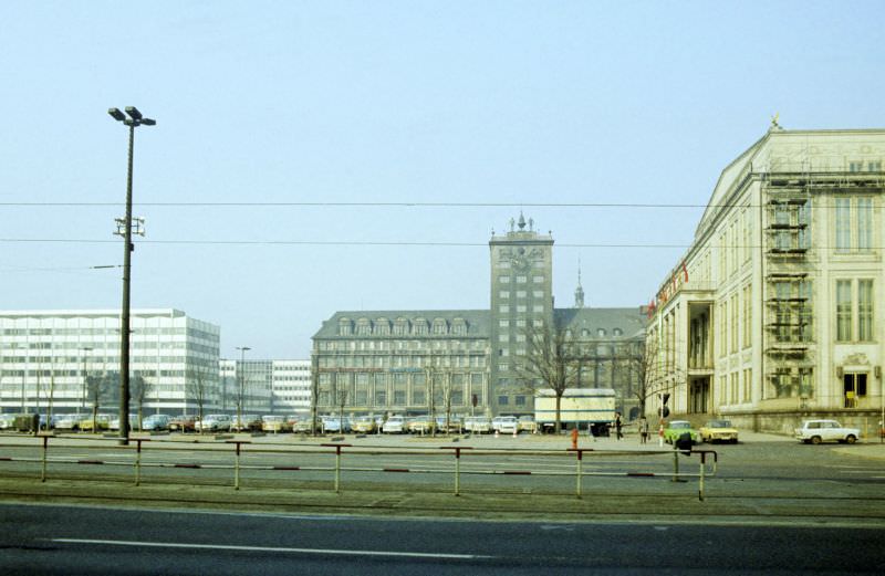
Moving away from the city center, the Connewitzer Kreuz — or Connewitzer Cross — was a well-known intersection in the southern part of Leipzig. By 1984, it was a lively neighborhood junction surrounded by older residential buildings, local shops, and the kind of street-level activity that defined daily life outside the showcase squares.
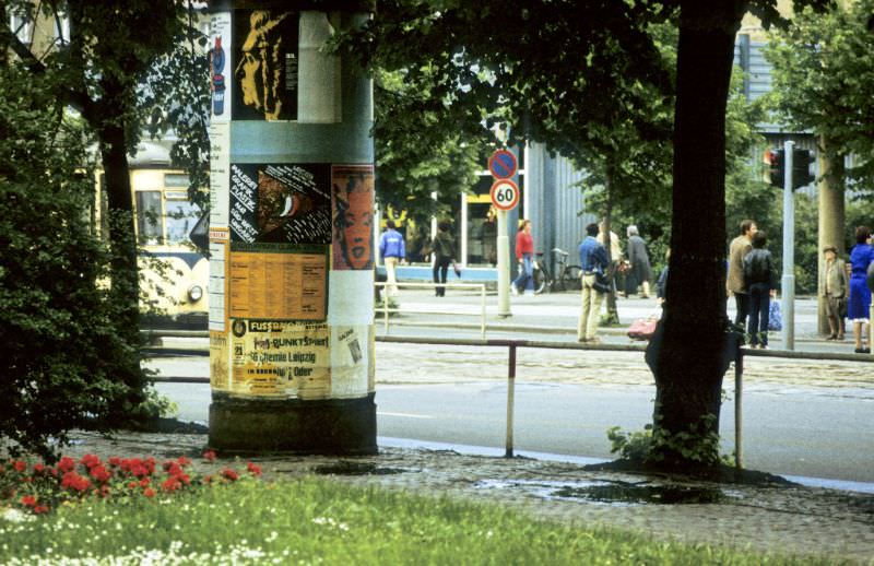
Back at Augustusplatz, the 1984 photographs show the square from different angles and in different light. The Opera House, completed in 1960 after the original was destroyed in the war, stands as the square’s cultural anchor. These images also show the everyday foot traffic that moved through this space — ordinary people rather than staged ceremonies.
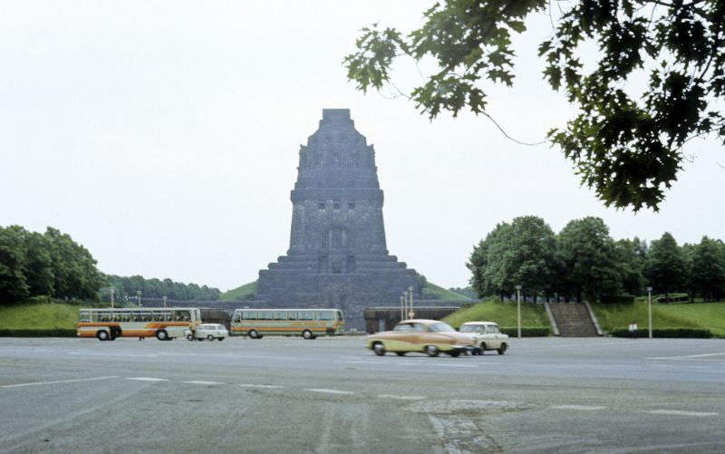
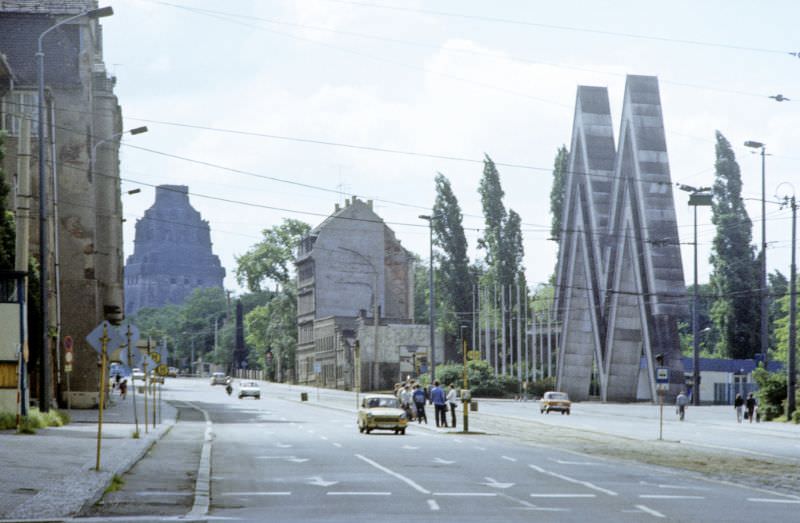
One of Leipzig’s most dramatic landmarks is the Monument to the Battle of the Nations, known in German as the Völkerschlachtdenkmal. Built to mark the 100th anniversary of the 1813 battle in which Napoleon’s forces were defeated near Leipzig, the structure stands 91 meters tall. It is one of the largest monuments in Europe. In 1984, it loomed over the southeastern edge of the city just as it had for decades.
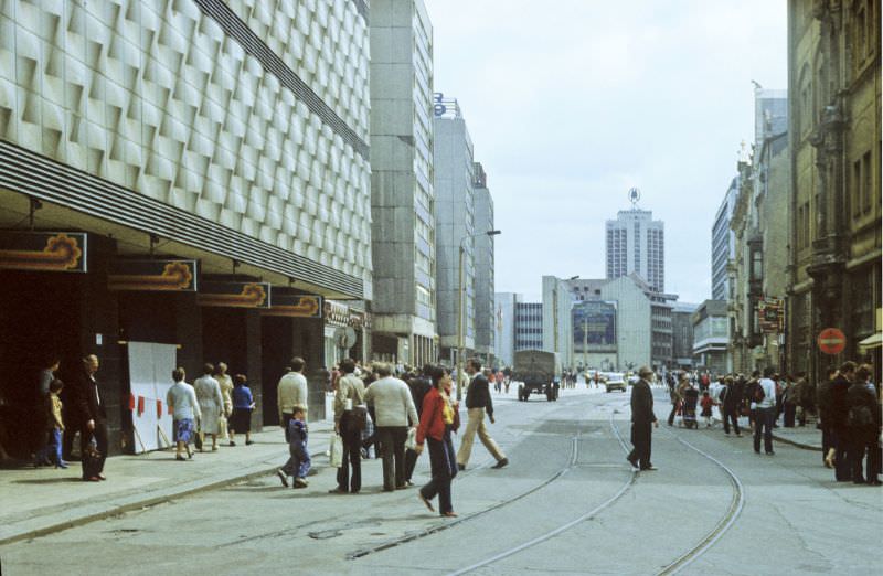
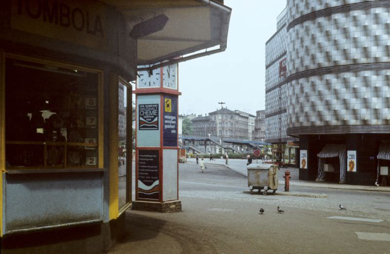
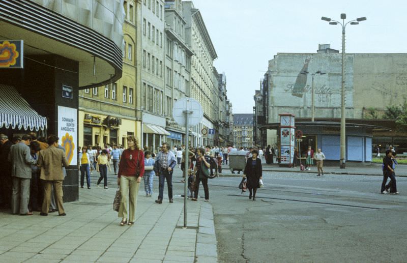
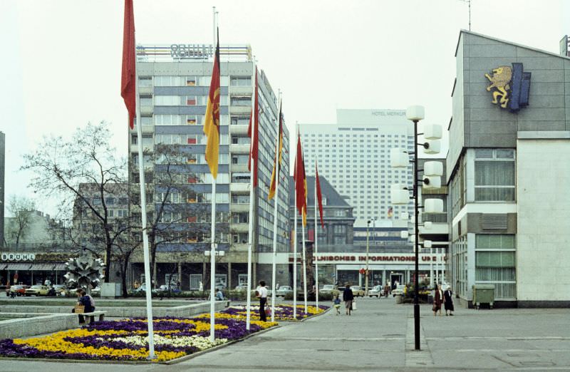
The Brühl was one of Leipzig’s main shopping and commercial streets. In the East German era, state-run retailers dominated, and the Brühl was home to some of the city’s larger consumer outlets. The nearby consumer department store — known in German as a Konsument-Kaufhaus — was a central fixture of socialist retail life, where residents could purchase everything from clothing to household goods under one roof.
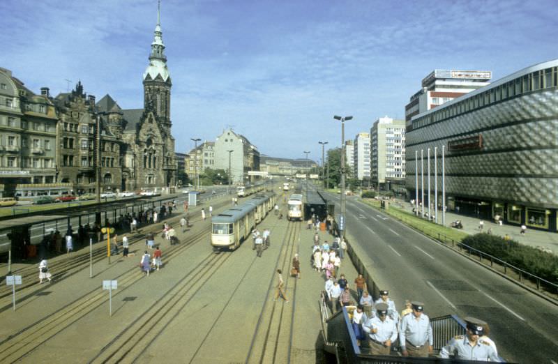
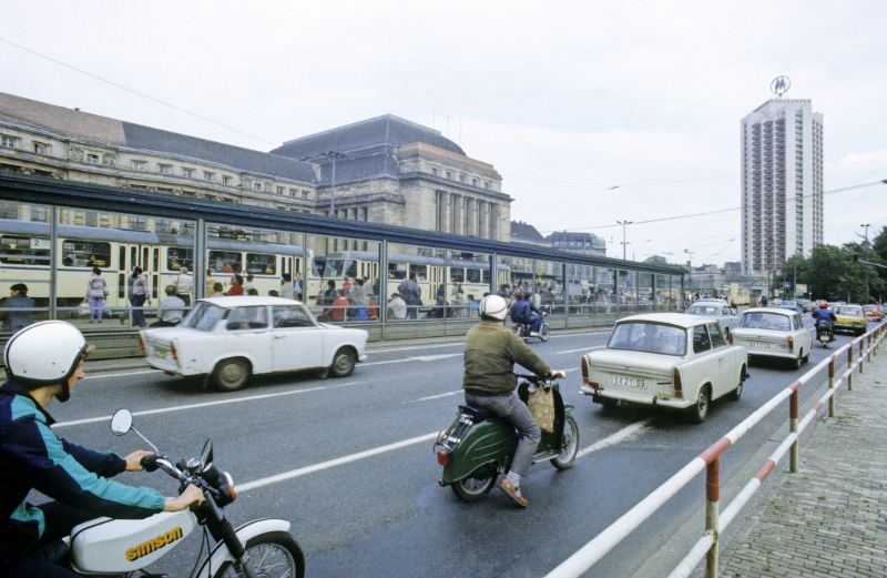
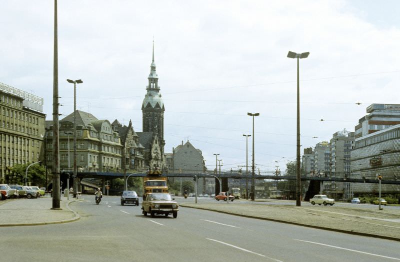
The Tröndlinring was one of Leipzig’s major ring roads, circling the old city center. Along it stood a mix of institutional buildings, including the Evangelically Reformed Church and, beyond it, the massive facade of Leipzig Central Station. This stretch of road carried heavy tram and vehicle traffic, and the 1984 photographs along this route show the urban rhythm of a busy East German city.
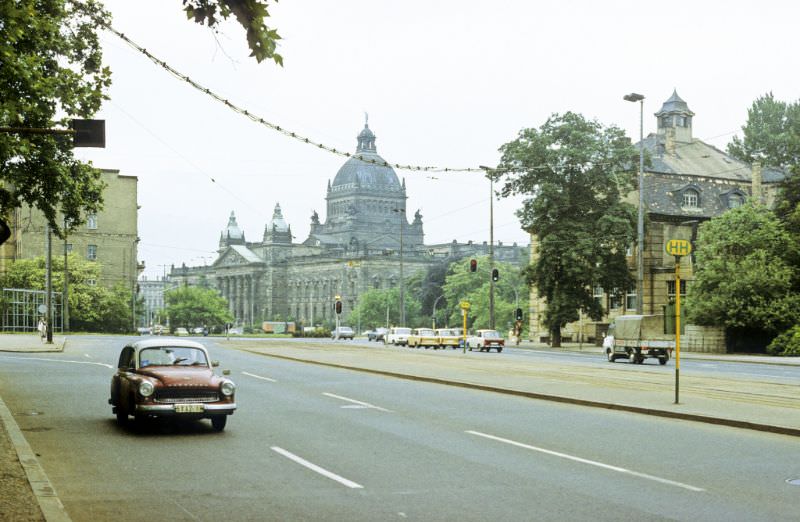
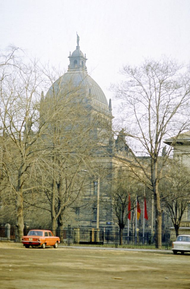
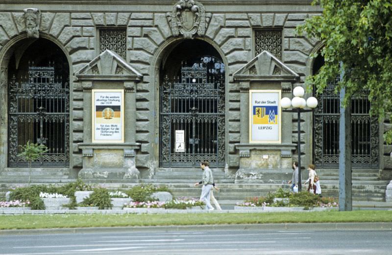
The Federal Administrative Court building, originally built in the early 20th century as the Imperial Court of the German Reich, was a vast and ornate structure. During the East German period, it served administrative functions and remained one of the most architecturally imposing buildings in the city.
The Gohlis district, located in the northern part of Leipzig, was one of the city’s well-preserved residential neighborhoods. Its streets were lined with late 19th and early 20th century apartment buildings — a sharp contrast to the prefabricated concrete blocks being built elsewhere in East Germany. The Gohliser Schlösschen, a small Baroque manor house dating from the 1750s, sat within this neighborhood as one of its most distinctive historic structures.
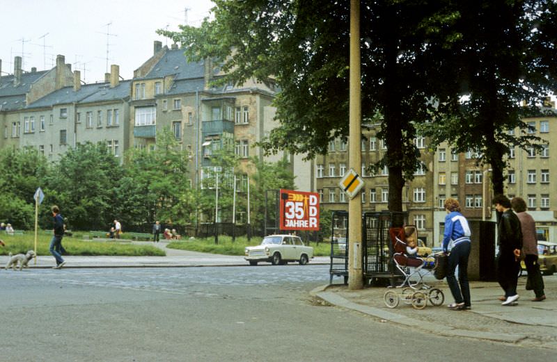
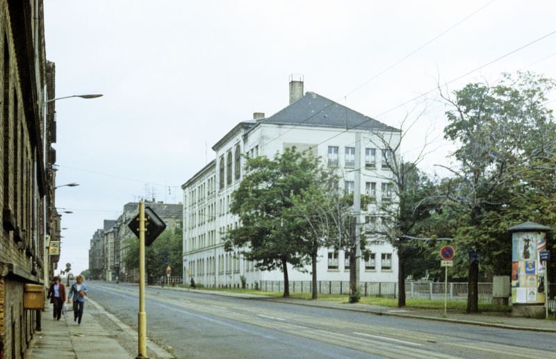
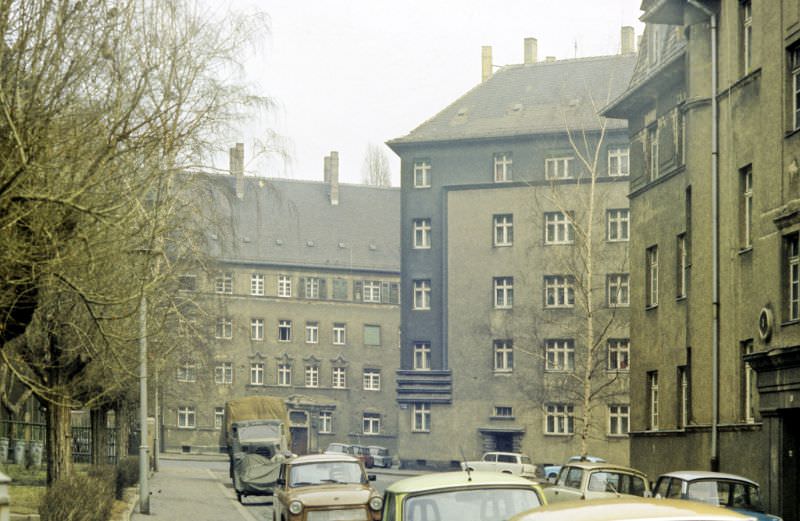
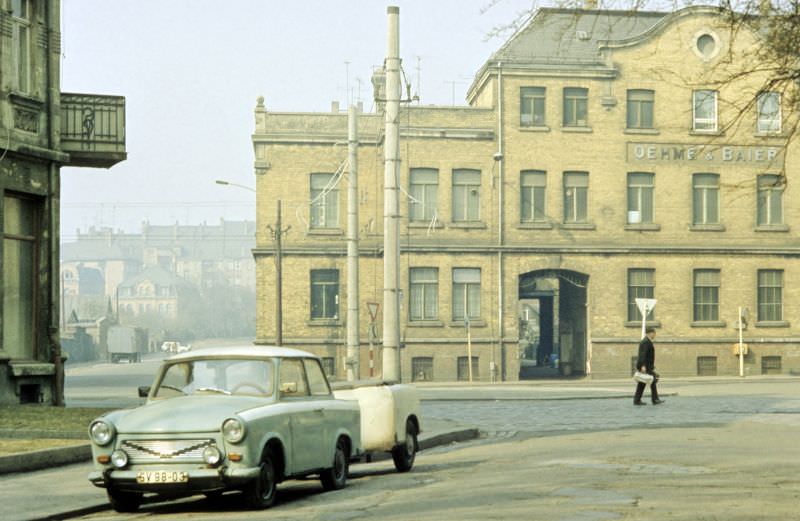
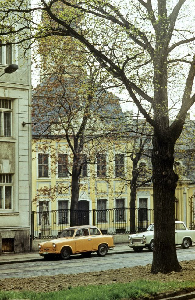
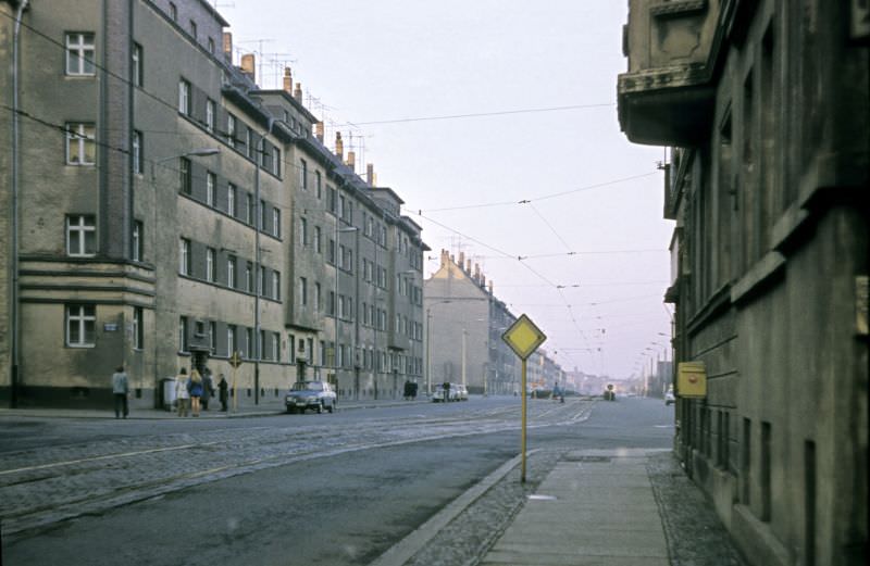
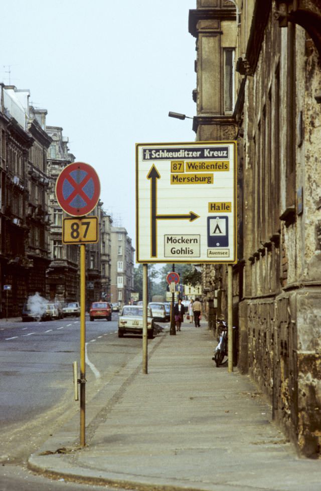
The residential streets of Gohlis — Otto-Adam-Straße, Virchow-Lützowstraße, and Virchowstraße — appear in multiple photographs from 1984. These images show the texture of everyday neighborhood life: quiet sidewalks, worn building facades, parked vehicles, and the kind of unhurried street scene that defined life in a mid-sized East German district away from the main boulevards.
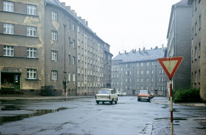
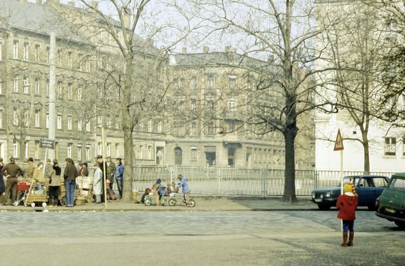
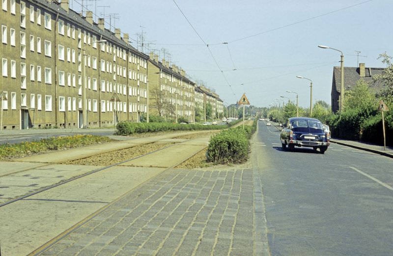
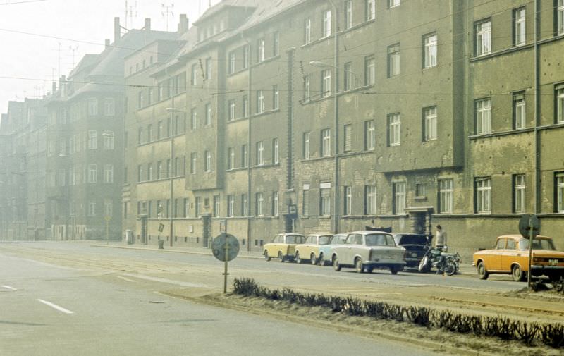
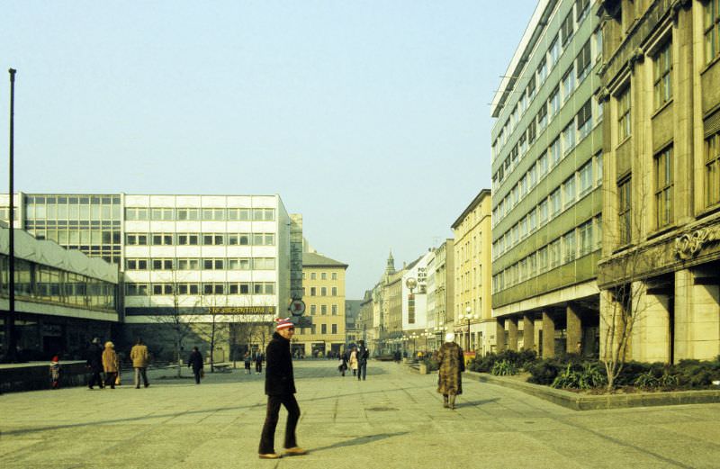
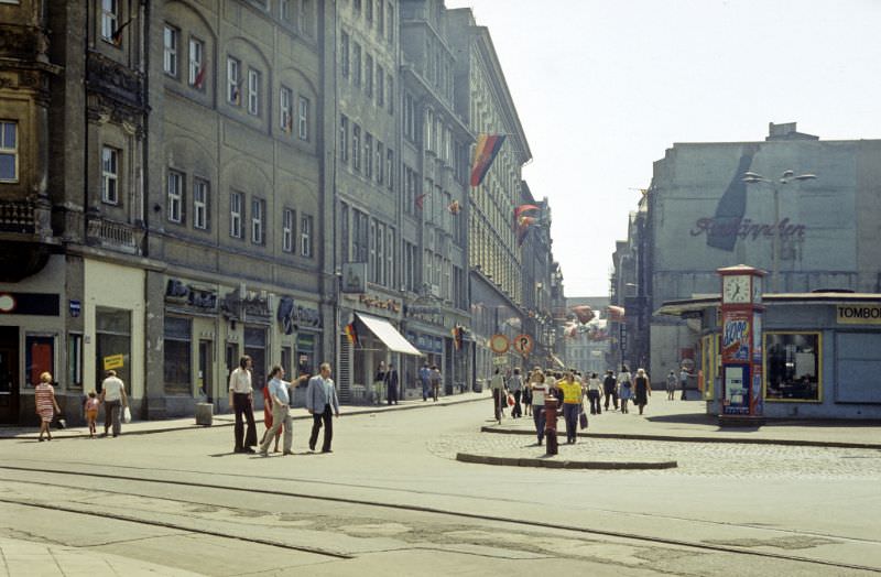
Closer to the city center, Grimmaische Straße and Hainstraße were key pedestrian and commercial streets. Grimmaische Straße connected the market square to Augustusplatz, running through the old town. Hainstraße, meanwhile, was one of the narrower historic lanes that still carried the feel of the prewar city, despite the reconstruction that had reshaped much of the surrounding area.
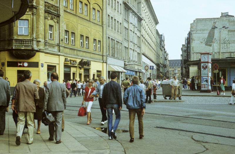
Leipzig’s hotels in the 1980s catered heavily to trade fair visitors. The Hotel Astoria, a grand early 20th-century building near the Central Station, was among the most recognized. The Hotel International, a modern high-rise built during the East German period, represented a different approach — functional, large-scale, and built to handle the volume of foreign business travelers who came to the city for the Leipzig Trade Fair each year.
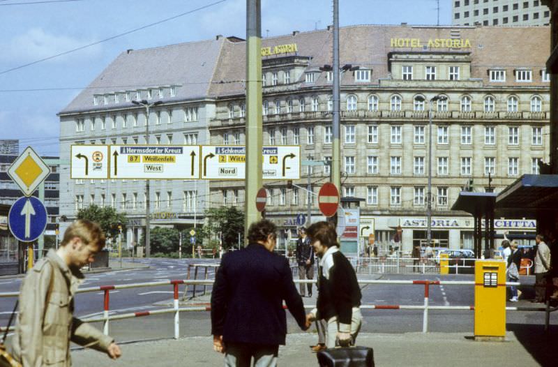
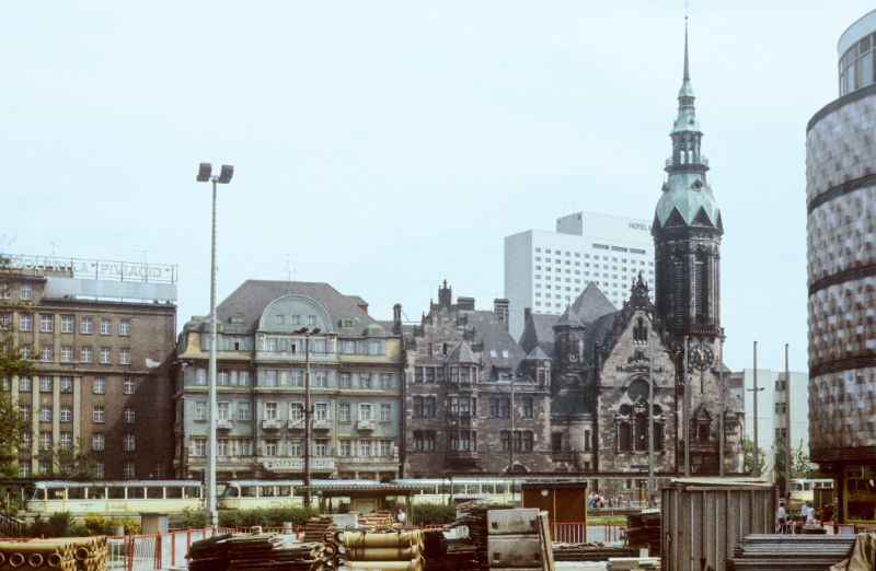
Karl-Tauchnitz-Straße and its intersection with Martin-Luther-Ring formed another notable section of Leipzig’s inner-city road network. These streets ran past some of the city’s more substantial civic and institutional buildings, and the photographs taken there in 1984 capture the mix of architectural styles — prewar classicism alongside postwar additions — that gave Leipzig’s streetscape its layered character.

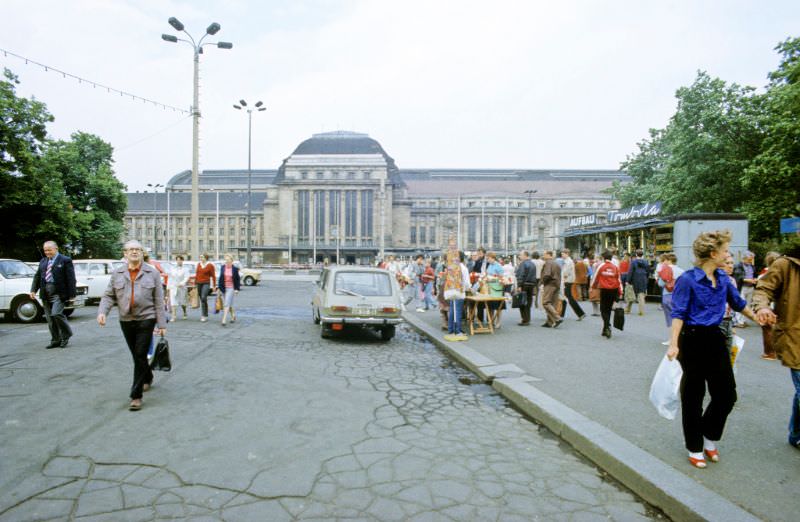
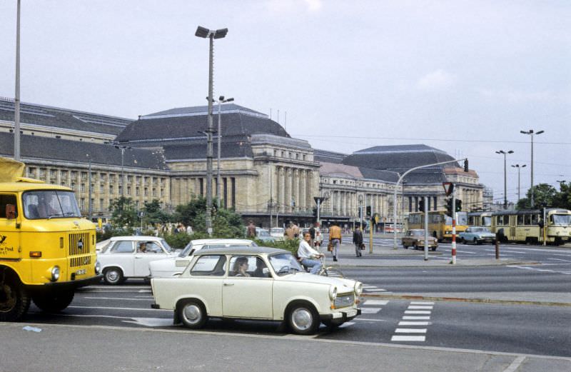
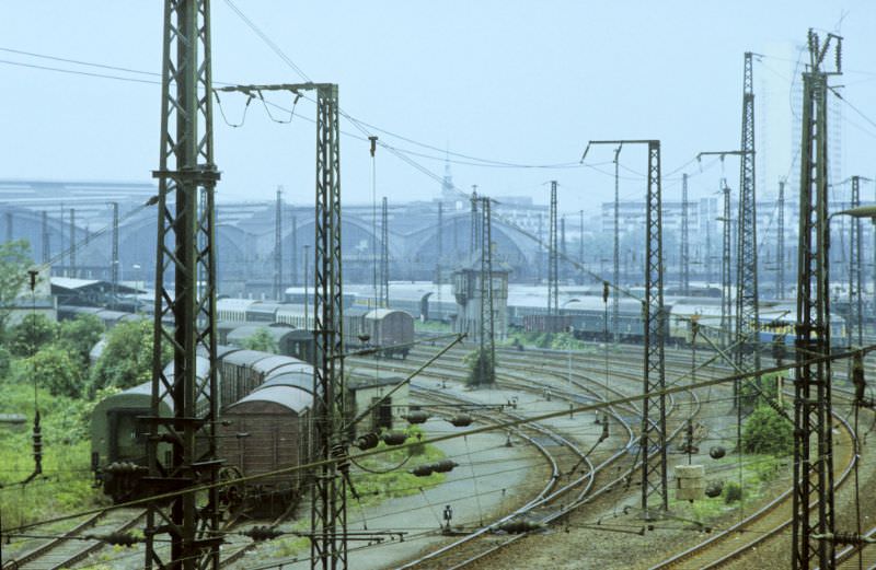
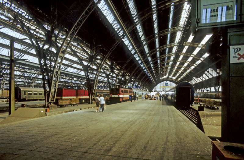
Leipzig Central Station is one of the largest railway terminals in Europe by floor area. Completed in 1915, it features a long neoclassical facade and a vast interior with multiple platforms. In 1984, it was the primary hub for rail travel in and out of the city, handling passengers heading across East Germany and into other Eastern Bloc countries. Six photographs from that year document the station from multiple viewpoints, inside and out.
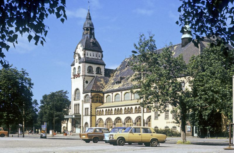
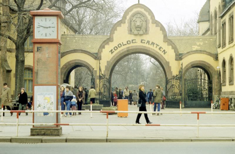
Leipzig Zoo, founded in 1878, was one of the oldest and most respected zoological gardens in Germany. By 1984, it housed a wide variety of animals and drew large numbers of local visitors. The zoo was a popular destination for families, and its presence in the photographs speaks to the everyday leisure options available to Leipzig’s residents during the East German era.
Near Waldplatz, on the edges of the city’s greener residential zones, the streets took on a quieter character. This area, like Gohlis, preserved stretches of older housing stock that had survived the war and the postwar building campaigns.
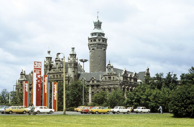
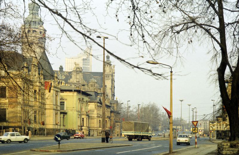
The New Town Hall, completed in 1905, was built on the site of the old Pleißenburg fortress. It combined neo-Gothic and Renaissance elements and featured one of the tallest tower structures of any town hall in Germany. Photographs from Karl-Tauchnitz-Straße show the building from a distance, placing it within the broader streetscape of that part of the city.
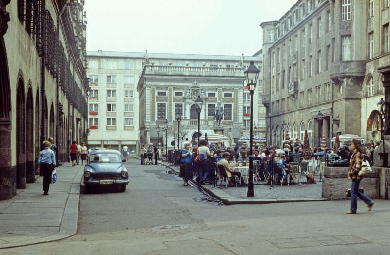
The Old Stock Exchange on Naschmarkt was built between 1678 and 1687, making it one of the oldest Baroque buildings in Leipzig. In front of it stood a statue of Goethe, who studied in Leipzig as a young man. The Naschmarkt square itself was one of the city’s oldest trading spaces, and even in 1984 it retained much of its historic atmosphere.
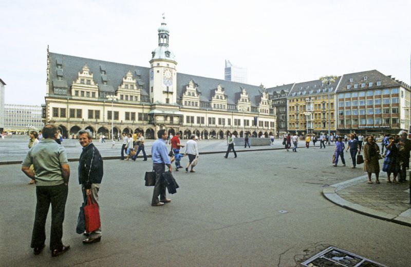
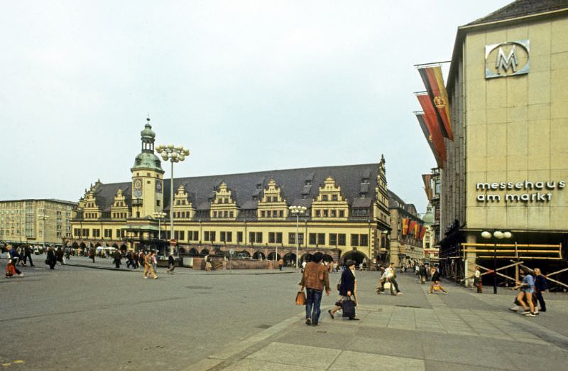
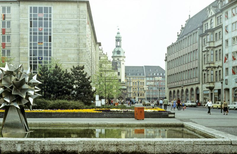
The Old Town Hall on the Markt, Leipzig’s main market square, dated from the mid-16th century and was one of the finest Renaissance town halls in Germany. By 1984 it housed the City History Museum. The Markt itself remained the geographic and symbolic center of the city, and the photographs taken there show both the building and the open square it faced.
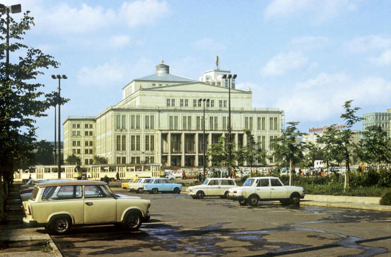
The Leipzig Opera House on Augustusplatz was a postwar reconstruction that opened in 1960. It replaced the original opera house, which was destroyed during World War II. By 1984, it was firmly established as one of East Germany’s leading opera venues, with a repertoire that drew audiences from across the country.
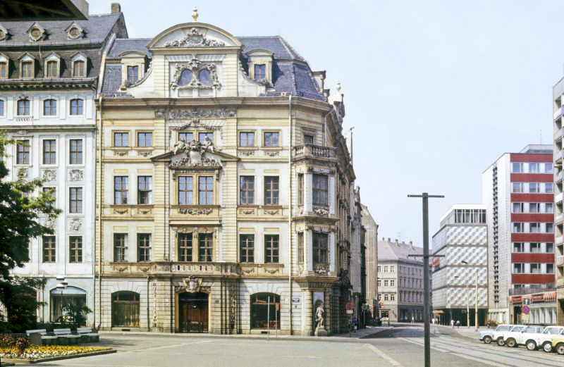
The Romanushaus, built between 1701 and 1704, was one of the most striking Baroque residential buildings in Leipzig. It stood on the edge of the old city center and was named after Franz Conrad Romanus, the mayor of Leipzig who commissioned it. Despite the changes the city underwent in the 20th century, the building survived and remained a notable example of early 18th-century architecture.
Sachsenplatz was another of Leipzig’s inner-city squares, located just north of the old town. In 1984, it was surrounded by a mix of older commercial buildings and the kind of open public space that the East German urban planners had retained or created in the city center. The two photographs from Sachsenplatz capture street-level views of this less-photographed corner of downtown Leipzig.
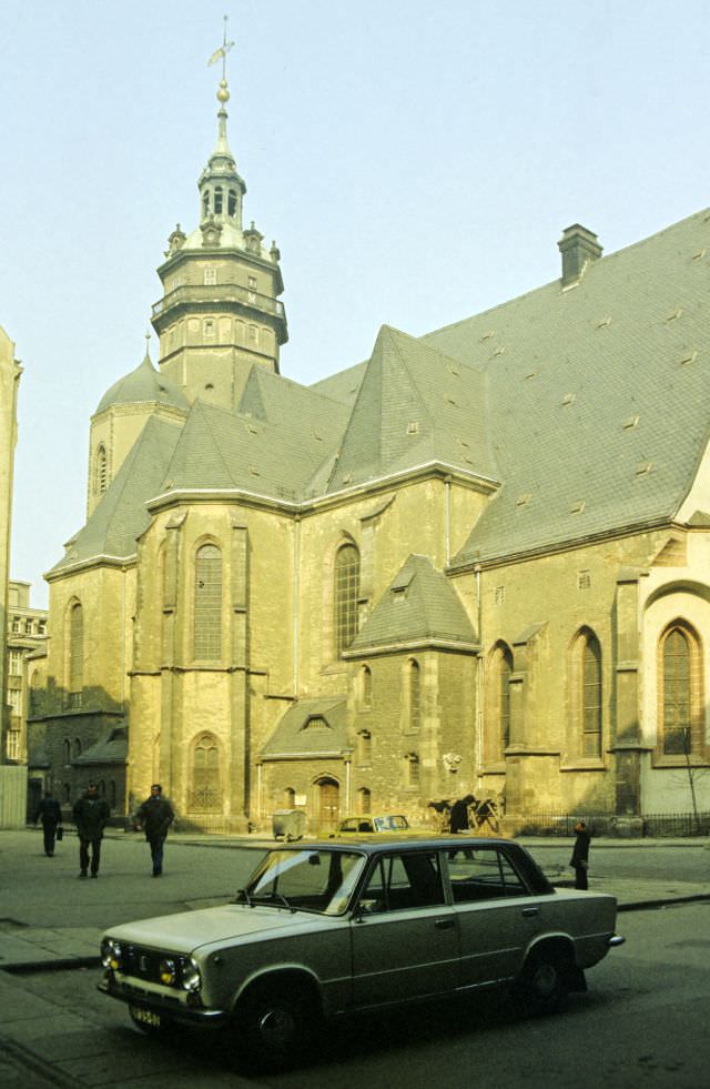
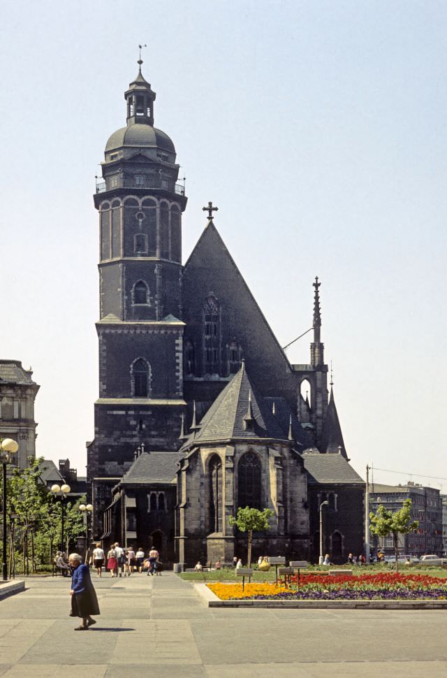
Two of Leipzig’s most historically significant churches appear in the 1984 photographs. St. Nicholas Church, founded in 1165, was the oldest and largest church in the city. St. Thomas Church, built in the 13th century, was the place where Johann Sebastian Bach worked as cantor from 1723 until his death in 1750. His remains are buried beneath the chancel floor. Both churches remained active places of worship throughout the East German period.
The Tröndlinring photographs close out this collection with six views of one of Leipzig’s main inner ring roads taken in 1984. The road passed along the northern edge of the old city, flanked by tram lines, trees, and the facades of buildings that ranged from 19th-century civic architecture to postwar construction. Together, these images — spanning the square to the side streets, the landmarks to the local neighborhoods — document Leipzig as it existed in the final decade before German reunification changed the city once again.
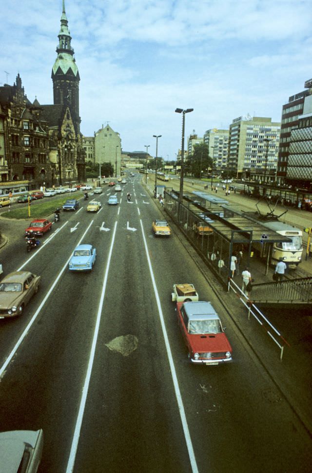
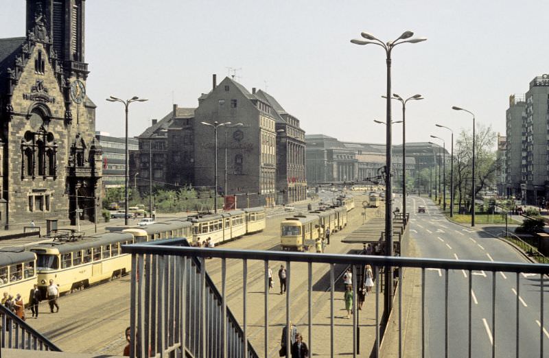
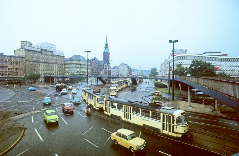
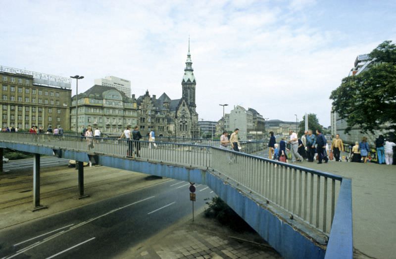





It’s fascinating how much has remained the same in most places. It’s a shame they removed the bridge in front of the Blechbüchse, as it’s now quite inconvenient to cross the road. There’s a somewhat unnecessary tunnel there now, though.
I believe it was actually removed prior to the 2006 World Cup, possibly to eliminate height restrictions for two-story buses.
That overpass was truly something special. I still miss it to this day, and I even bought a jigsaw puzzle featuring it recently.
It’s likely that the bridge was deemed too dangerous to keep, given the amount of traffic passing through. They also removed many tunnels around the city, including the one underneath W. Leuschner Platz.
Because pedestrian over-/underpasses only serve the purpose of keeping people out of the way of cars. They aren’t for convenience.
Interesting
My partner grew up in Leipzig in the 1980’s and is really enjoying the photos. Thanks for sharing!
15000 shades of gray and allmost no cars.. fantastic
The Soviet occupation was much more intense than I realized.
Manchmal denke ich darüber nach, ob es nicht auch zur Verkehrssicherheit beitragen würde, wenn eine neue Fußgängerbrücke am Tröndlinring gebaut werden würde. Leider wird das eh nie passieren, weil das ein 5+ Jahre Projekt wäre, dessen Nutzen wahrscheinlich einfach nicht groß genug ist.
Fußgängerbrücken über innerstädtische Kreuzungen sind 60er-Jahre-Ideen, um den Autos diese lästigen Fußgänger aus dem Weg zu räumen. Außerdem sind die selten barrierefrei.
Das stimmt natürlich! Es wäre für mich auch eher eine ästhetische Sache, die nicht zwingend viel Nutzen hätte. Noch idealer wäre für mich natürlich eine autofreie Innenstadt, aber das wird wohl auch nie passieren
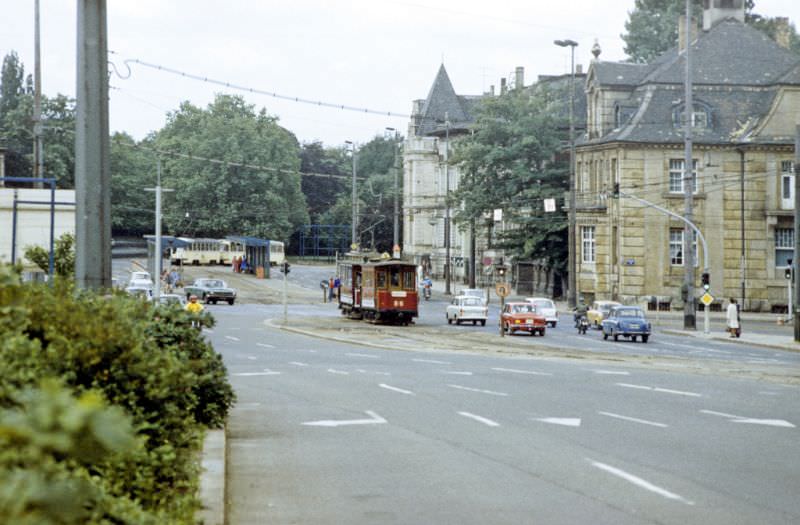
What kind of tram is that on pic #37?
Historic one from the early days of Strassenbahn in Leipzig
Check out their Fahrzeugsammlung at the museum
https://www.strassenbahnmuseum.de/fahrzeugsammlung.html
Cool! Didn’t know that they were still running in the 80s.
They weren’t regulars for daily use. But they regularly had certain special days and trips – you will still encounter them today sometimes. You can even rent them.
Wie viele sich scheinbar solche Zustände in den Städte wieder wünschen erschließt sich mir echt nicht.
Not gonna lie. Despite all the grime, the city looked so much better without the shitty grafitti. Half they got rid of the parking lot in Augustusplatz