
On February 20, 1943, a farmer in the Mexican state of Michoacán watched the ground in his cornfield crack open and begin to smoke. Within hours, that crack became a crater. Within days, it became a volcano. What Dionisio Pulido witnessed that afternoon was one of the rarest events in recorded geological history — the birth of an entirely new volcano, observed by human eyes from its very first moments.
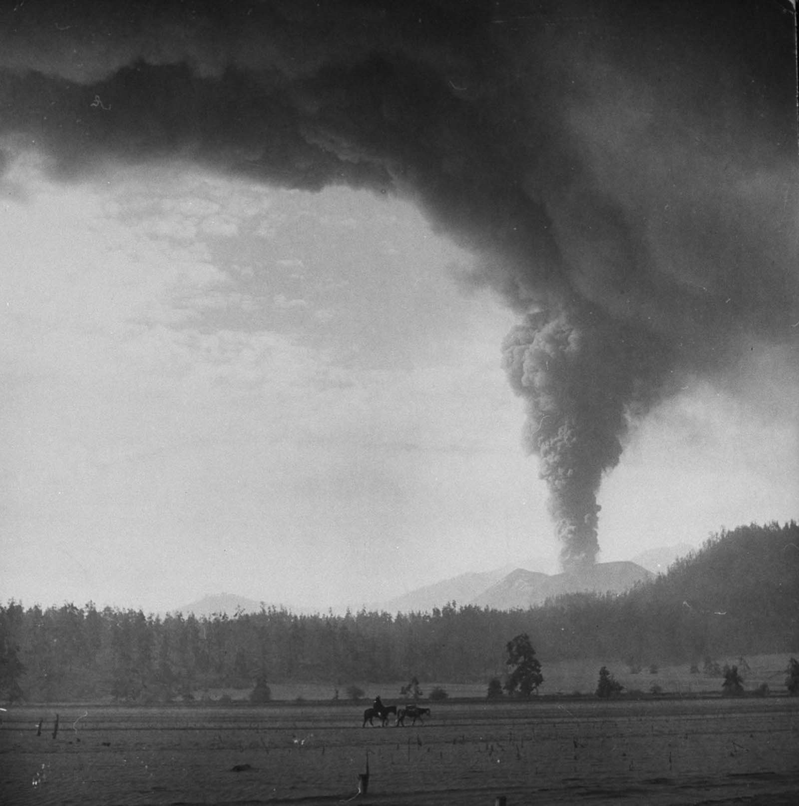
The volcano was named Parícutin, a word drawn from the Purépecha language spoken by the indigenous Tarascan people of the region. The name translates roughly to ‘to the other side.’ The area it rose from, near the town of San Juan Parangaricutiro, had been giving warnings for about two weeks before the eruption. Residents reported constant underground rumbling, shaking ground, and loud subterranean noises. Seismic activity in the area spiked noticeably in the days leading up to February 20.
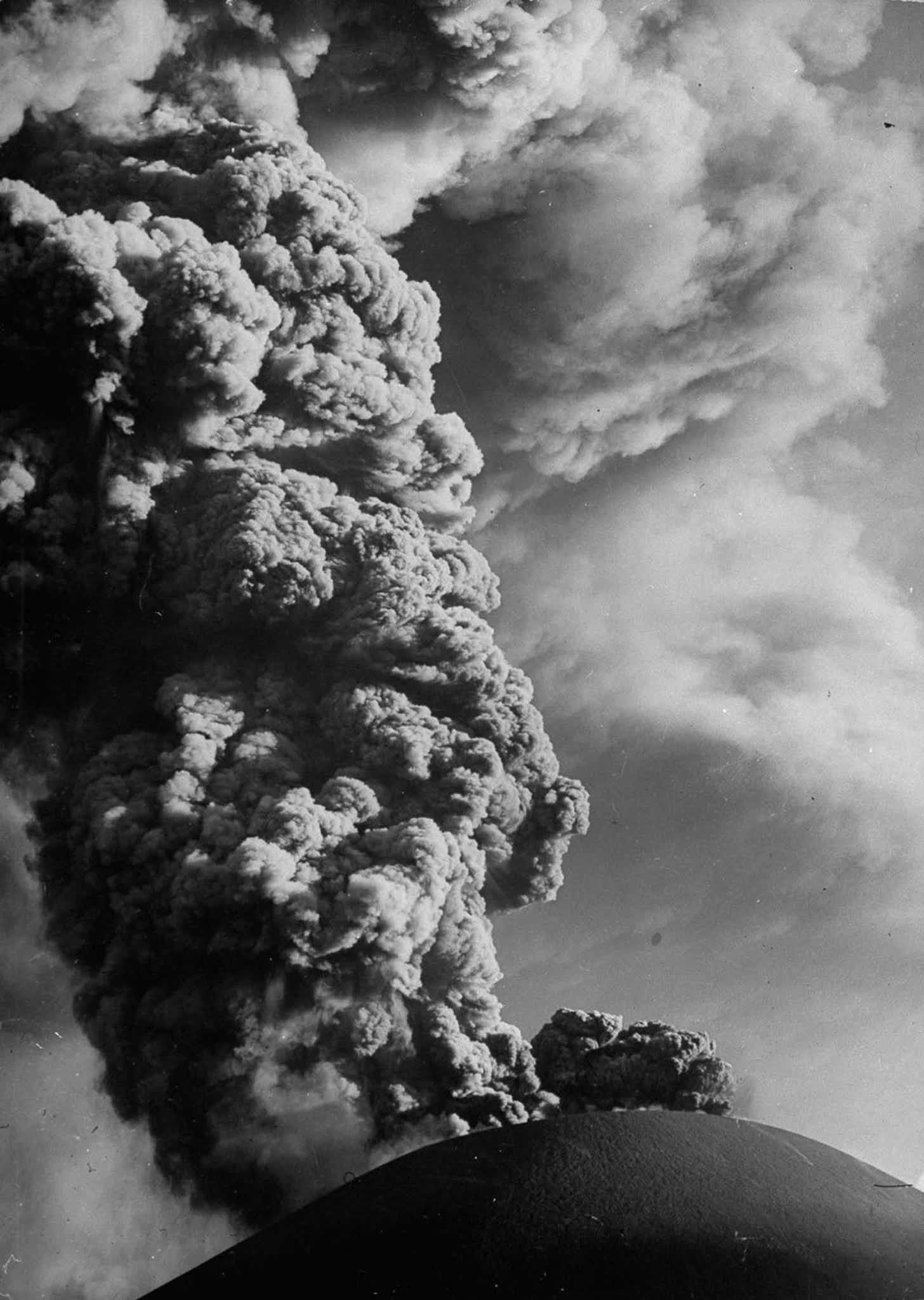
When the eruption began at around 4:00 PM local time, people near the site heard a loud hissing sound. A strong smell like rotten eggs filled the air — the unmistakable odor of hydrogen sulfide gas escaping from deep underground. Smoke rose from the fissure as the ground continued to split. The eruption escalated rapidly. By nightfall, glowing lava and ash were being hurled into the sky.
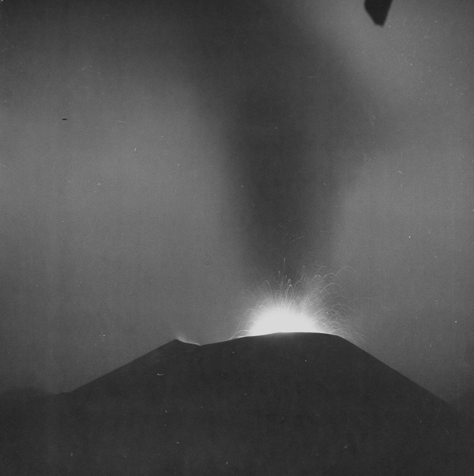
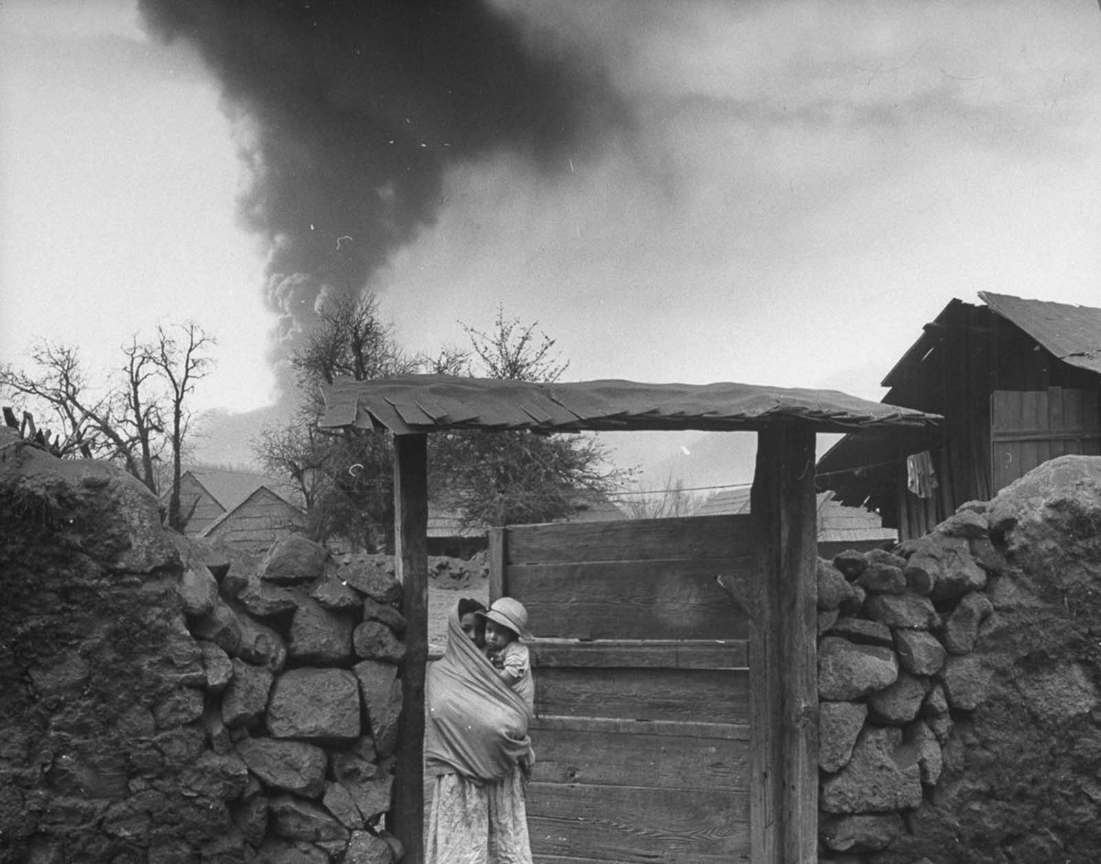
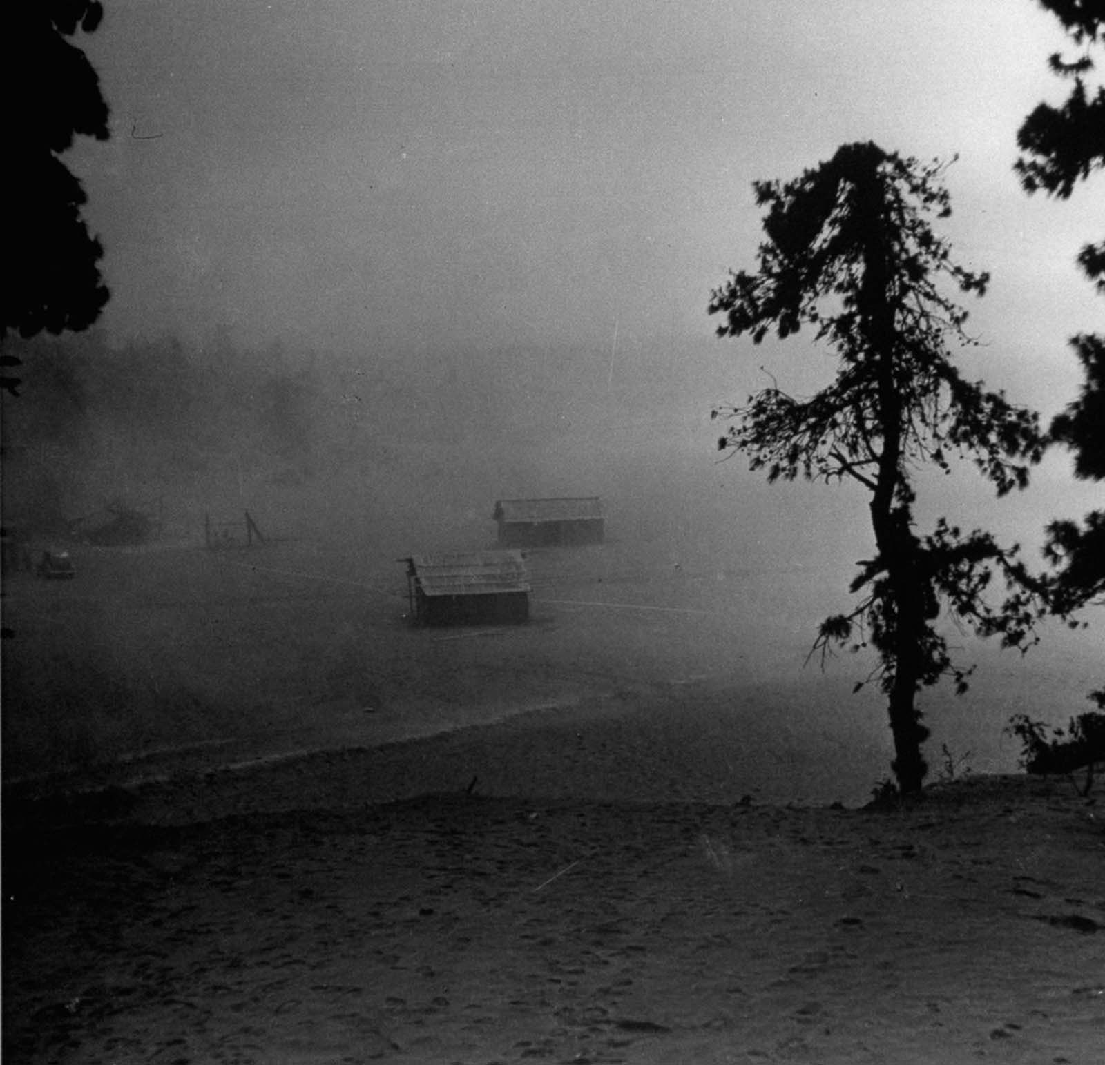
In its first week, the cone grew to over 160 feet tall. In its first year, it reached more than 1,100 feet. The speed at which Parícutin built itself was extraordinary. Lava flows spread outward from the base, covering farmland and creeping steadily toward nearby communities. Ash fell constantly over the surrounding area, blanketing rooftops, fields, and roads.
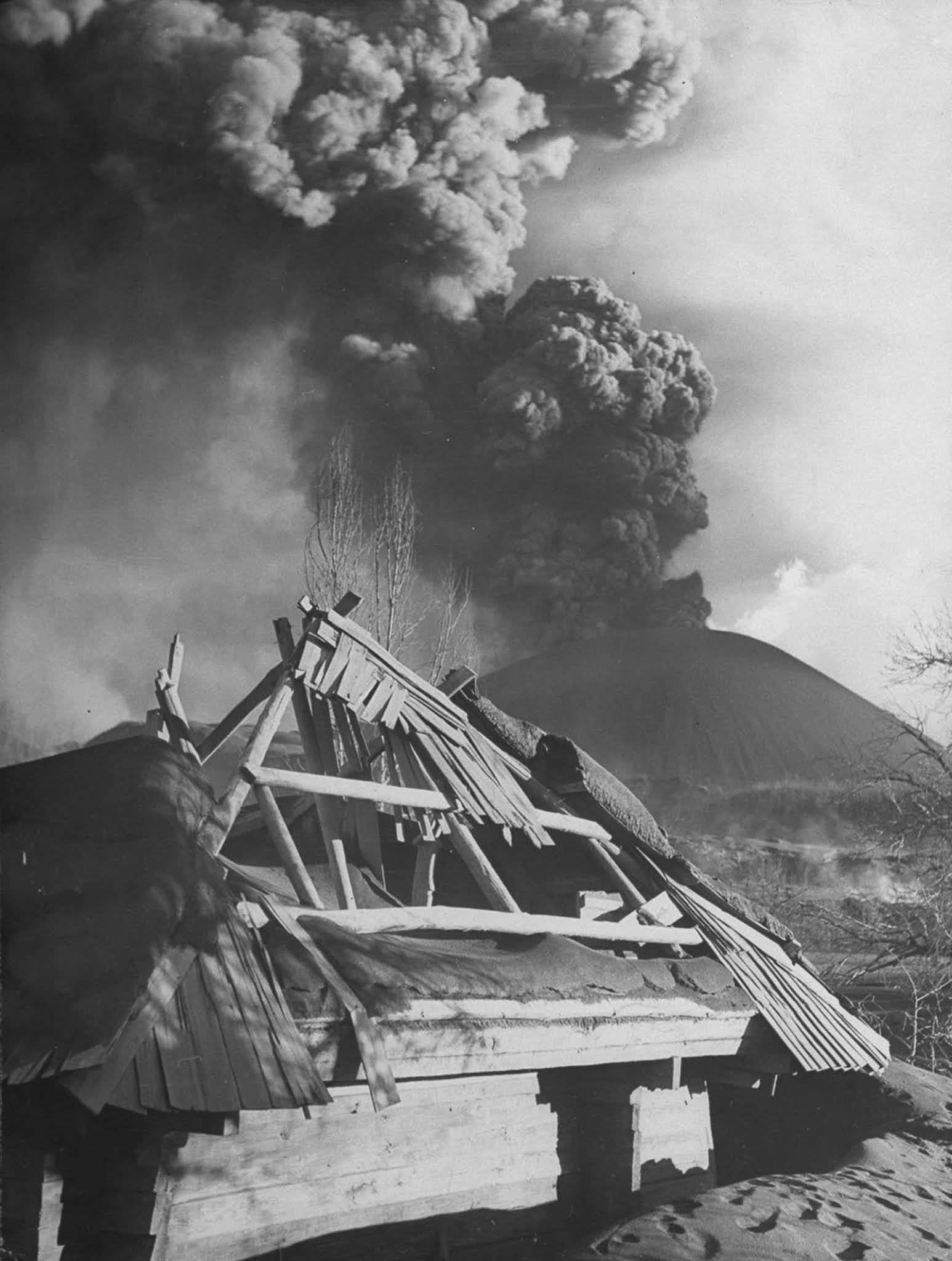
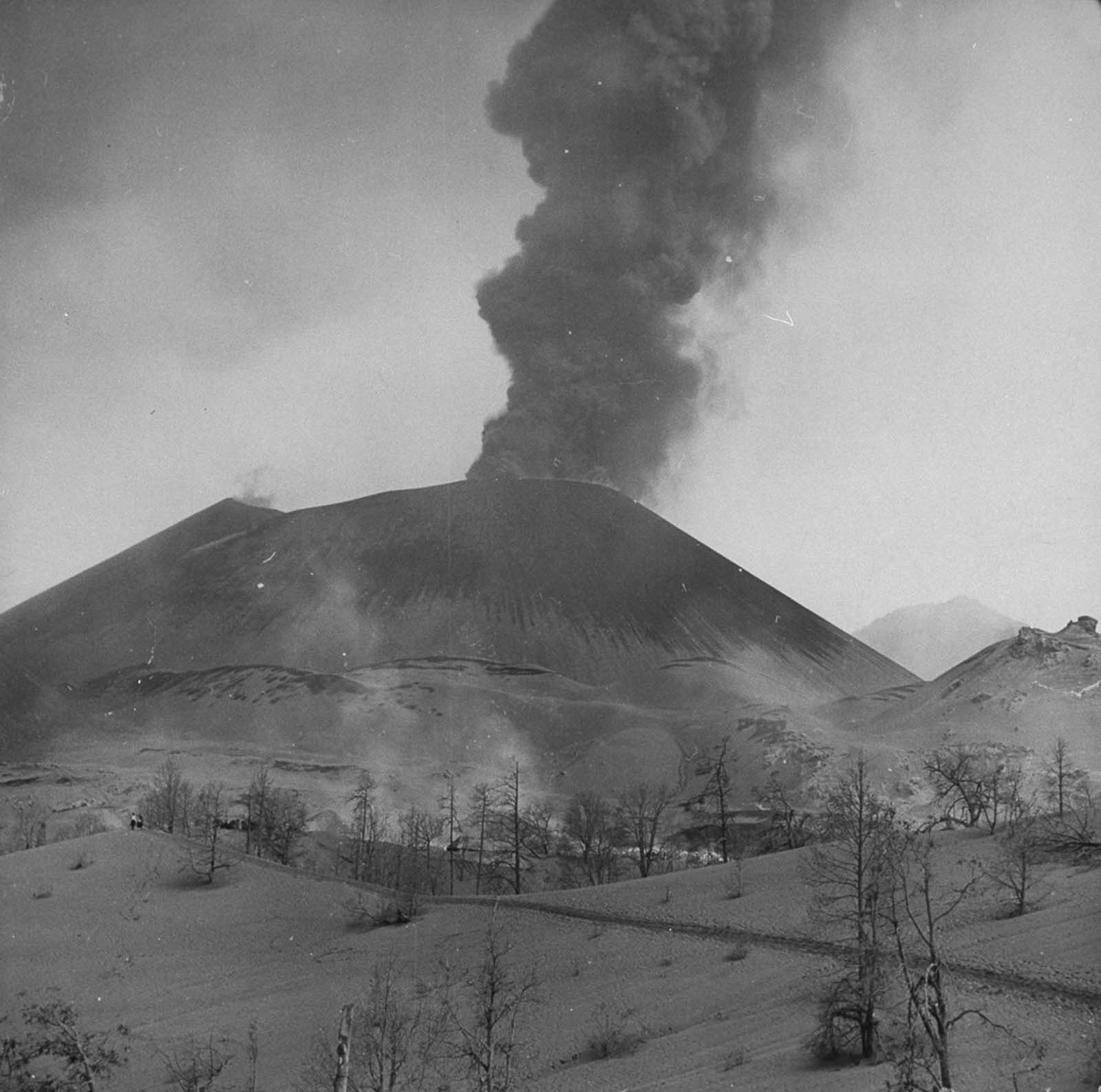
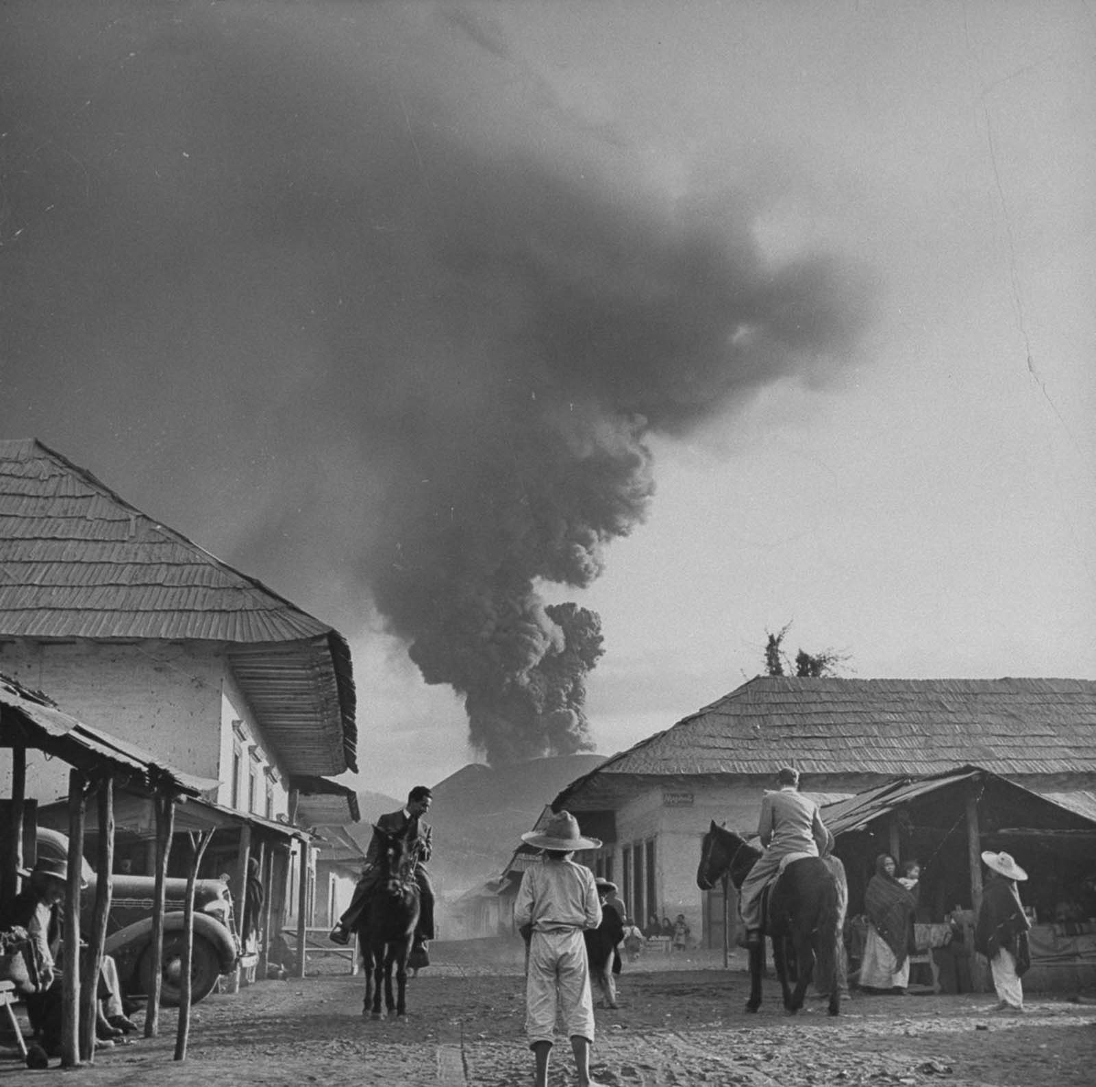
The weight and accumulation of volcanic ash caused serious structural damage across the region. Rooftops collapsed under the load, and buildings that had stood for generations were buried or destroyed.
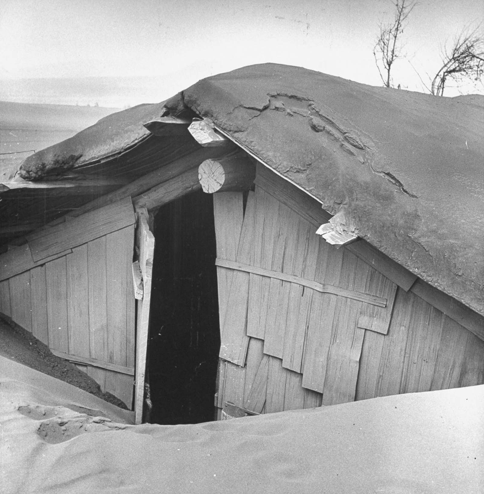
Ash fell in layers thick enough to reshape the landscape entirely. Roads disappeared. Fields that had produced crops for centuries were buried under meters of gray volcanic material.
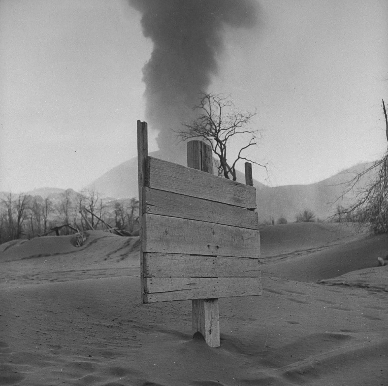
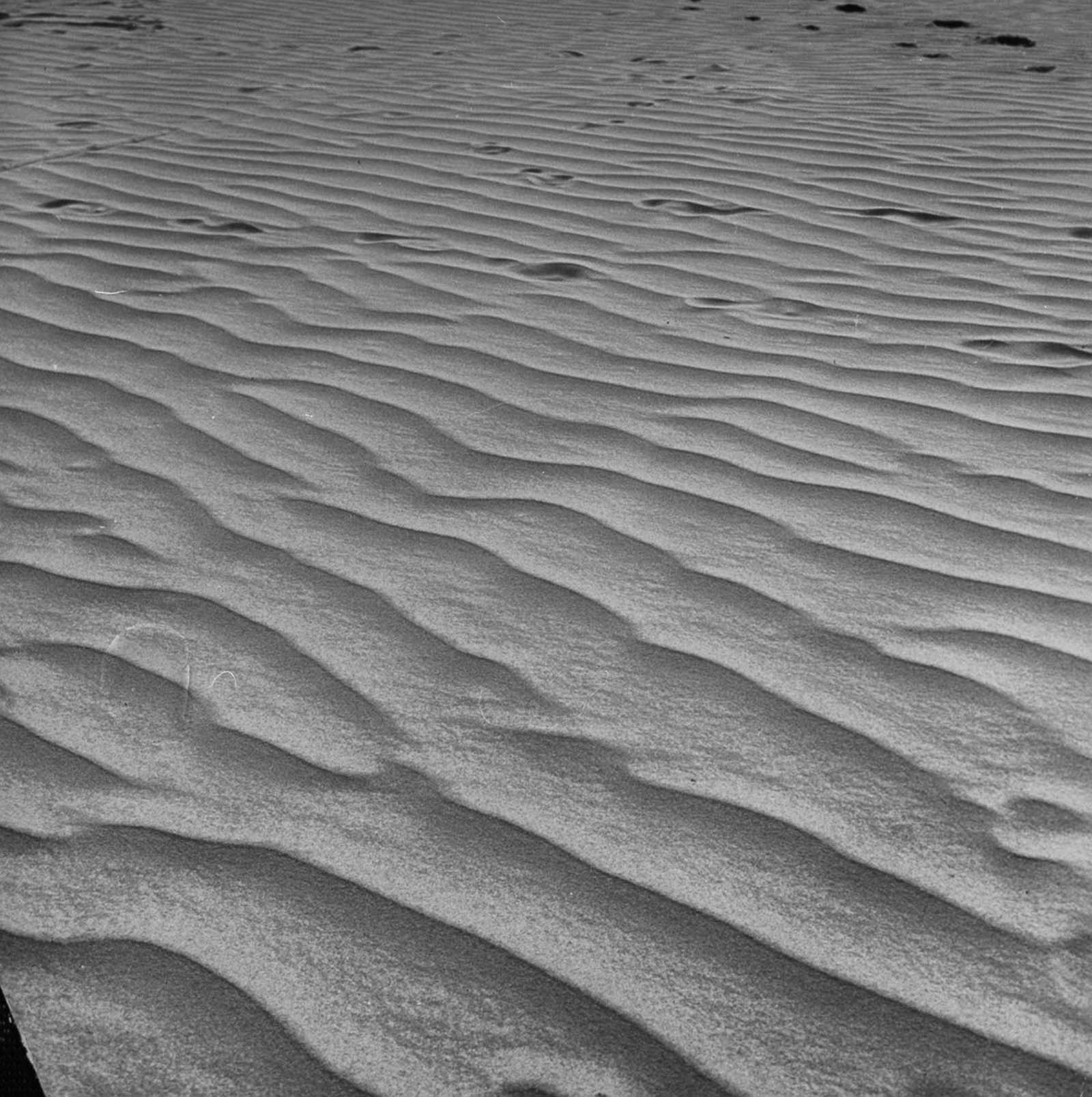
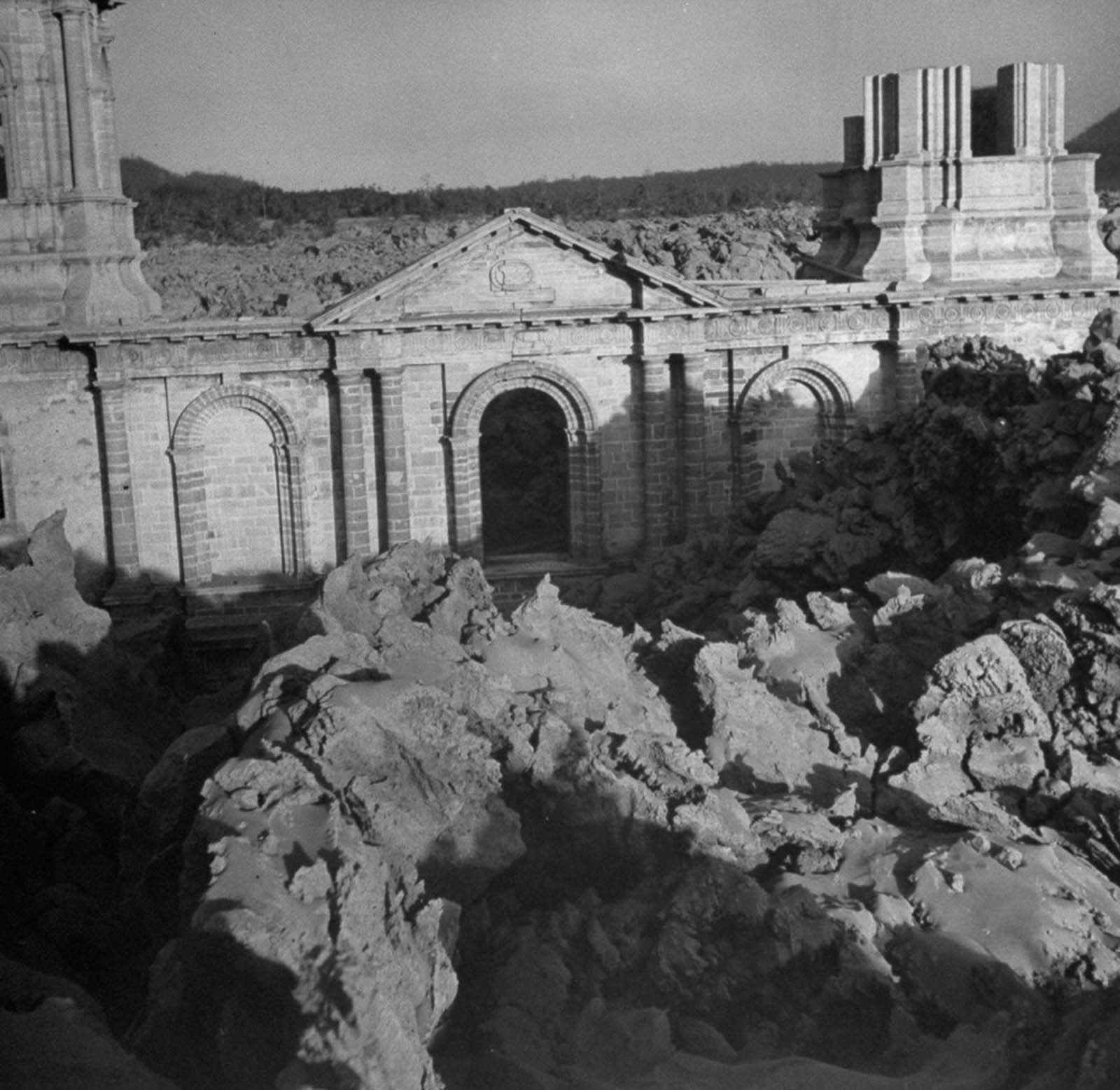
The town of San Juan Parangaricutiro bore the full force of the disaster. Lava flows advanced through the streets and consumed buildings whole. Before the lava arrived, the town had already been choked with ash and cinder. Roughly 7,000 residents were evacuated from both San Juan Parangaricutiro and the neighboring village of Paricutín. No one died directly from the lava flows, but the communities were lost entirely.
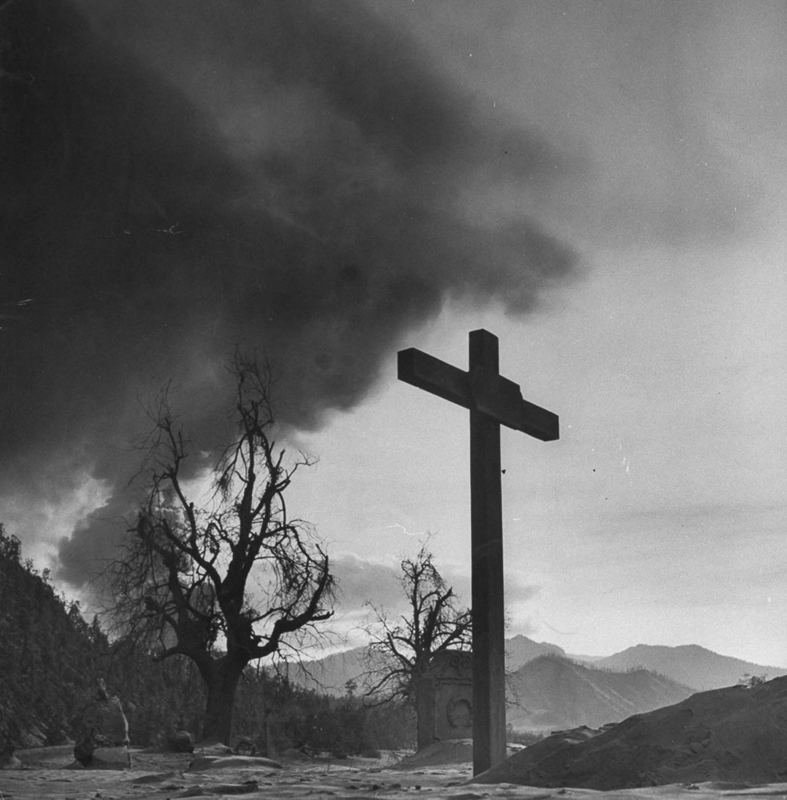
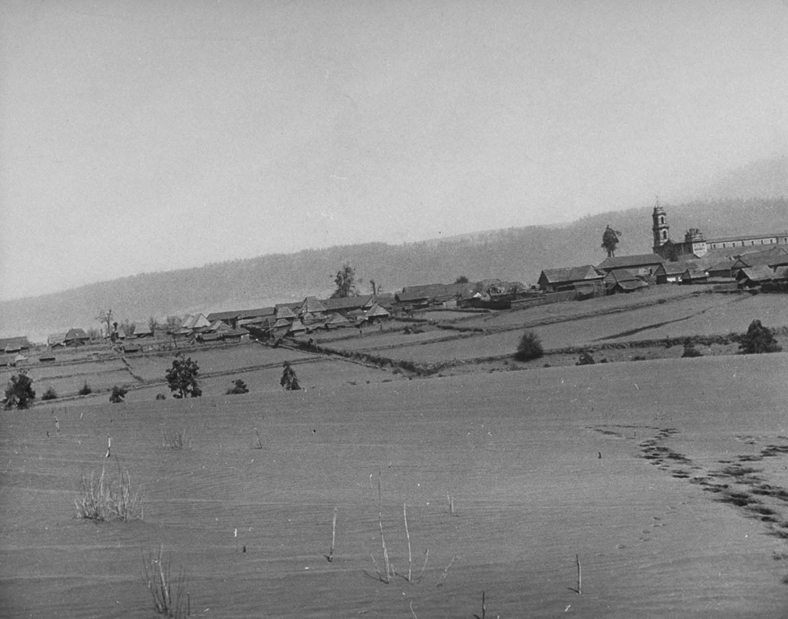
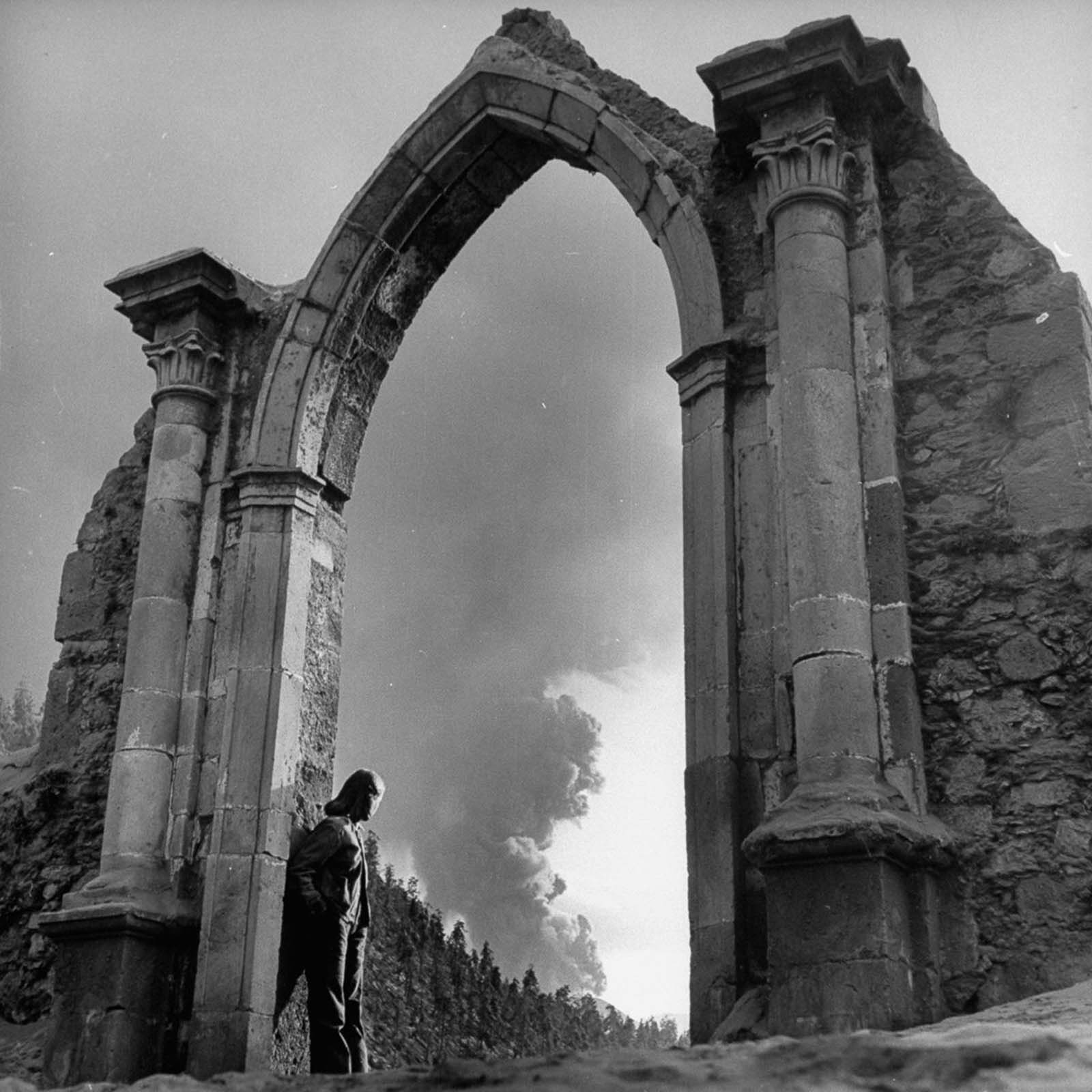
One of the most striking images to come out of the eruption’s aftermath is the church of San Juan Parangaricutiro. The lava that swallowed the town stopped just short of completely consuming the church. Its stone tower and part of its walls remained standing above the hardened lava field — a lone structure rising out of a black, rocky wasteland.
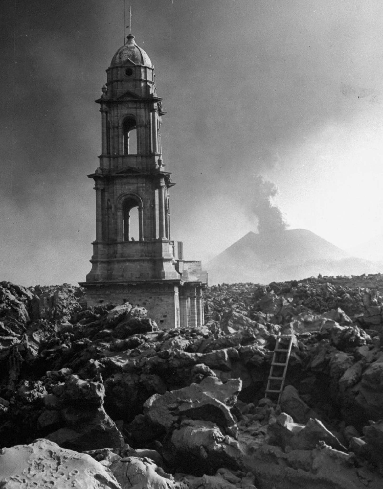
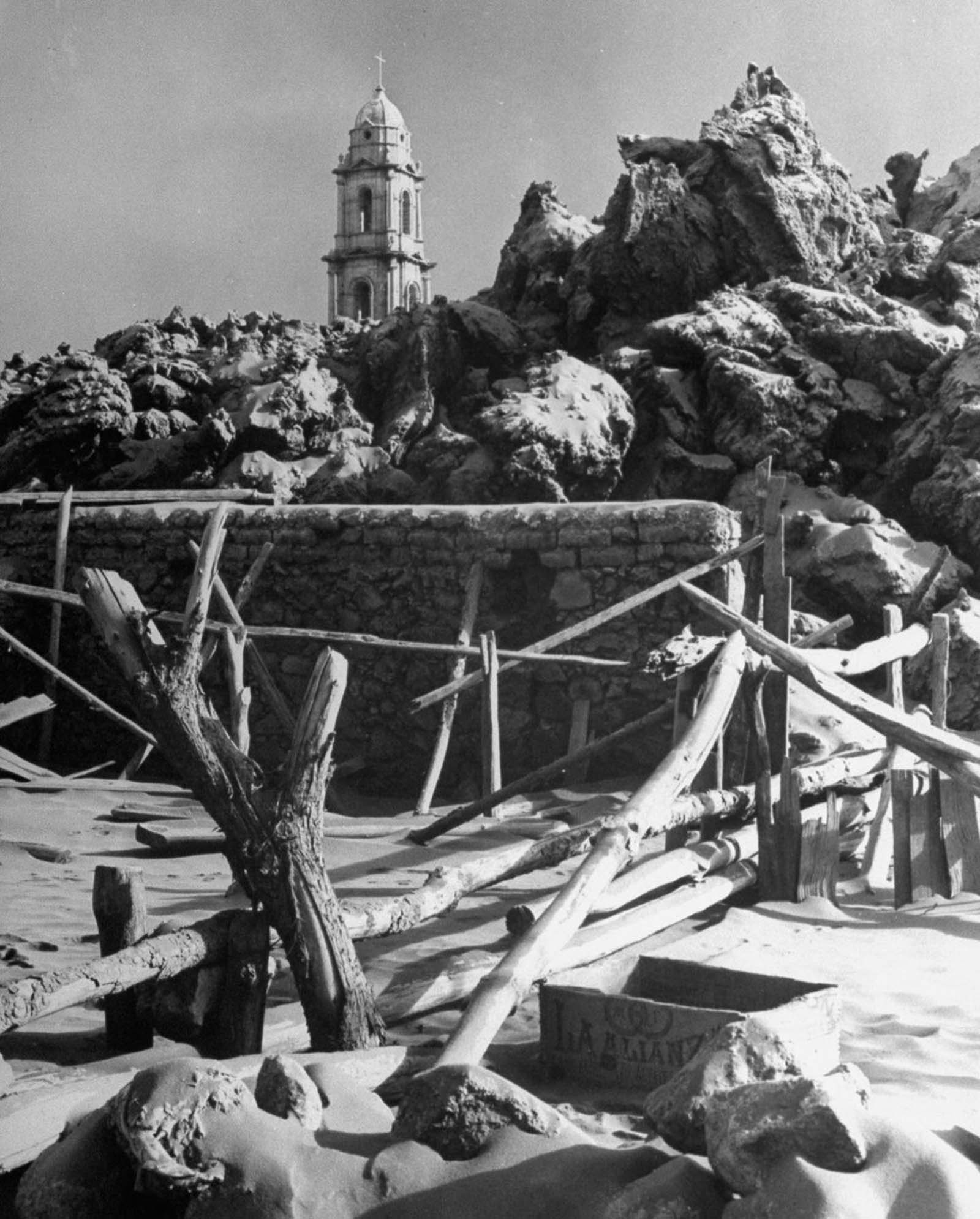
Scientists recognized immediately that Parícutin was a once-in-a-lifetime opportunity. It was one of the first volcanoes in history to be studied from the moment of its birth through its entire active life. Geologists, volcanologists, and photographers arrived from around the world. Over the nine years the volcano remained active, researchers sketched its changing shape, mapped lava flow patterns, collected thousands of rock and ash samples, and produced an enormous photographic record of its activity.
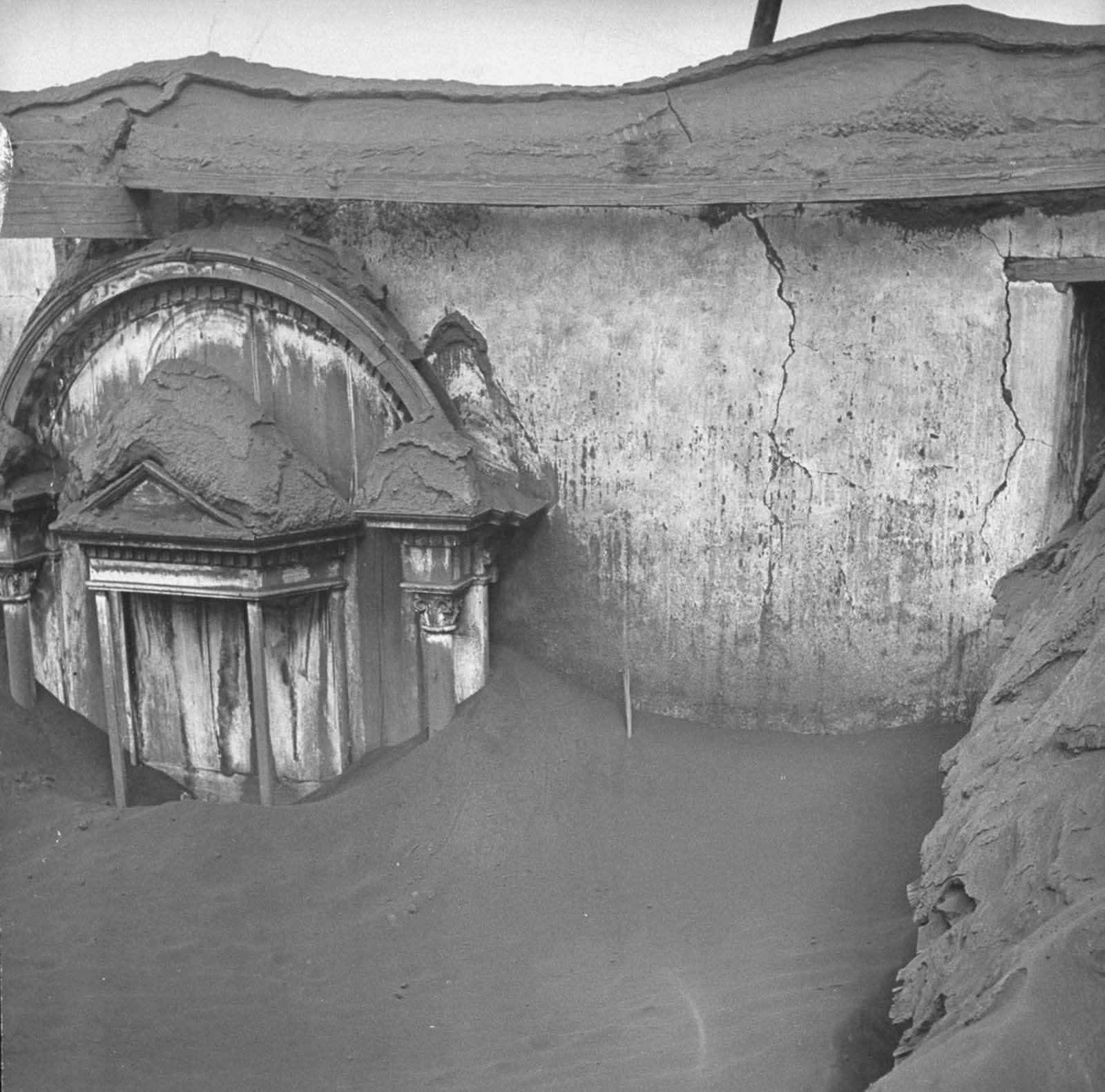
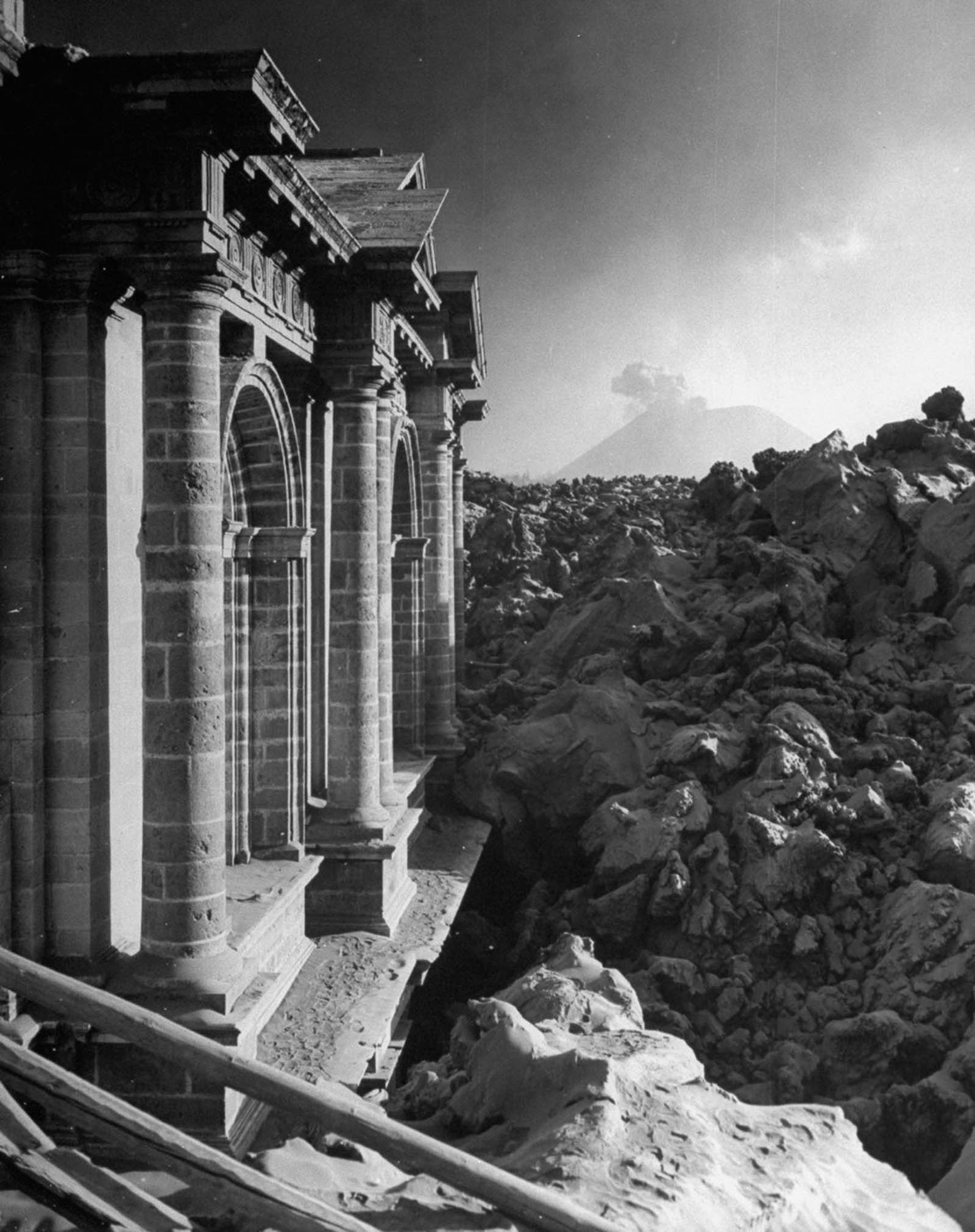
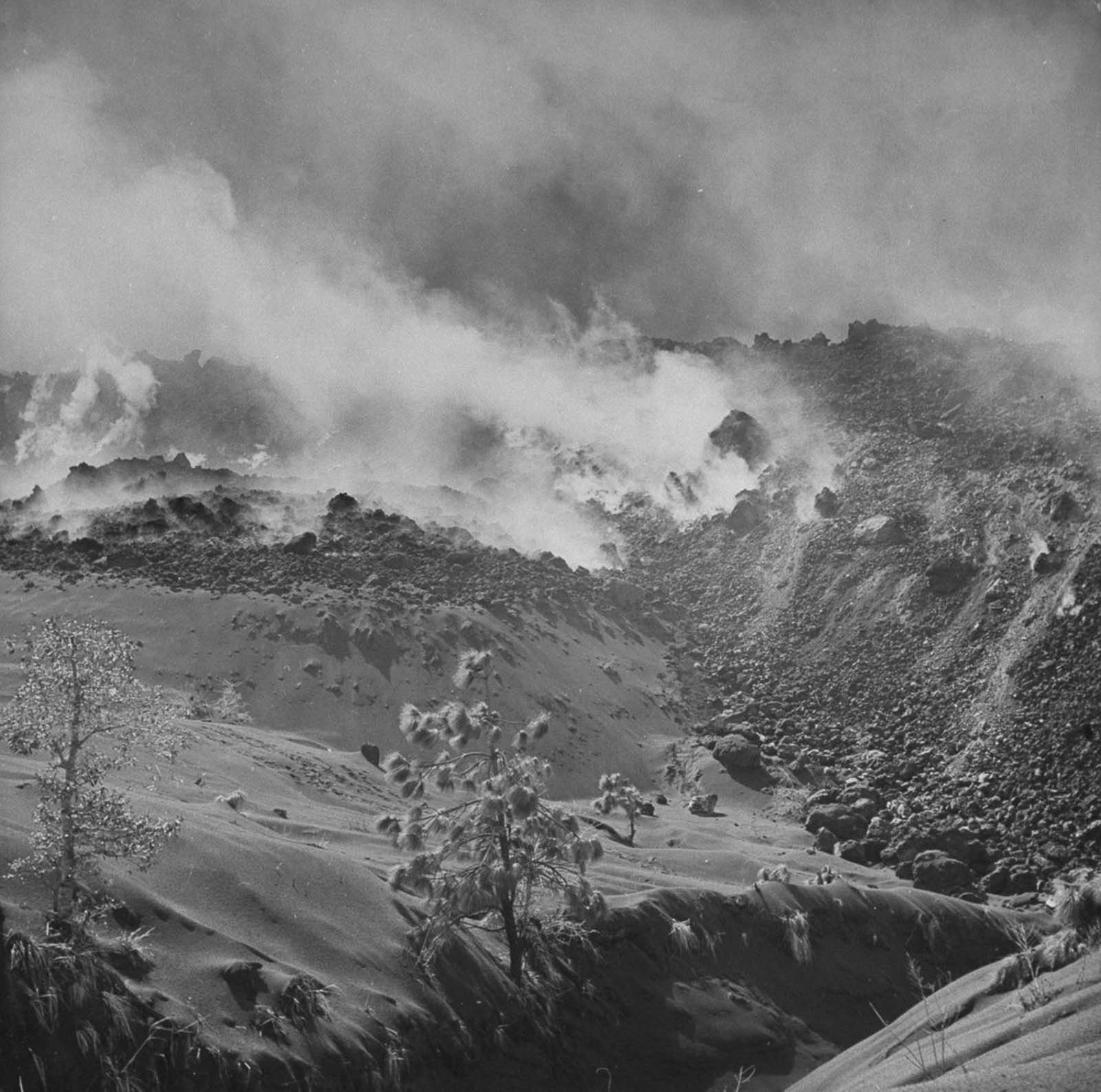
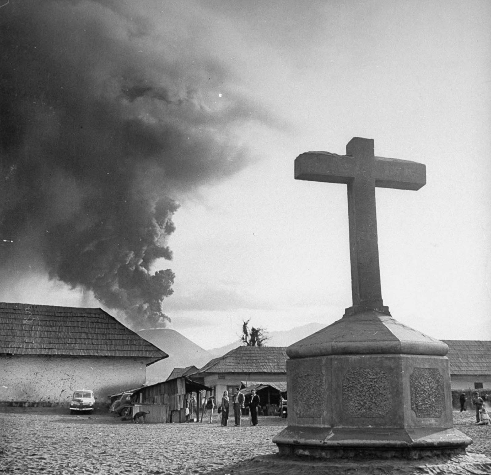
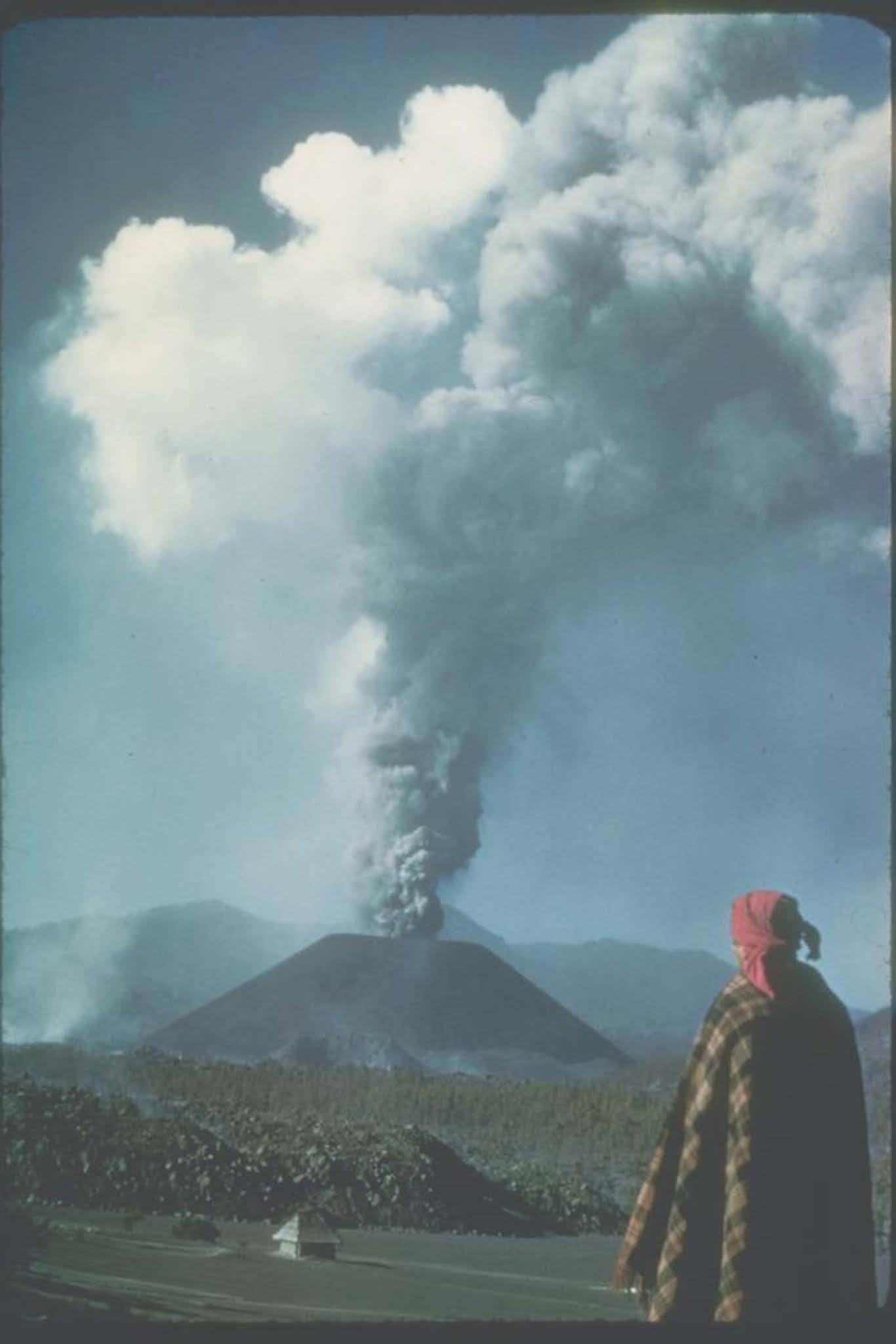
The photographs taken during these years show a volcano in constant transformation. Lava fountains, ash clouds, glowing cinder flows, and the slow but relentless advance of molten rock were all captured on film. The images provide a detailed visual record of how a cinder cone volcano behaves across its entire lifespan.
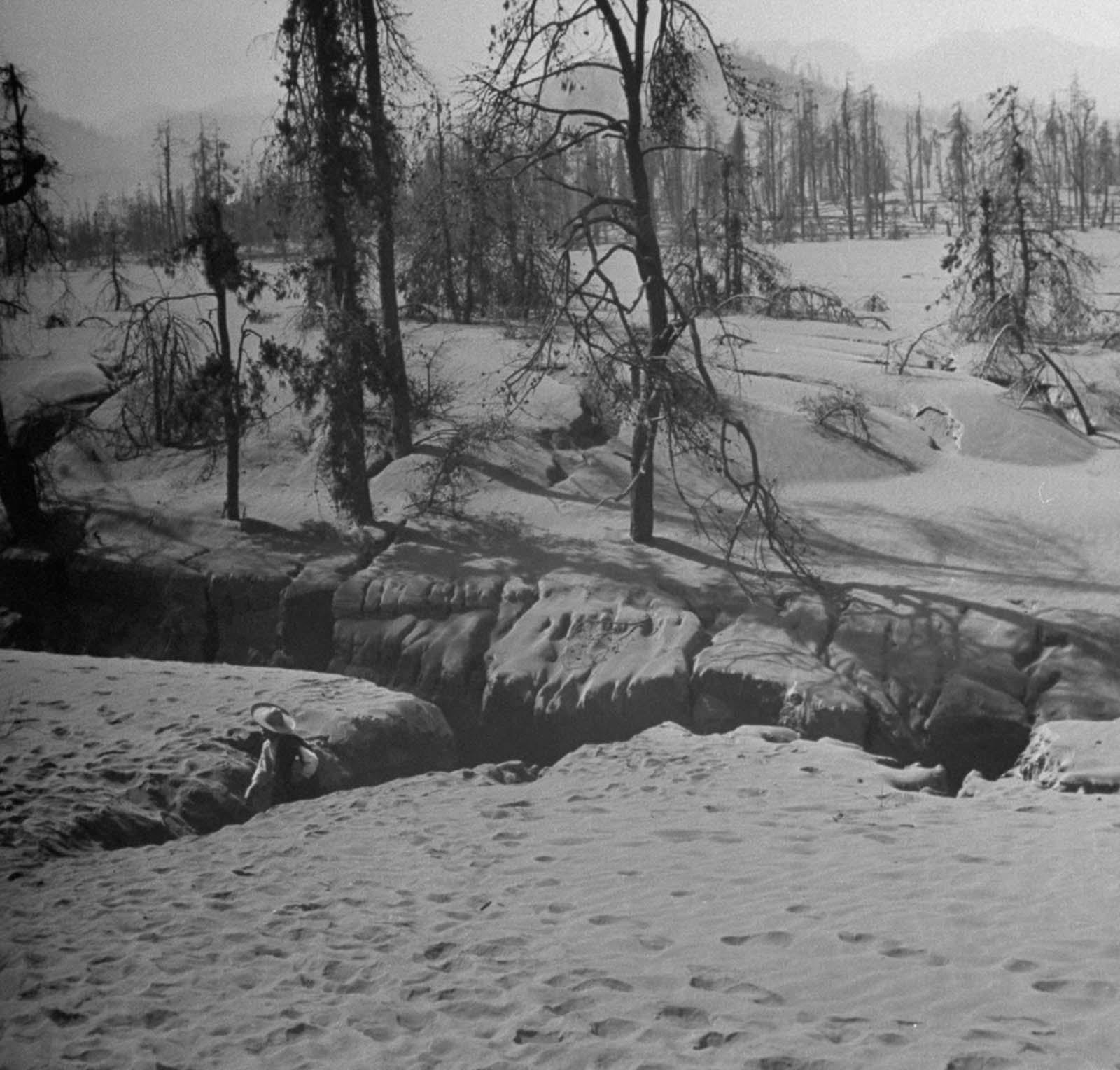
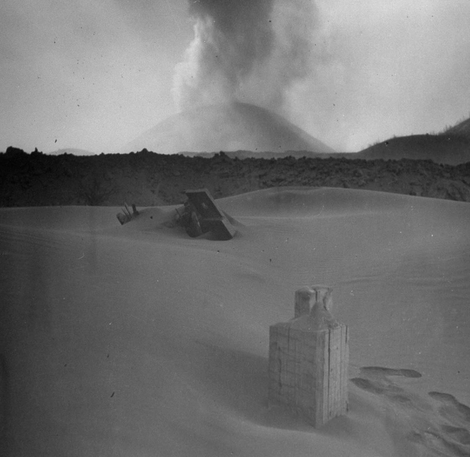
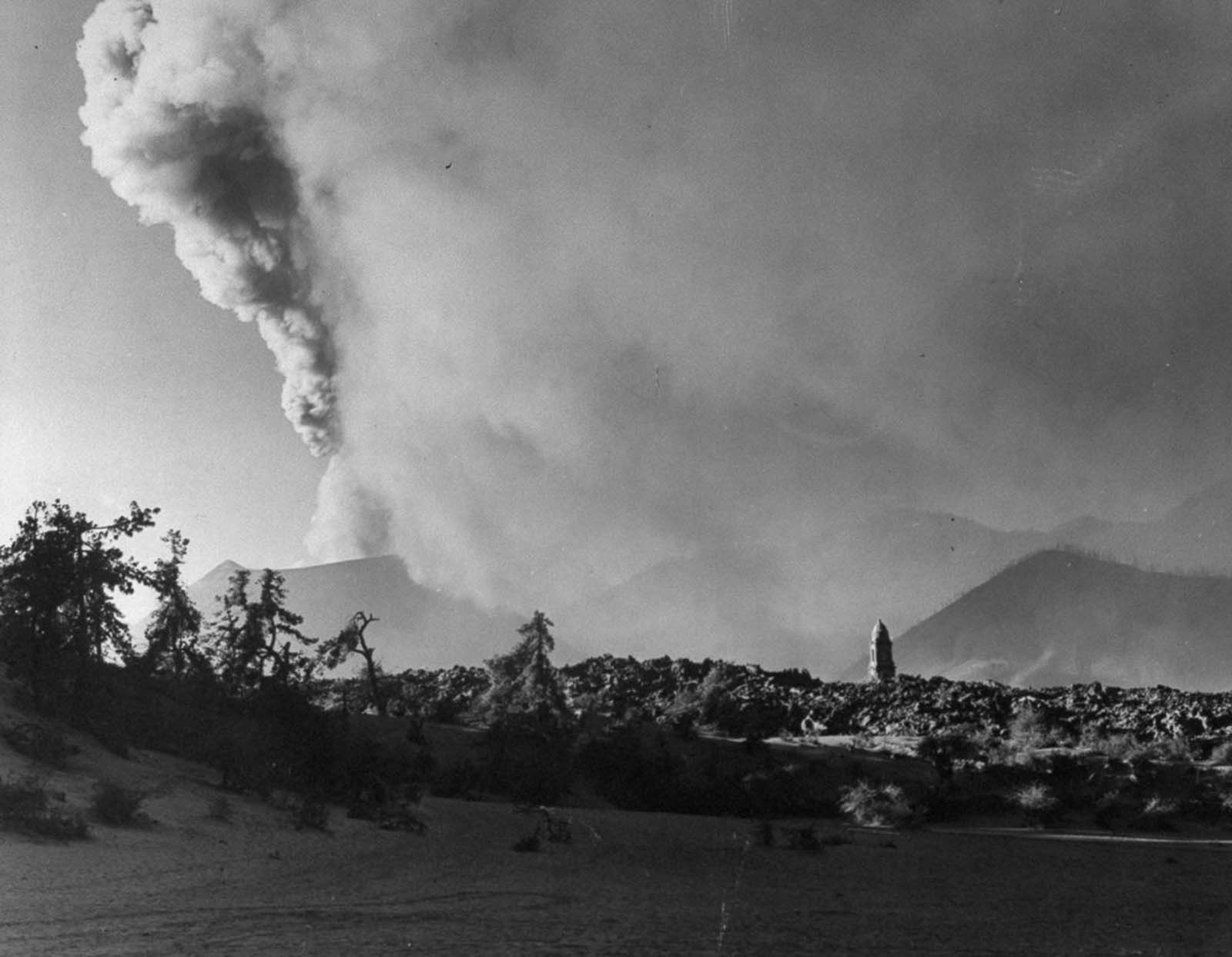
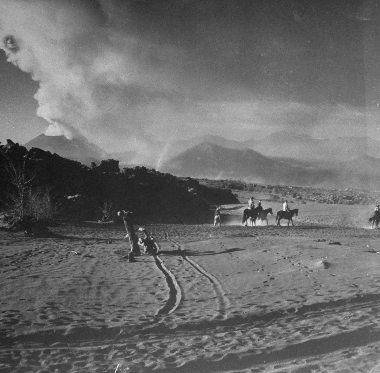
By 1943, the cinder cone was already taking its distinctive shape — a steep-sided mound of loose volcanic rock and debris piled high around the central vent. Cinder cones like Parícutin form quickly compared to other volcano types, which made the speed of its growth especially dramatic to witness and document.
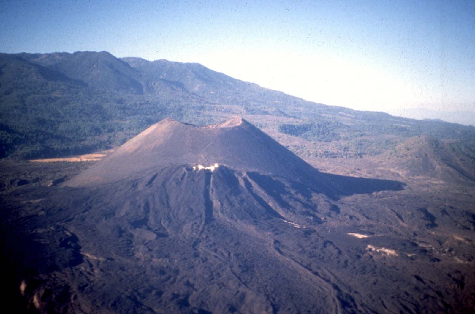
Parícutin went quiet in 1952 after nine years of continuous activity. The cone it left behind stands at roughly 1,391 feet above the original ground level. Decades later, the site remains a stark and striking landscape, with hardened lava stretching across what was once productive farmland and the ruined church tower still visible above it all.





I still remember this story in one of the free textbooks—perfect photos.
Amazing