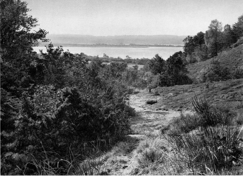
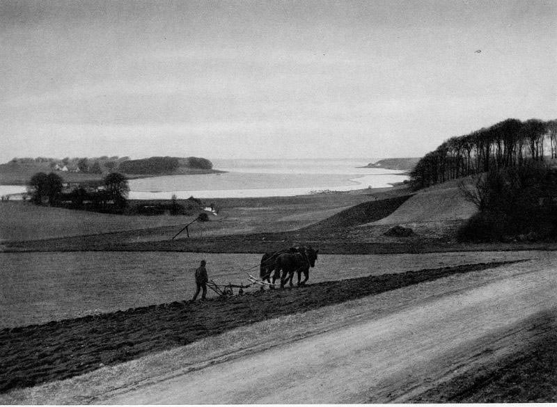
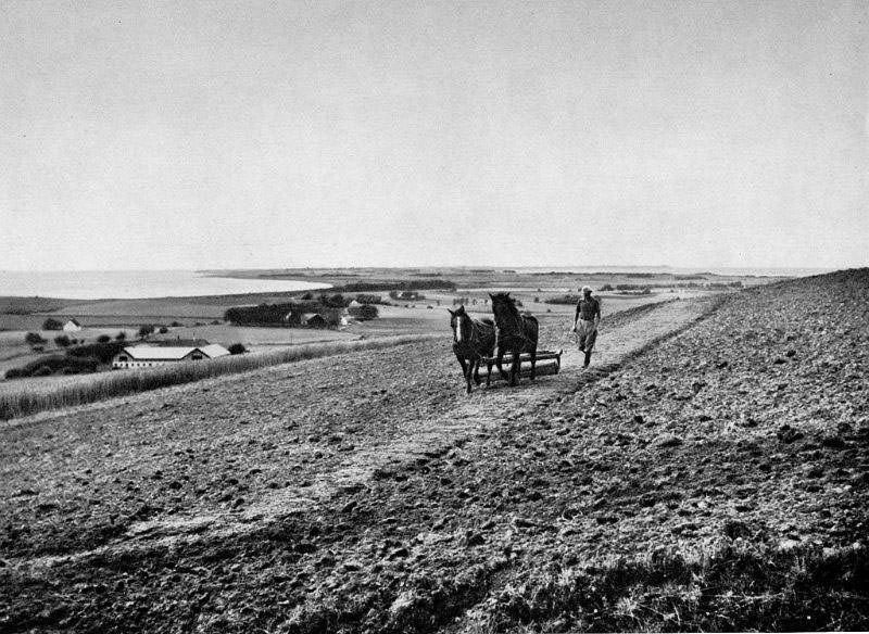
Denmark in the 1930s was a country deeply rooted in its land. Away from the cities, life moved to the rhythm of the seasons — fields were worked by hand and horse, old stone churches marked the center of village life, and ferry inns sat at the water’s edge where roads ran out. These photographs capture that world across five distinct regions: Falster, Lolland, Midtjylland, Møn, and Vestsjælland. Together, they form a detailed portrait of rural Denmark at a time when the modern world had barely touched the countryside.
Falster is a flat, fertile island in south-eastern Denmark, separated from the larger island of Zealand by the Guldborg Sound. In the 1930s, its villages were small and quiet, surrounded by farmland that stretched to the horizon. The island’s churches were some of its oldest landmarks, many dating back to the medieval period and still serving their communities centuries later.
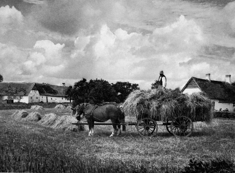
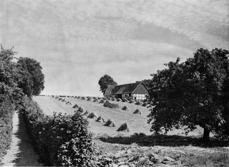
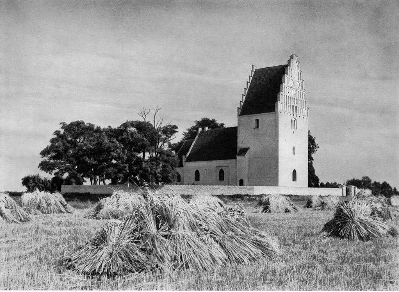
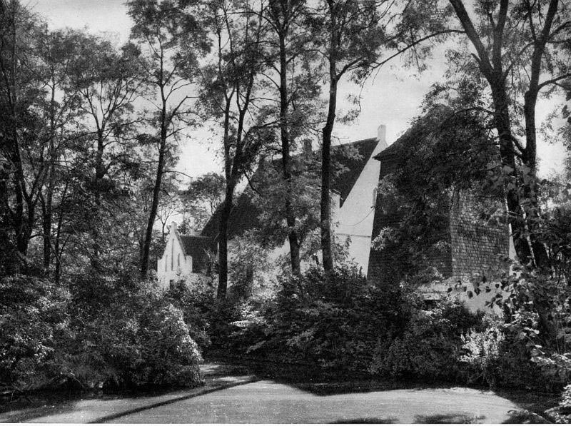
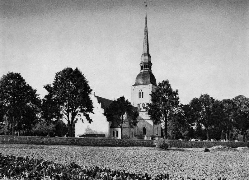
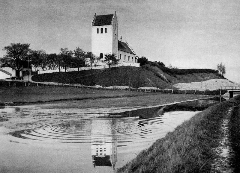
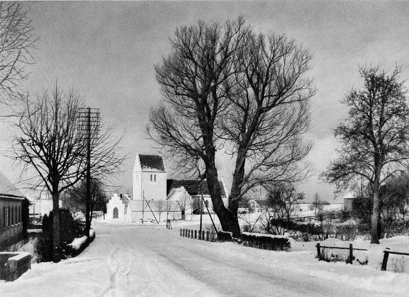
The churches of Falster were not simply places of worship — they were the architectural anchors of their villages. Nørre Vedby Kirke and Stadager Kirke both stood as whitewashed Romanesque structures typical of the Danish countryside, their stepped gables visible from the surrounding fields. These buildings had watched over their communities for hundreds of years by the time these photographs were taken.
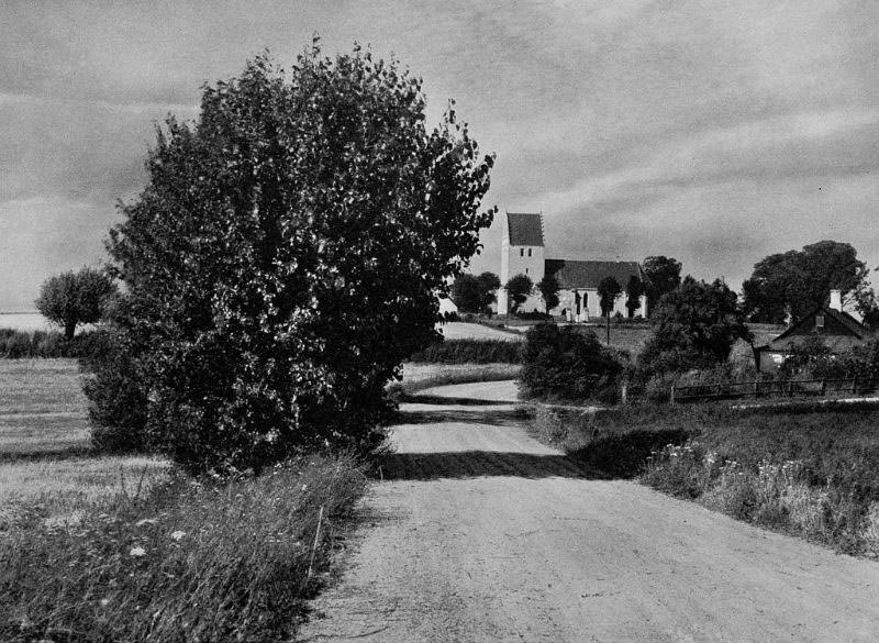
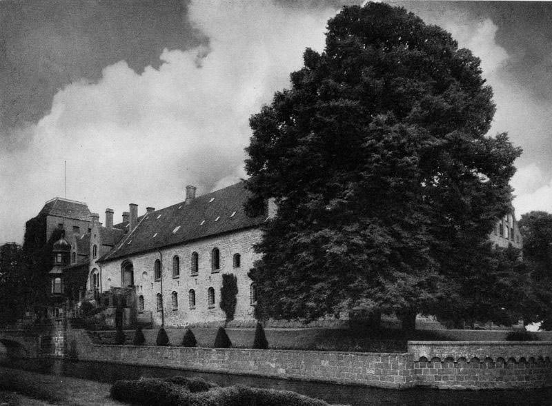
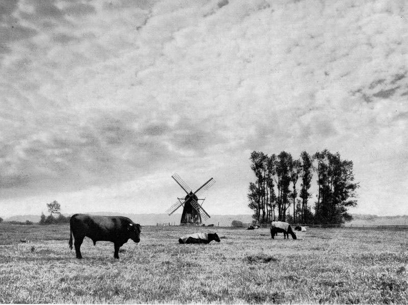
Lolland, the fourth largest island in Denmark, sits in the Baltic Sea as part of Region Sjælland. Its low-lying landscape made it ideal for agriculture, and sugar beet farming had become one of its main industries by the early twentieth century. The island also had its share of manor houses, old mills, and small waterways that gave the land its particular character.
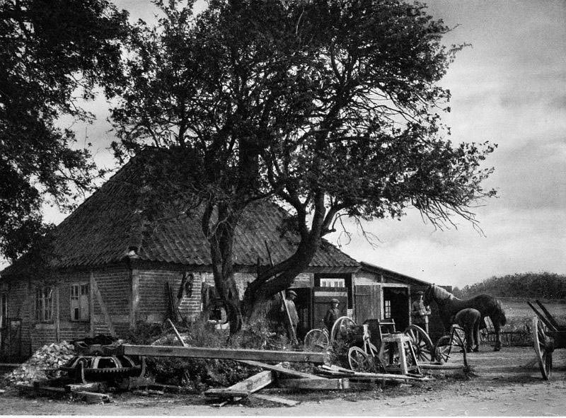
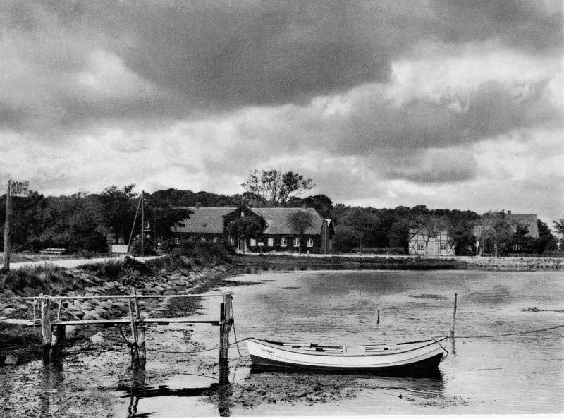
Den Gamle Smedie — the old smithy — represents a trade that was essential to every rural community. A blacksmith’s forge was where farm tools were made and repaired, horseshoes were fitted, and iron hardware for wagons and buildings was produced. Without it, agricultural work would have ground to a halt. Nearby, the ferry inn at Guldborg served travelers crossing the sound, offering food and rest at one of the region’s busiest water crossings.
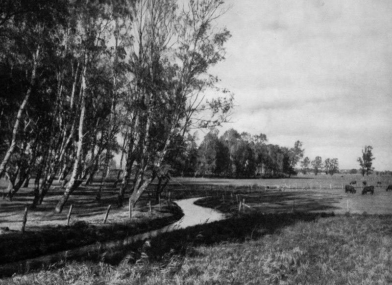
Lolland’s waterways were a defining feature of the island. Halsted Å wound through the landscape as a slow, reed-lined river, while Maribo Sø — the lake at the center of the island’s main town — was one of the region’s most scenic spots. The lake sat beside the ruins of Maribo Cathedral, a reminder of the medieval monastic history that shaped so much of Denmark’s rural geography.
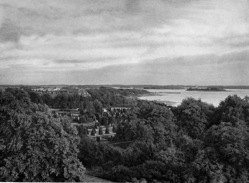
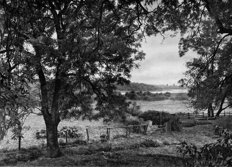
Central Denmark — Midtjylland — offers a very different landscape from the flat islands of the south. Here, the terrain rolls into heathland, lakes, and forested hills. This region includes the Danish Lake District, a stretch of glacially carved land filled with water and woodland. In the 1930s, much of this area remained sparsely populated, with small farms and villages set among the hills.
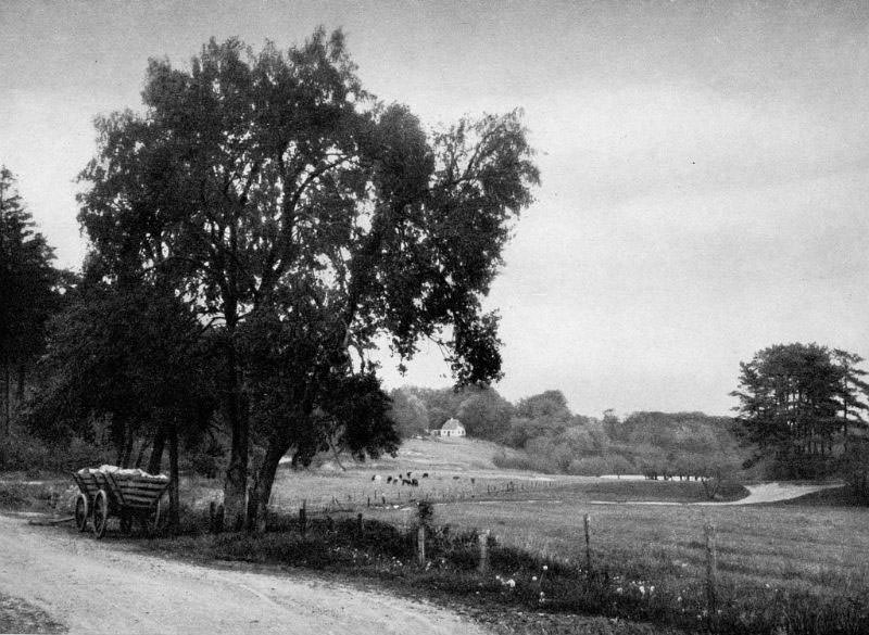
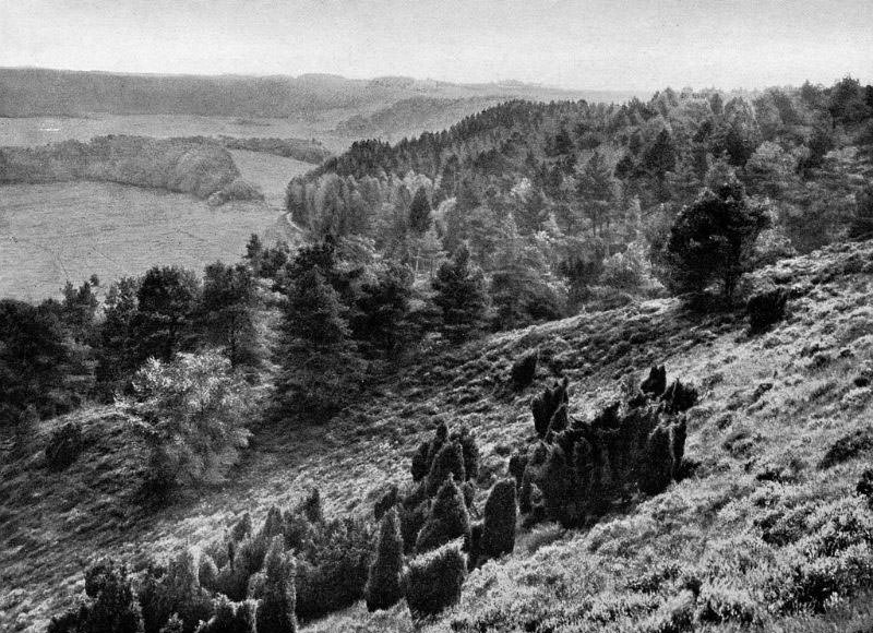
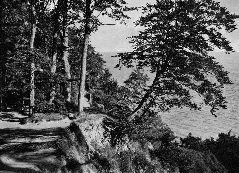
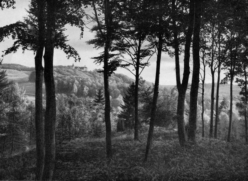
Dronningstolen — the Queen’s Chair — is a hilltop viewpoint near Silkeborg that offers a panoramic view over the lakes and forests below. Hald, another landmark in the region, was the site of a ruined medieval castle on a promontory overlooking Hald Lake. These were not just scenic spots; they were places that had played roles in Danish history for centuries before these photographs were made.
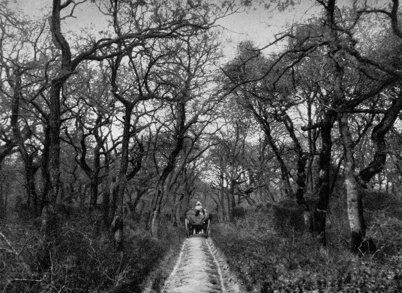
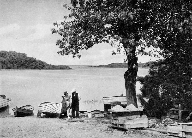
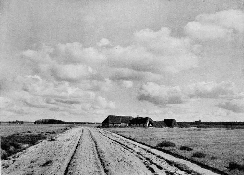
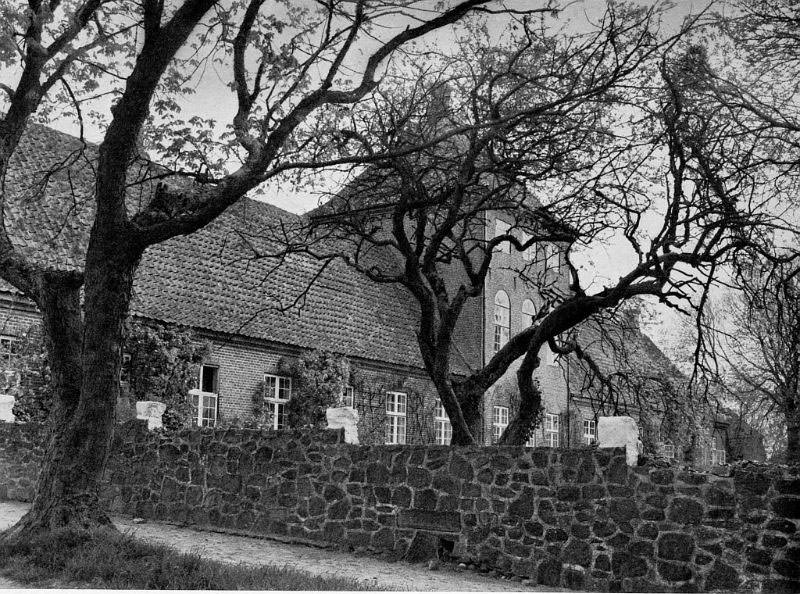
The lakes of Midtjylland — Knudsø, Flyndersø, and others — were connected by rivers and surrounded by dense mixed forest. Krabbesholm, a manor estate near Skive by the Limfjord, and Lynderupgaard, another historic estate further north, show the role that landed gentry still played in shaping the countryside. These estates controlled large areas of farmland and provided employment to the surrounding villages.
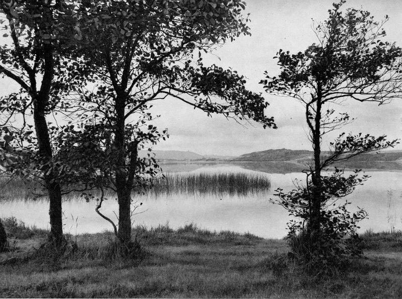
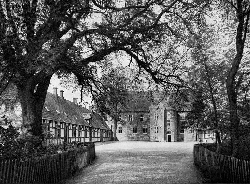
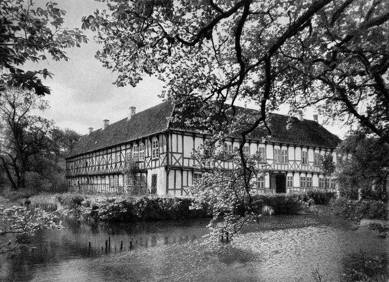
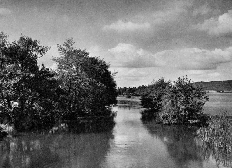
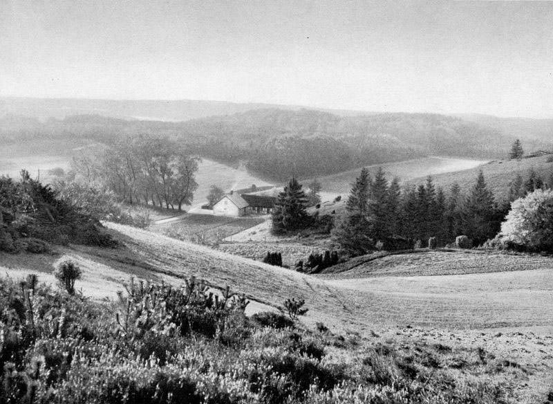
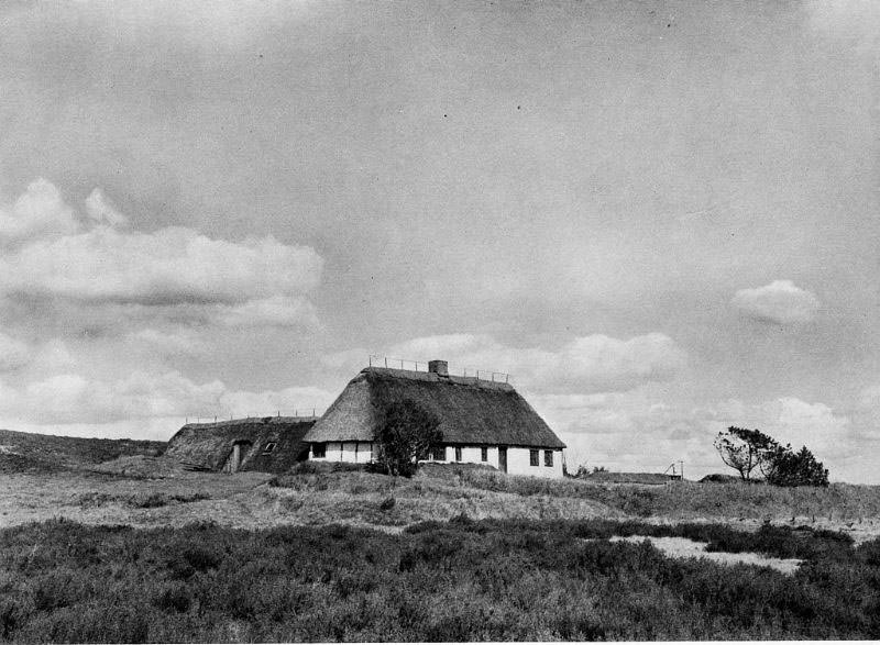
The forests of Rye Sønderskov and the open heathland of Stavlundhede show the range of terrain found across Midtjylland. The Svejbæk ferry inn, like its counterpart at Guldborg in Lolland, was a gathering point for locals and travelers alike — a place where a boat crossing meant a pause in the journey and a chance for a meal. Vorde Galgahøj, a burial mound near Viborg once used as a gallows site, is a darker reminder of older forms of justice carried out in the open landscape.
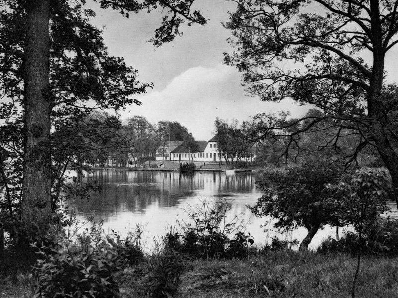
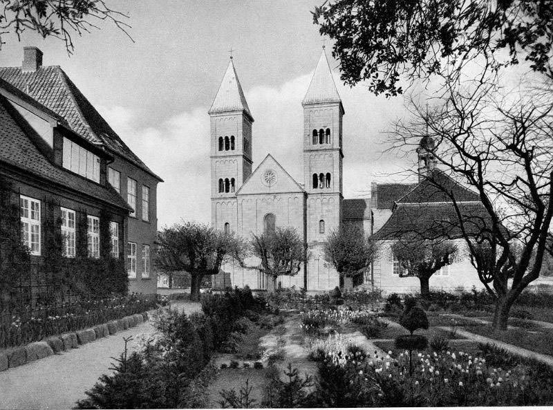
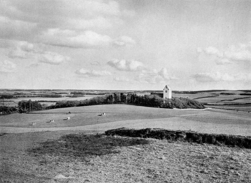
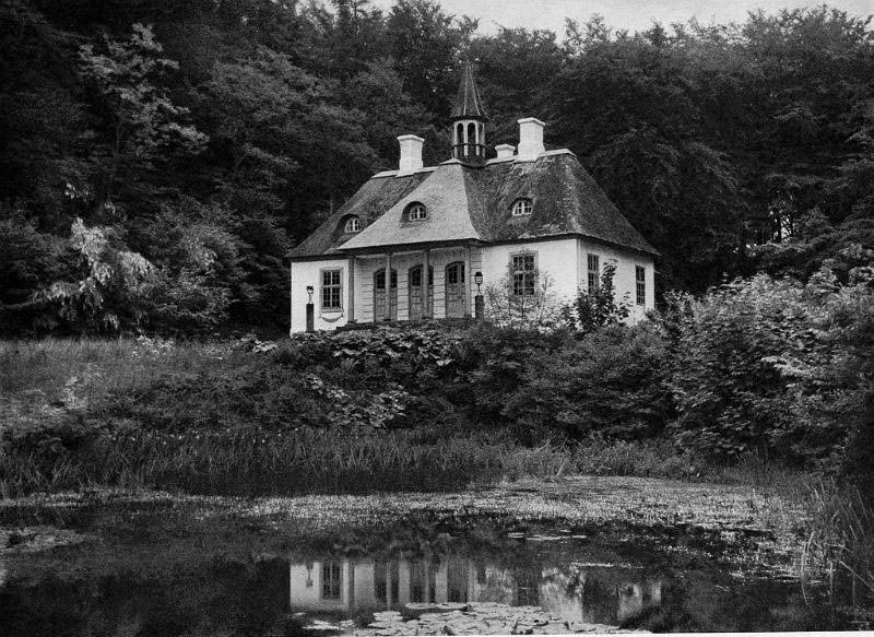
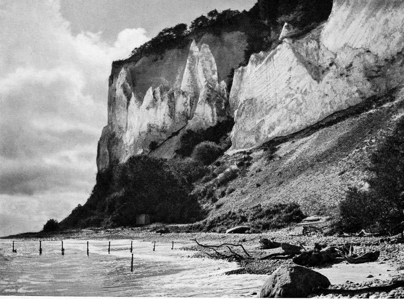
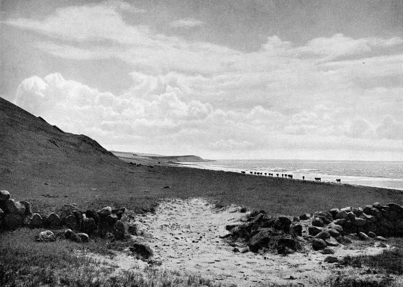
Møn is a small island in south-eastern Denmark, best known for Møns Klint — a dramatic stretch of white chalk cliffs rising above the Baltic Sea. The cliffs and the ancient beech forest of Klinteskoven that runs along their top give Møn a character unlike anywhere else in Denmark. Liselund Slot, a small neoclassical manor set within a landscaped park on the island, was built in the late eighteenth century and remained one of the most elegant rural retreats in the country.
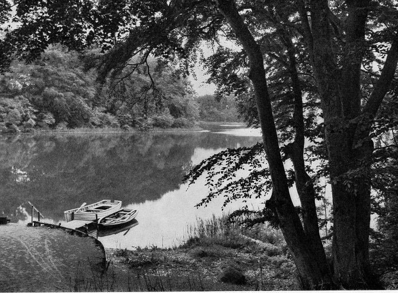
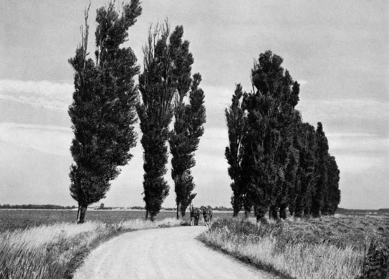
Vestsjælland — West Zealand County — covers the western part of the large island of Zealand. Its coastline along the Isefjord and the Kattegat was dotted with small fishing villages and narrow peninsulas. Rørvigs sandy shores and the headland of Sjællands Odde marked the northernmost points of the county, while inland the landscape was agricultural — fields, manor estates, and market towns connected by unpaved roads.
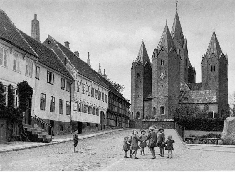
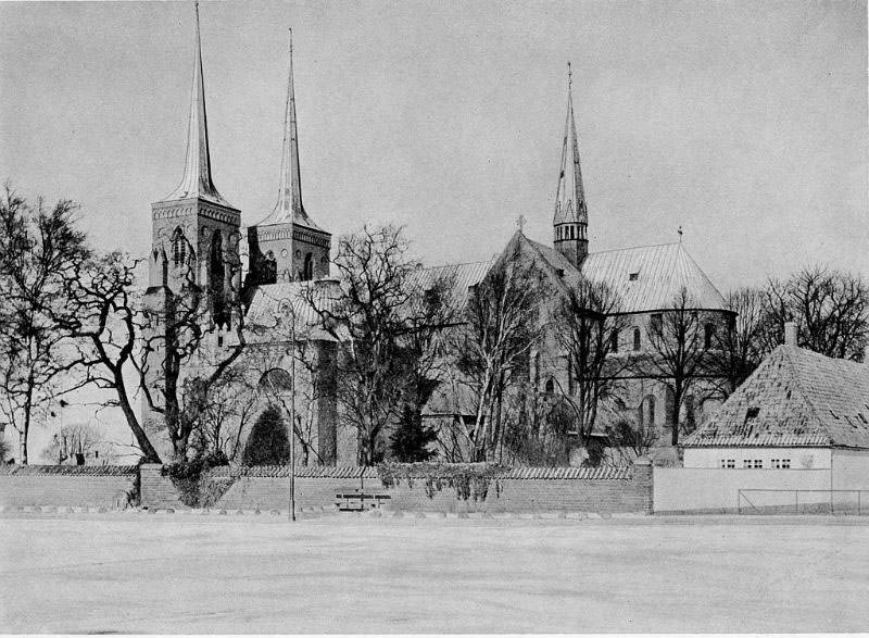
Kalundborg was one of the most historically significant towns in the region, home to the medieval Vor Frue Kirke — a five-towered church that remains one of the most unusual structures in Denmark. Roskilde Domkirke, the great cathedral of Roskilde, had served as the burial church for Danish royalty for centuries. Both buildings stand as reminders that Vestsjælland was never purely a rural backwater — it was deeply woven into Denmark’s national history.
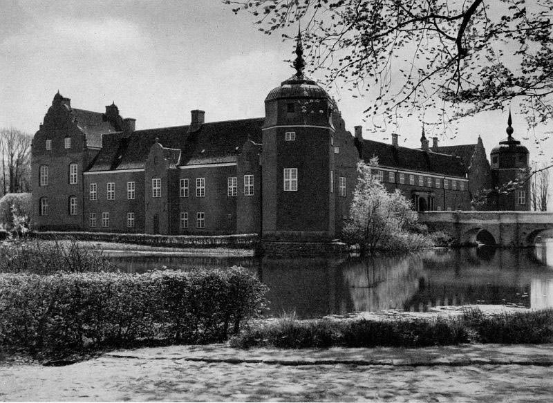
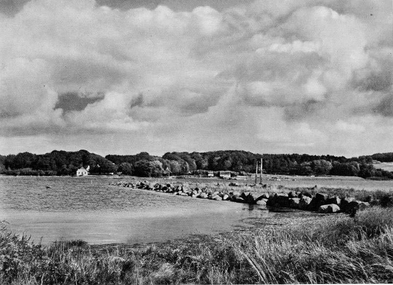
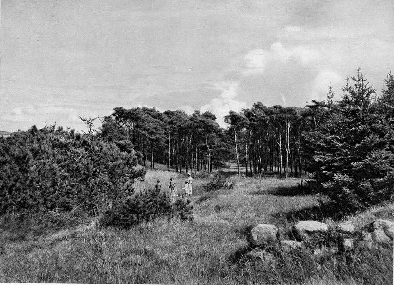
The coastal spots of Vestsjælland — Raklev, Rørvig, Sejkøbugten, and Sjællands Odde — show a quieter side of the region. Fishing boats were hauled onto gravel beaches, and the water defined daily life just as much as the fields did inland. Løvenborg manor and the estate at Lumbsaas represent the landowner class that still held considerable influence across the countryside in this era.
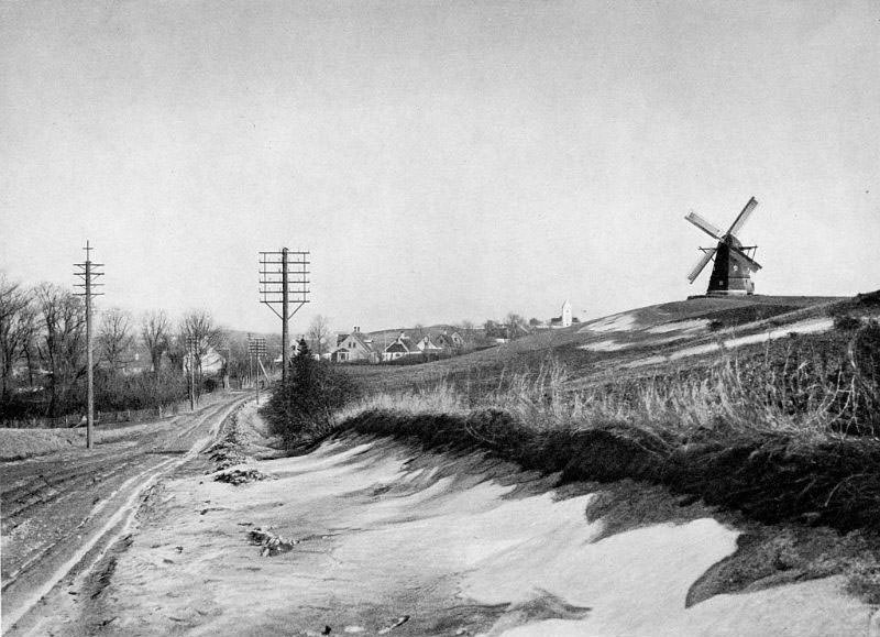
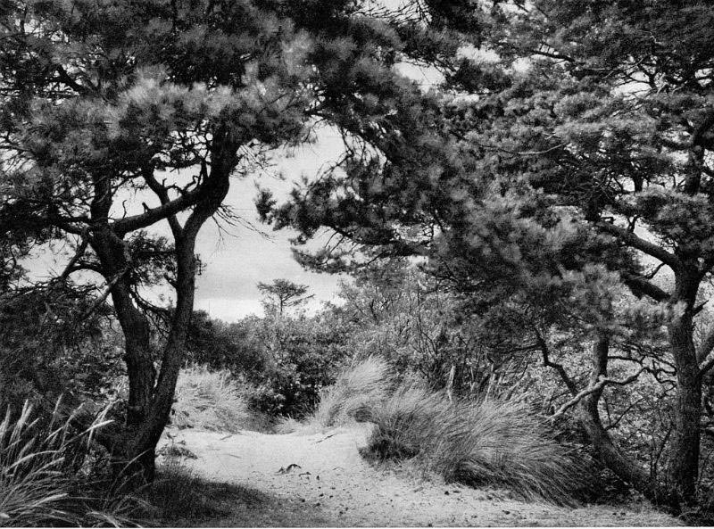
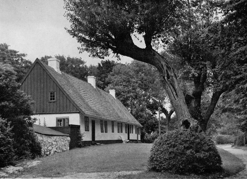
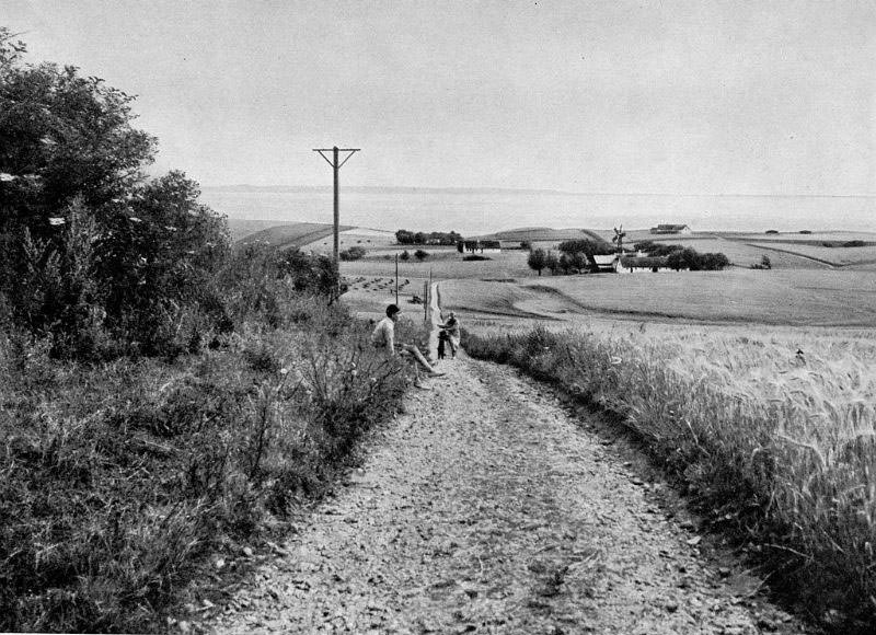
Alling Bakker, a range of low hills back in Midtjylland, rounds out this visual survey of the Danish countryside. Across all five regions, the photographs share a common quality: they show a way of life built around specific places — a particular bend in a river, a church that has stood for eight hundred years, a ferry crossing that has connected two banks of water since anyone can remember. The details are local, but together they add up to a full picture of rural Denmark in the 1930s.