
Chicago in the 1970s was a city caught between its past and its future. The downtown core was less dense than it is today, and neighborhoods like River North still had large stretches of low-rise buildings and open lots. Crime rates were high across many parts of the city, and visible homelessness was common on the streets. At the same time, massive construction projects were reshaping the skyline, old warehouses were being torn down, and new high-rises were rising in their place. The city was loud, gritty, and alive — and a remarkable set of photographs captured all of it.
Every image in this collection was taken by Charles William Brubaker, an architect who worked at the Chicago-based firm Perkins & Will from 1950 until 1998. Brubaker walked the city’s streets with a camera and documented what he saw — not as a professional photographer, but as someone who paid close attention to the built environment around him. His photos span the full decade, from 1970 to 1978, and cover neighborhoods from the lakefront to the far South Side. Michigan Avenue in its early days as a commercial strip looks very different from what visitors see today, and these images make that contrast impossible to miss.
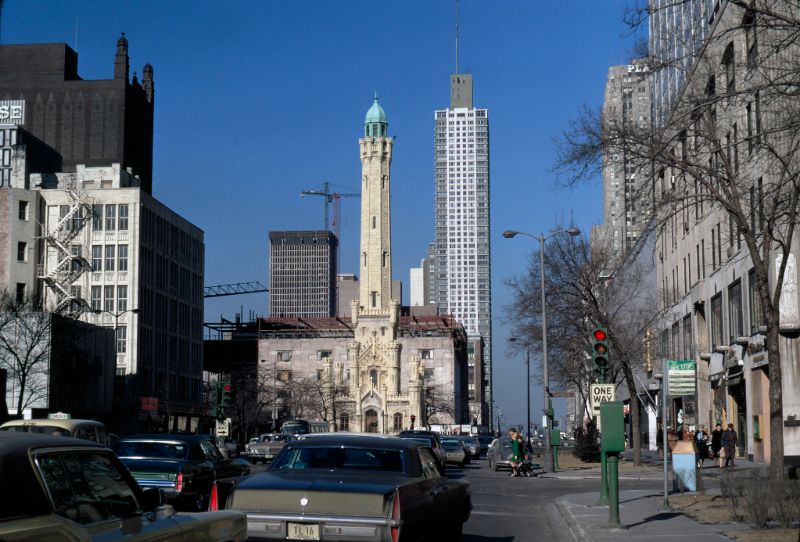
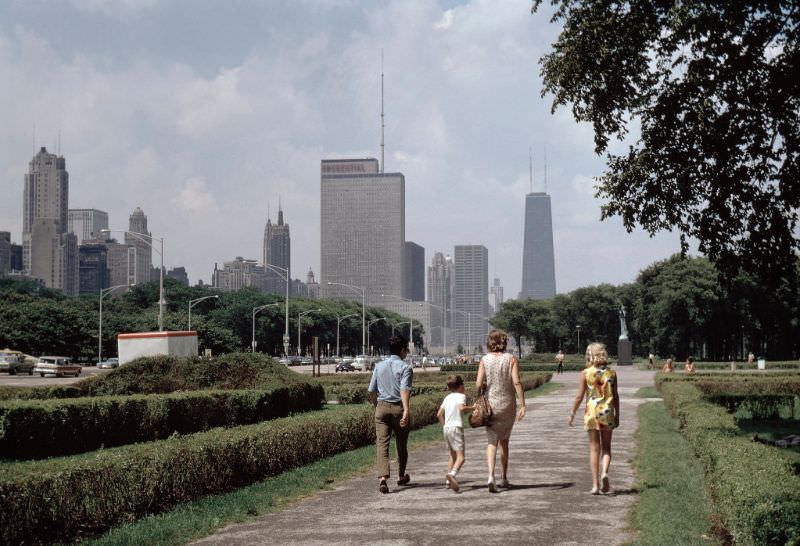
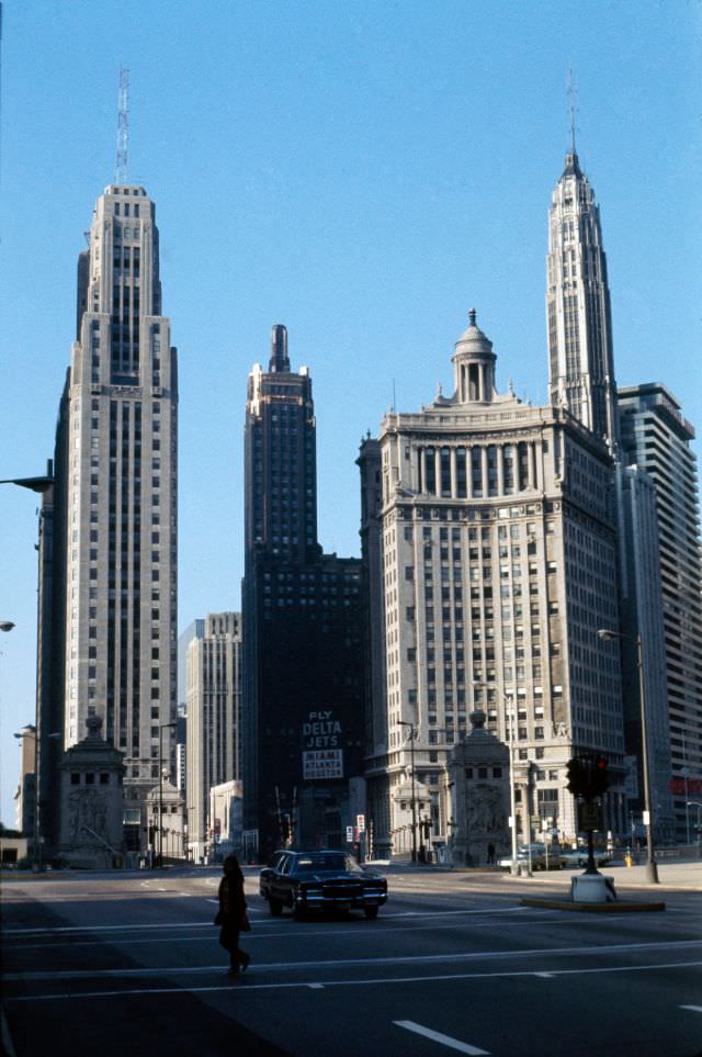
The Magnificent Mile was already a major commercial corridor in 1970, but it was far less built up than it would become. Gaps between buildings were common, parking lots occupied prime real estate, and foot traffic was modest compared to the crowds that would come in later decades. Grant Park, just to the east, offered a wide open view of the Loop skyline from its paths and lawns.
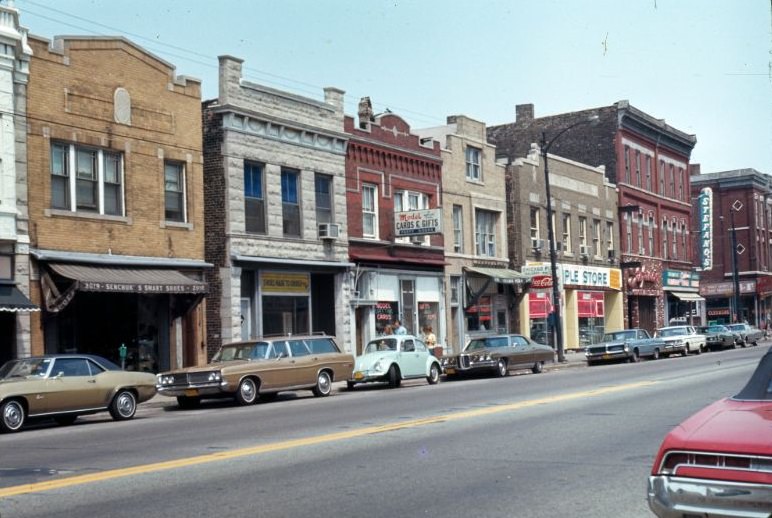
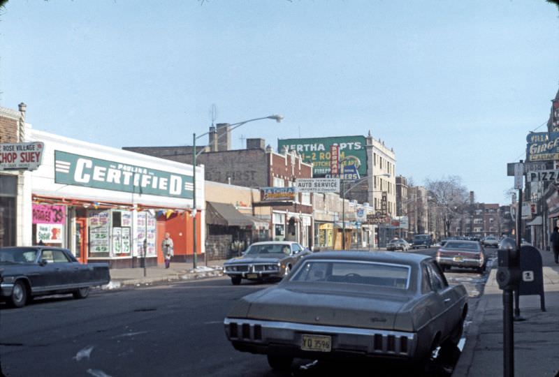
Away from downtown, Chicago’s neighborhood streets told a different story. Mixed-use buildings — two and three stories tall, with shops on the ground floor and apartments above — lined commercial strips across the city. West Chicago Avenue was a good example of this pattern, a practical and dense form of urban development that had been the city’s standard for decades.
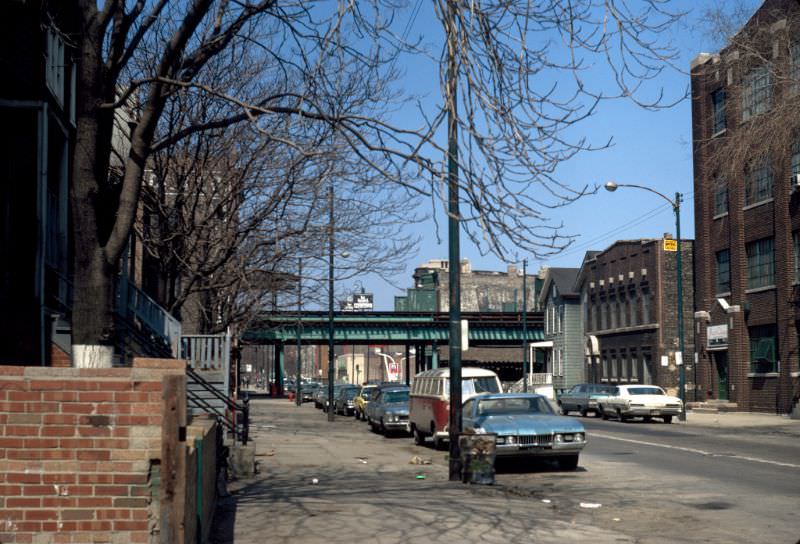
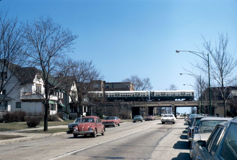
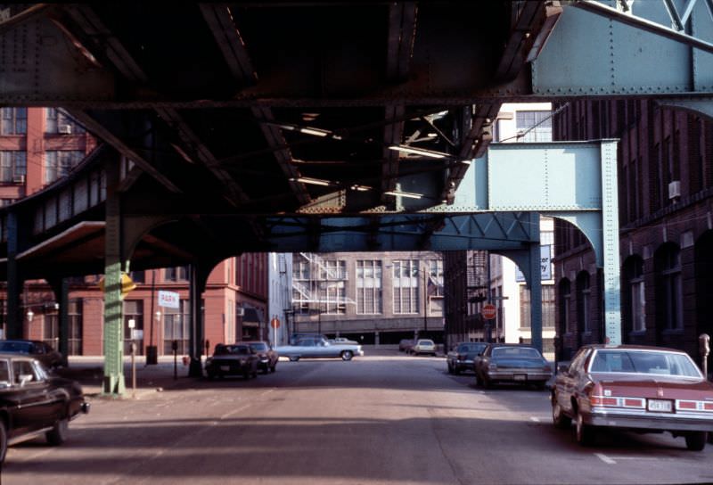
The Chicago Transit Authority’s elevated train lines — the ‘L’ — ran through and above dozens of neighborhoods. The steel structures cast shadows over the streets below and filled surrounding blocks with a constant rumble whenever trains passed. On North Sedgwick Street and along Touhy Avenue, the elevated tracks were as much a part of the neighborhood’s character as the storefronts beneath them.
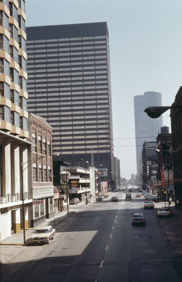
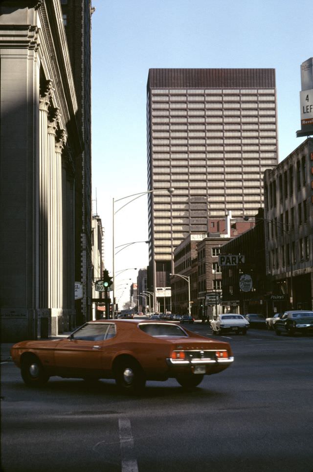
The Near North Side was seeing new high-rise development push into areas that had previously been low-rise commercial. The Time-Life Building at 541 North Fairbanks Court was one of the new towers that defined this shift. Looking east along both Grand Avenue and Ohio Street, the building’s modern glass form stood out sharply against the older, smaller-scaled streetscape around it.
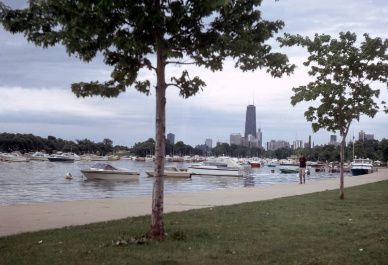
Lincoln Park offered a calmer side of the city. Diversey Harbor, tucked within the park along the lakefront, was home to dozens of recreational boats. The harbor was a popular destination for Chicagoans who wanted to get out on Lake Michigan, and on a clear day it offered a clean view of both the water and the park’s greenery. Meanwhile, on the South Side, Immaculate Conception Church stood as a landmark on South Commercial Avenue, one of several historic Catholic parishes that anchored their surrounding communities.
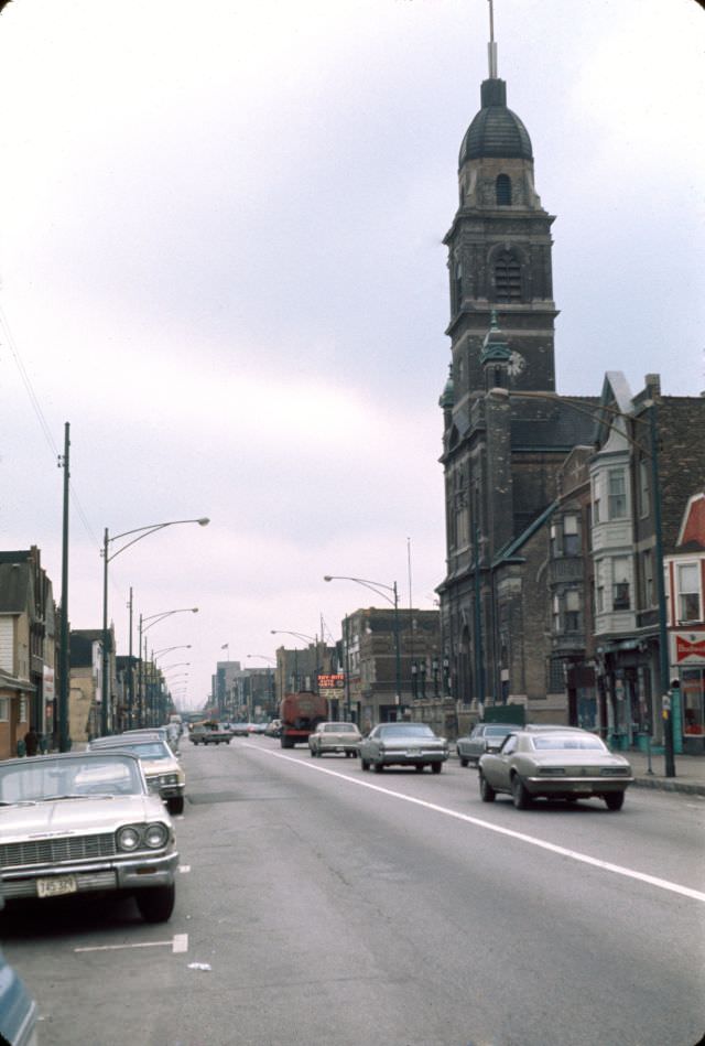
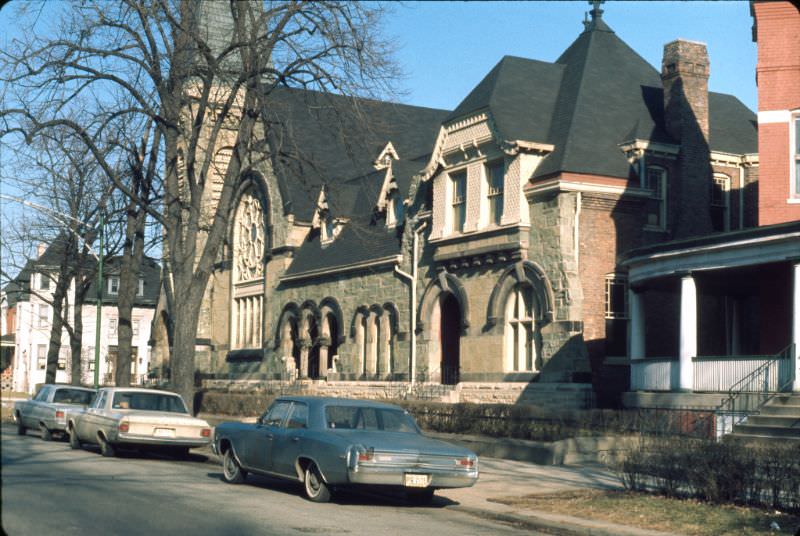
South Michigan Avenue had its own commercial energy in 1972, distinct from its northern counterpart. Looking north along the strip, the street showed a working, active commercial corridor rather than the upscale retail destination that North Michigan Avenue was becoming. Greenstone Church, photographed the same year, was one of the city’s architectural gems — a Pullman-era limestone church with detailed stonework that dated to the 1880s.
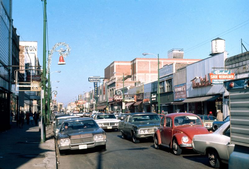
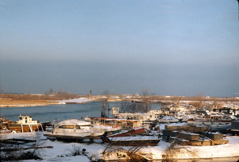
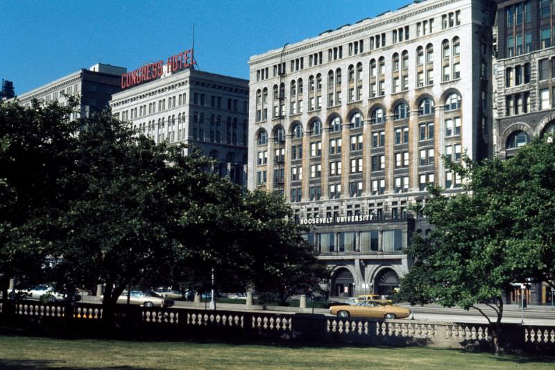
The Calumet River on the city’s far South Side supported a working industrial waterfront. Calumet Marina, situated along the east bank of the river at East 136th Street and South Torrence Avenue, offered a view northwest that showed both the recreational and industrial faces of that part of the city. Back downtown, Michigan Avenue’s bridge and its surrounding architecture were already drawing photographers and visitors. The Auditorium Building and the Congress Hotel, two of Chicago’s most storied addresses, anchored the southern stretch of the lakefront boulevard.
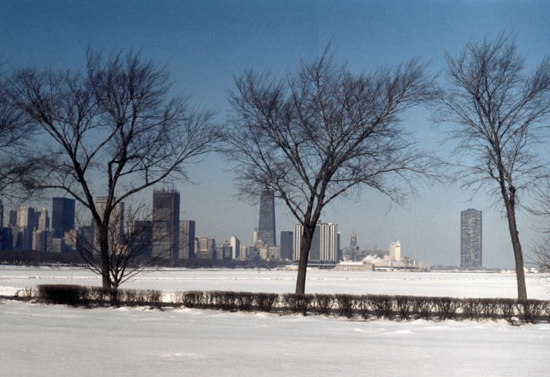
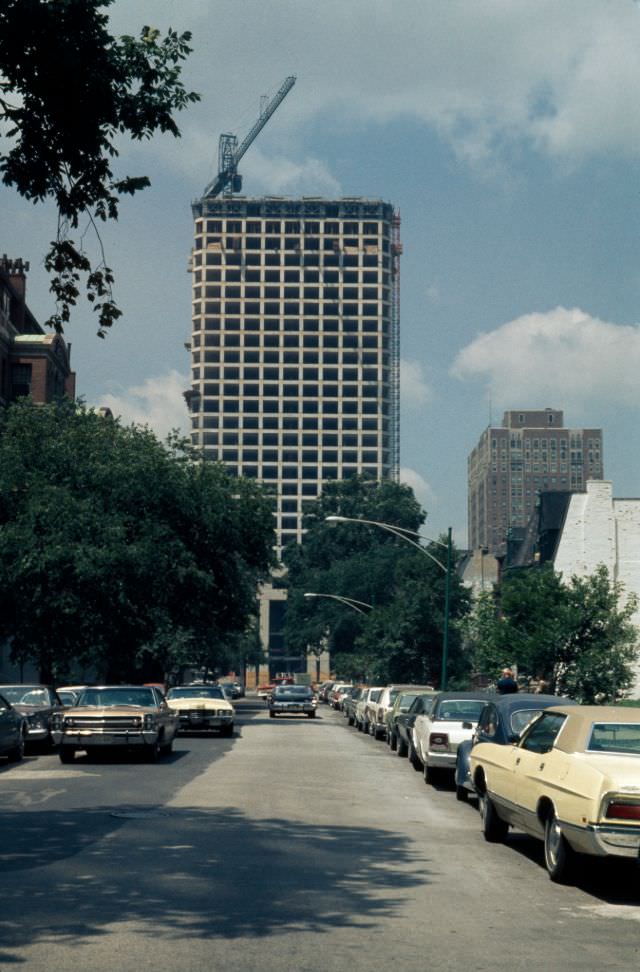
In winter, the Chicago skyline took on a stark and dramatic quality. A view looking northwest from near the Adler Planetarium in 1972 showed the towers of the Loop rising above the frozen lakeshore, the city’s scale made even more imposing against the grey winter sky. That same year, the Newberry Plaza condominium tower was going up along Bellevue Place, adding another residential high-rise to the Gold Coast area.
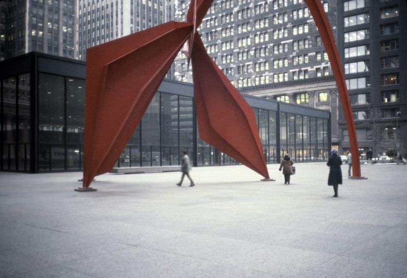
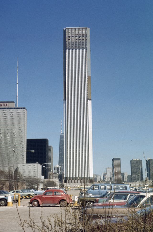
The Chicago Federal Center plaza was home to Alexander Calder’s large red stabile sculpture, simply called ‘Flamingo,’ which was installed in 1974. Brubaker photographed it in 1973, capturing the work against the clean modernist lines of Mies van der Rohe’s federal buildings. Nearby, the Standard Oil Building — now known as the Aon Center — was rising fast, its white marble exterior panels being fitted floor by floor as it climbed to become one of the tallest buildings in the world.
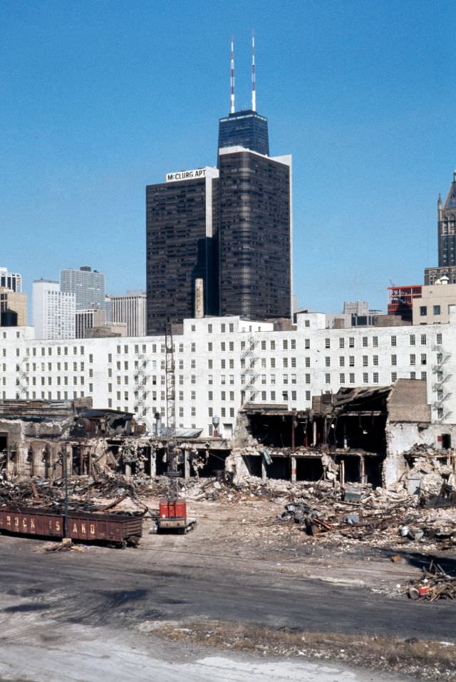
The pace of demolition and construction along the riverfront was relentless. At North Pier Terminal, a warehouse came down to make way for newer development, with the McClurg Court Center apartment towers visible in the background. This kind of scene — old industrial buildings giving way to residential high-rises — played out repeatedly across the Near North Side throughout the decade.
The residential neighborhoods of the South Side presented a different picture entirely. West 95th Street and the streets of Pullman gave a clear sense of the city’s older working-class fabric. South Champlain Avenue in Pullman was lined with brick duplex row houses, built in the 1880s for workers at the Pullman Palace Car Company. The Germano-Millgate Apartments at 8808 South Burley Avenue showed the other approach the city had taken — large public housing complexes built to replace overcrowded slum housing, though these developments came with their own set of deep problems.
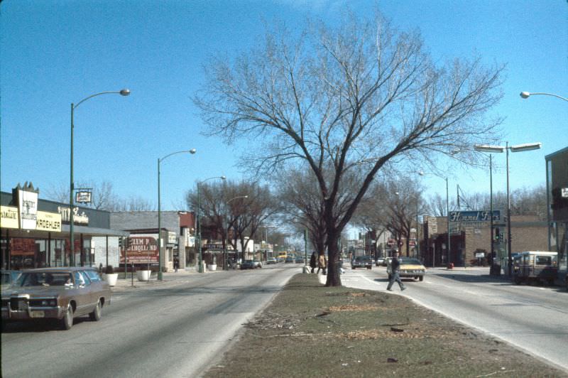
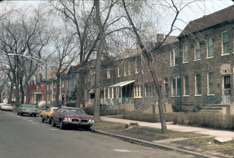
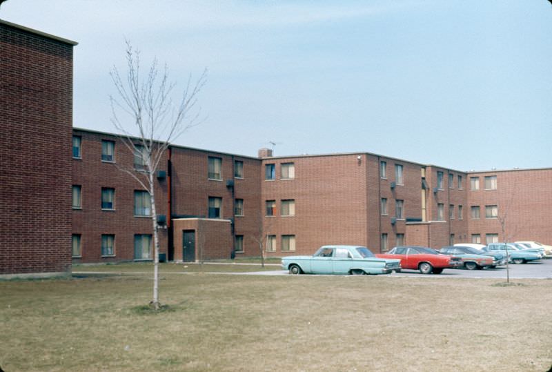
By 1975, the Uptown neighborhood on the North Side was a dense, diverse, and economically struggling area. Argyle Street near Winthrop Avenue was beginning to see an influx of Southeast Asian immigrants who would eventually transform the strip into a thriving Asian commercial district. North Paulina Street just north of Howard Street showed the neighborhood’s mix of older apartment buildings and street-level businesses.
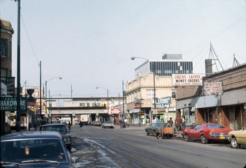
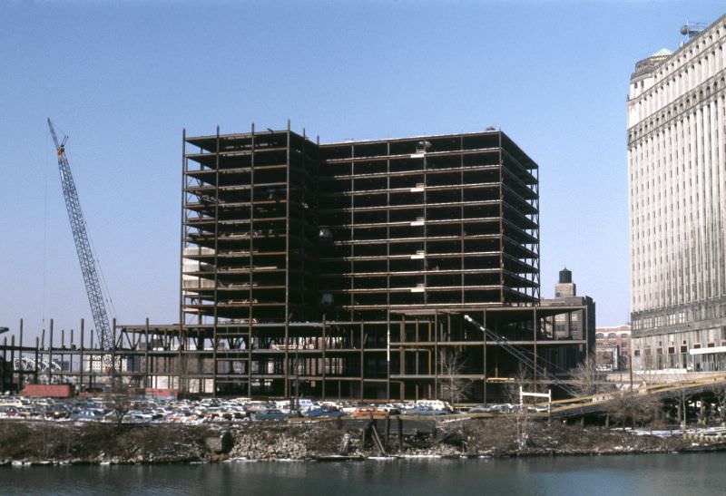
The year 1976 produced the largest share of Brubaker’s photographs, and they cover an enormous range of Chicago’s geography. The Apparel Center, a massive mixed-use complex along the Chicago River, was still under construction. On North Michigan Avenue, the streetscape was filling in rapidly. The Chicago Water Tower — one of the few structures to survive the Great Chicago Fire of 1871 — remained a focal point on the avenue, with pedestrians crossing in front of it on their daily routines.
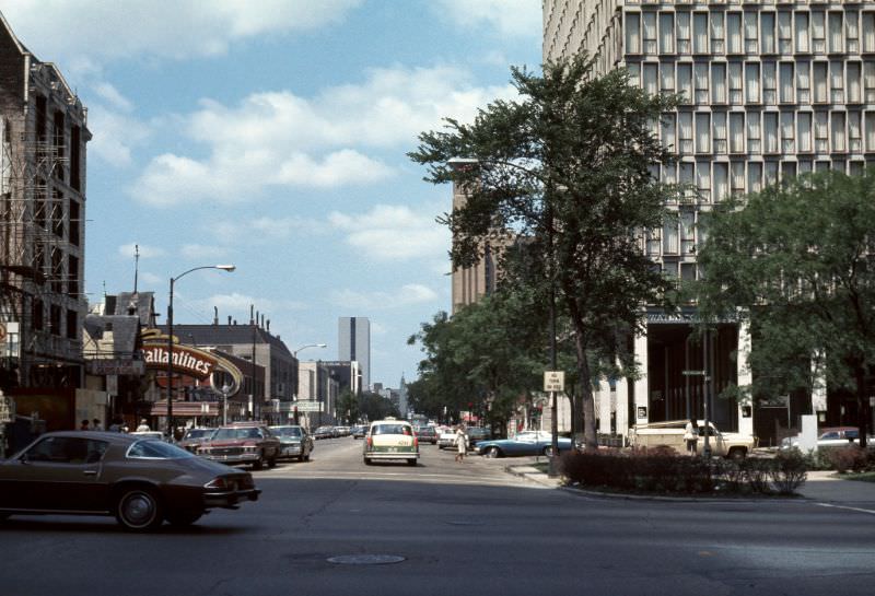
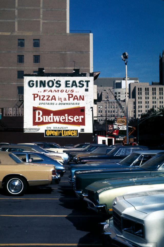
Rush Street in 1976 was the center of Chicago’s nightlife scene. Restaurants and bars packed both sides of the street, and the area attracted a steady stream of locals and visitors after dark. Gino’s East, one of the city’s most famous deep-dish pizzerias, had its sign and adjacent parking lot on display nearby — a classic piece of Chicago commercial signage from that era.
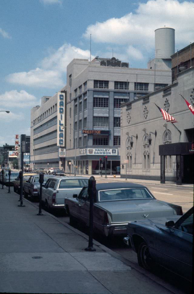
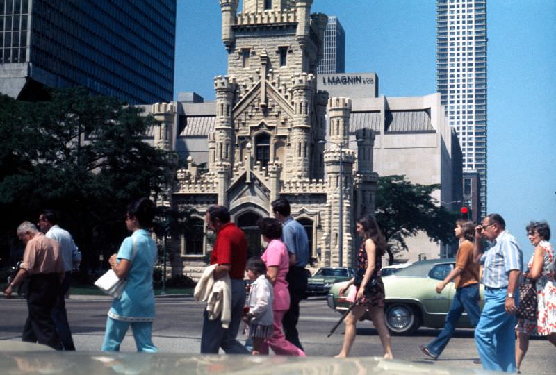
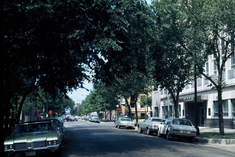
Away from the commercial strips, residential blocks showed a quieter city. The neighborhood at North Halsted and Blackhawk Streets was a mix of brick two-flats and older frame houses typical of the North Side. State Street at Madison Street captured the Loop’s main retail corridor — a busy, working-class shopping street lined with department stores and storefronts that served everyday Chicagoans. The Drake Hotel’s entrance on East Walton Street reflected the city’s upper-end hospitality, its canopied entry a contrast to the streetscapes just a few blocks south.
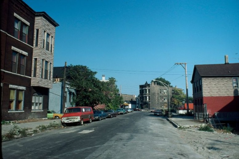
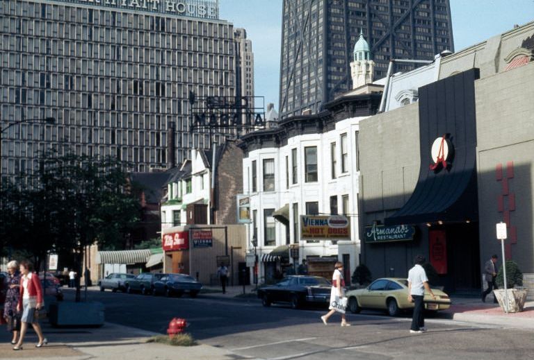
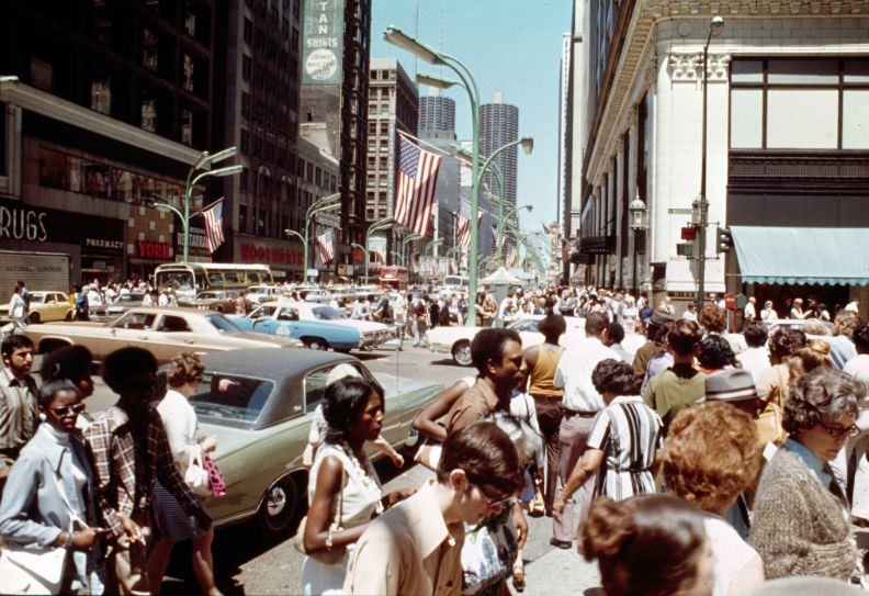
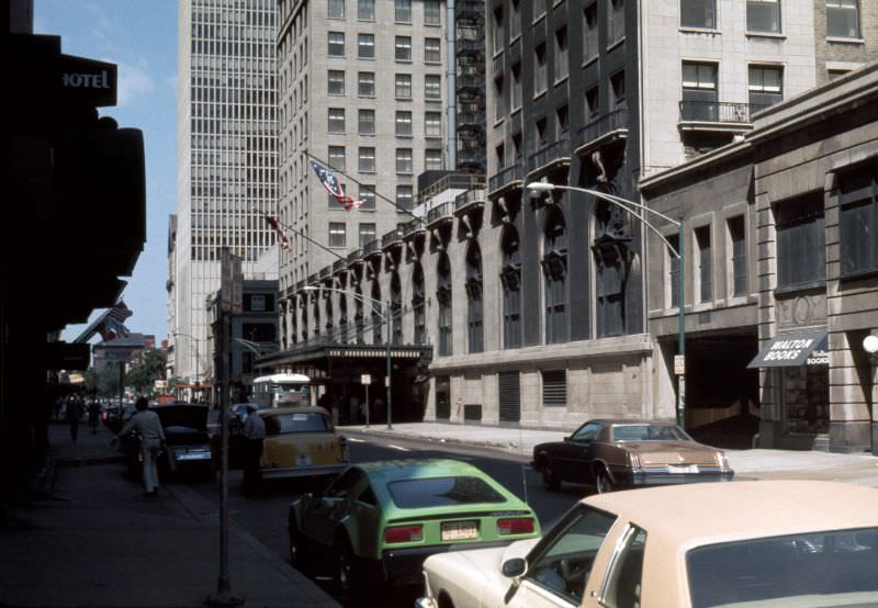
Brubaker also documented the streets and sidewalks of the Near North Side in detail. North State Street looking north from West Ontario Street showed low-rise buildings and parking lots where towers would eventually rise. The sidewalks of East Chicago Avenue toward Rush Street, and East Huron Street from east of Rush Street, captured ordinary pedestrian life — people going to work, running errands, or simply passing through.
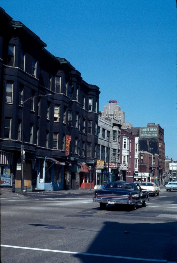
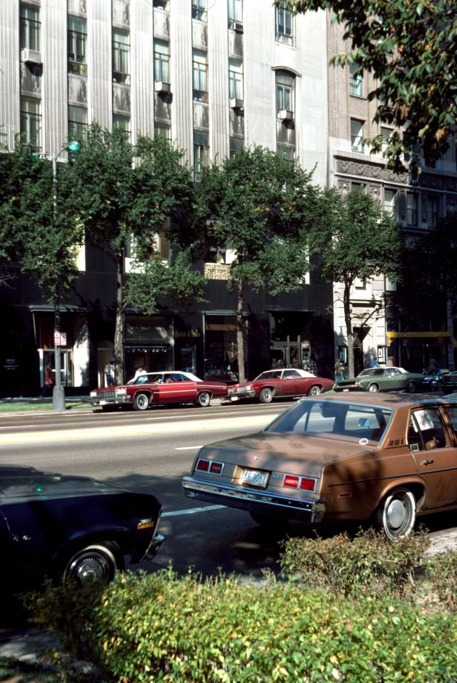
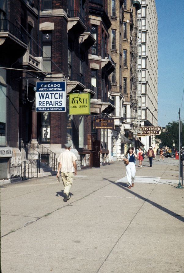
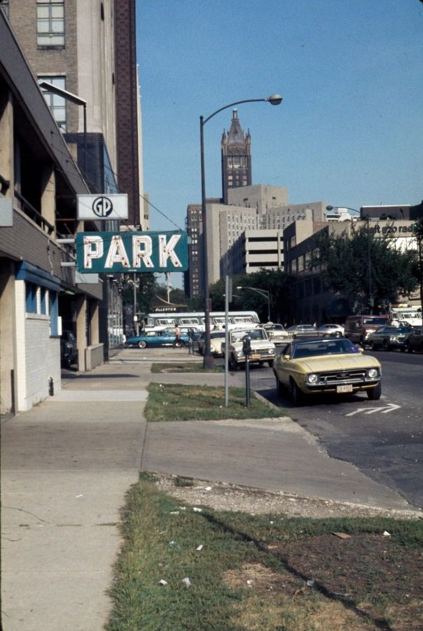
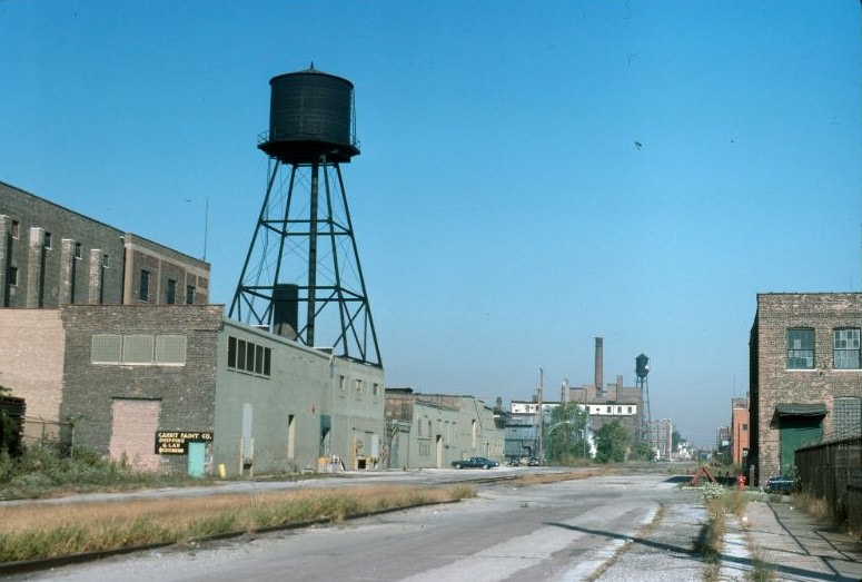
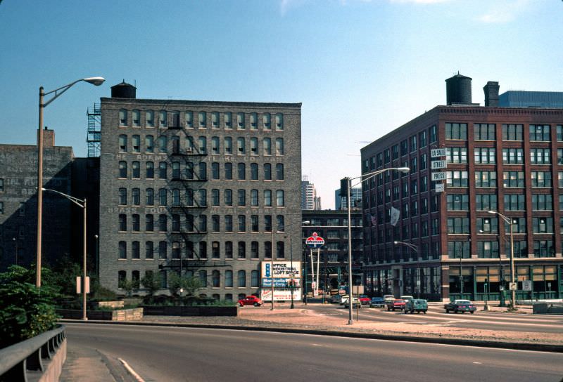
The industrial character of the city’s river corridors was still very much intact in 1976. North Kingsbury Street and North Orleans Street near the Kennedy Expressway on-ramp were surrounded by warehouses and manufacturing buildings. These were working neighborhoods with heavy truck traffic and factory operations, far removed from the residential and commercial energy of Michigan Avenue. East Illinois Street, East Huron Street, East Ontario Street, and East Oak Street all showed the Near North Side’s mix of old and new, with low-rise commercial buildings sitting next to newer construction.
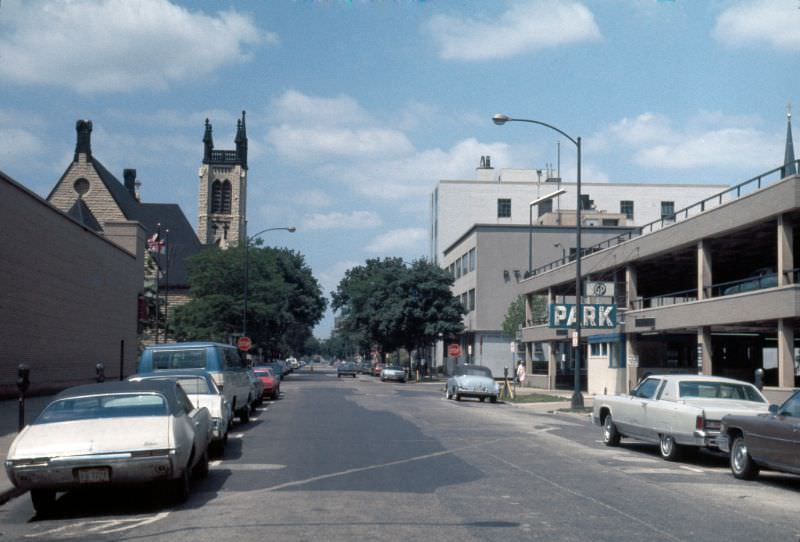
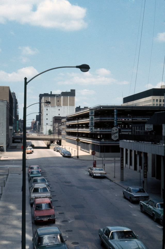
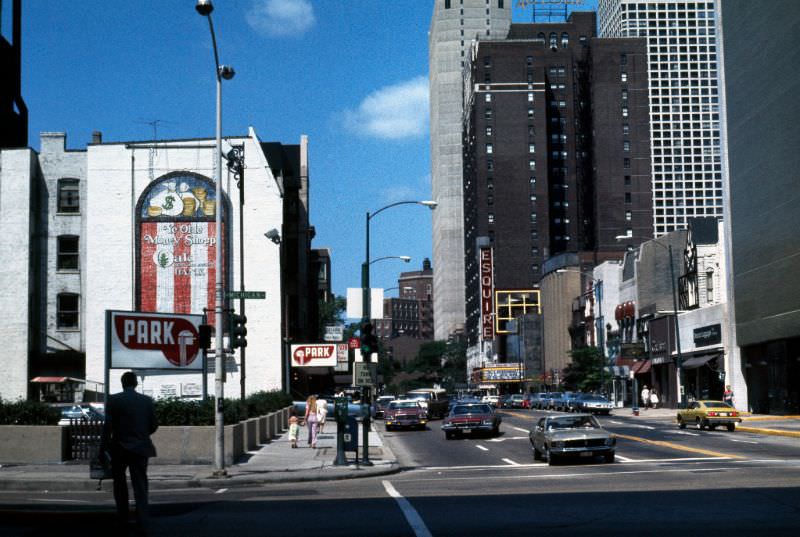
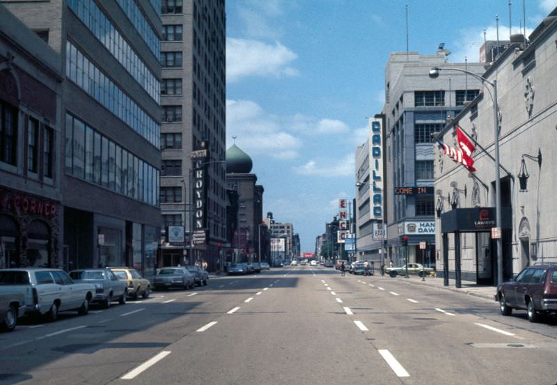
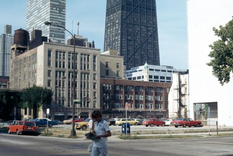
One of the more striking images from 1976 shows a nineteenth-century house still standing at 42 East Superior Street, surrounded by the growing city. Buildings like this one were increasingly rare in the Near North Side by the mid-1970s, squeezed out by rising land values and new development. The William Green Homes, part of the massive Cabrini-Green public housing complex, told a harder story — rows of high-rise towers looking northeast along West Division Street, part of a development that housed tens of thousands of residents under deeply troubled conditions. The Hotel St. Benedict Flats on East Chicago Avenue, an older apartment building with ornate façade details, represented yet another layer of the city’s architectural history.
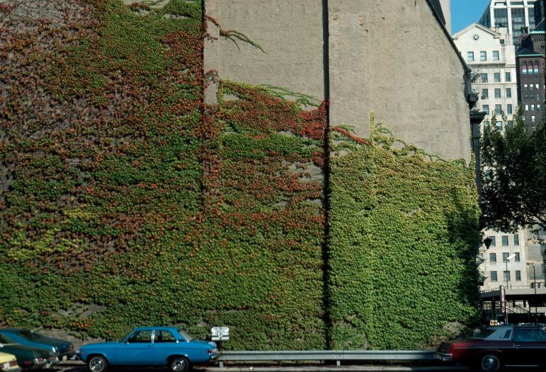
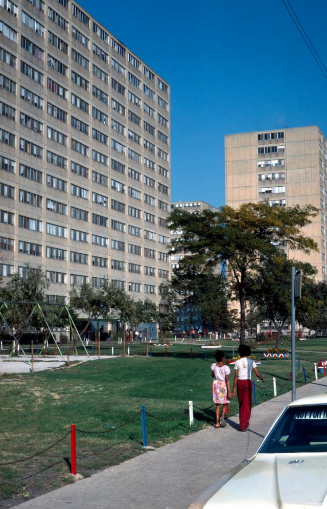
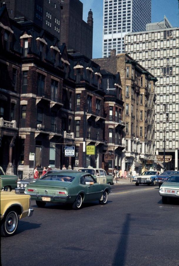
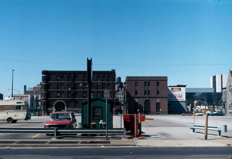
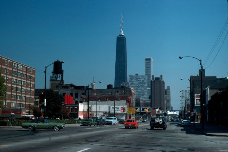
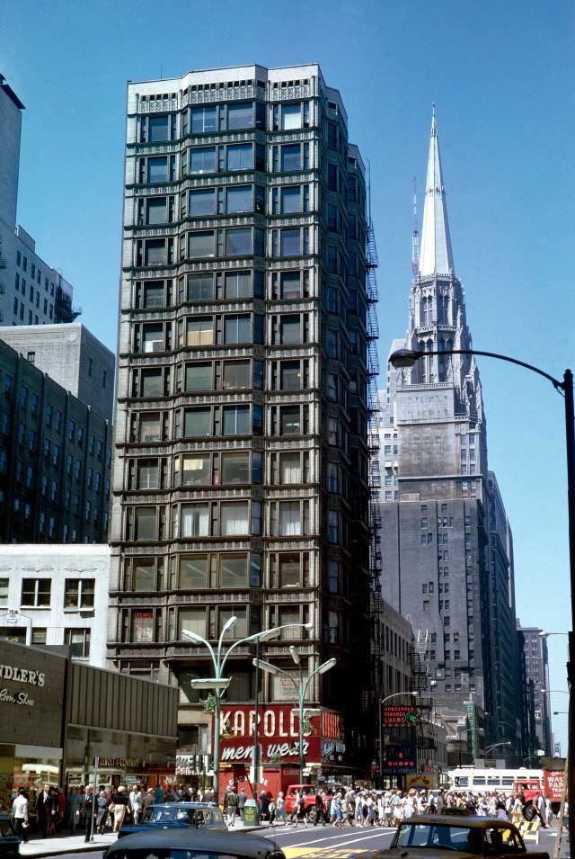
By 1977, the Jackson Park ‘L’ station at the end of its line gave a glimpse of the CTA’s aging infrastructure on the South Side. The trains and stations across the system were old, and the tracks often ran through neighborhoods where maintenance had been deferred for years. The Reliance Building downtown was a very different kind of infrastructure — an 1895 skyscraper that had pioneered the use of a glass curtain wall, and one of the most influential buildings in American architectural history. Brubaker photographed it twice, capturing its ornate terra-cotta and glass façade rising above State Street.
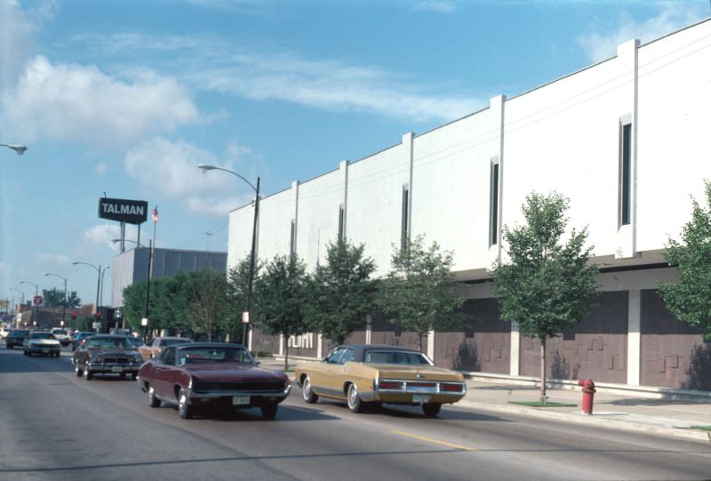
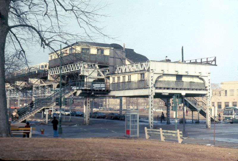
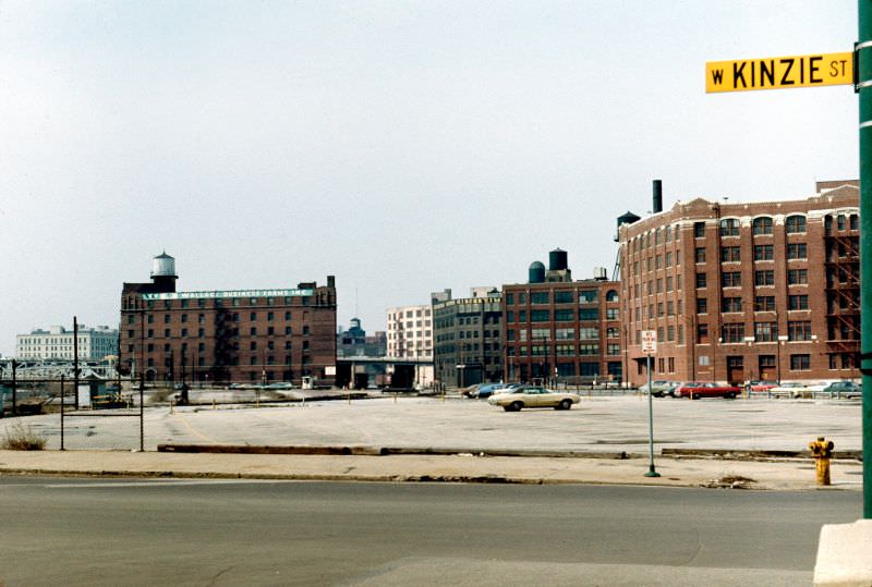
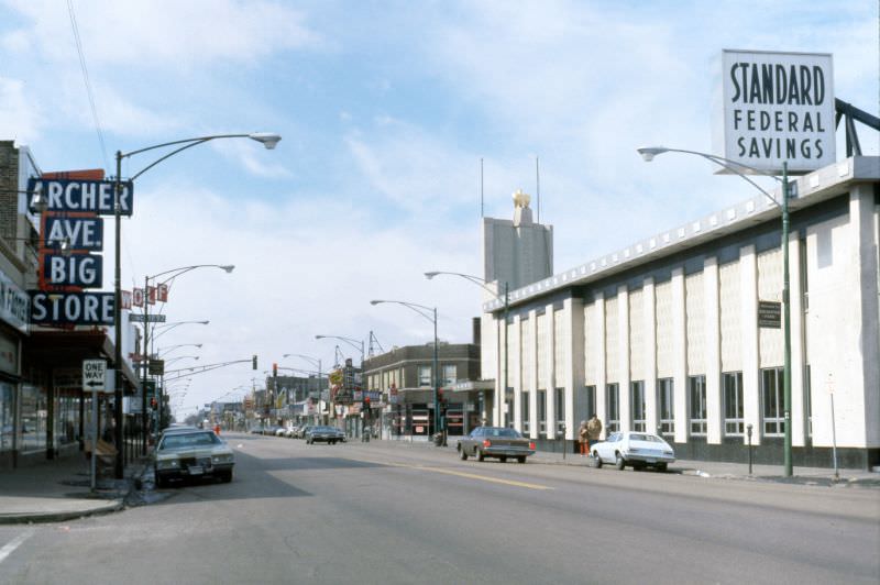
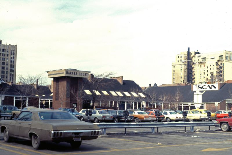
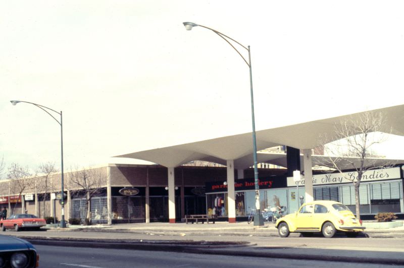
In 1978, Brubaker continued documenting the city’s varied streetscapes. North Franklin Street from Erie Street and the view toward the Merchandise Mart along West Kinzie Street showed the River North area’s industrial and commercial character. Congress Parkway at South State Street revealed a wide, car-dominated intersection anchored by major civic institutions. South Archer Avenue on the Southwest Side and the shopping mall on East 55th Street gave a picture of daily commercial life in neighborhoods far from downtown. Harper Court on South Harper Avenue in Hyde Park was a planned cluster of small businesses and artisan shops between 52nd and 53rd Streets — an unusual model for neighborhood retail that was intentionally designed at a human scale.
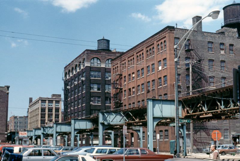
The Standard Oil Building was still being finished in 1978, years after construction began. Its marble cladding, which would later have to be entirely replaced due to structural problems, was photographed by Brubaker as the building neared completion. The Reliance Building appeared in his photographs again that same year, still looking as it had for decades. The Brunswick-Balke-Collender Building, a cast-iron commercial structure from the 1800s, represented the older generation of commercial architecture that the city was still living with and around.
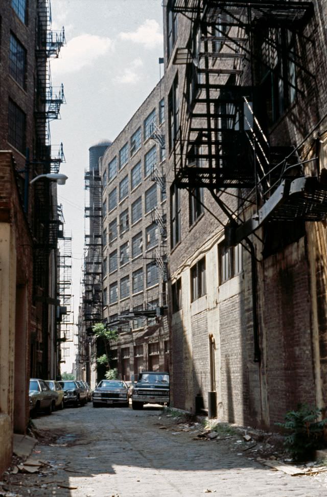
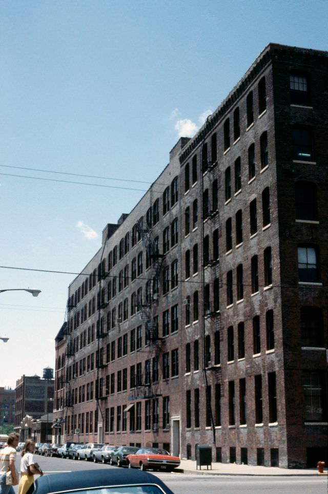
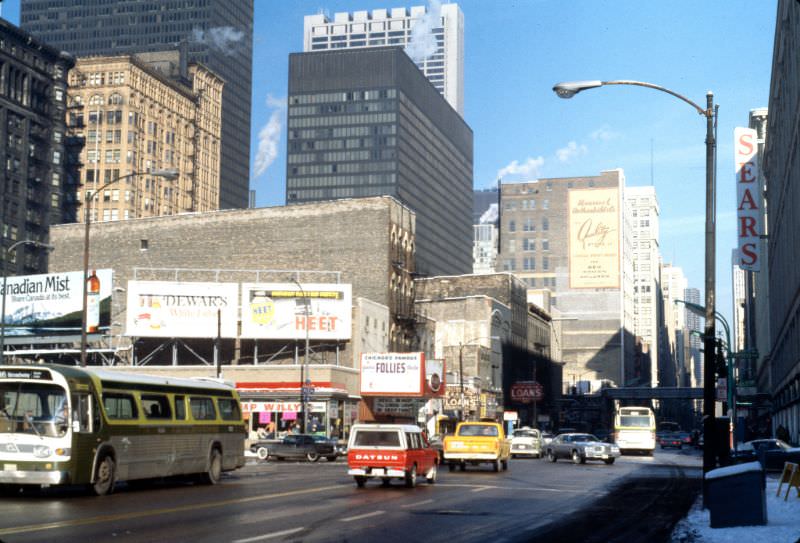
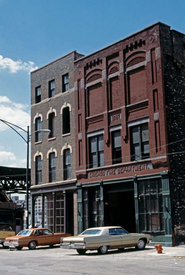
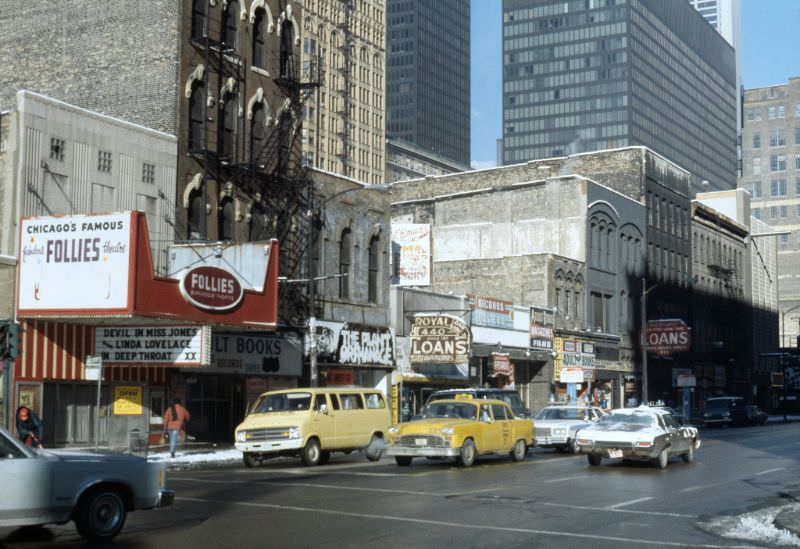
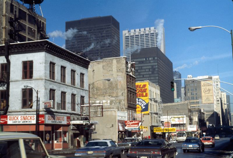
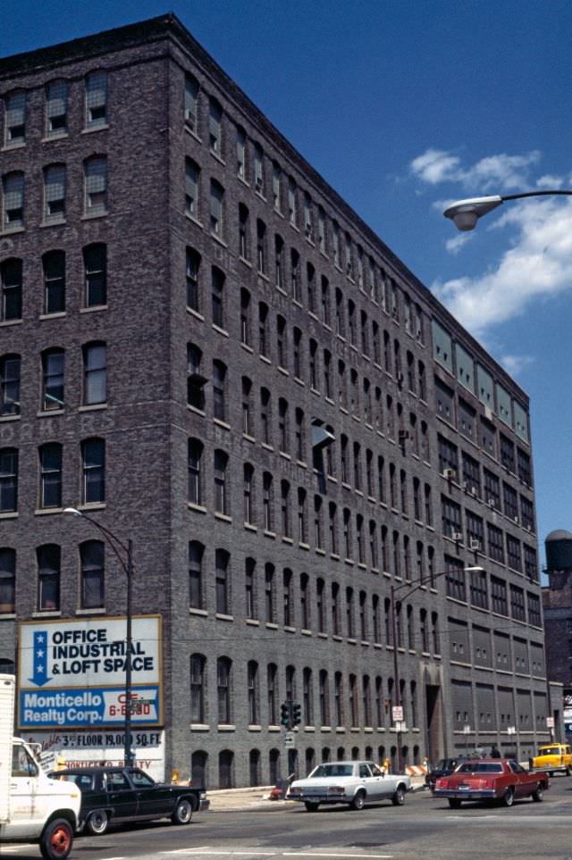
A Chicago Fire Department station on West Illinois Street, photographed in 1978, was a working firehouse in the middle of a neighborhood that was changing rapidly around it. South State Street at that time was home to the Follies Theater, part of a strip that had a reputation for adult entertainment and street vice. The intersection of South State Street and West Harrison Street showed the area’s run-down commercial character — a stretch of the street that was far removed from the retail activity that State Street enjoyed further north. The Adlake Building at 320 West Ohio Street occupied the northeast corner of North Orleans and West Ohio Streets, its older brick form contrasting with the newer buildings going up around it.
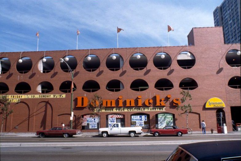
The final photograph from 1978 looks north across West North Avenue toward a Dominick’s grocery store, part of the Pipers Alley Mall complex. Pipers Alley was a mixed-use development in the Old Town neighborhood that included retail, a theater, and apartments — an early example of the kind of urban infill project that would become far more common in Chicago in the decades that followed. Taken together, Brubaker’s photographs form a complete and honest record of a city in flux — building upward, clearing out, struggling in places, and pushing forward in others.





When I was young, my mom used to take me downtown for movies long before there were any “multiplexes.” Saw plenty of horror and disaster movies in those great/divey theatres.
It would be great to compare some of these with today’s areas.
It’s weird to see Argyle during its Hillbilly era
Still pining for Sharon’s Hillbilly Heaven on Lawrence Ave 😀
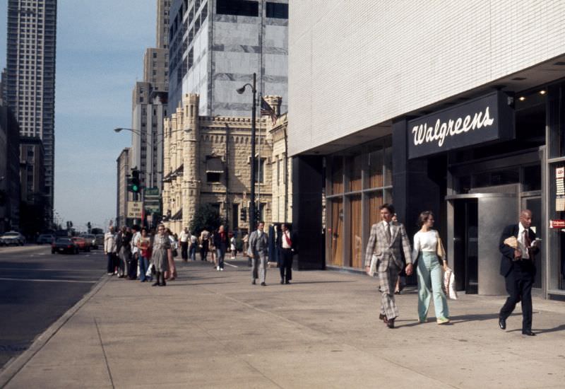
The Walgreens in Chicago and Michigan has been around since the ’70s; wow!
Also pretty wild that their logo hasn’t changed even slightly since then
The 1970s seem unappealing in every way. Parking lots after parking lots.
I love looking at these kinds of photos.
Halsted and Blackhawk are very different now.
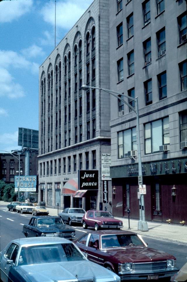
Stores used to have cool names, “Just Pants” and “Archer Ave Big Store”.
The Reliance Building was just filthy.
This Walgreens at Chicago and Michigan is my favorite because you can get the same picture in a different style today.
Ah, the Follies Theater showing Deep Throat and The Devil in Miss Jones.
Wonderful. Pictures so evocative of my memories I can smell them here in 2022. Well done😁
Left chgo in 1970s..rough times…. But now dangerous
Who cares.