
Bellingham, Washington has a rich and layered history that stretches back to the earliest days of Pacific Northwest settlement. The city as it exists today was officially incorporated in 1903, born out of the merger of four separate communities: Bellingham, Whatcom, Fairhaven, and Sehome. Each of those towns had its own distinct story, and together they formed one of the most industrially and culturally significant cities in the region. The historical photos collected here span the late 1800s through the 1980s and capture that story in remarkable detail.
The story of Bellingham begins at Whatcom Falls in 1852, when Captain Henry Roeder built a sawmill there. That mill anchored the area called Old Town Whatcom and set the region on a course defined by timber. Two years later, in 1854, coal mining operations began, which directly led to the founding of Sehome — the community that would become downtown Bellingham. The bay itself served as a staging ground during the Fraser River gold rush of 1857–58, drawing prospectors and merchants to the area in large numbers.
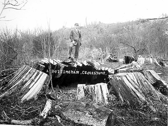
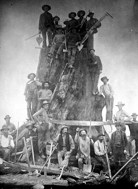
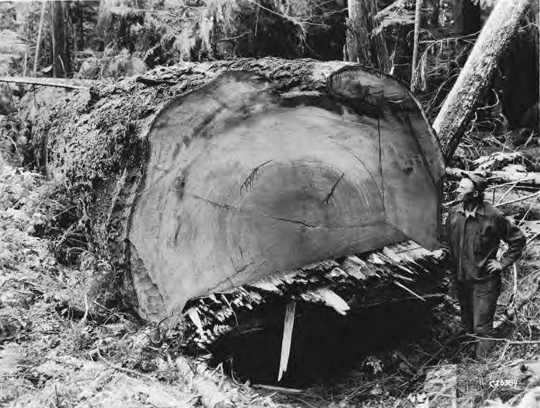
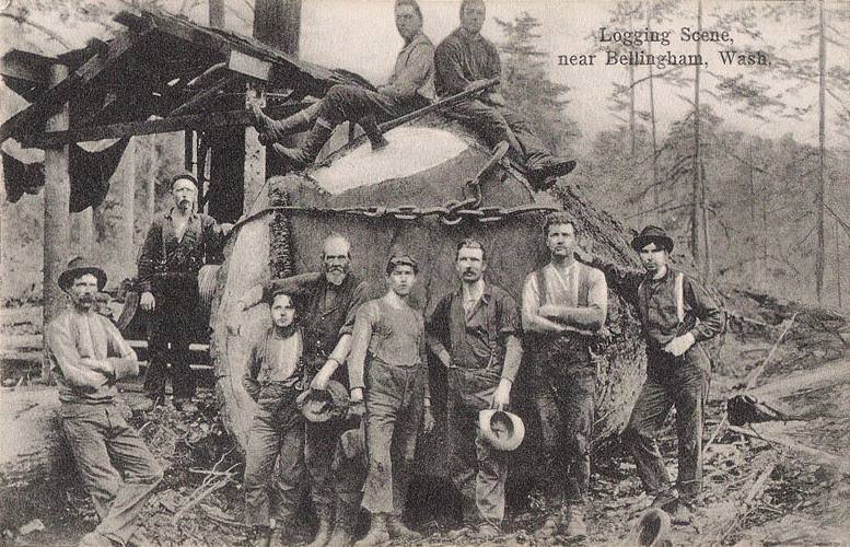
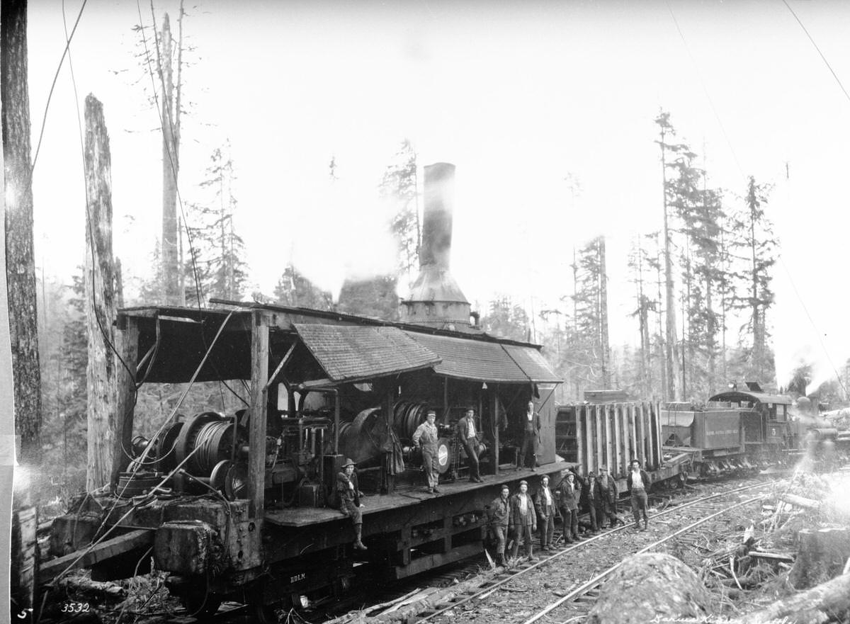
Logging was the engine that drove early Whatcom County. The forests around Bellingham were filled with massive old-growth timber — Douglas fir and cedar that dwarfed the men who cut them. The stumps left behind were enormous, sometimes wide enough to park a wagon on top. Loggers used axes, crosscut saws, and teams of oxen or horses to pull logs from the forest to the mills. The scale of it was staggering, and the industry shaped the landscape, the economy, and the workforce of the entire region.
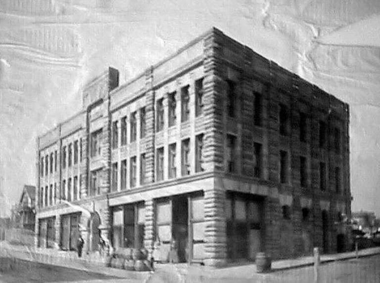
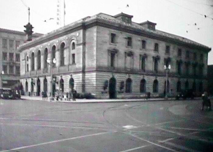
Dan Harris founded Fairhaven in 1883. He built it around his homestead on Padden Creek, and it quickly grew into a substantial commercial district with its own harbor. Fairhaven attracted investment and ambition — for a time, many believed it would become one of the great cities of the Pacific Northwest. Its hotel, stores, and waterfront facilities reflected that optimism. When Fairhaven merged with the other communities in 1903, it brought that commercial energy into the new city of Bellingham.
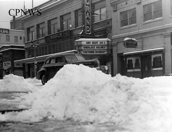
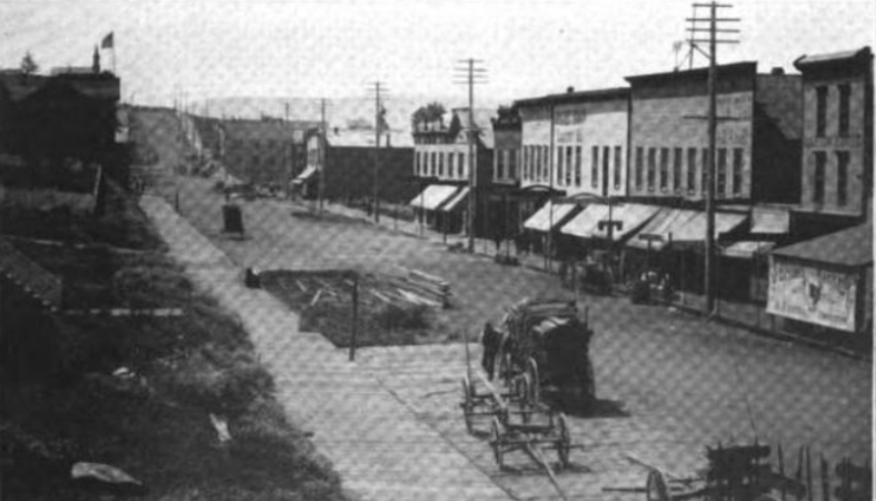
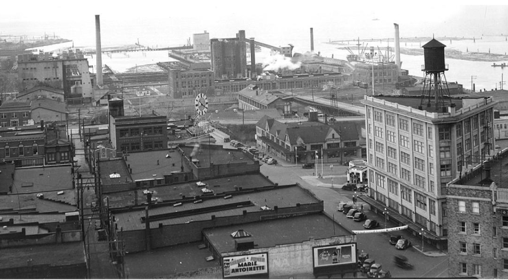
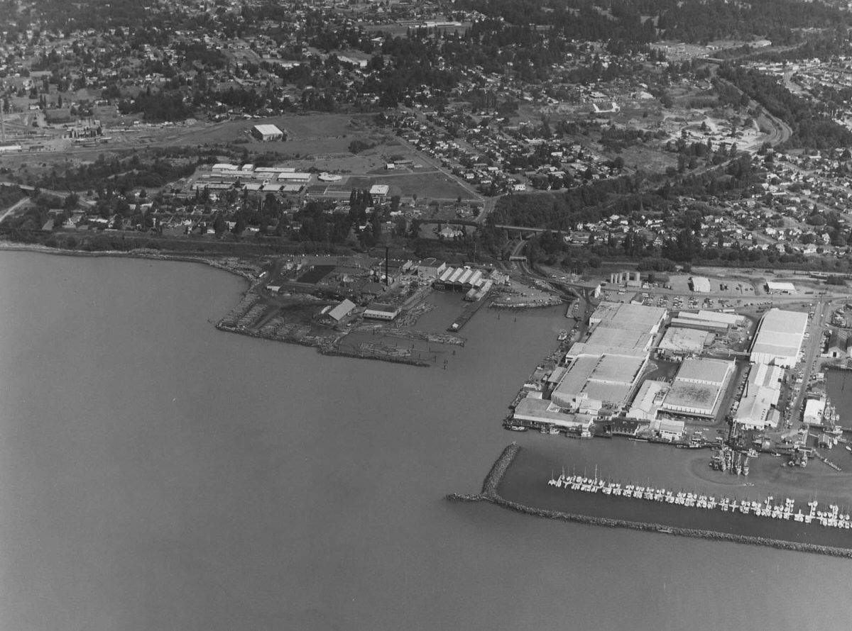
By the early 20th century, improved railway connections and upgraded harbor facilities transformed Bellingham into a full industrial city. Timber and pulp operations expanded significantly. Fish canneries processed the rich catches from local waters. Boat-building shops turned out both working vessels and pleasure craft. The waterfront hummed with activity, and the city’s downtown streets filled with the businesses and buildings that served the growing population.
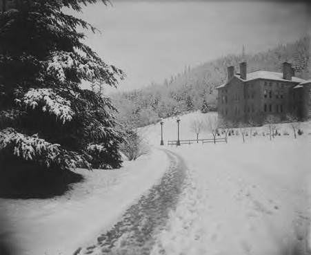
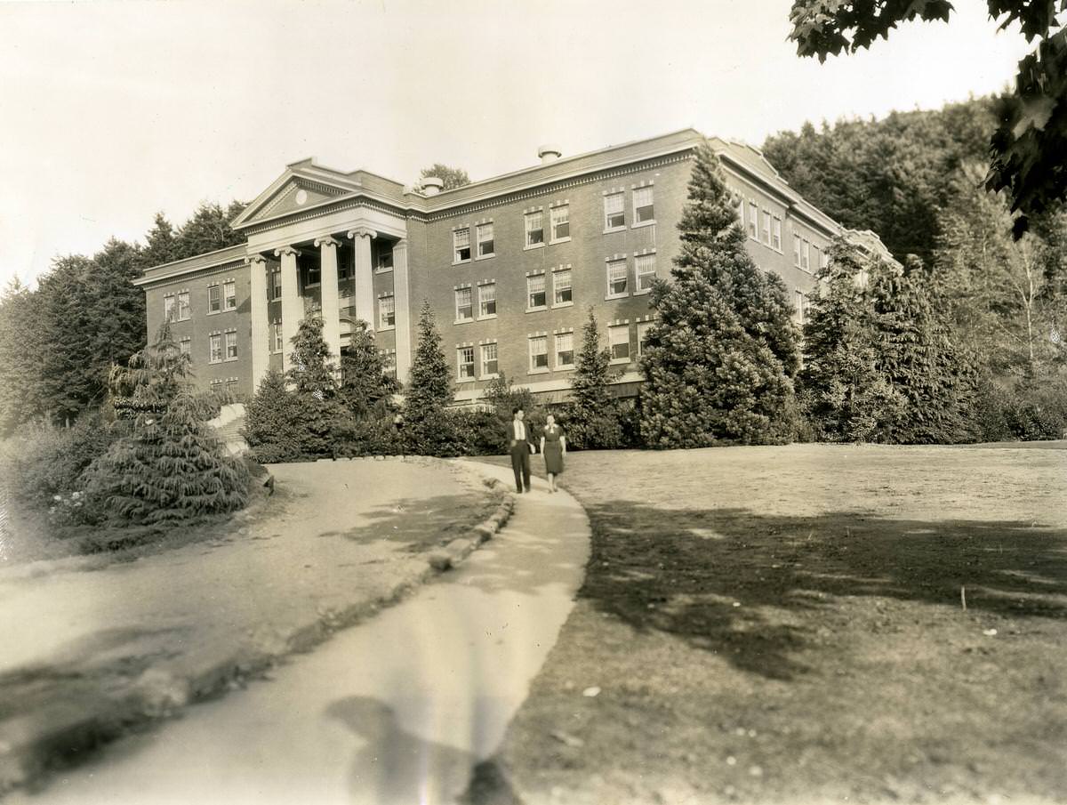
Education took root in Bellingham early. Western Washington University traces its origins to 1893, when it was established as a state normal school — a teacher-training institution. The Old Main building on campus stood as a symbol of that educational mission and appears in photographs from the early 1900s as one of the most prominent structures in the area. Whatcom Community College came much later, founded in 1967, adding another layer to the city’s academic life.
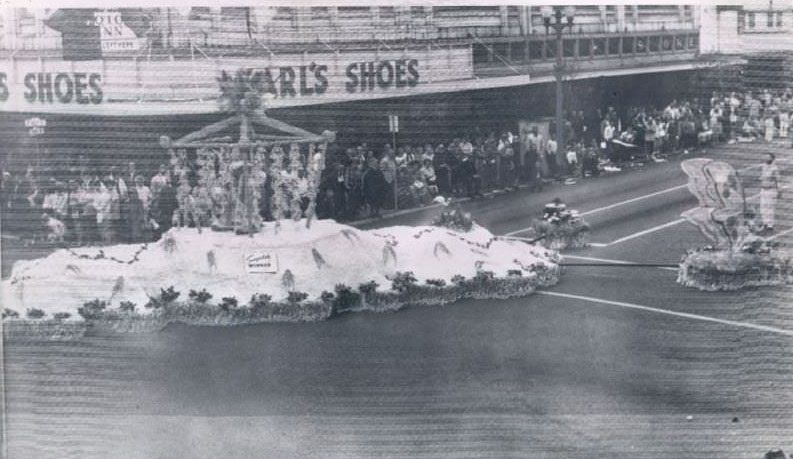
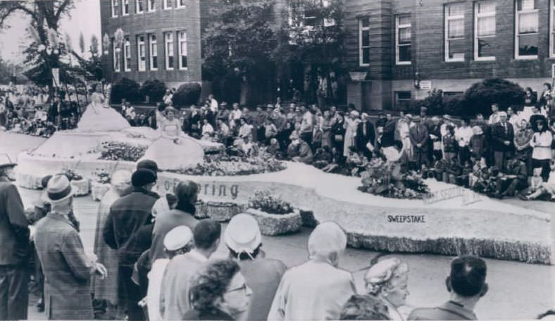
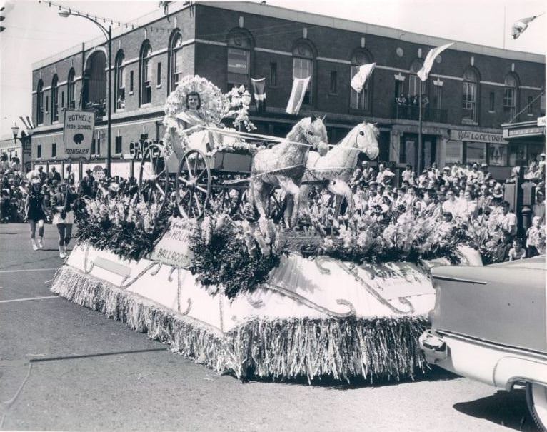
The Blossomtime Parade was a beloved community tradition that brought out floats, bands, and crowds from across the region. The 1961 parade photos show the kind of civic pride that defined mid-century Bellingham — decorated floats, marching groups, and streets lined with onlookers. Cities from around Whatcom County participated, using the parade as both a celebration and a showcase.
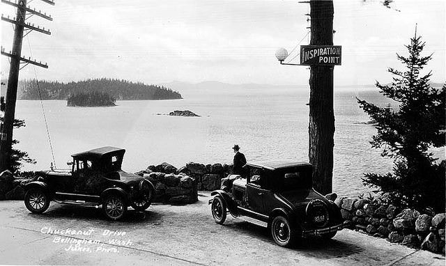
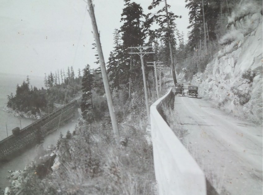
Chuckanut Drive offered some of the most dramatic scenery in all of Washington State. Carved along the cliffs above Chuckanut Bay, the road gave drivers sweeping views of the San Juan Islands and the waters below. By 1920, sightseers were already making a point of stopping at spots like Inspiration Point to take in the view. The drive became one of the defining recreational features of the Bellingham area and drew visitors from well beyond the county.
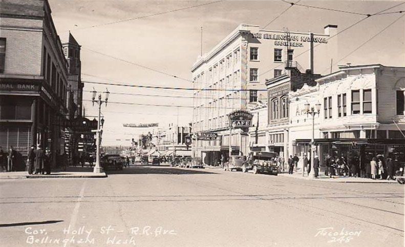
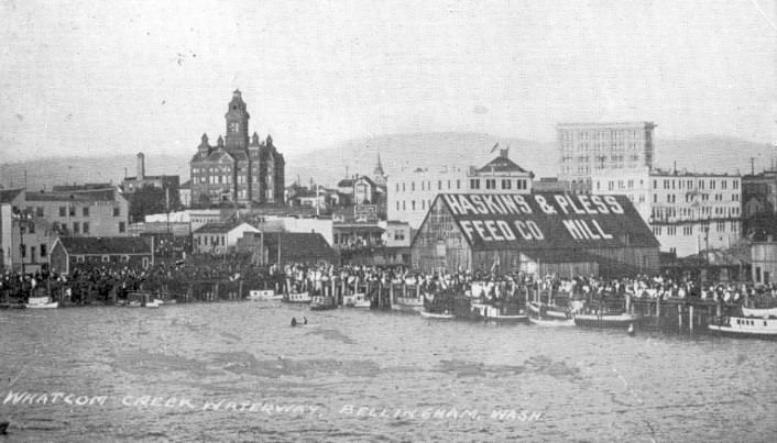
Holly Street was the commercial heart of Bellingham for much of the early and mid-20th century. Photographs from 1940 show a bustling downtown corridor with storefronts, parked cars, and pedestrians. Whatcom Creek, which powered Roeder’s original mill, remained a central geographic feature of the city. The waterway and the streets around it tell the story of how a frontier mill town grew into a real city.
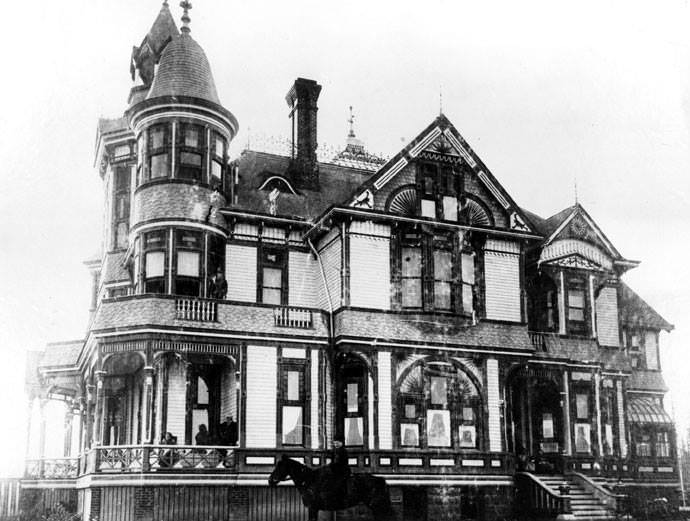
The earliest private homes in the area were modest by necessity. Edward Eldridge built his home in 1876, only to lose it to fire just two years later. Fire was a constant threat in 19th-century frontier towns, where wooden construction was the norm and fire suppression was limited. The Richards Building, erected in 1858, was notable precisely because it was built of brick — a distinction that made it the oldest brick building north of San Francisco at the time.
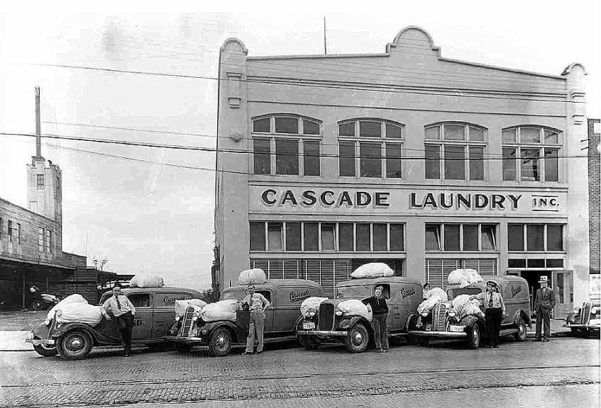
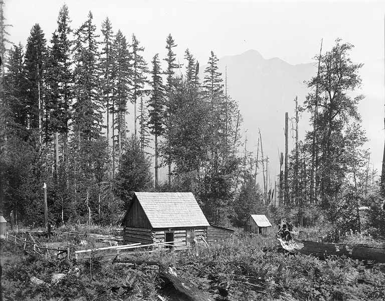
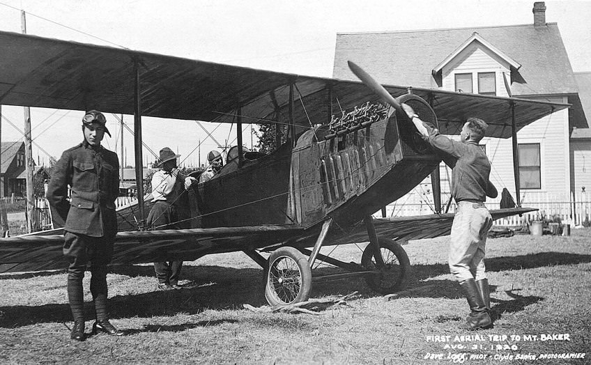
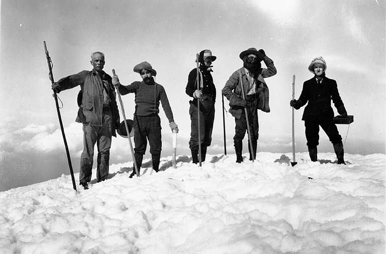
Mount Baker loomed over the entire region and drew adventurers from an early date. A summit party reached the top in 1891, and by 1906 another group made the climb and documented it in photographs. In 1894, William Thompson built a cabin near the mountain, which served as a base for early expeditions. By 1920, Clyde Banks was preparing to take the first aerial photographs of the peak — a technical feat that combined the new world of aviation with the enduring appeal of the mountain.
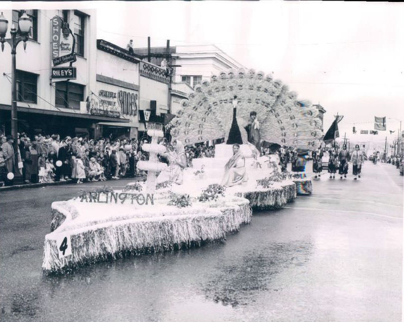
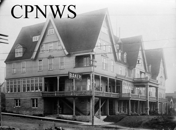
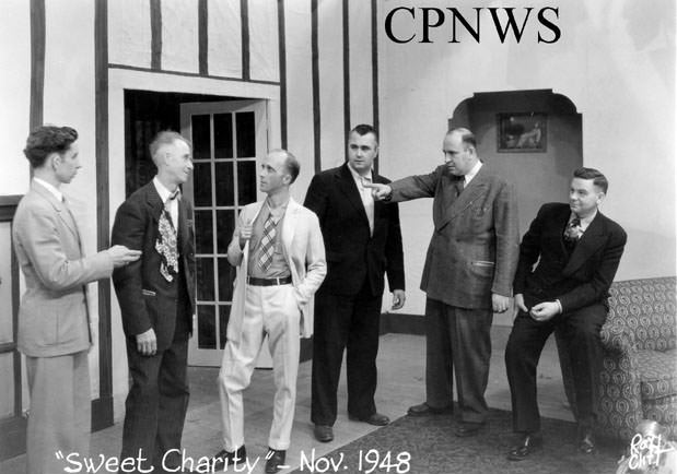
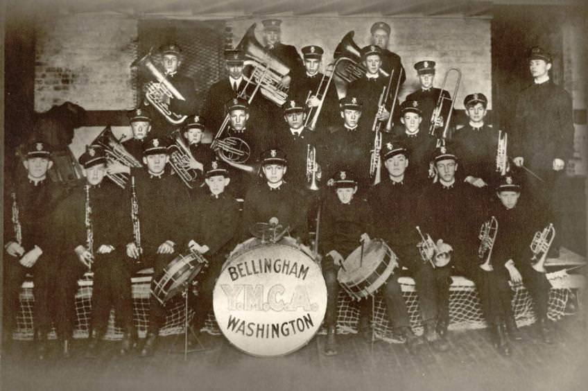
Bellingham’s cultural life was well established by the mid-20th century. The Theater Guild staged full productions like “Sweet Charity” in 1948, drawing audiences to live performances. The YMCA supported youth programming, brass bands, and civic delegations. In 1949, a Bellingham YMCA group visited the state House chamber in Olympia — a civics lesson made real. These activities ran alongside the industrial work that still defined much of the city’s economy.
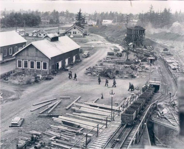
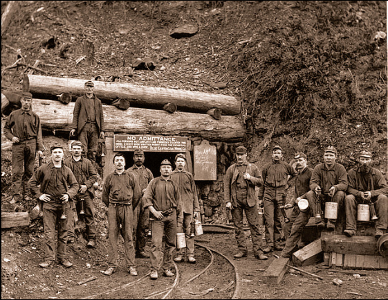
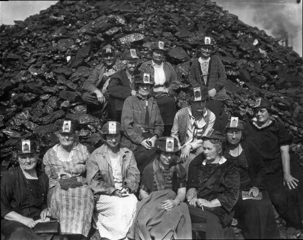
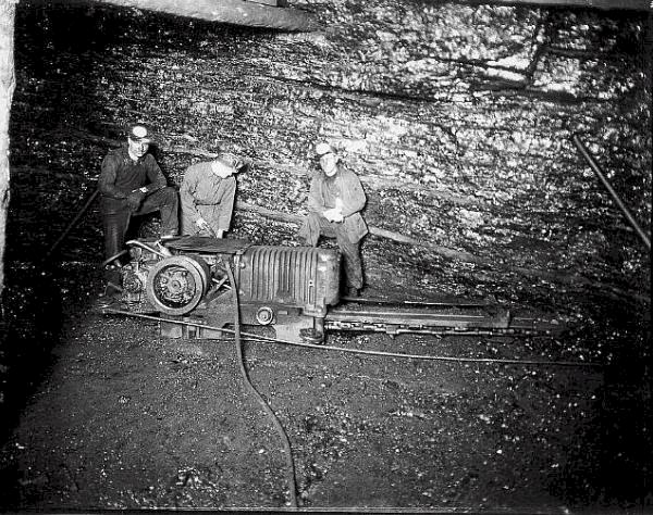
Coal mining had been a part of the Bellingham area since 1854, and the mines operated for exactly a century before the last one closed in 1954. The Blue Canyon Mine, photographed in 1891 with miners posing at its entrance, was one of the earliest operations. By the 1930s and 1940s, the Bellingham Kiwanis Club was organizing visits to the mines as community events. Photographs from 1935 show miners at work underground, and a 1950 image captures the operation near the end of its run.
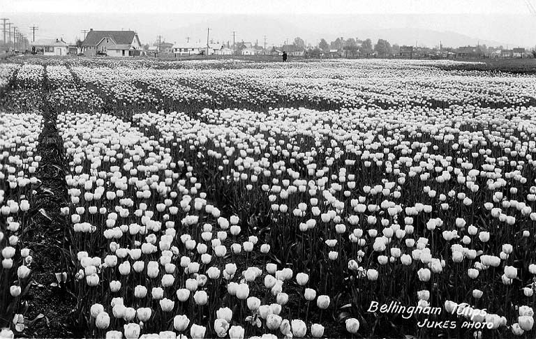
Agriculture played a role alongside industry in Whatcom County’s economy. The tulip fields photographed between 1898 and 1929 show that flower farming was part of the region’s agricultural output long before it became a major tourist draw. The flat, fertile land around Bellingham was well suited to bulb crops, and the fields in bloom were a striking sight against the backdrop of the Cascades and Mount Baker.
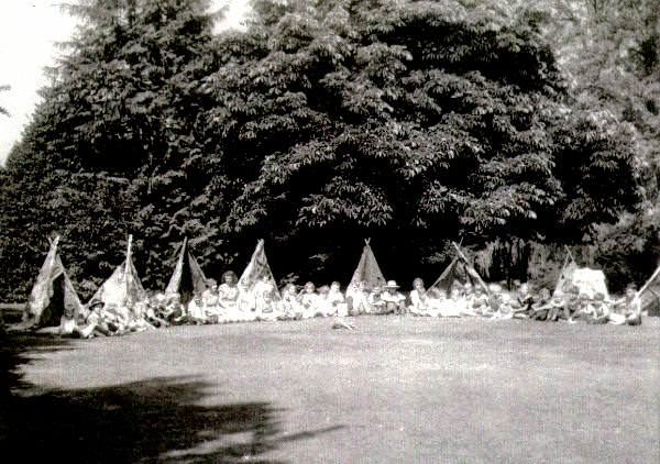
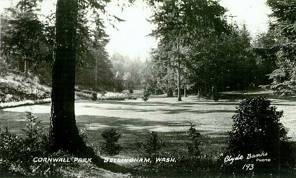
Cornwall Park served as one of Bellingham’s main public green spaces throughout the 20th century. The park’s original entrance signage still appears in early photographs, and the grounds hosted community events of all kinds. A 1920 photograph labeled an “Indian pow-wow” in the park actually shows middle-class white children in costume — a reflection of the period’s common practice of appropriating Native American imagery for recreation, with no actual Native American participants involved.
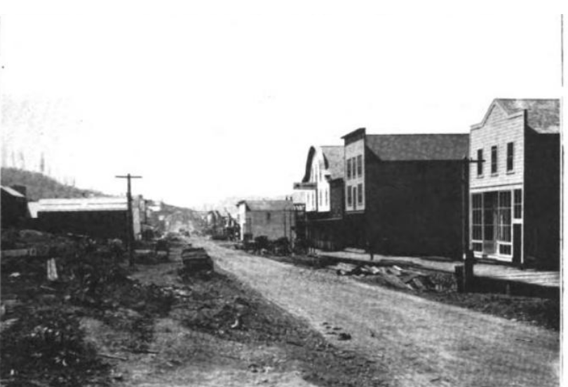
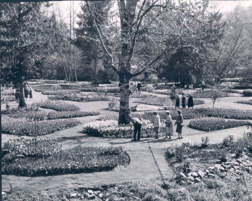
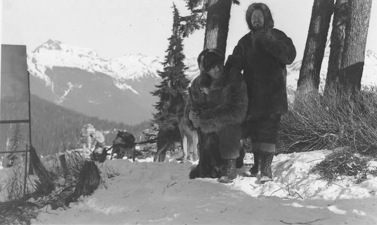
Hollywood came to the Mount Baker area in 1935, when the film “Call of the Wild” was shot in the region. Clark Gable and Jack Oakie were photographed on location near the mountain, bringing national attention to the scenery around Bellingham. The area’s wilderness setting made it a natural fit for the Jack London story, and the production crew joined a long line of outsiders drawn to the mountain’s dramatic landscape.
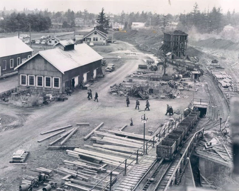
The Bellingham coal mines employed generations of local workers and were a defining feature of the city’s industrial identity. Photographs from 1935 show miners alongside their equipment, while the 1950 and 1954 images document the mine’s final years of operation. The closures marked the end of a 100-year industry that had helped build the city from the ground up.
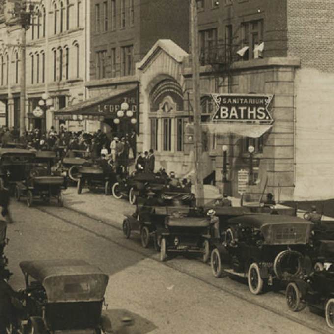
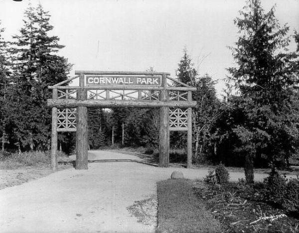
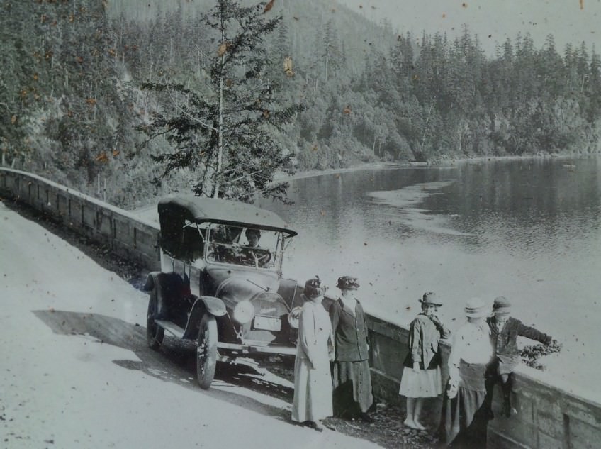
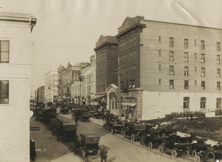
By the 1930s, recreational driving along Chuckanut Drive was a popular pastime. Automobiles made it easy to pull off and take in views that had previously required a serious hike. The Leopold Hotel, photographed in 1910 and again in 1920 alongside the Cornwall and sanitarium baths, offered visitors a comfortable base from which to explore the region. These establishments reflected Bellingham’s growing confidence as a destination, not just a working city.
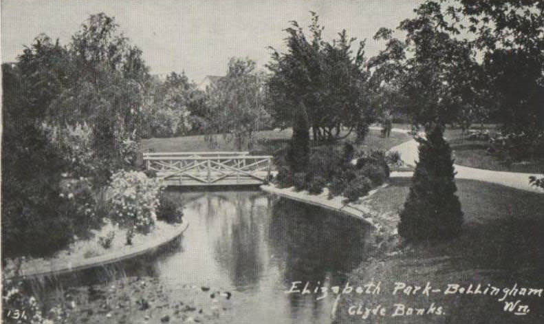
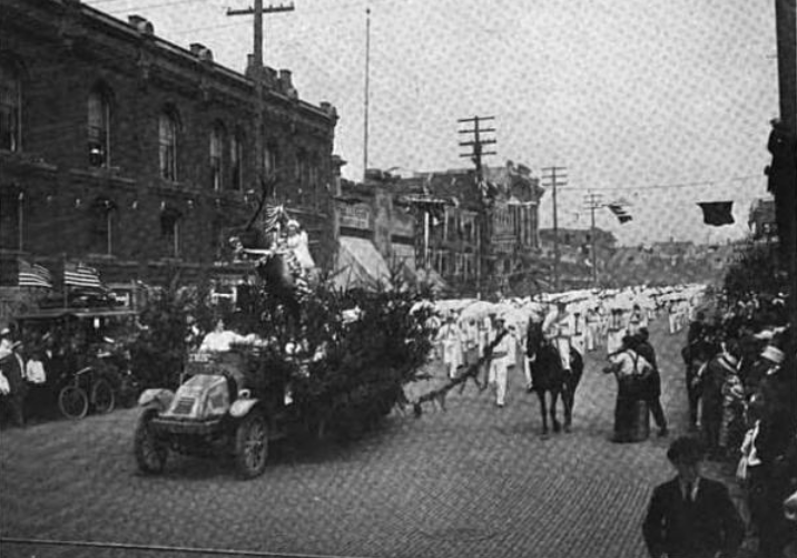
Fraternal organizations like the Elks were deeply woven into Bellingham’s community fabric. Their parades on Commercial Street drew crowds and reflected the civic pride that ran through the city’s public life. Parks like Elizabeth Park and Cornwall provided green space for families and community gatherings in a city that was otherwise dense with industry and commerce.
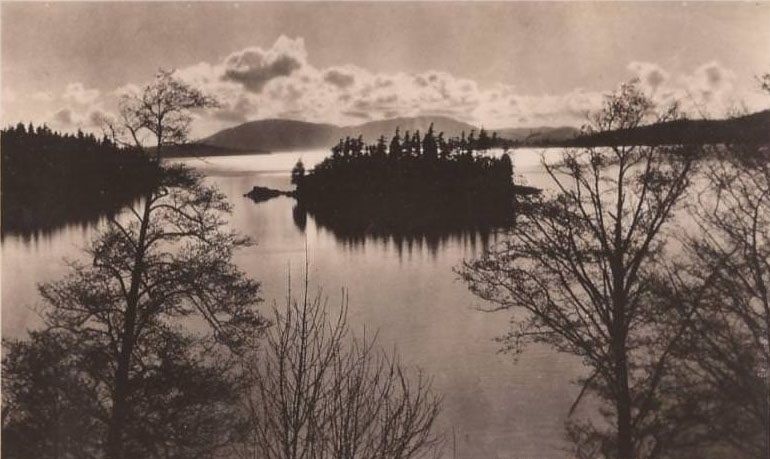
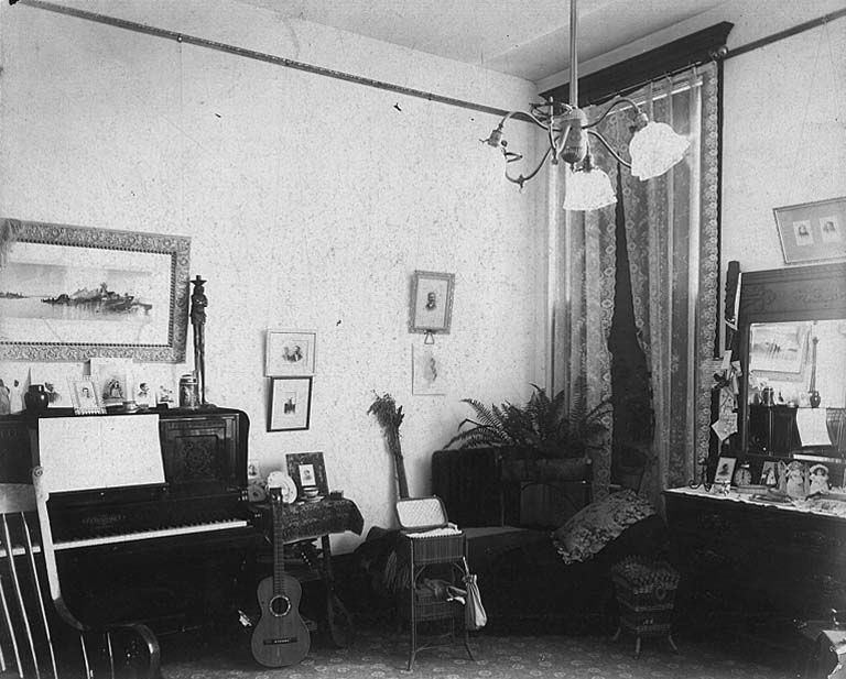
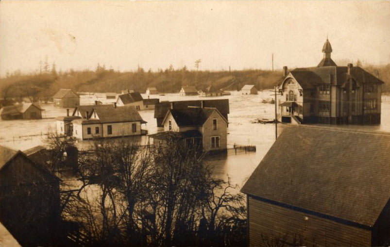
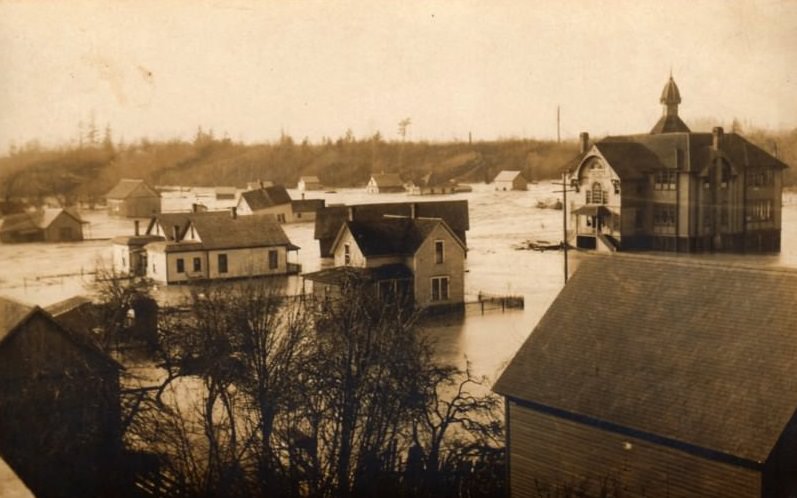
Natural disasters were part of life in early Whatcom County. Ferndale, located north of Bellingham along the Nooksack River, suffered severe flooding around 1905. The photographs from that event show streets and buildings swamped with water, a reminder that the same rivers and waterways that powered mills and provided drinking water could also turn destructive. Flood events like these shaped how communities thought about where and how to build.
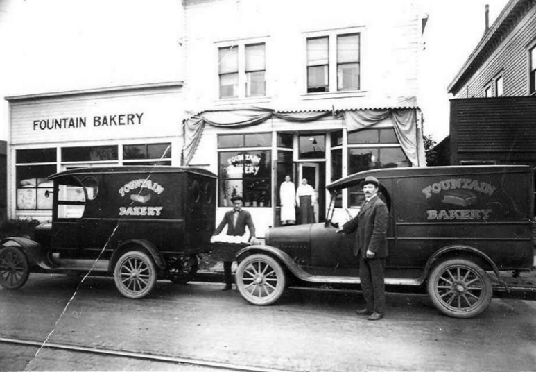
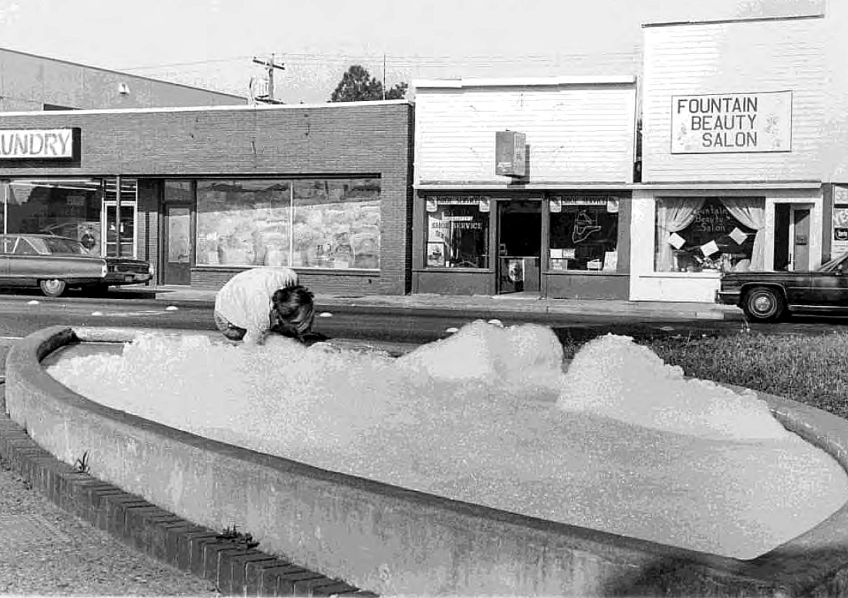
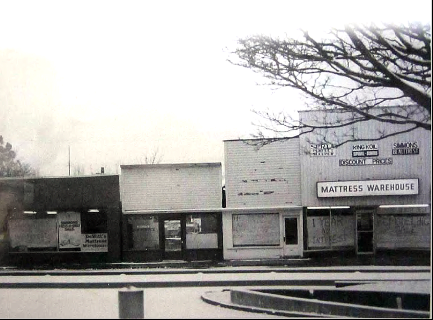
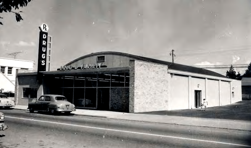
The Fountain District was a recognizable part of Bellingham’s downtown identity. The Baker Fountain served as a local landmark, and the tradition of soaping it — a prank that produced mountains of suds in the basin — was a recurring bit of mischief across the decades. Fountain Drug, photographed in 1950, and the storefronts visible in 1970s images show how the district evolved while keeping its central feature.
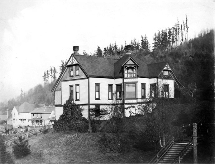
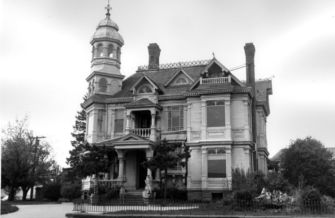
Bellingham produced at least one figure of national literary note. Ella Higginson served as Washington State’s Poet Laureate, and her home in Bellingham stood as a marker of the city’s place in the state’s cultural history. Henry Roeder, whose sawmill started it all in 1852, eventually built a mansion known as “Elmheim” — also called the Roeder-Roth home — which reflected his position as one of the founding figures of the community.
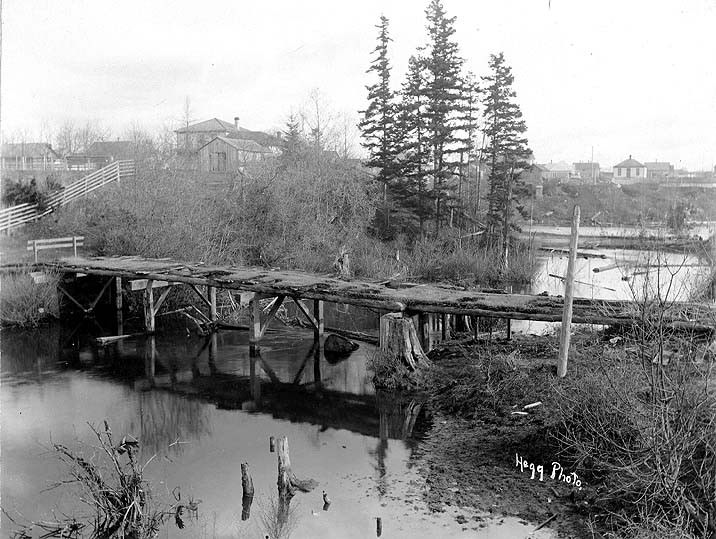
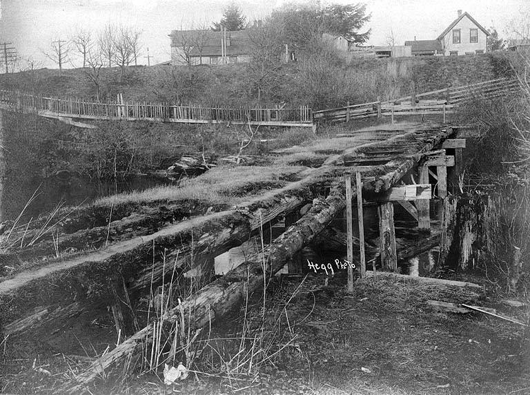
George Pickett — who would later become famous as a Confederate general at the Battle of Gettysburg — served at Fort Bellingham before the Civil War. He built a military bridge across Whatcom Creek during his posting there, and the remains of Fort Bellingham were still visible in an 1894 photograph. Pickett’s time in Washington Territory was a significant chapter in both his biography and the early military history of the Pacific Northwest.
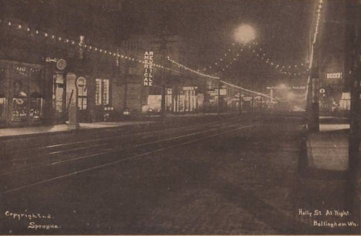
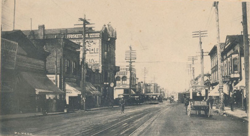
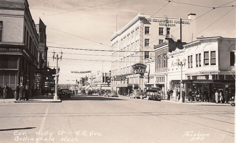
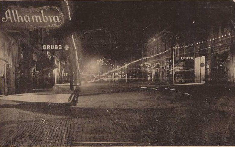
By 1910, Bellingham had electric lighting, and a nighttime photograph from that year shows a city that had firmly crossed out of the frontier era. Holly Street at the turn of the century was a mix of wooden storefronts and early brick buildings. Over the following decades, the street filled in with more permanent commercial buildings, hotels, and civic structures that gave downtown its lasting character.
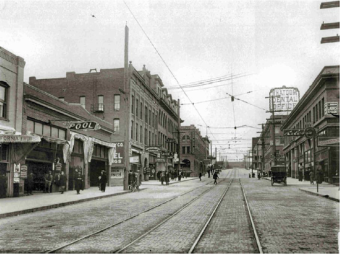
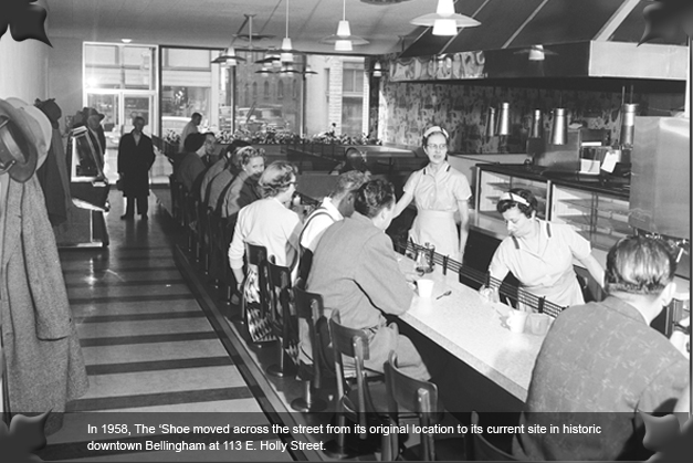
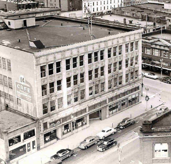
Mid-century Bellingham had a full complement of local restaurants and retail establishments. The Horseshoe Cafe, photographed in 1958, was one of the spots that gave downtown its everyday character. These businesses served mill workers, fishermen, students, and shoppers alike. The Montague McHugh building and the arrival of larger retail operations like the Bon Marché marked the shift from small-scale local commerce to the kind of retail that defined postwar American cities.
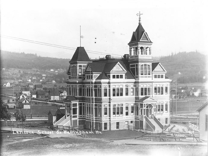
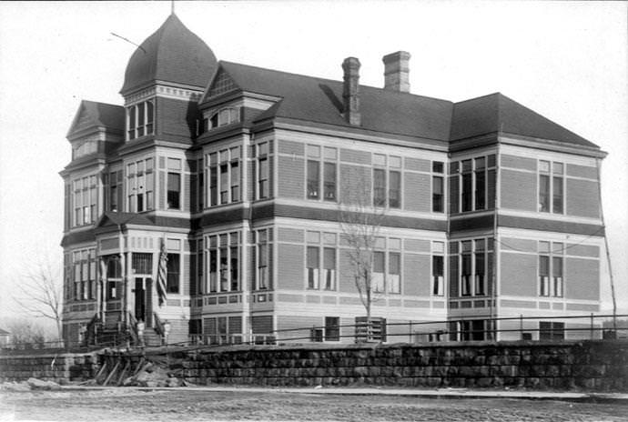
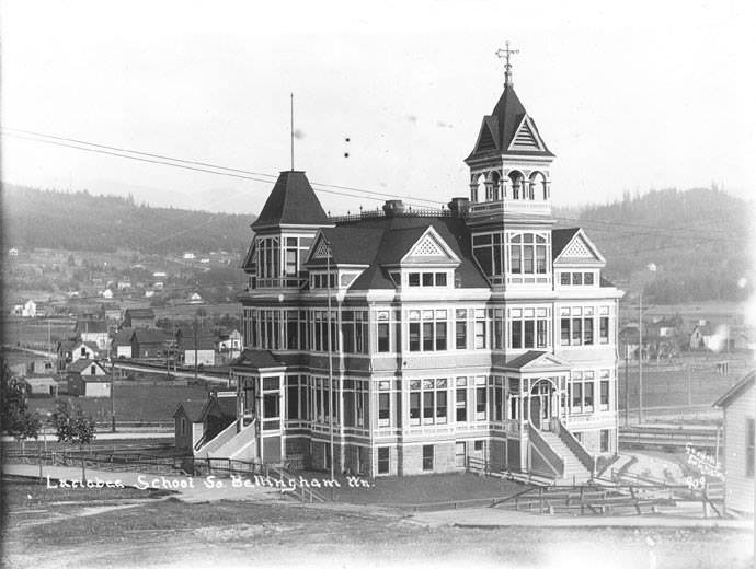
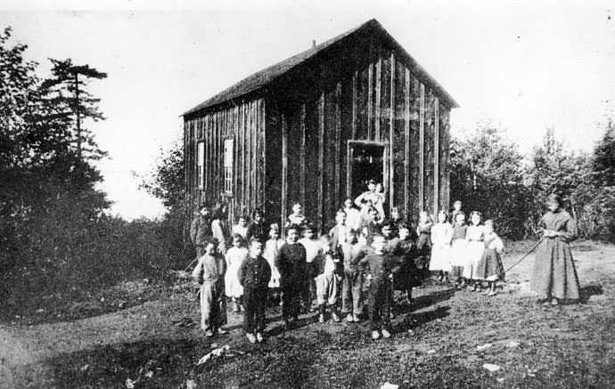
Schools were built across Bellingham and its surrounding communities from the 1890s onward. Larrabee Grammar School, Sehome Grade School, and the Sehome Schoolhouse all appear in early photographs, many of them built in 1890 on sites that would later be repurposed. The Sehome Grade School, for example, stood on what is now Laurel Park. These buildings served a rapidly growing population of children whose families had come to the area to work in the mills, mines, and canneries.
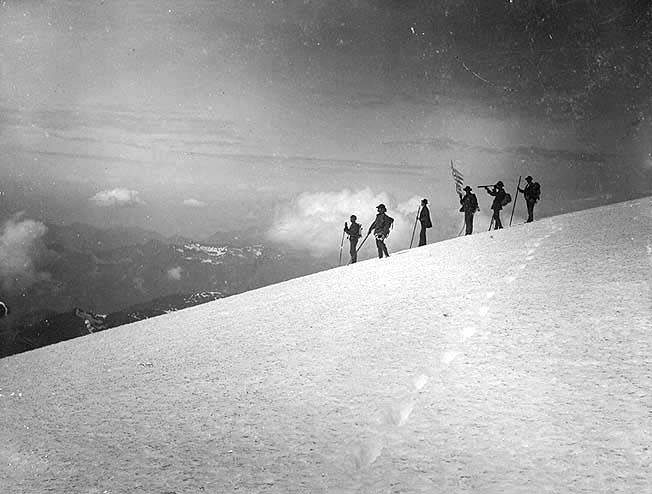
The 1891 Mount Baker summit party is one of the earliest documented group climbs of the peak. The photograph captures a group of climbers at the top of the volcano, a significant feat in an era without modern gear, weather forecasting, or mountain rescue services. The climb required days of preparation and considerable physical endurance. The 1906 summit party image shows that interest in the mountain only grew in the years that followed.
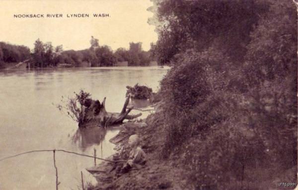
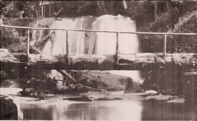
The Nooksack River and Whatcom Falls were natural gathering places for residents seeking recreation. A 1920 photograph of a boy fishing on the Nooksack captures the quieter side of life in the county — the same waterways that powered industry also offered leisure. Whatcom Falls, photographed in 1910, remained a scenic landmark from the earliest days of settlement through the 20th century.
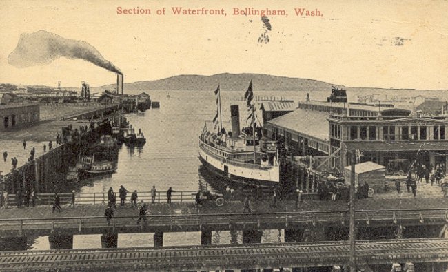
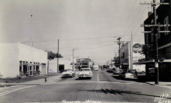
Bellingham’s waterfront in 1915 showed the full weight of the city’s industrial ambitions. Docks, warehouses, and working vessels filled the bay. Squalicum Harbor hosted the Bellingham Yacht Club alongside working boats, and steamboats like the New World and Fairhaven connected the city to the wider Puget Sound network. The waterfront was where commerce arrived and departed, and it defined the city’s relationship with the sea.
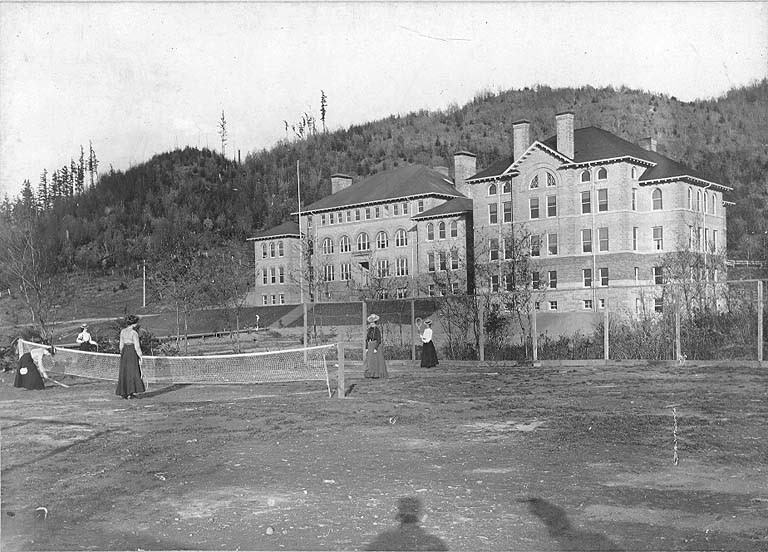
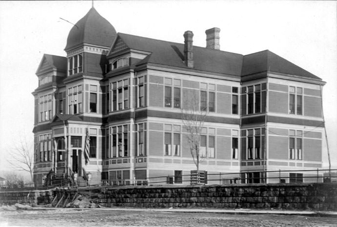
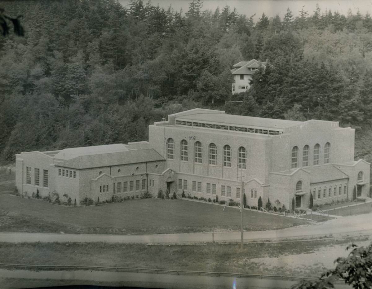
The state normal school’s Old Main building stood as the institutional center of what would become Western Washington University. In 1937, the campus added Edens Hall and a new gymnasium, expanding its capacity as the school grew. These additions reflected the broader postwar investment in public higher education that was happening across Washington State and the rest of the country.
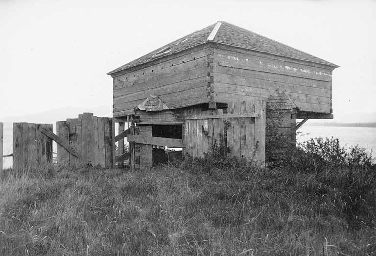
Fort Bellingham was established during the period of U.S. military presence in the Washington Territory, and its remains were still visible in 1894. George Pickett commanded the fort before departing for the Civil War, in which he would become infamous for leading the disastrous Pickett’s Charge at Gettysburg. The fort’s ruins, the bridge he built over Whatcom Creek, and the military legacy of that period remained part of Bellingham’s physical landscape well into the late 19th century.
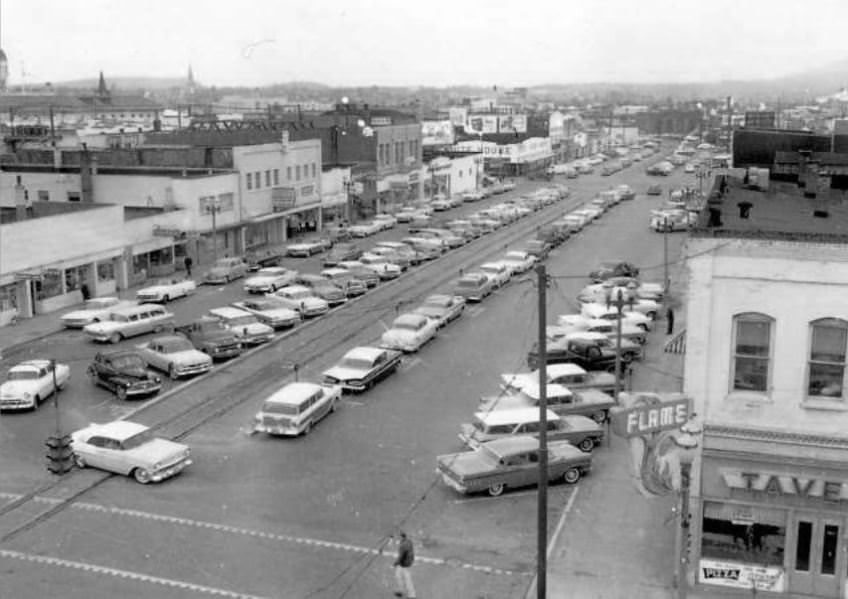
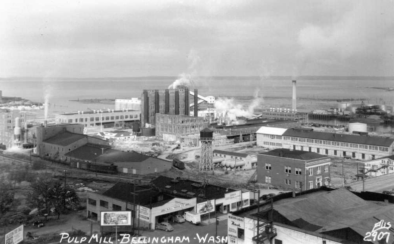
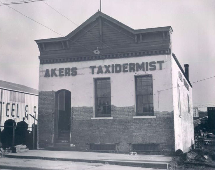
The pulp mill photographed in 1950 was a direct product of the railway connections and harbor improvements that transformed Bellingham in the early 20th century. Timber that might once have been shipped out as raw logs was now processed locally into pulp, adding industrial value and jobs to the local economy. Railroad Avenue served as the artery connecting those industrial operations to the broader rail network.
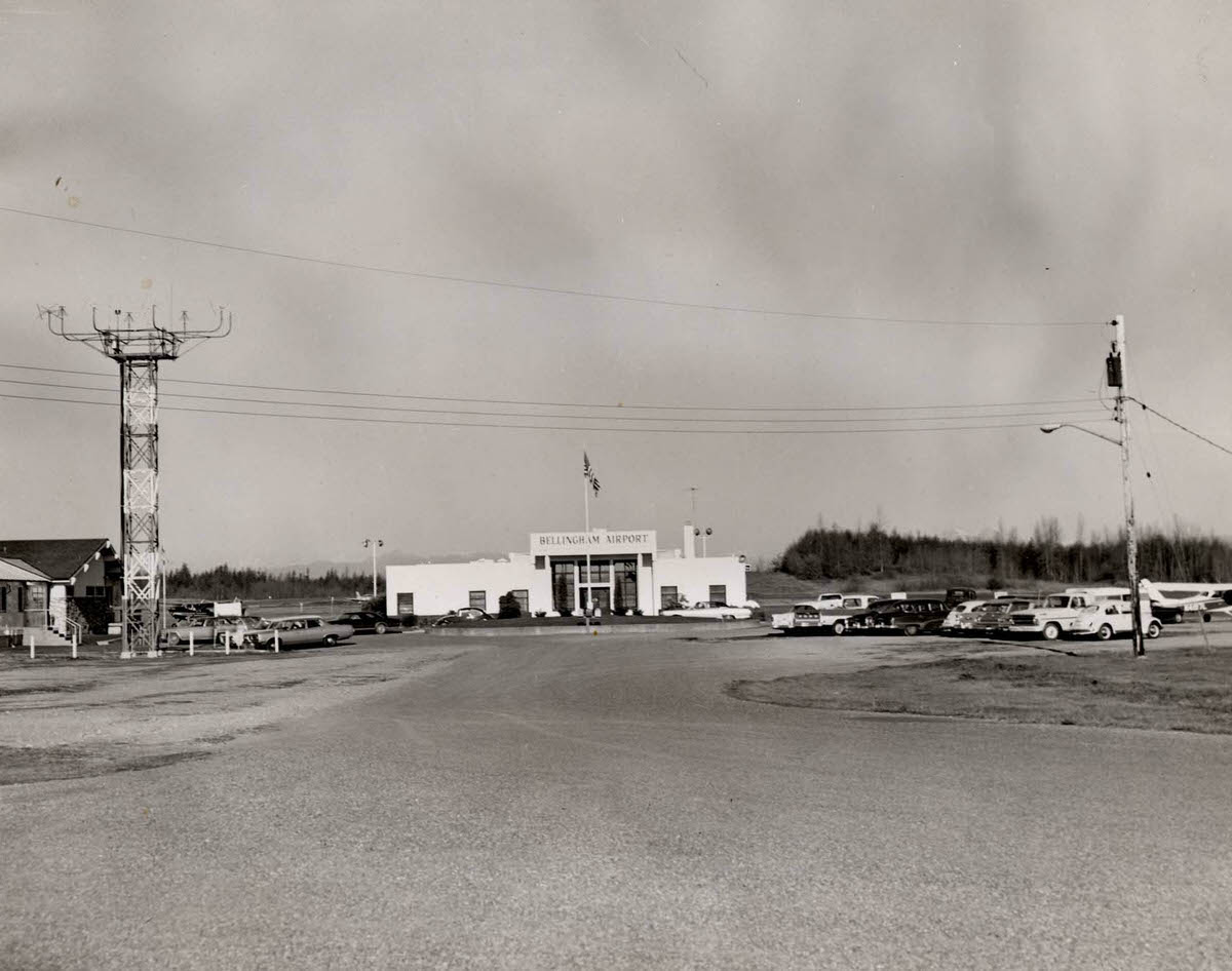
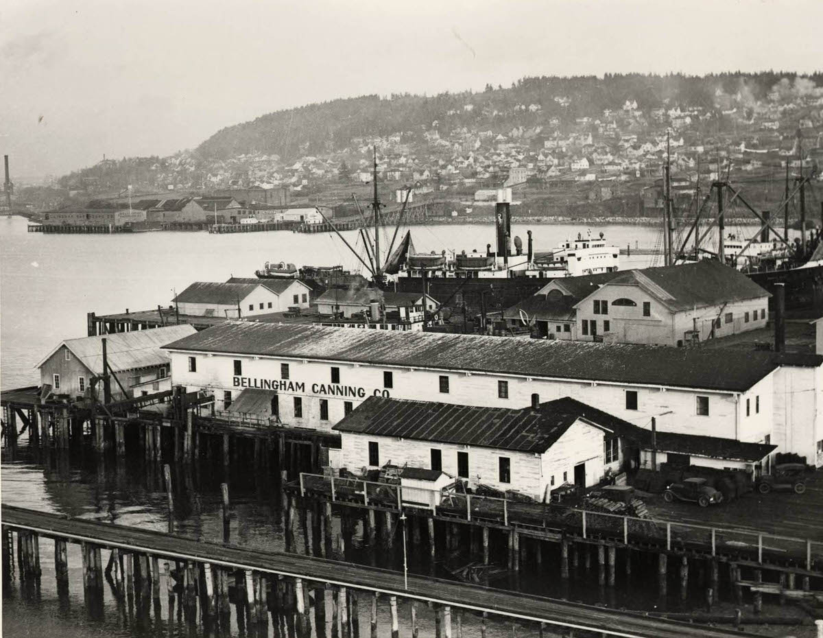
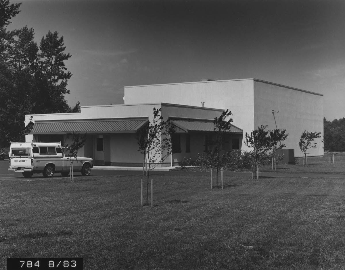
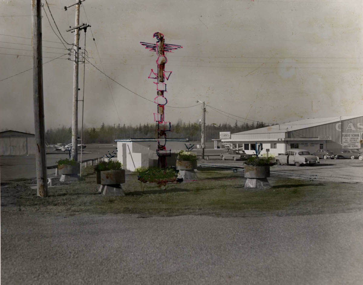
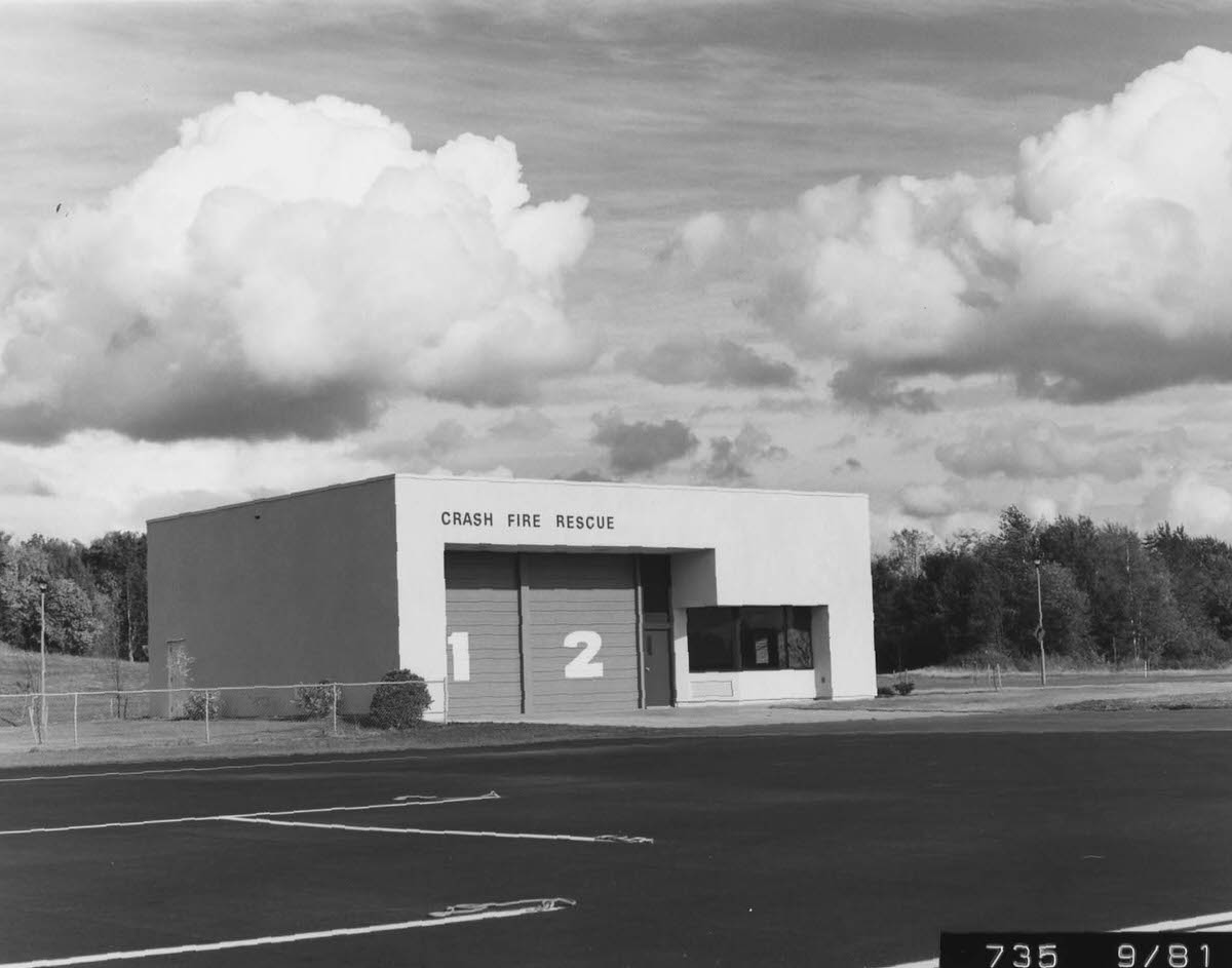
Bellingham’s fish canneries were operating at full capacity by 1900, processing the region’s rich salmon runs. The canning industry employed a large workforce and connected Bellingham’s waterfront to markets across the country. By mid-century, Bellingham also had a functioning regional airport, photographed in 1950 and documented again as late as 1983 with images of the airport fire station and maintenance facilities.
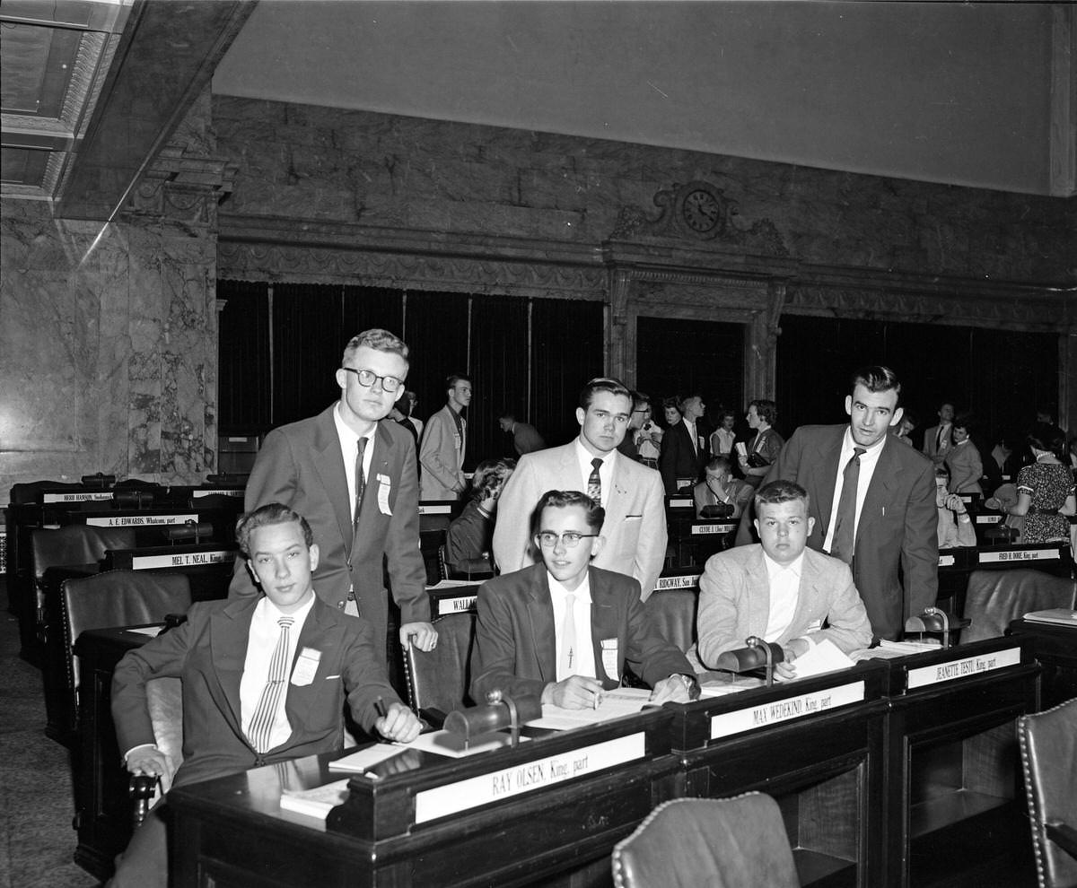
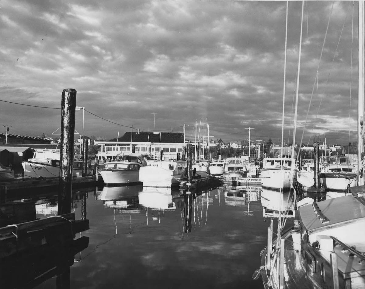
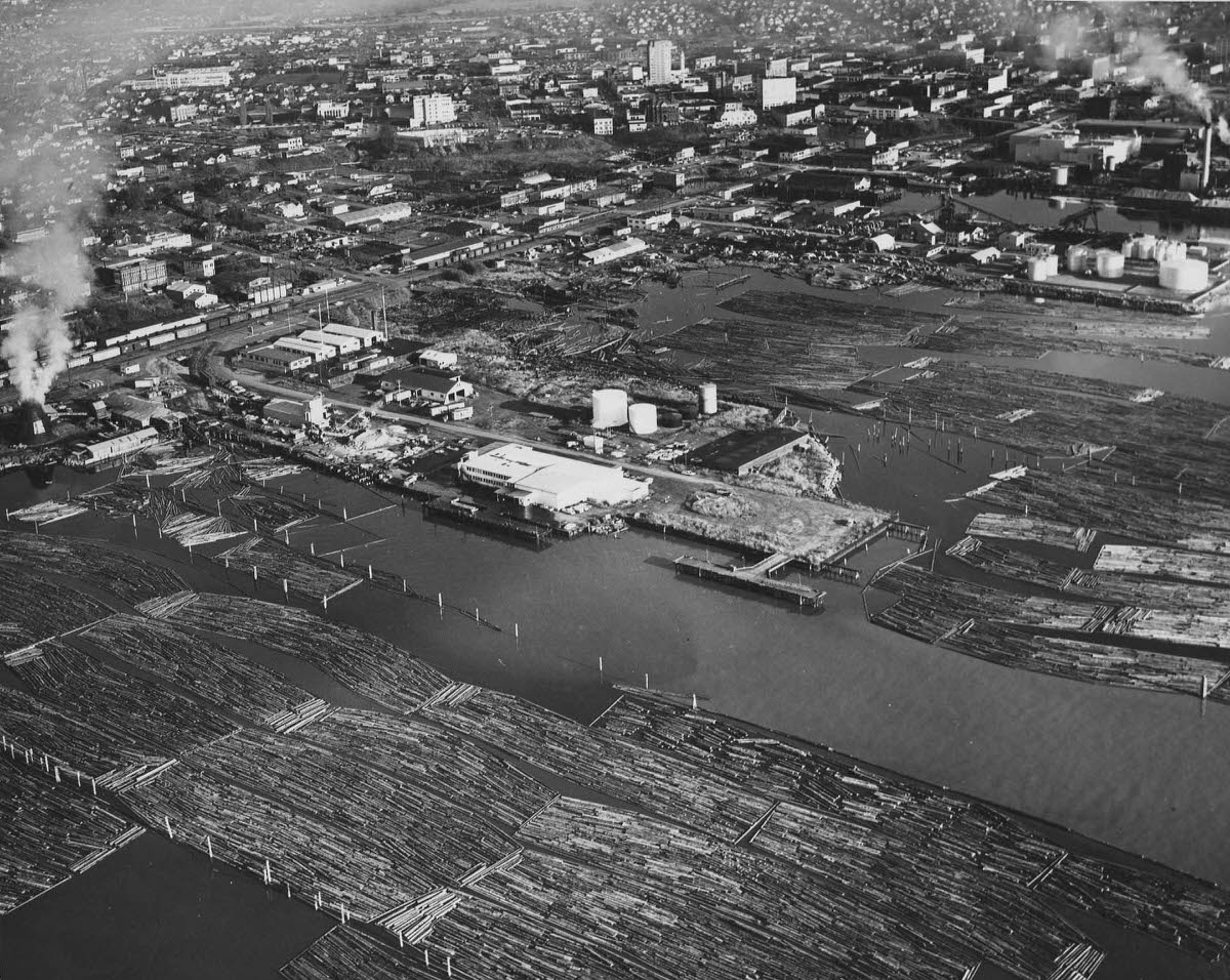
The year 1900 captured a city on the edge of its formal incorporation. Photographs from that year show Squalicum Harbor with the Yacht Club building, a broad city view from the bay, and the port offices that managed the commercial traffic flowing through Bellingham’s docks. Three years later, the four communities would merge, and the city would begin its next chapter as a unified municipality.
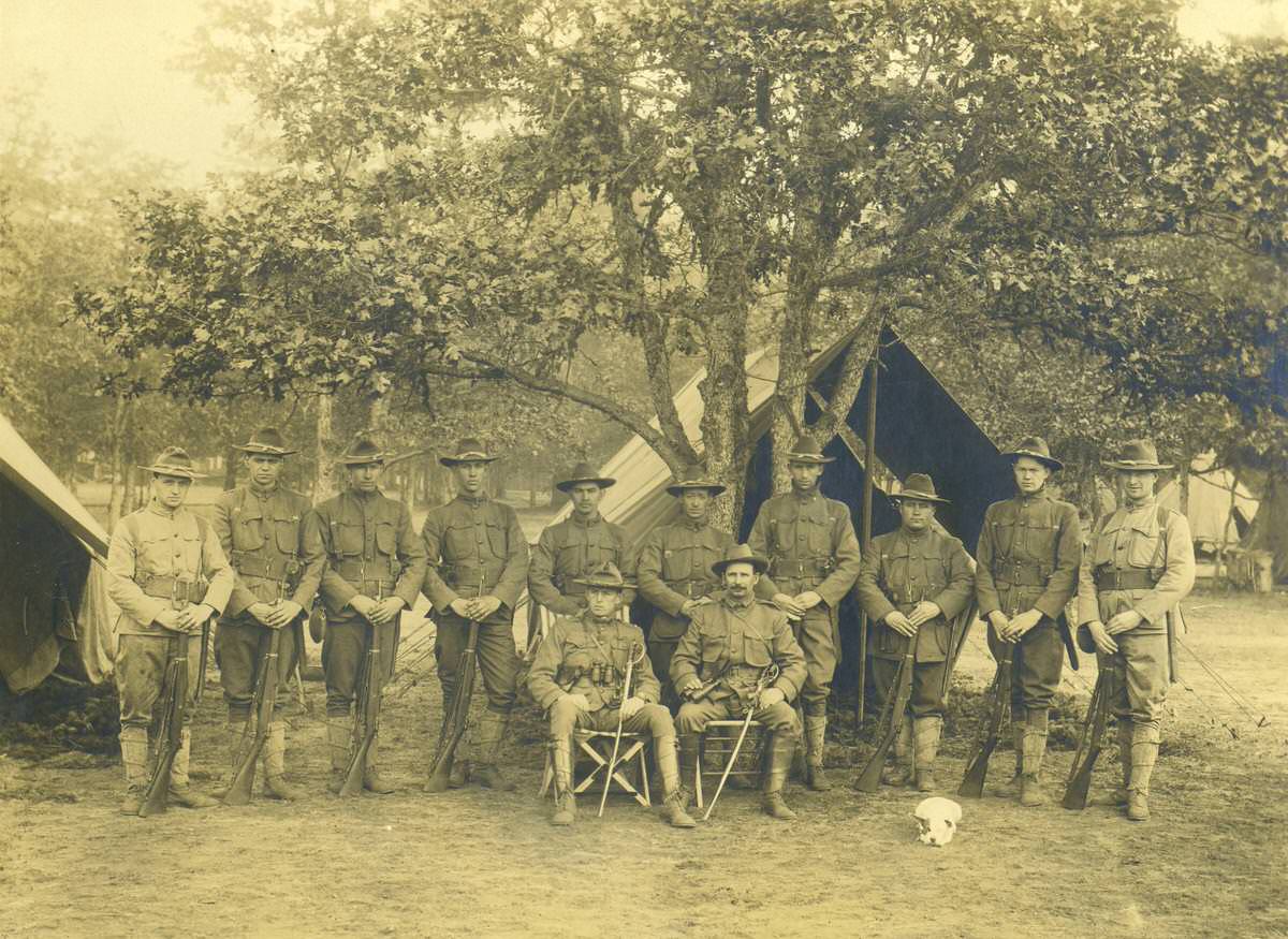
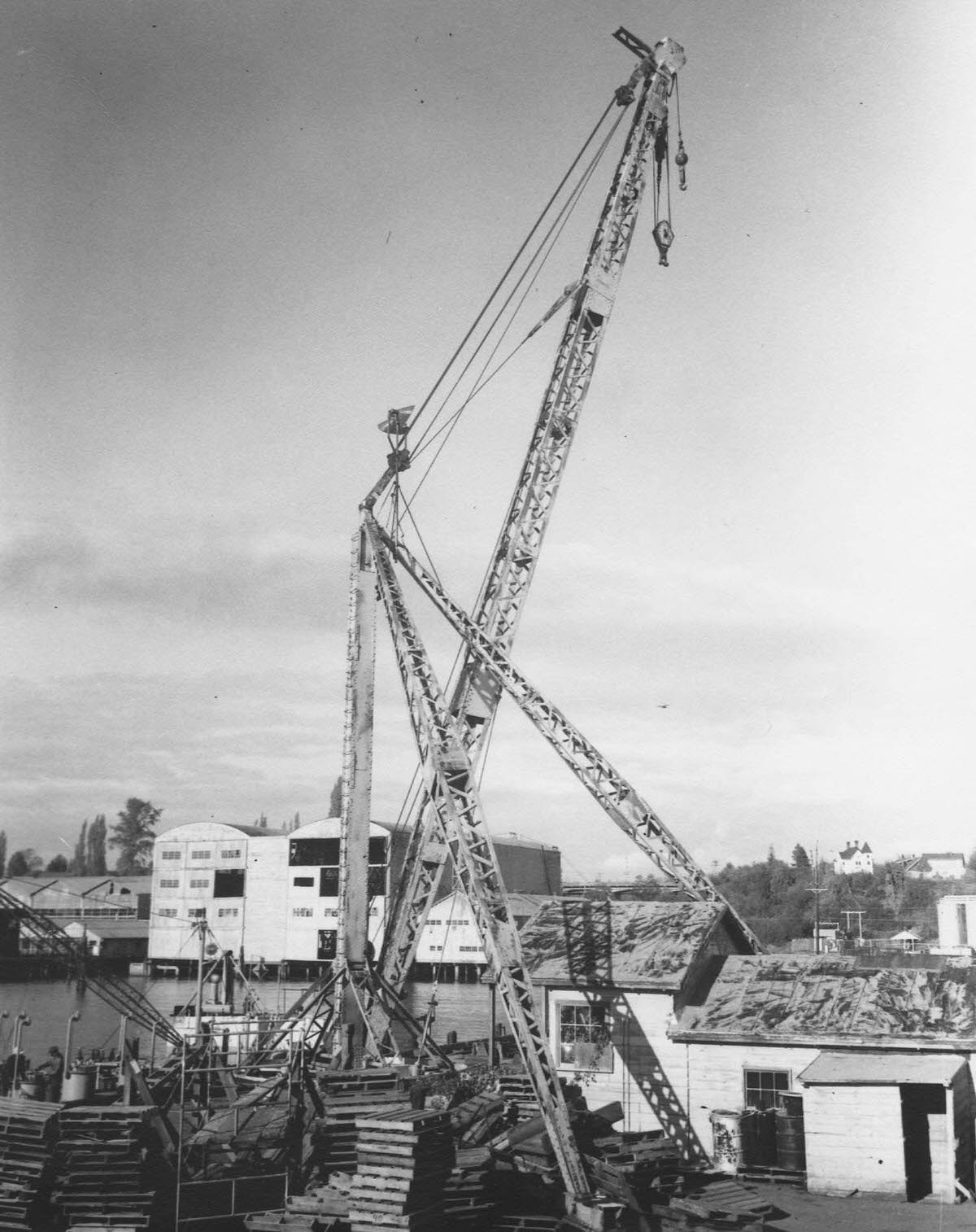
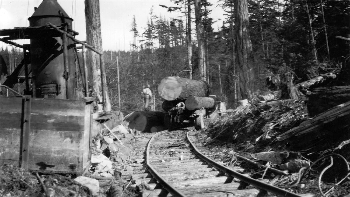
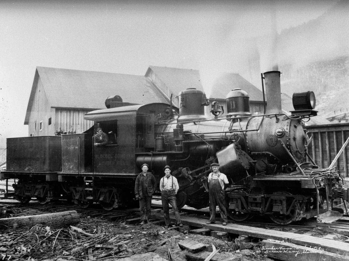
Military presence continued in Bellingham well into the 20th century. Company M of the 2nd Infantry was photographed in the city in 1910, and a flight school operated there in 1940. The photographs of locomotive equipment and logging machinery from the same era show the technical complexity of the industries that sustained the region. Shay and Climax locomotives hauled loaded log cars through the forests, while incline systems moved trucks and equipment up steep terrain.
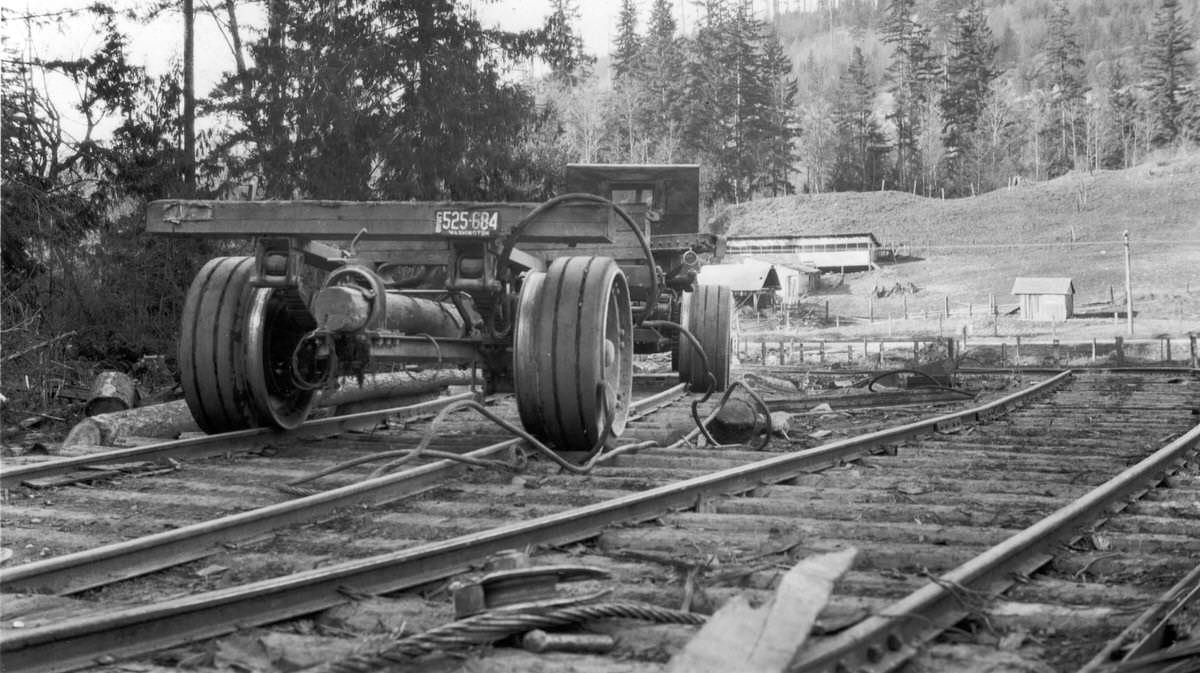
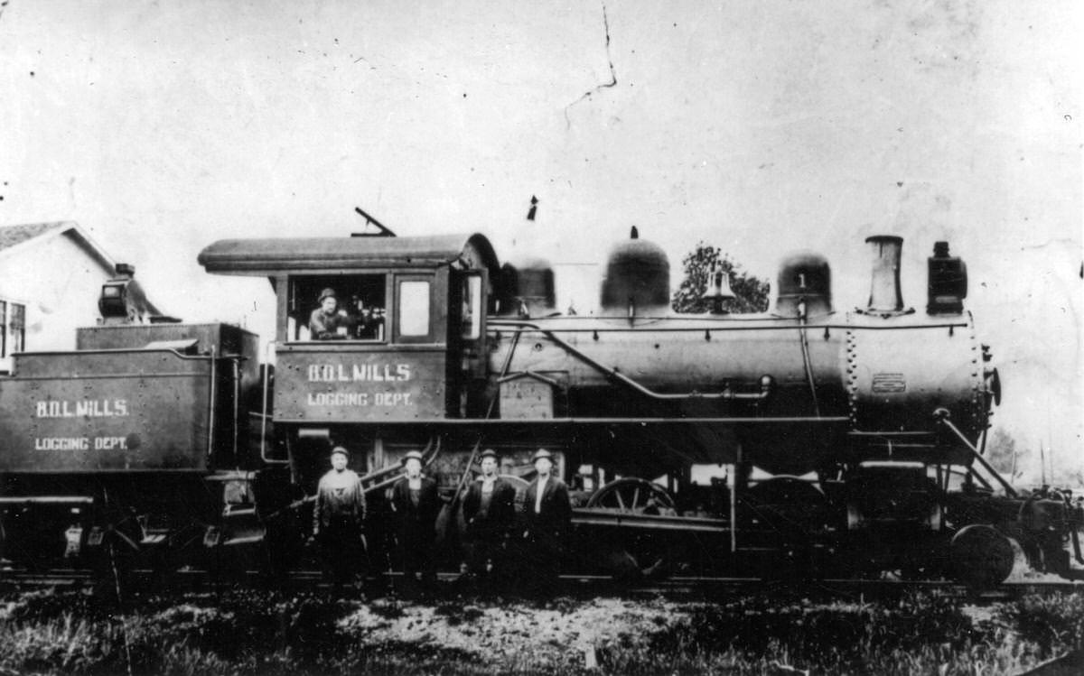
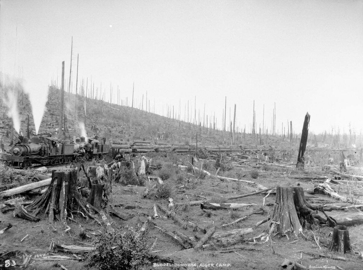
The logging railroads of Whatcom County were engineering operations in their own right. A 2-6-6-2 locomotive pulling 43 loaded connected log cars, a Shay locomotive leaving a landing with disconnect log cars, and a Willamette Tree Rig skidder all appear in the collection. These machines worked in terrain that was steep, wet, and unforgiving. The 1926 photograph of a Mack truck waiting at the bottom of an incline to be hauled up shows just how inventive loggers had to be to get timber out of the hills.
The Whatcom Museum of History and Art preserves documents and artifacts related to Bellingham and Whatcom County’s history across four buildings. The museum’s collection includes materials from the city’s logging, mining, and maritime industries, as well as records of its civic and cultural life. Bellingham also sits at the gateway to the San Juan Islands and near the Mount Baker-Snoqualmie National Forest, making it a hub for both historical study and outdoor recreation.
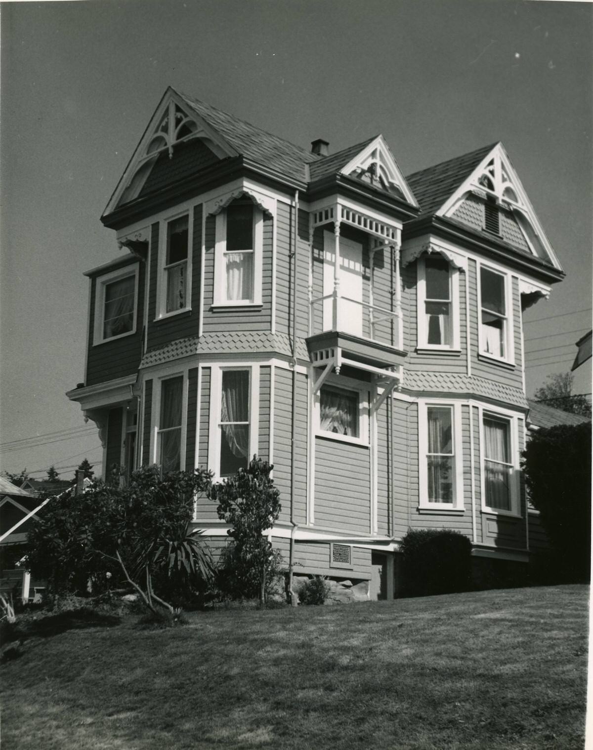
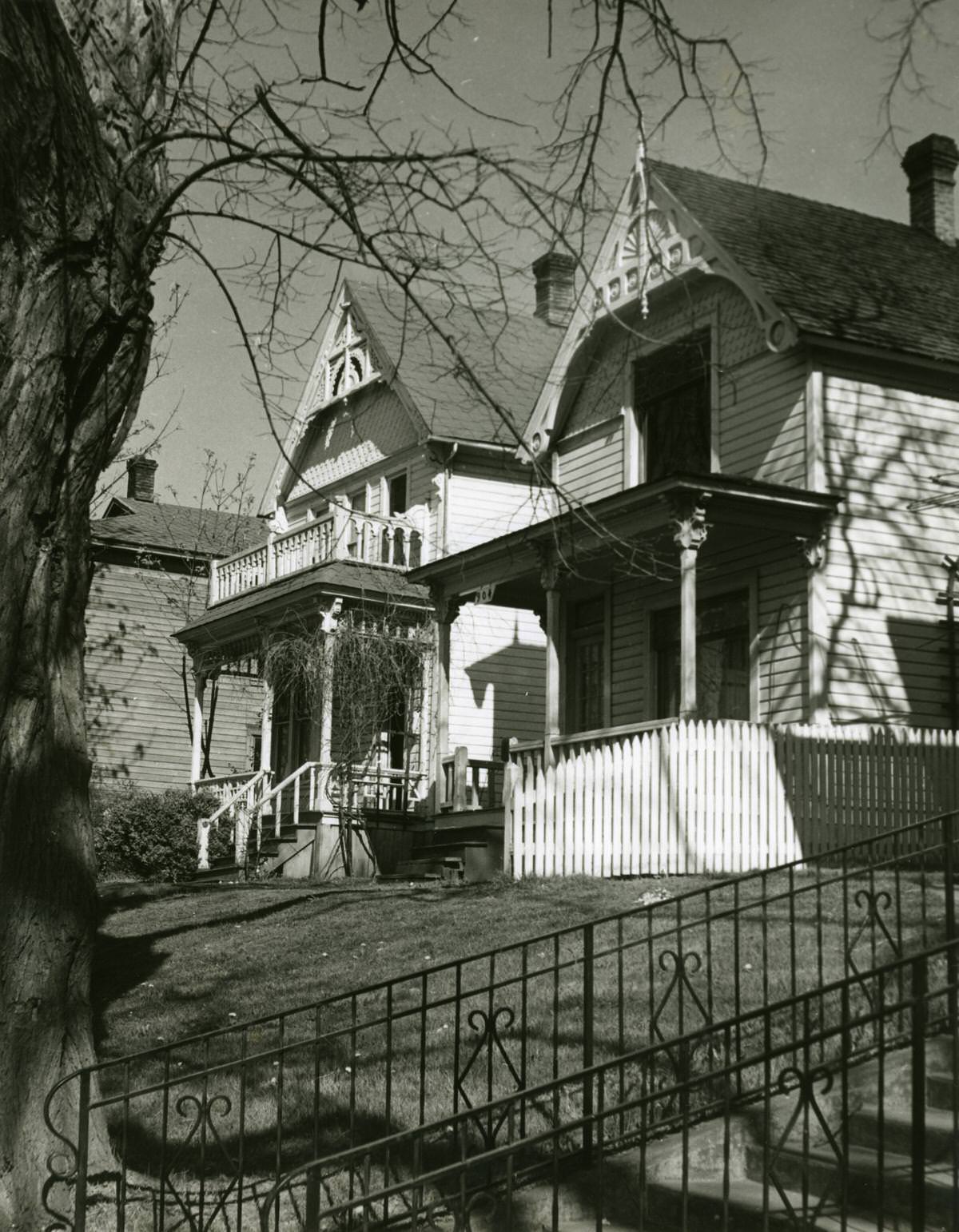
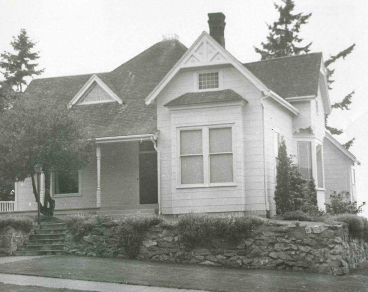
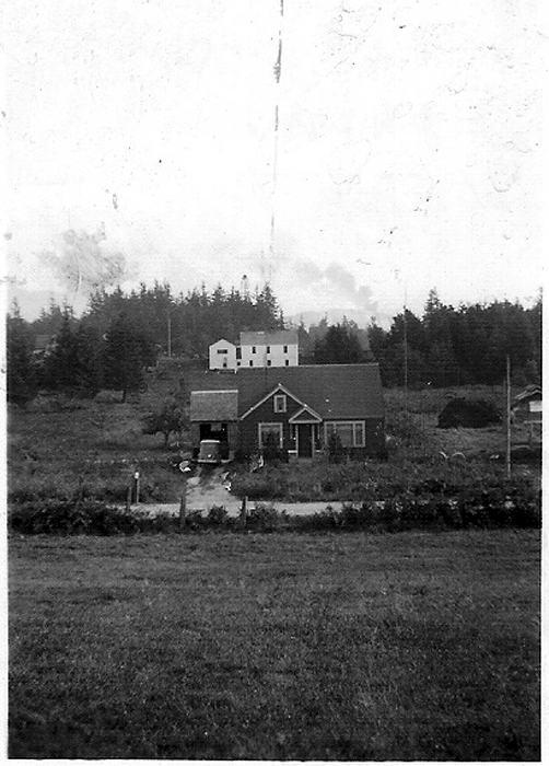
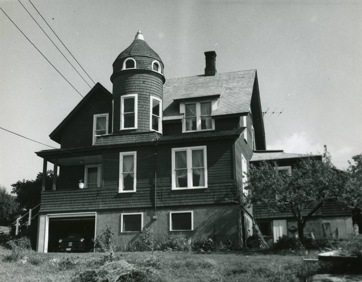
Residential Bellingham in the mid-20th century was a city of wood-frame houses on quiet streets. Photographs of homes on High Street, 15th Street, and Telegraph Road document the ordinary domestic landscape of a working city. The house built by Jack Holeman on Telegraph Road now sits under a Burger King — a small but telling example of how thoroughly the city’s built environment has turned over in the decades since these photographs were taken.
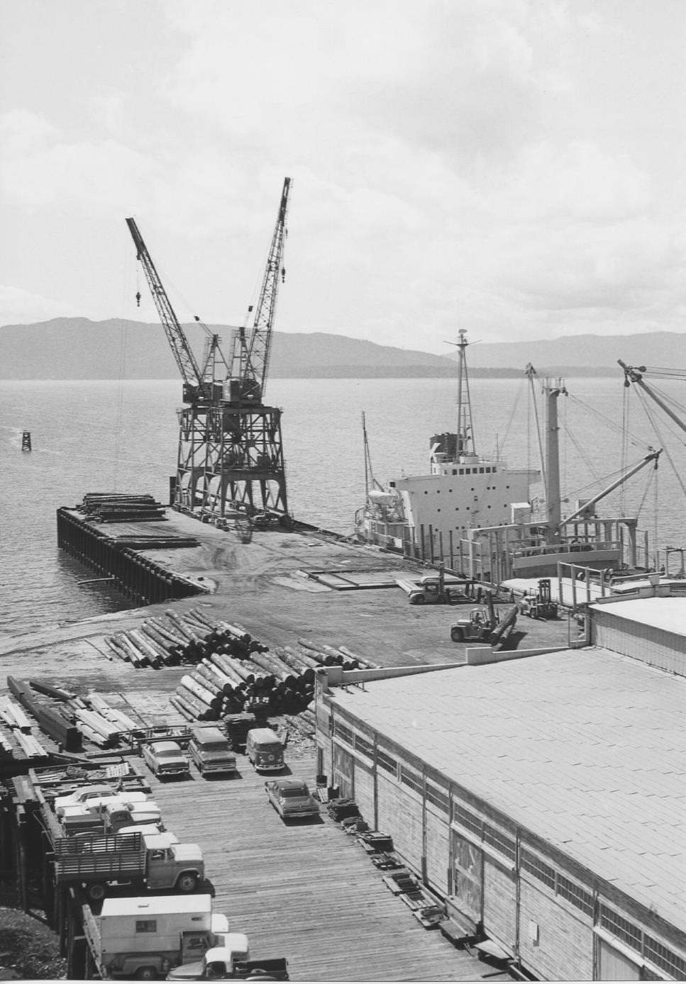
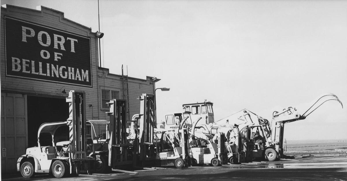
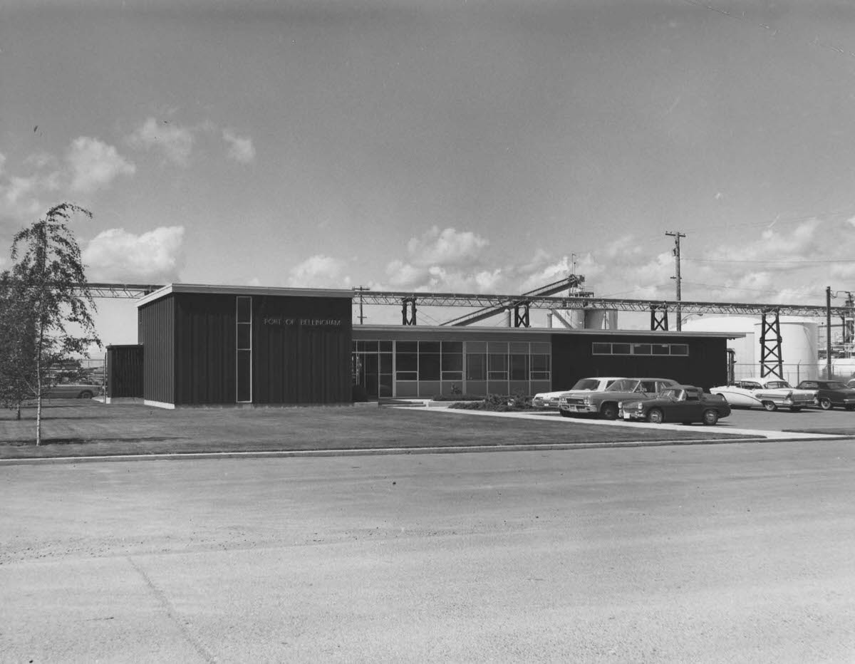
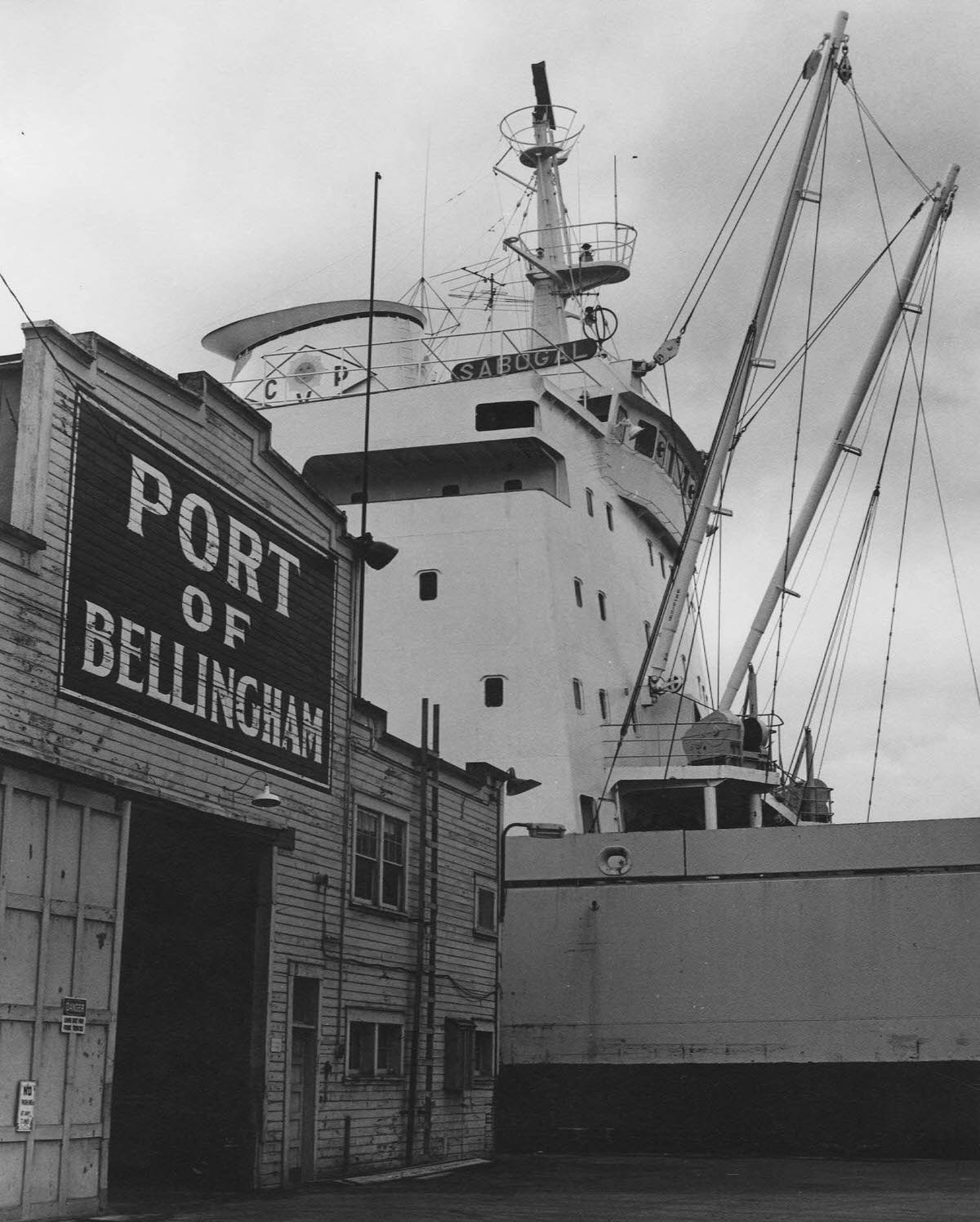
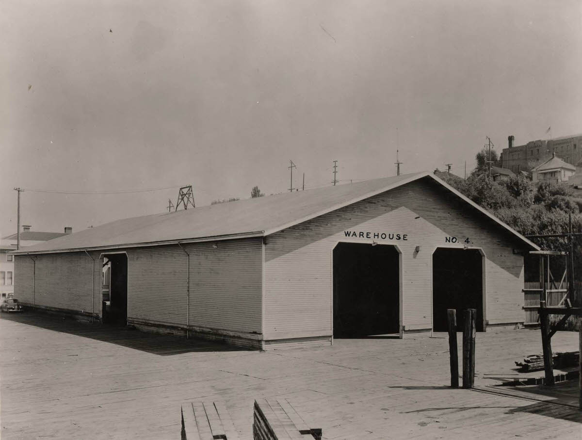
The Port of Bellingham documented itself in photographs from 1900 through 1970, providing a clear visual record of how the waterfront changed over seven decades. Early photographs show modest wooden structures and sailing vessels. Later images show more substantial dock facilities, cranes, and motorized ships. The port offices appear in photographs from 1900, 1950, and 1951, each one reflecting the infrastructure investment of its era.
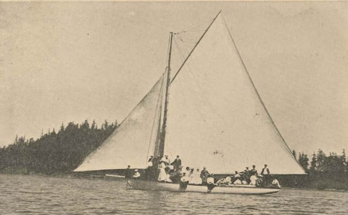
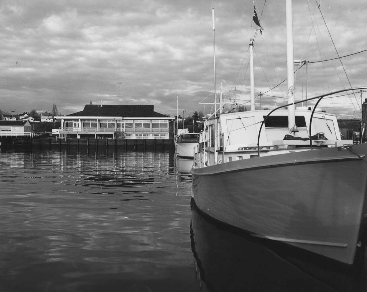
Sailing and yachting were recreational pursuits in Bellingham from the very beginning. The Bellingham Yacht Club had a building at Squalicum Harbor as early as 1900, and photographs of sailboats and yachting scenes from the early 1900s show that not all life on the bay was commercial. The bay’s protected waters and views of the islands made it a natural venue for recreational boating, a tradition that continued throughout the century.
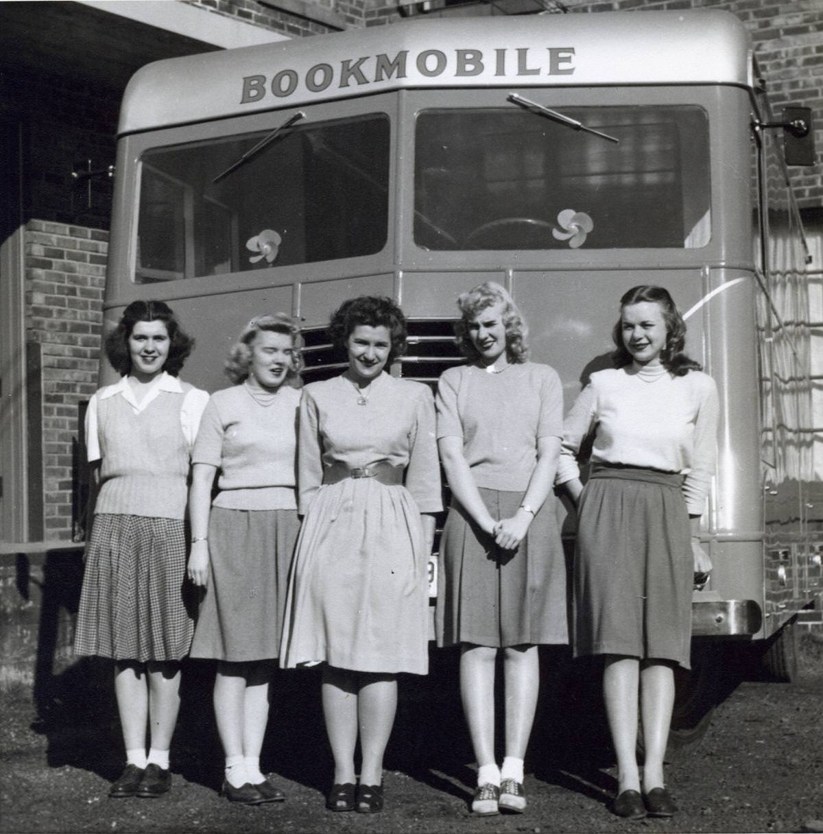
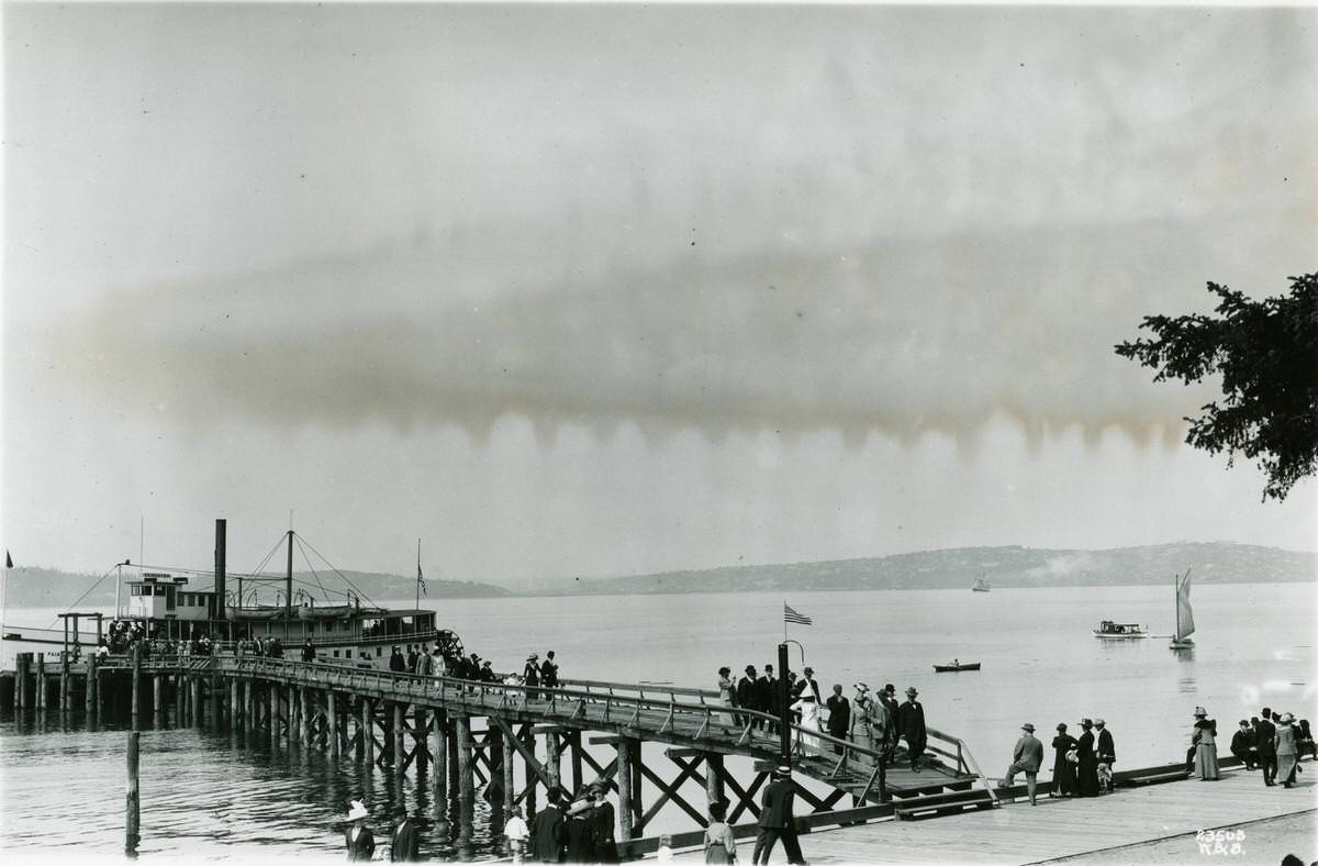
Steamboats were essential to life in the early Pacific Northwest, connecting communities that lacked road and rail links. The steamboats New World and Fairhaven, photographed in the 1900s, were part of that network. A bookmobile from Snohomish County Library, photographed in 1947, shows a different kind of community service — one that brought books and literacy resources to people spread across a large and still somewhat rural county.
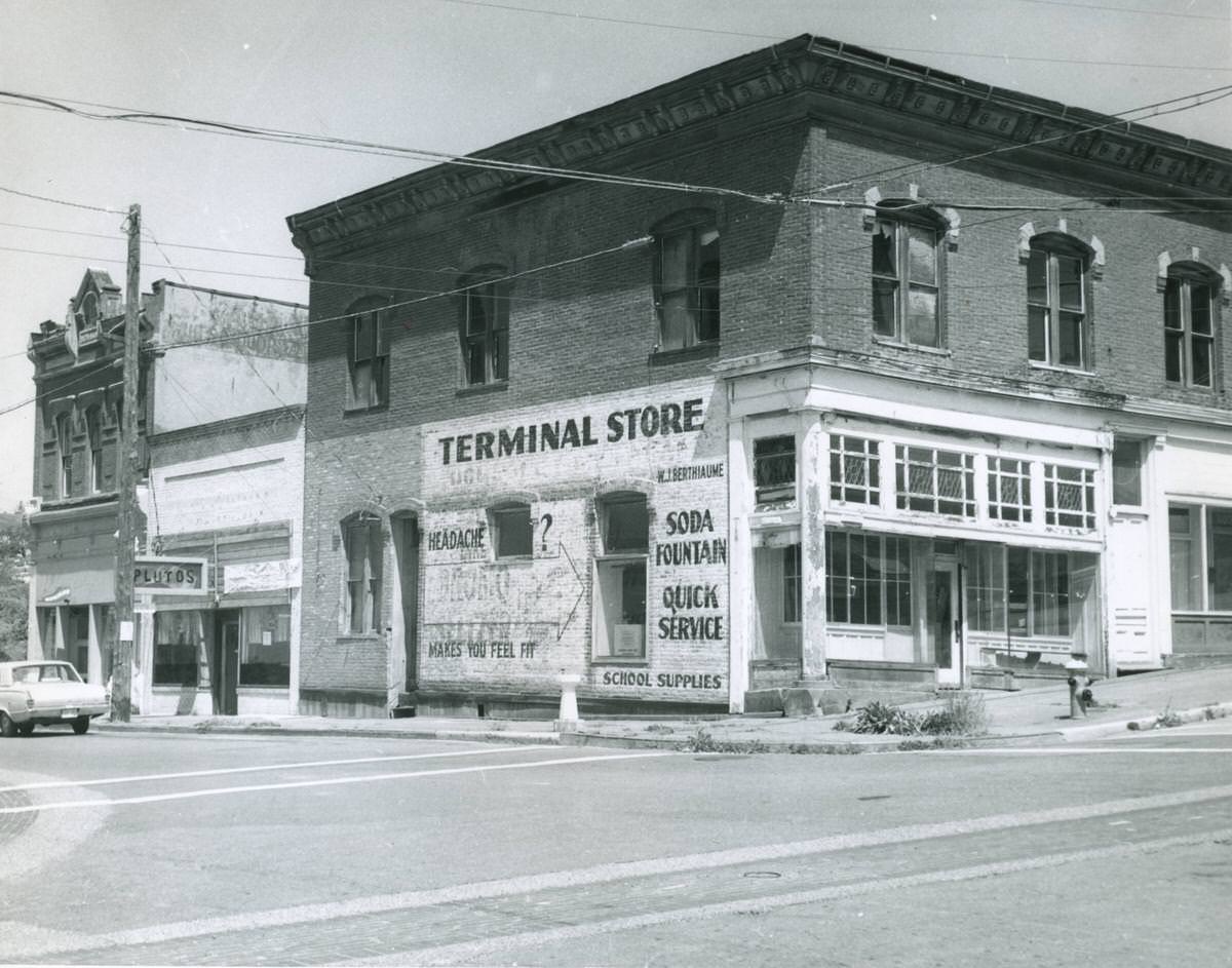
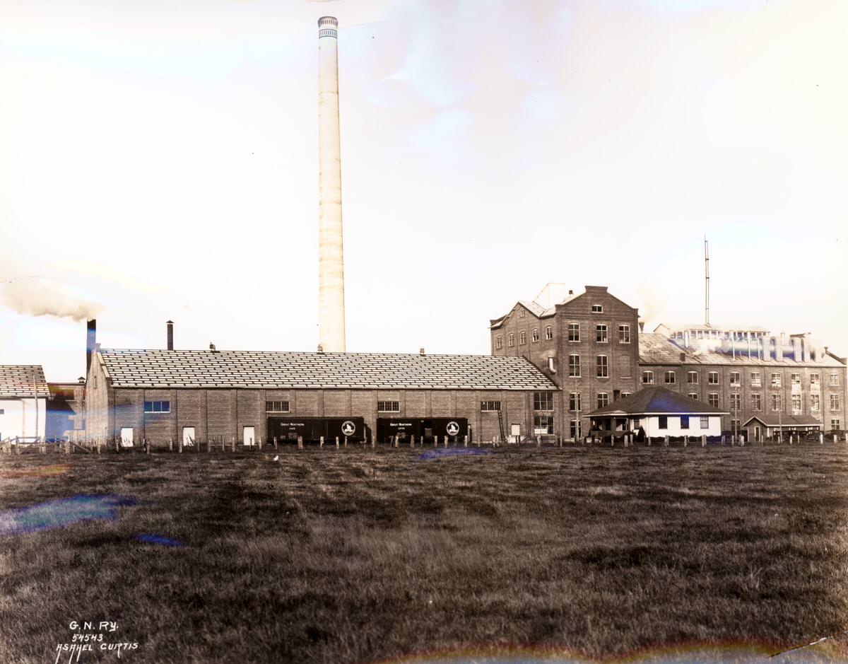
The sugar beet refinery photographed in 1925 is a reminder that Bellingham’s industrial base was broader than timber and fish. Sugar beet processing added another dimension to the local economy, drawing on the agricultural output of the surrounding farmland. Fairhaven, by 1970, had transitioned from a bustling commercial district to a quieter neighborhood with independently owned stores — a shift that reflected broader changes in how Americans shopped and lived.
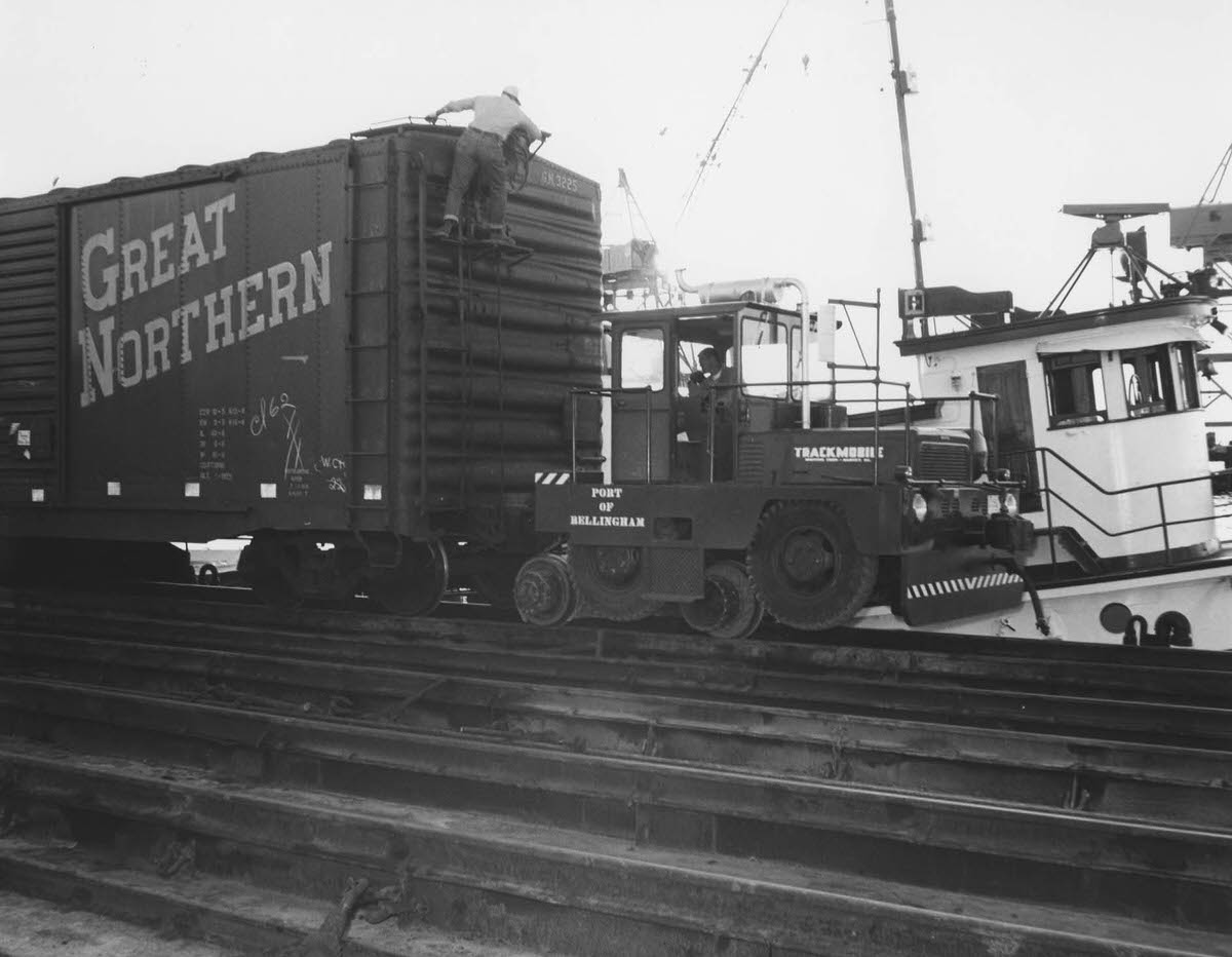
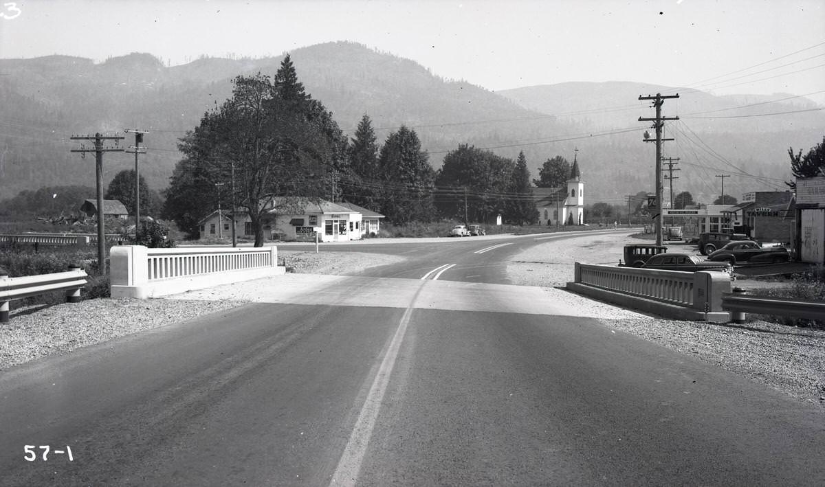
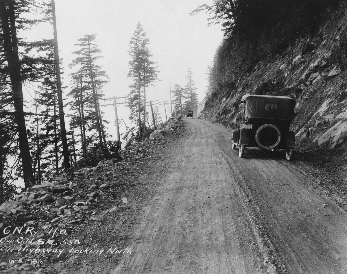
The Great Northern Railway was one of the key forces behind Bellingham’s early 20th-century growth, and a photograph of a Great Northern railcar from 1900 shows the railroad’s presence in the city from its earliest days. A dirt highway photographed south of Bellingham in 1916 shows how basic road infrastructure still was in the region just over a century ago. The bridge near Nugents Corner, photographed in 1947, documents the ongoing investment in connecting the county’s communities.
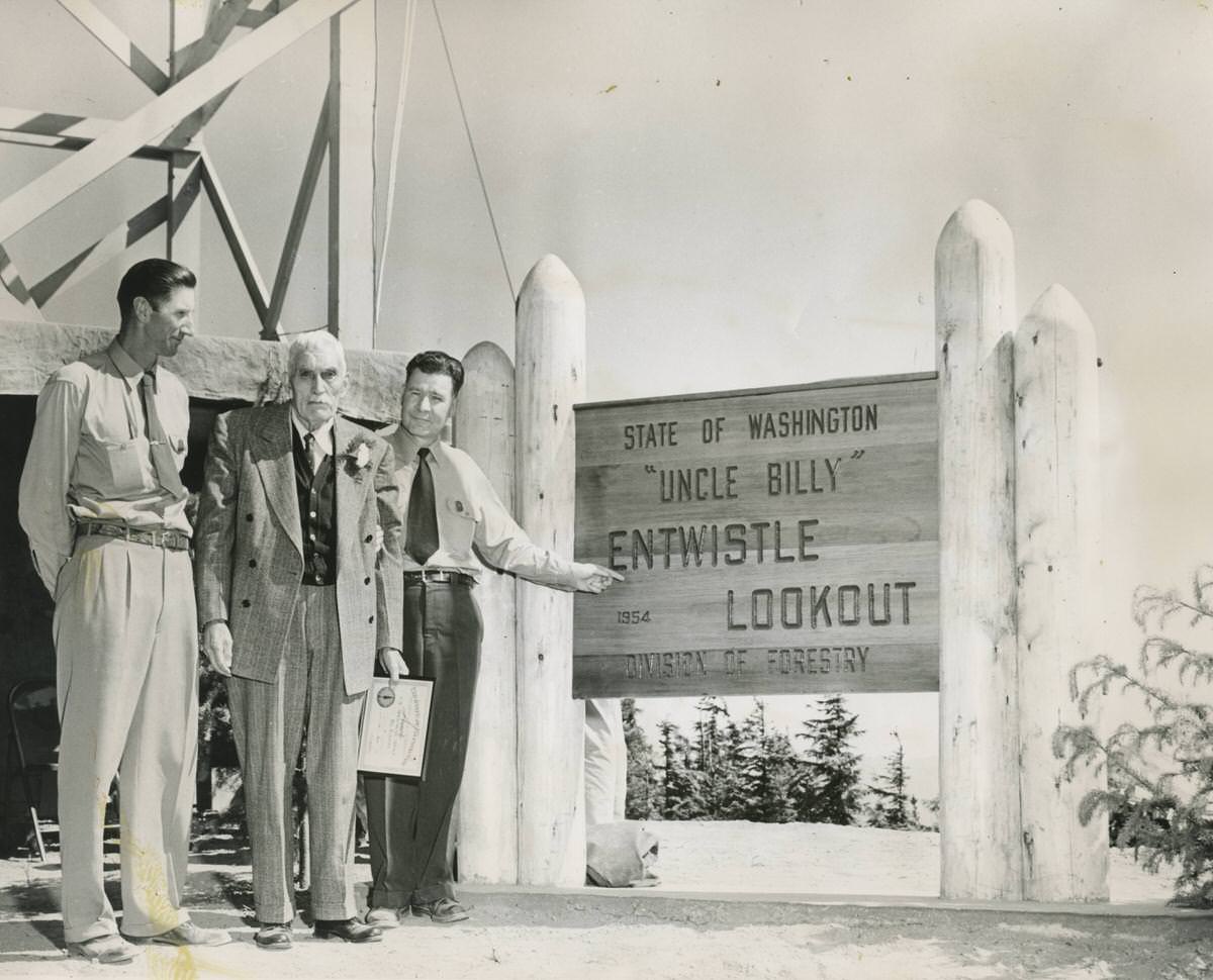
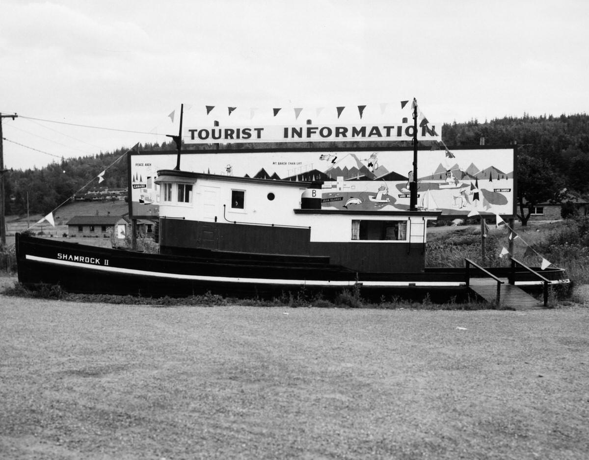
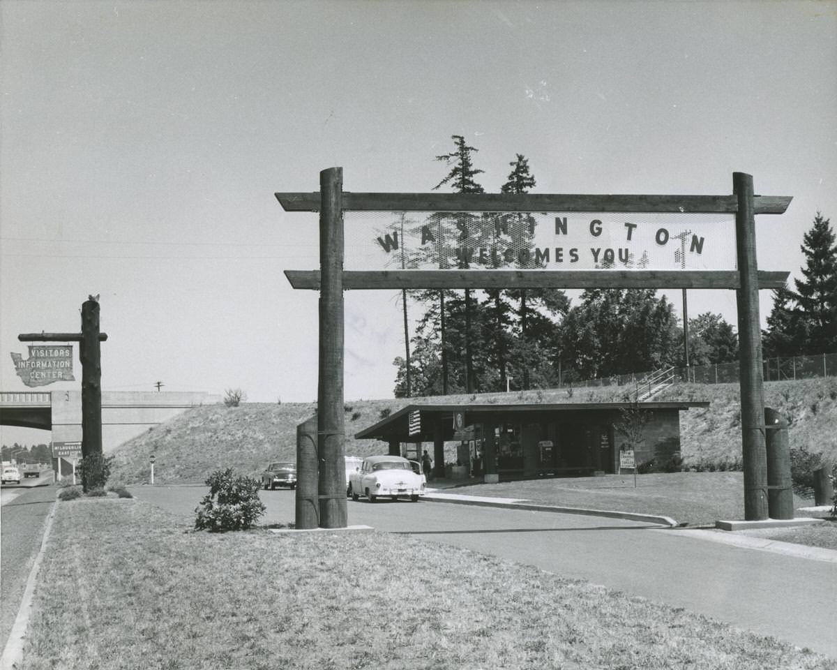
By the mid-1950s, Washington State had established visitor information centers to welcome travelers and promote the region. The 1955 photographs of the Shamrock II Information Center and the state visitors’ center show the infrastructure of mid-century tourism. Fire lookouts like the one at Entwistle, visited by G.S. Williams, William Entwistle, and L.T. Webster in 1954, kept watch over the vast forests of the Mount Baker area.
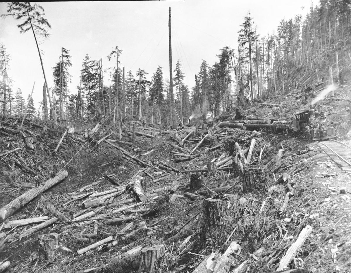
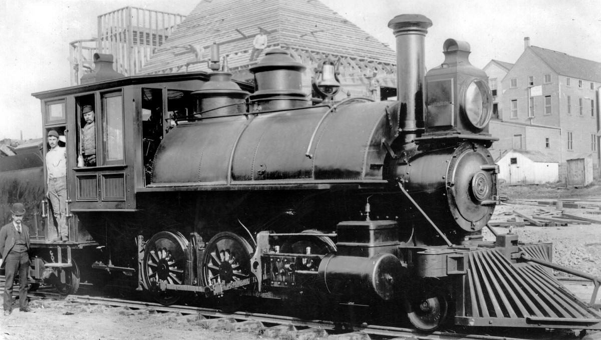
The variety of locomotives documented in this collection reflects the complexity of the regional logging railroads. Different terrain and different payloads called for different machines. The 2-6-4T, the Alco 2-6-2, and the multiple Shay and Climax locomotives each had specific strengths suited to the work. These were not mainline passenger railroads — they were purpose-built industrial machines operating in some of the most rugged terrain in the Pacific Northwest.
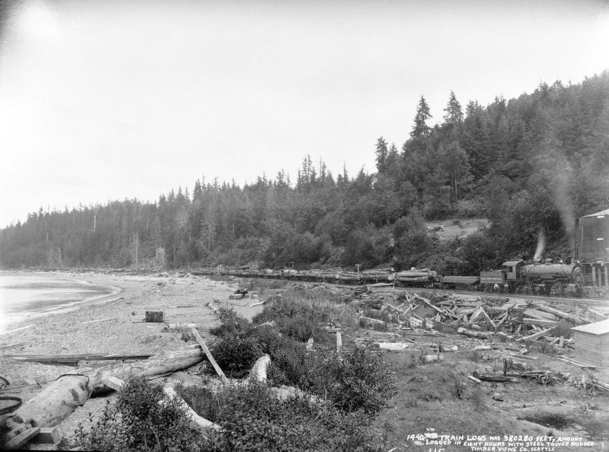
These photographs, taken together, form a comprehensive visual record of Bellingham and Whatcom County across more than a century of change. From the raw frontier of the 1850s to the suburban intersections of 1968, from coal miners posing at a mine entrance to Clark Gable on a Hollywood film set near Mount Baker, the images document a place that was always in motion — building, extracting, celebrating, and adapting to each new era.





Some of the captions are grossly inaccurate in terms of when they were taken. There are a few circa 1900 images that were likely taken in the 1930s to 1960s. Still, many great historic images of this area.
Whatcom CC library has some really awesome large prints from 100+ years ago
Seeing those logging and stump photos makes me sad. Id like to see some of this big trees still around today.
Very cool photos . So many I’ve never seen before
Awesome
I didn’t know Call of the Wild was filmed locally.
Except for the cars, I can remember when that 1960 picture of Railroad looked about the same. I was there in 1970 or 71 and The Flame and other buildings looked mostly the same.