
In the 1940s, Tulsa carried the title of “Oil Capital of the World” with full justification. Nearly every major American oil company — Skelly Oil, Sinclair, Phillips Petroleum — ran its operations from downtown offices. That concentration of corporate power generated enormous wealth, keeping Tulsa’s economy stable even as other cities still felt the sting of the Great Depression. Oil money funded public parks, museums, and grand midtown estates that gave the city a polished, prosperous look.
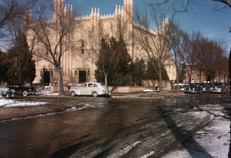
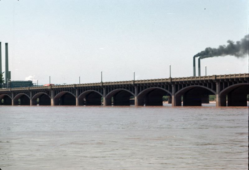
The International Petroleum Exposition drew visitors from across the globe to Tulsa, showcasing the latest drilling technology and celebrating the industry behind the city’s rise. The expo grounds were a point of fierce local pride. The Golden Driller statue, displayed at the exposition, would eventually become a permanent city landmark. Along the Arkansas River, the infrastructure connecting Tulsa to the surrounding region was already well established by the early 1940s.
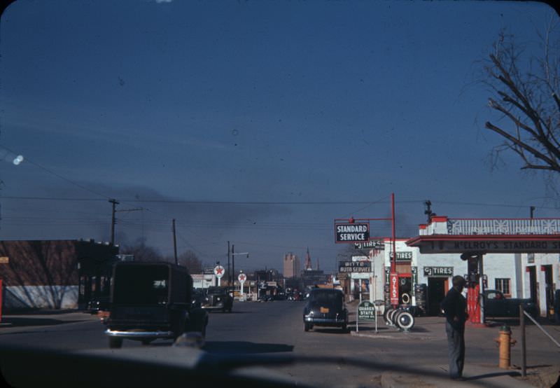
World War II reshaped Tulsa’s industrial character almost overnight. The federal government selected the city for a major manufacturing facility, and the Douglas Aircraft Company plant opened to produce B-24 Liberator bombers. The factory stretched nearly a mile in length and employed thousands of workers, including large numbers of women entering industrial jobs for the first time. Any remaining unemployment from the Depression years vanished quickly, though the sudden influx of workers created a serious housing shortage.
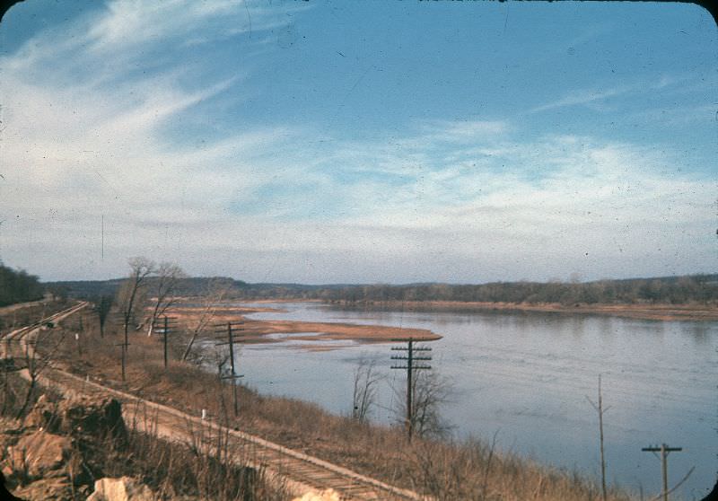
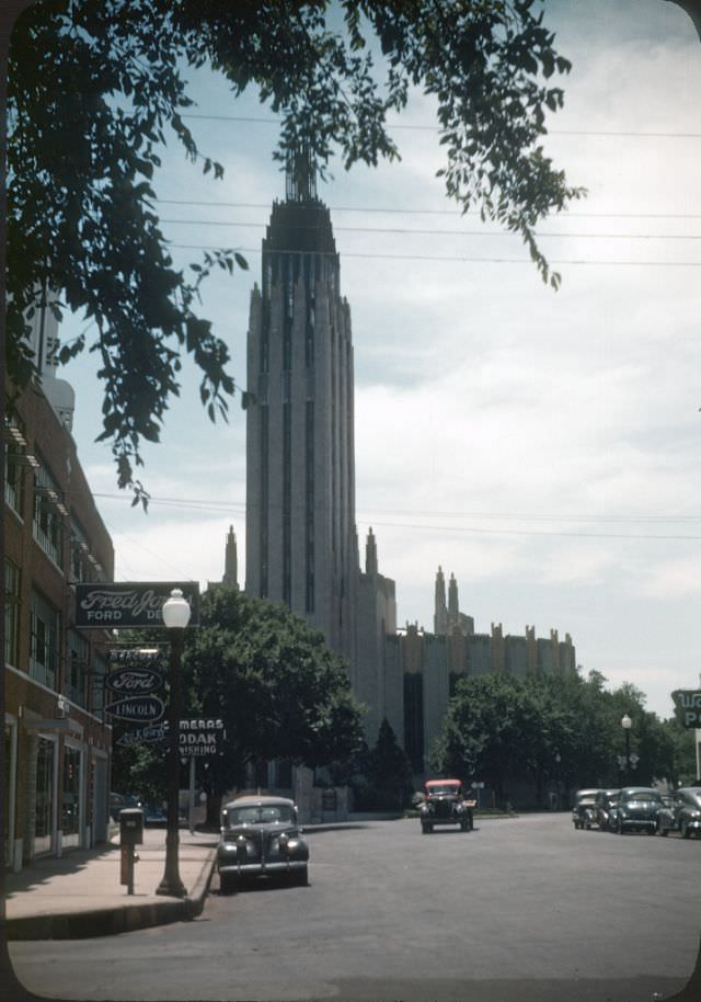
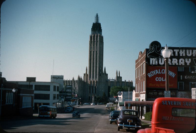
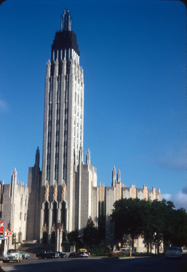
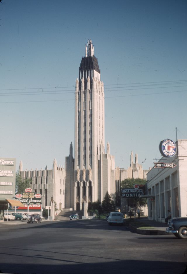
Downtown Tulsa in the mid-1940s was defined by its Art Deco skyline, financed by the oil boom of previous decades. The Philtower and Philcade buildings anchored the city center with geometric facades and ornate stonework. The Boston Avenue United Methodist Church stood as perhaps the most celebrated example of the style, earning national recognition. Underground tunnels linked many of the major buildings, letting businessmen move between offices and hotels without stepping into Tulsa’s summer heat or winter cold.
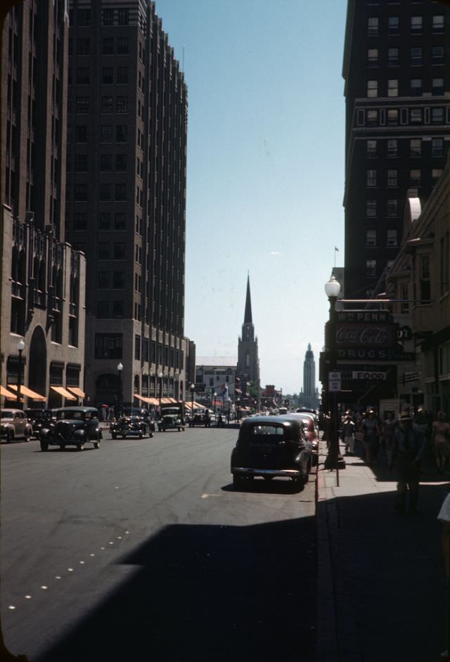
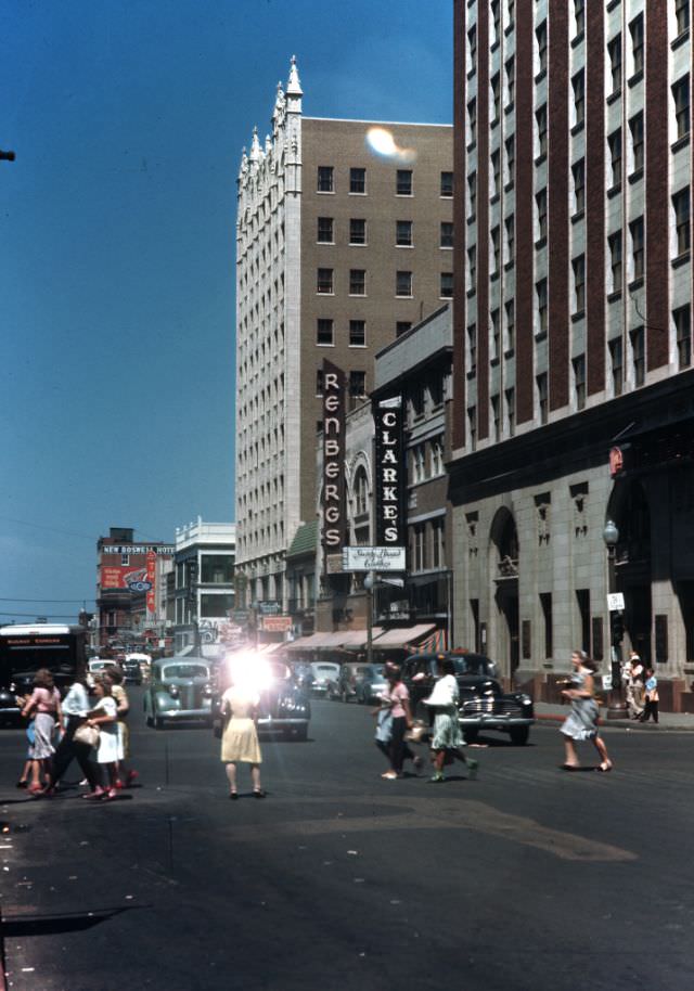
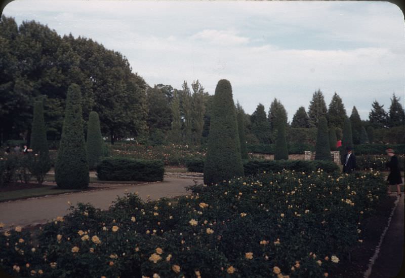
Street life in 1940s Tulsa was busy and varied. Streetcars and buses carried office workers through downtown, while department stores like Vandever’s and Brown-Dunkin pulled shoppers to Main Street. Public green spaces provided relief from urban density. The Tulsa Rose Garden was one such retreat, offering residents a cultivated escape within the city.
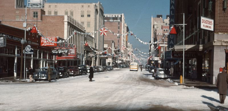
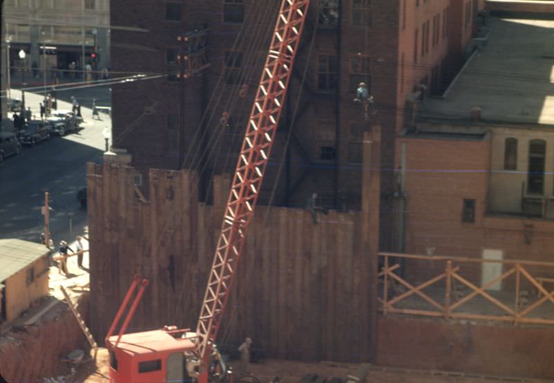
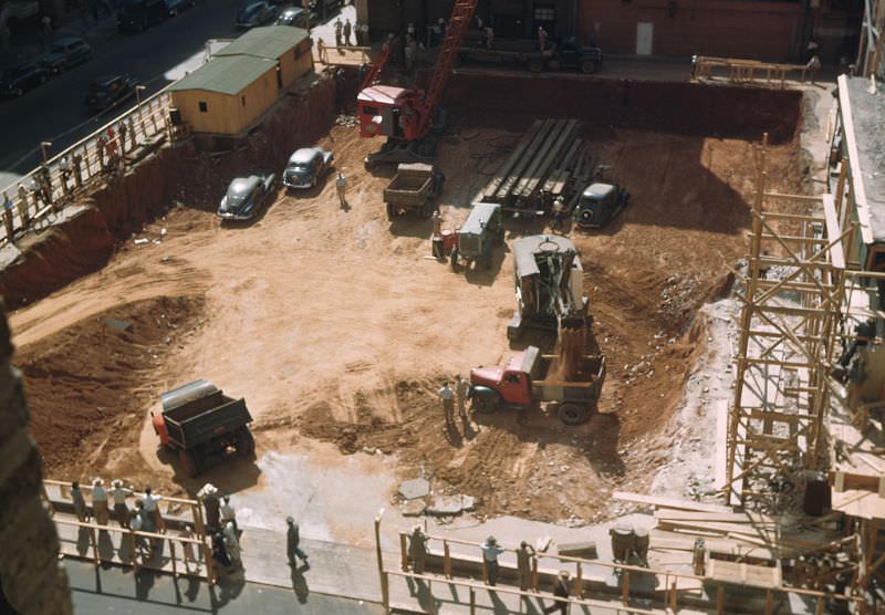
By December 1947, Main Street remained the commercial spine of the city, lined with storefronts serving a postwar population that was growing rapidly. New construction followed closely behind. In December 1948, the First National Bank project was underway downtown, a sign of the financial confidence that was driving investment across Tulsa.
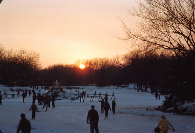
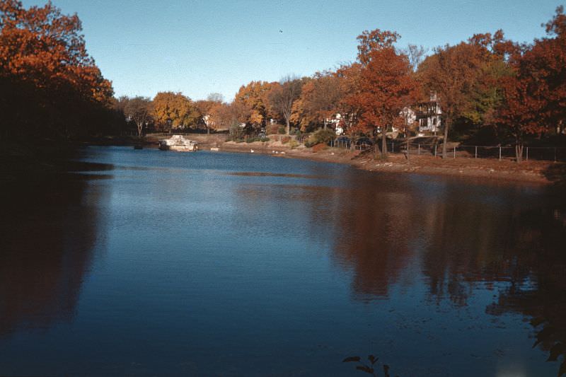
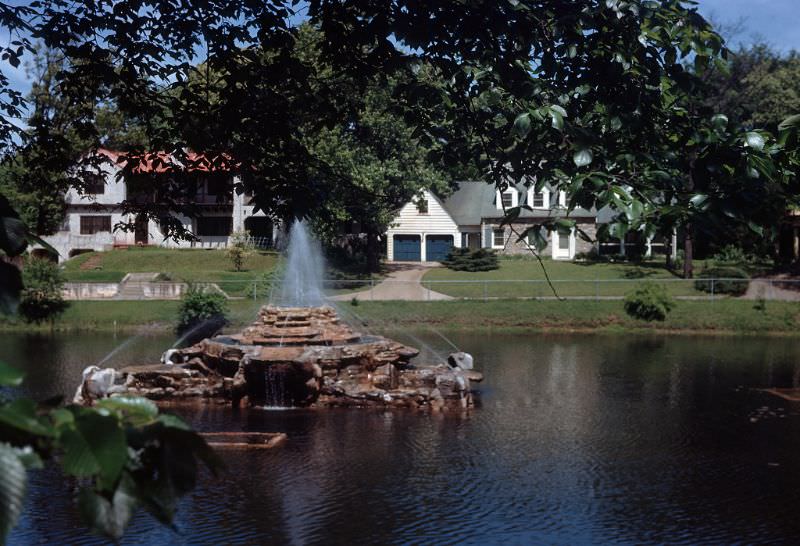
Swan Lake, tucked within the city’s park system, provided Tulsans with year-round recreation. In February 1949, the lake’s surface froze solid enough for ice skating. By May, the same water reflected the surrounding trees and open sky. In the fall, the lake took on a quieter, more golden tone — three very different faces of the same beloved spot.
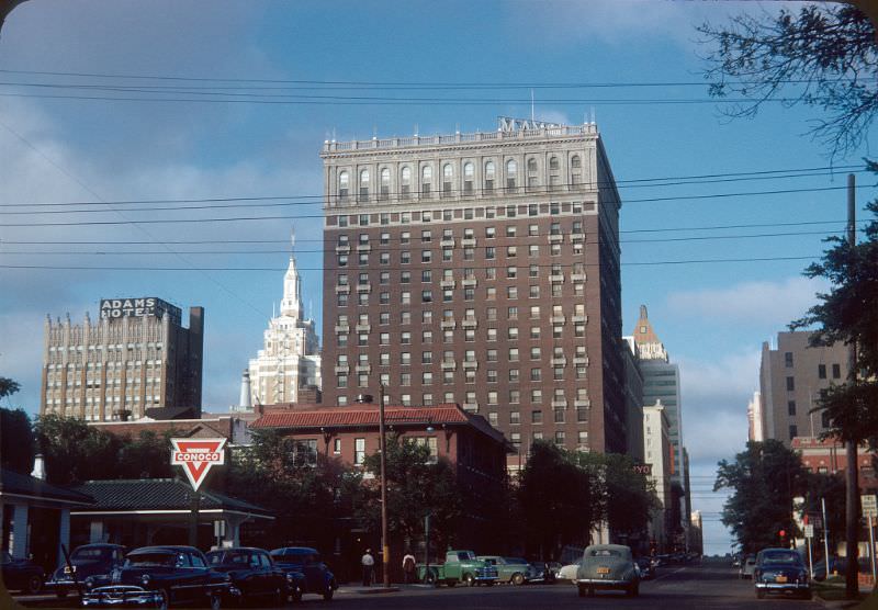
The early 1950s brought visible change to the city’s street corners and institutions. Along 5th Street near Elwood Avenue, a Conoco station occupied a corner that would later become the site of Tulsa Central Library. Boston Avenue continued to serve as a primary corridor, and the Boston Avenue United Methodist Church remained one of the most photographed structures in the city.
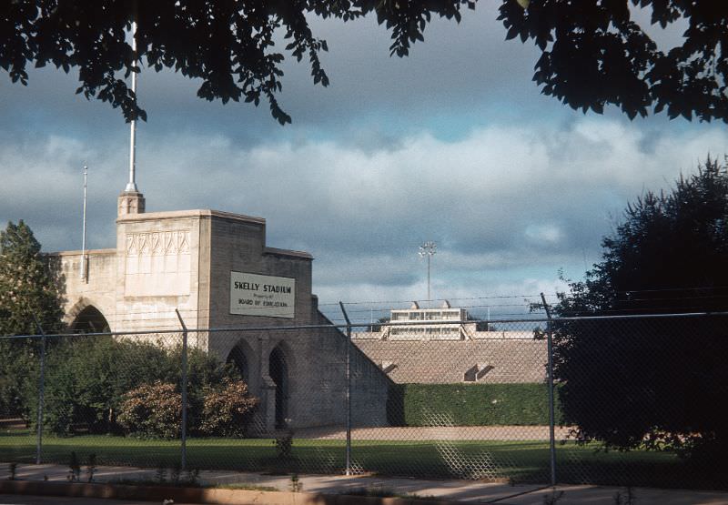
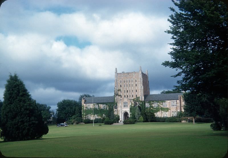
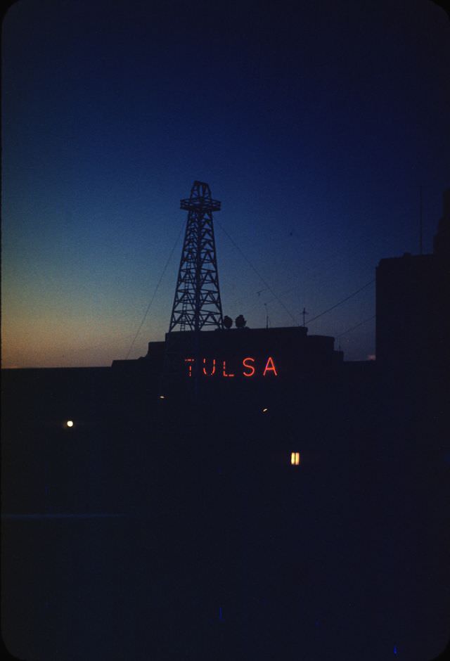
The University of Tulsa was expanding its campus in the early 1950s, with Skelly Stadium serving as the anchor of university athletics. The McFarlin Library stood as a landmark of the academic campus, while Skelly Stadium drew crowds for college football. Nearby, the old Tulsa Airport greeted visitors with a welcome sign flanked by an oil derrick — a fitting symbol for a city that still defined itself through petroleum.
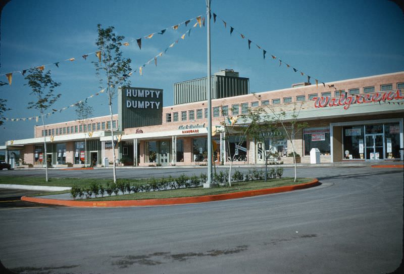
Suburban retail arrived in force in 1953 with the opening of Utica Square, a shopping center designed to serve the new residential neighborhoods spreading south and east of downtown. Returning veterans and their growing families filled ranch-style houses in subdivisions like Lorton Lake and Patrick Henry. Wide streets, large lawns, and new schools defined these communities. Daily life increasingly revolved around the neighborhood rather than the city center.
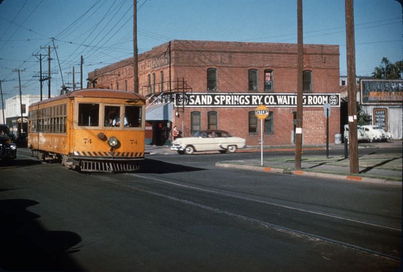
Route 66 ran directly through Tulsa along 11th Street, and the automobile shaped every layer of 1950s city life. Motels, diners, and gas stations lined the corridor. The neon signs of the Meadow Gold dairy and various motor courts lit up the night along the strip. The Admiral Twin Drive-In, which opened in the early 1950s, featured two large screens and space for hundreds of cars, drawing families and teenagers for weekend evenings of carhop service and Hollywood films. Meanwhile, the Sand Springs Interurban Railway still connected Tulsa to nearby communities from Archer Street Station as late as 1954.
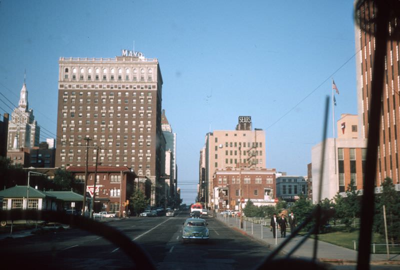
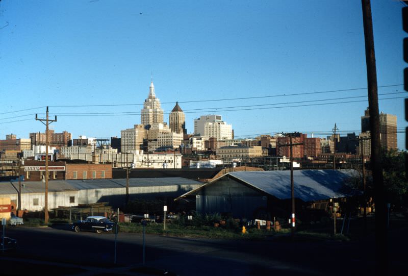
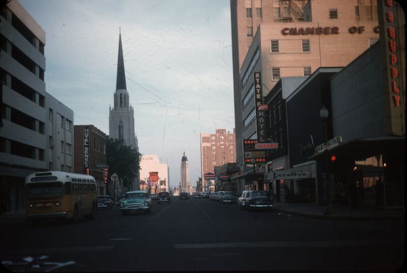
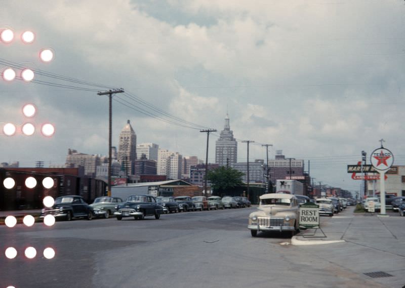
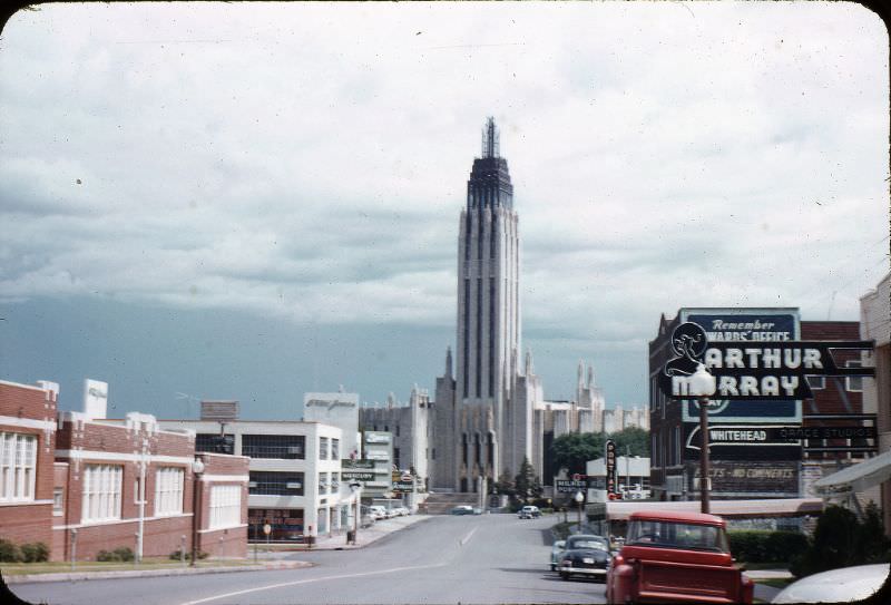
By the late 1950s, Tulsa’s skyline reflected decades of oil-funded ambition. The Art Deco towers still dominated the view, though new construction was beginning to update the profile. Boston Avenue remained one of the city’s most recognizable streets, unchanged in character even as the suburbs pulled residents and commerce further from the downtown core.





Thank you for a lovely trip down memory lane. Excellent photos and summaries.
Welcome 😊