Hey There! Before You Go. 😧
Get the best vintage content straight into your inbox!

Don't worry, we don't spam

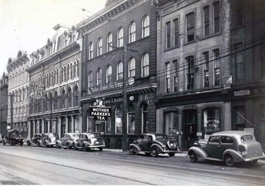
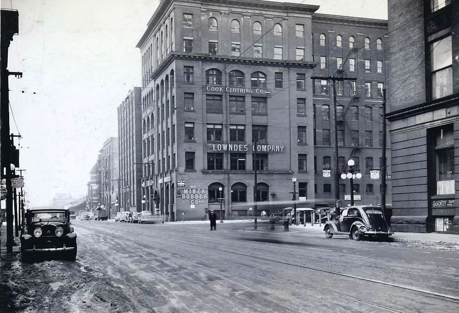
Stunning Historical Photos of Toronto Streets from the 1930s

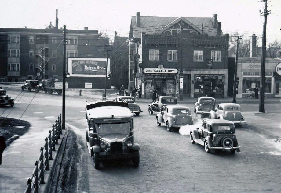
The Toronto of the 1930s was a city caught between hardship and rigid tradition. The Great Depression hit hard and fast, leaving roughly one in four Toronto residents without work. City finances collapsed under the strain. Capital debt payments went unpaid, and basic public services — sewage systems, piped water — were put on hold because the money simply wasn’t there. These weren’t abstract budget numbers. They were felt on every block, in every neighborhood, by working families who had no safety net to fall back on.
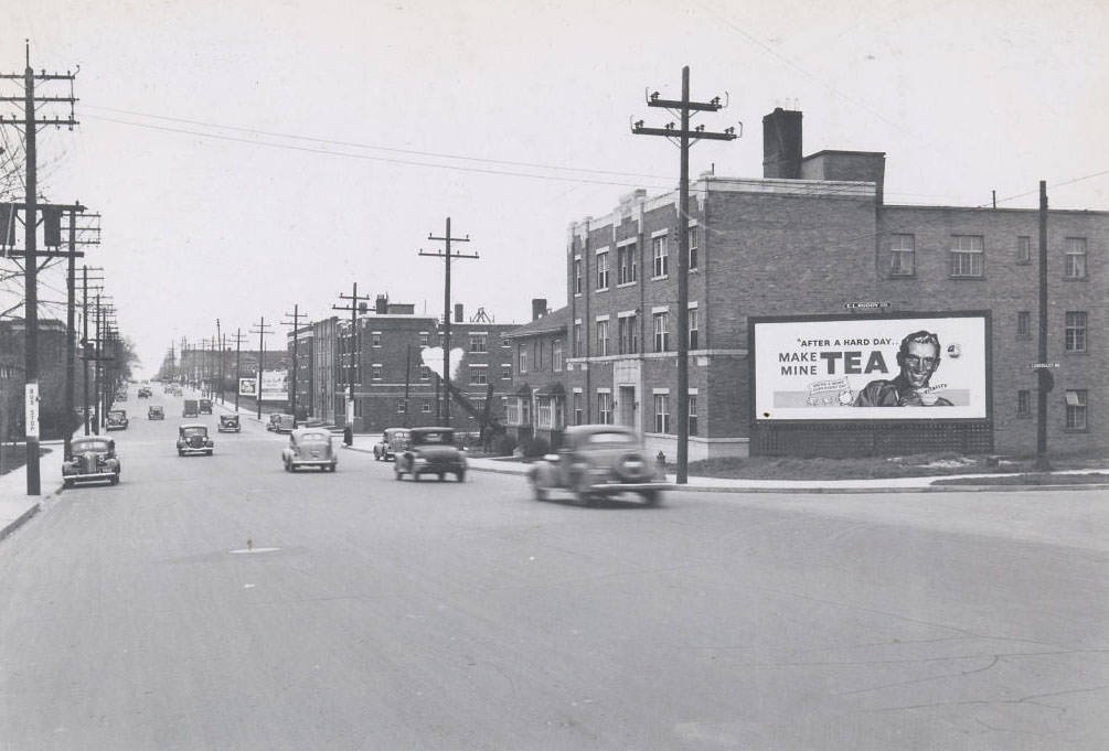
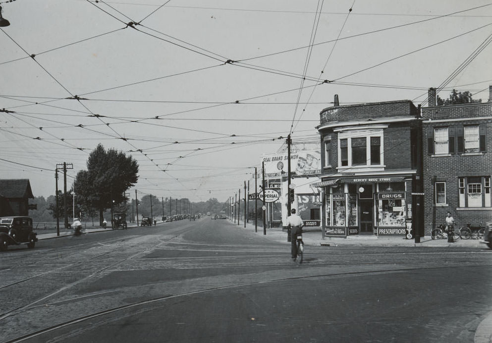
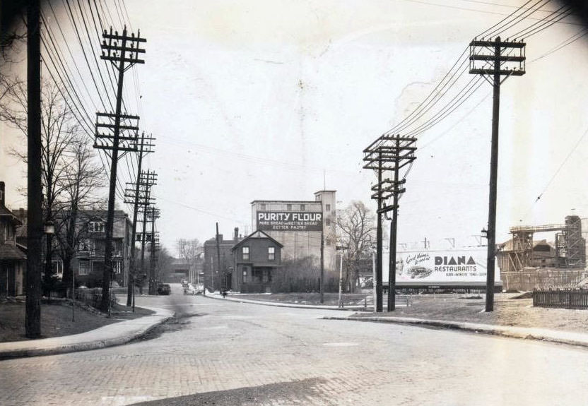
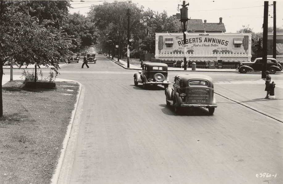
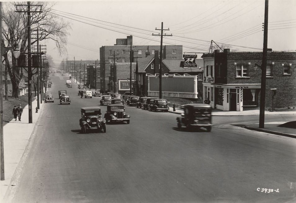
Eglinton Avenue West and Lascelles Boulevard. View is looking south-east, 1936

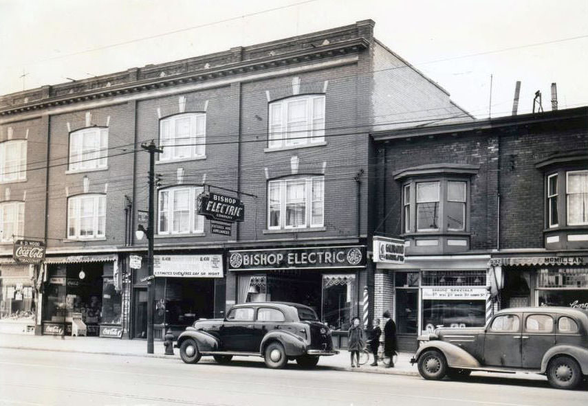
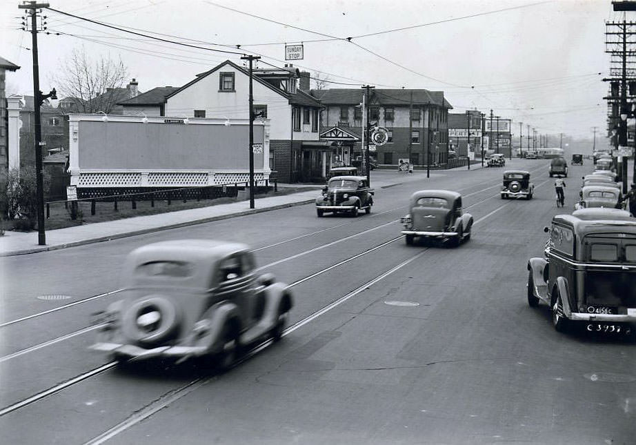
Despite the economic collapse, Toronto’s streets still hummed with daily life. Streetcars ran their routes, corner stores stayed open, and the city’s residential neighborhoods — Yonge Street corridors, the Danforth, Bloor, and Eglinton strips — kept their familiar rhythms. The photographs taken between 1936 and 1939 capture that world in remarkable detail: storefronts, intersections, churches, service stations, and the quiet, ordered geometry of mid-century urban life.
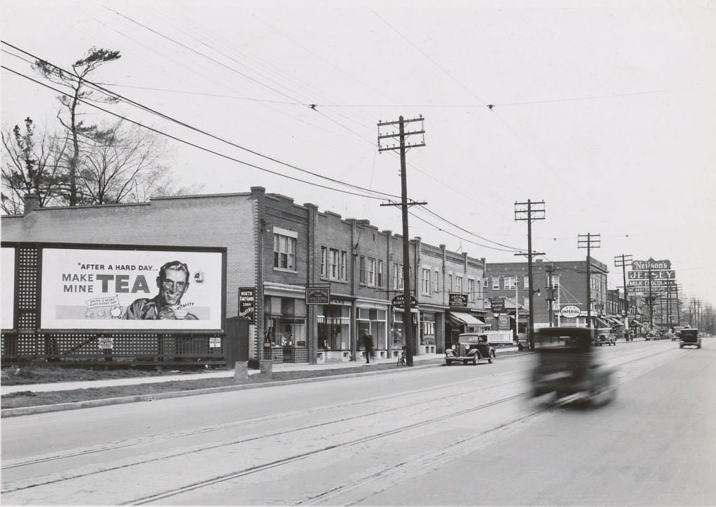
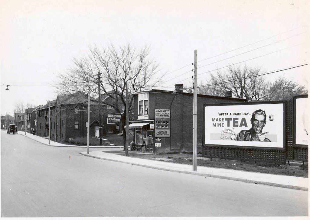
3360 Yonge Street, west side, north of St. Germain Avenue. View is looking north-west, 1936
Mt. Pleasant & Broadway looking southwest, 1936

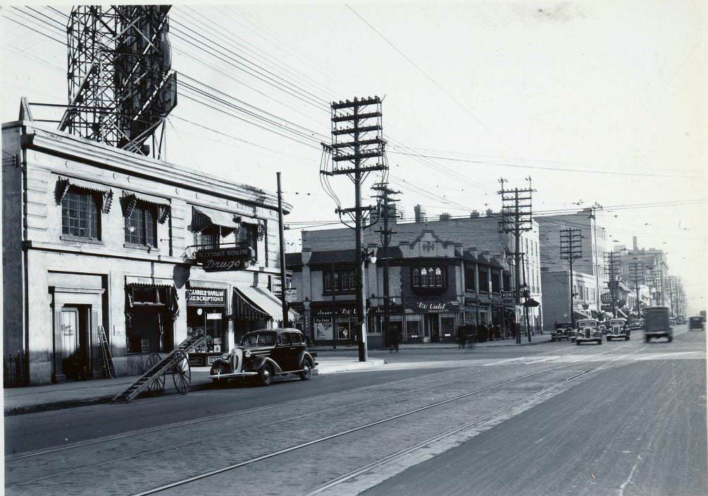
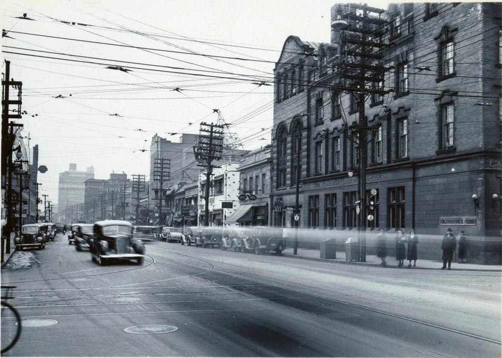
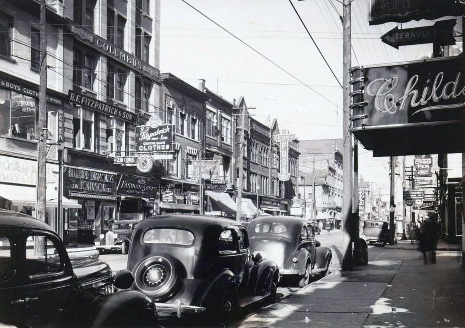
Yonge Street, Toronto’s main artery, appears in many of these images. In the mid-1930s, it was lined with small businesses, gas stations, apartment buildings, and the occasional church. The scale was human — low-rise, walkable, and densely commercial in the busier sections, giving way to quieter residential stretches further north.
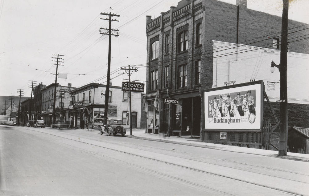
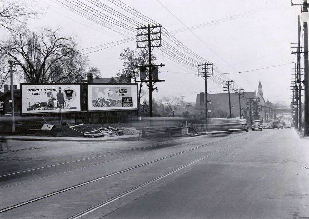
Yonge Street, north of Frichot Avenue looking south-west, 1936
Yonge Street and Jackes Avenue looking southeast, 1936

Toronto’s conservative social character during this decade was well-earned and well-documented. The city’s nickname, “Toronto the Good,” wasn’t really about religious devotion. It referred to the strict laws that regulated everyday behavior. Tobogganing had been banned on Sundays back in 1912. In 1936, during a summer heat wave, 24 men were arrested for removing their shirts on a public beach. The law at the time required men’s bathing suits to cover them from neck to knee. Cocktail lounges weren’t permitted until 1947, and Sunday sports weren’t legal until 1950.
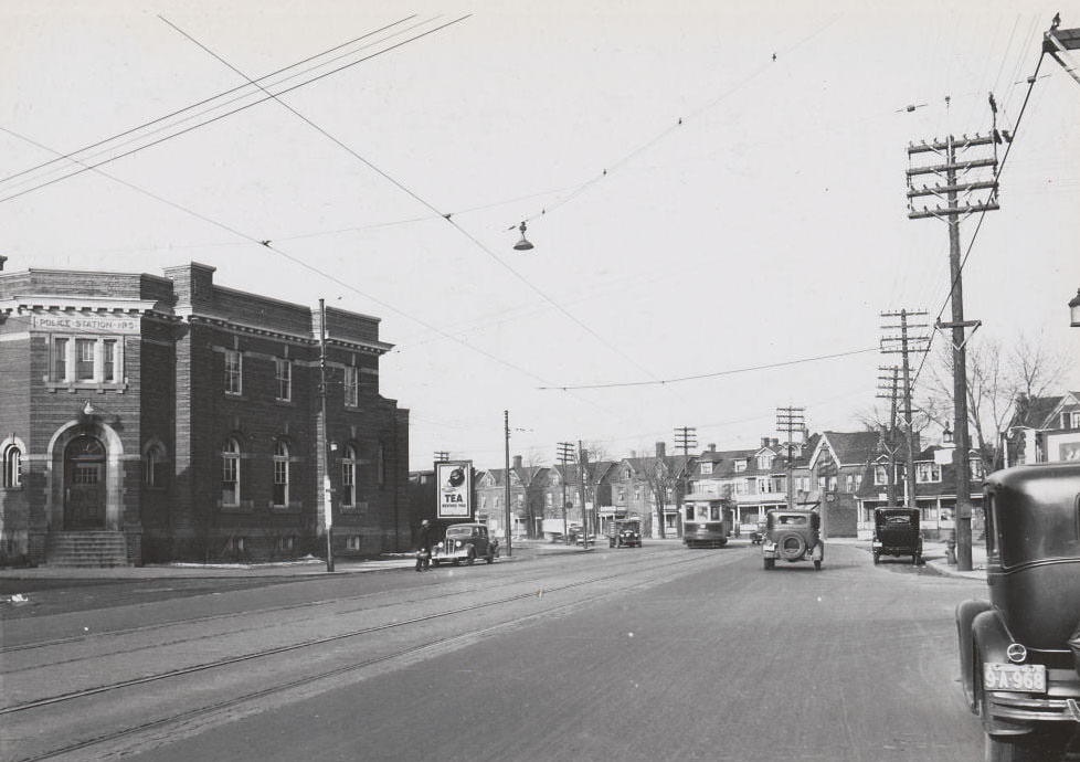
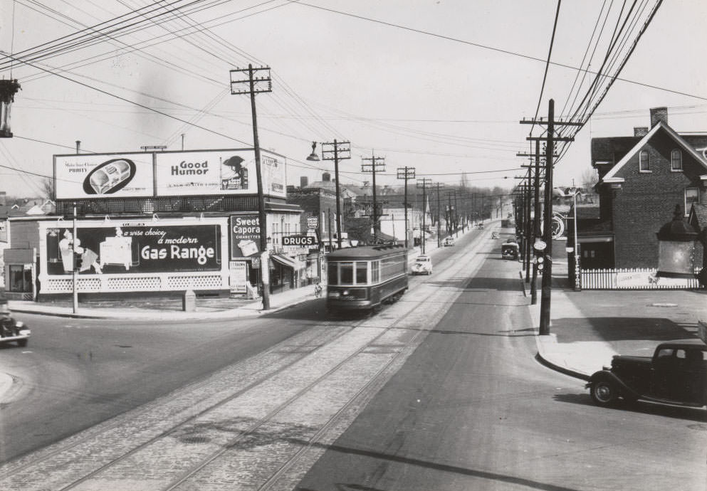
Davenport Road - Police Station No. 5., 1937
Davenport Road – Police Station No. 5., 1937
Woodbine & Kingston Road looking east, 1936

Religion was a genuine part of the city’s identity, not just a legal excuse for restriction. Toronto had many churches, and they were prominent fixtures in its neighborhoods. The Blessed Sacrament RC Church at Yonge and Cheritan and the Hope Gospel Church along Yonge Street both appear in 1936 photographs, standing solidly amid the surrounding commercial streetscape.
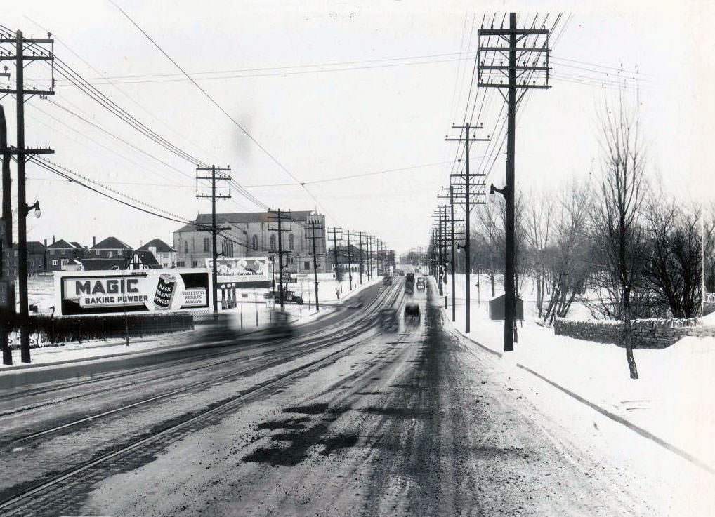
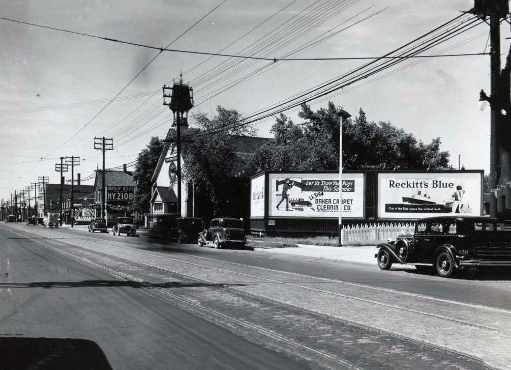
Blessed Sacrement RC Church. Yonge and Cheritan, 1936
Hope Gospel Church, Yonge Street, west side, between Imperial Street and Glebe Road, 1936
Yonge Street and St. Germain Avenue looking north-west, 1937

The Yonge and Eglinton area was already a recognizable commercial hub by 1937. These photographs show that the corridor was well-developed, with retail shops, transit infrastructure, and a dense mix of uses that made it one of the city’s more active midtown nodes.
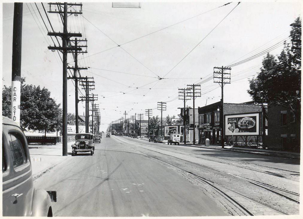
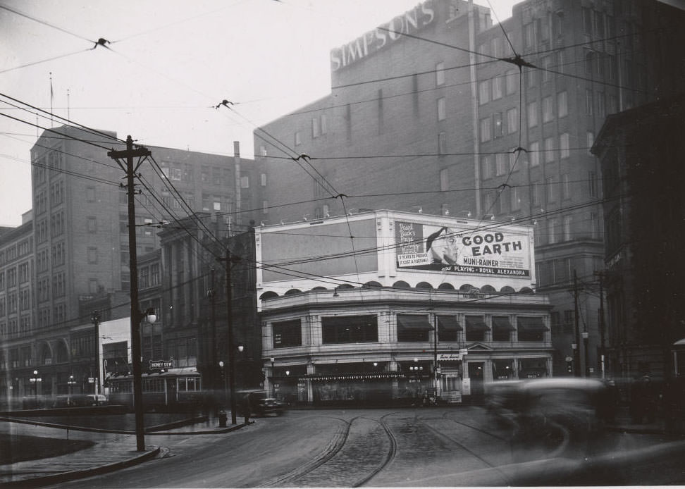
Yonge south of Eglinton looking north, 1937
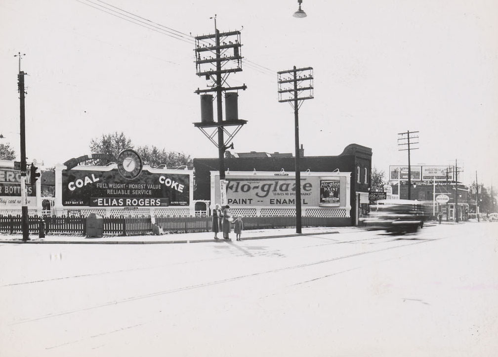
Queen & Bay, 1937
Queen & Bay, 1937
Bloor & Jane looking west, 1936

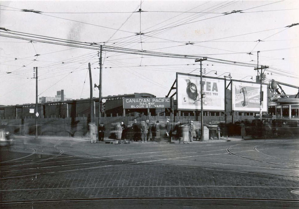
Rail infrastructure was central to the city’s economy and geography. The CNR bridge west of Lansdowne and the Canadian Pacific Railway yard along Bloor Street were working industrial sites, not historical landmarks. They moved goods, supported industry, and employed workers during a period when every job counted.
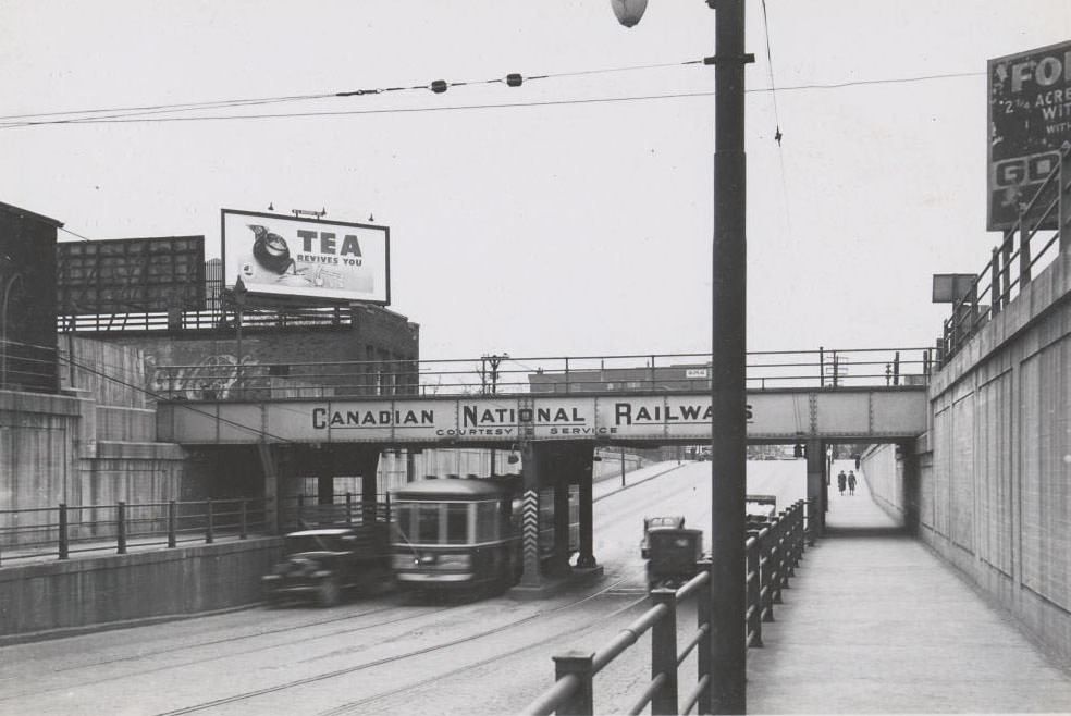
C.N.R. bridge - West of Lansdowne looking northeast, 1936
C.N.R. bridge – West of Lansdowne looking northeast, 1936
Canadian Pacific Railway Yard - Bloor Street, 1936
Canadian Pacific Railway Yard – Bloor Street, 1936
Gerrard & Munro looking east towards Broadview, 1936
A train station on the left, 1936

Hotels, shops, and transit stops punctuated Yonge Street all the way from downtown to the northern residential streets. The Morrissey Hotel near Church Street and the intersection at Yonge and Marlborough give a sense of how the street functioned as a continuous commercial corridor, not just a downtown strip.
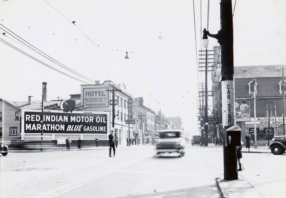
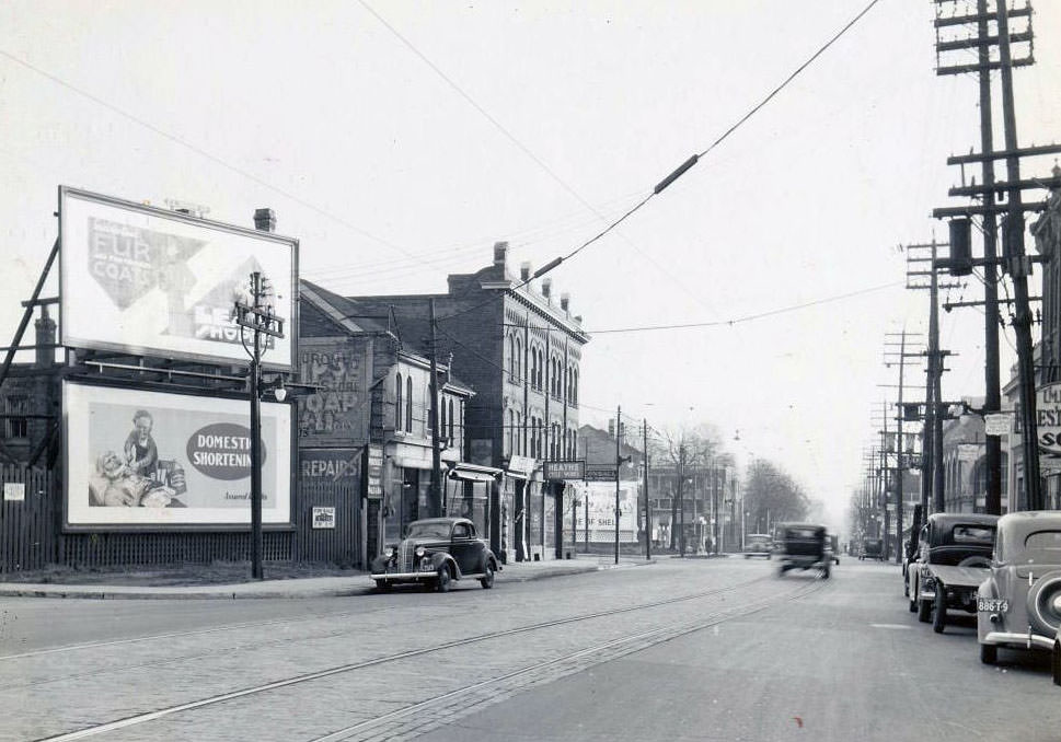
Yonge Street, at Church Street looking south to the Morrissey Hotel, 1936
Yonge looking south towards Marlborough, 1937
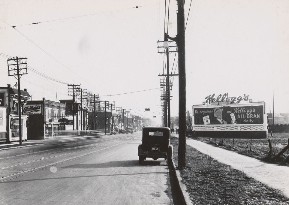
Yonge between Soudan and Eglinton. Caulfied's at 2187-89, 1937
Yonge between Soudan and Eglinton. Caulfied’s at 2187-89, 1937

West of downtown, streets like Dundas and Queen East told a different story — working-class neighborhoods with practical storefronts, modest buildings, and a street-level energy distinct from the more commercial Yonge corridor.
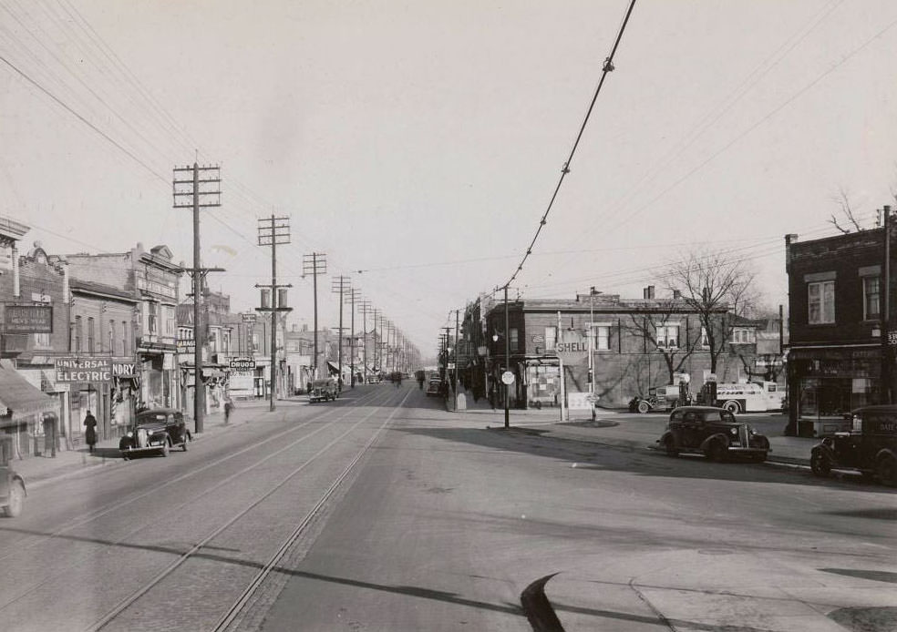
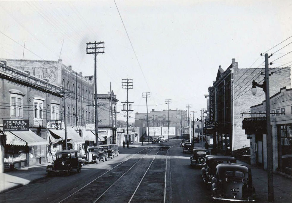
Dundas & St. Johns looking east towards Clendenan, 1936
2804 Dundas Street West looking south-east, 1936
Queen Street East and Hastings Avenue looking east, 1936
Queen Street East and Rushbrooke Avenue looking south-west, 1936

The Kingston Road area, stretching east toward Scarborough, was a mix of commercial strips, moving companies, and transit stops. TTC Stop 13 at Sharpe Street in Birchcliff Heights marked the outer edge of the urban transit network at the time, a reminder of how much smaller the city’s footprint was in 1936.
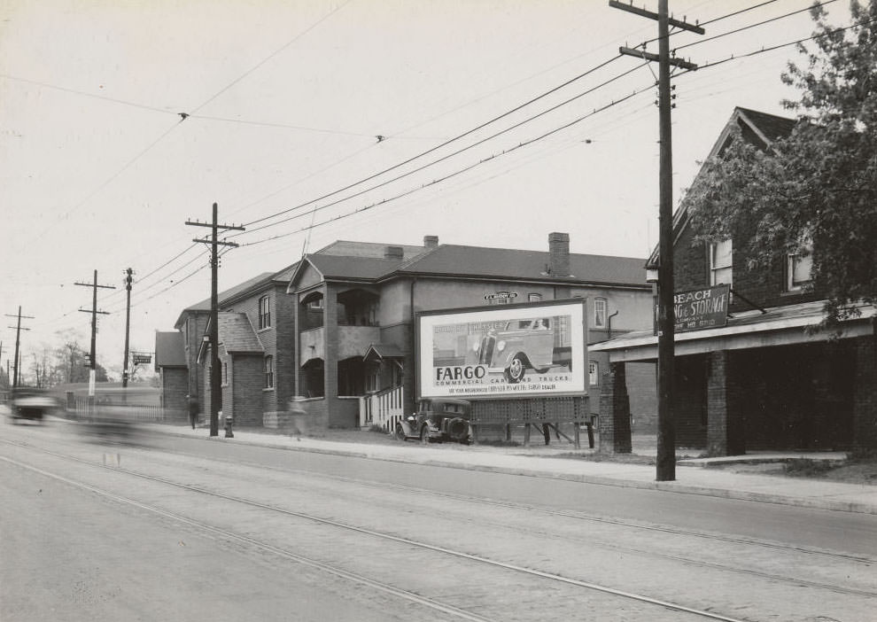
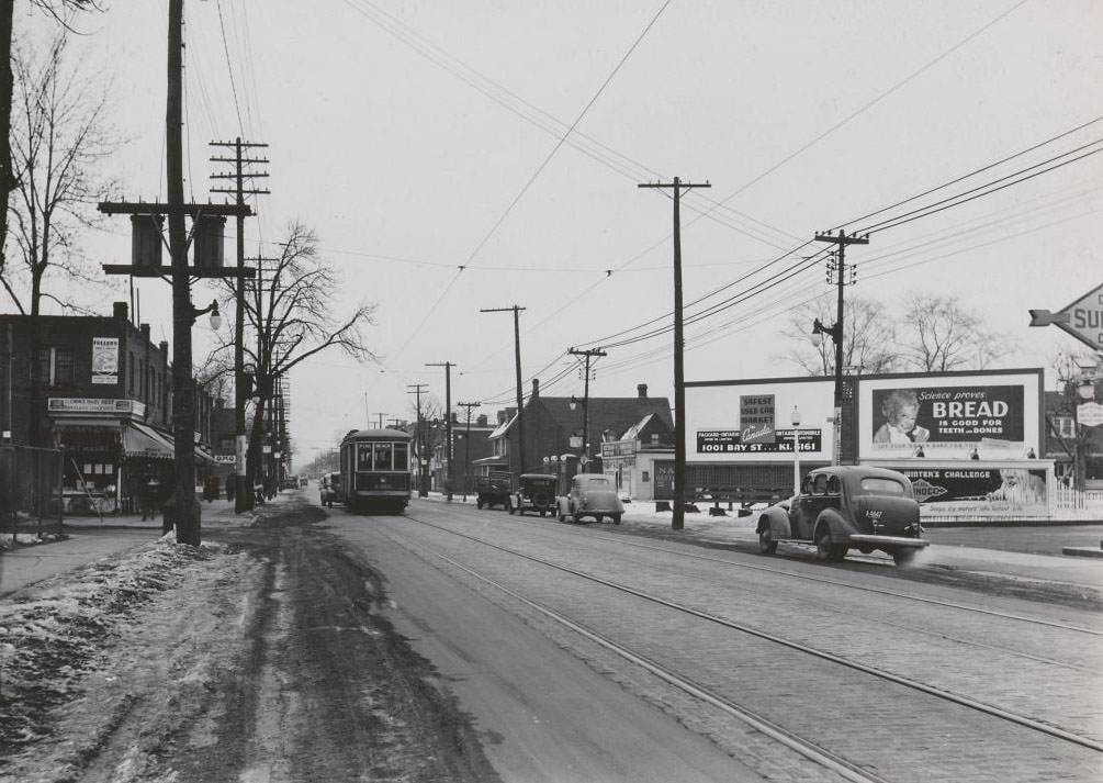
Beach Moving & Storage Company, 525 Kingston Rd., just west of Lee Ave., 1936.
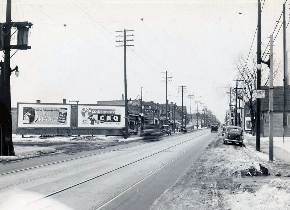
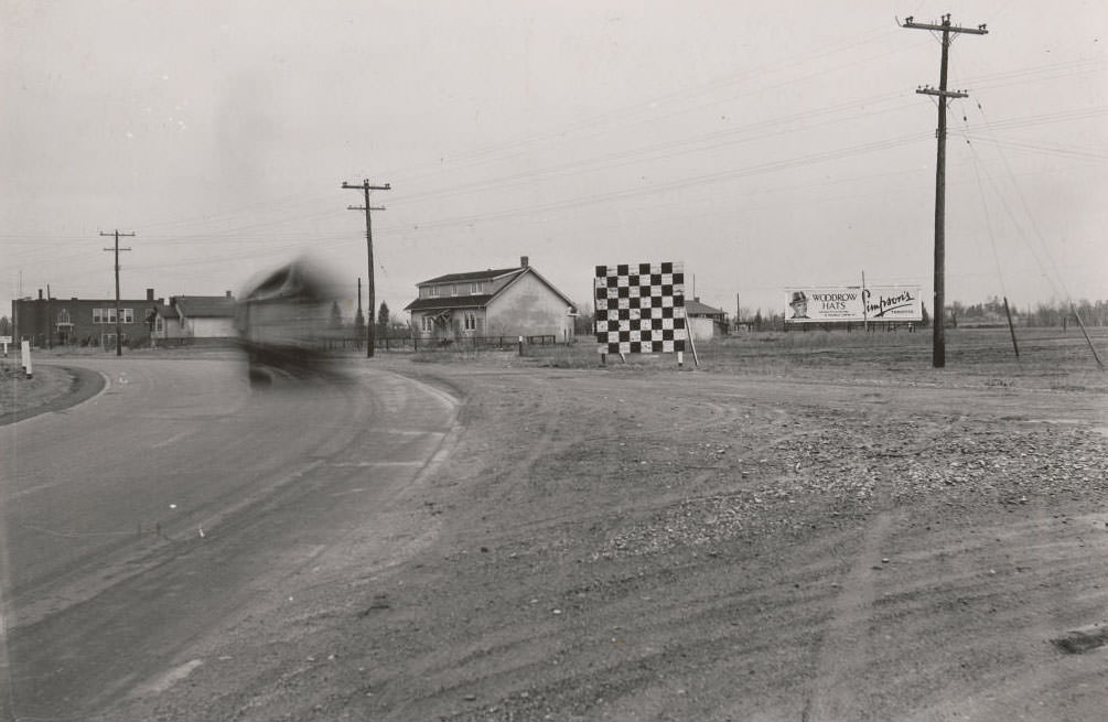
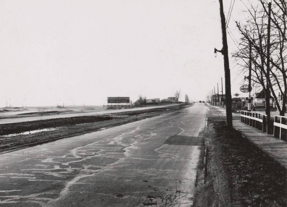
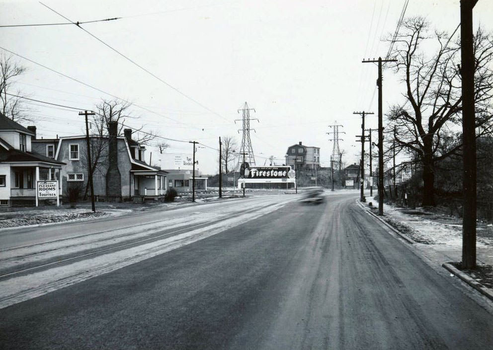
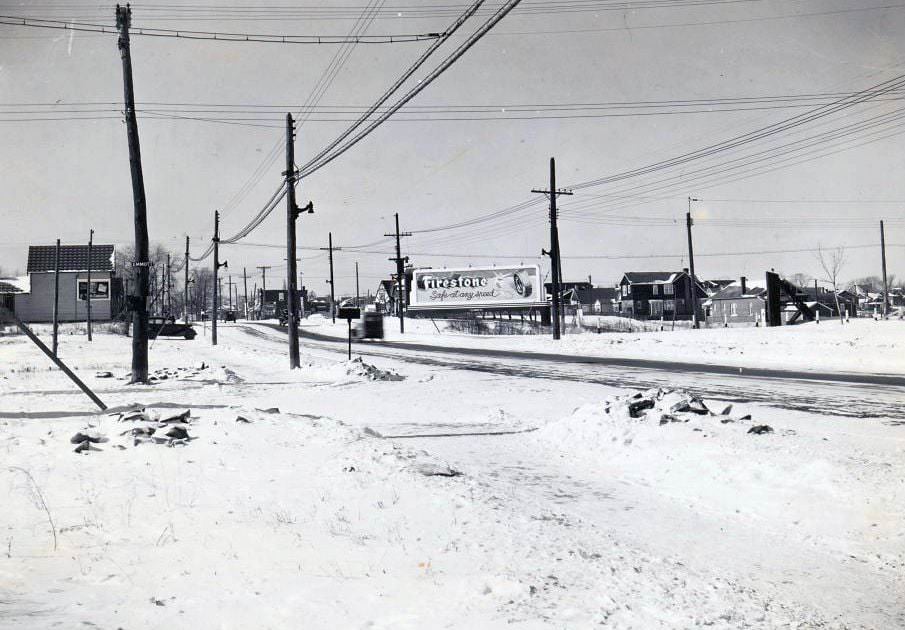
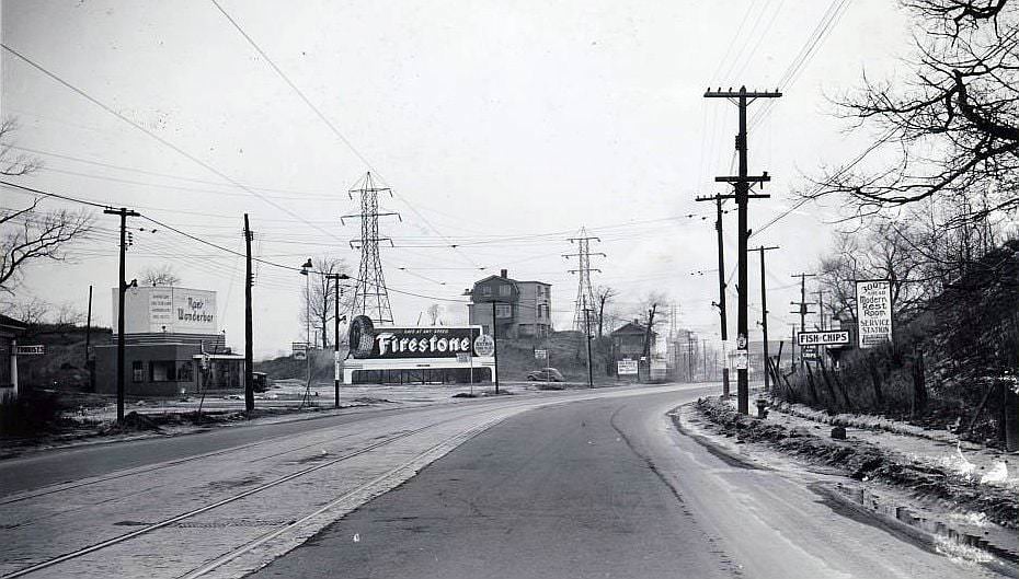
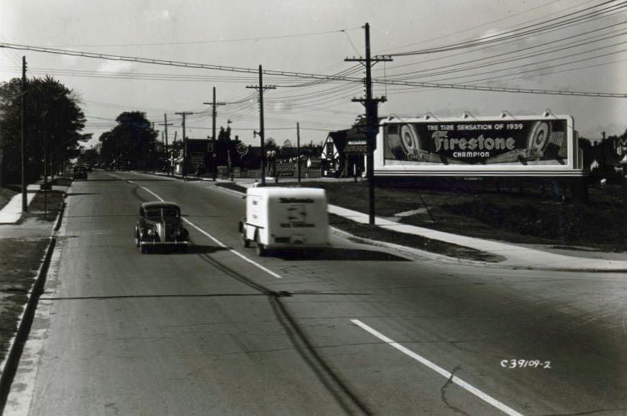
Highway 2, 1936
Highway 2, 1936
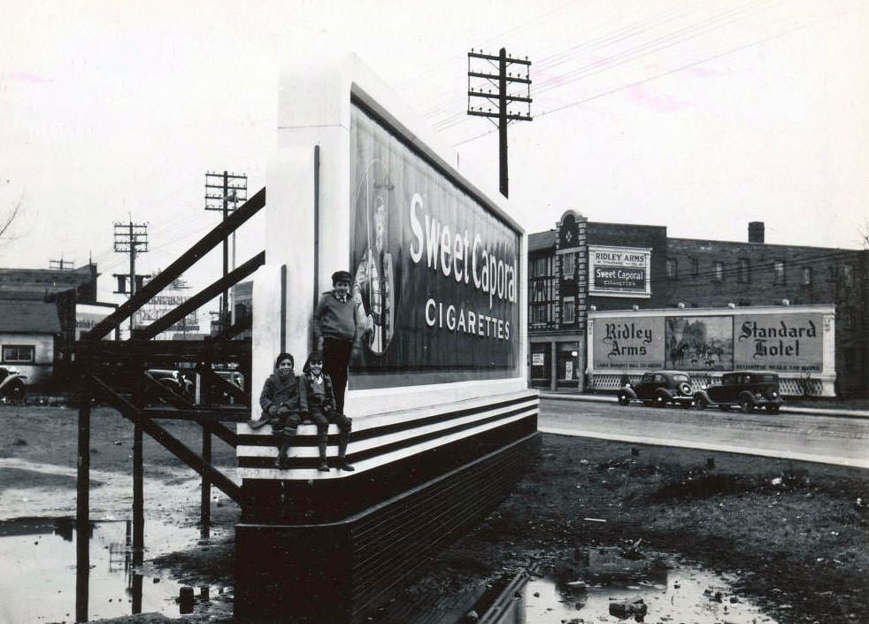
Three young boys are posing on the base of the board. The billboard is opposite the Ridley Arms, a Standard Hotel, at 2301 Danforth Avenue, 1936
Yonge Street and Snowdon Avenue looking south-east, 1936
Yonge Street and Keewatin Avenue looking south-east, 1936
South-east corner of Yonge Street and Davisville Avenue, 1936

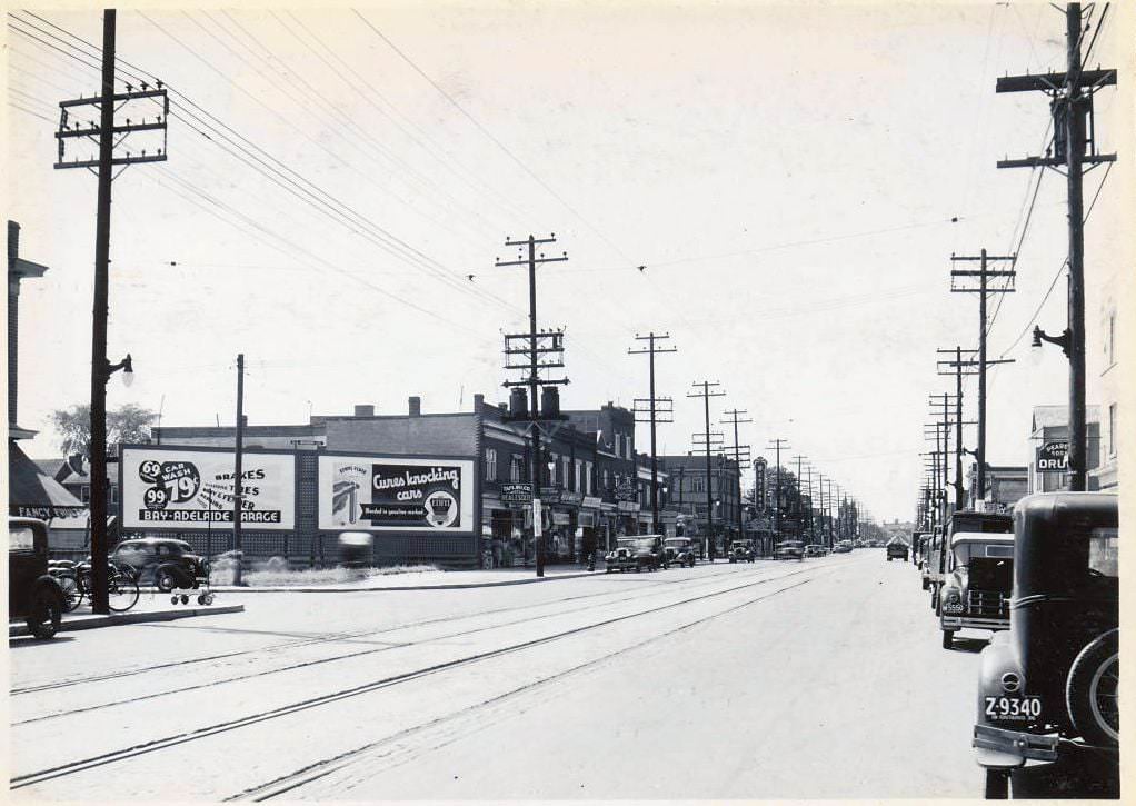
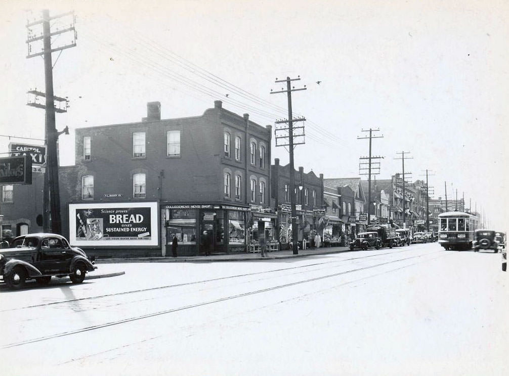
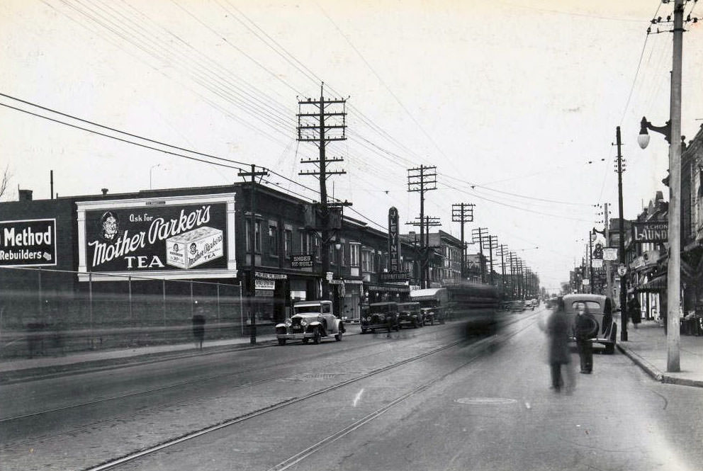
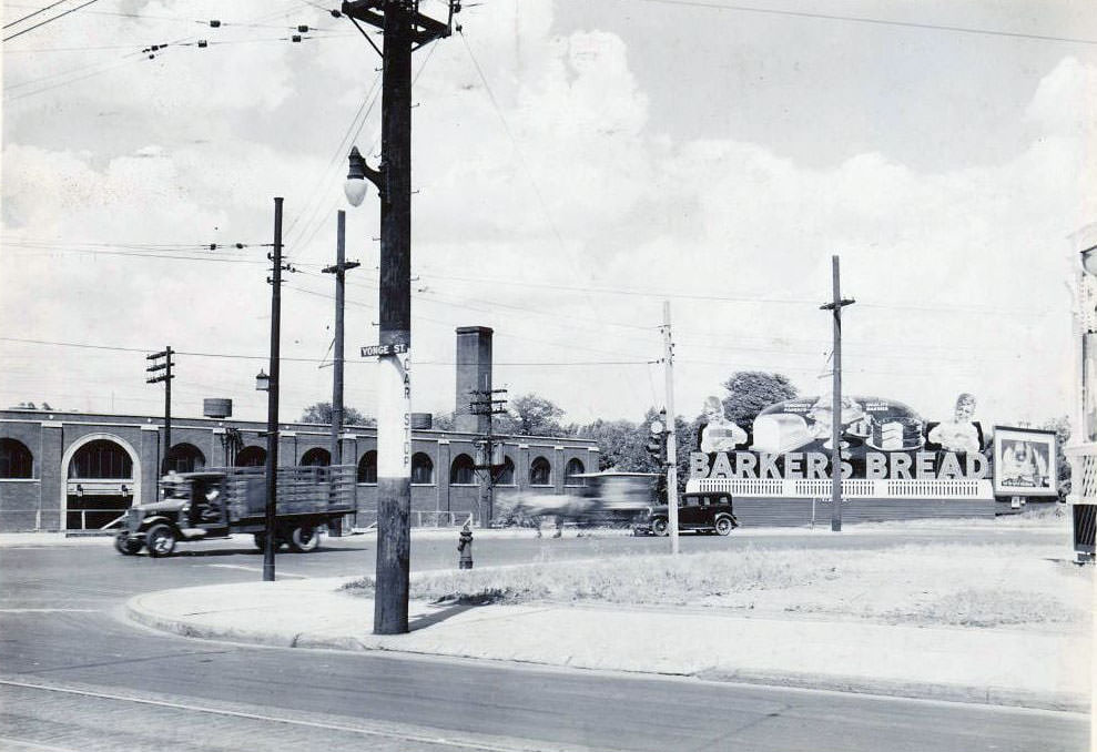
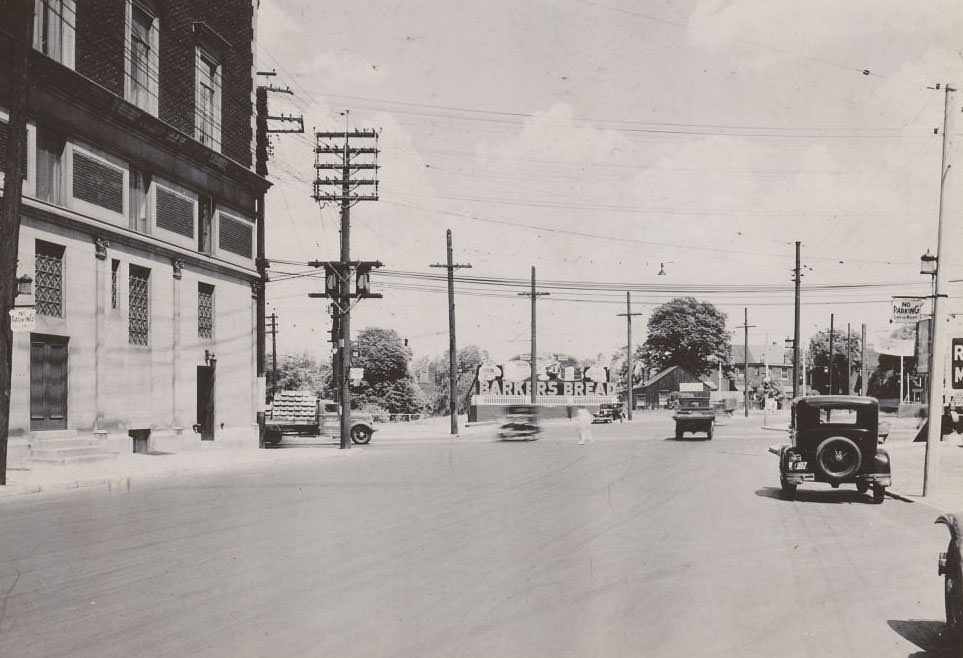
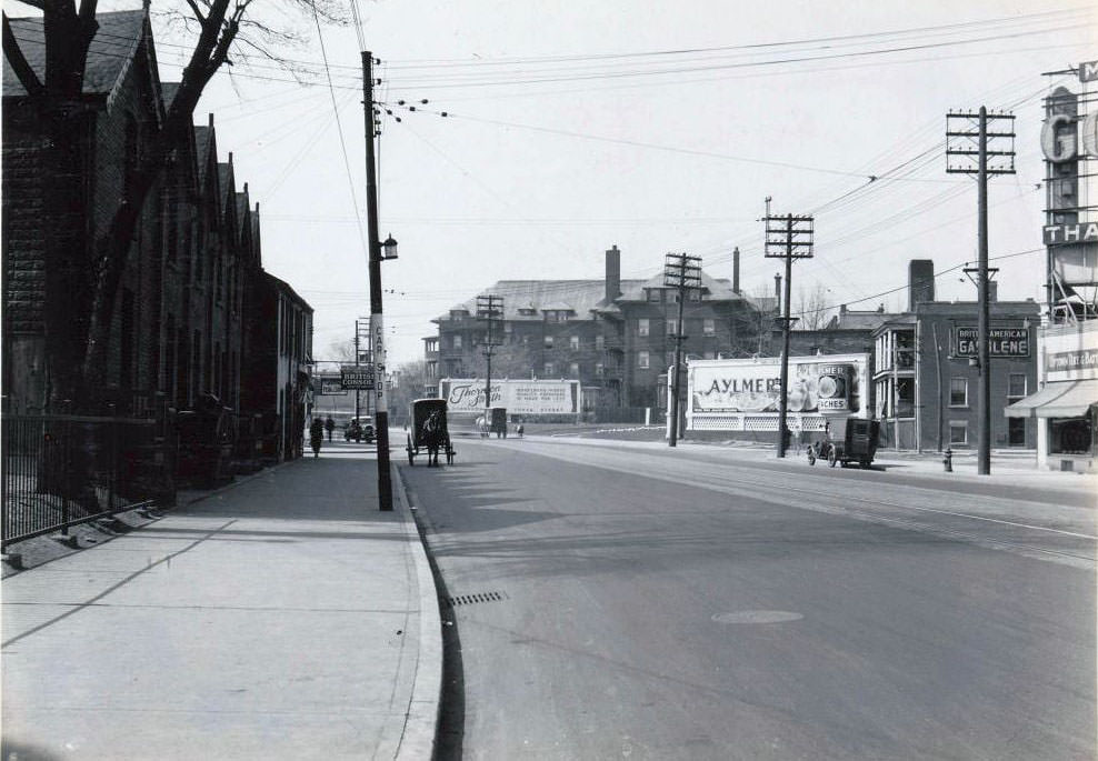
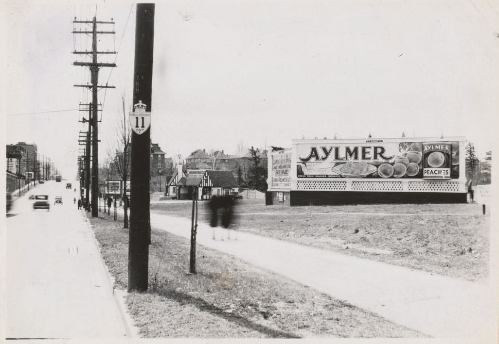
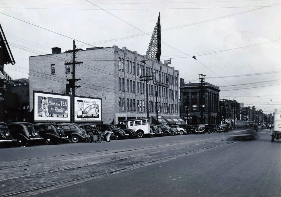
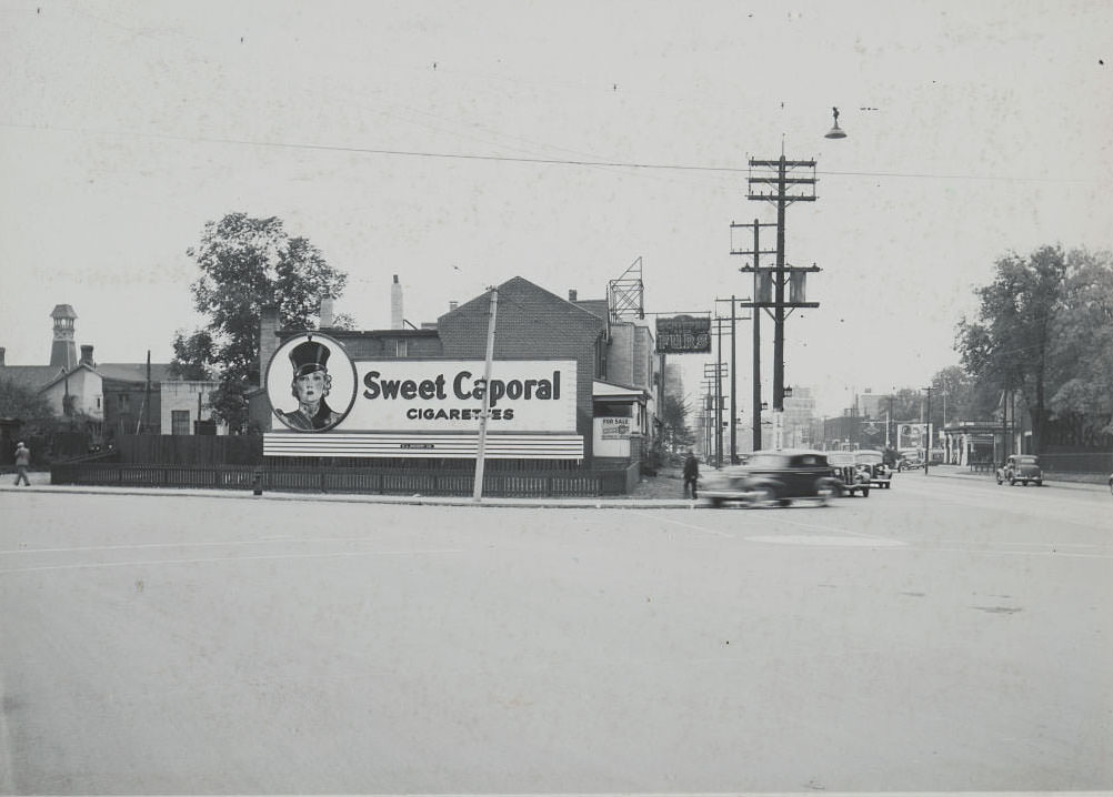
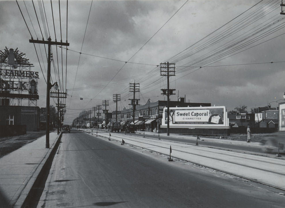
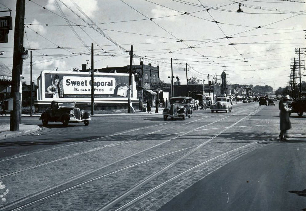
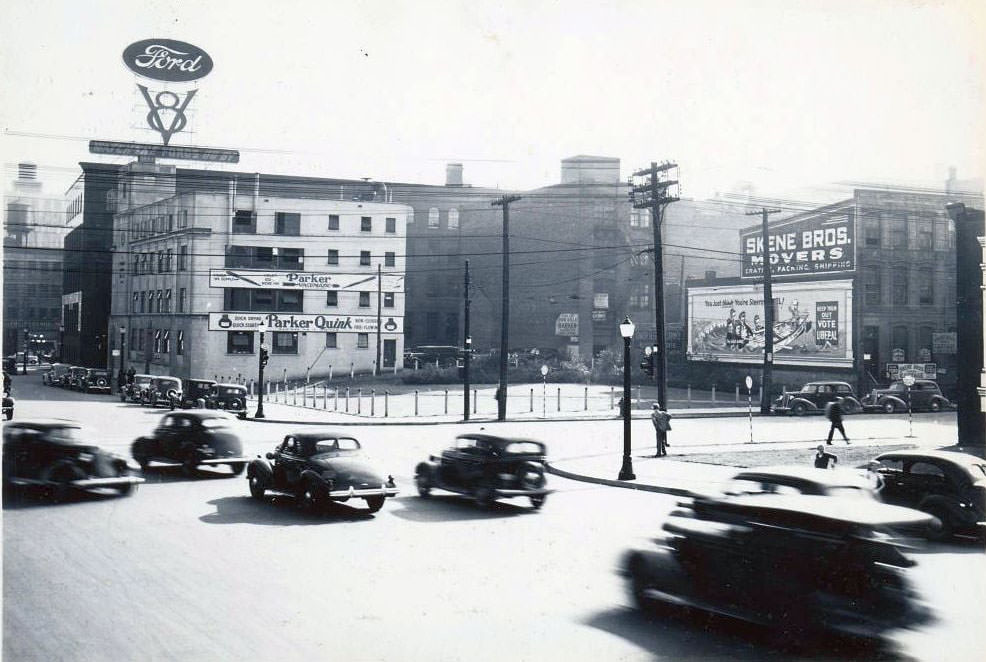
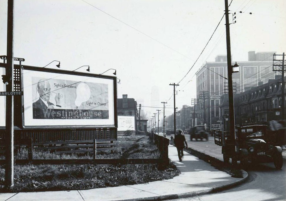
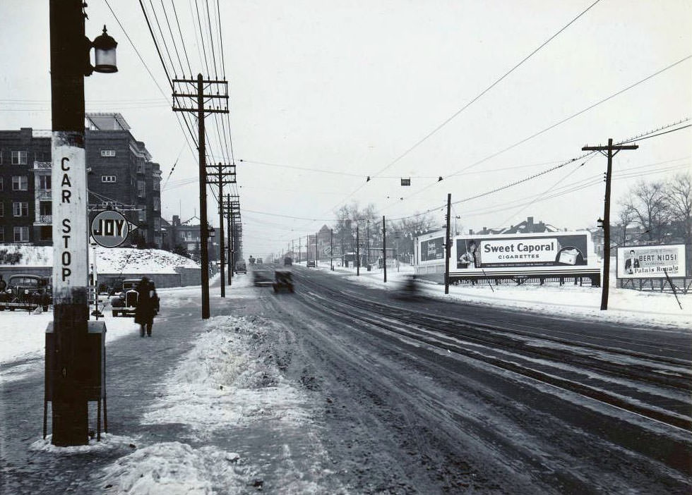
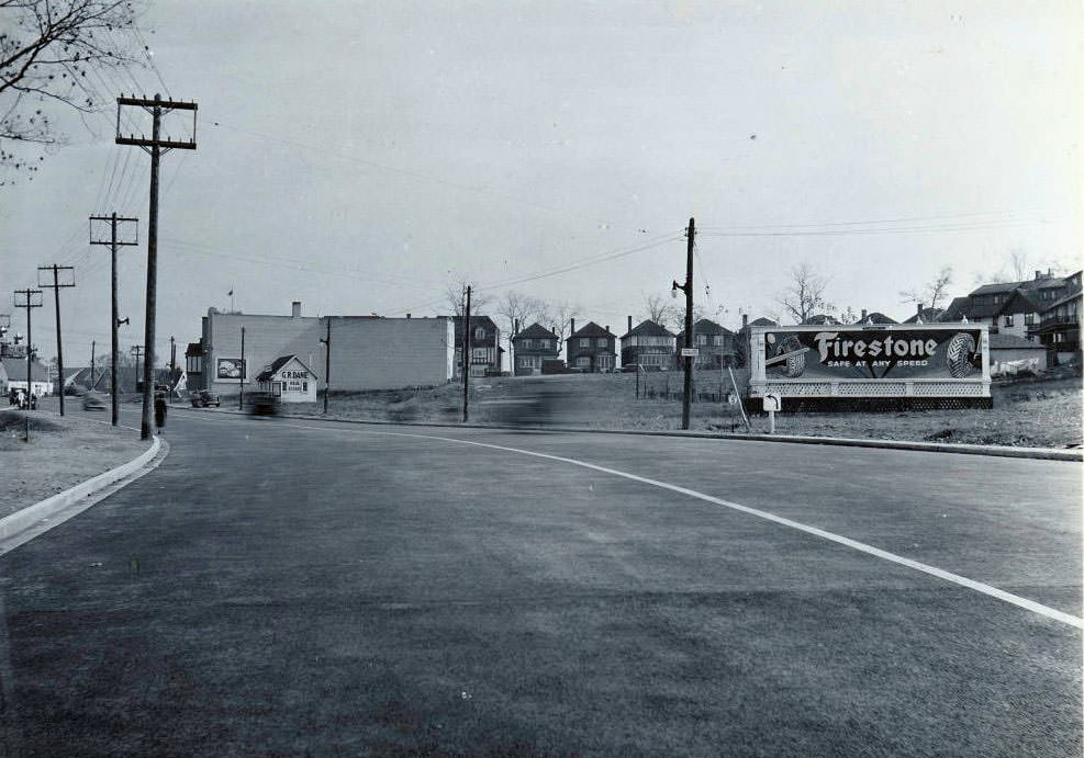
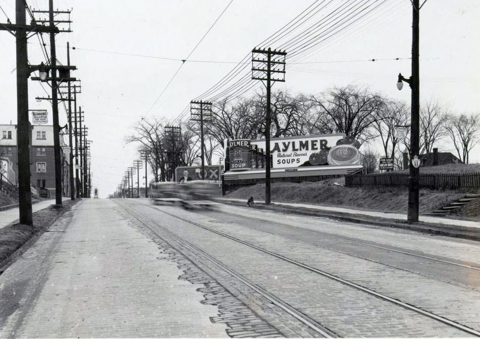
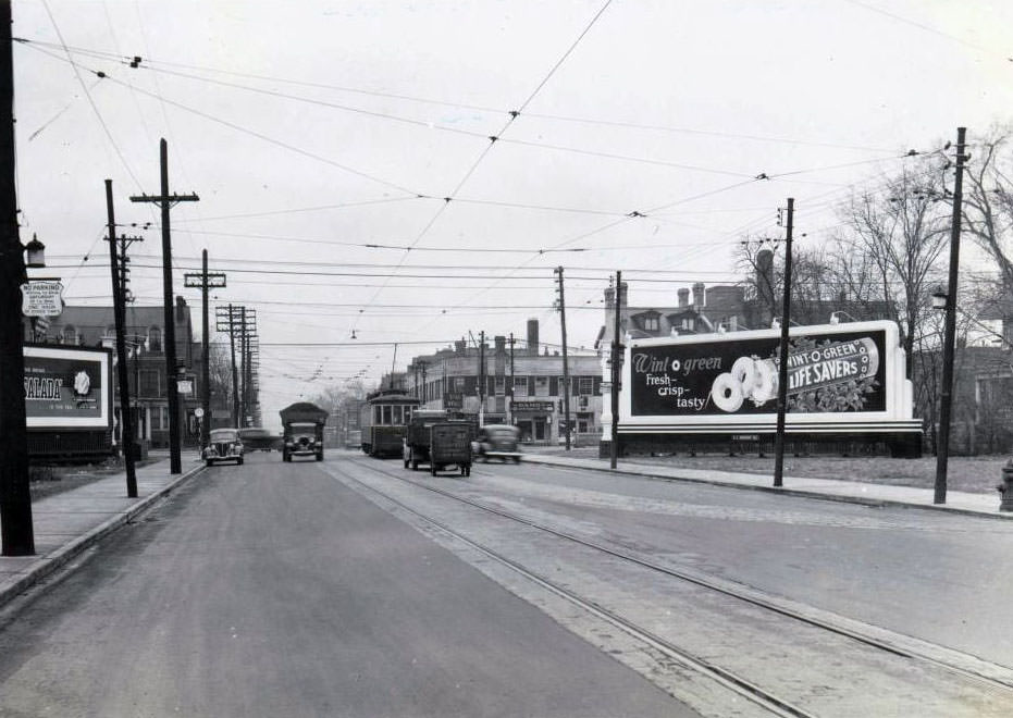
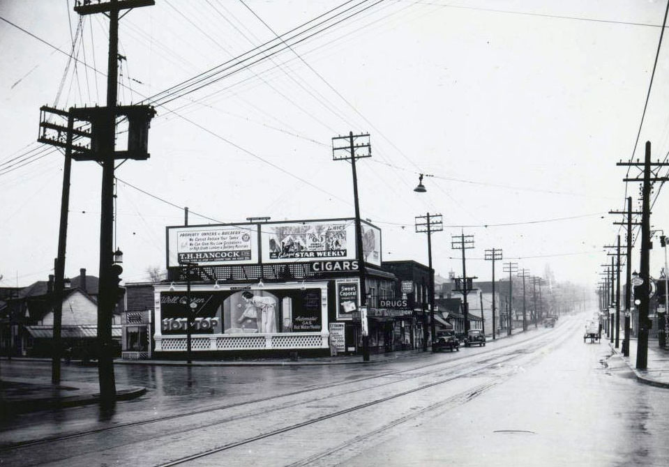
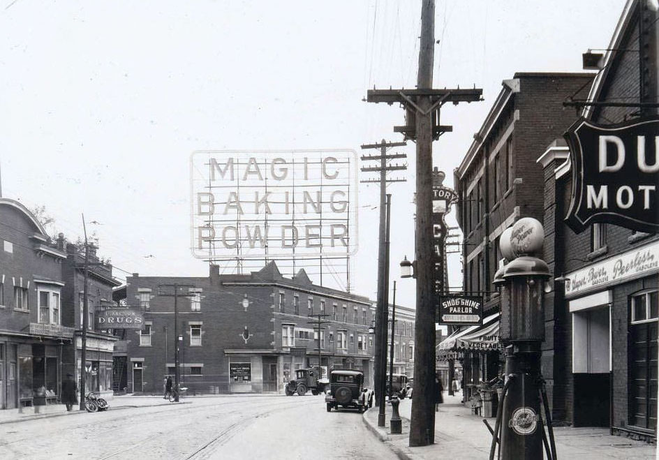
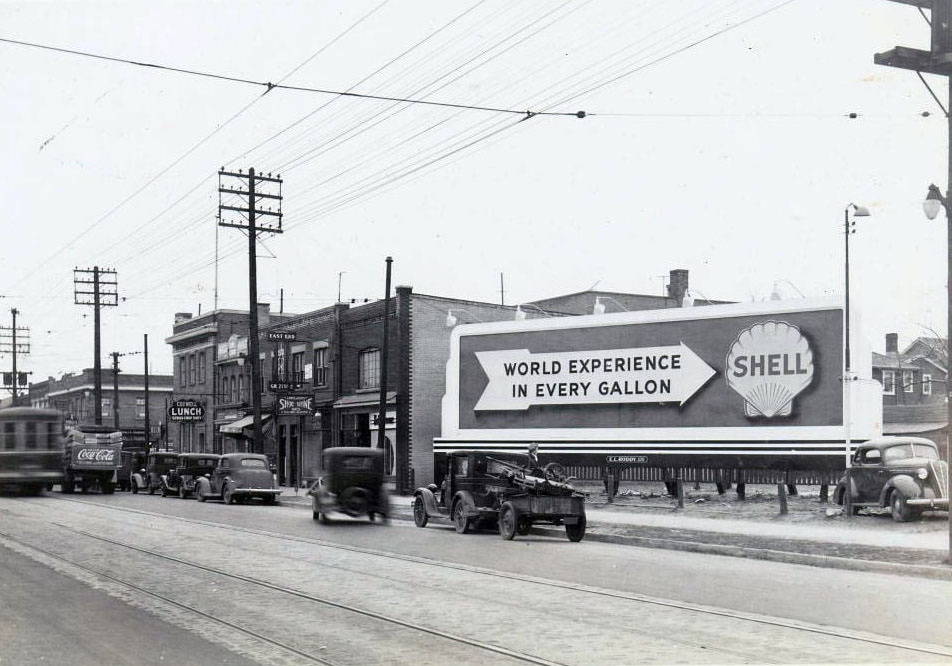
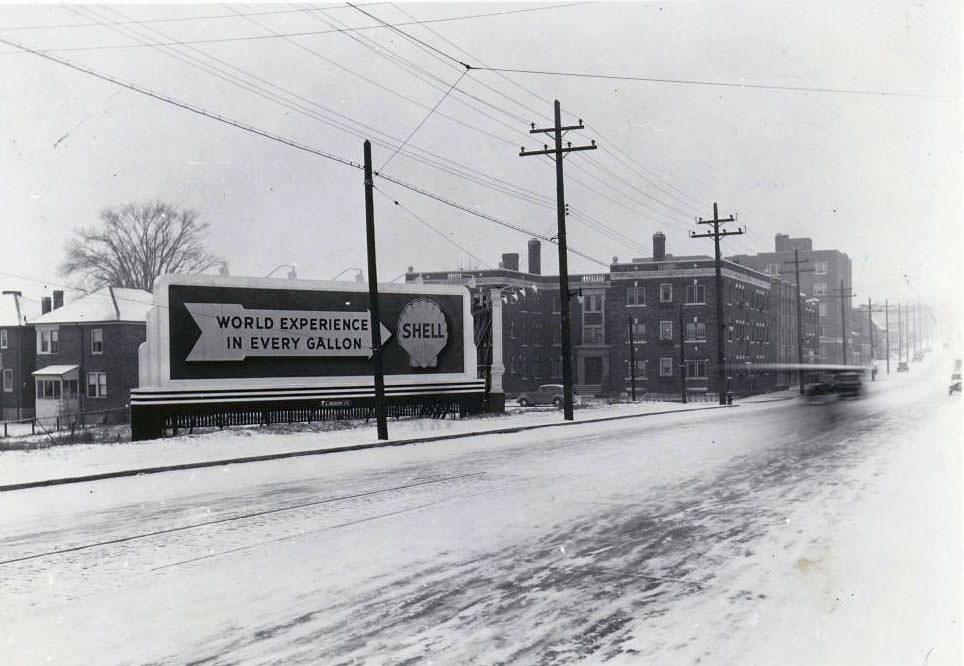
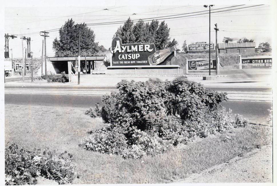
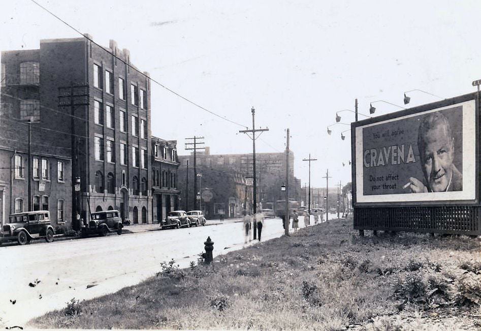
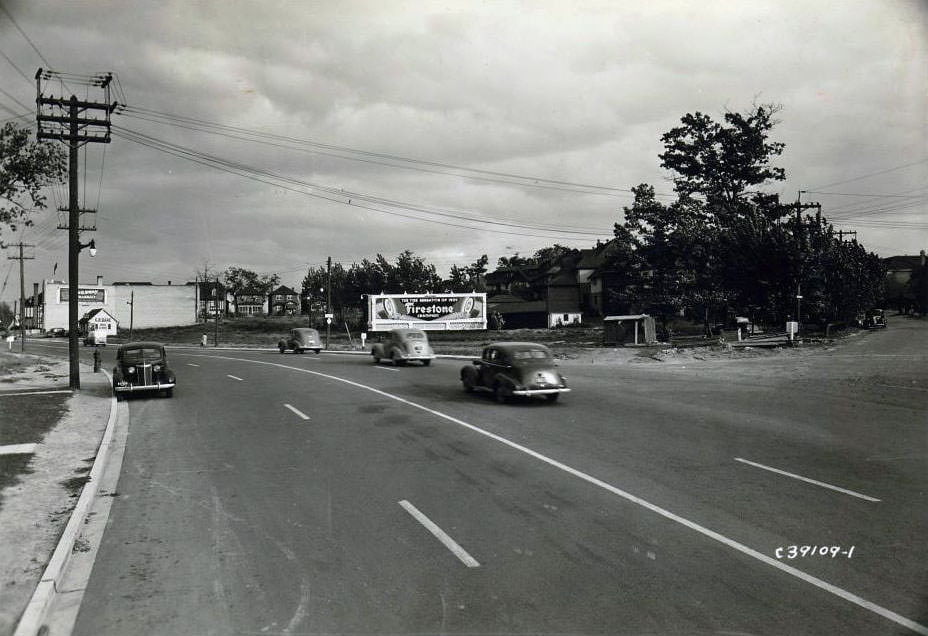
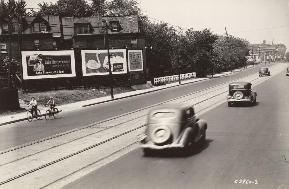
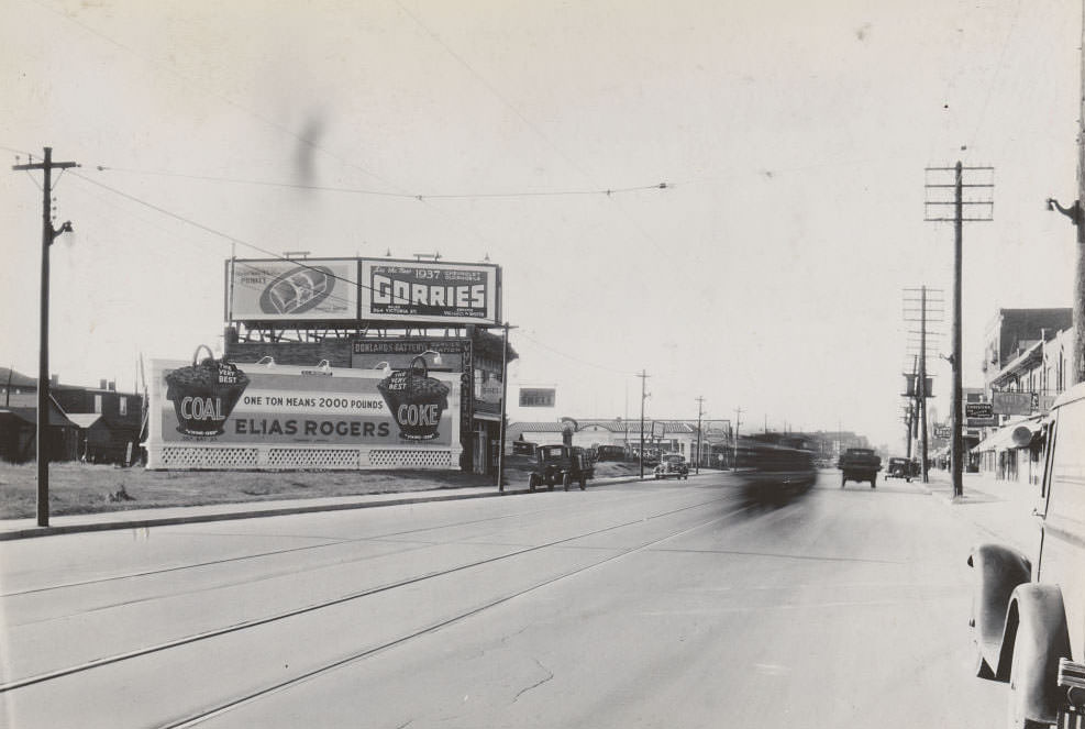
Advertising was everywhere. Billboards lined major roads, were painted onto the sides of buildings and silos, and were stacked on rooftops. Companies like De Luxe Advertising Company Limited placed signs for Gorrie’s Chevrolet Oldsmobile and Purity Bread Limited along the Danforth. Aylmer Catsup promoted itself along Lake Shore Road. Magic Baking Powder ran an electric sign atop a building at College and Grace streets. These ads were woven into the visual fabric of 1930s Toronto just as thoroughly as the storefronts themselves.
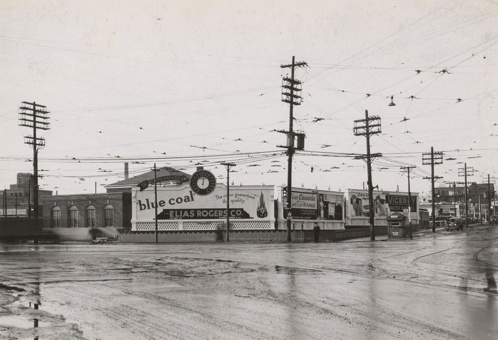
North-west corner of Queen Street West and Roncesvalles Avenue, 1936
Billboard adjacent to a building at 1003 Danforth Avenue, near Donlands Avenue. Two more billboards bearing the company name De Luxe Advertising Company Limited, one advertising Gorrie's Chevrolet Oldsmobile and the other Purity Bread Limited, 1936
Billboard adjacent to a building at 1003 Danforth Avenue, near Donlands Avenue. Two more billboards bearing the company name De Luxe Advertising Company Limited, one advertising Gorrie’s Chevrolet Oldsmobile and the other Purity Bread Limited, 1936
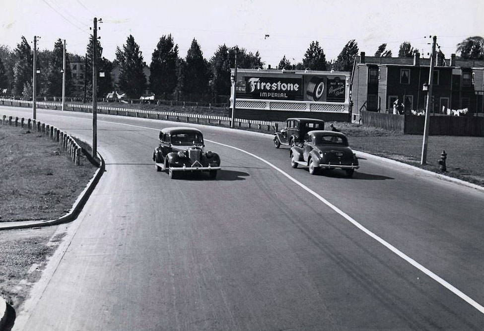
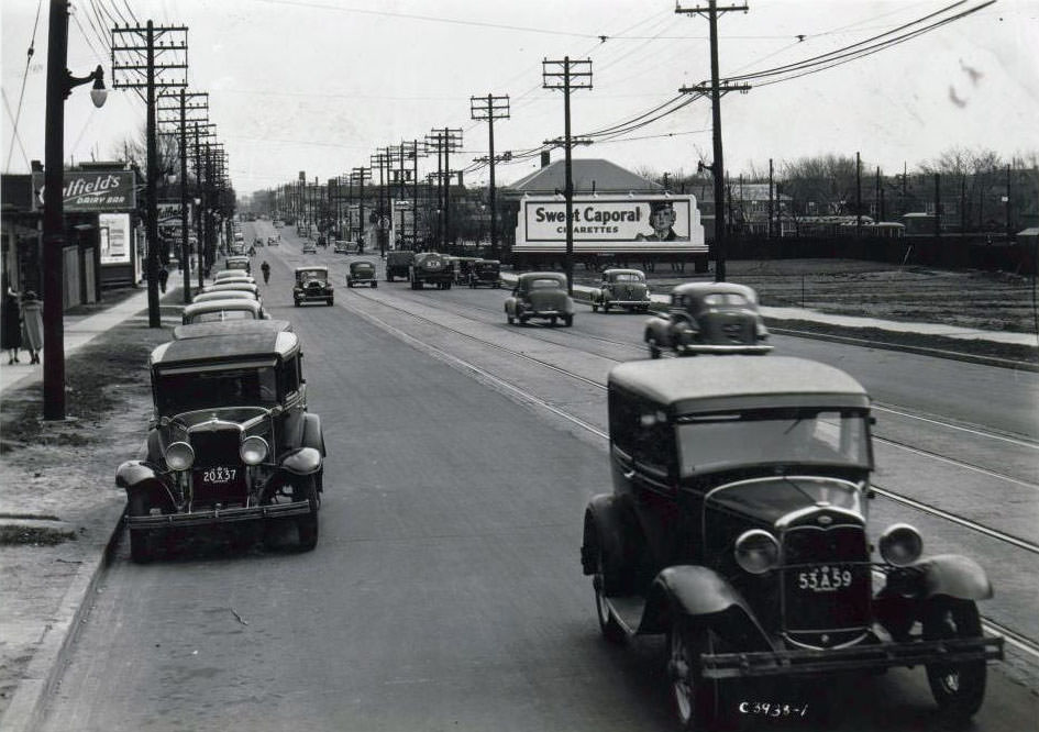
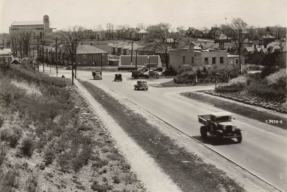
View is looking northwest from 'new' Kingston Rd, 1936
View is looking northwest from ‘new’ Kingston Rd, 1936
View looking west on Kingston Rd. to TTC Stop 13 at Sharpe St., Birchcliff Heights, Scarborough, 1936.
Bloor & Brock looking east, 1936
Yonge & Church looking northeast, 1936
Yonge & Davenport looking east to Church Street. 1936
Davenport Road near Blackmore Street, 1936
Yonge Street, 1936
Yonge Street, 1936

The Danforth was one of Toronto’s busiest commercial streets throughout the decade. Looking west toward Broadview in 1936, the street shows a full canopy of storefronts, transit infrastructure, and the kind of dense street activity that defined the east end. The Prince Edward Viaduct, photographed in 1937 from the Danforth and Broadview intersection, connected the east end to the rest of the city across the Don Valley.
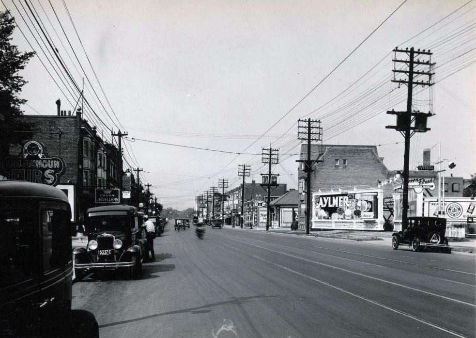
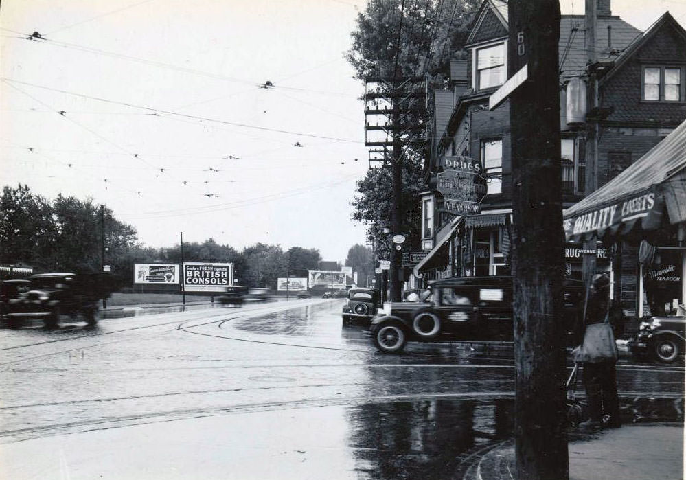
Danforth looking west towards Broadview, 1936
Avenue Road & Davenport facing west, 1936
Davenport & Yonge looking west, 1936
Spadina & College looking southeast, 1937
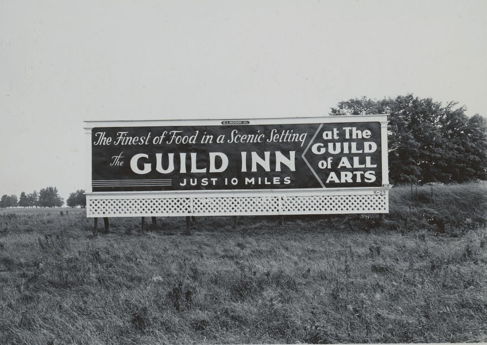
Guild Inn - Just 10 Miles, 1937
Guild Inn – Just 10 Miles, 1937
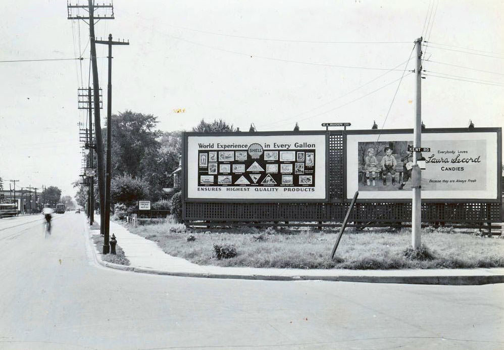
Queen & Kent looking west, 1937
Bay & Davenport looking south, 1937
St. Clair West Station, looking E to Holy Rosary, 1937

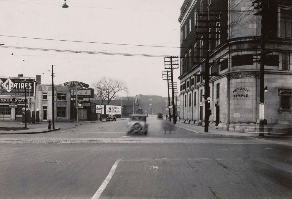
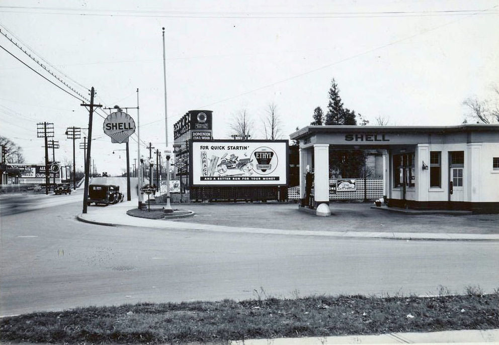
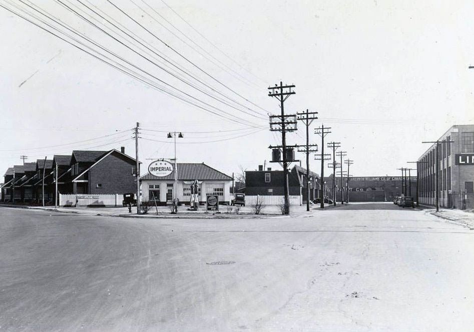
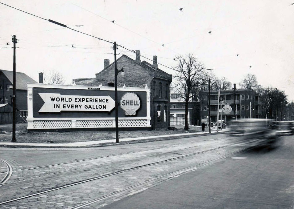
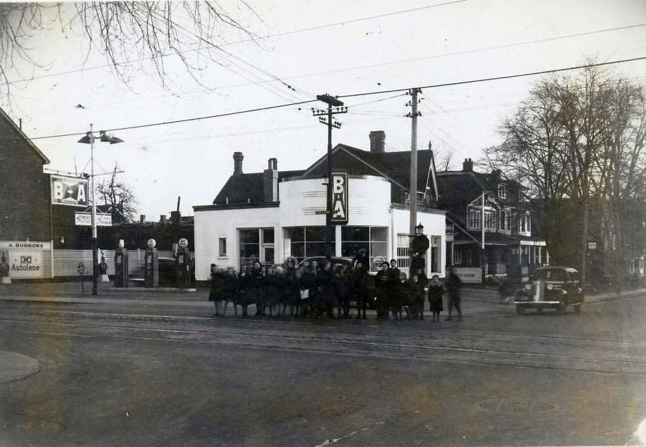
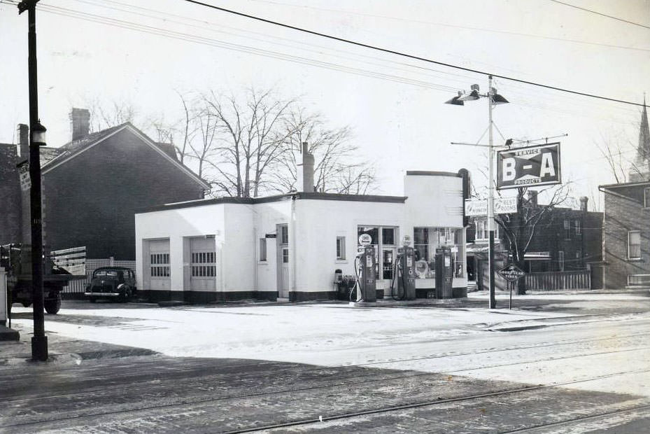
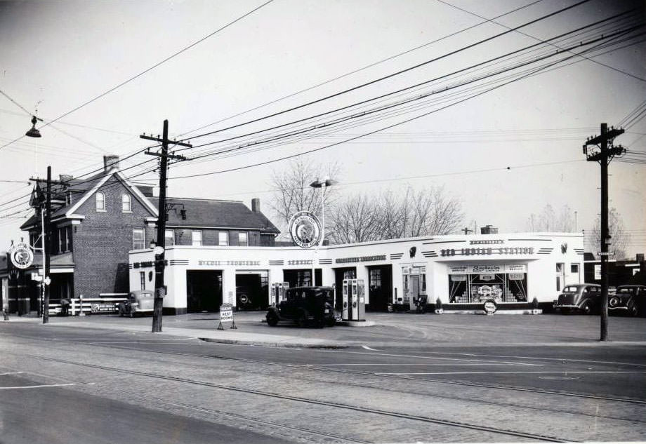
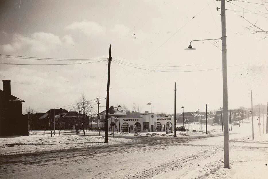
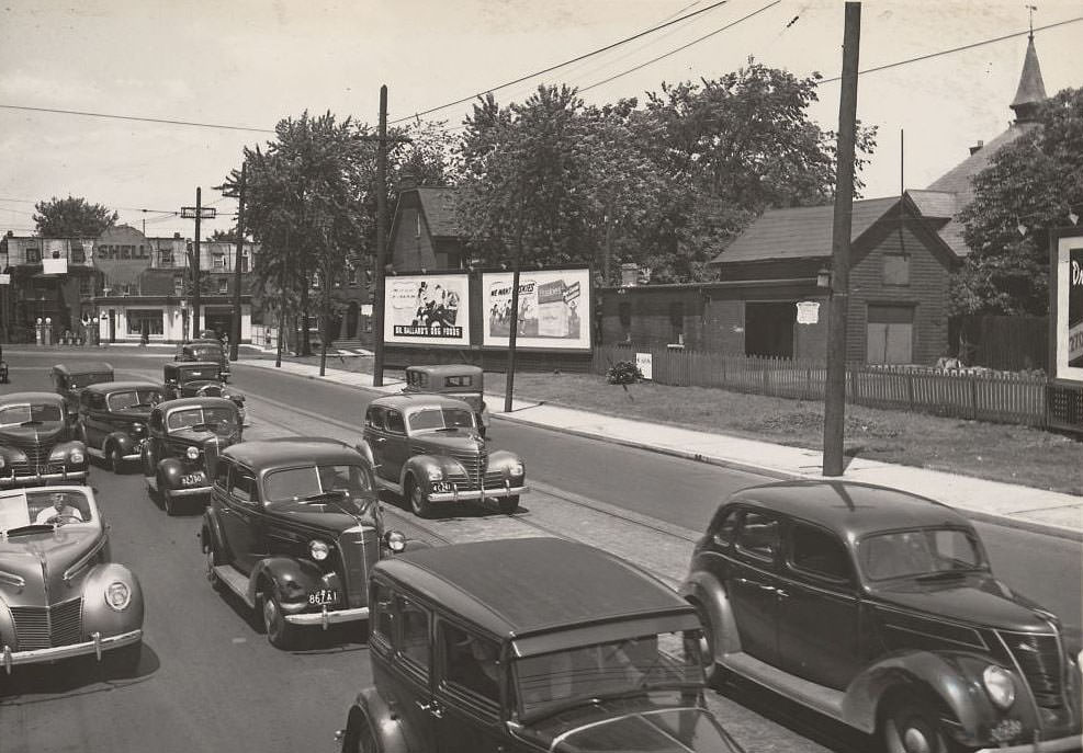
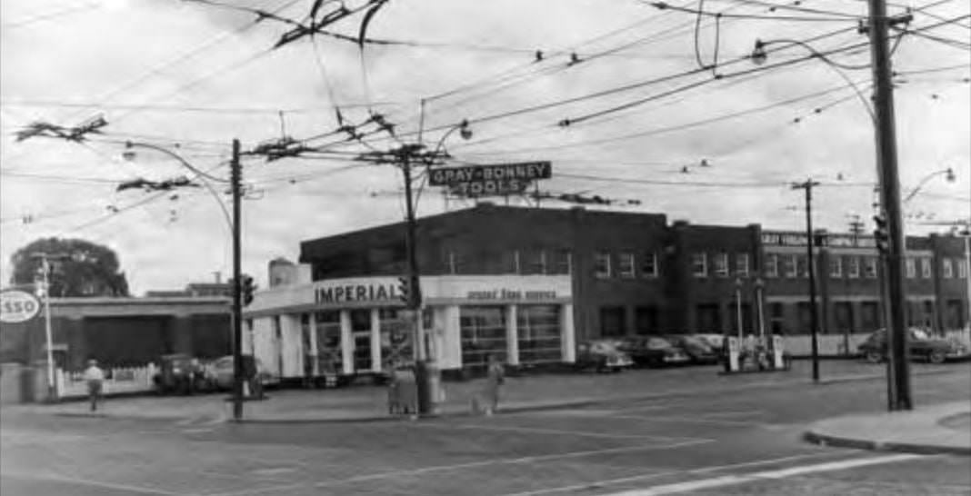
Service stations were a growing presence on 1930s Toronto streets. The automobile was reshaping urban form, and corners once occupied by horse-related trades were being converted to fuel and repair shops. Imperial, British-American, Shell, Supertest, and Esso all appear in photographs from this era, each occupying prominent corners throughout the city.
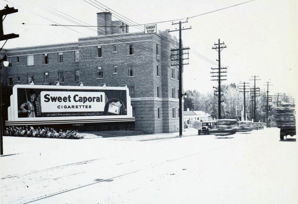
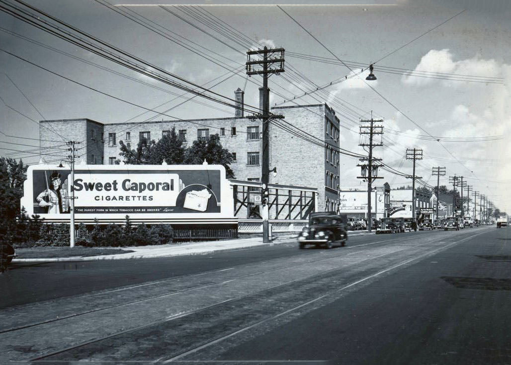
Mark Rowan Yonge Street on east side just north of Lawrence looking southeast, 1938
Chaplin & Yonge looking Northwest, 1937
Thanks Curtis Webster Acme Farmers Dairy 2359 Danforth Avenue looking west, 1937
St. Clair Avenue West and Old Weston Road. View is looking north-east, 1937
Lakeshore near Humber loop, looking eastward, 1937
Service station adjacent to the Dominion Coal and Wood silos on Mount Pleasant Road, at Merton Street looking south, 1937
Danforth and Broadview avenues. View is looking west across the Prince Edward Viaduct, 1937

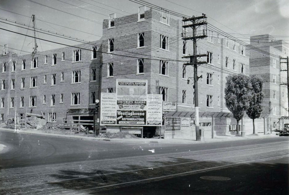
By 1937 and 1938, construction activity was picking up in parts of the city. The Chatsworth Manors apartment building on Yonge Street near Chatsworth Drive was photographed mid-construction in 1938 — one sign that, despite the Depression’s grip earlier in the decade, some development was beginning to move again as the 1930s drew toward their close.
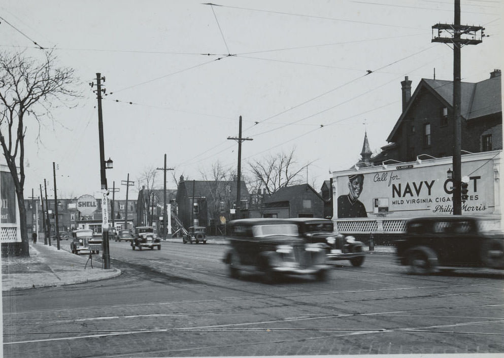
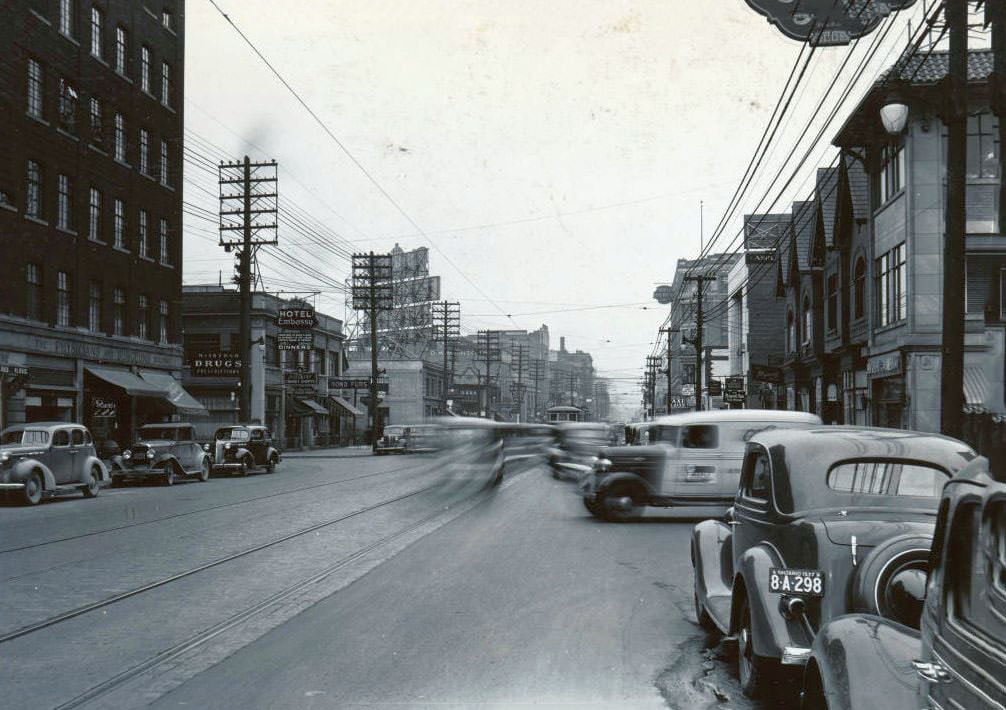
Toronto, 1938
Toronto, 1938
Bloor & Bellair looking northeast, 1938
Bay & Bloor looking northeast, 1938
Yonge & Bloor looking northwest, 1937
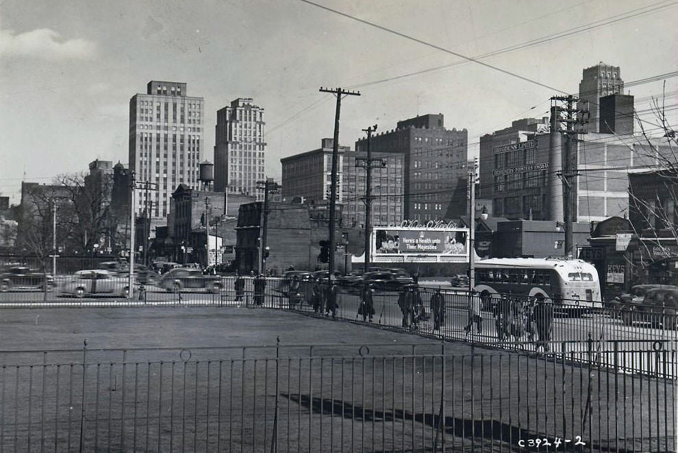
University & Adelaide looking southwest, 1938
King & Charlotte looking east, 1938
2001 Bloor Street West, looking west. That's the roof of the Runnymede library in the centre background, 1937
2001 Bloor Street West, looking west. That’s the roof of the Runnymede library in the centre background, 1937
Looking east on Bloor towards South Kingsway. Big building in the distance still stands as Dogtopia of Bloor West Village, 1937
Highway 11 (Yonge Street), 1937
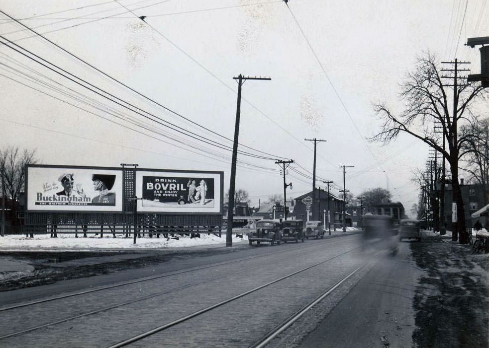
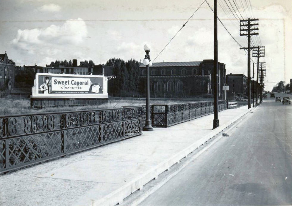
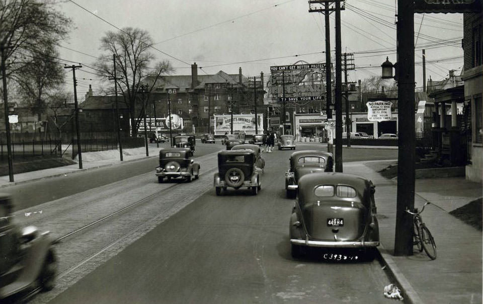
Billboard near Bloor Street East, 1937
Woodbine Avenue & Kingston Road facing east, 1937
Eastern & Mosley facing east, 1937
Magic Baking Powder - Electric sign, located atop a building at the south-west corner of College and Grace streets, 1937
Magic Baking Powder – Electric sign, located atop a building at the south-west corner of College and Grace streets, 1937
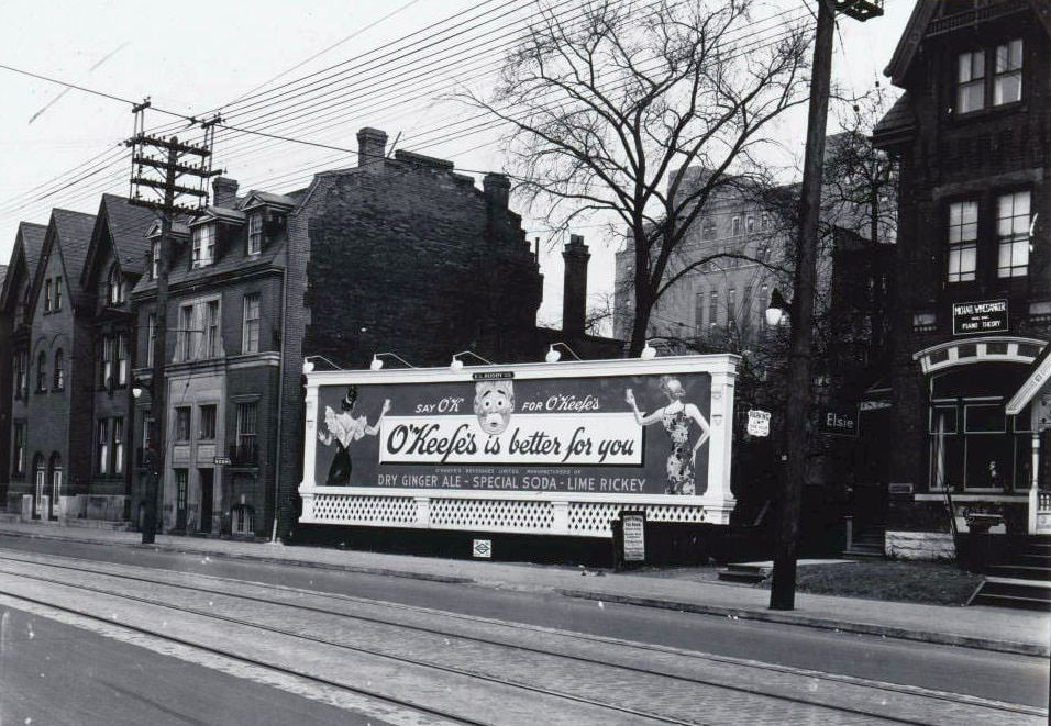
O'Keefe's Dry Ginger Ale, Special Soda, Lime Rickey - College Street, 1937
O’Keefe’s Dry Ginger Ale, Special Soda, Lime Rickey – College Street, 1937

College Street and the area around Spadina and Bathurst had their own commercial character — dense, diverse, and marked by a mix of food shops, soda brands, and local businesses. O’Keefe’s beverage signs and the British-American service stations on College Street capture the particular flavor of this part of the city in 1937 and 1938.
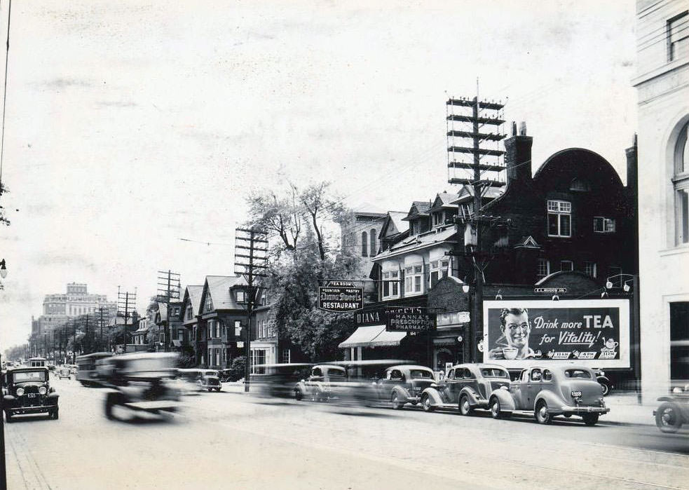
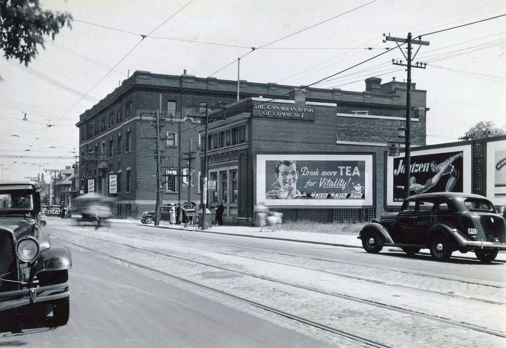
184 Bloor Street West. View is looking north-west, 1938
College Street, at Dovercourt Road, south-east corner, 1938
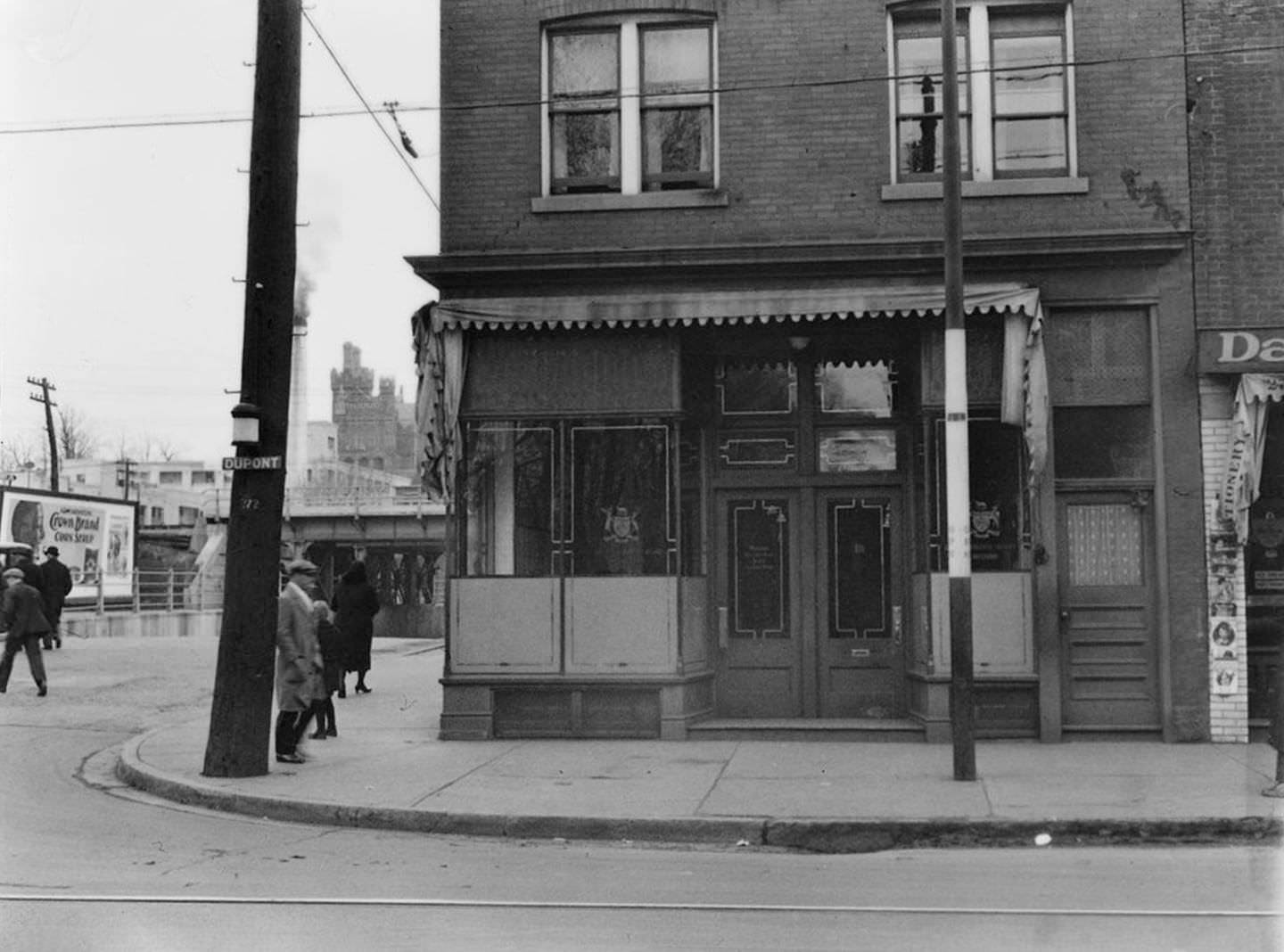
Davenport Road, at Dupont Street looking south, 1938
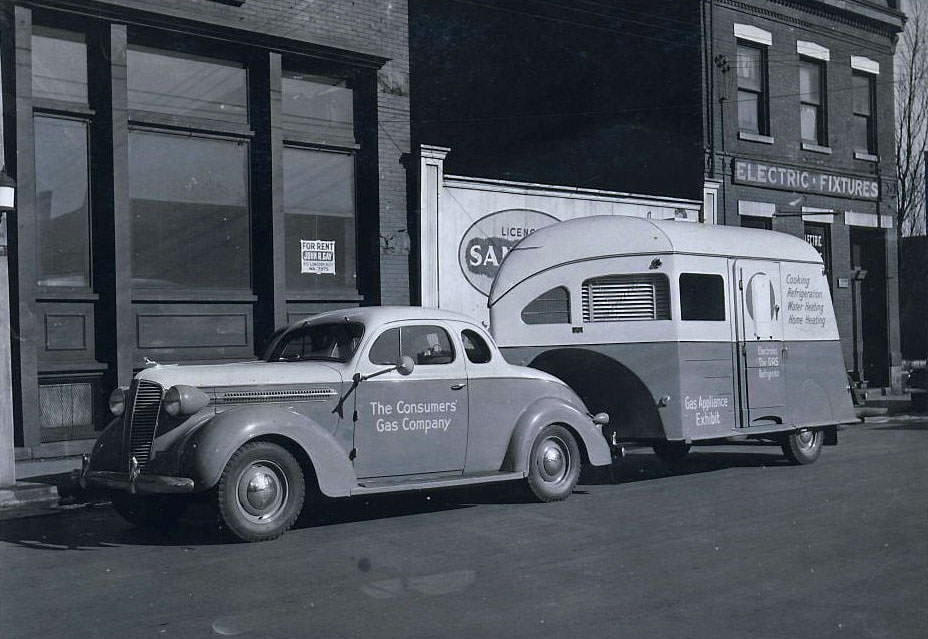
The Consumers' Gas Company service vehicle with trailer, 1938
The Consumers’ Gas Company service vehicle with trailer, 1938
Yonge Street & Price Street looking south-east. Shell gas station is still there. The apartment at Rowanwood has lost its balconies. transit tracks veer off to the left probably a loop, 1938
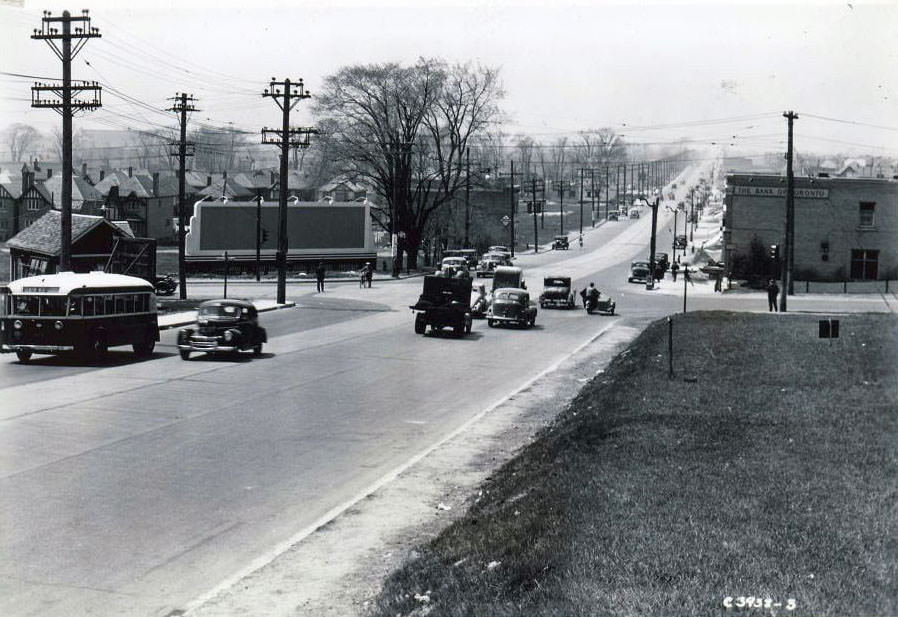
Broadview & Danforth looking northwest, 1938
Chatsworth Manors Apartments under construction, Yonge Street & Chatsworth Drive looking northwest, 1938
Dundas West looking east towards Yonge Street, 1938
Broadview & Danforth facing west, 1938
Looking northwest towards Coxwell & Danforth, 1938
Eglinton & Henning looking southwest, 1938
British-American Service Station - College Street, 1938
British-American Service Station – College Street, 1938
British-American Service Station - College Street, 1938
British-American Service Station – College Street, 1938
Robinette's Red Indian Service Station - Southeast corner of Woodbine & Kingston Road, 1938
Robinette’s Red Indian Service Station – Southeast corner of Woodbine & Kingston Road, 1938
Yonge Street, 1937
Yonge Street, 1937
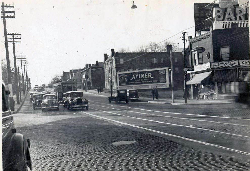
Aylmer Catsup - Lake Shore Road, 1937
Aylmer Catsup – Lake Shore Road, 1937
Toronto, 1937
Toronto, 1937

Avenue Road near Oxton was home to competing service stations in 1937 — an Imperial station and a Supertest station standing near one another. Both brands later changed hands, with Imperial eventually becoming Esso and Supertest becoming Husky. These corners are visible records of how fuel retail competed for turf on Toronto’s major roads.
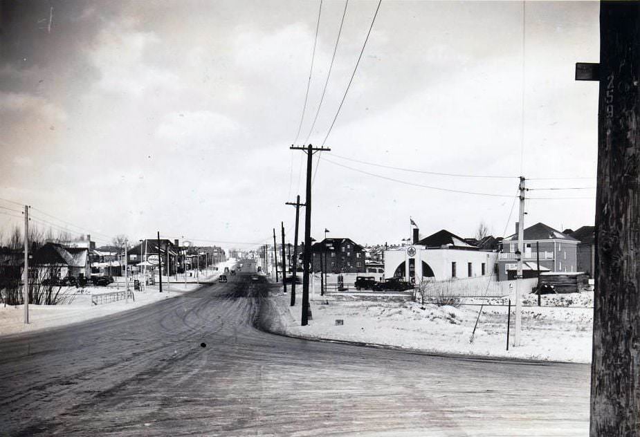
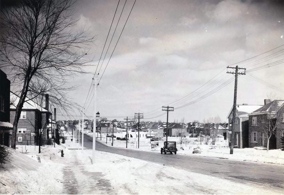
Avenue Road & Oxton looking north. Imperial station is now Esso & Supertest is now Husky, 1937
Avenue Road looking north towards Oxton, 1937

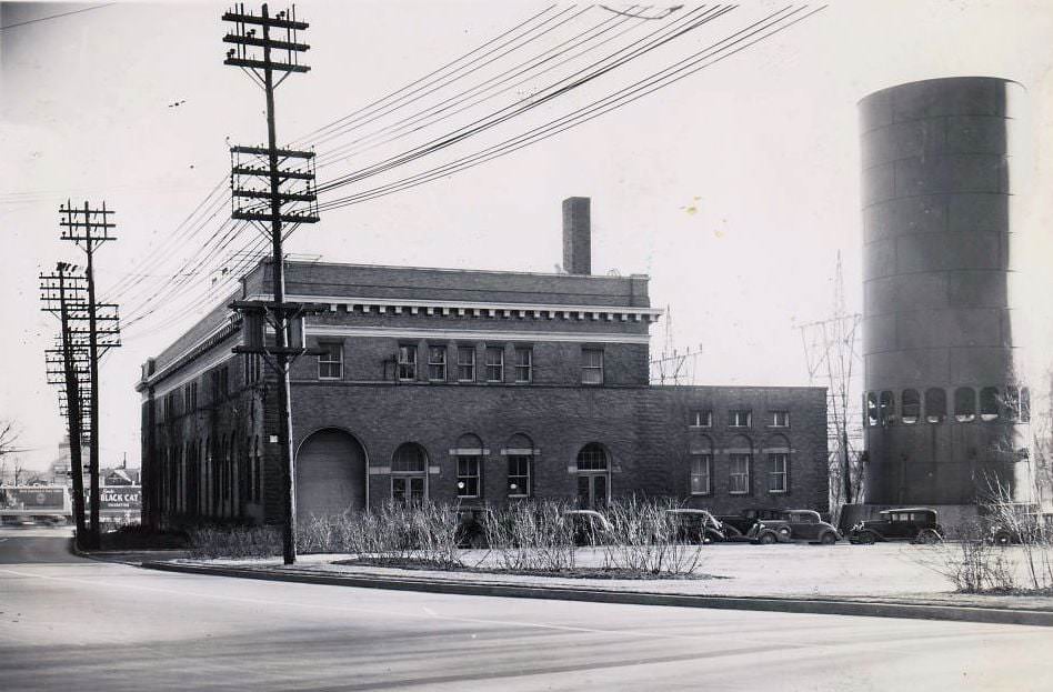
Industrial Toronto was another layer of the city entirely. The Canadian General Electric Company plant was a major employer and a symbol of the city’s manufacturing capacity. Factories like this would soon pivot to war production as the decade ended and the demand for military equipment surged.
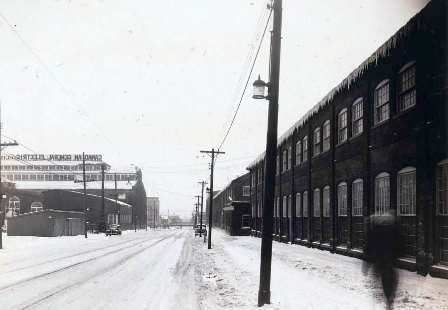
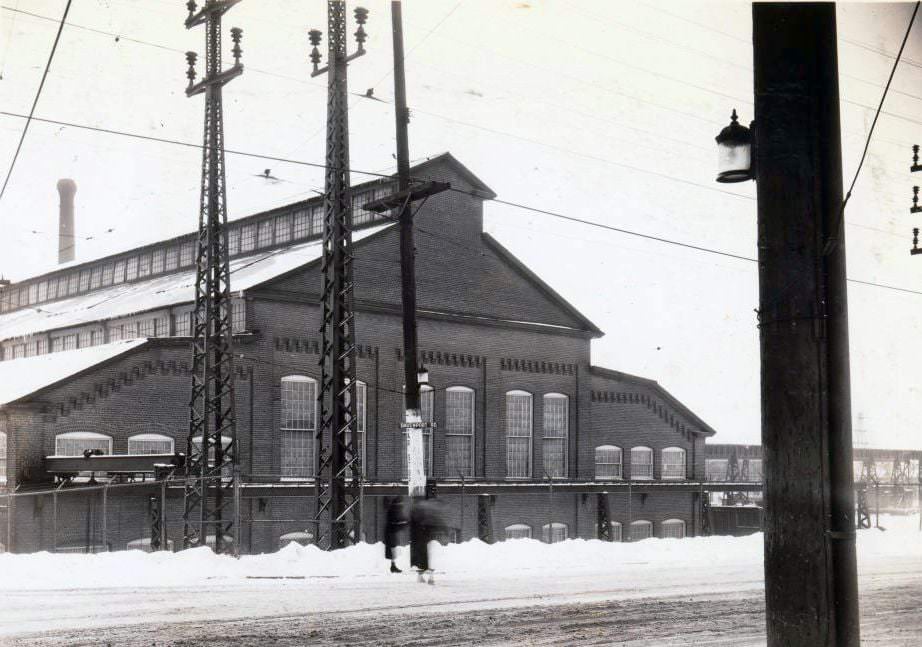
Canadian General Electric Company Limited plant, 1937
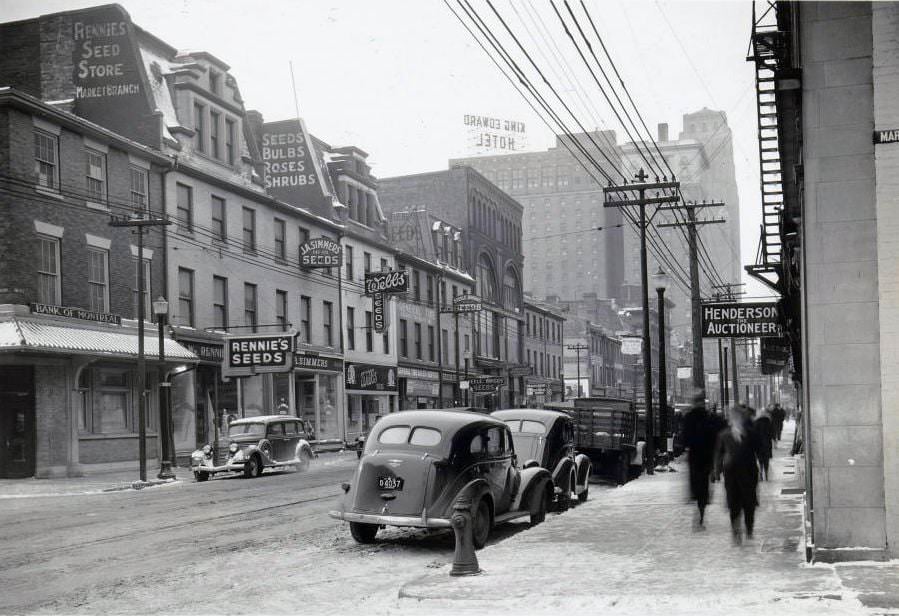
King Street East looking west towards the King Edward Hotel, 1939
Somewhere on Davenport in 1937
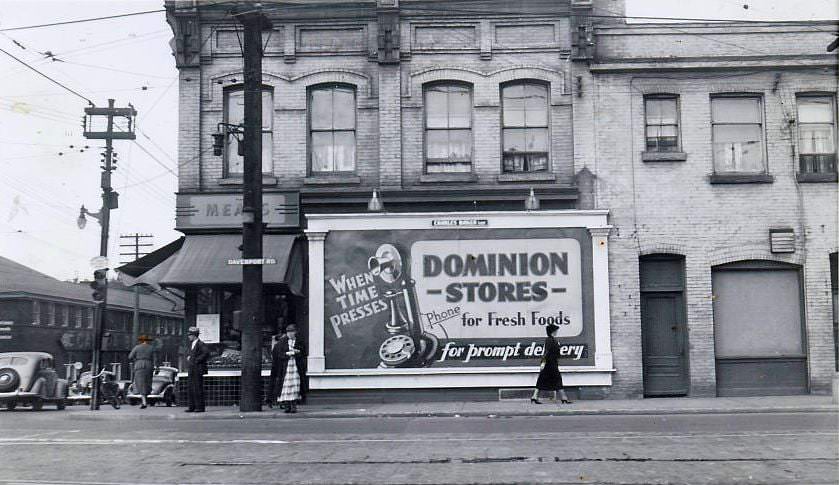
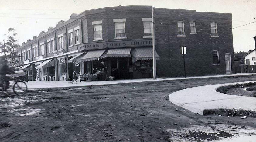
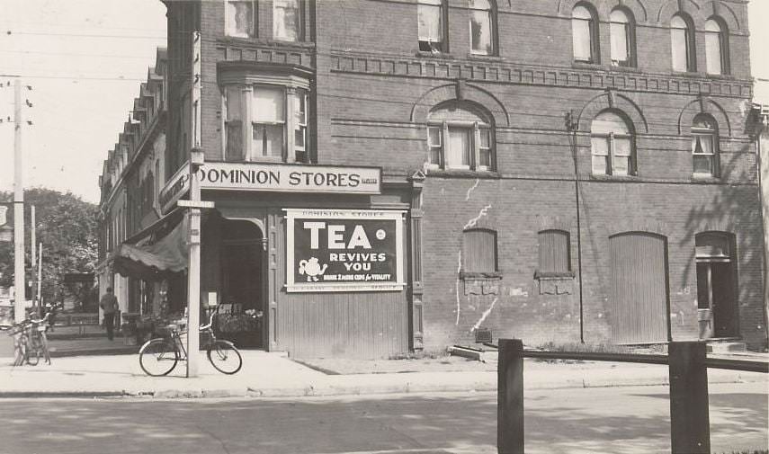
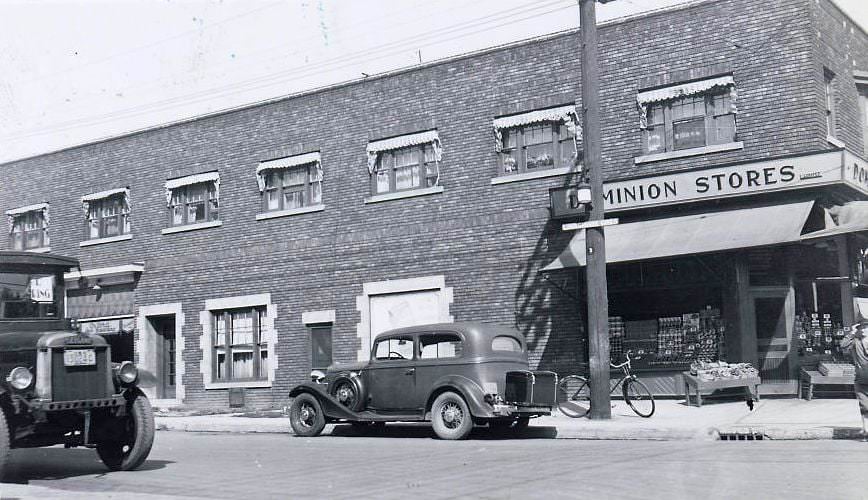
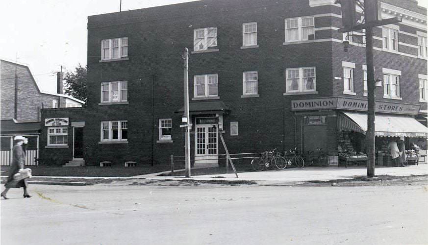
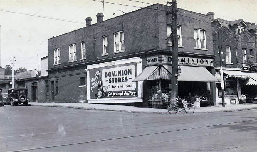
Another Dominion, unknown location, 1937
Gerrard Street East and Ontario Street. View is looking east, 1937
Danforth Avenue and Linsmore Crescent. View is looking north-east, 1937
Broadview and Browning avenues. View is looking south-east, 1937
Spadina Road and Dupont Street. View is looking north-east, 1937
Bay Street at Bloor Street West, south-east corner, 1937

Toronto Hydro properties appeared throughout the city’s residential fabric. Macpherson Avenue near Davenport Road was home to both Hydro infrastructure and a set of painted silos whose signage was photographed from multiple angles in 1937 and 1939. These images capture the industrial utilities that kept the growing city powered.
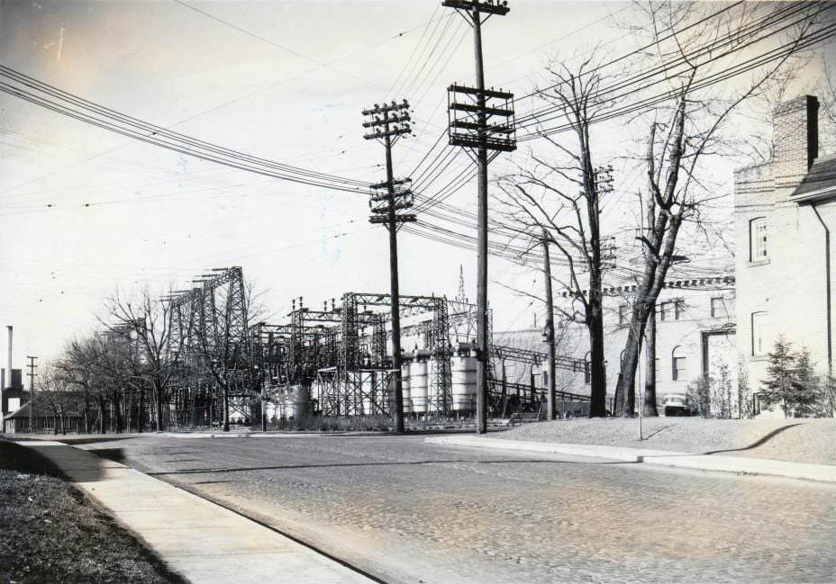
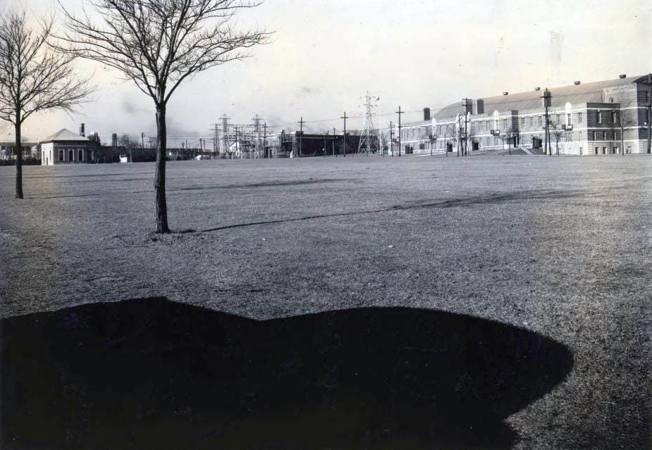
Hydro property - Macpherson Avenue, 1937
Hydro property – Macpherson Avenue, 1937
Unknown Hydro property location, 1937

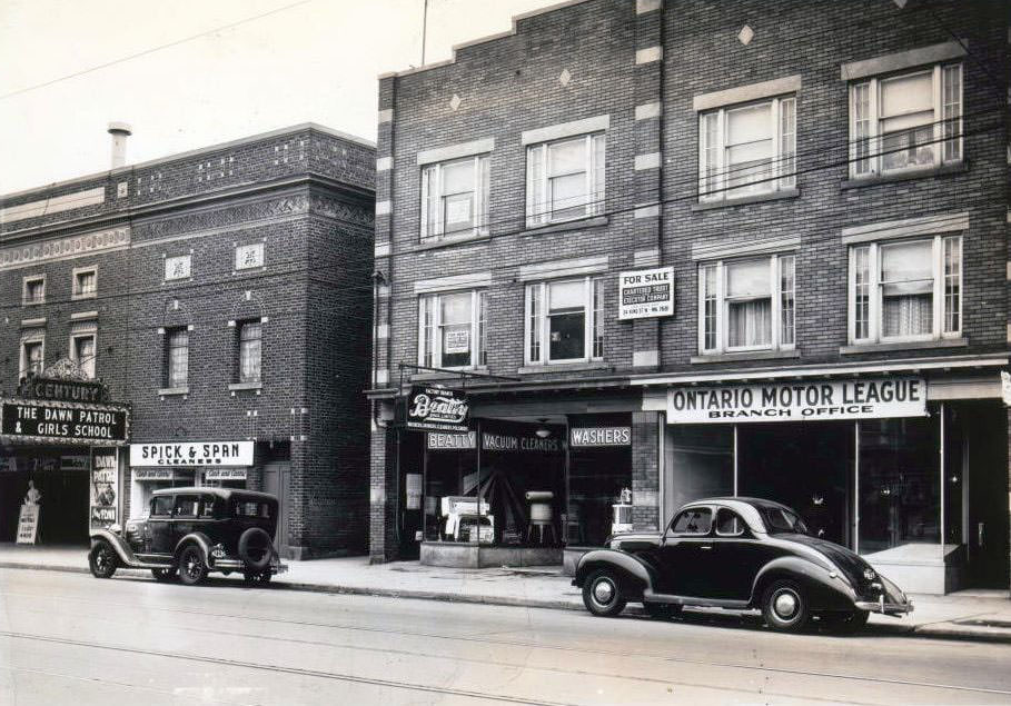
By 1939, Toronto’s street-level retail scene was well-established and varied. Locations like 1500 Queen Street West, 526 Danforth at Ferrier Avenue, and 1475 Yonge Street show storefronts that were modest in scale but fully functional parts of their surrounding neighborhoods. The Century Theatre at 145 Danforth, visible next to a Spick and Span Cleaners, marked the Danforth as a destination for both commerce and entertainment.
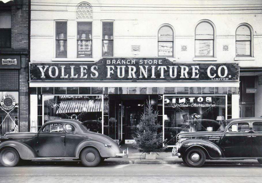
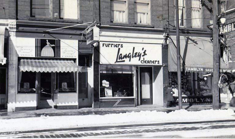
2871-2873 Dundas Street West, 1939
1500 Queen Street West, 1939
526 Danforth Avenue, at Ferrier Avenue, north-east corner, 1939
393 Jane Street, 1939
1475 Yonge Street, 1939
3404 Yonge Street, 1939
Bloor Street West and Willard Avenue, north-west corner, 1939
14 Bloor Street East, 1939
Bloor Street West, east of Dovercourt Road, 1939
515 St. Clair Avenue West, at Bathurst Street, 1939
Yonge Street at Davenport Road, 1939
122 Carlton, 1939
122 Carlton, 1939
1990 Danforth Avenue, 1939
2022 Queen Street East, 1939
Danforth & Macey looking southeast, 1937
Tony Solimine Lakeshore near Humber loop, looking eastward, 1937
Riverside Drive & Bloor Street West looking southeast, 1937
33 Front Street East. St. Lawrence Centre is now, 1937
University & Front looking west, 1937
Avenue Road & Chaplin looking southeast, 1937

The final year of the decade, 1939, brought an urgency to Toronto that the photographs alone can’t fully convey. Canada declared war on Germany in September of that year, and the city’s economic picture began to shift sharply. War industries — shipbuilding, aircraft manufacturing, weapons production — would soon dominate the city’s factories. The streets photographed so carefully in 1936, 1937, and 1938 were about to enter a very different era.
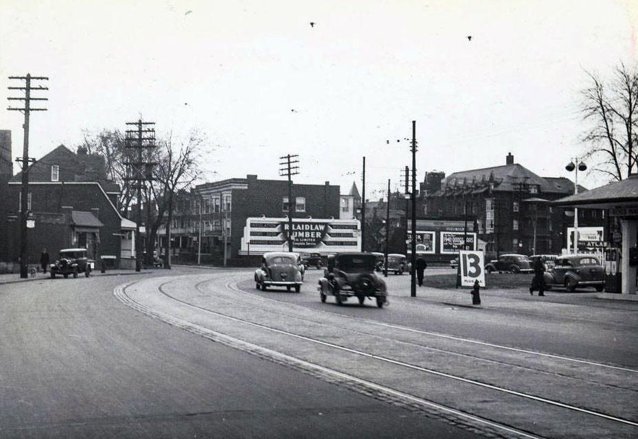
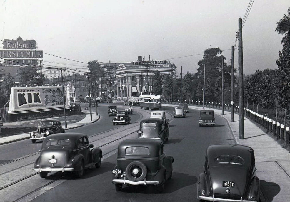
Davenport looking southeast towards Hillsboro, 1939
Bloor looking west to Sherbourne, 1939
Bloor Street West and Riverside Drive, Swansea, 1939
Danforth & Macey facing west, 1939
Eastern & Woodward looking west, 1939
Bathurst & Eglinton looking west, 1939
Painted signage on the side of a silo, Macpherson Avenue, east of Davenport Road, 1939
Signage on the side of a silo, Macpherson Avenue, east of Davenport Road. View is looking east, 1939
Browns Bread on Eglinton Avenue West. Where on Eglinton, 1939
No information on the location, 1939
145 Danforth Avenue. The Century Theatre can be seen at the left of the image adjacent to a Spick & Span Cleaners location, 1939
345 Danforth Avenue, 1939
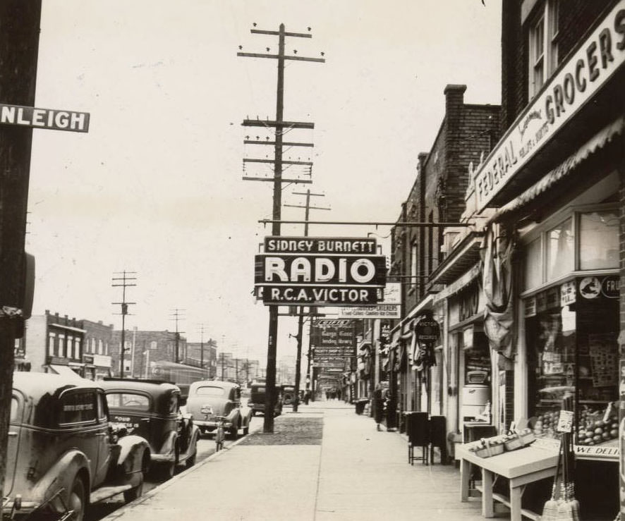
Yonge Street, east side, at Ranleigh Avenue looking north, 1939
Yonge Street south of Eglinton looking south, 1939
Bloor Street West, south side, west of Windermere Avenue looking southwest, 1939
Looking north on Bay towards Davenport, 1939
Church & Asquith looking north, 1939
Chaplin Cres. looking east towards Yonge & Davisville, 1939
Bloor looking west towards Sherbourne, 1939
University & Queen looking southeast, 1939
Keele & Bloor looking west, 1938
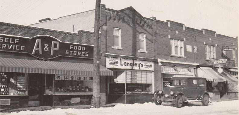
982 Kingston Road. A & P is now Gabby's, 1939
982 Kingston Road. A & P is now Gabby’s, 1939
Looking southwest to Bathurst & Eglinton, 1939
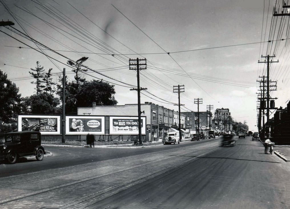
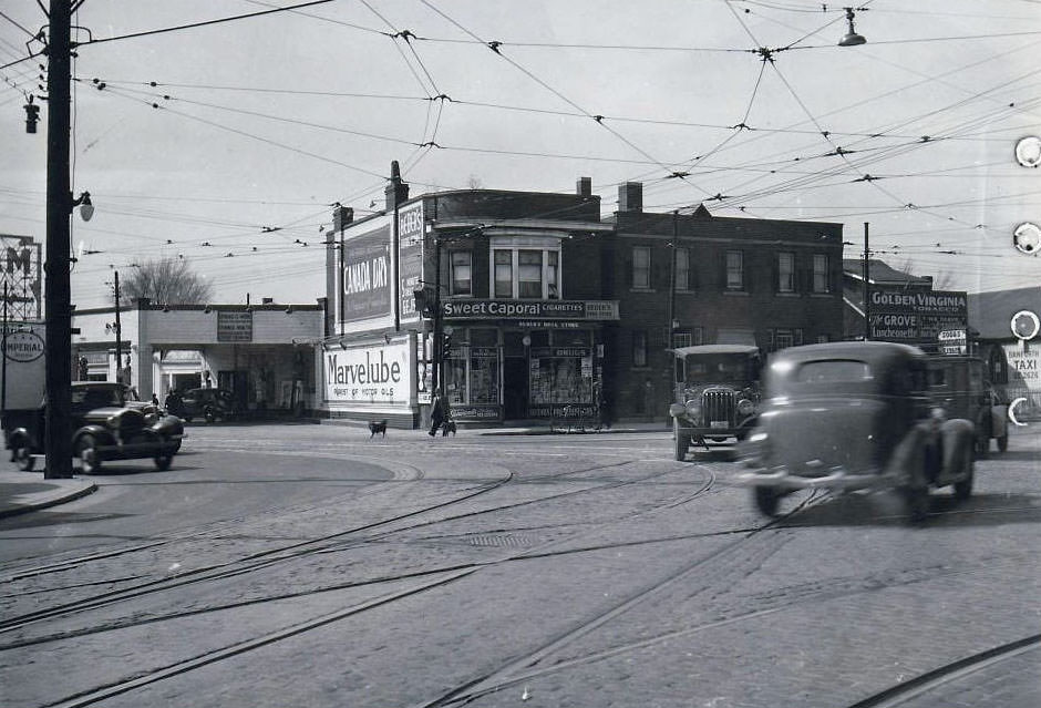
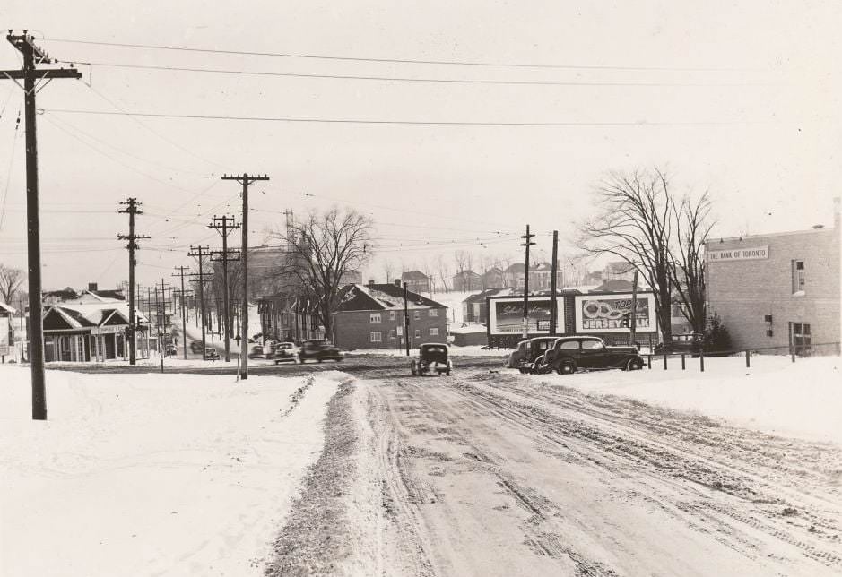
Eglinton Avenue West & Lascelles looking east, 1937
View is looking south on Bathurst Street, across Eglinton Avenue West, 1937

Earlier in the decade, the city’s schools, public buildings, and gathering places still functioned, even as the Depression tightened its grip. A Wilkinson Public School class photograph from 1932 captures students in a formal pose — an ordinary school portrait taken in anything but ordinary times. Aerial photographs from the same year show the city from above: a compact, low-rise urban form spreading out from the waterfront, its grid of streets clearly visible from the air.
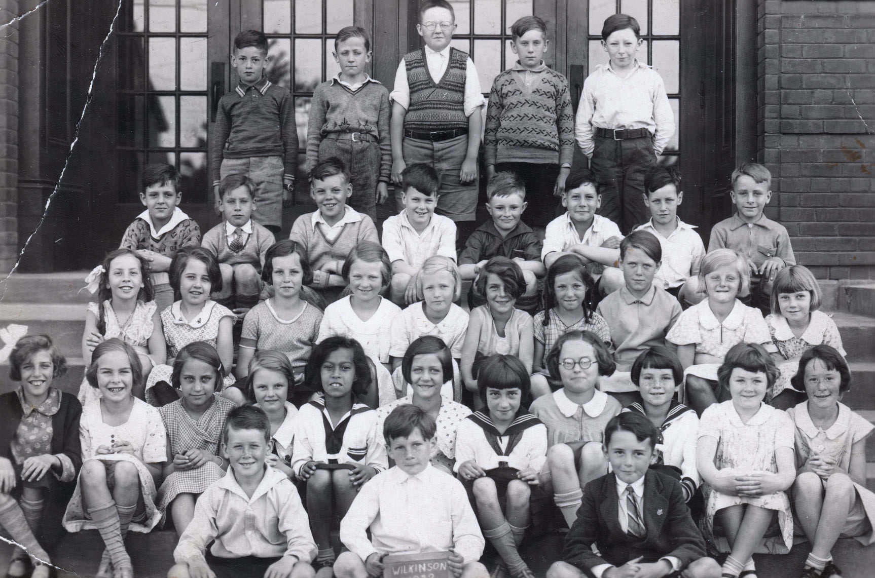
Wilkinson Public School class, 1932.
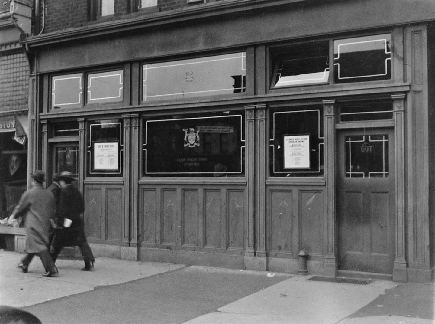
LCBO Liquor store, 424 Spadina Avenue, March 18, 1930.

The LCBO liquor stores photographed on March 18, 1930 — at Spadina Avenue, at Dupont and Spadina Road, and at Robina Avenue and St. Clair Avenue West — document state-controlled alcohol retail at a specific moment. A customer leaving the Robina Avenue location with a brown paper bag is a small but telling detail: liquor was available, but purchased through a tightly regulated government system, consistent with the city’s broader culture of supervised public life.
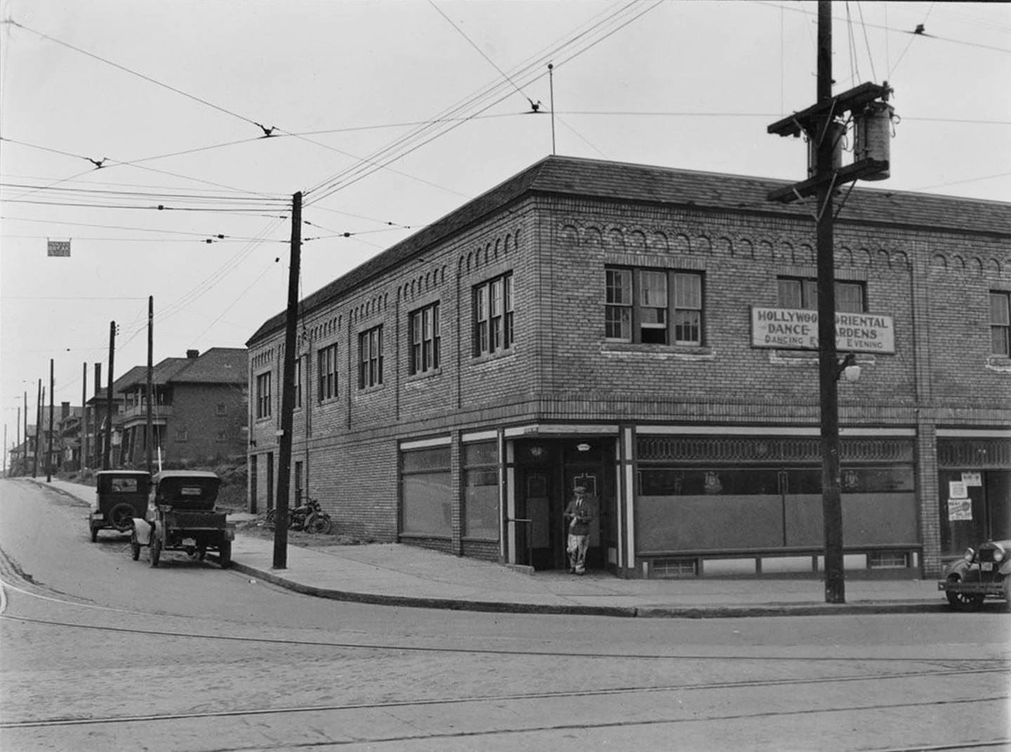
A customer emerges with their brown paper bag from the LCBO liquor store at Robina Ave. and St. Clair Ave. W., March 18, 1930.
LCBO Liquor store, northeast corner of Dupont St. and Spadina Rd., March 18, 1930.
LCBO Liquor store at Robina Ave. and St. Clair Ave. W., March 18, 1930.
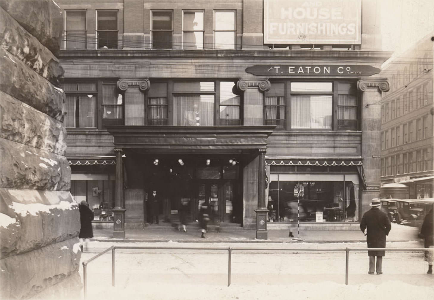
Looking east across James St. to Eaton's Queen St. department store from the front lawn of Old City Hall, 1930
Looking east across James St. to Eaton’s Queen St. department store from the front lawn of Old City Hall, 1930

Eaton’s department store on Queen Street was one of Toronto’s most prominent retail landmarks, visible from the front lawn of Old City Hall in a 1930 photograph. Alongside it, Superior Fried Fish Café at 1887 Yonge Street appeared in both a 1930 street-level view and a 1935 photograph showing new billboards stacked on top of and beside the building — a sign of how aggressively commercial signage competed for visibility on the city’s busiest streets.
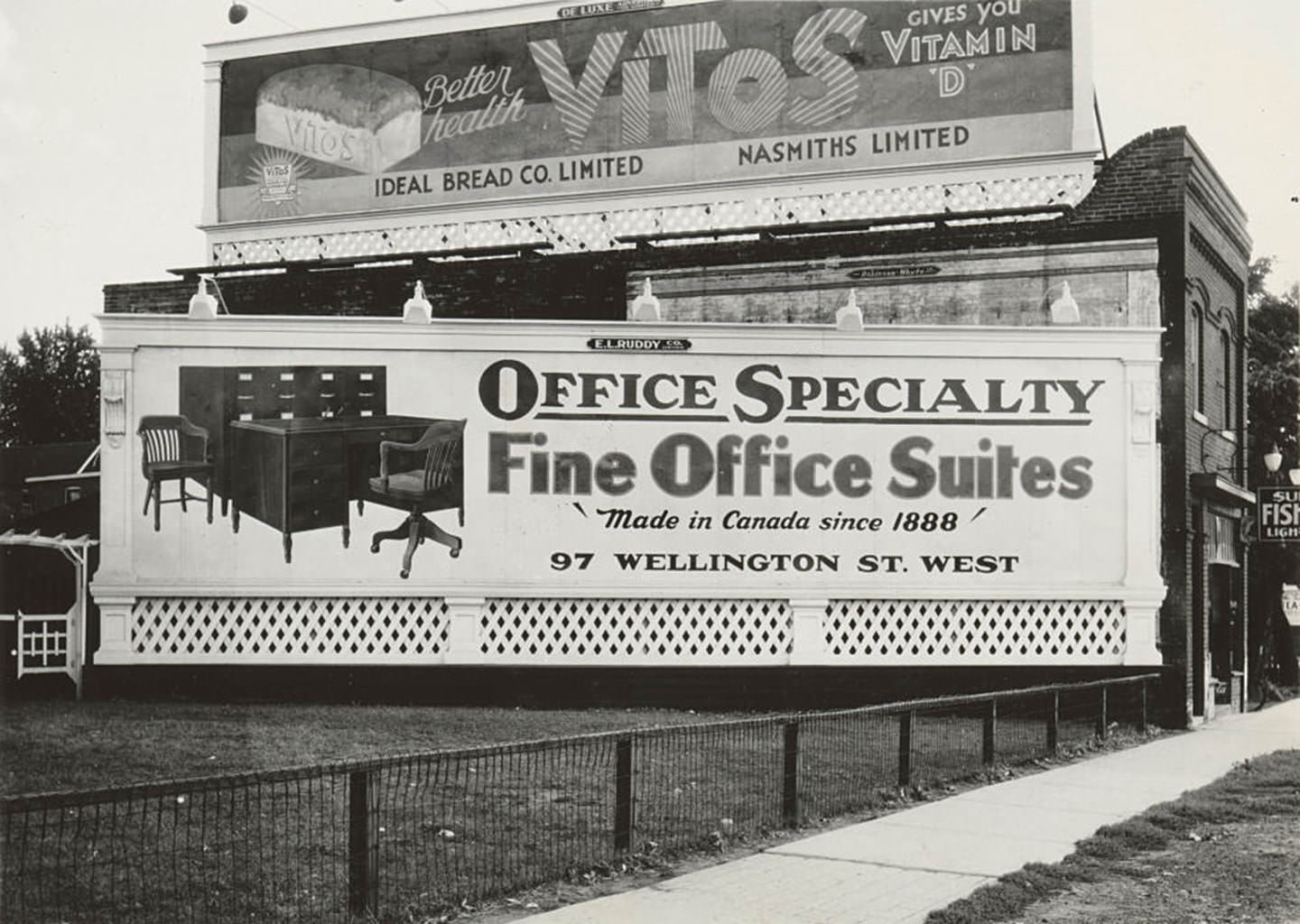
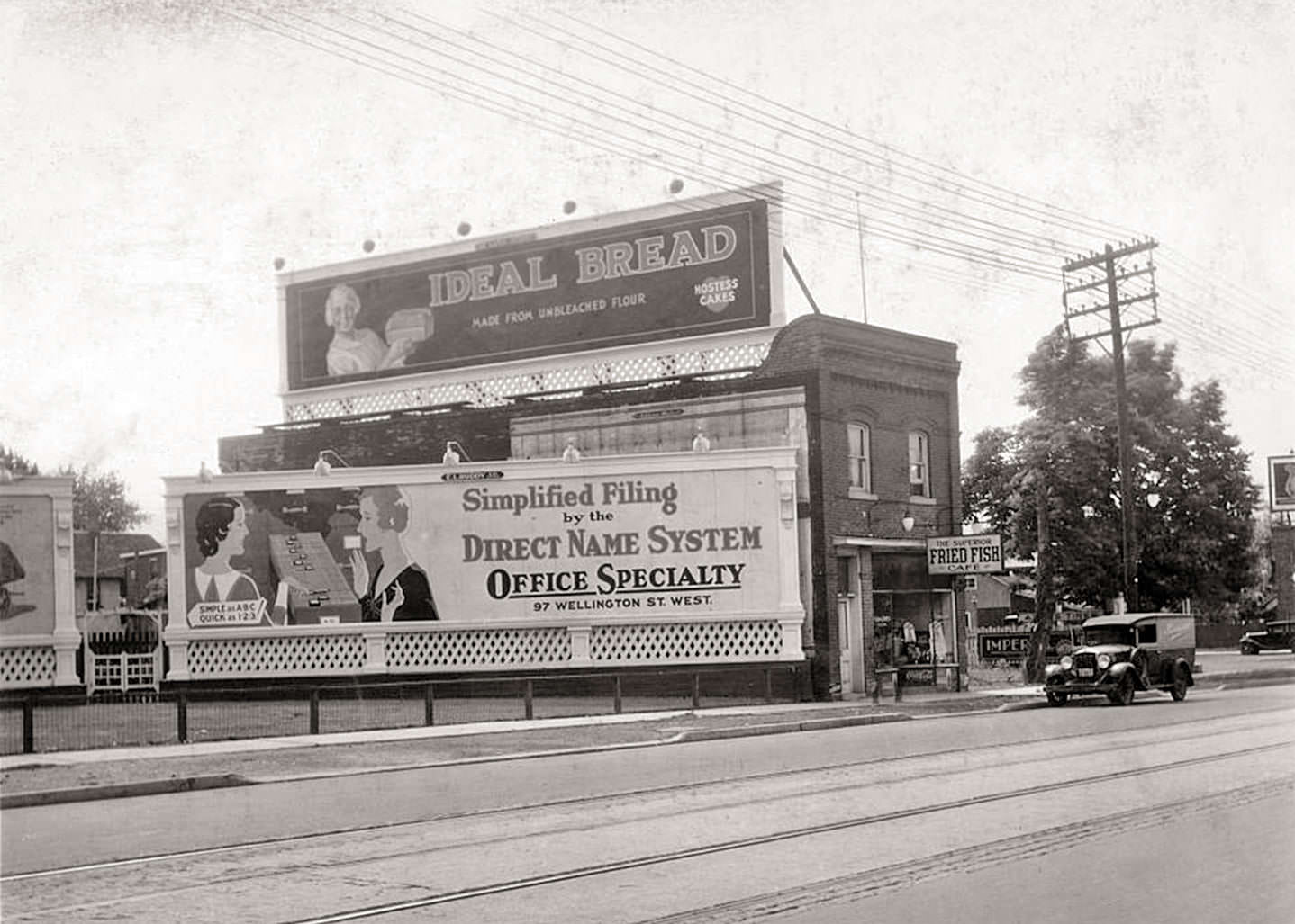
A closeup view looking south of new billboards placed on top of and beside Superior Fish & Chips, 1887 Yonge Street, 1935
Looking south east to The Superior Fried Fish Café, 1887 Yonge Street, 1930
Speers' Esso Service. Station opened in 1938.
Speers’ Esso Service. Station opened in 1938.
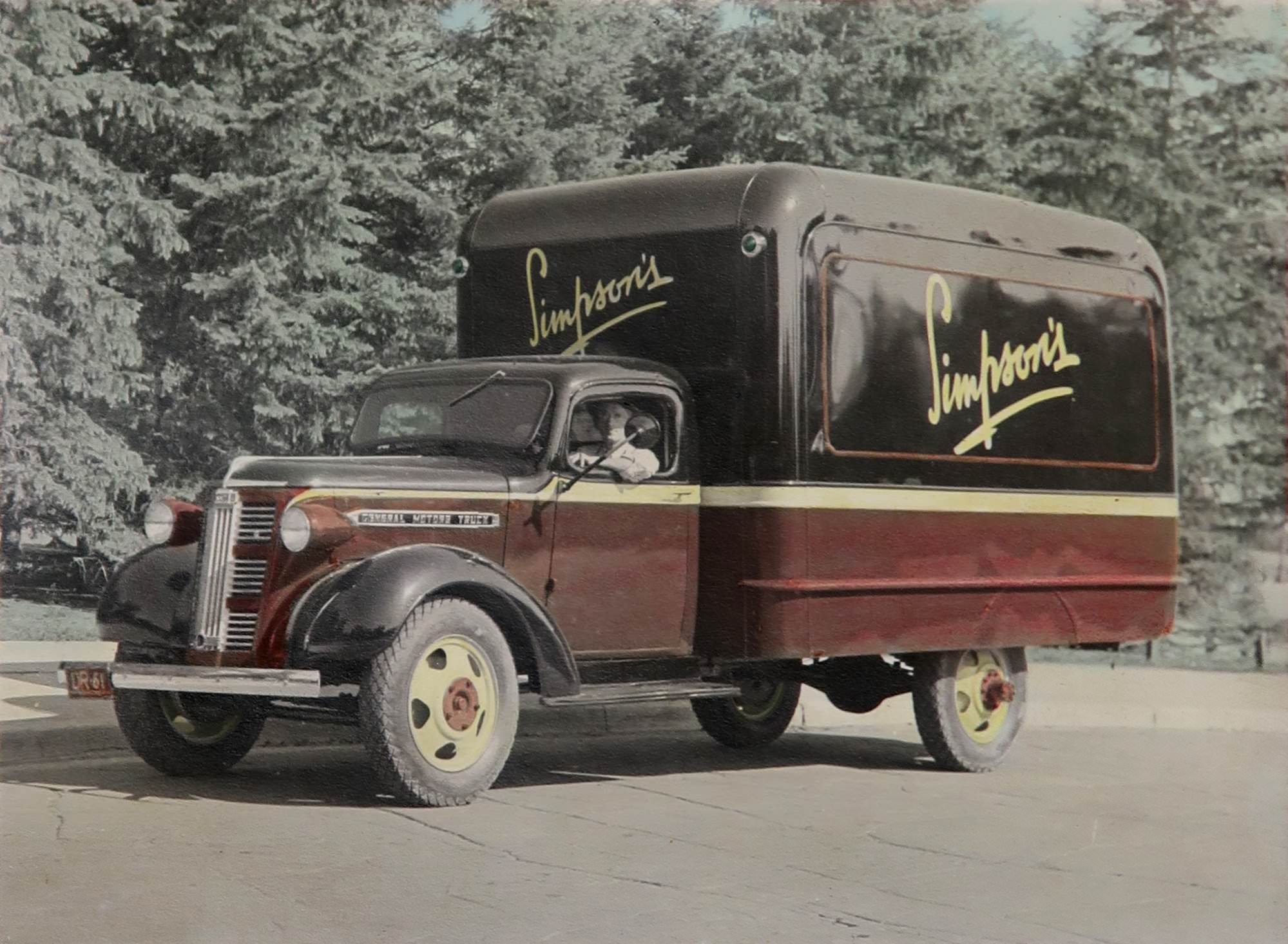
Simpson's department store delivery truck, 1930s.
Simpson’s department store delivery truck, 1930s.
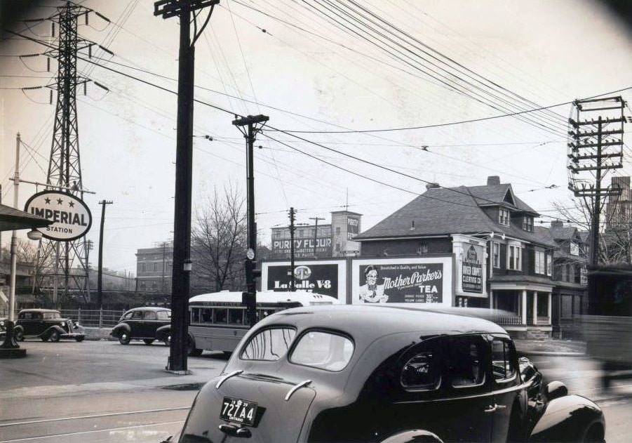
Imperial Oil service station Davenport and Dupont, 1938

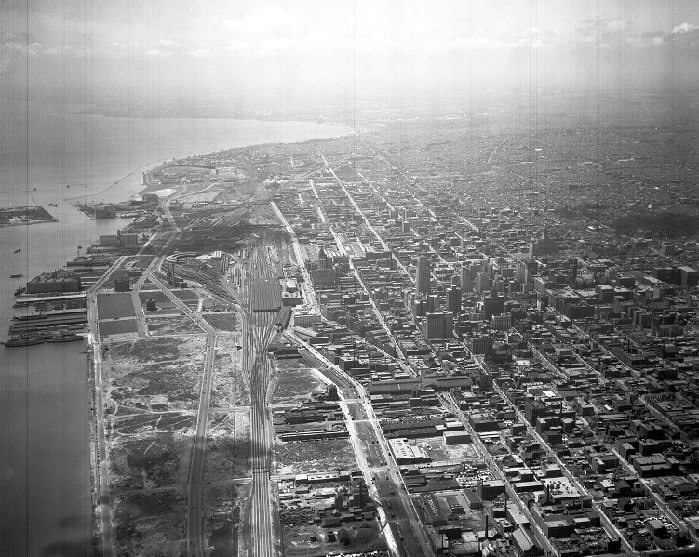
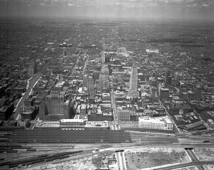
Aerial photographs from 1932 show Toronto from all four compass directions. Looking south toward Lake Ontario, the waterfront stretches across the frame. Looking north, east, and west, the city’s residential grid fans outward in all directions. These images make plain how compact the city still was — and how much of what would later define Toronto’s geography was, in 1932, still open land.
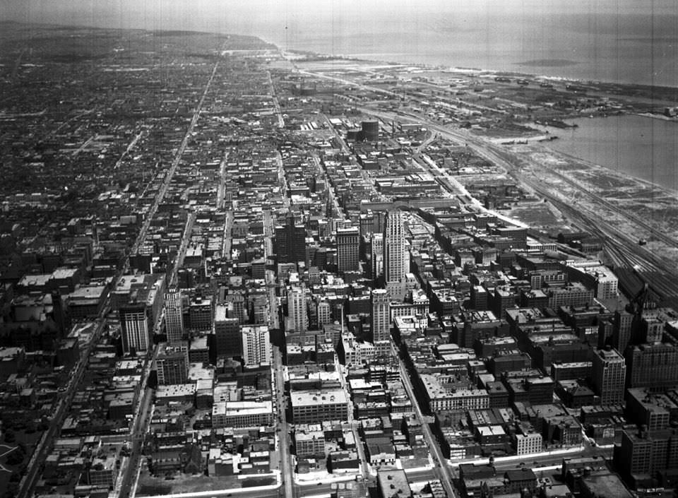
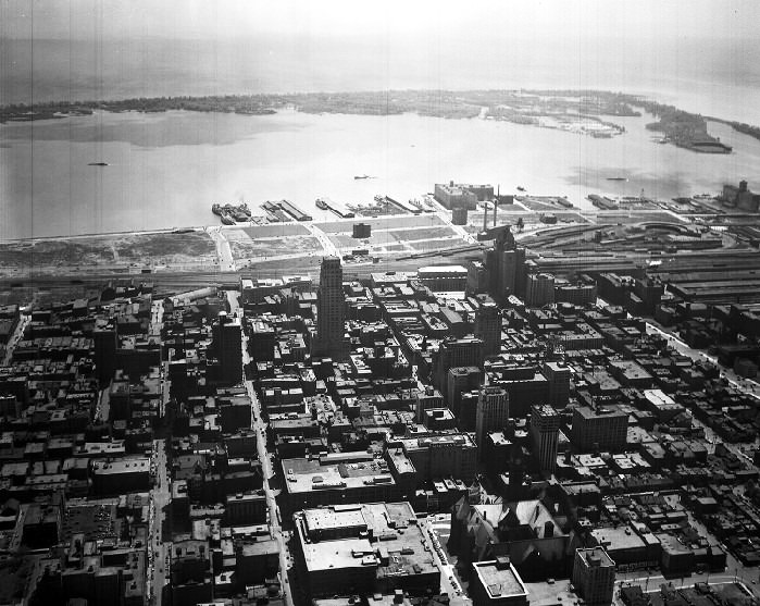
Toronto, aerial view looking east, 1932
Toronto aerial view, looking south, 1932
Toronto, aerial view looking west, 1932.
Toronto, aerial view looking north, 1932

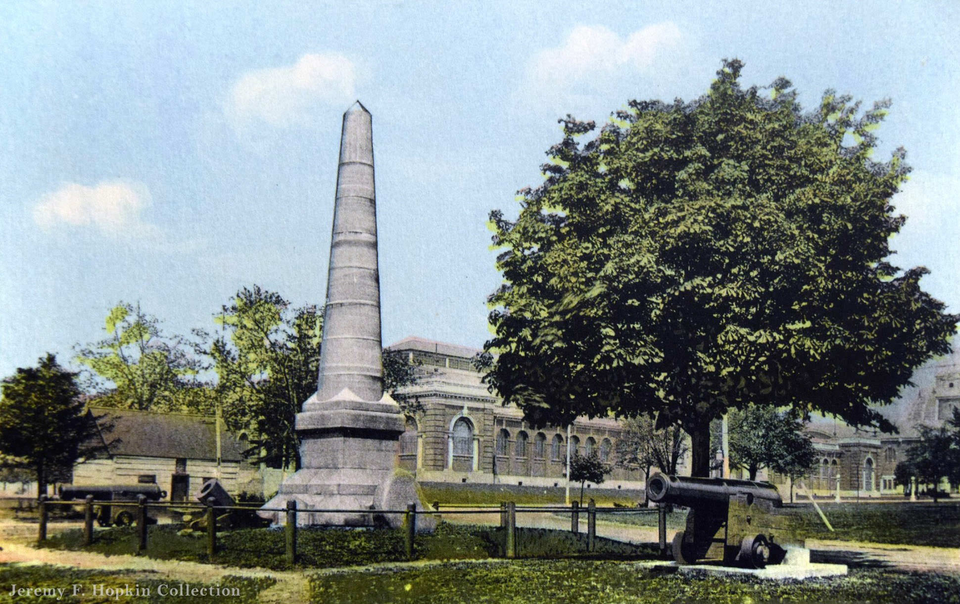
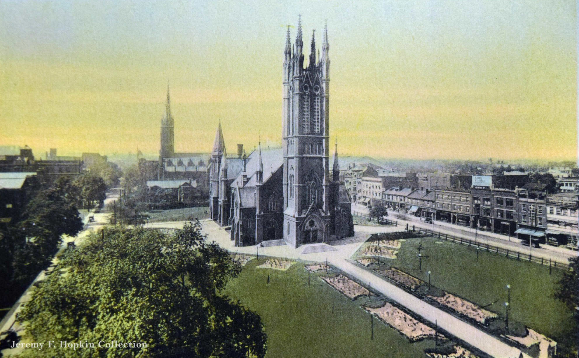
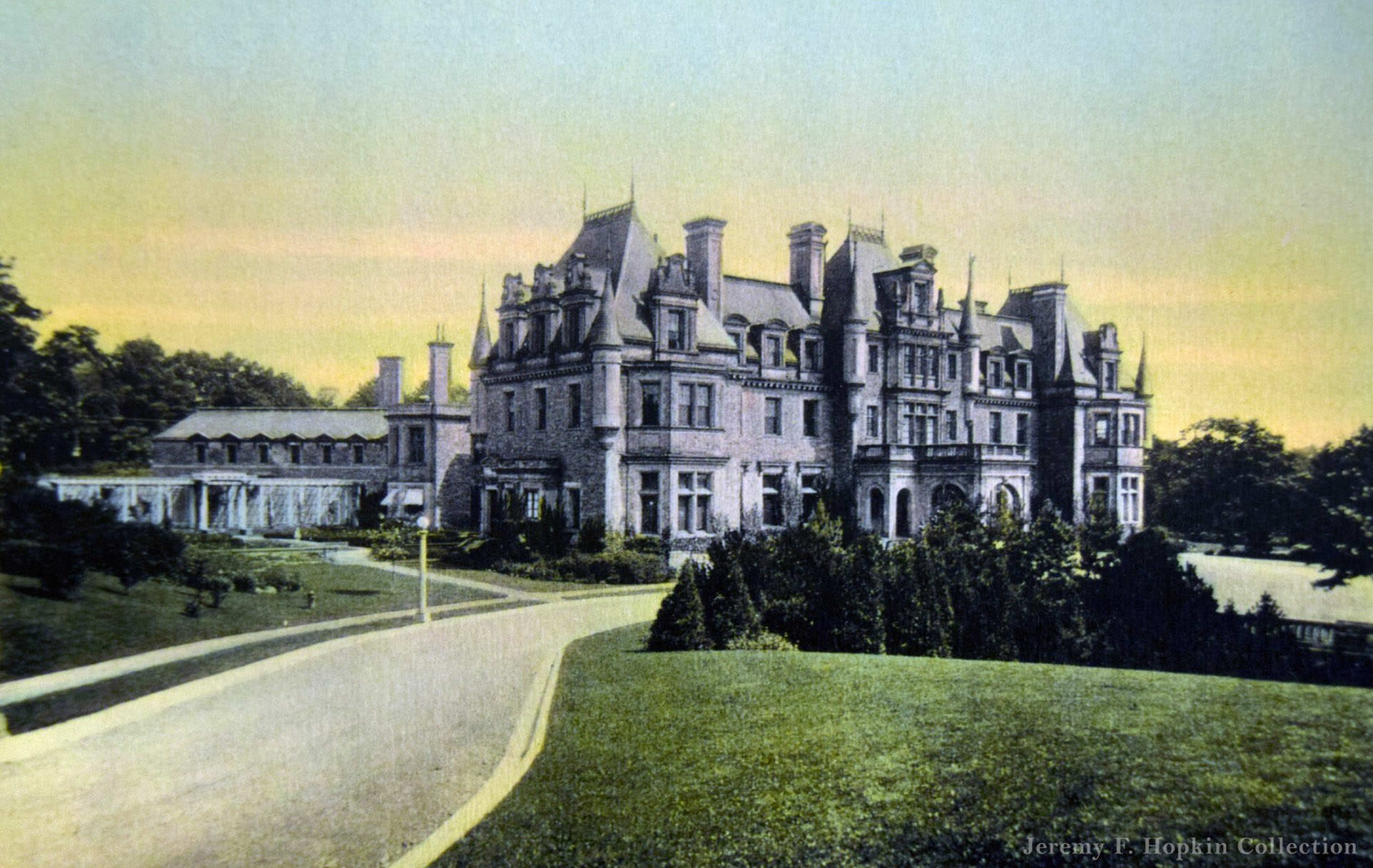
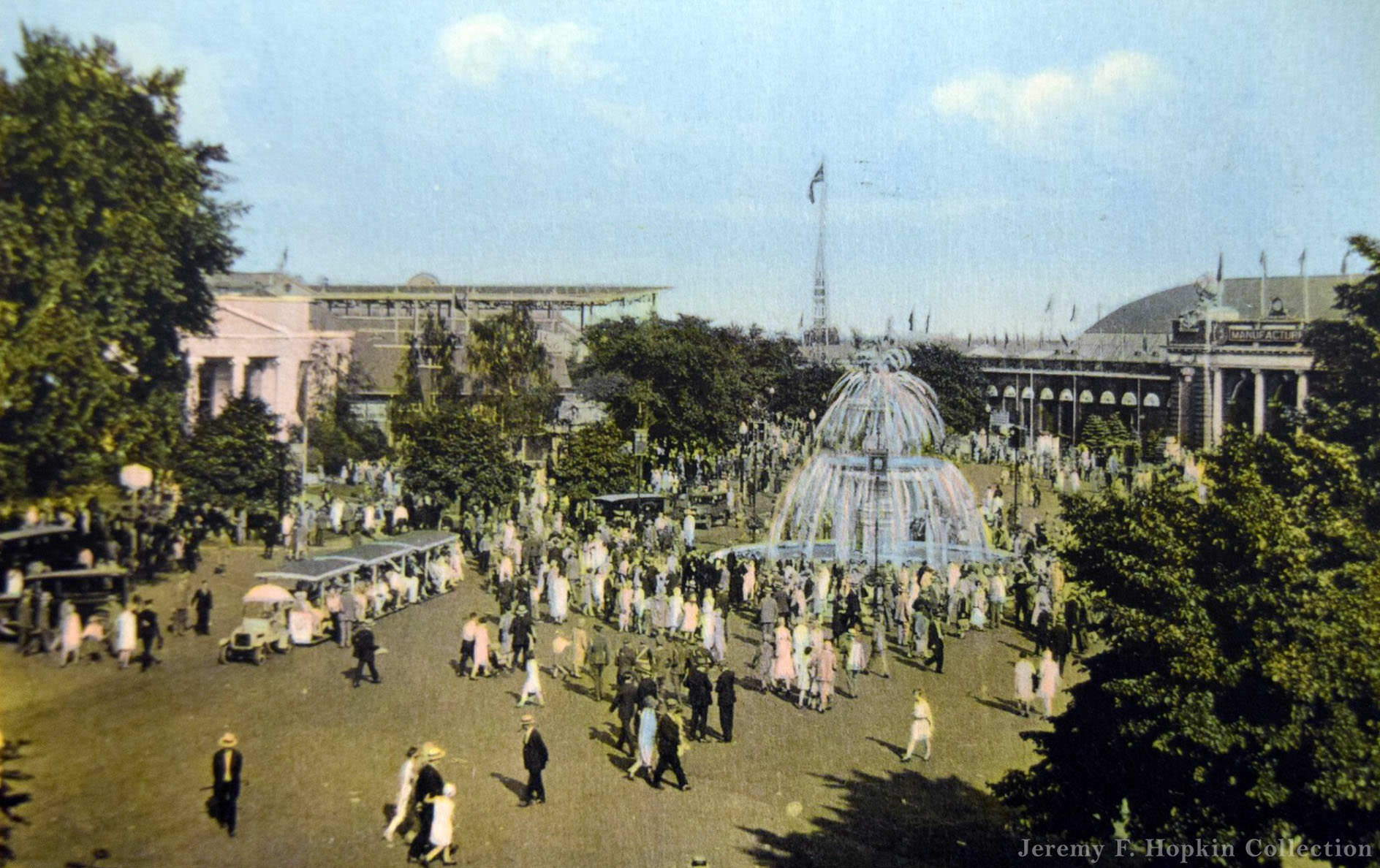
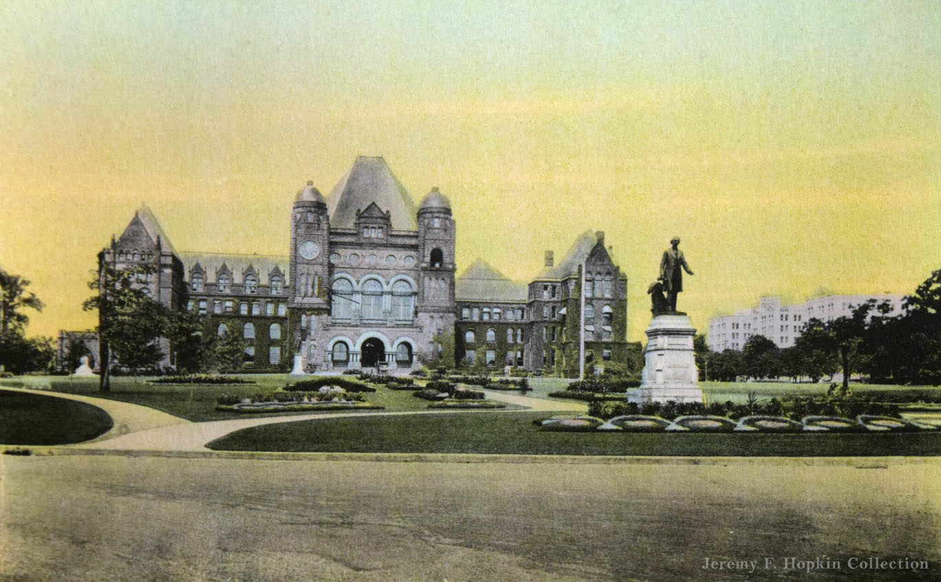
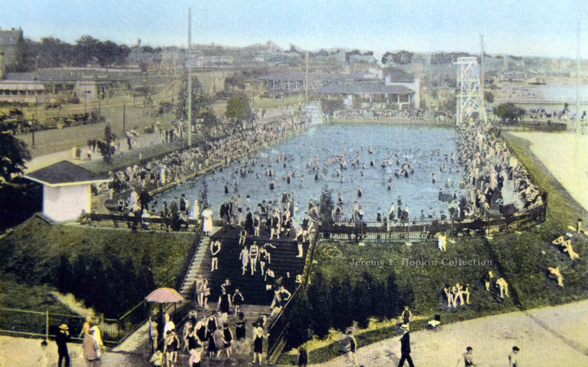
Postcards from 1930 offer a curated version of Toronto — the Sunnyside Pool, the Fort Rouille monument, the Metropolitan Church, Chorley Park, the Gooderham Fountain, and the Provincial Parliament Buildings. These were the images the city chose to present to visitors and to itself. They reflected civic pride and a desire to project order and permanence at a time when both were under strain.
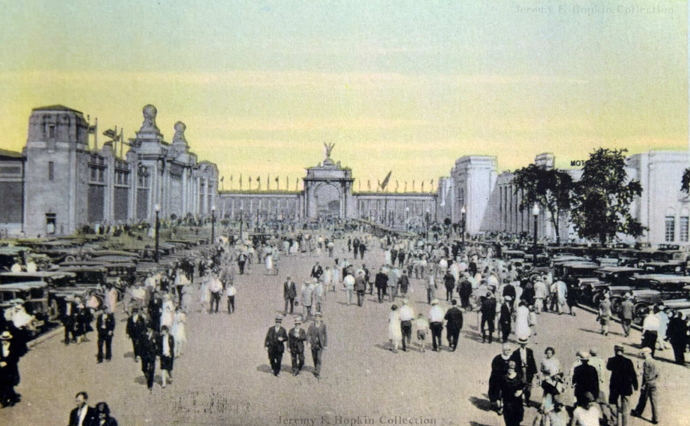
Recollections and Notes Toronto Canada', 1930
Recollections and Notes Toronto Canada’, 1930
Sunnyside Pool postcard, from 'Recollections and Toronto Canada', 1930
Sunnyside Pool postcard, from ‘Recollections and Toronto Canada’, 1930
Fort Rouille monument Toronto, 1930
Metropolitan Church, 1930
Government House / Chorley Park postcard, 1930
Gooderham Fountain, 1930
Provincial Parliament Buildings, 1930

The Canada Life Building on University Avenue, photographed in 1933, stood as one of the city’s most significant commercial structures of the era. University Avenue itself was developing into a grand civic boulevard, lined with institutions and major buildings that gave Toronto a sense of scale and ambition it was working hard to maintain even as the Depression ground on around it.
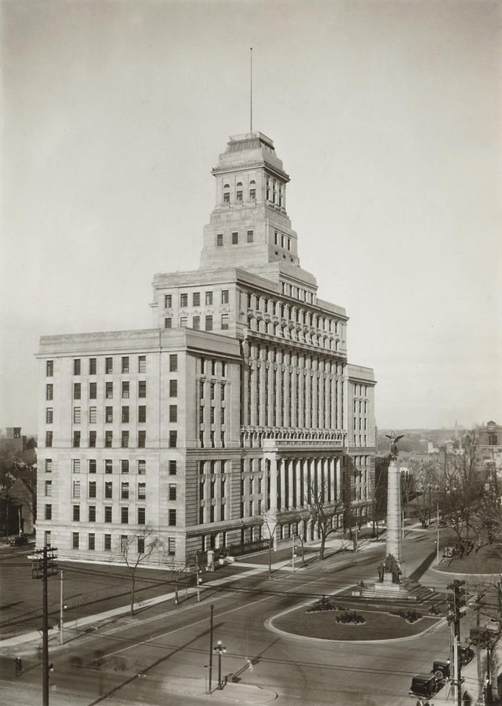
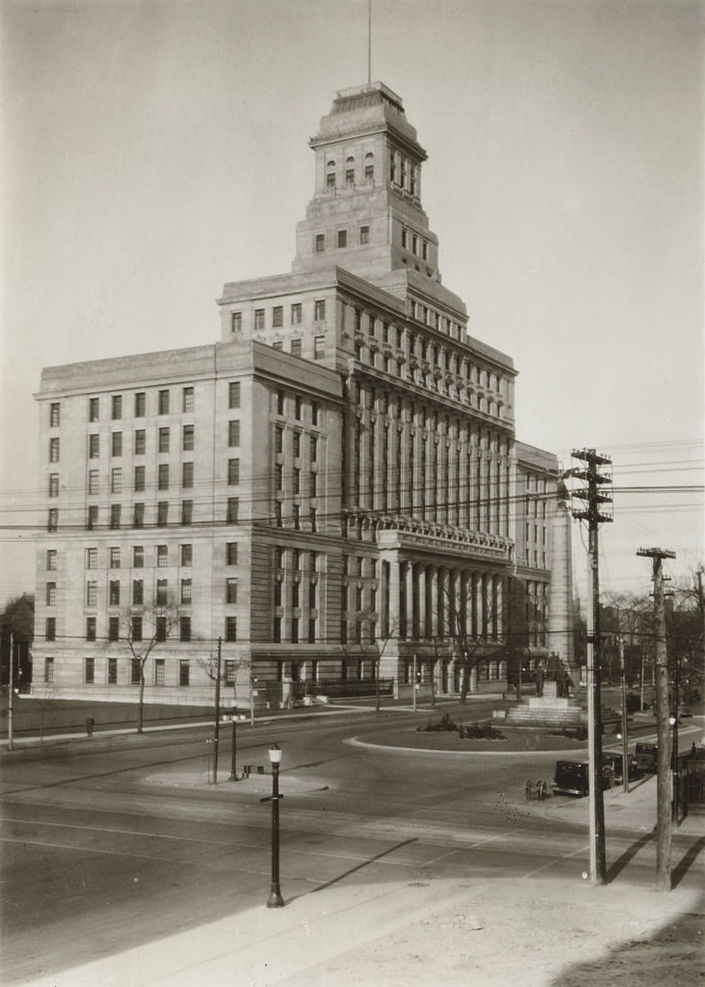
Canada Life Building, University Ave., west side, north of Queen Street West, 1933
Canada Life Building, University Ave., west side, north of Queen Street West, 1933.
Enjoyed this post? Get new ones in your inbox.

Leave a Comment

Your email address will not be published. Required fields are marked *

Share this Post 🥺

Please take a moment to share this content. Your support is greatly appreciated! 🙌🙏

Share this Post 🥺

Please take a moment to share this content. Your support is greatly appreciated! 🙌🙏
Scroll to Top
 
Hey Friend, Before You Go.. Please like & follow for more interesting content