
Toronto in the 1950s was a city on the move. With a population of around 1.1 million people, it was the largest city in Canada and the country’s beating heart for commerce, finance, and culture. Streets were lined with streetcars, storefronts buzzed with activity, and new neighborhoods were spreading outward into what had recently been farmland. These photographs capture that world in extraordinary detail — a Toronto that most people alive today never got to see.
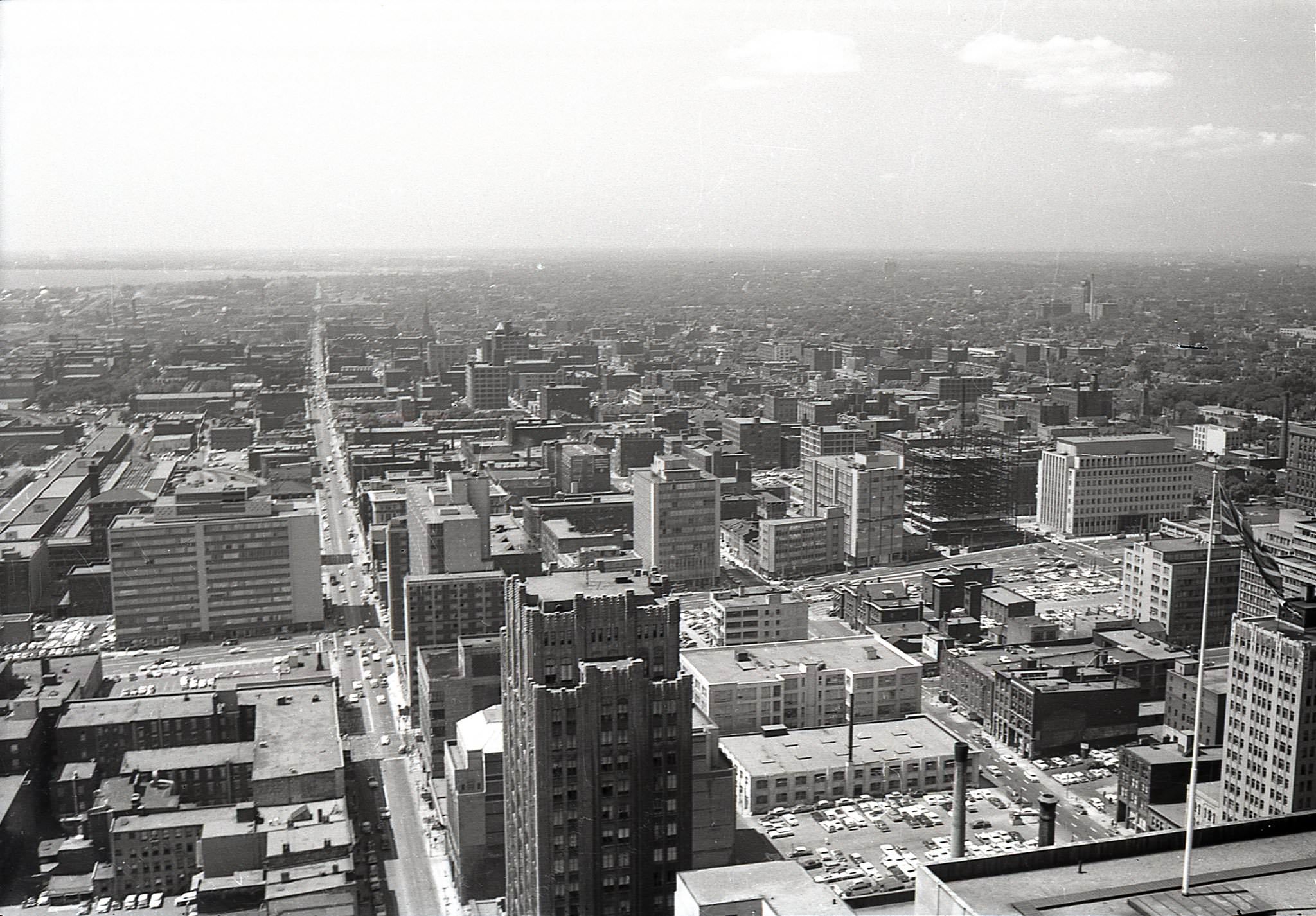
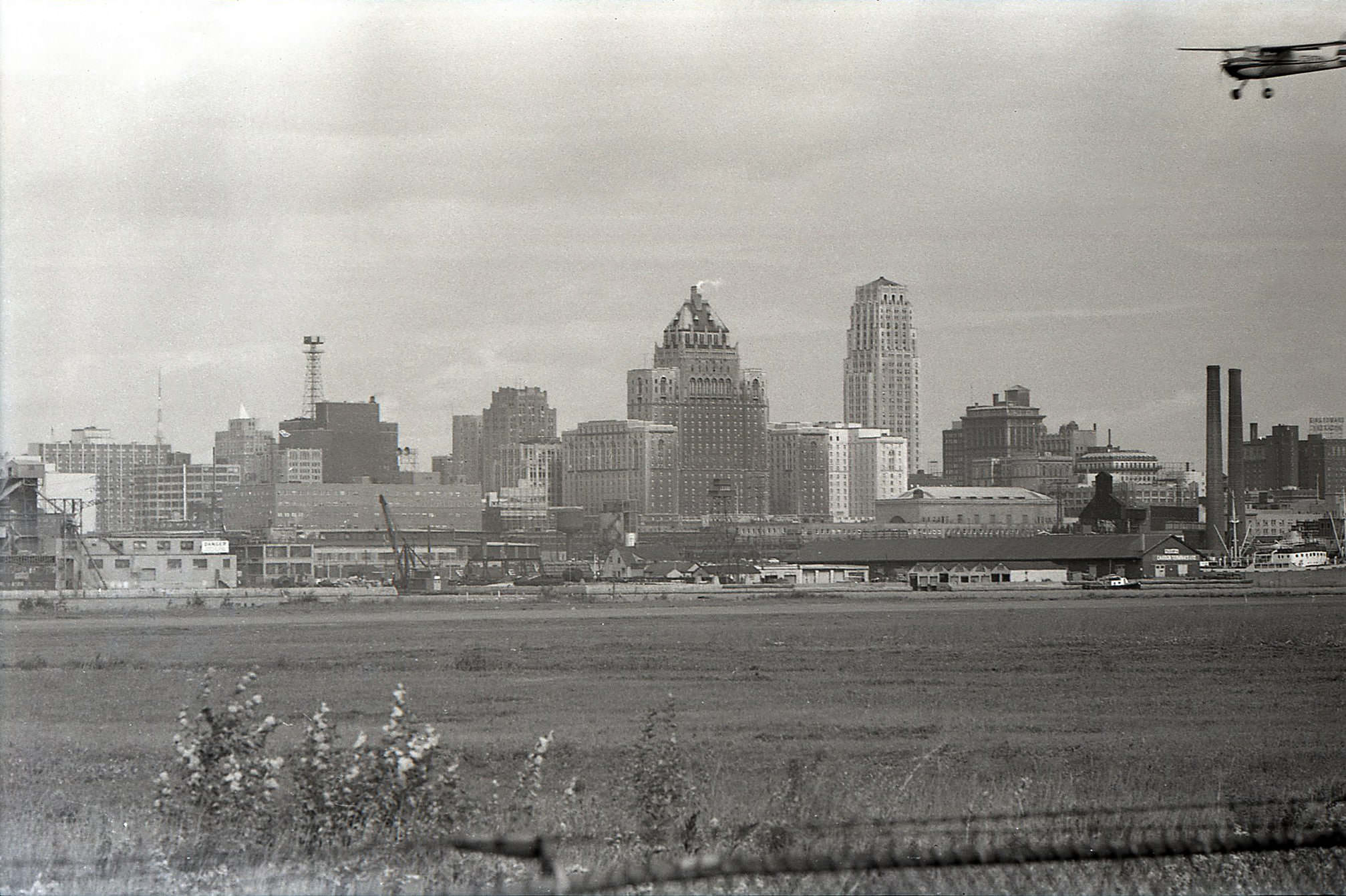
The skyline of 1950s Toronto looked nothing like it does today. Before the towers of glass and steel arrived, the Canadian Bank of Commerce Building — completed in 1931 — stood as the tallest structure in the British Commonwealth. Views from its top floors revealed a low, sprawling city of brick and stone, with church steeples and factory smokestacks dotting the horizon. These high-angle shots from 1959 give a rare bird’s-eye perspective of downtown just before a new era of construction took hold.
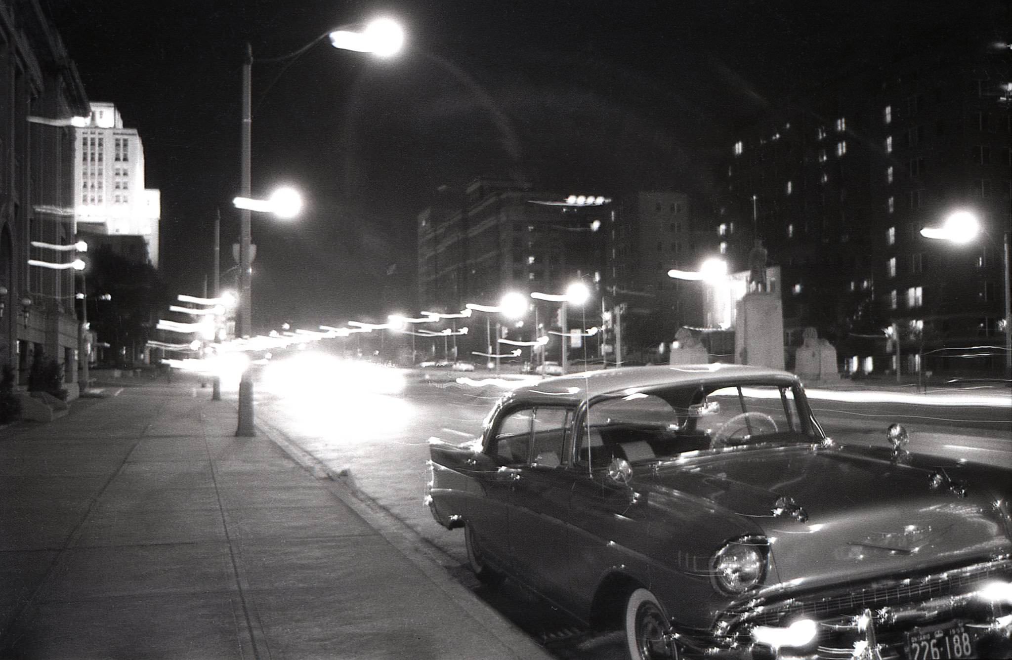
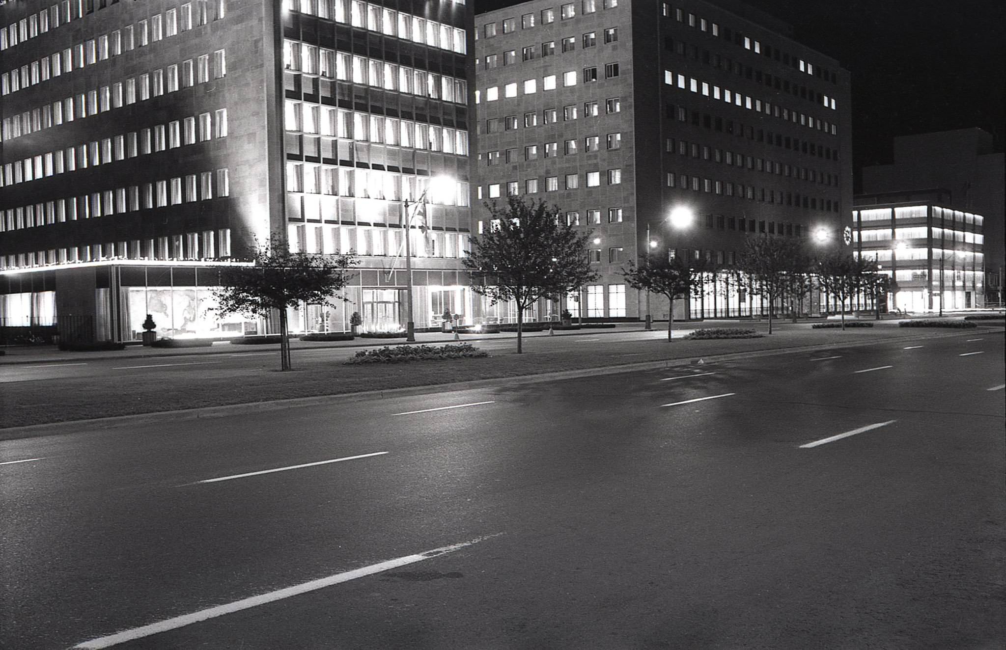
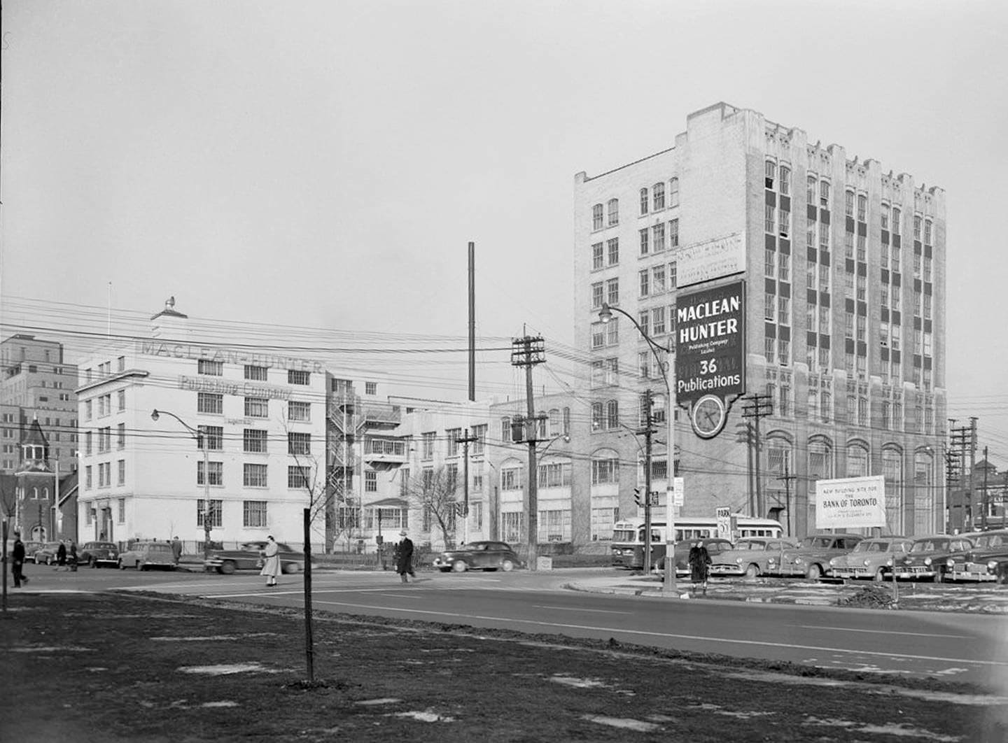
University Avenue in the late 1950s was already emerging as one of the city’s most prestigious corridors. The wide boulevard was flanked by buildings that housed some of Canada’s most powerful institutions. The Shell Oil Building at 505 University and the Maclean Hunter Building at 481 University — both designed by the architectural firm Marani and Morris — were landmarks of the era. These weren’t just offices; they were symbols of a city asserting itself on the national stage.
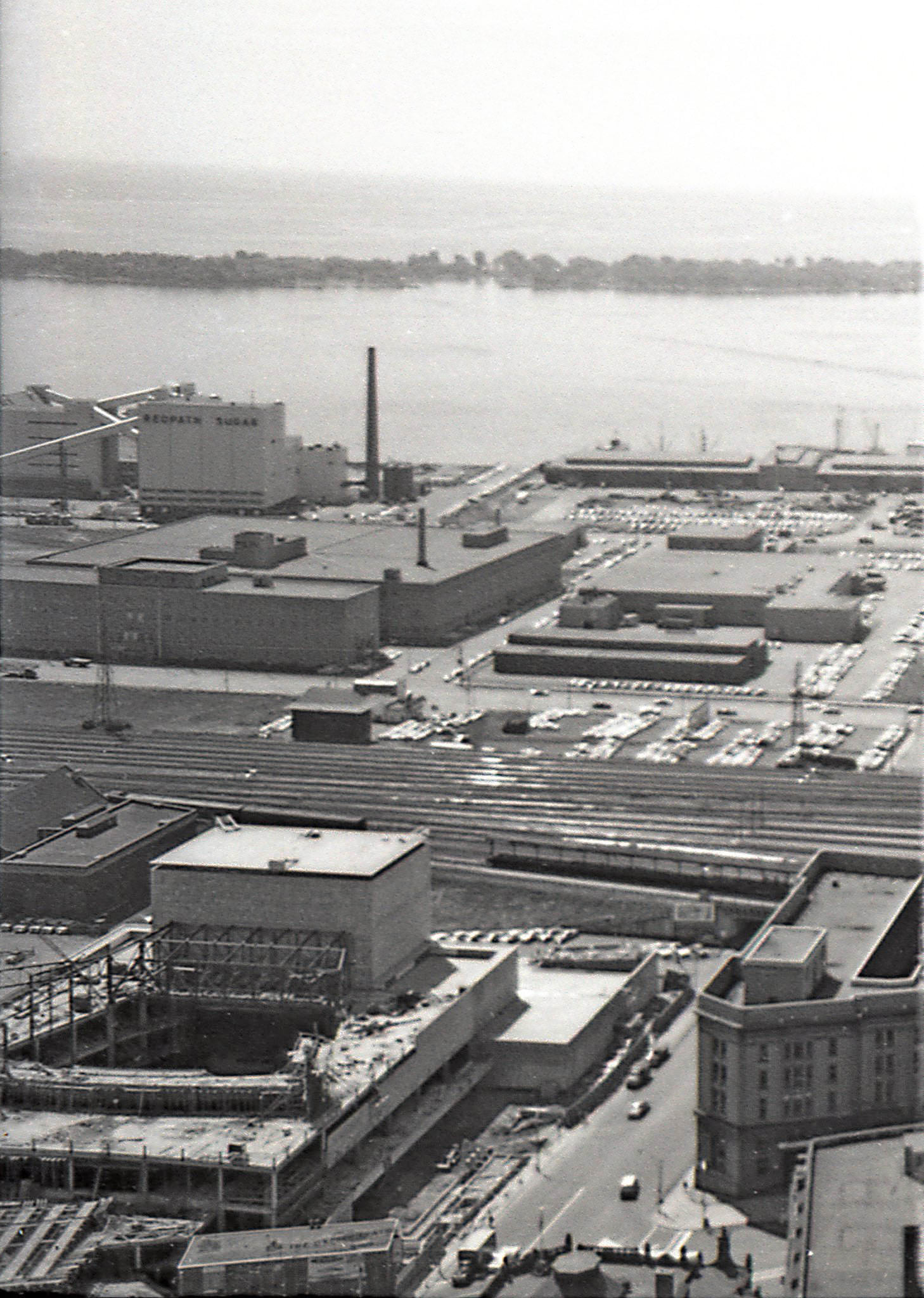
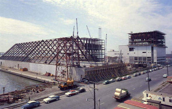
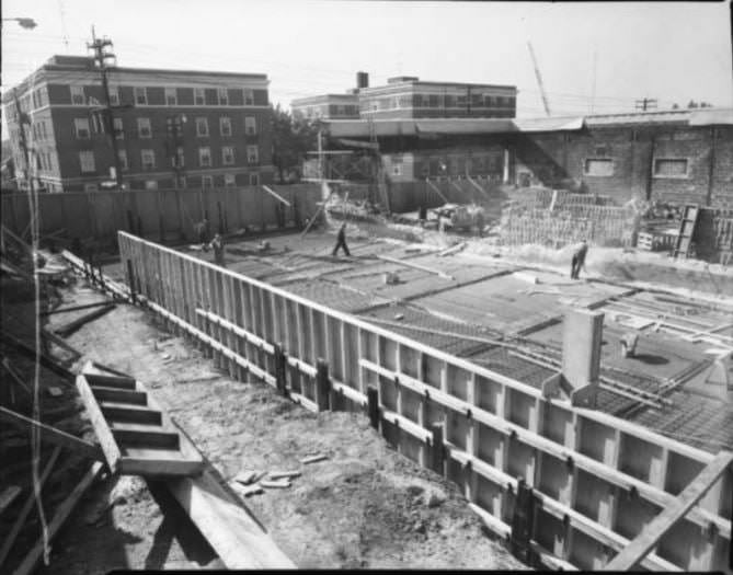
Toronto’s economy in the 1950s was built on manufacturing, trade, and a rapidly expanding financial sector. Large factories operated throughout the city, producing cars, clothing, and food products. The opening of the St. Lawrence Seaway in 1959 expanded the city’s port capacity significantly, making Toronto an even more important hub for North American trade. Along the waterfront, major industrial projects like the Redpath Sugar plant were under construction, reshaping the harbour’s edge.
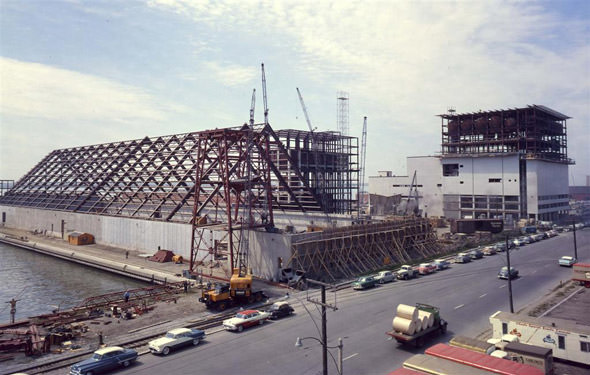
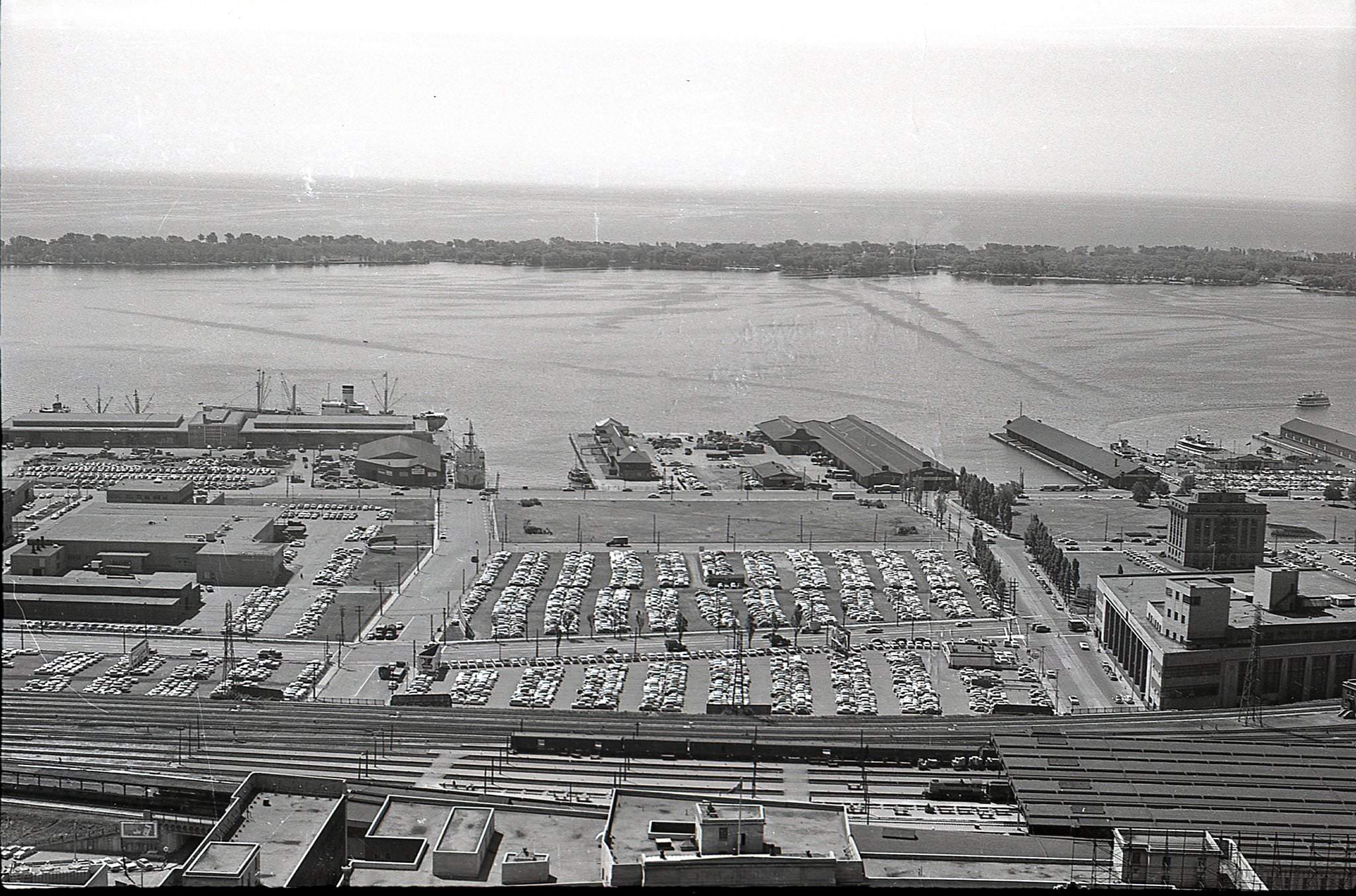
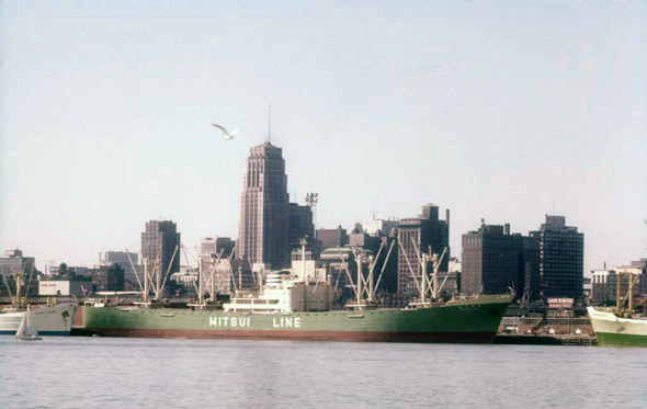
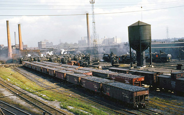
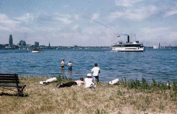
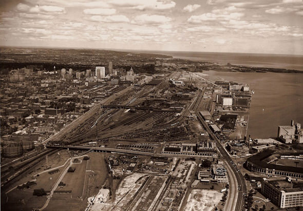
The waterfront itself was a working landscape in the 1950s. The railway lands stretched along the lake, packed with freight cars and industrial infrastructure that would remain until the late 20th century. Ferries crossed regularly to the Toronto Islands, carrying families to beaches, parks, and picnic grounds. The harbour was active with boats of all kinds, and the skyline visible from the water was modest and low compared to what would follow in later decades.
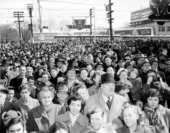
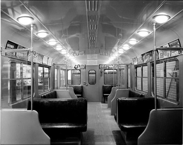
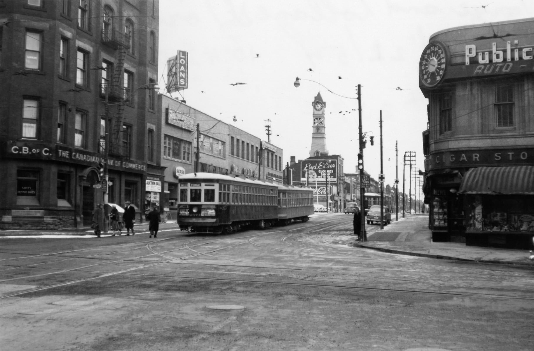
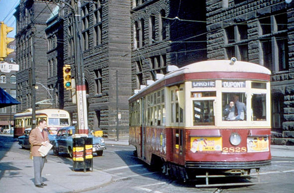
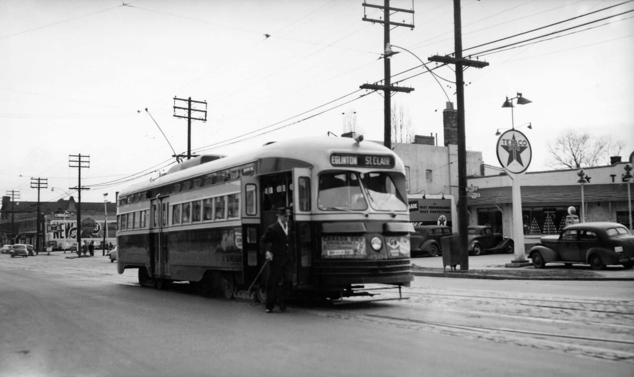
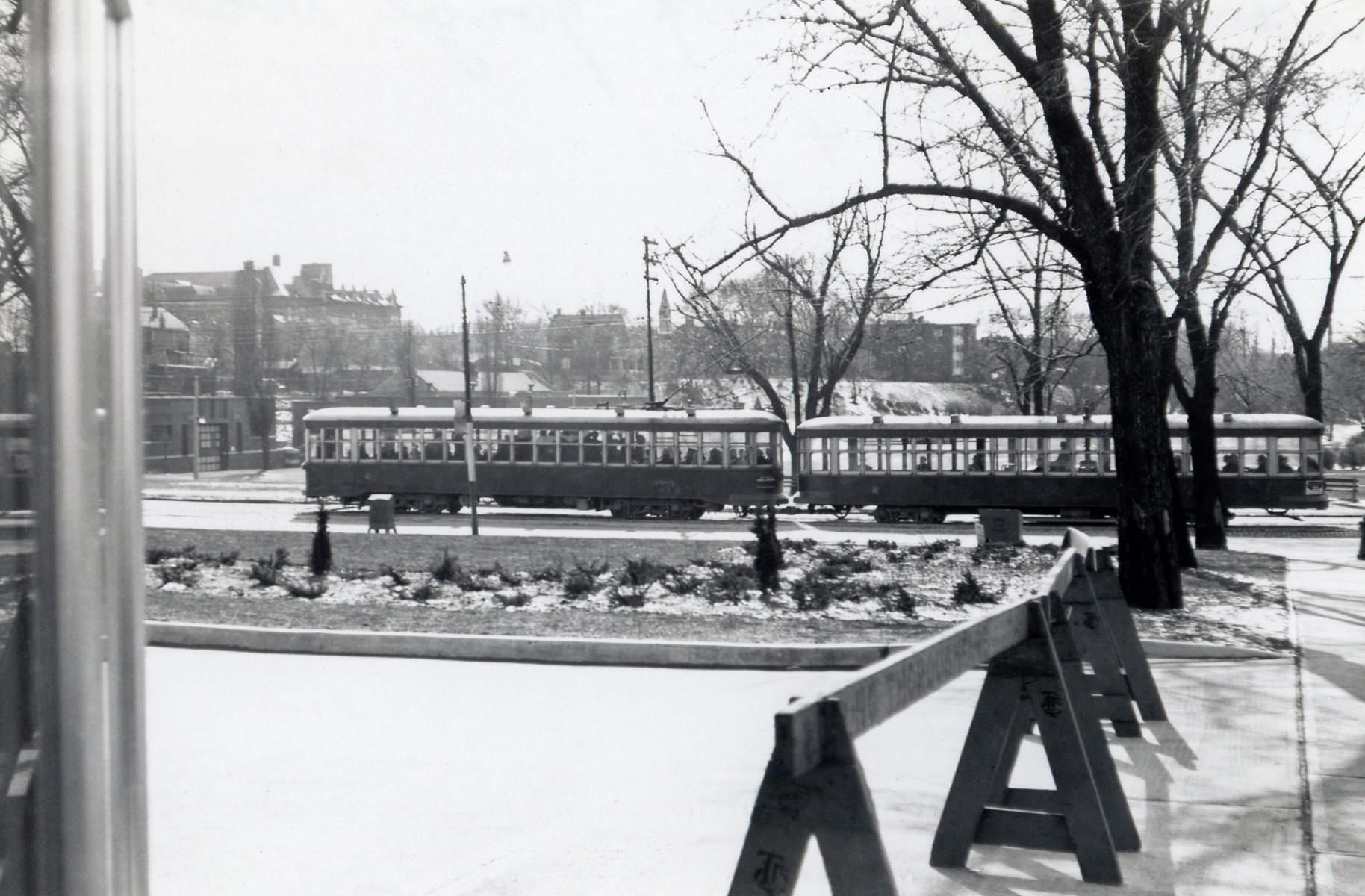
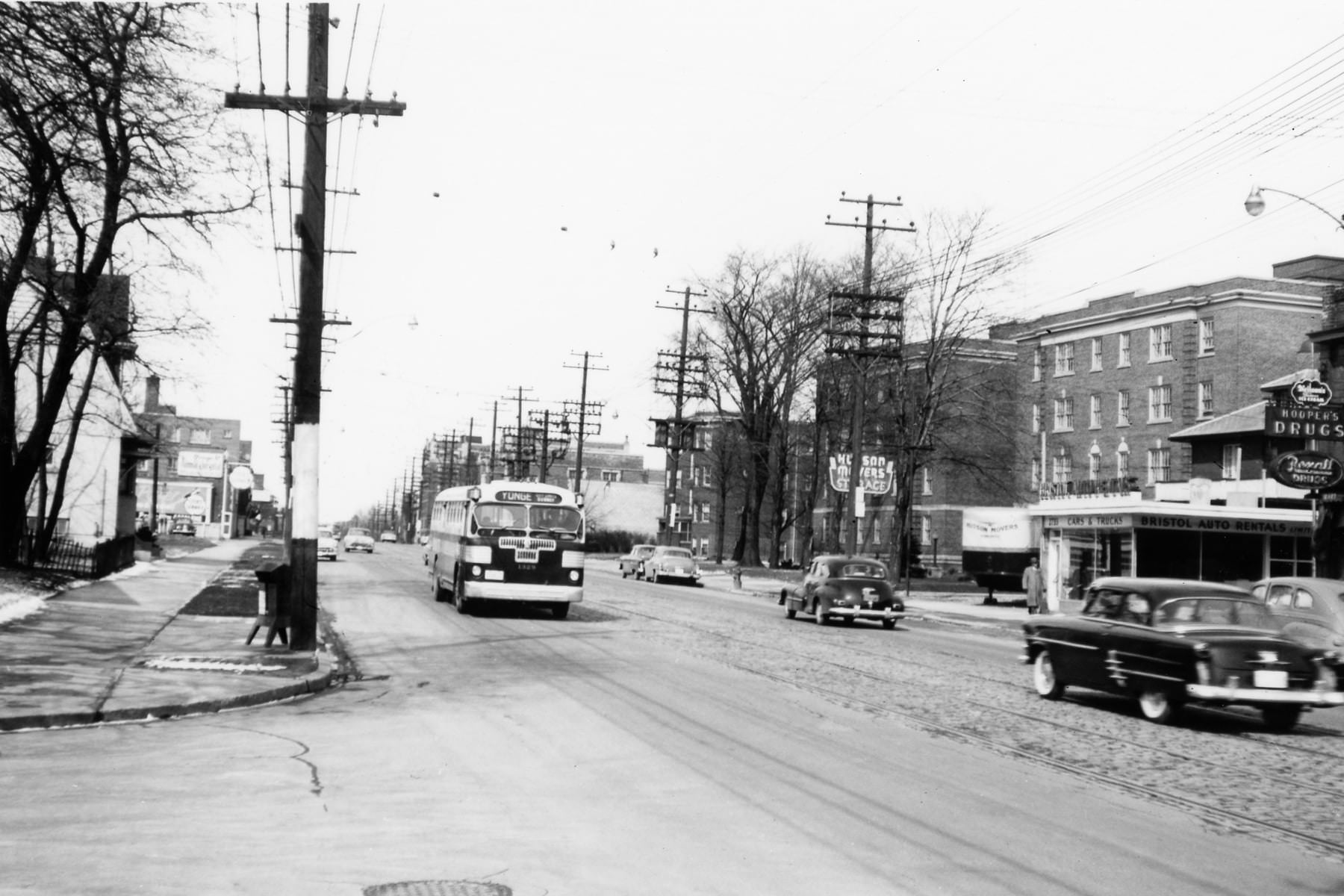
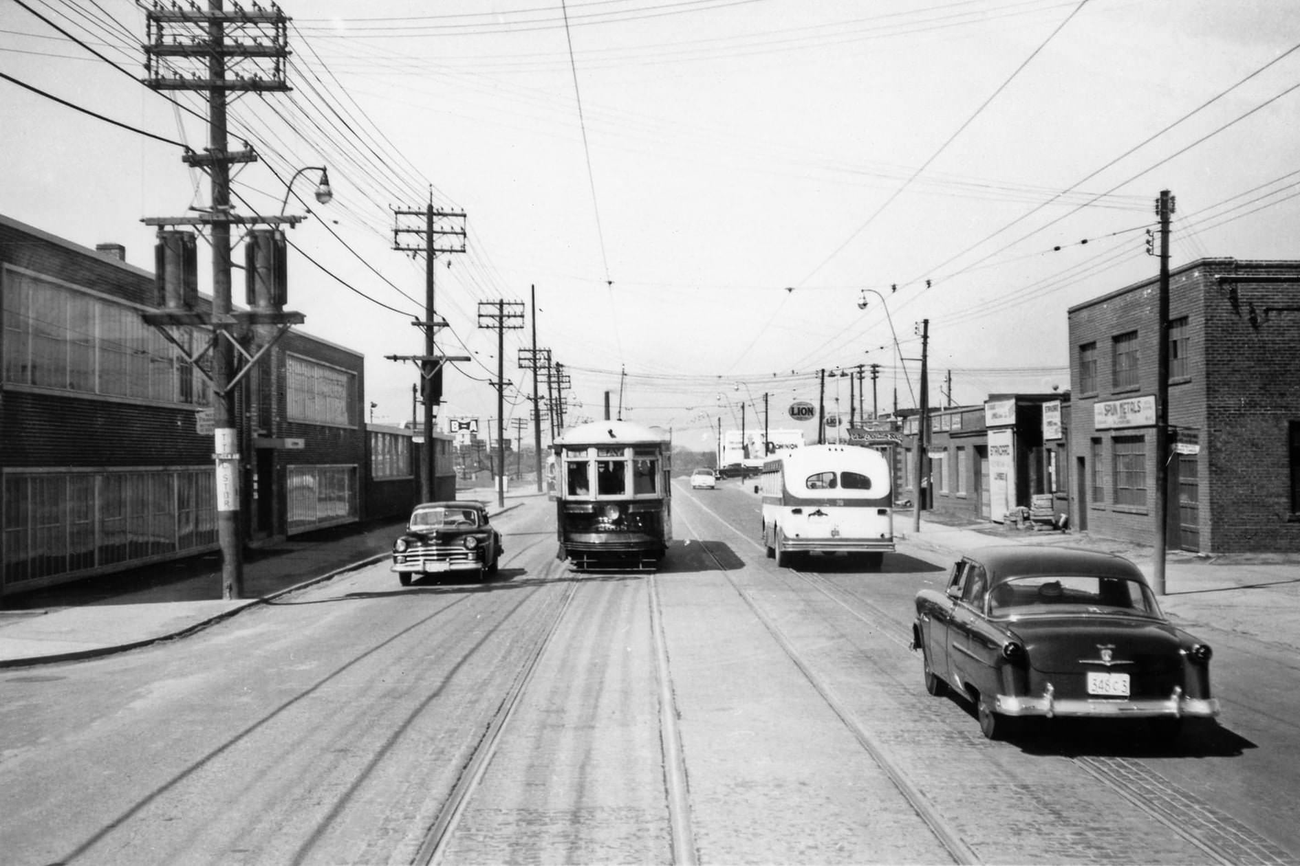
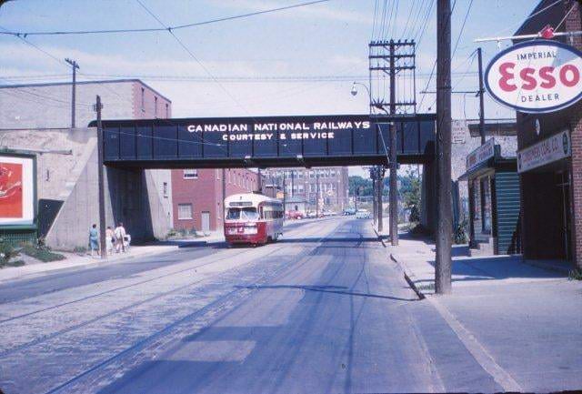
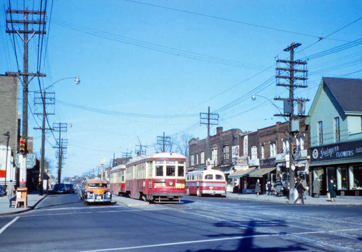
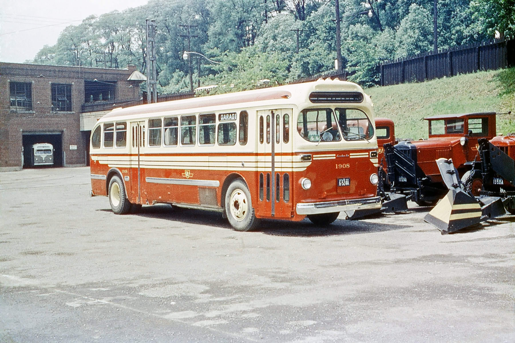
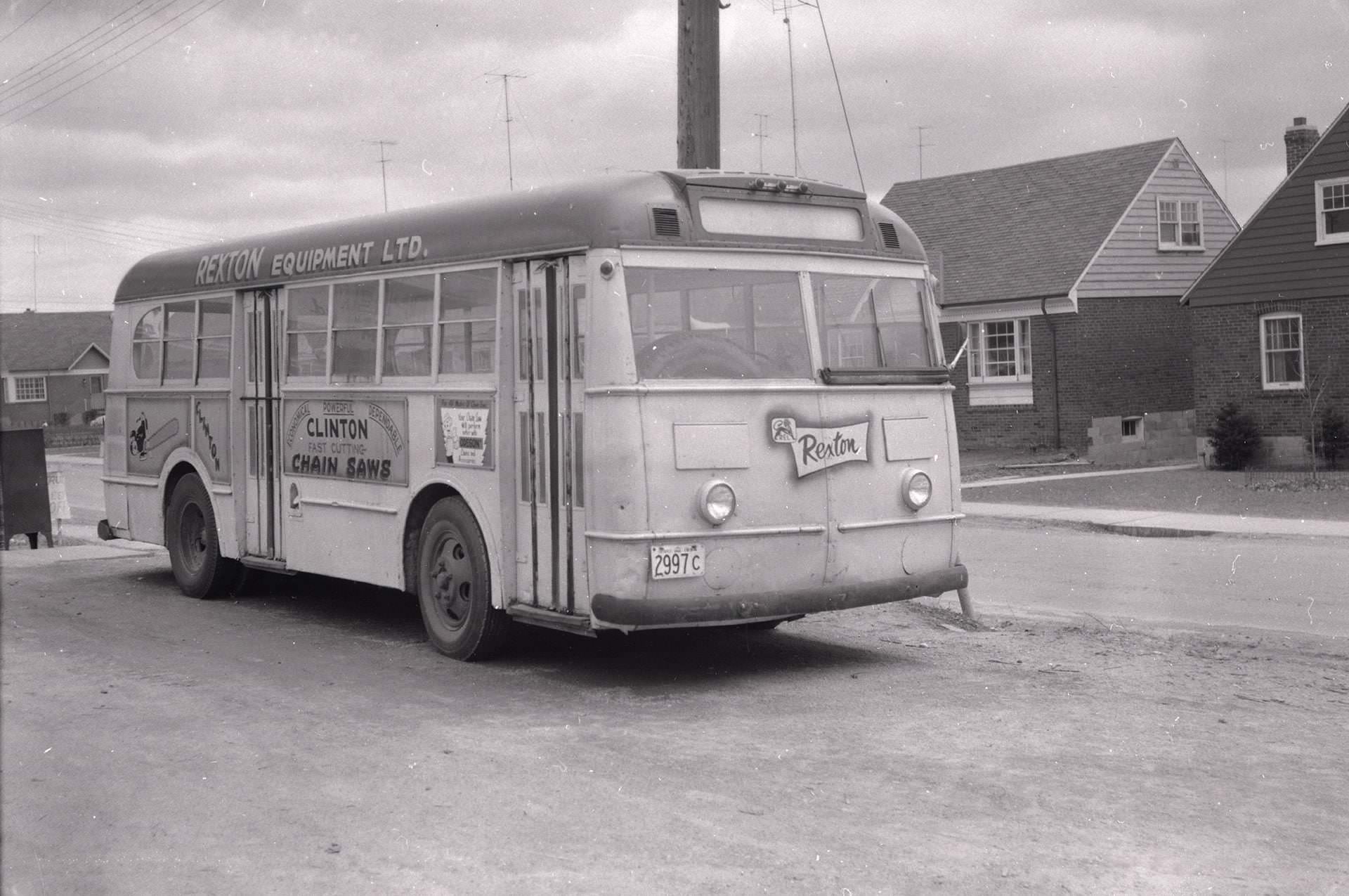
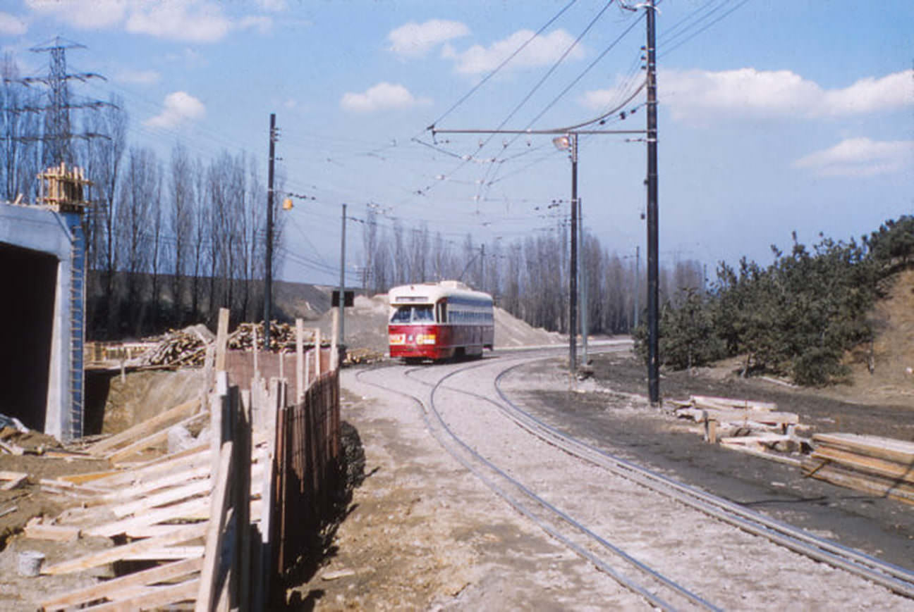
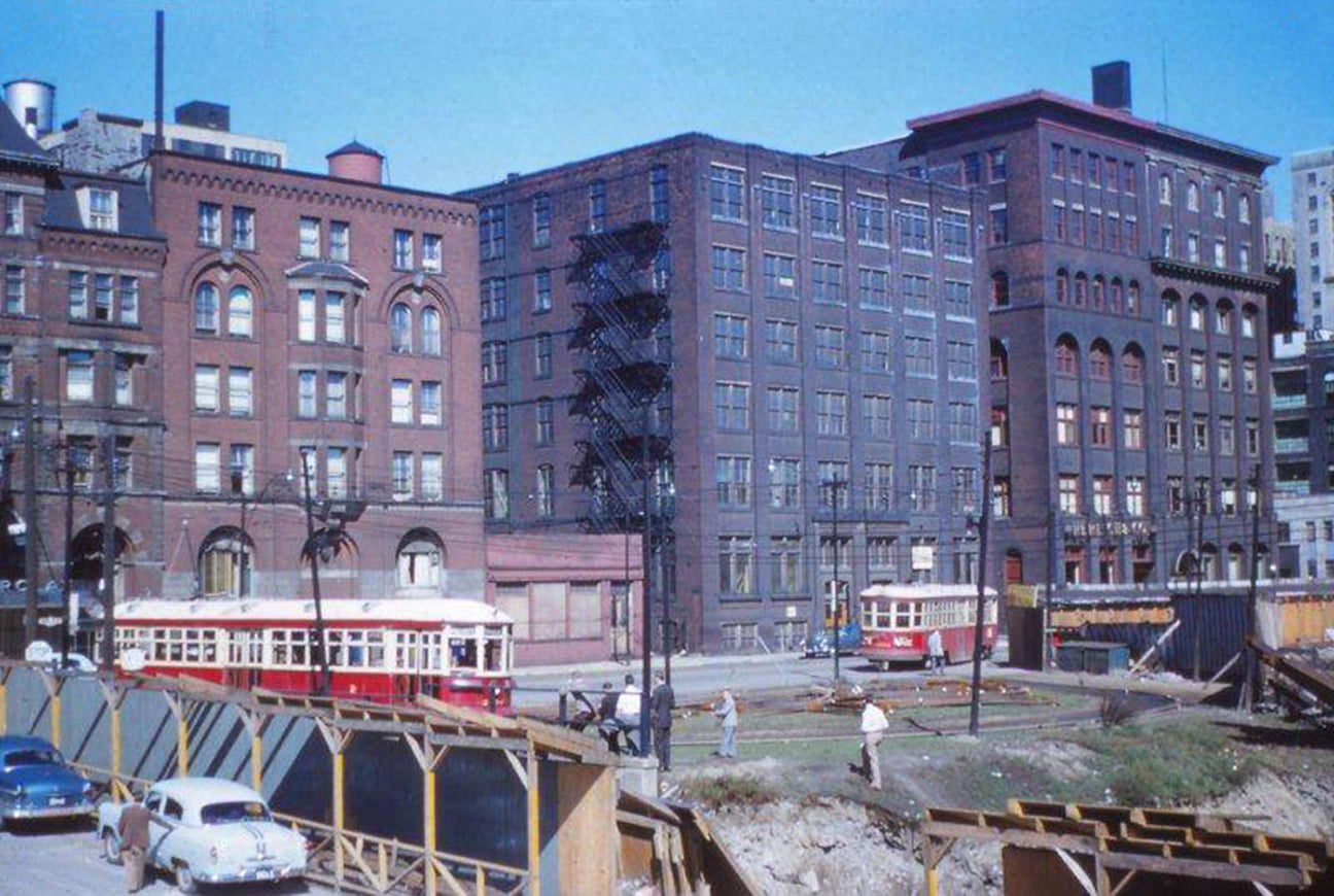
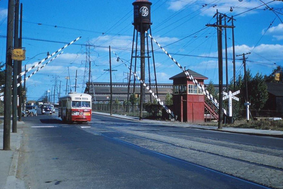
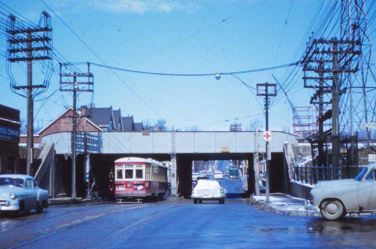
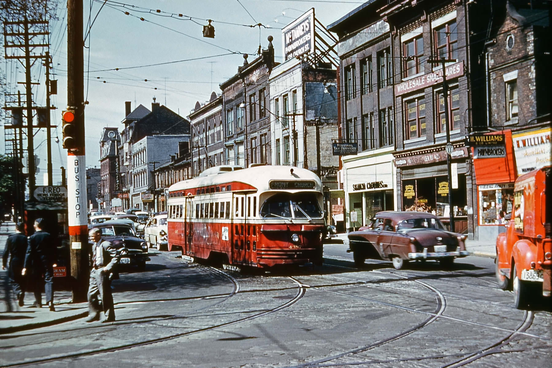
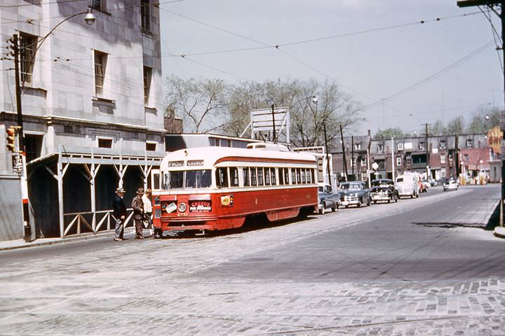
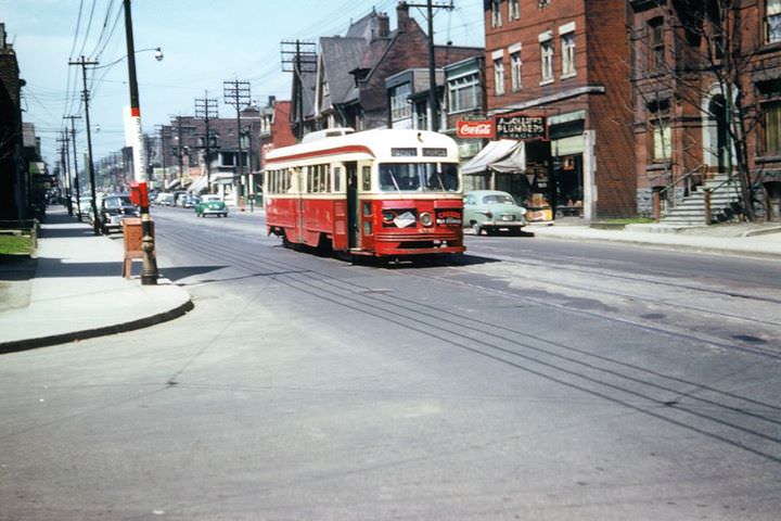
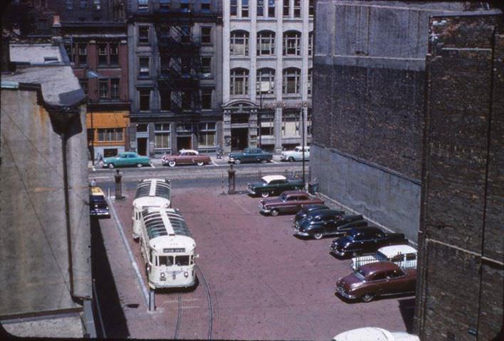
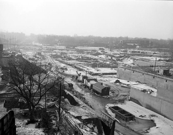
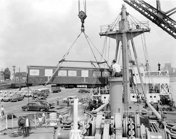
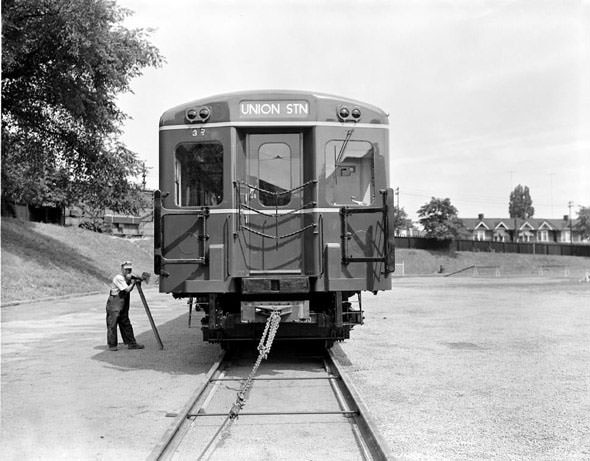
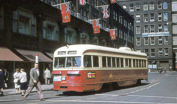
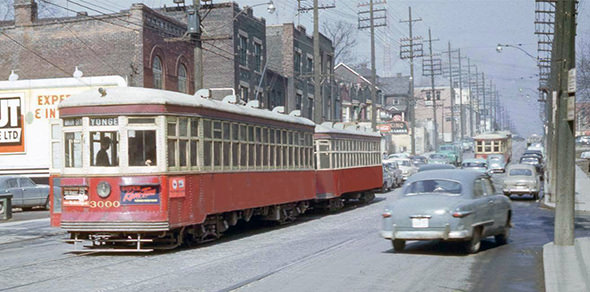
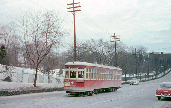
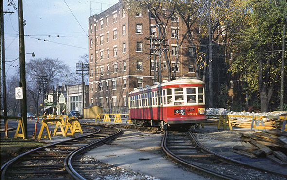
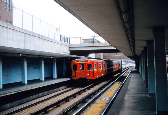
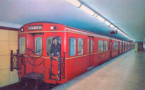
The Toronto Transit Commission — the TTC — was the lifeblood of the city. Streetcars rolled along major routes throughout the decade, sharing streets with a growing number of cars. The TTC also took delivery of new trolley buses and operated a growing fleet of coaches. In 1954, Toronto opened its first subway line, a milestone that transformed how the city moved. New subway cars were tested in Montreal before arriving in Toronto, and the official opening drew large crowds eager to ride the new line.
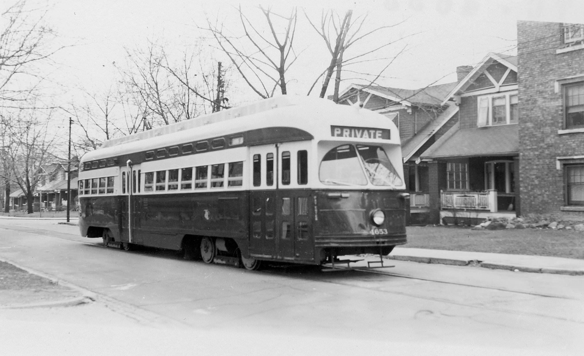
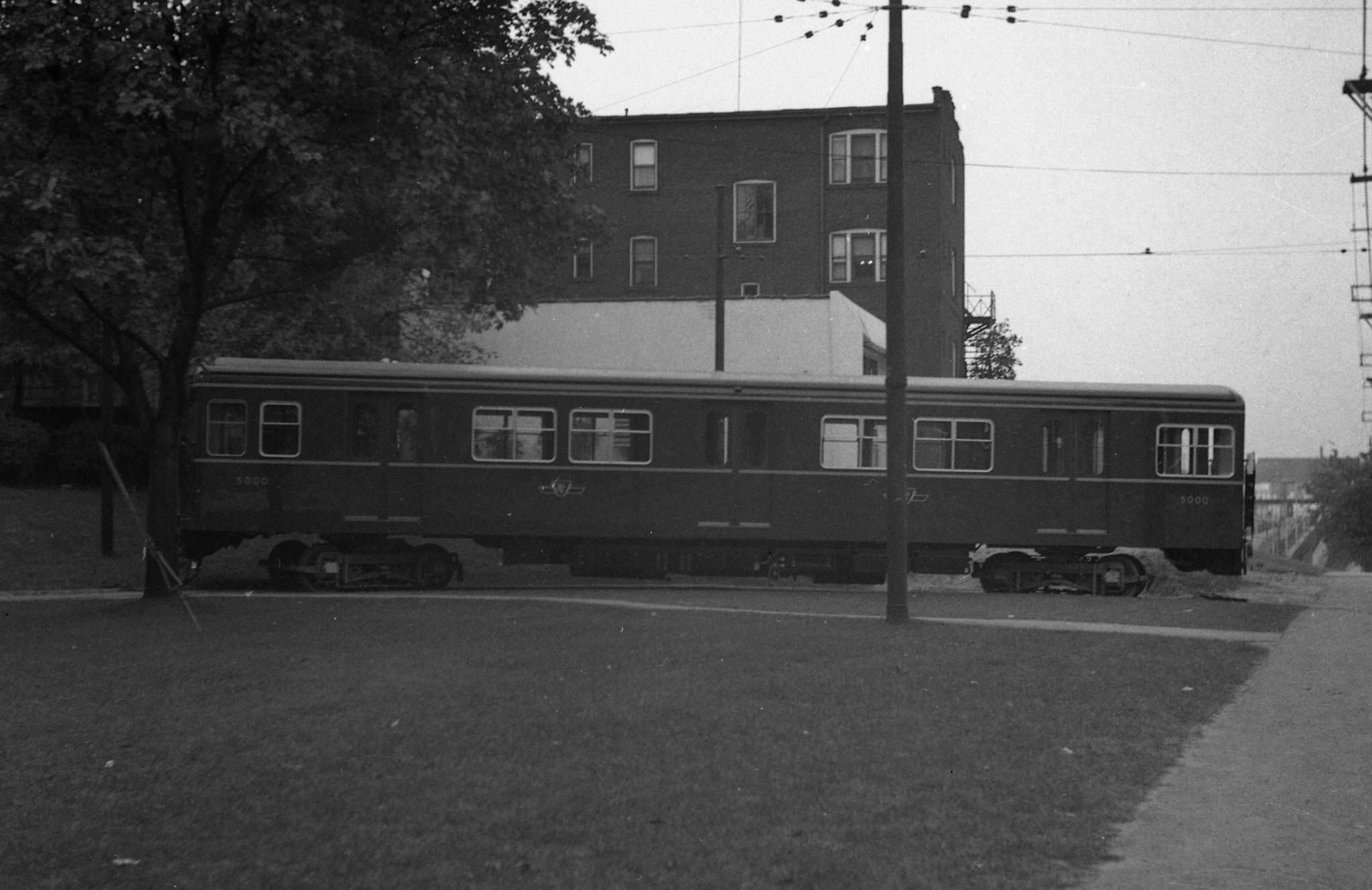
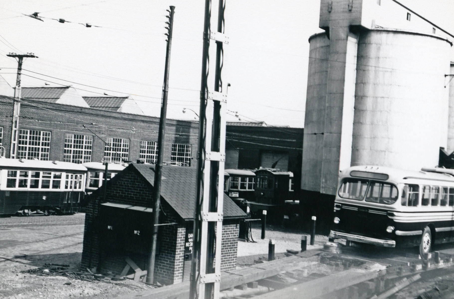
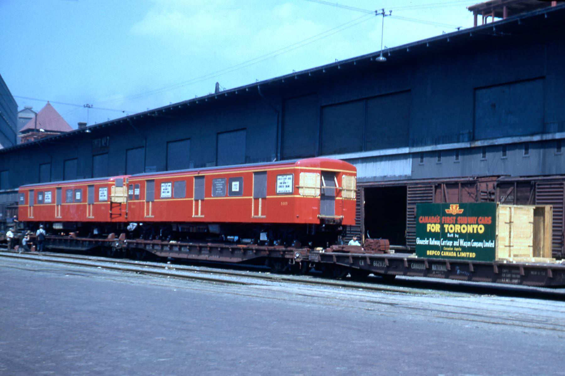
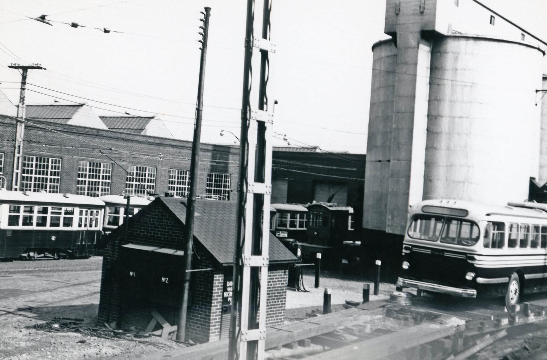
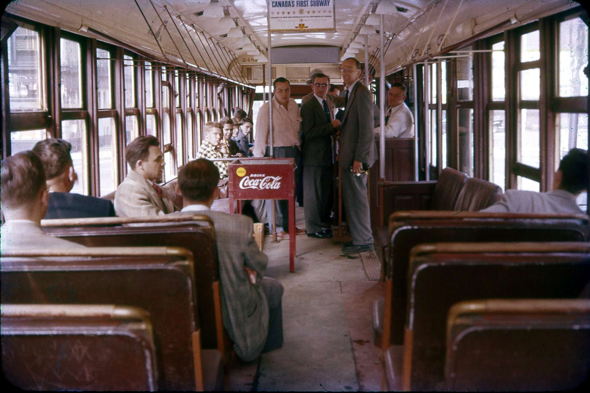
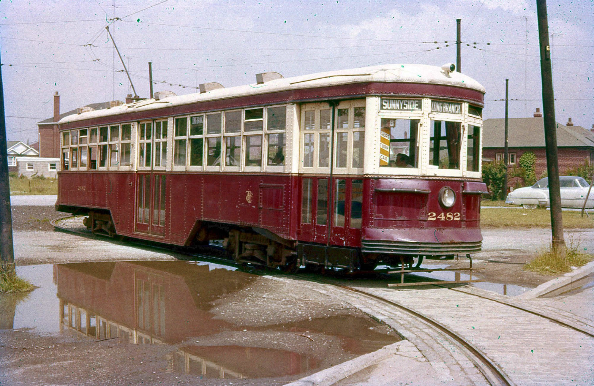
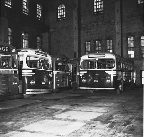
The Hillcrest Yards on Bathurst Street served as the TTC’s main maintenance and storage facility throughout the decade. Inside those yards, mechanics repaired streetcars, trolley buses, and coaches that kept the city running daily. Fan trips organized by transit enthusiasts allowed riders to photograph and document the fleet before certain vehicles were retired. One such trip on June 12, 1955 took passengers aboard Streetcar 2482 all the way to Kipling Loop.
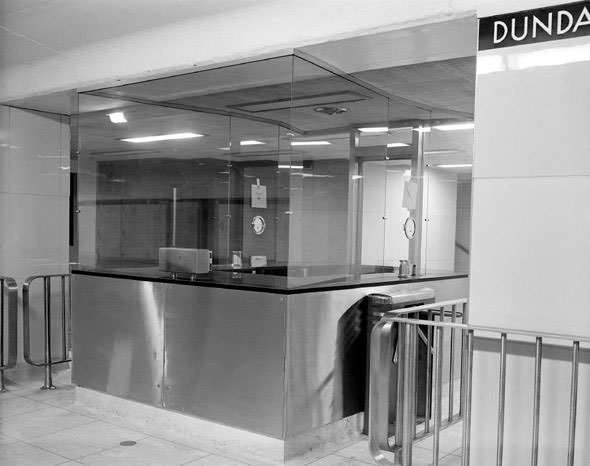
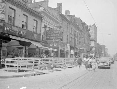
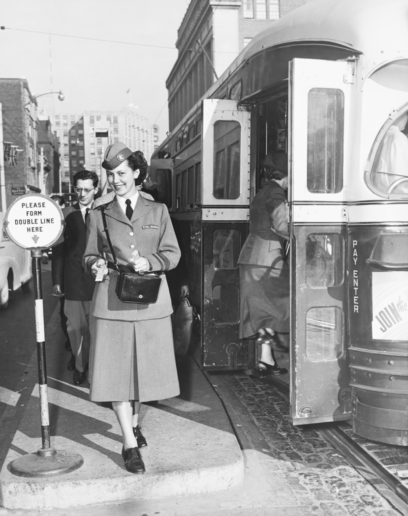
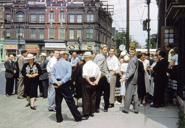
Yonge Street was the commercial spine of the city. Looking north from near Shuter Street in 1950, the street was packed with shops, signs, and pedestrians. Intersections like Yonge and Carlton, Yonge and Davisville, and Yonge and Dundas were busy crossroads where streetcars, buses, and foot traffic all converged. TTC Guide Thelma Clark could be seen directing passengers at Yonge and Carlton as early as 1951, a fixture of the everyday rhythm of downtown life.
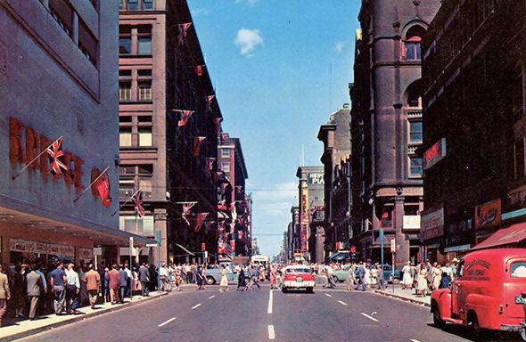
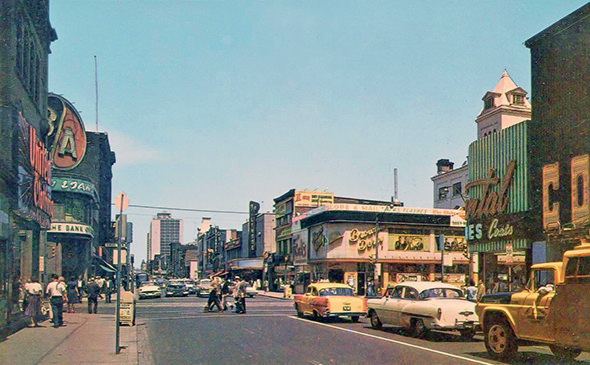
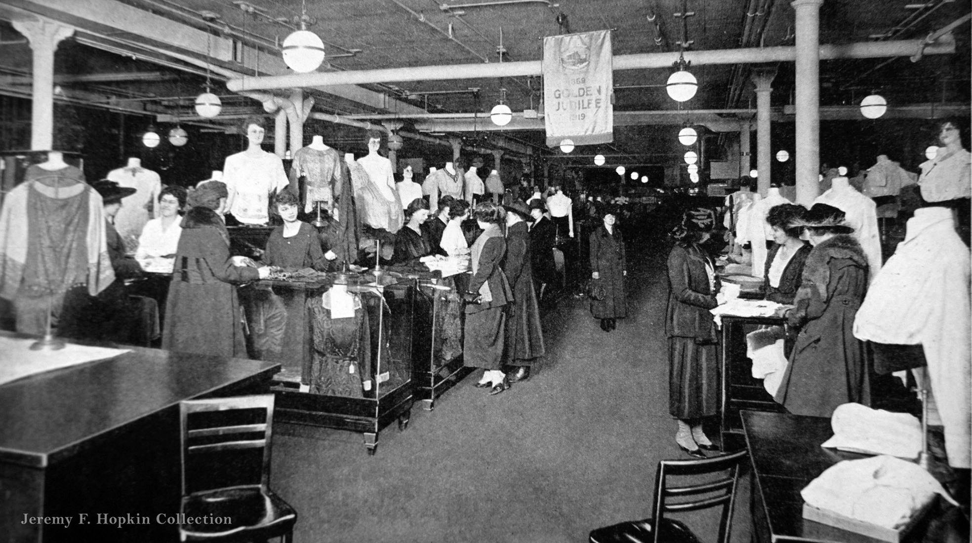
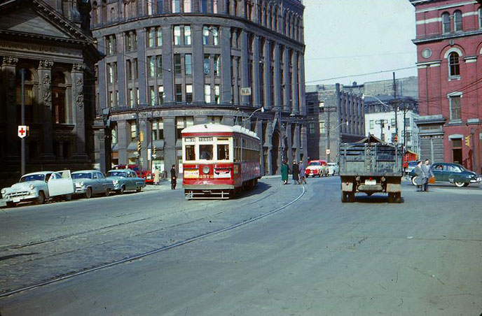
Old City Hall at Queen and Bay was one of the city’s most recognizable landmarks. Streetcars passed in front of it regularly, and the nearby cenotaph marked the spot where Torontonians gathered to remember wartime sacrifices. Eaton’s, the city’s dominant department store, was deeply embedded in everyday life. Its delivery trucks appeared in parades downtown and were parked in front of major city landmarks. Inside its stores, shoppers browsed well-stocked departments in a retail era that would soon face dramatic change.
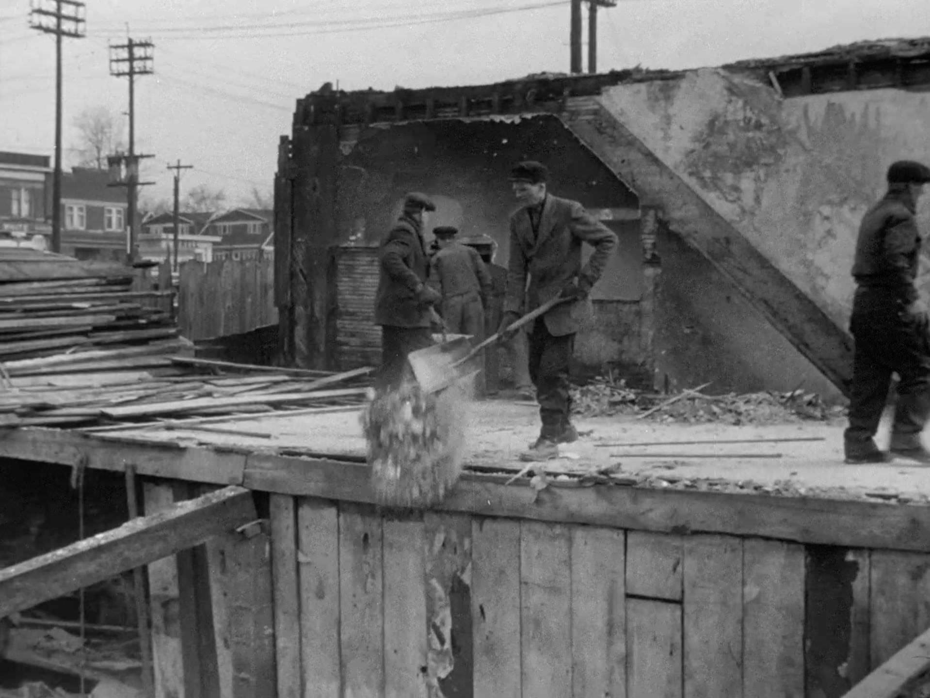
One of the decade’s most significant urban changes was the creation of Regent Park. Starting in 1953, blocks of older housing were demolished to make way for what was planned as a modern public housing development. The 1953 documentary film ‘Farewell Oak Street,’ produced by the National Film Board and directed by Grant McLean, captured the neighborhood just before the bulldozers arrived. It recorded streets, storefronts, and residents in a part of the city that was about to be erased.
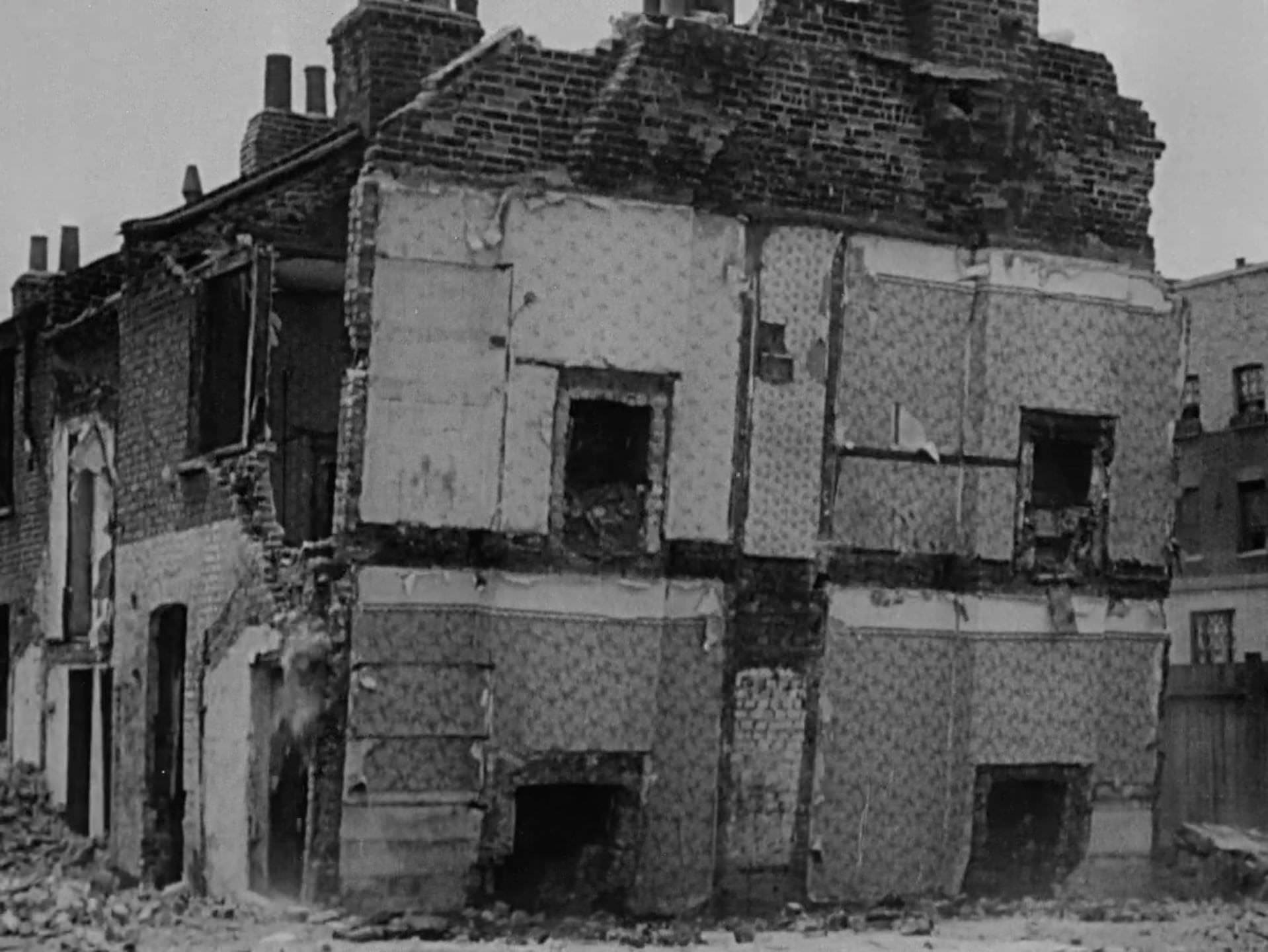
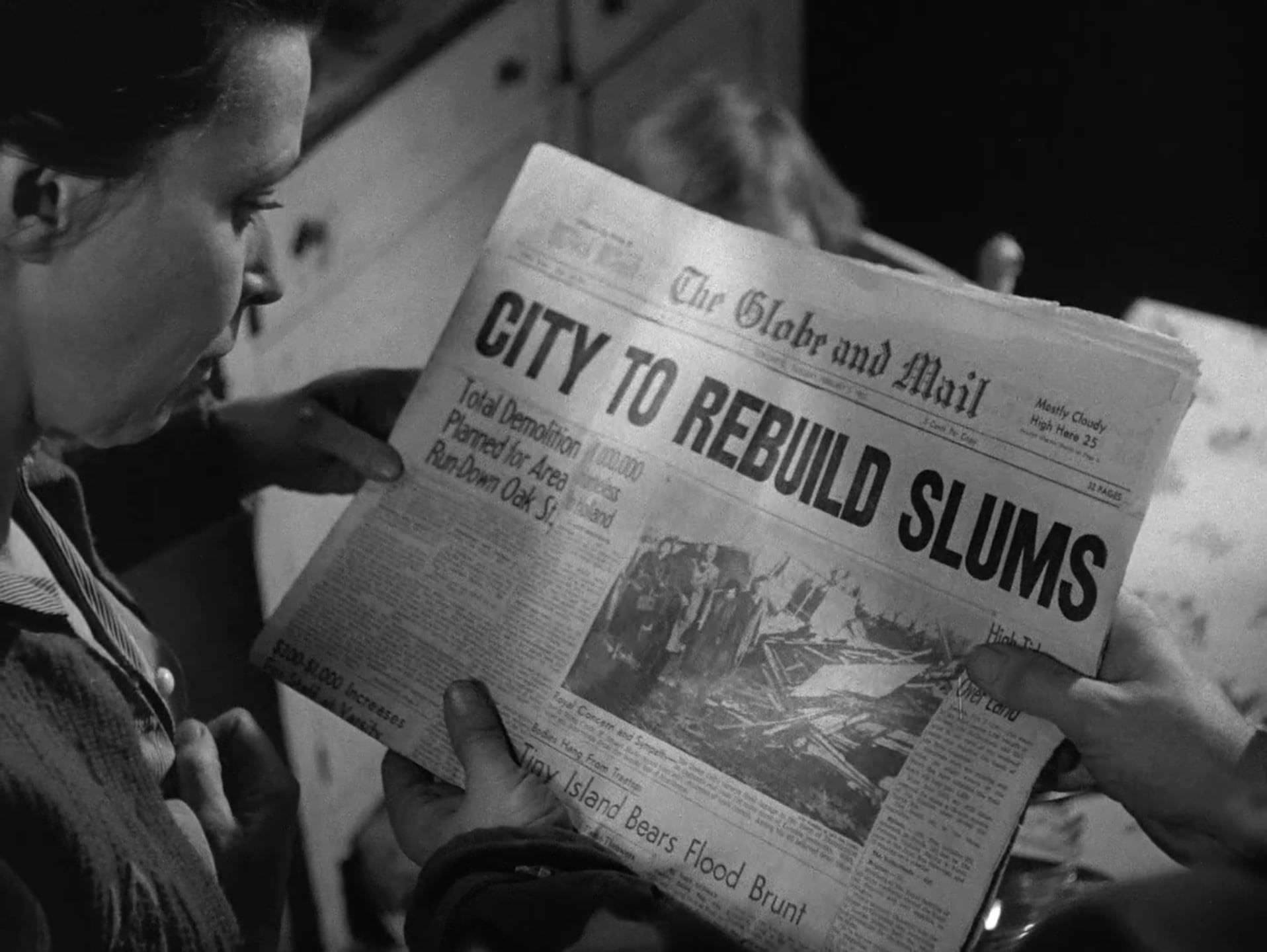
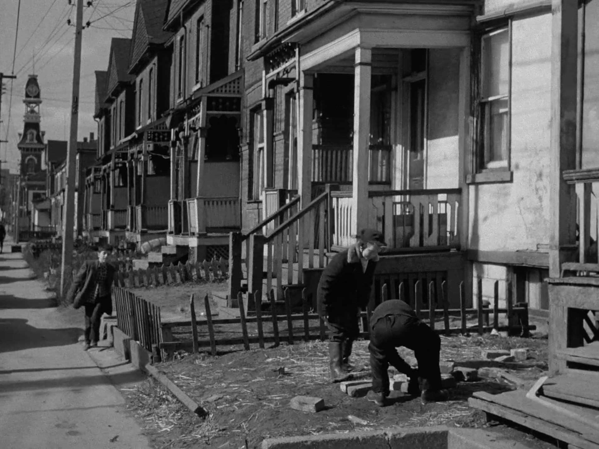
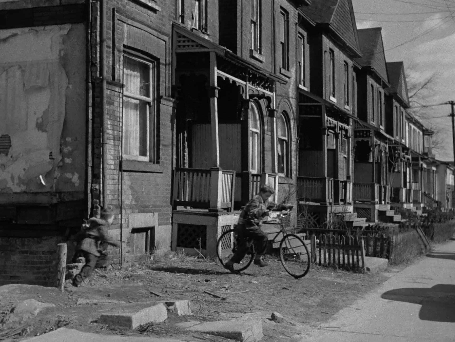
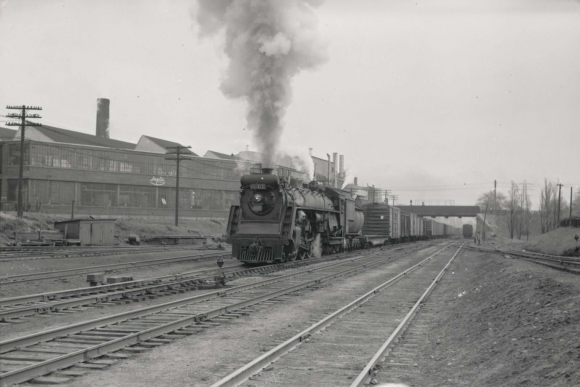
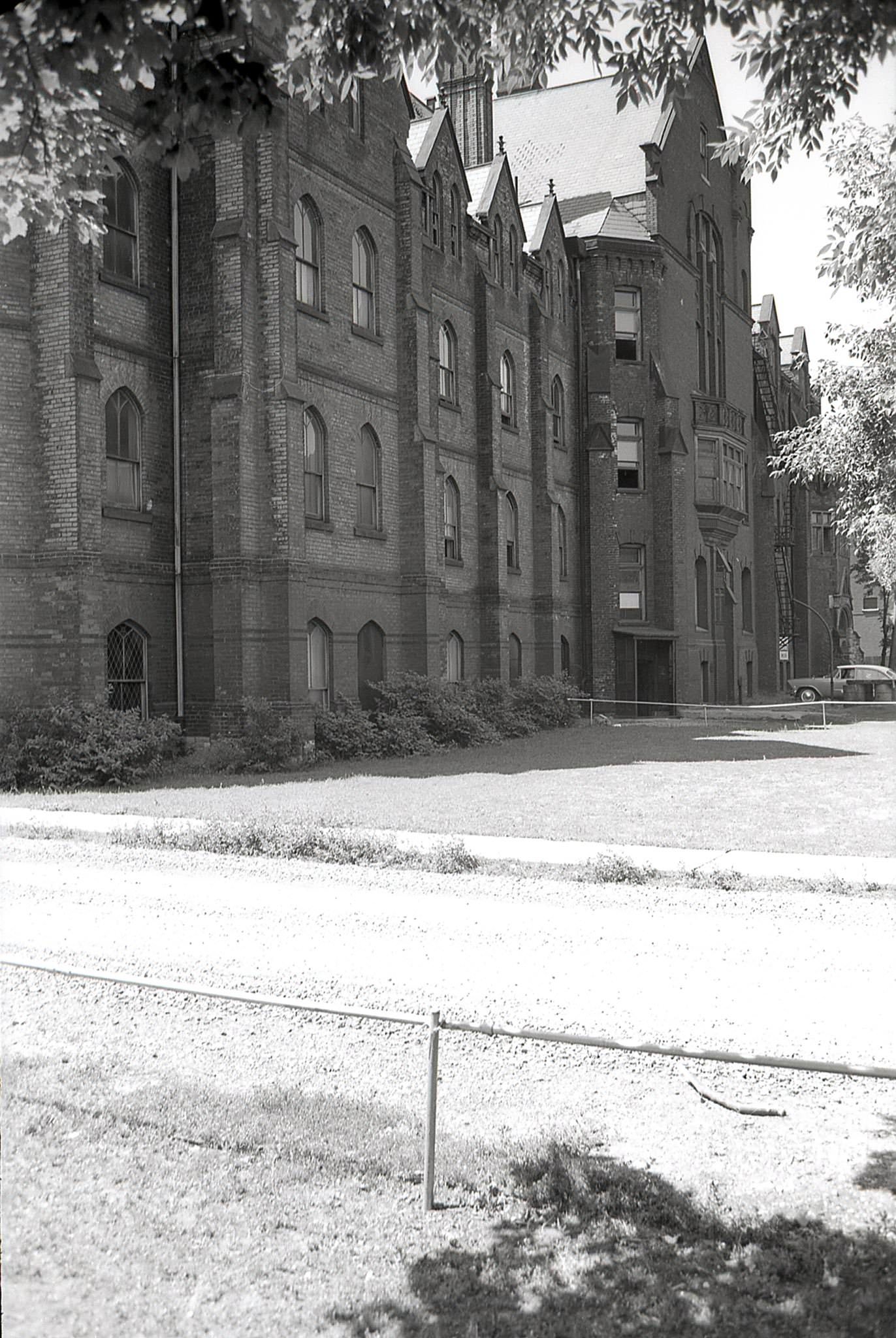
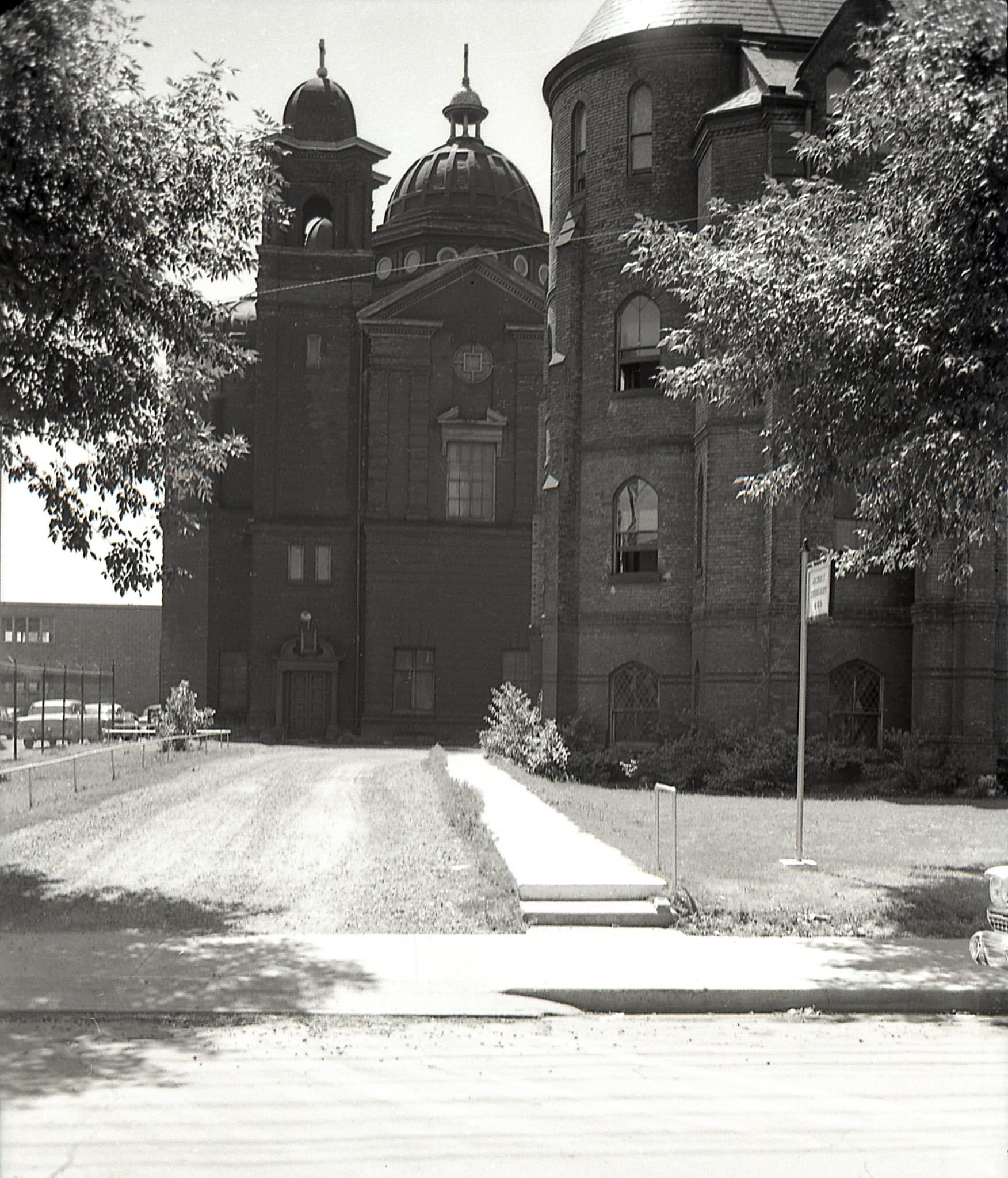
Other pieces of the city’s older fabric were also disappearing. The former Central Prison on Strachan Avenue — a grim Victorian institution that once held convicted criminals — was still standing in 1953, though it had been repurposed by the John Inglis & Co. industrial firm. Photographs taken by James V. Salmon in May 1953 documented its remaining sections before demolition. Nearby, a Canadian National Railway locomotive was photographed looking east toward the Inglis factory and the Strachan Avenue bridge in 1955.
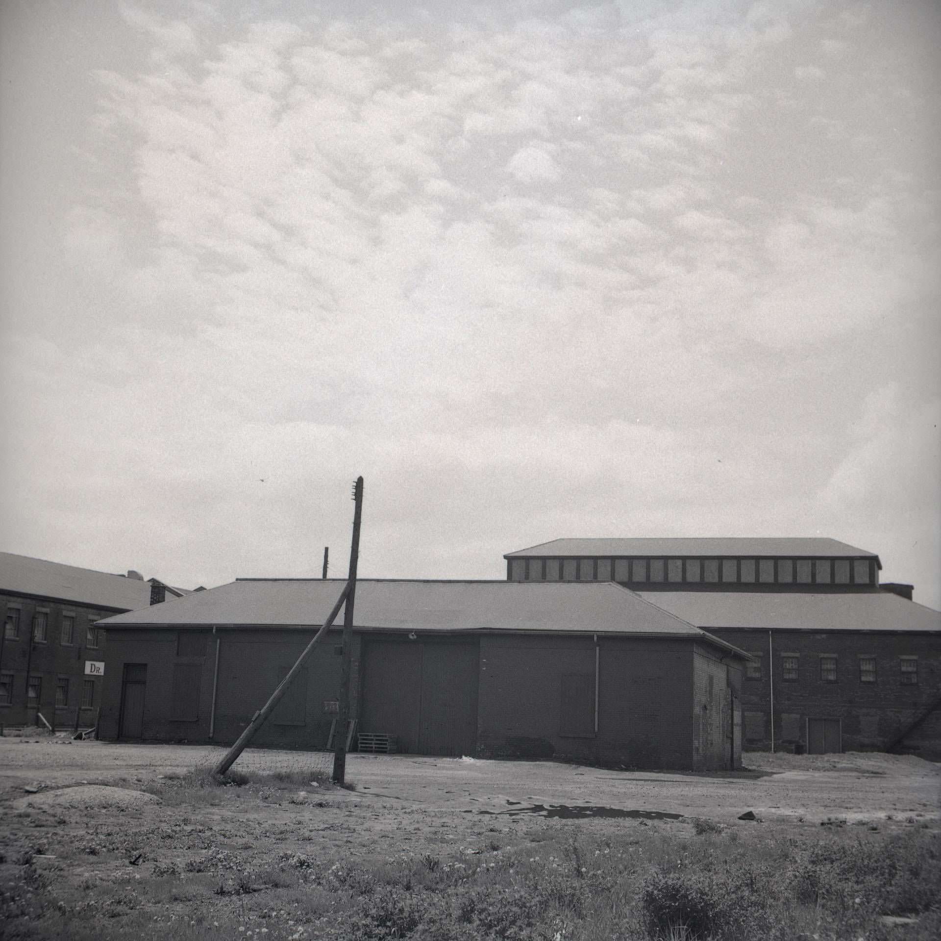
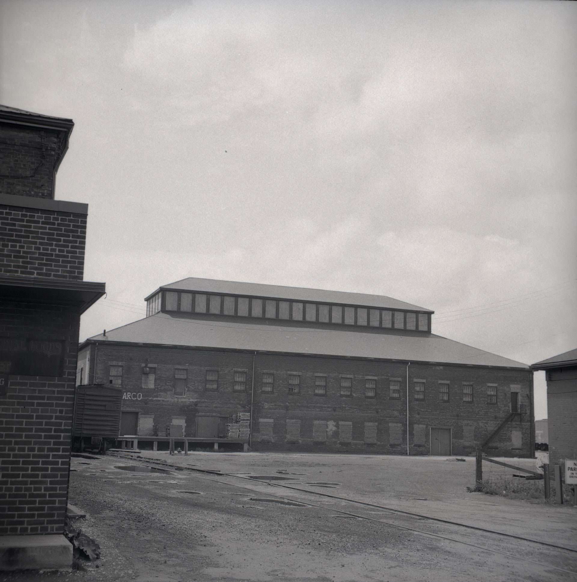
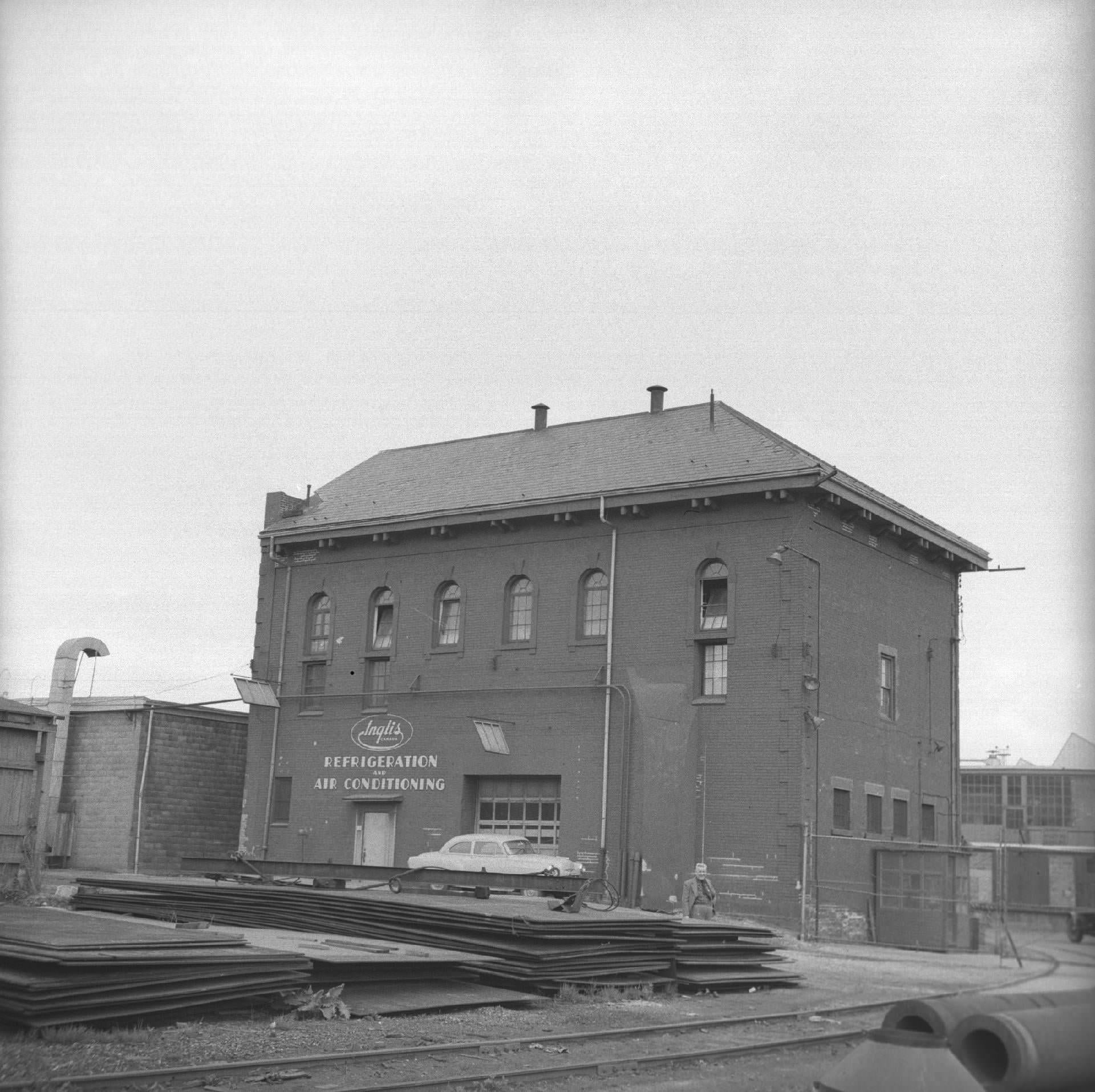
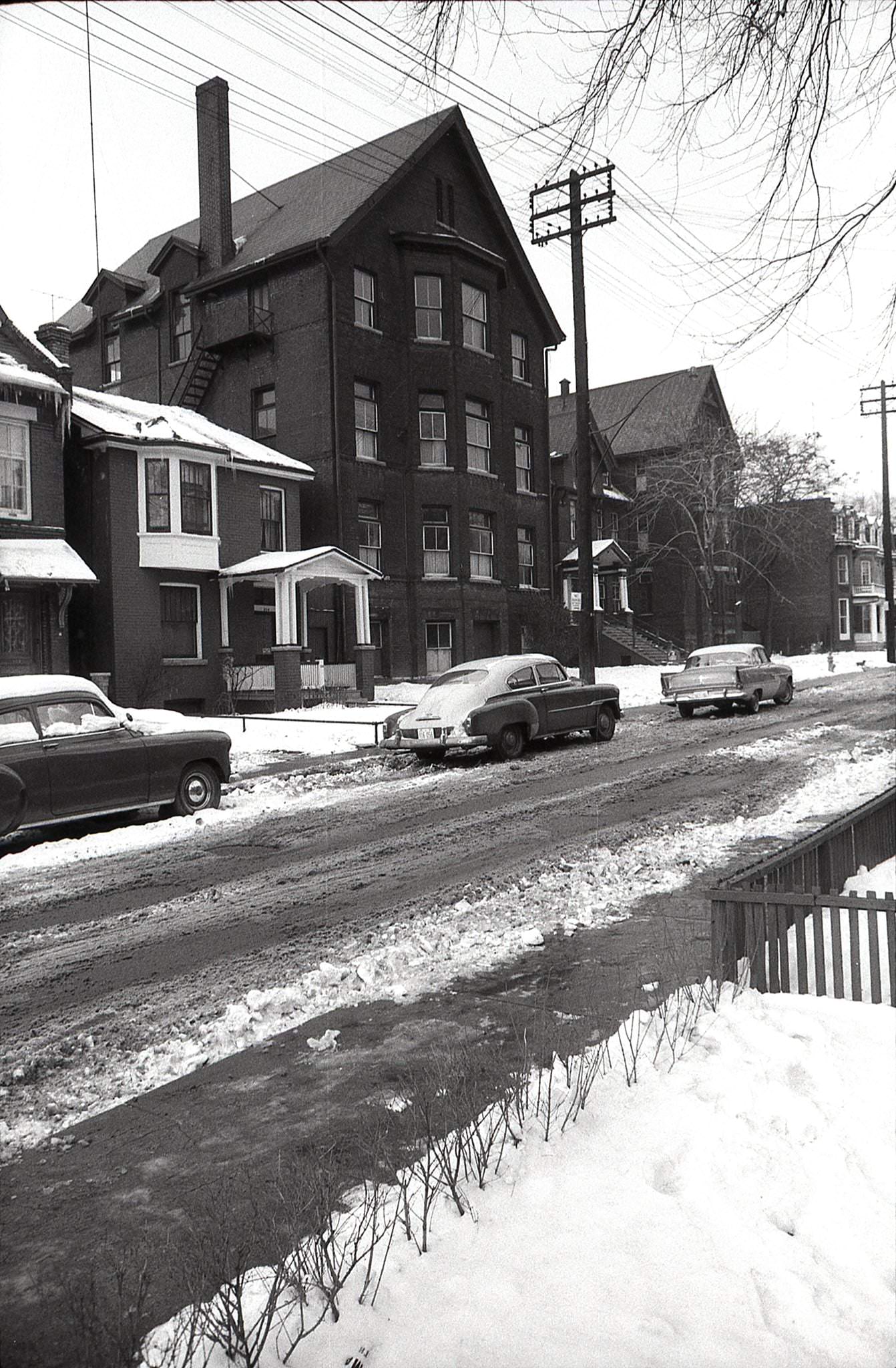
On Strachan Avenue’s west side, another old institution had a different fate. The original Seaton House at 320 Seaton Street had opened in 1931 as a Depression-era shelter. By 1958, the building was demolished as the city redeveloped the area. These changes were happening all over Toronto — old structures clearing the way for the new, with very little of the process being paused to ask what was being lost.
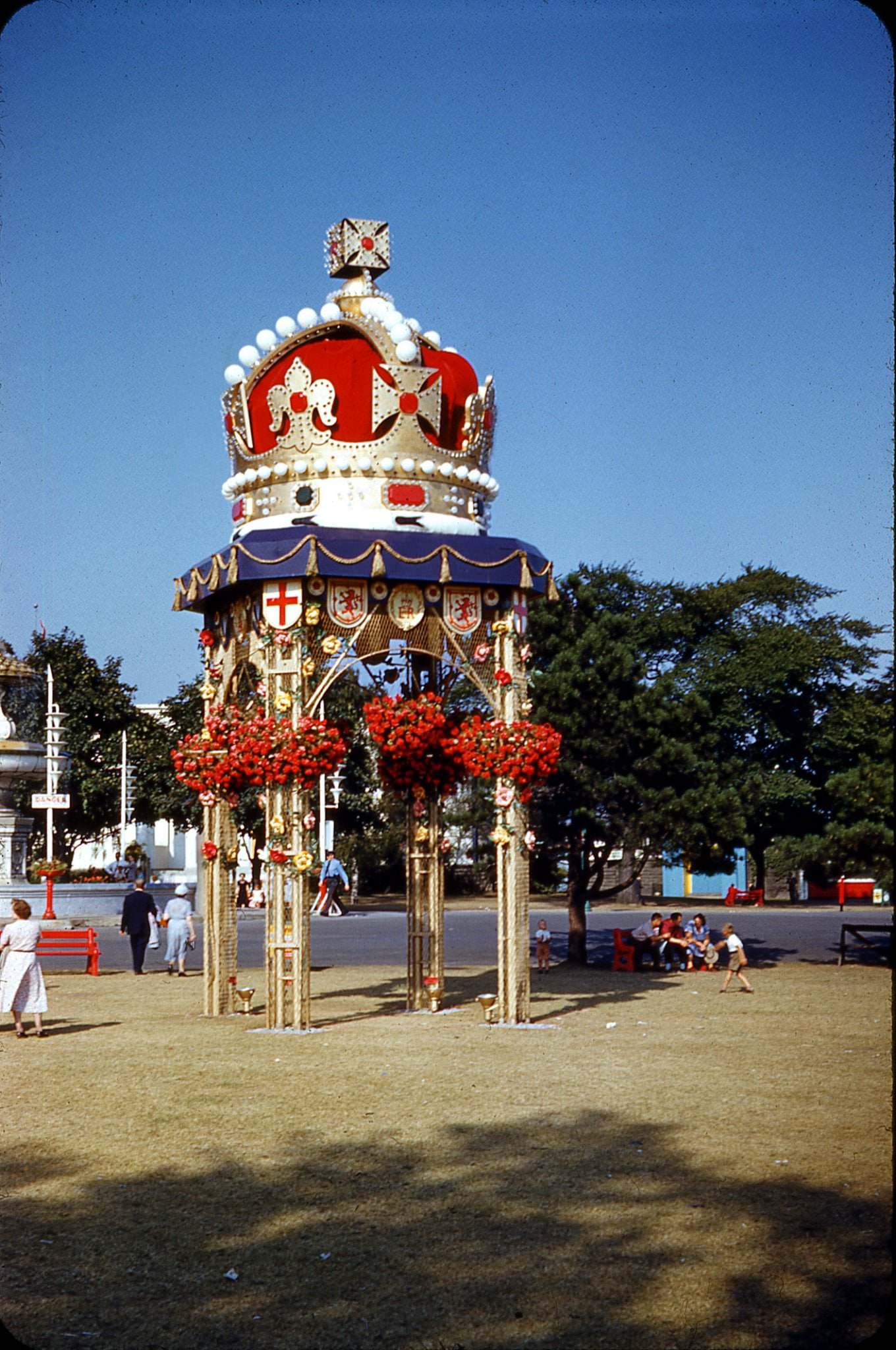
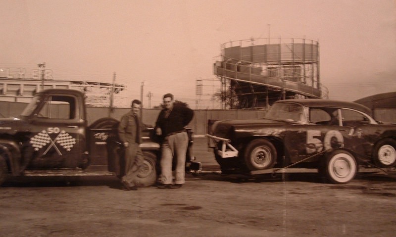
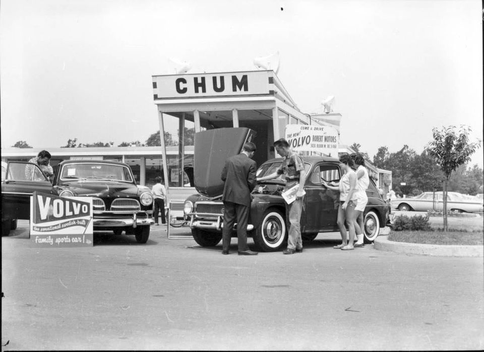
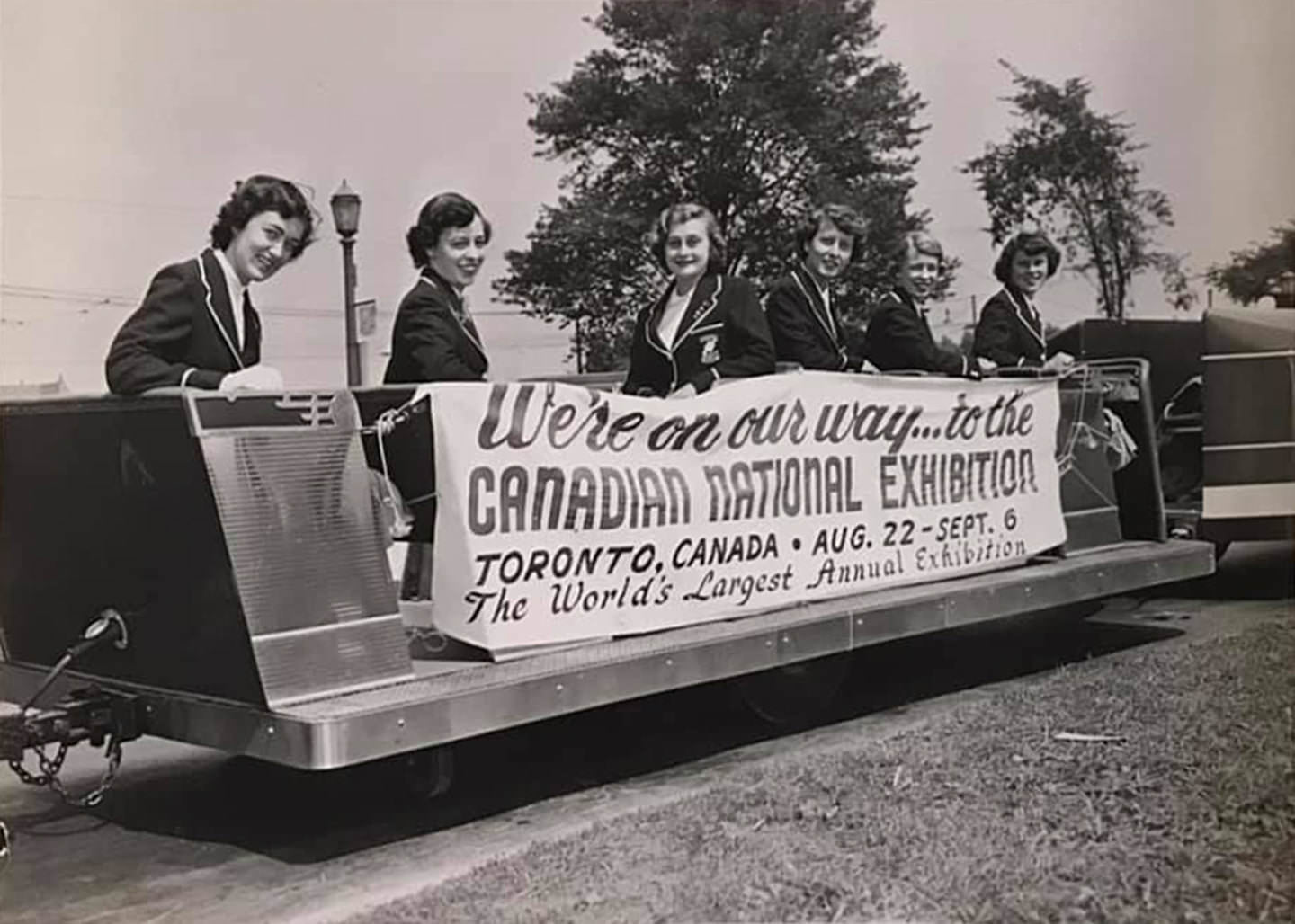
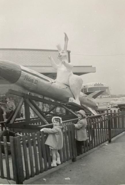
Toronto’s music and entertainment scene was vibrant throughout the 1950s. Jazz was a major draw, with clubs across the city hosting both local and touring musicians. Oscar Peterson and Moe Koffman were among the artists who built their careers in Toronto’s live music venues during this period. The Canadian National Exhibition drew enormous crowds each summer, featuring everything from stock car racing on the infield track to the elaborate Queen Elizabeth II Coronation Crown Arch installed in 1953. Radio station CHUM launched a roving satellite station in 1959 that traveled across the Greater Toronto Area, with DJs broadcasting live and distributing autographs and CHUM charts to fans.
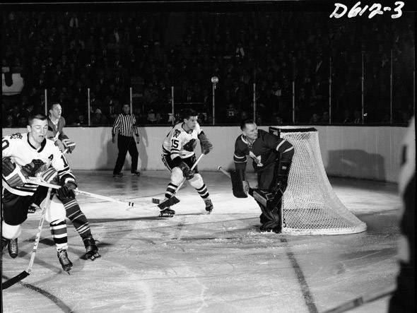
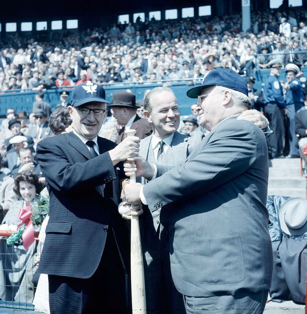
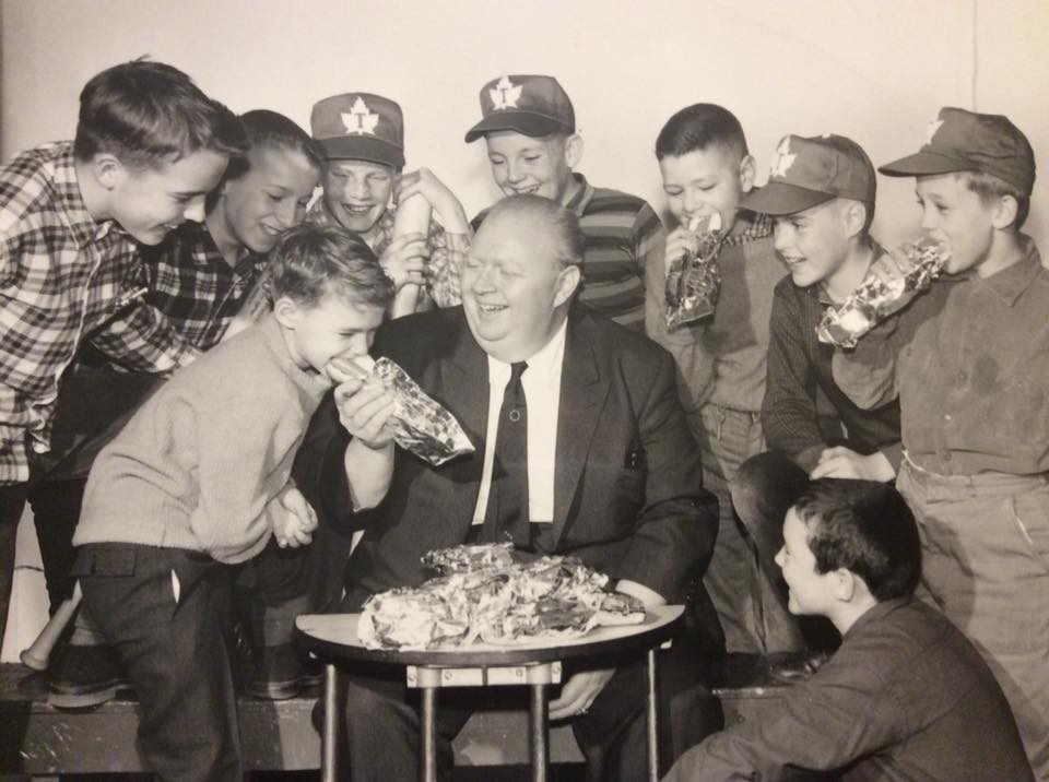
Sports were central to Toronto’s identity. The Maple Leafs packed Maple Leaf Gardens for games against rivals like the Chicago Blackhawks. At Maple Leaf Stadium, Jack Kent Cooke — the team’s owner — could be seen alongside Mayor Nathan Phillips and Metro Chairman Frederick G. Gardiner in 1955. Hockey teams operated at every level of the community, from professional to amateur. The Shopseys Hockey Team, tied to the famous deli dynasty of Sam Shopsowitz, was one of many community clubs that played across the city.
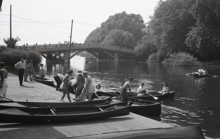
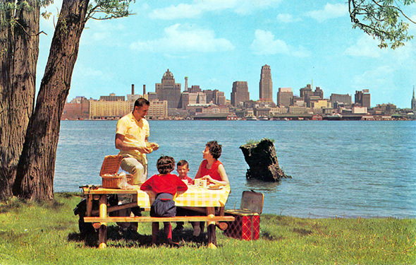
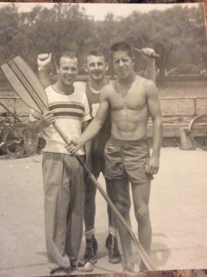
The Toronto Islands remained a beloved escape for city residents throughout the decade. Centre Island’s main drag — Manitou Road — was lined with attractions, food stands, and crowds of day-trippers. The Island Canoe Club operated on Long Pond, and families spread blankets across the grass for picnics and lazy afternoons. The waterworks filtration plant on Centre Island kept functioning quietly in the background, supplying the city while families played nearby. Houses on Clandaboye Avenue gave the islands a neighborhood feel that few outsiders expected.
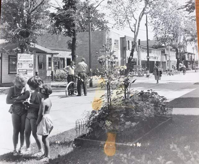
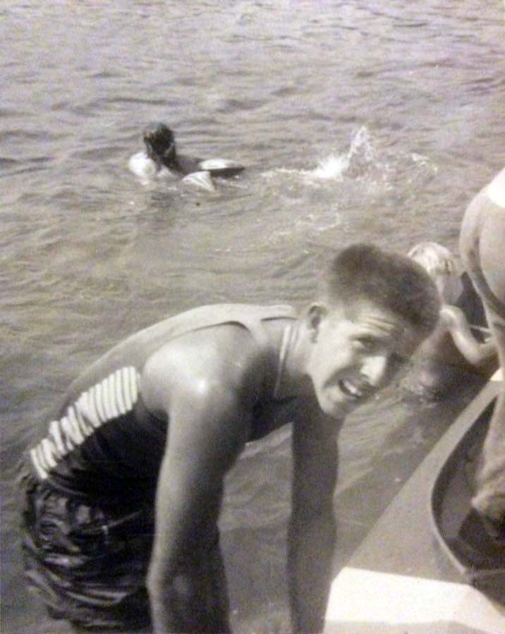
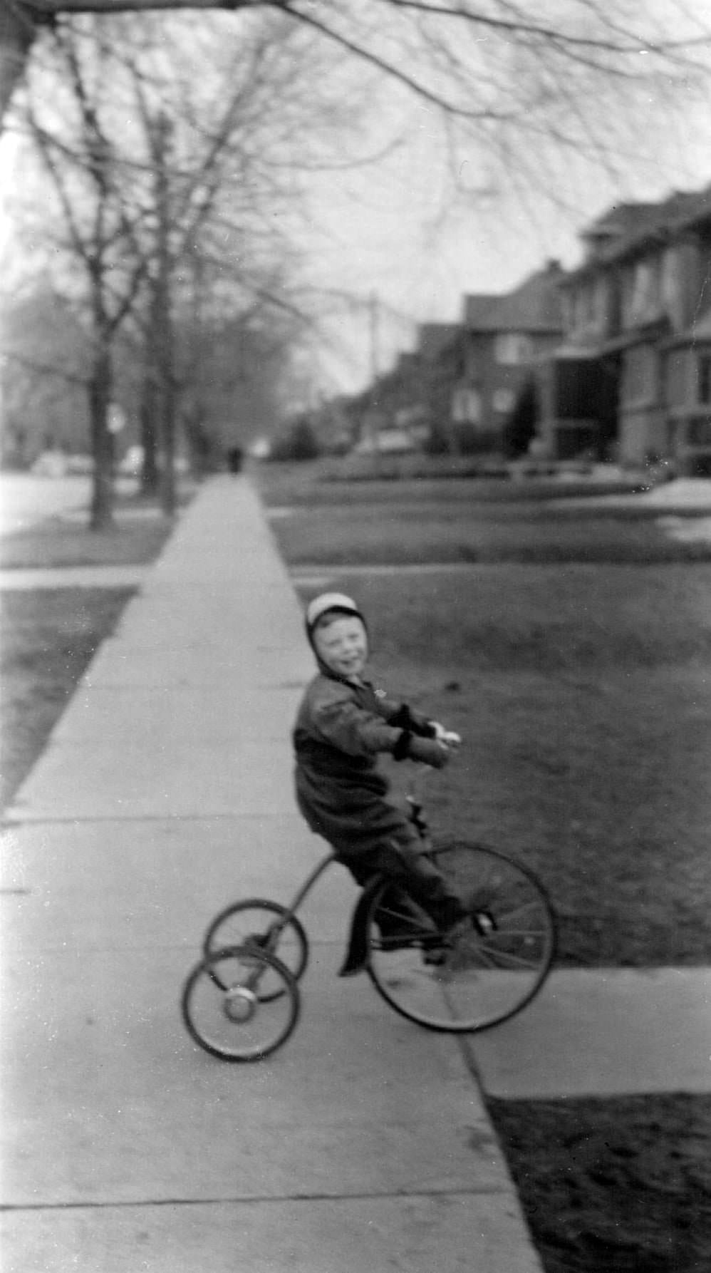
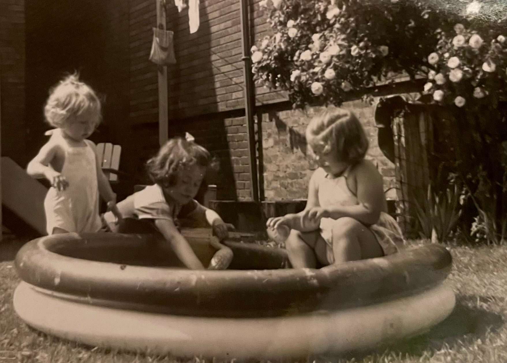
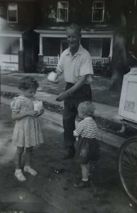
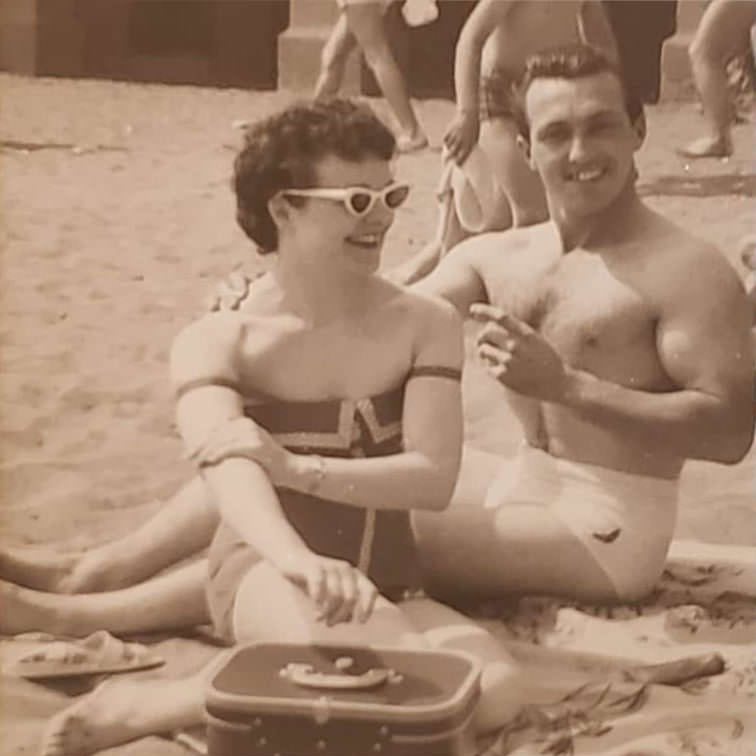
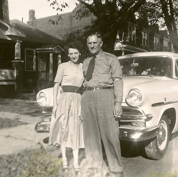
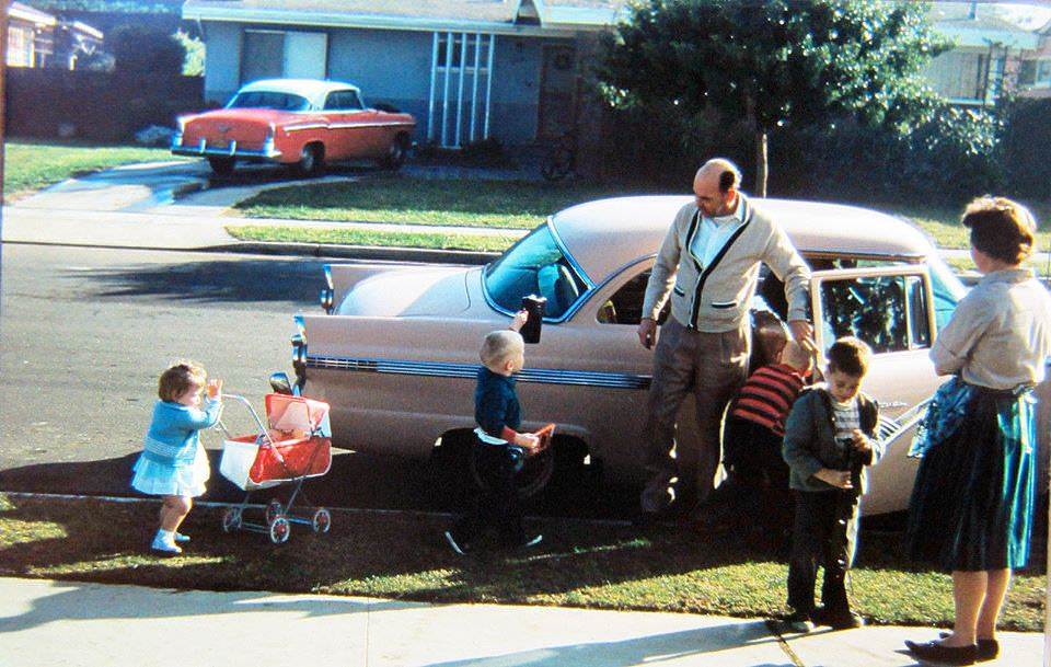
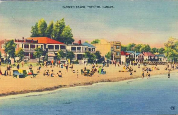
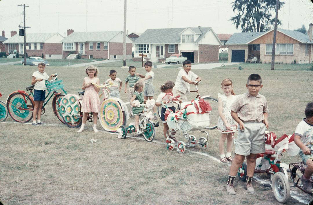
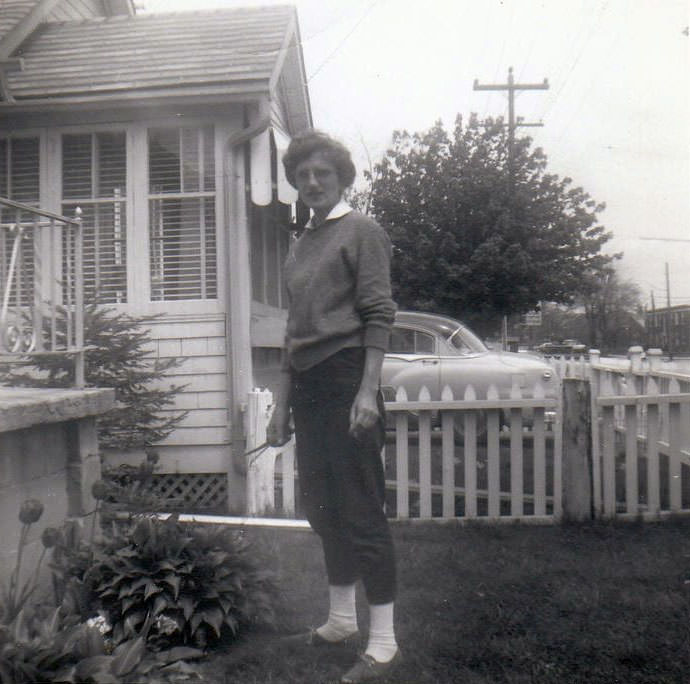
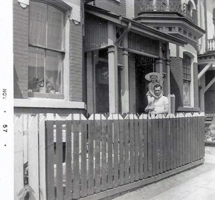
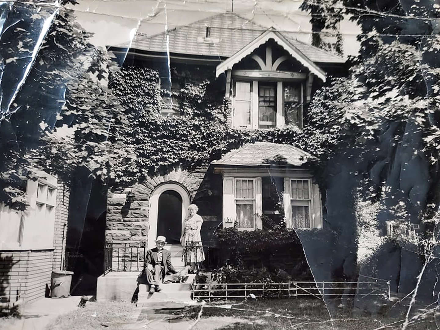
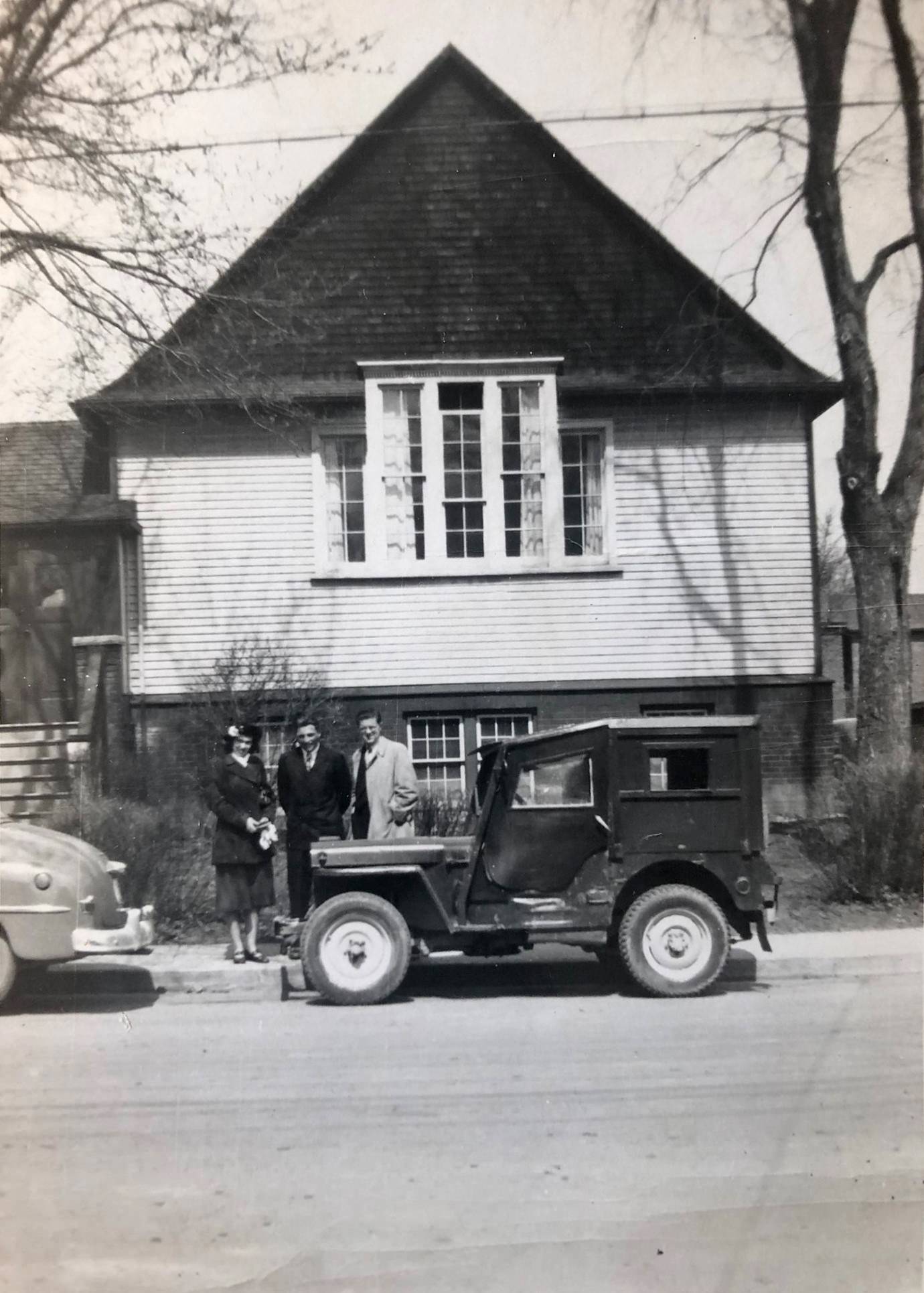
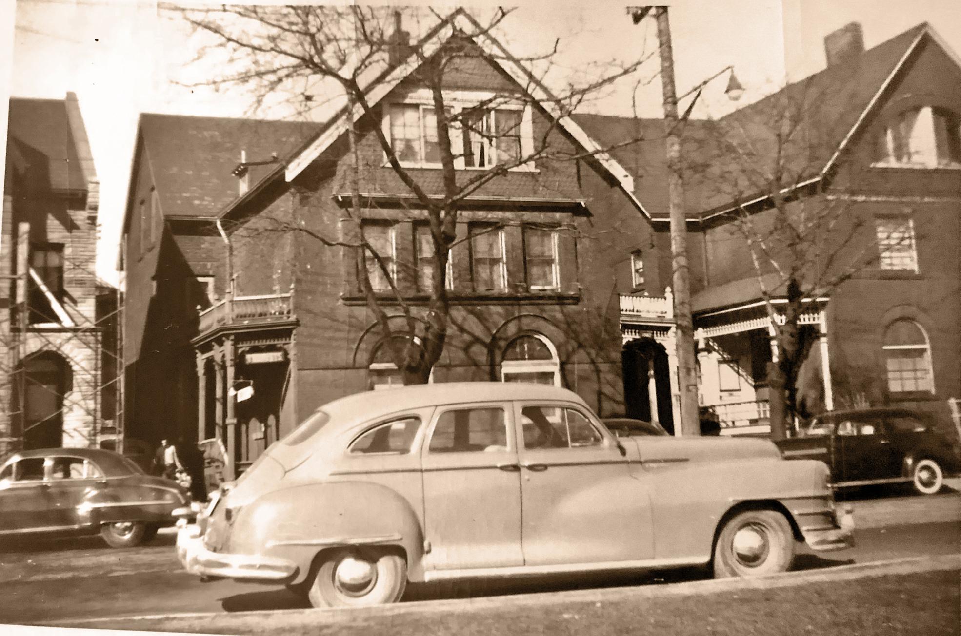
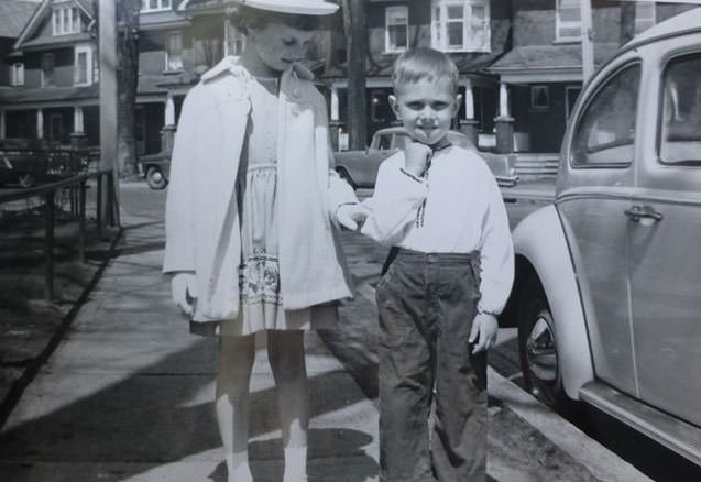
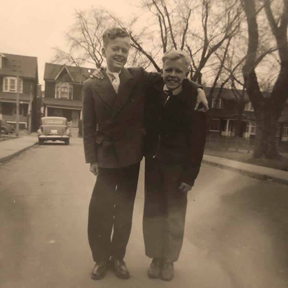
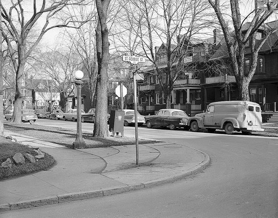
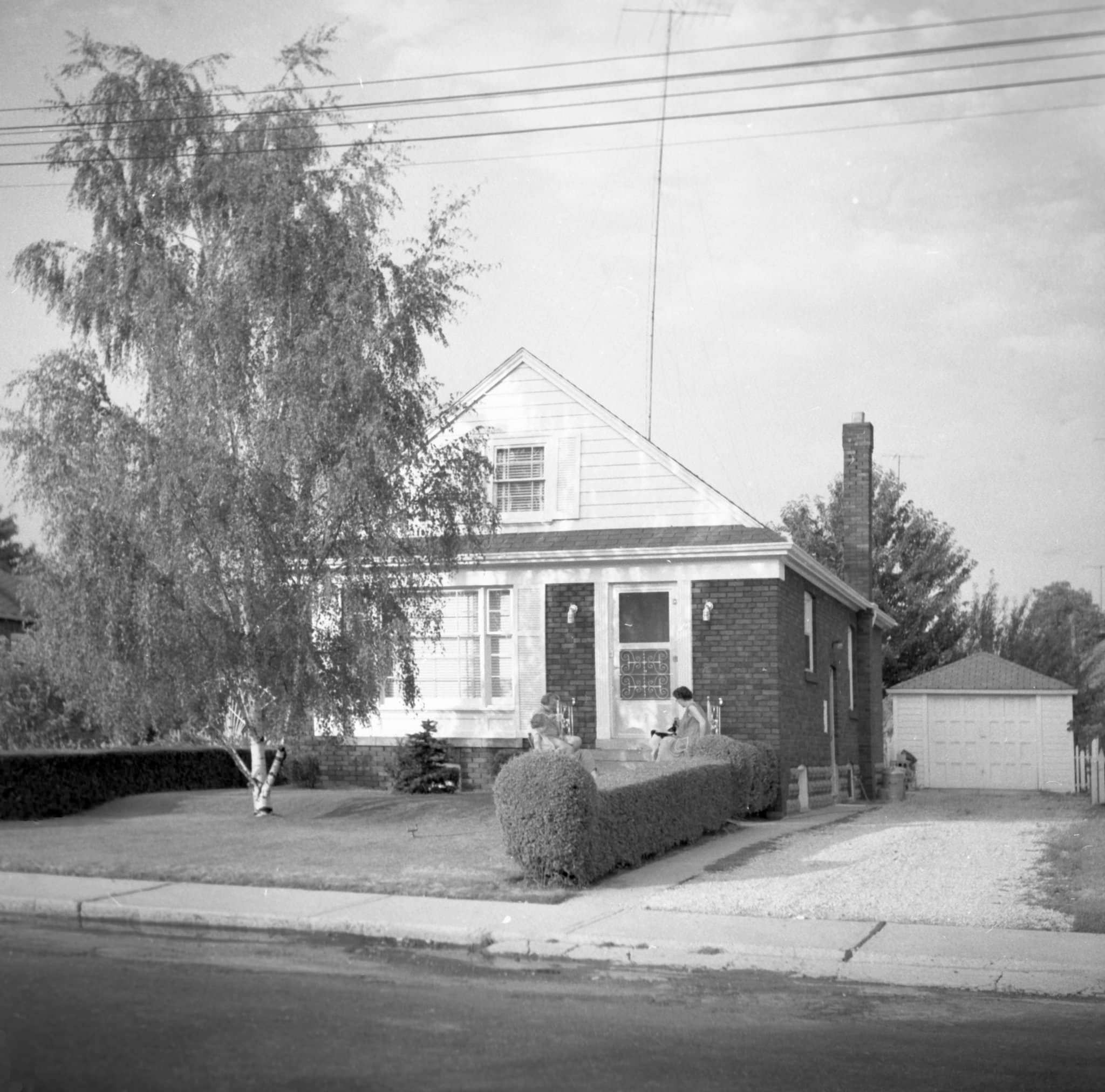
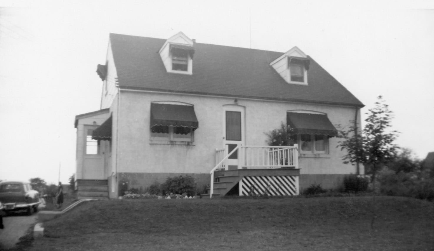
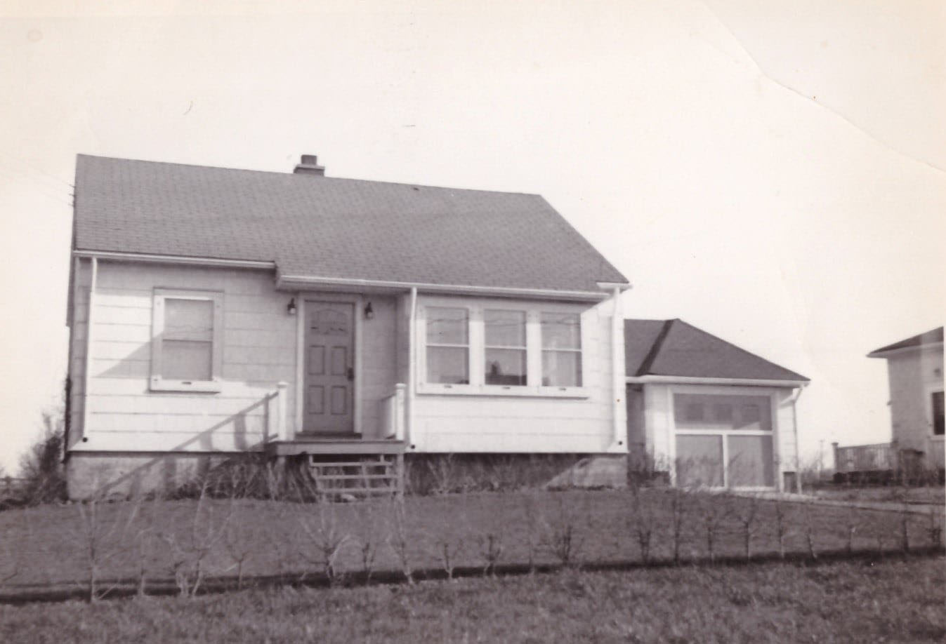
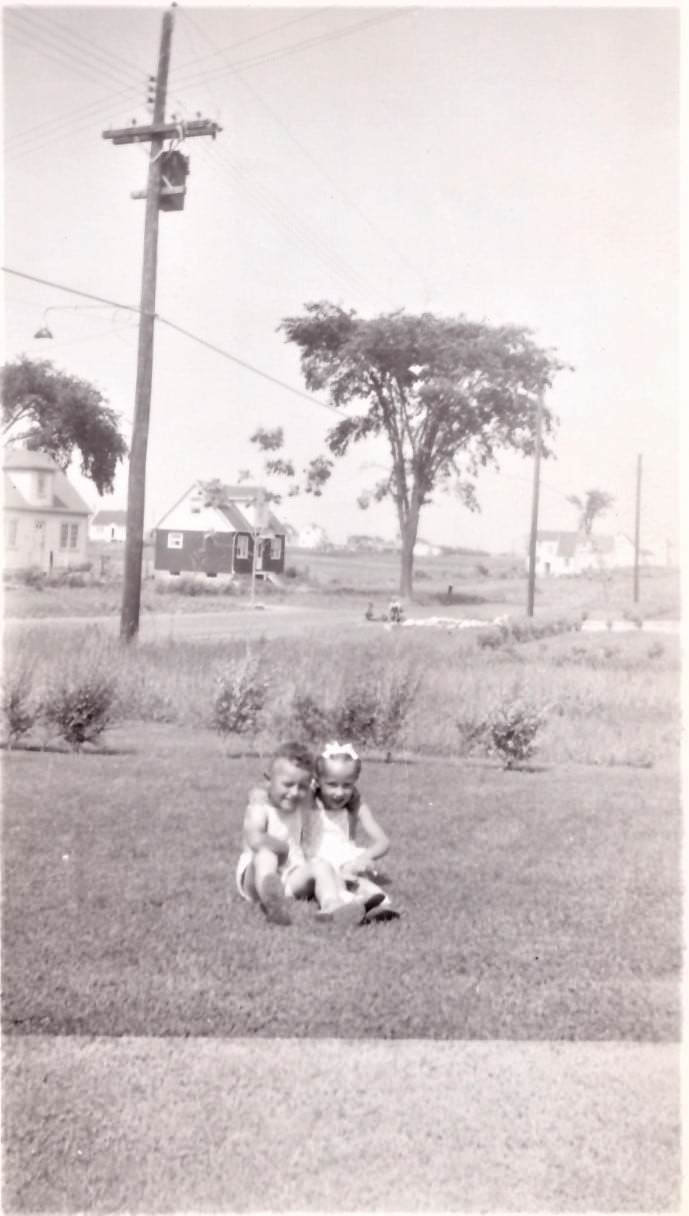
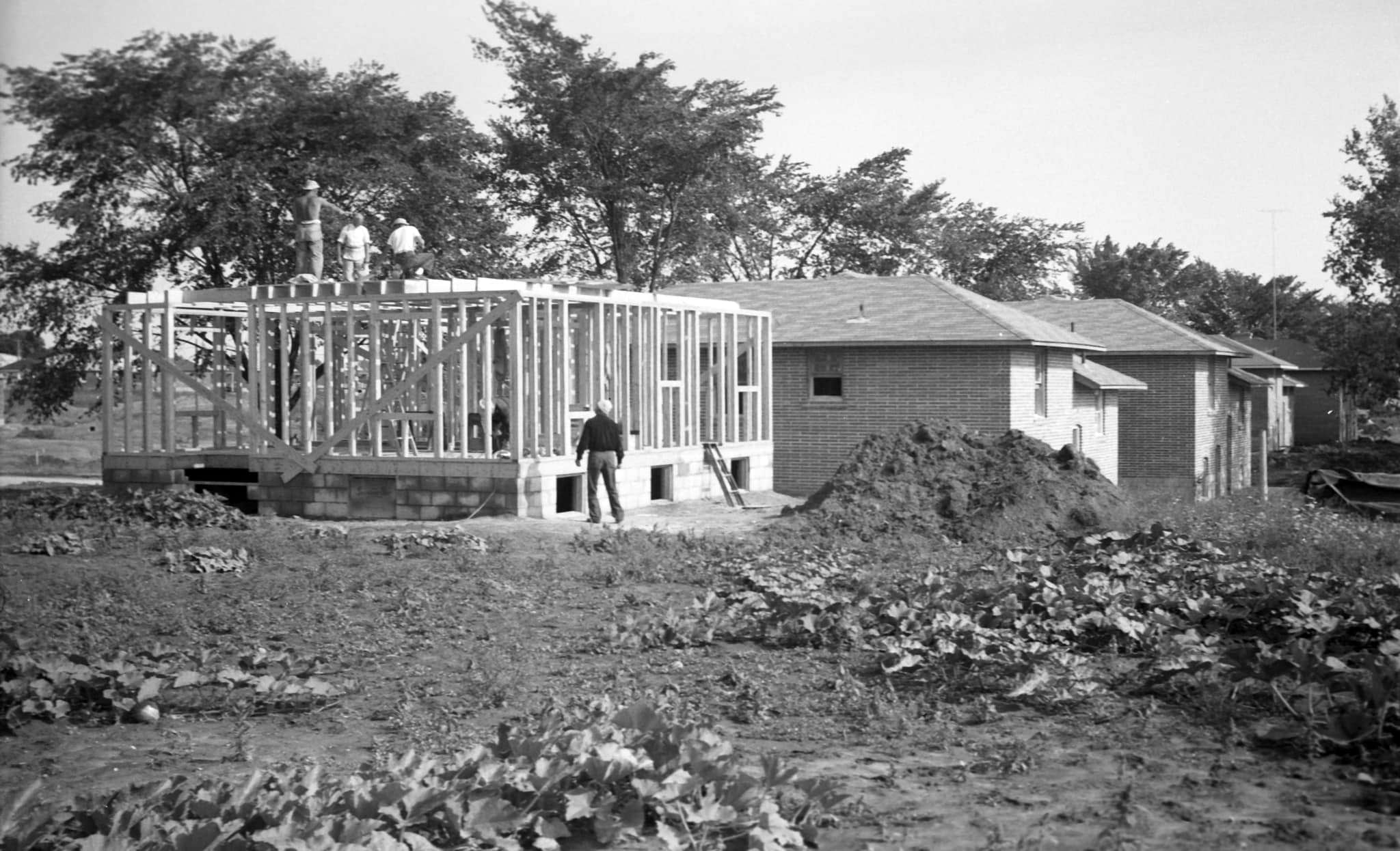
Across the city’s expanding residential neighborhoods, life had a slower, street-level rhythm. Kids rode their bikes down quiet avenues like St. Clements, played in backyard pools, and lined up for popcorn for a dime on Evelyn Avenue. Families gathered on front verandas, posed for photos in backyards, and spent summers at spots like Sunnyside Beach. Streets like Springdale Avenue, Linsmore Crescent, and Wedgewood Drive in North York were filled with modest brick homes and young families planting roots in newly built suburbs.
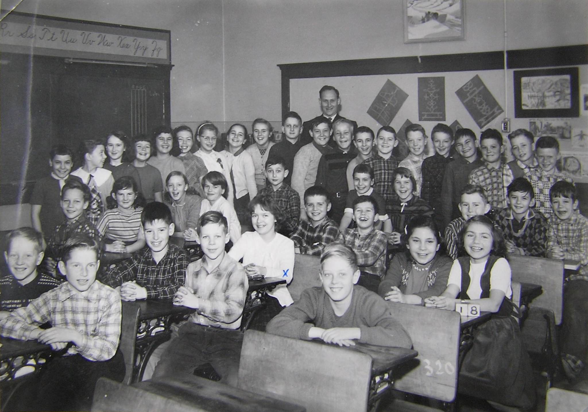
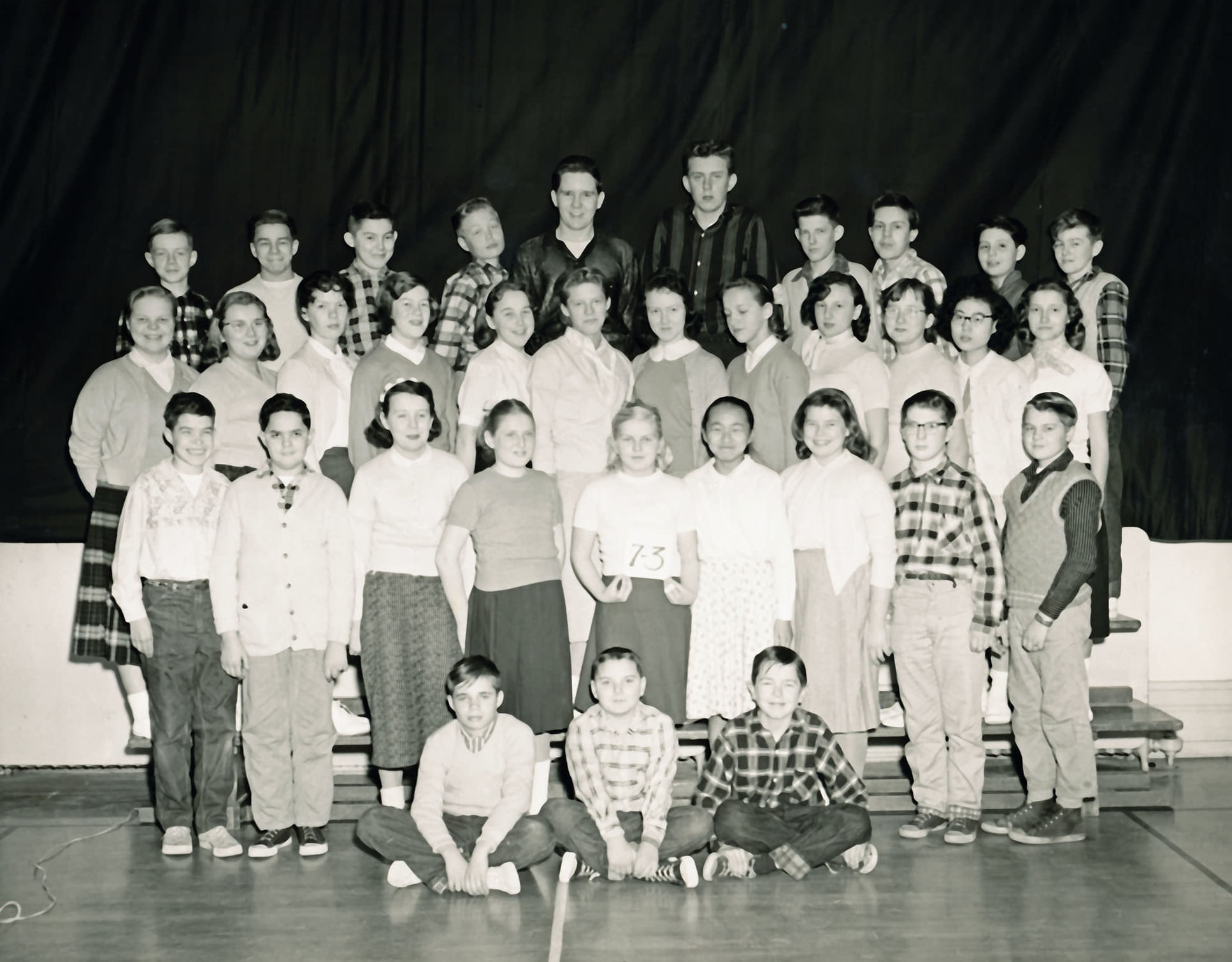
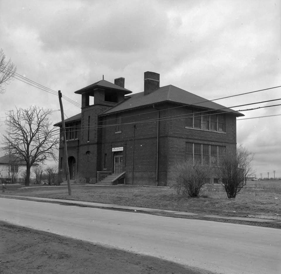
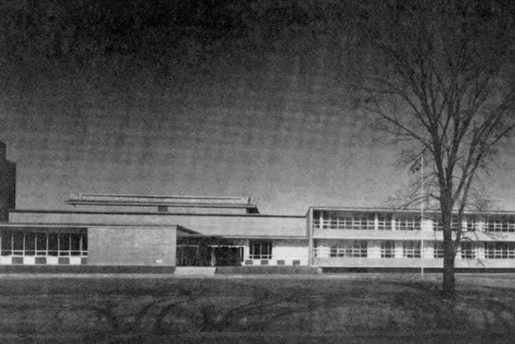
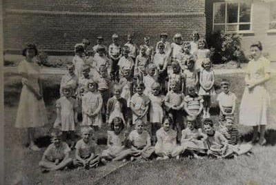
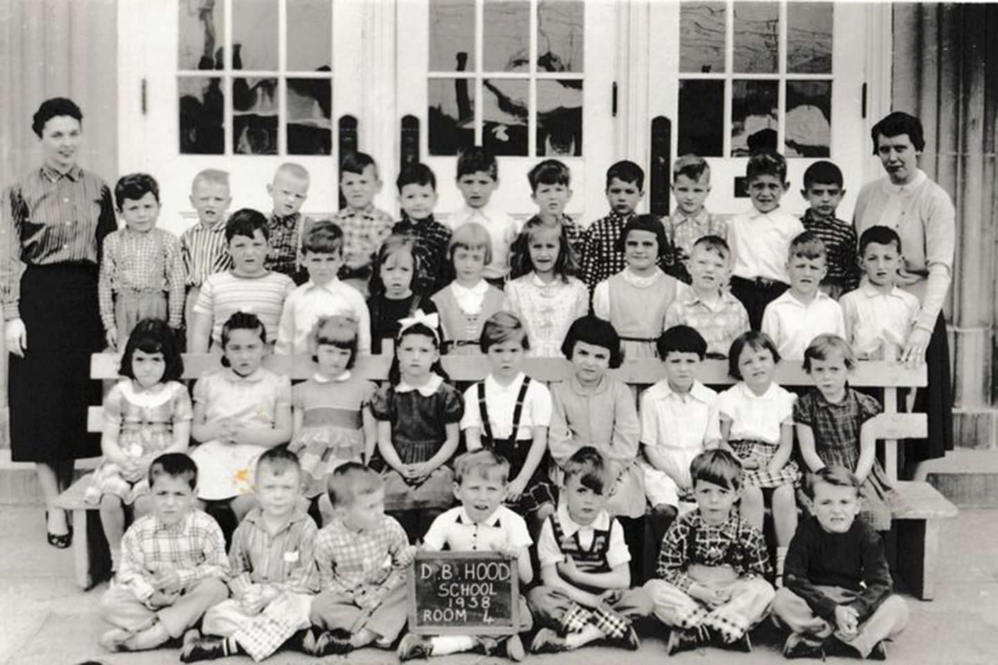
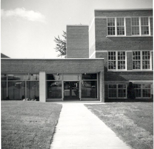
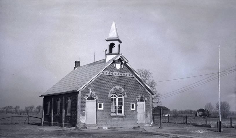
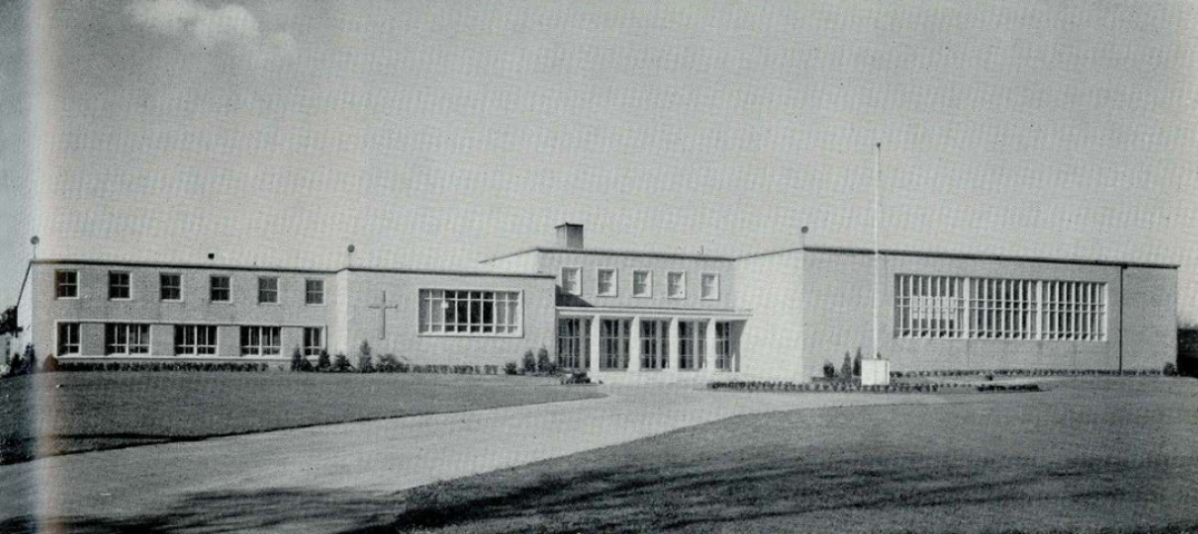
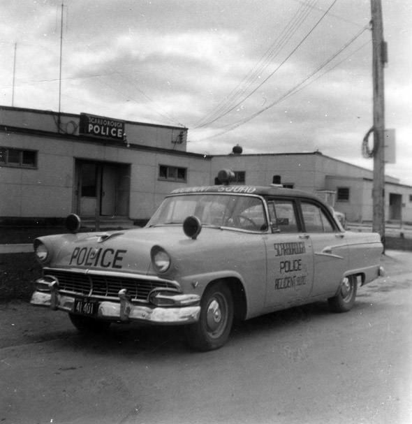
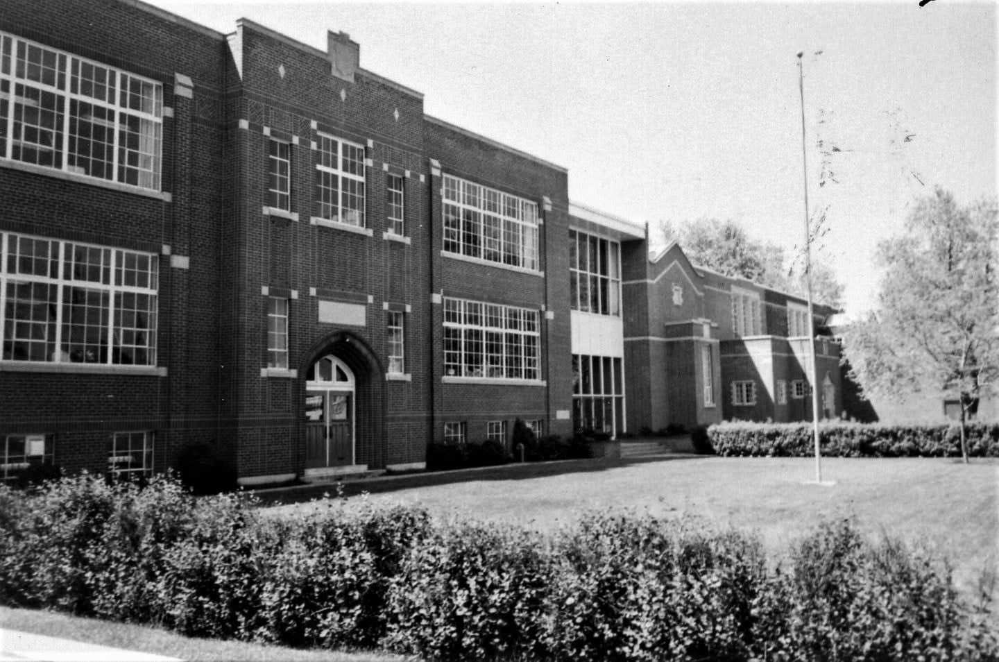
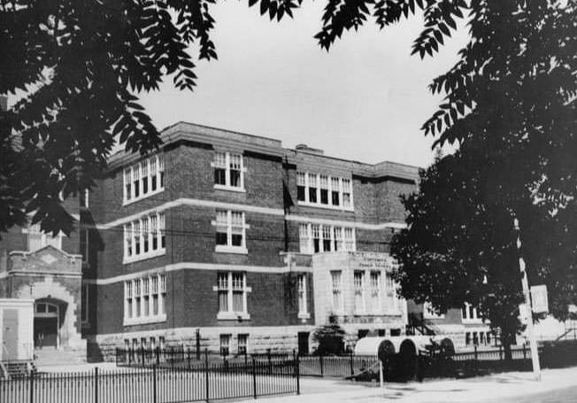
Schools were central to neighborhood life. From Balmy Beach Public School in the east end to D.B. Hood on Dufferin Street, Birch Cliff Heights in Scarborough, and Earl Grey School across the city, classrooms were full of children born during the post-war baby boom. Scarborough Junction School Section No. 10 had roots going back to 1847. By 1900 it had moved to a two-room building on Kennedy Road, and by 1906 the addition of two more rooms made it the largest public school in the township. Agincourt Collegiate Institute, photographed in 1957, served students in what was then a rapidly developing suburban pocket northeast of the city.
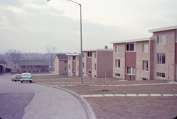
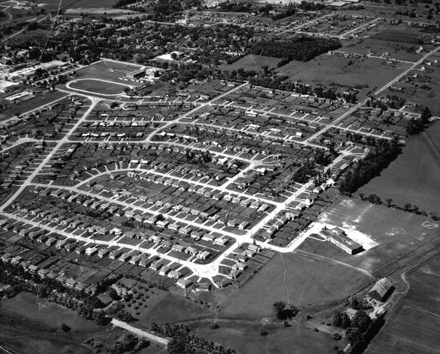
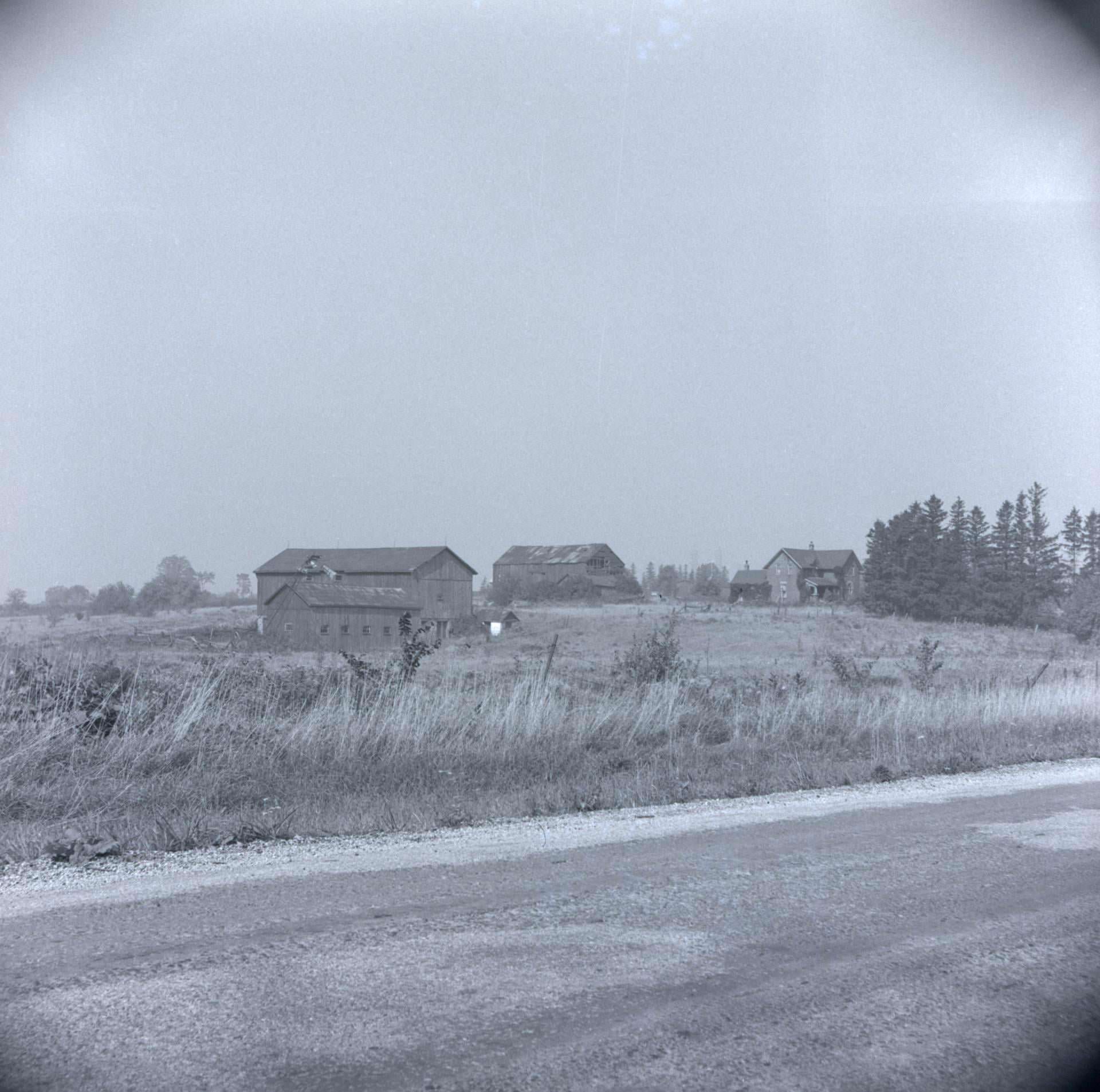
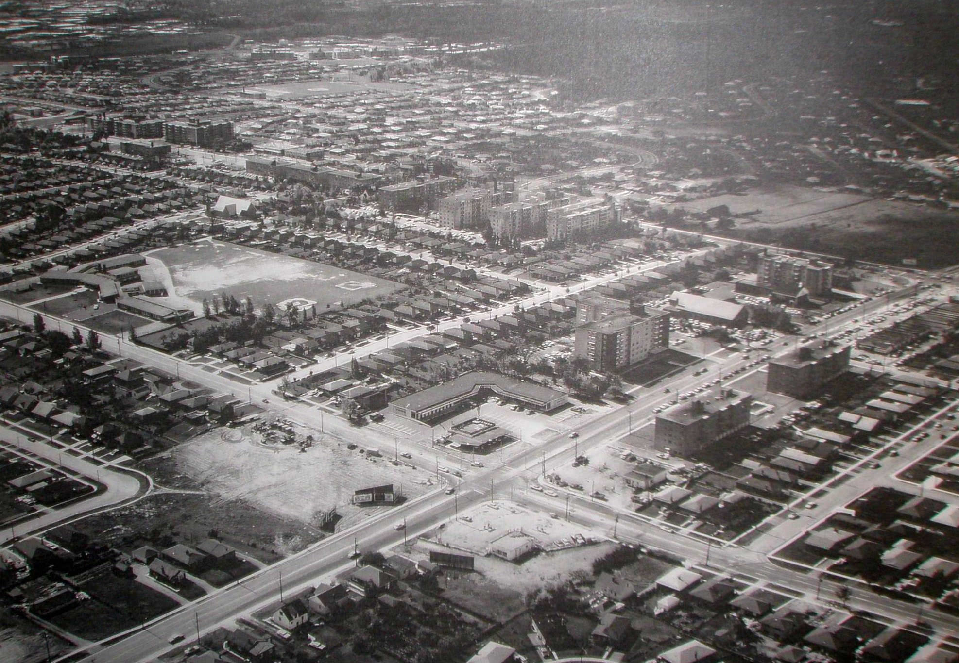
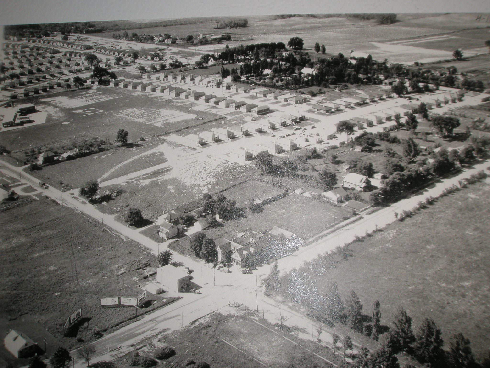
Don Mills, developed in the early 1950s, was a landmark in Canadian urban planning. It was Canada’s first fully planned residential community, with curved streets, green spaces, and a mix of housing types deliberately laid out to replace the traditional street grid. By 1957, it was an established neighborhood. Aerial photographs of Agincourt from the same period show just how fast the urban footprint was expanding, with new streets carved through what had recently been farmland, including the farm of Arthur Hill near Victoria Park and Old Finch Avenues.
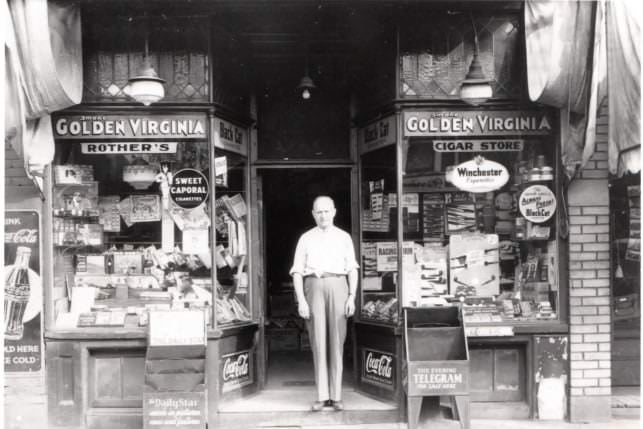
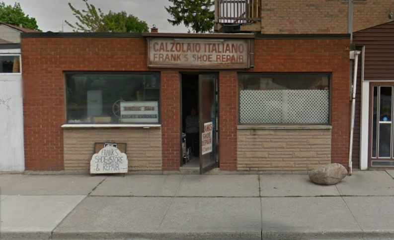
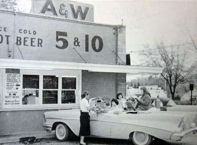
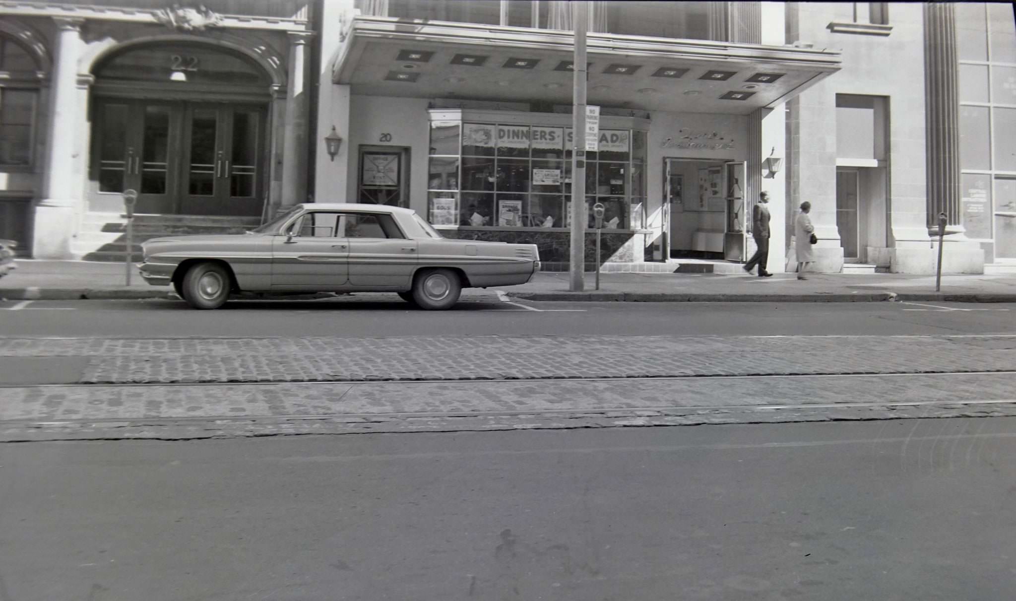
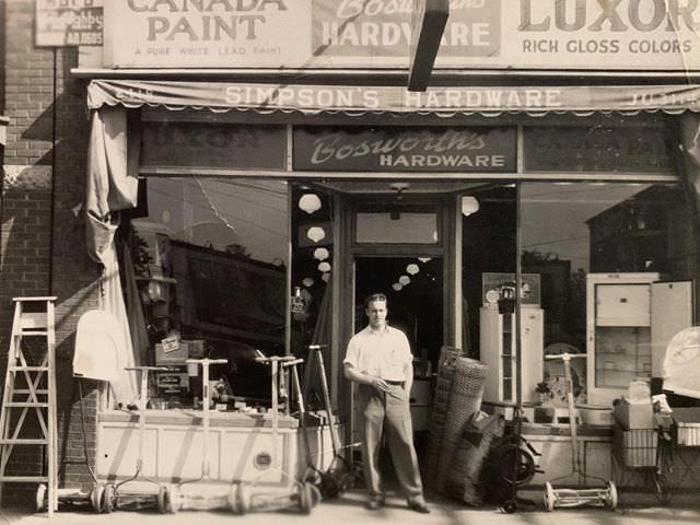
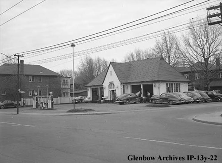
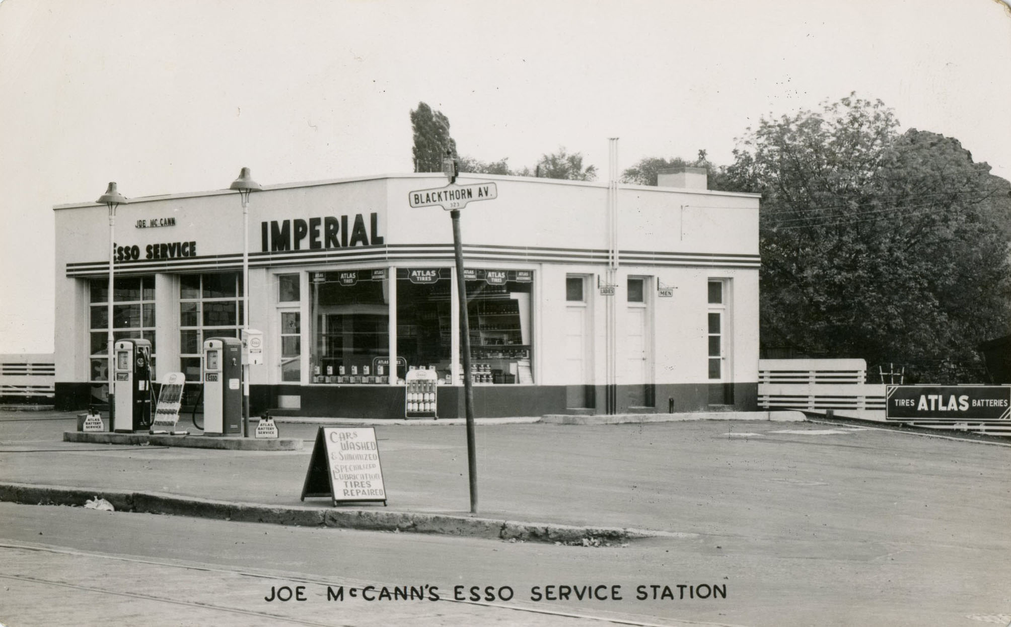
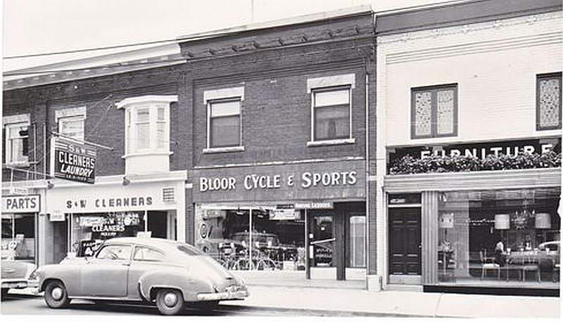
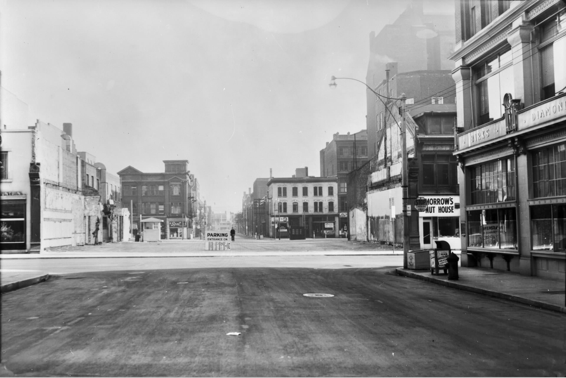
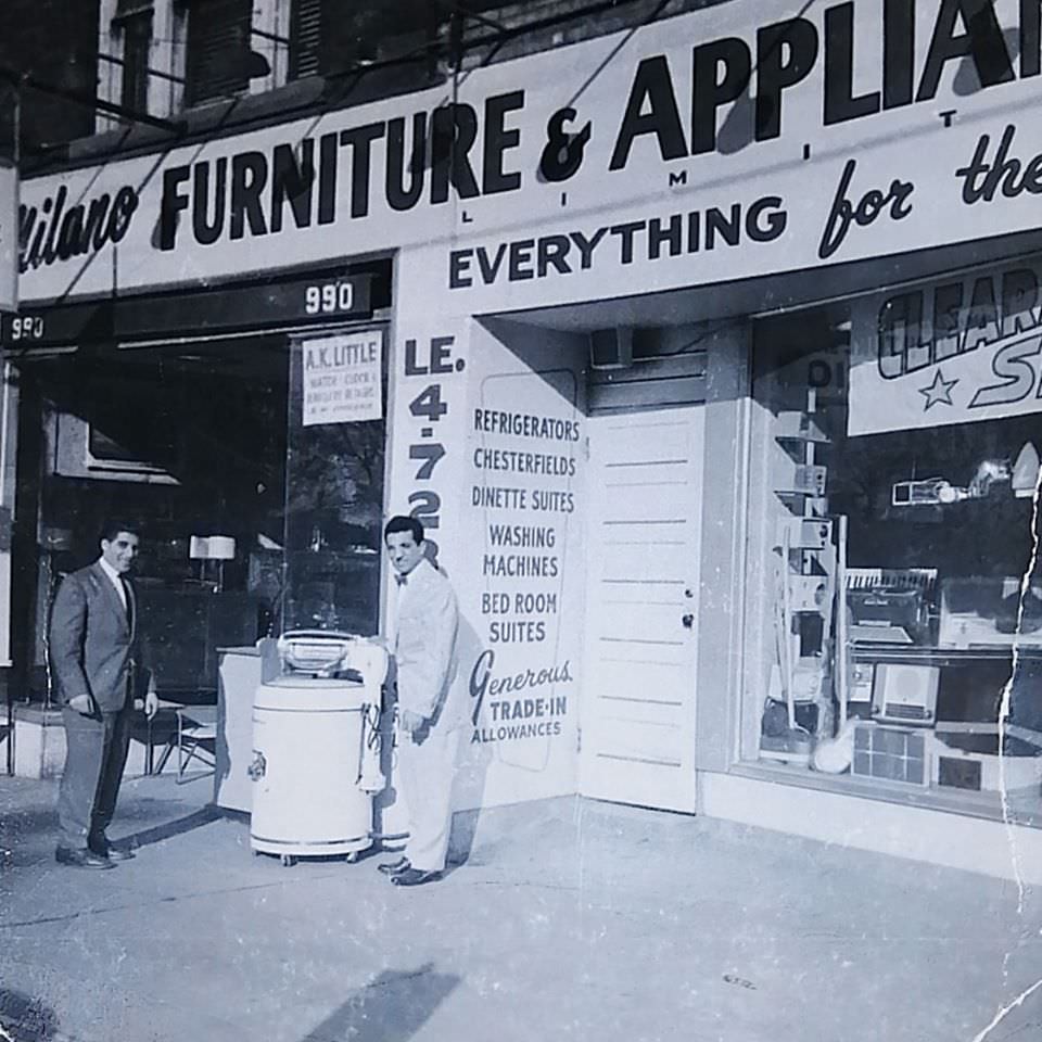
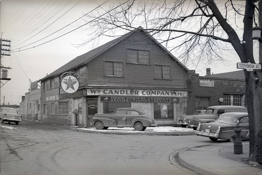
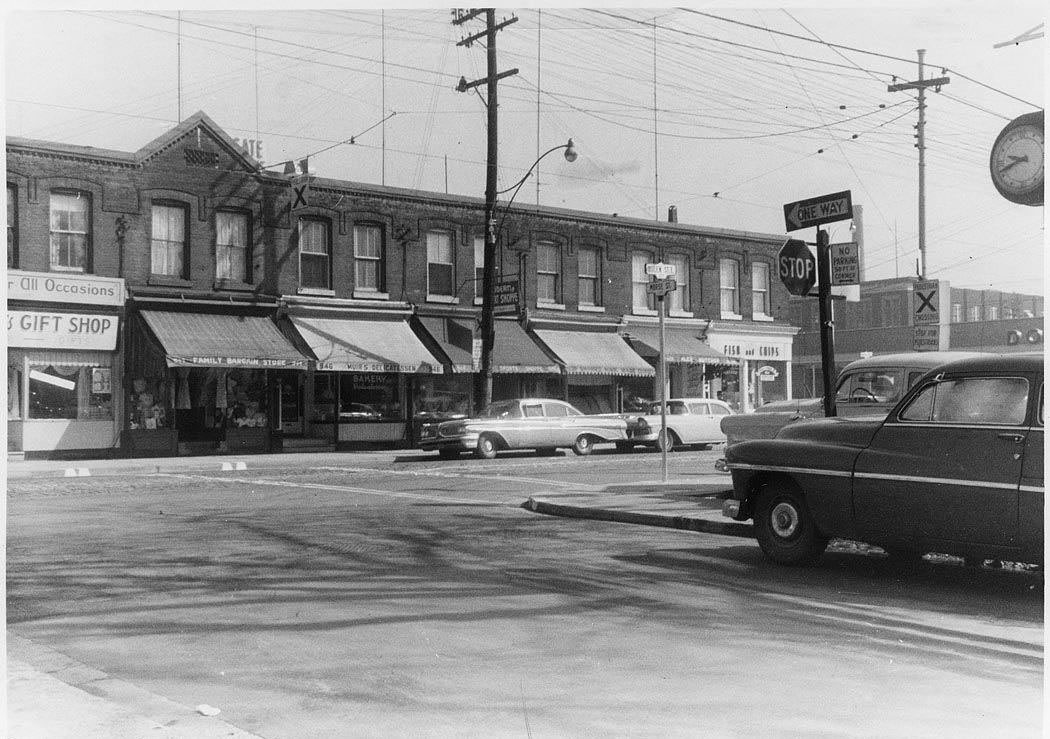
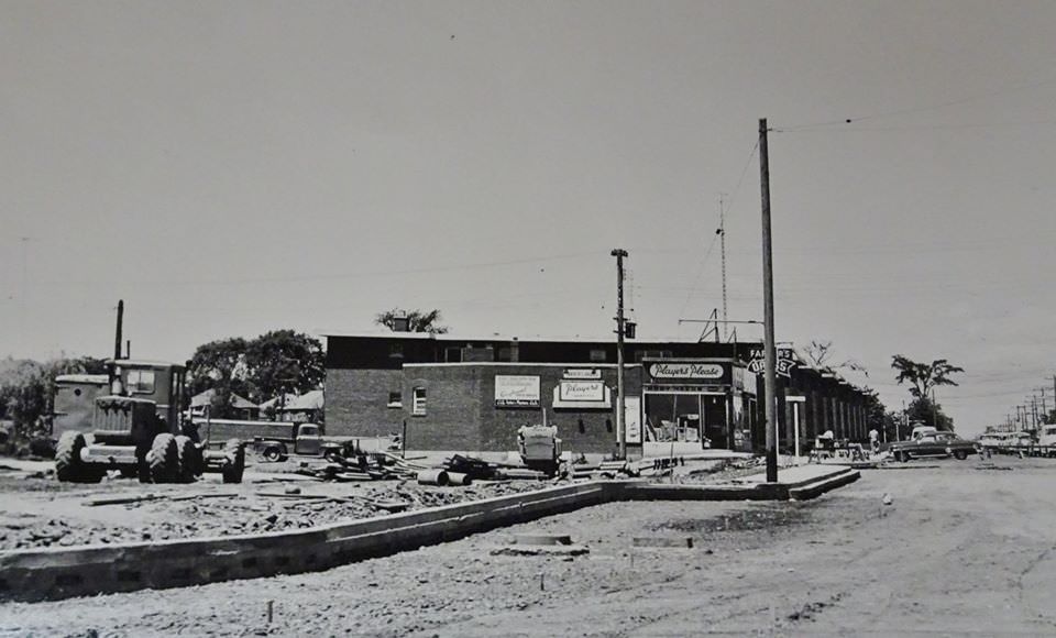
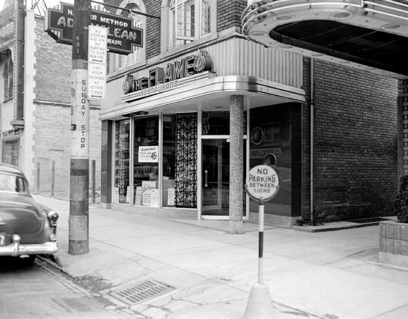
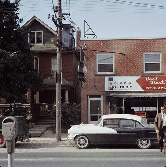
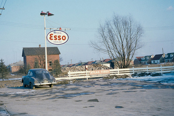
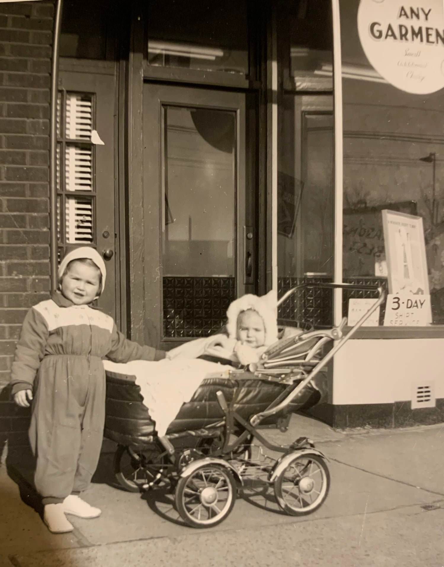
Small businesses defined the character of Toronto’s commercial strips in the 1950s. A cigar store at 1028 Gerrard Street East, a hardware store at Bloor and Armadale, an Esso service station at Jane Street and Humber View Road, and Frank’s Italian Shoe Repair — opened in 1955 — were all part of the texture of everyday commerce. The A&W drive-up restaurant in Etobicoke, photographed in 1957, represented a newer, American-influenced model of eating out that was beginning to take hold. Fran’s Restaurant had opened at 20 College Street back in 1950 and quickly became a Toronto institution.
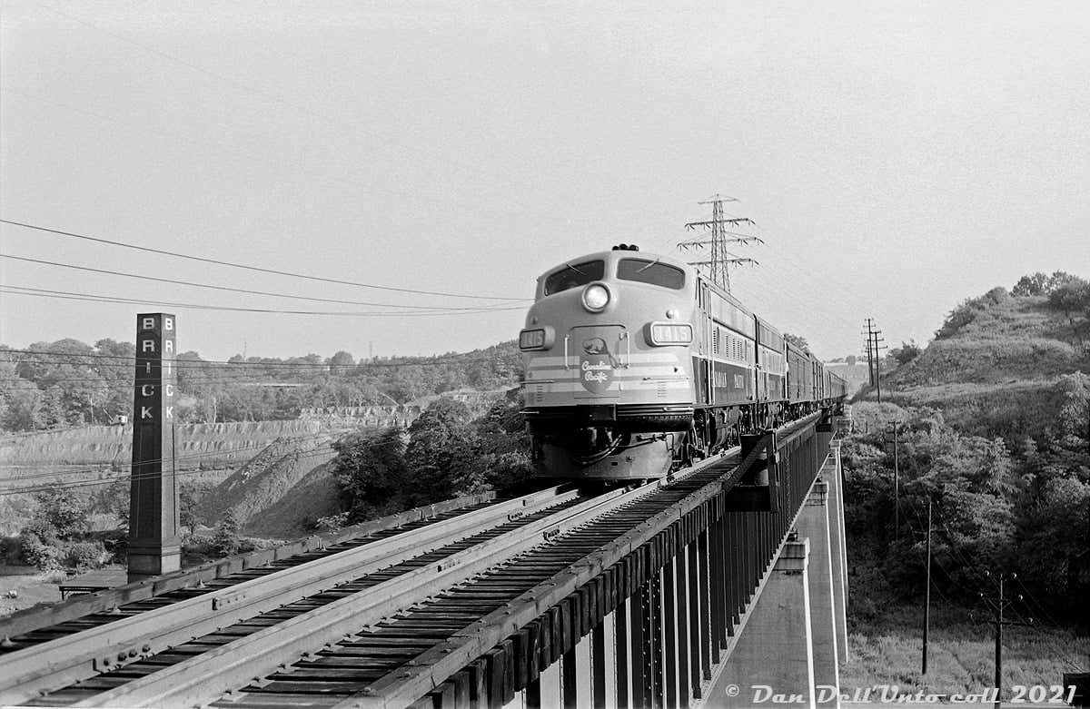
The former CPR North Toronto Station, built in 1916, was photographed in 1950 with its tower clocks already removed — stripped out sometime between 1948 and 1950. The clock openings became home to generations of pigeons. The station had long since stopped handling regular passenger trains, but the building itself remained standing. A Canadian Pacific passenger train led by a nearly new FP9 locomotive was photographed in 1954 heading southbound on the Don Branch toward Union Station, carrying passengers into the heart of the city.

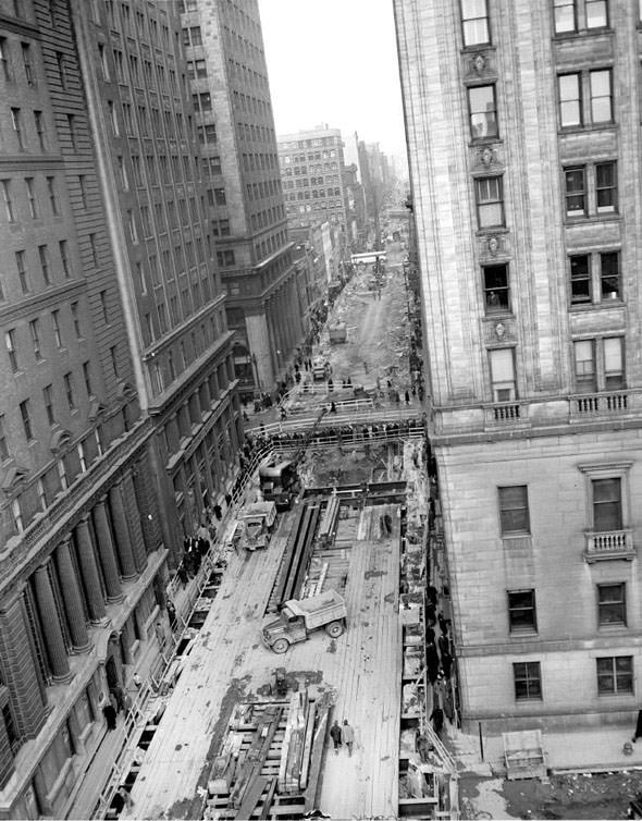
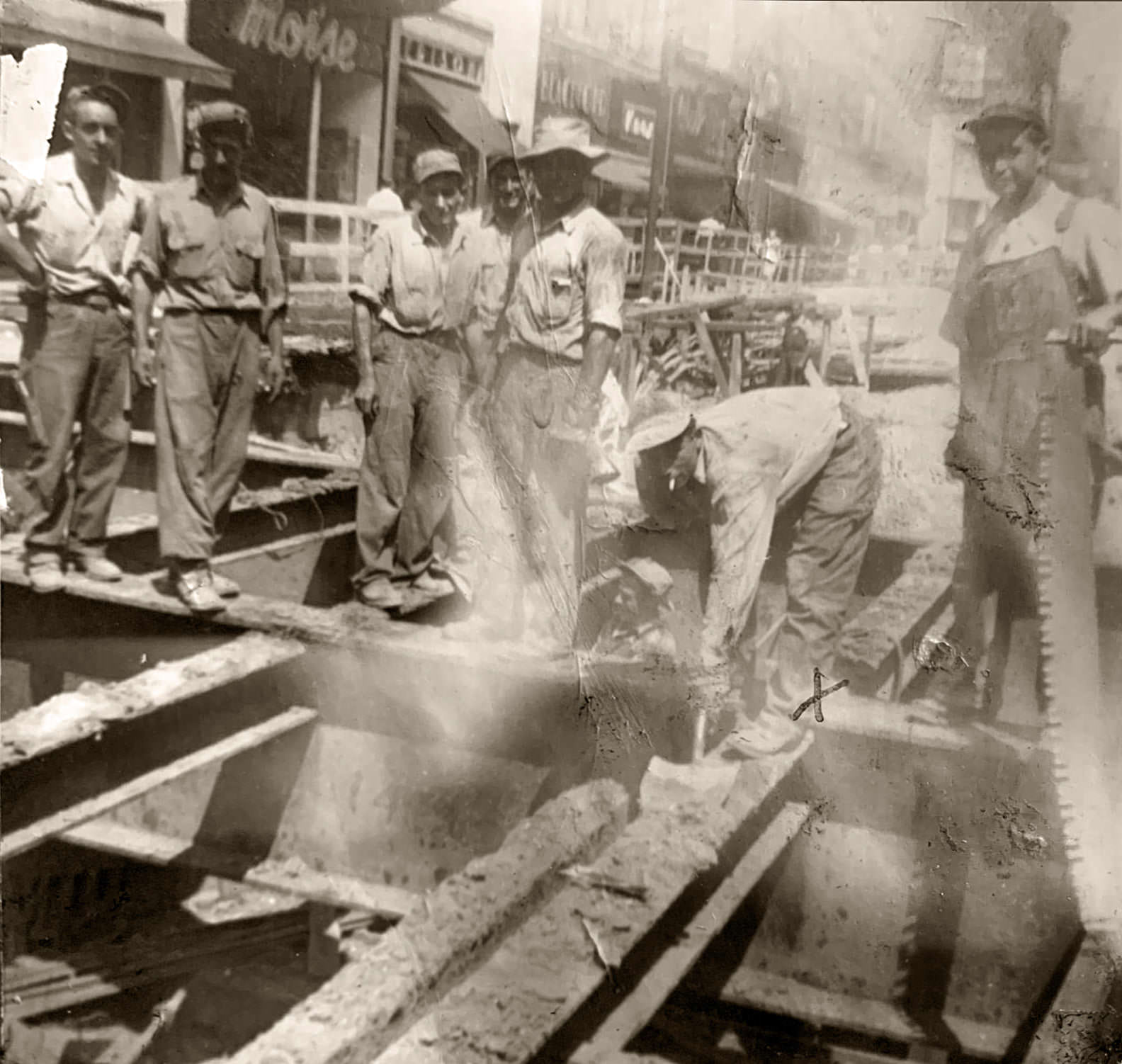
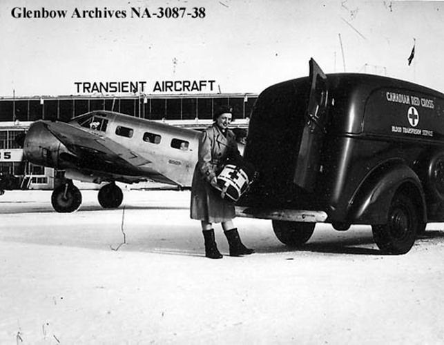
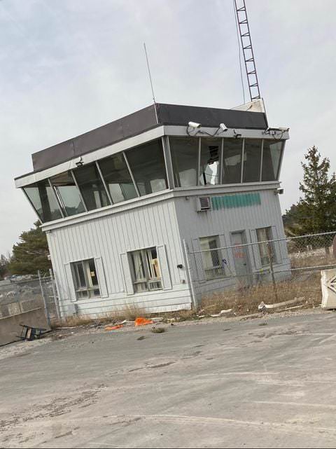
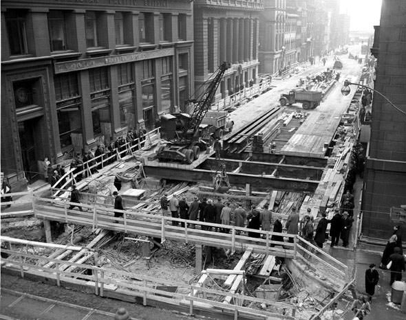
Immigration was reshaping Toronto throughout the 1950s. Workers from Italy, among other countries, arrived and took jobs in construction, manufacturing, and trades. A photograph from the early 1950s shows a newly arrived Italian immigrant working on the Yonge Street subway project — one of thousands whose labor physically built the infrastructure that the city still relies on today. At Malton Airport in 1950, a Canadian Red Cross worker stood ready to assist the steady flow of new arrivals.
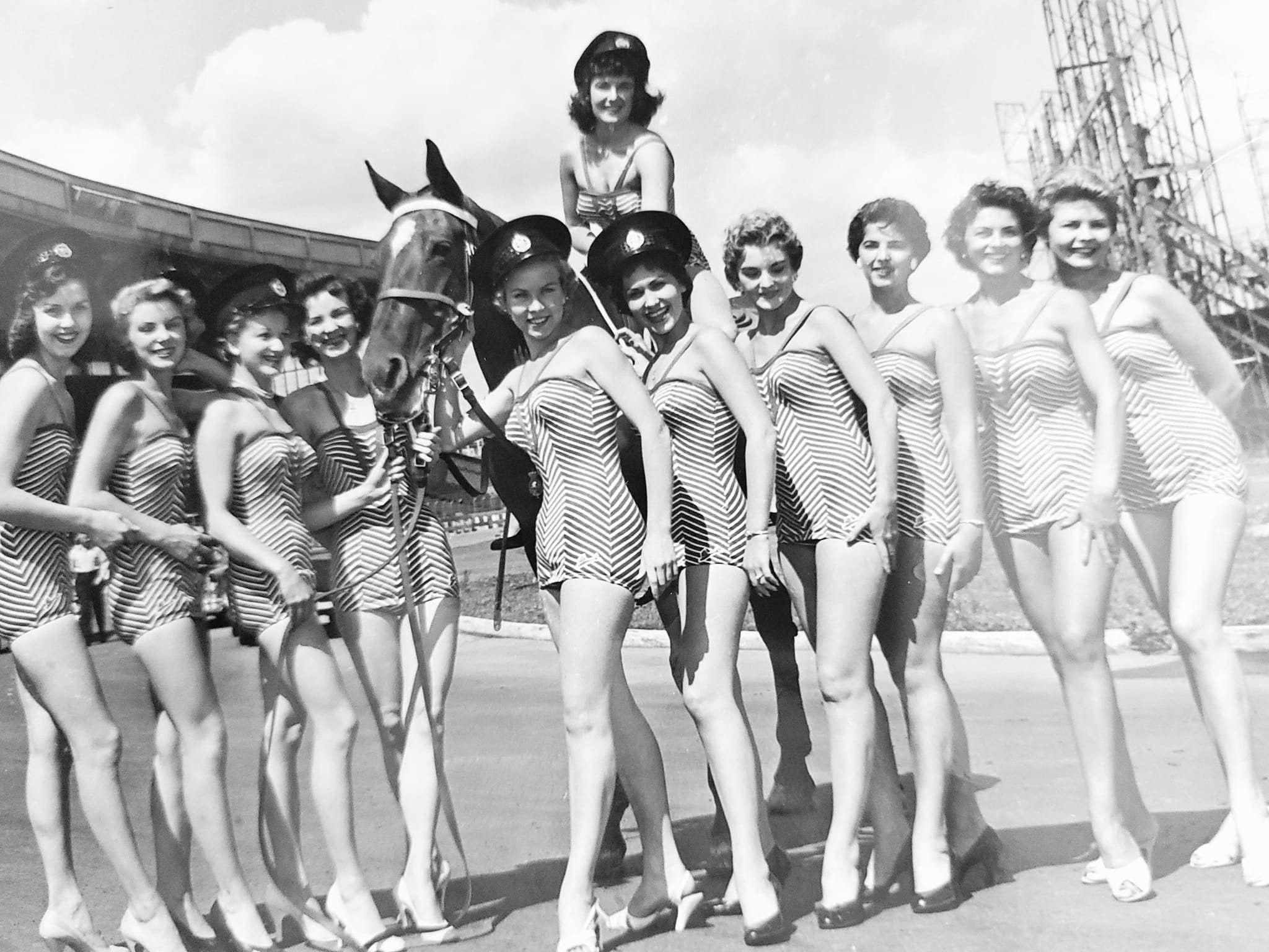
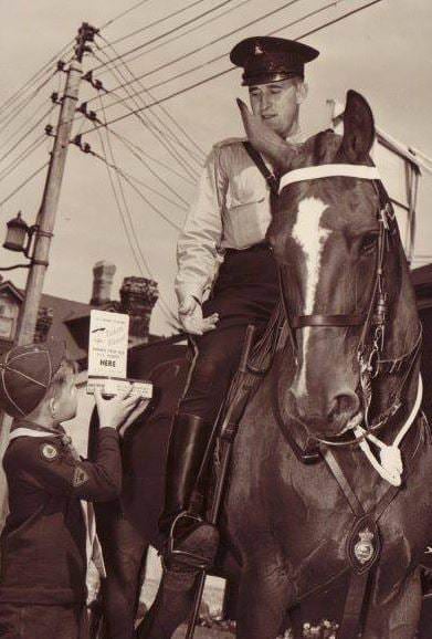
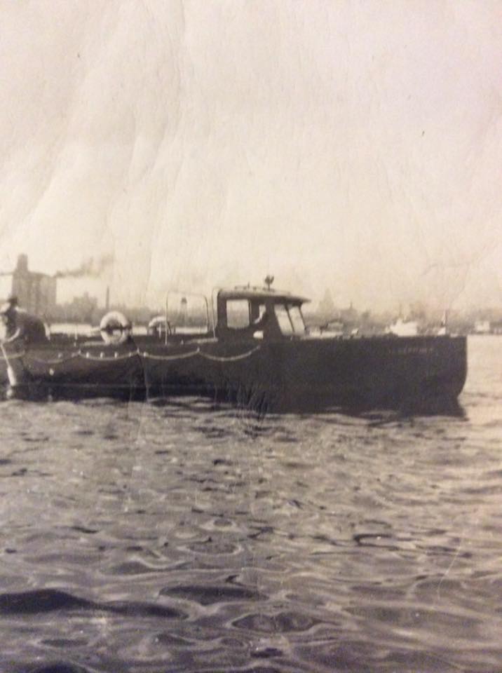
The Miss Toronto competition in 1956 drew significant public attention, as beauty pageants were mainstream social events throughout North America in the postwar years. The Toronto Mounted Unit, pictured in 1950 with Officer Robert W. Shannon aboard his horse Joan, was a visible part of city policing. The Toronto Harbour Police also maintained an active presence on the water, conducting rescues in the harbour as the city’s waterfront remained a busy and sometimes dangerous place.
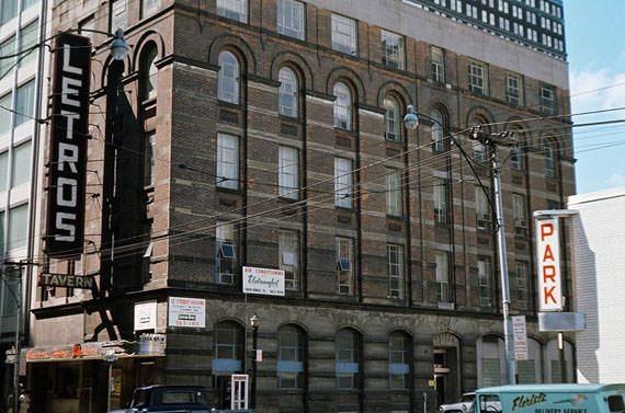
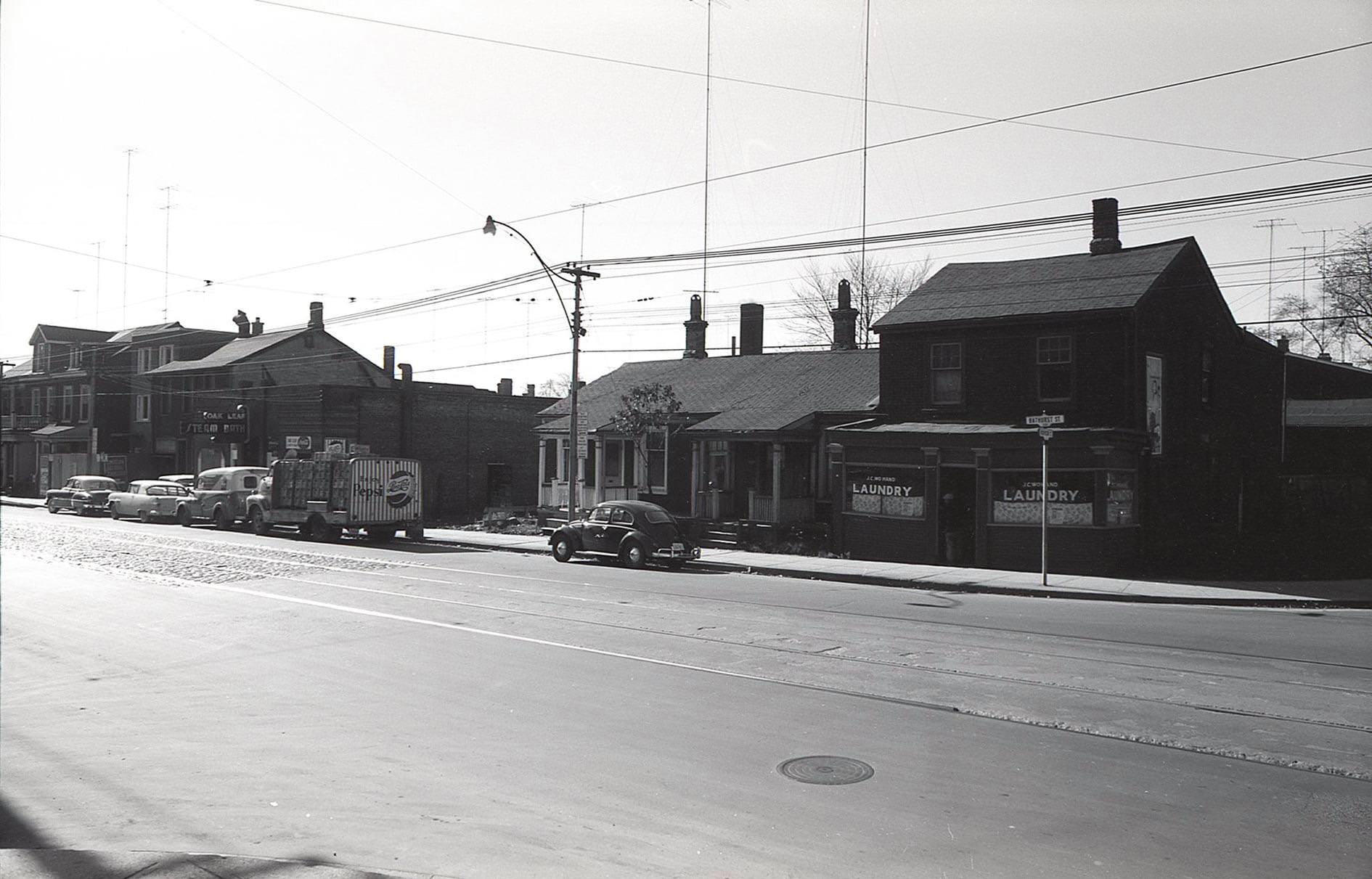
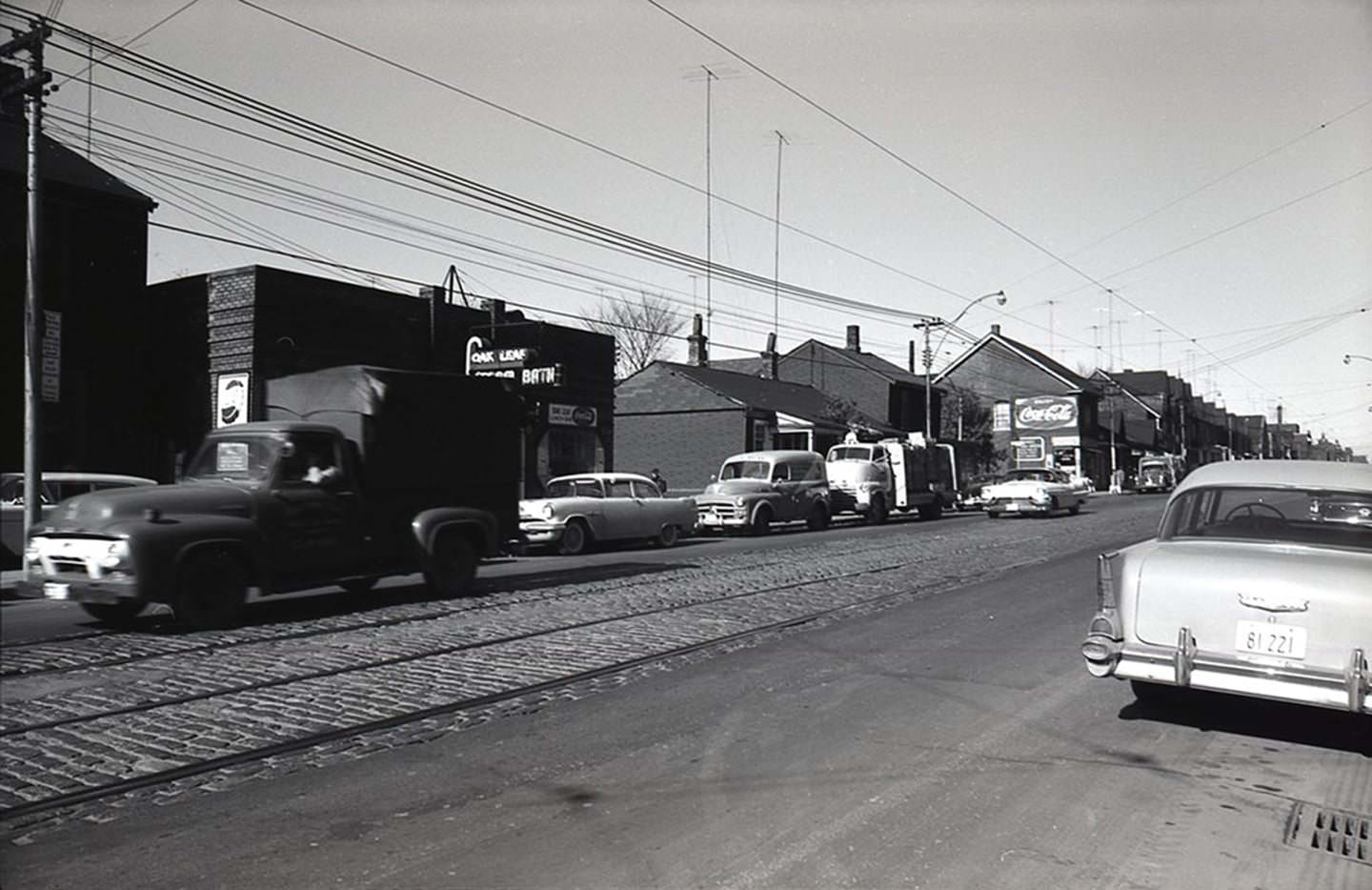
Toronto’s taverns and restaurants were social hubs where the city’s working class and professionals alike unwound after long days. The Letros Tavern was one of several well-known watering holes in the downtown core. The Oak Leaf Steam Baths at 216 Bathurst Street, photographed in the late 1950s with a vintage Pepsi truck parked nearby, was another fixture of the neighborhood. These were ordinary places for ordinary people — the kind of spots that rarely made the news but defined daily life for tens of thousands of Torontonians.
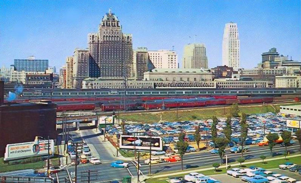
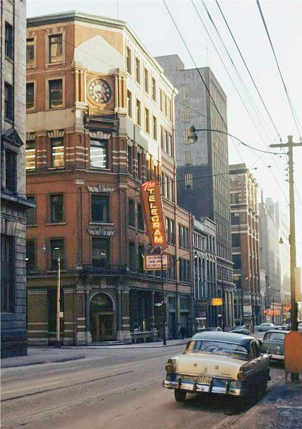
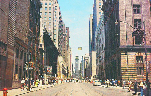
The Royal York Hotel, the Toronto Telegram Building, and Old City Hall remained among the most photographed structures in the city. Postcard views of Bay Street looking north toward Old City Hall captured a streetscape that Torontonians of the era knew intimately. The Beaches neighborhood, the quiet stretches of Ashbridges Bay, and Lake Shore Boulevard cutting across the western waterfront all featured in the popular imagination of a city proud of its geography and its place on the shores of Lake Ontario.

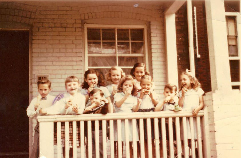
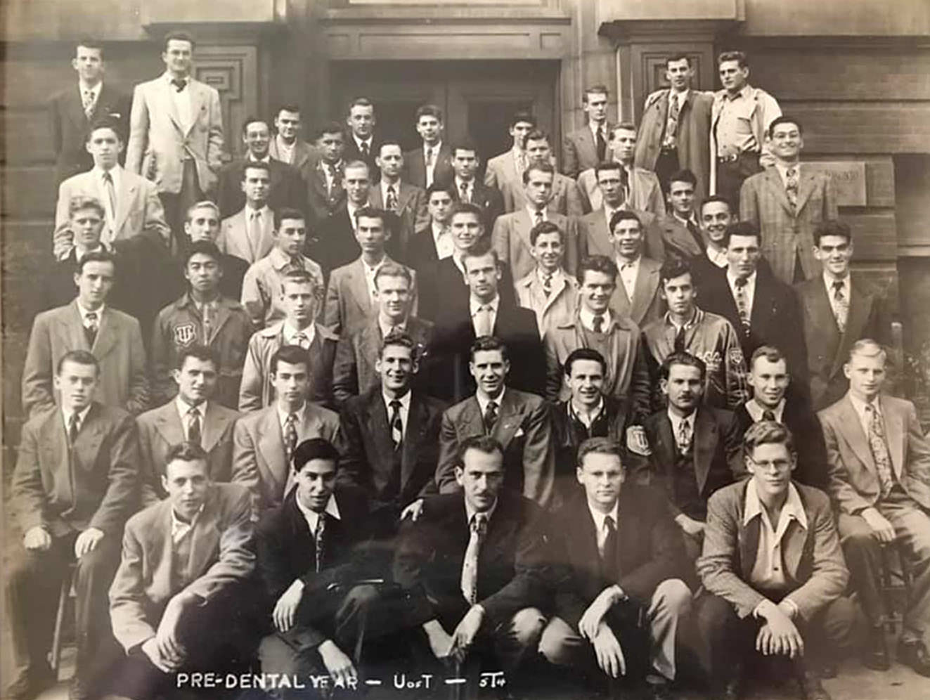
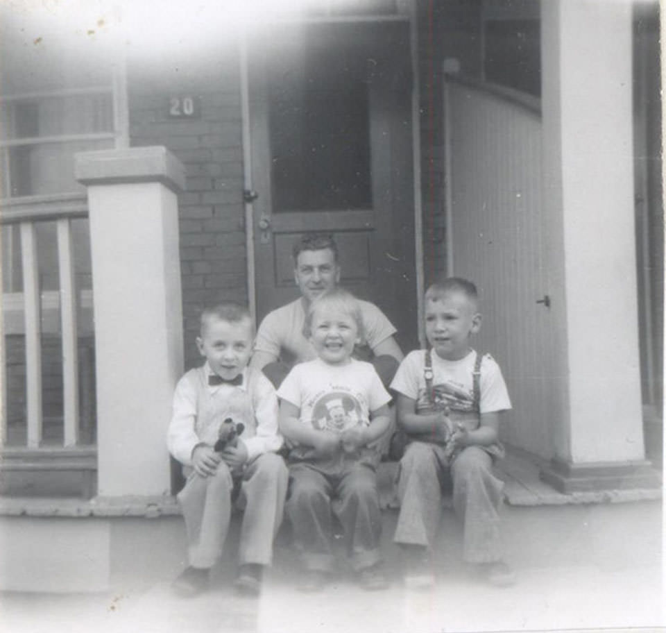
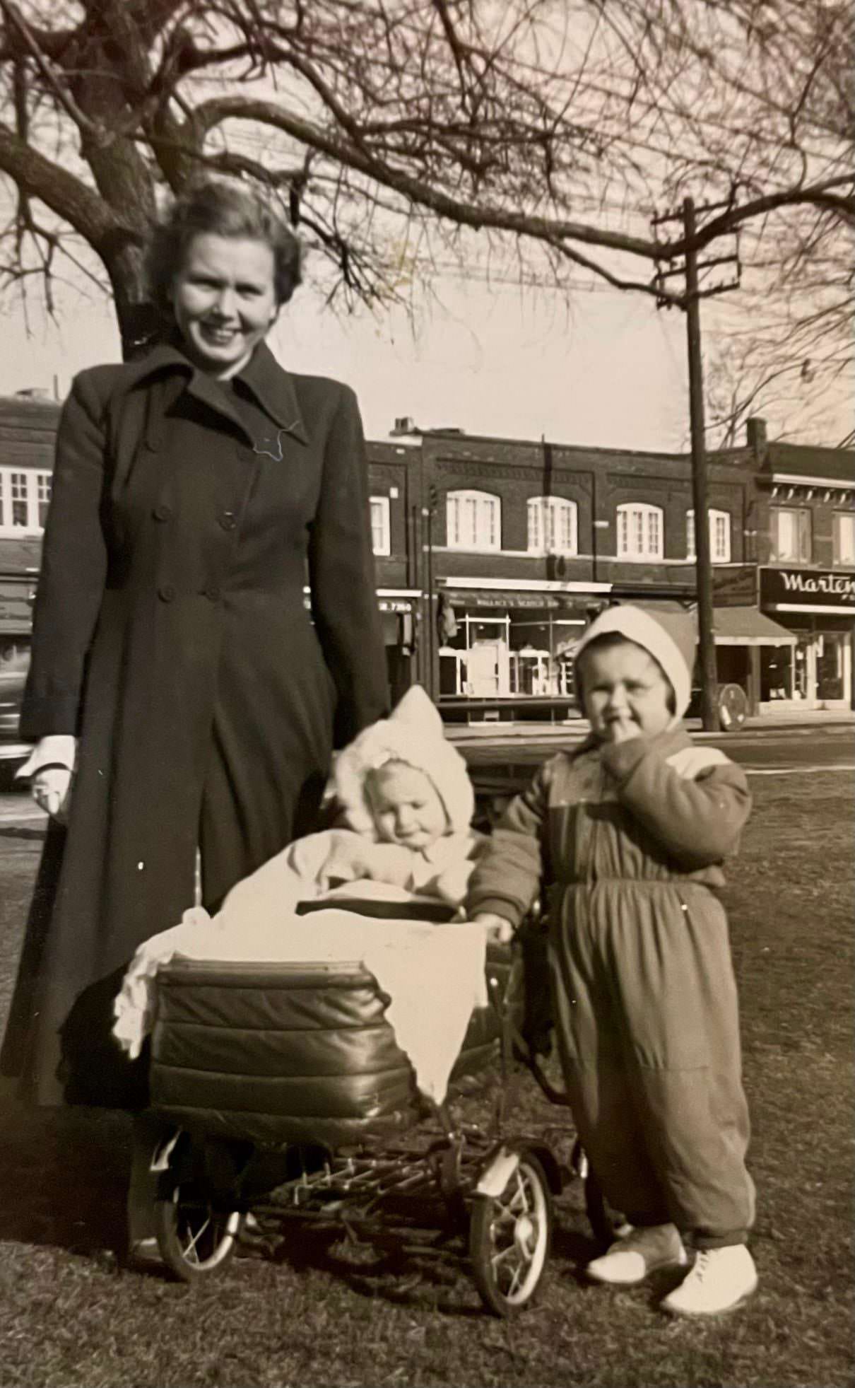
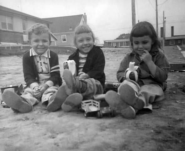
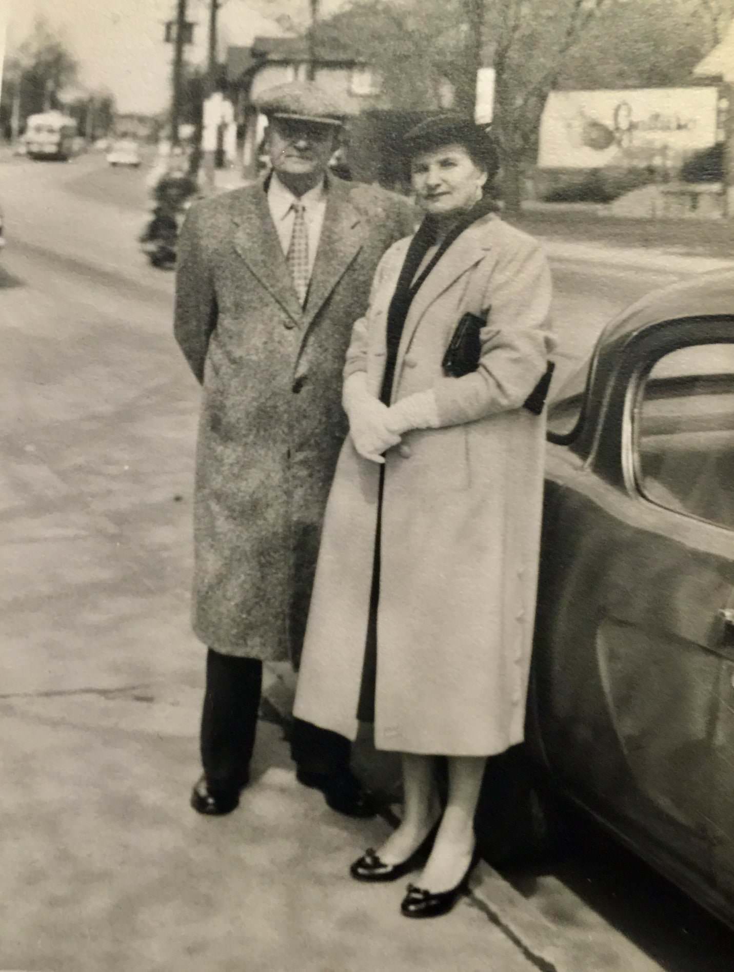
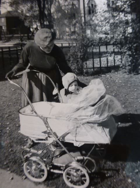
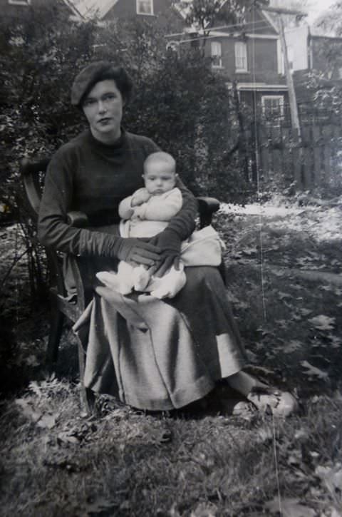
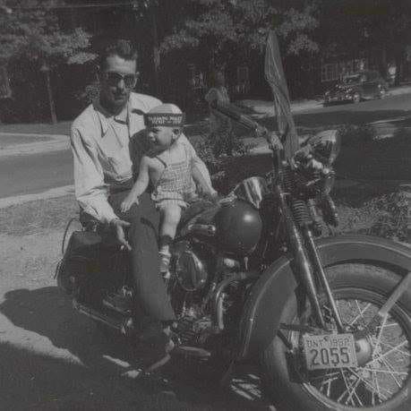
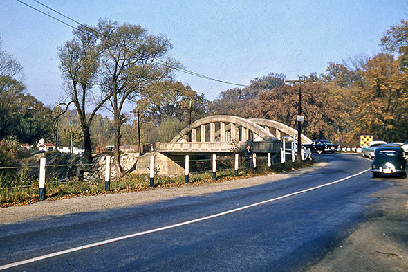
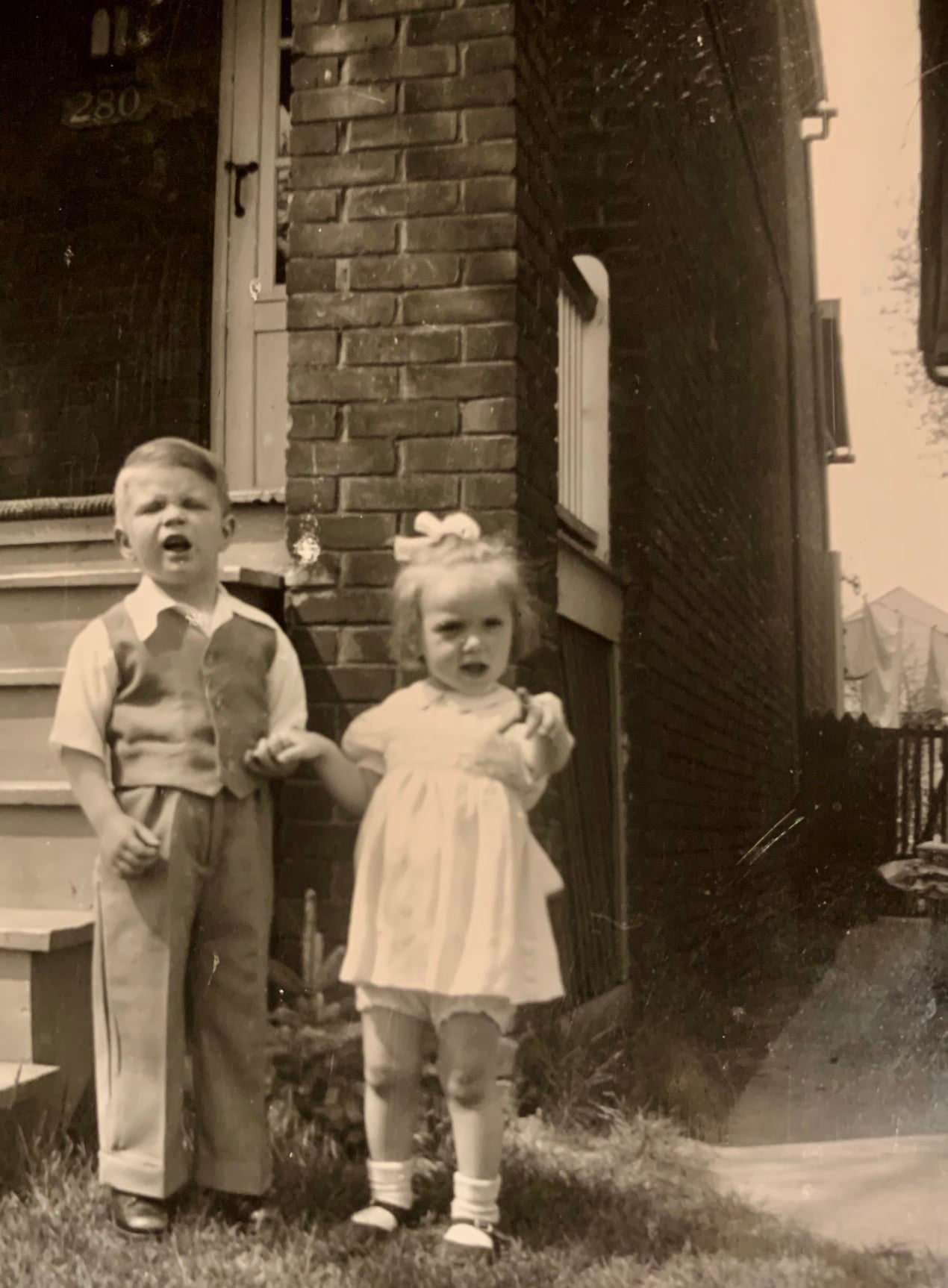
The photographs below capture what remains of that decade — birthday parties on Wellesley Street, children playing in North York cul-de-sacs, a UofT pre-dental class in 1954, and neighbours sharing a moment on a front porch. These are the images that document not just what Toronto looked like, but how its people actually lived. Each photograph is a fragment of a city that was growing fast, changing constantly, and full of the particular energy that defines a place still figuring out what it wants to become.
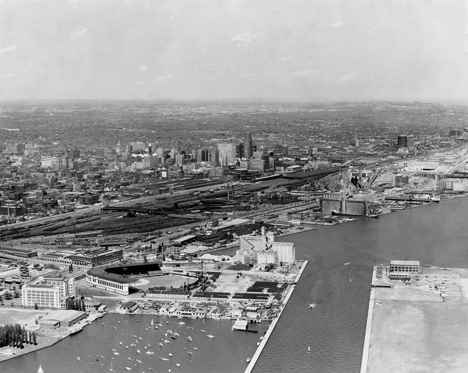
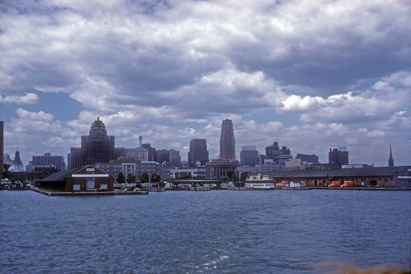
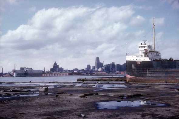





Several photos showing just how close the (actual) lake shore was to the rail lands. I forgot just how much land was reclaimed from the lake.
Several photos showing just how close the (actual) lake shore was to the rail lands. I forgot just how much land was reclaimed from the lake.
Wow, really good collection of photos—so many! Thx for the share
So Metrolinx was involved in the construction of Canada’s Wonderland?
I did enjoy this. So many of these collections forget the city also existed outside the boundary of Church, Bloor, Front, and University.
Um, Toronto wasn’t the biggest city in the 1950s, it was Montreal