In the 1920s, St. Louis was one of the most important cities in the American Midwest. It was a place where old traditions collided with fast-moving change. Streets that once carried horse-drawn wagons were now clogged with automobiles. Buildings climbed higher. Workers poured concrete, laid streetcar tracks, and rerouted rivers. At the same time, the city’s nightlife was exploding — driven by jazz music, hidden bars, and a population eager to enjoy the prosperity of the postwar years. These photographs offer a direct window into that world.
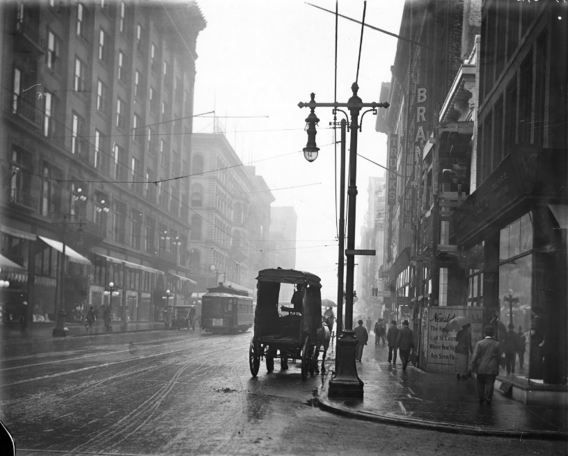
Corner of Seventh Street and Washington Avenue in the rain, with pedestrians walking down the sidewalk and vehicles in the street, 1920s
Downtown St. Louis in the early 1920s was busy at all hours. Seventh Street and Washington Avenue buzzed with pedestrians and vehicles pushing through the daily routine of a major American city. Streetcars, automobiles, and horse-drawn carts all shared the same roads, sometimes in the same block. The mix of old and new transportation was everywhere.
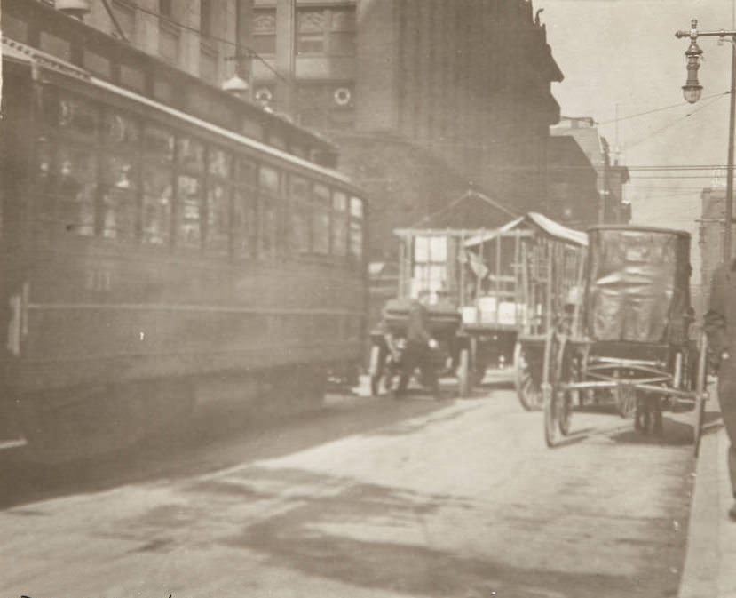
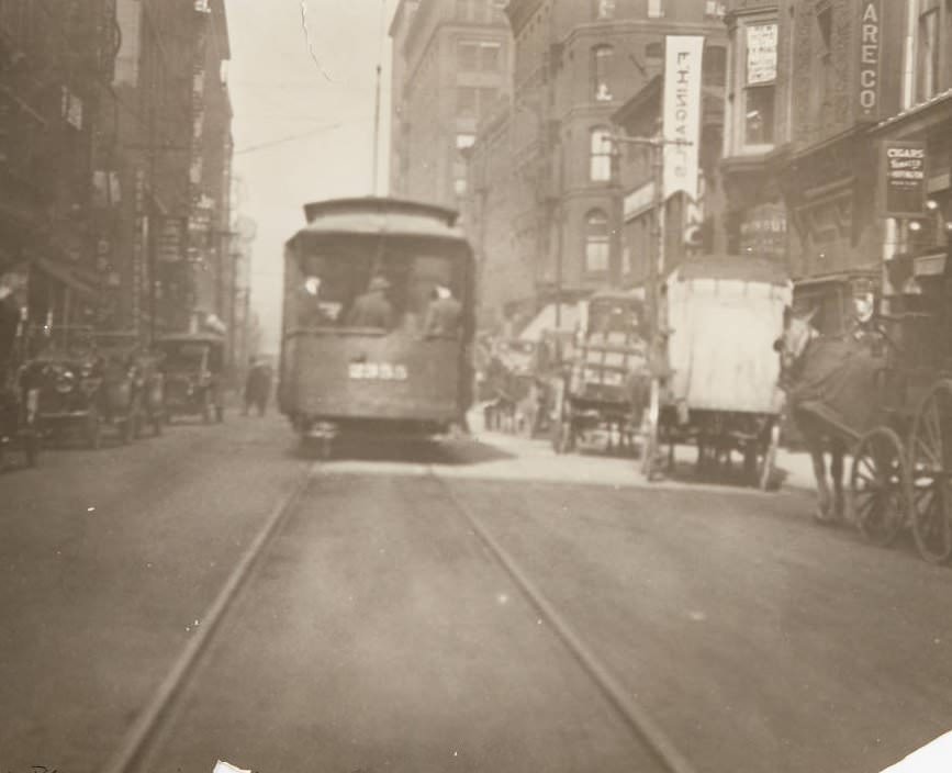
Daily streetscene of downtown St. Louis, likely on Pine Street, with a street trolley and automobiles visible, 1920
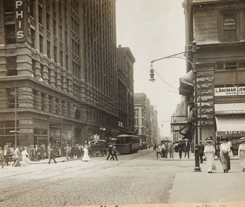
The city’s streets were constantly in motion. Trolleys ran regular routes past storefronts, theaters, and office buildings. On nearly every block, a new business had opened — candy shops, tailor shops, drug stores, and cigar stands filled the ground floors of brick buildings that had stood for decades. The commercial life of St. Louis in 1920 was dense and layered.
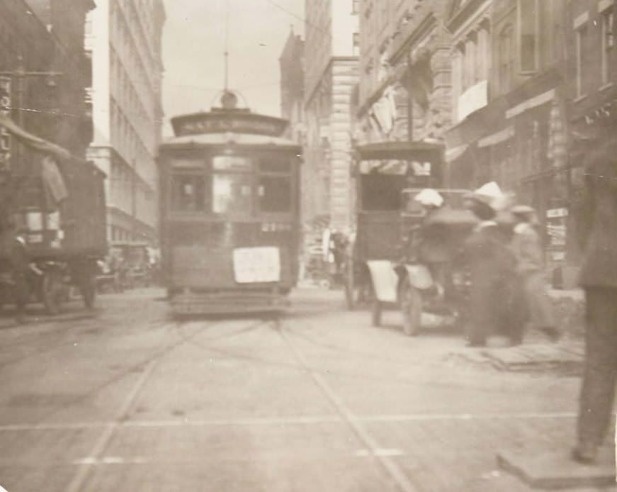
Traffic scene at the intersection of Olive and Seventh Streets with streetcars, horse-drawn carts, and pedestrians sharing the road, 1920
The jazz scene was one of the decade’s defining forces in St. Louis. The city had deep roots in blues and ragtime, and those traditions fed directly into the jazz era. Clubs and venues throughout the city featured live music nightly. The Sunset Cafe was among the most well-known spots, drawing nationally recognized performers including Duke Ellington. The music drew crowds from across the city, and the clubs gave St. Louis a reputation as a serious stop on the jazz circuit.
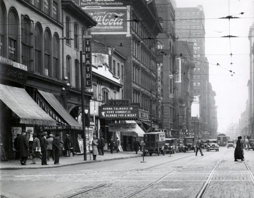
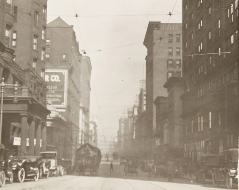
Broadway looking north from Market Street, with the Astor Theater, Senate Theater, and Liberty Central Trust Co. visible on the west side of the street, 1920s
Entertainment venues were central to the city’s identity. Broadway along Market Street was lined with theaters offering everything from vaudeville to film. The Astor and Senate theaters stood side by side, competing for the same crowds who packed the sidewalks on weekend nights. Music, film, and live performance were woven into the fabric of daily life for St. Louis residents.
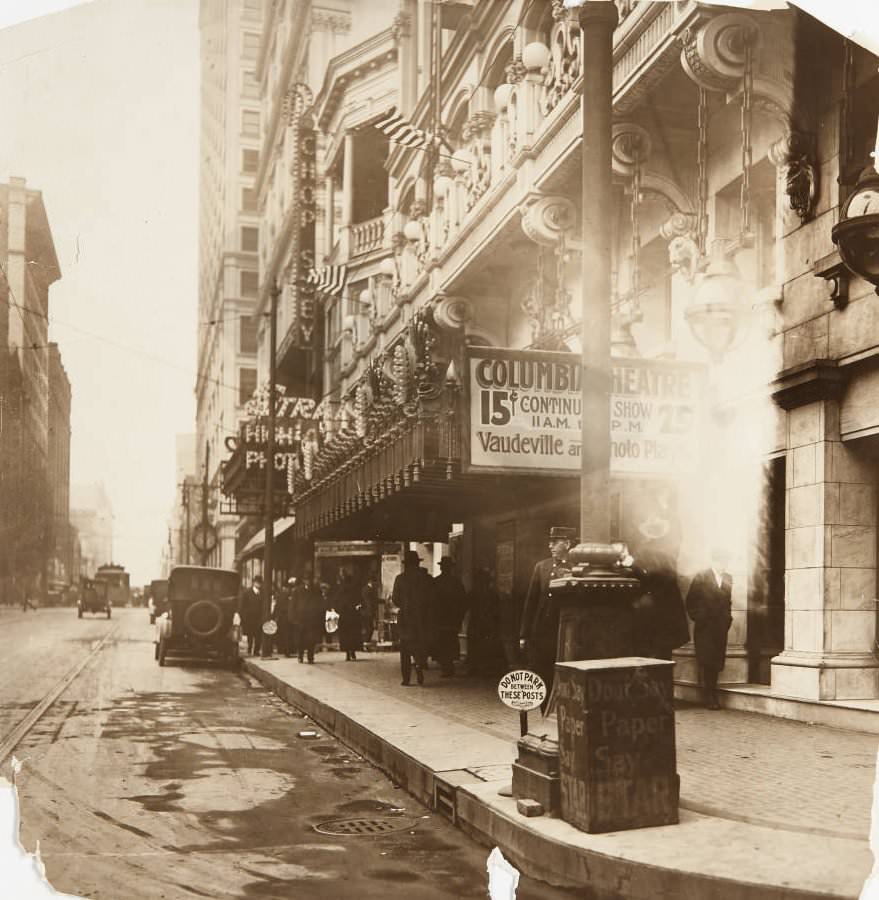
Columbia Theatre, located at 421 N. 6th Street, featuring a marquee advertising continuous vaudeville and photo play shows, 1920
The 18th Amendment took effect in January 1920, banning the production, sale, and transportation of alcohol across the United States. In St. Louis, as in every major American city, Prohibition did not stop drinking — it just pushed it underground. Speakeasies opened in basements, behind storefronts, and inside private homes. Customers needed the right password to get through the door. Photographs from the era show a city carrying on publicly, while an entirely separate nighttime economy operated just out of sight.
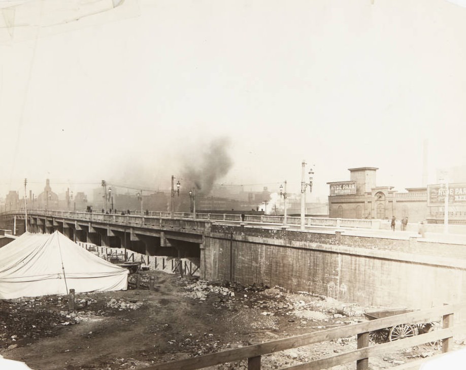
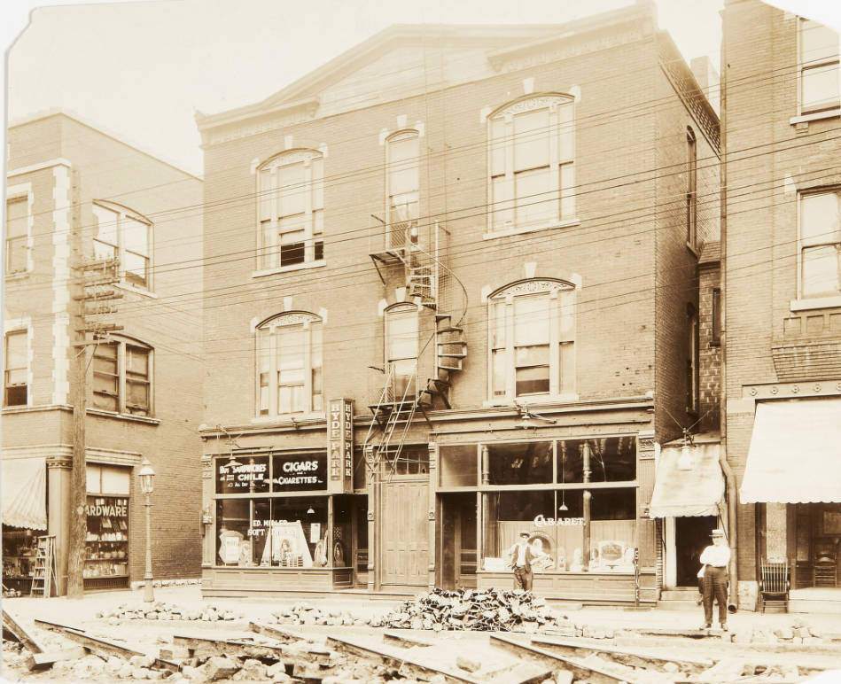
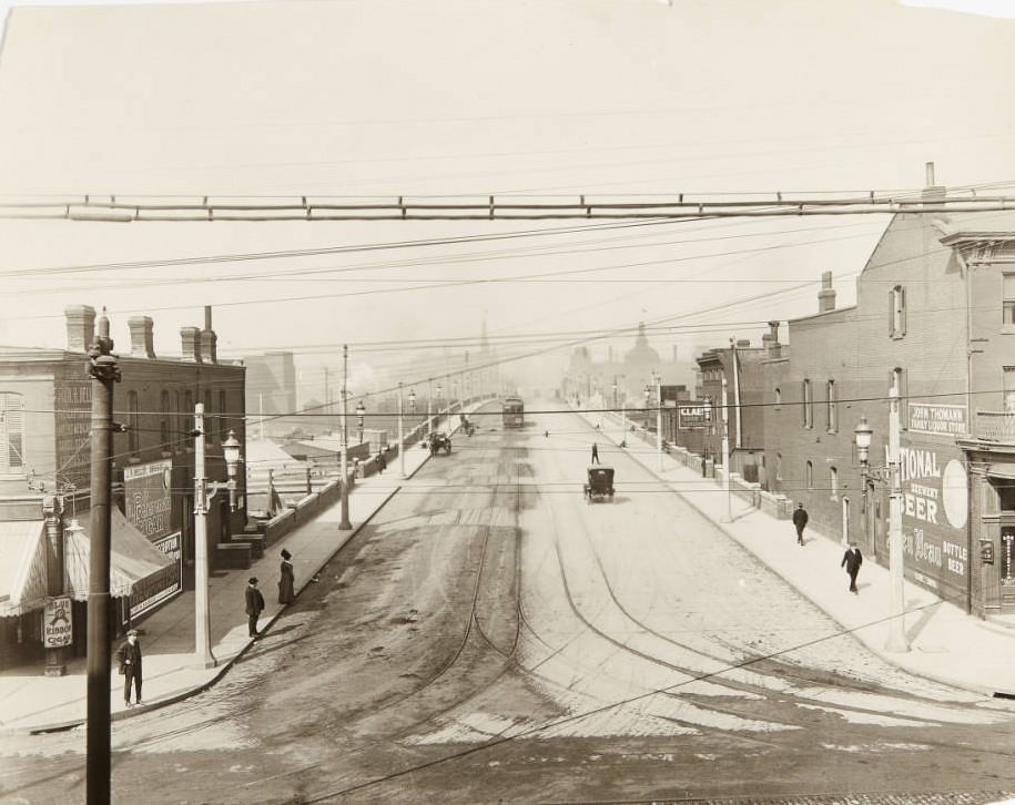
Twelth Street viaduct just south of downtown, with billboards for Hyde Park bottled beer visible on the building on the north side of the street, 1920
The billboards for Hyde Park bottled beer on the Twelfth Street viaduct capture a specific irony of the Prohibition era. Beer advertising remained visible on building walls even as legal brewing operations shut down. Hyde Park Brewery, like many St. Louis brewers, had to pivot or close — but the signs stayed up, ghostly reminders of the industry that had once made the city famous.
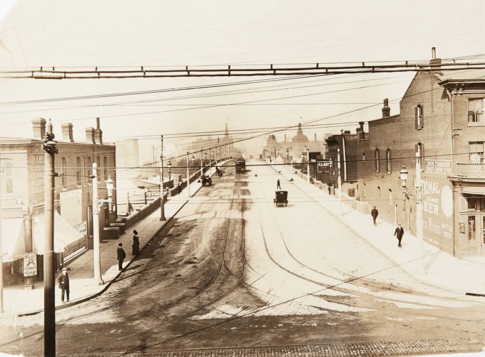
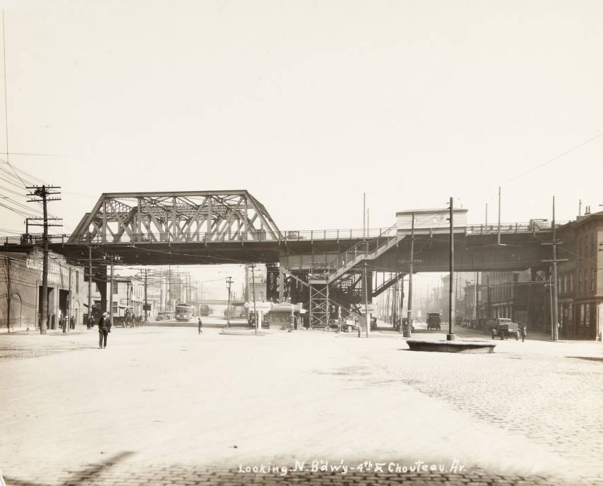
12th Street viaduct looking north from Chouteau Avenue, with storefronts for the John Thomann liquor store and the John H. Heller drug store visible, 1920
This photo, taken at the very start of Prohibition in 1920, shows the John Thomann liquor store still visible on the street front — one of thousands of businesses that were about to be shuttered or forced to change course. Drug stores like John H. Heller’s, visible in the same frame, would soon benefit from one of Prohibition’s many loopholes: physicians could still prescribe whiskey for medicinal purposes, making pharmacies an unlikely hub of legal alcohol dispensing throughout the decade.
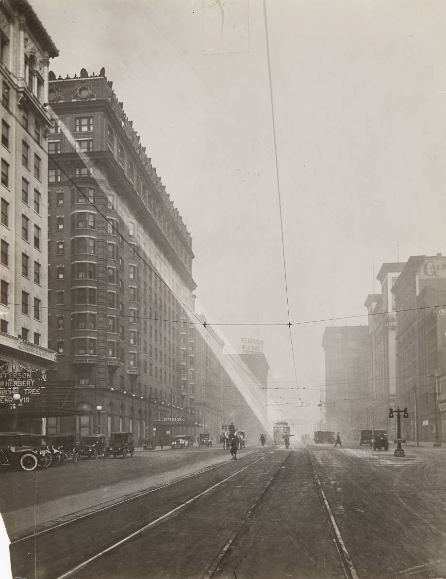
A spotlight shining down on a policeman directing traffic on 12th street near Olive St. in 1920, with the Hotel Jefferson visible on the west side of the street.
Policing in the city during Prohibition was complicated. Officers directed traffic in full view of establishments that everyone knew were operating illegally just blocks away. The Hotel Jefferson, visible in the background of this photo, was among the upscale addresses in the city. The tension between law enforcement and the realities of Prohibition enforcement played out on streets like this one every single day.
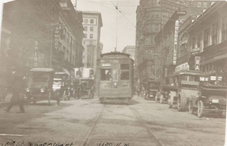
Streetcar moving past automobile traffic on 8th Street, with signs for various theaters and establishments visible, 1920
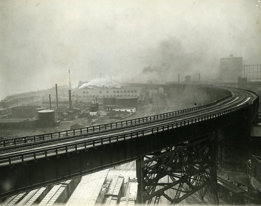
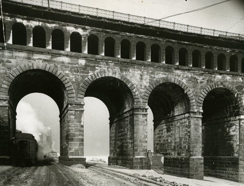
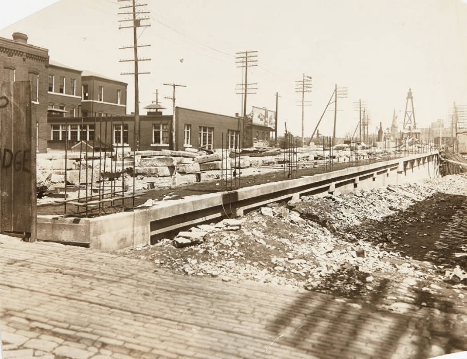
The city’s infrastructure was being rebuilt in real time during the 1920s. Streets were widened, paved, and repaved. Viaducts and bridges were constructed or upgraded to handle automobile traffic that grew year over year. The Municipal Bridge — later known as the MacArthur Bridge — was a central artery connecting St. Louis to East St. Louis, Illinois. Photographs from the period document the bridge at multiple stages of use and development.
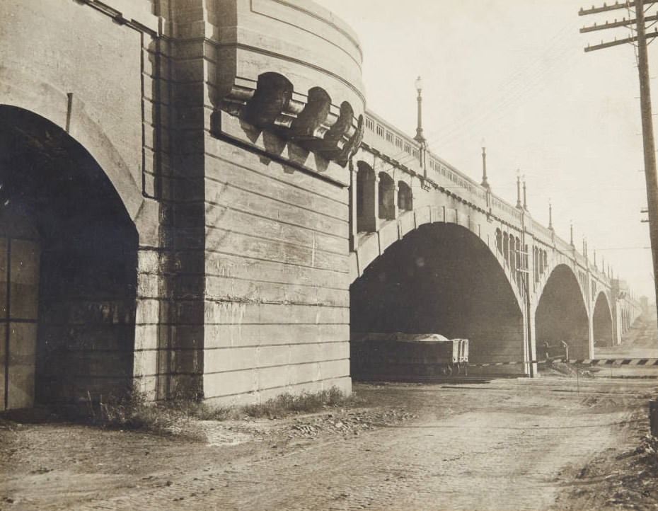
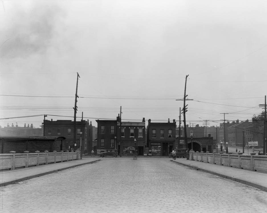
South approach to the Municipal Bridge, also known as the MacArthur Bridge, 1920sResidents utilizing the Municipal Bridge, now known as the MacArthur Bridge, either by foot or automobile, 1929
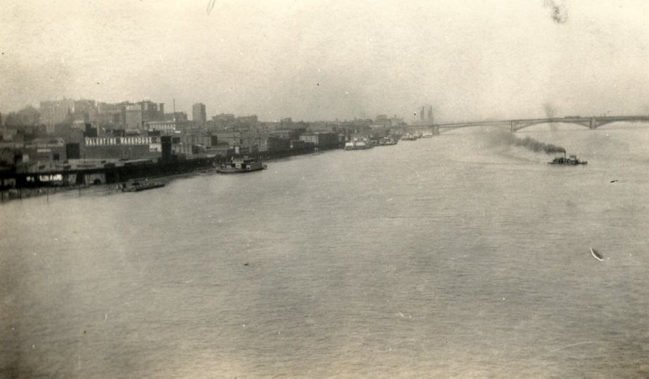
The Mississippi River waterfront remained one of the most commercially active stretches in the city. The Eads Bridge, completed in 1874, was still heavily used. By the 1920s it carried both rail and road traffic, sitting at the center of the city’s freight and transportation network. The riverfront itself was packed with warehouses, elevated rail lines, and loading docks.
View of the St. Louis riverfront looking north from a bridge, with the Eads Bridge in the distance, Valentine Warehouse and elevated railroad in the foreground, 1927.Pier of the Eads Bridge on the shore side of the Mississippi River, 1920s
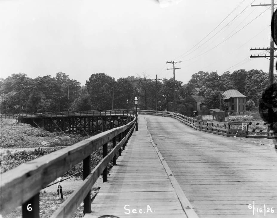
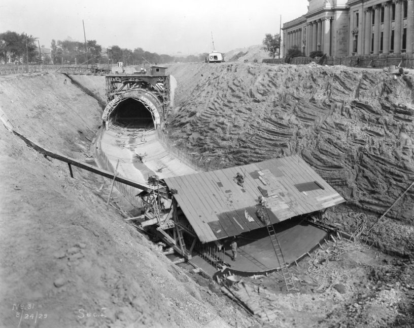
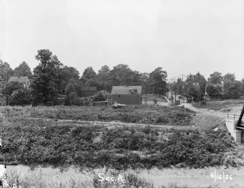
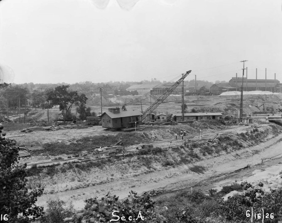
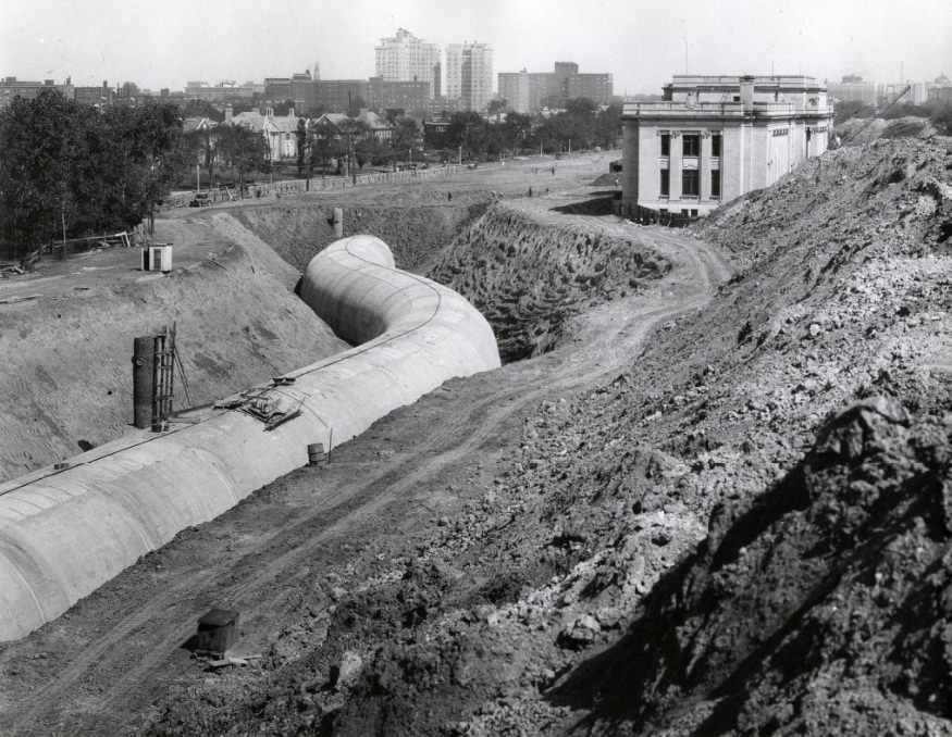
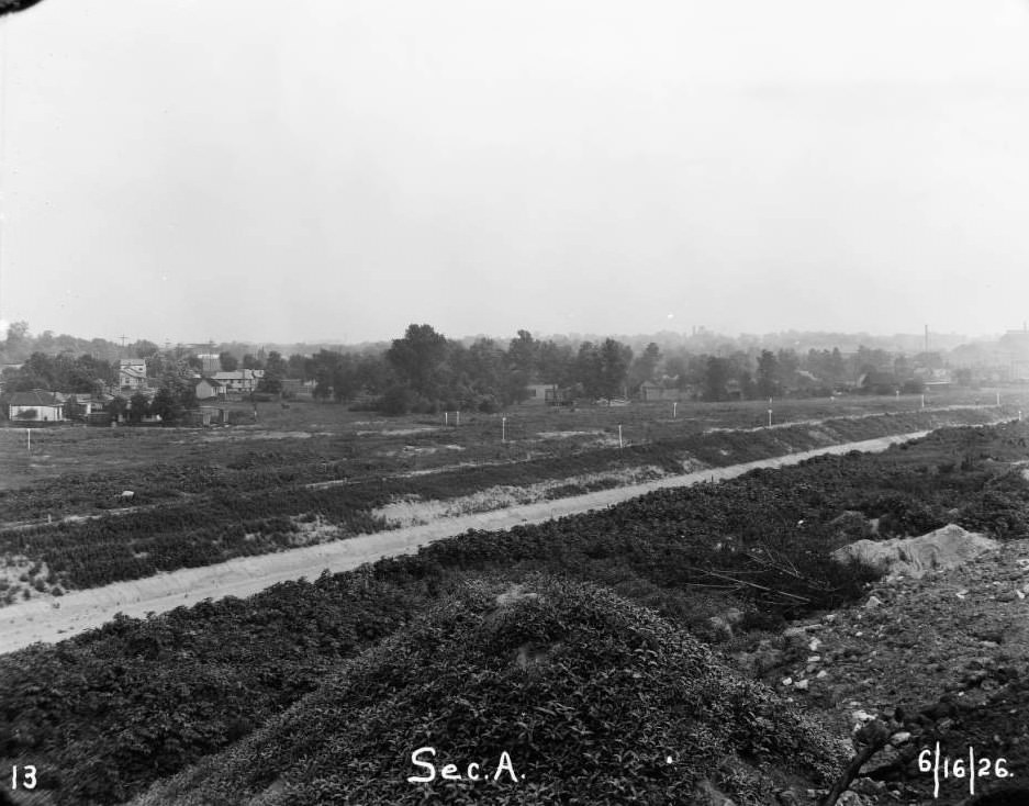
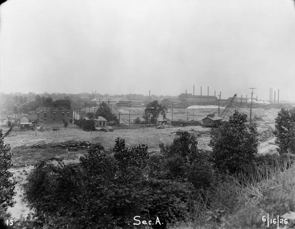
One of the most ambitious infrastructure projects of the decade was the River des Peres Sewerage and Drainage Project. The River des Peres was an open waterway running through parts of the city that had long caused flooding and sanitation problems. Engineers began enclosing sections of it in concrete tunnels and rerouting other sections entirely. The scale of the project was enormous, and photographs from 1926 and 1929 show the excavation, canal basin construction, and finished tunnel work near Forest Park.
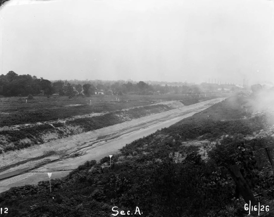
River des Peres being enclosed in a concrete tunnel in Forest Park, with the Missouri History Museum in the background, 1920sRiver des Peres sewerage & drainage works project. Section A was the 3-mile stretch between Lindenwood Ave. & Southwest Ave, 1926Construction of the canal basin for the River Des Peres in what is currently Ellendale, St. Louis, Missouri, 1926Rerouting of the River Des Peres by the Missouri History Museum for the River Des Peres Sewerage and Drainage Project, 1929
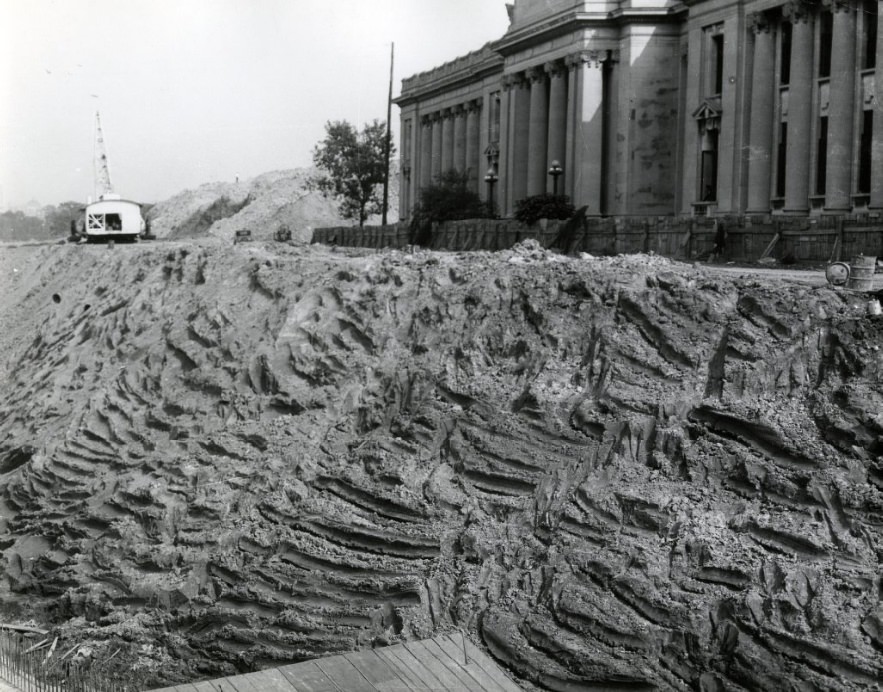
The Missouri History Museum — housed in what was originally called the Jefferson Memorial and recognized as the first national monument to Thomas Jefferson — sat adjacent to the River des Peres project in Forest Park. Construction activity surrounded the building through much of the late 1920s as the drainage project progressed.
Construction out front of the entrance to the Missouri History Museum, formerly the Jefferson Memorial and the first national monument to Jefferson, 1929
On the evening of September 29, 1927, a tornado tore through St. Louis. It was one of the deadliest and most destructive storms in the city’s history. The twister killed 79 people and injured more than 500. Homes, businesses, and entire blocks were damaged or destroyed. The disaster pushed city officials to revise building codes and improve weather forecasting systems. Streets that had been photographed just a few years earlier in ordinary daily use were reduced to rubble in a matter of minutes.
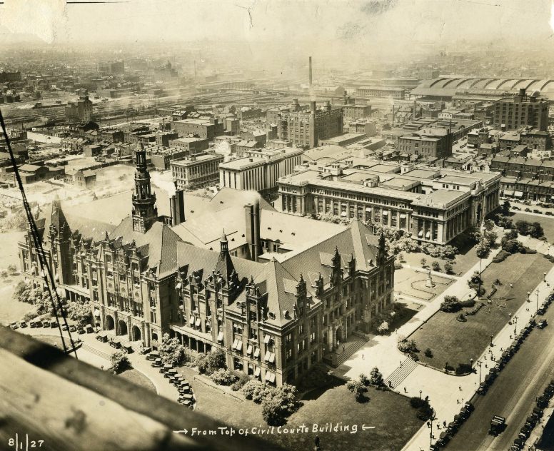
City Hall in 1927, as seen from the top of Civil Courts Building. The towers are now torn down, 1927
City Hall, photographed from the top of the Civil Courts Building in 1927, still showed its original towers — structures that would not survive the following decades. Photographs taken that year capture the city at a turning point, shortly before the tornado and amid rapid urban development that was remaking entire neighborhoods.
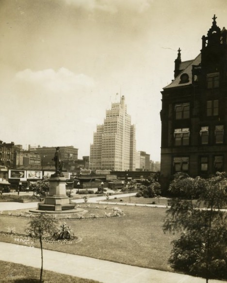
Washington Square Park with a sculpture of Pierre Laclede, as seen from City Hall, 1920s
The city honored its history even while tearing parts of it down. Washington Square Park, visible from City Hall, featured a sculpture of Pierre Laclède — the French merchant who founded St. Louis in 1764. These civic monuments anchored the city’s identity as it modernized at a rapid pace.
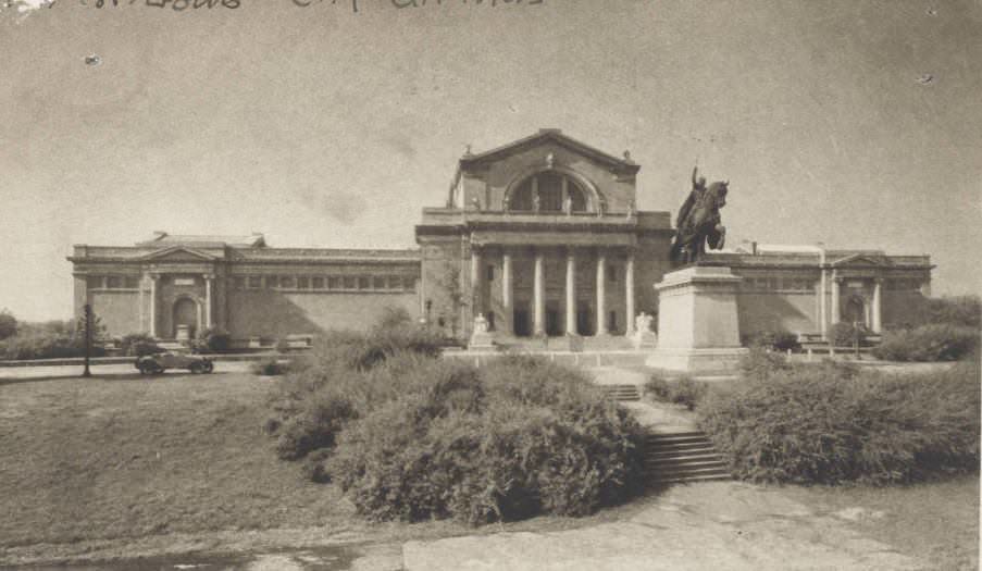
St. Louis Art Museum in Forest Park in 1920
Forest Park, which had hosted the 1904 World’s Fair, remained a cultural center of the city throughout the 1920s. The St. Louis Art Museum stood there, along with the Missouri History Museum, offering residents access to art and history even as the surrounding city was under constant construction. The park was a stabilizing presence in a decade defined by rapid, sometimes disorienting change.
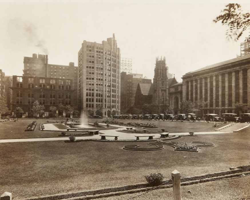
Lucas Gardens Park in 1920, with a view of the Shell Building, Christ Church Cathedral, and Central Library.
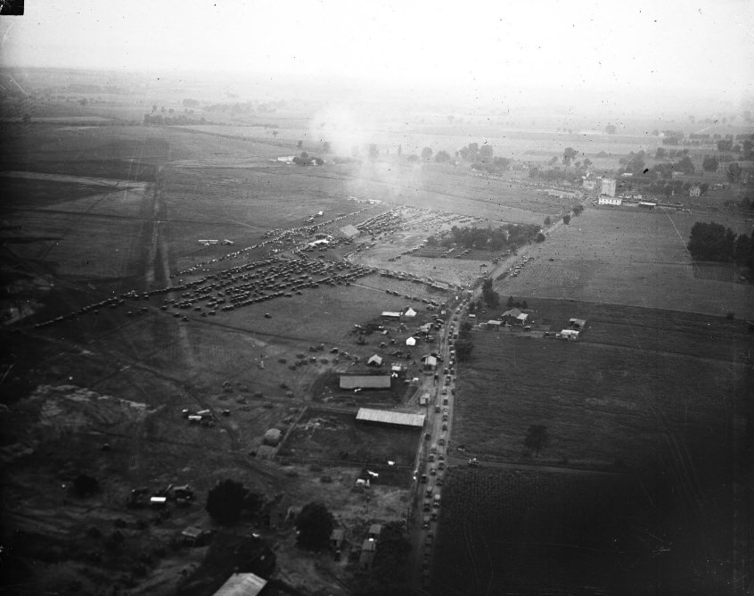
Aviation was another area where St. Louis made its mark. Lambert Field, established in the city’s northwest, was already operating in 1920. The airfield would gain worldwide attention in 1927 when Charles Lindbergh named his transatlantic plane the Spirit of St. Louis — a direct tribute to the St. Louis businessmen who funded his historic flight. The early aerial photograph of Lambert Field shows the runway layout before it grew into a major commercial airport.
Early aerial view of Lambert Field in the 1920s, looking northeast along the axis of what would later be Lindbergh Blvd, 1920
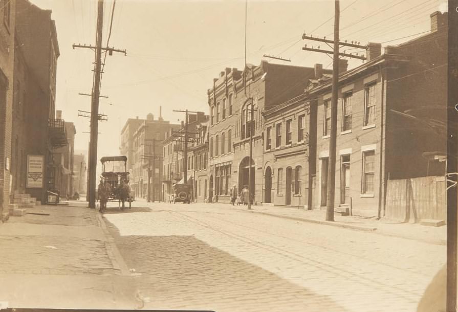
Neighborhood streets across St. Louis in the early 1920s reflected the coexistence of working-class life and commercial activity. Grocers, hardware stores, blacksmiths, tailors, and laundries occupied the ground floors of brick buildings. Horse-drawn carts still made deliveries. Children walked to school past storefronts advertising fresh butter and imported groceries. The following photographs document this street-level life in detail.
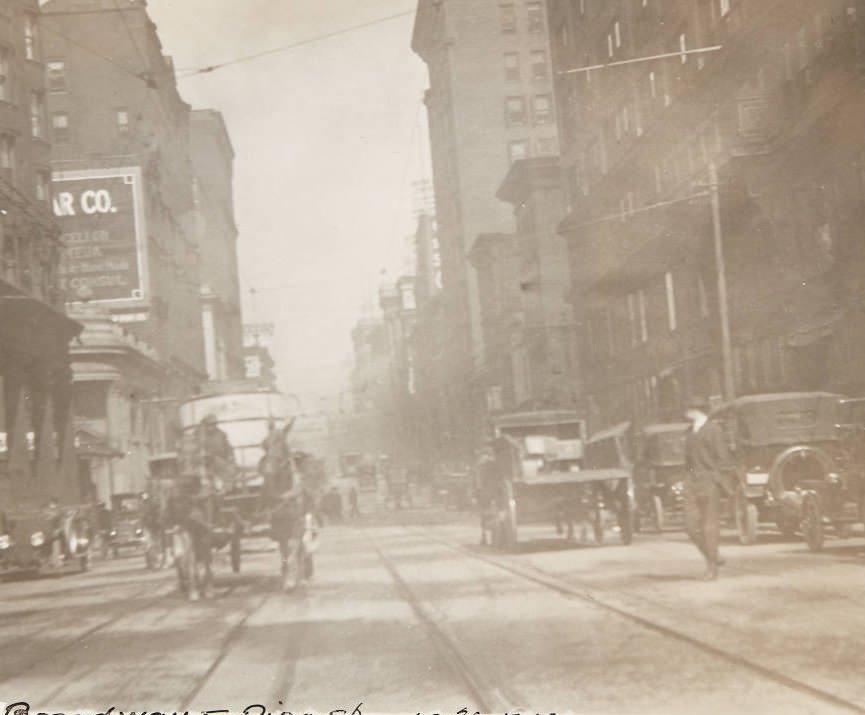
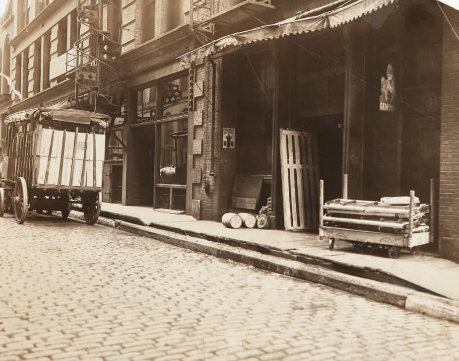
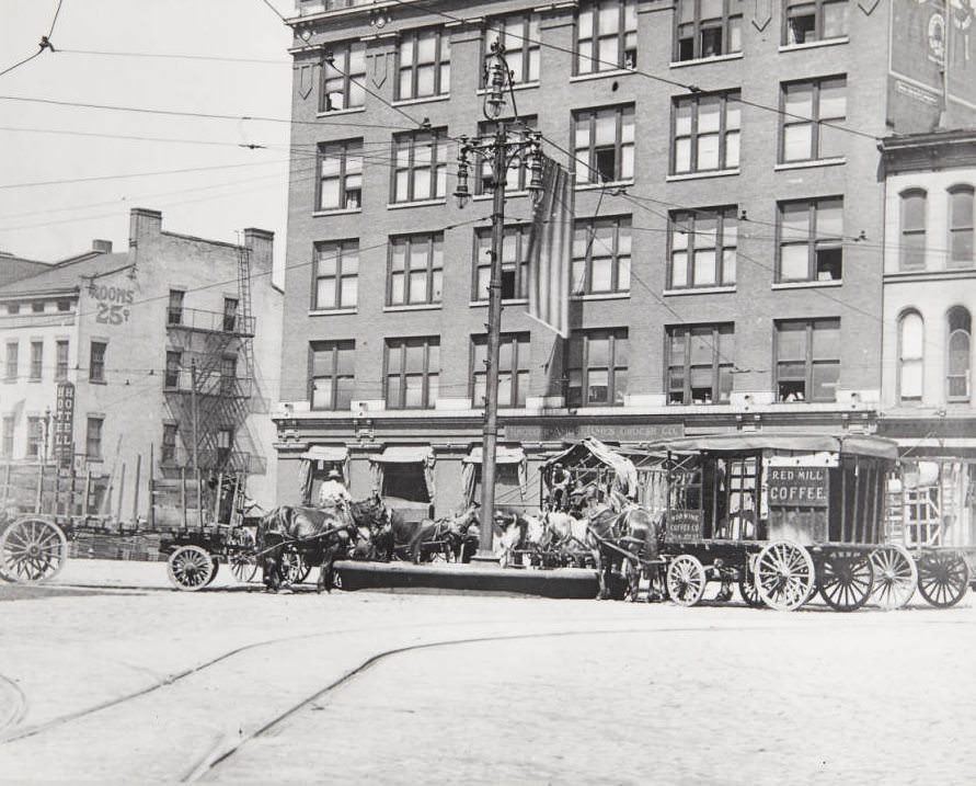
Horse-drawn wagon walking along the cobblestones of 11th Street near its intersection, 1920Streetcar and horse-drawn carts moving along 7th Street near Olive, 1920Automobiles and horse-drawn carts in traffic on Fourth Street downtown, 1920Automobiles and horse-drawn wagons in traffic on Broadway near its intersection with Pine Street, 1920Horse-drawn delivery cart parked in front of a business near the intersection of Fourth and Vine Streets with a spiral staircase fire escape visible behind the cart, 1920Numerous teams of horse-drawn carriages resting at a watering trough in front of the Kroger Ames James Grocer Co. building at Third Street and Washington in 1920
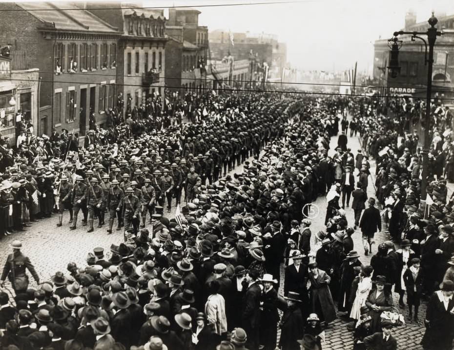
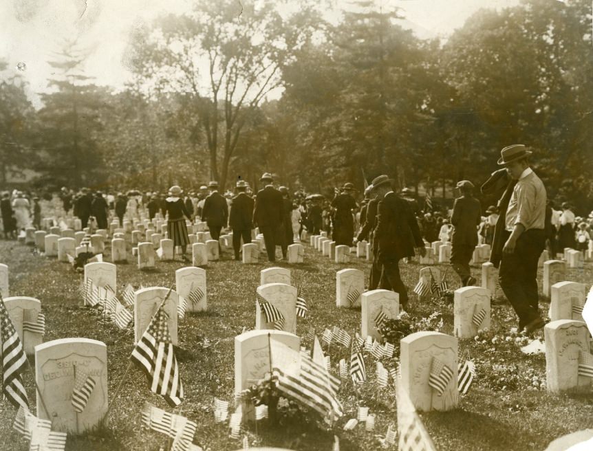
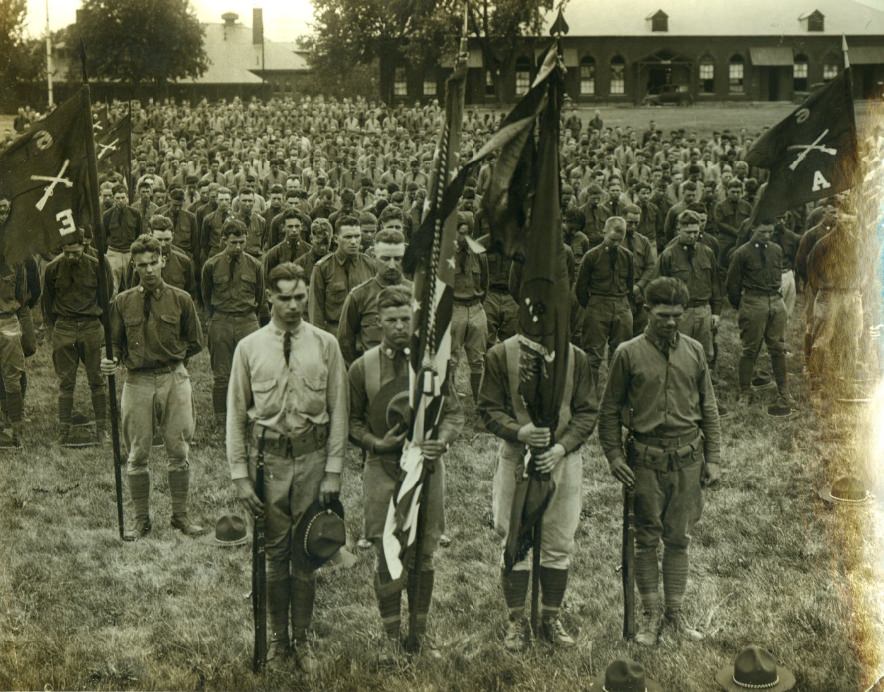
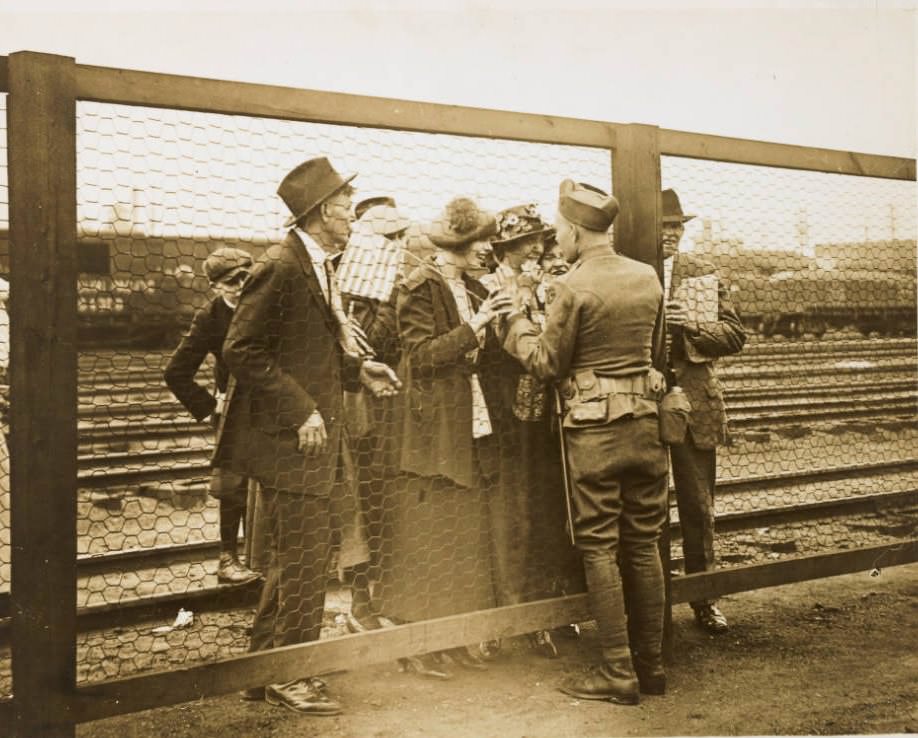
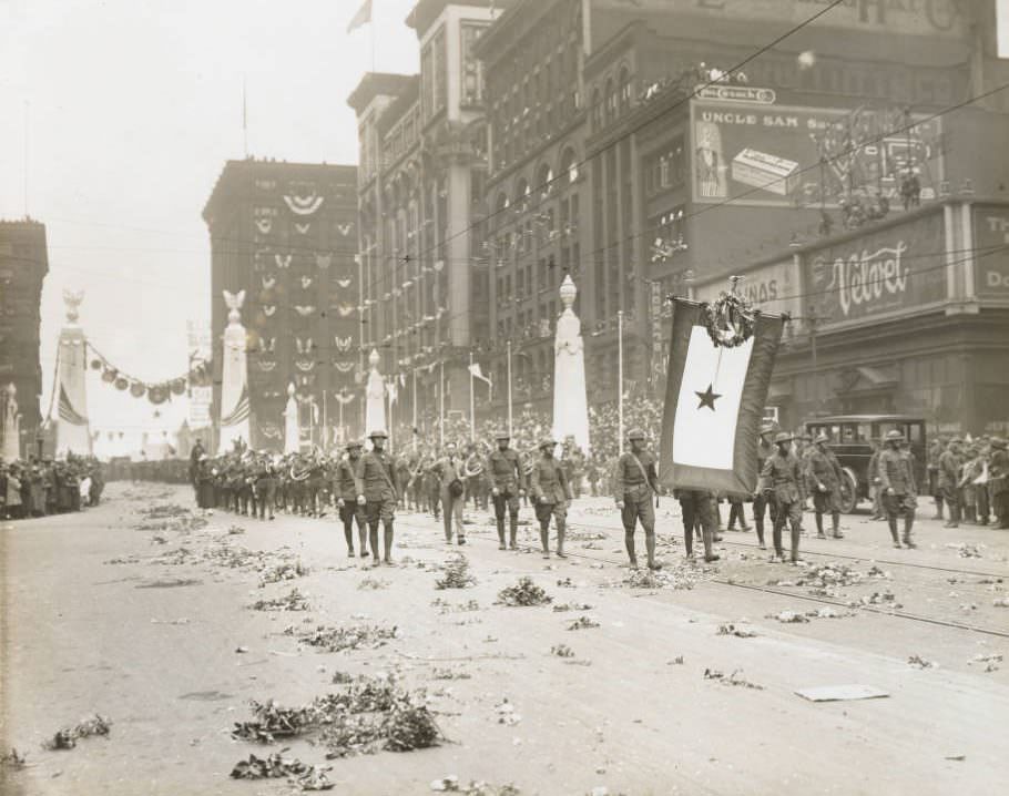
The city’s military heritage remained visible in public ceremonies throughout the decade. Homecoming parades for returning National Guard units drew large crowds. Jefferson Barracks National Cemetery, south of the city, held Decoration Day ceremonies each May 30th where families visited the graves of soldiers. These gatherings kept the memory of World War I close, even as the city moved forward.
128th Field Artillery homecoming parade in St. Louis in 1920sVisitations at Jefferson Barracks National Cemetery on ‘Decoration Day,’ May 30, 1922.Soldiers saluting in honor of those who have been lost.Return of the 110th Supply Train to St. Louis in 1920s128th Field Artillery homecoming parade in St. Louis in 1920s
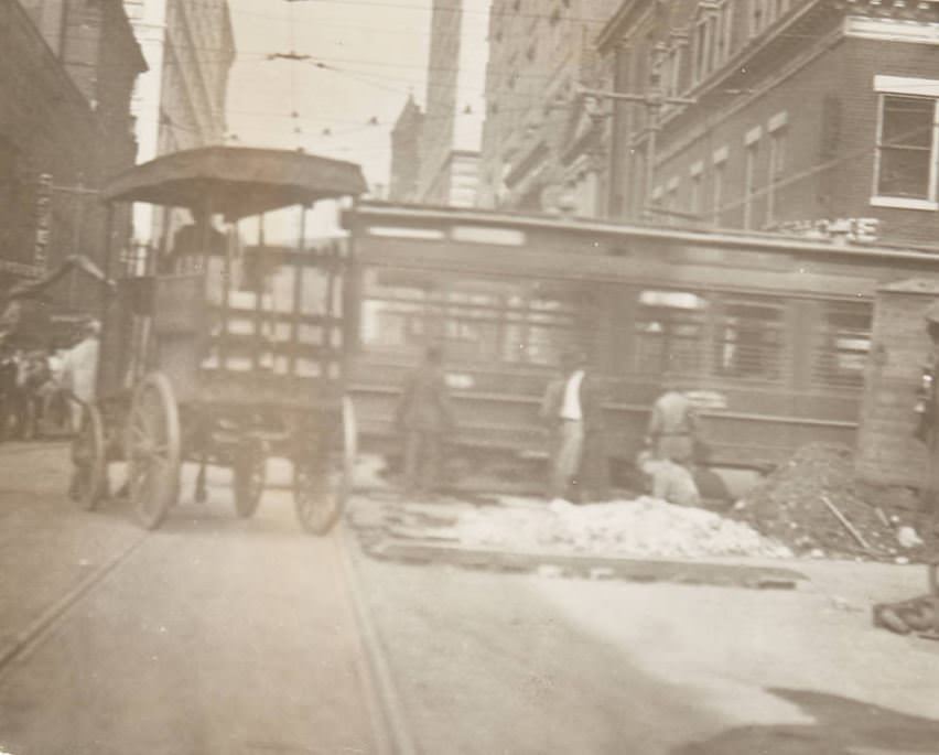
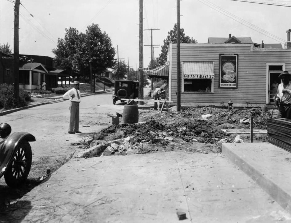
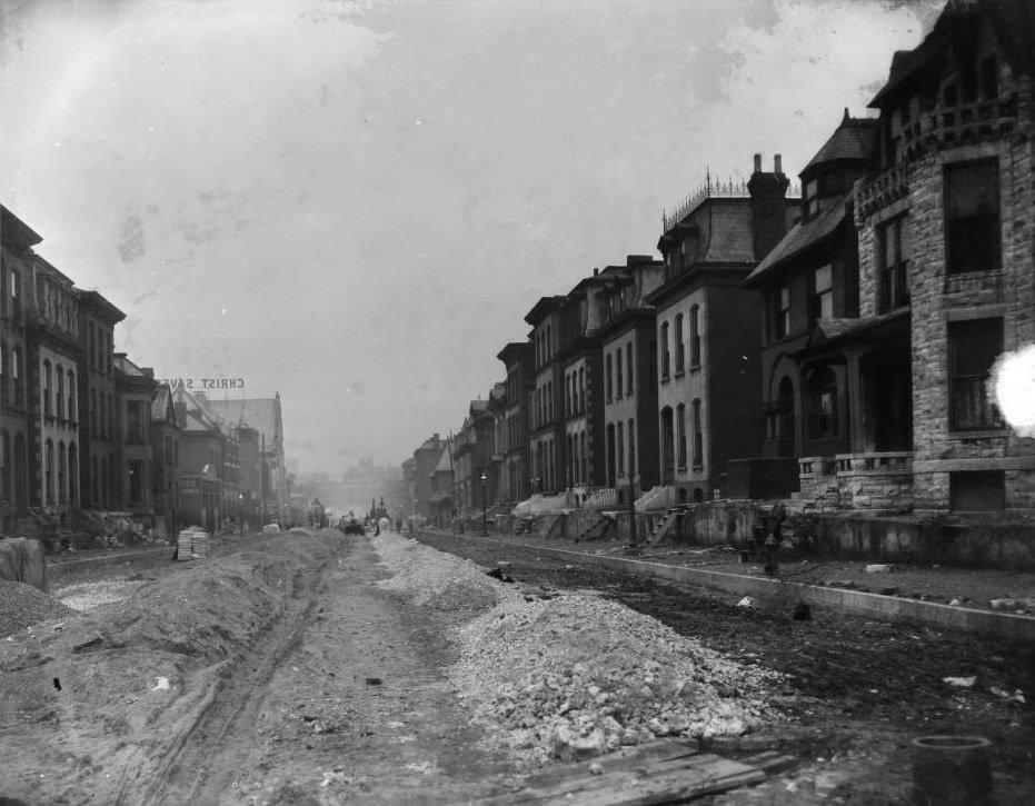
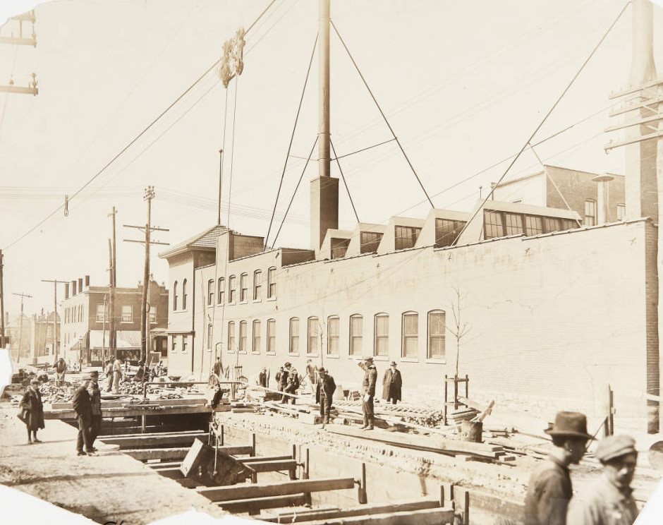
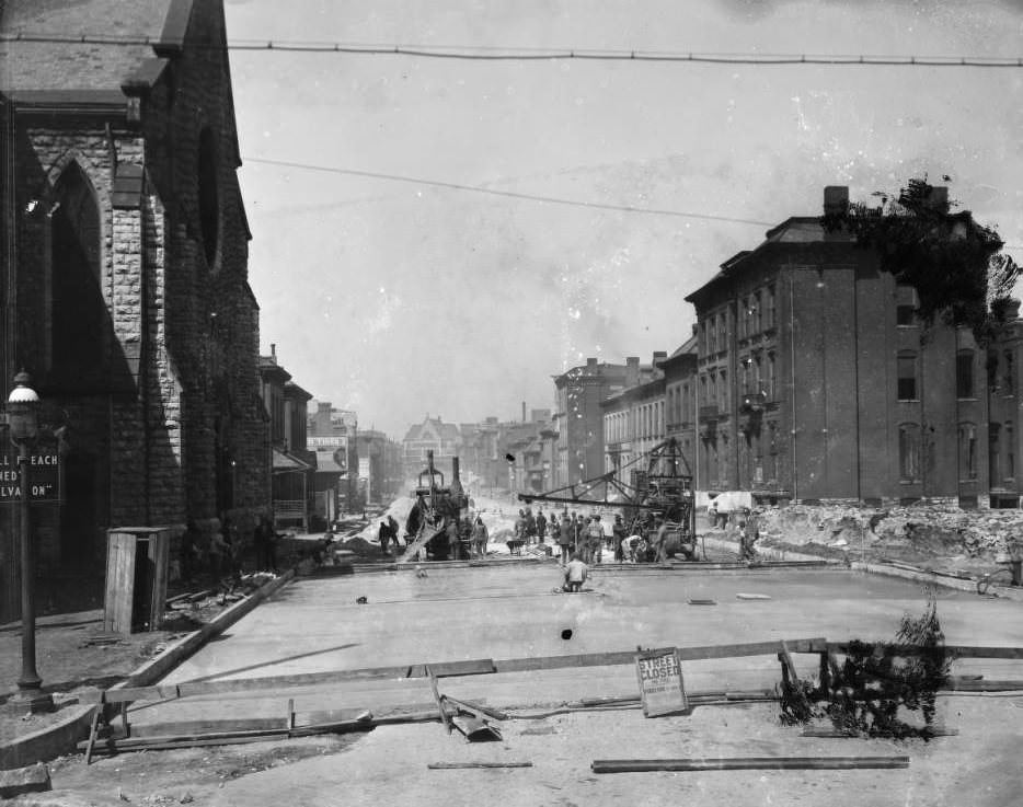
Road construction and street improvement projects were a constant presence across every neighborhood. Workers repaved cobblestone streets, installed electric streetlights, and widened thoroughfares to accommodate more vehicle traffic. These projects appear in dozens of photographs from both 1920 and the mid-decade years, reflecting the city’s sustained investment in modernizing its infrastructure.
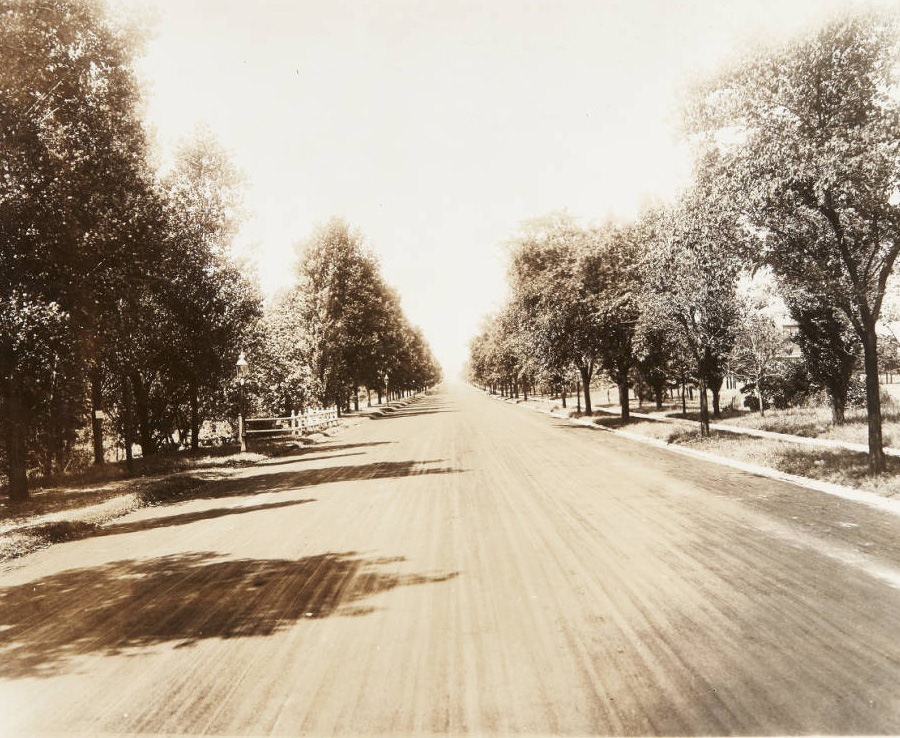
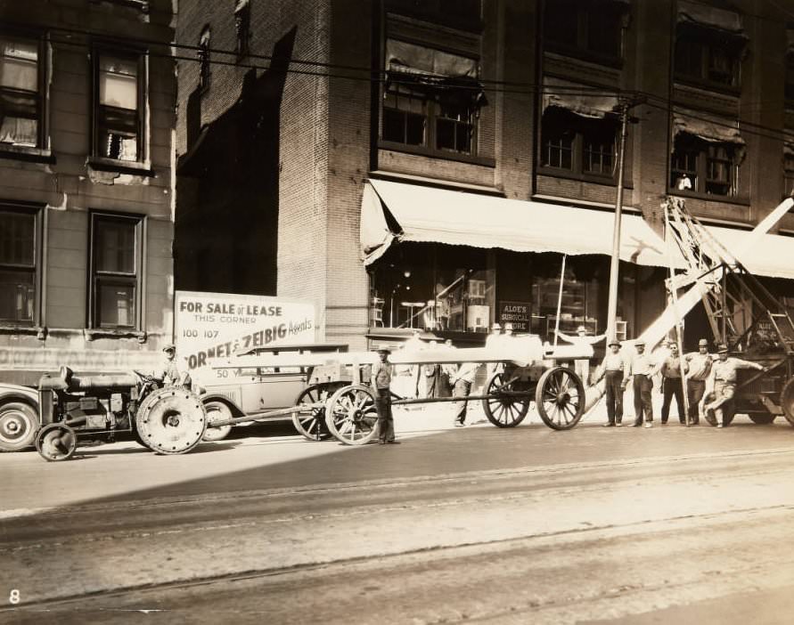
Street repairmen at work, likely near Pine Street downtown with a street trolley in the background and a work cart laden with bricks parked next to the repair site, 1920Construction of the Jefferson Avenue viaduct bridge just north of Chouteau, 1920Newly paved and tree-lined Belt Avenue, near its intersection with Page, 1920Workmen posing next to the posts they are installing for street lights on the 1800 block of Olive Street in 1920. The storefront for Aloe’s Surgical Store can be seen behind them.Street and sewer work in progress at Euclid and Rosalie in St. Louis in 1925View of major street work on Washington Blvd. looking west from Cardinal Ave. in Midtown, 1927
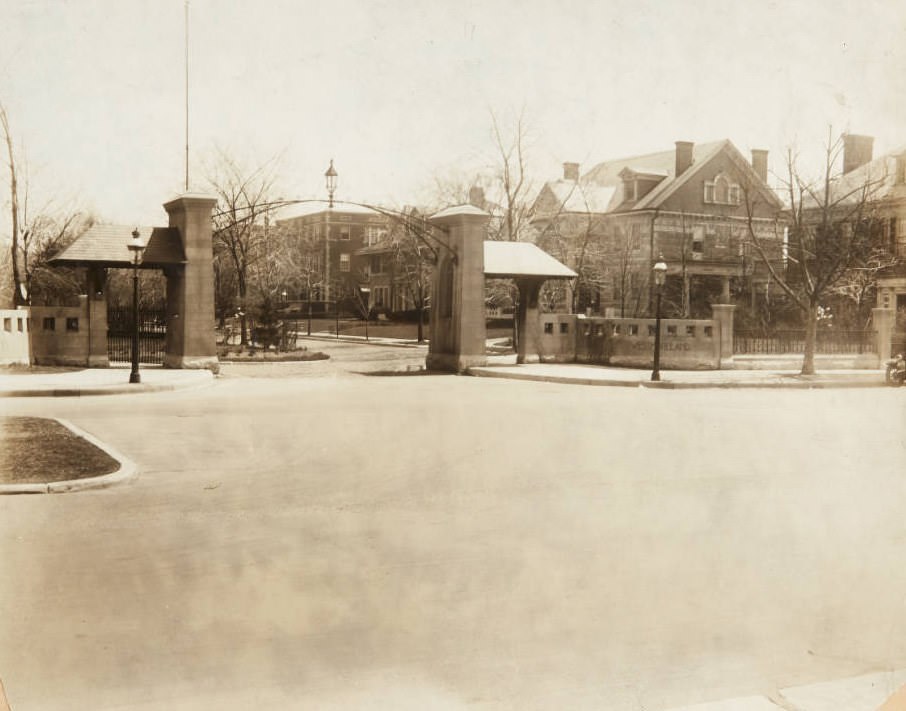
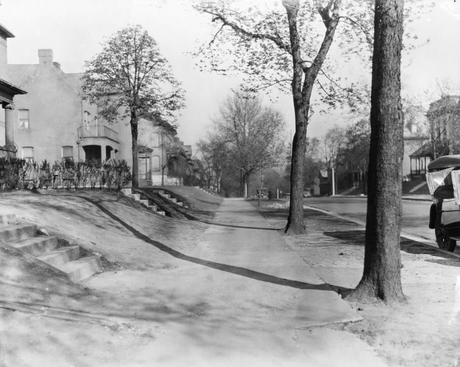
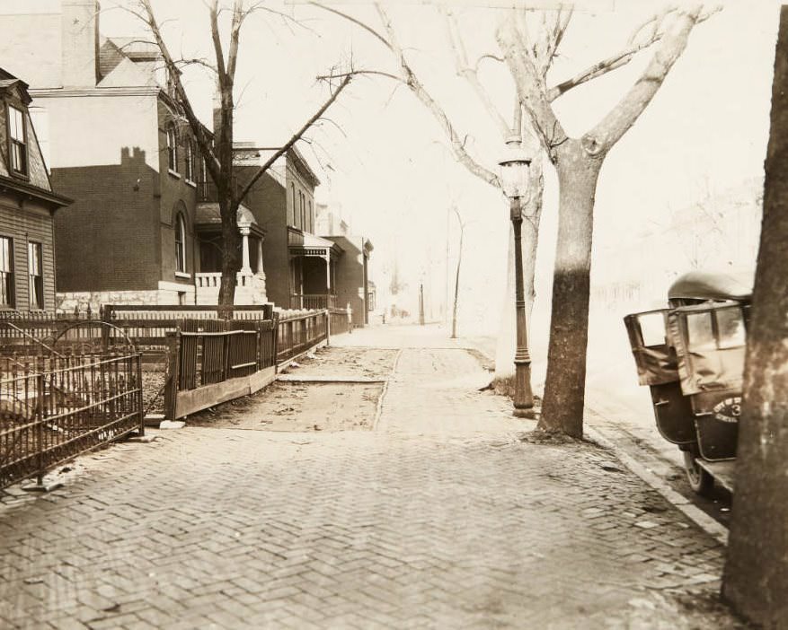
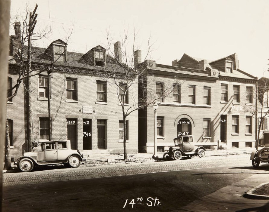
The residential neighborhoods of St. Louis during this period ranged from the grand private streets of Westmoreland Place and Westminster Boulevard to modest row houses and multi-family brick buildings scattered across Midtown and North St. Louis. The wealth gap was physically visible — ornate stone gates marked the entrances to private streets where large homes sat behind manicured lawns, while just miles away, working families crowded into narrow houses on cobblestone blocks.
Gate at the western entrance to Westmoreland Place at Union Blvd in 1920. The stone house on the right is located at 52 Westmoreland Place and features the original arch built in 1905 by A.A. Fischer.Large homes on Westminster Blvd in St. Louis in 1925Cobblestone sidewalk and houses along North Grand, near its intersection with Lee Avenue, 1920Multi-family homes on the 1600 block of Fourteenth Street in 1920.
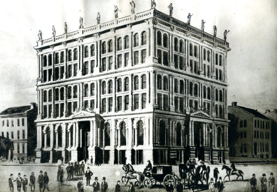
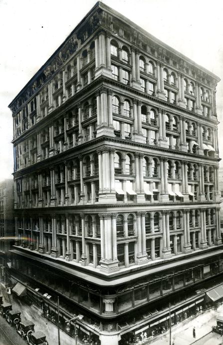
Commerce filled every corner of the city. The Equitable Building, one of the oldest tall structures in St. Louis, had been six stories high and the city’s tallest when it was built in 1869. By the 1920s, it stood at ten stories but was dwarfed by the Railway Exchange Building across Locust Street. The skyline was being remade, and older landmarks were being absorbed into a much larger urban fabric.
The Equitable Building in 1869, when it was six stories high and the tallest structure in St. Louis.The Equitable Building today, with ten stories and less than half the height of the Railway Exchange Building just across Locust Street, 1920sThe Arcade Building at North Eighth Street & Pine Street in St. Louis in 1925
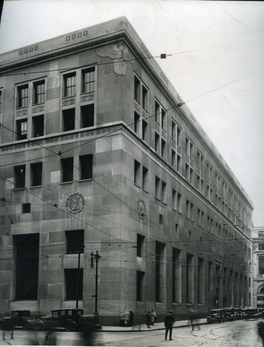
The Federal Reserve Bank of St. Louis, photographed from the Broadway and Locust corner, represented the financial muscle of the city. St. Louis was a regional banking hub, and the prosperity of the early 1920s was visible in the solidity and scale of its financial institutions. The building occupied an entire city block and was used exclusively for Federal Reserve banking purposes.
Federal Reserve Bank of St. Louis from the Broadway and Locust street corner, with the entire building used for Federal Reserve banking purposes, 1920s
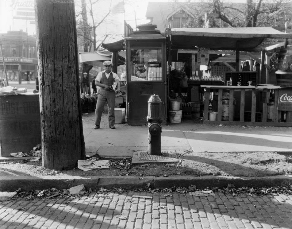
Newspaper boys worked the intersections, selling papers to commuters. Young vendors like the one photographed at Hodiamont and Easton in 1925 were a common sight across the city. Daily newspapers were the primary source of news, and the decade gave readers plenty to follow — from Prohibition raids and jazz reviews to sports scores and the aftermath of the 1927 tornado.
Young man selling newspapers at Hodiamont & Easton in 1925
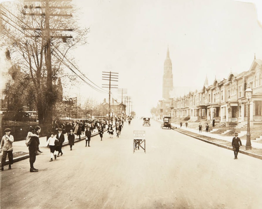
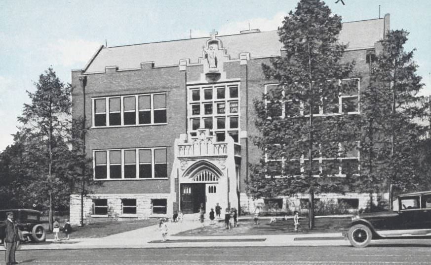
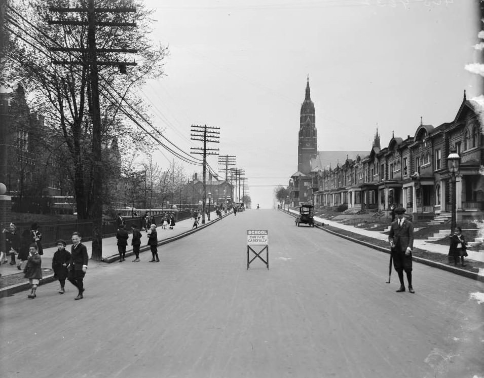
Schools across the city filled with children from a wide range of ethnic and working-class backgrounds. Hempstead School, photographed twice in the decade, shows students arriving and departing through streets lined with brick homes. Holy Redeemer School in Webster Groves, a suburb southwest of the city, represented the growing Catholic educational network that served immigrant and working-class families throughout the St. Louis region.
Schoolchildren leaving Hempstead School after a long day of classes in the 5800 block of Minerva Street in 1920. St. Barbara’s Church can be seen in the distance.Holy Redeemer School in Webster Groves, Missouri in 1920View of children walking towards Hempstead School from the center of Minerva at Laurel, 1925
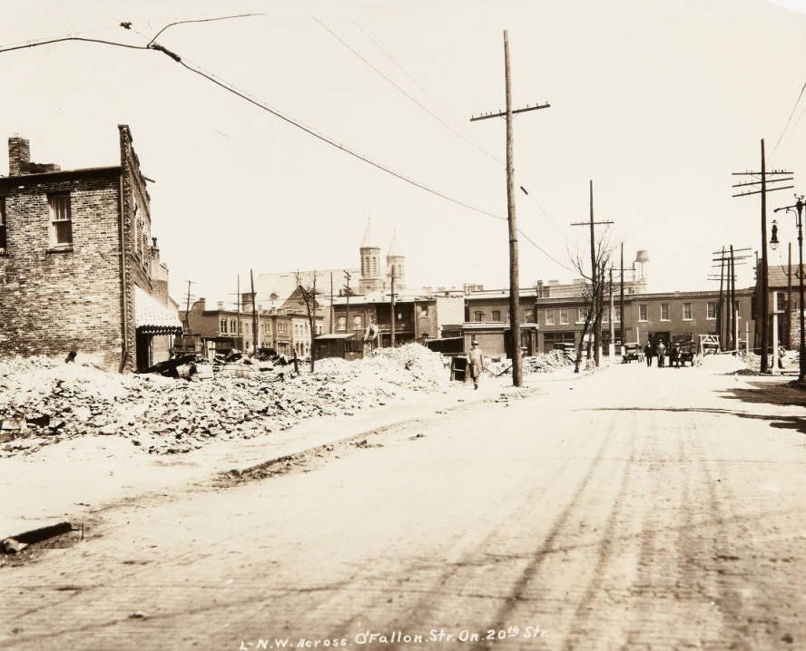
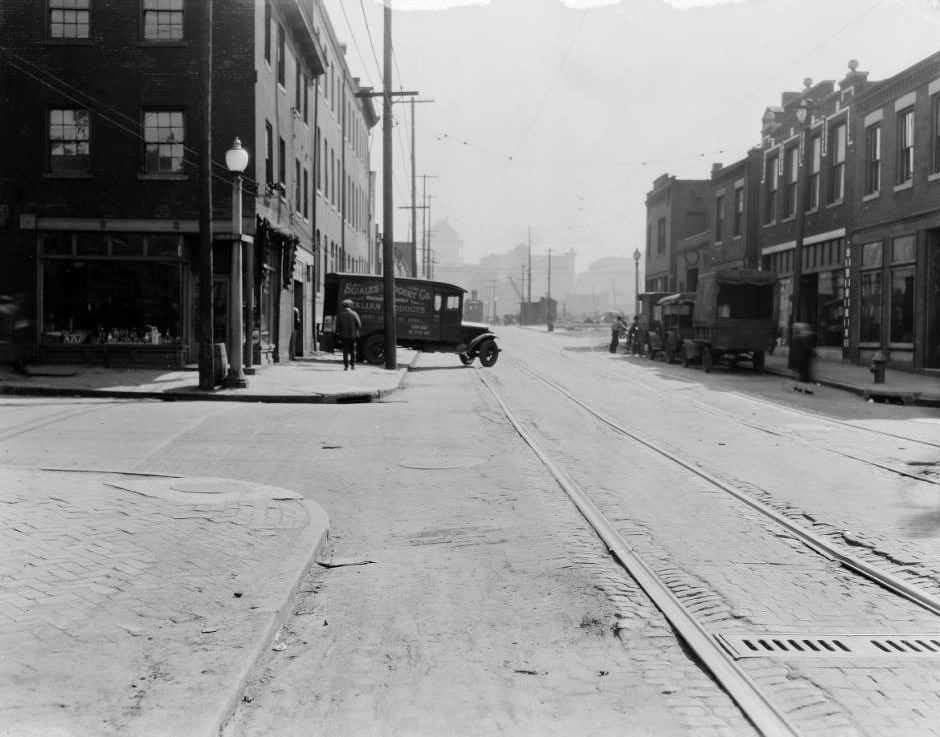
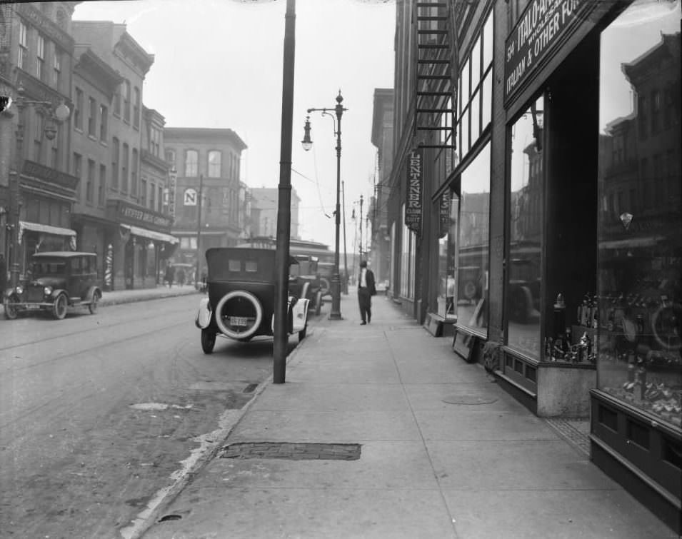
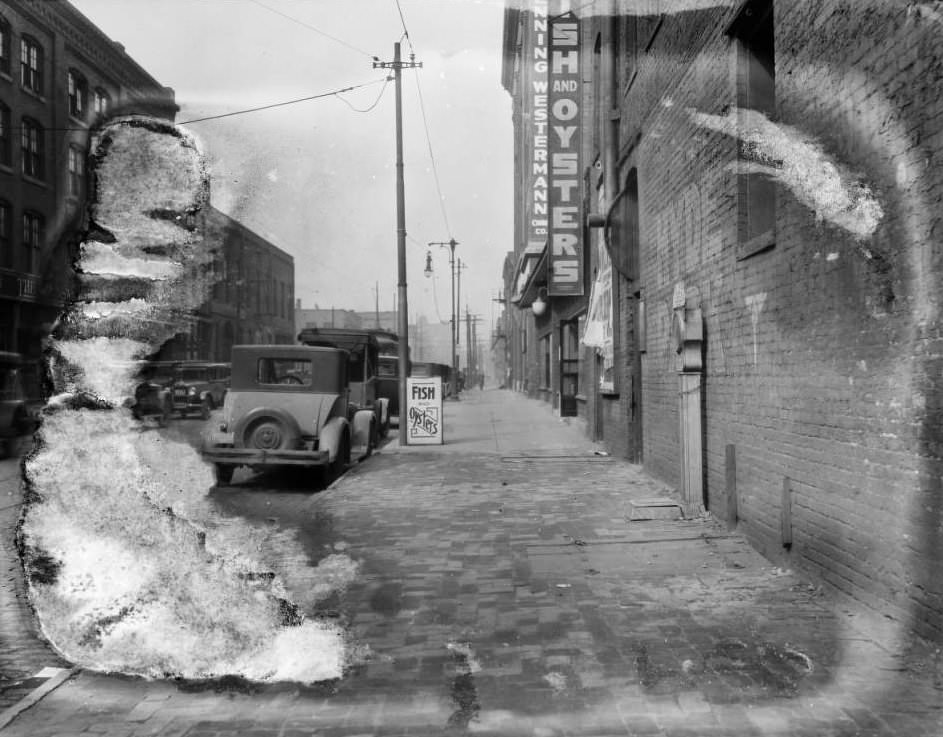
The immigrant communities of St. Louis left their mark on the commercial geography of the city. Italian grocery importers, German bakeries, Jewish tailoring shops, and Polish churches all anchored specific neighborhoods. St. Stanislaus Kostka church, its twin spires visible above the rooftops of North St. Louis, marked the heart of the city’s Polish community. Vitale’s Italian Grocery at Biddle, the Italo-American Importing Company on Franklin, and the businesses on the 900 block of North Sixth Street all reflected the ethnic diversity that drove the city’s commercial life.
Piles of bricks on a lot near the intersection of O’Fallon and 20th streets in 1920, with the twin spires of St. Stanislaus Kostka church visible in the distance.Vitale’s Italian Grocery and Imports and Sciales Grocery Co. truck at Biddle in St. Louis in 1925View of the 500 block of Franklin, including businesses such as Italo-American Importing Company and Lentzer’s Cloak and Suit, 1925View of the 900 block of North 6th Street, with businesses such as the Brunswick-Balke-Collender Company, Leo B. Bruno’s Fish and Oysters, and Krenning-Westermann China Company visible, 1925
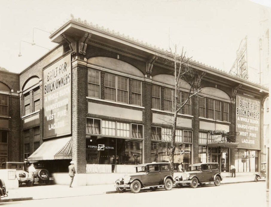
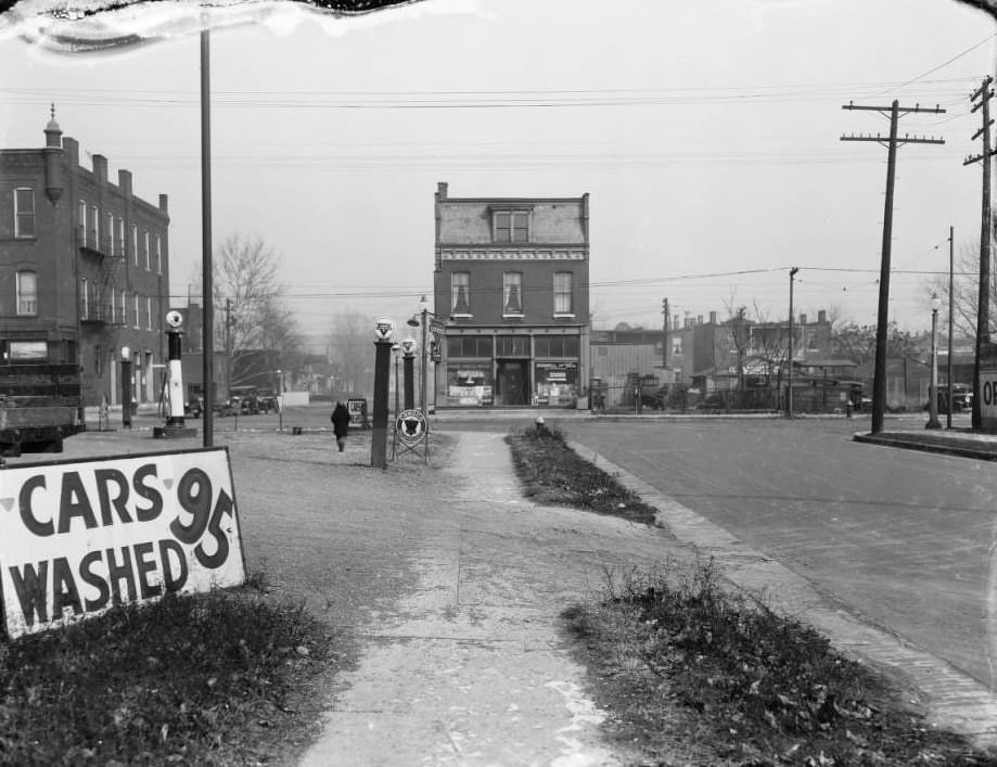
Auto culture was taking over. Car dealerships, repair garages, and gas stations were opening across the city. The Vesper Buick Auto Co. on Vandeventer advertised its showroom with large signs on the building exterior. The Conoco Gas Station at Natural Bridge and Clarence, photographed in 1925, appeared alongside a used car lot and a car wash — the full ecosystem of the automobile age already assembled on a single corner.
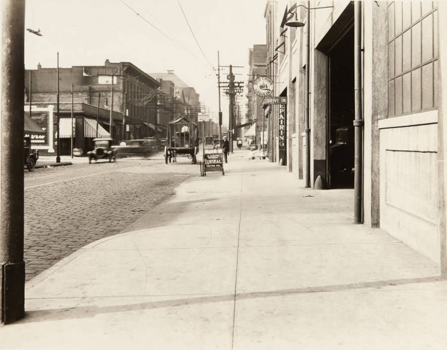
Vesper Buick Auto Co. car dealership building in 1920. Large signs advertise for their showroom on Vandeventer.North view at the intersection of Natural Bridge Ave. and Clarence Ave., with Conoco Gas Station, D. R. Calkins Used Cars, and a car wash sign visible, 1925Auto repair garage on Wash St in 1920. The sign in the middle of the image reads, “No Parking Between this Point. Wash St.”
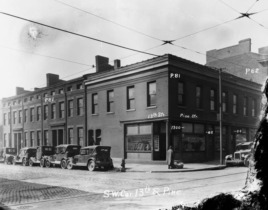
By 1927, entire city blocks were being cleared to make way for new civic buildings. The area around 13th and Pine streets, photographed in 1927 while still occupied by two-story brick storefronts, would eventually become the site of the Soldiers Memorial Military Museum and its surrounding Court of Honor. The decade was erasing and replacing the city at a pace residents could see from their own front doors.
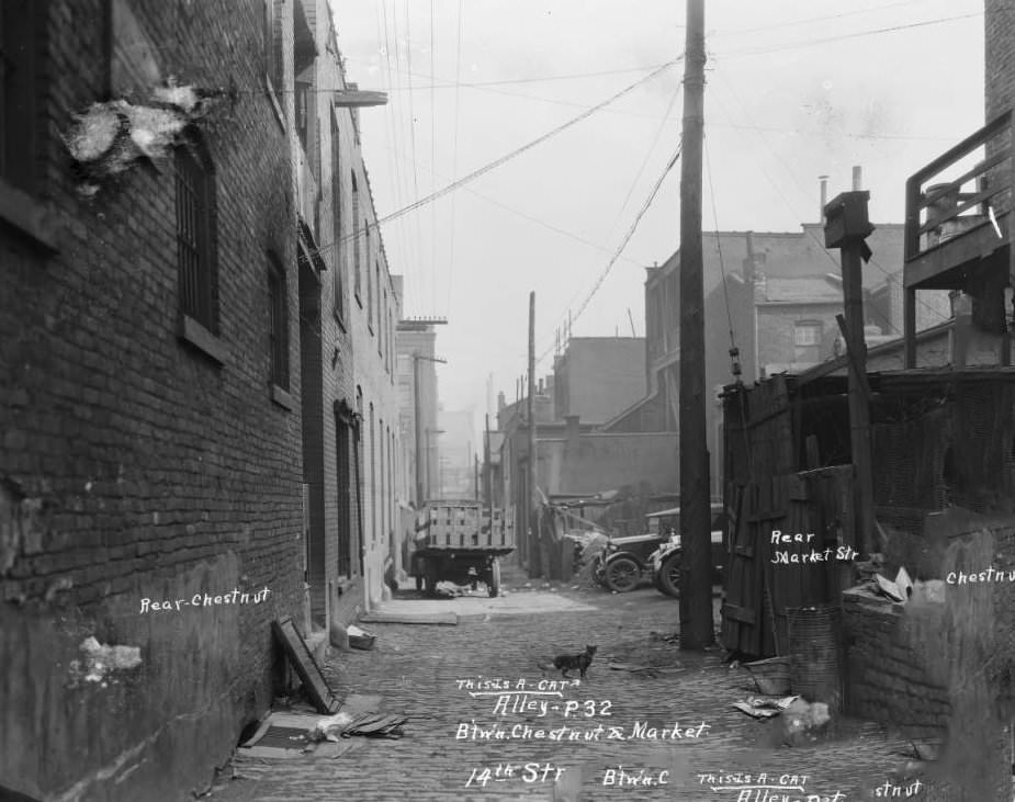
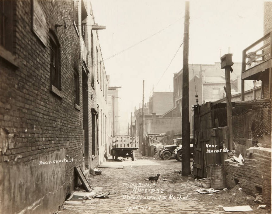
Two-story brick storefront and dwellings on 13th and Pine Street, downtown, in 1927. Currently, the site of Soldiers Memorial Military Museum, 1927Alley between Chestnut and Market seen from 14th Street, looking east. Now the Court of Honor grounds at Soldiers Memorial Military Museum, 1927
The photographs below continue to document the full range of St. Louis street life across the decade — from quiet residential avenues and neighborhood intersections to the industrial riverfront and the city’s busiest commercial corridors.
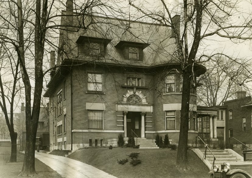
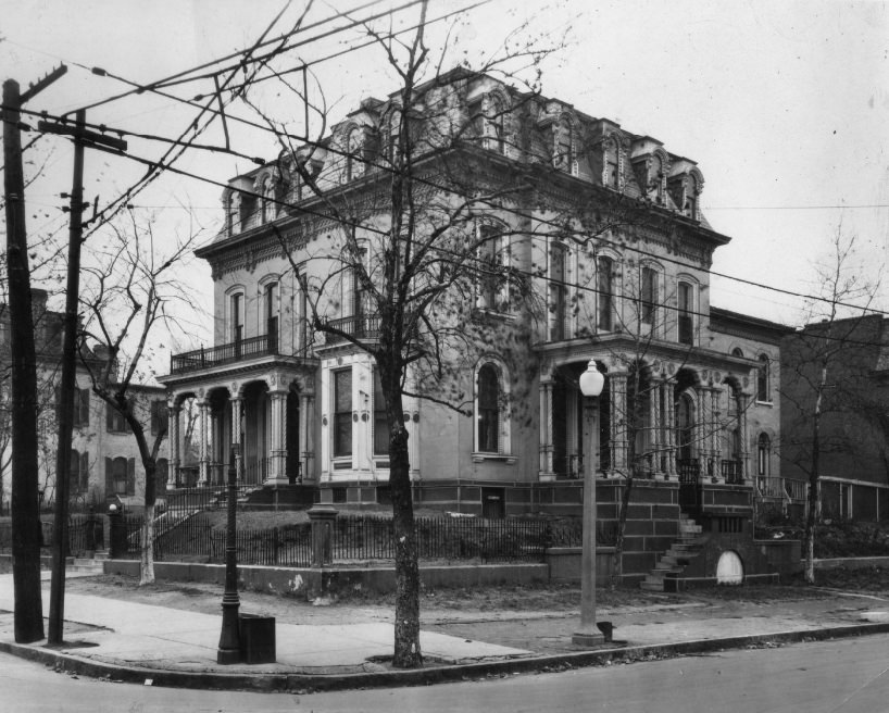
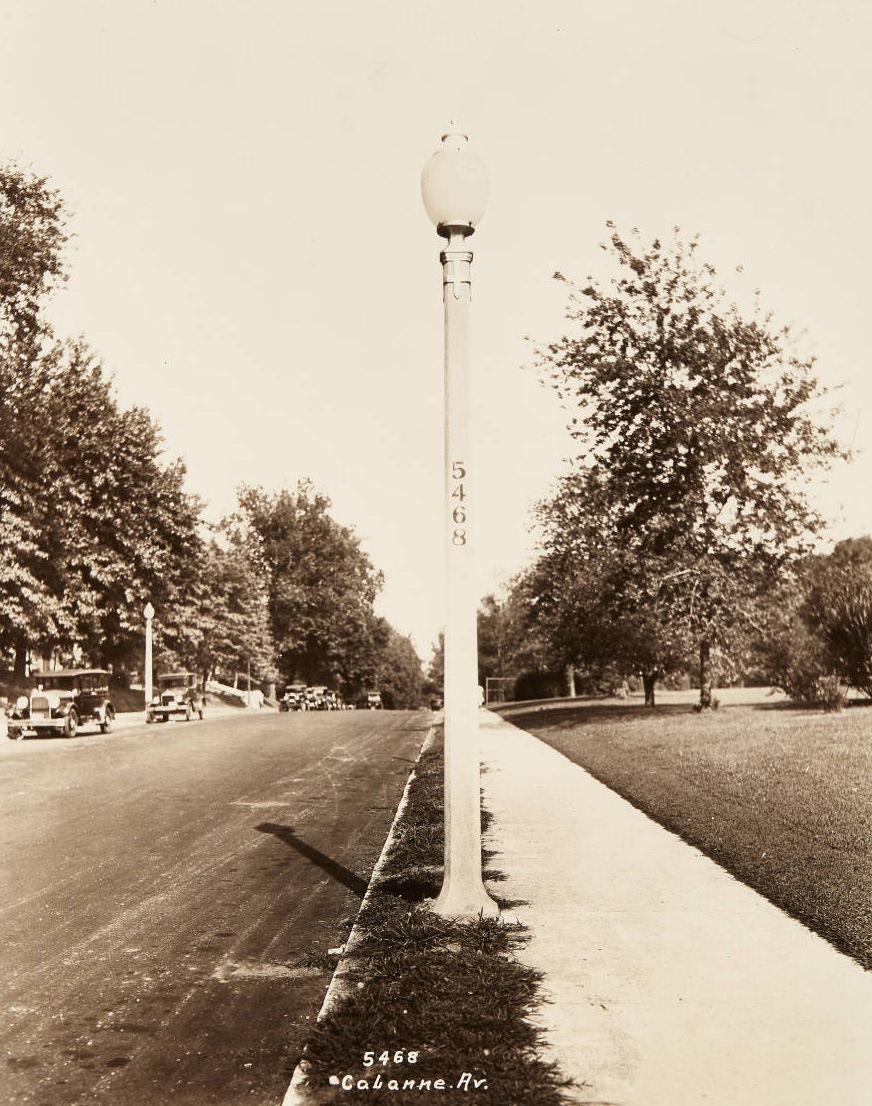
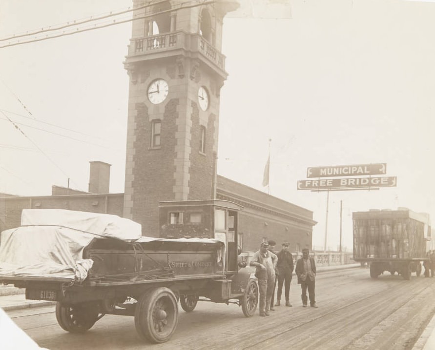
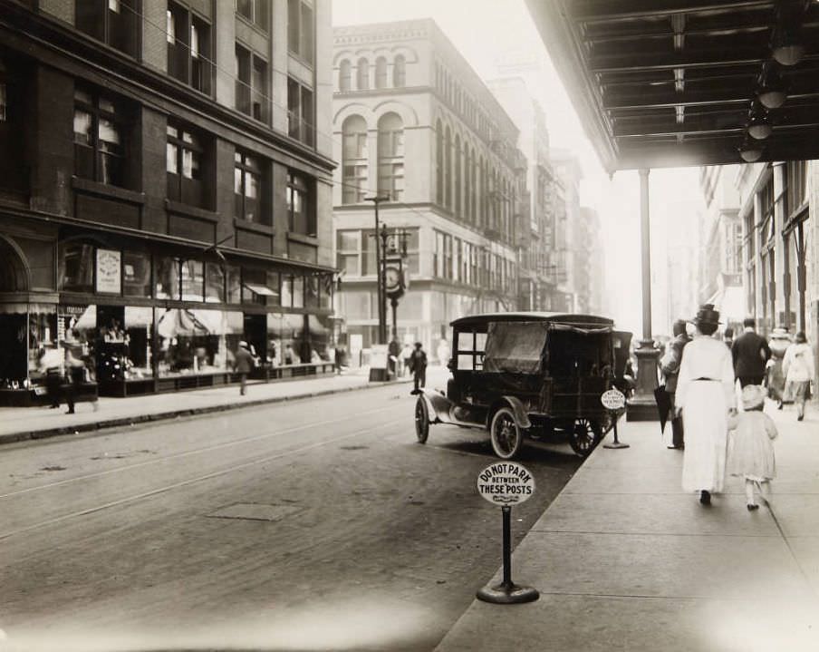
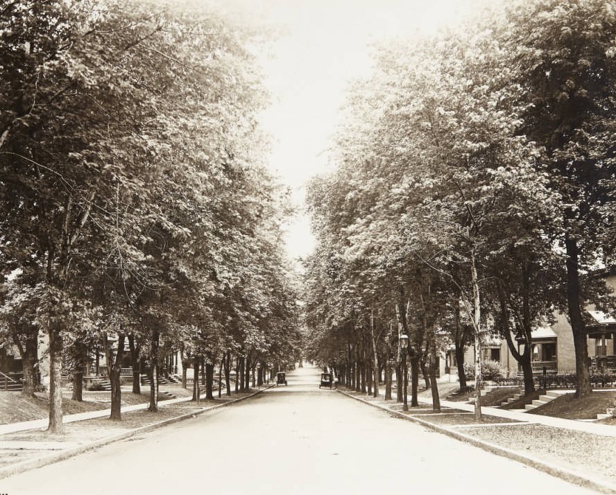
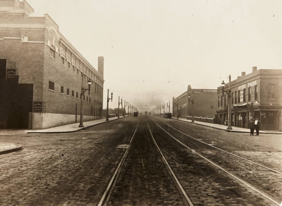
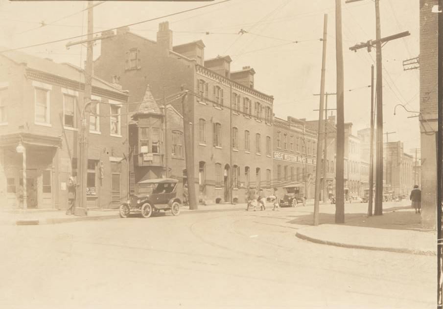
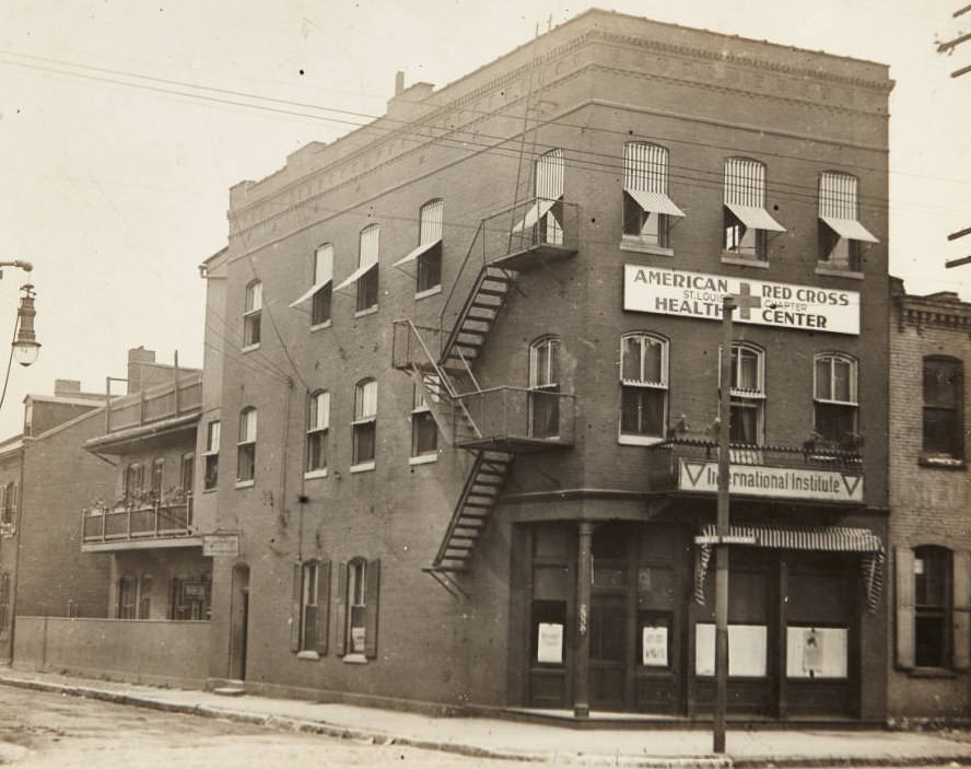
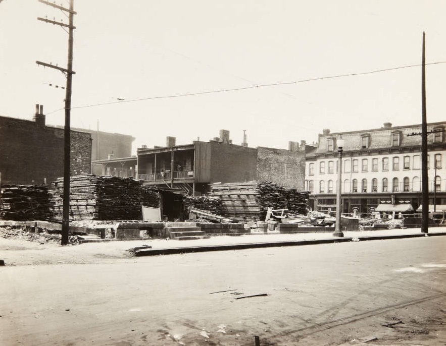
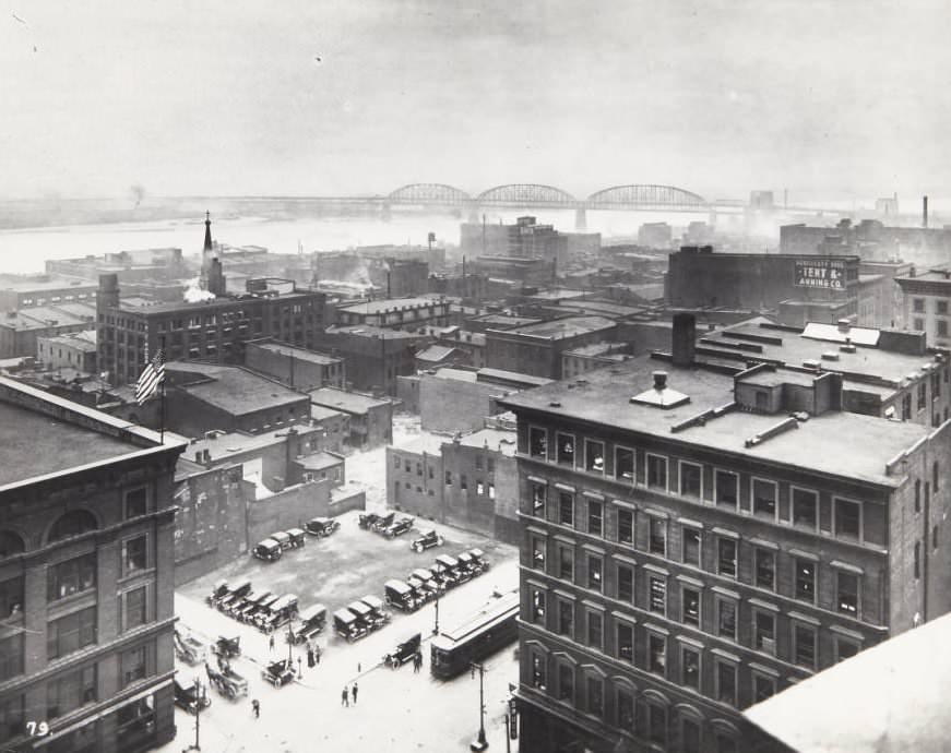
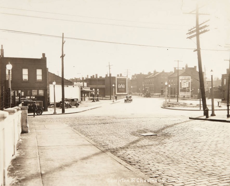
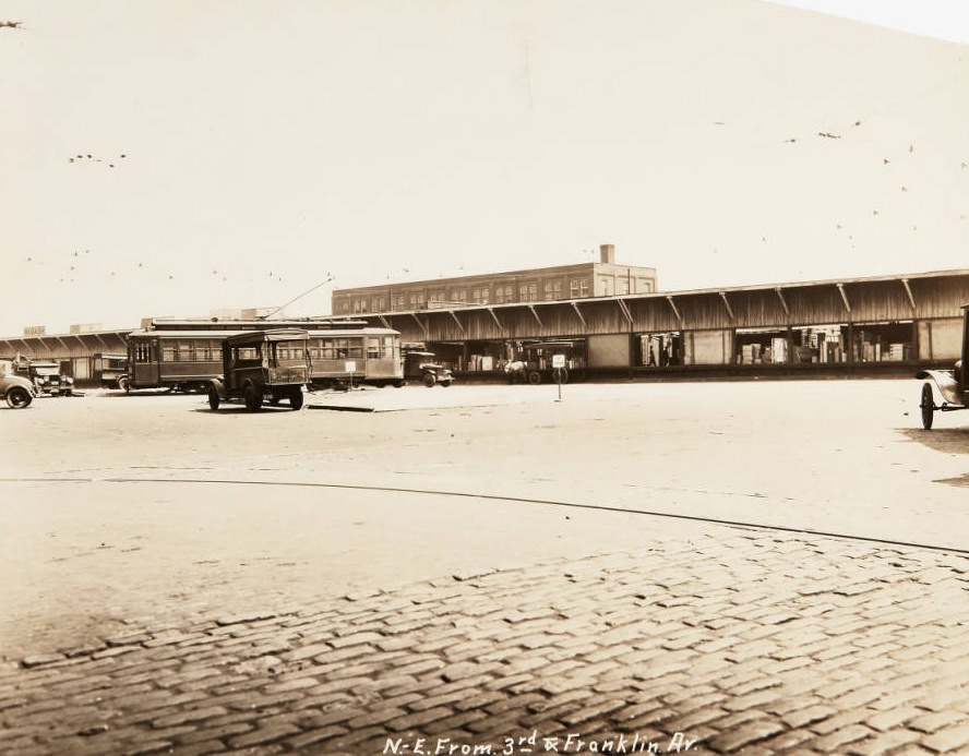
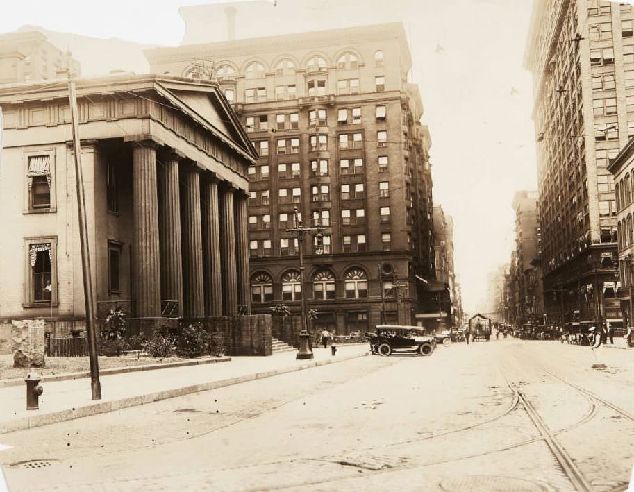
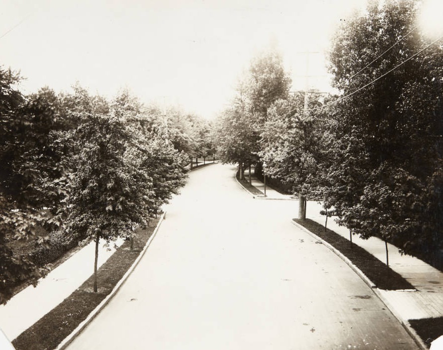
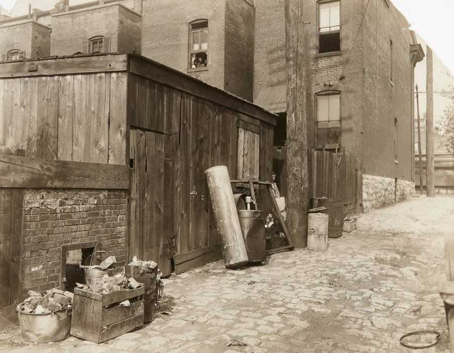
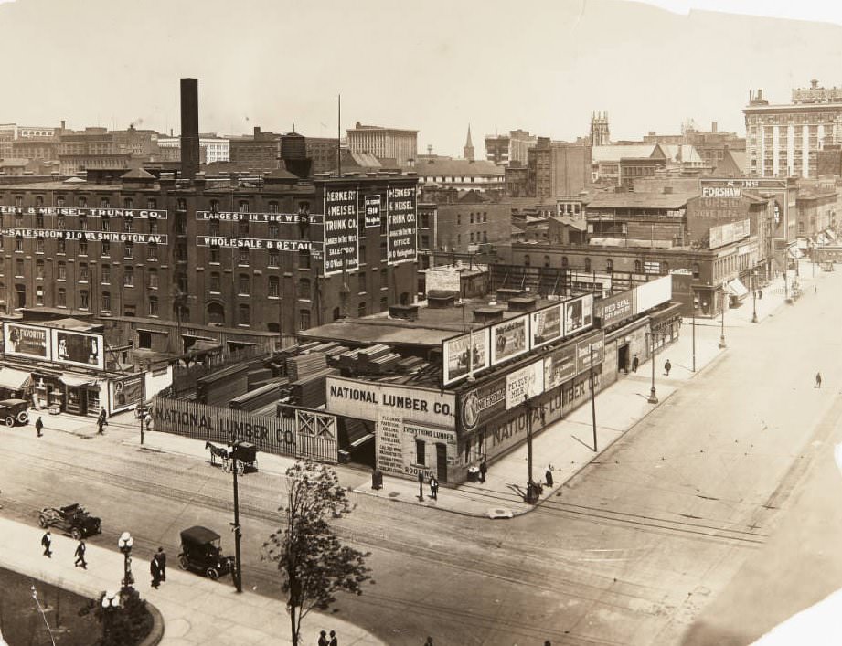
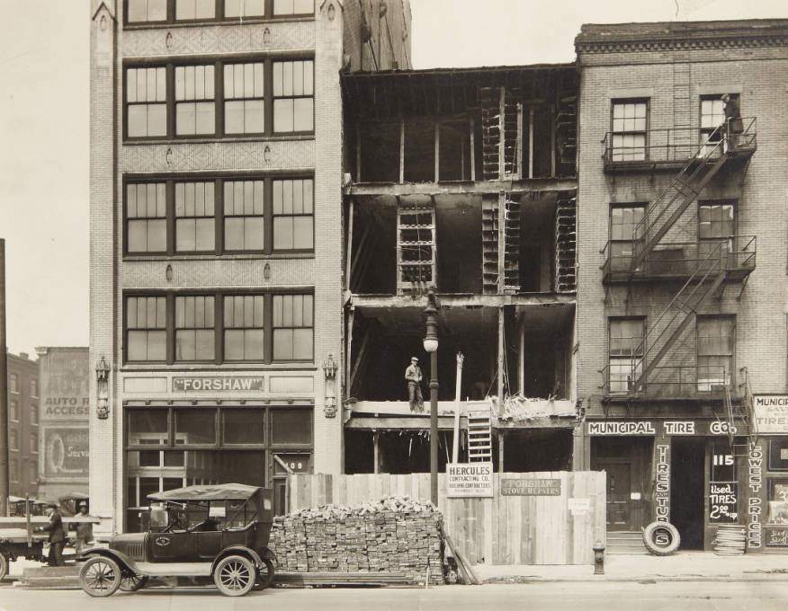
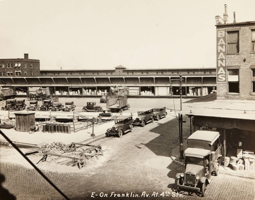
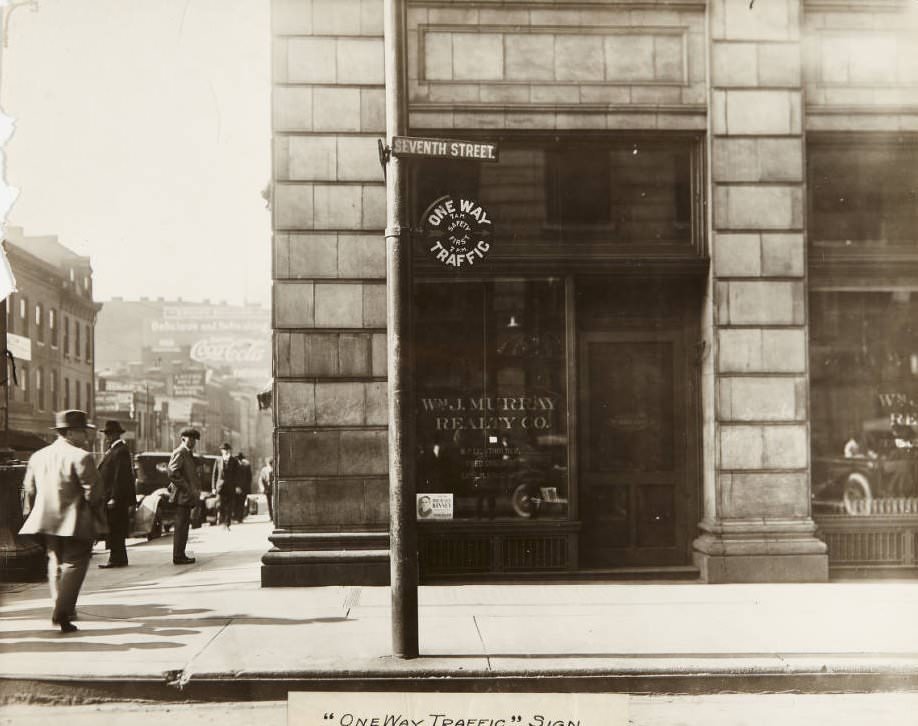
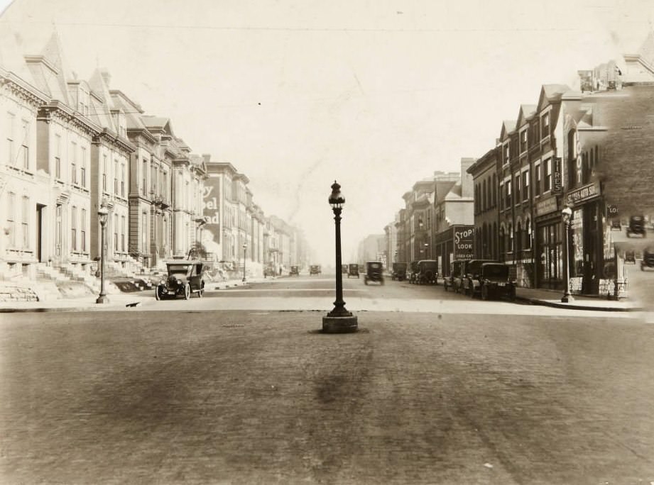
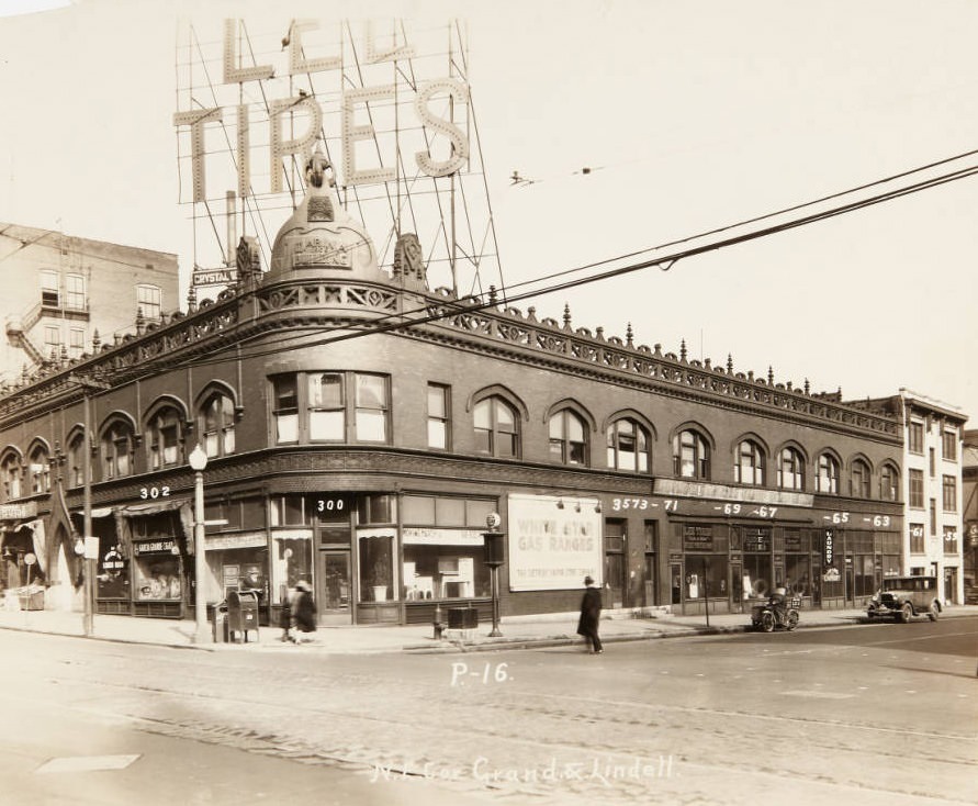
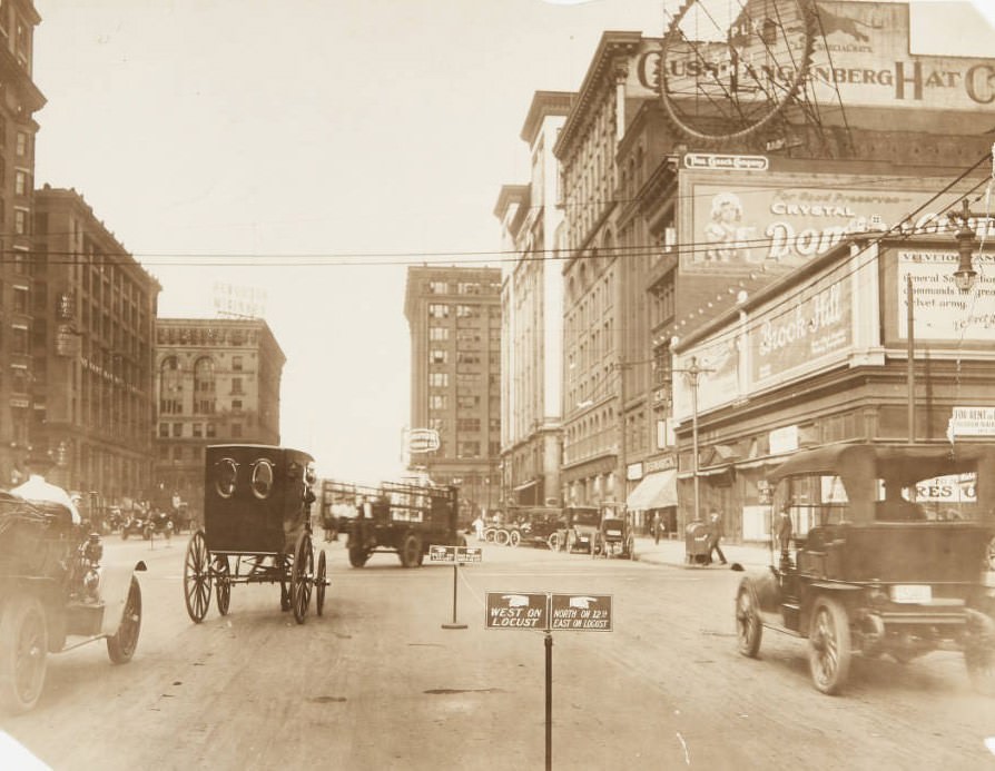
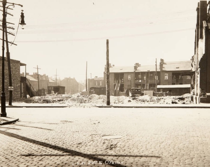
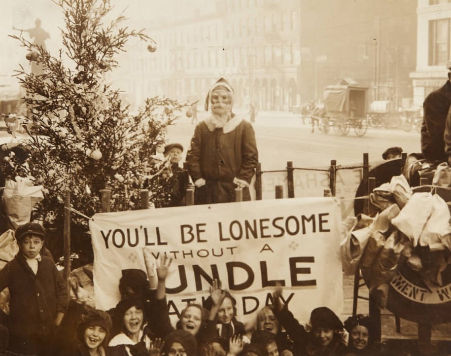
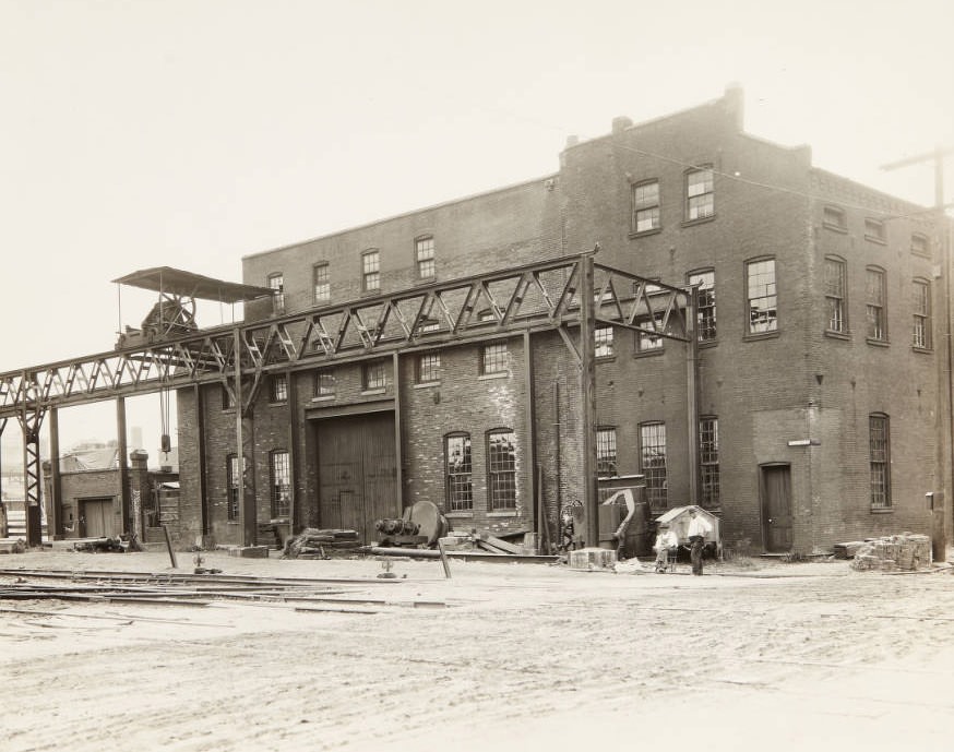
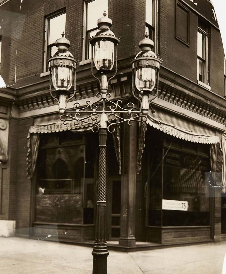
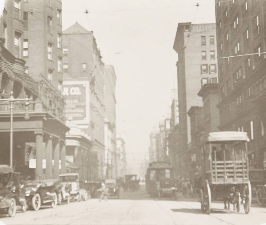
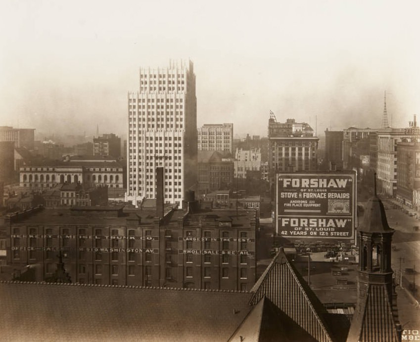
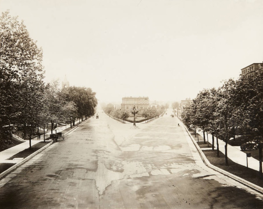
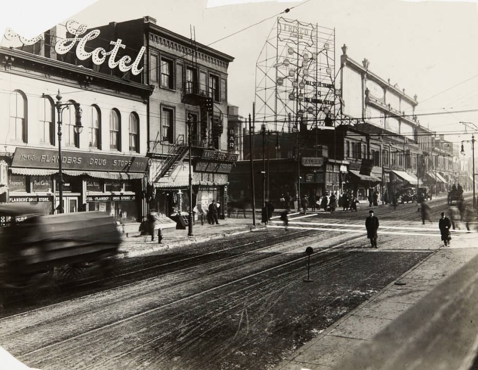
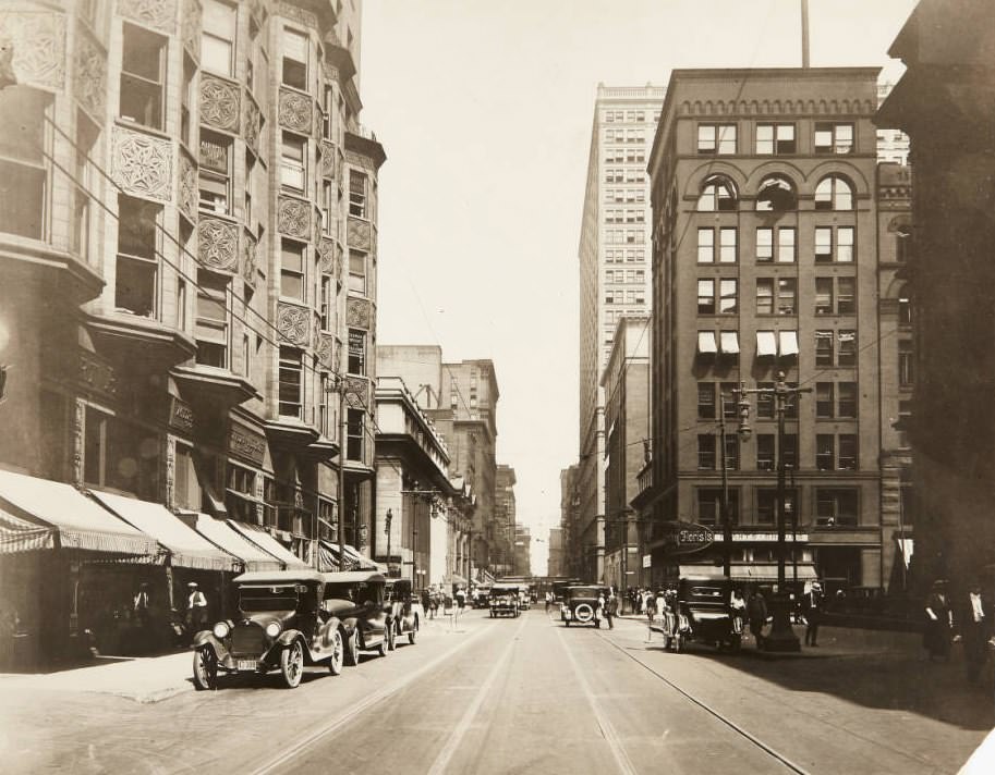
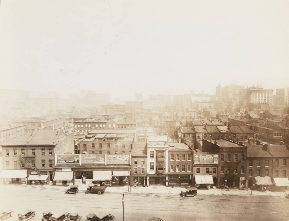
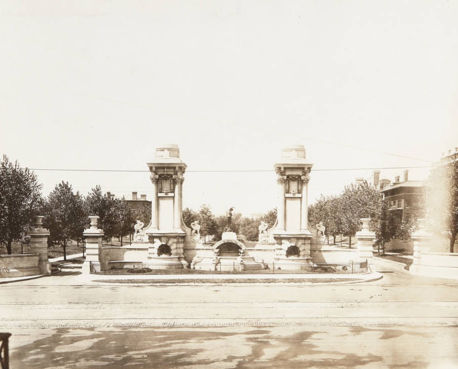
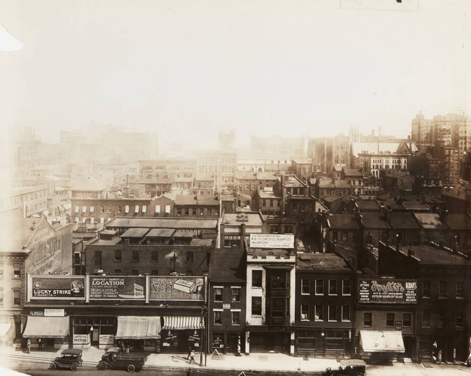
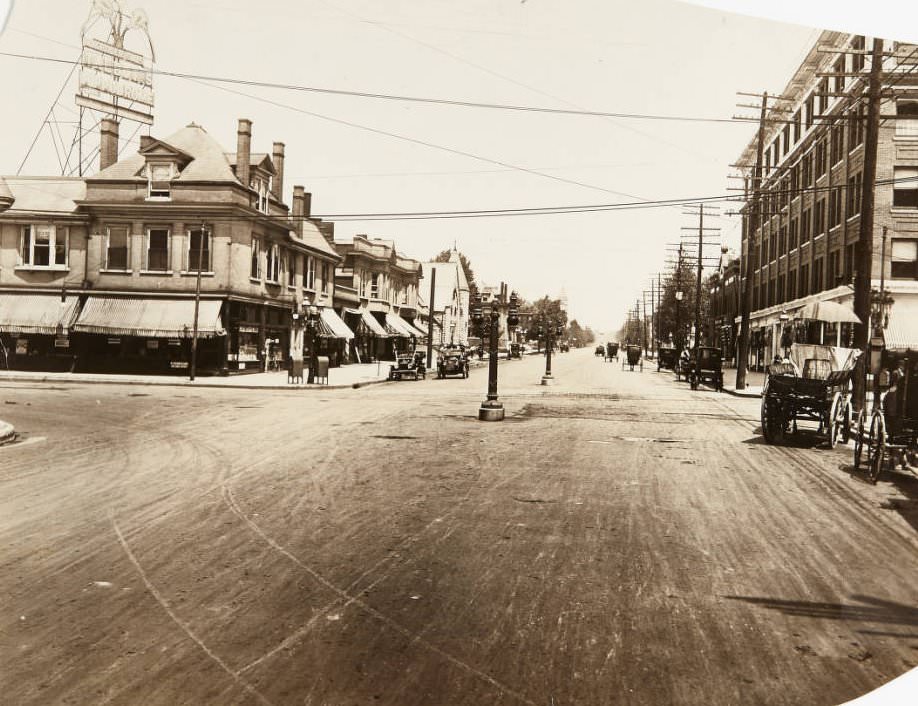
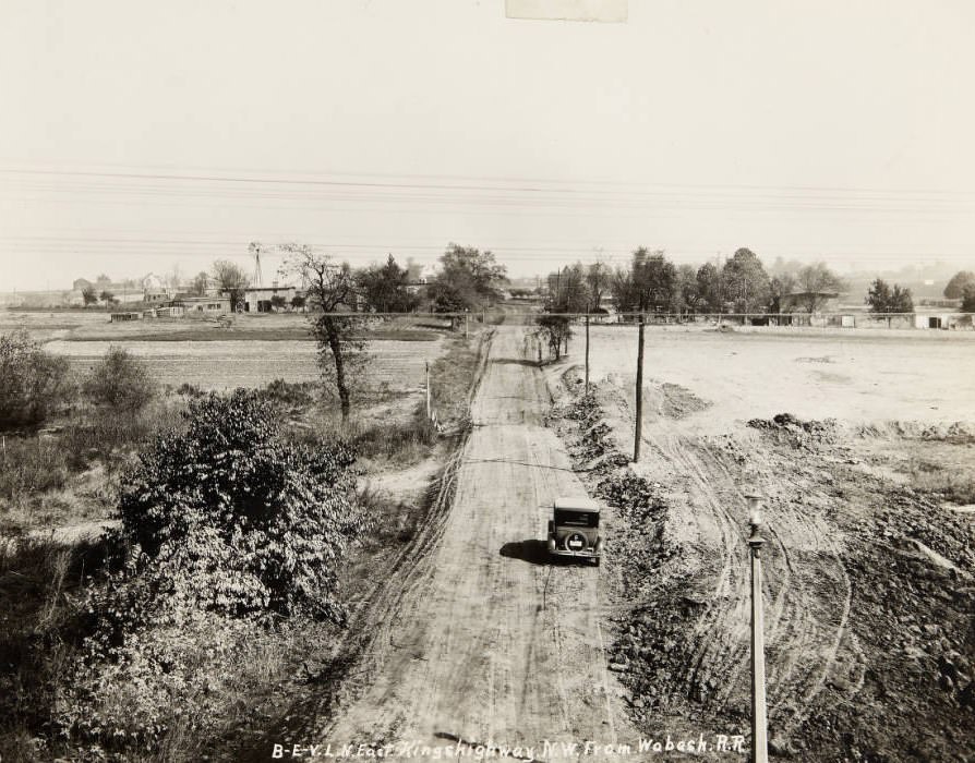
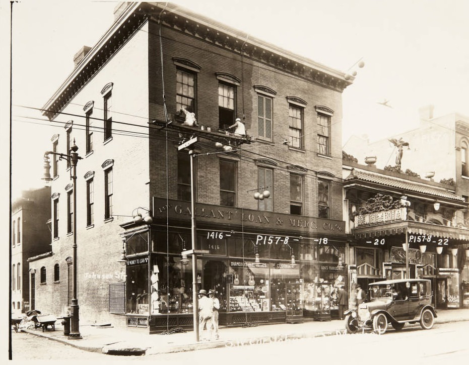
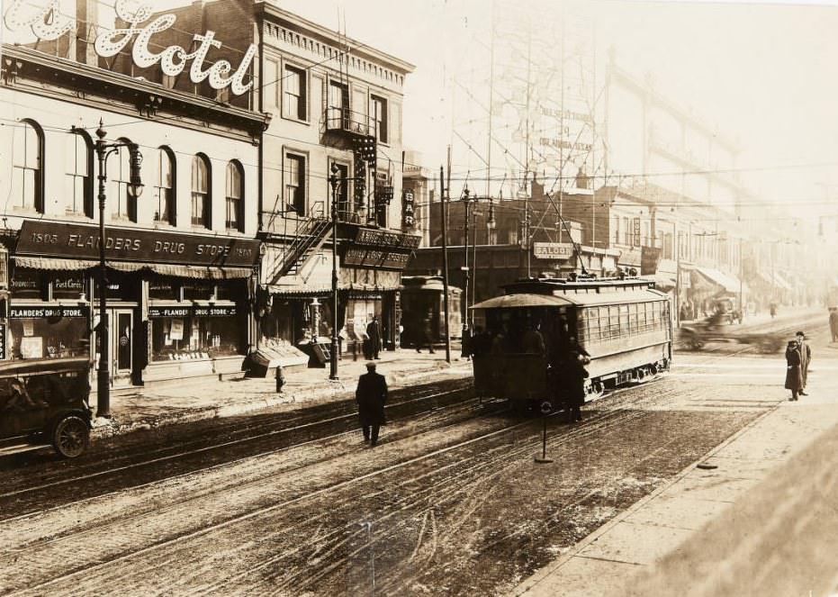
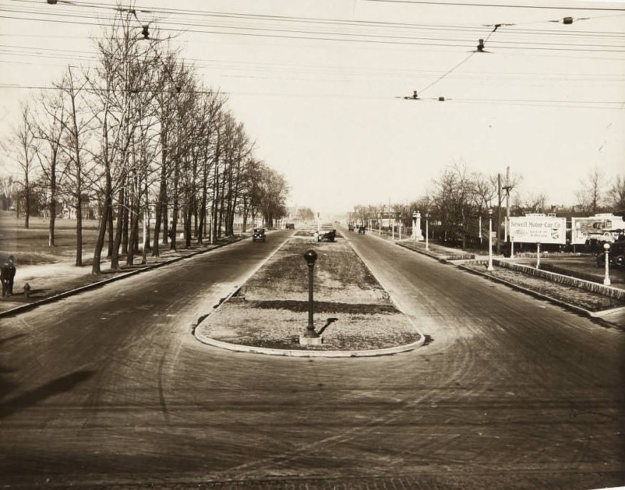
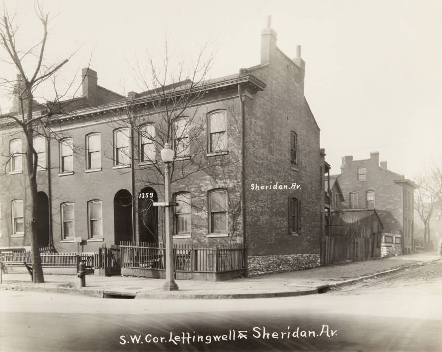
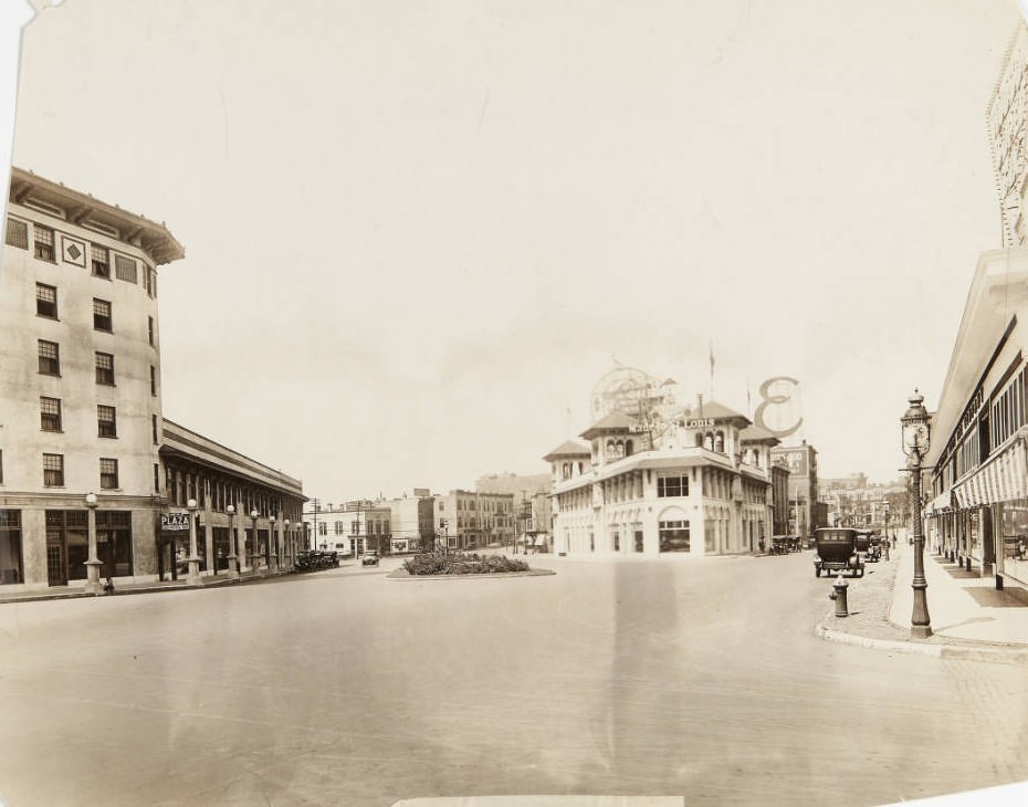
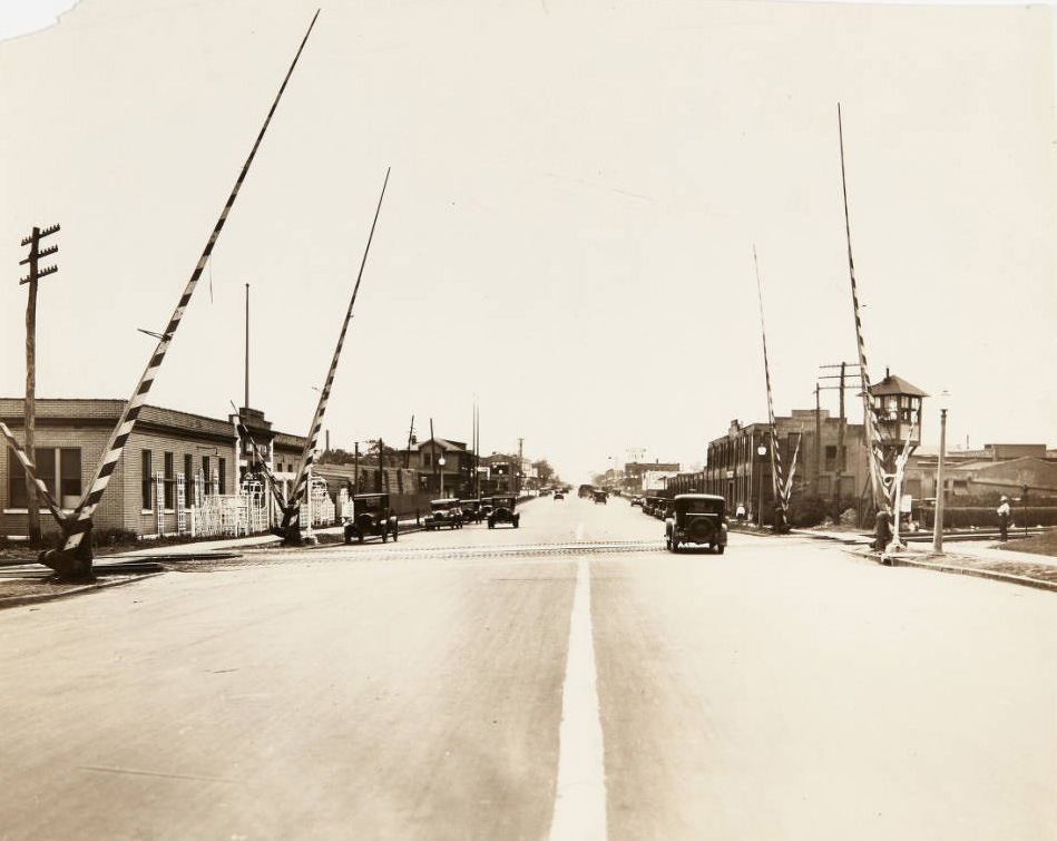
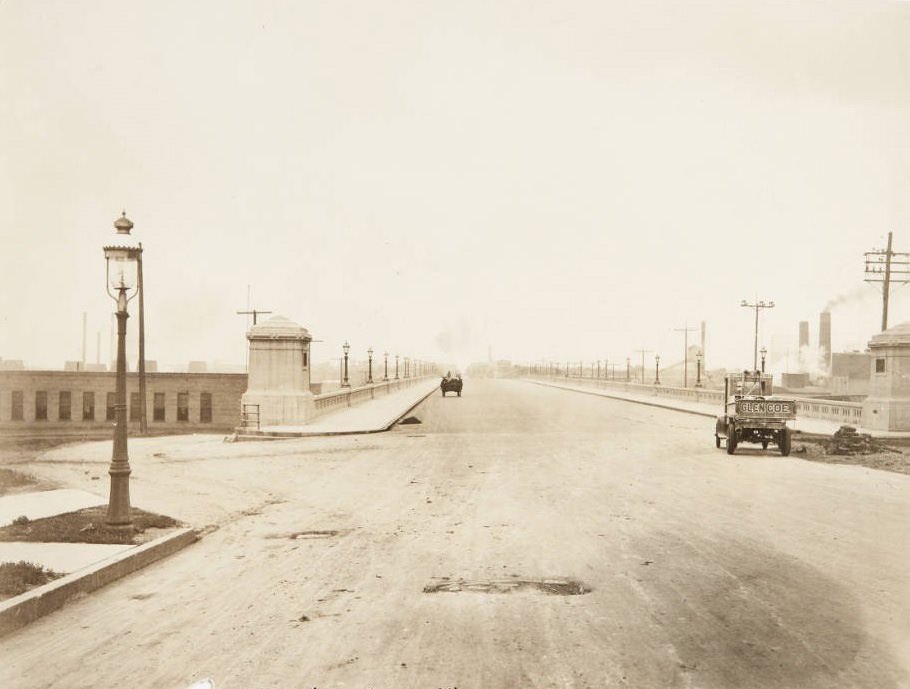
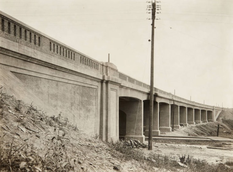
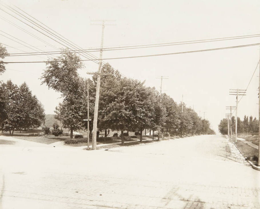
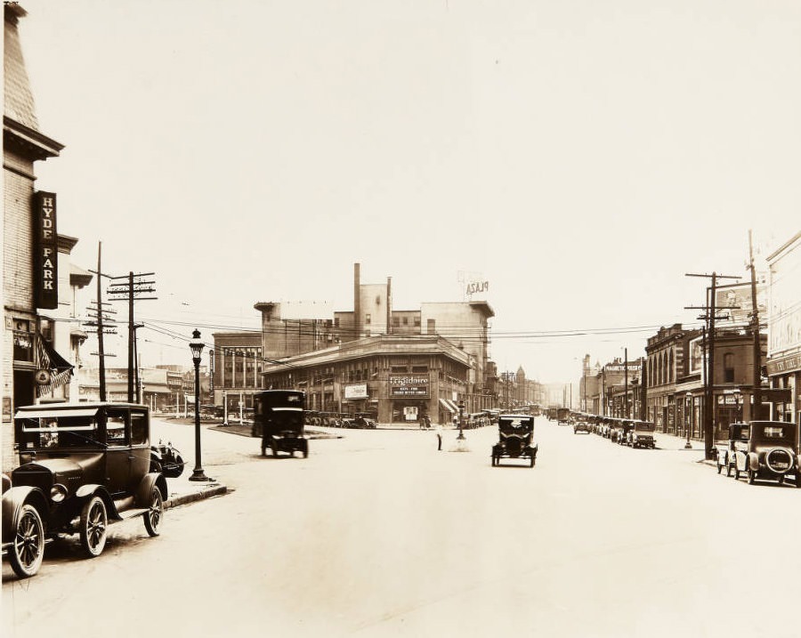
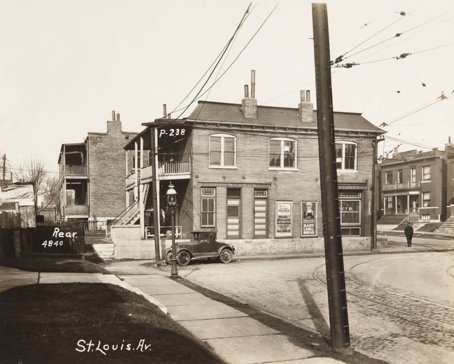
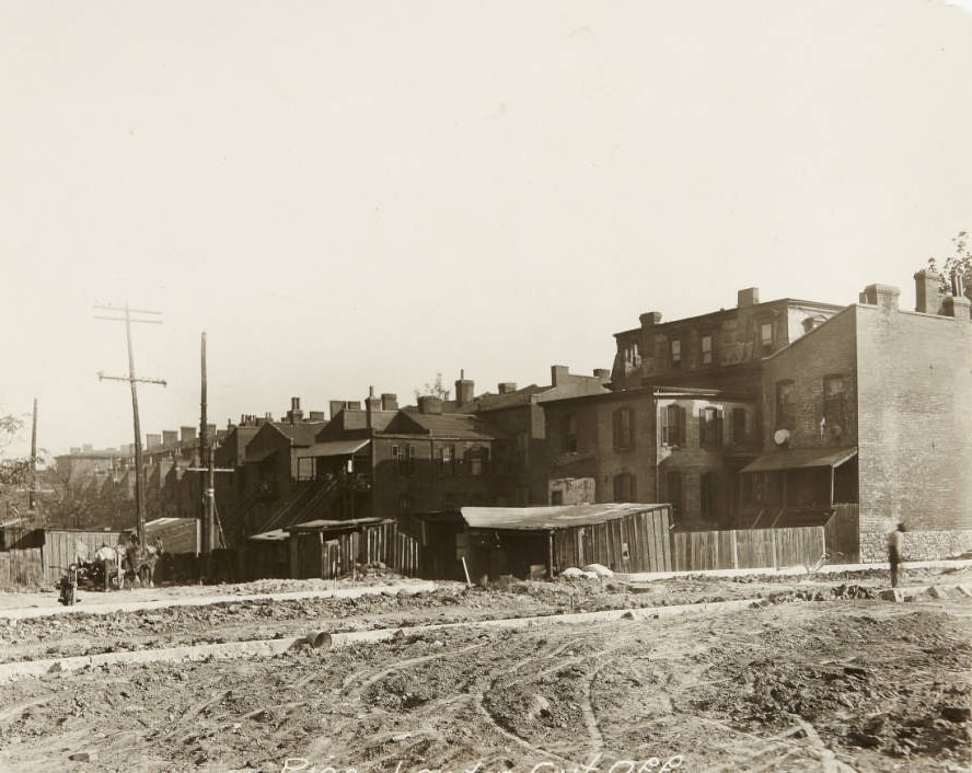
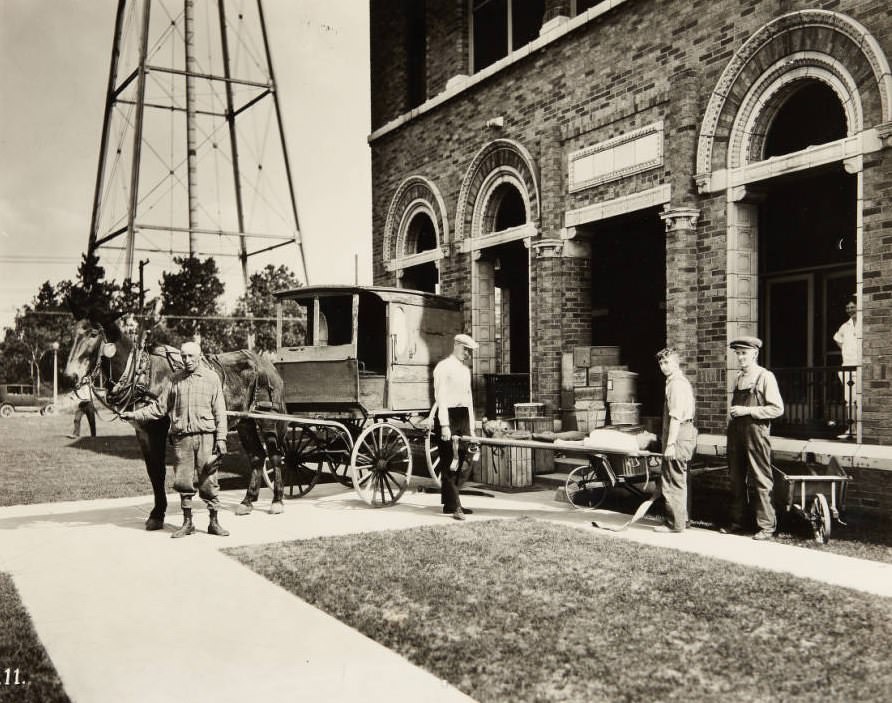
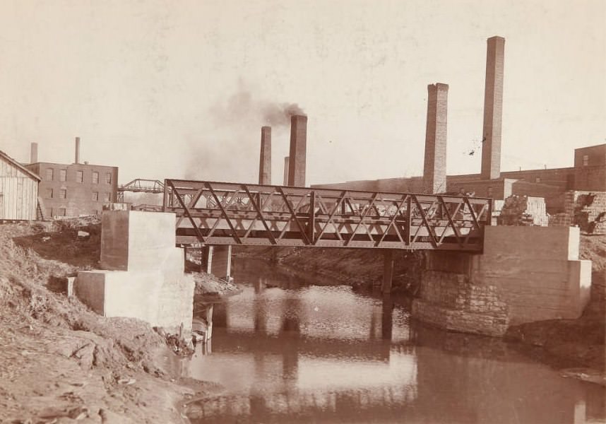
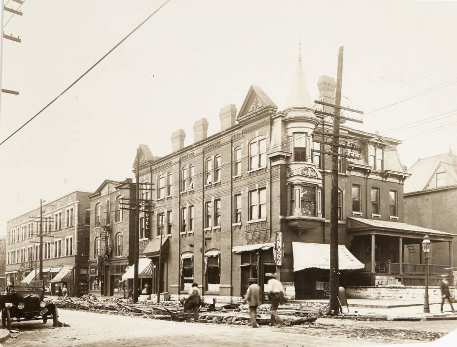
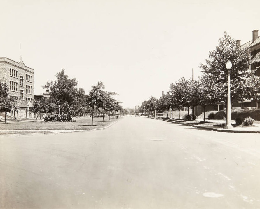
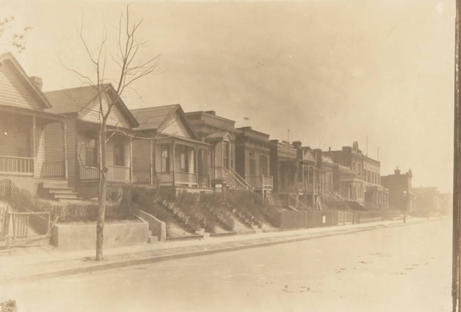
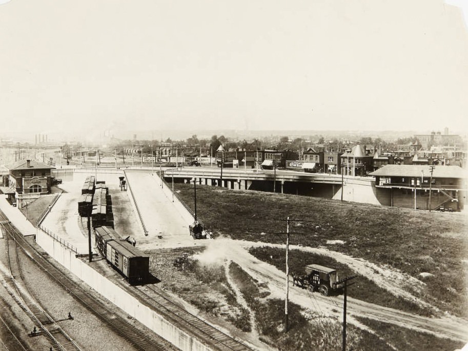
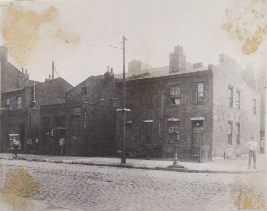
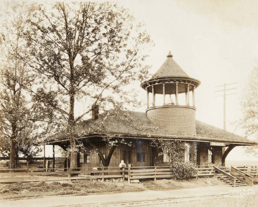
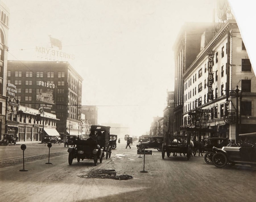
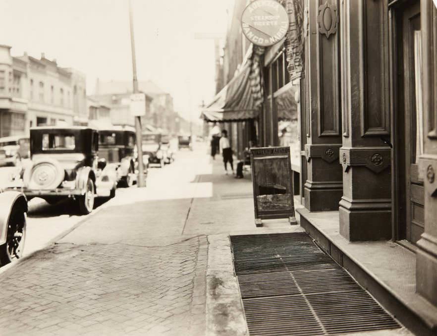
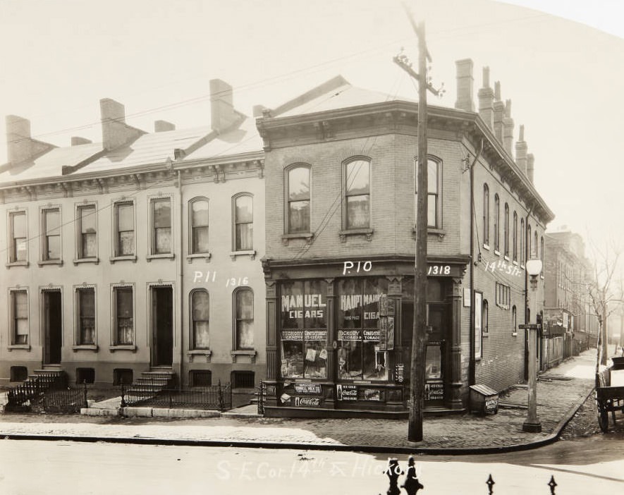
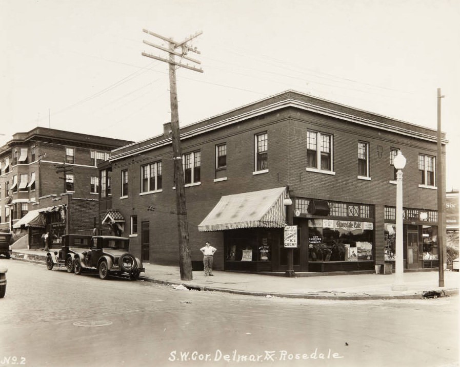
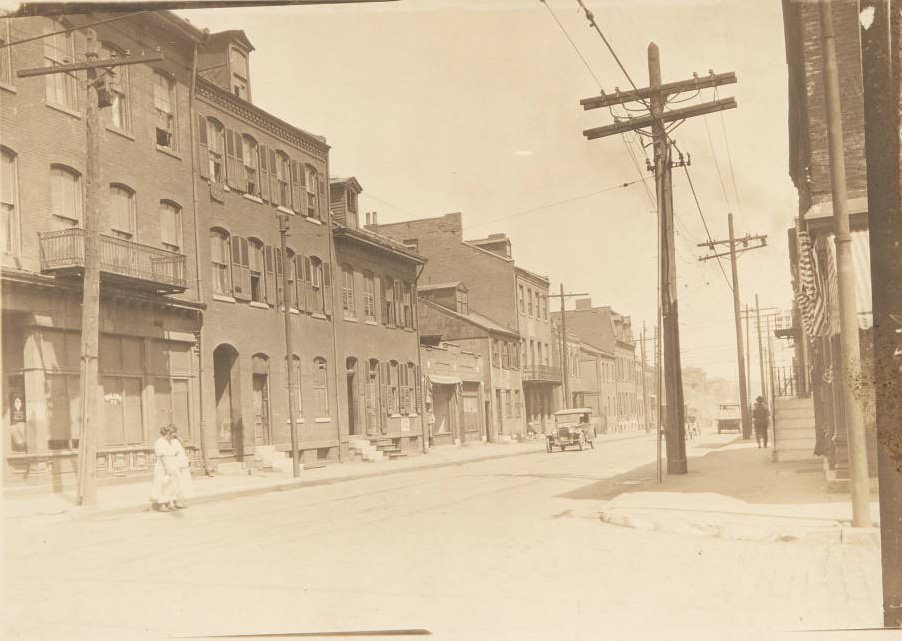
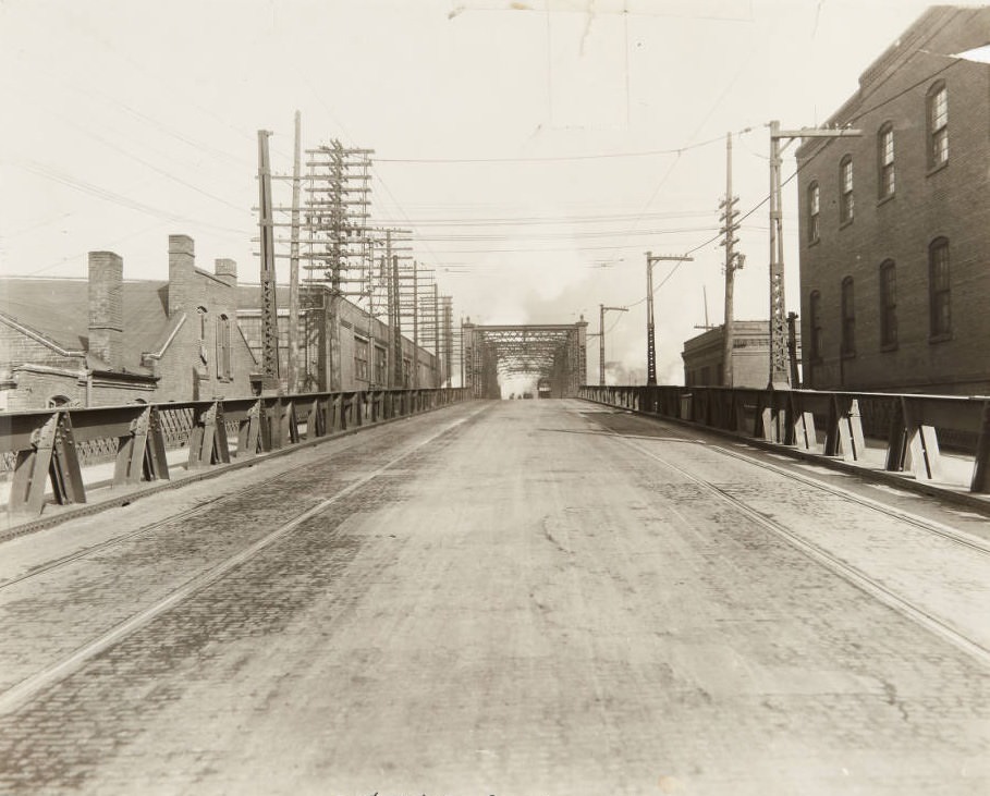
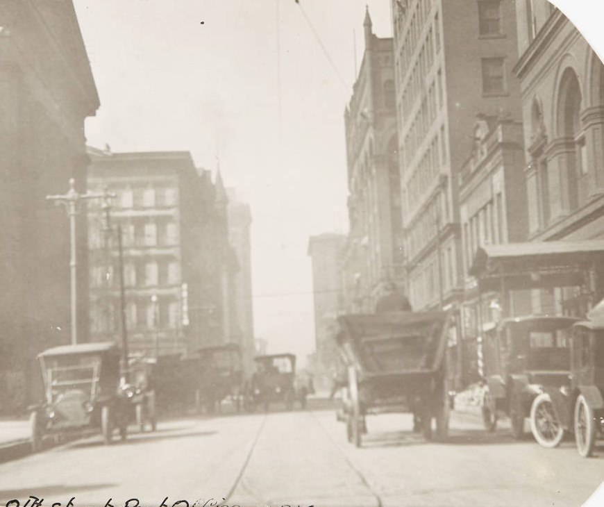
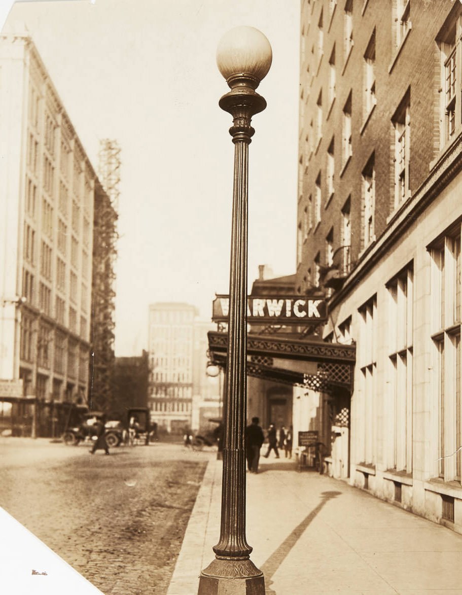
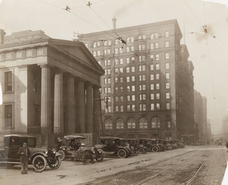
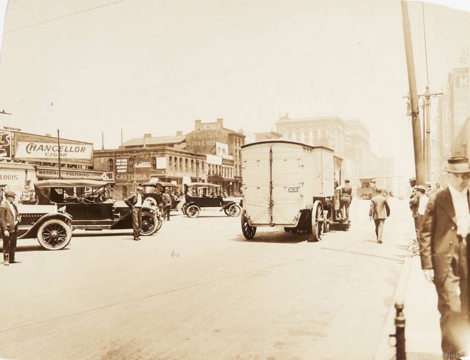
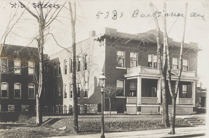
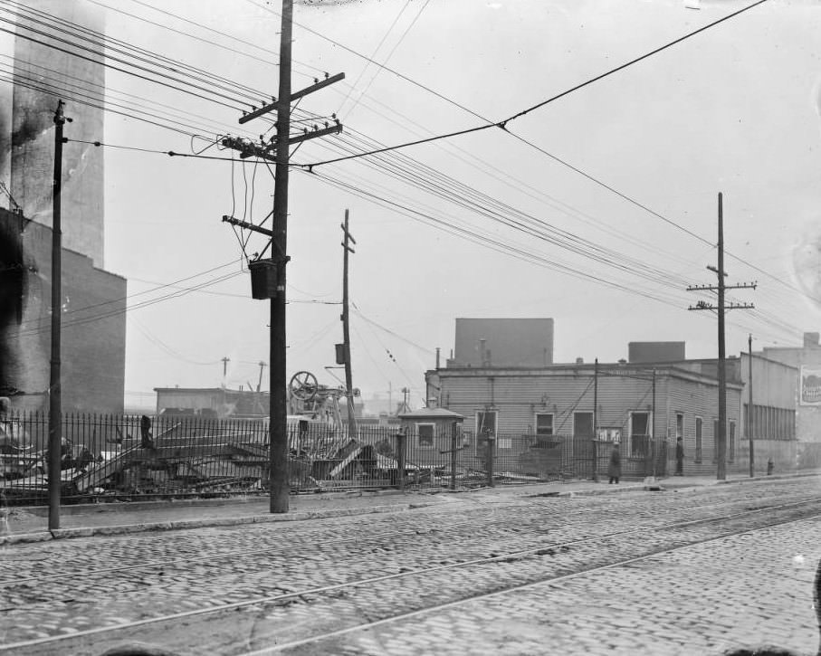
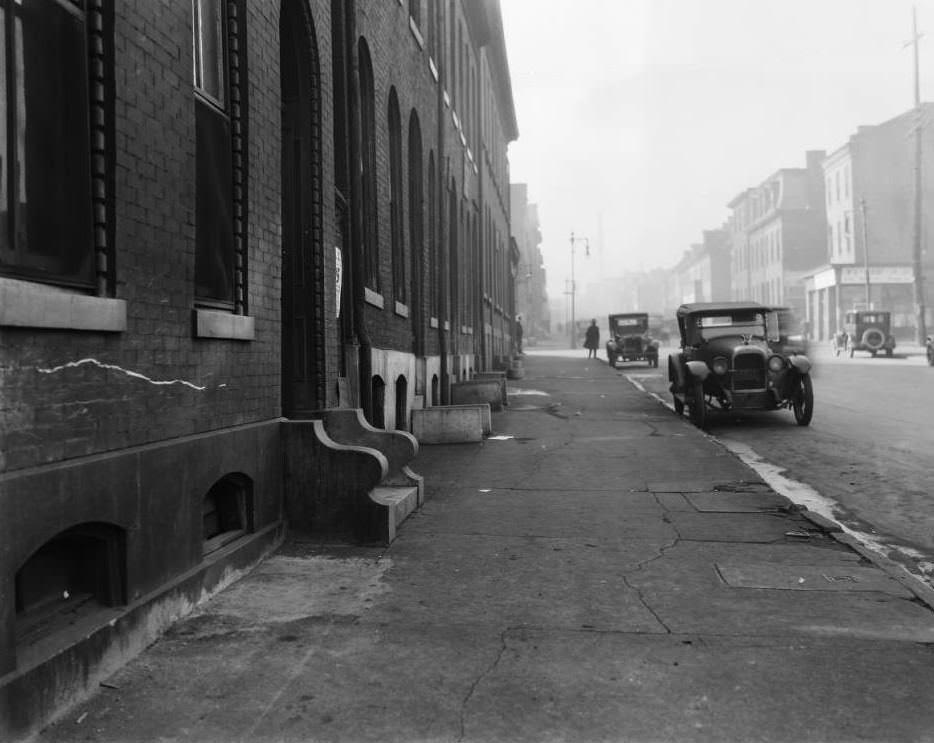
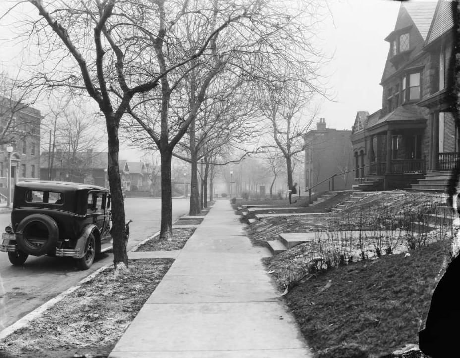
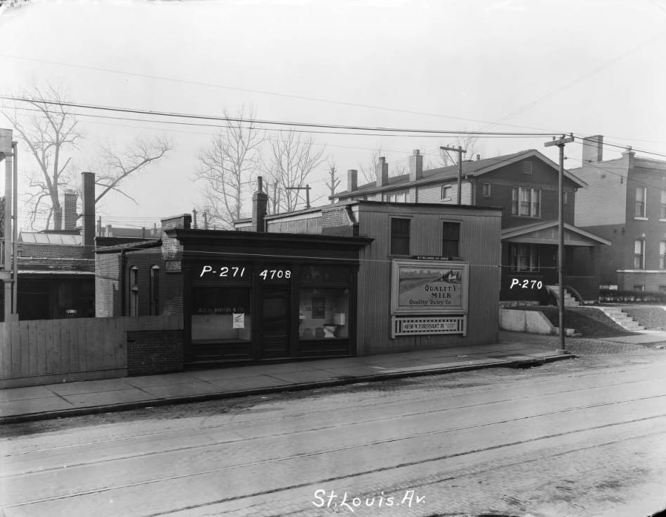
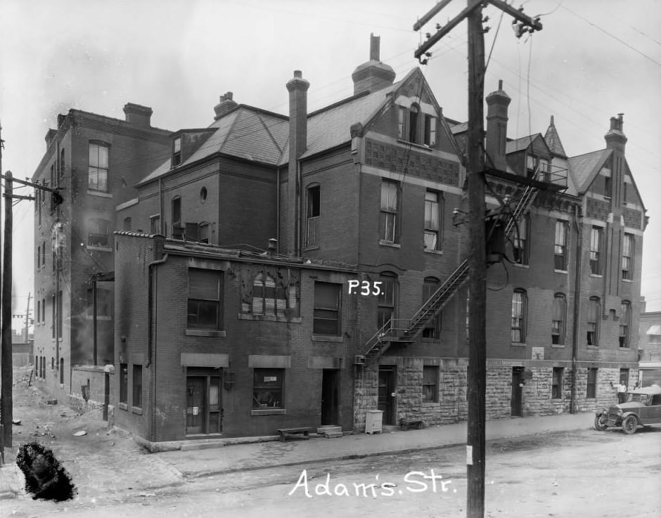
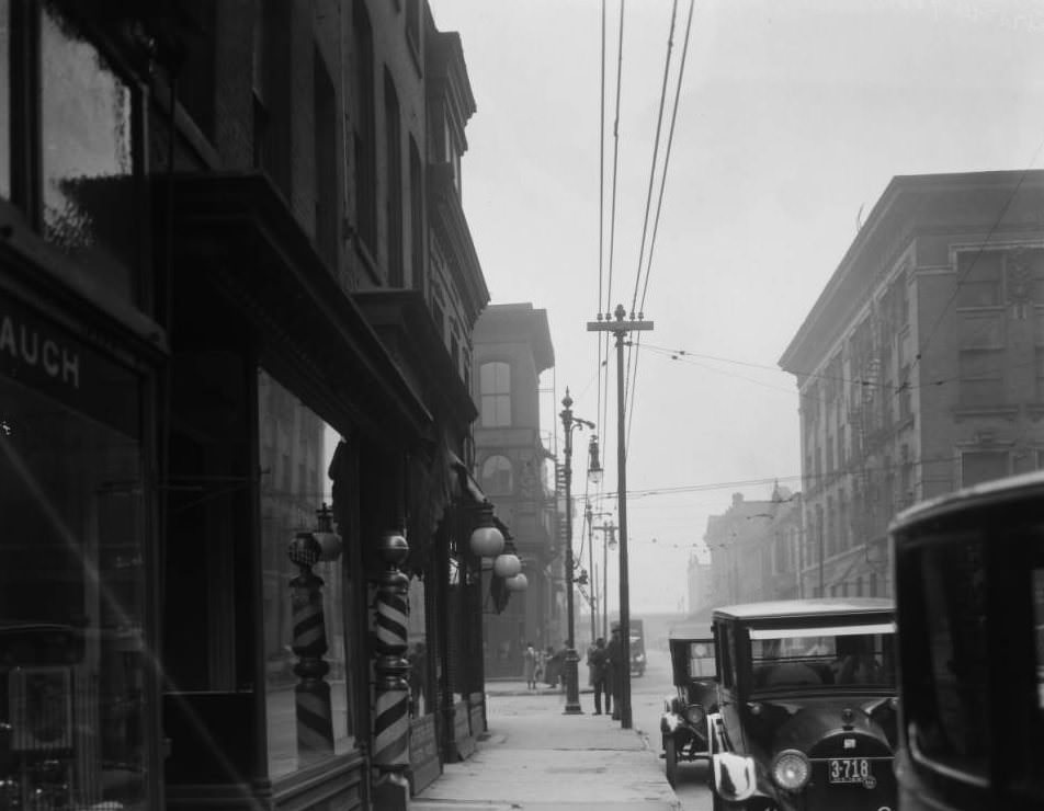
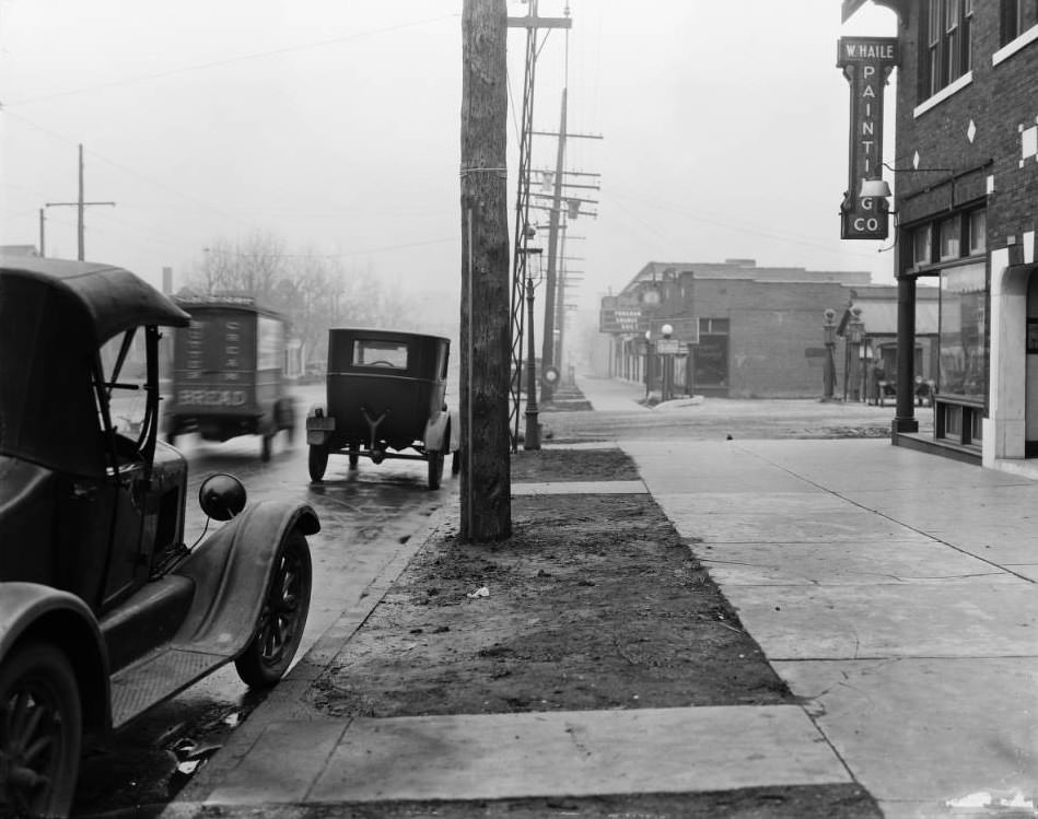
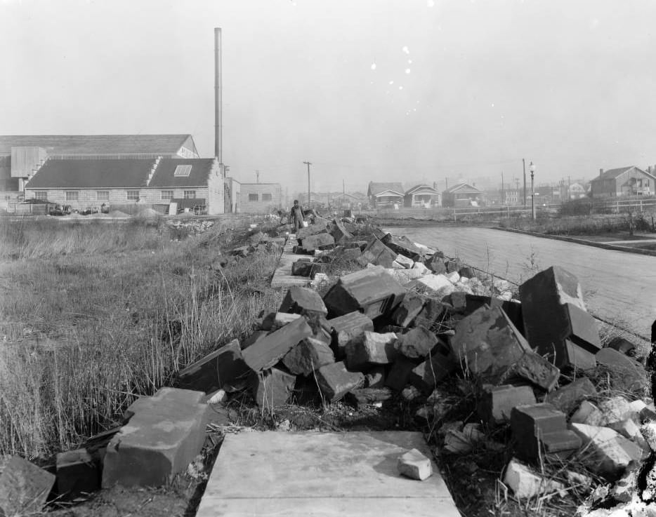
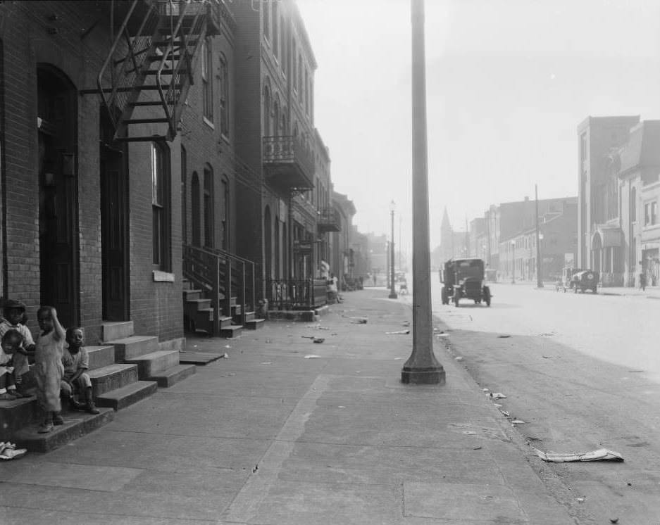
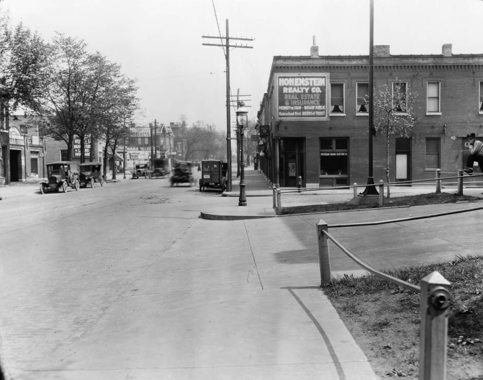
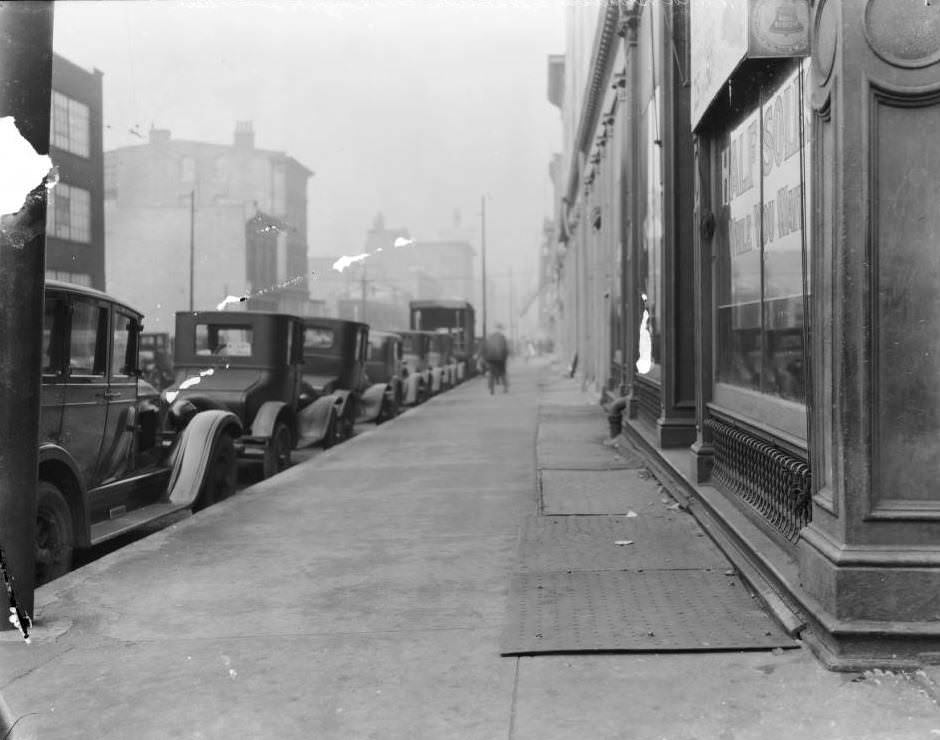
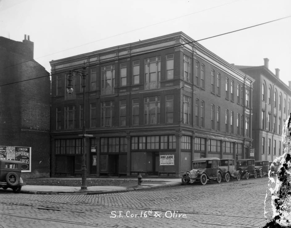
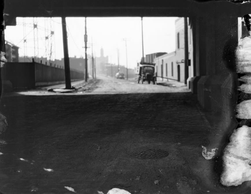
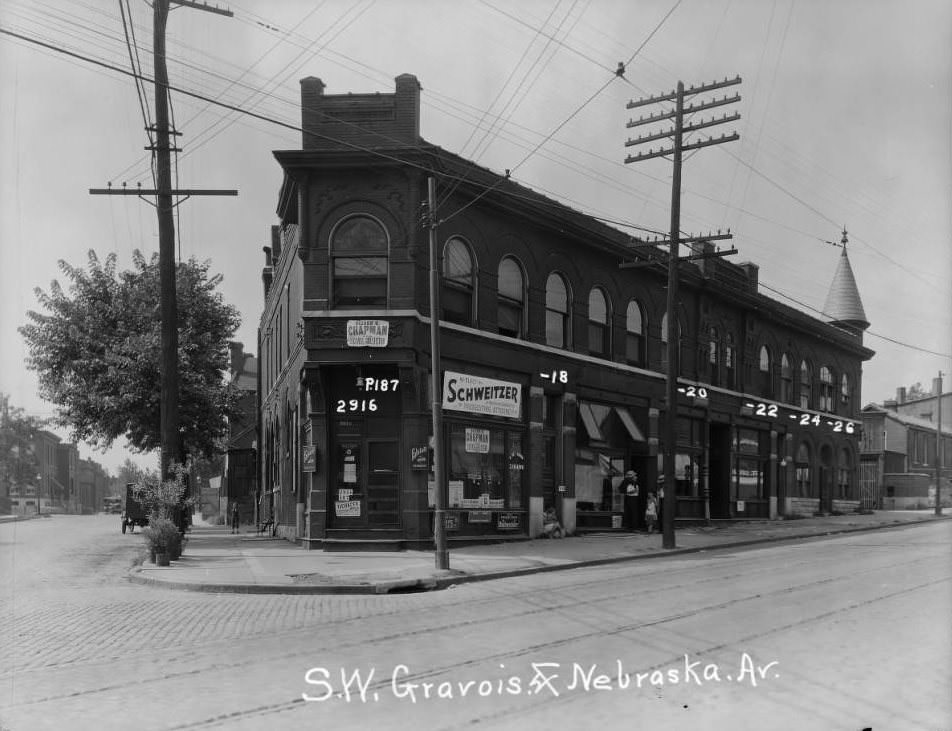
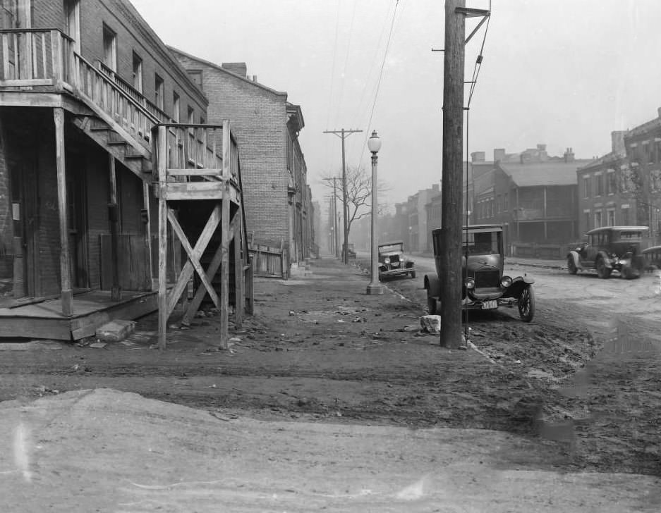
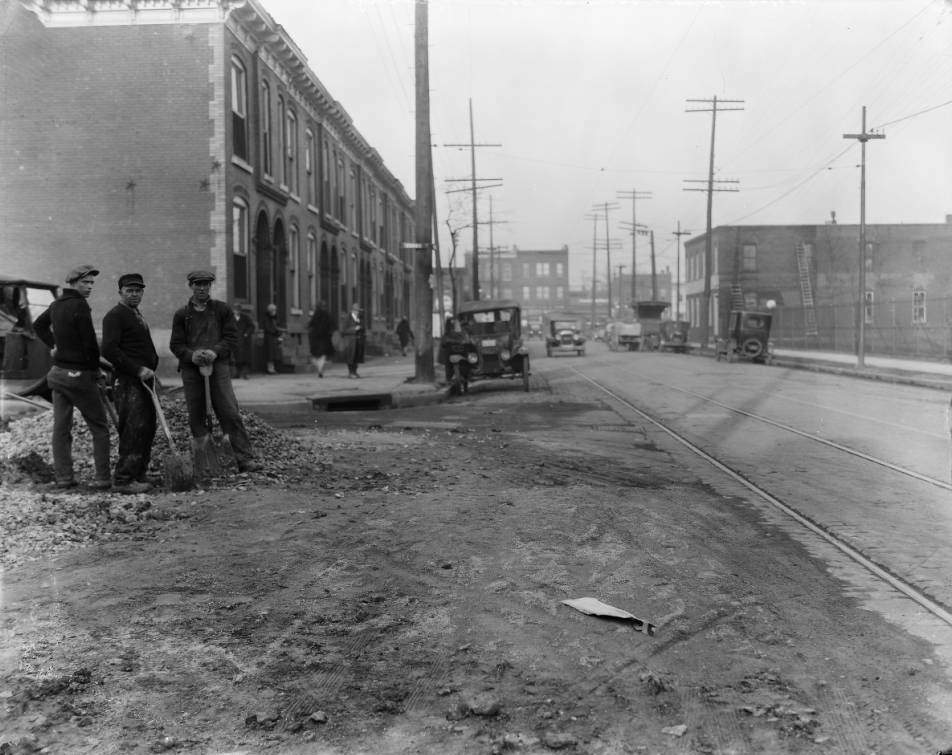
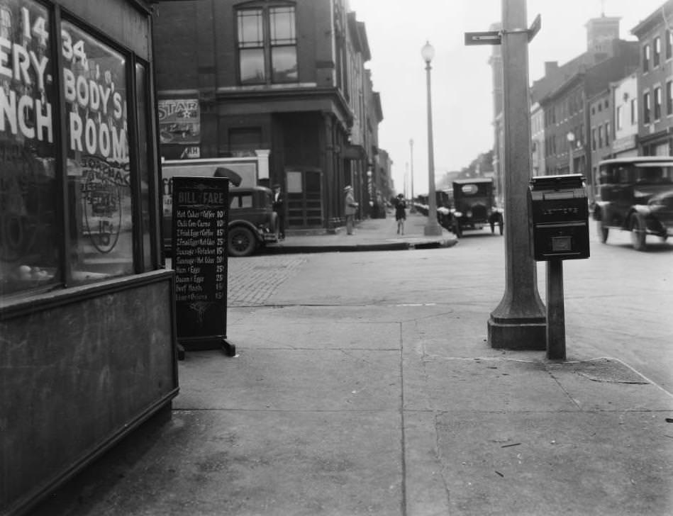
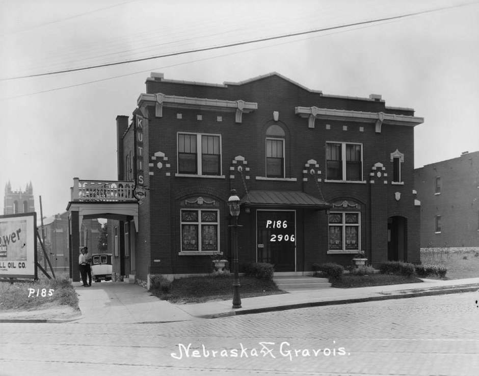
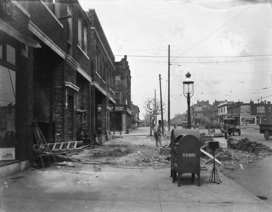
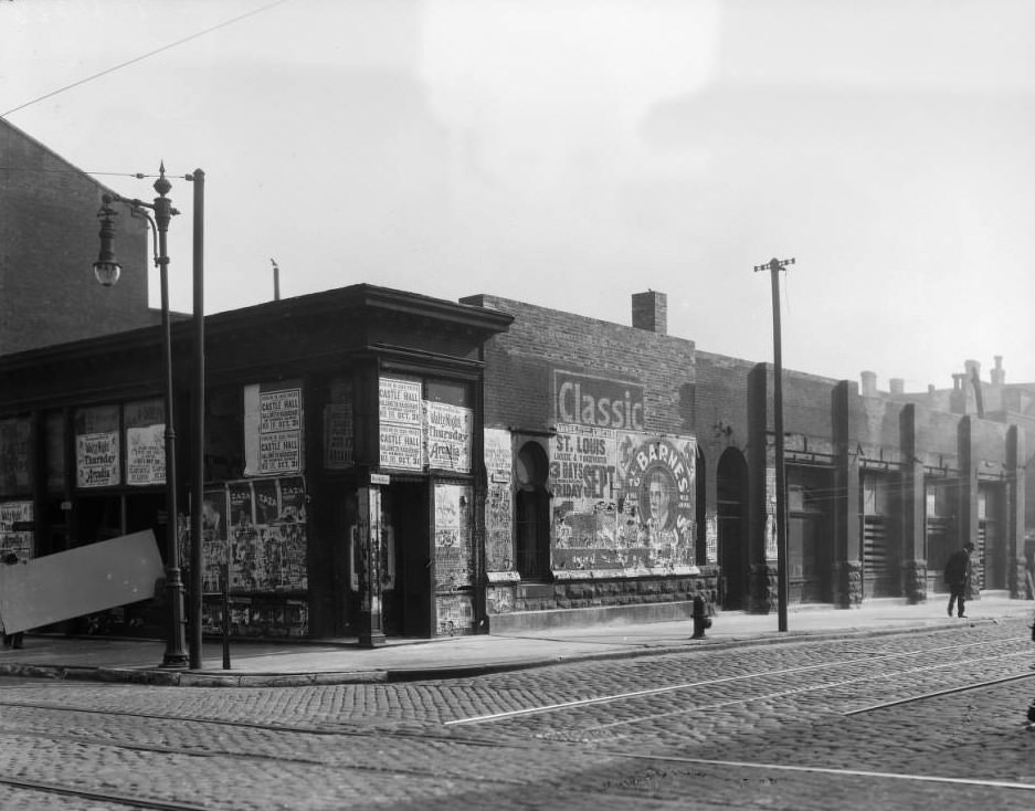
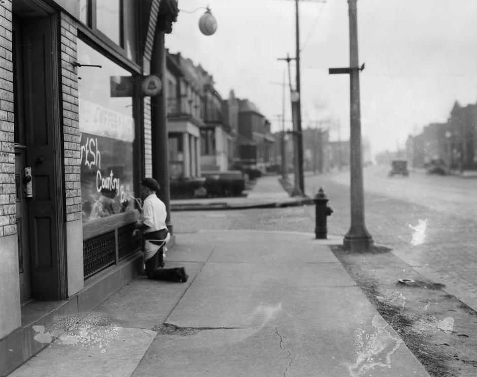
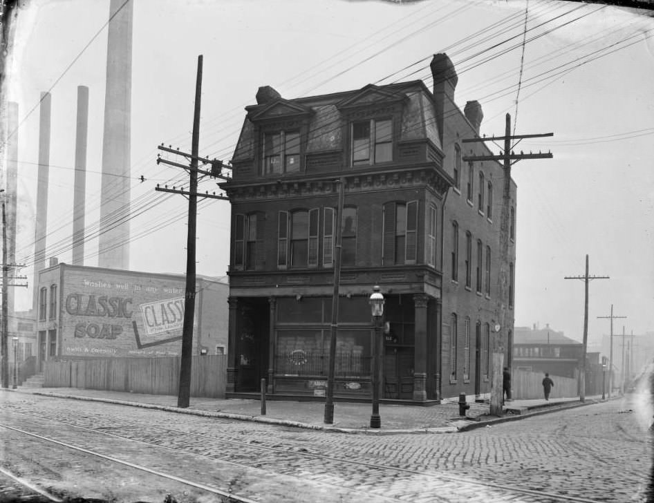
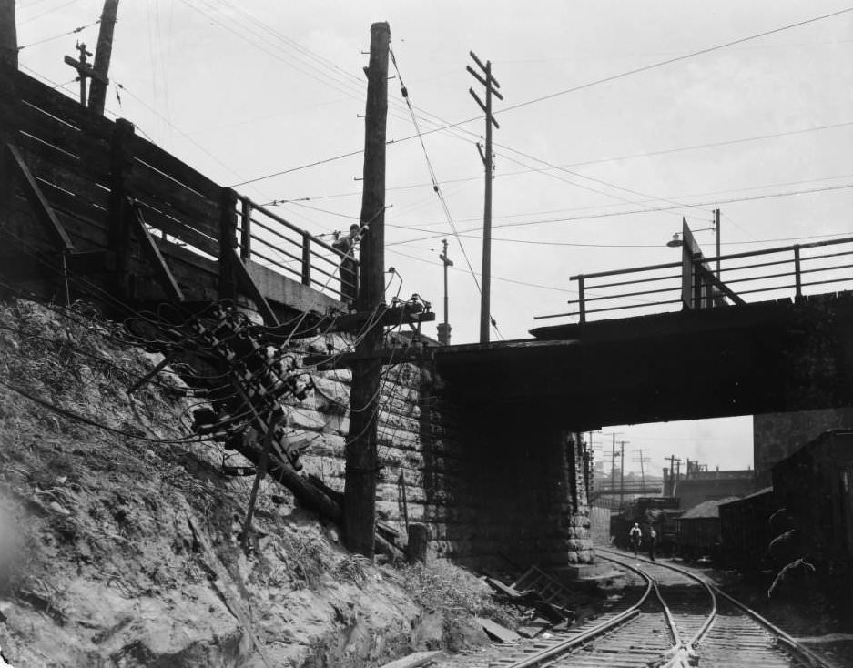
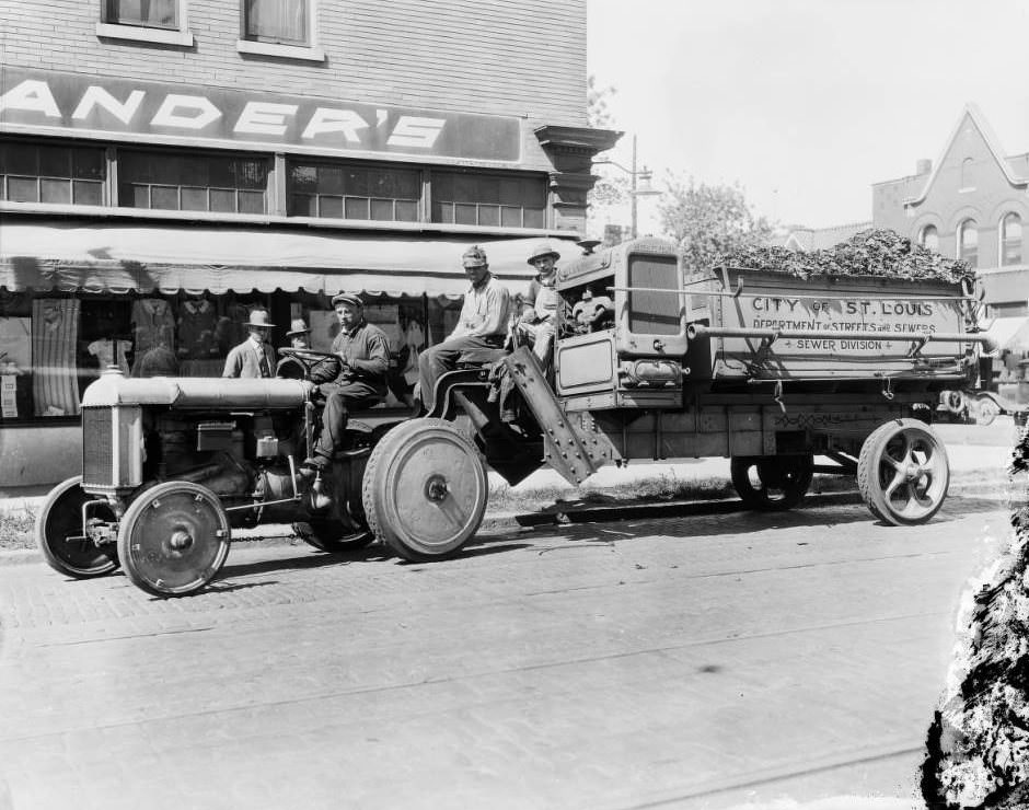
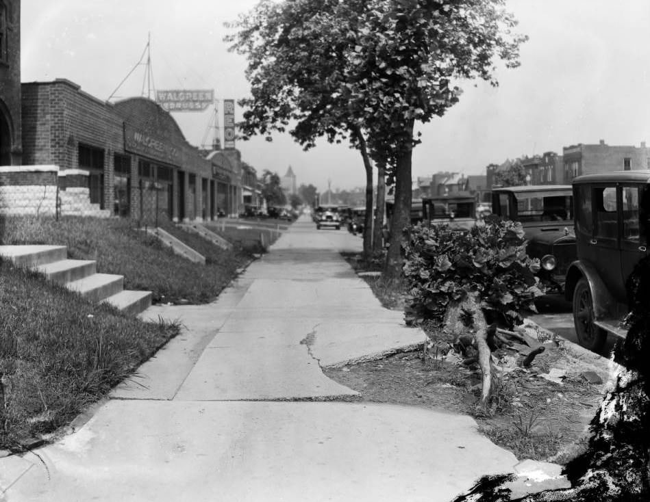
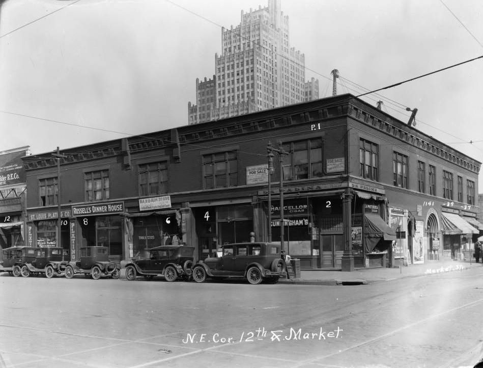
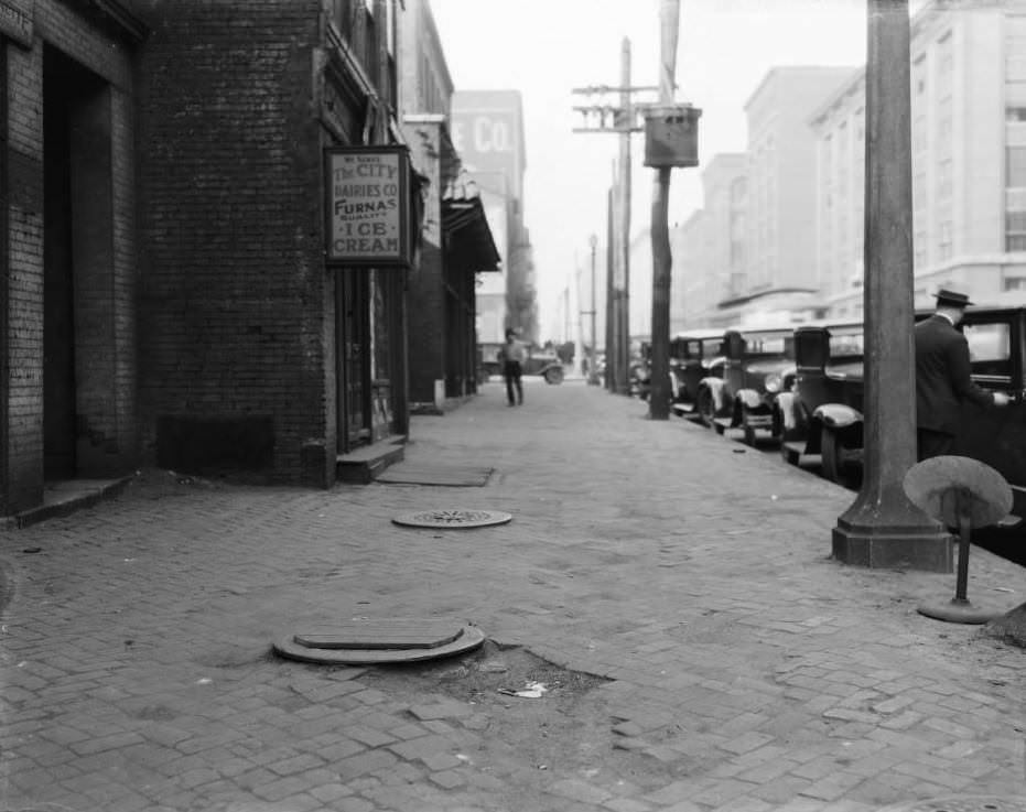
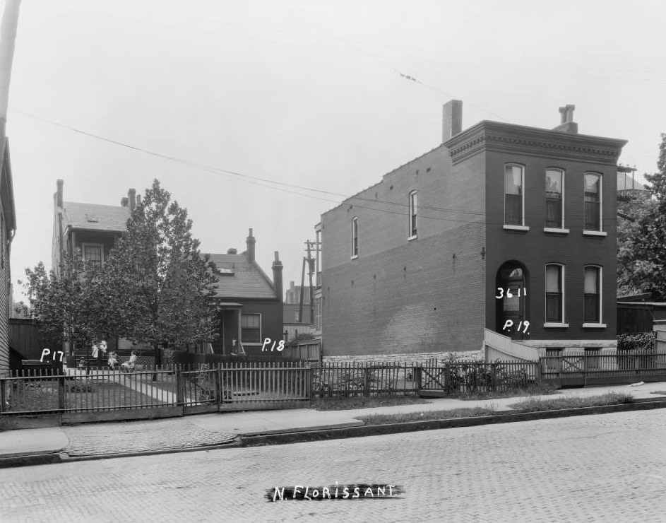
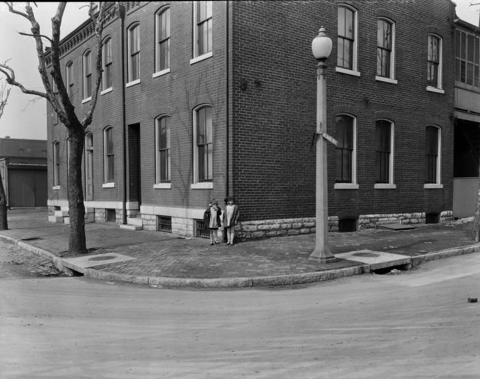
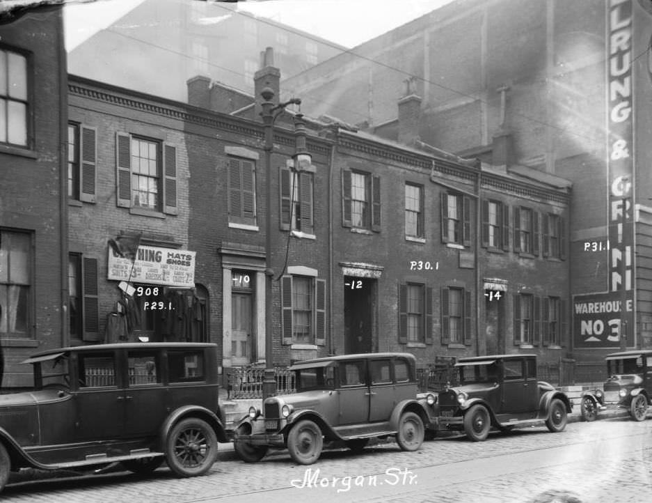
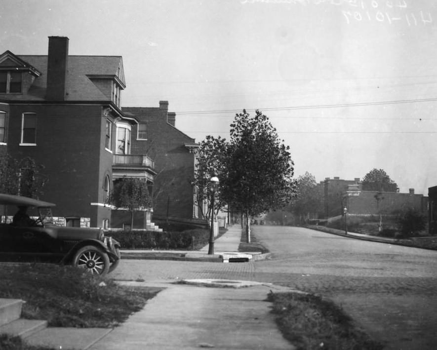
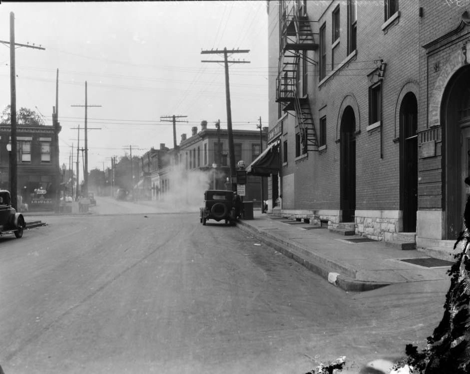
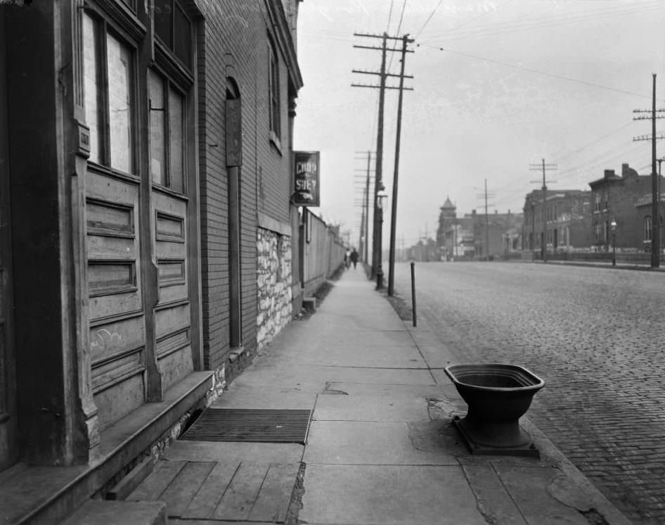
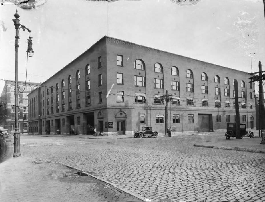
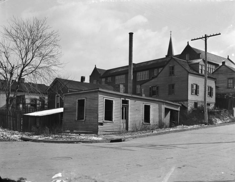
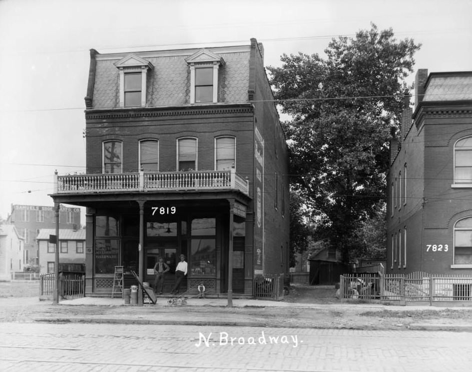
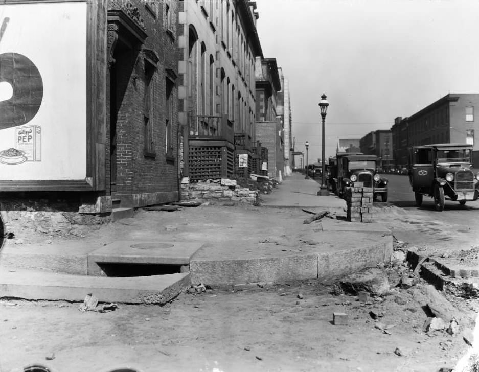
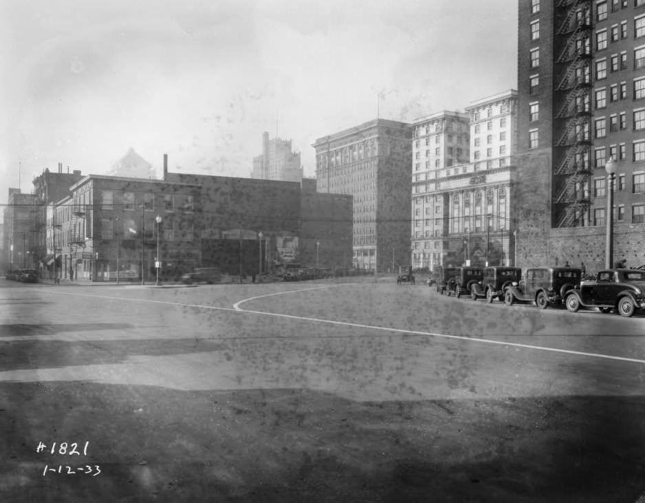
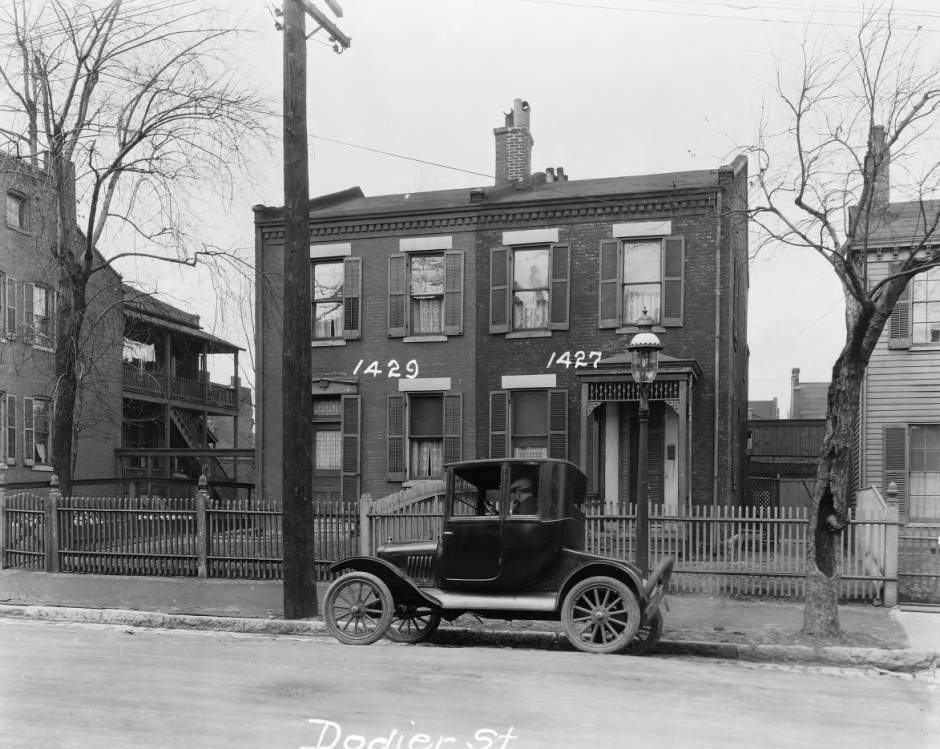
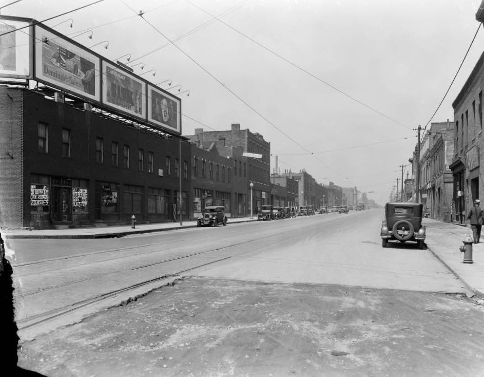
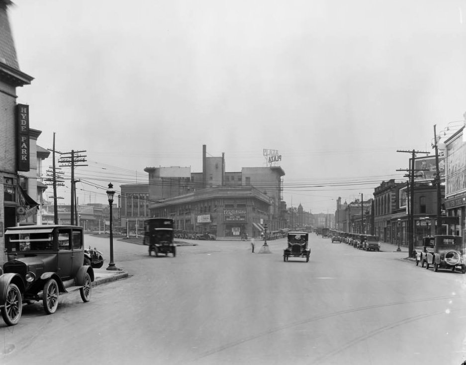
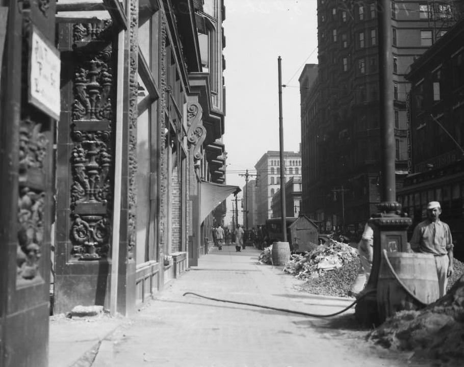
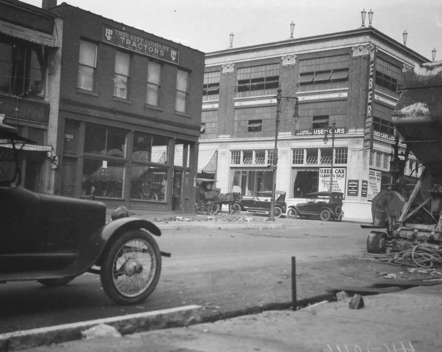
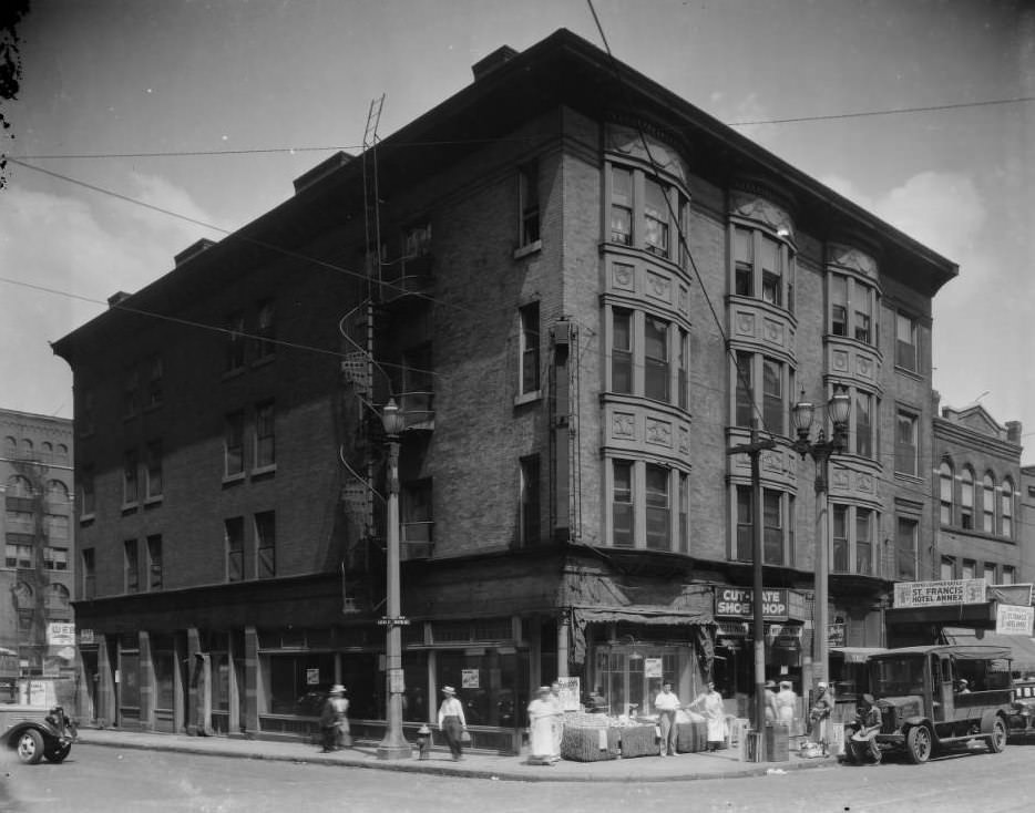
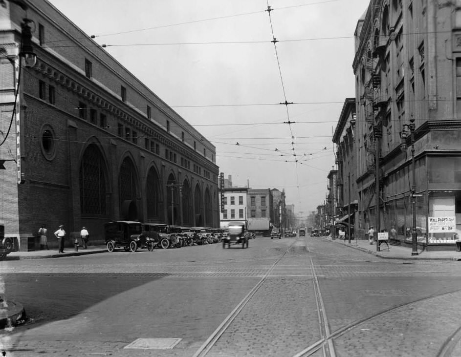
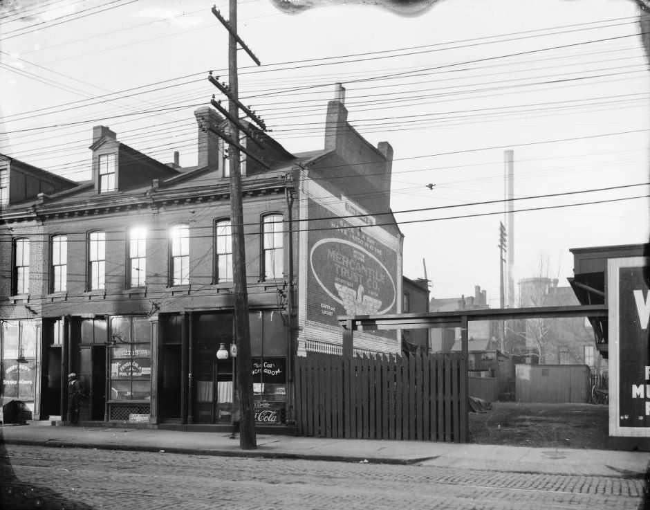
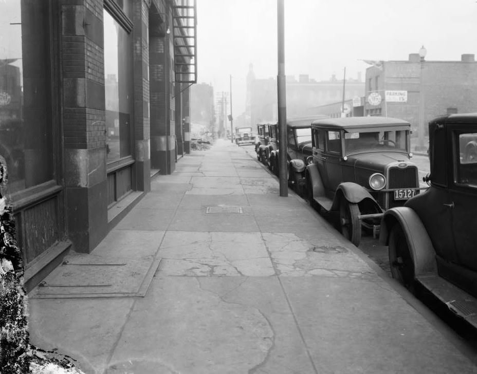
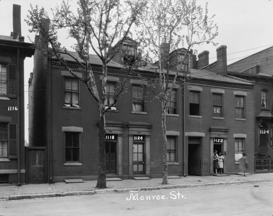
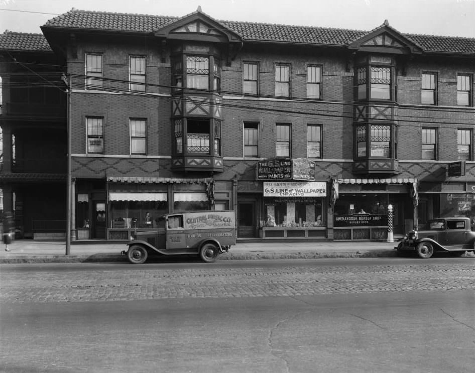
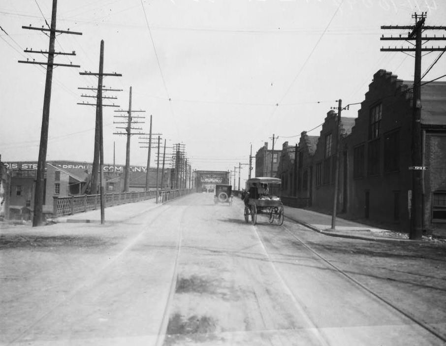
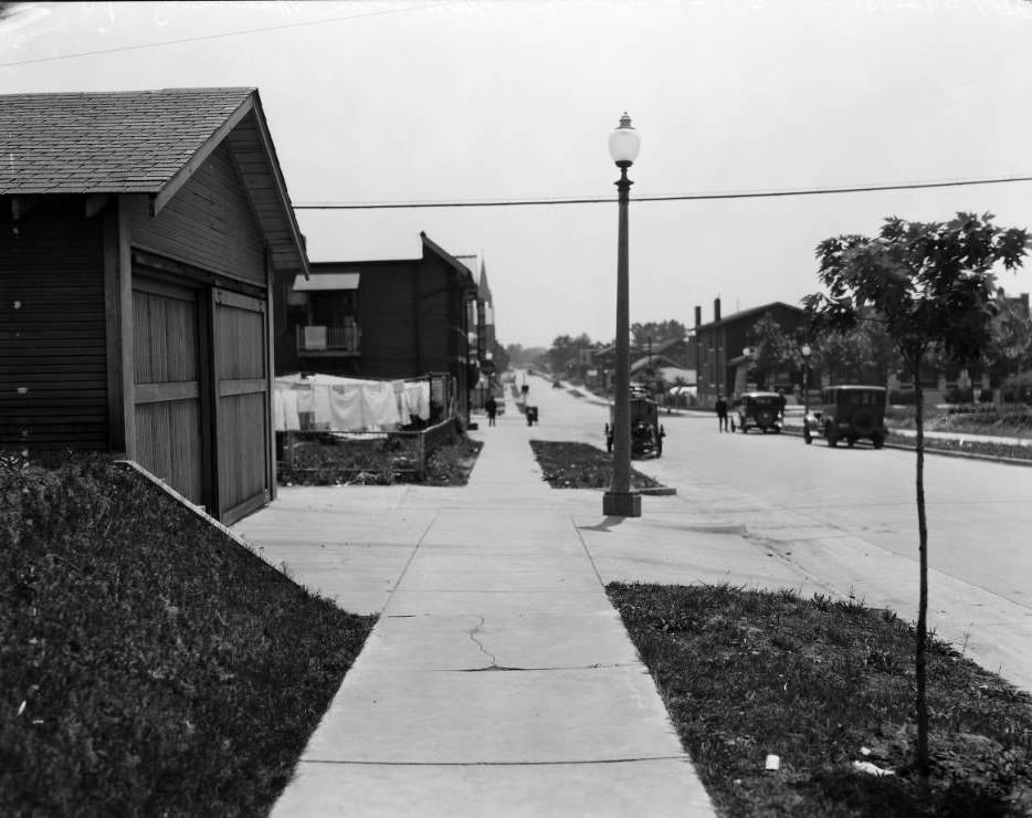
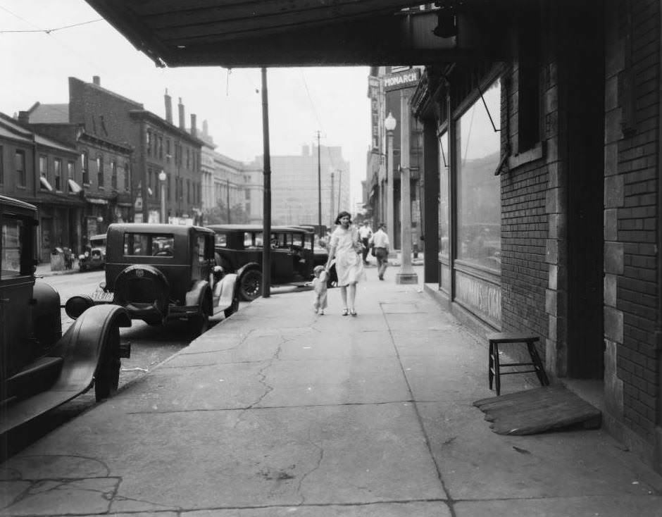
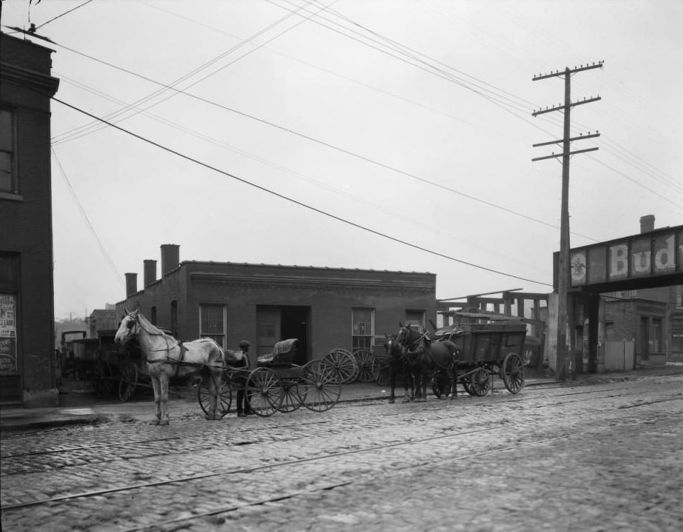
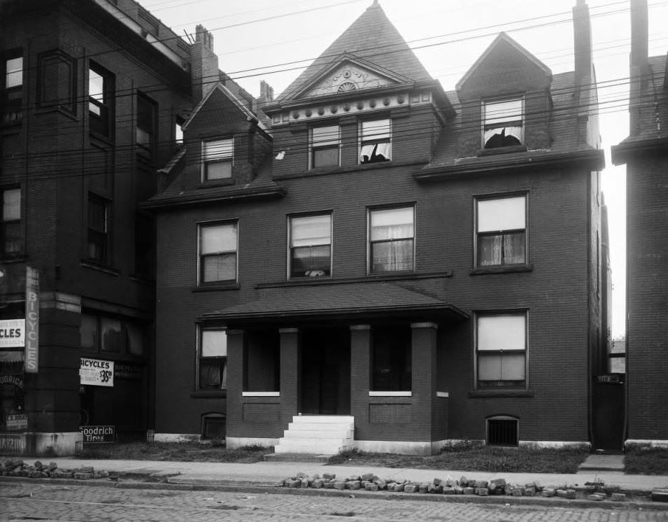
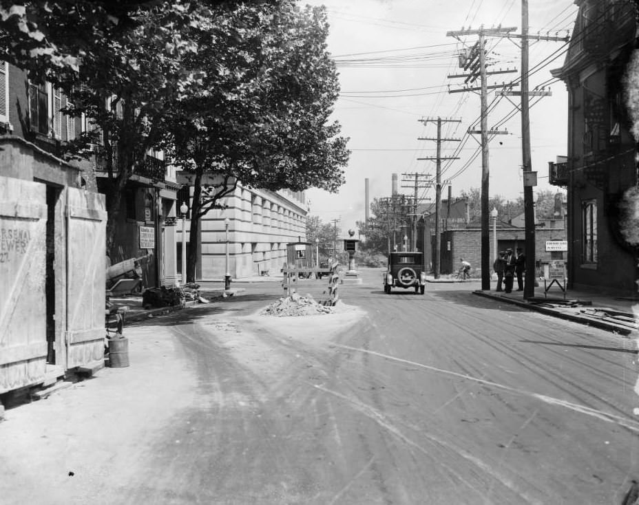
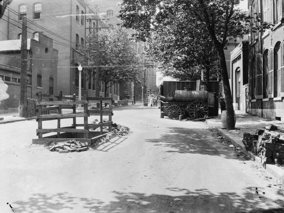
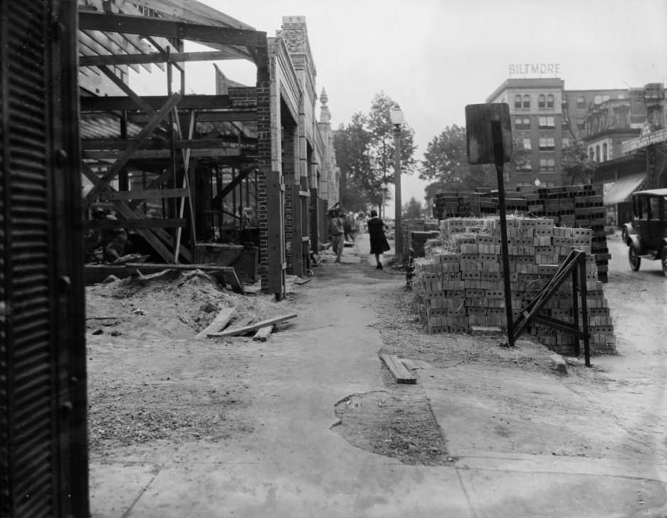
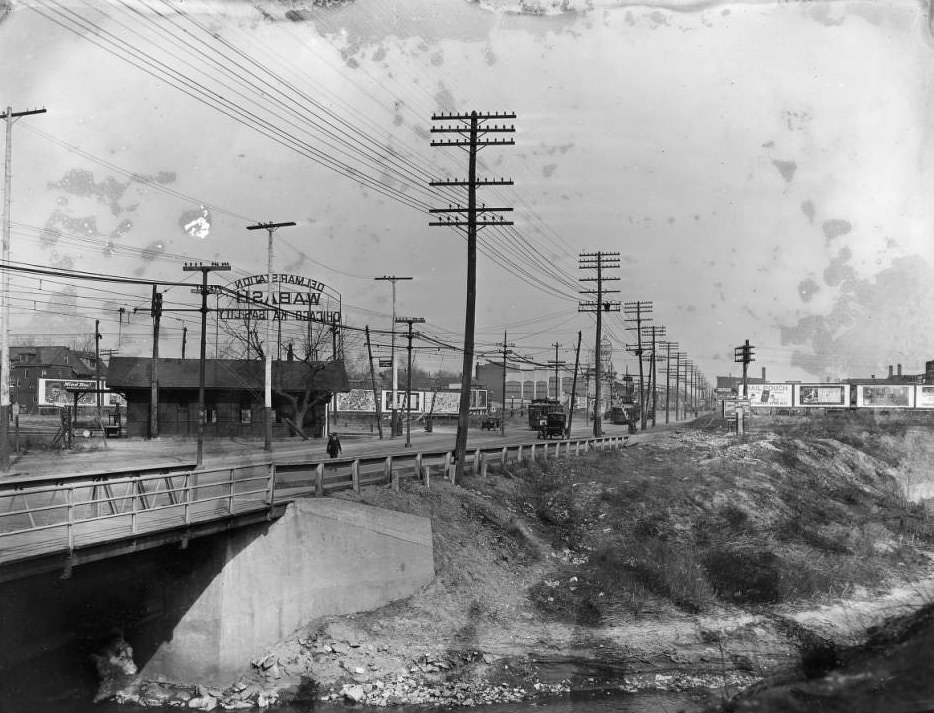
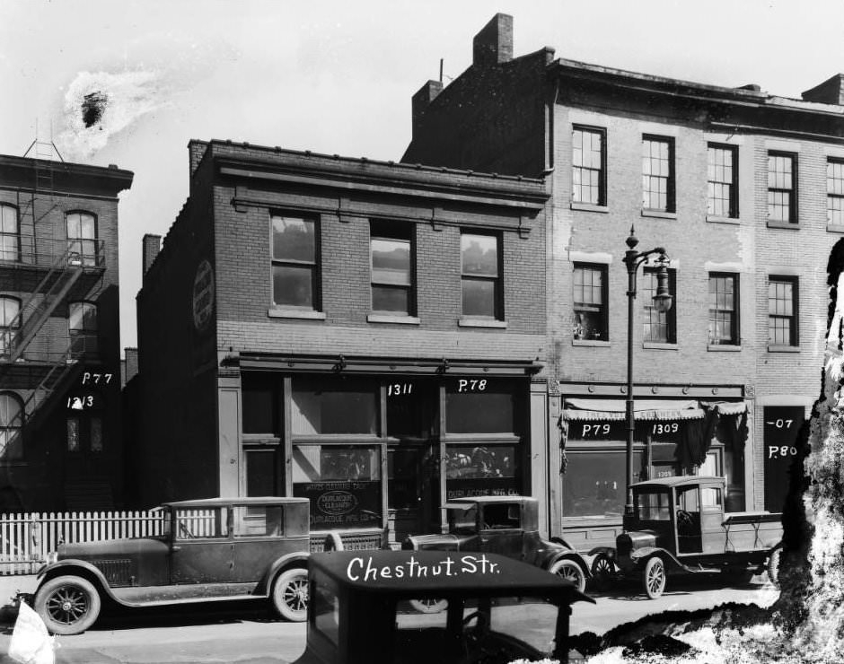
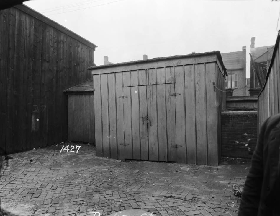
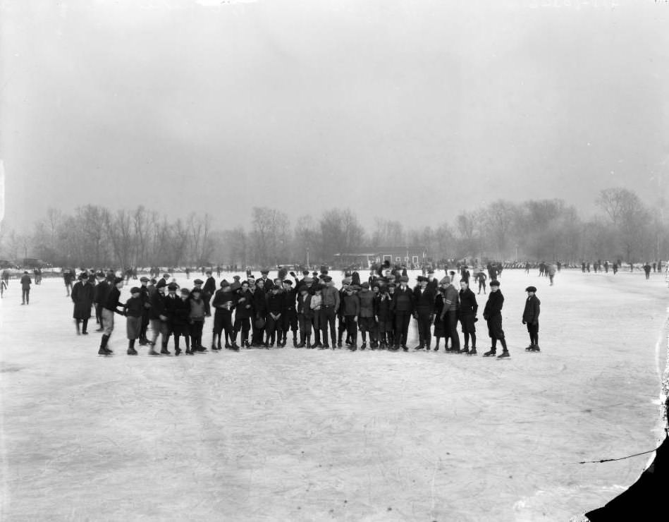
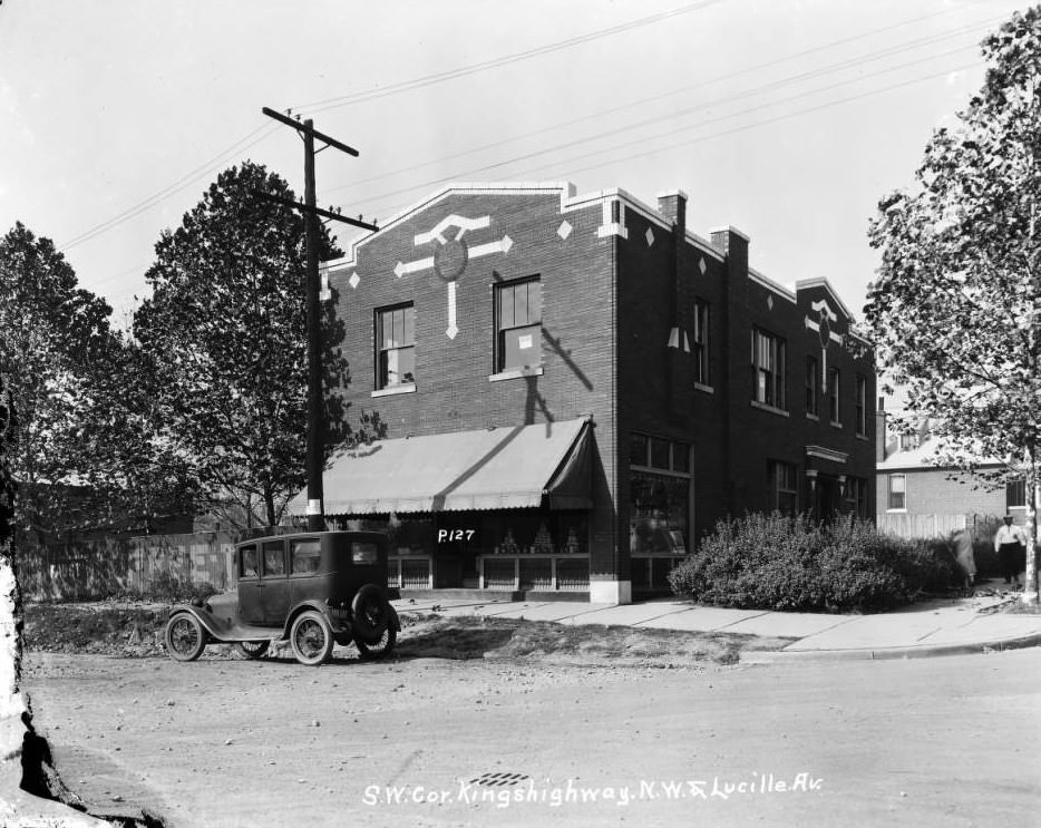
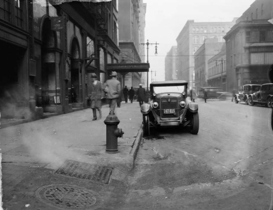
Impressive old residence that is the home of the successful business enterprise, the Betty Studios, 1920sNortheast corner of Lafayette and Mississippi Ave, 1920sLamppost on the sidewalk at 5468 Cabanne Avenue, 1920Entrance to the Municipal Free Bridge, with four men standing next to a truck of the Swift & Company parked at the entrance, 1920Cars parked along Seventh Street just north of Olive, with the Busy Bee Candy Co. visible in the distance, 1920Tree-lined Cates Avenue, east of Hamilton Avenue, 1920View of 12th Street looking south from Spruce Street, with the Columbia Transfer Company building on the east side, 1920Buildings near the intersection of 14th and Wash streets, with a policeman using a call box on the street corner, 1920Building at the corner of South Broadway and Lami Street, which housed a branch of the American Red Cross, St. Louis Chapter, at 2338 S. Broadway, 1920Stacks of lumber piled in a lot near the intersection of 23rd Street and Franklin Avenue, 1920Building near the intersection of Fourth and Market streets, looking southeast with the spire of the Old Cathedral visible behind a building and the MacArthur Bridge, 1920Intersection of Compton and Chouteau avenues looking south on Chouteau, with the Compton Grocery and Vegetables store and the Lubrite gas station visible on the eastern side of the street, 1920Trucks and a streetcar loading at delivery docks located at Third Street and Franklin, 1920Fourth Street looking north from Market near the Old Courthouse, 1920View of 12th Street looking south from Walnut Street, with part of City Hall visible across the street and numerous cars parked along the street, 1920Early section of the Municipal Bridge (now known as the MacArthur Bridge spanning 4th and Broadway near their intersection with Chouteau Avenue, 1920Section of Belt Avenue just south of Page, 1920Small wooden building and debris in an alley near Grand Avenue during “Clean up” week, 1920The northwest corner of 12th and Market Streets with National Lumber Co., Herkert & Meisel Trunk Co., and Forshaw Stove Repairs buildings, 1920Row of buildings on the 100 block of N. 12th Street with Forshaw Stove Repairs having its exterior wall replaced and Municipal Tire Co. storefront, 1920Wholesale food distribution center at Franklin Avenue and 4th Street with a “Bert Offutt Wholesale” sign in the window of the “bananas” building, 1920Traffic sign near Seventh and Market Streets with Wm. J. Murray Realty Co. storefront in the background, 1920Building on the northwest corner of North Broadway and Olive Street with La Salle Candy Shop and Mills and Averill Tailors occupying the ground and second floors, respectively, 1920Vacant building next to 22nd Street alley between Adams and Randolph Streets, 1920A street looking east from its intersection with Compton Ave after it was widened from 60′ to 80′ between Jefferson & Grand, 1920Marina Building at 306 N. Grand at its intersection with Lindell with Grand Garcia Cigar, Lee Tires, and Jay Long Laundry storefronts, 192012th and Locust Street, looking north with numerous cars and delivery trucks in traffic and parked along the street, 1920Olive Street at the intersection of 9th Street with the Frisco Lines general offices in the building at 906 Olive and the Ibsen’s candy store on the other side of the street at 912 Olive, 1920Rear of buildings and an empty lot at the interestion of Twentieth and O’Fallon streets, 1920Group of children gathered around a Christmas tree and a man dressed as Santa Claus on downtown street, 1920Small factory or warehouse on First Street with an apparatus for loading materials onto rail cars attached to the front of the building and two workmen relaxing in front of it, 1920Daggett Avenue near its intersection with Hereford Street, 1920Streetlight at the corner of Grand and Lindell with Leonard Coiro’s tailoring and clothes cleaning business located at 301 North Grand Ave, 1920Daily street traffic on Fourth Street just north of Chesnut with no other details, 1920View of Central Library and the Park Pacific building from the roof of City Hall with Herkert & Meisel Trunk Co. and Forshaw Stove Repairs buildings in the foreground, 1920Looking west on McPherson Avenue where it ends at Lindell Blvd. near the northern edge of the St. Louis University campus with a man cleaning the sidewalk on the south side of the street, 1920.Kingshighway Viaduct, a 1910 bridge that was ultimately demolished in 1992.Market Street in 1920, with buildings along the north side near the intersection with 18th Street.Locust Street in downtown St. Louis looking east from its intersection with 9th Street.View of River Des Peres canal basin in Ellendale, St. Louis, Missouri, with fields flanking the canal in the foreground and factory stacks visible in the background.1300 block of Market Street in 1920, with a row of buildings between 13th and 14th streets.Stone gate at the east entrance to Kingsbury Place located at its intersection with Union Blvd in St. Louis, Missouri.Market Street in 1920, between 13th and 14th streets. El Macco’s cigar store, the Apostolic Faith Mission, the Union Restaurant, and the Municipal Buffet are among the businesses visible.Intersection of Kingshighway and Delmar in 1920, with a billboard advertising for Talbot’s Hippodrome atop one of the buildings.An automobile driving along an unfinished section of East Kingshighway in 1920.Southwest corner of the intersection of Johnson and Market in 1920, with the Gallant Loan and Mercantile Co. at 1416 Market and the Olympia Theatre next door at 1420 Market.A streetcar rolling along Market Street near its intersection with 18th Street in 1920. Flanders Drug Store, Travelers Hotel, and United Cigar Stores Co. can be seen in the background.Kingshighway near its intersection with Easton Avenue in 1920, looking north. The street was renamed Dr. Martin Luther King Jr. Blvd. in 1972.Row house on the intersection of Leffingwell and Sheridan avenues in 1920.Buildings at the Lindell cut-off in Midtown where Lindell Blvd. ends and merges into Olive Street in 1920.Railroad crossing on Kingshighway just south of its intersection with Shaw in 1920. The Lawn Craft Co. building was located at 2000 S. Kingshighway.Southern end of the Kingshighway viaduct bridge in 1920, with a Glencoe truck parked next to a construction area on the eastern side of the street.Penrose Park Bridge in North St. Louis, taken from below in 1920. The bridge is located just south of where Kingshighway Blvd.Northeast corner of Russell and Grand boulevards in 1920. Compton Hill Reservoir Park is visible on the north side of Russell.Olive Street looking east in 1920. The Plaza Hotel is denoted by a sign atop 3301 Olive, where Olive used to intersect with Locust Street.Building at 4840 St. Louis Avenue in 1920. The first floor window displays a sign for Schaeffer Grocer.Open lot in front of a row of houses in 1920. A workman with a team of horses and a motorcycle is on the left side of the photo. Written on the front: Pine – Lawton Cut Off.Group of men in front of a medical building in 1920.Sulphur Avenue Bridge over River des Peres in 1920. The smokestacks of the Laclede-Christy brick plant can be seen in the background.Road construction projectin 1920. Workmen use a cable pulley system to lower a large metal container into an underground shaft.Building on the northeast corner of Vandeventer Ave. and Washington Blvd in 1920. Morris Klamon operated a restaurant at 607 N. Vandeventer, and the Hotel Linmar was located at 534 N. Vandeventer.A tree-lined street in 1920.Row of houses along Sarpy Avenue in Midtown in 1920.Street and sidewalk repair in front of a building on the 600 block of Vandeventer Avenue, north in 1920.Tower Grove viaduct bridge in Midtown in 1920. Horses pull work carts in the center of the photo.Row of buildings on Morgan Street near its intersection with 13th in 1920. Miller’s F C Laundry Company was located at 1232 Morgan.Wabash Station in the North-Pointe neighborhood in north St. Louis in 1920. The fare to Main and Olive Streets was 5 cents.12th Street looking south from Locust Street in 1920. The marquee for the Shubert Jefferson Theatre at 321 12th and the Burroughs Bookkeepers Machines building can be seen.Storefront of a ticket agency on the 900 block of N. Sixth Street in 1920. Owned by James Bisanti.An alley on 14th Street between Chestnut and Market.Buildings on the southeast corner of 14th and Hickory streets in 1920, featuring the Hickory Confectionary at 1318 Hickory.The Twelfth Street viaduct looking north from its intersection with Chouteau in 1920.The Rosedale Cafe at the intersection of Rosedale and Delmar in 1920.A row of buildings along High Street near its intersection with Wash Street in 1920, with two women in white dresses waiting to cross the street.The south entrance to the 21st Street bridge in 1920. The bridge was located southwest of Union Station and was demolished in 1986.A view looking north on 8th Street near Olive in 1920, with a portion of the Old Post Office building visible on the west side of the street.A streetlight on the sidewalk of 15th street just north of its intersection with Olive in 1920, with the entrance for the Warwick Hotel visible behind the streetlight.A row of cars parked in front of the Old Courthouse on Fourth Street in 1920.Street-level view of 12th Street at Market in 1920Residential building in the Cabanne neighborhood in St. Louis in 1920St. Louis Dressed Beef & Provision Co. plant at South Vandeventer Ave. in 1925View of Chestnut Street in St. Louis in the 2200 block in 1925Homes on the 4800 block of Fountain Avenue in St. Louis in 1925Joseph H. Bastian & Co. Plumbers business and homes in St. Louis in 1925View of 2300 block of Adams Street in St. Louis in 1925View of intersection at Franklin and North Broadway in St. Louis in 1925View of Union Boulevard in St. Louis in 1925Man standing with pile of rubble on South Spring Avenue in St. Louis in 1925View of intersection at Morgan St. and Twenty-third St. in St. Louis in 1925View of Engine Co. No. XXIII and Hohenstein Realty Co. in Carondelet neighborhood in St. Louis in 1925View of Central Shoe Repair and South Broadway in St. Louis in 1925View of southeast corner of 16th and Olive in St. Louis in 1925West view of Gratiot Street from beneath 14th Street, gasometer frame on the left and Interior Linseed Co. on the right. National Brewery of Independent Breweries Co. tower in the center distance, 1925Two-story commercial and residential building on the 2900 block of Gravois at Nebraska, including a saloon and American Lace Curtain Cleaning Company, 1925North view down Blair Ave. from just north of O’Fallon Street, with building 1311 Blair Ave. visible on the left, 1925Street crew posing for camera holding shovels near a pile of rubble at the intersection of Evans Avenue and North Sarah Street, 1925West view down Chestnut Street at the intersection with Fifteenth Street, with St. John the Evangelist and Apostle Catholic Church towers visible at far right, 1925View of the Kutis Funeral Parlor building located at 2906 Gravois, 1925North view on North Grand Blvd. near Palm Street, with street laborer near piles of bricks and businesses such as E. F. Schulte Hardware Co., B. Kolbenschlag, and Hohengarten bakery visible, 1925Southeast corner view of Olive Street and North 21st Street, with businesses such as George Doepke’s Grocery and posters for Al G. Barnes Circus visible, 1925East view down Arsenal Street at the intersection with South Compton Ave., with building 3201 Arsenal Street on the left and a man painting “Fresh Country Butter” on his business window, 1925Northeast corner view of South Vandeventer Ave. & Papin Street, with Swift & Company soap located at 824 S. Vandeventer, 1925View of a damaged utility pole at train tracks, 1925View of a City of St. Louis, Department of Streets and Sewers, Sewer Division tractor and refuse truck and crew on South 39th Street, in front of Rheinlander’s Dry Goods store, 1925East view of the 3900 block of Page, with cracked sidewalk, tree stump, and Walgreen Drug Company office and warehouse visible, 1925View of a two-story brick commercial building on the northeast corner of Twelfth Blvd. and Market Street, 1925North view from 413 South Broadway towards the intersection with Spruce Street, with the Steinwender-Stoffregen Coffee Co. building at far center and Busch Stadium, 1925View of the 3600 block of N. Florissant, 1925Two little girls standing on the northwest corner of Blair Avenue and Benton Street, with nearby brick residences visible, 1925View of the 900 block of Morgan St. with Hellrung and Grimm warehouse visible, 1925East view of residences on Cote Brilliante Ave. at the intersection with Warne Ave, Bishop P.L. Scott Ave, with the house across the street at 3965 Cote Brilliante Ave visible, 1925South view on Compton Ave. towards the intersection with Park Ave., with Kroger store on the left and Theodore Bros. Golden Bee Chocolate Co. on the right, 1925East view down Manchester Ave. from the intersection with Kingshighway Blvd., with a sign reading “Chop Suey” on a dwelling in foreground and a lodge hall with a pointed tower at 4512-4514 Manchester Ave. in center distance, 1925View of Columbia Terminals Co. at 400 S. Broadway, 1925View of the corner of Koehl Ave. and Alabama Ave. in the Patch neighborhood of South St. Louis, 1925Street view of two buildings on North Broadway near Blase, with Fred G. Pohlman Auto Accessories and Hardware store visible, 1925View of the NE corner of Washington Ave. and Cardinal St., with Fr. Dunne’s Newsboys Home and Central Baptist Church visible, 1925View towards the northwest from S. 6th St. & Walnut St., with the Buder Building and American Hotel & Theater visible, 1925View of 1427 Dodier St., 1925View of the 2800 block of Easton Ave., 1925Junction of Lindell and Olive, with the Del-Home Light Company and New Plaza Hotel visible, 1925View from the west sidewalk on 8th St. looking north towards Pine St., with the Arcade building visible, 1925View of the north corner of 19th St. and Locust St., 1925View of a four-story brick building at the corner of 700 N. Lucas and 600 W. 6th St., 1925View from South Compton of several buildings on Chouteau Ave., including Dr. Eugene T. Taylor office and pharmacy, 1925View of Union Market at the intersection of Broadway and Delmar, 1925View of the 2700 block of Market St., where Market St. becomes Laclede Ave., 1925View north down N. Eleventh St. at the intersection with Franklin Ave., 1925View of the 1100 block of Monroe St. between 11th St. and Hadley, 1925View of the Koenig Apartments and businesses on the 2300 block of South Grand between Victor and Sidney, 1925View north of the south portal of the 21st Street Railroad Bridge, 1925View of the 3600 block of Eiler St. towards Grand from Grace Ave., 1925View of the SW corner of 14th St. & Chestnut St., with the Municipal Courts Building visible, 1925View of a wagon and blacksmith shop at 3825 Market St., 1925View of brick multi-family dwelling at 524 and 522 N. Vandeventer Ave., 1925View east from the 800 block of Arsenal St., 1927View west down Arsenal St. from the intersection with 7th St., Busch Place, 1927View of construction work in the vicinity of Washington Blvd. and N. Grand, 1927View from the Delmar viaduct over River des Peres near the Delmar-Wabash train station looking east, 1927View of major street work on Washington Blvd. looking west from Compton Ave. in Midtown, 1927Vehicles and brick storefronts on the north side of the 1300 block of Chestnut Street in downtown St. Louis in 1927. Durlacque Mfg. Co. was at 1311 at the time, 1927View of woodshed and cobblestones at 1427 Dodier Street, 1927Group of men and boys on skates posing on a frozen pond, 1927Brick storefront with unusual brickwork at 5429 Kingshighway N.W., which was a Kroger grocery store when the photo was taken. Address is now 5429 Riverview Blvd, 1927View looking north down North 10th Street towards Locust Street. Bolland’s Jewelry Store was located at 325 North 10th Street, and the Kinloch Building was behind it at the NW corner of North 10th Street & Locust Street, 1927River Des Peres canal basin in what is now Ellendale, St. Louis, Missouri. Several homes and fields are visible beyond the canal, and Scullin Steel Co. factory building is in the background, 1926Construction of the canal basin for the River Des Peres in what is currently Ellendale, St. Louis, Missouri, 1926







St. Louis is one America’s great jazz towns. Right up there with New Orleans, Chicago, Kansas City, and NYC.
We honestly need to embrace it more. We need to become more of a music destination.
Totally, places like the Scott Joplin State Historic Site bring a lots of tourist.
and Memphis