
On June 6, 1889, a fire tore through Seattle and left almost nothing standing. Twenty-nine city blocks burned to the ground in what became known as the Great Seattle Fire. What followed over the next several decades was one of the most ambitious rebuilding efforts in American urban history. New neighborhoods spread across the hills, bridges crossed the waterways, and skyscrapers rose from the ashes of the old city.
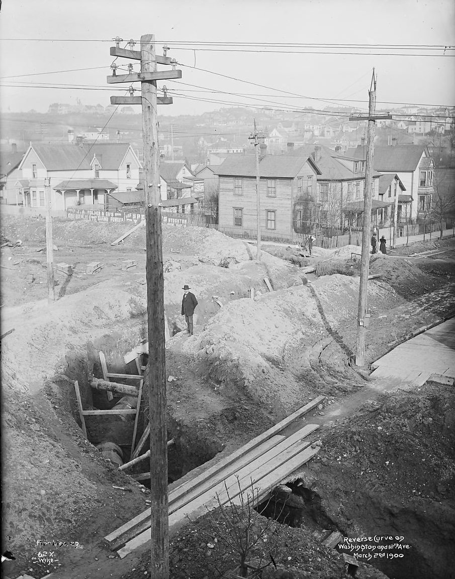
One of the earliest priorities after the fire was securing a clean water supply. The Cedar River Pipeline was laid in 1900 to bring fresh water from the mountains into the growing city. At the time, Seattle’s population was climbing fast, driven in large part by the Klondike Gold Rush of 1897, which turned the city into a major staging point for miners heading north to Alaska.
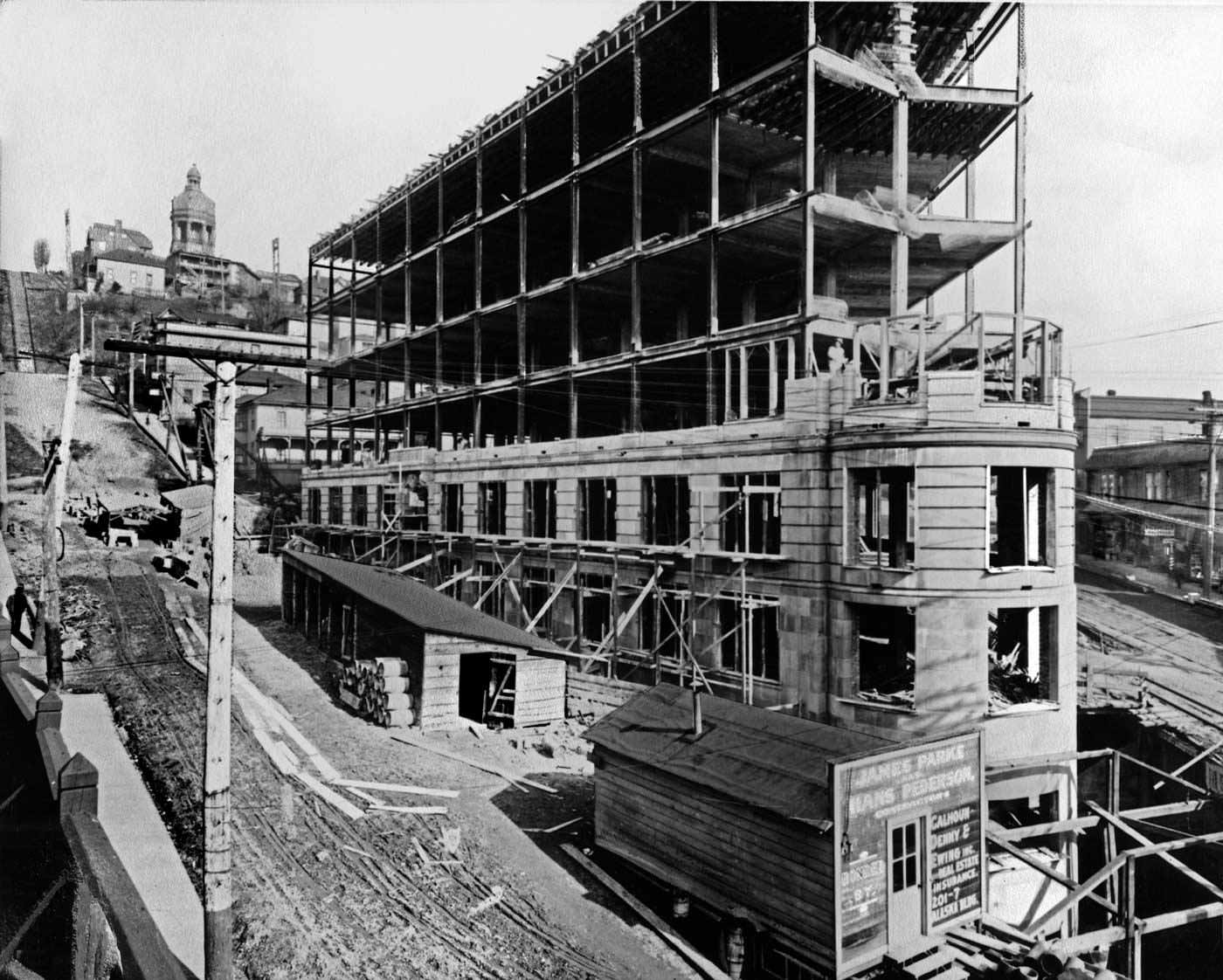
By the first decade of the 1900s, Seattle’s downtown core was taking shape. The Yesler Building went up in 1909, adding to a commercial district that was filling in quickly. Named after Henry Yesler, the man who operated Seattle’s first steam-powered sawmill, the building stood as a symbol of the city’s transformation from a rough frontier town into a real urban center.
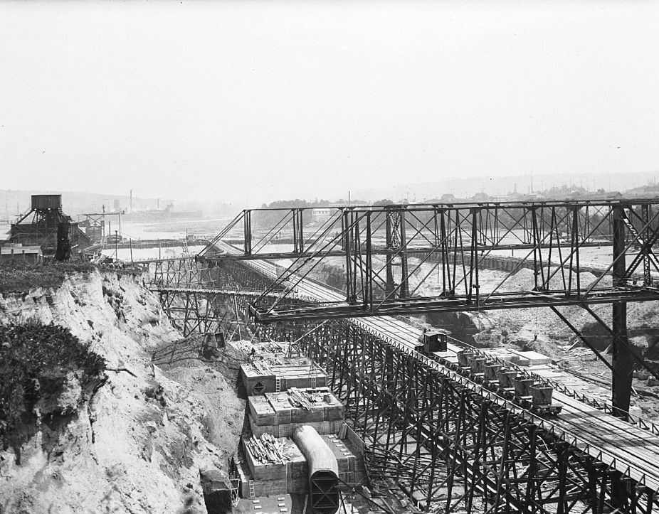
Around the same time, Seattle was also reshaping its waterways. The Ballard Locks, officially known as the Hiram M. Chittenden Locks, began construction in 1913. The locks were designed to connect Puget Sound with the freshwater lakes to the east, allowing boats to pass between salt water and fresh water without a dangerous overland portage. The project was a major feat of civil engineering and took several years to complete.
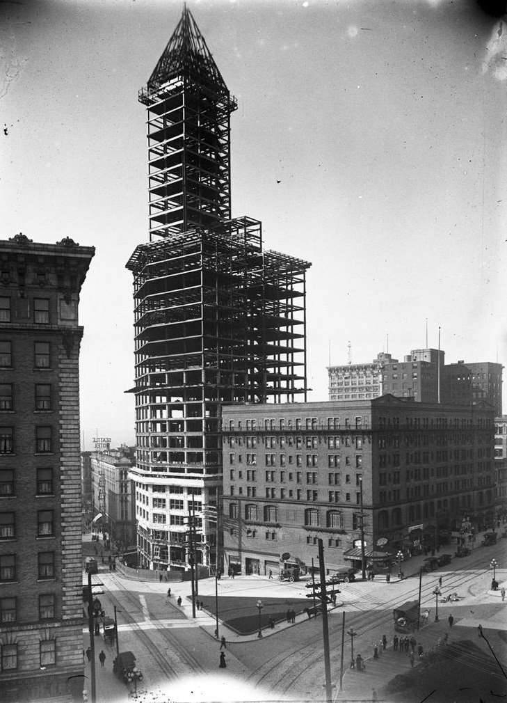
Also rising in 1913 was what would become one of Seattle’s most recognized landmarks. Smith Tower was under construction that year, and when it opened in 1914, it was the tallest building west of the Mississippi River at 462 feet. Developer Lyman Cornelius Smith financed the project, which featured a distinctive white terra-cotta exterior and an ornate Chinese Room at its top floor.
Connected to the Ballard Locks project was an even larger waterway effort. The Lake Washington Ship Canal was carved out in 1914 to link Lake Washington, Lake Union, and Puget Sound into a continuous navigable route. The canal reshaped the geography of northern Seattle and required massive excavation work.
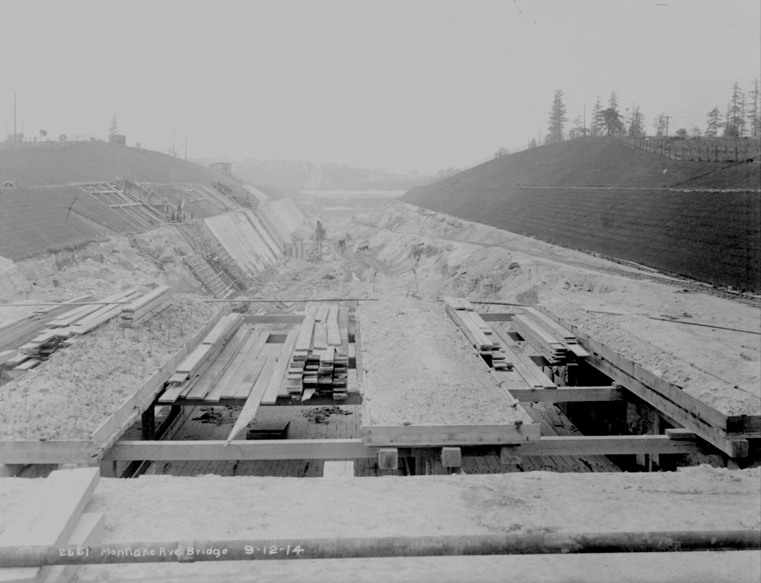
Street infrastructure was just as important as the waterways. In 1914, crews repaved Second Avenue in downtown Seattle, reflecting the city’s need to keep up with growing automobile and streetcar traffic. Road improvements were happening across the city as horses gave way to motorized vehicles.
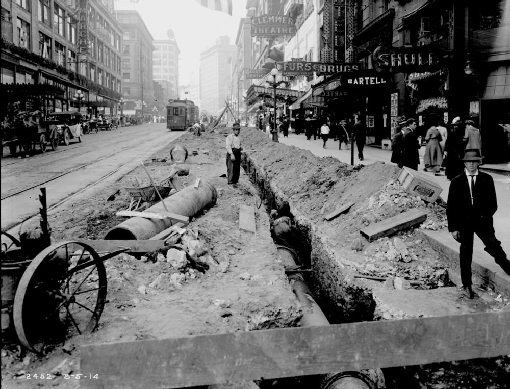
Seattle’s network of bridges grew steadily through the mid-1910s. The Ballard Bridge began construction in 1916 to carry traffic over the ship canal. That same year, the Fremont Bridge was also going up just to the east. The Fremont Bridge became one of the most heavily used drawbridges in the United States, opening and closing hundreds of times a year to let boat traffic pass through.
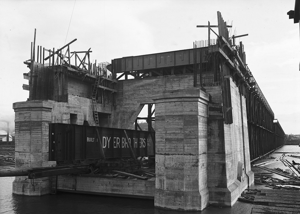
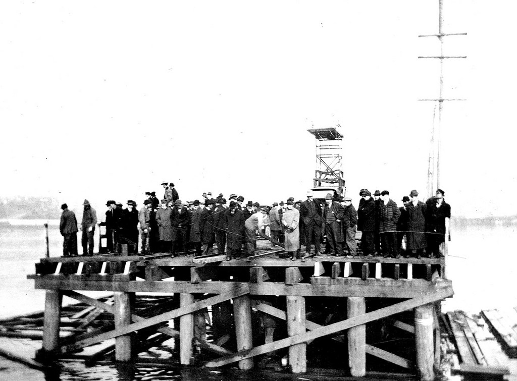
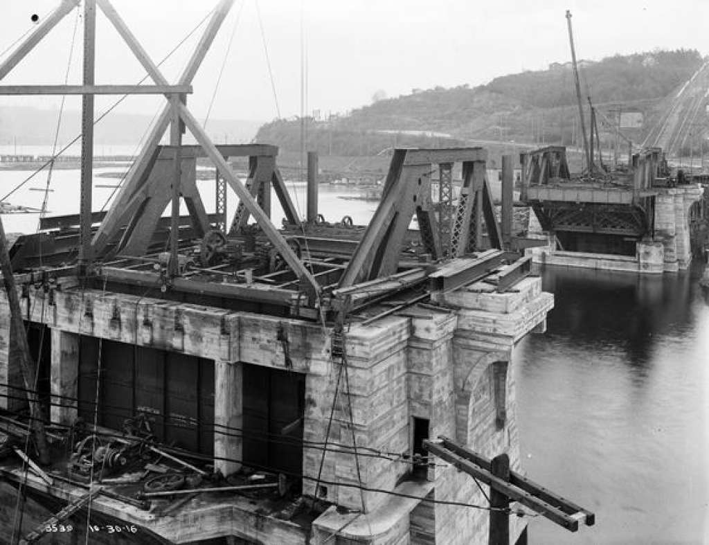
Bridge construction continued into 1917 with the Dearborn Street Bridge, which crossed the Duwamish waterway and helped connect Seattle’s industrial south end with the rest of the city. Around the same time, in 1910, Seattle voters had approved a referendum to create a comprehensive city development plan. The resulting document, known as the Bogue Plan, laid out an ambitious vision for parks, boulevards, and transit. However, voters ultimately rejected the plan in 1912 and it was never implemented.
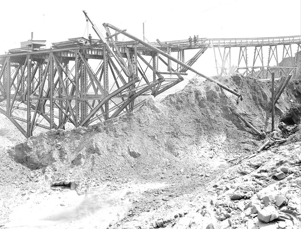
By 1920, Seattle was building for its universities as well as its streets. Husky Stadium at the University of Washington broke ground that year. Built along the shore of Lake Washington, the stadium would go on to become one of the iconic venues of college football in the Pacific Northwest.
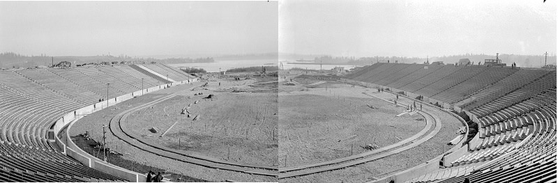
Road and trestle work kept pace with the rest of the city’s growth. In 1924, crews were paving the Fairview Avenue trestle, a structure that carried road traffic over a low-lying section of land near Lake Union. These kinds of elevated road segments were essential for keeping traffic moving through Seattle’s uneven terrain.
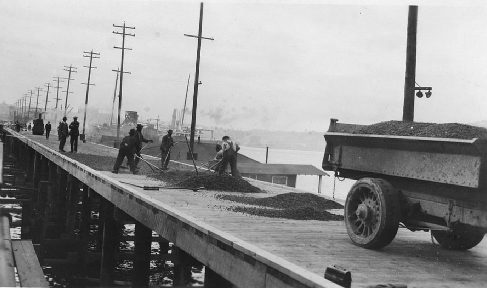
Late in the decade, more street expansions were underway. The Second Avenue south extension was under construction in 1928, pushing the downtown grid further into the industrial areas south of the city center. A year later, the Spokane Street Bridge was taking shape, adding another critical crossing over the Duwamish River.
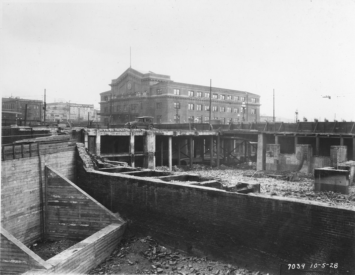
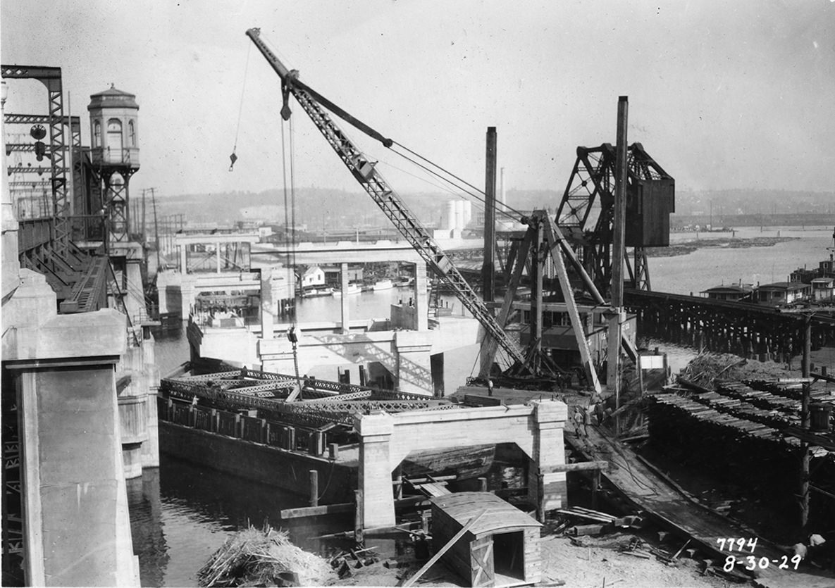
The 1930s arrived with the Great Depression, but Seattle did not stop building. The city issued 2,538 housing construction permits during that period, and public works projects kept crews employed. The Garfield Street Bridge went up in 1930, followed quickly by one of the decade’s most striking engineering achievements.
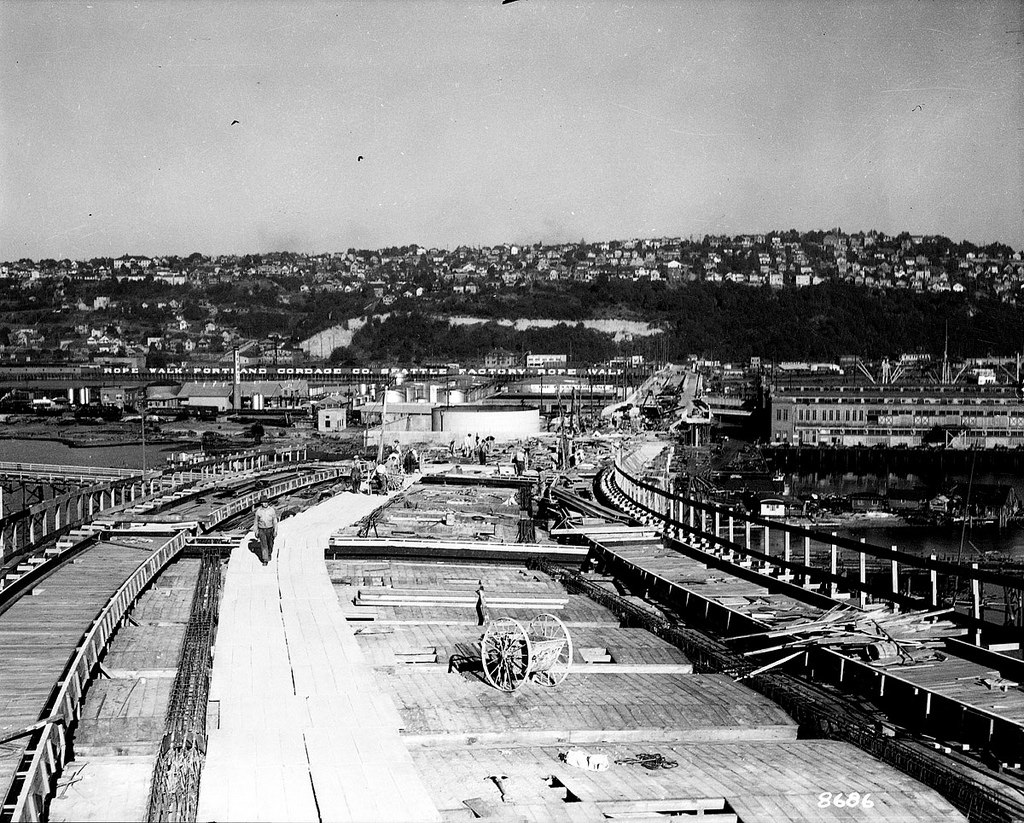
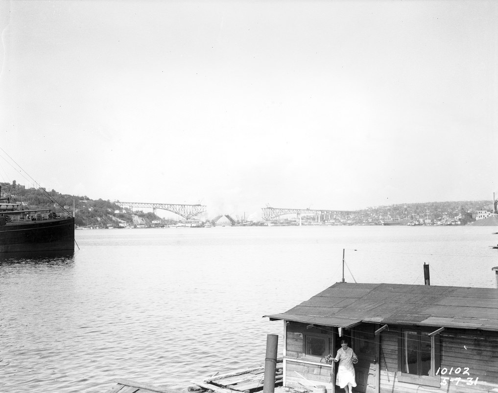
The Aurora Bridge, formally named the George Washington Memorial Bridge, was constructed in 1931. It carries State Route 99 over the Lake Washington Ship Canal and stands 167 feet above the water. At the time of its completion, it was the longest cantilever truss bridge in the western United States. Construction photos from 1931 show the massive steel framework rising over the canal in stages.
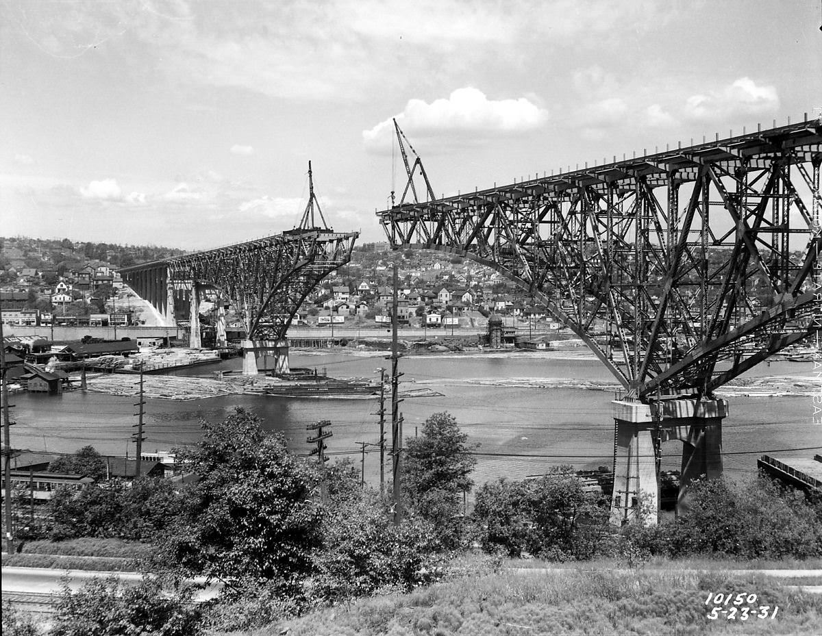
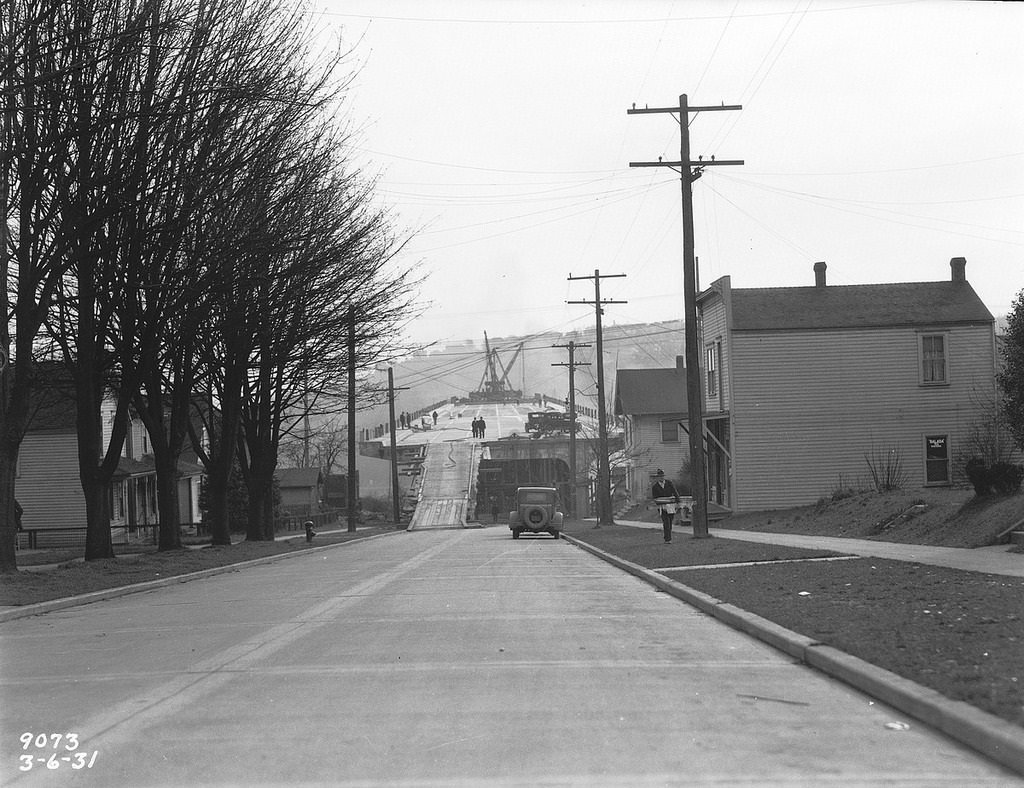
Also in 1931, the Albro Place Viaduct was under construction in the Beacon Hill area, and the following year the University Bridge was being rebuilt. The University Bridge, a double-leaf bascule drawbridge, replaced an earlier crossing and has remained a key link between the University District and Capitol Hill ever since.
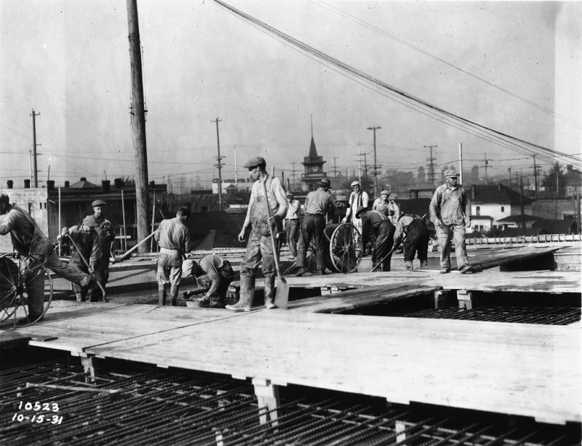
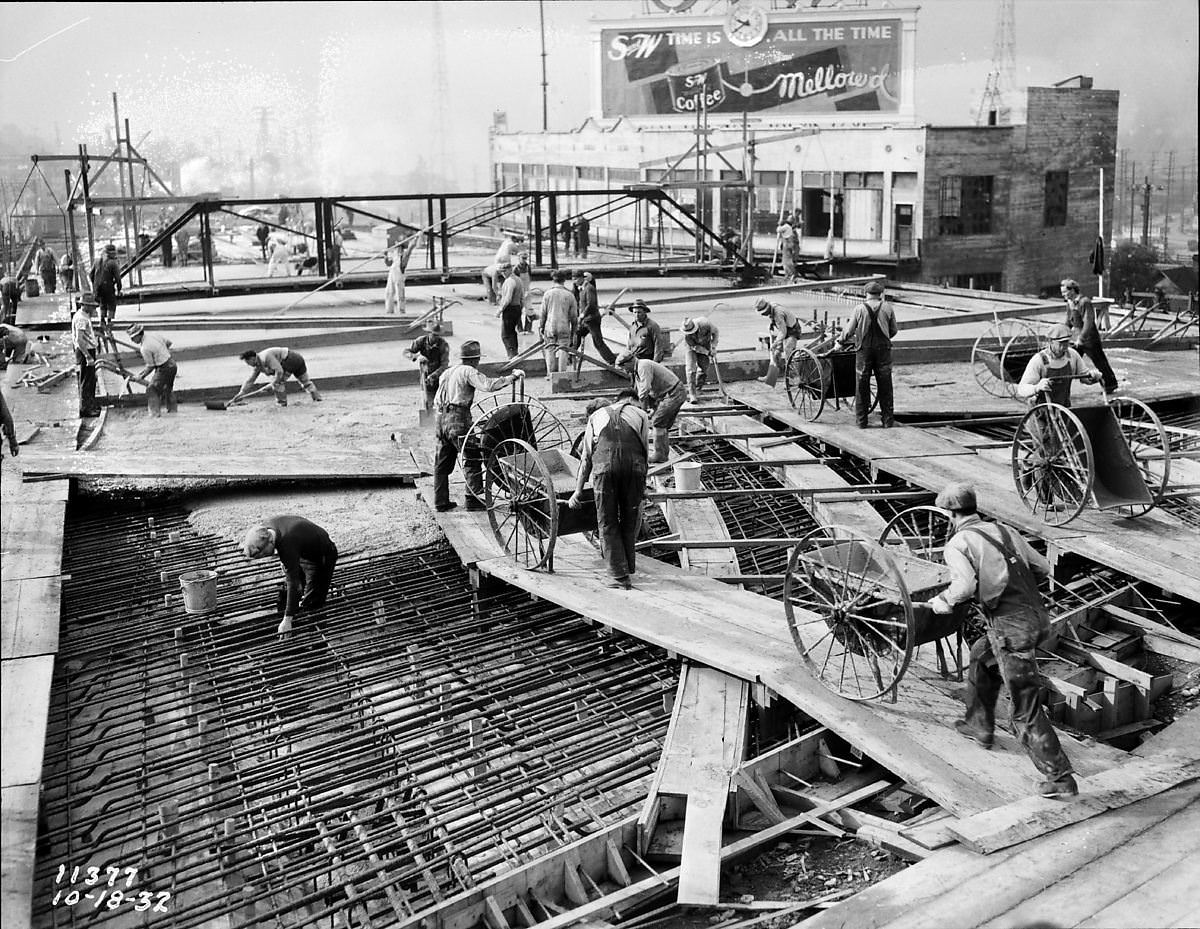
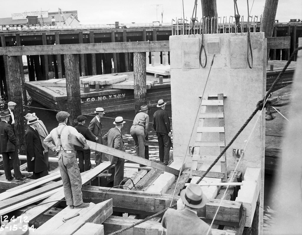
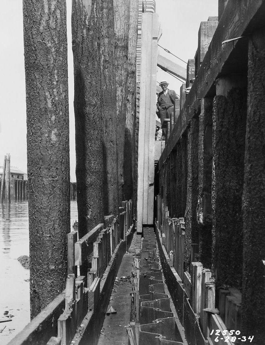
Seattle’s Central Waterfront got a major upgrade in 1934 when workers began constructing a concrete seawall along Elliott Bay. The first concrete slab was placed that year, marking the start of a project designed to stabilize the shoreline and protect the waterfront from erosion and wave damage.
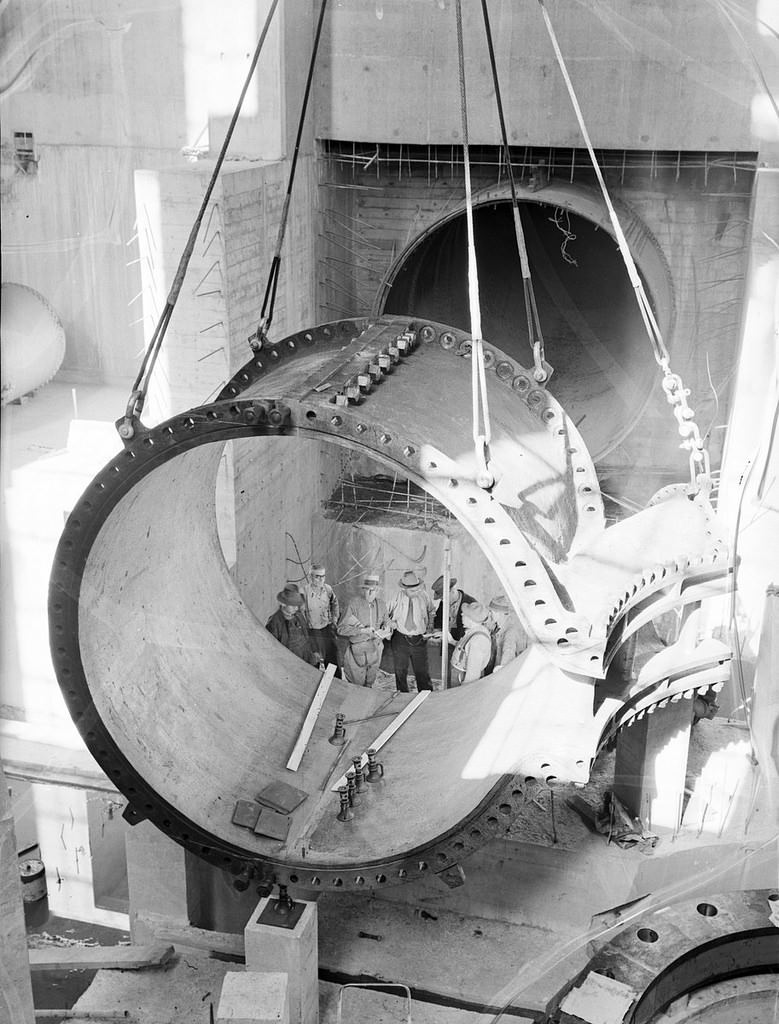
Power generation was another priority. The Diablo Powerhouse, part of the Skagit River Hydroelectric Project operated by Seattle City Light, was under construction in 1935. The facility was built to harness the power of the Skagit River in the North Cascades and send electricity to Seattle’s homes and businesses.
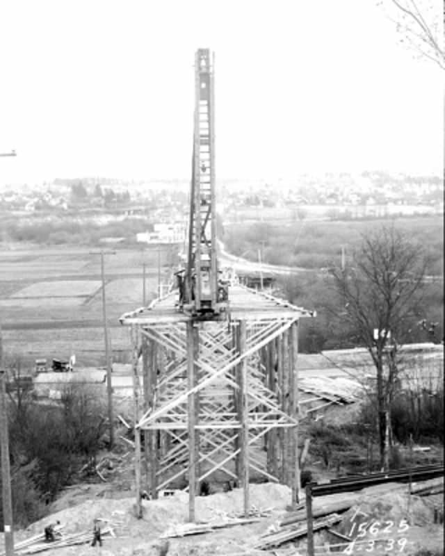
As the 1930s closed out, Seattle pushed forward on several simultaneous projects. The 45th Street Viaduct was going up in 1939, connecting the University District to the north. That same year, the southern approach to the Ballard Bridge was being reinforced, and Highway 10 was under construction to improve regional road connections.
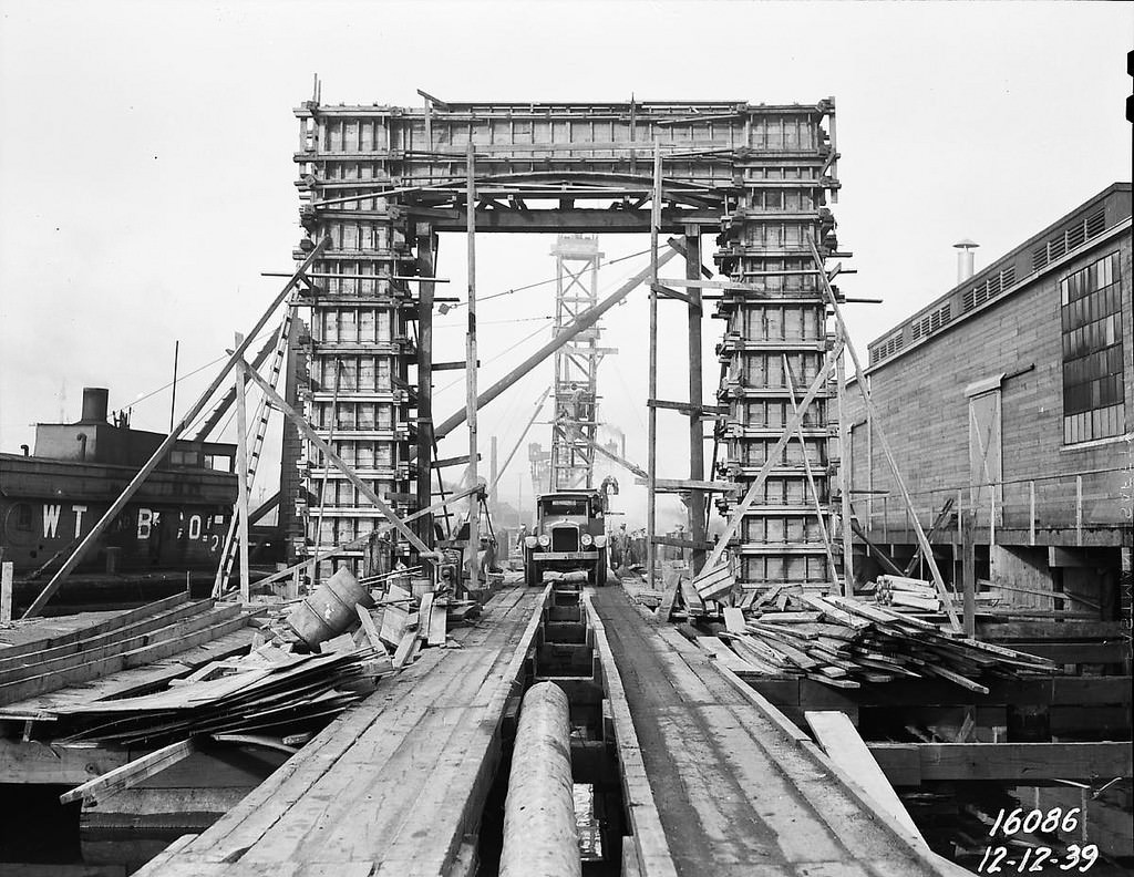
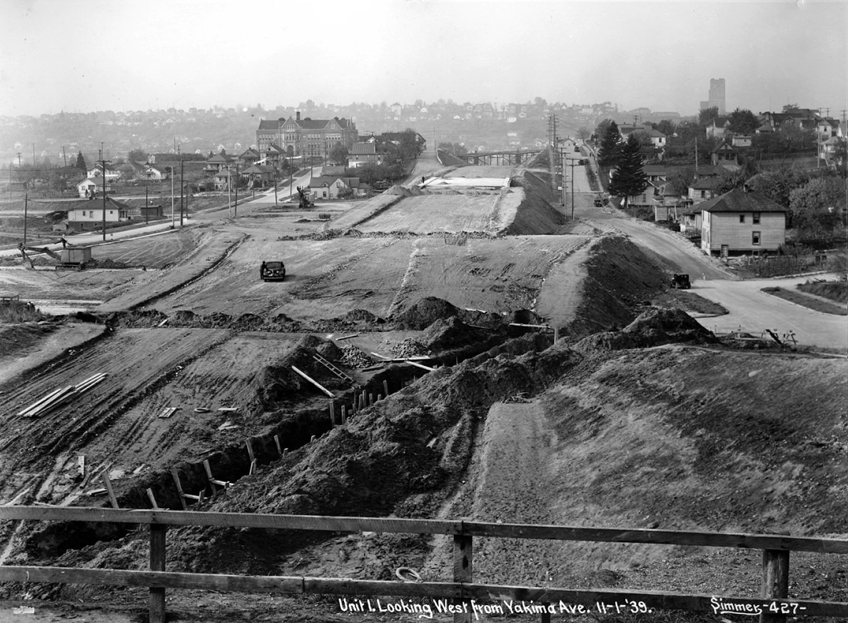
One of the more dramatic projects of 1939 was the Mount Baker Tunnel, bored through Beacon Hill to carry what would eventually become a major traffic artery. Workers excavated through the hill’s soil and rock, creating a tunnel that allowed traffic to pass beneath the ridge rather than climb over it.
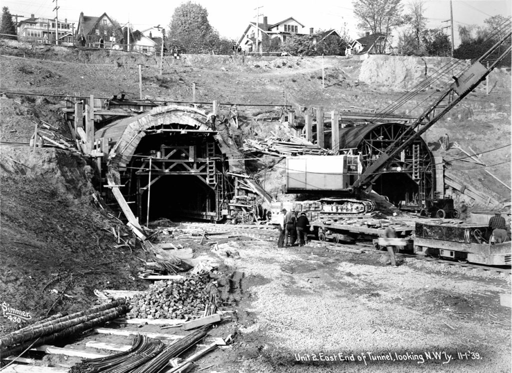
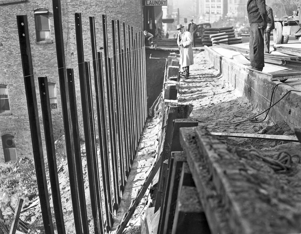
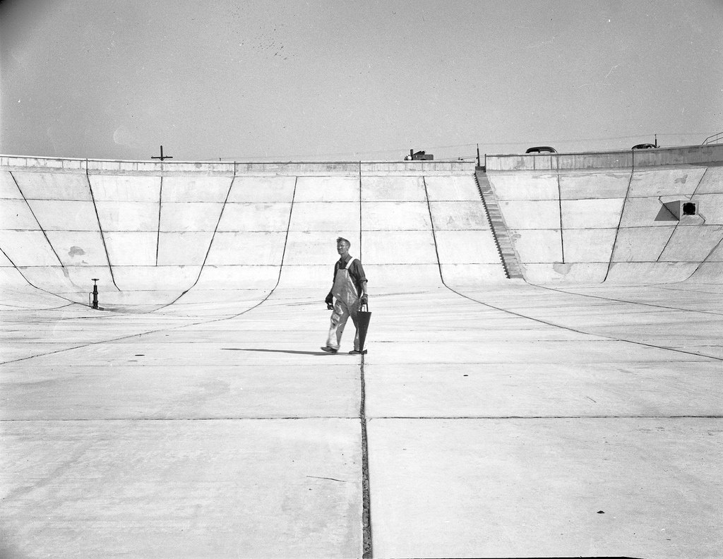
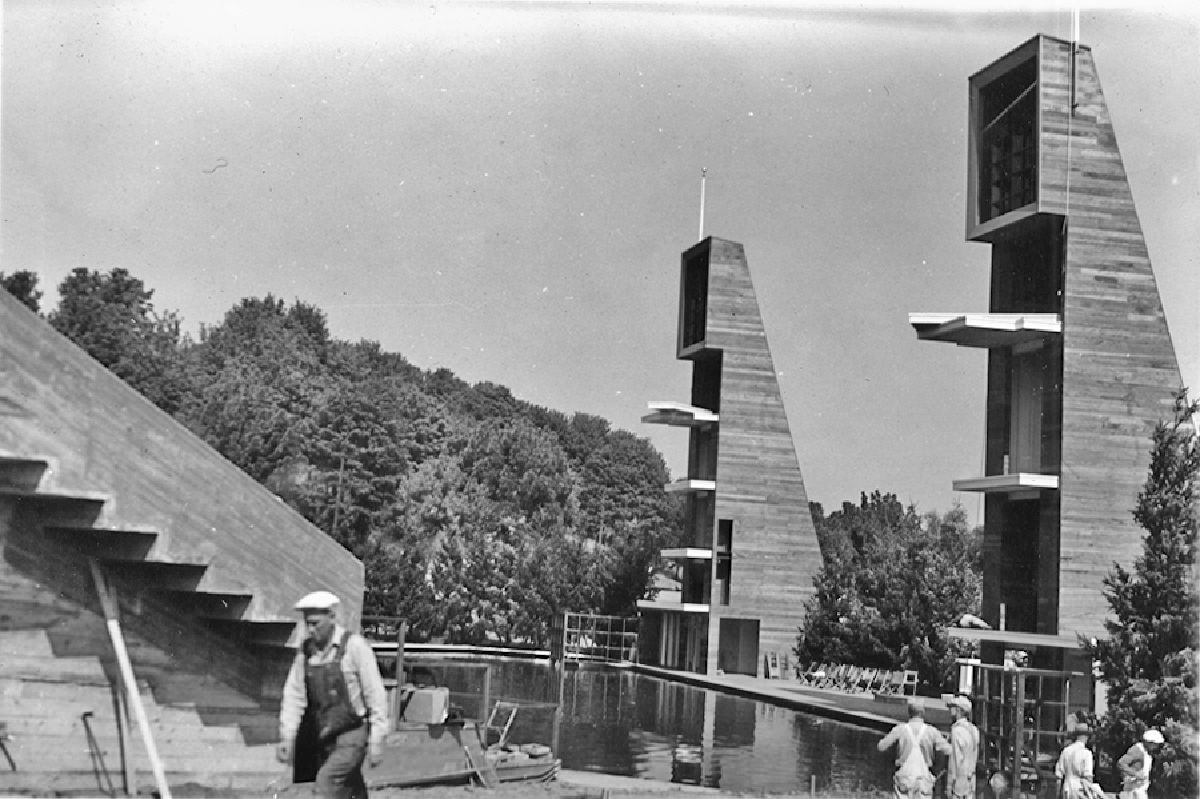
Post-war Seattle picked up the pace again. The Myrtle Street Reservoir was under construction in 1947 as the city expanded its water storage capacity. Three years later, the Aqua Theatre was built along the shores of Green Lake in 1950, a floating performance venue that hosted concerts and aquatic shows during Seattle’s Seafair festival.
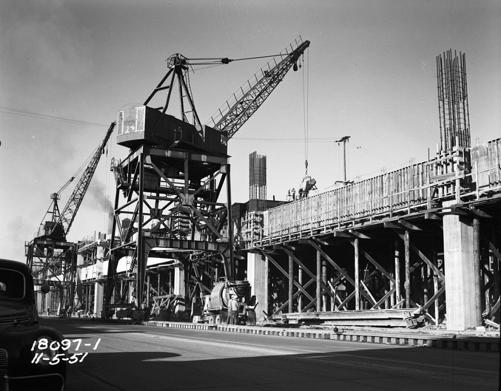
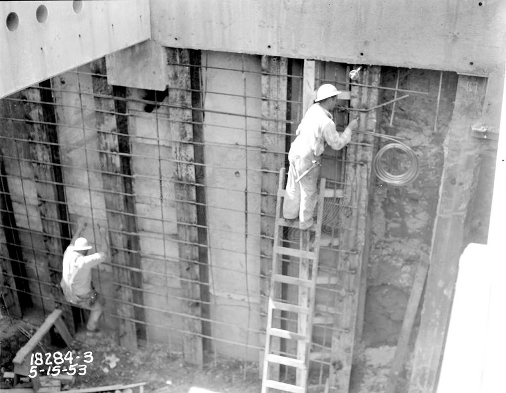
The early 1950s brought two major downtown infrastructure projects. The Alaskan Way Viaduct, an elevated double-deck highway running along the waterfront, was built in 1951. It was followed by the Battery Street Tunnel in 1953, which connected the viaduct to Aurora Avenue heading north. Together, these structures redirected heavy through-traffic away from city streets and became defining features of Seattle’s downtown for decades.
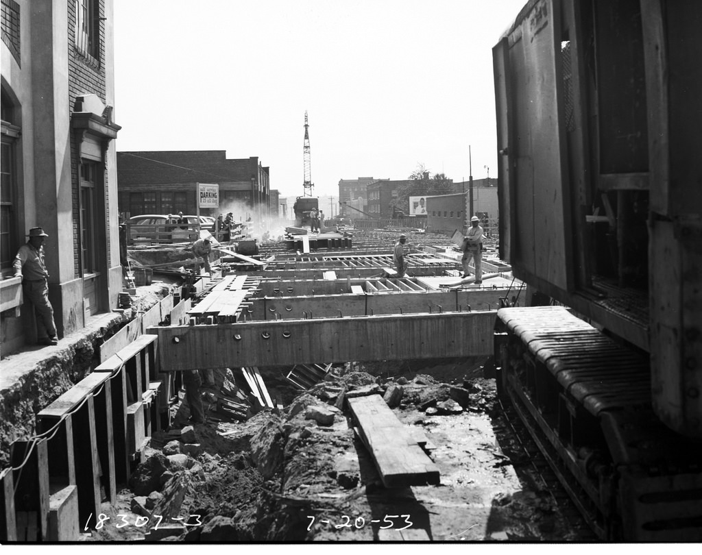
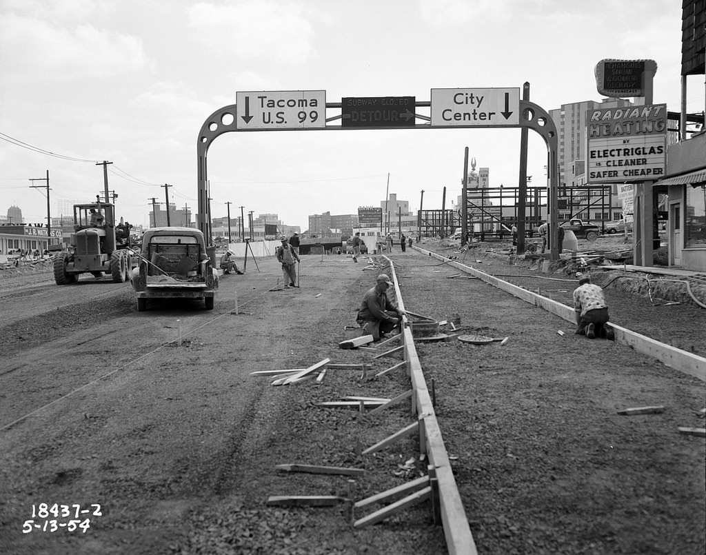
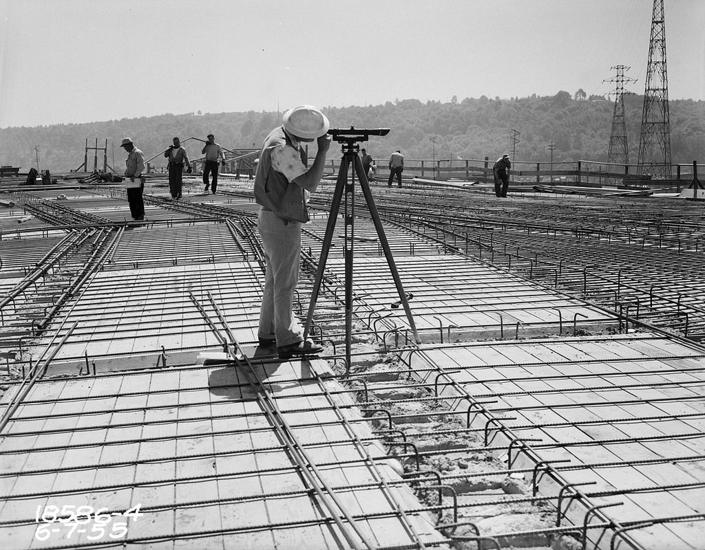
The First Avenue South Bridge, built in 1955, added another river crossing in the industrial south end of the city. It was a bascule drawbridge designed to handle both heavy vehicle traffic and the boat traffic moving through the Duwamish Waterway below.
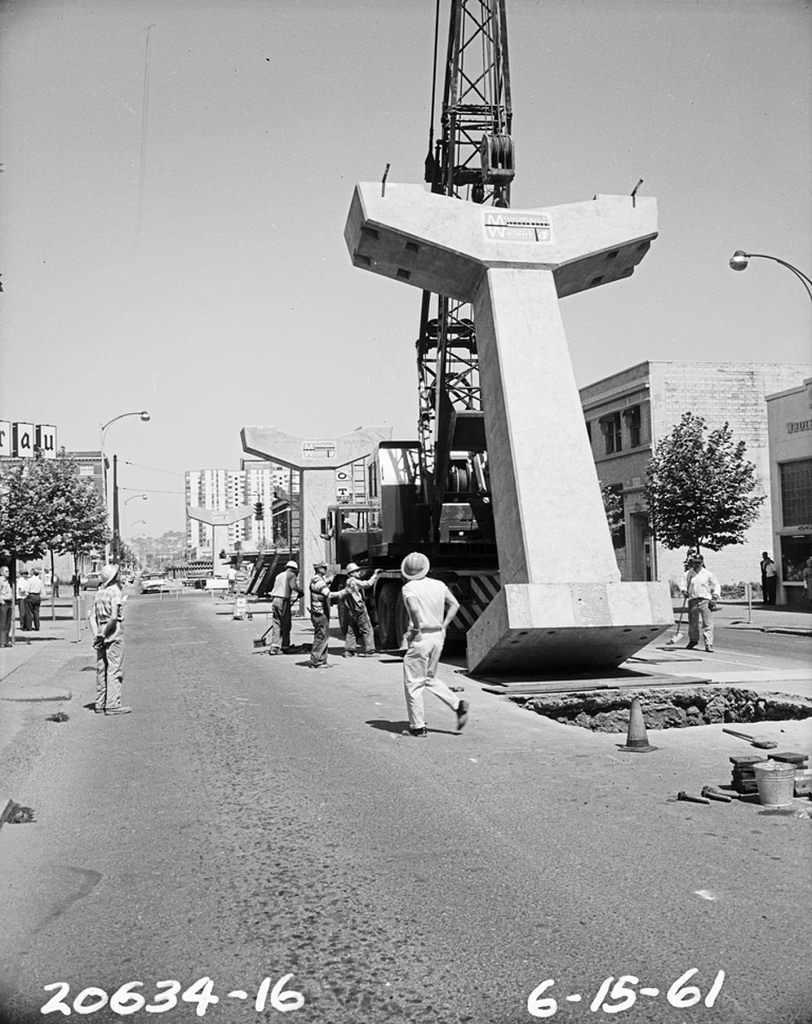
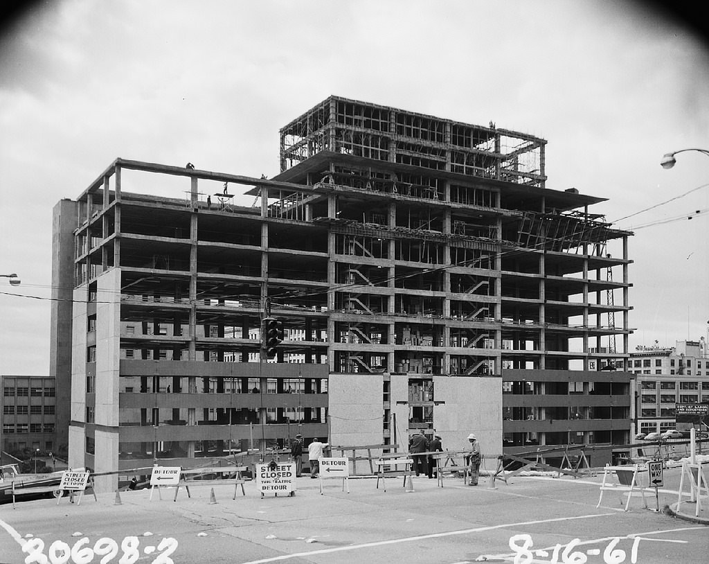
The early 1960s were among the most transformative years in Seattle’s history. The 1962 World’s Fair, officially called the Century 21 Exposition, drove a surge of construction. The Monorail was built in 1961 to carry fair visitors between downtown Seattle and the fairgrounds. Running on an elevated concrete guideway, it covered 1.3 miles in about 90 seconds. Also going up at the same time was the Municipal Building and, most famously, the Space Needle.
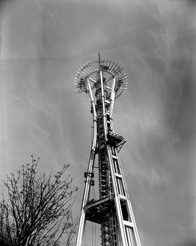
The Space Needle rose 605 feet above the fairgrounds in just 13 months. Construction began in April 1961 and the structure was complete by December of that year, in time for the fair’s opening in April 1962. Workers poured 467 tons of concrete into its foundation and assembled the distinctive flying saucer-shaped top house using steel brought in from across the country.
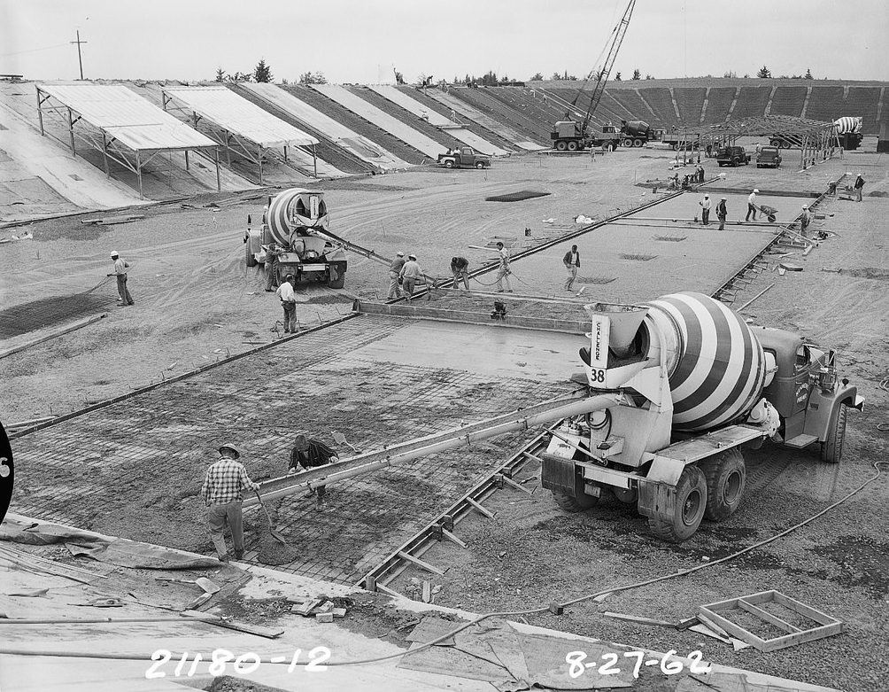
While the World’s Fair structures went up, Seattle was also expanding its water infrastructure. The Lake Forest Park Reservoir was under construction in 1962, extending the city’s water system further north into the suburbs that were growing rapidly in the postwar years.
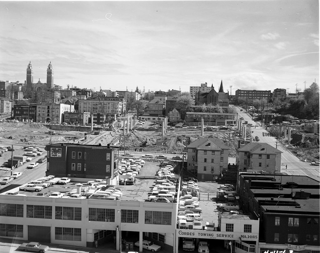
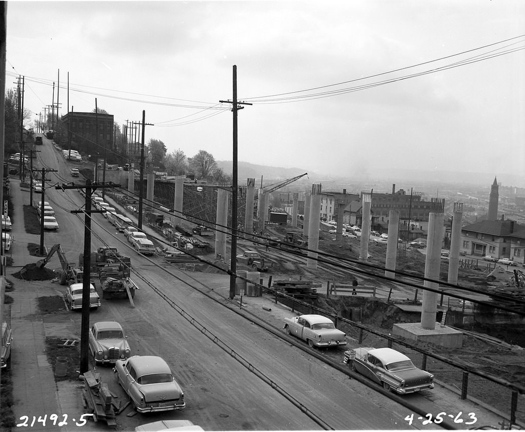
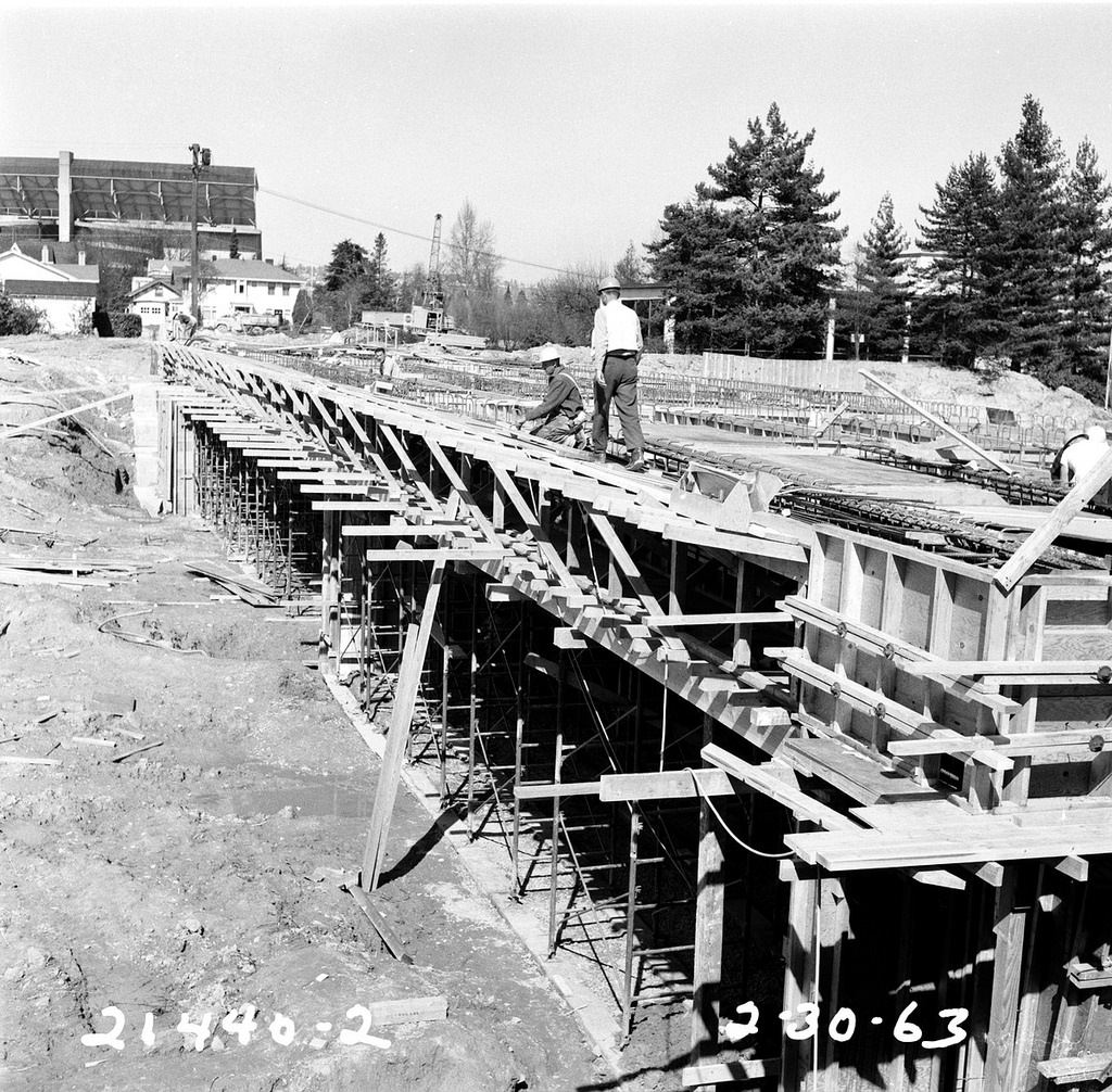
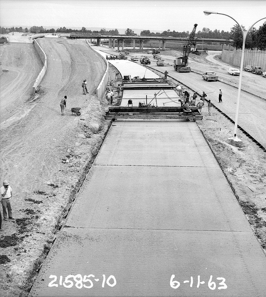
By 1963, the highway era was in full swing. Interstate 5 was being carved through the heart of Seattle, a massive project that required demolishing entire blocks of the city to make way for the freeway. The James Street overpass and the Montlake Interchange were both under construction that year as part of the same regional highway network. State Route 520, the floating bridge highway connecting Seattle to the Eastside across Lake Washington, was also under construction in 1963.





The engineering, the person-hours, and the labor that went into these projects must be appreciated! This is without modern equipment – incredible!