
San Francisco in the 1980s was a city in motion. Its streets told contradictory stories — cranes rising above downtown while homeless encampments spread near City Hall, tech money flowing in while longtime residents struggled to keep their apartments, and a community burying its dead from AIDS while throwing some of the most spirited festivals in the country. These photographs capture that tension with an honesty that no summary can fully replicate.
The early part of the decade found the city already shifting. Downtown San Francisco was being physically reshaped. New office towers were going up block by block, drawing businesses and professionals southward from the Bay Area’s growing tech corridor. Silicon Valley, just south of the city, was expanding fast. Apple, Intel, and dozens of smaller firms were hiring, and many of their workers lived in San Francisco and commuted. That daily flow of people with higher salaries pushed rents upward and began pricing out the working-class families who had defined many neighborhoods for generations.

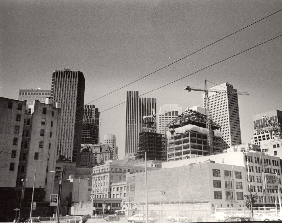
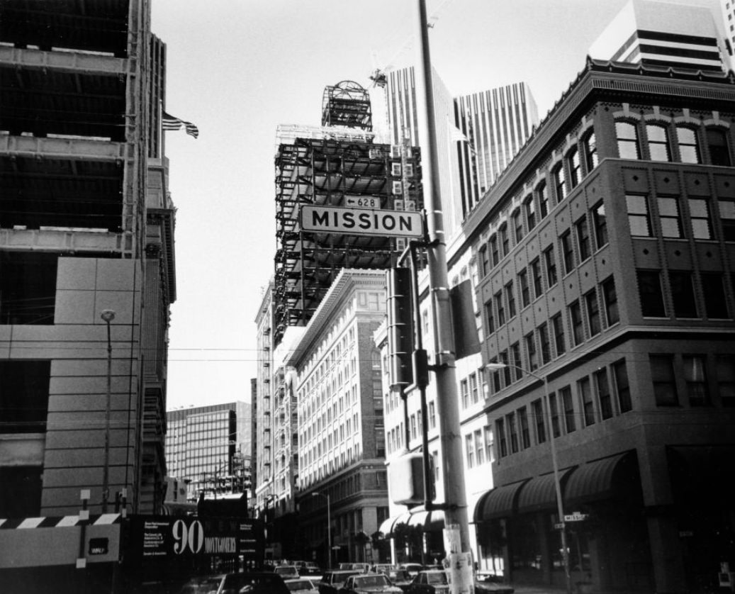
The construction boom was visible everywhere. Workers tore up streets, poured concrete foundations, and erected steel frames that broke the old rooflines. Van Ness Avenue, one of the city’s major north-south corridors, was a constant site of activity throughout the early eighties.
The Mission District, one of San Francisco’s most densely populated and culturally rich neighborhoods, held its character through the decade even as pressures mounted around it. Its streets mixed taquerias, corner stores, auto shops, and community murals. The murals were not decoration — they were political statements, painted by residents who wanted their histories visible on the walls of their own neighborhood.
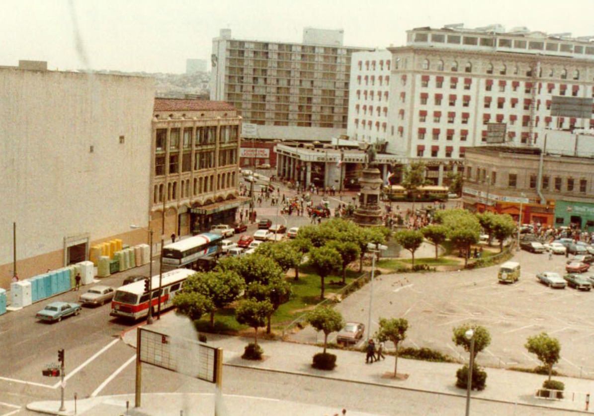
North Beach, San Francisco’s Italian-American neighborhood, kept its old-world feel despite the changes happening elsewhere. Grant Avenue remained a place where shoppers browsed storefronts and neighbors ran into each other on the sidewalk. The neighborhood’s cafes and bookshops had long made it a literary and bohemian center, and that culture did not disappear in the eighties — it simply shared space with new restaurants and a growing tourist trade.
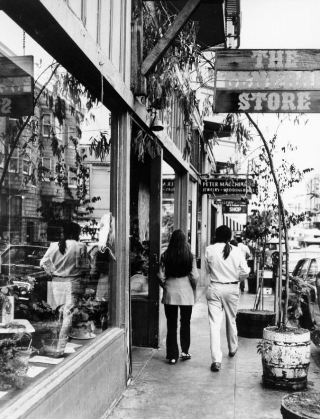
The Transamerica Pyramid, completed in 1972, had become the defining shape of the San Francisco skyline by the 1980s. From its upper floors, the city spread out in every direction — the bay glittering to the east, the hills rising to the west, and the dense grid of streets below filled with the daily movement of nearly 700,000 people.
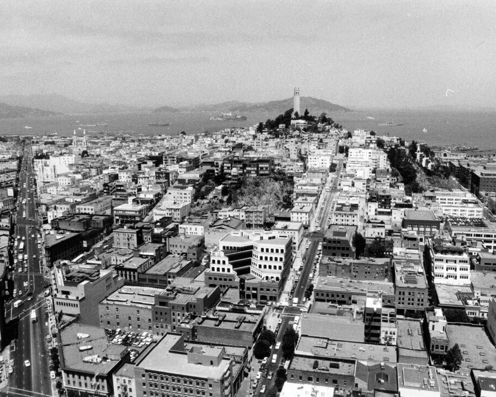
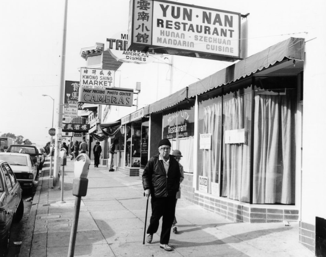
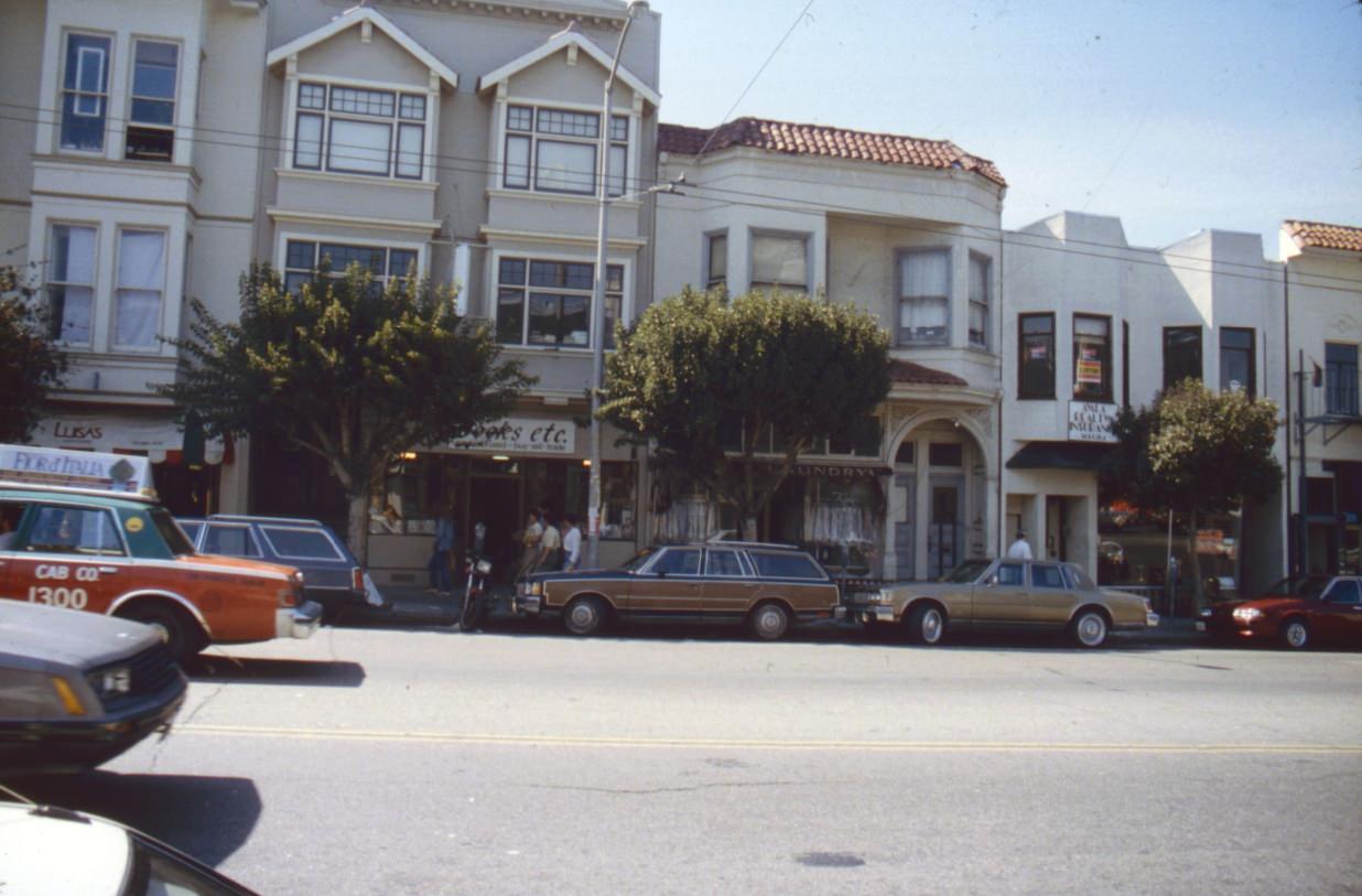
At street level, neighborhoods like the Richmond District had their own rhythms entirely separate from the downtown skyline. Clement Street was the Richmond’s main commercial artery — packed with Asian grocery stores, dim sum restaurants, small bakeries, and local shops that served the area’s large Chinese and Russian immigrant populations.
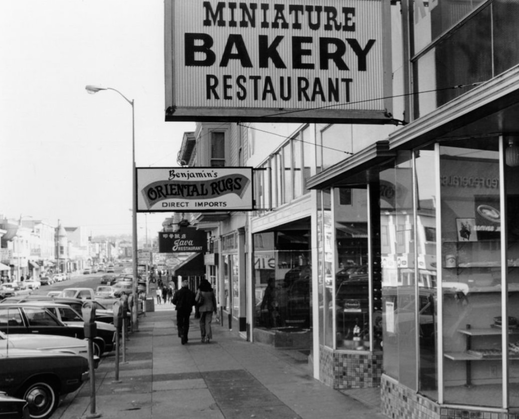
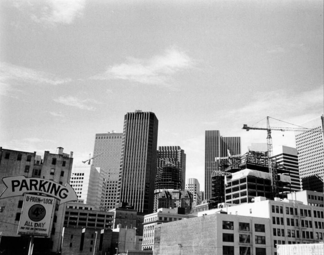
The grocery stores along Clement Street were neighborhood institutions. They stocked produce and goods that reflected the communities they served, and for many residents, a trip down Clement Street covered every errand in a single walk.
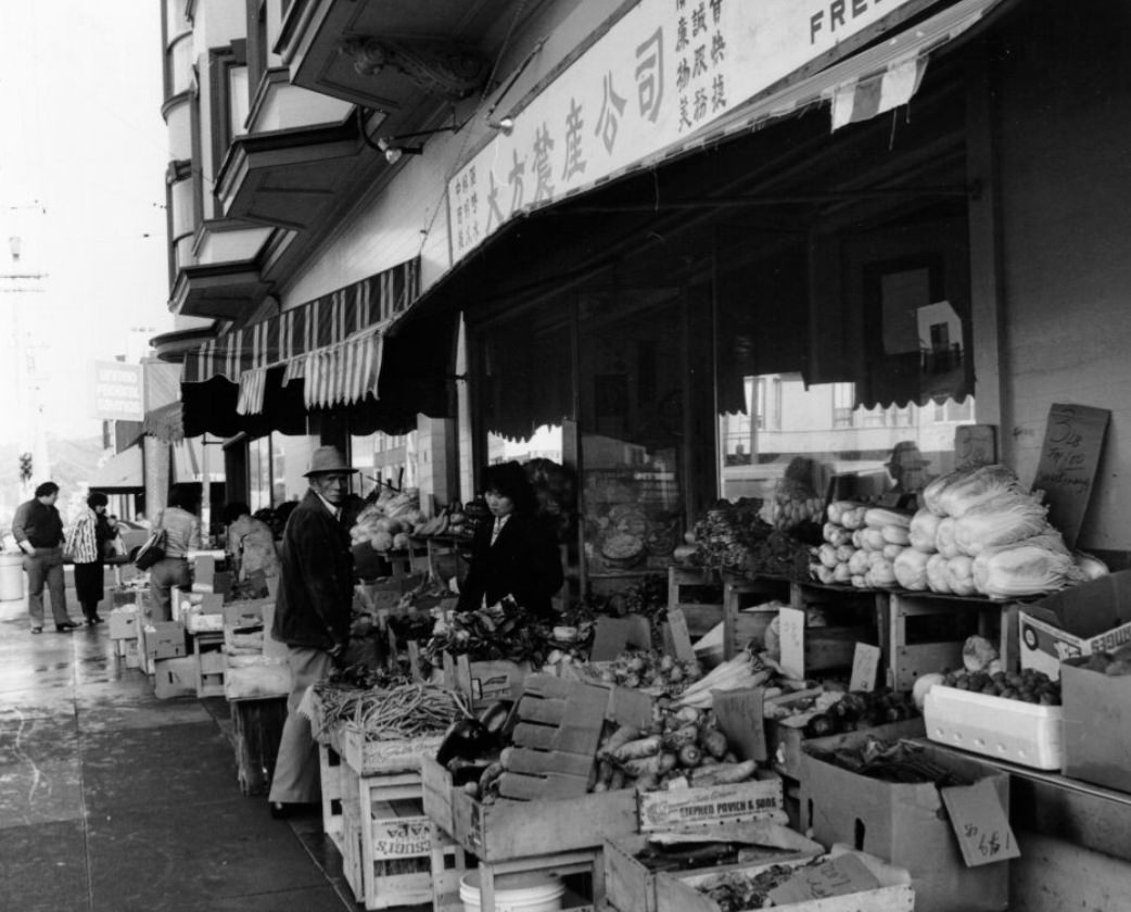
Viewed from above, downtown San Francisco in the mid-1980s showed just how dramatically the skyline had grown. Aerial photographs from 1984 reveal a dense cluster of office towers that simply had not existed a decade earlier. The city’s commercial core was being rebuilt in real time.
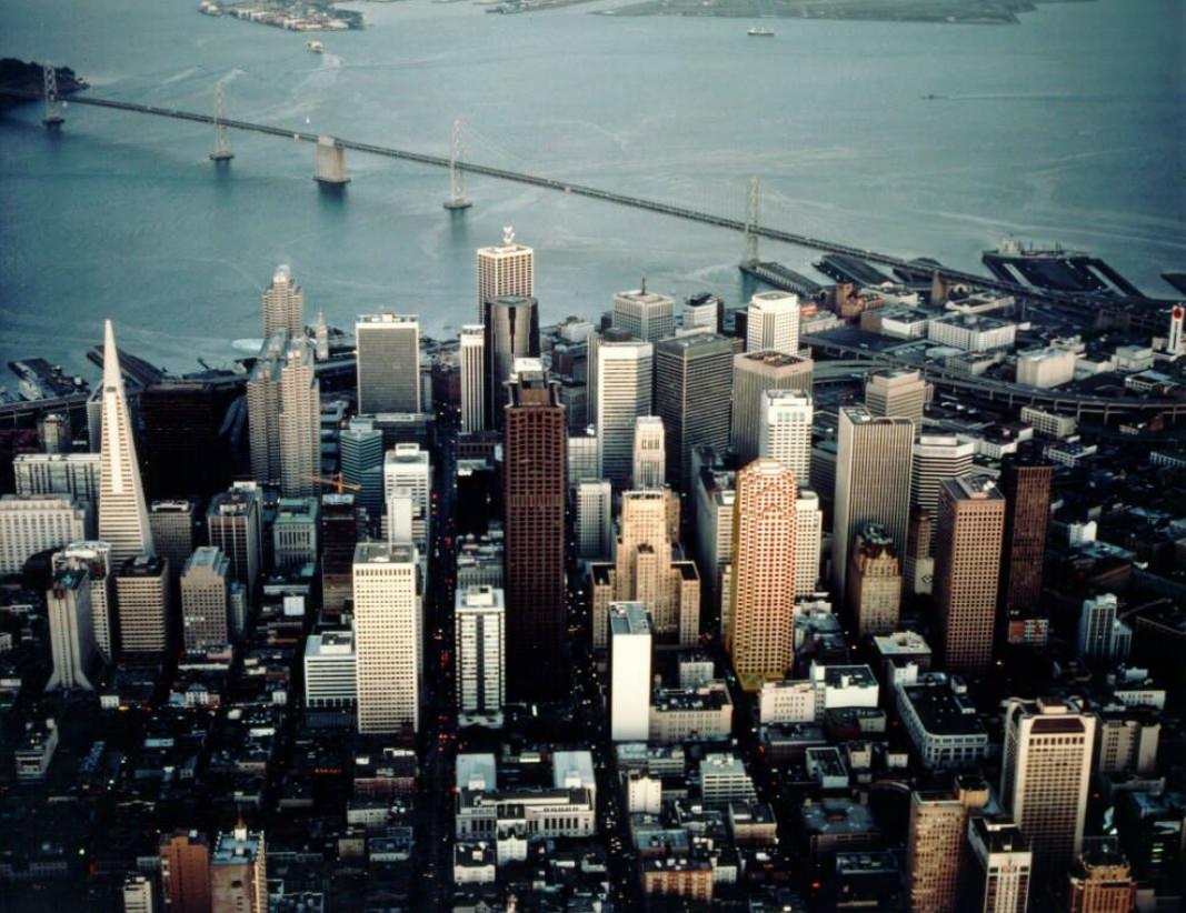
That rebuilding came with disruption. Powell Street, one of the city’s busiest pedestrian corridors and a cable car route, was torn up for construction in 1982. Workers in hard hats shared the block with cable cars and tourists, a collision of old San Francisco and new.
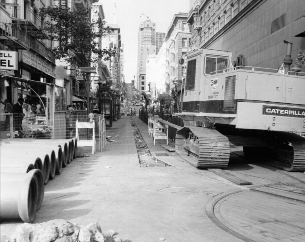
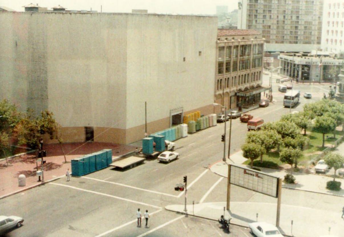
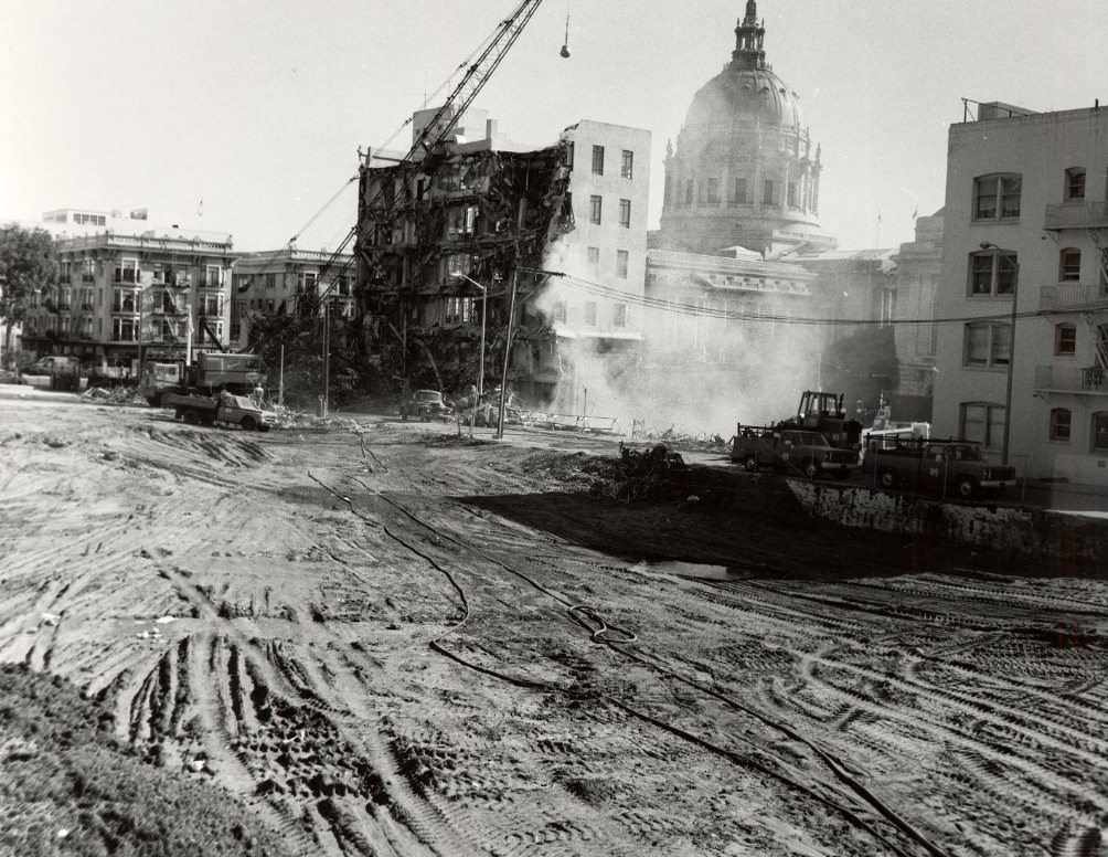
The Civic Center area absorbed significant change as well. Buildings near City Hall were demolished in 1982 to make way for new development. The physical changes around the Civic Center were striking — old structures came down and open space replaced them, though that open space would later become the setting for a very different kind of scene.
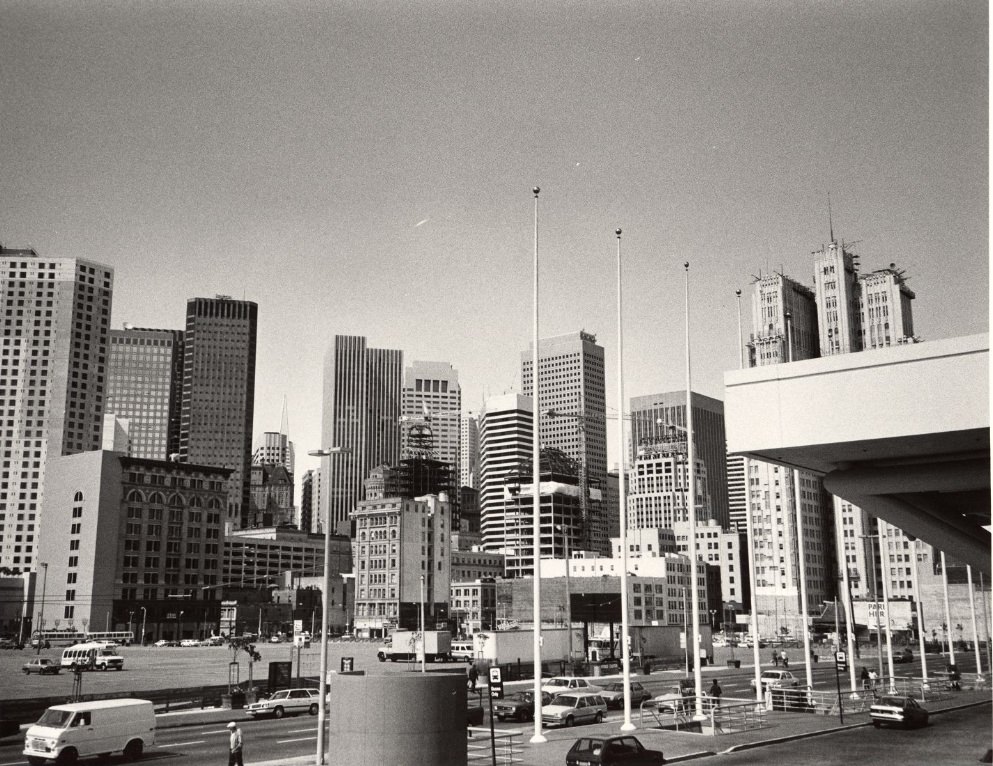
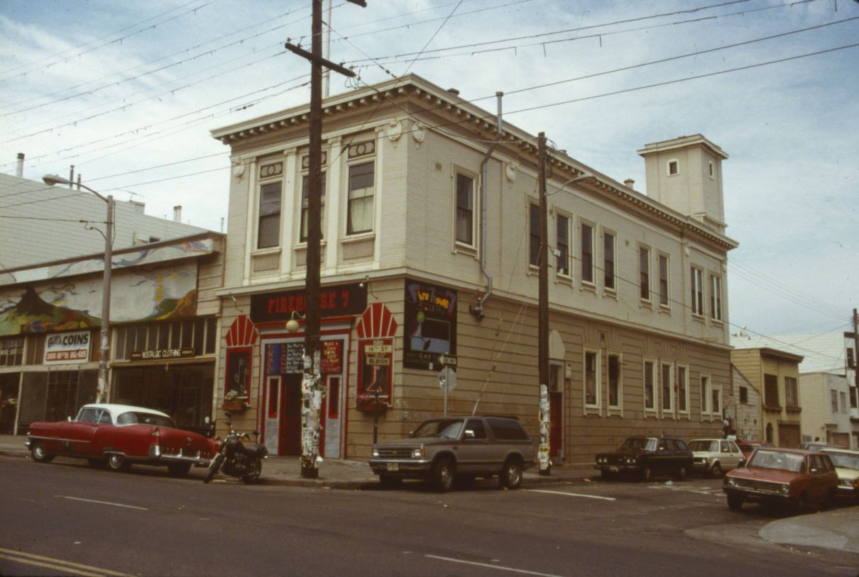
The intersection of 16th and Mission Streets was one of the busiest in the Mission District — a crossroads where the neighborhood’s working-class character was on full display. Buses stopped, pedestrians crowded the sidewalks, and small businesses competed for attention with hand-painted signs.
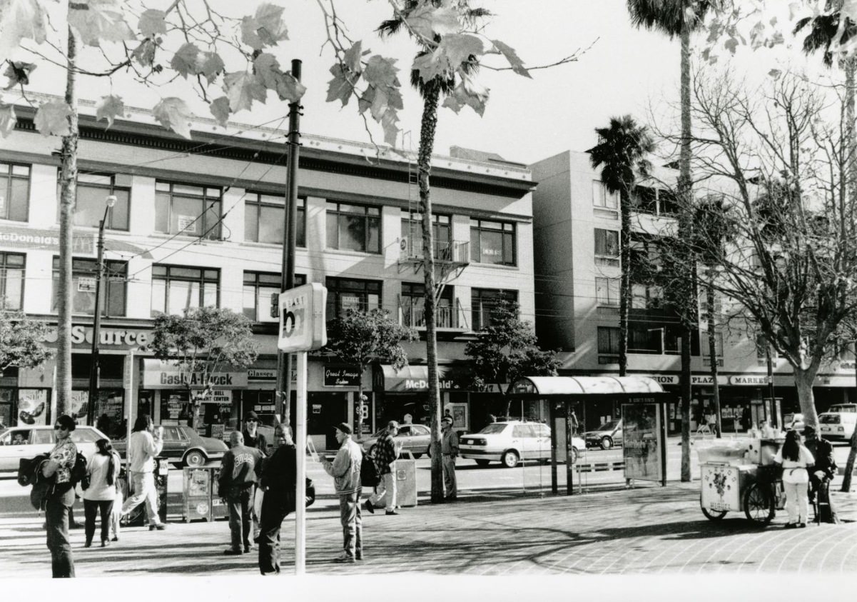
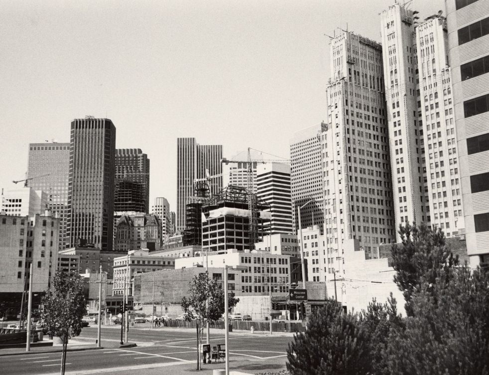
Construction on Van Ness Avenue at Market Street marked one of the city’s busiest intersections in 1980. Market Street served as the spine of the city — the dividing line between neighborhoods to the north and south, and the route that cable cars, Muni streetcars, and thousands of pedestrians traveled every day.
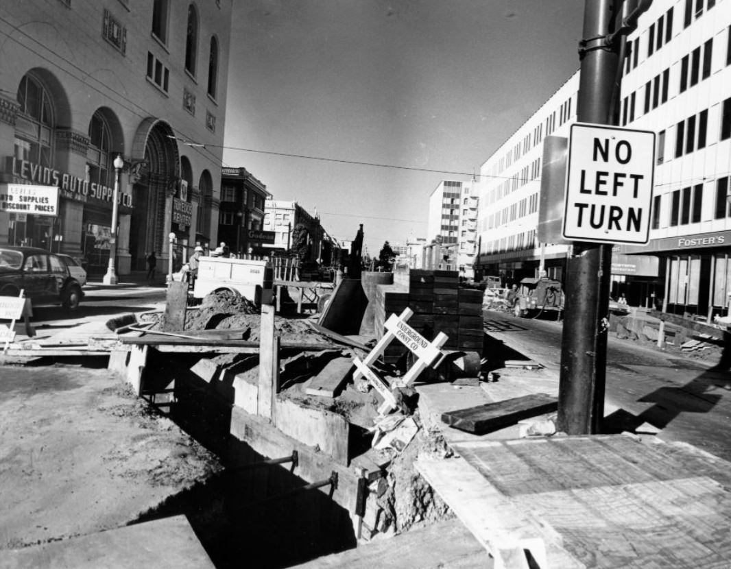
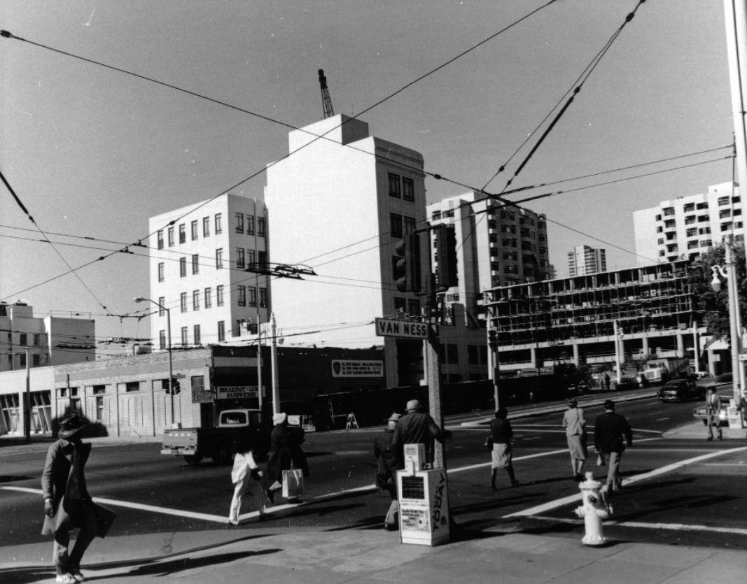
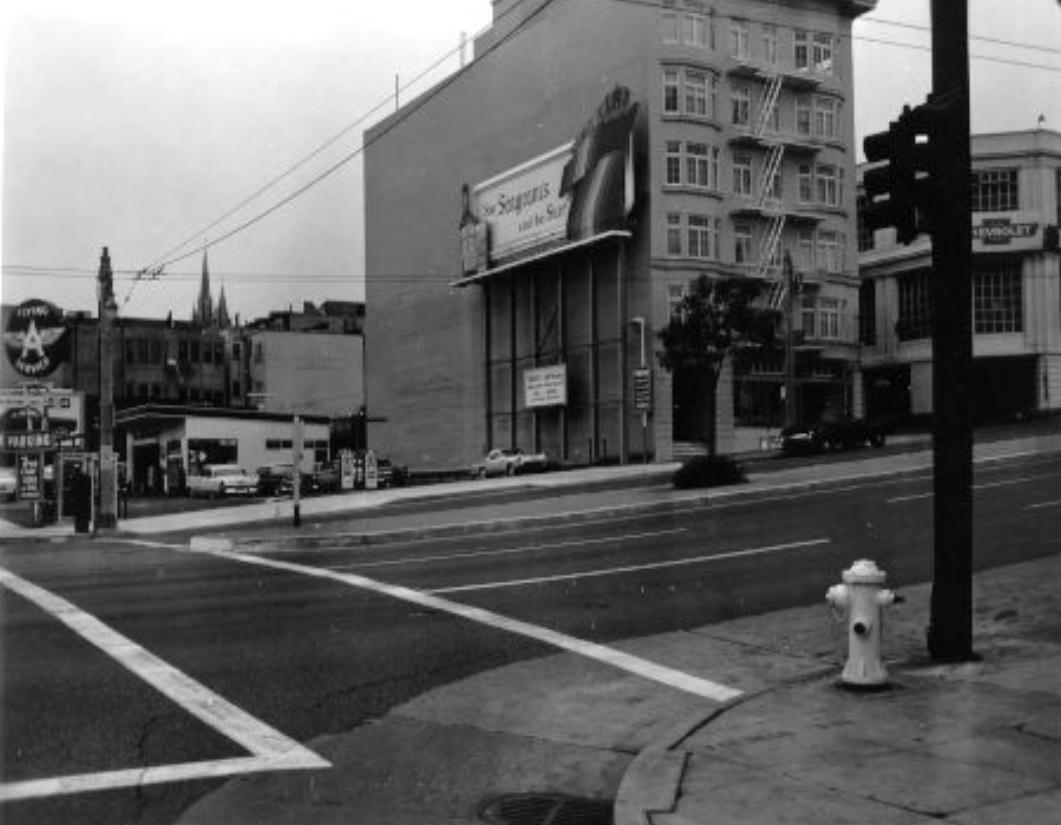
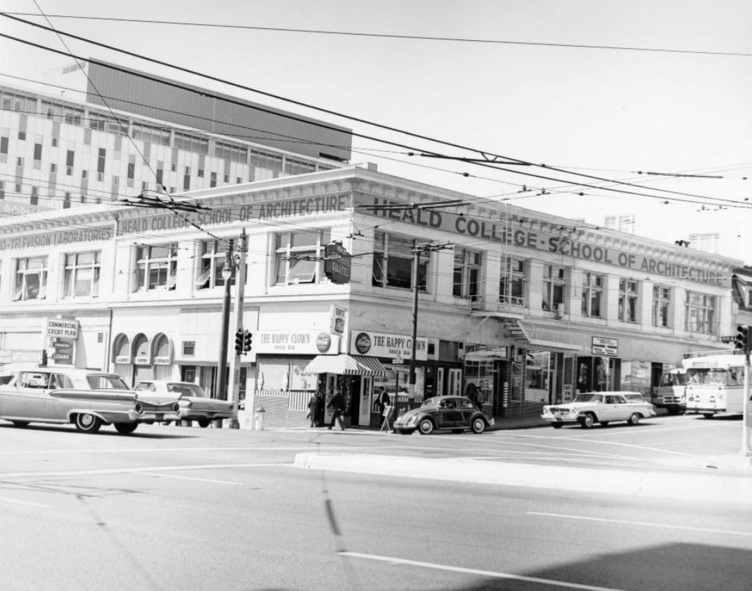
Residential streets throughout the city maintained their quieter character. The area around Sutter and Divisadero was typical of the Western Addition — Victorian and Edwardian homes, corner laundromats, small churches, and neighborhood bars. These streets had faced urban renewal pressure in earlier decades and carried the scars of that history even as they continued their daily routines.
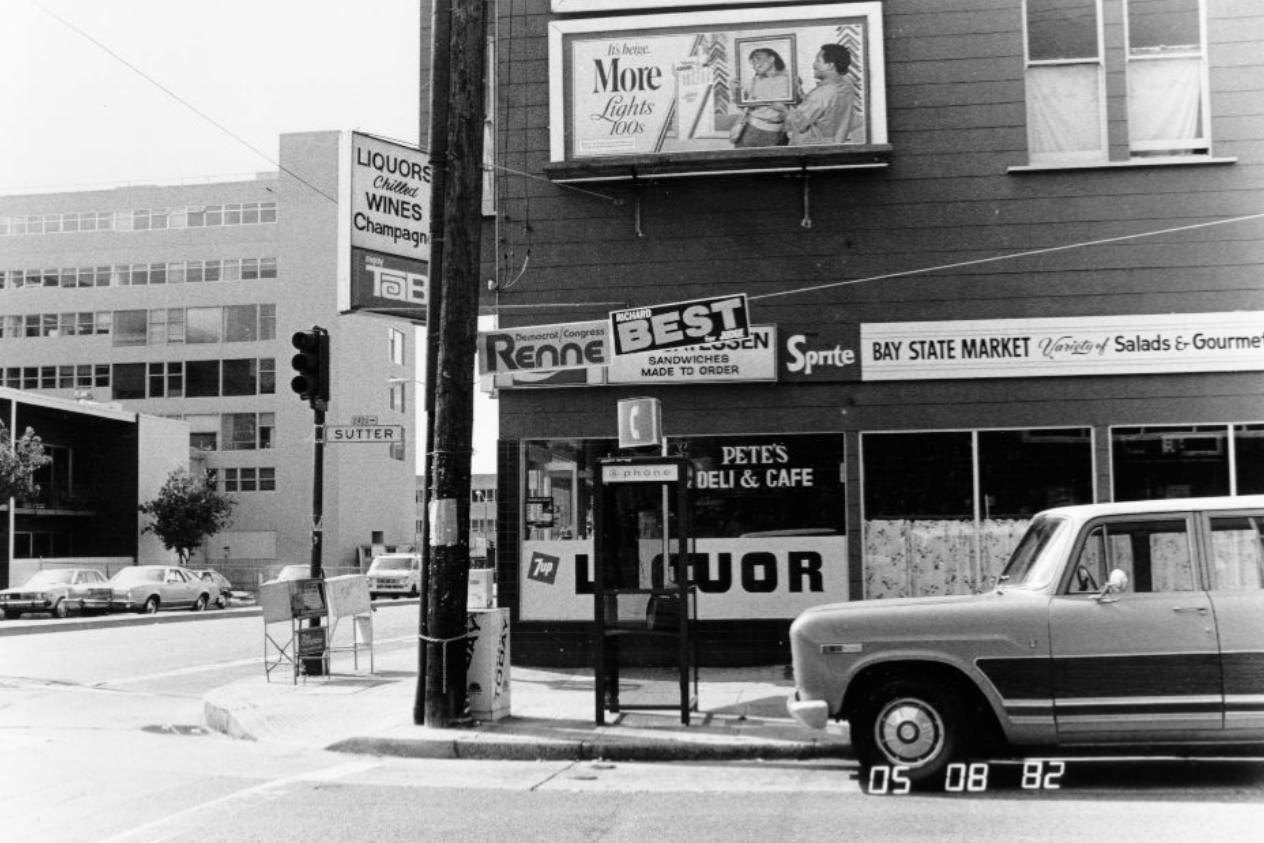
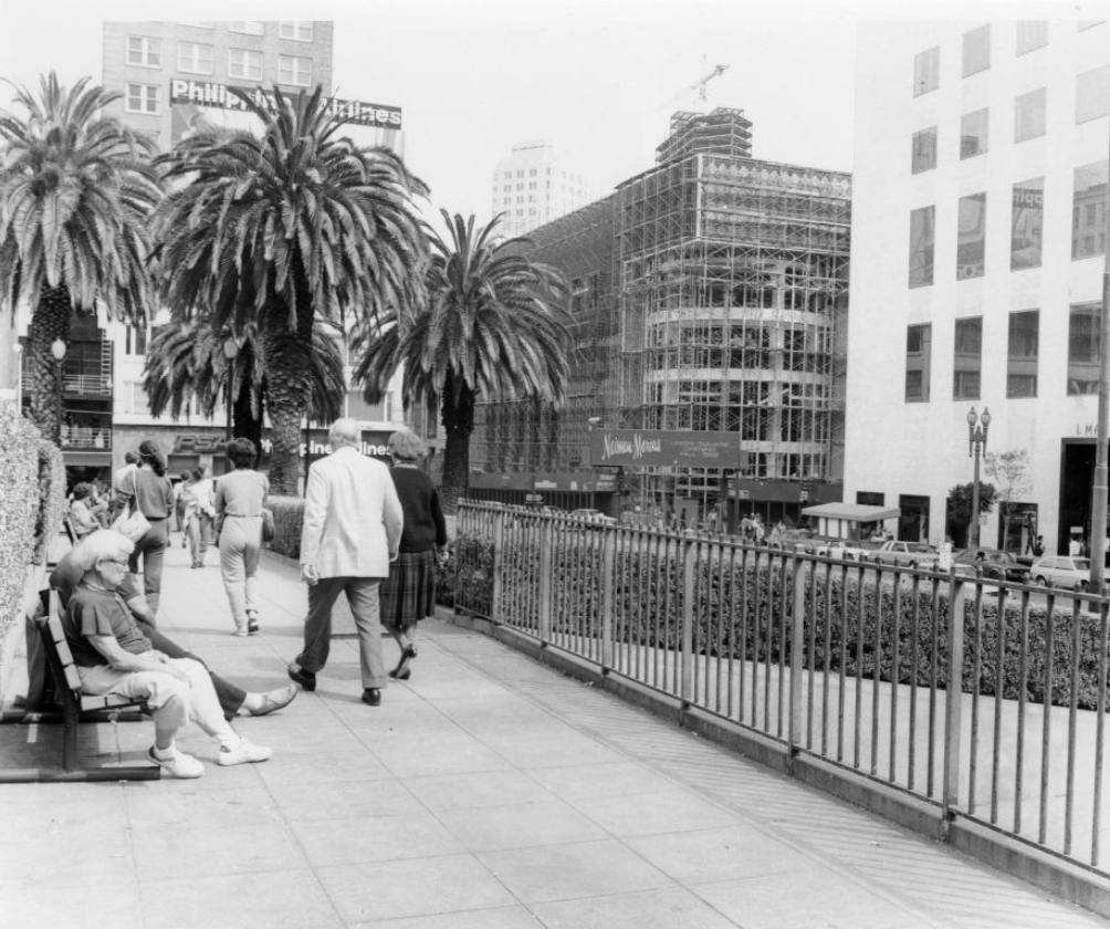
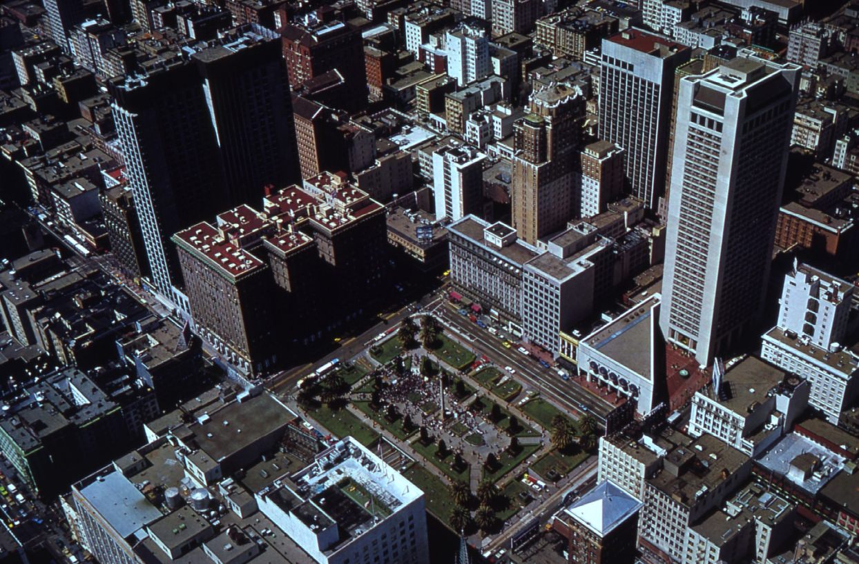
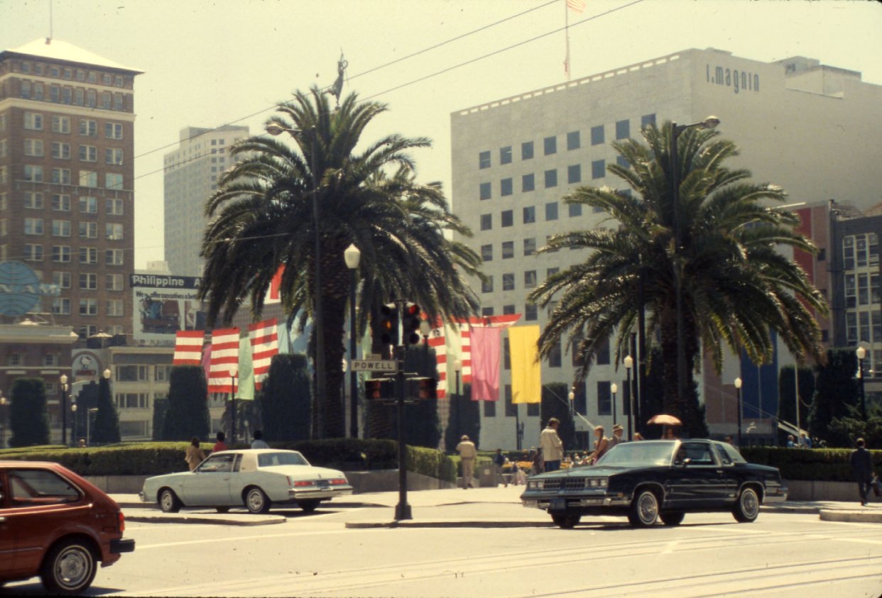
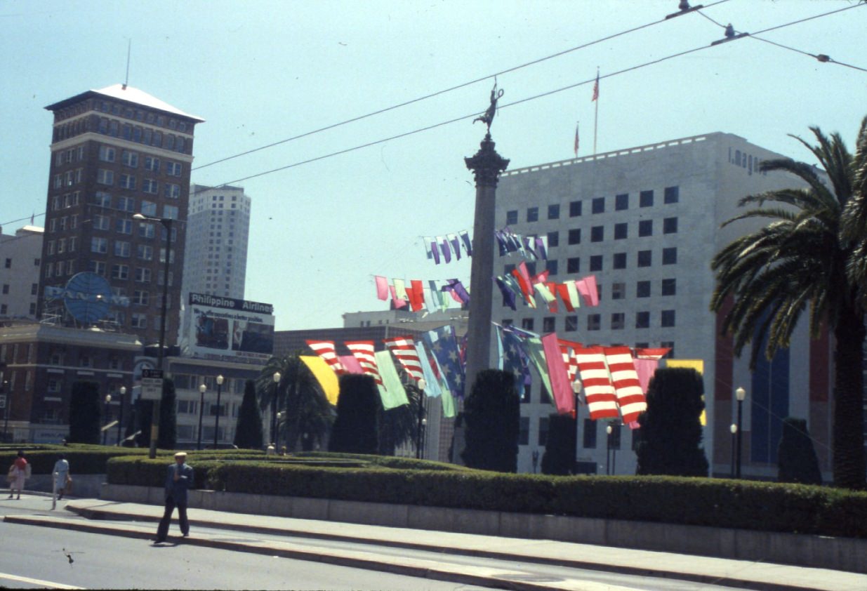
Union Square anchored San Francisco’s retail and hotel district. The plaza itself was a gathering place — surrounded by department stores, luxury shops, and theaters. In 1982, it looked both polished and lived-in, a public space that belonged equally to shoppers, tourists, and residents passing through.
Back on Clement Street, the intersection at 5th Avenue in 1983 showed the street at its most characteristic — a mix of signs in English and Chinese, produce displayed outside shops, and foot traffic heavy enough to fill the sidewalks on an ordinary weekday.
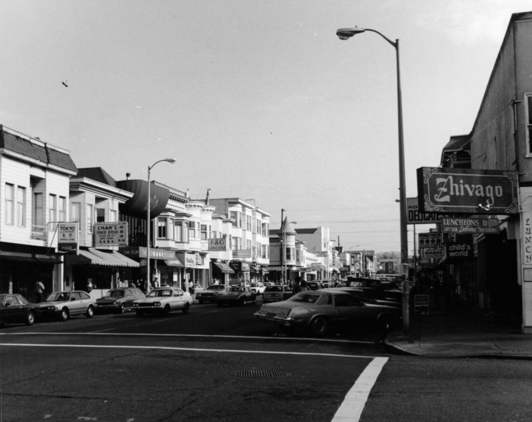
Fillmore Street at Geary was another neighborhood commercial corridor with deep history. The Fillmore District had been the center of San Francisco’s jazz scene in earlier decades, and by the 1980s it was working through a long recovery from urban renewal demolitions that had displaced thousands of residents in the 1960s and 70s. The street still had life — barbershops, soul food restaurants, and community anchors — but the rebuilding was slow and uneven.
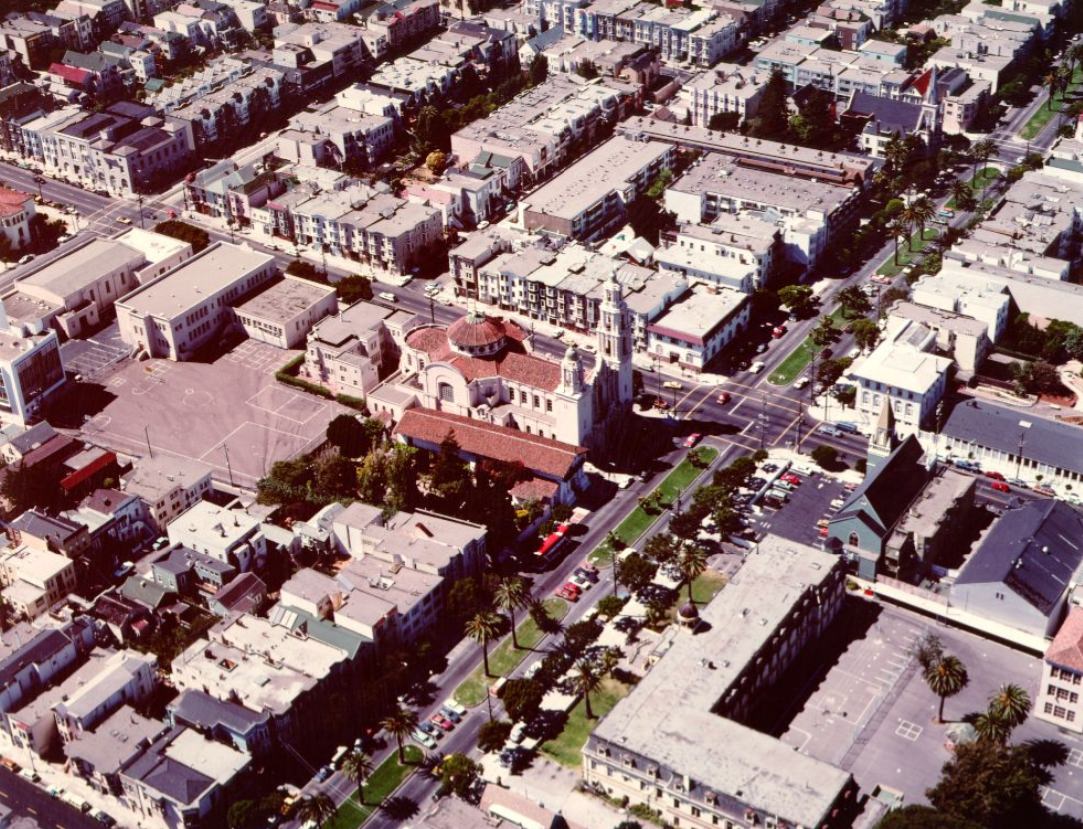
The Mission District, seen from the air in 1980, showed a tightly packed urban landscape of flat-roofed buildings, small backyards, and an intricate street grid. The neighborhood had absorbed waves of immigrants from Latin America and had become one of the most concentrated Spanish-speaking communities on the West Coast.
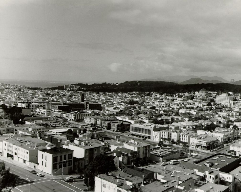
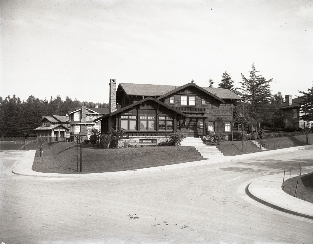
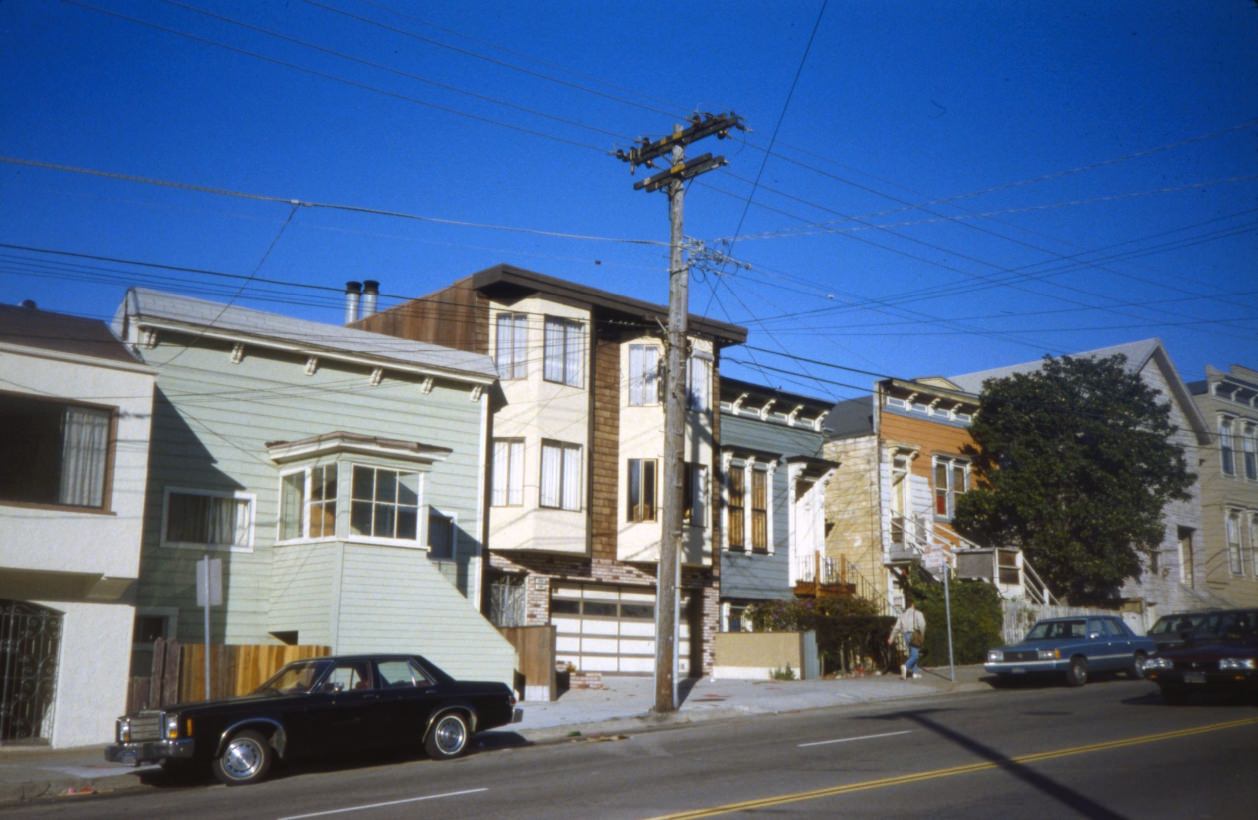
Residential San Francisco away from the main commercial corridors was a city of single-family homes, duplexes, and small apartment buildings. Ingleside Terrace, a quiet neighborhood in the southwest of the city, represented the more suburban feel that existed far from downtown.
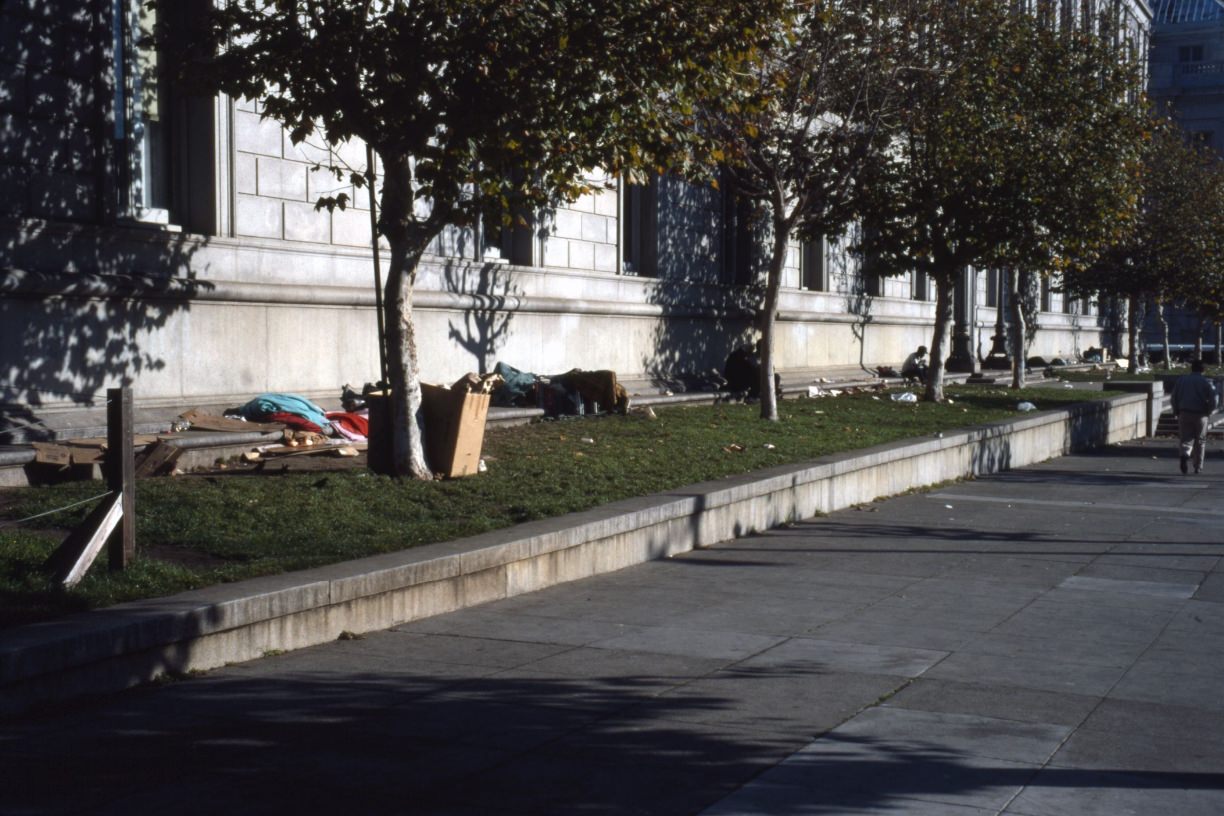
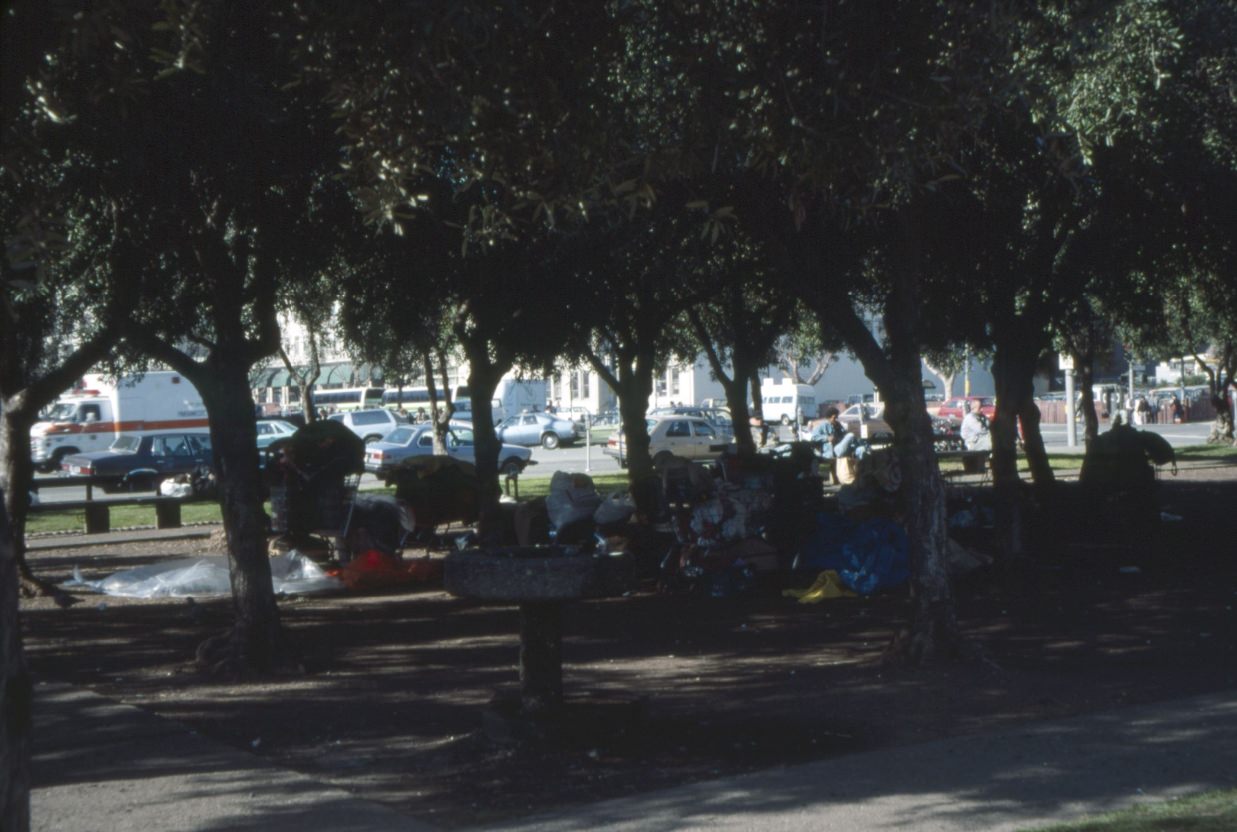
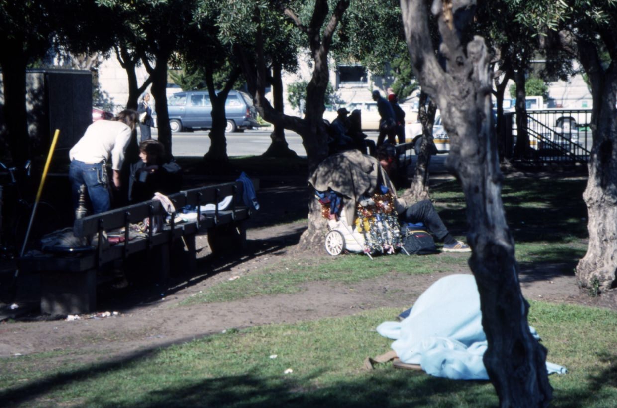
Civic Center Plaza served many roles throughout the decade. It was the front yard of City Hall, a venue for public events, and increasingly, a place where homeless San Franciscans sheltered. Homelessness grew sharply through the 1980s, driven by rising rents, cuts to federal housing programs, and the deinstitutionalization of people with mental illness. The numbers on the streets were visible and undeniable.
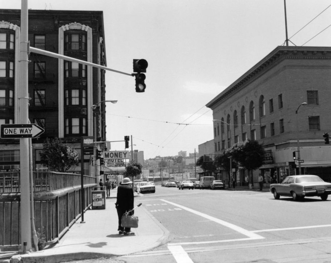
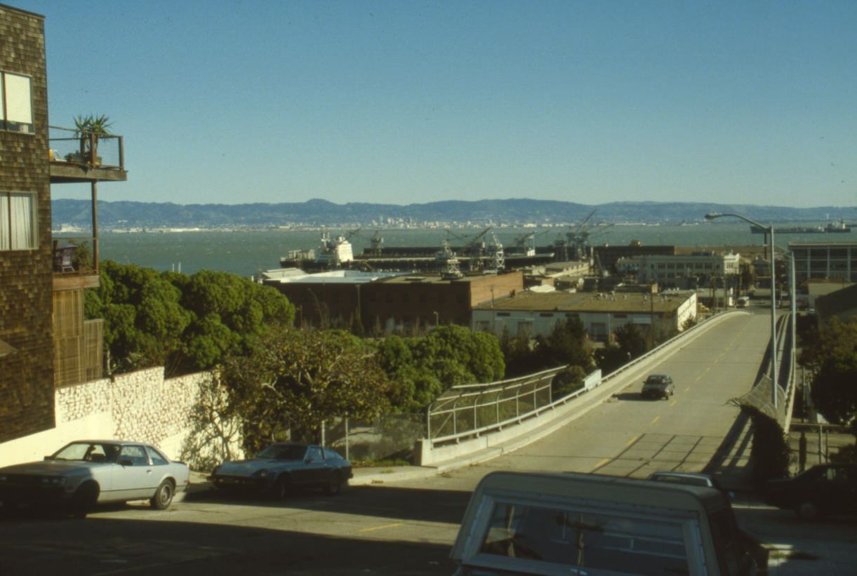
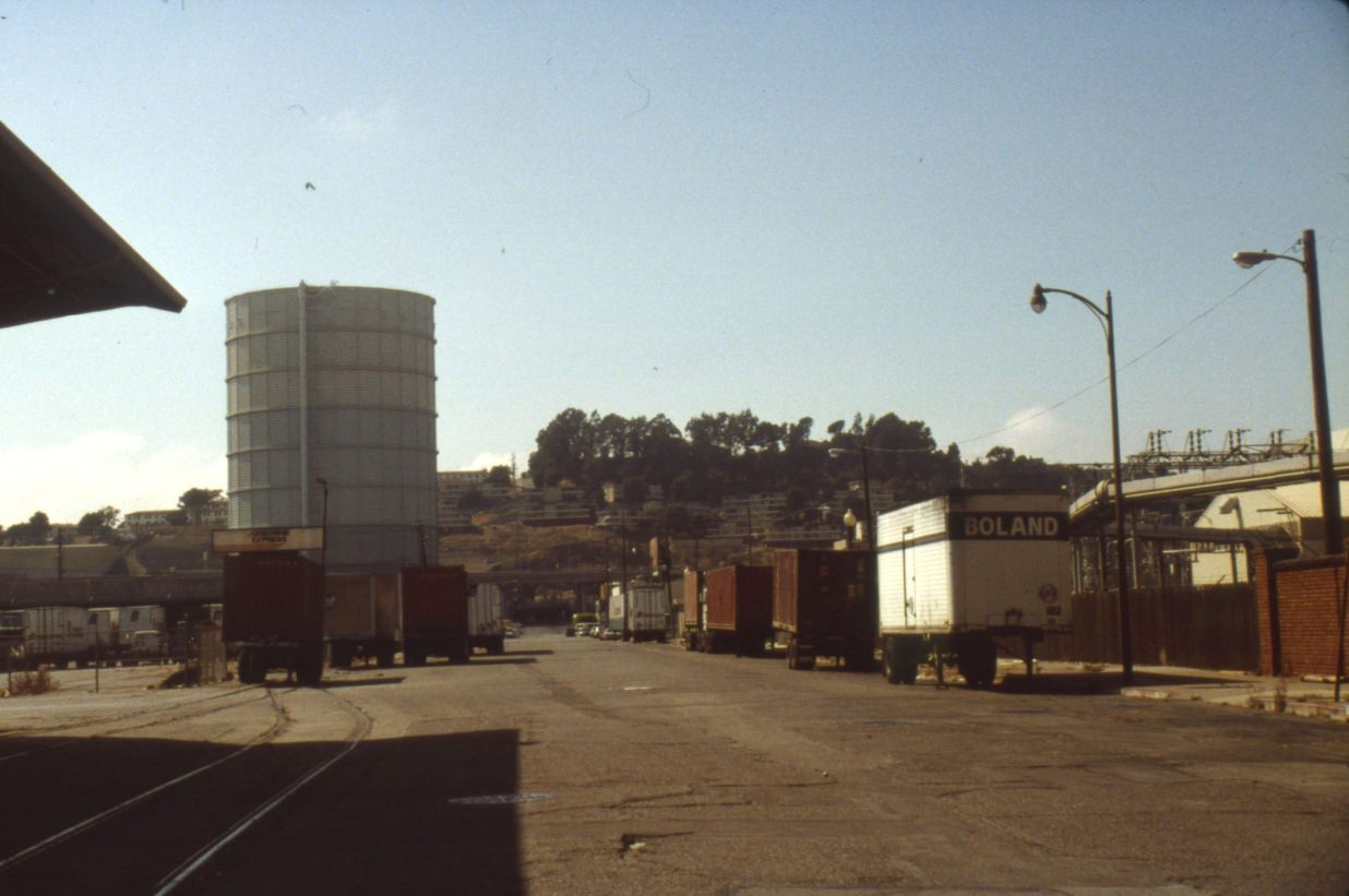
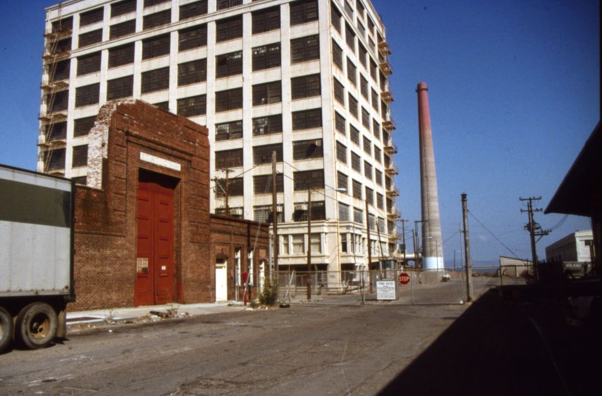
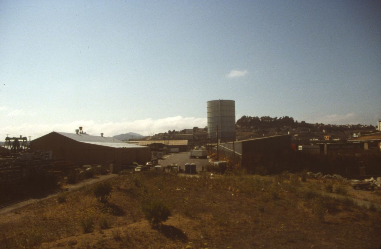
The southeastern waterfront near 20th Street and Pennsylvania Avenue sat in the shadow of the Todd Shipyards, one of the industrial operations that had defined the Potrero Hill and Dogpatch neighborhoods for decades. By the late 1980s, that industrial base was shrinking, and the streets around it had a transitional, emptied-out quality.
24th Street in the Mission was the neighborhood’s second major commercial corridor, running parallel to Mission Street a few blocks to the south. It had a slightly quieter, more residential feel, with bakeries, coffee shops, record stores, and community organizations filling the storefronts.
The Castro District was the heart of San Francisco’s LGBTQ+ community. By 1988, the neighborhood had been living with the AIDS crisis for nearly a decade. The disease had killed hundreds of Castro residents by that point. Storefronts had memorial notices in their windows. Community organizations had multiplied to meet the need. And yet the neighborhood remained active — bars, shops, and cafes stayed open, and the community continued to organize, grieve, and fight for recognition and resources simultaneously.
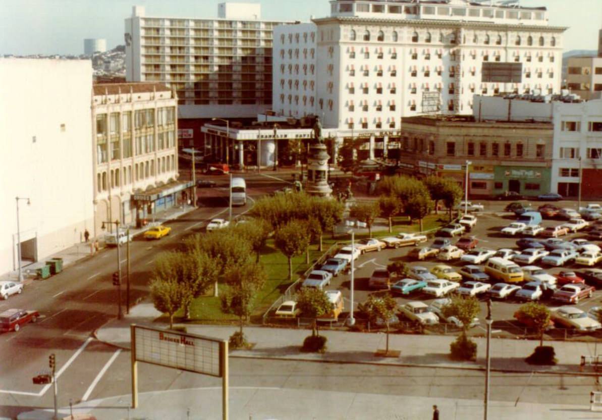
Union Square from above in 1984 showed a compact, well-defined retail district surrounded by the city’s hotel corridor. The square’s central plaza with its monument to Admiral Dewey stood at the center, flanked on all sides by department stores including Macy’s, Saks Fifth Avenue, and Neiman Marcus.
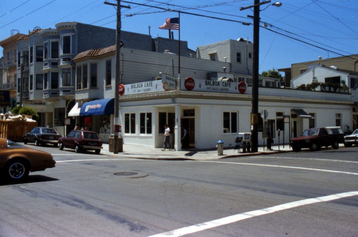
The city’s bar and restaurant culture was dense and varied. The Balboa Cafe on Fillmore was a long-running neighborhood institution — a wood-paneled bar that attracted a mix of locals and the young professionals beginning to move into the area. By the late 1980s, the stretch of upper Fillmore where the Balboa sat was being called the “new” upscale dining neighborhood.
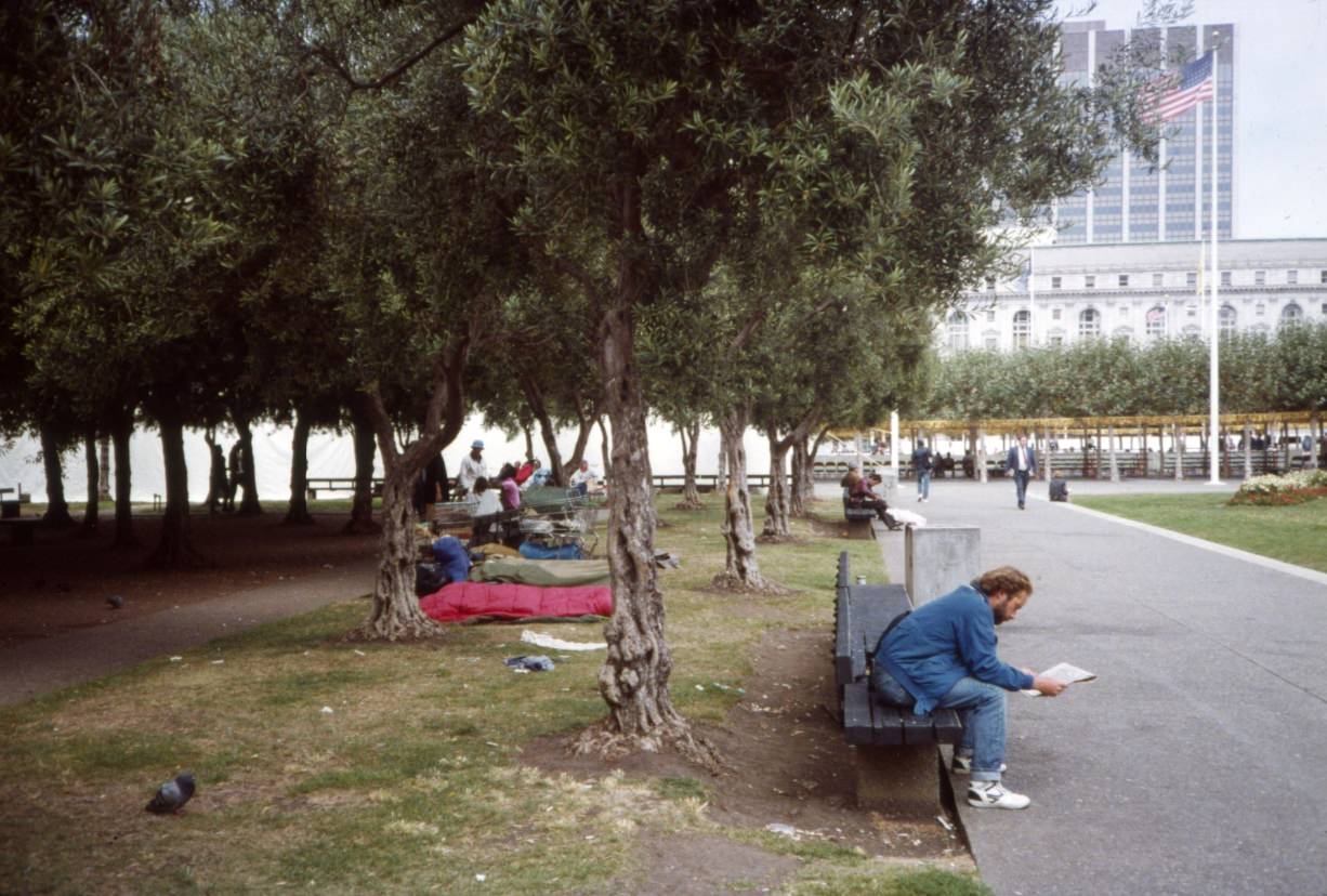
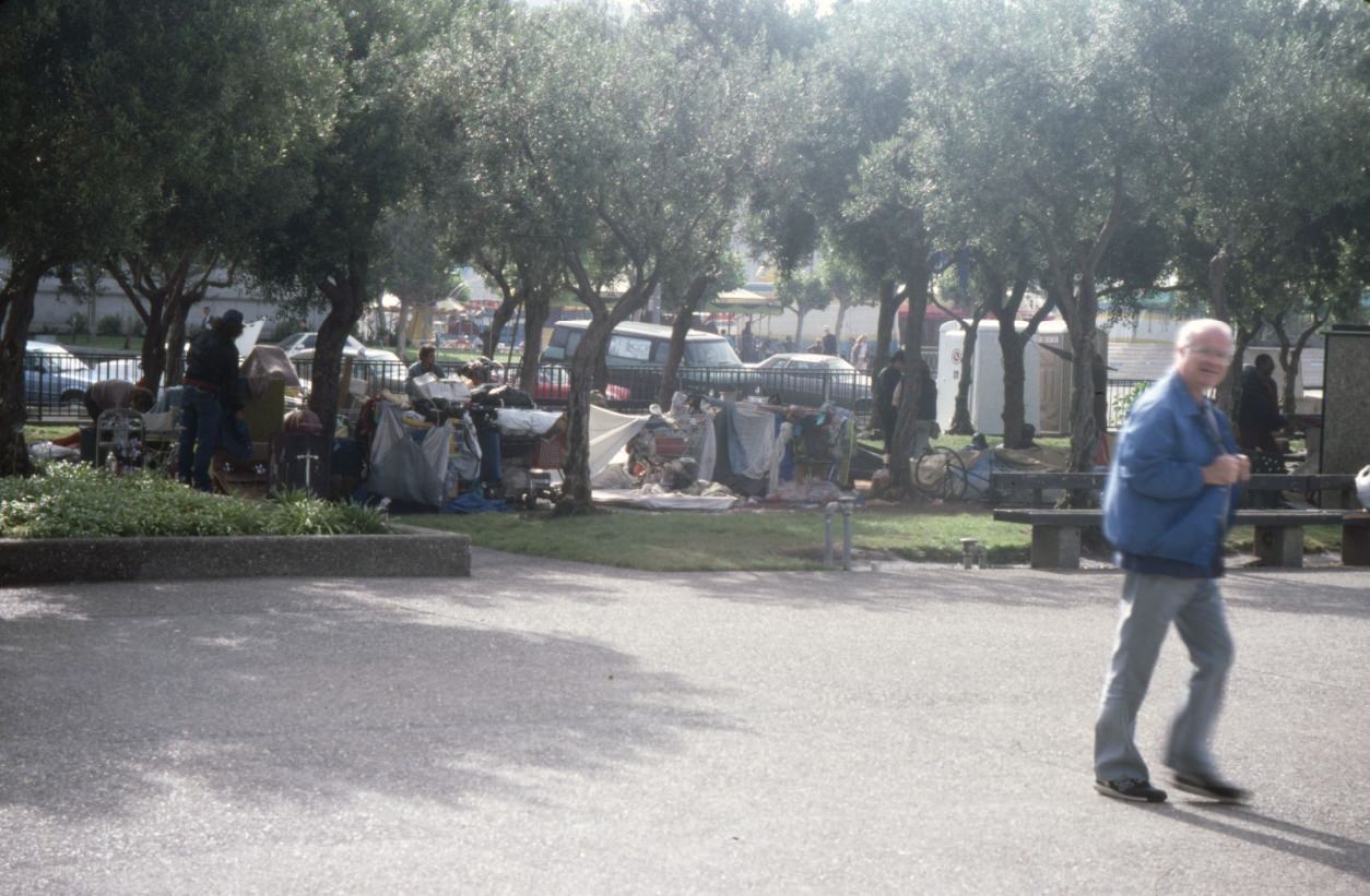
Civic Center Plaza hosted festivals and public gatherings throughout the decade. By 1988, however, those events took place alongside the growing reality of homelessness in the same space. Photographs from 1989 show festival tents and homeless encampments occupying the same plaza — a direct visual statement about the contradictions the city was navigating.
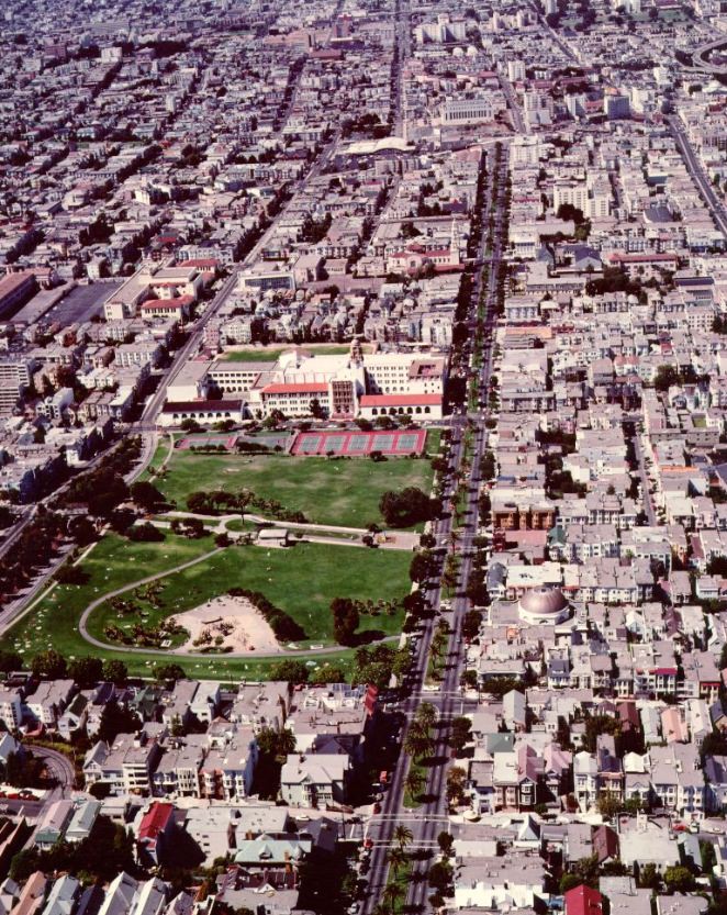
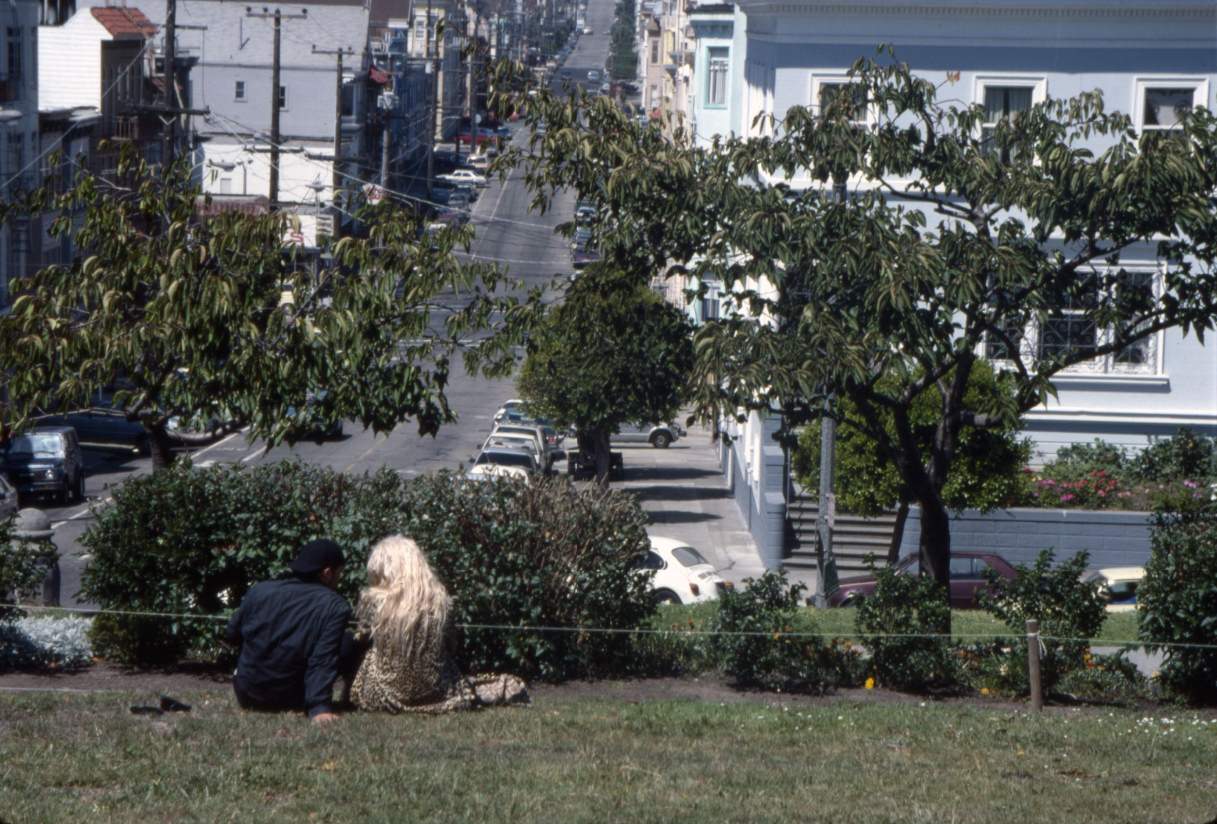
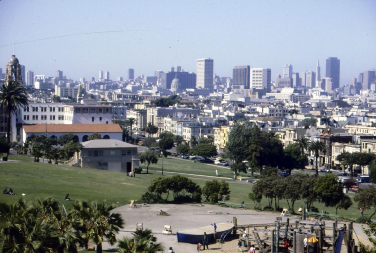
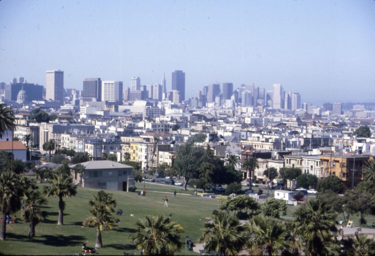
Dolores Park, straddling the Mission and Noe Valley neighborhoods, was a broad open lawn with a clear view of the downtown skyline. In the 1980s it was heavily used — for sunbathing, soccer, political rallies, and community gatherings. It was also one of the informal gathering places for Castro residents during the AIDS years.
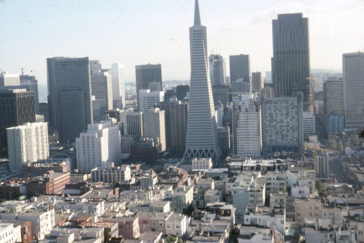
The downtown skyline photographed from Coit Tower in 1983 shows the Transamerica Pyramid rising cleanly above its neighbors — already the building most associated with the city’s image. Behind it, a second generation of office towers was filling in, changing what had been a relatively modest skyline into something that resembled a major financial center.
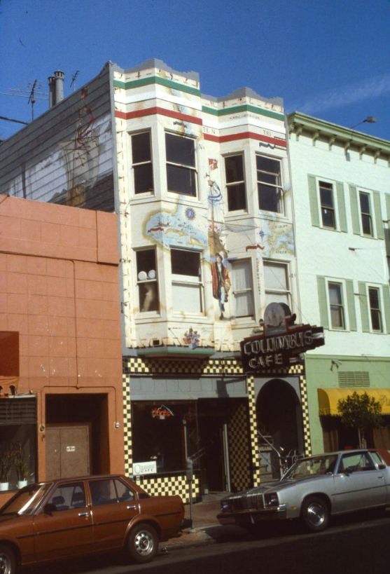
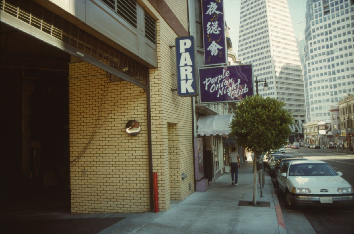
North Beach’s nightlife centered on Columbus Avenue and the surrounding streets. The Purple Onion at 140 Columbus was one of the neighborhood’s enduring entertainment venues — a club with a history going back to the 1950s, when comedians like Phyllis Diller and the Kingston Trio had performed there. By the late 1980s it was still operating, still part of the neighborhood fabric.
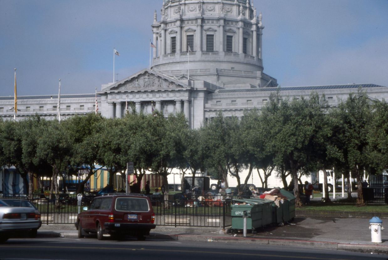
By 1989, homeless encampments at Civic Center Plaza had grown large enough to be documented as a distinct feature of the space. The encampment sat directly adjacent to City Hall — the seat of city government — making it impossible for officials or passersby to ignore.
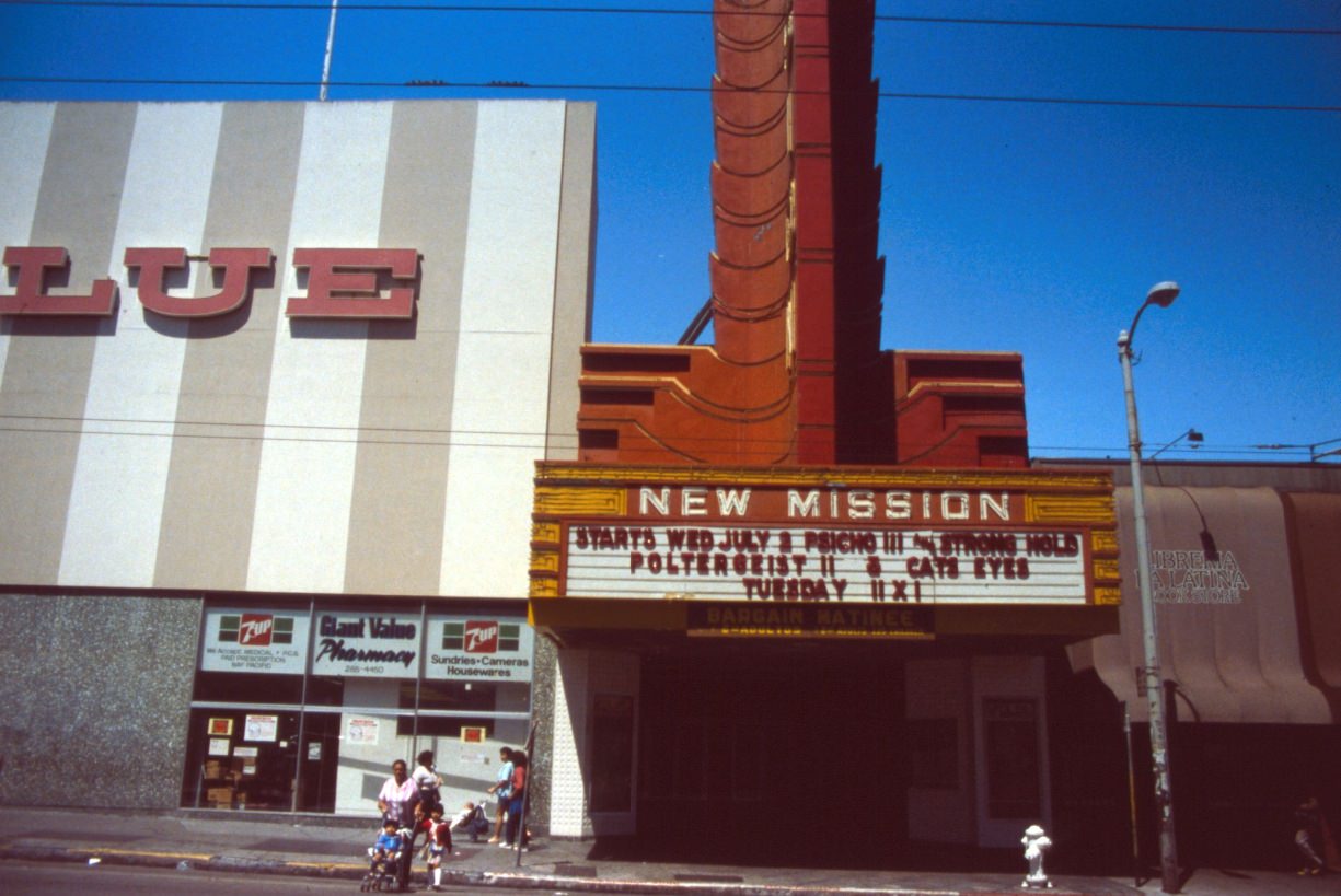
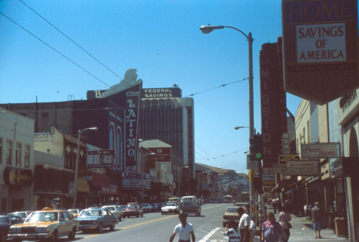
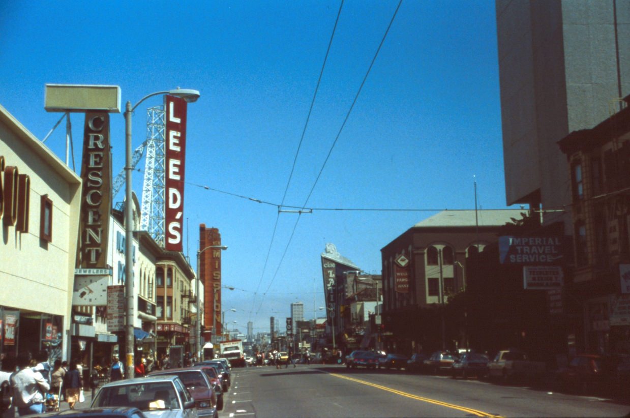
Mission Street was the commercial spine of the Mission District, and its theaters were among the neighborhood’s most prominent landmarks. The New Mission Theatre at 2550 Mission Street was a grand movie palace built in the 1930s, and by the mid-1980s it was still in operation, its marquee competing for attention with the shops and restaurants below.
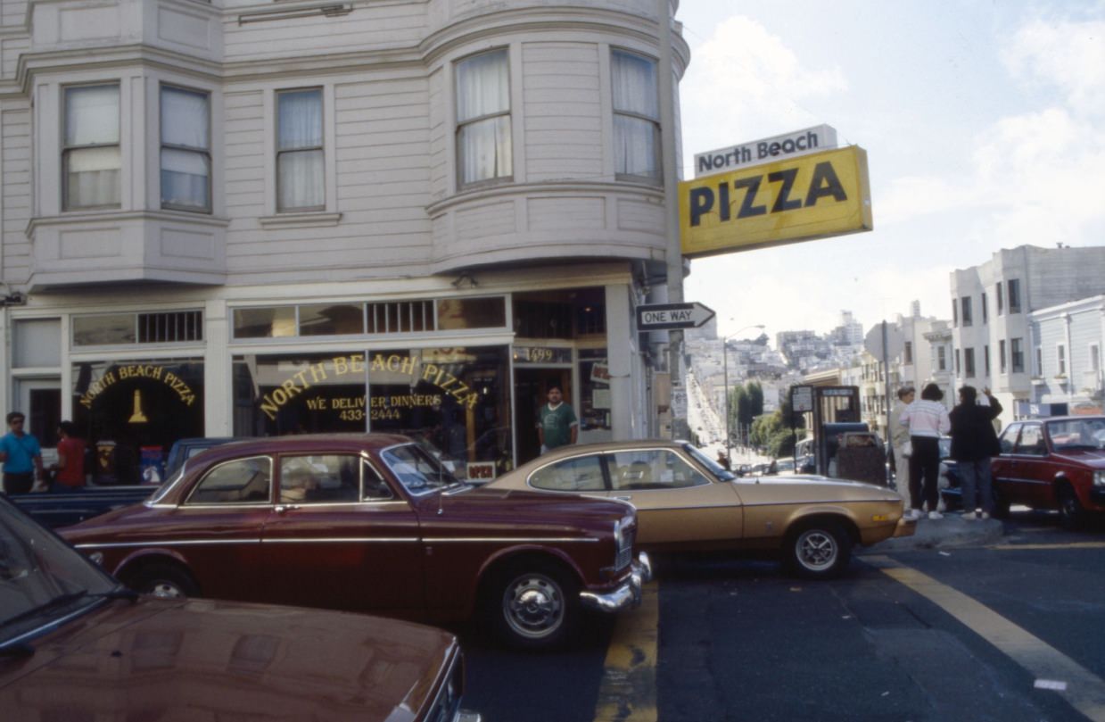
North Beach Pizza on Grant Avenue was the kind of place that defined neighborhood dining in San Francisco — unpretentious, reliably good, and packed with regulars. The city’s food culture in the 1980s was shaped as much by these local institutions as by the farm-to-table movement gaining attention in higher-end restaurants.
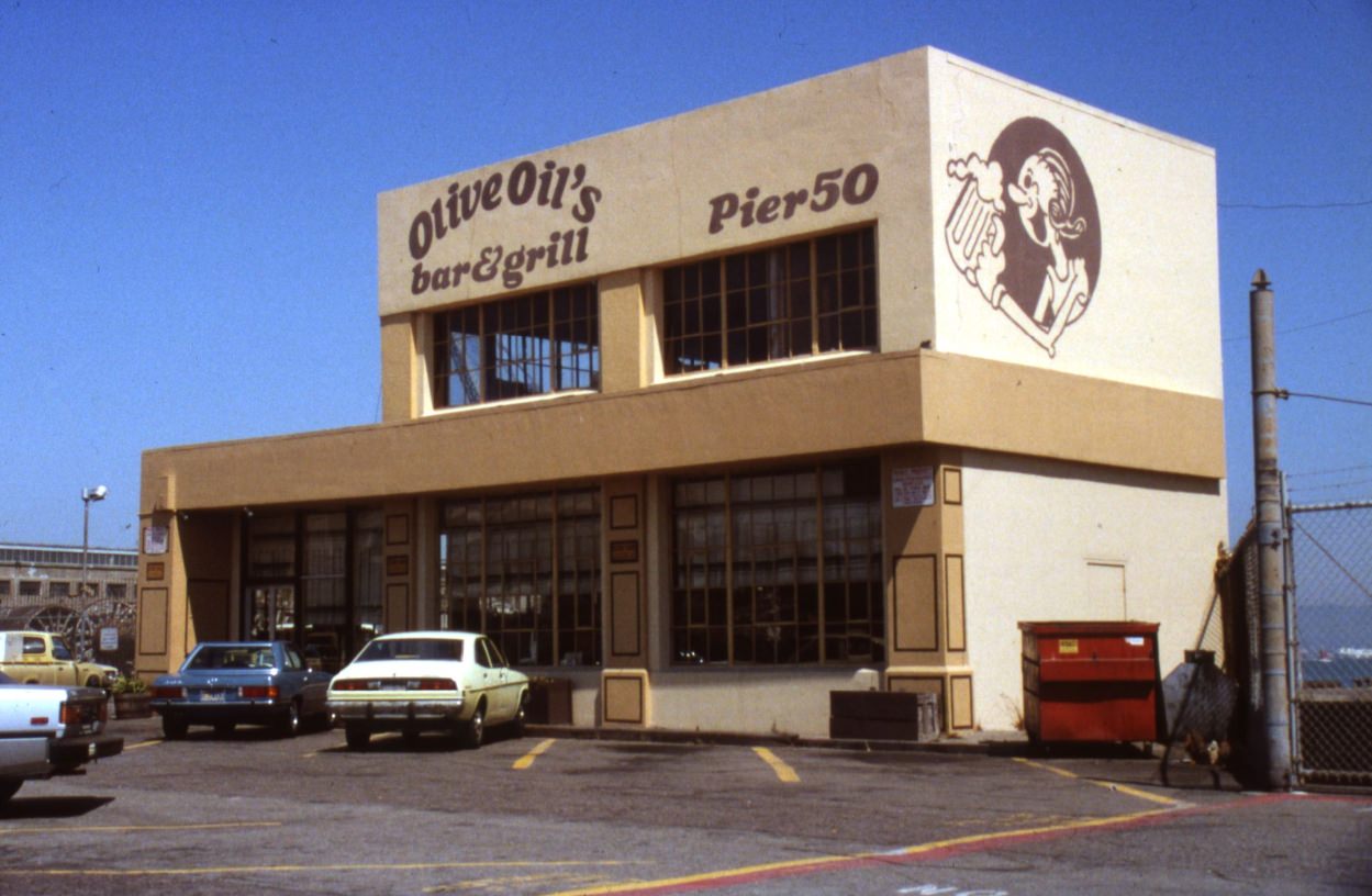
The waterfront area around China Basin had its own mix of industrial and dining establishments. Olive Oil’s Bar & Grill at Pier 50 sat at the edge of the bay, part of a strip of restaurants that had set up in old waterfront buildings as the area’s shipping and industrial uses declined.
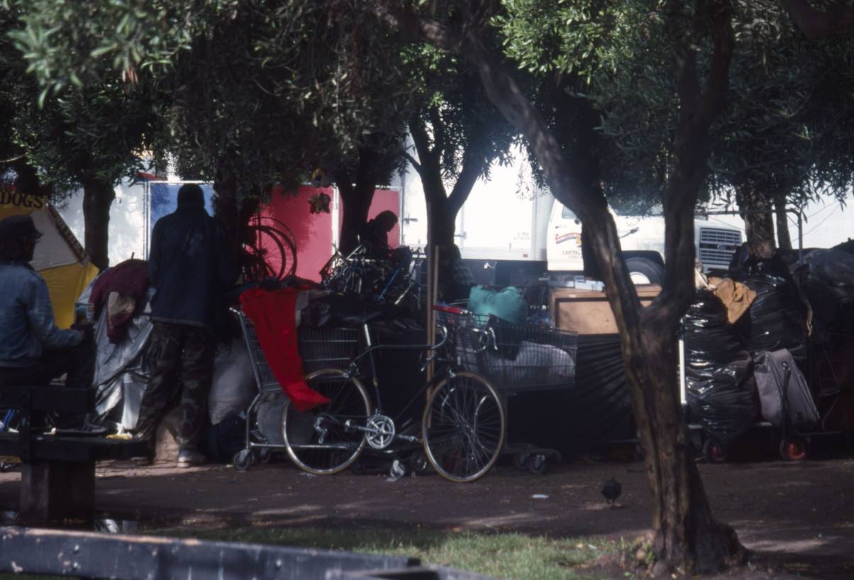
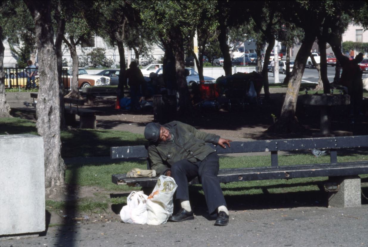
The photographs from Civic Center Plaza in 1989 are among the most direct documents of the homelessness crisis in the collection. People with all their belongings packed into plastic bags and shopping carts occupied the plaza day and night. These were not rare or exceptional scenes — they were the daily reality of a city that had not built enough housing, funded enough mental health services, or preserved enough of the affordable units that had once kept the working poor housed.
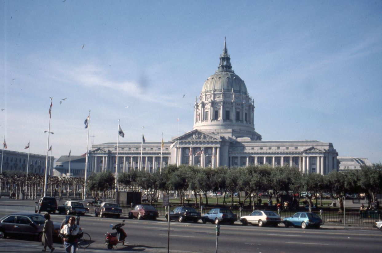
City Hall itself, photographed in 1989, sat at the center of a Civic Center that had become defined by the tension between government and the people most failed by it. The building’s Beaux-Arts dome remained imposing, but the plaza in front of it told a different story.
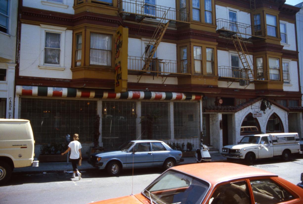
The Savoy Tivoli on Grant Avenue was one of North Beach’s most popular bars — an indoor-outdoor space with a retractable roof that opened up in good weather. It drew a mix of neighborhood regulars, artists, and the young professionals who had started filtering into the area by the mid-1980s.
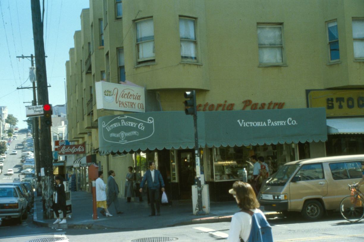
Victoria Pastry Company at Stockton and Vallejo, in the heart of North Beach, had been baking Italian pastries and cakes since 1914. By 1986 it was still very much a neighborhood institution — the kind of business that anchored the Italian-American identity of the area even as the neighborhood’s demographics slowly changed.
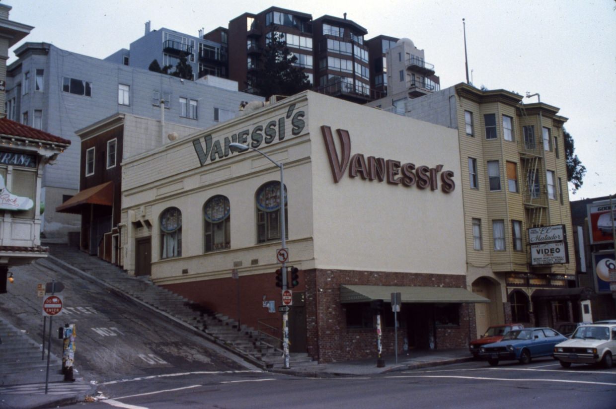
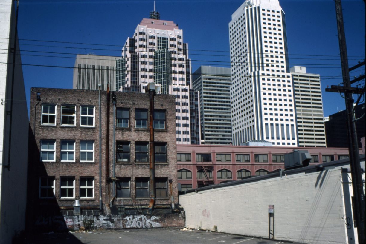
Mission Dolores Park offered one of the best views of the downtown skyline from the south. From the upper slopes of the park, the city’s towers appeared compact and unified — a different perspective than the street-level experience of disconnected neighborhoods and blocks.
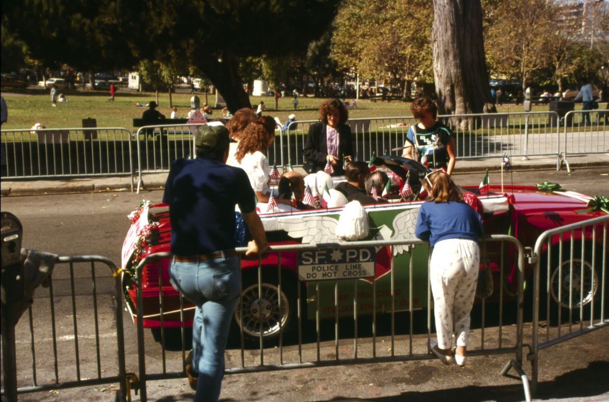
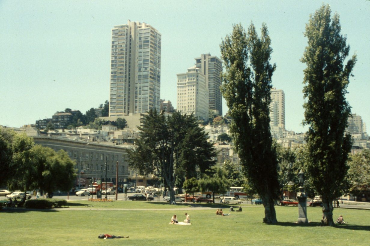
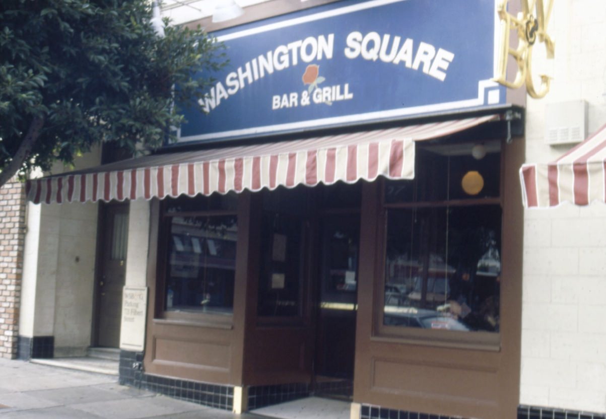
Washington Square in North Beach hosted the Columbus Day Parade in 1988, as it had for many years. The parade was a celebration of Italian-American heritage and drew large crowds through the neighborhood’s streets, ending in the square itself. These community festivals were a consistent thread through the decade — occasions when the neighborhood’s identity was performed and reinforced.
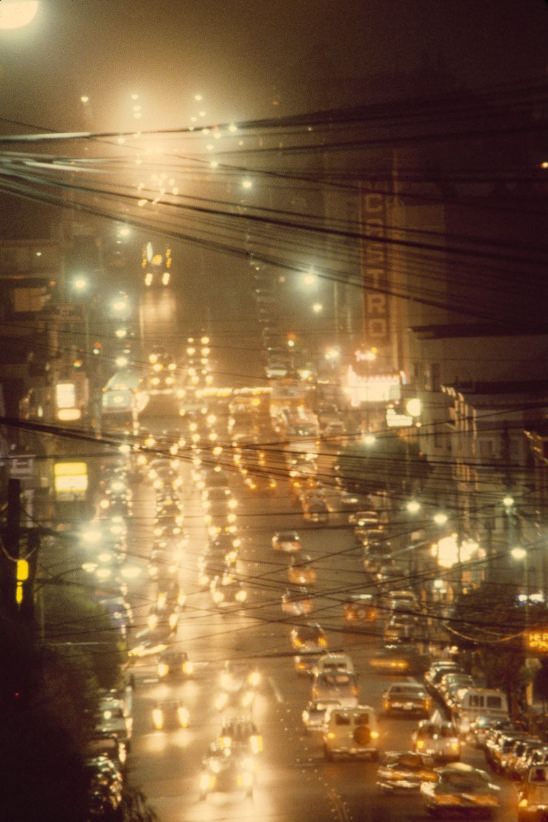
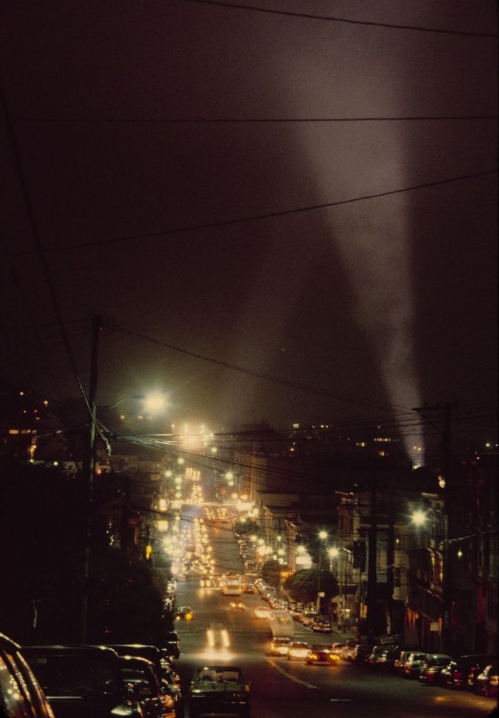
Castro Street at night in 1980 was alive with neon and foot traffic. The neighborhood’s bars, restaurants, and clubs were full. This was a community that had built itself up from almost nothing in the 1970s, creating institutions, businesses, and a political presence that was unprecedented for an LGBTQ+ community in the United States. The AIDS crisis had not yet fully arrived, but it would begin reshaping this street — and every street in the Castro — within the next few years.
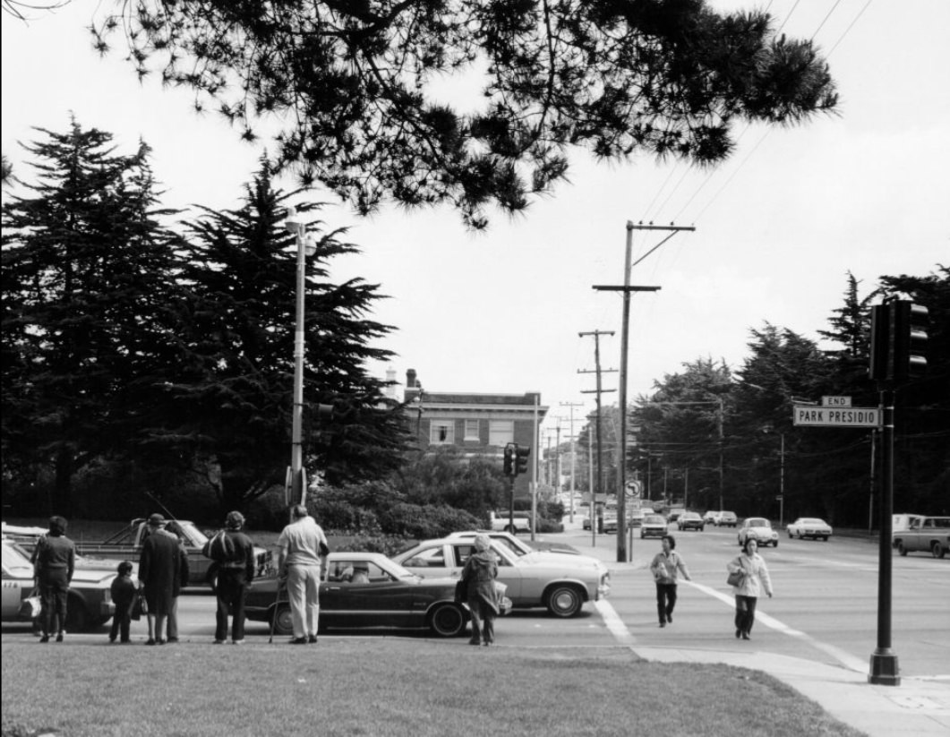
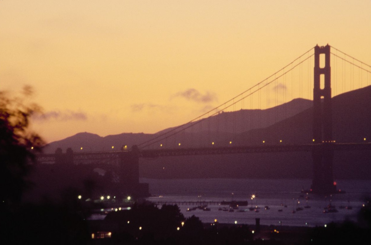
The Golden Gate Bridge and the Presidio of San Francisco together defined the city’s northwestern edge. The Presidio, a former U.S. Army base, was still an active military installation in 1980 and would not be transferred to the National Park Service until 1994. Its forested grounds, historic buildings, and bay views made it one of the most striking urban military bases in the country.
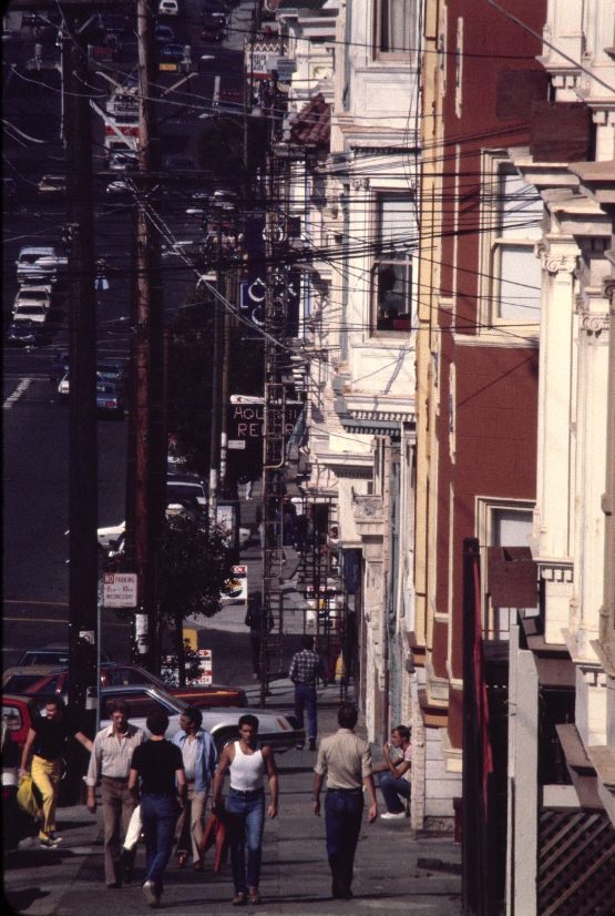
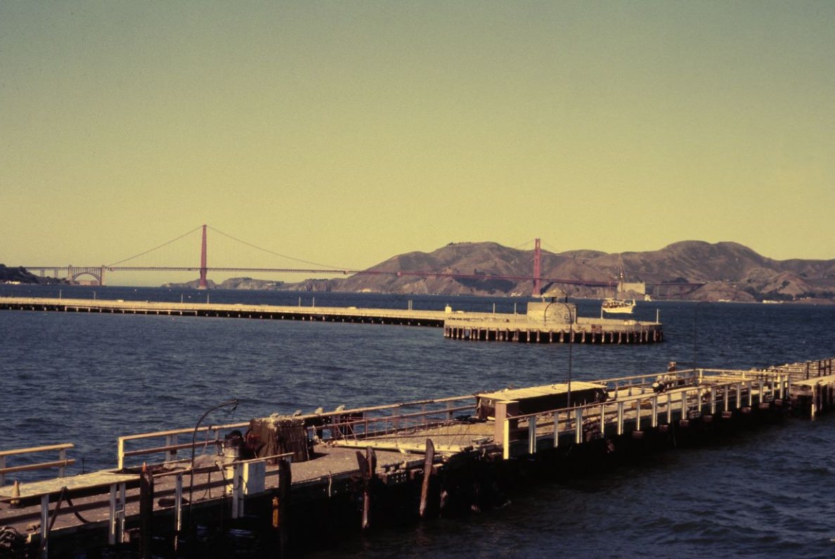
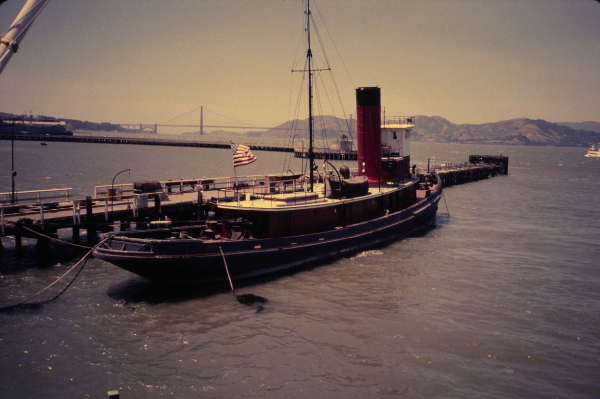
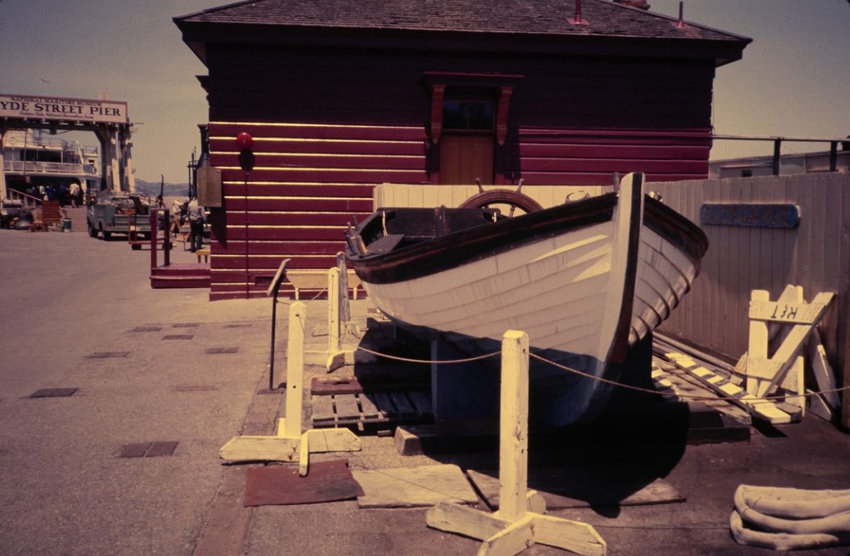
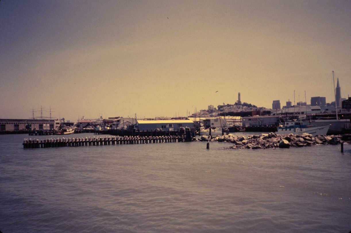
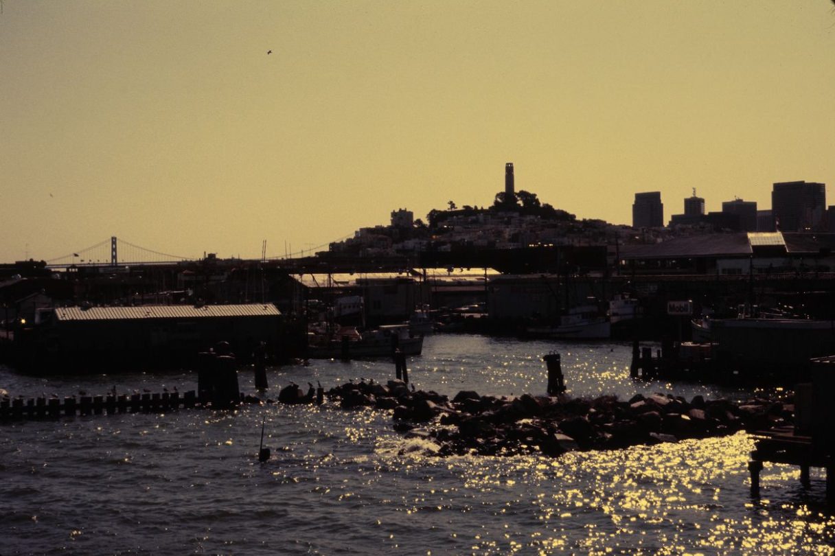
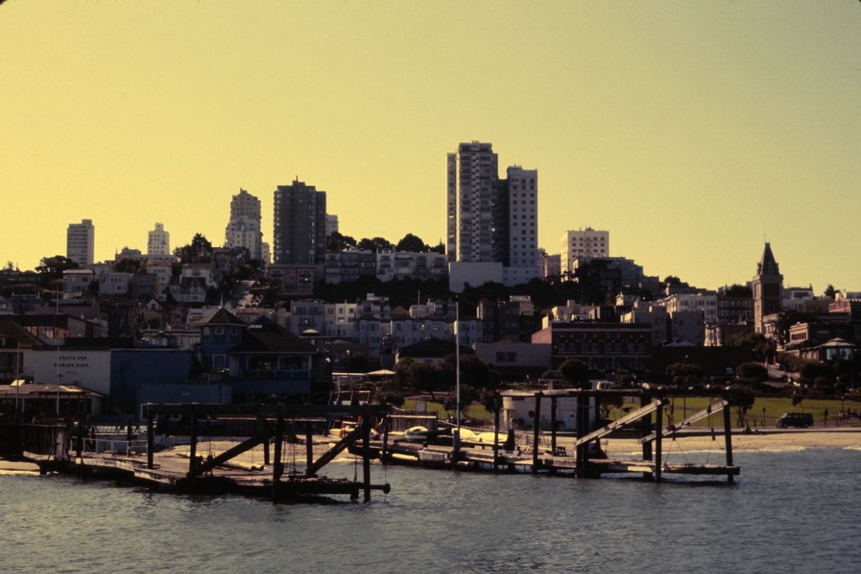
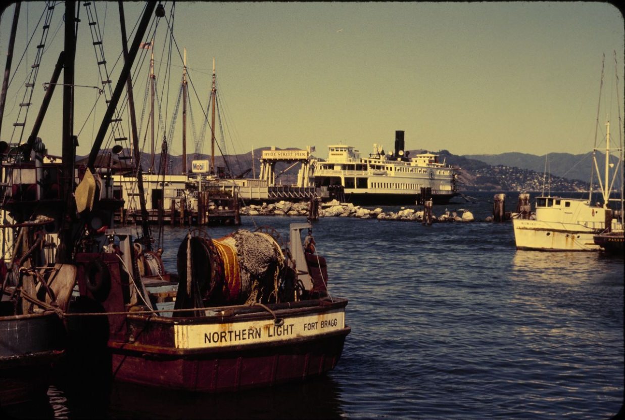
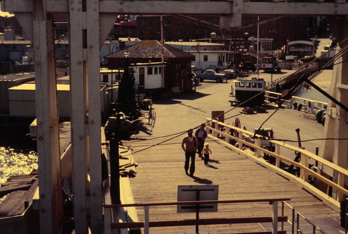
The northern waterfront was a major destination for both residents and visitors. Aquatic Park, Hyde Street Pier, and Fisherman’s Wharf formed a connected stretch of waterfront where historic ships, fishing boats, street vendors, and tourists all occupied the same space. The pier was home to a collection of historic vessels maintained by the National Park Service as part of the San Francisco Maritime National Historical Park.
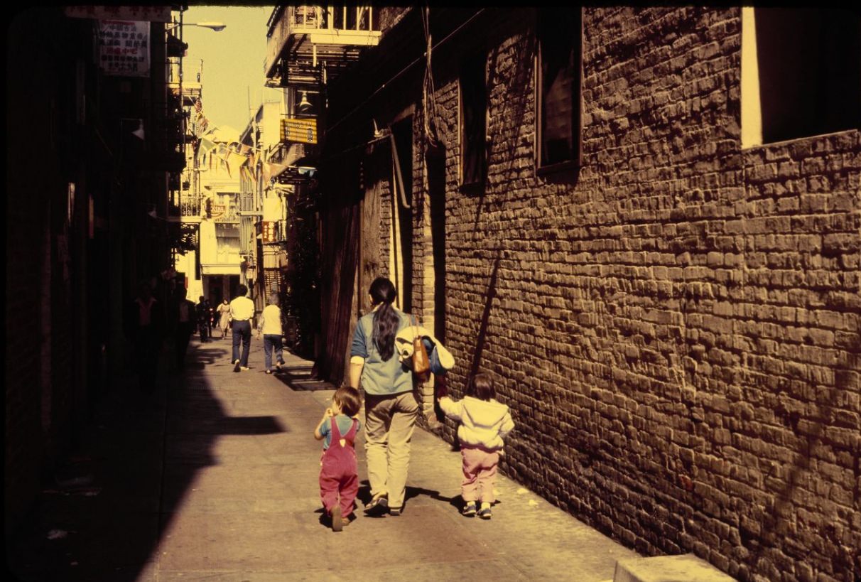
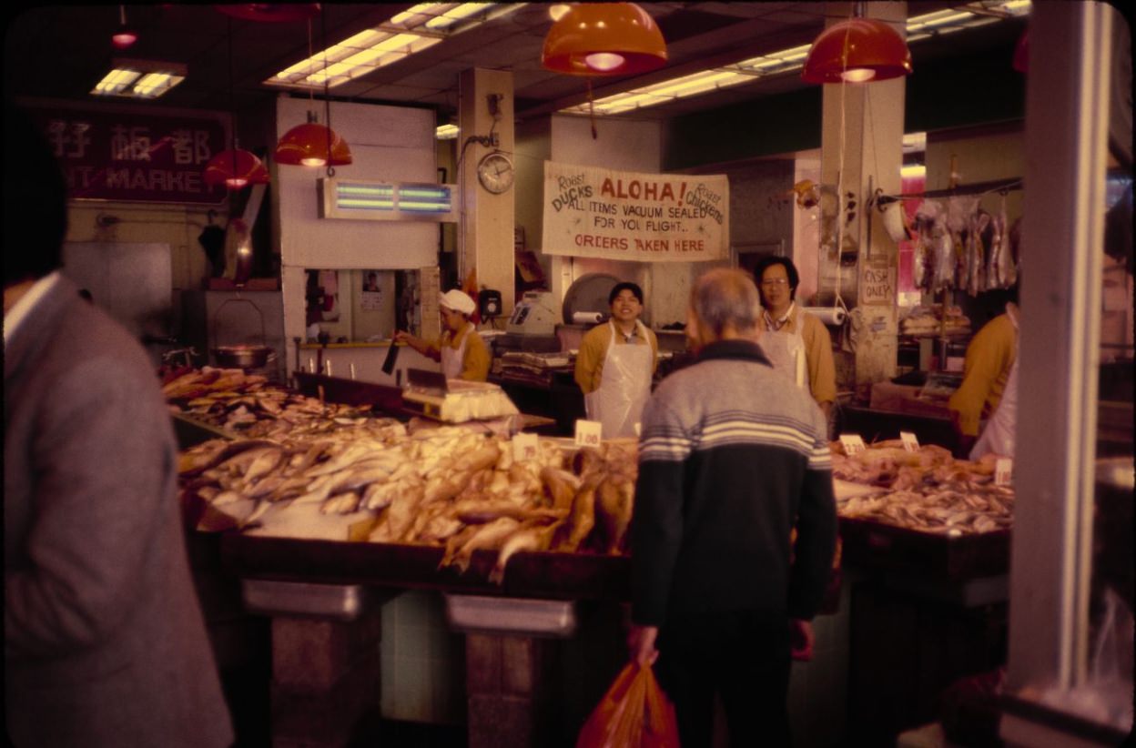
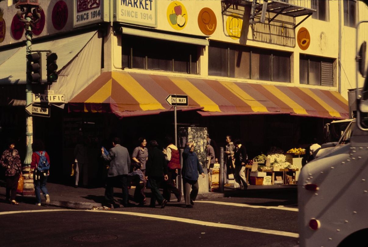
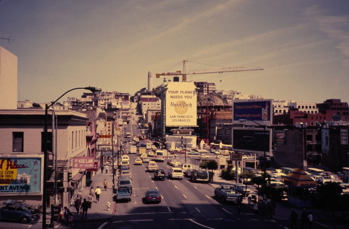
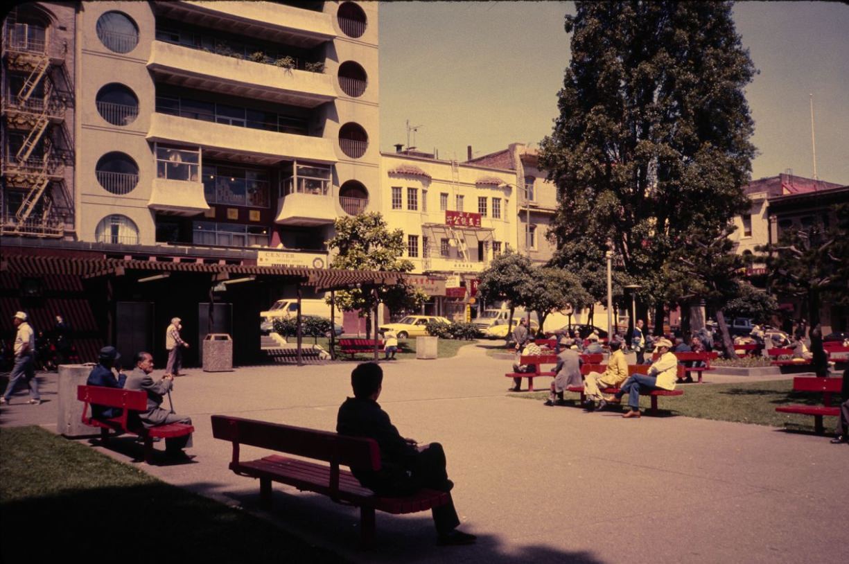
Chinatown, the oldest in North America, occupied a dense grid of blocks just east of Nob Hill. Its streets were among the most densely populated in the city, and its businesses — restaurants, herb shops, dim sum parlors, gift stores, and produce markets — served both the neighborhood’s residents and a constant flow of tourists. Grant Avenue was the main commercial strip, lined with businesses that had been operating for generations.
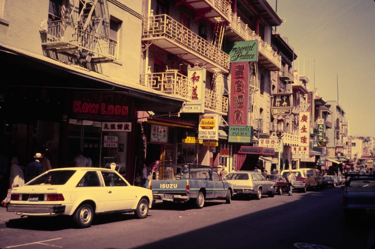
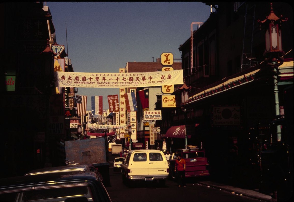
Pier 39, opened in 1978, had become one of the city’s most-visited tourist attractions by the mid-1980s. Its combination of shops, restaurants, and entertainment drew millions of visitors annually and significantly increased foot traffic along the entire northern waterfront.
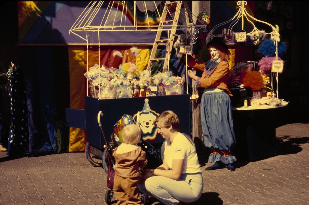
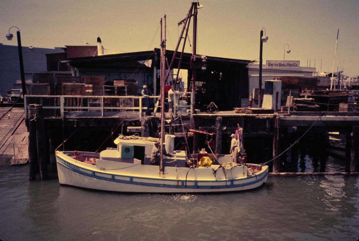
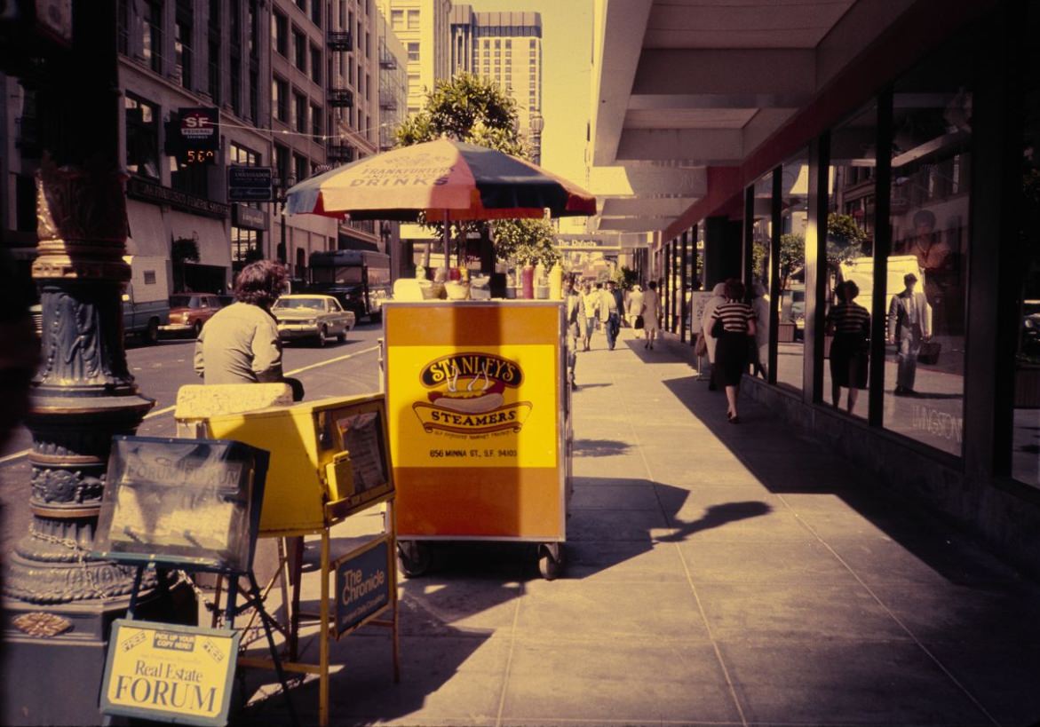
Street food was part of the city’s everyday texture. Hot dog stands, food carts, and small vendors operated throughout the downtown core, offering a quick and affordable option for workers and shoppers. Post Street, in the heart of the retail district, was a reliable spot for this kind of sidewalk commerce.
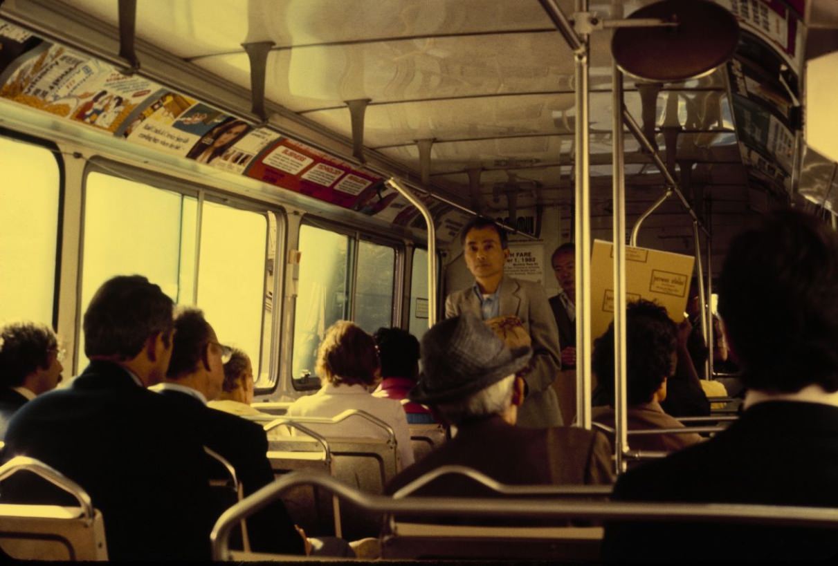
Public transit was essential to daily life. San Francisco Municipal Railway — Muni — operated buses, streetcars, and cable cars across the city. BART served longer routes to Oakland, Berkeley, and other Bay Area communities. For the hundreds of thousands of San Franciscans who did not own cars or chose not to drive, Muni was how the city functioned.
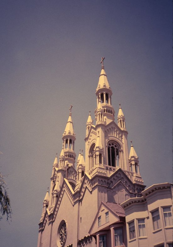
Sts. Peter and Paul Catholic Church on Washington Square was the spiritual center of North Beach’s Italian-American community. Its twin spires were among the most recognizable church facades in the city, and the church had married and buried generations of North Beach families since its construction in the early twentieth century.
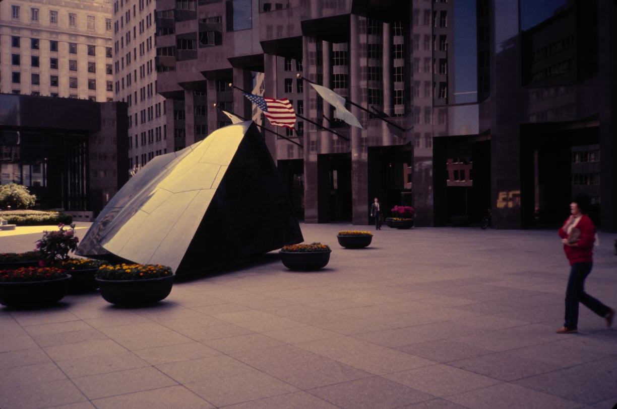
Public art was present throughout the city’s downtown. The Transcendence sculpture in front of the Bank of America Building on California Street was a large black granite piece installed in the plaza of one of the city’s most prominent office towers. It was one of many corporate-sponsored artworks that became part of the public environment as new office buildings went up through the decade.
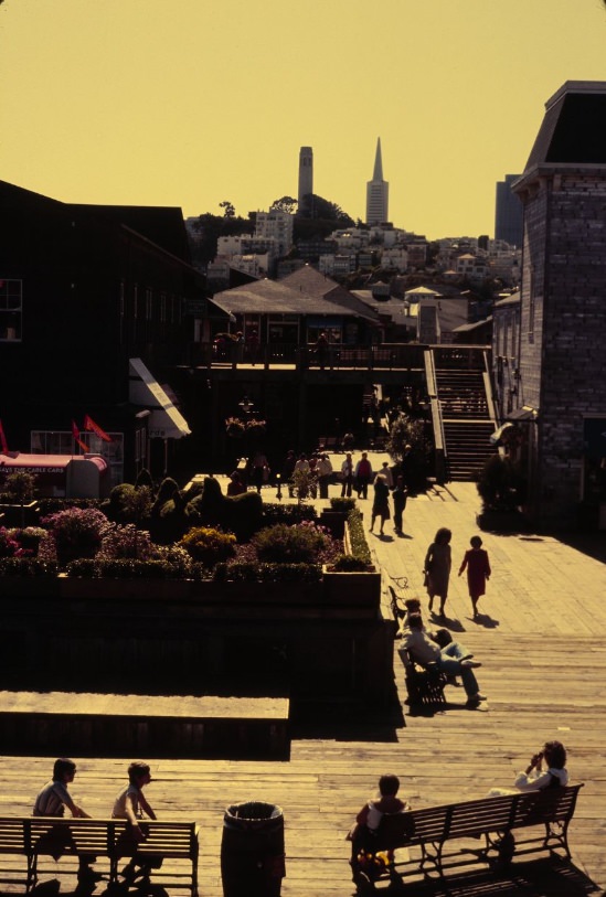
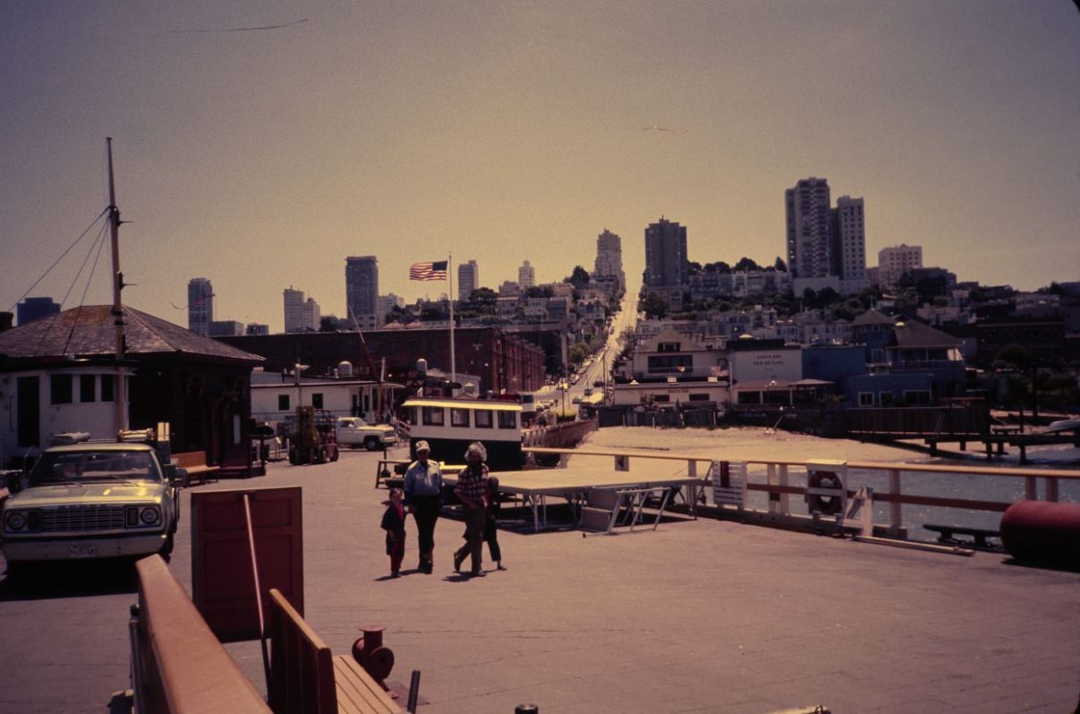
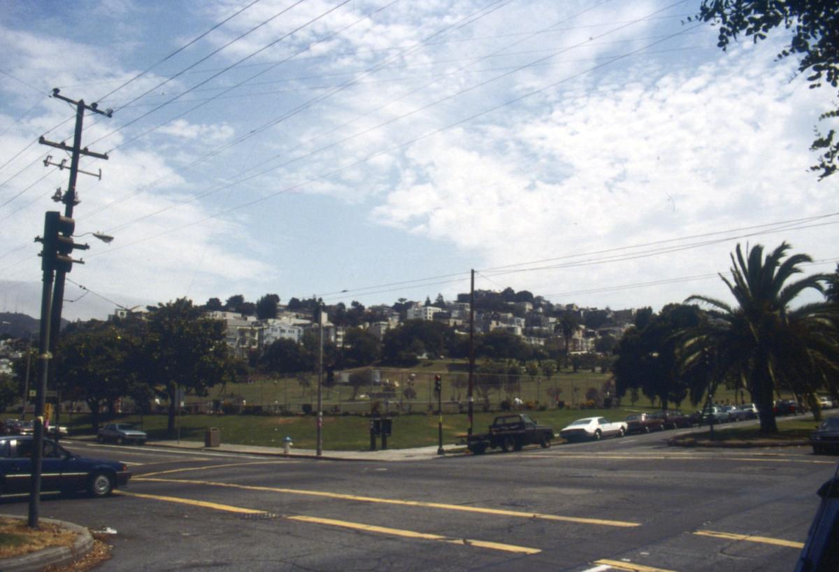
Dolores Park’s broad lawns were a regular gathering place for Mission District residents throughout the year. By 1985 the park had a well-established role as a community hub — a place for weekend barbecues, pickup soccer games, and the kind of informal social life that kept neighborhood networks tight even as pressures on the surrounding housing market grew.
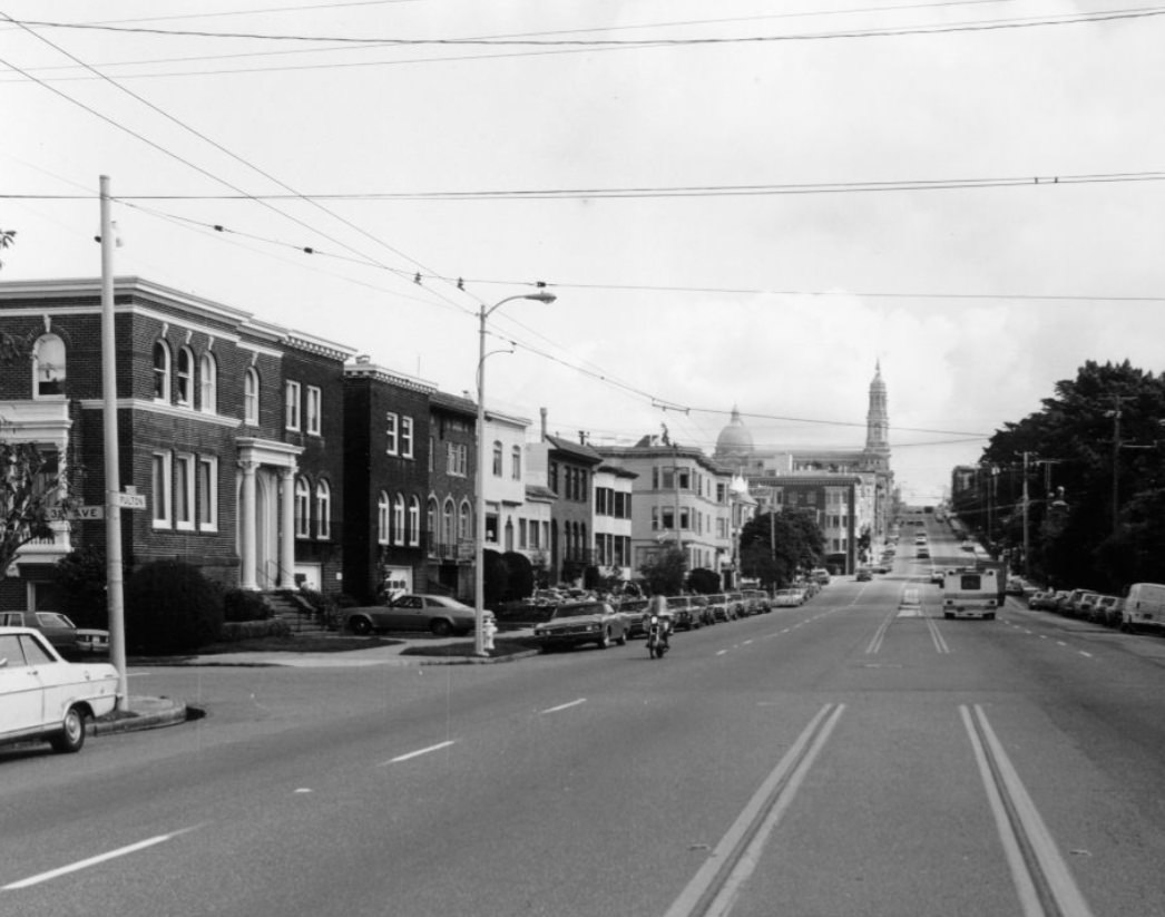
The old Main Library on Fulton Street, photographed in 1989, was one of the Civic Center’s defining buildings. It had served the city since 1917 and by the end of the decade was in need of significant repair and expansion. A new main library would eventually be built across the plaza, and this building was converted to the Asian Art Museum — but in 1989, it was still in full operation, its shelves holding books that had circulated through San Francisco hands for decades.
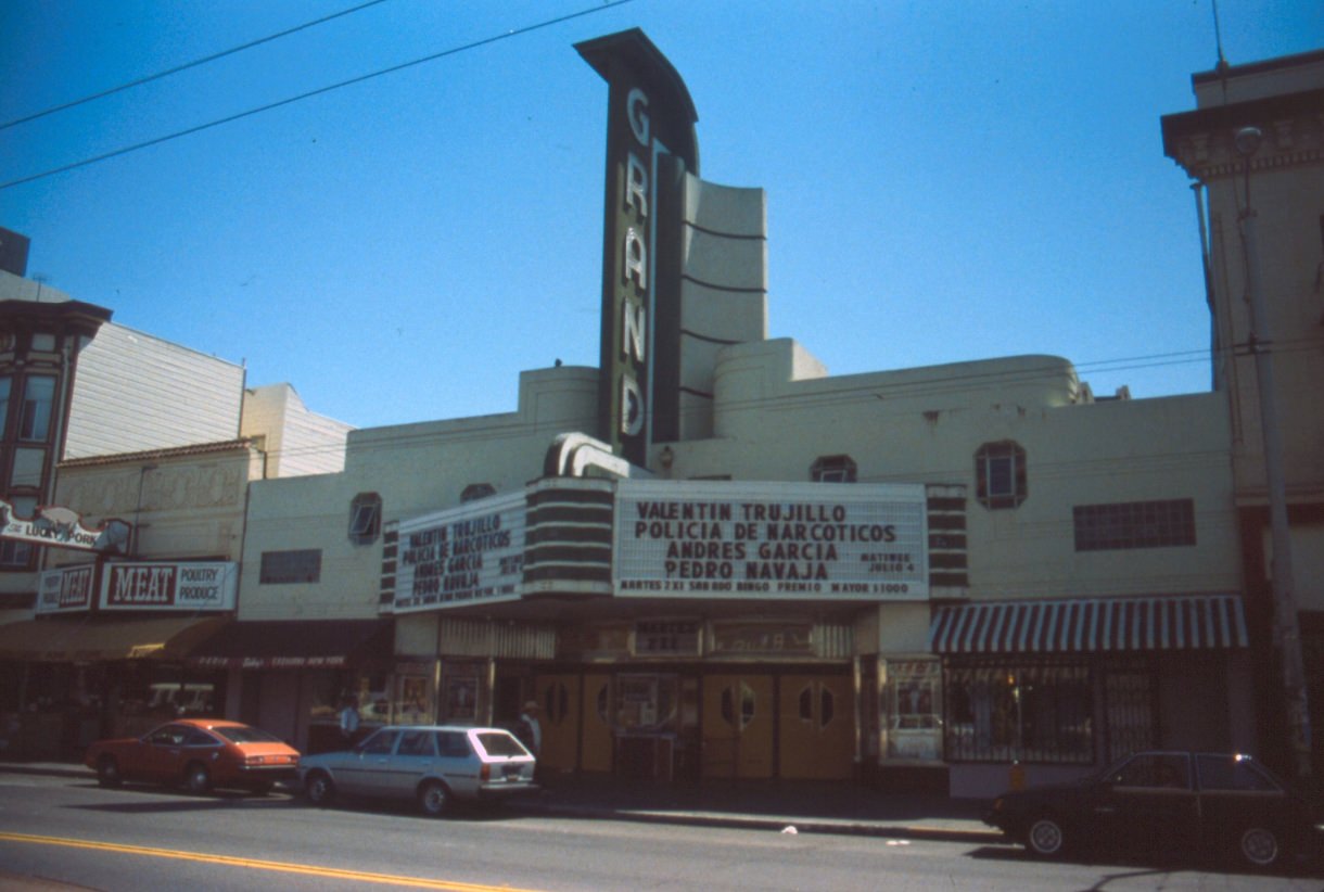
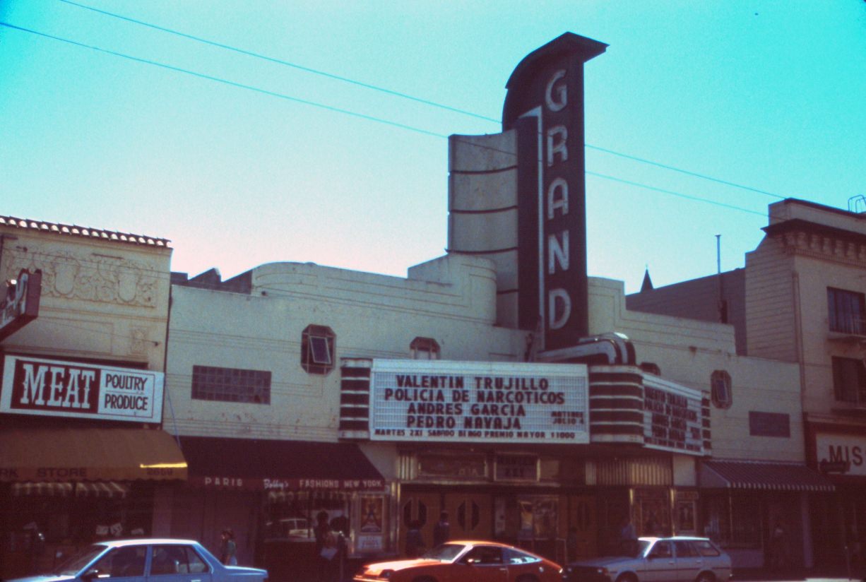
The Grand Theater at 2665 Mission Street was one of the neighborhood’s most visible landmarks. Like other neighborhood movie houses, it competed with multiplexes and the growing home video market throughout the decade — a challenge that would eventually close most of San Francisco’s single-screen theaters.
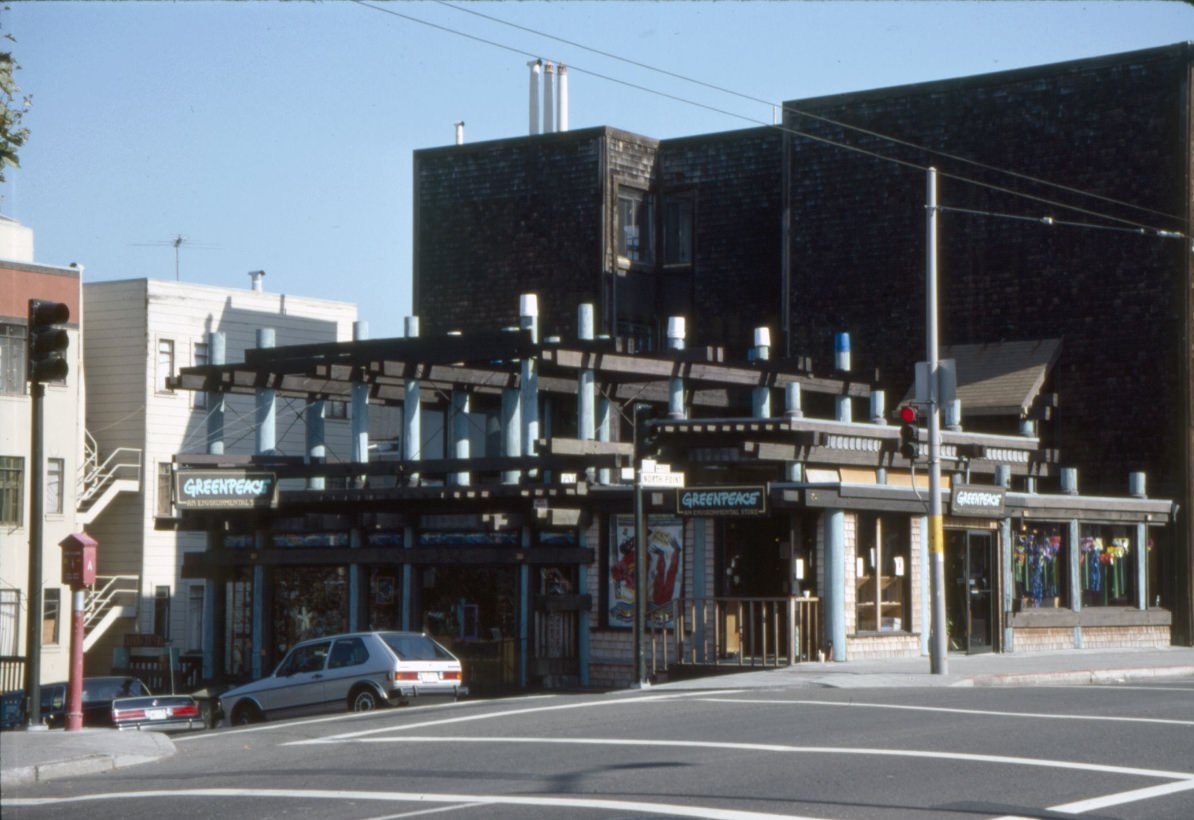
Greenpeace had a retail and outreach presence on North Point Street near Larkin by 1989 — a sign of how embedded environmental activism had become in San Francisco’s civic culture. The city was home to the Sierra Club’s national headquarters and a dense network of environmental organizations that kept conservation and anti-pollution campaigns in the public conversation throughout the decade.
The photographs of Civic Center Plaza from 1989 documenting homeless individuals are among the most direct records of the crisis the city faced. A man asleep on a bench in front of City Hall, people organizing their belongings in carts and bags — these images were taken in one of the most prominent public spaces in the city, in plain sight of the buildings from which policy was supposedly being made.
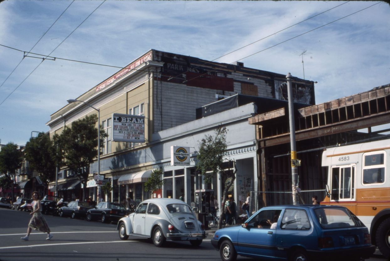
Haight Street remained one of the city’s most recognizable commercial strips, still trading on its 1960s counterculture history while also evolving into something newer. The I-Beam, a dance club at 1748 Haight, was one of the neighborhood’s prominent nightlife spots in the late 1980s. Next door, Double Rainbow Ice Cream offered a more family-friendly contrast — the kind of pairing that characterized Haight Street’s eclectic mix.
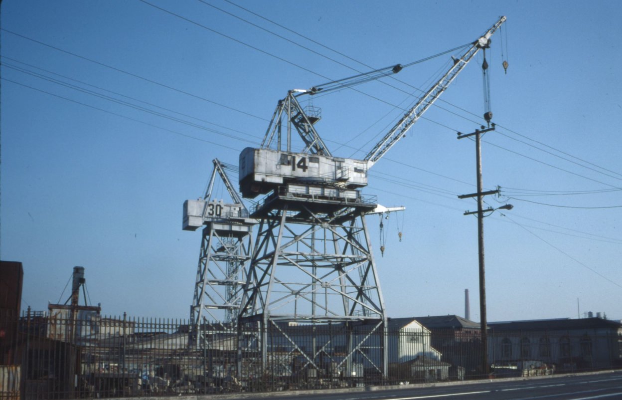
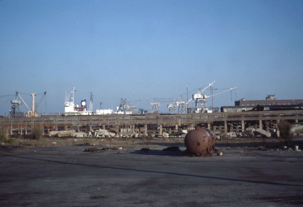
The Todd Shipyards on Illinois Street near the southeastern waterfront represented one of the last major industrial operations on San Francisco Bay within the city limits. By 1989, the cranes were becoming less active as shipbuilding work declined. The yards would eventually close, and the land would be redeveloped — but in these photographs they still dominate the skyline of the Dogpatch and Potrero Hill waterfront.
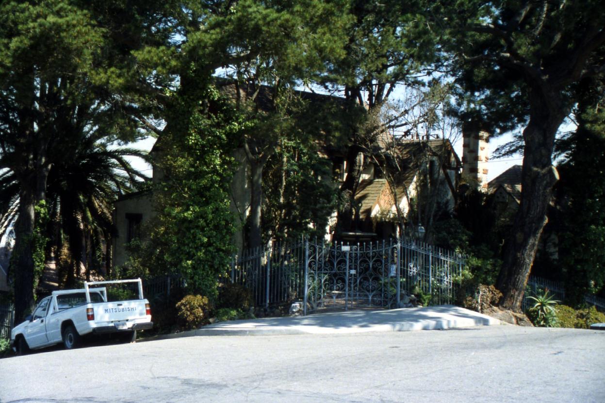
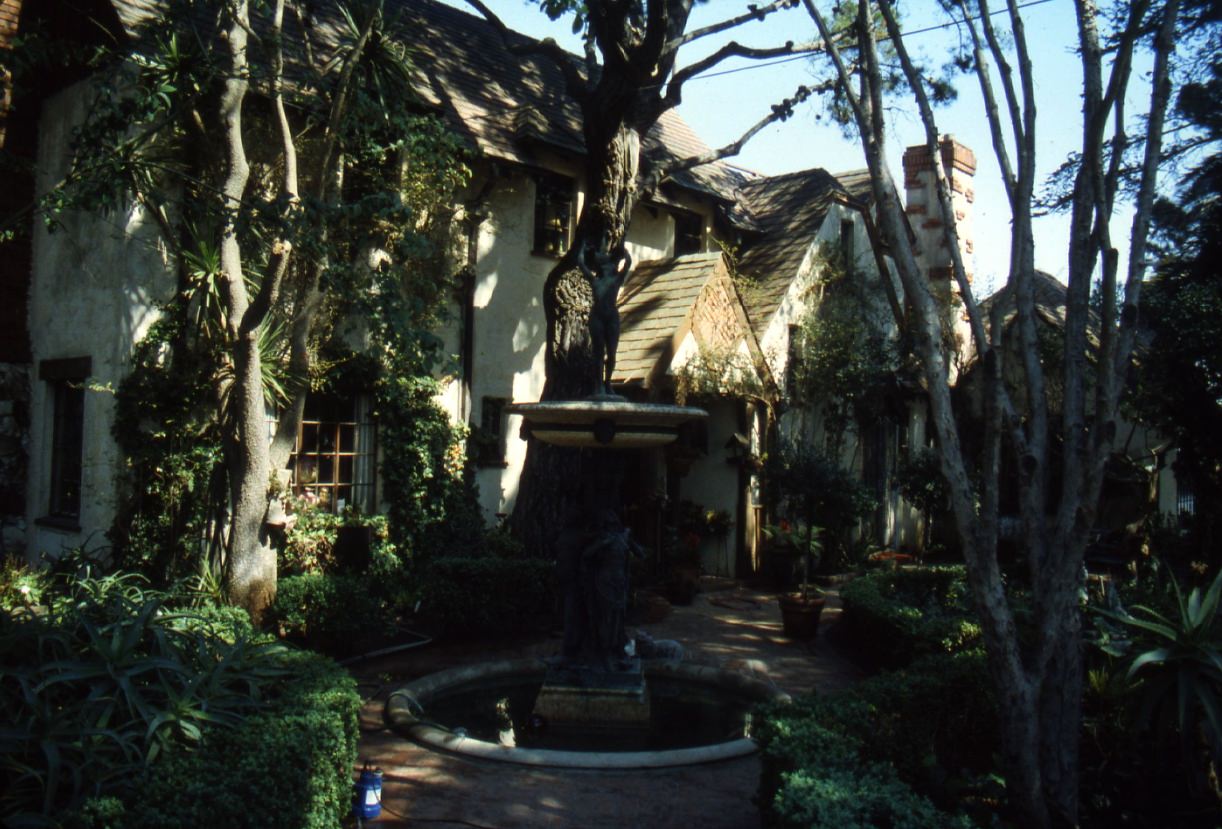
Mayor James Rolph’s former home at 3690 21st Street in the Noe Valley neighborhood was a modest cottage compared to what one might expect for the man who served as San Francisco’s mayor from 1912 to 1931. By 1988, the house was simply a residential property in a quiet neighborhood — a piece of the city’s political history tucked into an ordinary block.
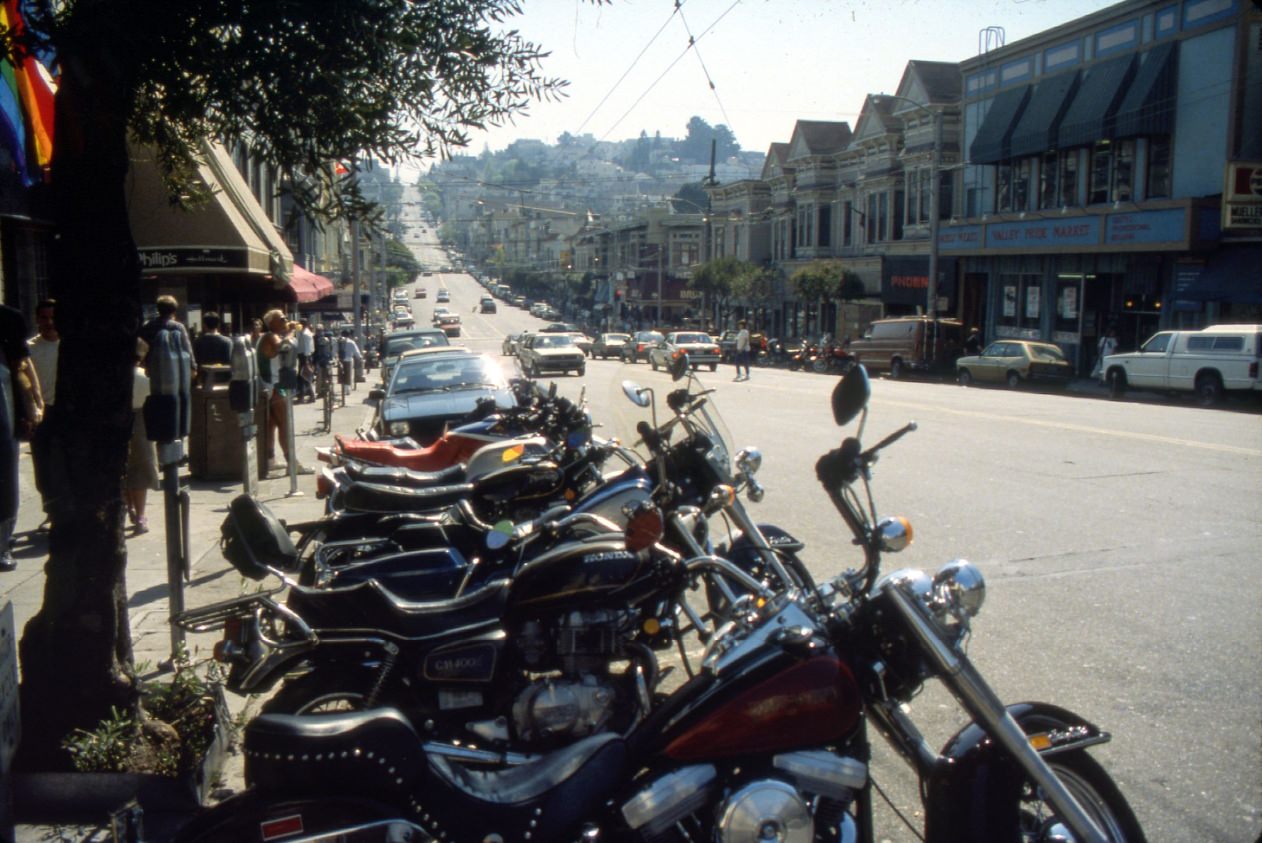
The 400 block of Castro Street in 1988 showed the neighborhood’s dual identity clearly. Motorcycles lined up outside bars while pedestrians moved in both directions on the sidewalk. The Castro by this point had been living with AIDS for seven years. Community organizations like the San Francisco AIDS Foundation and the Shanti Project had offices throughout the neighborhood. Memorial candlelight marches were held regularly. And still the street stayed open, stayed active, and stayed itself.
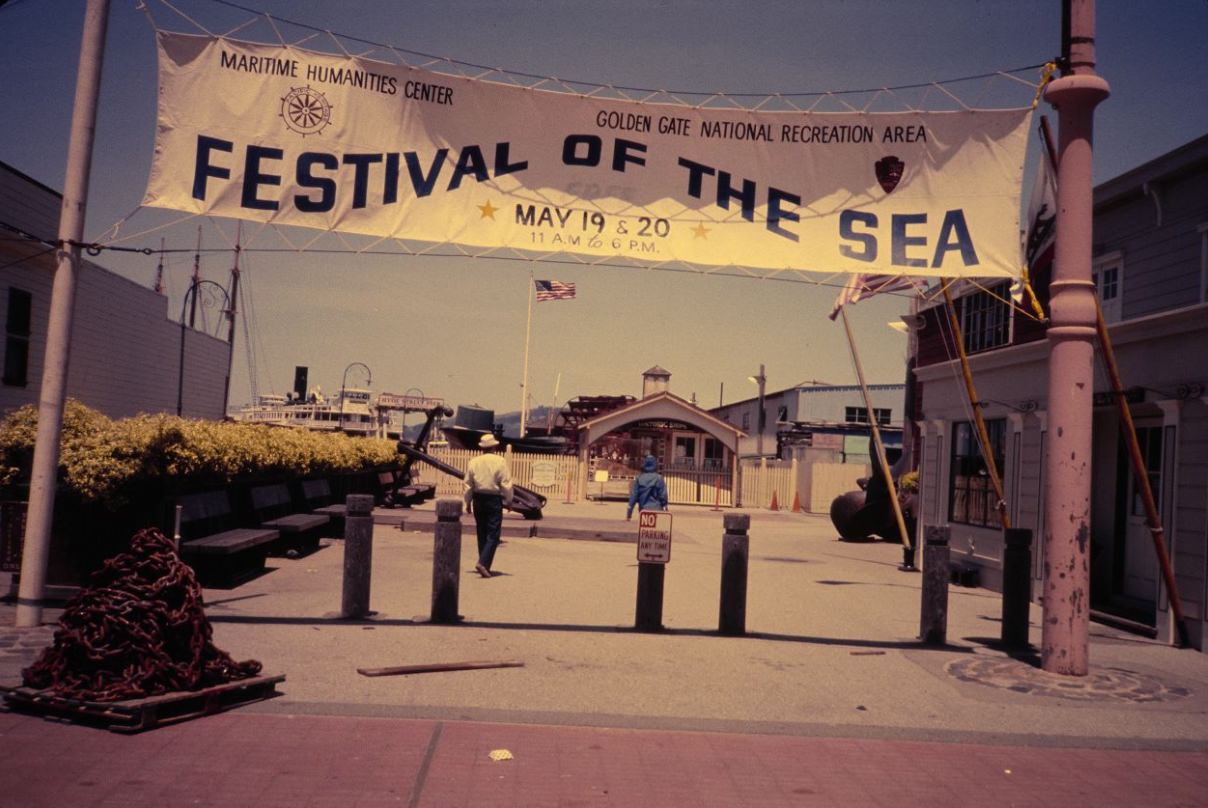
The Festival of the Sea at Hyde Street Pier in 1984 was one of the many public events the city hosted throughout the decade. The waterfront location drew families and visitors, and the banner strung across the pier entrance marked the occasion with the kind of civic celebration that San Francisco organized regularly — a city that, despite its difficulties, consistently found reasons and occasions to gather.





These are really cool, thanks for sharing!
i moved to Oakland in the 80’s for college … was a bike messenger in SF for a time out of school, worked other jobs downtown and was all over both cities, seeing these photos makes me realize … this is the SF I still see when I’m over in the city (which was just last night) … the changes seem not real, just cosmetic over a skeleton i got to know well when young … and that still provide my primary frame of visual reference … it makes me understand the aging process better as that dynamic applies many other ways.
Great photos. I hate to bring this up, but interesting to see documented homeless encampments at this time. Contemporary discourse would have you to believe it’s only a new development.
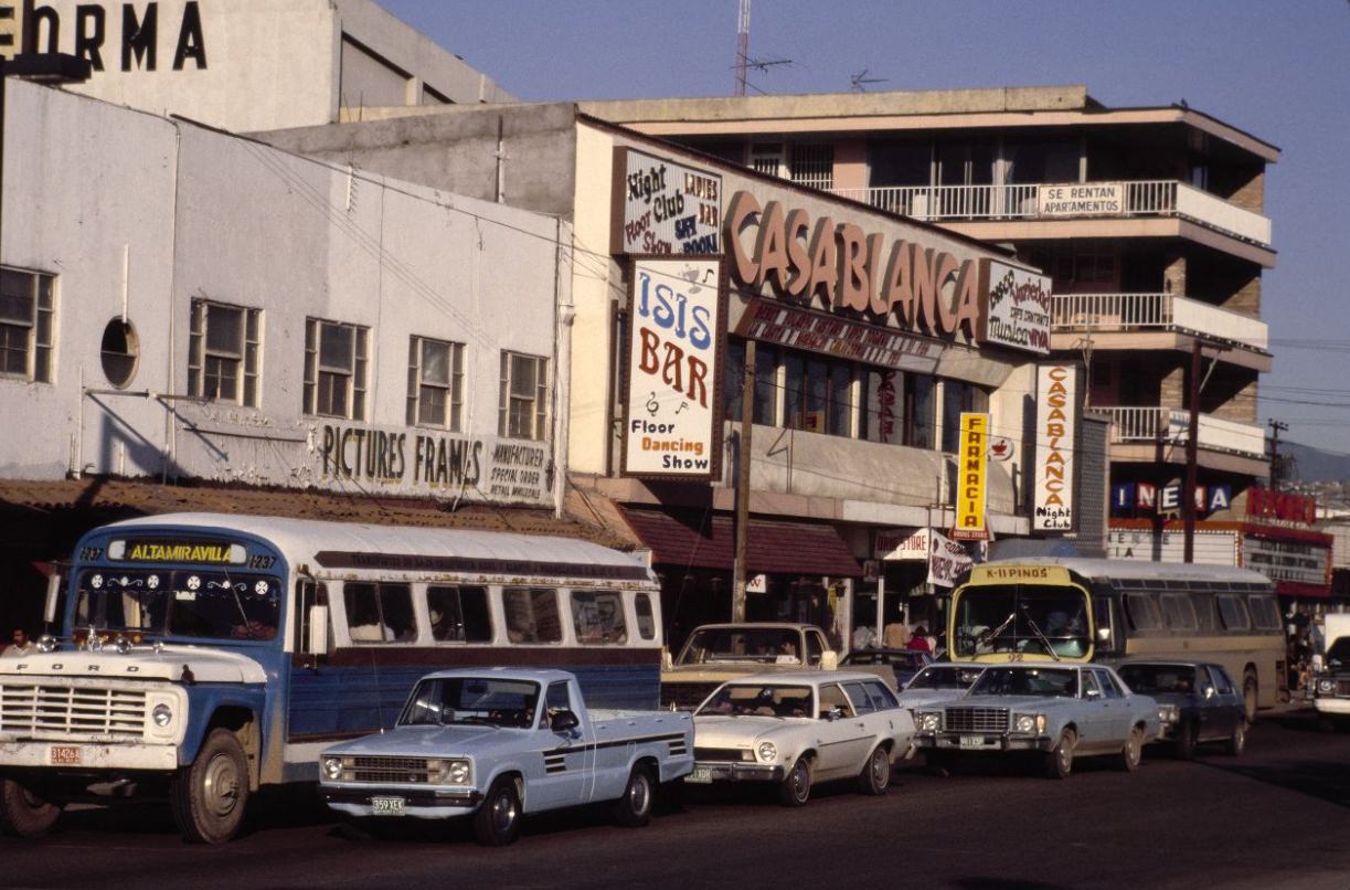
Photo #76 San Diego, photo of the Casa Blanca, which is actually a pretty cool spot and I think it might still be there. But why it’s in this series is anyone’s guess.
The Dickies, Faith No More, and Ice T at the I-Beam. Wow.
Yes! I zoomed in on that one to see the marquee very cool
I was there during all of those. I feel ancient.
Weirdly, for the most part the built environment looks EXACTLY the same.