
Queens is the largest borough in New York City by land area, stretching across the southwestern end of Long Island right next to Brooklyn. It shares water borders with both Manhattan and the Bronx. More than just a geographic giant, Queens has long been one of the most diverse places on earth — a patchwork of dozens of neighborhoods, each with its own street life, businesses, and character. The photos below capture that world as it looked in the 1960s, block by block, corner by corner.
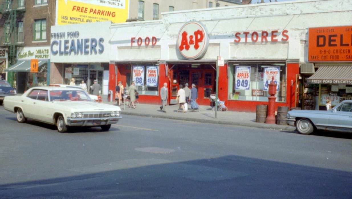
Ridgewood sits on the border of Queens and Brooklyn, and by the 1960s it was a dense, working-class neighborhood of brick row houses and busy commercial streets. Fresh Pond Road was one of its main arteries, lined with small shops and foot traffic.
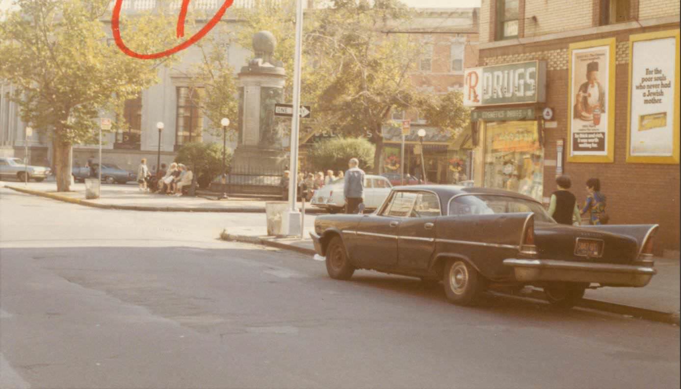
Just a short distance away, Cypress Avenue met Putnam Avenue in another slice of everyday Ridgewood life. The neighborhood’s tight grid of streets made corners like this natural gathering points for local commerce and daily routines.
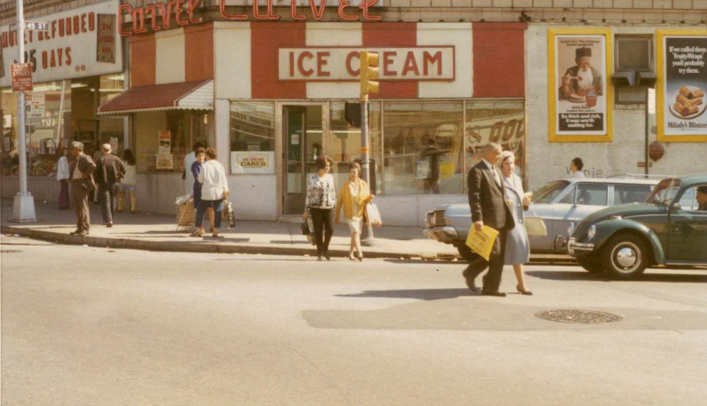
Sunnyside, located just west of Woodside, was a compact neighborhood with a strong residential feel. Greenpoint Avenue served as a key commercial corridor running through it, and by 1969 its storefronts reflected the modest, practical character of the area.
Jackson Heights developed rapidly in the early 20th century as a planned garden community, and by the 1960s its main boulevards were thriving. Northern Boulevard at 80th Street was a busy stretch with shops, signage, and the steady movement of city life.

Another view from Sunnyside shows the side streets branching off Greenpoint Avenue near 45th Street. These quieter blocks offered a contrast to the main drag — residential buildings stacked close together, with parked cars lining the curbs.
Astoria was one of Queens’ most established neighborhoods, known for its Greek immigrant community and active street culture. The intersection of 34th Street and 30th Avenue was a commercial hub — delis, hardware stores, and small restaurants competed for space along the sidewalk.
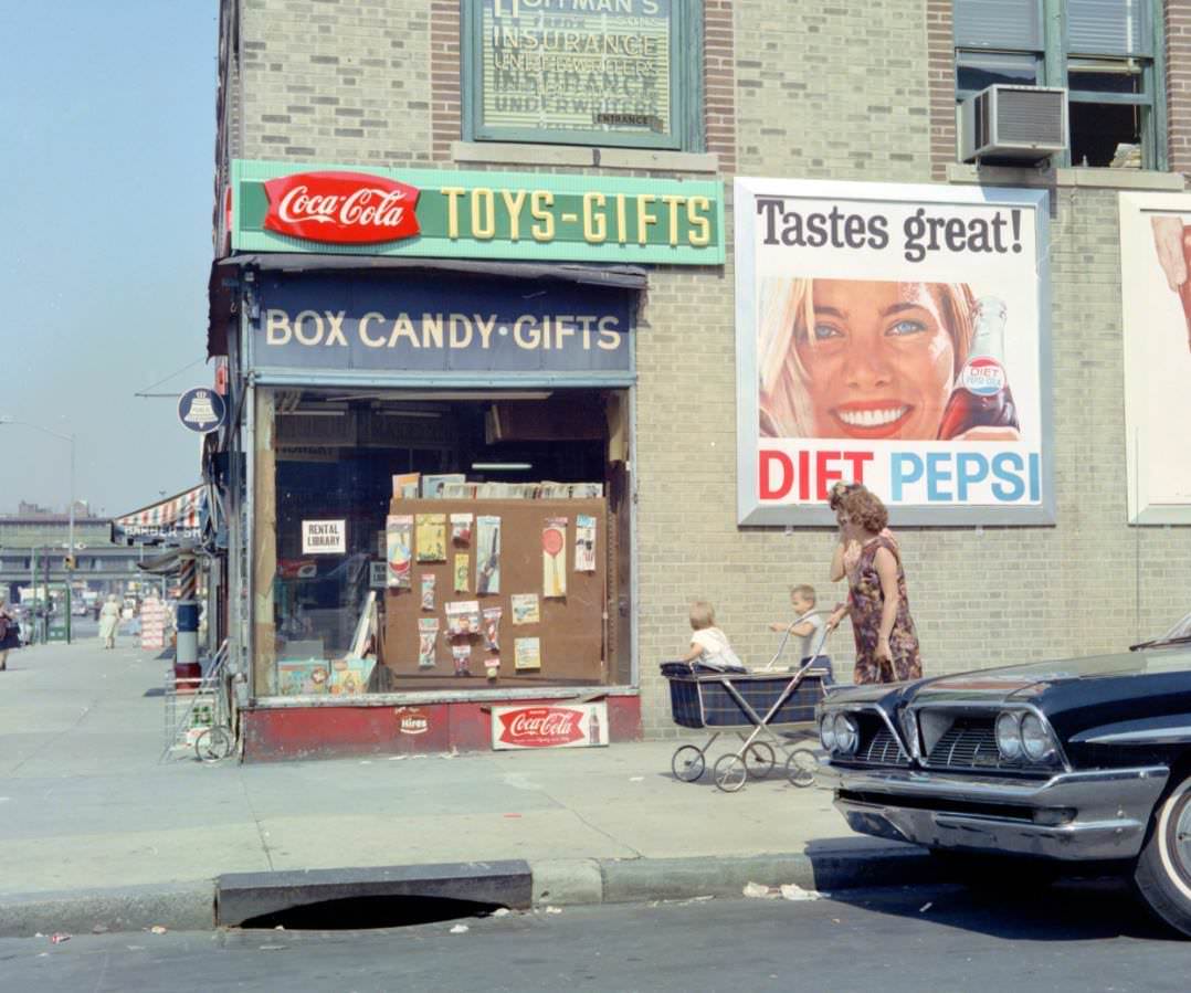
Flushing was undergoing significant growth during the 1960s, fueled in part by the 1964 World’s Fair held nearby in Flushing Meadows-Corona Park. Cherry Avenue and Kissena Boulevard show the neighborhood’s quieter residential pockets, away from the main commercial centers.
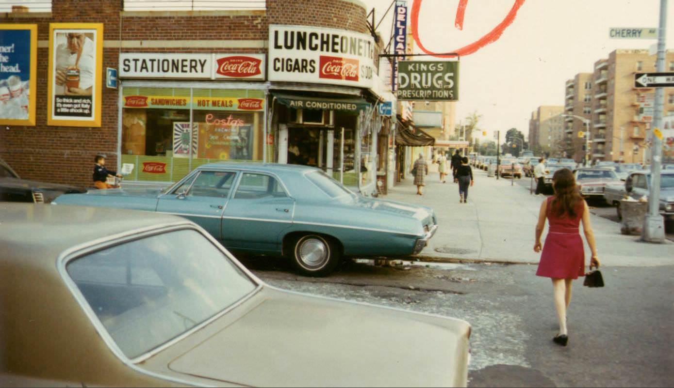
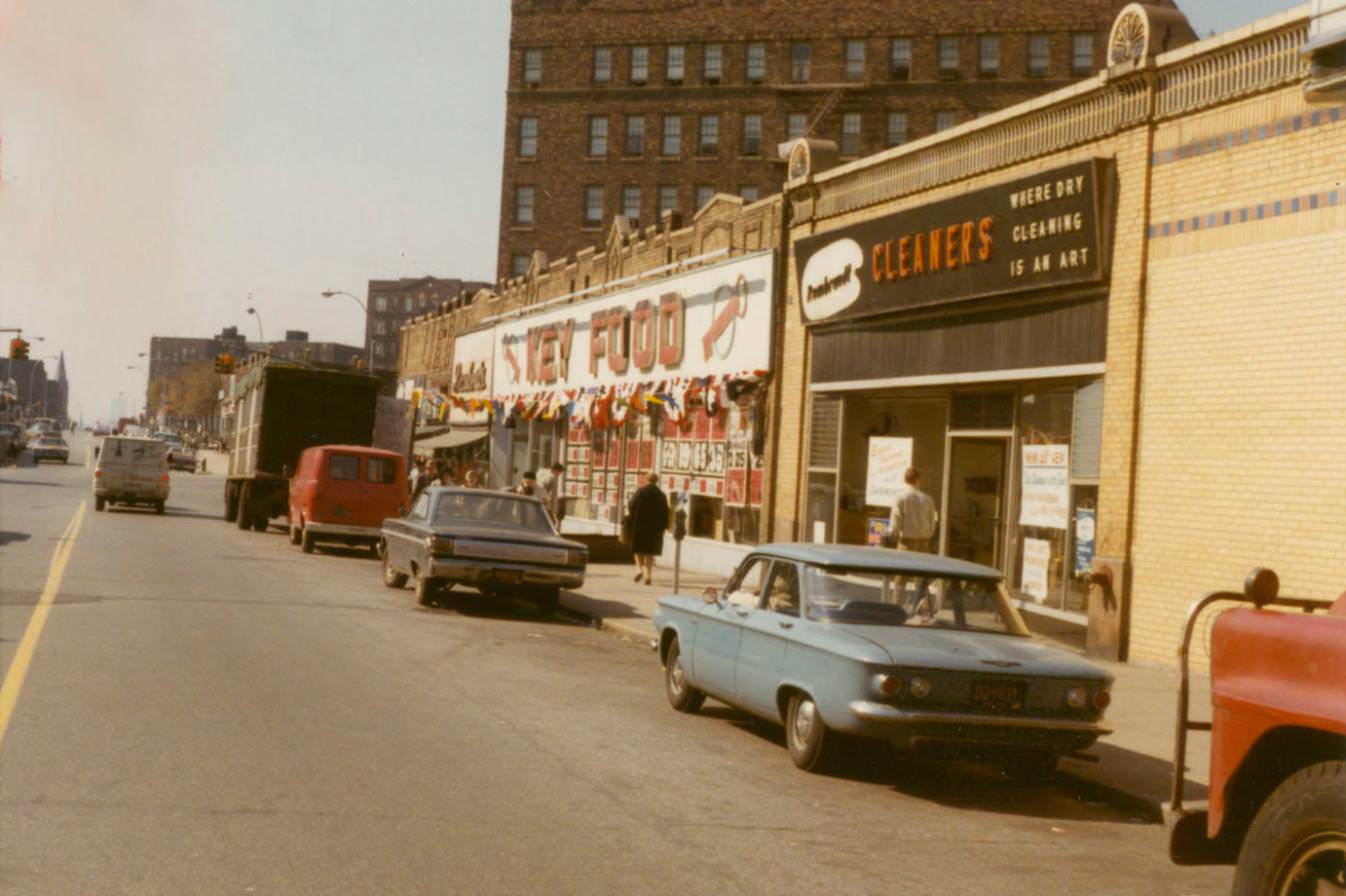
Back in Astoria, 30th Avenue at 42nd Street captures the neighborhood in 1968 — a year of upheaval across the country, though life on these Queens streets carried on with its familiar rhythm of corner stores and apartment buildings.
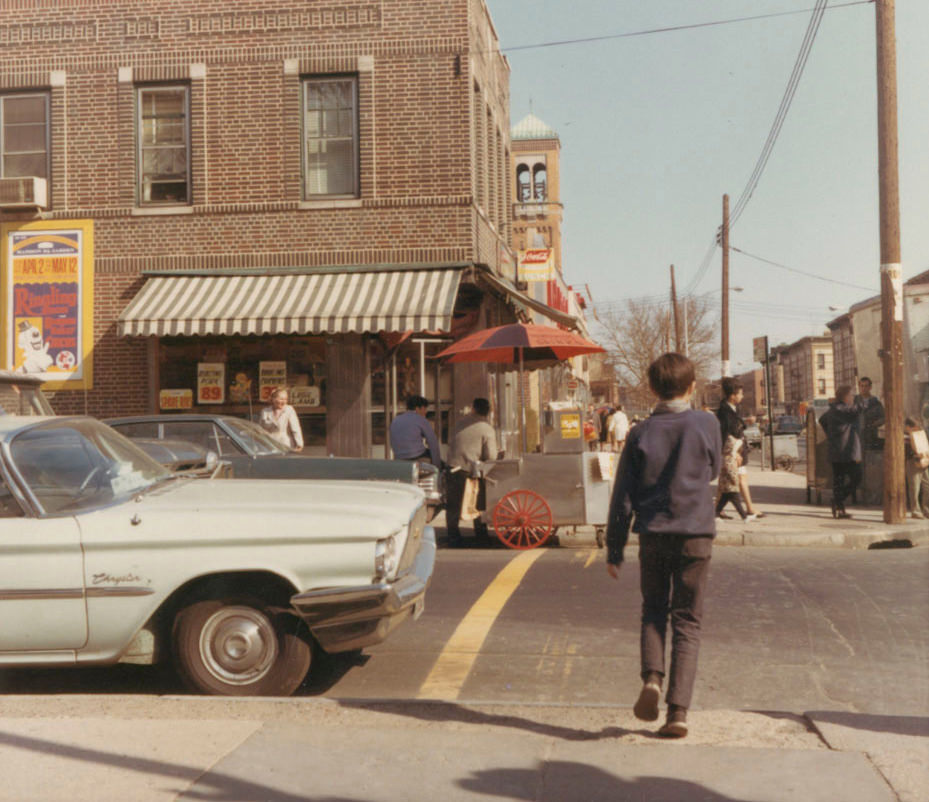
A second shot from the same Astoria intersection provides a different angle on the same block. The details shift — a different storefront, a different sightline down the avenue — but the mid-century urban fabric remains the same.
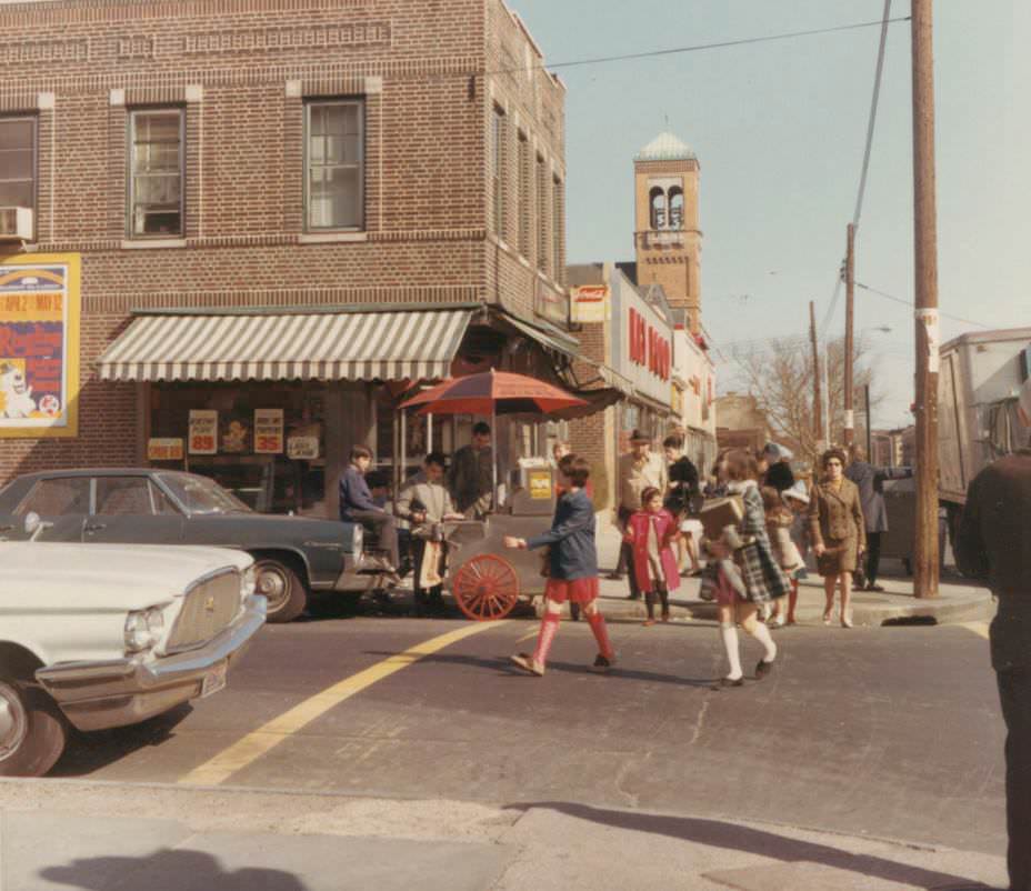
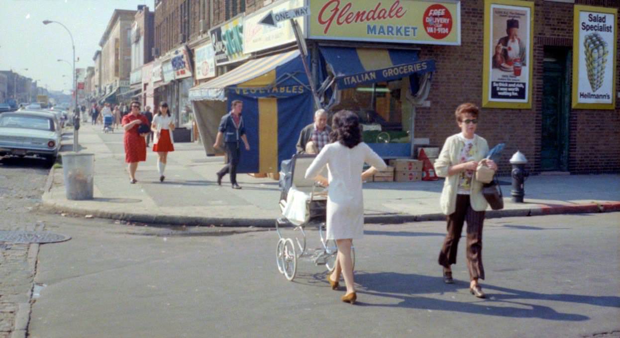
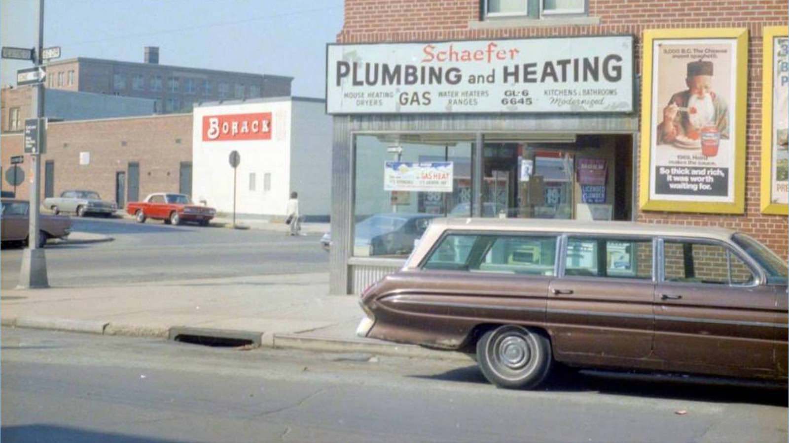
Glendale sits in the central part of Queens, bordered by Ridgewood and Maspeth. Myrtle Avenue was its main commercial street, running elevated rail lines and street-level shops in a neighborhood that was overwhelmingly working-class and largely German-American through much of the 20th century.
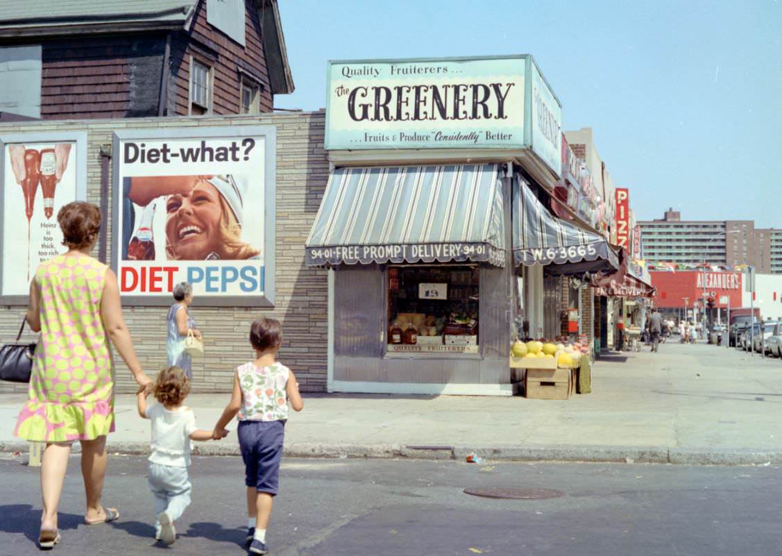
Rego Park, developed largely in the 1930s and 1940s, had matured into a stable middle-class neighborhood by the 1960s. The intersection of 63rd Drive and Booth Street shows the orderly, low-rise character that defined much of the area.
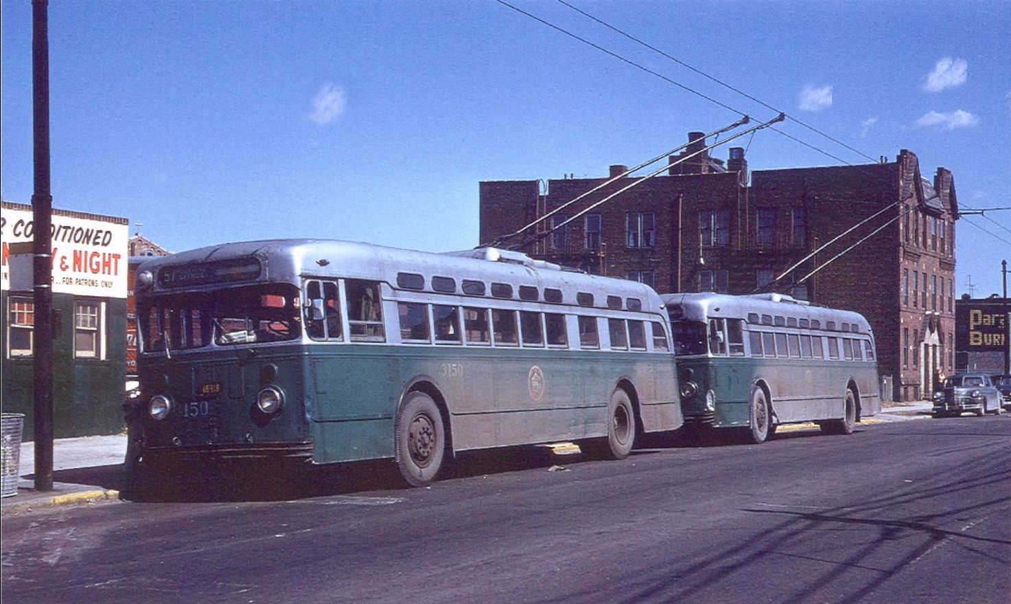
Maspeth in 1960 still had a trolleybus line running along Flushing Avenue near 61st Street. Trolleybuses — electric buses drawing power from overhead wires — were being phased out across New York City during this era, making images like this rare documentation of a disappearing form of transit.
Another look at 34th Street and 30th Avenue in Astoria reveals how the neighborhood’s commercial strip extended through multiple blocks. The mix of signage, parked vehicles, and pedestrians reflects the density that made Astoria one of Queens’ most energetic neighborhoods.
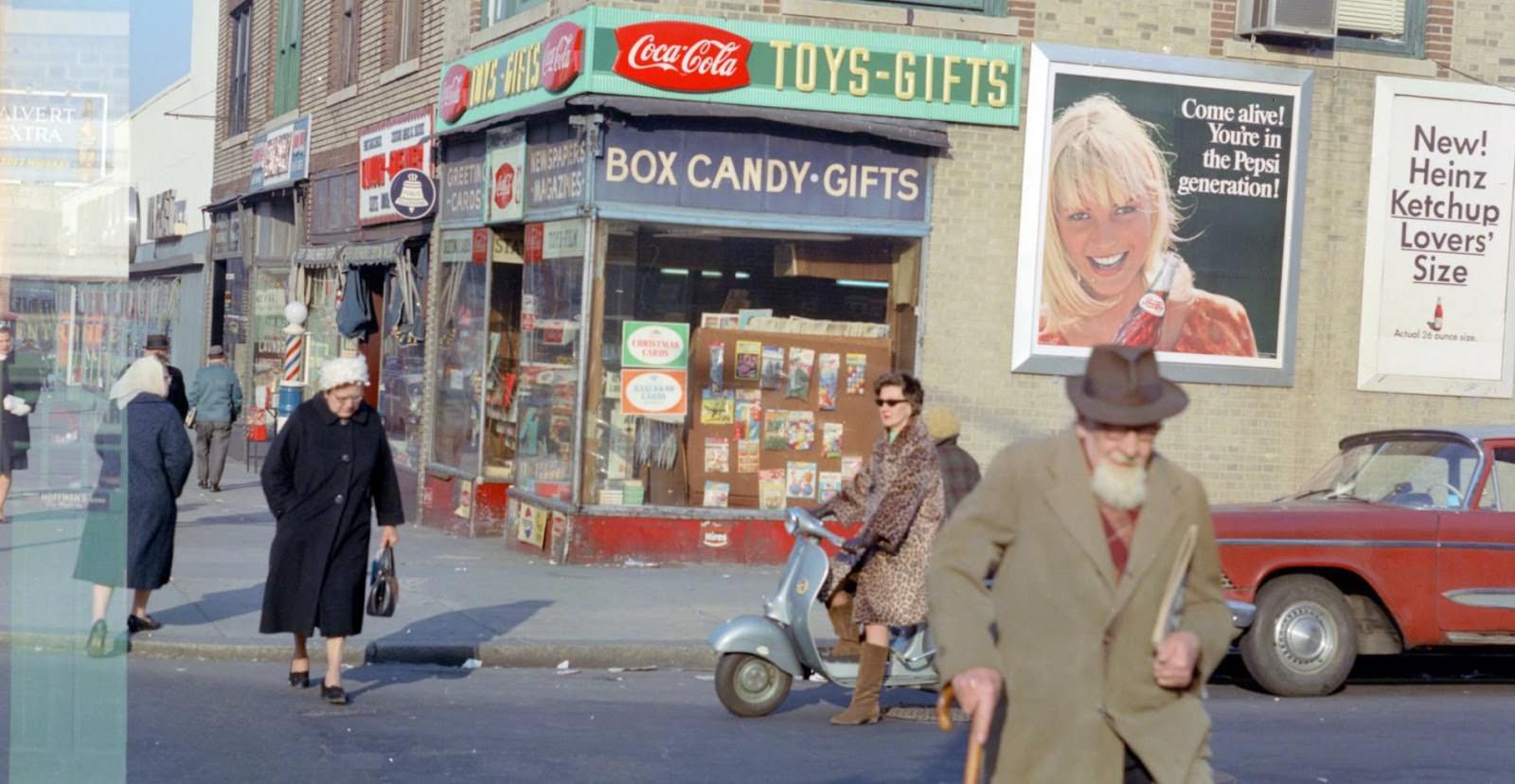
Wetherole Street in Rego Park intersects with 63rd Drive in a quieter corner of the neighborhood. By 1969, Rego Park had a large Jewish population and a growing number of immigrant families, giving the area a distinct mix of cultures within its compact blocks.
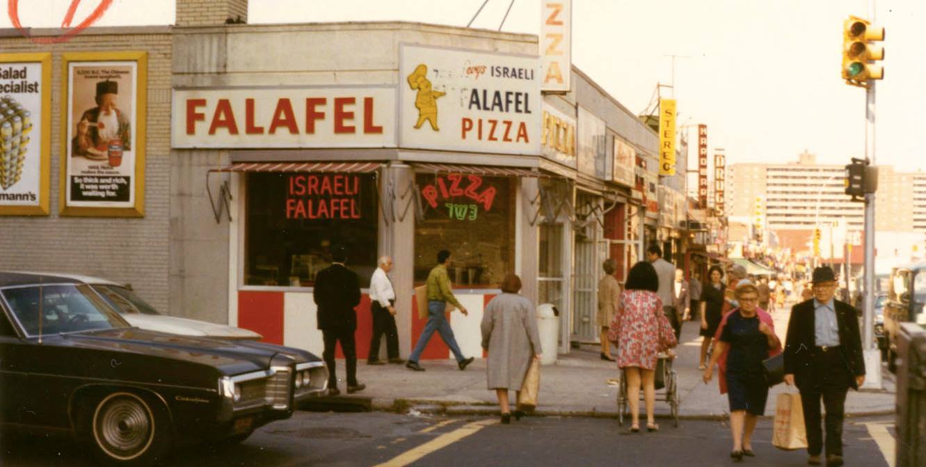
Sunnyside’s Greenpoint Avenue appears again here at 45th Street, this time from a slightly different vantage point. The repetition of photographs at the same intersection across different moments captures how consistent — and how lived-in — these streets were.
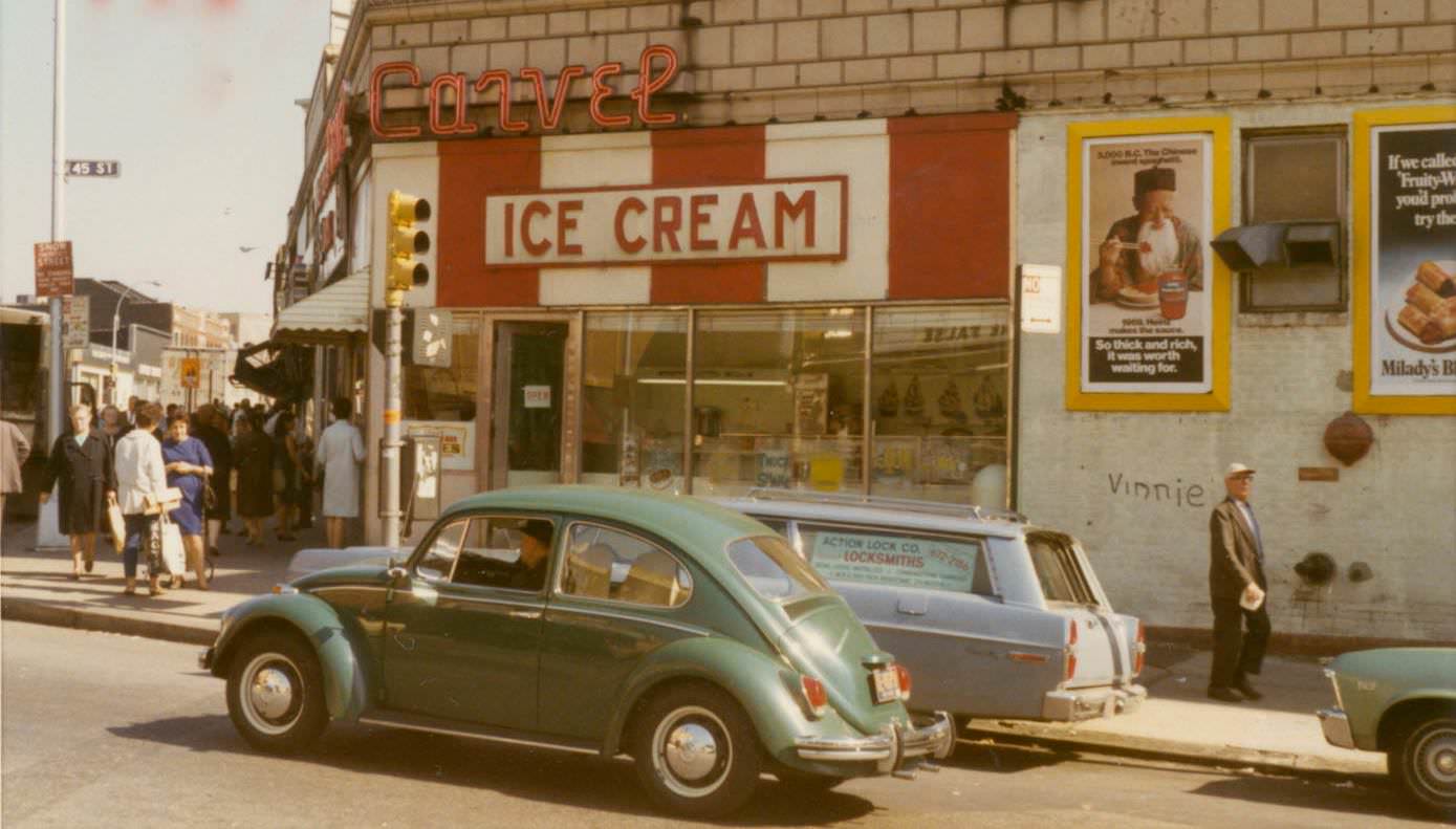
Fresh Pond Road returns in a 1969 photograph, nine years after the first image from the same general area. Comparing the two shows how little had changed on the surface — the same brick buildings, the same corner rhythms — even as the broader city shifted around them.
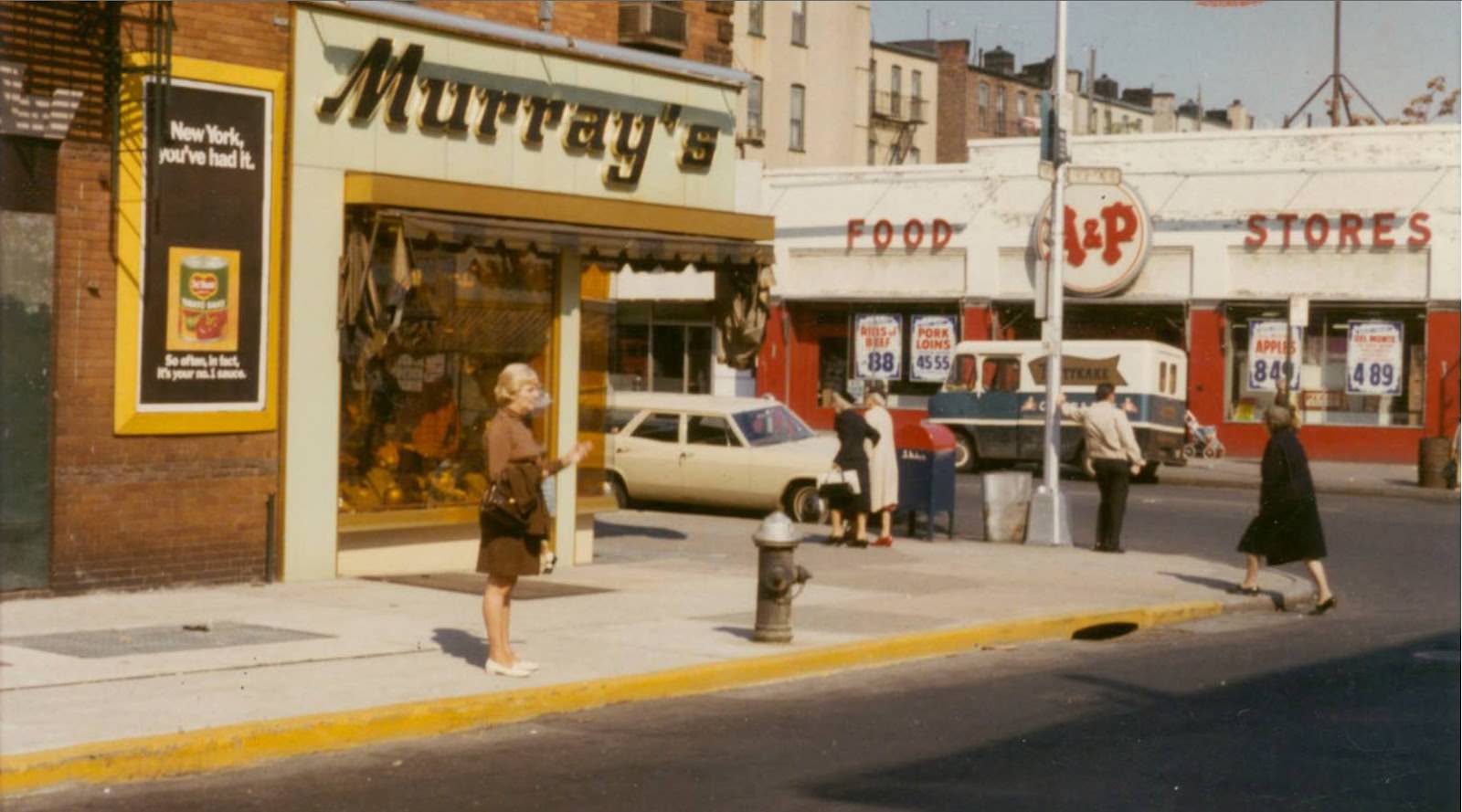
Roosevelt Avenue runs beneath the elevated 7 train line through the heart of Queens. At 84th Street in Jackson Heights, the combination of the elevated tracks, street-level shops, and sidewalk activity created a layered, loud, and visually striking urban environment.
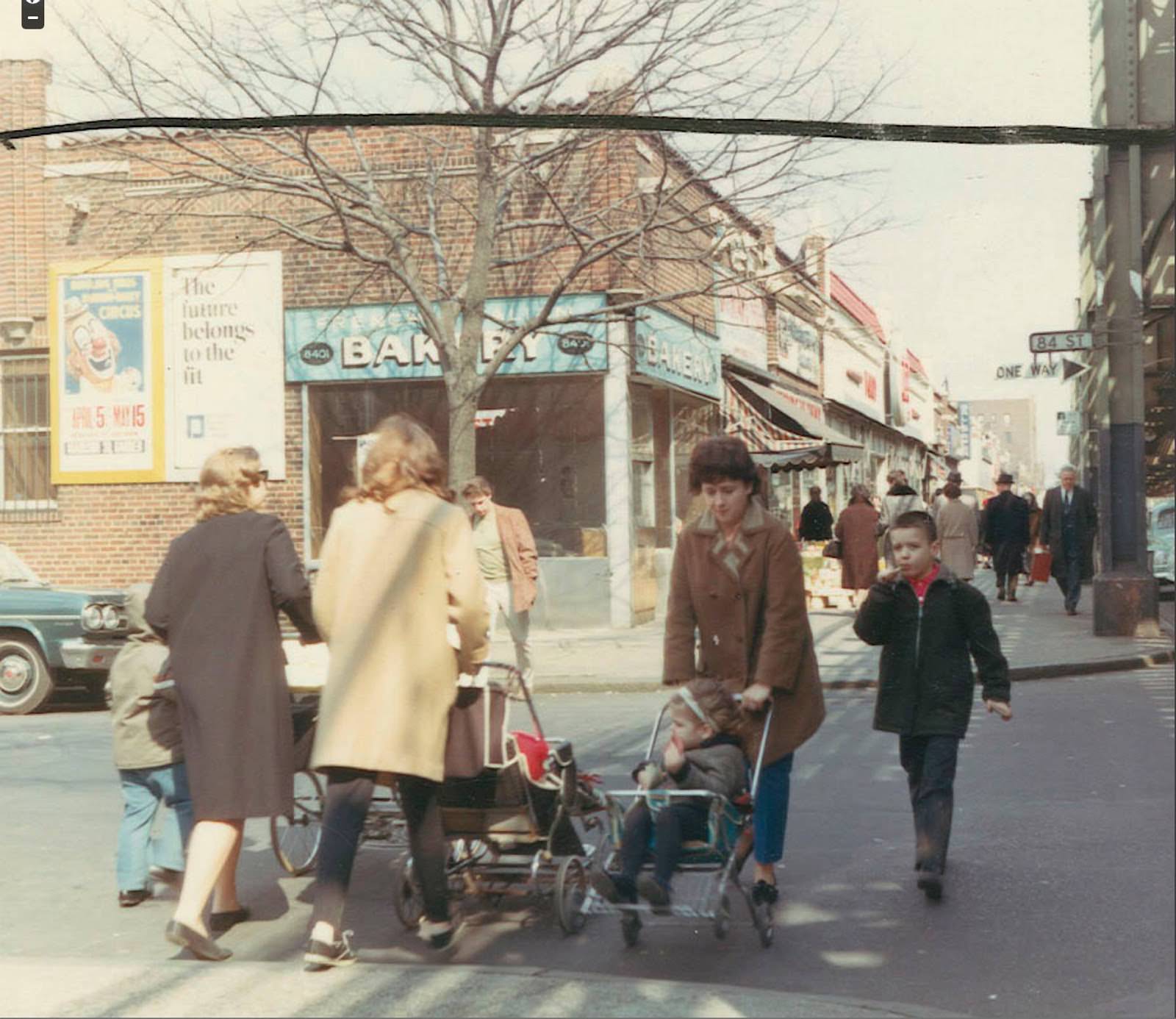
Glendale’s Myrtle Avenue appears again in 1969 at 68th Street, providing a later companion to the earlier shot from the same corner. The avenue’s elevated rail structure cast shadows over the street below, a defining feature of the neighborhood’s visual identity.
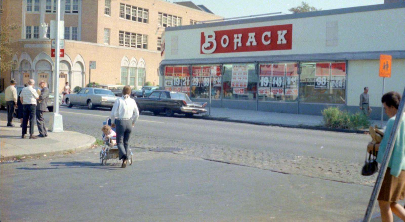
Steinway Street in Astoria was named after the famous piano-making family that once had a factory nearby. By 30th Avenue, it had become a dense retail corridor — one of the most active commercial streets in all of Queens during the mid-20th century.
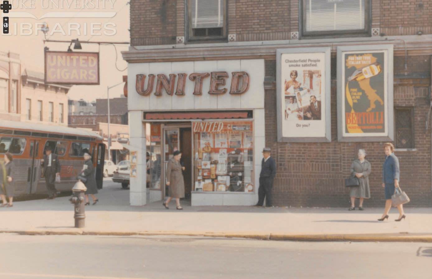
Jackson Heights’ 74th Street near 37th Road shows the neighborhood’s low-rise residential blocks, just off the main shopping strip. The area was already beginning to attract South Asian immigrants who would later transform 74th Street into one of the most vibrant ethnic commercial corridors in New York.
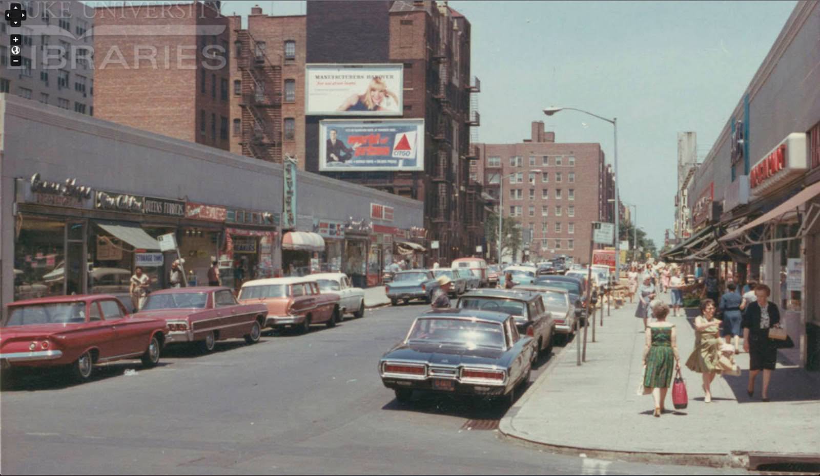
Maspeth’s Grand Avenue meets 71st Street in this image from the 1960s. Maspeth was primarily an industrial and working-class residential neighborhood, and Grand Avenue served as its main commercial backbone, connecting the area to surrounding neighborhoods.
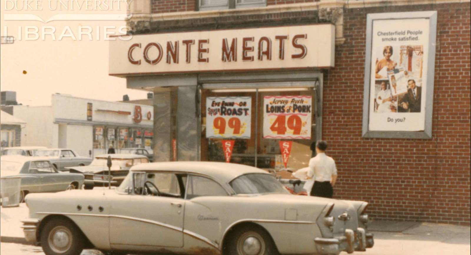
The Polk Theater stands in the background of this 1964 photograph from Jackson Heights. Located at 94th Street and 37th Avenue, the theater was part of the neighborhood’s cultural life during an era when local movie houses were still central to community entertainment.
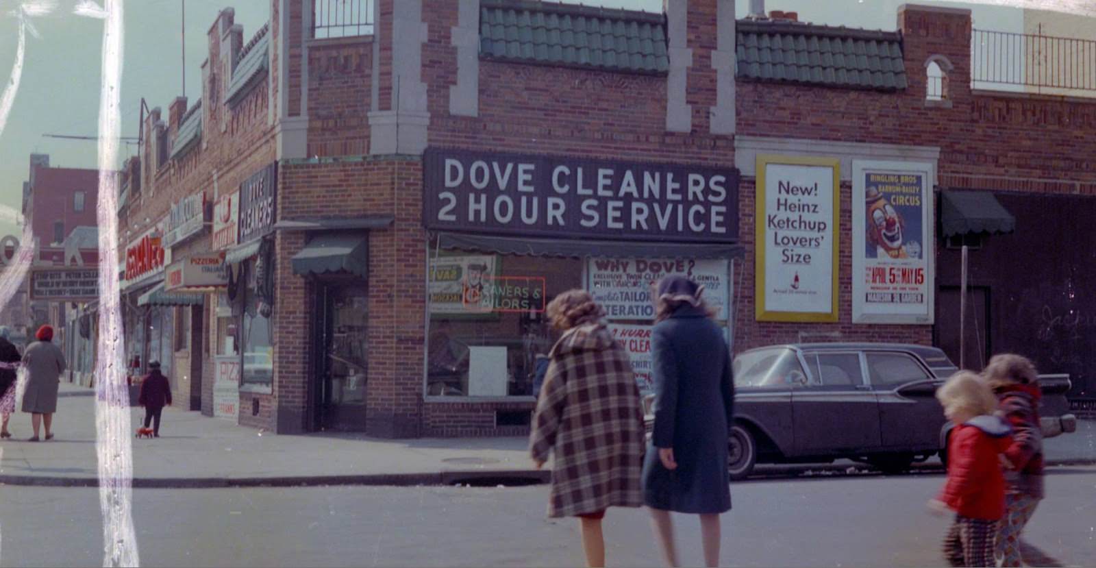
East Elmhurst sits just north of Jackson Heights along Astoria Boulevard, close to what was then Idlewild Airport — renamed John F. Kennedy International Airport in 1963. This May 1961 photograph captures the neighborhood just months before the airport’s identity changed forever.
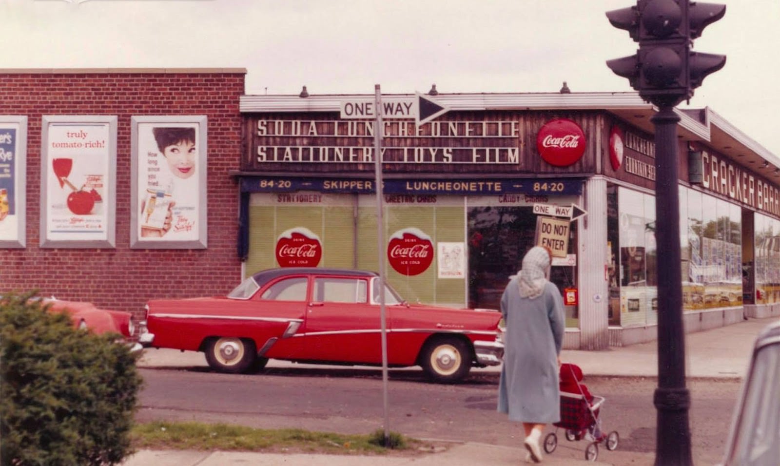
Jamaica Avenue was one of the oldest and busiest commercial streets in Queens, stretching for miles through multiple neighborhoods. Looking toward Woodhaven Boulevard in 1960, the street shows a full lineup of storefronts, neon signs, and the elevated rail structure overhead.
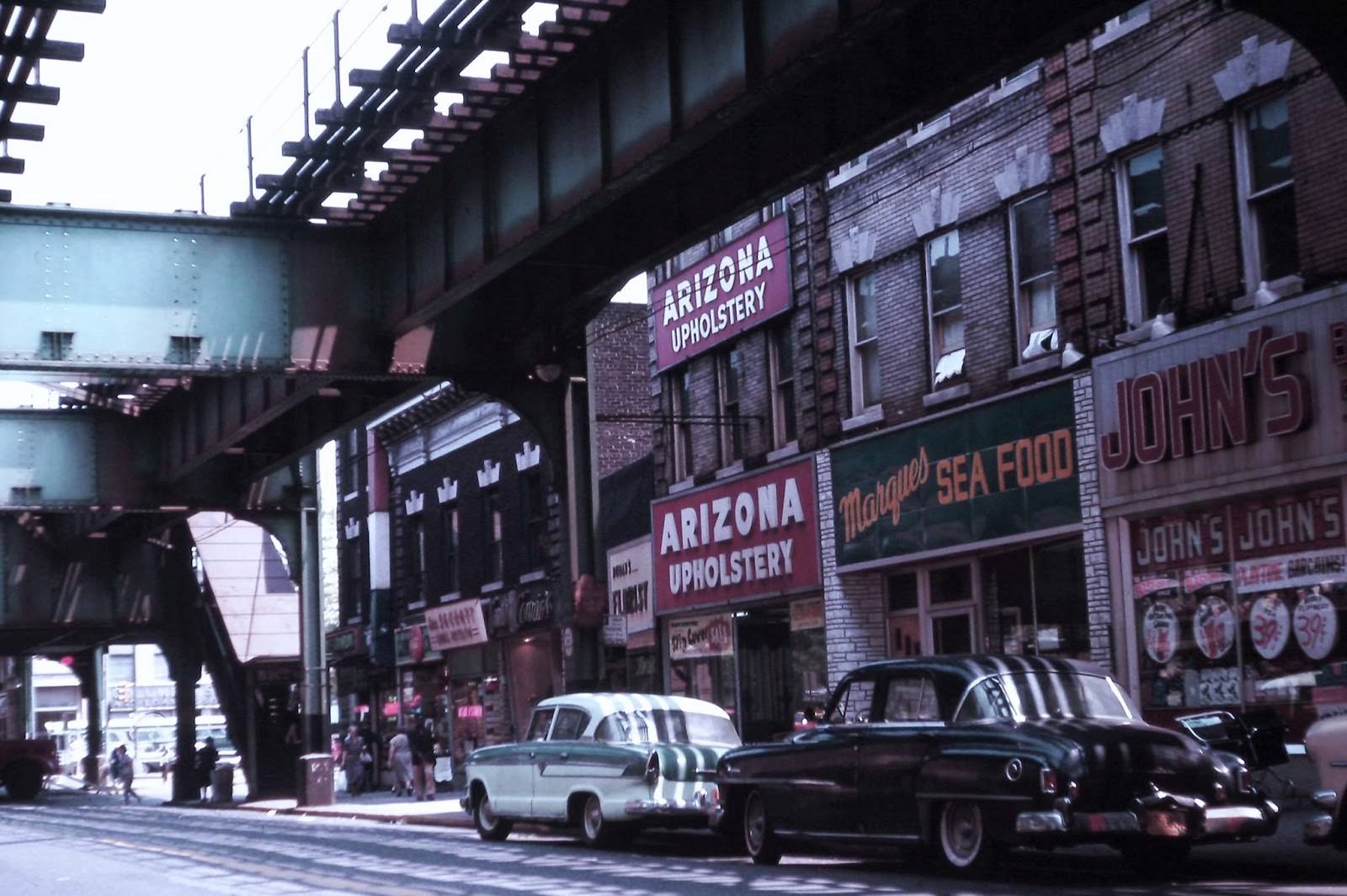
Three years later, Jamaica Avenue at 92nd Street in Woodhaven shows the same commercial energy. The elevated J train line ran directly above, and the avenue below was packed with retailers serving the surrounding residential blocks.
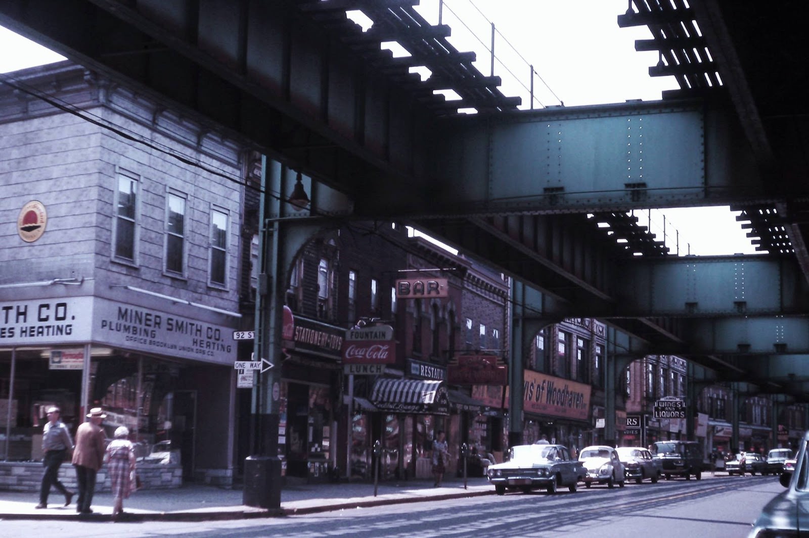
Looking toward 91st Street along Jamaica Avenue in 1963, the view extends down one of Woodhaven’s busiest blocks. The neighborhood had a long history as a working-class community, and Jamaica Avenue was its commercial heart throughout the 20th century.
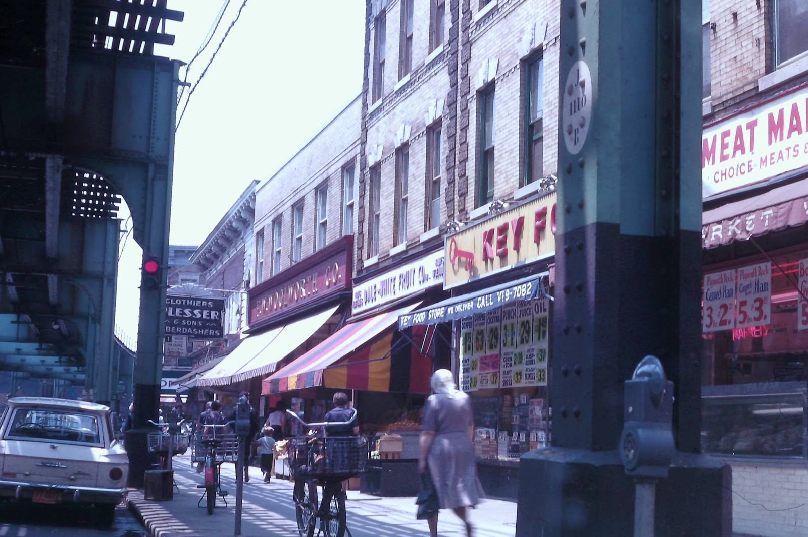
Northern Boulevard in Jackson Heights picks up again near 89th Street in this 1960s photograph. The boulevard ran through multiple Queens neighborhoods and served as a major east-west route, lined with auto dealers, retailers, and service businesses throughout its length.
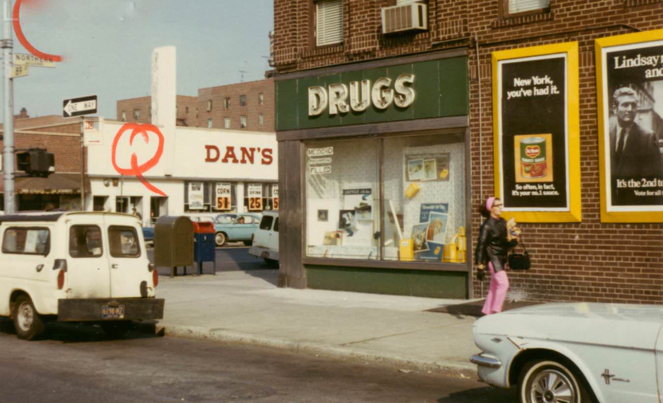
Main Street in Flushing was — and remains — the commercial center of one of Queens’ most densely populated neighborhoods. At 72nd Avenue, the street shows the mix of small businesses and foot traffic that made downtown Flushing a destination for residents across northeastern Queens.
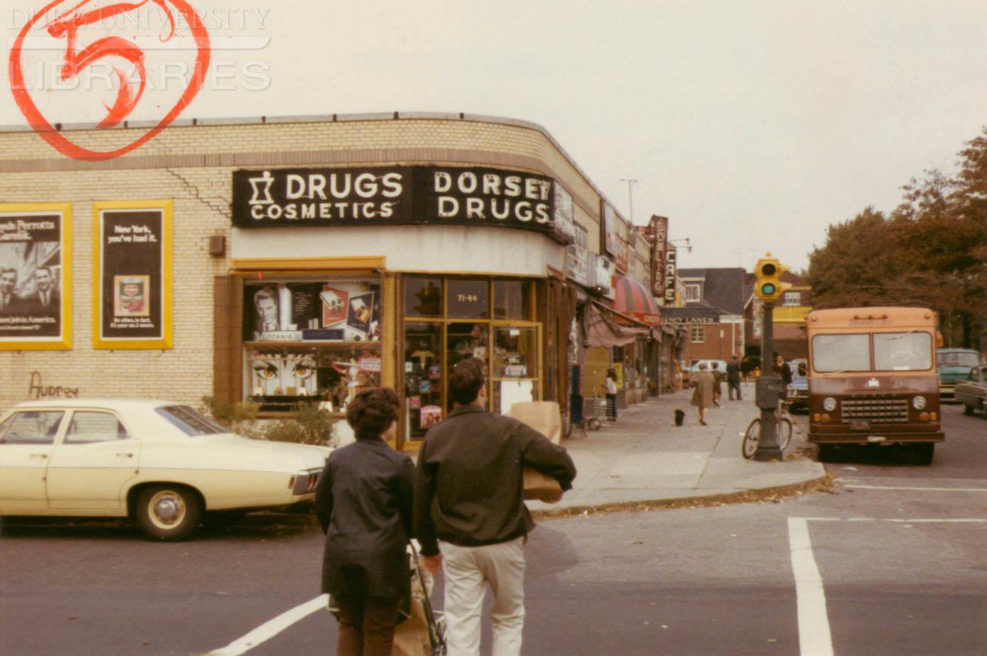
A second view from Northern Boulevard and 89th Street in Jackson Heights offers a wider or slightly shifted perspective on the same busy corner. Together, the two images give a fuller sense of the scale and commercial character of this part of the boulevard.
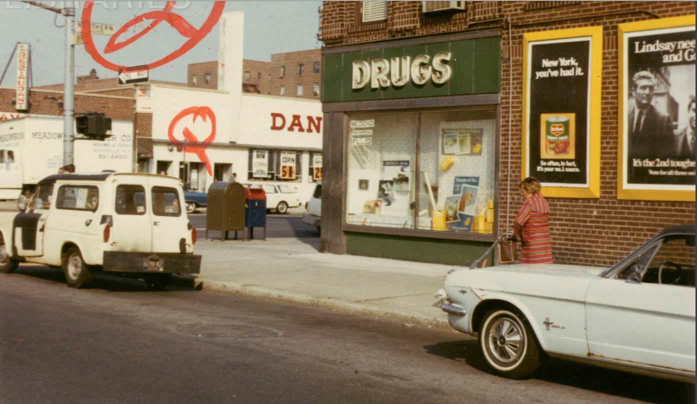
The final photograph takes us to the corner of 60th Drive and Fresh Pond Road in Maspeth — a neighborhood defined by its mix of light industry and tight-knit residential streets. Fresh Pond Road connected Maspeth to neighboring Ridgewood, and this corner captures that in-between quality that made Queens so distinctly itself: industrial and residential, busy and local, all at once.





Freddie Mercury, where are you?
Most likely in England.
The buildings in the background are familiar to me!
This is a great post
Thanks so much, this is great!
Myrtle Ave memories for those from Ridgewood, Bushwick, or Glendale.
The Key Food at 30th Ave and 42nd St is still there about 50-60 years later. Is that common in New York City?
I was amazed you could find falafel in Queens back in the 1960s
It’s cool to see how buildings near me were back then 🙂
I feel old because I remember some of these stores.
Does anyone know who took these photos?
Great pictures ! My parents lived on Queens Blvd and 45th Street corner building between 1960 to 1967 ,also my family lived in same building. This is where McGuiness Saloon sits under the building. I used to visit my family and play right by that corner. Great to see all these pictures of that area.
Wow, it’s hard to believe that a Cracker Barrel restaurant used to be located in Astoria.
It’s interesting how times have changed, as people today might view the opening of a Cracker Barrel restaurant in Astoria as an example of gentrification, whereas in the past it may have been viewed differently. The perspective on what constitutes “history” or “authenticity” can certainly shift over time.
It’s great to see that these neighborhoods have retained much of their original structural character over time.
look mad delightful.😘😘
It would be really interesting to see these on a map.
If you have an iPhone, you can use the Maps app to enter some of the cross streets listed in the pictures. Once you find the location, click on the binoculars icon at the bottom left of the map to move around the streets. A similar feature may be available on Google Maps, though I am not certain how it works on the computer.
That’s really cool! 👍
Awesome!
Looking at these photos of 1960s Queens, New York takes me back to a time when life was simpler and the streets were full of character. I remember walking down Main Street and seeing the storefronts filled with mom-and-pop shops, each with its own unique personality. The smell of fresh bagels from the local bakery would waft through the air and you could hear the sounds of street vendors selling their wares. The neighborhoods were tight-knit and everyone knew each other, creating a strong sense of community. It was a time when kids played outside until the streetlights came on and families gathered for block parties. Looking back, those were some of the best times of my life.
I remember the bodega on the corner where we used to get our snacks and stuff. And the people in the neighborhood were all tight, like we all knew each other and looked out for each other. And we used to play stickball in the street until it got dark and our moms called us in for dinner. Good times, man. Those were the days.
I remember walking to school every day and passing by the local diner, where my dad would grab a cup of coffee before work. The neighborhood was always lively, with people out and about, walking their dogs or chatting with neighbors on their front stoops. Saturdays were for running errands with my mom, stopping by the corner grocery store for fresh produce and catching up with the owner. It was a simpler time, when life moved at a slower pace and the little things mattered most.
I used to go to that pizza place! A slice was 25 cents, and a large Coke was 25 cents in 1973.
This is 100% 63rd Drive. I believe the cross street is Booth Street. Too bad you can’t see the McCrory’s on one side, and the Woolworth’s on the other side. The Alexanders across Queens Boulevard was there for a long time afterwards, until the early 90s, I believe. I don’t remember the fruit stand, though. A public school, PS 139Q is still right across the street. I went to that school for one year, 1972-1973.
I can’t help but think this picture is actually from the early 70s because of the posters, though my phone number was TW6-0321 in the 60s, but 896-0321 in the 70s. I lived on 64th Rd and Saunders Street from 1964 to 1975. I could be wrong; but I feel an early 70s vibe.
Early 90s being the final year of that Alexander’s sounds about right. I was a child at the time and my family went there to pass some time by doing shopping. The location later became Caldor.
Yep. Then it became part of Rego Center. Couldn’t believe they could place about 20 stores within the boundaries of one Alexander’s.
Wasn’t Rego Center built on the old Alexander’s parking lot? I remember seeing how empty and massive that lot was (I think it was a private lot for a period of years before the operator sold the property). I never did a lot of shopping there but it was one of those places that you would see while passing through and figure it would be there for you in a pinch of you needed to buy something.
It was a gigantic parking lot for Alexander’s.
Yes, you’re right. Rego Center was built on both the parking lot and Alexander’s.
We never had to use it. We lived across the Boulevard, then 1 long block from there.
I went to school across the street. Ps139 and grew up up the block
64th and Saunders for me.
Not one moped in sight
Or illegal weed shop
amazing photos, queens is the future!
34th and 30th Ave? Isn’t there a key foods and the United Brothers Fruit market now?
That corner is an electronics store, right next to where “Bagels On the Ave” used to be (RIP)
Seeing advertising from that generation is just unreal
Cool pictures. Not much has changed. The signage got more garish.
haha, the Key Food in Sunnyside is still in fact, a Key Food. The ice cream shop is a mobile phone store.
This just made me miss A&P so ferociously 🙁
Anyone from the Ridgewood, Glendale area? I went to Saint Matthias in Ridgewood.
These are cool. What’s a luncheonette with stationery, toys, and film (pic 23)? Is that like a Walgreens with a diner counter?
an old bohack warehouse remains along the maspeth border (flushing av n metropolitan…)
Dang, Bohack Supermarket across from St Pancras School, Myrtle Ave, Glendale. It’s been a while!