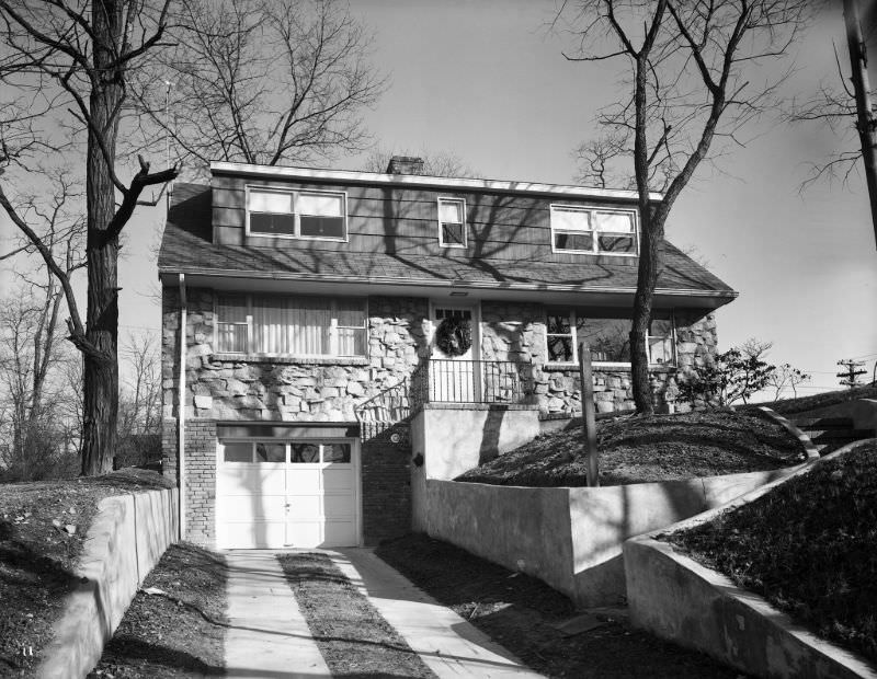
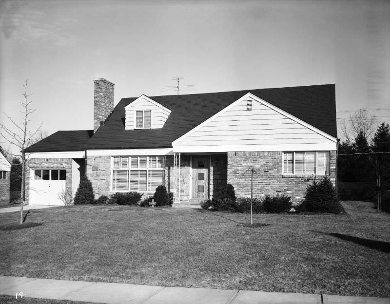
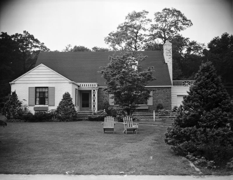
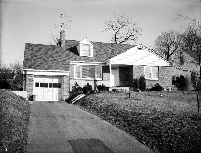
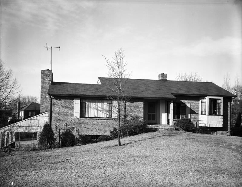
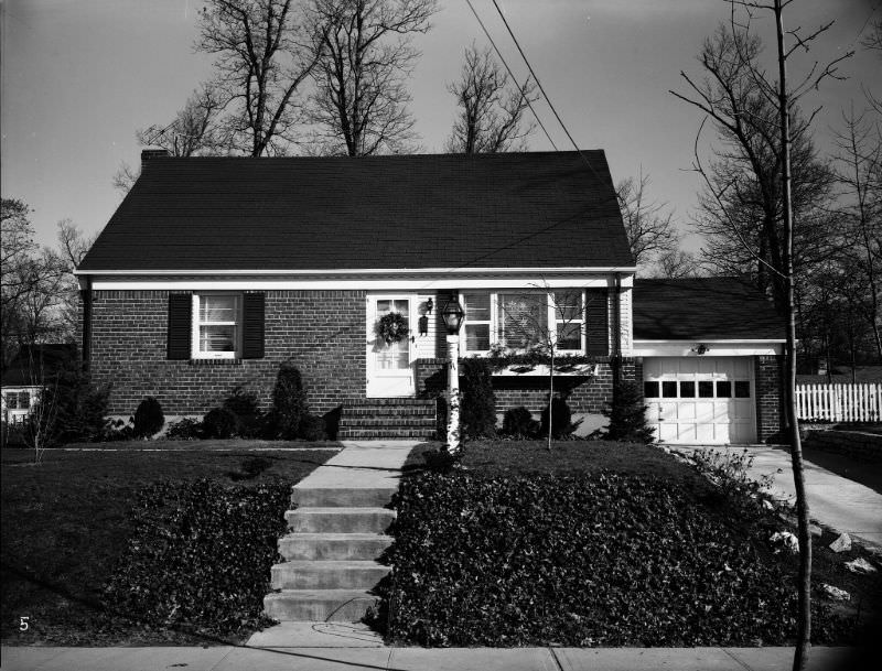
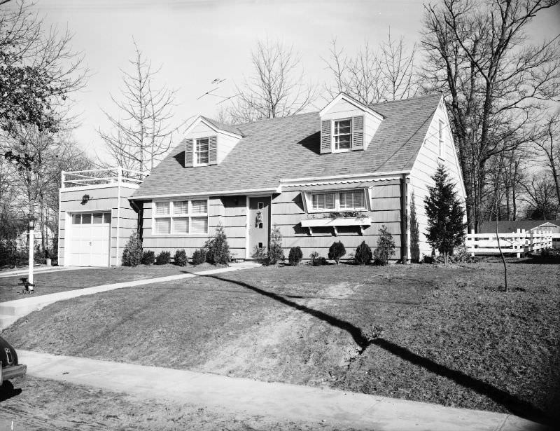
Port Washington is a hamlet and census-designated place (CDP) in the Town of North Hempstead, Nassau County, New York. Sitting on the North Shore of Long Island, it has a rich history shaped by industry, community growth, and residential development. By the 1940s, Port Washington had grown into a well-established residential area, its streets lined with a wide range of home styles — from Cape Cods and farmhouses to Arts and Crafts bungalows and chalet-style residences. The photos below, drawn from the Port Washington Public Library archive, offer a rare window into what those neighborhoods actually looked like during that decade.
Before the homes came, Port Washington was known for something far more industrial. The Port Washington Sandbank was the largest sand deposit east of the Mississippi River. Starting in the 1870s, barges carried the sand directly from Port Washington to Manhattan. In total, more than 140 million cubic yards of local sand were extracted and used in some of New York City’s most iconic construction projects — including the Empire State Building, the Chrysler Building, and the New York City subway system. The North Hempstead sand mines eventually closed and were redeveloped as Harbor Links golf course in 1998.
Port Washington also made a push for greater civic independence. In 1930, residents attempted to incorporate the hamlet as a city. The proposed boundaries closely followed those of the Port Washington Union Free School District. Sands Point was excluded from the plan, having already incorporated itself as a village. The incorporation effort ultimately did not succeed, and Port Washington remained a hamlet within the Town of North Hempstead — but the attempt reflected the strong sense of community identity that had taken root there.
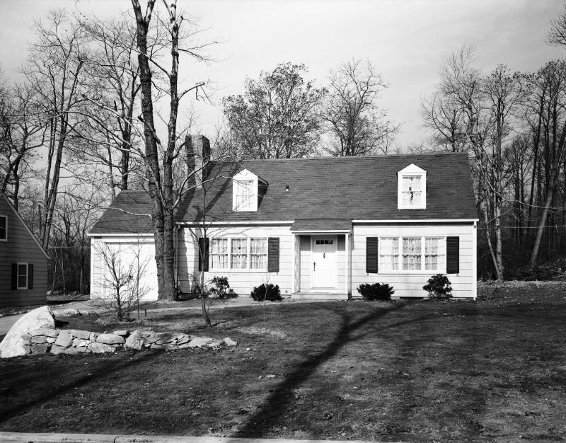
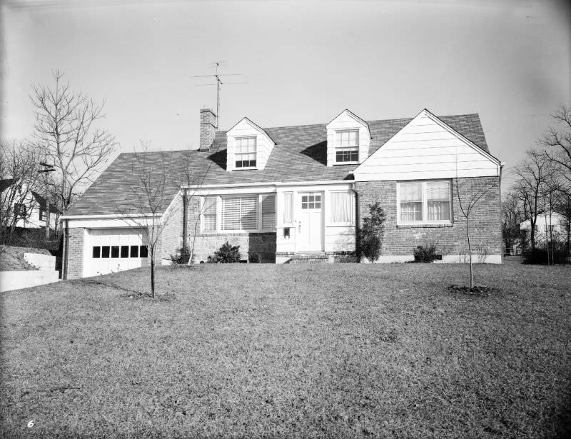
The earliest photo in this collection dates to 1941, showing a classic Cape style home that was common throughout Nassau County in that era. The Cape Cod design — with its steep roofline, central chimney, and modest footprint — was a practical and affordable choice for families, and examples like this one were a staple of Long Island’s residential landscape.
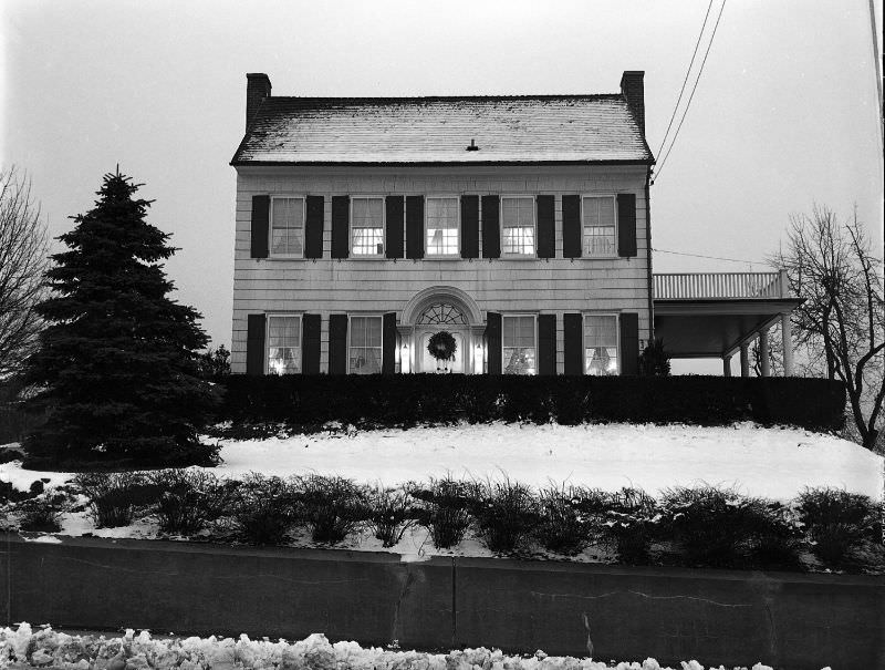
By January 1942, the United States had just entered World War II following the attack on Pearl Harbor the previous month. Life on the home front in Port Washington carried on, and residential documentation continued. This photo of 45 Carlton Avenue captures a snapshot of everyday suburban life during a period of national uncertainty.
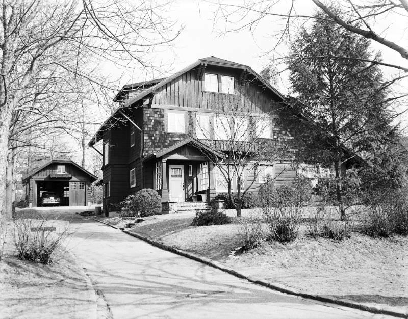
The village of Baxter Estates, incorporated within Port Washington, appears in several of the mid-decade photos. One of the most distinctive homes documented there is the chalet-style house at 18 Overlook Drive, photographed in February 1944. At the time, the property was owned by Robert Gregory. The chalet style — with its wide overhanging eaves and steep gabled roof — was an unusual architectural choice for suburban Long Island and stood out clearly among the more traditional homes nearby.
Also in Baxter Estates, the corner house at 20 Central Drive was photographed in May 1944. This home was built in the Arts and Crafts style, a design movement that emphasized natural materials, handcrafted details, and a close relationship between a home’s interior and its surroundings. The O’Brien family owned the property at the time. Corner lots like this one often gave Arts and Crafts homes extra visual presence, allowing their architectural details to be appreciated from multiple angles.
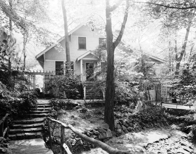
June 1945 brought three noteworthy photographs to the collection. The first shows a home that stands apart from its neighbors thanks to an ornate entry off the driveway and a highly unusual weather vane mounted at the peak of the roof. Details like these were personal touches that homeowners used to express individuality, and they are rarely preserved in standard residential documentation.
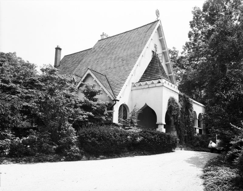
The second June 1945 photo captures the house listed as belonging to Bruce Chapman. No street address survives with the record, but the image itself documents what a privately owned Port Washington residence looked like at the close of World War II — just weeks after Germany’s surrender in May of that year.
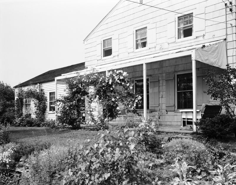
The third photo from June 1945 is believed to show a property on Chicken Valley Road. The home is described as a farmhouse-style residence — a straightforward, functional design with roots in the agricultural past of Long Island’s North Shore. These farmhouse-style homes were a visible reminder of how recently much of the area had shifted from rural farmland to suburban neighborhood.
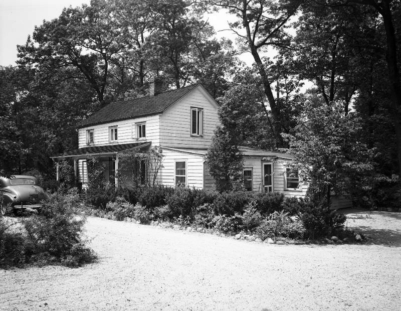
The 1946 photos make up one of the largest groups in the collection, covering a wide range of house numbers and styles. The photo of 5 Bogart Avenue is particularly notable for its context — the house sits directly adjacent to school property, and Port Washington High School (now C.P. Weber Middle School) is visible in the background. This kind of neighborhood proximity to civic institutions was common in postwar Long Island communities.
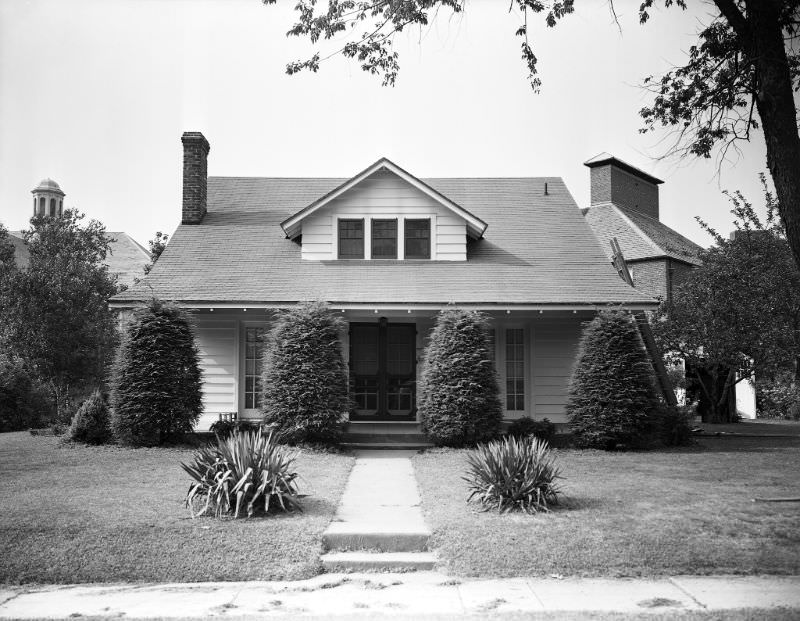
The remaining 1946 images document homes at various house numbers whose street names were not recorded with the photos. Despite the missing addresses, these photographs preserve the architectural character of Port Washington’s residential streets during the immediate postwar period — a time when returning veterans and growing families were beginning to reshape suburban housing demand across the country.
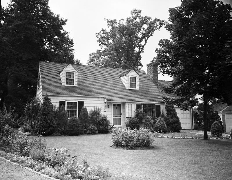
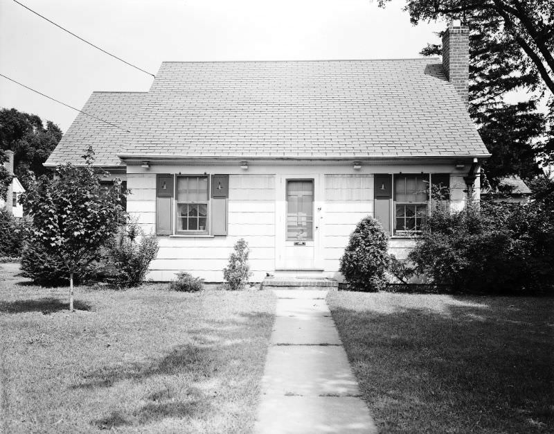
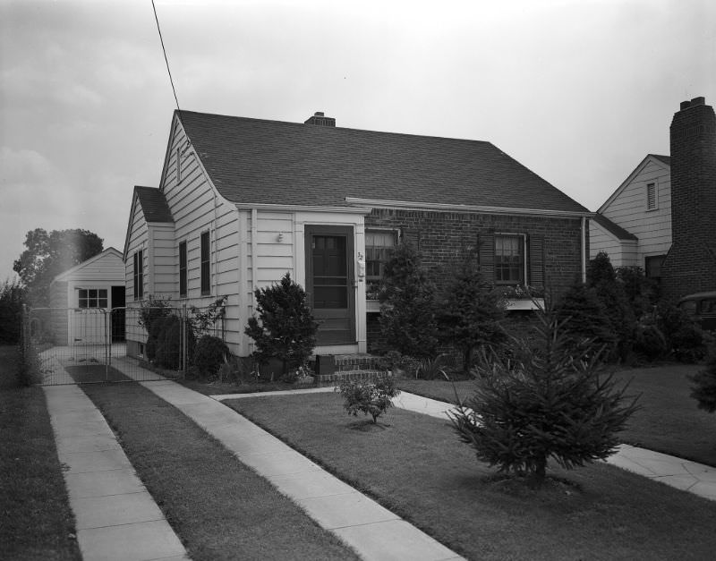
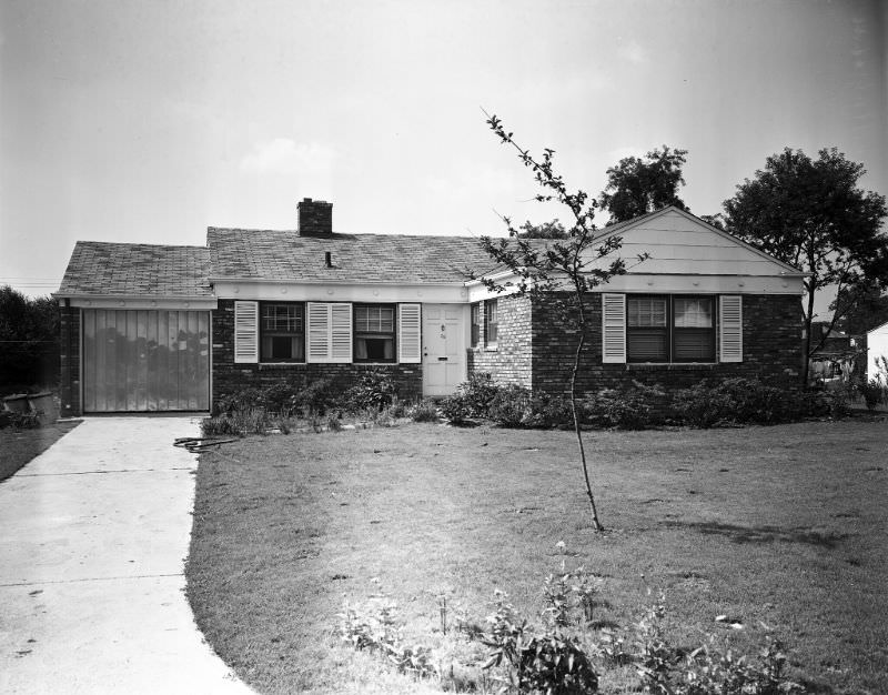
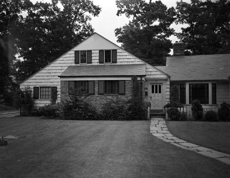
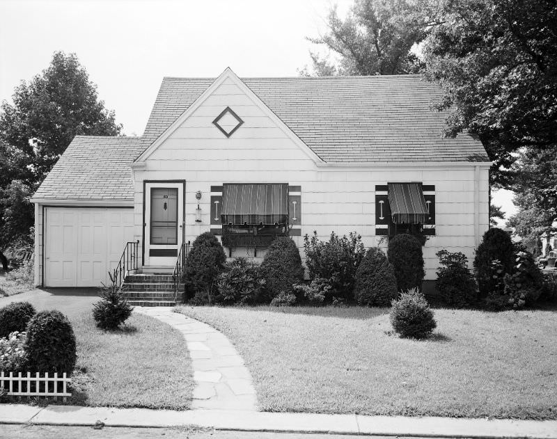
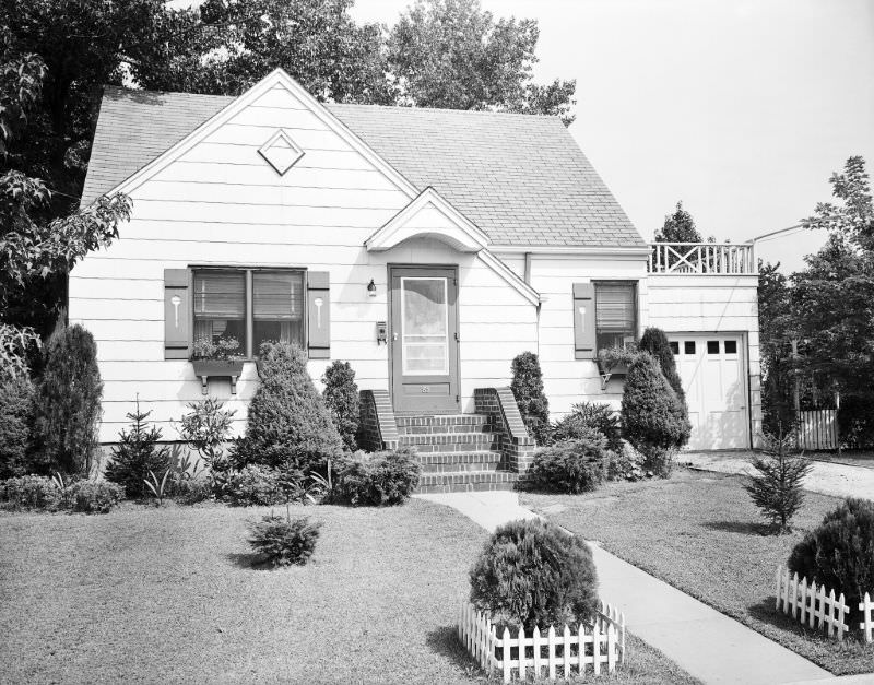
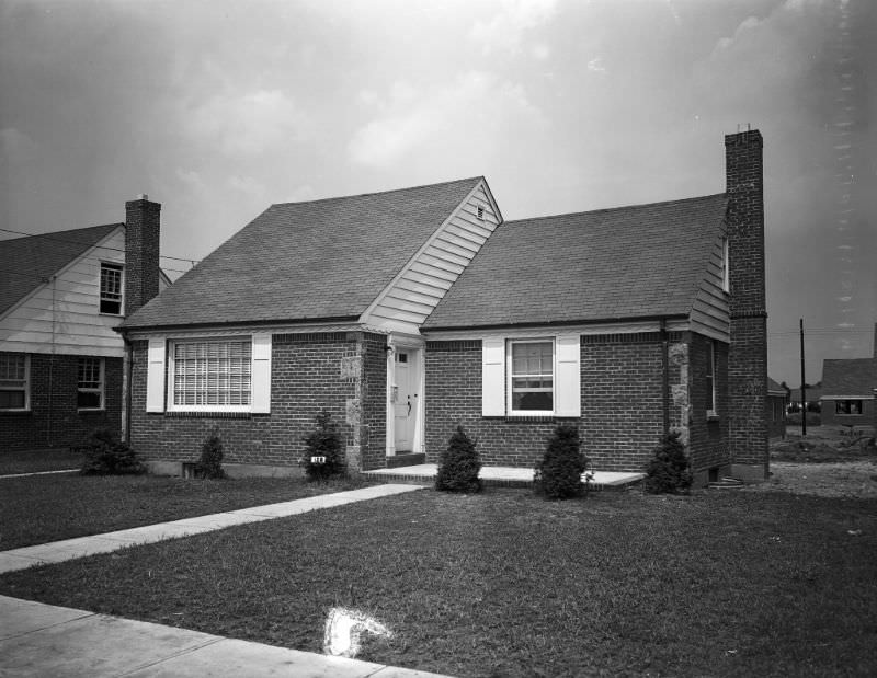
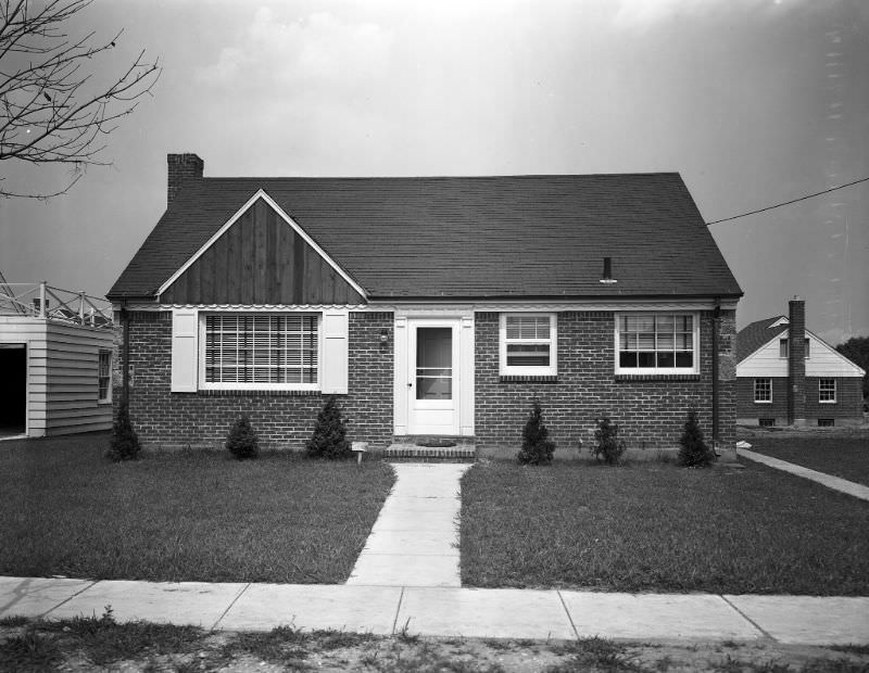
The 1947 photographs continue the pattern of unidentified streets but add some interesting details. The photo of house number 238 includes a sign near a lamppost bearing the name C.K. McCully — likely a real estate agent or local business owner whose signage was captured incidentally in the frame. Small details like this turn what might be a routine property photograph into a piece of social history.
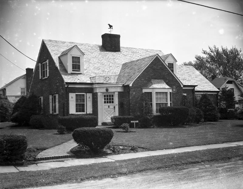
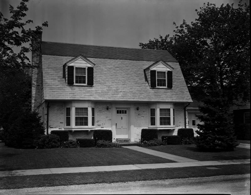
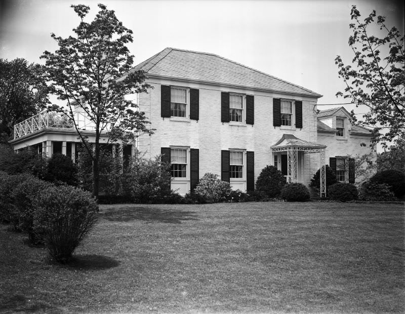
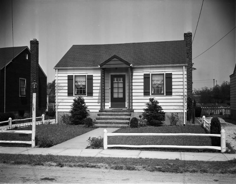
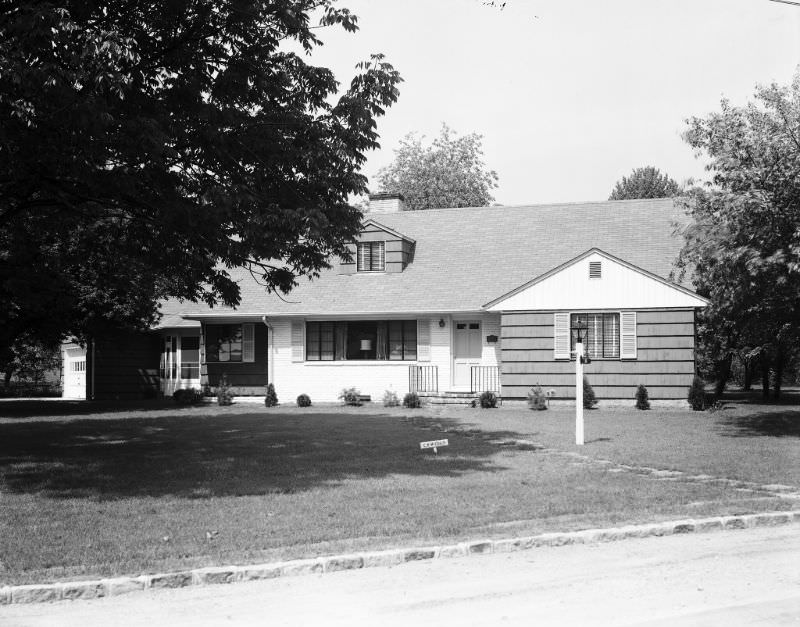
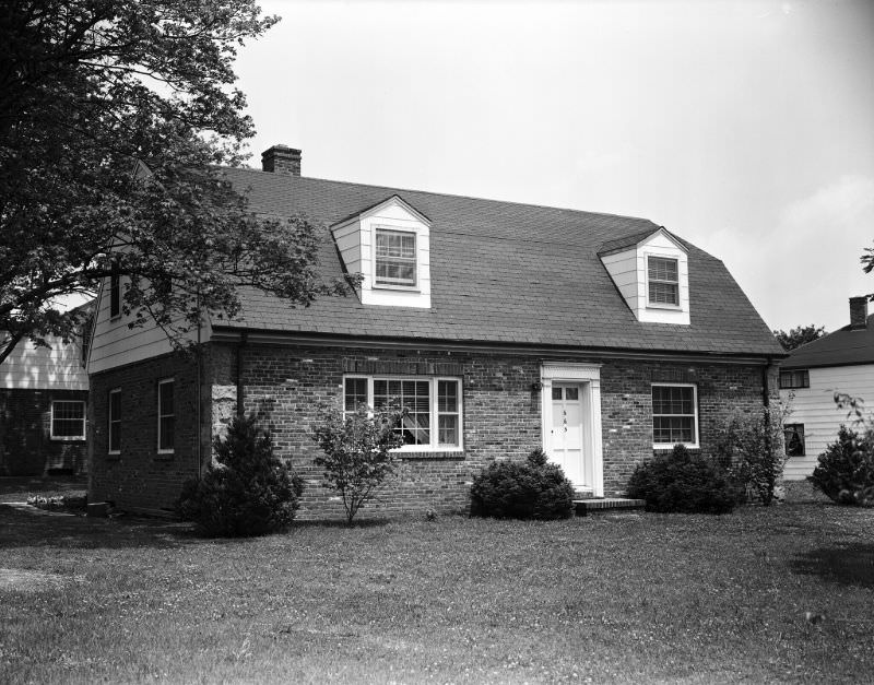
The 1948 photos round out the middle years of the collection. Six properties are documented that year, ranging from low house numbers — suggesting shorter or newer streets — to larger numbers typical of established avenues. Each image captures a slightly different approach to residential design, from the placement of front porches and landscaping to the choice of siding and window treatments.
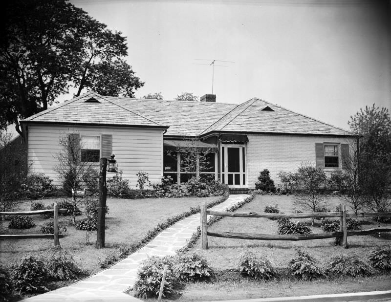
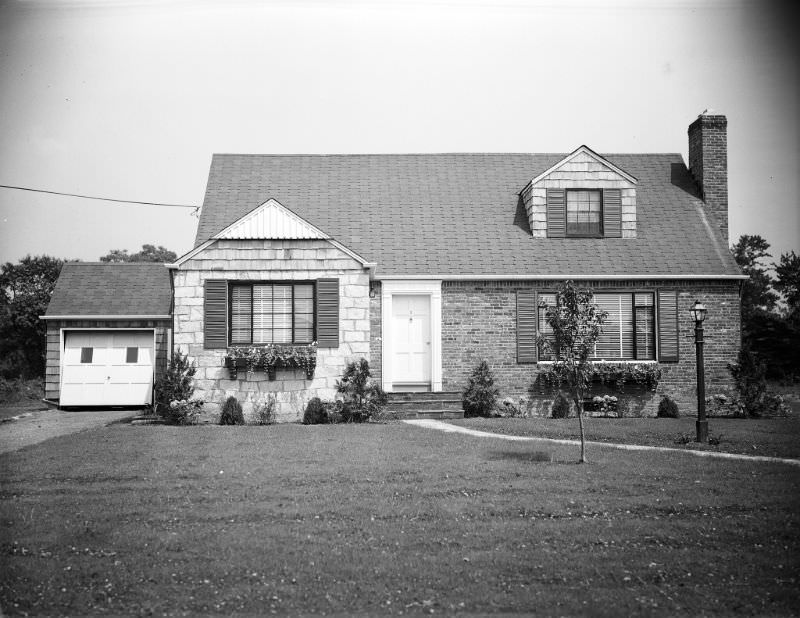
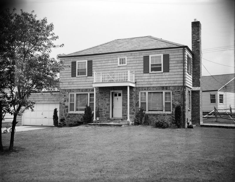
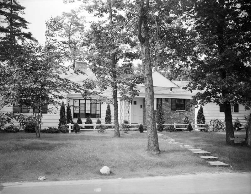
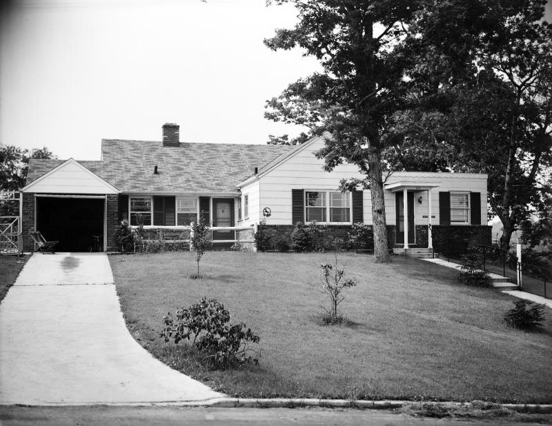
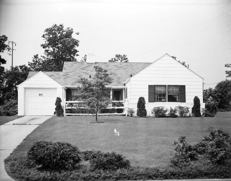
July 1949 produced the largest single-month batch of photographs in the collection — thirteen images covering properties at house numbers 3 through 727. The range of numbers across this set strongly suggests the photographer was working across multiple streets on the same day or over the course of a short survey. Two separate photos are recorded for house number 23, both dated July 1949, which may reflect different angles of the same property or two different homes that shared the same street number on separate roads.
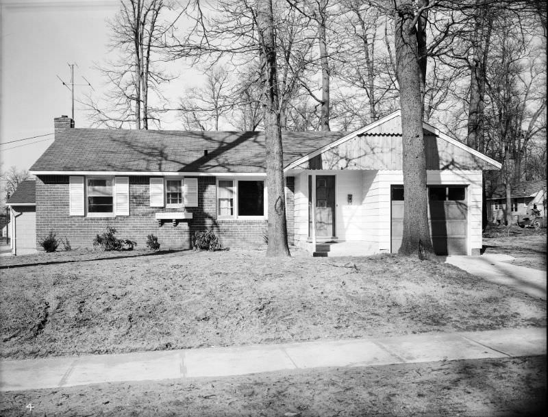
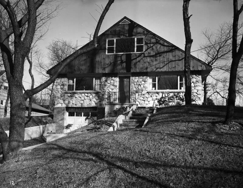
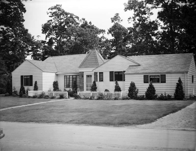
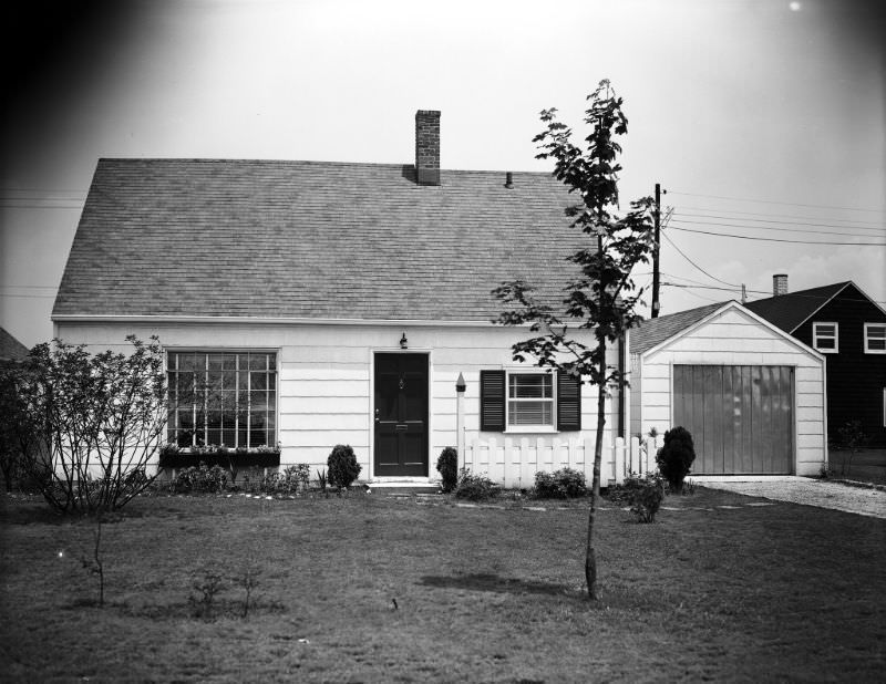
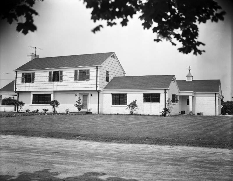
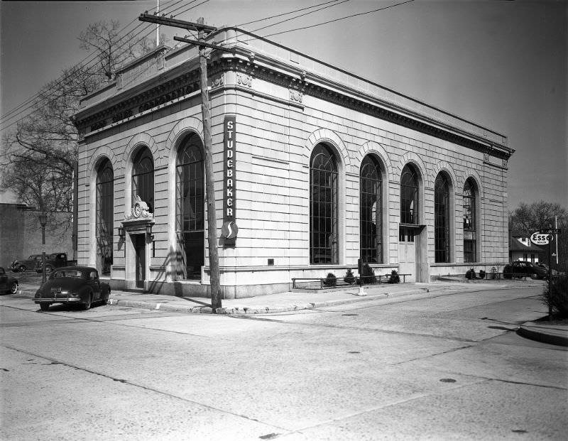
The collection closes out in the final months of 1949 with two photographs that step outside the purely residential record. The first shows Port Sales Corporation at 145 Main Street, photographed on August 30, 1949. The business was a Studebaker dealership operating at the corner of Main Street and Central Drive. Studebaker was an American automobile manufacturer that had gained renewed attention after the war by releasing fresh postwar designs in 1947, ahead of most competitors. The presence of a car dealership on Main Street reflects Port Washington’s growing commercial activity during the postwar economic boom.
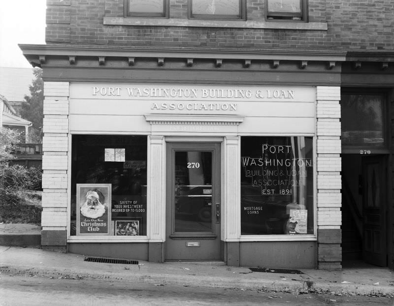
The final photograph in the collection, taken in November 1949, documents the Port Washington Building and Loan at 277 Main Street. Building and loan associations — similar to modern savings and loan institutions — played a direct role in financing home purchases for working and middle-class families throughout the first half of the 20th century. Their presence on Main Street in Port Washington points to the financial infrastructure that made much of the decade’s residential development possible.