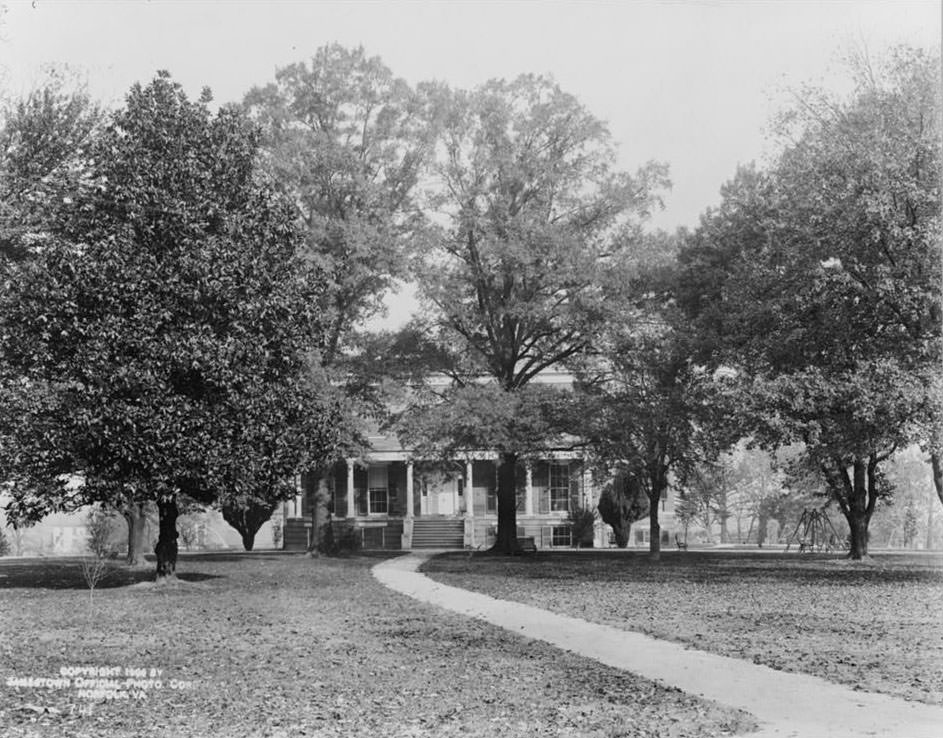
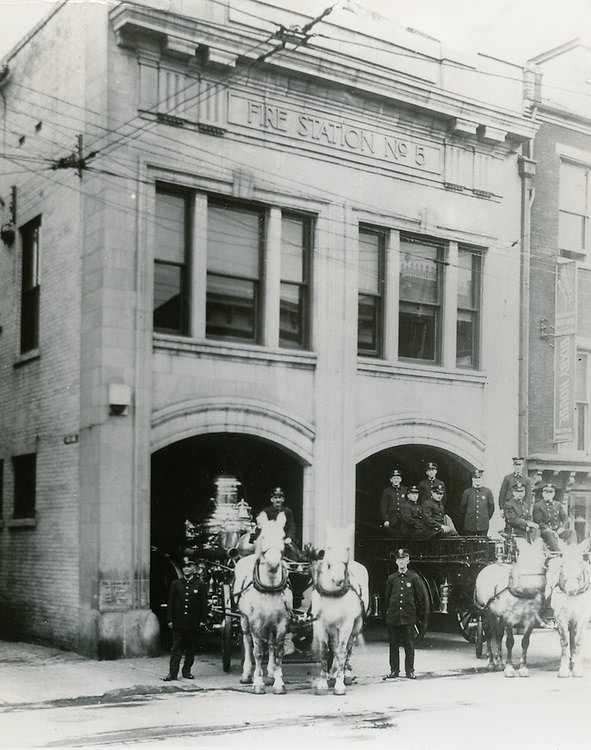
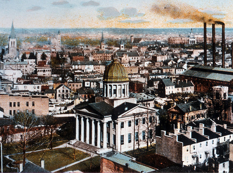
At the turn of the 20th century, Norfolk, Virginia was a city in motion. It was expanding its borders, investing in new infrastructure, and drawing national attention. The streets were filling with horses and streetcars, the harbor was thick with steamboats and coal barges, and the Navy Yard was one of the most active military installations on the East Coast. These photographs capture that era in remarkable detail — a city growing into itself, block by block, year by year.
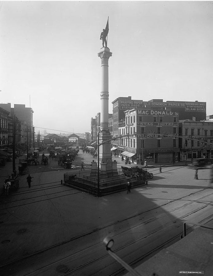
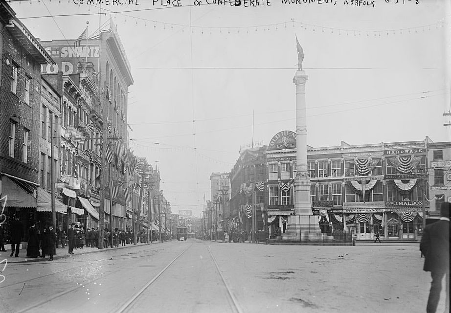
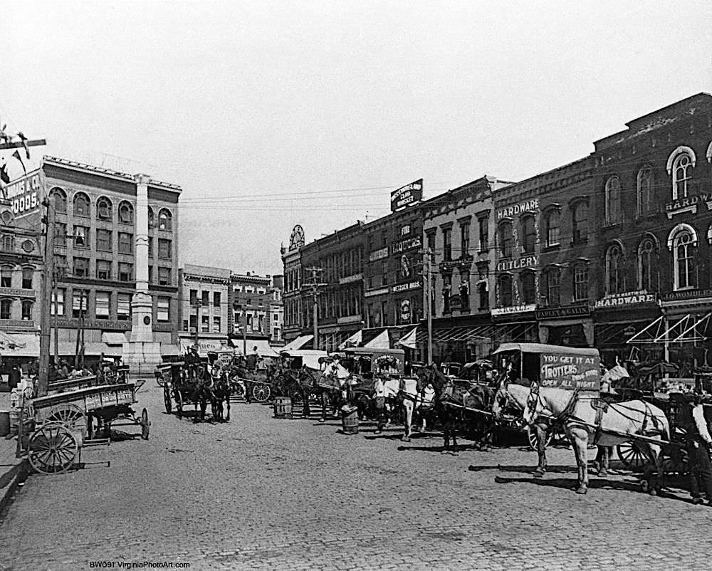
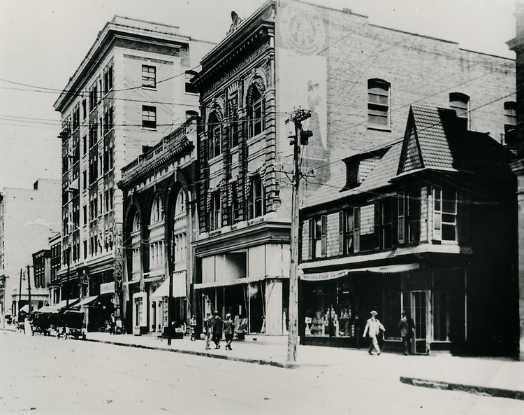
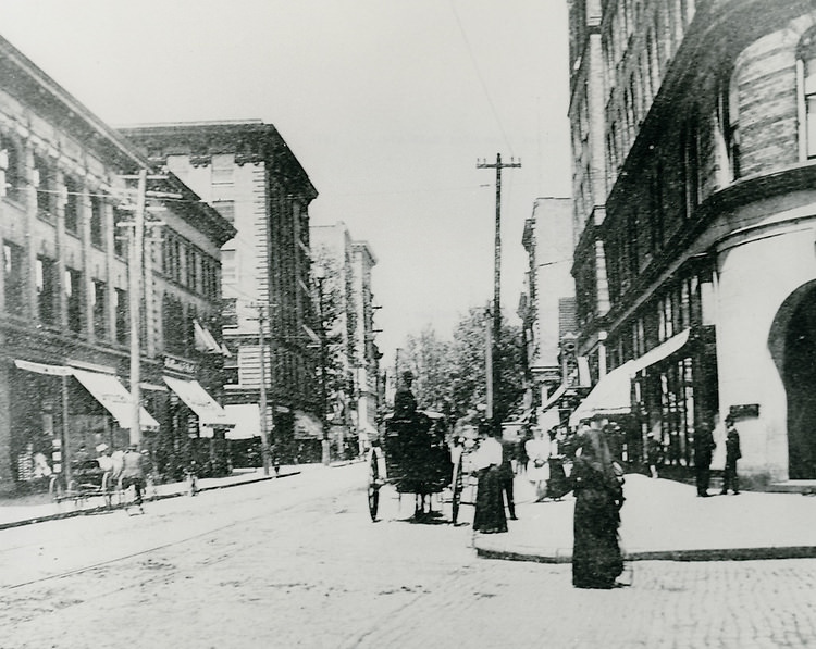
Norfolk’s public spaces reflected the civic ambitions of the era. Commercial Place served as the heart of downtown, anchored by the Confederate Monument that stood as a prominent landmark for residents and visitors alike. Horse-drawn vehicles still dominated the streets in the early years of the decade, sharing space with the first electric streetcars. The city’s commercial corridor along Granby Street was lined with storefronts, hotels, and offices that gave Norfolk an increasingly urban character.
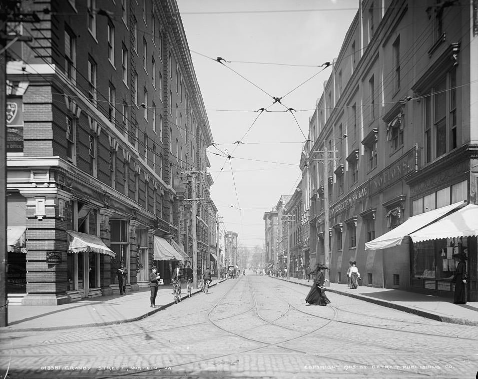
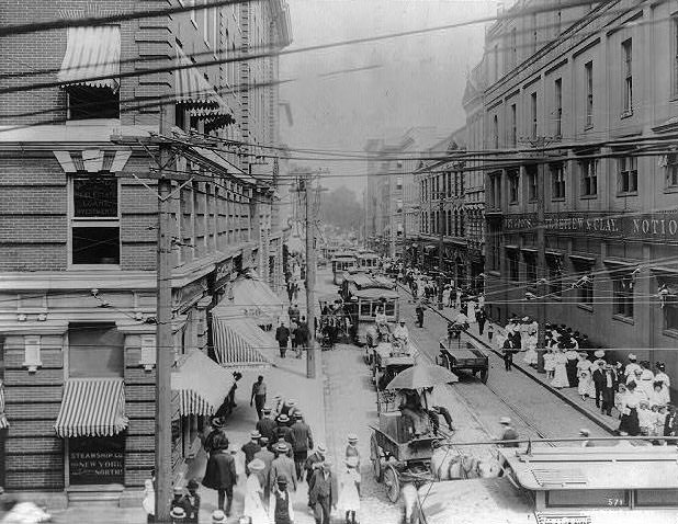
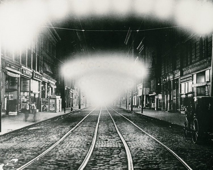
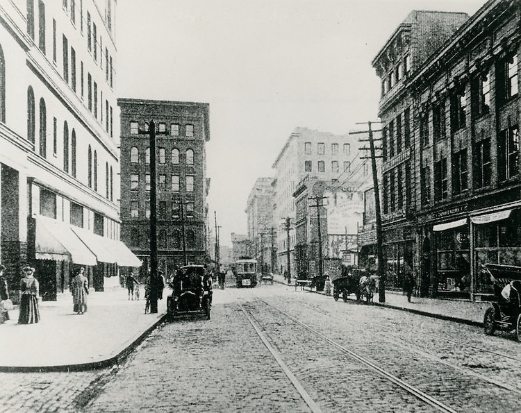
Granby Street was the main artery of city life. By 1905, it was already a busy commercial strip, and by 1909 it had grown into a fully developed urban corridor with multi-story buildings, department stores, and electric lighting at night. The Taylor Building at the corner of Market Street and Granby Street was one of the more prominent commercial structures of the period, and the George Newton House at College Place marked the street’s transition from business district to residential neighborhood.
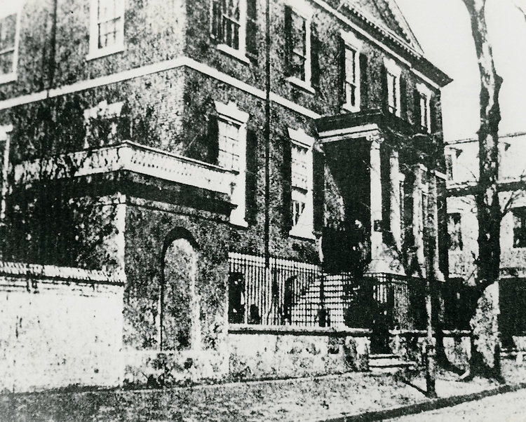
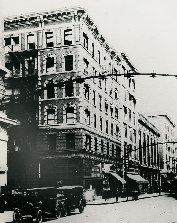
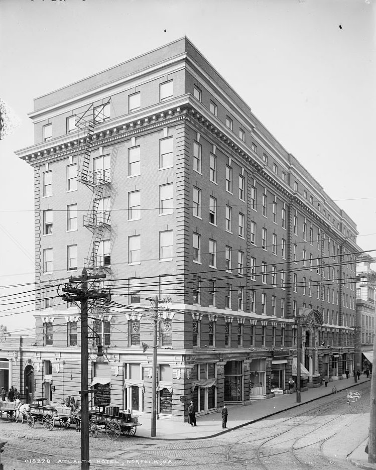
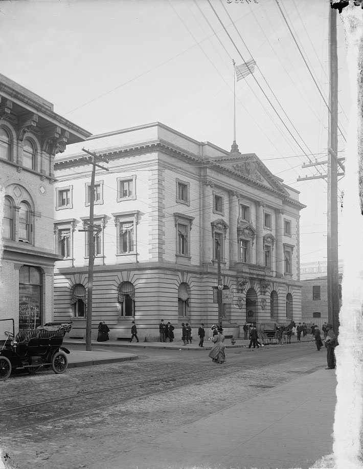
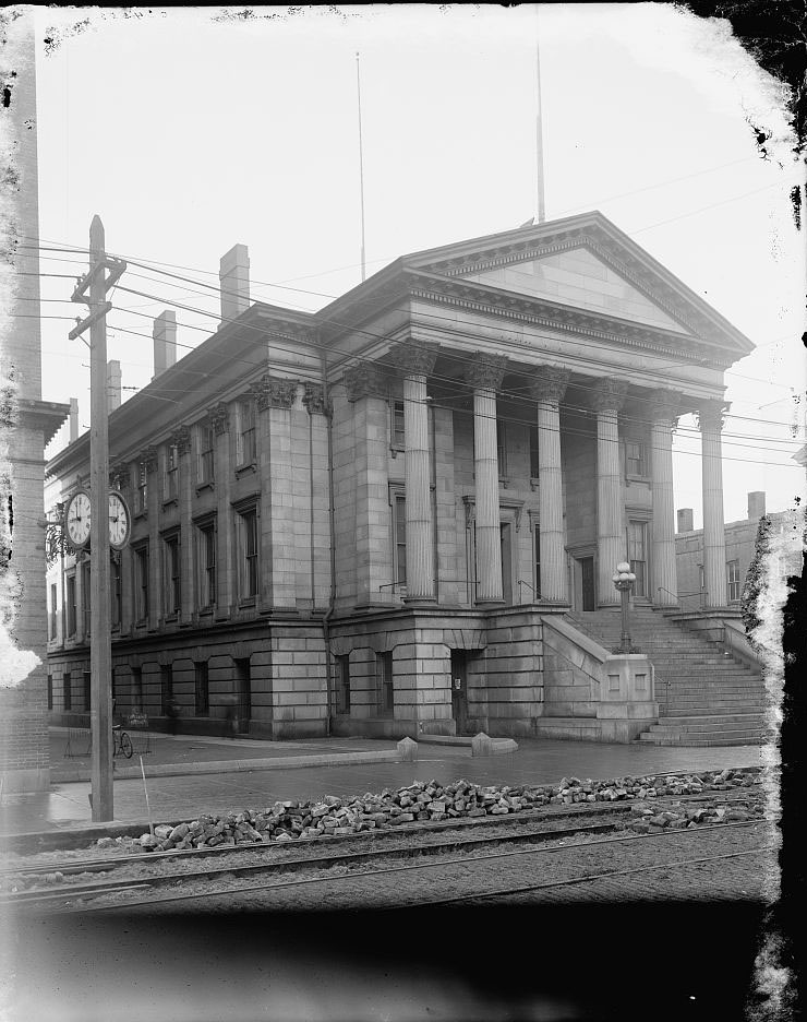
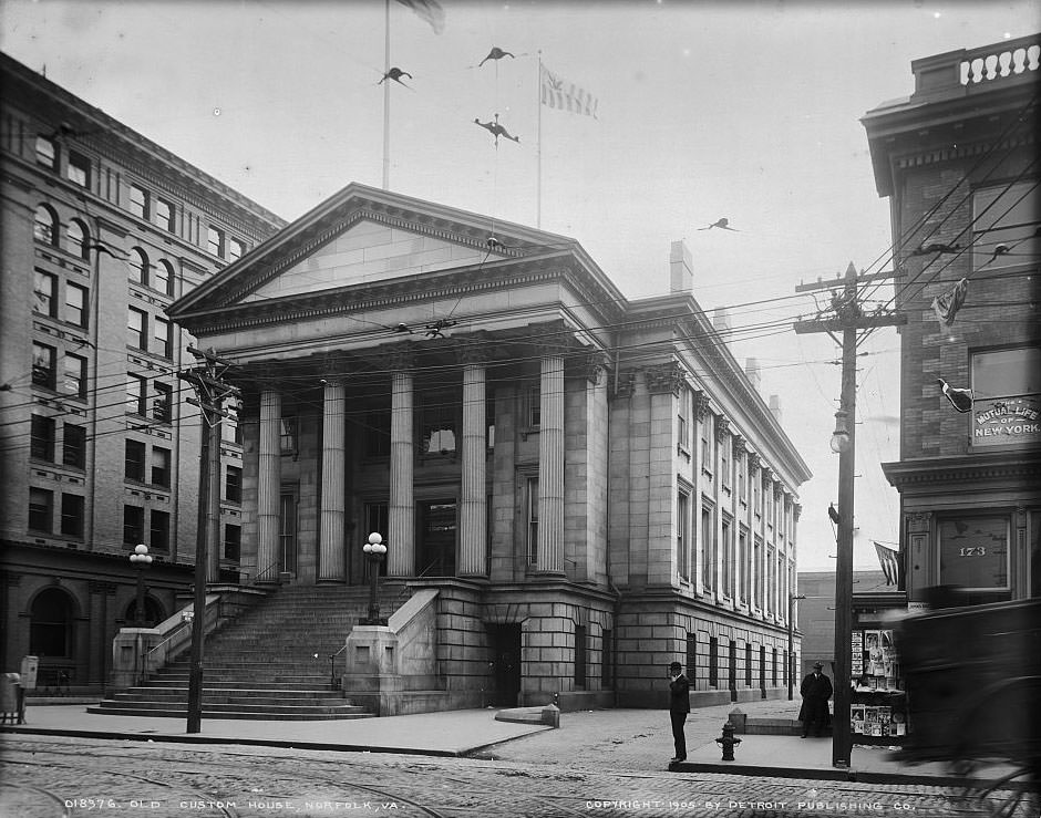
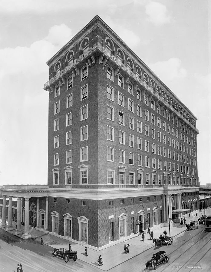
The city’s institutional buildings gave Norfolk a sense of permanence and authority. The Old City Hall, the Post Office, and the Custom House were all substantial stone structures that signaled civic seriousness. The Monticello Hotel, photographed in 1902, was one of the most recognizable buildings in downtown Norfolk and served as a gathering place for travelers, businessmen, and politicians. The Atlantic Hotel, photographed in 1903, was another key establishment in the city’s hospitality landscape.
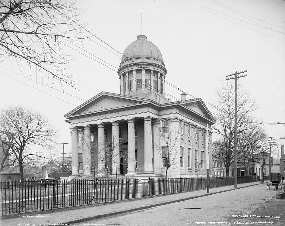
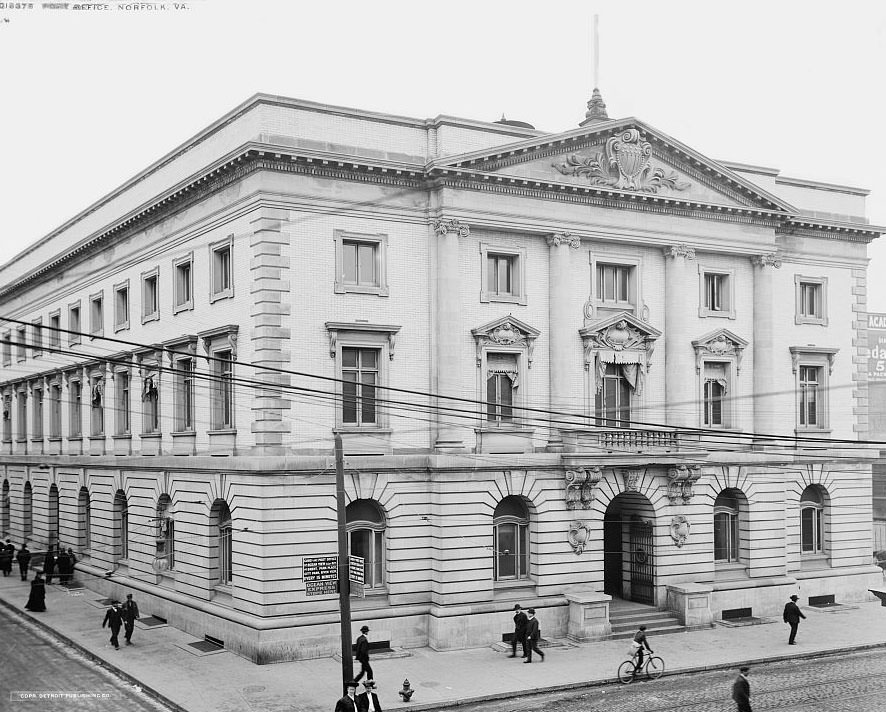
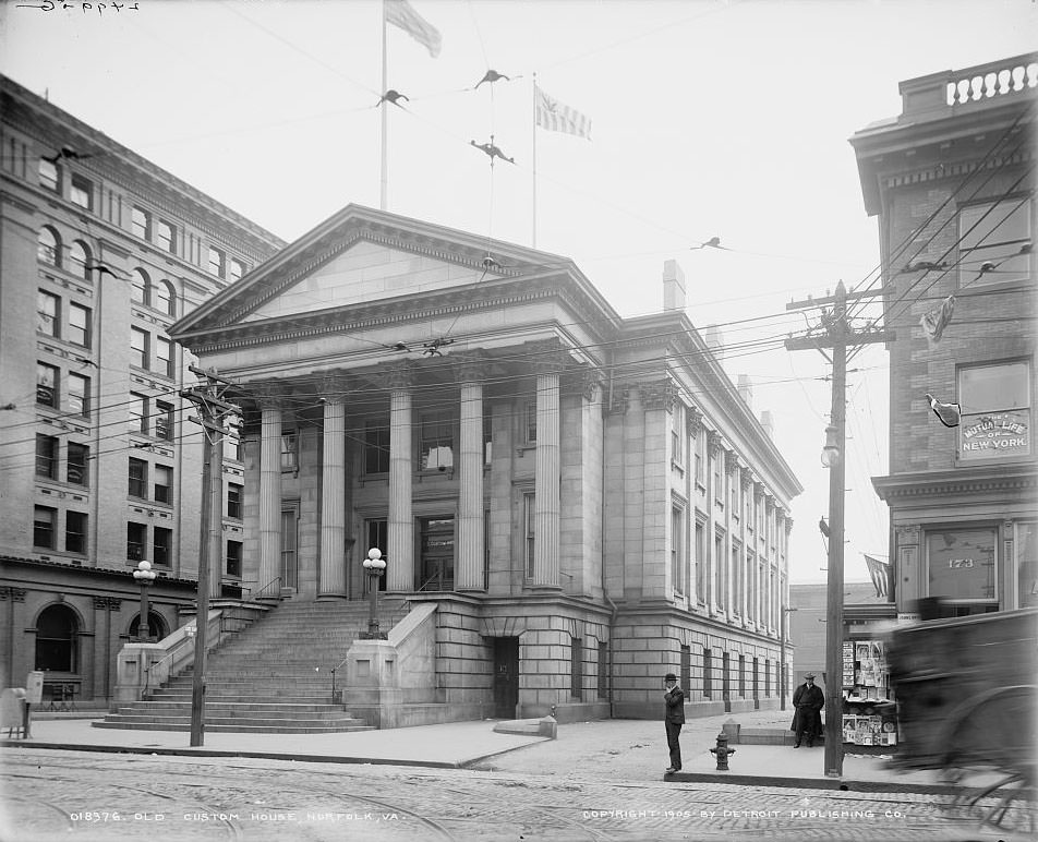
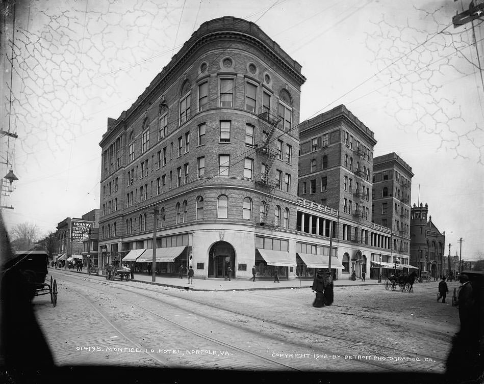
Norfolk annexed the Town of Berkley in 1906, pushing city limits across the Elizabeth River. Lambert’s Point and Huntersville followed in 1911. One of the notable historical connections tied to these neighborhoods is Huntersville, the birthplace of Mary Pinckney Hardy — the mother of General Douglas MacArthur. A memorial to Mary Hardy MacArthur stands on South Main Street, on the former Hardy family estate site. The expansion of the city into these areas brought new residents, new infrastructure, and new neighborhoods into the Norfolk fold.
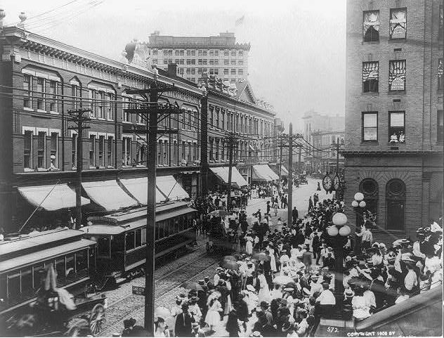
![Main Street and Market Square [i.e. Commercial Place], Norfolk, 1905.](https://www.bygonely.com/wp-content/uploads/2022/11/Norfolk_1900s_31.jpg)
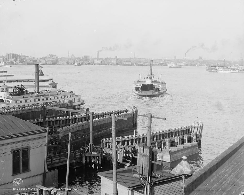
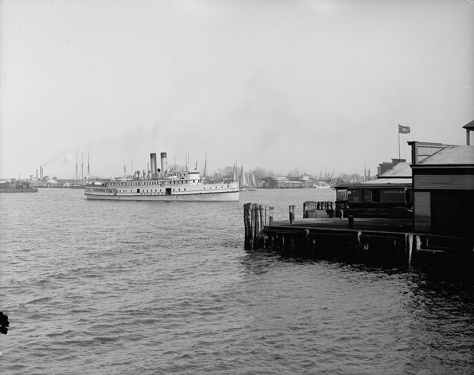
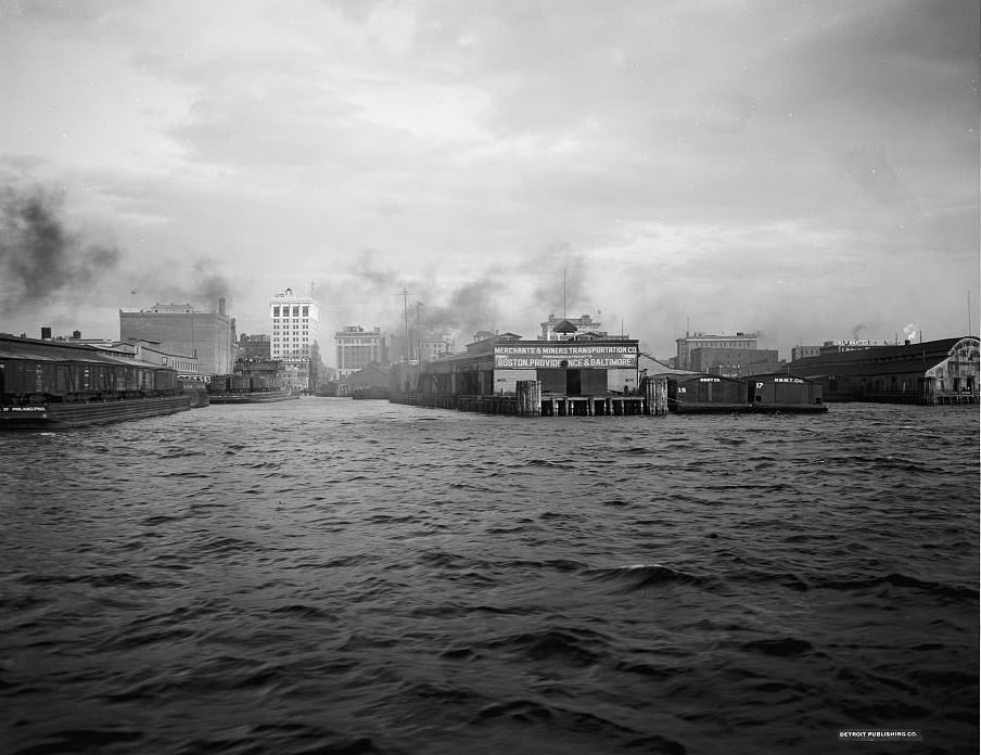
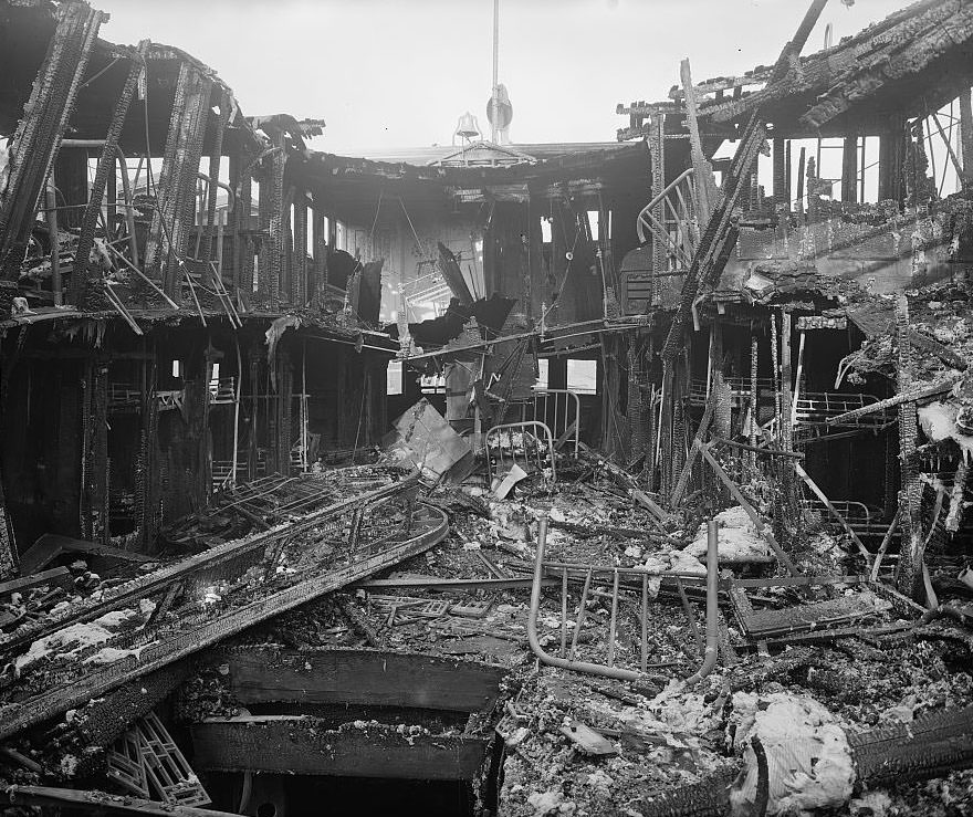
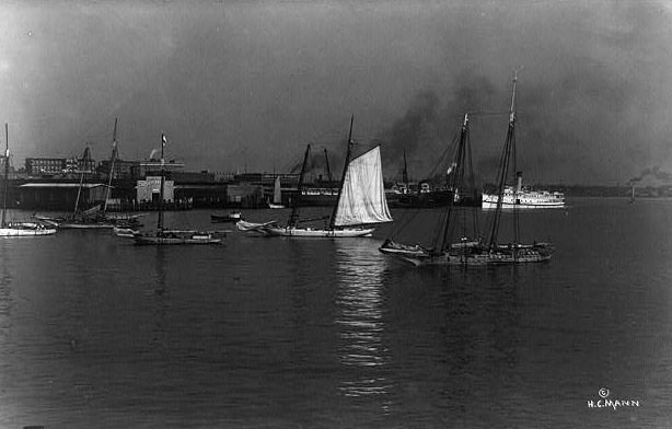
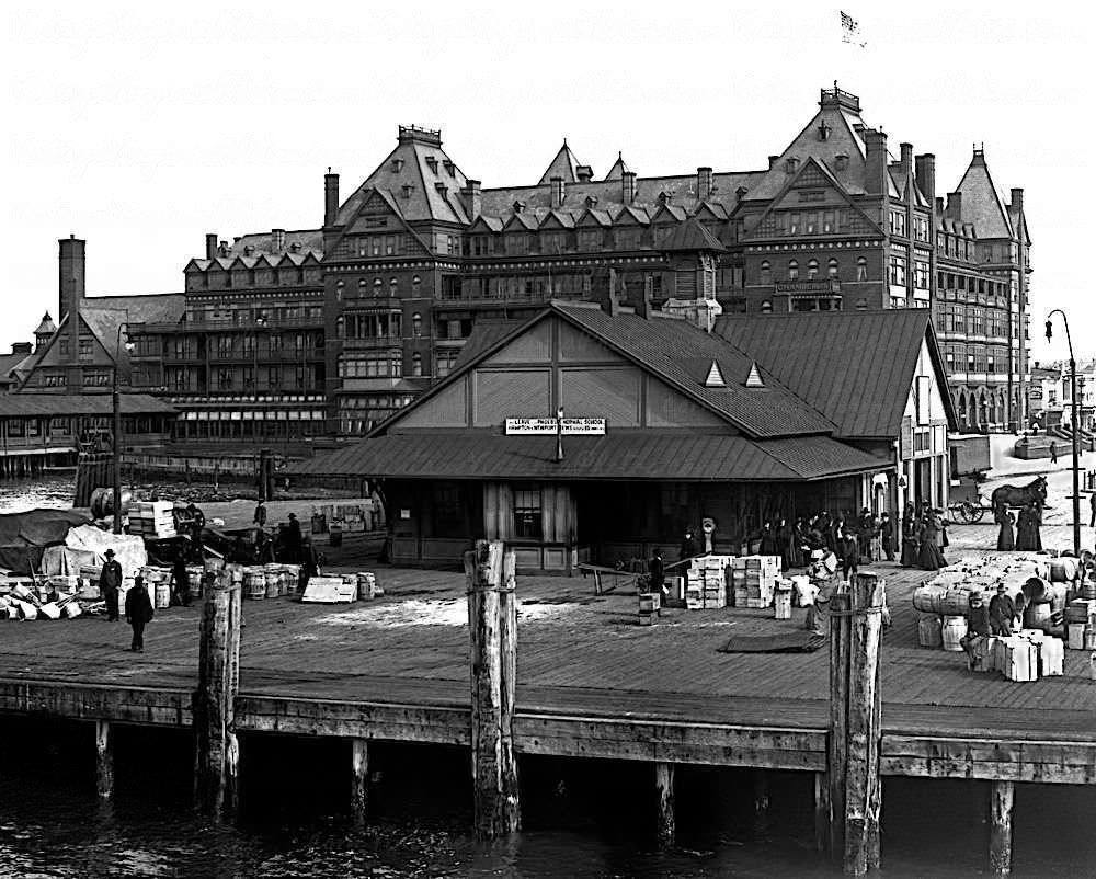
Norfolk’s waterfront was among the busiest on the East Coast. The harbor saw constant traffic from steamboats, ferries, and freight vessels. The Norfolk and Washington Steamboat Company operated a major presence on the water, though a fire at their wharf in 1904 caused significant damage. The Portsmouth Ferry connected the two cities across the Elizabeth River, and the Merchants’ and Miners’ Wharf handled steady commercial shipping. The Norfolk and Western coal piers processed enormous quantities of Appalachian coal moving through the port for export.
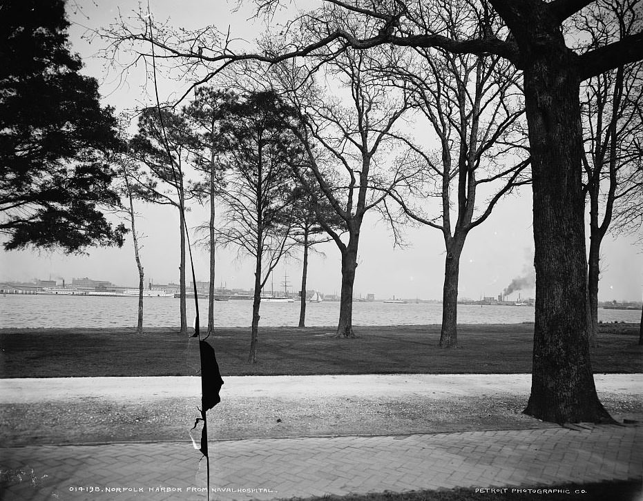
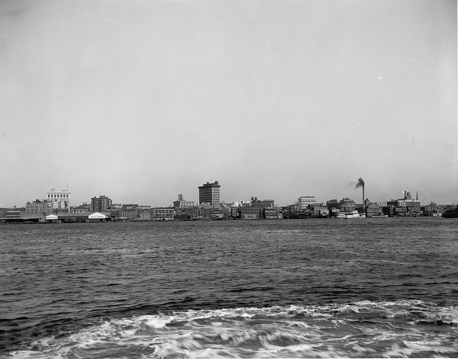
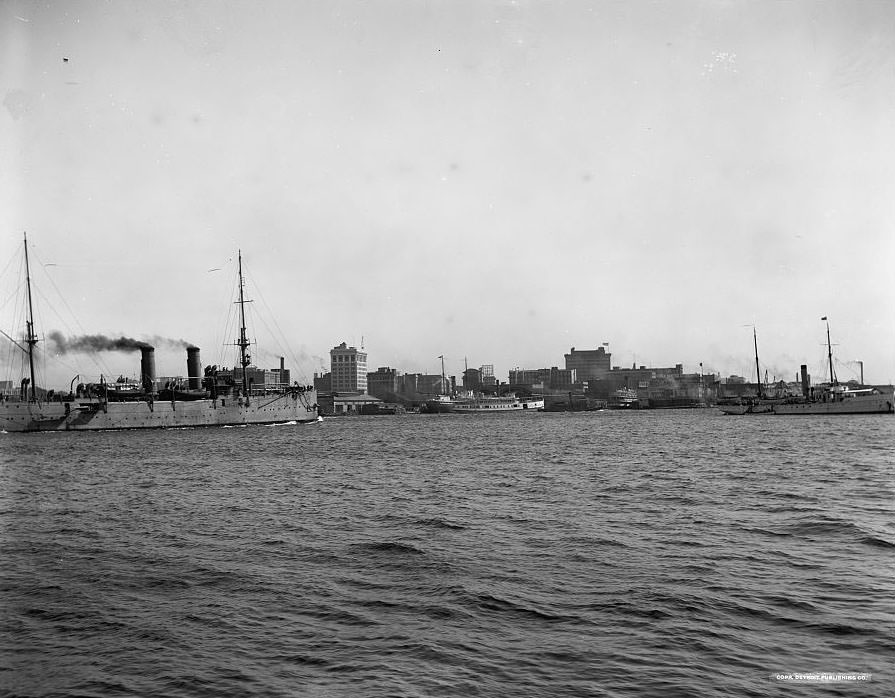
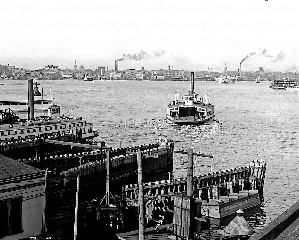
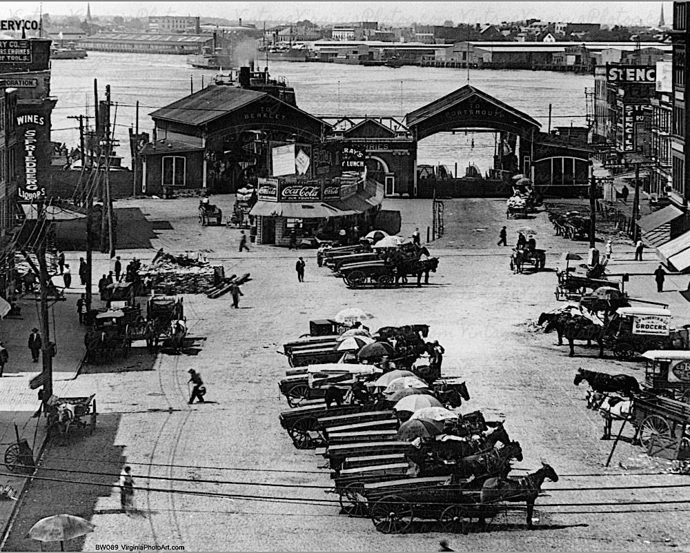
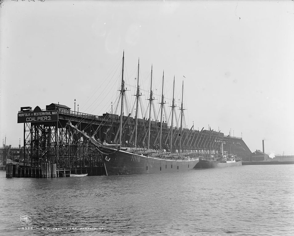
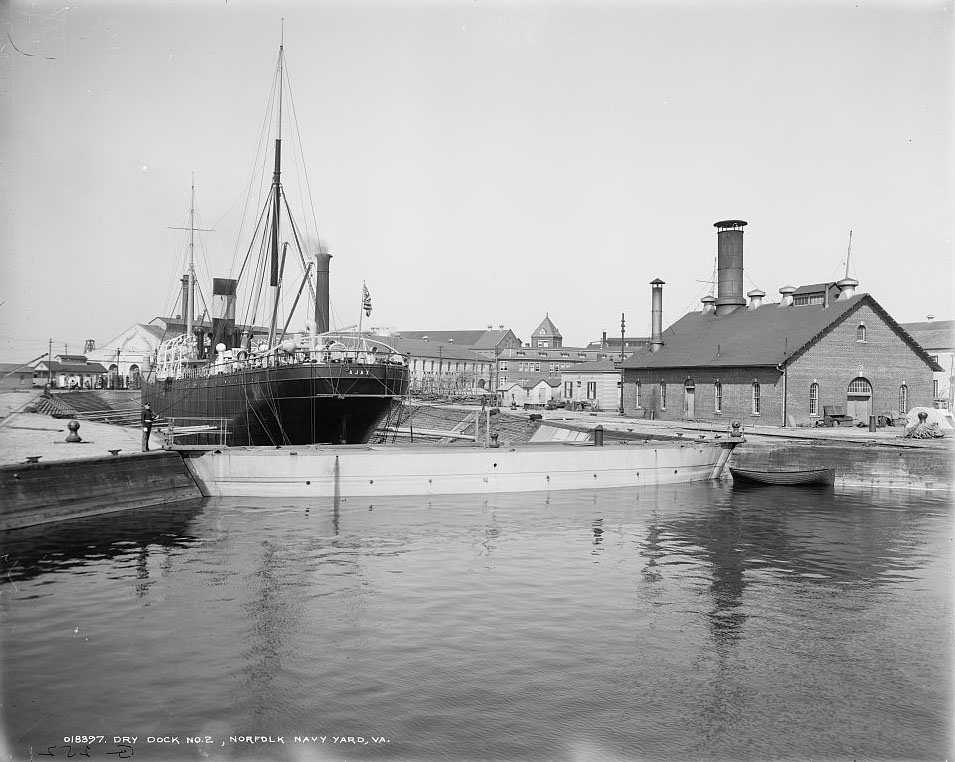
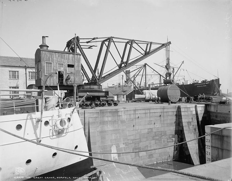
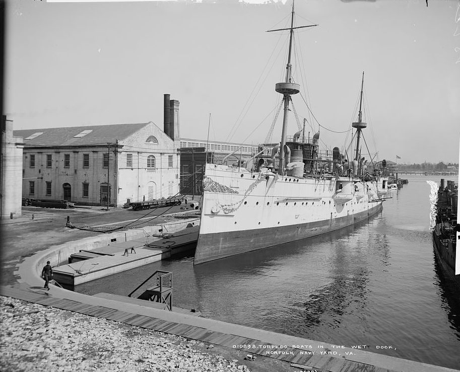
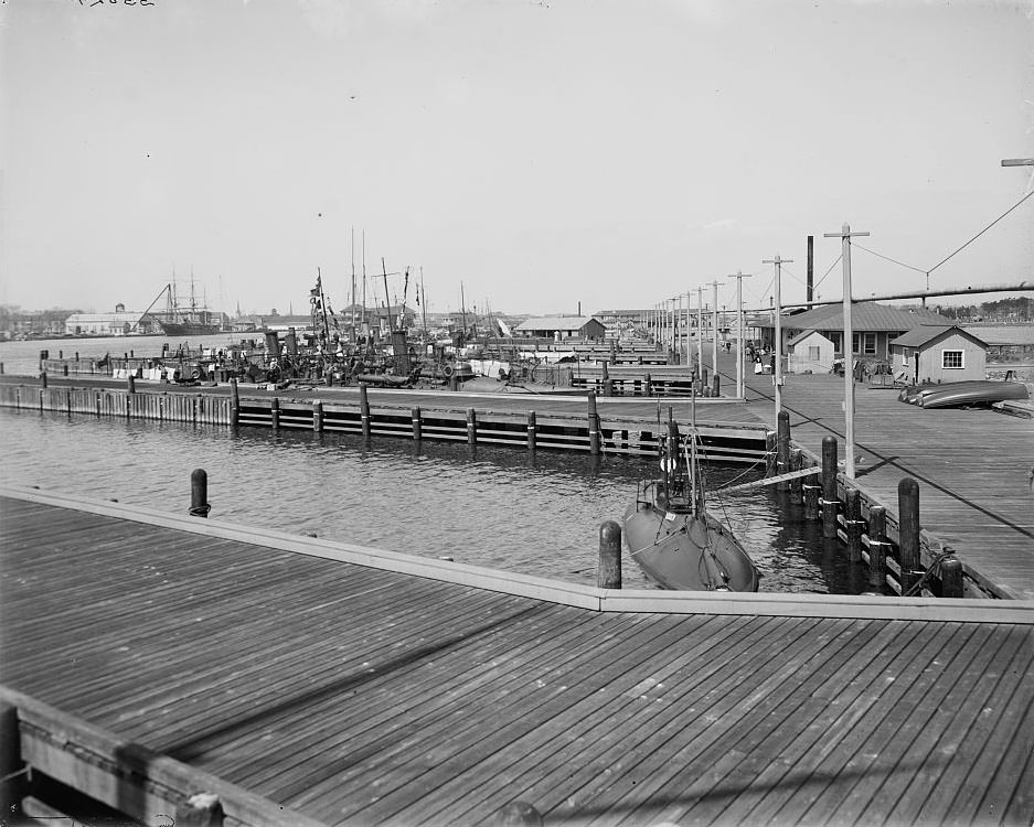
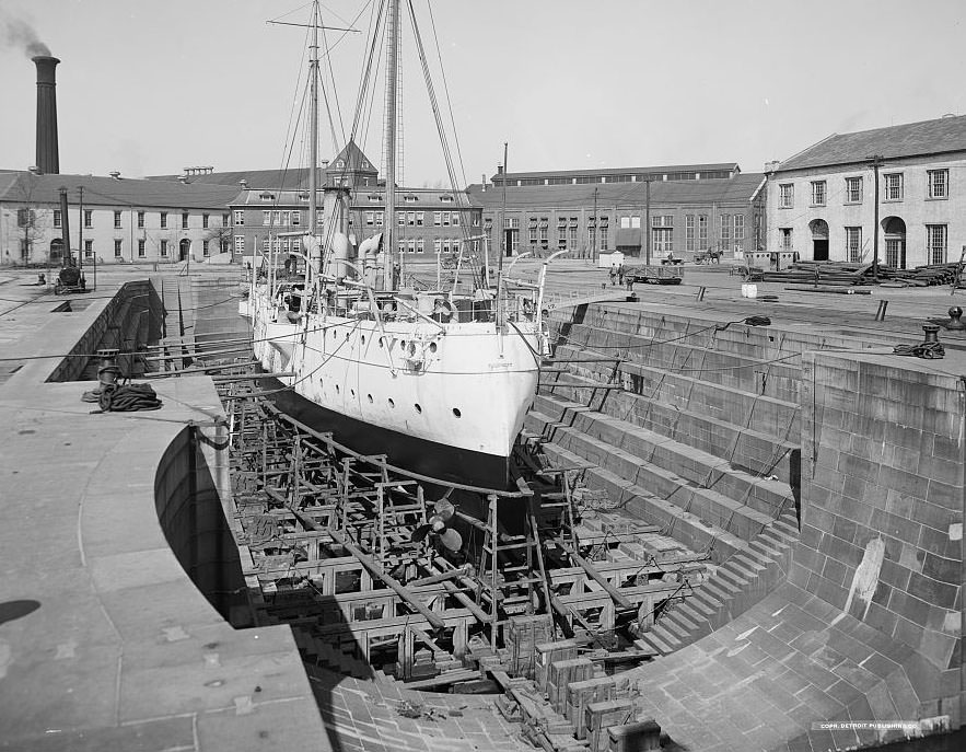
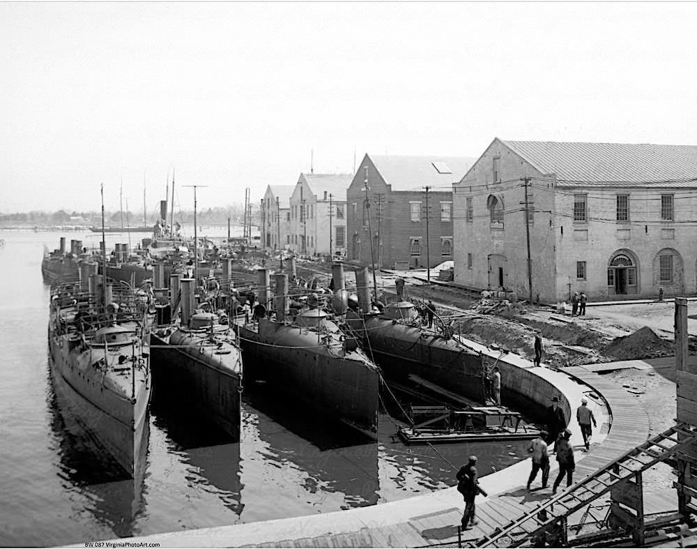
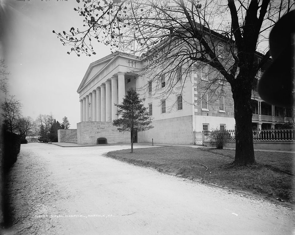
The Norfolk Navy Yard, located just across the river in Portsmouth, was one of the most strategically important military facilities in the country. By 1901, dry dock construction was already underway, and by 1905 the yard featured massive cranes, torpedo stations, and wet docks holding torpedo boats. The stone dry dock photographed in 1905 was a feat of engineering for its time, capable of servicing the Navy’s largest warships. The Naval Hospital overlooked the harbor and served personnel stationed throughout the region.
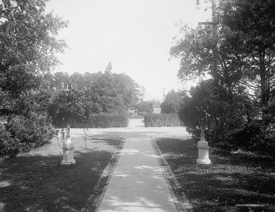
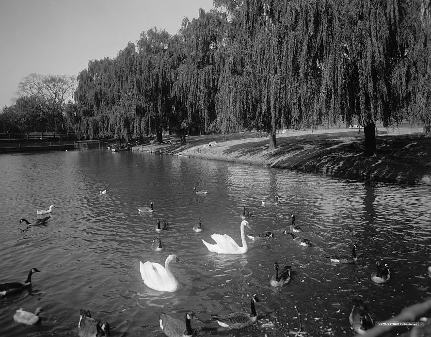
In 1902, land north of Atlantic City and along the Lafayette River was annexed into Norfolk. This area’s development was directly tied to the planning of the 1907 Jamestown Exposition, which commemorated the 300th anniversary of the first permanent English settlement in America. In 1903, the Sterling Place Corporation purchased a 166-acre farm from Peter March for $150,000. George W. Dillard, the corporation’s president, moved into the first completed home in 1906. The neighborhood was initially named Colonial Place but was later renamed Sterling Place in honor of the Exposition. Lafayette Park, photographed in both 1904 and 1906, was a well-used public green space that reflected the residential quality of these growing neighborhoods.
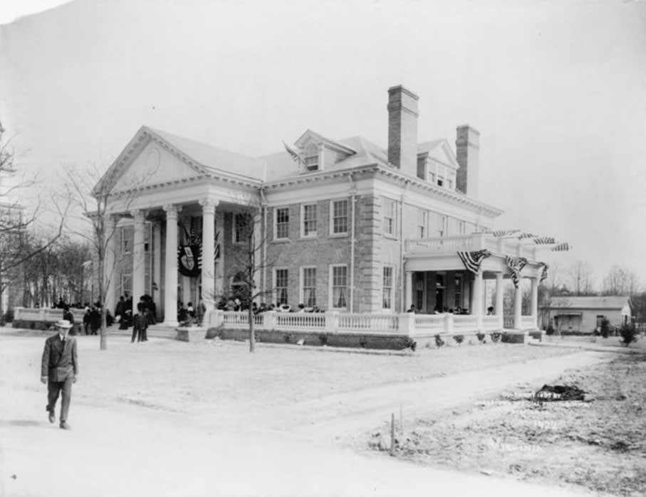
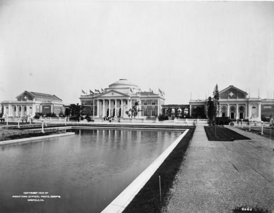
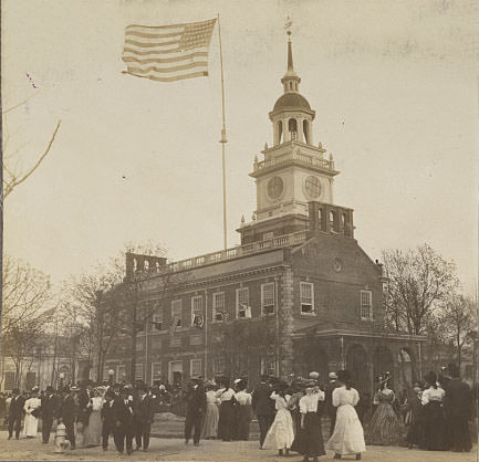
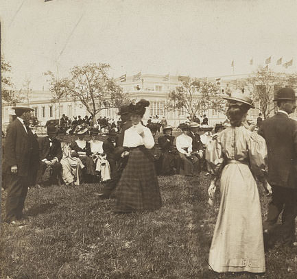
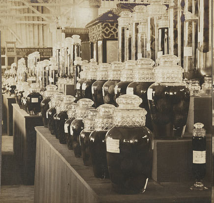
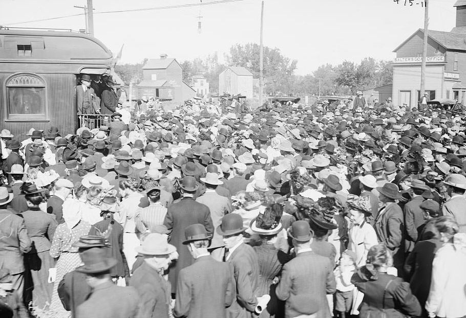
The 1907 Jamestown Exposition drew national attention to the Norfolk area. Held on the shores of Hampton Roads, it featured grand exhibition buildings constructed specifically for the event. The Administration Building was modeled after Thomas Jefferson’s Monticello. Pennsylvania built a full reproduction of Independence Hall as its state building. The Palace of Manufactures and the States Exhibit Palace showcased industrial and cultural displays from across the country. President William Howard Taft visited the region in 1908, drawing large crowds to the Norfolk waterfront.
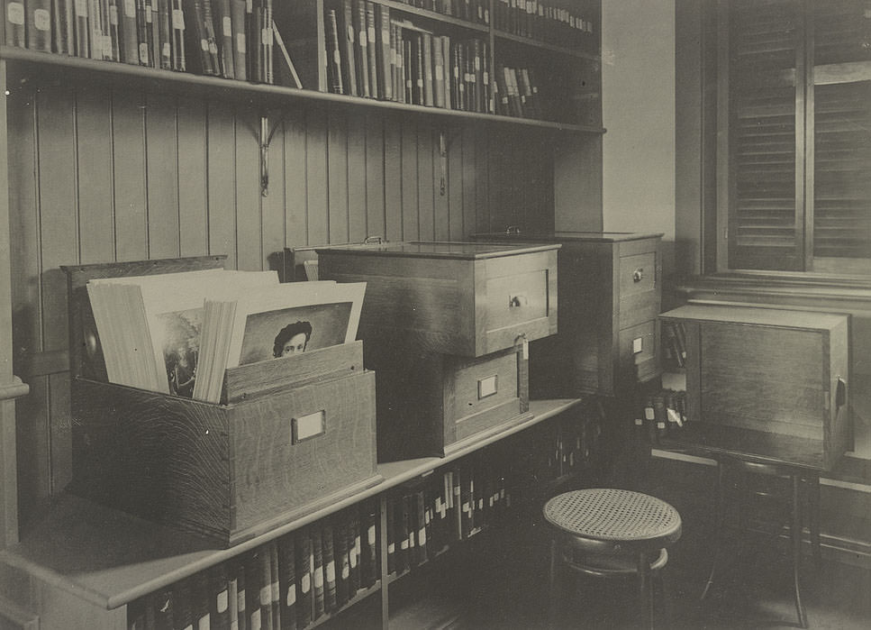
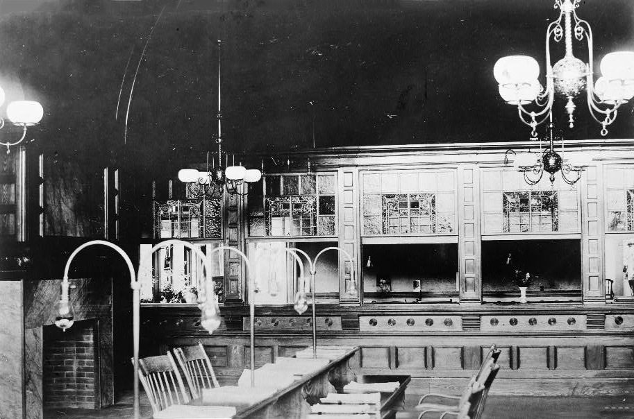
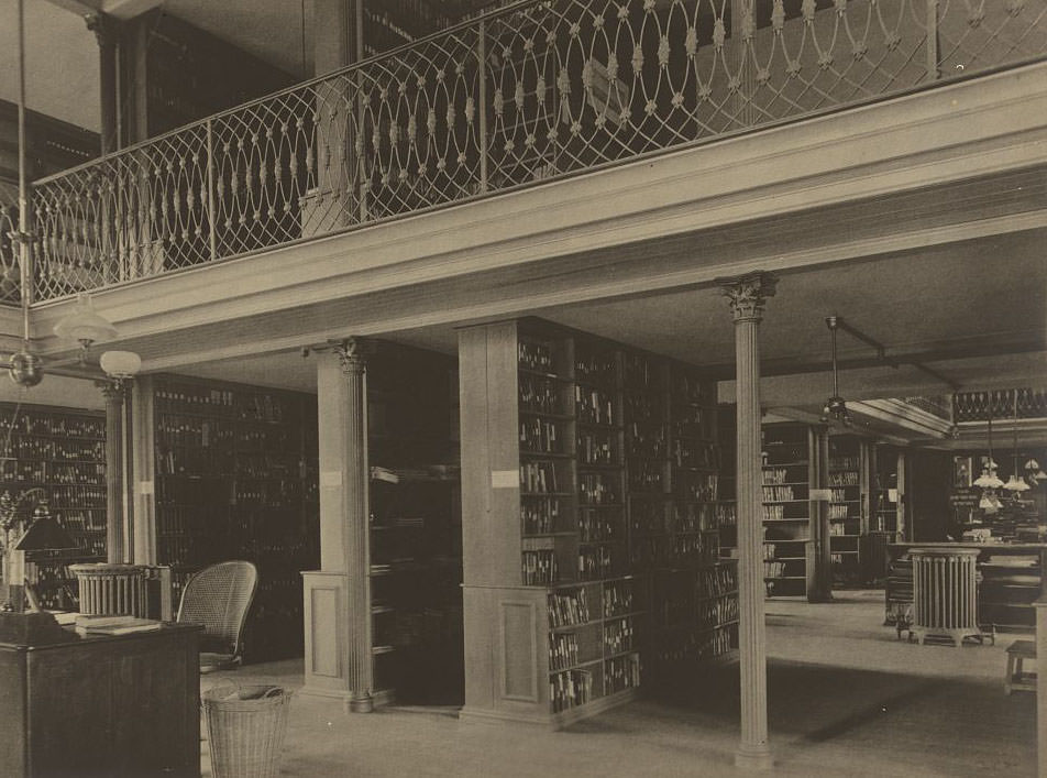
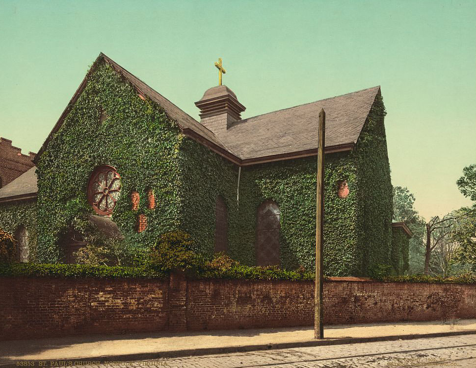
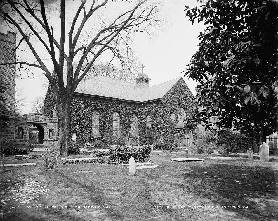
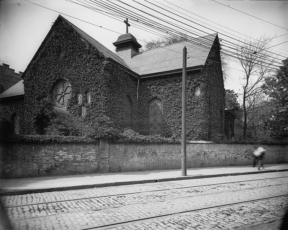
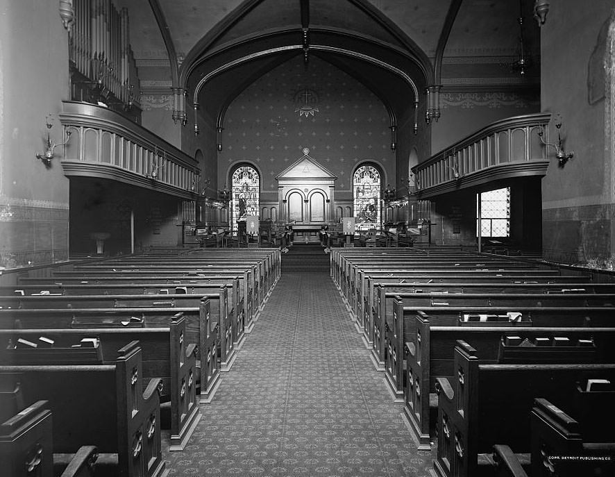
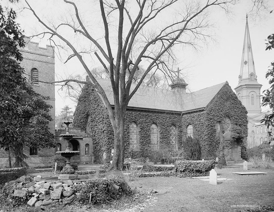
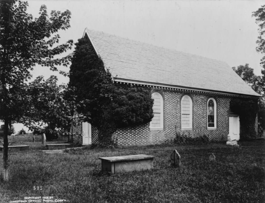
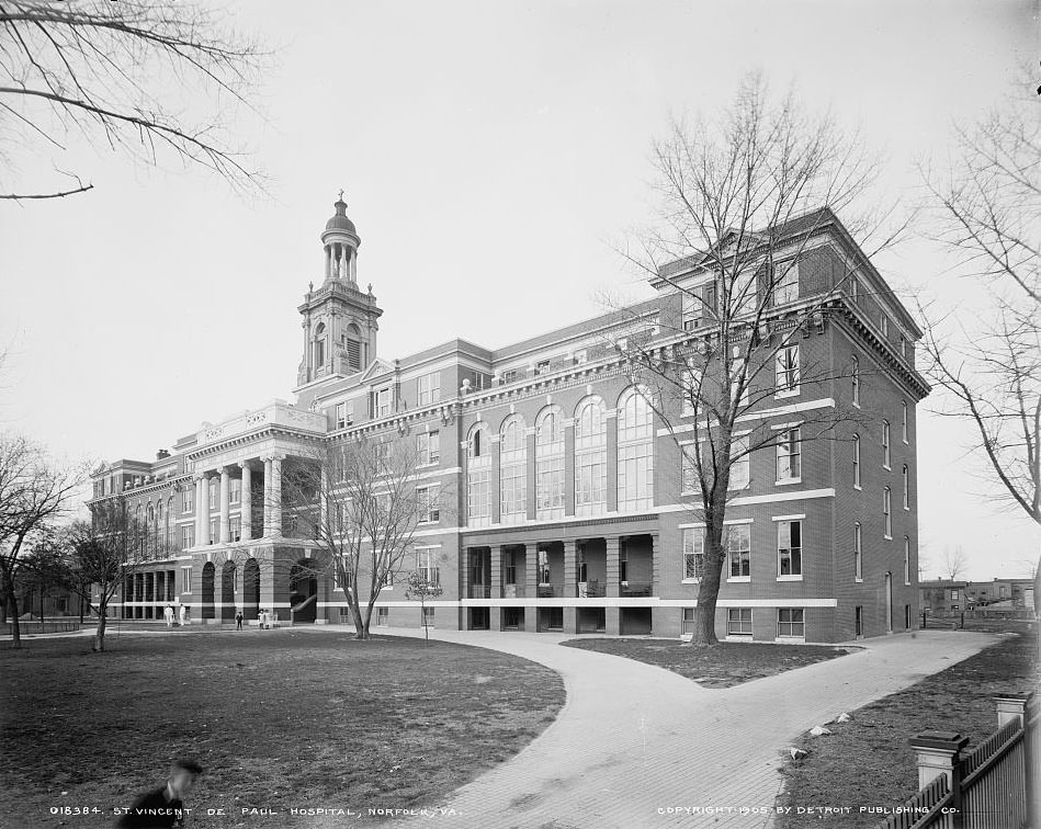
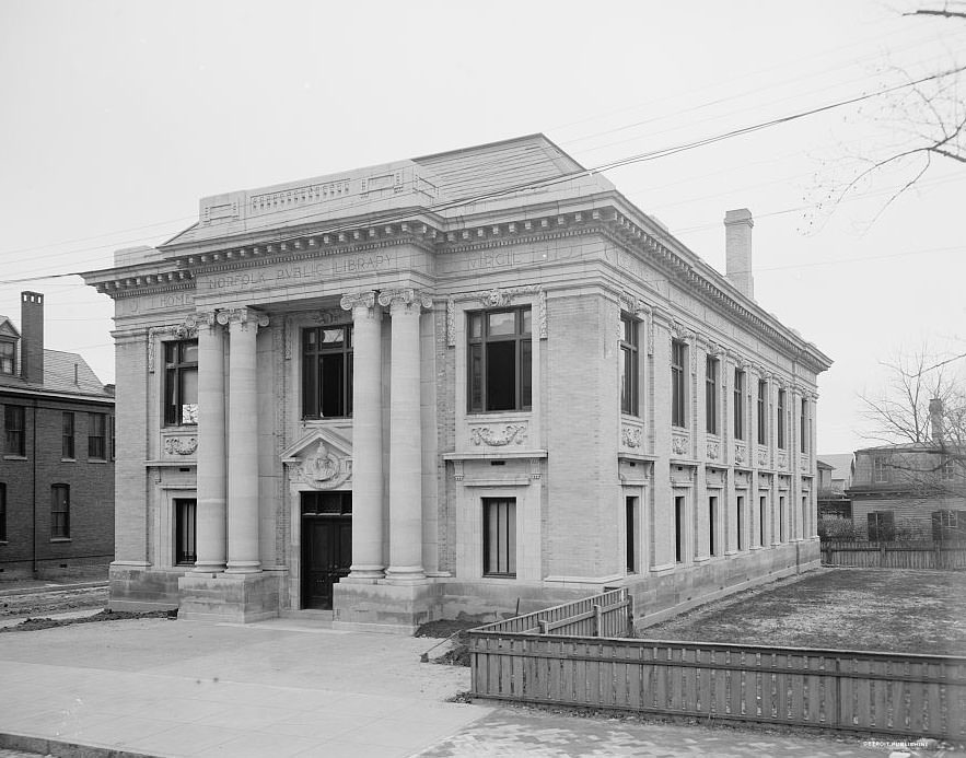
Norfolk’s churches and public institutions were defining features of the cityscape. St. Paul’s Church, one of the oldest buildings in Norfolk, appeared in multiple photographs taken between 1902 and 1905. Its brick exterior and churchyard made it one of the most photographed structures in the city. St. Vincent de Paul Hospital served the medical needs of residents and military personnel alike. The Public Library, photographed in 1906, provided residents with access to books, reading rooms, and research collections that were considered modern and well-appointed for the time.
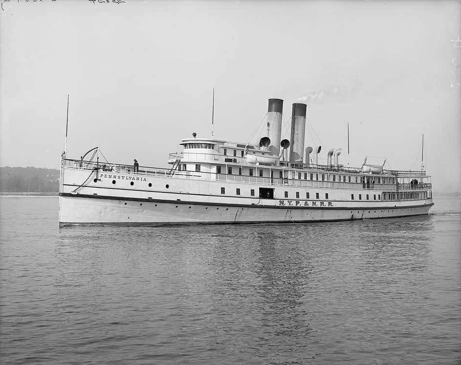
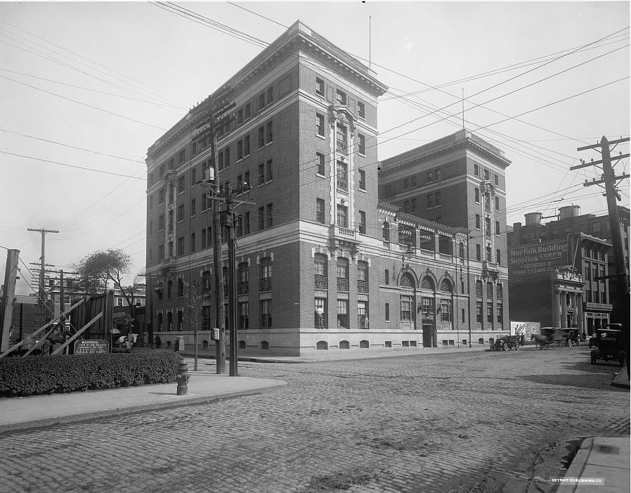
Norfolk’s transportation network connected the city to regional and national markets. The Union Depot served rail passengers traveling on lines that linked Norfolk to the interior of Virginia and beyond. The New York, Philadelphia and Norfolk Railroad operated the steamship Pennsylvania, one of the vessels that carried passengers and freight between Norfolk and northern ports. The Naval Y.M.C.A., opened by 1907, provided recreational and lodging facilities for sailors passing through the busy military hub.
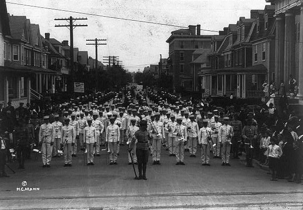
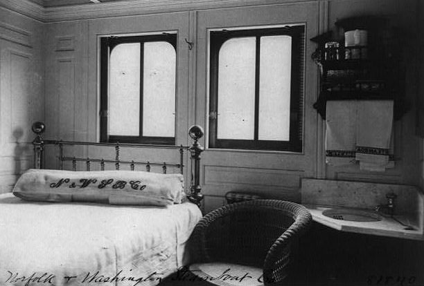
Commercial life along Main Street and at Market Square was lively and dense. Miller & Rhoads operated a retail presence near Main Street and Market Square, one of several businesses that anchored downtown shopping. A benefit parade for the Nina rolled through Norfolk’s streets in 1904, drawing crowds along the decorated route. The steamboat cabins on vessels operating out of Norfolk were fitted out with polished woodwork and upholstered seating, reflecting the quality of service expected by travelers on the major water routes.
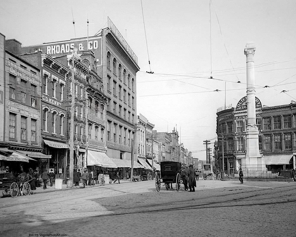
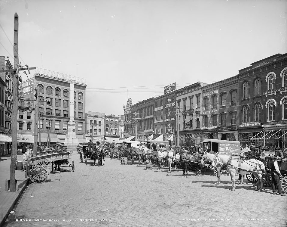
Public memory was also part of Norfolk’s identity during this period. The Confederate Monument appeared in multiple photographs taken across the decade, always a visible presence in Commercial Place. A 1904 image shows it surrounded by pedestrians, horse-drawn vehicles, and the daily flow of city life. Libraries and reading rooms, while some pictured here are from other Virginia cities for reference, reflect the broader regional investment in public knowledge and record-keeping that characterized this era.