
New Orleans in the 1990s was a city of sharp contrasts. Its streets held some of the most vibrant culture in the country, yet the decade was also defined by serious crime, political drama, and a pair of disasters that left deep marks on the city. Photographer Todd Jacobson moved through the city with a camera and captured it all — the ordinary and the extraordinary — in a collection of photos that offer a rare, ground-level look at what New Orleans was really like during that era.
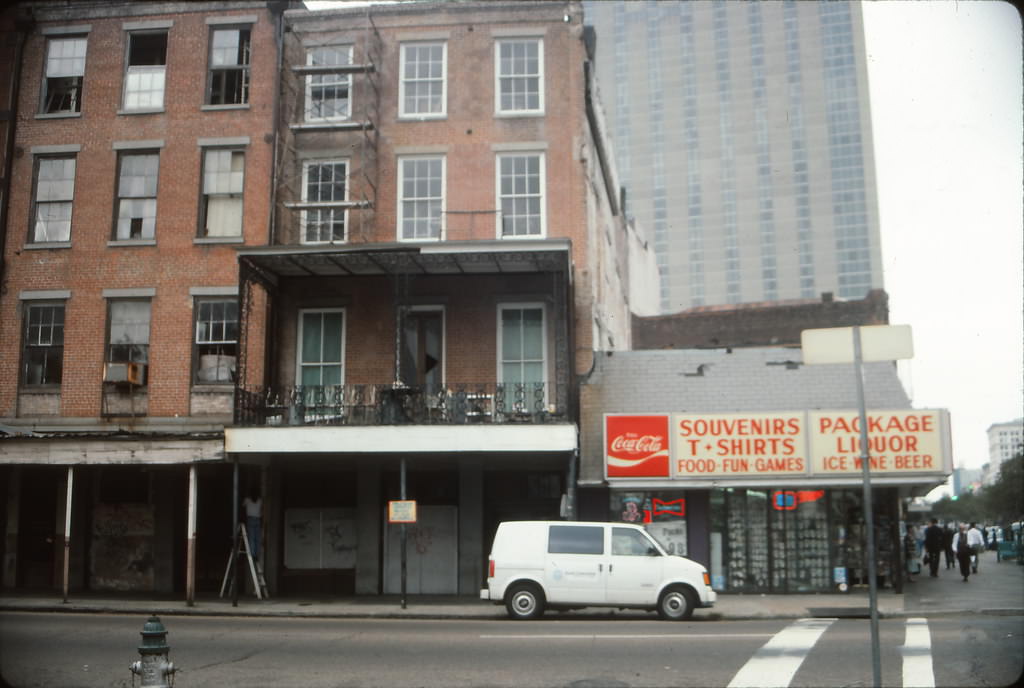
The political landscape of 1990s New Orleans was shaped largely by one family. Marc Morial, the son of former mayor Dutch Morial, was elected mayor in 1994 and served two consecutive terms through 1998. His administration oversaw a city wrestling with high crime rates and a police department under fire for widespread corruption. The New Orleans Police Department faced federal scrutiny during this period, with multiple officers convicted of serious crimes including murder and drug trafficking. It was a difficult chapter for the city’s relationship with law enforcement.
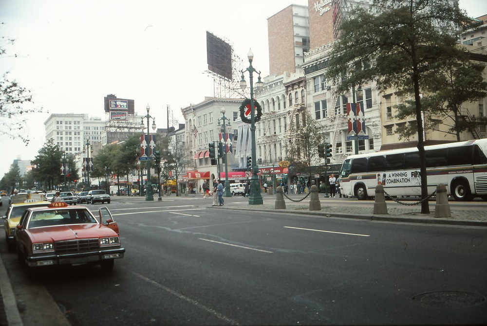
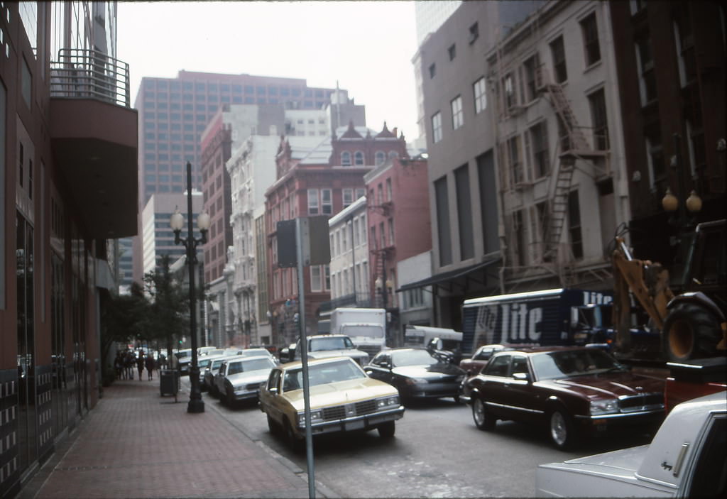
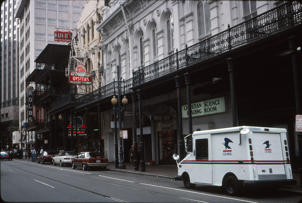
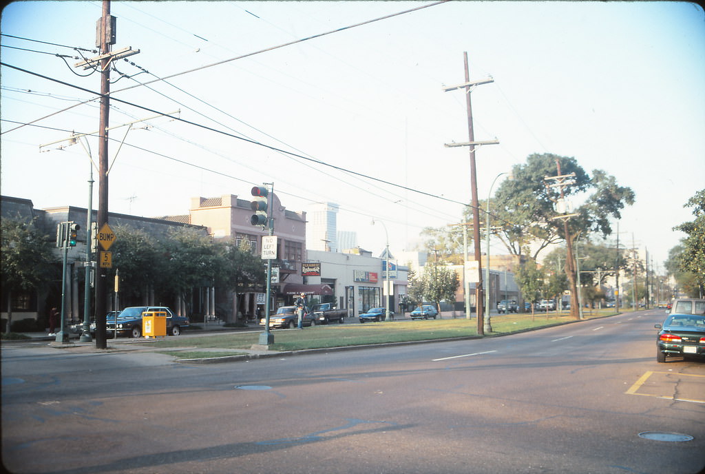
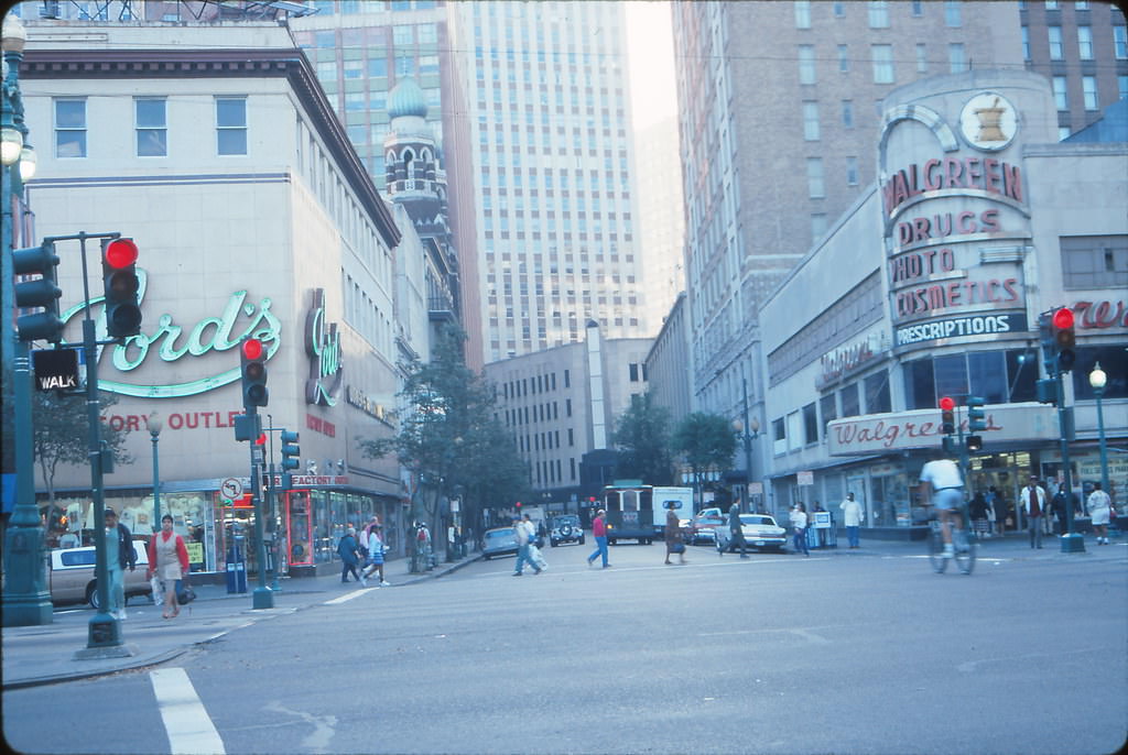
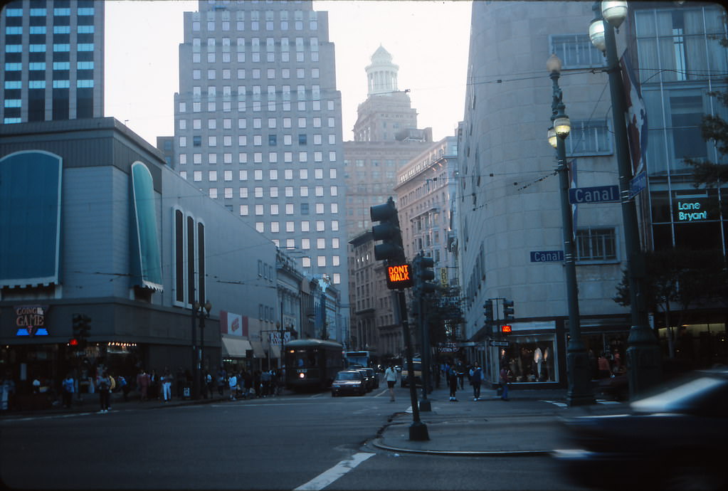
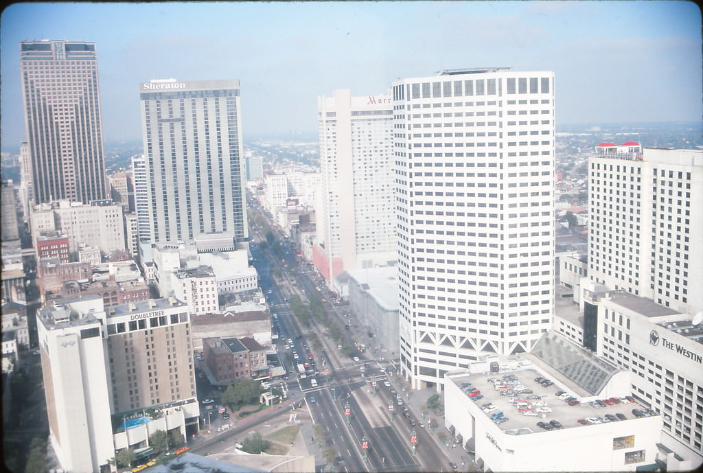
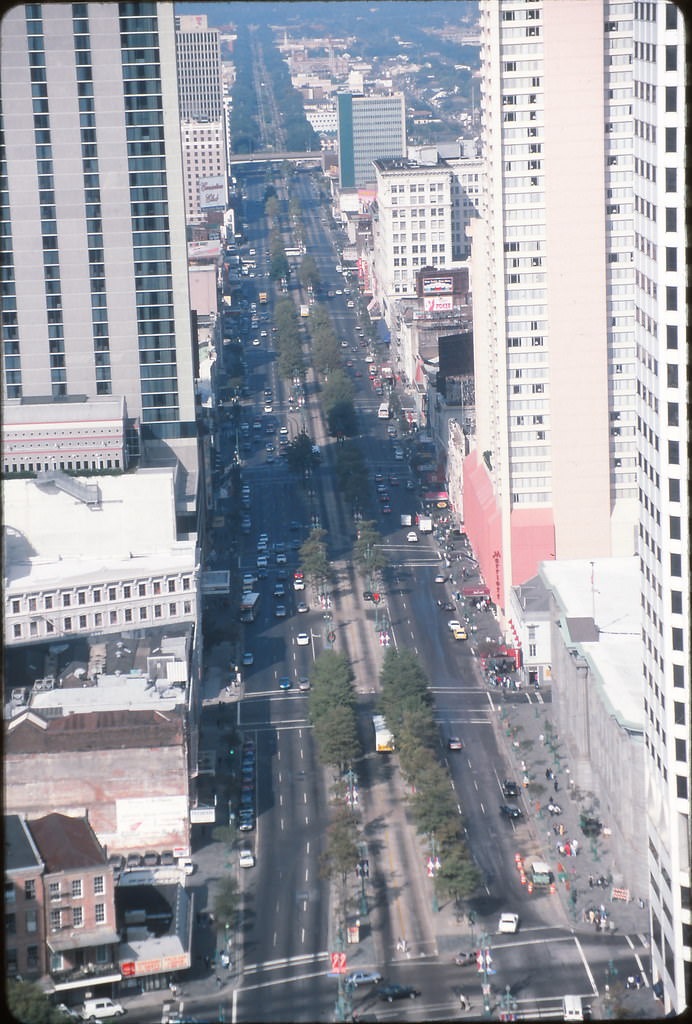
Despite the turmoil in city hall and on the streets, New Orleans remained a magnet for visitors. By the late 1990s, tourism had grown into one of the most important pillars of the local economy. The French Quarter drew millions of people each year, and the hospitality industry — hotels, restaurants, bars, and live music venues — kept a large portion of the city’s workforce employed. Canal Street, the wide boulevard that divides the French Quarter from the Central Business District, served as a daily crossroads for locals and tourists alike.
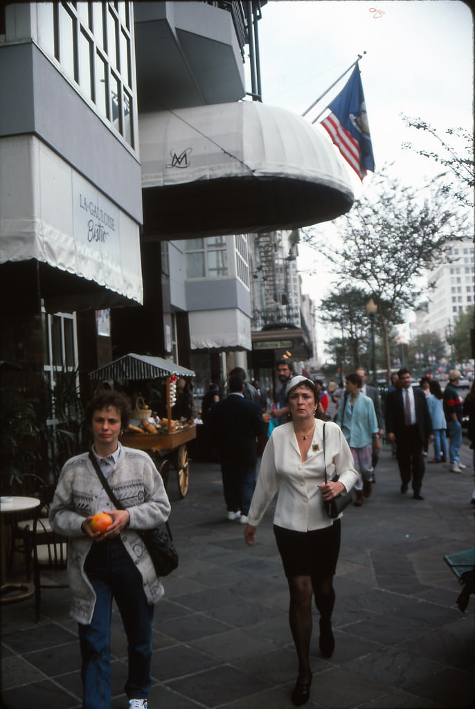
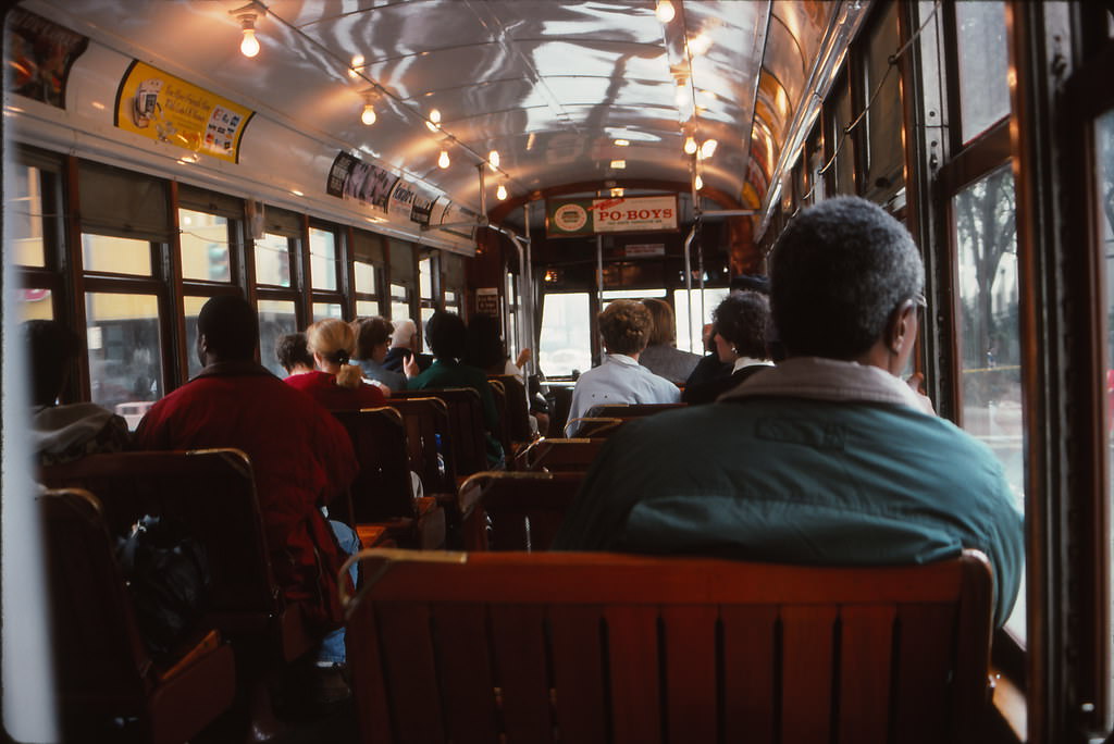
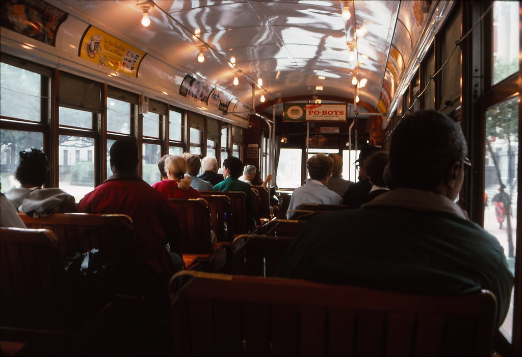
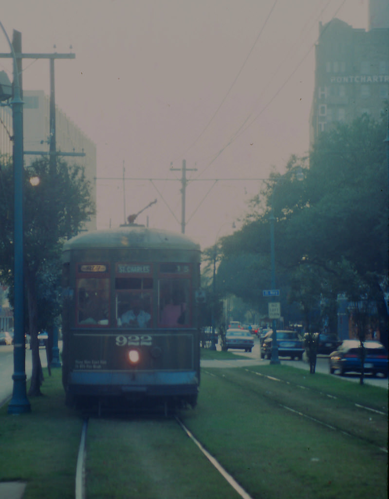
One of the city’s most beloved features was its streetcar system. The St. Charles line, one of the oldest continuously operating streetcar lines in the world, carried passengers along the oak-lined avenue through the Garden District and Uptown neighborhoods. Riding it was both a practical commute and a sightseeing experience in one.
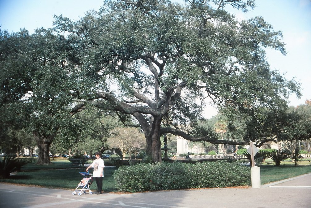
Away from the bustle of downtown, the green spaces and quieter neighborhoods offered a different pace of life. Audubon Park, situated along the Mississippi River in Uptown, was a popular gathering spot for families, joggers, and anyone looking to escape the summer heat under the shade of old live oak trees.
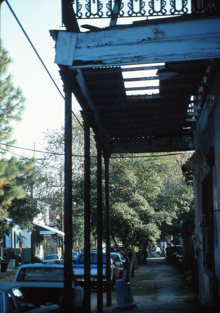
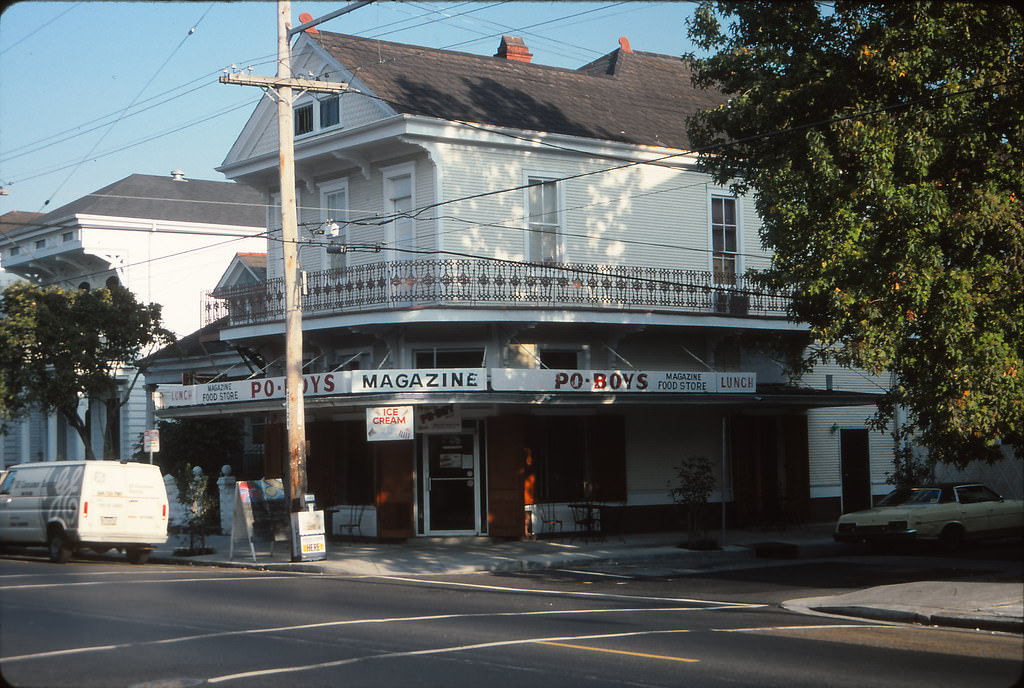
Magazine Street, running parallel to the river through several neighborhoods, was lined with a mix of locally owned shops, antique stores, and modest eateries. The po-boy sandwich — a New Orleans staple — could be found at small corner shops like the Magazine Po-Boy Shop at 1st and Magazine, where the menu was simple and the portions were generous.
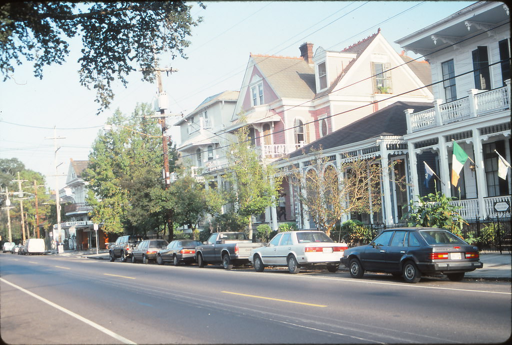
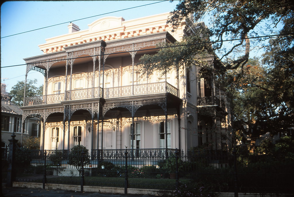
On May 8, 1995, a severe rainstorm hit New Orleans and exposed one of the city’s most persistent vulnerabilities. Heavy rain dumped more than a foot of water on parts of the city in a matter of hours — far faster than the drainage pumps could handle. The lowest-lying streets filled with water, and cars were swamped before drivers had any real chance to move them. The flood resulted in more vehicles being declared total losses than any other single weather event in U.S. history at that time. For many residents, the 1995 flood was a stark reminder of how precarious life below sea level could be.
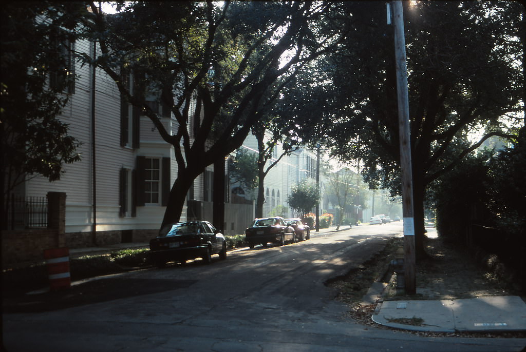
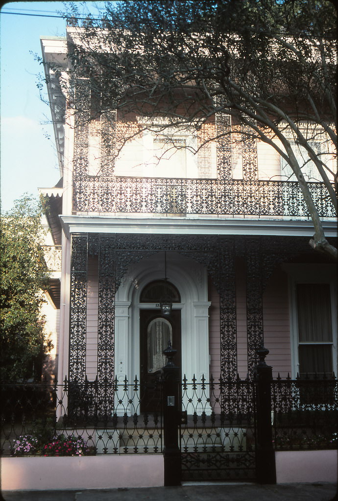
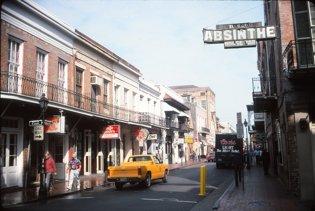
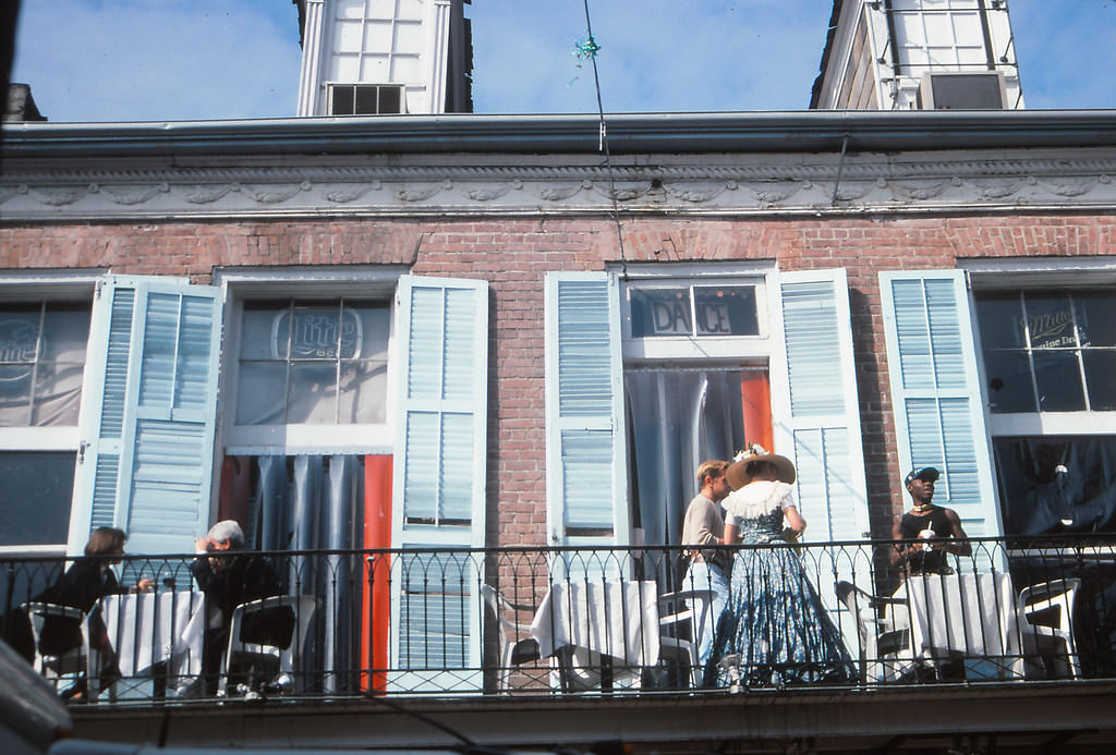
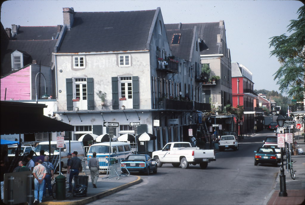
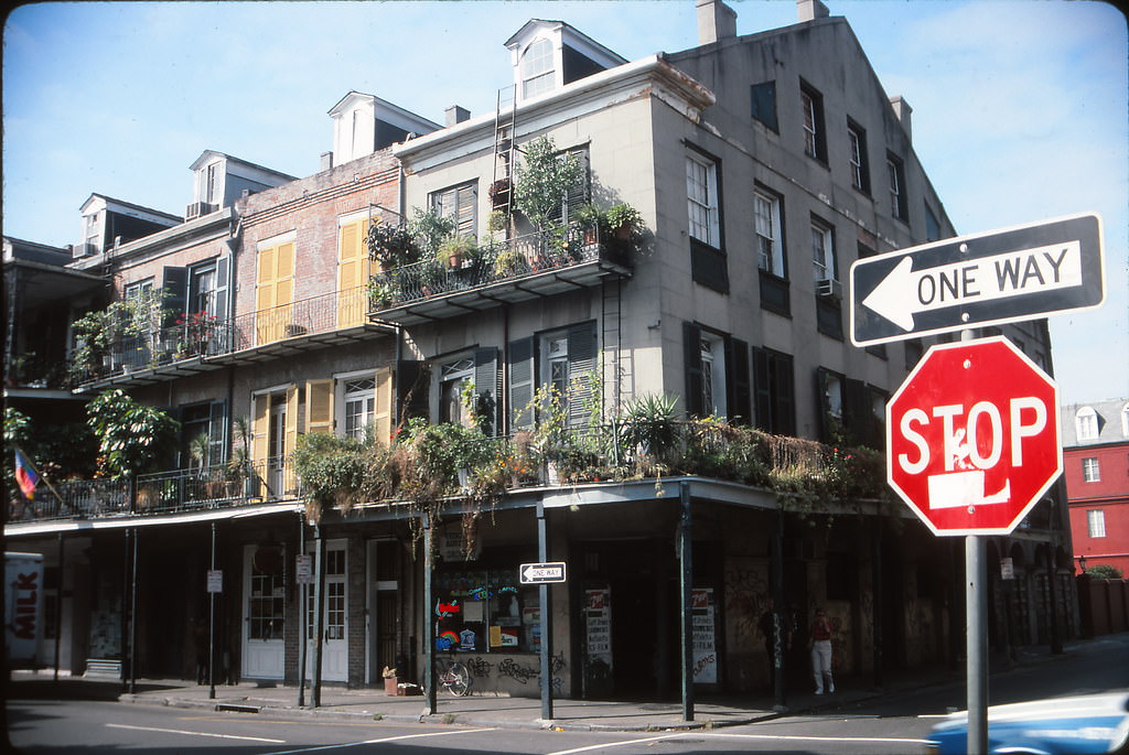
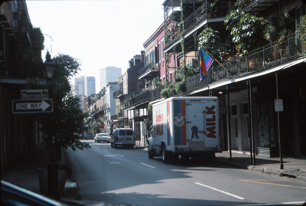
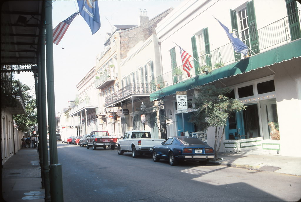
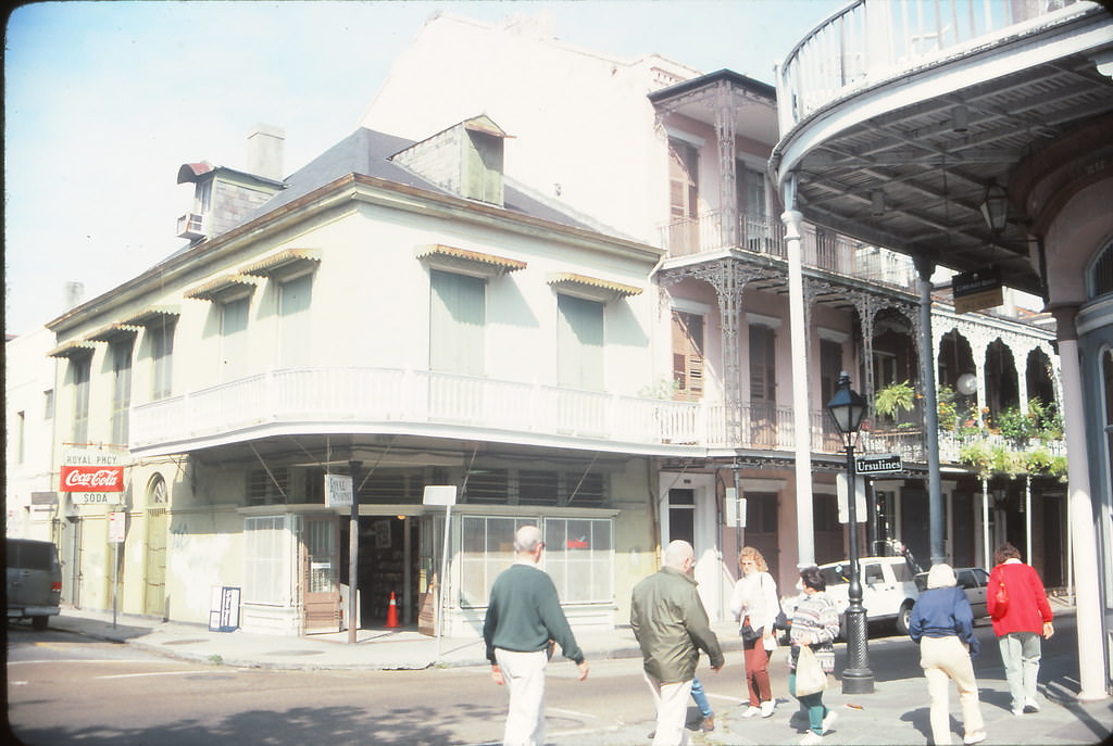
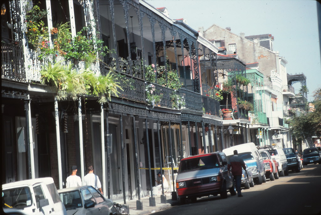
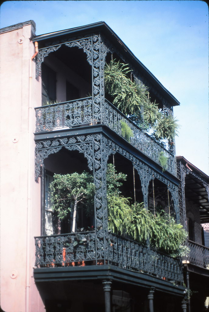
The French Quarter remained the heart of the city’s social life throughout the decade. Bourbon Street’s bars — including the well-known Absinthe House — drew crowds every night of the week. Balcony dining and drinking were common sights along the narrow streets of the Quarter, where the architecture of wrought-iron railings and shuttered windows had changed little in over a century.
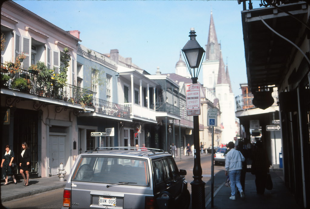
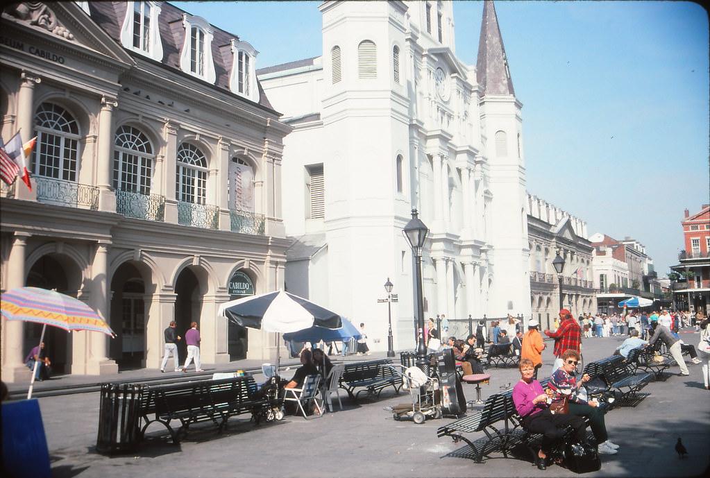
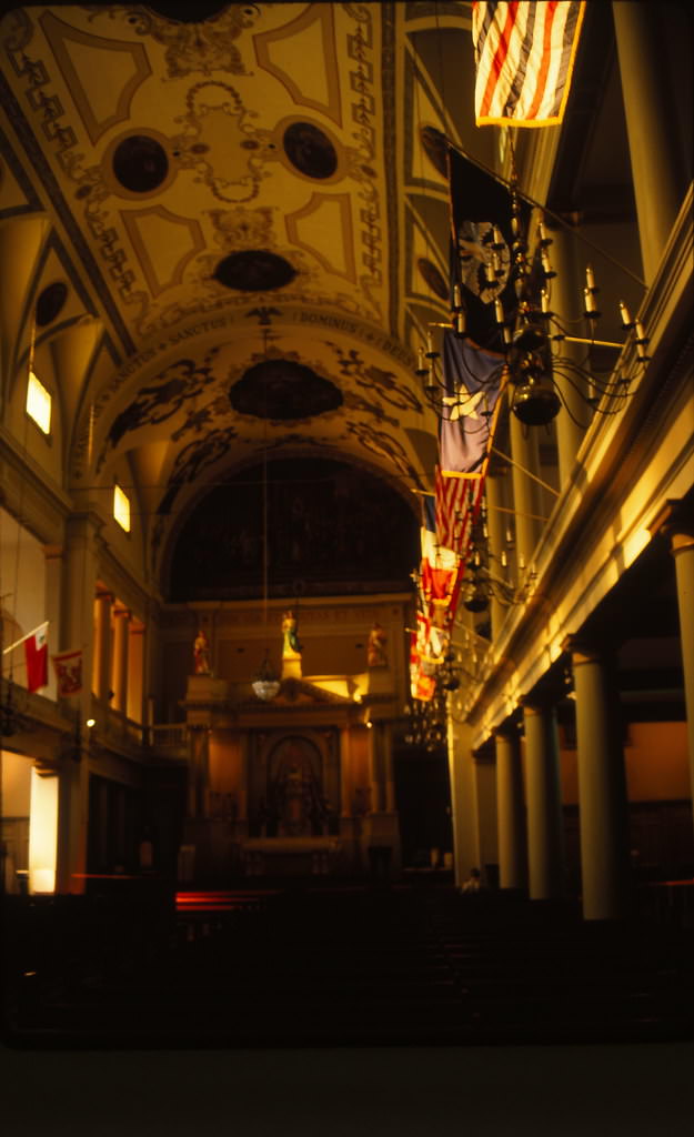
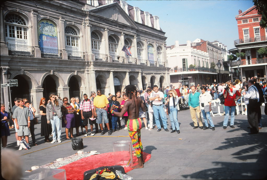
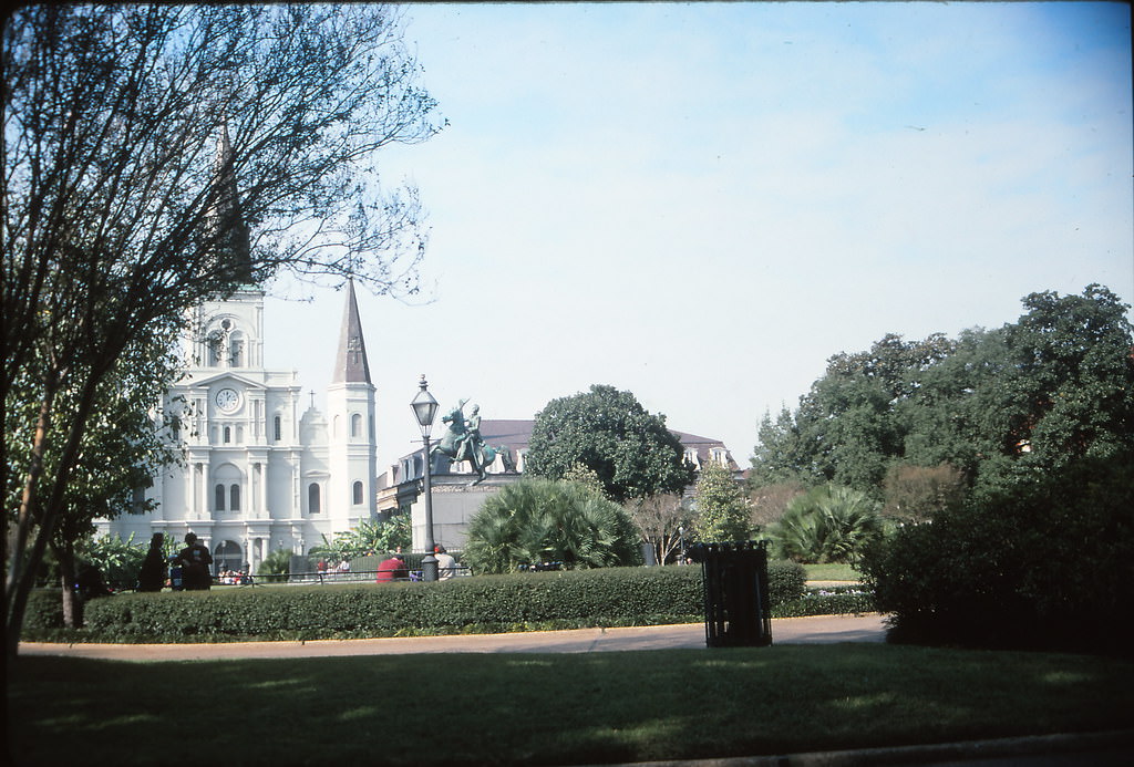
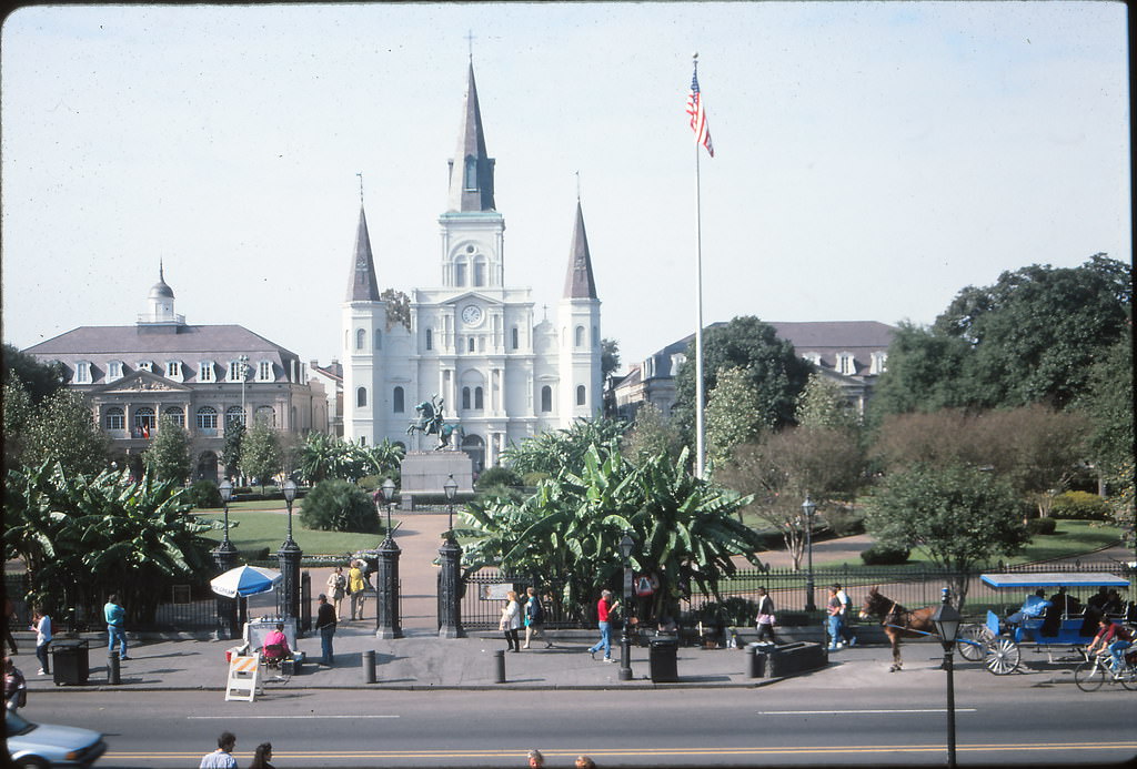
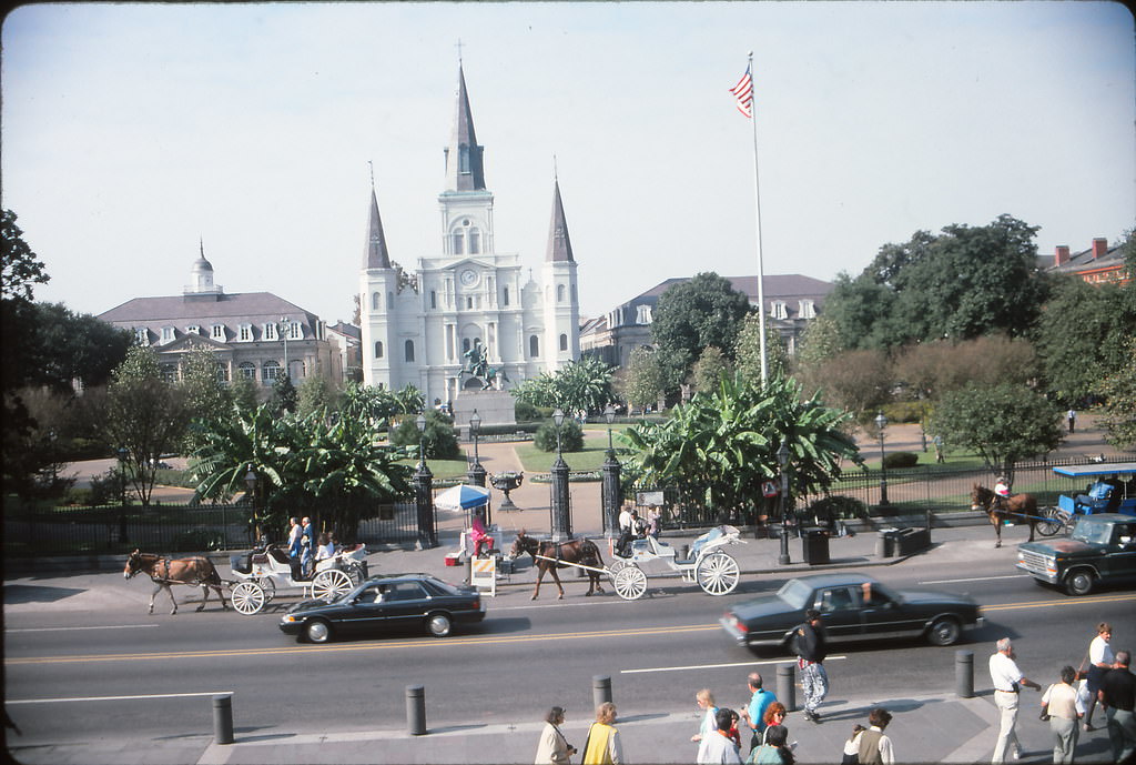
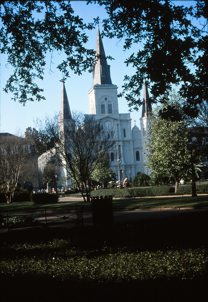
Chartres Street led visitors toward the unmistakable white facade of St. Louis Cathedral, which anchored Jackson Square and stood as the visual centerpiece of the French Quarter. Street performers, portrait artists, and fortune tellers set up around the square’s iron fence daily, making it one of the most photographed blocks in the entire South.
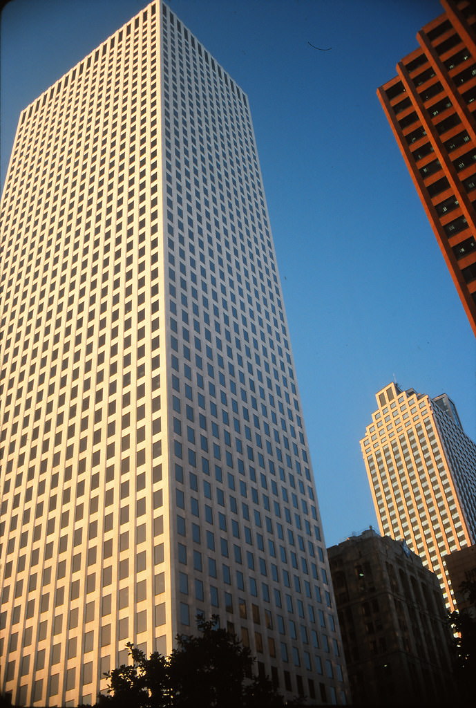
The downtown skyline was anchored by One Shell Square, the tallest building in Louisiana, along with Place St. Charles beside it. Together they defined the modern face of the Central Business District, standing in sharp contrast to the low-rise historic architecture just a few blocks away in the Quarter.
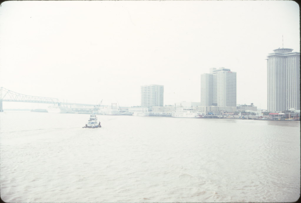
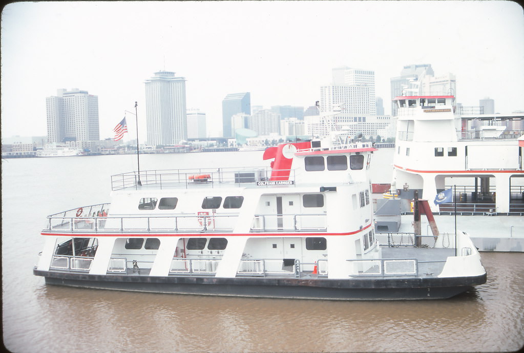
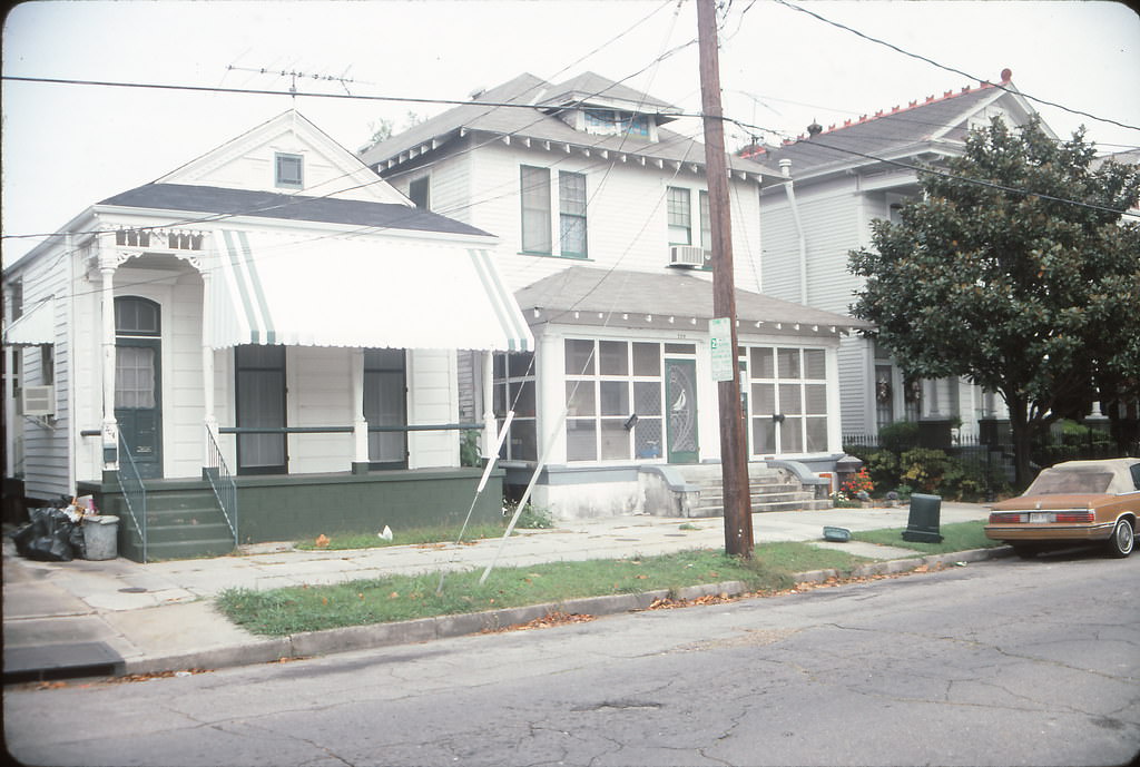
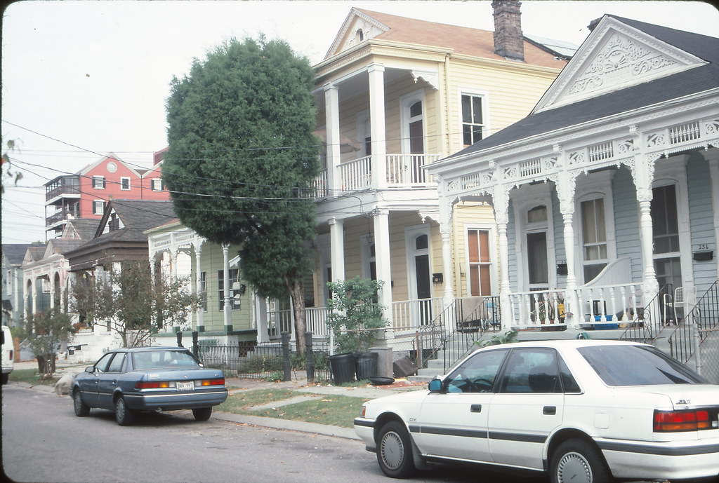
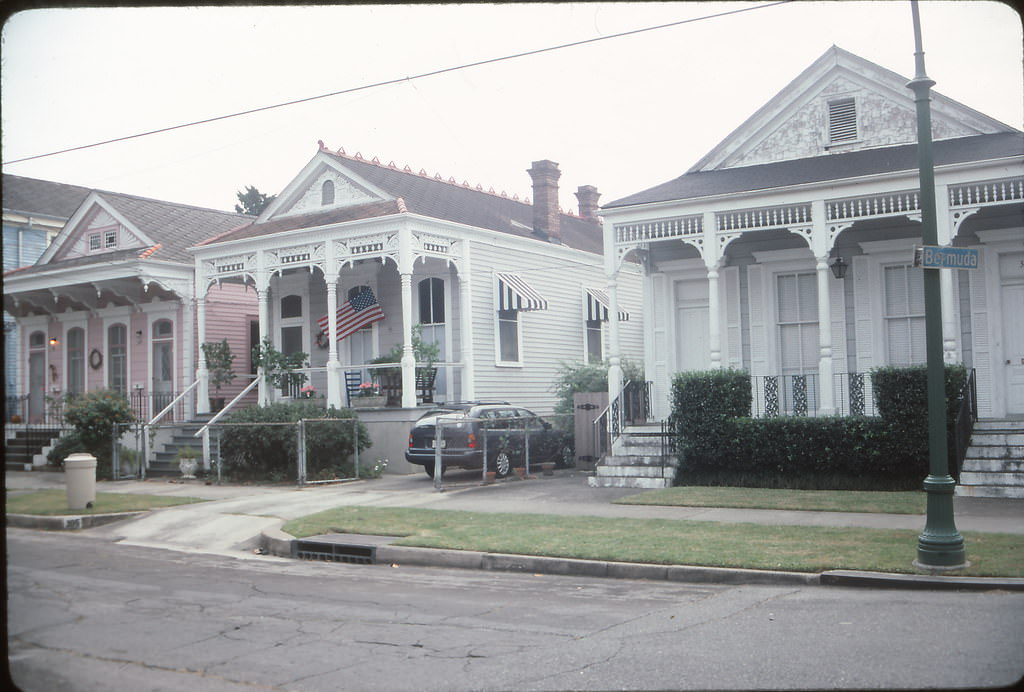
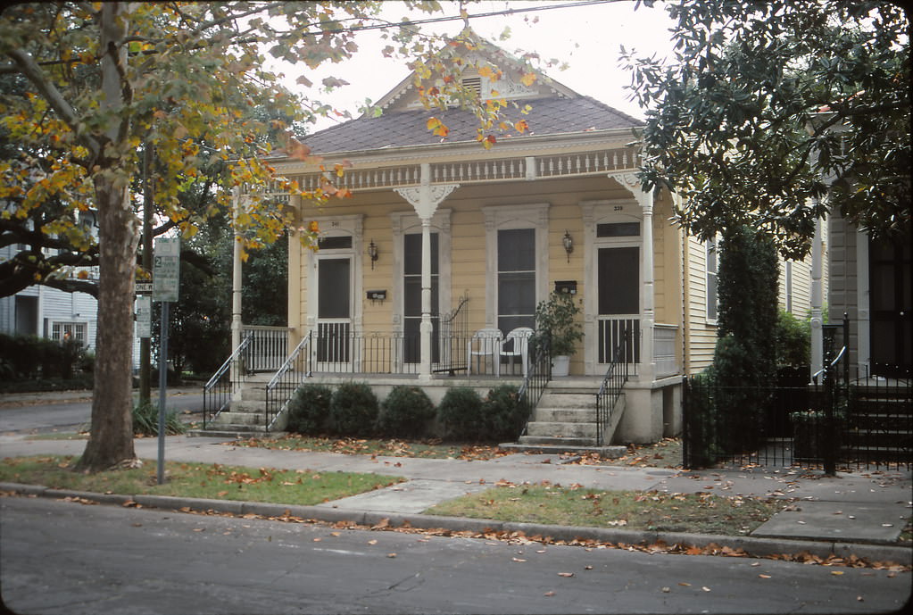
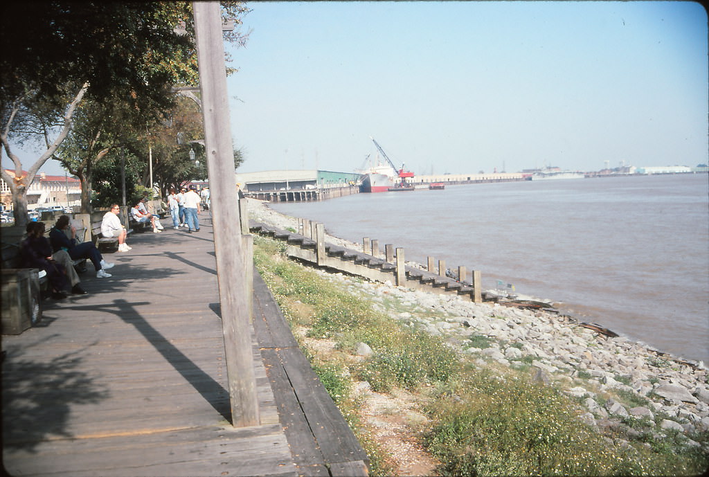
Across the Mississippi River, Algiers Point offered a quieter side of New Orleans. Accessible by ferry, it was one of the oldest neighborhoods in the city, filled with Victorian-era homes, narrow streets, and sweeping views back toward the downtown skyline. The ferry ride itself was a short but scenic crossing that locals used daily for their commute.
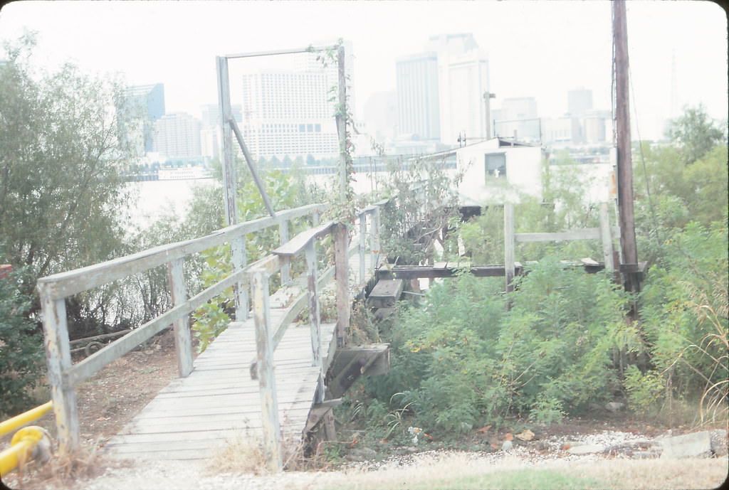
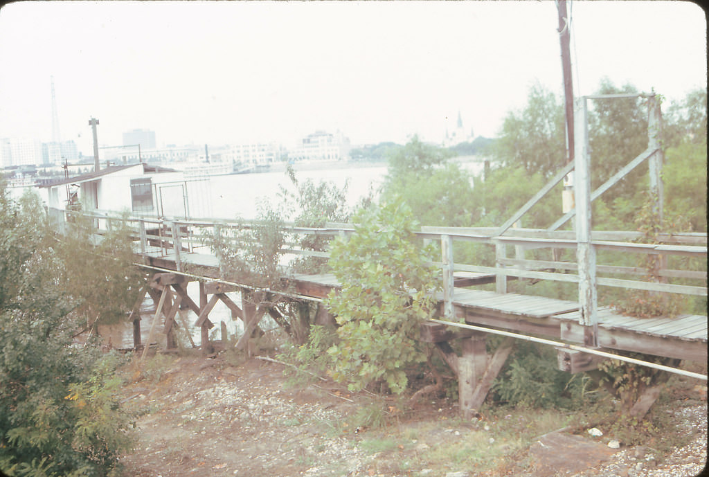
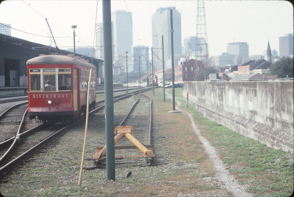
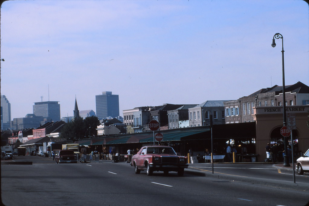
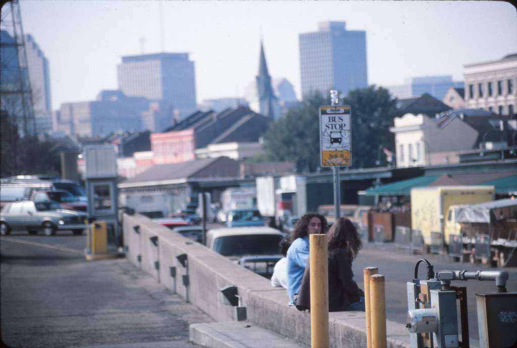
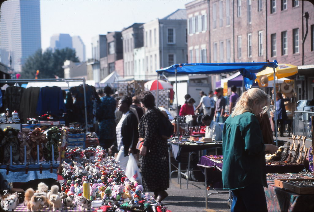
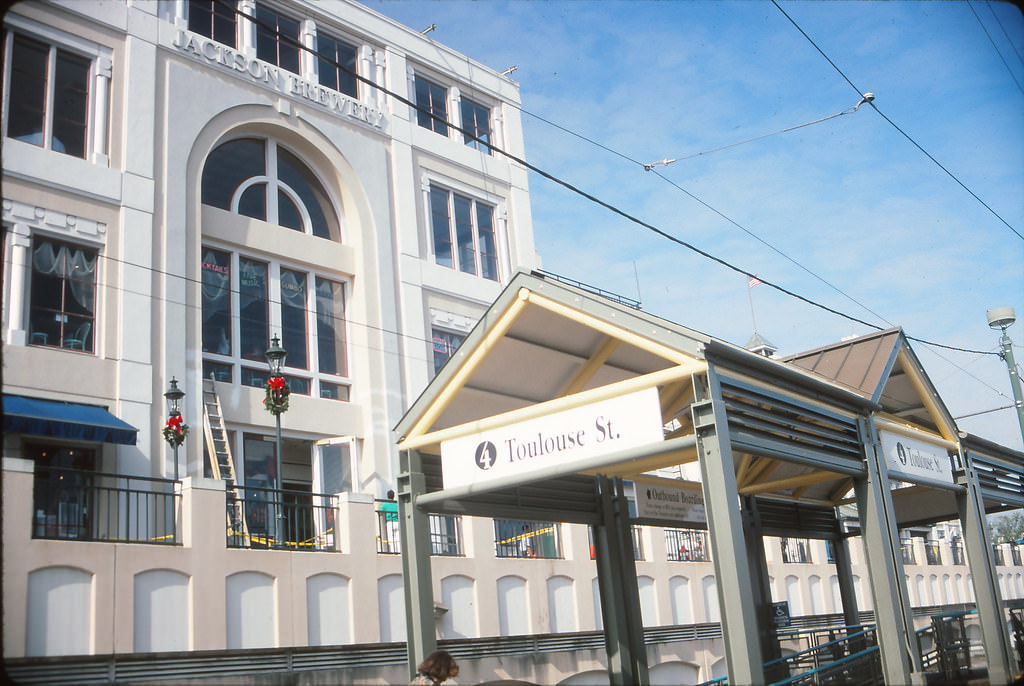
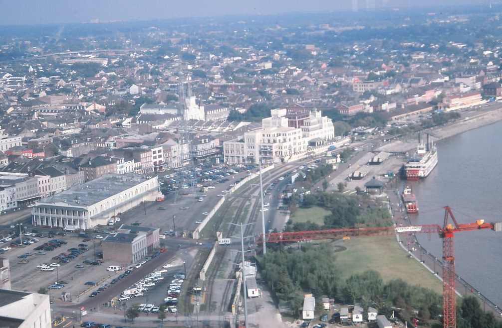
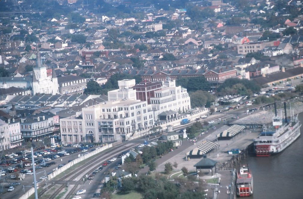
Back on the French Quarter side of the river, the Riverfront Streetcar line ran along the edge of the Mississippi, connecting the French Market area to Canal Street. The French Market itself was one of the oldest public markets in the country, offering fresh produce, crafts, and food to anyone who wandered through its open-air stalls.
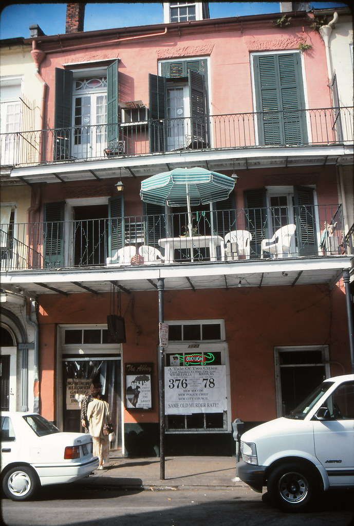
The crime rate in New Orleans during the 1990s was among the highest in the nation. Newspaper headlines regularly tracked the city’s murder count alongside other major American cities. A photo from this collection captures a news display in the French Quarter comparing murder rates in New Orleans versus Boston — a stark visual reminder of how serious the violence had become by mid-decade.
On the afternoon of Saturday, December 14, 1996, a Freightliner bulk cargo vessel lost control on the Mississippi River and slammed into the Riverwalk Mall and nearby hotels at the Poydras Street Wharf. The collision caused massive structural damage. Fourteen shops inside the mall were destroyed, and 456 hotel rooms were put out of service. Sixty-six people were injured in the crash, though no one was killed. The Freightliner remained lodged at the site for more than three weeks, and in that time it drew so many curious onlookers that it became an unofficial tourist attraction. The vessel was not removed until January 6, 1997.
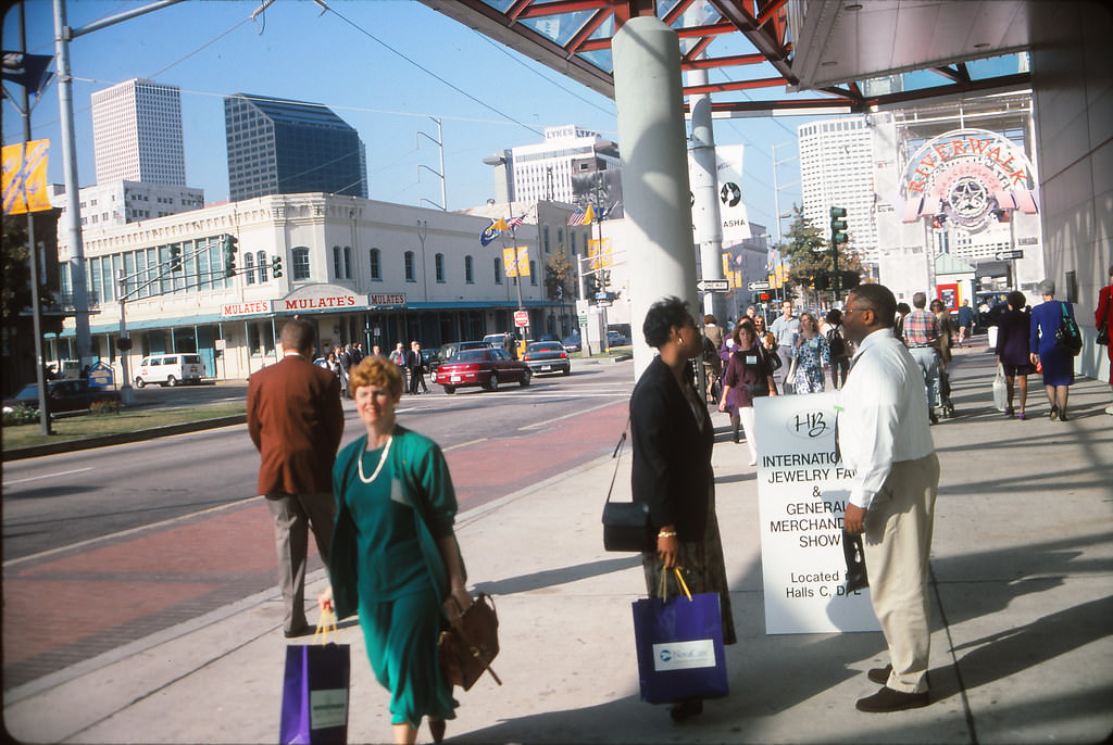
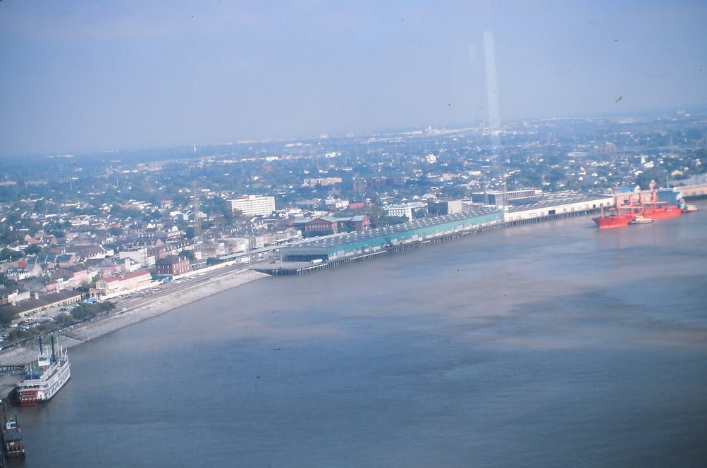
The Convention Center, which had been expanded significantly in the early 1990s, helped New Orleans compete for large national conferences and trade shows. It sat along the riverfront and became a key piece of the city’s effort to grow its economy through tourism and business travel.
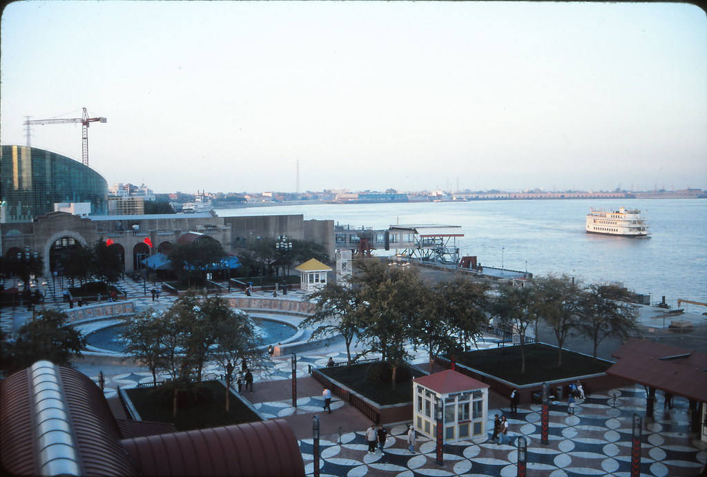
Spanish Plaza, located along the Mississippi at the foot of Canal Street, was a popular open-air gathering space near the Riverwalk. Its circular fountain and tiled mosaic floor made it a distinctive landmark along the waterfront, positioned where the river, the city’s main boulevard, and the tourist corridor all converged.
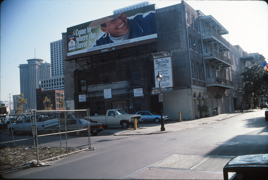
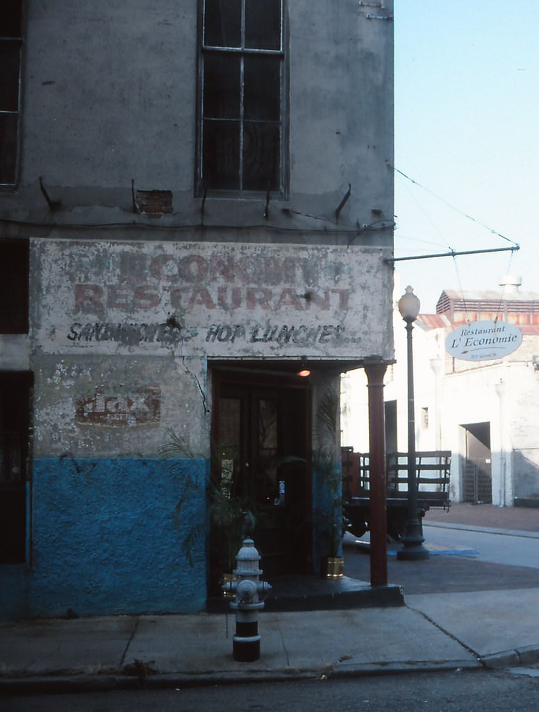
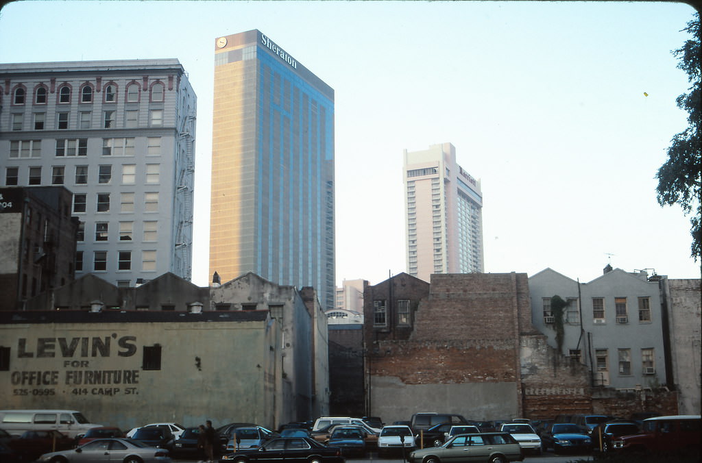
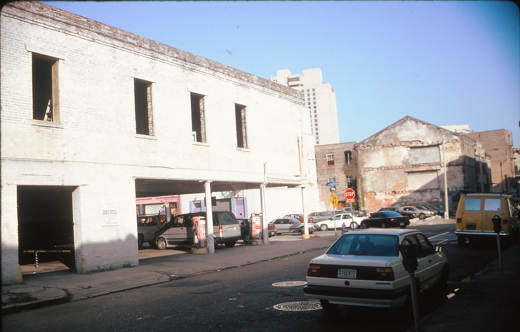
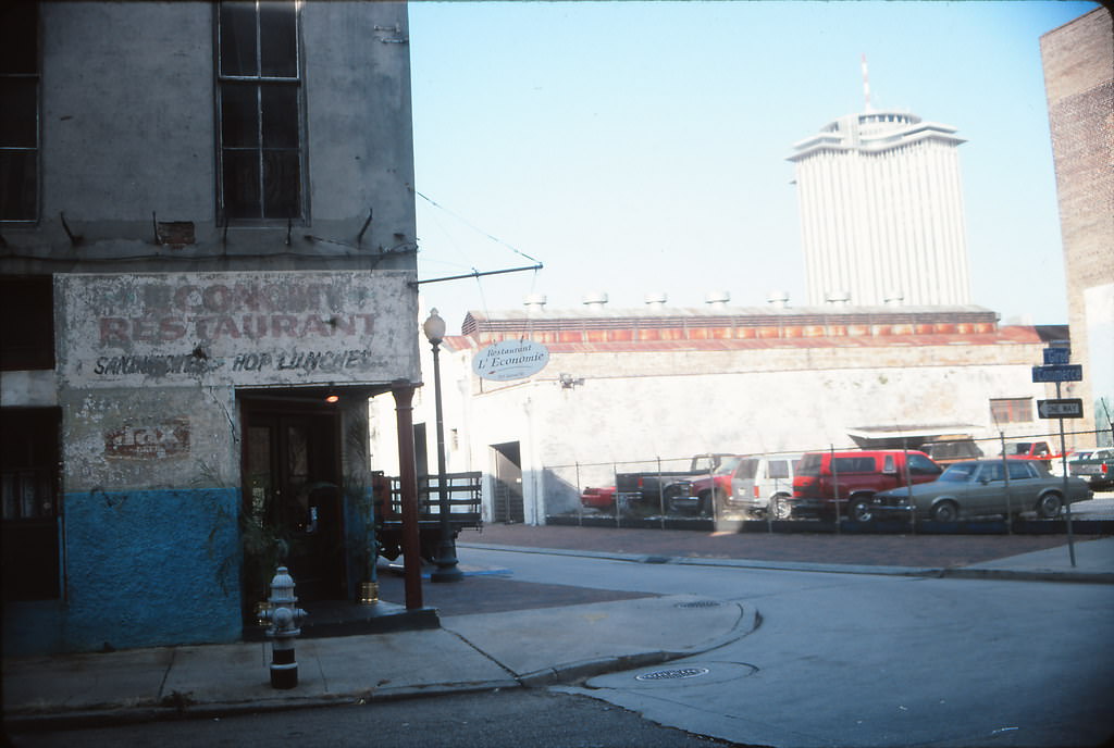
The warehouse district, centered around streets like Girod and Commerce, was in a state of transition during the 1990s. Old brick warehouses that had served the port trade for generations were being converted into galleries, lofts, and restaurants. Some still sat empty or in disrepair, giving the area a rough, industrial character that stood in contrast to the polished tourist zones nearby.
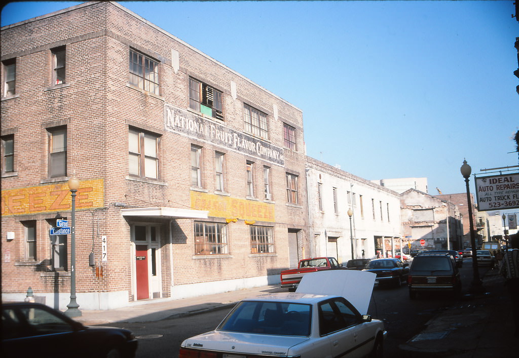
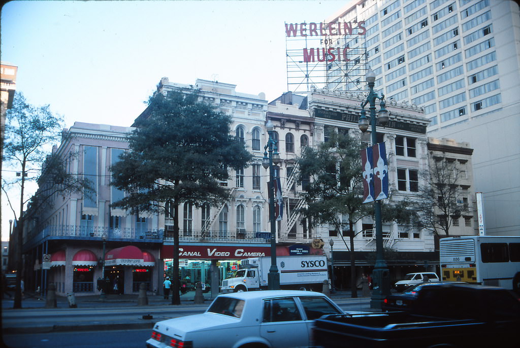
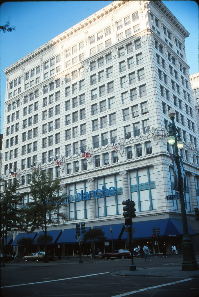
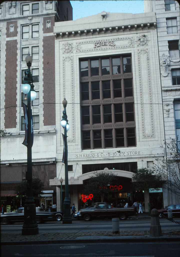
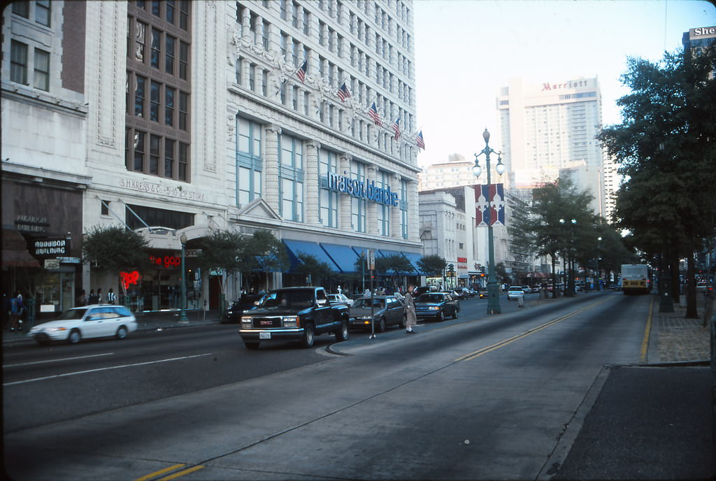
Canal Street remained one of the most commercially active corridors in the city throughout the decade. The Maison Blanche department store, a New Orleans institution that had anchored the street for decades, was still operating during the early 1990s before eventually closing. The Kress Building, another historic structure along the same stretch, reflected the layered architectural history that made Canal Street unlike any other shopping district in the country.
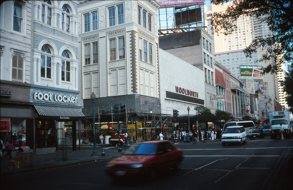
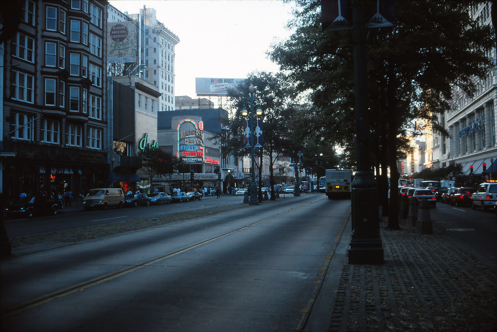
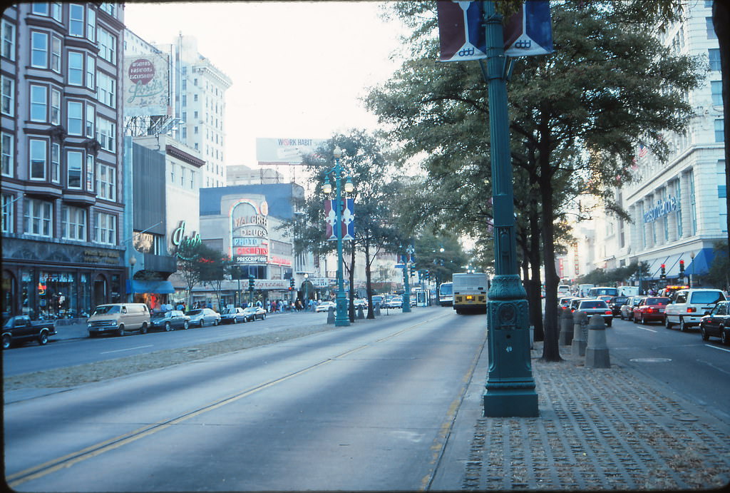
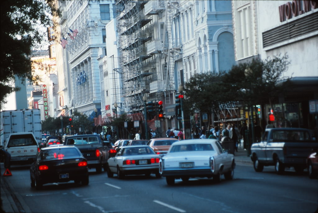
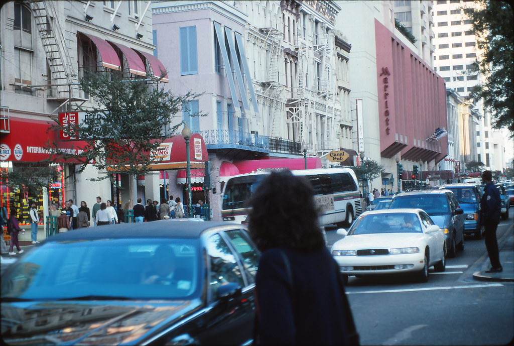
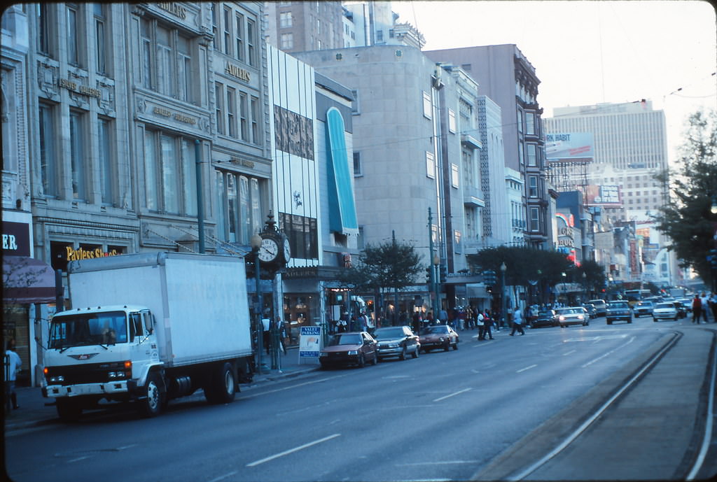
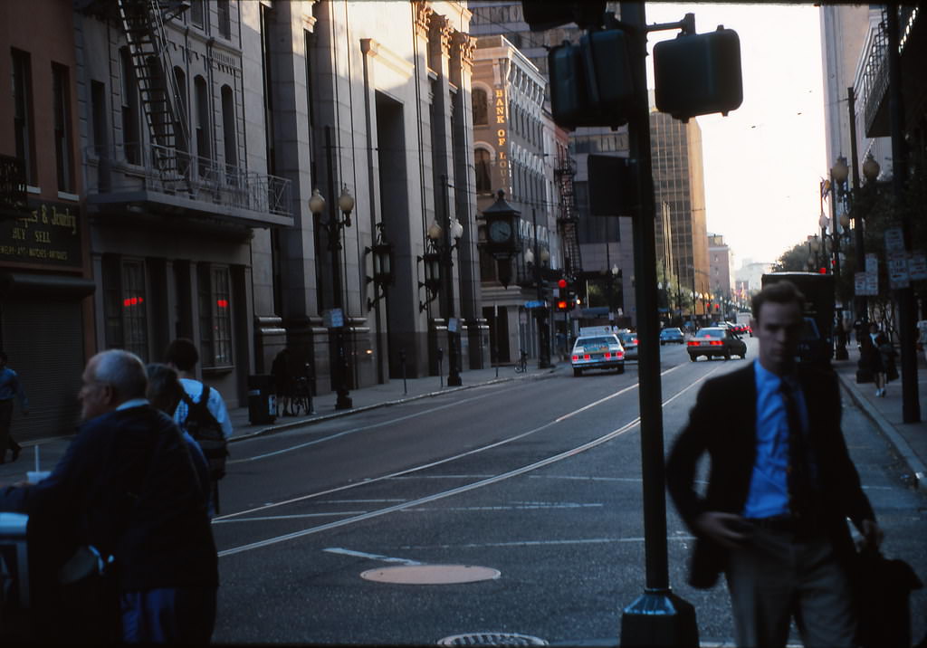
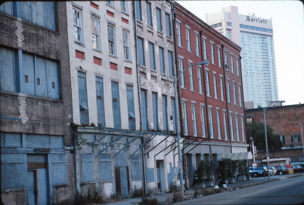
As the sun went down over the Mississippi, New Orleans transformed. The skyline took on a different character at dusk and after dark, the river reflecting the city lights and the hum of nightlife rising from the streets below. Jacobson’s photos capture those twilight and evening moments alongside the bright midday scenes, giving the collection a full sense of the city across the hours of the day.
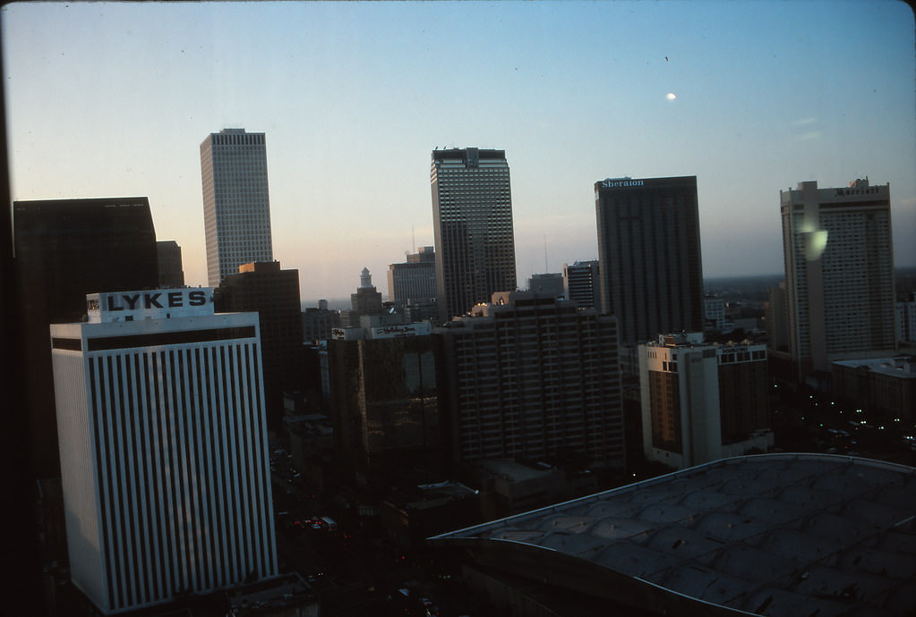
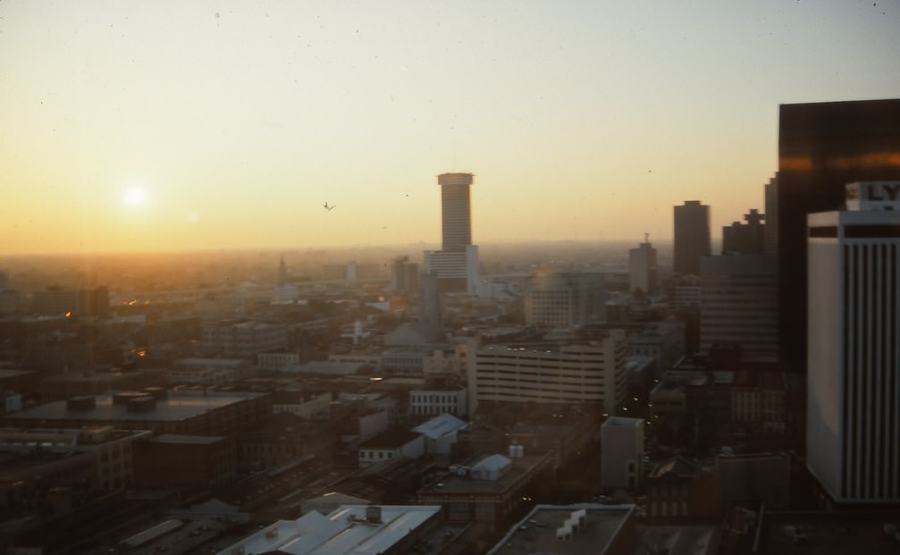
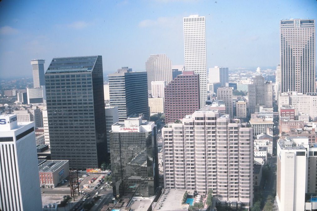
Views from above revealed just how the city’s geography shaped its layout. From the International Trade Mart tower, Canal Street stretched out toward Lake Pontchartrain in one direction and the river in the other. The French Quarter’s tight grid sat to one side, while the business district’s towers clustered to the other. From that height, the bend in the Mississippi that gave New Orleans its nickname — the Crescent City — was plain to see.





I’m amazed. Some of these pictures are from my childhood and I haven’t thought of them in so long. Palace Cafe was literally lit with florescent lights and chrome, like Canal Video next door. The Pearl Oyster sign was still up because it was still open. Hanging over Canal Street are Maison Blanche and a giant Mr Bingle.
My immediate reaction is to move to the CBD and visit Canal St. where I see a lot of business people and white-collar workers. With the solely tourism-driven economy, we don’t have that anymore.
You wouldn’t know if the cars weren’t there.
I am always amazed at how New Orleans looks so much the same in photographs taken from almost any decade.
There’s a problem with that
Definitely. The fact that nothing really changes is both the best and the worst thing about New Orleans.
Being unable to attract big businesses is for the worse. They move to Texas and other southern states.
I love how clean it is
The nineties are my favorite decade, but not the crime, which was so bad then. Renting an entire shotgun house for 300 a month, though, that’s what I miss. I miss all the weirdos who got priced out.
The picture of Kaldi’s (which no longer exists) would have been more interesting if it showed people, events or businesses that were popular back then. Old architectural pictures are boring since they show the same buildings.
Thank-you and God bless
It bothers me that the 1990s, which is when I was in high school and college, is now considered “history”.
It doesn’t look meaningfully different except for the cars, either.
That is the most obvious thing. If you change the people and cars it looks the exact same except with less department stores, and more t shirt shops.
Could I mention that there were profitable department stores on Canal Street in the pictures?
Came here to comment specifically this, I was a kid in the 90s so a bit younger, but like “here’s a historic photo” and it’s got a Foot Locker in it doesn’t really hit right…
I remember the May 95 flood like it was yesterday. Grew up in Metairie. Was 15 years old. House flooded. Memories of repainting my room while listening to my tape of Ned’s Atomic Dustbin.
So no changes. Fantastic. Great reporting
Safer times
I miss the FQ of the 90’s – it was much nicer and less crowded.
I remember the May 95 flood like it was yesterday. Grew up in Metairie. Was 15 years old. House flooded. Memories of repainting my room while listening to my tape of Ned’s Atomic Dustbin.
Girlfriend was stuck at work “Applebees on Chateau/W.Esplanade” overnight and I was stuck at the apartment with our puppy. She had it pretty good though because they traded meals for movies at the theater.
I lived across the street from Girard Playground, and the water was so deep that kids were climbing the little officiating booth tower and diving into the park! Meanwhile I was helping my parents tear out waterlogged carpet and drag it all outside.
Every house on our block but ours flooded, all of the neighbors drove their cars up on our lawn cuz it was built a bit higher. I was 8 then, and my dad sent me to help my neighbors rip up their carpet as soon as the water receded to mitigate as much damage as possible.
Ahhh, I was also probably listening to that same Ned’s Atomic Dustbin cassette while helping my parents tear out carpet, etc.
May 8, 1995. Got 10 inches in our house in Algiers. I remember my dog’s bed just floating in the living room like it was a bath toy.
It bothers me that the 1990s, which is when I was in high school and college, is now considered “history”.
Except for the cars, it looks pretty much the same today with one big exception – Maison Blanche.
I know the roads have always been shit but I only counted 3 potholes
I genuinely think the roads have materially deteriorated across the last ~5-7 years. They’ve never been great, but I used to drive a slightly dropped S2000 with like 3” of ground clearance around this city with minimal issues in the late 00s. I couldn’t even consider it today.
Nah, the streets are 1000 times worse than what they used to be in the 90s.
more showing the technological change of cameras, since these roughly look the same
Just watch the movie Hard Target
I believe you mean “the documentary”
Much like how it looks today.
Where is that one pic with that giant fountain and mosaiced ground? Is that the casino or something? Is that still around?!
That’s Spanish Plaza, outside the Riverwalk.
It looks more like the 1980s
Not the Algiers ferry, but thanks for playing. Better luck next time
The water mains were only 70+ years old then
Exactly the same. Less trash and potholes
I remember New Orleans in the 1990s being plenty dingy and full of potholes, and its kind of shocking to think its worse now even with the big injection of post Katrina money we got.
I know I’m older now, but Bourbon St had a different kind of charm back then.
Canal Street really used to look so different.
I wish canal was more actual shopping/cafe style like back then than the touristy random stops we have now.
It’s wasn’t great in the late 90s. It was all camera and luggage stores back then!
Canal was rattier then than it is now.
Except for the cars and ADNM, it’s not all that different.
Everything looked SO CLEAN that morning
Would be cool to see a picture of children’s hospital in the ’90s, especially on the inside.