
Mannheim sits in the southwestern corner of Germany, at the heart of the Rhine-Neckar Metropolitan Region — the country’s eighth-largest. Two major rivers, the Rhine and the Neckar, frame the city, and their meeting point has shaped Mannheim’s identity for centuries. What makes the city instantly recognizable on a map is its street layout. Since the 17th century, the blocks between the Neckar River and the baroque palace have been arranged in a precise grid, giving Mannheim the look of a chessboard. Instead of street names, most blocks are identified by letters and numbers — a system unlike almost anywhere else in Germany.
The city has long been more than just a trading hub. Mannheim developed into a serious cultural center, home to a school for conductors, violinists, and composers, a public gallery, and an academy of sciences. The National Theatre stages operas, ballets, plays, classical concerts, and pop performances. The construction of Mannheim’s Rhine harbor in 1834 pushed the city toward rapid industrial growth, and by 1900 it was fully industrialized. World War II left more than half the city in ruins, but the most significant buildings were rebuilt. Today, Mannheim ranks among Europe’s largest inland ports, with coal and iron trade at the core of its economy, alongside manufacturing of medical instruments, electrical equipment, chemicals, fertilizers, and food products.
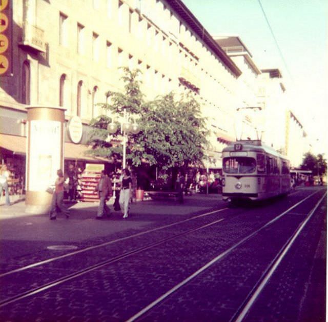
Photographer Klaus Hiltscher documented Mannheim throughout the 1970s, capturing the city’s streets, shops, and public spaces in vivid detail. His photos show a city that was busy, modern for its time, and full of everyday life. The Planken — Mannheim’s main pedestrian thoroughfare — appears again and again in his work, a spine running through the grid that locals and visitors alike used as their central gathering place. Here is a look at what Mannheim looked like during that decade, through Hiltscher’s lens.
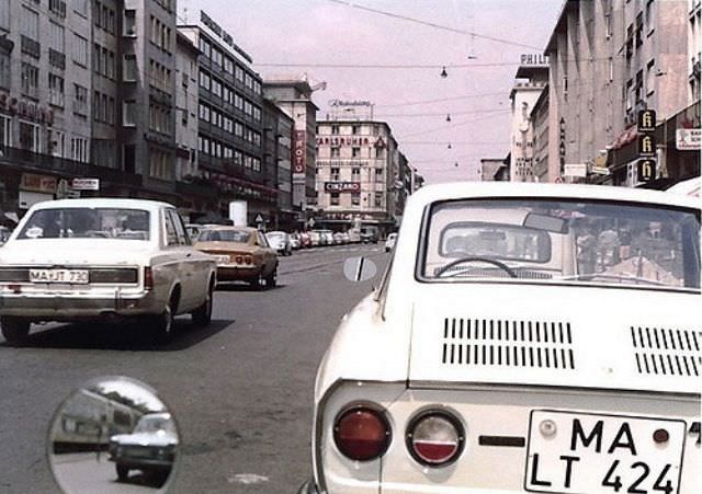
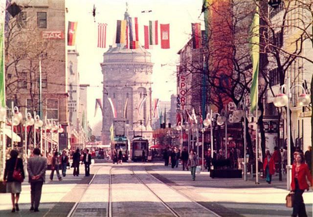
The Planken stretches through the heart of Mannheim’s grid, and the water tower at its eastern end served as one of the city’s most recognizable landmarks. By 1971, the street had already been converted into a pedestrian zone, making it a natural gathering place for shoppers, families, and anyone passing through the city center. The water tower itself, built in the late 19th century, remained a point of civic pride long after it stopped functioning as part of the water supply system.
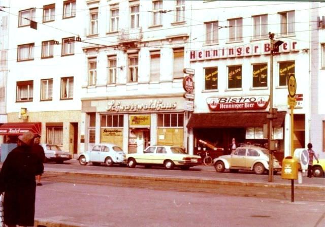
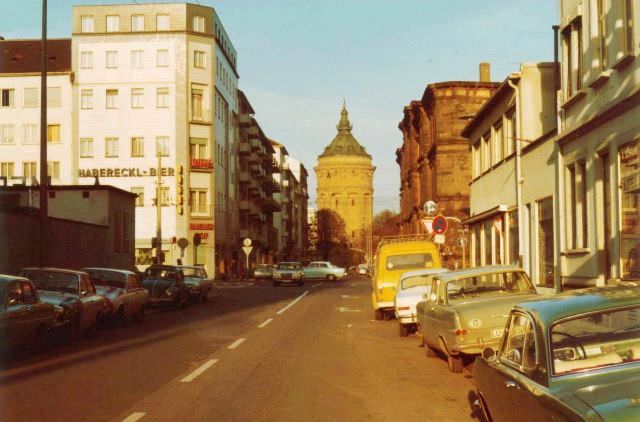
Tattersallstrasse in 1972 showed the commercial energy of Mannheim’s postwar rebuilding era. A Mercedes-Benz branch with an attached workshop occupied a prominent spot on the left side of the street — a sign of the growing car culture reshaping West German cities at the time. Across the city, construction was also underway on major financial institutions.
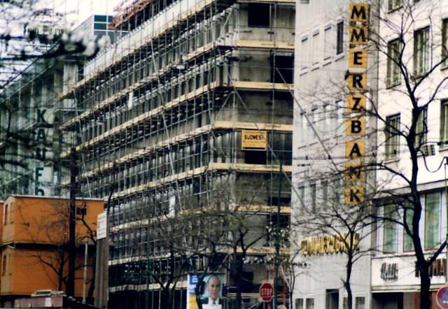
The Dresdner Bank building going up in 1972 reflected the broader economic expansion West Germany was experiencing during this period. New commercial architecture was rising across Mannheim’s rebuilt grid, filling in the gaps left by wartime destruction. Meanwhile, along the Planken, daily life continued at a lively pace, with cafes and shops drawing steady crowds.
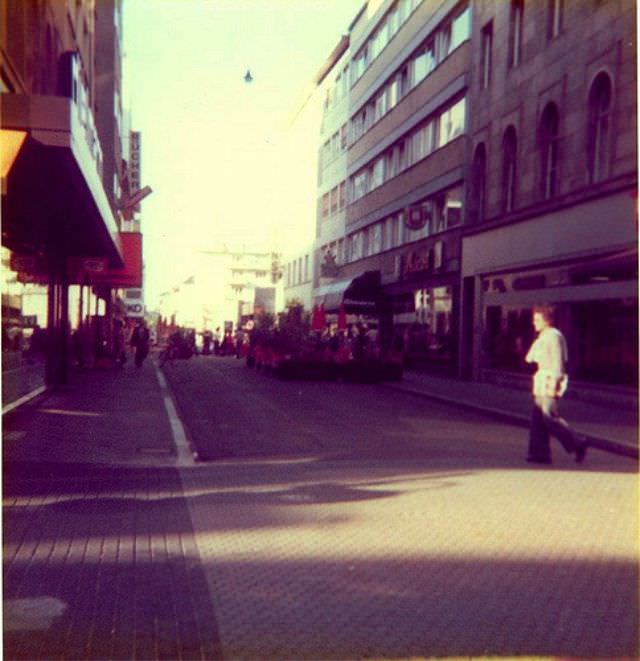
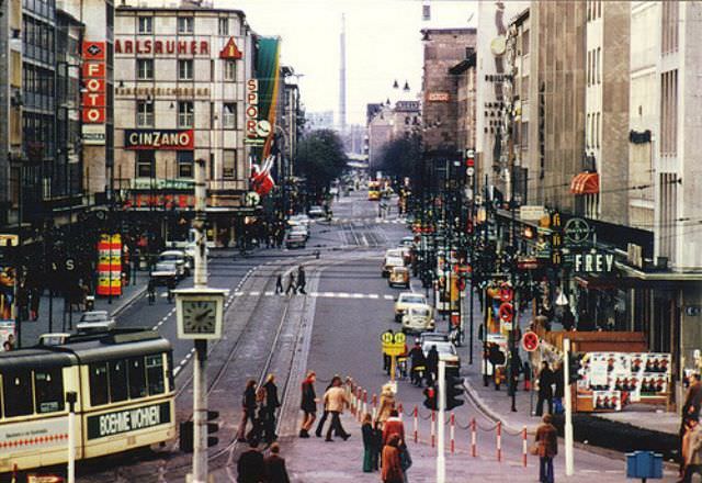
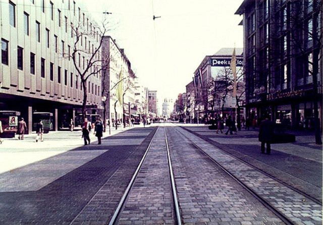
Cafe Ascot, run by the Hoffman family and located between blocks P5 and P6, was a fixture on the Planken in the early 1970s. The entrance to the Planken at the water tower end gave pedestrians a clear view down the length of the street — lined with storefronts, shoppers, and the occasional parked bicycle. The Kaufhof department store was one of the busiest destinations along the route.
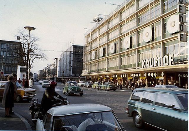
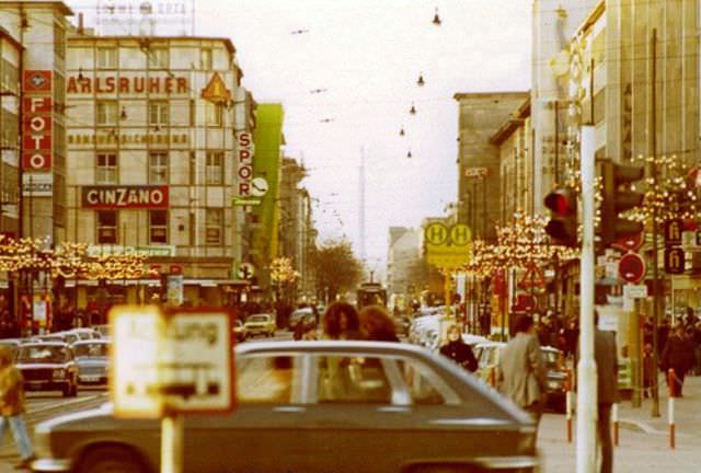
Christmas on the Planken in 1972 brought decorations and heavier foot traffic to an already busy street. The festive season was one of the peak times for commerce along Mannheim’s central pedestrian zone, with shoppers filling the space between storefronts on both sides. Just a short distance away, at the Kurpfalzkreisel roundabout, a very different kind of urban fixture caught the eye.
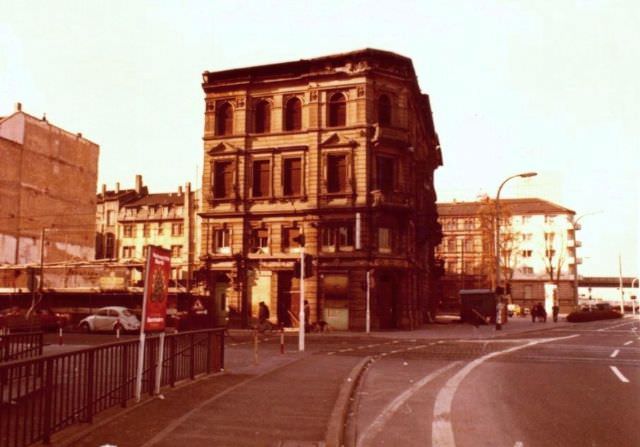
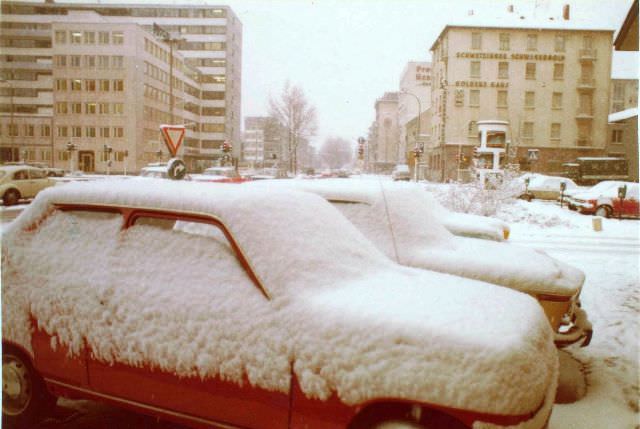
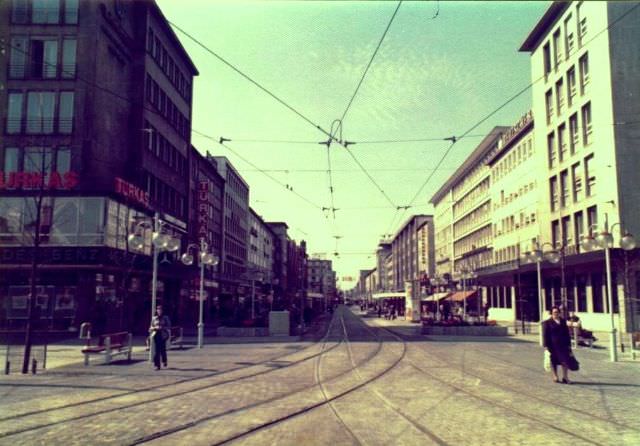
Bismarckplatz was one of Mannheim’s key commercial addresses outside the Planken corridor. In January 1973, the square’s buildings showed the mix of older architecture and newer facades that typified the city’s postwar reconstruction. December of that same year offered street-level snapshots of ordinary Mannheim life.
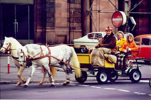
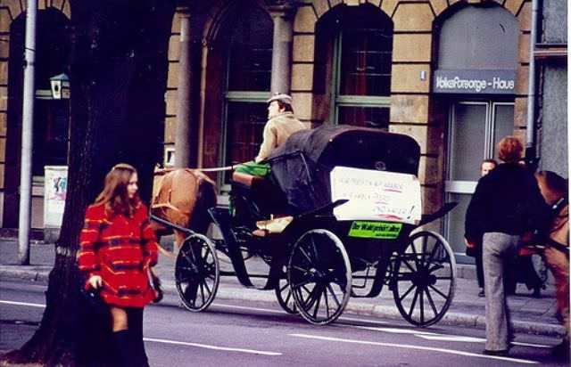
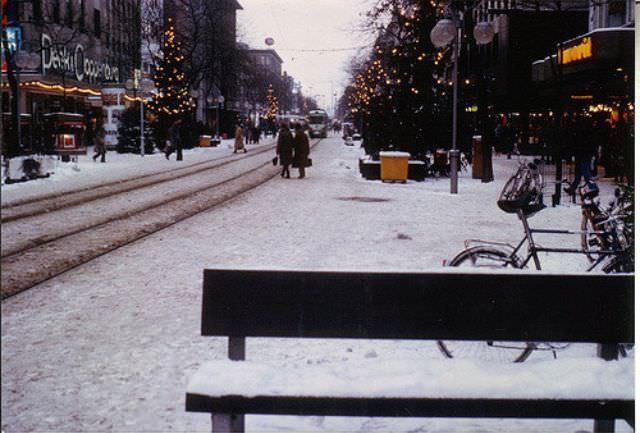
These December 1973 street scenes show Mannheim as a functioning, active city in the middle of winter — pedestrians bundled up, storefronts lit, and the grid streets as orderly as ever. The extended Planken, seen from ground level and from above, gave a clear sense of how much of daily city life was organized around this central axis.
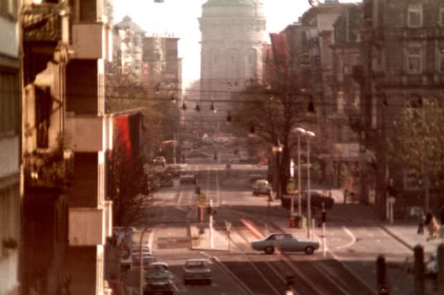
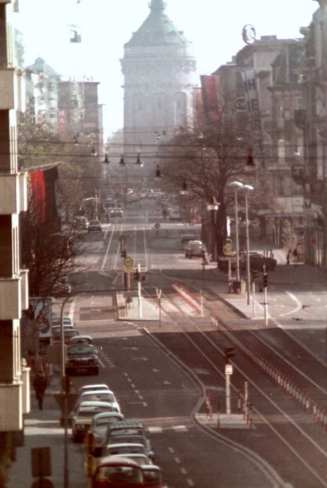
The aerial view of the Planken in 1973 makes the chessboard layout of Mannheim especially clear. Blocks run in straight lines, separated by evenly spaced streets, with the Planken cutting through the middle. By 1974, the nearby Fressgasse — a side street known for its food shops — was home to Musikhaus Pfeiffer, a music store that drew a steady stream of customers.
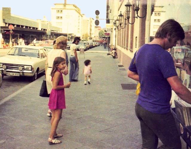
The mid-1970s brought more street-level detail to Hiltscher’s photographs. Bismarckplatz appeared again in 1975, this time capturing a longer stretch of the square’s commercial frontage. Cafe Kiemle, another regular stop on the Planken, showed the café culture that kept the street lively throughout the day.
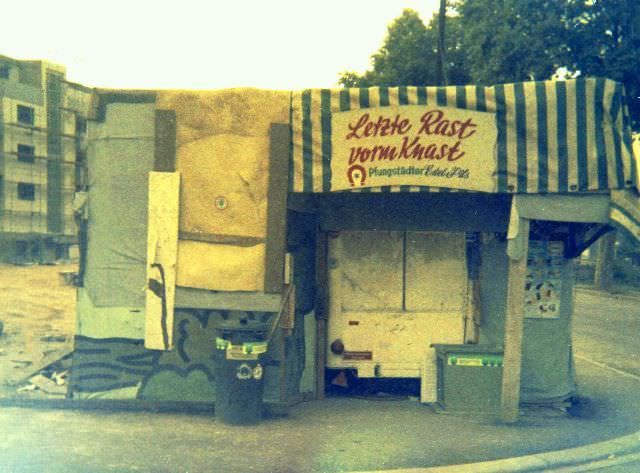
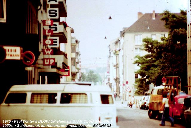
Not every 1975 photo focused on the city’s main commercial strips. In the Neckarstadt district, a kiosk with a sign reading “Last break before prison” gave the neighborhood a sharp, sardonic edge. Nearby, Paul Winter’s Blow Up venue captured a different side of Mannheim — its live music and nightlife scene.
An image titled “The Airbus — Zukunft ohne Zukunft” (Future without Future) from 1975 reflects a streak of social commentary running through some of Hiltscher’s work. The Paradeplatz, one of Mannheim’s historic public squares, offered a contrast — a broad, open space that had anchored the city’s civic life for generations.
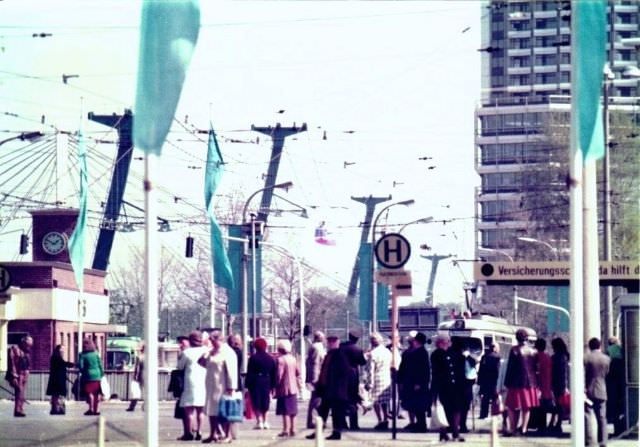
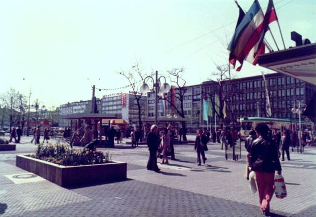
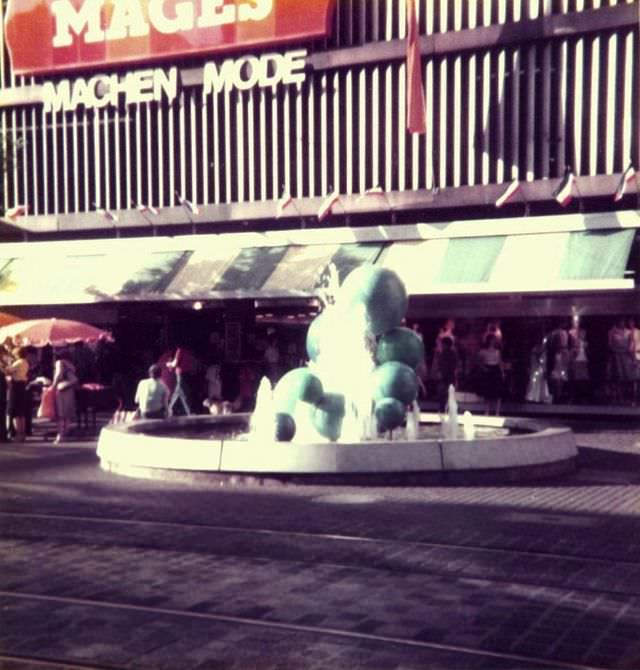
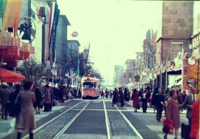
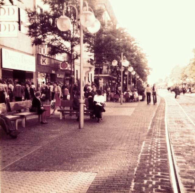
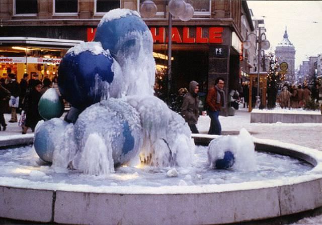
The Planken in the middle of 1975 was as busy as ever, and Hiltscher photographed it from multiple angles that year. Near the Mages store, a dumpling fountain served as a quirky local landmark. The Engelhorn — a major Mannheim retailer — anchored another stretch of the street, with the old post office building marking yet another familiar point along the route.
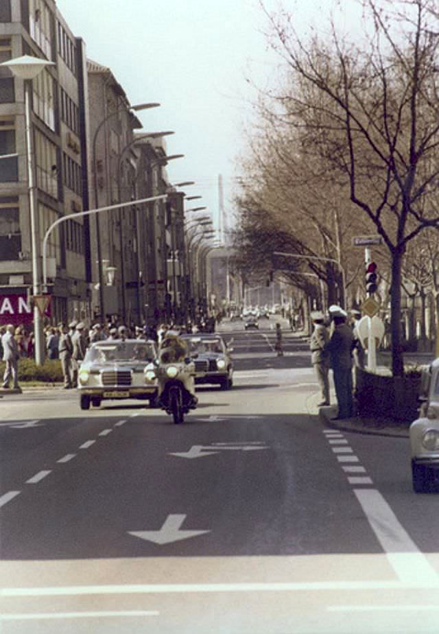
In 1976, Mannheim received a notable visitor. Egyptian President Anwar El Sadat traveled along Bismarckstrasse, a moment Hiltscher captured as the motorcade passed through the city. The visit placed Mannheim briefly on the international stage during a decade of significant geopolitical change in the Middle East.
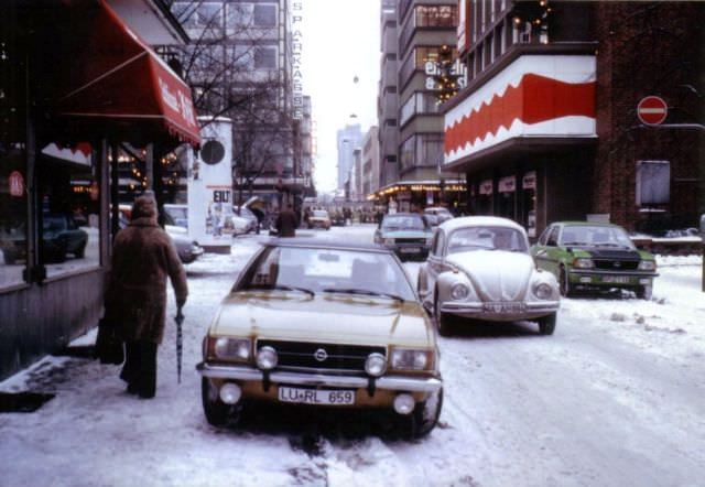
By 1978, the area between blocks N5 and N6 still featured the Böhme furniture store on the right side — a business that would later give way to the Engelhorn sports house. Christmas returned to the Planken that December, with the Planken Kino cinema drawing audiences and the Modehaus Mages fashion store dressed for the season.
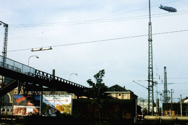
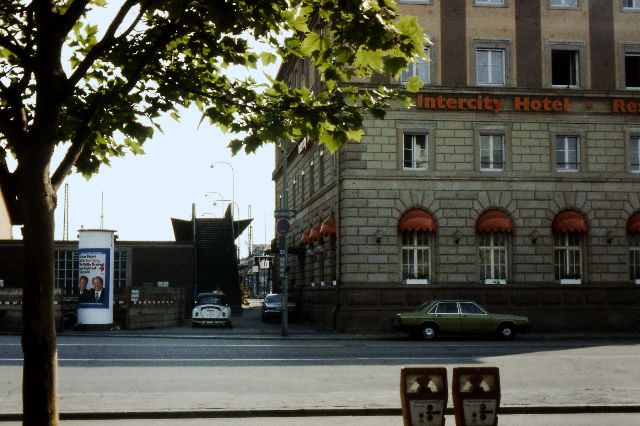
The decade closed with Hiltscher turning his camera toward the station footbridge connecting Mannheim’s central area to the Lindenhof district. The bridge, photographed twice in 1979 from slightly different angles, was a functional piece of infrastructure that thousands of commuters used every day — ordinary, but essential to how the city moved.





Was there already the City Döner?
Wow amazing
How is this even beautiful