Harold Mayer was an urban geographer at the University of Wisconsin-Milwaukee whose work went far beyond the classroom. He specialized in the urban and transport geography of North America, with particular focus on New York, Chicago, Milwaukee, and British Columbia. As he traveled, he brought a camera — and used what he captured to teach. His photographs documented how cities changed over time, often returning to the same street corner or block across multiple years to show shifts in the urban landscape.
Mayer shot many of his images on Kodachrome film, which produces the rich, saturated colors that make these decades-old scenes feel strikingly alive. His full collection is held by the American Geographical Society. Among his most compelling work are these photographs of Manhattan, taken in the 1940s and 1950s — a period when New York was rebuilding, expanding, and reshaping itself block by block.
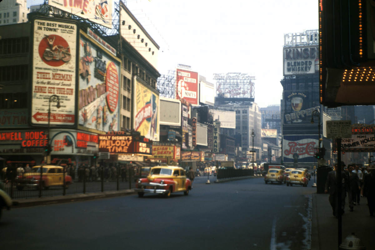
Few places in mid-century Manhattan buzzed with more energy than Times Square. By 1948, the area was already covered wall to wall in electric signs and painted advertisements stacked several stories high.
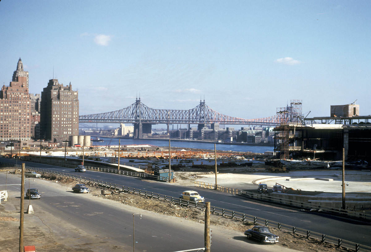
While Times Square dazzled with commercial spectacle, the east side of Midtown was undergoing a transformation of a different kind. In 1951, construction crews were still at work raising the United Nations complex along the East River — a project that would permanently anchor New York as a center of international diplomacy.
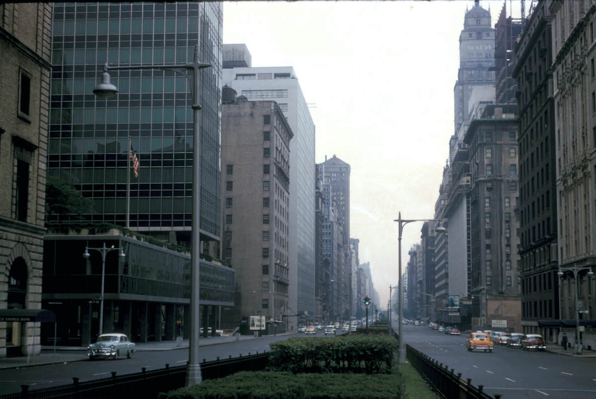
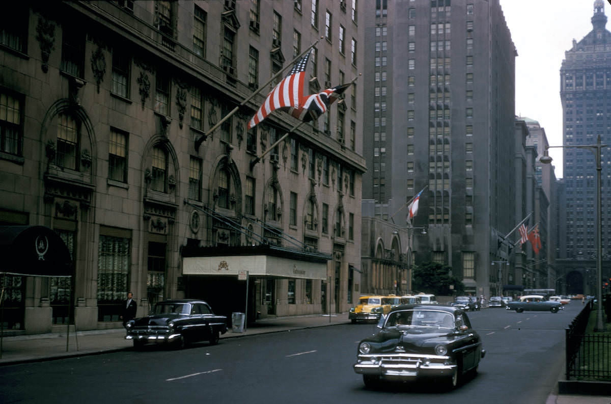
Park Avenue in Midtown presented a very different face — wide, ordered, and lined with prestigious addresses. The Ambassador Hotel stood as one of its well-known landmarks, a symbol of the avenue’s reputation for wealth and elegance.
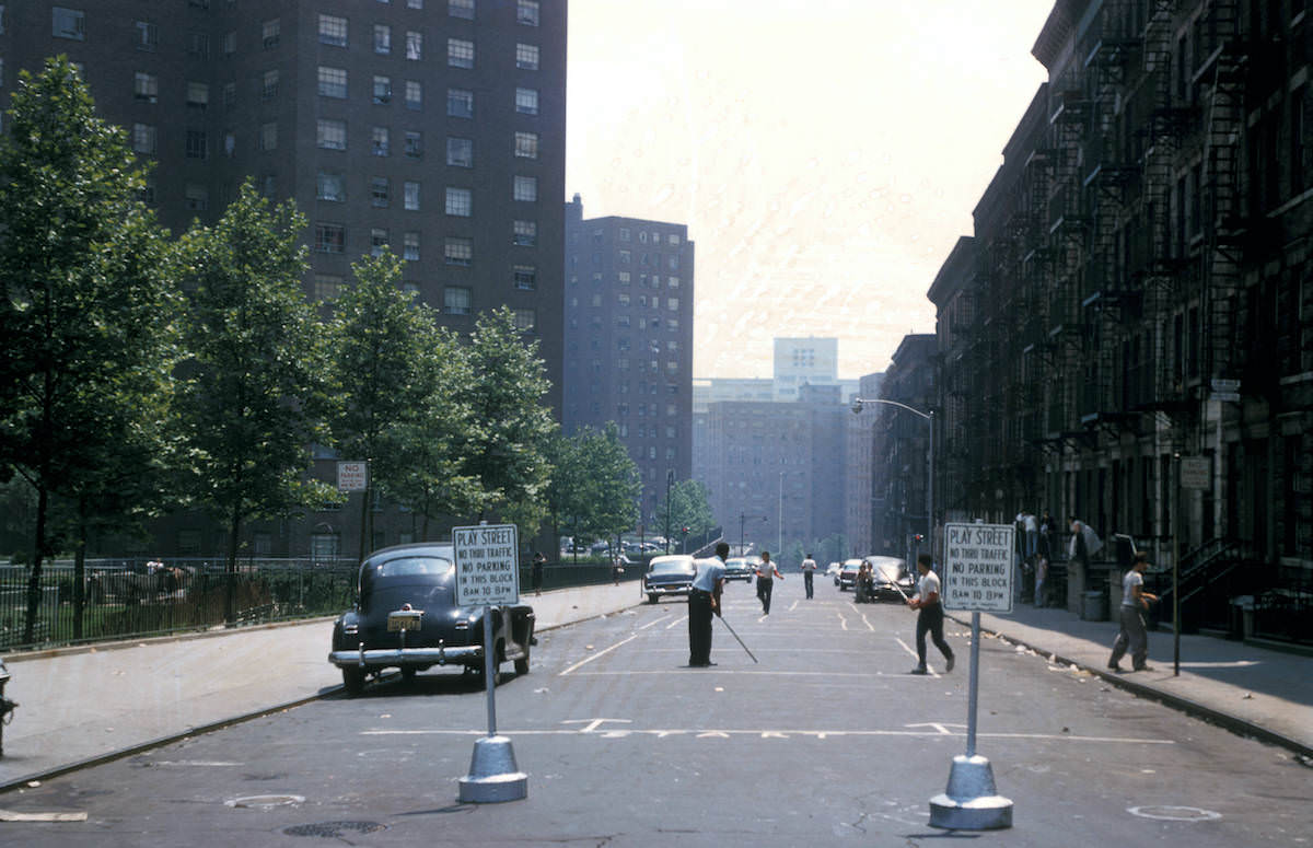
Away from the grand avenues, residential neighborhoods had their own rhythms. By 1956, some Manhattan streets were officially designated as children’s play streets — blocked off from traffic so kids could use the pavement safely. It was a practical solution in a city where open space was hard to come by.
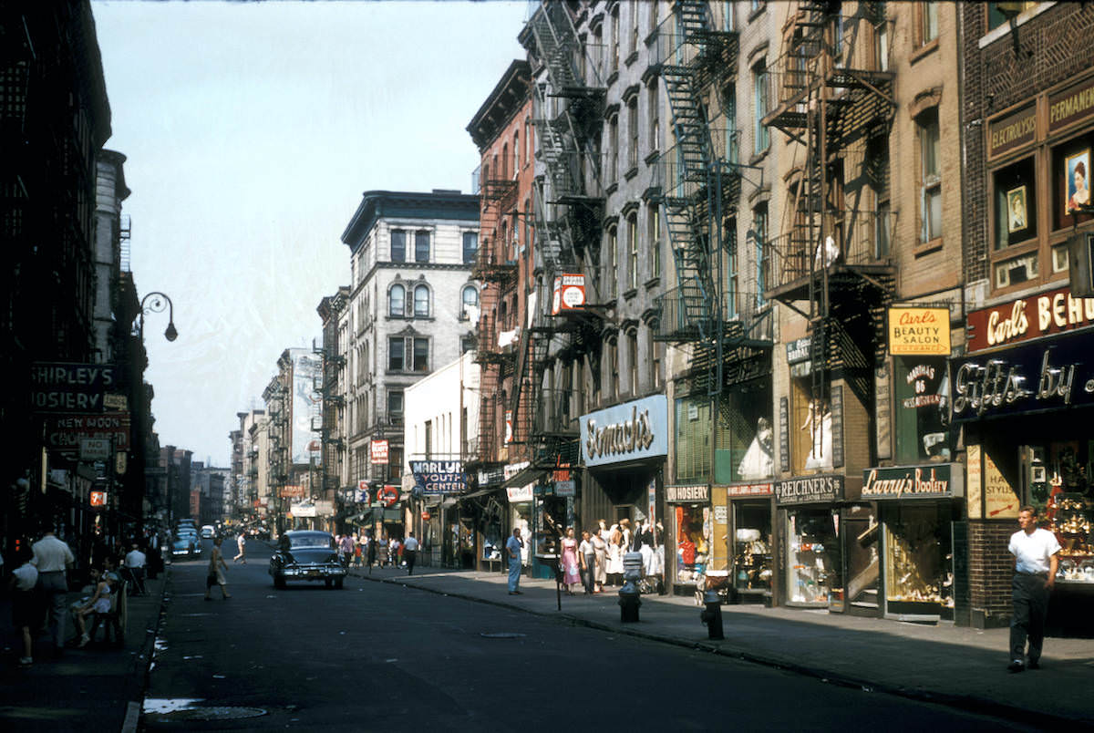
The Lower East Side told a different story. It remained one of the city’s most densely populated and working-class neighborhoods, with tenement buildings, street vendors, and foot traffic defining daily life.
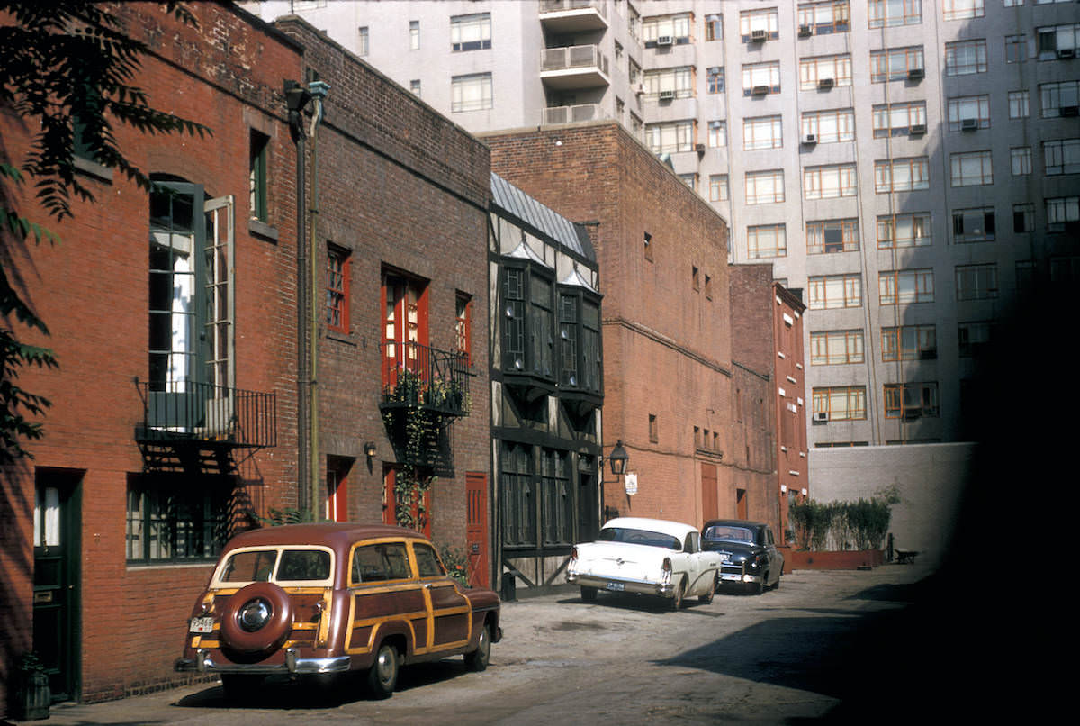
A short distance away in Greenwich Village, Macdougal Alley offered something rare in Manhattan — a quiet, cobblestoned lane tucked behind Washington Square. Originally built as stables for the mansions on Washington Square North, by the 1950s it had become a private enclave for artists and writers.
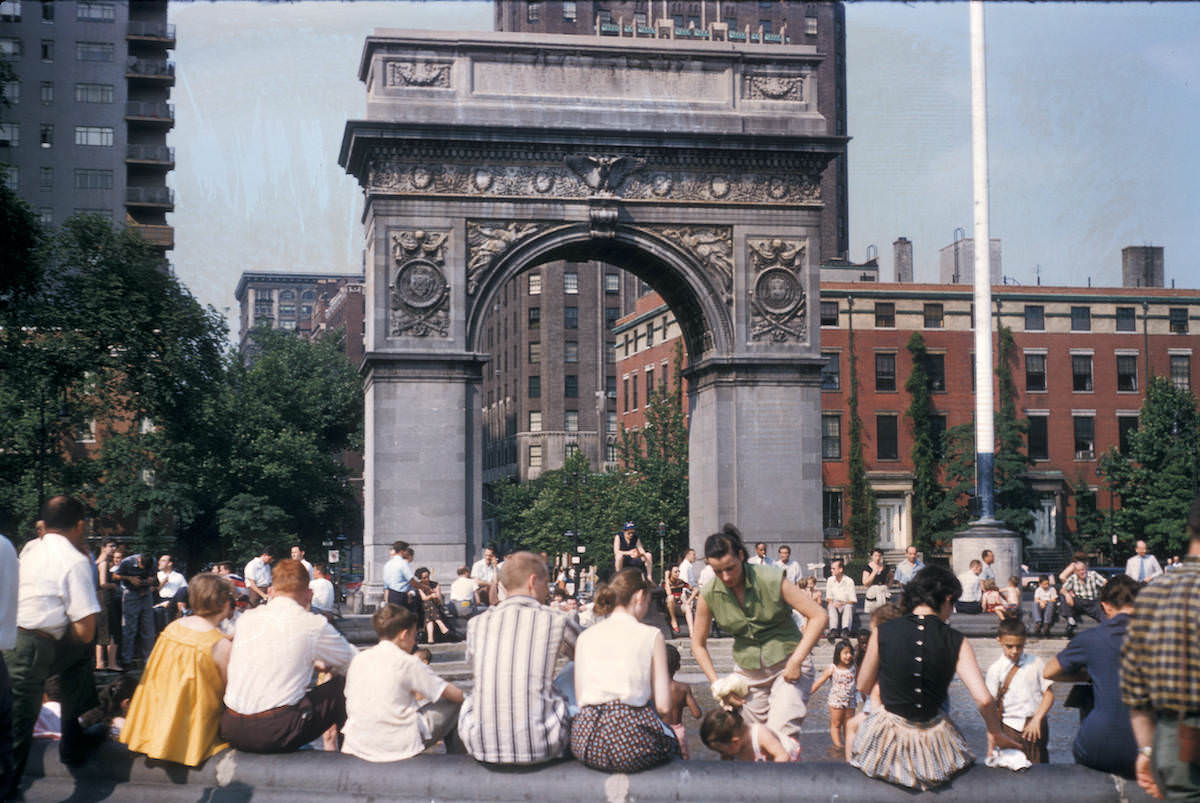
At the heart of Greenwich Village stood Washington Square Park, anchored by its famous marble arch. The park served as a gathering place for students from nearby New York University, local residents, and street performers alike.
Across the city, large-scale public housing projects were reshaping entire neighborhoods. These developments replaced older, often overcrowded blocks with uniform brick towers designed to house thousands of residents.
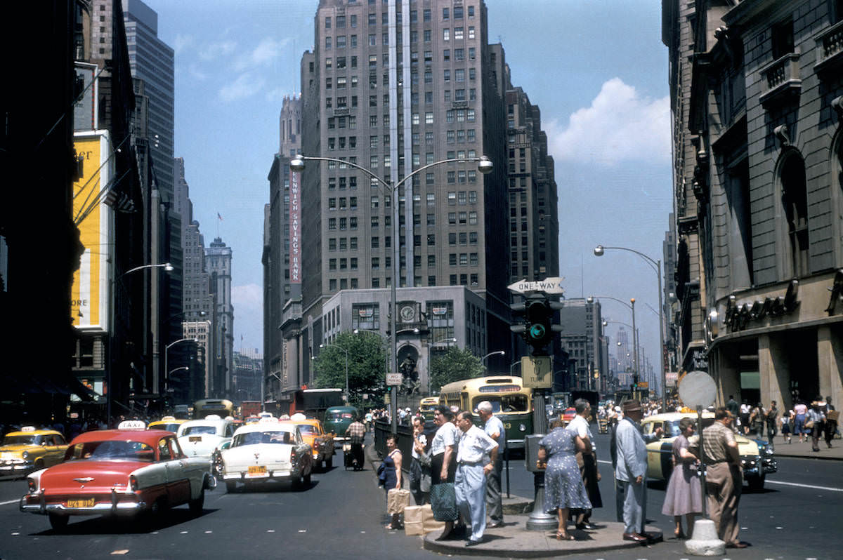
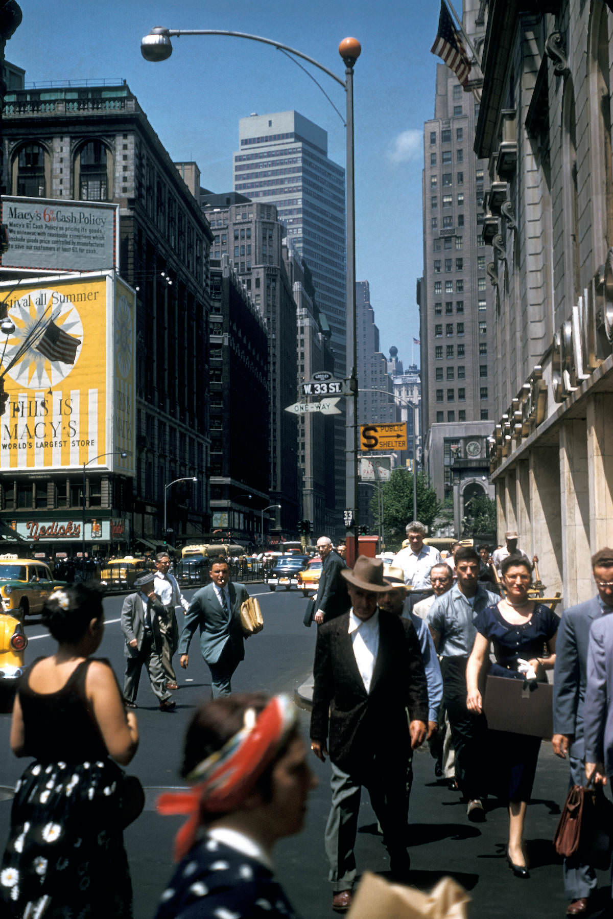
Near Herald Square, the streets mixed department stores, office workers, and transit riders in a constant flow. The area around 34th Street was one of Manhattan’s busiest commercial corridors, with Macy’s flagship store drawing shoppers from across the region.
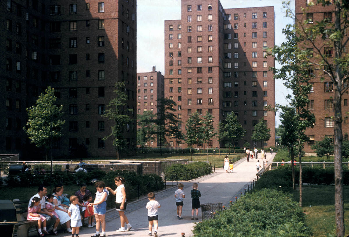
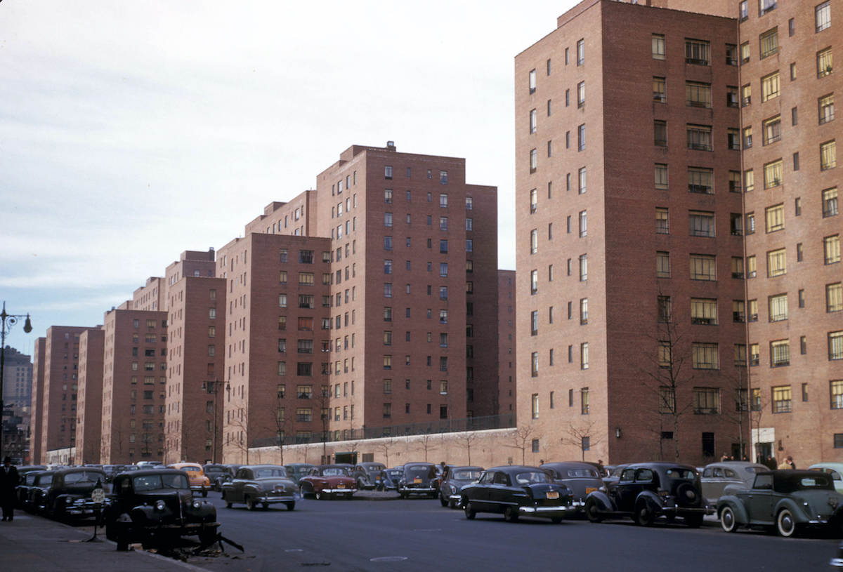
Stuyvesant Town, completed in 1947 on the east side of Manhattan, was one of the largest private residential developments in the country. Built by MetLife on land cleared after World War II, its uniform red-brick buildings and open grounds housed thousands of middle-class families.
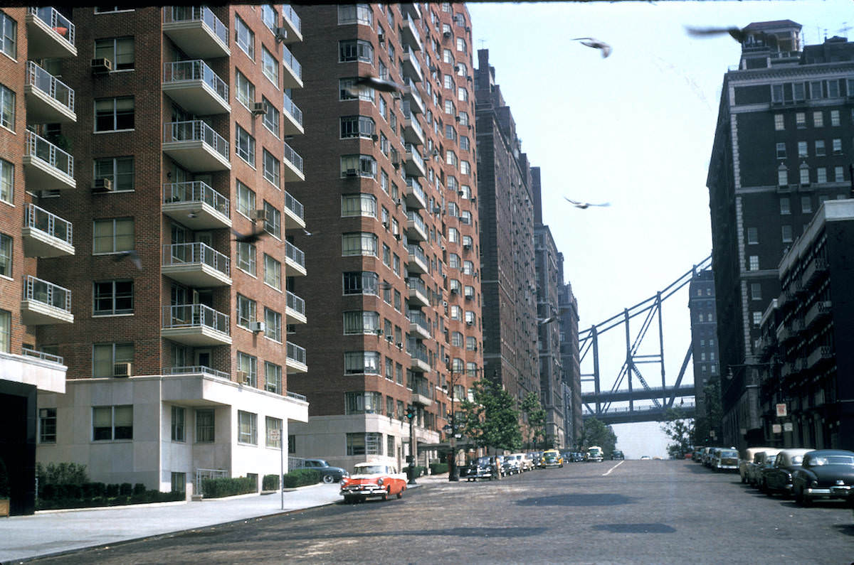
On the opposite end of the social spectrum, the Sutton Place neighborhood along the East River in the 50s was one of Manhattan’s most exclusive addresses. Its tree-lined residential streets stood in sharp contrast to the noise and density found just blocks away.
Looking north up Park Avenue from 58th Street, Mayer captured one of Manhattan’s most iconic corridors — a straight, broad boulevard lined with postwar corporate towers and luxury apartment buildings stretching toward the horizon.