On 10 May 1940, Nazi Germany invaded Luxembourg, and the small Grand Duchy fell under German military control almost immediately. The royal family and government fled into exile as the occupation took hold. What began as military administration was eventually replaced by a civil one, and Luxembourg was formally annexed into Germany. Most citizens kept their heads down. A small number joined passive resistance efforts, while an even smaller minority formed active resistance groups — the first of which appeared in autumn 1940, driven by a mix of liberal and conservative motivations.
Those resistance groups formed without coordination at first, united mainly by opposition to Nazi policies, including anti-Jewish measures. By the time Allied forces entered Luxembourg near Petange on 9 September 1944, the country had endured more than four years of occupation. The capital was liberated on 10 September 1944. When the war ended, Luxembourg had lost 5,700 citizens — roughly 2% of its 1940 population. That casualty rate was the highest in Western Europe. By 1949, the country was still carrying the visible marks of war while working to rebuild its cities and daily life.
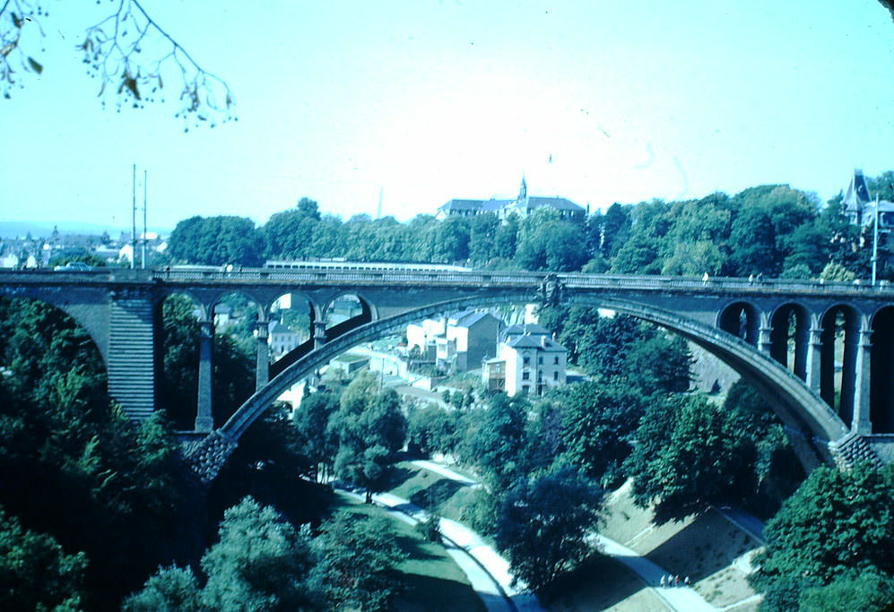
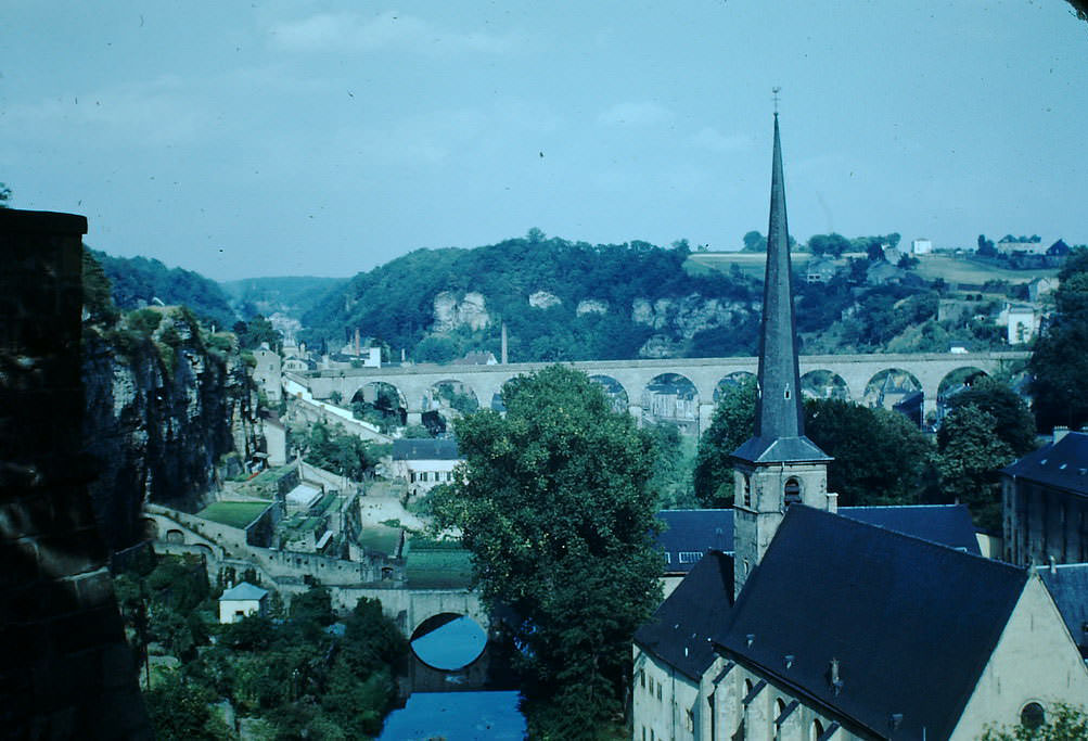
Luxembourg’s geography is defined by its deep river valleys and the dramatic stone bridges that cross them. These structures survived the war and remained central to the city’s identity in 1949. Walking across one of these bridges, a visitor would have looked out over centuries of fortification layered into the cliffs below.
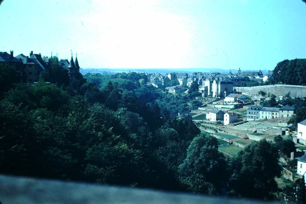
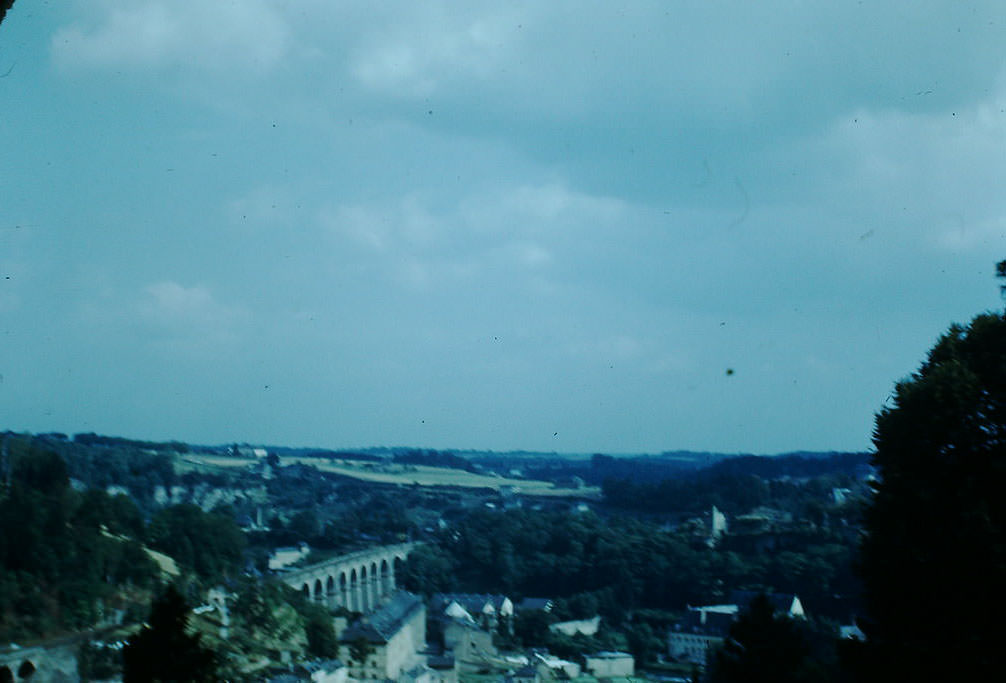
The rail bridge offered one of the most sweeping views of Luxembourg City. From that vantage point, the mix of old stone buildings and newer construction told the story of a city navigating between its medieval past and its postwar present.
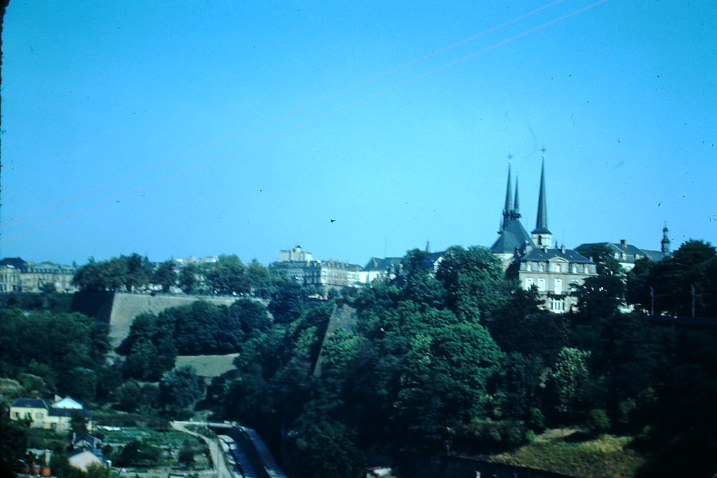
Luxembourg City is built on a plateau cut through by the Alzette and Pétrusse rivers, creating natural ravines that the city’s engineers and architects worked with — not against — for centuries. The bridges spanning these gorges were engineering achievements that gave the capital its distinctive silhouette.
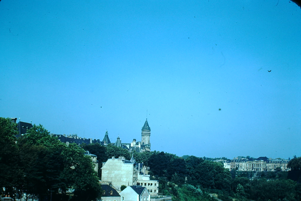
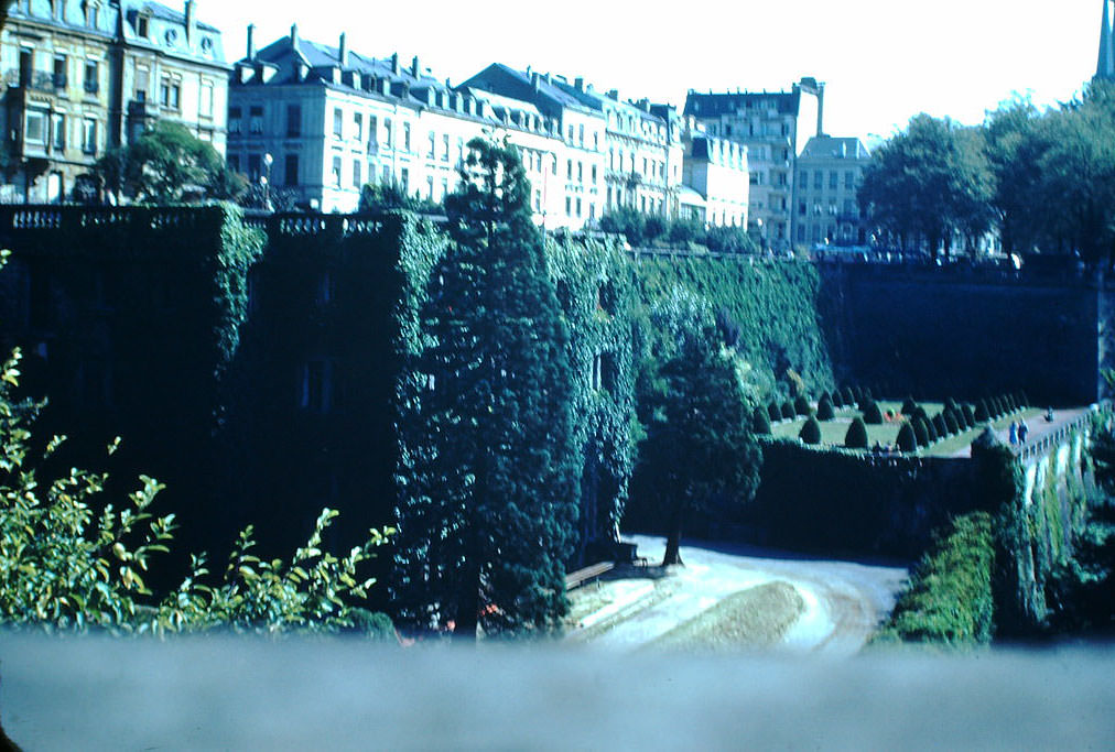
Below the upper city, the old quarters nestled into the valley walls. These lower neighborhoods sat directly beneath the massive fortification walls that had once made Luxembourg one of Europe’s most heavily defended cities. By 1949, those walls were historic monuments rather than active defenses.
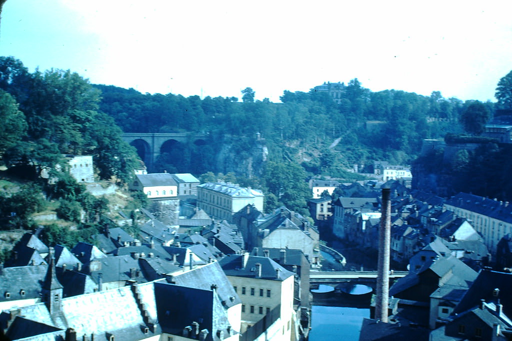
Among the most striking features of old Luxembourg are the Bock Casemates — a network of tunnels and caverns carved directly into the sandstone cliffs. These passages date back centuries and were used for military purposes through multiple conflicts, including both World Wars.
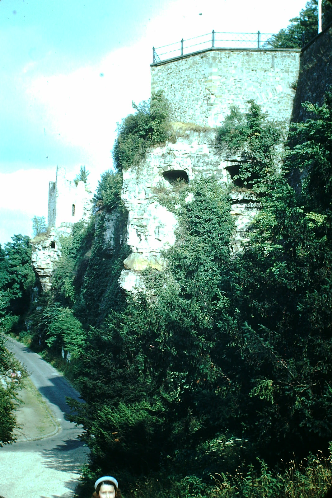
During the Battle of the Bulge in late 1944 and early 1945, General George S. Patton used Luxembourg as a key base of operations. His Third Army headquarters was established in the city, and the building that served that purpose — an old people’s home — still stood in 1949 as a quiet reminder of those dramatic wartime months.
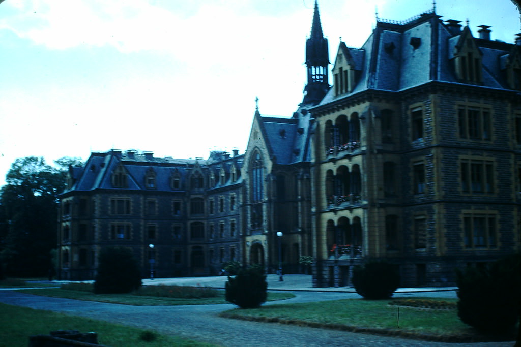
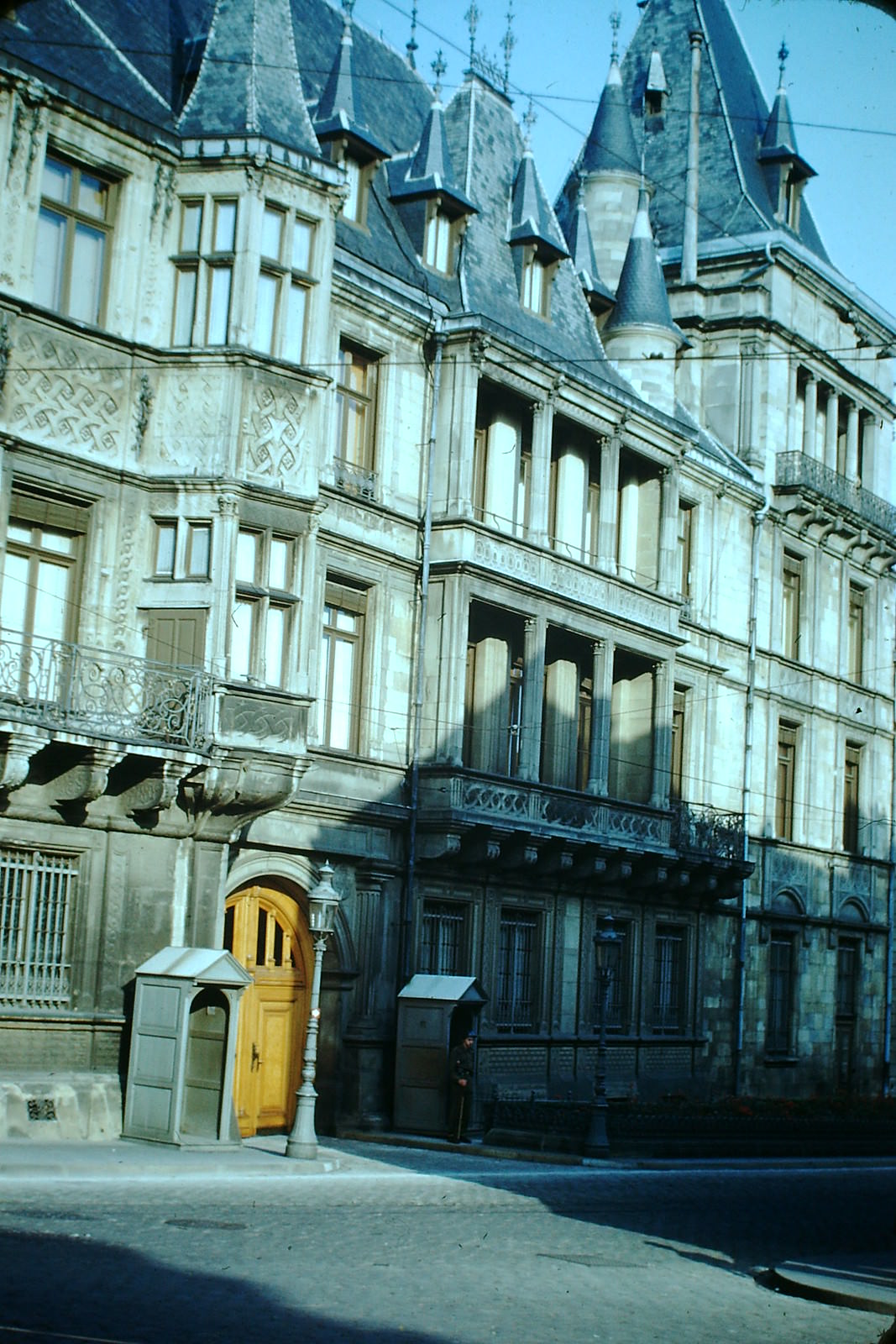
The Grand Ducal Palace sits at the heart of Luxembourg City and served as the official residence of the Grand Duke. Its ornate Renaissance façade made it one of the most photographed buildings in the country. With the royal family having returned from exile after liberation, the palace was once again occupied and functioning as the seat of the monarchy.
Residential life in the city was concentrated in neighborhoods that blended park space with solid stone apartment buildings. These areas gave the city a calm, ordered appearance that contrasted with the turbulence of the decade that had just passed.
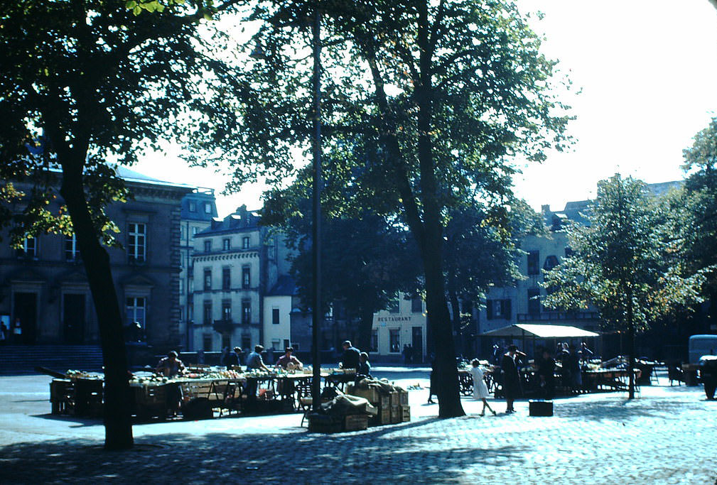
Place Guillaume II — known locally as Knuedler — served as one of the city’s main public squares and hosted a regular vegetable market. Vendors set up stalls there, and residents came to buy fresh produce in a scene that felt almost deliberately normal after years of wartime disruption.
The railroad bridge was more than a transport link — it framed one of the best views of the old fortifications. Standing below, the scale of those ancient defensive walls became clear. They rose from the rock itself, built over generations to protect a city that every European power once wanted to control.
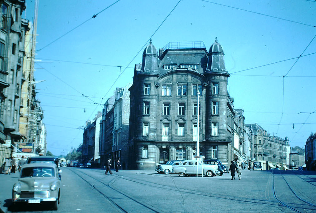
Avenue de la Liberté and Avenue de la Gare formed the main arteries connecting Luxembourg’s central train station to the rest of the city. These wide, tree-lined streets were built in the late 19th century as the city expanded southward. By 1949, they remained the commercial and transport backbone of the capital.
The old city’s lower quarters appear again here from a slightly different angle, showing the layered relationship between the cliff-top fortifications and the buildings constructed in the valley below. Residents in these neighborhoods lived within walking distance of some of the oldest structures in the country.
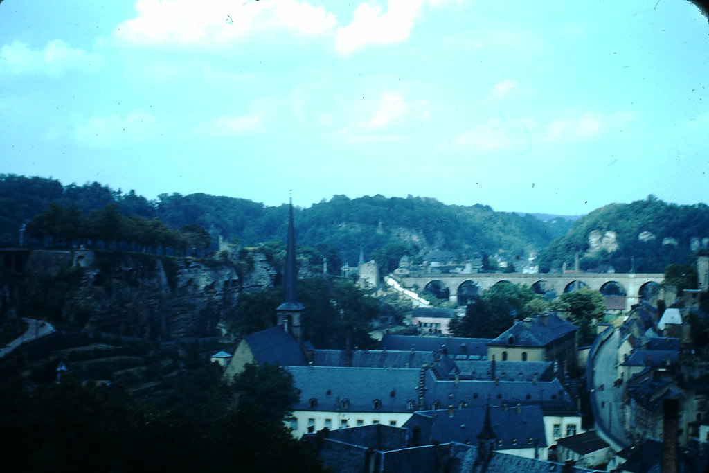
The old city wall and gate captured here carries a specific historical note — fighting in this direction during 1914 left its mark on the surrounding area. Luxembourg was neutral during World War I, but the German army passed through the country in violation of that neutrality, and the landscape bore the traces of that history.
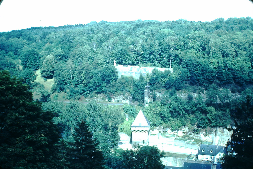
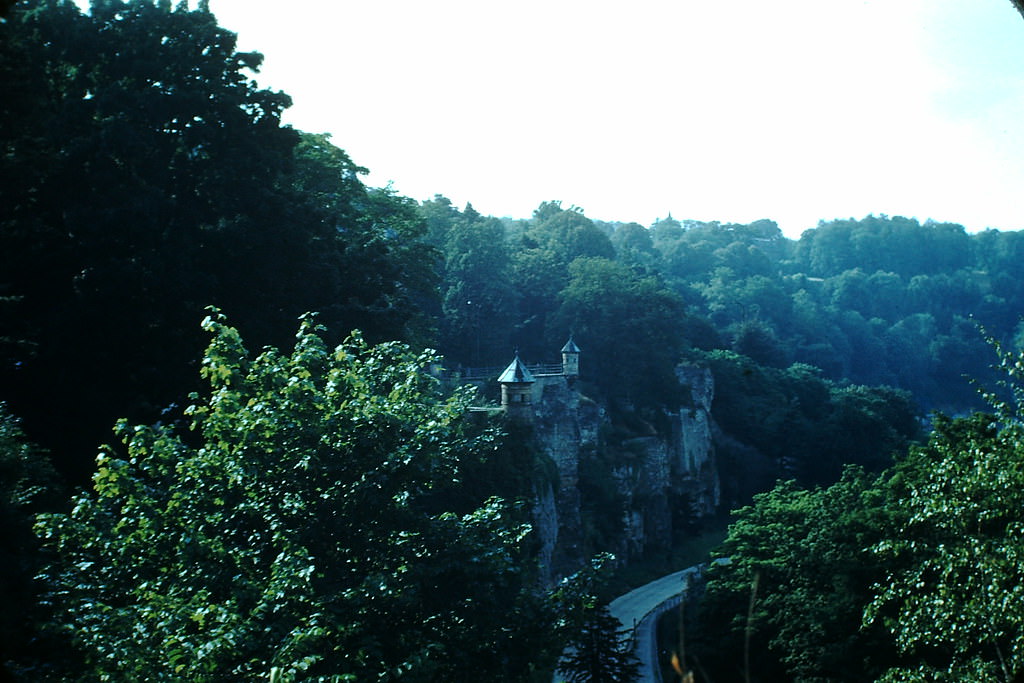
The old fort’s twin cupolas were a signature feature of Luxembourg’s military architecture. These rounded stone structures were built to withstand artillery and gave defenders wide fields of observation. By 1949, they stood as relics of a style of warfare that had long since been overtaken by modern conflict.
Rue Grande was one of the city’s main commercial streets, running through the upper city and lined with shops and businesses. In 1949, pedestrians and the occasional vehicle shared the road in a city that was still rebuilding its economy and reestablishing the rhythms of peacetime commerce.
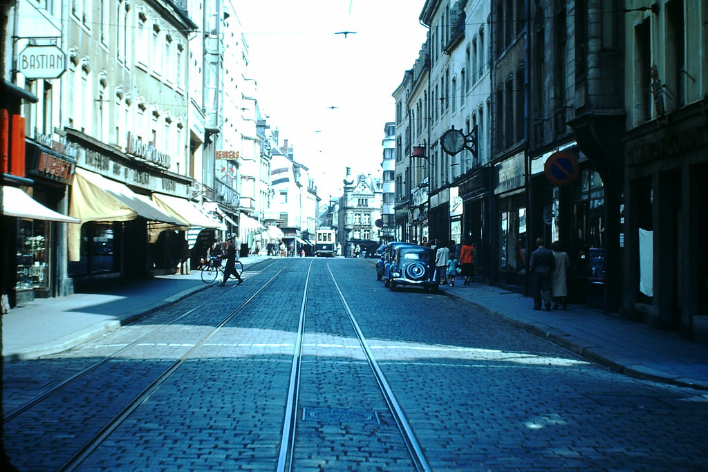
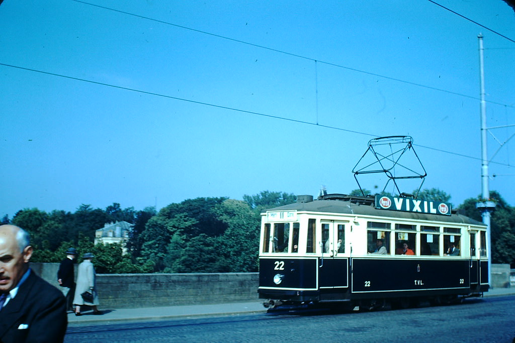
Luxembourg City operated a streetcar network that connected its neighborhoods and helped residents move through the hilly terrain. In 1949, these trams were a common sight on the city’s streets, serving as the primary form of public transit before the network was eventually phased out in later decades.