
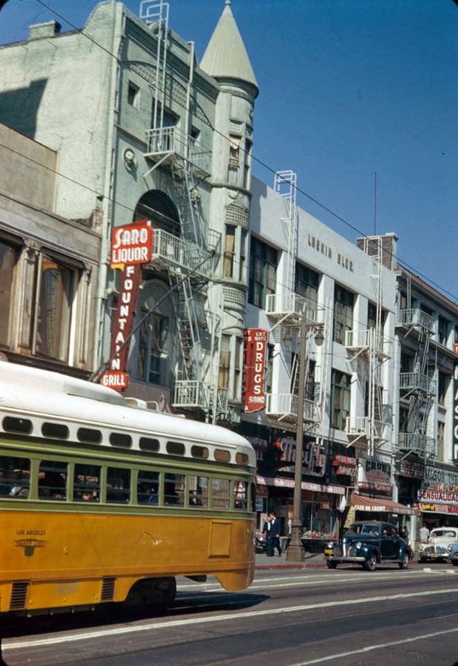
In 1952, Los Angeles was a city reinventing itself at full speed. The automobile ruled everything. Freeways sliced through neighborhoods, and construction crews raced to finish the Four Level Interchange — a towering stack of ramps designed to link the city’s major highways. It was the largest freeway interchange in the world at the time. As roads expanded, the Pacific Electric “Red Cars” faded fast. Tracks were paved over, and riders became drivers.
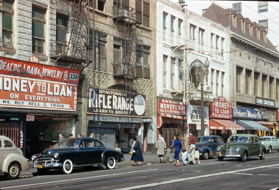
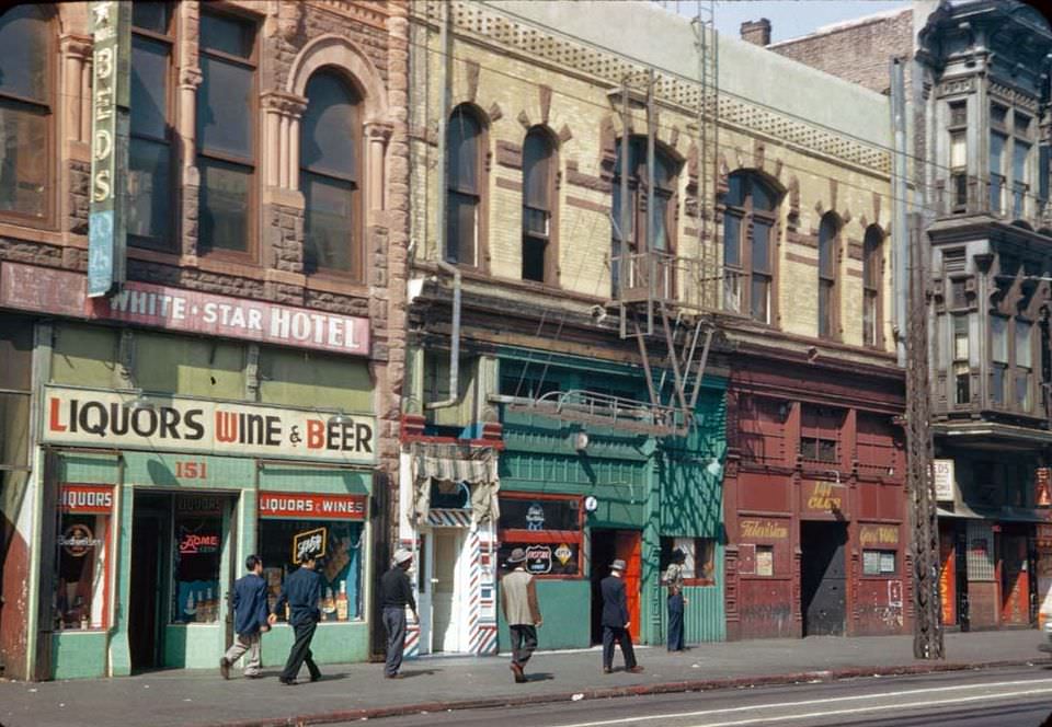
Downtown Los Angeles remained the civic heart of the city. On Sundays, the streets were quiet compared to the weekday rush. Main Street and Broadway still held department stores, theaters, and diners that drew shoppers from across the region.
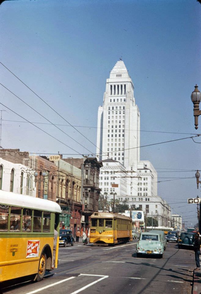
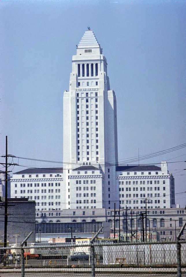
Los Angeles City Hall, completed in 1928, towered over the low-rise skyline. At the time, a height ordinance prevented other buildings from exceeding 150 feet, making City Hall uniquely visible from nearly every corner of downtown.
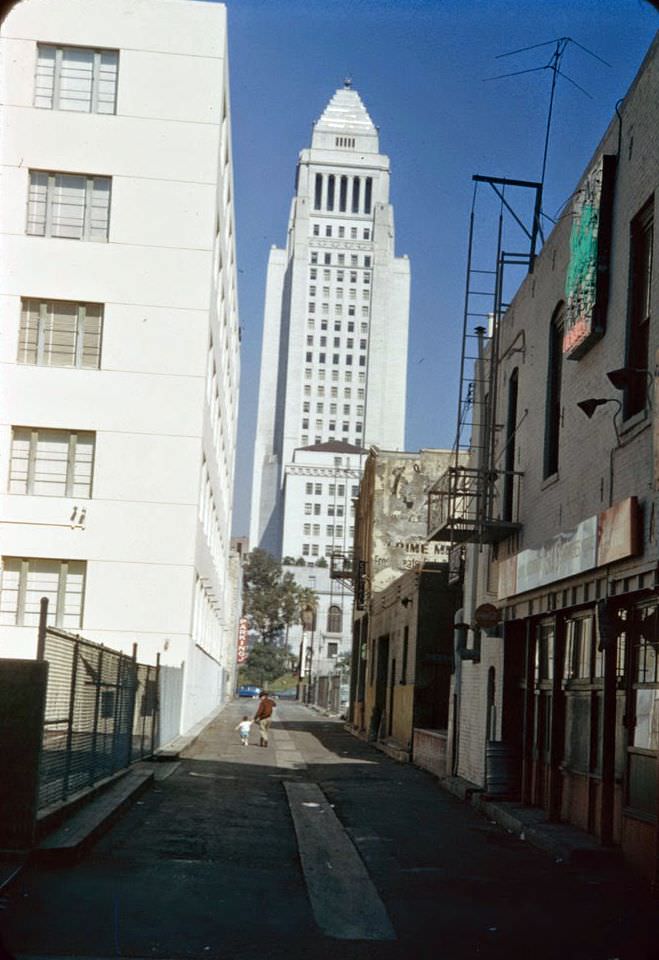
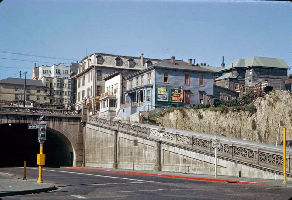
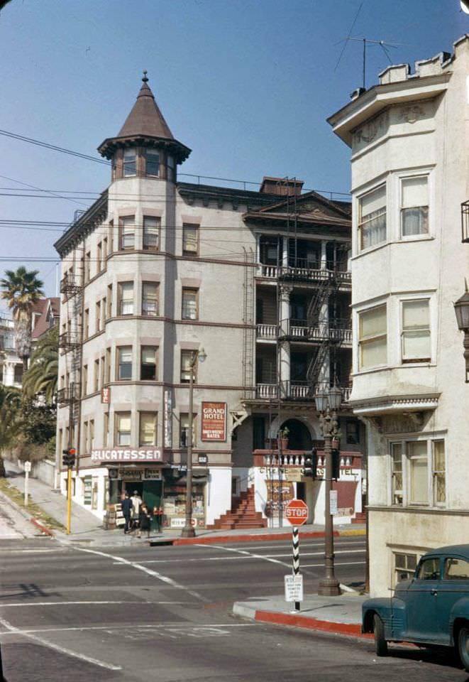
The 2nd Street Tunnel, opened in 1924, bored through Bunker Hill to connect downtown with the neighborhoods to the west. By 1952, Bunker Hill itself was under pressure. City planners had already begun targeting the Victorian-era neighborhood for demolition and redevelopment.
Smog was a serious and visible crisis across the Los Angeles basin in 1952. Scientists at Caltech, led by Arie Haagen-Smit, had recently confirmed that car exhaust and industrial fumes reacted with sunlight to create ozone pollution. On bad days, the San Gabriel Mountains vanished behind a gray haze, and residents experienced burning eyes and irritated throats. Backyard trash incinerators added to the problem each morning.
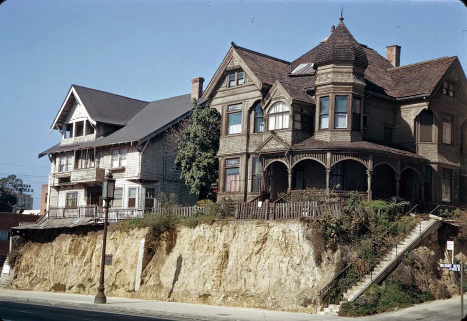
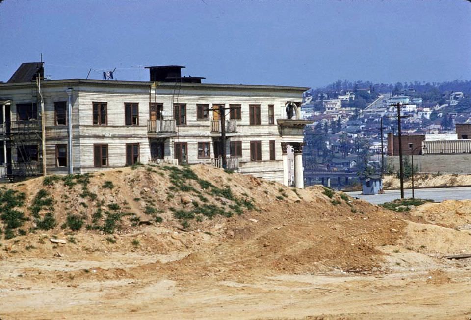
Bunker Hill’s demolition was well underway by 1952. The neighborhood’s ornate Victorian homes were being cleared to make way for a modernized civic and commercial district. Residents who had lived there for decades were displaced as wrecking crews moved block by block.
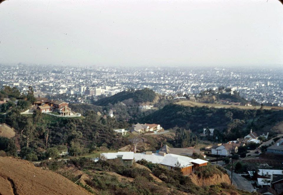
From Mulholland Drive, the Hollywood basin spread out below — a vast grid of streets, studios, and neighborhoods stretching toward the horizon. CBS Television City broke ground in the Fairfax District in 1952, signaling that Los Angeles was becoming the national center of broadcast television. Major film studios, worried about shrinking theater audiences, responded with big-screen spectacles like Singin’ in the Rain.
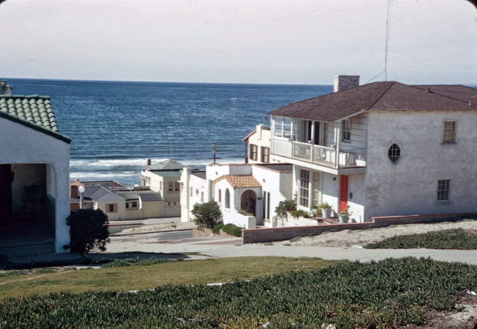
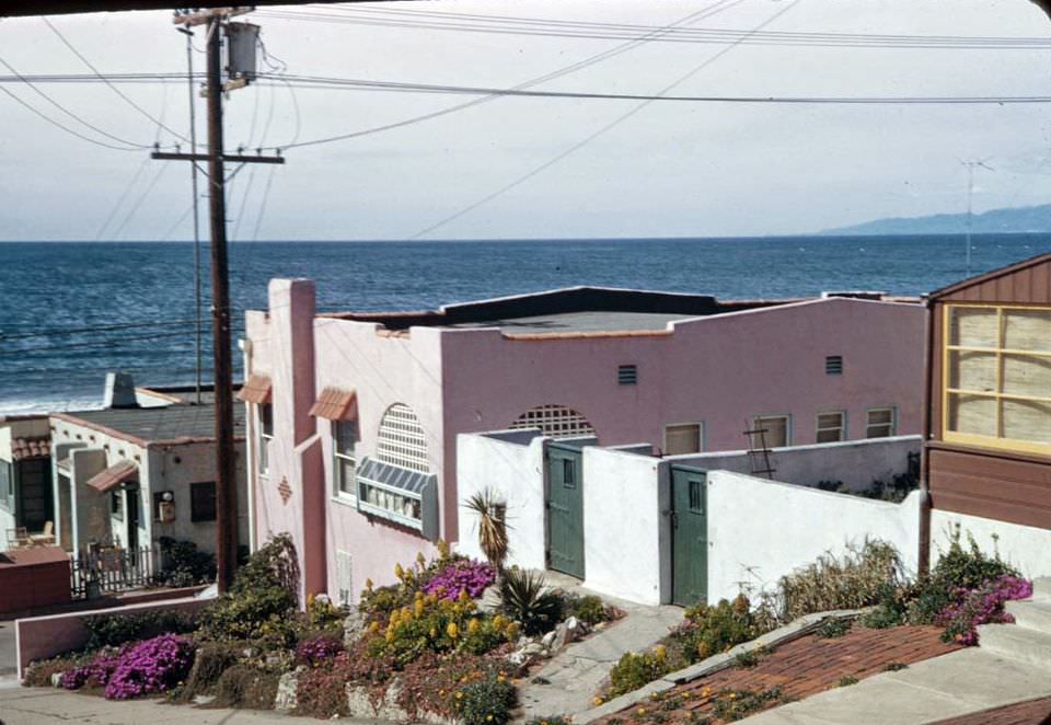
Beyond the city, coastal communities like El Segundo showed a different side of Los Angeles County. Modest homes perched on steep bluffs above the Pacific, a sharp contrast to the inland suburban tracts being mass-produced at places like Lakewood, where developers finished dozens of identical homes each day to house returning veterans and their families.
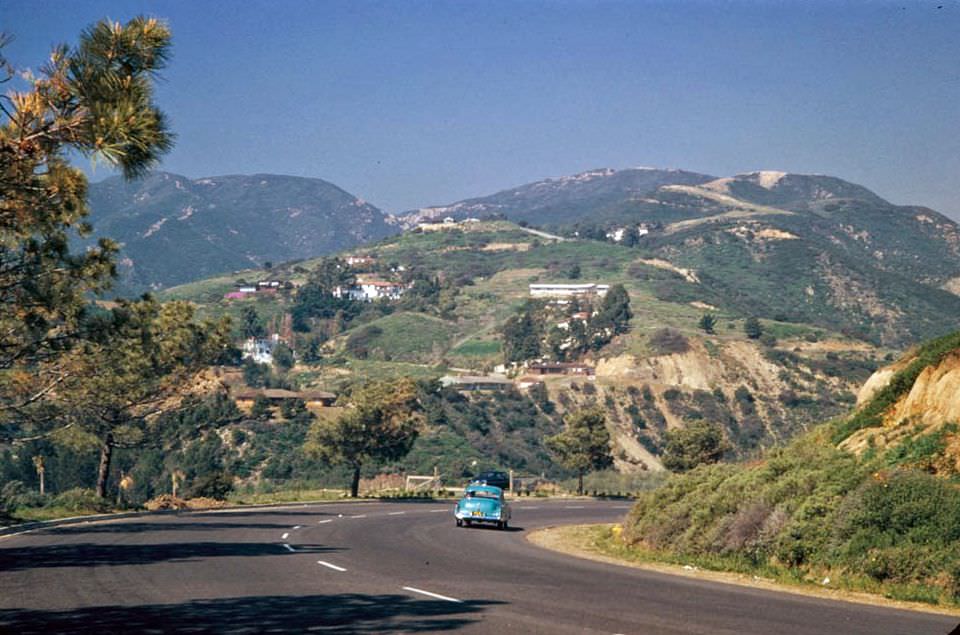
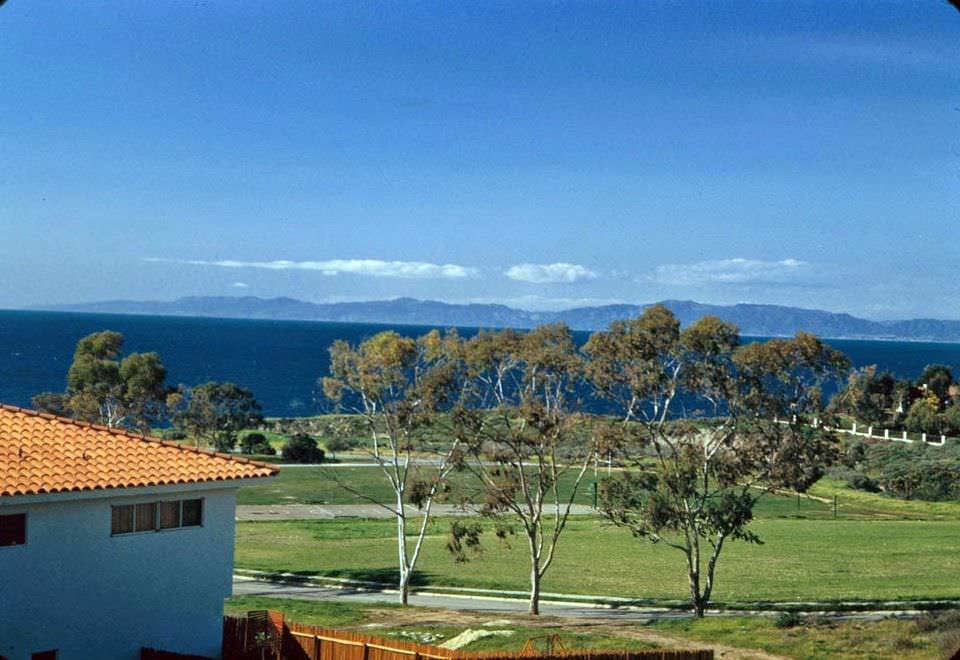
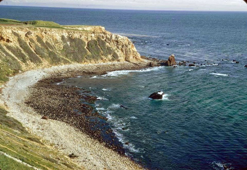
The rugged coastline of Palos Verdes offered some of the most dramatic scenery in the county. Rocky coves, kelp-lined waters, and steep cliffs defined the landscape south of the city — a world away from the concrete and smog of the urban core.





Hello Kevin
Fascinating portrayal of old LA, thank you.
I live in New Zealand, my mother is a New Zealander. My late American father was in the US Navy and stationed around Los Angeles.
I have tried to trace where my family lived in San Pedro – @ #1429 Lana Place.
I have tried to trace this address a number of times on the internet/Google Street View – just to see where I grew up as I was only 2-4 years old at the time. I have tried search words such as “defunct street addresses” thinking this area may have been redeveloped, but no luck.
Could you help me rediscover this part of San Pedro please ? (or perhaps any other reader of this web page)
Love your posts, this is a enchanting web site. Thank you.
John McGough
Wellington, NZ
Oh, forgot to mention ! – we lived there between 1970 to 1972 before coming to New Zealand