
The 1970s were a turbulent decade for Manchester. The city shed manufacturing jobs at a staggering rate — losing 150,000 of them between 1961 and 1983 — and watched one piece of its local identity after another get absorbed into larger governing bodies. What remained was a city in the middle of a painful transition, its streets and skyline caught between a fading industrial past and an uncertain future. These vintage photographs from the Manchester Metropolitan University Special Collections capture that moment in time with remarkable clarity.
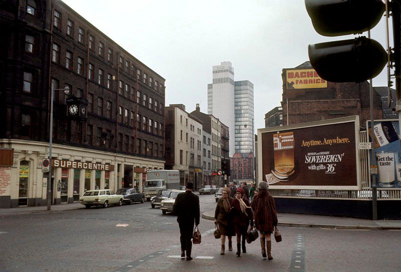
One of the most dramatic shifts of the decade was the formation of Greater Manchester County in 1974. The reorganization merged south-east Lancashire and north-east Cheshire into a new regional authority, and the city of Manchester lost direct control over its police and fire departments as a result. The North West Water Authority took over water and sewage services. Even Manchester Airport, long under city control, was transferred to the new Greater Manchester administration to be shared across the region.
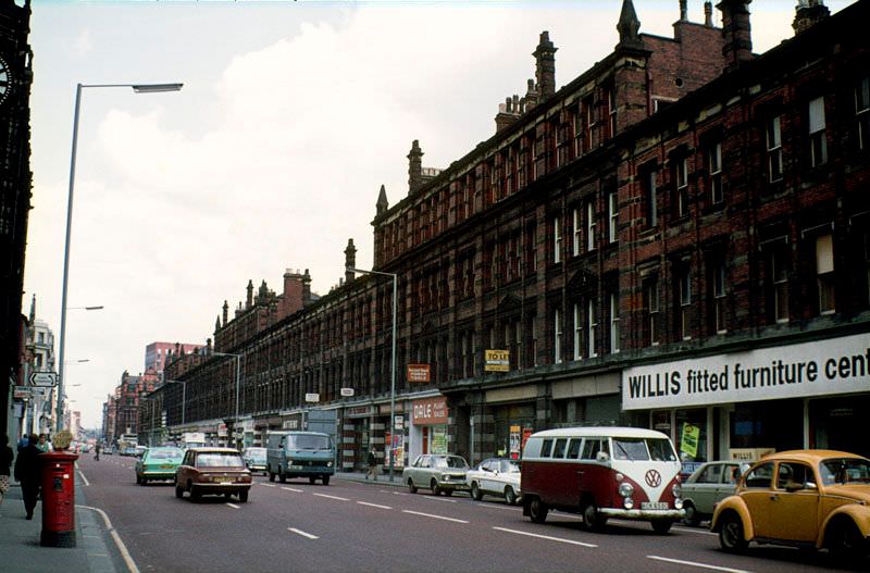
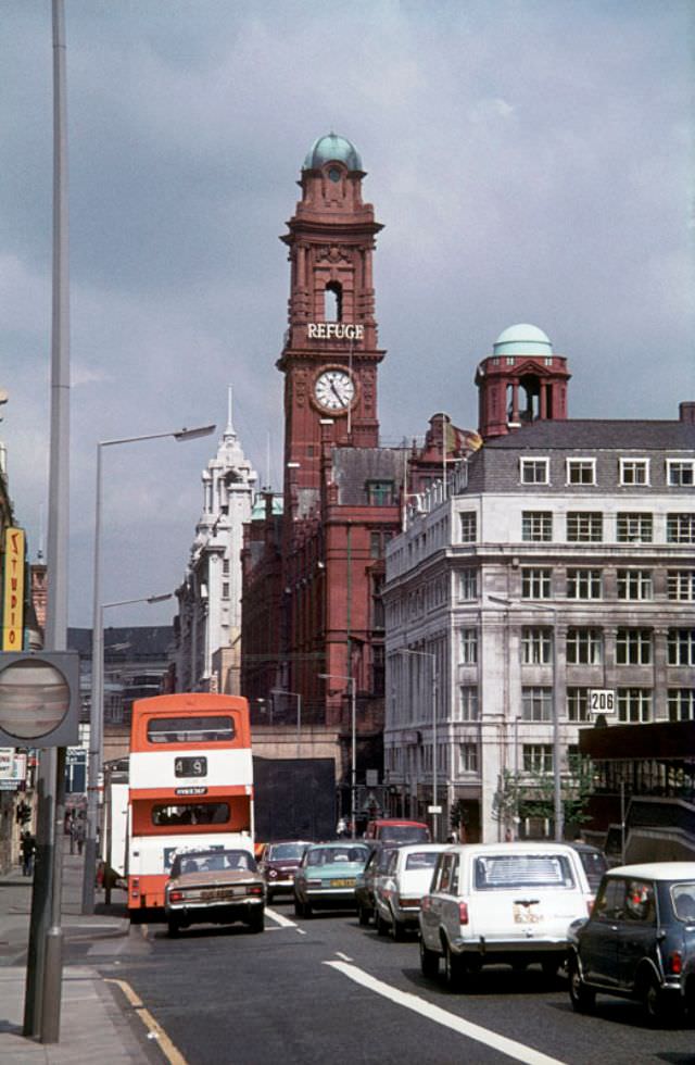
The City Council had already been weakened in the years following World War II, when Manchester lost local control of its gas and electricity supplies along with a significant portion of its revenue. By the 1970s, municipal transportation was the next to go. All authority over public transit was folded into a wider transportation body, and the city’s well-known red buses disappeared from the streets, replaced by a jarring scheme of orange and brown.
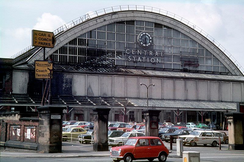
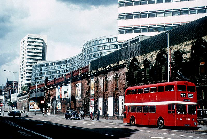
Central Station, one of Manchester’s great Victorian railway terminals, stood as a symbol of the city’s former industrial confidence. By the 1970s, however, it had closed to rail traffic and sat largely dormant — a massive iron and brick shell awaiting a new purpose. Its fate mirrored the broader story of the decade: grand infrastructure built for a busier era, now idle and uncertain.
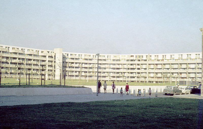
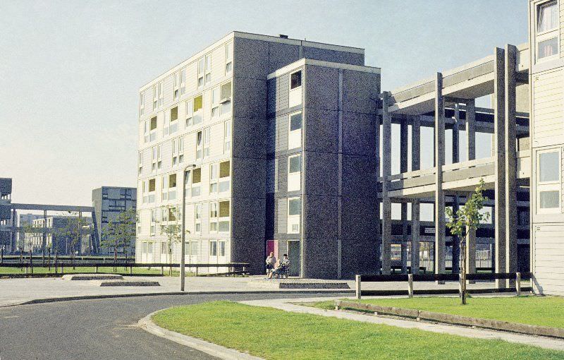
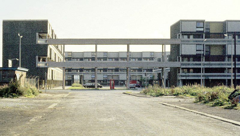
The Hulme Crescents were among the most ambitious and controversial housing projects of post-war Britain. Built in the early 1970s on the site of cleared Victorian slums, the development consisted of massive deck-access blocks arranged in curved rows — Charles Barry Crescent among them. The design borrowed from Georgian architecture in name only. In practice, residents faced damp, structural problems, and social isolation almost from the start.
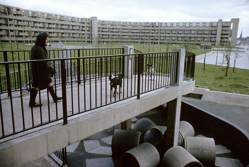
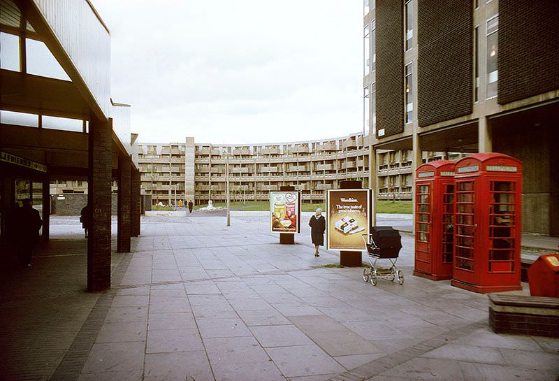
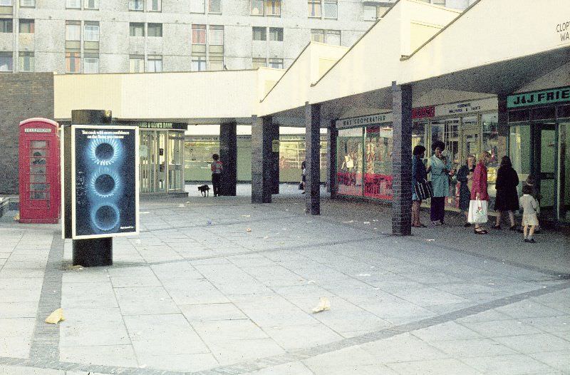
The walkways and communal spaces of Hulme were photographed extensively during this period, and images like those from Blanshard Walk and Clopton Walk tell a story of concrete ambition running up against everyday reality. The shopping precinct at Clopton Walk was meant to serve the thousands of residents housed in the surrounding blocks, part of a self-contained urban experiment that never quite worked as planned.
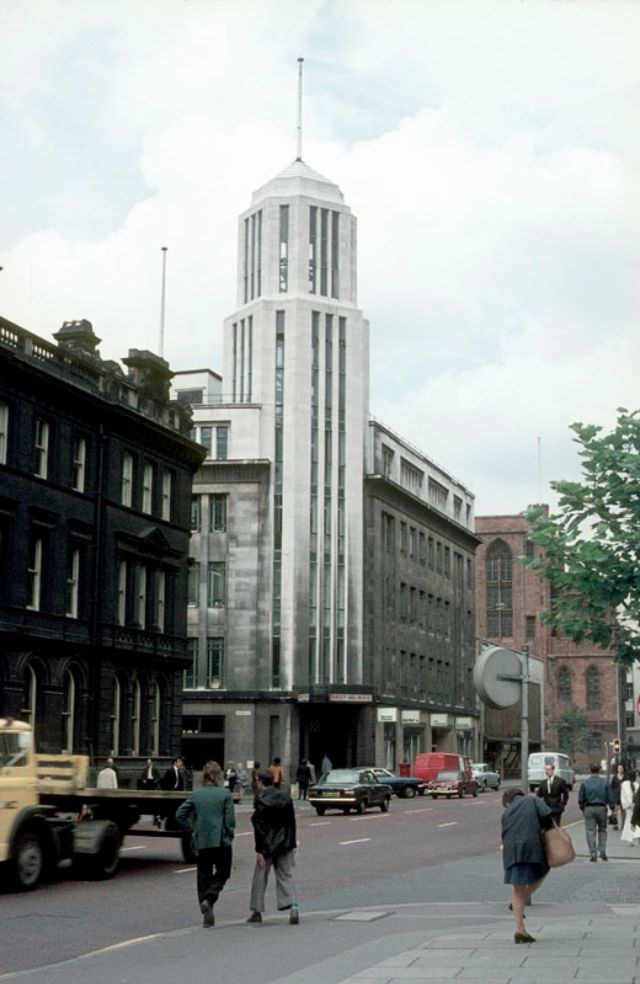
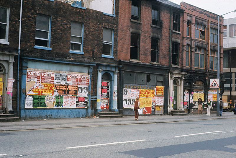
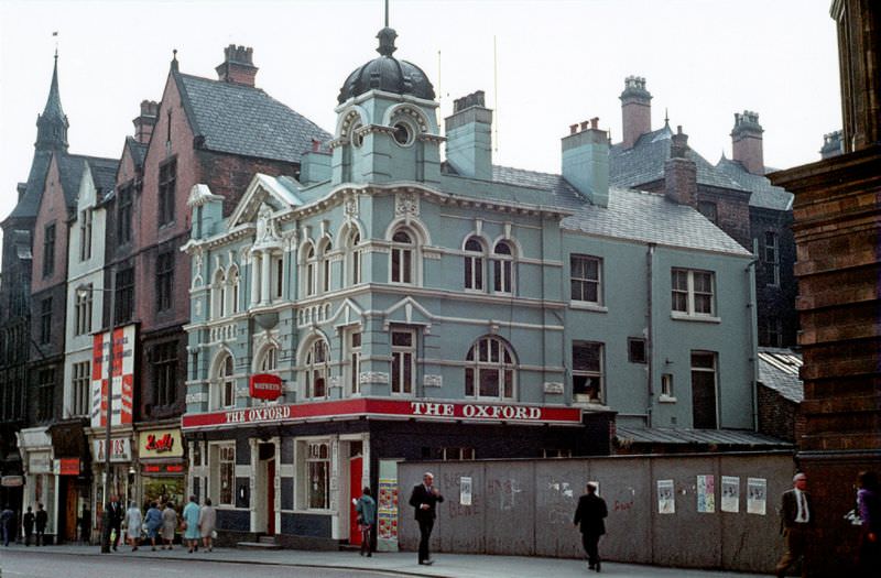
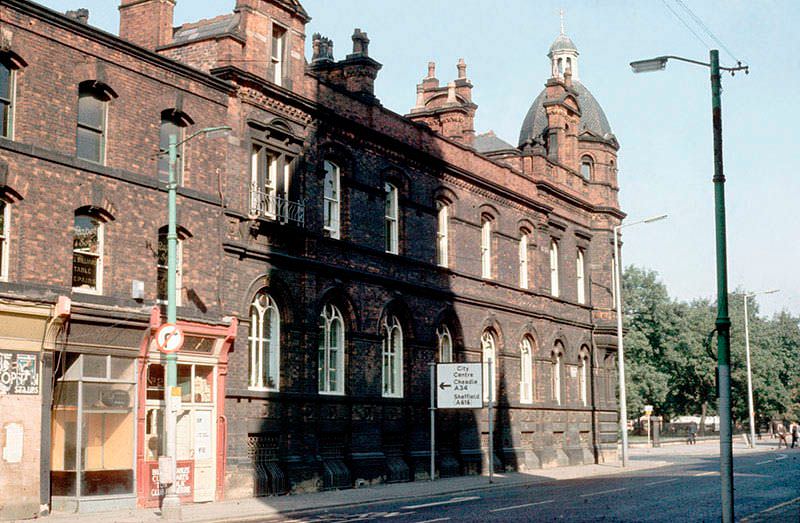
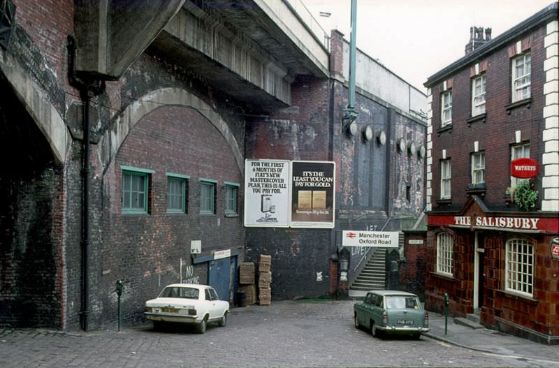
Oxford Road ran through the heart of the city’s academic and cultural corridor, connecting the university district to the city center. In the 1970s, it was lined with a mix of Victorian buildings, newer brutalist structures, and busy public houses that served students, workers, and locals alike. The Oxford public house was a fixture on this stretch, as familiar to regulars as the road itself.
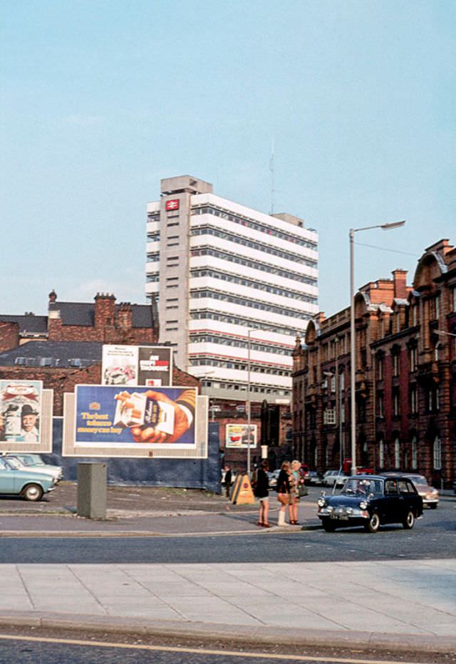
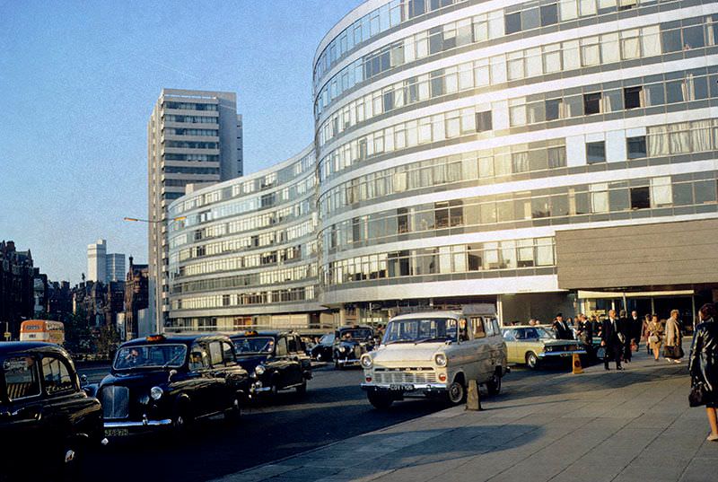
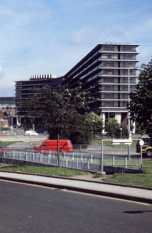
Piccadilly Station anchored the eastern edge of the city center, and the area around it reflected the architectural tensions of the era. The station’s office block and the nearby Gateway House — a sinuous, ribbon-windowed building that curved along the station approach — were both products of 1960s and early 1970s modernist planning. They stood in sharp contrast to the older commercial streets just minutes away.
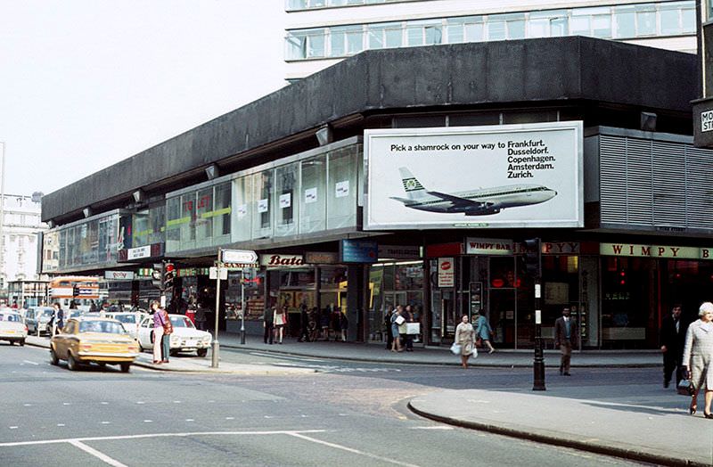
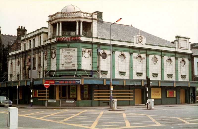
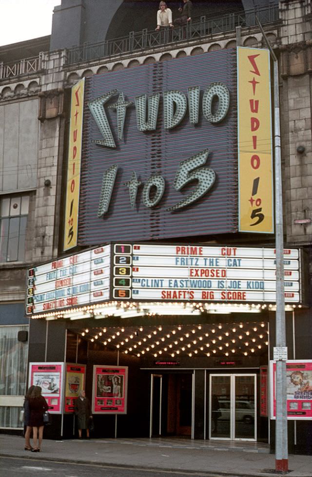
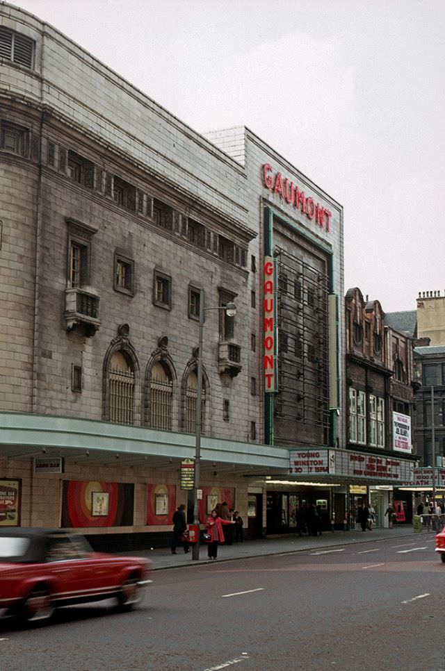
Cinema-going was still a significant part of urban life in 1970s Manchester. The Gaumont Cinema and the Studio 1 to 5 were among the venues drawing audiences to the city center, while the Grosvenor Picture Palace served its own neighborhood crowd. The decade saw cinema attendance in Britain drop sharply as television took hold, but these buildings remained active landmarks on Manchester’s streets throughout the period.
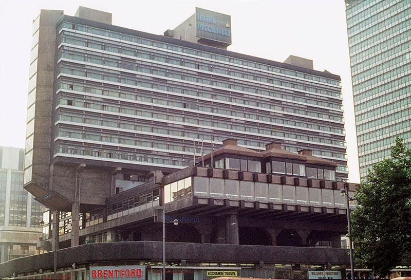
Hotel Piccadilly rose above the city center as one of Manchester’s most recognizable modern buildings. Opened in 1965, it continued through the 1970s as one of the premier places to stay in the city. Its tower-block profile was very much of its time — confident, vertical, and unmistakably modern in a city that was rapidly mixing old stone facades with new concrete and glass.
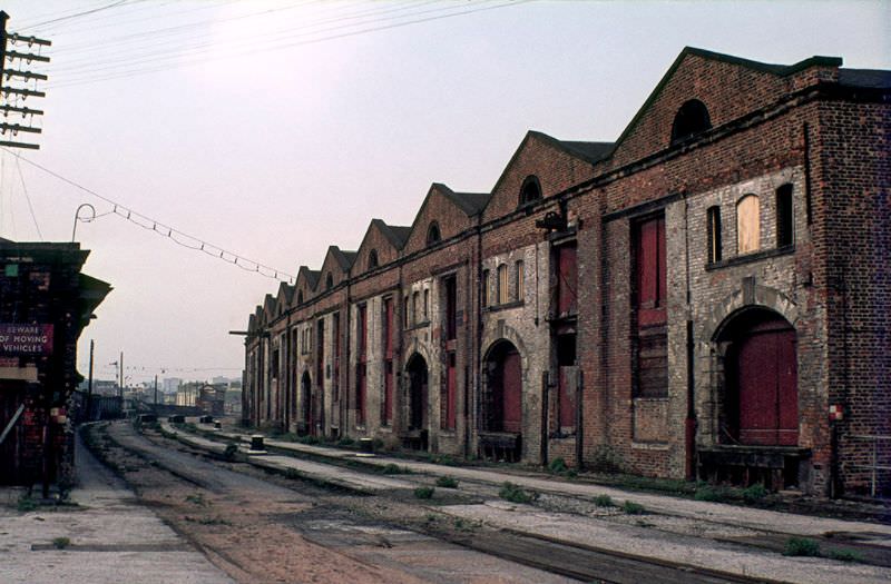
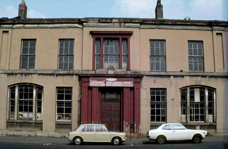
Liverpool Road Station holds a unique place in railway history as the Manchester terminus of the Liverpool and Manchester Railway, which opened in 1830 as the world’s first inter-city passenger railway. By the 1970s, the station had long since ceased operating as a working terminus and its buildings sat in varying states of preservation. The surrounding Liverpool Road area still showed traces of its industrial heritage, with warehouses and goods sheds lining the route toward the city.
The Manchester Ship Canal, which had once made Salford and Trafford among the busiest inland ports in Britain, was entering a steep decline during the 1970s. The rise of container shipping made the canal increasingly unviable for freight traffic, and the docks at its head began to wind down. This collapse added to the broader deindustrialization hitting the region — a process visible not just in closed factories but in the quieter streets and emptier yards photographed throughout the decade.

Cavendish Street, St Ann’s Square, and Withy Grove each represented different faces of Manchester’s city center in this period. St Ann’s Square retained its Georgian character and served as a quieter counterpoint to the busier shopping streets. Withy Grove was a dense retail area close to the city’s markets. These streets were busy with daily life even as the larger economic picture grew harder.
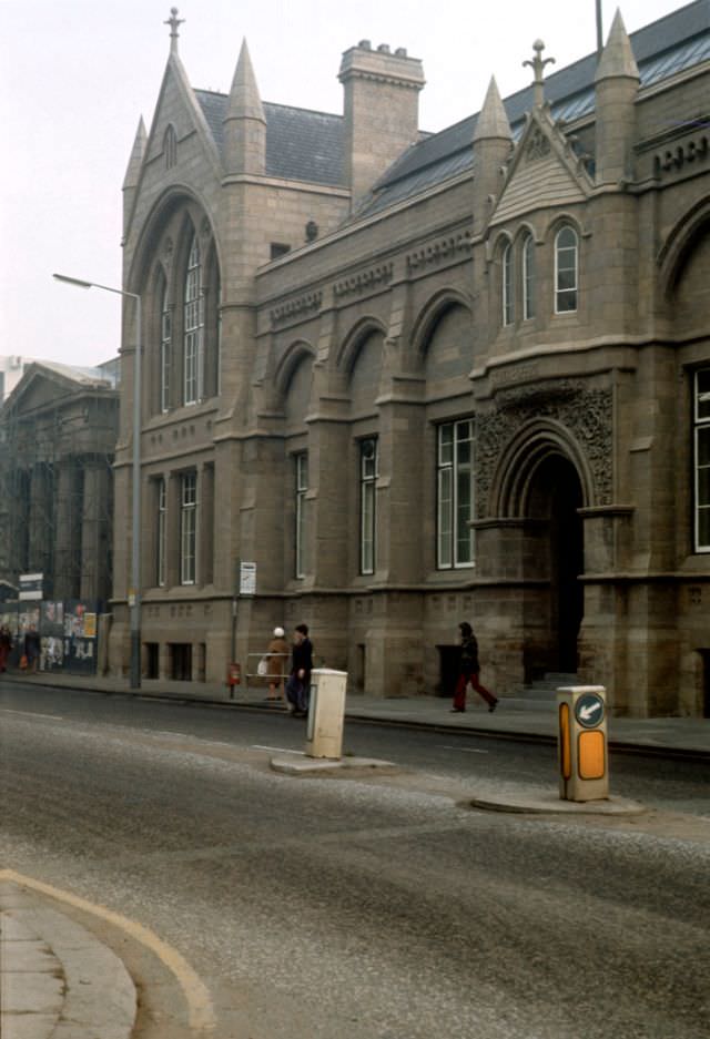
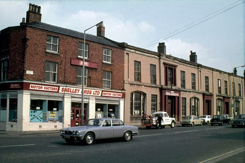
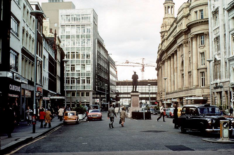
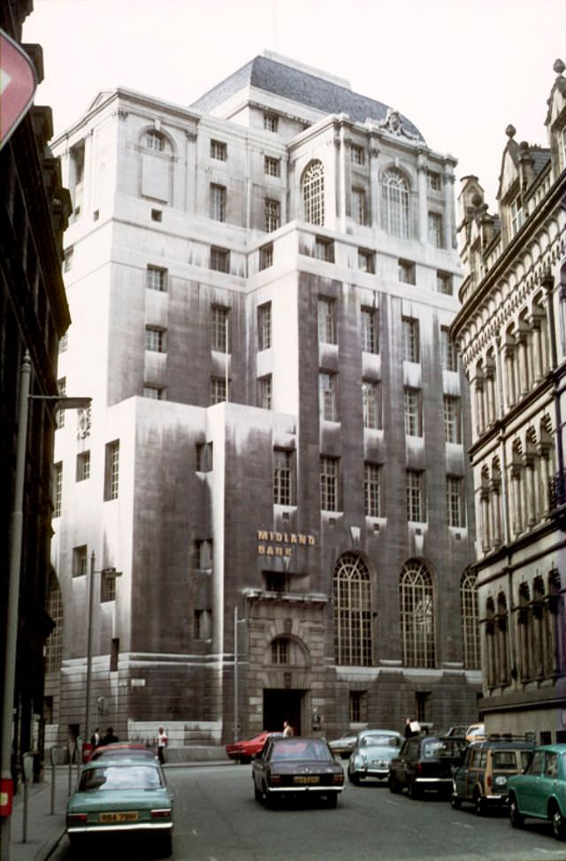
London Road connected the city center to Piccadilly Station and was one of Manchester’s busiest arterial routes. The buildings along it ranged from Victorian commercial blocks to mid-century offices, all of them photographed here in the particular flat light that defines so much imagery from this era. Midland Bank maintained a prominent presence on Manchester’s streets during the decade, its branches occupying weighty, purpose-built premises that projected financial stability.
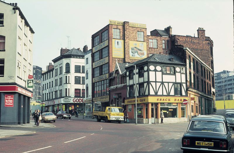
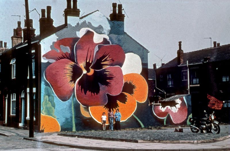
Murals appeared on blank walls across Greater Manchester during the 1970s, part of an effort to bring color to neighborhoods that had been heavily redeveloped or left in limbo between demolition and rebuilding. The Pansies mural is one example of the kind of public art that local artists and community groups produced during this period, often commissioned to soften the hard surfaces of new housing estates and pedestrian precincts.





It’s incredible how much more car-centric Manchester was back then.
It strikes me how dirty the stone buildings are, particularly the lower halves. Buildings were cleaned up a lot in the 70s, and it’s easy to forget what they looked like before the Clean Air Act.
I thought the same thing. I was also surprised by the murals. I thought they were more recent.
Over the years, Eight Day (and the building it occupies) has gone through many changes
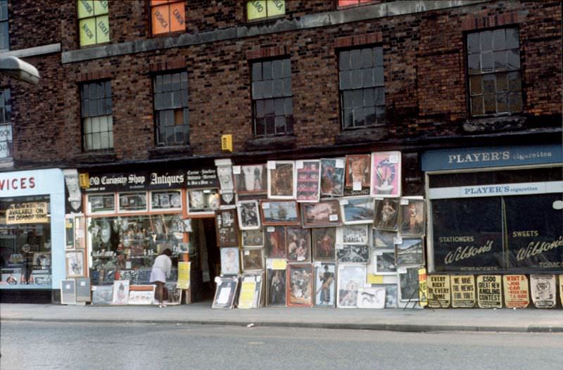
I love the old advertisements for cigarettes. Those pictures could easily belong to a housing estate from the former Soviet Union!
The crescents resembled the Bath terraces, but differently. It didn’t work out.
Rained less in the 70s?
Pollution makes the buildings look dirty. It’s a beautiful time to be alive.
Every single one of these photos was taken in the sun.