
Leeds in the 1970s was a city very much in transition. With a population of around 500,000, it remained one of the North of England’s most important industrial centres. Textiles had driven the local economy for centuries, and alongside that came engineering, printing, and food processing. But the decade also brought serious pressure — rising unemployment, high inflation, and wave after wave of industrial strikes that hit cities like Leeds hard. These photographs capture daily life against that backdrop, from the busy city centre streets to the neighbourhoods being torn down and rebuilt.
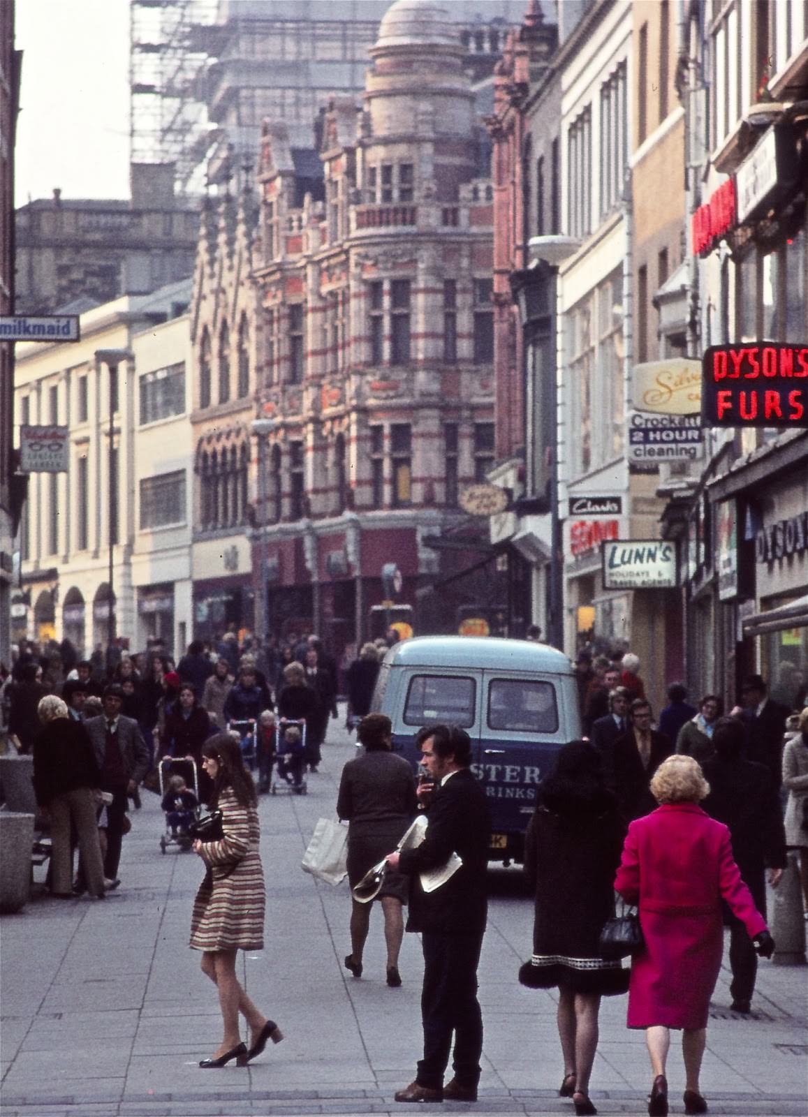
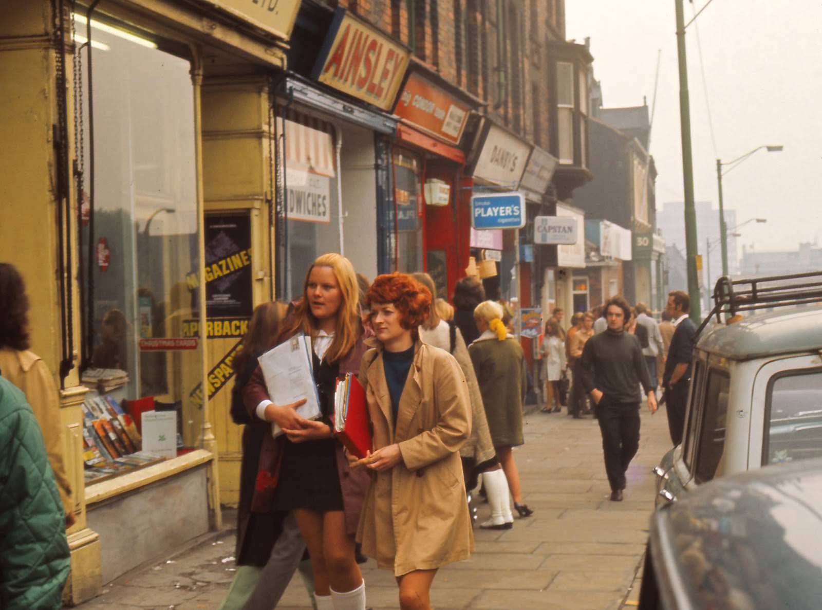
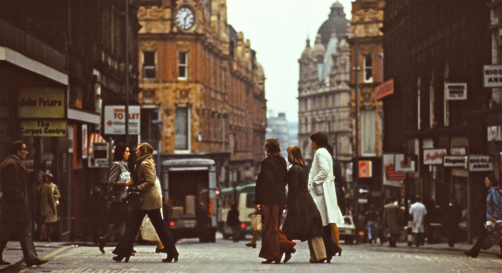
The city centre was the beating heart of Leeds. Shoppers filled the streets, and key commercial roads like Lands Lane saw constant foot traffic throughout the week.
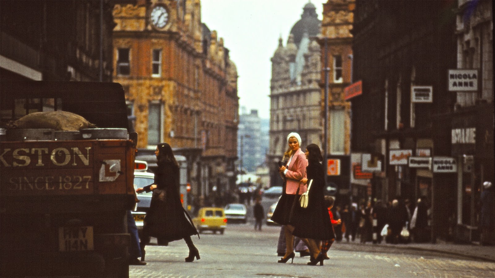
Lands Lane was one of the main arteries of the shopping district, and by the 1970s parts of it had been pedestrianised, making space for foot traffic away from the congestion of motor vehicles. The move toward pedestrianisation reshaped how people moved through the city centre.
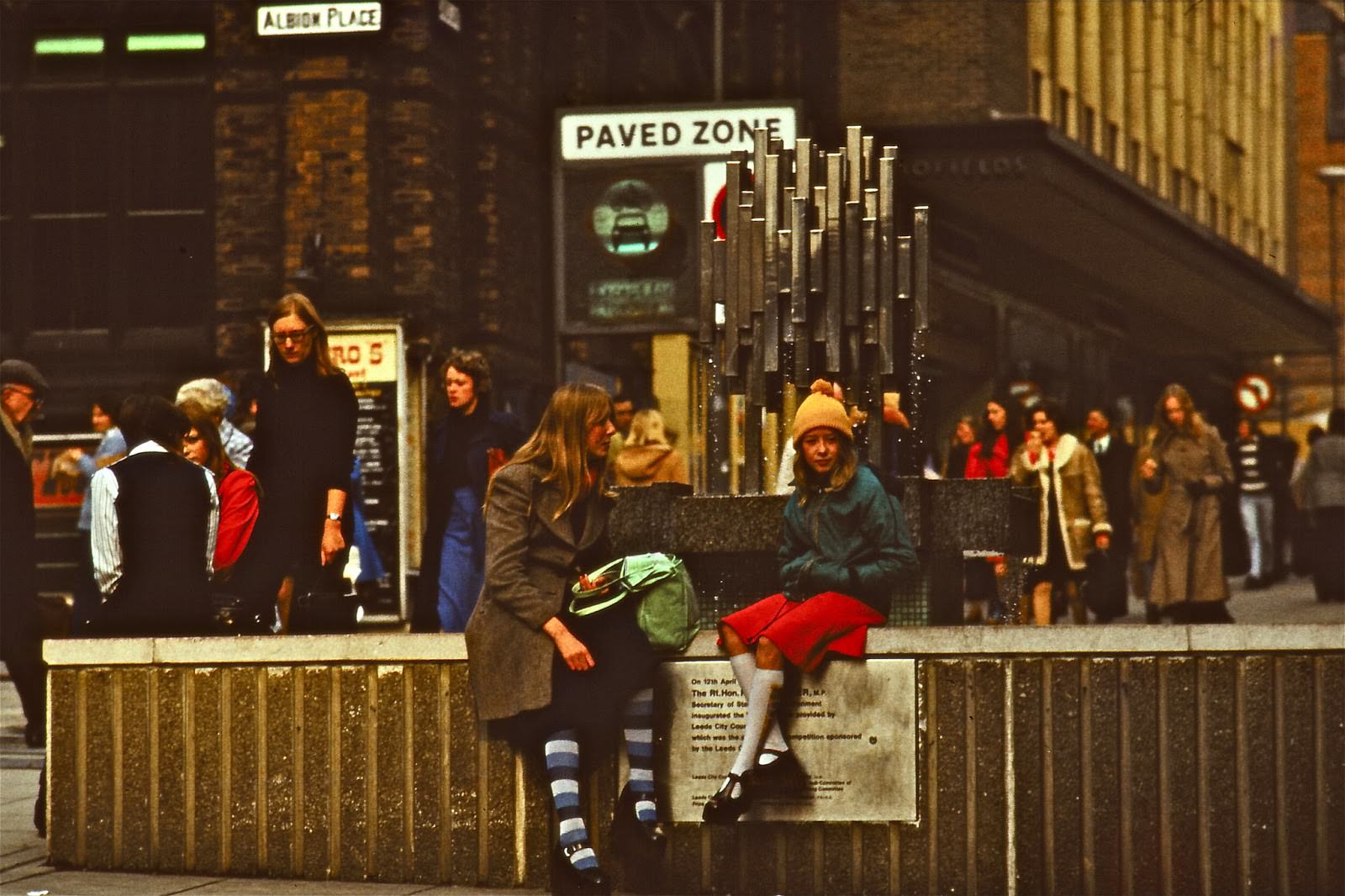
Nearby, Albion Place offered another view of the commercial centre, with its eastward line of sight stretching toward Briggate — the city’s oldest and most important shopping street.
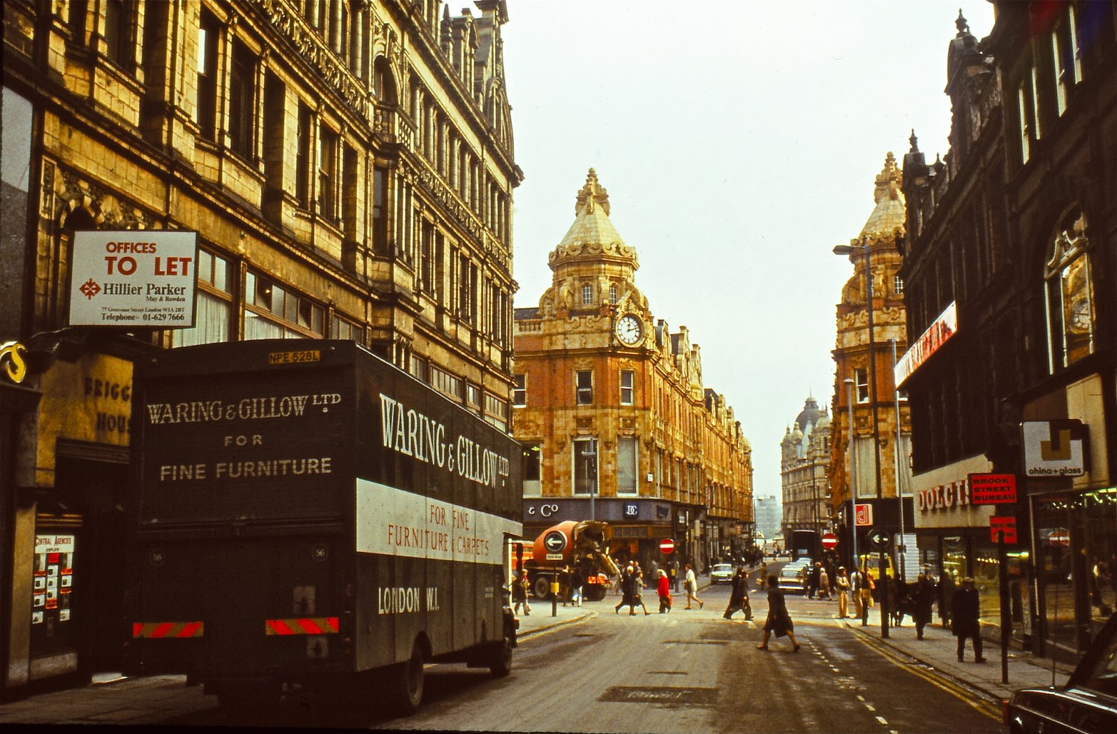
The pedestrianised zones were taking shape across the centre, bringing cafés and shoe shops into view along streets that had previously been shared with traffic.
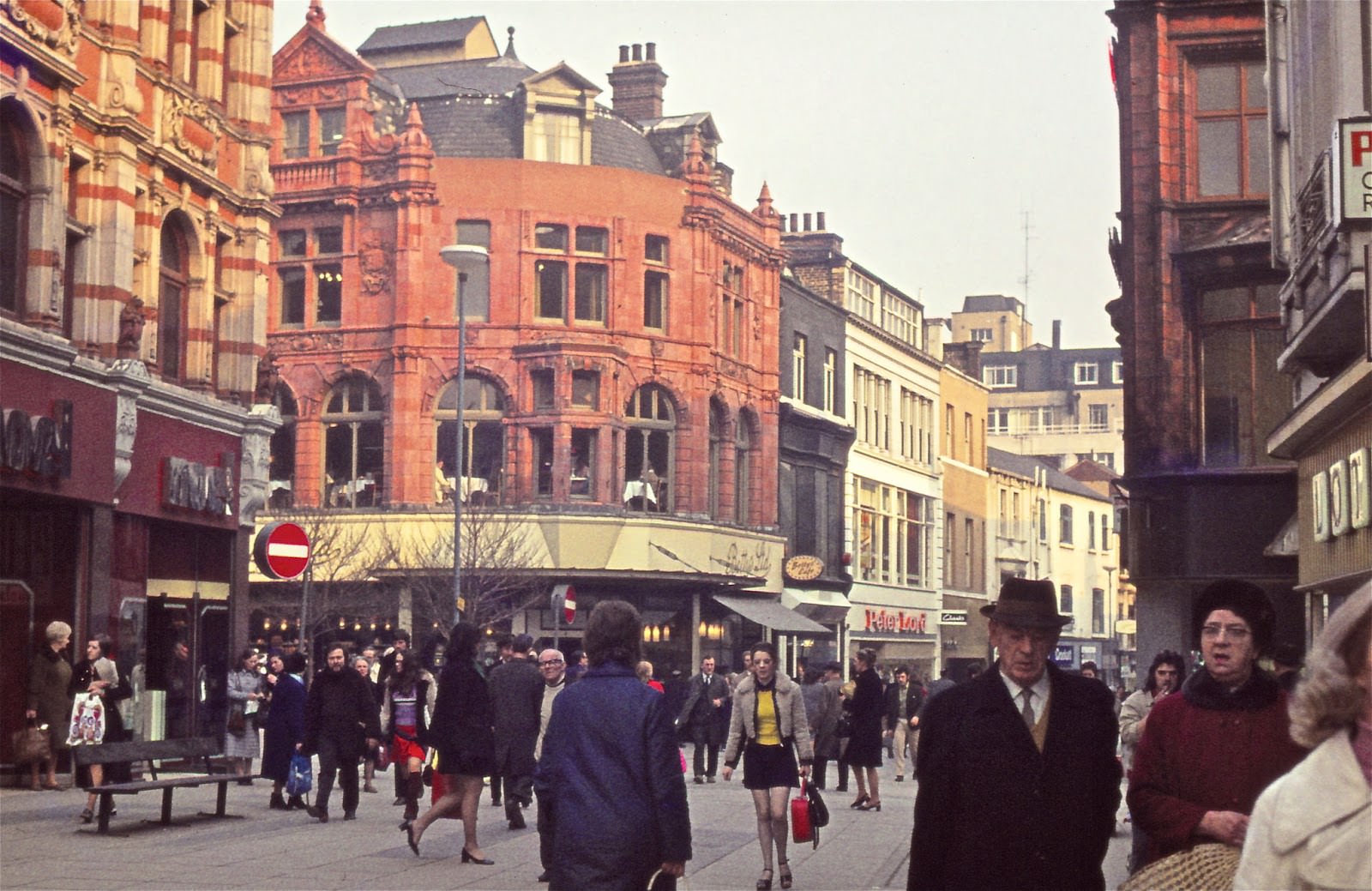
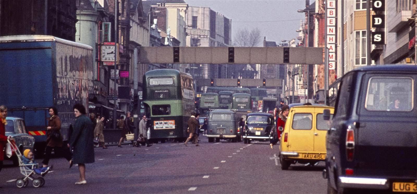
Department stores dominated several key corners of the city. On one side of the road stood Debenhams, on the other Lewis’s — a separate chain entirely unrelated to John Lewis, despite the name.
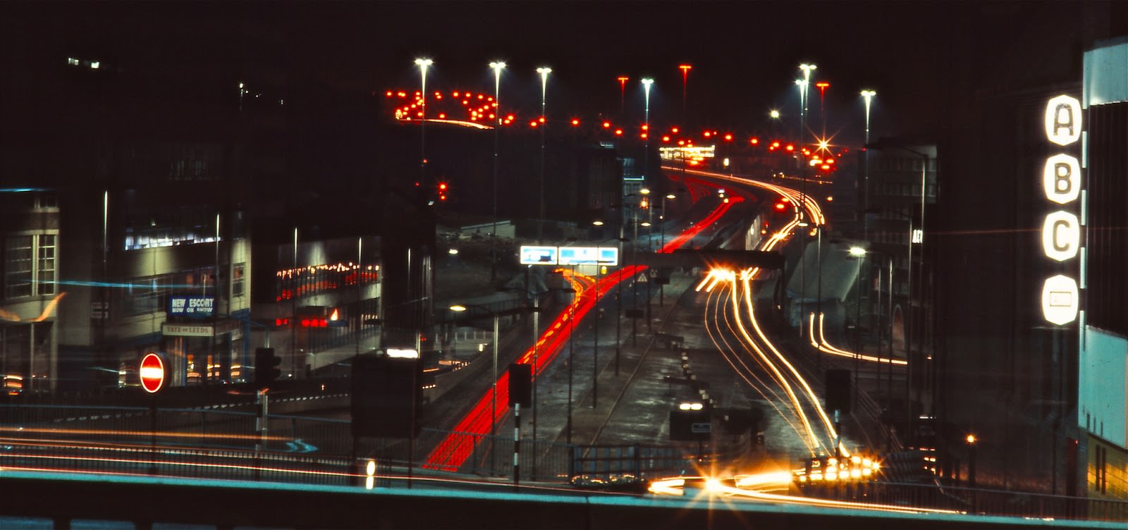
Vicar Lane gave shoppers a different kind of choice. The ABC cinema sat on the right-hand side, while Ford dealers Tate of Leeds displayed the new Escort in their showroom window on the left.
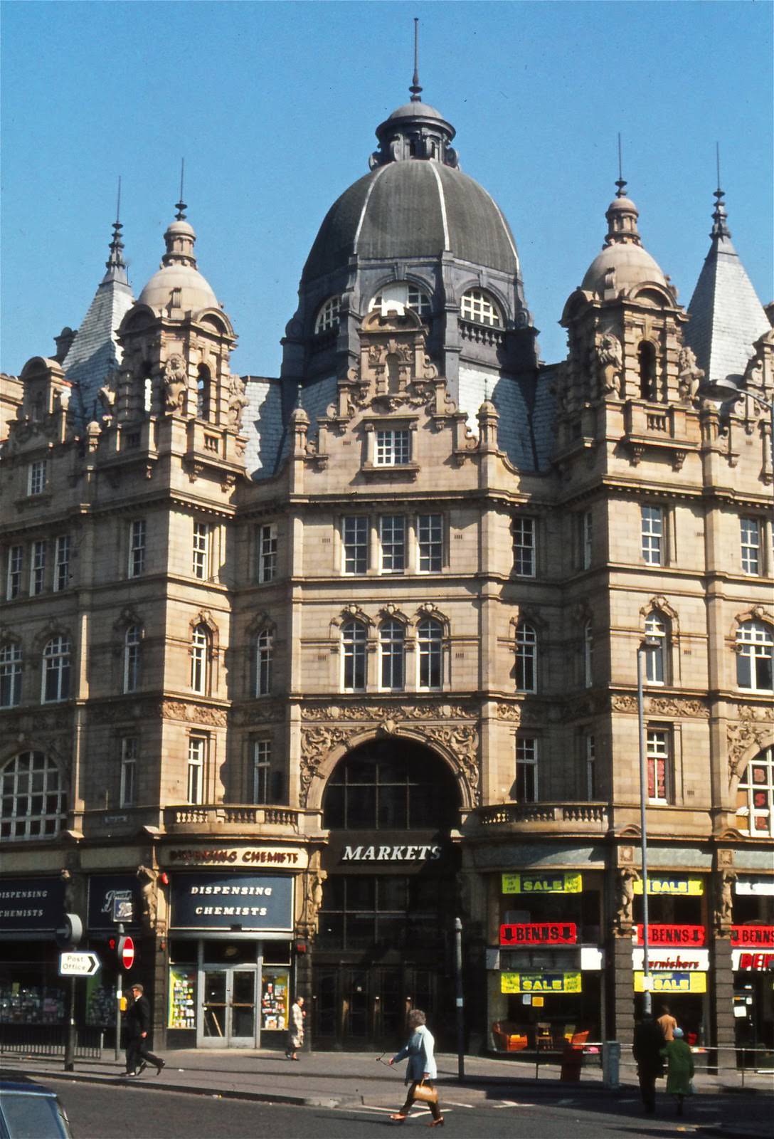
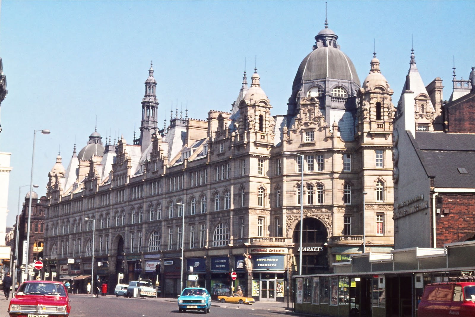
Kirkgate Market was one of the city’s defining landmarks. Its Victorian facade was grand, even if decades of industrial grime had darkened the stonework considerably by the time these photographs were taken.
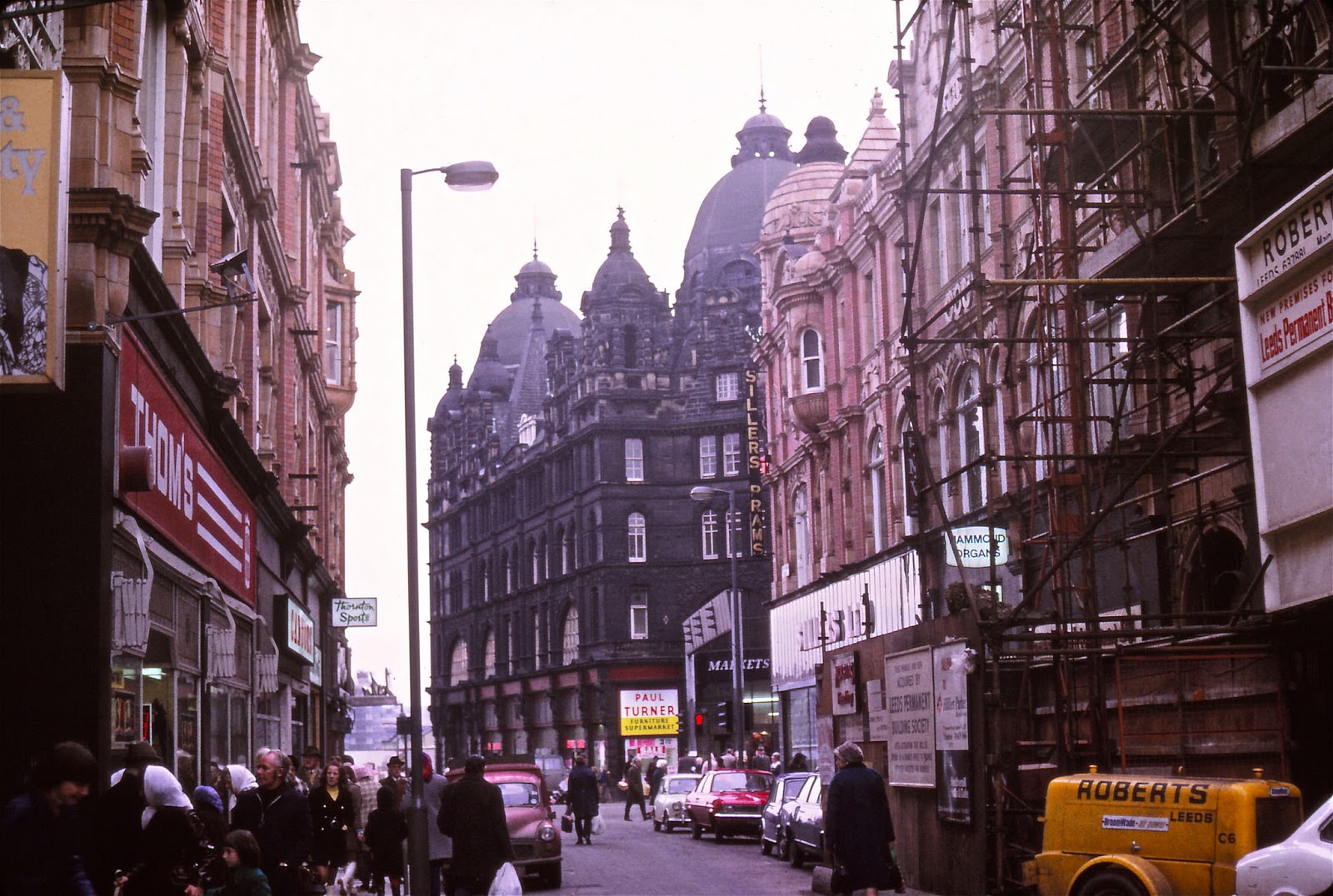
Around the market, the street scene reflected the economic tensions of the era. The Leeds Permanent Building Society — not so permanent in the long run — had opened new premises nearby, while clothing retailers High & Mighty and Thom’s were visible along the same stretch.
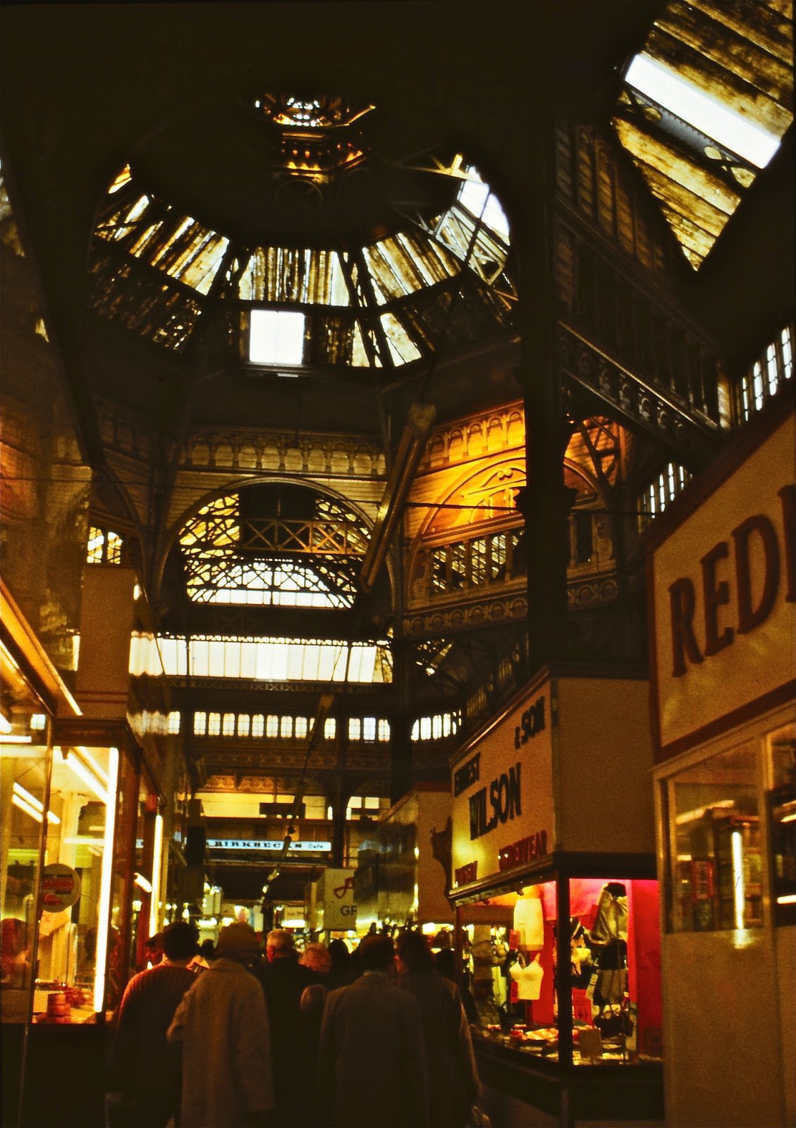
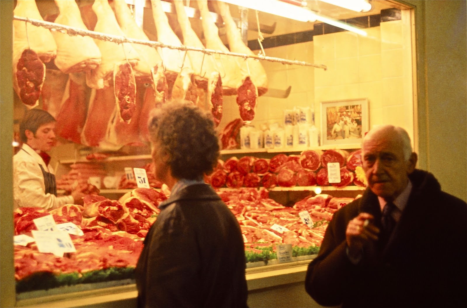
Inside the market hall, the atmosphere was a world apart from the polished Victorian arcades found elsewhere in the city centre. Stalls were packed together, the trading was direct, and the crowds were constant.
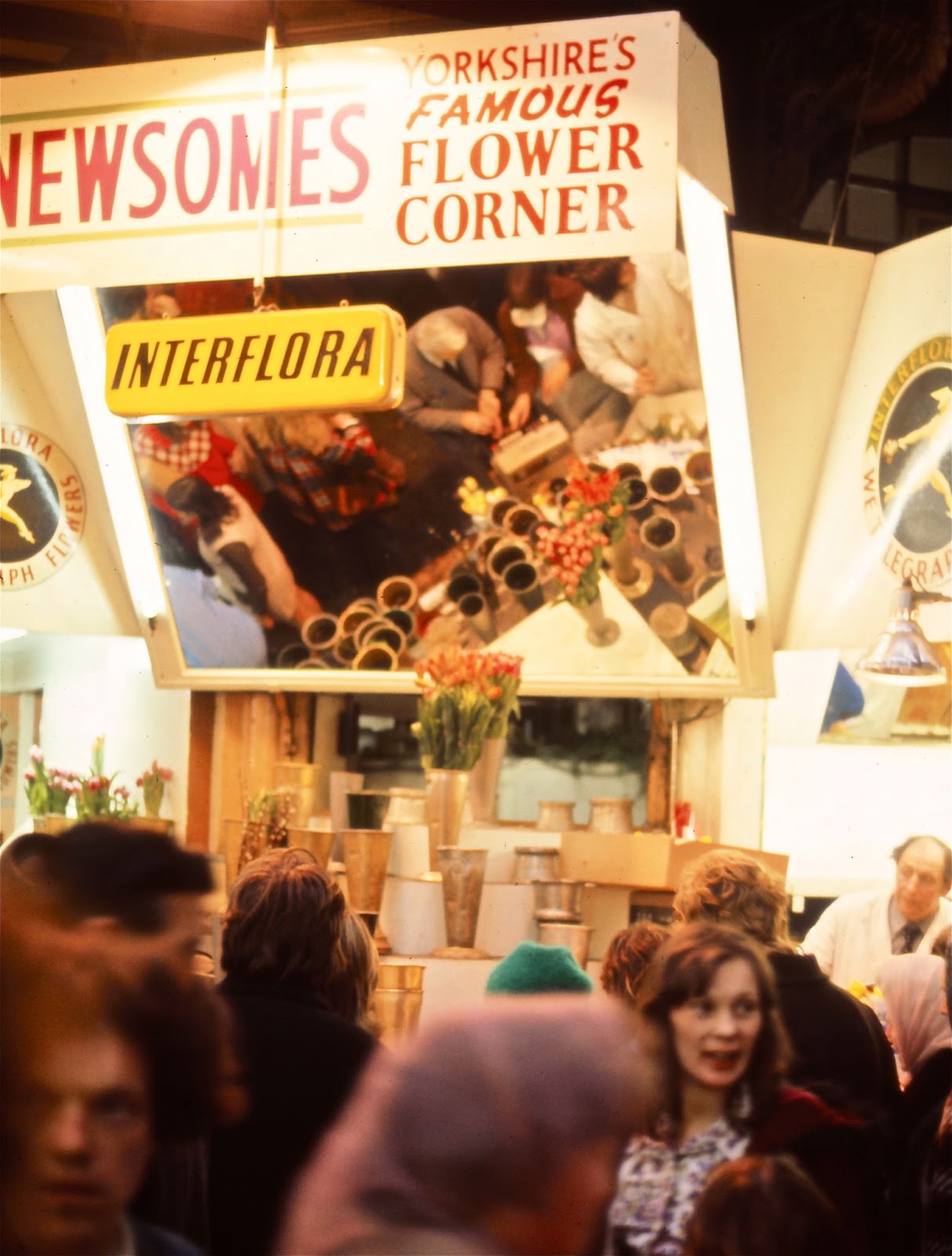
One of the most recognisable spots inside was Newsome’s Famous Flower Corner, a fixture of the indoor market that drew customers looking for a splash of colour amid the everyday hustle.
Leeds was famous for its network of Victorian shopping arcades, which cut through the city centre in a series of glass-roofed passages. These were a different kind of retail experience — enclosed, ornate, and stocked with specialist traders including ironmongers who could advise on woodworking joints.
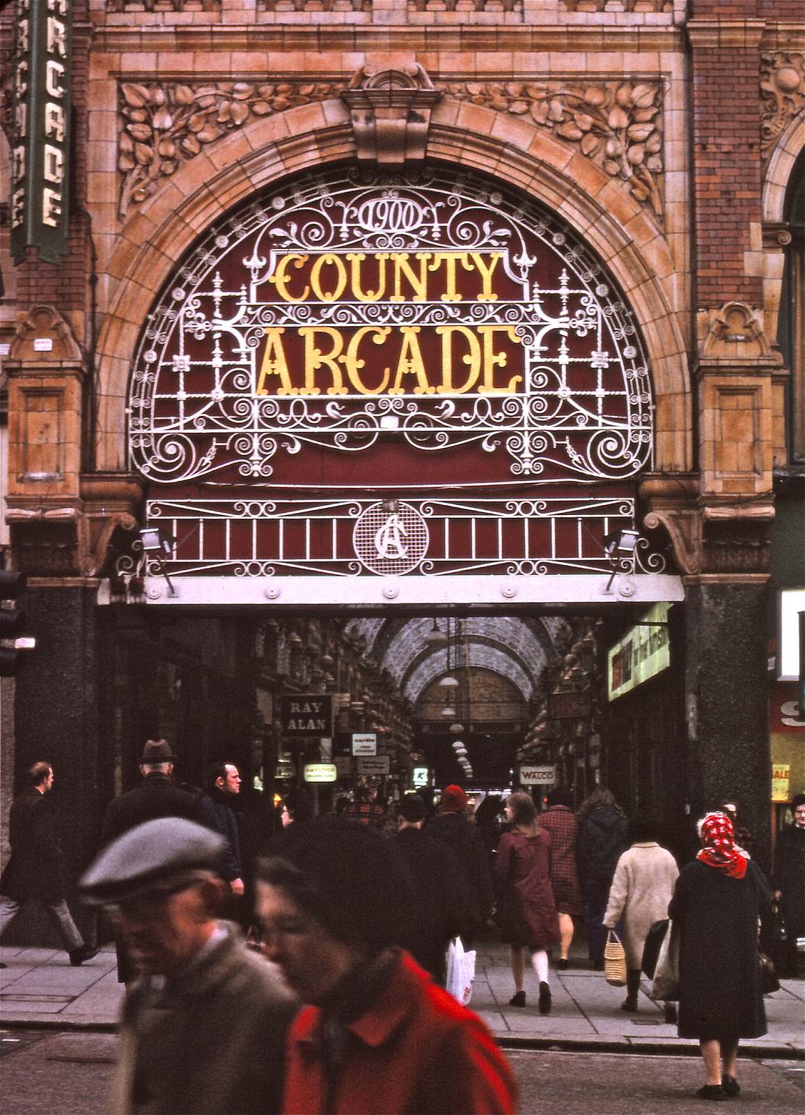
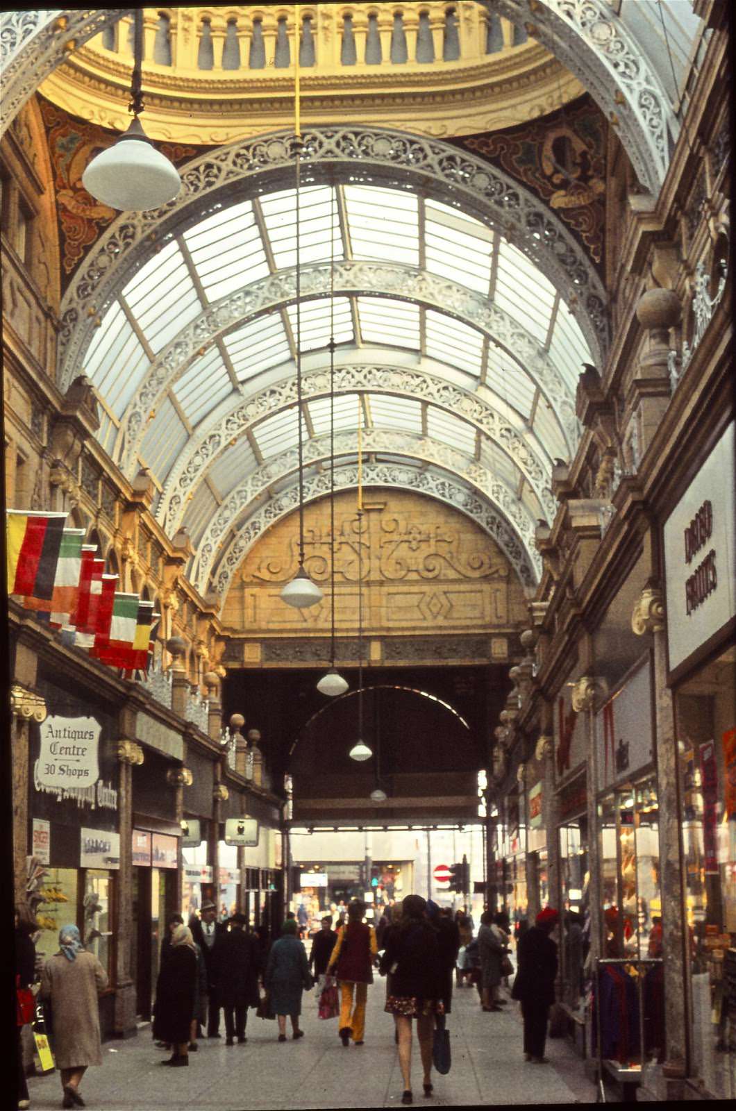
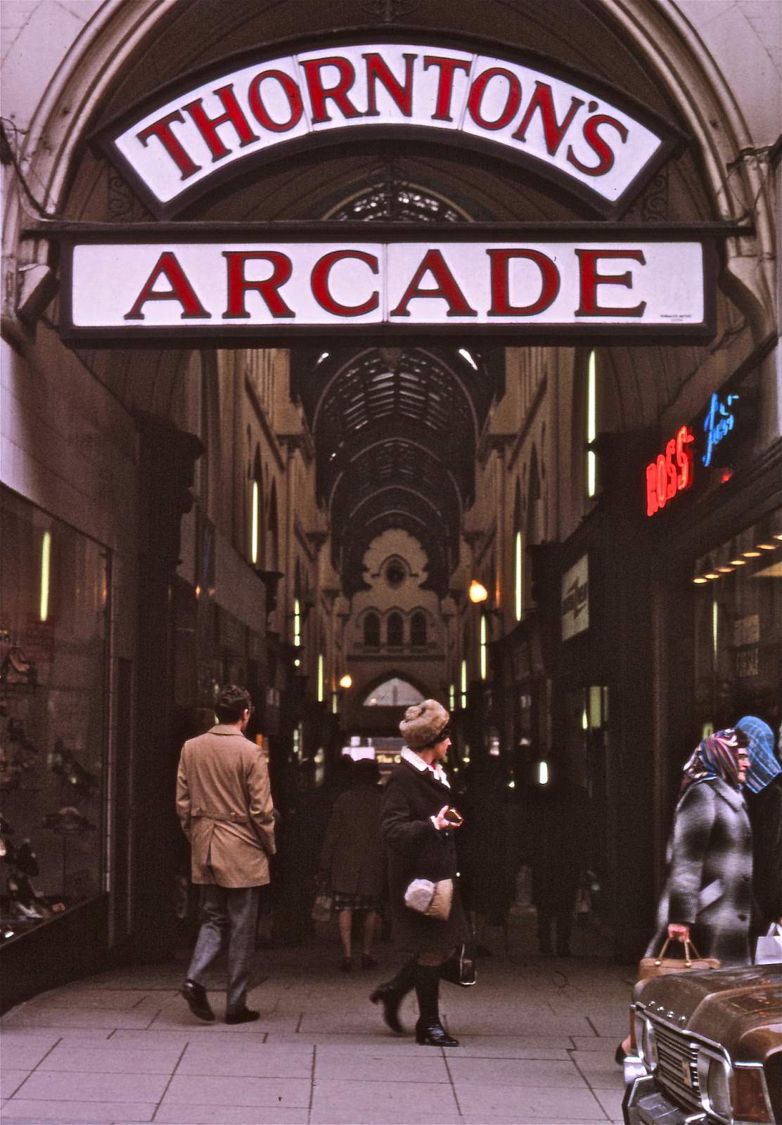
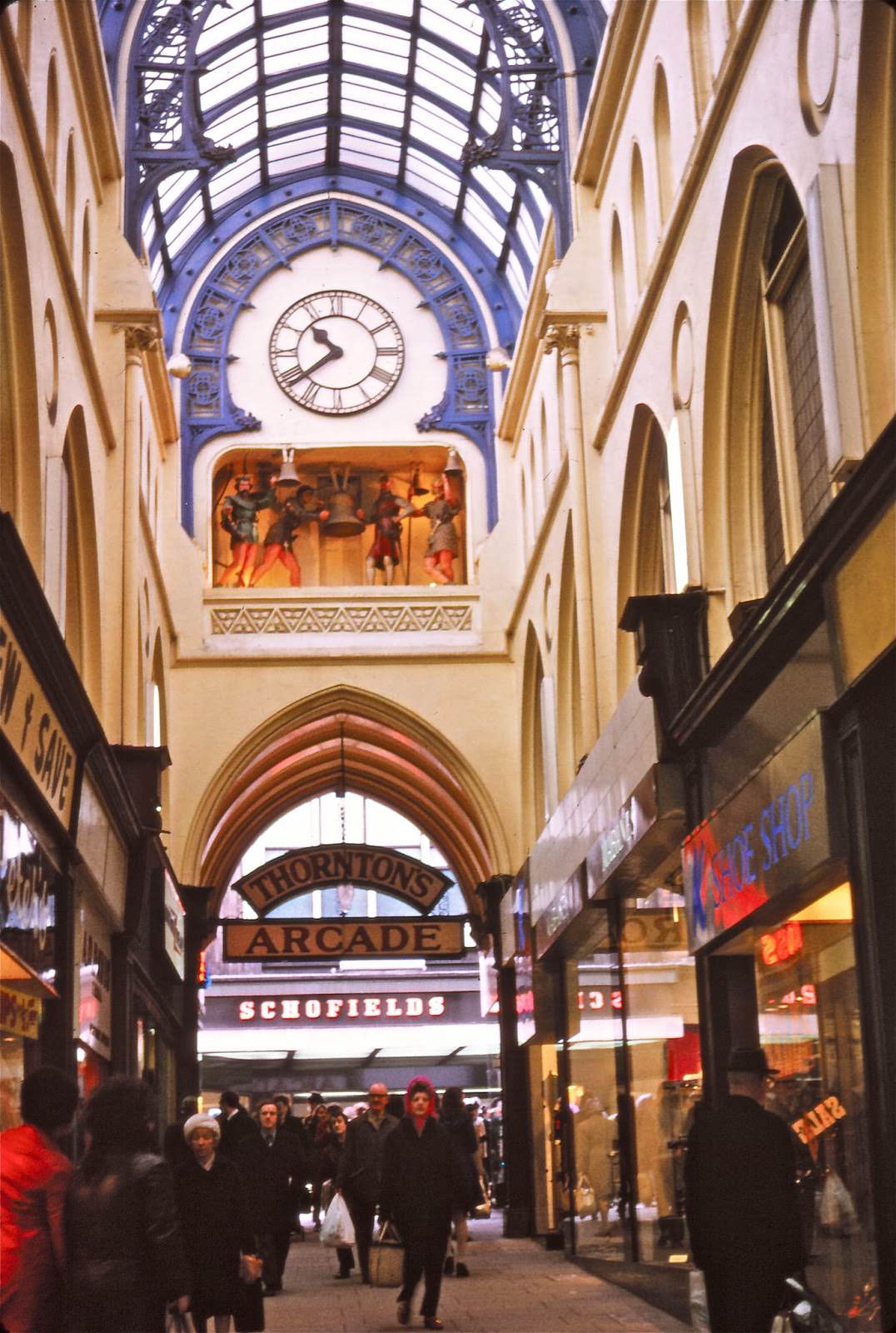
Thornton’s Arcade was one of the most celebrated. Its exterior caught the eye from the street, and inside, a large mechanical clock was one of the most well-known features in the entire city centre.
Upper Briggate was the city’s theatreland, where a West Yorkshire Road Car Company coach could be seen pulling up outside the venues that lined the street.
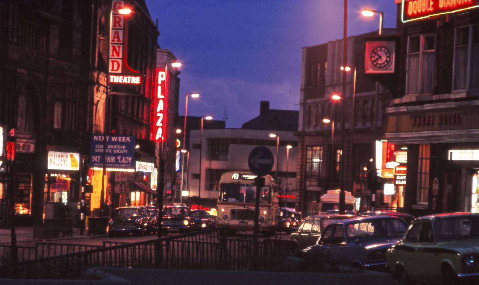
Lower Briggate carried its own character, a stretch of the city that connected the retail core to the river and the older parts of town.
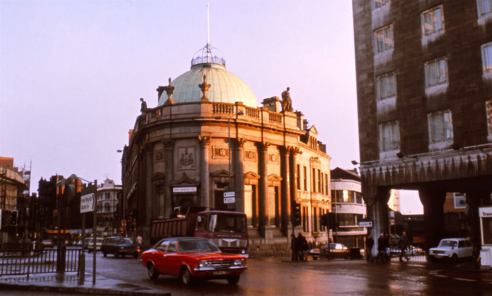
City Square sat at the civic heart of Leeds. The Exhibition Hall stood nearby, and the square itself served as a focal point for movement across the city.
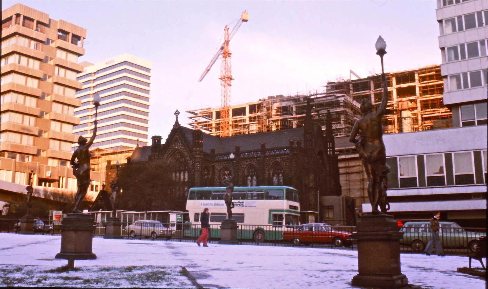
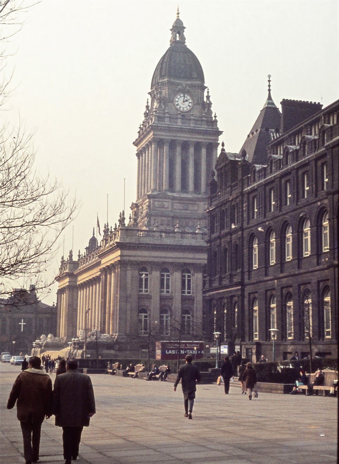
The Town Hall was one of the most imposing buildings in the city, a statement of Victorian civic pride that continued to define the skyline decades after it was built.
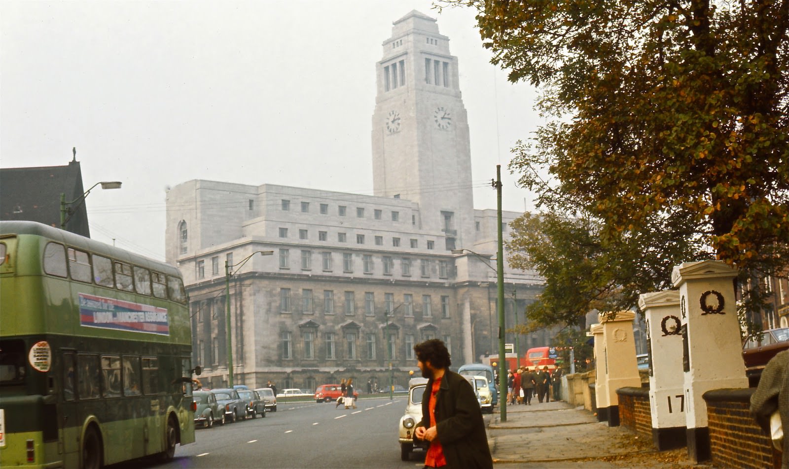
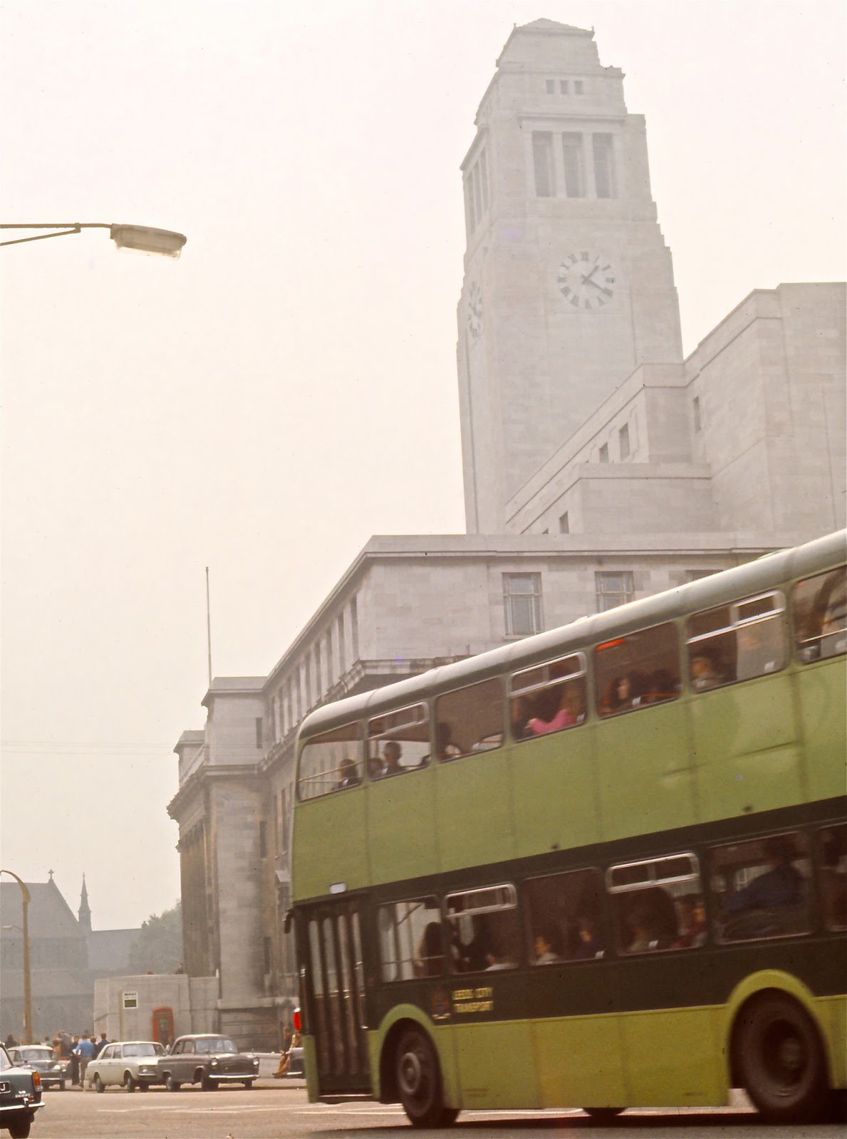
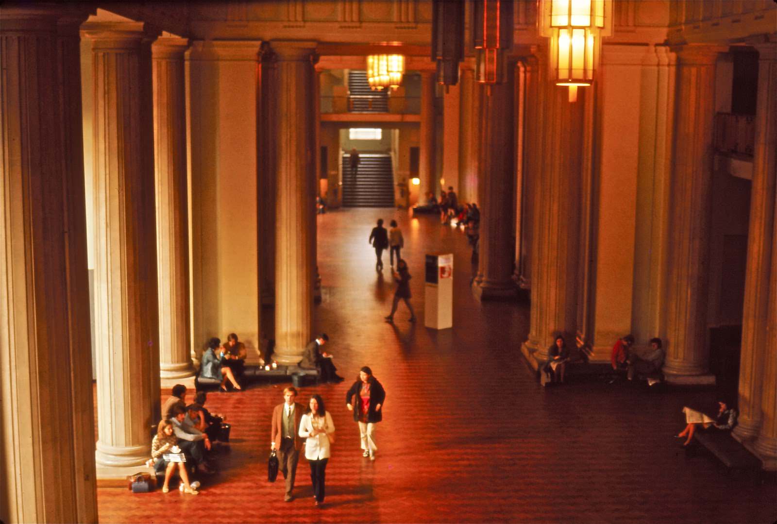
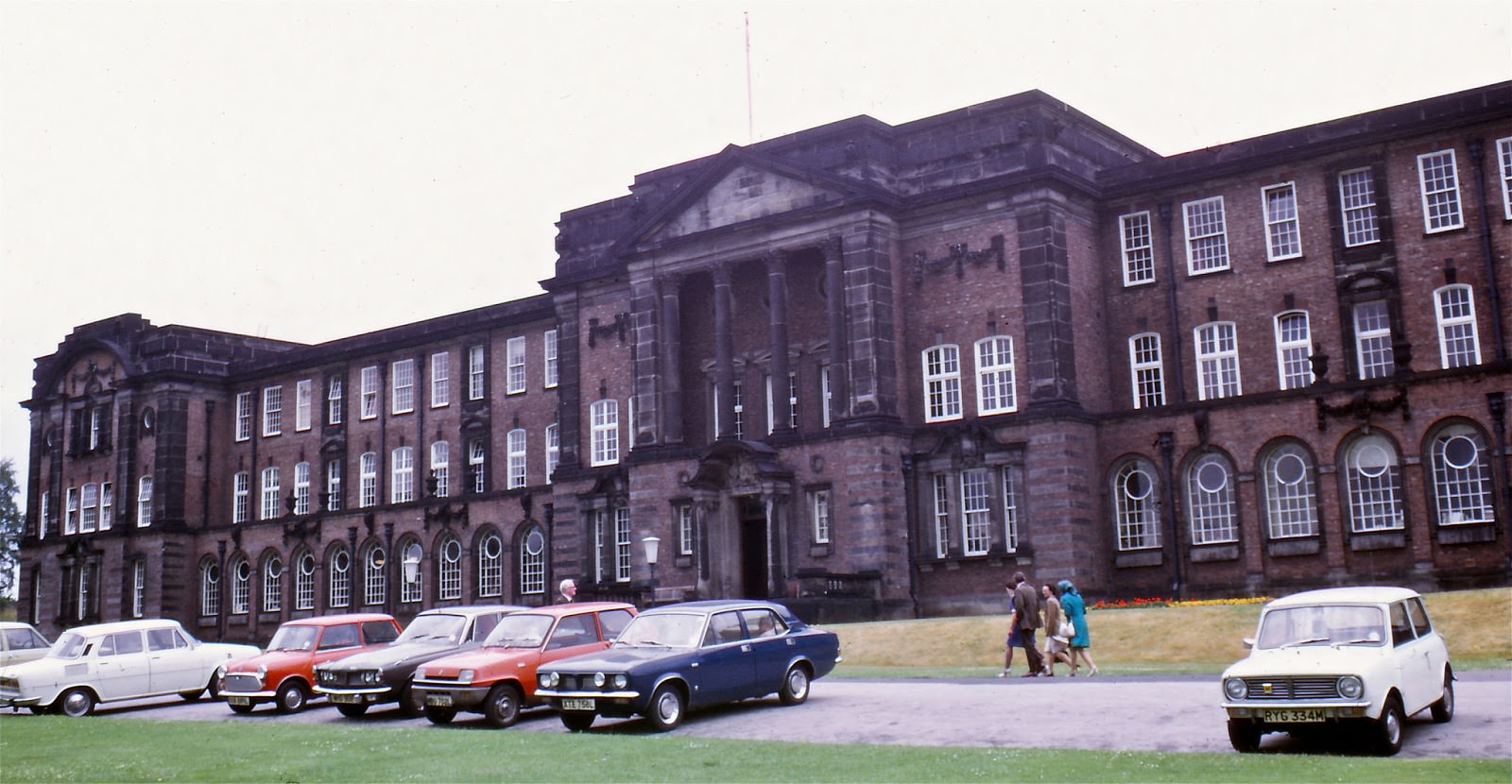
Leeds University dominated the Woodhouse Lane area. The Parkinson Building and its distinctive tower were the most recognisable symbols of the institution, and Morris Motor Company vehicles lined the street outside.
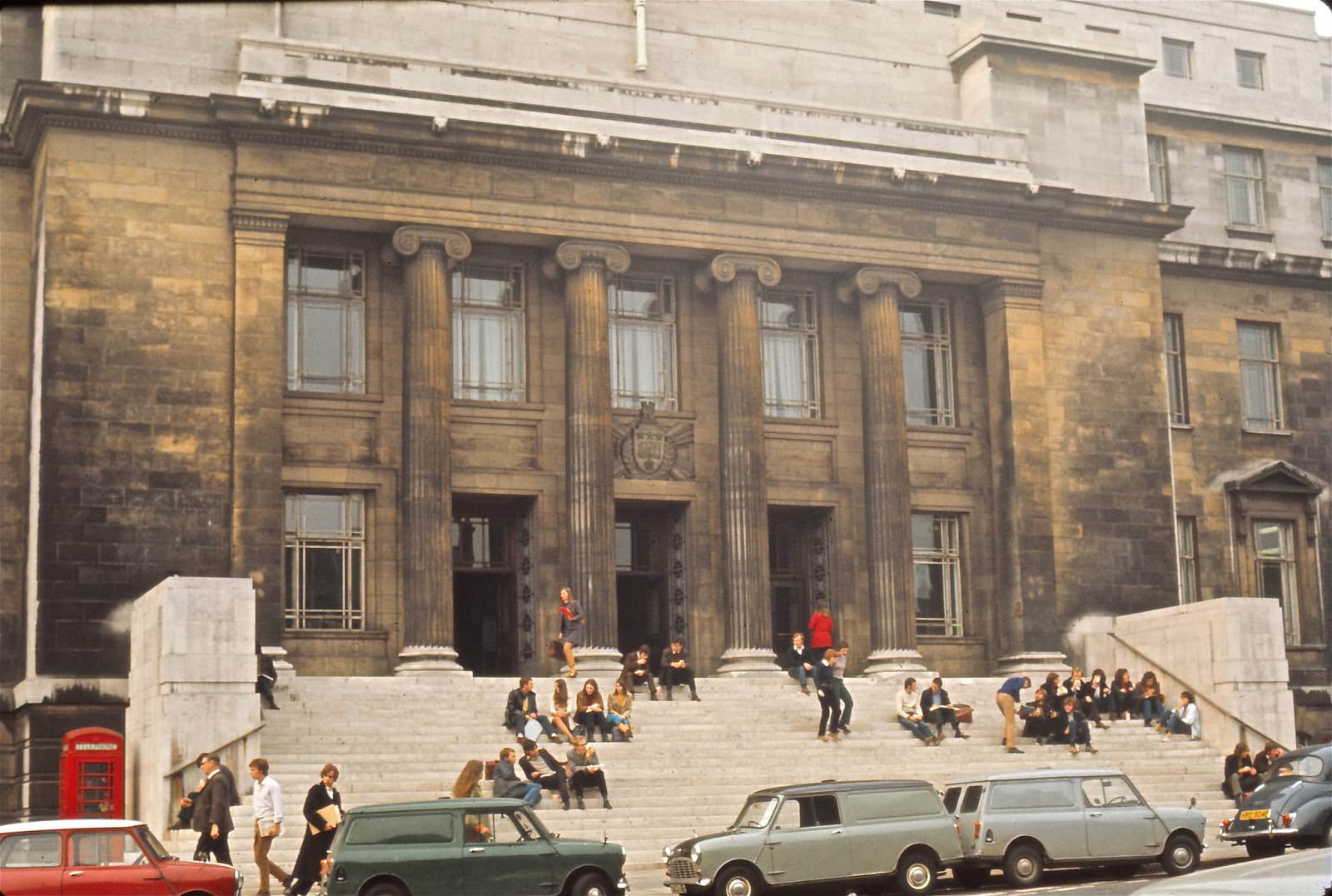
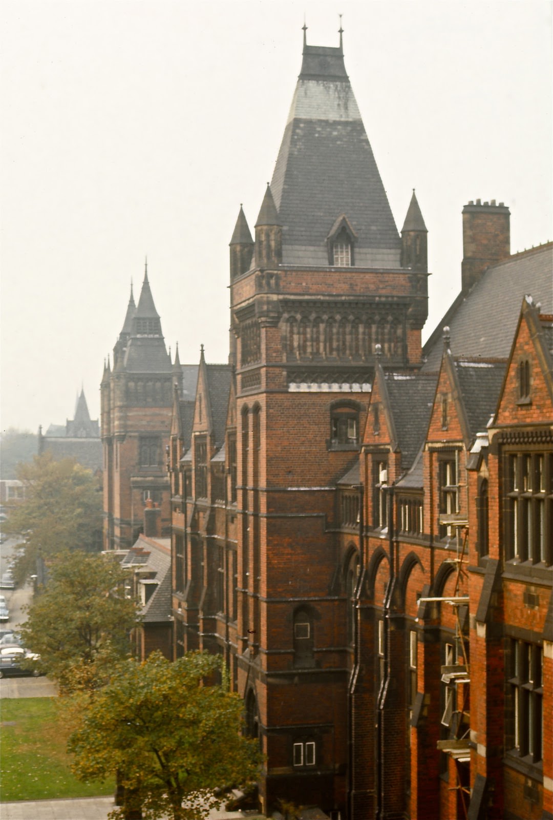
The university itself had its roots in the Yorkshire College of Science. Its Great Hall, designed by Alfred Waterhouse in Gothic style and built in the 1880s for £22,000, remained one of the finest examples of Victorian academic architecture in the north.
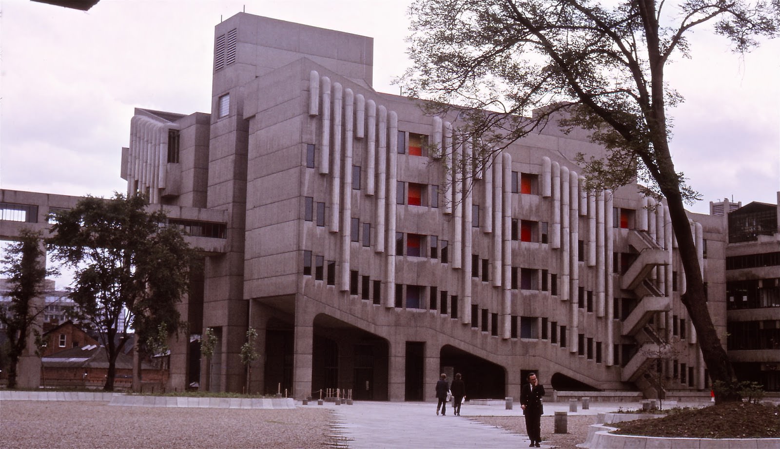
By the 1970s, the university campus also included far more modern concrete buildings — a sharp contrast to Waterhouse’s Gothic stonework.
Graduation Day in 1973 brought crowds to the entrance of the Clothworkers’ Court, marking another year in the life of one of the north’s most important universities.
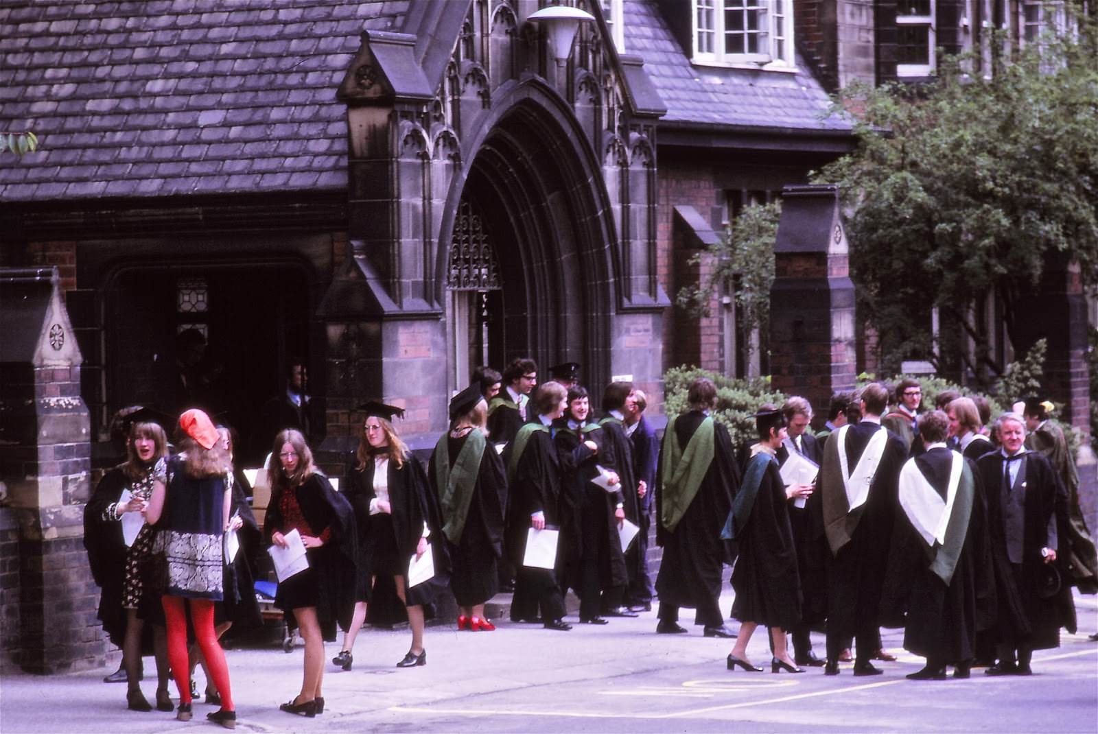
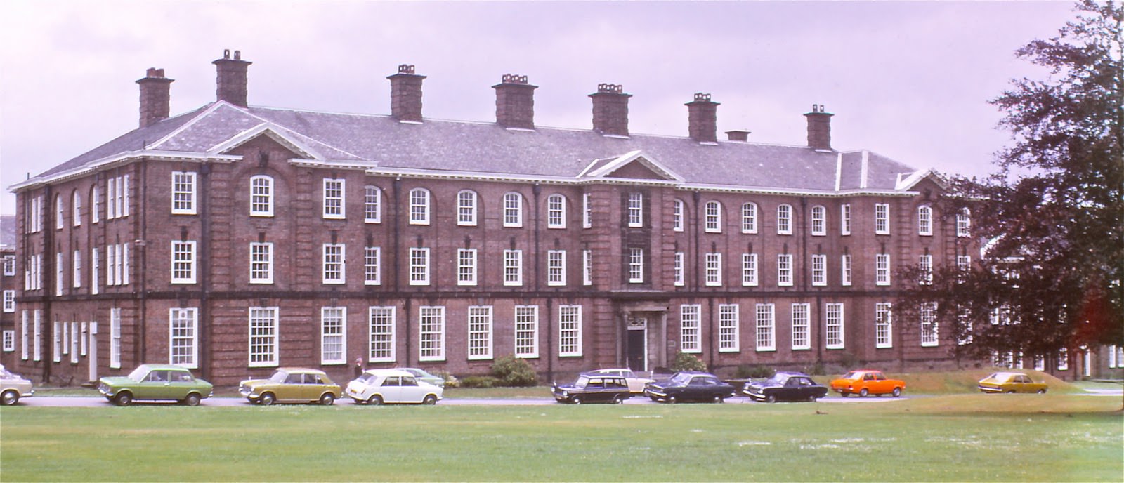
The City of Leeds and Carnegie College was another major educational institution in the city, with its main building and halls of residence serving students from across the region.
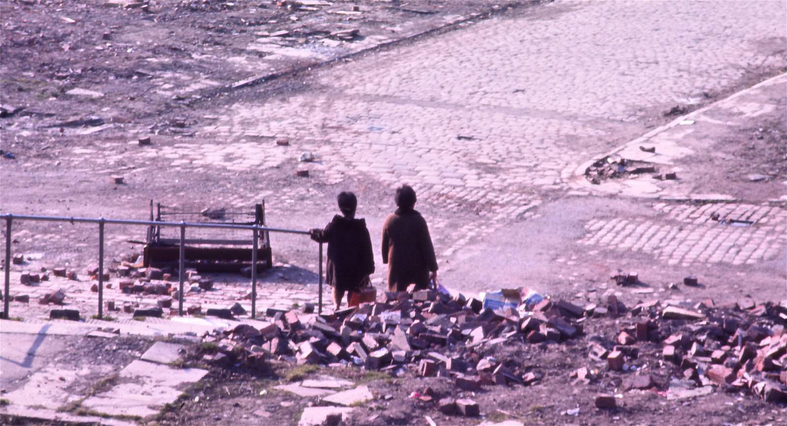
One of the most dramatic changes to the city during the 1970s was slum clearance. Large areas of Victorian terraced housing near Burley Road were demolished as part of urban renewal programmes. By 1972, whole streets near Burley Road had been levelled, leaving open wasteland where tightly packed rows of houses had stood for nearly a century.
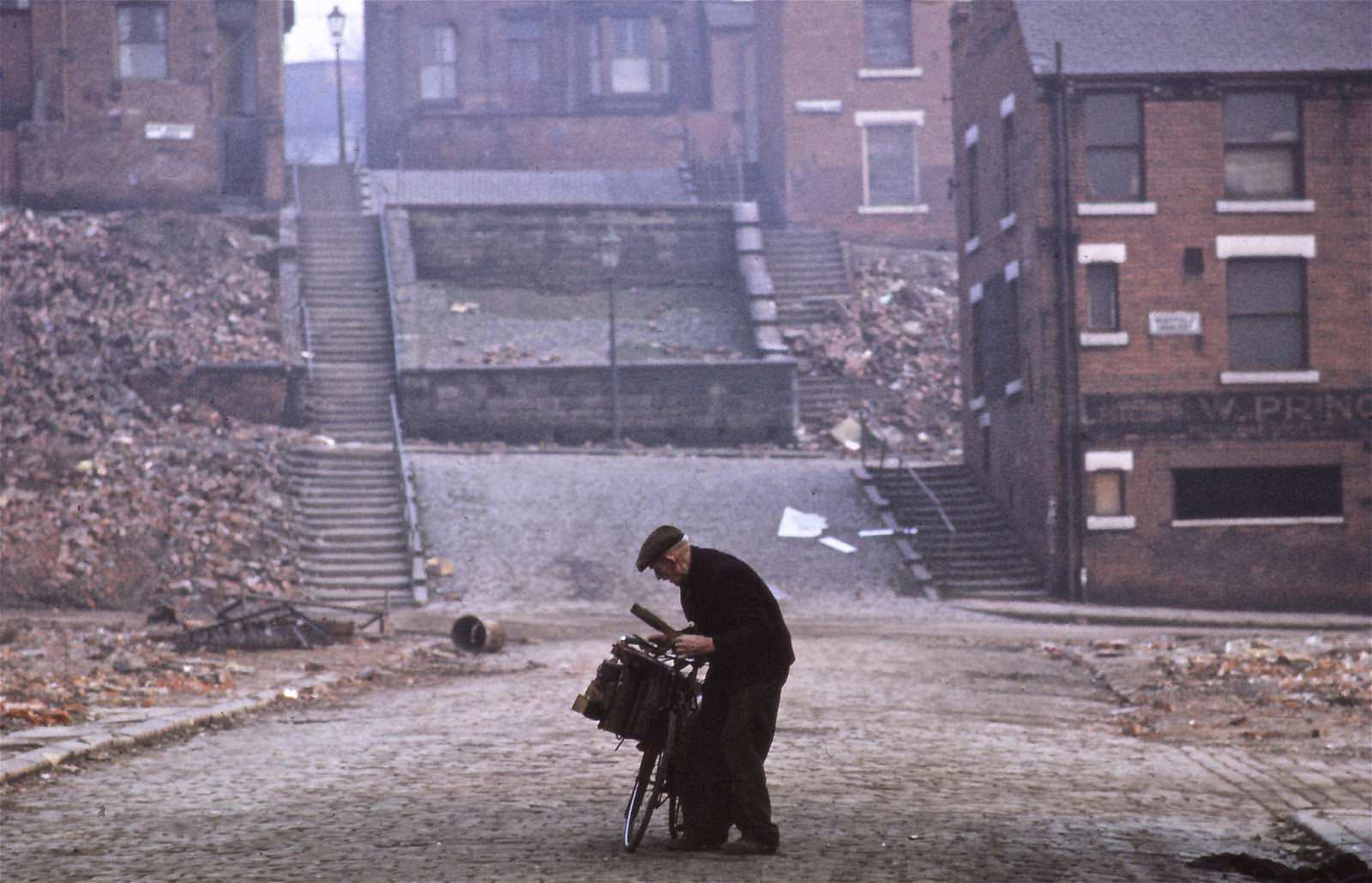
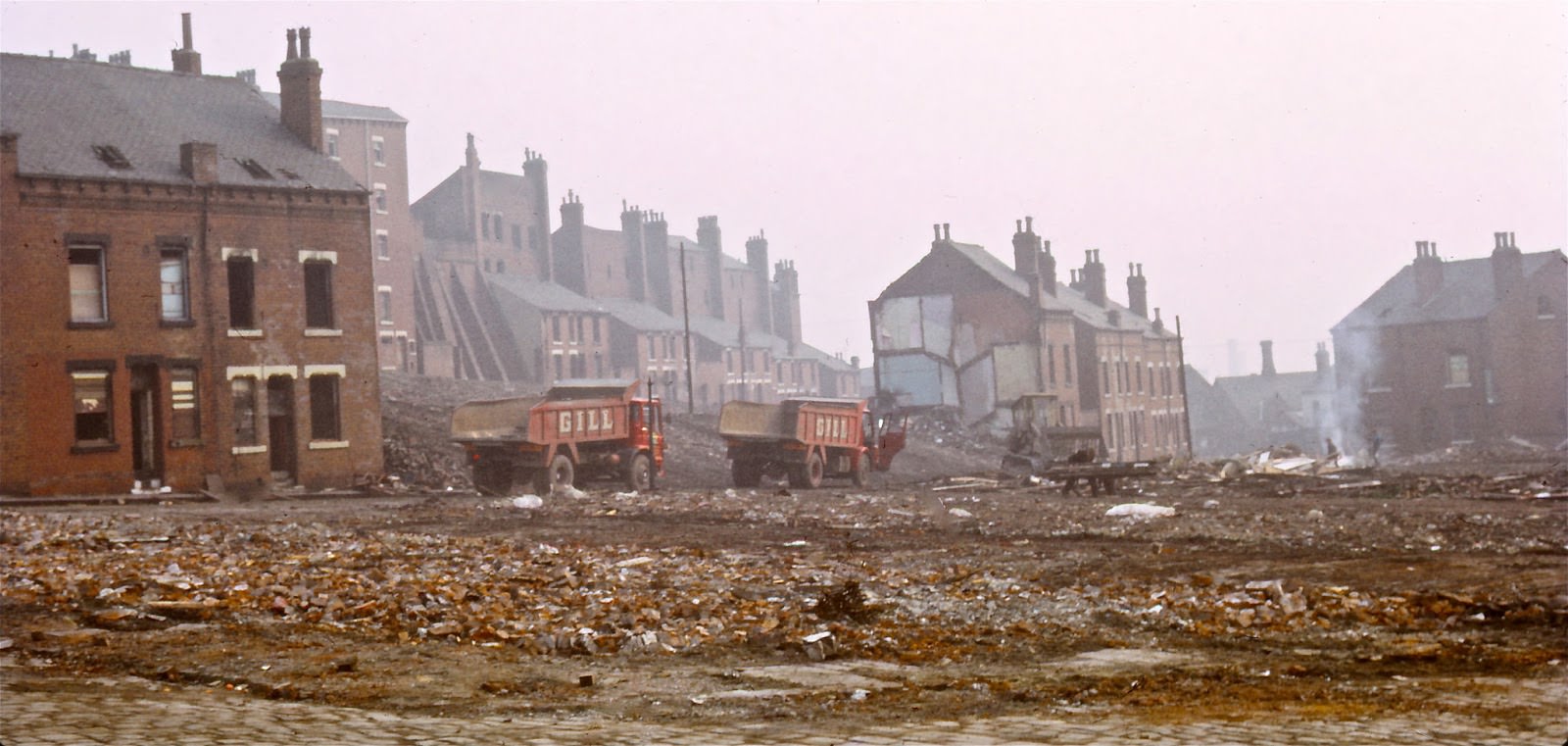
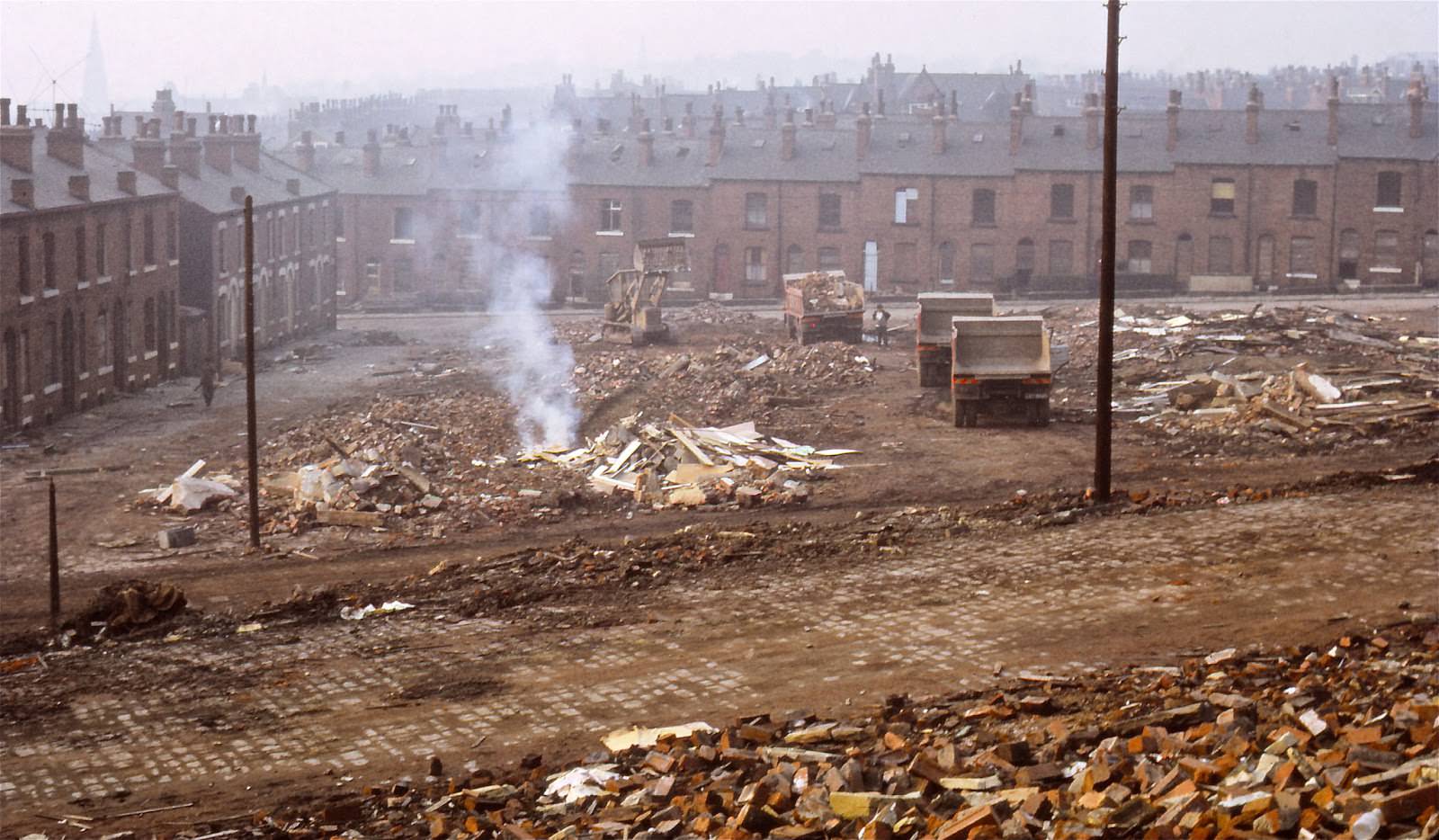
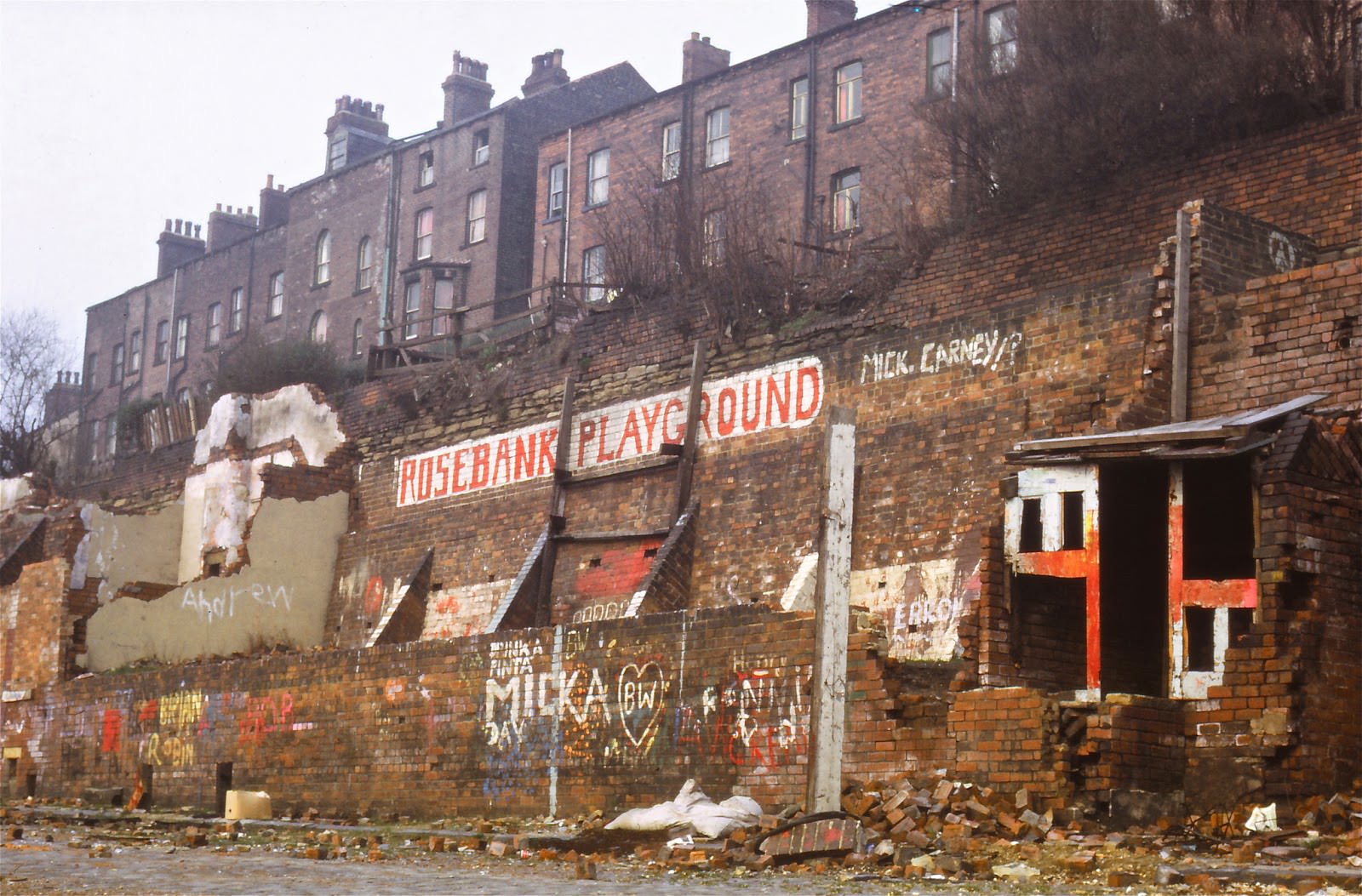
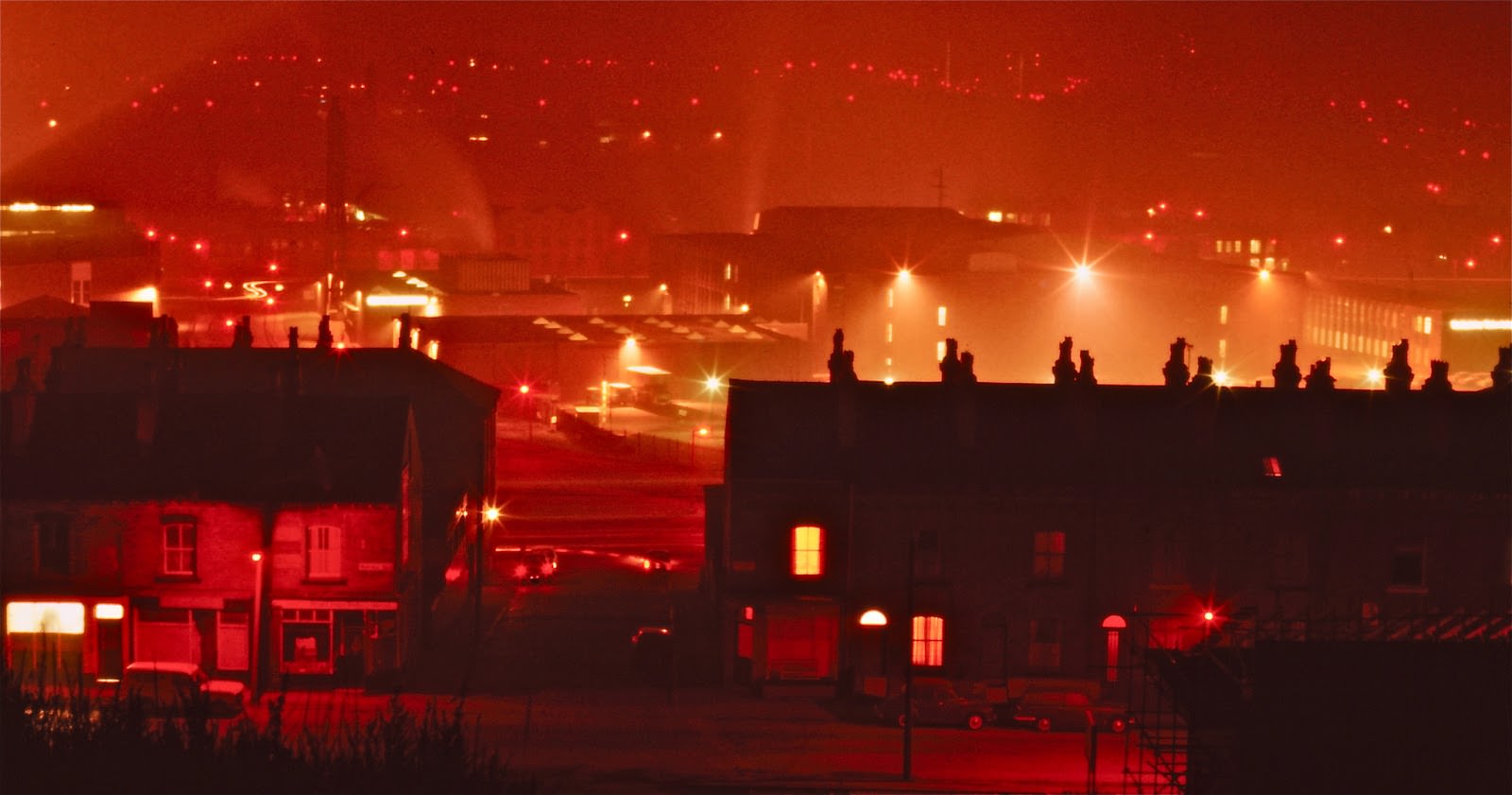
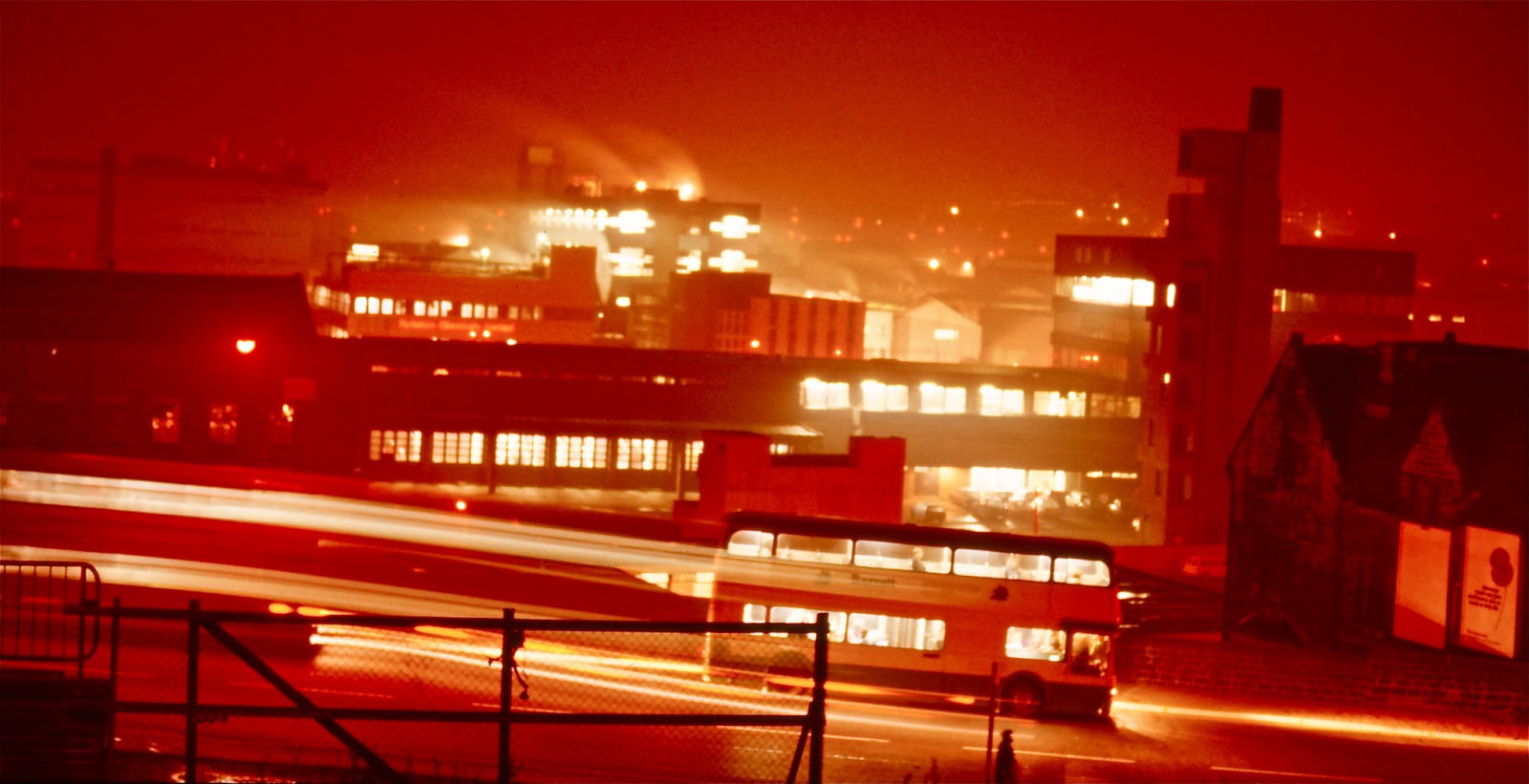
Looking across Burley Road toward the Fire Station, the Yorkshire Chemicals plant was clearly visible in the background — a reminder of how closely industry and housing had always sat together in Leeds.
Some parts of the city still operated in ways that belonged to an earlier era. A horse and cart made its way along Brudenell Road, and a coal depot on Cardigan Road was still receiving deliveries well into the decade.
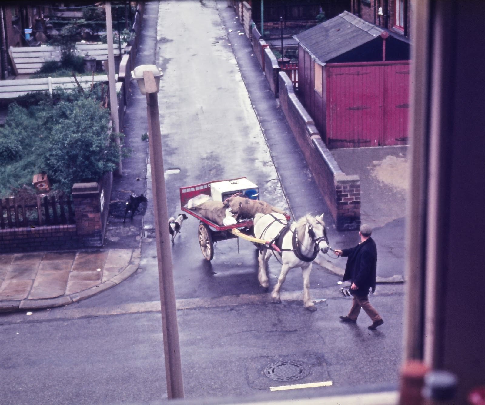
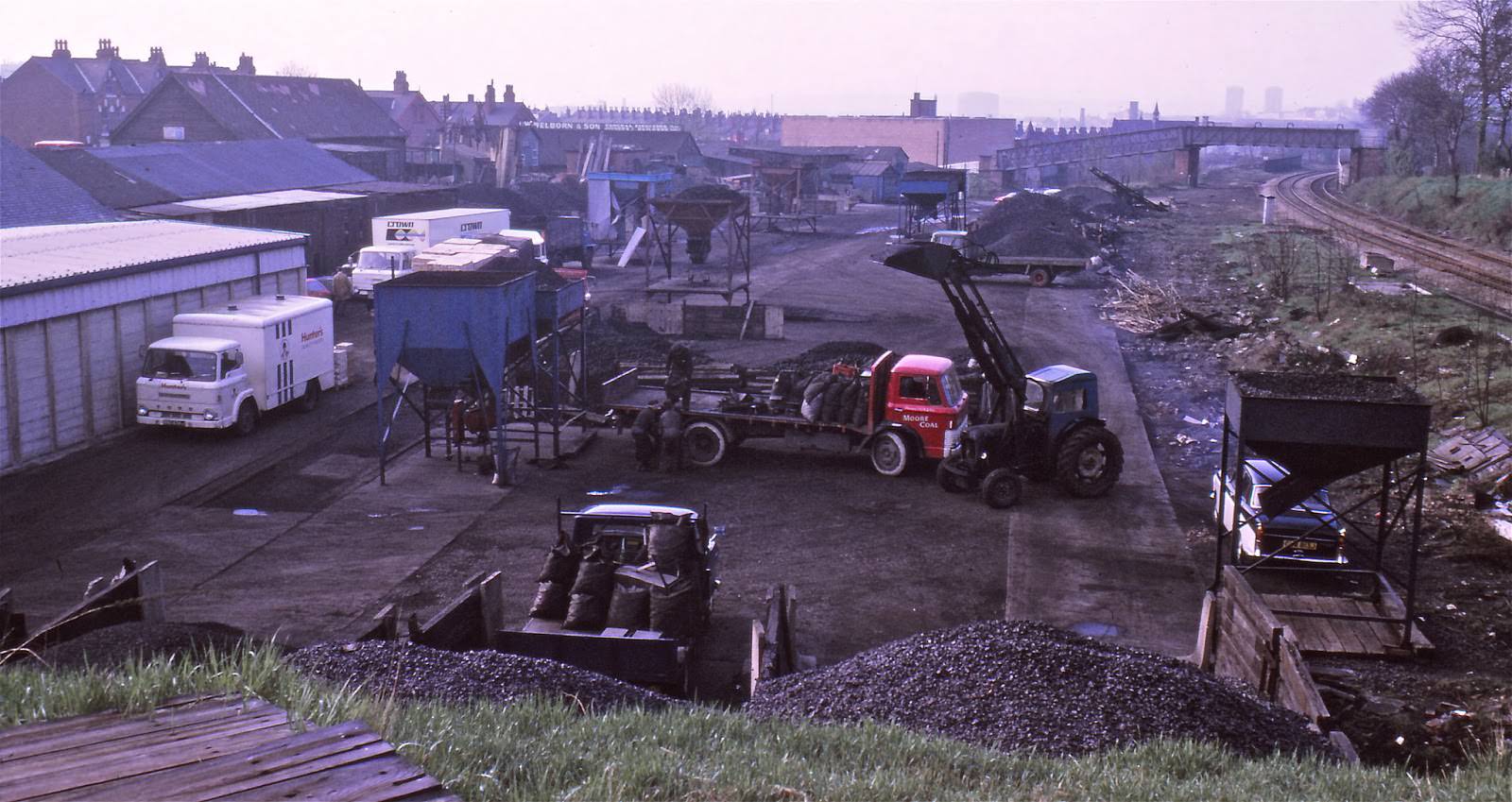
Brudenell Road itself was a typical inner-city street of the period, running toward the Royal Park pub at one end — a local landmark in a neighbourhood that had a large student and working-class population.
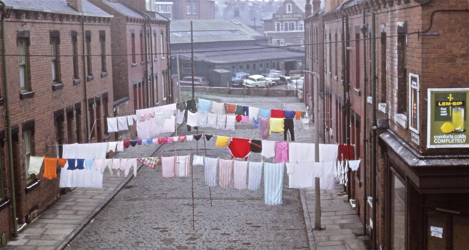
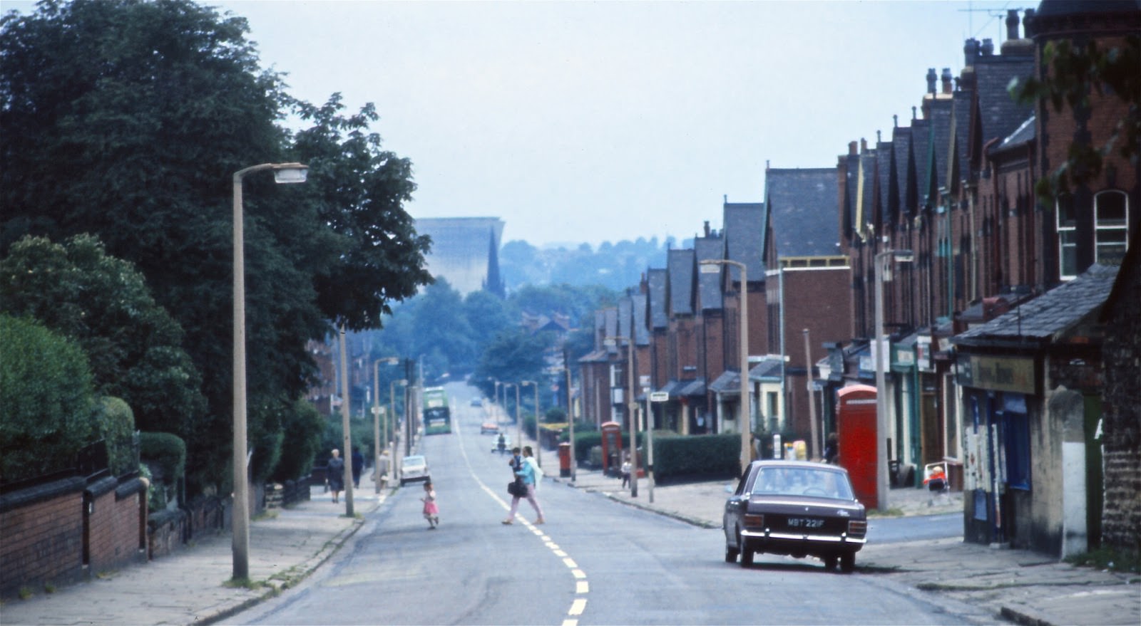
Woodhouse Moor, the large park close to the university, was a common gathering spot. On Sunday mornings it was particularly quiet, offering open space in an otherwise dense part of the city.
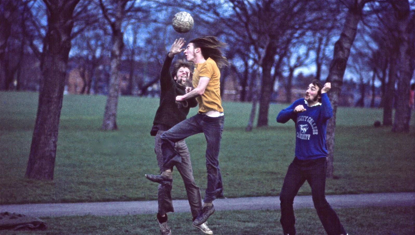
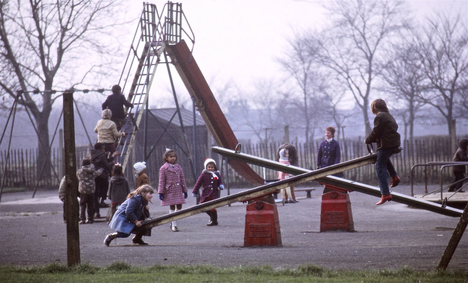
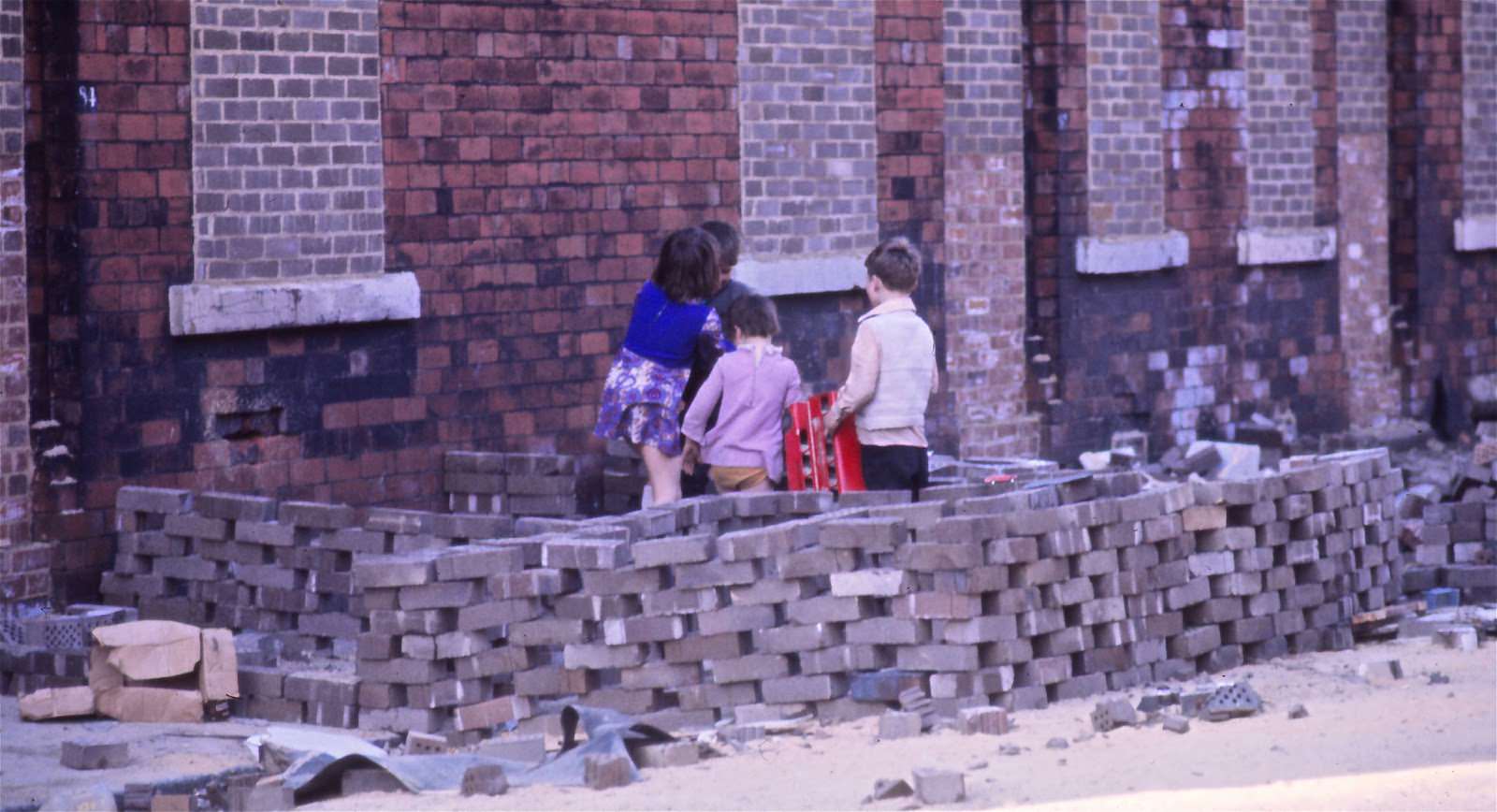
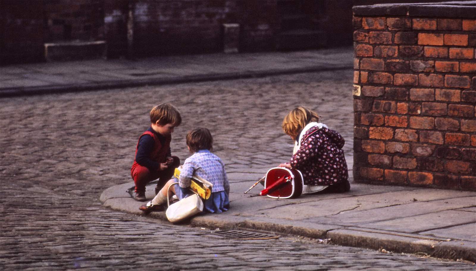
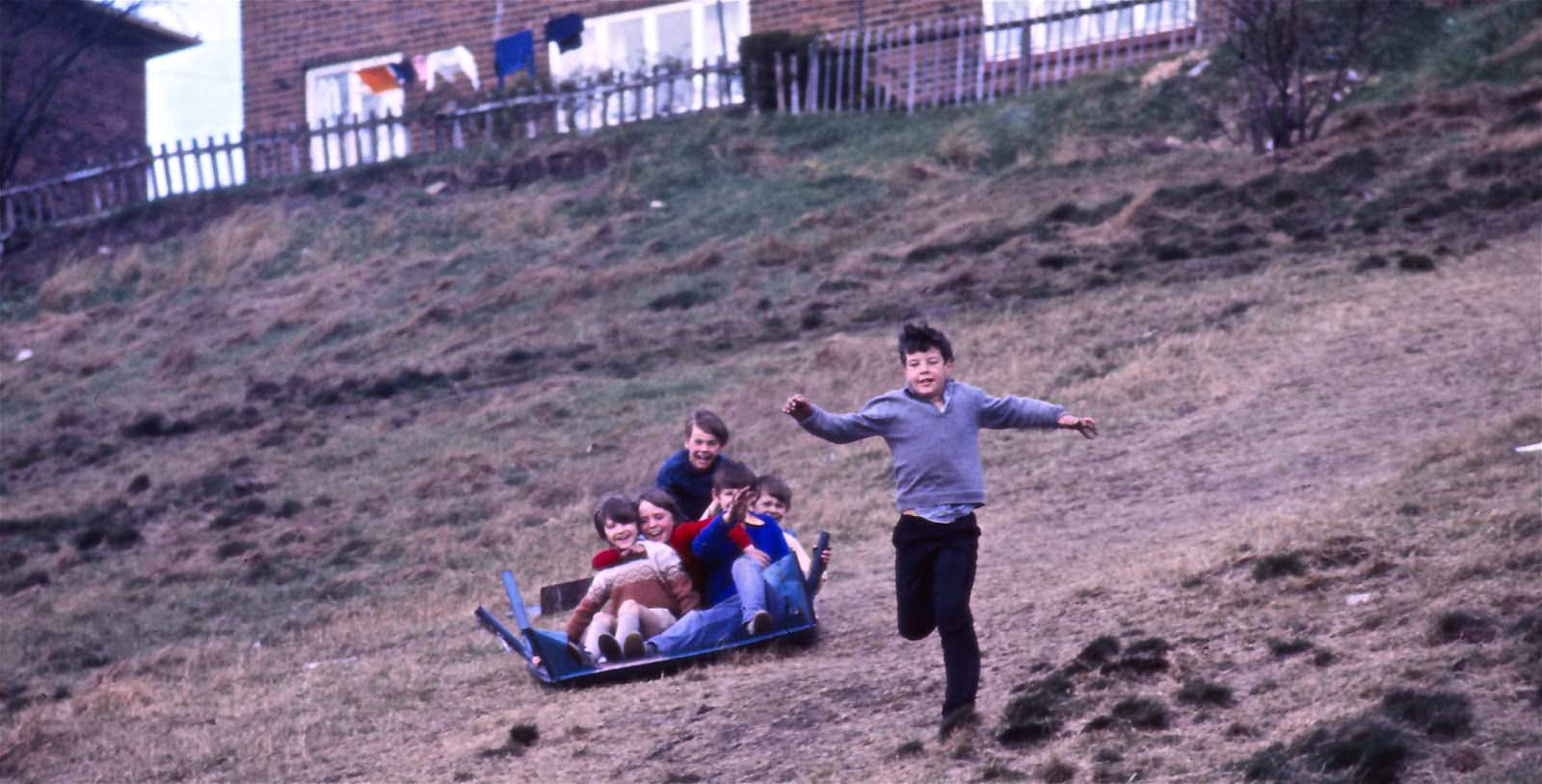
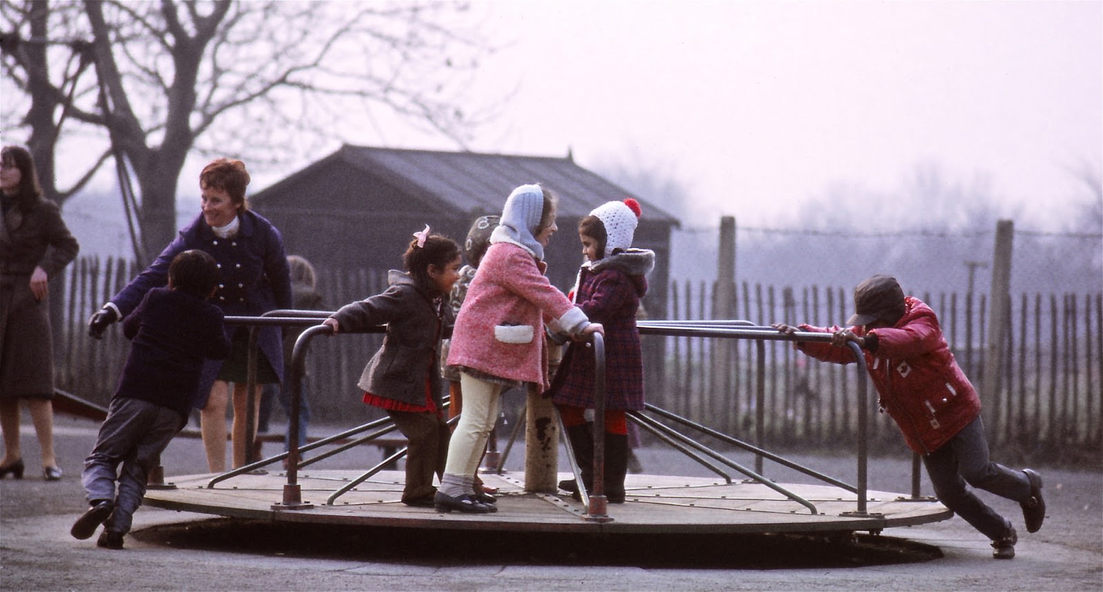
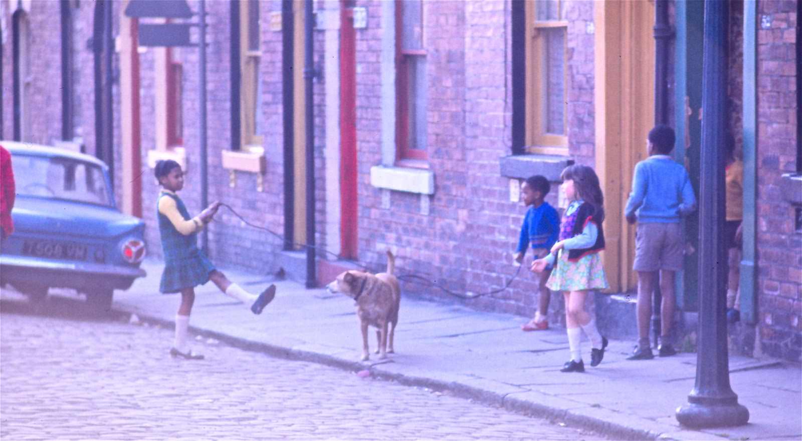
Children across Leeds found entertainment wherever they could. Street play was a normal part of life in the Leeds 4 area, with kids making use of whatever was at hand — pavements, slopes, and communal spaces served as their playground.
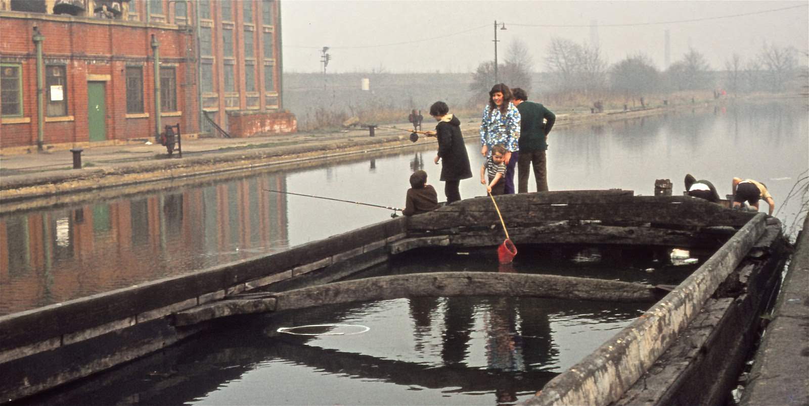
The Leeds-Liverpool Canal ran through the western parts of the city and was a popular spot for fishing, particularly on bank holidays when anglers lined the towpaths near Armley.
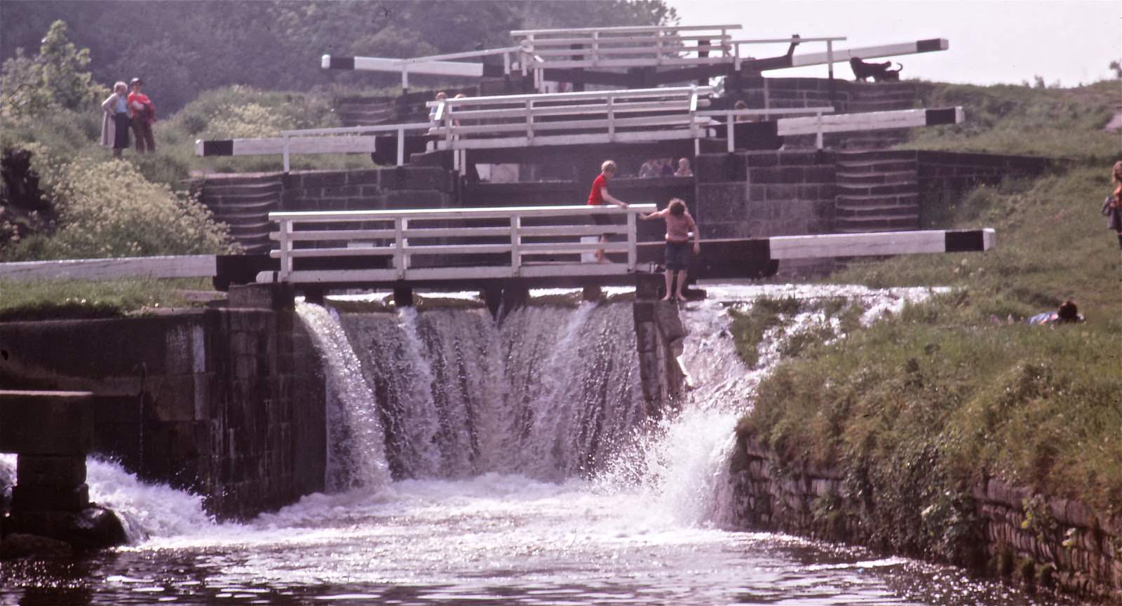
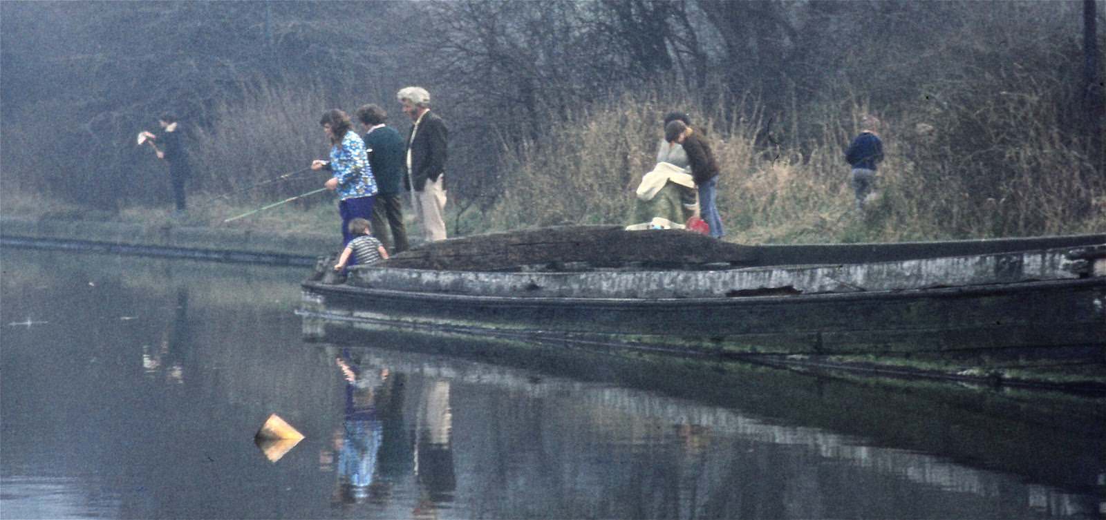
The River Aire also ran through the city, with stretches of urban riverbank that offered a quieter escape from the surrounding streets.
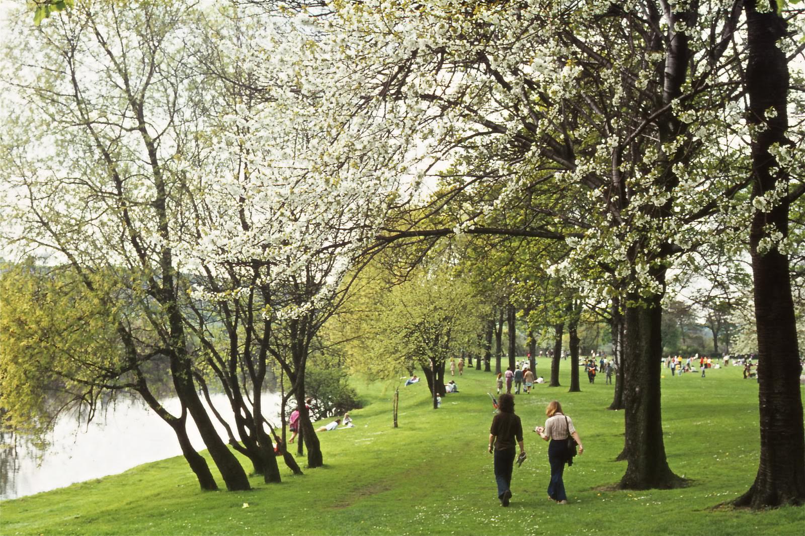
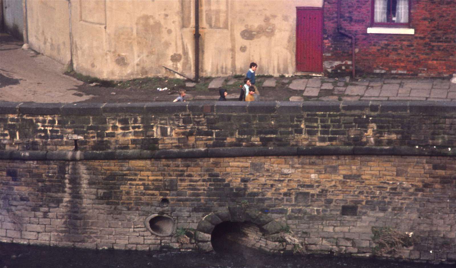
Kirkstall Abbey, the ruined medieval monastery on the northwestern edge of the city, remained one of the most visited historic sites in Leeds. The River Aire ran close by, making the area a natural destination for a walk out of the city.
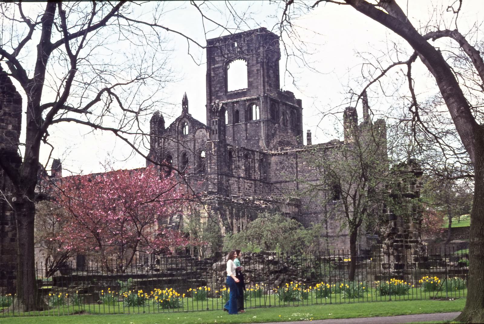
Cricket at Roundhay Park was another summer option for Leckeds residents — not the famous Headingley ground, but a more informal setting in one of the city’s largest parks.
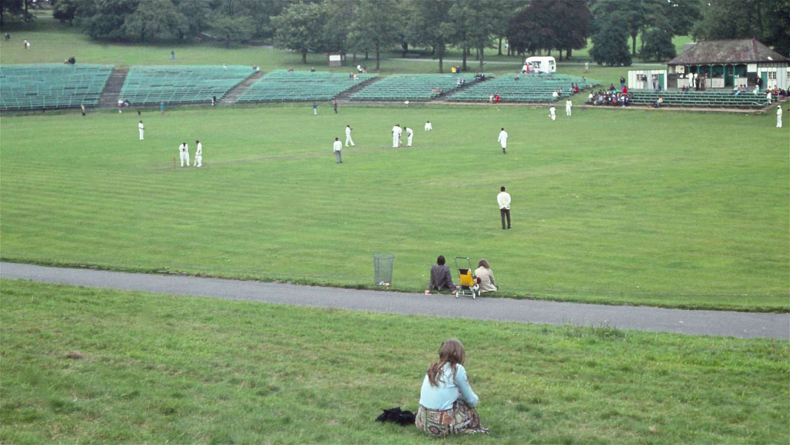
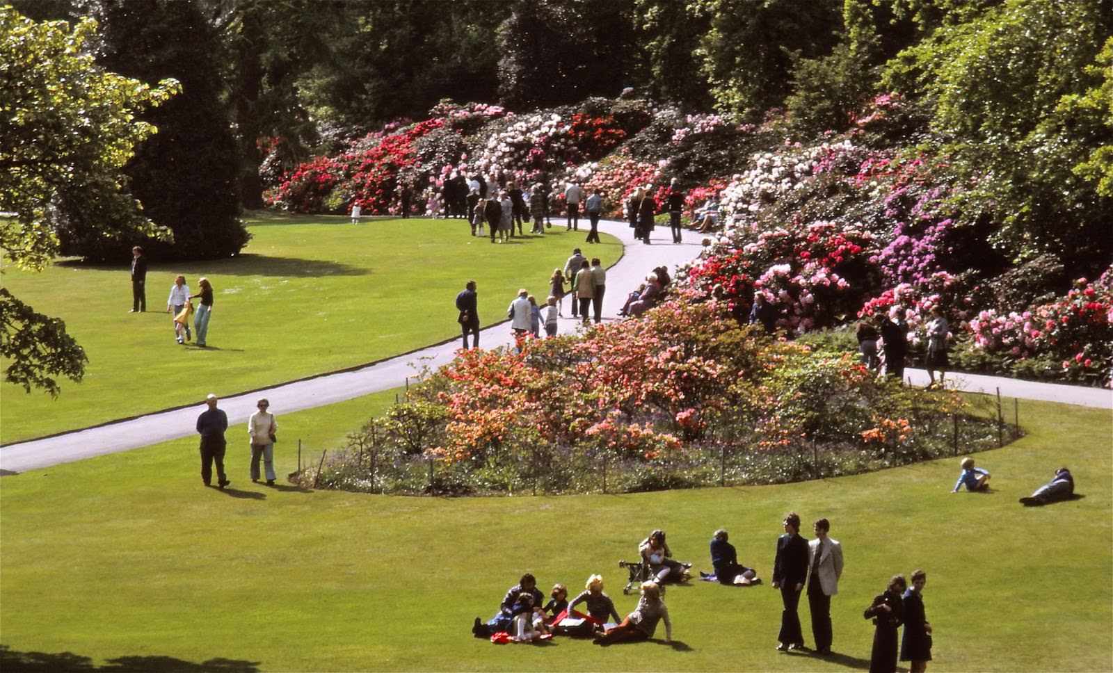
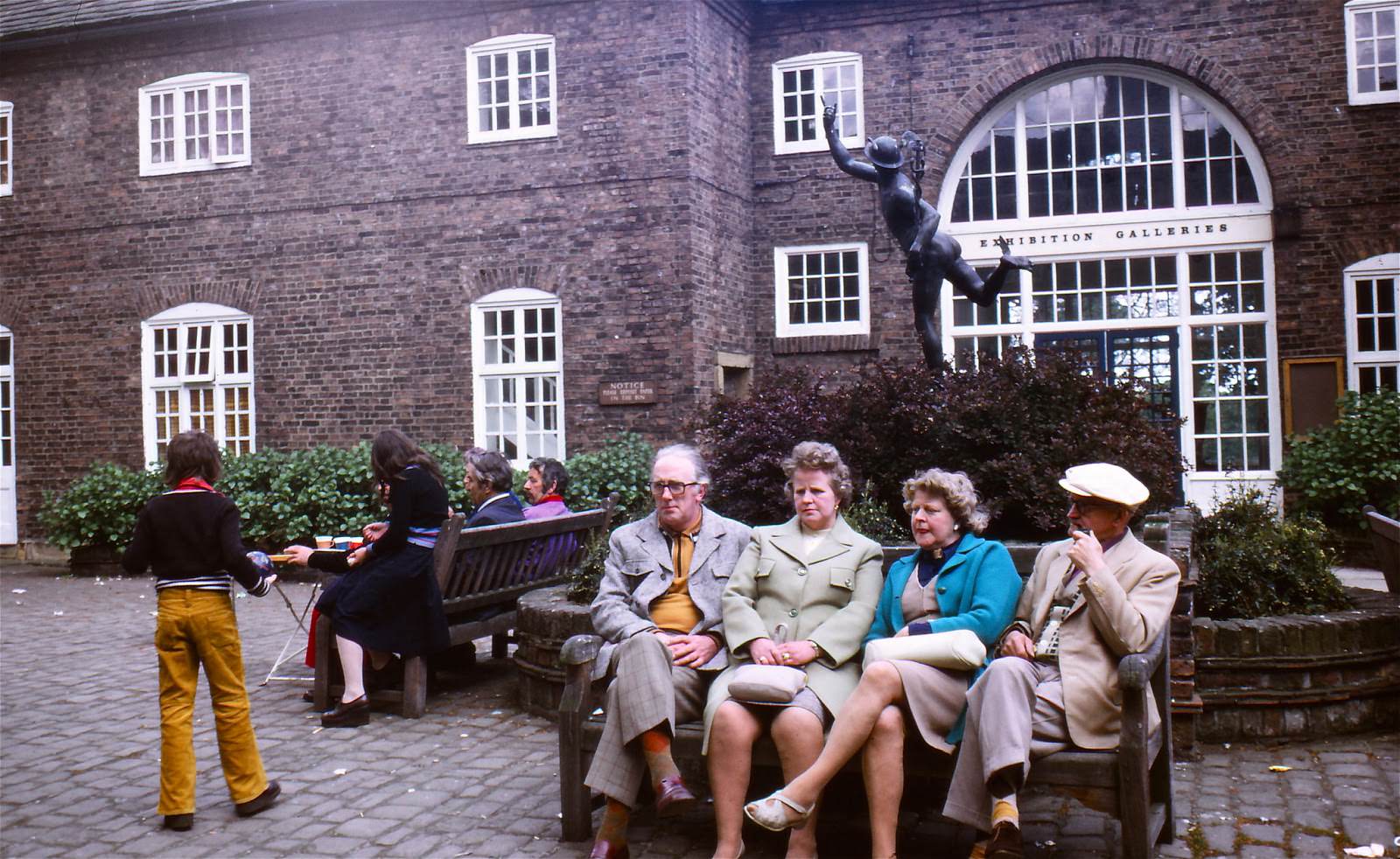
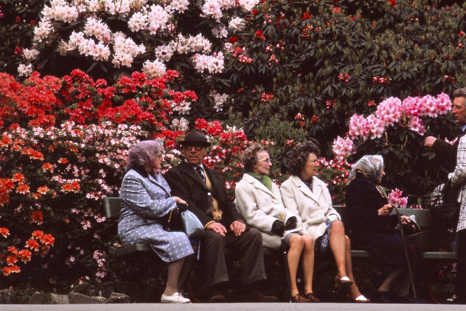
Temple Newsam, the historic house and estate on the eastern edge of Leeds, drew large crowds at Whitsun in 1975. The rhododendrons were in full bloom, and families came out in force to walk the grounds and visit the courtyard café.
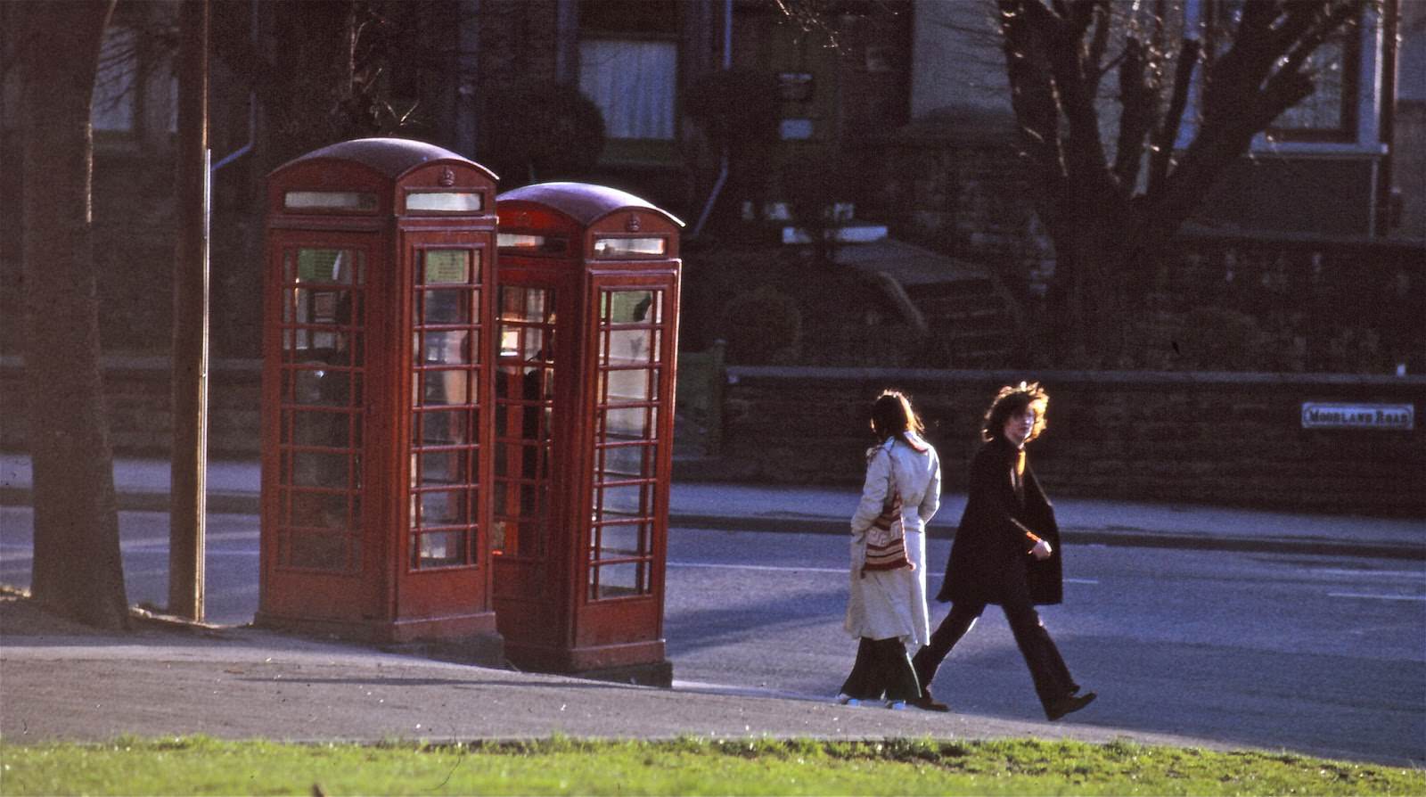
Public phone boxes were a fixture of daily life. On Moorland Road, a resident stood waiting to make a call — a scene that was entirely ordinary at a time when home telephones were far from universal.
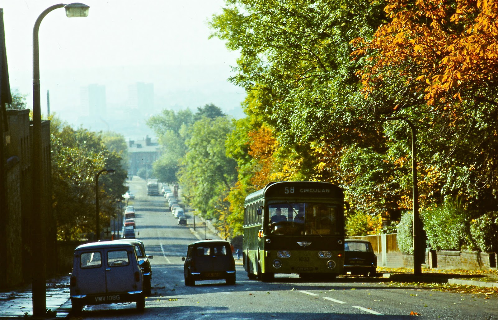
The number 58 circular bus climbed Belle Vue Road, one of many routes that kept the city moving. Public transport was essential in a city where car ownership was still far from the norm for many households.
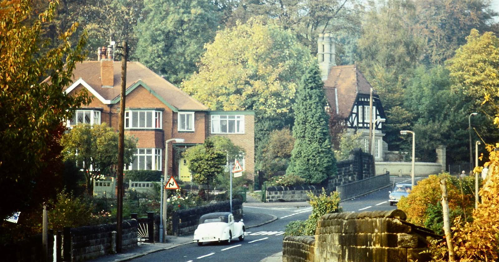
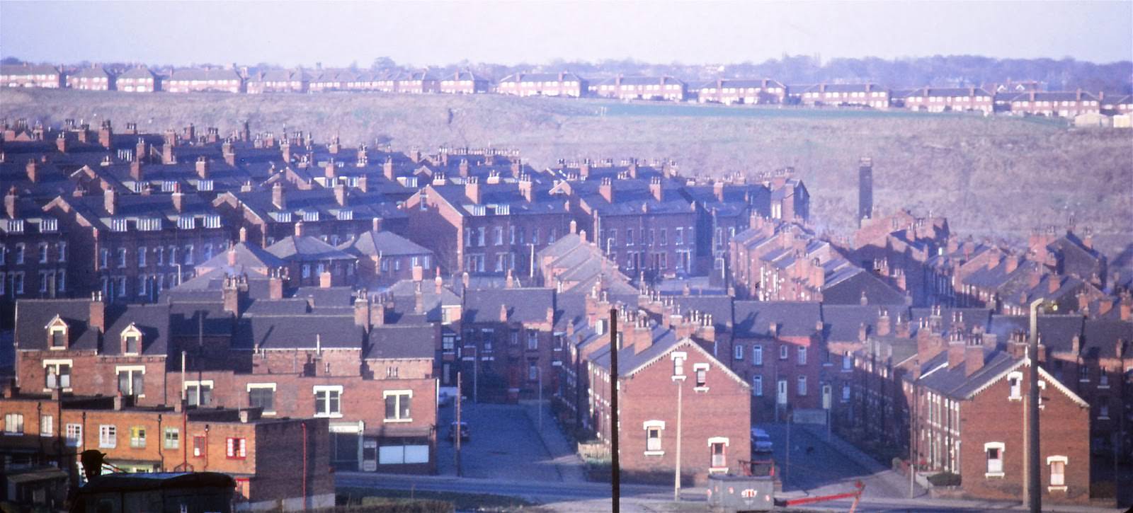
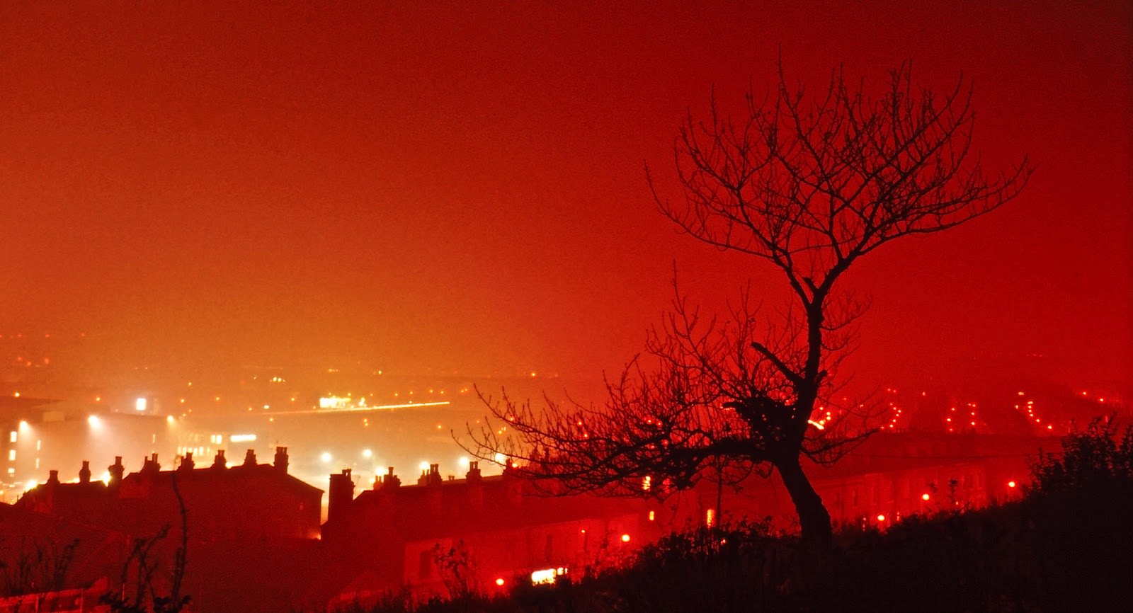
Across the residential areas, the fabric of the city ranged from leafy suburban streets near Weetwood Lane to tightly packed terraces in areas like the Delph Lane district.
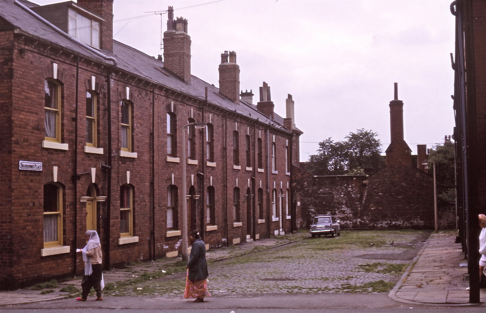
![Exact whereabouts forgotten - but the street sign [centre left] might say Rillbank Lane.](https://www.bygonely.com/wp-content/uploads/2019/12/1970s_Leeds_39.jpg)
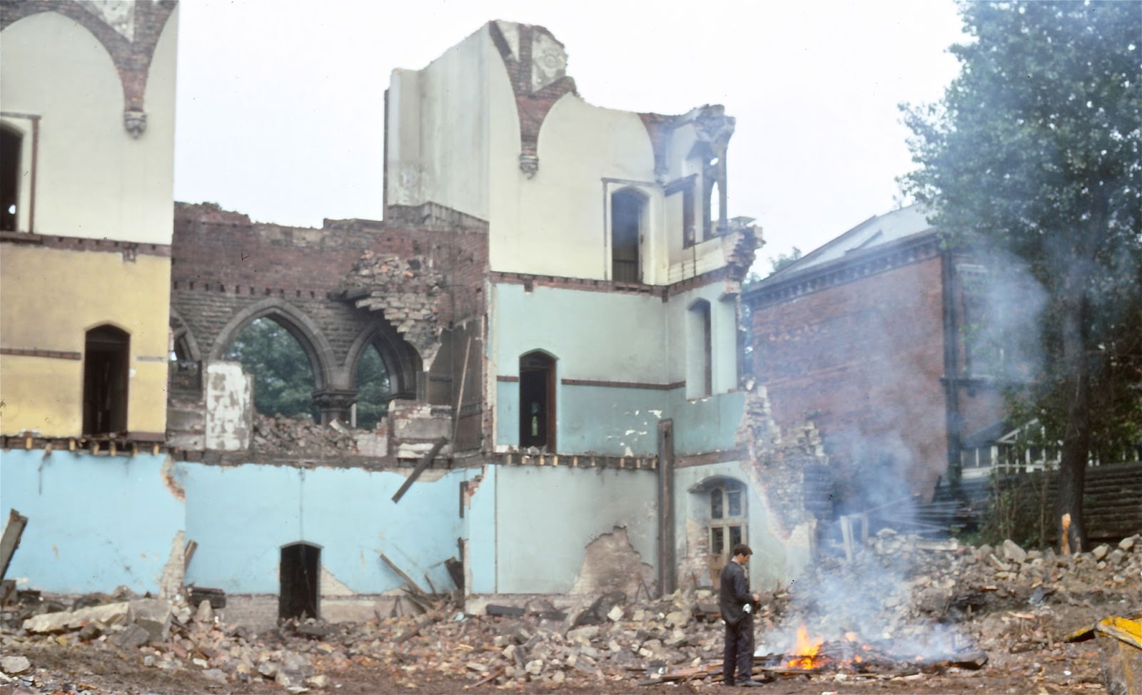
Church demolition was another visible sign of the changes sweeping through Leeds. As congregations shrank and older buildings became too costly to maintain, a number of churches came down during the decade.
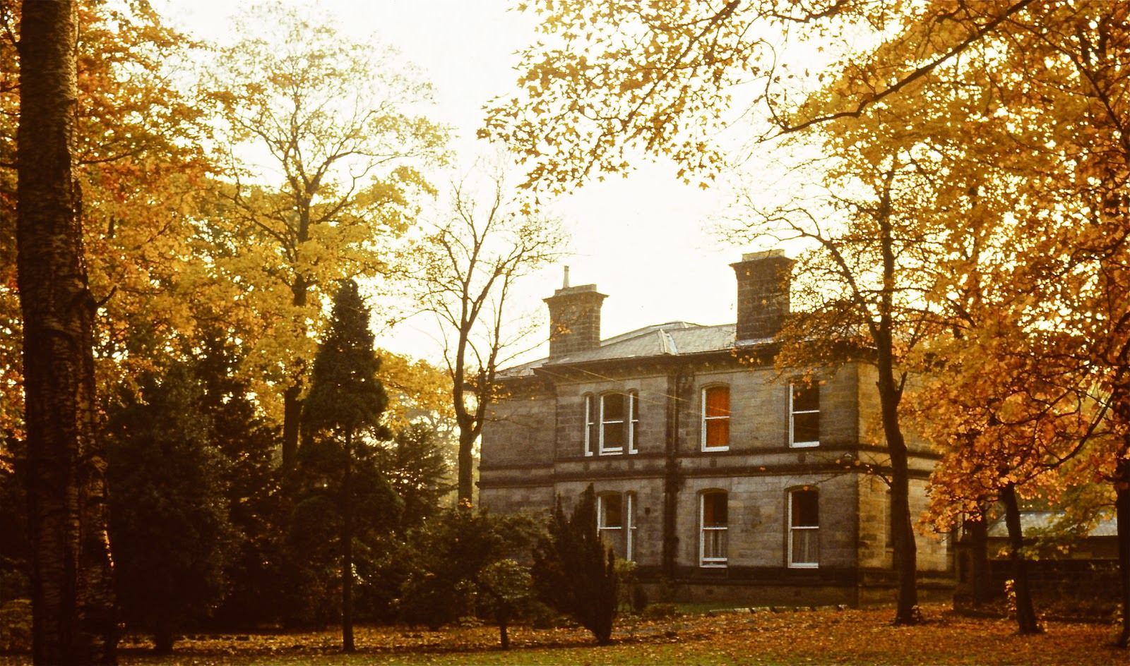
Bardon Grange and the area looking toward Kirkstall Road showed the mix of older and newer building stock that defined much of the city’s outer neighbourhoods — places still shaped by the industrial past but slowly adjusting to a new era.





Seeing the photos of Thornton’s Arcade brought back a lot of memories of watching the figures move and hearing the clock chime.
Thanks for sharing this great content
Does anyone know the whereabouts that the last picture was taken?
Kkrkstall Abbey might be on their right. That row of trees looks familiar.
Here there are no thinly-veiled racist remarks about how things were better back in the old days before all the immigrants.
The only thing that changed is the clothes got more comfy-casual.
Most places haven’t changed a bit!
Wow-what a blast from the past!
What part of Burley was the slum demolished?
I think it’s near Belle Vue Road, based on a google search of slum clearances in Leeds in the 70s, and the fact that it seems to be uphill?
Where was the slum on Burley Road? Looking at some of the pictures I was wondering, was it from the corner of cardigan road towards town?
Apart from the slum clearance pics, it looked exactly like that (minus a bit of grime) when I lived there in the 90s.
Brings back memories – i remember all the piles of bricks everywhere
Just piles of bricks with everything derelict and being torn down, but nothing going up to replace it
The Parkinson looks a lot better now! And I do not all that smog, at all.
Apart from the Burley slum clearances, much of that is still relatively unchanged today.