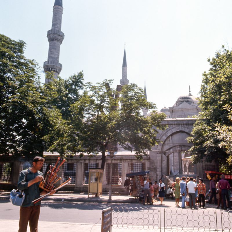
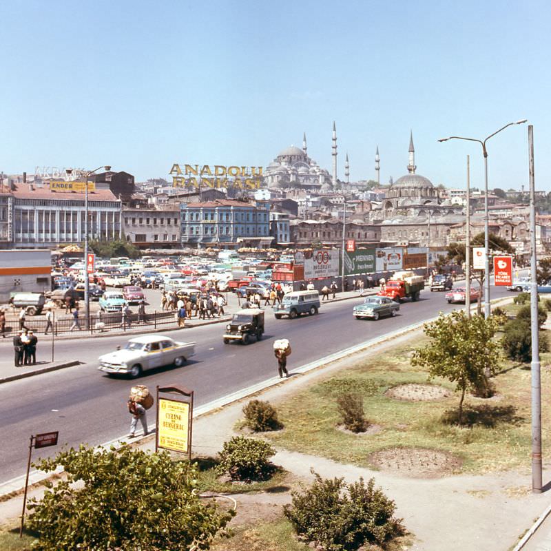
Istanbul in the 1970s was a city in motion. Its population was growing fast, driven by a wave of migration from Anatolia as workers moved to the city seeking jobs in the factories being built along its outer edges. The streets were wide, the sidewalks packed, and the energy of the place was impossible to ignore. This was a city caught between its Ottoman past and a rapidly modernizing present — and the tension between the two made it unlike anywhere else in the world. The Sultanahmet district, home to some of the city’s oldest landmarks, still carried a strong Asian character during this era. Its streets were lined with small shops selling everyday goods, and the bazaars buzzed with locals hunting for deals. Commerce was everywhere — not in gleaming shopping centers, but in tight alleys, open stalls, and crowded market squares. The Spice Bazaar, known locally as Mısır Çarşısı, sat behind the Yeni Cami mosque and was one of the beating hearts of this street-level economy.
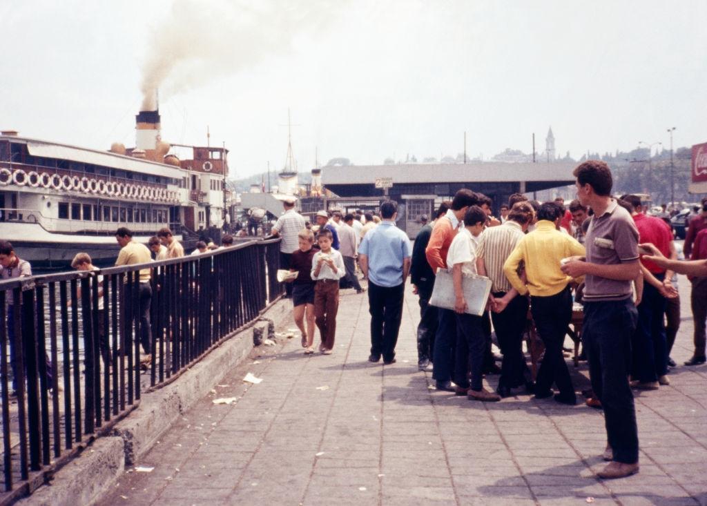
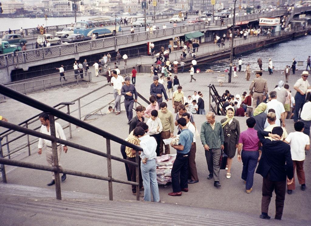
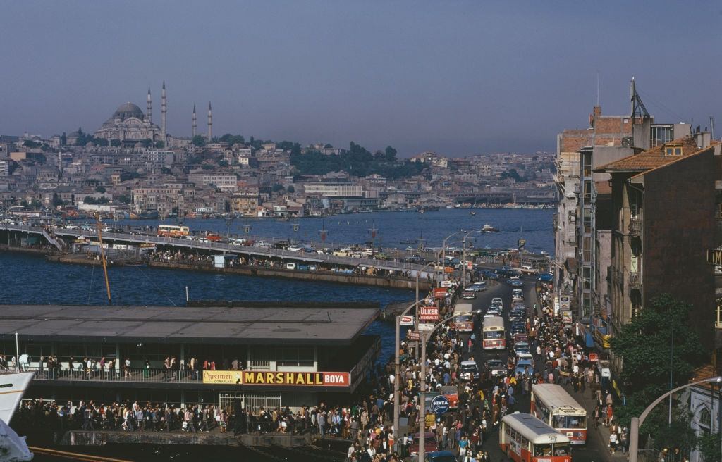
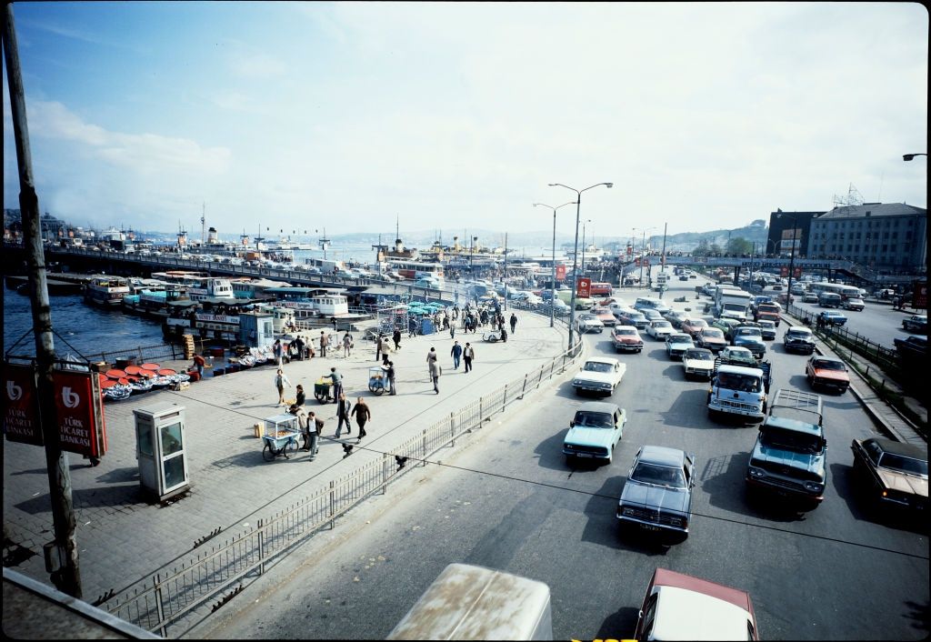
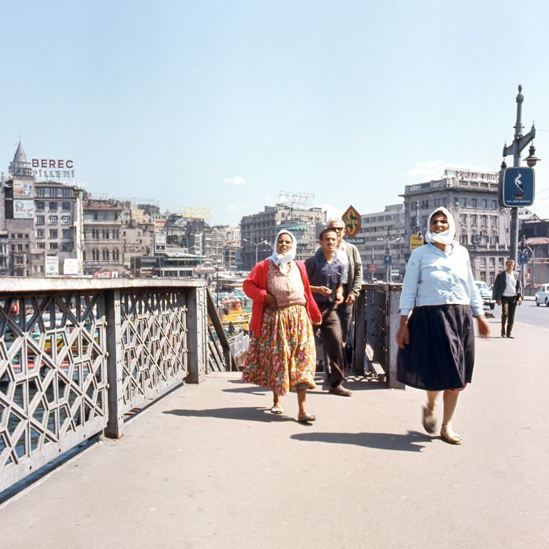
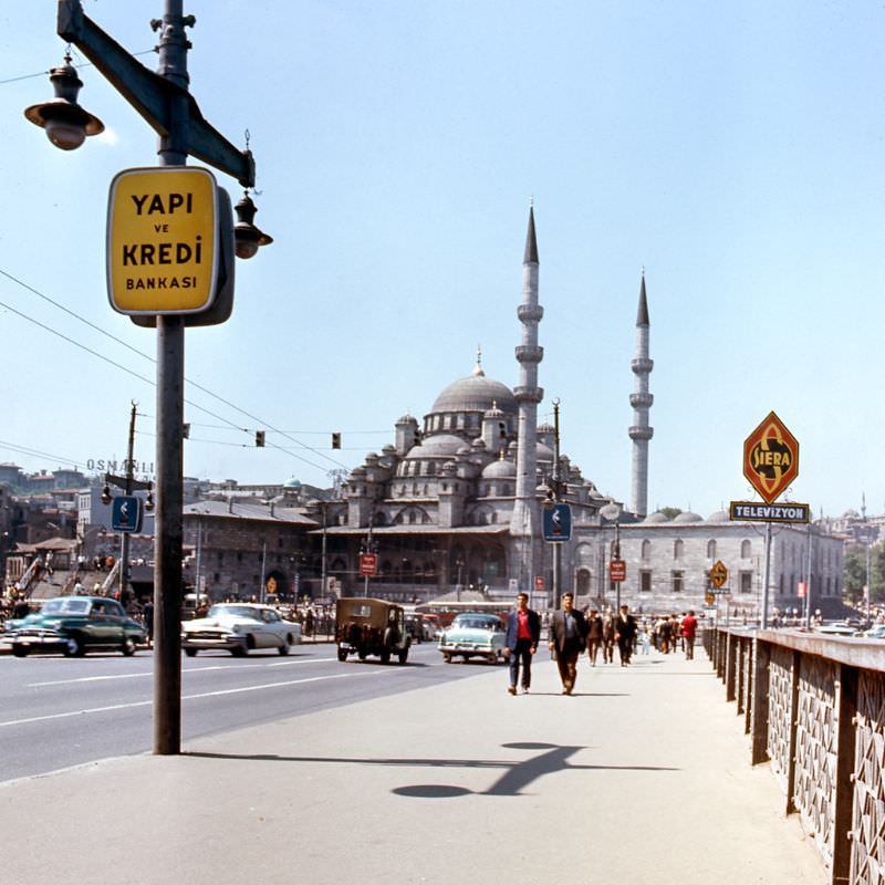
The Galata Bridge was one of the city’s most important crossings, linking the historic peninsula to the Beyoğlu district on the other side of the Golden Horn. In 1970, it was a meeting point for everyone — tourists, fishermen, traders, and commuters all shared the same stretch of waterfront.
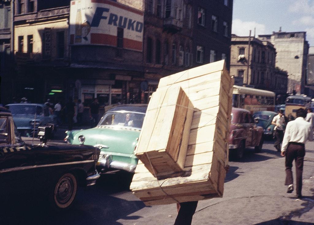
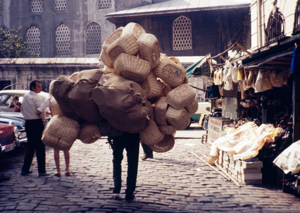
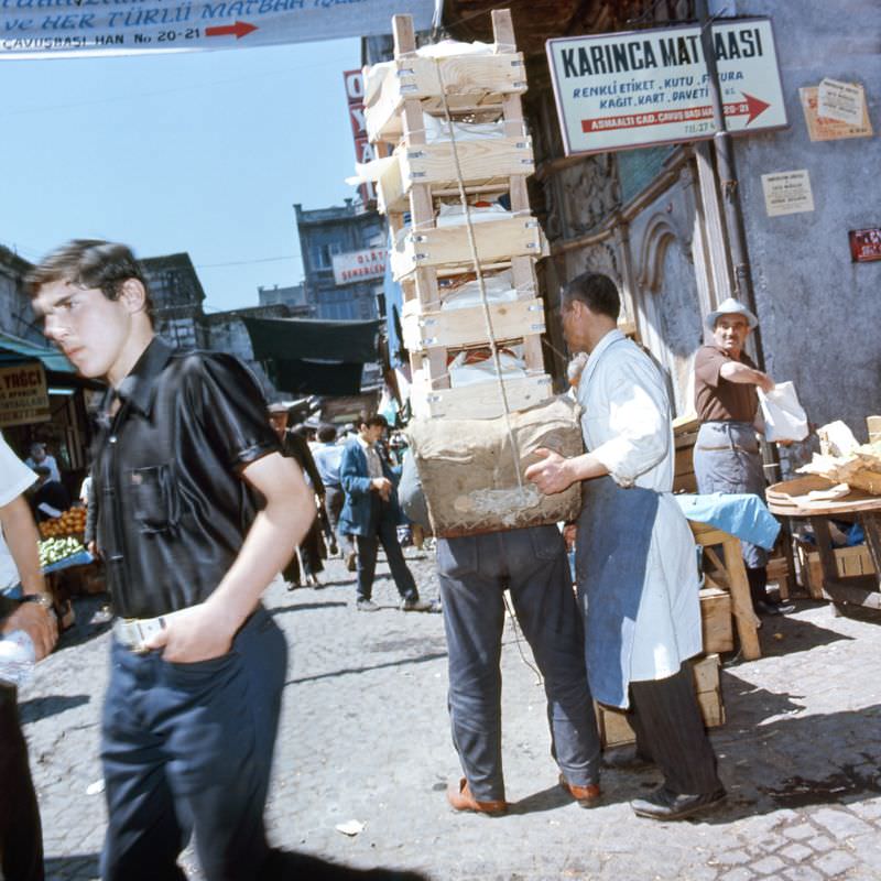
Daily life near the Spice Bazaar had its own rhythm. Young boys worked alongside adults, hauling goods through the streets as part of the city’s informal labor network. It was common to see children carrying heavy loads — not a curiosity, but a normal part of how commerce functioned at the street level.
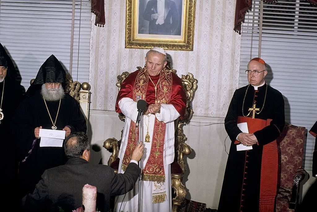
Istanbul was not only a commercial hub but also a place of significant religious and diplomatic importance. In the 1970s, the city hosted a notable visit involving Pope John Paul II and the Orthodox Patriarch, reflecting Istanbul’s role as a crossroads between Eastern and Western Christianity — a role it had held for centuries.
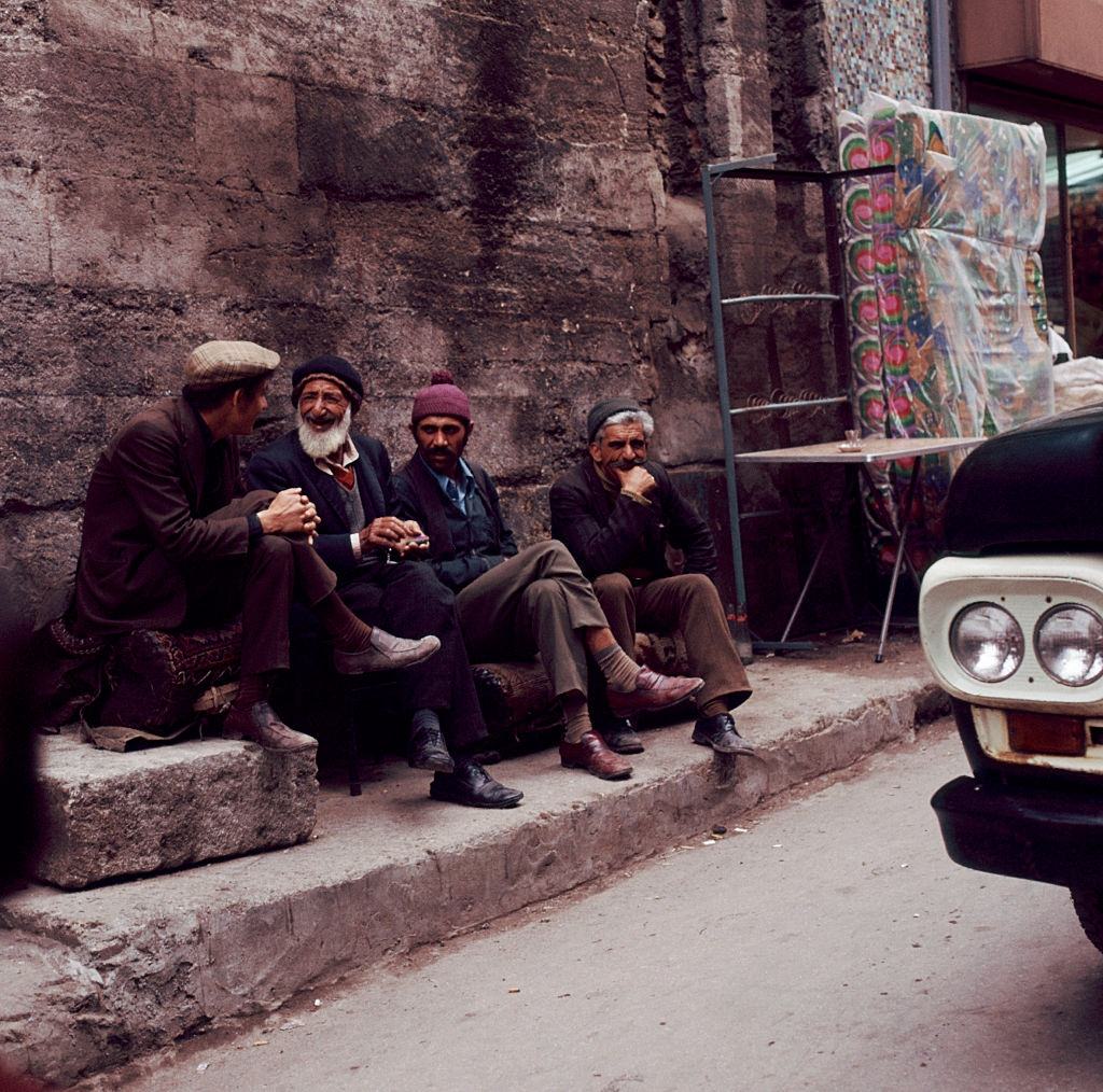
Guesthouses, coffee shops, and small neighborhood spaces were central to social life across the city. Men gathered to drink tea or coffee, play backgammon, and talk for hours. These weren’t just places to eat or drink — they were where the city’s social fabric was held together, neighborhood by neighborhood.
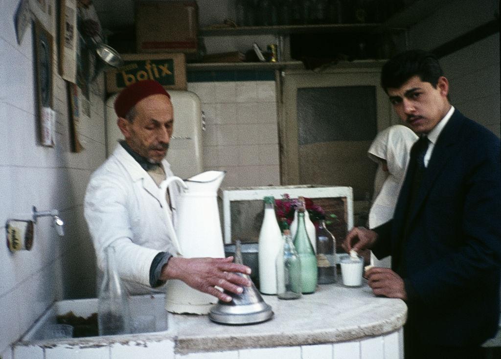
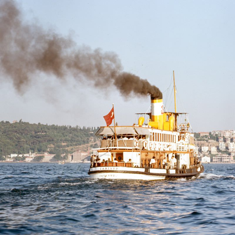
Beyond the city center, the streets leading to ferry terminals like Dolmabahçe showed a different side of Istanbul — quieter, more residential, but still full of movement. Ferries were essential to daily transportation across the Bosphorus, connecting the European and Asian sides of a city that literally straddled two continents.
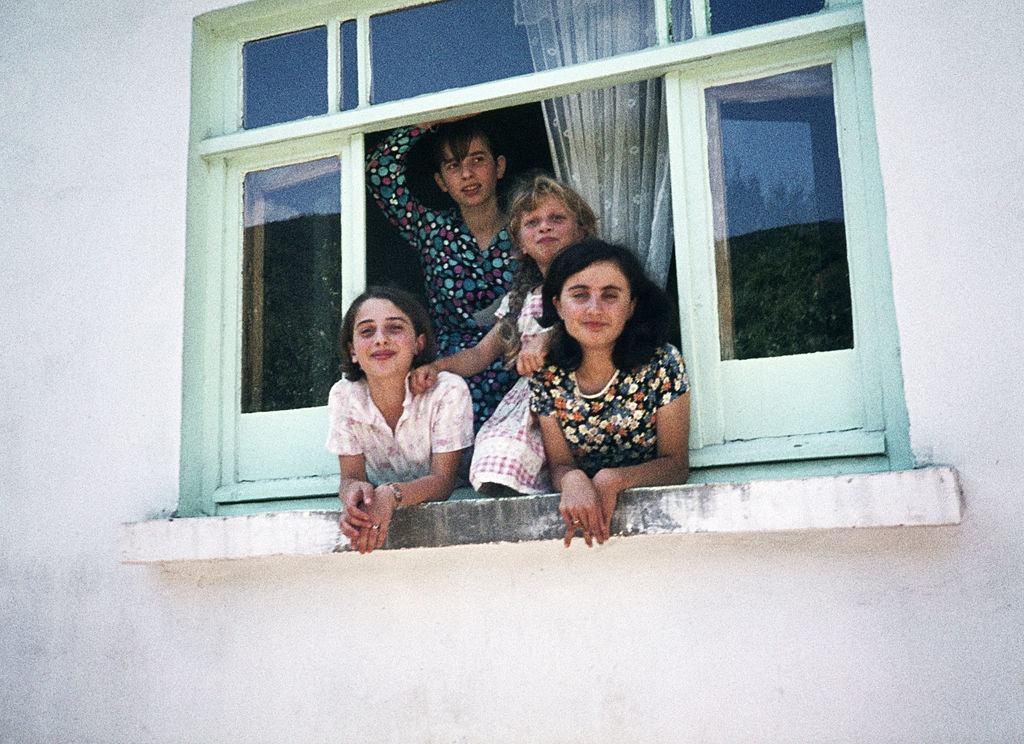
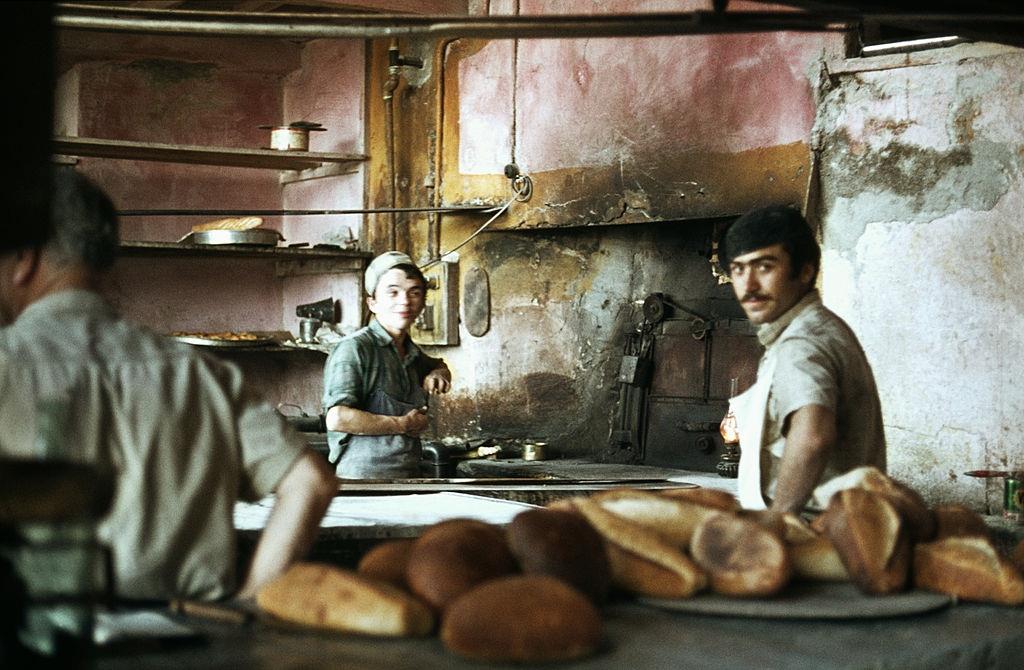
Outside Istanbul proper, the small town of Anadolu Kavağı sat along the upper Bosphorus. It was quieter than the city, with its own local rhythms — bakeries, small homes, and a pace of life very different from the chaos of the urban center.
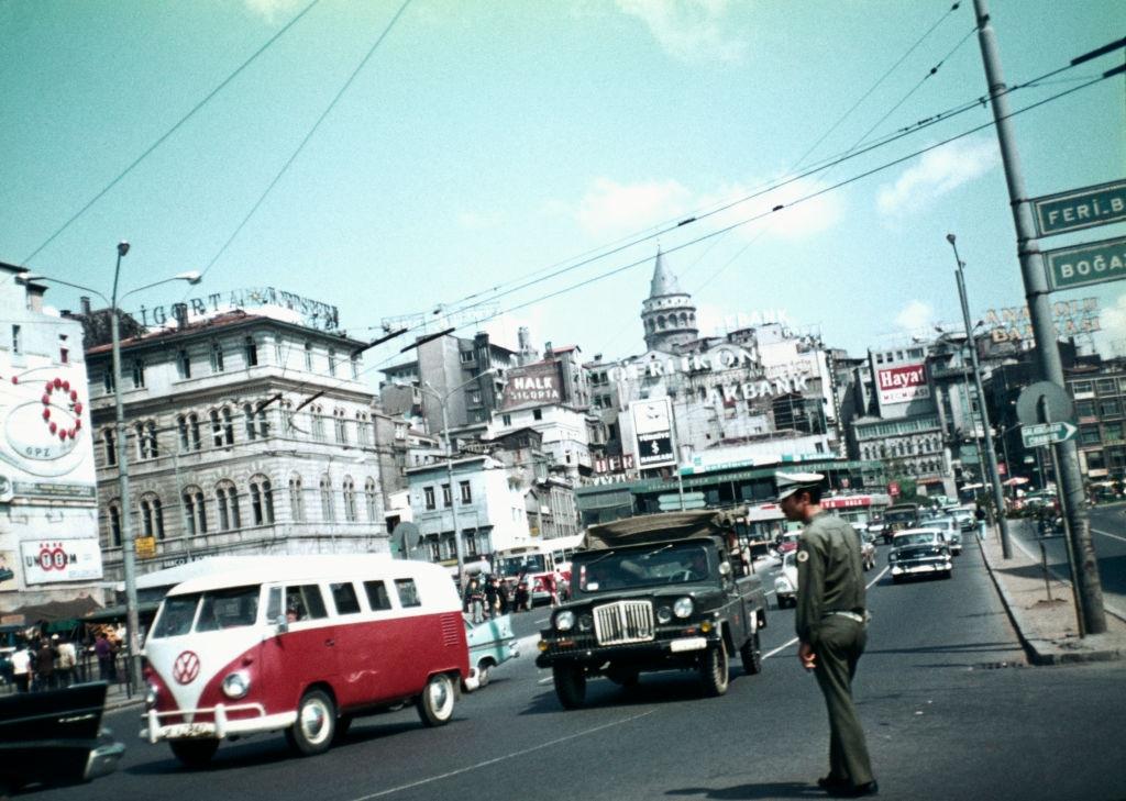
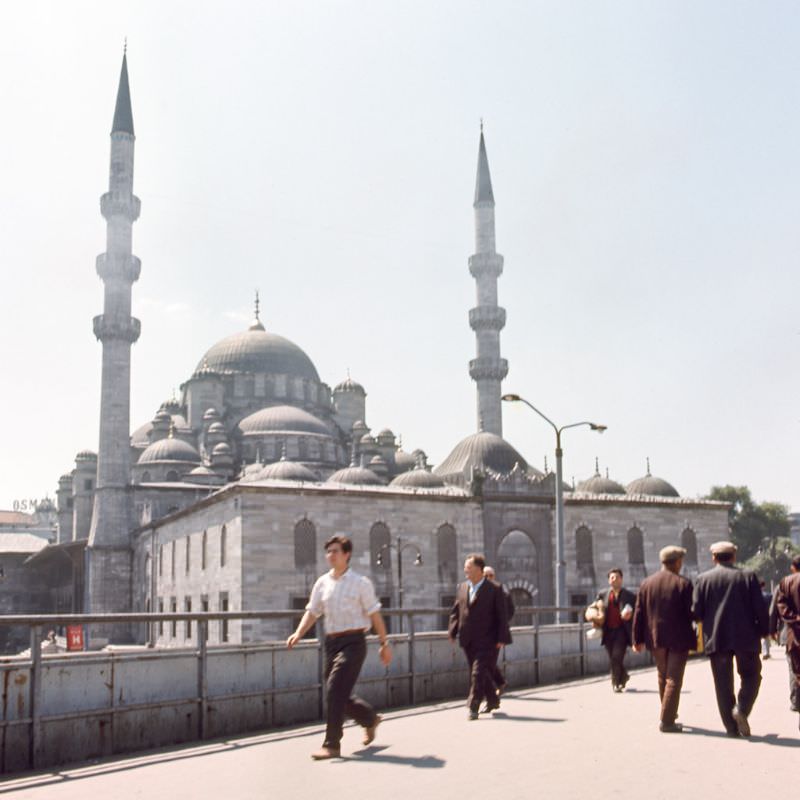
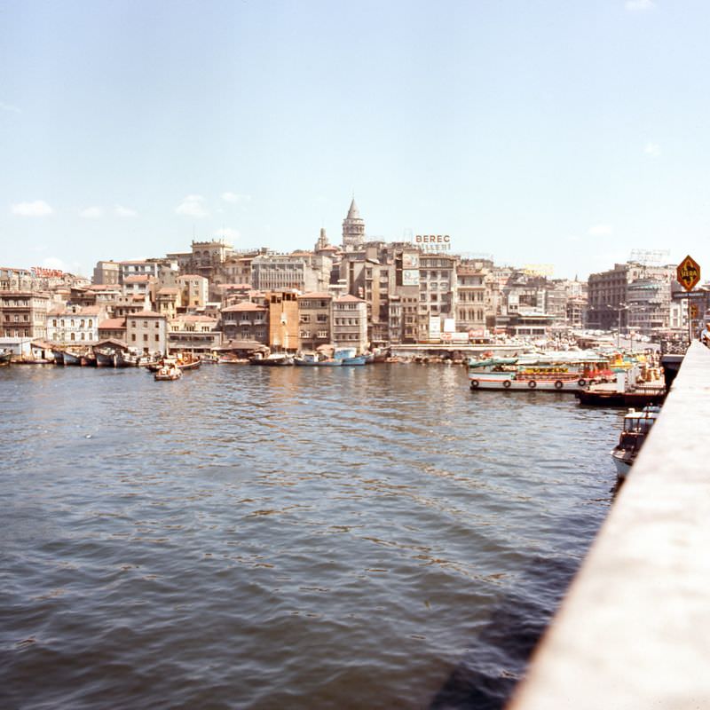
By 1973, the Karaköy neighborhood — formerly known as Galata — remained one of the city’s most distinct quarters. The Galata Bridge stretched across the Golden Horn below it, carrying a constant flow of traffic between the old city and the newer districts to the north.
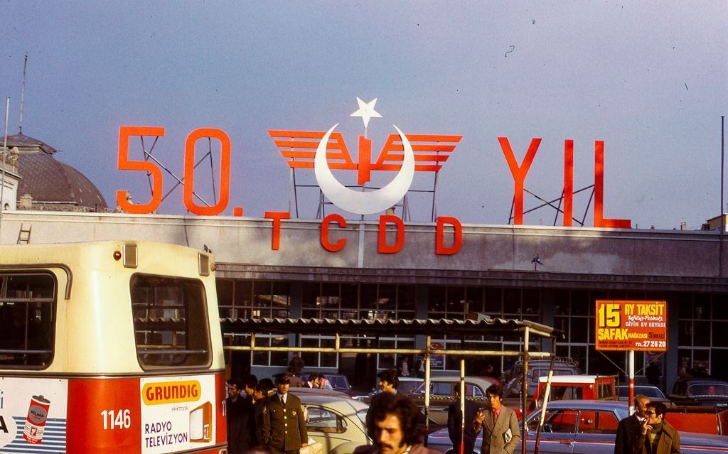
Sirkeci Terminal, Istanbul’s main European railway station, was a landmark in its own right. Built in 1890, it served as the final stop on the legendary Orient Express route. By the 1970s, it was still a busy hub, connecting Istanbul to the rest of Europe by rail.
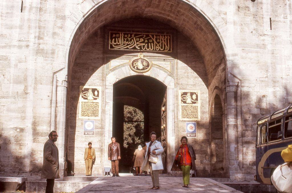
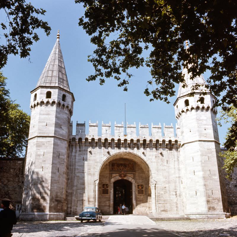
Topkapı Palace, the seat of Ottoman power for nearly four centuries, remained one of the city’s most visited sites in the 1970s. Its massive stone gates and layered courtyards gave visitors a direct encounter with the scale and ambition of the empire that once ruled from this spot.
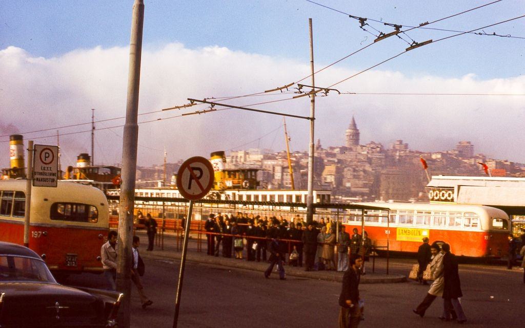
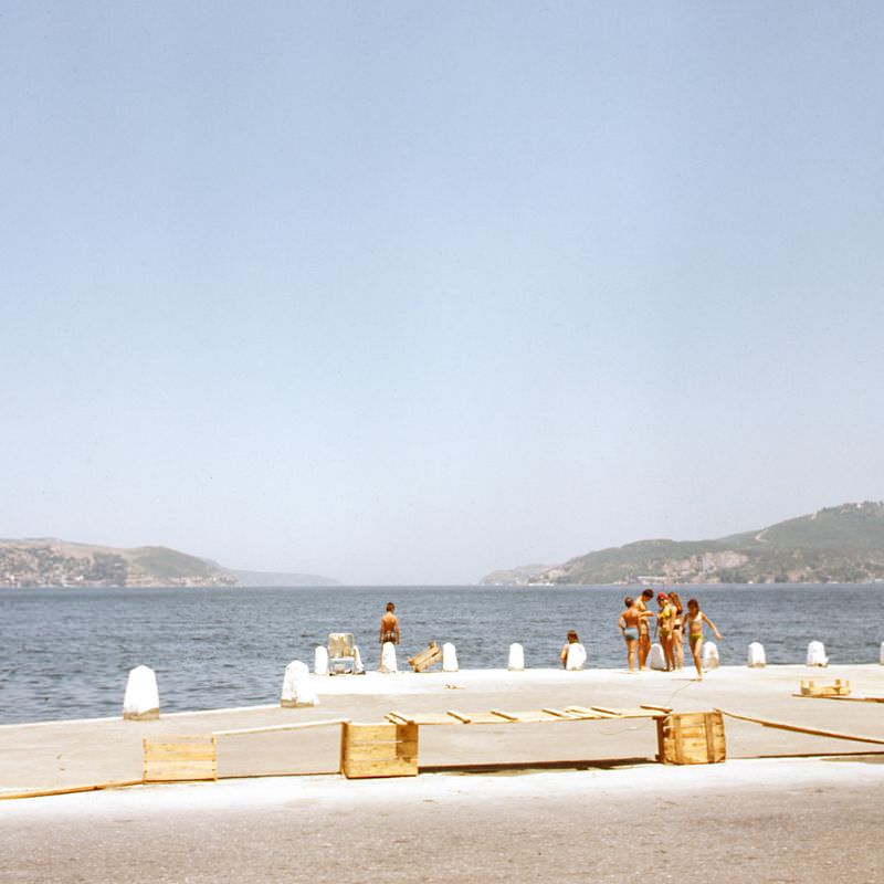
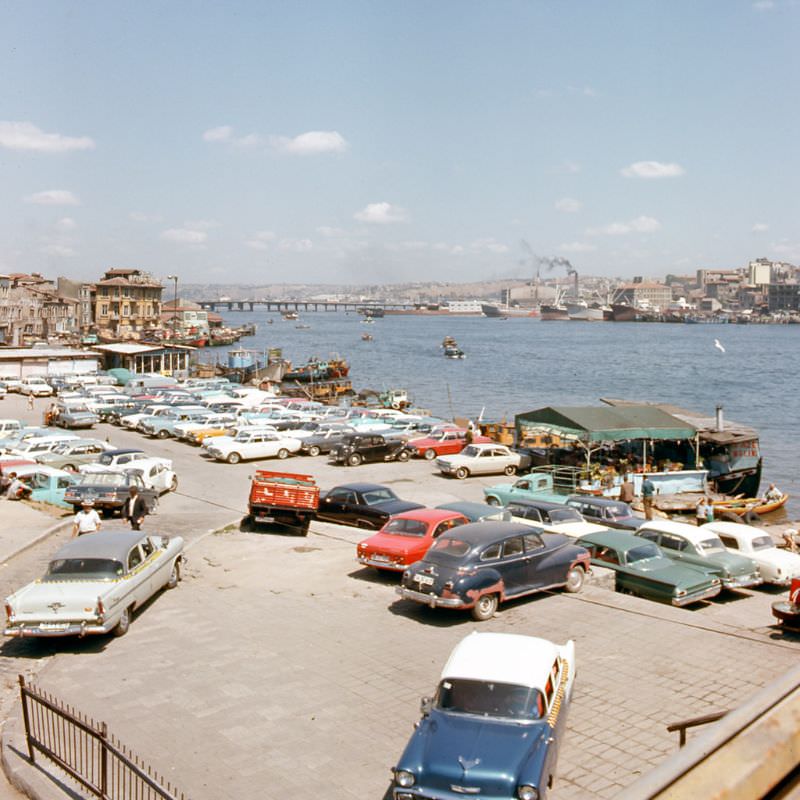
The Bosphorus waterfront in 1973 was a busy working shoreline. Bus stations and ferry landings shared the same space, and the strait itself was filled with freight and passenger vessels. The waterway was — and remains — one of the world’s most strategically important shipping routes.
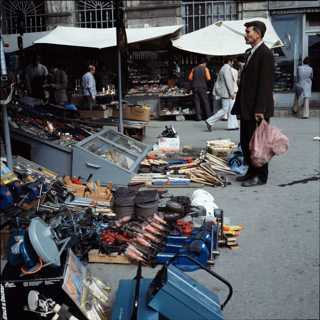
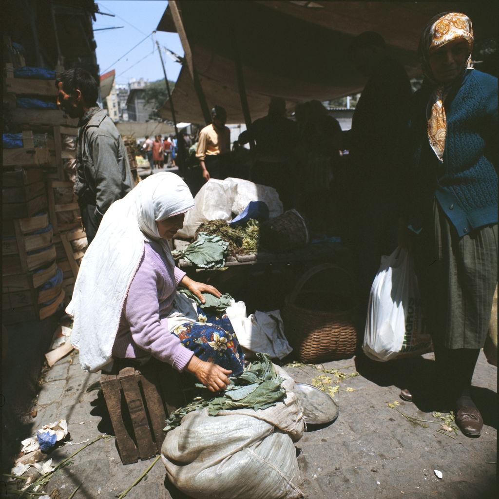
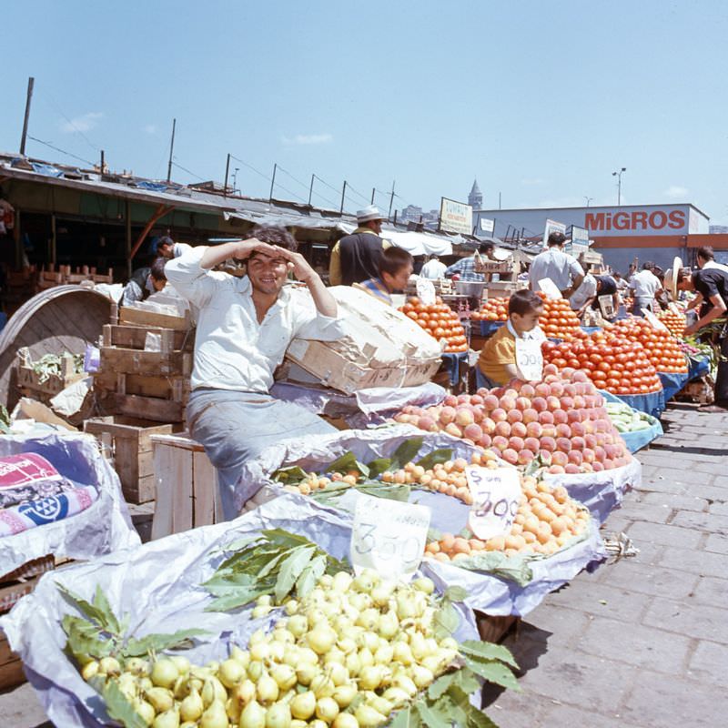
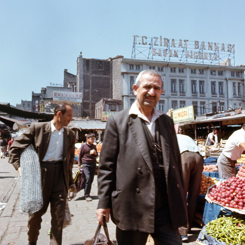
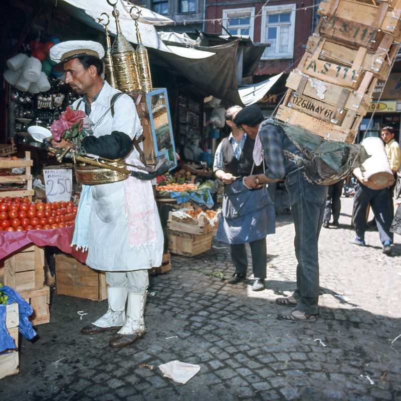
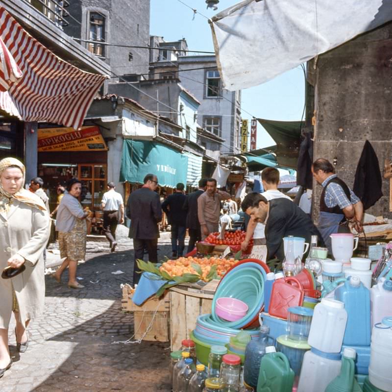
By the mid-1970s, the city’s street markets had grown into sprawling, specialized spaces. Tool markets, fish markets, and vegetable stalls each claimed their own corners of the city. These were working markets — loud, crowded, and functional — not tourist attractions.
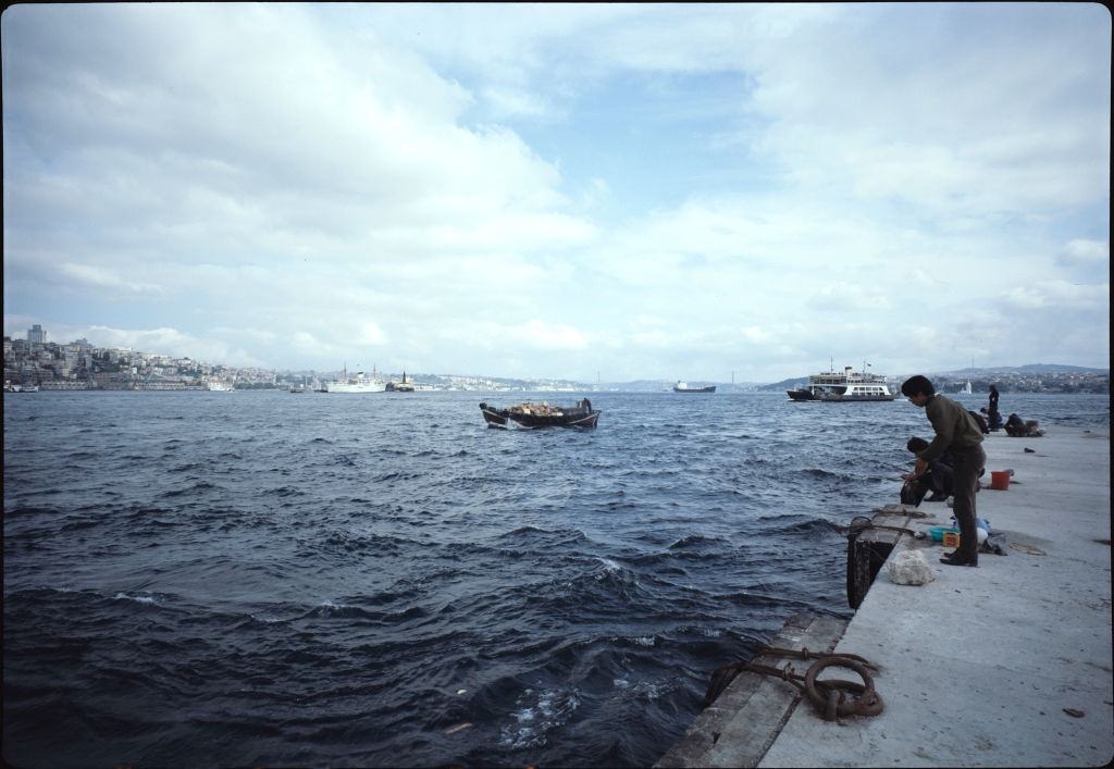
Along the Bosphorus, fishing was as much a pastime as a livelihood. Rows of anglers lined the banks and bridges, casting lines into one of the world’s busiest waterways. The same strait that carried massive cargo ships also fed local families.
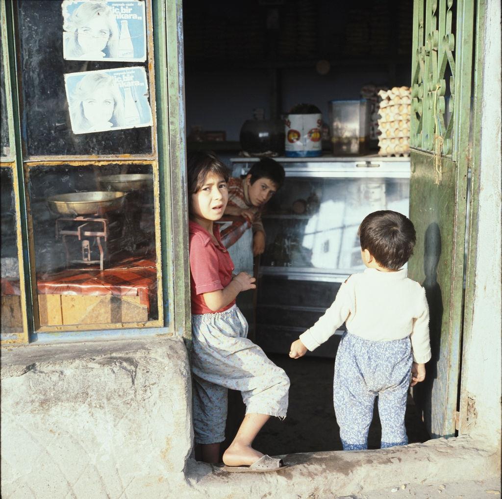
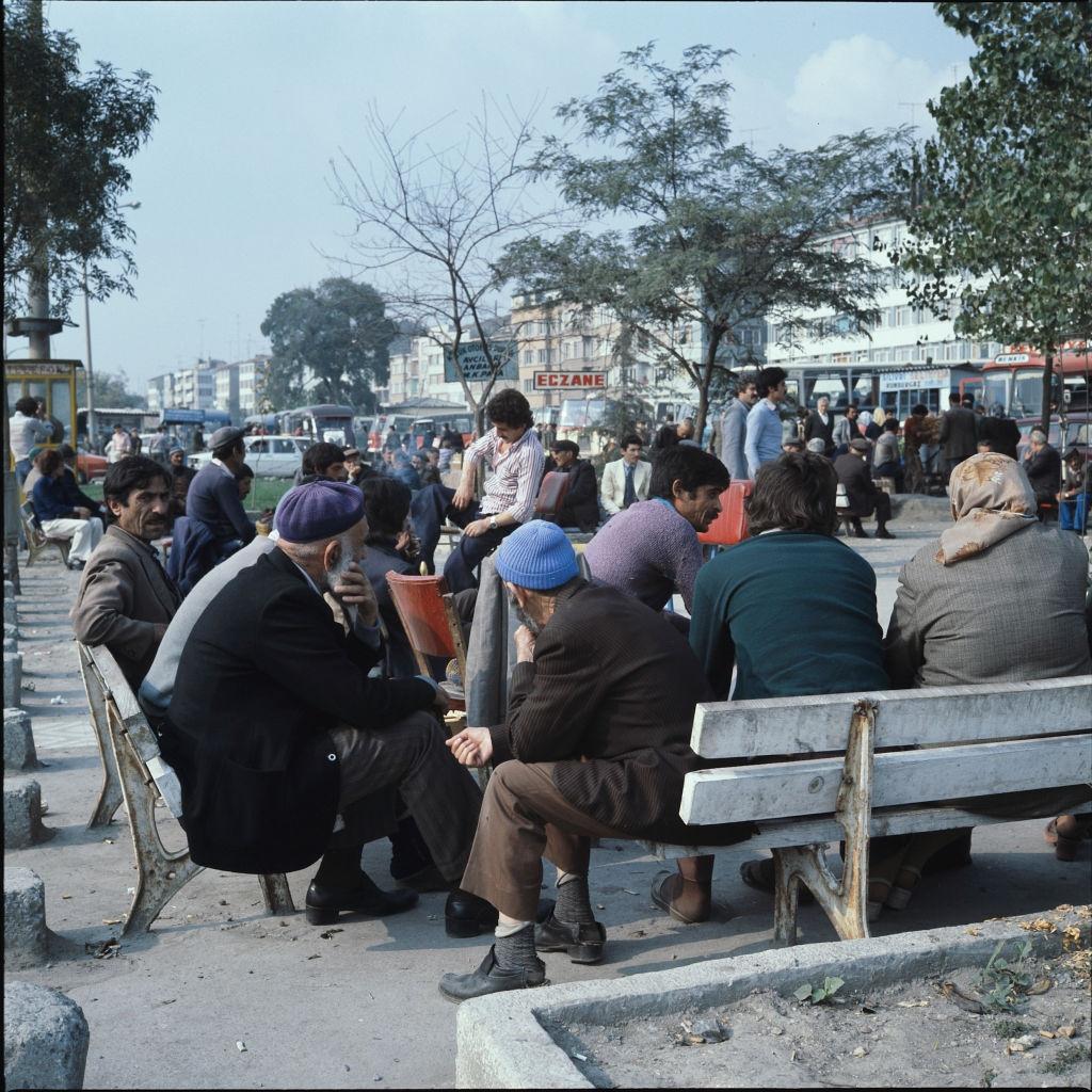
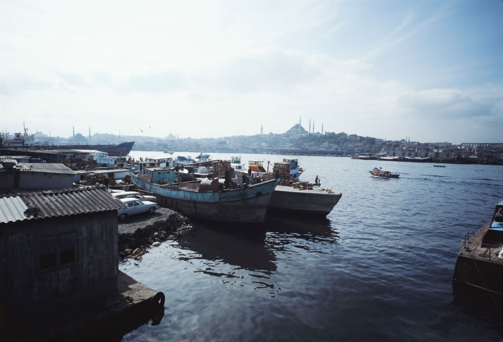
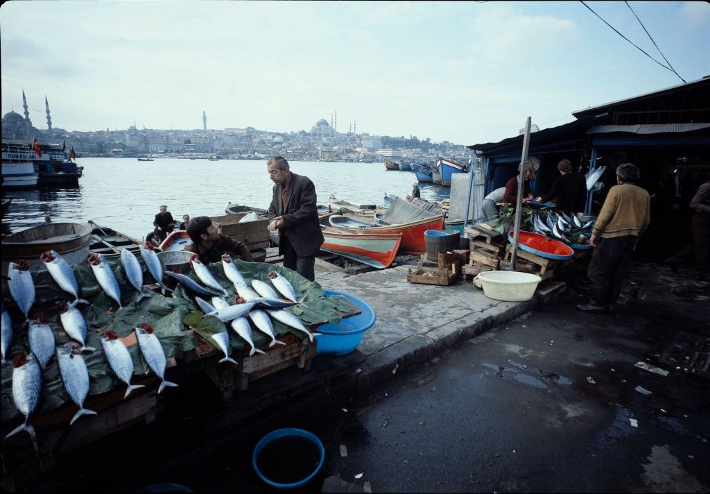
Traffic on the Galata Bridge in 1976 was heavy and constant. Cars, buses, and pedestrians all competed for space on the old crossing. The bridge served as both a practical transit route and an informal marketplace, with vendors selling food and goods to passersby.
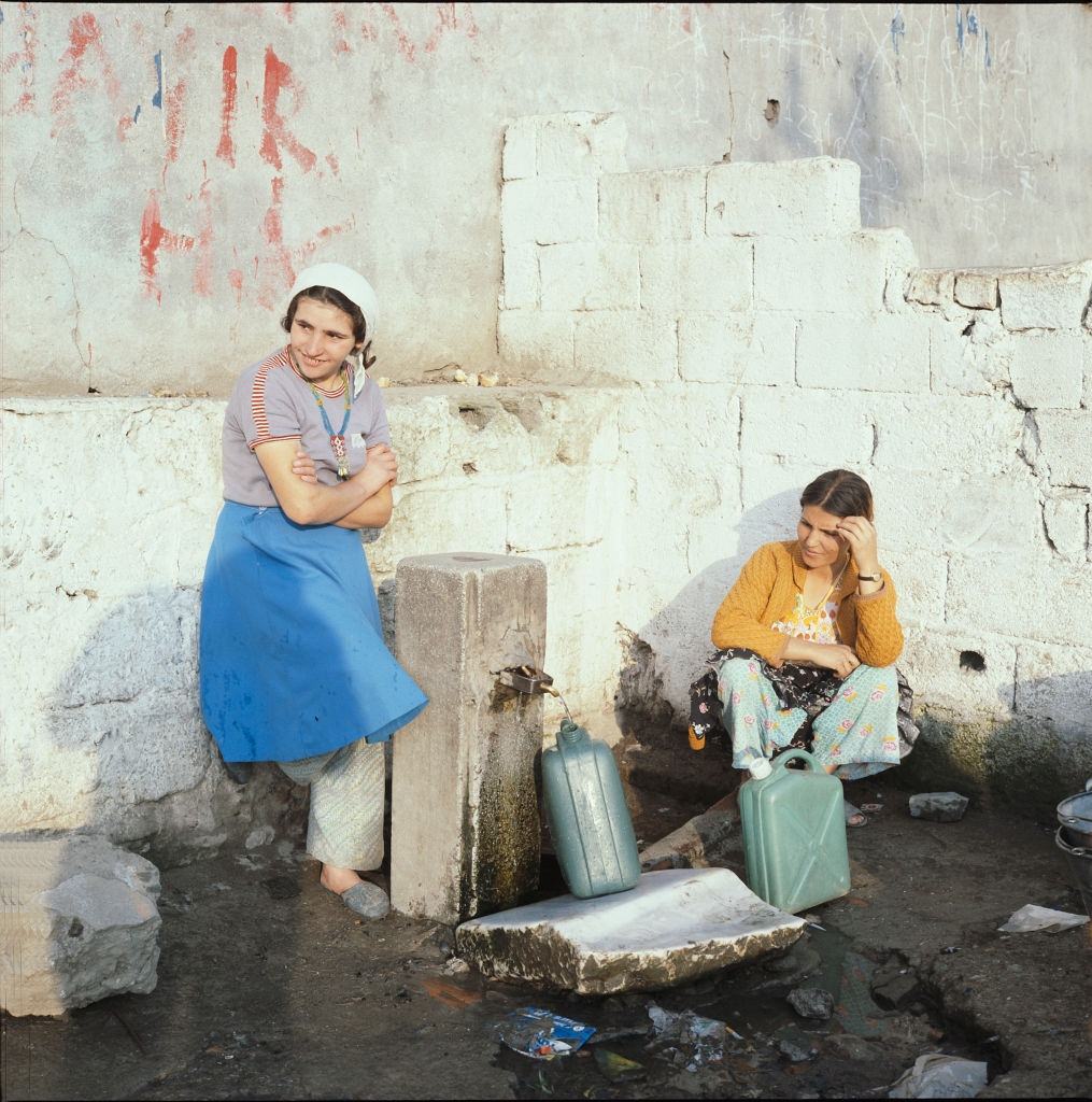
Access to running water was not guaranteed across all of Istanbul’s neighborhoods in the 1970s. In some areas, women still collected water from communal sources — a task that shaped daily routines and reflected the uneven pace of urban development as the city expanded faster than its infrastructure could keep up.
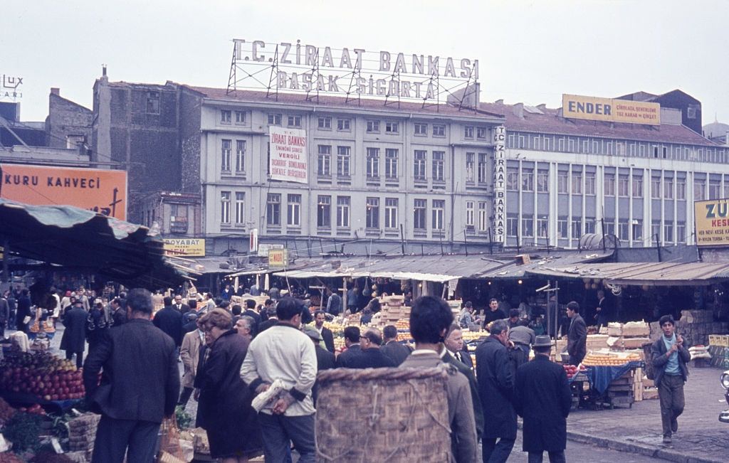
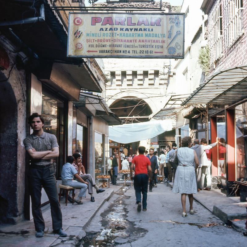
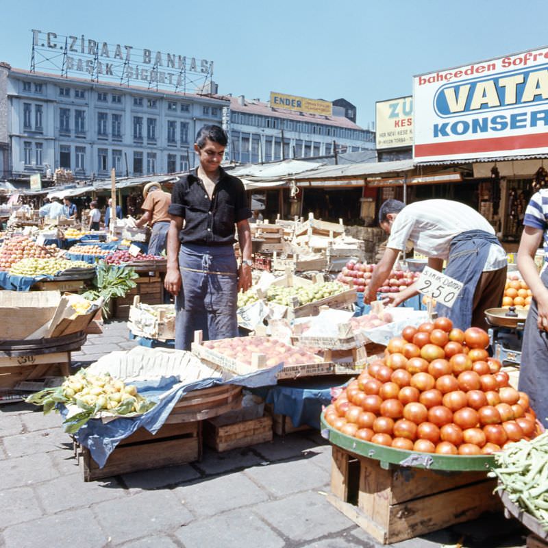
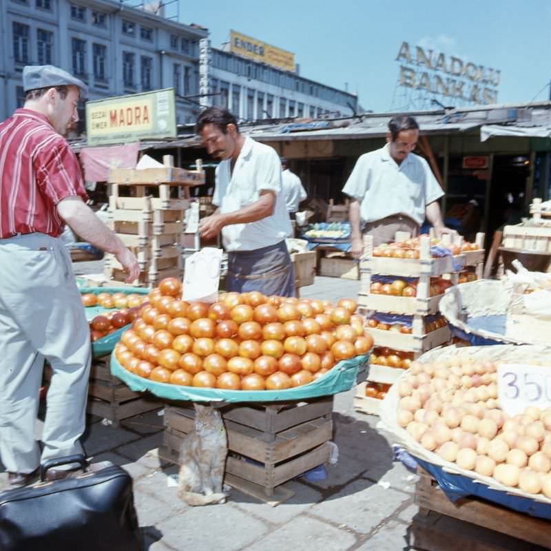
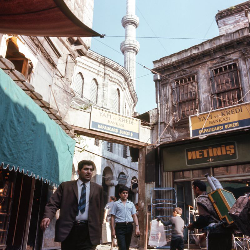
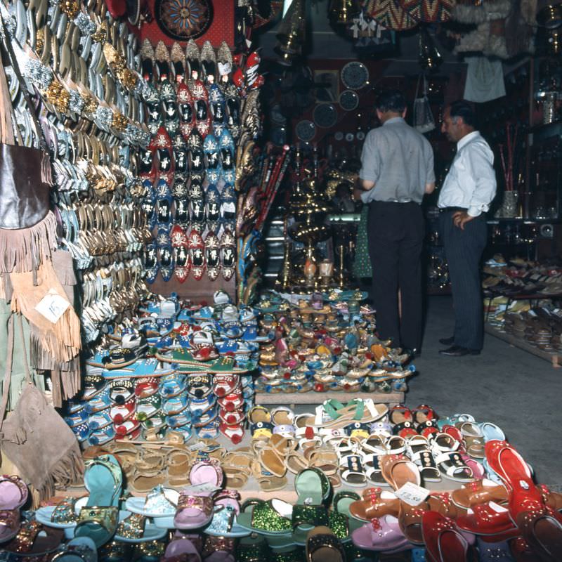
The Grand Bazaar, one of the oldest and largest covered markets in the world, drew both locals and visitors throughout the decade. Its entrances opened onto a labyrinth of over 4,000 shops selling everything from leather goods and jewelry to spices and sandals. The Eminönü district nearby was equally alive with hawkers and shoppers.
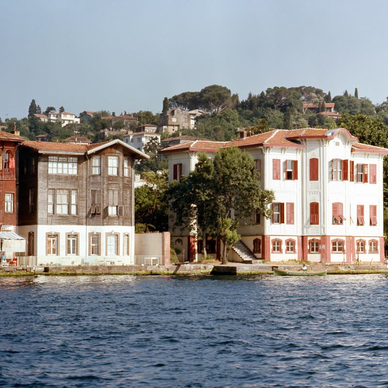
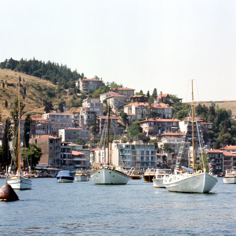
Along the Bosphorus Strait, residential areas like Istinye featured homes built directly on the water’s edge. The strait’s shores were lined with wooden and stone houses that had stood for generations, their foundations nearly touching the waterway that divided Europe from Asia.
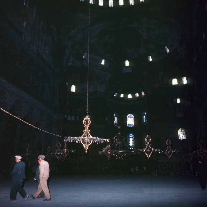
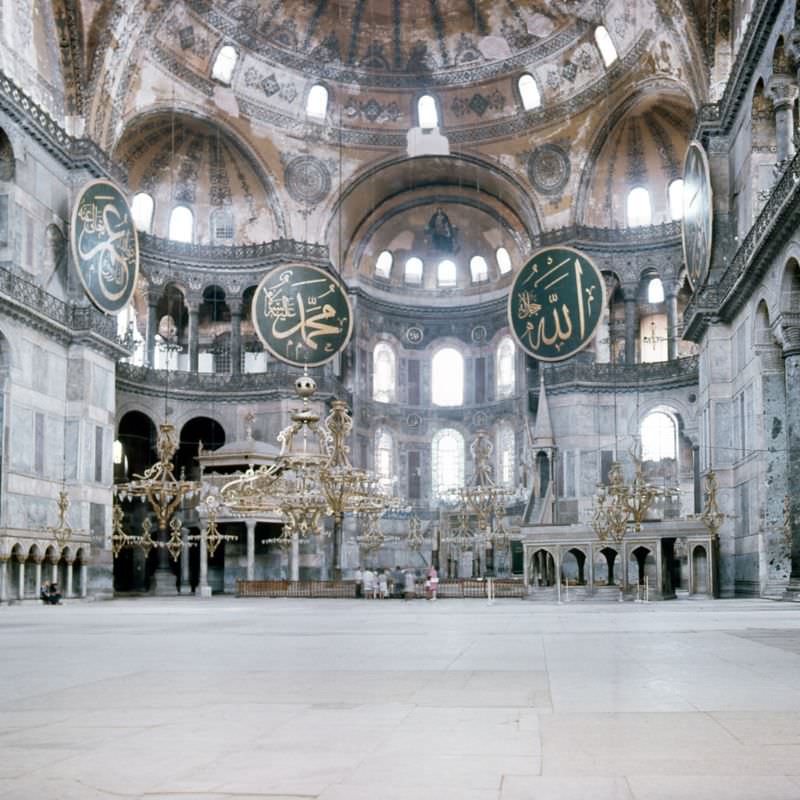
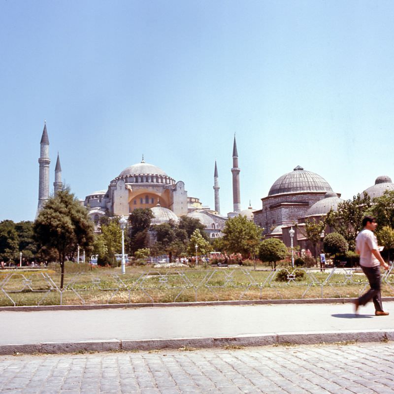
The Hagia Sophia had a complicated identity in the 1970s. Originally a Byzantine cathedral built in 537 AD, it was converted into a mosque after the Ottoman conquest in 1453, then turned into a museum in 1934. During the 1970s, it functioned as a museum, allowing visitors to see both its Christian mosaics and its Islamic calligraphy within the same walls.
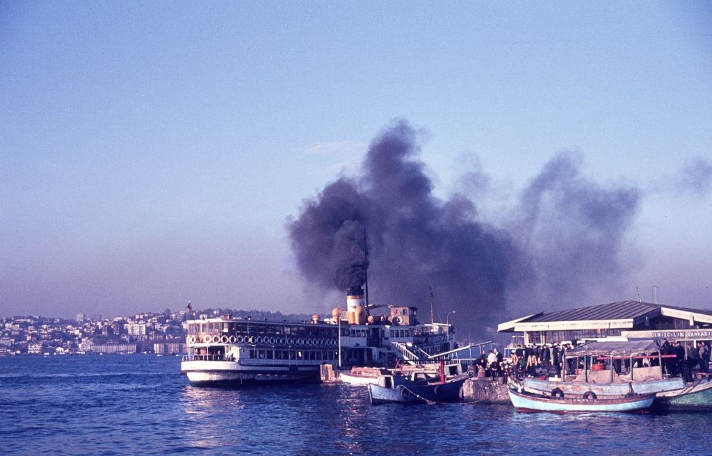
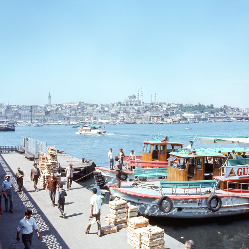
Istanbul’s ferry network was the circulatory system of the city. Ferries crossed the Bosphorus and the Golden Horn constantly, carrying workers, students, and goods between the city’s many districts. For millions of residents, the daily commute meant boarding one of these vessels.
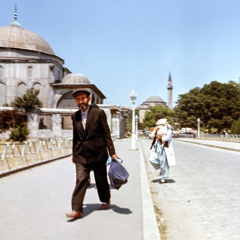
Near the ancient Hippodrome — once the social center of Byzantine Constantinople — the surrounding streets in the 1970s still carried an atmosphere shaped by centuries of history. The Hippodrome itself had long since been converted into an open public square, but its original monuments, including the Serpent Column and the Egyptian Obelisk, remained standing.
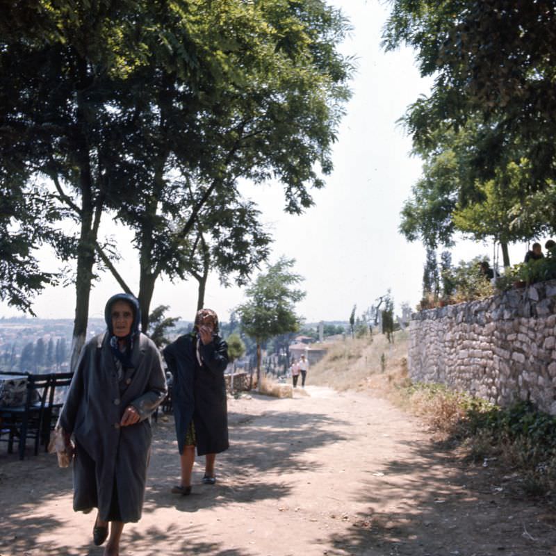
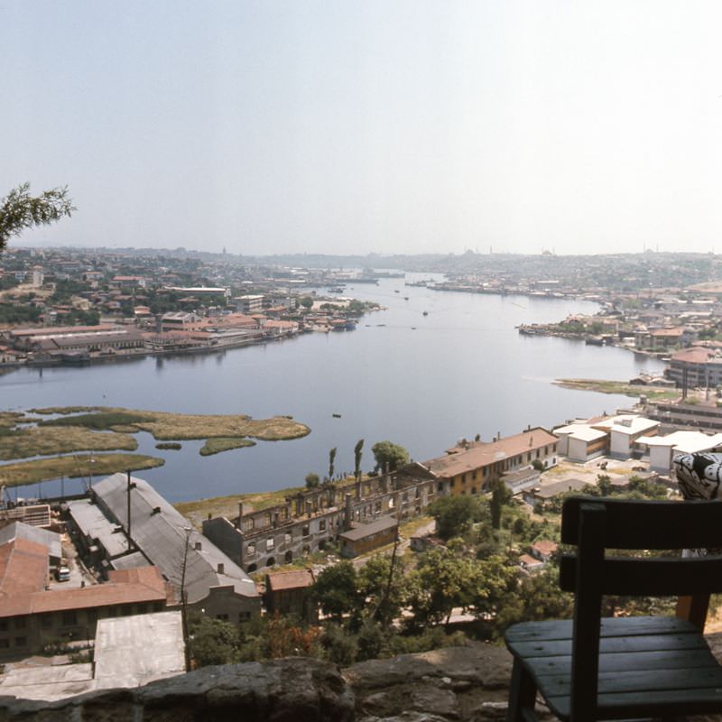
Pierre Loti Hill, named after the French novelist who was captivated by Istanbul, offered one of the best views over the Golden Horn. In the 1970s, a famous café sat at the top, where locals gathered to drink tea and look out over the water below.
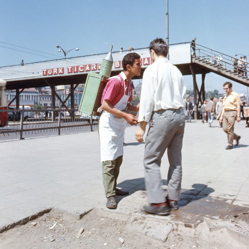
Street vendors were a constant presence across Eminönü. Sherbet sellers, hawkers, and small food stalls competed for the attention of the crowds passing through this busy commercial district every day.
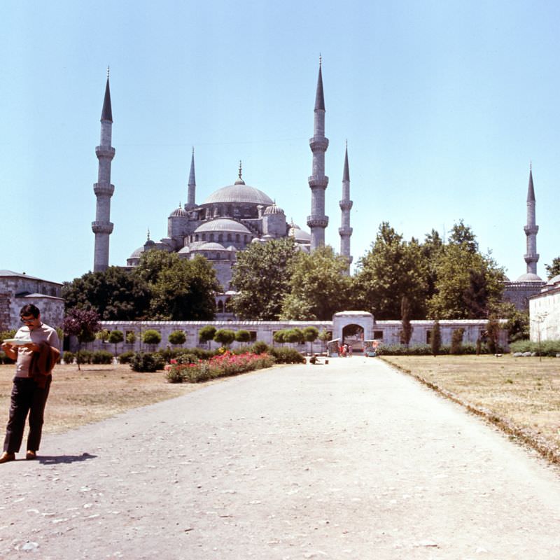
The Blue Mosque, formally known as the Sultan Ahmed Mosque, dominated the skyline of the historic peninsula with its six minarets. Built between 1609 and 1616, it remained one of the city’s most recognized structures and a working mosque visited by thousands each day.
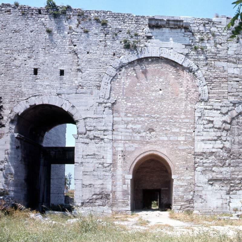
Topkapı Palace’s Great Gate — the Imperial Gate — marked the main entrance to the palace complex. In the Ottoman era, only the sultan and his senior officials could pass through it on horseback. By the 1970s, it welcomed thousands of visitors passing through on foot to explore the sprawling grounds beyond.
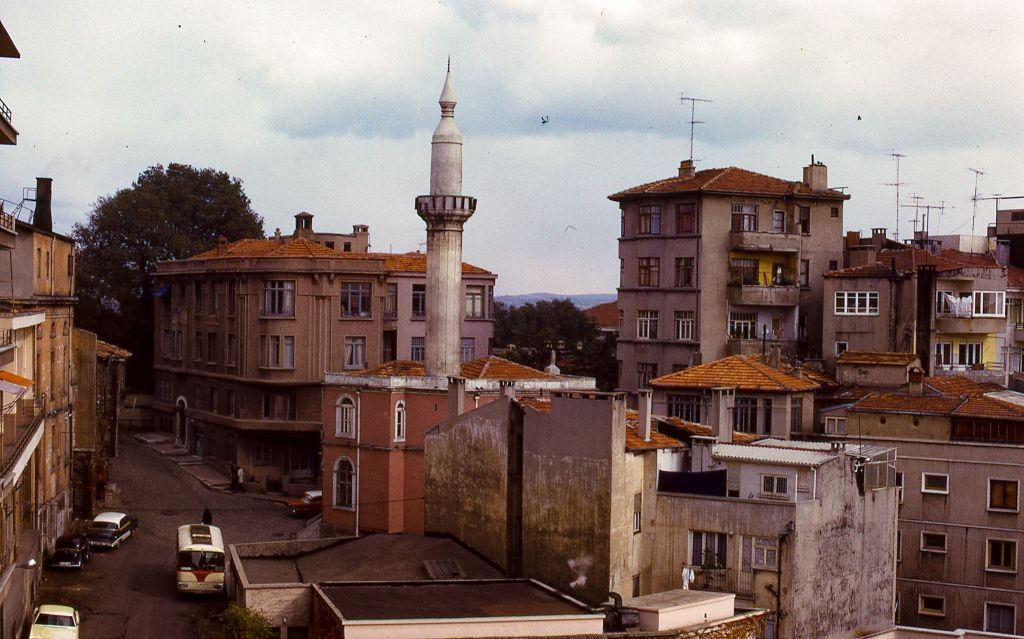
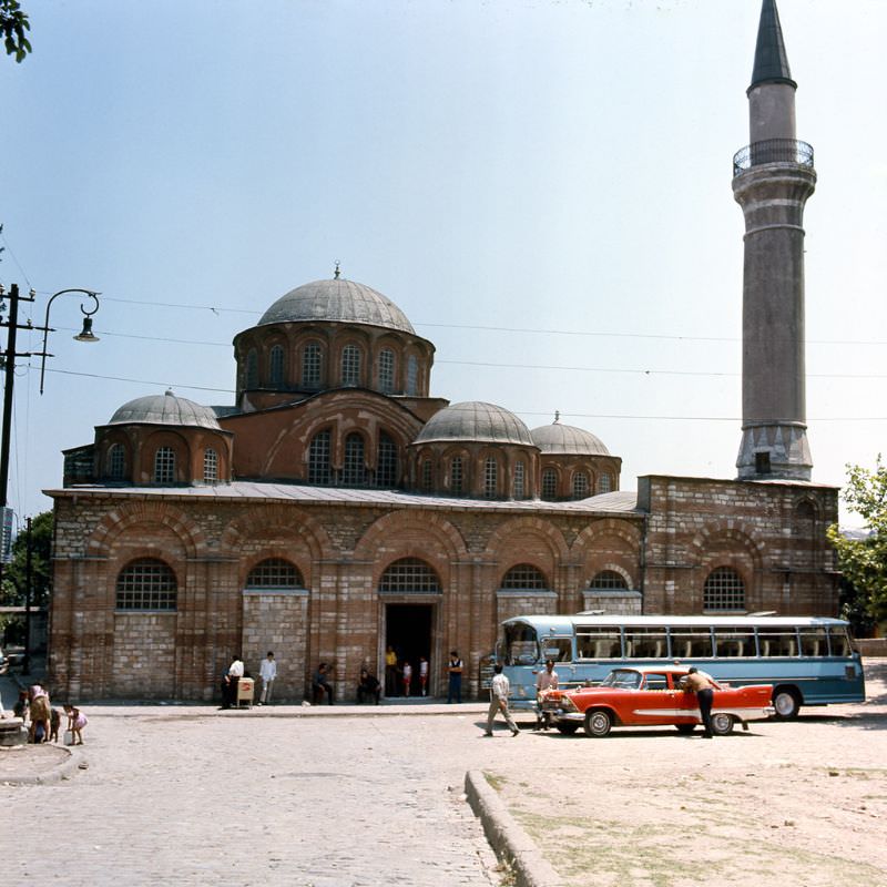
The Molla Fenari Isa Mosque was one of the city’s lesser-known but historically significant structures — originally built as a Byzantine church in the late 13th century and later converted into a mosque. It stood as a quiet reminder of the city’s layered religious history.
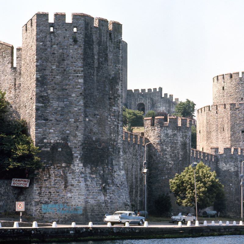
The Rumeli Fortress, built by Sultan Mehmed II in 1452 on the narrowest point of the Bosphorus, was a formidable structure that had helped the Ottomans control access to Constantinople before its conquest. By the 1970s, it stood as one of the best-preserved medieval fortifications in the region.
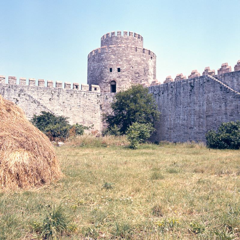
The Walls of Theodosius — the massive land walls built in the 5th century to protect Constantinople — still stood along the western edge of the old city in the 1970s. Stretching nearly seven kilometers, they had successfully defended the city for over a thousand years before the Ottoman siege of 1453.
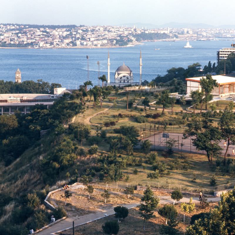
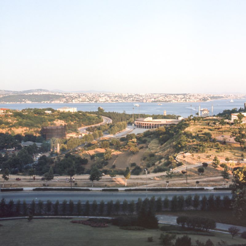
Maçka Park offered two distinct views that captured the breadth of Istanbul’s landscape. From its grounds, visitors could see the Bezmialem Valide Sultan Mosque — an imperial mosque built in the 19th century — as well as sweeping views over the Bosphorus Strait below.
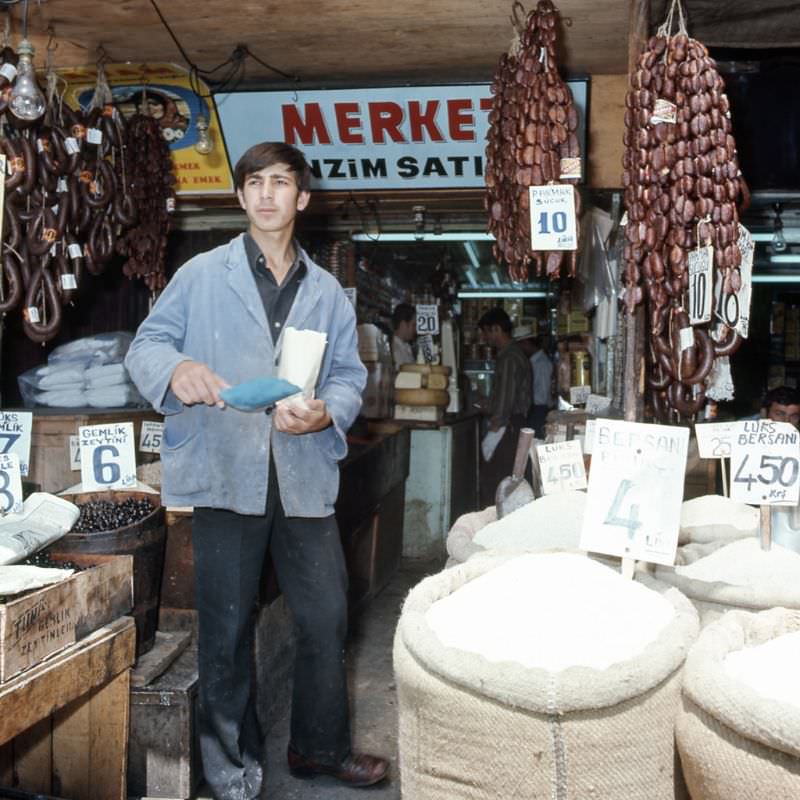
Inside the Grand Bazaar, individual shops specialized in specific goods. Sandal shops, spice dealers, and textile merchants each occupied their own sections of the covered market. The Spice Bazaar nearby offered sacks of dried herbs, teas, and spices piled high in open displays.
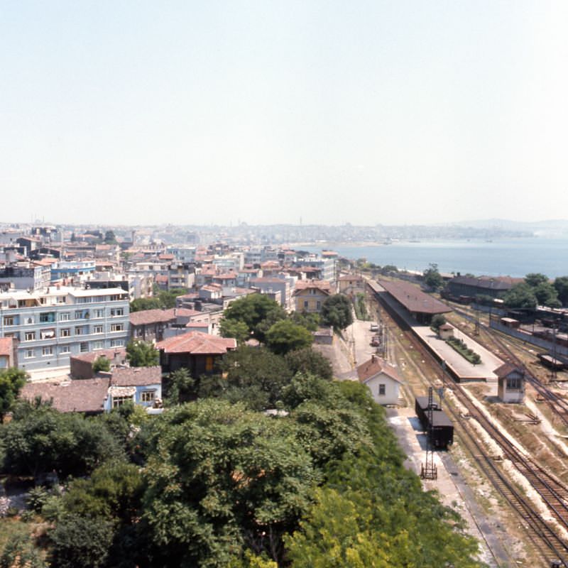
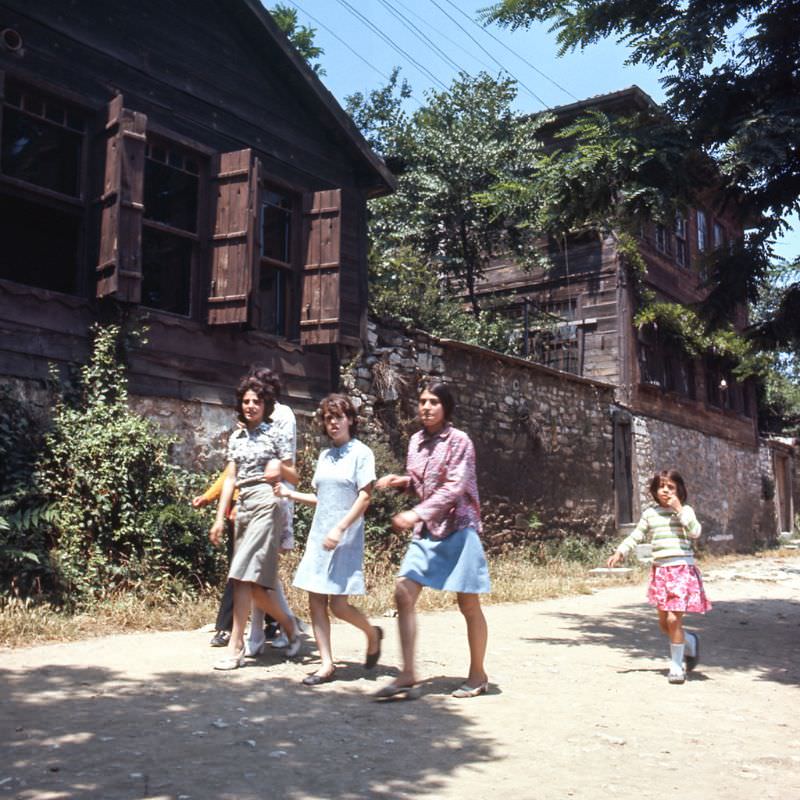
The neighborhood of Cankurtaran, sitting on the southern slope of the historic peninsula near the Sea of Marmara, was a quiet residential area in the 1970s. Its narrow streets ran between old stone and timber buildings, largely unchanged from earlier decades.
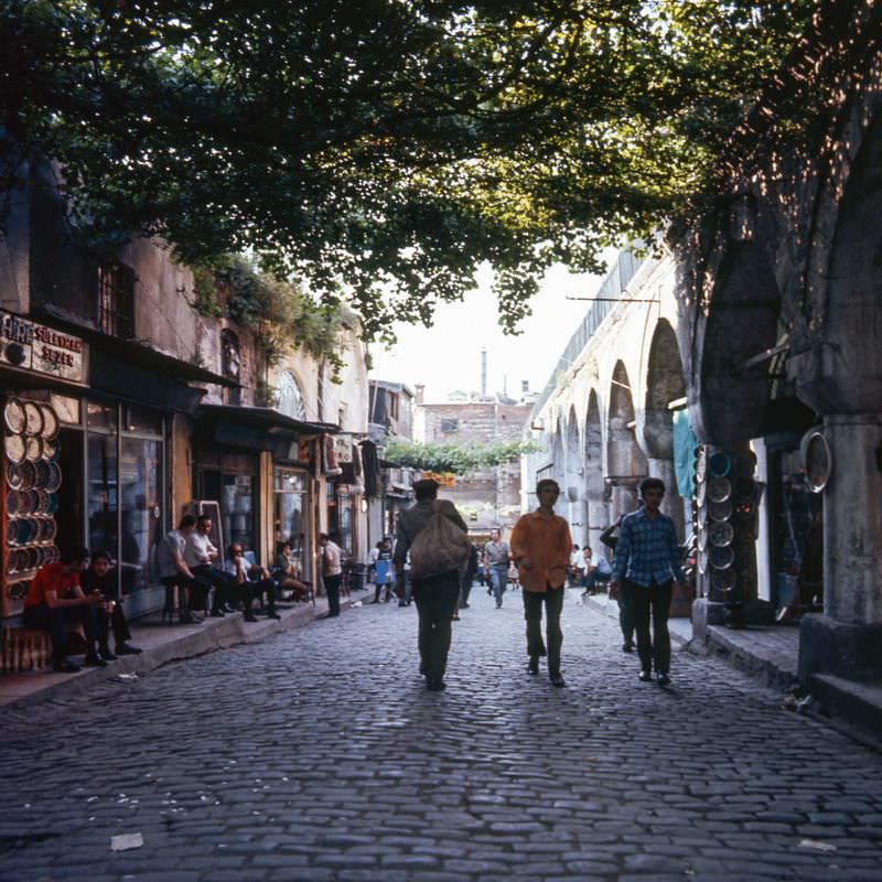
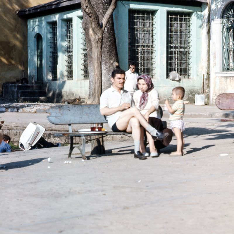
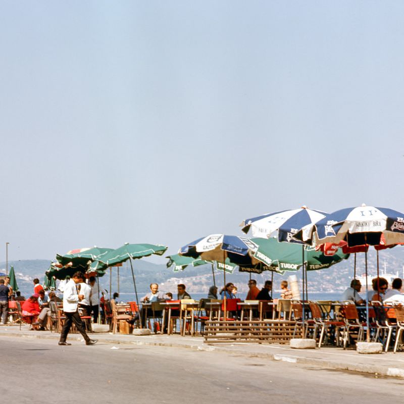
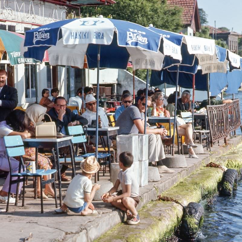
Tea was — and remains — the social drink of Istanbul. Small tea shops along the Bosphorus and the coastal districts served glass after glass to fishermen, traders, and anyone who needed a moment off their feet. These modest shops were everywhere, tucked into narrow storefronts along the waterfront.
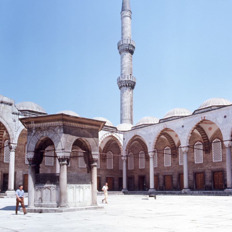
The courtyard of the Blue Mosque was a large, open space surrounded by a colonnaded portico. Worshippers performed their ritual washing at the central fountain before entering. In the 1970s, the mosque continued to operate as an active place of prayer while also drawing a steady stream of foreign visitors.